







High trail Kohlmais - Viehhofen 🥾⛰️
Stopnja težavnosti: T2
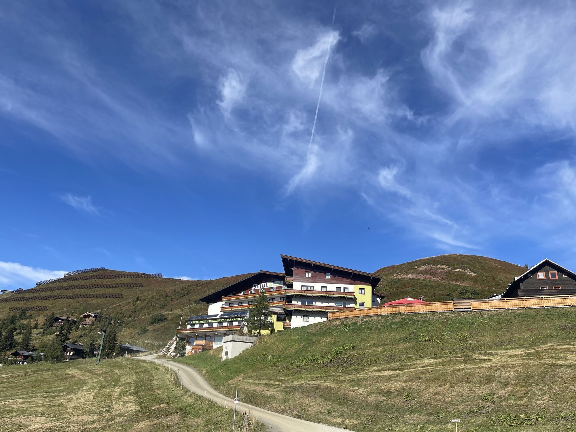
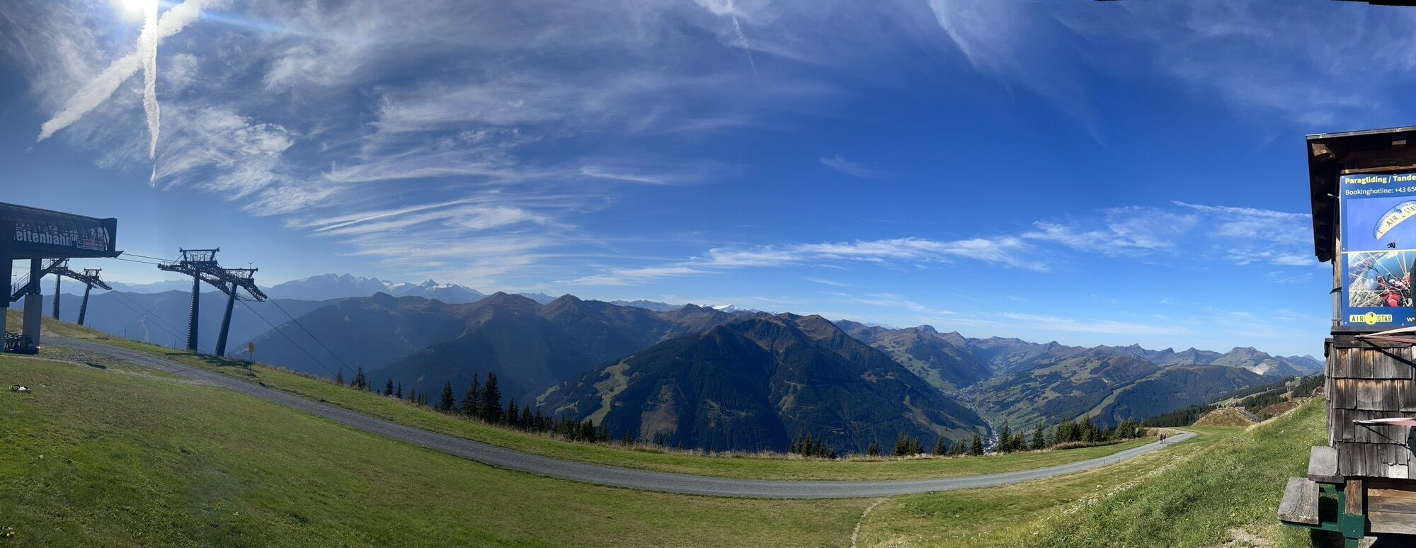
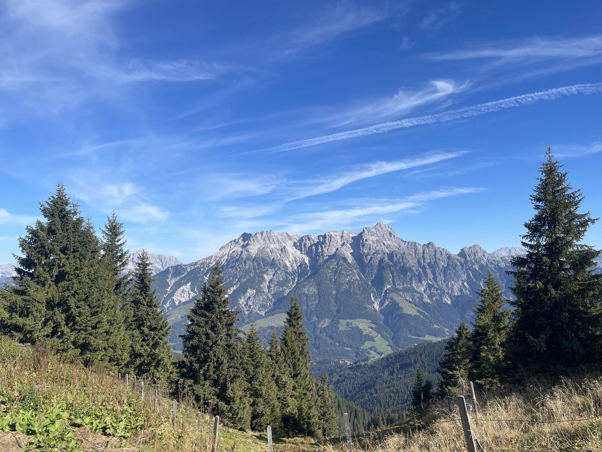

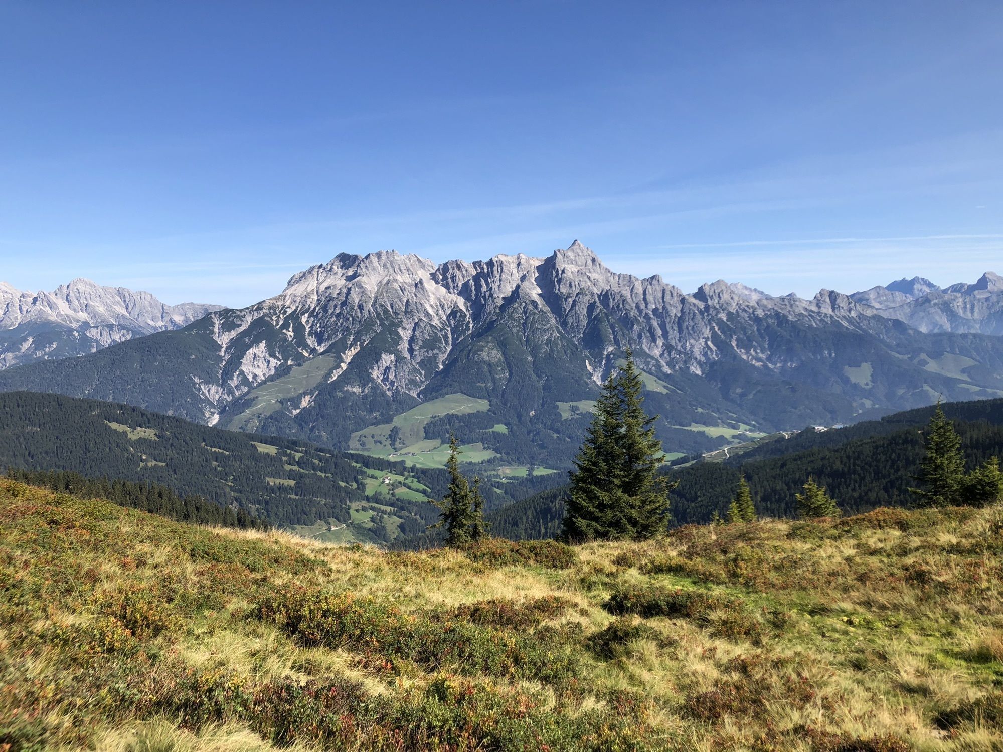
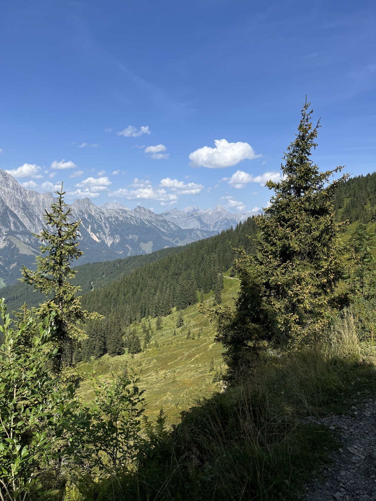
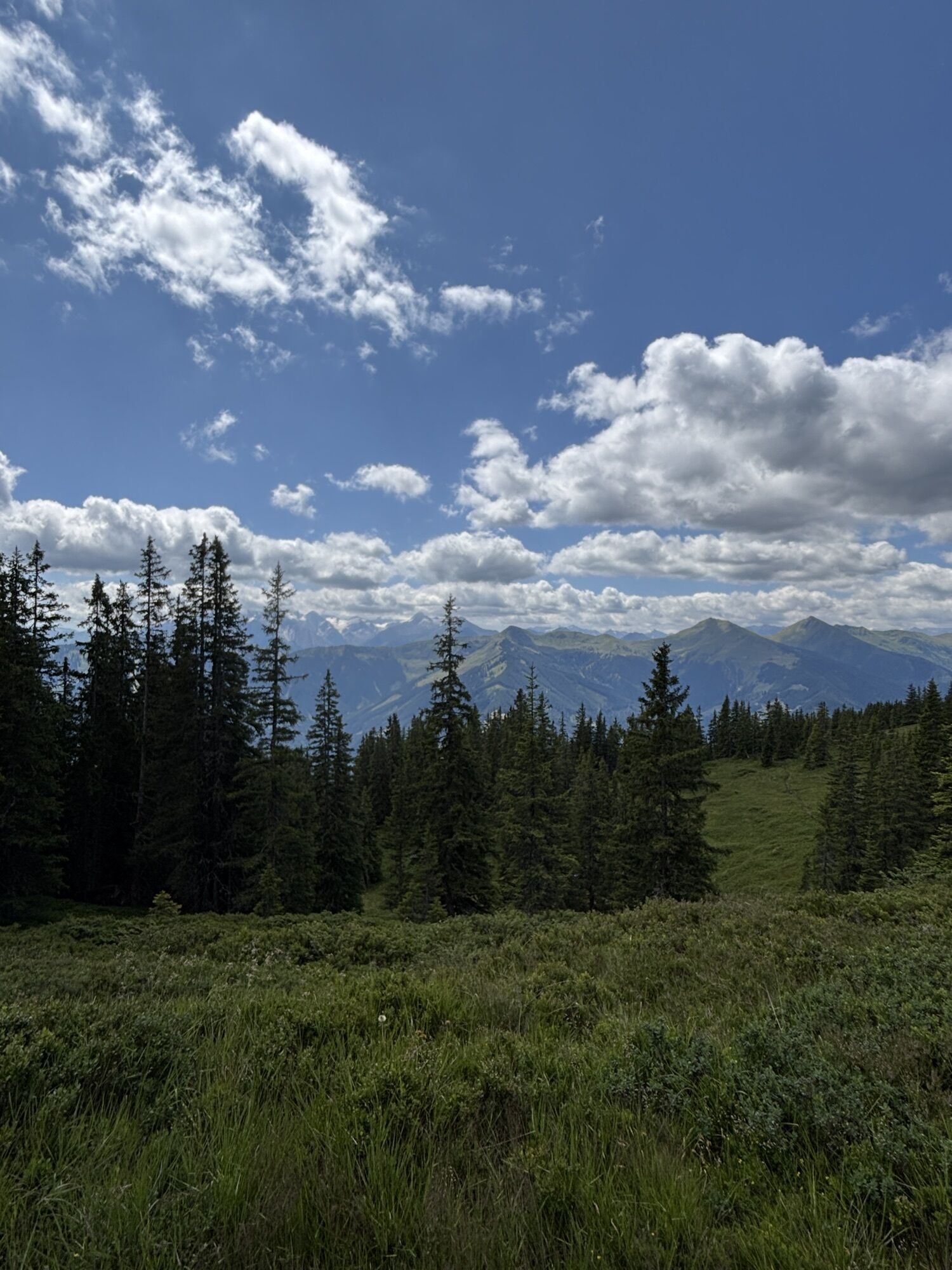
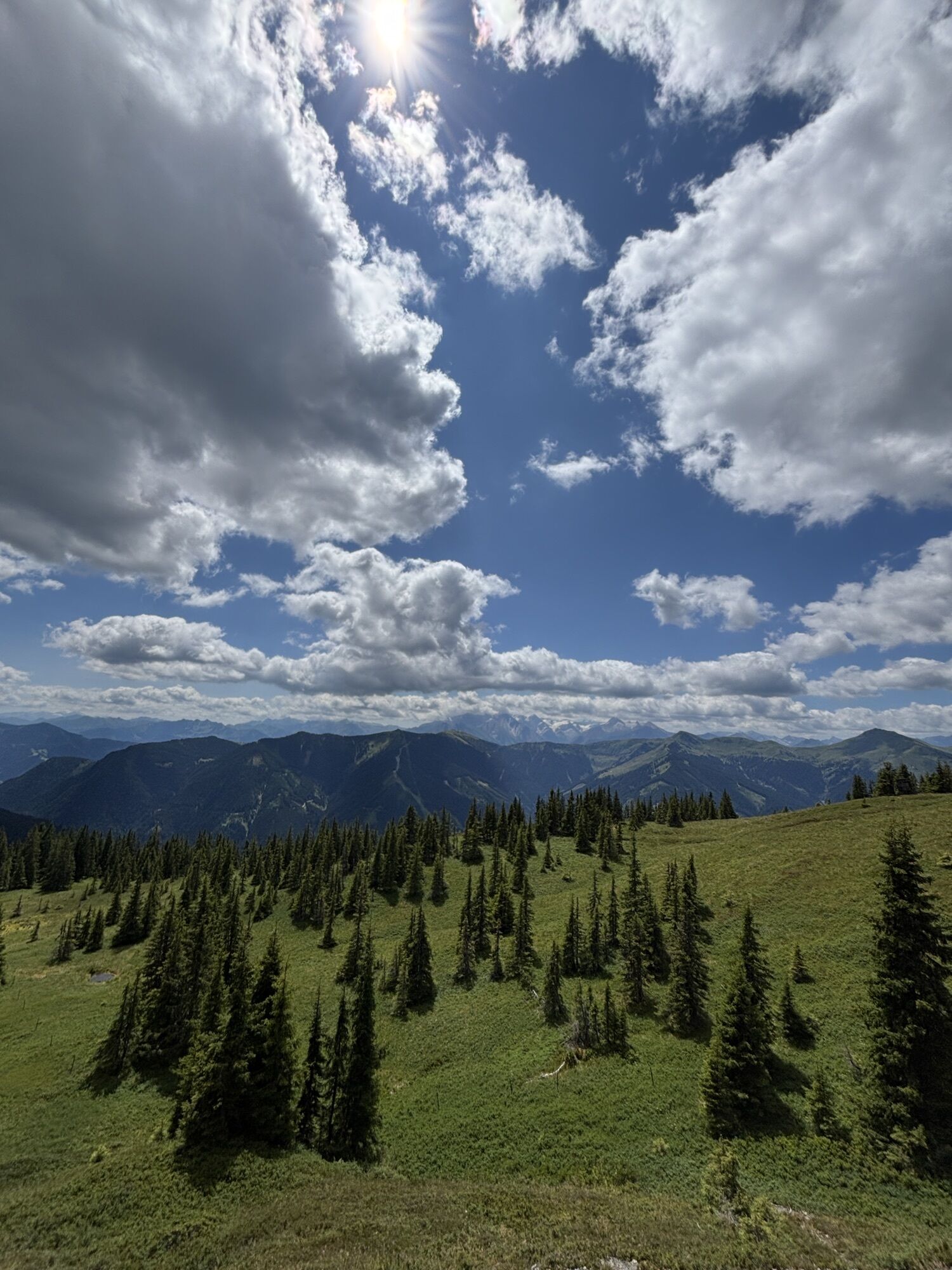
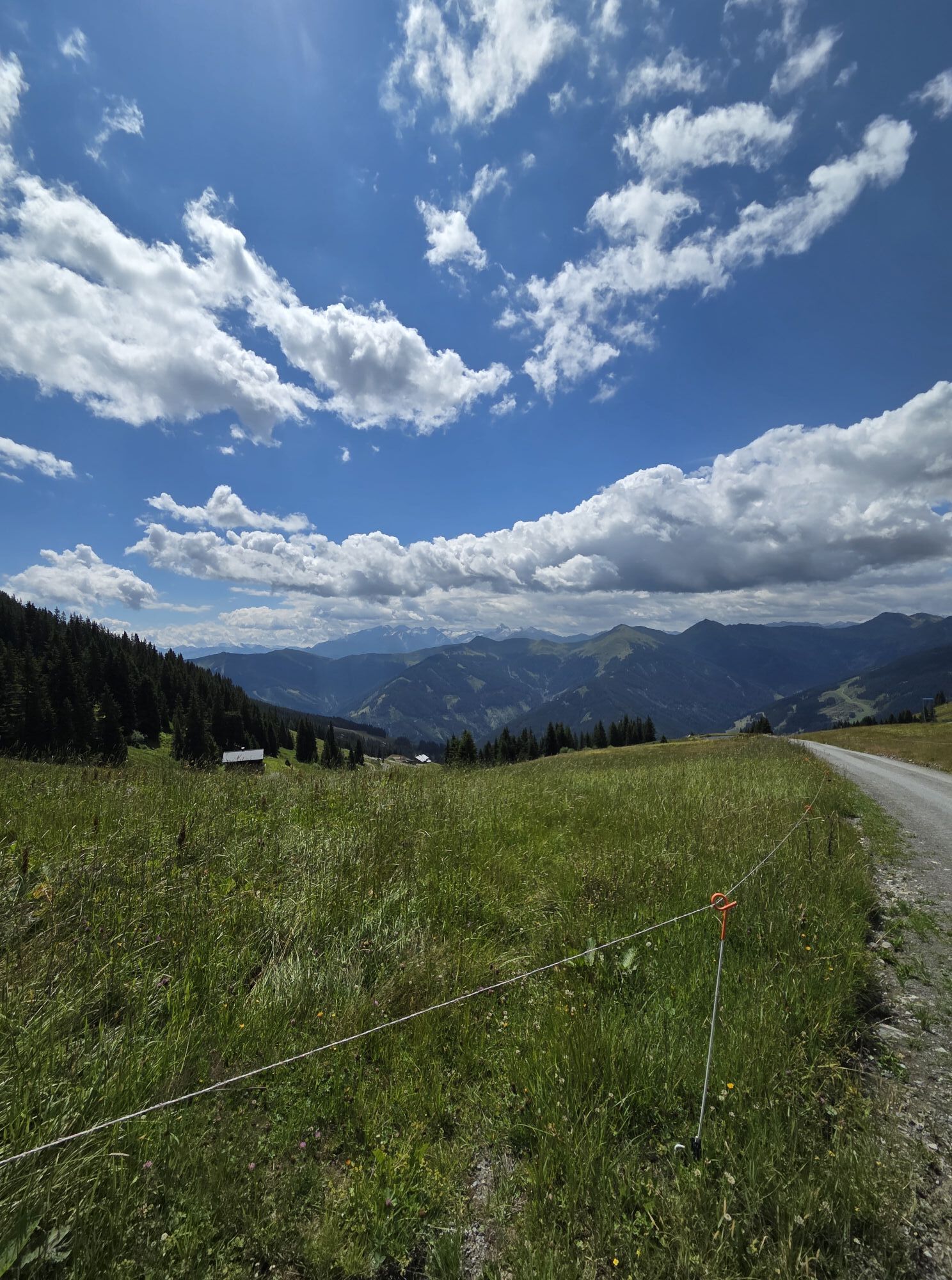
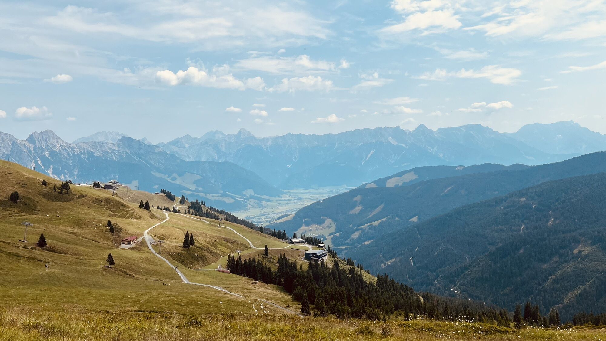
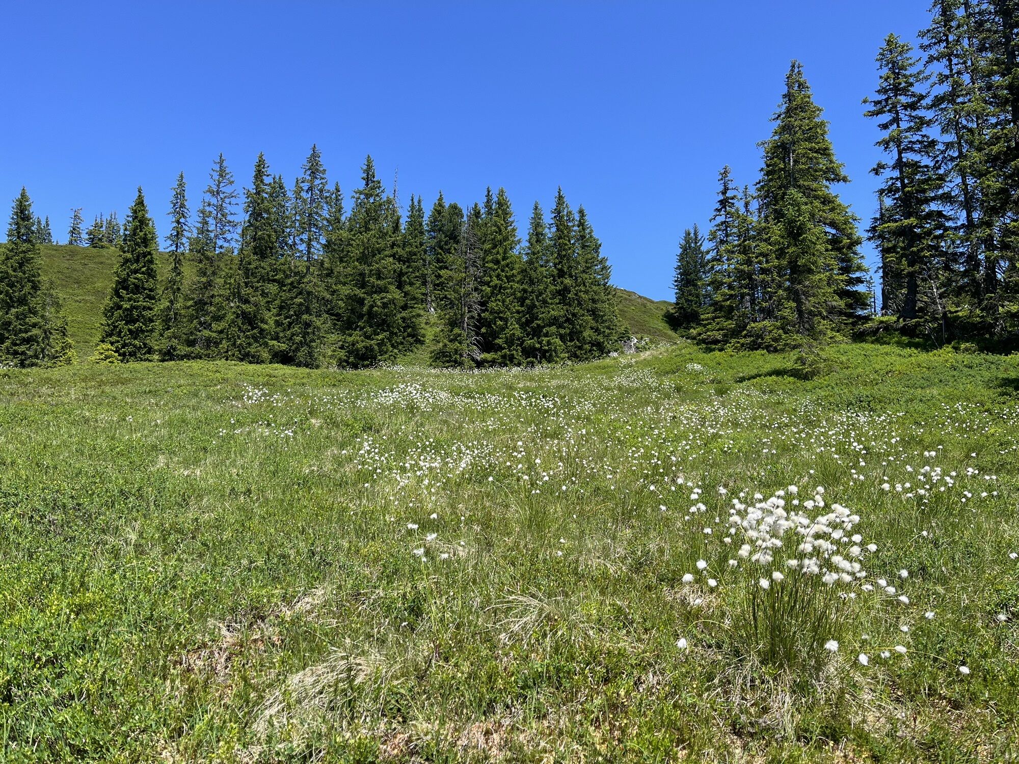
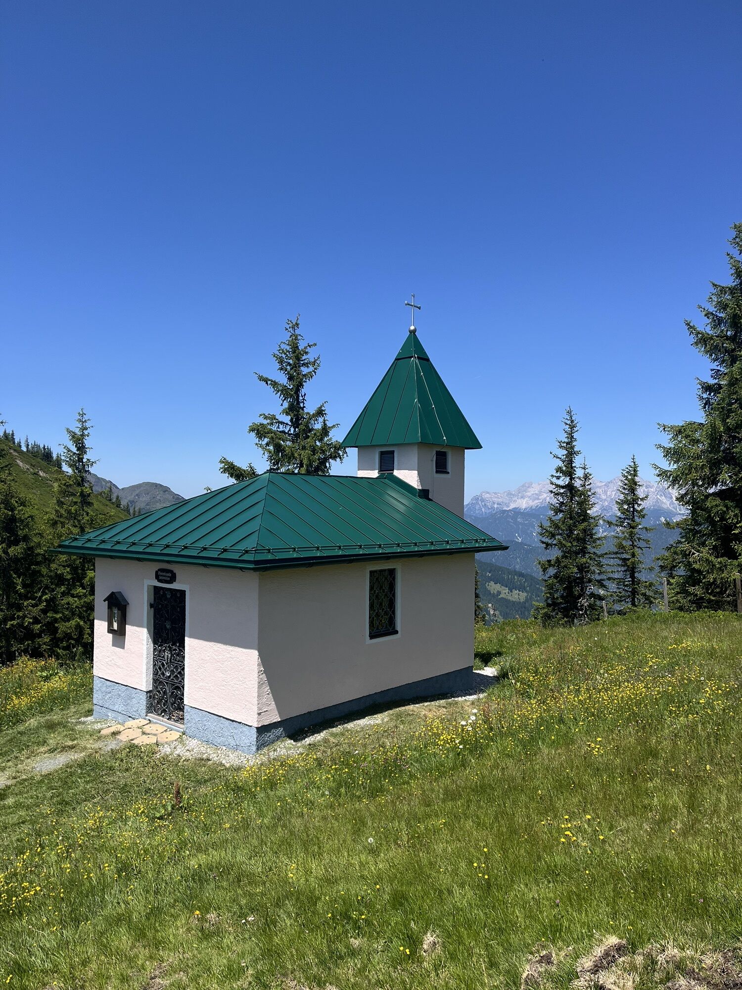
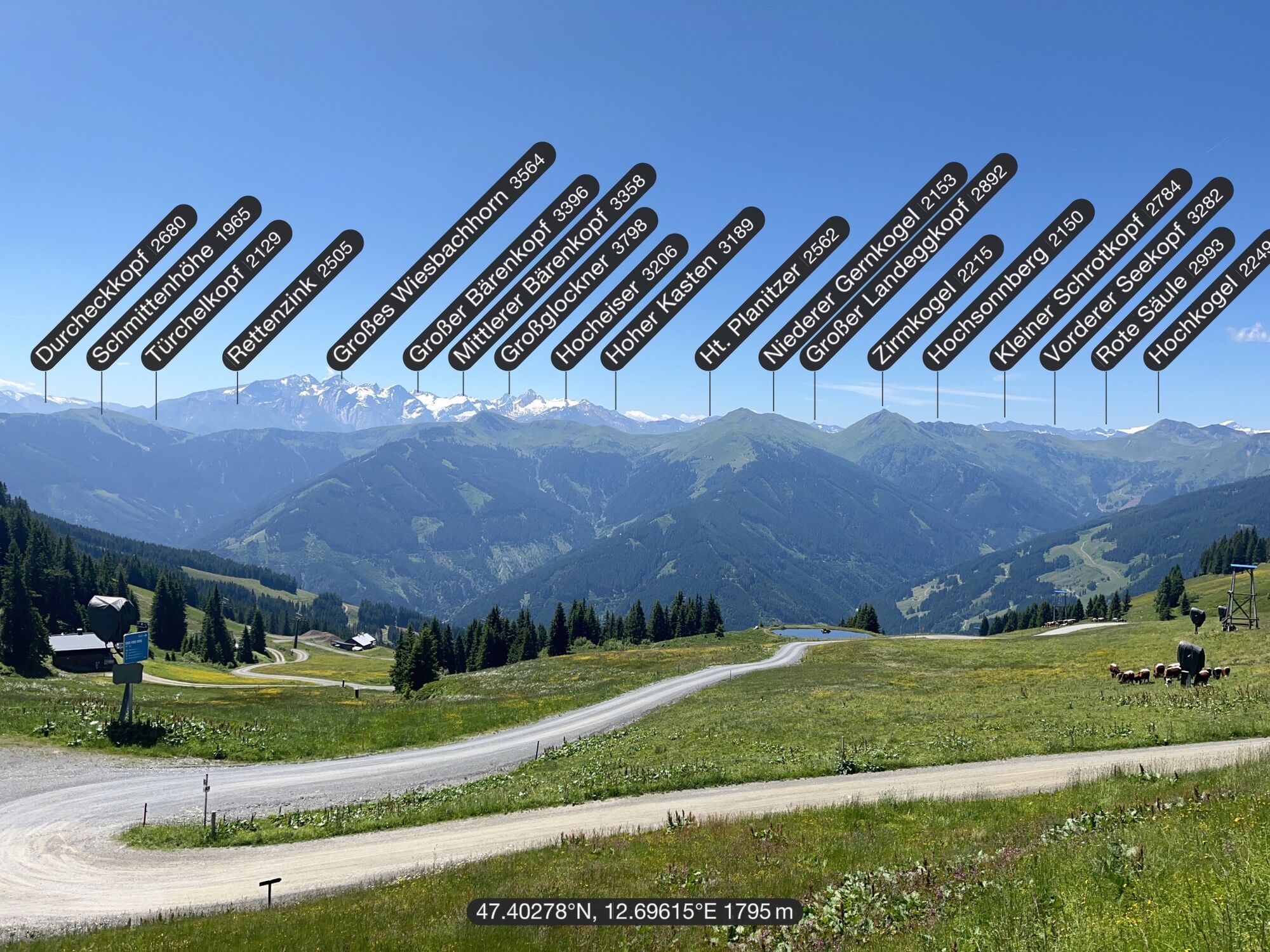
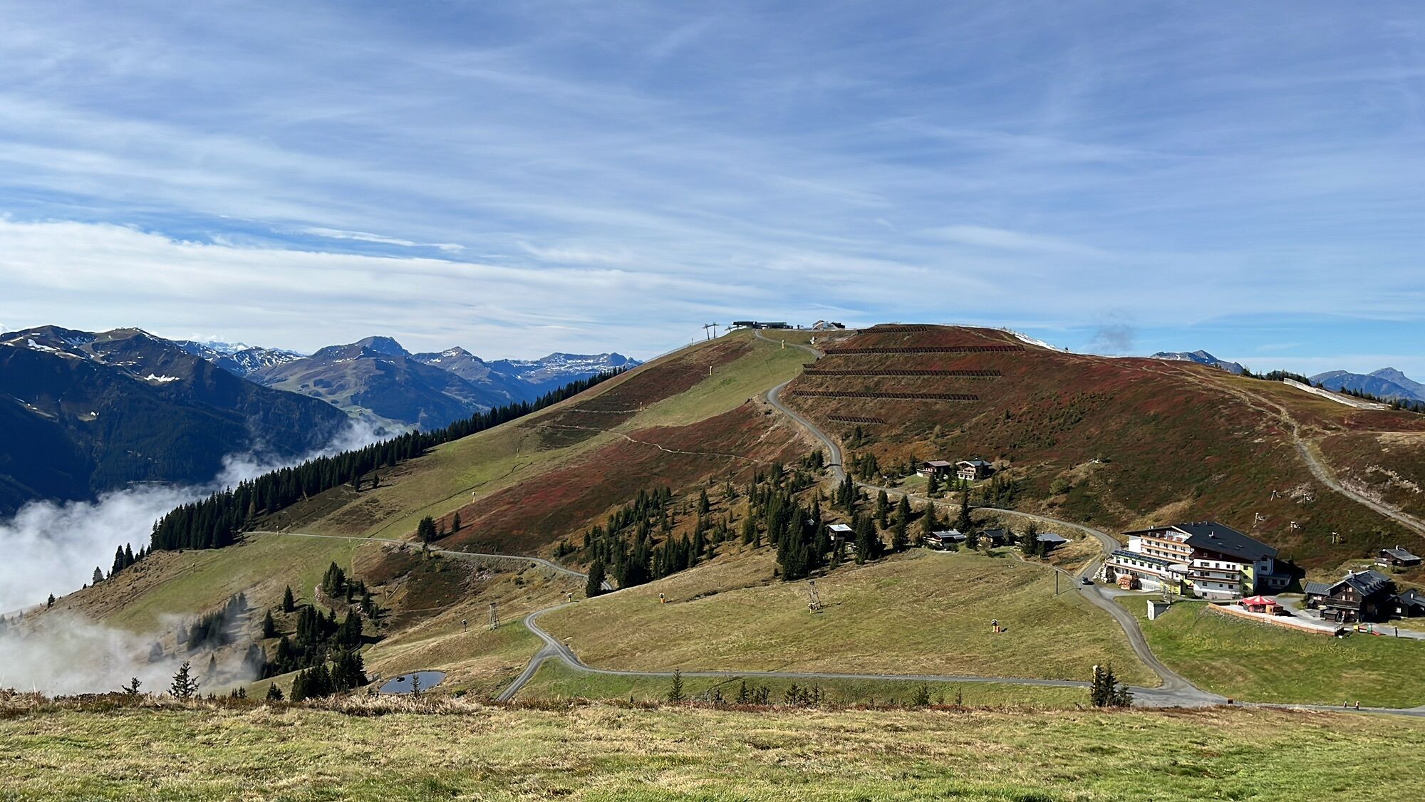
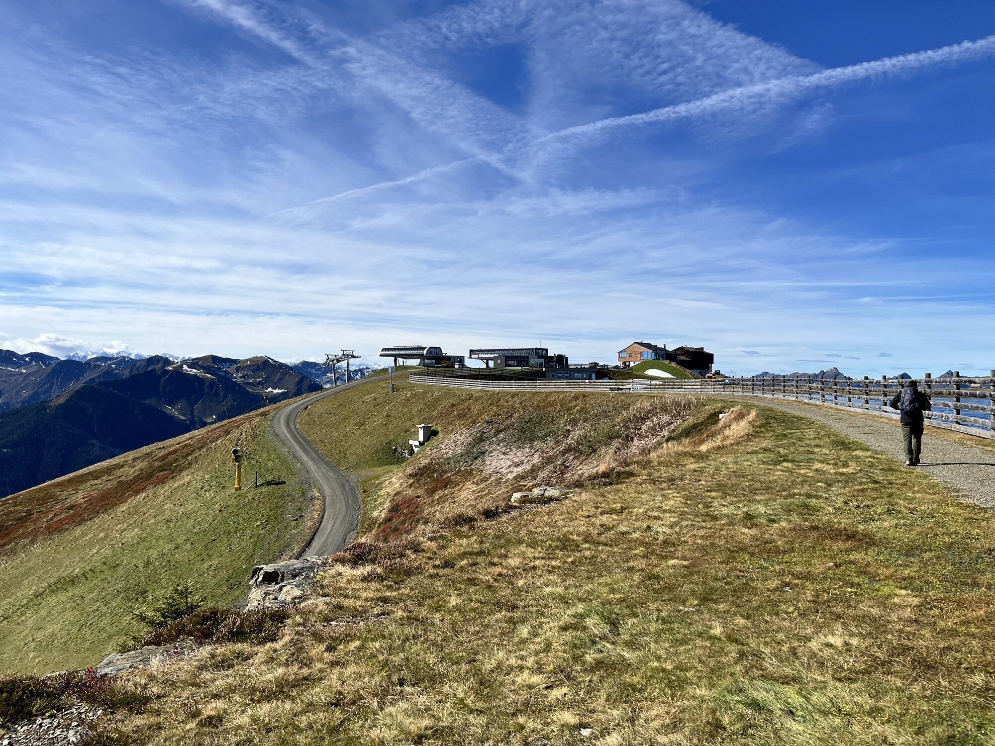
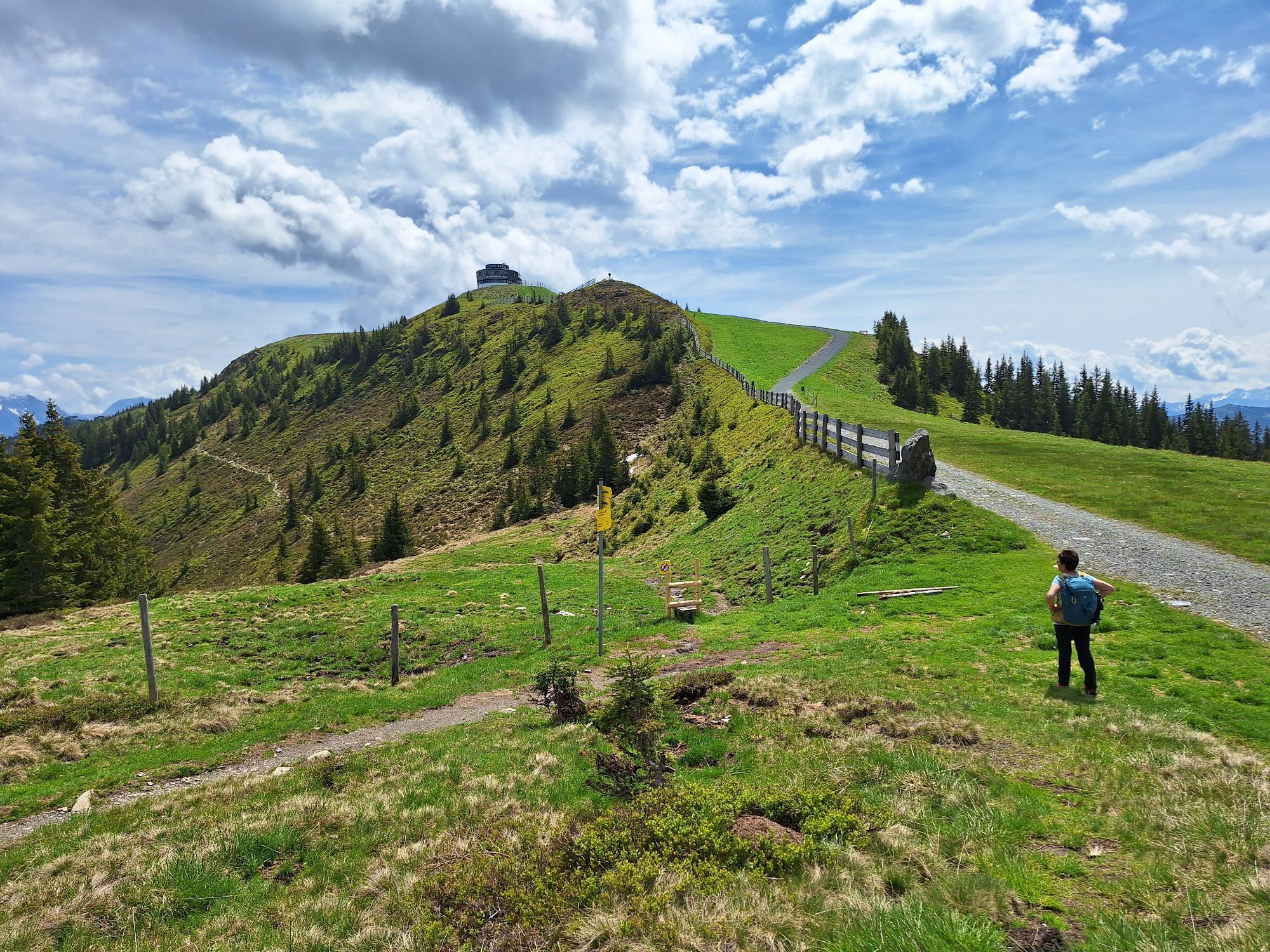
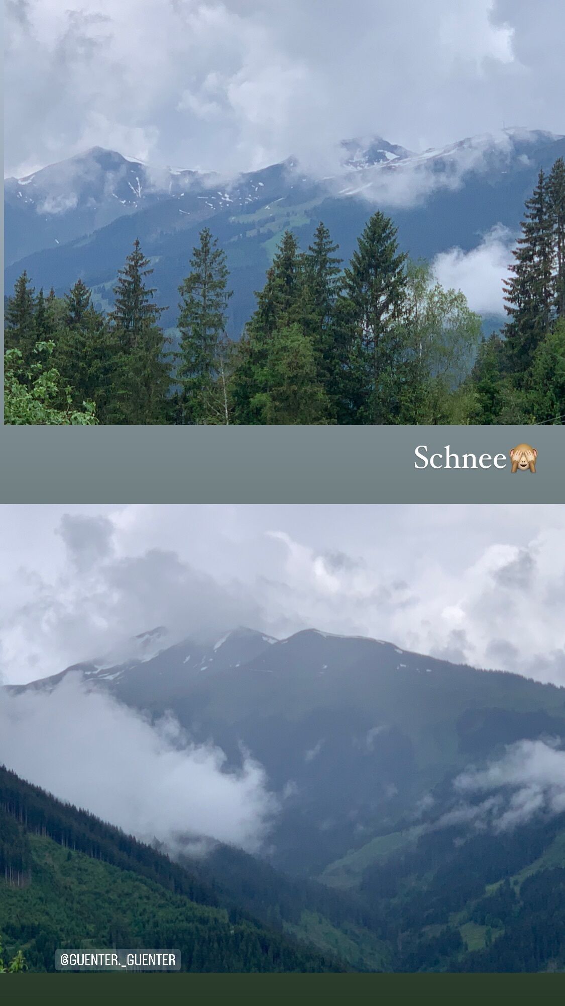
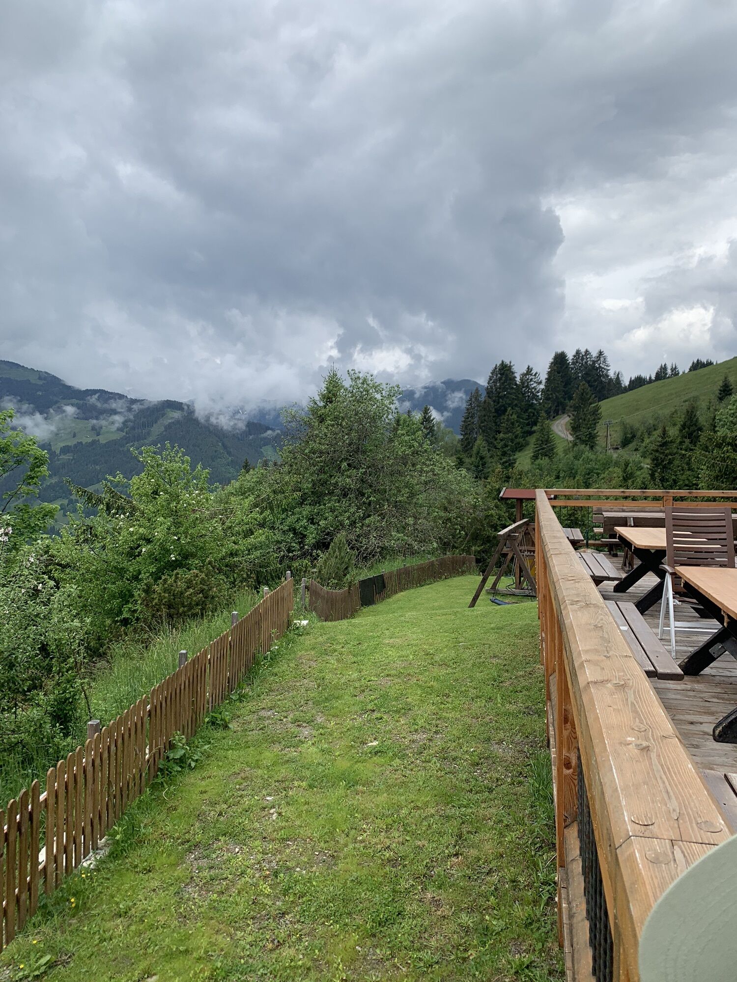
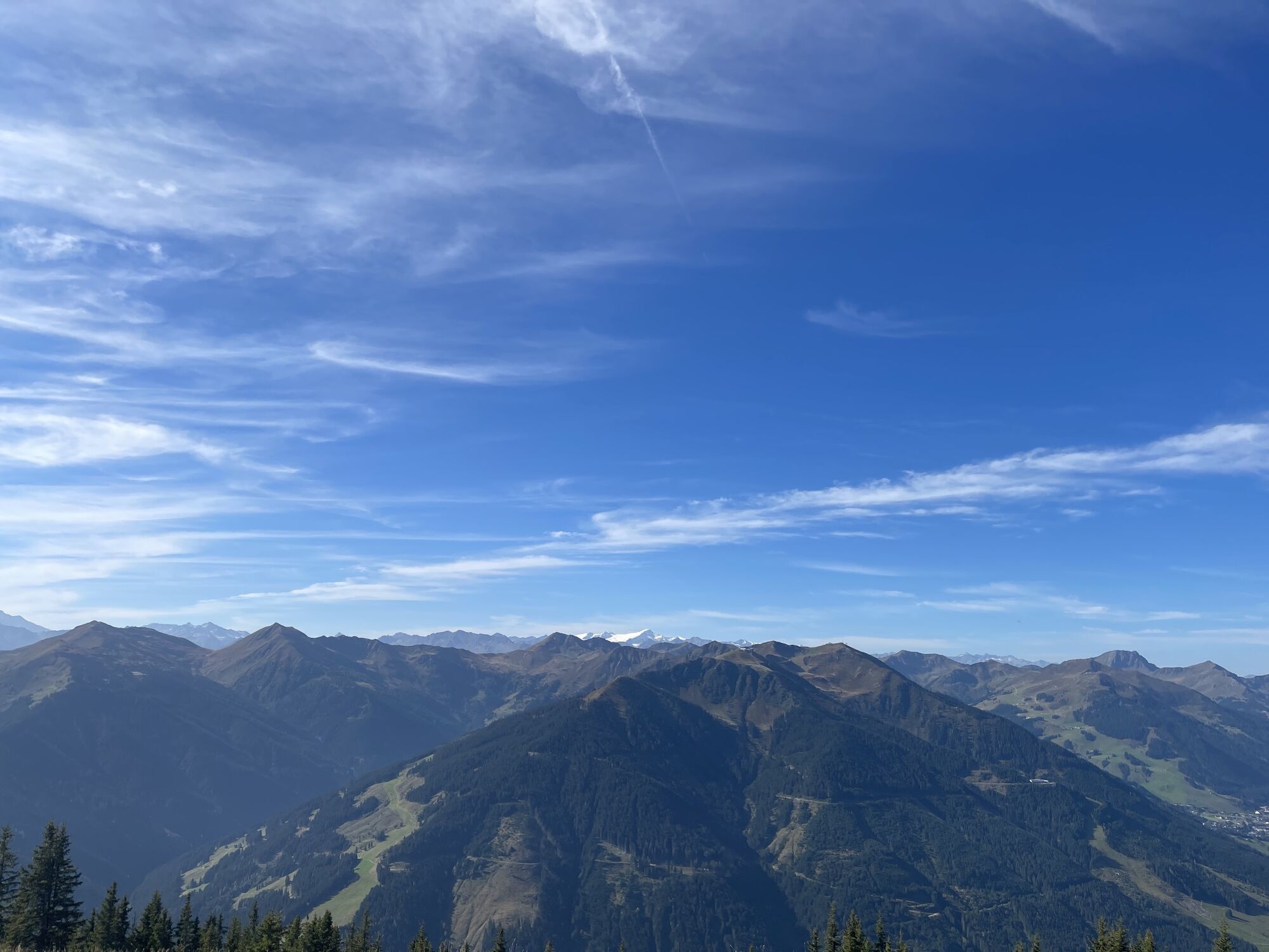
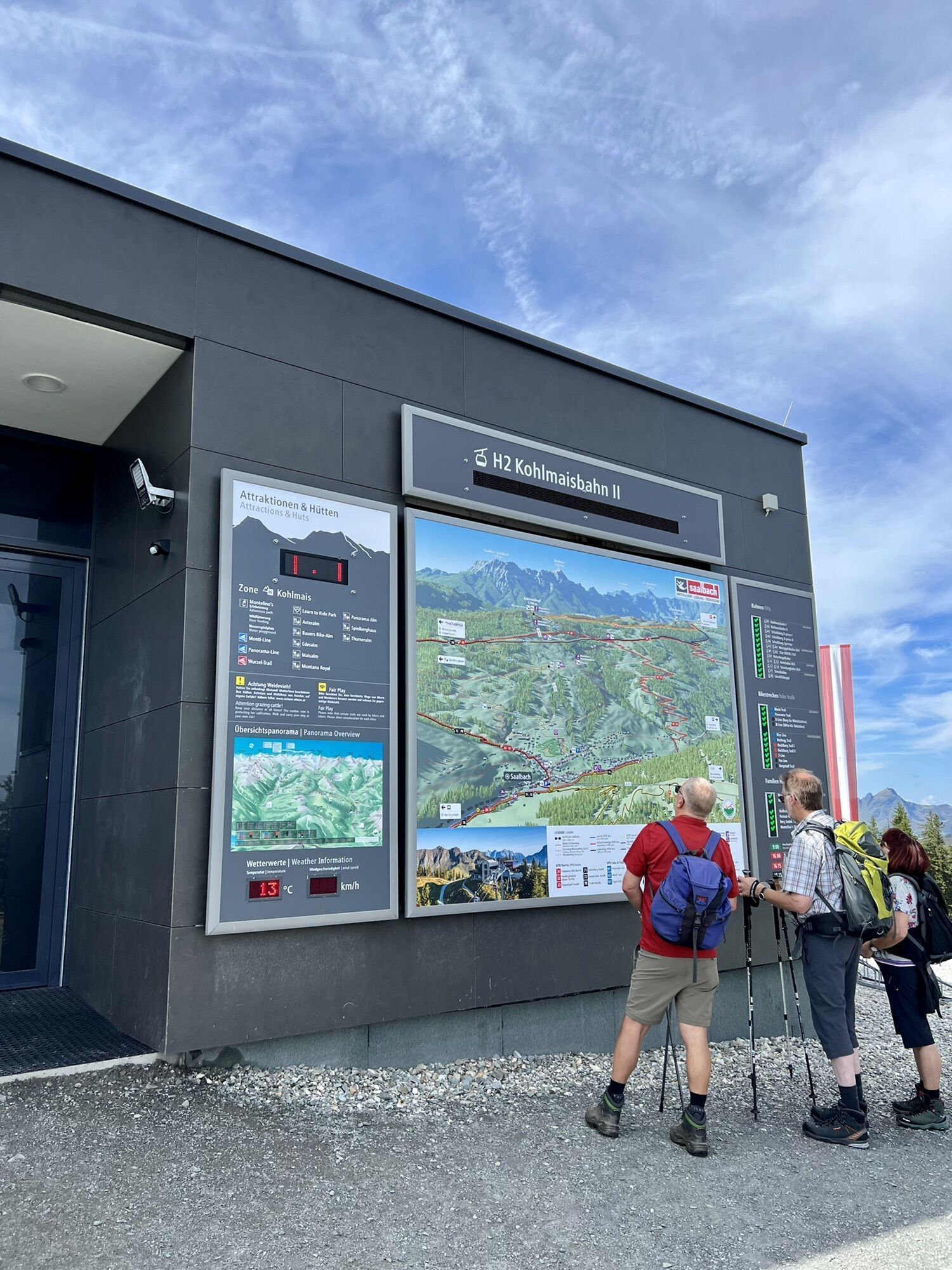
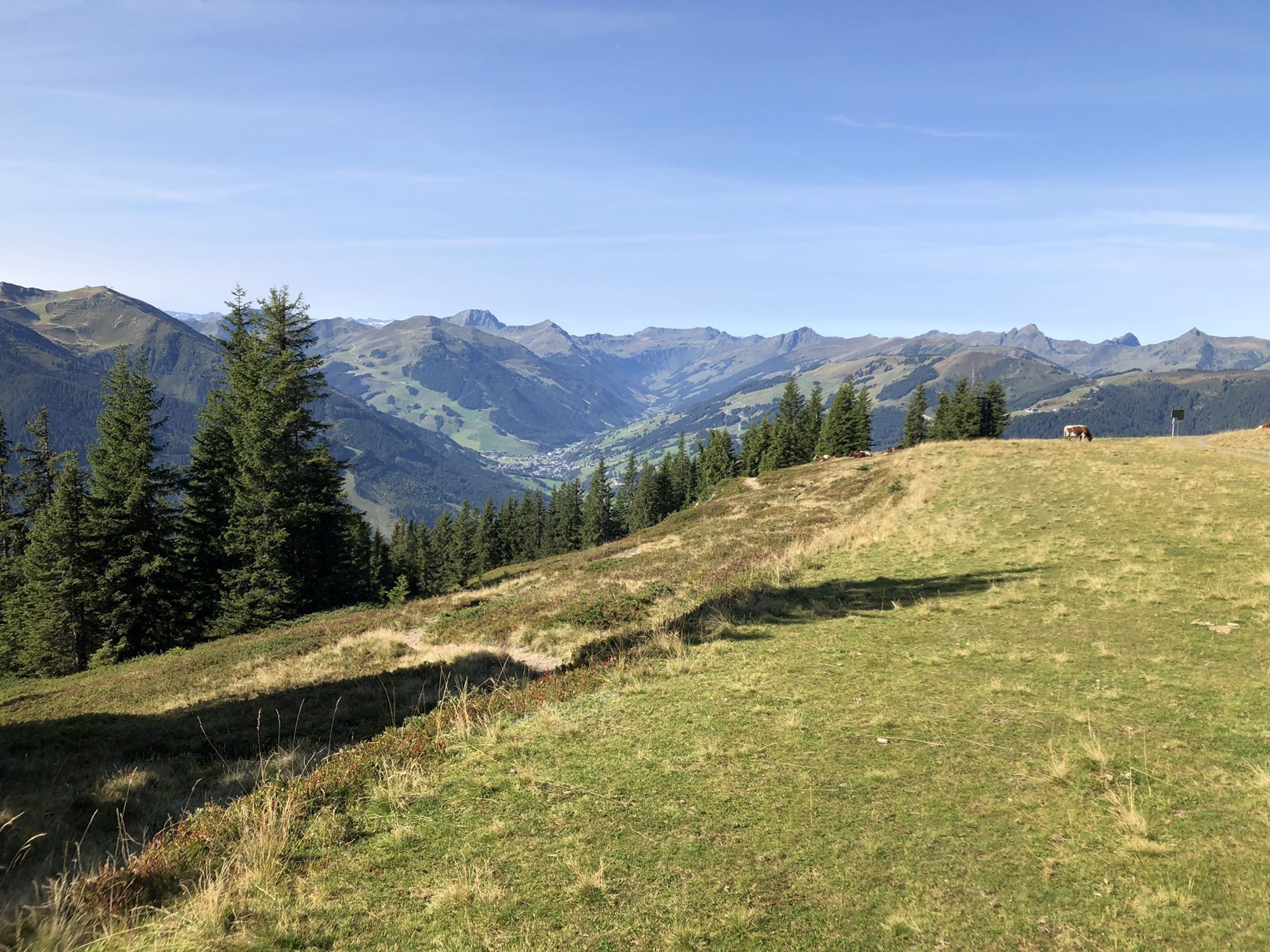
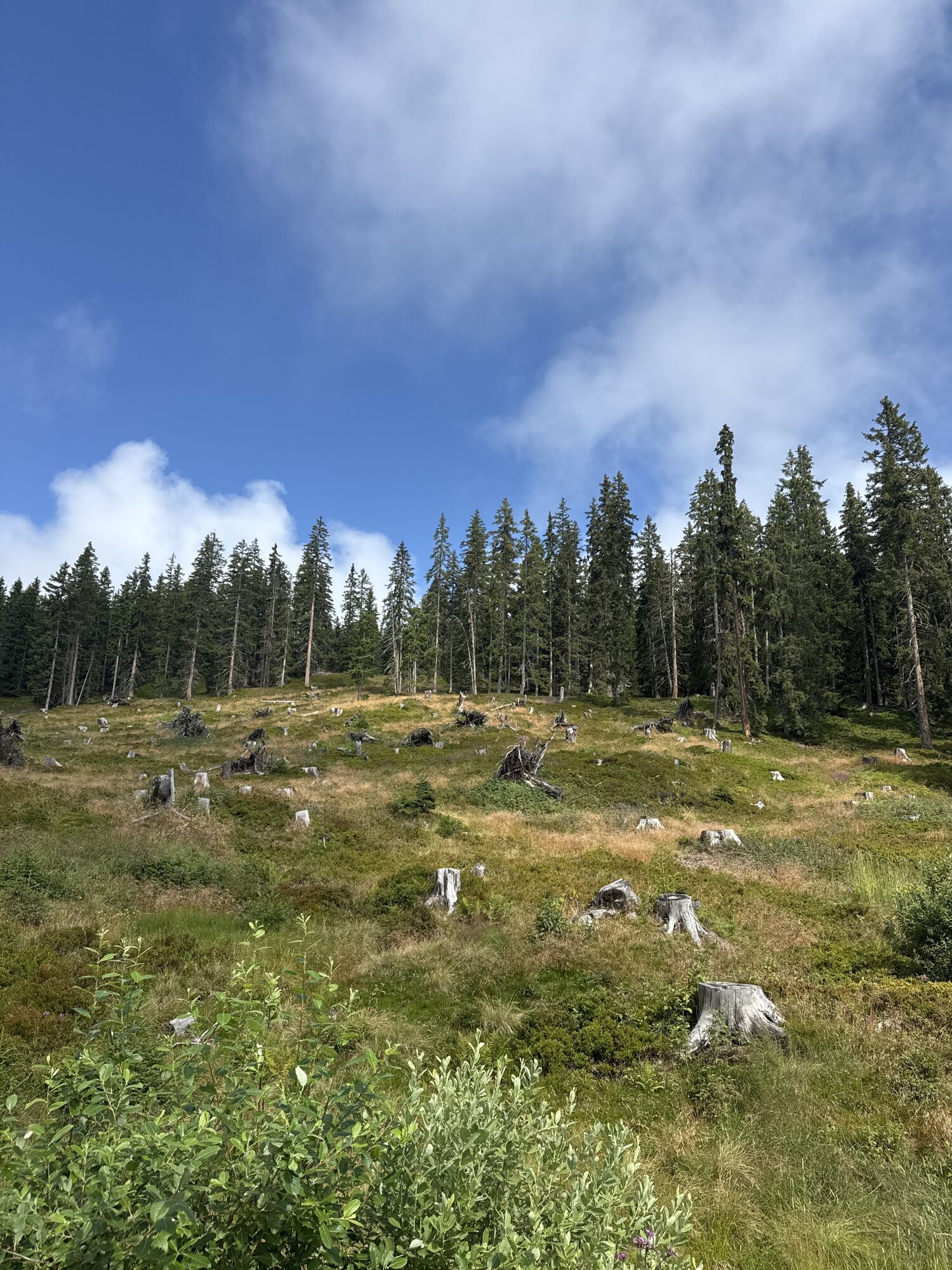
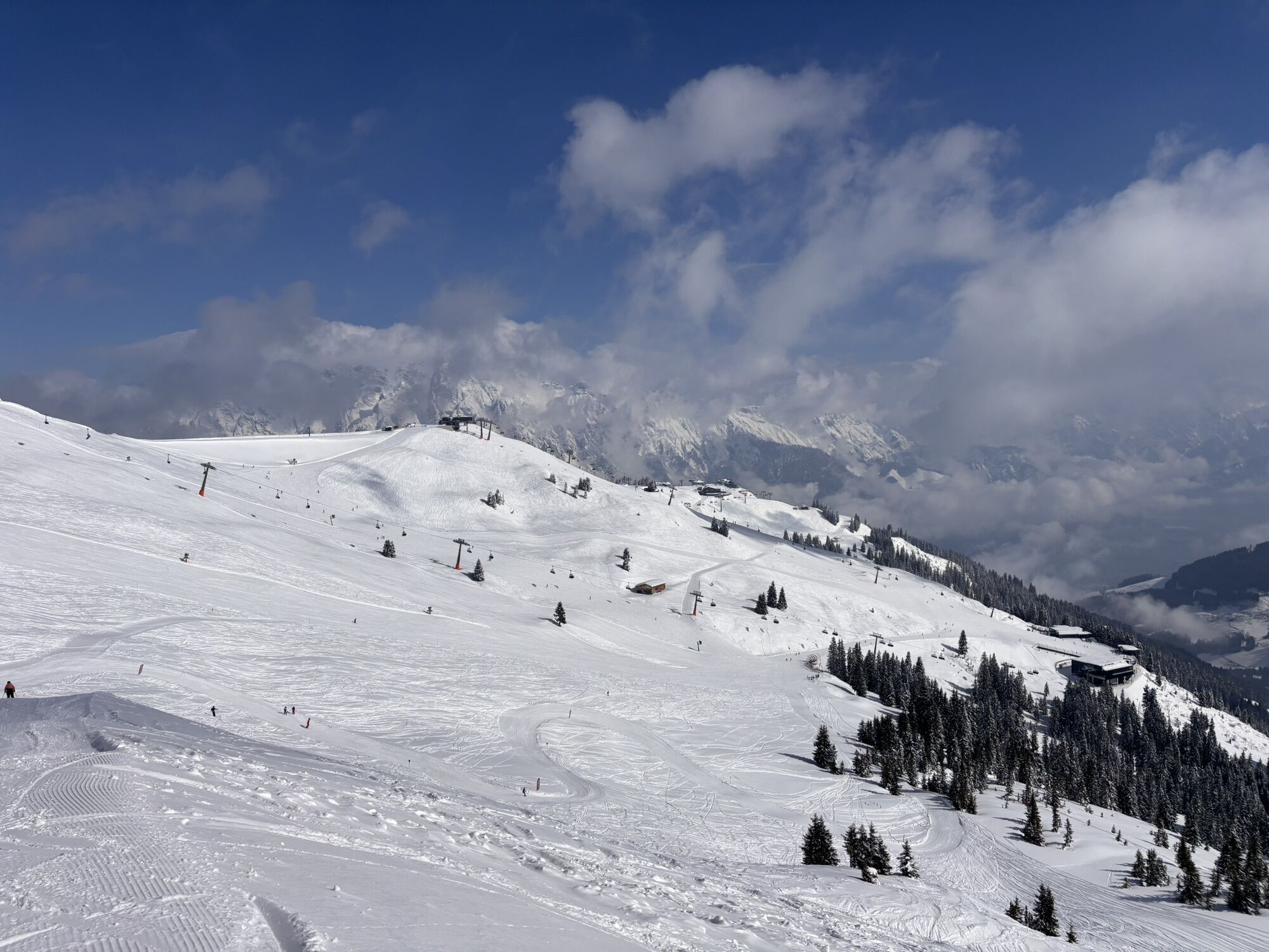
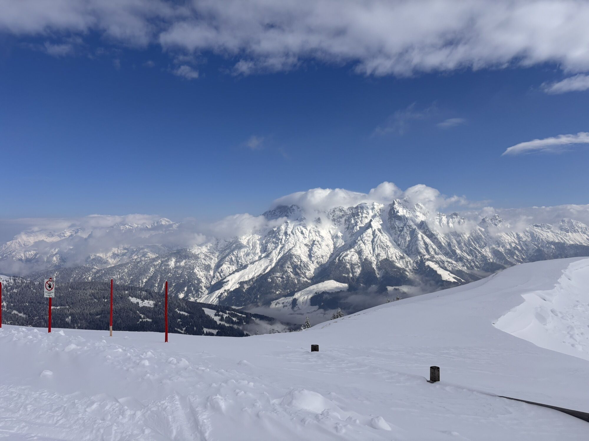
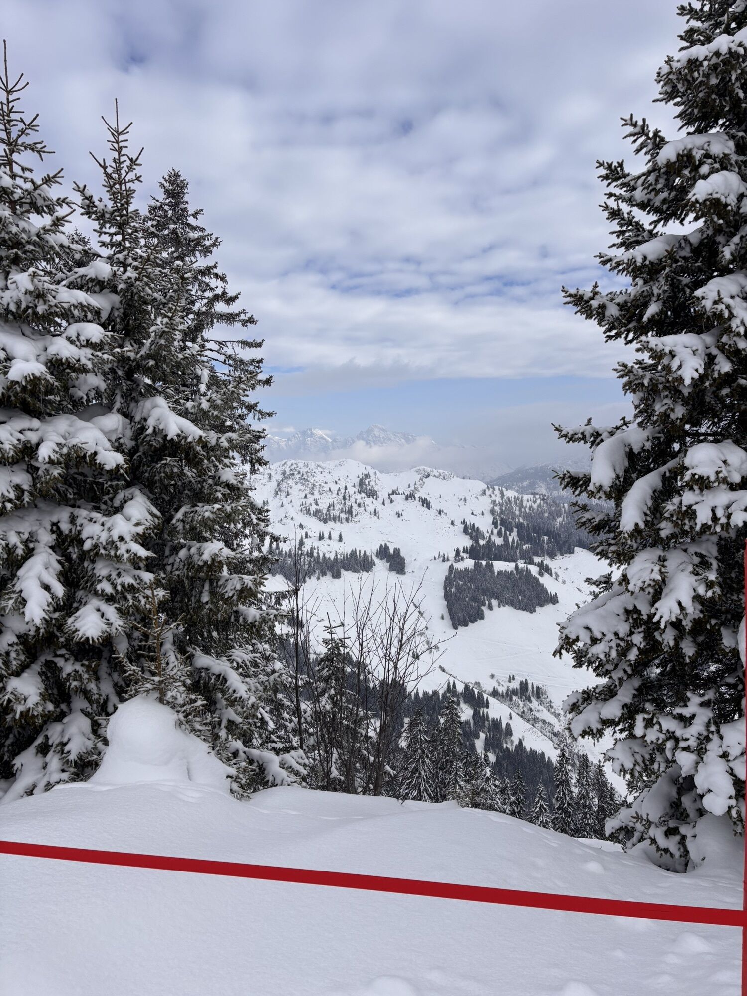
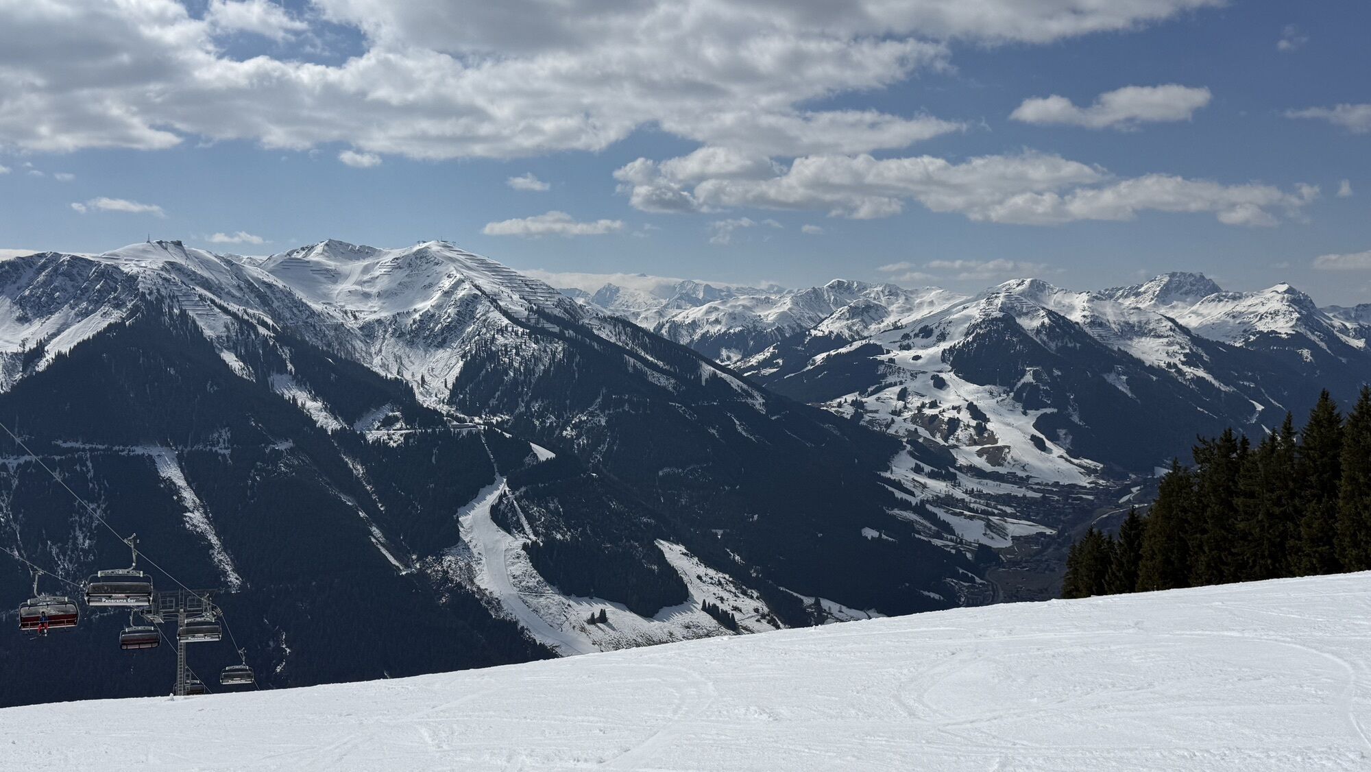
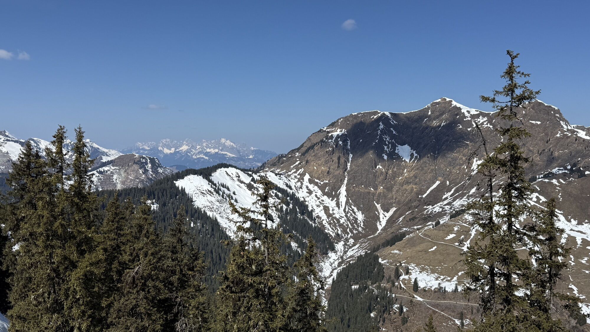
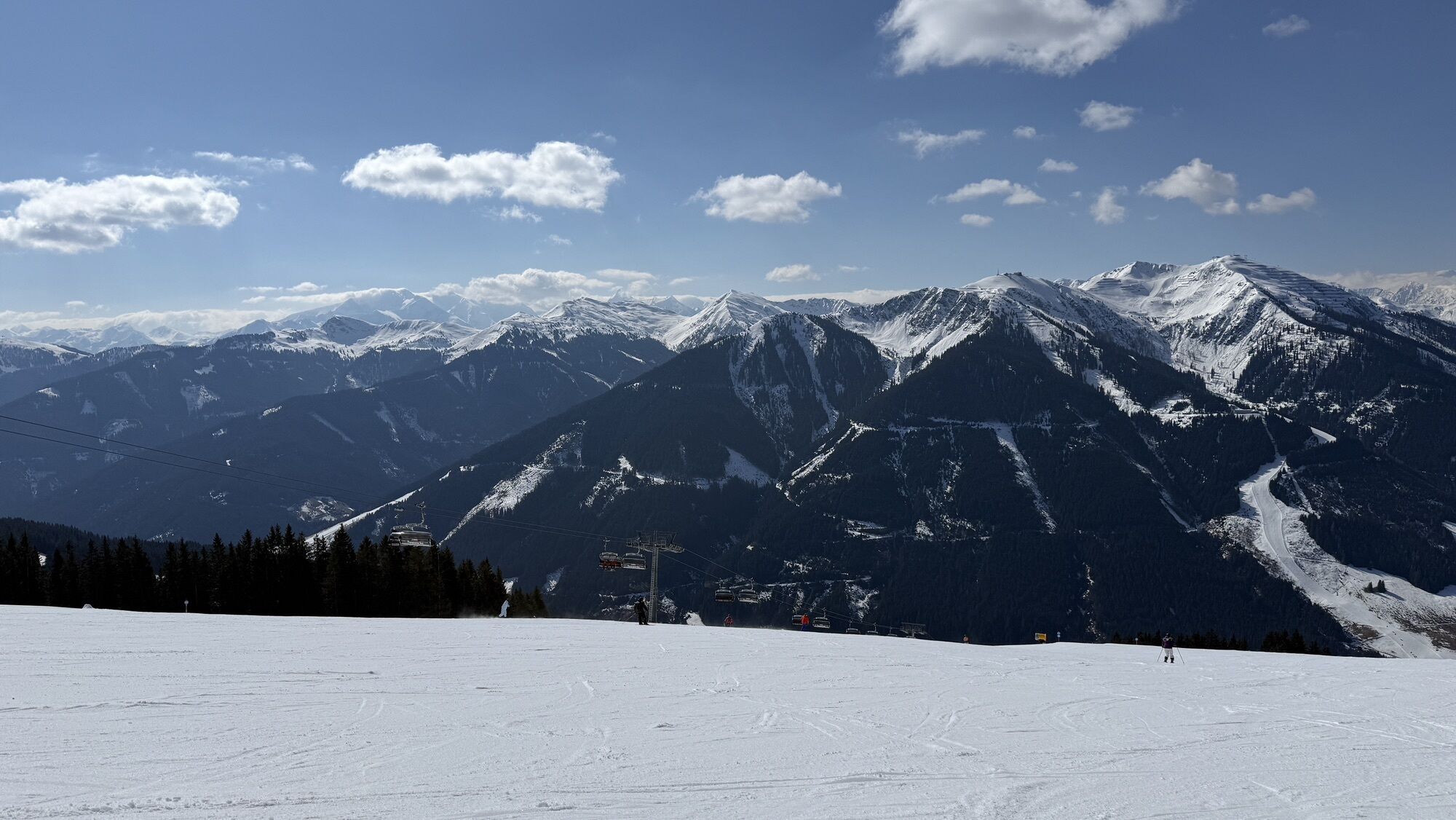
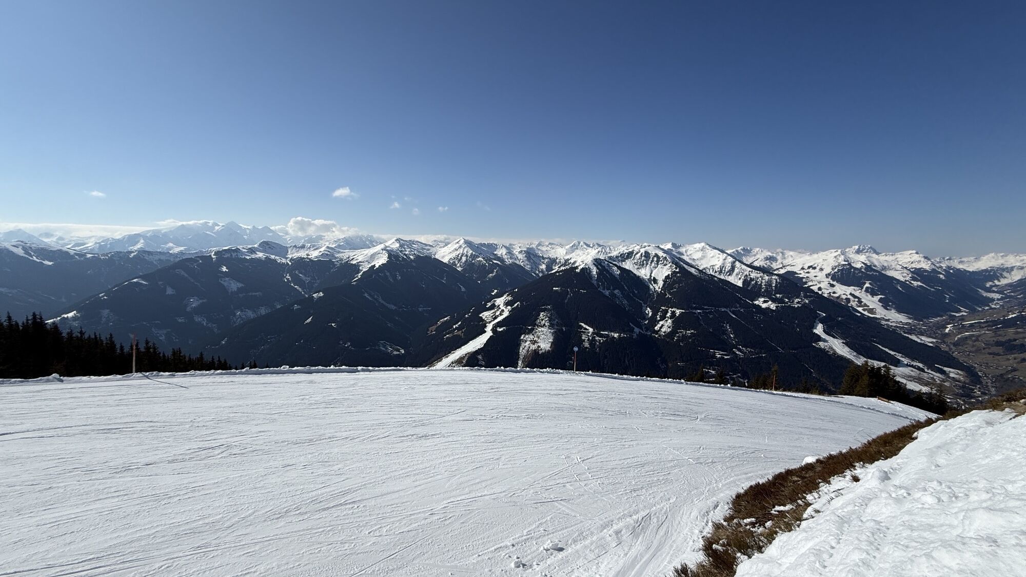
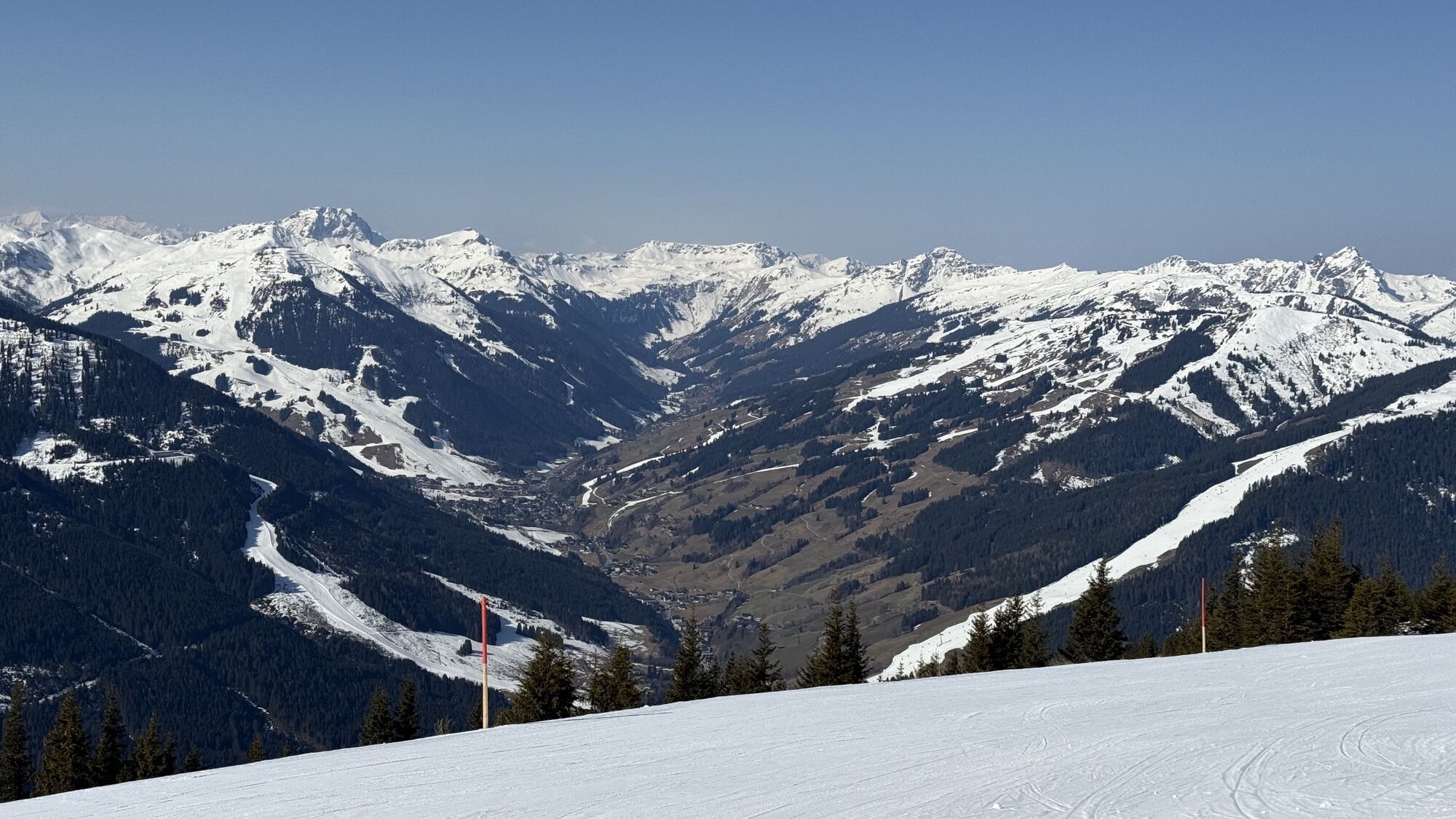
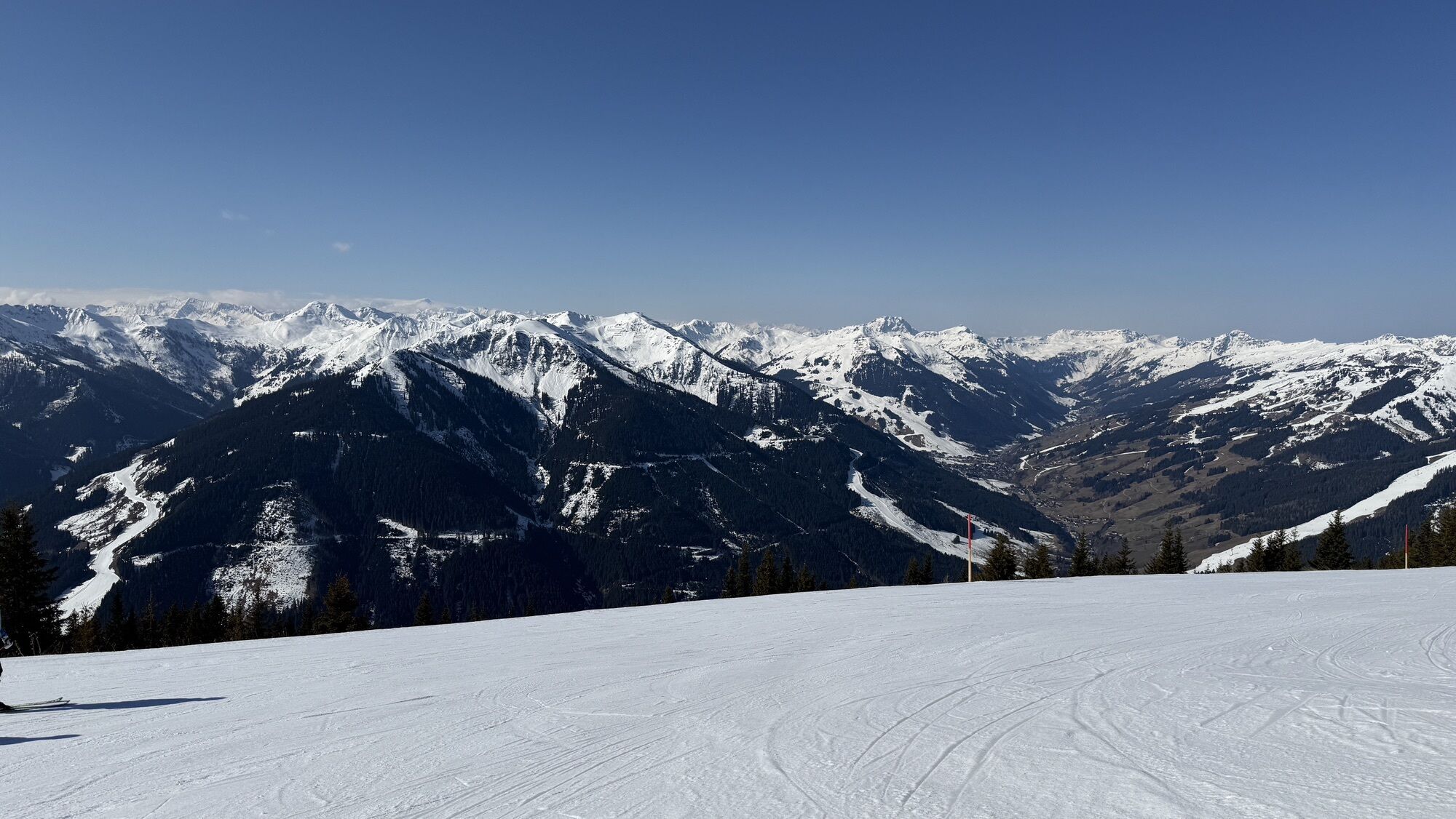
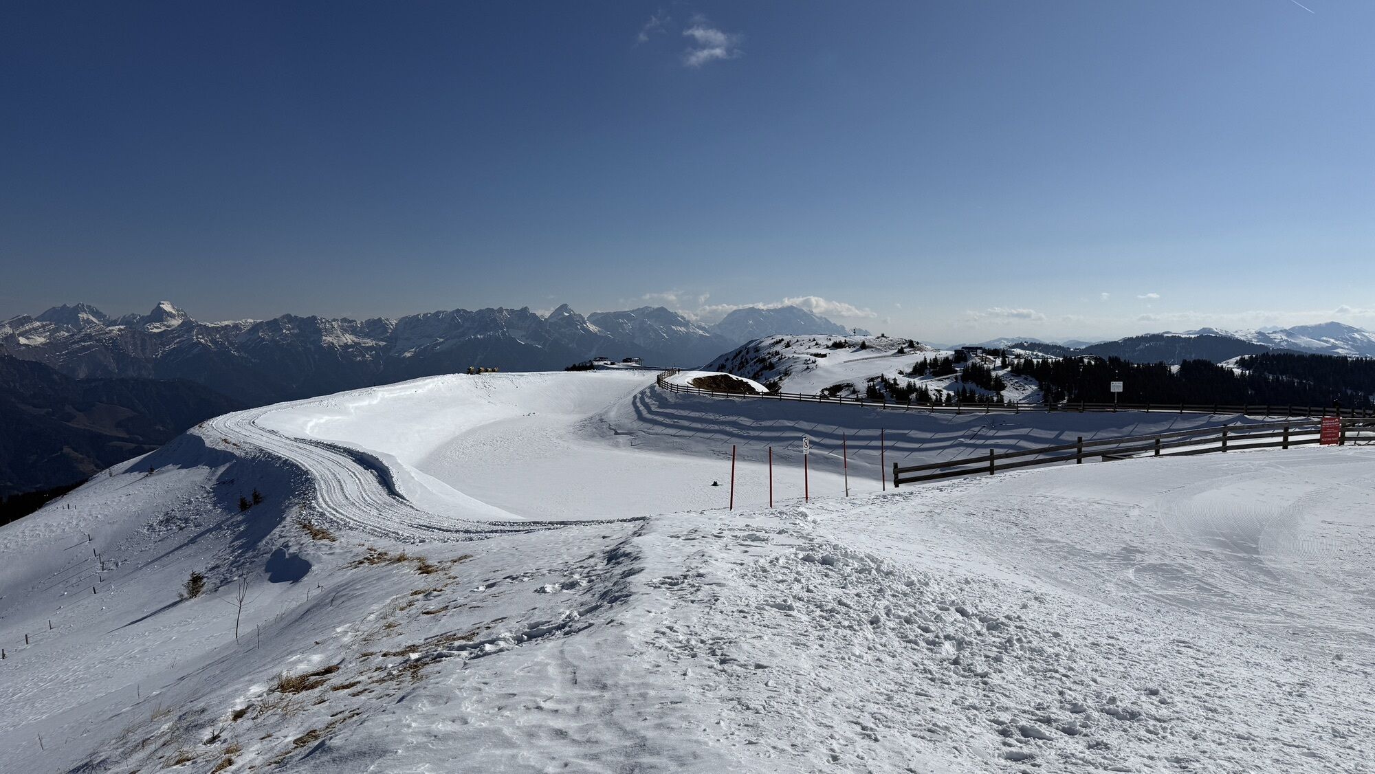
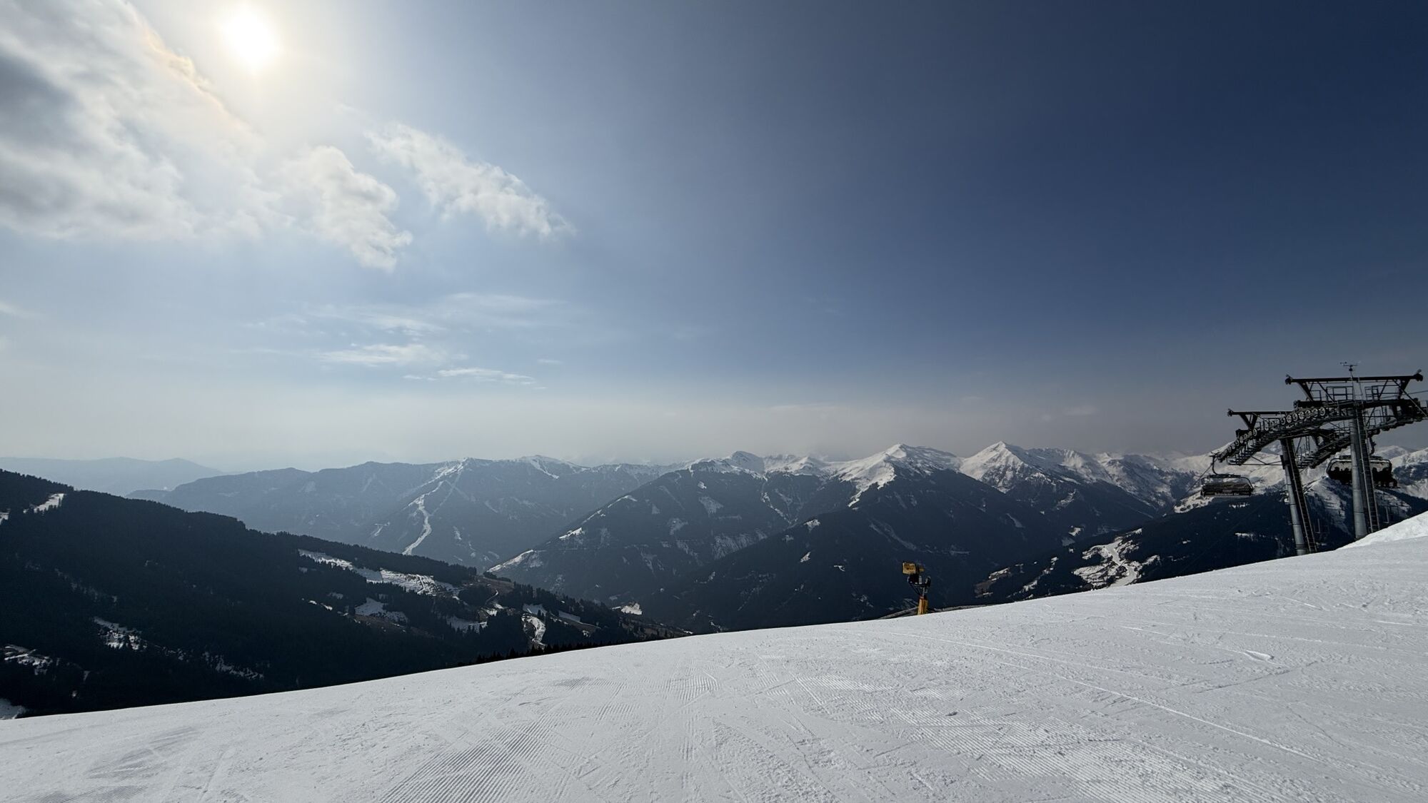
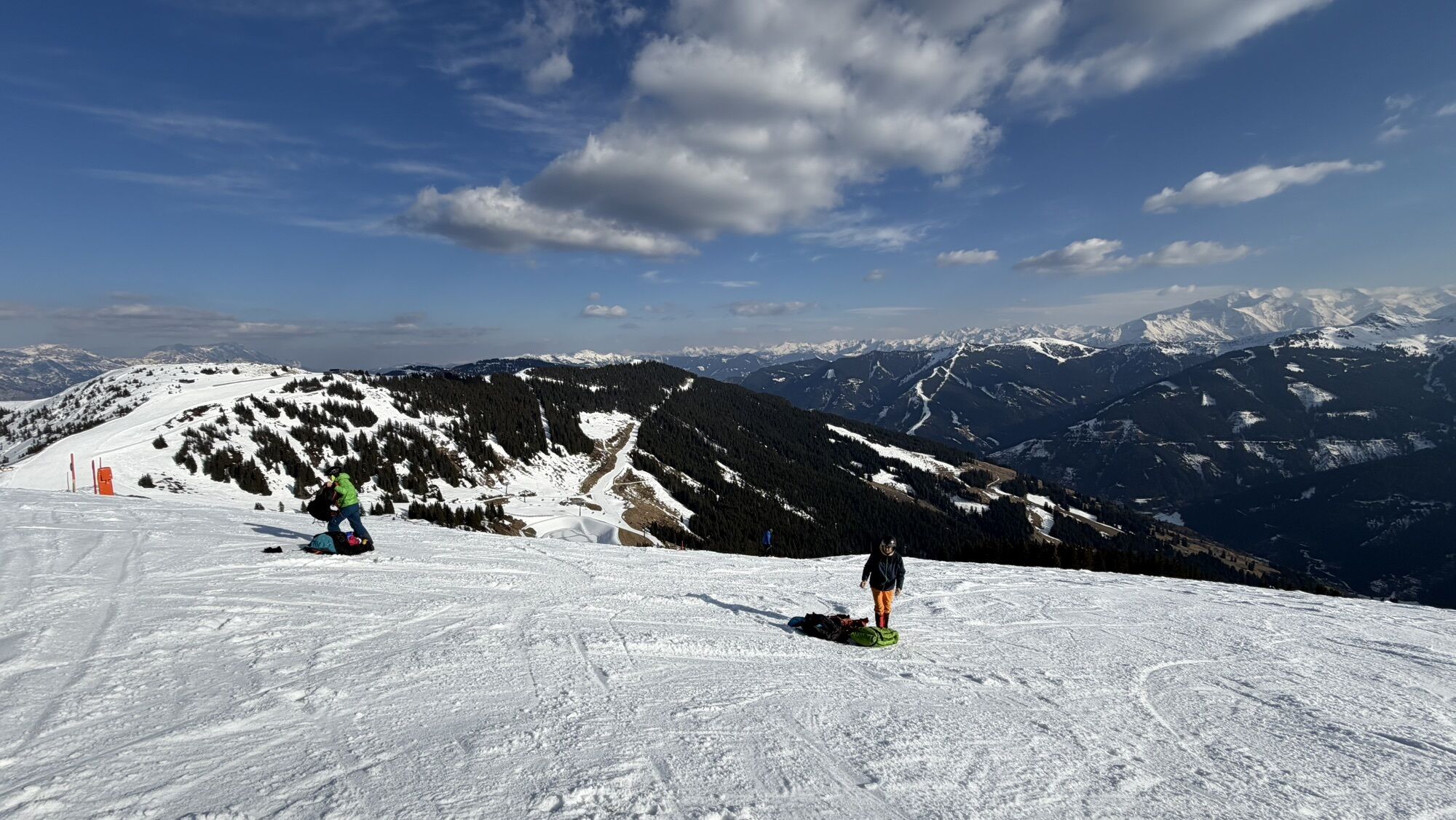
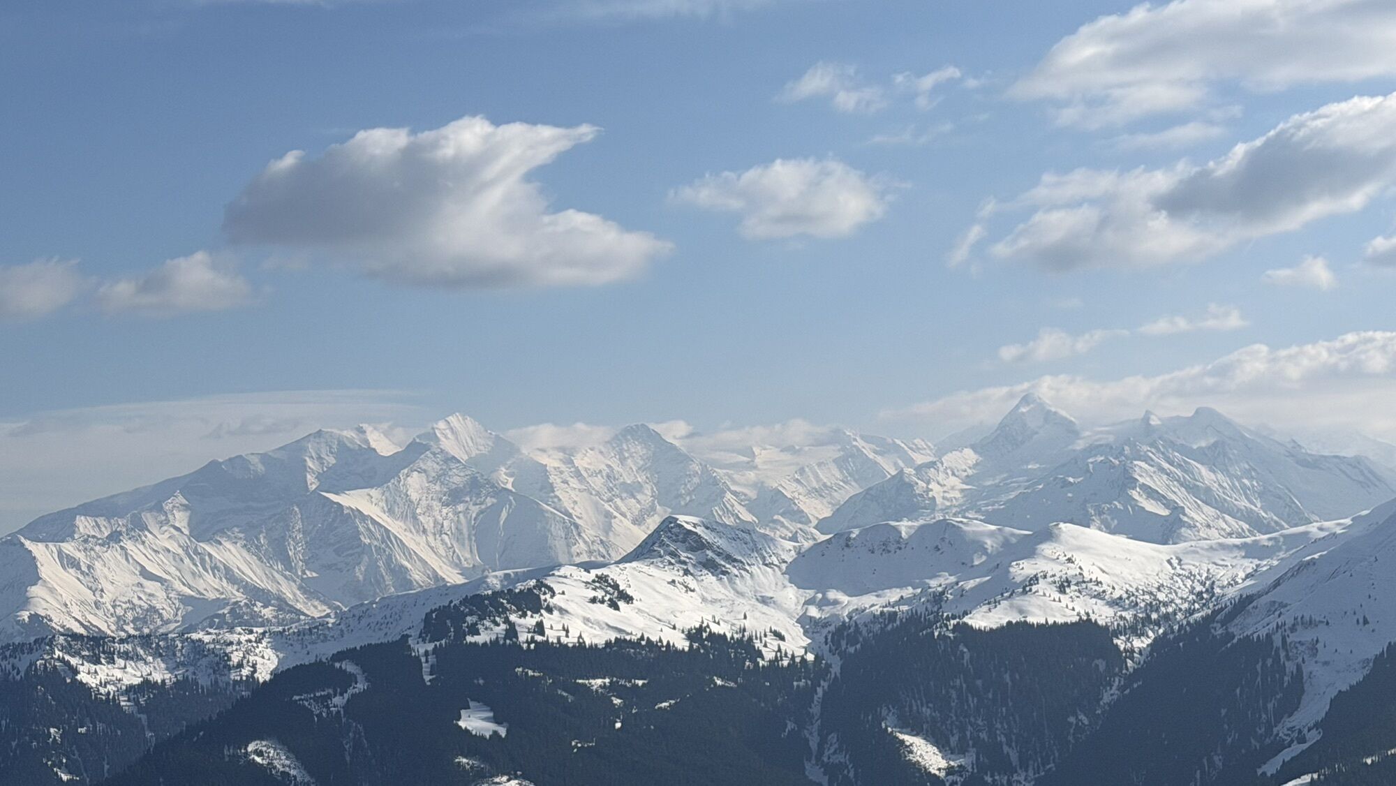
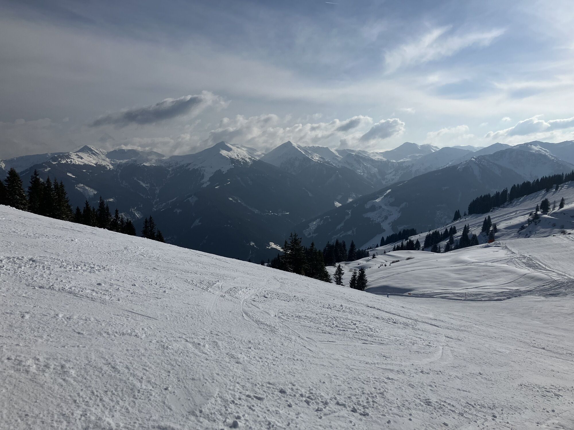
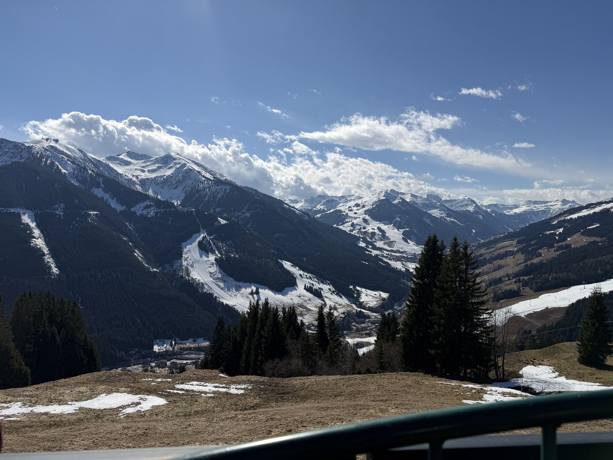
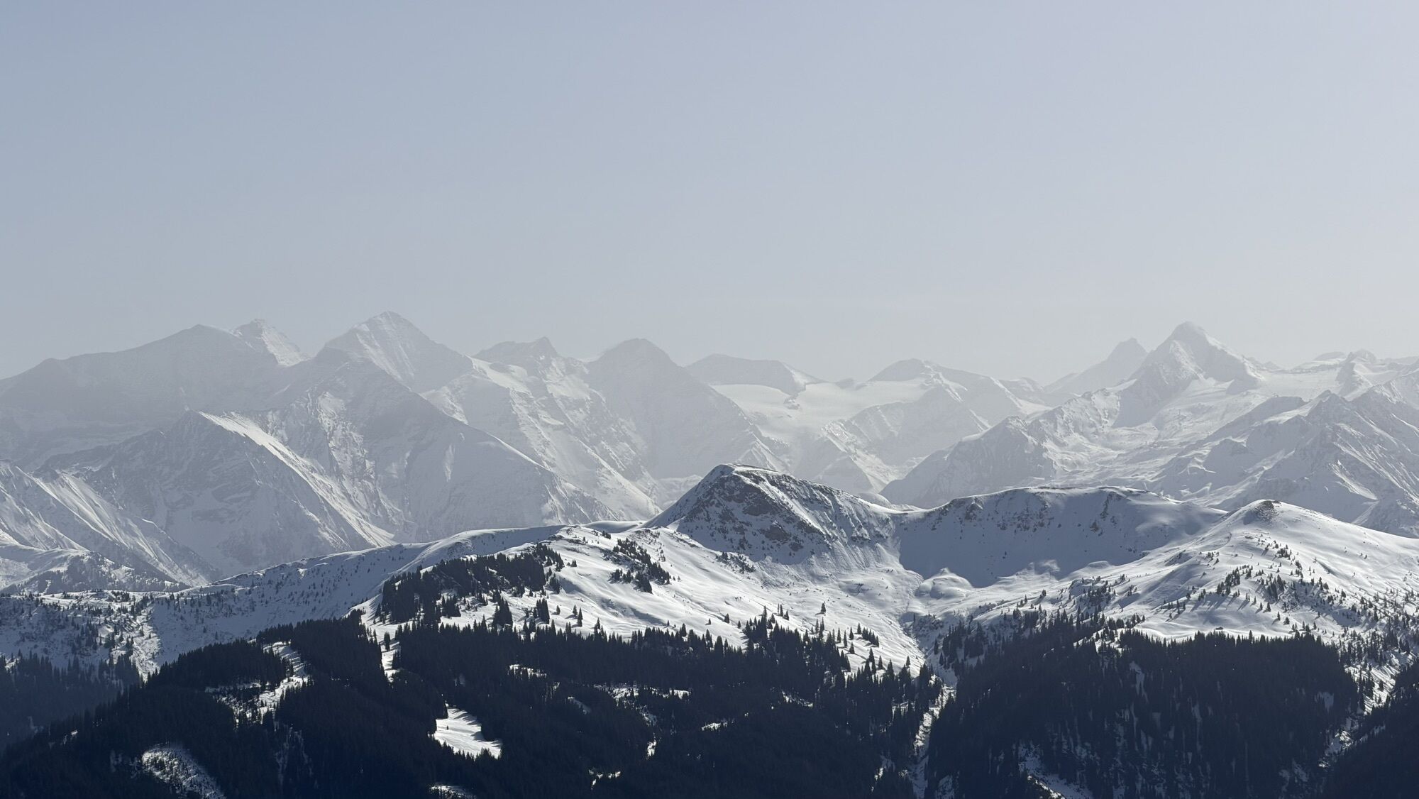
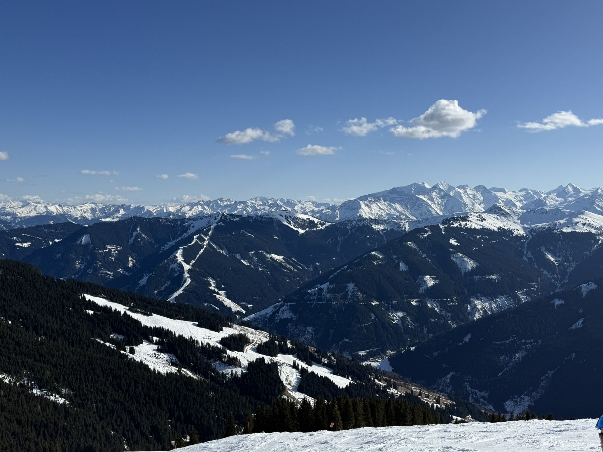
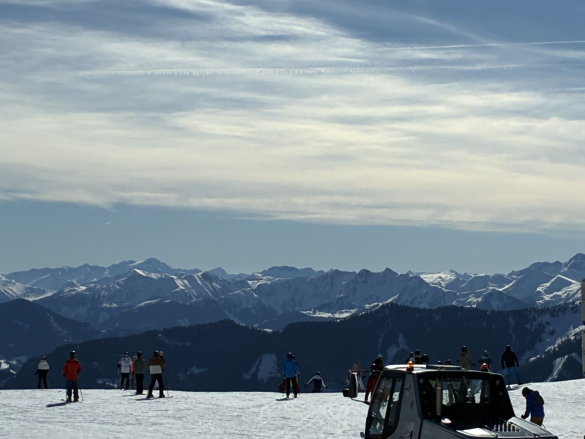
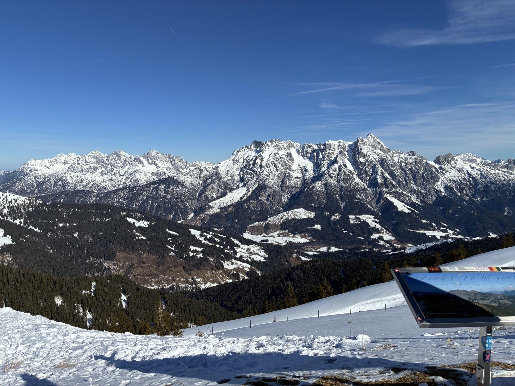
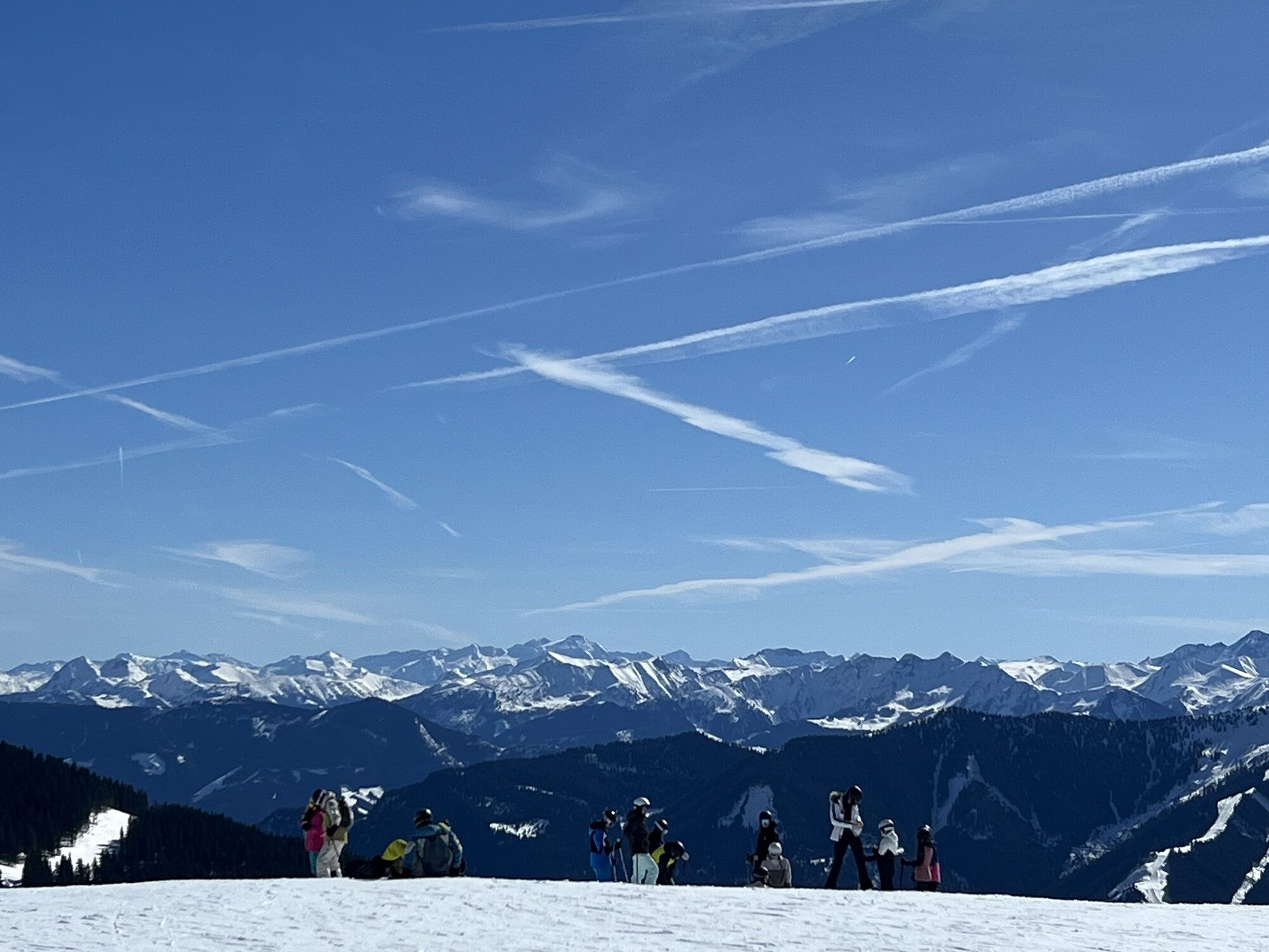
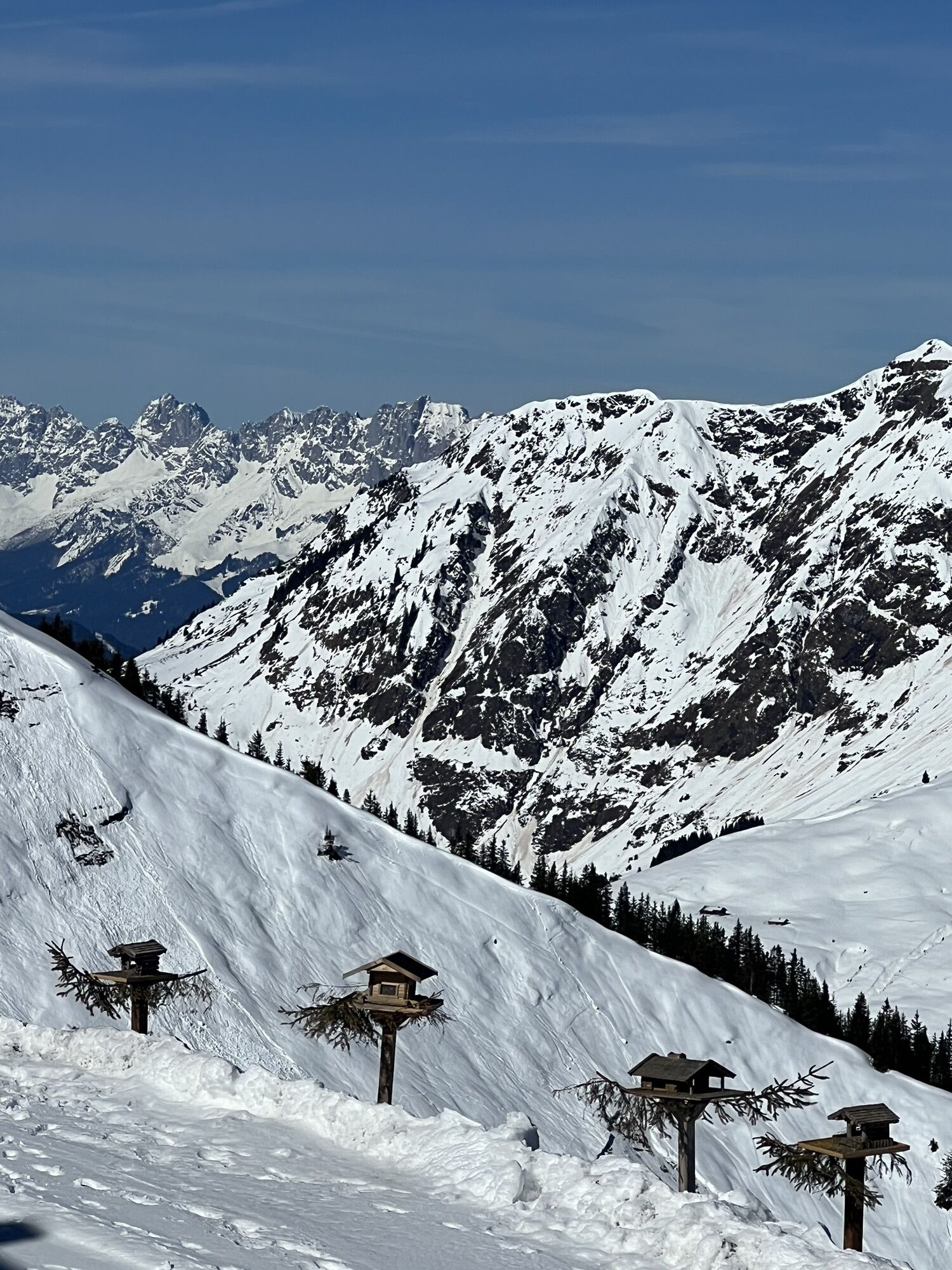
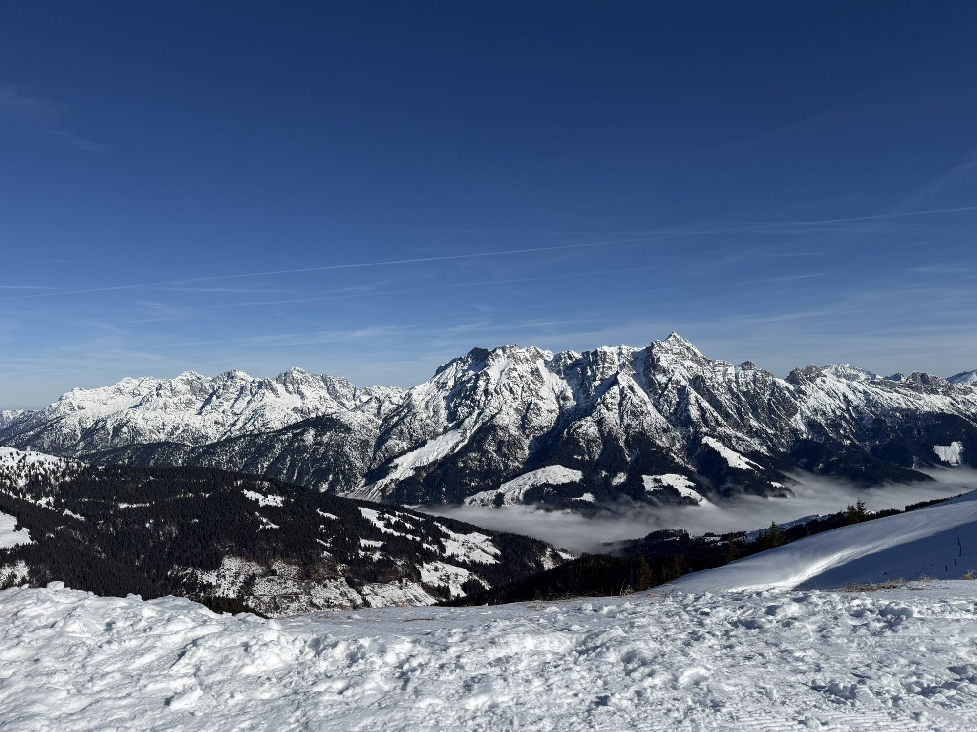
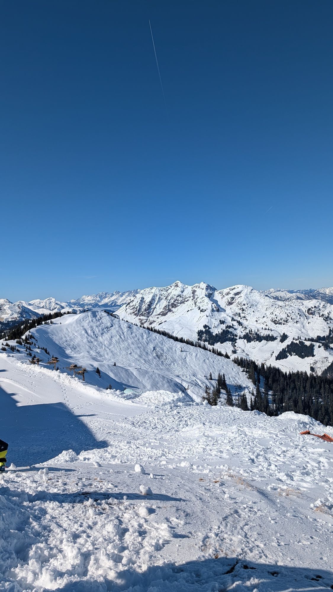
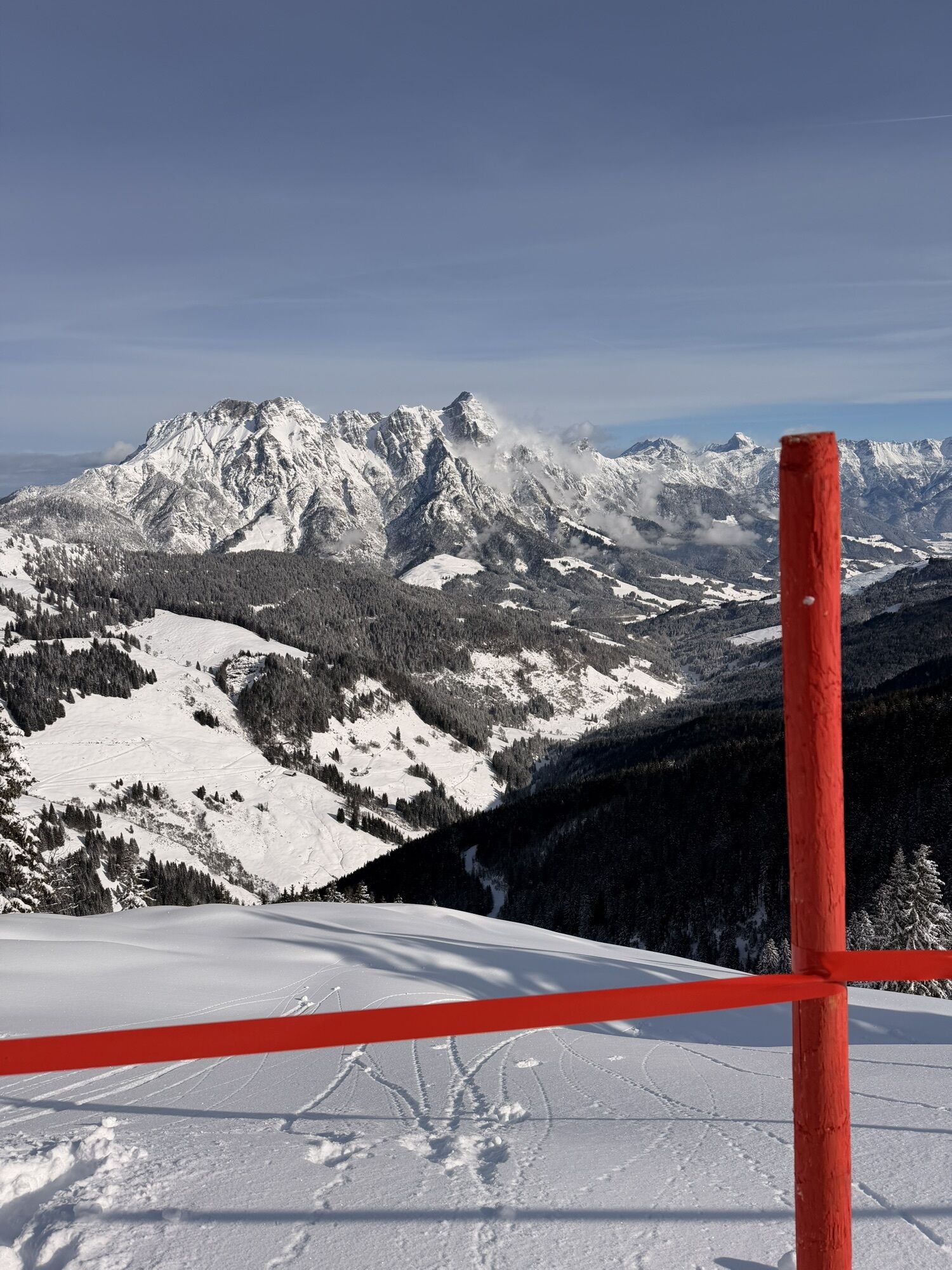
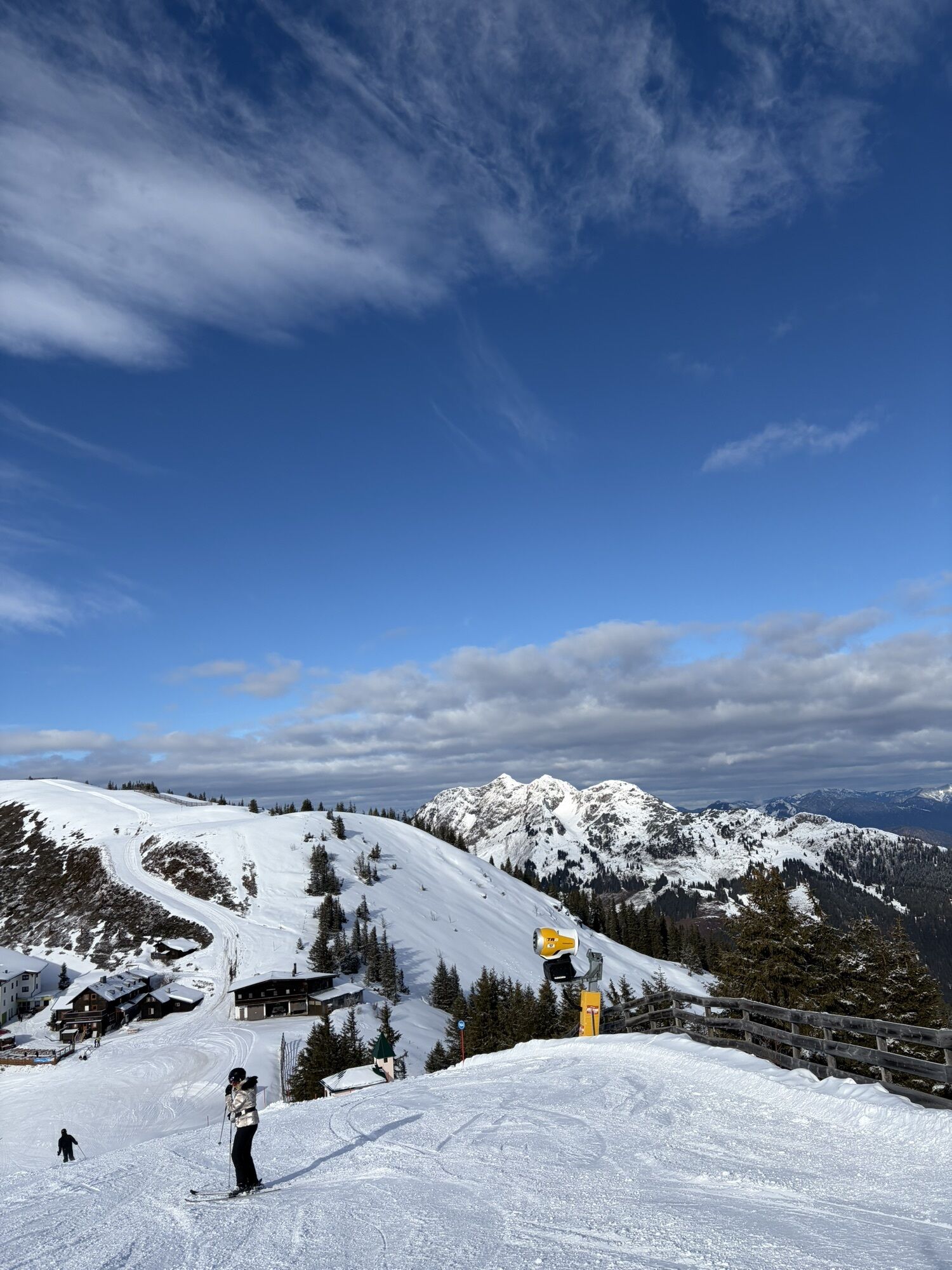
The starting point for this impressive high-altitude hike is the Kohlmaisbahn cable car. The cable car takes you comfortably up to the mountain station at Kohlmaiskopf. From there, follow the scenic high-altitude...
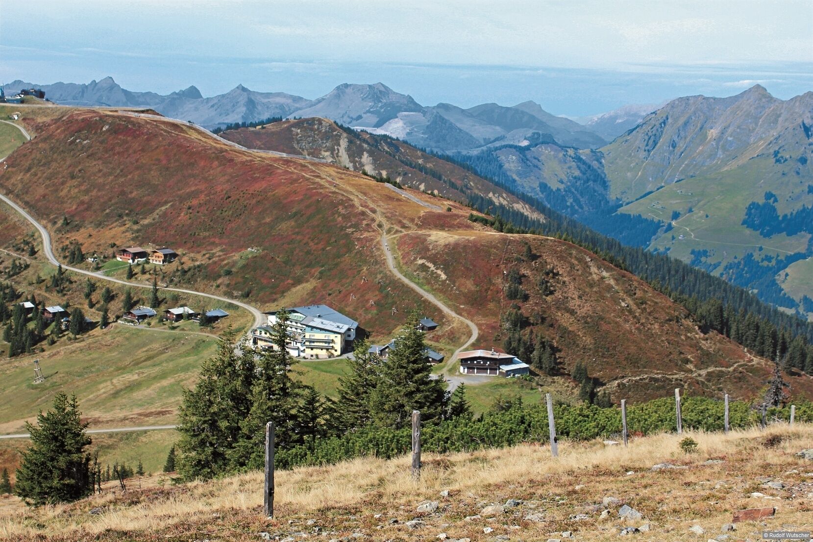
The starting point for this impressive high-altitude hike is the Kohlmaisbahn cable car. The cable car takes you comfortably up to the mountain station at Kohlmaiskopf. From there, follow the scenic high-altitude trail via Mardereckkopf and Wildenkarkogel to the Schönleitenhütte mountain hut and onward via the Schabergkogel to the Geierkogel, Viehhofen's local mountain. Along the way, you'll be treated to magnificent panoramic views of the surrounding mountains. The descent leads via the Hecherhütte mountain hut, which is ideal for a relaxing break. A taxi ride back to Viehhofen can be arranged from there upon request.

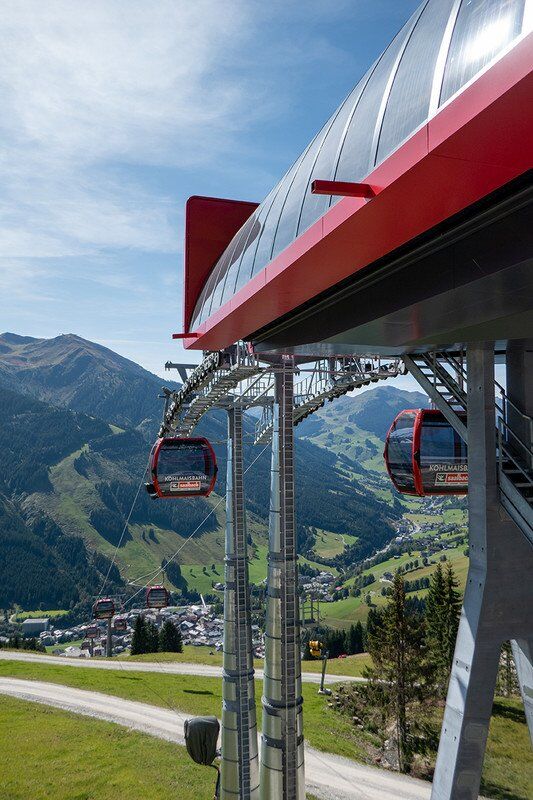
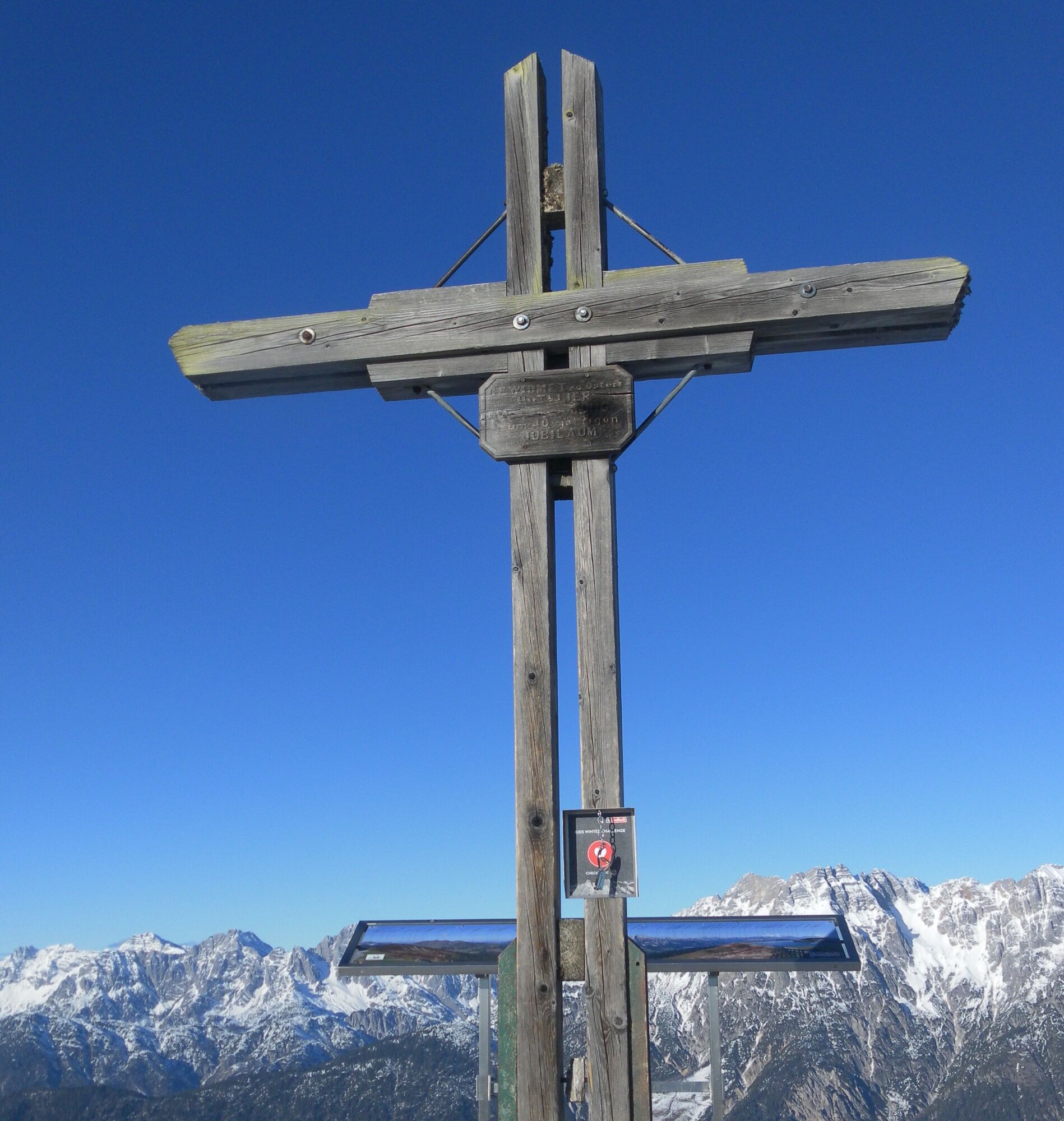

Da
Da
⚠️ Safety Information Self-Assessment: Before every mountain tour, you should realistically assess your own physical fitness – as well as that of your companions, especially children. Surefootedness and a head for heights are often required. Alpine Pastures and Grazing Areas – Behavior around Cows: In alpine pastures, be aware of grazing animals. Keep your distance. Remain calm. Keep dogs on a leash. Do not touch or feed calves. Take warning signals seriously. Planning and Preparation: Careful tour planning is recommended. Hiking maps, guides, and information from alpine clubs, mountain guides, or hut owners can be helpful. Equipment: Suitable equipment and clothing are required, especially sturdy, ankle-high footwear with good grip. Weather and cold protection should always be carried, as the weather can change rapidly. Weather Forecasts: Current weather information is available at www.zamg.at or www.uwz.at. Respect for Nature: The established rules for interacting with grazing animals must be observed. Please take your trash with you and leave nature clean. Turning back: It is advisable to turn back in good time if weather conditions deteriorate, fog rolls in, or the trail becomes more difficult than expected. Emergency numbers: Alpine emergency: 140 International emergency: 112 ➡️ More information: https: www.viehhofen.at/de/sommer/wandern/si...
T2
Take the bus from Viehhofen to Saalbach – with the Guest Mobility Ticket, the journey to the Kohlmaisbahn cable car is free. 🚌
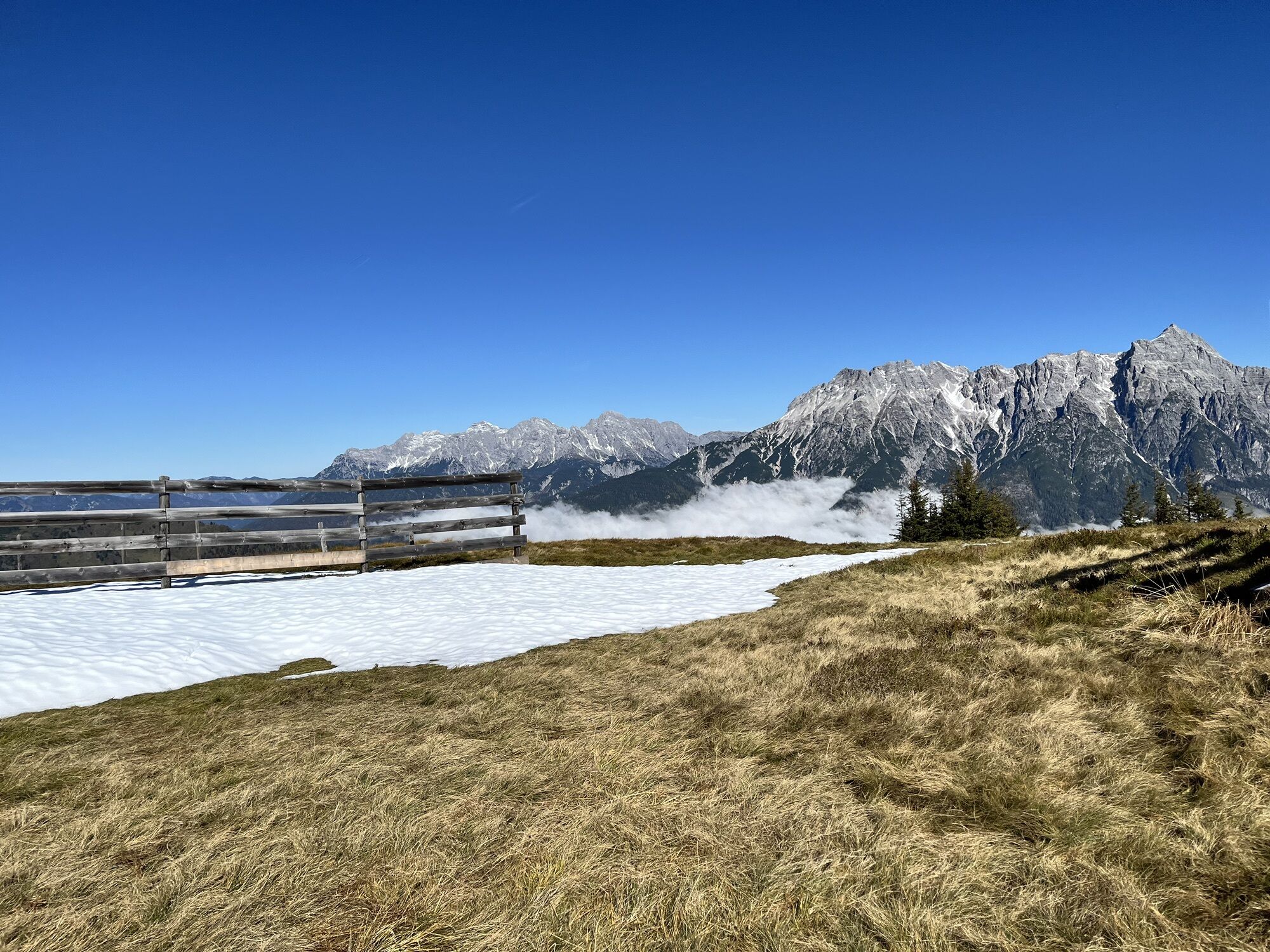
Don't forget your camera 📸 – along the high-altitude trail, there are always impressive panoramic views of the Pinzgau mountains.
Spletne kamere s turneje
Schmittenhöhe
Schattberg - West
Asitz Gipfel
Berghotel Seidl-Alm
Schattberg Westgipfel
Asitz Mittelstation
Kohlmais Tal
Sonnkogel
Schmittenhöhe
Asitz Talstation
Schmittenhöhe
Schmittenhöhe
Hinterglemm - Saalbach
Großer Asitz / Gipfelkreuz
Saalbach-Hinterglemm - Schattberg Ost
Saalbach-Hinterglemm - Wildenkarkogel
Saalbach - Hotel Alpinresort
Zwölferkogel
Wildenkarkogel
Talstation Asitzbahn
Maishofen Sausteige
Saalbach-Hinterglemm - Kohlmais
Kohlmaiskopf
Leogang - Grosser Asitz
zellamseeXpress
Wohlfühlhotel-Johanneshof
Eberharthof - Saalbach-Hinterglemm
Schmittenhöhe
Pridobite vpogled Vedno v živo na mestu z več kot 9.500 spletnimi kamerami. bergfex Kot uporabnik Pro si lahko zdaj ogledate ustrezne spletne kamere za številne izlete v aplikaciji izleti iz. Tako si lahko neposredno ogledate trenutne razmere. Priljubljeni izleti v okolici
- 4.6
Steinalm
svetlobaPohodništvo 2.71 km - 4.3
Schwalbenwand Nr. 80, 81, 82
srednjaPohodništvo 13.0 km - 4.6
Seisenberg Gorge
svetlobaPohodništvo 2.41 km - 4.5
Peter-Wiechenthaler Hut
srednjaPohodništvo 4.32 km - 4.2
Passauer Hütte
težkoPohodništvo 4.14 km - 4.2
Maurerkogel (Top)
Pohodništvo 10.5 km - 4.6
Birnbachloch Leogang, Österreich
srednjaPohodništvo 5.18 km - 4.6
MTB route Ramseiden round (route 1)
srednjaMountainbike 18.9 km - 4.6
Lettlkaser
srednjaPohodništvo 4.40 km - 4.0
Berg der Sinne
svetlobaPohodništvo 4.39 km
Pohodništvo in sledenje


Ne zamudite ponudb in navdiha za naslednje počitnice
Vaš e-poštni naslov je bil dodan na poštni seznam.





