







Sonnkogel

Stopnja težavnosti: T2
Enjoy a wonderful hike to the summit of Sonnkogel. The trail leads through varied alpine meadows and light forests, opening up breathtaking views along the way. At the top, a 360° panorama rewards you...
Enjoy a wonderful hike to the summit of Sonnkogel. The trail leads through varied alpine meadows and light forests, opening up breathtaking views along the way. At the top, a 360° panorama rewards you with an unforgettable nature experience. Perfect for those who love combining activity, tranquility, and stunning mountain scenery.
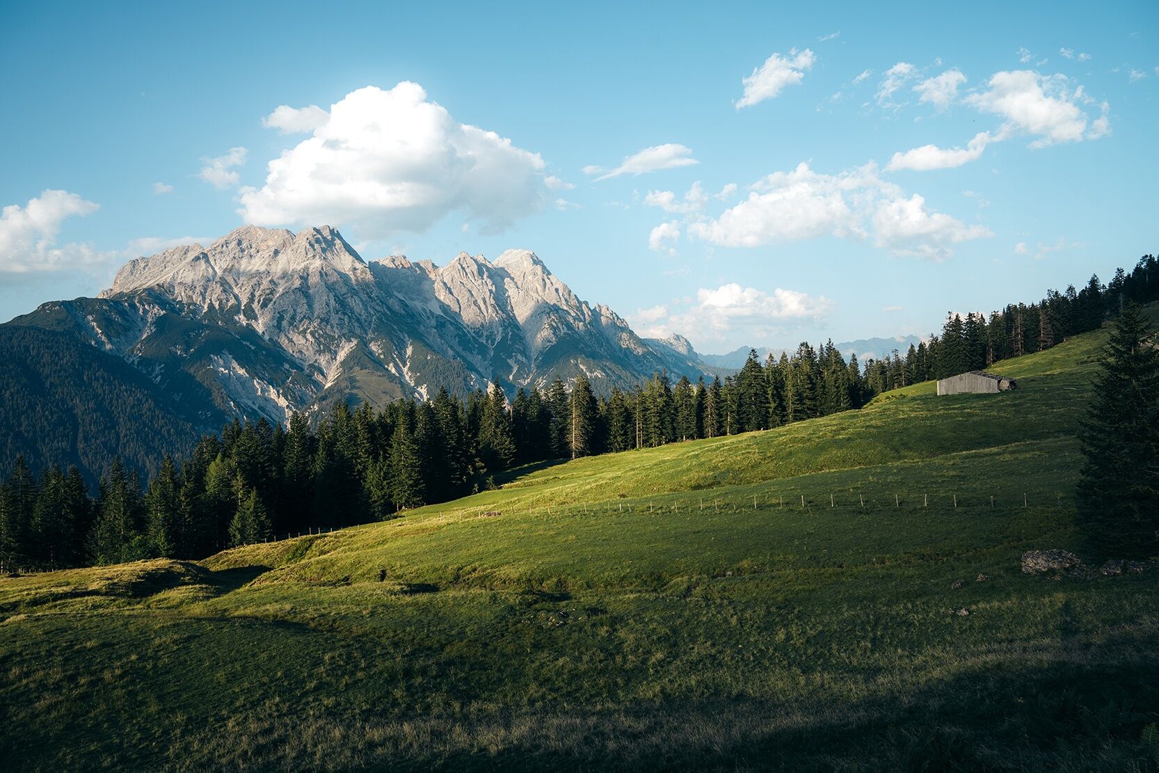
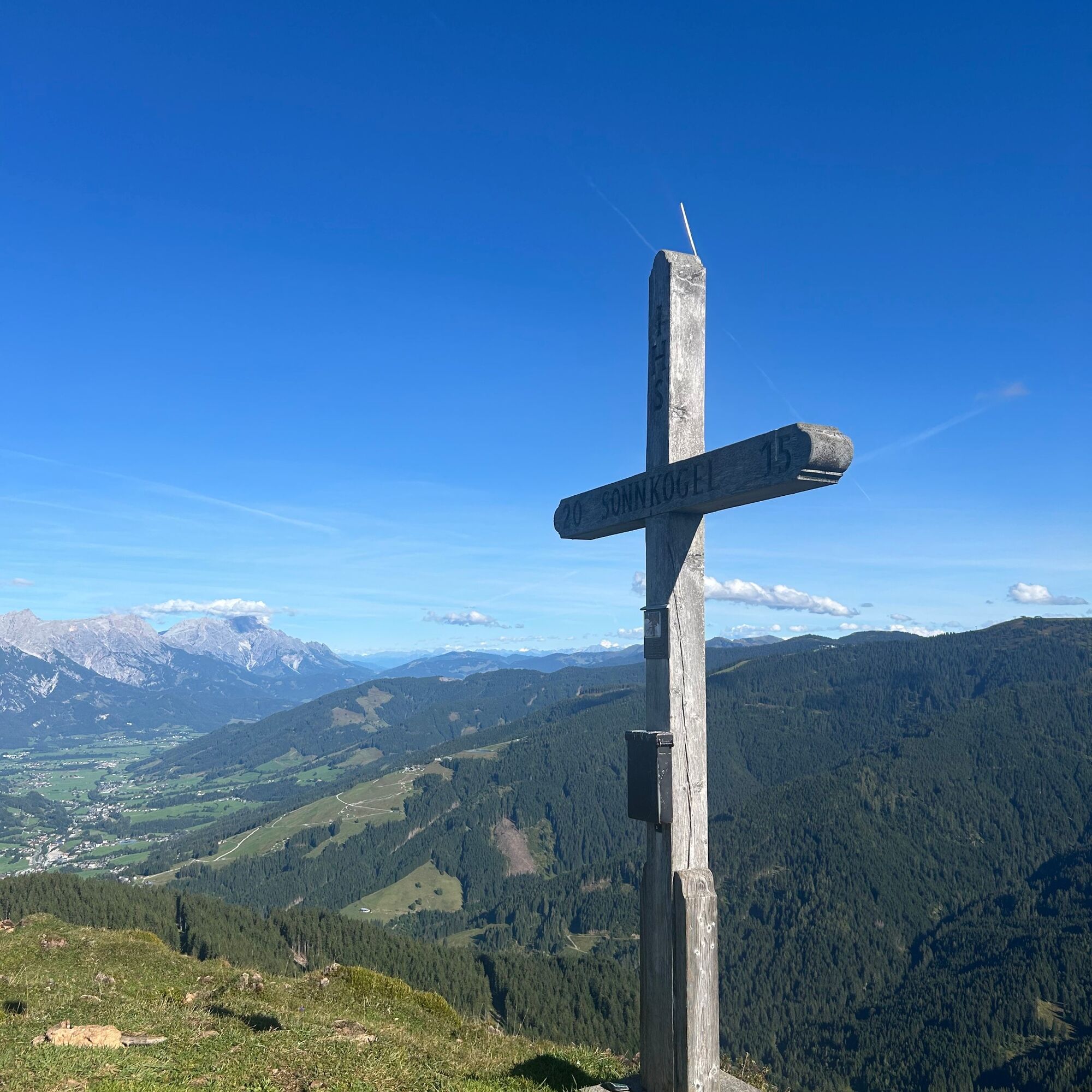
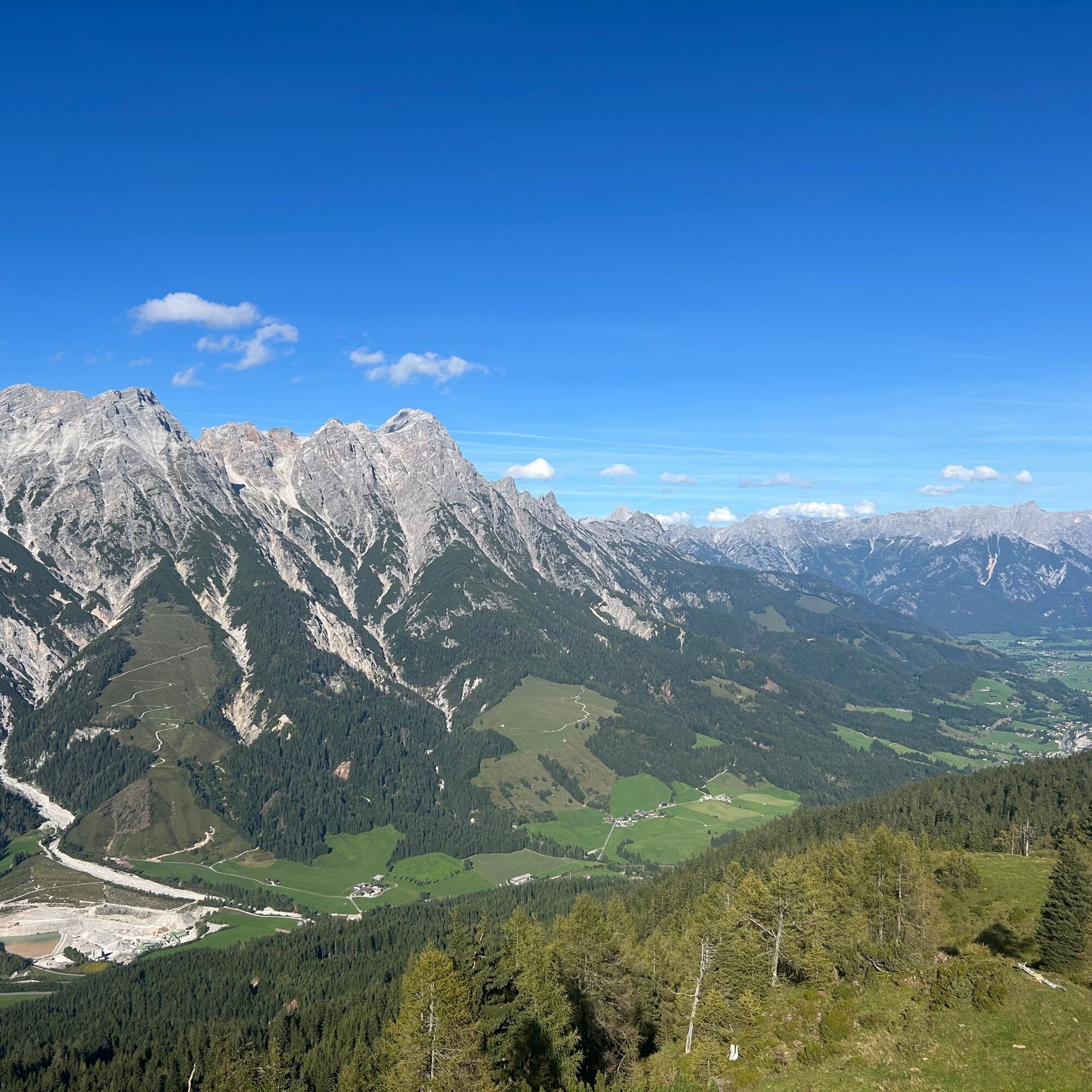

From the parking area at Tödlinggut in Grießen, cross the main road and follow the hiking trail towards the Grießner Almen. The route alternates between meadows and forest until reaching the plateau of the Grießner Almen. From there, a narrow path leads up the final elevation gain to the summit.
From Saalfelden or St. Johann in Tirol via the B 164 to Leogang.
You can enjoy your holiday from the start by train. No traffic jam will stop you from getting to Saalfelden Leogang! Furthermore, the ÖBB timetable helps you quickly and easily find the ideal train connection to Leogang station: www.oebb.at
BY BUS
You can conveniently reach the starting point by bus via the stop "Grießen B164". The stop is directly at the starting point of the hike. More information can be found at https://fahrplan.salzburg-verkehr.at/
A marked hiking parking lot is available at the starting point at Tödlinggut (limited number).
T2
The Grießner Almen are accessible by mountain bike. From there, the final ascent to the summit continues on foot.
Pridobite vpogled
Vedno v živo na mestu z več kot 9.500 spletnimi kamerami. bergfex Kot uporabnik Pro si lahko zdaj ogledate ustrezne spletne kamere za številne izlete v aplikaciji izleti iz. Tako si lahko neposredno ogledate trenutne razmere.
Priljubljeni izleti v okolici
-
4.7
Loferer Steinberge, zum Hinterhorn über die Schmid-Zabierow Hütte, 19.06.22
težkoPohodništvo 14.0 km -
4.5
Seisenberg Gorge
svetlobaPohodništvo 2.41 km -
4.2
Passauer Hütte
težkoPohodništvo 4.14 km -
4.1
Maurerkogel (Top)
Pohodništvo 10.5 km -
4.5
Birnbachloch Leogang, Österreich
srednjaPohodništvo 5.18 km -
4.0
Berg der Sinne
svetlobaPohodništvo 4.39 km -
4.6
Lettlkaser
srednjaPohodništvo 4.40 km -
4.6
Panorama route 3 peaks and 2 lakes
srednjaPohodništvo 7.21 km -
5.0
Leo’s play hiking trail
svetlobaTematska pot 4.89 km -
4.2
Saalachtaler Höhenweg EAST (Asitz - Biberg)
srednjaPohodništvo 13.1 km
Pohodništvo in sledenje


Ne zamudite ponudb in navdiha za naslednje počitnice
Vaš e-poštni naslov je bil dodan na poštni seznam.





