







Adnet circular hiking trail, hiking trail no. 50
From the starting point at the parking lot below the church, turn right onto the country road, follow it for about 300 m and then turn left along the Gangsteigweg. Turn left again towards Spumberg, always...
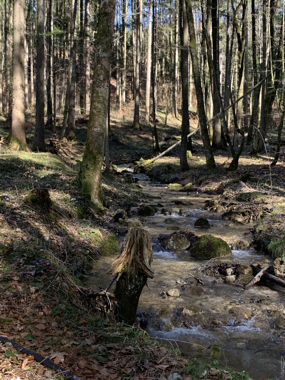
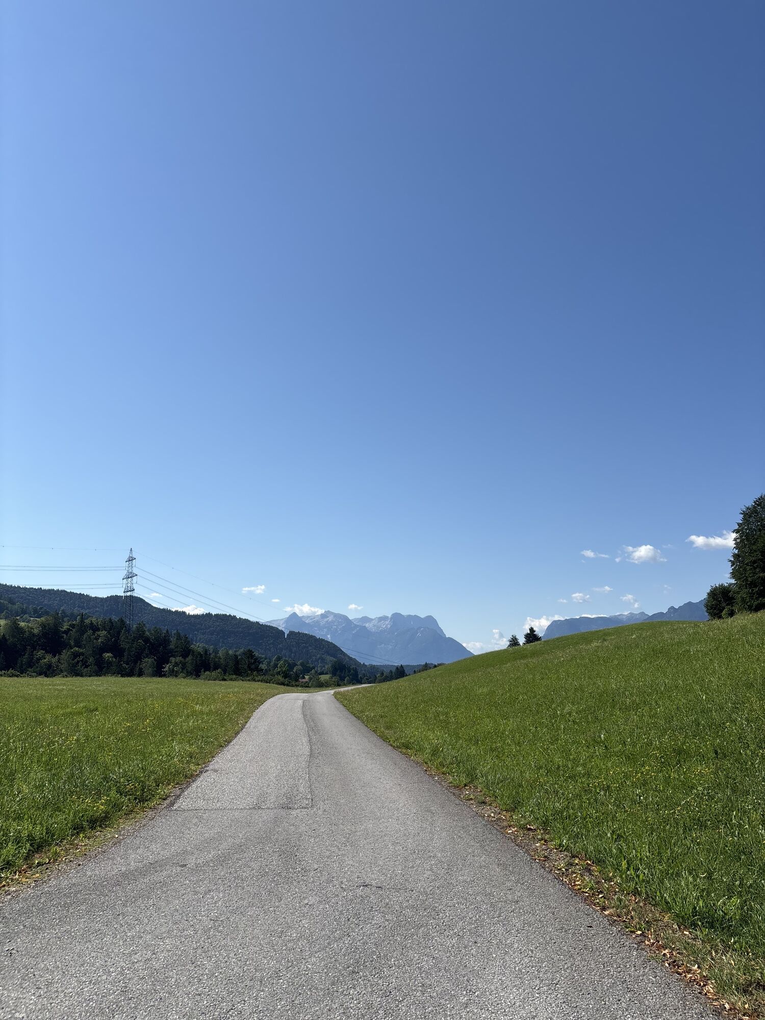
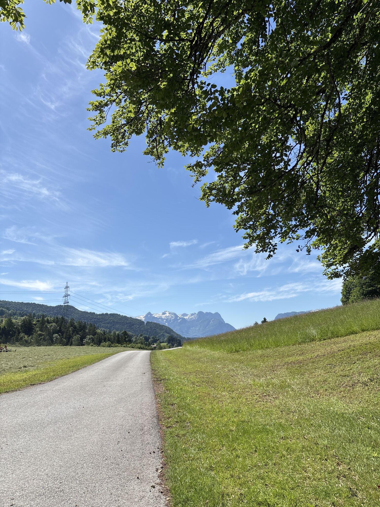
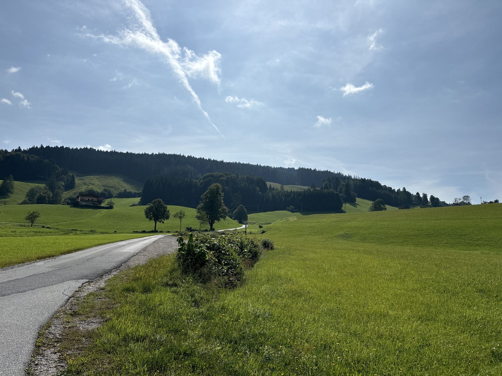
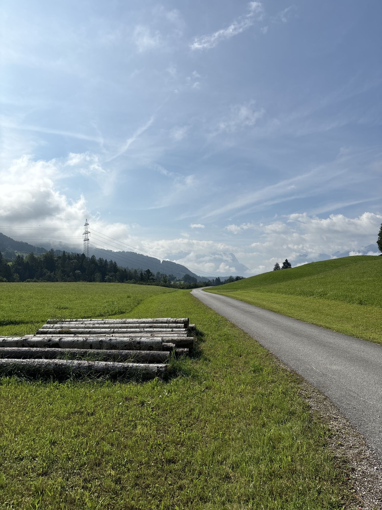
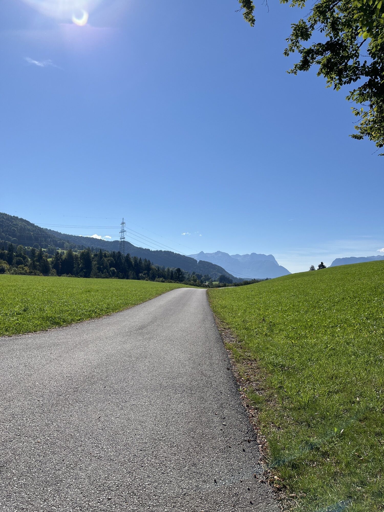
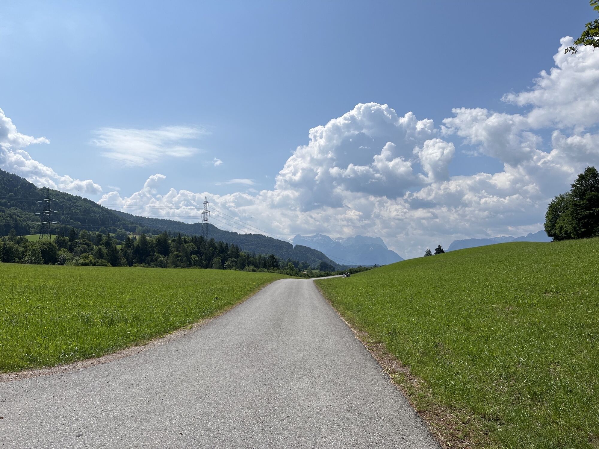
From the starting point at the parking lot below the church, turn right onto the country road, follow it for about 300 m and then turn left along the Gangsteigweg. Turn left again towards Spumberg, always uphill along the main road to the Lacken farm (about 45 minutes). After 300 m turn left again, past the Vorder- and Hintergemersreit farms. Turn left over a field path towards the Eisenhut crossing. Turn right via Schweighof and Bromegg to the junction of Zillreitstraße. Before the Krispler state road turn left and go downhill through the forest on the old Krispler road, past the Unterschneit farm to Adnet village. Go through the way between the two school buildings, turn right to the forest edge (via a field path). Descend through the forest, then left (right leads to the Seefeldmühle inn, about 200 m) and after about 200 m along the Almbach stream. Cross the state road at the wayside shrine and follow the forest edge through the Adnet moor to the church.


From the starting point at the parking lot below the church, turn right onto the country road, follow it for about 300 m and then turn left along the Gangsteigweg. Turn left again towards Spumberg, always uphill along the main road to the Lacken farm (about 45 minutes). After 300 m turn left again, past the Vorder- and Hintergemersreit farms. Turn left over a field path towards the Eisenhut crossing. Turn right via Schweighof and Bromegg to the junction of Zillreitstraße. Before the Krispler state road turn left and go downhill through the forest on the old Krispler road, past the Unterschneit farm to Adnet village. Go through the way between the two school buildings, turn right to the forest edge (via a field path). Descend through the forest, then left (right leads to the Seefeldmühle inn, about 200 m) and after about 200 m along the Almbach stream. Cross the state road at the wayside shrine and follow the forest edge through the Adnet moor to the church.
From Hallein via the Wiestal state road L107 to the Adnet junction. Turn right here, follow the road to the village center / church. The parking lot is located opposite the church, on the right below the street.
From Hallein train station take the Postbus 450 to Adnet village center. The tour can be started from here, about 5 minutes' walk to the starting point parking lot below the church.
Free parking
Pridobite vpogled Vedno v živo na mestu z več kot 9.500 spletnimi kamerami. bergfex Kot uporabnik Pro si lahko zdaj ogledate ustrezne spletne kamere za številne izlete v aplikaciji izleti iz. Tako si lahko neposredno ogledate trenutne razmere. Priljubljeni izleti v okolici
- 4.7
Schwarzer Berg / Golling
srednjaPohodništvo 2.54 km - 4.6
Kneifelspitze
Pohodništvo 2.53 km - 4.0
Durch die Almbachklamm nach Ettenberg
Pohodništvo 7.54 km - 4.1
Bärenweg am Lidaun
svetlobaPohodništvo 9.05 km - 4.8
Great and Small Barmstein, the landmarks of Hallein
težkoPohodništvo 6.58 km - 4.2
Untersberg, Toni-Lenz-Hütte
Pohodništvo 4.86 km - 4.4
From Koppl to the Gaisberg summit
srednjaPohodništvo 9.86 km - 4.4
Hike to the Kleiner Barmstein via the Thürndl ruin
srednjaPohodništvo 4.20 km - 4.8
Almbachklamm zum Gasthof Dürrlehen
srednjaPohodništvo 8.94 km - 4.8
Untersberg (Salzburger Hochthron)
srednjaPohodništvo 11.8 km
Pohodništvo in sledenje


Ne zamudite ponudb in navdiha za naslednje počitnice
Vaš e-poštni naslov je bil dodan na poštni seznam.





