



Between Fürth and Piesendorf

Stopnja težavnosti: T1

The many small and larger ponds along the valley path from the Fürth-Kaprun stop to the village of Piesendorf are the last remnants of the former swamp and floodplain landscape, which was characteristic...
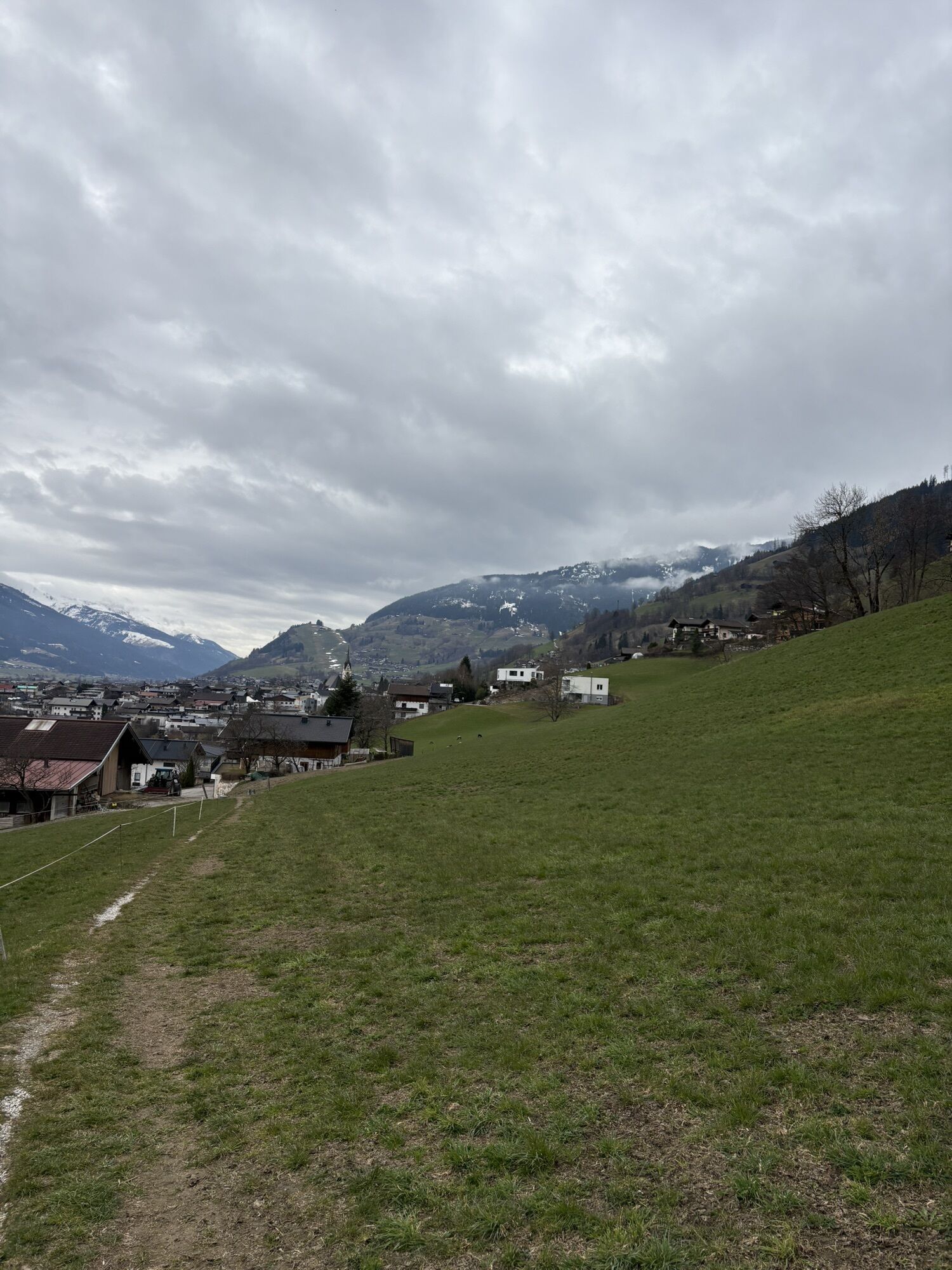
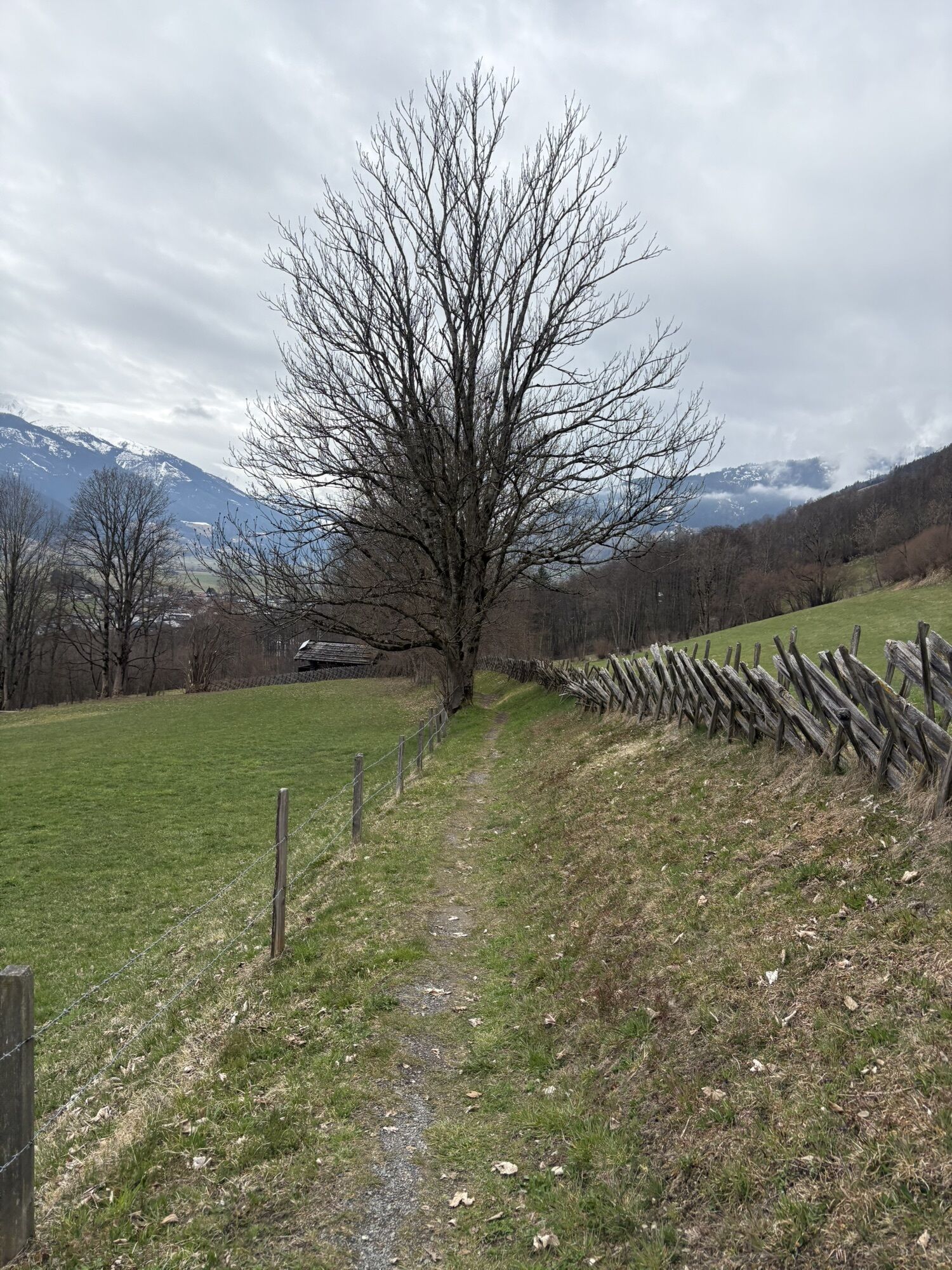
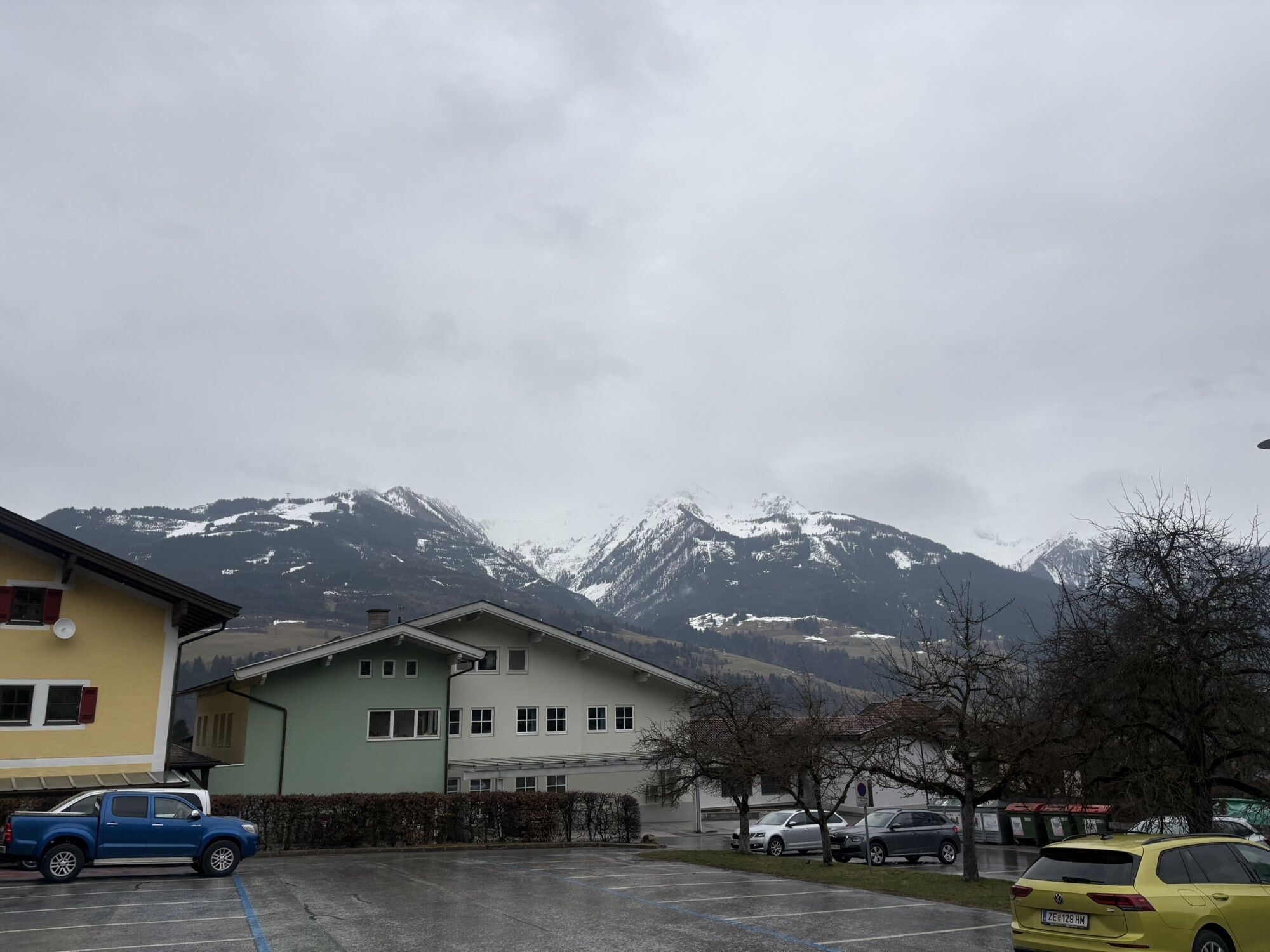
The many small and larger ponds along the valley path from the Fürth-Kaprun stop to the village of Piesendorf are the last remnants of the former swamp and floodplain landscape, which was characteristic of the Salzach valley. The straightening of the river and the drainage of the meadows have led to more usable land, but amphibians have fallen into an emergency state. Meanwhile, a rethink is taking place; the additional water areas also serve flood protection, and the hedges are valuable habitats. The second part of the loop on the sun path high above the valley shows the ecological and landscape diversity from above. From these locations, numerous amphibians migrate to the spawning waters in the valley. Additionally, in 1999 a cultural barn was established that shows the interesting development in many pictures and graphics.

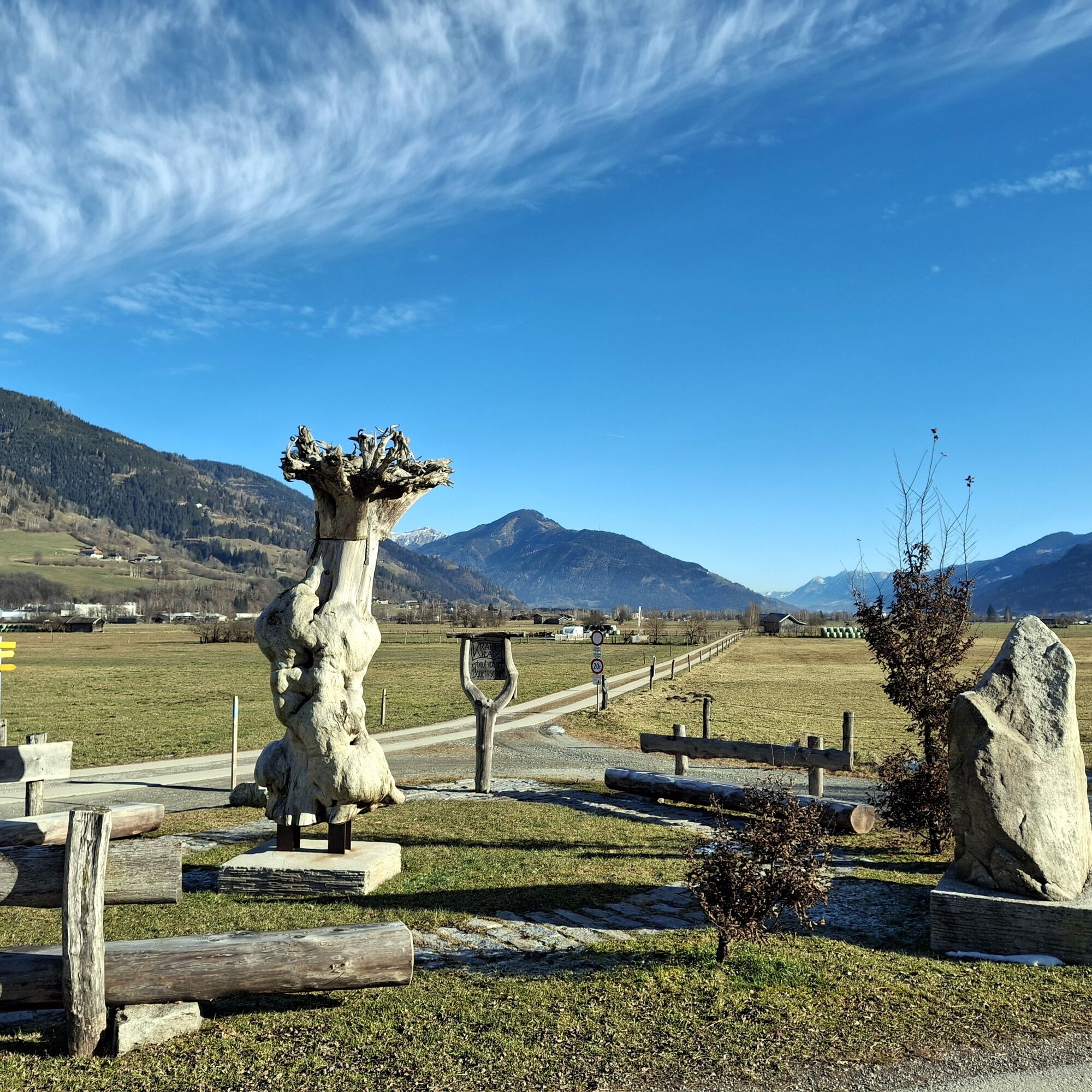
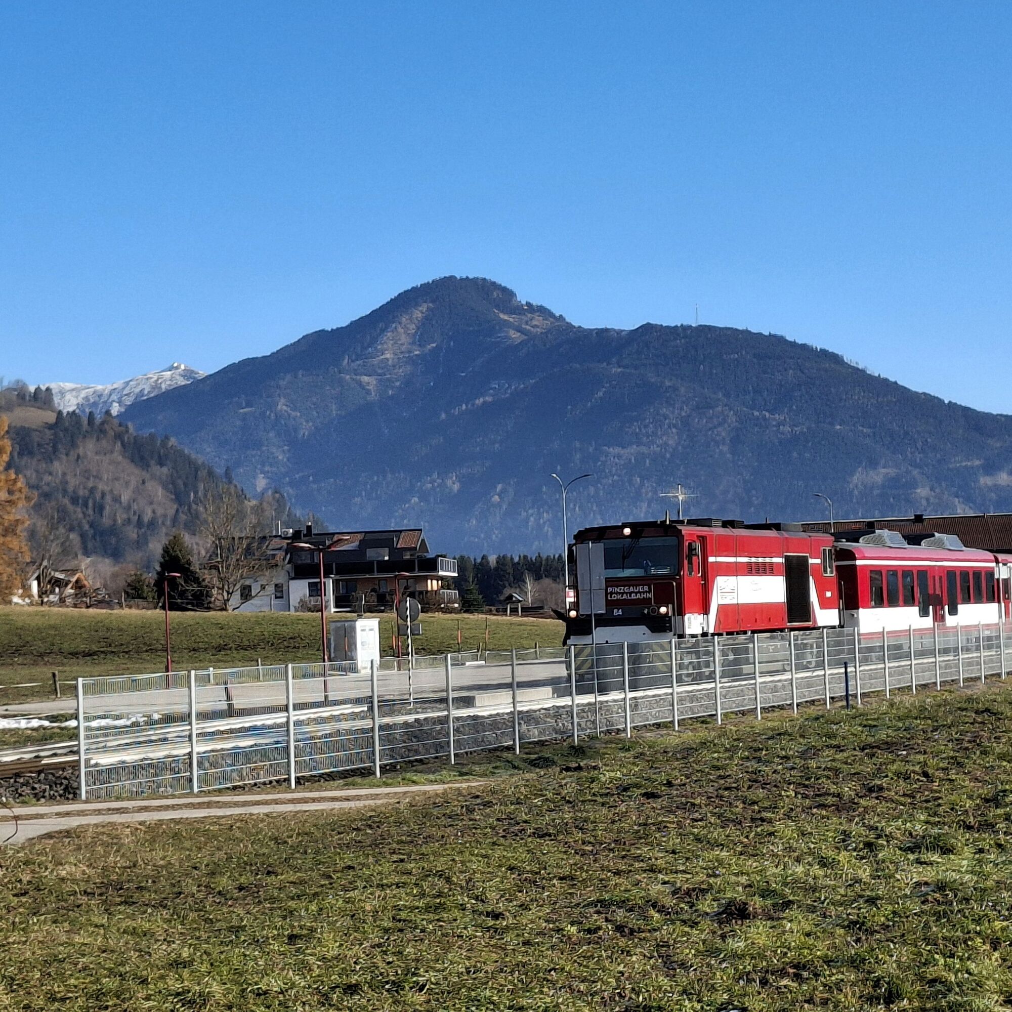
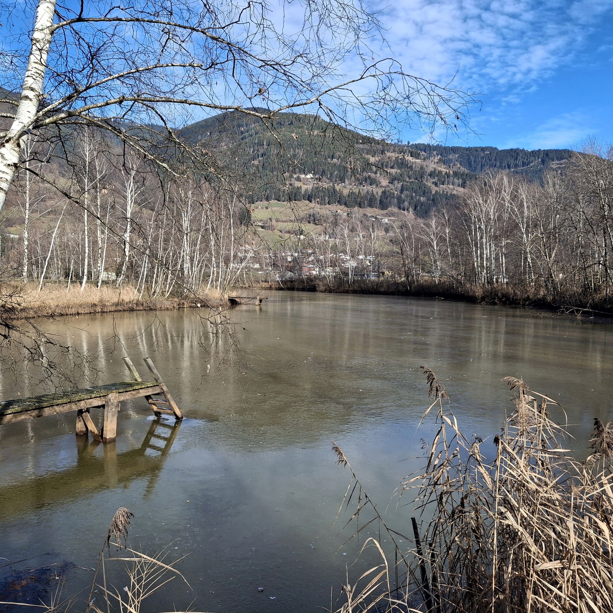
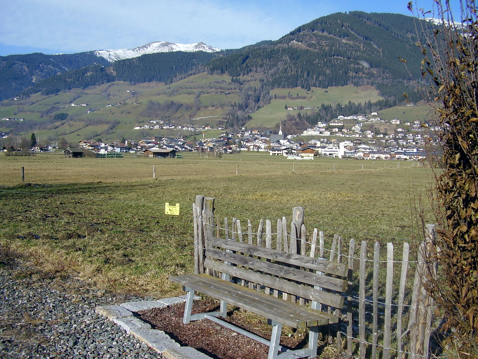
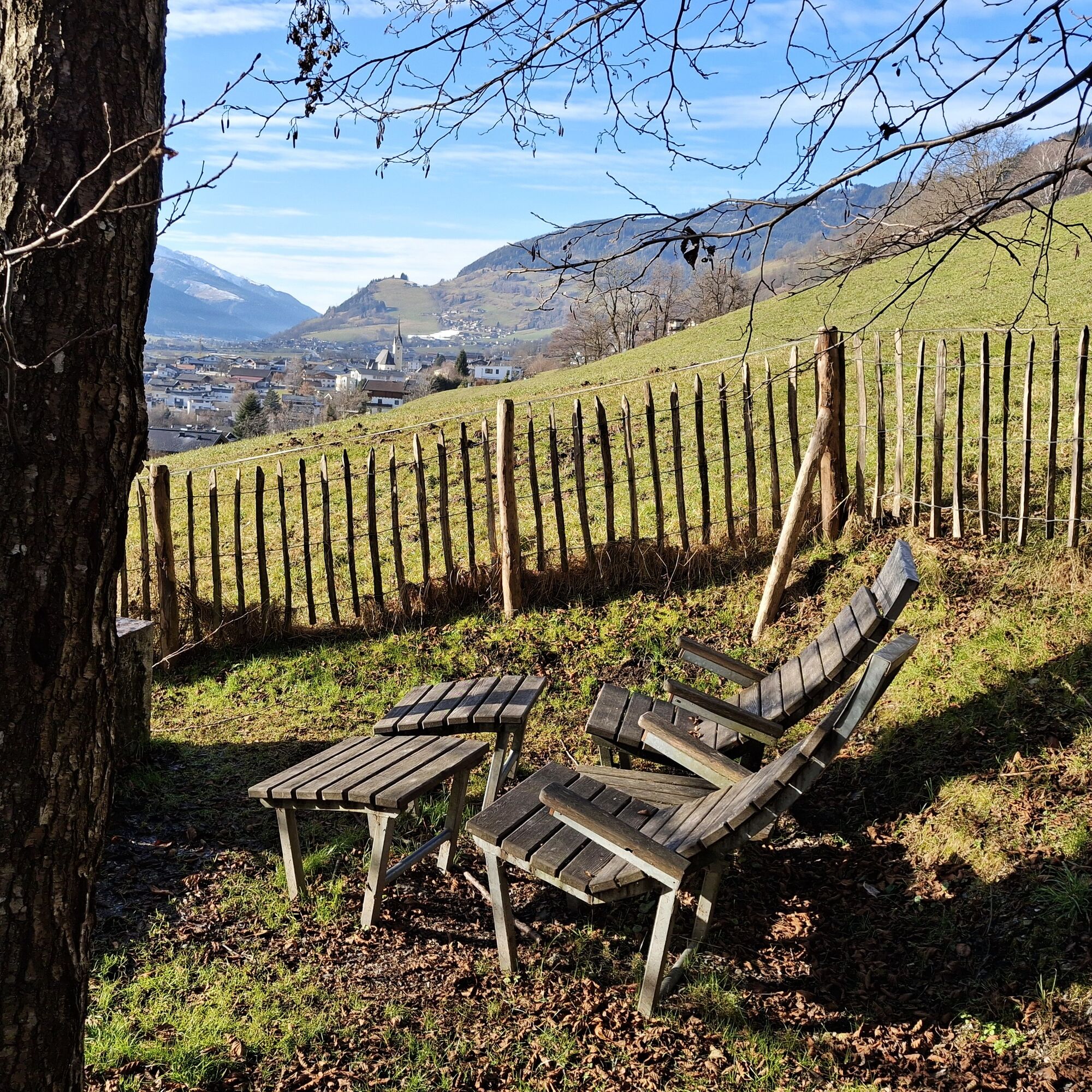
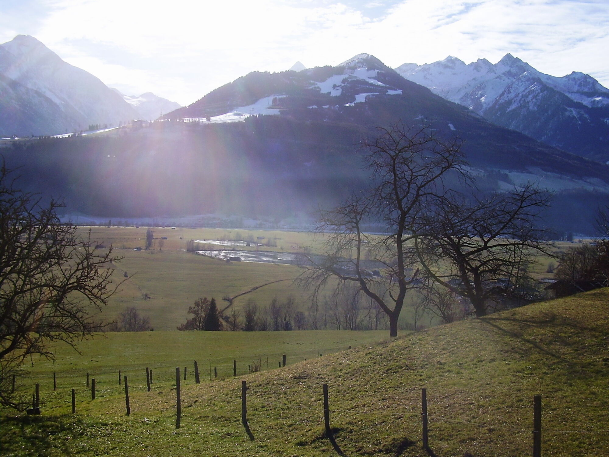

The starting point is the Fürth-Kaprun station or the opposite bus stop Fürth - Kaprun - station (Landstraße). After crossing the tracks, the path turns right, briefly follows the railway embankment, and leads past the ponds to a striking "tree monument" donated by the Oberpinzgau farming community. From there, turn right towards Piesendorf and below the church, again turn right in the direction of "Wiesenweg Fürth" through Loanergasse. The path leads very sunny and with good views past nice rest areas and the "cultural barn" to Fürth. Entry points are the station, or a few minutes shorter, right at the B 168 at the bus stop Fürth Kaprunerstraße.
Da
From Zell am See station with the Pinzgau local railway to Fürth im Pinzgau-Kaprun station, or from Zell am See station (forecourt) with bus 660 to Fürth im Pinzgau-Kaprun station (Landstraße). Return from Fürth station or from the Fürth Kaprunerstraße bus stop with bus 660 to Zell am See.
Timetable information and download: Online at www.salzburg-verkehr.at or on your smartphone via the free Salzburg Verkehr app for Android and iOS.
T1
Mag. Christian Heugl
5400 Hallein
christian.heugl@gmail.com
Photo credit: Christian Heugl
With little snow cover, the loop is accessible all year round; otherwise, at the tree monument, turn left towards the Salzach.

Spletne kamere s turneje

Priljubljeni izleti v okolici
-
4.4
Schwalbenwand Nr. 80, 81, 82
srednjaPohodništvo 13.0 km -
4.3
Maurerkogel (Top)
Pohodništvo 10.5 km -
4.7
Panorama route 3 peaks and 2 lakes
srednjaPohodništvo 7.21 km -
5.0
Leo’s play hiking trail
svetlobaTematska pot 4.89 km -
5.0
Wasserfallboden/Mooserboden
težkoPohodništvo 19.5 km -
4.6
Sigmund Thun Klamm, Klammsee, Bürgkogel
svetlobaPohodništvo 4.56 km -
4.6
Thumersbach, Runde um den Zeller See
svetlobaPohodništvo 13.3 km -
4.7
Fusch: Gleiwitzer Hütte
težkoPohodništvo 8.26 km -
4.5
Areitweg - Plettsauerkopf - Rundwanderung
srednjaPohodništvo 11.8 km -
4.9
Hochsonnberg Runde
srednjaMountainbike 59.8 km
Pohodništvo in sledenje


Ne zamudite ponudb in navdiha za naslednje počitnice
Vaš e-poštni naslov je bil dodan na poštni seznam.


