




From Adnet-Waidach to Krispl

Stopnja težavnosti: T2


In the Adnet districts of Waidach and Spumberg, there are many of the impressive Tennengau farmsteads, some of them several hundred years old. The associated orchard meadows, which are no longer so common...
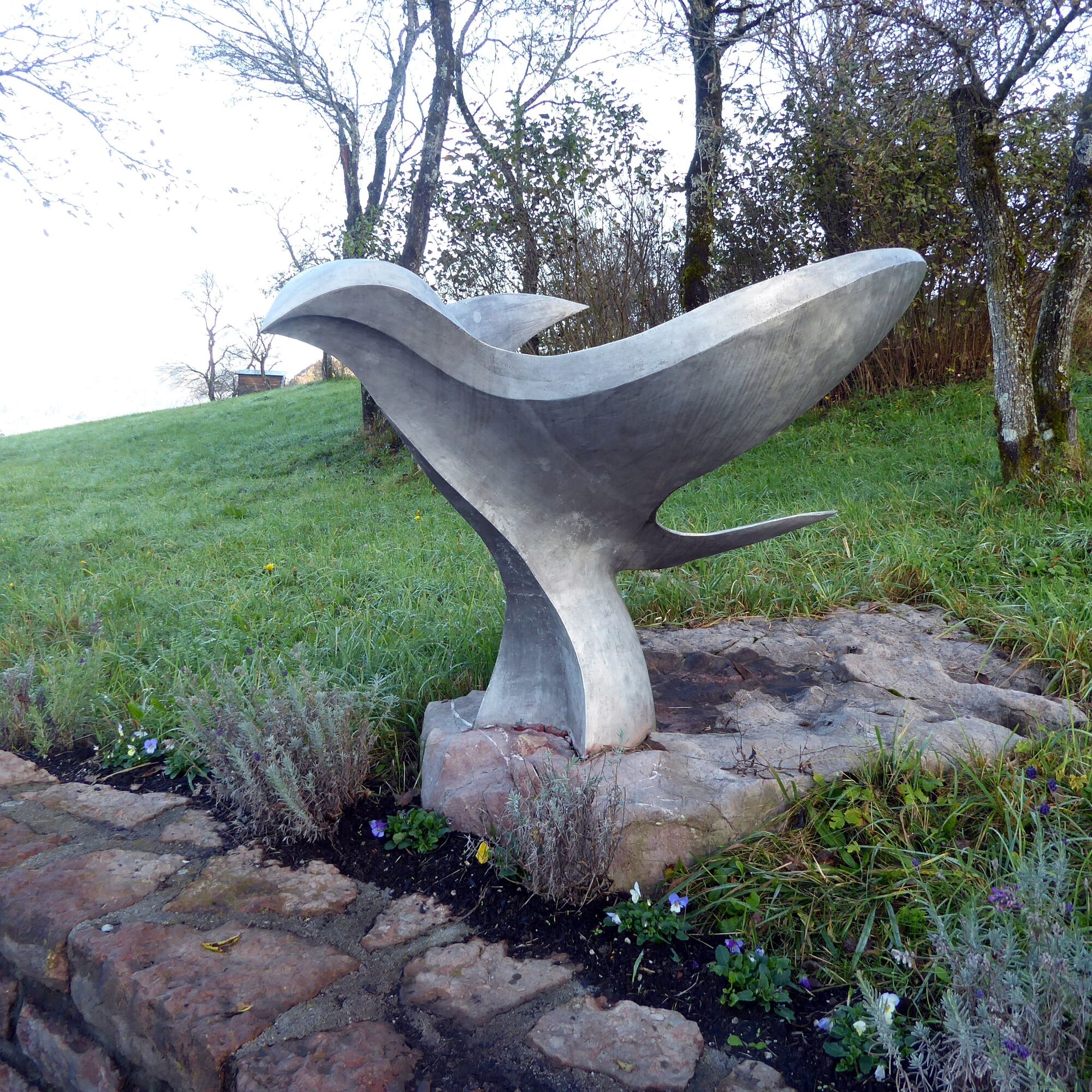
In the Adnet districts of Waidach and Spumberg, there are many of the impressive Tennengau farmsteads, some of them several hundred years old. The associated orchard meadows, which are no longer so common elsewhere, still belong to the familiar landscape here. In front of a particularly beautiful group of farm buildings, a bird-like metal sculpture commemorates the crash of an Allied plane with seven crew members in April 1945. The memorial was designed by students of the HTL Hallein. The network of farm access roads provides a practical basis for many hiking routes. These include the Gadorten circular path, the Spumberg valley path, or simply the path towards Schlenken. This suggestion also follows, for the most part, the little-trafficked farm roads, but then shortly after the Alpenrose guesthouse branches off onto the popular Krispl Höhenweg, which ends in the village of Krispl with incomparable sunny views.

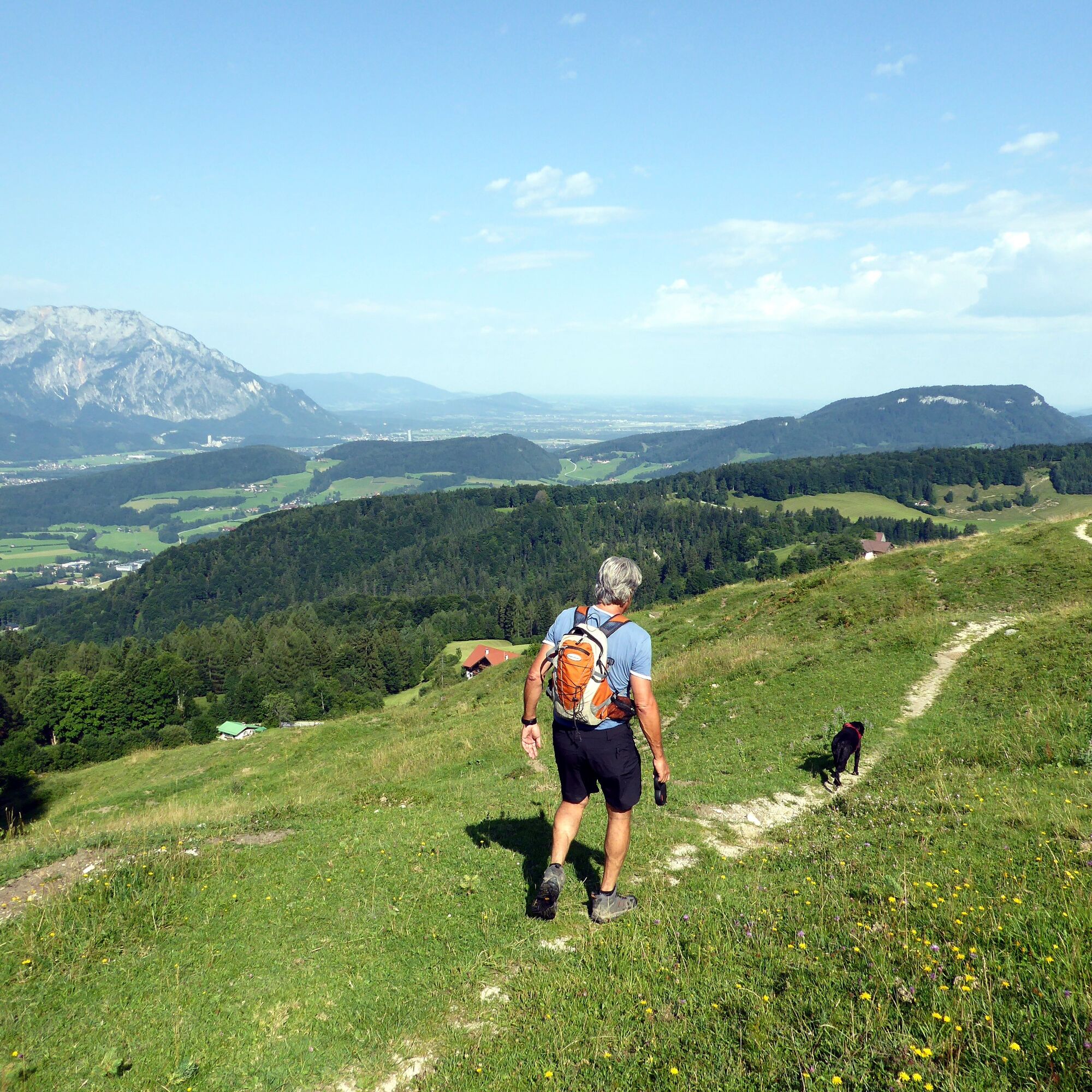
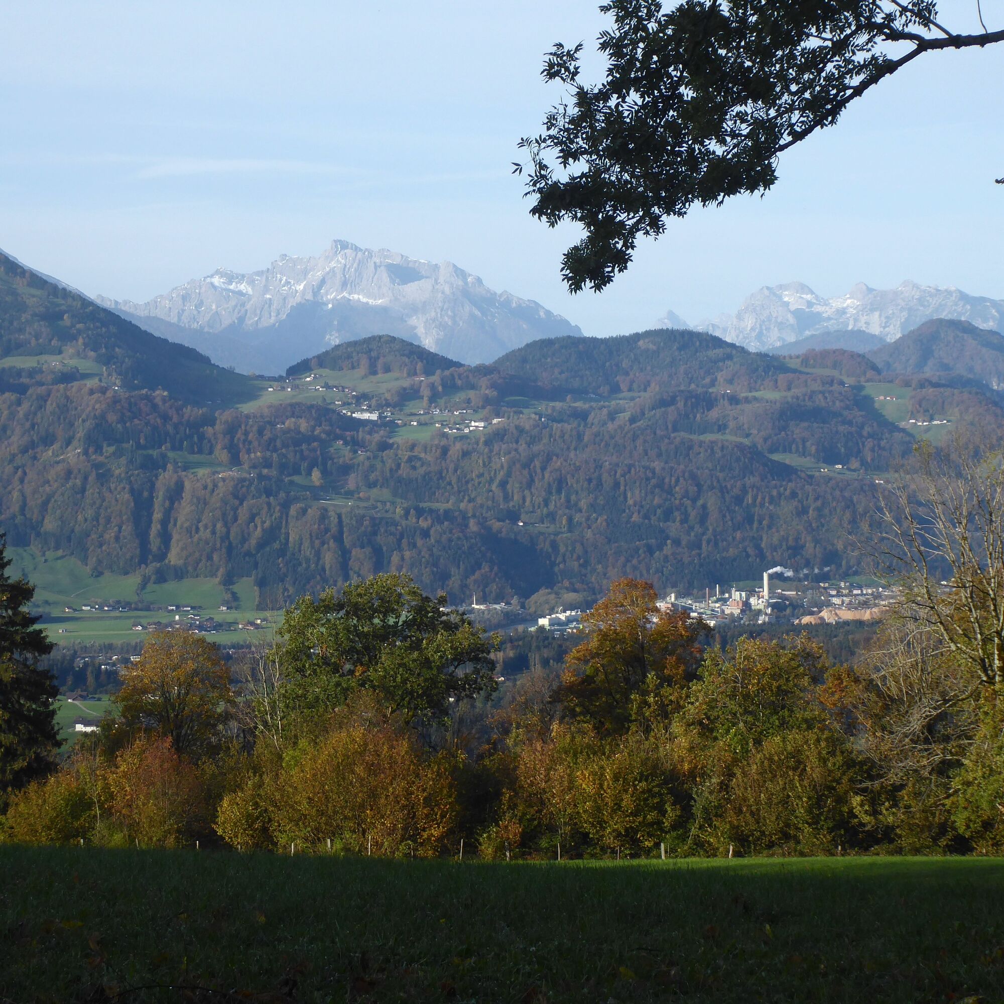
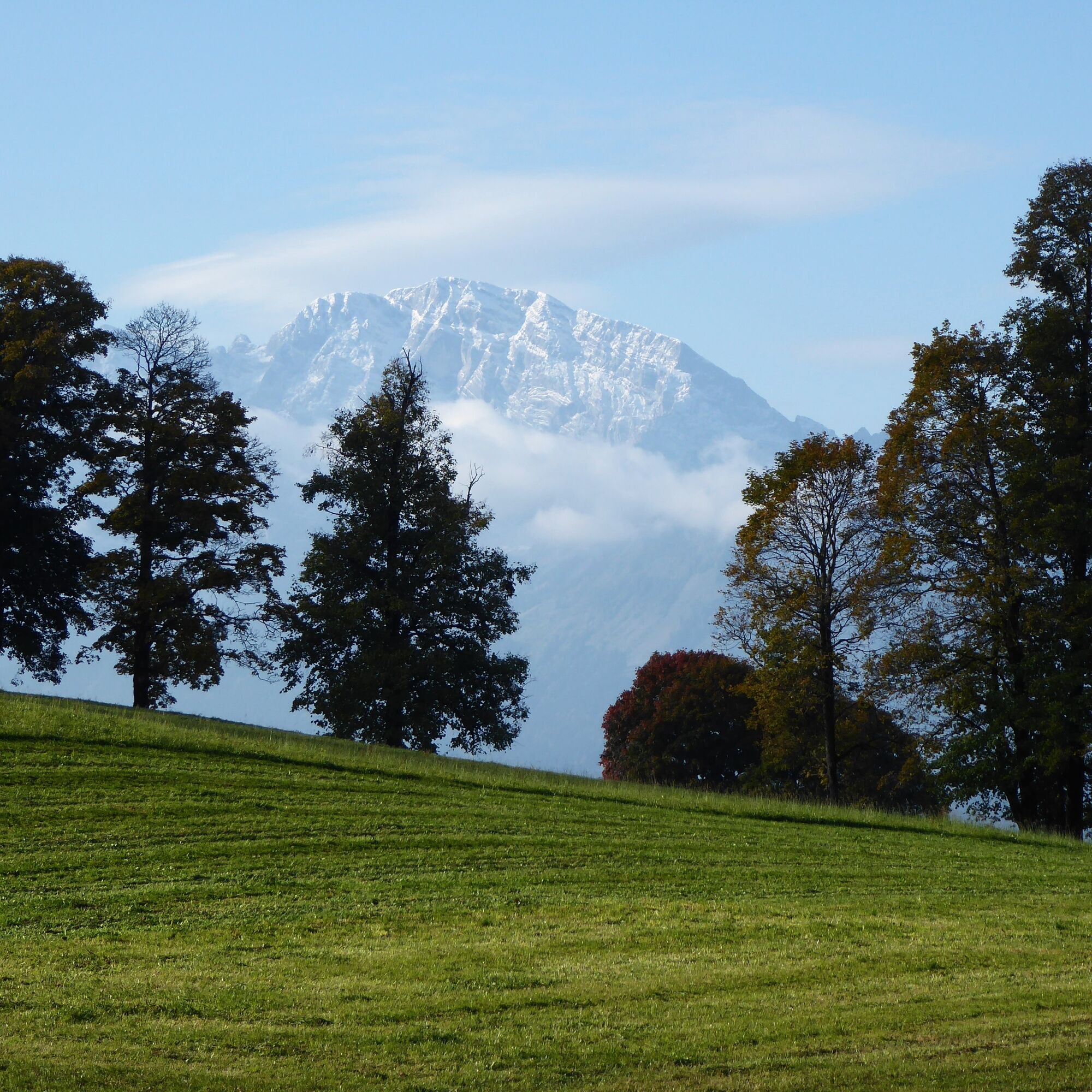
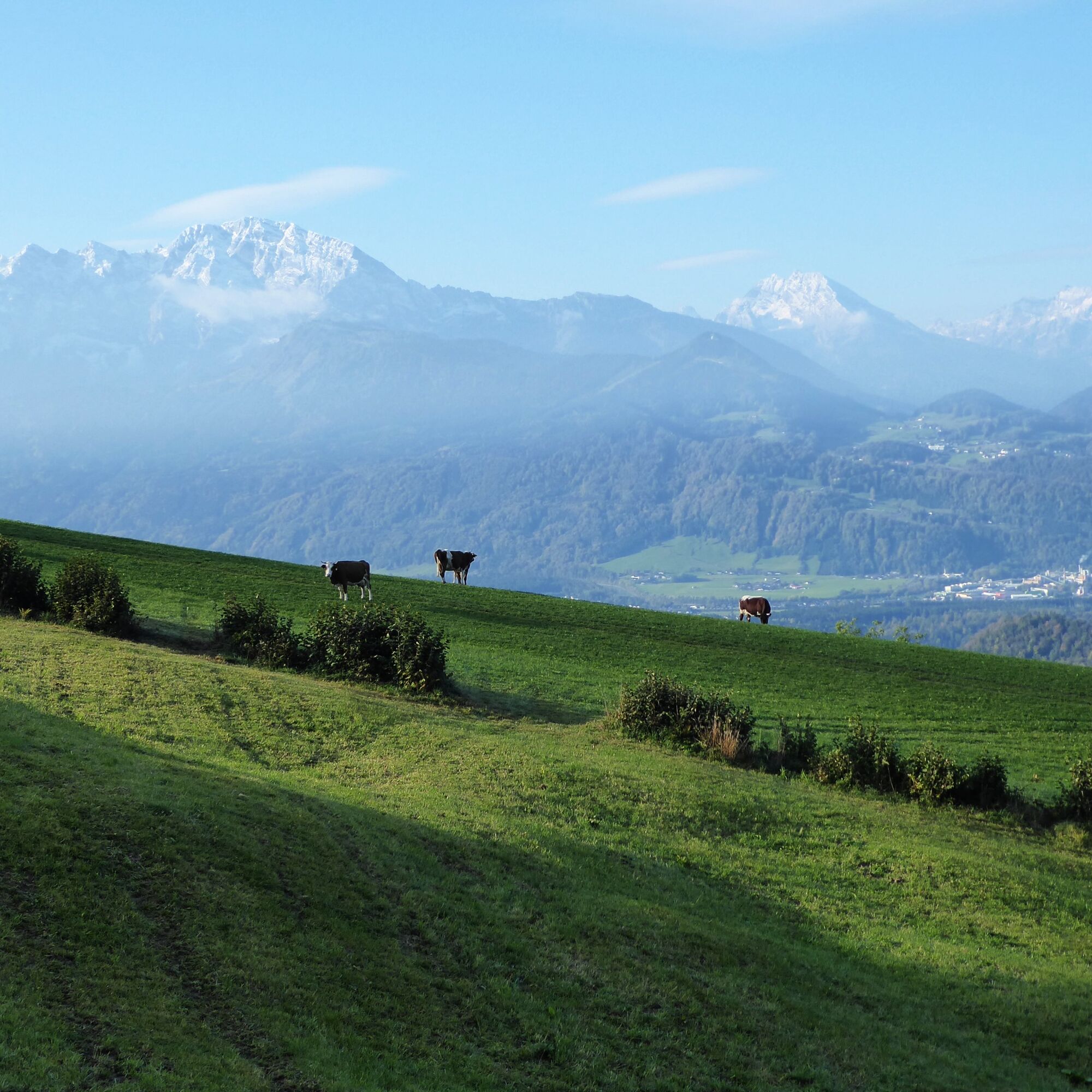
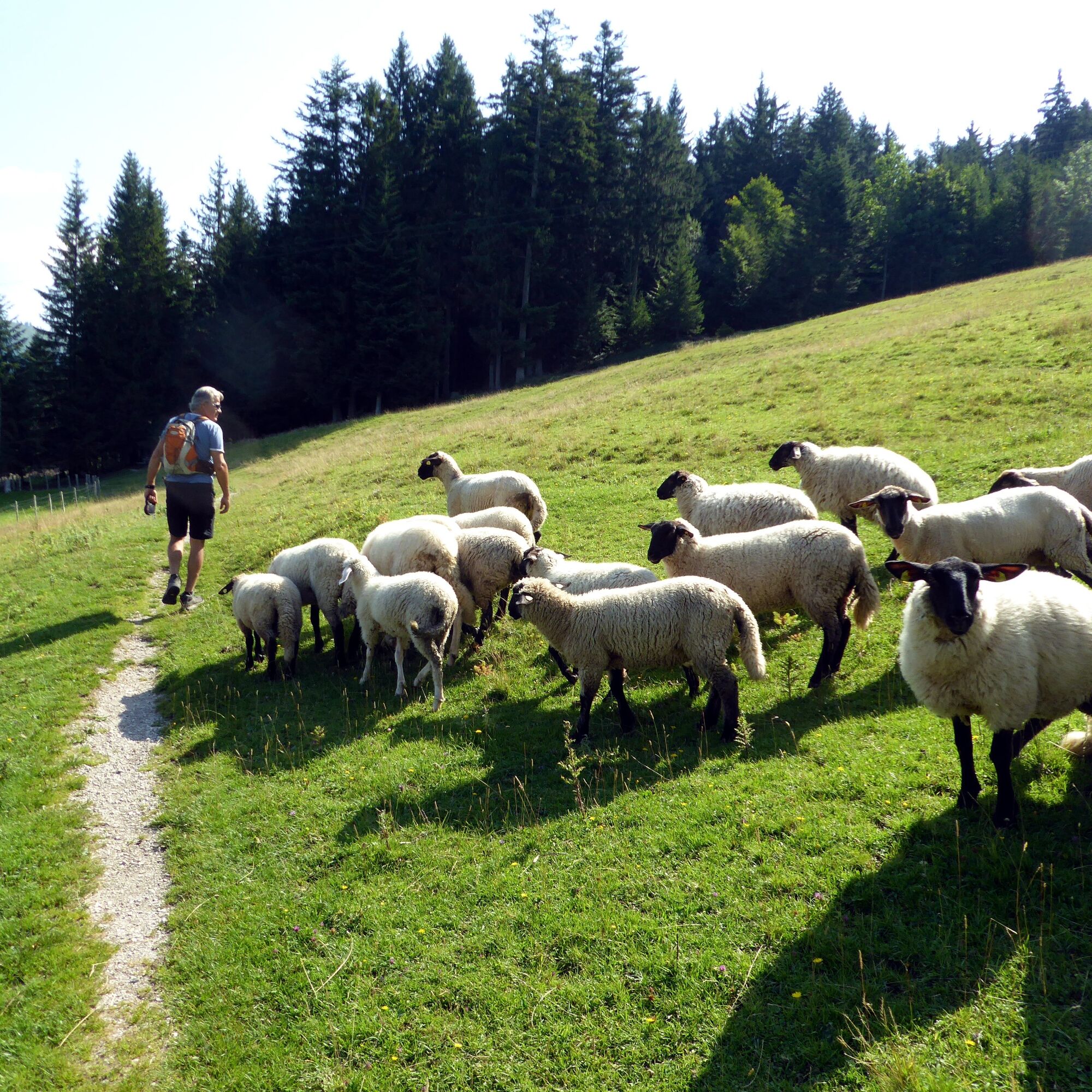
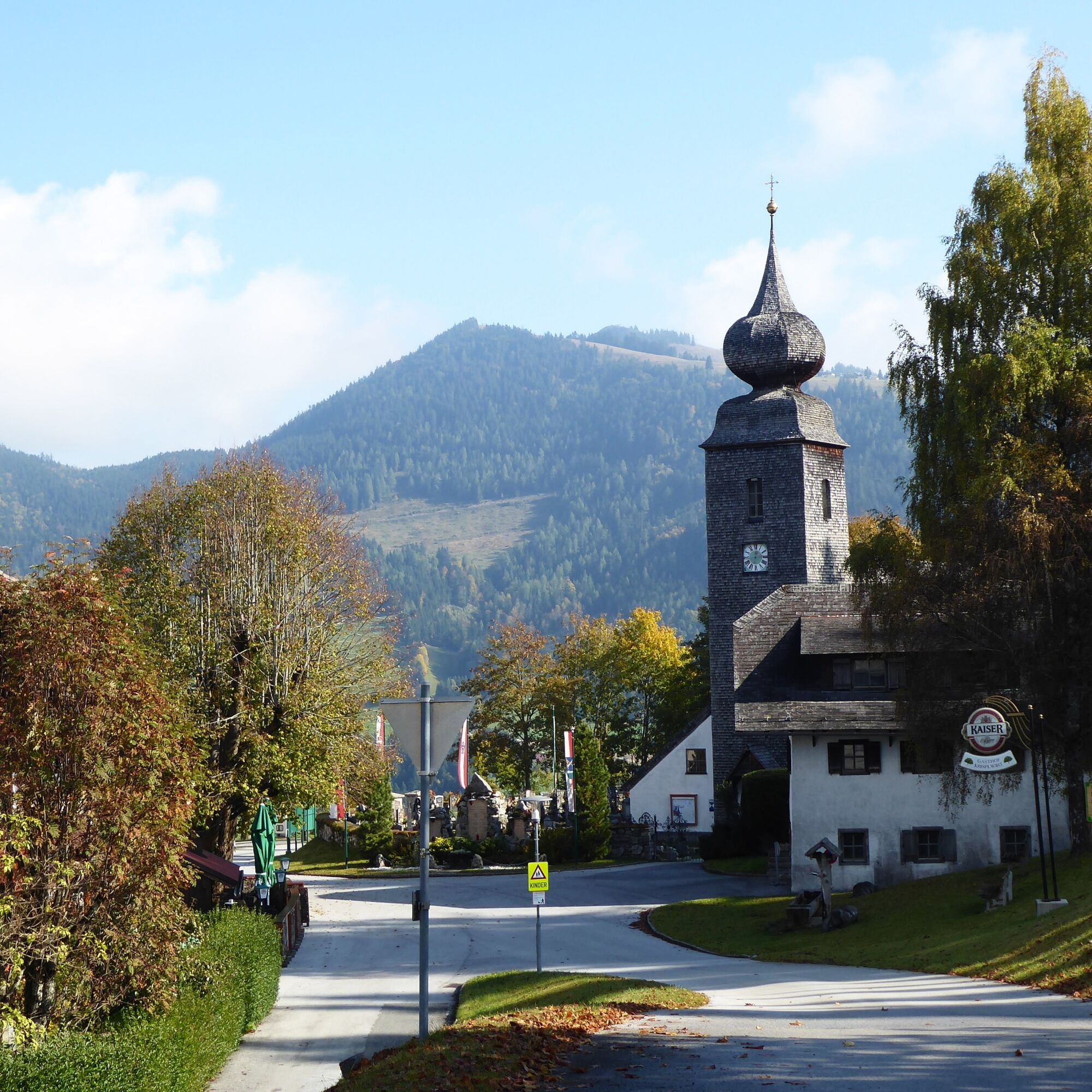

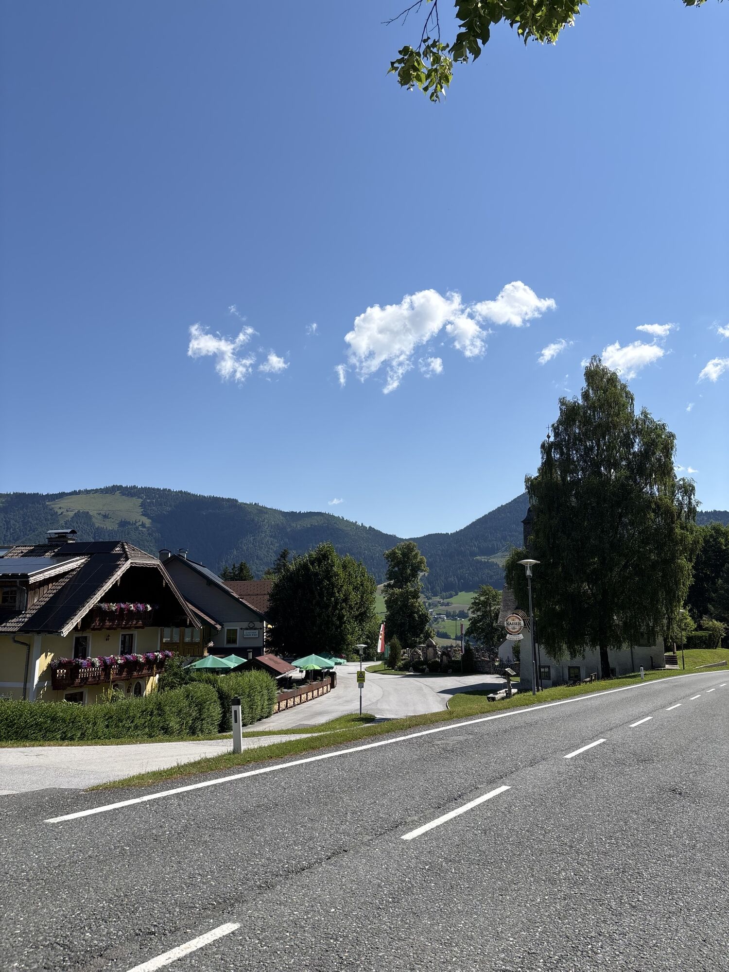
From the Adnet Hubertus stop, route 840 follows the uphill farm road into the sunny district of Spumberg. After 4 kilometres along the scenic, little-travelled road, the 'Adneter Circular Hiking Trail 50' branches off to the left onto the Gemersreit farm road and after 1.5 km again turns left into the Krispl – Zillreith access road. Shortly after the Alpenrose guesthouse, which follows soon afterwards, the still ascending Höhenweg to Krispl (path 73) begins. The path crosses sheep pastures, then a wide ski run and then follows the access road down into the village of Krispl (Krispl town centre stop).
Da
From Hallein station west side with bus 451 or with Tennengau Shuttle* to Adnet Waidach. Return from Krispl town centre with bus 450 or with Tennengau Shuttle* to Hallein station west side.
* Book rides at least 20 minutes before the scheduled departure at +43 662 265500, more information at https://salzburg-verkehr.at/fahrplaene/shuttle/ . Departure times may vary due to operational reasons.
Timetable information and download: Online at www.salzburg-verkehr.at or on your smartphone via the free Salzburg Verkehr app for Android and iOS.
T2
www.adnet.at/Tourismusverband
www.tennengau.com/region/adnet
https://gasthaus-alpenrose.at
Mag. Christian Heugl
5400 Hallein
christian.heugl@gmail.com
Photo credit: Christian Heugl
Because of the sunny south-west location, this is a hike especially recommended in autumn.
Spletne kamere s turneje

Priljubljeni izleti v okolici
-
4.0
Bärenweg am Lidaun
svetlobaPohodništvo 9.05 km -
4.7
Schwarzer Berg / Golling
srednjaPohodništvo 2.54 km -
4.4
Fuschlseewanderung
svetlobaPohodništvo 11 km -
4.3
Pillstein Panorama Rundweg
svetlobaPohodništvo 3.40 km -
4.6
Kneifelspitze
Pohodništvo 2.53 km -
4.2
Durch die Almbachklamm nach Ettenberg
Pohodništvo 7.54 km -
4.3
Untersberg, Toni-Lenz-Hütte
Pohodništvo 4.86 km -
4.2
Illinger Alm-Runde
srednjaPohodništvo 9.89 km -
4.7
Great and Small Barmstein, the landmarks of Hallein
težkoPohodništvo 6.58 km -
4.9
Untersberg (Salzburger Hochthron)
srednjaPohodništvo 11.8 km
Pohodništvo in sledenje


Ne zamudite ponudb in navdiha za naslednje počitnice
Vaš e-poštni naslov je bil dodan na poštni seznam.


