







Via Grünaualm to the Wieserhörndl
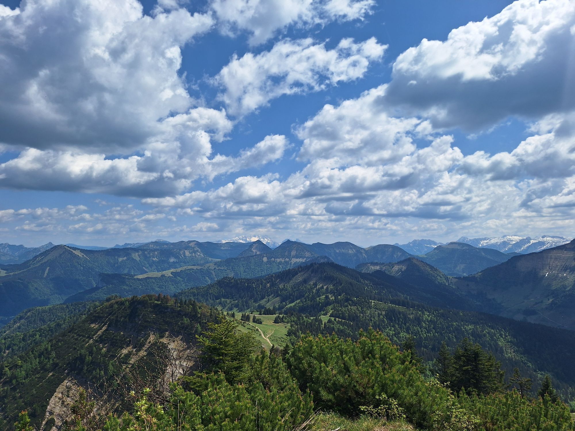
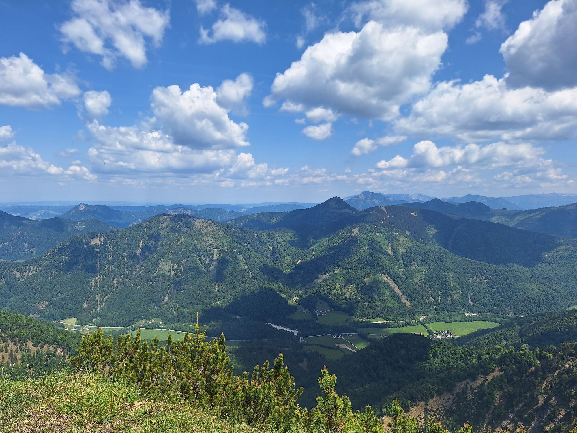
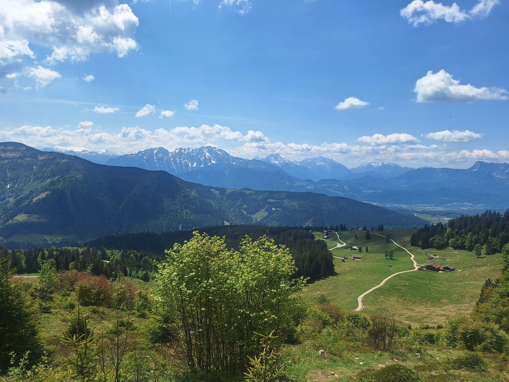
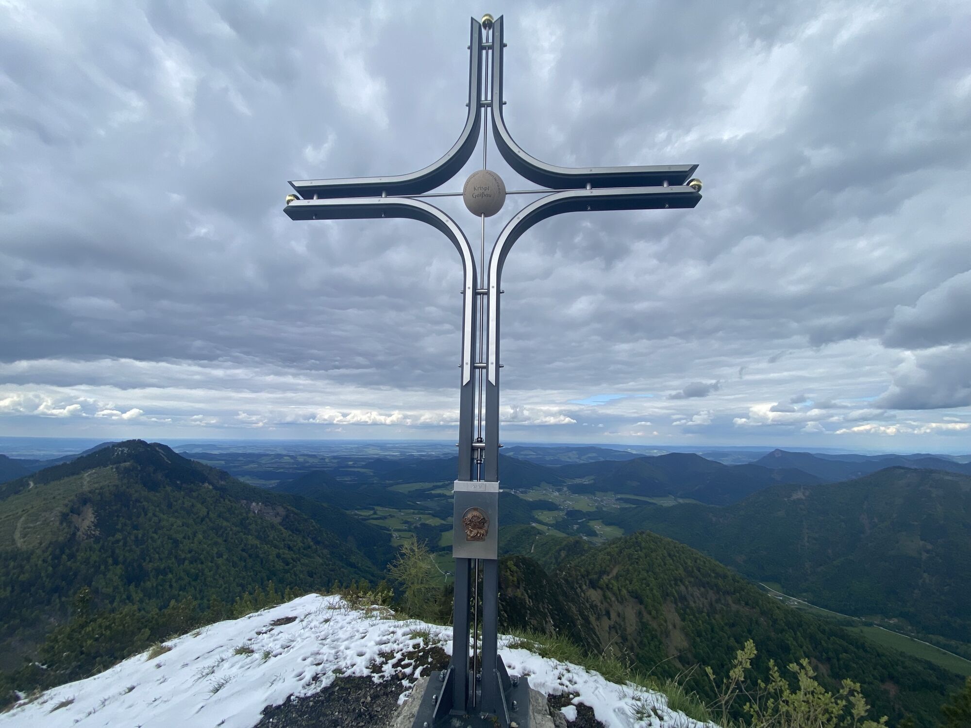
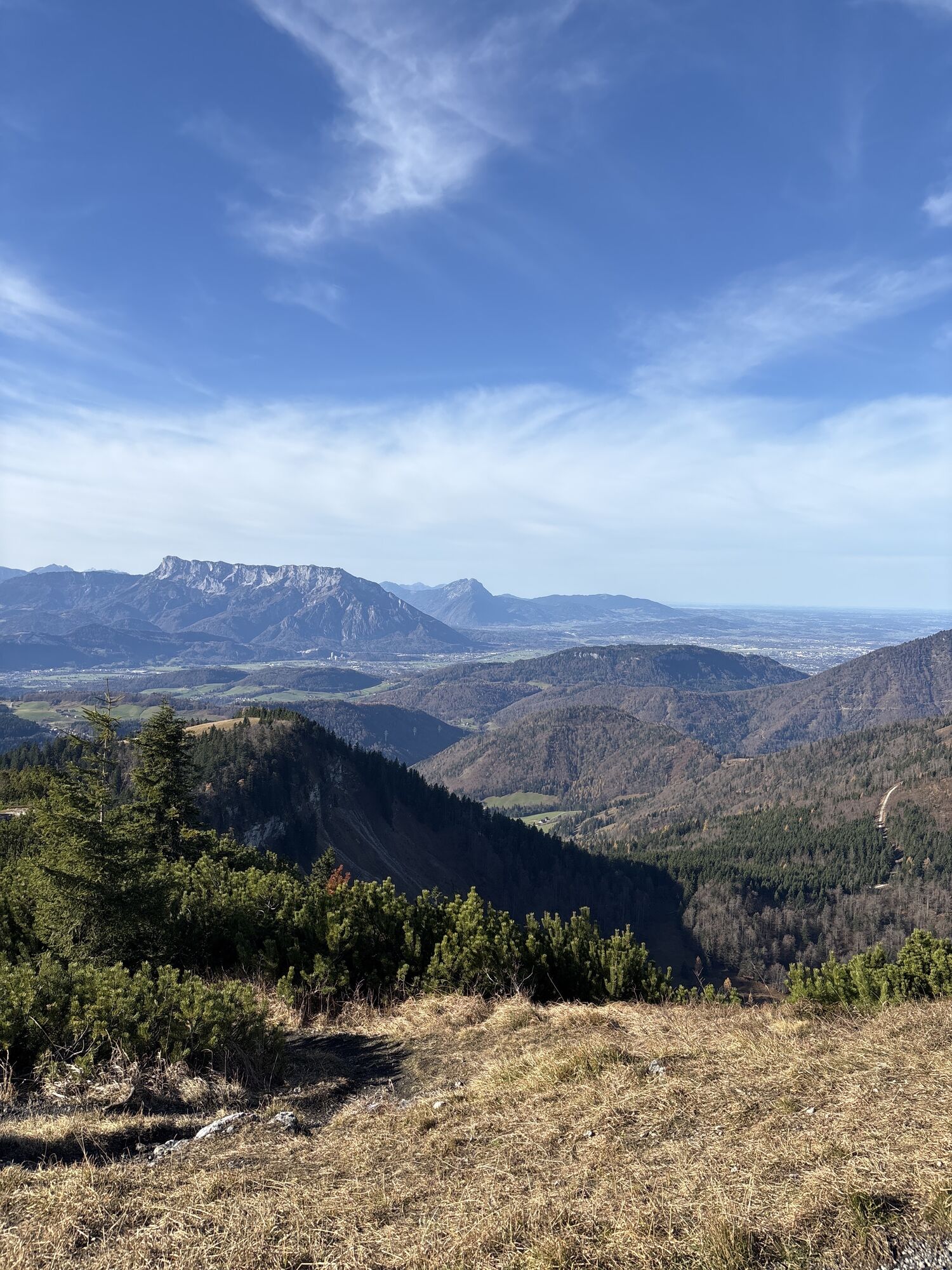
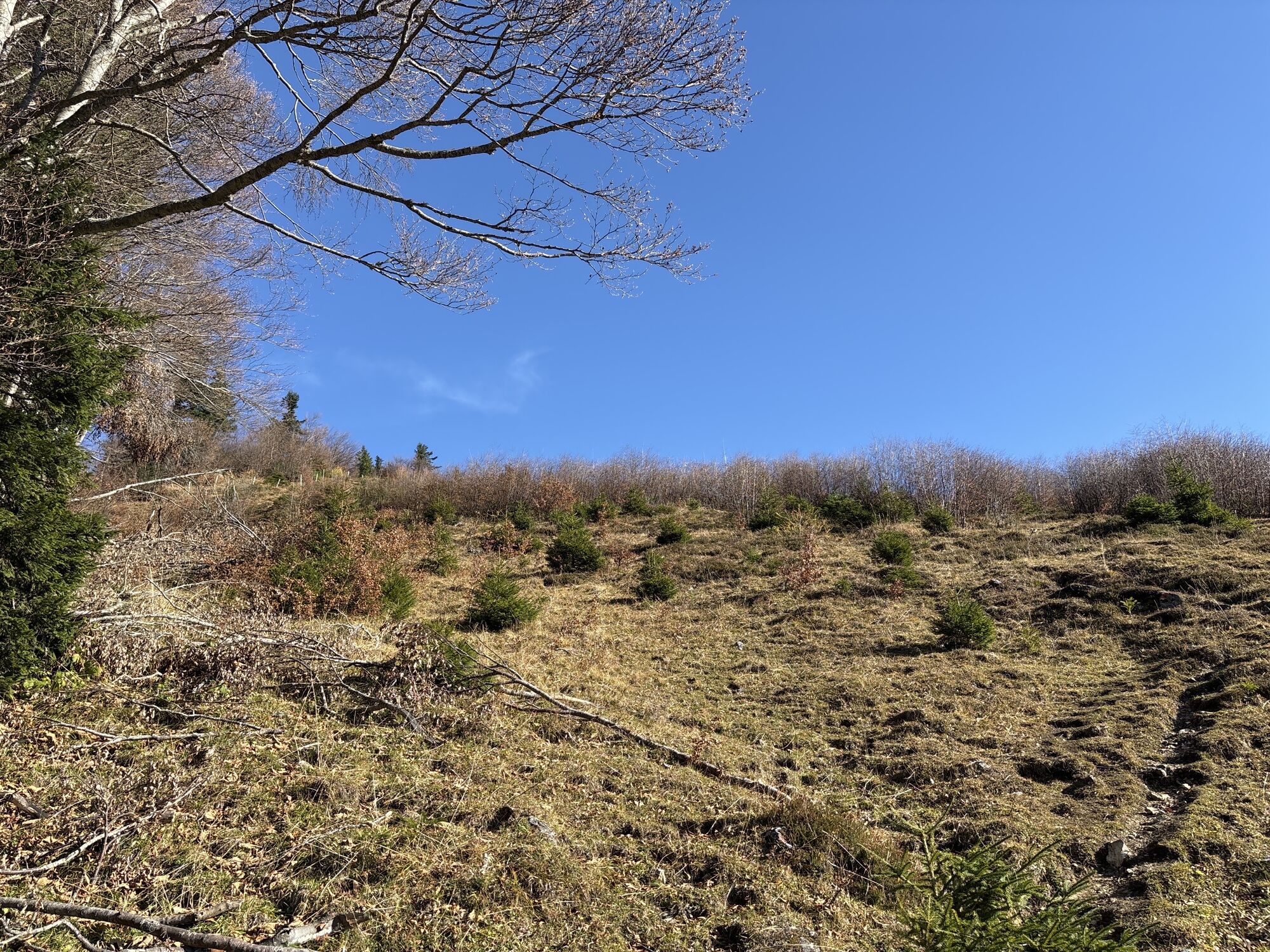
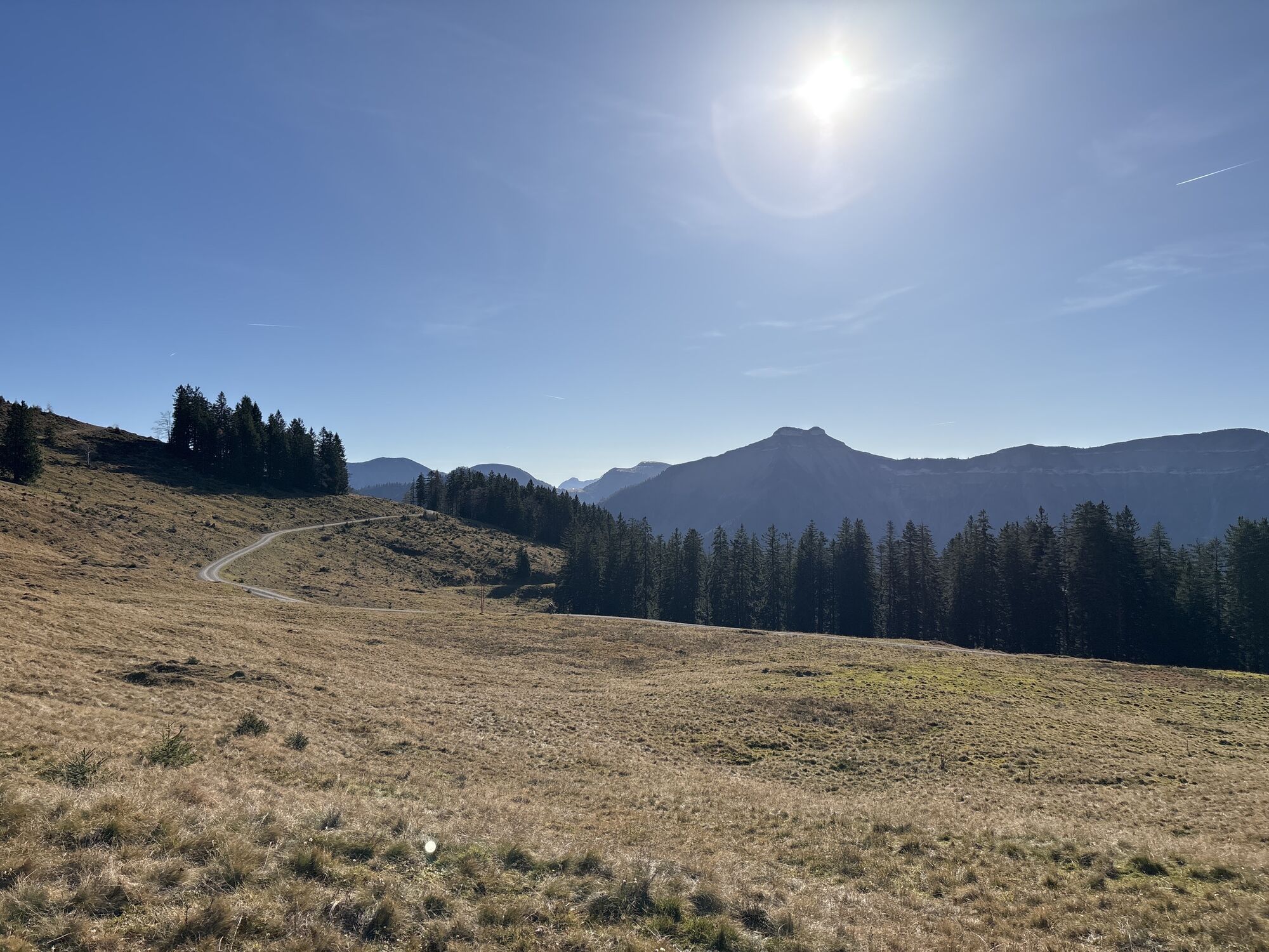
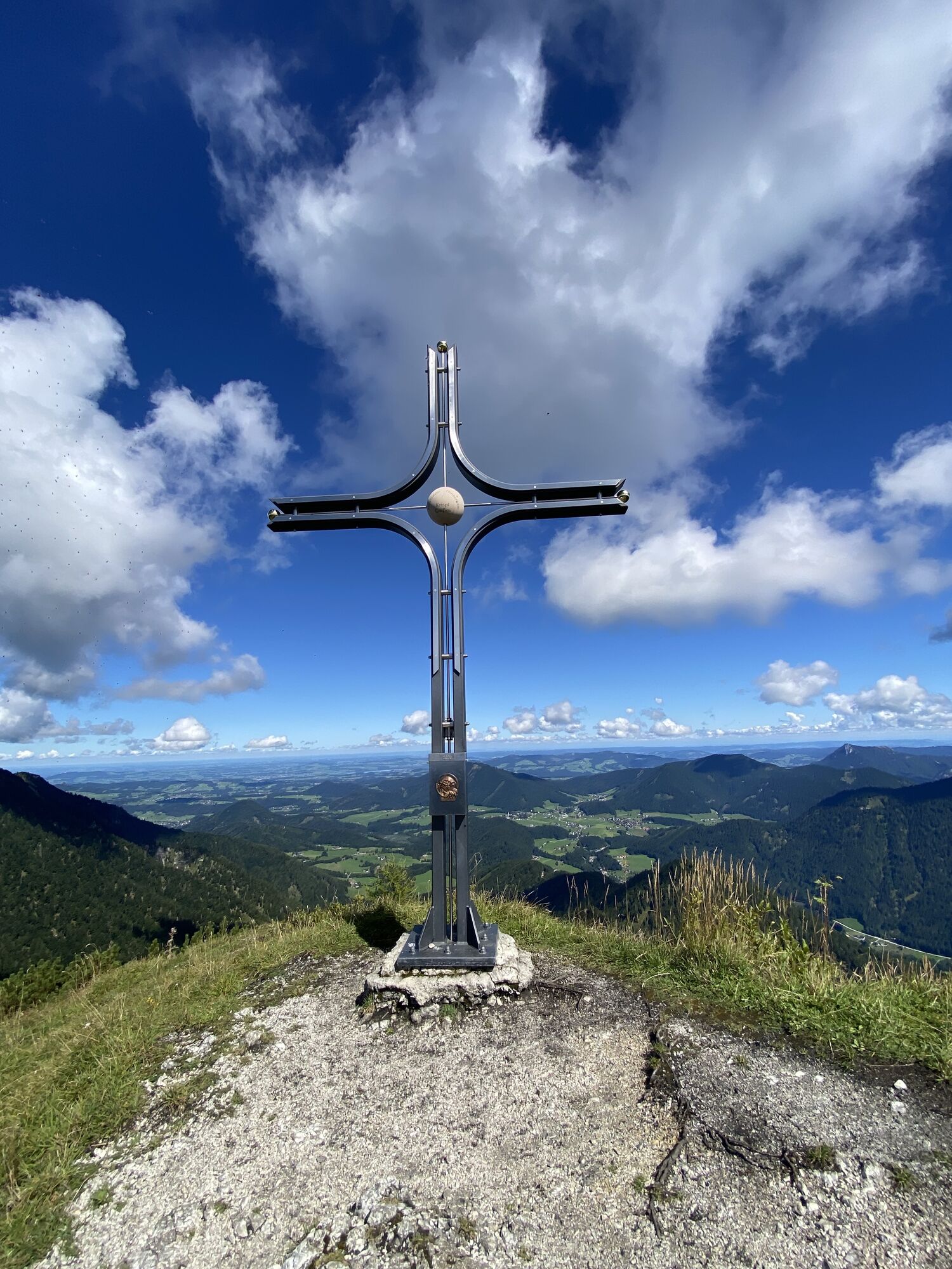
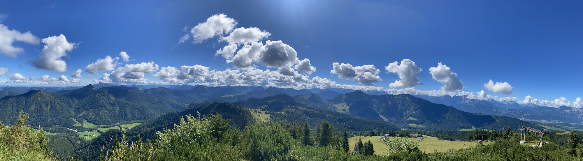
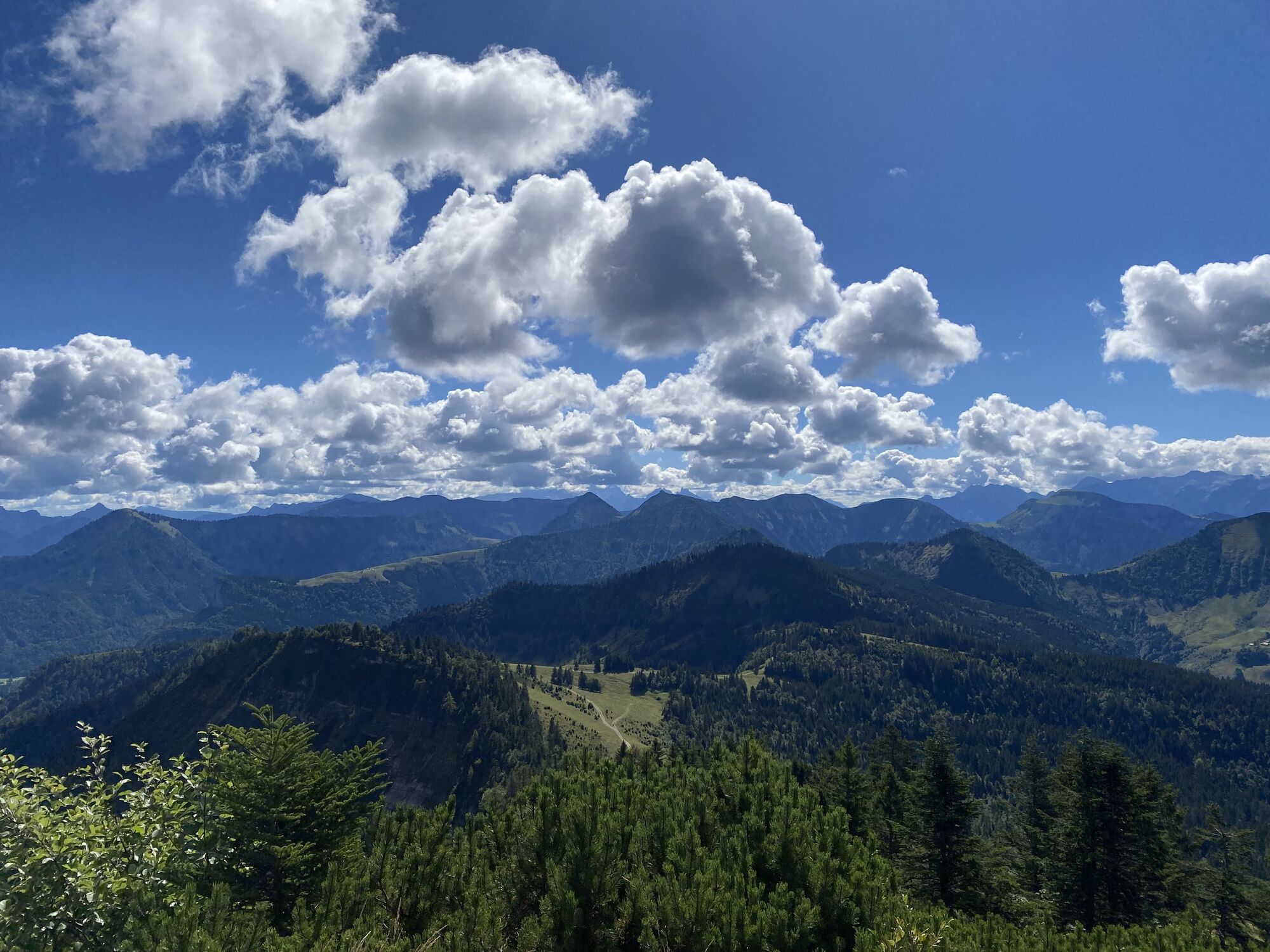
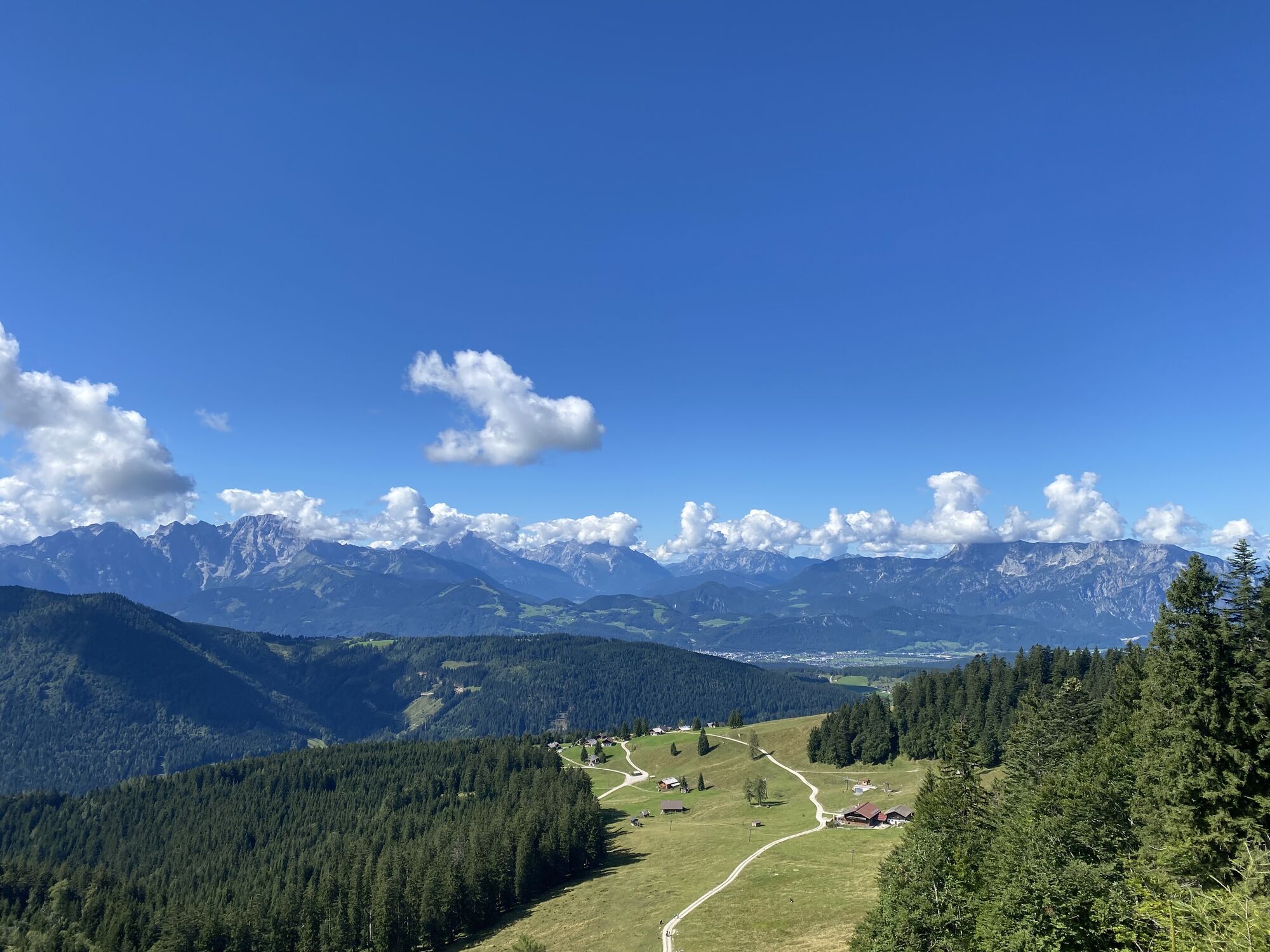
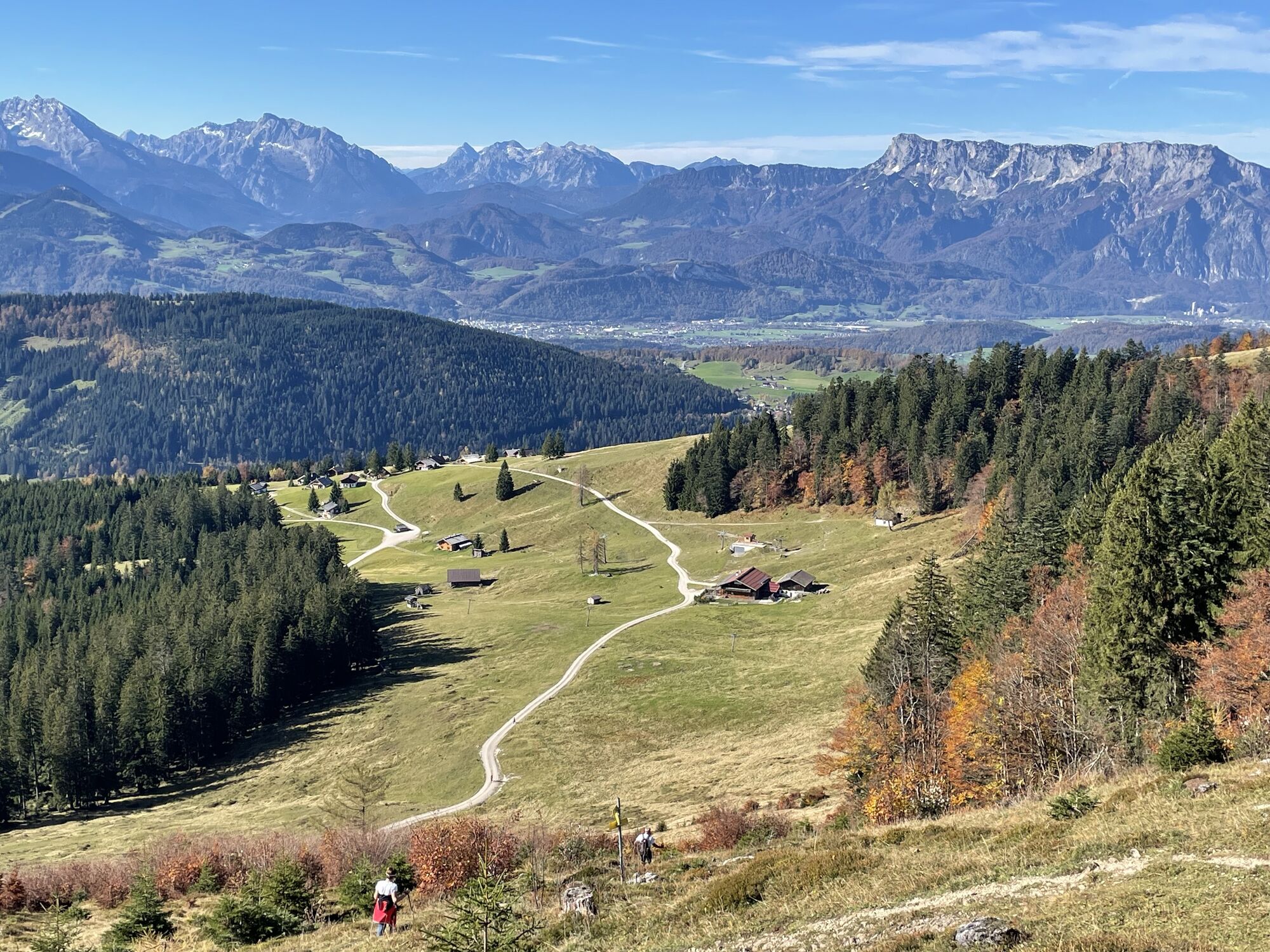
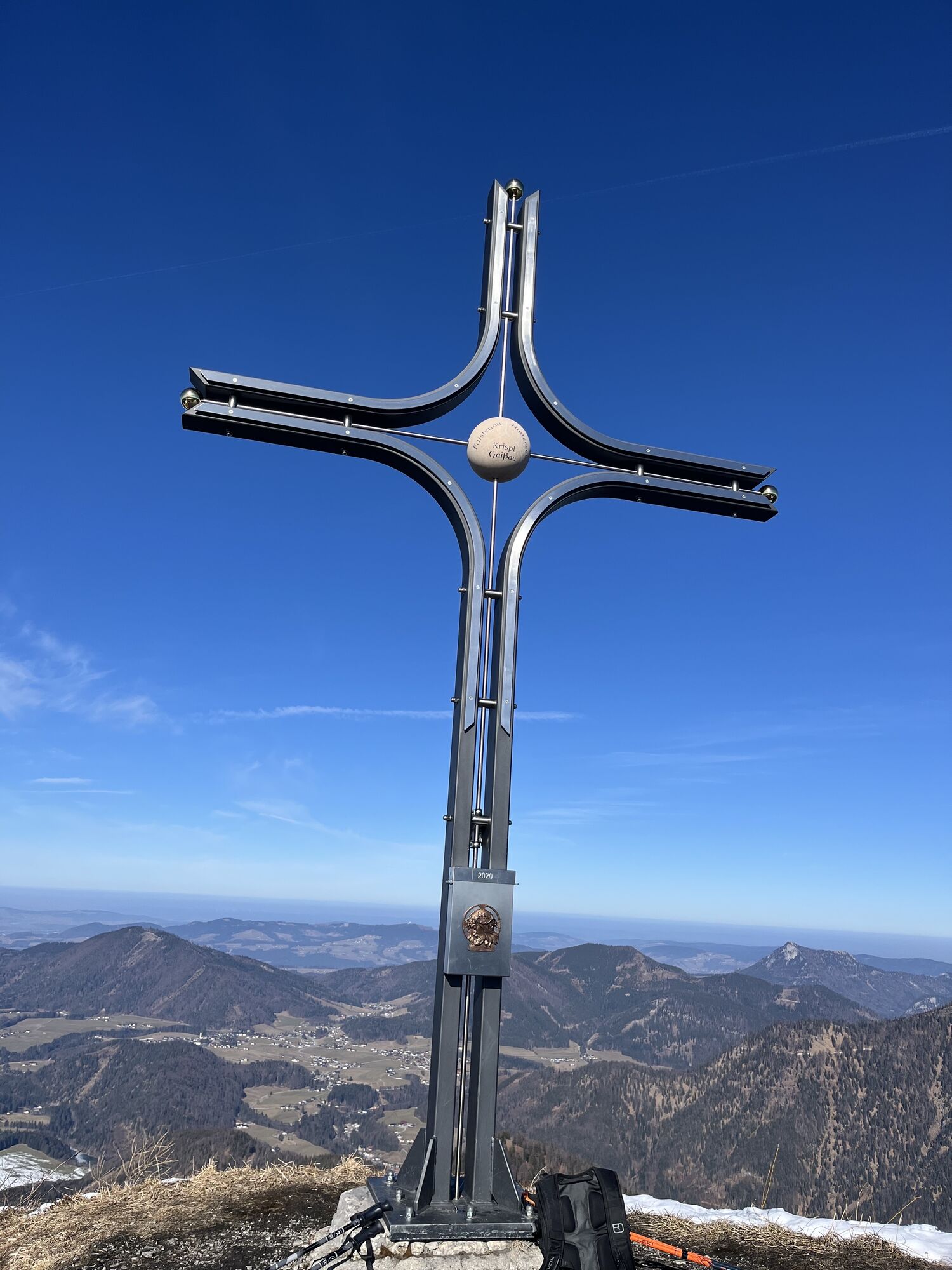
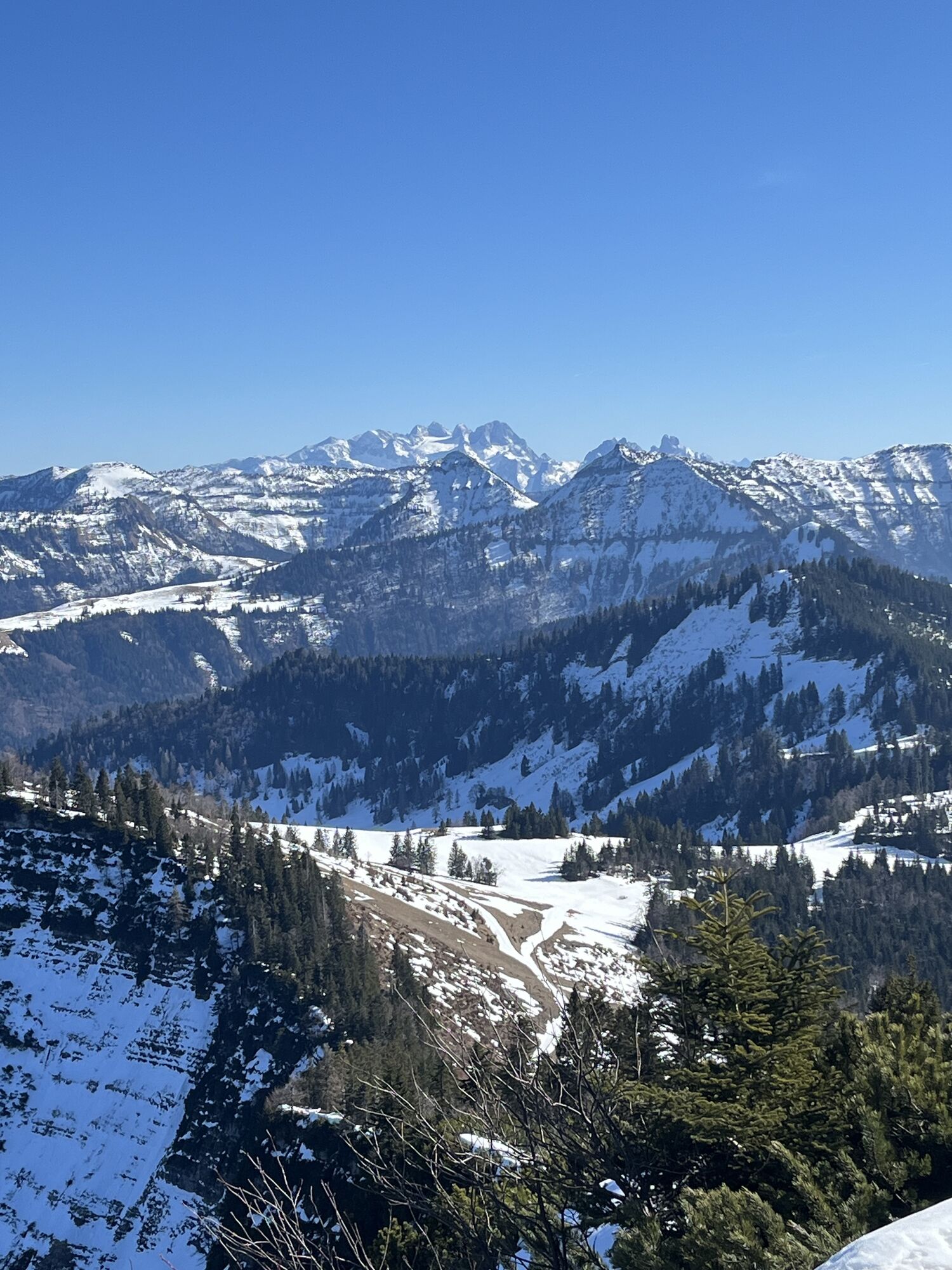
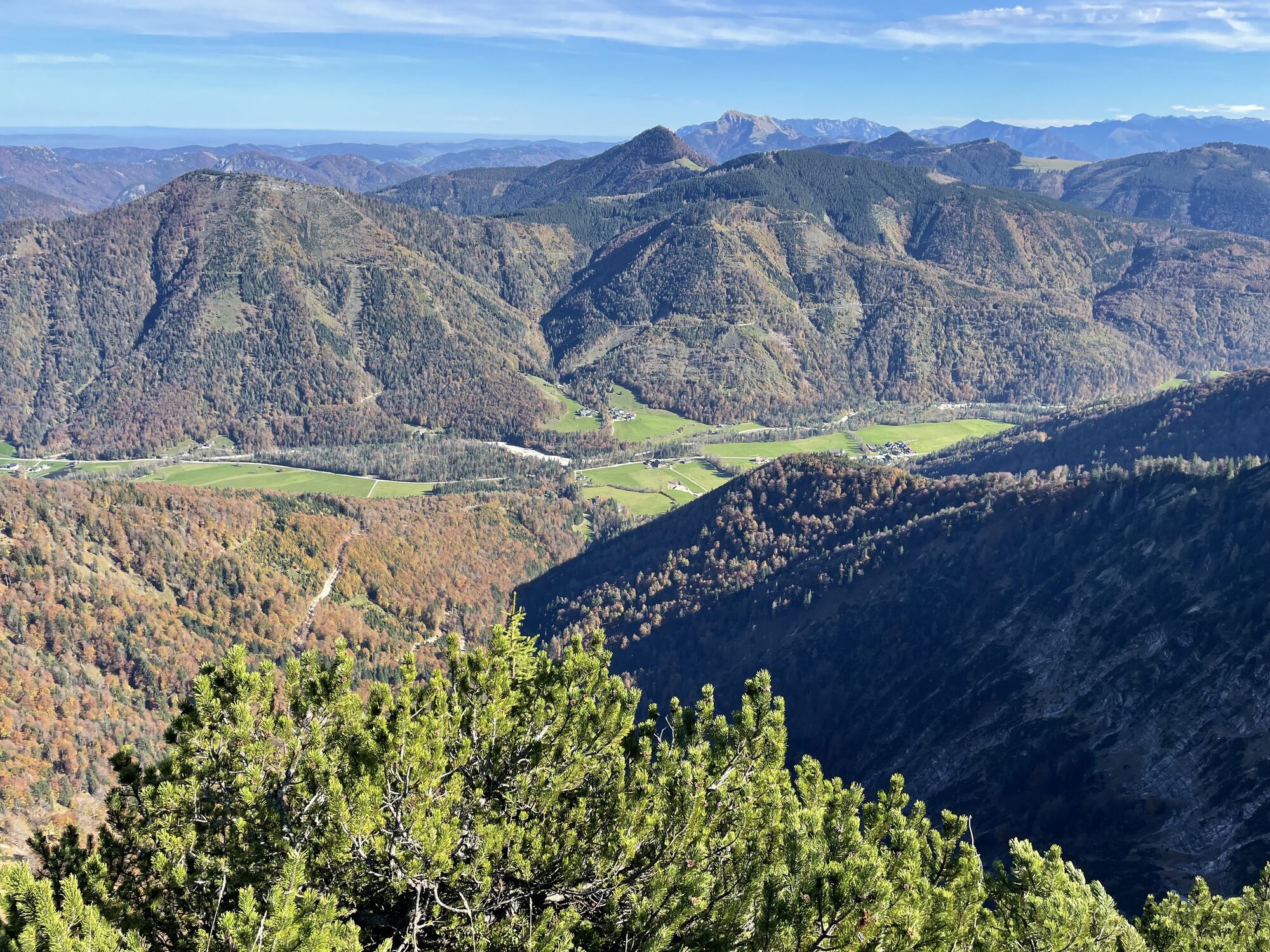
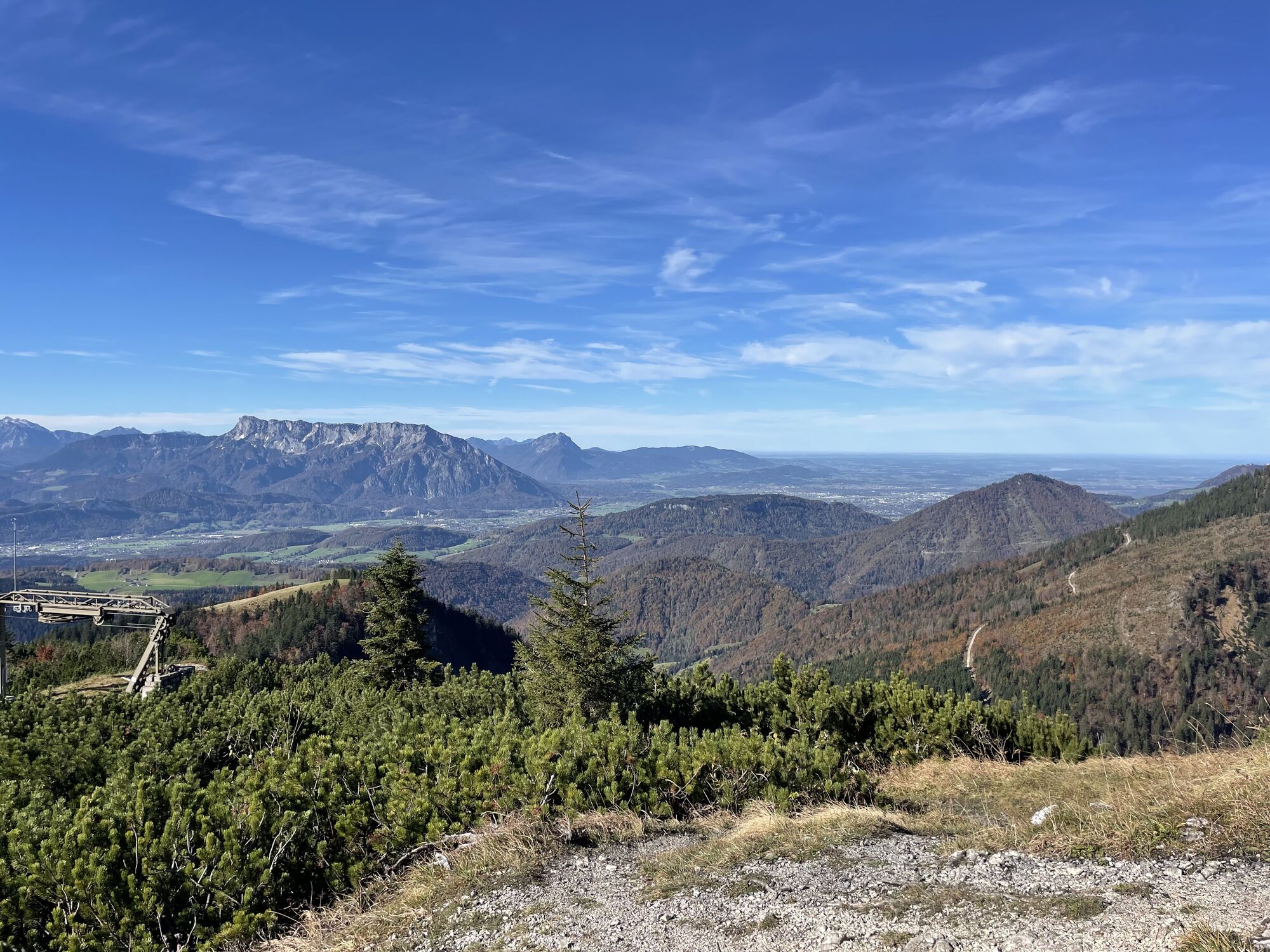
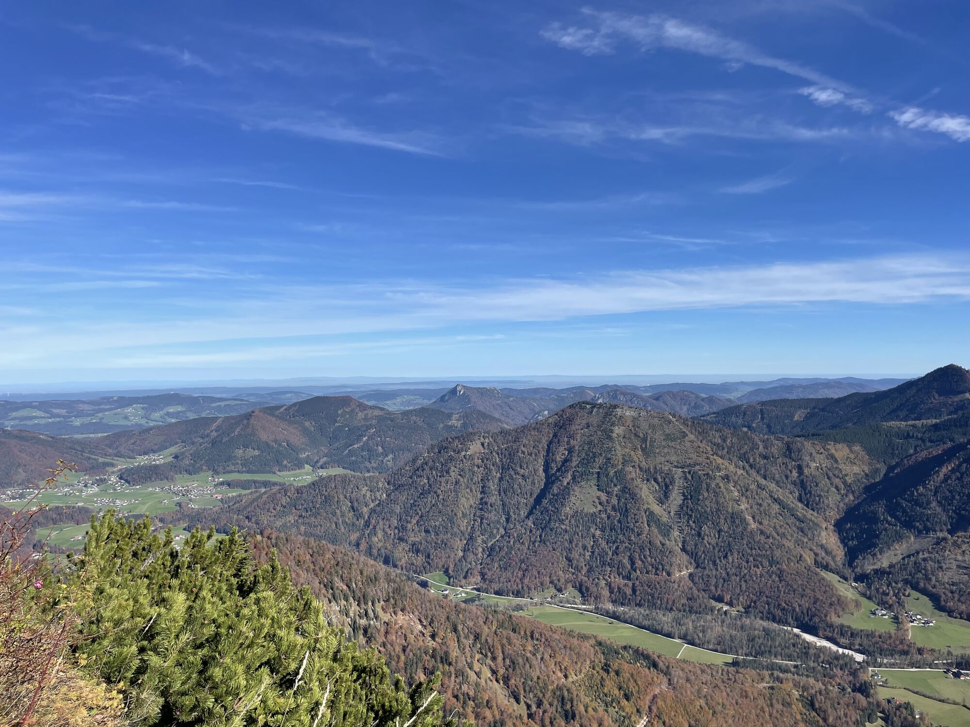
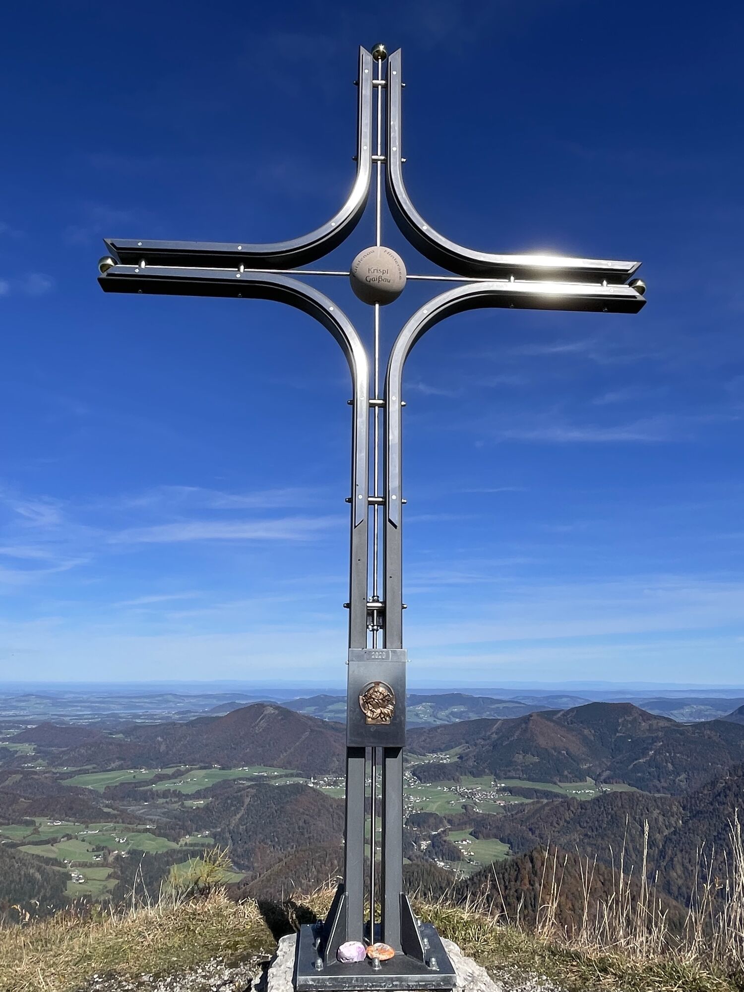
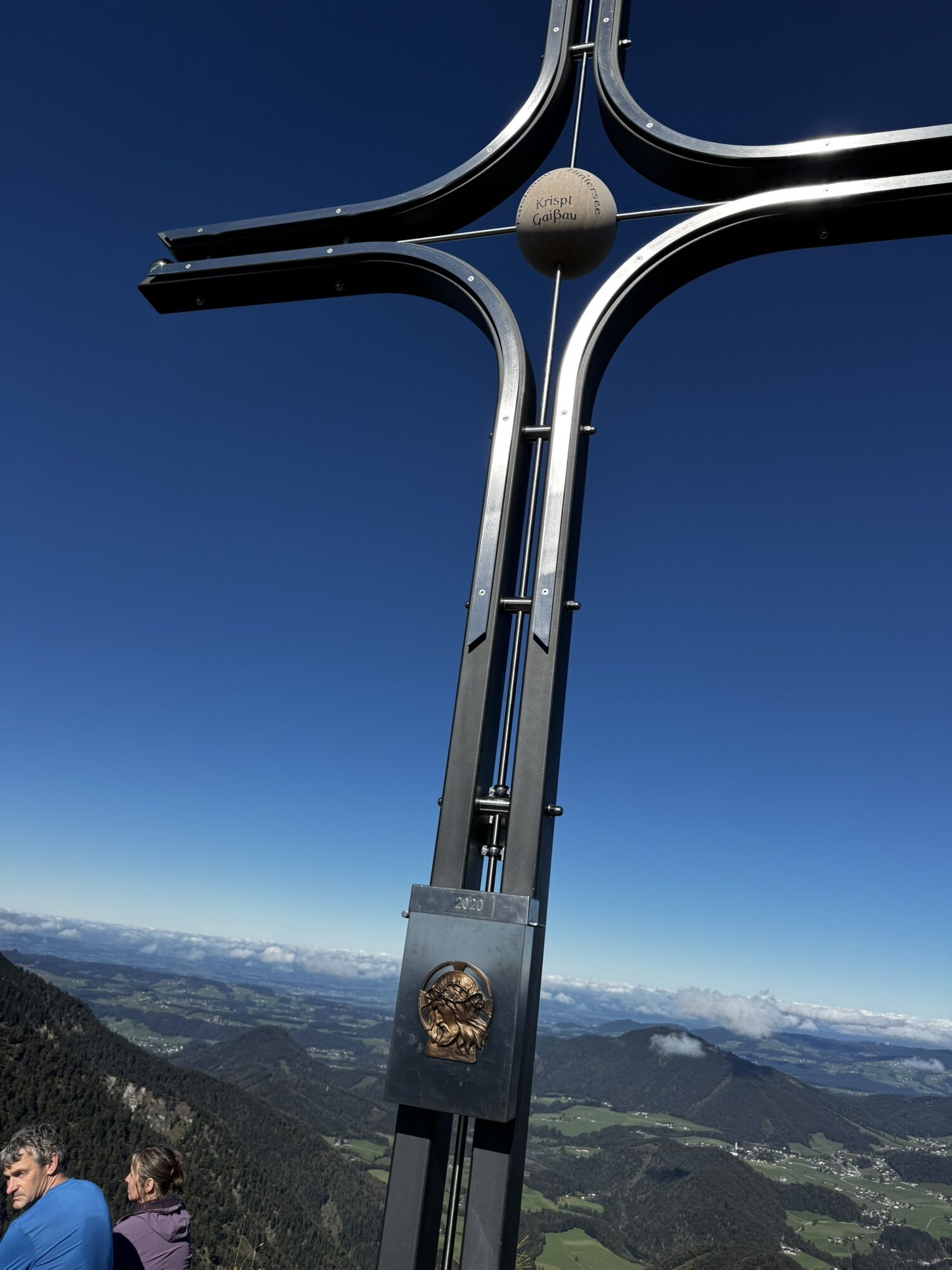
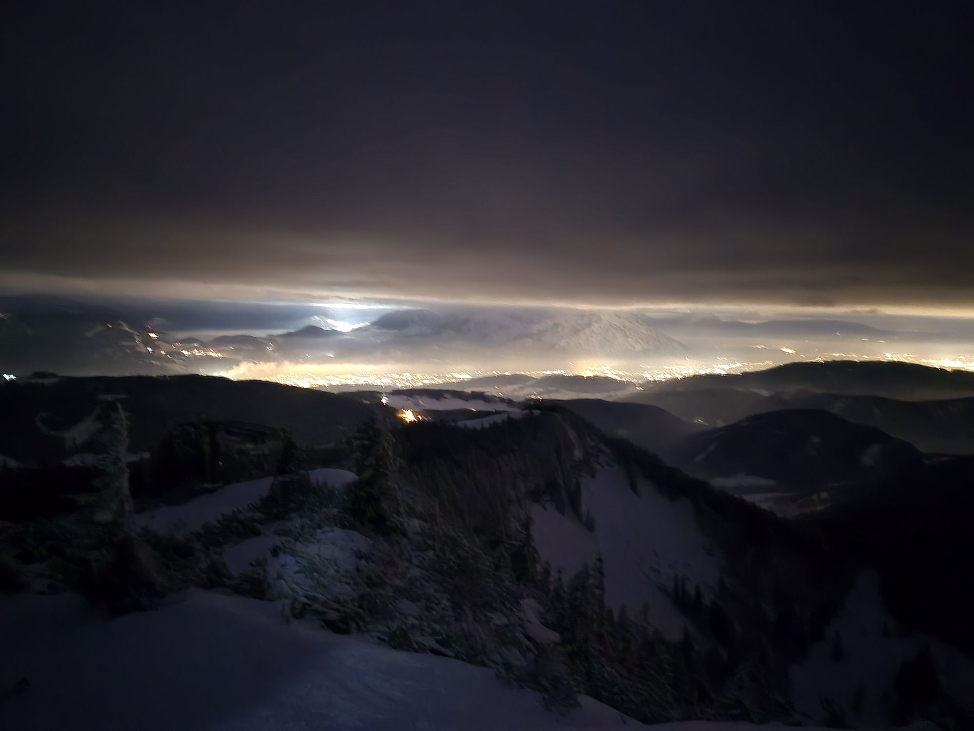
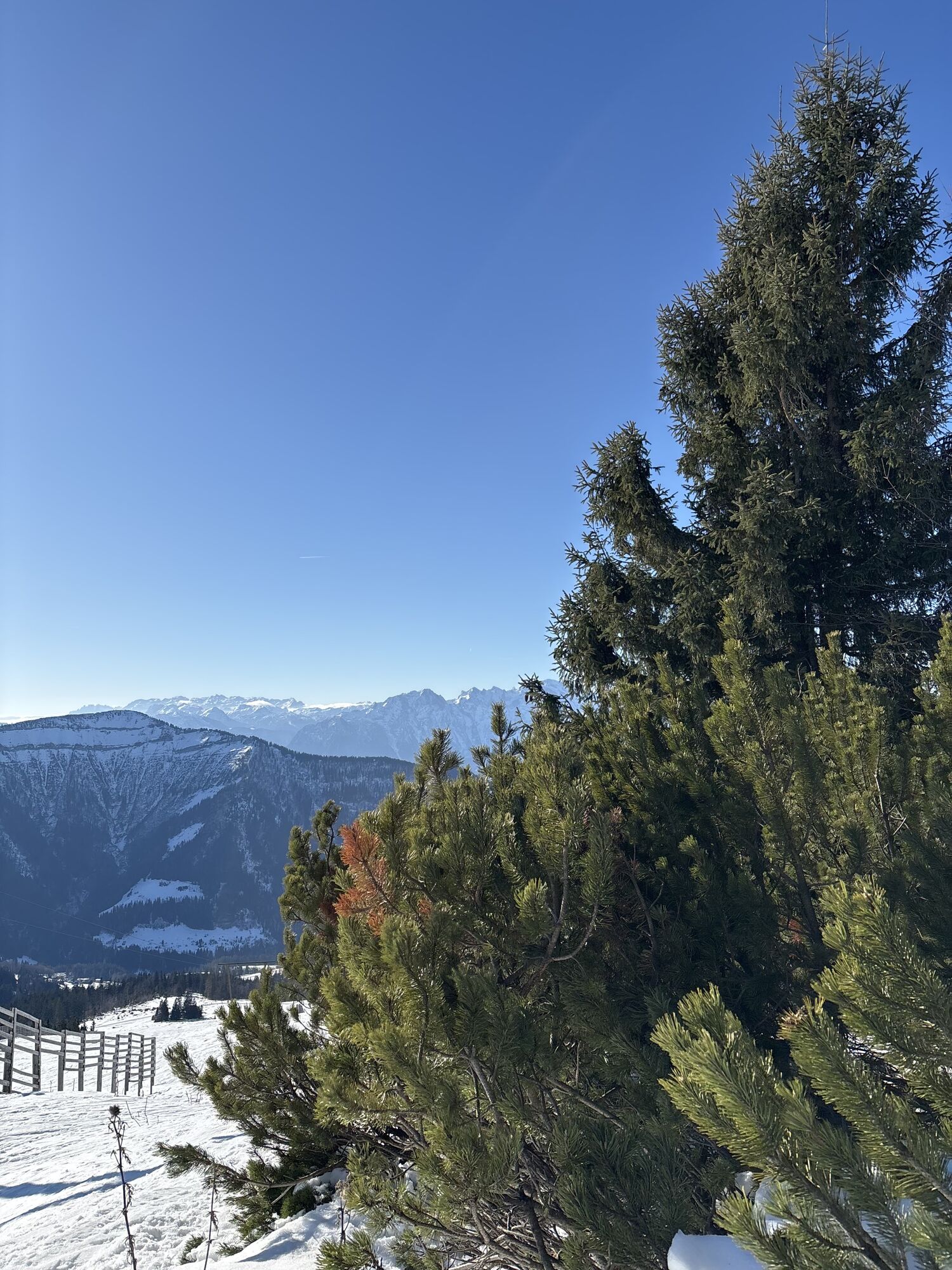
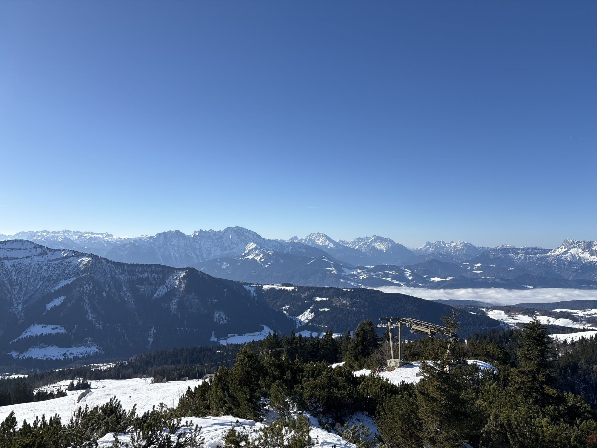
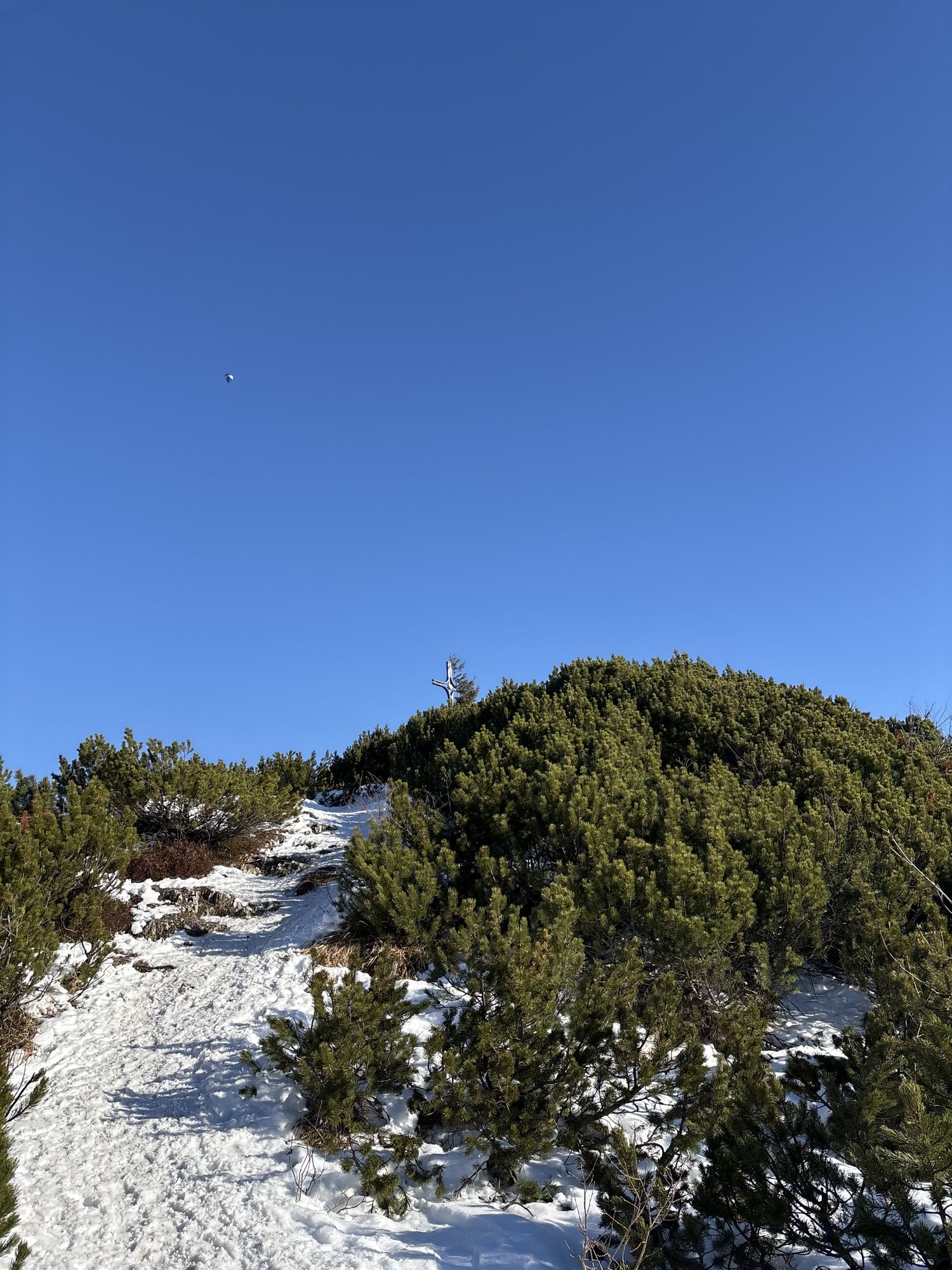


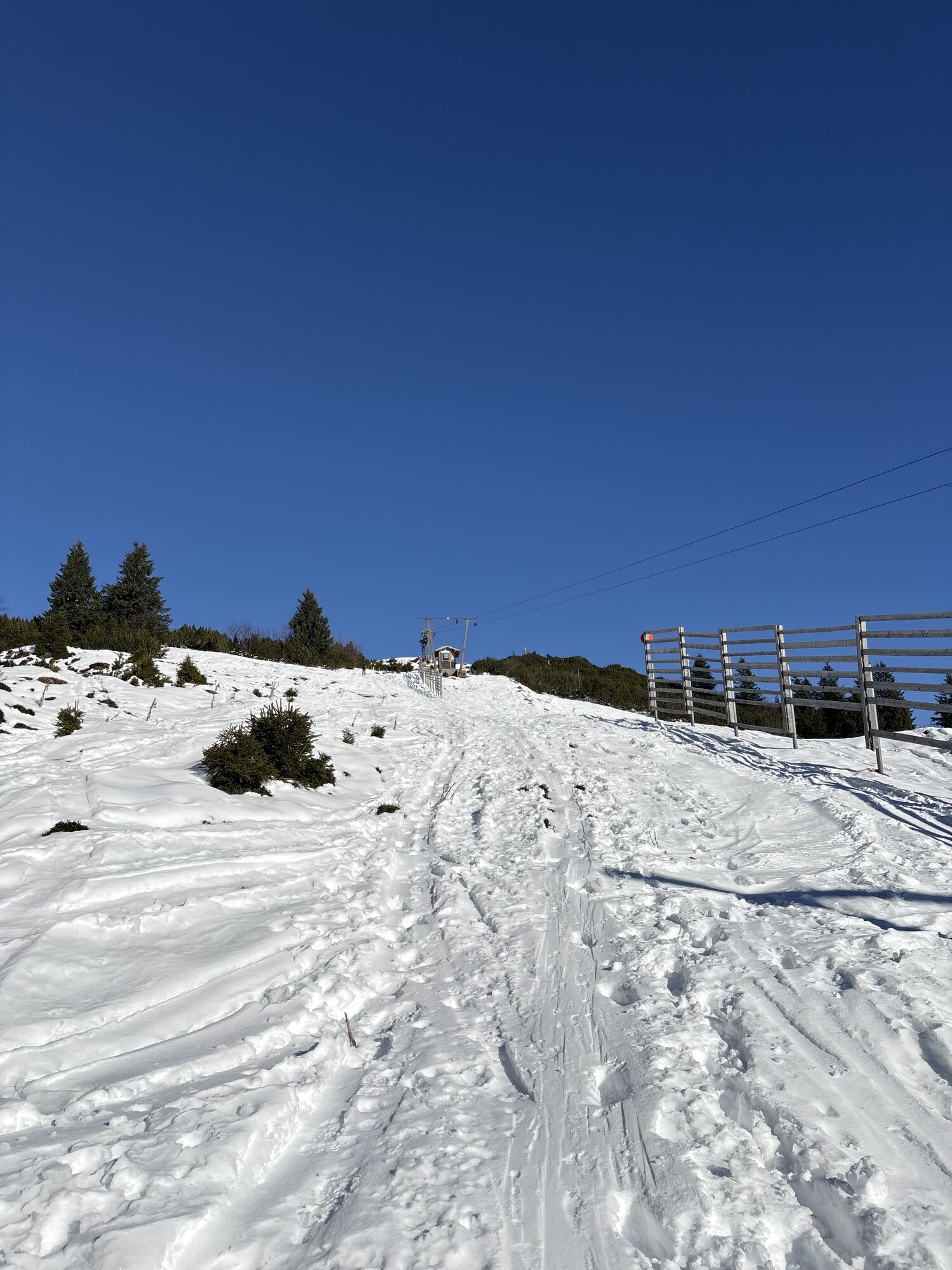
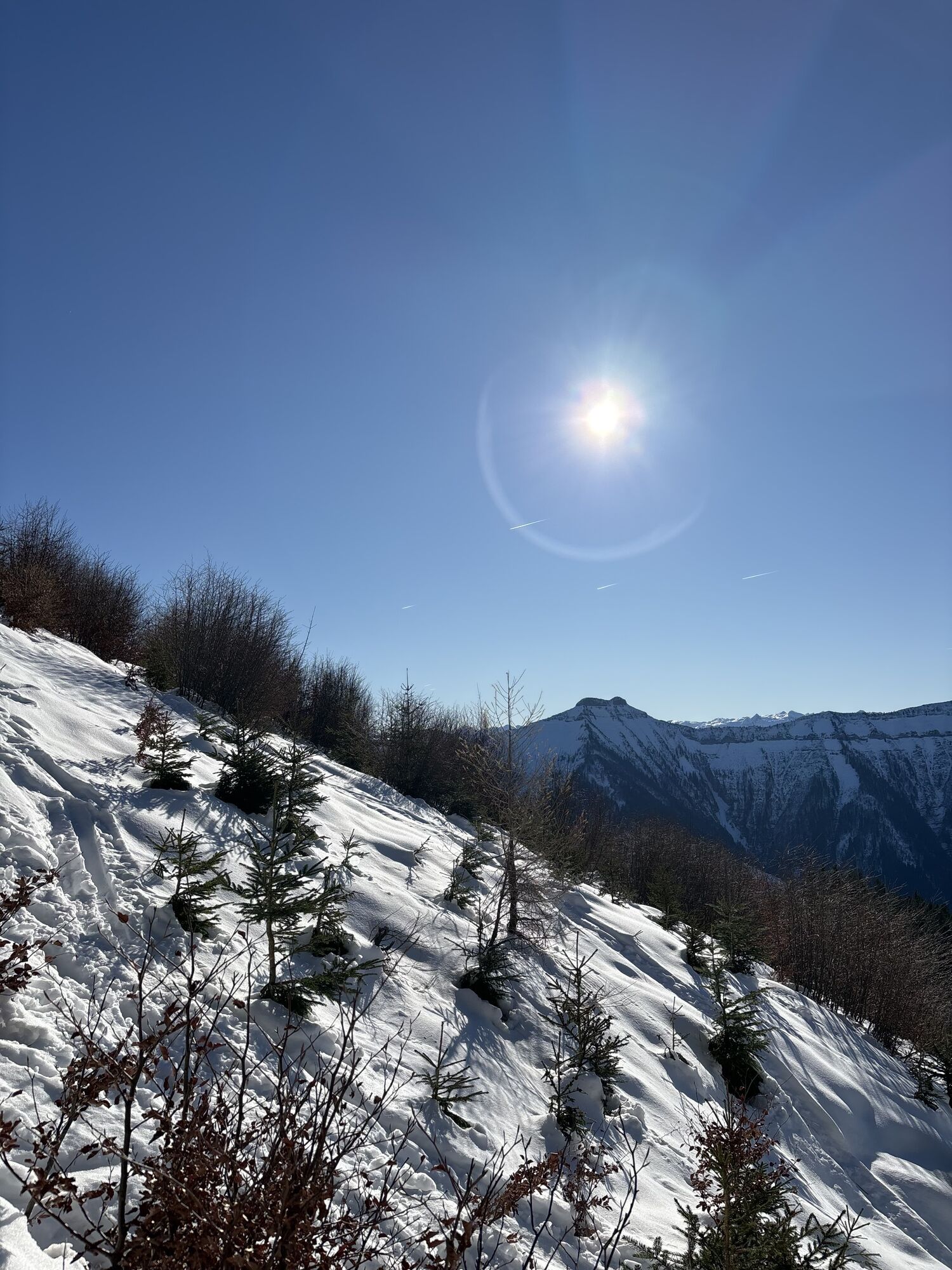
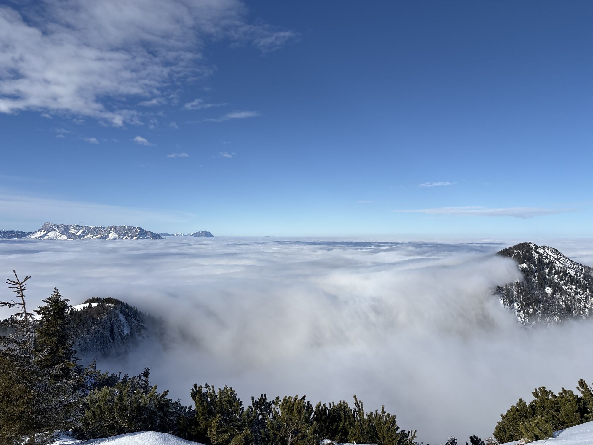

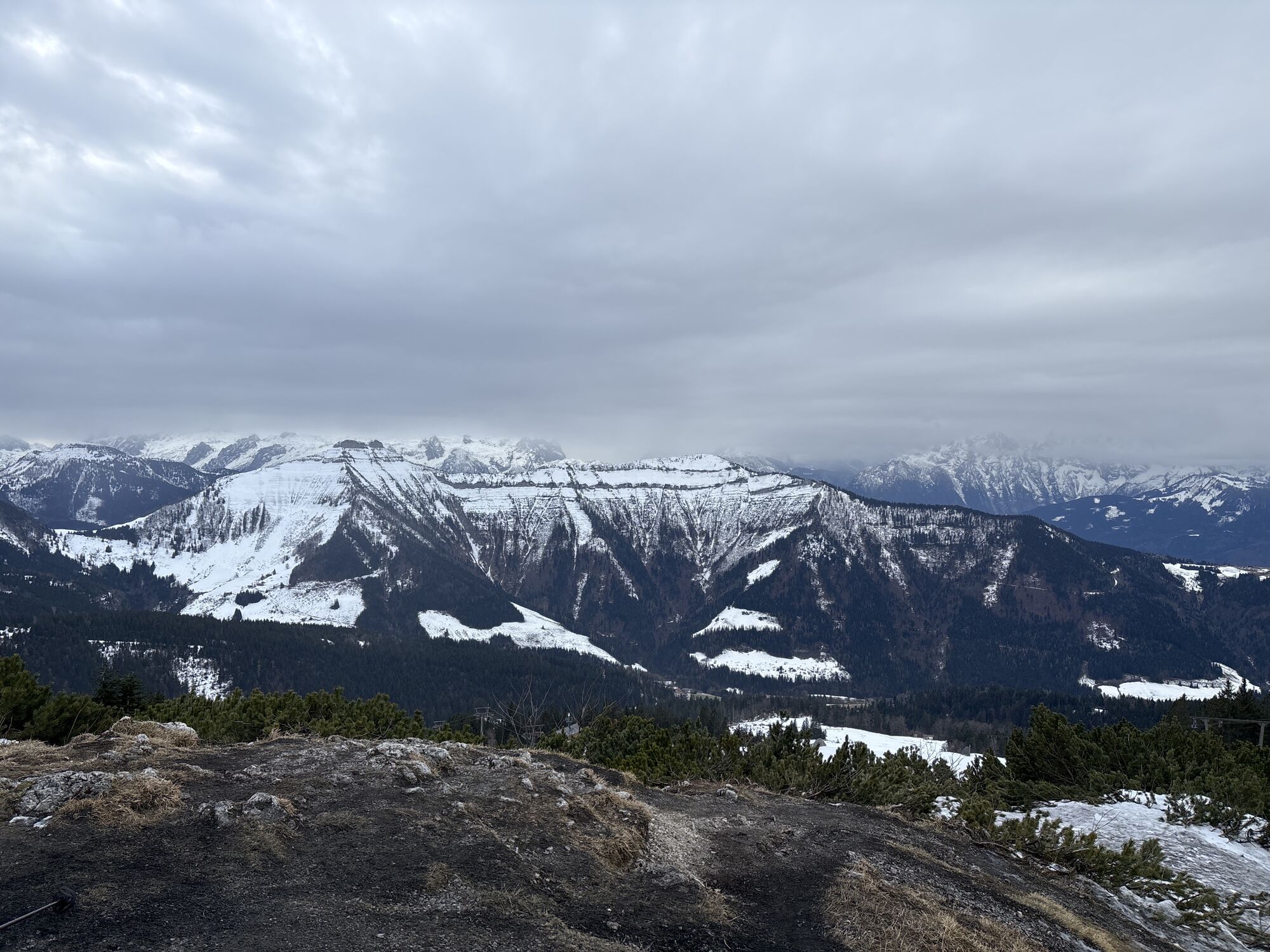
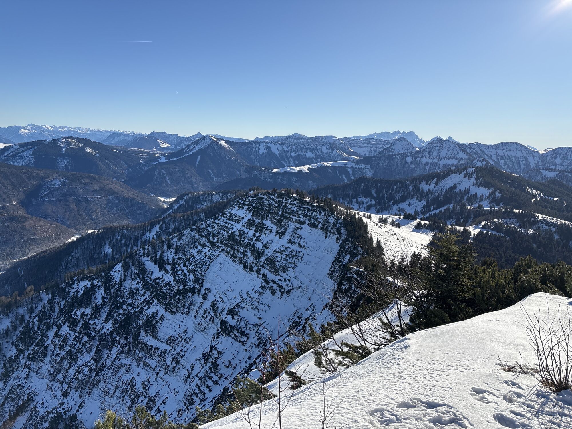
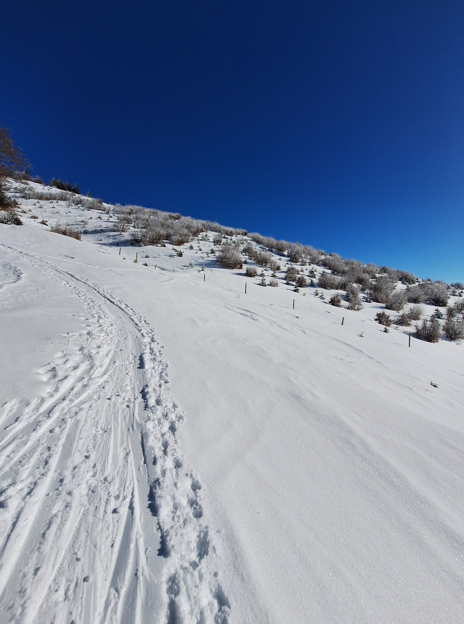
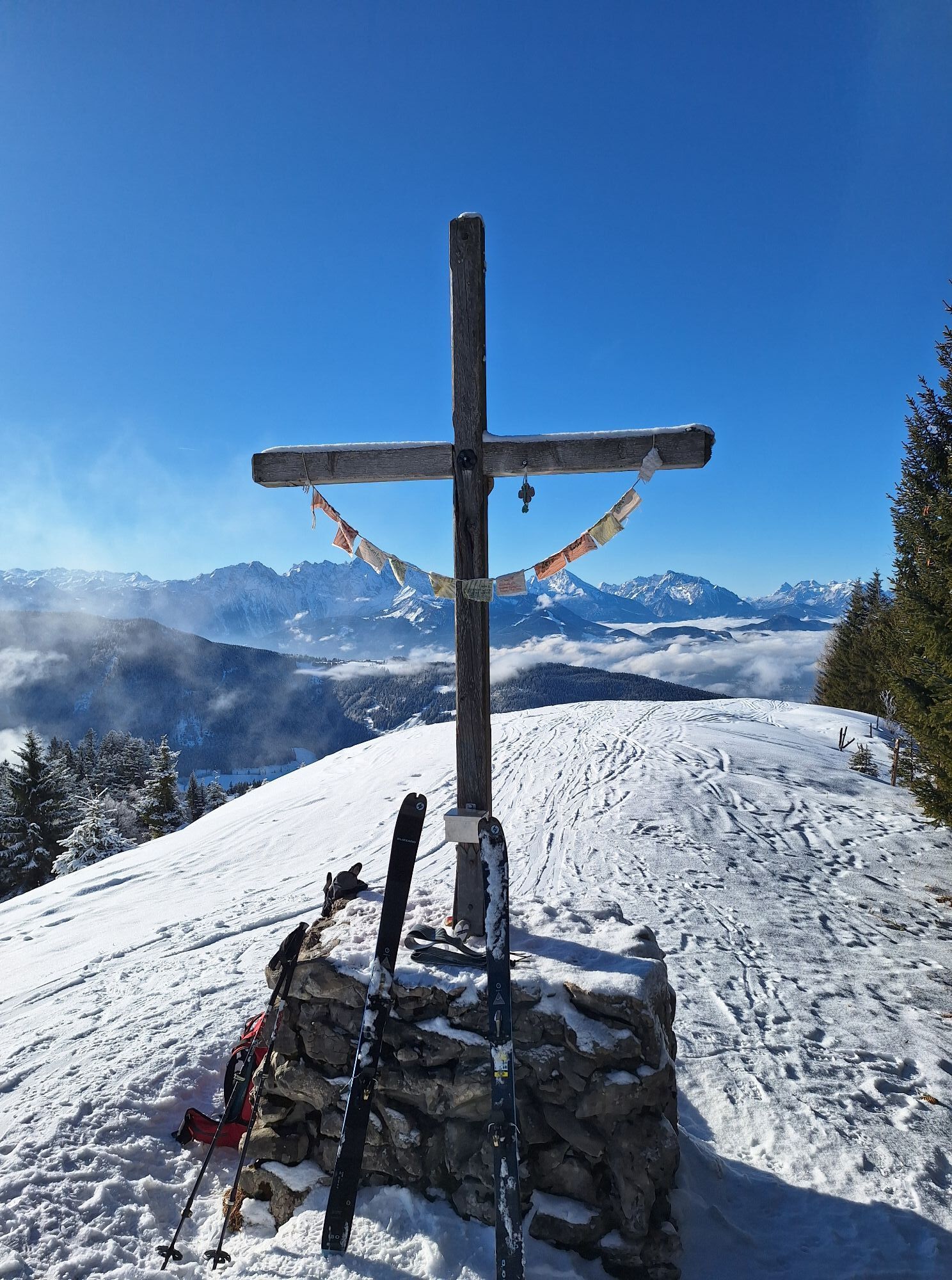
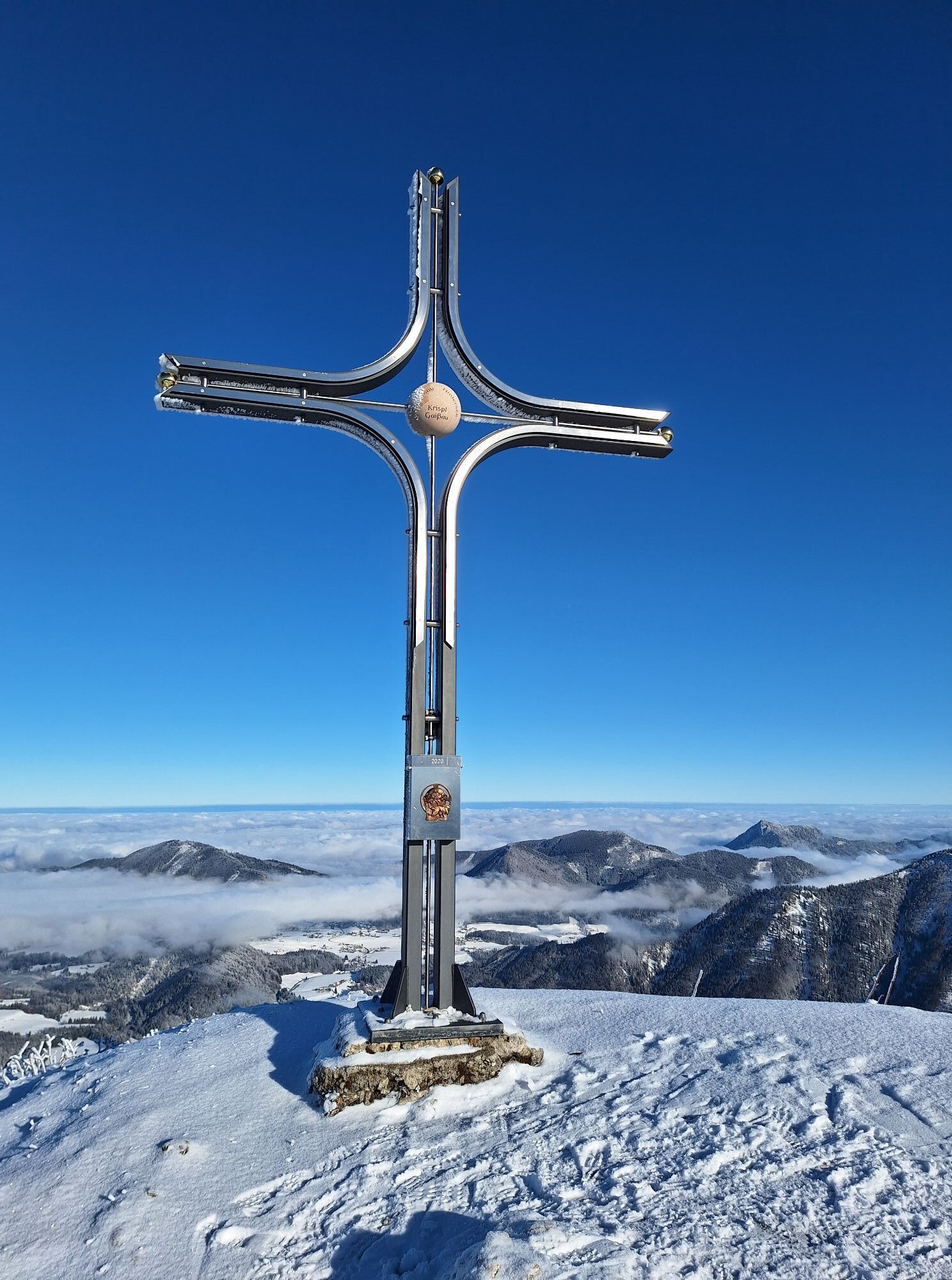
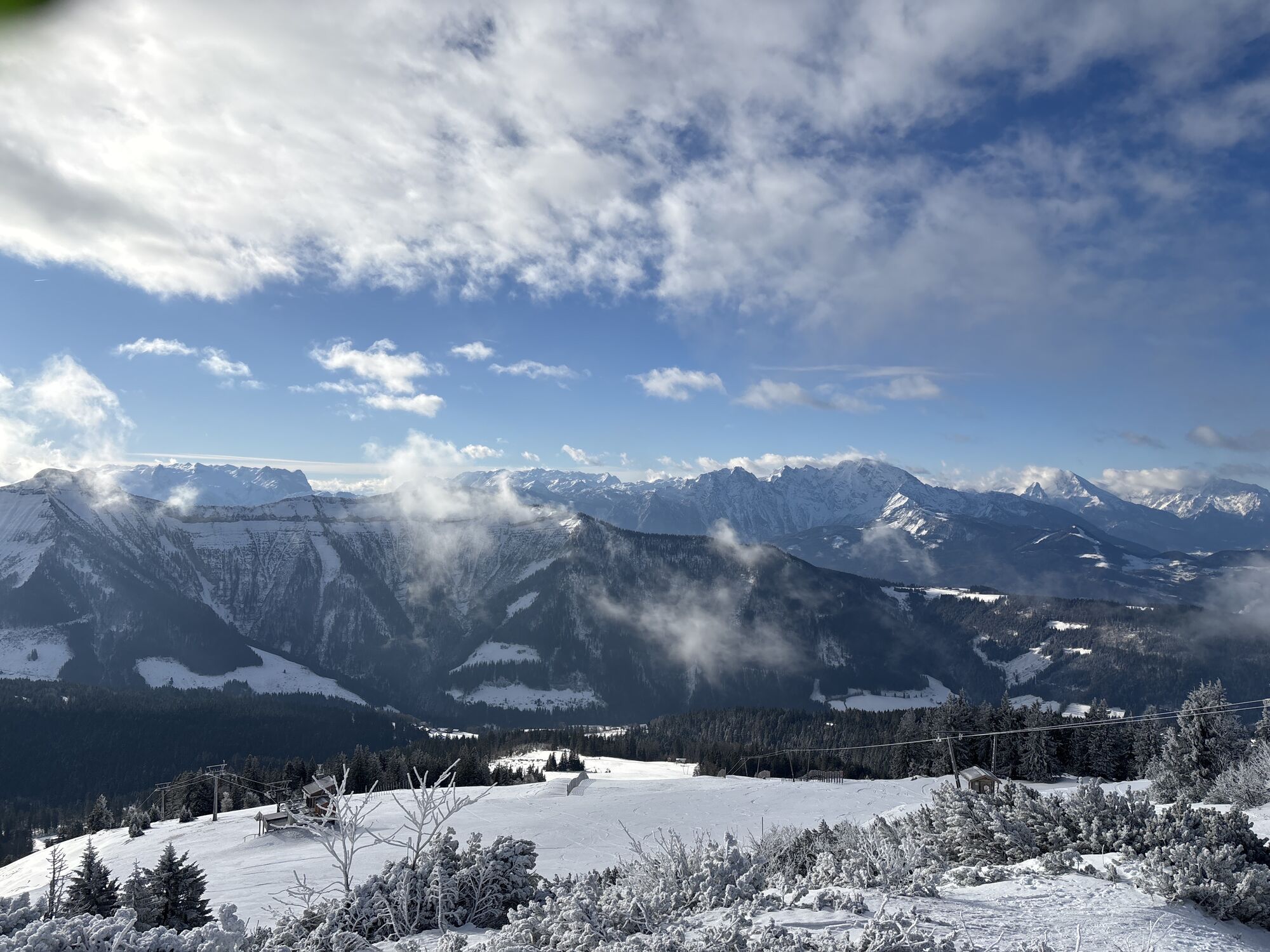
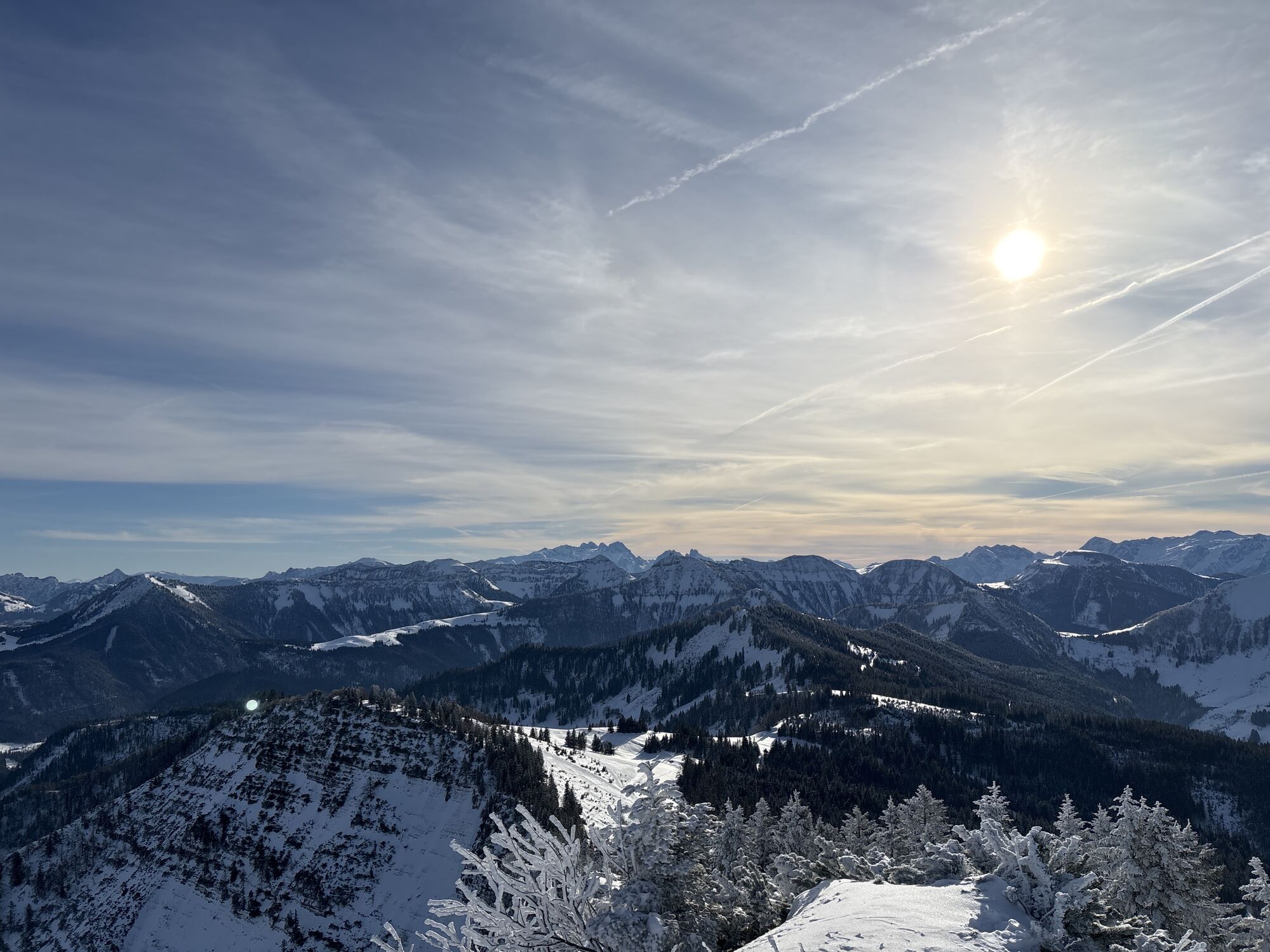
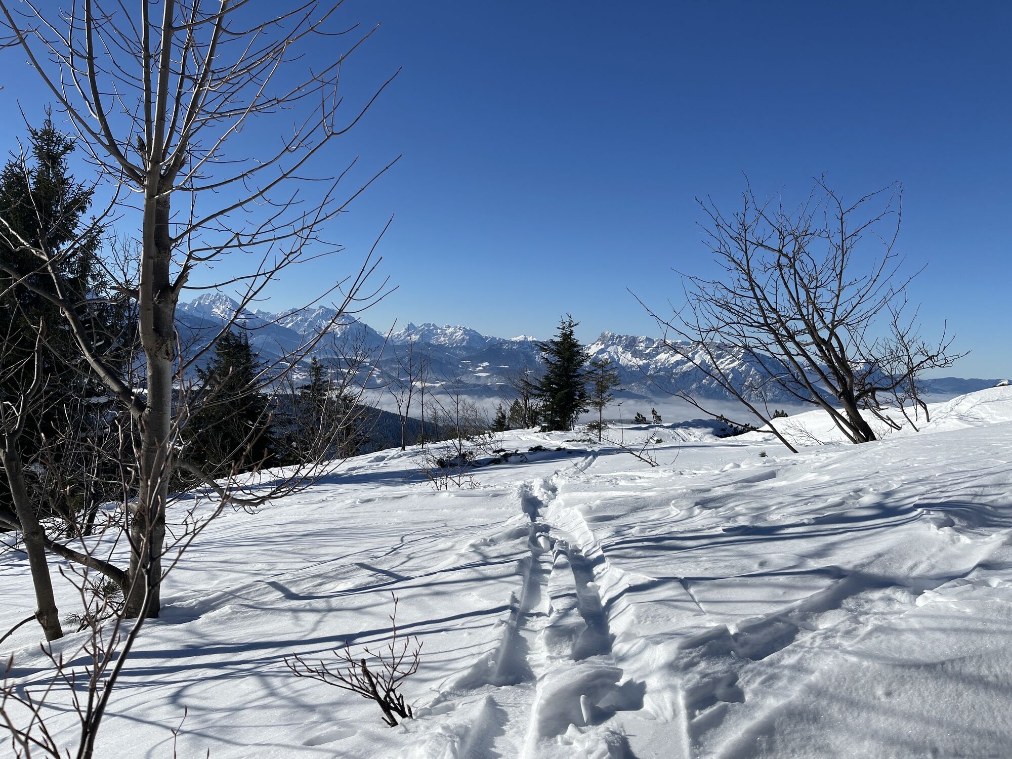
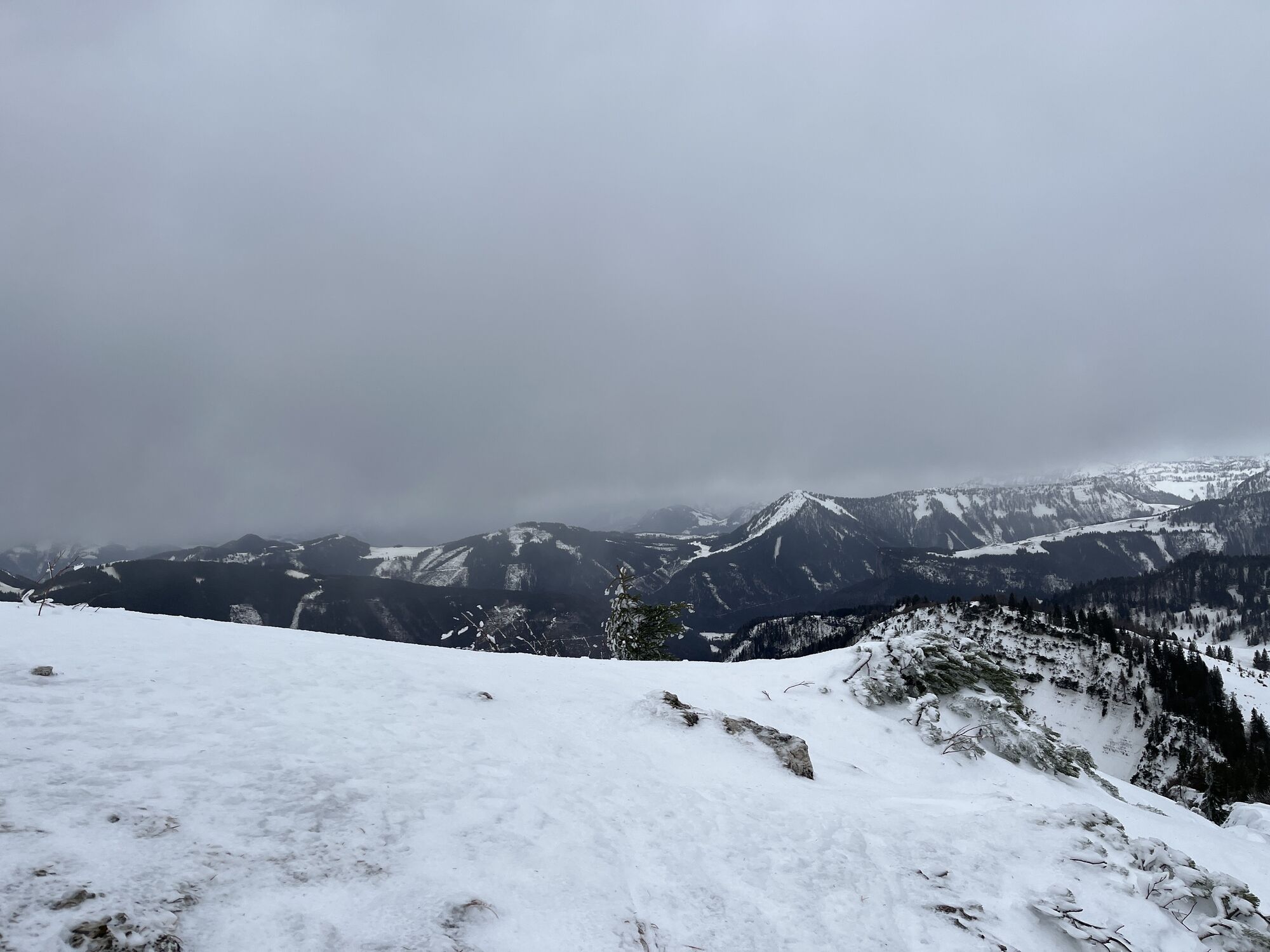
An indescribable view from the summit of Wieserhörndl over Hintersee rewards the rather strenuous ascent. The route impresses with beautiful secluded paths, lush alpine meadows, and a wonderful panorama!
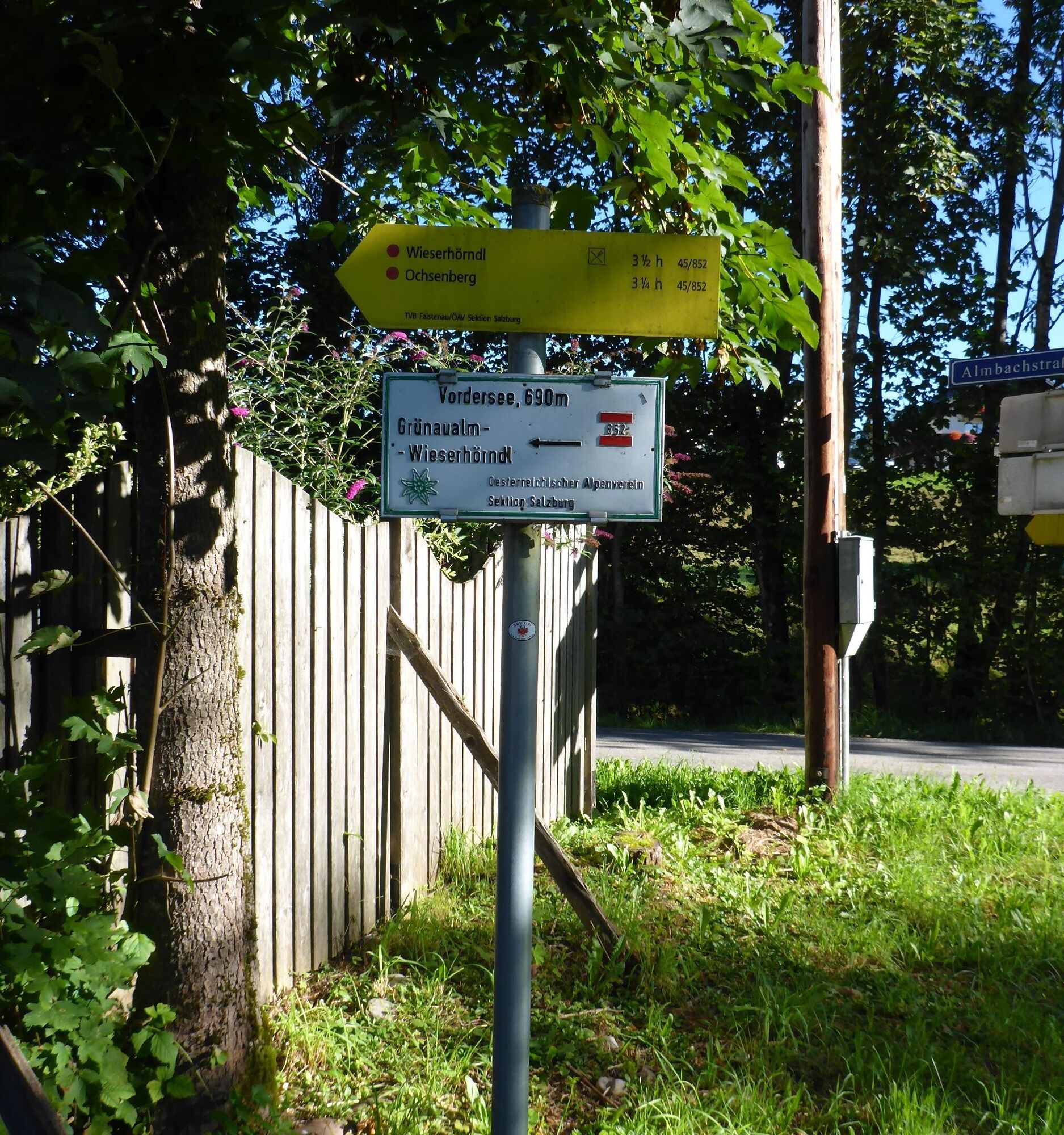
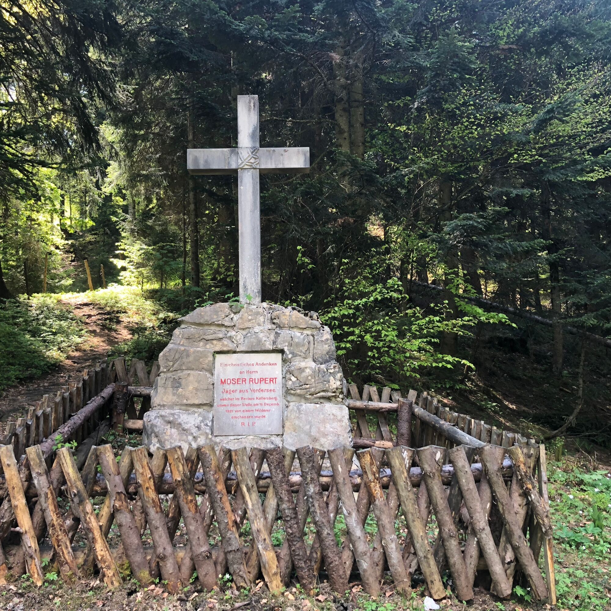
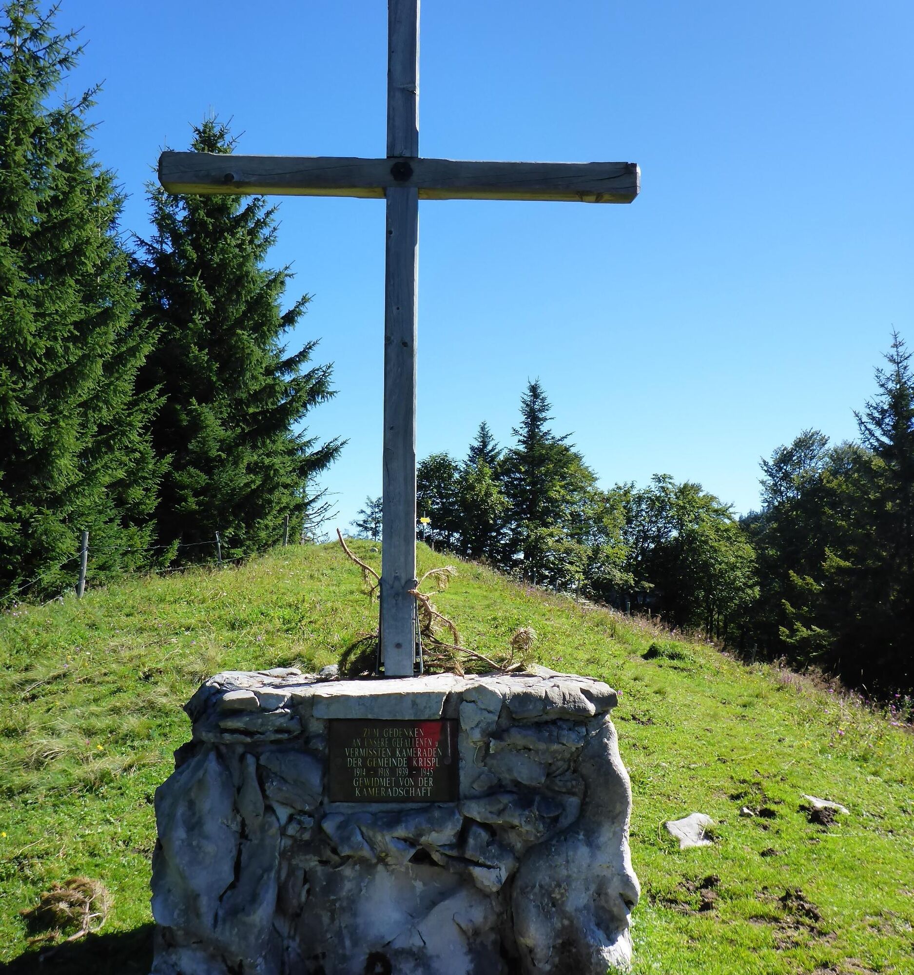
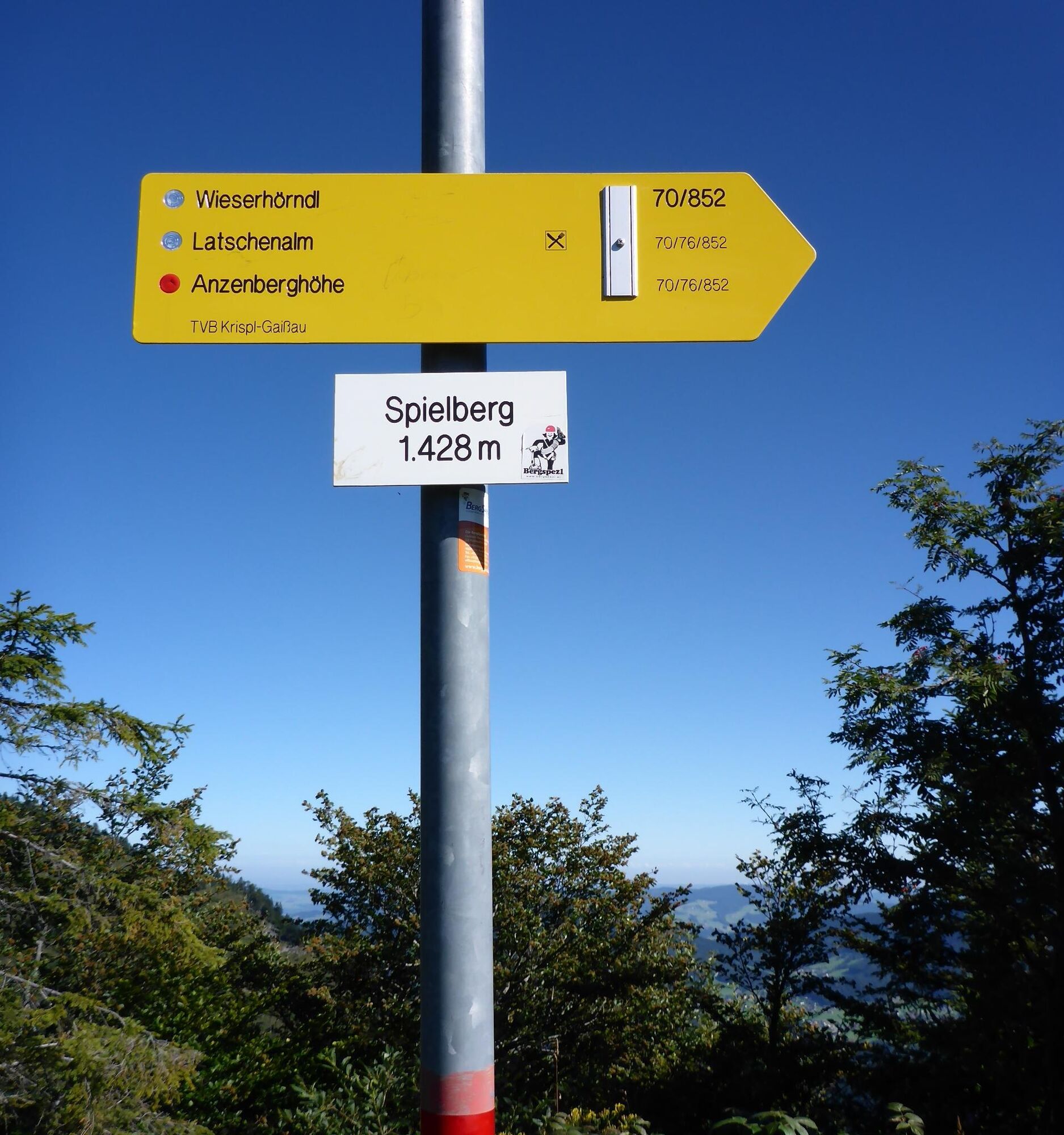
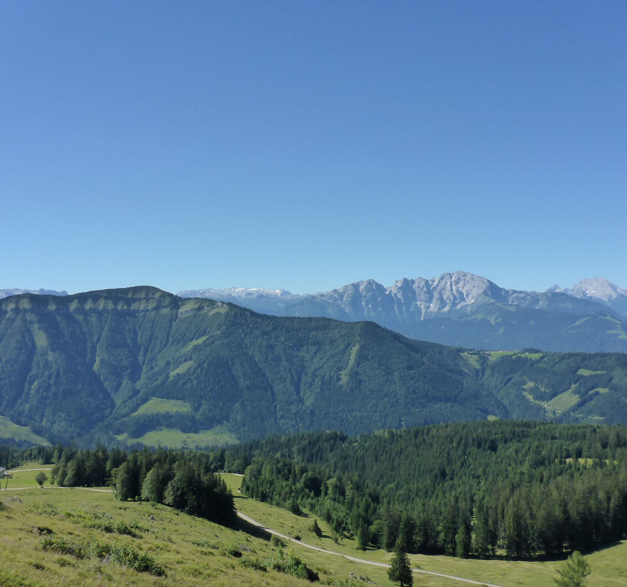
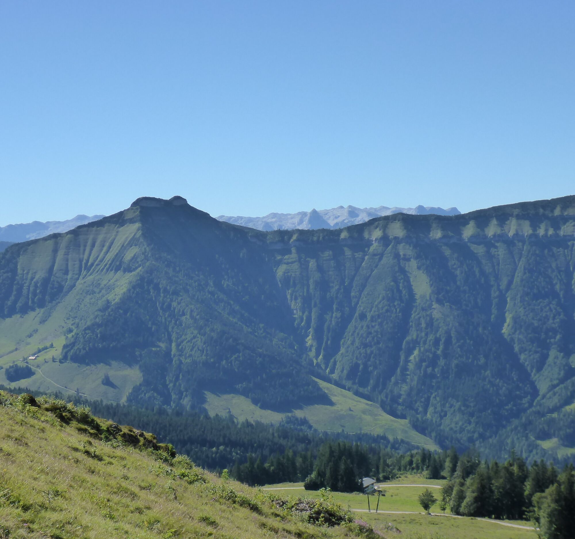
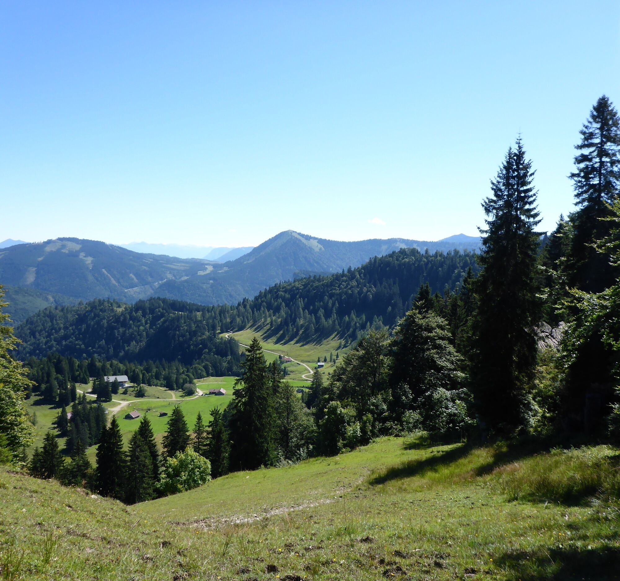

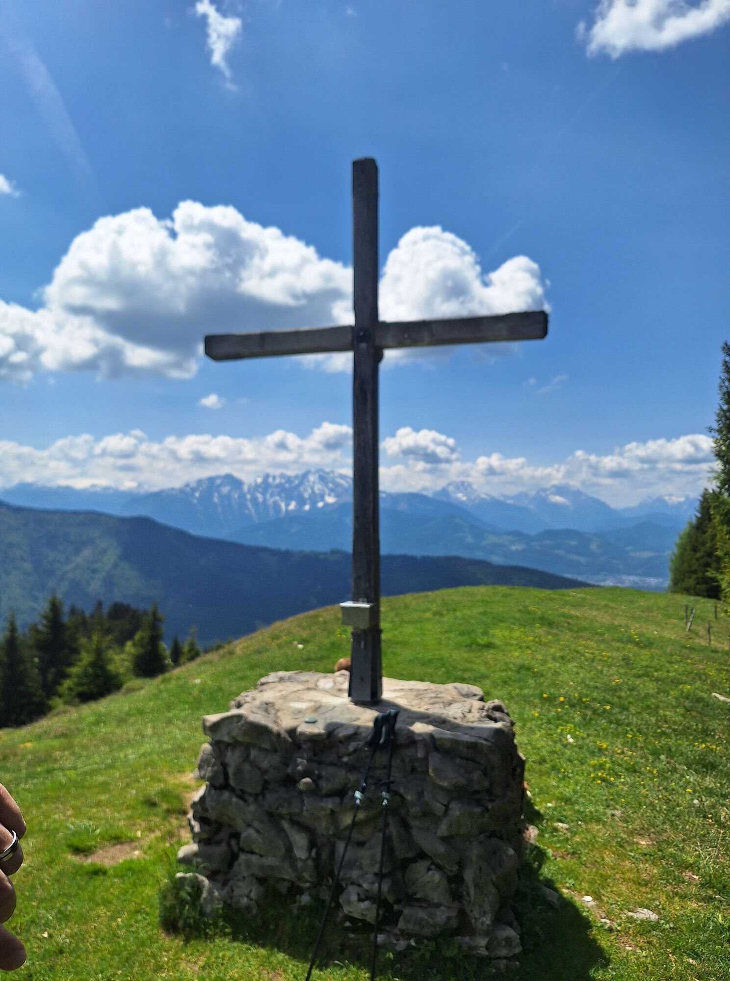
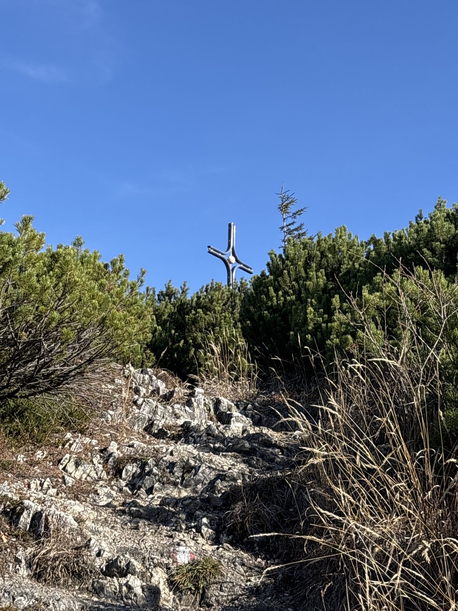
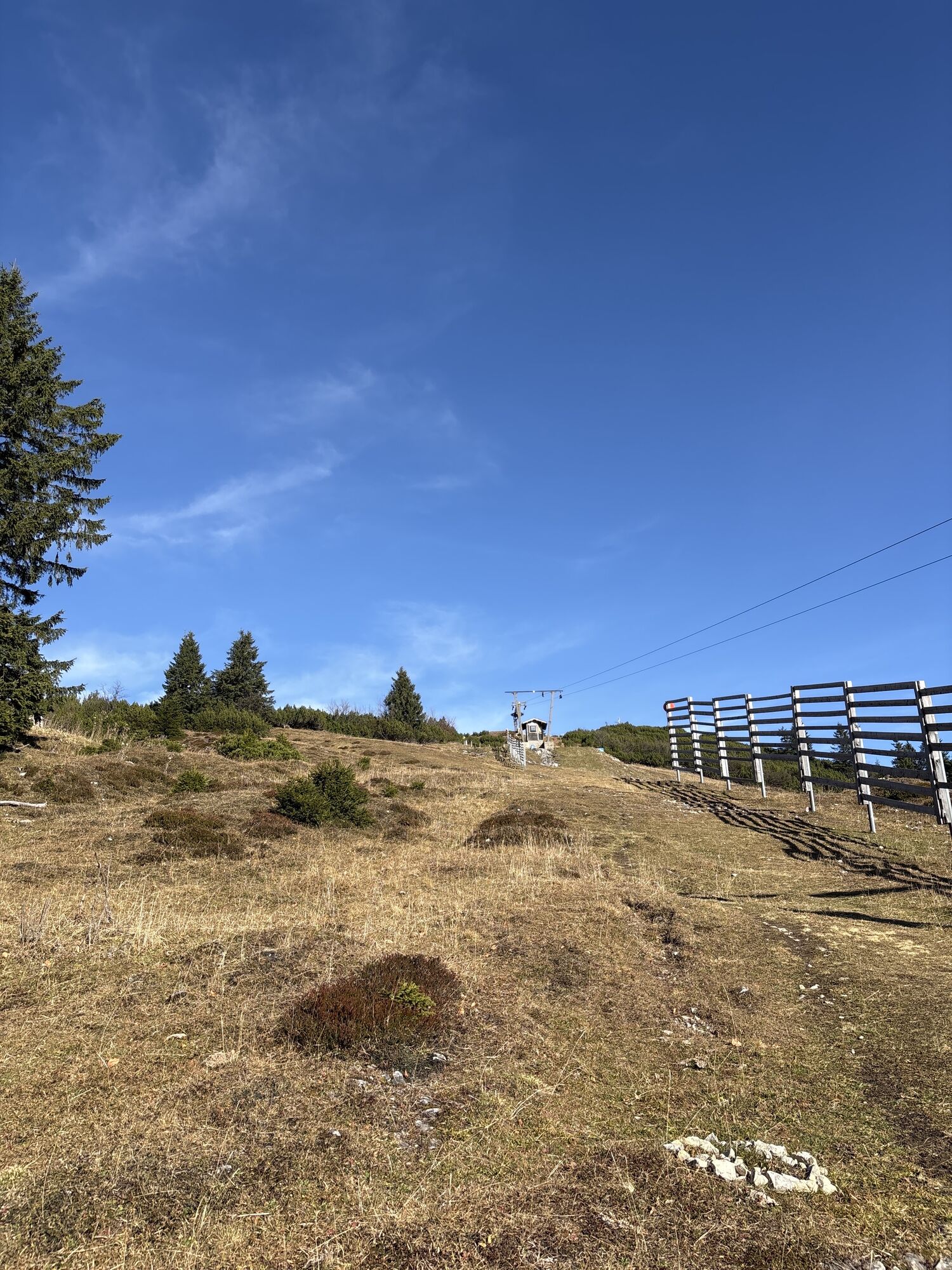
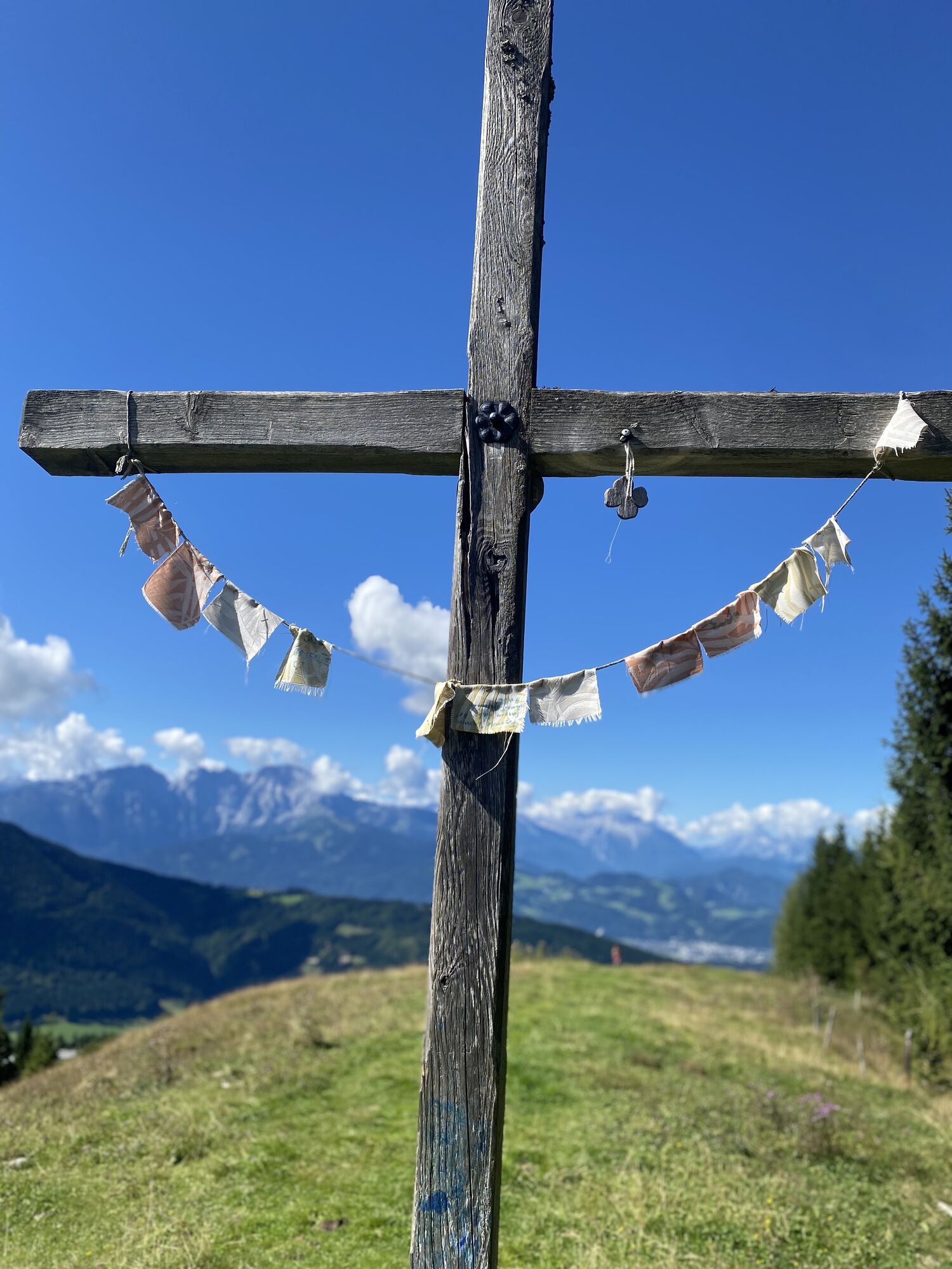
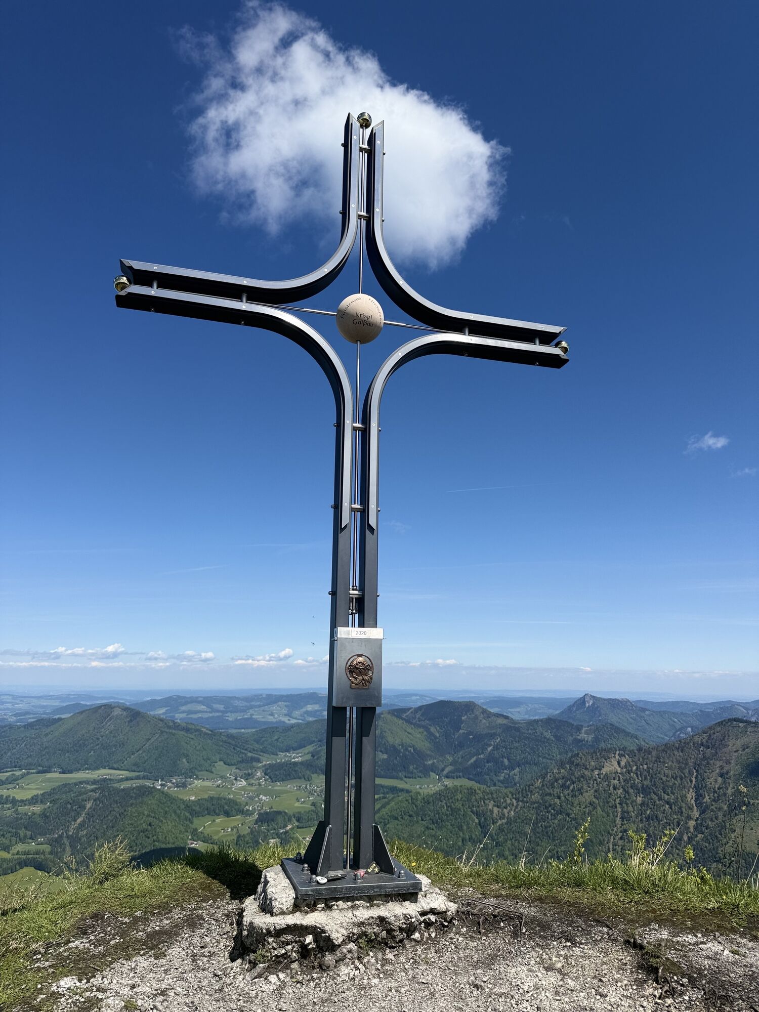
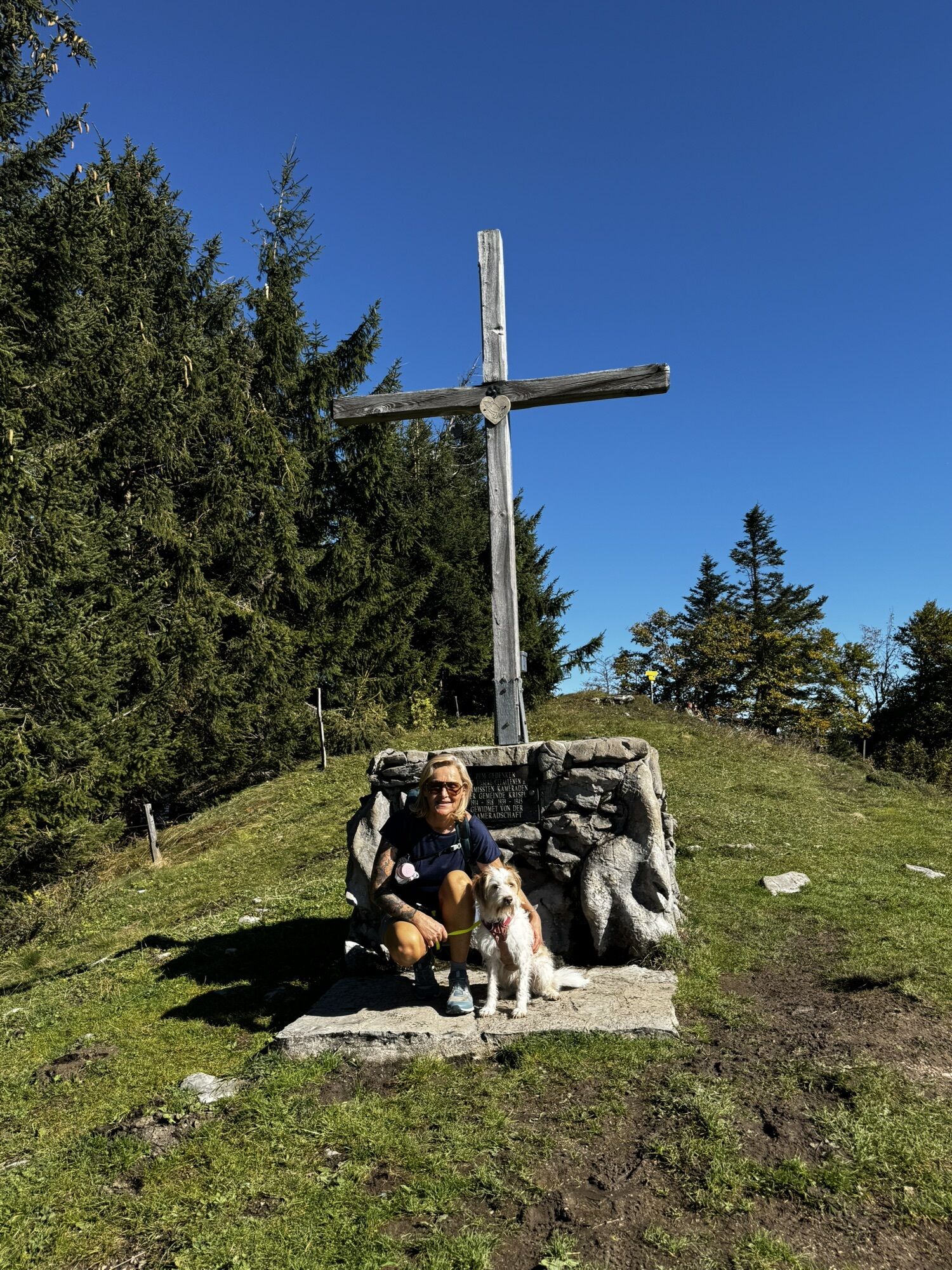
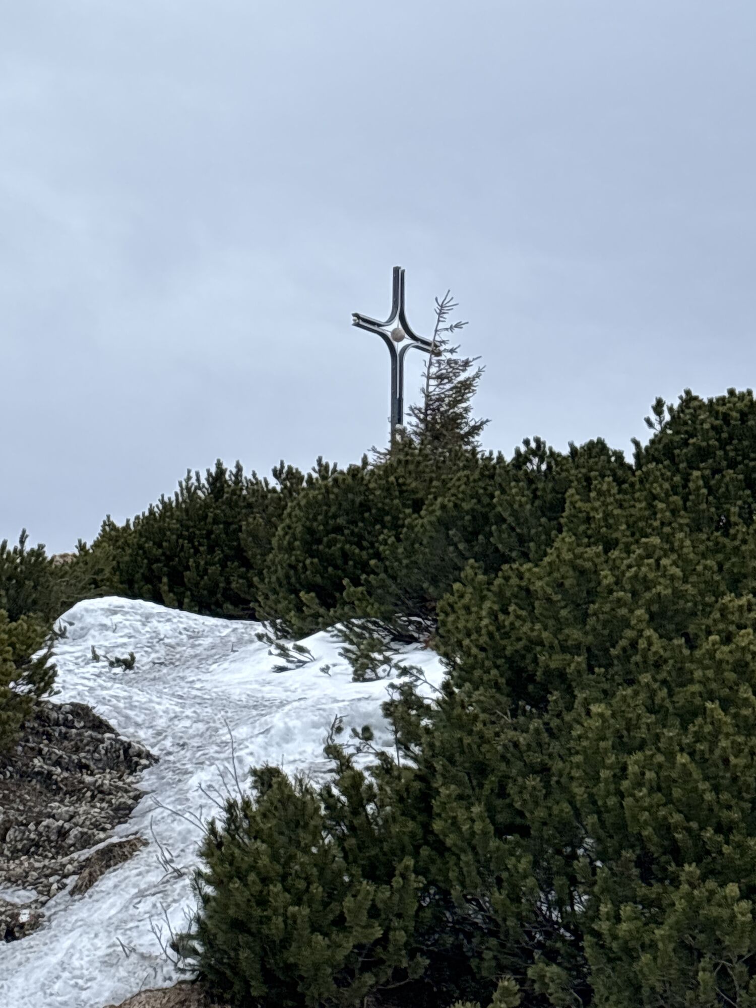
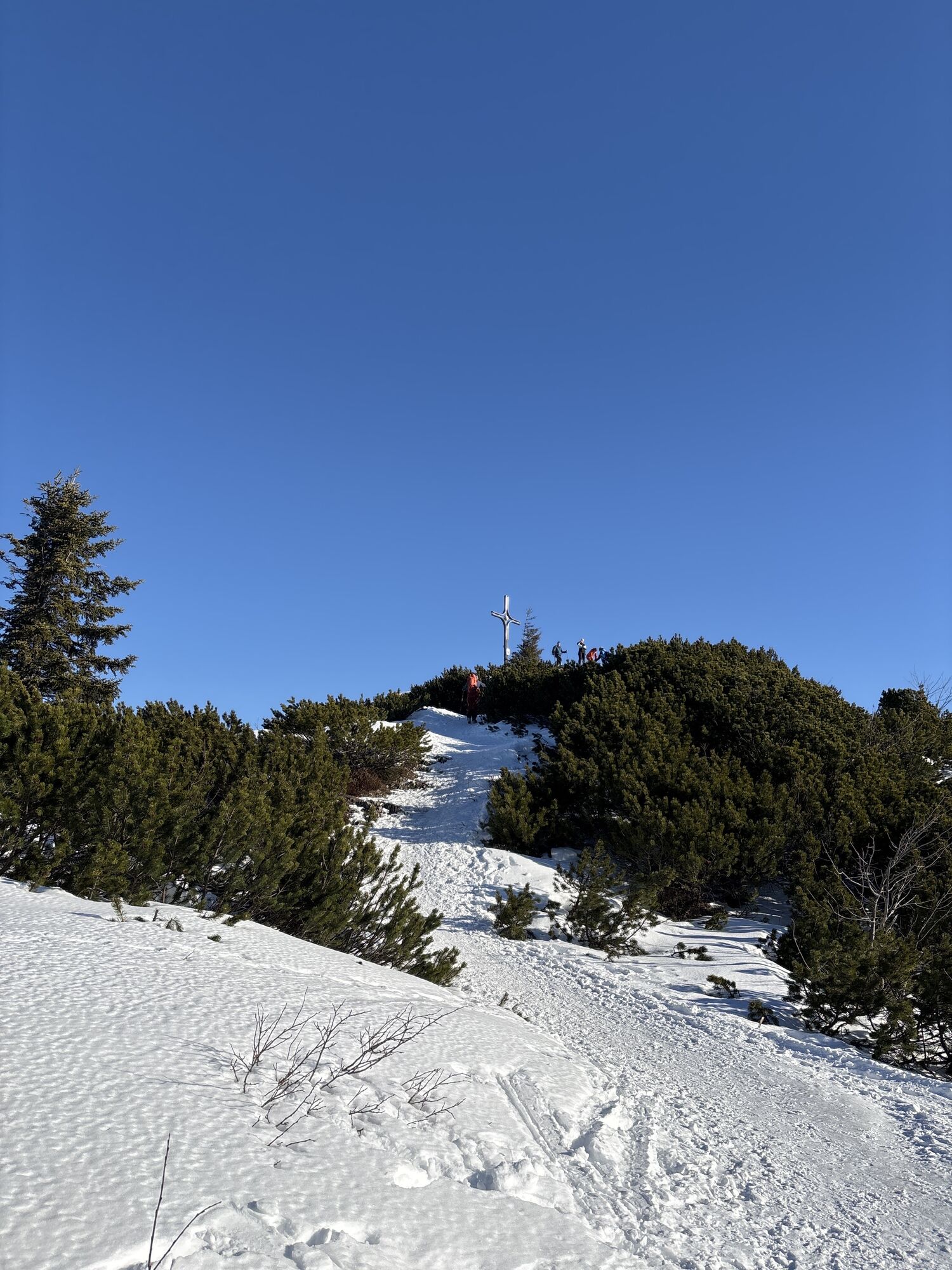
From the starting point in Vordersee, we turn left at the parking lot onto the paved road on route 852 towards Grünau / Wurmwinkel. After a wooden bridge, the road ascends until we reach a high plateau (Grünau). At the first intersection, we keep left and follow the forest road for about 600 meters before taking the left path again. Along the forest edge, gradually ascending, we reach a bridge at the end of the path. Immediately after this, the trail leads to the Grünaualm. Upon arriving at the alm, we pass the two huts on the right, cross the cart track, and climb the somewhat steep slope. At the saddle between the Spielberg and the Kallersberg, the Moser Monument is located. From here we follow the trail to the left towards Spielbergalm / Wieserhörndl. Upon reaching the Spielbergalm, the ascent over the alpine meadow to the summit cross of the Spielberg awaits. We leave this behind and continue along the ridge path until we come to a ski slope with a drag lift. A final short ascent leads to the summit cross of the Wieserhörndl. The descent proceeds again over the alpine meadow along the ski lift. Before entering the forest towards the ridge path, we stay on the alpine meadow and walk back to the Spielbergalm (serviced hut). A stop here is definitely worthwhile. After the stop, we ascend above the small huts the old Spielberglift to the trailhead from where we started. The further descent follows the same route as the ascent.
Da
Da
Sturdy footwear and possibly hiking poles; otherwise, no special equipment required.
Since 2009, there has been a dog leash and dog waste disposal regulation in force throughout the municipality of Faistenau. This also applies on all hiking trails.
Arrival via A1 West Motorway – Thalgau exit
Follow the federal road (B 158) in Hof near Salzburg to the Baderluck roundabout. Take the first exit onto Hinterseestraße, and after a few kilometers, you will reach your holiday destination Faistenau. After the district Vordersee, a road leads right towards Hallein. In about 800 meters you will reach the parking lot.
There are sufficient parking spaces at the starting point.
By bus
From Salzburg main station there are excellent Postbus connections to the Fuschlsee region or Faistenau. All bus connections can be found online at www.svv-info.at.
By train
Information about train connections can be found at www.oebb.at or www.bahn.de
By plane
Salzburg Airport W.A. Mozart is located very close to the city of Salzburg. Bus lines 2 or 27 take you to the main station, where you can transfer to the Postbus.
The parking lot (former storage area of the Federal Forestry) is free of charge and may be used between 6:00 a.m. and midnight.
Pridobite vpogled
Vedno v živo na mestu z več kot 9.500 spletnimi kamerami. bergfex Kot uporabnik Pro si lahko zdaj ogledate ustrezne spletne kamere za številne izlete v aplikaciji izleti iz. Tako si lahko neposredno ogledate trenutne razmere.
Priljubljeni izleti v okolici
-
4.0
Bärenweg am Lidaun
svetlobaPohodništvo 9.05 km -
4.7
Schwarzer Berg / Golling
srednjaPohodništvo 2.54 km -
4.8
Fuschl: Ruine Wartenfels - Schober - Frauenkopf
srednjaPohodništvo 7.62 km -
4.4
Fuschlseewanderung
svetlobaPohodništvo 11 km -
4.2
Pillstein Panorama Rundweg
svetlobaPohodništvo 3.40 km -
4.7
Pleasure hike over the Falkenstein
srednjaPohodništvo 9.81 km -
4.8
Great and Small Barmstein, the landmarks of Hallein
težkoPohodništvo 6.58 km -
4.6
The Plombergstein: Adventure and summit panorama
svetlobaPohodništvo 4.12 km -
4.8
Abtenau: Postalm circular route 2 - Labenberg & Pitscherberg alms - (IVV circular hiking trail)
svetlobaPohodništvo 10.1 km -
4.4
From Koppl to the Gaisberg summit
srednjaPohodništvo 9.86 km

Pohodništvo in sledenje


Ne zamudite ponudb in navdiha za naslednje počitnice
Vaš e-poštni naslov je bil dodan na poštni seznam.





