


719 | Pinzgauer Spaziergang
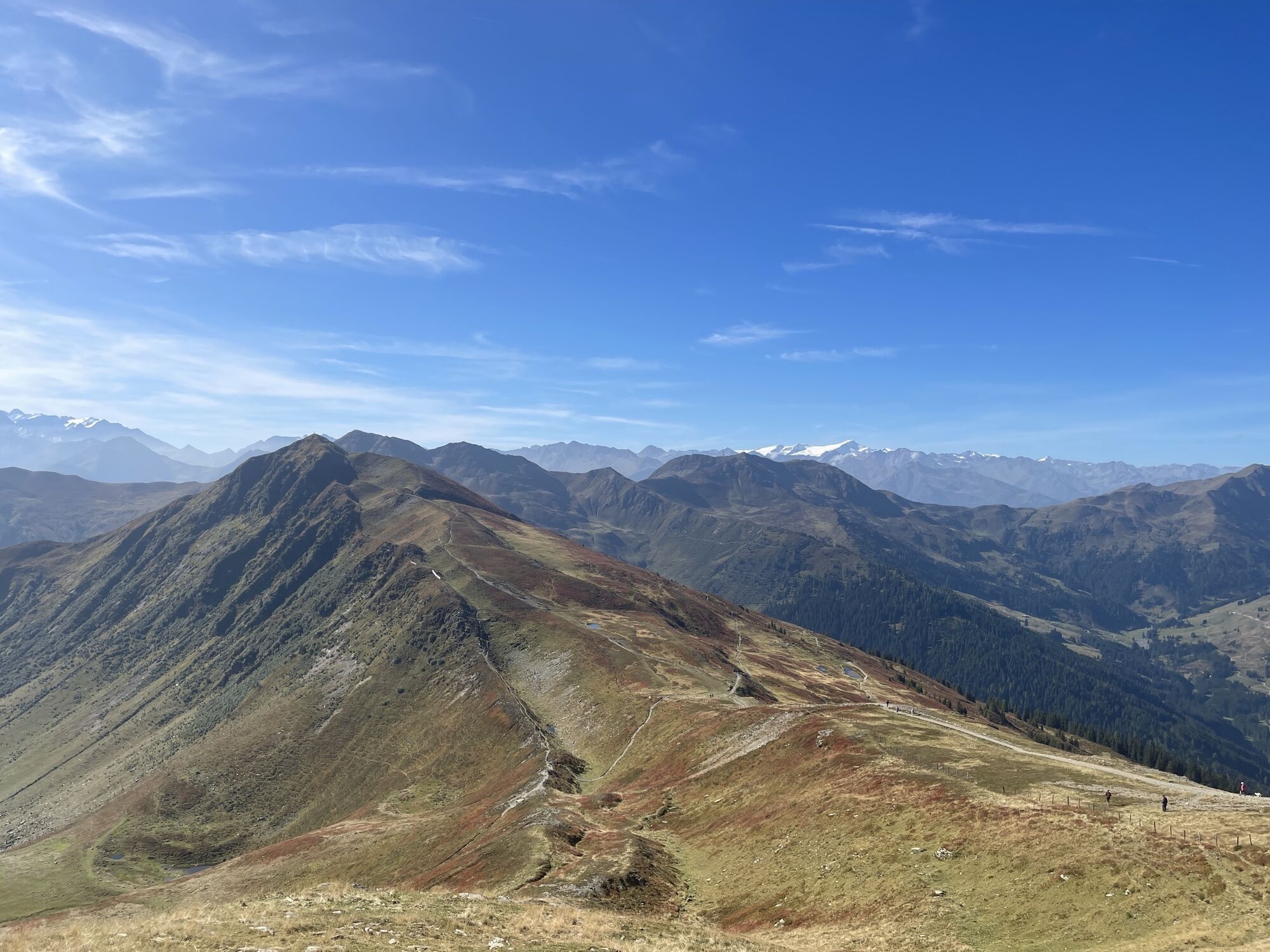
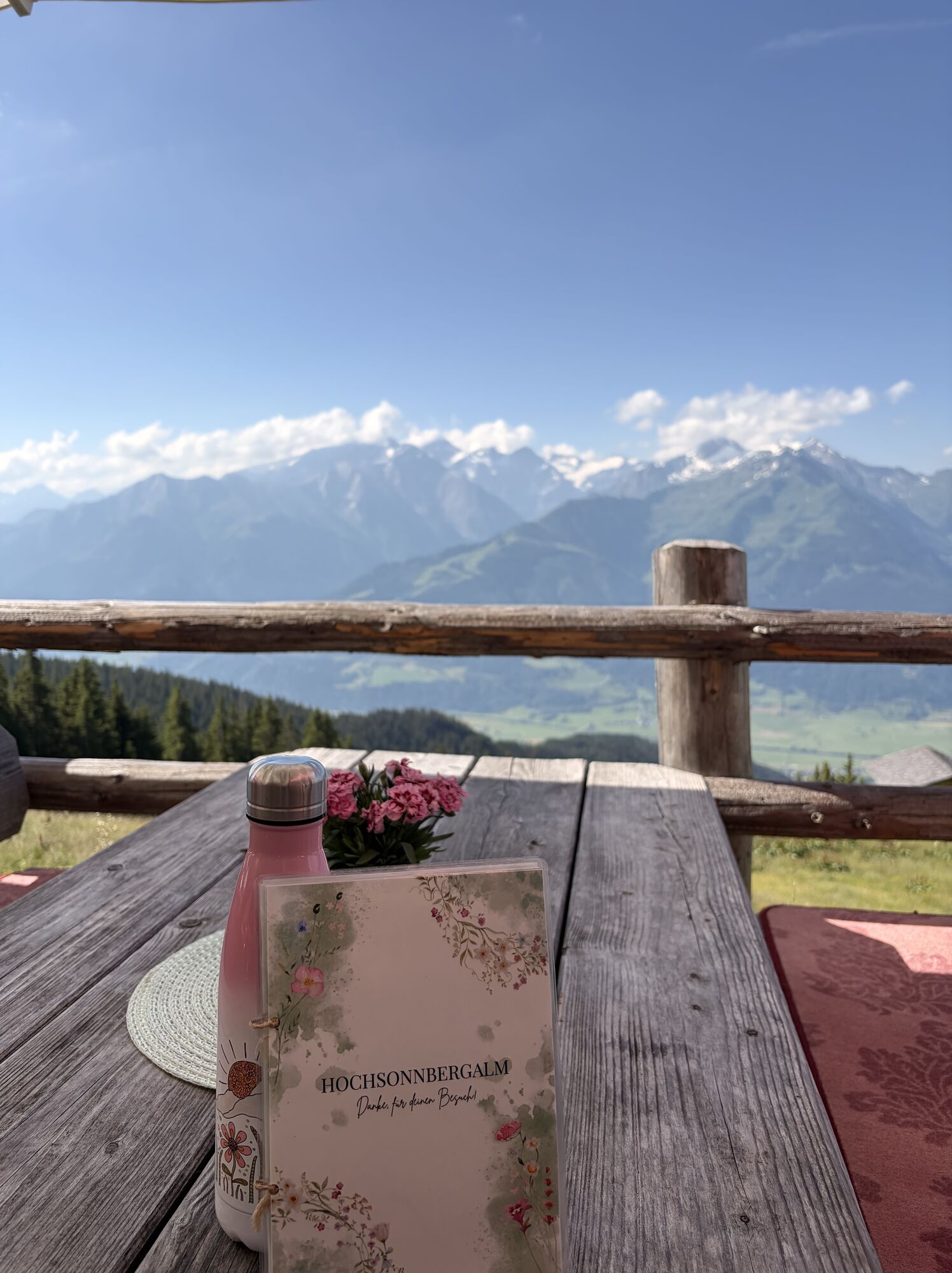
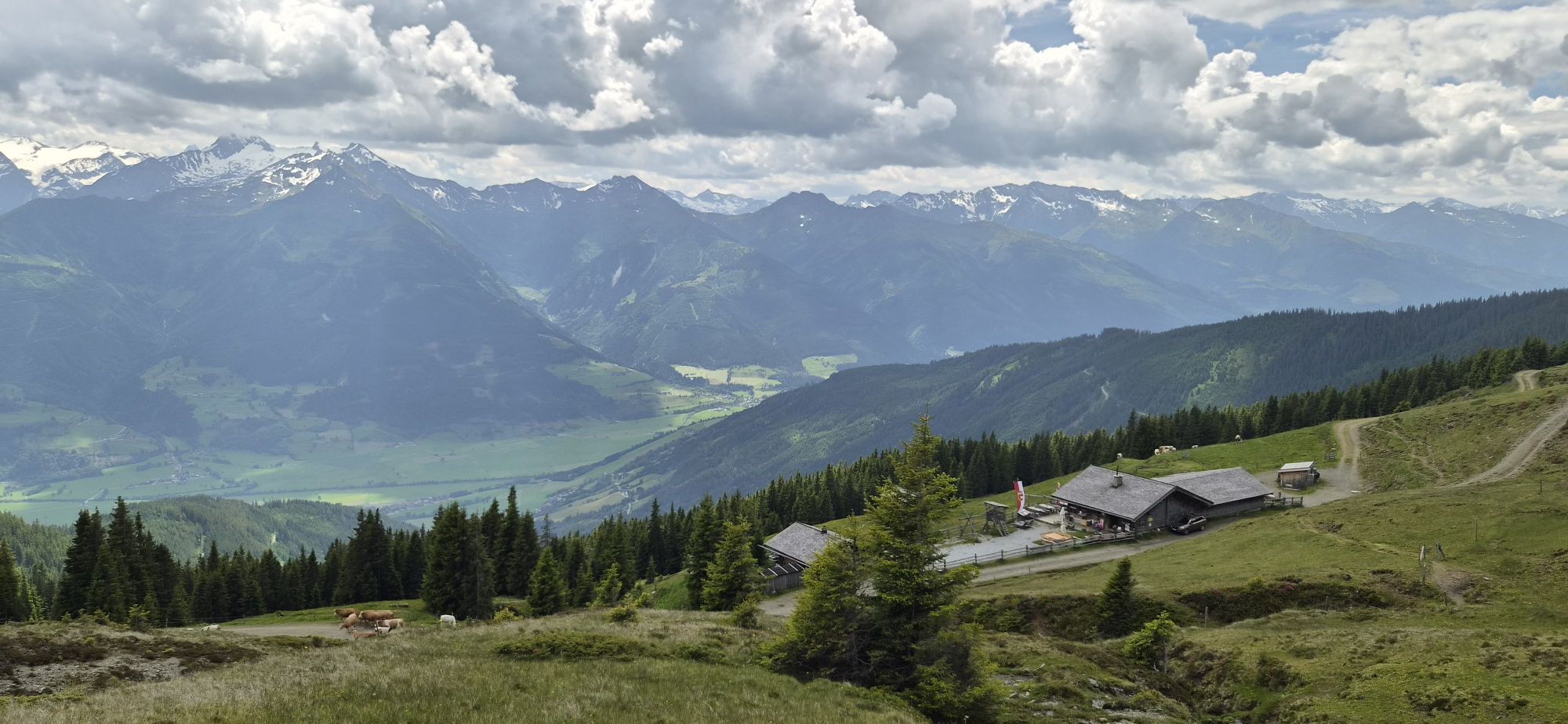
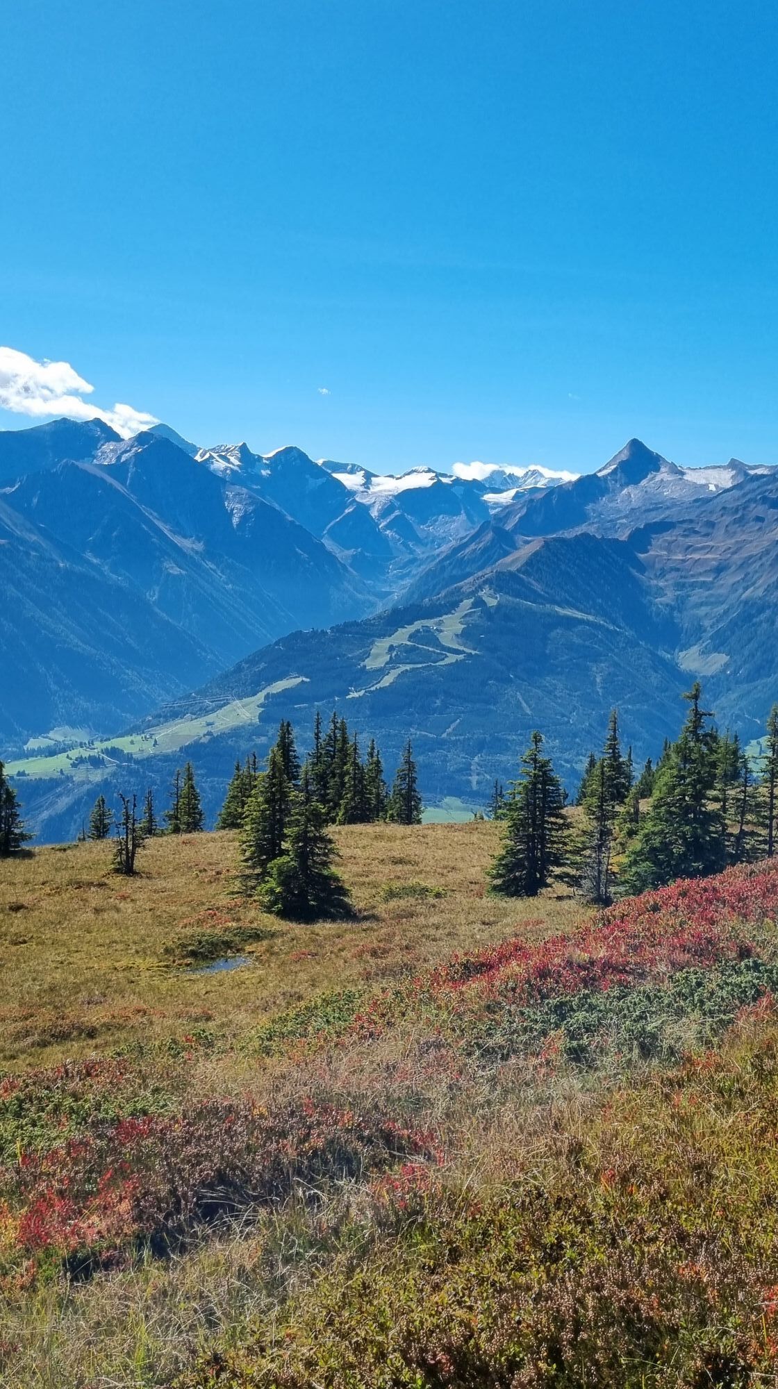

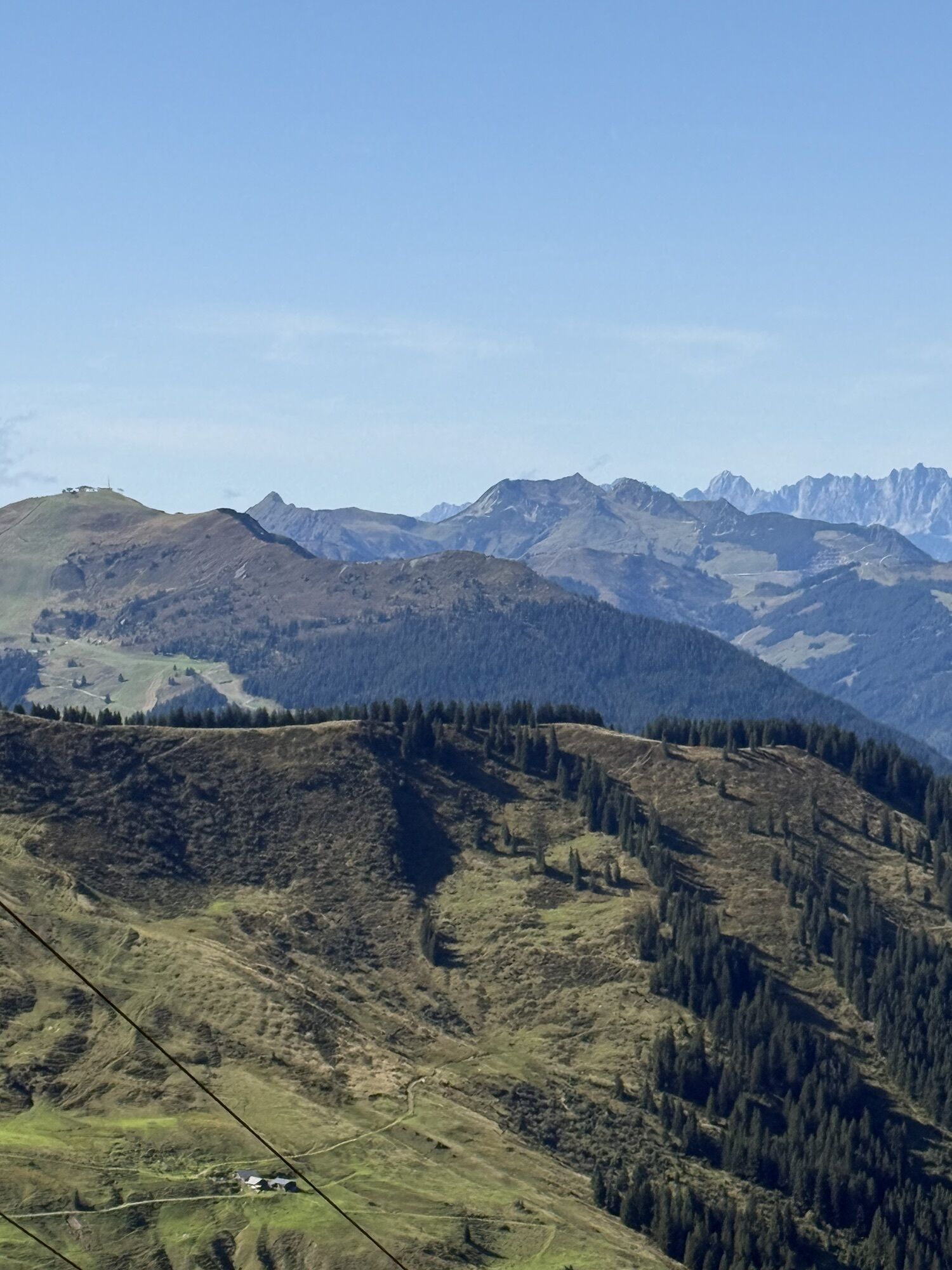


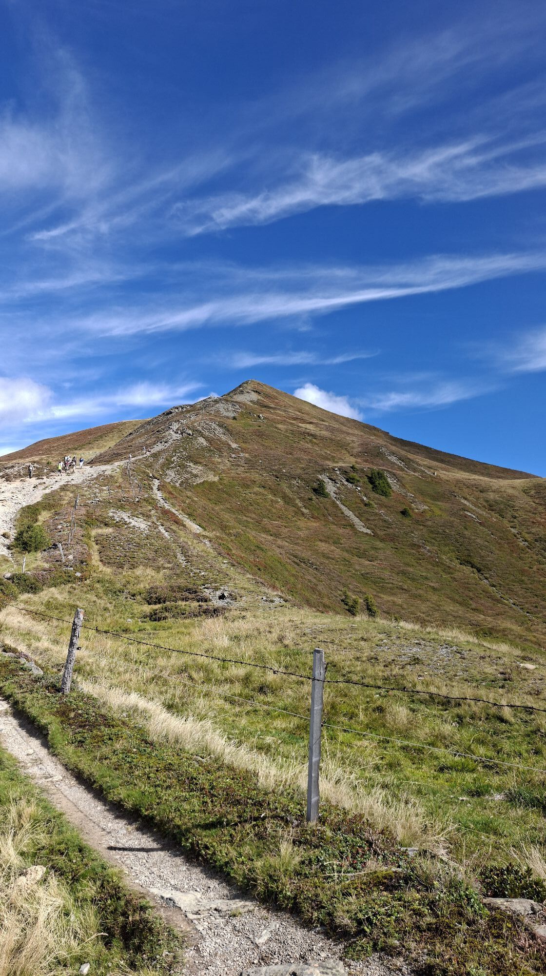
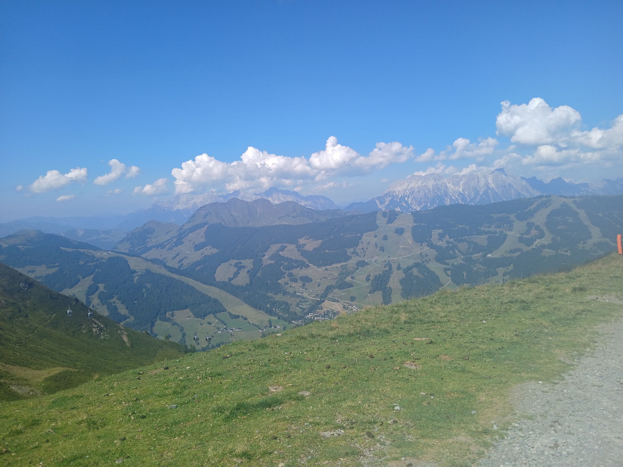
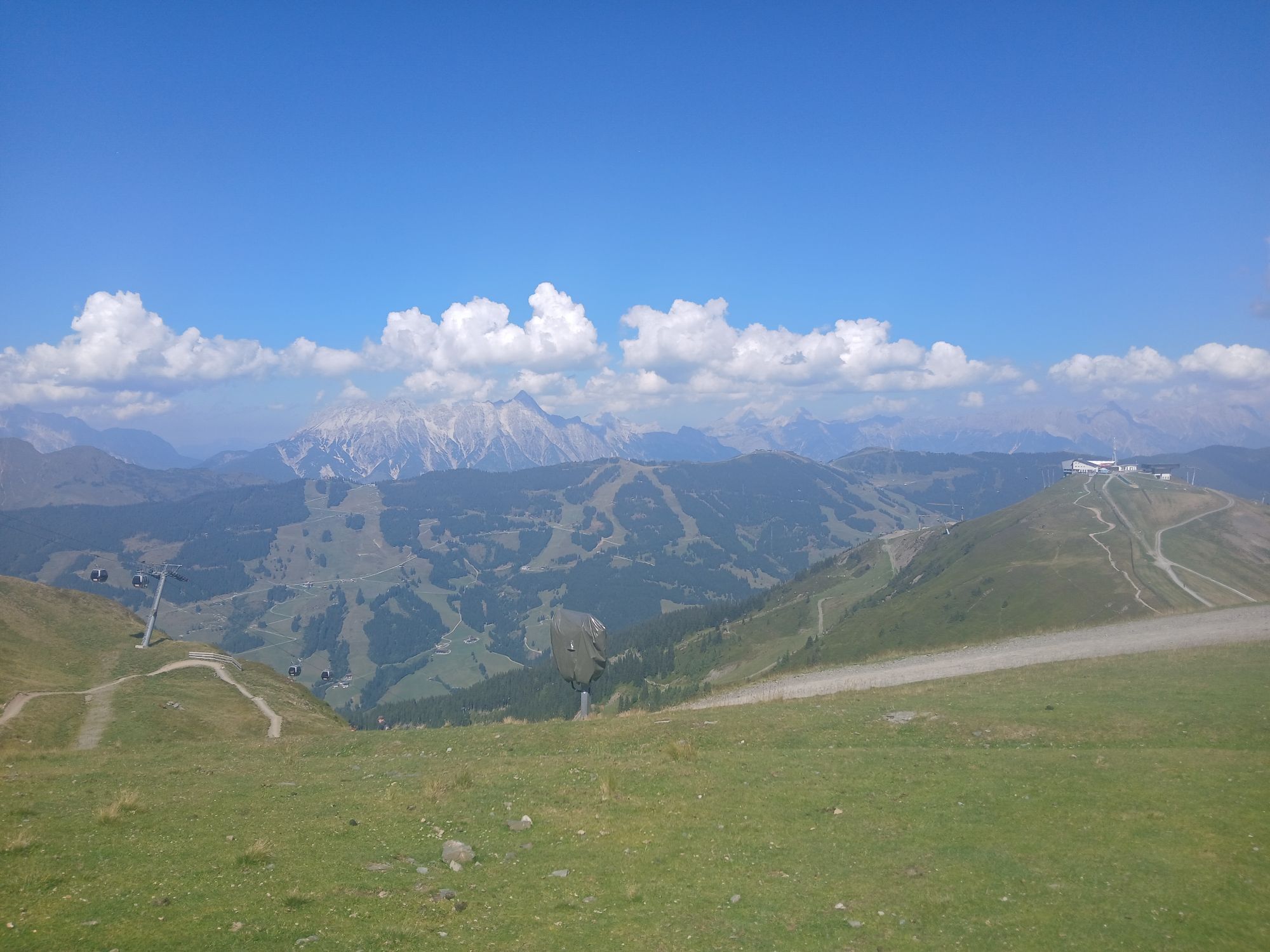
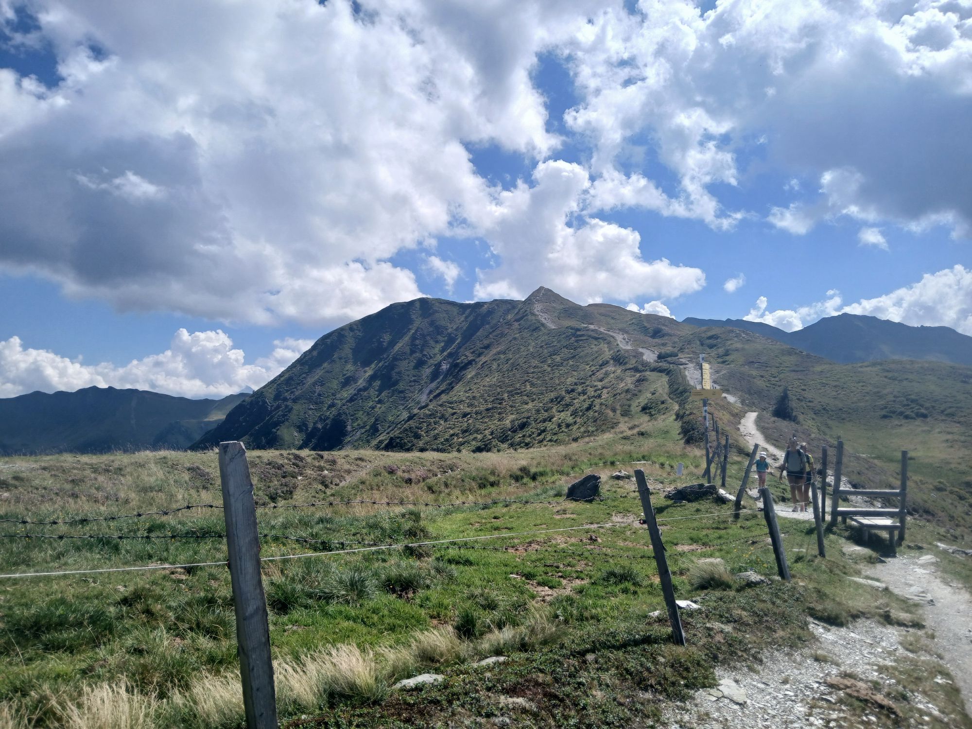
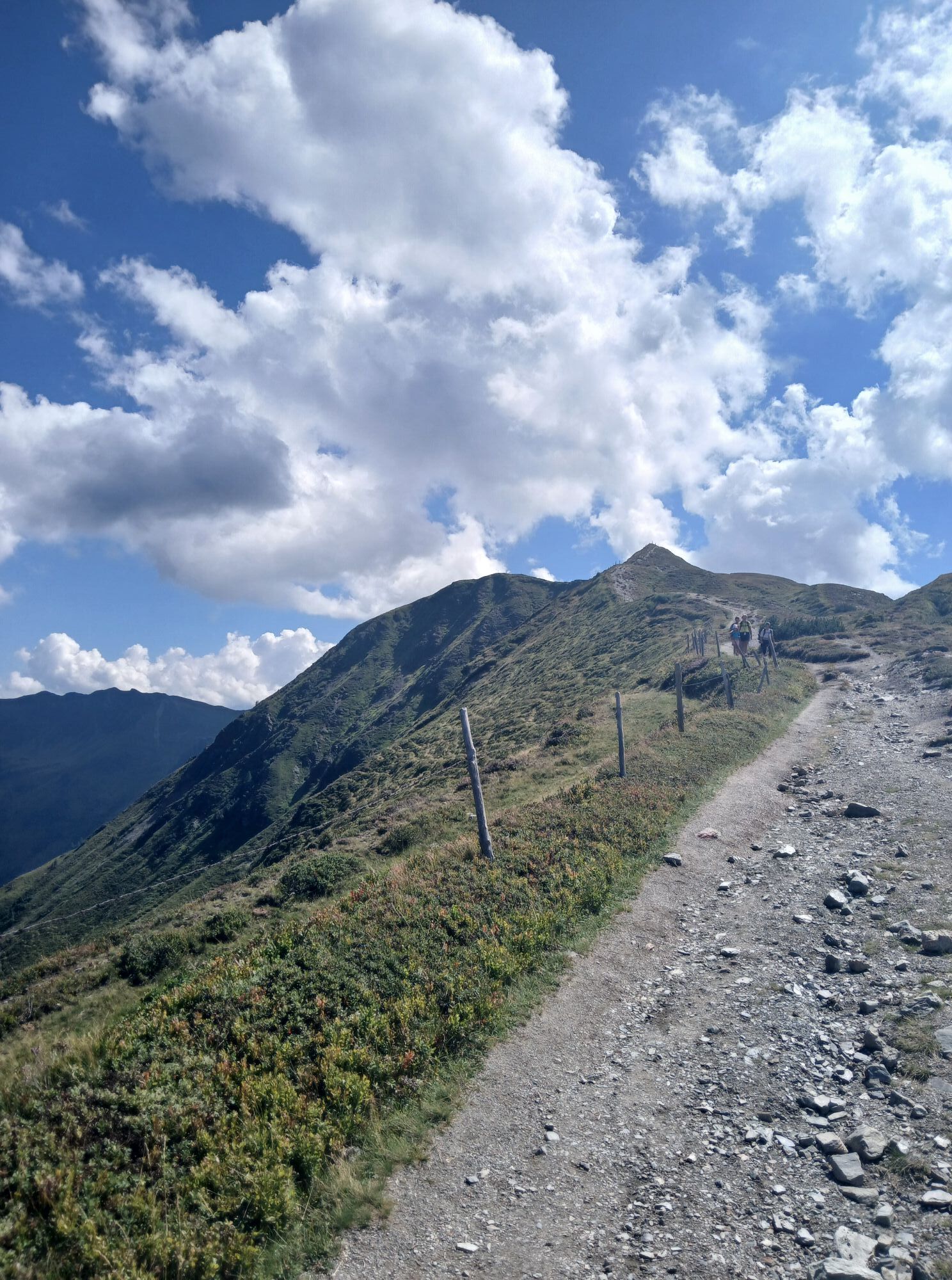
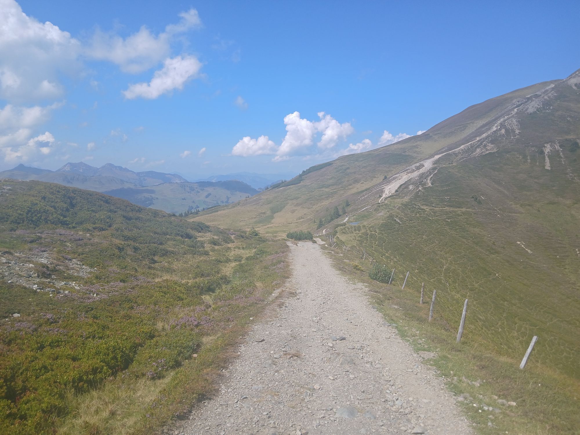
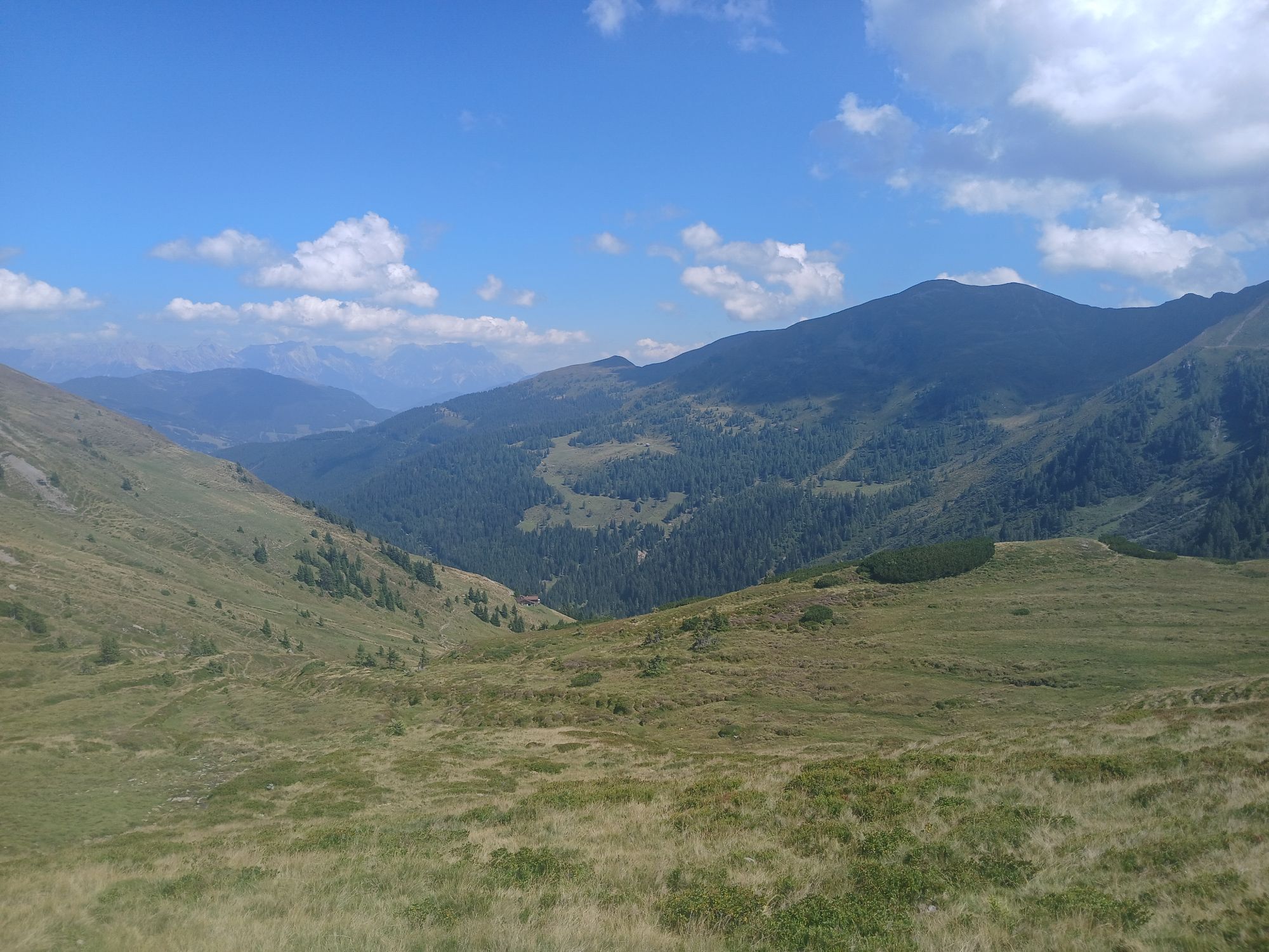

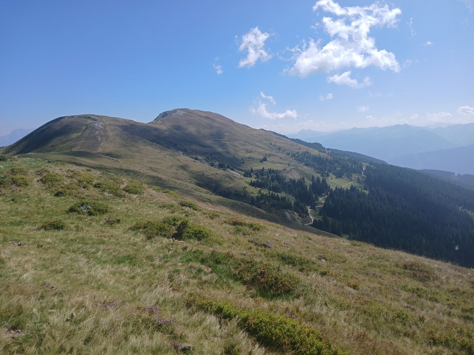
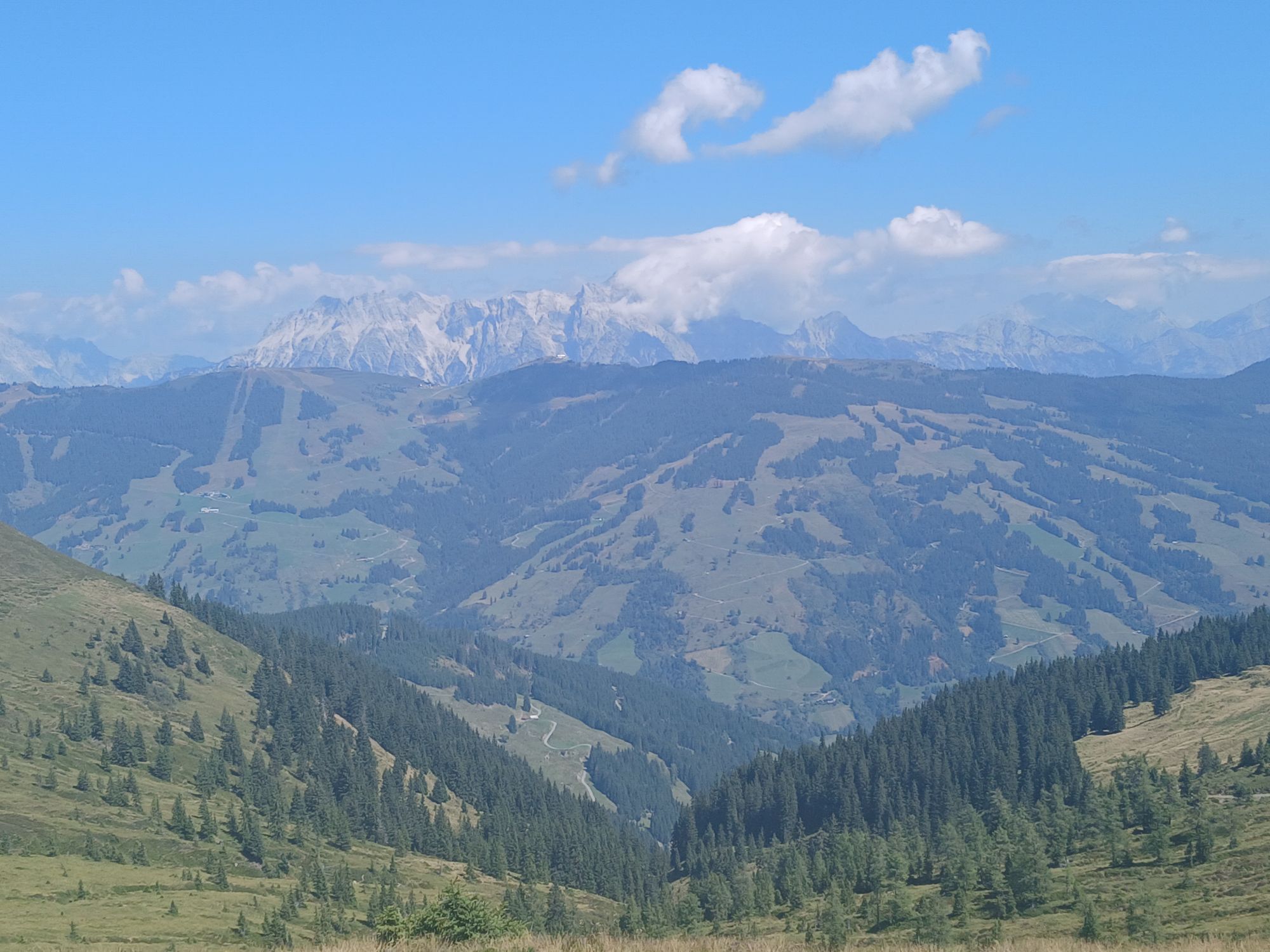
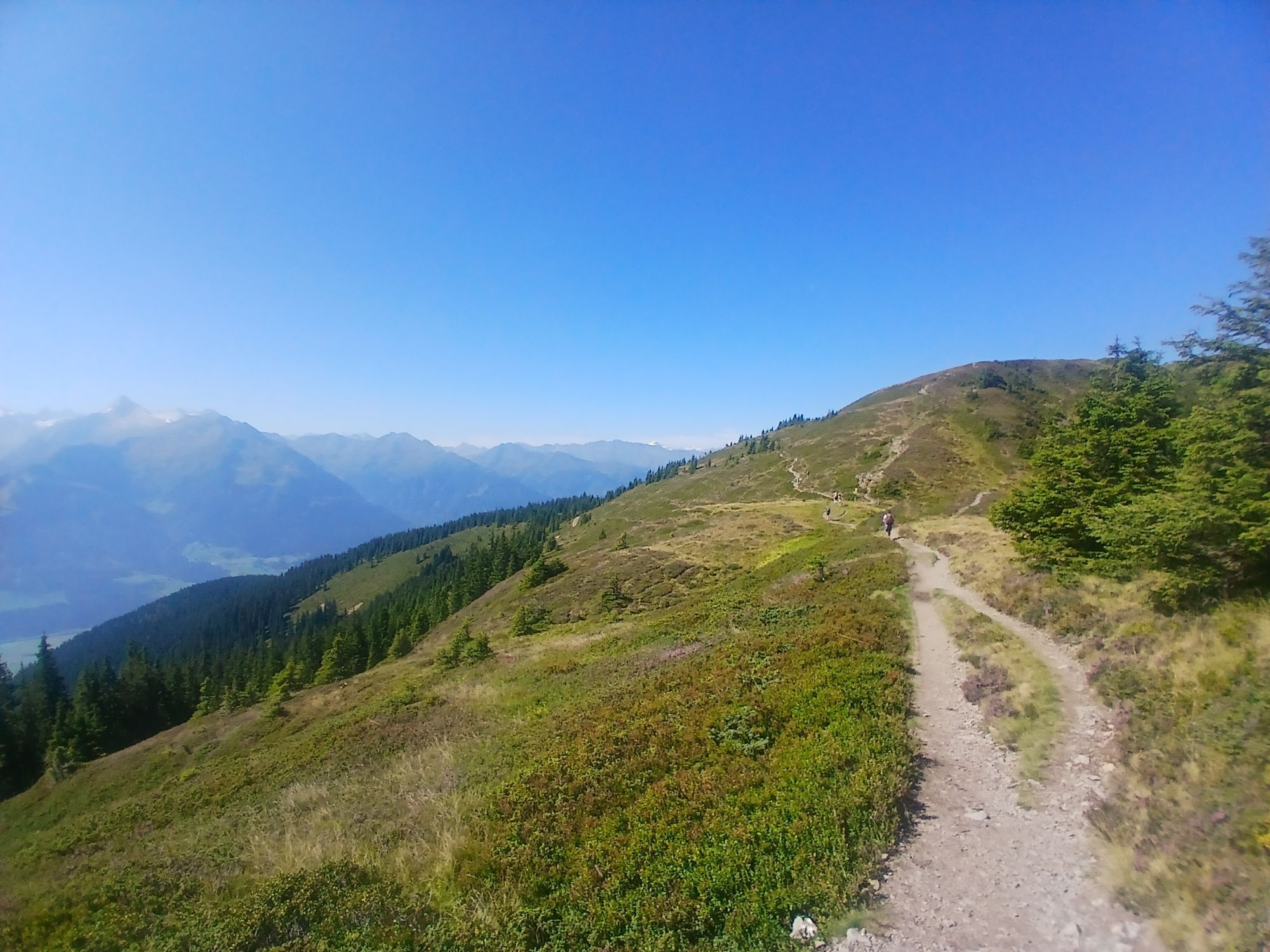
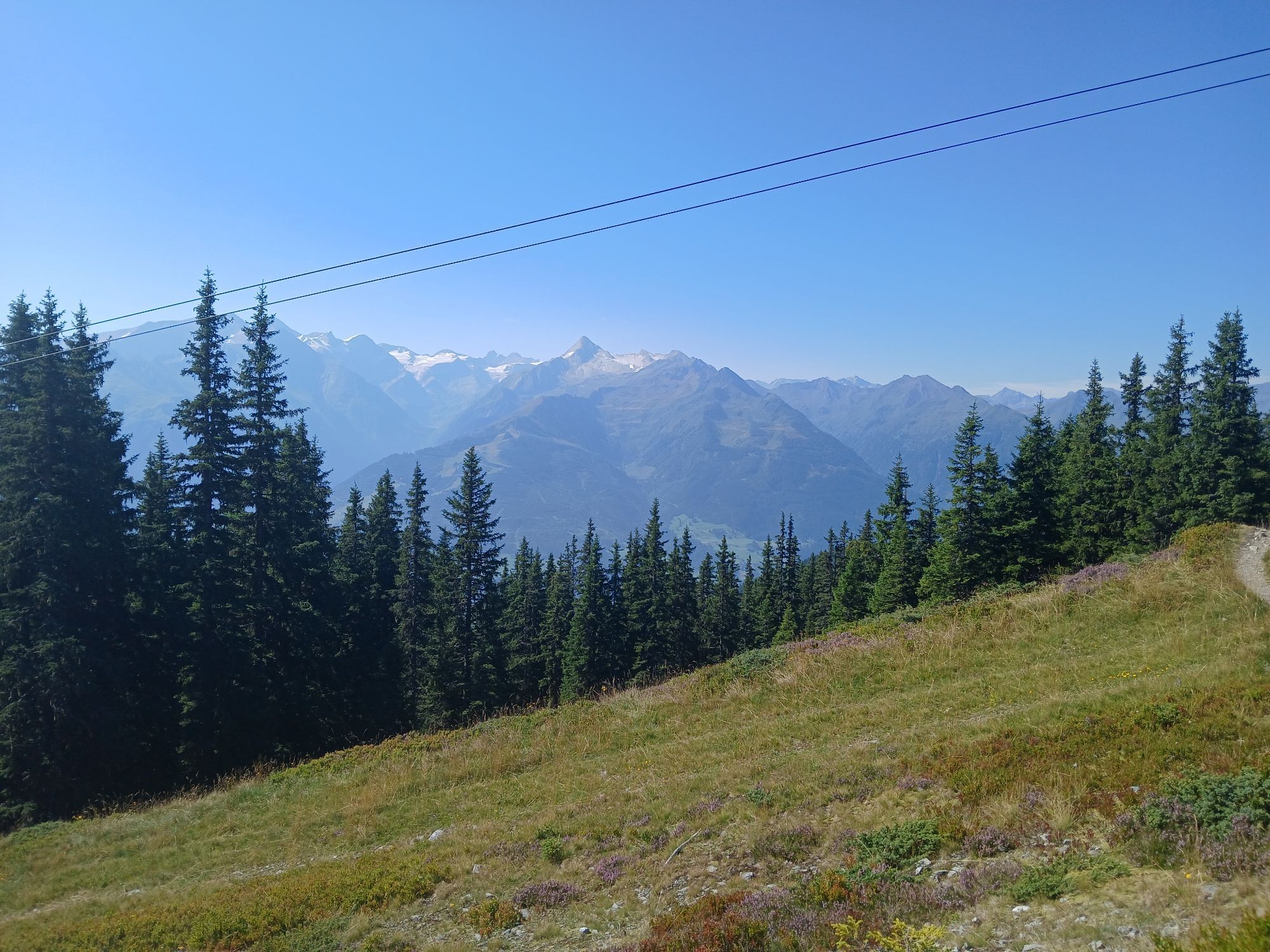

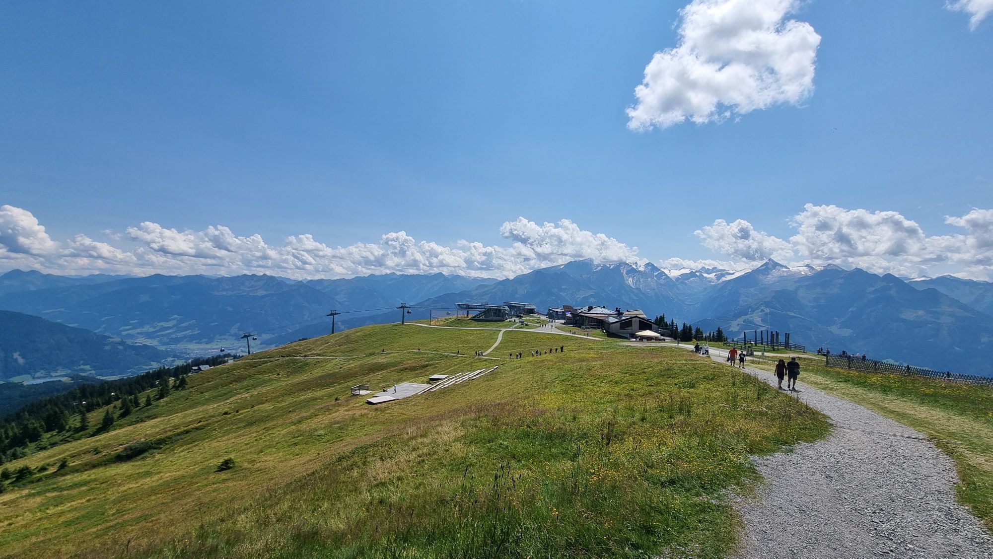
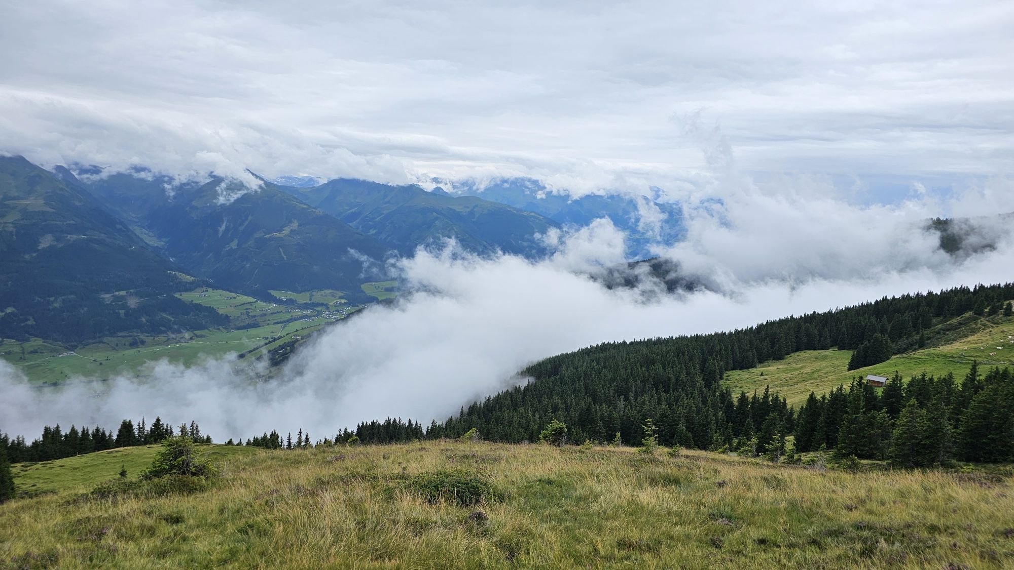
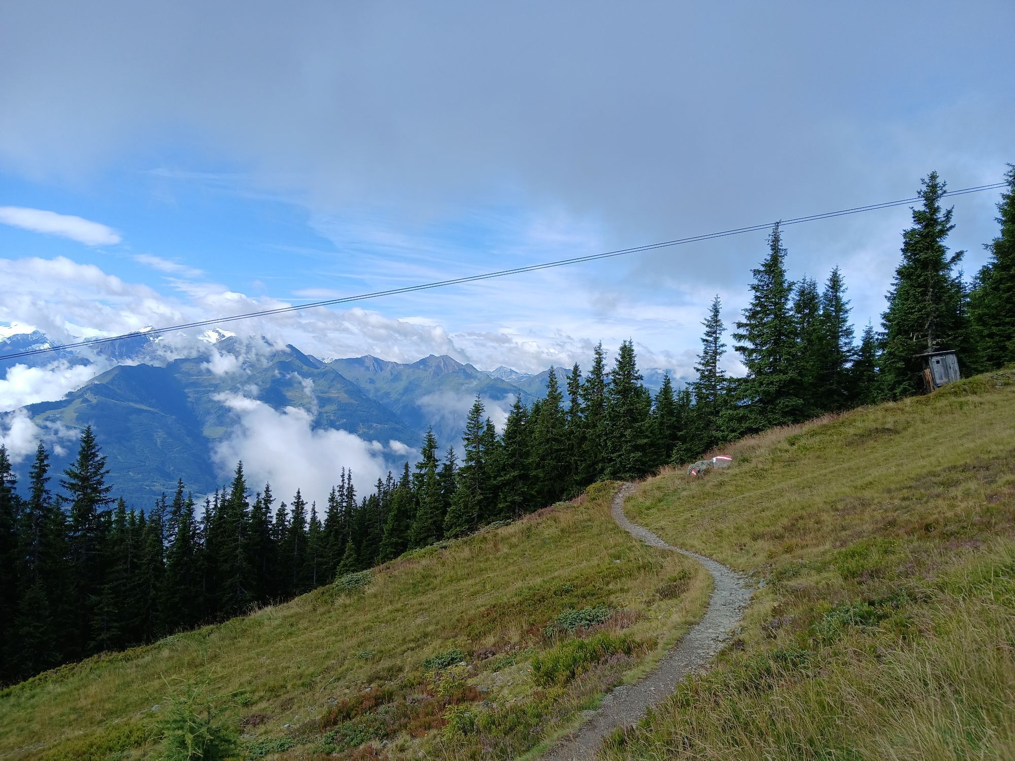


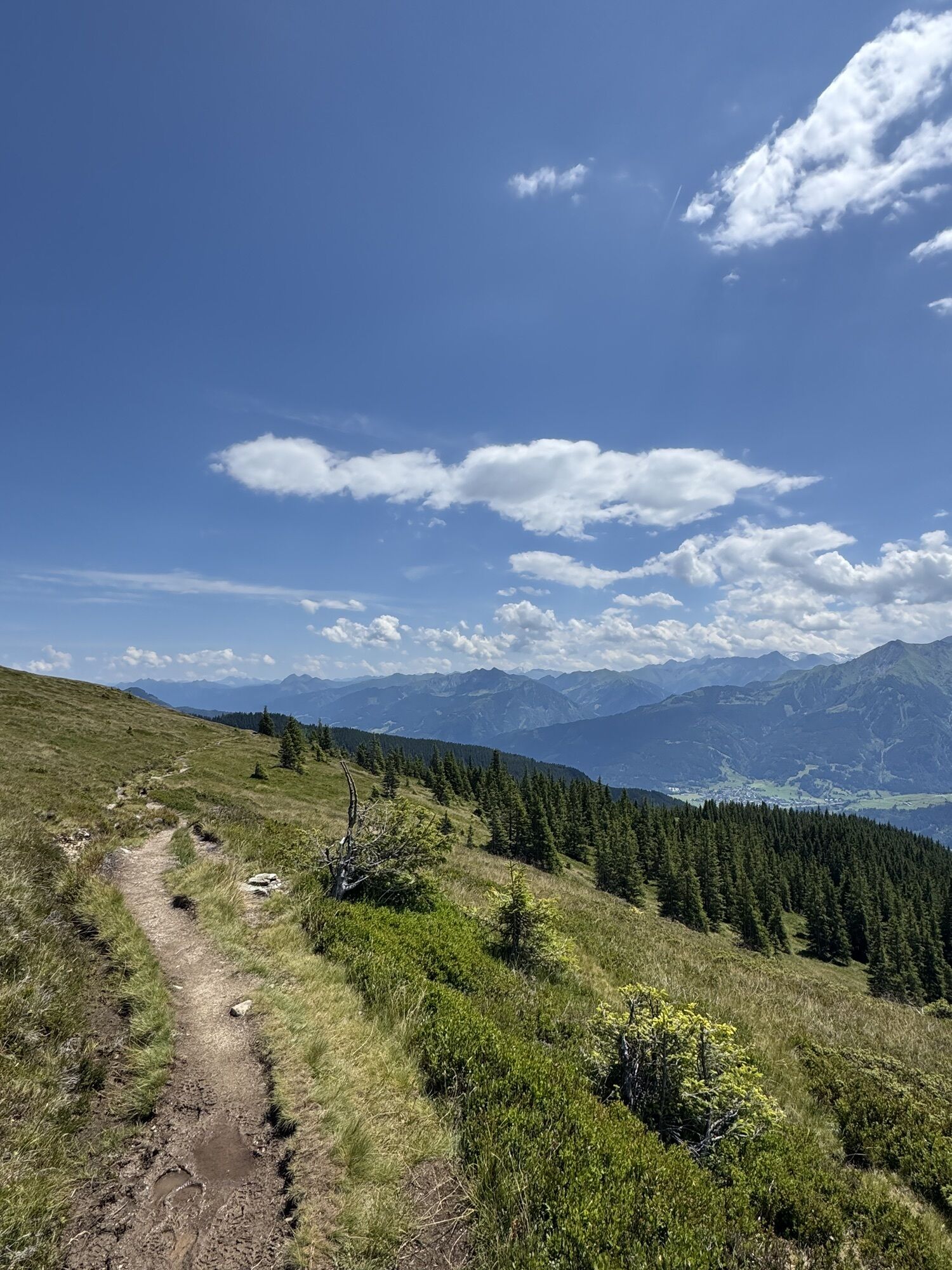
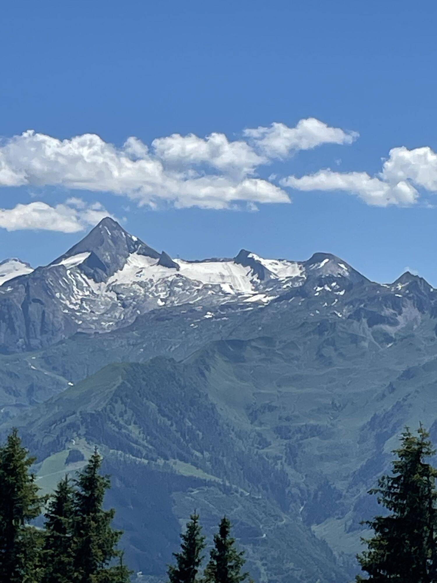
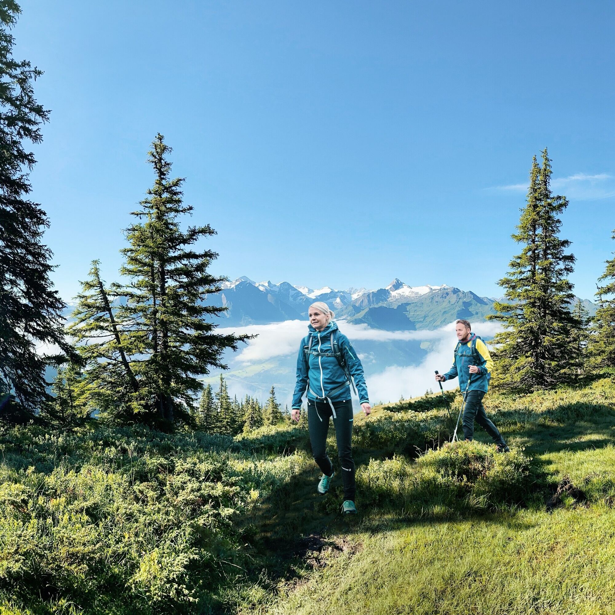
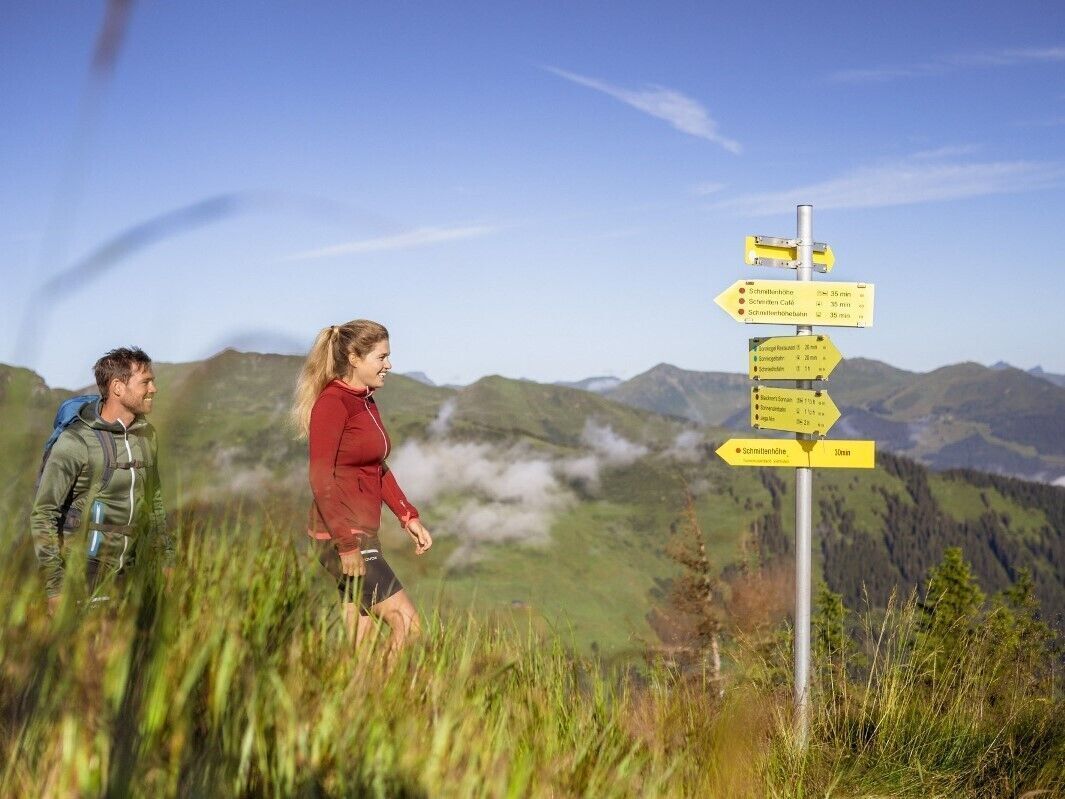
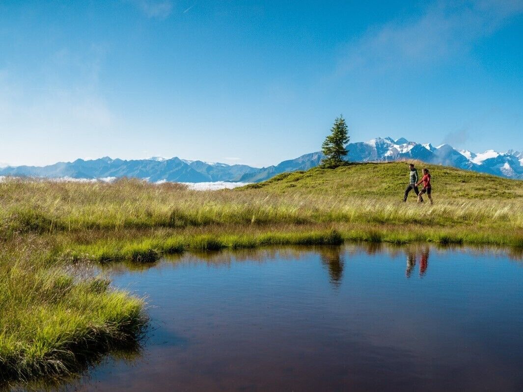
The route begins at Schmittenhöhe near Elisabethkapelle chapel and leads over Kettingtörl to Pinzgauer Hütte, along the Hahnkopflift over Kettingkopf and below the ridge to Hochsonnbergalm. It continues...
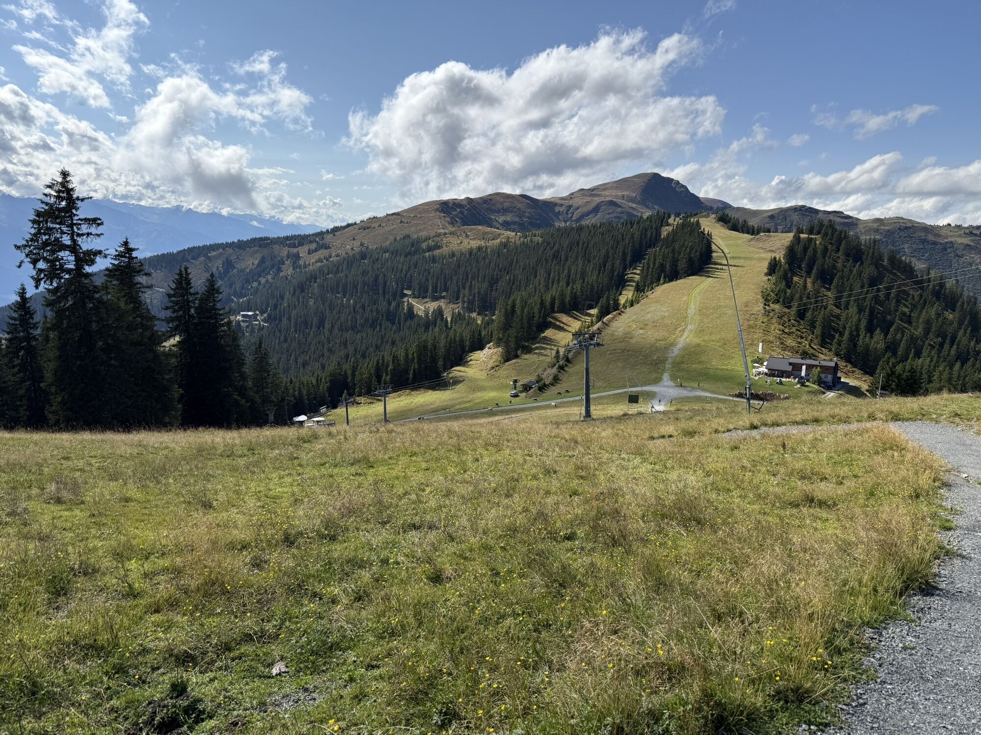
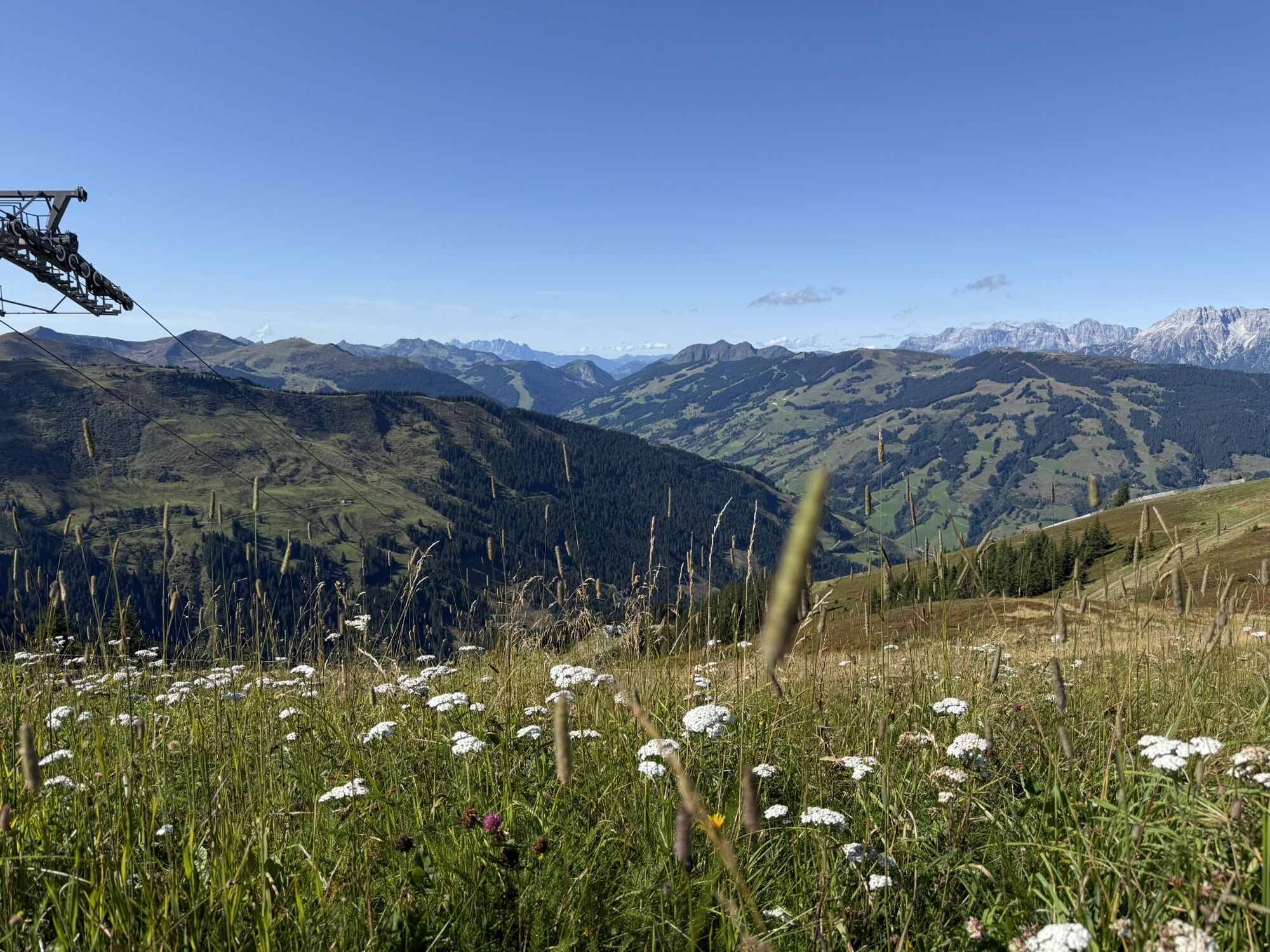
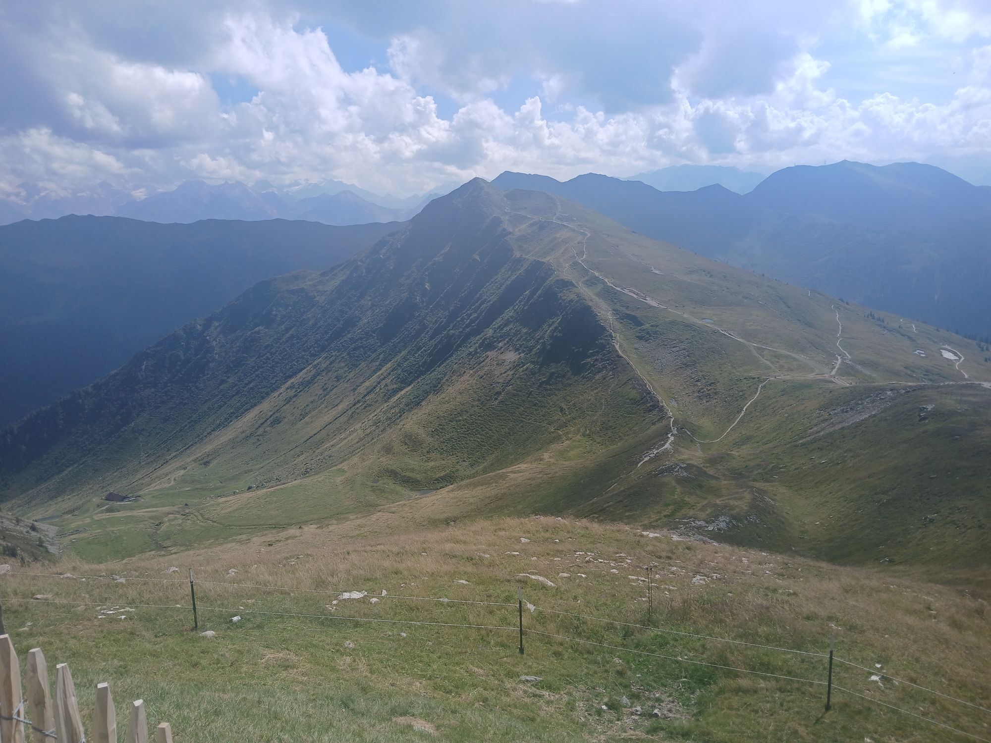
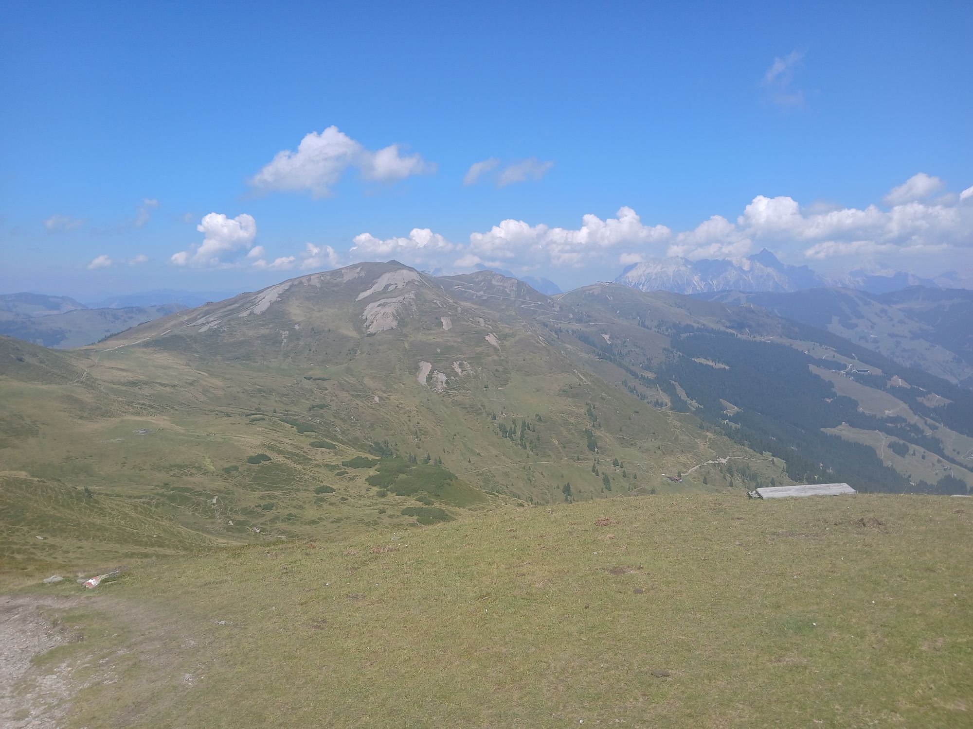
From Klingertörl, there are various options: descent via Hacklbergalm to Hinterglemm, continuation via Saalbachkogel and Stemmerkogel to Schattberg, or longer tours to Medalkogel and Bürglhütte with overnight accommodation.
Further options: Hike from the Klingertörl to the Medalkogel and descent to Uttendorf. For long-distance hikers, the Pinzgau Walk ends at the Bürglhütte (overnight accommodation) - descent to Stuhlfelden. Röhrertörl: approx. 2.5 h, descent to Piesendorf: approx. 3.5 h, descent to Niedernsill: approx. 6 h, Klingertörl: 5 h, descent to Uttendorf: approx. 8 h, Bürgl Hütte: approx. 10 h, Schattberg: approx. 6 h, descent to Hinterglemm: approx. 9 h
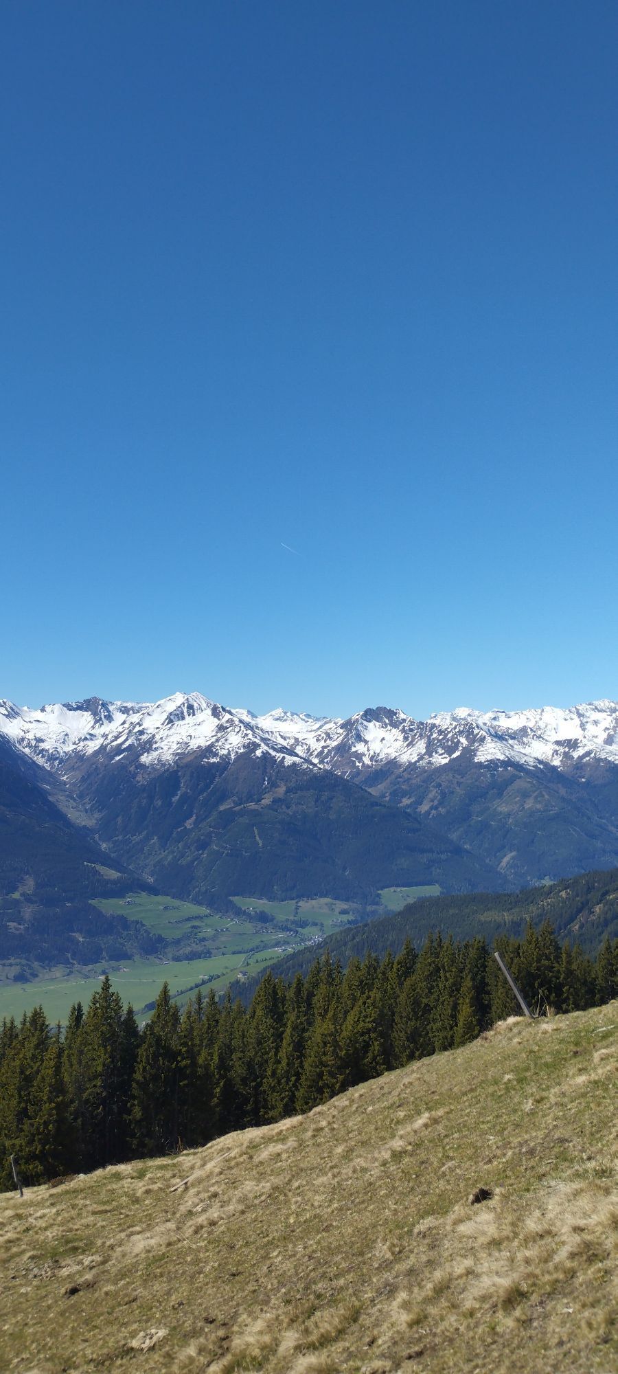
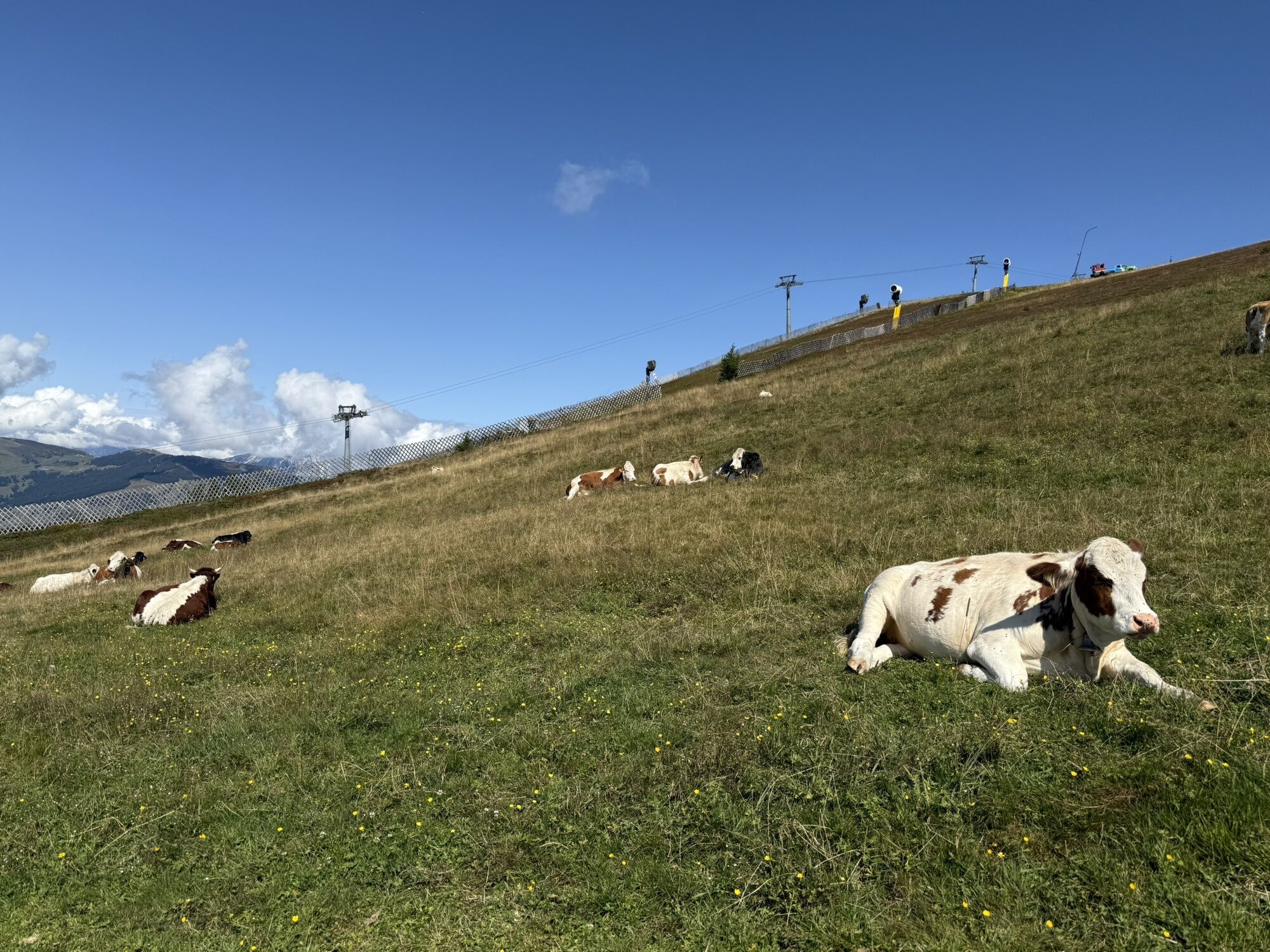
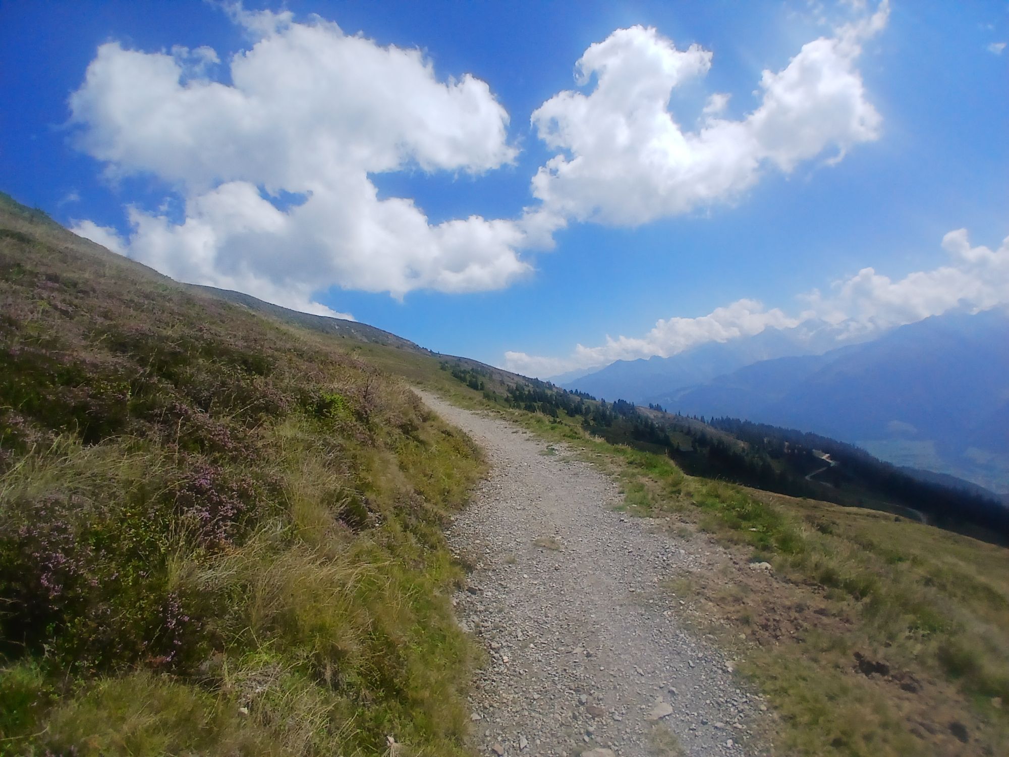
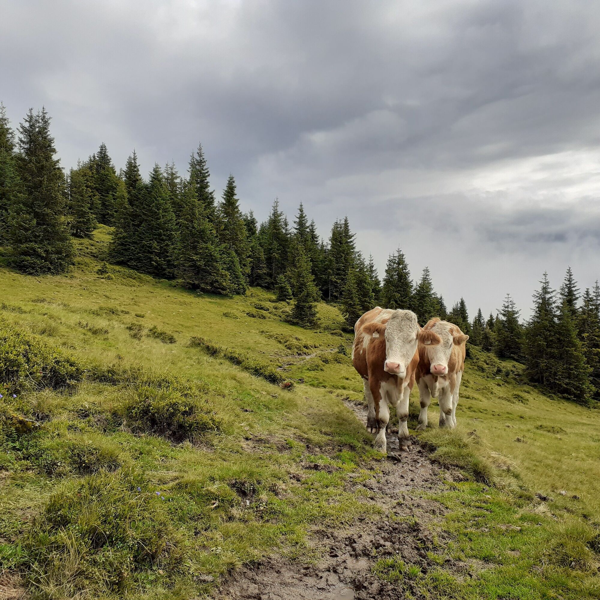
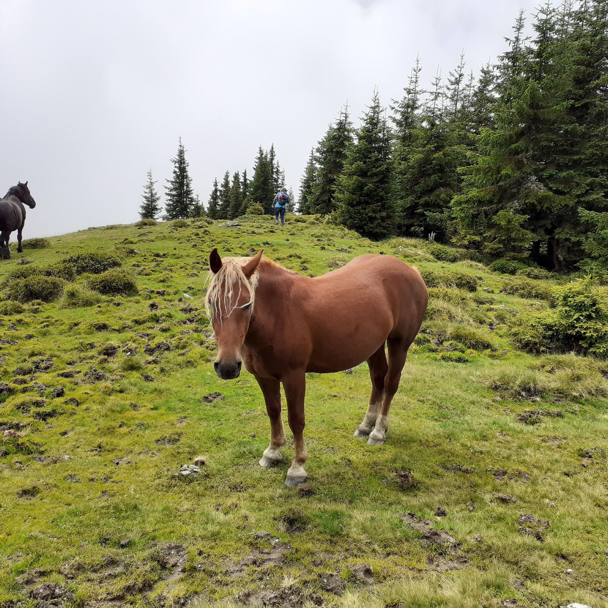
There are no open huts or mountain restaurants along the route! Bring sufficient supplies – ideally two complete meals, additional snacks and several litres of water. Good food wear, protection agains rain and sun! The weather can change quickly in the mountains!
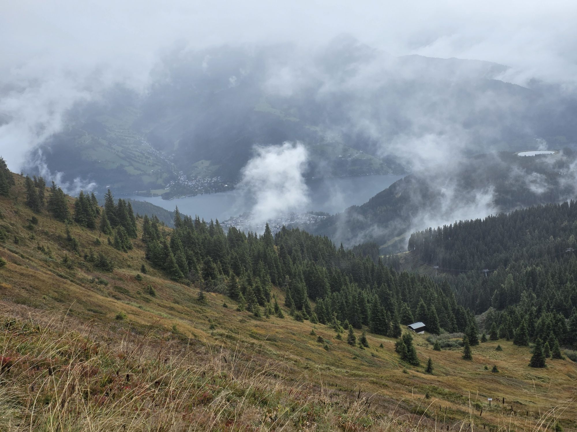
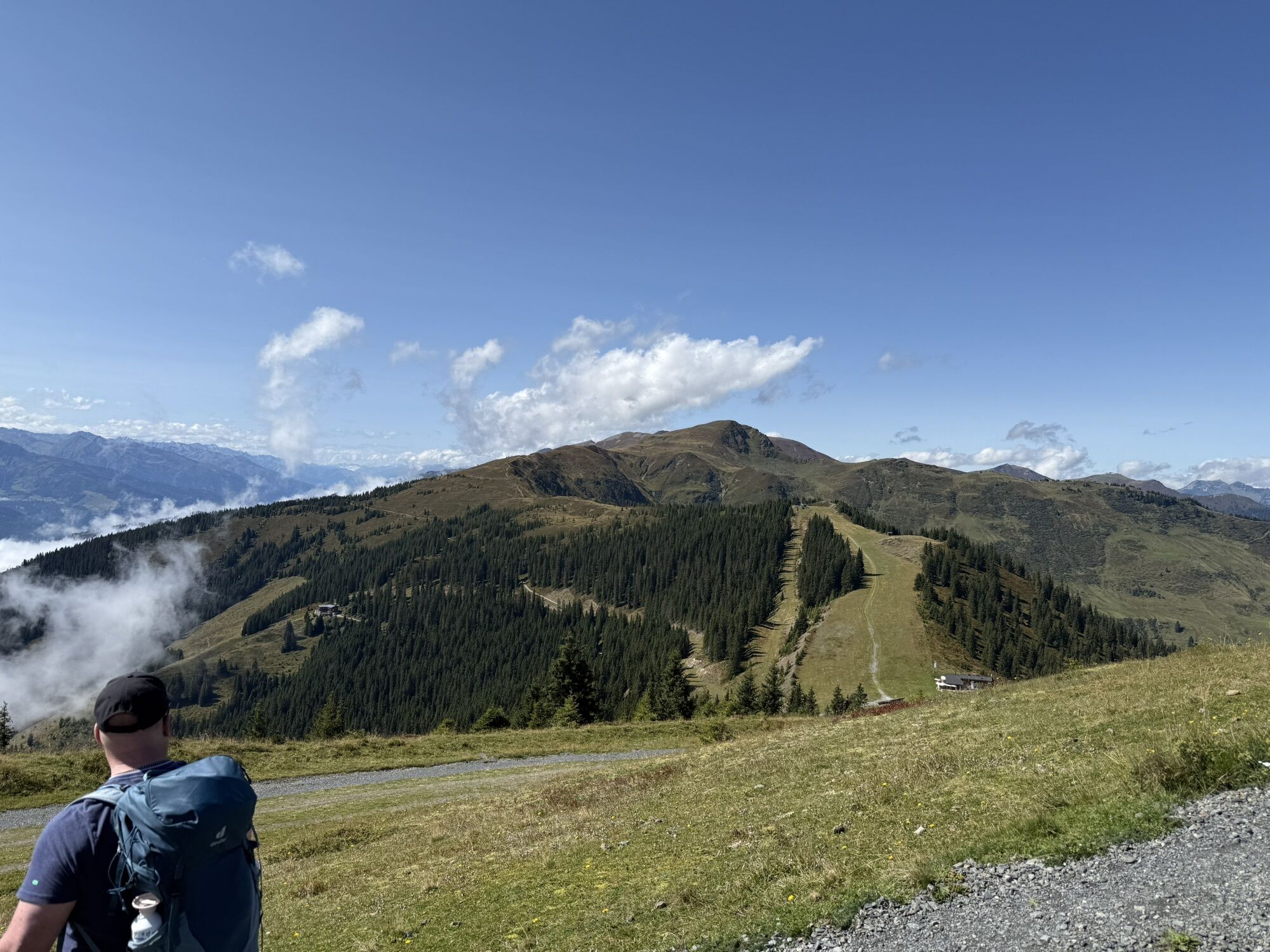
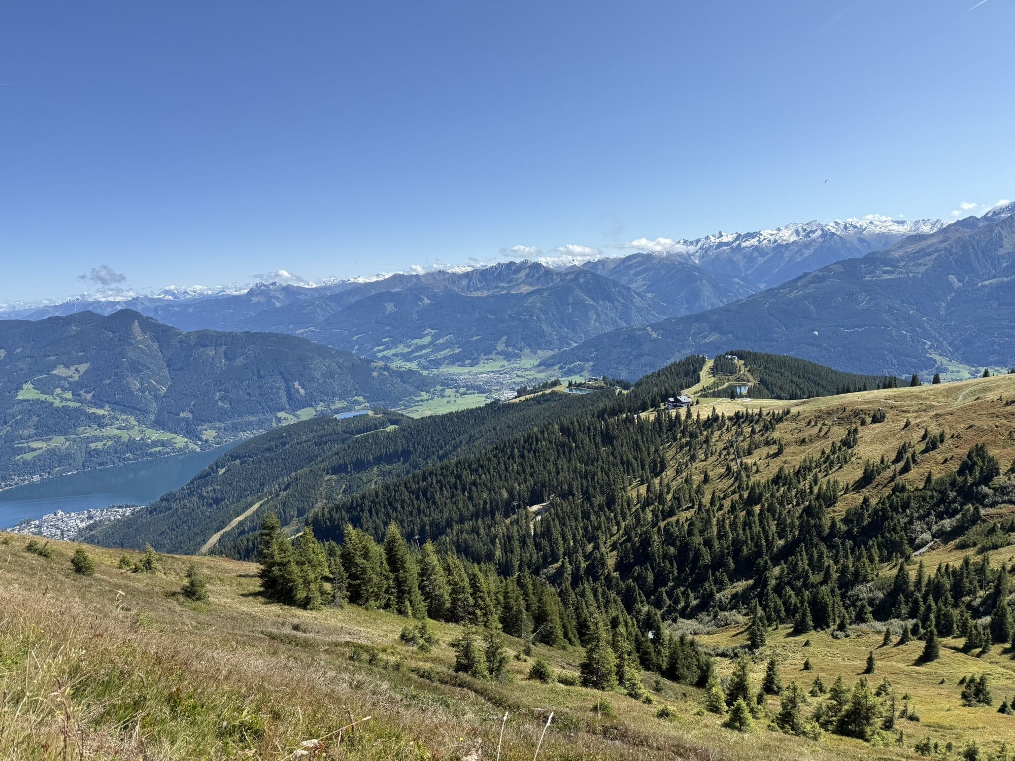
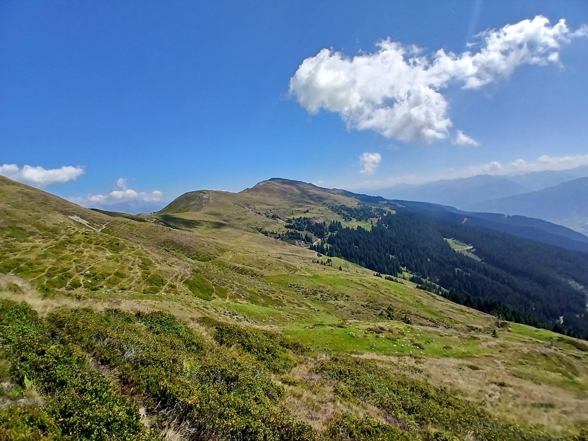
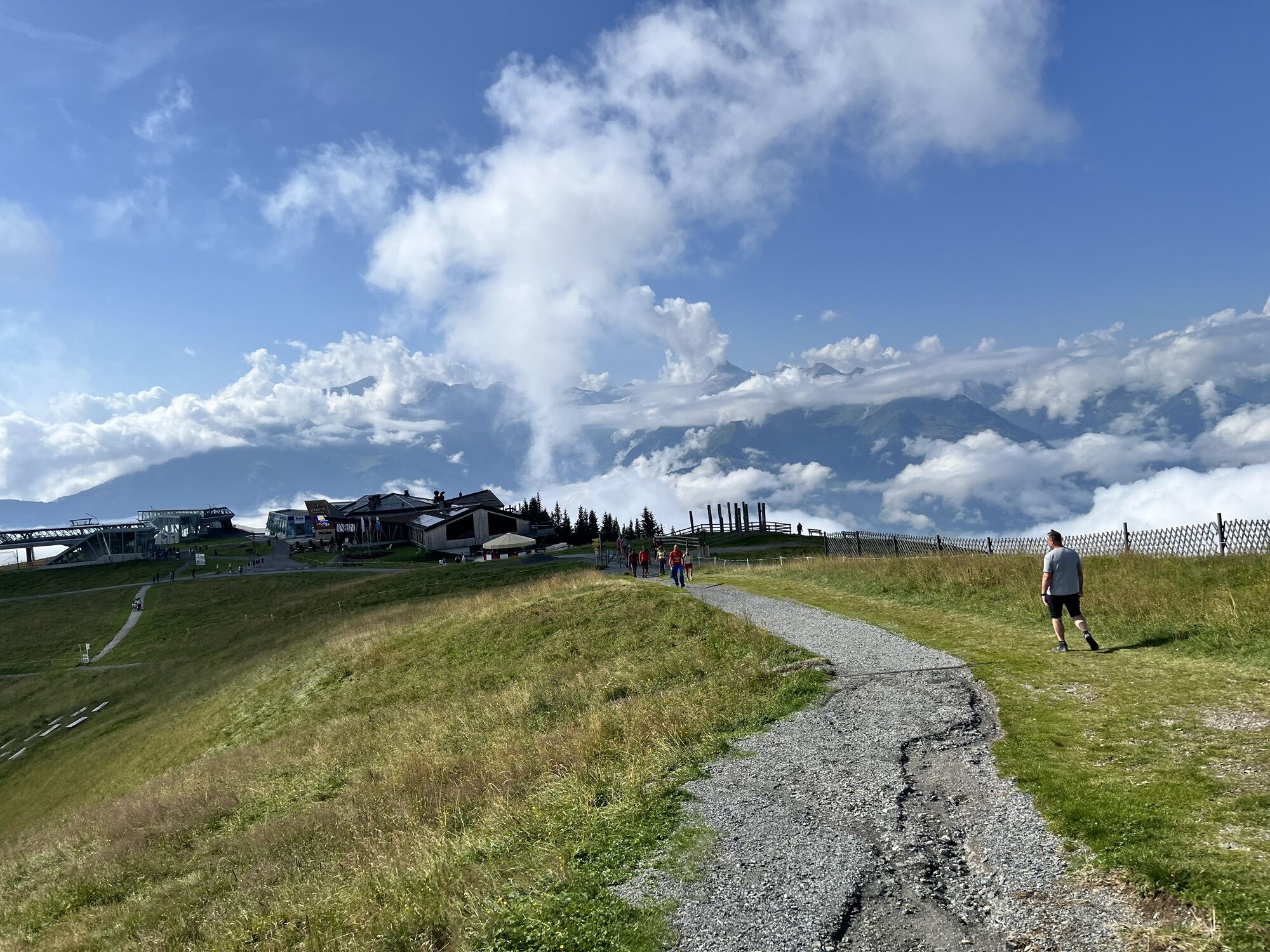
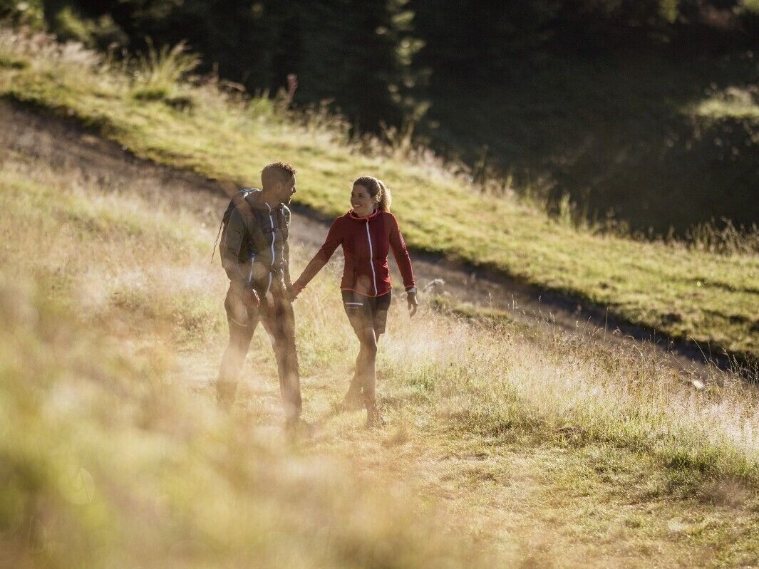
Ride up on the Schmittenhöhe cable car. Afterwards hike along the "Pinzgau Walk" to Saalbach. Ride down on the Schattberg X-Press. Back by bus to the original starting point.
Spletne kamere s turneje
Schmittenhöhe
Schattberg - West
Schattberg Westgipfel
Hinterglemm Dorf
Kohlmais Tal
Zell am See / Hotel Berner
Hinterglemm - Saalbach
Saalbach-Hinterglemm - Schattberg Ost
Saalbach-Hinterglemm - Zwölferkogel
Saalbach - Hotel Alpinresort
Zwölferkogel
zellamseeXpress
Martenhof
Wohlfühlhotel-Johanneshof
Eberharthof - Saalbach-Hinterglemm

Priljubljeni izleti v okolici
- 4,3
Schwalbenwand Nr. 80, 81, 82
srednjaPohodništvo 13,0 km - 4,8
Sigmund Thun Klamm, Klammsee, Bürgkogel
svetlobaPohodništvo 4,56 km - 4,0
Maurerkogel (Top)
Pohodništvo 10,5 km - 4,9
Hochsonnberg Runde
srednjaMountainbike 59,8 km - 4,5
Thumersbach, Runde um den Zeller See
svetlobaPohodništvo 13,3 km - 4,4
Sigmund Thun Klamm
svetlobaPohodništvo 3,10 km - 4,0
Berg der Sinne
svetlobaPohodništvo 4,39 km - 5,0
Panorama route 3 peaks and 2 lakes
srednjaPohodništvo 7,21 km - 5,0
Leo’s play hiking trail
svetlobaTematska pot 4,89 km - 4,2
Saalachtaler Höhenweg EAST (Asitz - Biberg)
srednjaPohodništvo 13,1 km
Pohodništvo in sledenje


Ne zamudite ponudb in navdiha za naslednje počitnice
Vaš e-poštni naslov je bil dodan na poštni seznam.