
Stage 4
svetloba
Pridobite to turo v svoj mobilni telefon
Stage 4
svetloba
Pohodništvo
15.98
km
Skenirajte kodo QR in začnite navigacijo v aplikaciji bergfex.


Pohodništvo in sledenje




Stage 4
svetloba
Razdalja
16.0
km
Trajanje
03:59
h
Ascent
1,269
hm
Morska gladina
1,278 -
2,444
m

V aplikaciji si oglej pot
Brezplačno namestite aplikacijo in spremljajte pot z GPS-navigacijo in sledenjem.
bergfex zdaj uporabljaj v aplikaciji
S kamero poskeniraj QR-kodo
Ko je aplikacija nameščena, se vsebina odpre takoj. Če aplikacije še nimaš, te bo preusmerila na stran za brezplačen prenos.
Prenos skladbe
Stage 4
svetloba
Pohodništvo
15.98
km
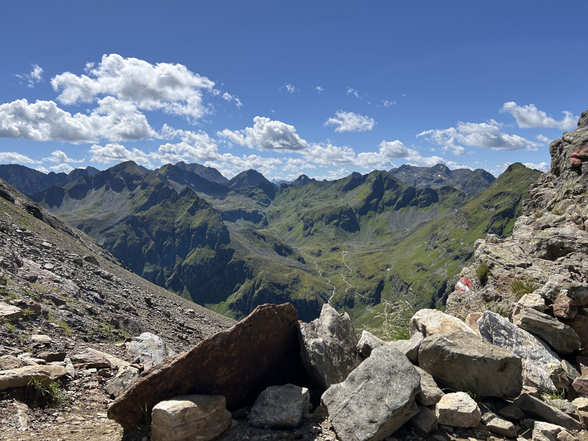
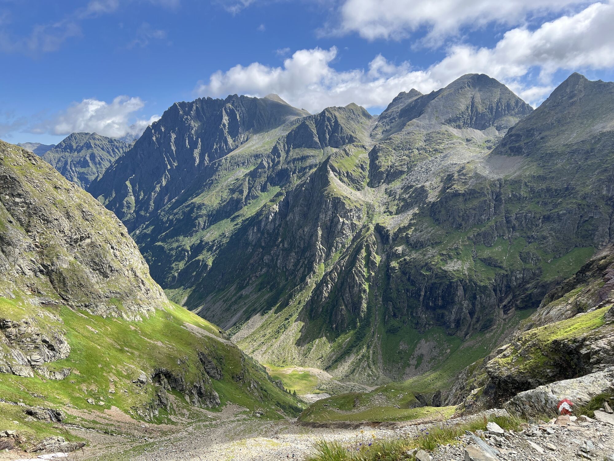
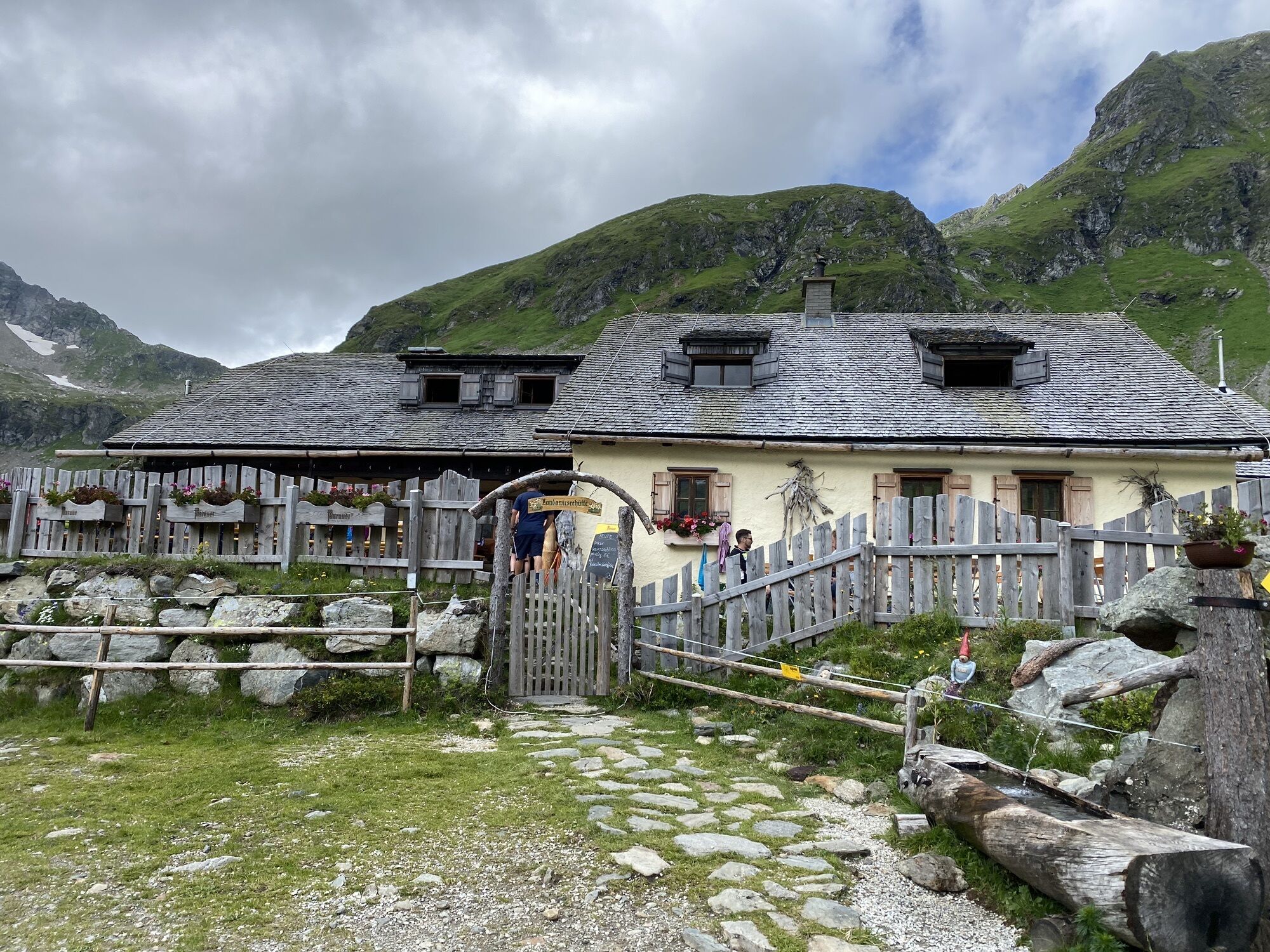
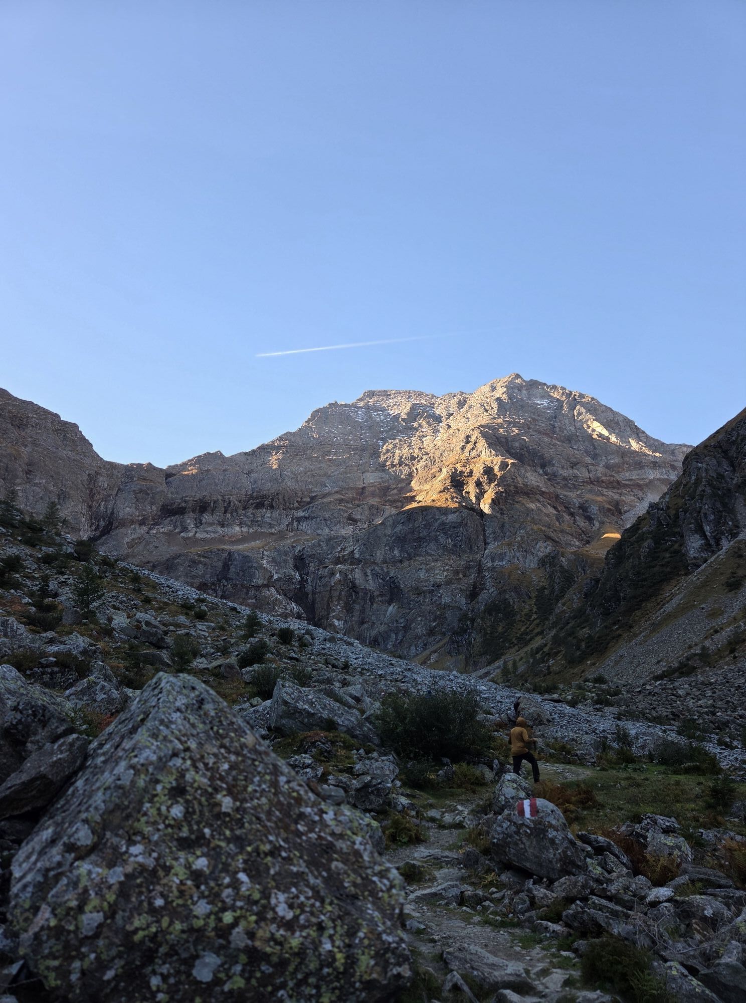
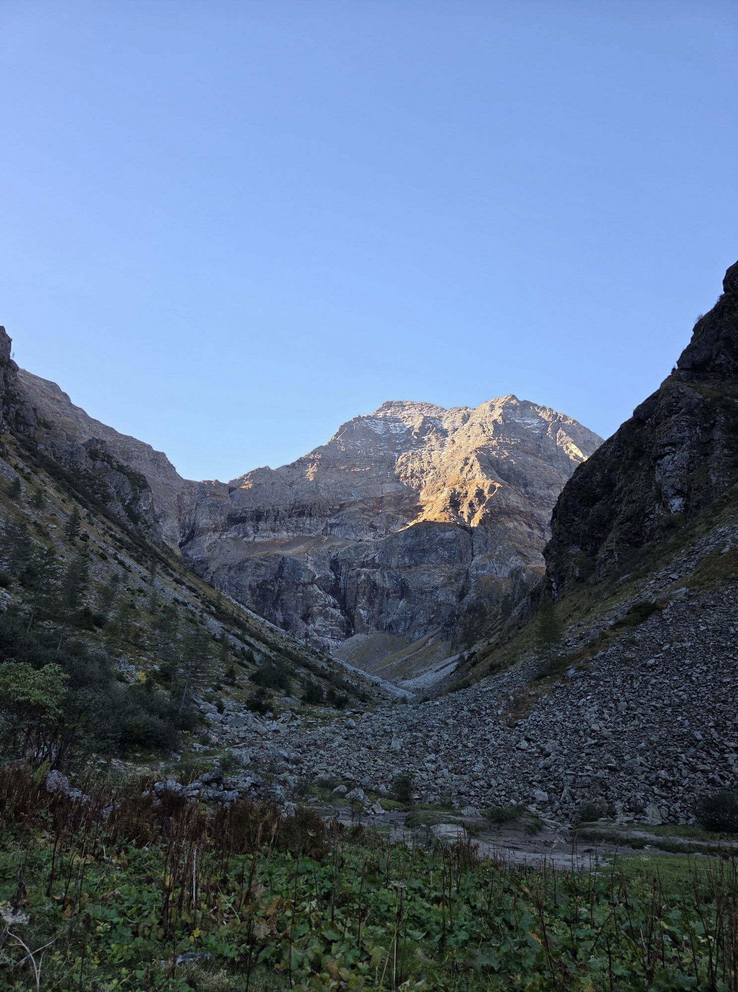
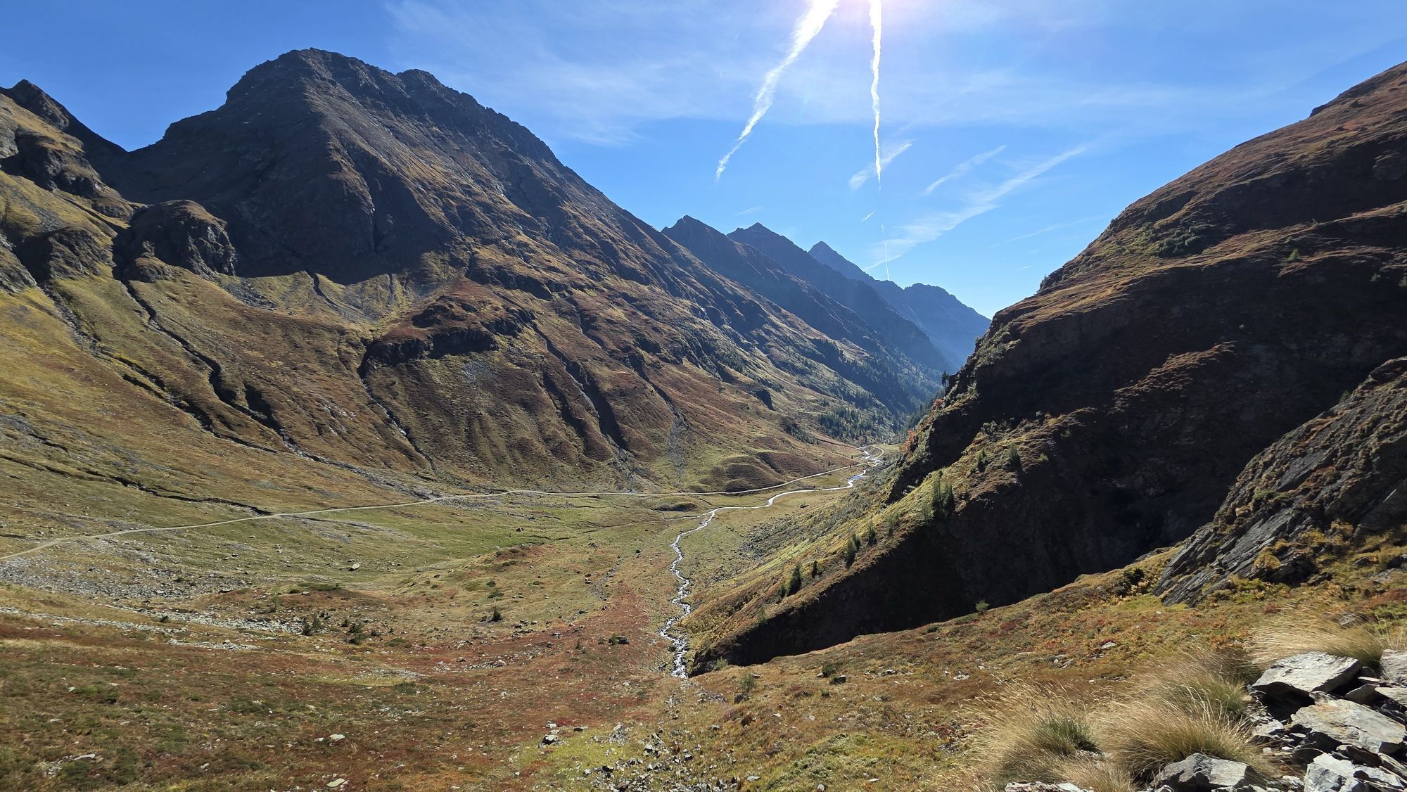
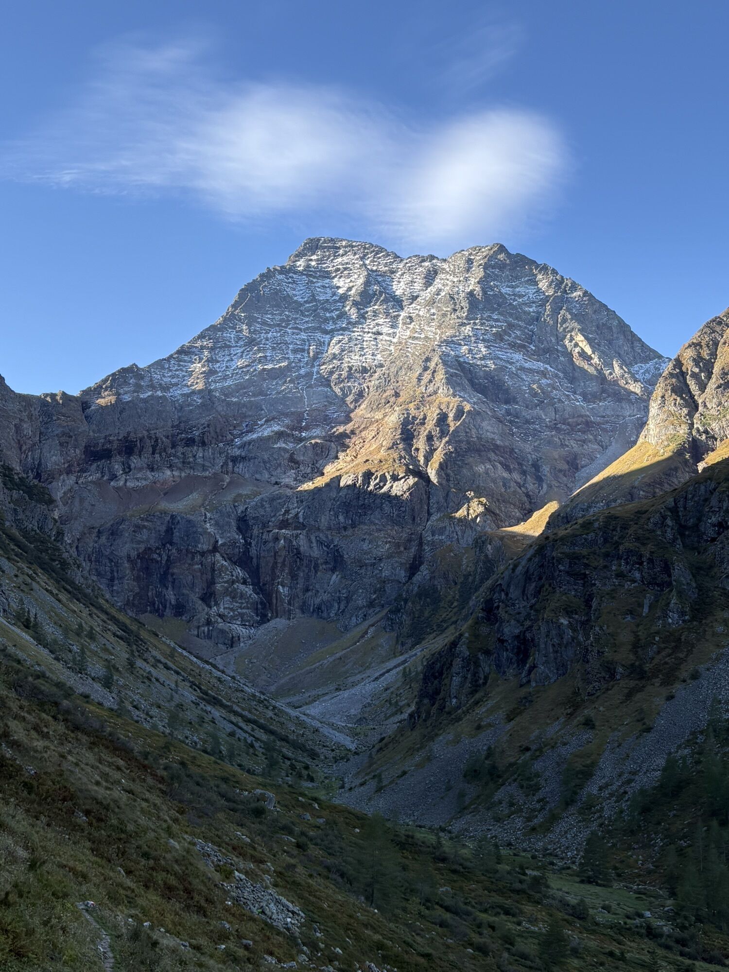
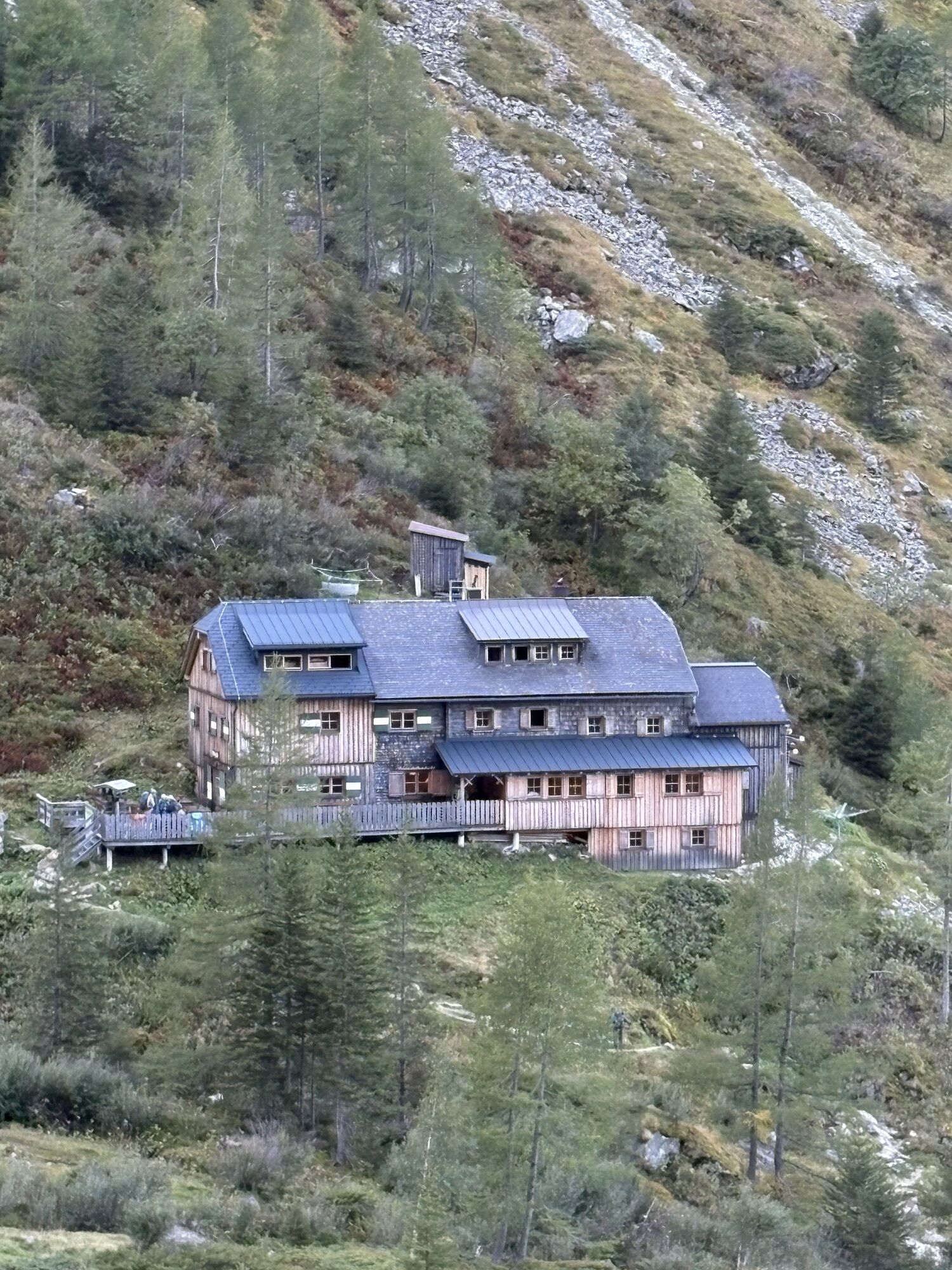
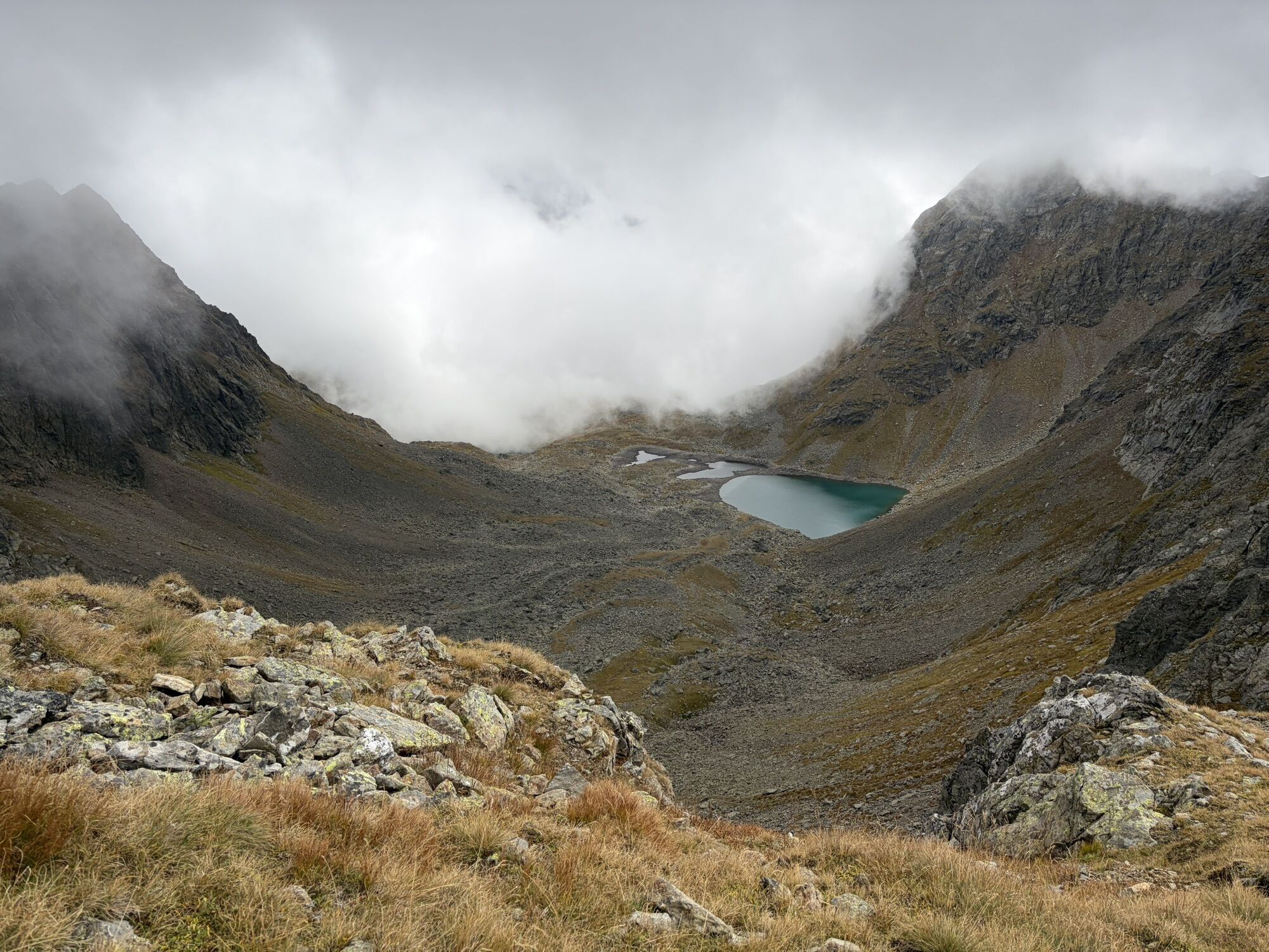
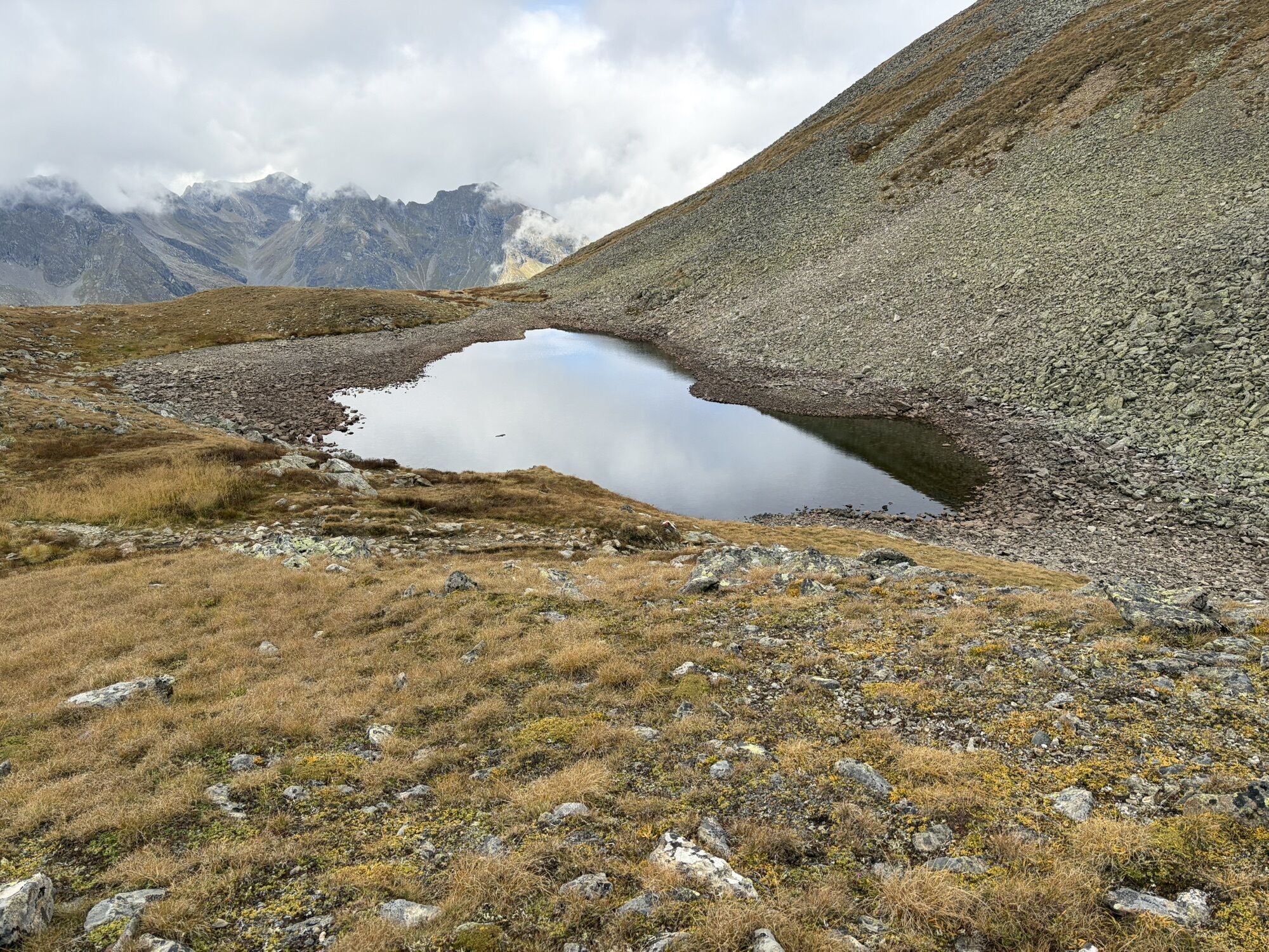
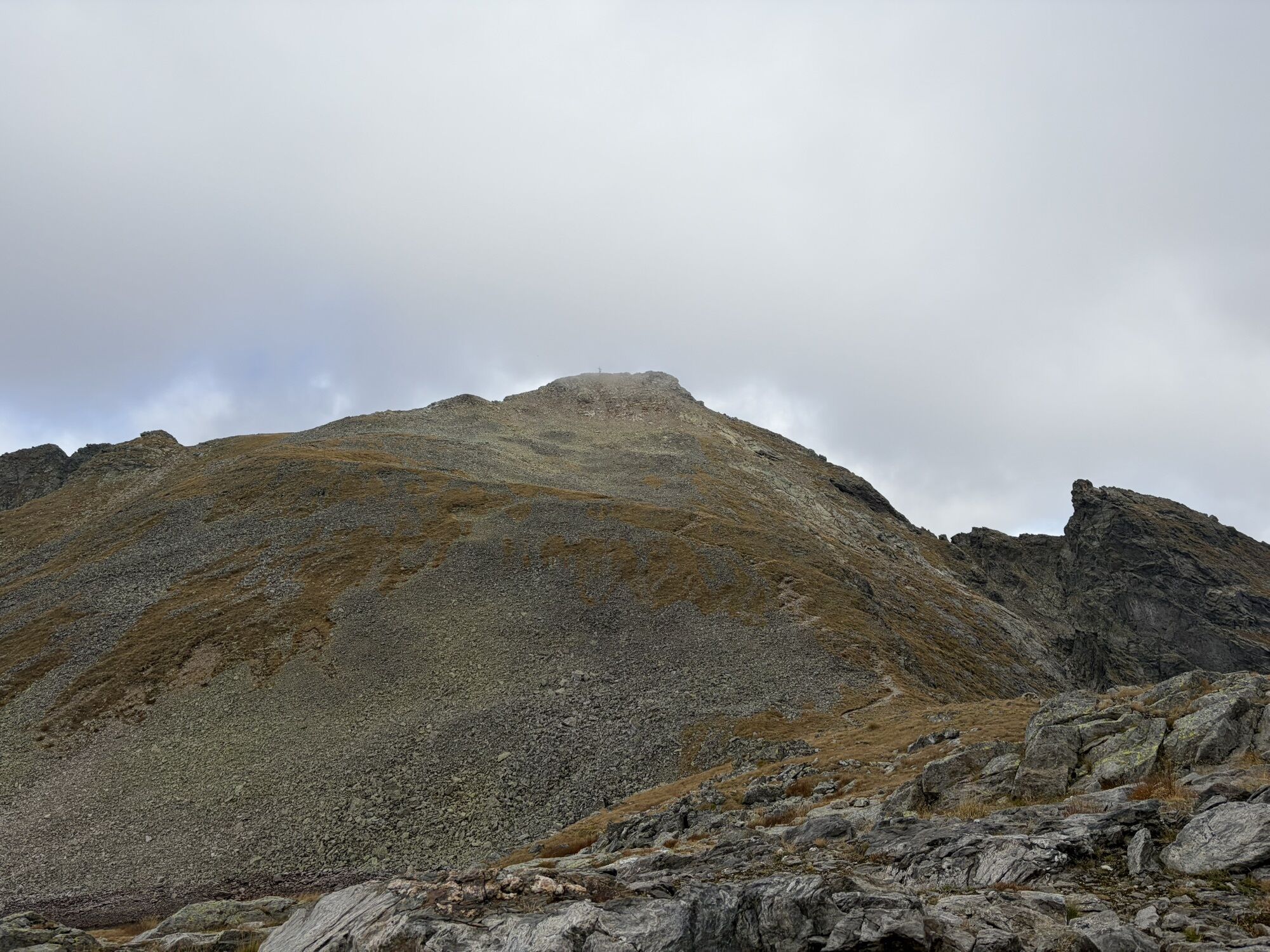
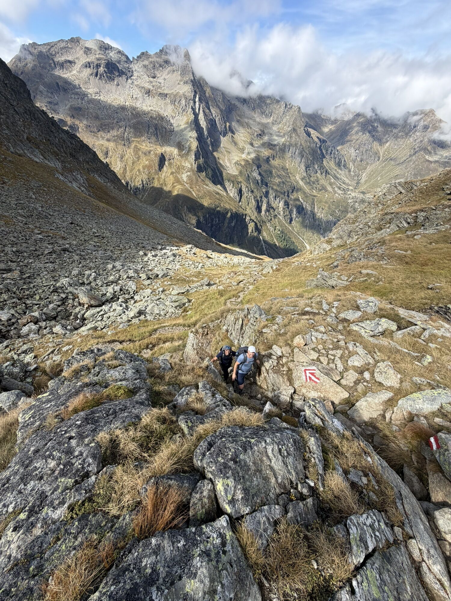
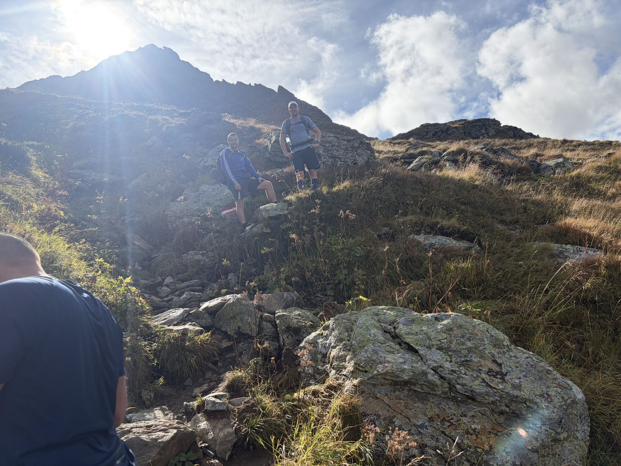
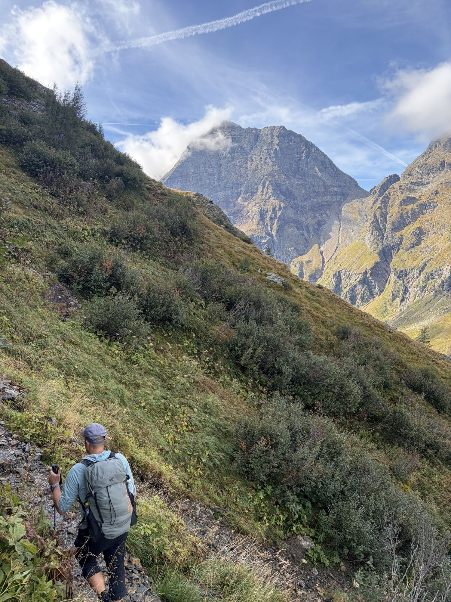
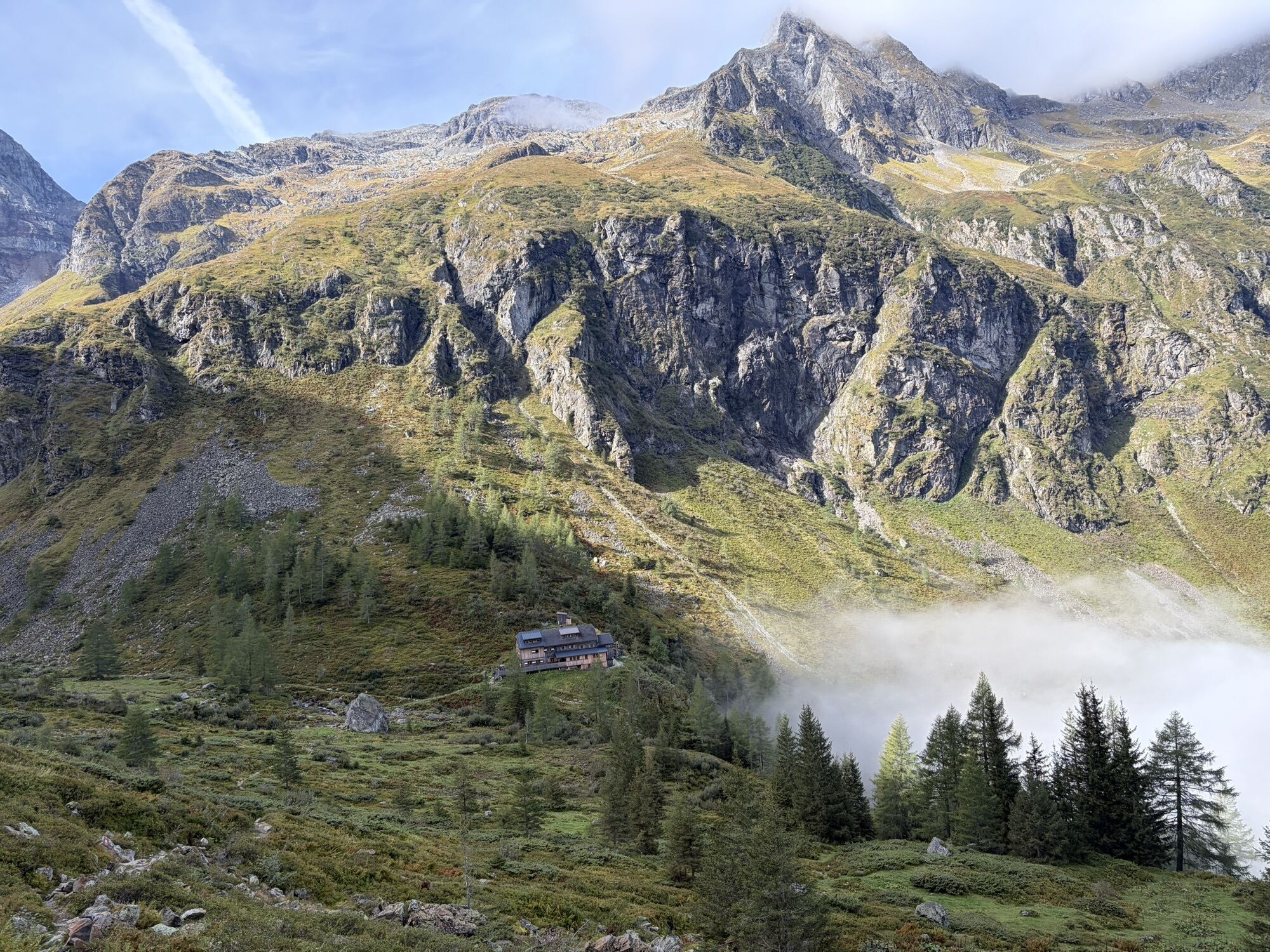
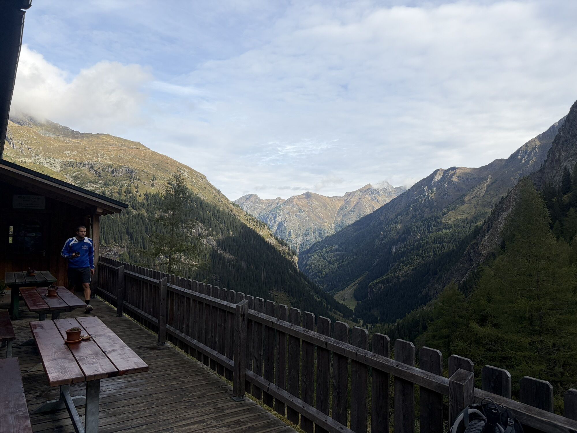
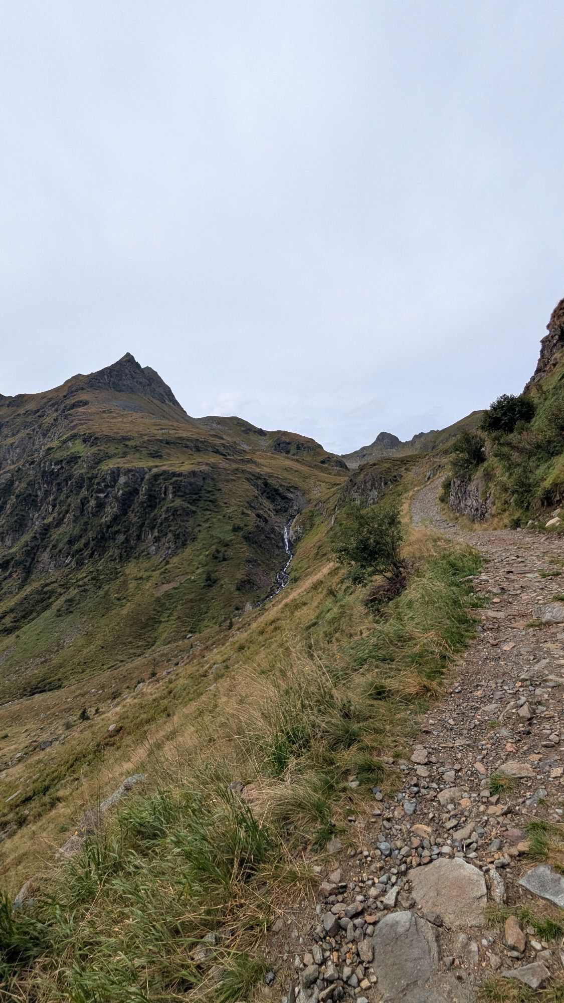
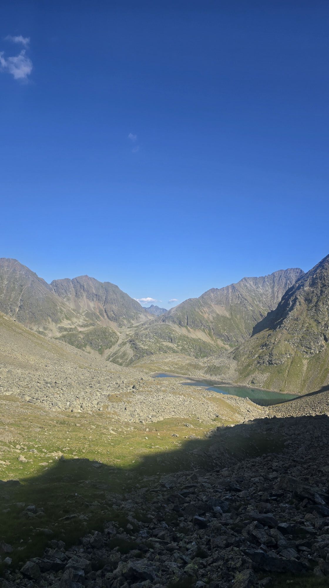
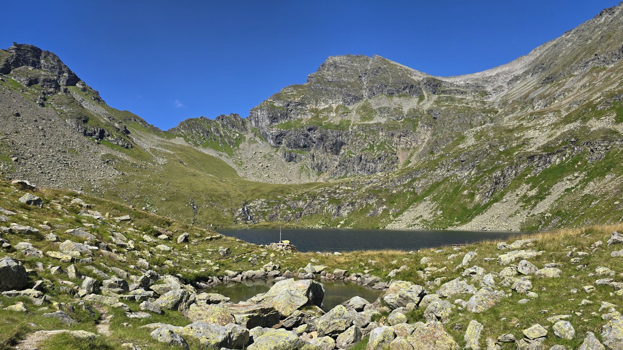
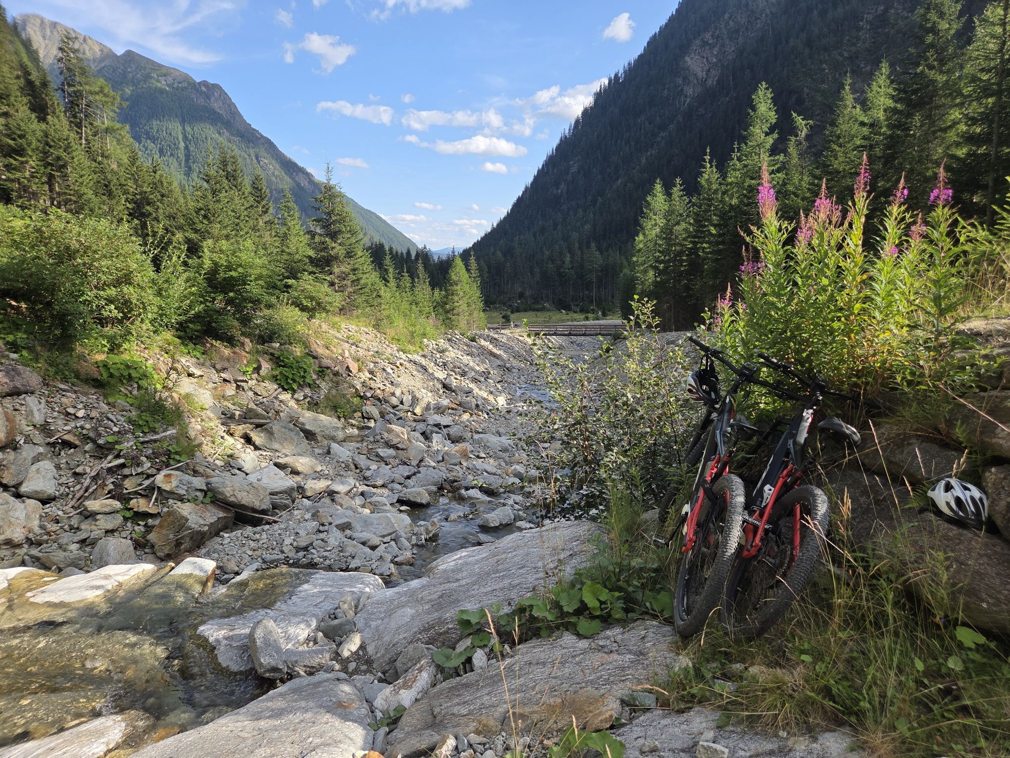
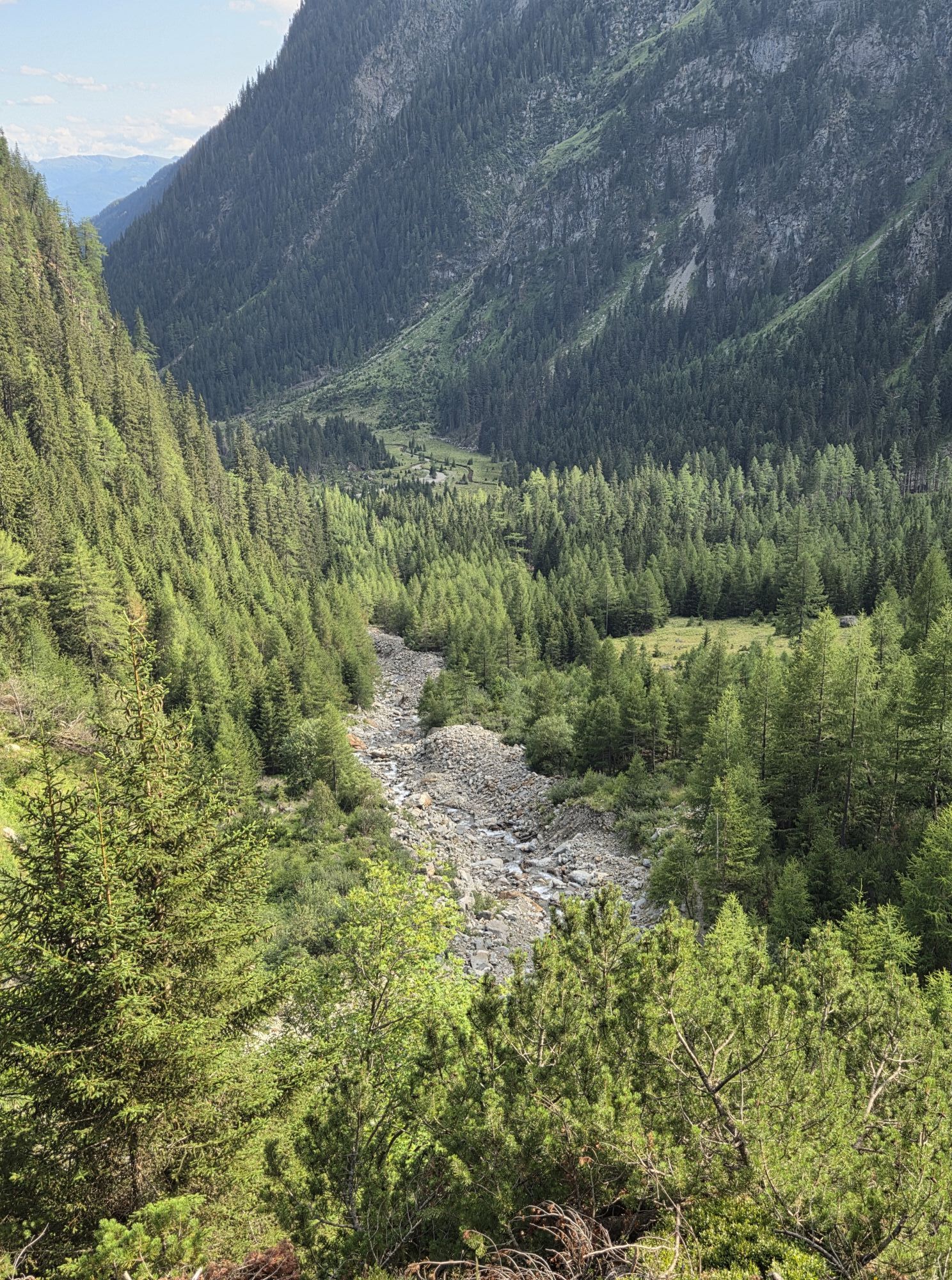
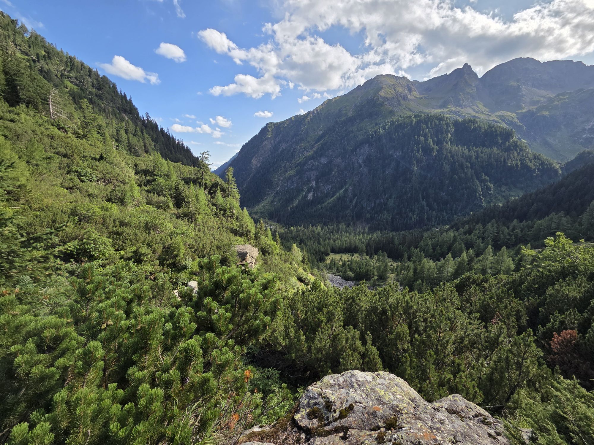
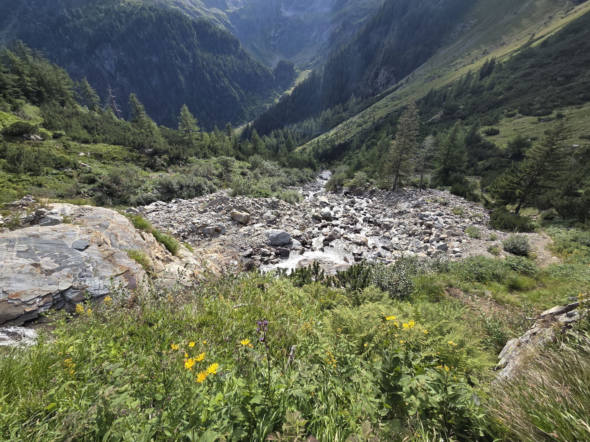
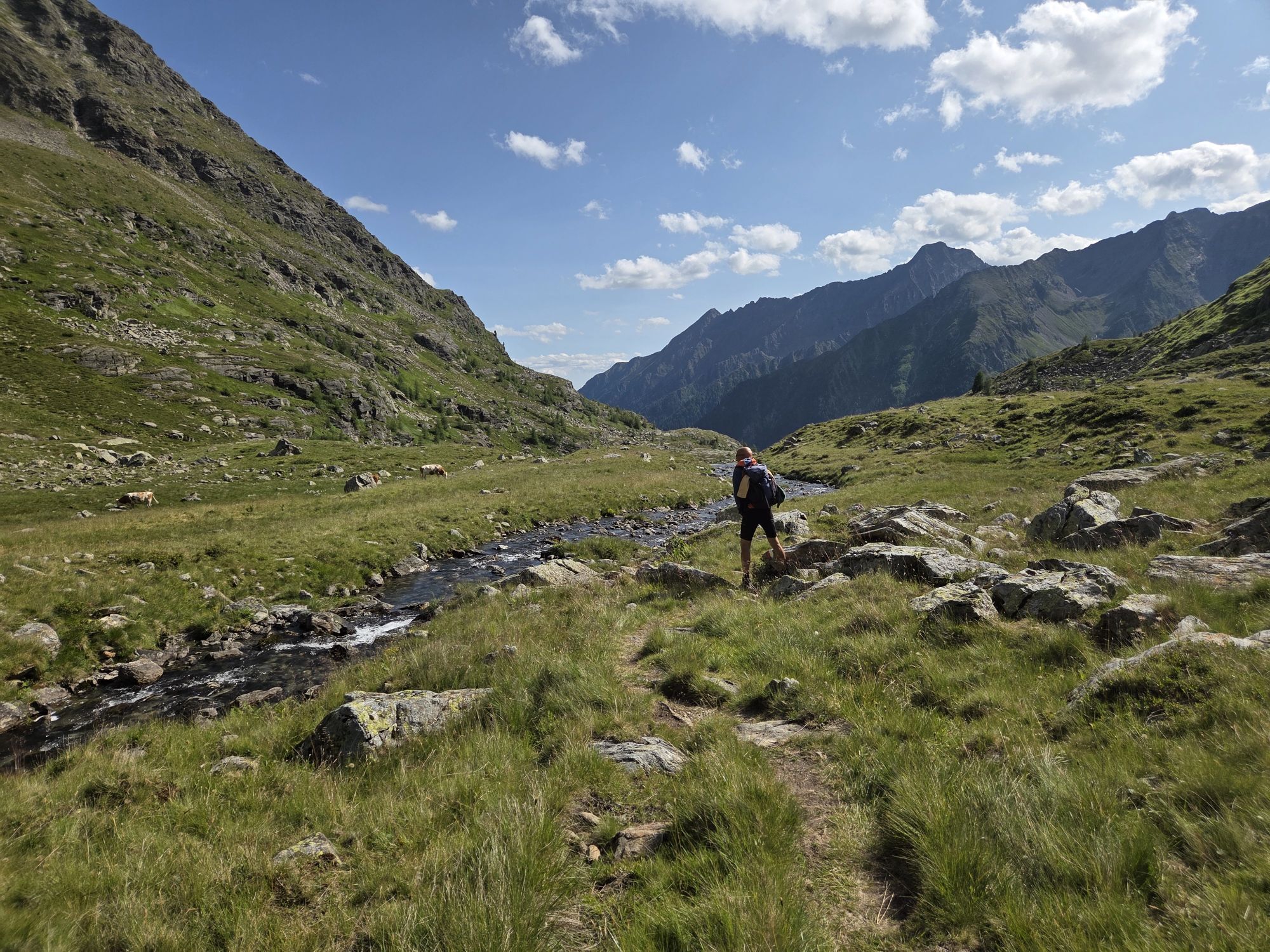
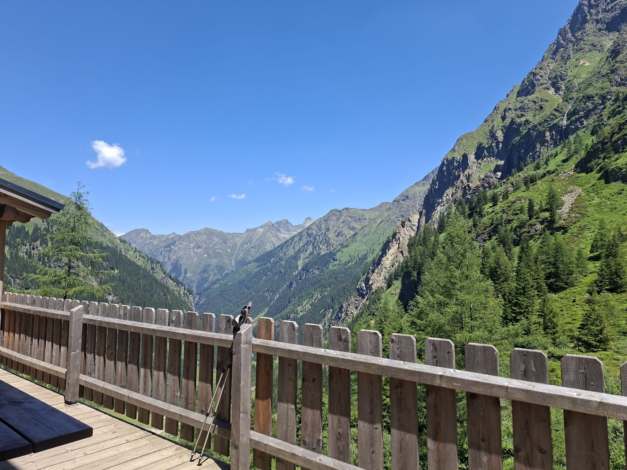
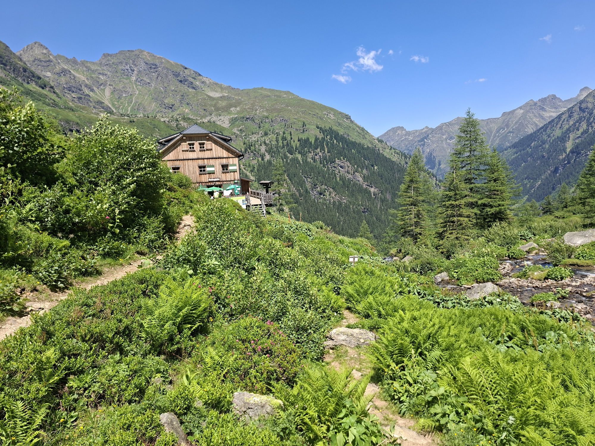
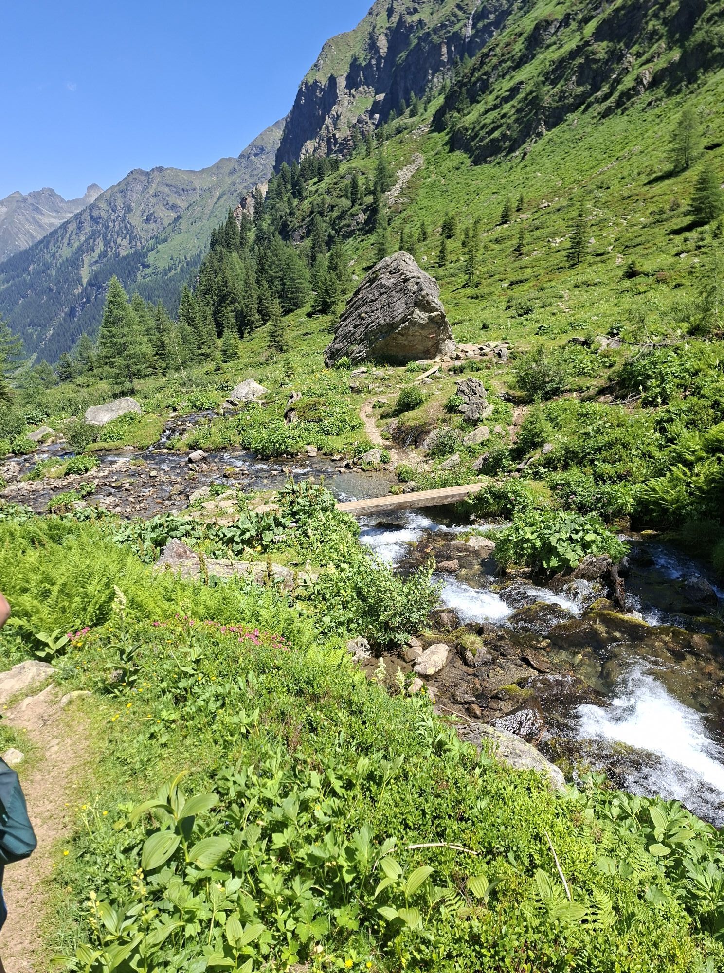
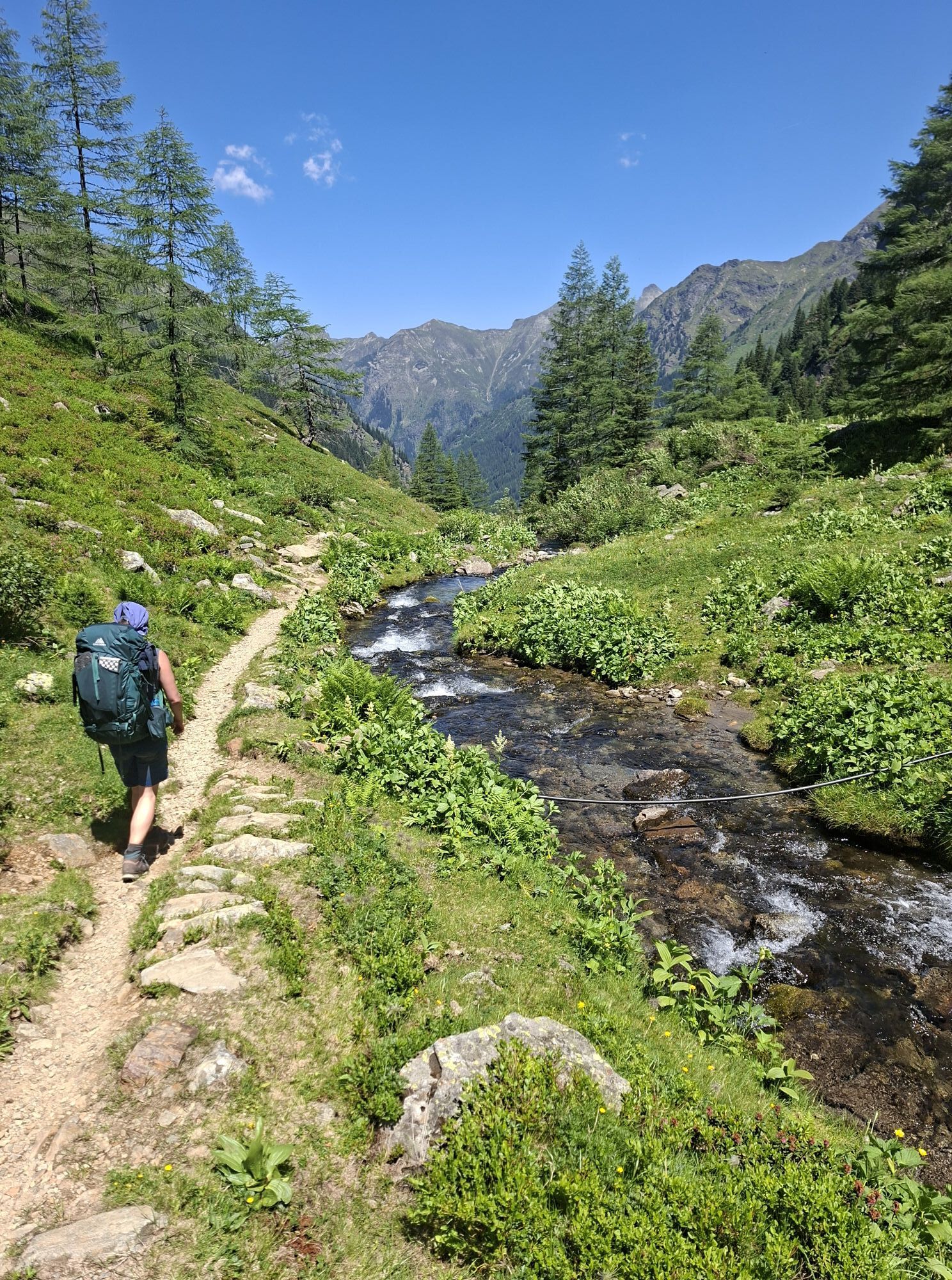
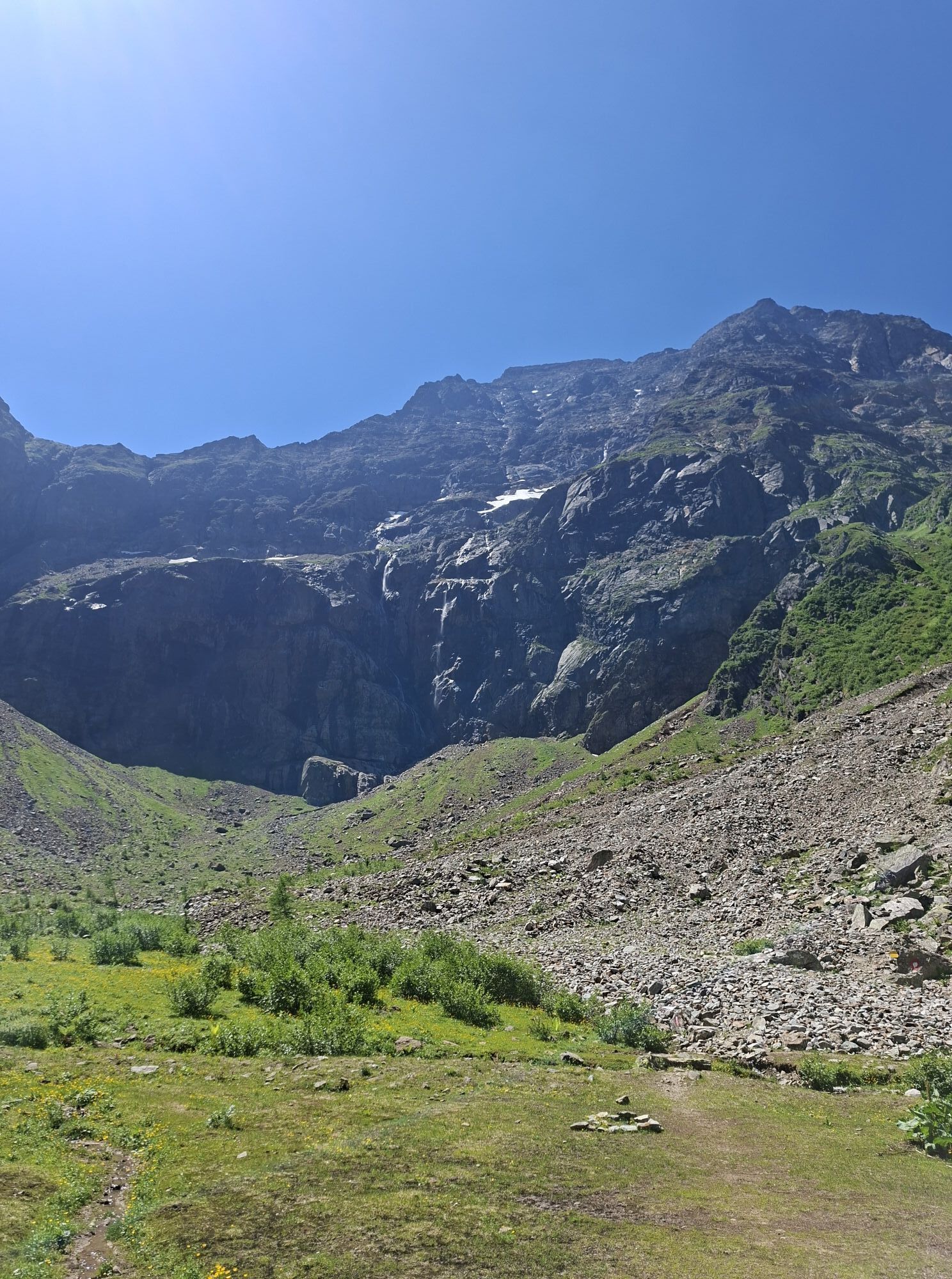

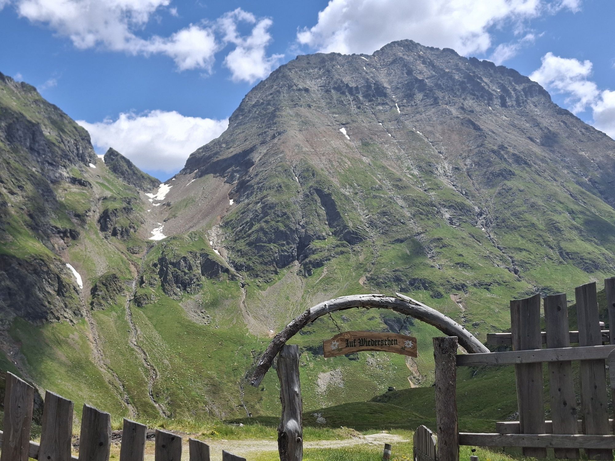
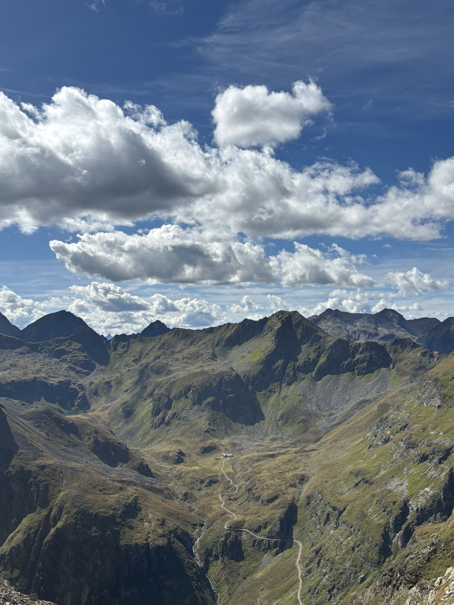
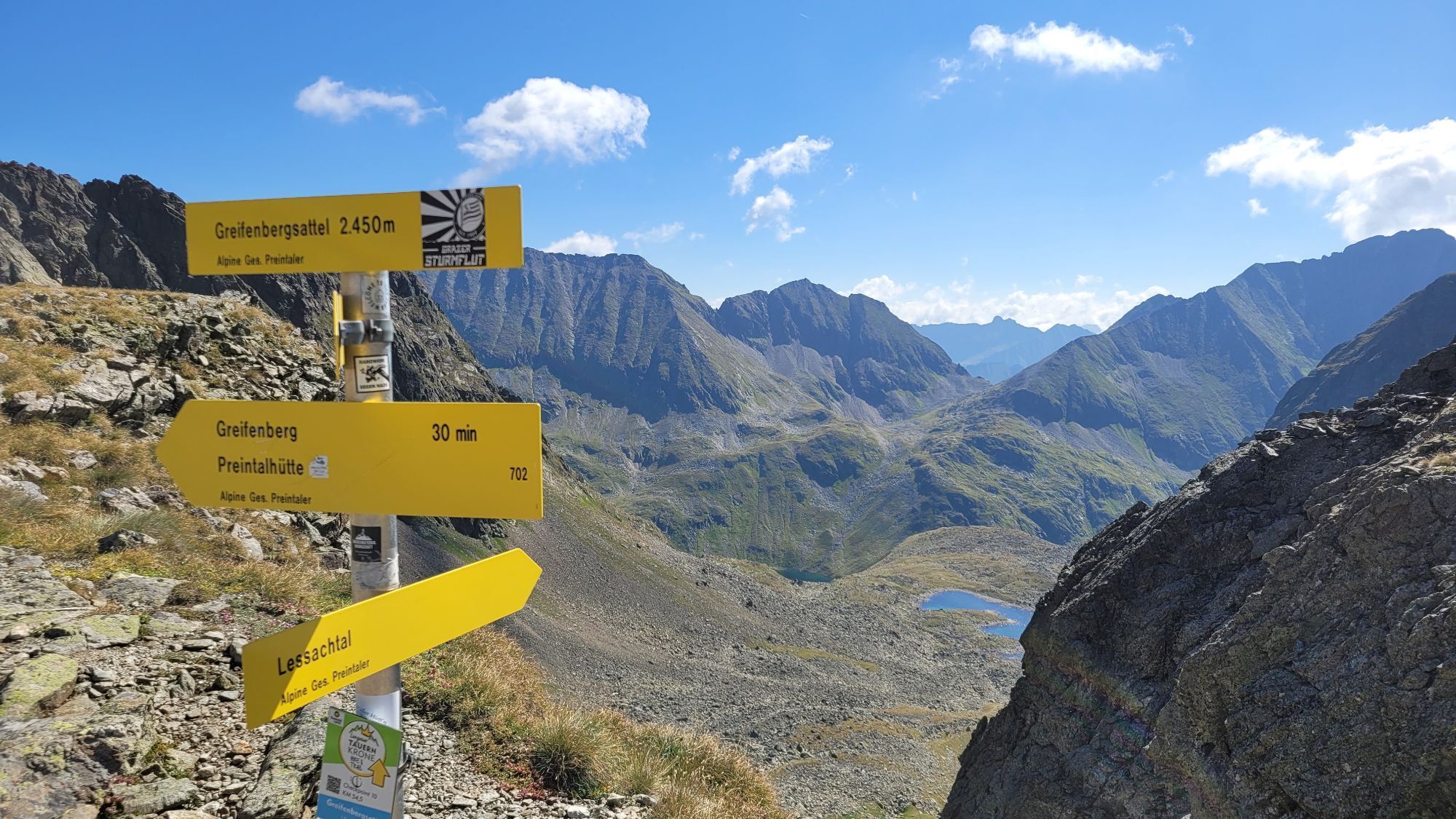
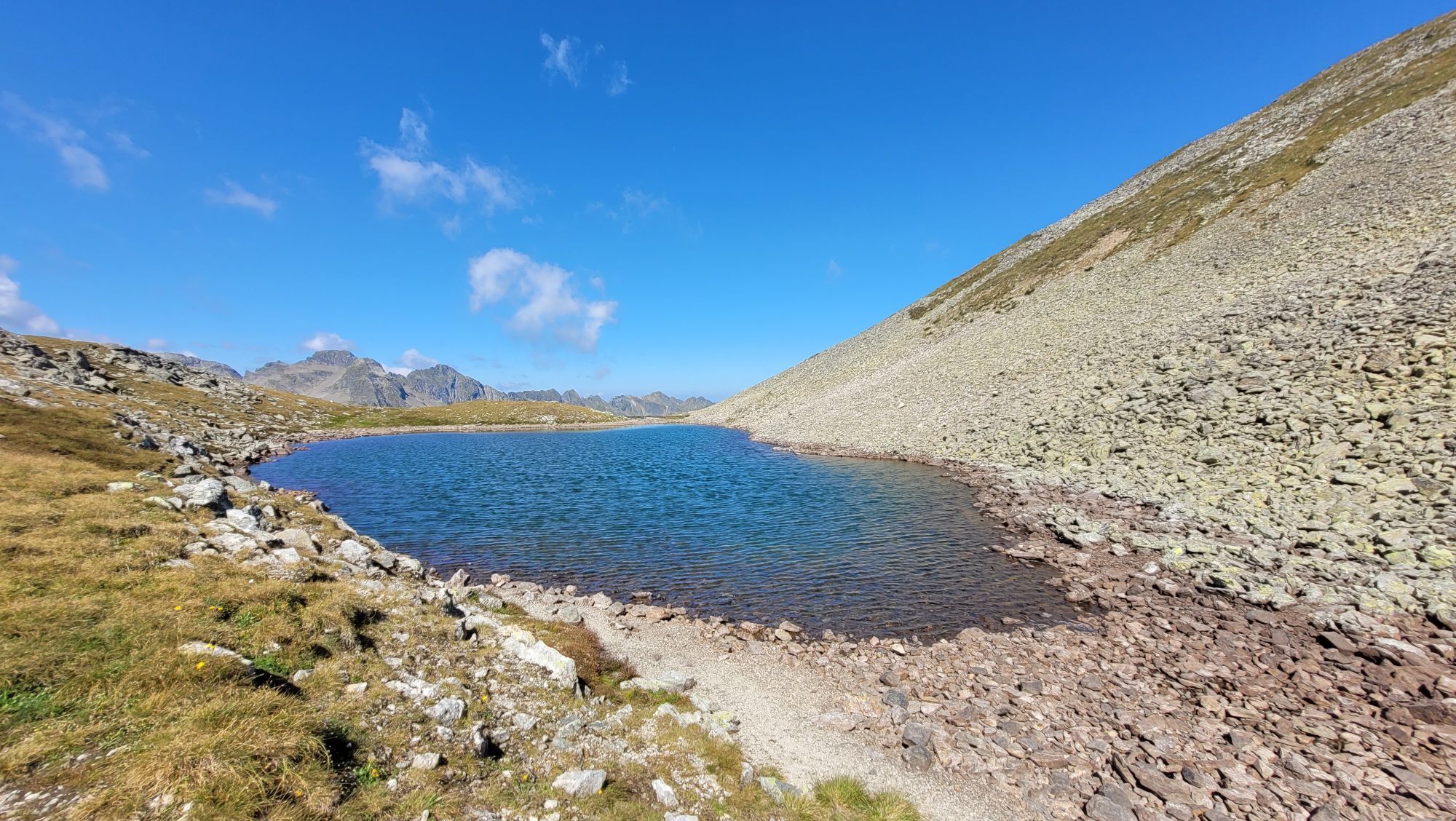
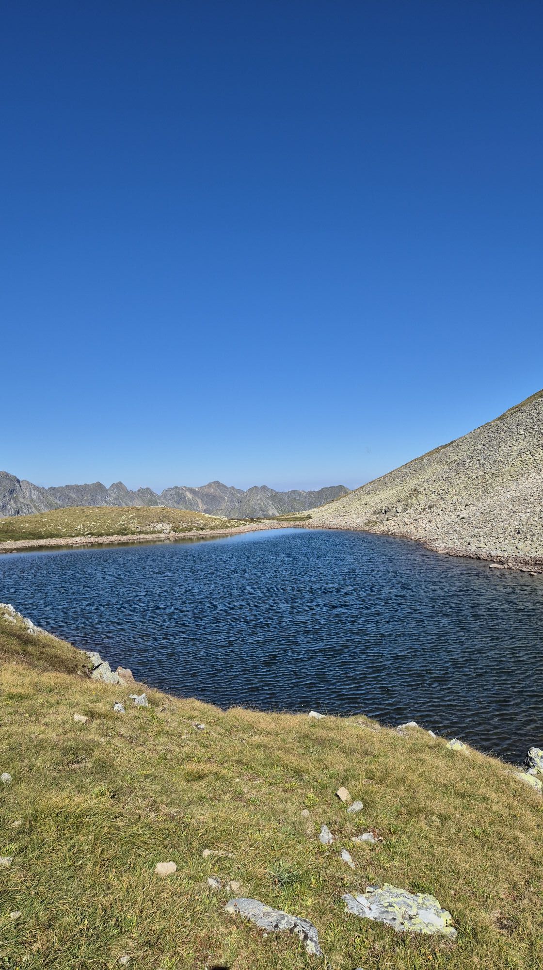
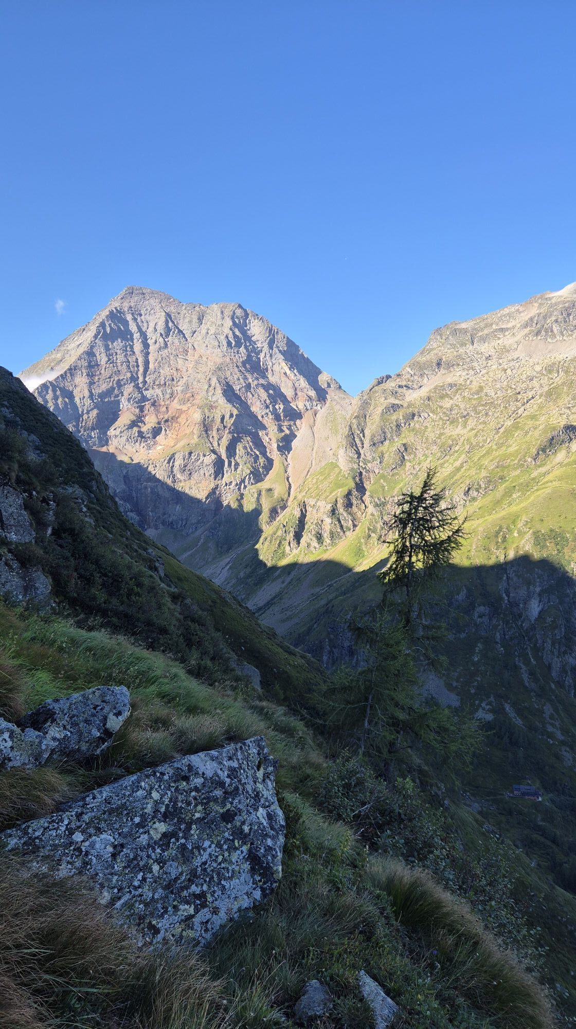
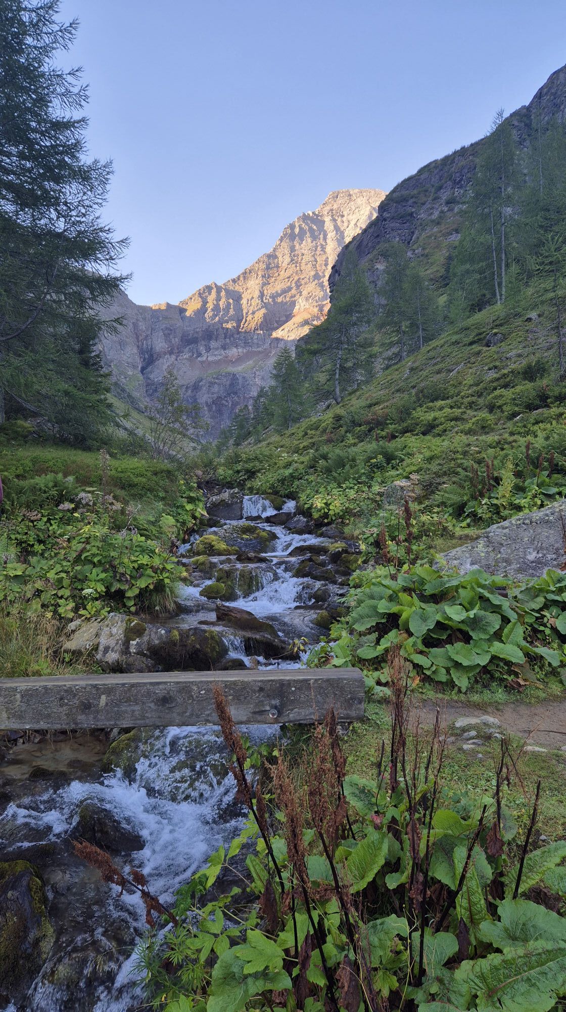
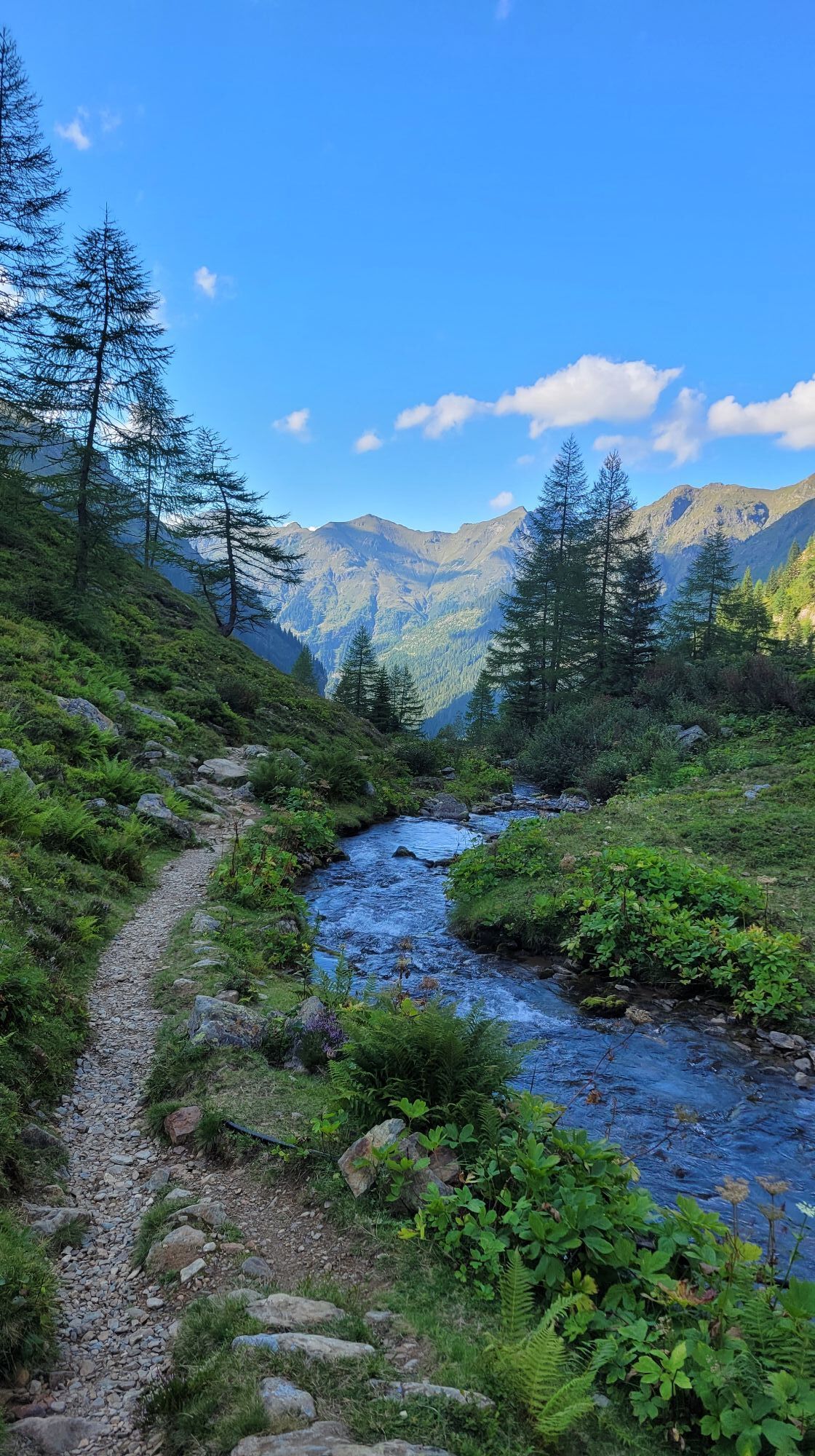
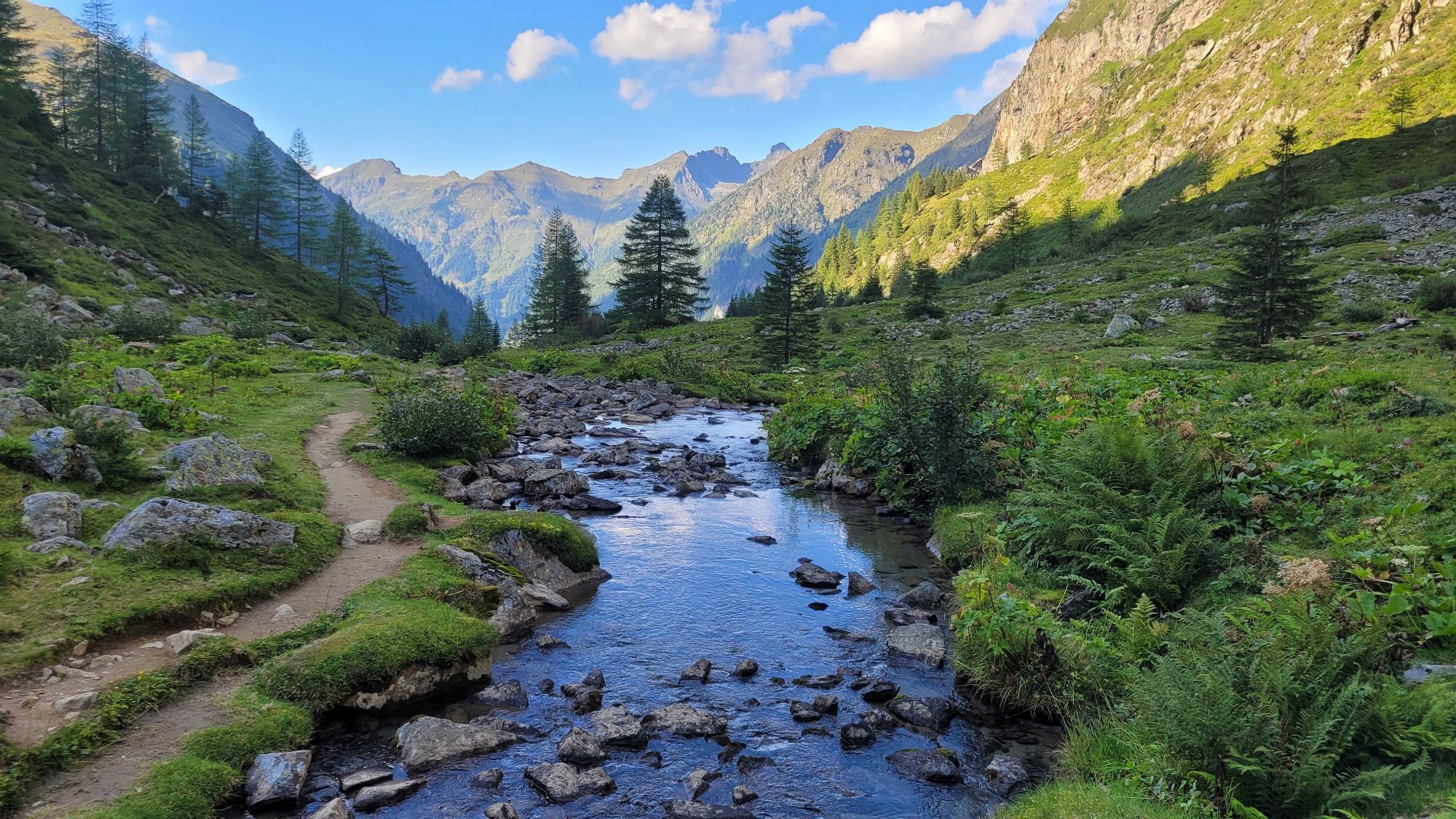
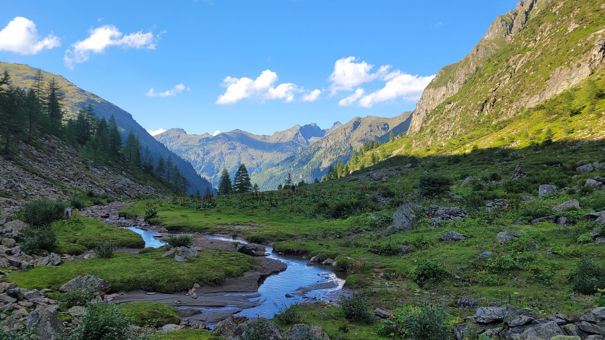
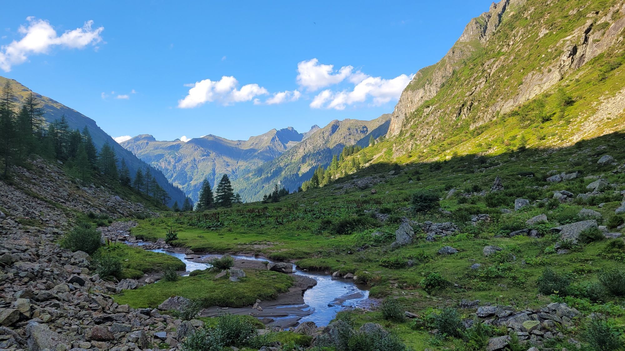
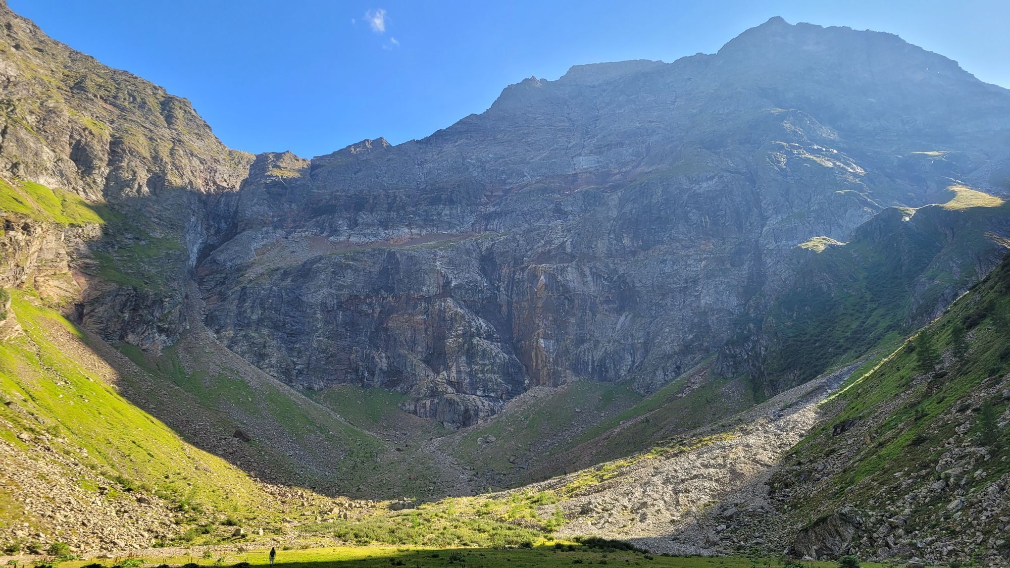
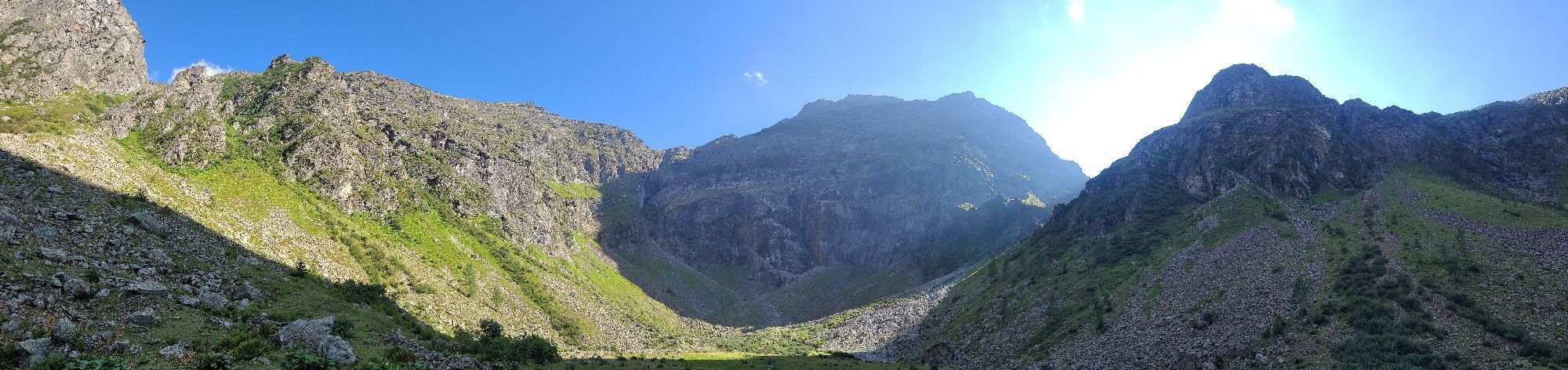
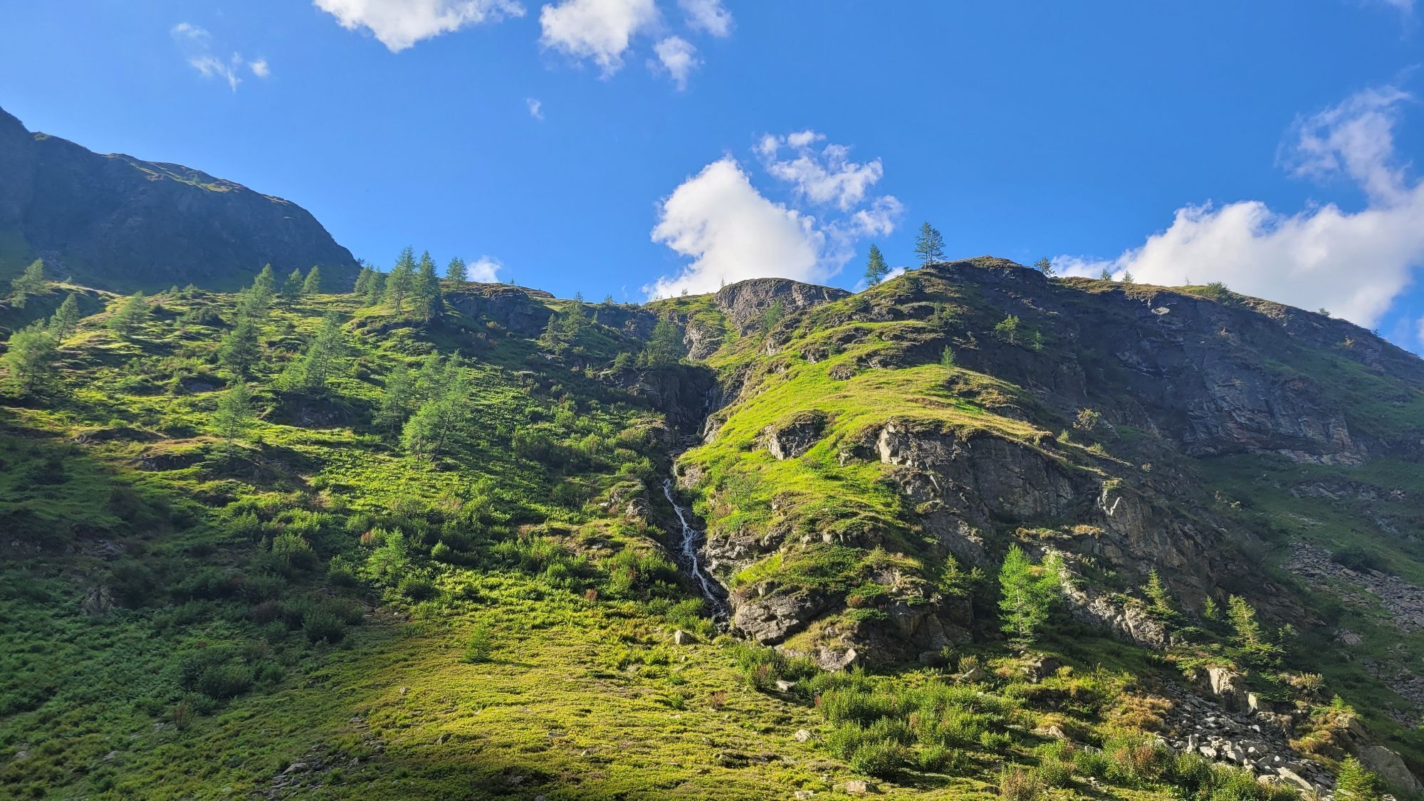
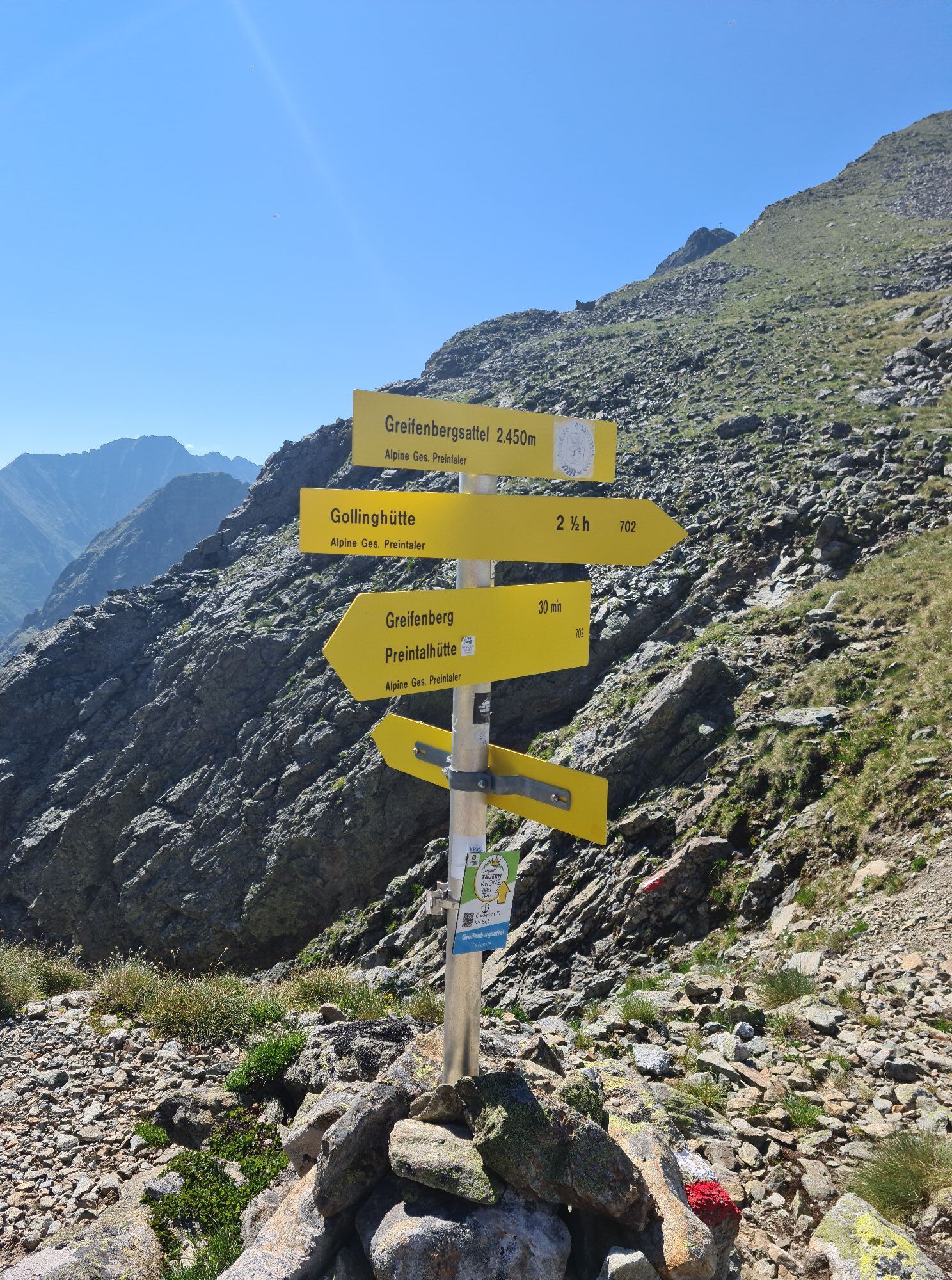
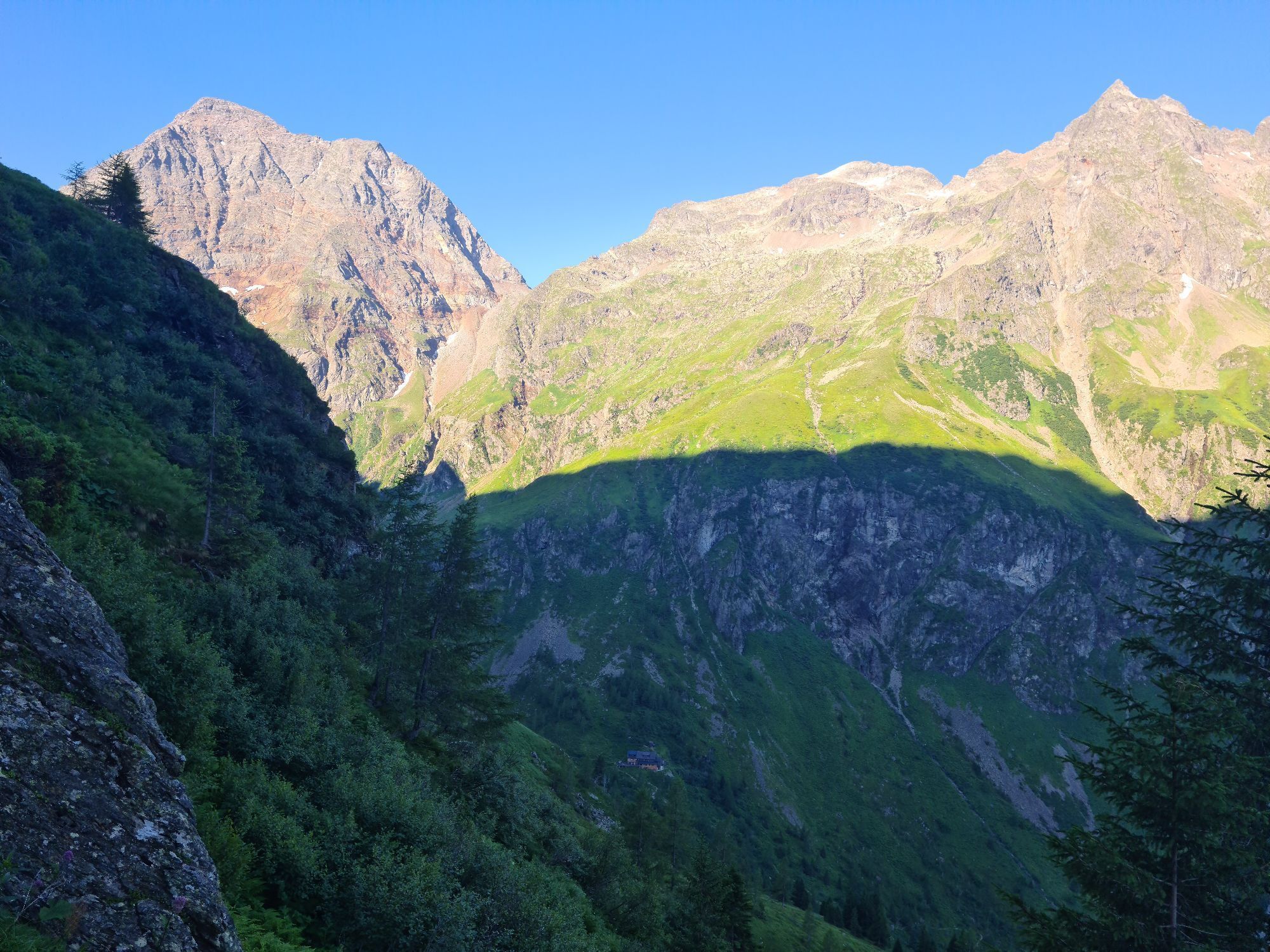
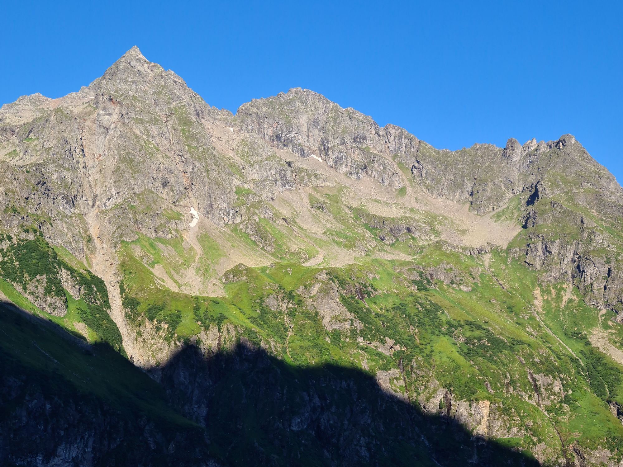
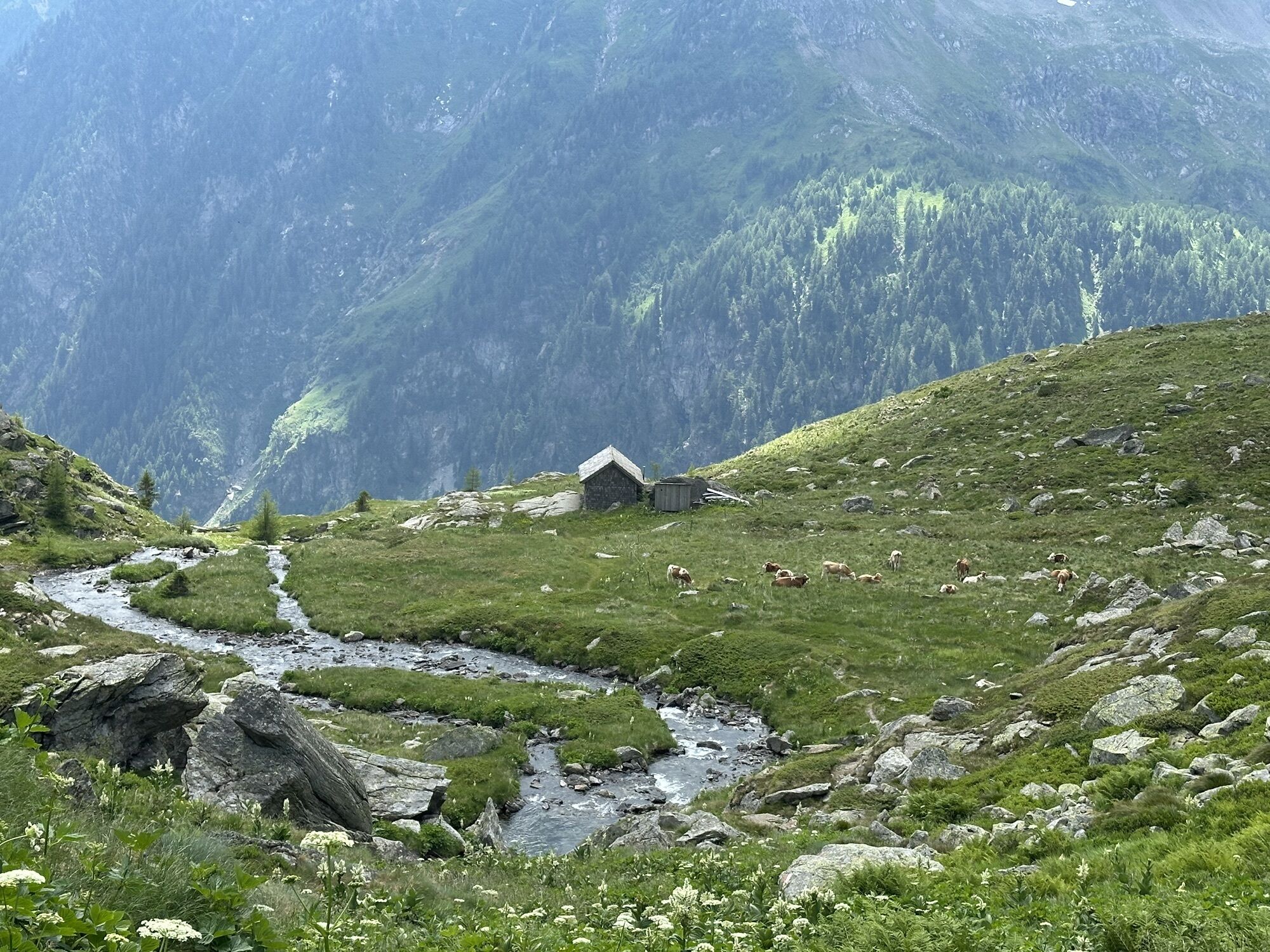
The fourth stage leads steeply up to the Gollingscharte, via the Gollingwinkel, where a secure footing is required on both sides.
The path from the rear valley floor to the Gollinghütte is easy, but a long...
Opis
The fourth stage leads steeply up to the Gollingscharte, via the Gollingwinkel, where a secure footing is required on both sides.
The path from the rear valley floor to the Gollinghütte is easy, but a long rest is recommended before the next ascent. From the Gollinghütte, a partly steep ascent of almost 1,000 meters in elevation up to the Greifenbergsattel is waiting. The detour to the Greifenberg is short and rewarding. The path down into the lower Lessachtal valley initially leads past the Lungauer Klaffersee and Zwerfenbergsee lakes, which are also perfect for a refreshing swim. Once you reach the lower Lessachtal, you have to plan another 3 kilometers to the Laßhoferalm. Please note that the Laßhoferalm does not offer overnight accommodation. Until September 10th you can use the hiking bus. This is a bus, which must be informed 2 hours before departure if it is needed, departure is at 15:55.
The path from the rear valley floor to the Gollinghütte is easy, but a long rest is recommended before the next ascent. From the Gollinghütte, a partly steep ascent of almost 1,000 meters in elevation up to the Greifenbergsattel is waiting. The detour to the Greifenberg is short and rewarding. The path down into the lower Lessachtal valley initially leads past the Lungauer Klaffersee and Zwerfenbergsee lakes, which are also perfect for a refreshing swim. Once you reach the lower Lessachtal, you have to plan another 3 kilometers to the Laßhoferalm. Please note that the Laßhoferalm does not offer overnight accommodation. Until September 10th you can use the hiking bus. This is a bus, which must be informed 2 hours before departure if it is needed, departure is at 15:55.
Pot
Landawirseehütte
(1,985 m)
Zavetišče
0.0 km
Gollingwinkel
(1,710 m)
Koridor/teren
4.2 km
Obere Steinwenderalm
(1,706 m)
Koridor/teren
4.3 km
Zwerfenbergalm
(1,906 m)
Koridor/teren
11.4 km
Jausenstation Laßhoferalm
(1,270 m)
Zavetišče
15.8 km
Pot
Stage 4
svetloba
Pohodništvo
15.98
km
Landawirseehütte
(1,985 m)
Zavetišče
0.0 km
Gollingwinkel
(1,710 m)
Koridor/teren
4.2 km
Obere Steinwenderalm
(1,706 m)
Koridor/teren
4.3 km
Zwerfenbergalm
(1,906 m)
Koridor/teren
11.4 km
Jausenstation Laßhoferalm
(1,270 m)
Zavetišče
15.8 km


Zadnji spremljani
pred enim tednom

Še ni pregledov
Dejavnosti na poti
-

Schladming, Steiermark/Österreich
26.08.2026 – Pohodništvo -

Lessach, Salzburg/Österreich
13.08.2026 – Pohodništvo -

Lessach, Salzburg/Österreich
13.08.2026 – Pohodništvo -

Schladming, Steiermark/Österreich
27.06.2026 – Pohodništvo -

Göriach, Salzburg/Austria
18.09.2025 – Pohodništvo -

Zwerfenbergsee
19.08.2025 – Pohodništvo -

Lessach Wandern
30.08.2024 – Gorski pohodništvo -

Göriach, Salzburg/Österreich
10.08.2024 – Pohodništvo -
Zwerfenbergsee
15.08.2023 – Drugi -
Lessach Wandern
30.08.2022 – Drugi -
Lessach Wandern
12.08.2020 – Drugi
Priljubljeni izleti v okolici
-
4.4
Landawirseehütte (1.985 m)
srednjaPohodništvo 5.39 km -
4.2
Drei-Seen-Wanderung (Steirischer Bodensee - Hüttensee - Obersee)
srednjaPohodništvo 4.29 km -
4.7
Schladming - Hochgolling
težkoPohodništvo 20.6 km -
4.2
Preber summit hike
srednjaPohodništvo 14.9 km -
4.8
Steirische und Lungauer Kalkspitze über das Kranzl
težkoPohodništvo 11.2 km -
4.8
4-Jahreszeiten Wanderweg
srednjaZimsko pohodništvo 5.94 km -
4.7
Planai Runde | 304
srednjaMountainbike 34.1 km -
4.7
Preintalerhütte über den Alpinsteig Höll
srednjaPohodništvo 13.8 km -
4.7
Pleschnitzzinken
srednjaPohodništvo 5.55 km -
4.7
WM-Pfad Planai
svetlobaPohodništvo 6.84 km
Pohodništvo in sledenje

Zaradi več kot 550.000 predlogov izletov, podrobnih zemljevidov in intuitivnega načrtovanja poti je aplikacija obvezna oprema za vse ljubitelje narave.

Ne zamudite ponudb in navdiha za naslednje počitnice
Naročite se na novice
Napaka
Zgodila se je napaka. Prosimo, poskusite znova.
Zahvaljujemo se vam za prijavo
Vaš e-poštni naslov je bil dodan na poštni seznam.
Izleti po vsej Evropi
Avstrija
Švica
Nemčija
Italija
Slovenija
Francija
Nizozemska
Belgija
Poljska
Lihtenštajn
Češka
Slovaška
Španija
Chorvátsko
Bosna in Hercegovina
Luksemburg
Andora
පෘතුගාලය
අයිස්ලන්තය
එක්සත් රාජධානිය
අයර්ලන්තය
ග්රීසිය
ඇල්බේනියාව
North Macedonia
Malta
Norway
Montenegro
Moldova
කොසෝවො
හන්ගේරියානු සමුහාණ්ඩුව
San Marino
රුමේනියාව
එස්ටෝනියා
ලැට්වියාව
බෙලාරස්
සයිප්රස්
Lithuania
Serbia
බල්ගේරියාව
Monaco
ඩෙන්මාර්කය
Sweden
ෆින්ලන්තය





