



Hiking in the tri-border area

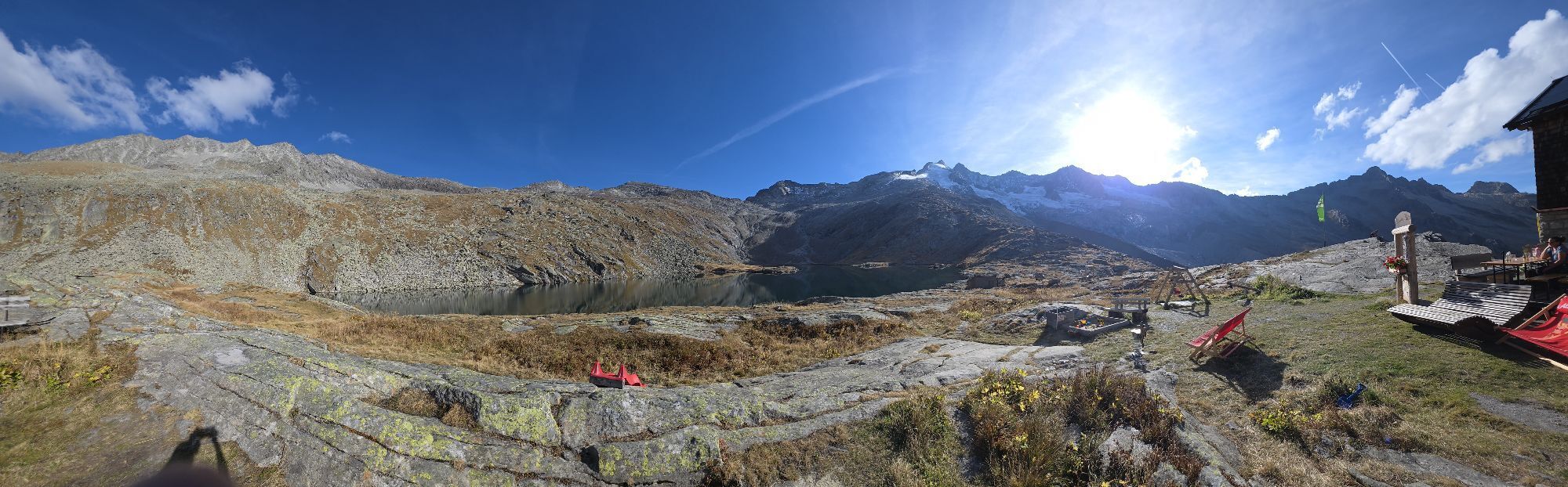
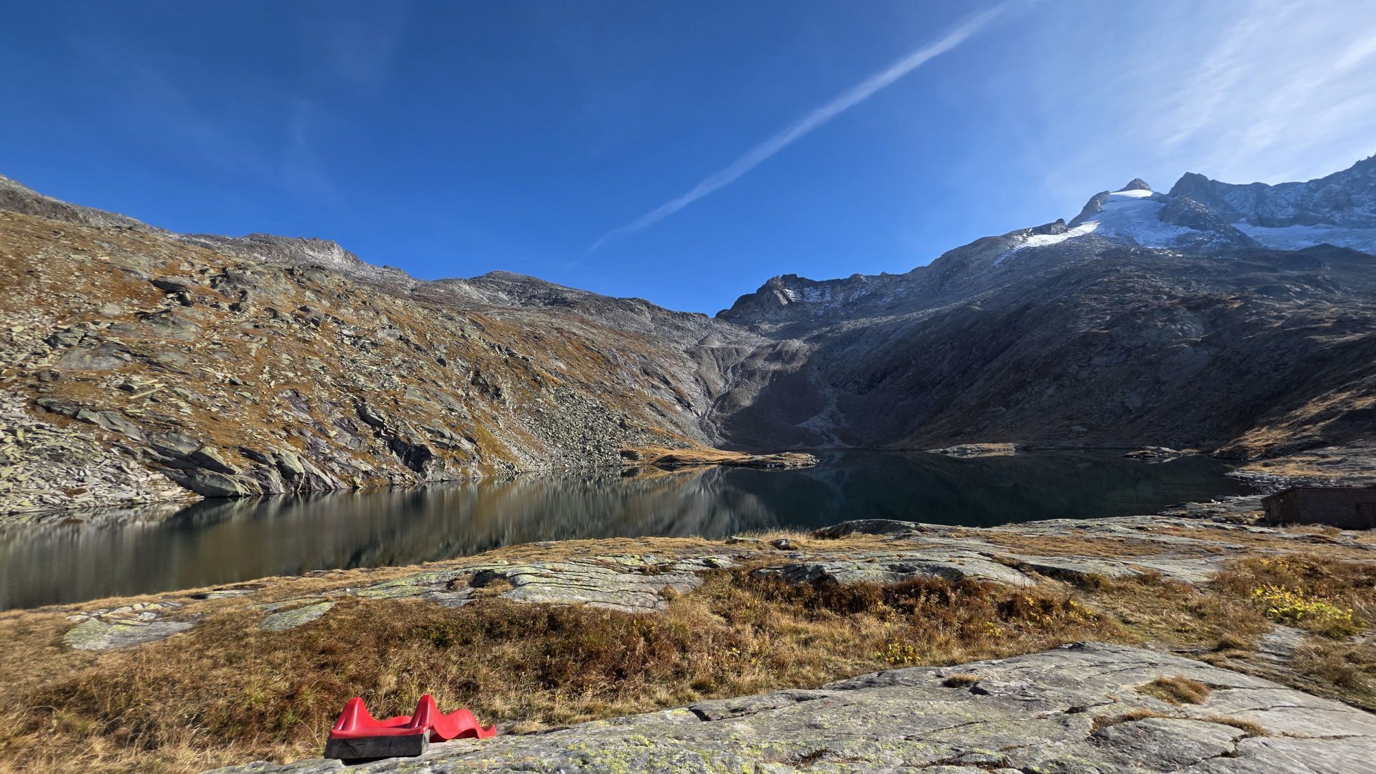
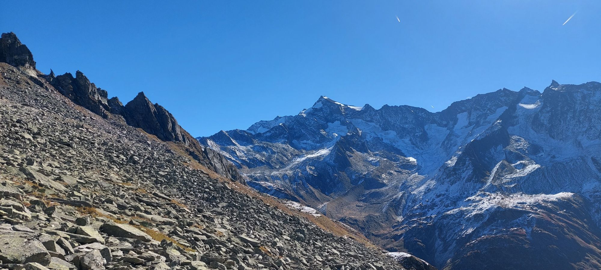
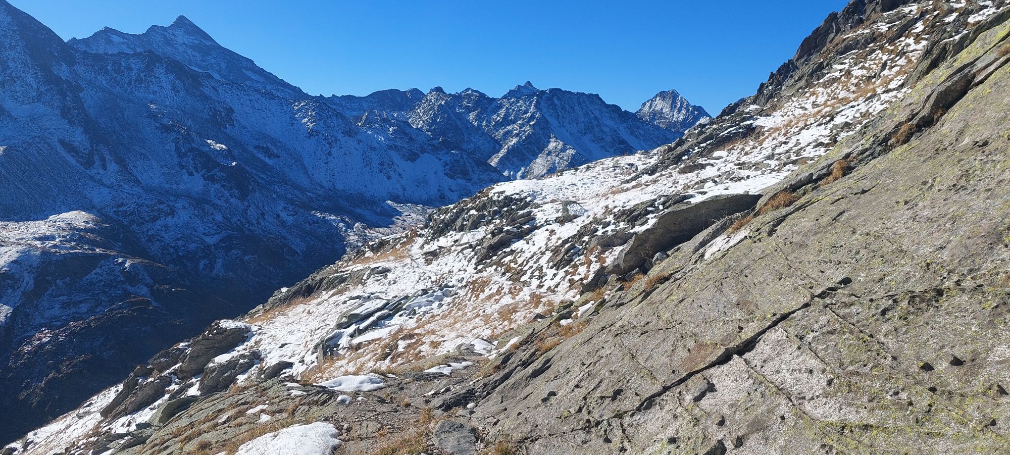
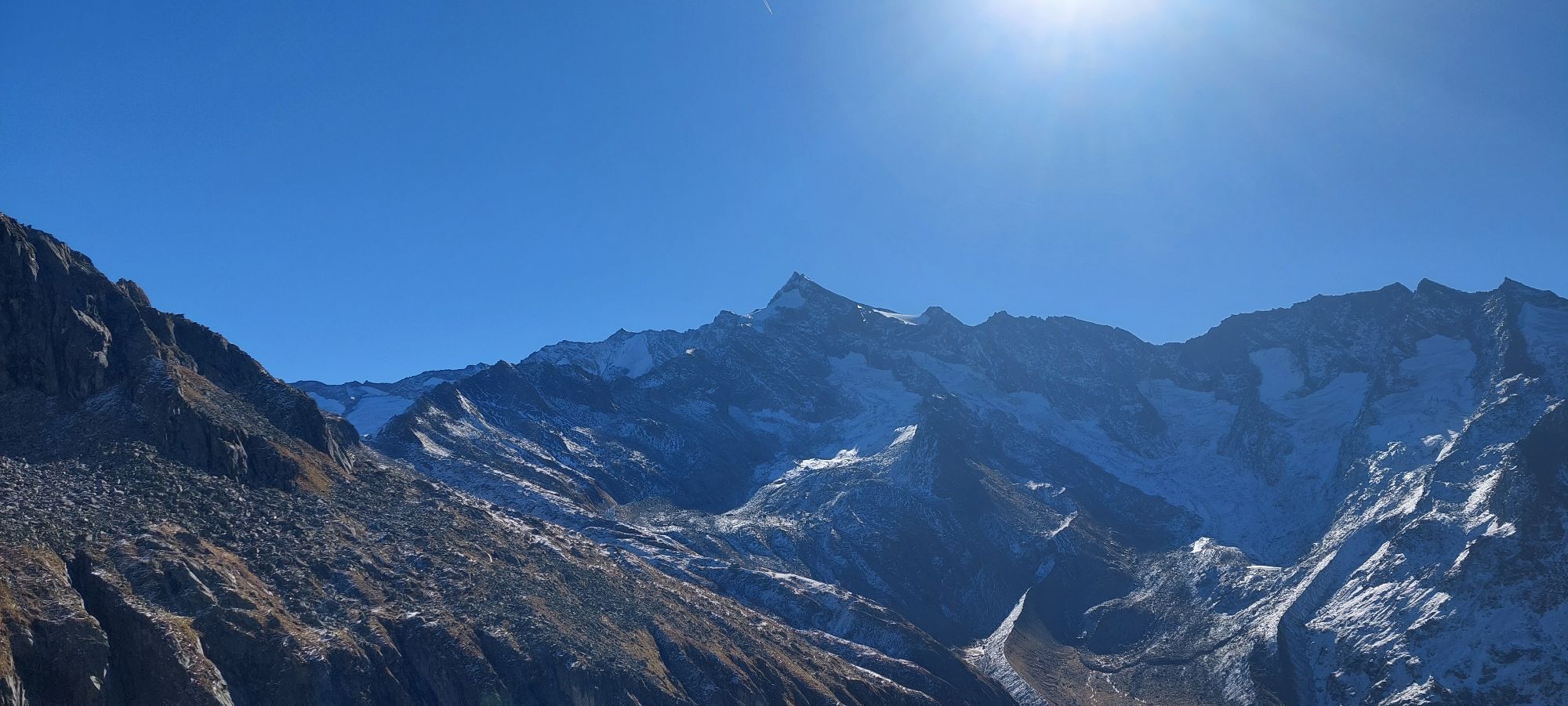
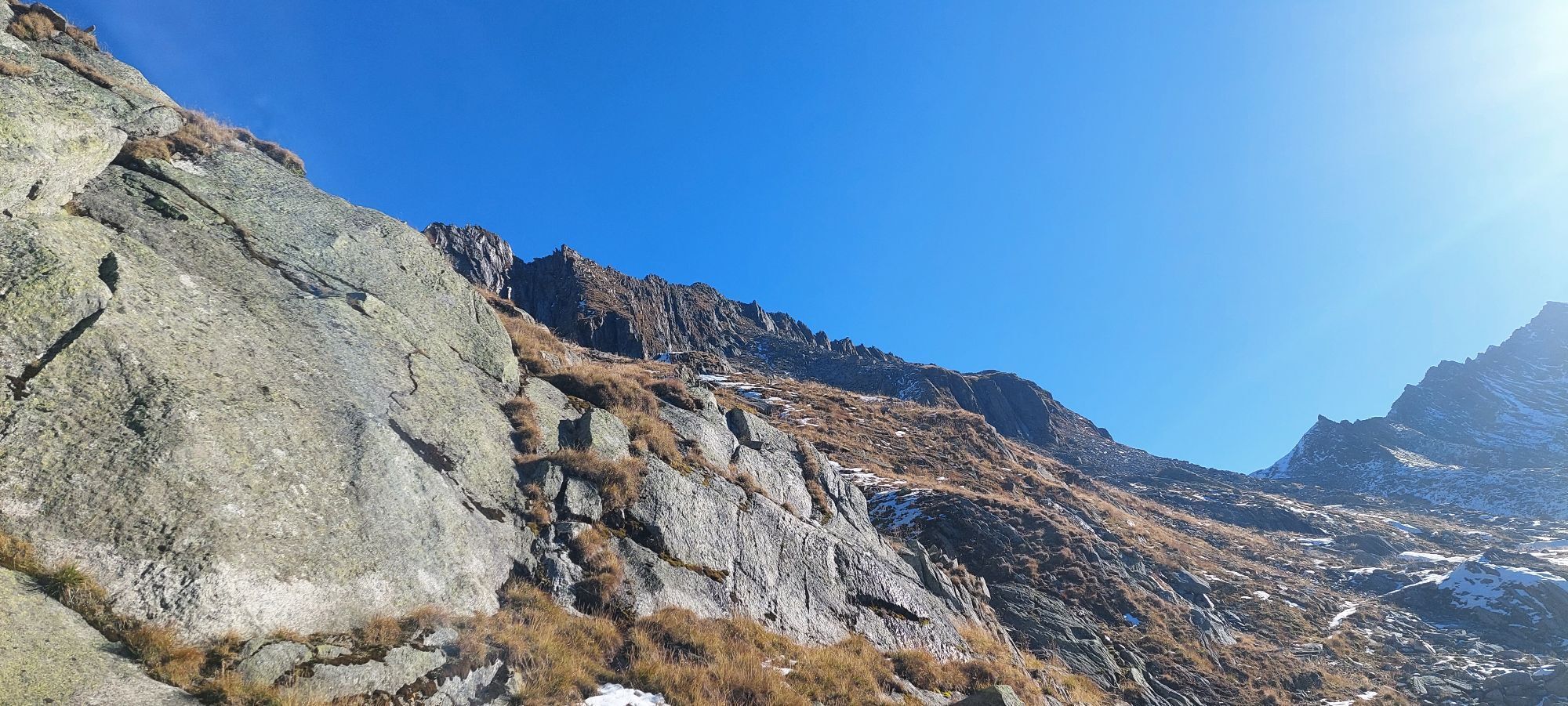
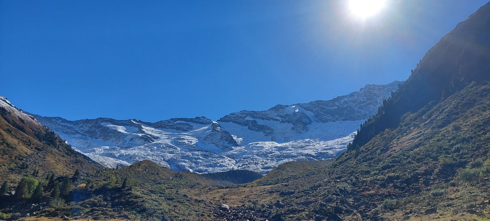
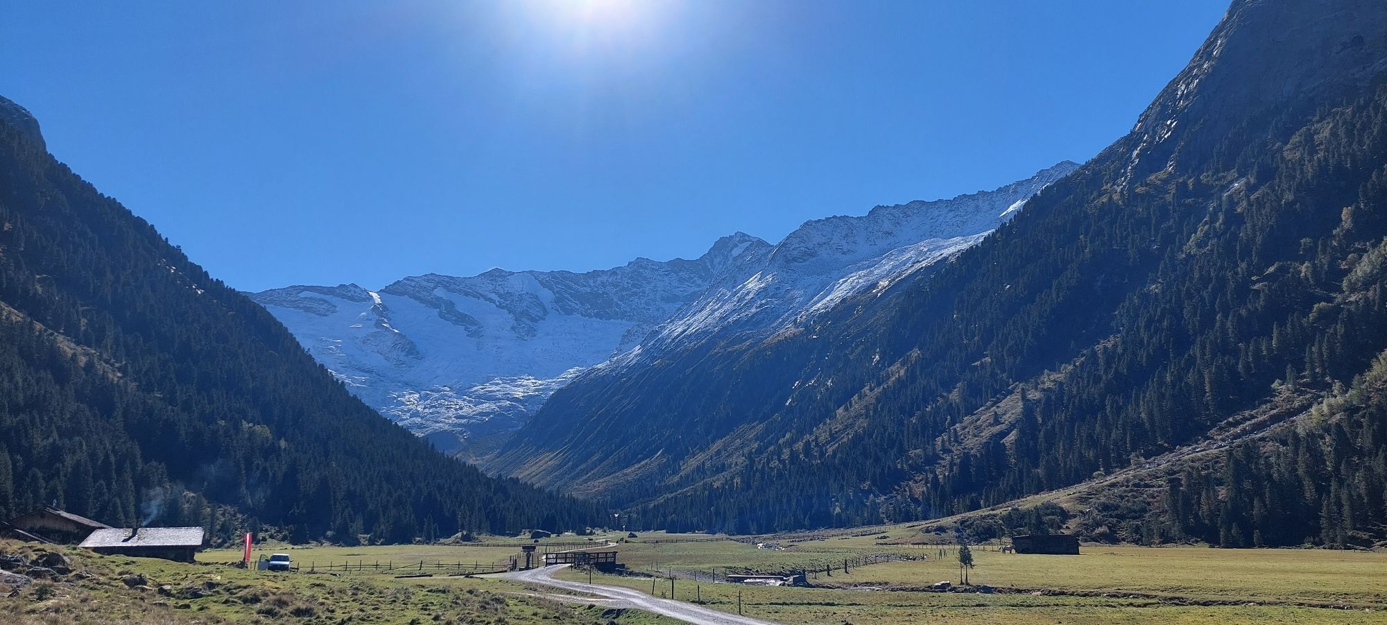
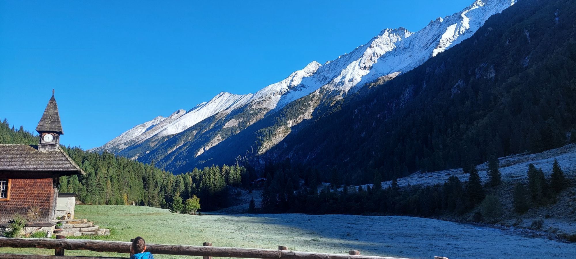
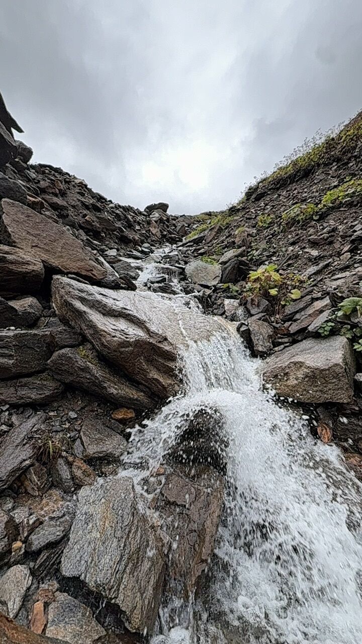
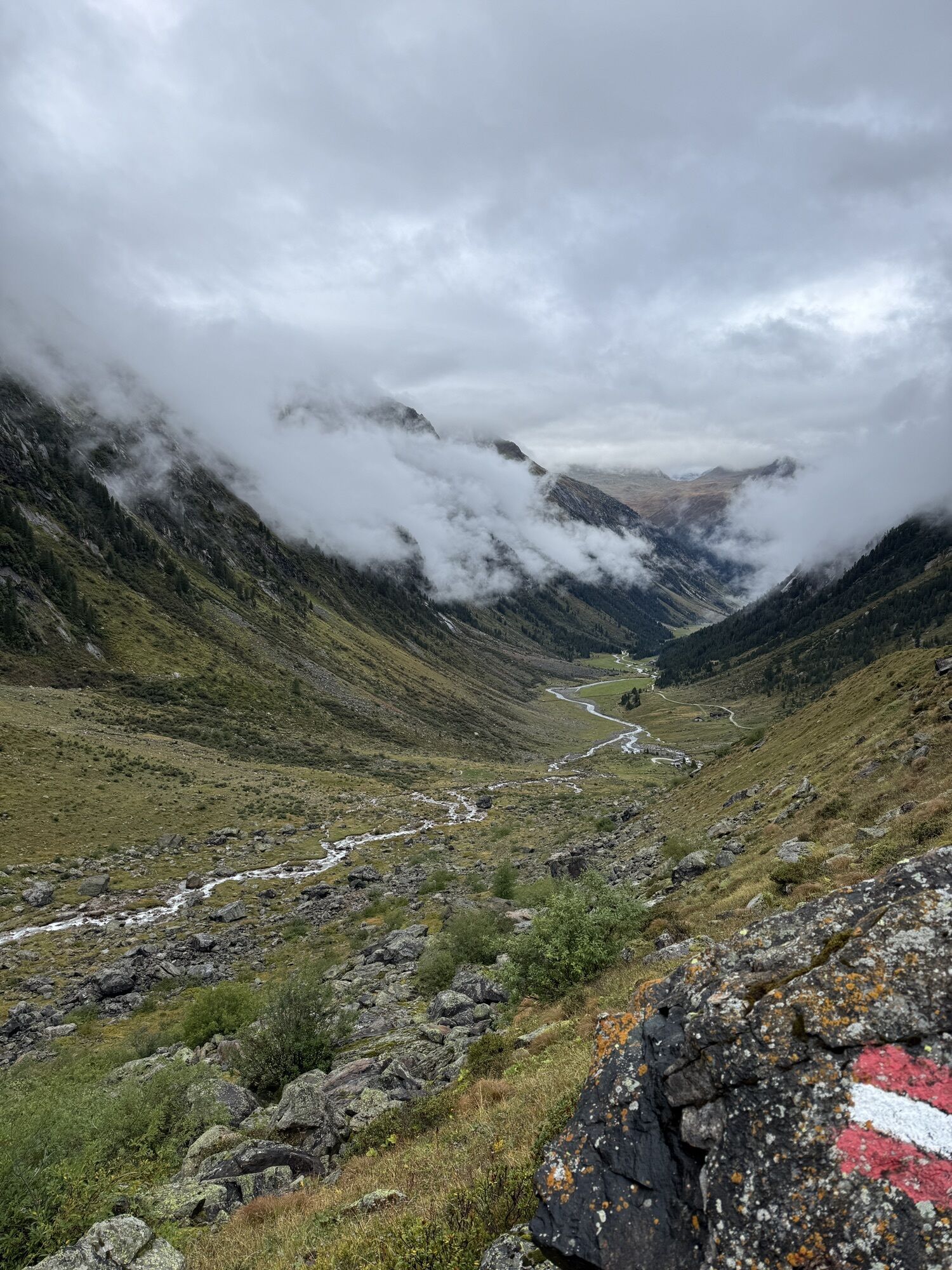
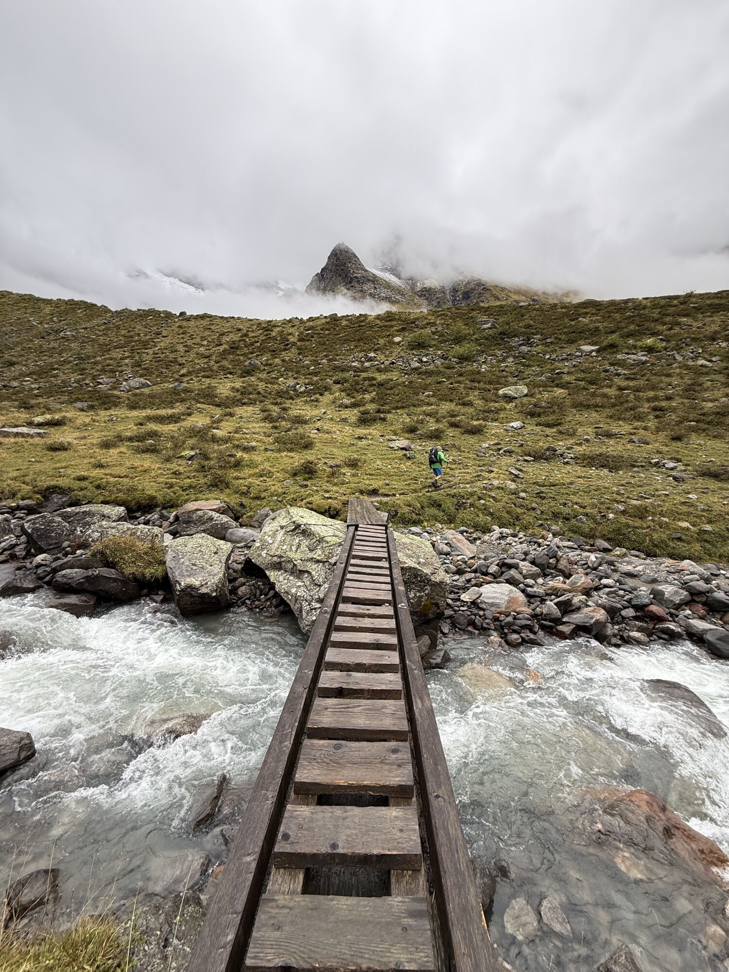
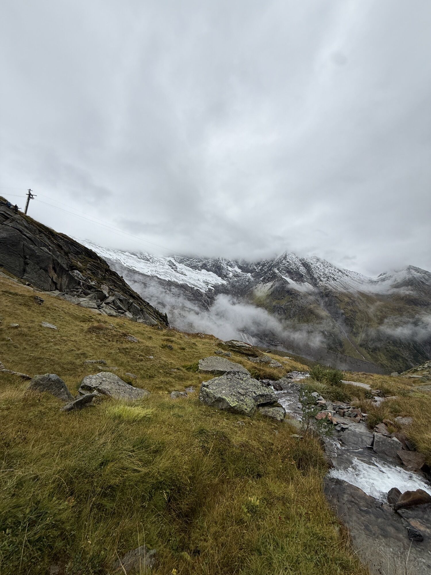
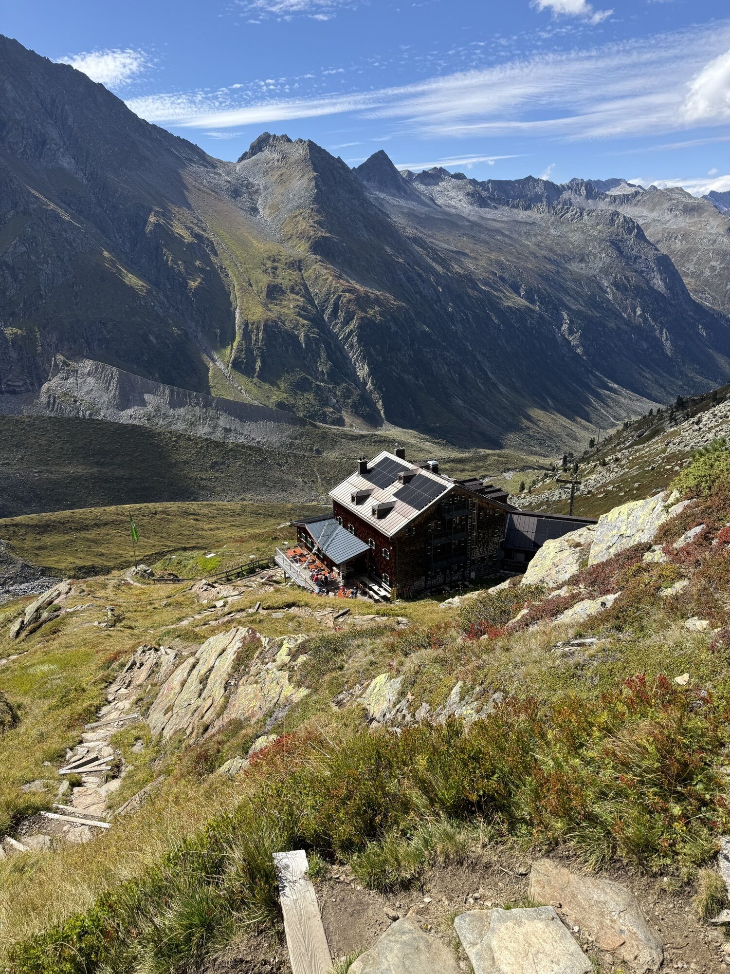
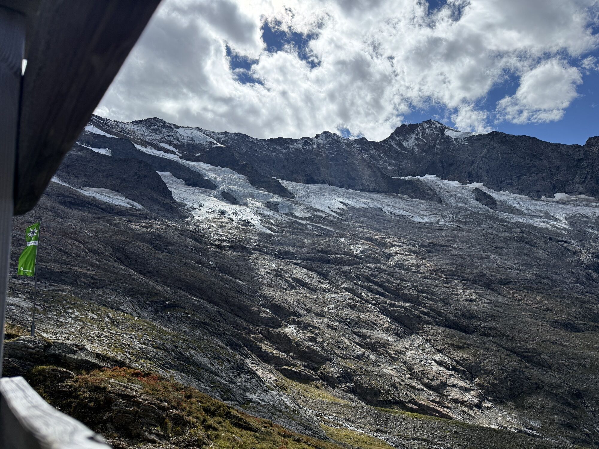
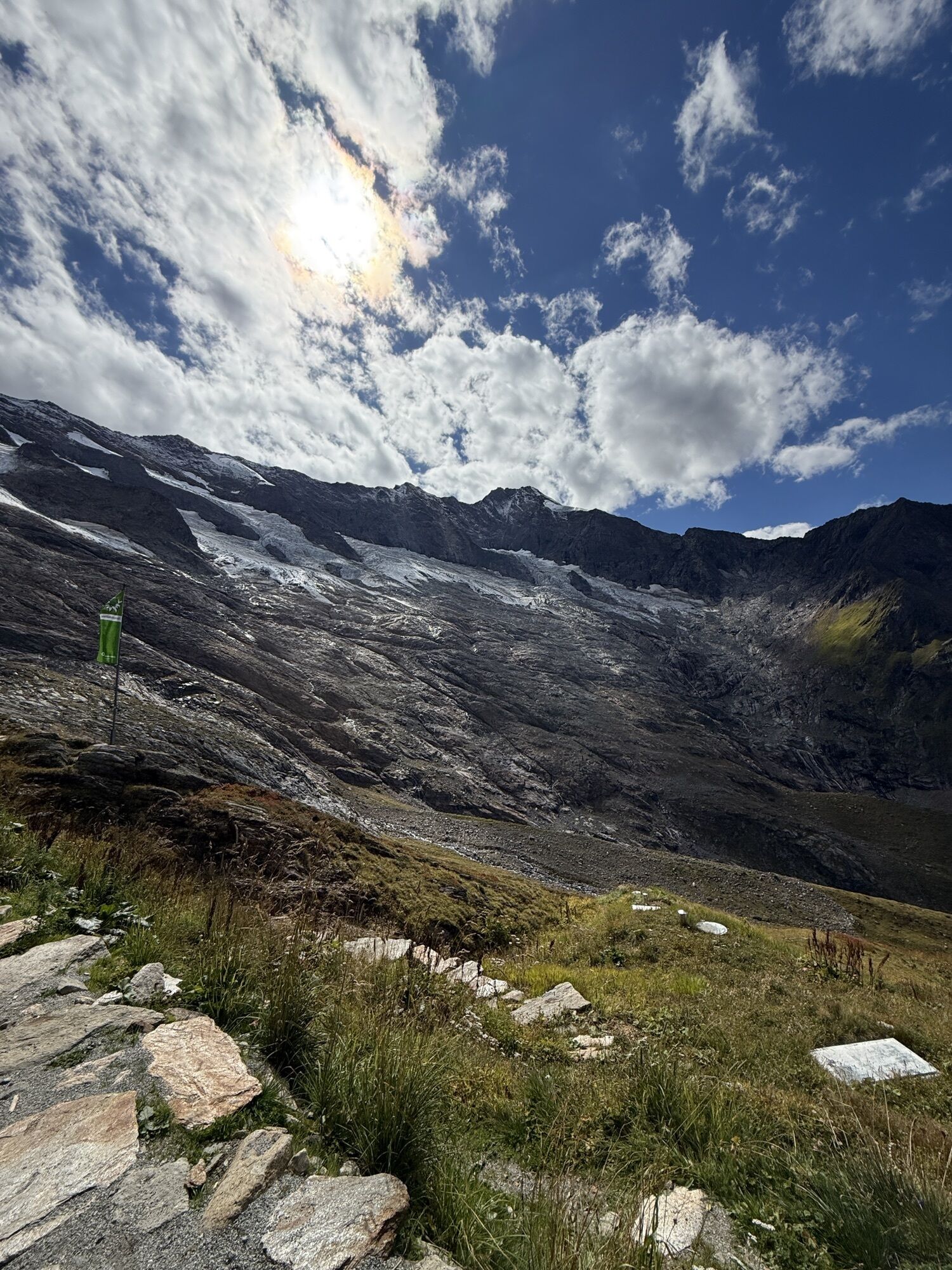
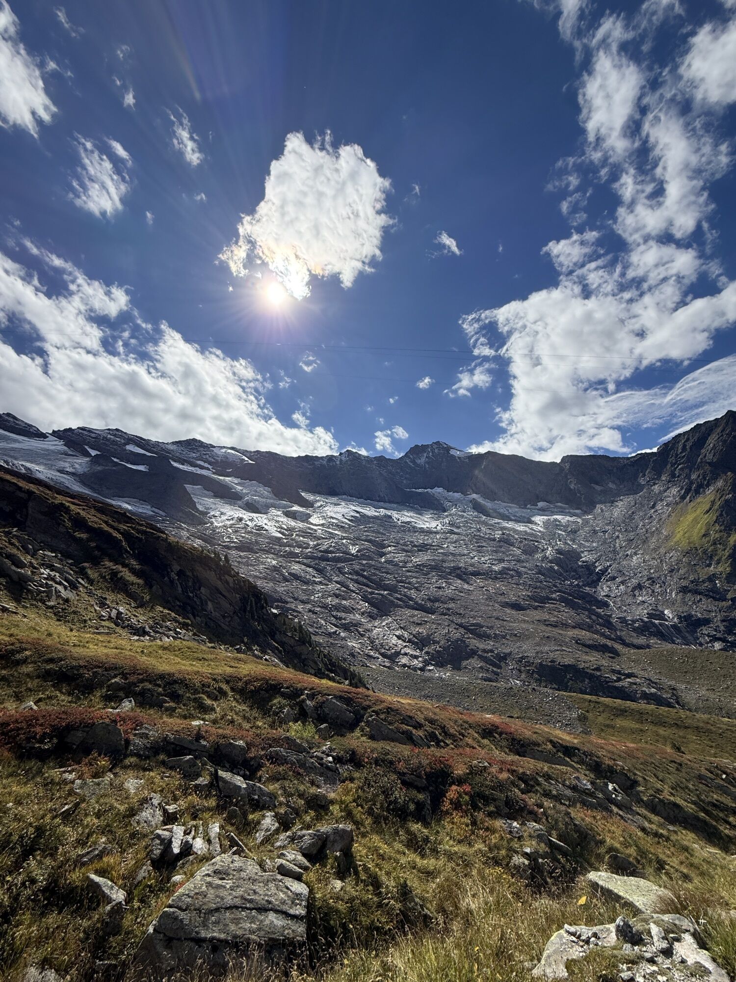
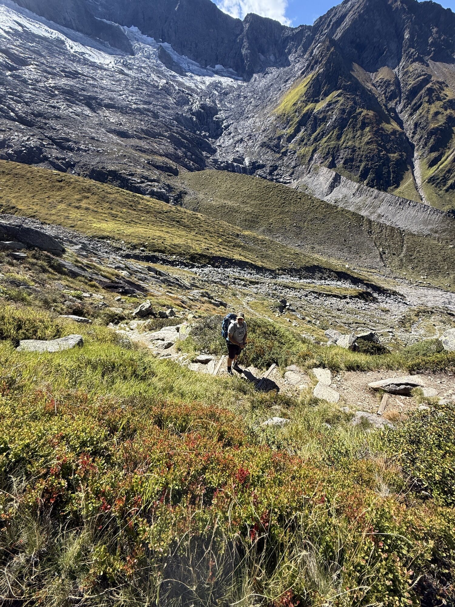
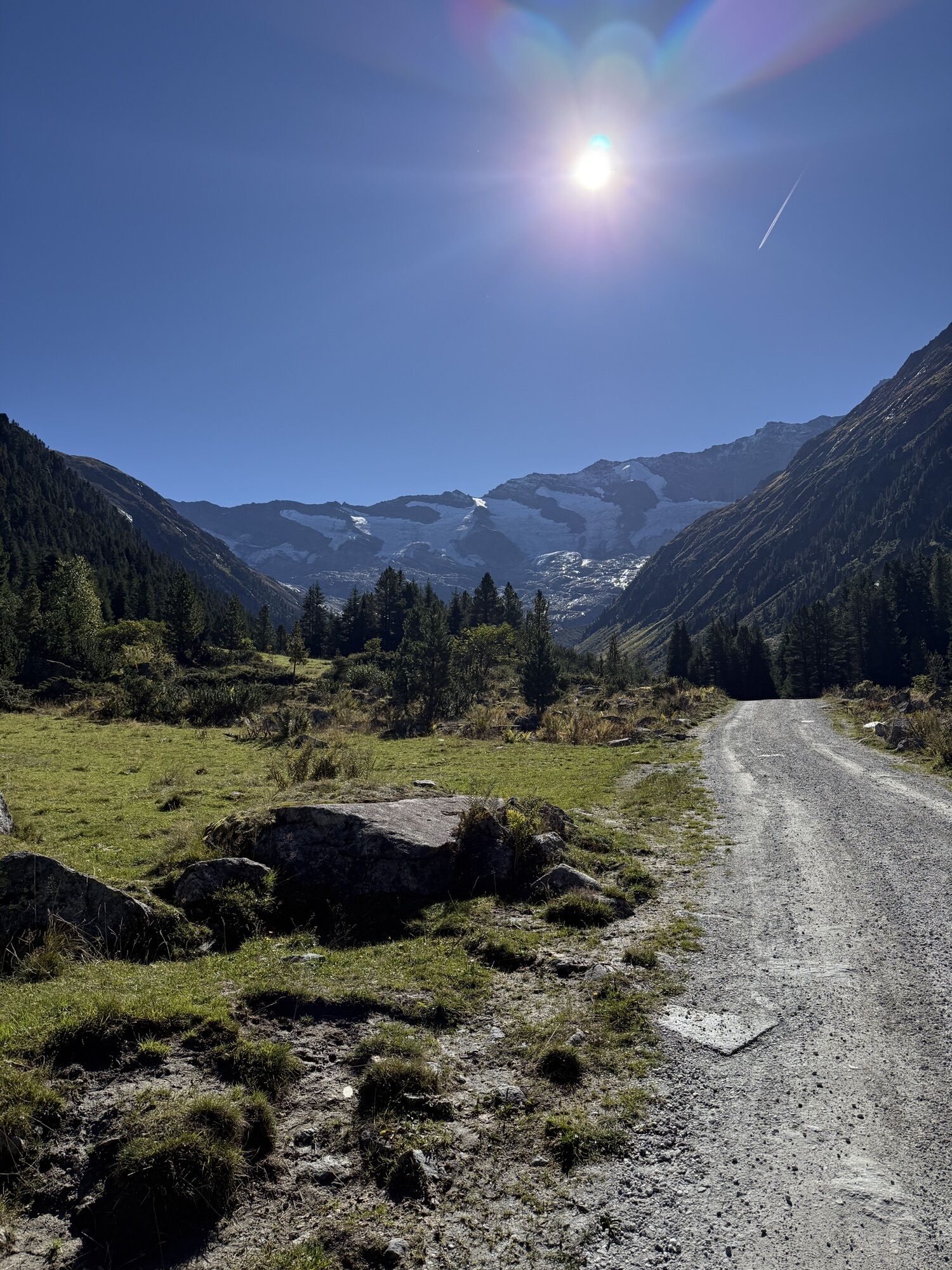
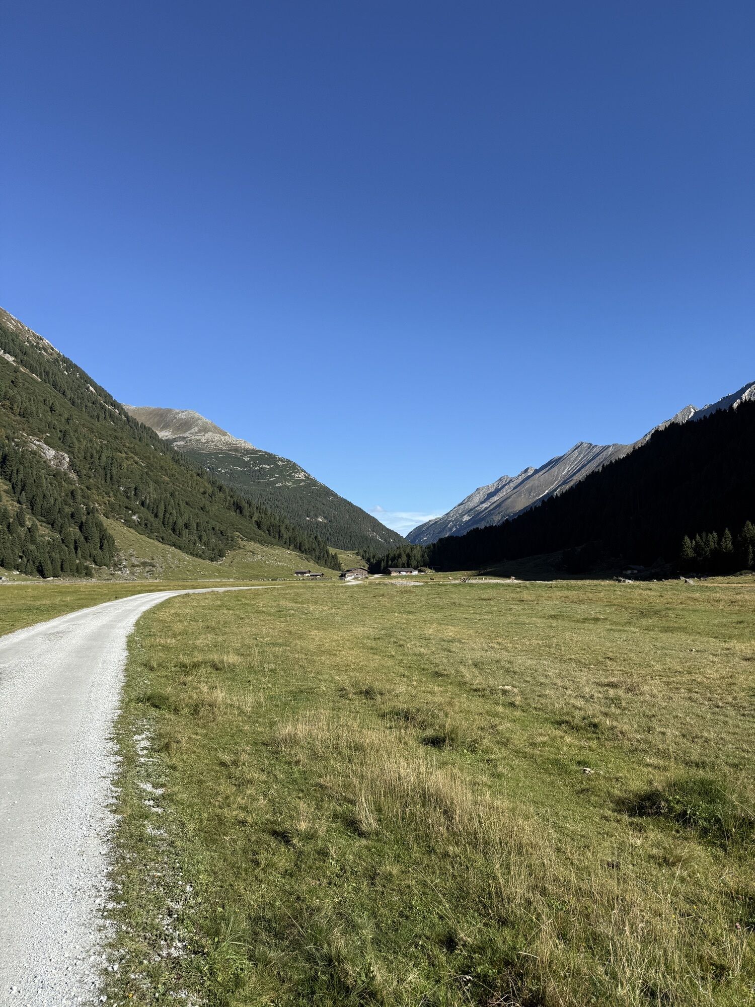
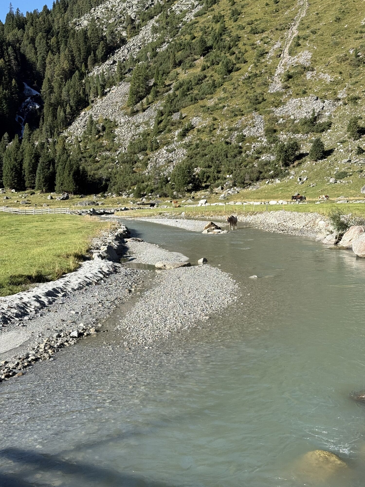
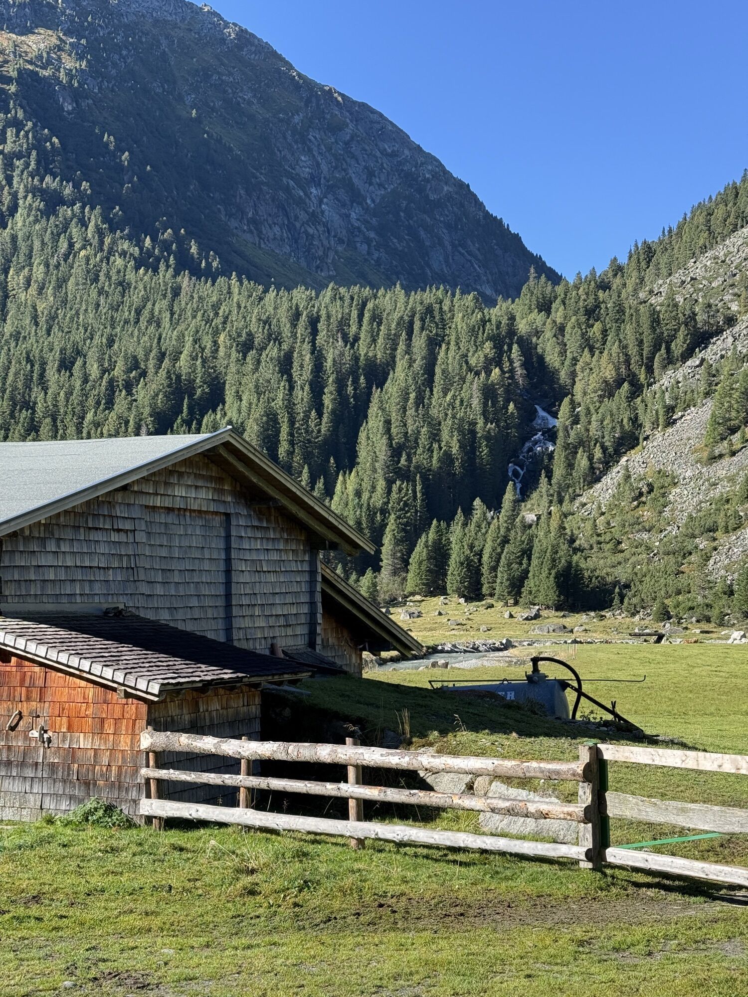
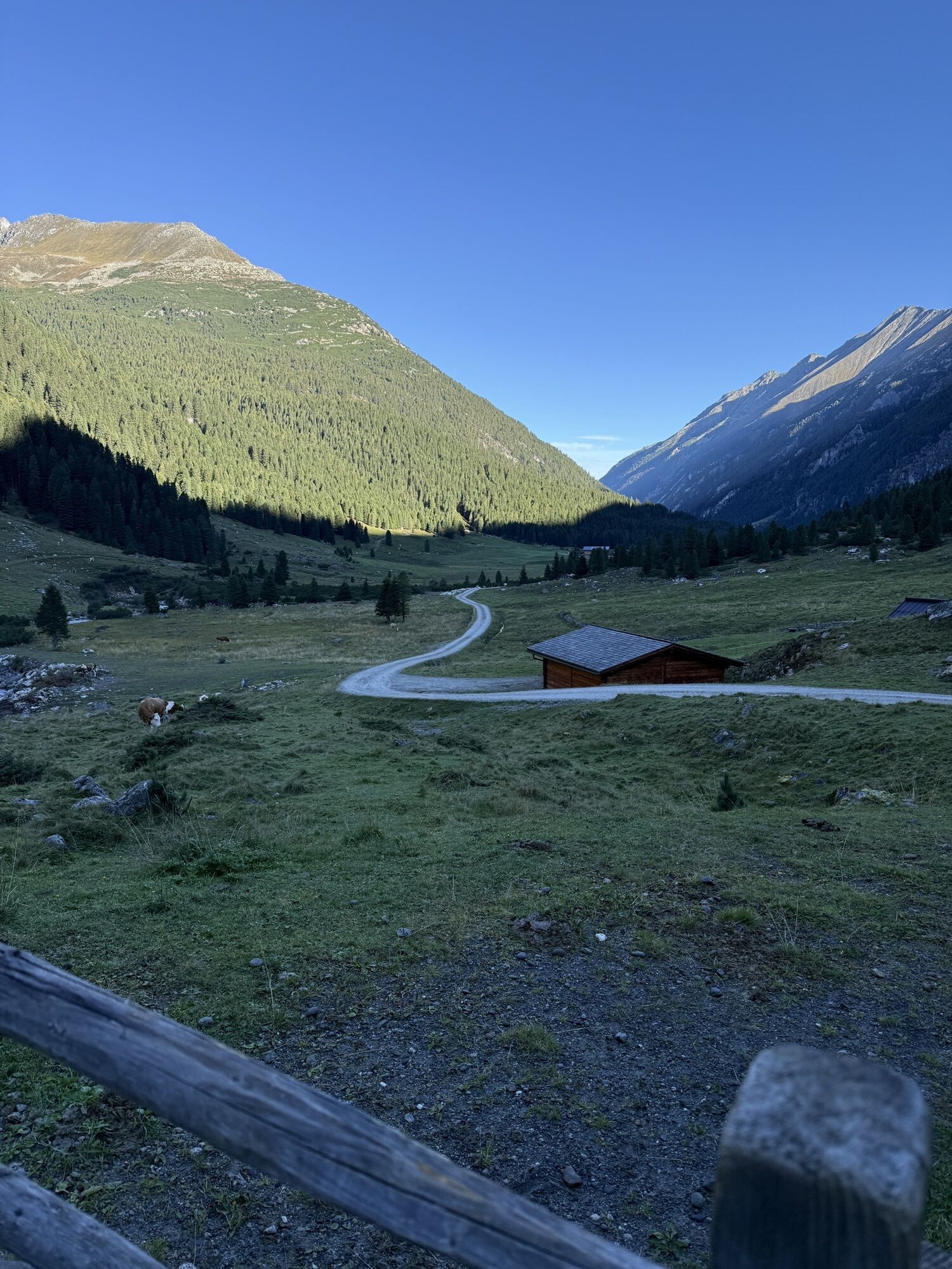
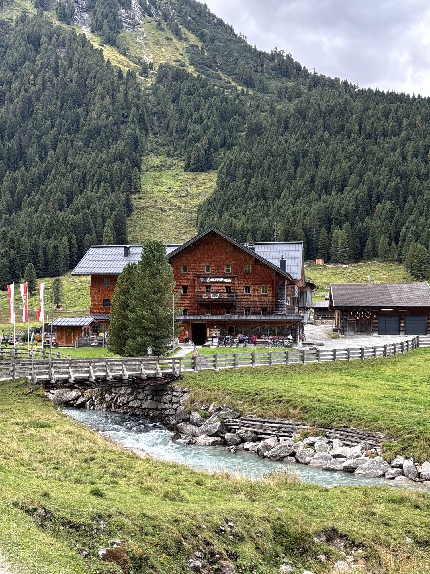
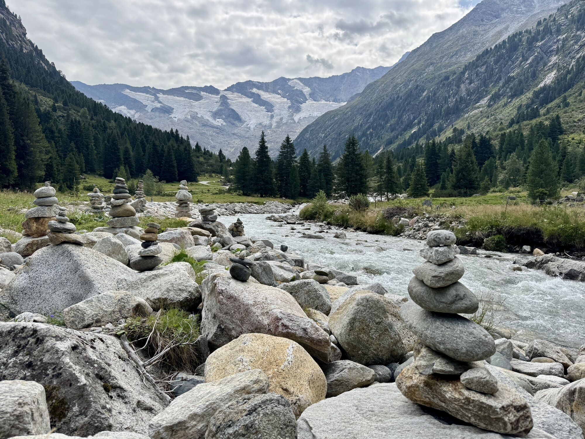
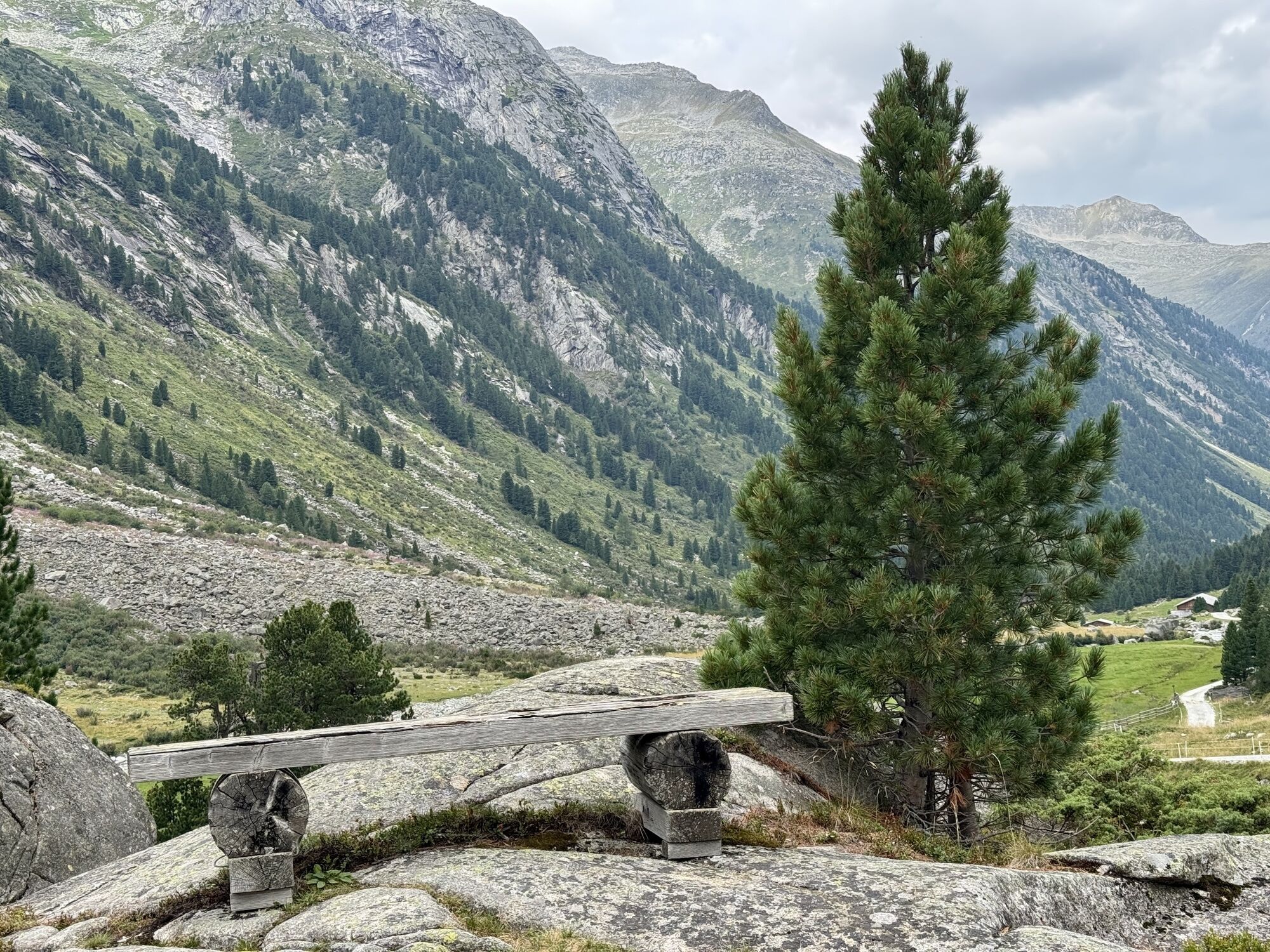
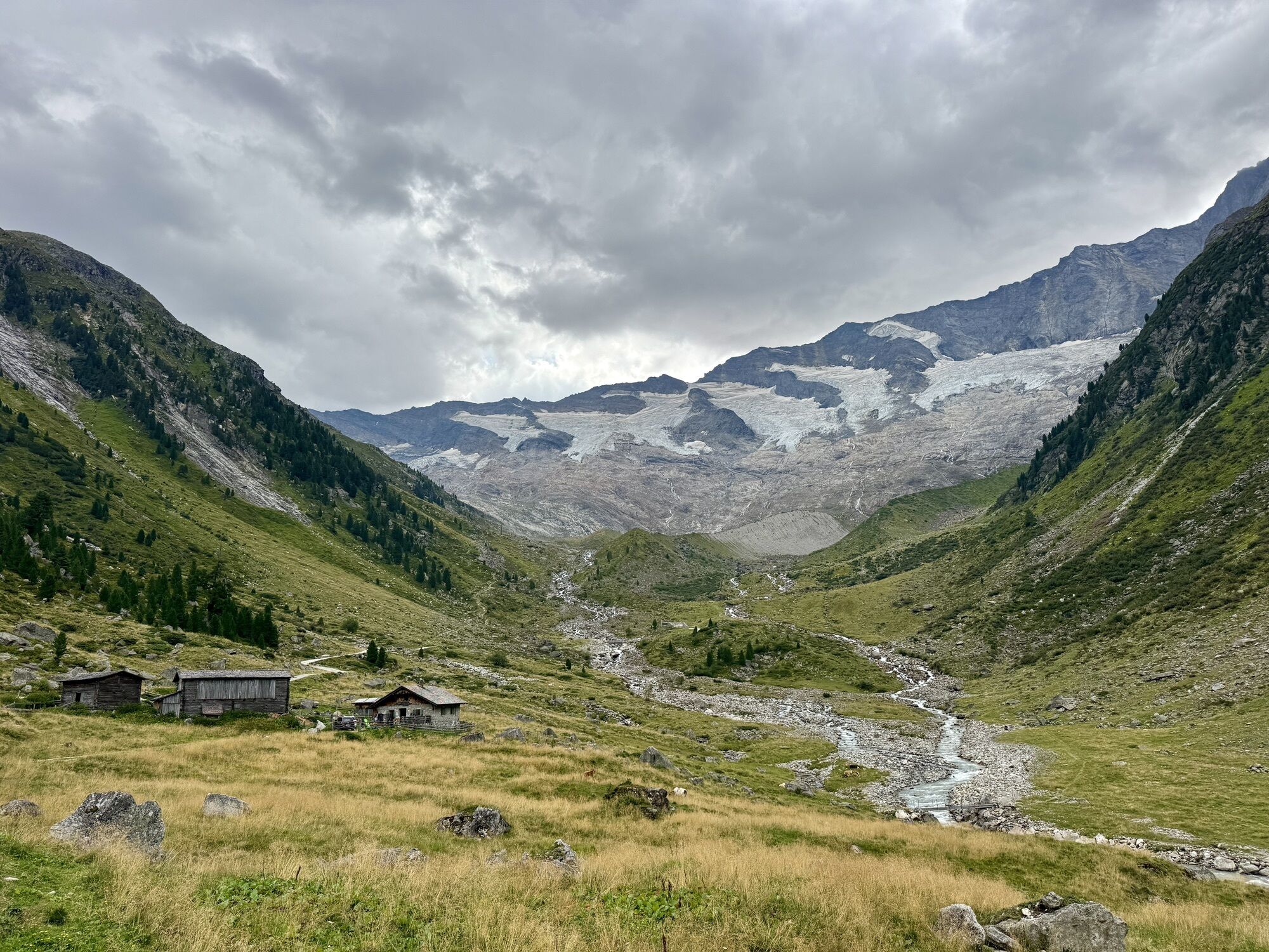
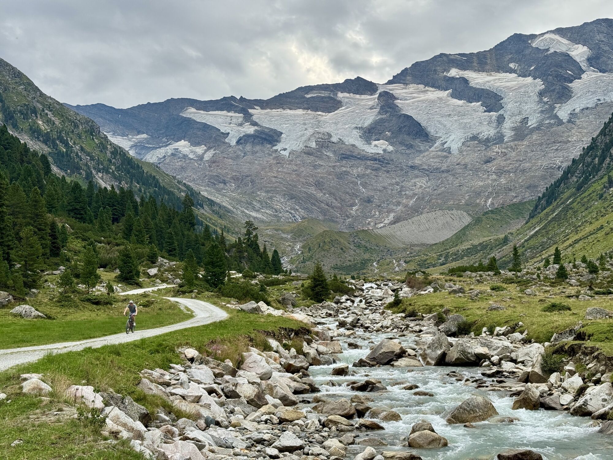
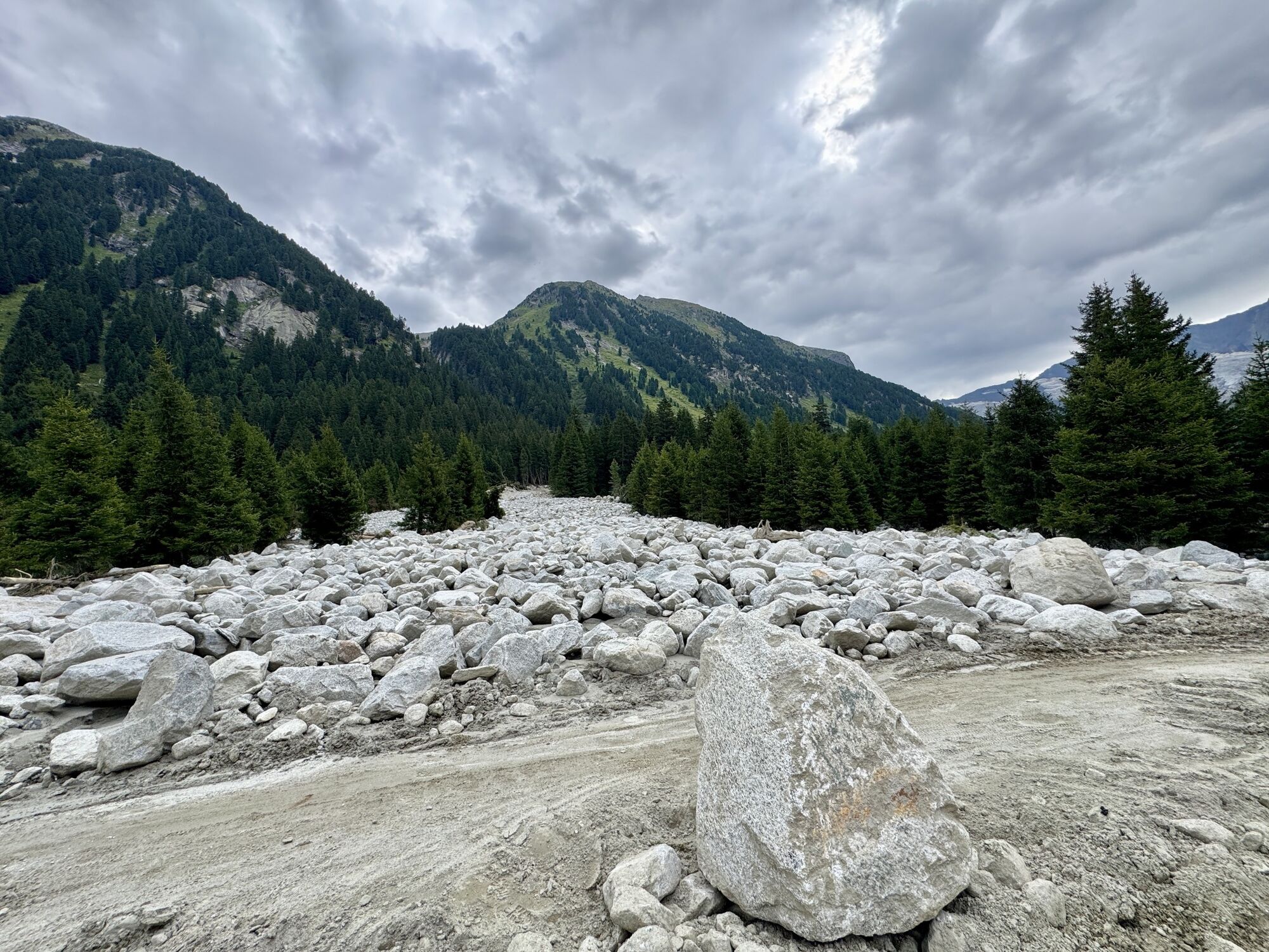
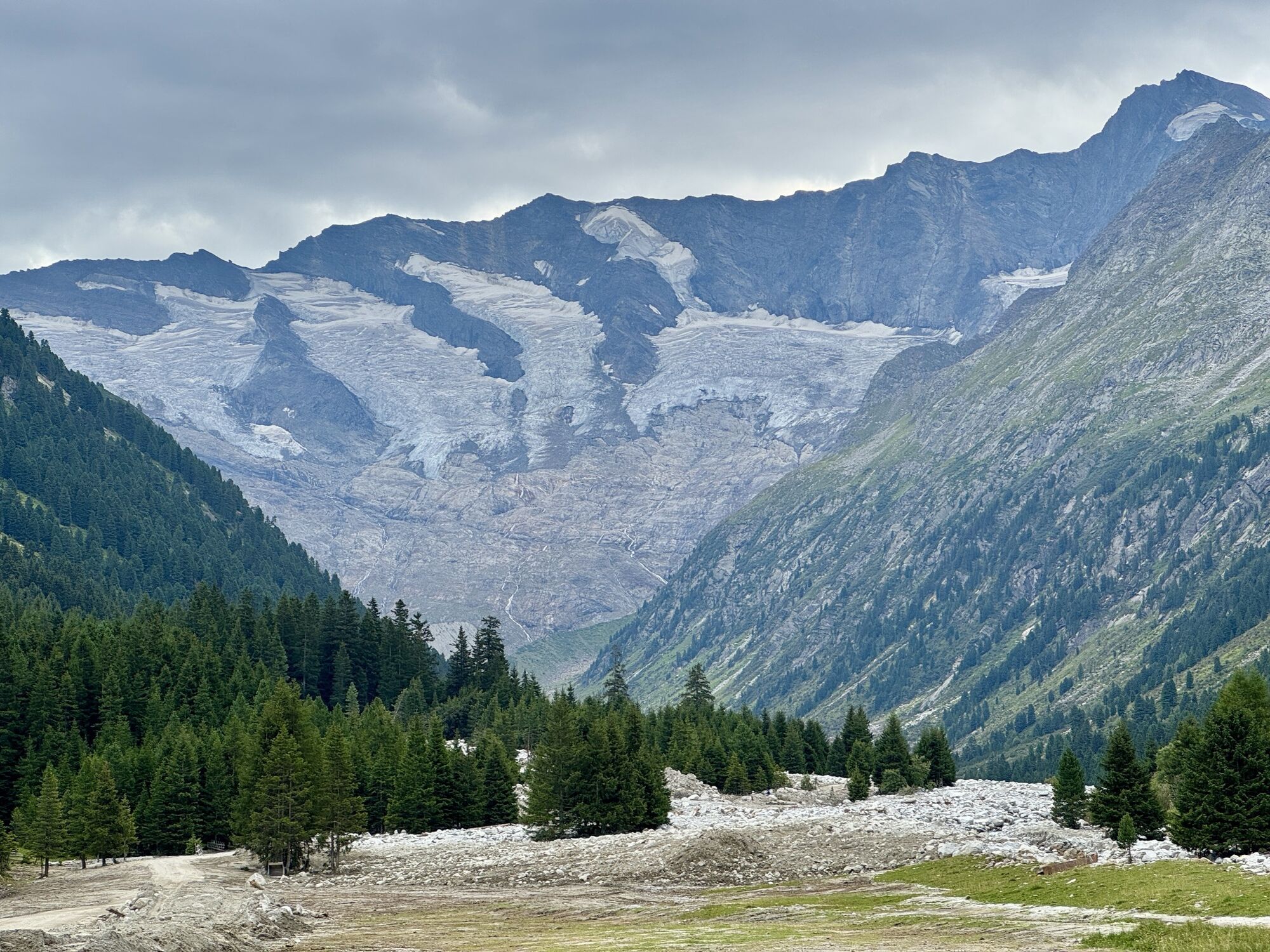
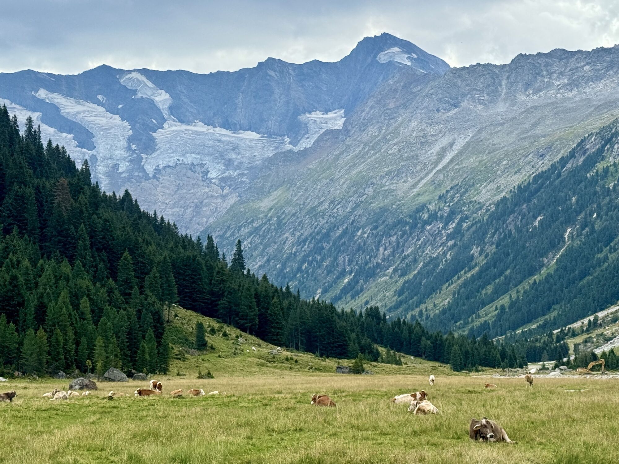
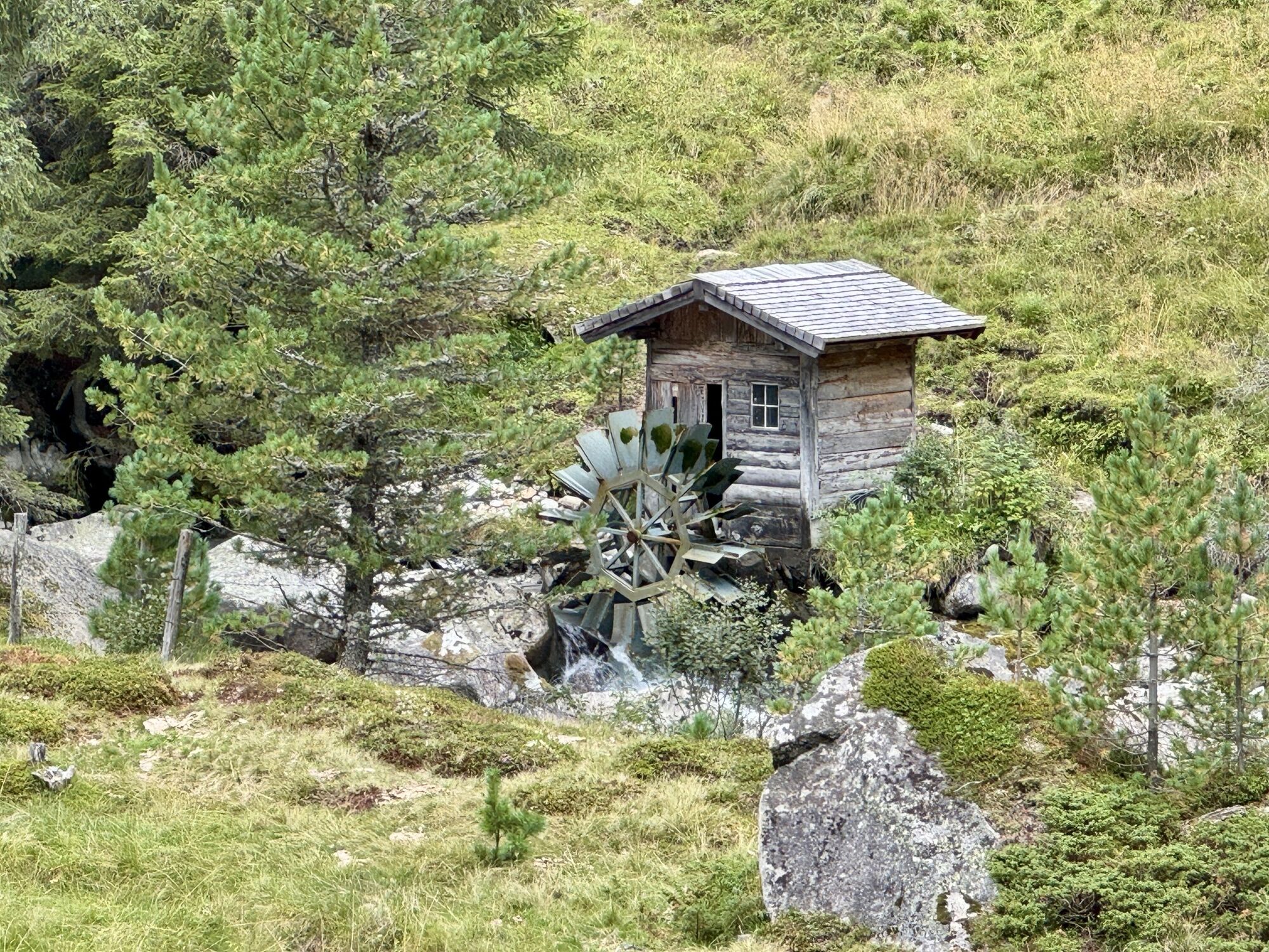


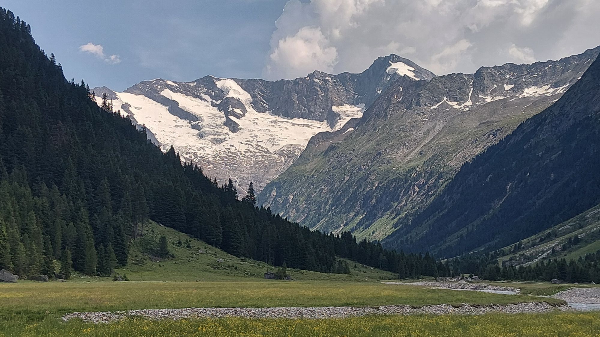


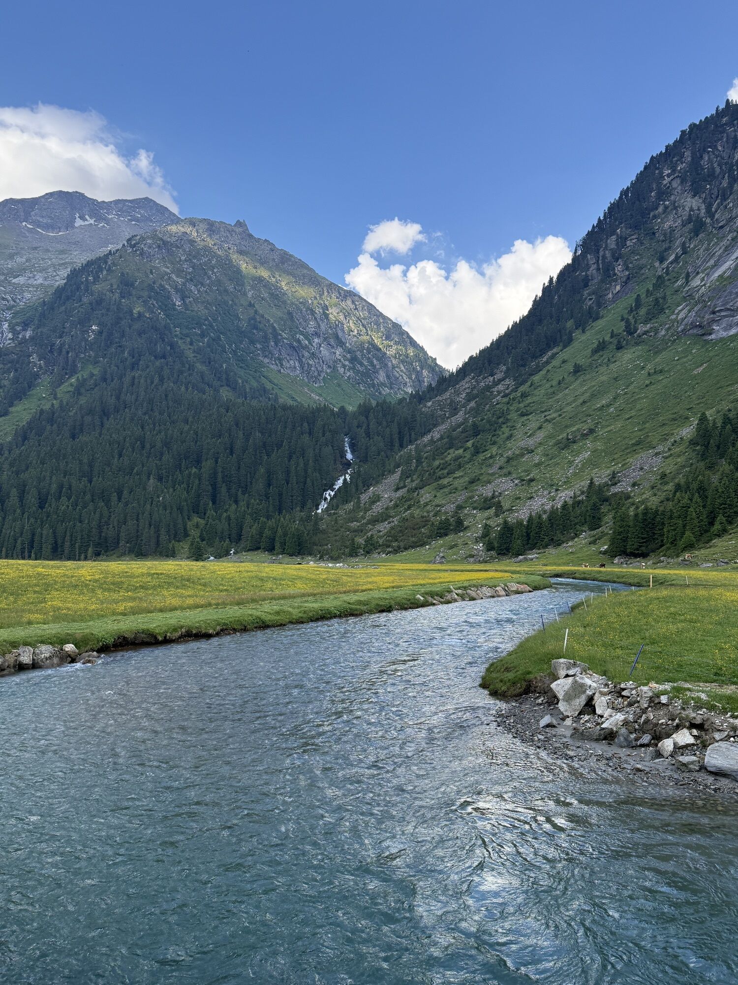
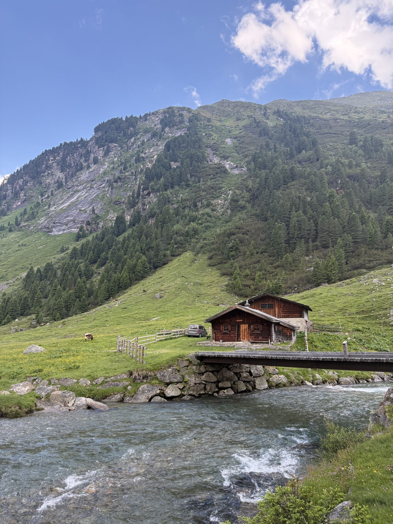
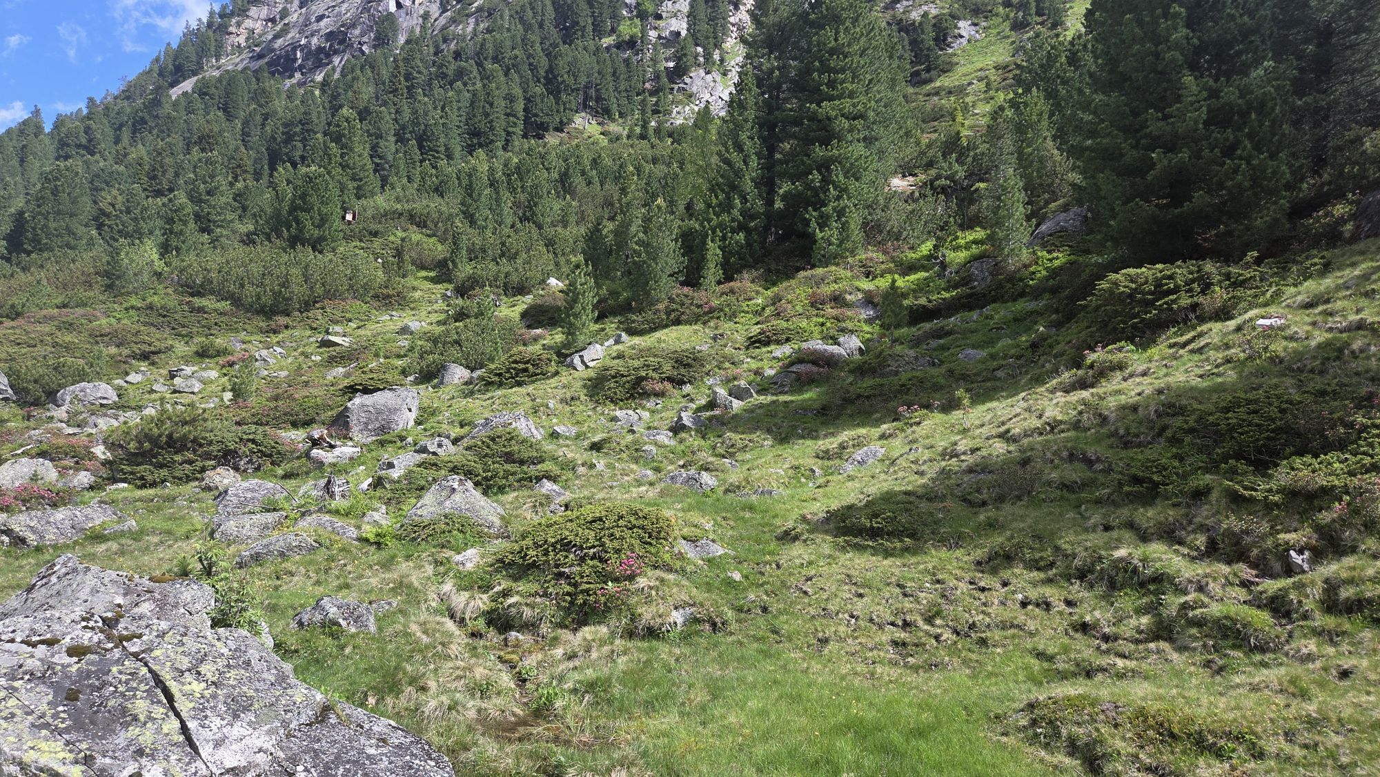

The multi-day route starts at the Tauernhaus in the Krimmler Achental. The trail leads over the Rainbachscharte to the Zittauer Hütte in the Wildgerlostal. A beautiful view of the upper and lower Gerlos...
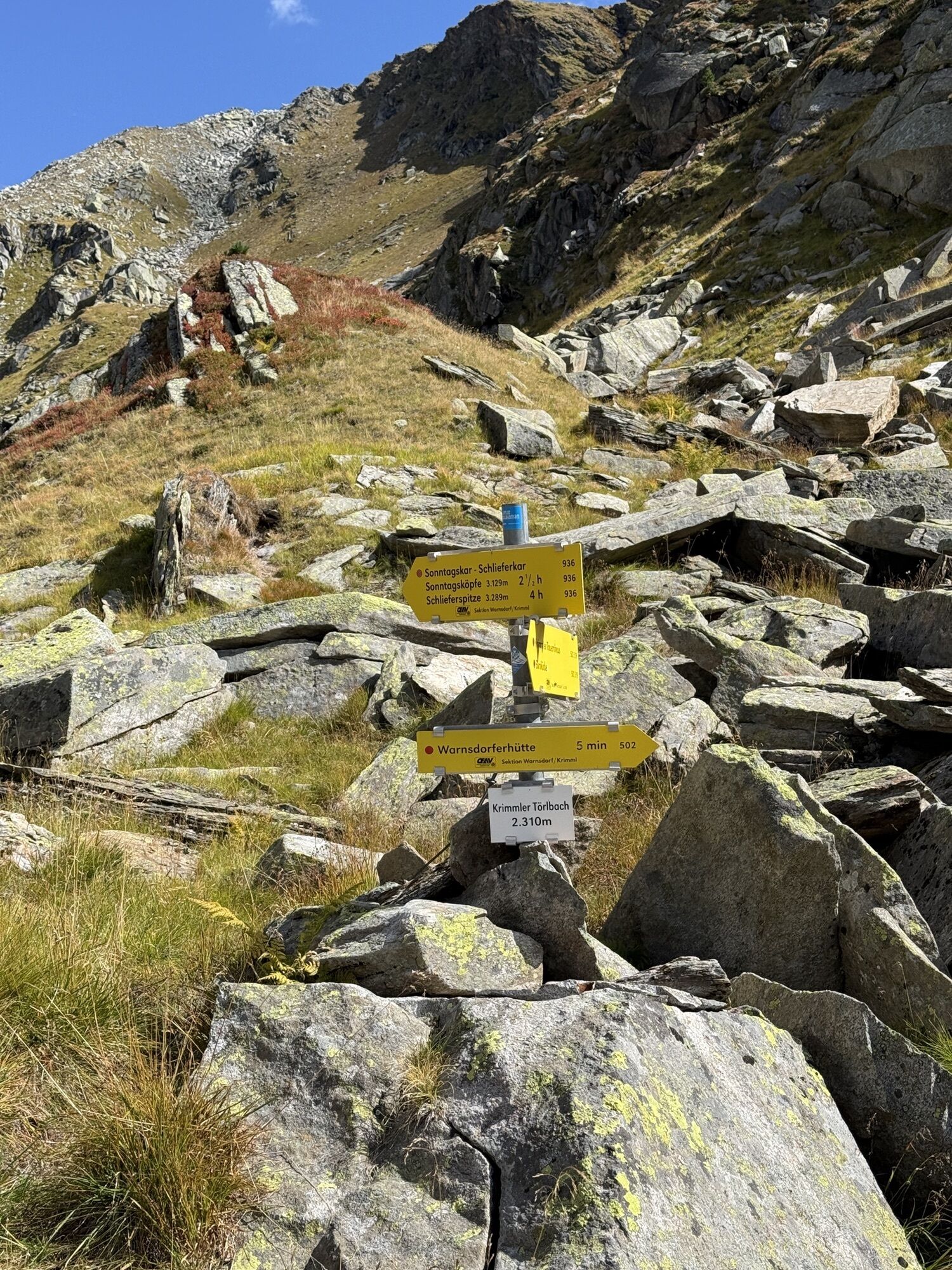
The multi-day route starts at the Tauernhaus in the Krimmler Achental. The trail leads over the Rainbachscharte to the Zittauer Hütte in the Wildgerlostal. A beautiful view of the upper and lower Gerlos lakes awaits you there. Over the Rosskarscharte you then go to the Richter Hütte. Next, you hike over the Windbachscharte to the Eissee and the Zillerplattenscharte. The trail now runs towards South Tyrol: Heiliges Geistjöchl/Forcella di Campo. The Lausitzerweg leads you past the Krimmler Tauern via the Teufelsstiege to the Birnlücken Hütte. You cross the border back into Austria at Birnlücke/Forcella del Picco. The Warnsdorfer Hütte with the Eissee about 15 minutes away is already back in the Krimmler Achental. Then you hike back to the Krimmler Tauernhaus - our starting point.


Trail No.:
511 (Krimmler Tauernhaus - Zittauer Hütte, walking time approx. 4 h),
540 (Zittauer Hütte - Richter Hütte, walking time approx. 4 h),
540, 502, 02, 517, 13 (Richter Hütte - Eissee - Zillerplattenscharte - Heiliges Geistjöchl - Krimmler Tauern - Birnlücken Hütte, walking time approx. 9 h)
13 (Birnlücken Hütte - Warnsdorfer Hütte, walking time approx. 3 h)
502 (Warnsdorfer Hütte - Krimmler Tauernhaus, walking time approx. 3 h)
Entire route: Krimmler Tauernhaus - Zittauer Hütte - Richter Hütte - Eissee - Zillerplattenscharte - Heiliges Geistjöchl - Krimmler Tauern -
Birnlücken Hütte - Birnlücke - Warnsdorfer Hütte - Krimmler Tauernhaus
Da
Mountain boots, weatherproof clothing, rain protection, water bottle, snack, hut sleeping bag, hiking poles recommended
Sure-footedness, a head for heights, good stamina and fitness required.
Early reservation directly at the huts is highly recommended!
Coming from Tyrol via the Gerlos Alpine Road, from the direction of Mittersill via the B165.
By Postbus to the stop "Krimml Waterfalls" or "Krimml town center".
In case of arrival by Pinzgauer Lokalbahn, a rail replacement service is provided between the stops "Niedernsill" and "Krimml station".
A cost-effective long-term parking lot is located in the center of Krimml.
Krimmler Tauernhaus: Tel. +43 (0)6564/21200 or www.krimmler-tauernhaus.at
Zittauer Hütte: Tel. +43 (0)6564 8262 or www.zittauerhuette.at
Richter Hütte: Tel. +43 (0)5242 21328 or www.richterhuette.com
Birnlücken Hütte: Tel. +39 0474 654140 or http://www.pension-knappenhof.com/dt-birnlueckenhuette.htm
Warnsdorfer Hütte: Tel. +43 (0)6564 8241 or www.warnsdorferhuette.at
Tourism Association Krimml/Hochkrimml: Tel. +43 (0)6564 7239-0 or www.krimml.at
National park taxi possible from Krimml village - Tauernhaus in the Krimmler Achental
Reservation required at: Tel. +43 (0)6564/21200

Priljubljeni izleti v okolici
-
4.3
Gerlos: Stausee Rundwanderung
srednjaPohodništvo 12.5 km -
4.8
Zittauer Hut
srednjaPohodništvo 6.85 km -
4.4
Krimml Waterfall Path - Panorama Viewing Path
srednjaPohodništvo 5.71 km -
4.4
Krimmler Tauernhaus
srednjaPohodništvo 10.4 km -
4.8
Stoden - Clarahütte
srednjaPohodništvo 7.12 km -
4.9
Krimmler Achental
srednjaE-kolesa 18.4 km -
4.6
Krimmlerwasserfälle
srednjaPohodništvo 10.5 km -
4.9
Oberhausalm - Jagdhaushütte
svetlobaPohodništvo 14.0 km -
4.5
Krimml Waterfalls
srednjaPohodništvo 12.4 km -
5.0
Krimml: Zum Krimmler Tauernhaus
Mountainbike 12.4 km

Pohodništvo in sledenje


Ne zamudite ponudb in navdiha za naslednje počitnice
Vaš e-poštni naslov je bil dodan na poštni seznam.


