


Crossing Spielberg and Wieserhörndl


A solitary ascent from Hintersee to the popular ski touring mountains when there is no longer or not yet enough snow. Thanks to the new hourly connection from the Gaißau valley station, crossing the inactive...
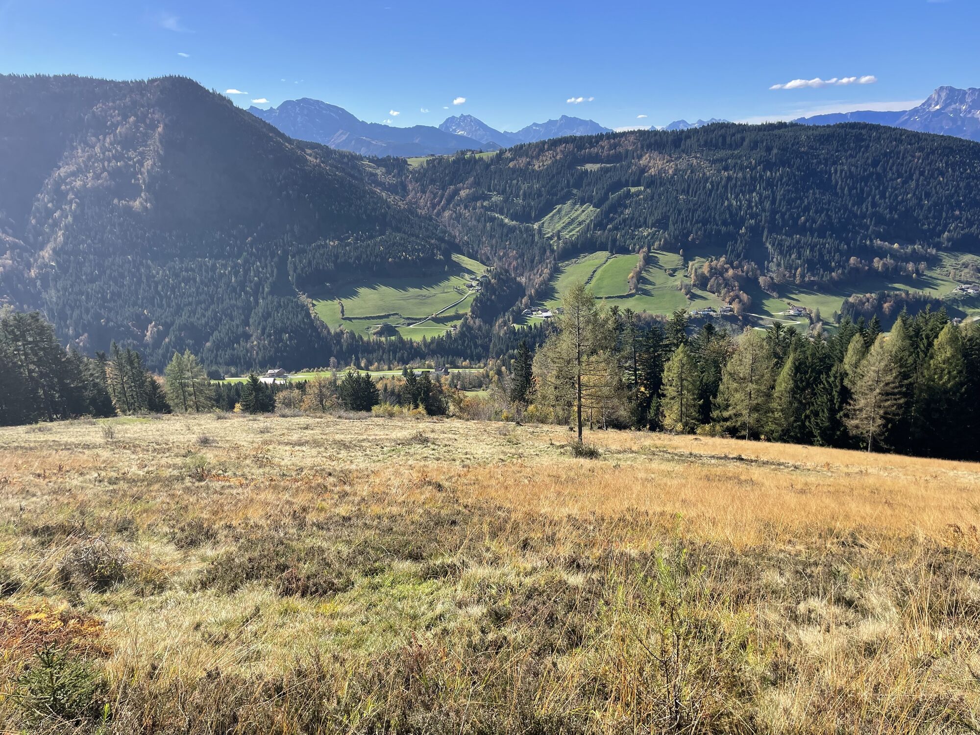
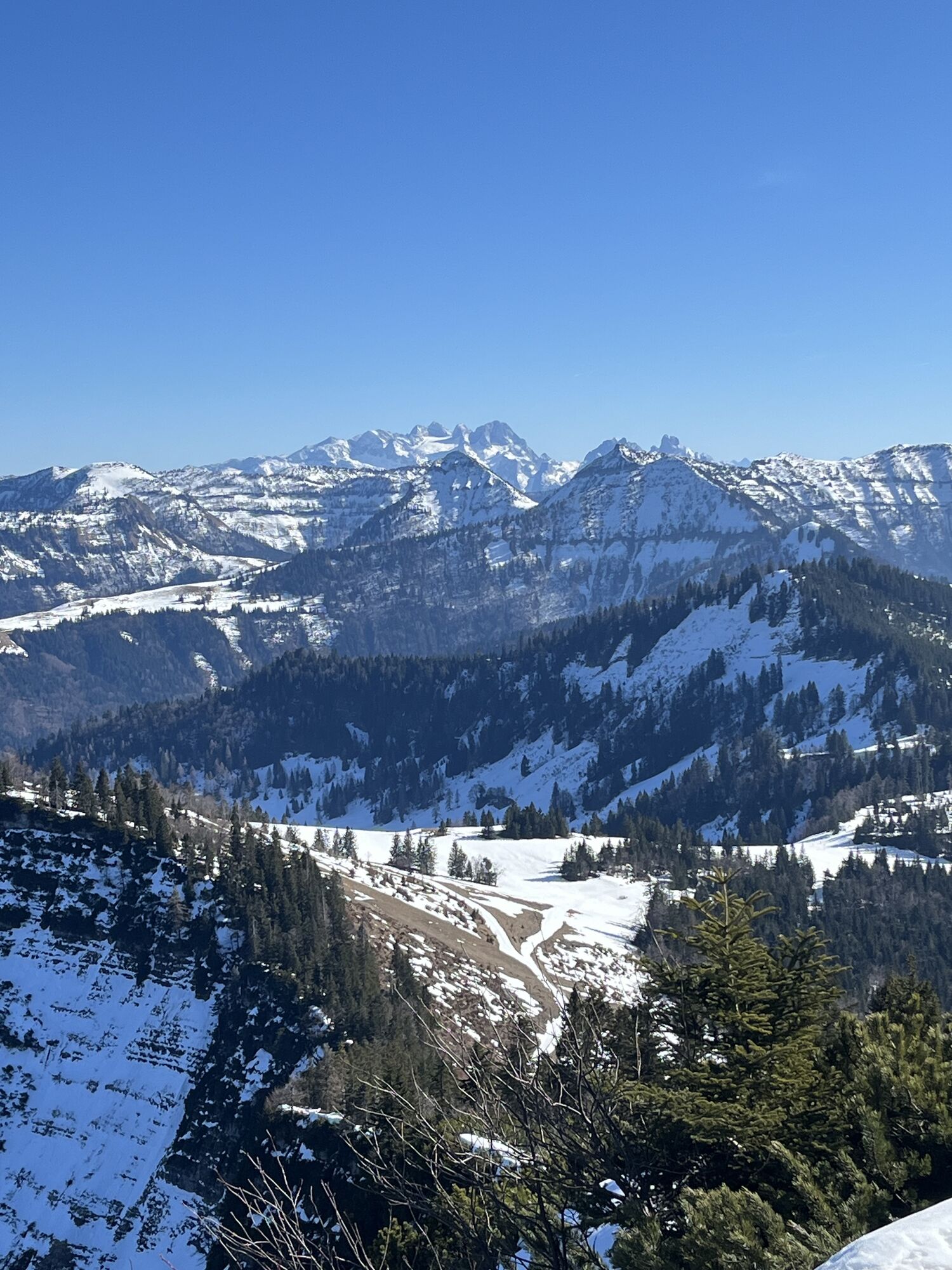
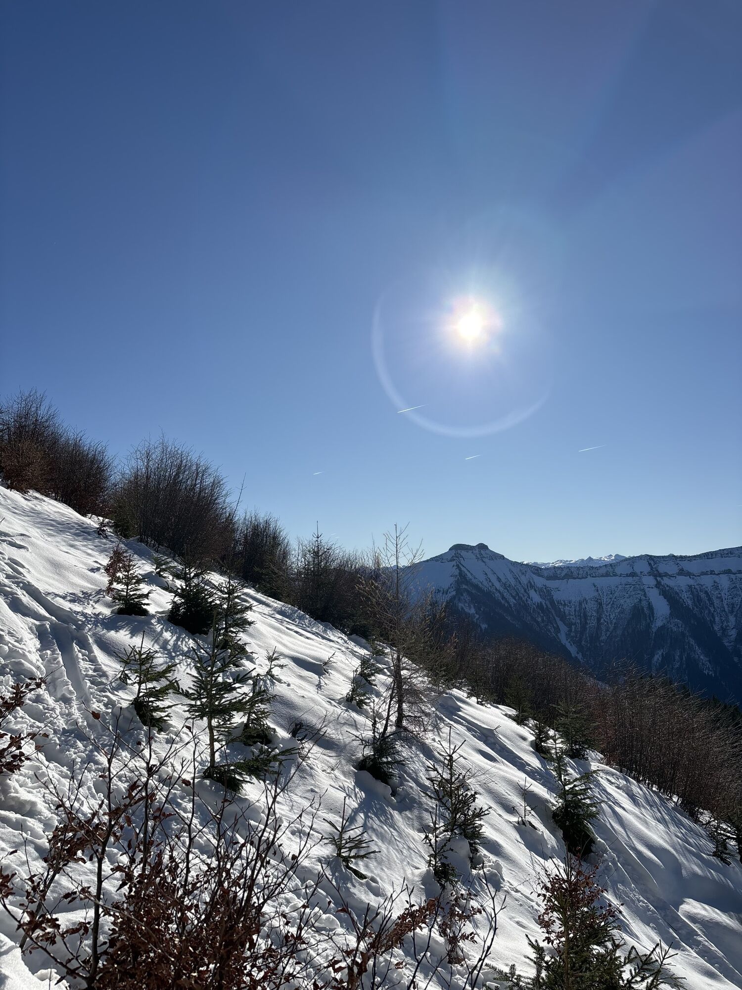
A solitary ascent from Hintersee to the popular ski touring mountains when there is no longer or not yet enough snow. Thanks to the new hourly connection from the Gaißau valley station, crossing the inactive ski area is possible. Because even if the lifts are not running, it is nice between Hintersee and Krispl – whether for hiking, snowshoeing or ski touring. When ascending from Hintersee, you are mostly alone.

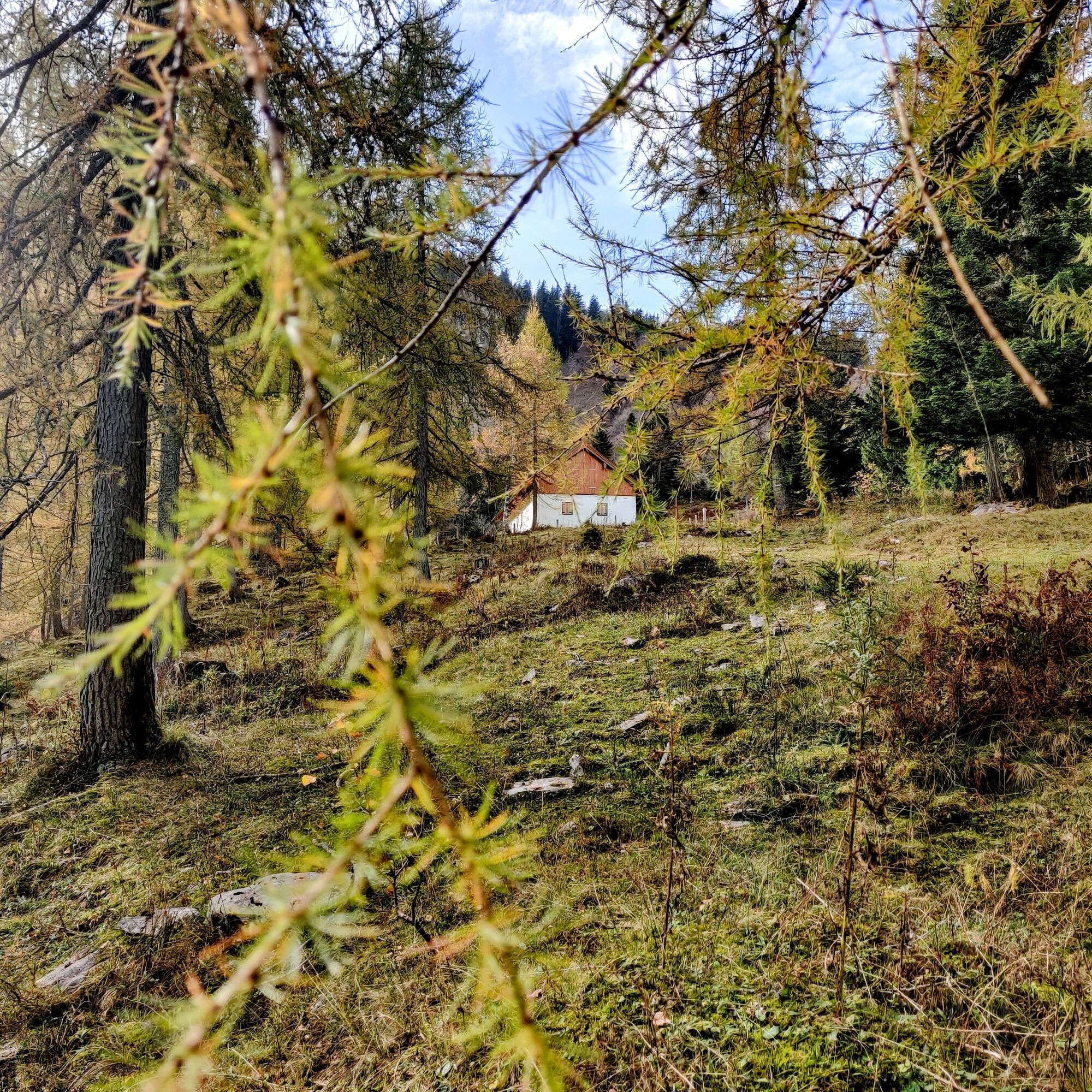
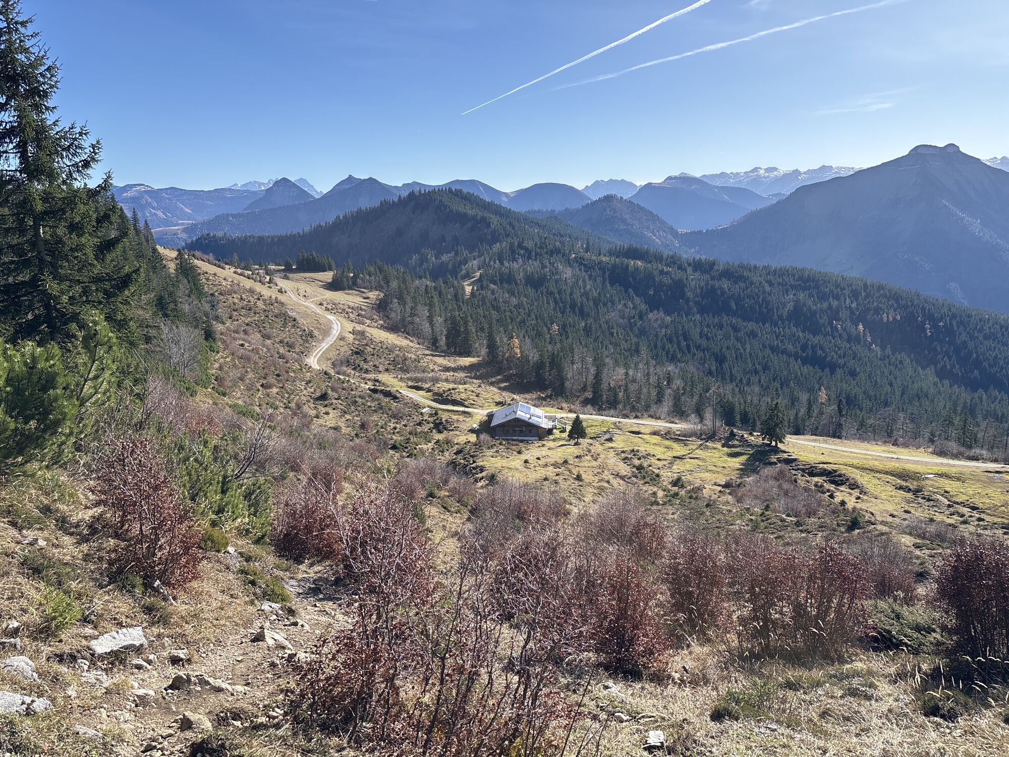
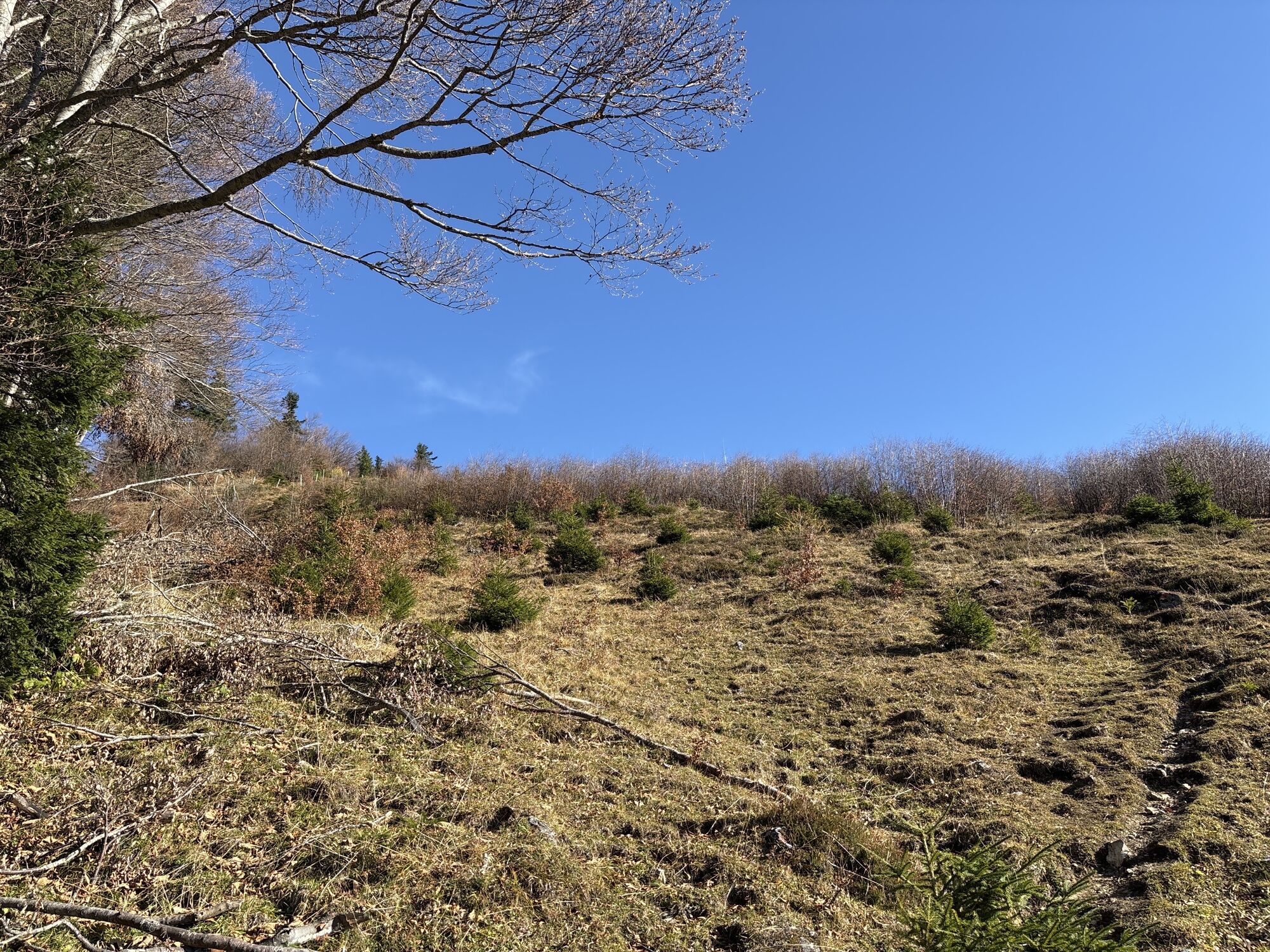
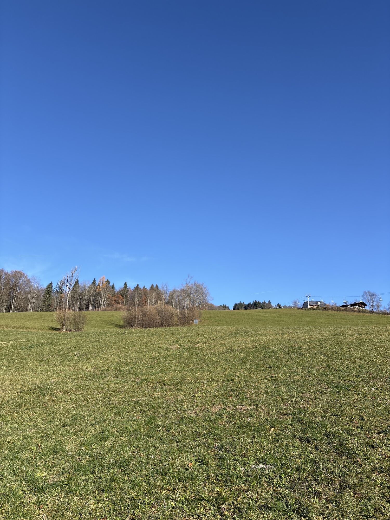
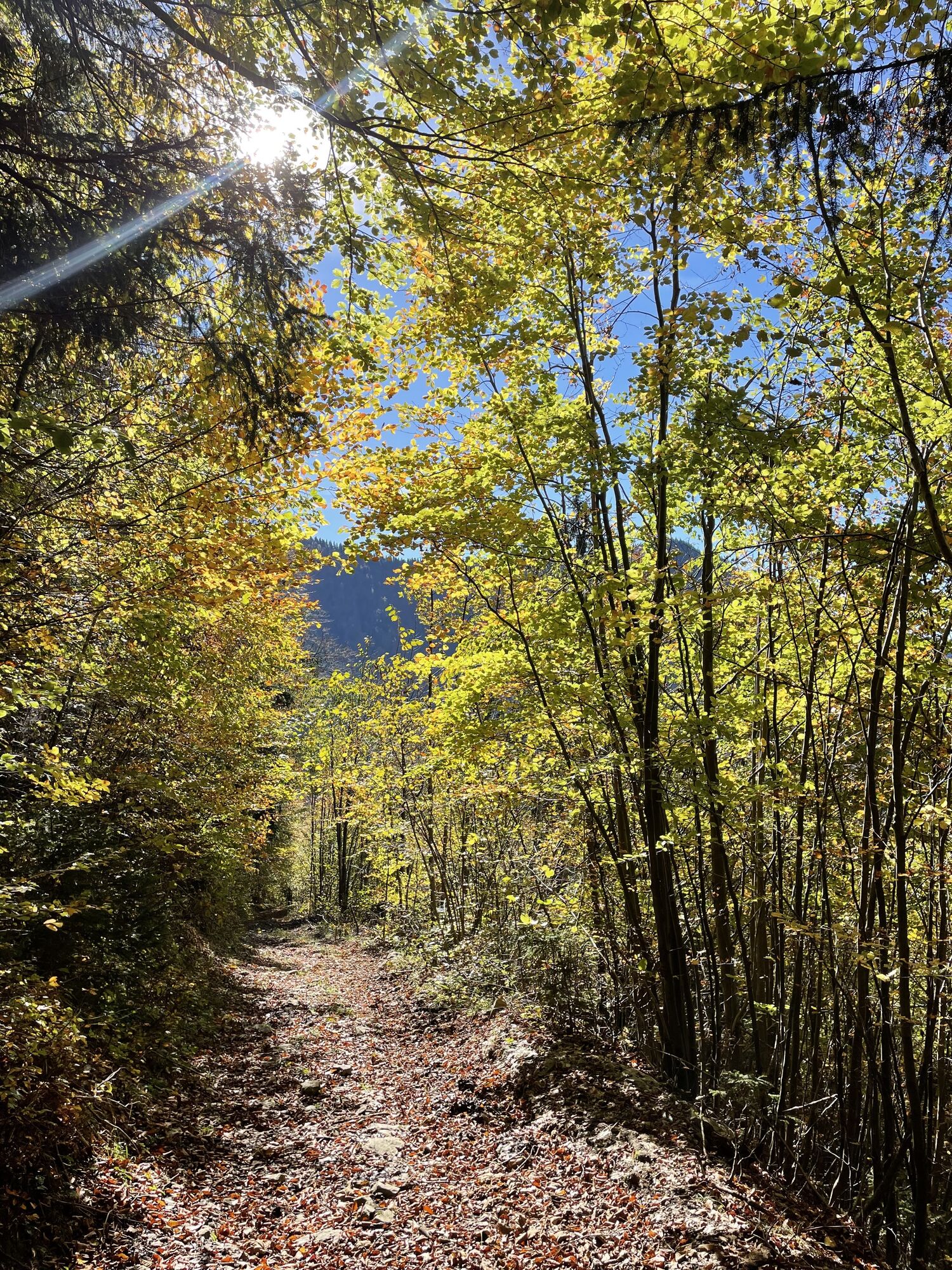
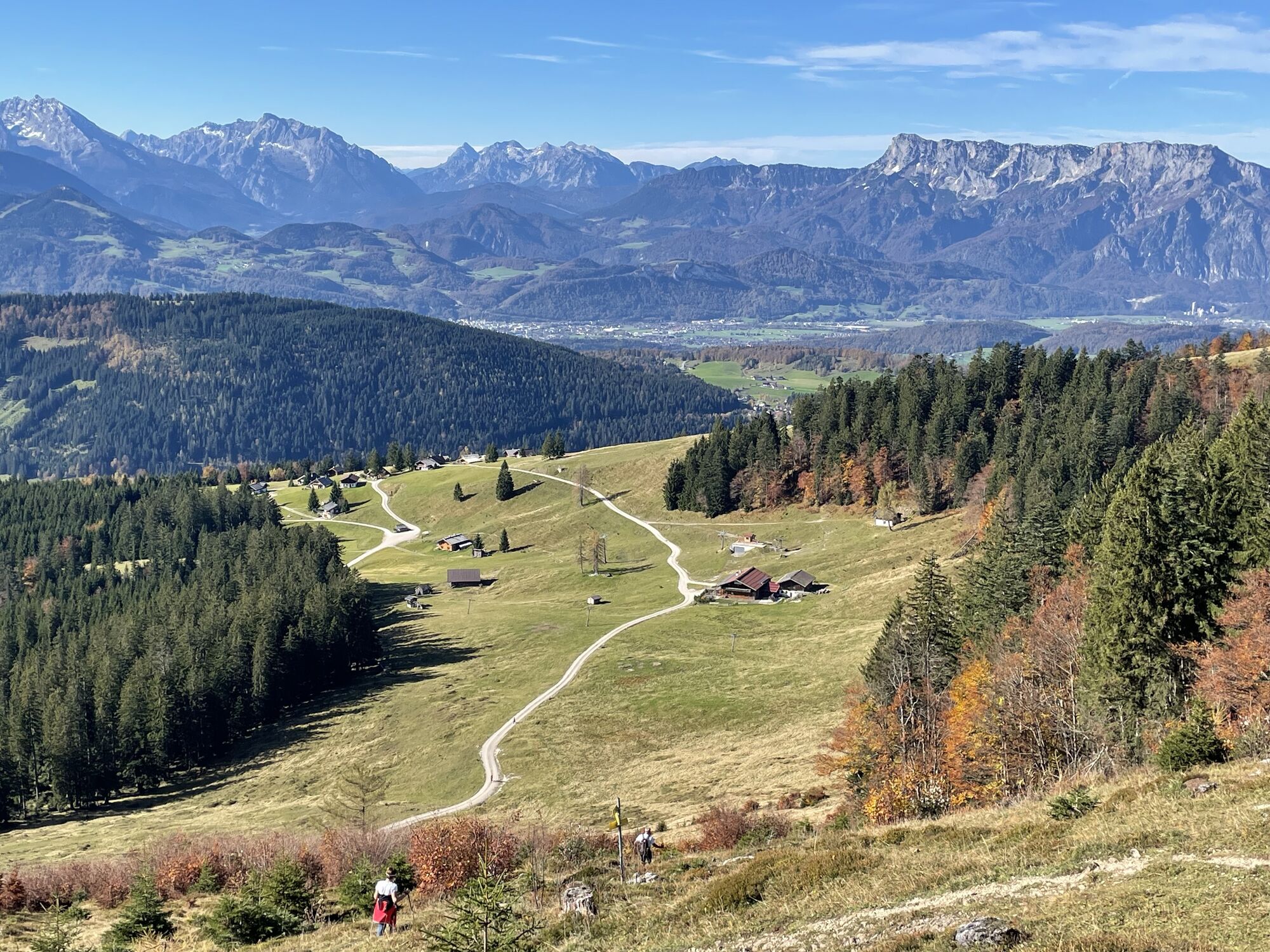
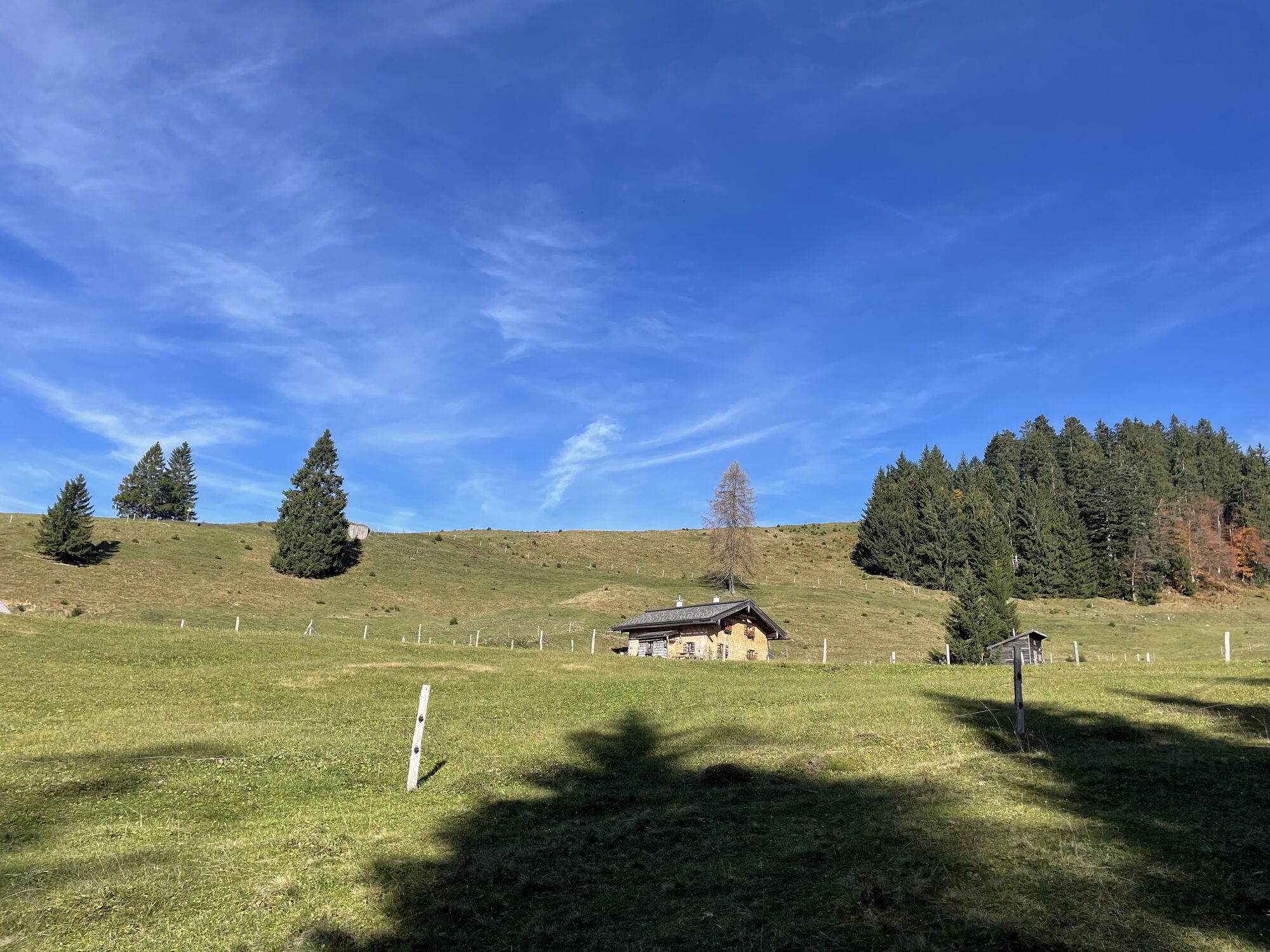
At the bus stop, continue along the road and turn right into Seestraße. At the parking lot, the Seebergweg rises to the west. If you see the farm at the saddle, take the forest road left into the woods. In a bend, a narrow path continues uphill through the forest to the Grunaualm, which lies in the shadow of the slopes of the Spielberg.
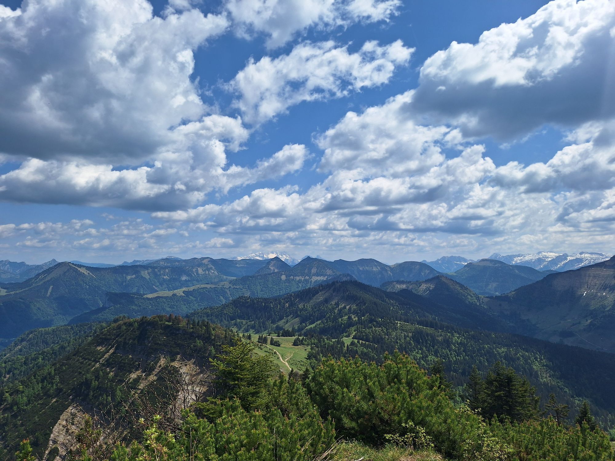
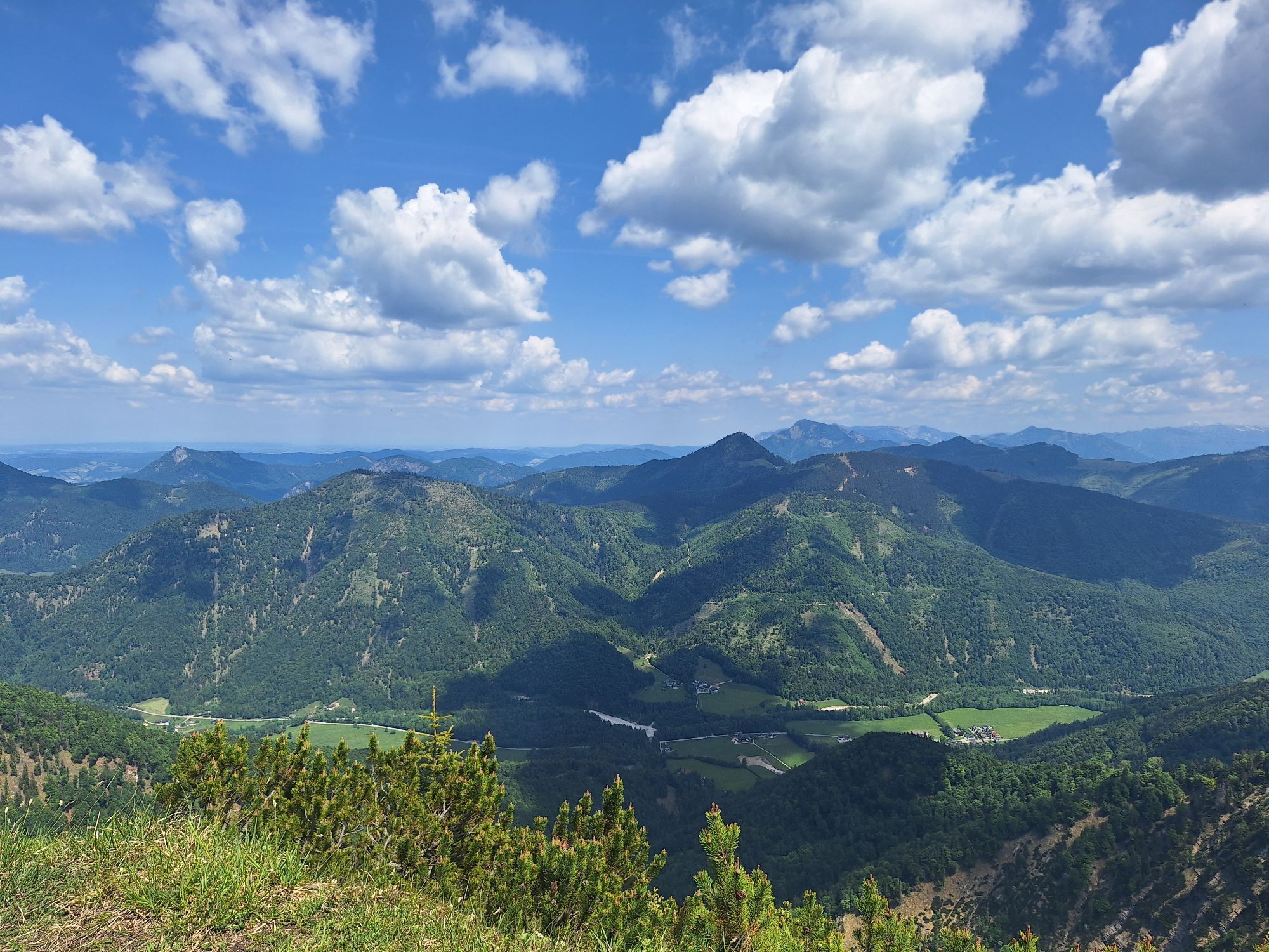
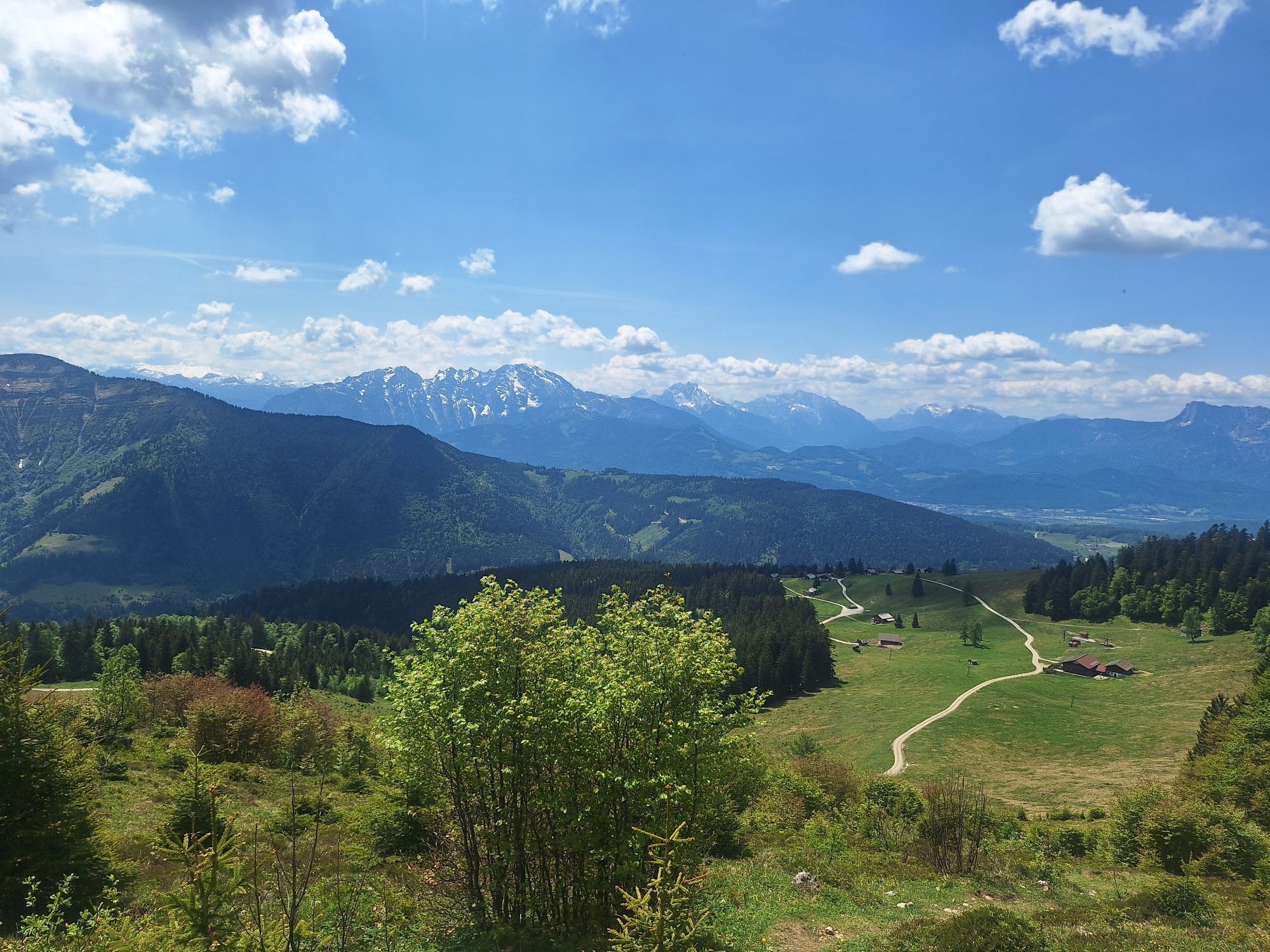
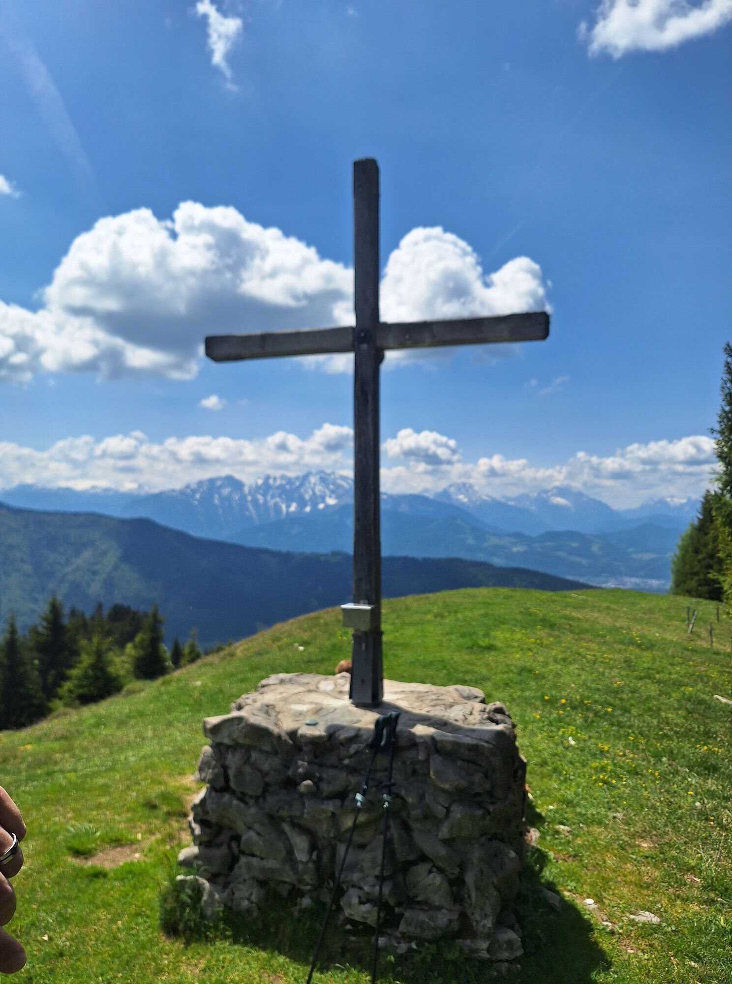
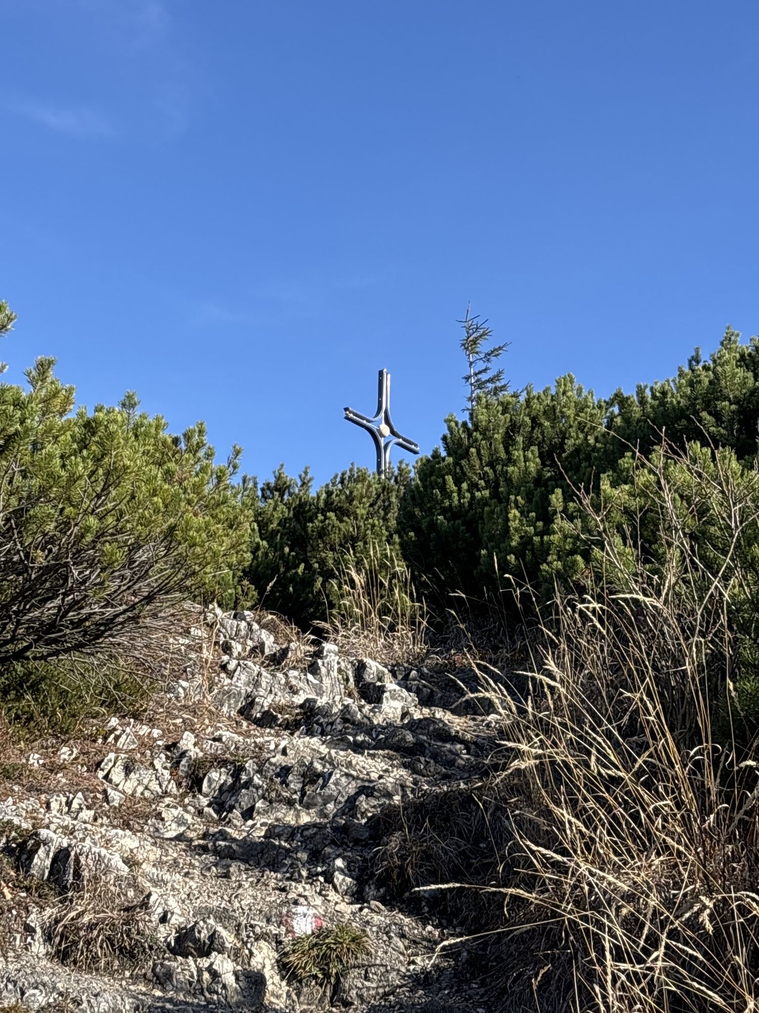
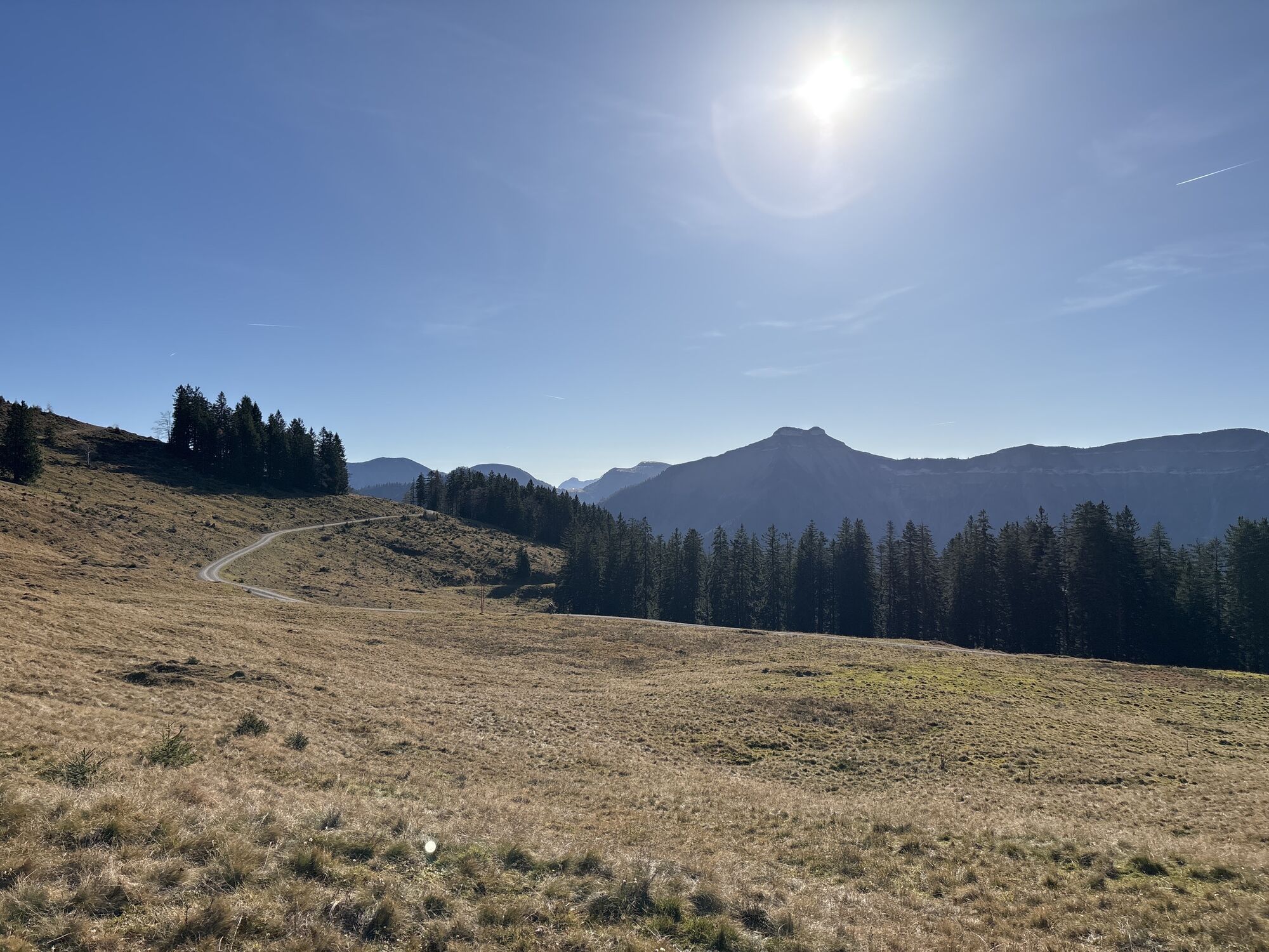
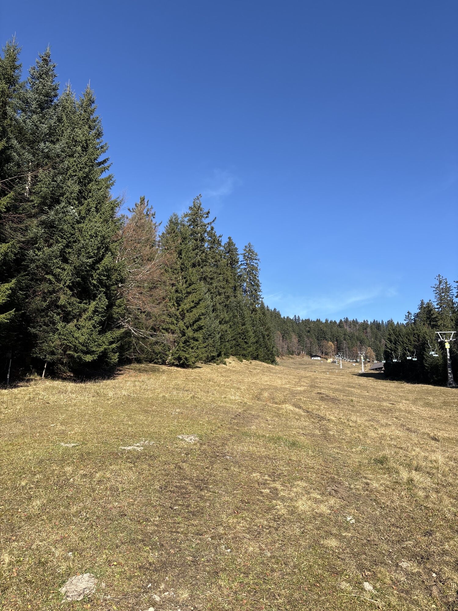
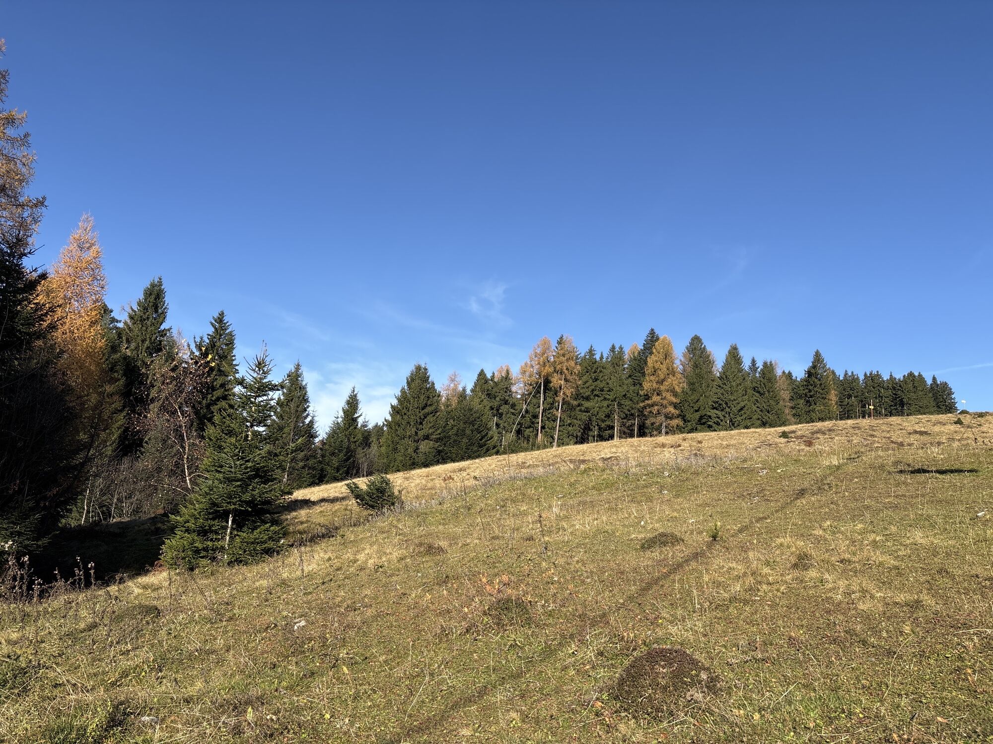
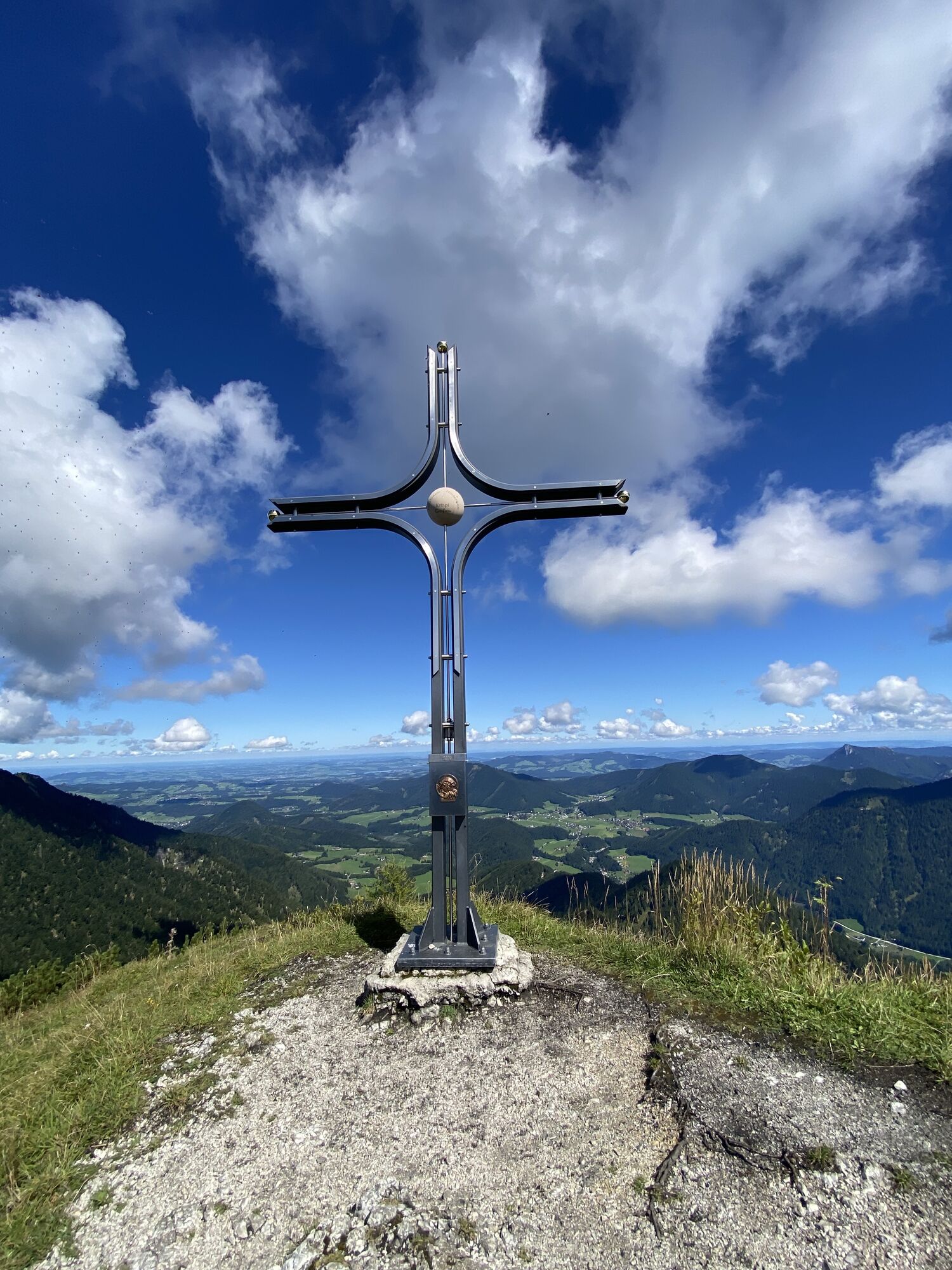
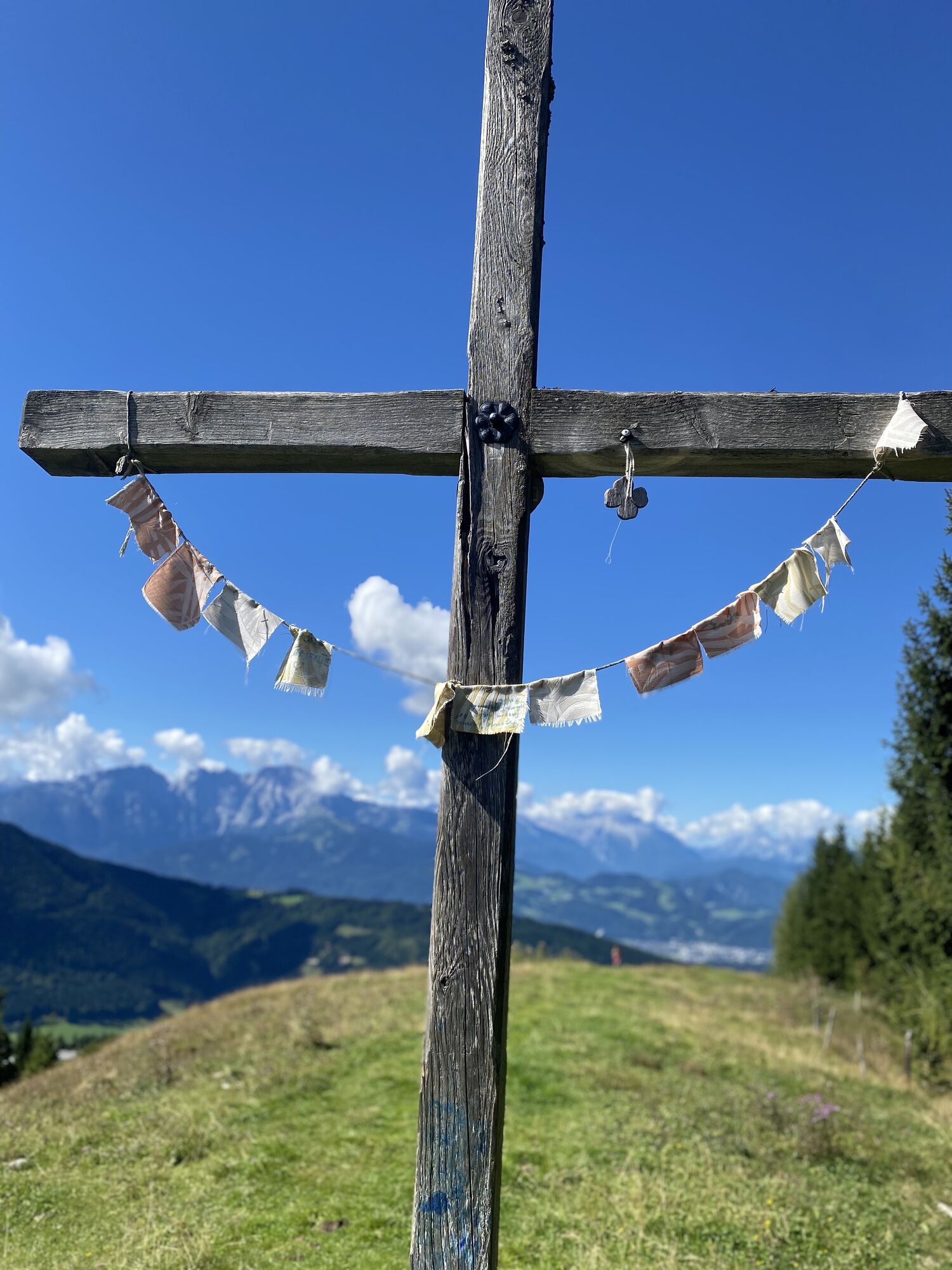
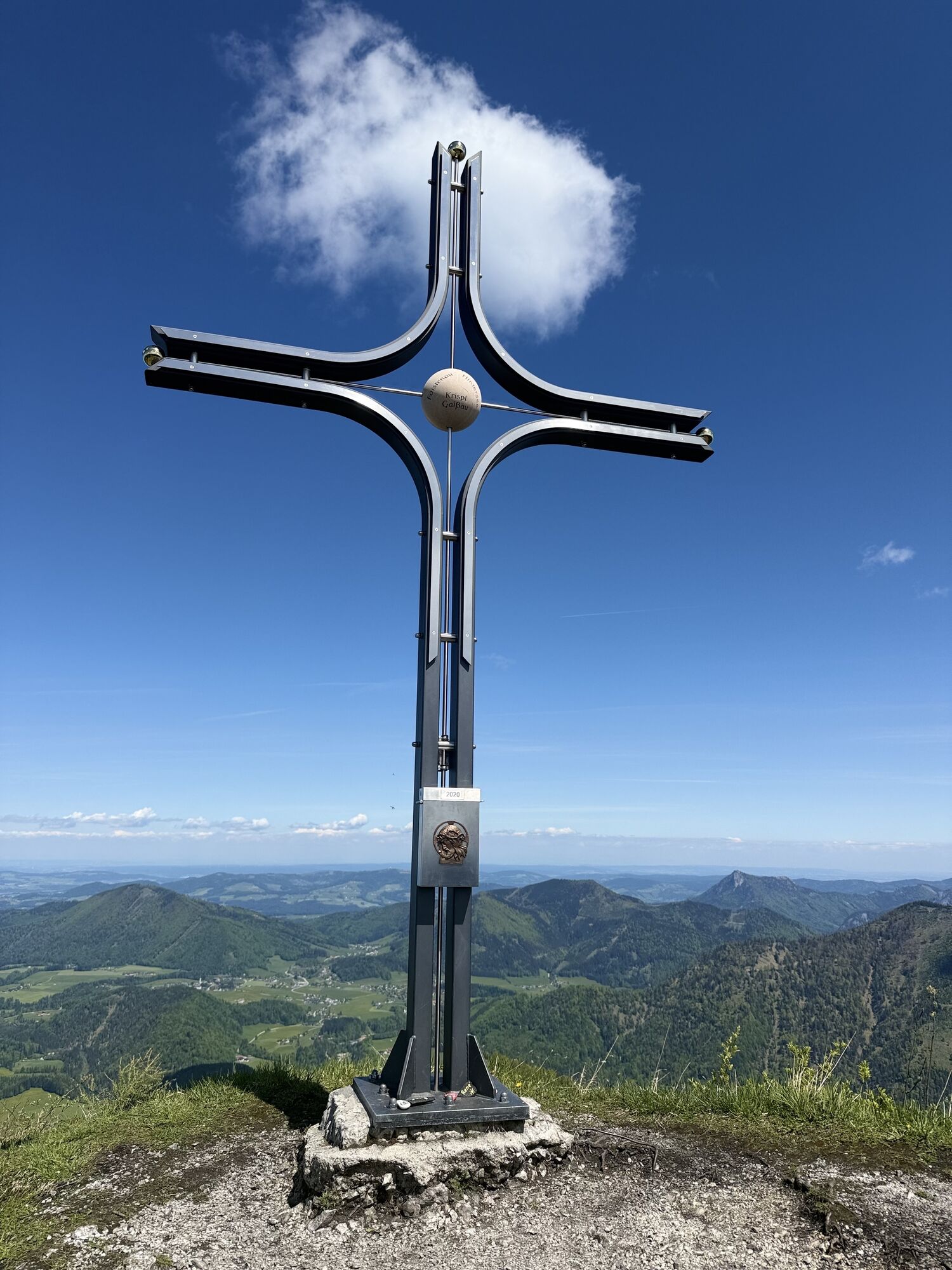
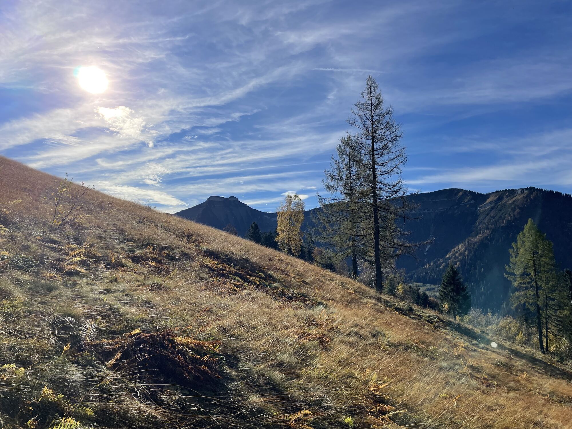
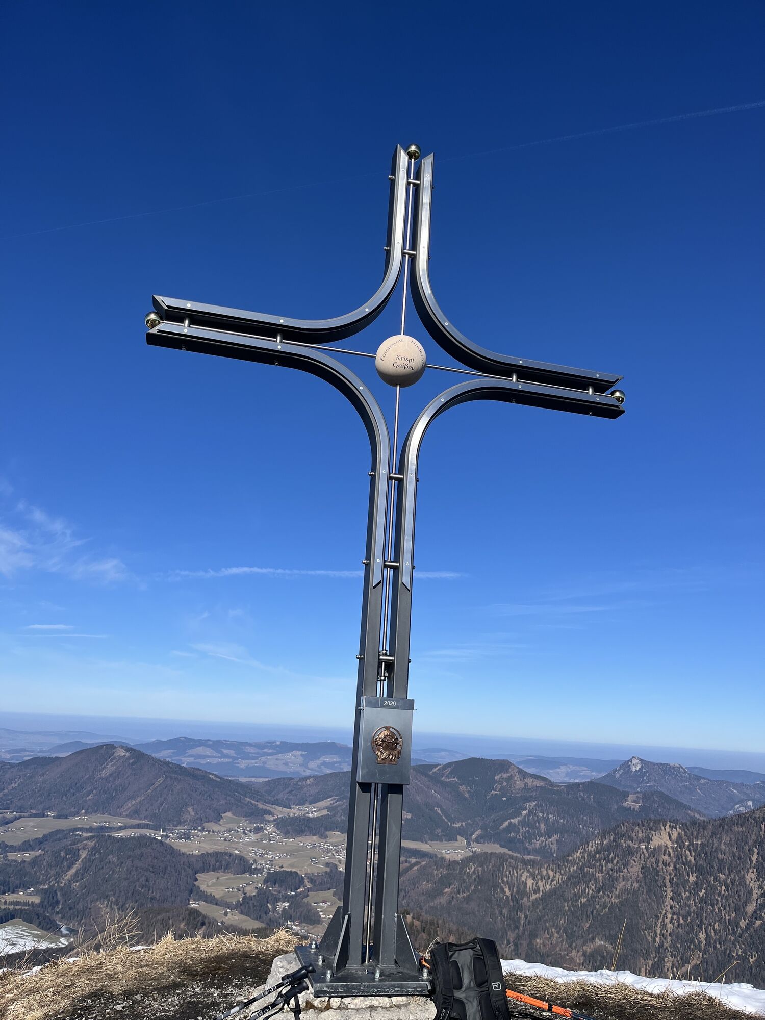
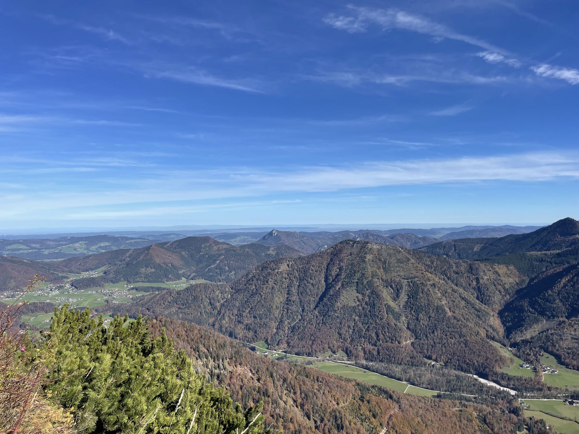
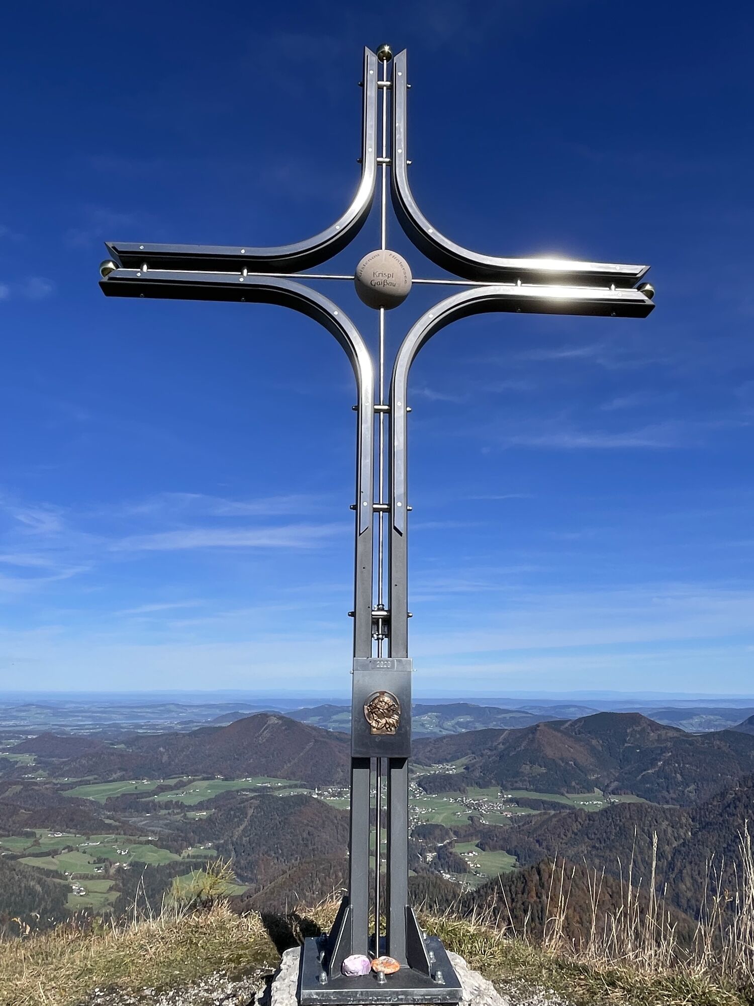
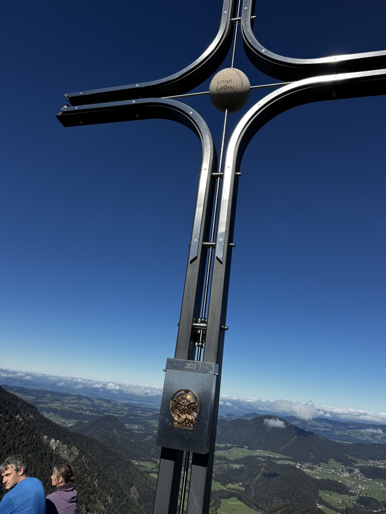
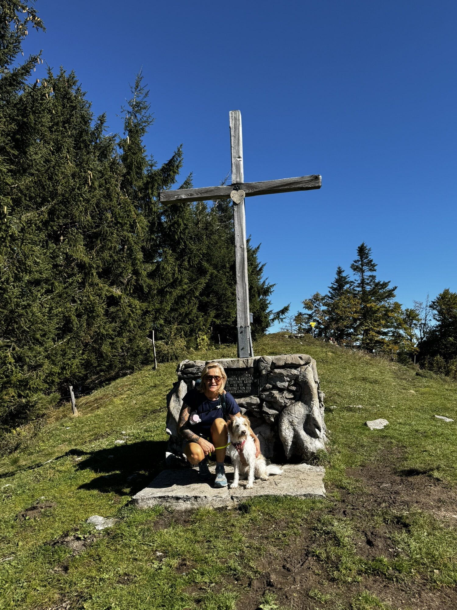
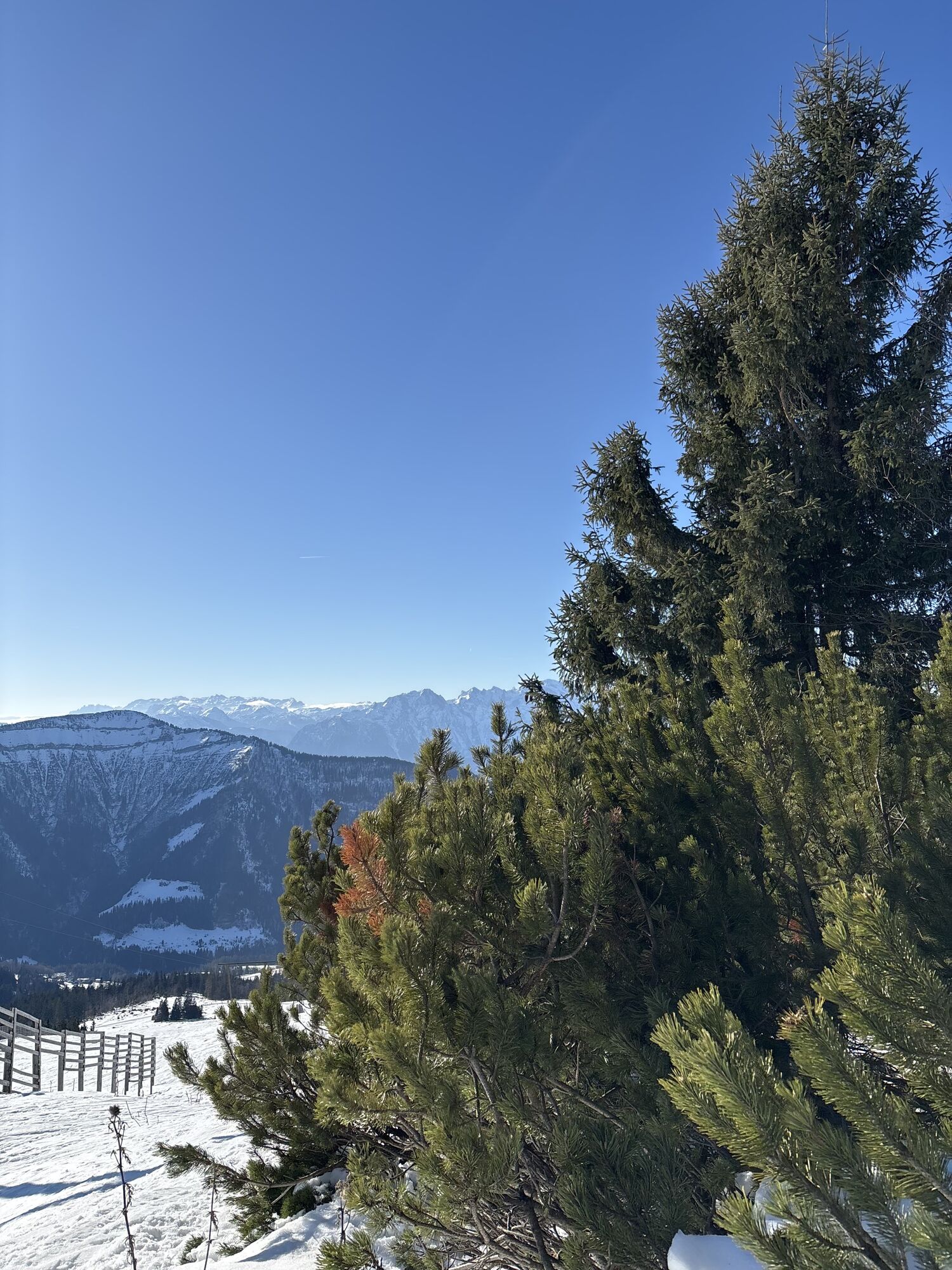
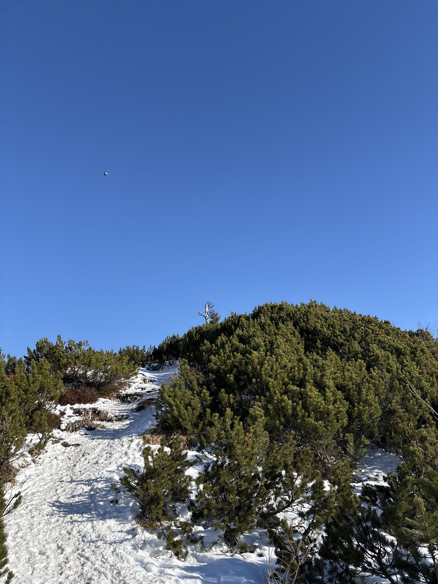
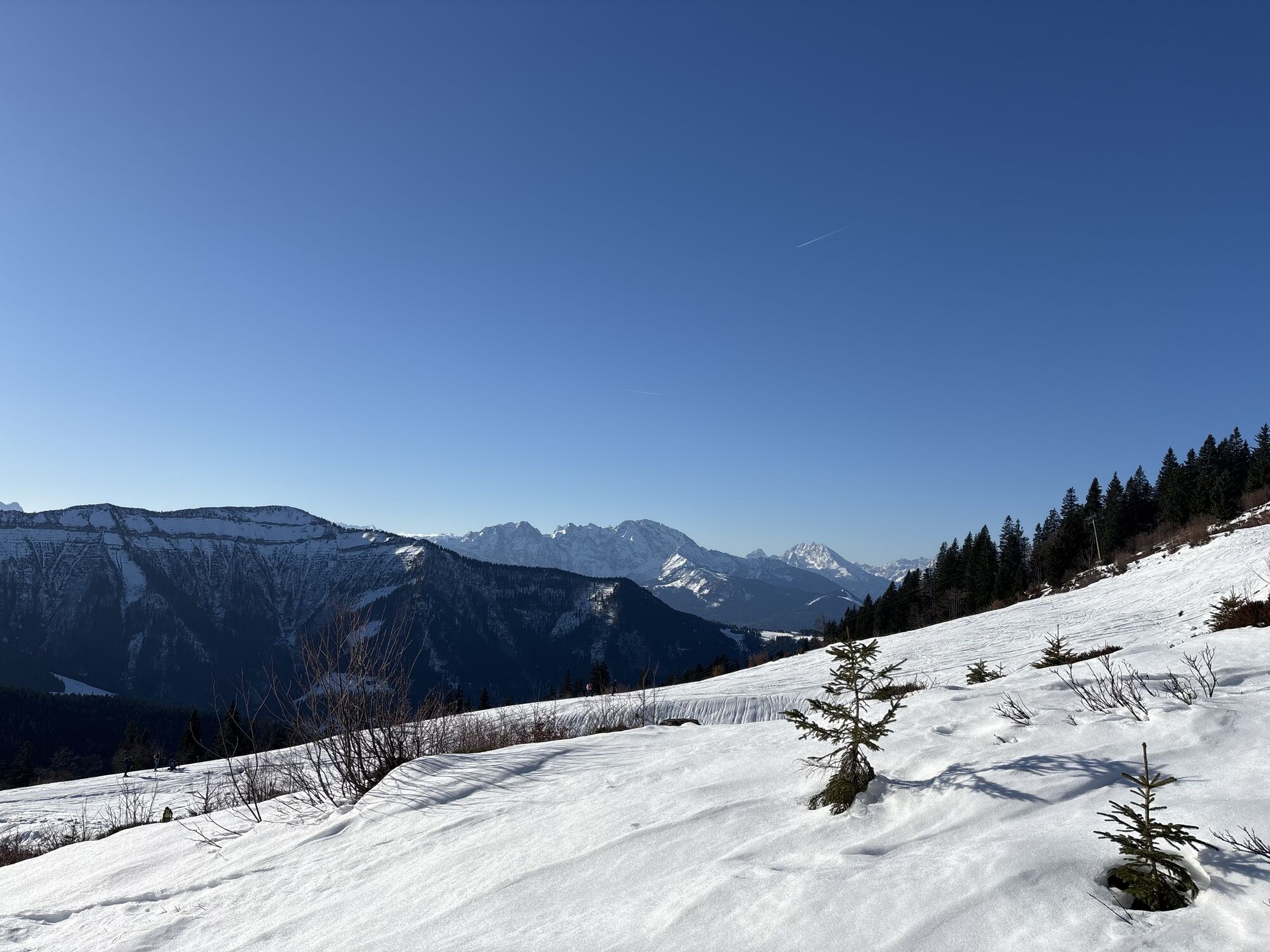
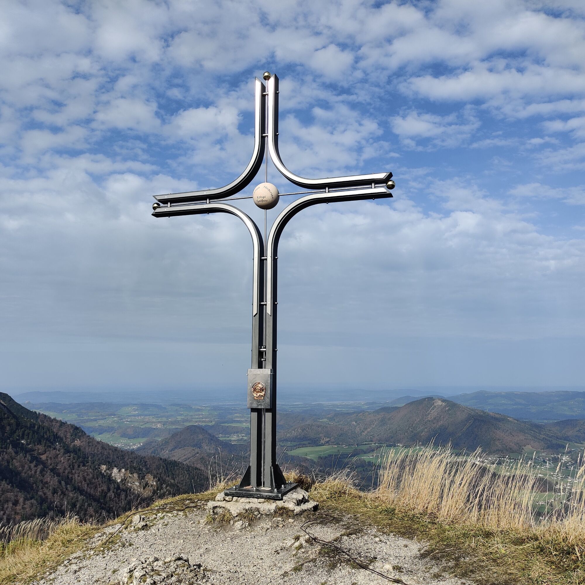
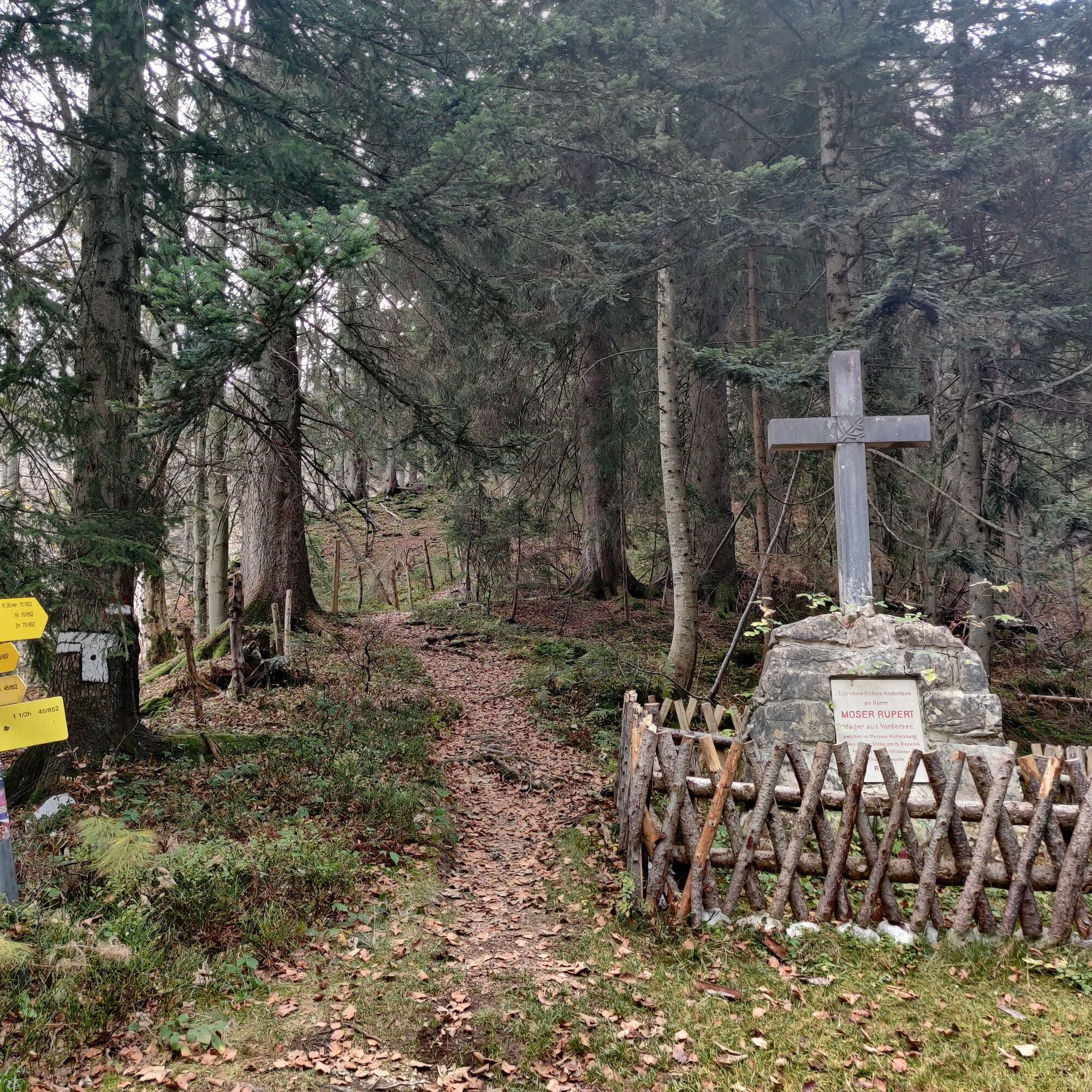
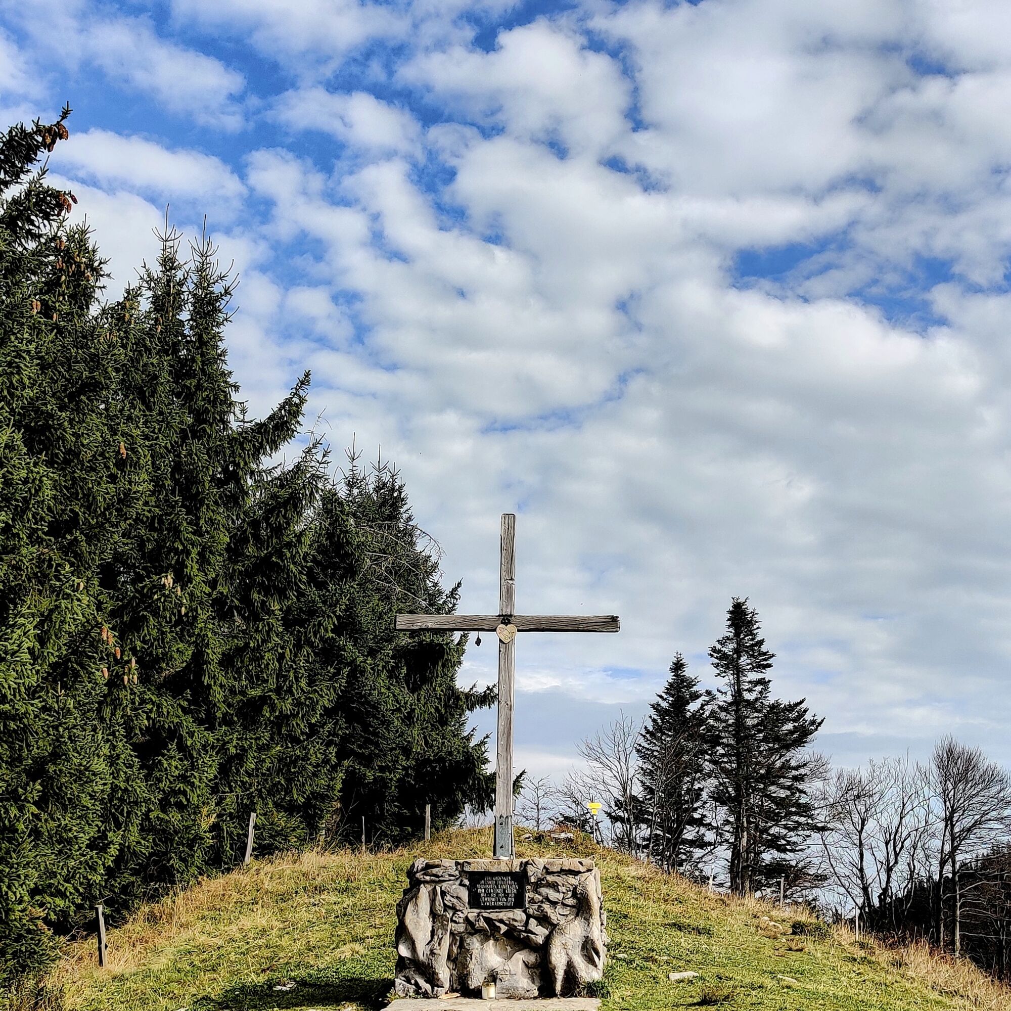
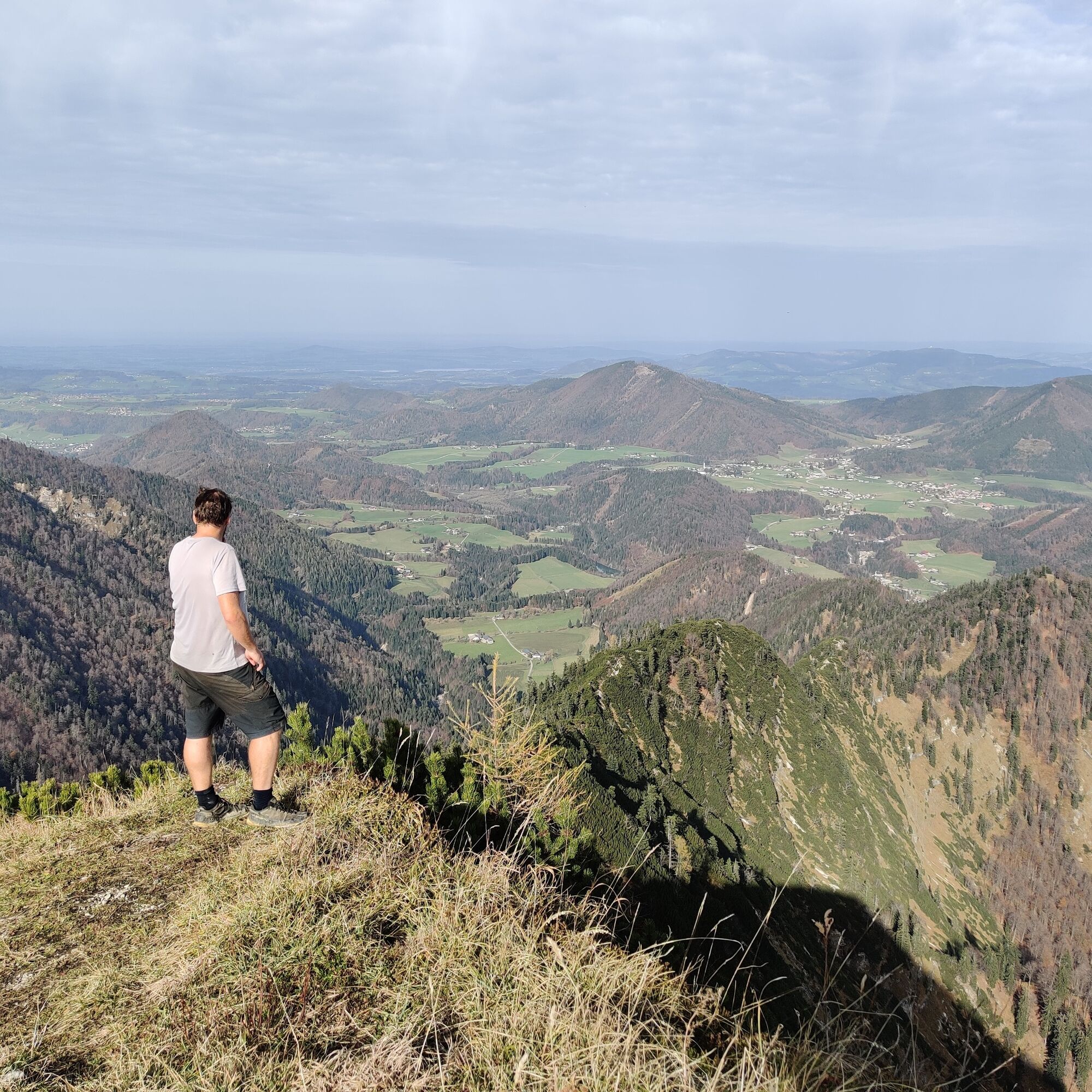
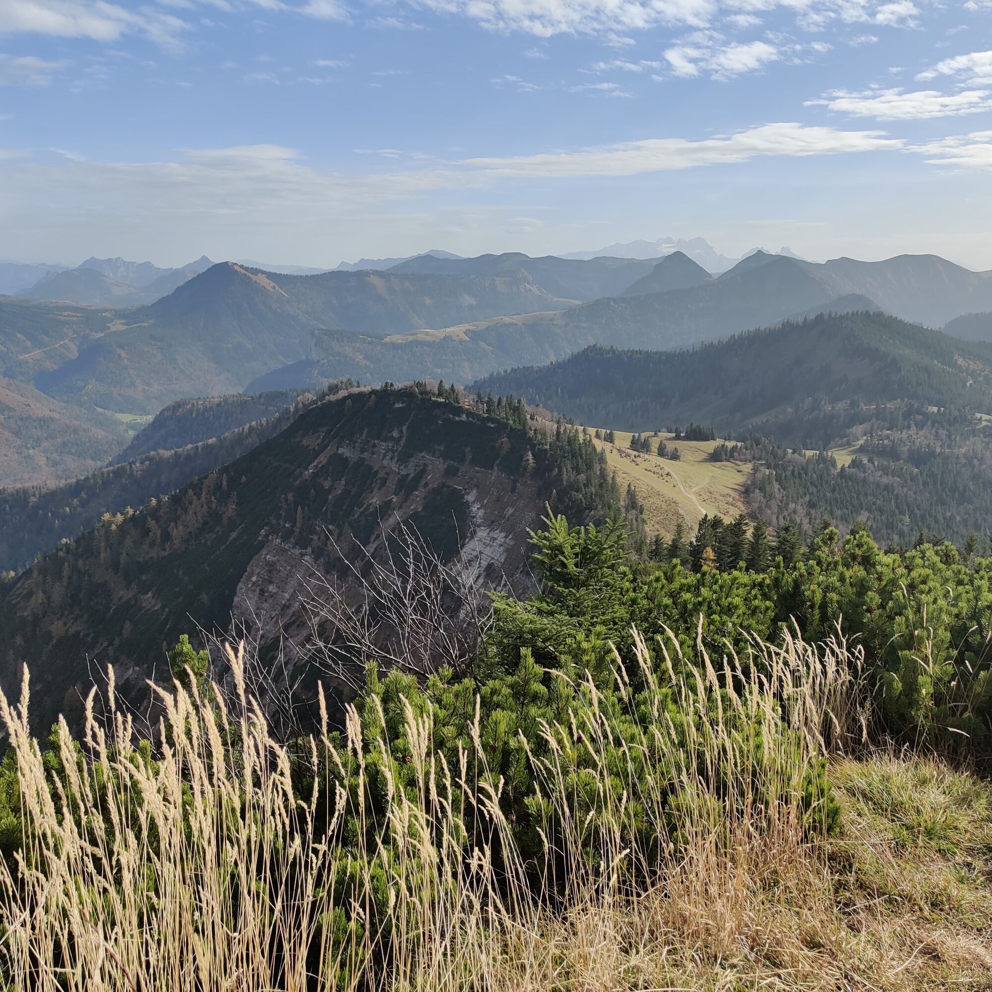
Ascend westward along the forest edge to the saddle. Here the Moser memorial commemorates Rupert Moser, a hunter from Faistenau who was shot by a poacher in 1927. Passing to the left, the path initially ascends steeply along the ridge and then crosses the forest in a southwesterly direction. To the Spielbergalm up to the summit (1,428 m). The path continues eastward through the forest, then ascends in small switchbacks over the meadow to Wieserhörndl (1,567 m).
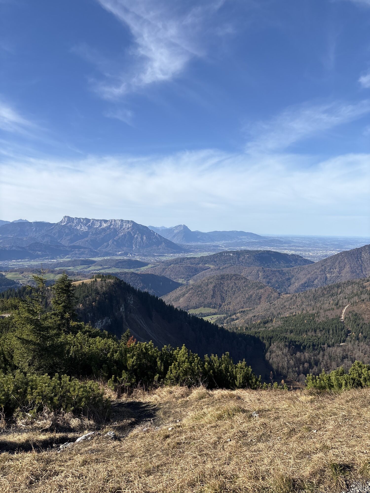
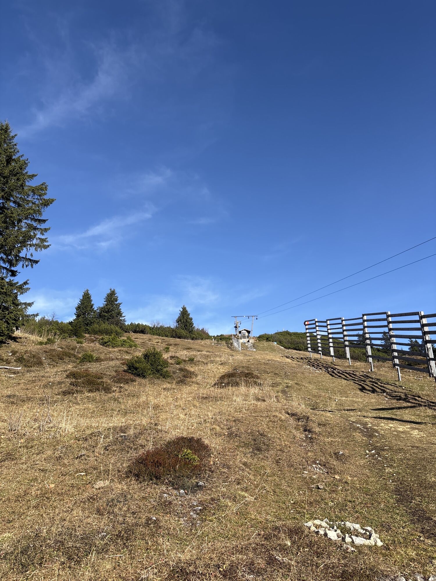
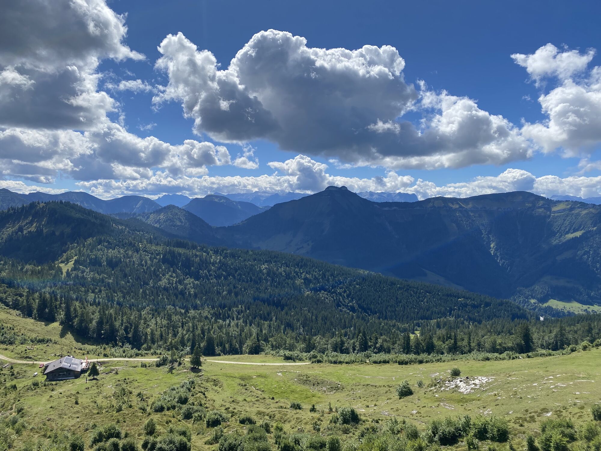
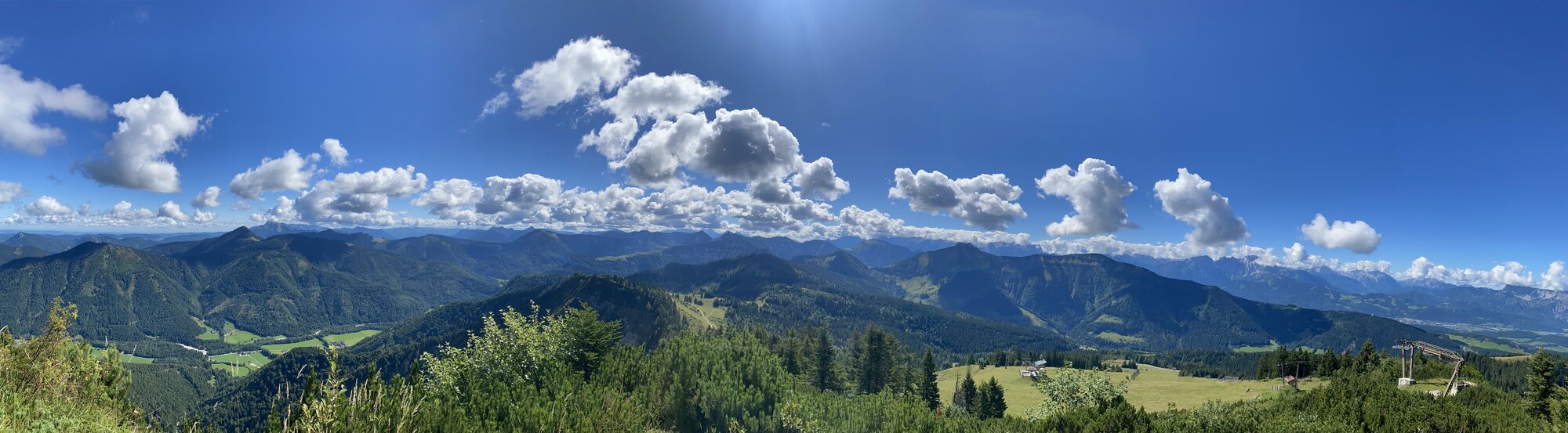
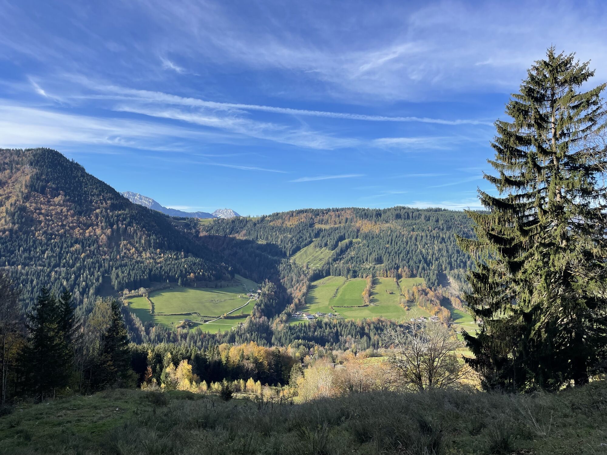
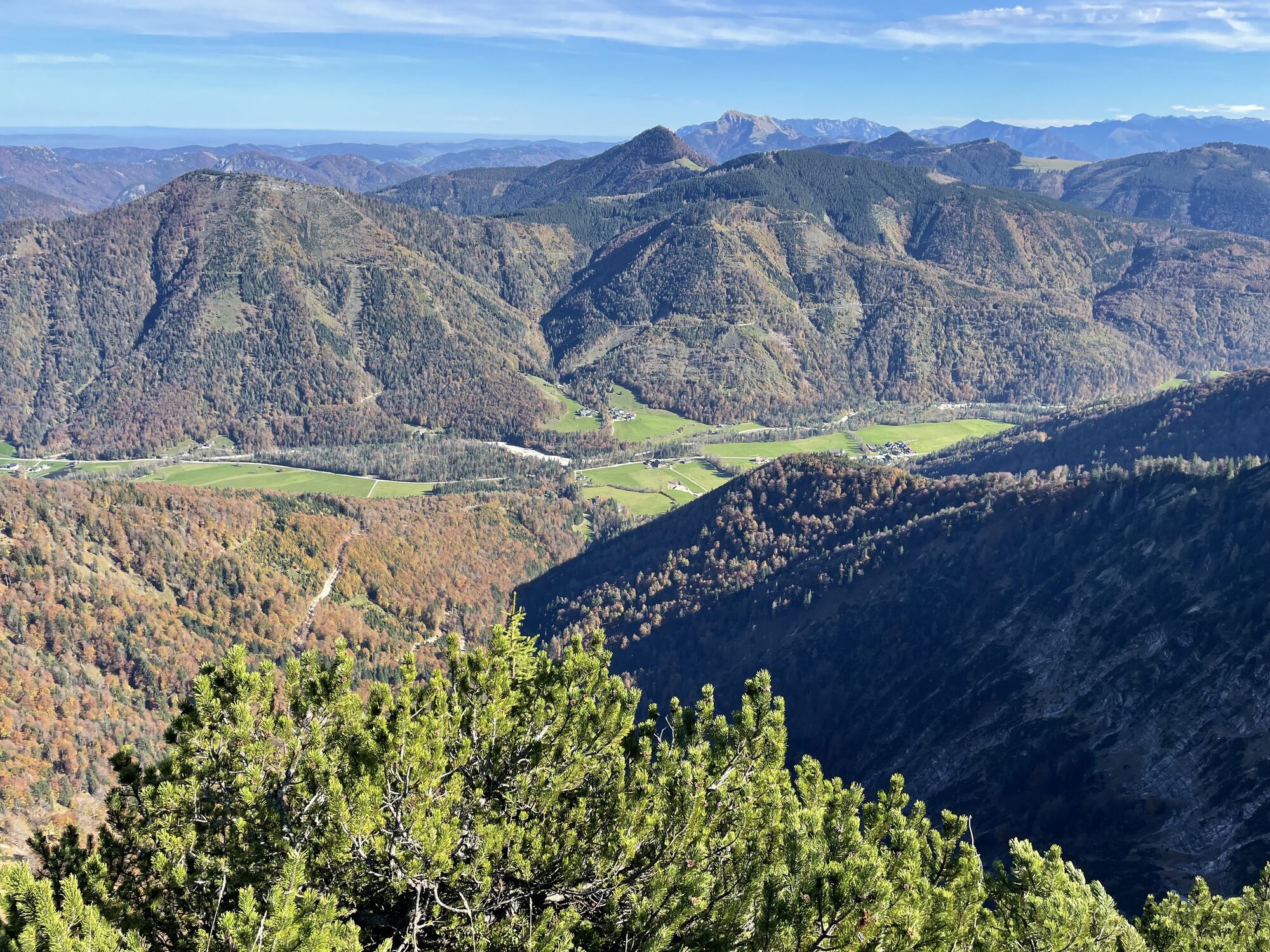
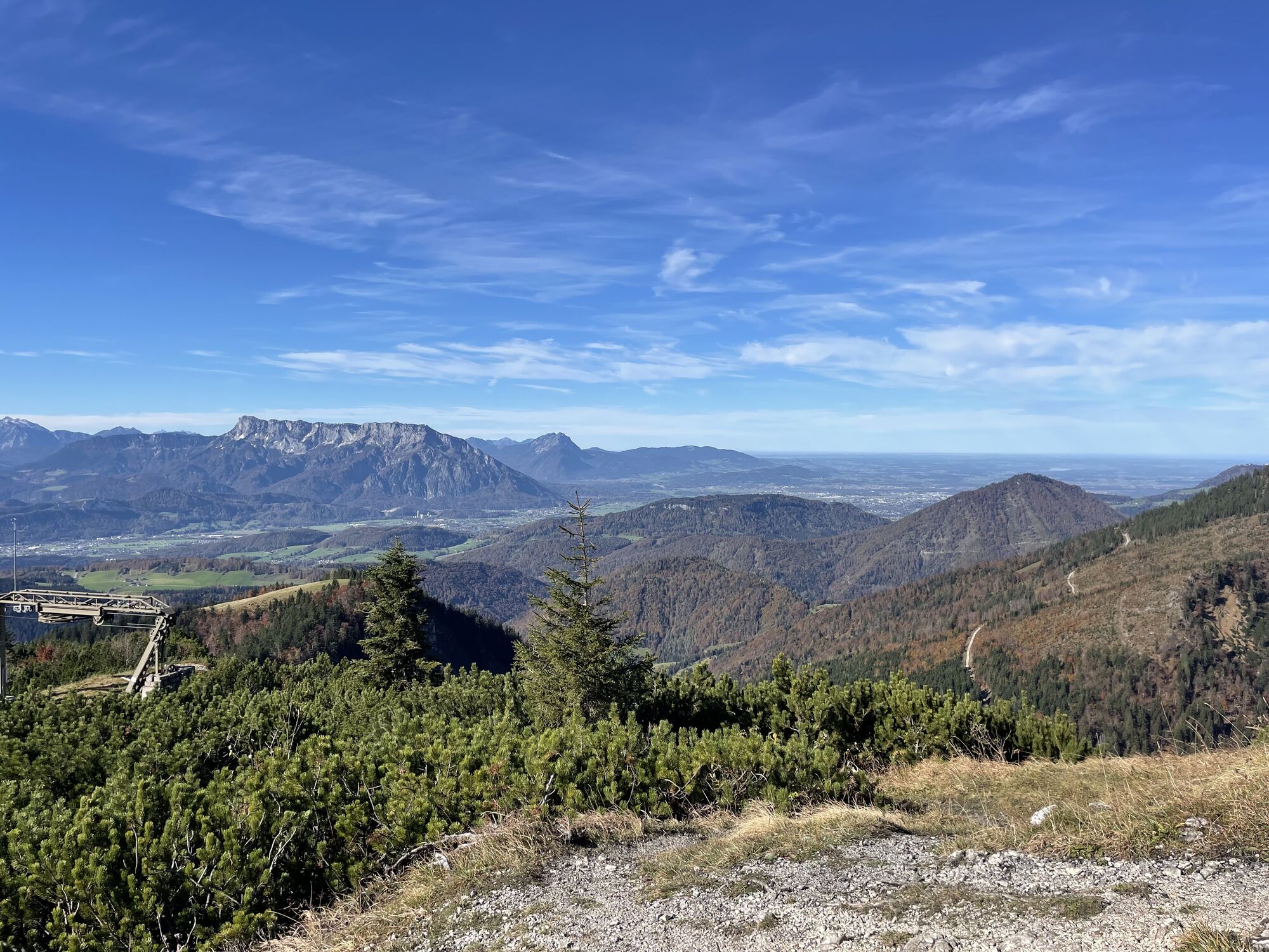
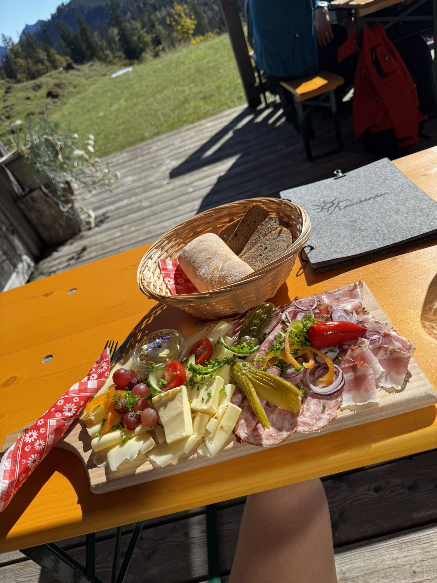
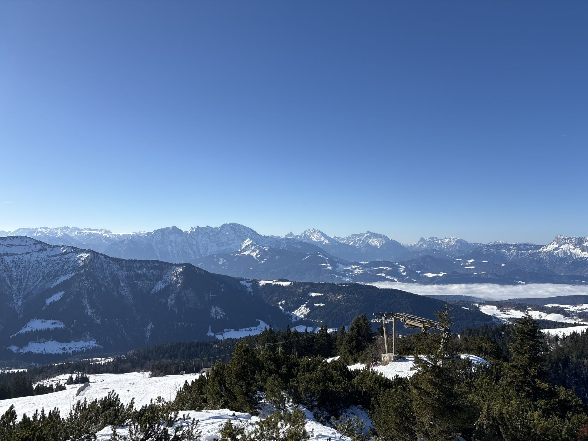
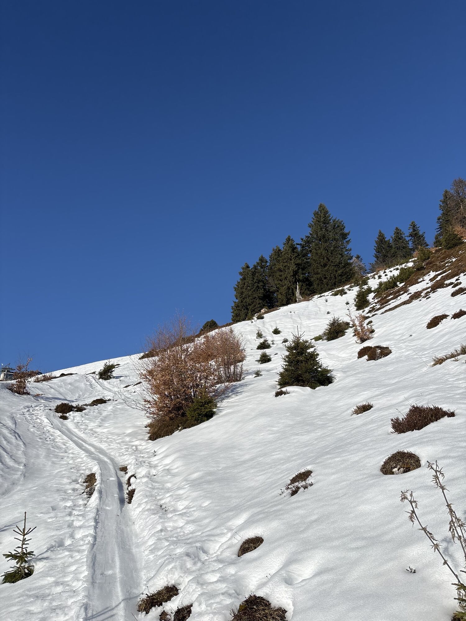
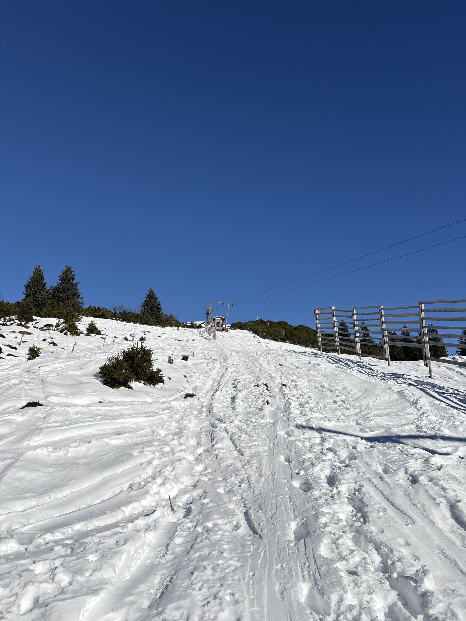
From the summit, descend eastward to the Latschenalm, where you can enjoy a wonderful refreshment stop. Continue on the forest road to the Spielbergalm, which also invites you to stop, and descend along the support poles of the chairlift toward the south. The narrow path merges again into a forest road at the Zillerbergalm which leads down to the valley station of the Spielbergalm lift where the bus stop is also located.
Da
Getting there: Bus 155 to (H) Faistenau Schule, transfer to Bus 157 to Faistenau Vordersee
Return: (H) Gaißau valley station with Bus 450 to (H) Hallein, transfer to S3, Rex or IC to (H) Salzburg
Timetable information and download: Online at www.salzburg-verkehr.at or on your smartphone via the free Salzburg Verkehr app for Android and iOS.
Information & Contact:
Stefanie Ruep
5020 Salzburg
stefanie.ruep@gmail.com
Photo credit: Stefanie Ruep
Refreshments: Latschenalm, Spielbergalm;
On the Spielbergalm website, you can also check the current snow and weather conditions via webcam.

Priljubljeni izleti v okolici
- 4,7
Schwarzer Berg / Golling
srednjaPohodništvo 2,54 km - 4,8
Fuschl: Ruine Wartenfels - Schober - Frauenkopf
srednjaPohodništvo 7,62 km - 4,4
Fuschlseewanderung
svetlobaPohodništvo 11 km - 4,2
Pillstein Panorama Rundweg
svetlobaPohodništvo 3,40 km - 4,7
Pleasure hike over the Falkenstein
srednjaPohodništvo 9,81 km - 4,6
The Plombergstein: Adventure and summit panorama
svetlobaPohodništvo 4,12 km - 4,0
Bärenweg am Lidaun
svetlobaPohodništvo 9,05 km - 4,4
From Koppl to the Gaisberg summit
srednjaPohodništvo 9,86 km - 4,8
Salzkammergut: Die Drachenwand
težkoVia ferrata 4,32 km - 4,8
Schober -Aussichtsplattform mit Seensicht
težkoPohodništvo 2,65 km
Pohodništvo in sledenje


Ne zamudite ponudb in navdiha za naslednje počitnice
Vaš e-poštni naslov je bil dodan na poštni seznam.