
Hofalmen & Almsee
svetloba
Pridobite to turo v svoj mobilni telefon
Hofalmen & Almsee
svetloba
Pohodništvo
9.84
km
Skenirajte kodo QR in začnite navigacijo v aplikaciji bergfex.


Pohodništvo in sledenje





Hofalmen & Almsee
svetloba
Razdalja
9.84
km
Trajanje
03:00
h
Ascent
172
hm
Morska gladina
1,073 -
1,302
m

V aplikaciji si oglej pot
Brezplačno namestite aplikacijo in spremljajte pot z GPS-navigacijo in sledenjem.
bergfex zdaj uporabljaj v aplikaciji
S kamero poskeniraj QR-kodo
Ko je aplikacija nameščena, se vsebina odpre takoj. Če aplikacije še nimaš, te bo preusmerila na stran za brezplačen prenos.
Prenos skladbe
Hofalmen & Almsee
svetloba
Pohodništvo
9.84
km
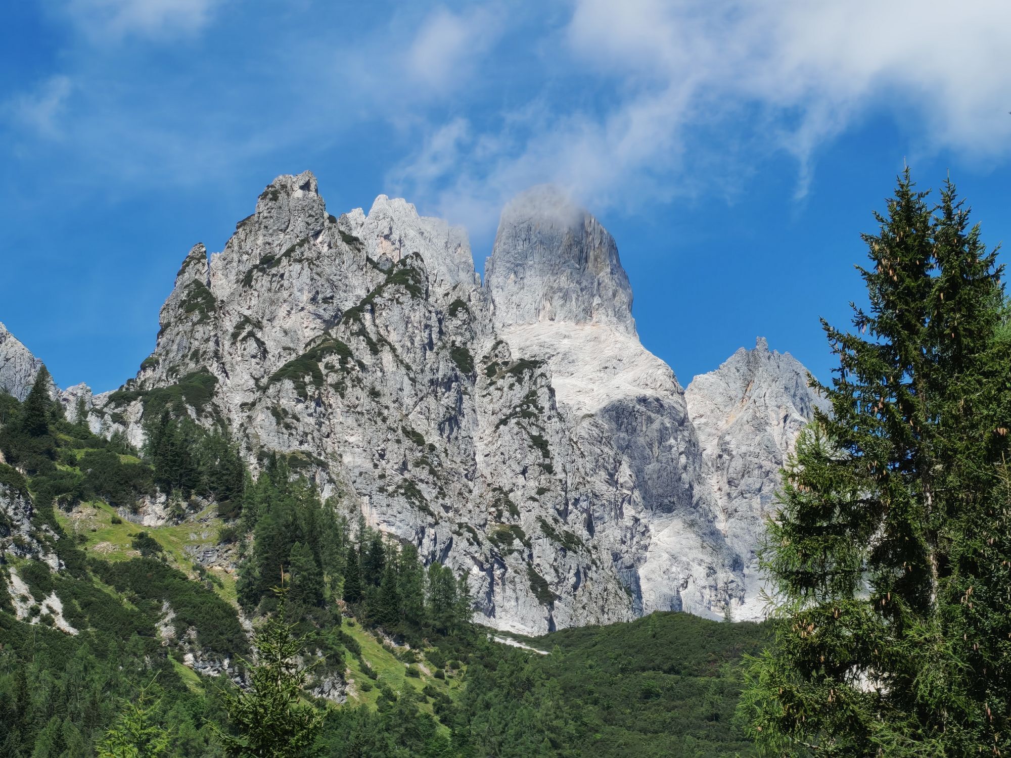
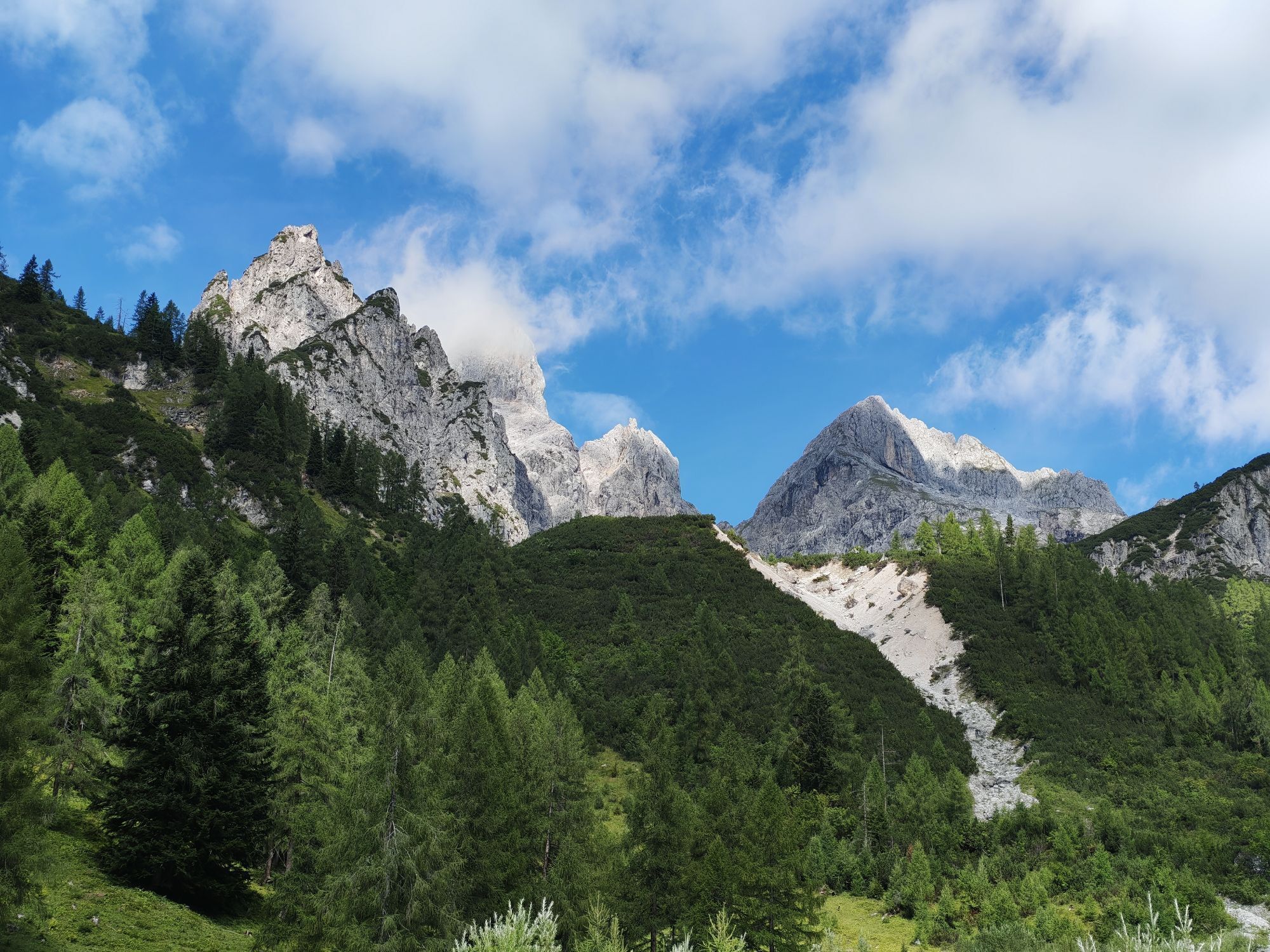
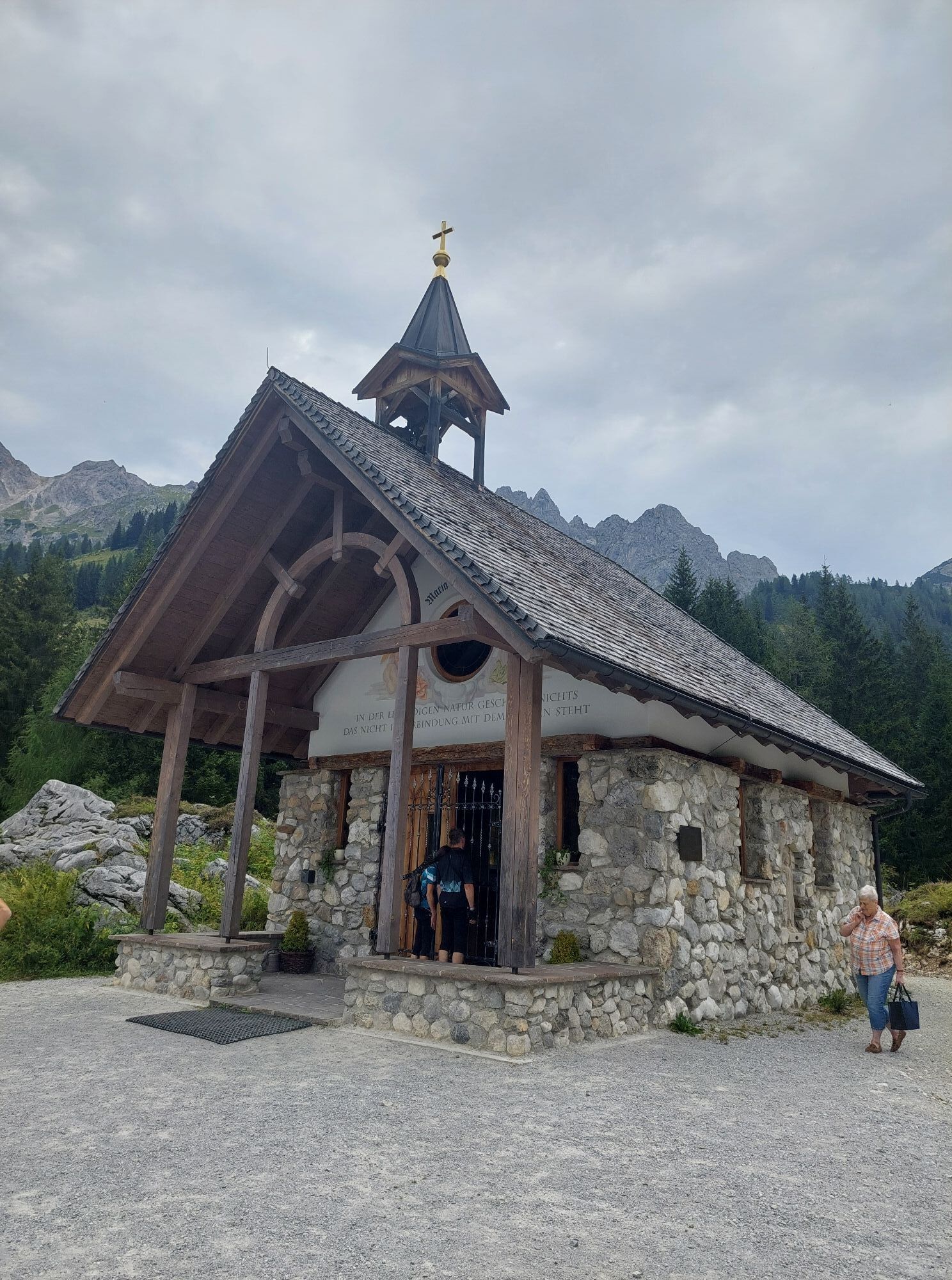
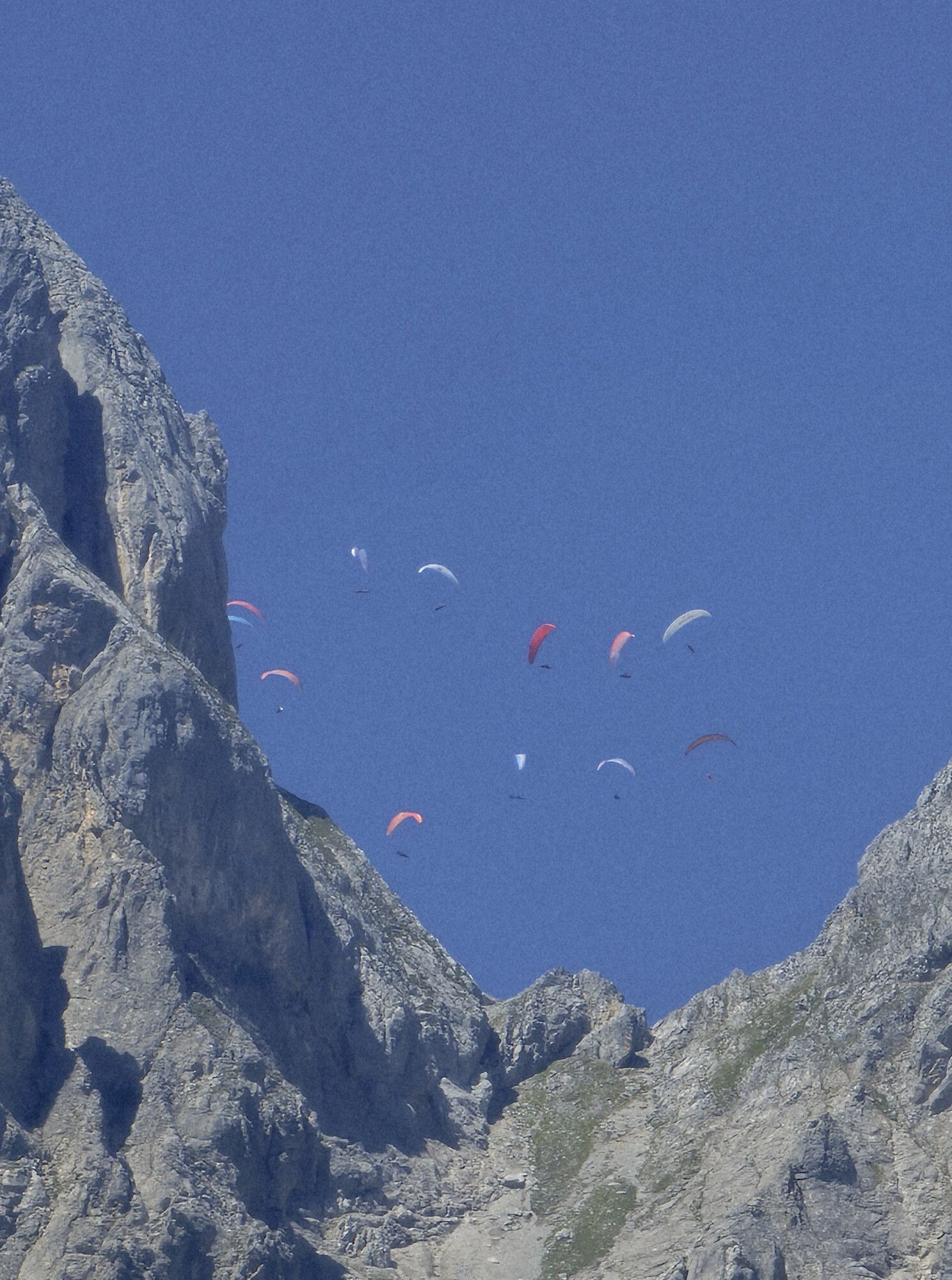
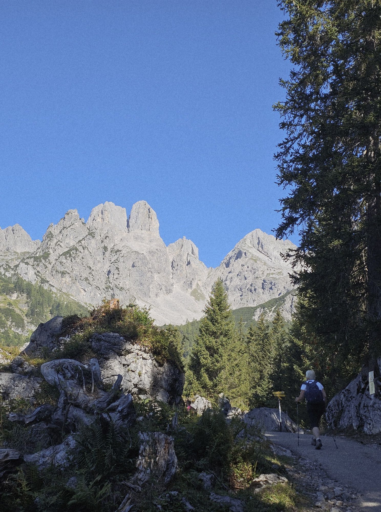
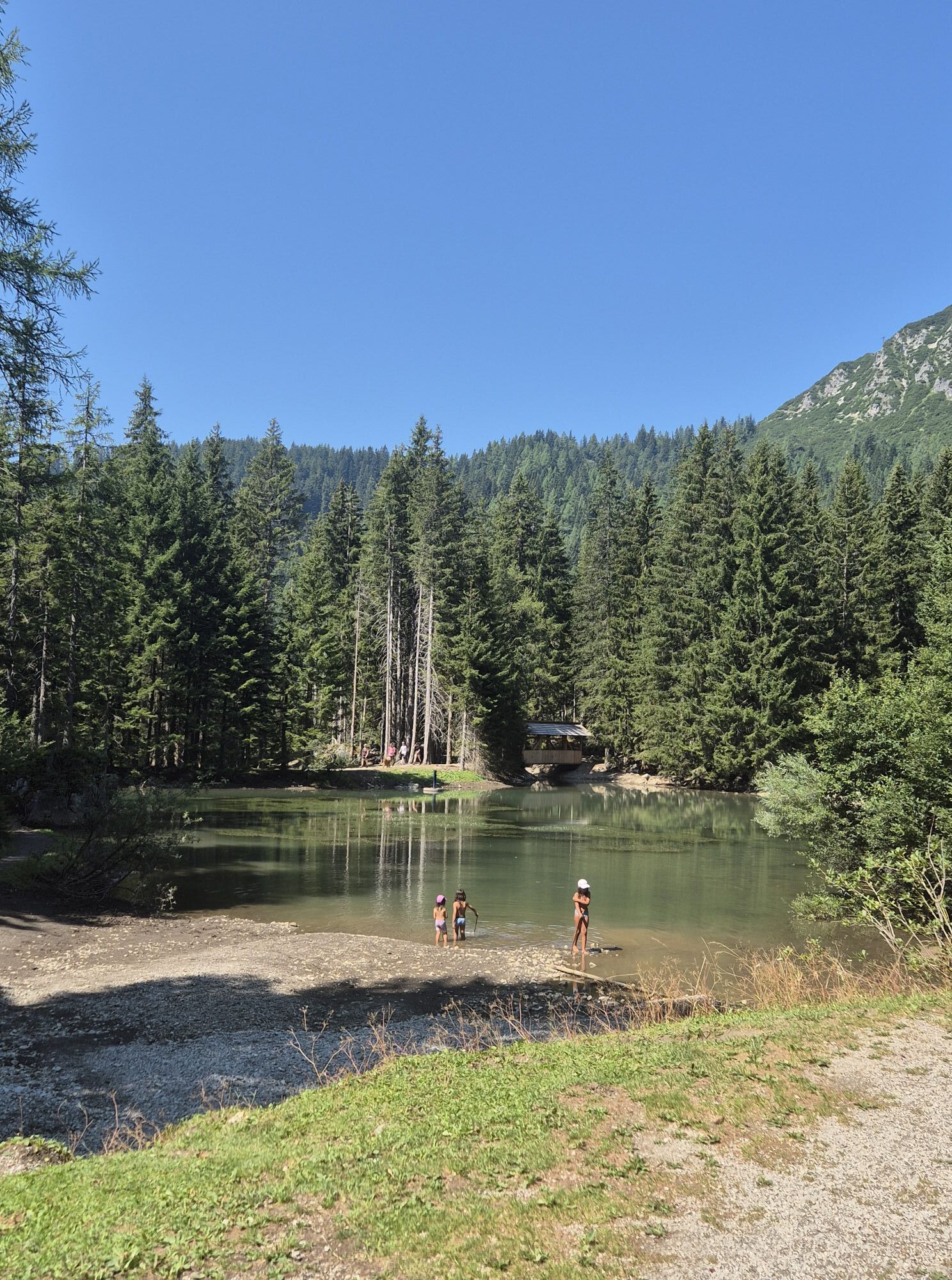
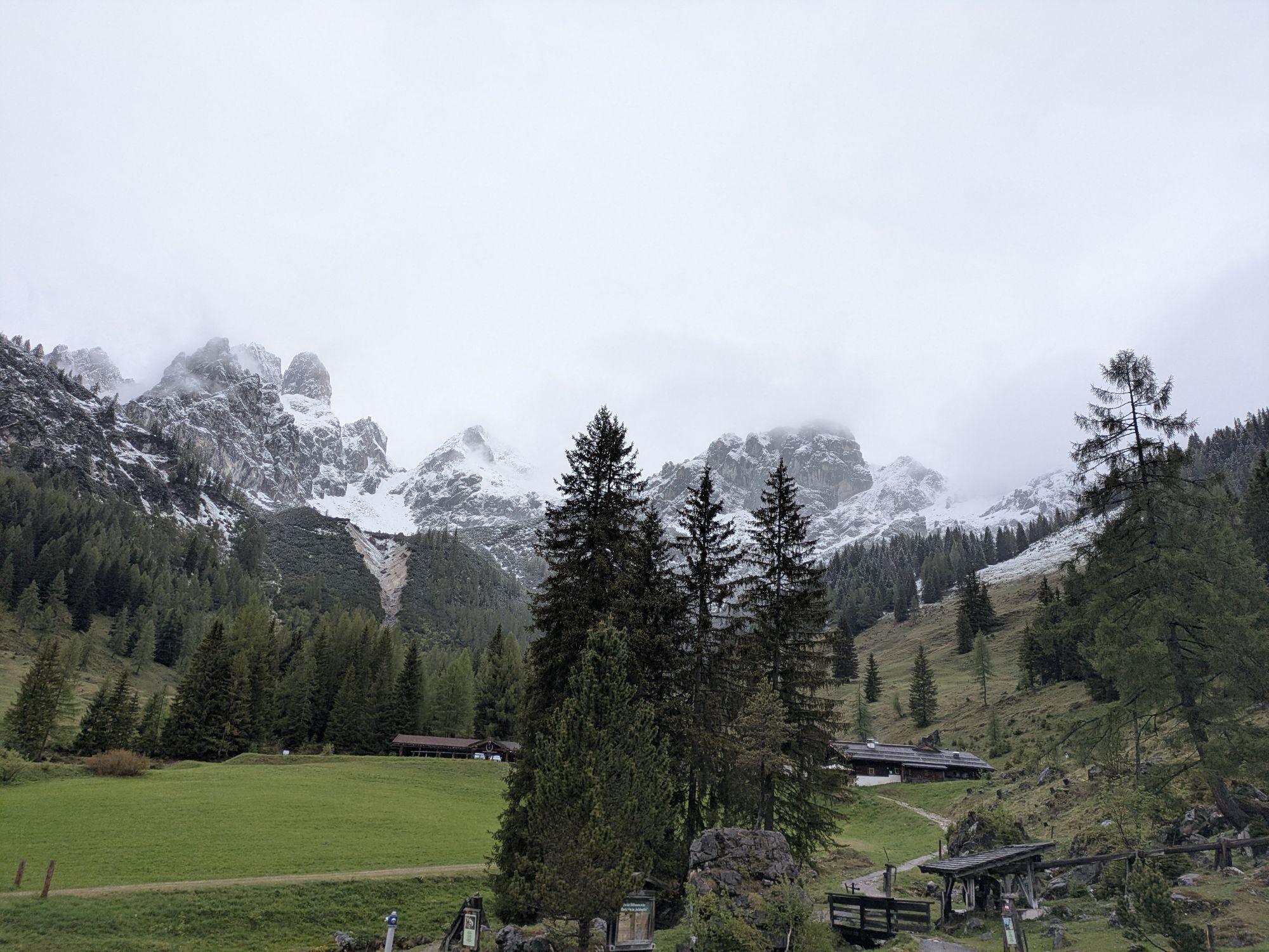
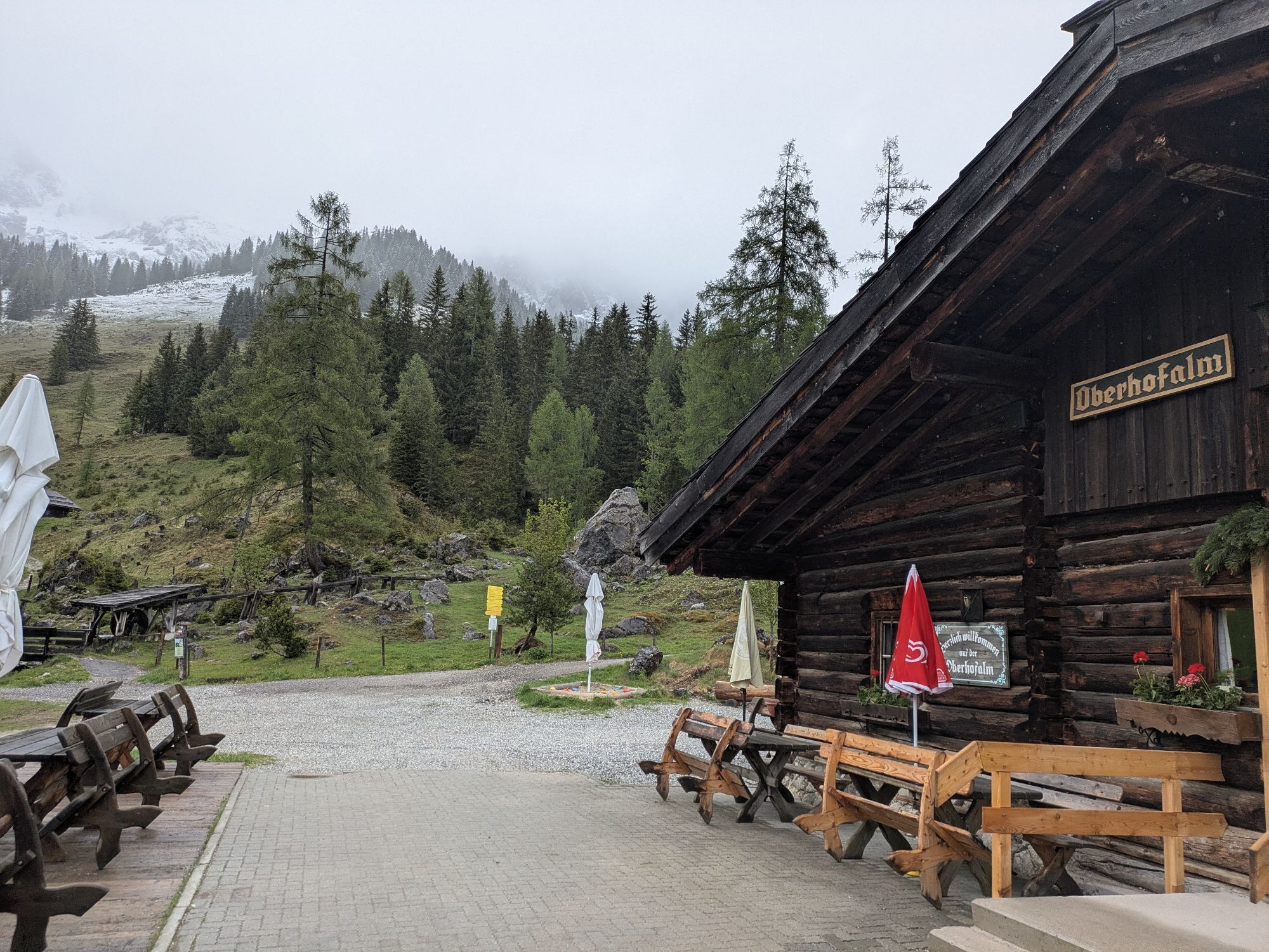
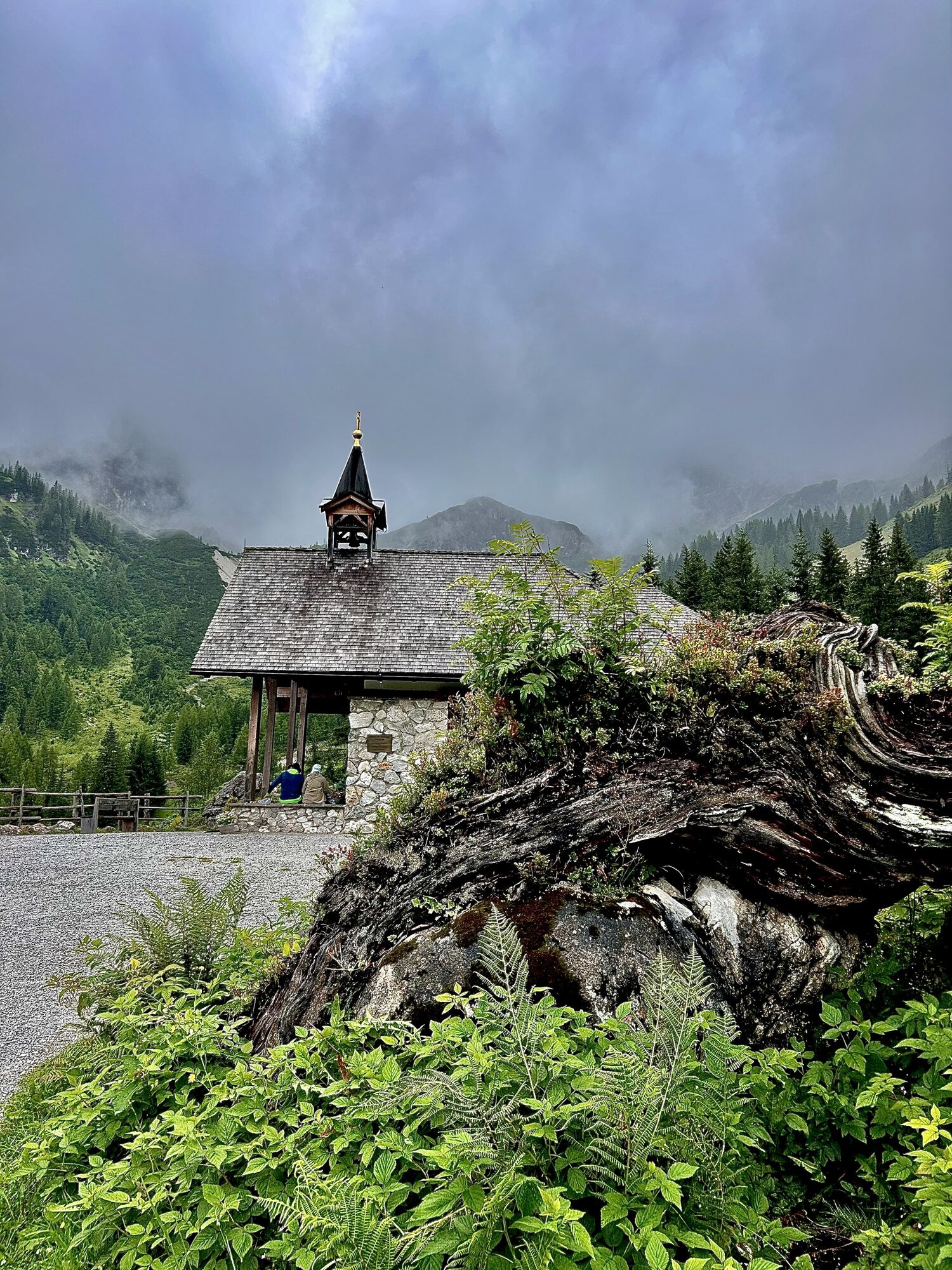
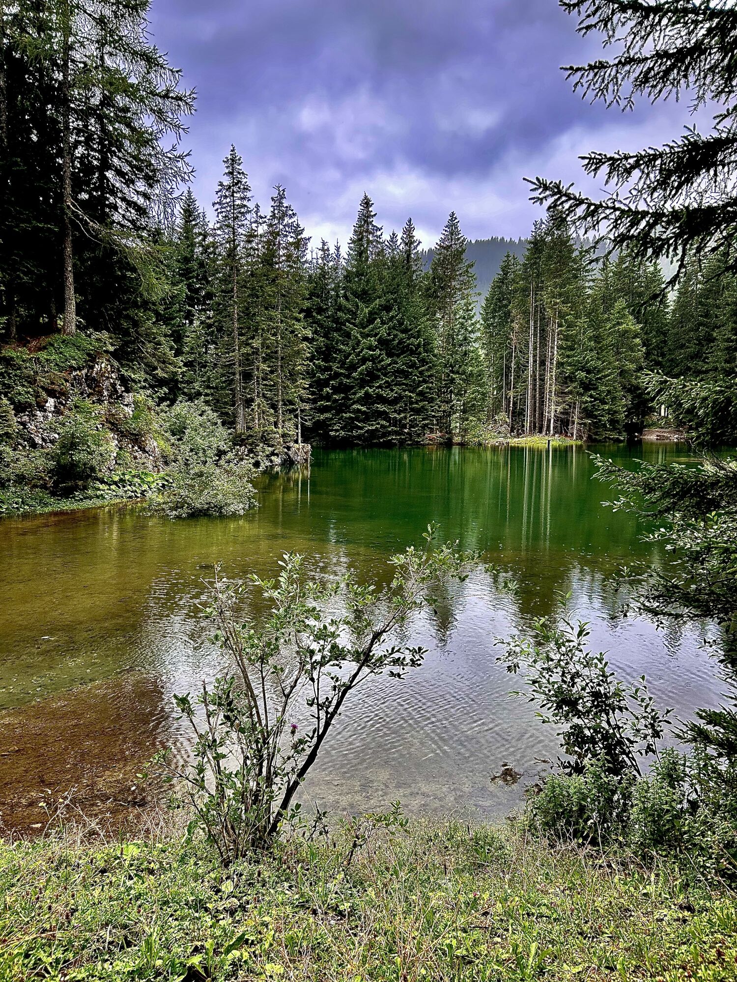
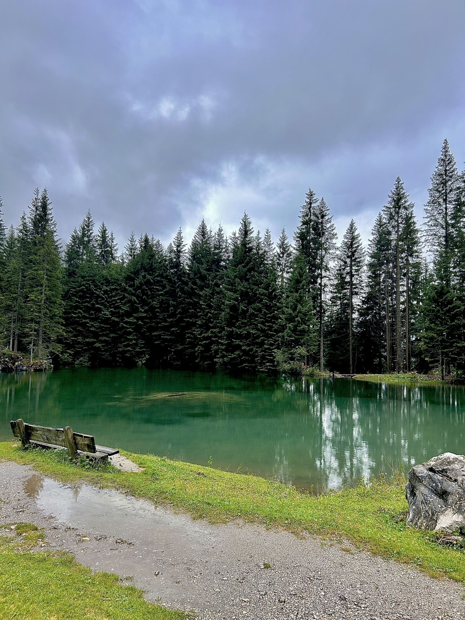
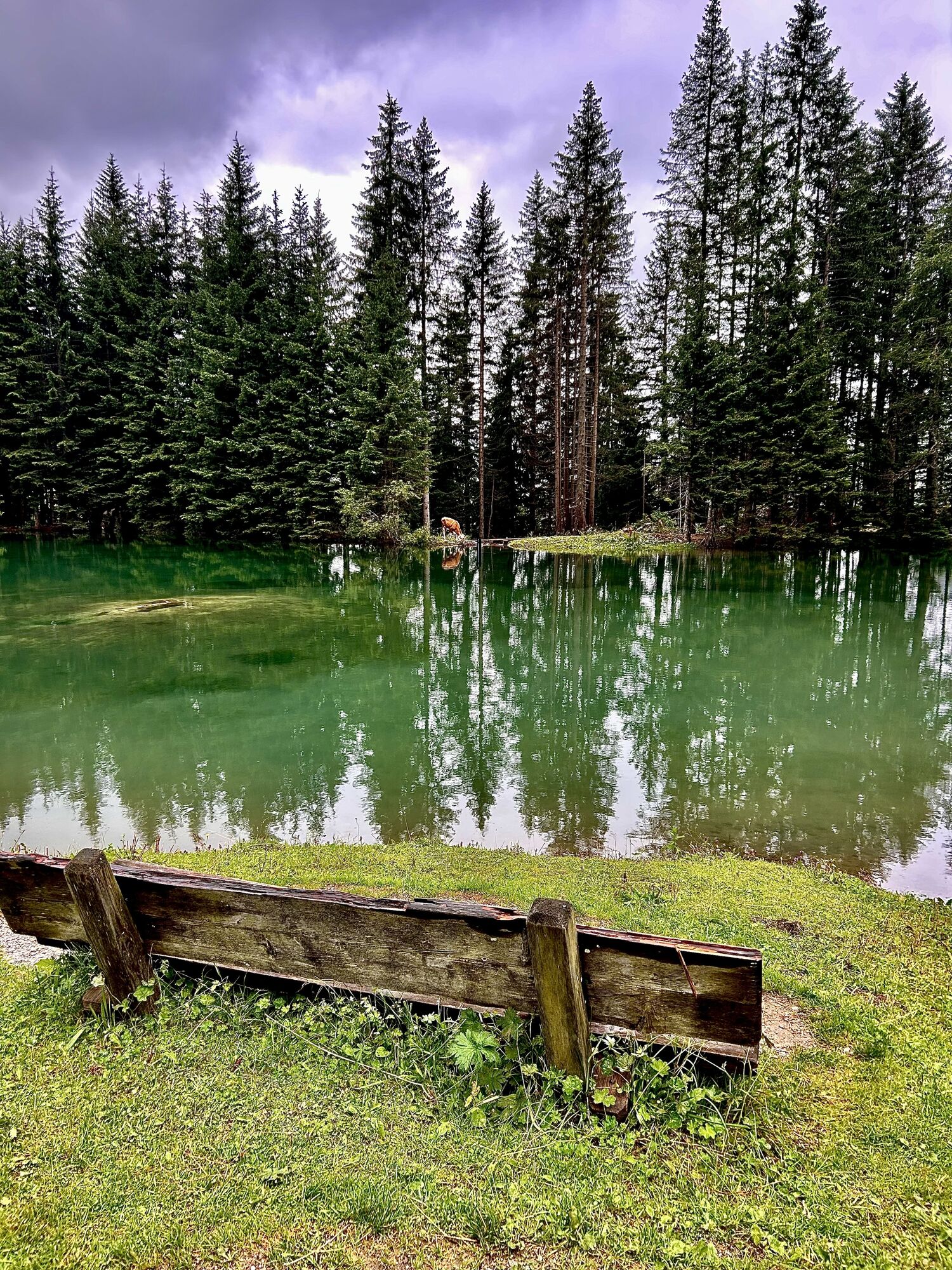
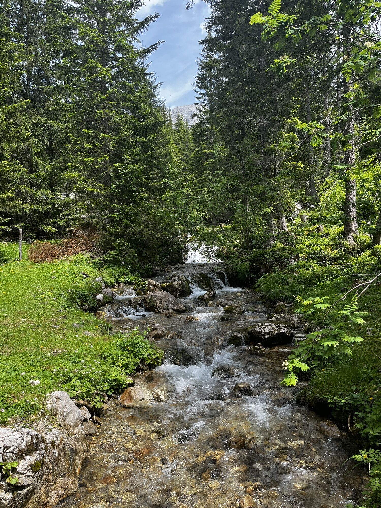
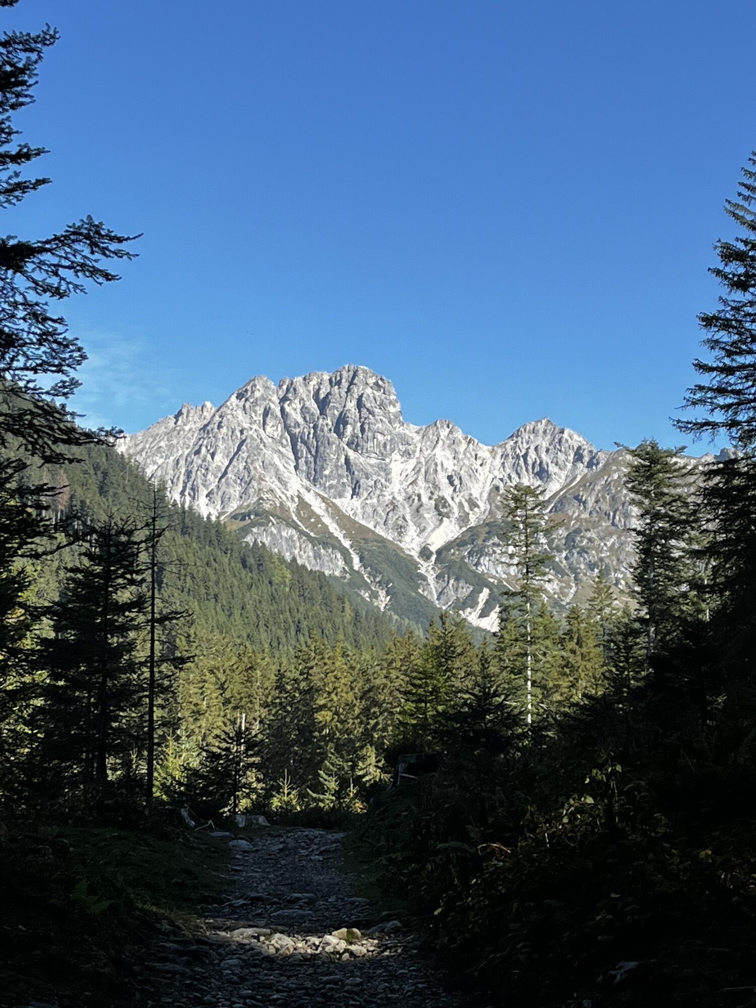
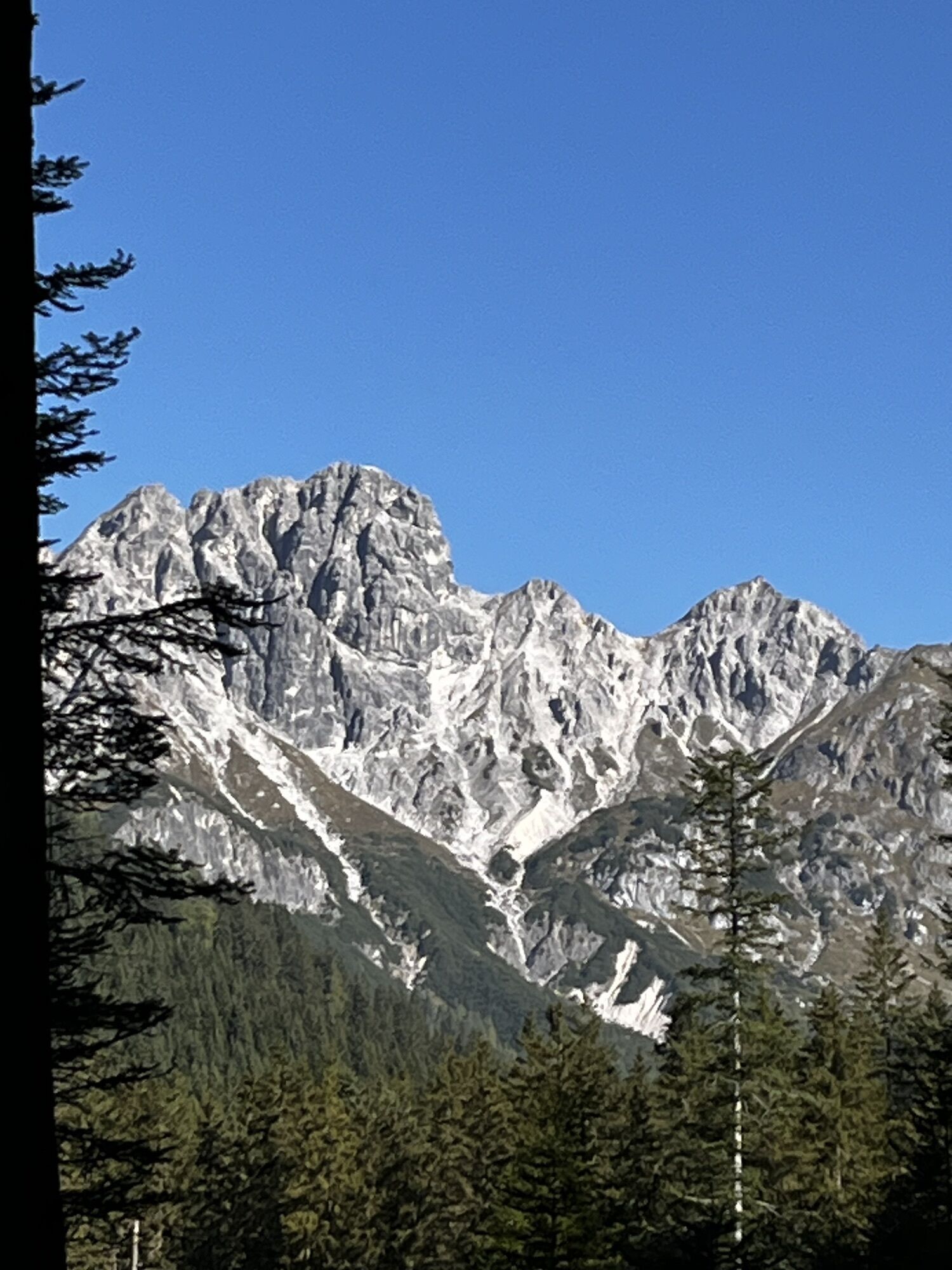
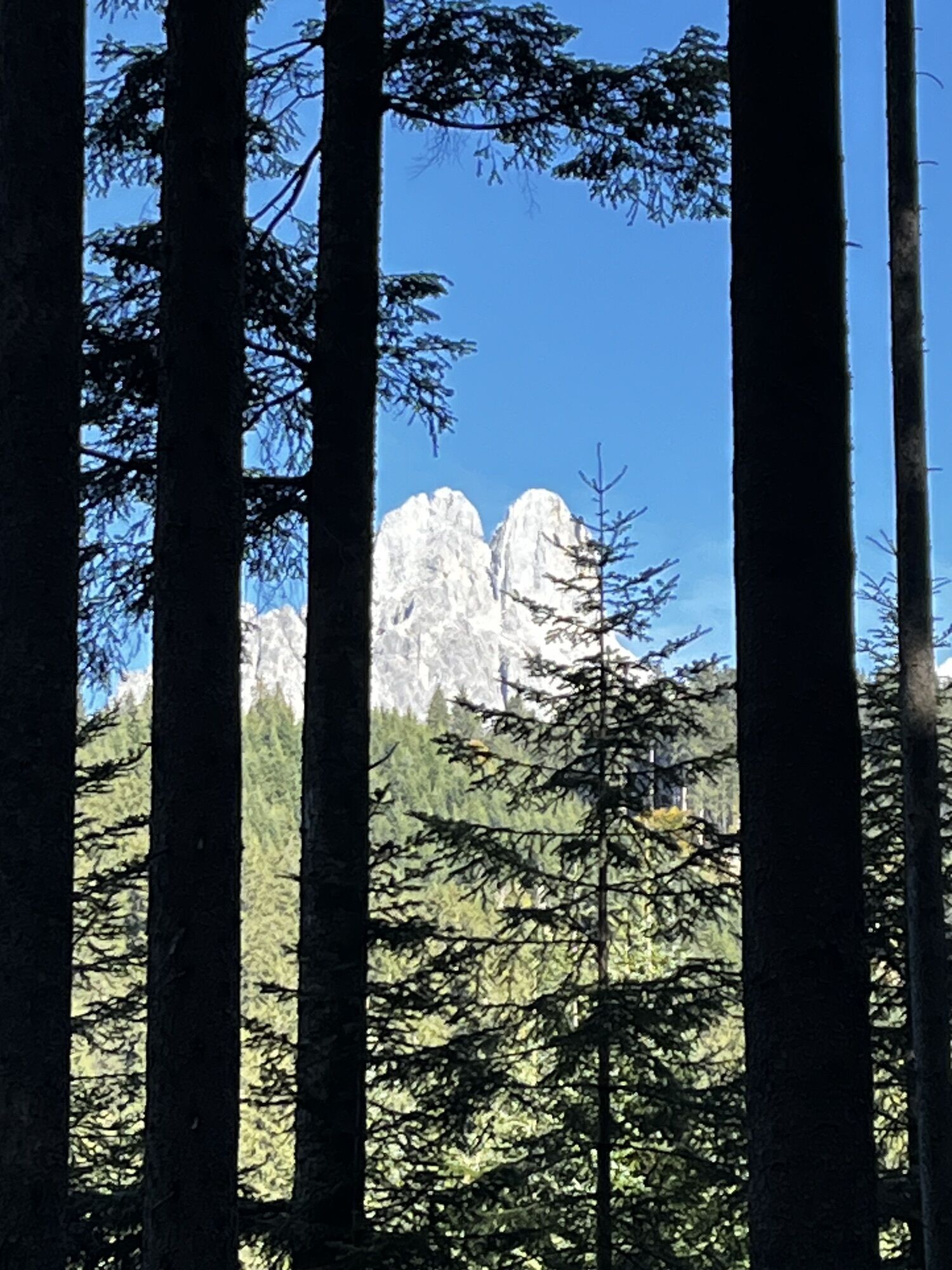
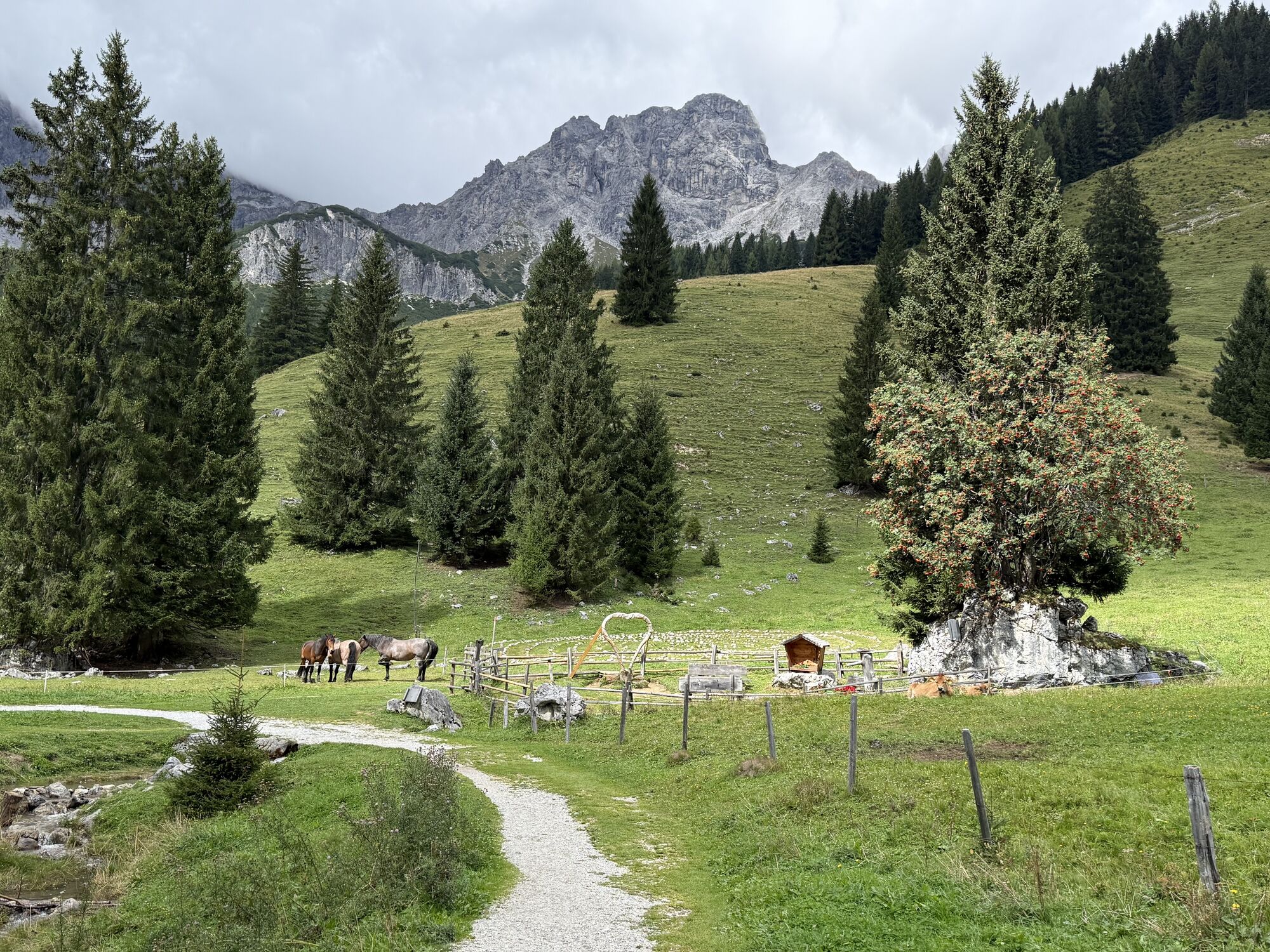
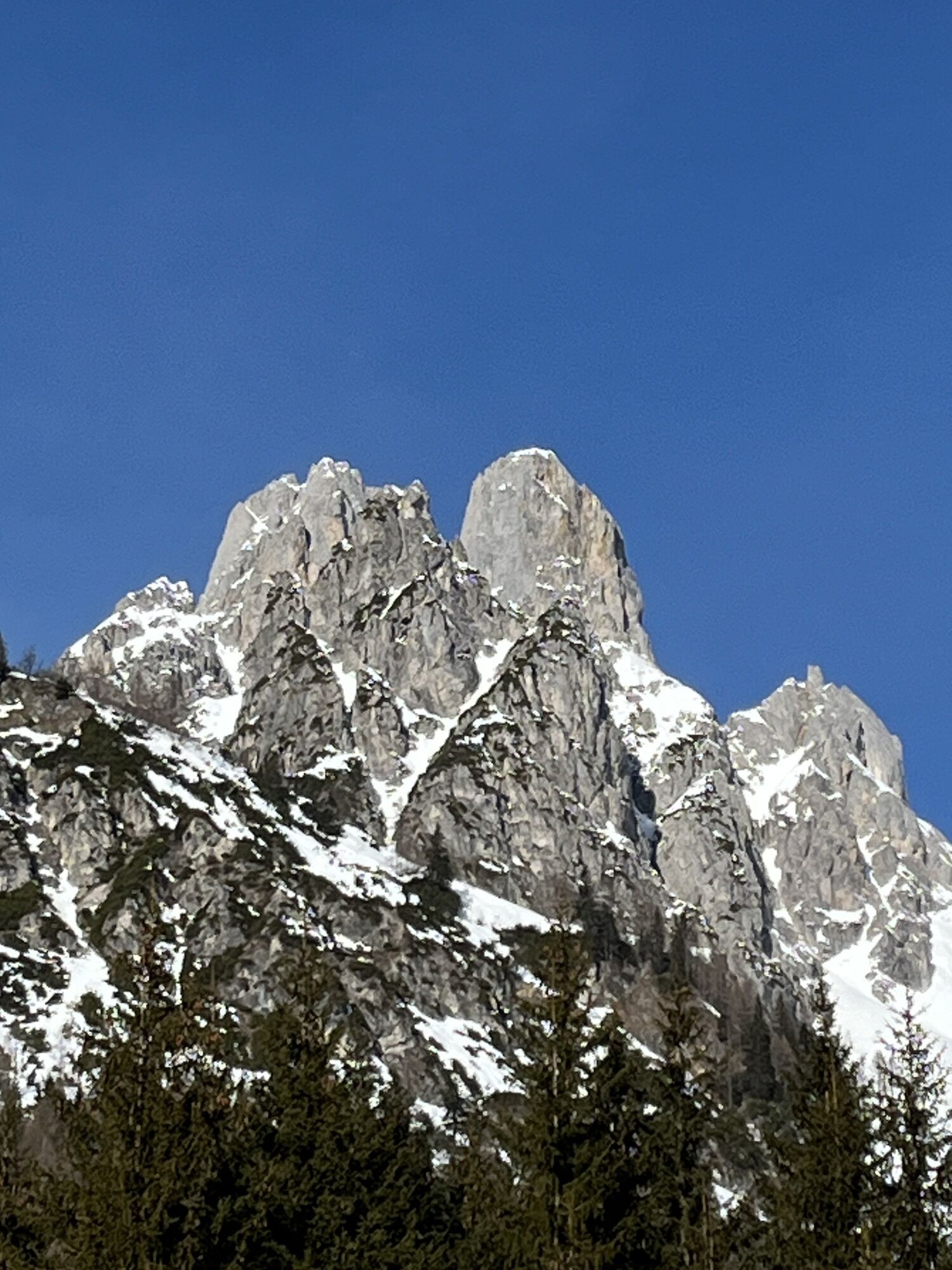
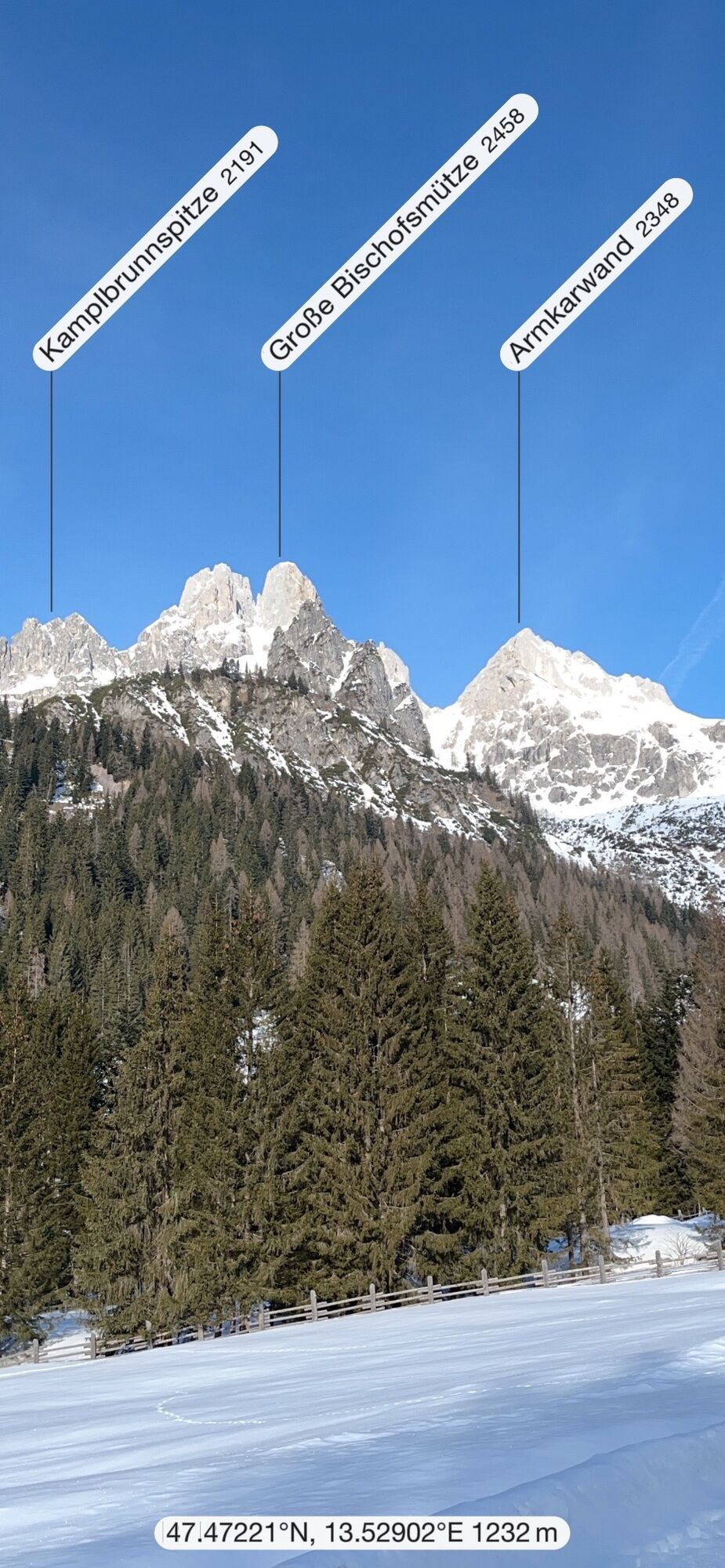
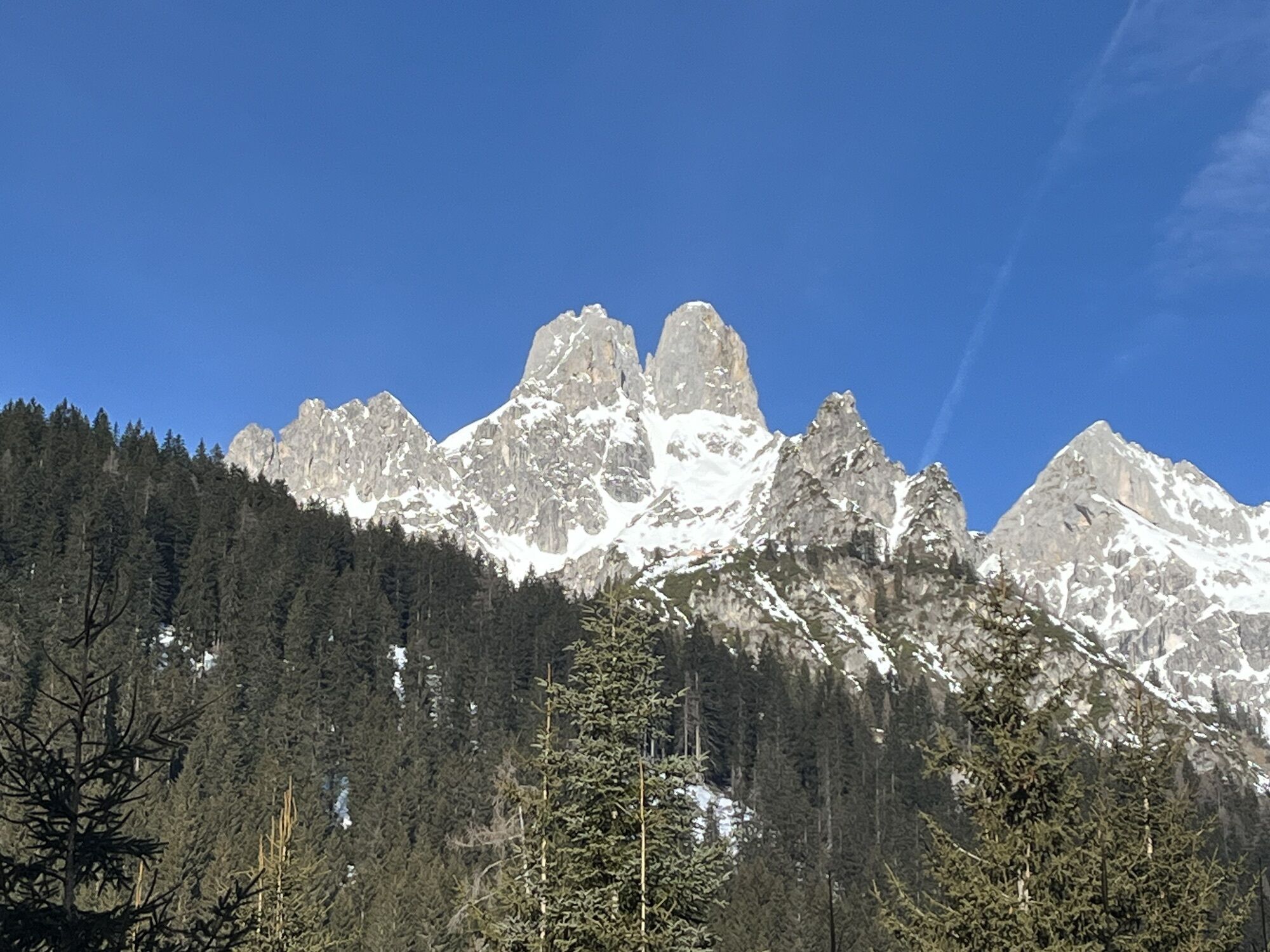
Your best option is to take the hiking bus to Filzmoos, heading towards the toll station in the direction of Hofalmen. From there, you cross the bridge to the right and follow the road until hiking trail...
Opis
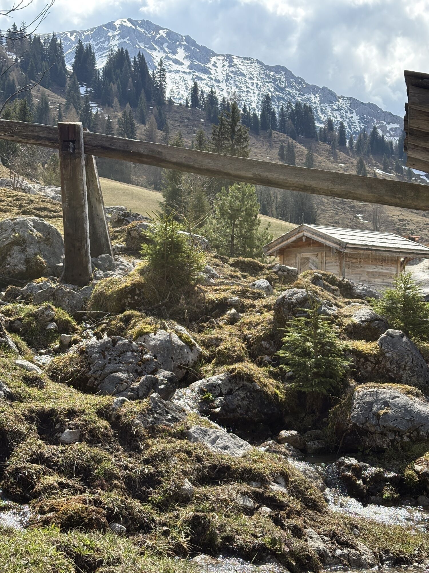
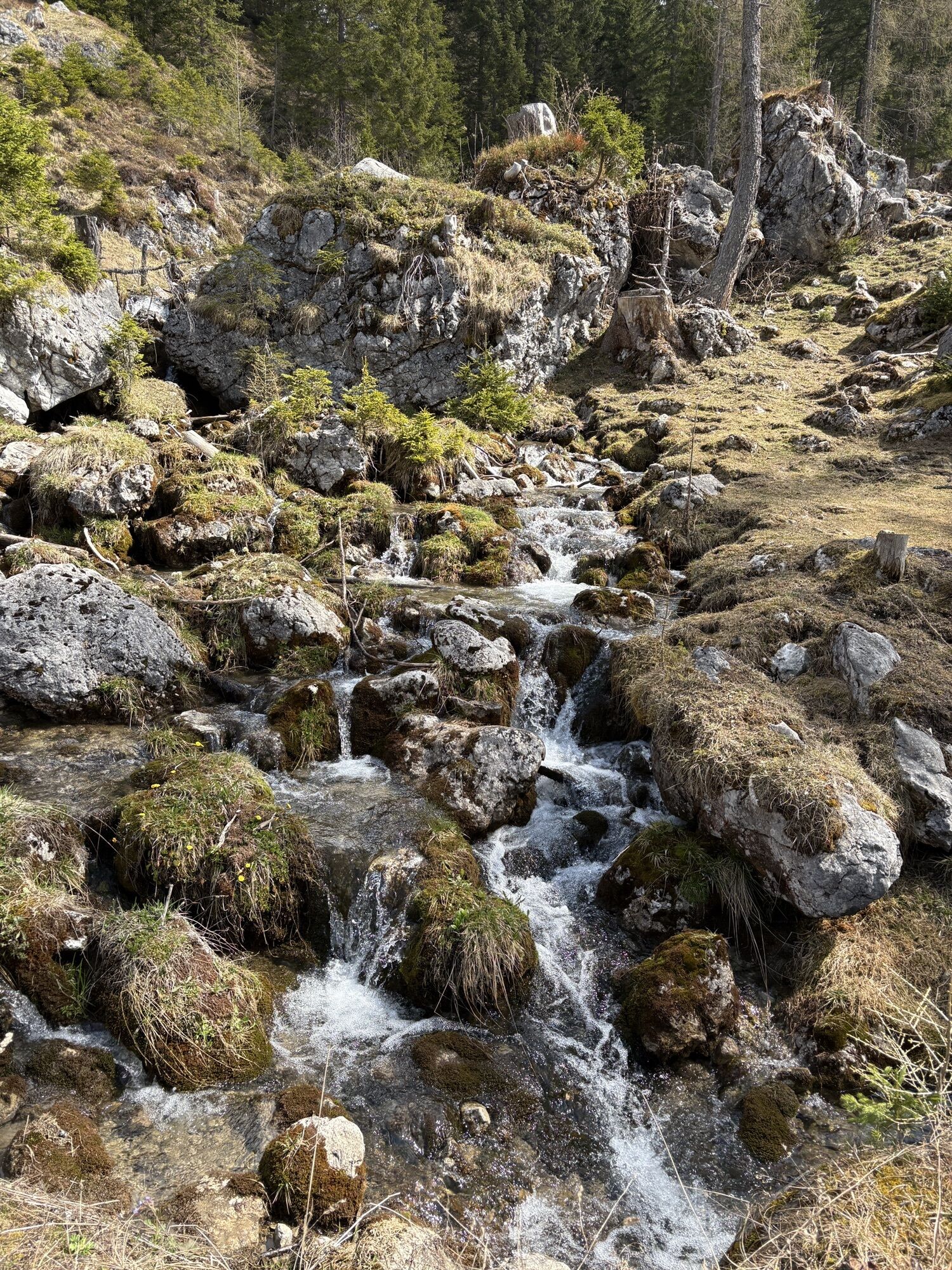
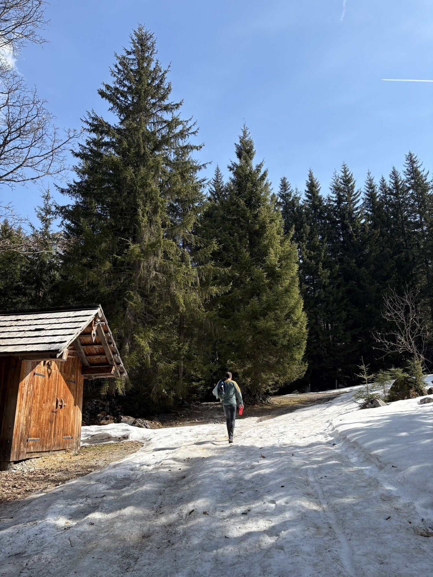
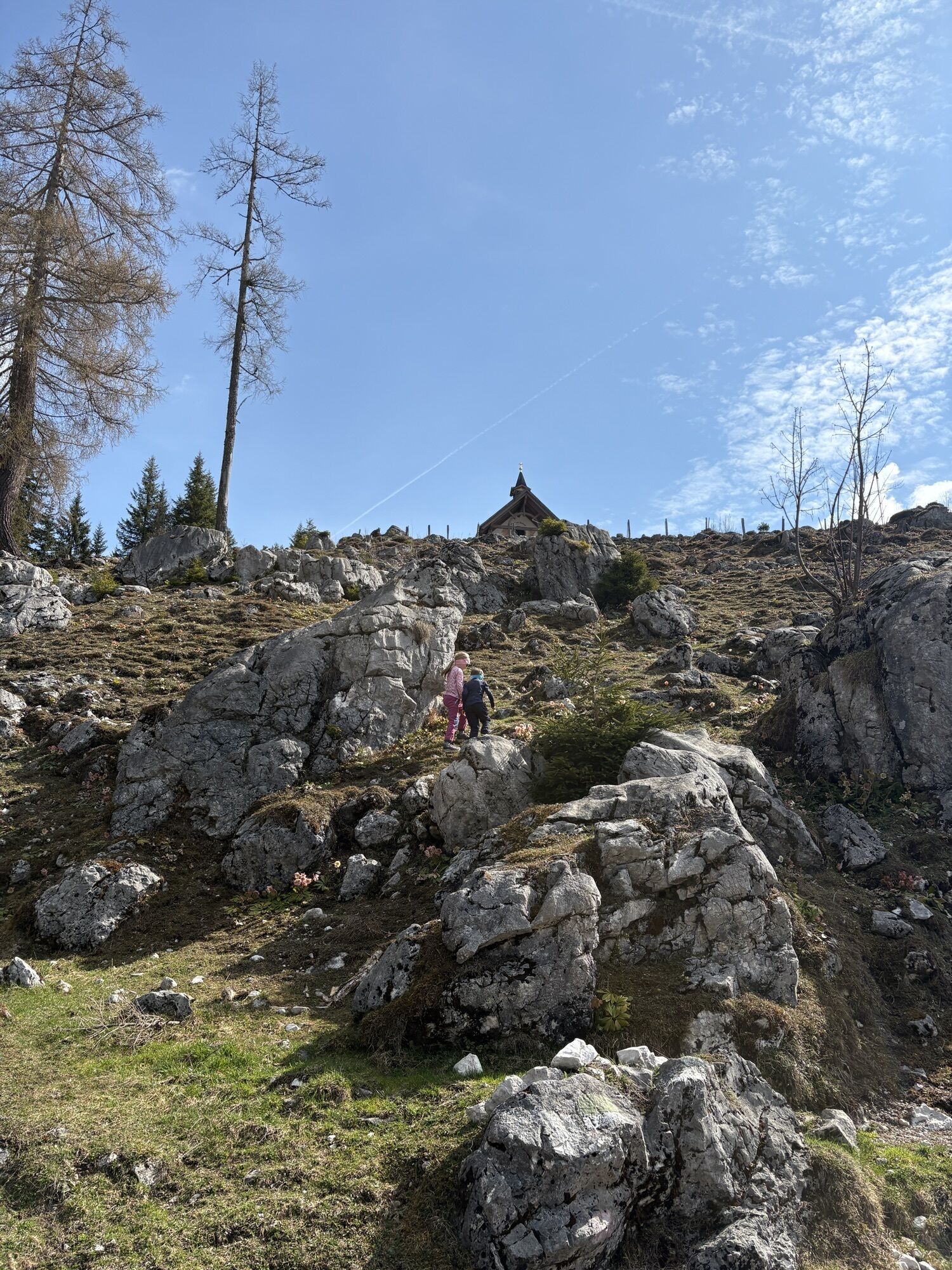
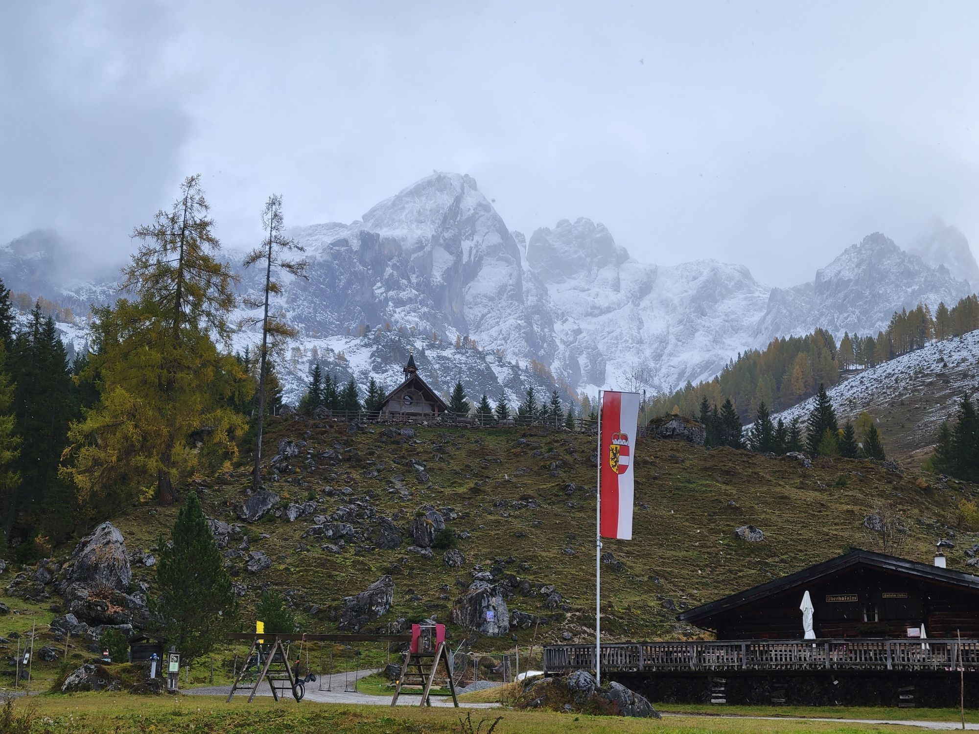
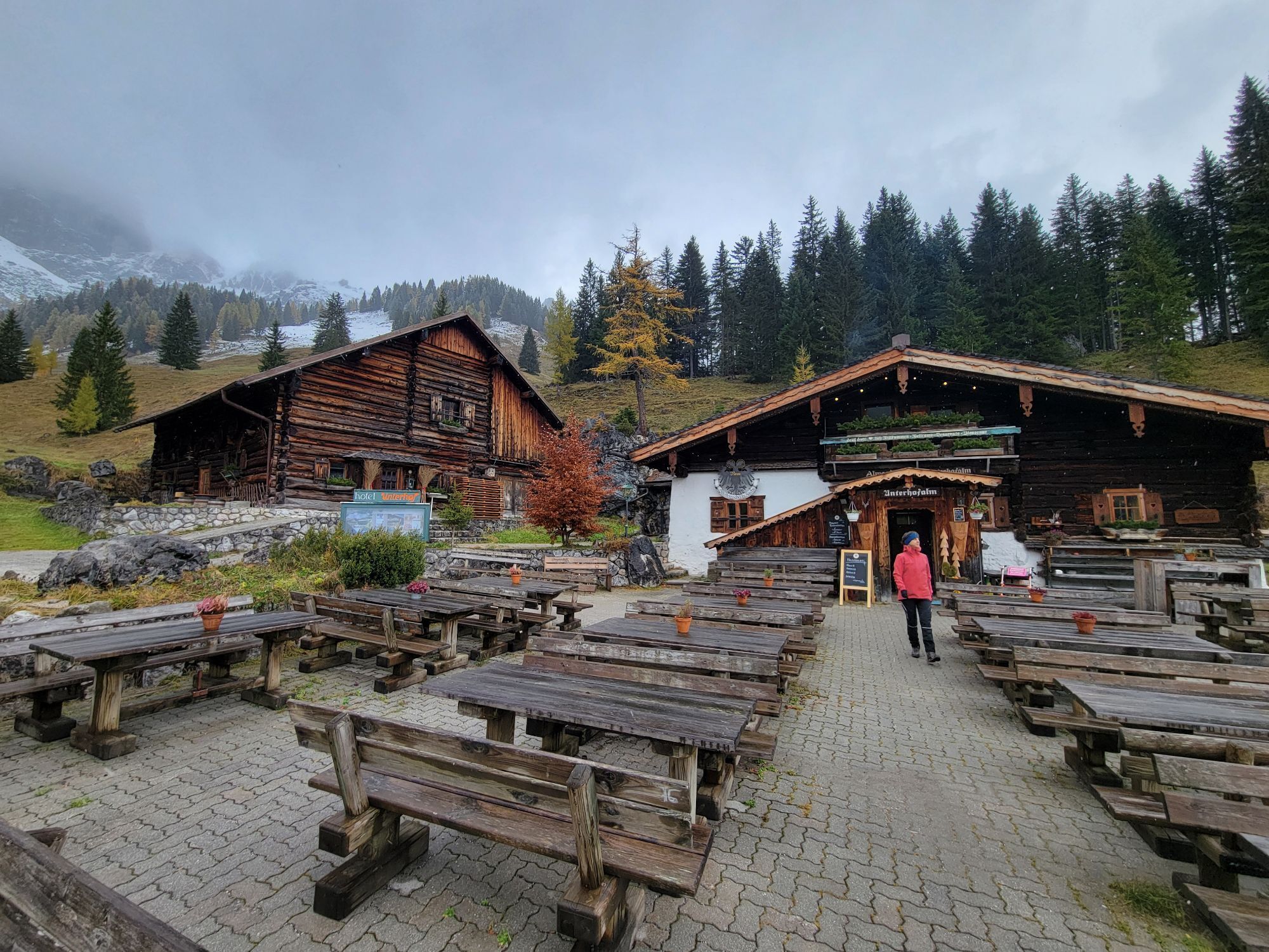
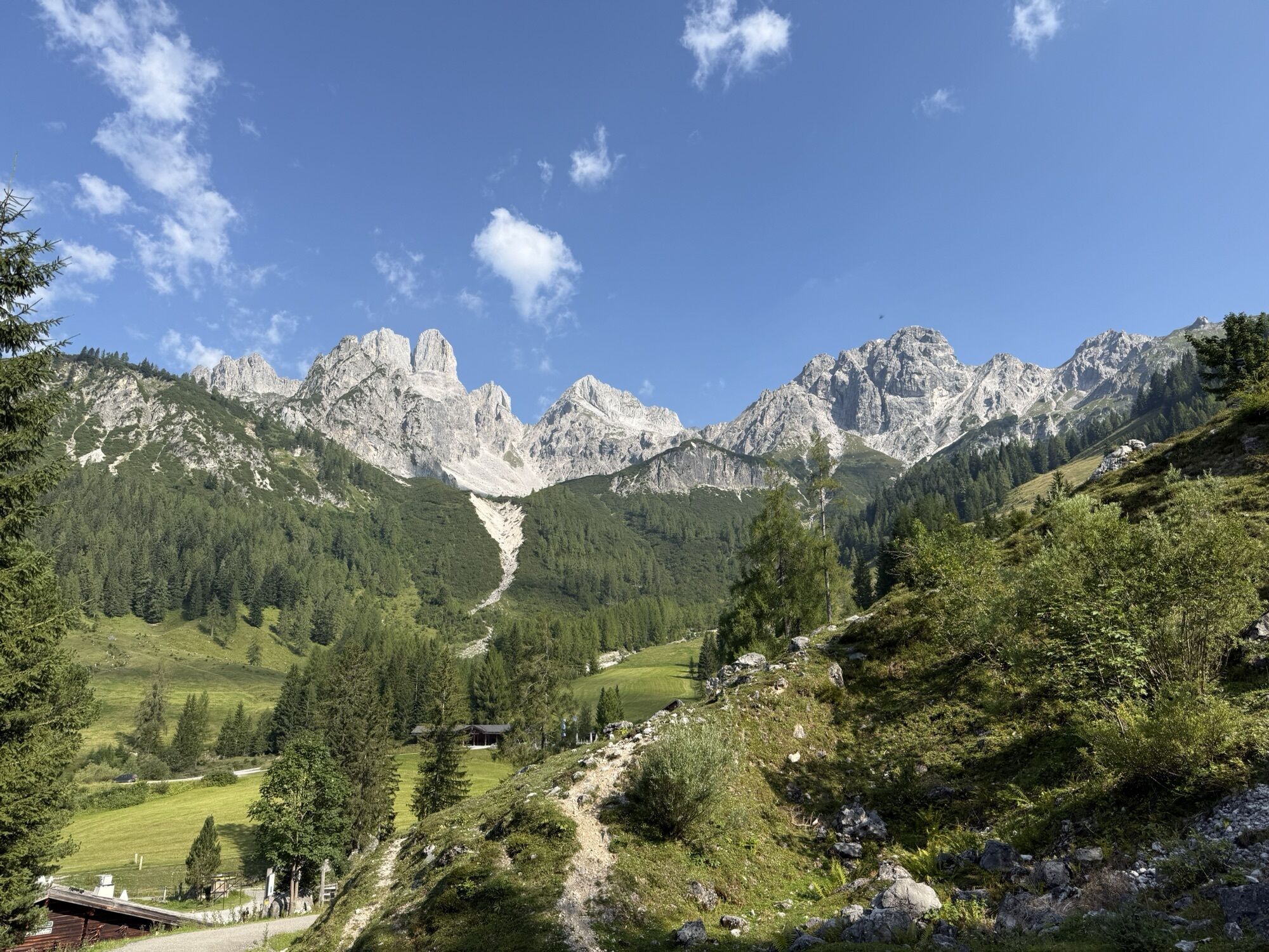
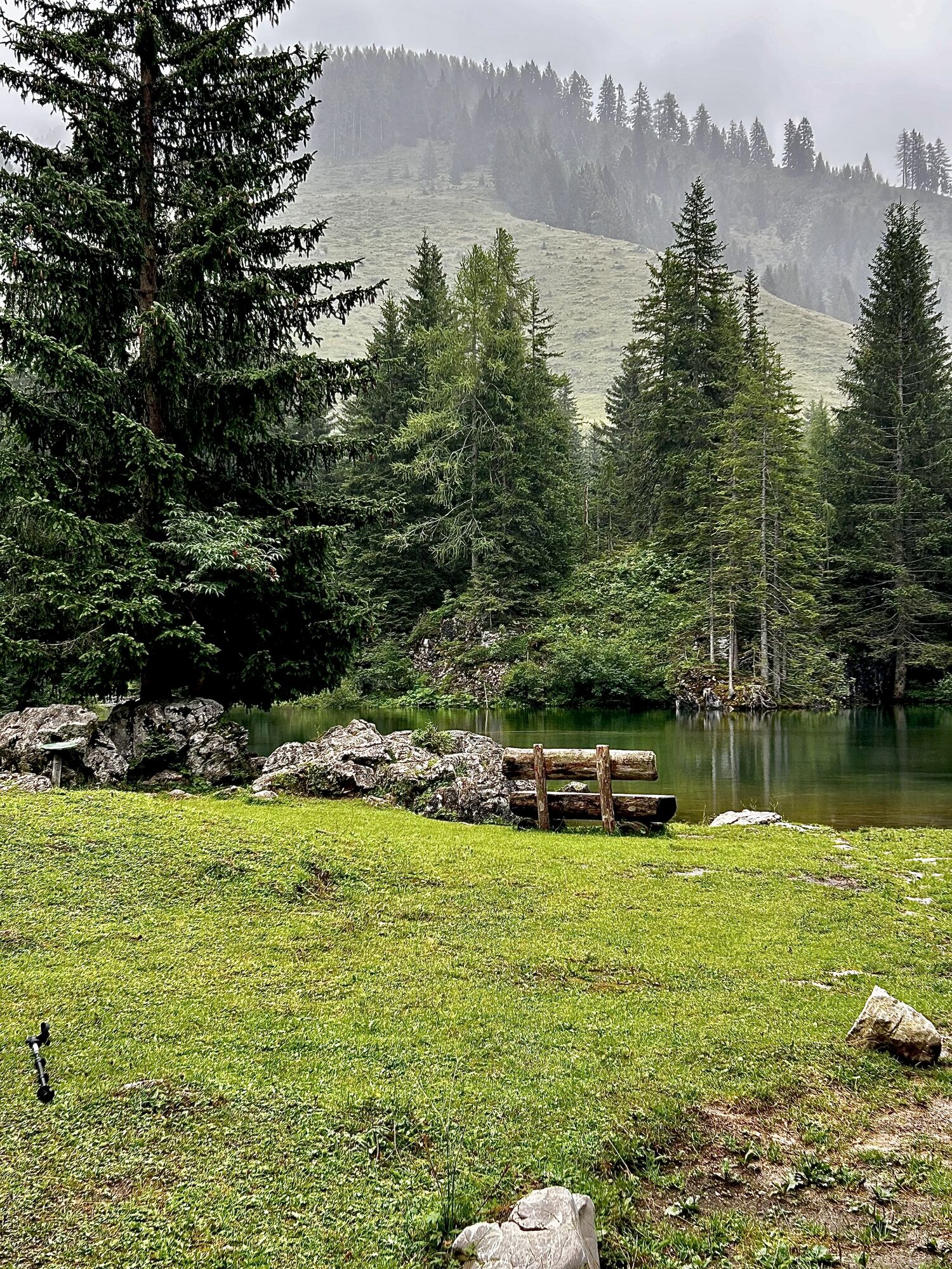
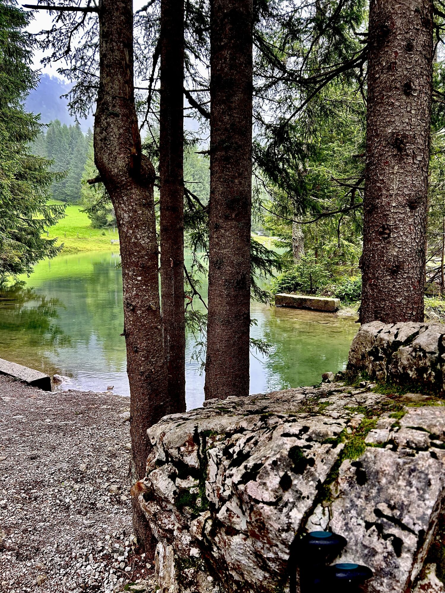
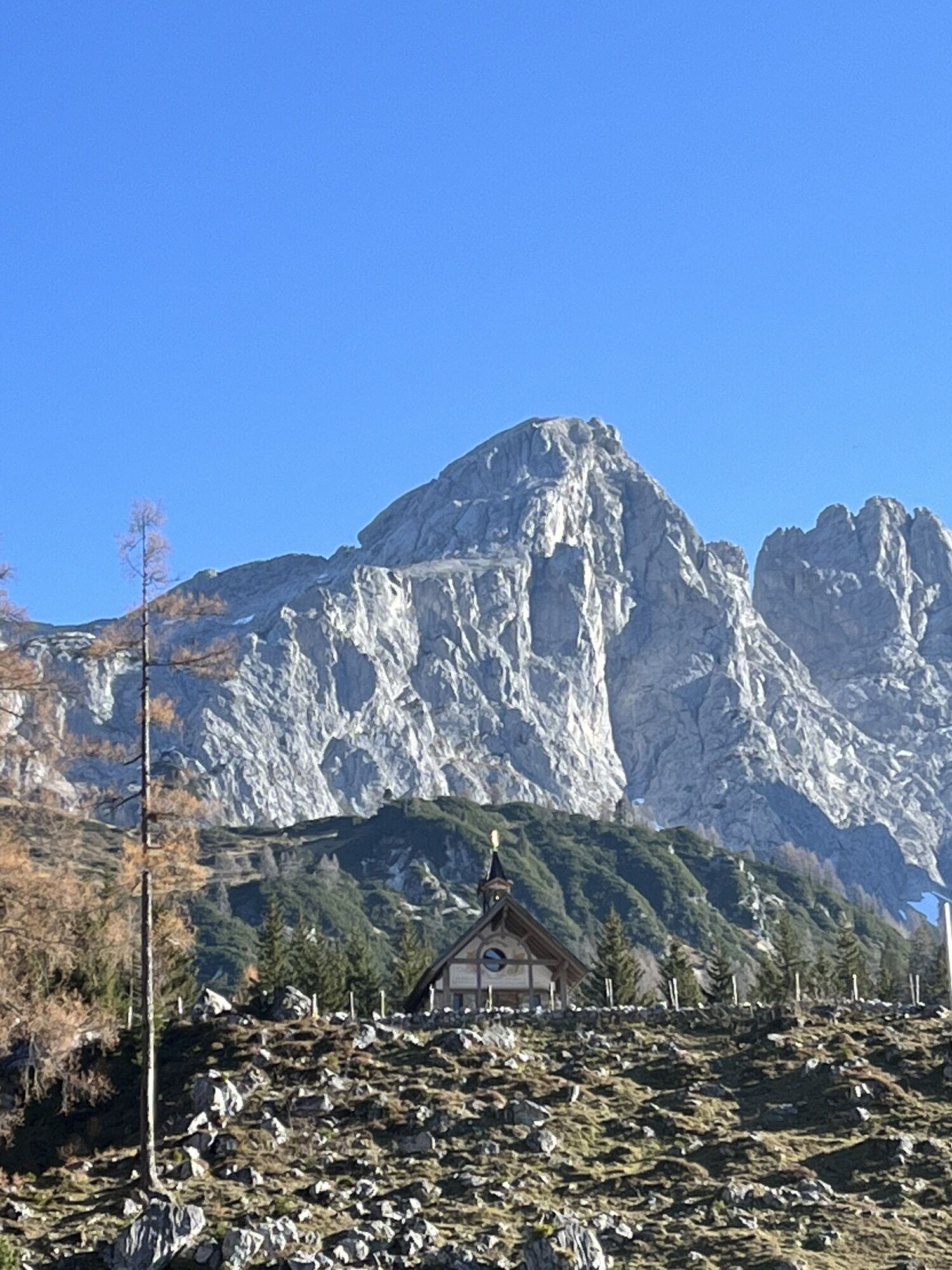
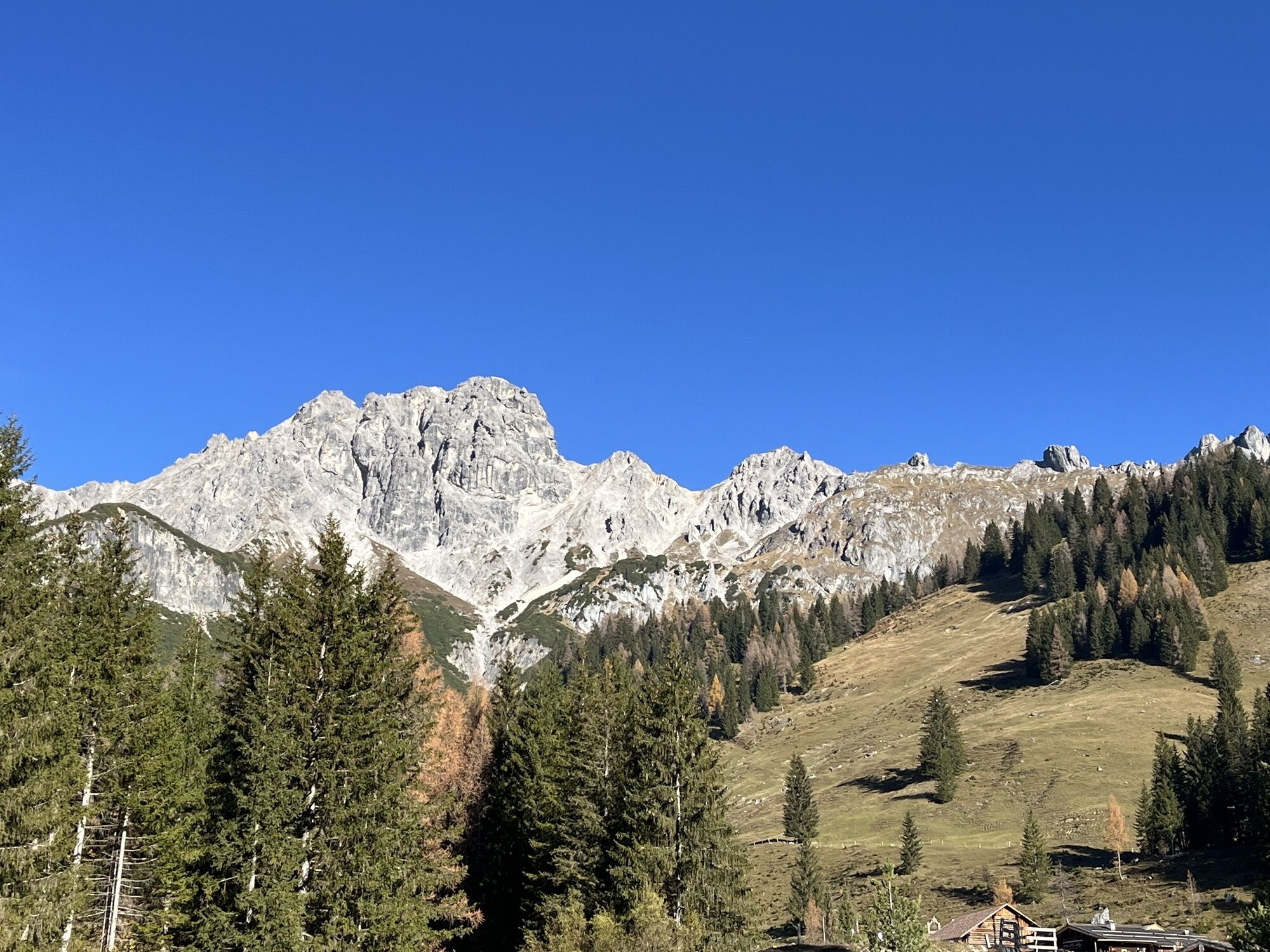
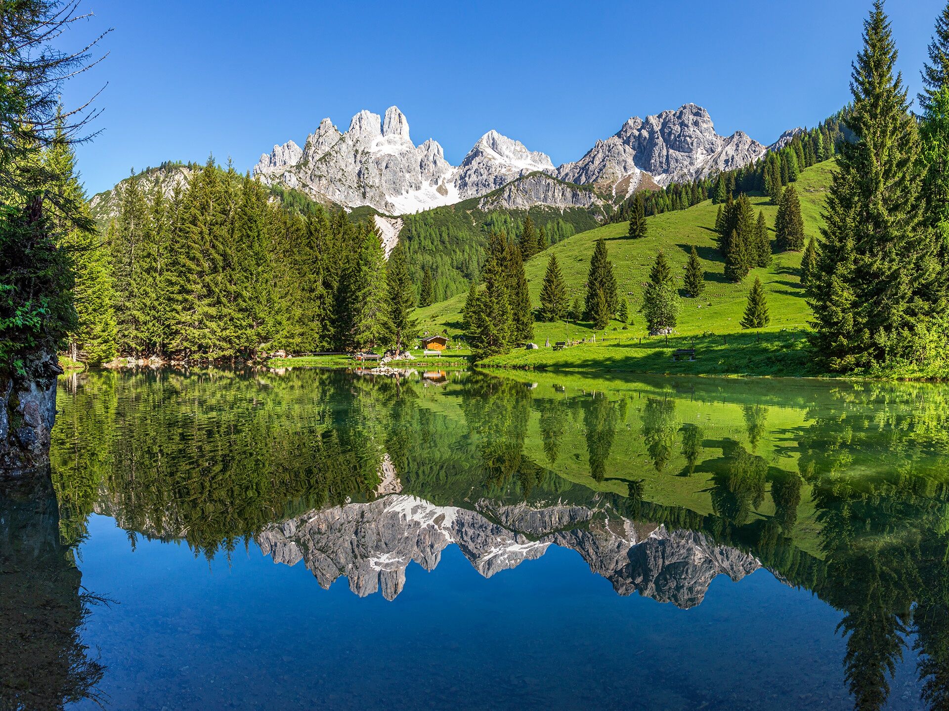
Your best option is to take the hiking bus to Filzmoos, heading towards the toll station in the direction of Hofalmen. From there, you cross the bridge to the right and follow the road until hiking trail no. 30B branches off to the left into the forest. The yellow signs guide you towards Oberhofalm. Just before reaching your destination, you'll pass a drinking water fountain (the Meeräugl spring) and see the Bögrainalm on your right. After the house, keep to the right and follow a small meadow path that runs parallel to the road, leading up to Oberhofalm (1,268m). Before stopping at one of the two rustic Hofalmen, you should definitely take the small scenic loop to the picturesque Almsee. The return to the starting point follows the same route.
Tip: From the Hofalmen, you can also start numerous hikes to higher-altitude destinations, such as the Hofpürglhütte.
Pot
Oberhofalm
(1,269 m)
Restavracija
4.2 km
Unterhofalm
(1,282 m)
Restavracija
5.3 km
Pot
Hofalmen & Almsee
svetloba
Pohodništvo
9.84
km
Oberhofalm
(1,269 m)
Restavracija
4.2 km
Unterhofalm
(1,282 m)
Restavracija
5.3 km

Zadnji spremljani
2 pred tedni

Še ni pregledov
Spletne kamere s turneje

Vse spletne kamere na zemljevidu
Brezplačno namesti aplikacijo in primerjaj slike v živo z več lokacij, preden se odpraviš na pot.
bergfex zdaj uporabljaj v aplikaciji
S kamero poskeniraj QR-kodo
Ko je aplikacija nameščena, se vsebina odpre takoj. Če aplikacije še nimaš, te bo preusmerila na stran za brezplačen prenos.

Priljubljeni izleti v okolici
-
4.5
Ramsau am Dachstein: Steinerne Jungfrauen
Pohodništvo 8.11 km -
4.8
Ramsau am Dachstein: Bergstation Dachstein-Seilbahn - Guttenberghaus - Ramsau
srednjaPohodništvo 14.4 km -
4.3
Heilbronner Rundwanderweg
svetlobaPohodništvo 9.04 km -
4.3
Filzmoos: Rötelstein (Rettenstein)
Pohodništvo 9.50 km -
4.8
Tour around the Gosaukamm
srednjaPohodništvo 20.9 km -
4.7
Tor-Wanderung
težkoPohodništvo 14.2 km -
4.7
Tour around the Lake Gosau
svetlobaPohodništvo 4.43 km -
4.6
Adamekhütte vom Vorderen Gosausee
srednjaPohodništvo 23.2 km -
5.0
Forstau - Rippetegg / Reiteralm
srednjaPohodništvo 13.9 km -
4.4
Rittispanoramaweg
svetlobaPohodništvo 5.30 km
Pohodništvo in sledenje

Zaradi več kot 550.000 predlogov izletov, podrobnih zemljevidov in intuitivnega načrtovanja poti je aplikacija obvezna oprema za vse ljubitelje narave.

Ne zamudite ponudb in navdiha za naslednje počitnice
Naročite se na novice
Napaka
Zgodila se je napaka. Prosimo, poskusite znova.
Zahvaljujemo se vam za prijavo
Vaš e-poštni naslov je bil dodan na poštni seznam.
Izleti po vsej Evropi
Avstrija
Švica
Nemčija
Italija
Slovenija
Francija
Nizozemska
Belgija
Poljska
Lihtenštajn
Češka
Slovaška
Španija
Chorvátsko
Bosna in Hercegovina
Luksemburg
Andora
පෘතුගාලය
අයිස්ලන්තය
එක්සත් රාජධානිය
අයර්ලන්තය
ග්රීසිය
ඇල්බේනියාව
North Macedonia
Malta
Norway
Montenegro
Moldova
කොසෝවො
හන්ගේරියානු සමුහාණ්ඩුව
San Marino
රුමේනියාව
එස්ටෝනියා
ලැට්වියාව
බෙලාරස්
සයිප්රස්
Lithuania
Serbia
බල්ගේරියාව
Monaco
ඩෙන්මාර්කය
Sweden
ෆින්ලන්තය





