


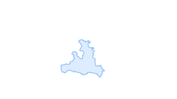

Hüttschlag: Karteistörl - Kreuzeck - Glettenalm

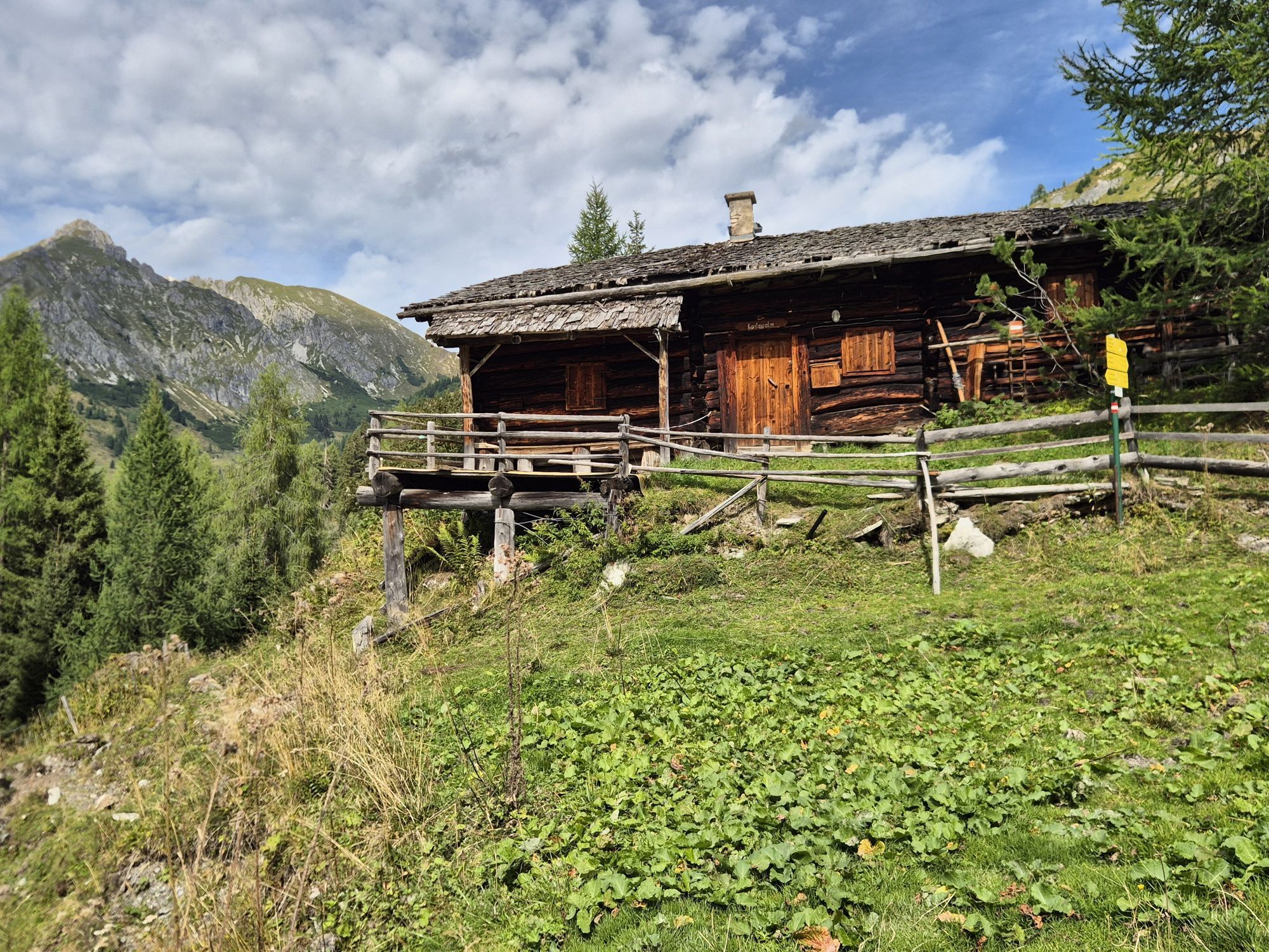
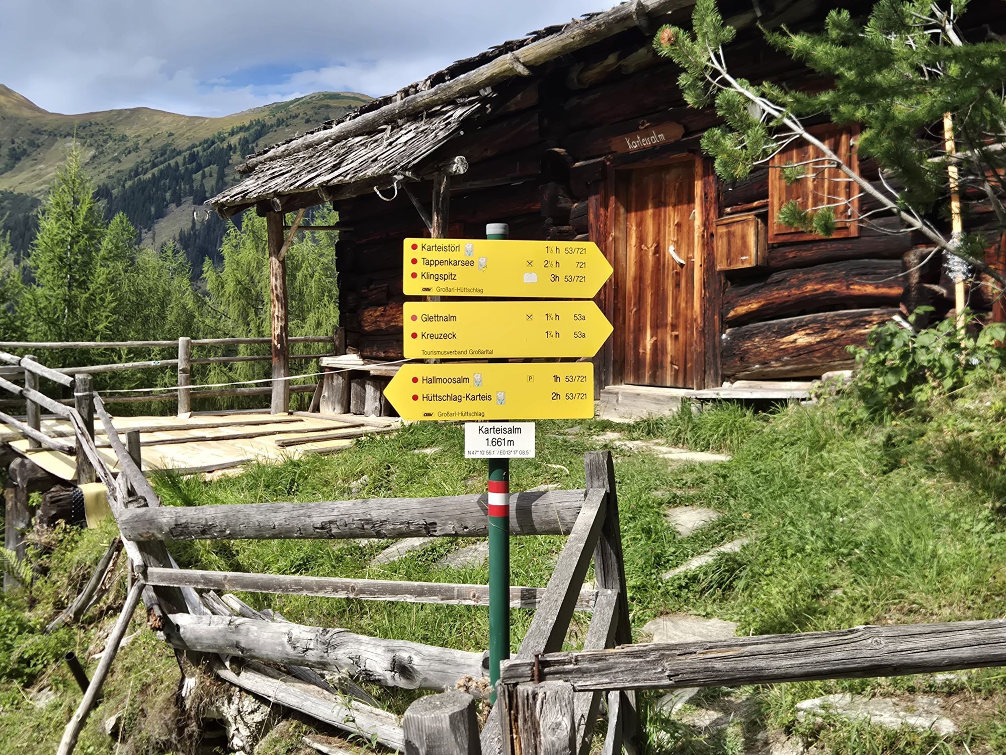
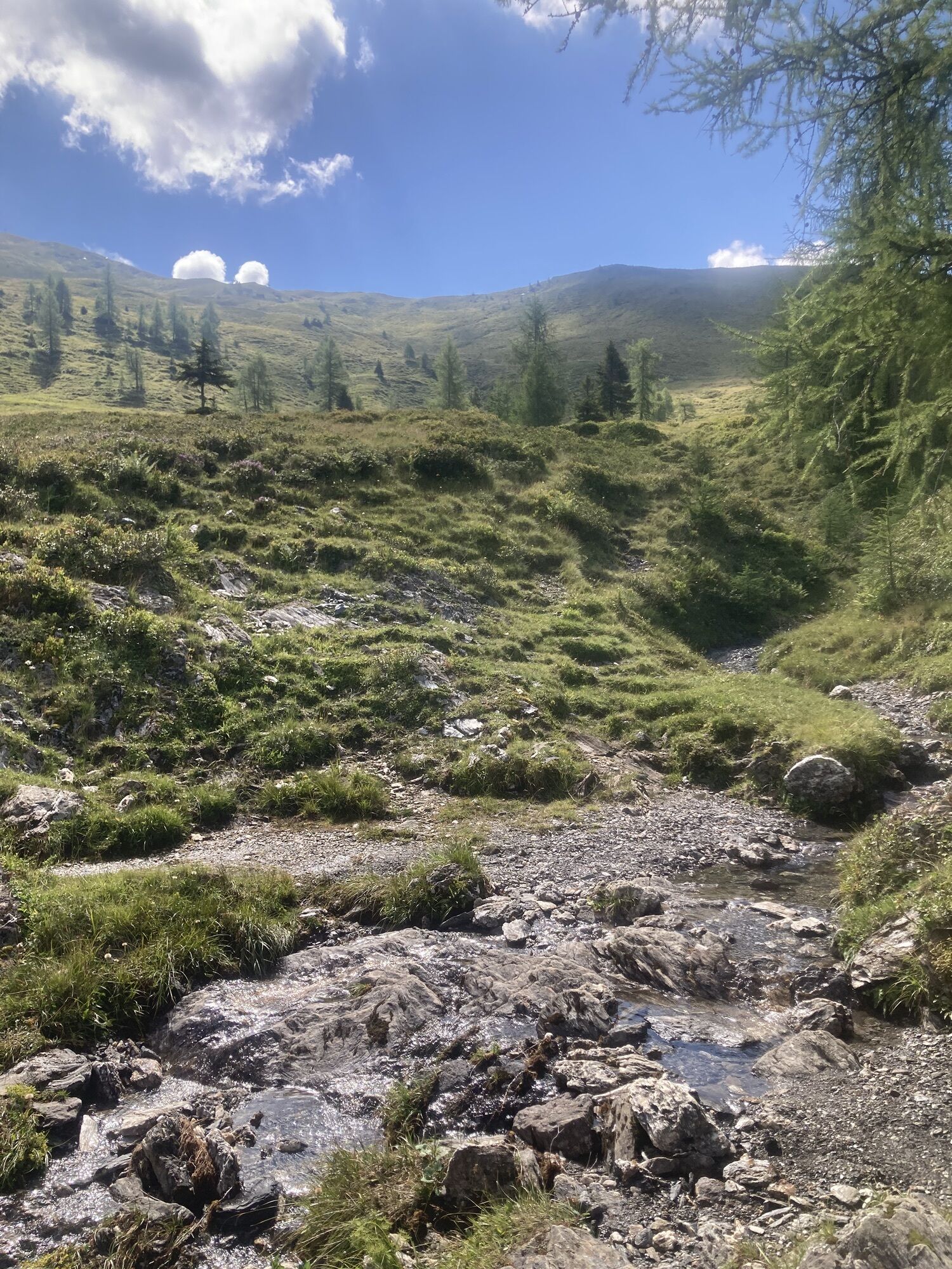
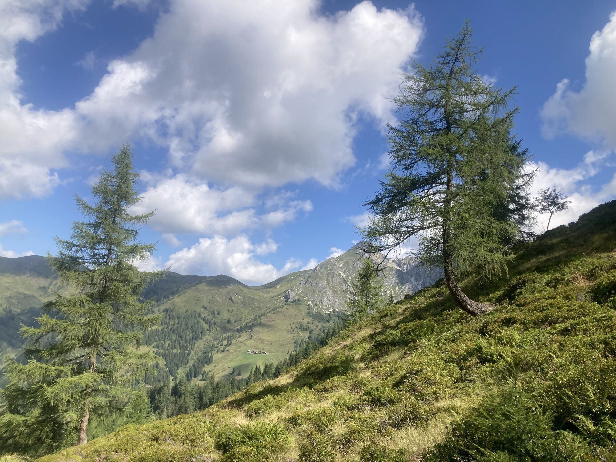
This beautiful hike starts at the Hallmoosalm car park in Hüttschlag. After a short section on the forest road, turn left into the forest and follow this path to the Karteisalm (not serviced). Continue...
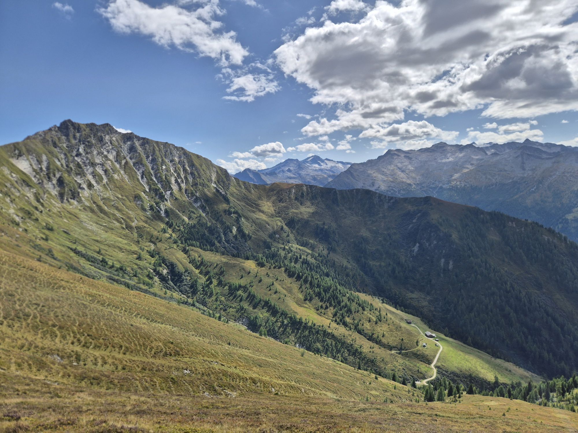
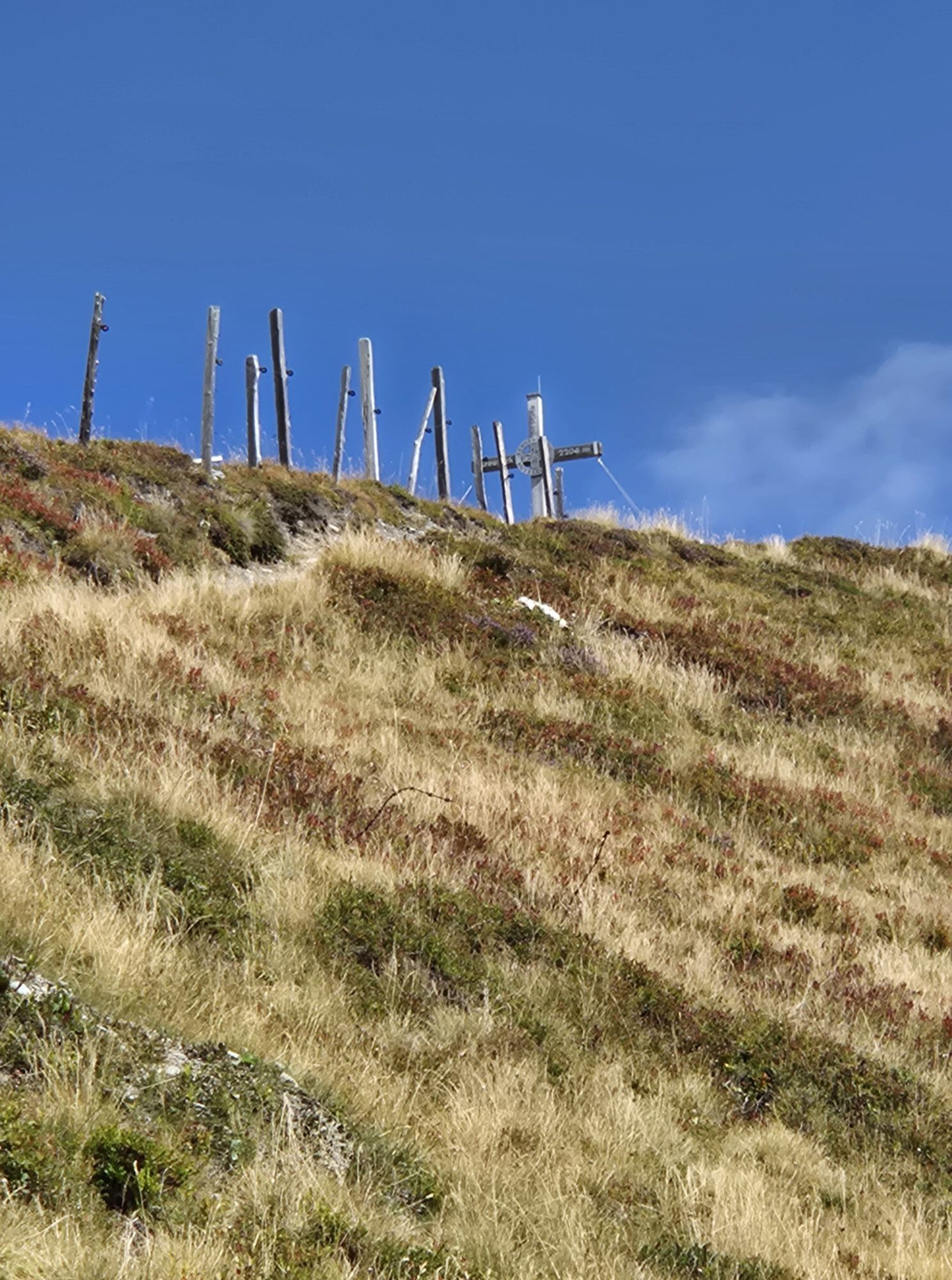
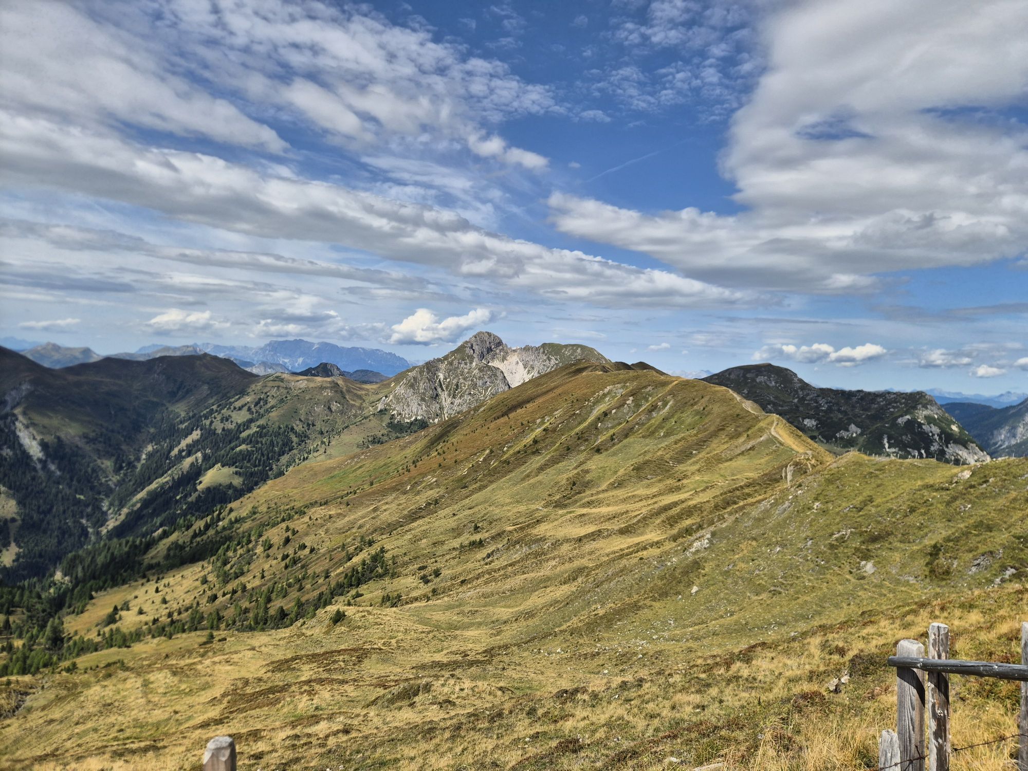
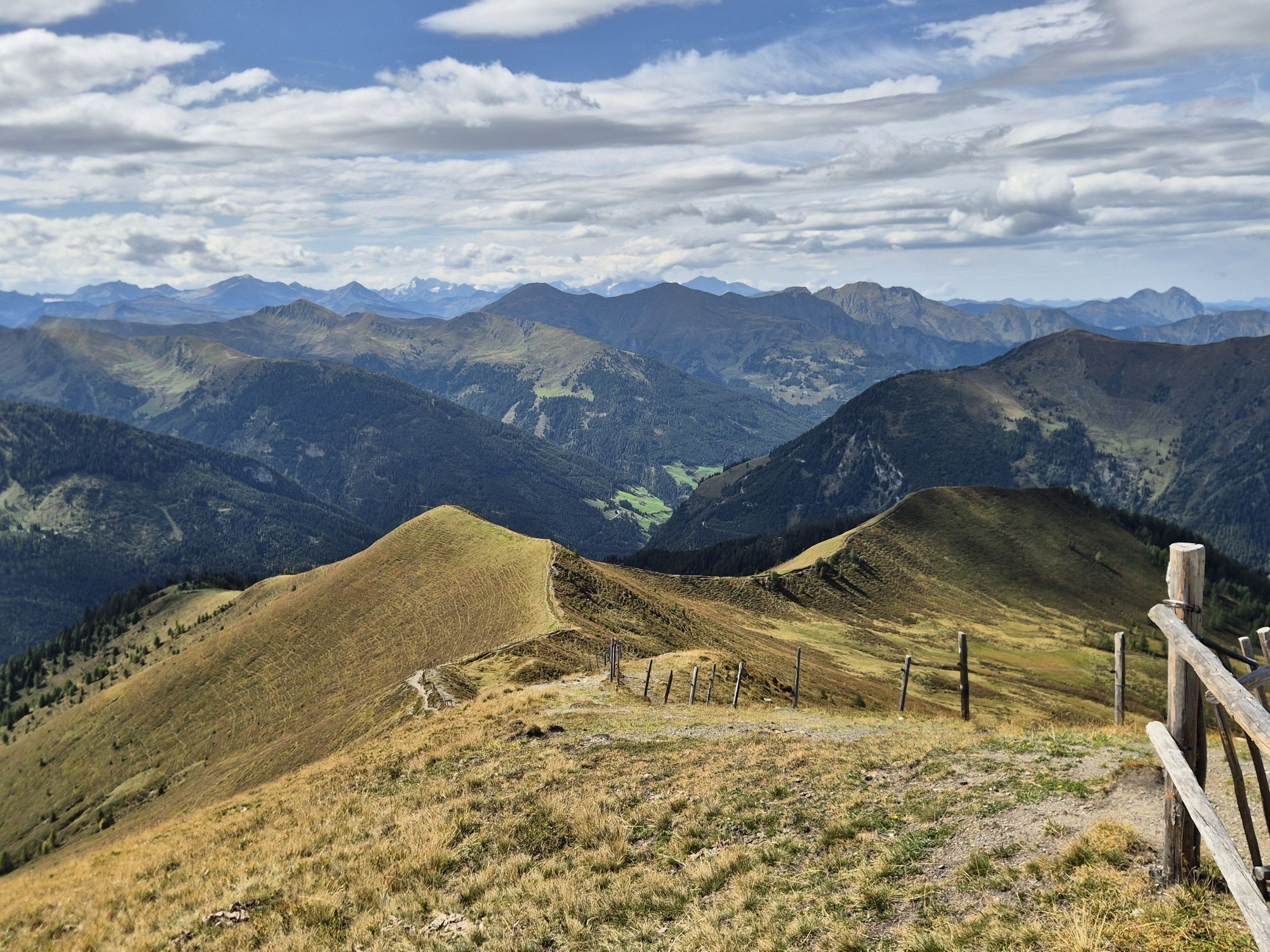
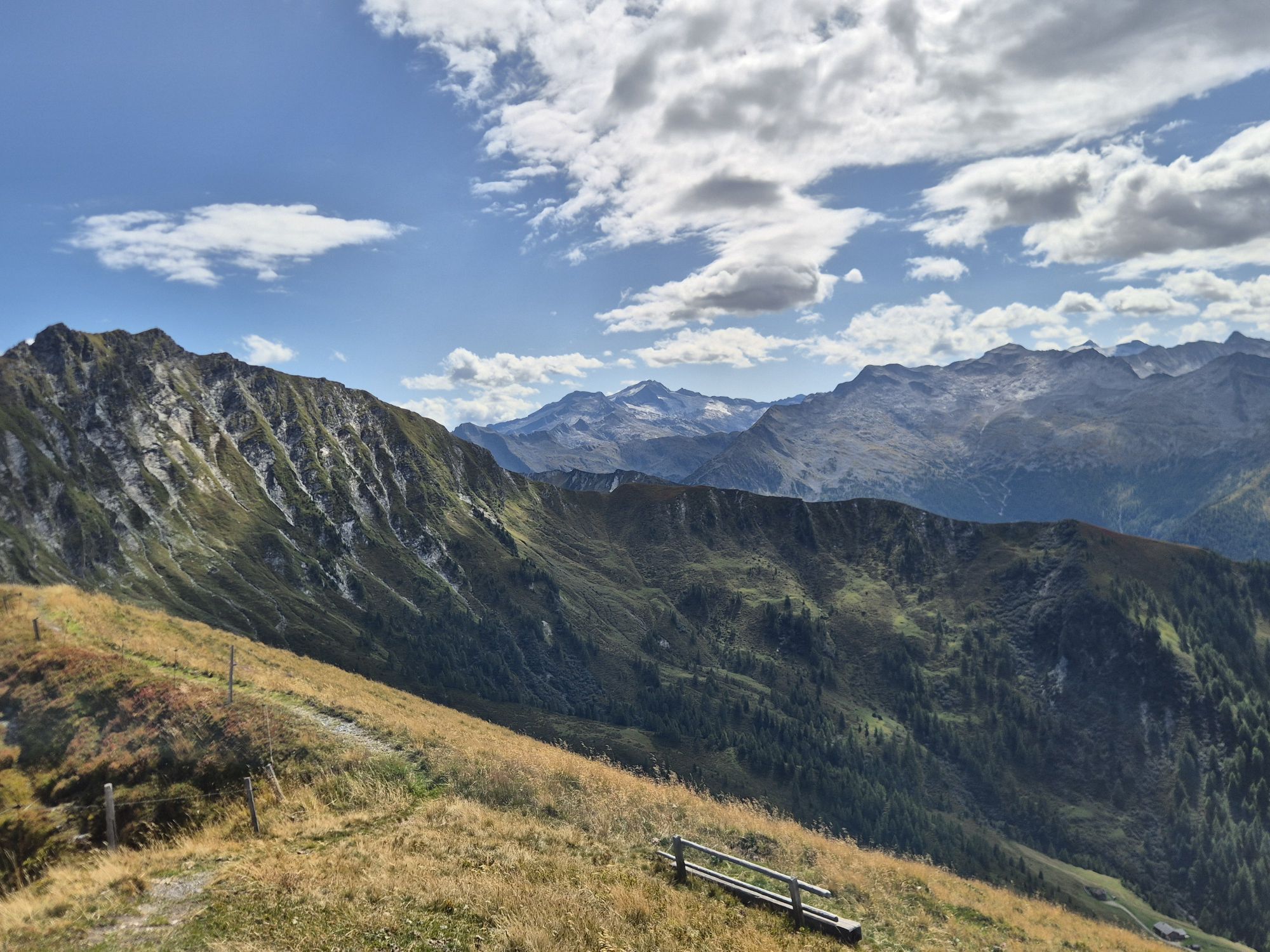
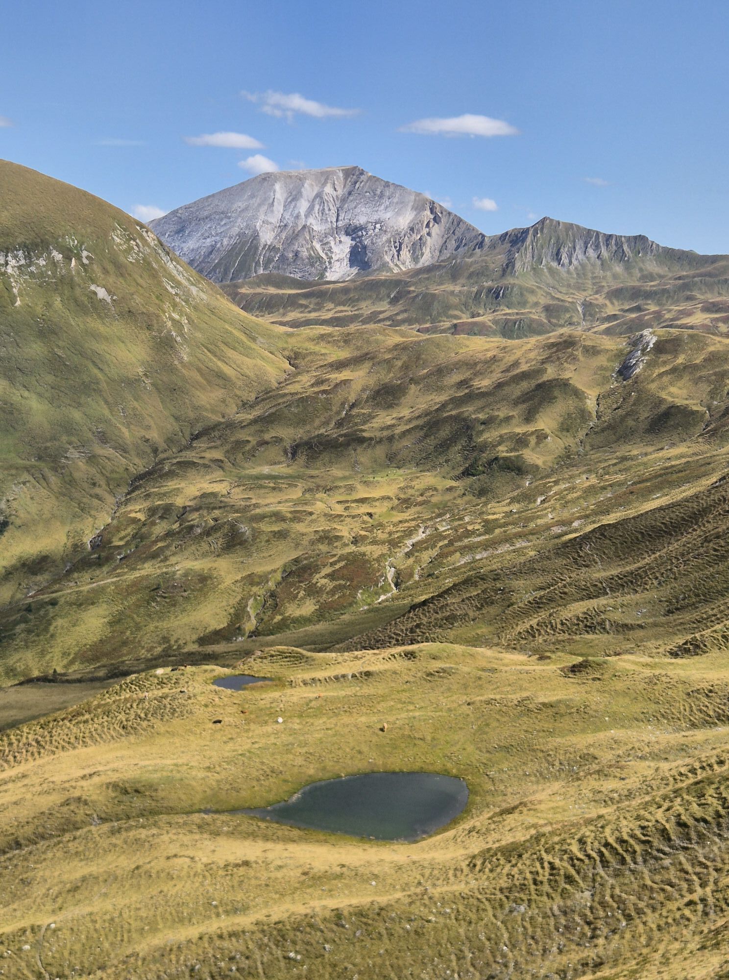
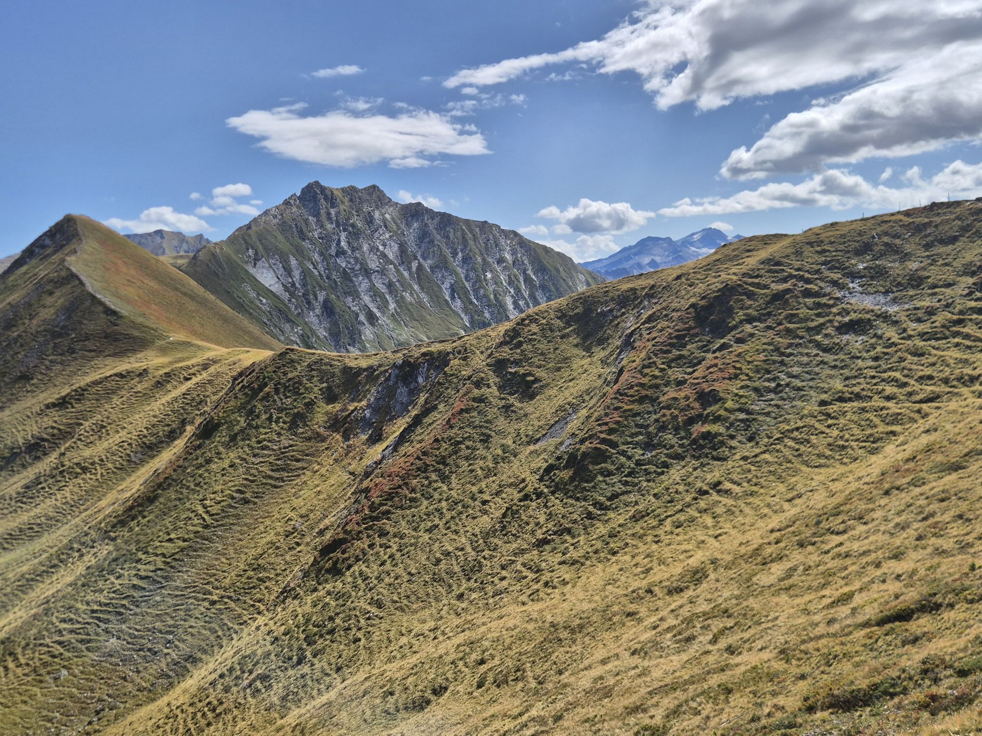
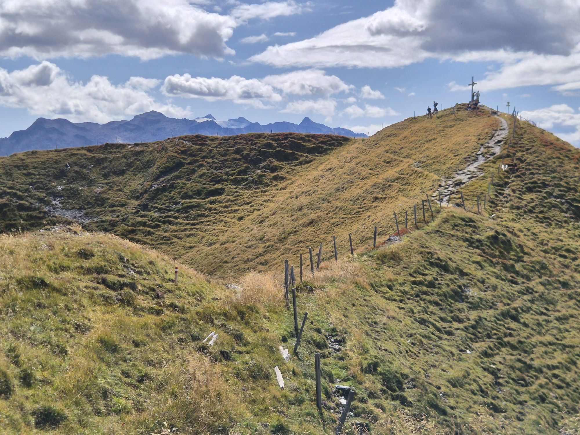
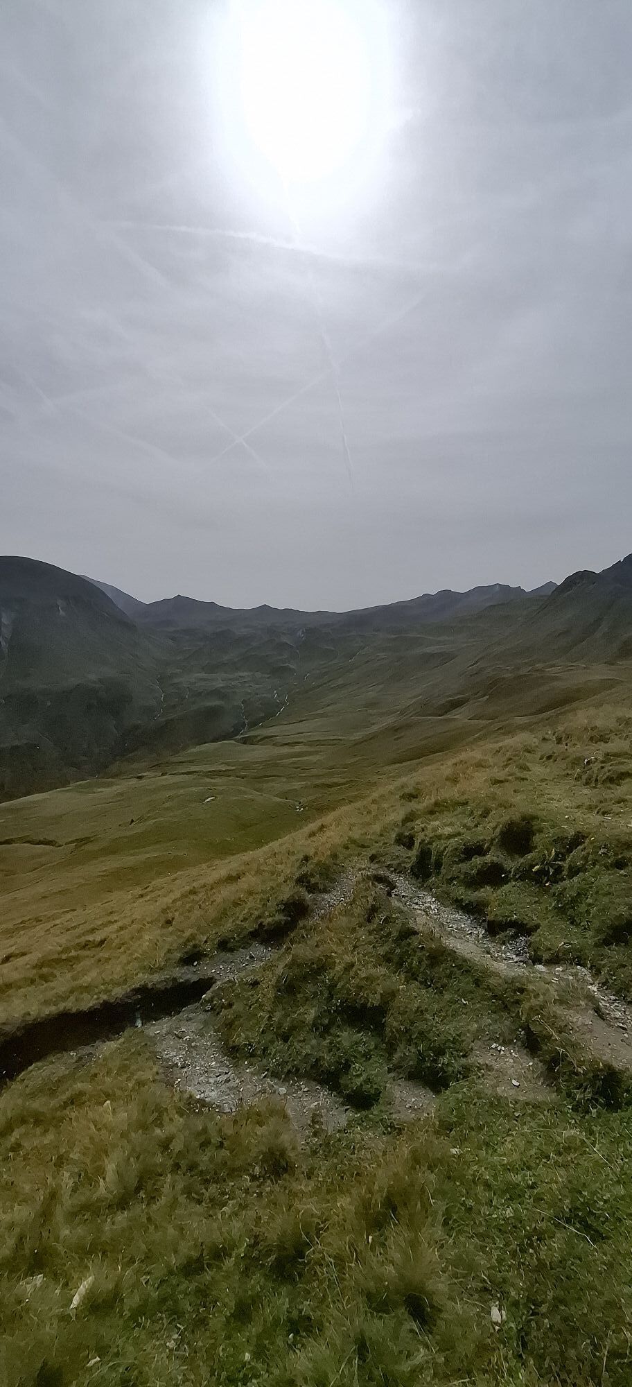
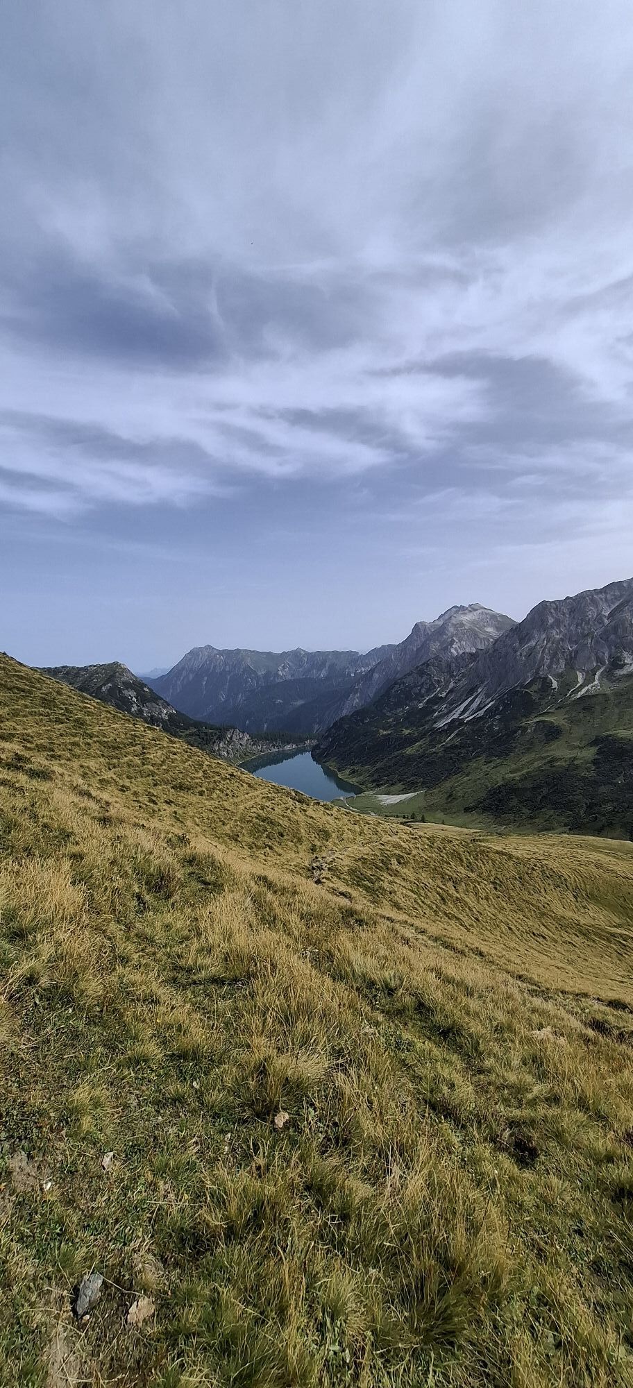
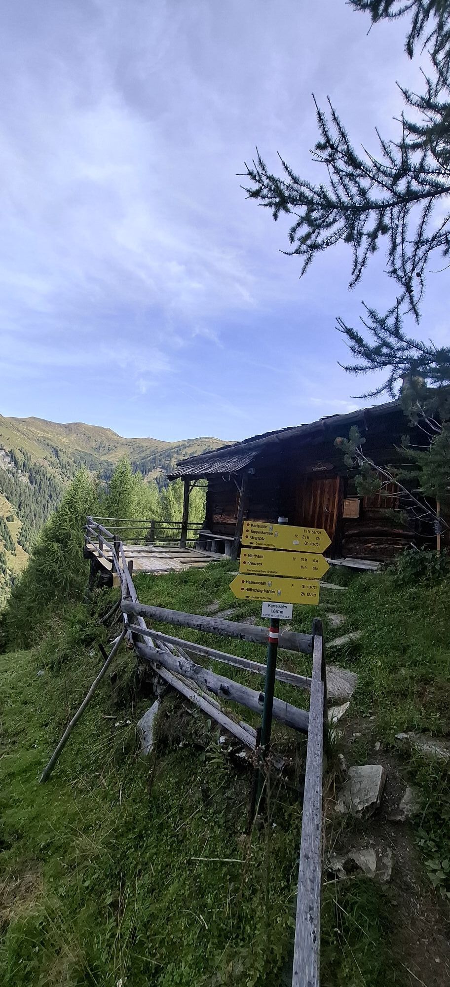
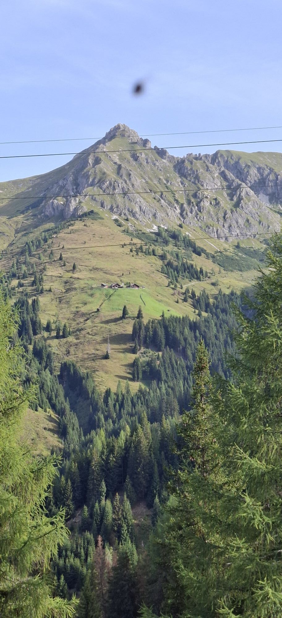
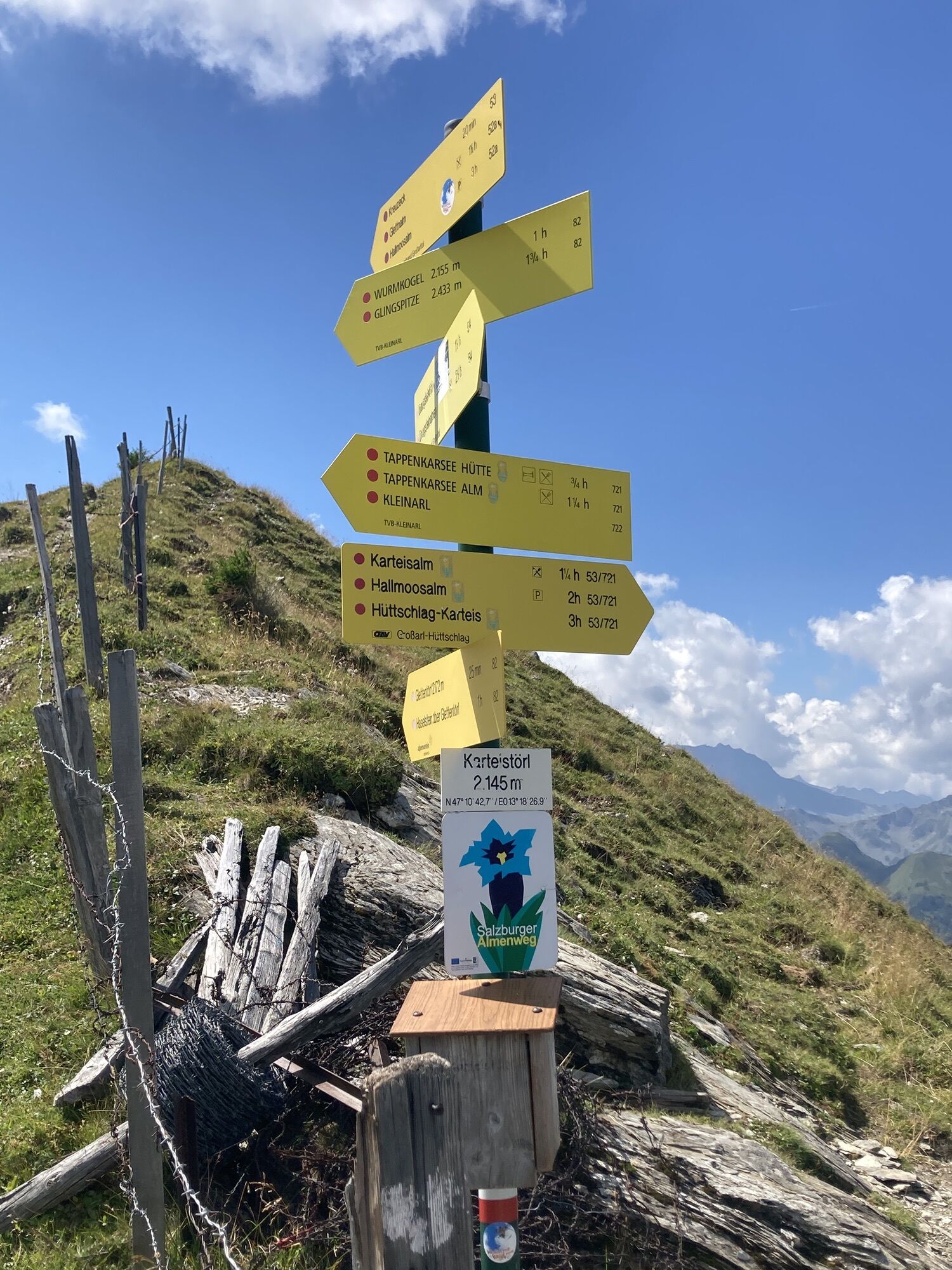
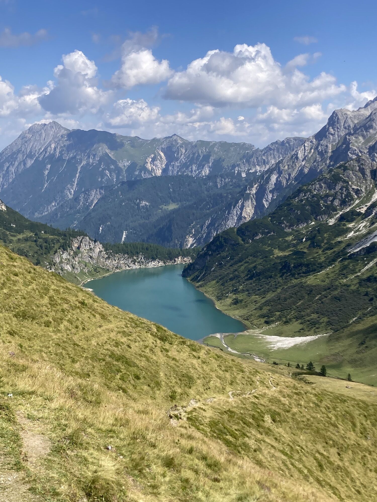
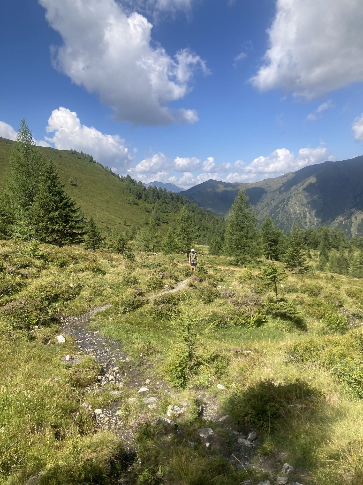
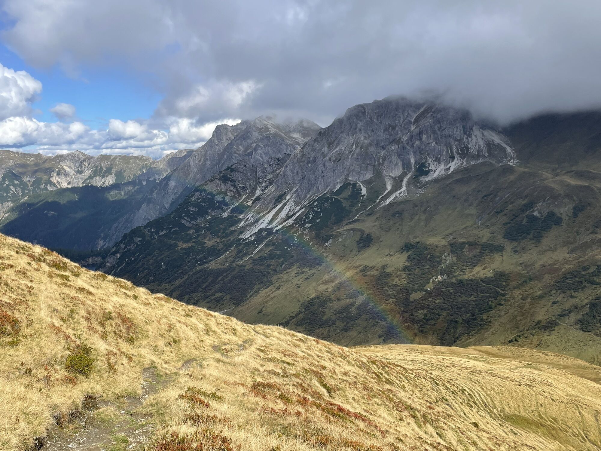
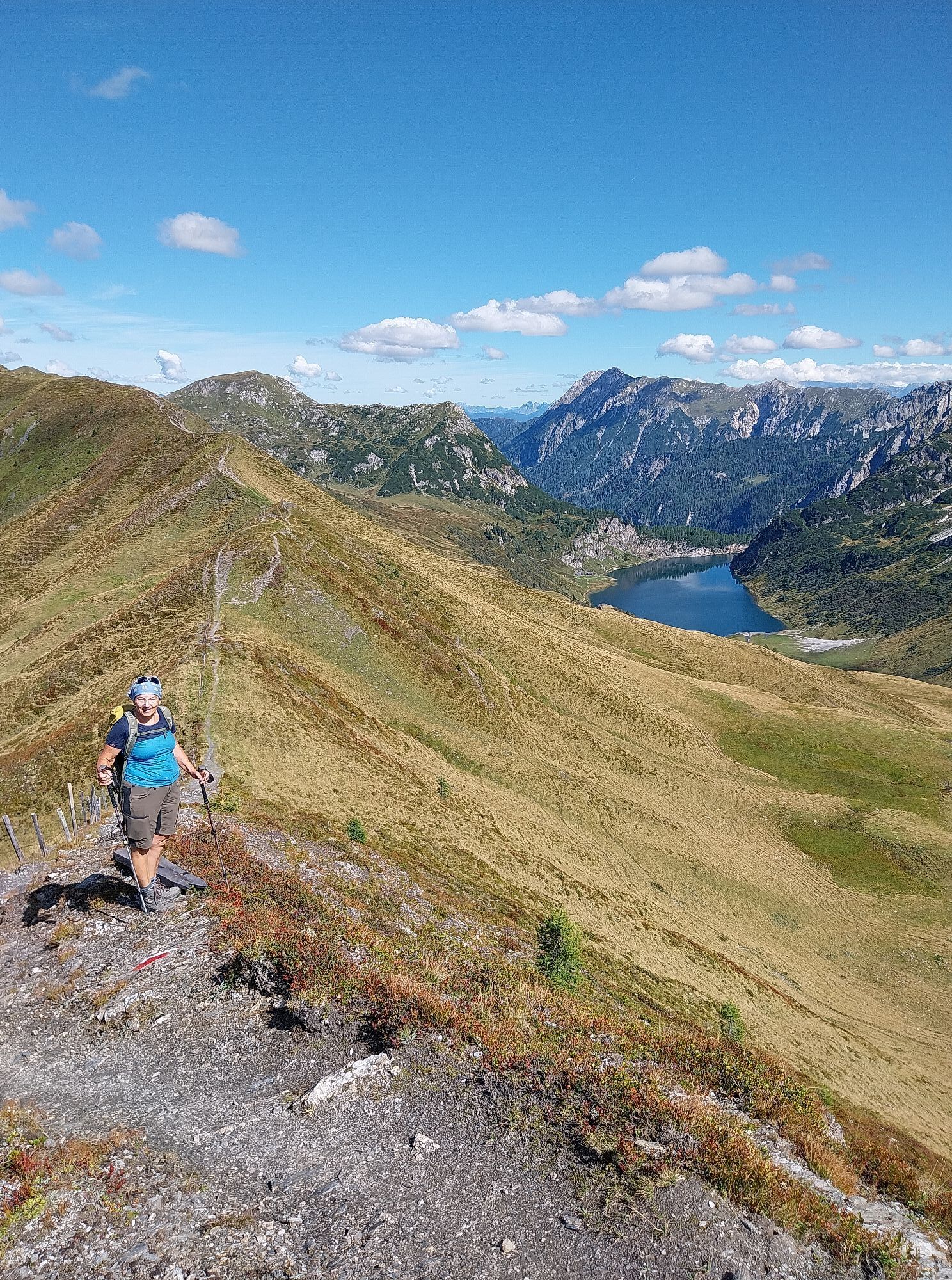
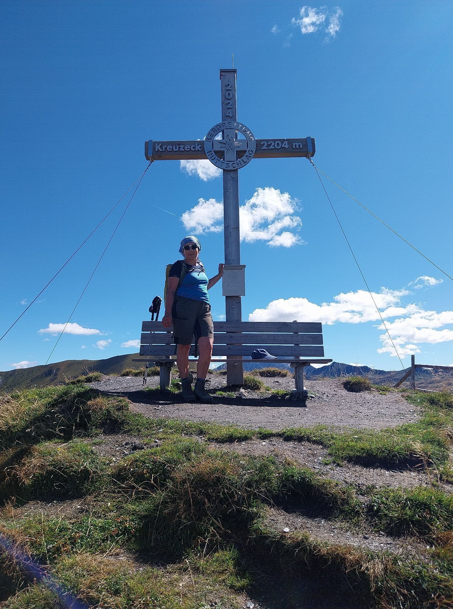
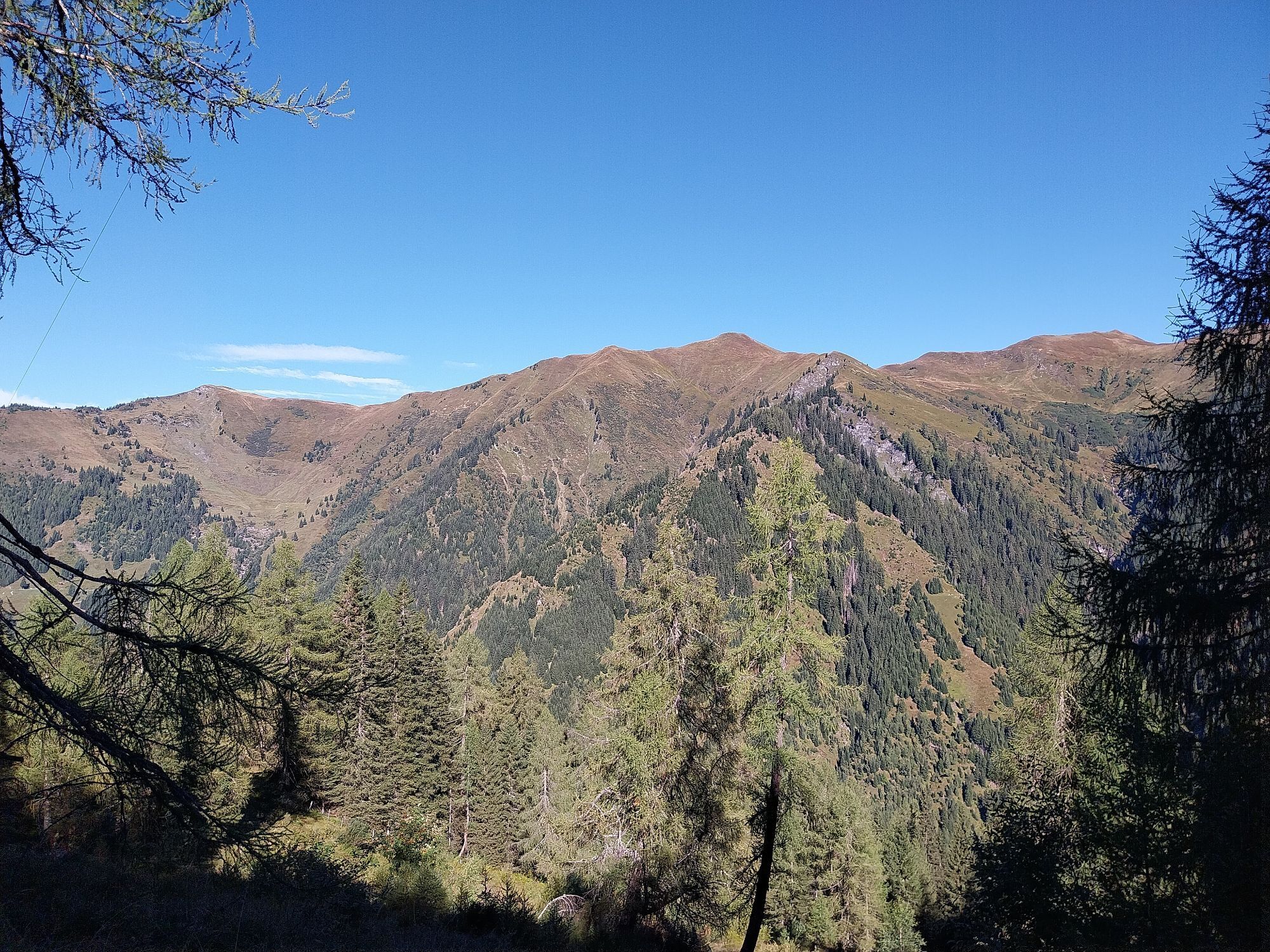
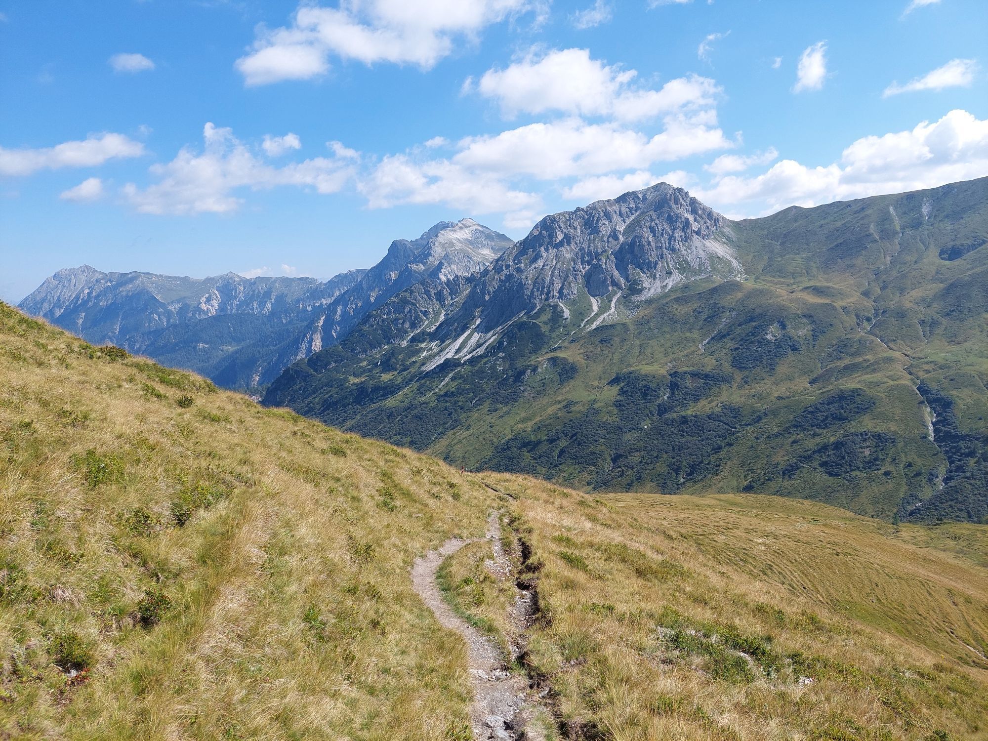
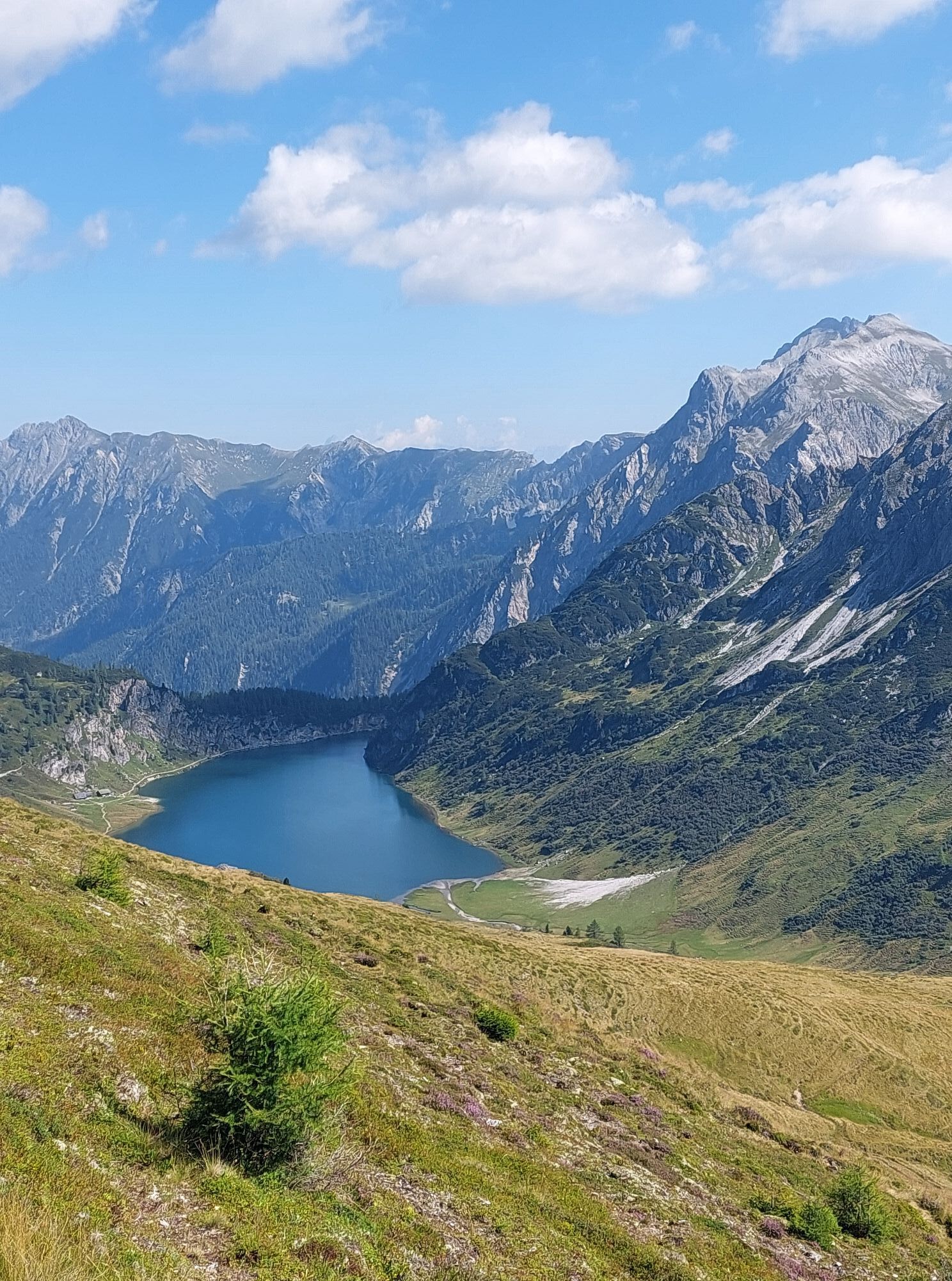
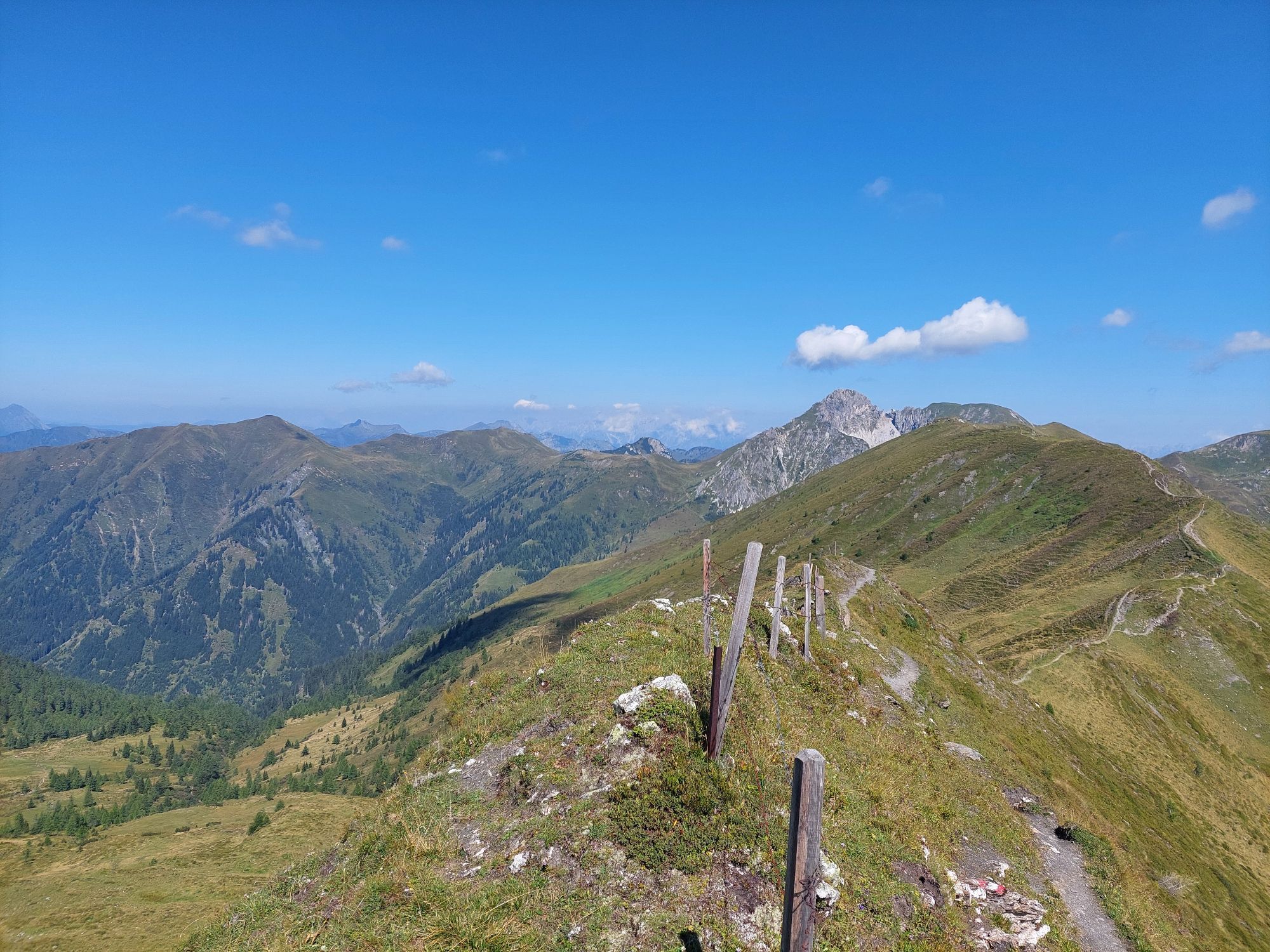
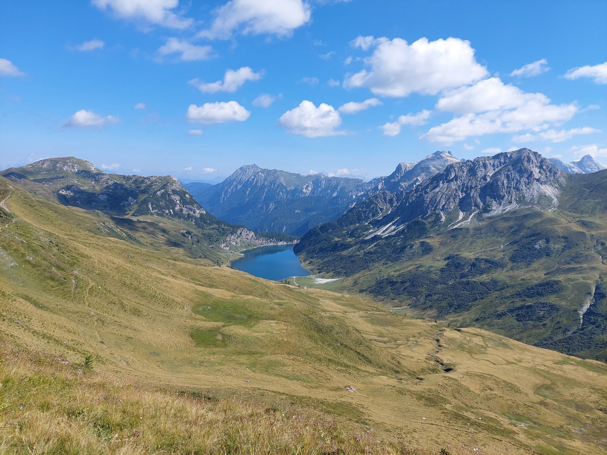
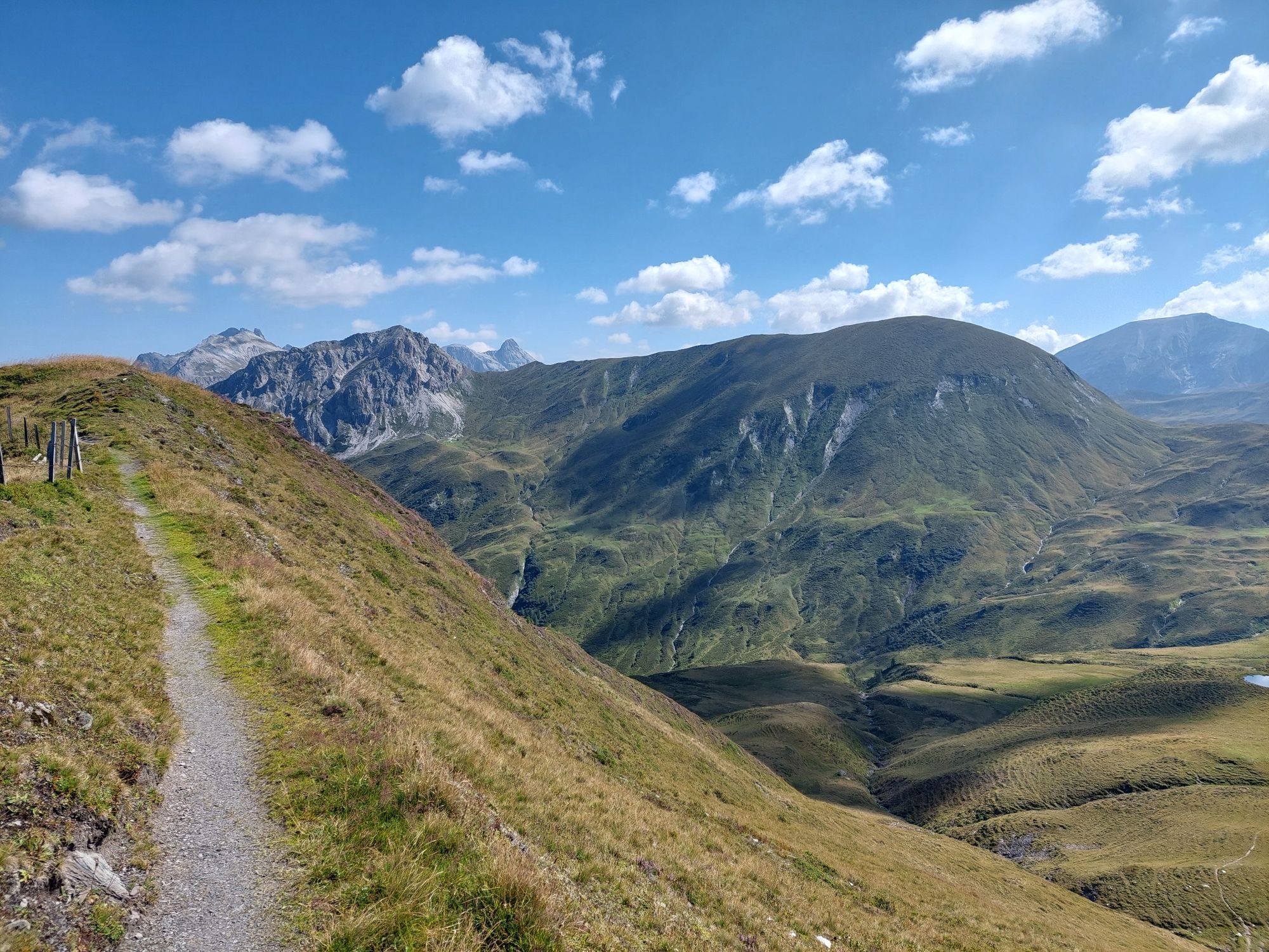
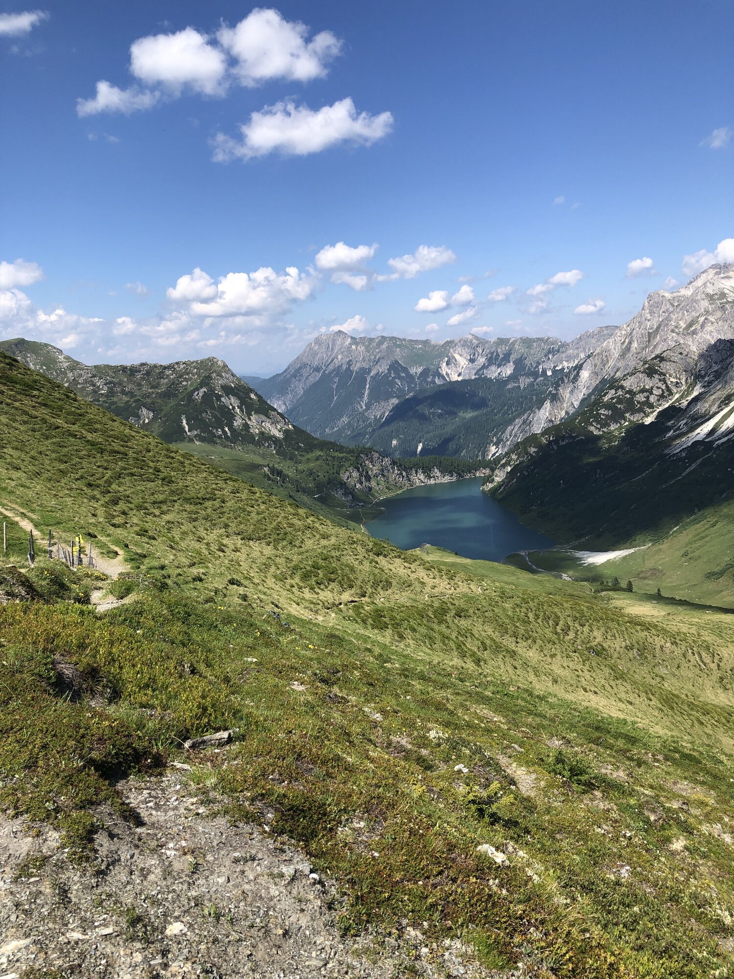
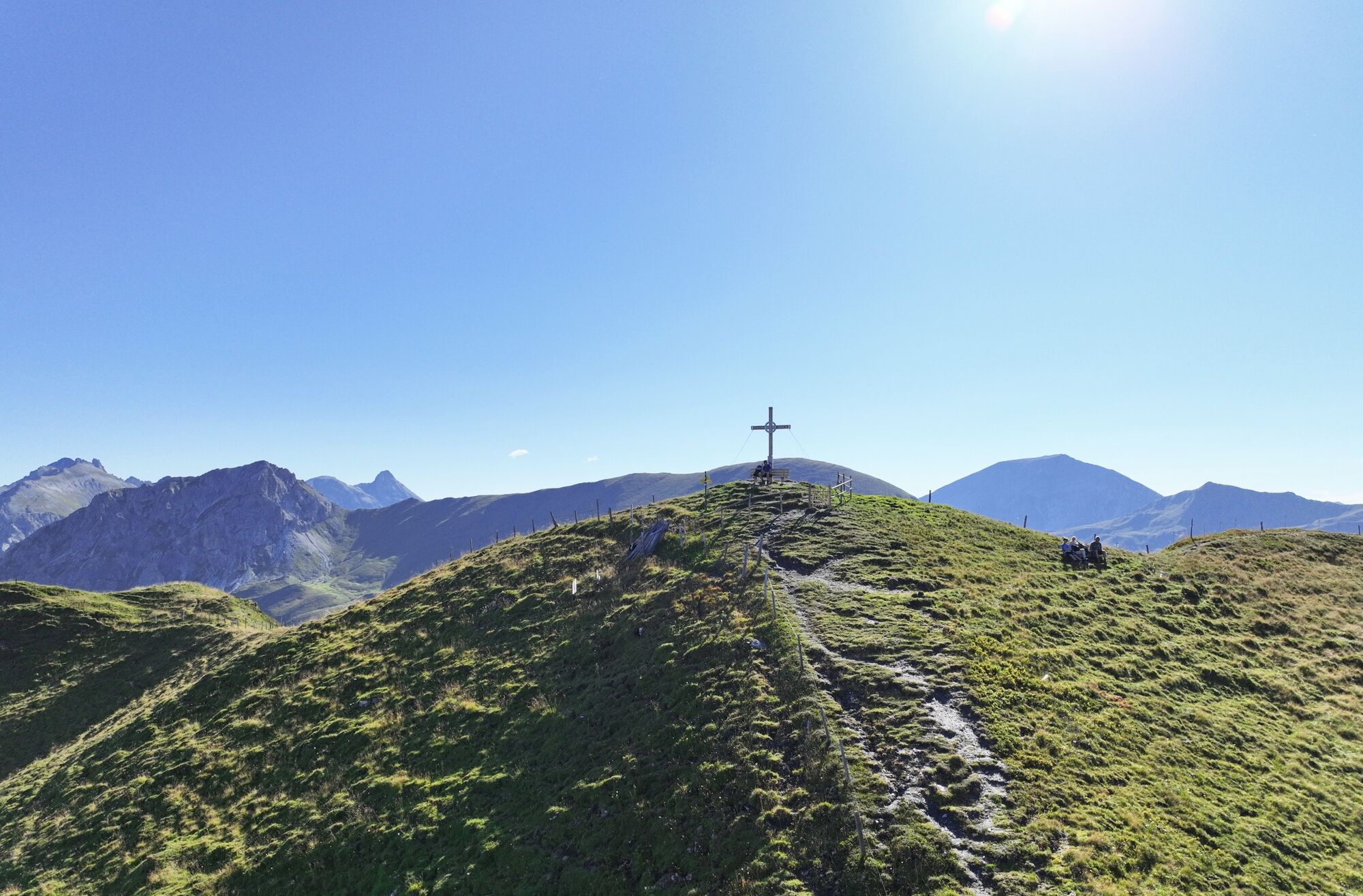
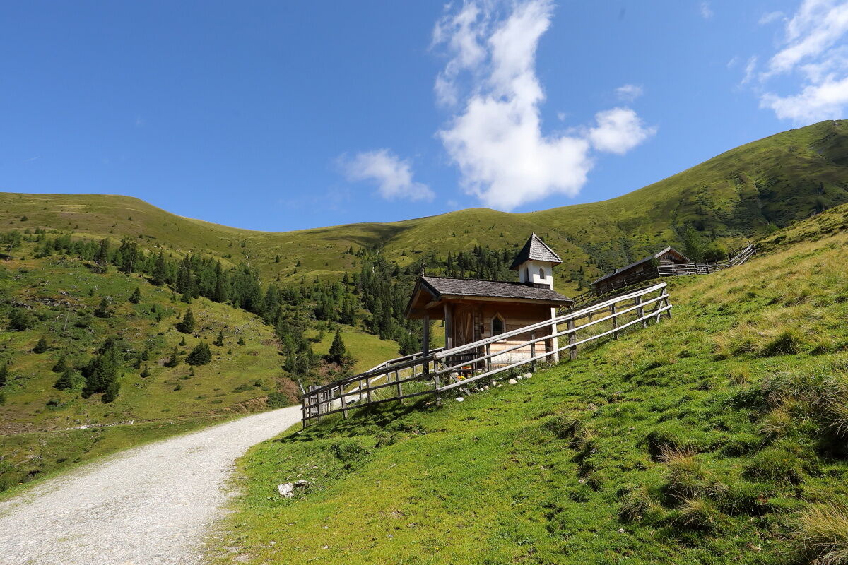
This beautiful hike starts at the Hallmoosalm car park in Hüttschlag. After a short section on the forest road, turn left into the forest and follow this path to the Karteisalm (not serviced). Continue hiking through a beautiful alpine cirque where wonderful flowers bloom in spring to the Karteistörl. Here you are rewarded with a magnificent view of Tappenkarsee, the largest mountain lake in the Eastern Alps. Then climb the last meters up to the Kreuzeck. From here you have a wonderful view of the Hohe Tauern. Descend via the marked path to the Glettenalm, which you can already see from the Kreuzeck. Just before the Glettenalm, there is a small, beautiful chapel. Refreshed with homemade delicacies from Glettenalm, return via the forest road to the Hallmoosalm car park, the starting point of the route. Alternatively, after a short stretch on the forest road, a descent via alpine path No. 52A is possible.

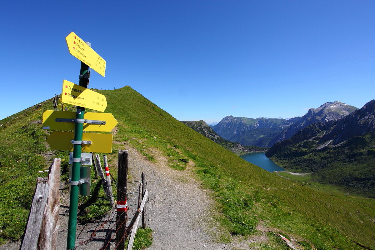
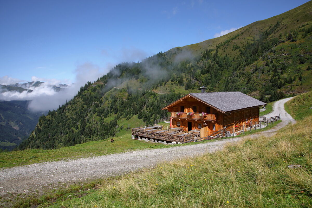
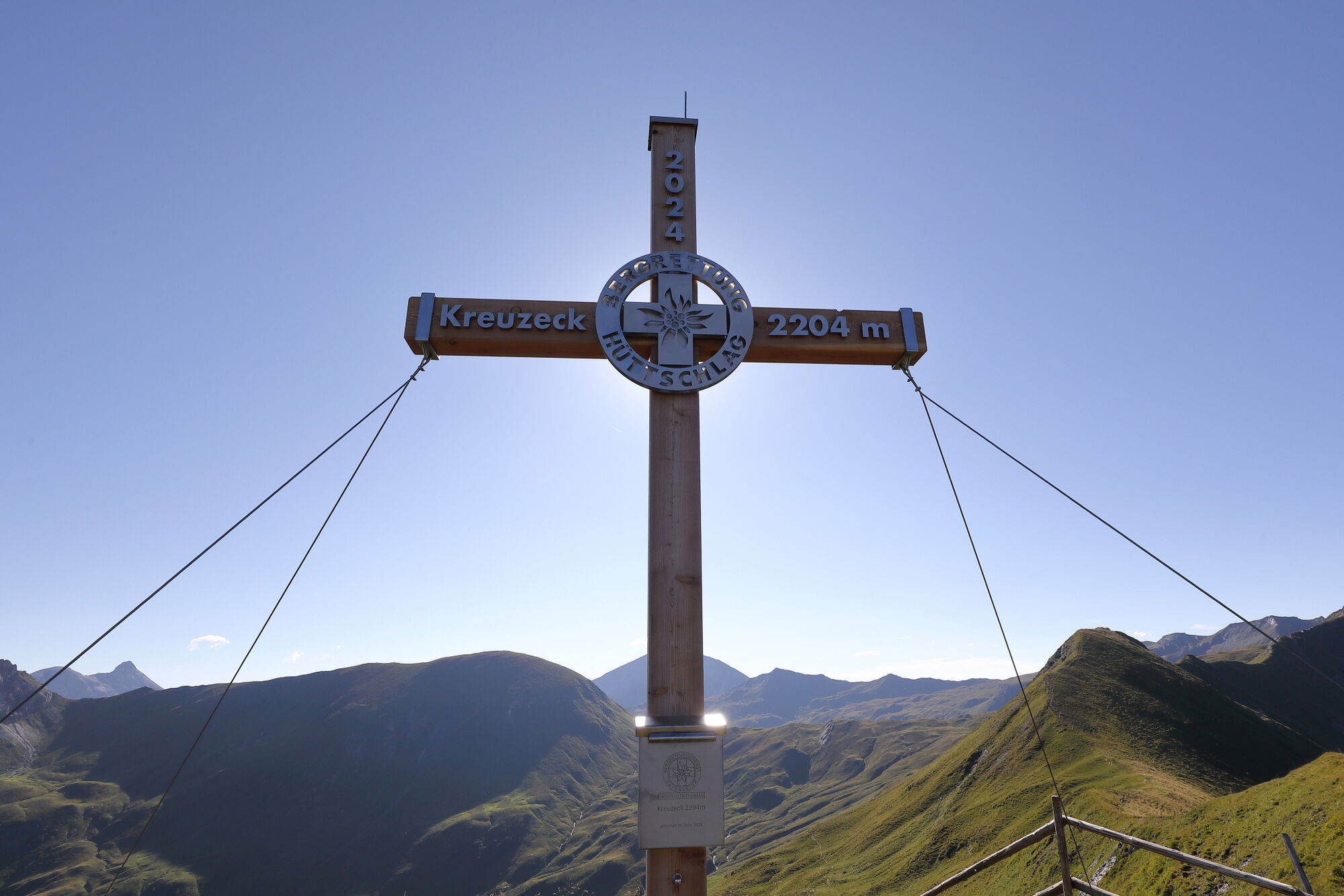

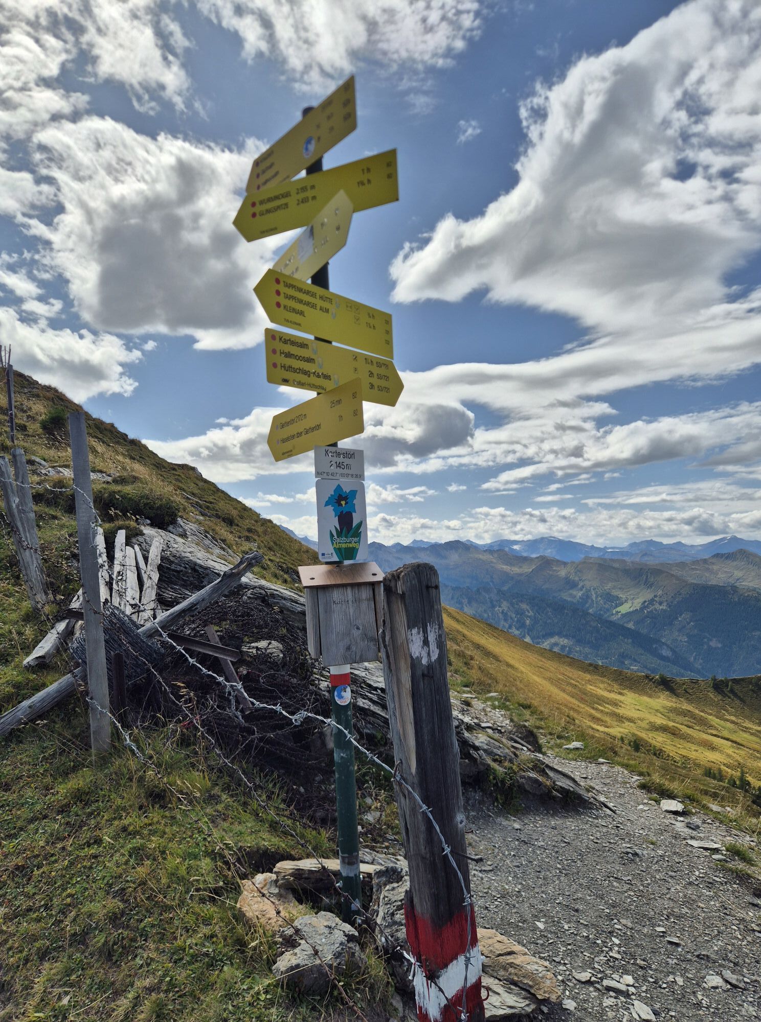
Drive by car or take the hiking taxi to Hüttschlag in the Karteis district to the Hallmoosalm car park, 1,300 m, the starting point of the route. From there, first follow the forest road for a short distance, then take path No. 53,721 to the Karteisalm, 1,661 m (not serviced). Continue hiking through a beautiful alpine cirque, where wonderful flowers bloom in spring, to the Karteistörl, 2,145 m (approx. 2 1/2 hours). Afterwards, climb the last meters on path No. 53 up to the Kreuzeck, 2,204 m (approx. 1/4 hour). Descend via the marked path to the Glettenalm, 1,760 m (approx. 1 1/4 hours). From there, walk back along the forest road (path No. 52) to the Hallmoosalm car park (approx. 2 hours). Alternatively, after a short stretch on the forest road (path No. 52), a descent via path No. 52A is possible.
Hiking boots with profiled soles, hiking map, backpack with provisions, water bottle, and first aid kit
Drive by car or take the hiking taxi to the Hallmoosalm car park in Hüttschlag.
Hallmoosalm car park - there are parking spaces directly at Hallmoosalm and more further up
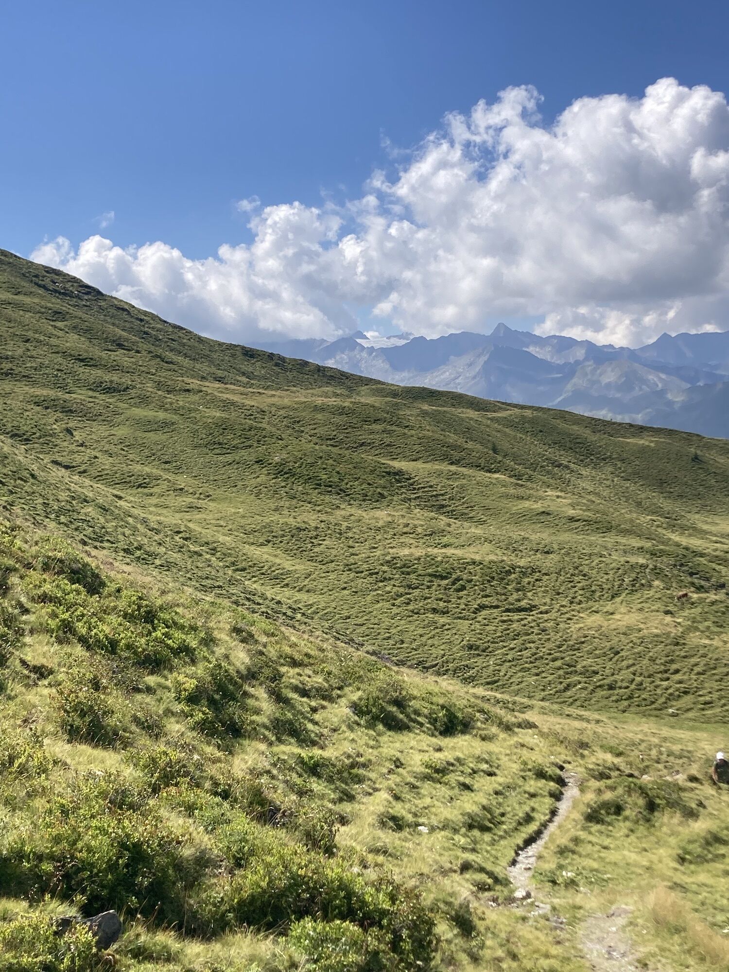
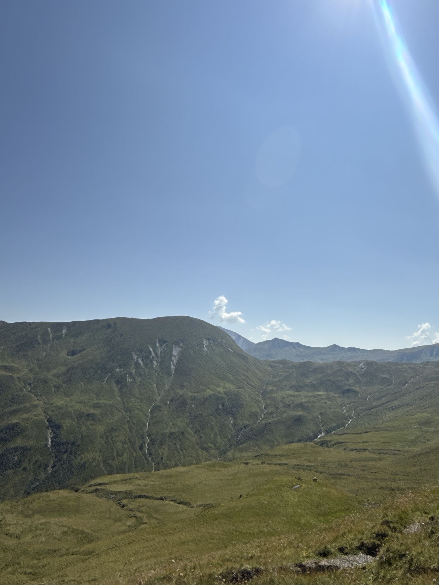
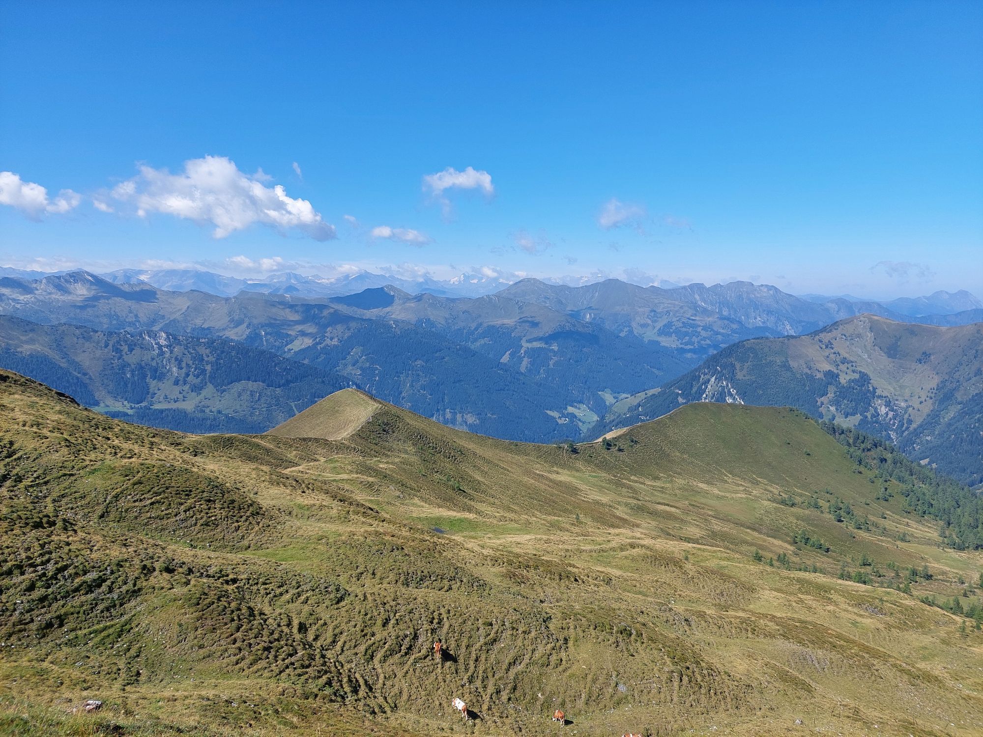
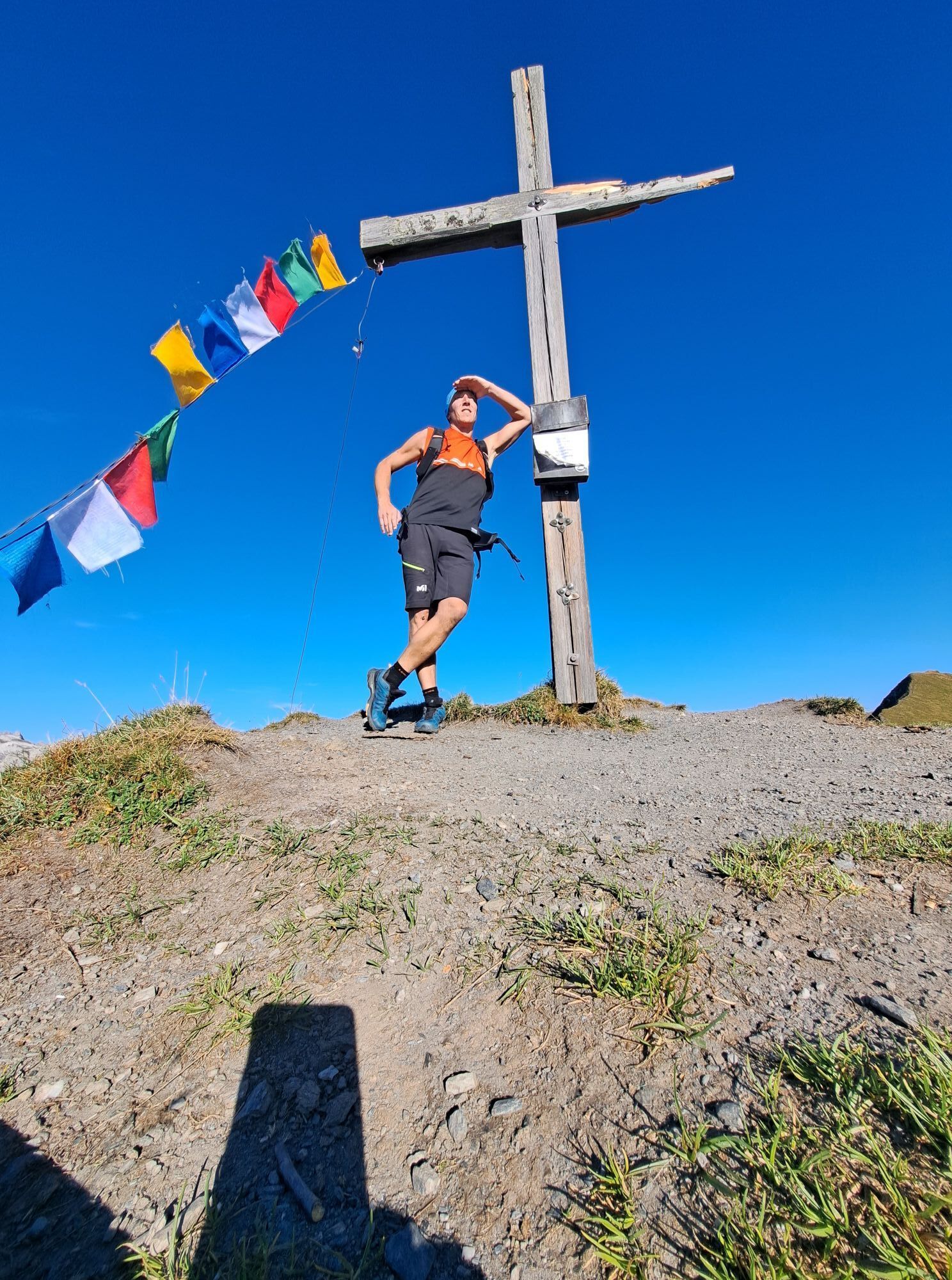
From the Kreuzeck, 2,204 m you have a wonderful view of the Hohe Tauern peaks.



Priljubljeni izleti v okolici
-
5.0
Hüttschlag: Karteistörl - Tappenkarsee - Draugsteintörl - Draugsteinalmen
srednjaPohodništvo 13.5 km -
4.2
Tappenkarsee Kleinarl
srednjaPohodništvo 9.11 km -
4.8
Großarl: Himmelsroute
srednjaPohodništvo 5.41 km -
4.7
Großarl: Saukaralm - Saukarkopf - Gerstreitalm
srednjaPohodništvo 9.39 km -
4.5
Gastein high path from Bad Gastein to Bad Hofgastein
svetlobaPohodništvo 8.58 km -
4.8
Grossarl: Gründegg
srednjaPohodništvo 9.58 km -
4.8
Großarl: Bichlalm
srednjaMountainbike 18.9 km -
4.4
Ennskraxn (2410m)
težkoPohodništvo 14.7 km -
4.4
"Elendrunde" Kleinelend Valley - Zwischenelendscharte - Großelend Valley
srednjaPohodništvo 21.9 km -
4.4
Mountain route from the Kötschachtal to the natural jewel Reedsee
srednjaPohodništvo 12.5 km
Pohodništvo in sledenje


Ne zamudite ponudb in navdiha za naslednje počitnice
Vaš e-poštni naslov je bil dodan na poštni seznam.


