







Mountain hike to Gernkogel

Stopnja težavnosti: T2
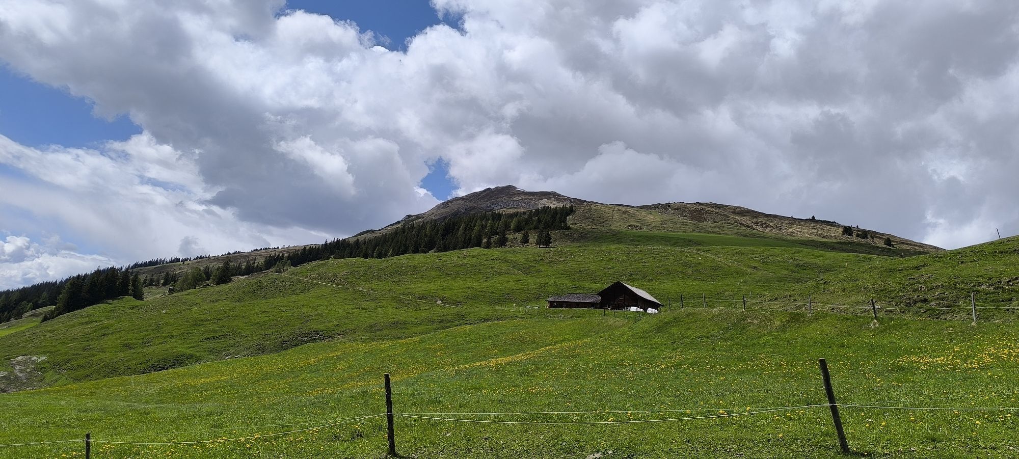
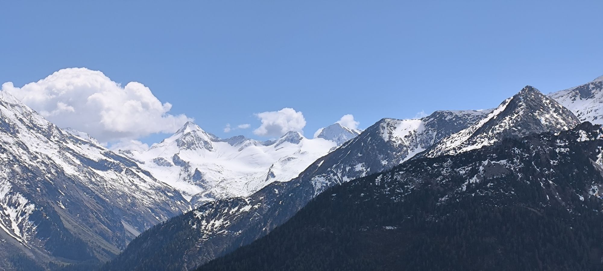
The Gernkogel (2,267 m) – our local mountain – is the third most flower-rich mountain in Austria. The approx. 2-hour ascent leads you over lush alpine and mountain meadows. In this alpine region, fauna...
The Gernkogel (2,267 m) – our local mountain – is the third most flower-rich mountain in Austria. The approx. 2-hour ascent leads you over lush alpine and mountain meadows. In this alpine region, fauna and flora are especially beautiful. At the summit, a unique Alpine panorama awaits us with views of the mountain world of the Hohe Tauern.
You can shorten part of the way by driving with your car via the B165 (old Gerlos road) to Ederbauer and start on foot from there!
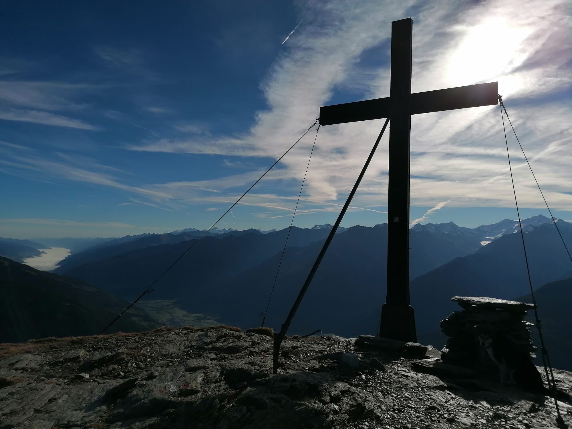
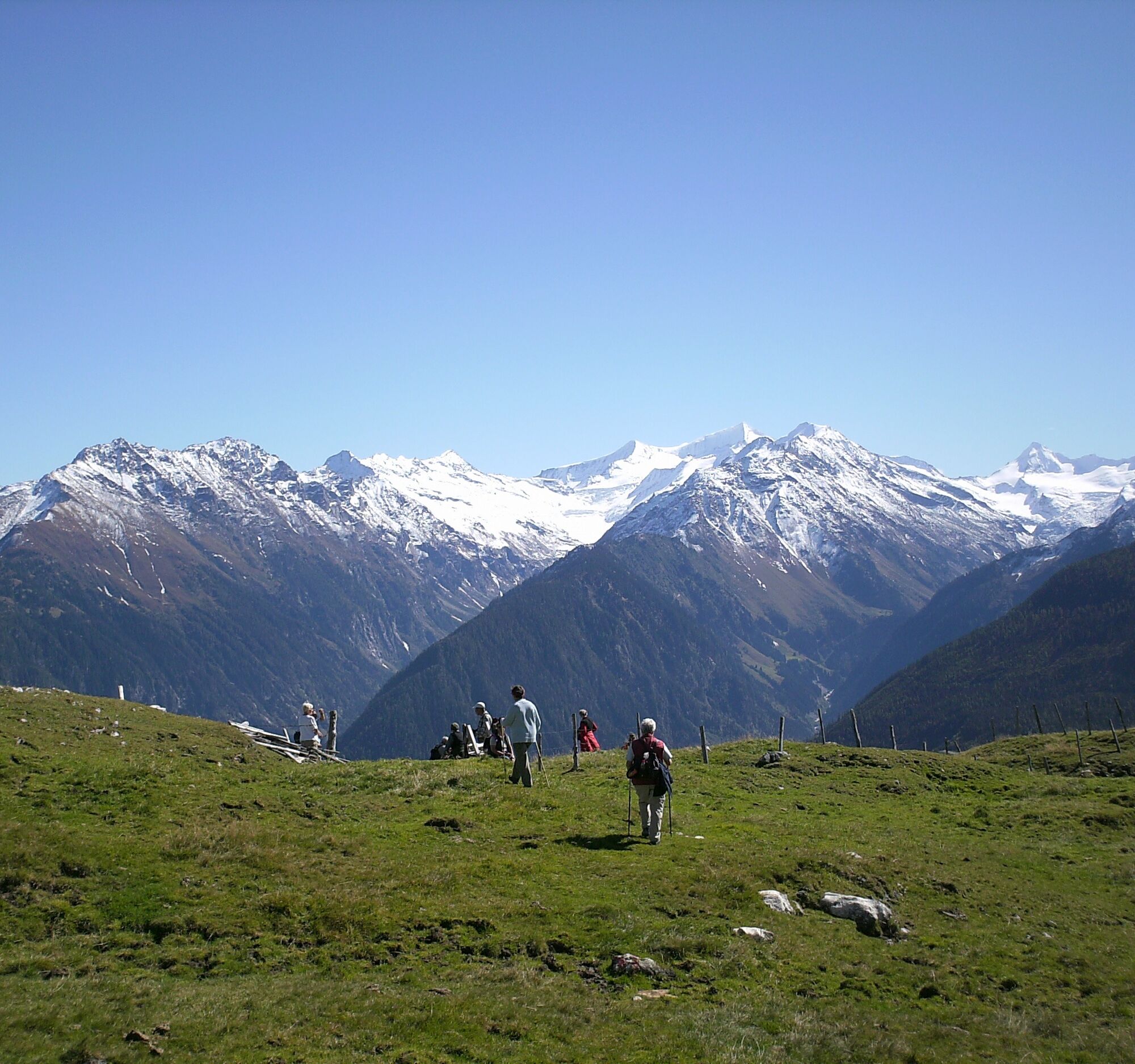
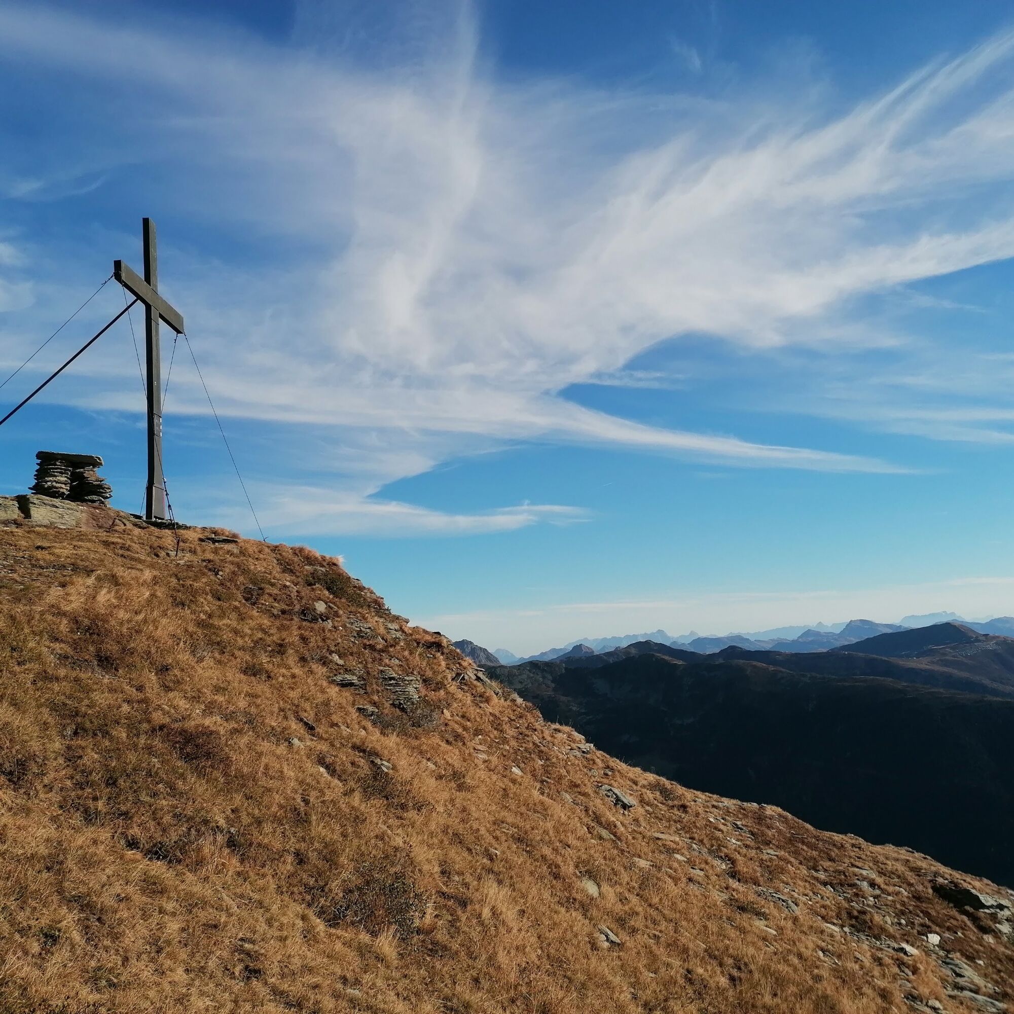
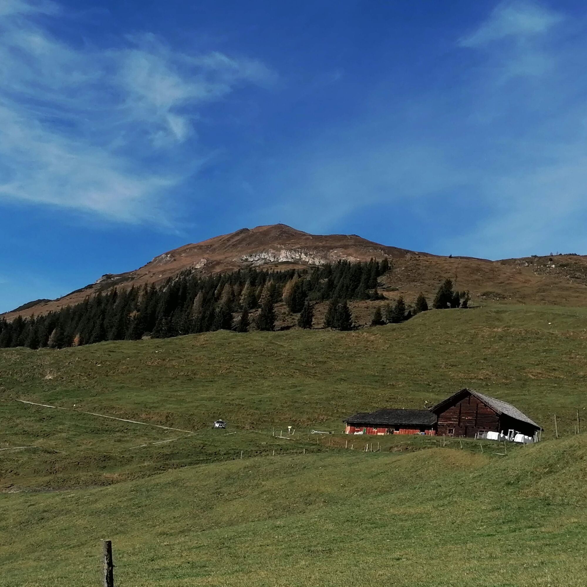
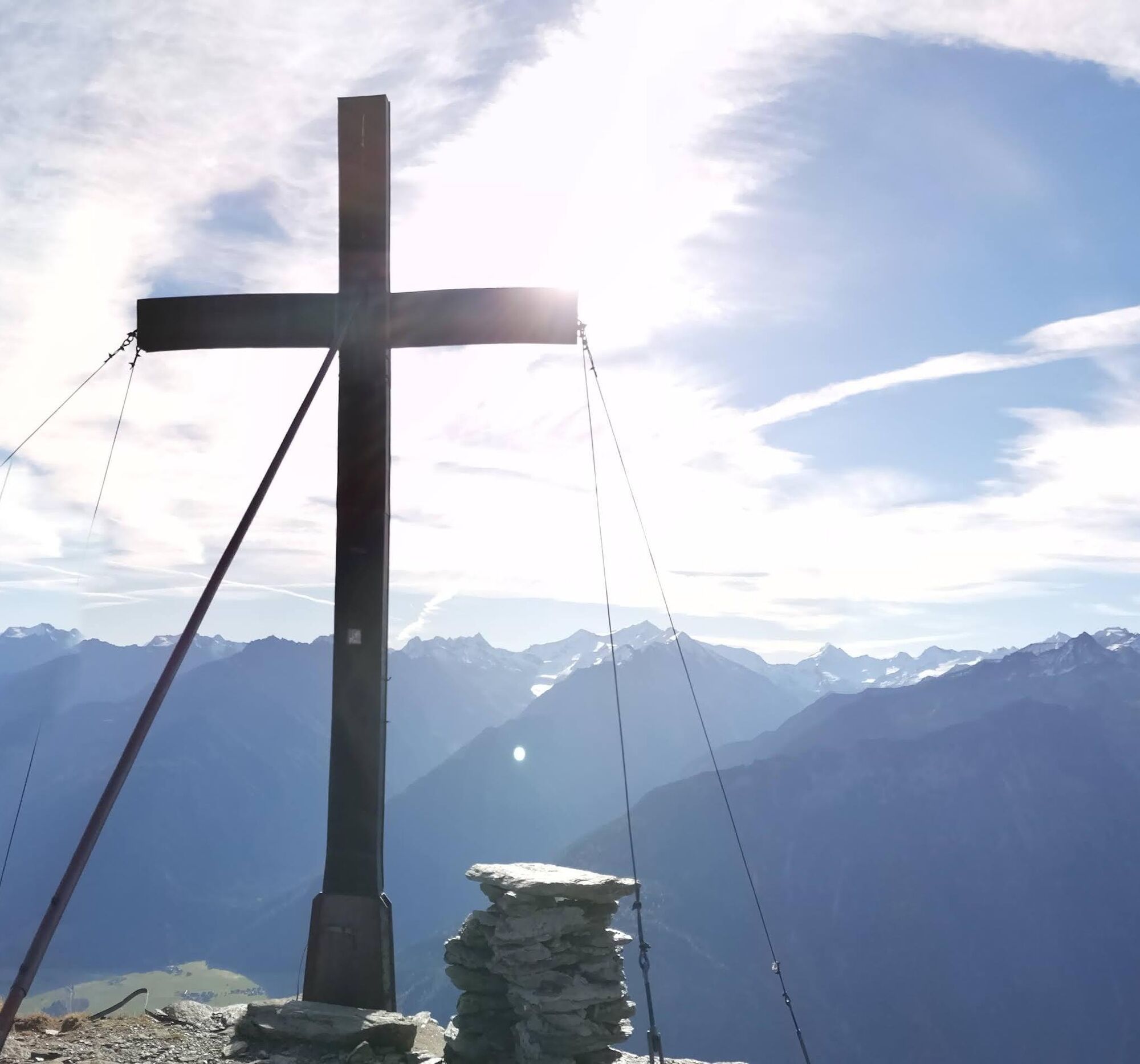

Gernkogel , 2267 m
Path No. 731. Tourist Board – northwards to the schoolhouse – continue to forest road 731 or from the church – old Gerlos road to Mühlbrücke, right from Walder Sonnberg forest road to Ederbauer – Wurfgrundalm – Gernkogel.
Da
Sturdy footwear – mountain equipment – snack.
Do not leave marked hiking trails – keep dogs on a leash!
OR: From Munich via the A 12 to the Kufstein South exit (St. Johann-Kitzbühel-Pass Thurn) and then further on the B 165 to Wald.
Or: Via Achensee (Achen Pass) and Zillertal, then via the B 169 to Zell am Ziller and the B 165 Hainzenberg and Gerlos Pass to Wald.
Free parking is available in Wald.
T2
In June, during the alpine rose bloom, the mountain shines in wonderful colors!
By car to Ederbauer (via the B165 old Gerlos road) and start on foot from there to shorten part of the hike.


Spletne kamere s turneje


Priljubljeni izleti v okolici
-
4.3
Gerlos: Stausee Rundwanderung
srednjaPohodništvo 12.5 km -
4.8
Zittauer Hut
srednjaPohodništvo 6.85 km -
3.7
Smaragdwanderweg Habachtal/Bramberg
svetlobaPohodništvo 7.17 km -
4.4
Krimml Waterfall Path - Panorama Viewing Path
srednjaPohodništvo 5.71 km -
4.4
Krimmler Tauernhaus
srednjaPohodništvo 10.4 km -
4.6
Kröndlhorn (2.444m)
težkoPohodništvo 13.5 km -
4.1
Brechhorngipfel (2.037m)
srednjaPohodništvo 11.7 km -
4.9
Krimmler Achental
srednjaE-kolesa 18.4 km -
4.3
Route 208: Windautal - Rotwandalm/Filzenscharte
težkoMountainbike 22.8 km -
4.8
Ochsenkopf
svetlobaPohodništvo 5.46 km
Pohodništvo in sledenje


Ne zamudite ponudb in navdiha za naslednje počitnice
Vaš e-poštni naslov je bil dodan na poštni seznam.





