


From Elsbethen to St. Jakob
During the hiking-intensive Corona phase, unfortunately many beautiful hiking trails were abandoned, often because the residents found the bustle too much. All the more pleasing is a new hiking connection...
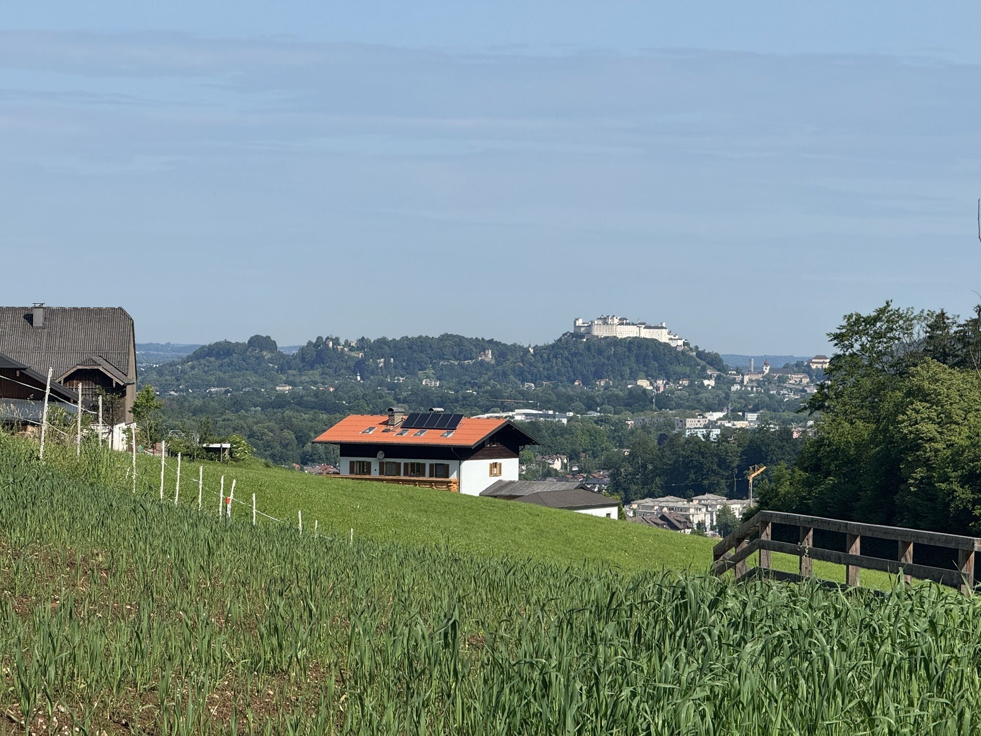
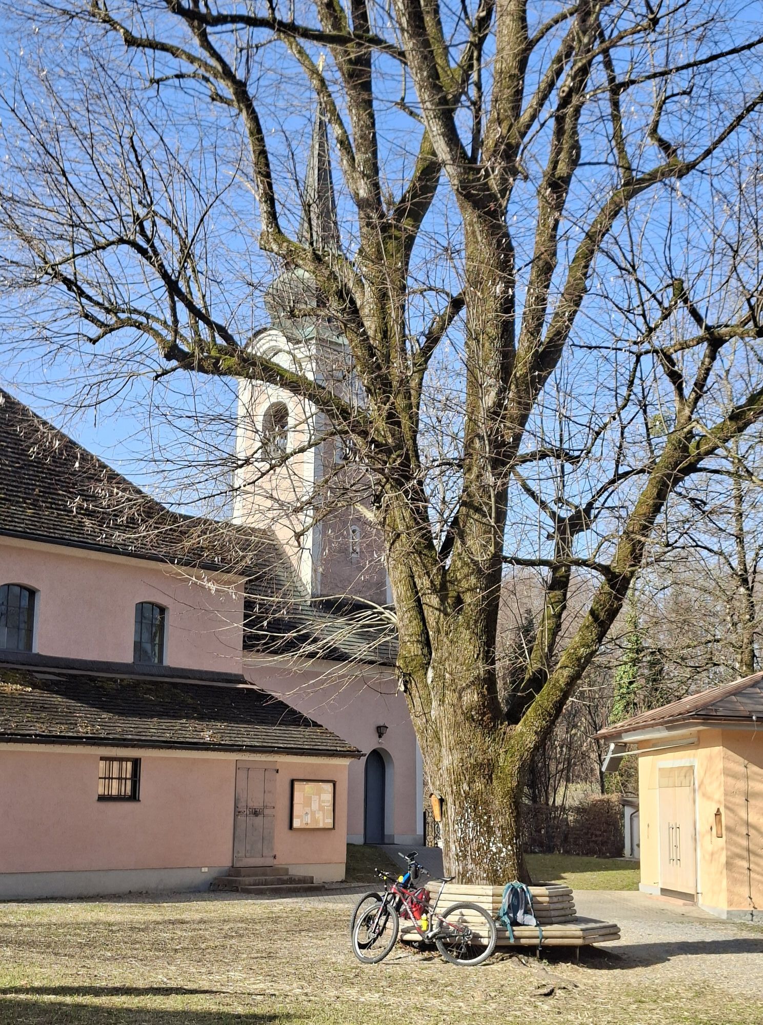
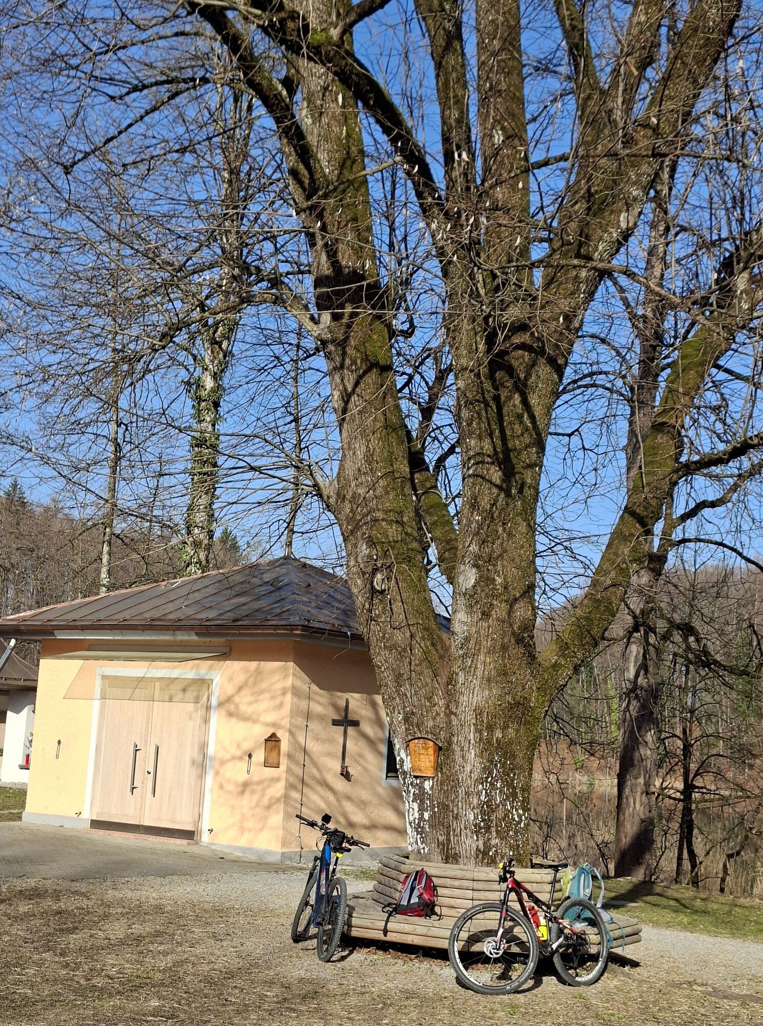
During the hiking-intensive Corona phase, unfortunately many beautiful hiking trails were abandoned, often because the residents found the bustle too much. All the more pleasing is a new hiking connection between the two neighboring towns Elsbethen and Puch-St. Jakob. It makes a detour around the climbing paradise "Trockene Klamm" because the original route, which was listed on all maps and passed by the Archstein farm, is (for now) no longer available. The new route follows the Kehlbach from Elsbethen Zieglau on its south side and leads to an enchanting waterfall that only reveals itself in the final steps. Another highlight is less hidden, but with the unique ensemble in St. Jakob, consisting of pond, church, Schützenwirt inn, and the old residential tower, no less magical.

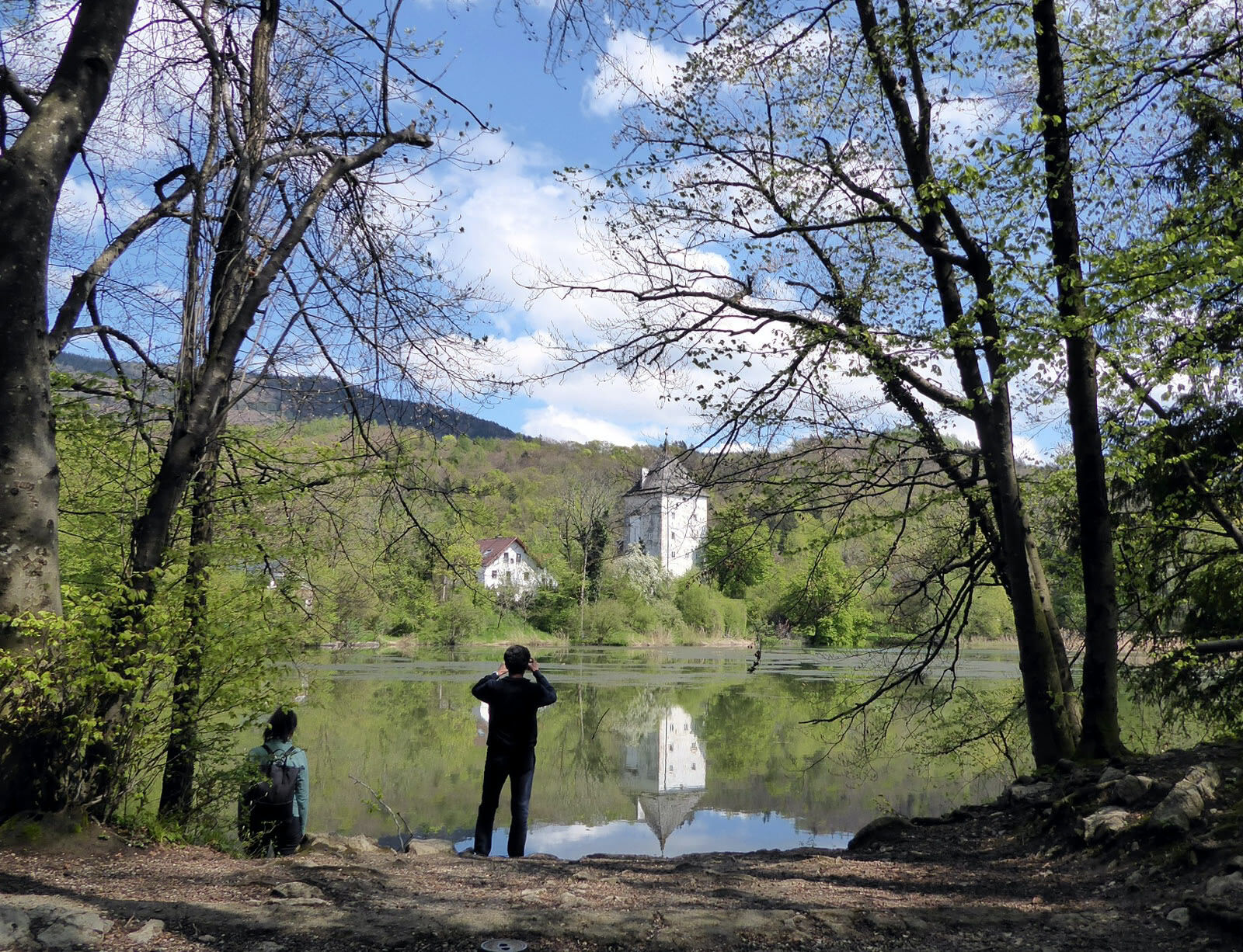
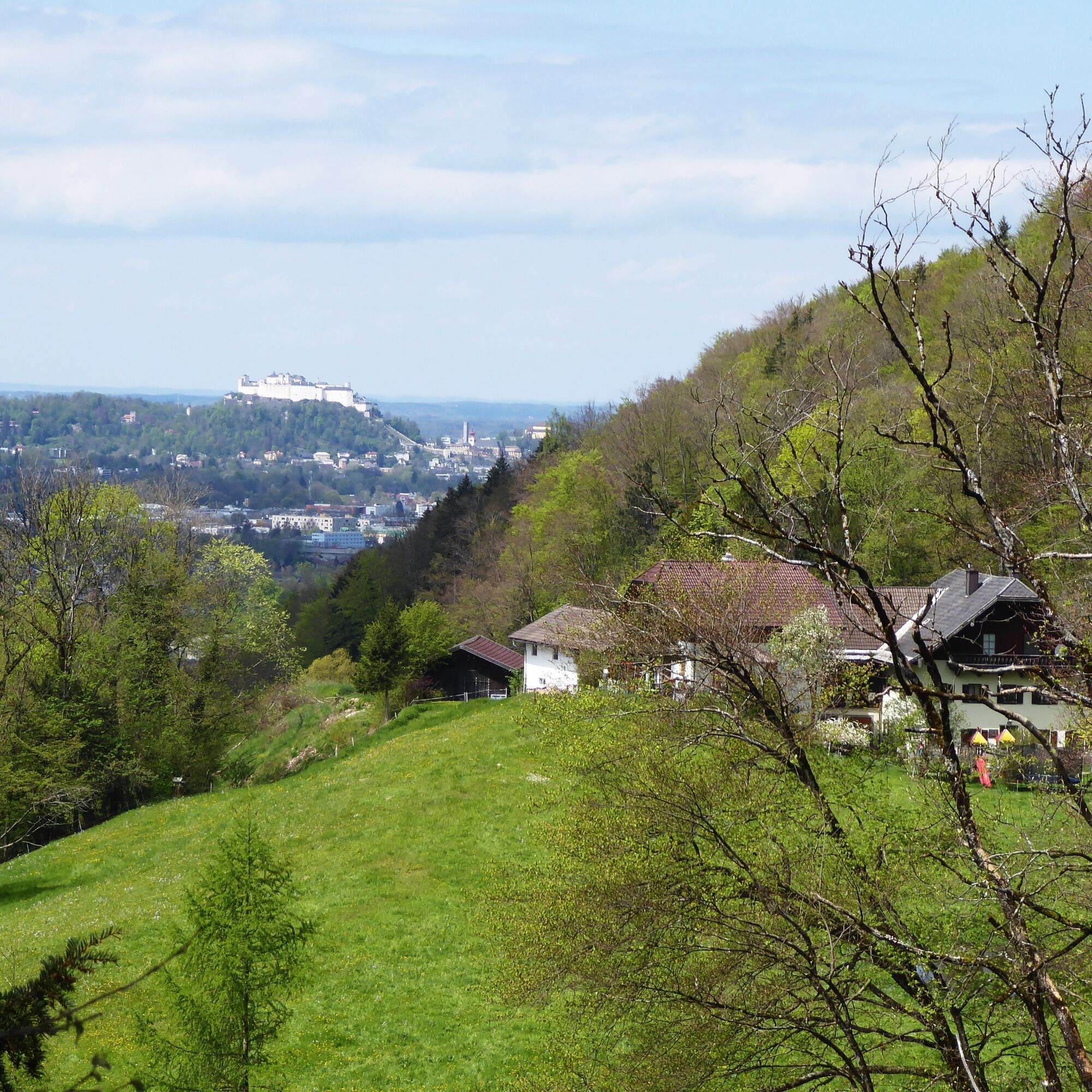
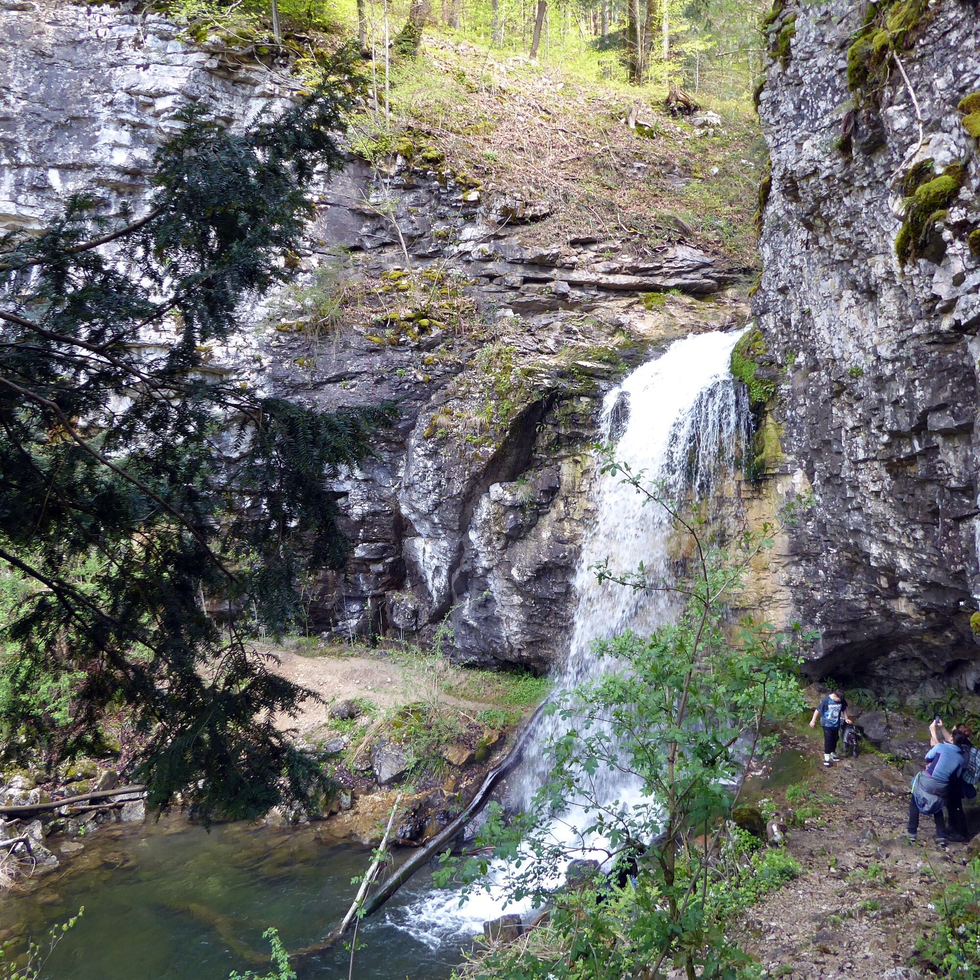
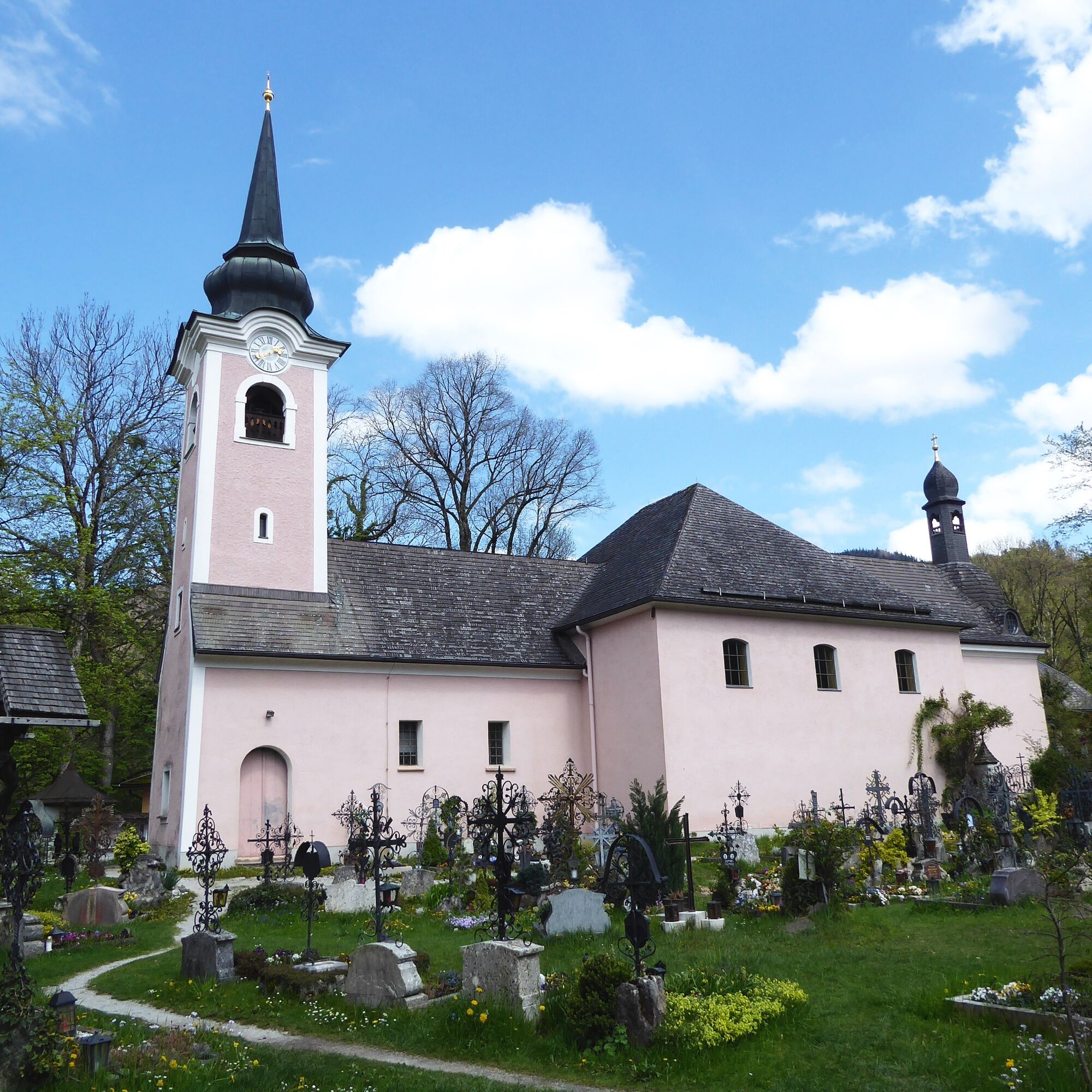
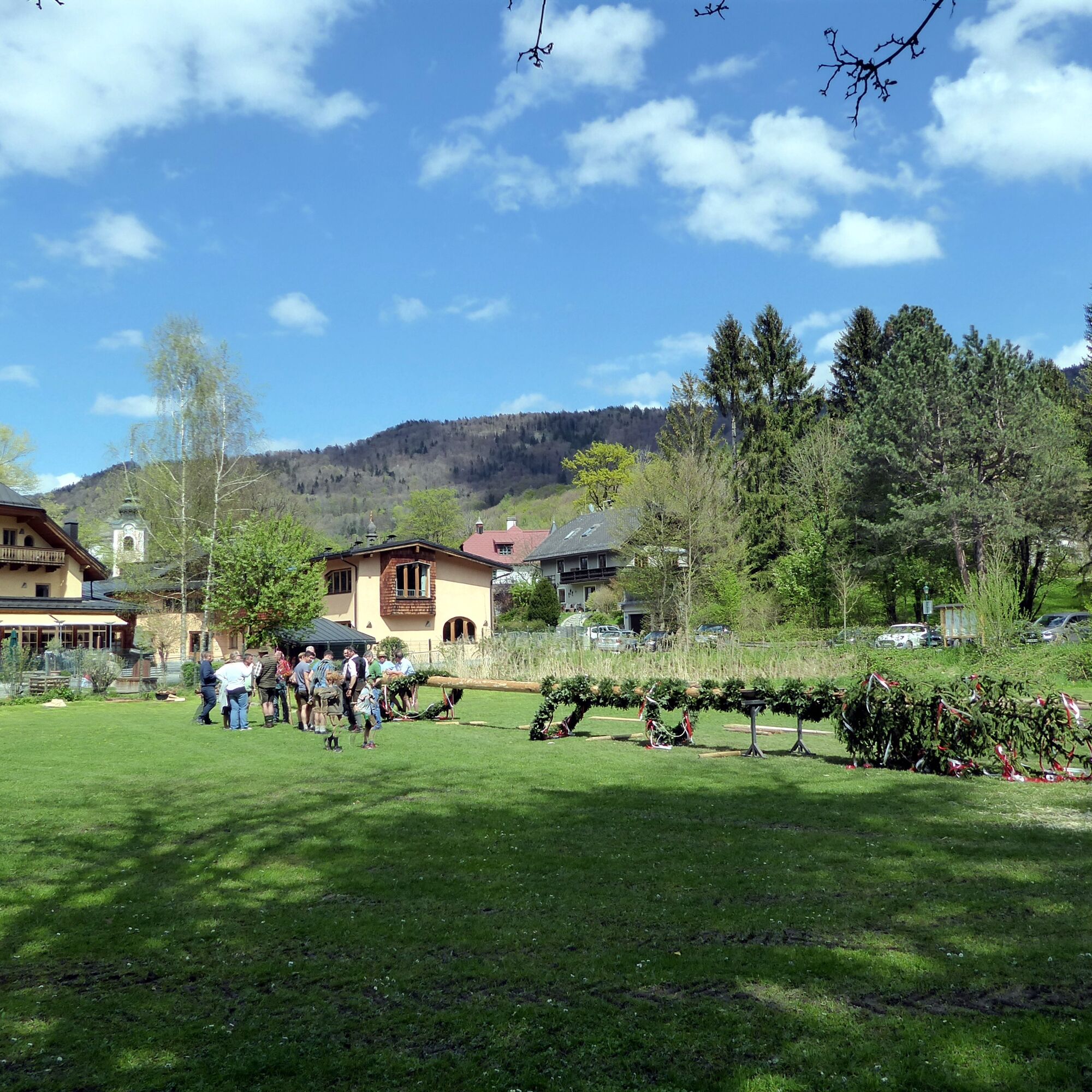
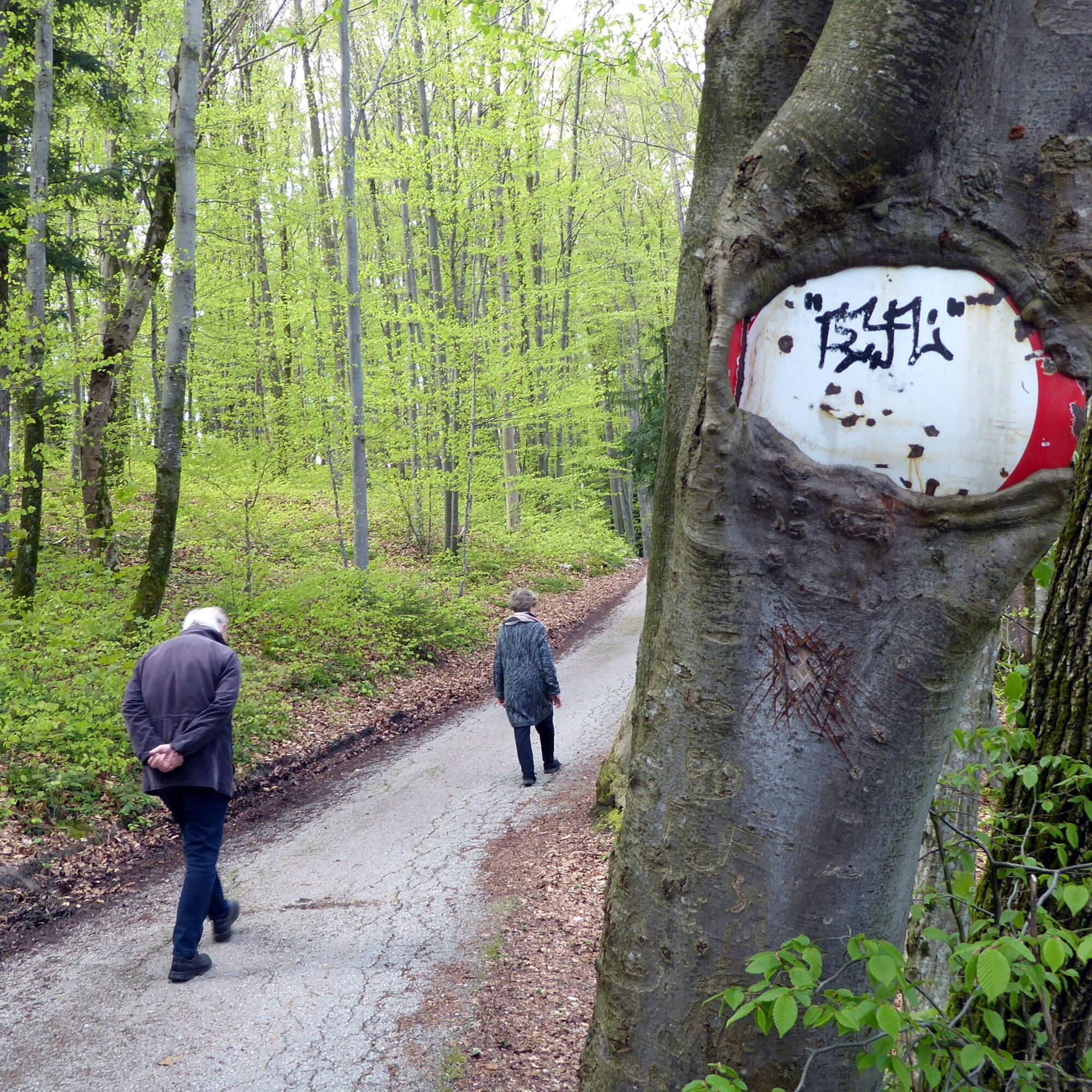
From the bus stop Elsbethen Zaglau, the route leads along the state road a few meters towards the city of Salzburg and then before the bridge turns right onto Stadlerweg. After 600 meters, a farm access road branches off to the right, shortly after at the first farm, the route labeled "Hiking trail St. Jakob" first continues on a farm track and then on a meadow path. At a fork in the path, a 10-minute detour to the Kehlbach waterfall is definitely worth it; afterwards, it continues on the valley-bound path 11 towards St. Jakob. After a short uphill stretch, we stand in front of the baroque pilgrimage church in St. Jakob am Thurn; the namesake much older residential tower from the 12th or 13th century is on the right, the Schützenwirt is still hidden by the church and the Emperor Jubilee Linden tree. The further route passes either the tower or the Schützenwirt around the pond and then follows the access road (Bärnkarweg) through the settlement. The last half kilometer down to the Hallein state road and to the bus stop Elsbethen Haslach turns left onto Thurnbergstraße.
Da
Take bus 160 from Salzburg main station (Südtiroler Platz) to Elsbethen Zieglau. Return with bus 160 from Elsbethen Haslach.
Frequency: hourly or every half hour, every 2 hours on Sundays and public holidays.
Timetable information and download: Available online at www.salzburg-verkehr.at or on your smartphone via the free Salzburg Verkehr app for Android and iOS.
www.elsbethen.info; www.puch-salzburg.com;
Mag. Christian Heugl
5400 Hallein
Photo credit: Christian Heugl
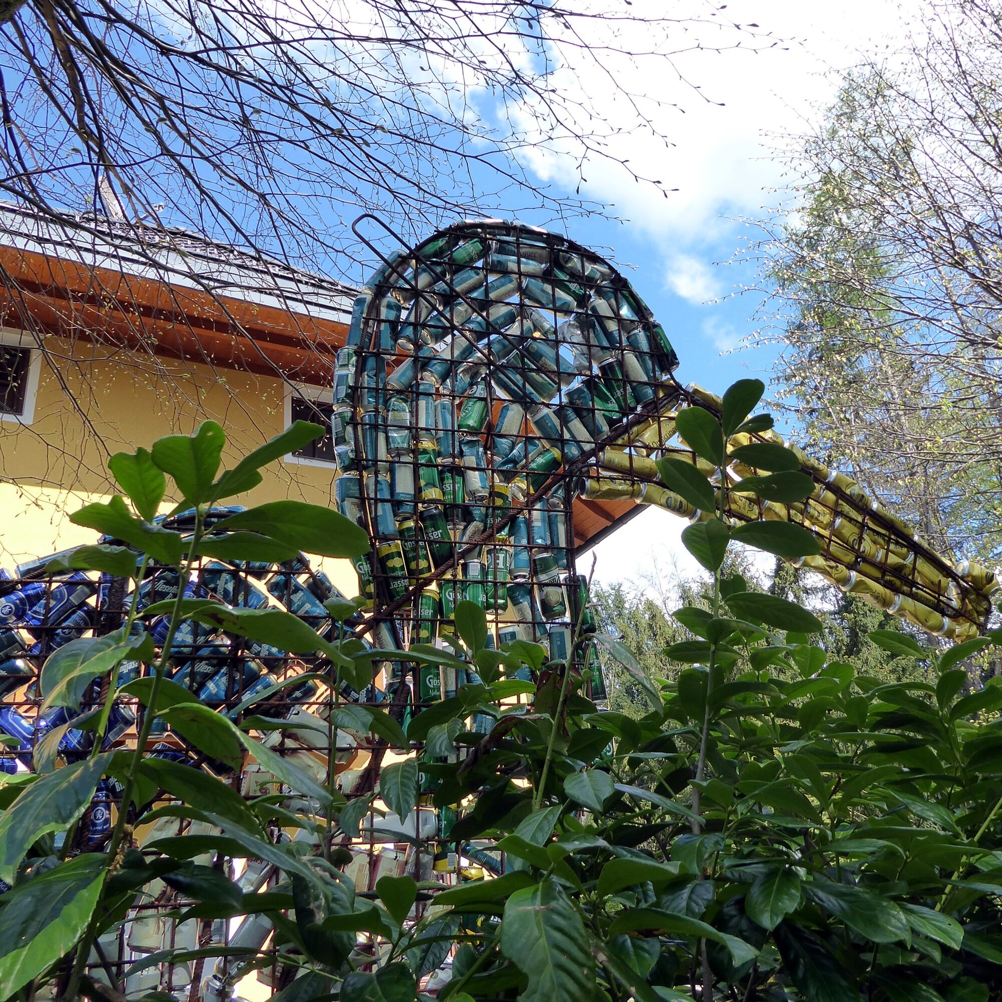
On the wooded north side of the pond in St. Jakob, there are some interesting stone sculptures in the forest.
Priljubljeni izleti v okolici
- 4,6
Kneifelspitze
Pohodništvo 2,53 km - 3,8
Durch die Almbachklamm nach Ettenberg
Pohodništvo 7,54 km - 4,2
Untersberg, Toni-Lenz-Hütte
Pohodništvo 4,86 km - 3,8
Rundwanderweg zur Steinernen Agnes
Pohodništvo 9 km - 4,4
From Koppl to the Gaisberg summit
srednjaPohodništvo 9,86 km - 4,8
Almbachklamm zum Gasthof Dürrlehen
srednjaPohodništvo 8,94 km - 4,7
Reitsteig - Dopplersteig Runde_Untersberg
srednjaVisokogorska tura 9,89 km - 4,2
Idyllic Hintersee Rund
svetlobaPohodništvo 5,10 km - 4,8
Great and Small Barmstein, the landmarks of Hallein
težkoPohodništvo 6,58 km - 4,7
Schlenken von Halleiner Hütte
srednjaPohodništvo 7,29 km

Pohodništvo in sledenje


Ne zamudite ponudb in navdiha za naslednje počitnice
Vaš e-poštni naslov je bil dodan na poštni seznam.