






St. Martin/Tgb - Lammertal/Widdernalm-Rundweg (14 Punkte)
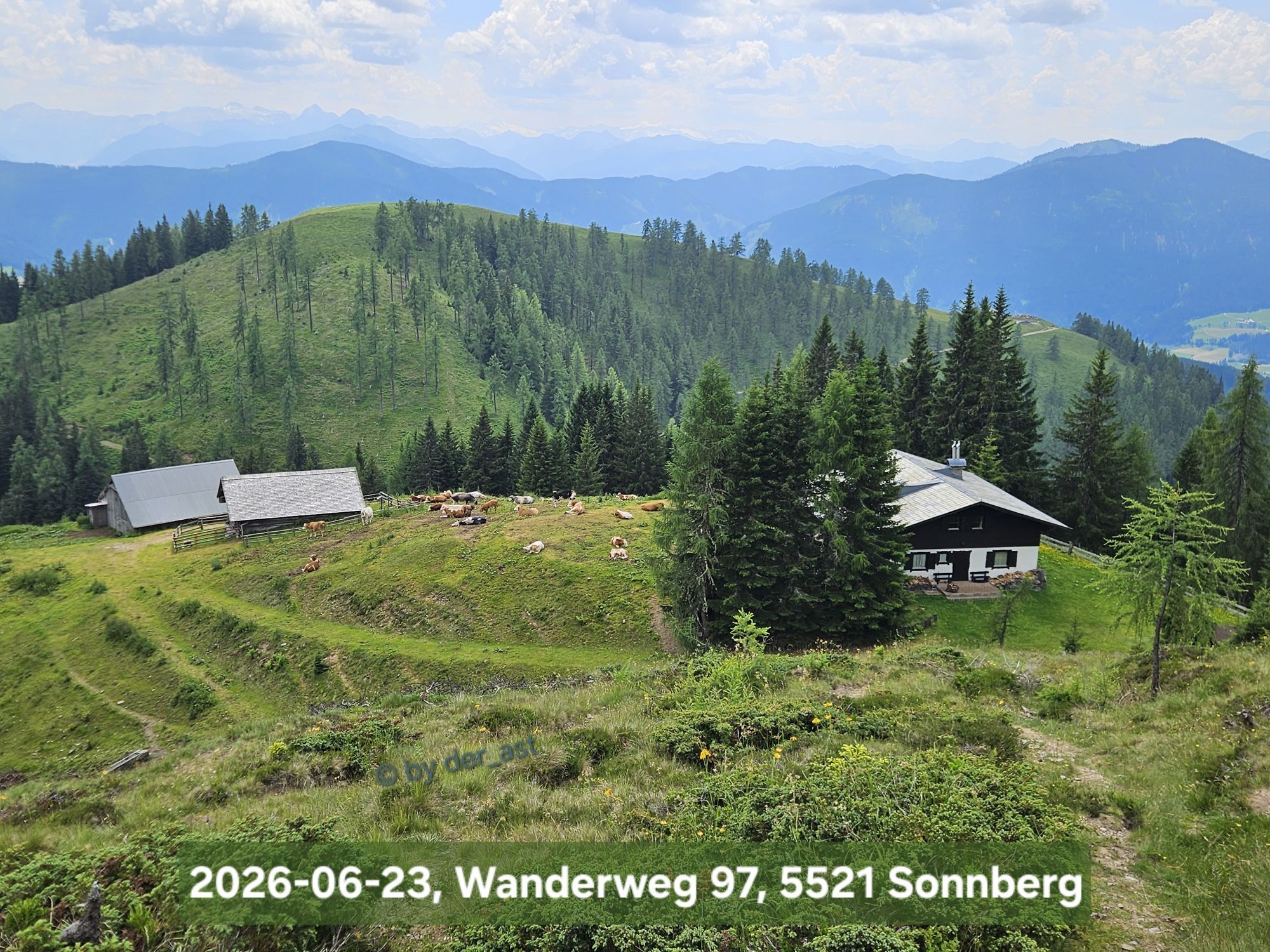
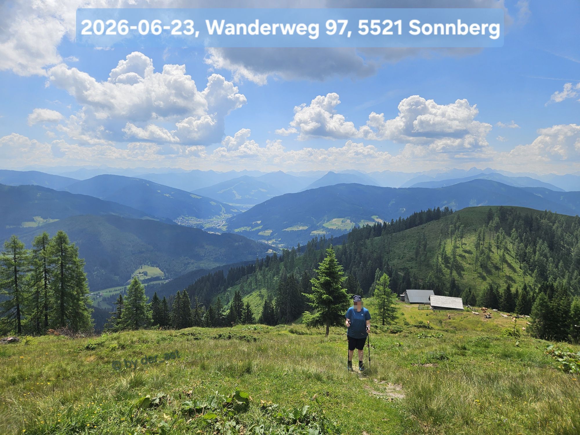
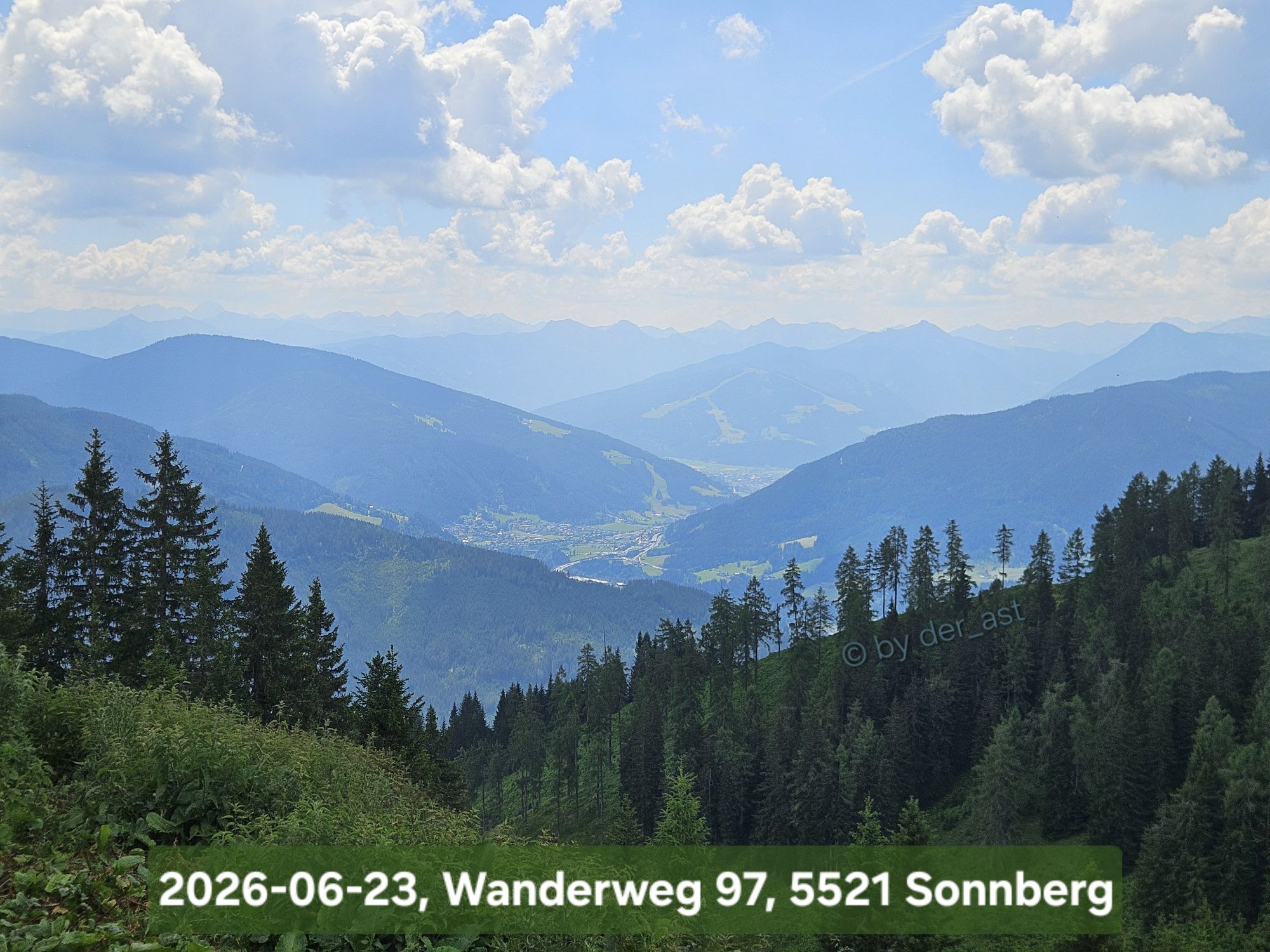
From the Seepark in St. Martin south-west, following the footpath alongside the main road (B166) as far as the Bichlbergweg turn-off. Here uphill to the right. Just before the Oberbichlhof make a left,...
From the Seepark in St. Martin south-west, following the footpath alongside the main road (B166) as far as the Bichlbergweg turn-off. Here uphill to the right. Just before the Oberbichlhof make a left, continuing up across a meadow, an in a westerly direction, through a forest to the Langeckalm (Stamp, 8 Points). Here, turn left (south-west) and follow a narrow path via the abandoned Tonialm to the Widdernalm (Stamp, 8 Points). Make a left here, continuing east downhill along the old Widdernweg to the Haslangerboden. From there continue downhill, past the Sittleralm, and along the Nasenweg/footpath next to the main road (B166) back to the start.


Der Seepark befindet sich im südlichen Teil St. Martins direkt neben der Bundesstraße.

Spletne kamere s turneje
-
Bischling
-
Sankt Martin - Hotel Martinerhof
-
Talstation 8 EUB
-
Bischling
-
Bischling
-
Bischling
-
Bischling
-
Bischling
-
Bischling
-
Bischling
-
Talstation 8 EUB
-
Talstation 8 EUB
-
Talstation 8 EUB
-
Talstation 8 EUB
-
Talstation 8 EUB
-
Talstation 8 EUB
-
Talstation 8 EUB
-
Lungötz - Berghof Wildau
-
Lungötz
-
Lungötz - Berghotel Lämmerhof
-
Hackelhütte
-
Schnapfenriedl
Pridobite vpogled
Vedno v živo na mestu z več kot 9.500 spletnimi kamerami. bergfex Kot uporabnik Pro si lahko zdaj ogledate ustrezne spletne kamere za številne izlete v aplikaciji izleti iz. Tako si lahko neposredno ogledate trenutne razmere.
Priljubljeni izleti v okolici
-
4.3
Filzmoos: Rötelstein (Rettenstein)
Pohodništvo 9.50 km -
4.9
Werfenweng Mountainbikerunde Söldenhütte
srednjaMountainbike 18.8 km -
4.8
Tour around the Gosaukamm
srednjaPohodništvo 20.9 km -
4.7
Tour around the Lake Gosau
svetlobaPohodništvo 4.43 km -
4.7
Ski route Lackenkogel
srednjaSmučarska tura 7.82 km -
4.7
Mühlenweg und Winnerfall Scheffau am Tennengebirge
srednjaPohodništvo 4.79 km -
4.6
Donnerkogel vom Gosausee mit Intersport Klettersteig C/D und Himmelsleiter
težkoVia ferrata 7.70 km -
4.7
Wengerau - Tauernkogel - Eiskogel - Napf - Wengerau
srednjaVisokogorska tura 15.5 km -
4.7
Sulzenschneid
srednjaPohodništvo 9.51 km -
4.3
Ski tour Red 8er Wagrain
srednjaSmučarska tura 4.12 km
Pohodništvo in sledenje


Ne zamudite ponudb in navdiha za naslednje počitnice
Vaš e-poštni naslov je bil dodan na poštni seznam.





