







Mitterberg circular hike
The hike initially takes you into the Barbaraschlucht, a working path of the Mühlbach miners in the 19th century. Across a lush alpine pasture, you continue on to the Windraucheggalm, always with the impressive...
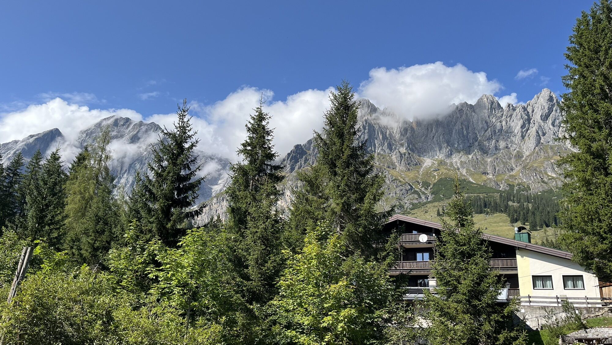
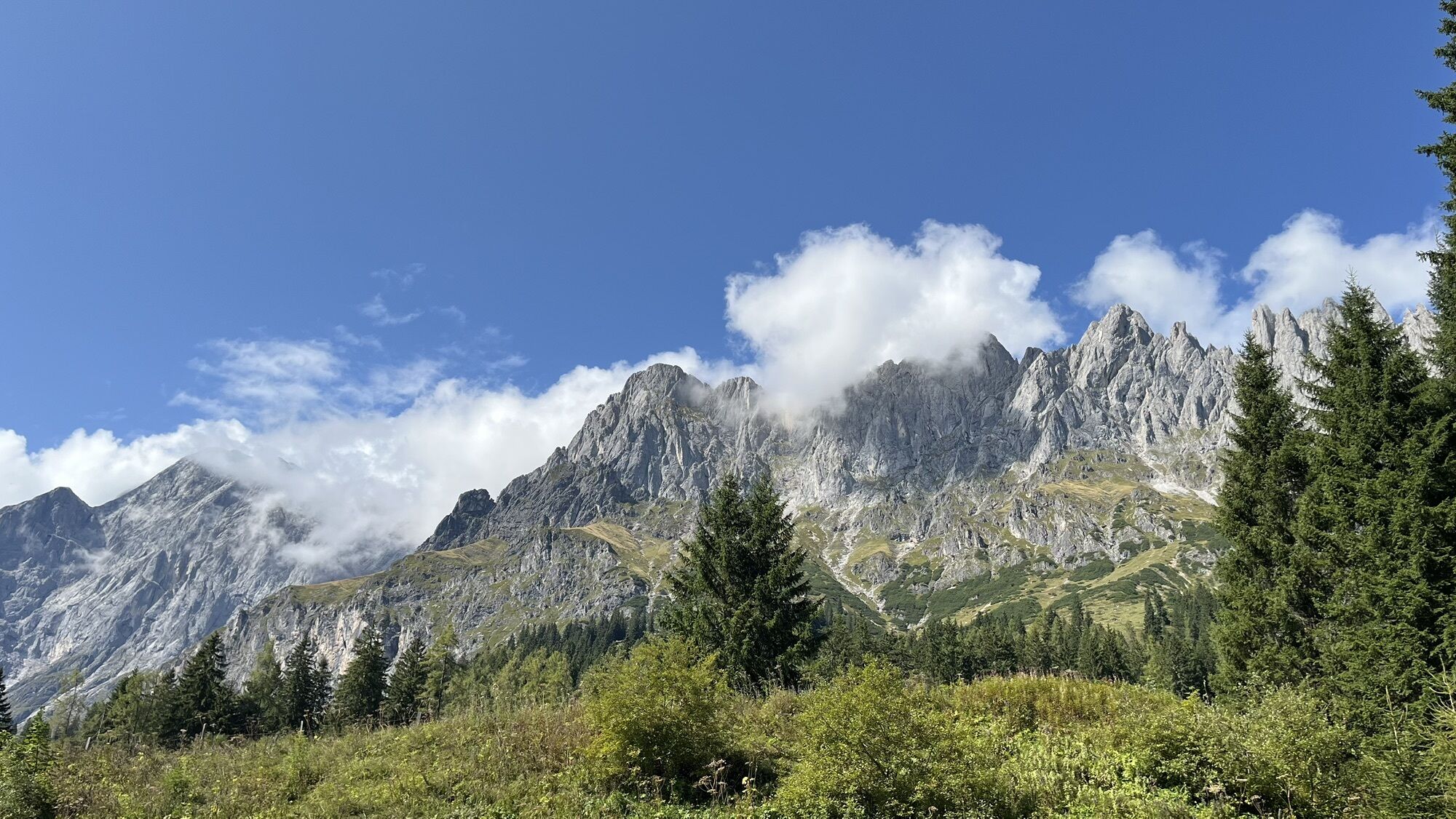
The hike initially takes you into the Barbaraschlucht, a working path of the Mühlbach miners in the 19th century. Across a lush alpine pasture, you continue on to the Windraucheggalm, always with the impressive Hochkönig massif in view. On the return route to the starting point, you hike over a section of the Mitterberg ore trail. Here you can learn more about the long mining tradition of the town of Mühlbach.
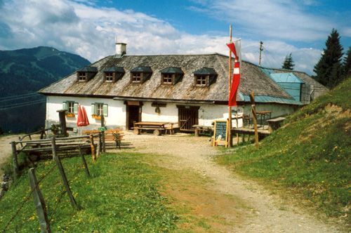
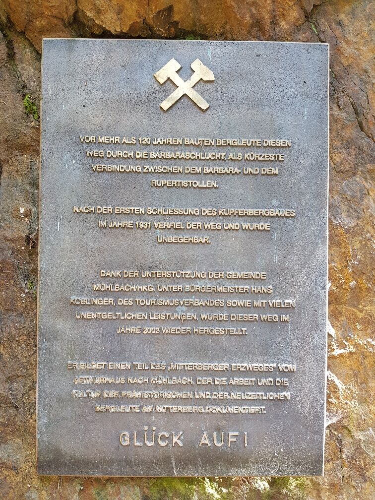
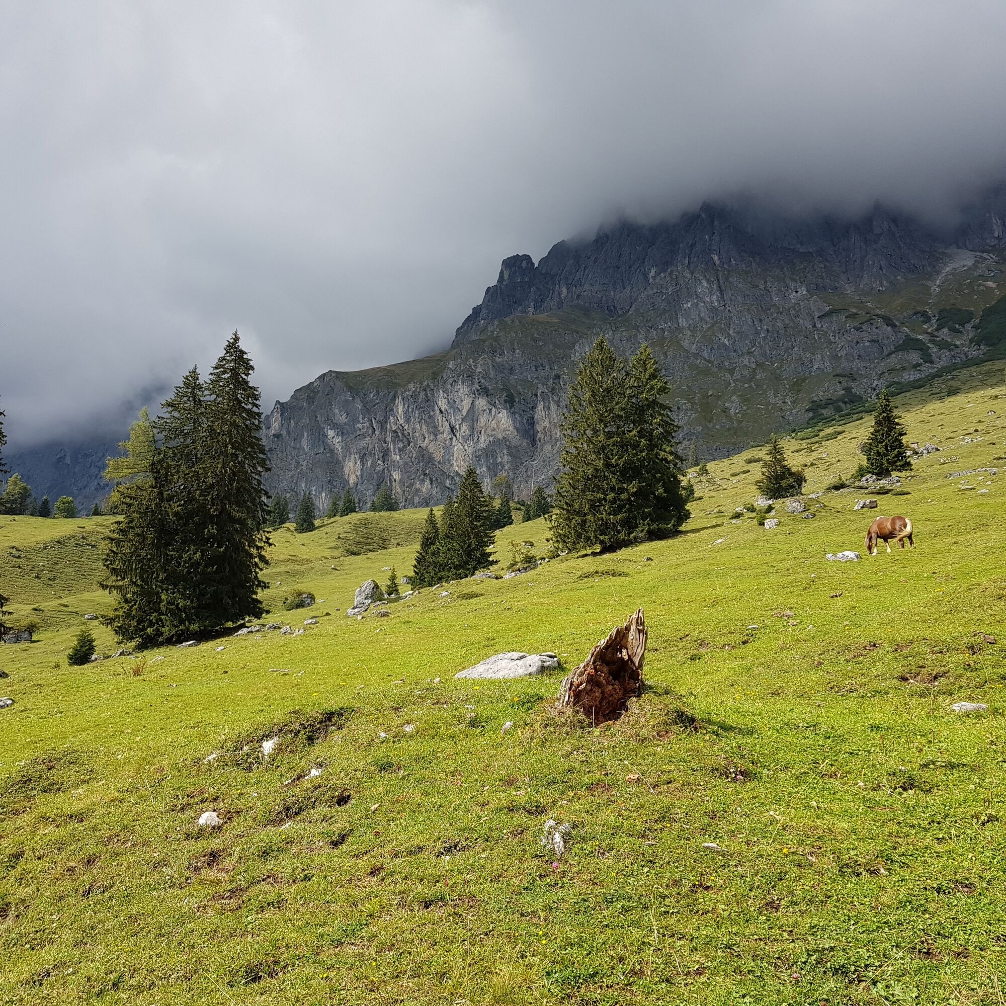
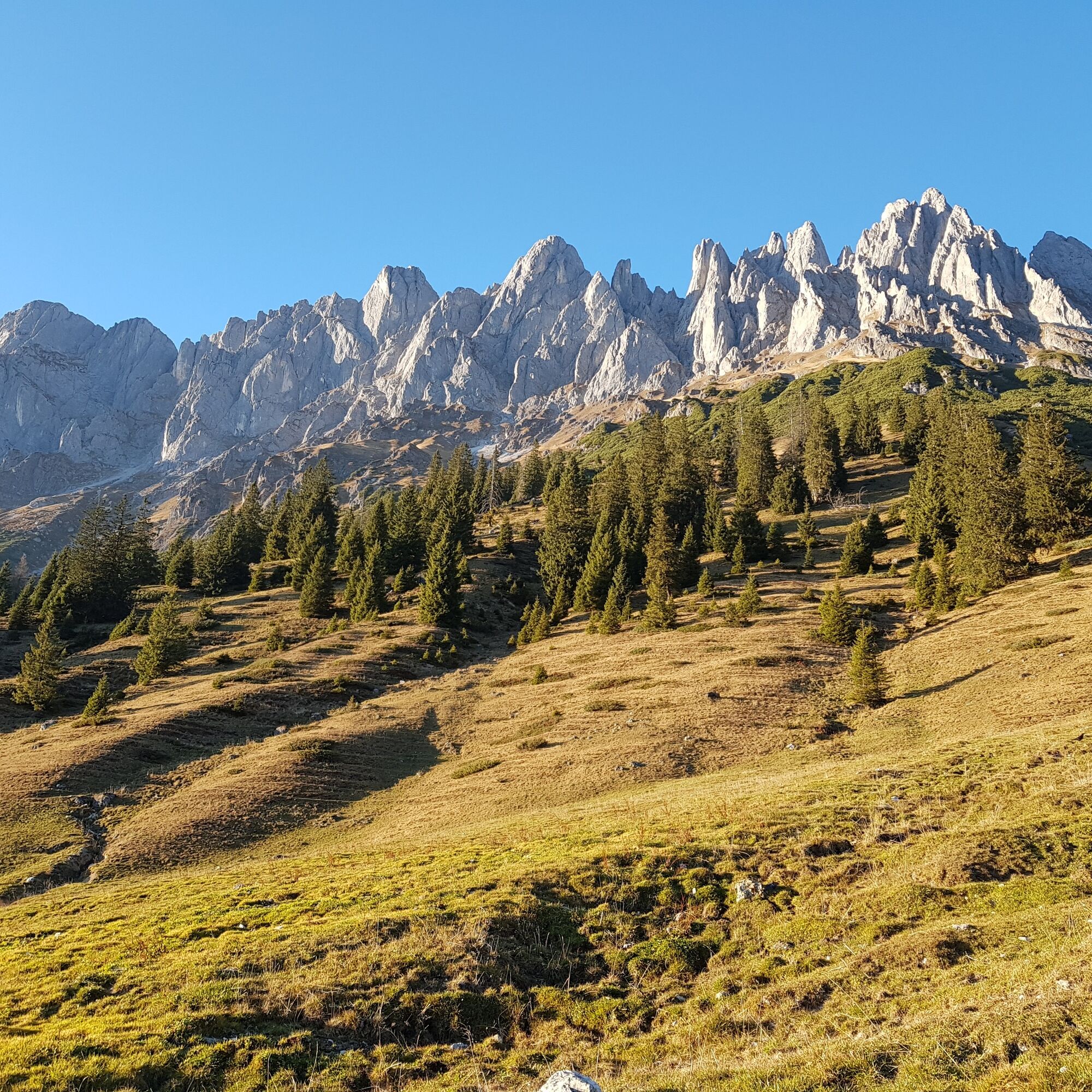
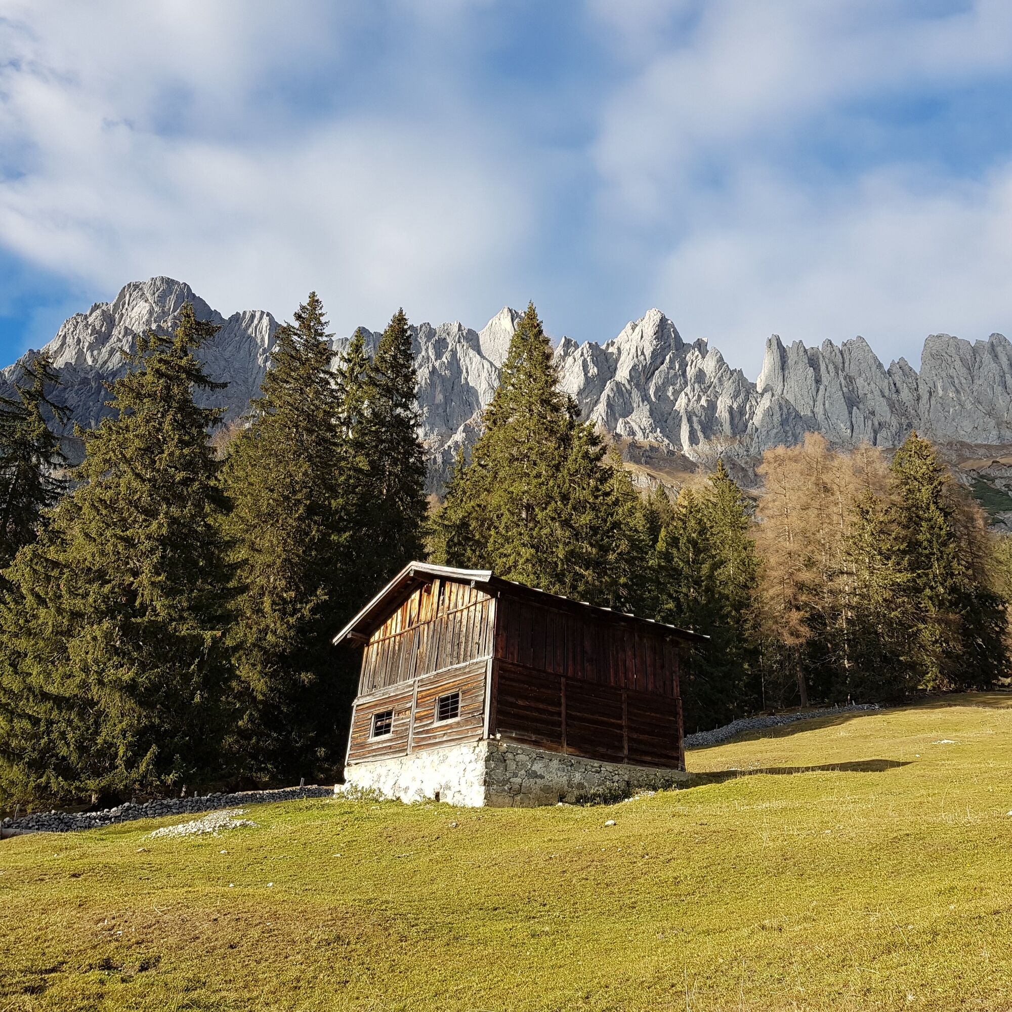
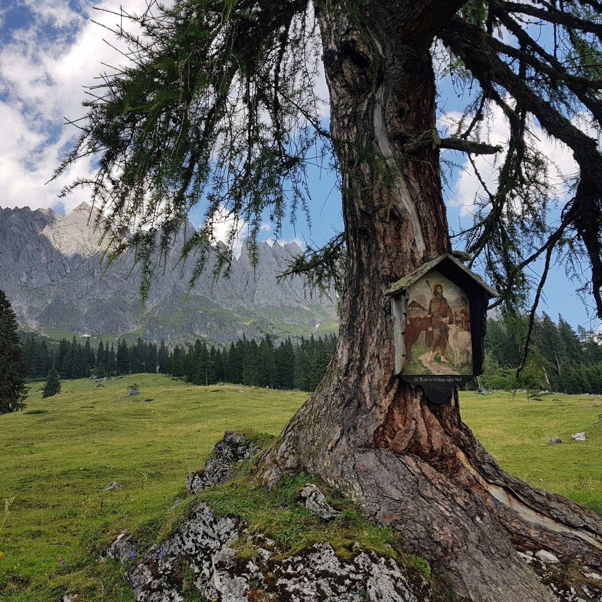
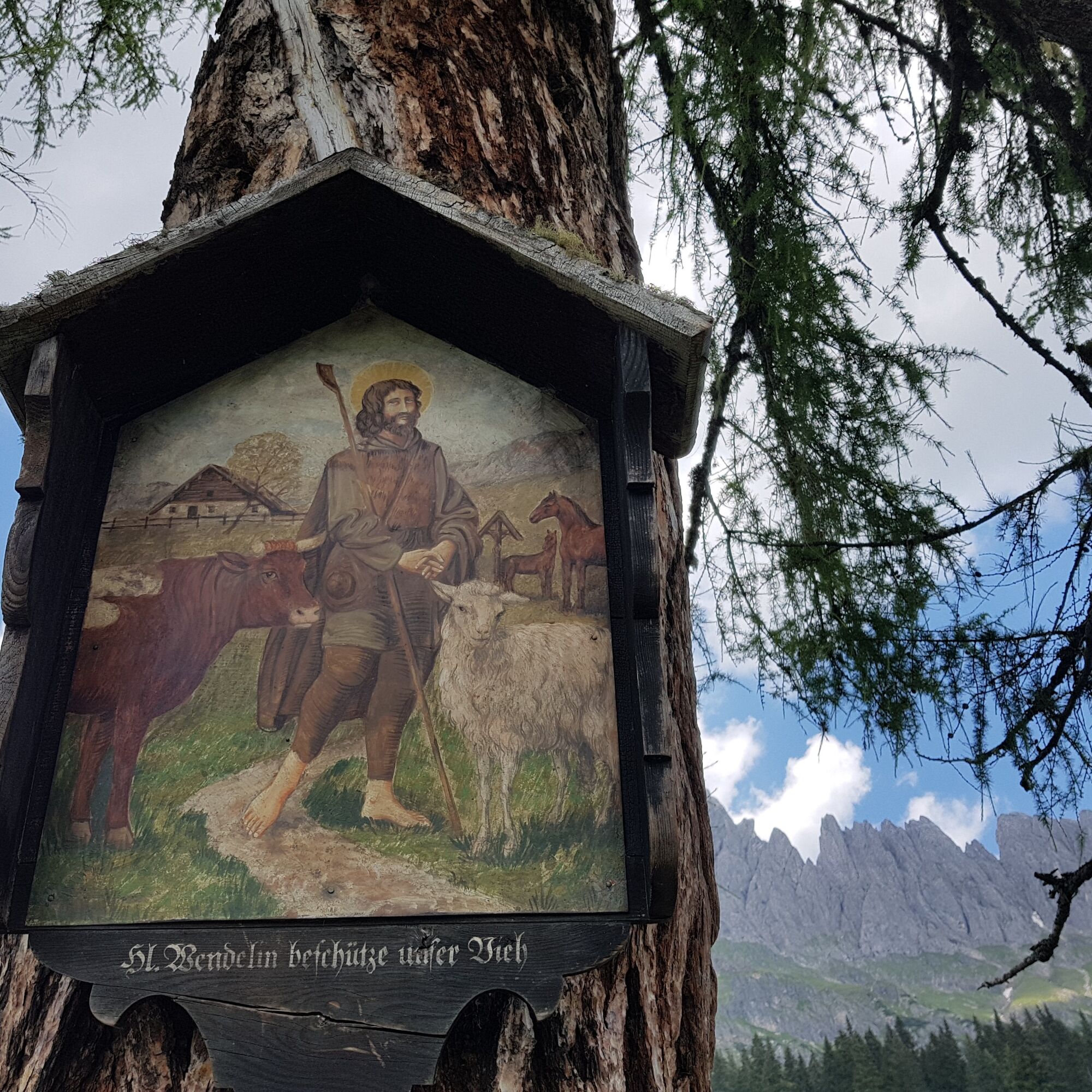
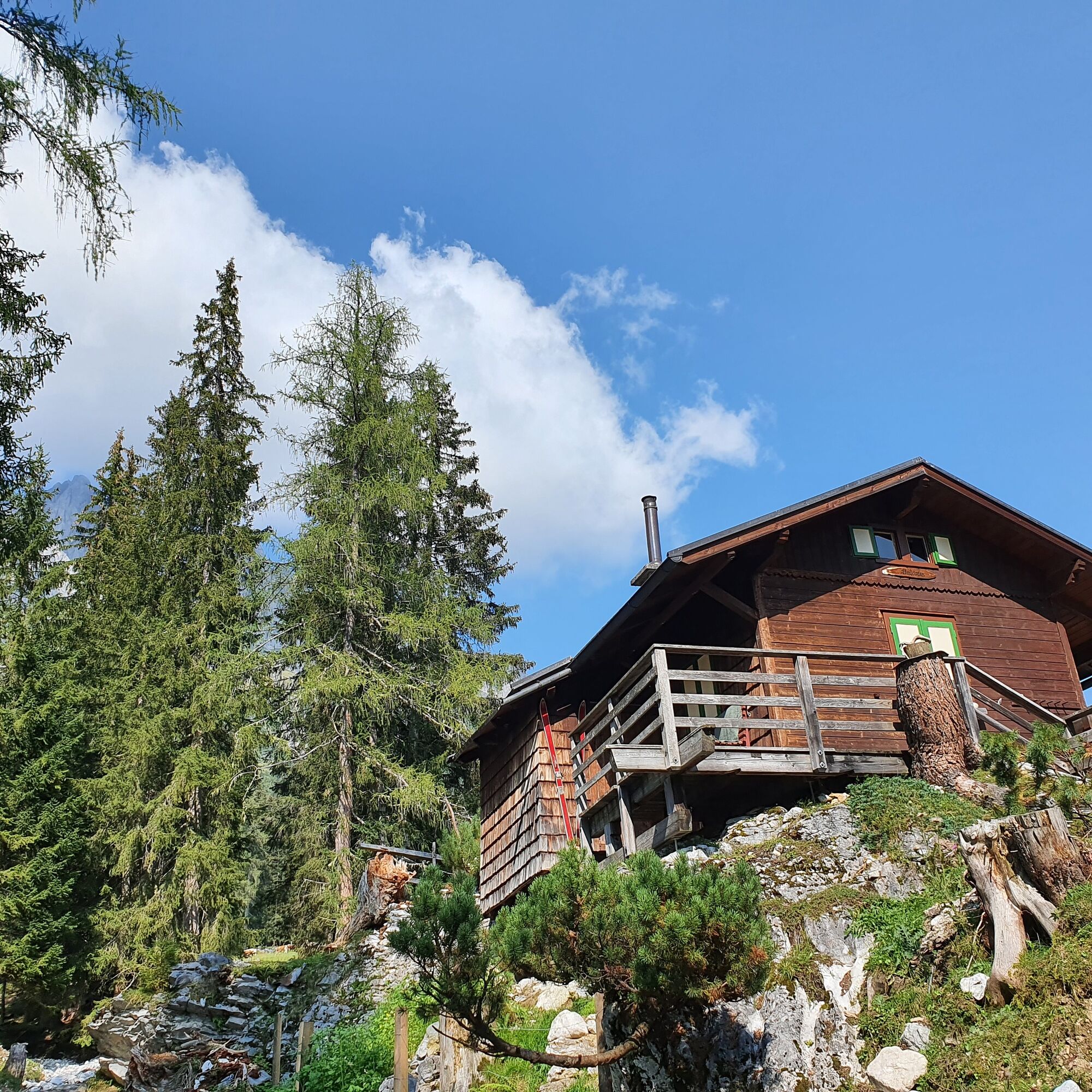
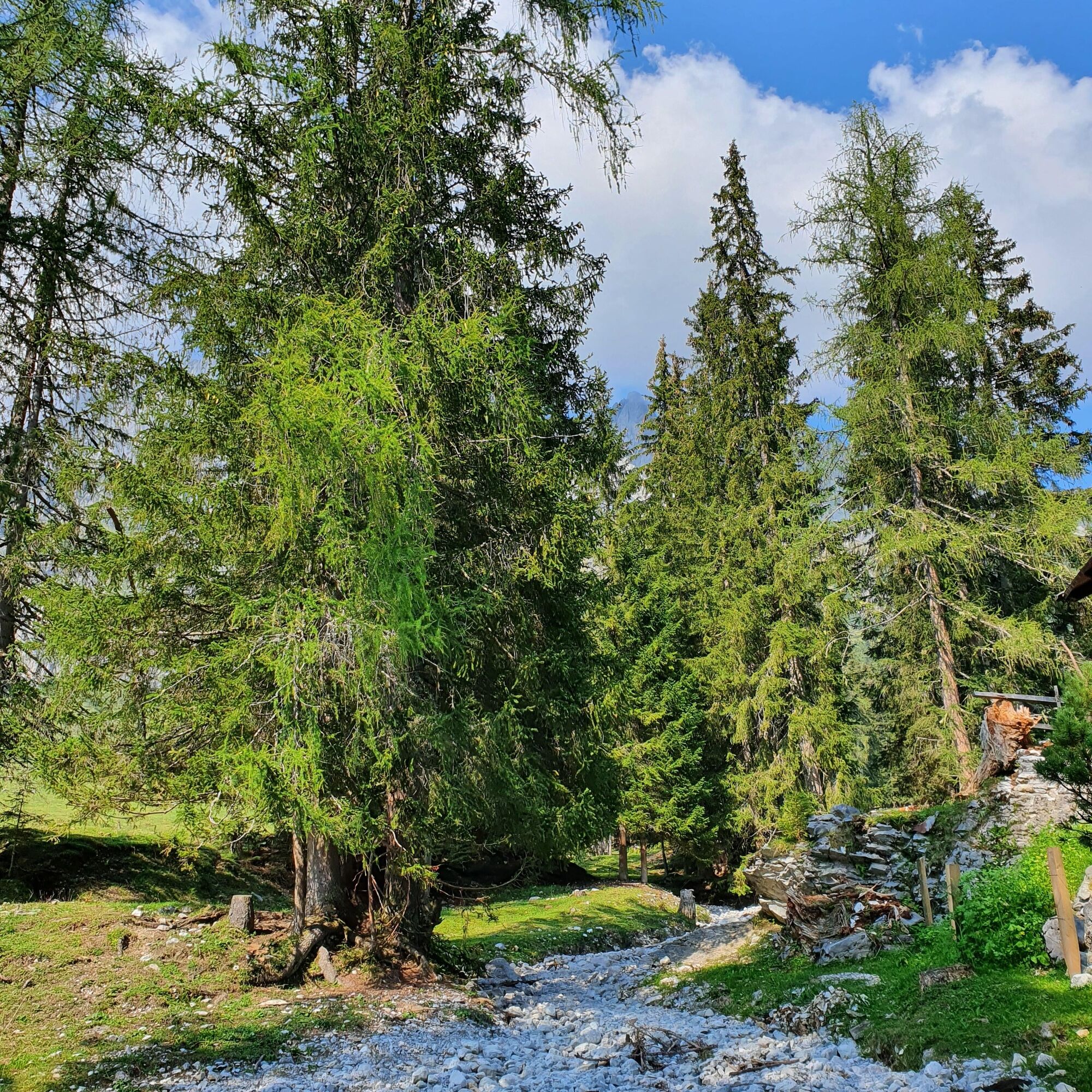
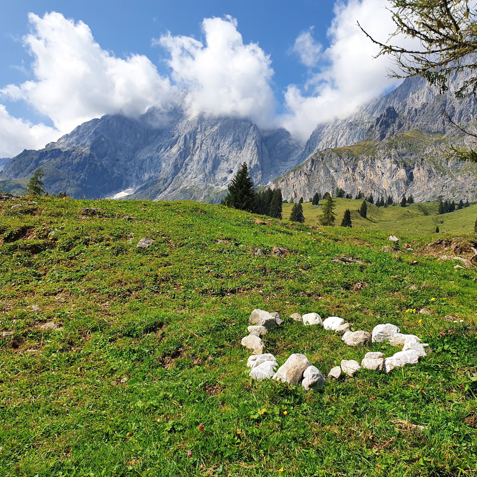
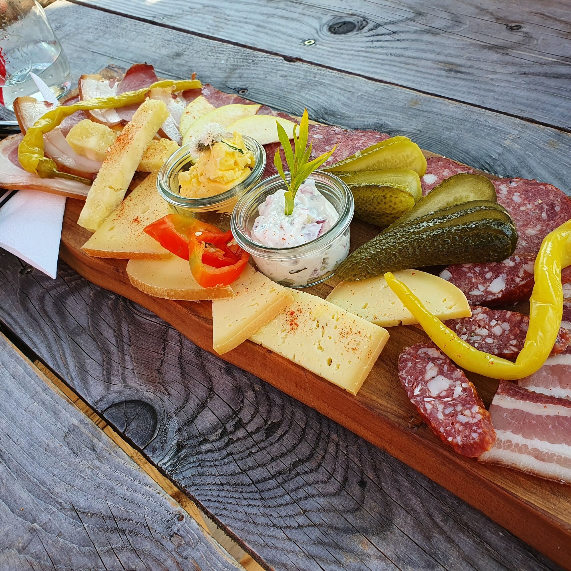
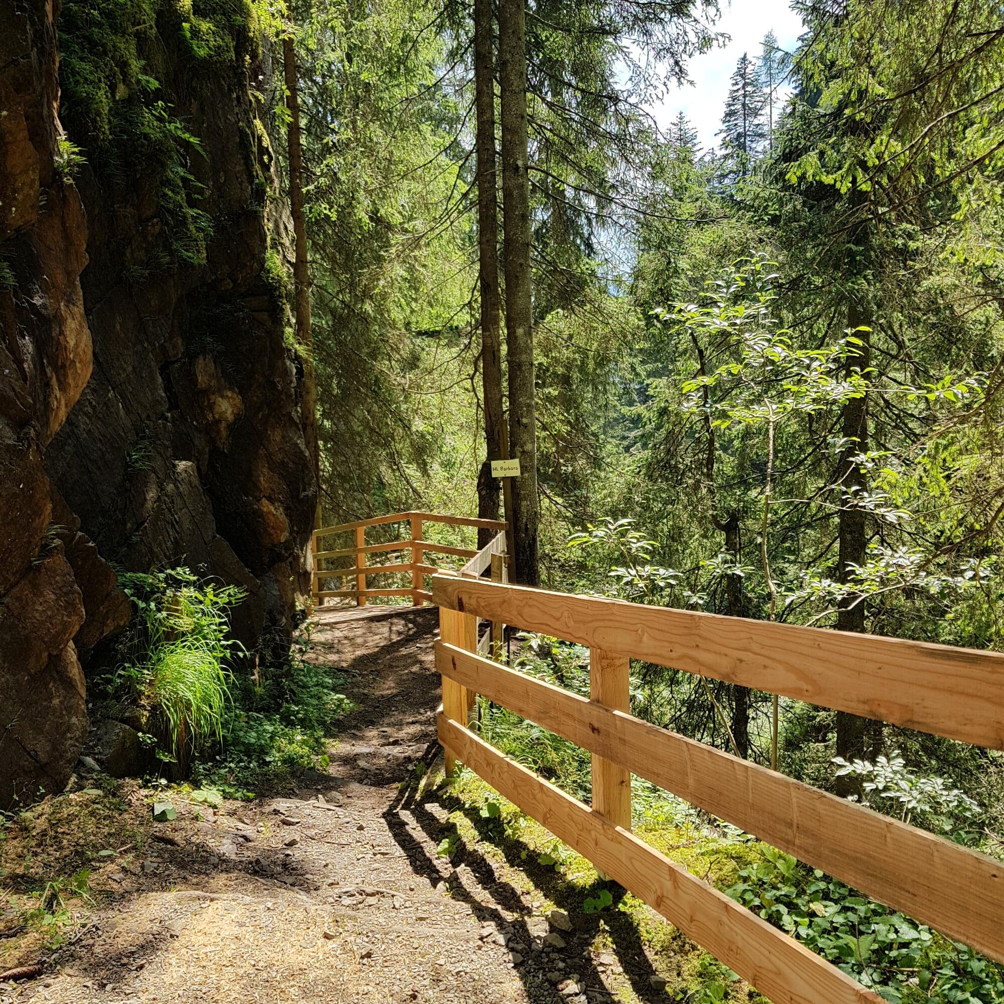
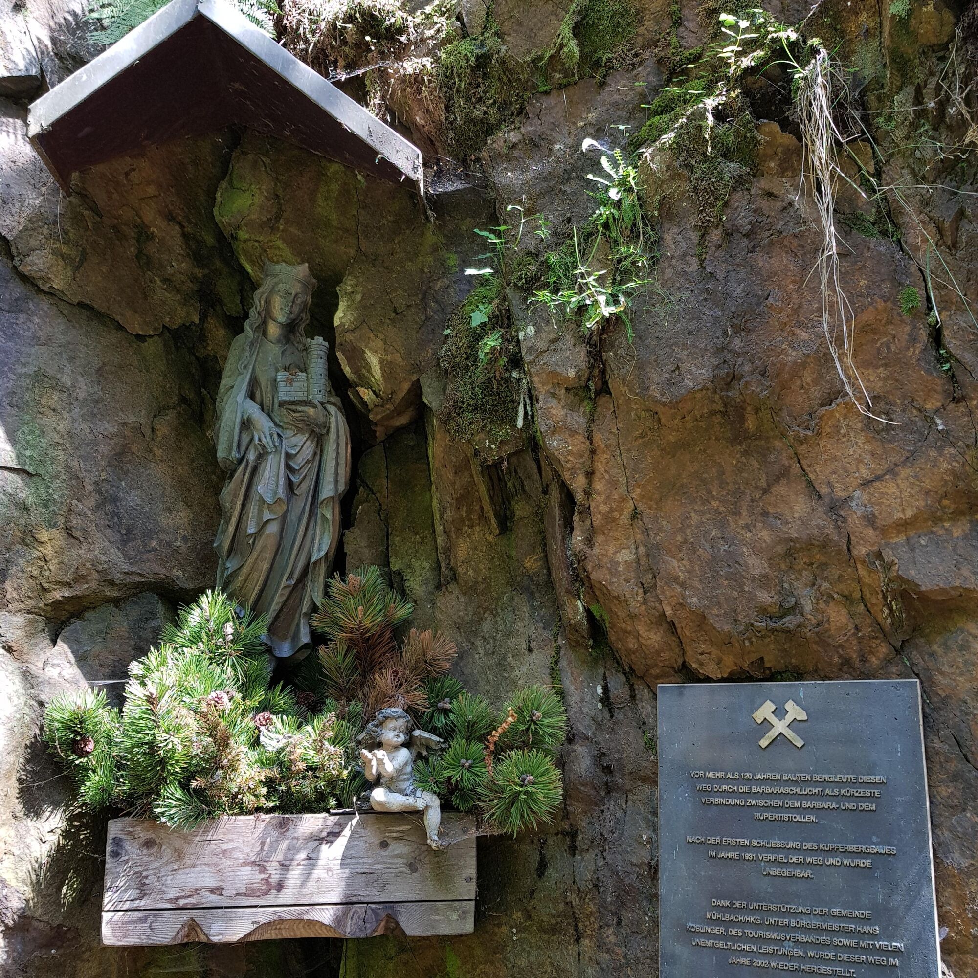
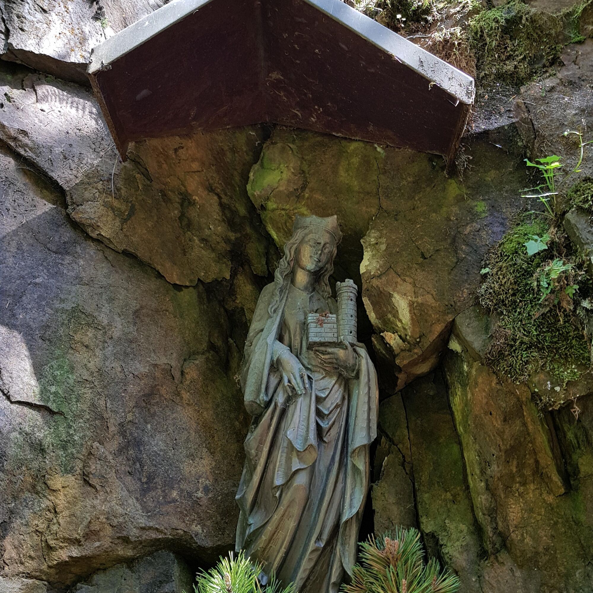
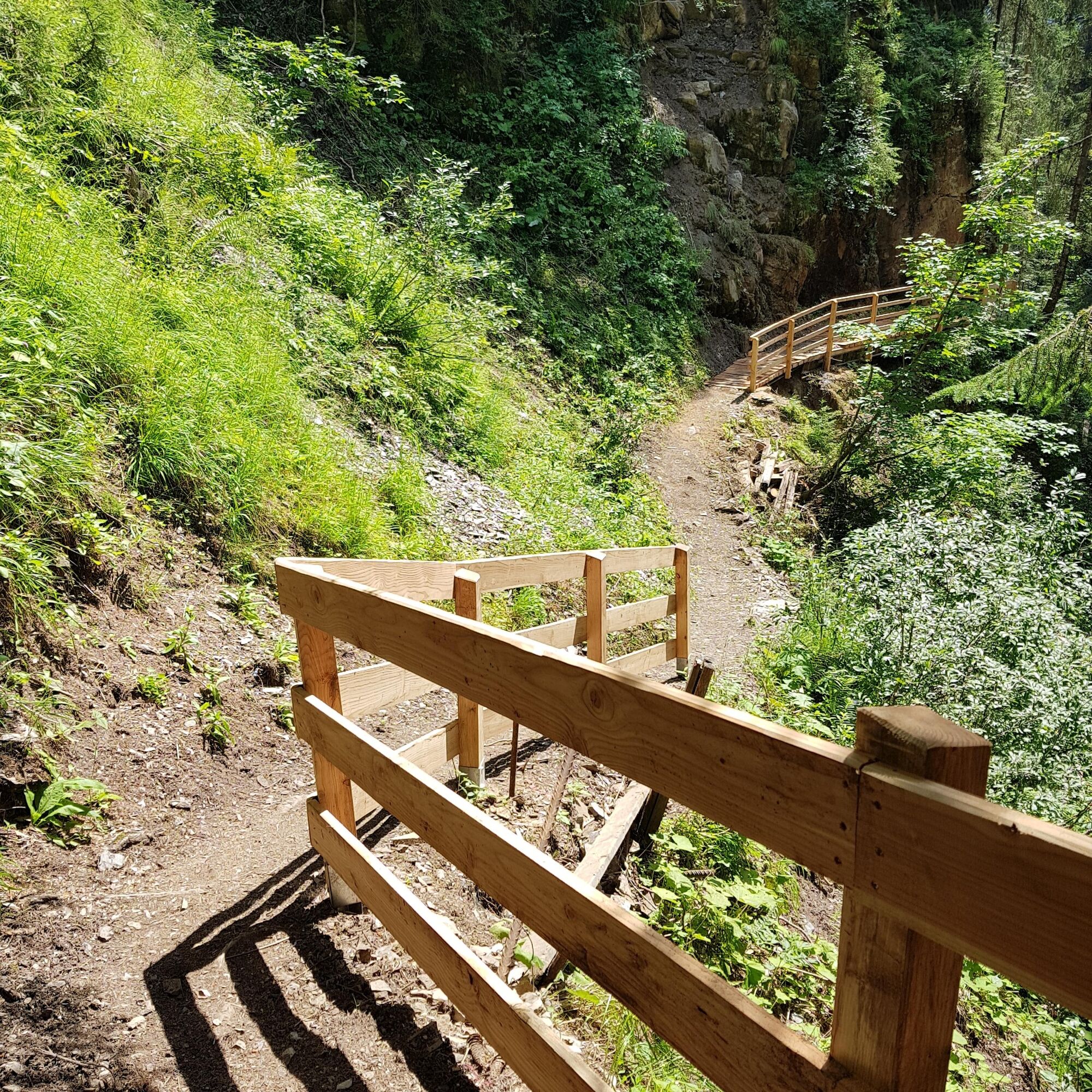

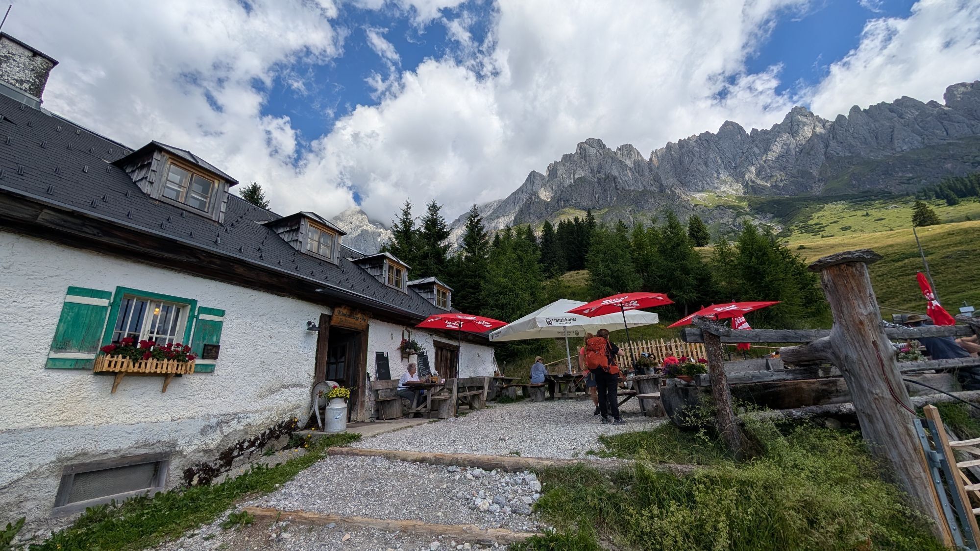
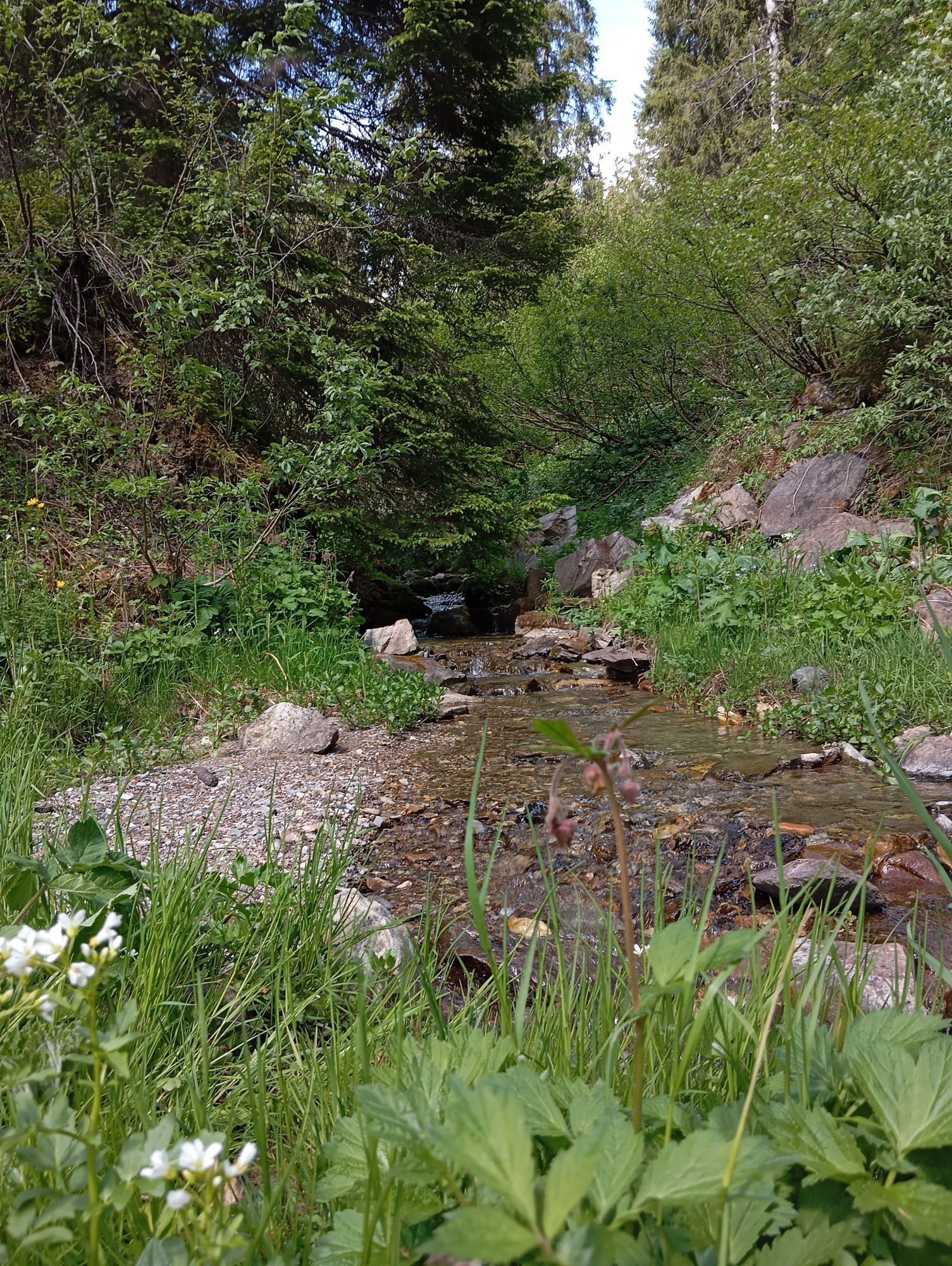
The start of your hike is the Kopphütte bus stop. There is also free parking available for cars here. Follow the road downhill to the former sports hall. To the right of the sports hall, the hiking trail now leads uphill through the Barbaraschlucht. This path was created by miners as the shortest connection between the Barbara and Rupert tunnels. After the first closure of mining in 1931, the path fell into disrepair and became impassable. It was only restored in 2002 and since then has been part of the Mitterberg ore trail. The Barbaraschlucht ends at the MandlwandLodge, where you can turn right onto the road. Follow the road a short distance, then turn left by the yellow-painted house onto a wide cart track that leads gently uphill into a dry stream bed. After crossing the stream bed, a pleasant path begins over the lush alpine meadow. Here and there you may also see a cow or calf. You can already see the destination, the Windraucheggalm. After a relaxing stop for refreshment (observe rest days), follow the wide cart track, which leads gently downhill. This takes you past the piste of the Grießfeldlift to the Mitterbergalm and the Mandlwandstraße. Cross the road and follow the signposted “Ore Trail” No. 86 downhill until you return to the Barbaraschlucht and your starting point.
Da
Sturdy, ankle-high footwear
Hiking clothing
Hiking poles
Headgear
Sun protection and sunglasses with UV protection
Rain protection
Drinks and a small snack
Necessary medications
First aid kit
Hiking map
Self-assessment: Before every mountain tour, check your physical fitness and correctly assess your strength as well as that of your companions – especially that of your children! Surefootedness and being free from dizziness are often very important!
Planning and preparation: Plan every intended mountain tour carefully beforehand. Hiking maps and guides as well as information from alpine clubs and locals such as mountain guides and hut hosts can be helpful for this.
Equipment: In the mountains you need appropriate equipment and clothing, especially sturdy, high footwear with a grippy sole. Protection against weather and cold is essential; weather can often change unexpectedly.
Weather forecasts: Observe the current weather conditions at: zamg.at or www.uwz.at.
Togetherness: Observe the 10 rules for the proper handling of grazing animals and leave no waste in nature!
Do not dislodge stones: Do not dislodge stones, as this can seriously endanger other hikers. Marked areas with danger of rockfall should be crossed as quickly as possible and with attention and caution.
Turn back in time: This is no shame but a sign of common sense. It becomes necessary if the weather changes, fog sets in, or if the path is too difficult or not in good condition.
Emergency numbers: Alpine emergency: 140, International emergency: 112, Rescue: 144
Arrival coming from Salzburg: Take the A10 motorway to the Bischofshofen exit, then the B311 towards Bischofshofen. Follow the Hochkönig federal road/B164 to Mühlbach. Continue on L246 towards Arthurhaus until the Kopphütte junction.
Arrival coming from Innsbruck/Kufstein: Take the Loferer Straße/B178 towards St. Johann i.T., then via the Hochkönig federal road/B164 through Saalfelden and Maria Alm to Mühlbach. Continue on L246 towards Arthurhaus until the Kopphütte junction.
Hiking bus of the Hochkönig region - Hiking bus schedule
Train: Bischofshofen station - ÖBB Scotty
Bus: Line 591 to town center, then continue with the hiking bus - Timetable information
Free parking at Kopphütte bus stop.
More information about hikes and activities in the Hochkönig region:
For detailed information about hiking maps, summer opening times of mountain railways as well as huts and alpine pastures, we recommend visiting the local service center. There you will not only receive hiking maps but also valuable tips on the best hiking routes and current conditions.
Summer opening times of mountain railways: The mountain railways offer various opening times during the summer months which may vary depending on weather and season. Please check current operating hours in advance.
Opening times of huts & alpine pastures in summer: The huts and alpine pastures in the region are ideal rest stops for hikers. Opening times can also vary depending on the season and weekday. Let the friendly hosts advise you about the local offers and specialties.
For more information please visit our website : www.hochkoenig.at.
If you have questions or want to get specific information, feel free to contact us:
Email: region@hochkoenig.at
Phone: +43 (0)6584 20388
We look forward to helping you and wish you a lot of fun exploring the beautiful hiking region Hochkönig!
Enjoy the refreshing coolness of the Barbaraschlucht!
Pridobite vpogled
Vedno v živo na mestu z več kot 9.500 spletnimi kamerami. bergfex Kot uporabnik Pro si lahko zdaj ogledate ustrezne spletne kamere za številne izlete v aplikaciji izleti iz. Tako si lahko neposredno ogledate trenutne razmere.
Priljubljeni izleti v okolici
-
4.9
Werfenweng Mountainbikerunde Söldenhütte
srednjaMountainbike 18.8 km -
4.8
Summit stormer route Lauskopf
težkoPohodništvo 8.16 km -
4.8
Summit storming route Taghaube
težkoPohodništvo 6.25 km -
4.7
About the "Four Huts circular route" to Windraucheggalm
srednjaPohodništvo 10.1 km -
4.7
Großarl: Mooslehenalm – Niggeltalalm – Viehhausalm
srednjaPohodništvo 5.44 km -
4.6
Panorama hike to the Hochkeil
srednjaPohodništvo 6.07 km -
3.6
Wanderung zur Ostpreußenhütte in Werfen (1.630 m)
srednjaPohodništvo 11.2 km -
4.9
Hochkönig - Gipfel der Gefühle - Matrashaus
težkoPohodništvo 20.9 km -
4.8
Liechtensteinklamm mit Helix
svetlobaTematska pot 3 km -
4.4
Alpine and hut hike "Hochmaisalm & Steinbockalm"
srednjaPohodništvo 8.10 km
Pohodništvo in sledenje


Ne zamudite ponudb in navdiha za naslednje počitnice
Vaš e-poštni naslov je bil dodan na poštni seznam.





