






HOHE TAUERN PANORAMA TRAIL | STAGE15: Rauris valley | Rauris–Kolm Saigurn
Stopnja težavnosti: T1
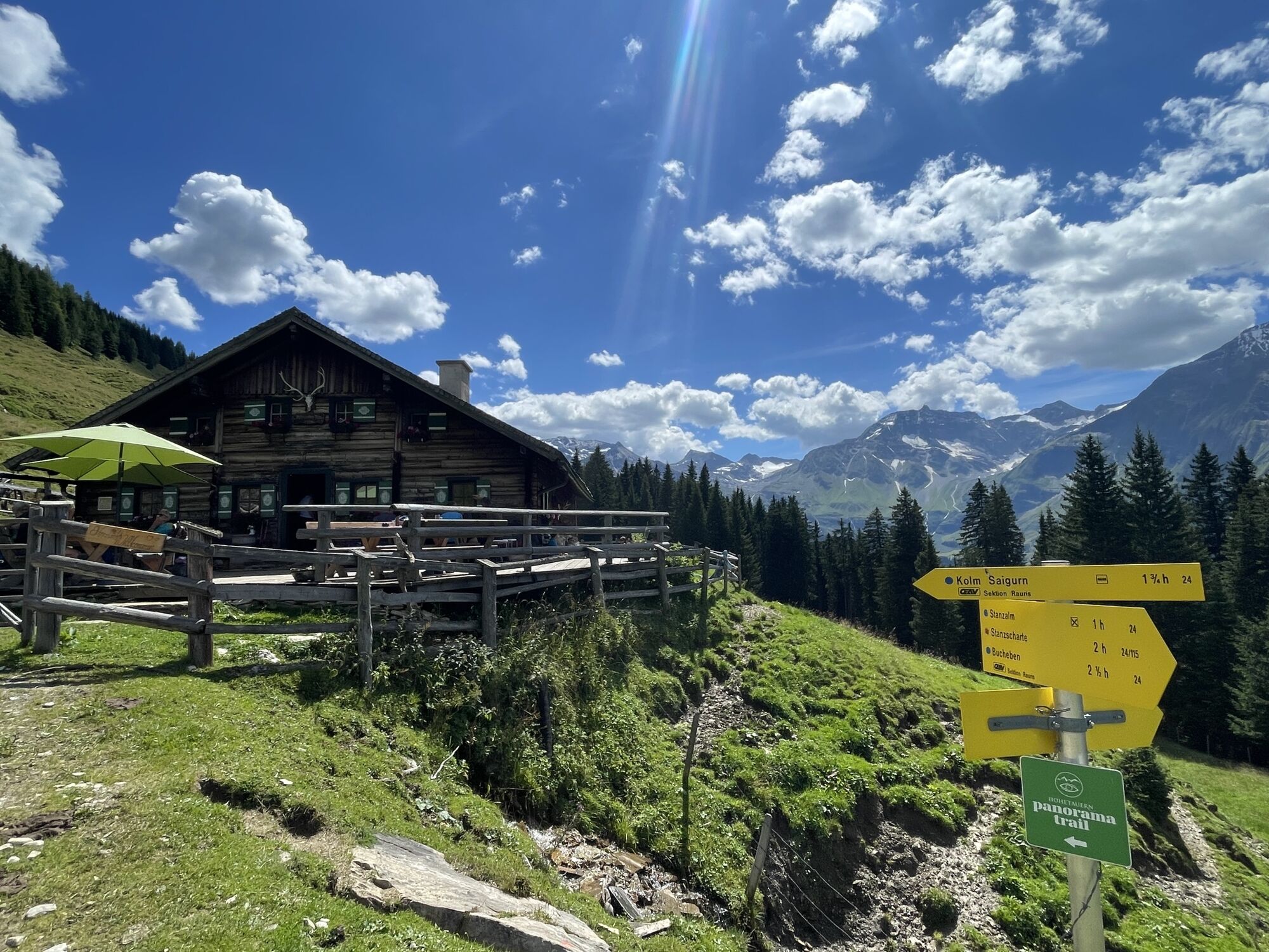
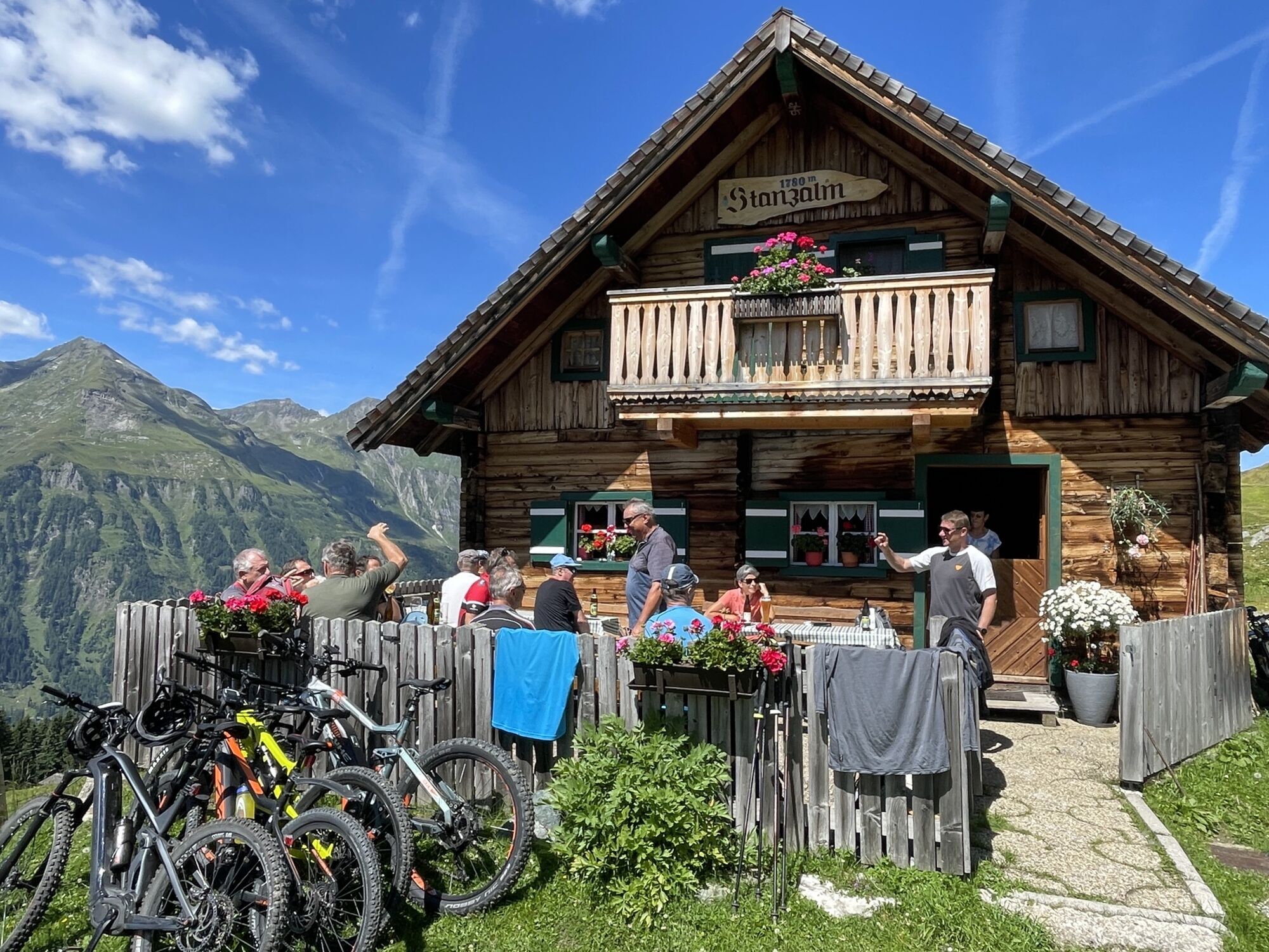
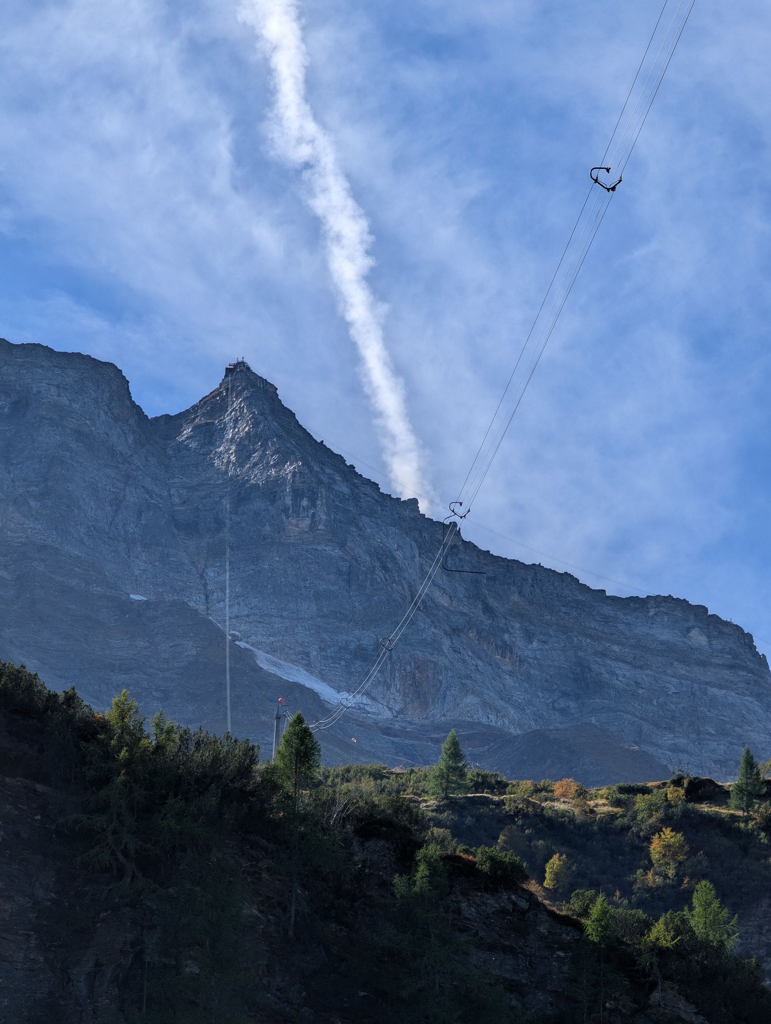
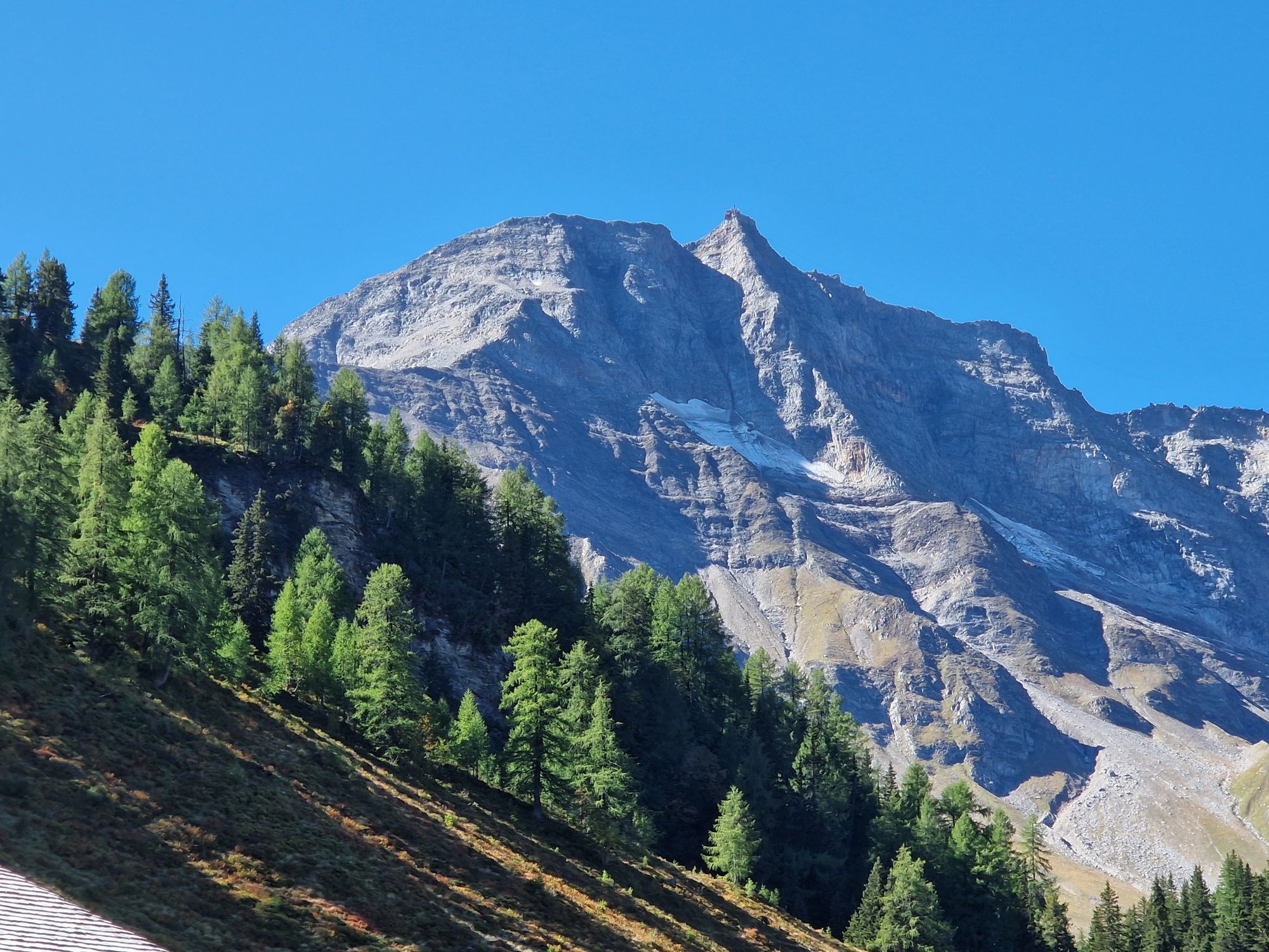
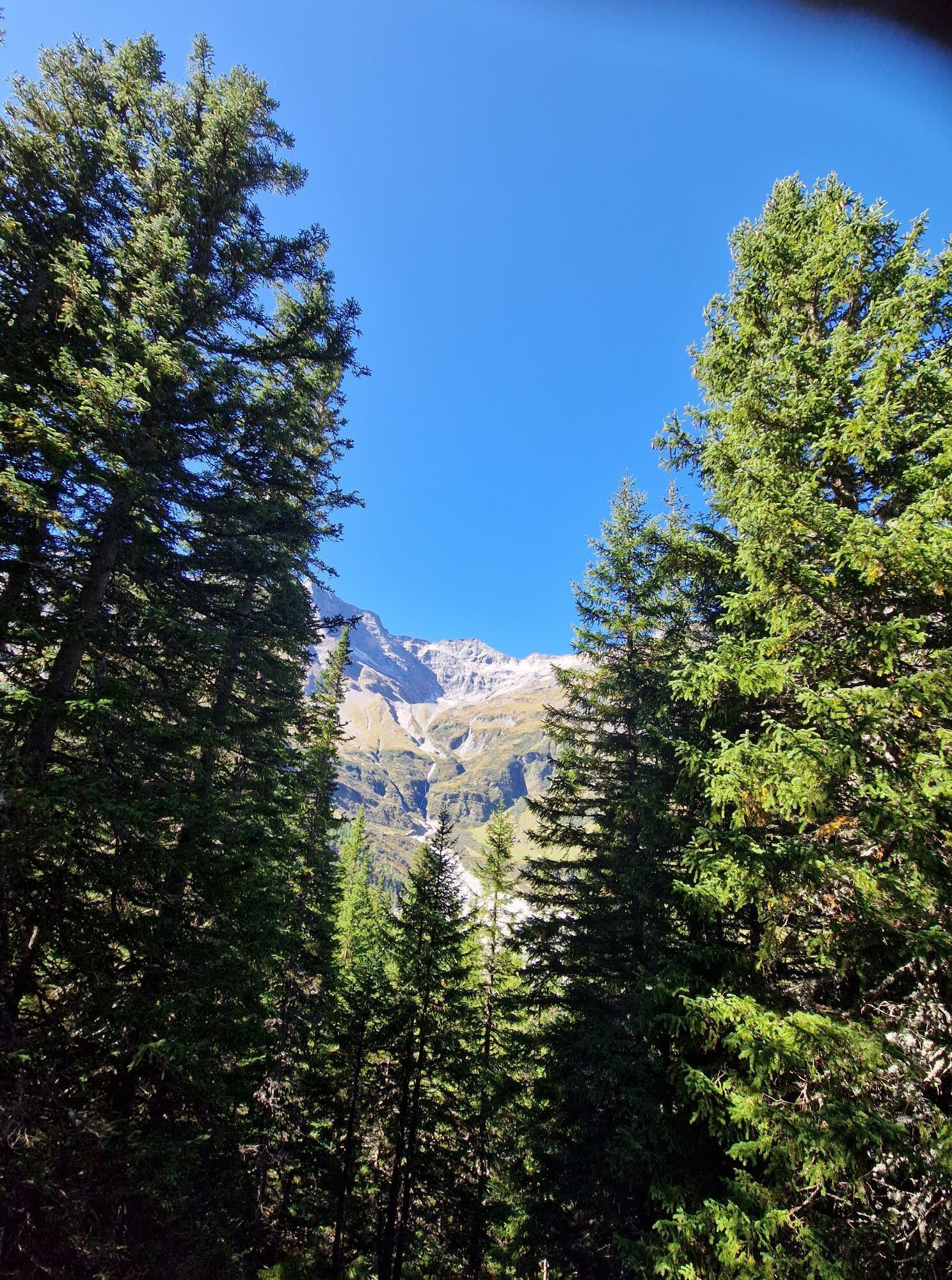
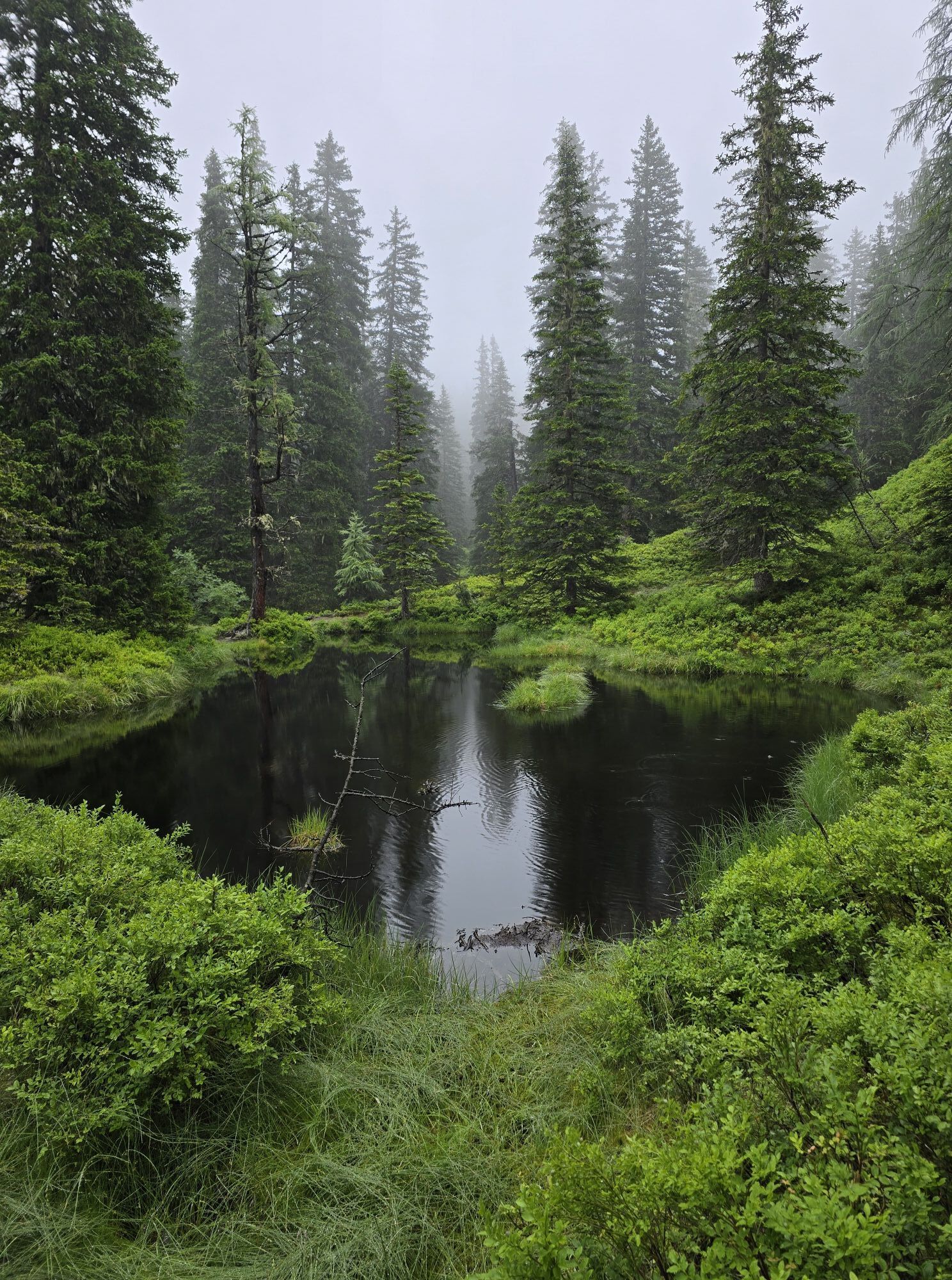
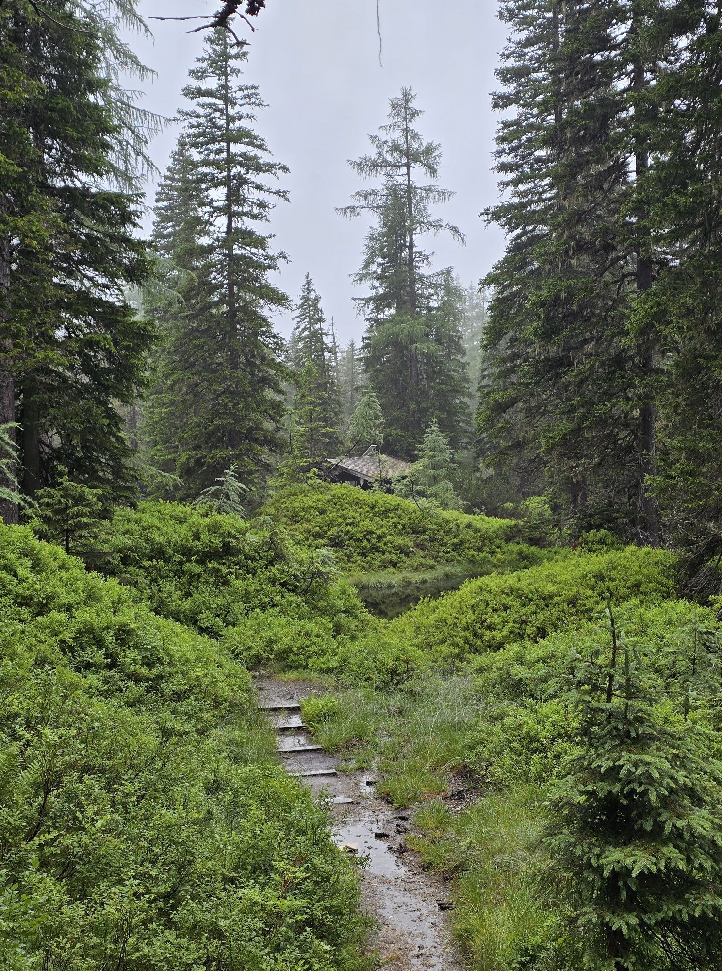
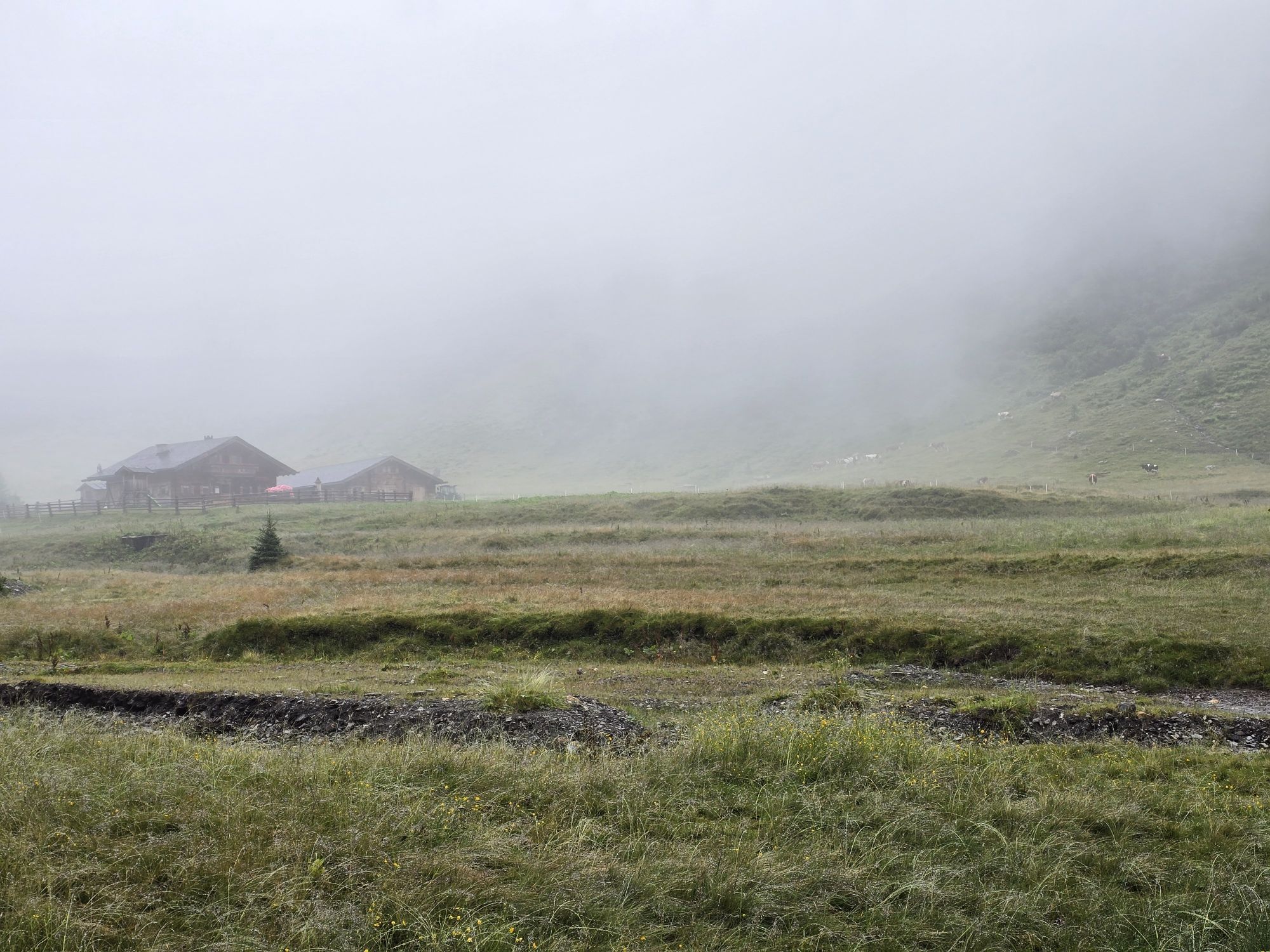
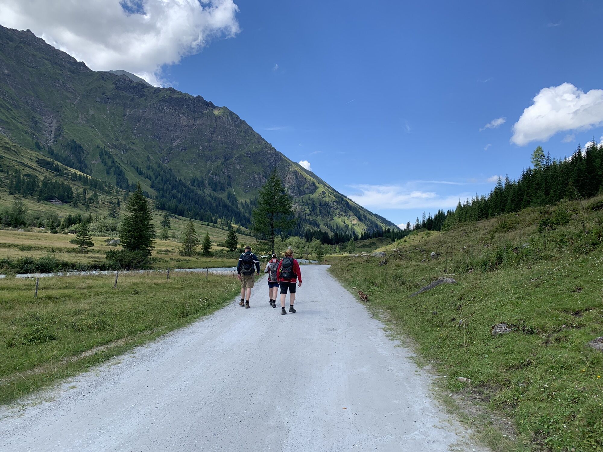
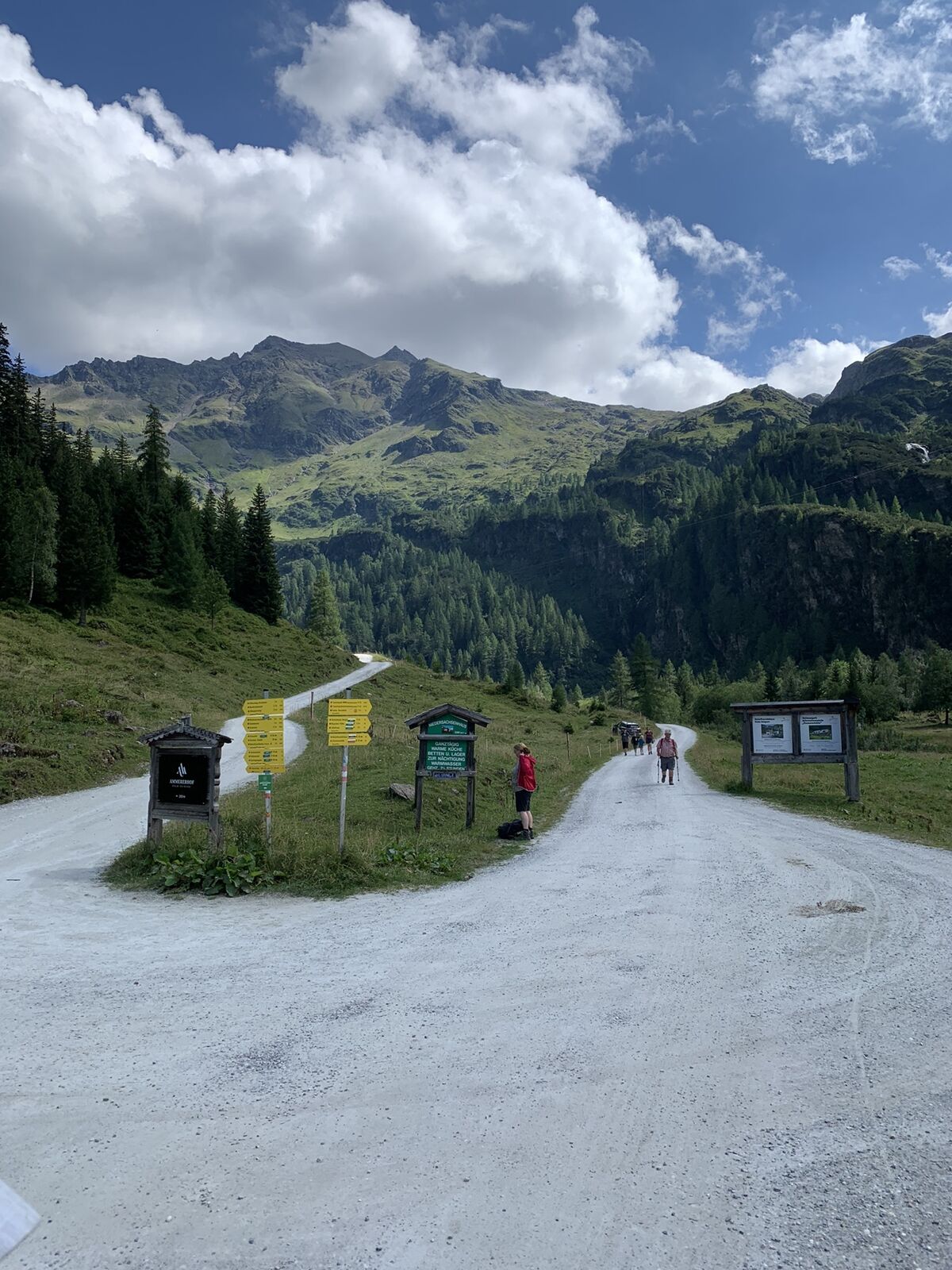
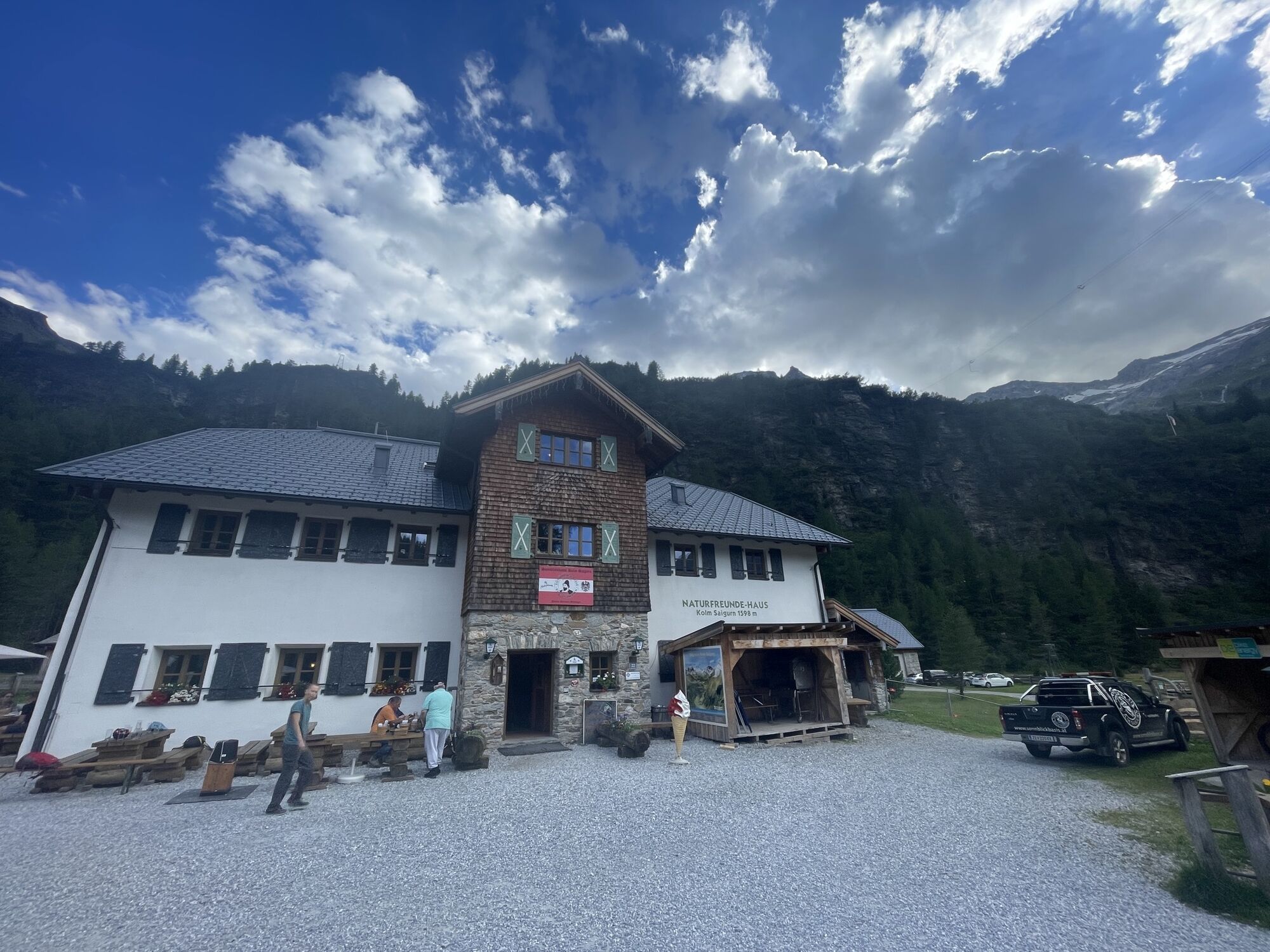
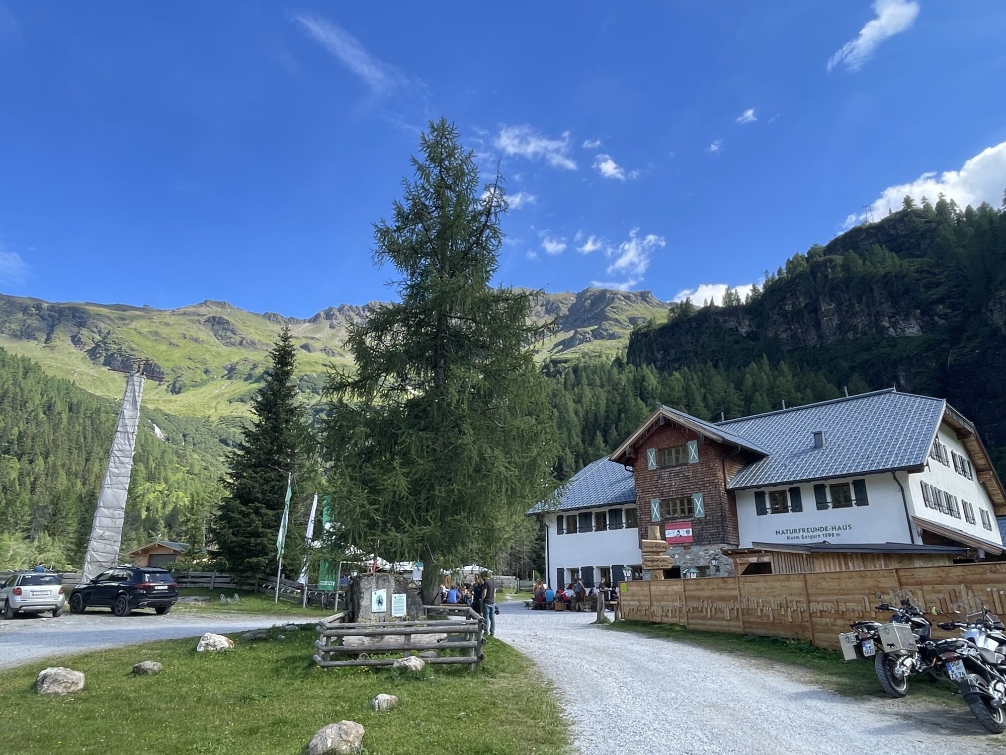
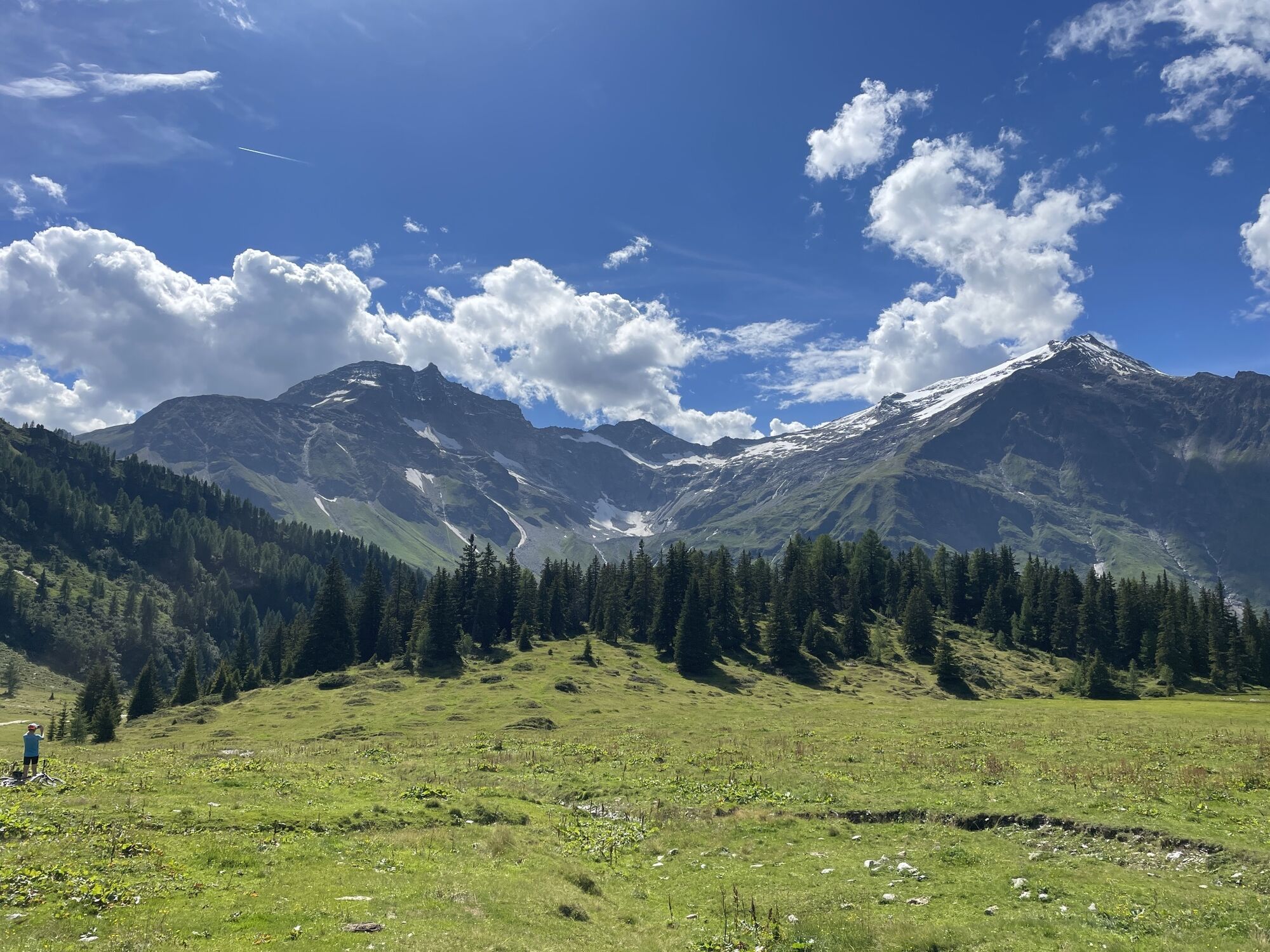
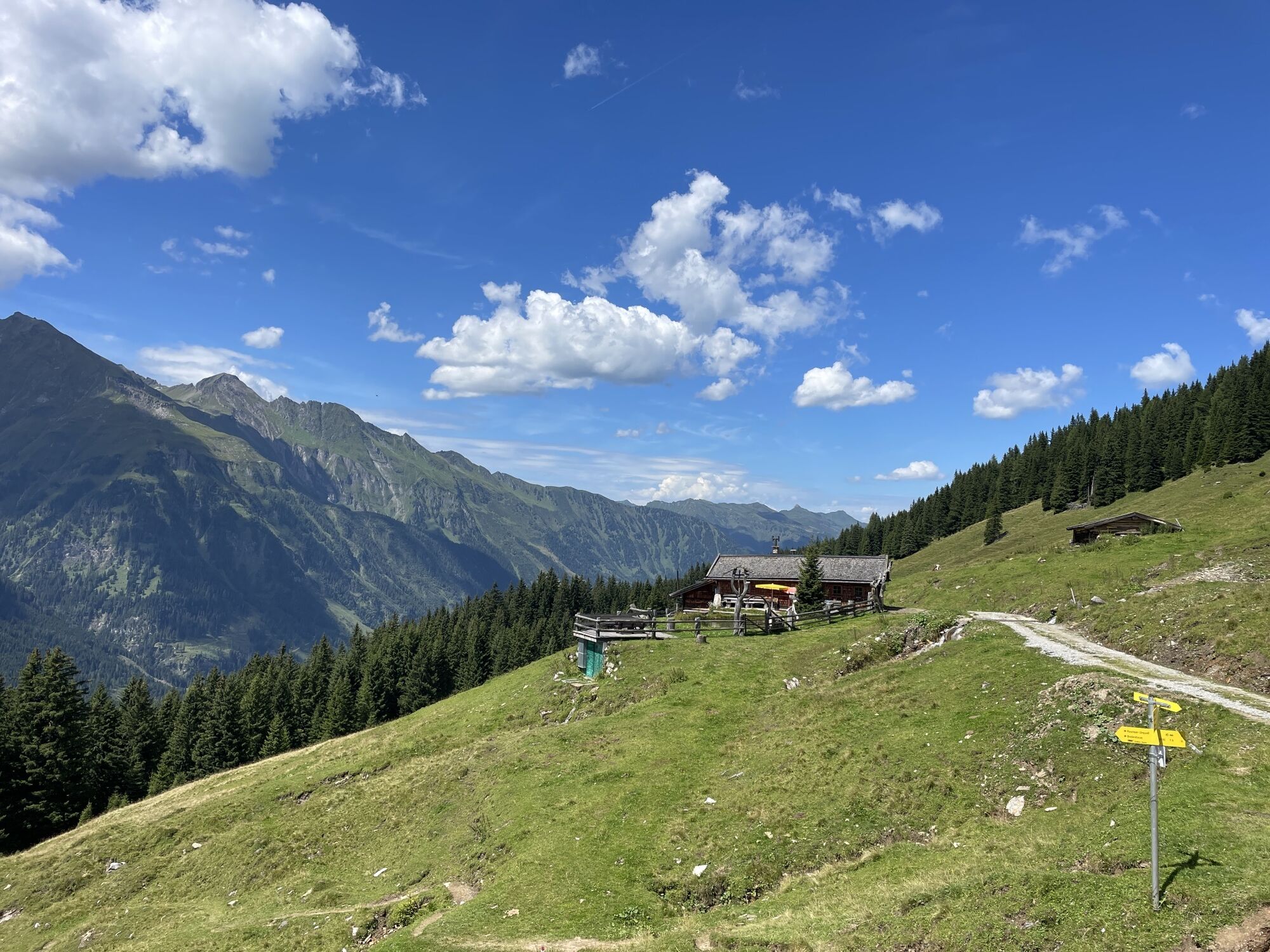
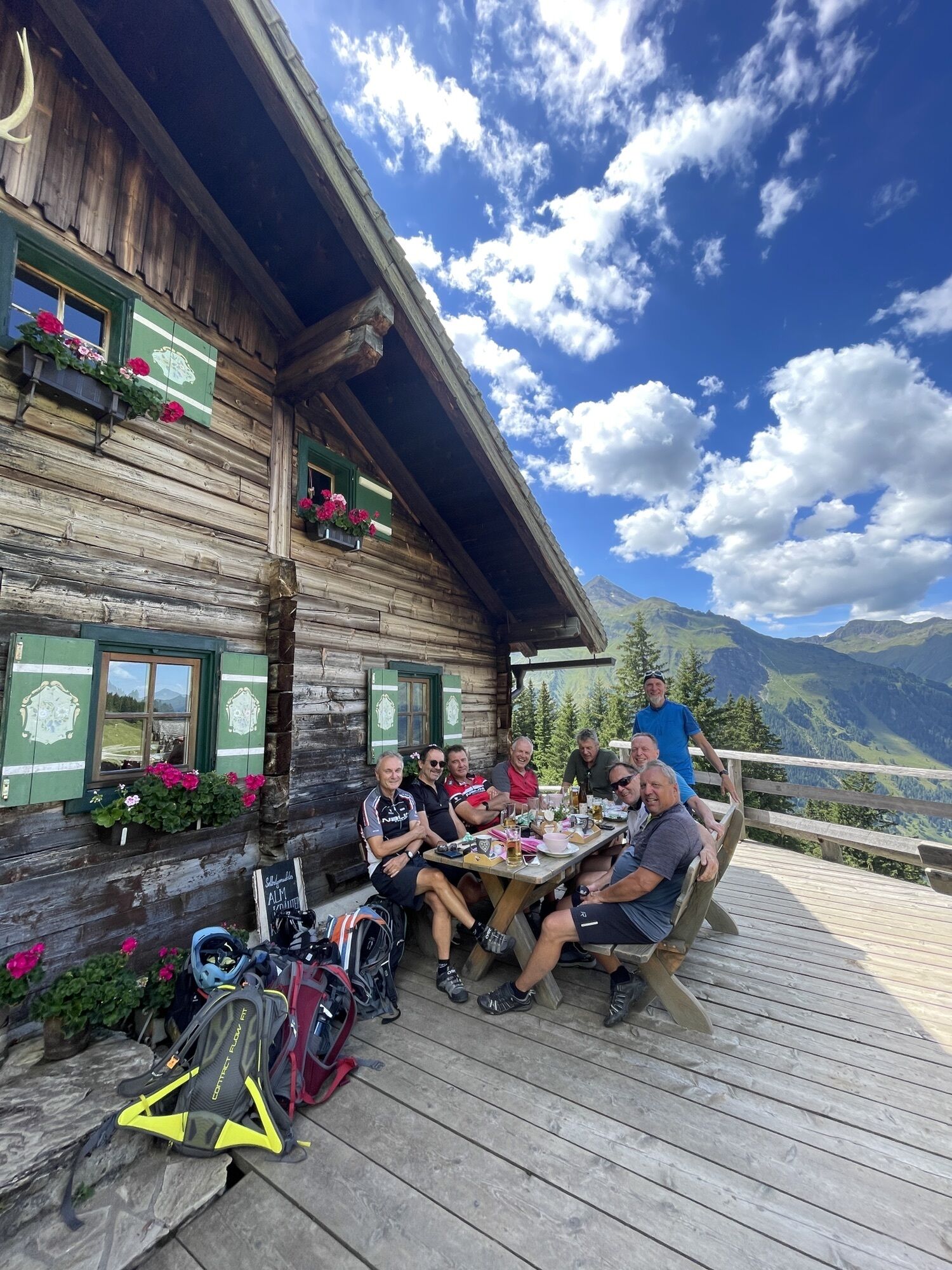
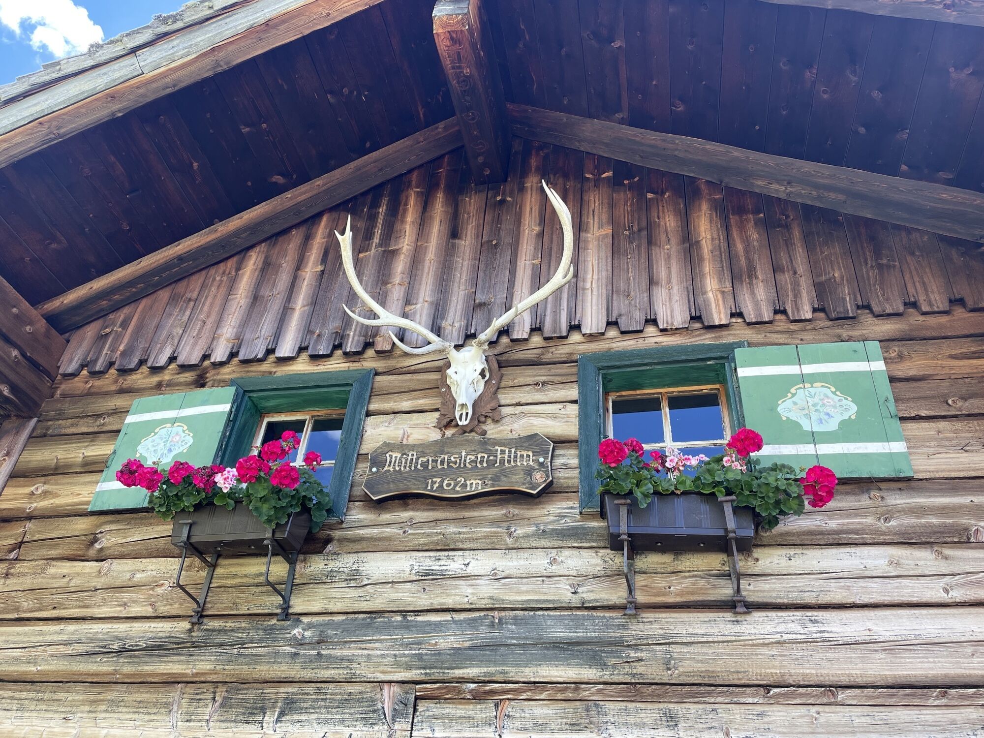
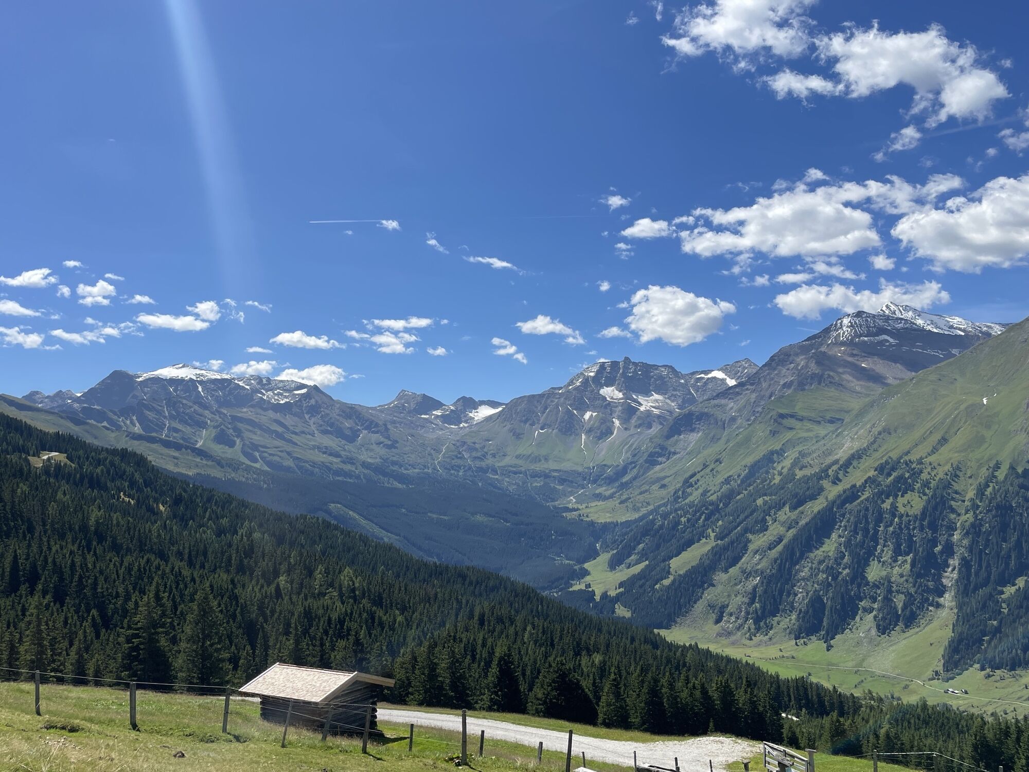
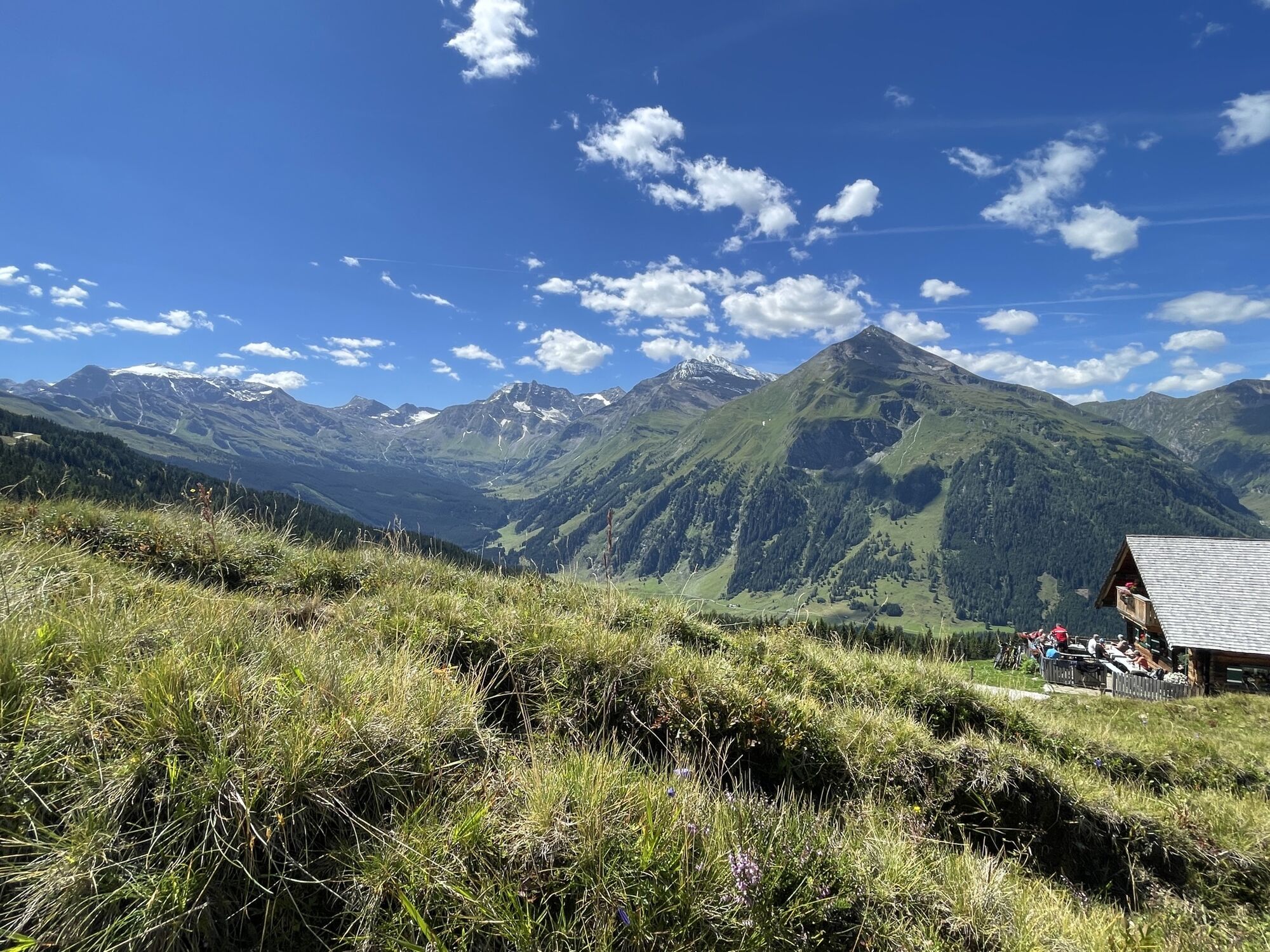
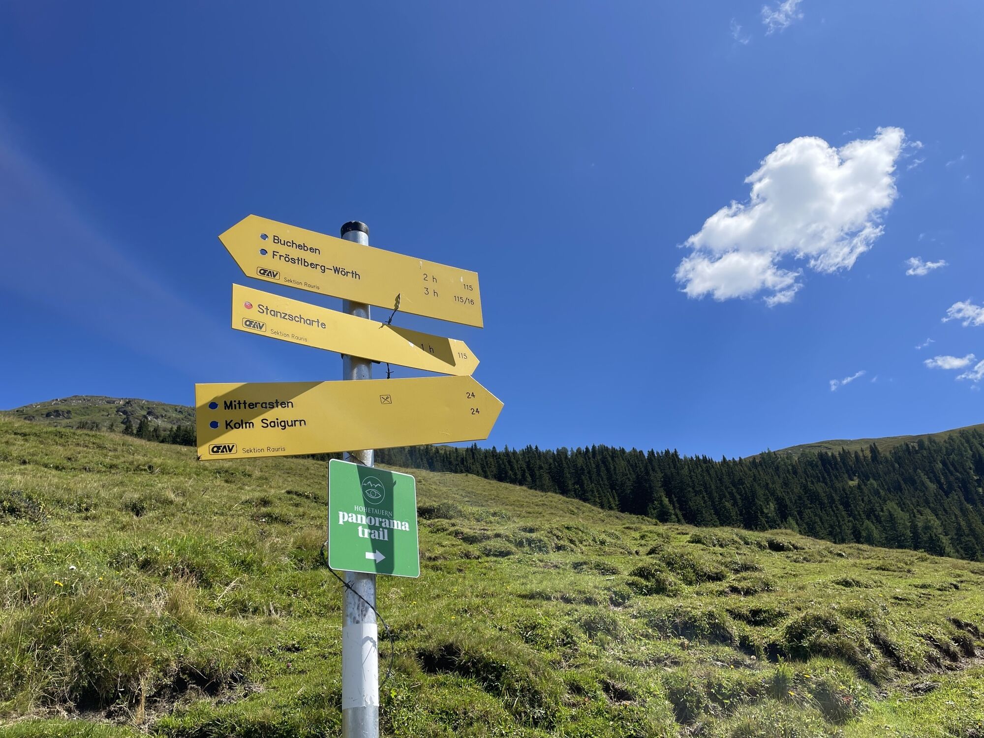
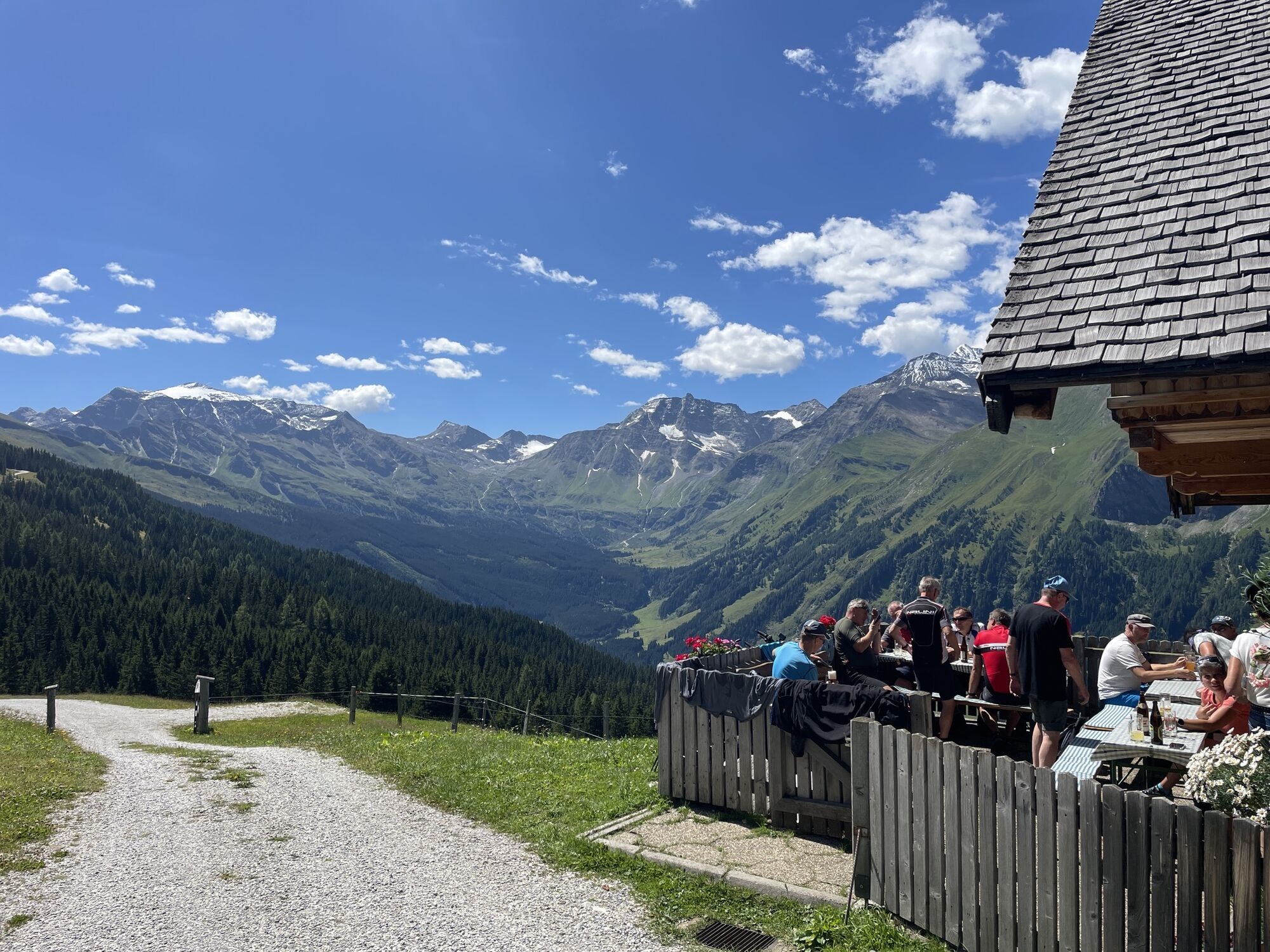
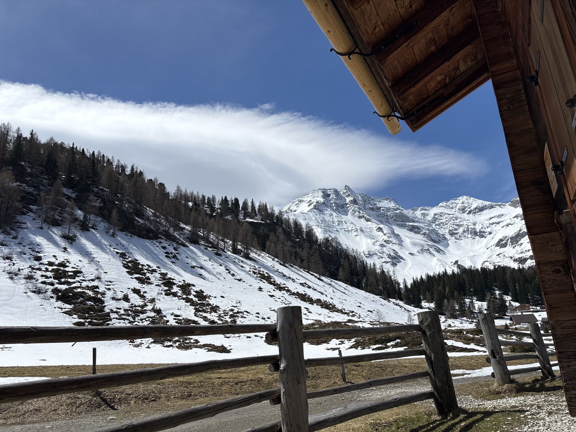
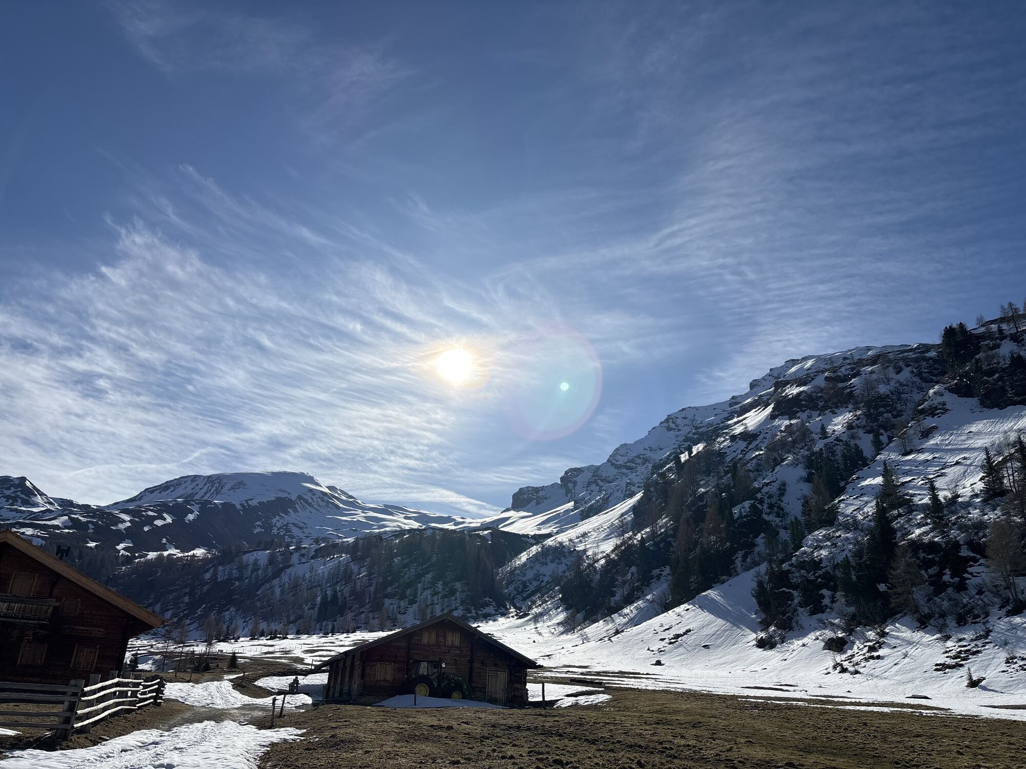
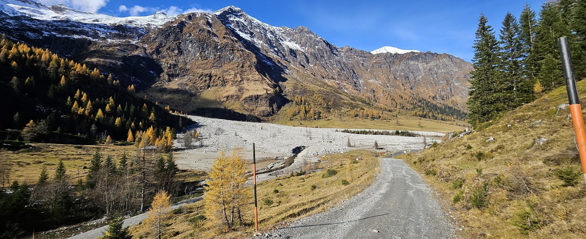
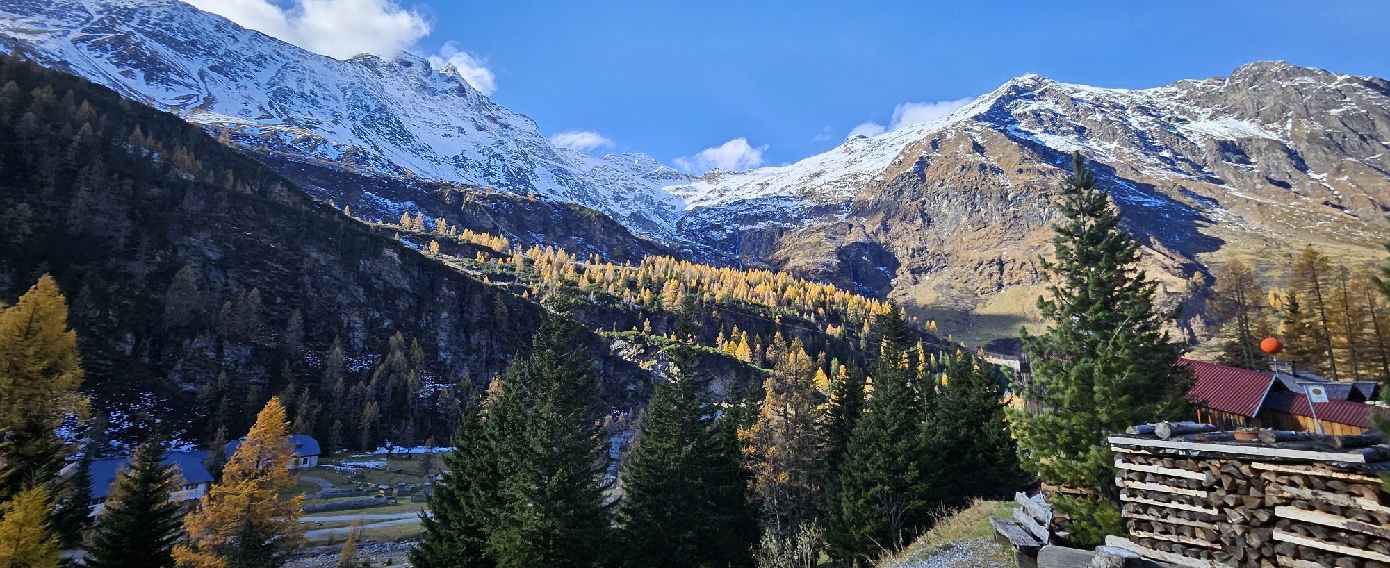
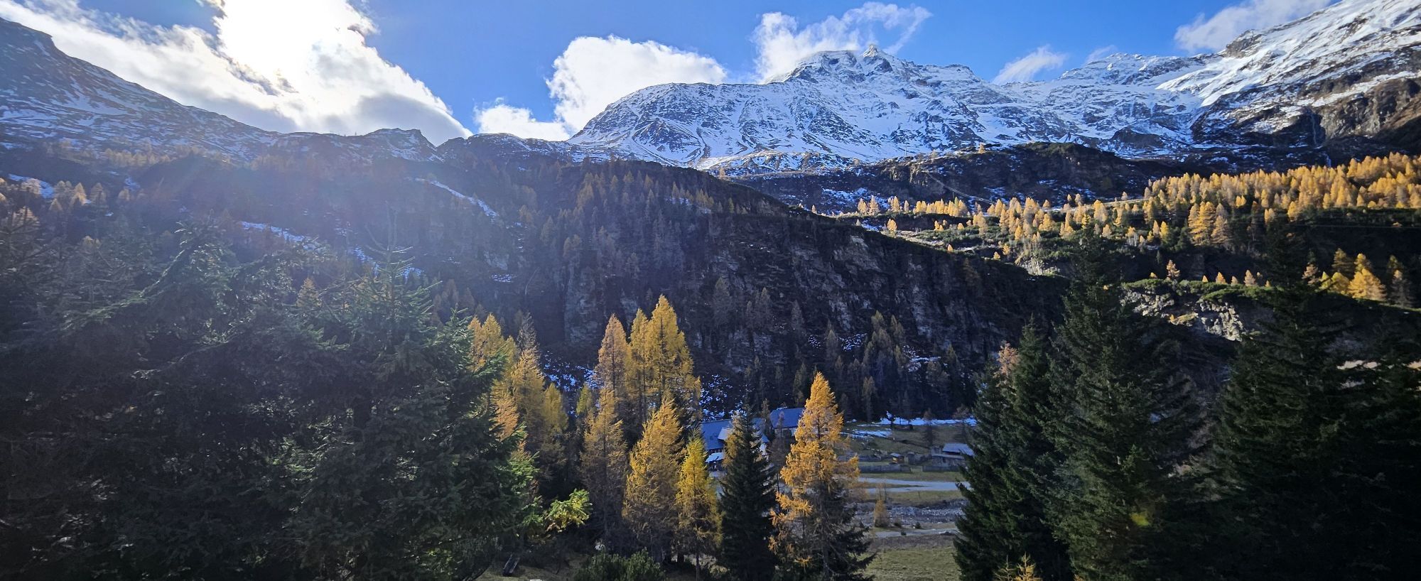
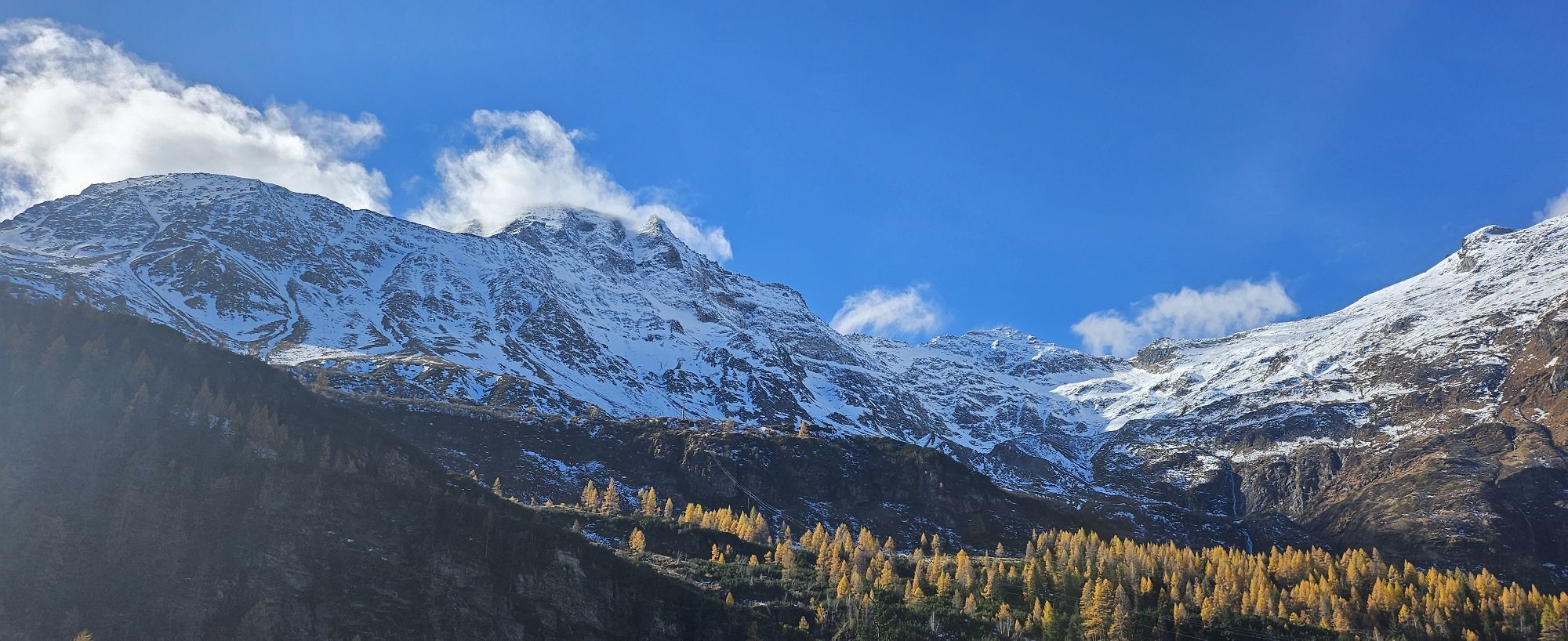
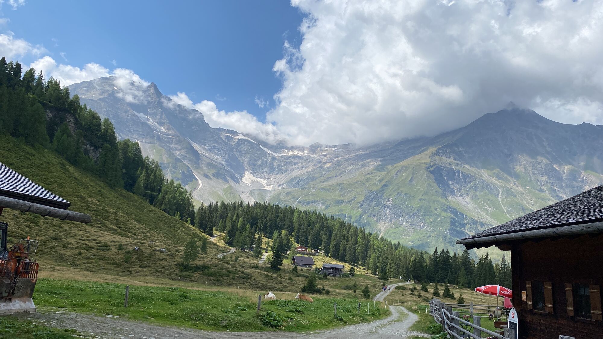
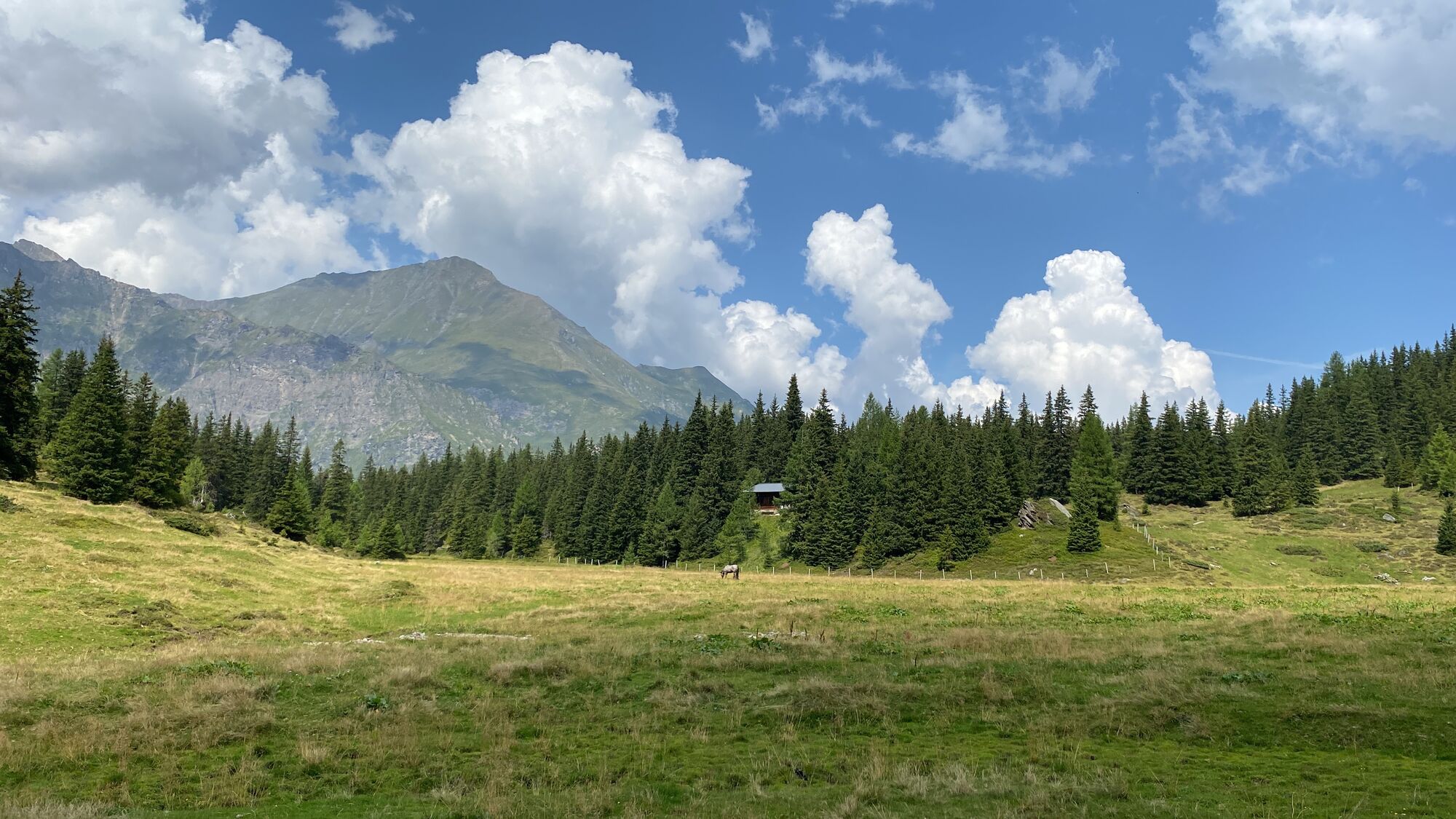
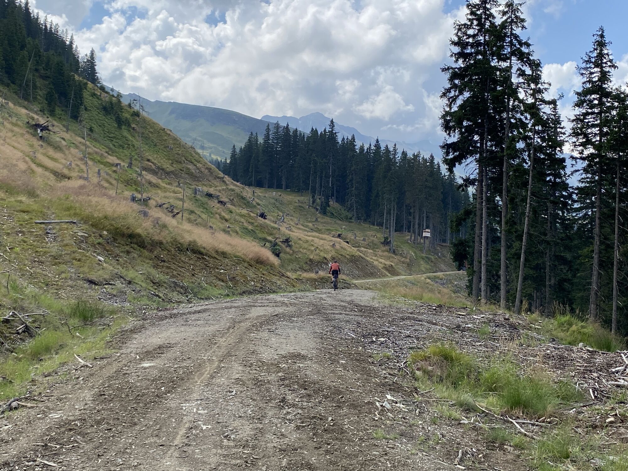
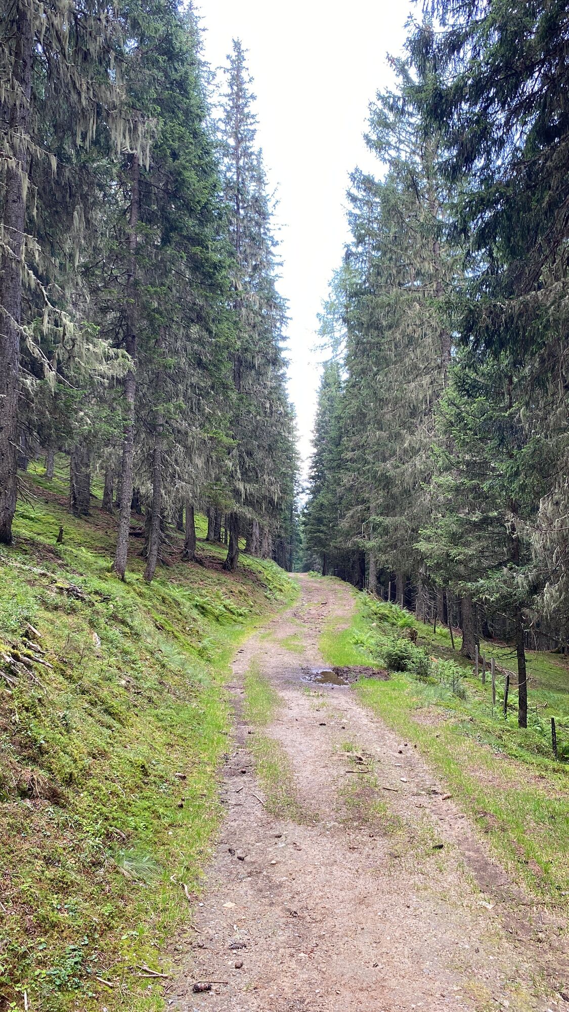
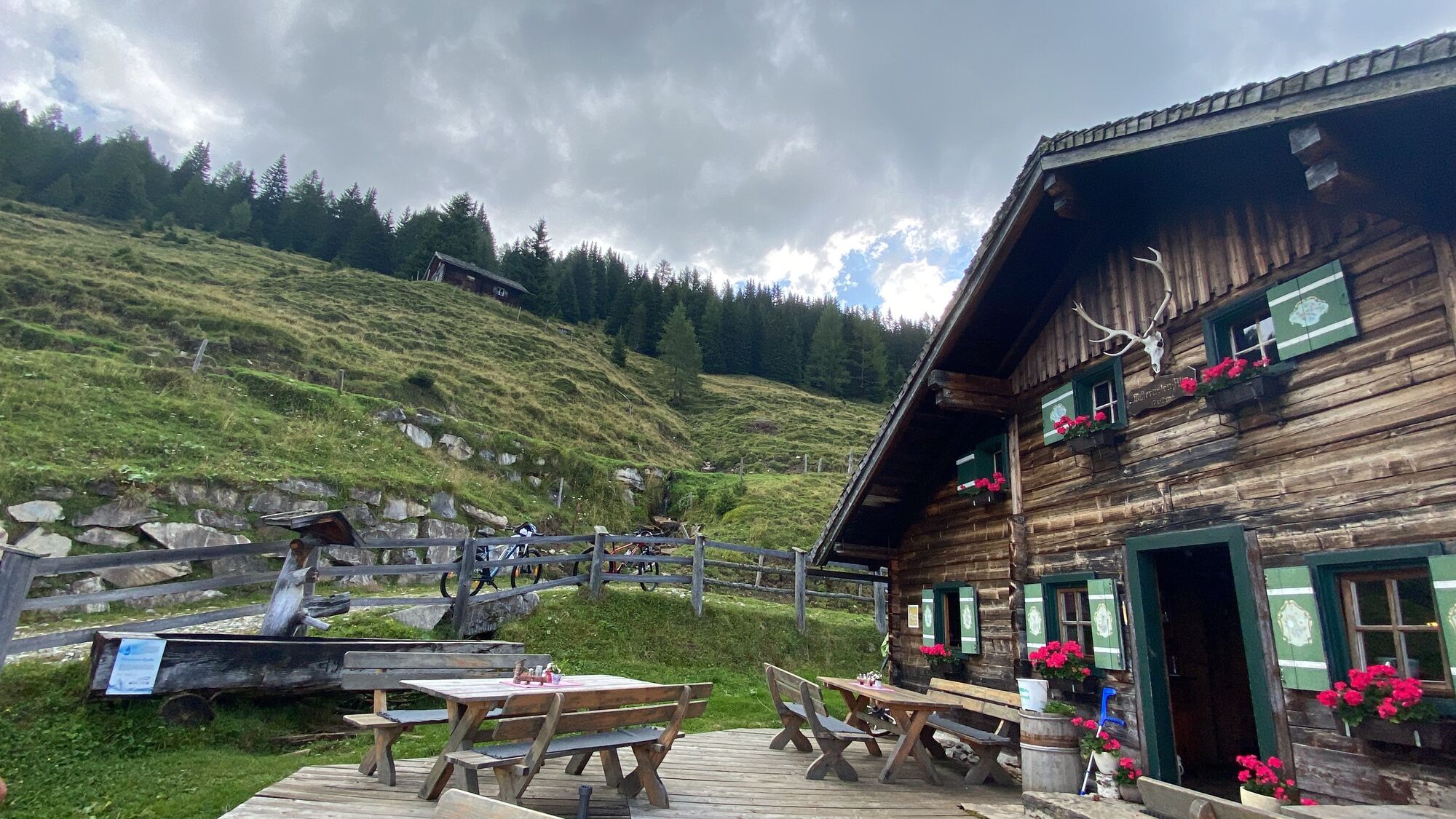
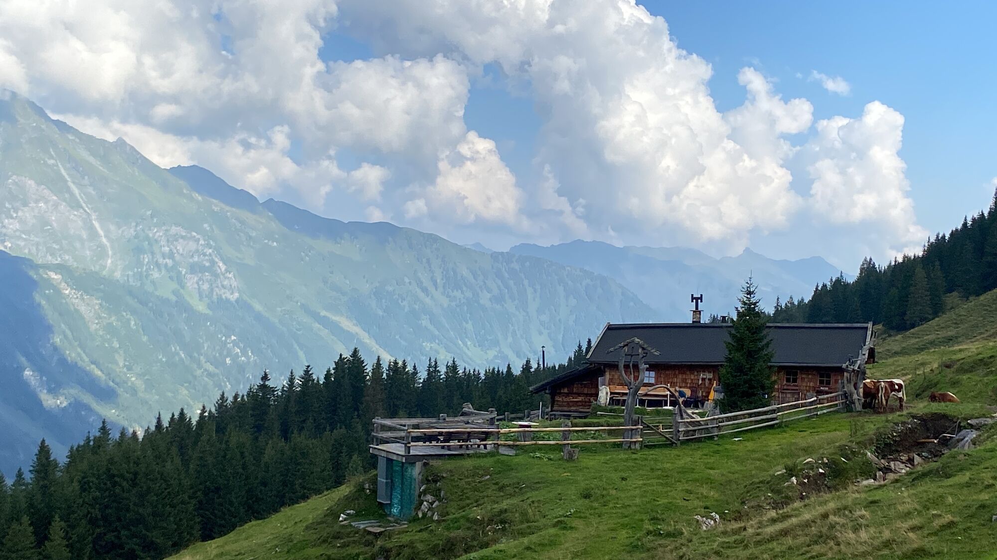
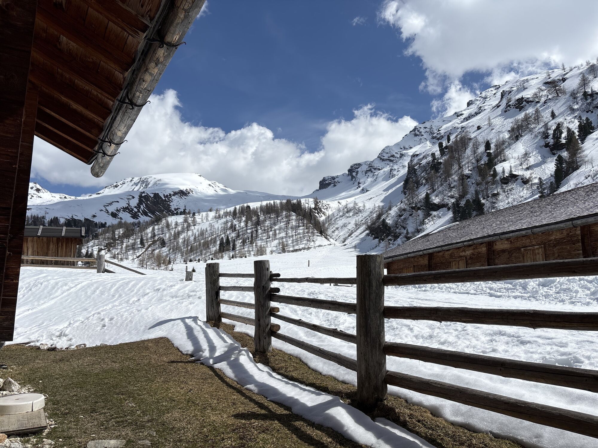
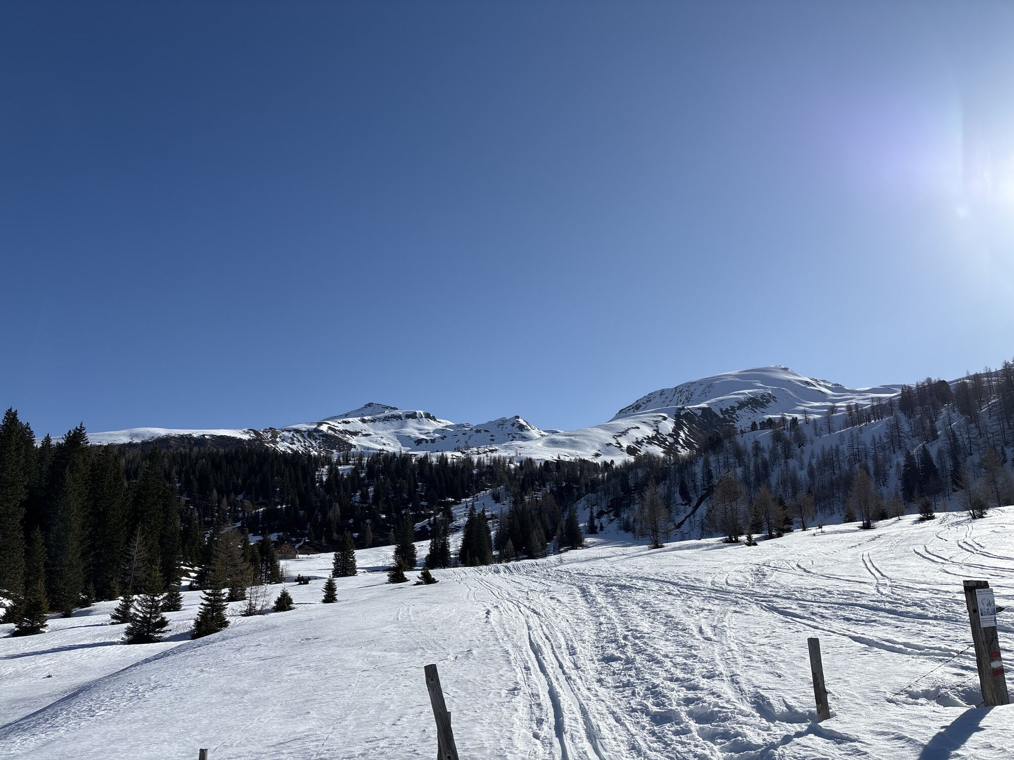
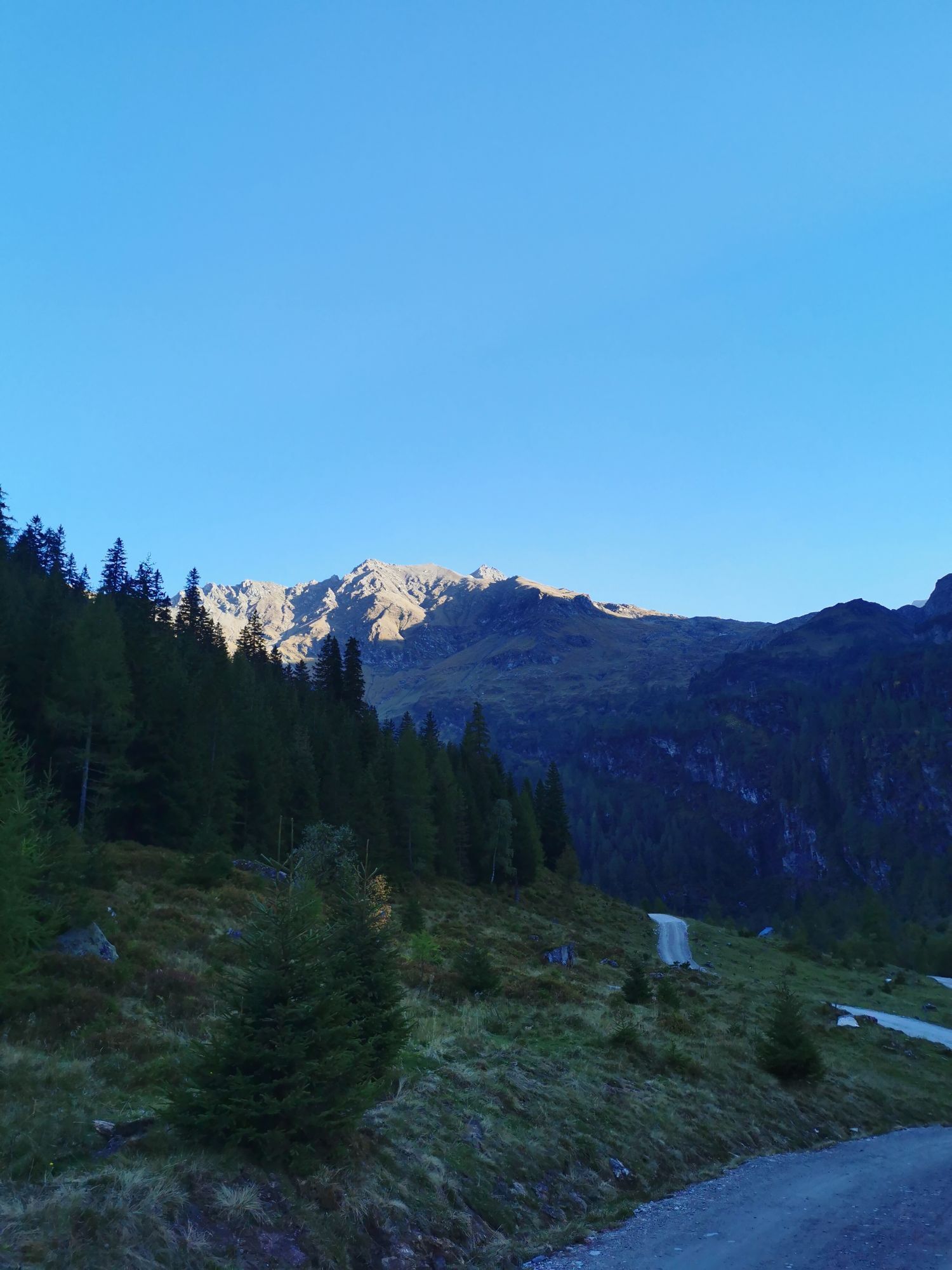
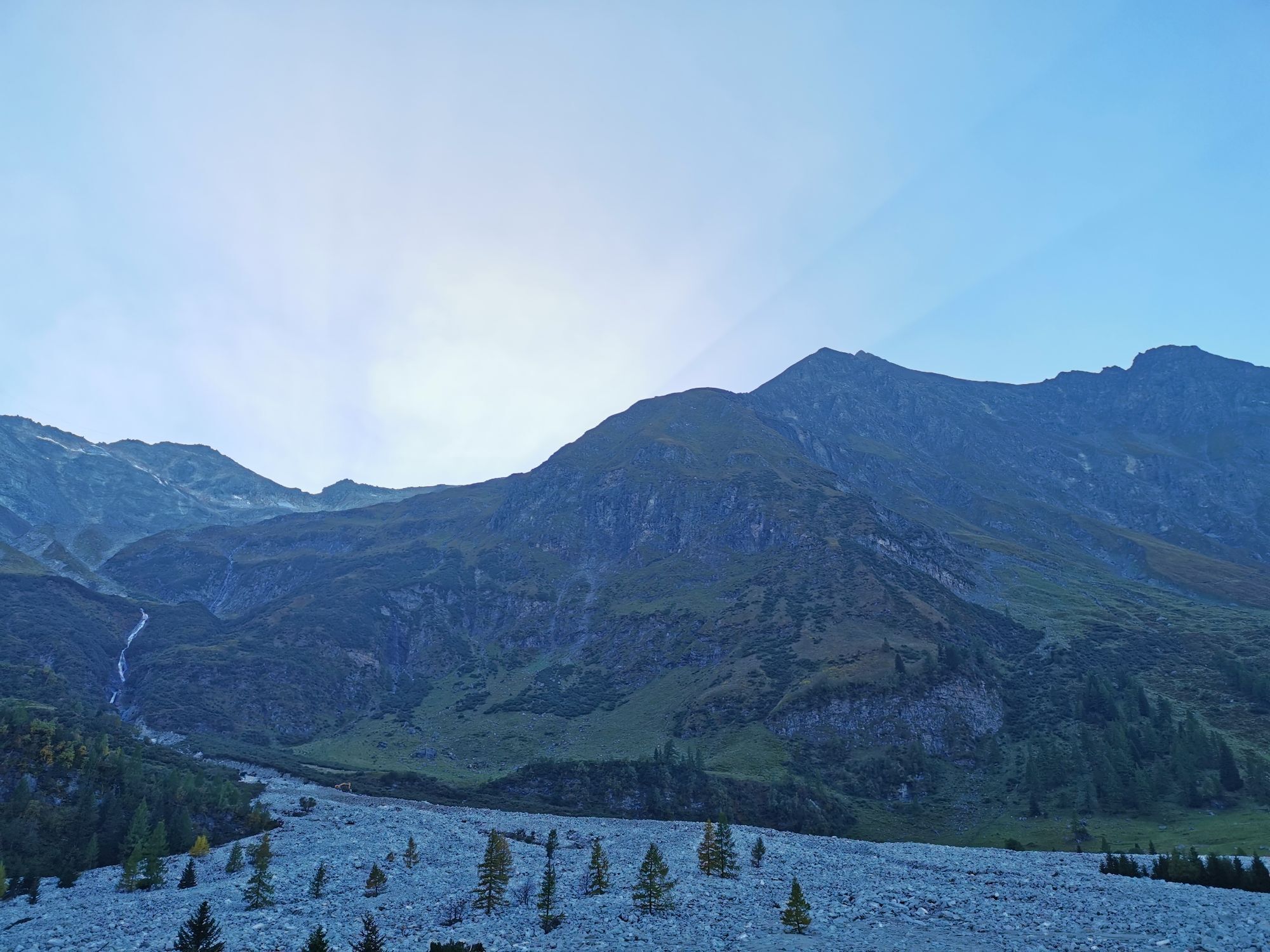
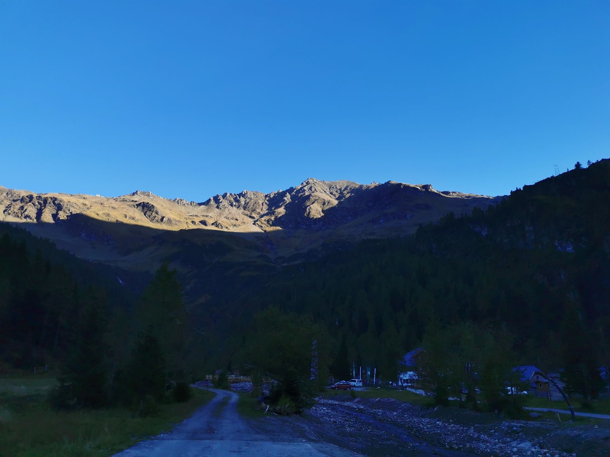
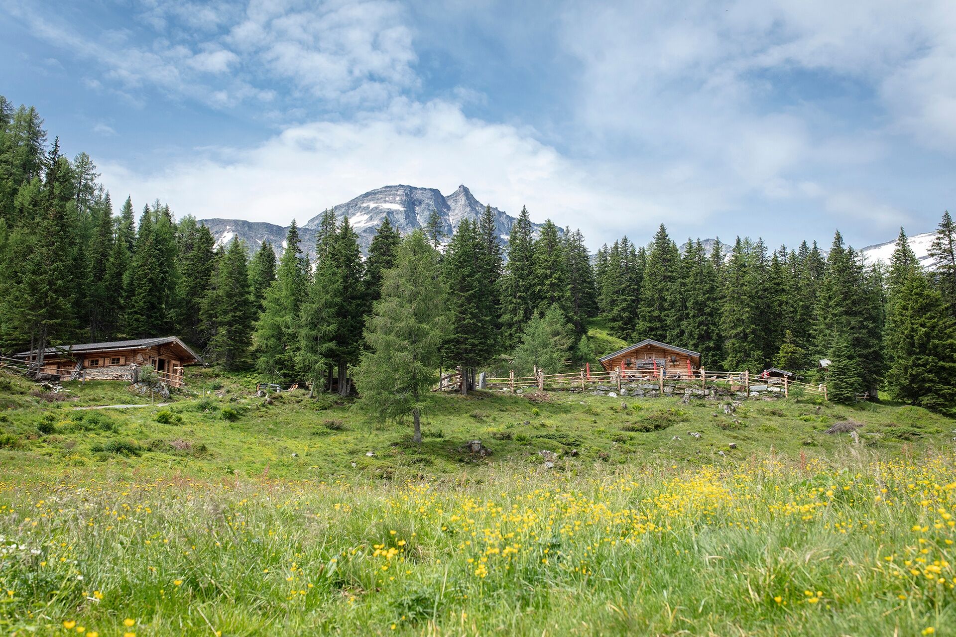
The hike passes alpine huts inviting you to stop and ends in Kolm Saigurn at the foot of the Goldberg group. Gold mining in Rauris reached its heyday in the 16th century. Not far from there, a short hike...
TIP: Enjoy an unforgettable hiking experience on the Hohe Tauern Panorama Trail! The official Hohe Tauern Panorama Trail info and booking center with the award-winning team of the Trail Angels is happy to support you. Experience a combination of personal freedom and the longing for something special, along with service, comfort, and safety. Top offer: The small getaway package: 2 overnight stays, 2 stages including luggage service, shuttle and return transfer, and much more from €218.


Starting at the tourist information in Rauris, walk down the traffic-calmed Marktstraße valleywards to the south and then, at the end, keep right over streets to the bypass road of Rauris. Follow this about 300 m to the left until the Wörther cycle path or hiking trail branches off to the right. Here, cross the Rauriser Ache and follow the cycle path on the other side of the valley to the left valleywards. After a while, do not miss the gravel path on the right (winter hiking trail), which you follow briefly along some trees before turning left over a wooden bridge onto a mule track (path no. 7). Go left down past houses and just before the federal road again right over a small asphalt road to Wörth. Then, walk along the main street through the village until shortly after a bridge opposite house Helene where a path (winter hiking trail no. 28) branches off to the right. Follow this small gravel road through a left bend and then for some time up and down gently valleywards.
Behind the first farm, turn left downhill into a small asphalt road (path no. 28a). Then through the valley floor to the federal road on the other side of the Rauris valley. Now 300 m valleywards to the bus stop "Bucheben-Maris" – this is where the hike begins if you have used the post bus to the bus stop "Bucheben-Maris".
From the bus stop "Bucheben-Maris", walk up the "Kirchbichlweg" (a small asphalt road) past the Kirchenwirt inn to directly in front of a church standing on a hill. Then turn left in and immediately right on the small road towards Stanzalm/Mitterrasten/Kolm Saigurn (path no. 115/24) until it ends at a farm. Through the farmyard and immediately right to the start of a meadow. Here, walk along a fence without any elevation change and follow the path through forest to another meadow. Slightly left and immediately right again begins another meadow path leading uphill to the unmanaged Frohnalm pasture.
At the fork, do not take the path towards Stanzalm (although this path also leads back to the main route), but take path no. 115 uphill across the meadow towards Stanzscharte. At the end of the fence, do not follow the obvious tire tracks to the right, but keep slightly left over the meadow to a gap near trees and reach a forest road. Follow this to the left, and at a small alpine hut immediately right again onto the hiking trail towards Stanzscharte. Now follow the hiking trail uphill over the meadow into a beautiful forest and further uphill towards the valley head. Along the way, cross a forest road twice and on the third time follow the forest road to the right. A left-right loop leads to another forest road, which you follow further valleywards towards Stanzscharte. Now you come to a fork where you no longer follow the sign to the left towards Stanzscharte, but go straight ahead gently descending on a forest road to the staffed Stanzalm. The largest part of the ascent is now done and you have time to admire the magnificent triad of the Rauris valley – the three-thousand-meter peaks Schareck, Hoher Sonnblick, and Hocharn.
At Stanzalm, keep towards Stanzscharte again (path no. 115), then walk uphill along the forest and meadow path until at the next fork you finally say goodbye to the signs "Stanzscharte" and walk downhill towards Mitterrasten/Kolm Saigurn (no. 24): briefly down through the forest to a cart path, which you follow slightly descending valleywards to a gravel road. Follow this downhill and straighten out at the next right bend onto an alpine road, which leads at consistent height to the very nicely situated and staffed Mitterrastenalm. Now you deserve a rest!
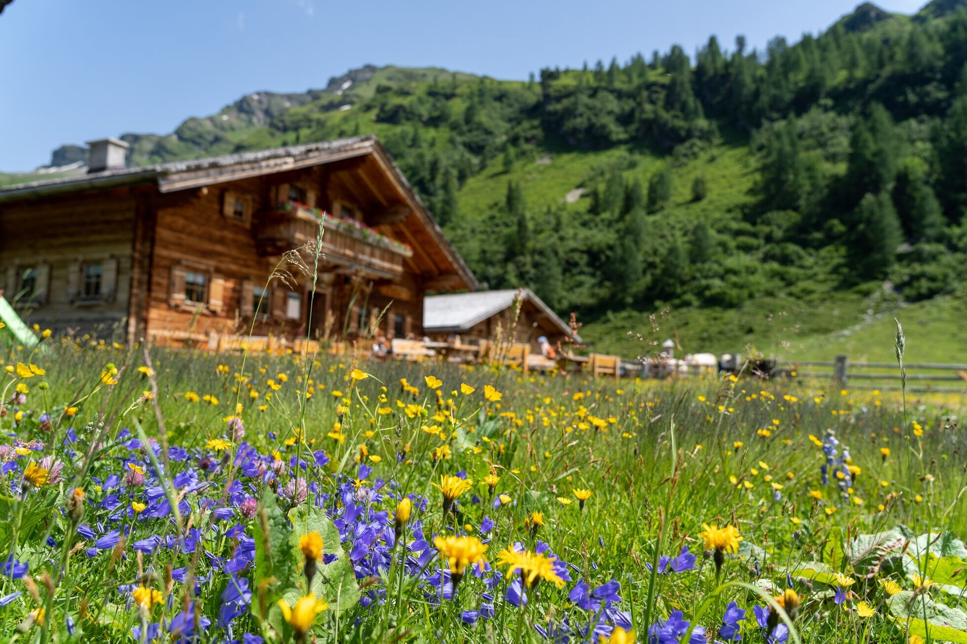
After the rest, take the alpine road just above the hut, which continues valleywards at the same height. The alpine road intermittently becomes a trail and reaches its highest point below the Seealm. From here, follow the forest road gently downhill towards Filzenalm – here you must not miss the path that soon branches off diagonally left horizontally. This path leads gently downhill to the very idyllic and staffed Filzenalm.
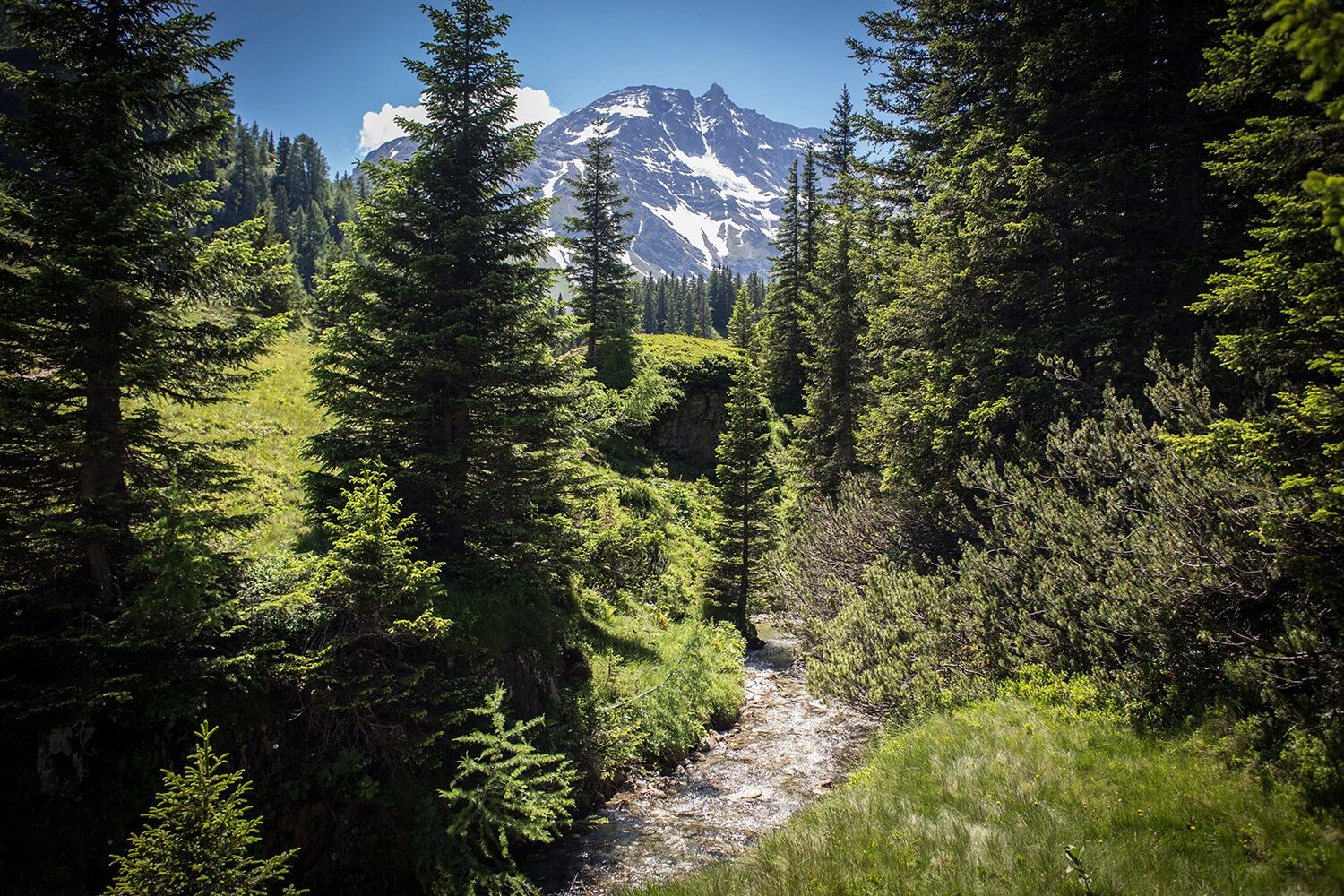
From Filzenalm, walk down to the right along the alpine road in the valley floor past the staffed Durchgangalm. Essentially, the alpine road continues downhill to Kolm Saigurn – but here you should definitely turn right opposite the next staffed Gainschnigg Alm into the "Rauriser Urwald" nature trail and take it along the way. The nature trail requires a few minutes extra time and later merges back into the alpine road – but it is beautifully laid out through a remarkable jewel of nature.
After the nature trail, continue downhill along the alpine road, keep right at a fork, and you will stand in front of the Ammererhof in Kolm Saigurn, one of the two accommodations at the stage end. Opposite you will see the second accommodation, the Naturfreundehaus, a 10-minute walk away, which you reach via a small driving road.
Da
Alpine hiking equipment is required for the Hohe Tauern Panorama Trail:
Day hiking backpack (approx. 20 liters) with rain cover Sturdy and comfortable footwear Weather-appropriate and durable clothing in a layering system. The Hohe Tauern Panorama Trail is mostly between 1,300 m and 2,450 m above sea level – this must be considered especially when selecting your clothing. Trekking poles are recommended due to often long descents Sun and rain protection Ensure enough provisions and sufficiently large water bottles, as not all stages have dining options and fountains (e.g., stages 5 and 7) First aid kit Pocket knife Mobile phone Route description or hiking map
Depending on the location of your accommodation, we recommend taking the post bus line 640 from Rauris to the Bucheben-Maris stop. The walking time of 6 hours applies if you use the post bus to Bucheben-Maris; otherwise, it takes about 2.5 hours longer.
Tauern motorway southbound to Bischofshofen, then turn towards St. Johann im Pongau - Taxenbach - turnoff Rauris.
Arrival from the west (e.g., Innsbruck): Inntal motorway direction - Mittersill - Zell am See - Taxenbach - turnoff Rauris.
From Schwarzach or Zell am See, take the REX3 train to Taxenbach – Rauris station. Change to regional bus 640 (Kolm-Saigurn Gh Ammererhof via Rauris) to the Rauris Ortsmitte stop, the starting point of the stage at the tourist information Rauris (Sportstraße 2, 5661 Rauris).
Current timetables at https://fahrplan.salzburg-verkehr.at/
The parking option directly in town is the public car park above Spar.
The parking option in Kolm Saigurn is the Lenzanger car park.
T1
Hohe Tauern National Park holiday region
Gerlosstraße 18 5730 Mittersill, Austria
Tel. +43 6562 40939 E-mail: hohetauerntrail@nationalpark.at
Booking center & Info hotline Trail Angels GmbH
9821 Obervellach 15, Austria
Tel. +43 4782 93093 E-mail: info@bookyourtrail.com
The entire stage from Rauris to Kolm Saigurn is very long, taking 8,5 hours of walking time. We therefore recommend covering the section from Rauris to Bucheben-Maris by post bus line 640. This saves about 2,5 hours of walking time and allows you to thoroughly enjoy the rest of the stage. Download timetables at www.salzburg-verkehr.at.
Spletne kamere s turneje
Rauriser Hochalm
Bad Hofgastein - Schloßalm
Sportgastein
Rauris - Hotel Alpina
Sonnblick
Schlossalm - Weitmoser
Kleinfleißkees
Schareck / Mölltaler Gletscher
Rauris Tal
Waldalmbahn
Waldalmbahn
Waldalmbahn
Waldalmbahn
Waldalmbahn
Waldalmbahn
Goldbergkees
Goldbergkees2
Gamskopf/Rauris
Schlossalm Funslope
Gletscher - Eissee
Gletscher - Panorama
Bergstation Altecklift
Pension Theresa Rauris
Bodenhaus / Rauris
Rauris
Bodenhaus / Rauris
Bodenhaus / Rauris
Bodenhaus / Rauris
Bodenhaus / Rauris
Bodenhaus / Rauris
Bodenhaus / Rauris
Pridobite vpogled Vedno v živo na mestu z več kot 9.500 spletnimi kamerami. bergfex Kot uporabnik Pro si lahko zdaj ogledate ustrezne spletne kamere za številne izlete v aplikaciji izleti iz. Tako si lahko neposredno ogledate trenutne razmere. Priljubljeni izleti v okolici
- 4,9
Höhenweg vom Grünen Baum bis Bad Hofgastein
svetlobaPohodništvo 7,92 km - 4,7
Geotrail Tauernfenster
svetlobaPohodništvo 5,90 km - 4,5
Mountain route from the Kötschachtal to the natural jewel Reedsee
srednjaPohodništvo 12,5 km - 4,8
Hüttenkogel - Graukogel von der Bergstation
srednjaGorski pohodništvo 4,68 km - 4,7
Hohe Sonnblick Up
težkoPohodništvo 9,14 km - 4,6
Bahnhof Bad Hofgastein nach Bahnhof Bad Gastein
srednjaPohodništvo 13,0 km - 5,0
Silberpfennig, Salzburger Land/Österreich
srednjaPohodništvo 13,8 km - 4,5
Niedersachsenhaus
srednjaPohodništvo 4,84 km - 4,5
Wasserfall Bad Hofgastein
svetlobaPohodništvo 3,89 km - 4,7
Bad Hofgastein Bergbahn Parkplatz - Rastötzenalm Bad Hofgastein
srednjaMountainbike 16,9 km
Pohodništvo in sledenje


Ne zamudite ponudb in navdiha za naslednje počitnice
Vaš e-poštni naslov je bil dodan na poštni seznam.





