


HOHE TAUERN PANORAMA TRAIL | ET11: Thumersbacher Höhenpromenade | Zell am See–Bruck a. d. Großglocknerstraße
Fotografije naših uporabnikov
 © Hubert SellnarUstvarjeno na 01.12.2022
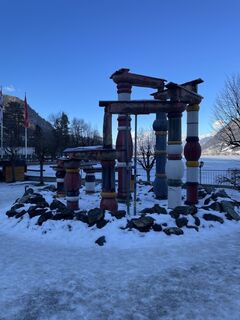
 © Franz hoferUstvarjeno na 08.02.2026
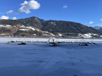 © Franz hoferUstvarjeno na 08.02.2026
 © Franz hoferUstvarjeno na 08.02.2026
 © Greta vandenholtUstvarjeno na 03.11.2025
 © SarahUstvarjeno na 07.09.2025
 © SarahUstvarjeno na 07.09.2025
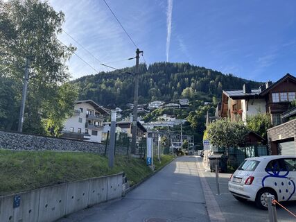 © SarahUstvarjeno na 07.09.2025
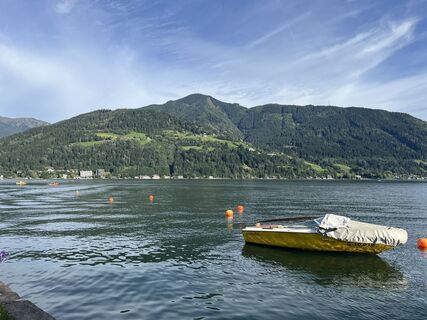 © SarahUstvarjeno na 07.09.2025
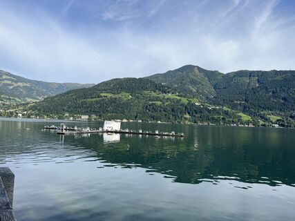 © SarahUstvarjeno na 07.09.2025
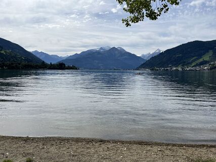 © SarahUstvarjeno na 07.09.2025
 © SarahUstvarjeno na 07.09.2025
 © Rob RommelseUstvarjeno na 08.08.2025
 © Rob RommelseUstvarjeno na 08.08.2025
 © Rob RommelseUstvarjeno na 08.08.2025
 © Jürgen SpitzkopfUstvarjeno na 15.04.2025
 © Jürgen SpitzkopfUstvarjeno na 15.04.2025
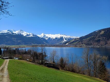
 © CatZUstvarjeno na 04.04.2025
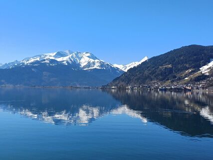 © CatZUstvarjeno na 04.04.2025
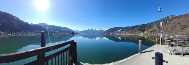 © CatZUstvarjeno na 04.04.2025
 © CatZUstvarjeno na 04.04.2025
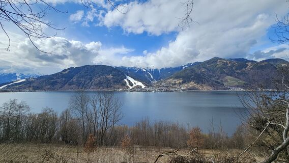
 © Gundega MucenieceUstvarjeno na 13.03.2025
 © József Bence GálUstvarjeno na 13.01.2025
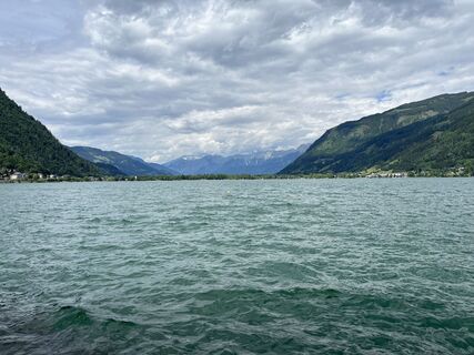
 © Susanne Johansson PantzareUstvarjeno na 17.06.2024
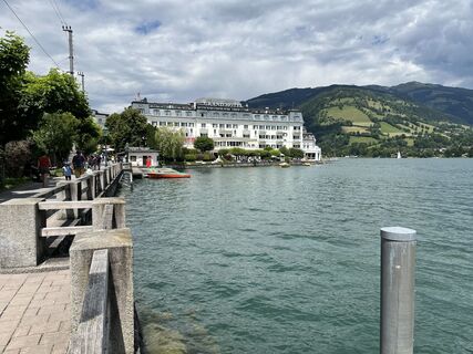 © Susanne Johansson PantzareUstvarjeno na 17.06.2024
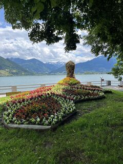 © Susanne Johansson PantzareUstvarjeno na 17.06.2024
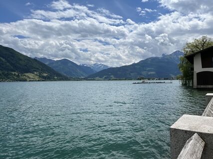 © Susanne Johansson PantzareUstvarjeno na 17.06.2024
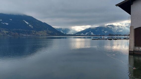 © Hubert SellnarUstvarjeno na 01.12.2022
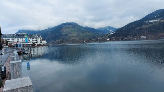 © Hubert SellnarUstvarjeno na 01.12.2022
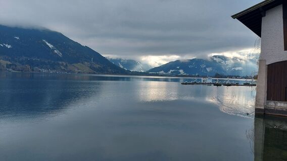 © Hubert SellnarUstvarjeno na 01.12.2022
 © Roswitha ZeillerUstvarjeno na 18.08.2025
 © Christian LeidenfrostUstvarjeno na 24.06.2025
 © Christian LeidenfrostUstvarjeno na 24.06.2025
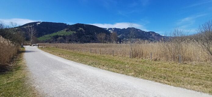
 © martl122Ustvarjeno na 12.04.2025
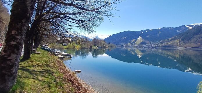 © martl122Ustvarjeno na 12.04.2025


Day eleven on the “Hohe Tauern Panorama Trail” is all about relaxation and recharging energy for the next part of the journey. The stage from Zell am See to Bruck is less than twelve kilometers long: it...
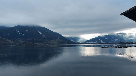
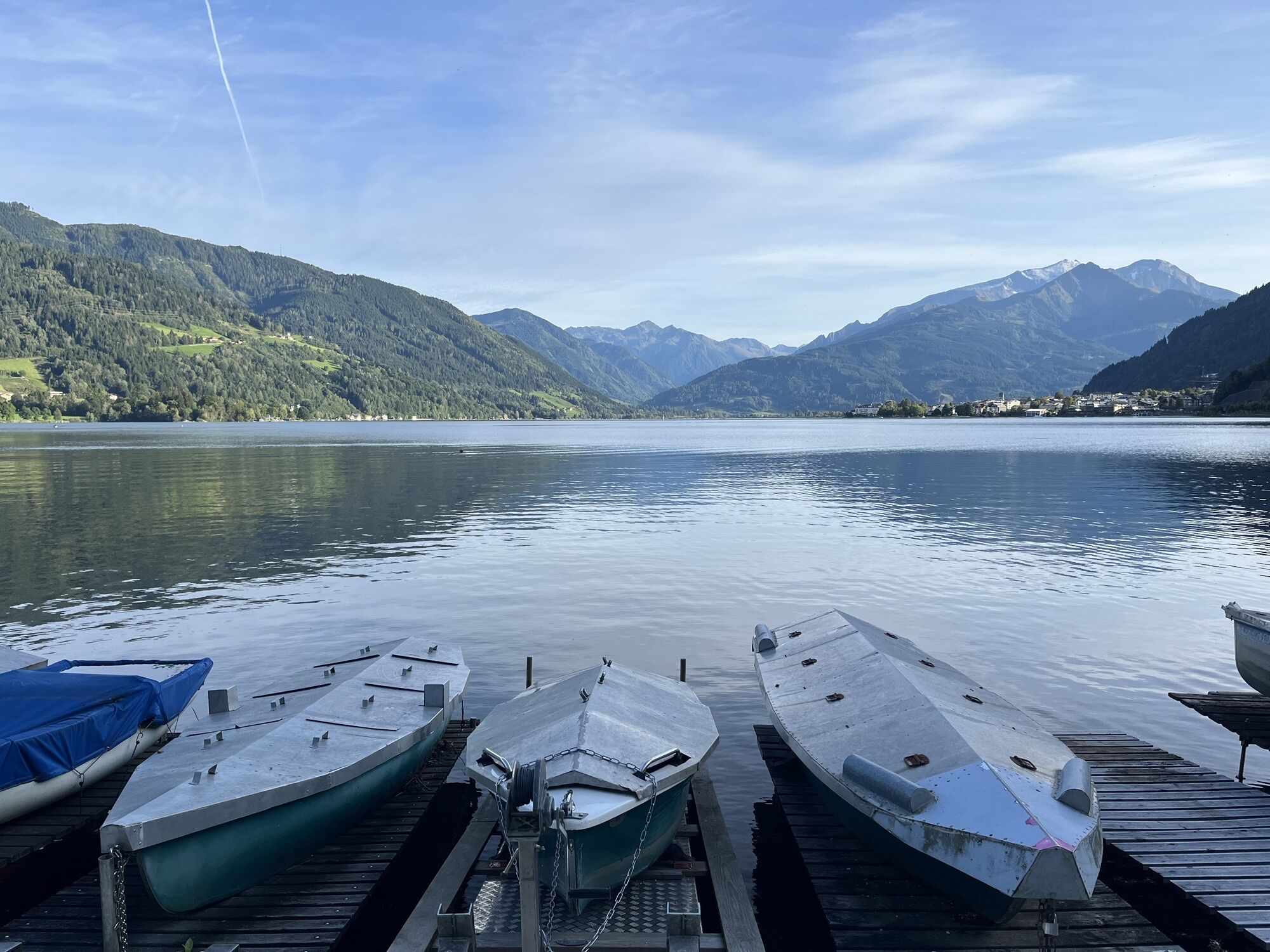
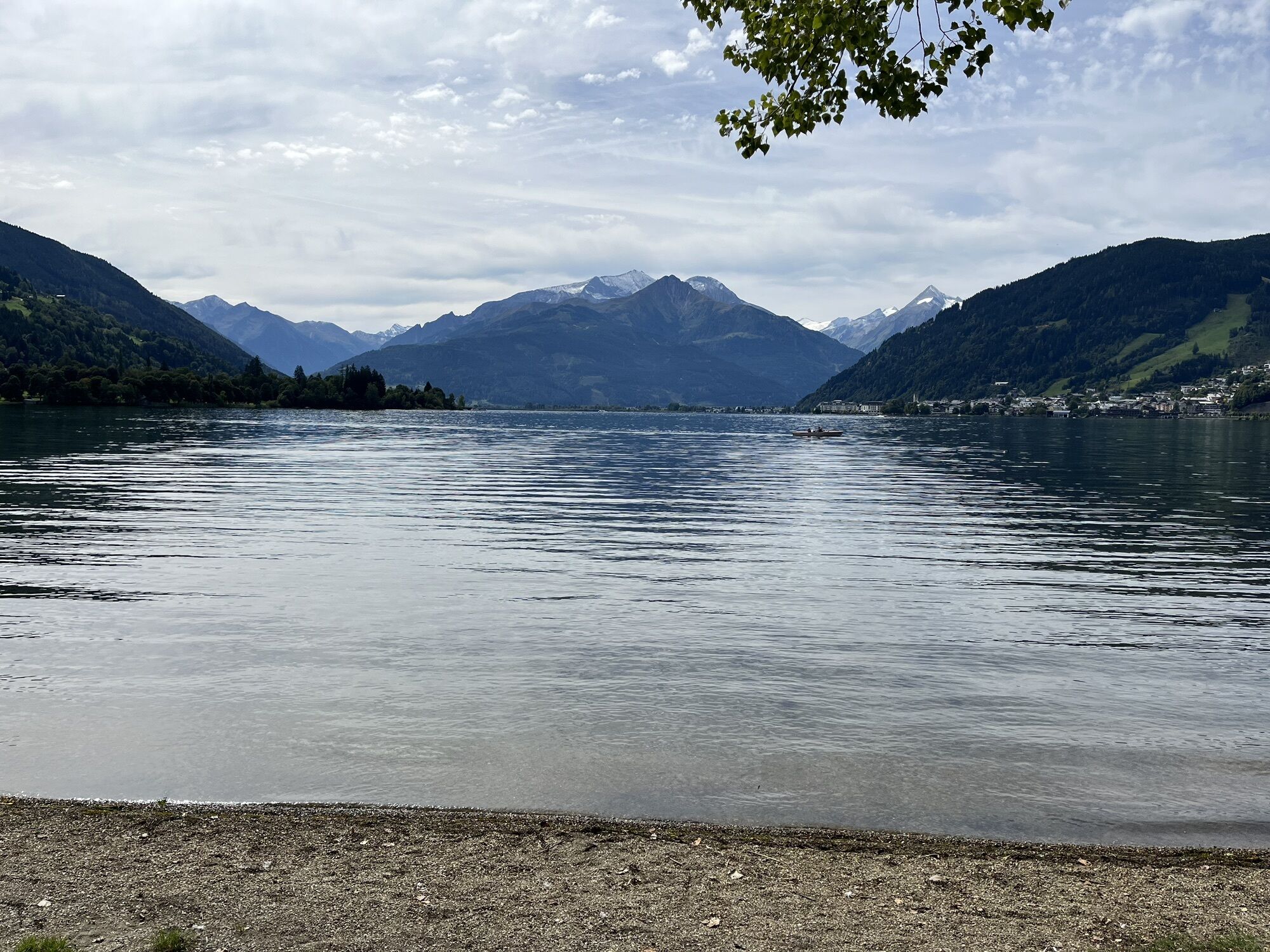
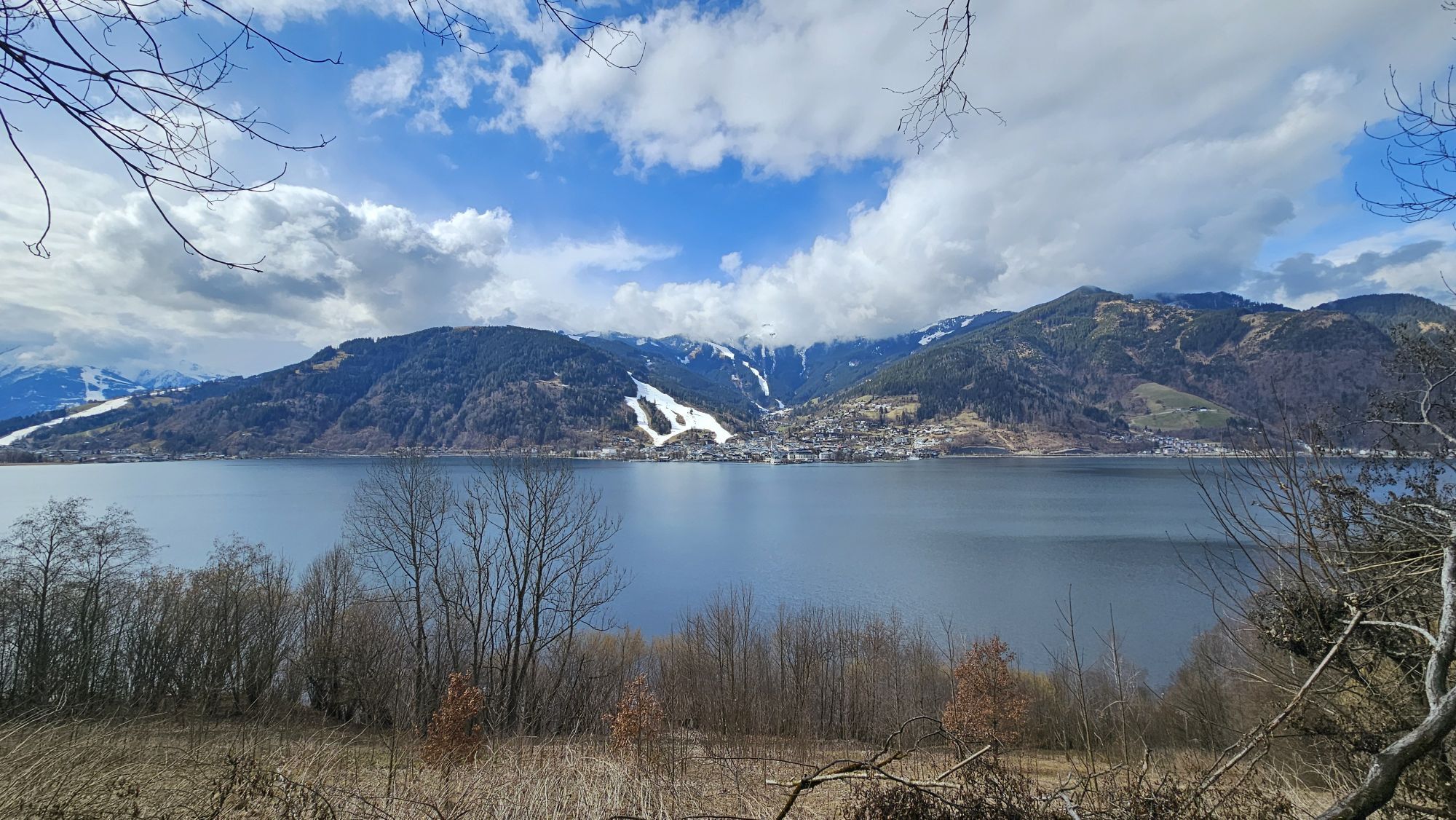
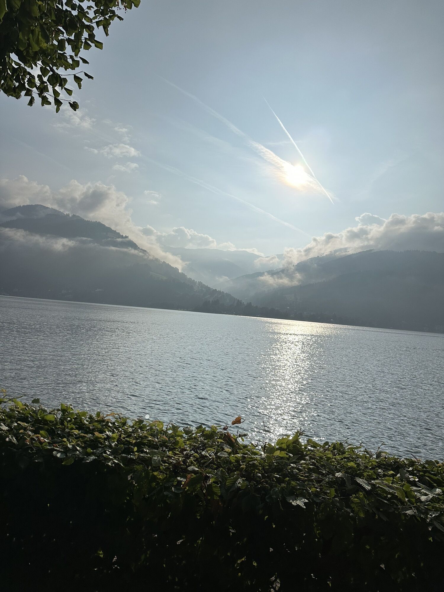
Day eleven on the “Hohe Tauern Panorama Trail” is all about relaxation and recharging energy for the next part of the journey. The stage from Zell am See to Bruck is less than twelve kilometers long: it mostly follows the shore of Lake Zell and the “Thumersbacher Höhenpromenade” with its entertaining “guestbook” theme trail. The stage is ideal for sleeping in, resting, spending half a day by the lake or in Bruck an der Großglocknerstraße.

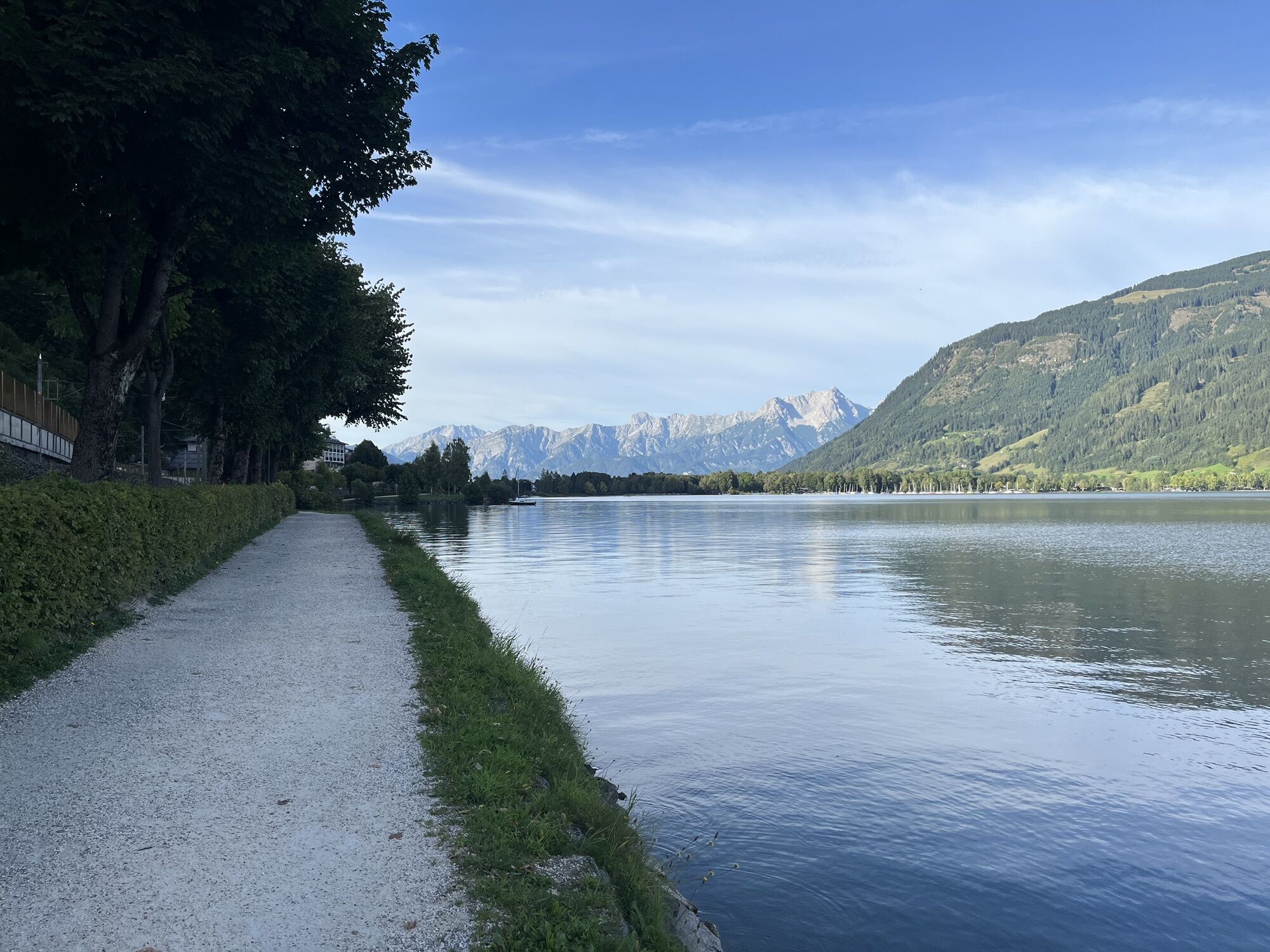
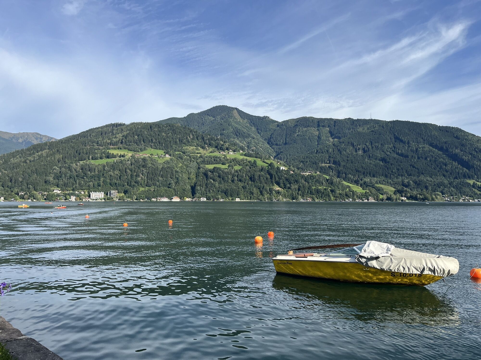
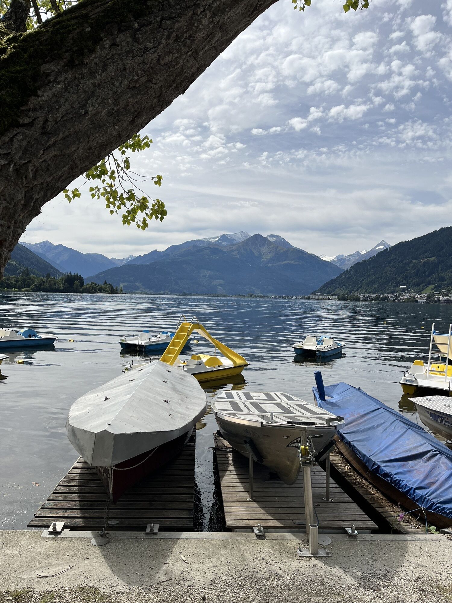
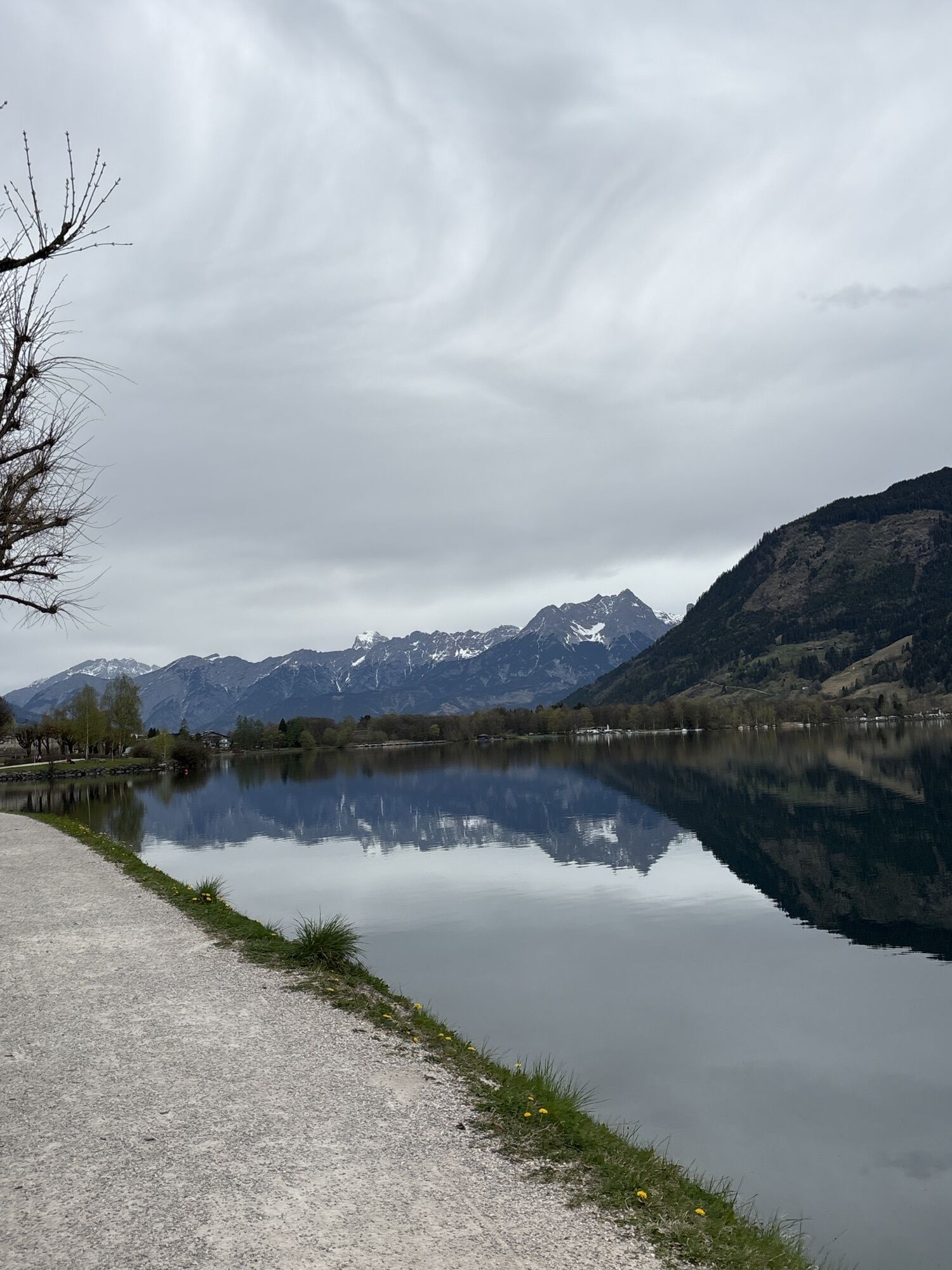
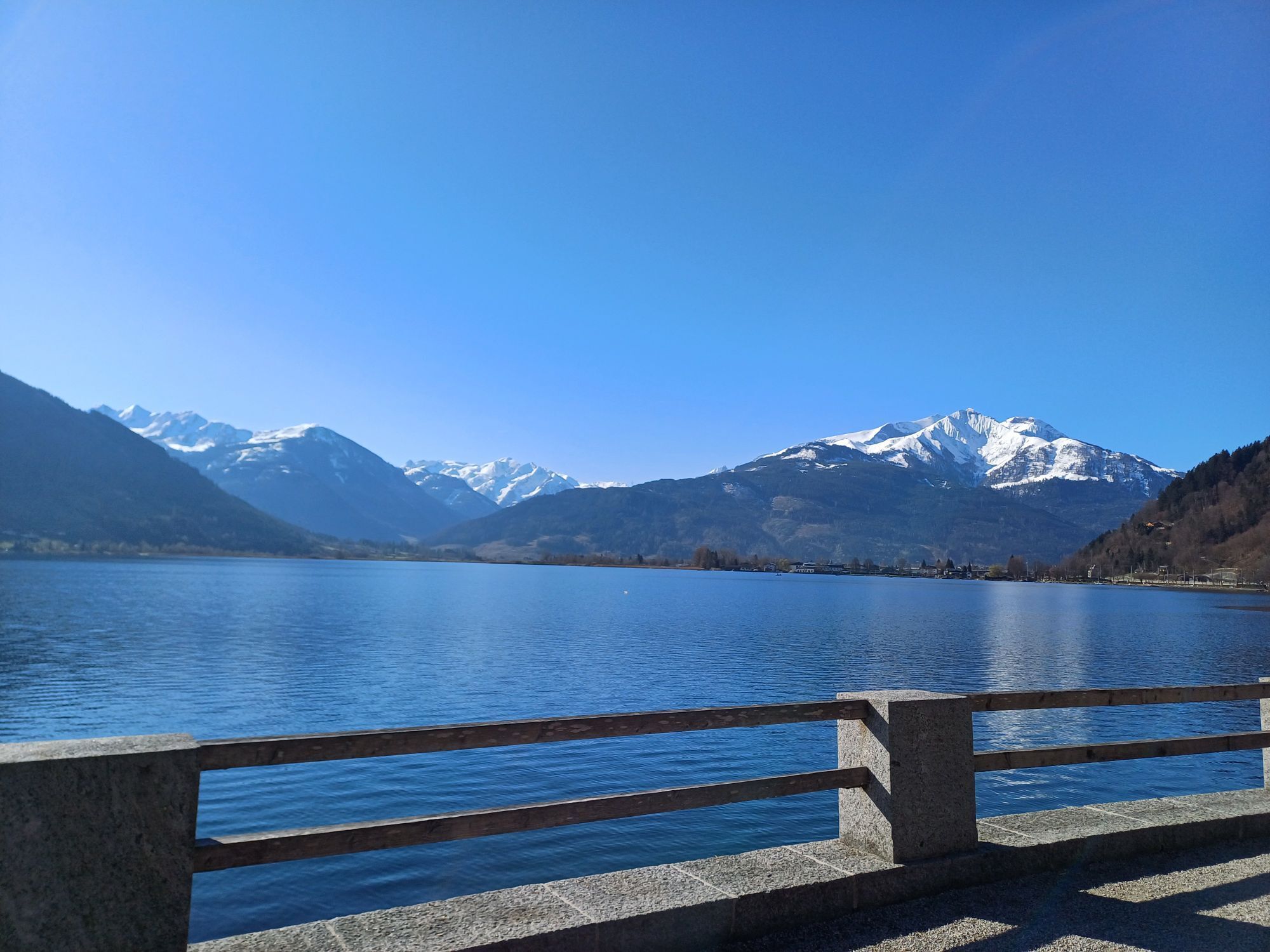
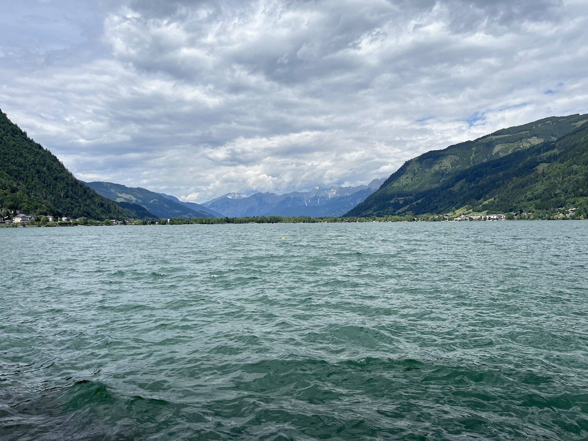
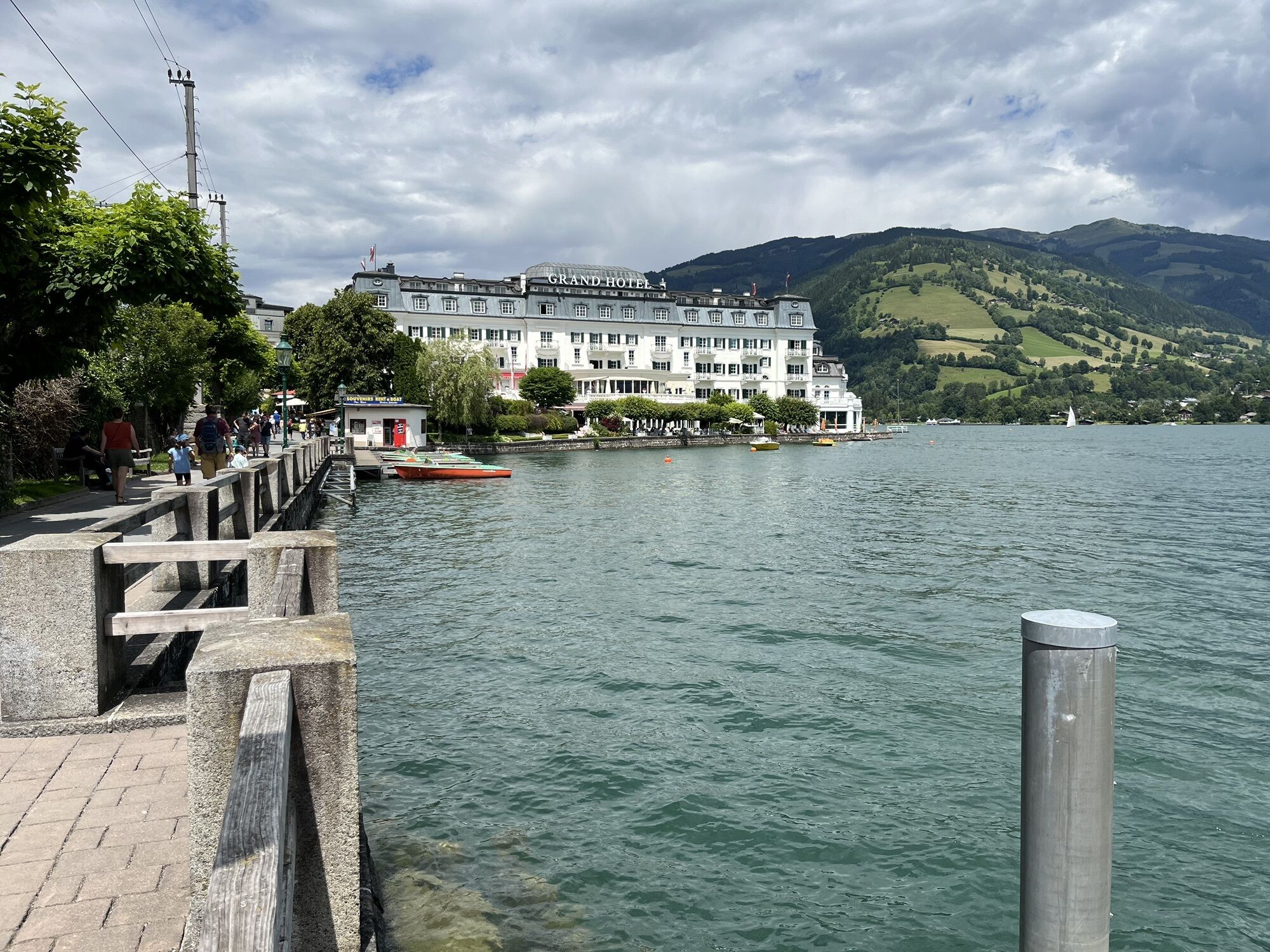
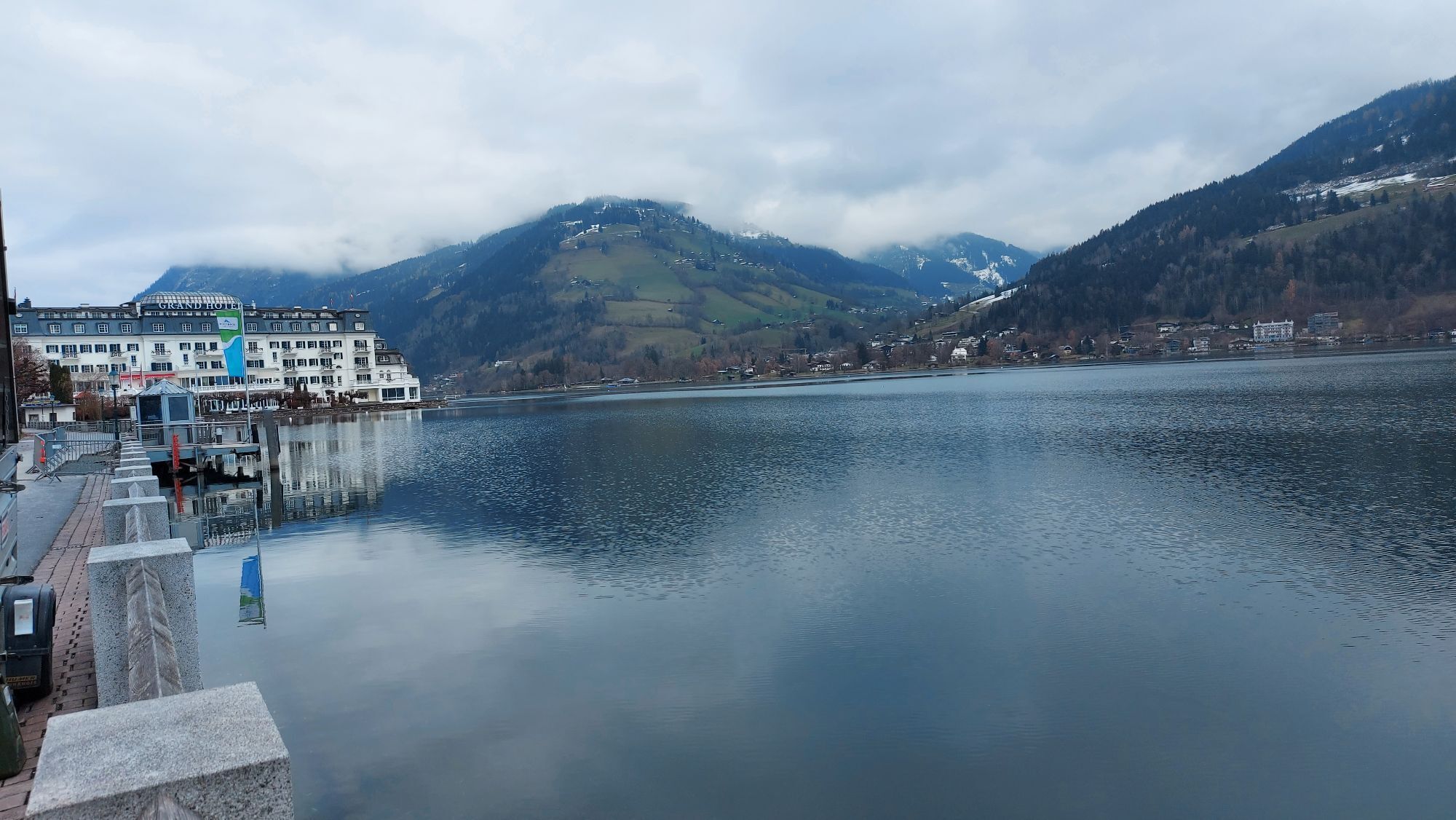
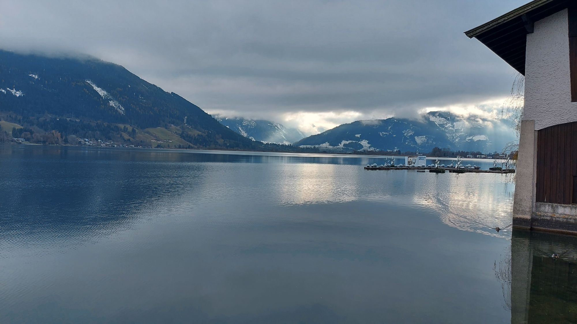
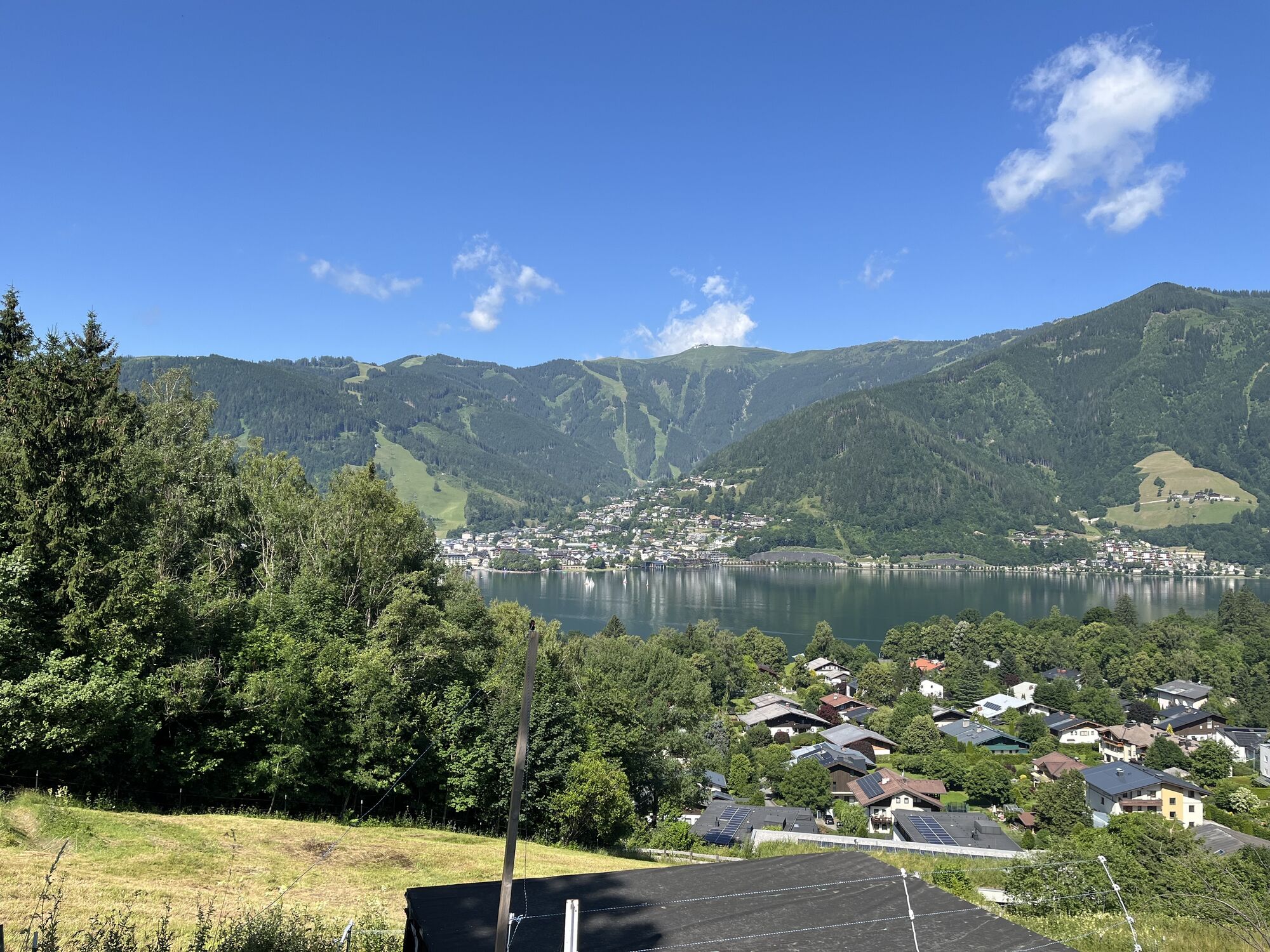
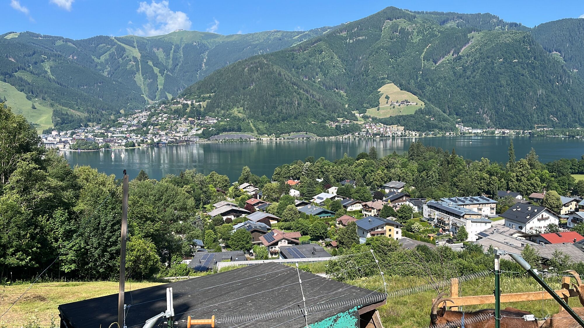
The starting point for the stage is the start/finish sign of the Hohe Tauern Panorama Trail in Zell am See – more precisely in Elisabethpark right opposite the train station. First, you hike the same route as the previous day along the shore of Lake Zell to the north through Elisabethpark to the famous Grand Hotel with its Hundertwasser fountain. Past the hotel, you continue walking along small asphalt roads along the shore to the north, until near the See-Villa Freiberg the road turns into a very beautiful gravel walking path. You follow this directly along the shore until it ends at the northern shore of Lake Zell (near the hospital) and you are led left onto an asphalt road. Then you continue in the same walking direction (to the right) to Thumersbach, located directly opposite Zell am See. In Thumersbach, you should take a short detour down to the shore, since from here onwards you walk above the lake and no longer directly on the shore, and final refreshment options await.
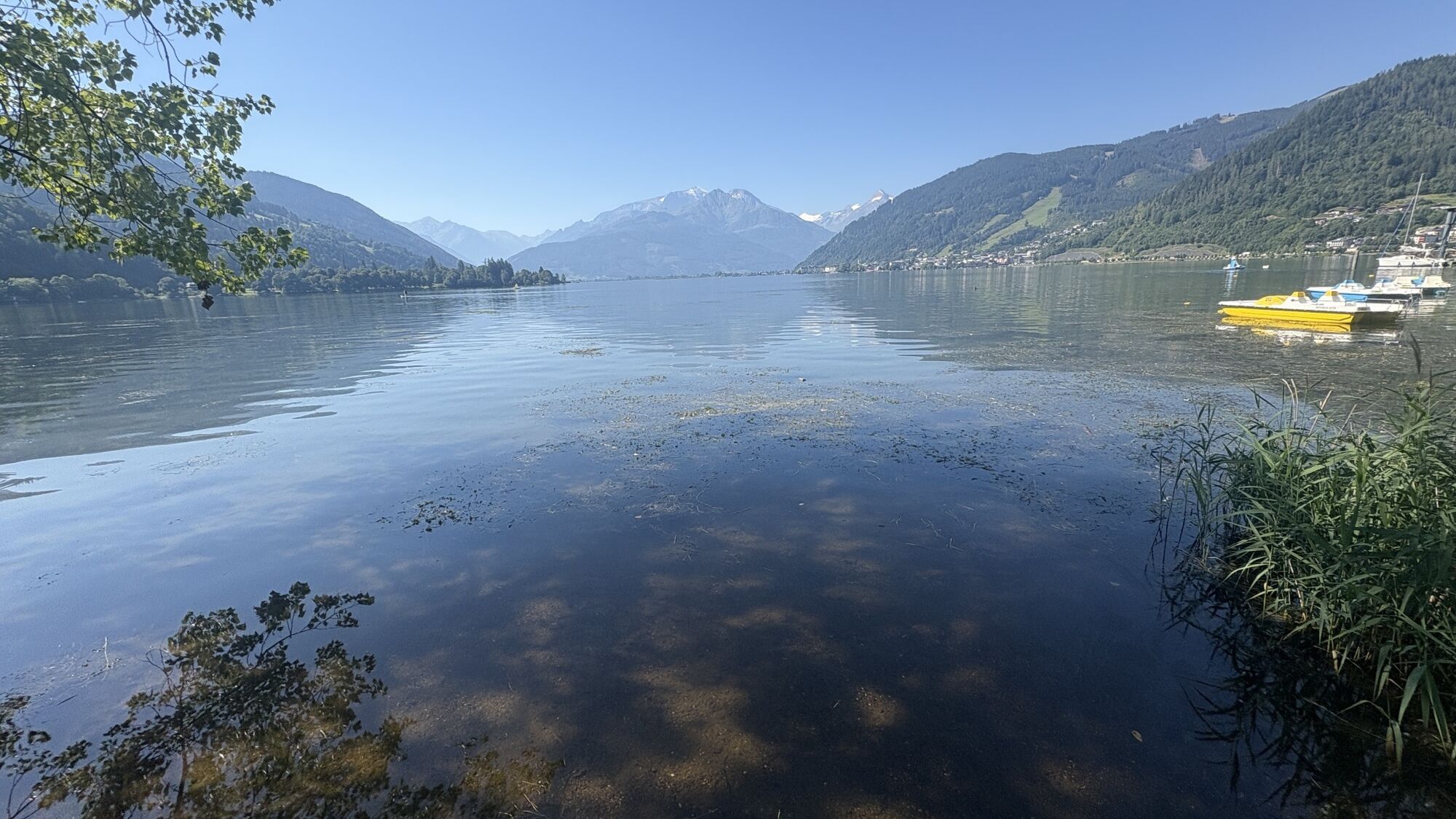
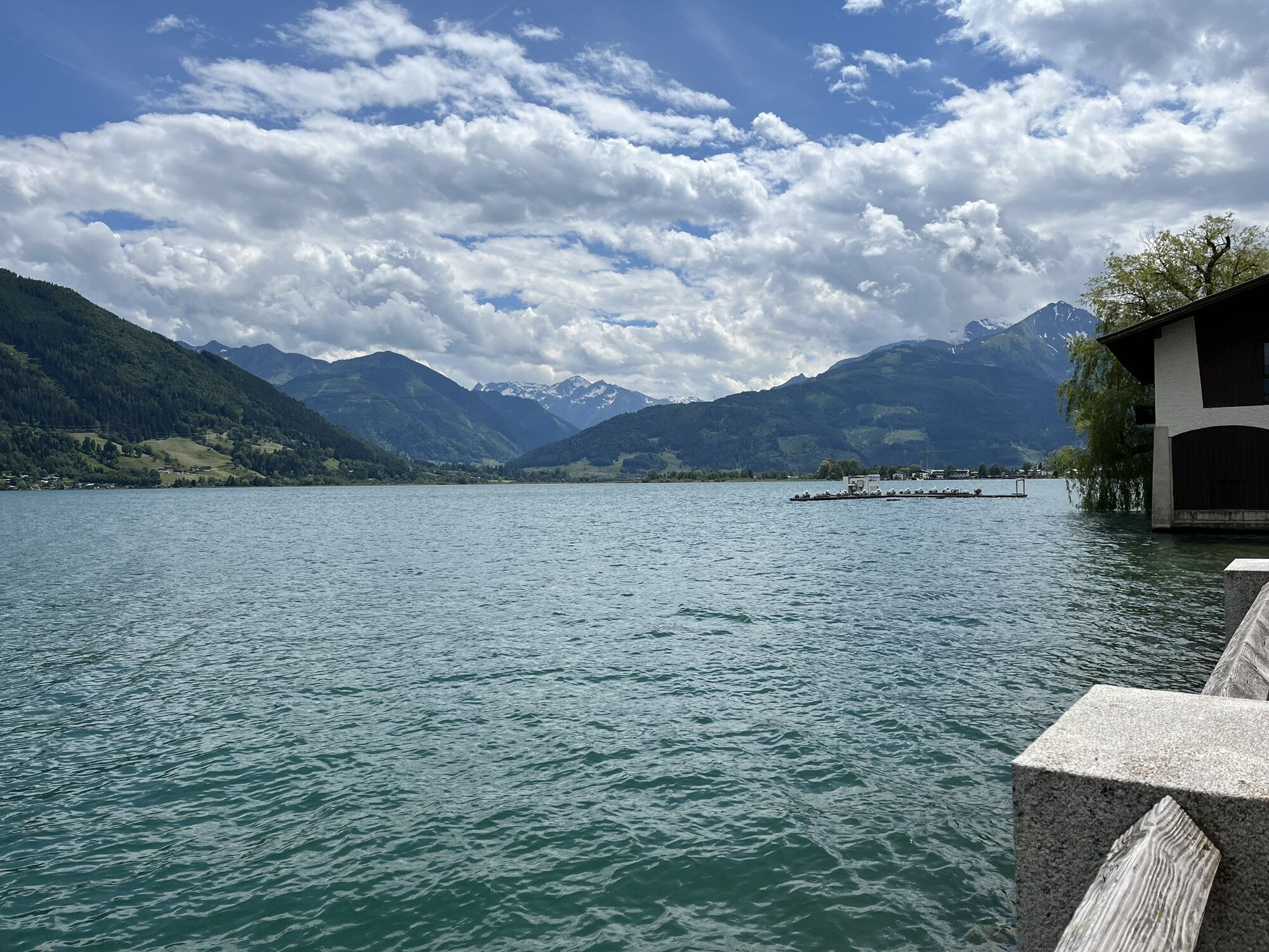
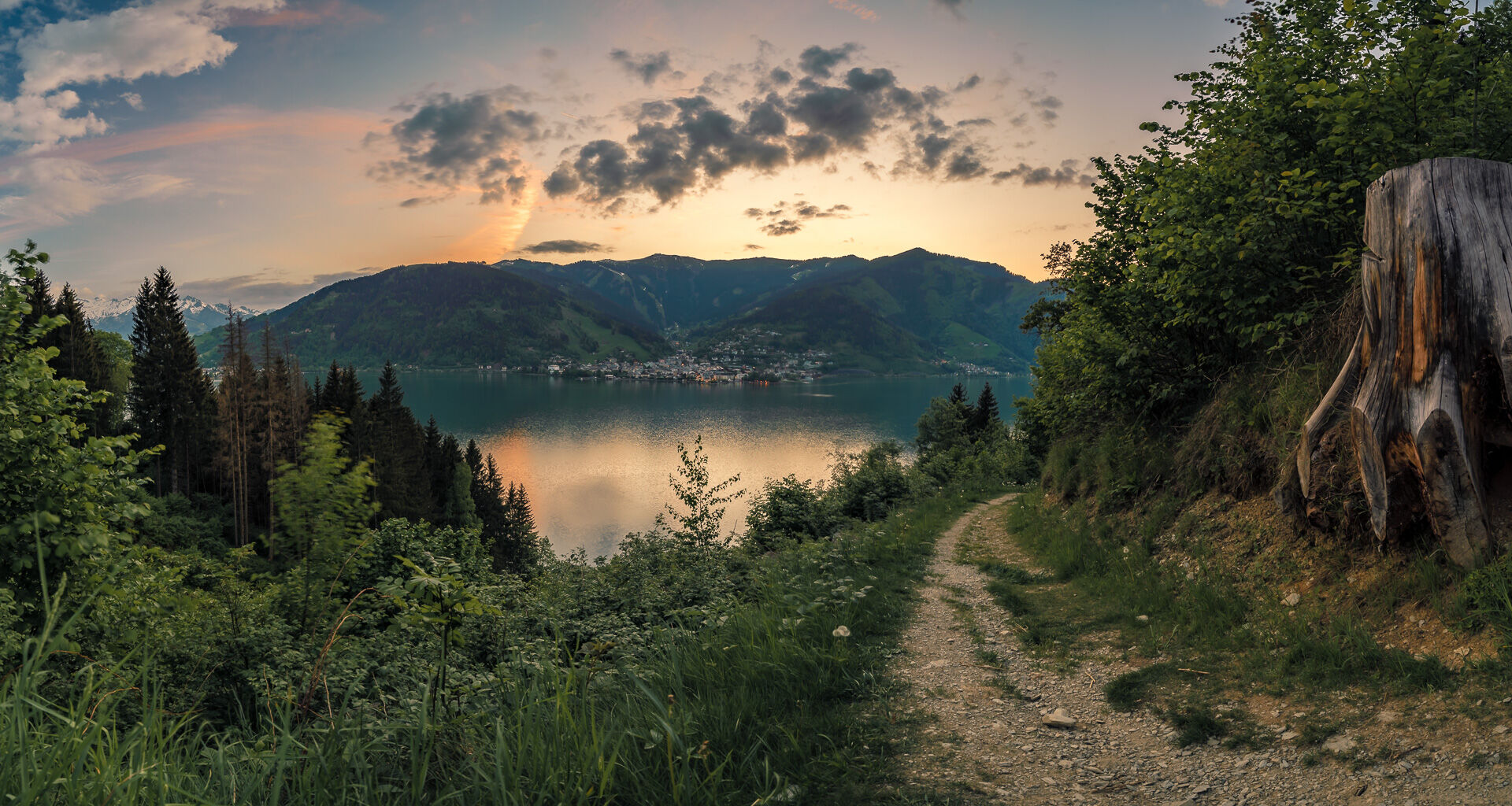
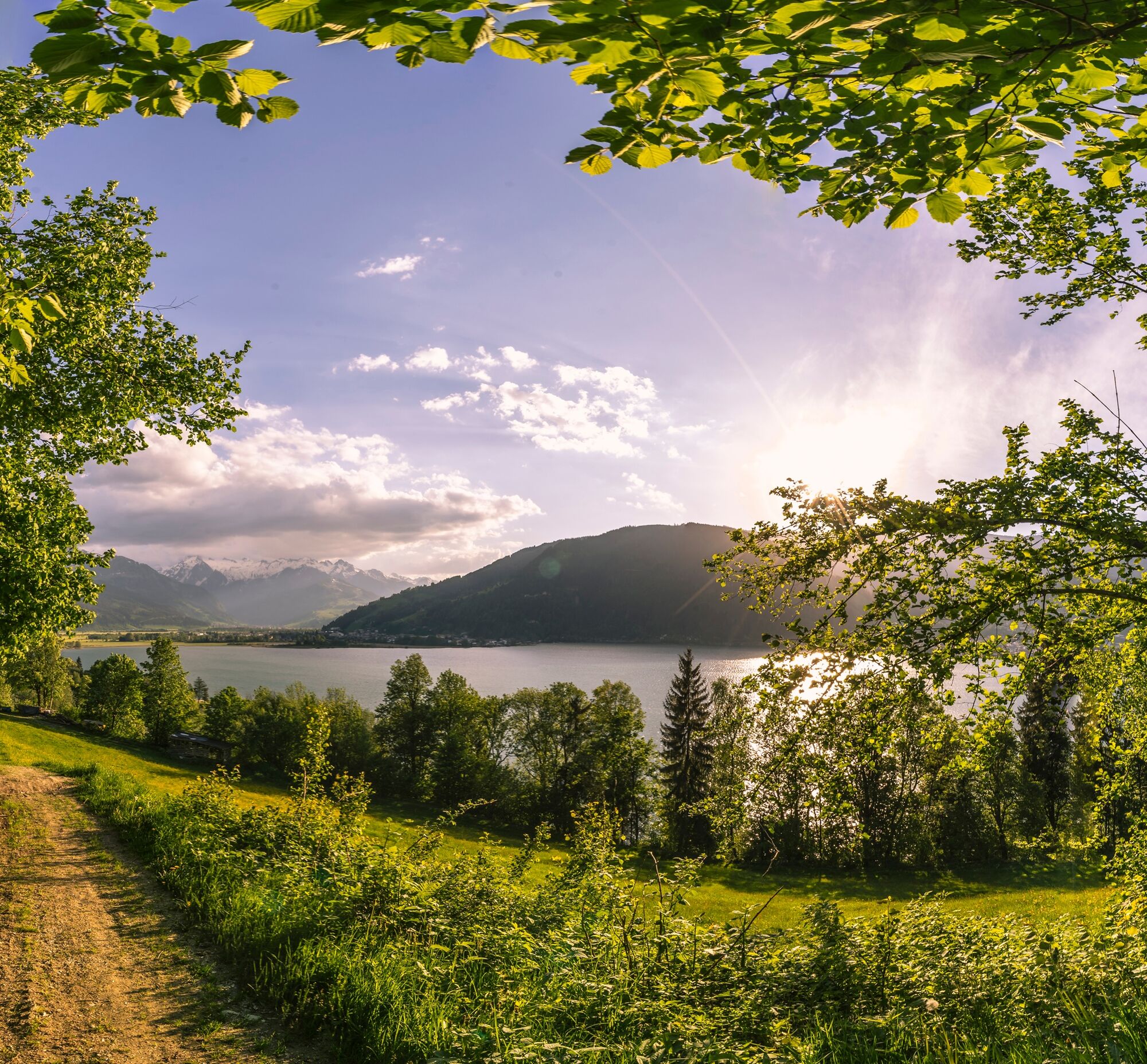
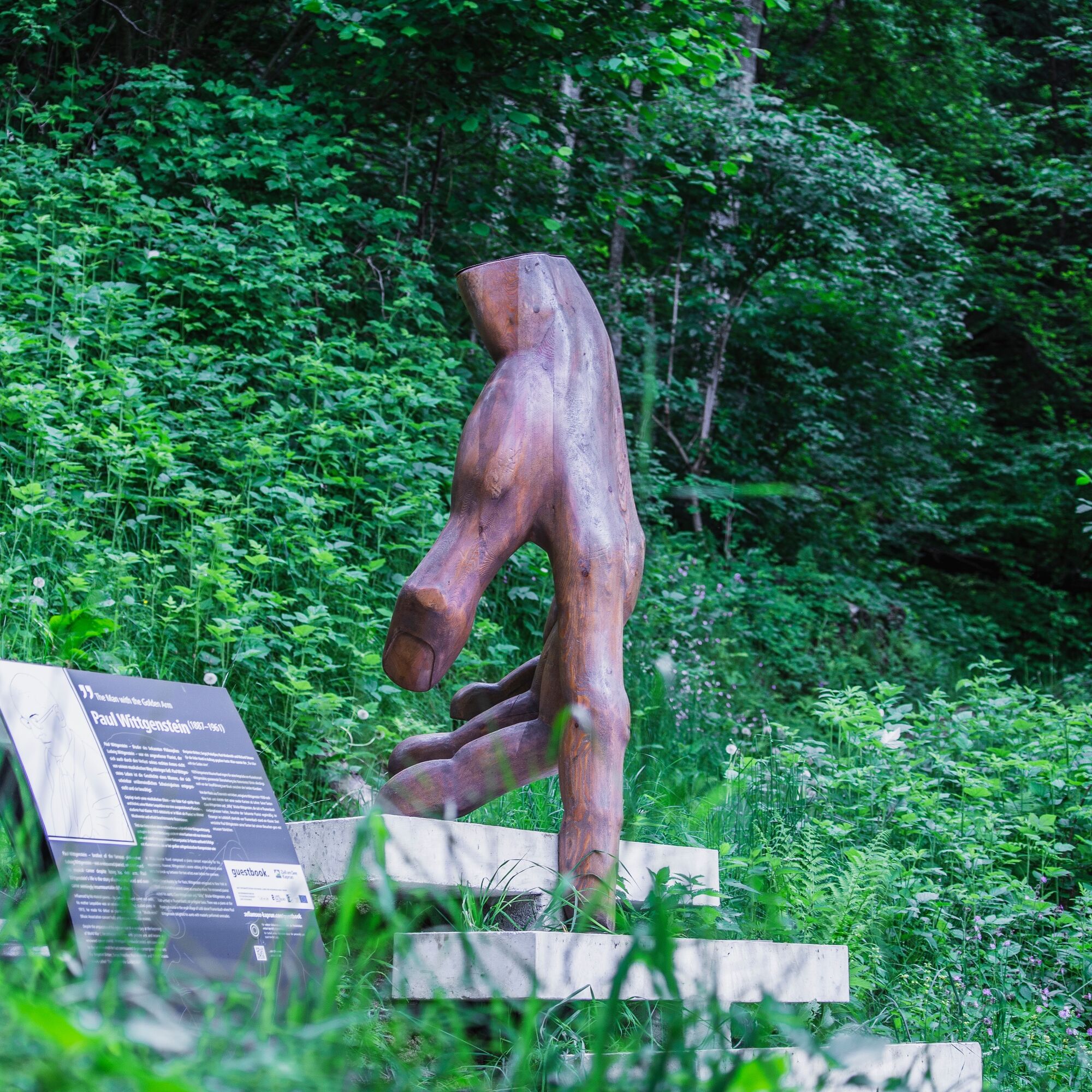
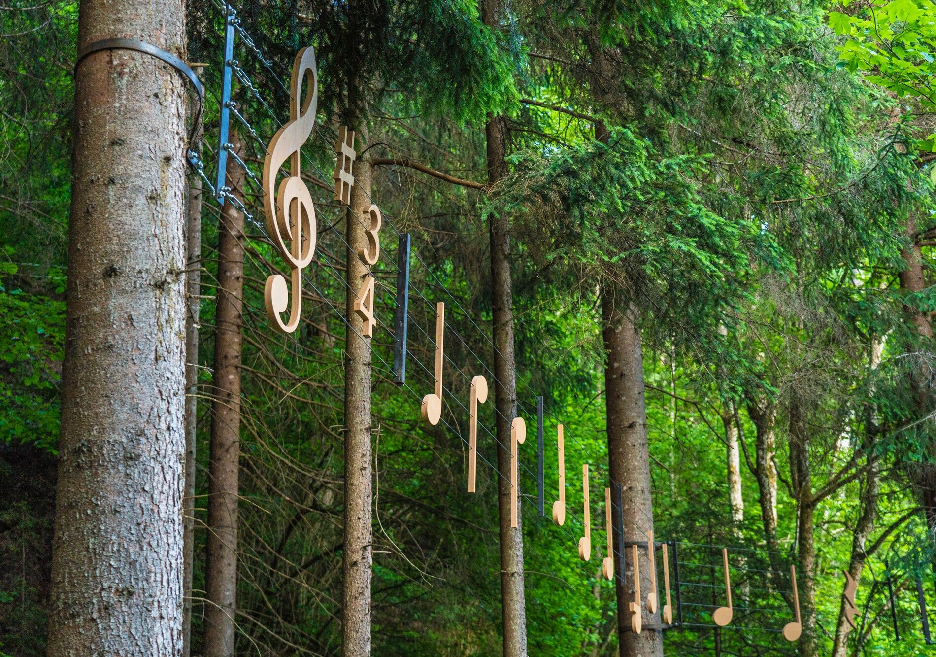
If you do not hike down to the lake, however, in Thumersbach you turn left onto Talstraße and follow it until shortly before the fire station, where you turn right towards “Enzianhütte/Höhenpromenade”. Behind a left bend, a footpath branches off to the right towards “Erlhof”. Here you are now at the beginning of the theme trail “Thumersbacher Höhenpromenade”. This leads very beautifully through the forest above Lake Zell past several sculptures and stations that focus on important personalities. At a fork in the path, take the right path towards “Erlhof” and reach an asphalt road at Grafleiten, which leads downwards to a main road. Then turn left onto the road and follow it for a few minutes until you turn right between the bathing area Haus Gabi and a football pitch onto the “Seerundweg” (lake round path). This beautiful walking path leads through the reed belt of Lake Zell to a bridge. Over the bridge and immediately sharp left into the “Rösslpromenade”, which leads to the front of the “Porsche Reithalle” (riding hall). Here turn left onto a path that leads through a dreamy avenue to the viewpoint “Wiesen-Königreich” (meadow kingdom). It should be mentioned that this section lies within a part of the Wiesen-Königreich, a wetland at Lake Zell, and the nature experience trail points out special features of this nature reserve.
After the viewpoint, turn left onto the path leading to Thumersbacher Straße, from which you turn right (signs for Tauernradweg). Immediately afterwards, near the car dealership Trauner, a right-left turn leads to an underpass that takes you to the other side of the federal road. Here you continue along the Tauernradweg past the Shiloh Ranch to an intersection and choose the path diagonally right (do not go through the underpass), which takes you along the railway line past the sports field to a pedestrian bridge, the “Stefan Schwaiger Steg”. Then cross the bridge and turn left behind it onto a small road that leads directly to the village square of Bruck an der Großglocknerstraße. At the village square, where you also find the tourism information BRUCK FUSCH | GROSSGLOCKNER, you have reached the stage end point. From here, you can see the Lukas Bridge, which, marked by milestone 0, also signifies the start of the world-famous Großglockner High Alpine Road.
An alpine hiking equipment is required for the Hohe Tauern Panorama Trail:
Day hiking backpack (approx. 20 liters) with rain cover Sturdy and comfortable footwear Weather-appropriate and durable clothing in a multi-layer system. The Hohe Tauern Panorama Trail mostly lies at altitudes between 1,300 m and 2,450 m – this should be considered when choosing hiking gear (especially your clothing). Trekking poles are recommended due to often long descents Sun and rain protection Make sure to have enough provisions and sufficiently large water bottles because not all stages have refreshment options and fountains (e.g., stages 5 and 7) First aid kit Pocket knife Mobile phone Stage description or hiking mapComing from the north: German Autobahn A9 from Munich
Coming from the south: A10 Tauern Autobahn
Coming from the east: A1 West Autobahn
Coming from the west: A12 Inntal Autobahn to Wörgl, then federal roads
Coming from Schwarzach, take the S-Bahn S3 (direction Saalfelden) from Schwarzach-St.Veit station to Zell am See station. The start point Elisabethpark of this stage is opposite the station.
Coming from Mittersill, take the Pinzgau Railway R33 or regional bus 670 to Zell am See station. The start point Elisabethpark of this stage is opposite the station.
Current timetables at https://fahrplan.salzburg-verkehr.at/
Parking facilities are available at the respective start points of the trail journey – noted directly at each stage. Most parking spaces are free of charge and unmonitored!
National Park Hohe Tauern holiday region
Gerlosstraße 18 5730 Mittersill, Austria
Tel. +43 6562 40939 E-Mail: hohetauerntrail@nationalpark.at
Booking center & Info hotline Trail Angels GmbH
9821 Obervellach 15, Austria
Tel. +43 4782 93093 E-Mail: info@bookyourtrail.com
Priljubljeni izleti v okolici
- 4,1
Schwalbenwand Nr. 80, 81, 82
srednjaPohodništvo 13,0 km - 4,5
Sigmund Thun Klamm
svetlobaPohodništvo 3,10 km - 4,9
Hochsonnberg Runde
srednjaMountainbike 59,8 km - 4,8
Sigmund Thun Klamm, Klammsee, Bürgkogel
svetlobaPohodništvo 4,56 km - 4,4
Thumersbach, Runde um den Zeller See
svetlobaPohodništvo 13,3 km - 4,3
Family hike Prinzensee
svetlobaPohodništvo 4,13 km - 4,2
Hundstein-Runde von Maria Alm
težkoMountainbike 44,4 km - 3,8
Maurerkogel (Top)
Pohodništvo 10,5 km - 5,0
Leo’s play hiking trail
svetlobaTematska pot 4,89 km - 4,2
Saalachtaler Höhenweg EAST (Asitz - Biberg)
srednjaPohodništvo 13,1 km
Pohodništvo in sledenje


Ne zamudite ponudb in navdiha za naslednje počitnice
Vaš e-poštni naslov je bil dodan na poštni seznam.