







Yodel hiking trail Königsleiten
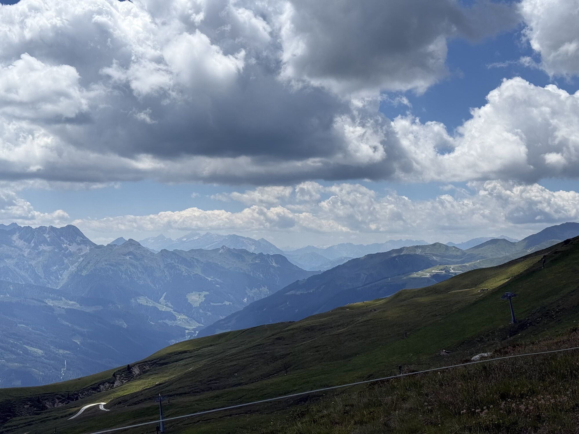
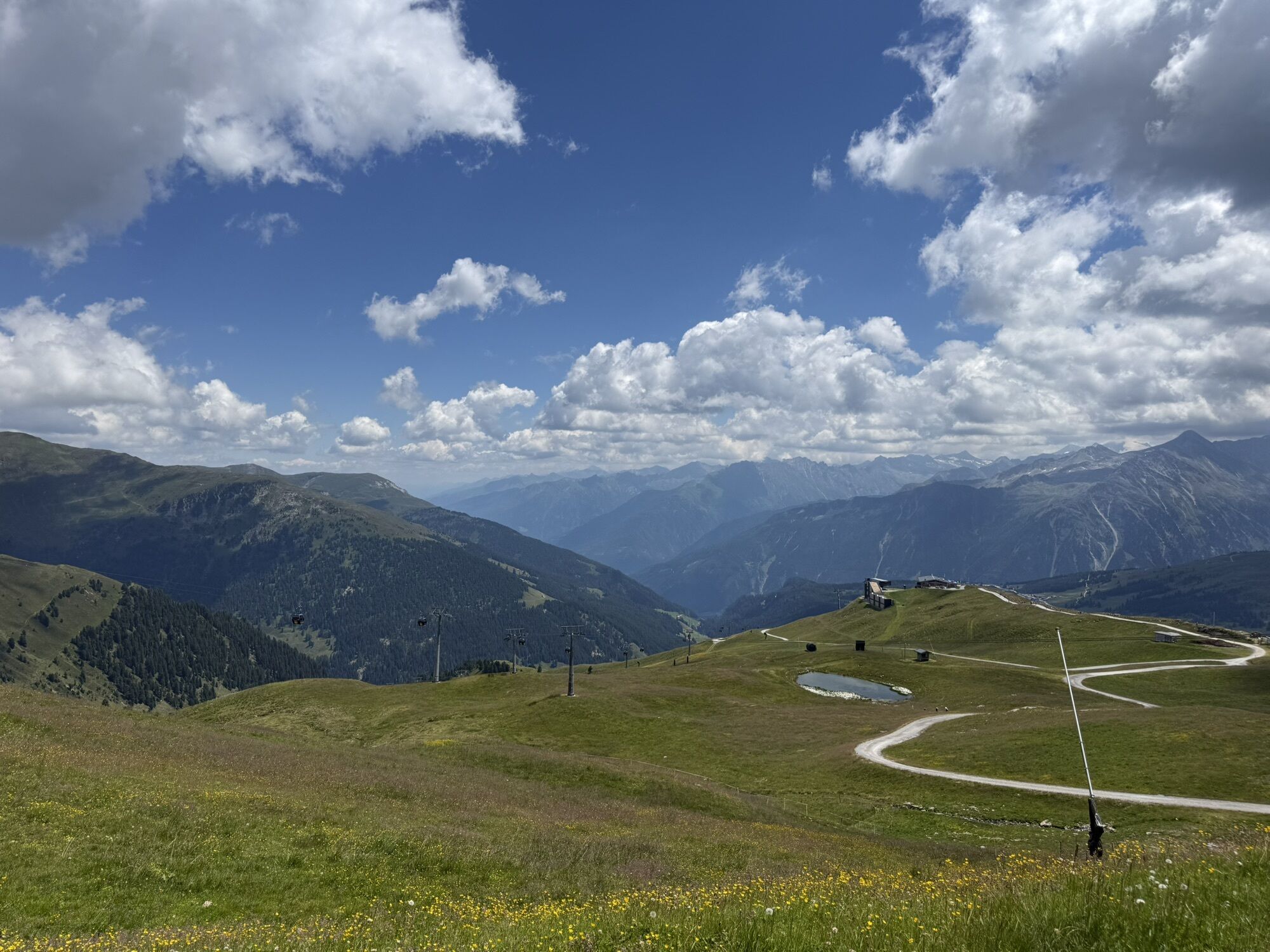
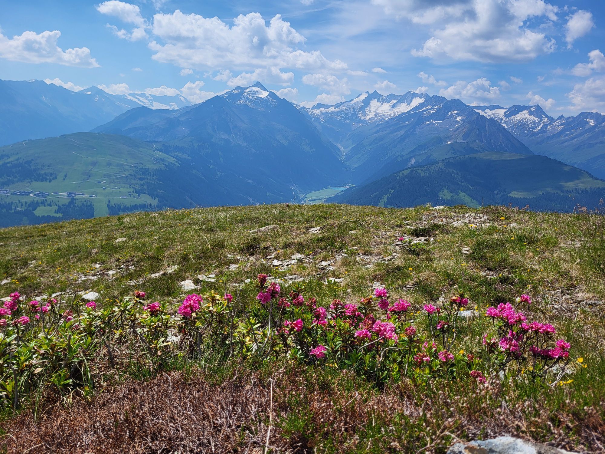
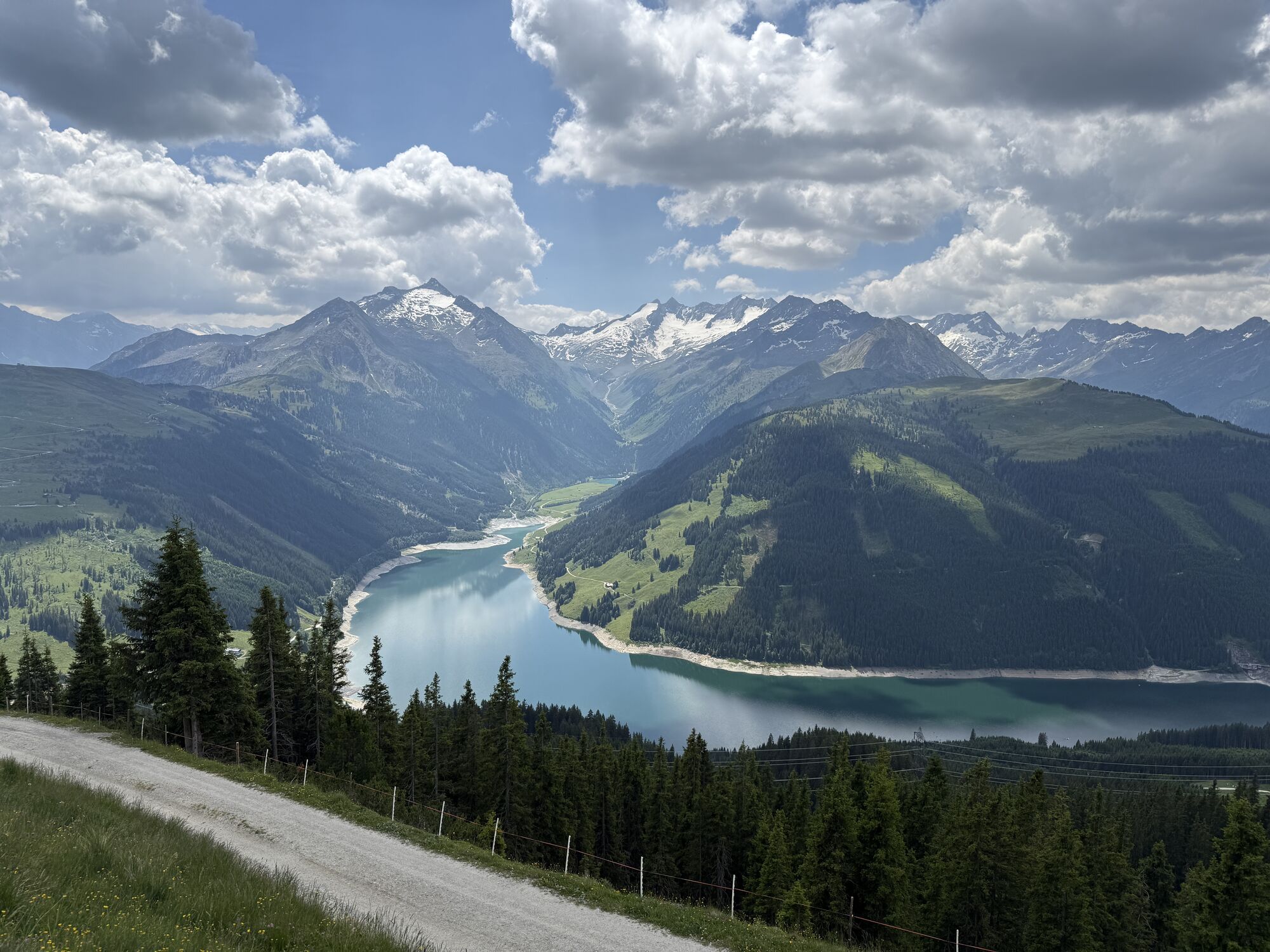


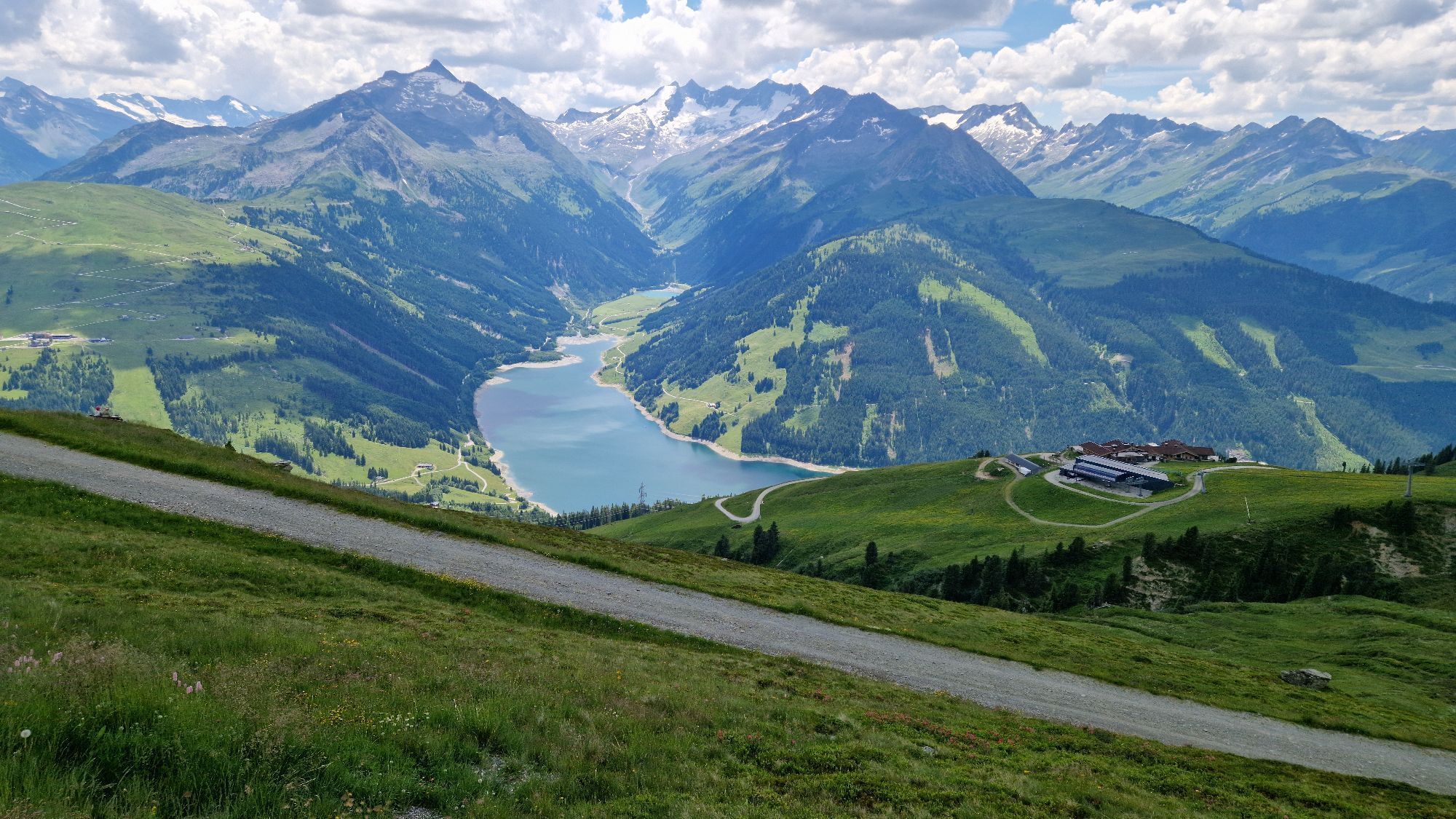
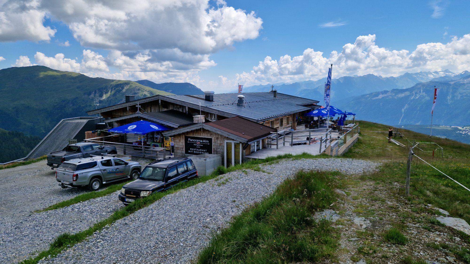
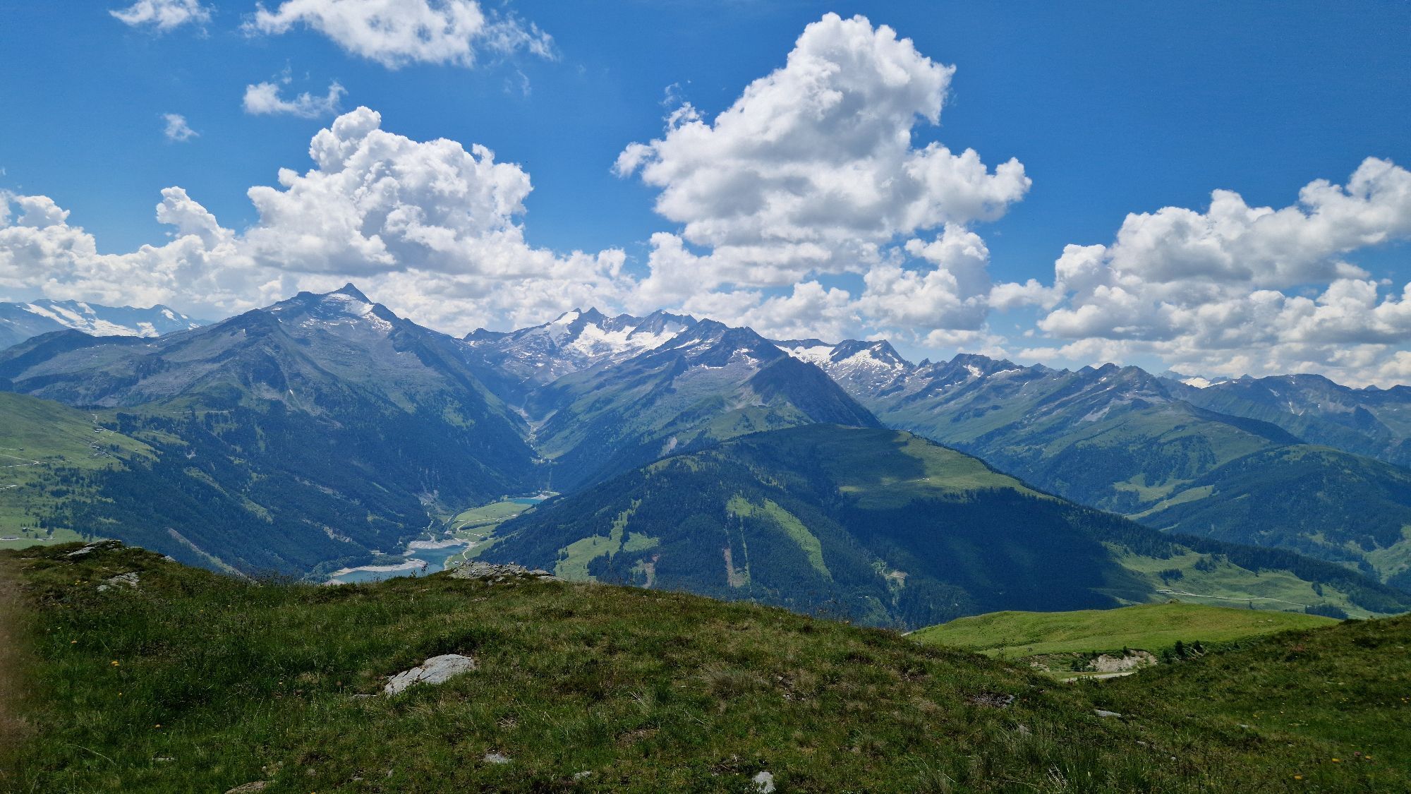
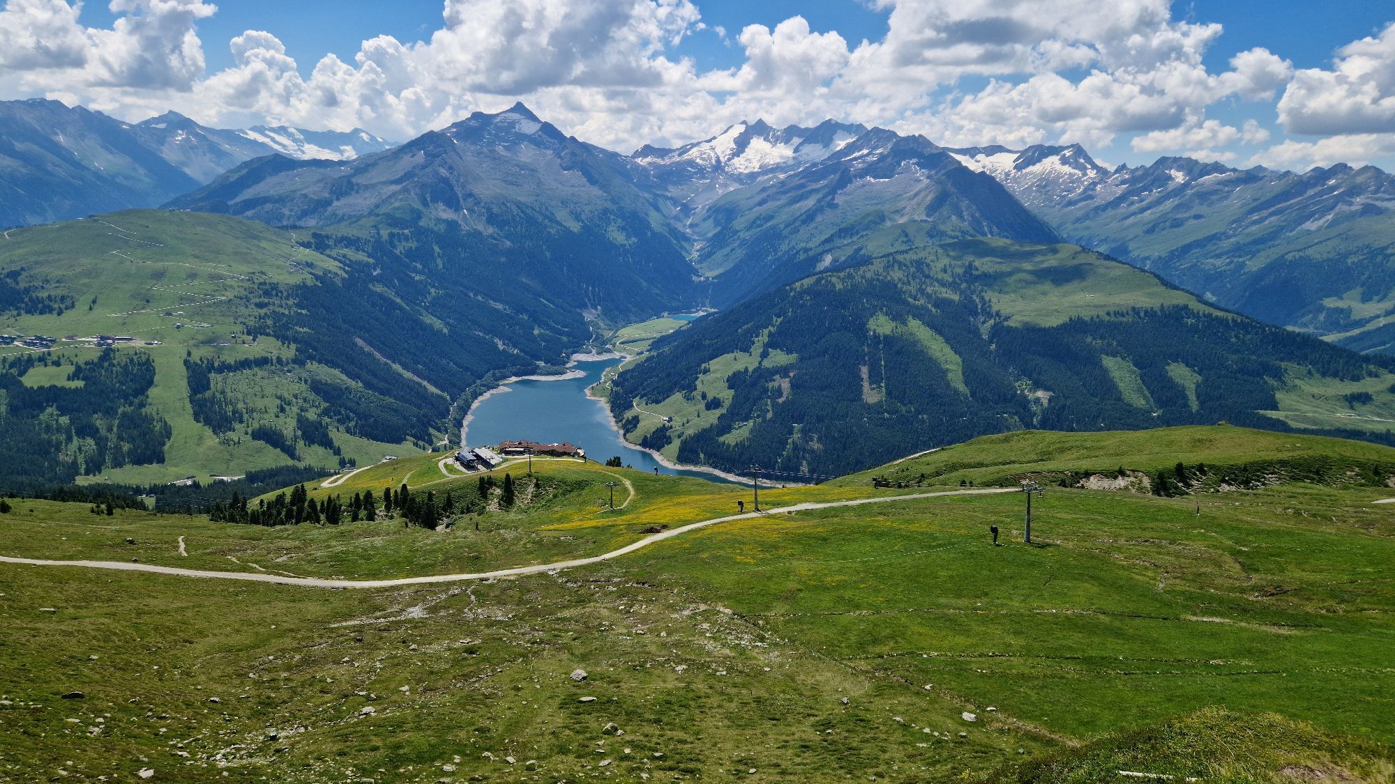
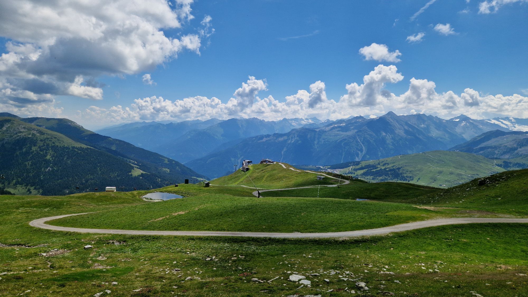
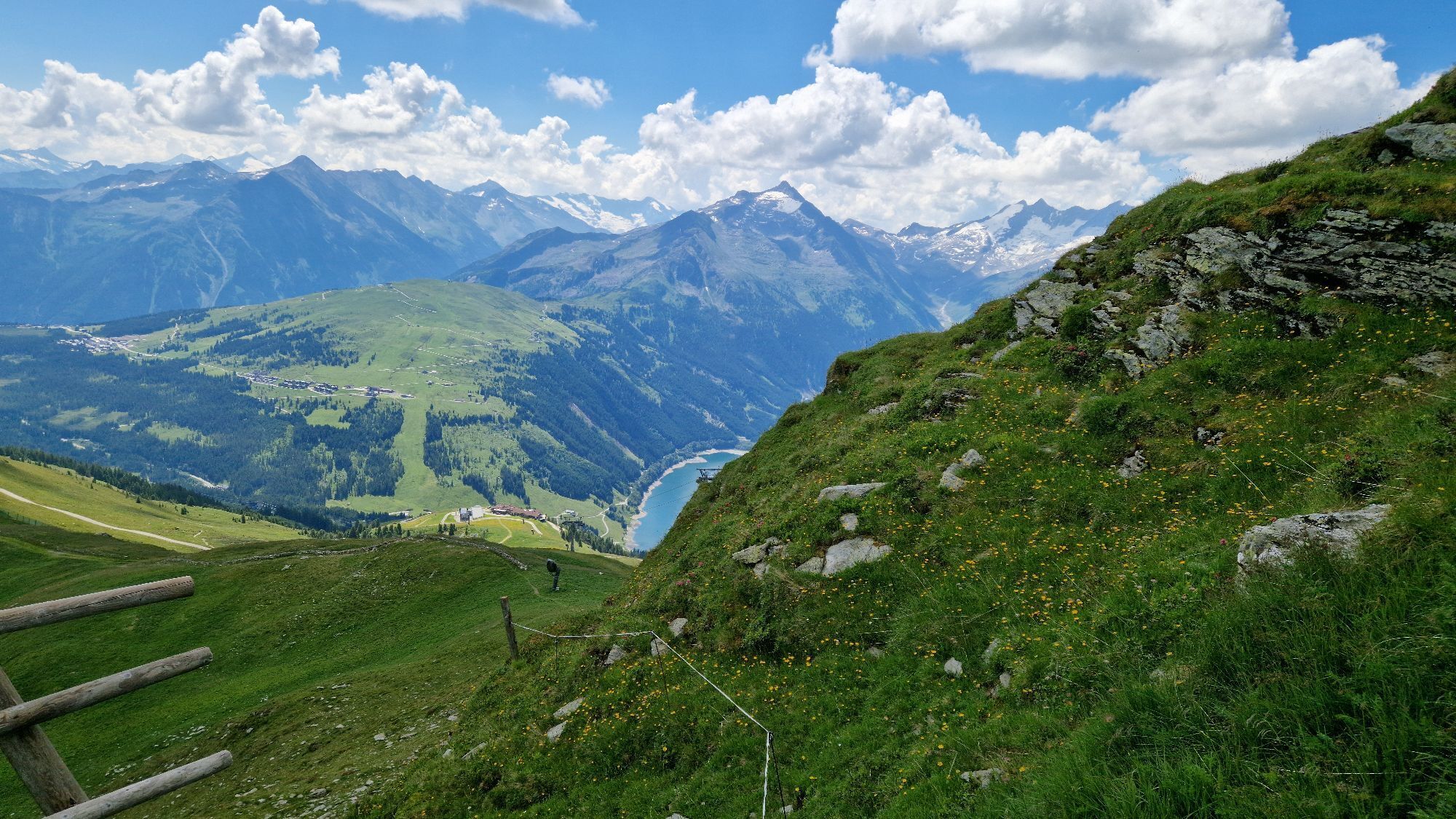
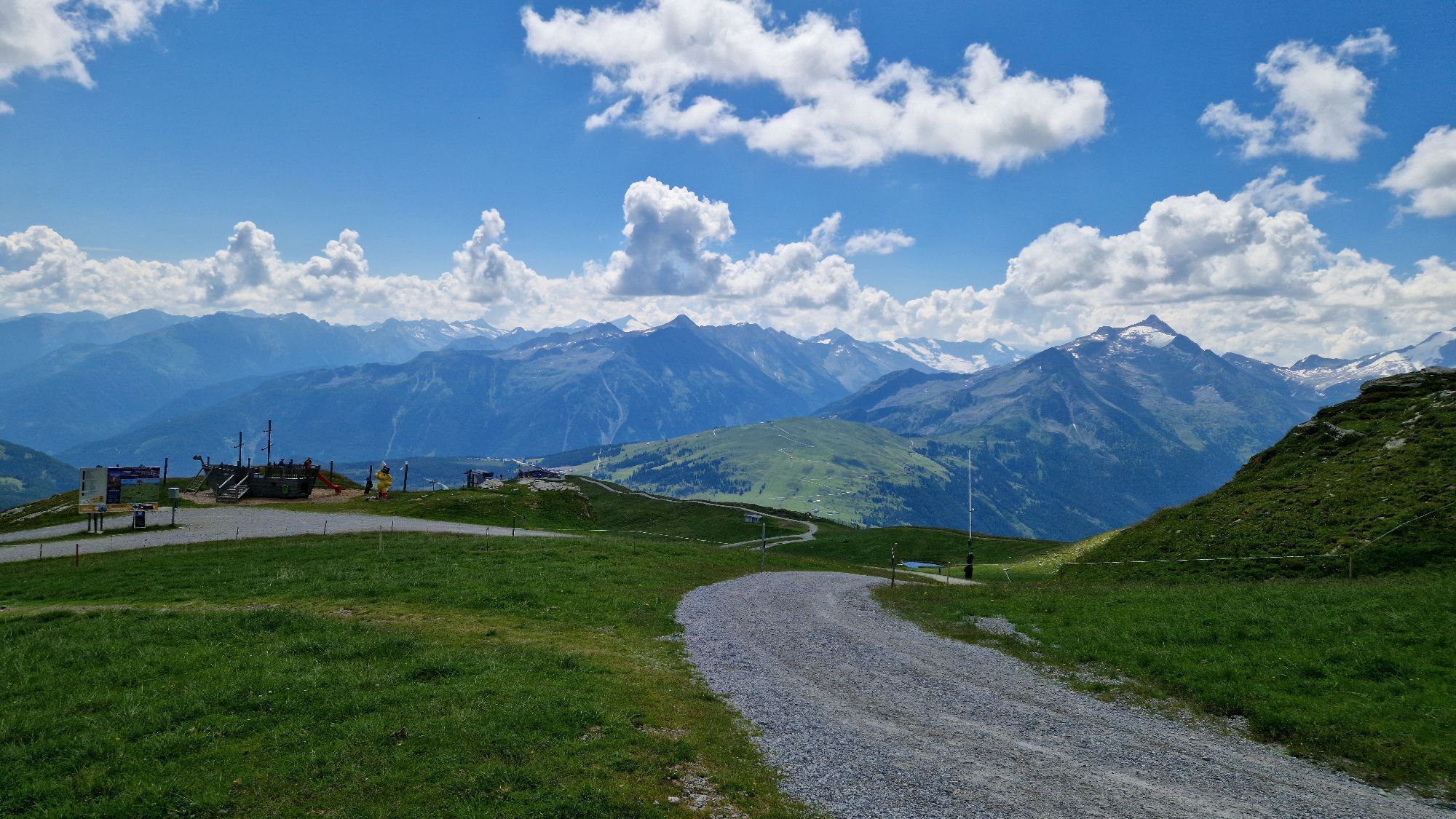
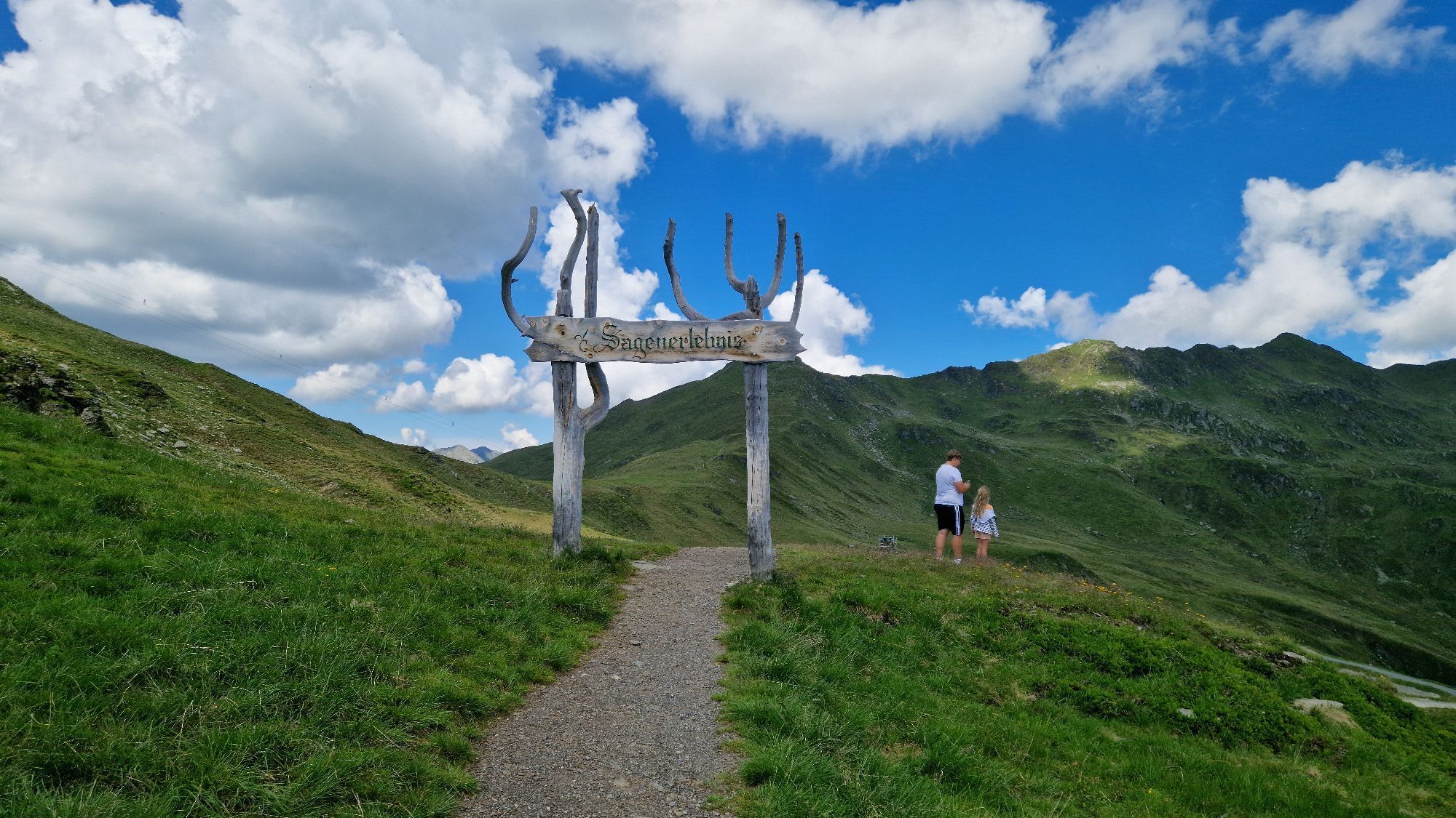
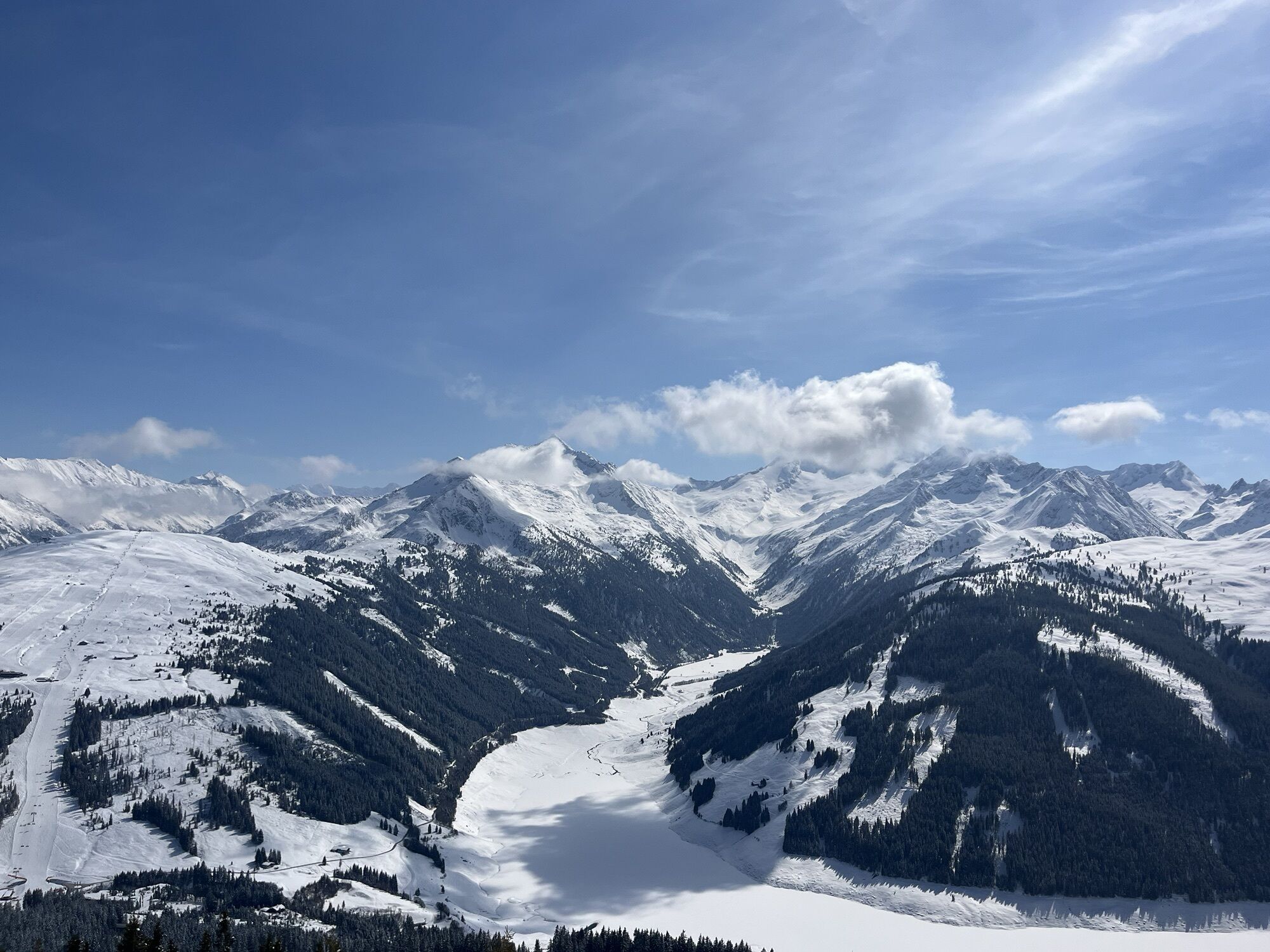
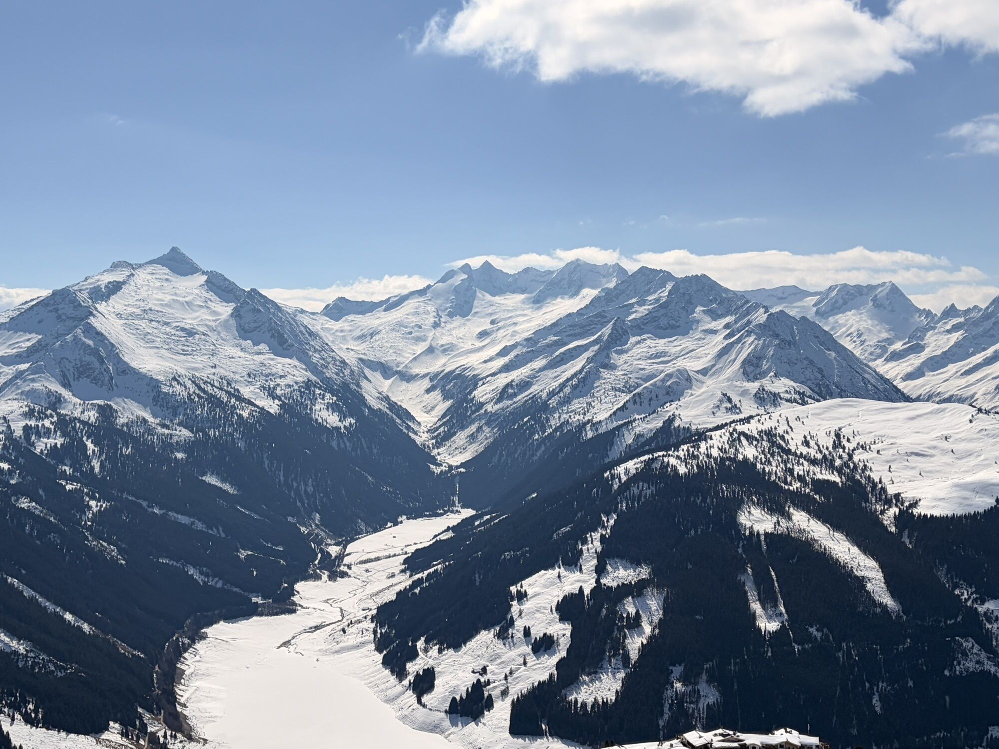
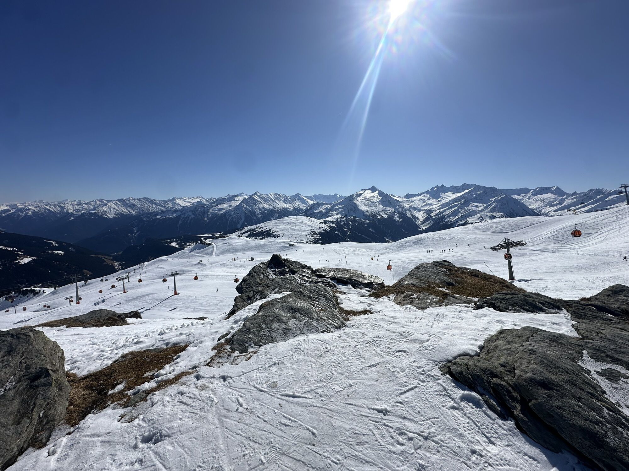
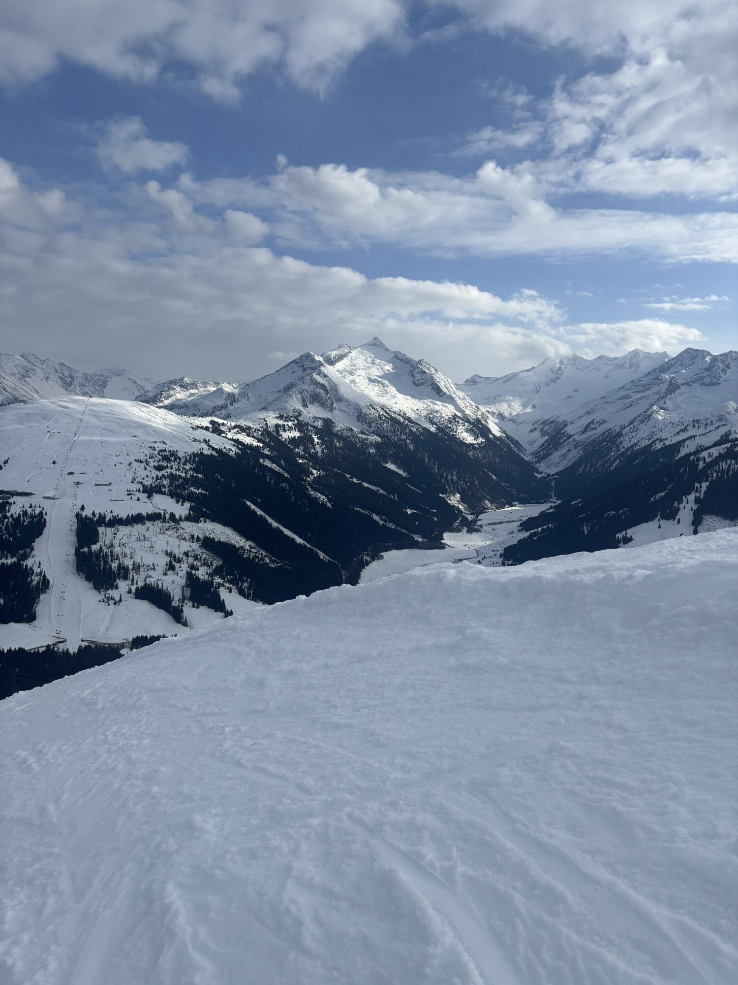
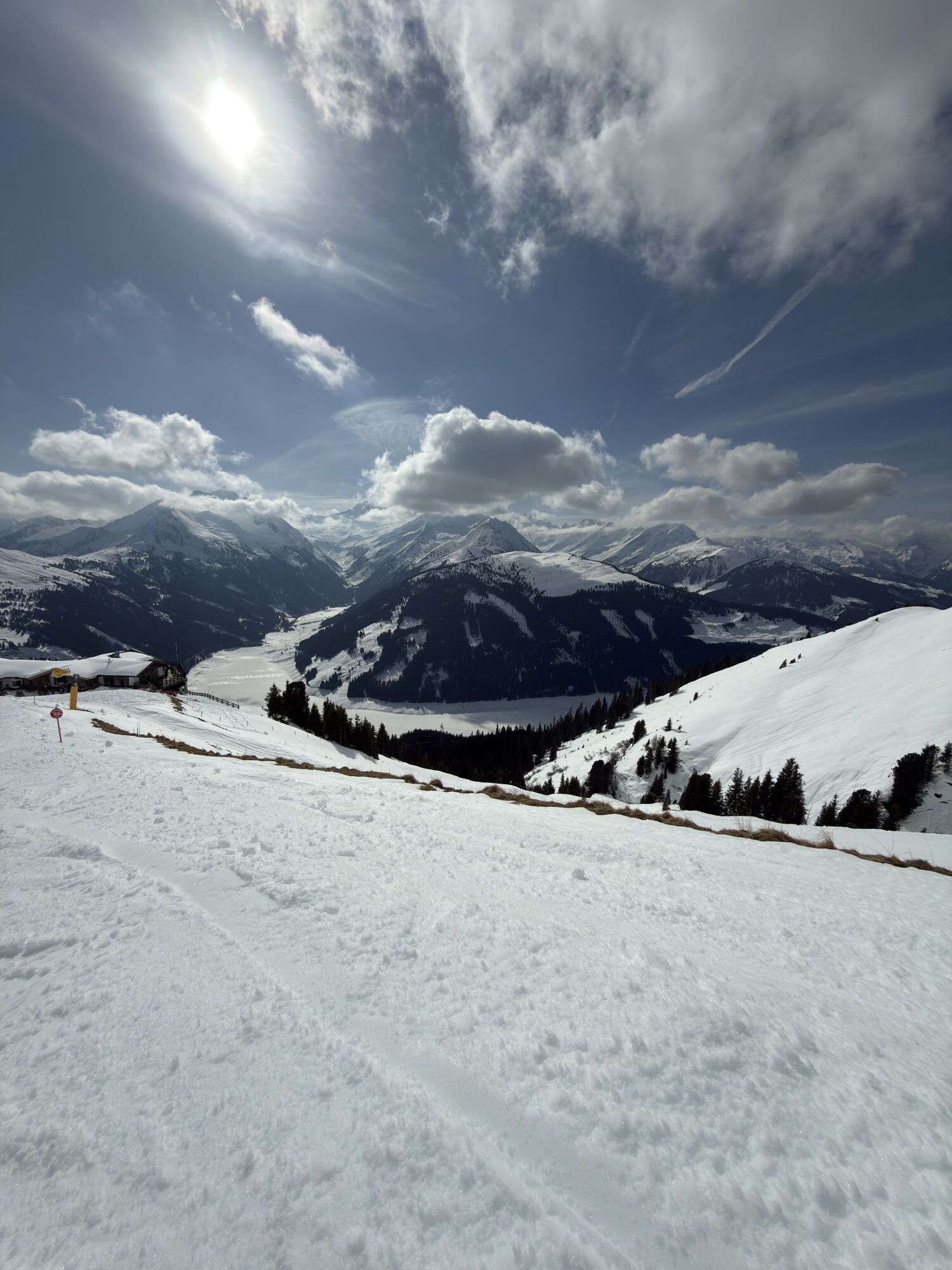
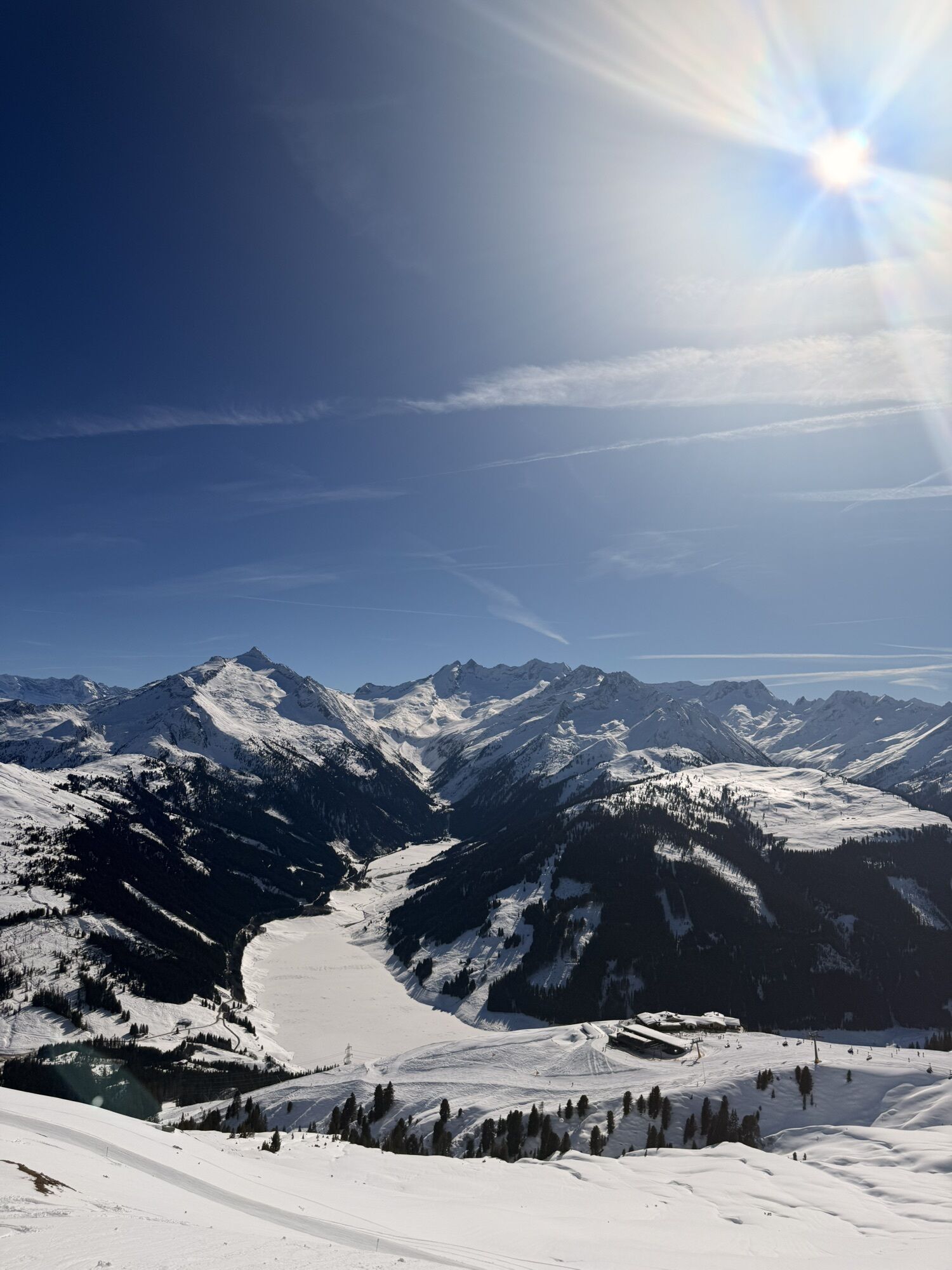
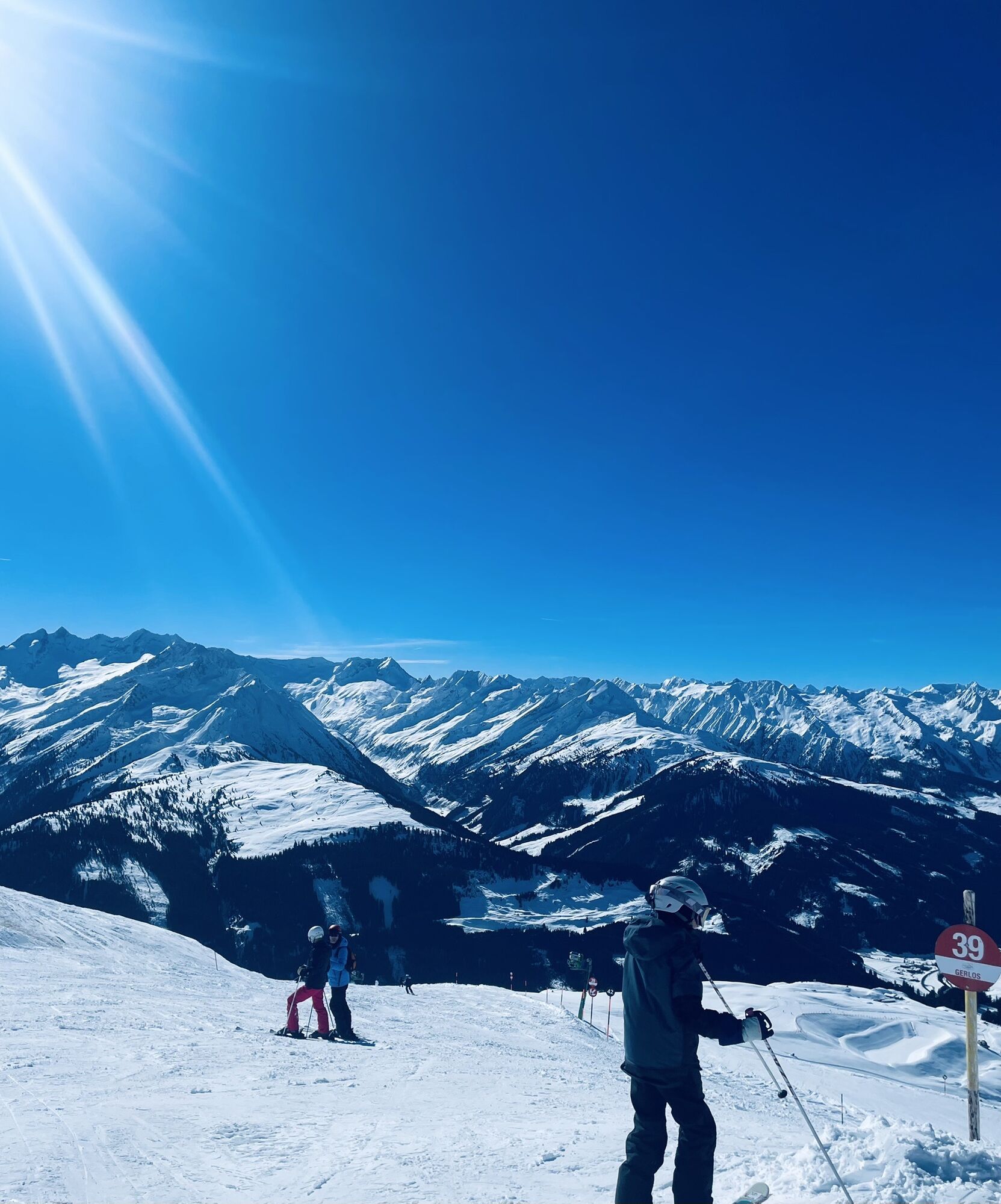
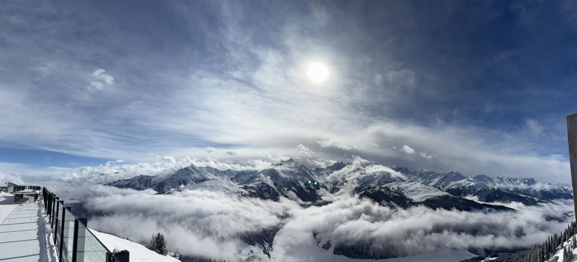
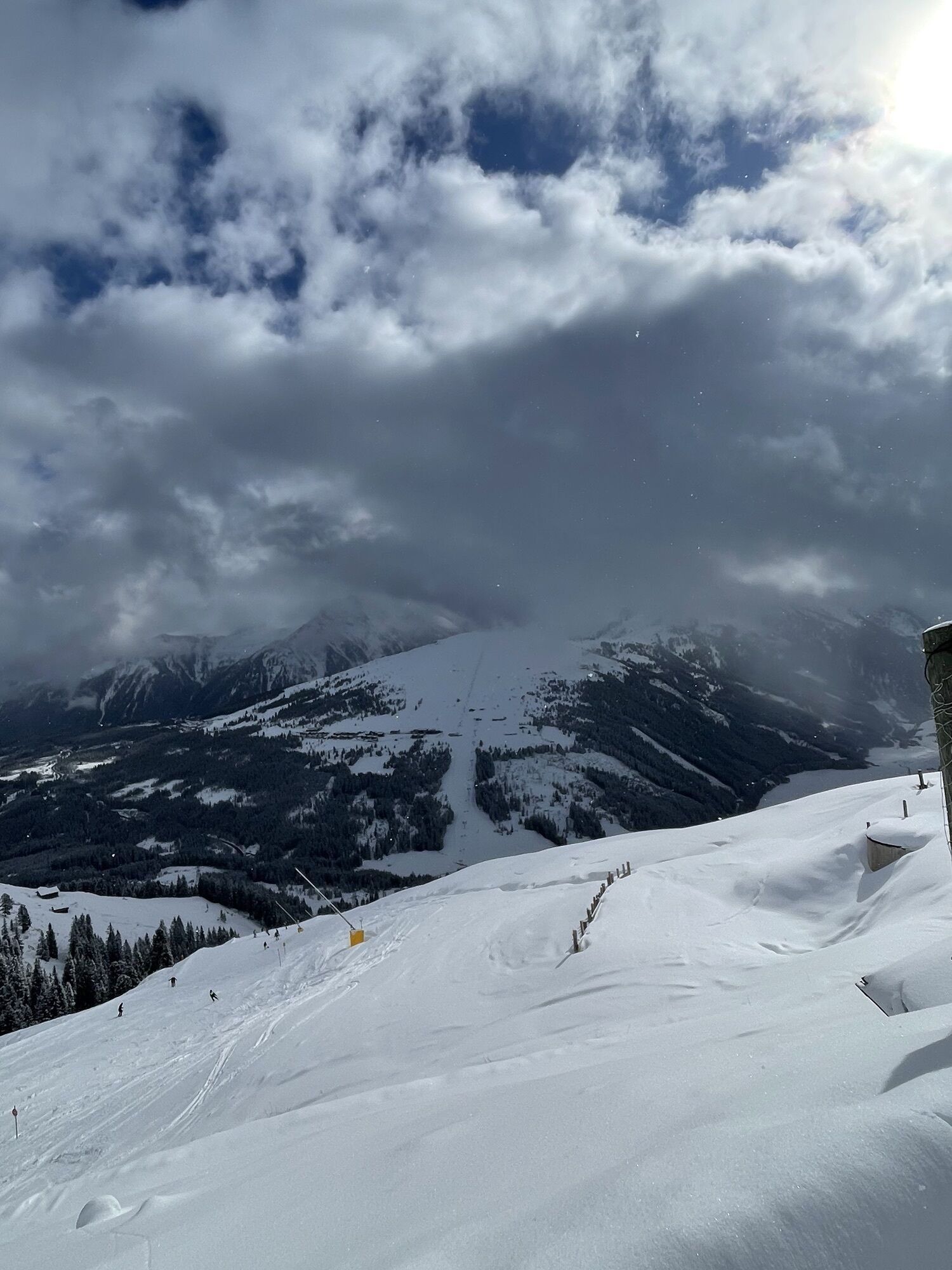
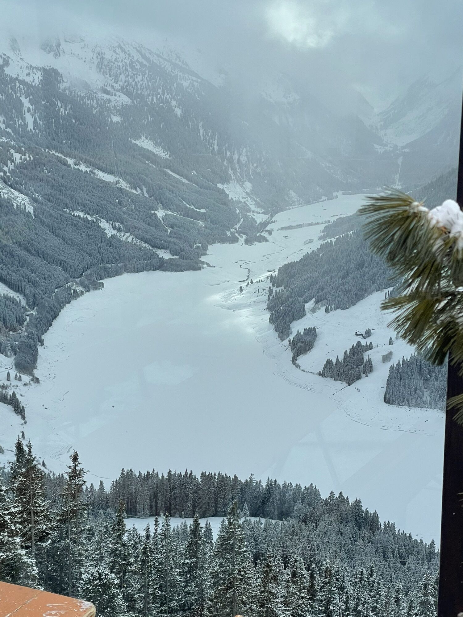
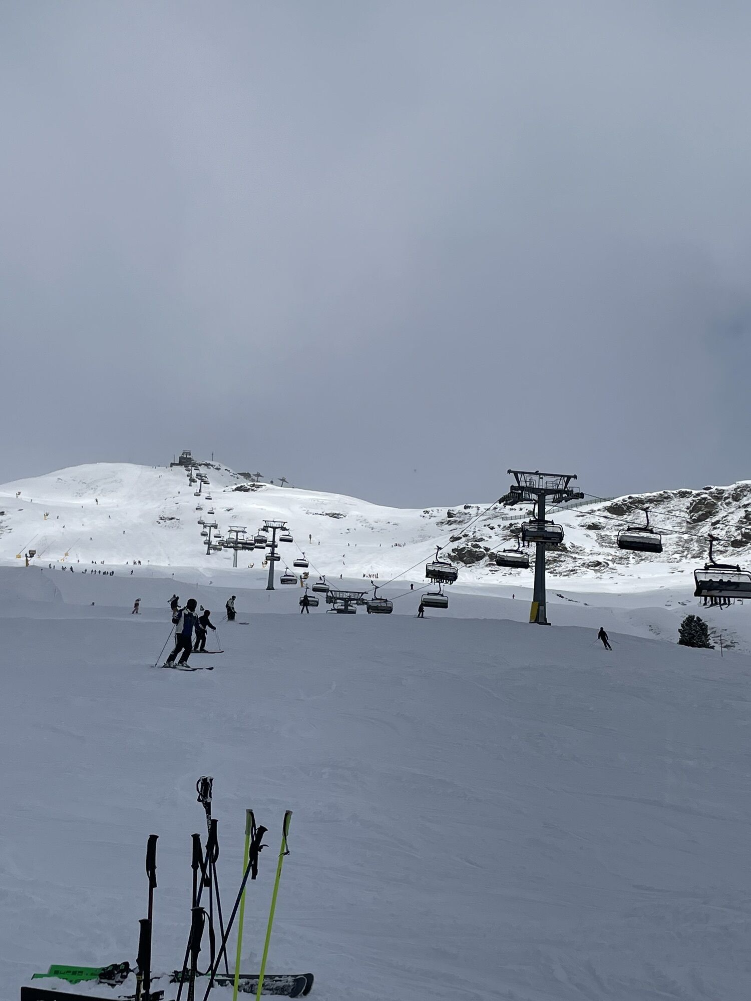
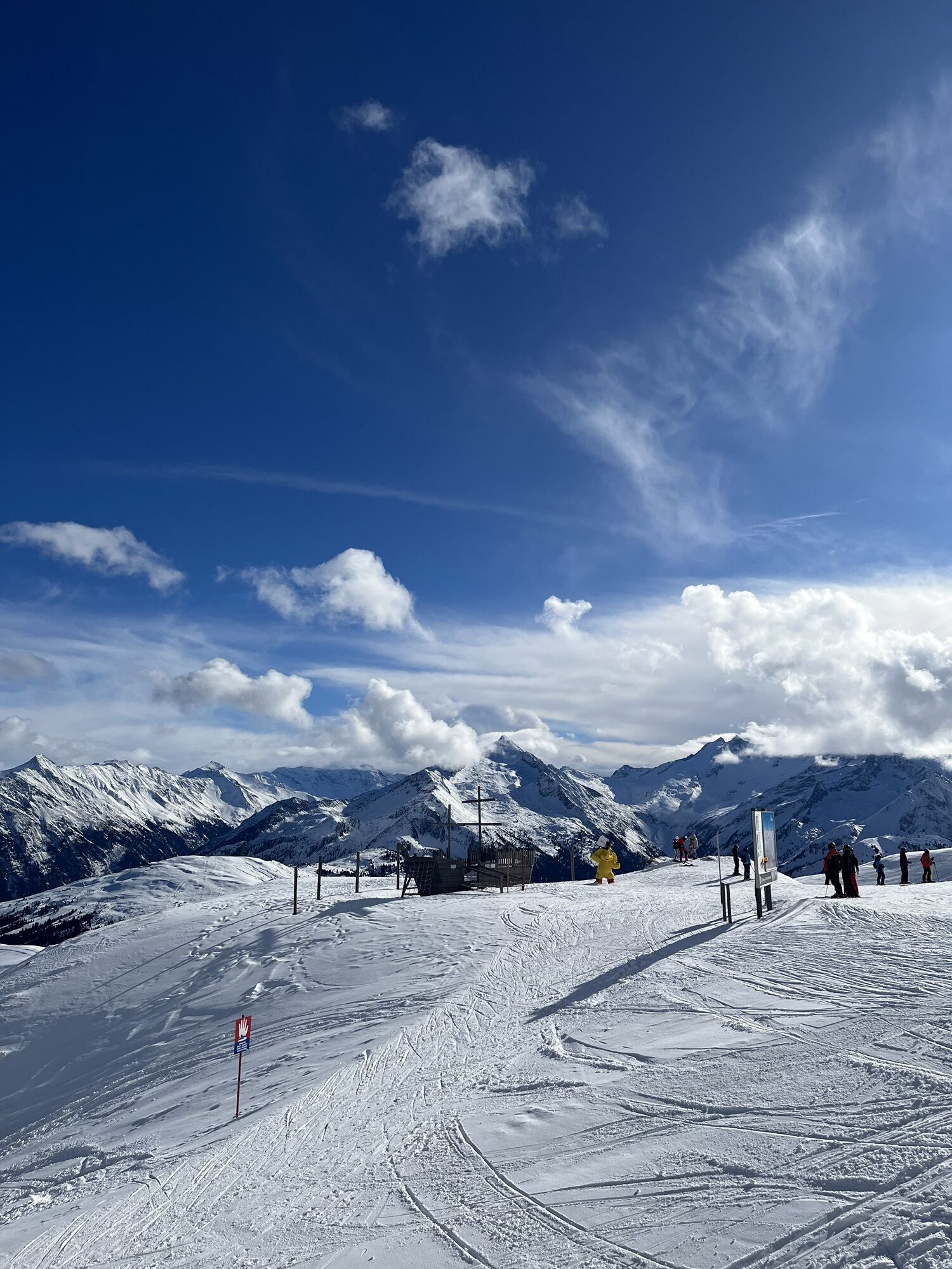
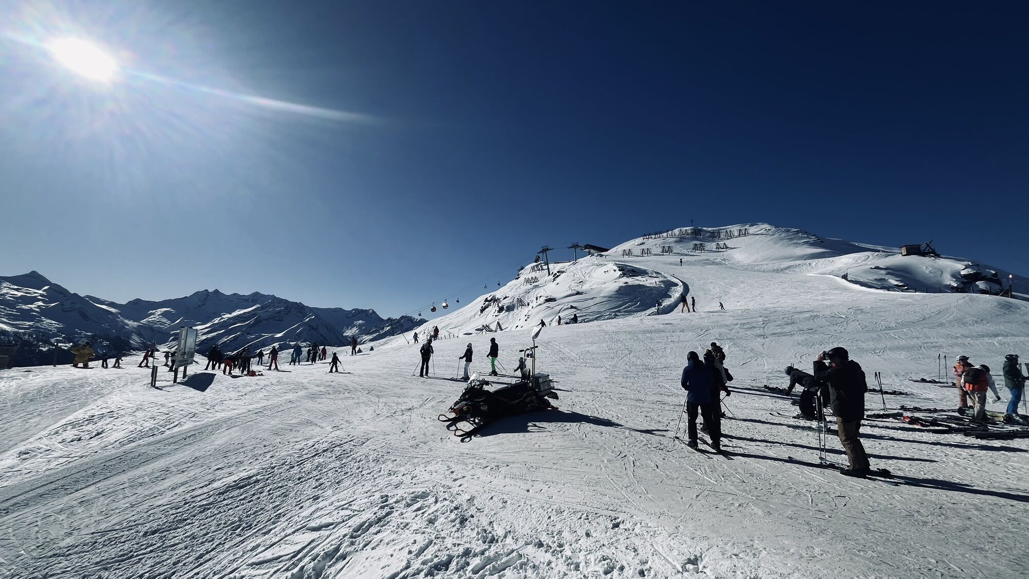
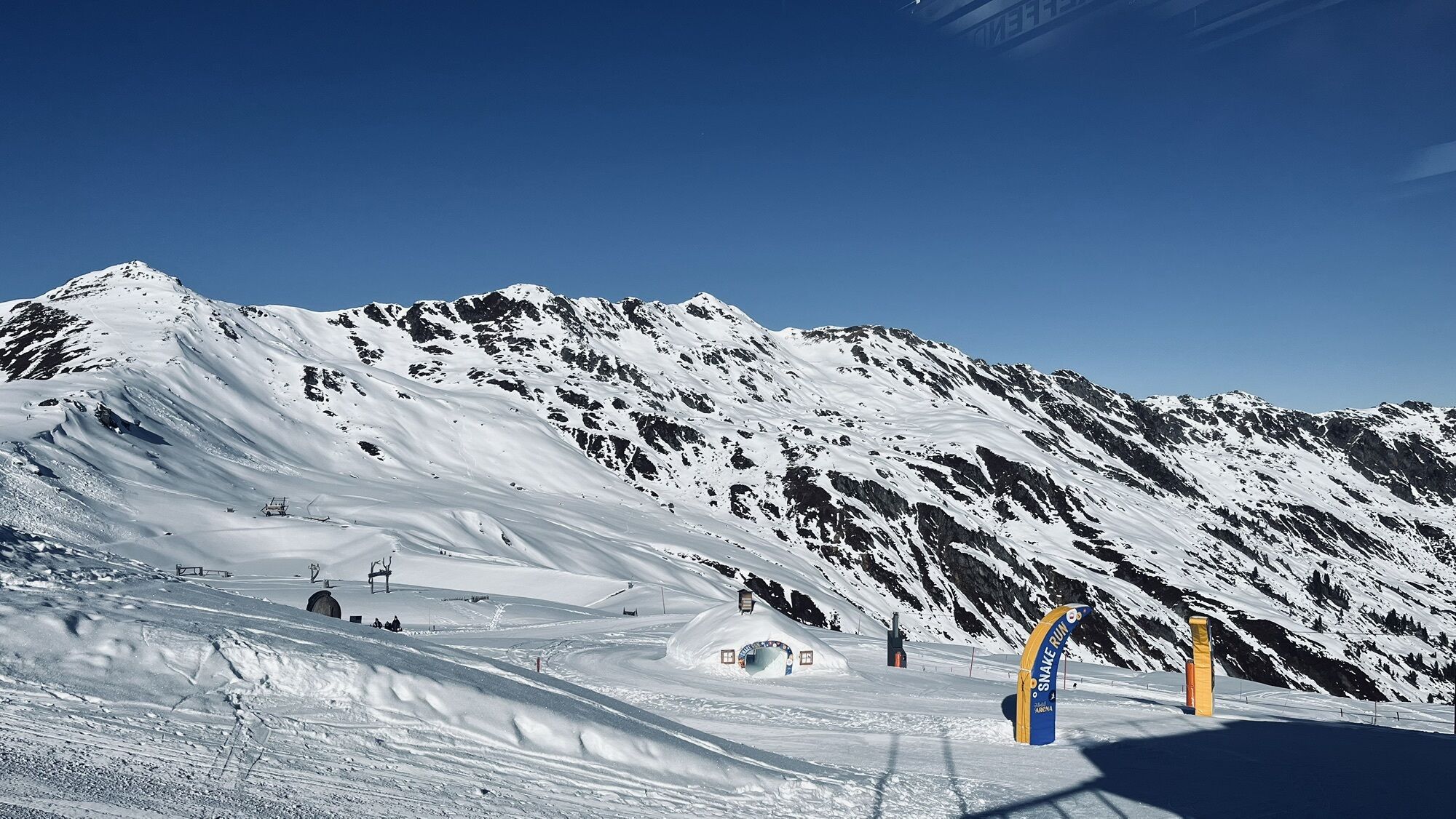
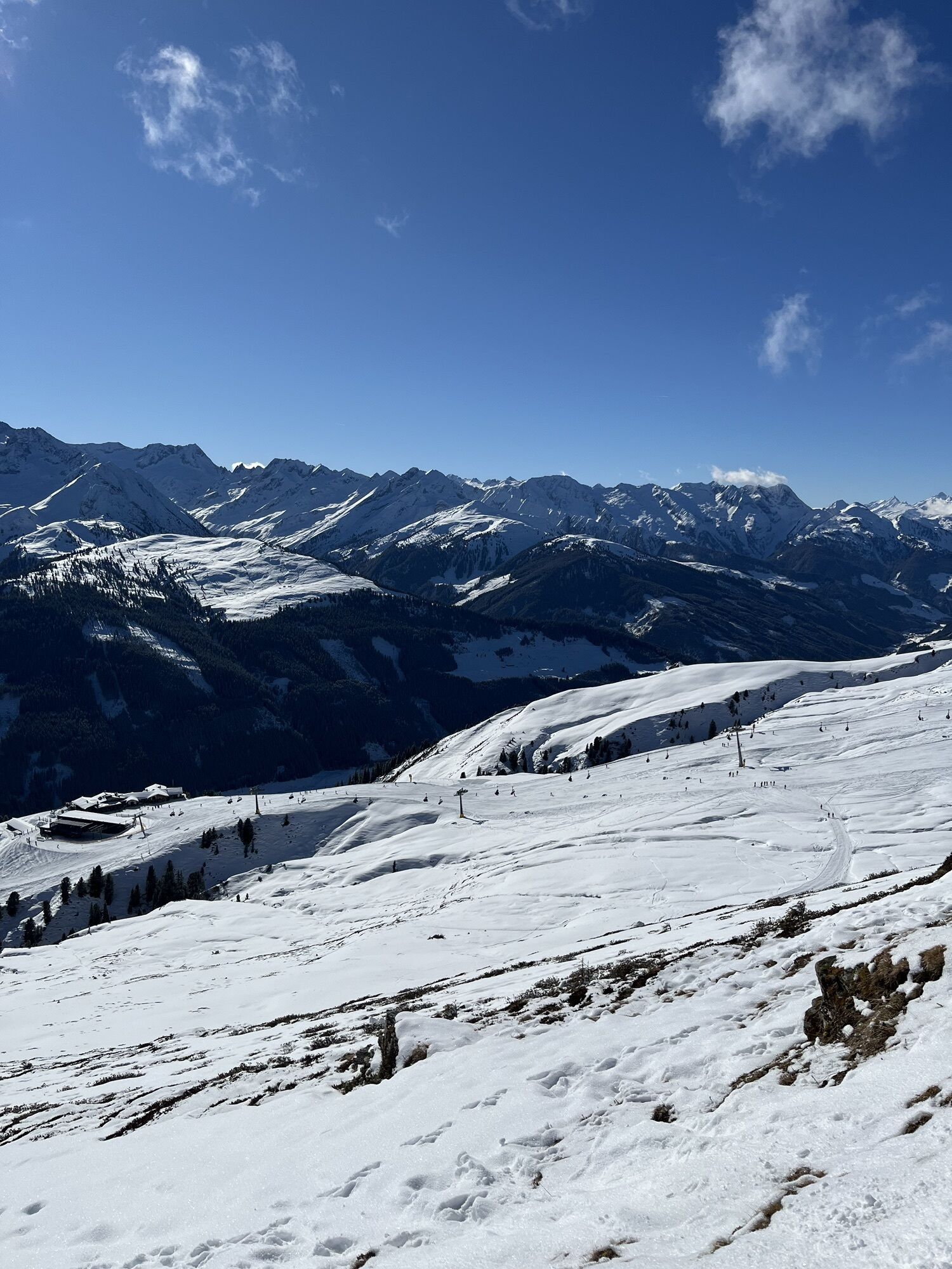
Yodel Trail Königsleiten
To enable everyone to experience the yodel hiking trail, the path begins at the mountain station of the Königsleiten village cable car (ascent by cable car). The first station...
Yodel Trail Königsleiten
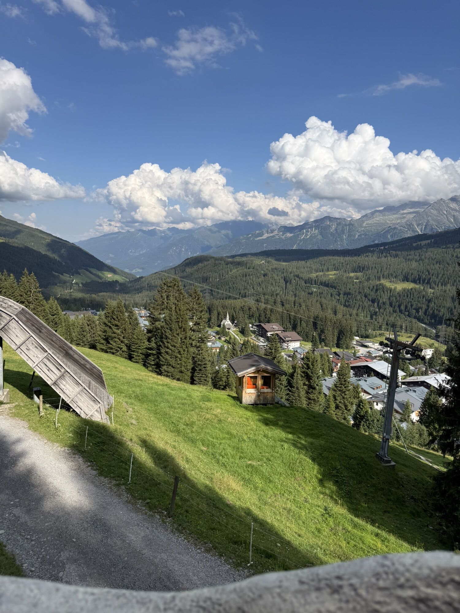
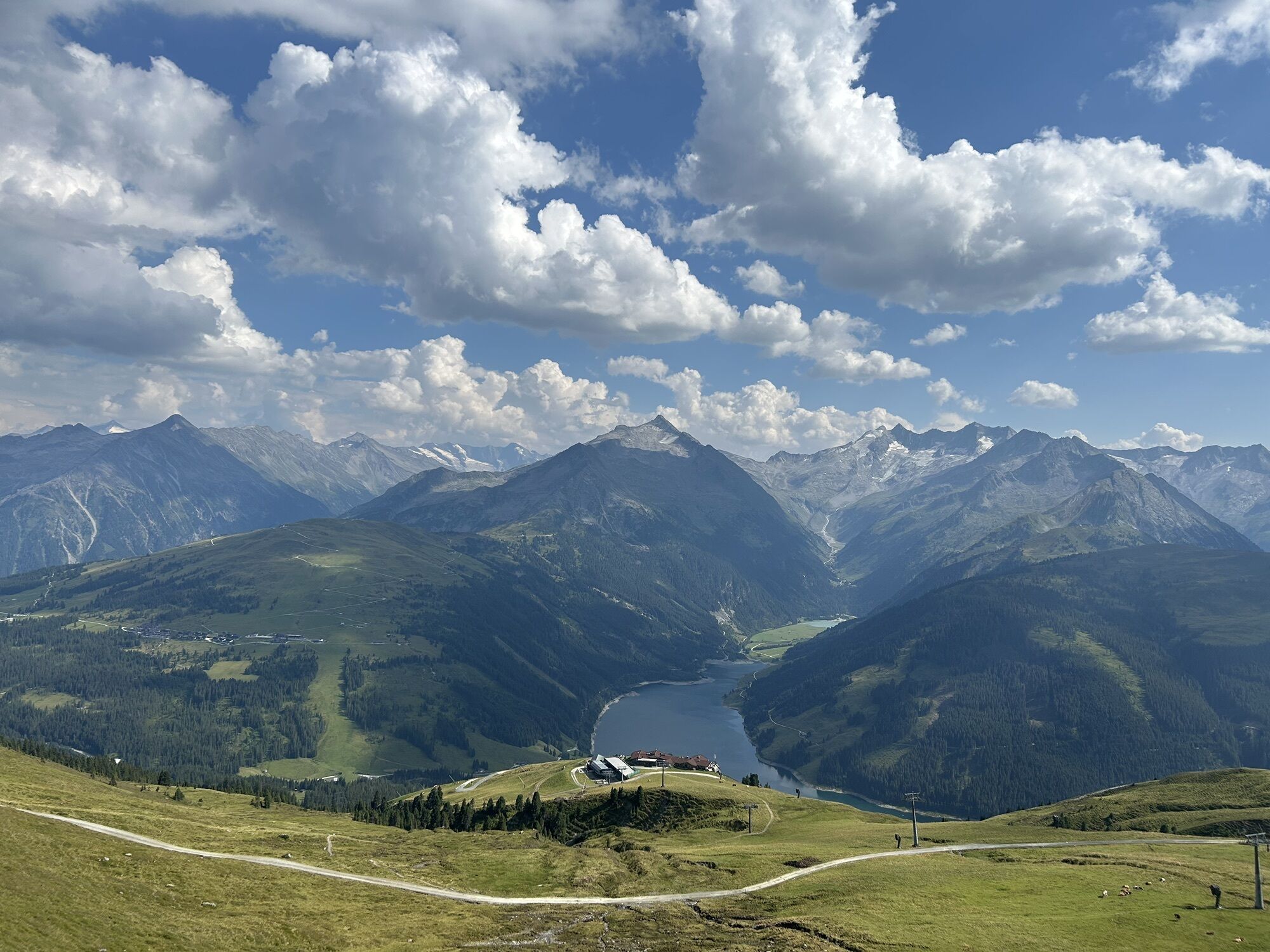
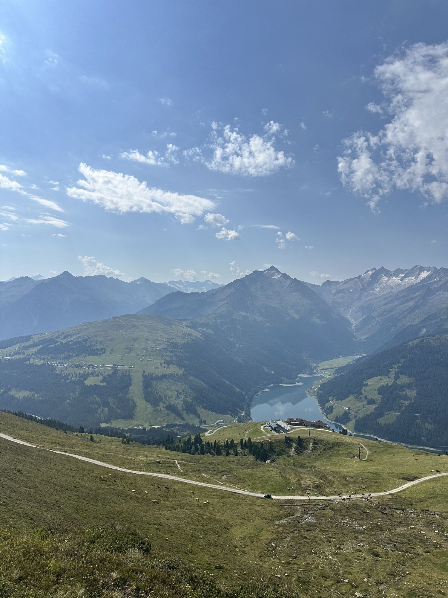
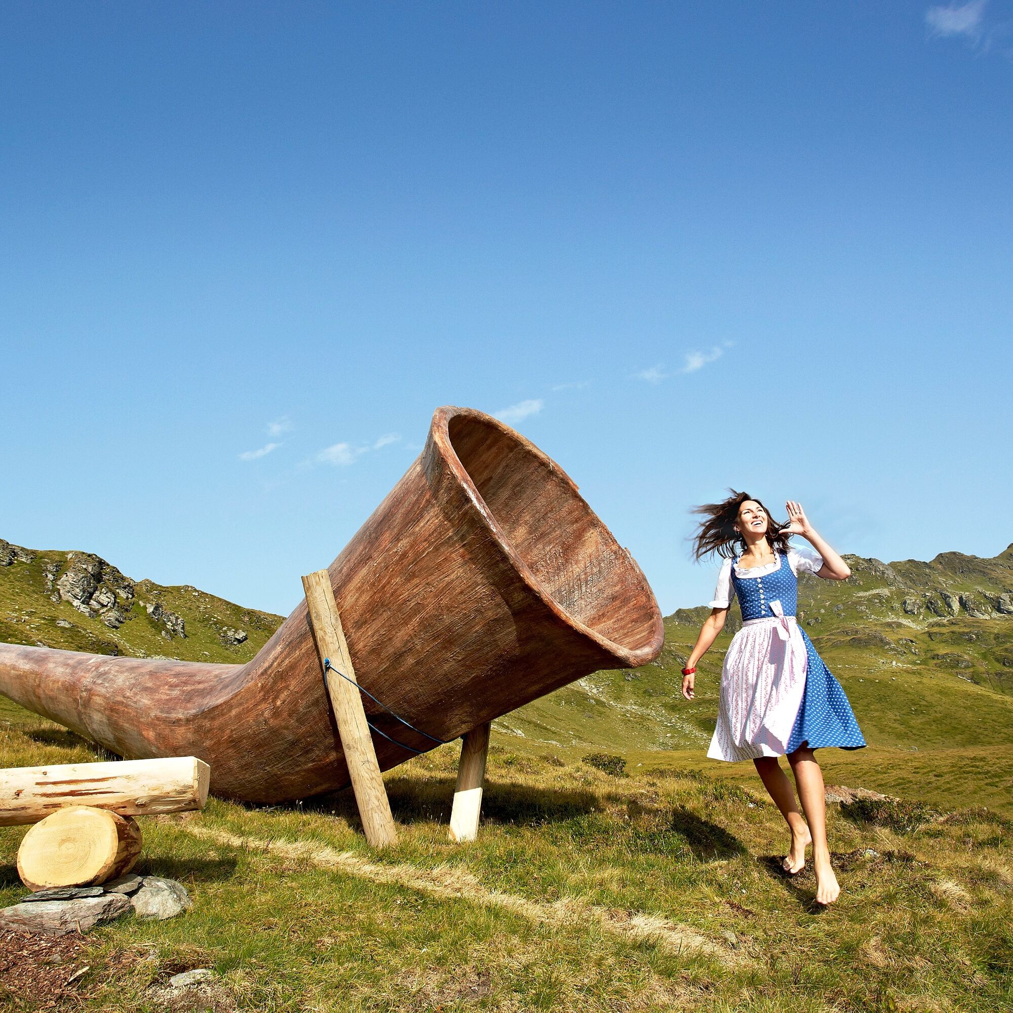
To enable everyone to experience the yodel hiking trail, the path begins at the mountain station of the Königsleiten village cable car (ascent by cable car). The first station is directly at the Gipfeltreffen restaurant. The yodel hiking trail is open in summer and free for everyone to use. Accessibility depends on the cable car operating hours from June to October.
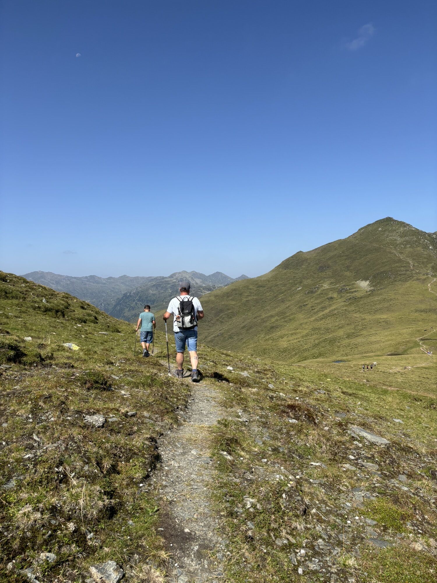
The path is also stroller-friendly. The hiking route leads from the mountain station of the village cable car (refreshments possible at Gipfeltreffen and Larmachalm) to the Königsleiten holiday village. Of course, the trail can also be walked in the opposite direction.
TIP: GipfelLiner & Gipfelwelt Königsleiten
At the mountain station of the village cable car, young and old can experience a unique saga experience at Kröndlwurmsee as well as the exciting GipfelLiner. Numerous experience stations, such as a wooden ball run, make the day at this natural playground something special.
The GipfelLiner Königsleiten is a kind of flying fox / zipline and offers all Zillertal Arena guests and visitors even more fun, action, and an incomparable bird's eye view - and the absolute highlight - the GipfelLiner runs over the Königsleiten retention basin at 2,300 m above sea level. From the 3 m high starting platform at an impressive 2,300 m elevation to the landing platform, you overcome a height difference of 65 m.
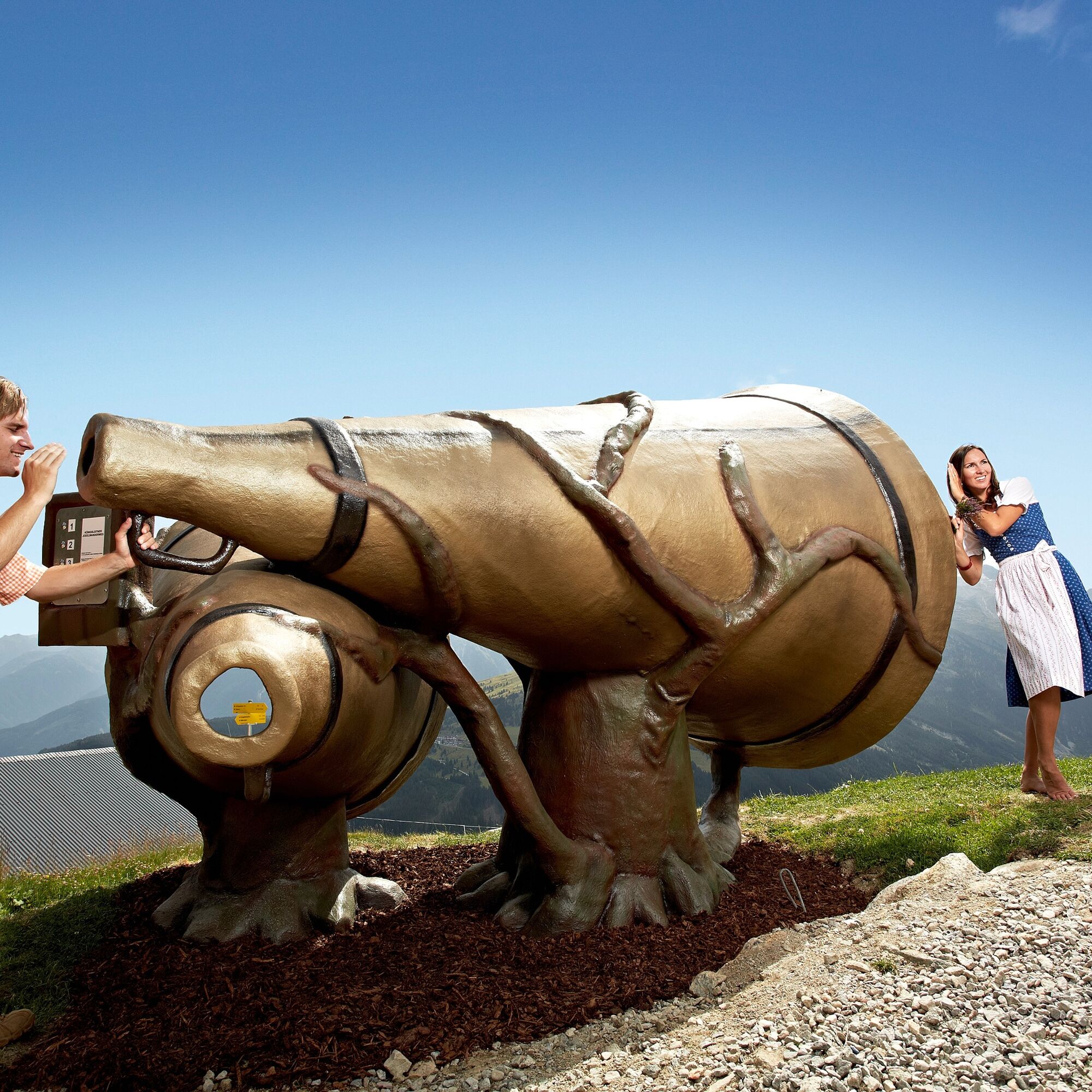
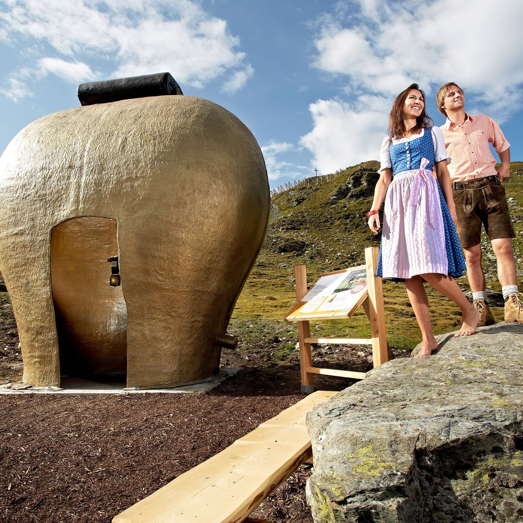
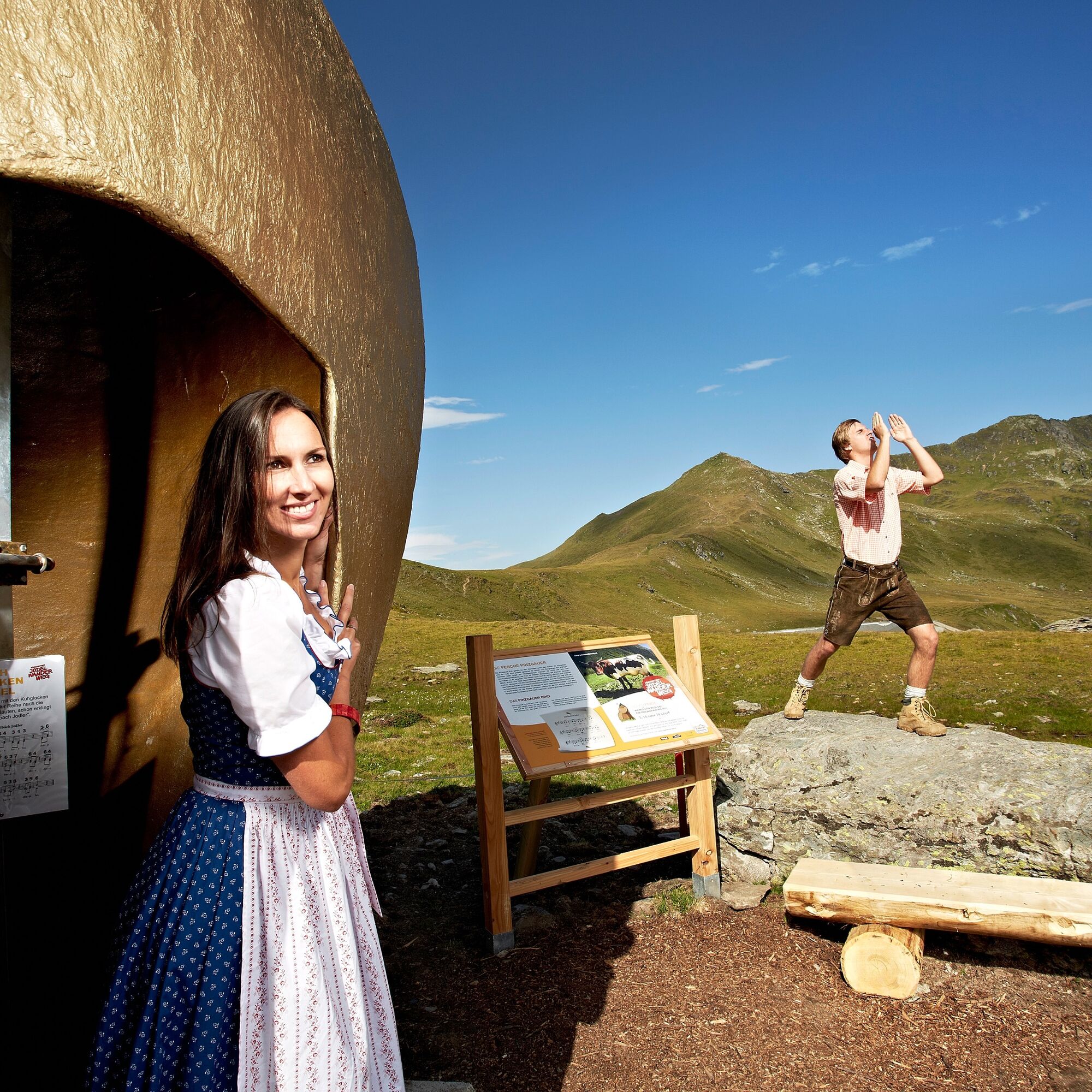

Path no. 62/60/61
Da
Da
Sturdy footwear - hiking equipment.
Do not leave marked hiking trails – dogs must be on a leash!
OR: From Munich, take the A 12 to the Kufstein South exit (St. Johann-Kitzbühel-Paß Thurn) and continue on the B 165 to Wald – then via the old Gerlos road or Krimml toll road to Königsleiten.
Or: via Achensee (Achen Pass) and Zillertal, continue on the B 169 to Zell am Ziller and the B 165 Hainzenberg and Gerlos Pass to Königsleiten.
Free parking spaces are available in Königsleiten at the village cable car.
Tourist office Wald/Königsleiten 5742 Wald 126 info@wald-koenigsleiten.at www.wald-koenigsleiten.at
Learn yodeling at the various stations.

Spletne kamere s turneje
Königsleiten - Wald im Pinzgau
Isskogel
Filzsteinalm
Panoramarestaurant Filzsteinalm (Gerlosplatte)
Königsleiten - Märchenwald
Zillertal Arena - Gerlospass Tal
Mitterleger Bergstation
Zillertal Arena - Alpengasthof Filzstein
Filzalmsee
Brantlalmsee
Panorama Königsleiten
Königsleiten - Wald im Pinzgau
Königsleiten - Wald im Pinzgau
Königsleiten - Wald im Pinzgau
Königsleiten - Wald im Pinzgau
Königsleiten - Wald im Pinzgau
Königsleiten - Wald im Pinzgau
Königsleiten - Wald im Pinzgau
Fussalm
Fussalm
Fussalm
Fussalm
Fussalm
Fussalm
Panorama Königsleiten
Panorama Königsleiten
Panorama Königsleiten
Pridobite vpogled Vedno v živo na mestu z več kot 9.500 spletnimi kamerami. bergfex Kot uporabnik Pro si lahko zdaj ogledate ustrezne spletne kamere za številne izlete v aplikaciji izleti iz. Tako si lahko neposredno ogledate trenutne razmere. Dejavnosti na poti

Wald im Pinzgau, Salzburg/Österreich
08.08.2026 – Pohodništvo
Gerlos, Tirol/Österreich
04.08.2026 – Pohodništvo
Wald im Pinzgau, Salzburg/Österreich
04.08.2026 – Pohodništvo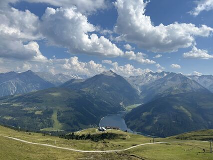
Königsleiten, Salzburg/Österreich
03.08.2026 – Pohodništvo
Gerlos, Tirol/Österreich
03.08.2026 – PohodništvoWald im Pinzgau, Salzburg/Österreich
29.07.2026 – Pohodništvo
Königsleiten, Salzburg/Österreich
12.03.2026 – Smučarska tura
Priljubljeni izleti v okolici
- 4.3
Gerlos: Stausee Rundwanderung
srednjaPohodništvo 12.5 km - 4.7
Zittauer Hut
srednjaPohodništvo 6.85 km - 4.4
Krimml Waterfall Path - Panorama Viewing Path
srednjaPohodništvo 5.71 km - 4.4
Krimmler Tauernhaus
srednjaPohodništvo 10.4 km - 4.8
Krimmler Achental
srednjaE-kolesa 18.4 km - 4.3
Route 208: Windautal - Rotwandalm/Filzenscharte
težkoMountainbike 22.8 km - 4.6
Kröndlhorn (2.444m)
težkoPohodništvo 13.5 km - 4.6
Krimmlerwasserfälle
srednjaPohodništvo 10.5 km - 4.5
Krimml Waterfalls
srednjaPohodništvo 12.4 km - 4.3
Plattenkogel (circular route)
srednjaPohodništvo 7.67 km

Pohodništvo in sledenje


Ne zamudite ponudb in navdiha za naslednje počitnice
Vaš e-poštni naslov je bil dodan na poštni seznam.





