


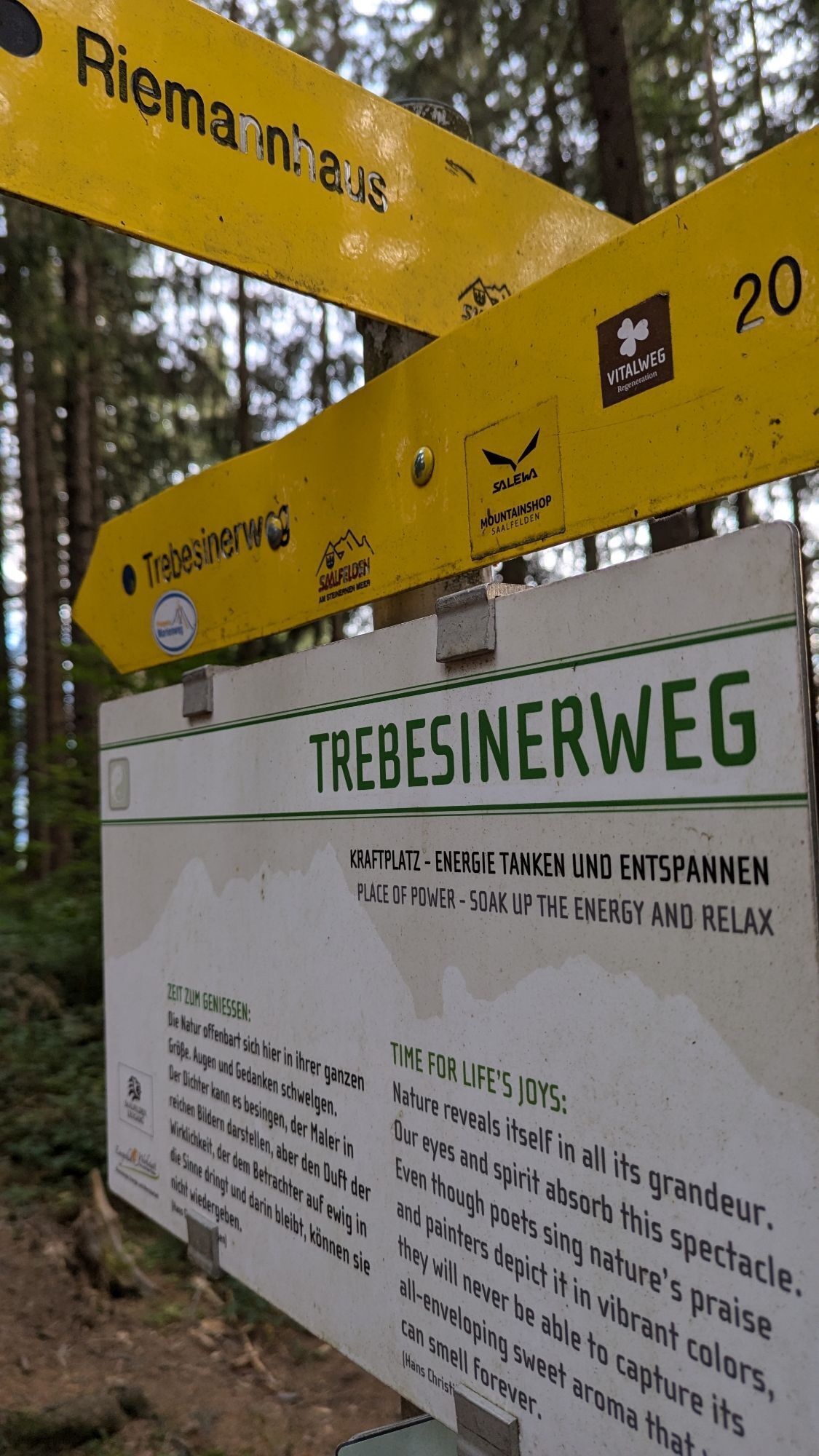
Trebesiner Way
Fotografije naših uporabnikov
-
 © Alfred HeinzeUstvarjeno na 29.03.2026
 -
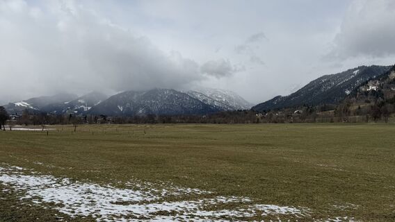
 © Alfred HeinzeUstvarjeno na 29.03.2026
 -
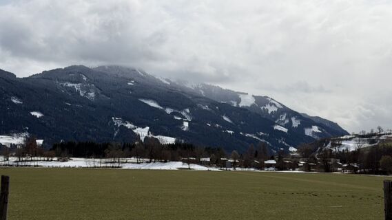
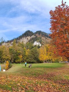
 © Maria LattacherUstvarjeno na 25.12.2025
 -
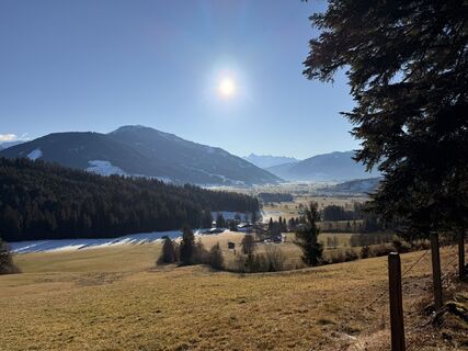
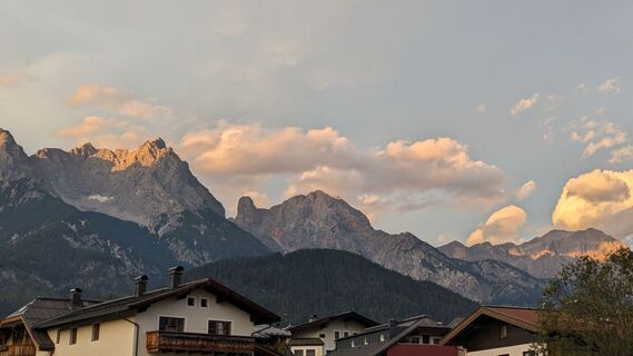
 © Hermann E.Ustvarjeno na 11.06.2025
 -
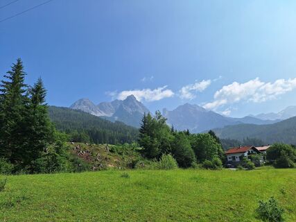
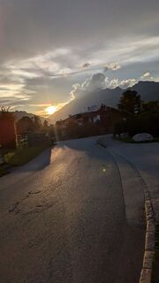
 © ReginaStUstvarjeno na 29.10.2023
 -

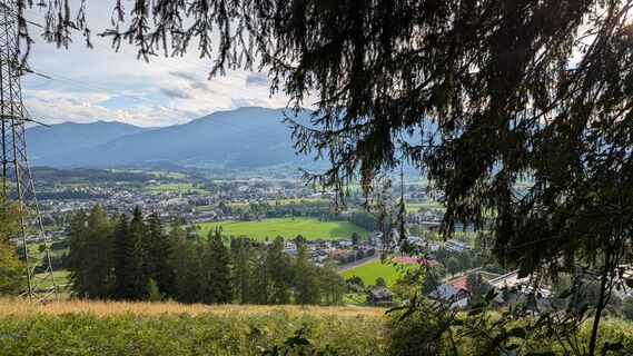
 © EgonUstvarjeno na 09.08.2024
 -
 © EgonUstvarjeno na 09.08.2024
 -
 © EgonUstvarjeno na 09.08.2024
 -
 © EgonUstvarjeno na 09.08.2024
 -
 © EgonUstvarjeno na 09.08.2024
 -
 © EgonUstvarjeno na 09.08.2024
 -
 © EgonUstvarjeno na 09.08.2024
 -
 © EgonUstvarjeno na 09.08.2024
 -
 © EgonUstvarjeno na 09.08.2024
 -
 © EgonUstvarjeno na 09.08.2024
 -
 © EgonUstvarjeno na 09.08.2024
 -
 © EgonUstvarjeno na 09.08.2024
 -
 © EgonUstvarjeno na 09.08.2024
 -
 © EgonUstvarjeno na 09.08.2024
 -
 © Paul WoutersUstvarjeno na 18.02.2024
 -

 © Marion181167Ustvarjeno na 19.01.2026


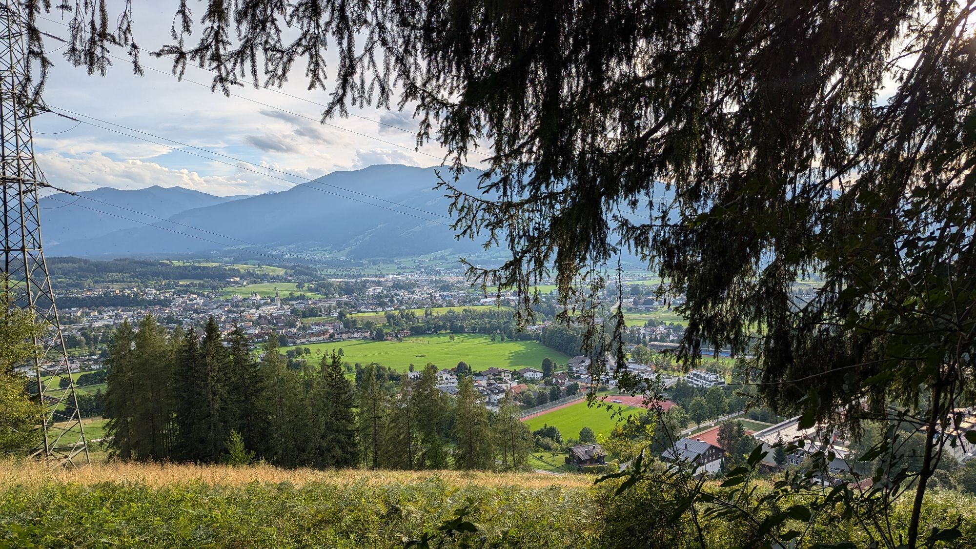


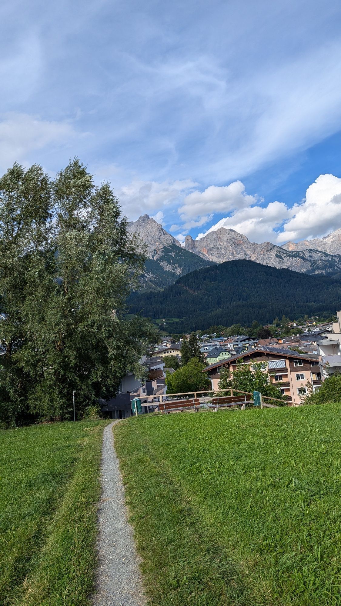
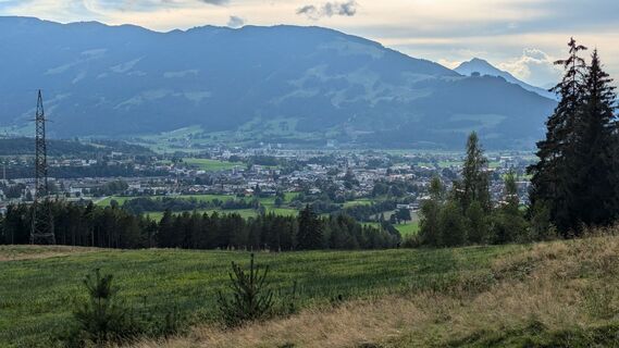
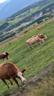
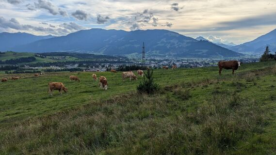
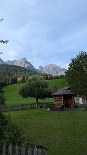
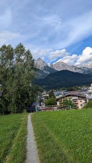
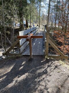
The Trebensiner circular route is one of the most varied hikes in the region. Due to the gentle ascents, it is ideal for extensive hikes with the family.

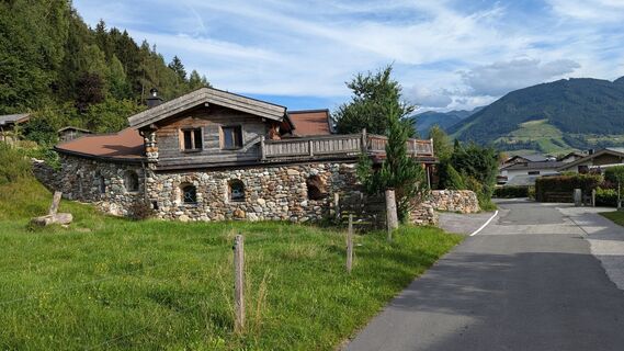
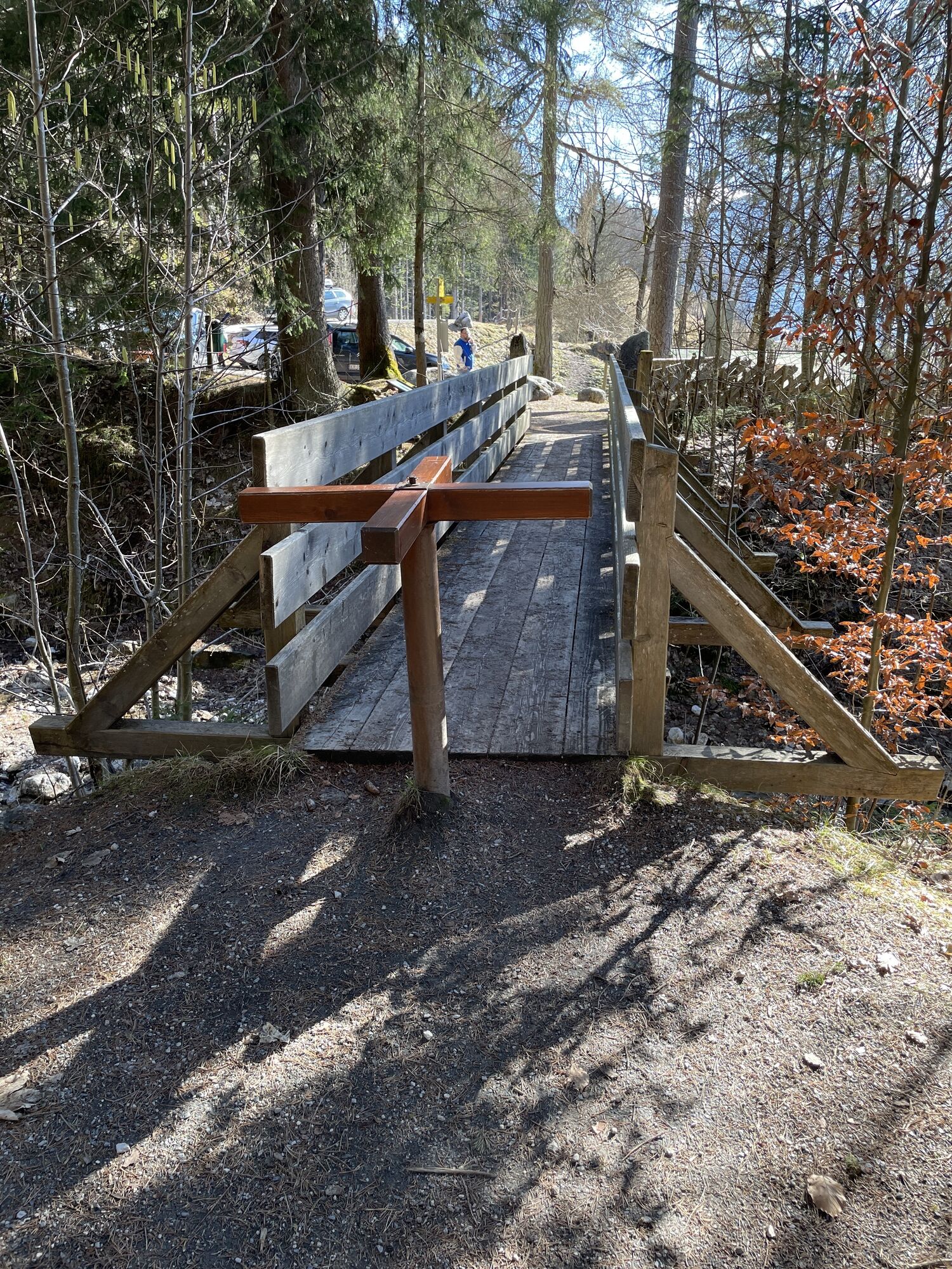
The starting point of the Trebesiner circular route is located in the Saalfelden district of Ramseiden. From here, first follow the yellow hiking signs through Ramseiden. After a short walk, turn from the village street onto a gravel path that first leads you through meadows and finally, after a short ascent, onto a narrow forest path. From here, follow the path. You hike along the foothills through forest and meadows and are repeatedly rewarded with a fantastic view of the Leoganger Basin. After you reach the Bürgerau parking lot, follow the road to the left towards Saalfelden. From then on, follow the signs towards Maria Alm, then towards Ramseiden back to the starting point at Wirtschaftshof.
Da
Water & refreshments
BY CAR
From Saalfelden, drive on the Pinzgauer Bundesstraße B311 towards Lofer. About 500 m after the roundabout near Interspar, turn right into Anton-Wallner-Straße. Follow the road to the intersection at the Wallner-Kaserne. Here, turn left into Ramseiderstraße. After about 200 m, the starting point is on the right side of the road at Wirtschaftshof Saalfelden (Ramseiderstraße 211, 5760 Saalfelden).
BY TRAIN
You can enjoy your holiday from the start by train. No traffic jam will stop you from coming to Saalfelden Leogang! Furthermore, the ÖBB timetable helps you quickly and easily find the ideal train connection to Saalfelden station: www.oebb.at
BY BUS
The starting point at Wirtschaftshof Saalfelden can be reached by Postbus from Saalfelden town centre. The bus stop "Saalfelden Wirtschaftshof" is located directly at the starting point of the hike. Further information can be found at https://fahrplan.salzburg-verkehr.at/
Free parking is available at Wirtschaftshof Saalfelden (Ramseiderstraße 211, 5760 Saalfelden).

Priljubljeni izleti v okolici
-
4.8
Summit stormer route Lauskopf
težkoPohodništvo 8.16 km -
5.0
Königssee - Kärlinger-Haus
Pohodništvo 10.1 km -
4.2
Maria Alm - Riemannhaus
Pohodništvo 3.99 km -
4.8
Summit storming route Taghaube
težkoPohodništvo 6.25 km -
4.6
Steinalm
svetlobaPohodništvo 2.71 km -
4.1
Schwalbenwand Nr. 80, 81, 82
srednjaPohodništvo 13.0 km -
4.3
Peter-Wiechenthaler Hut
srednjaPohodništvo 4.32 km -
4.4
Alpine and hut hike "Hochmaisalm & Steinbockalm"
srednjaPohodništvo 8.10 km -
4.1
Passauer Hütte
težkoPohodništvo 4.14 km -
5.0
Schönfeldspitze 12.08.2020
težkoVisokogorska tura 15.3 km
Pohodništvo in sledenje


Ne zamudite ponudb in navdiha za naslednje počitnice
Vaš e-poštni naslov je bil dodan na poštni seznam.