







Trail running: PANORAMA ROUTE Piesendorf
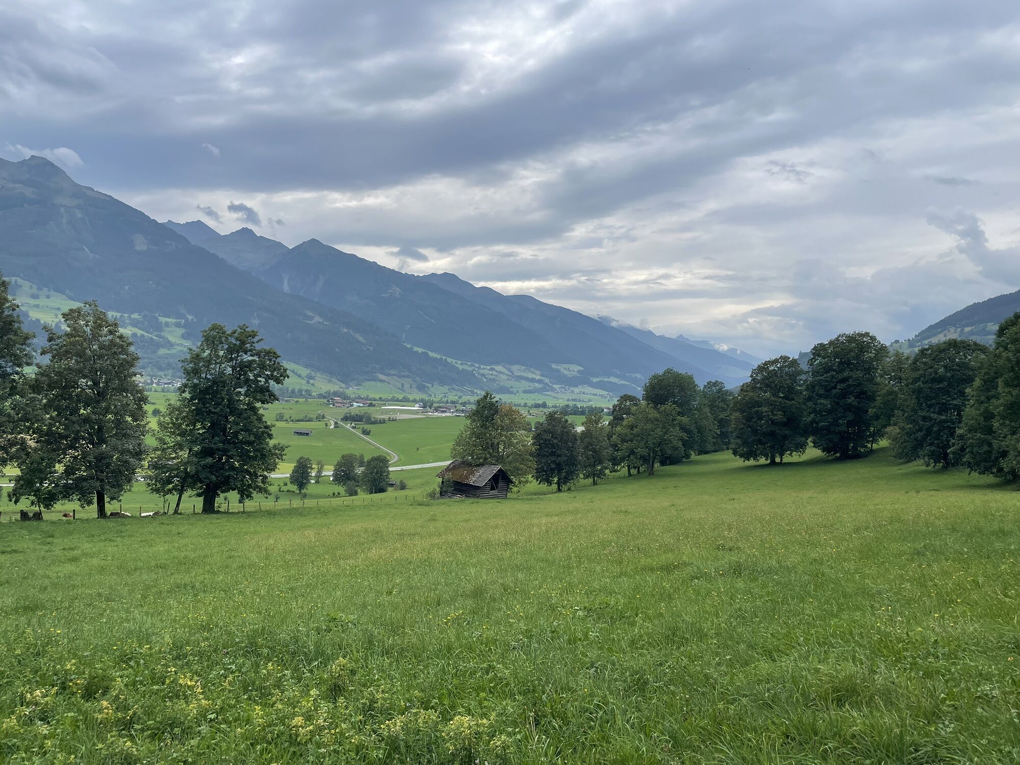
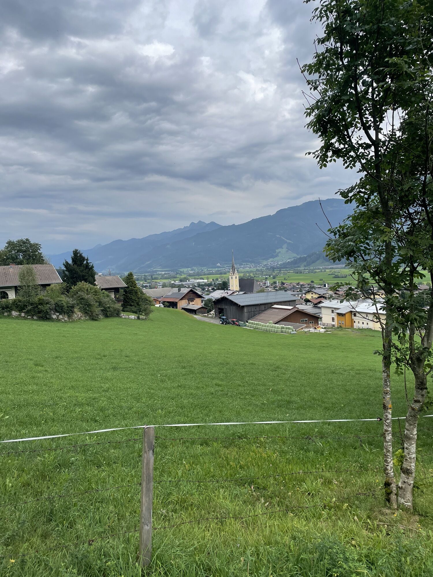
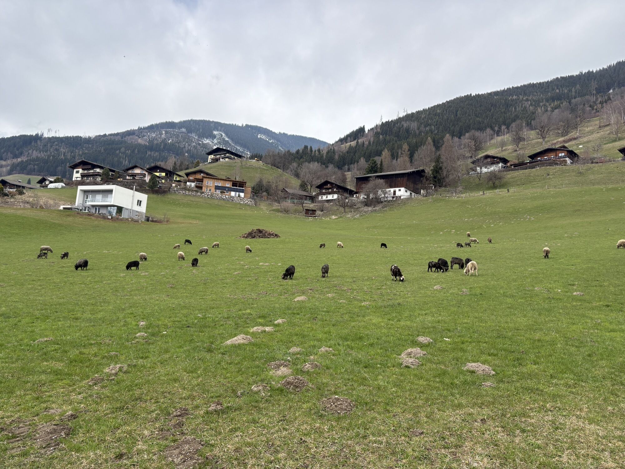
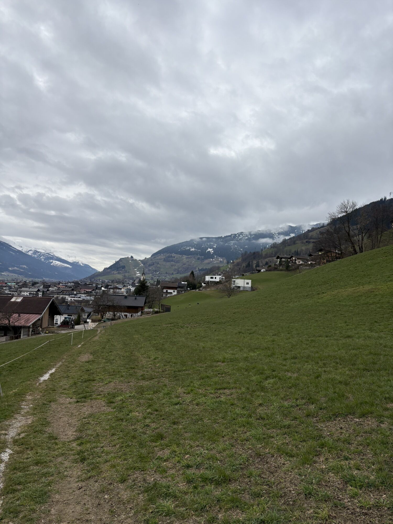
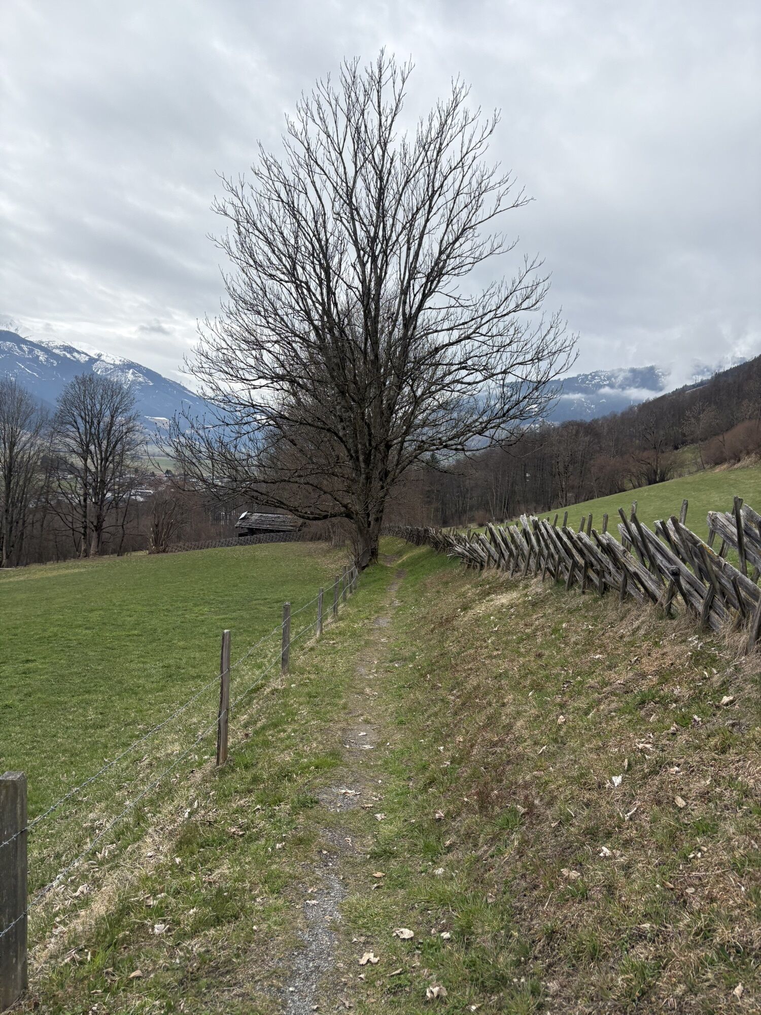
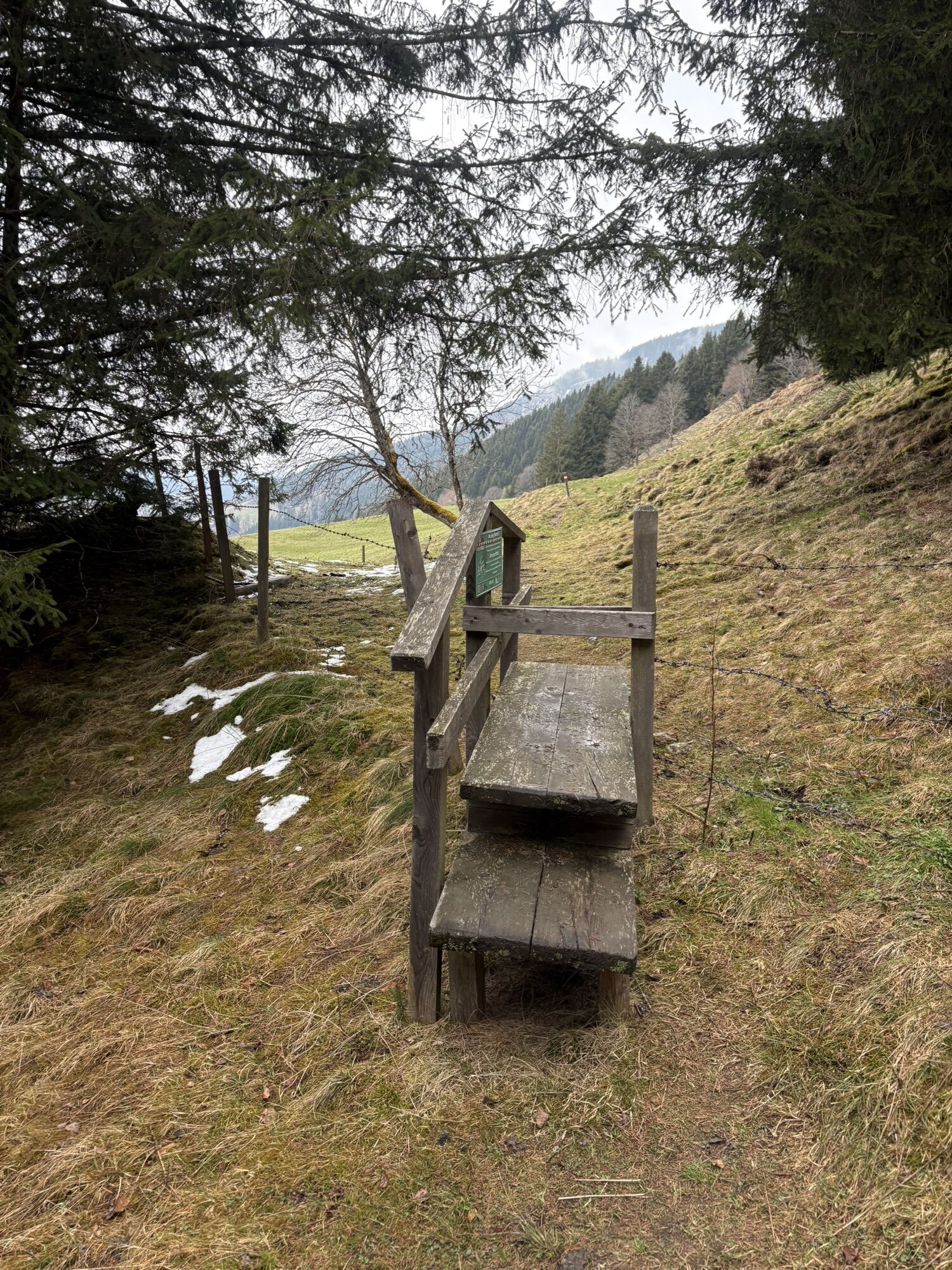
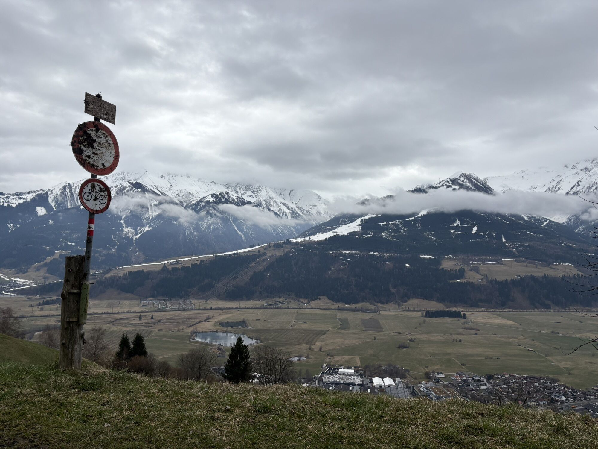
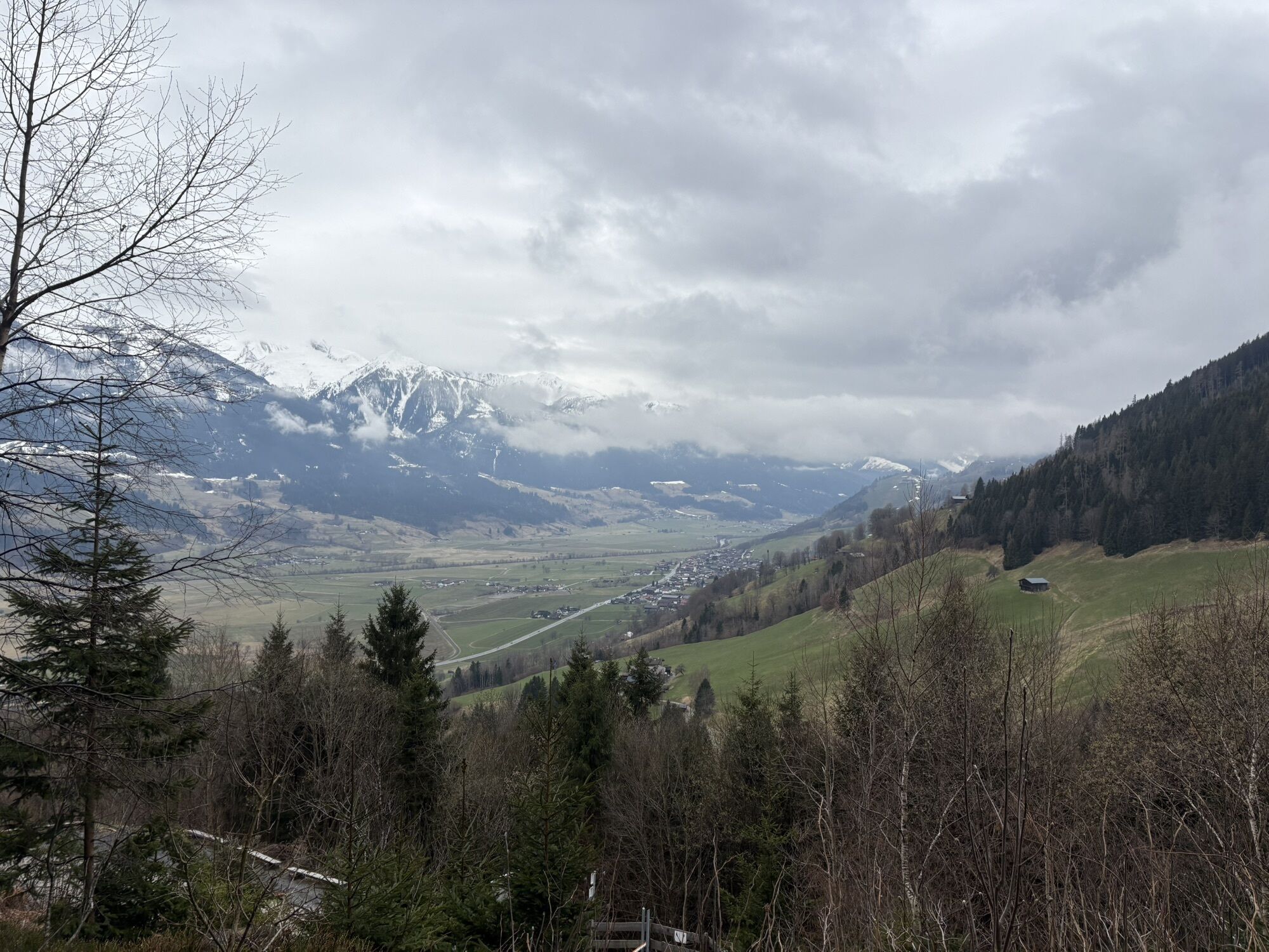
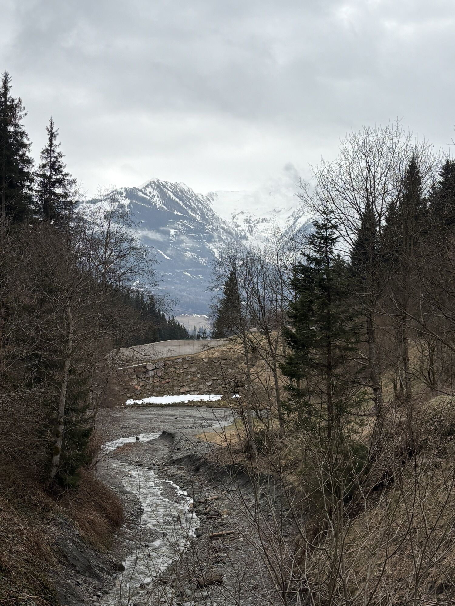
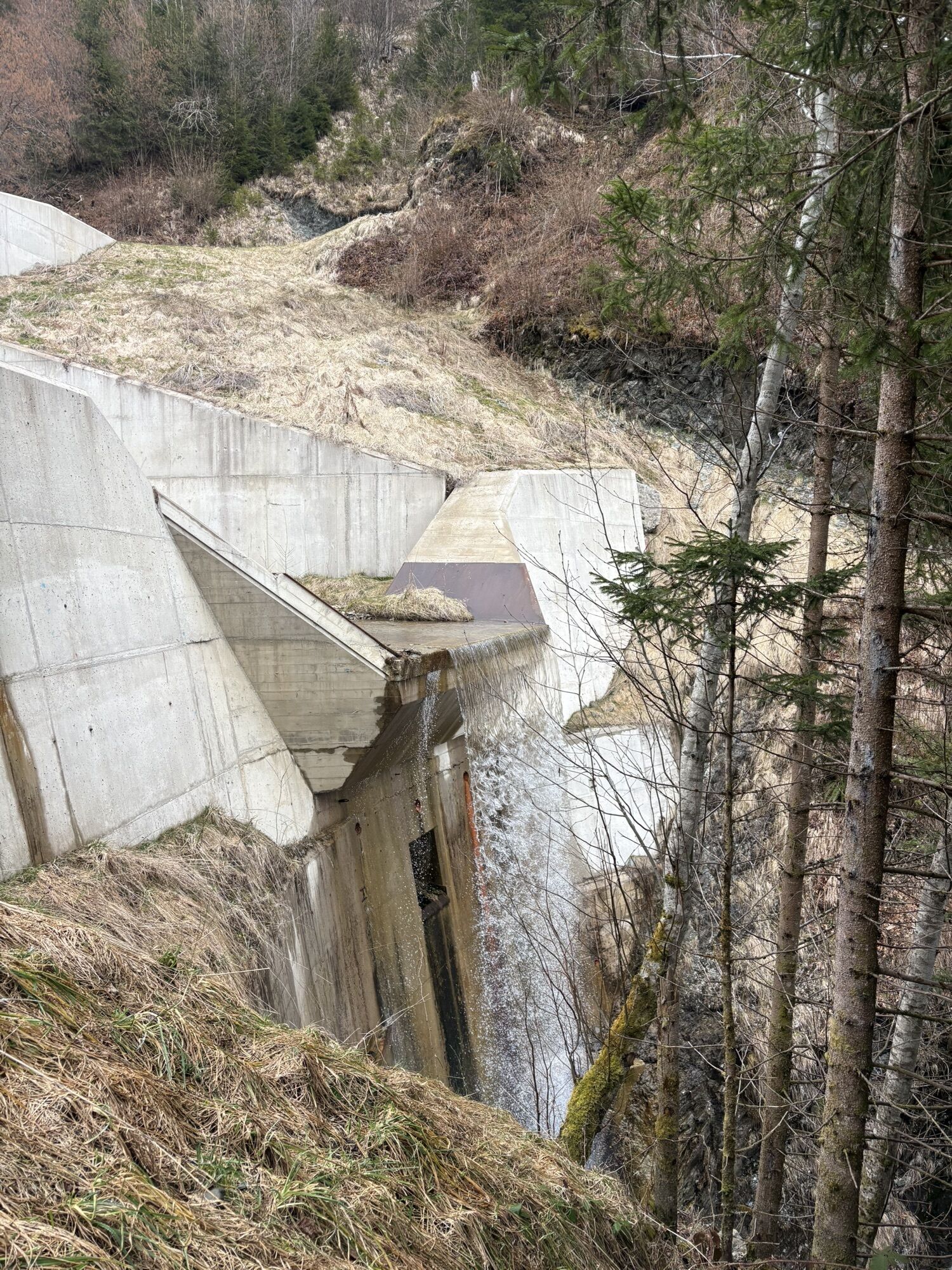
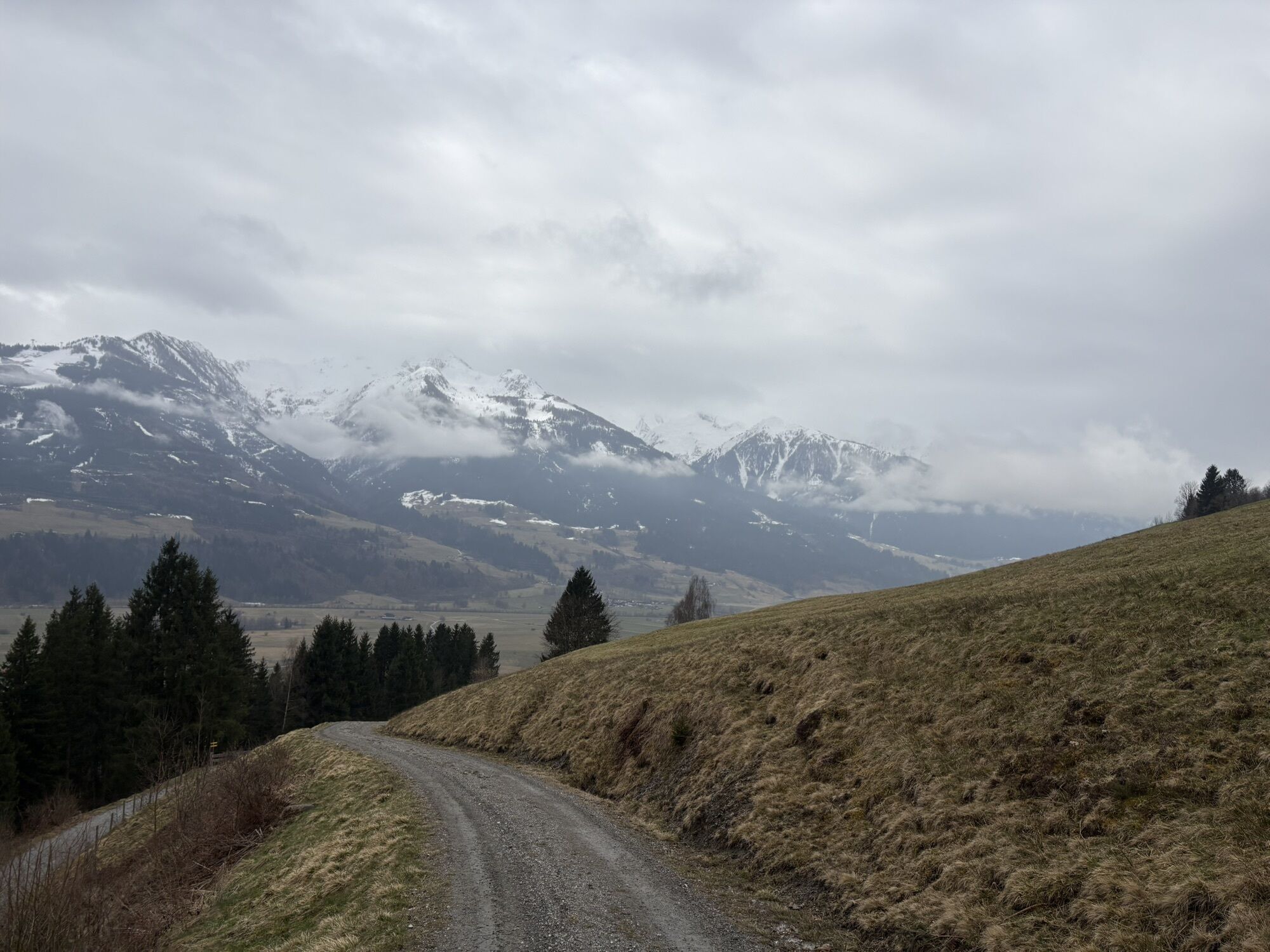
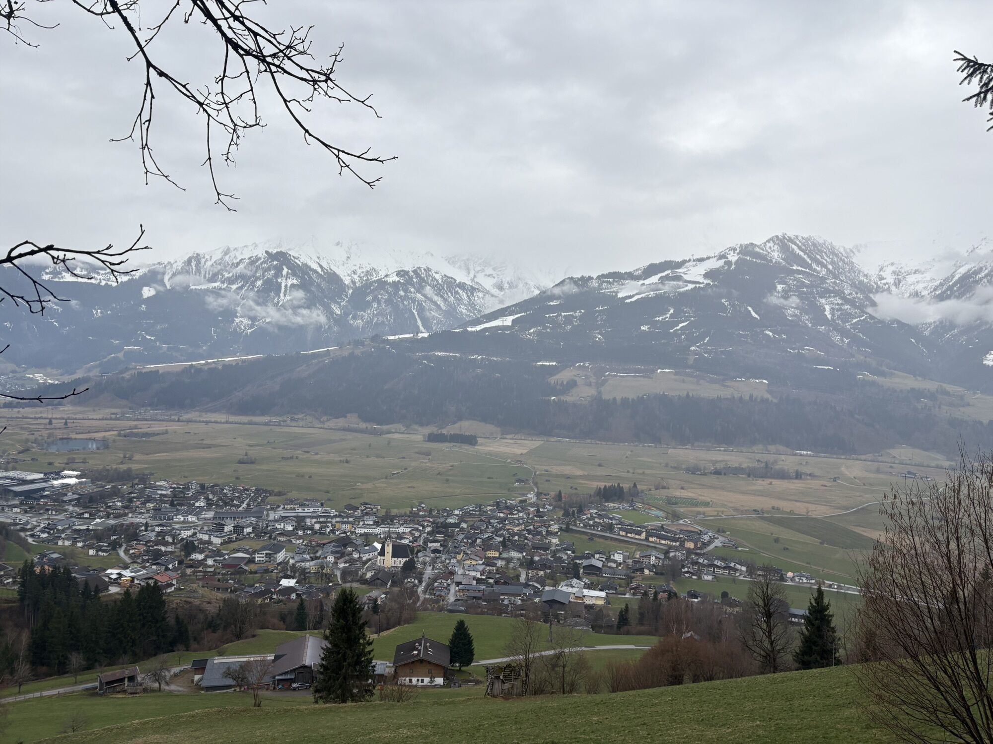
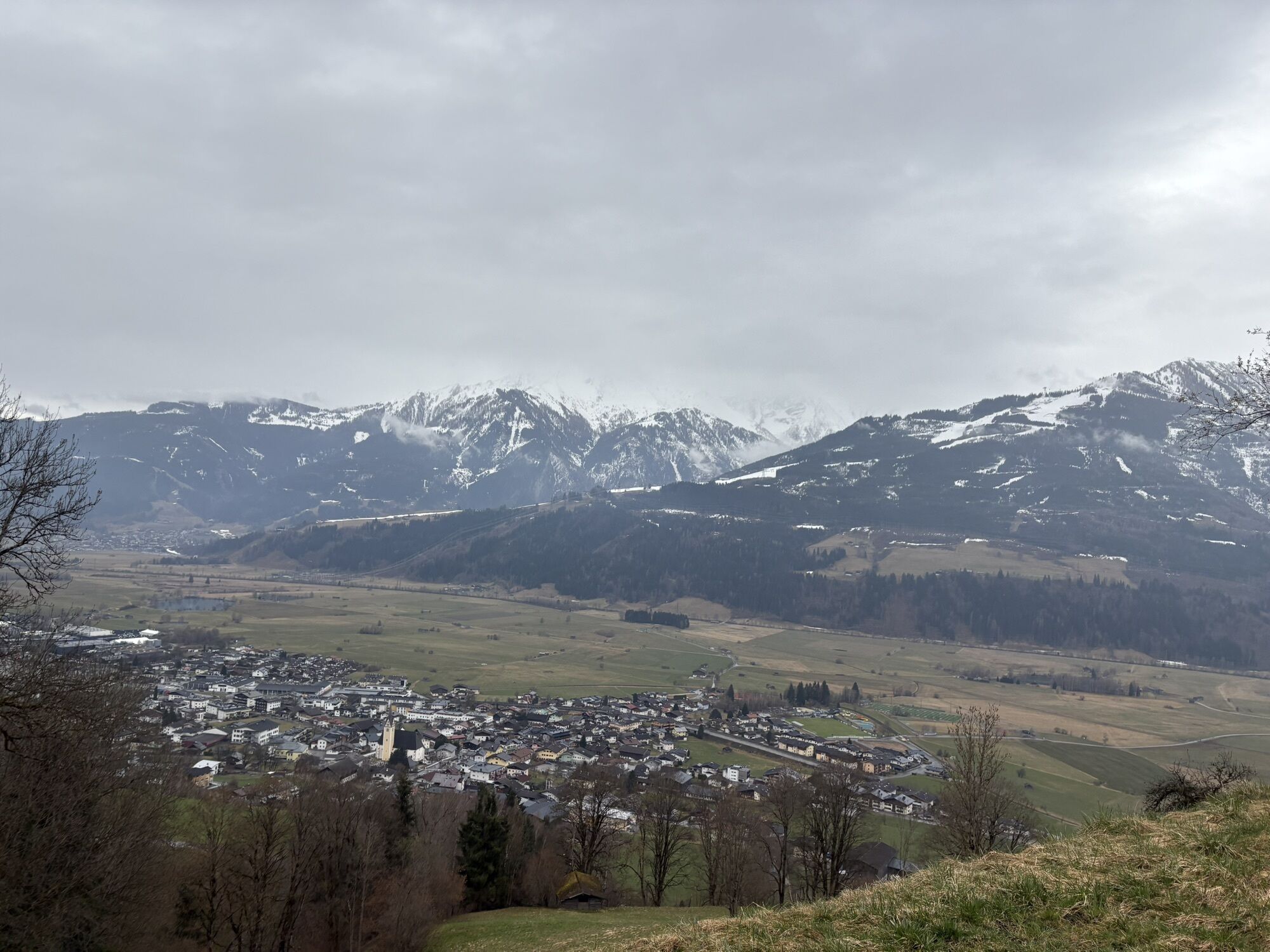
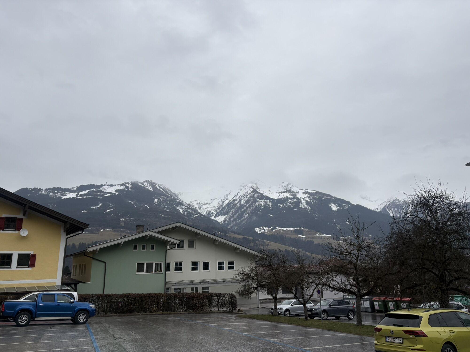
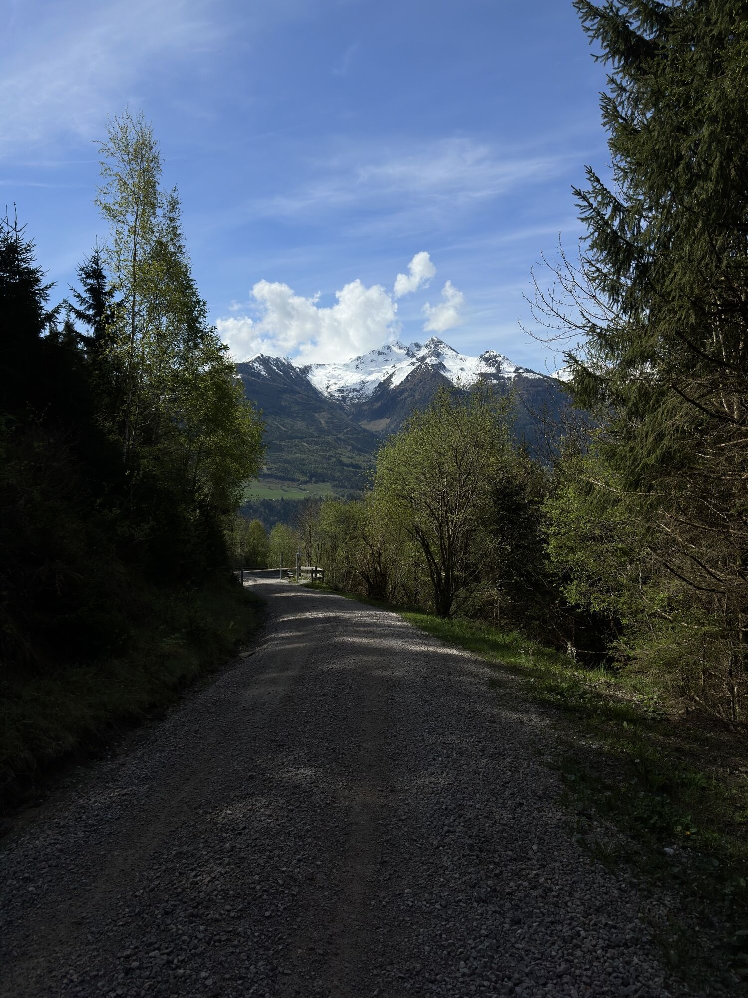
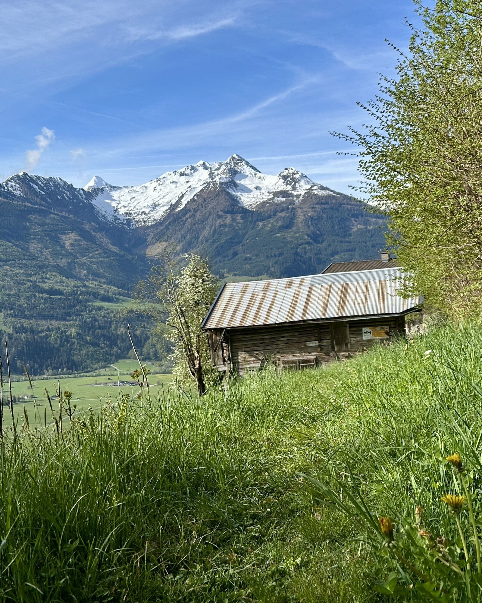
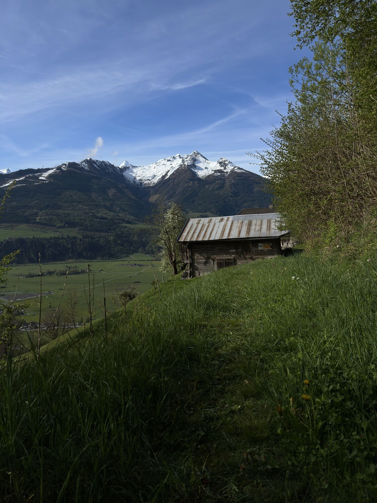
Try trail running air with an informative break at one or another display board or just go full throttle. The route also offers you great views over the broad Salzach valley.

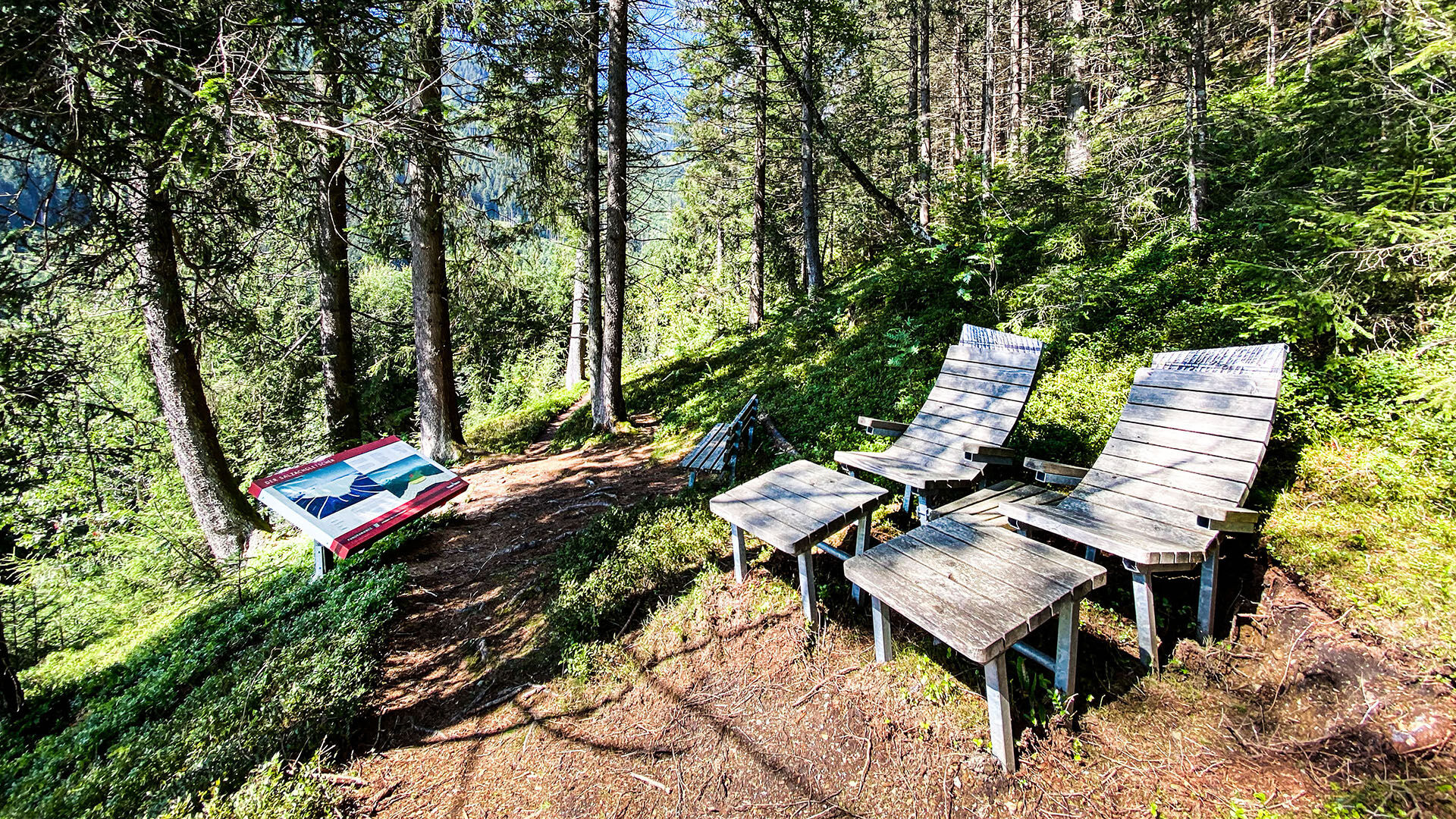
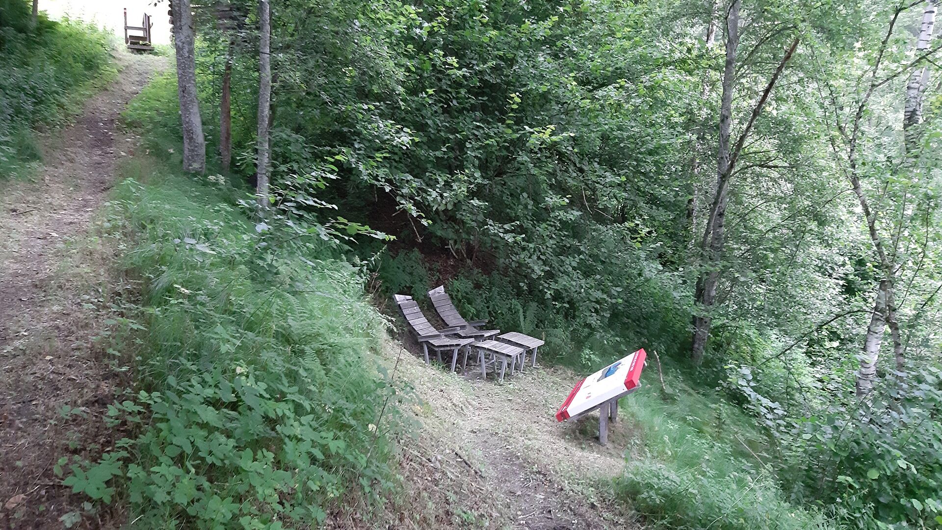
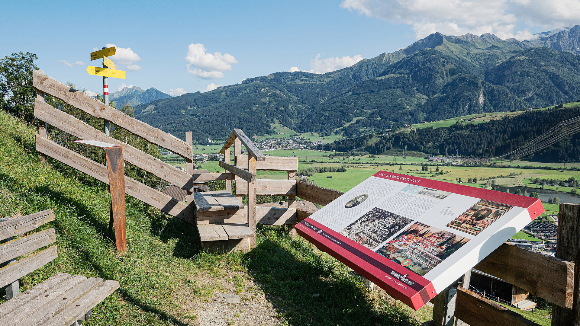

From the hiking info point, turn right into Feuerwehrstraße and then left into Windbachgasse. Then follow the hiking trail towards Hauserberg. At the fork, turn right onto path no. 3 and just before the Ebner farm, turn left to continue along the slightly steeper climb up to Großstein. Now follow hiking trails 3A and 9A to Hochmaurach. After about 300 m, turn right towards Entfelden and follow the road for a short stretch. Then turn right again and follow the cultural landscape path, trail no. 9, back to the starting point.
Trail running shoes, lightweight & breathable clothing, wind/rain jacket, backpack or running vest, poles, drink (water, energy drink), food (bars, fruit, gels), headlamp (recommended), sun protection, first aid kit (rescue blanket, blister plasters, ...), mobile phone, map
Dear trail runners!
We hope that the snacks and drinks you take with you on your route give you the strength to carry back the packaging materials and the empty cans and bottles.
Running, walking, ... off the marked routes/paths is strictly prohibited.
Please observe the Fair Play & Code of Conduct!
Fairness and mutual consideration form the basis for living together and preserving the diverse interests in the natural environment!
Parking available!
Start slowly with a warm-up to prepare your body for the uneven terrain. Run as you like and don’t overdo it.
Spletne kamere s turneje
Pridobite vpogled
Vedno v živo na mestu z več kot 9.500 spletnimi kamerami. bergfex Kot uporabnik Pro si lahko zdaj ogledate ustrezne spletne kamere za številne izlete v aplikaciji izleti iz. Tako si lahko neposredno ogledate trenutne razmere.

Priljubljeni izleti v okolici
-
4.4
Schwalbenwand Nr. 80, 81, 82
srednjaPohodništvo 13.0 km -
4.2
Maurerkogel (Top)
Pohodništvo 10.5 km -
4.6
Sigmund Thun Klamm, Klammsee, Bürgkogel
svetlobaPohodništvo 4.56 km -
4.1
Berg der Sinne
svetlobaPohodništvo 4.39 km -
4.5
Thumersbach, Runde um den Zeller See
svetlobaPohodništvo 13.3 km -
4.9
Hochsonnberg Runde
srednjaMountainbike 59.8 km -
4.4
Sigmund Thun Klamm
svetlobaPohodništvo 3.10 km -
5.0
Wasserfallboden/Mooserboden
težkoPohodništvo 19.5 km -
5.0
Leo’s play hiking trail
svetlobaTematska pot 4.89 km -
4.3
Hundstein-Runde von Maria Alm
težkoMountainbike 44.4 km

Pohodništvo in sledenje


Ne zamudite ponudb in navdiha za naslednje počitnice
Vaš e-poštni naslov je bil dodan na poštni seznam.





