


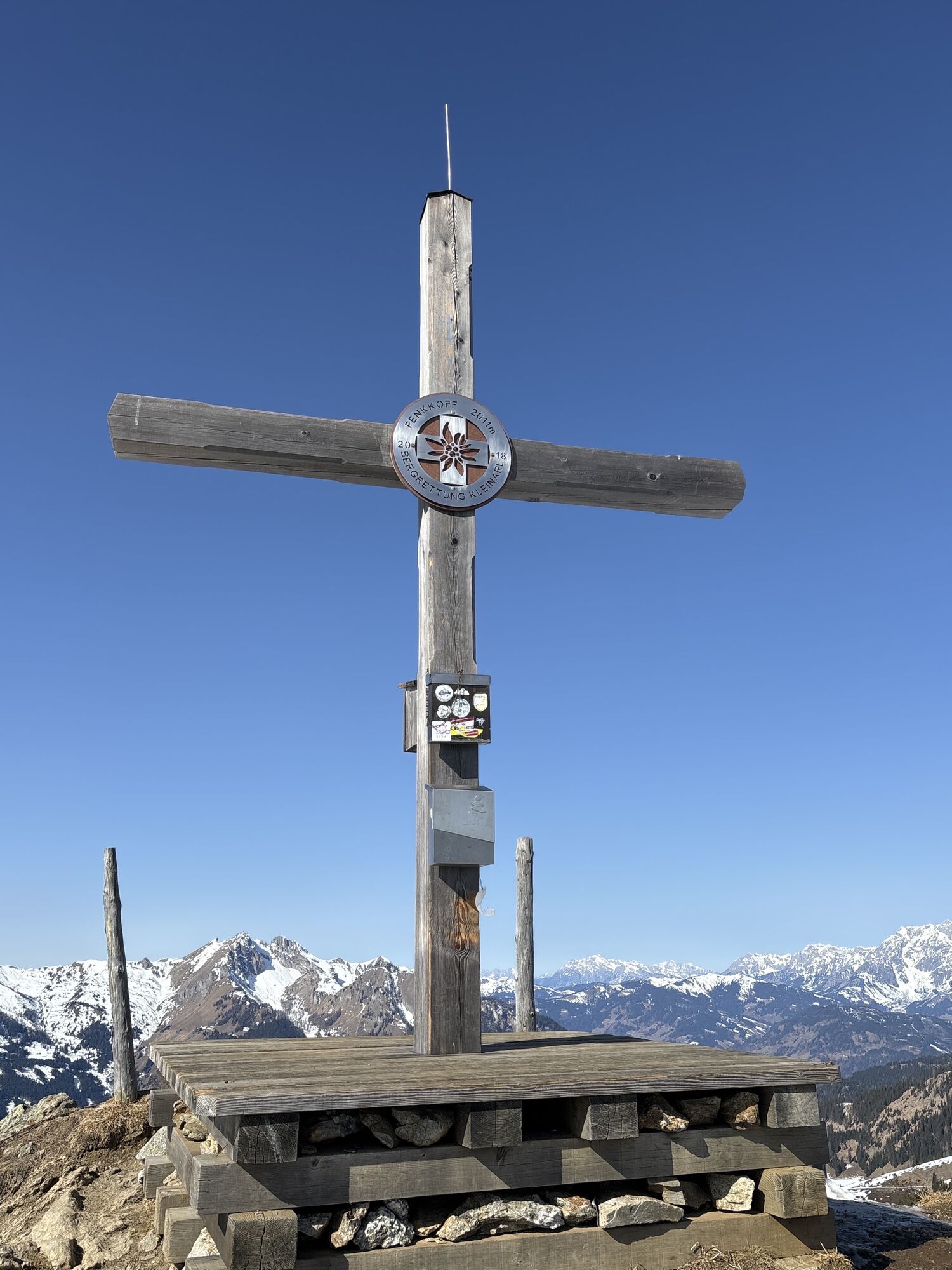
Penkkopf via Kleinarler hut from Kleinarl
Stopnja težavnosti: PD+
Fotografije naših uporabnikov

 © Johannes PetschkUstvarjeno na 21.06.2025
 © Heinz SperlUstvarjeno na 24.03.2026
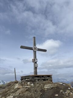 © Heinz SperlUstvarjeno na 24.03.2026
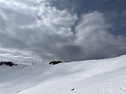 © Heinz SperlUstvarjeno na 24.03.2026
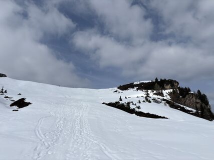 © Heinz SperlUstvarjeno na 24.03.2026
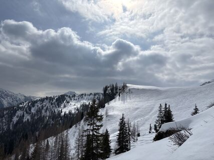 © Heinz SperlUstvarjeno na 24.03.2026
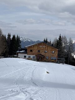 © Heinz SperlUstvarjeno na 24.03.2026
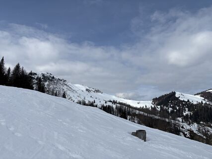 © Heinz SperlUstvarjeno na 24.03.2026
 © Heinz SperlUstvarjeno na 24.03.2026
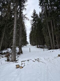 © Heinz SperlUstvarjeno na 24.03.2026
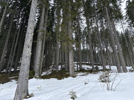 © Heinz SperlUstvarjeno na 24.03.2026
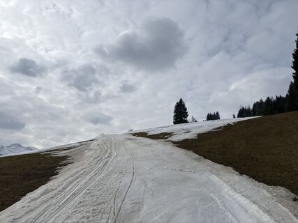 © Heinz SperlUstvarjeno na 24.03.2026
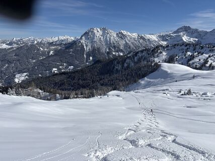 © Heinz SperlUstvarjeno na 18.02.2026
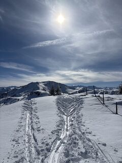 © Heinz SperlUstvarjeno na 18.02.2026
 © Heinz SperlUstvarjeno na 18.02.2026
 © Heinz SperlUstvarjeno na 18.02.2026
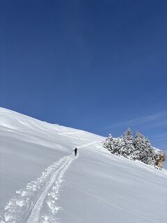 © Heinz SperlUstvarjeno na 18.02.2026
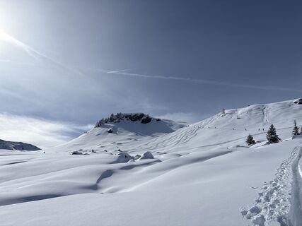 © Heinz SperlUstvarjeno na 18.02.2026
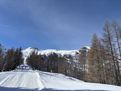 © Heinz SperlUstvarjeno na 18.02.2026
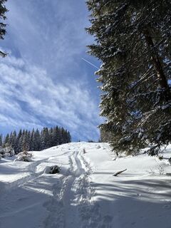 © Heinz SperlUstvarjeno na 18.02.2026
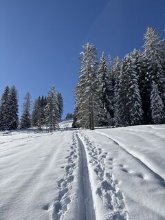 © Heinz SperlUstvarjeno na 18.02.2026
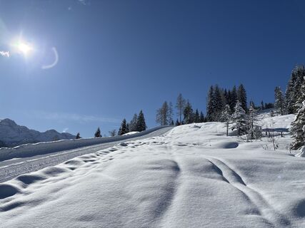 © Heinz SperlUstvarjeno na 18.02.2026
 © Heinz SperlUstvarjeno na 18.02.2026
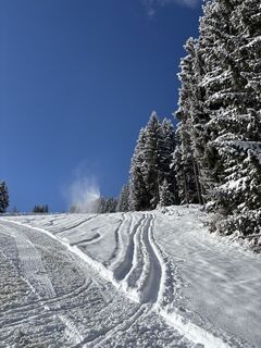 © Heinz SperlUstvarjeno na 18.02.2026
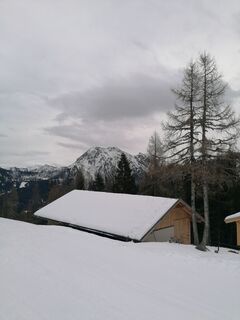
 © R. HUstvarjeno na 24.01.2026
 © R. HUstvarjeno na 24.01.2026
 © R. HUstvarjeno na 06.01.2026
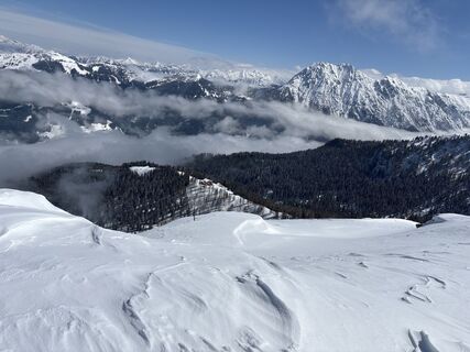 © Heinz SperlUstvarjeno na 02.04.2025
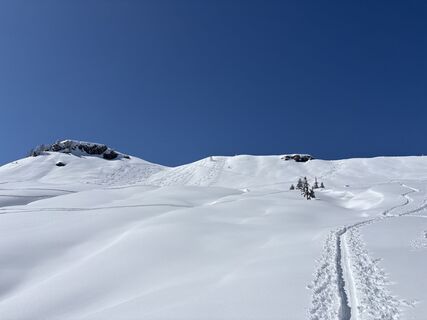 © Heinz SperlUstvarjeno na 02.04.2025
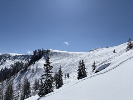 © Heinz SperlUstvarjeno na 02.04.2025
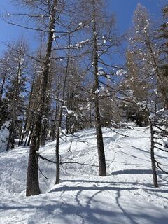 © Heinz SperlUstvarjeno na 02.04.2025
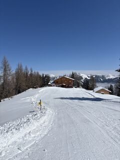 © Heinz SperlUstvarjeno na 02.04.2025
 © Heinz SperlUstvarjeno na 02.04.2025
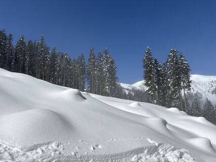 © Heinz SperlUstvarjeno na 02.04.2025
 © Heinz SperlUstvarjeno na 02.04.2025
 © Heinz SperlUstvarjeno na 21.03.2025
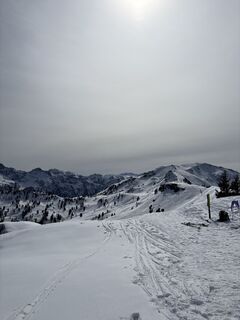 © Heinz SperlUstvarjeno na 21.03.2025
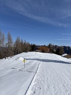 © Heinz SperlUstvarjeno na 21.03.2025
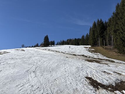 © Heinz SperlUstvarjeno na 21.03.2025
 © 34tgUstvarjeno na 07.03.2025
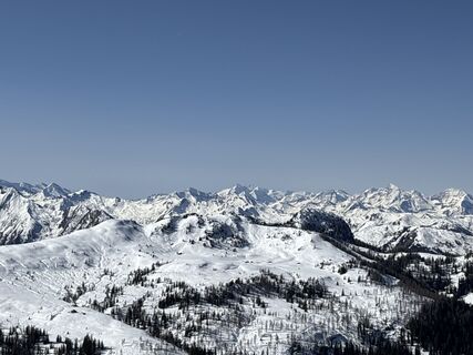 © Heinz SperlUstvarjeno na 07.03.2025
 © Heinz SperlUstvarjeno na 07.03.2025
 © Heinz SperlUstvarjeno na 07.03.2025
 © Heinz SperlUstvarjeno na 07.03.2025
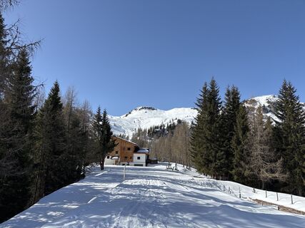 © Heinz SperlUstvarjeno na 07.03.2025
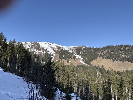 © Heinz SperlUstvarjeno na 07.03.2025
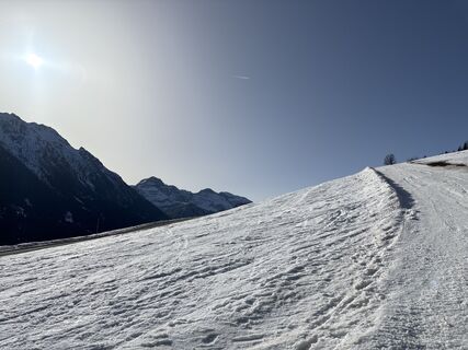 © Heinz SperlUstvarjeno na 07.03.2025
 © Isabella Schwaiger-MoserUstvarjeno na 07.02.2025
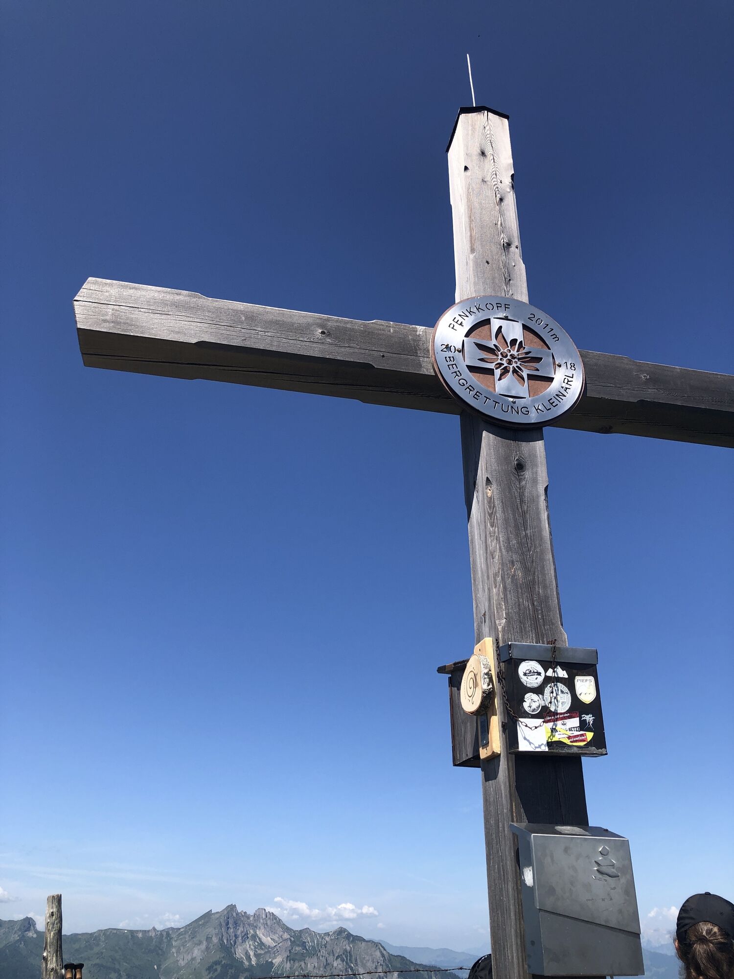


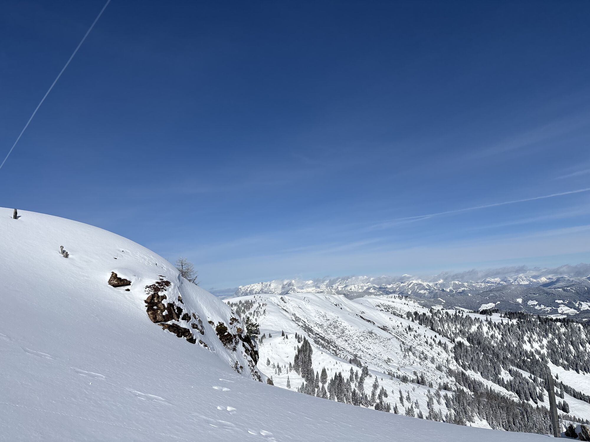


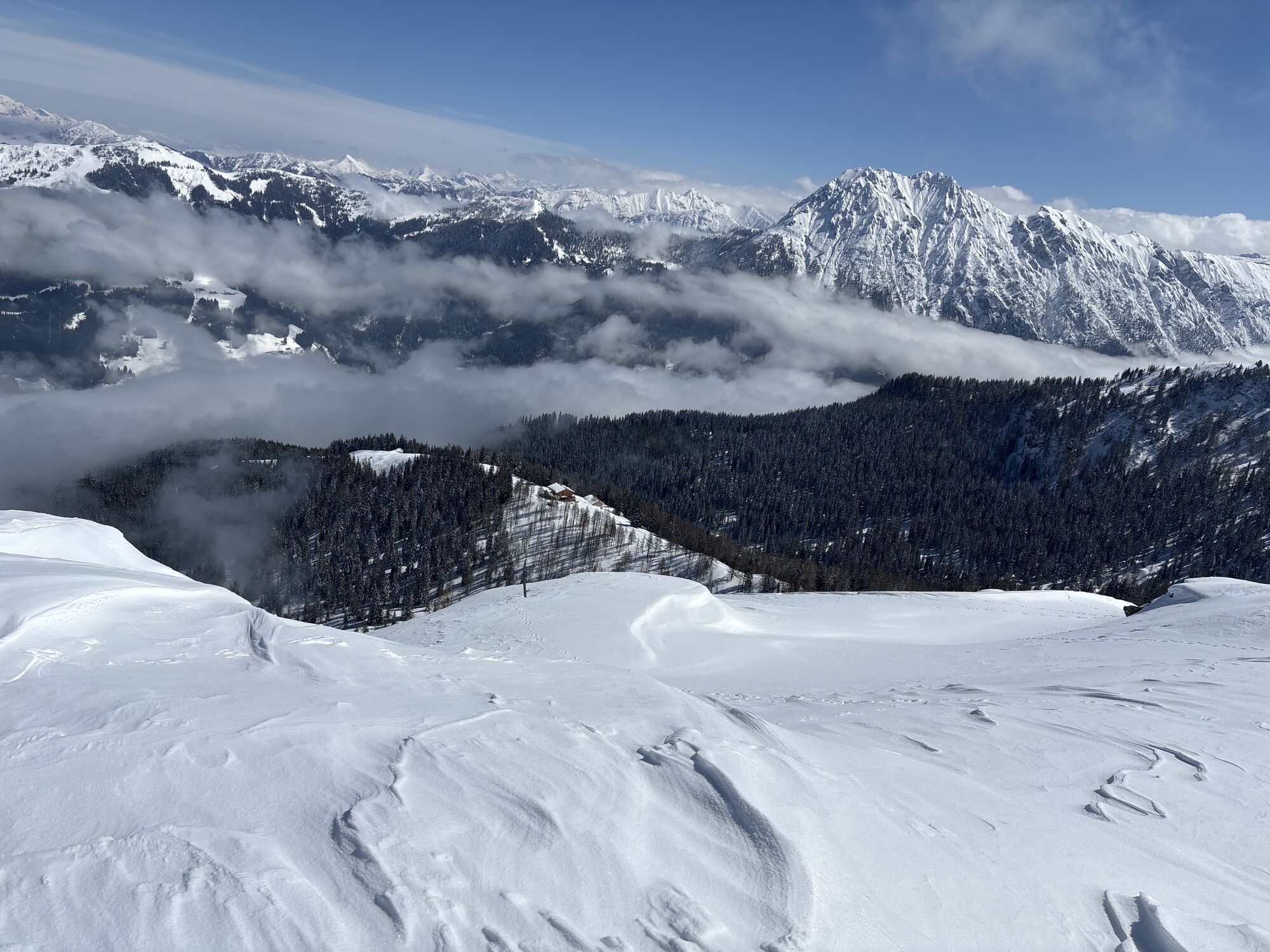

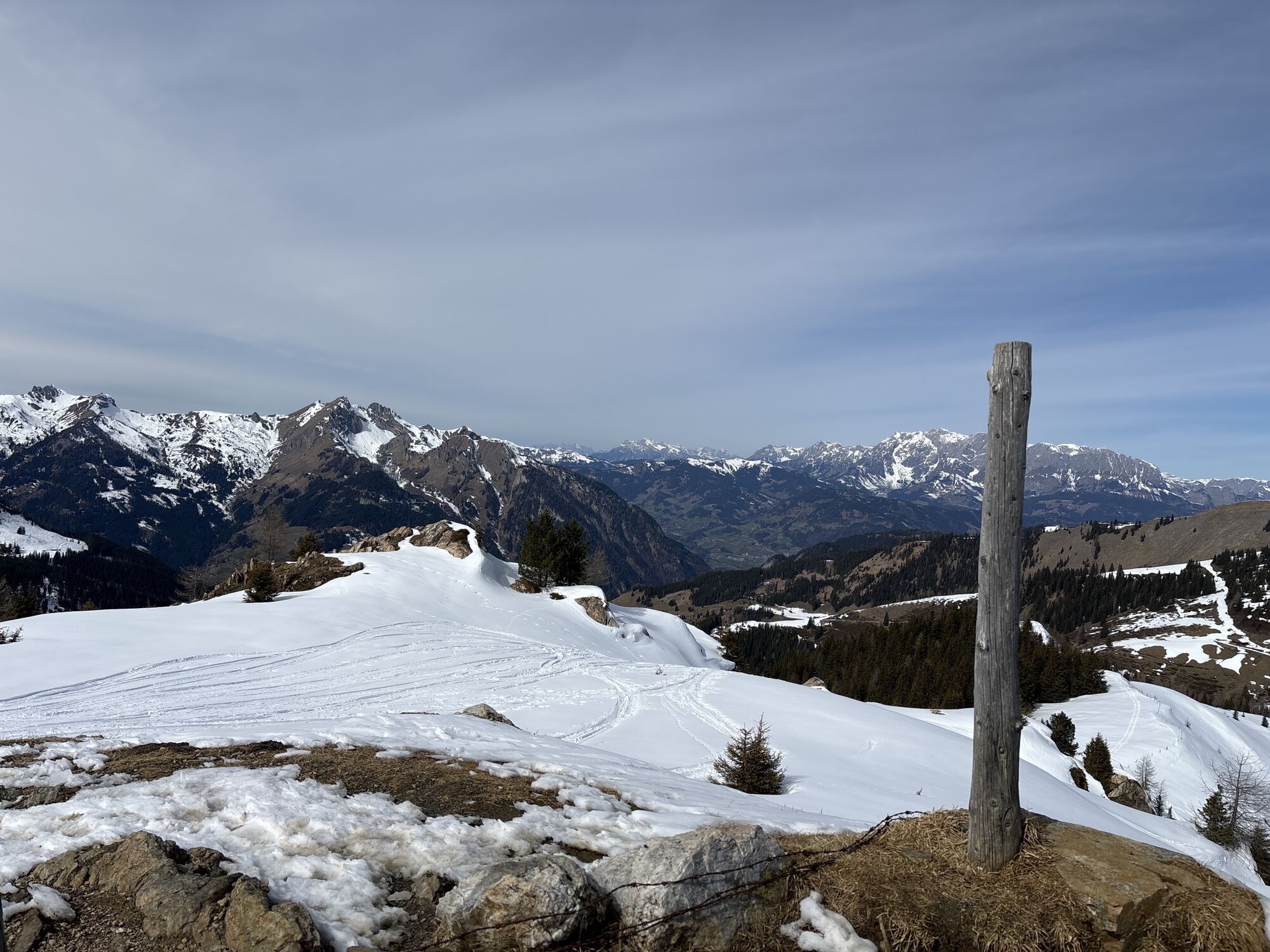

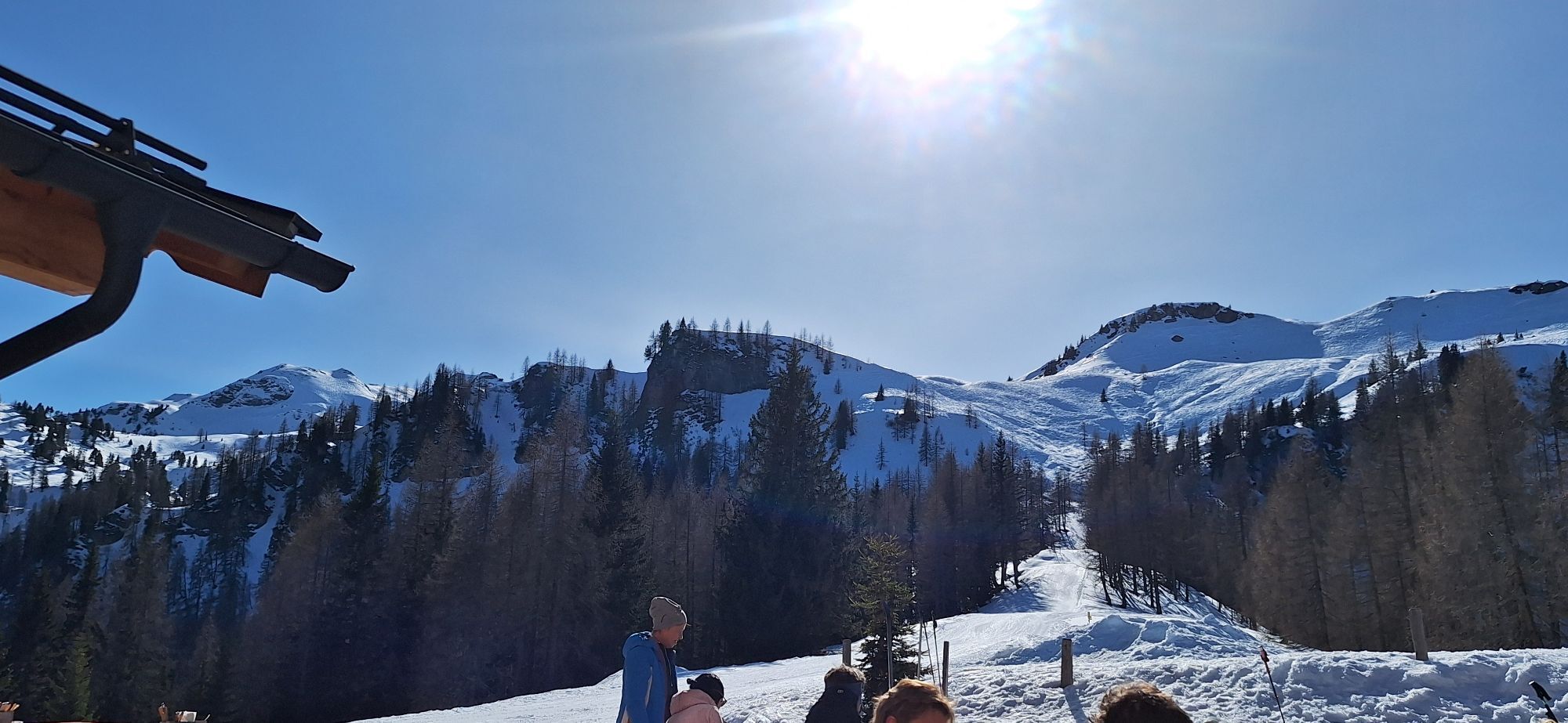

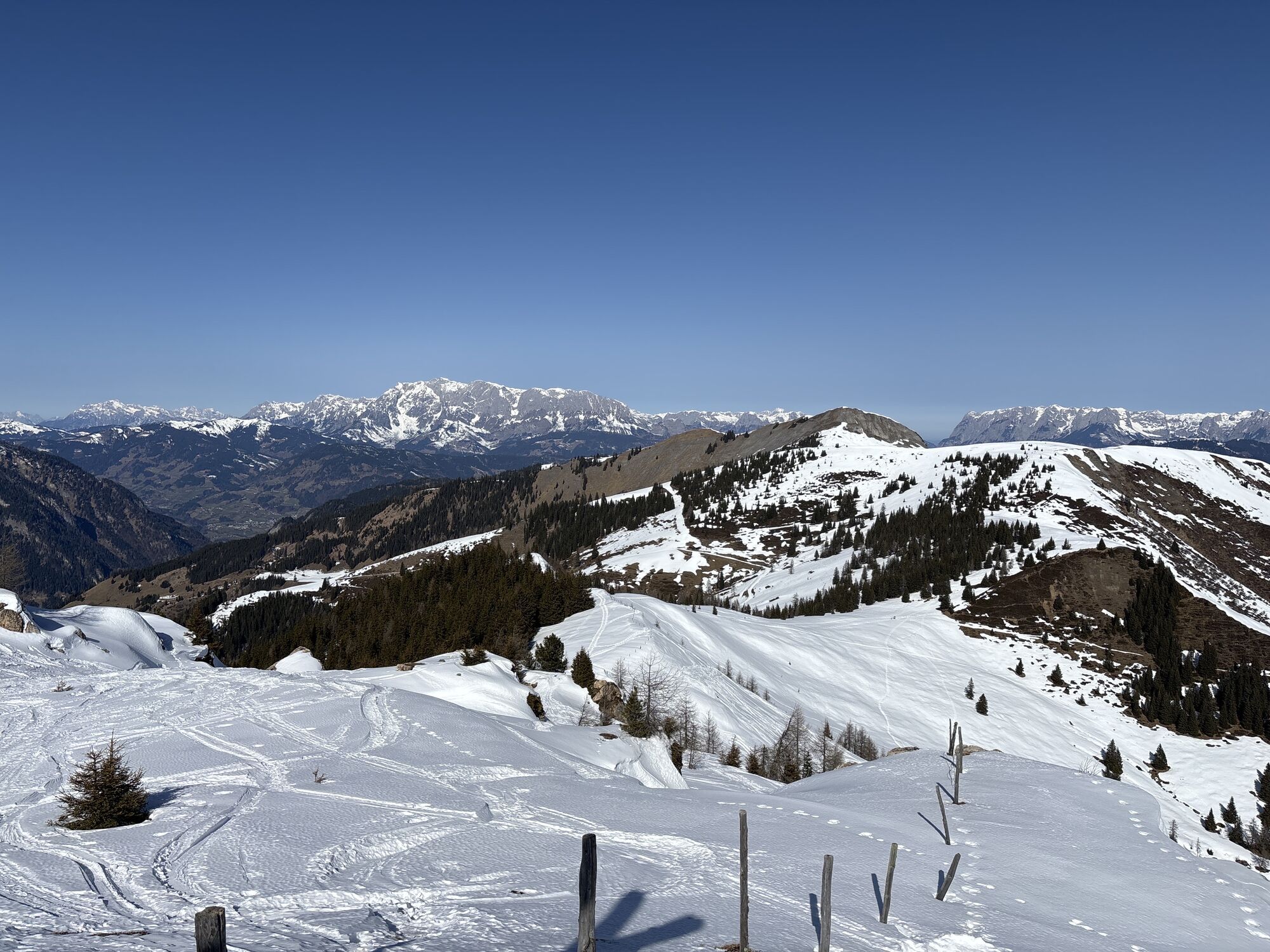


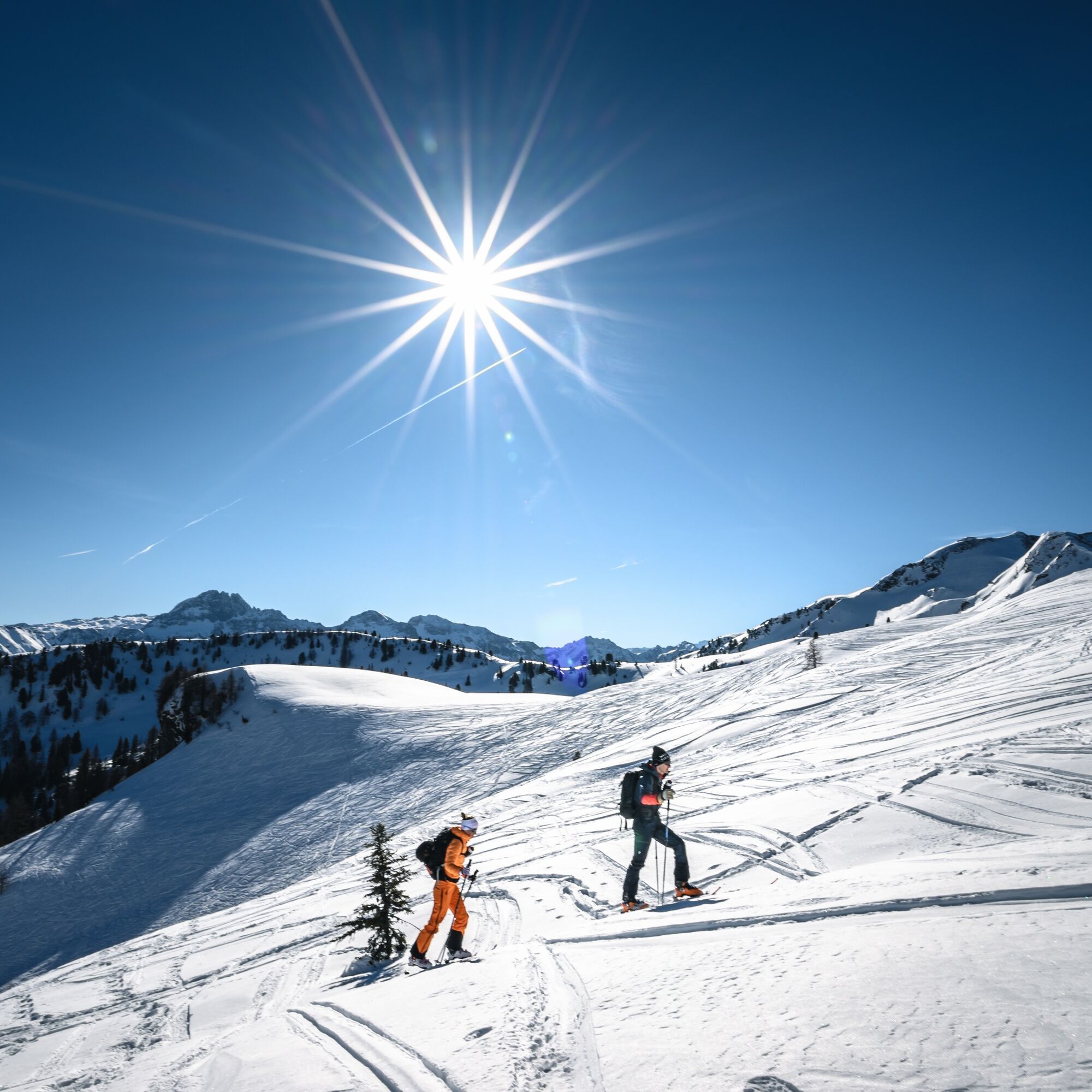
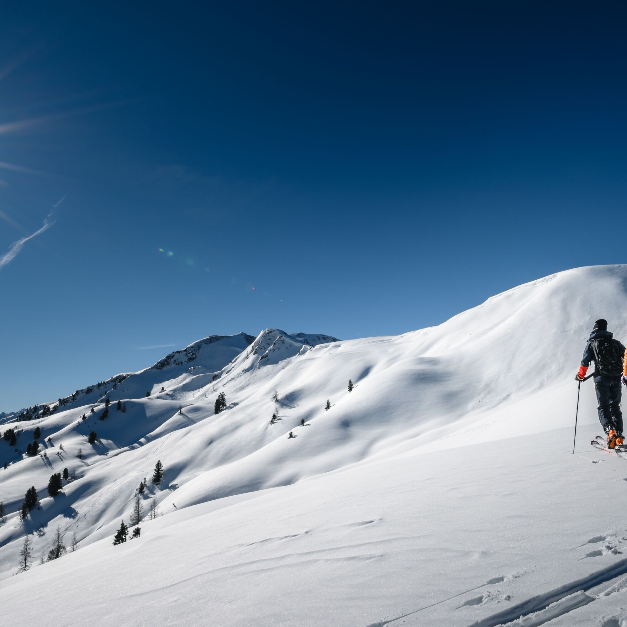
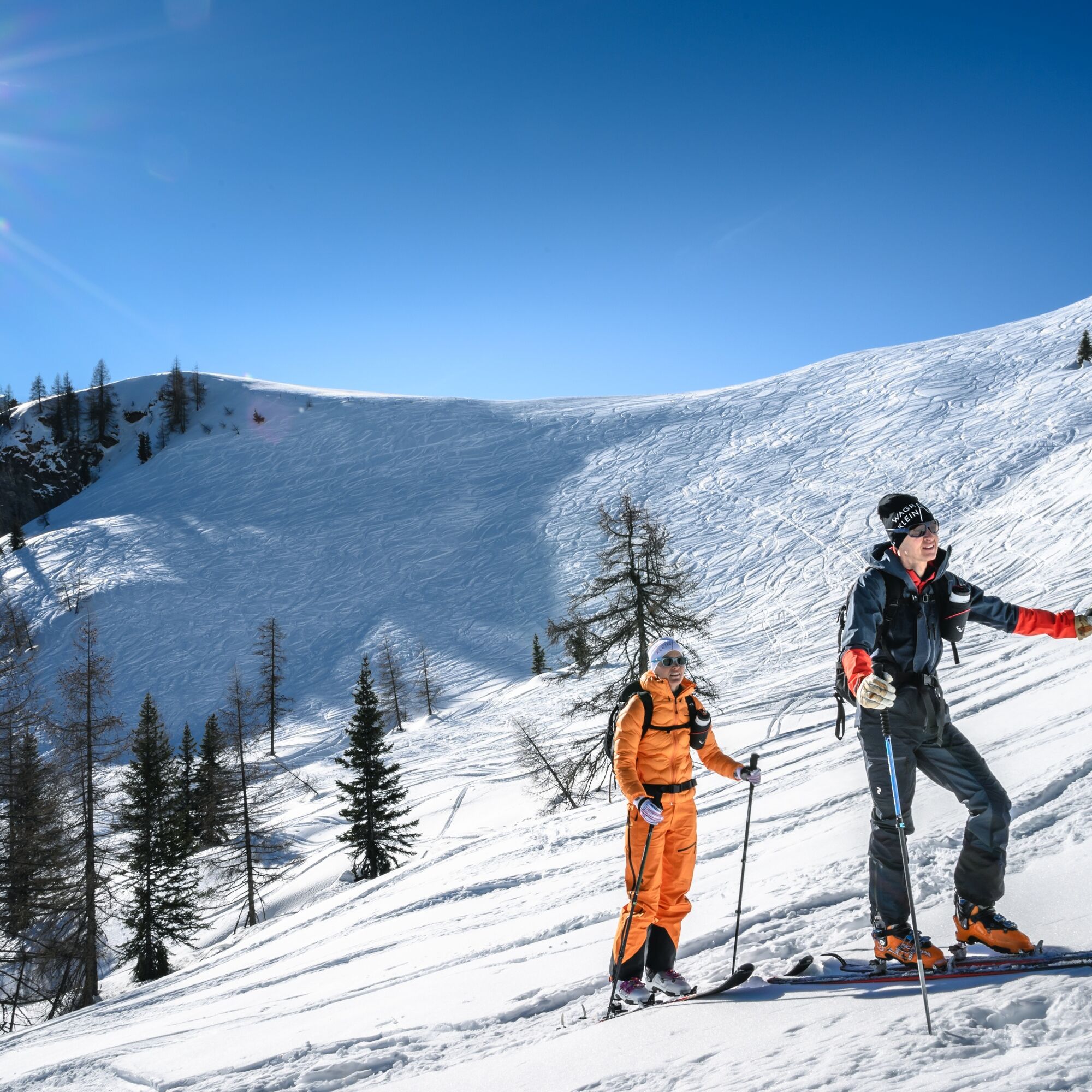
This wonderful and popular ski tour impresses with its view of the Kleinarler local mountain, the Ennskraxn, and rewards with a dreamlike panorama after an additional ascent from the Kleinarler hut to...
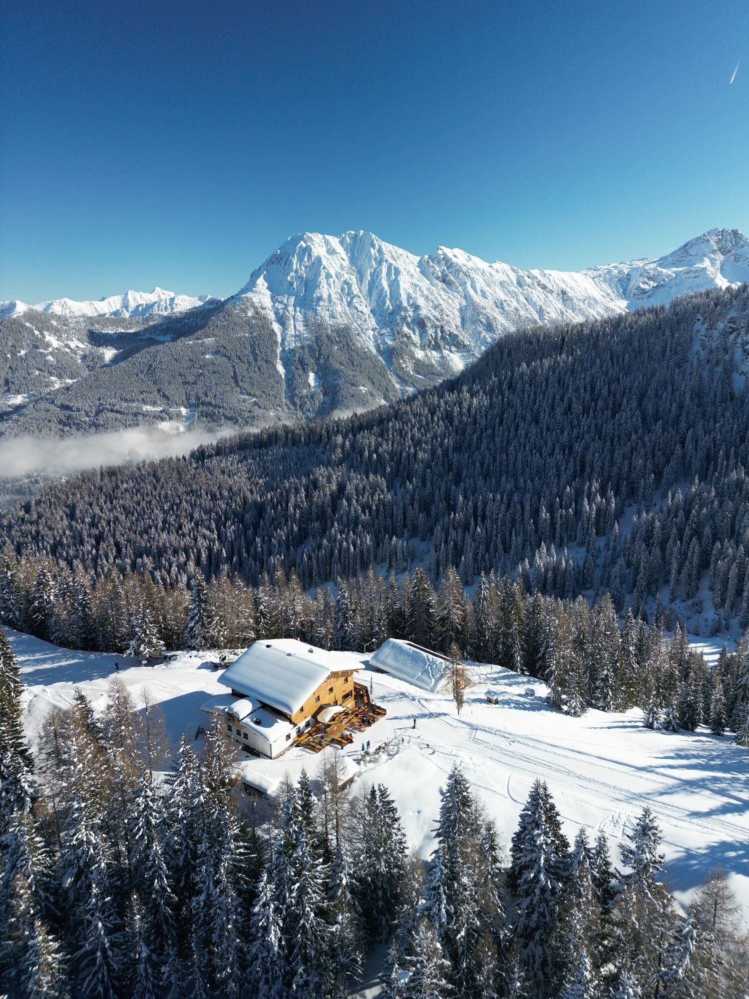
This wonderful and popular ski tour impresses with its view of the Kleinarler local mountain, the Ennskraxn, and rewards with a dreamlike panorama after an additional ascent from the Kleinarler hut to the Penkkopf. The ski route is also suitable for beginners, as the Kleinarler hut can also be taken as the destination point. Descent is also possible via Großarl.
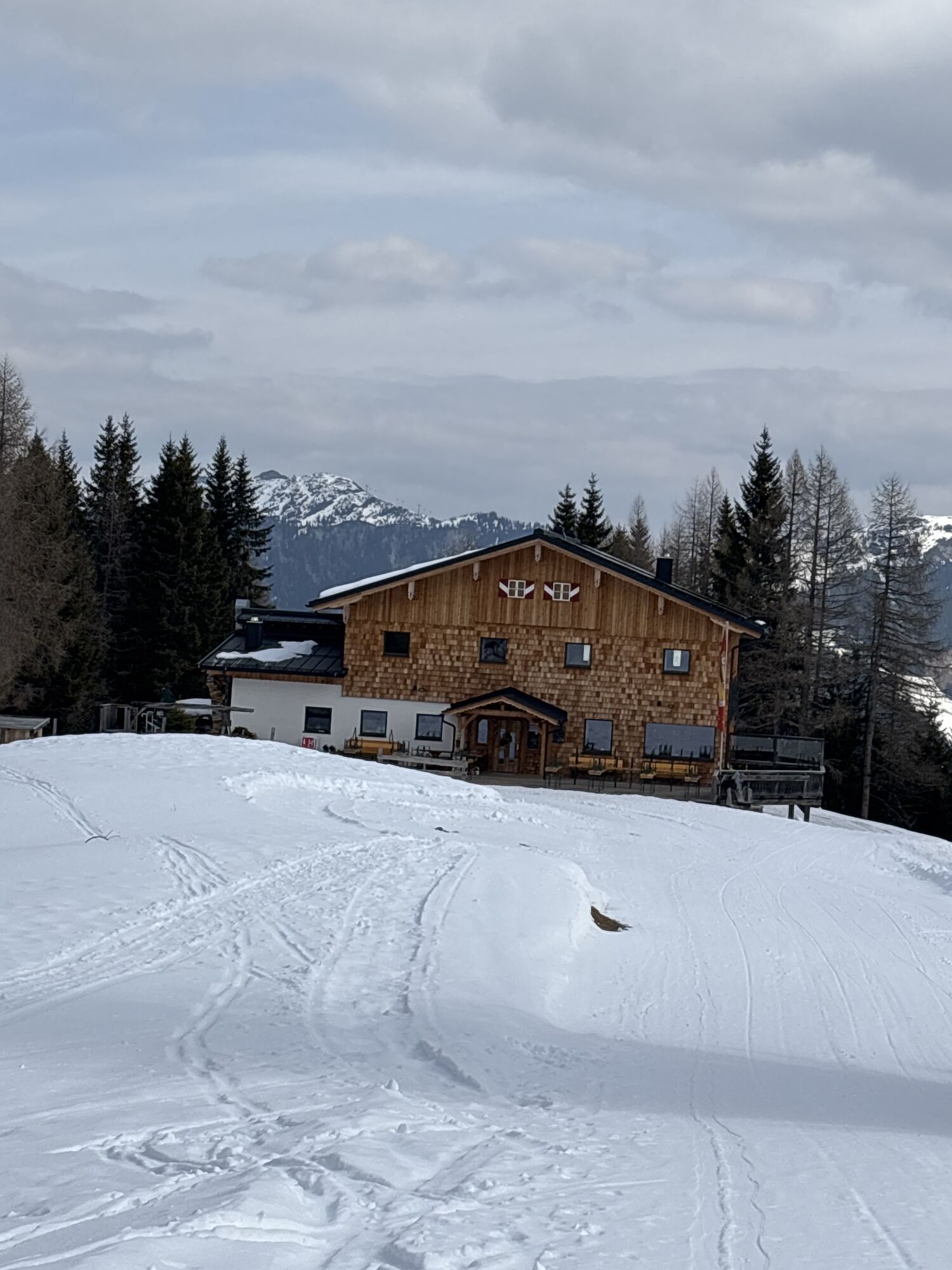
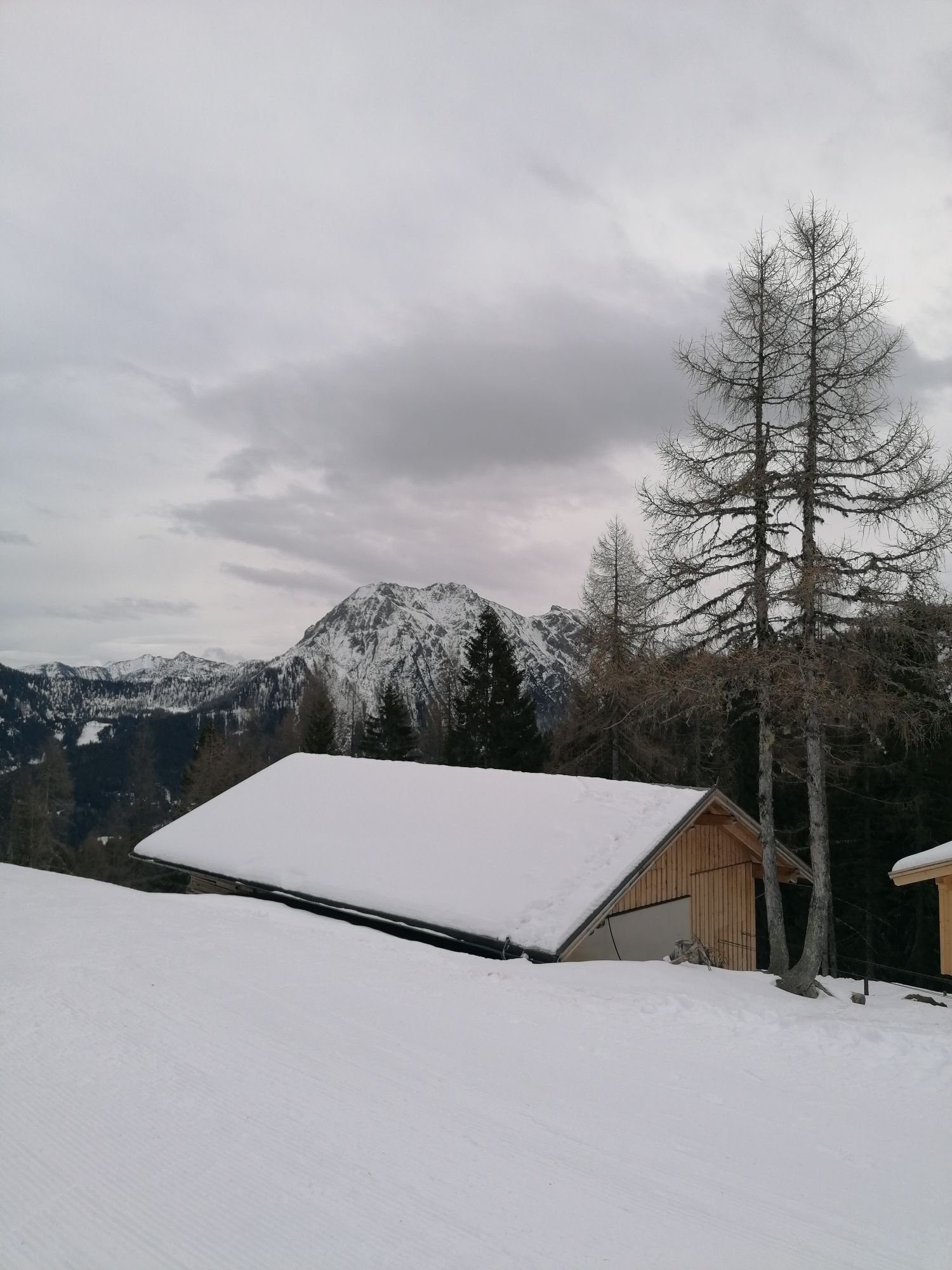
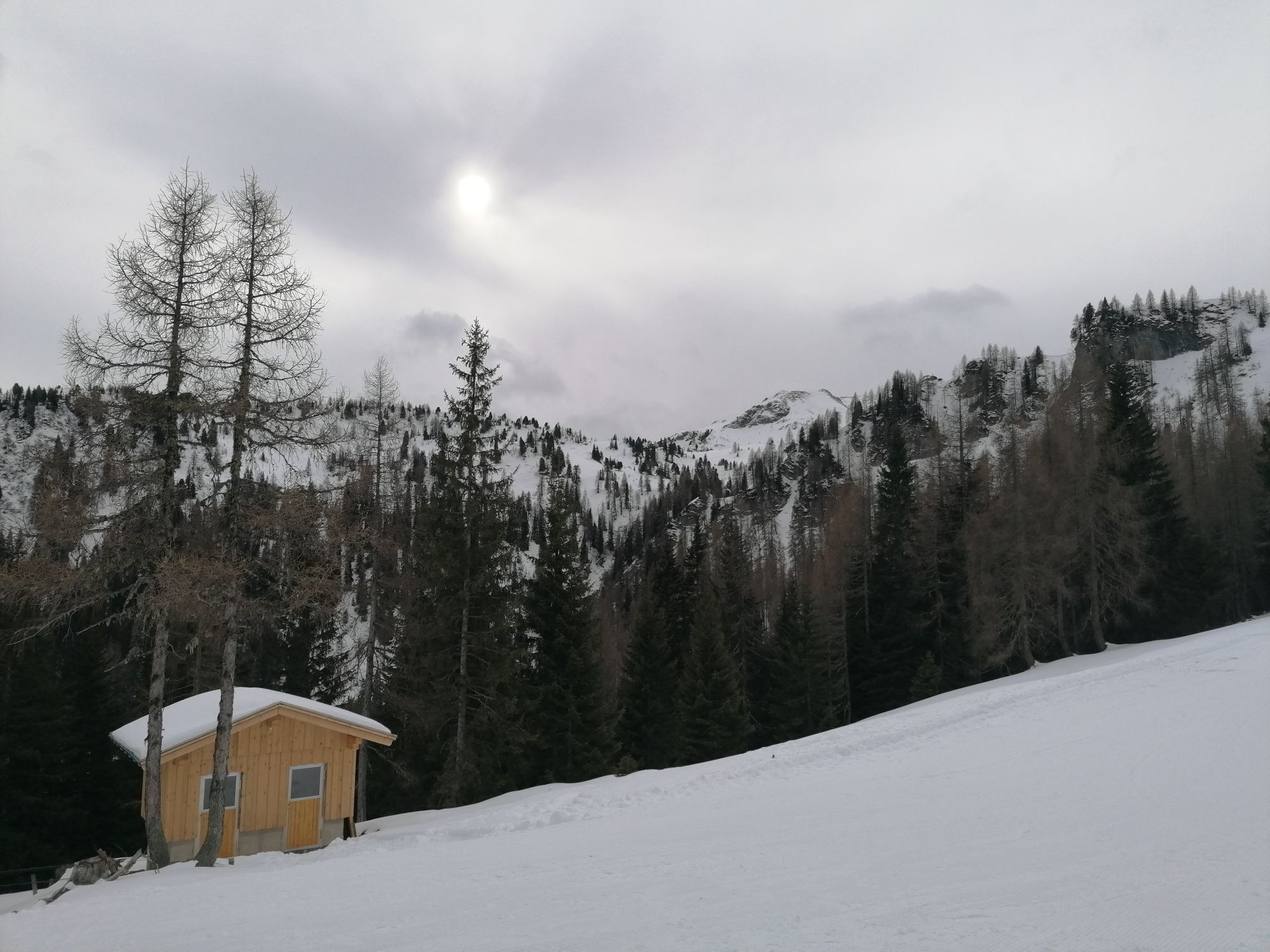
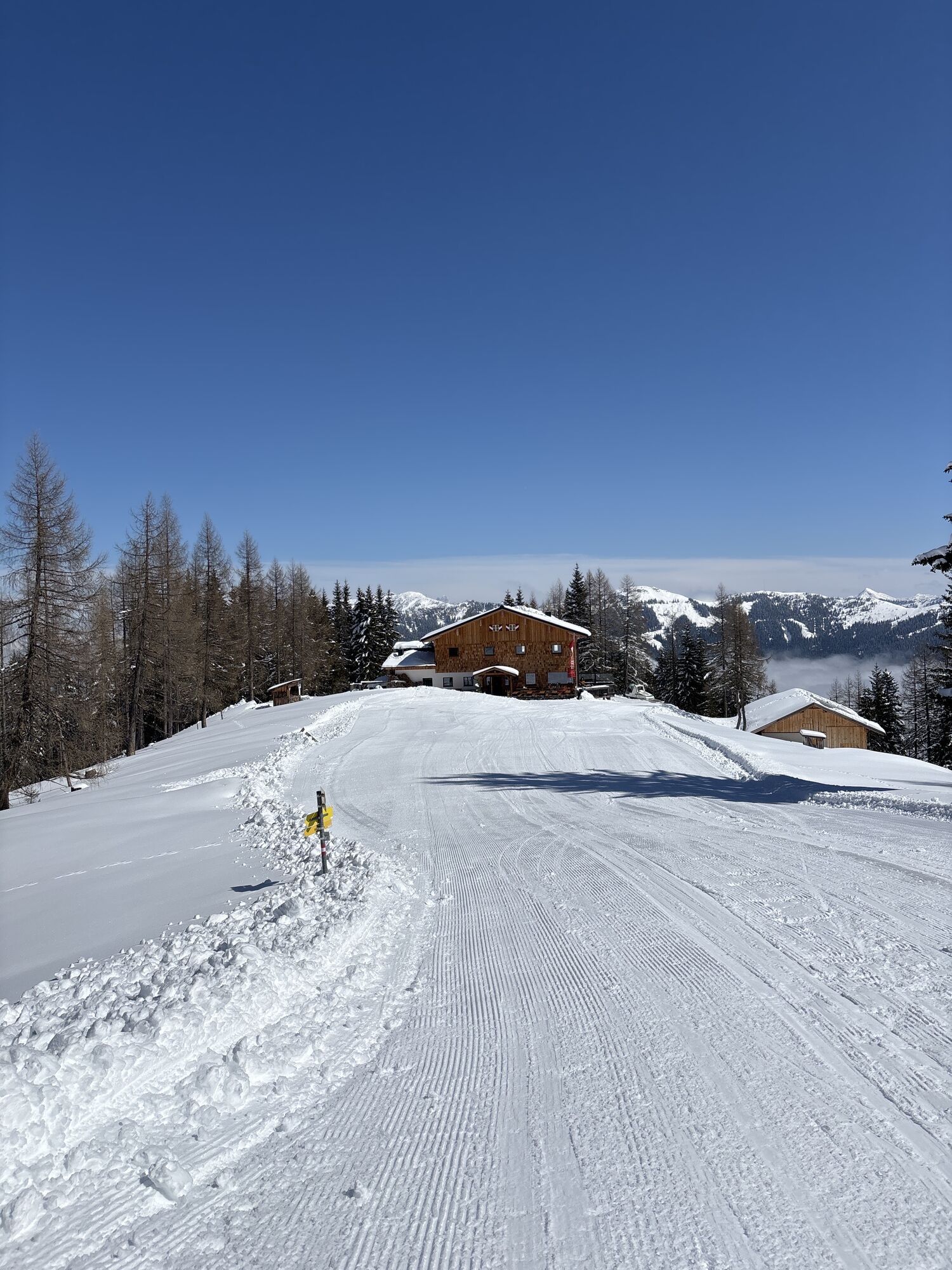
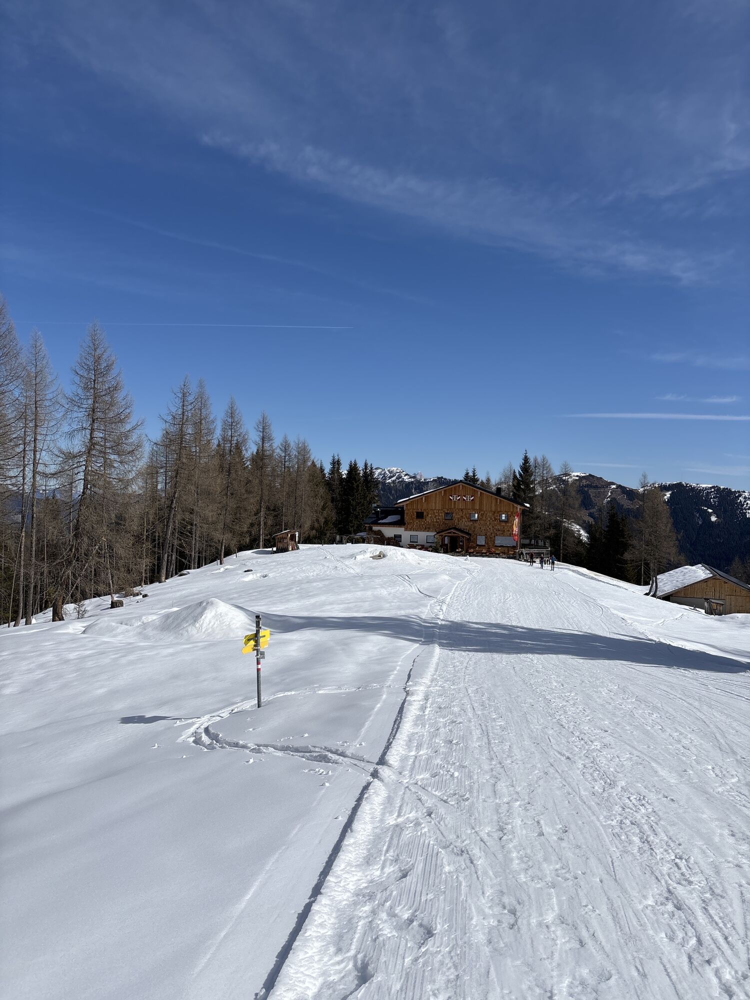
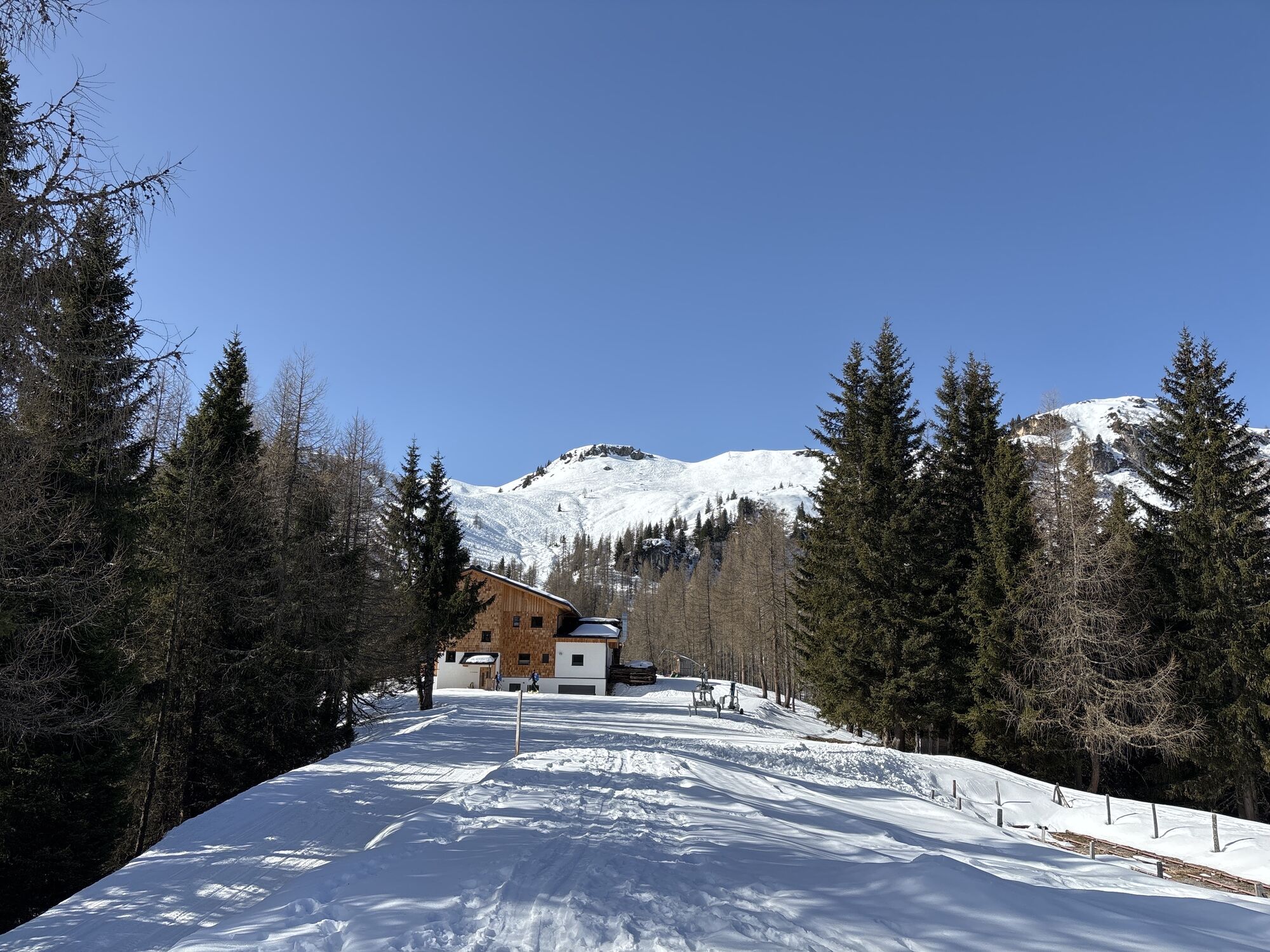
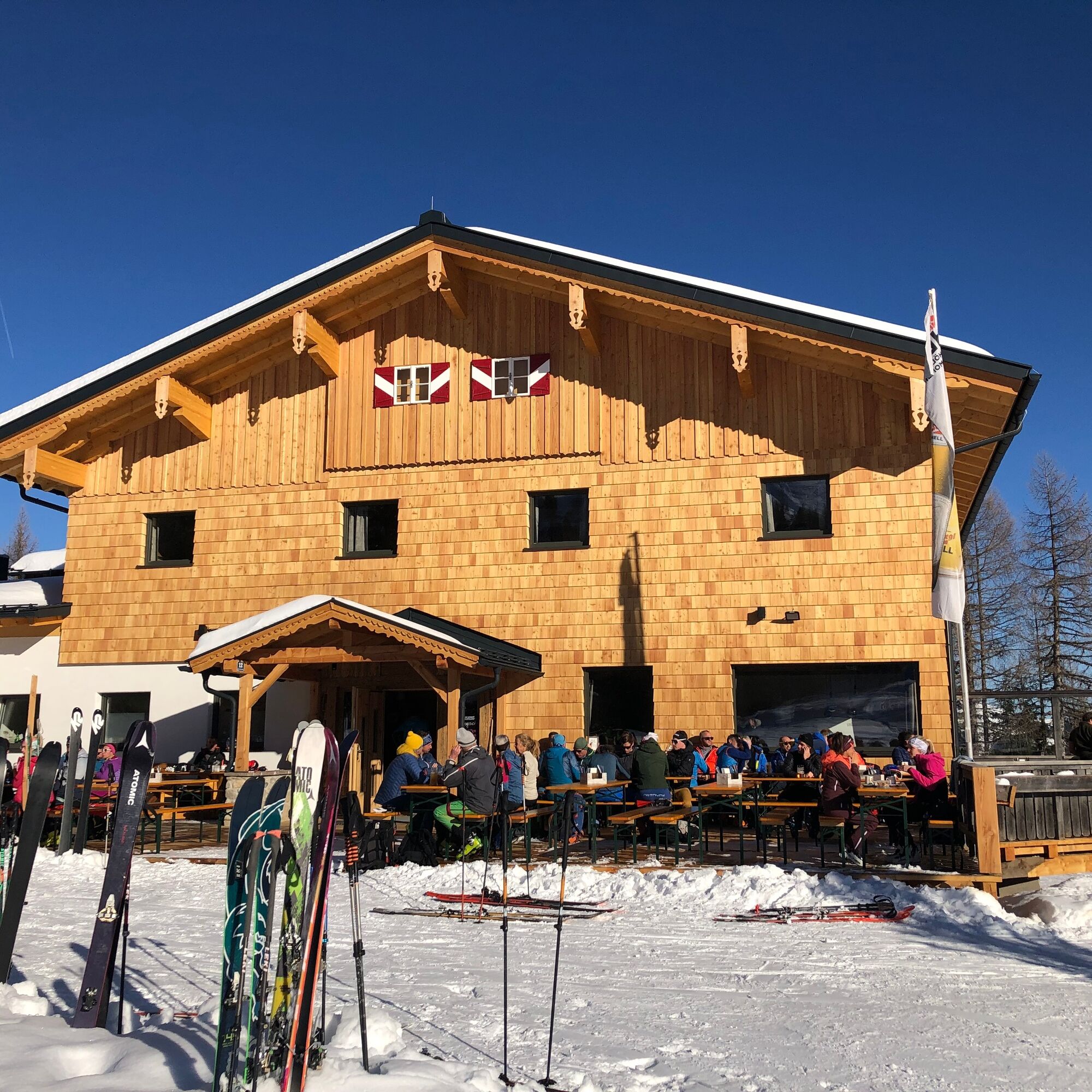
After descending from the Penkkopf, a stop at the Kleinarler hut is worthwhile. From the Kaspressknödel soup to the board snack to the Kaiserschmarren - with the popular hut classics, ski tourers are culinarily spoiled.
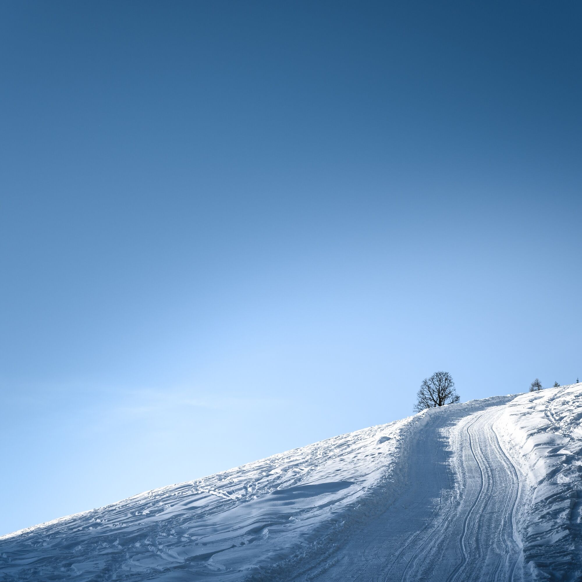


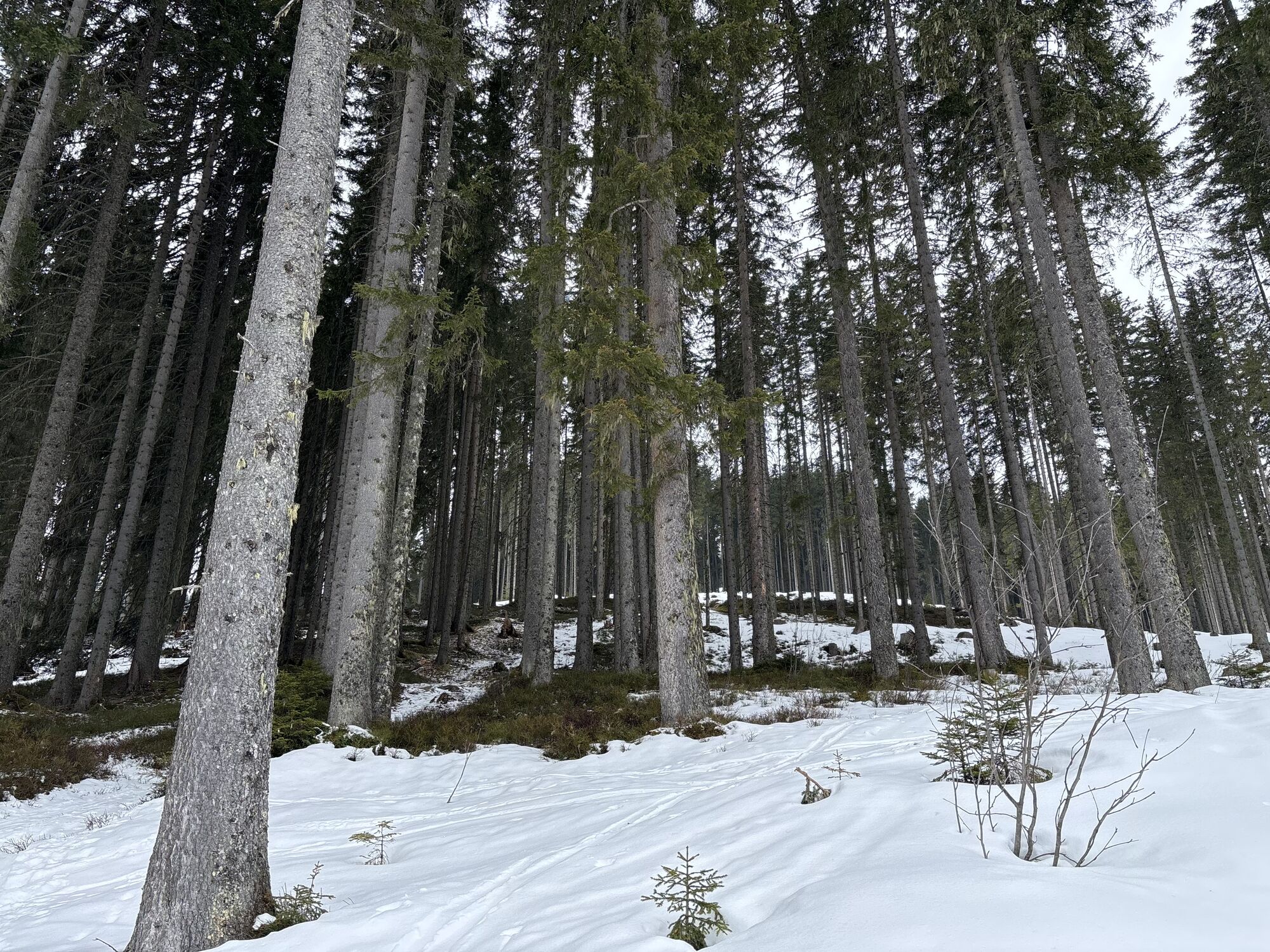
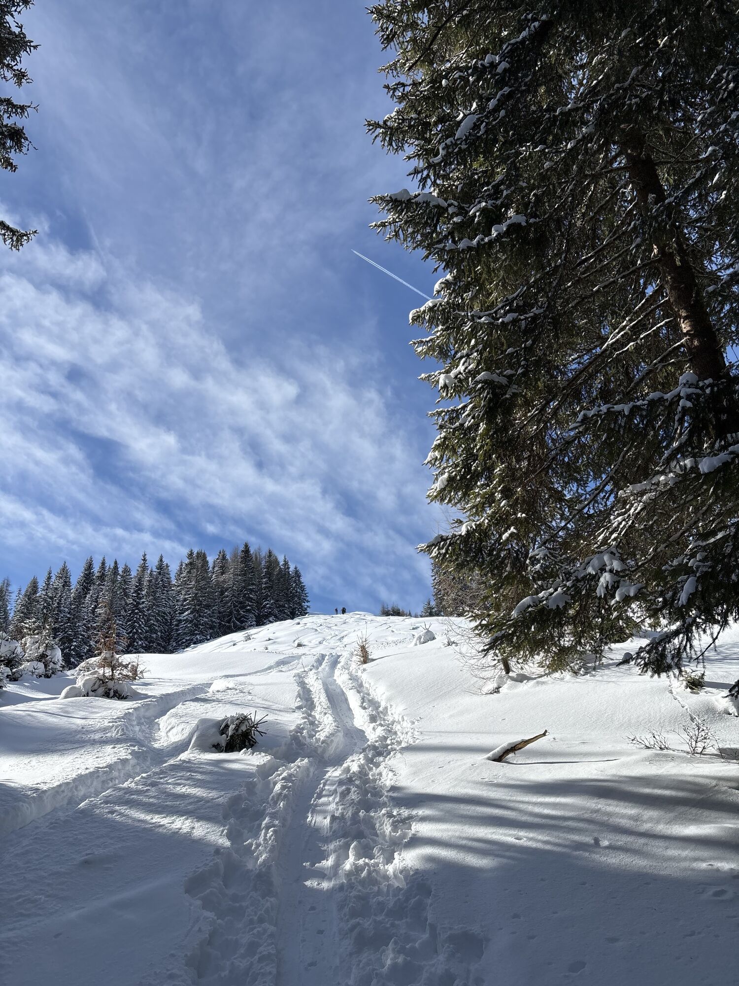
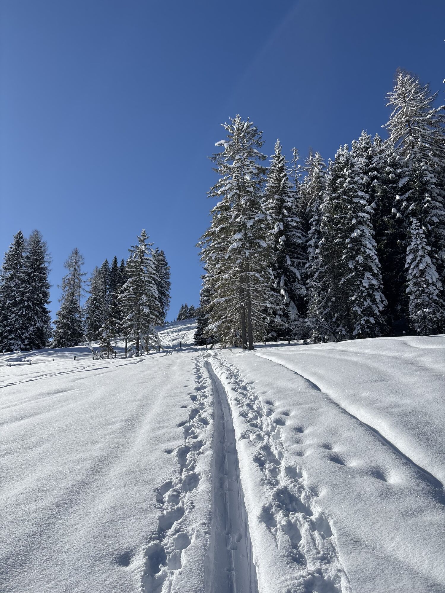
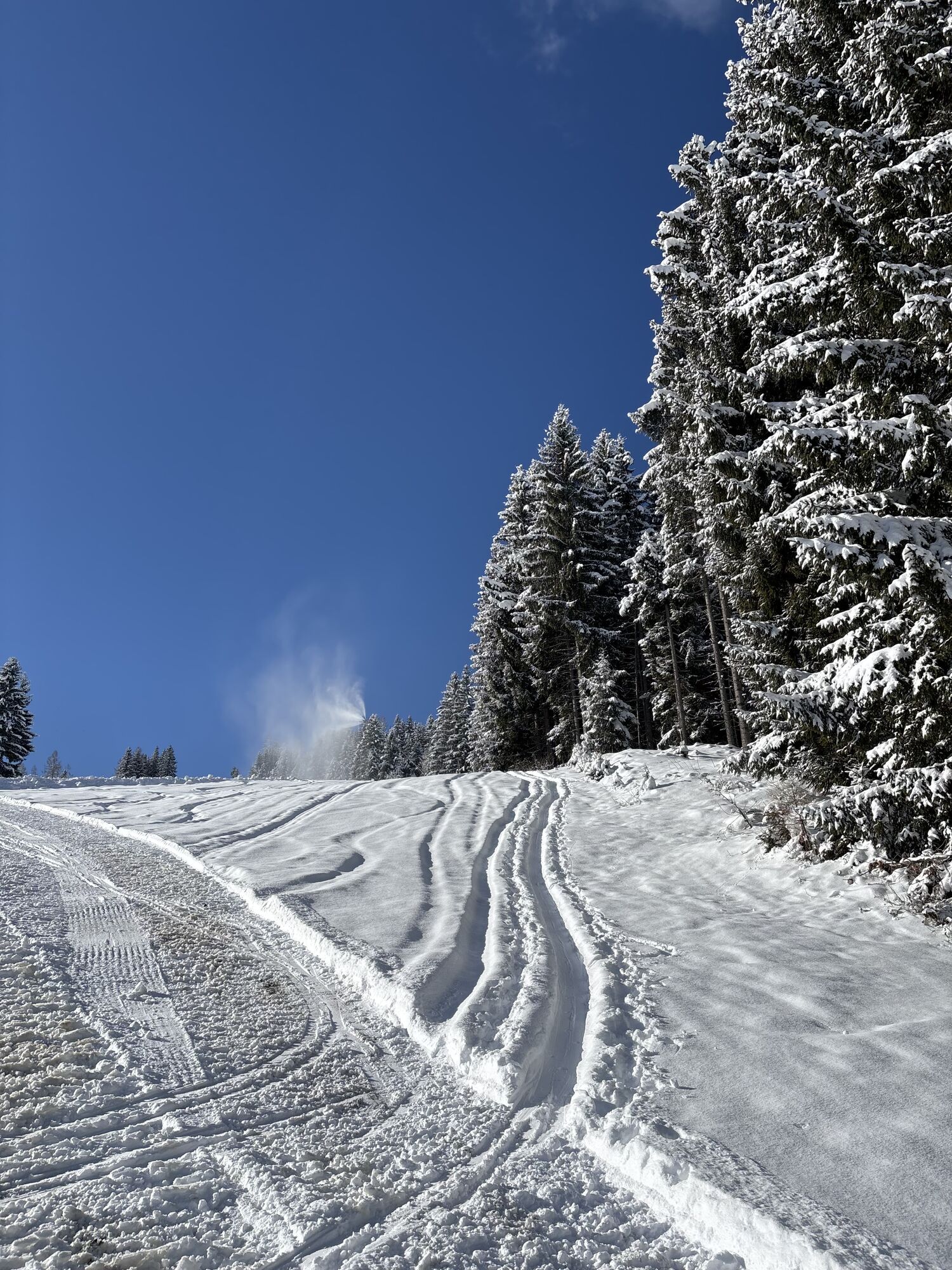
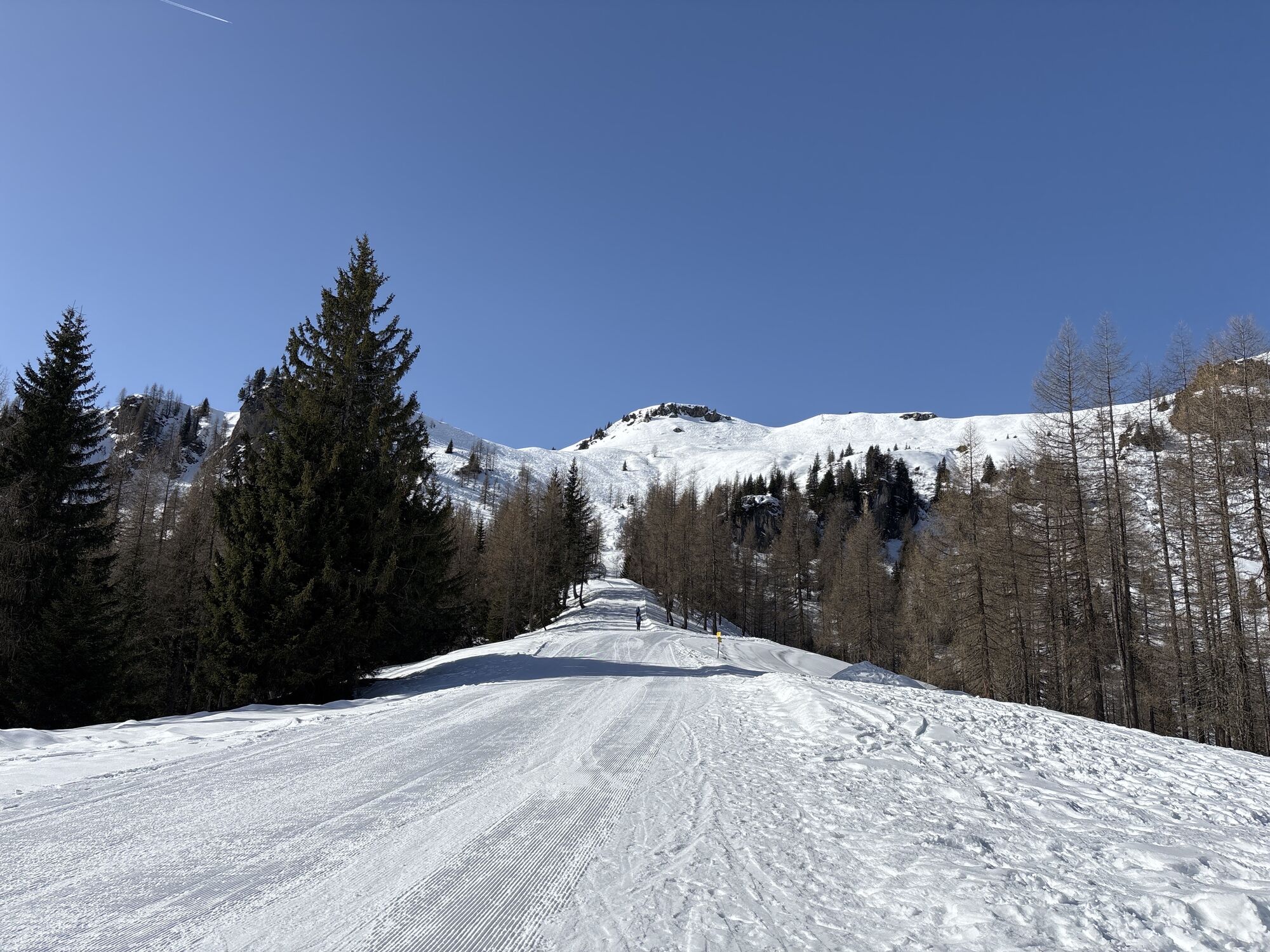
Depending on the snow conditions, the route starts at the village entrance parking lot (village sign) or in the village of Kleinarl at the bridge near Hotel Angerwirt or further up at the Hirschleiten parking lot. Initially, you go out of the village over the Kleinarler Ache, the goods road or across the Peilstein field up to the Hirschleiten parking lot. From here, the path runs over meadows and through the forest, frequently crossing the forestry road (Attention: the forestry road is also the sledding track) and leads in about 2 hours to the Kleinarler hut. Alternatively, you can also ascend the upper part of the path to the Kleinarler hut via the forestry road.
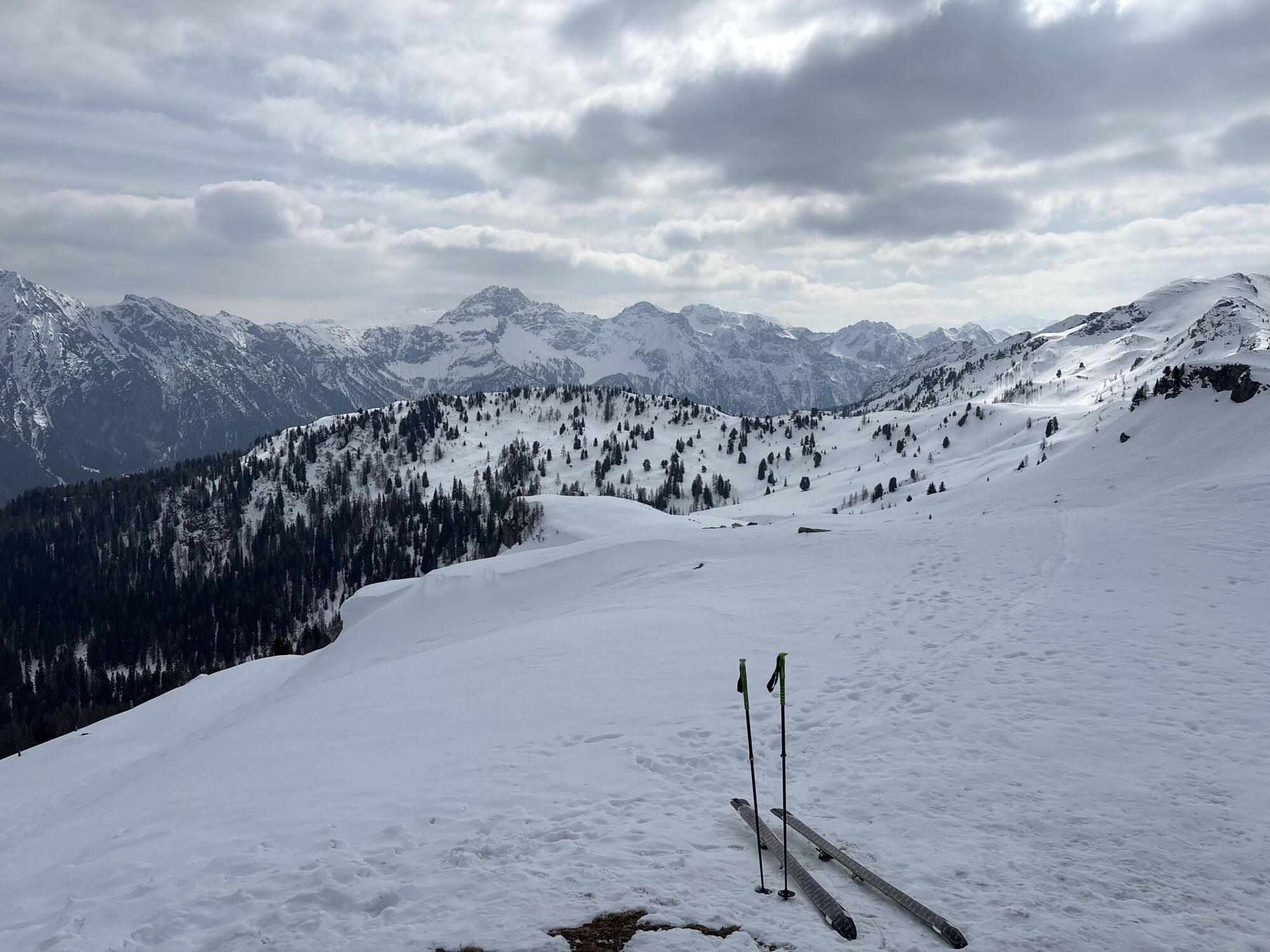
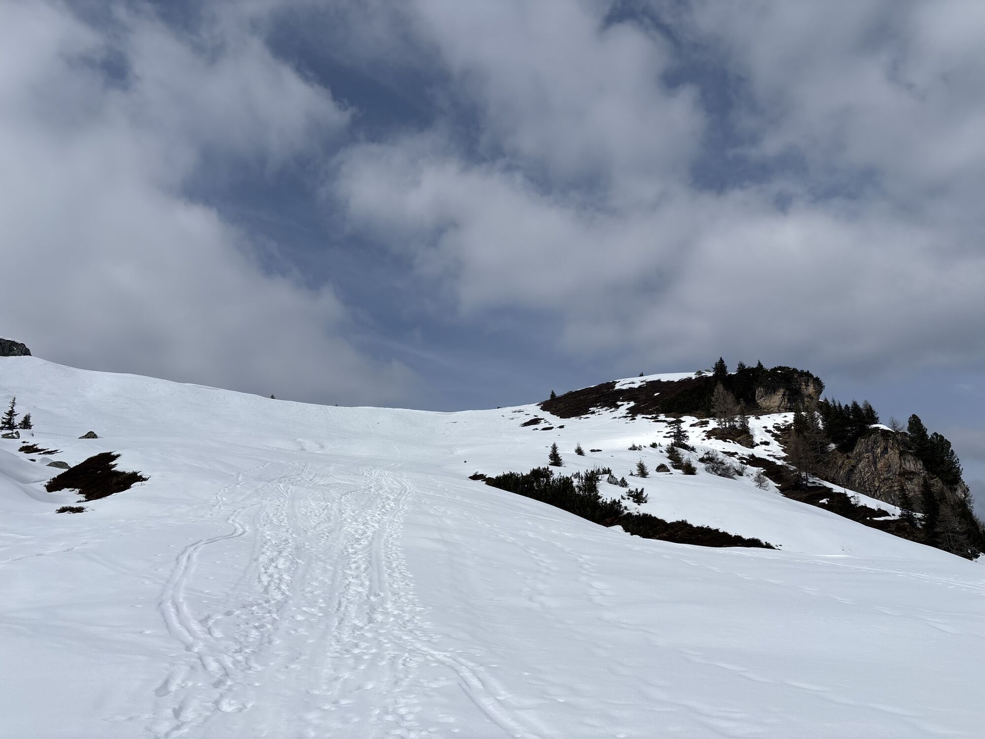
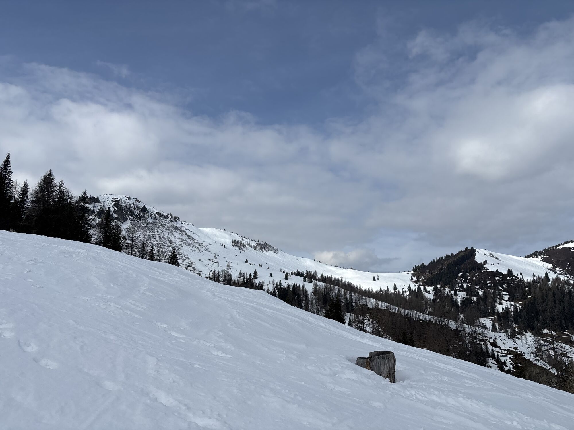
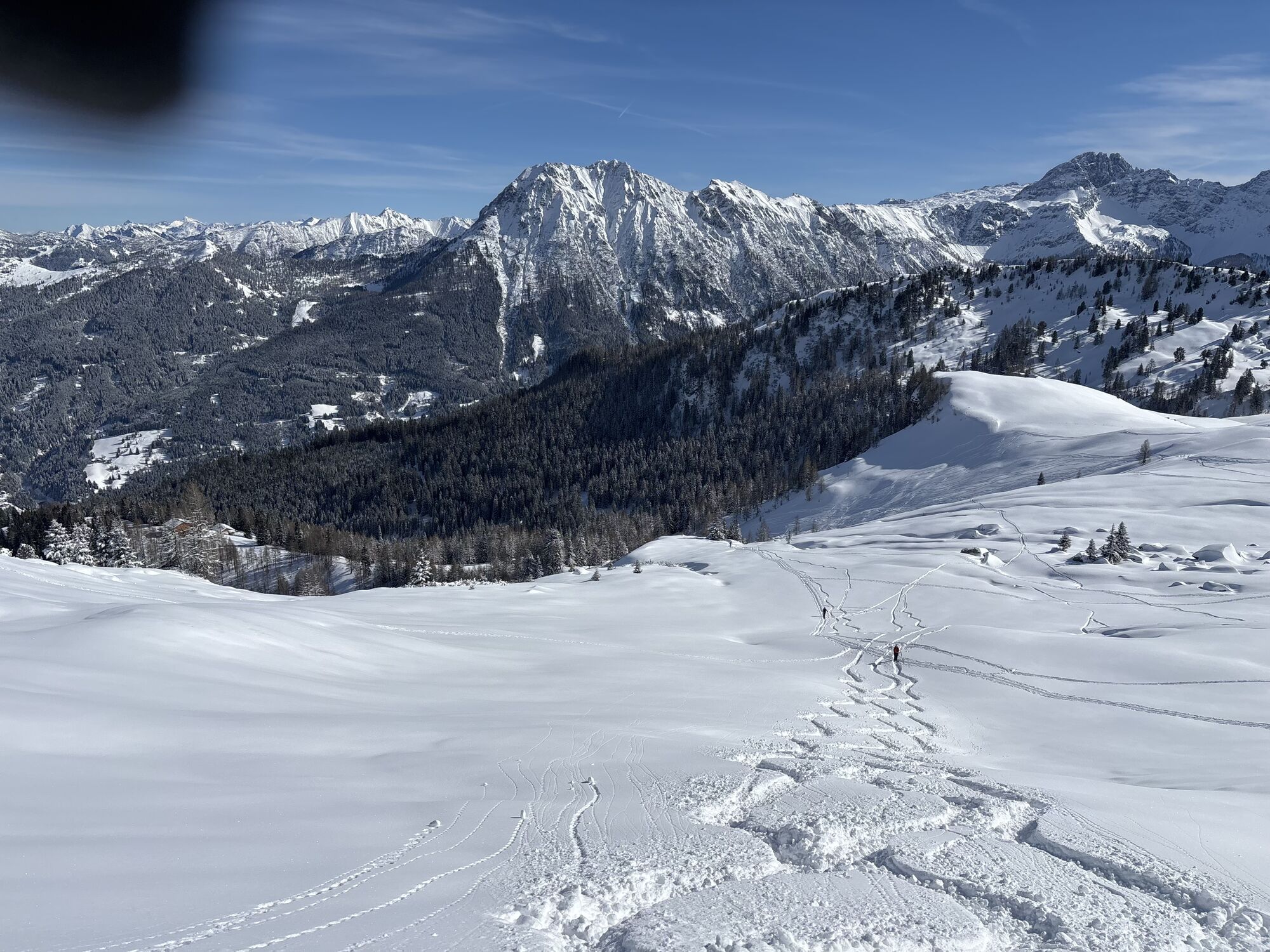
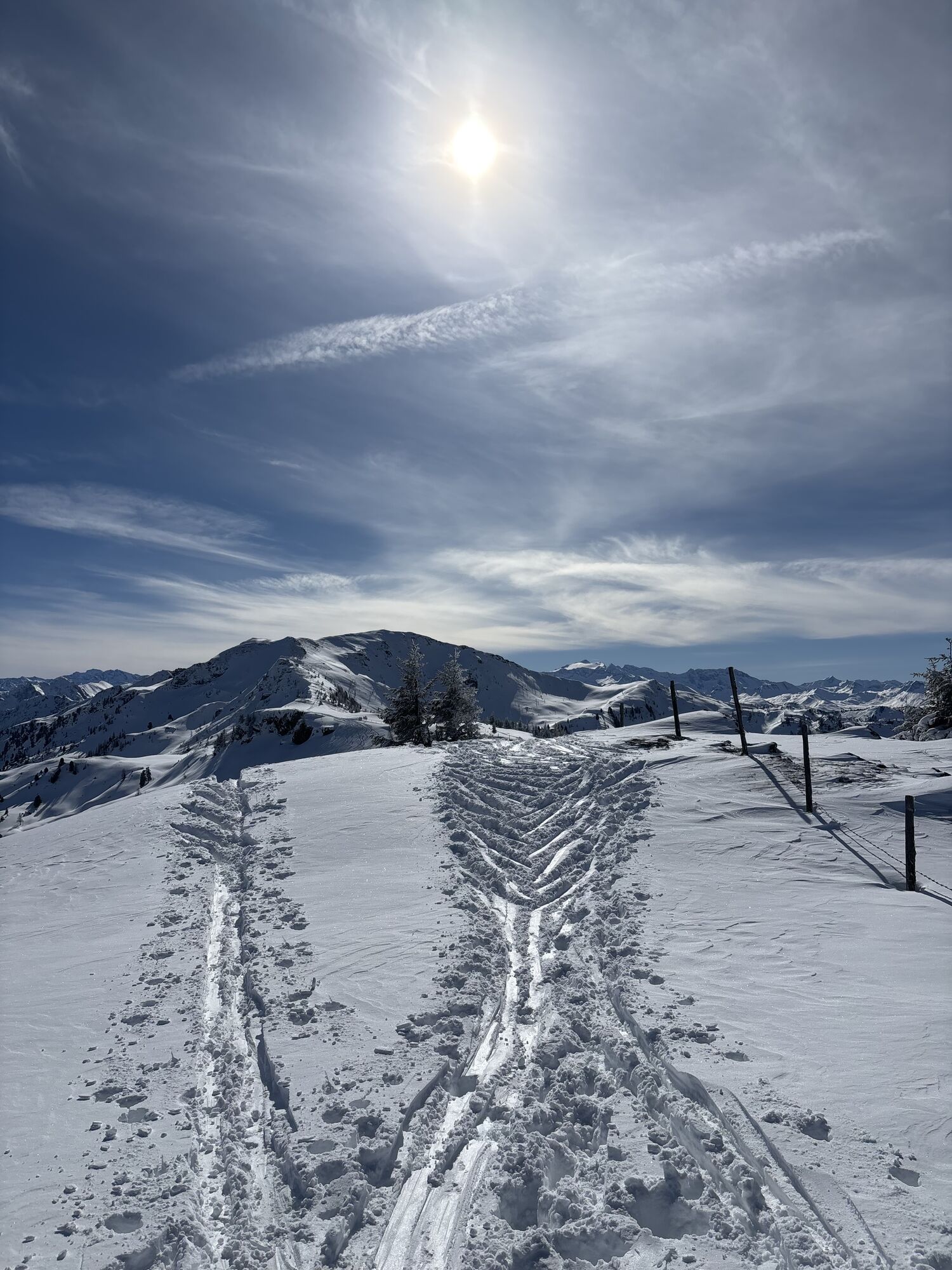
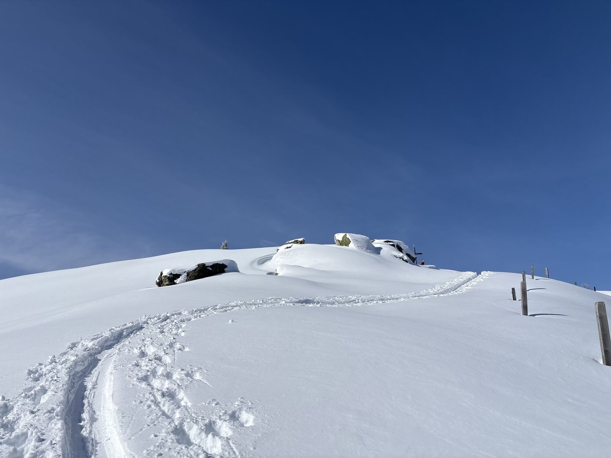
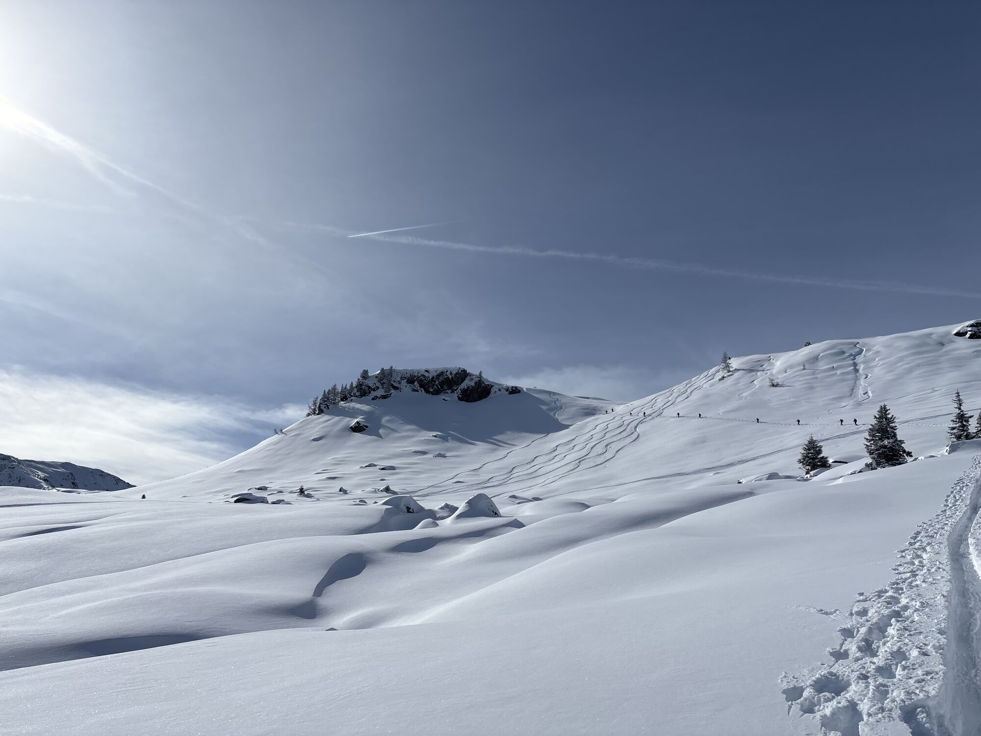
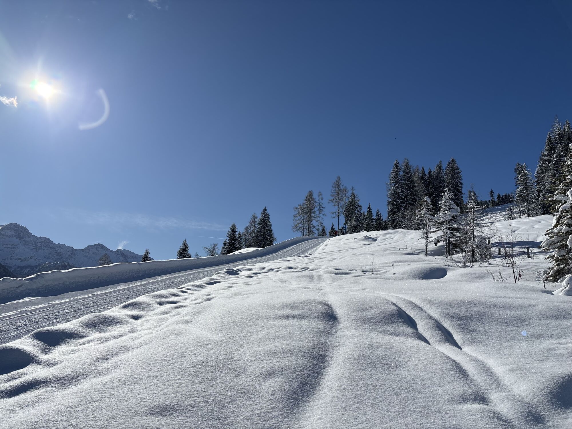
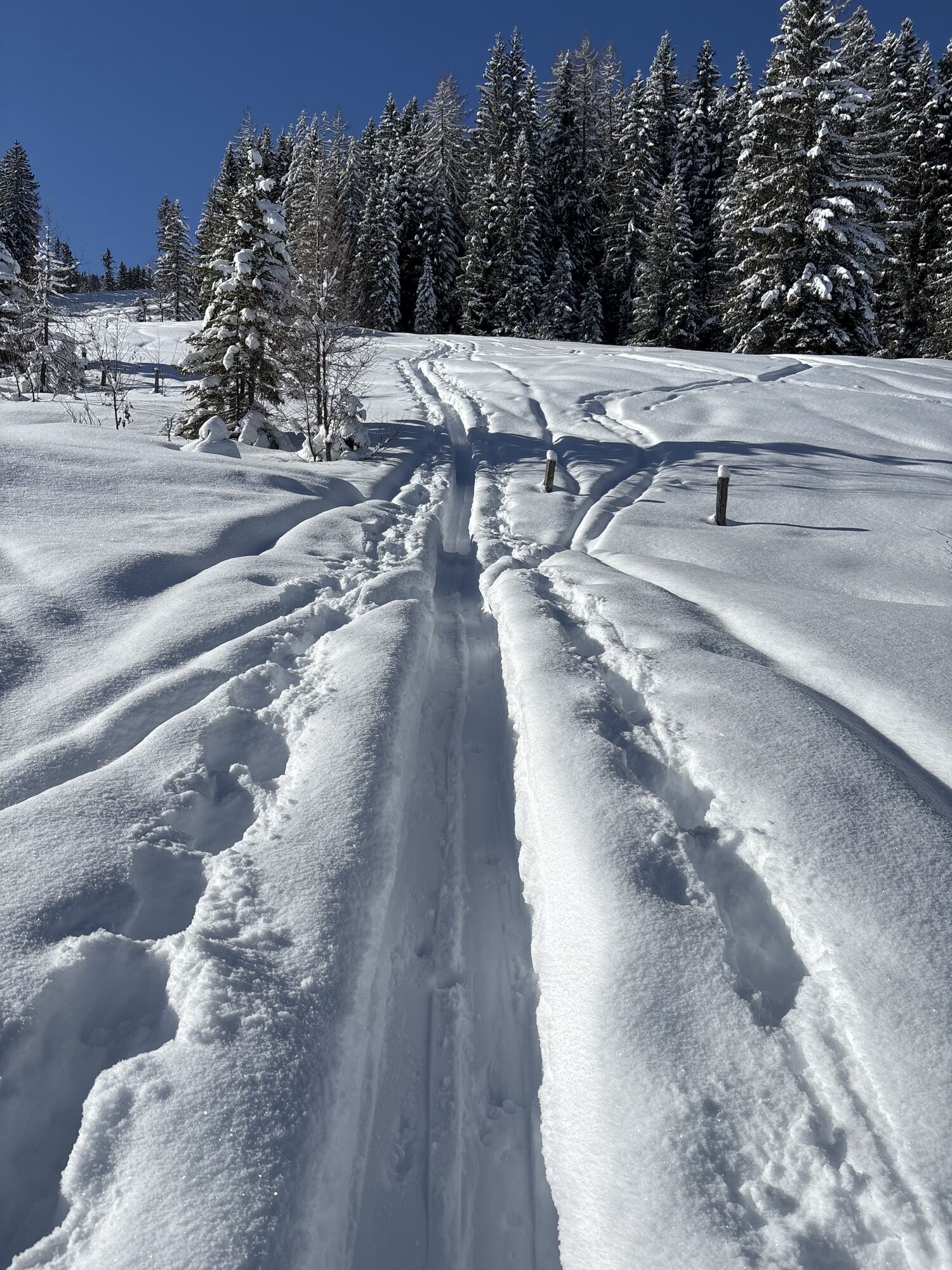
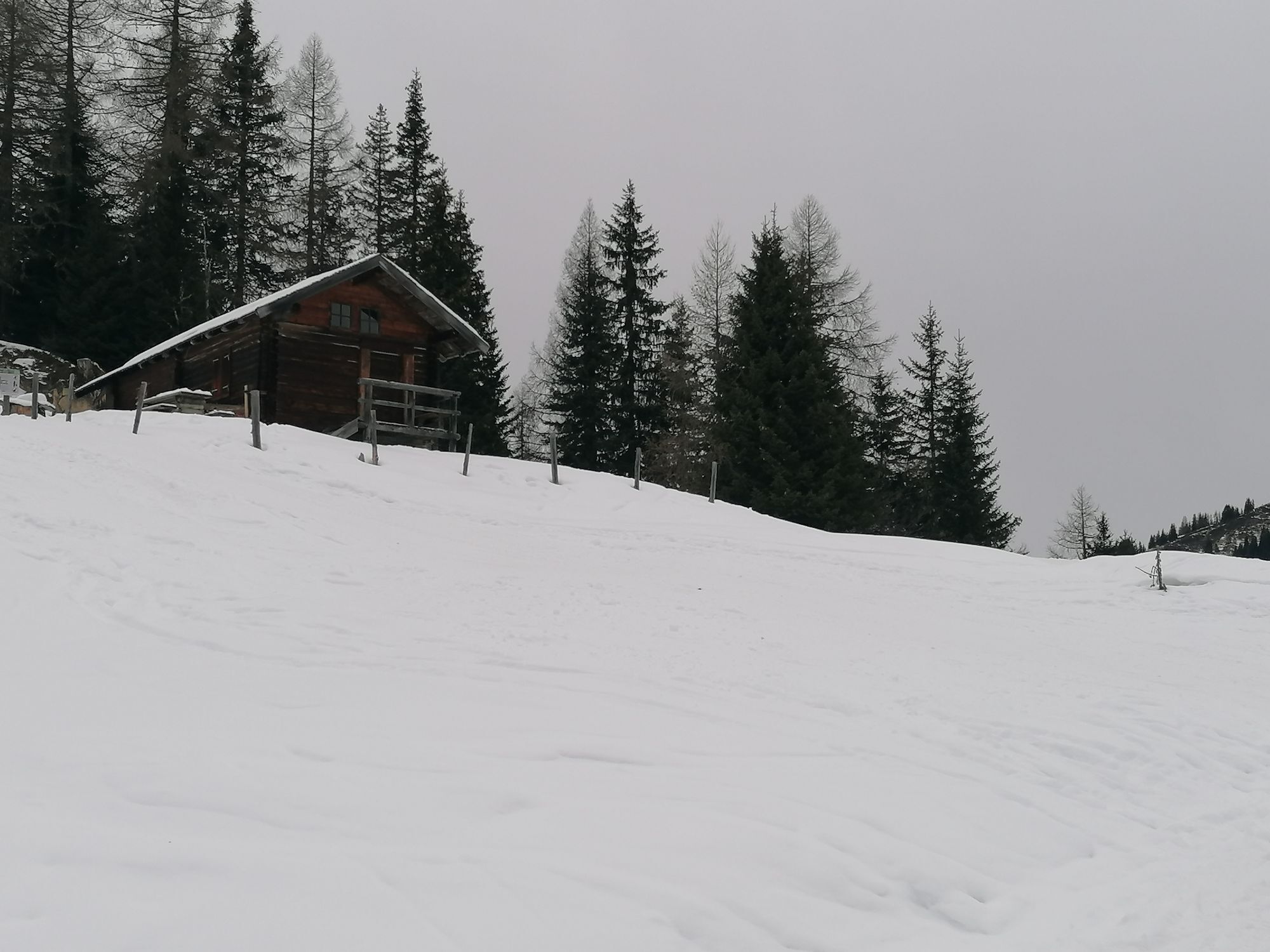
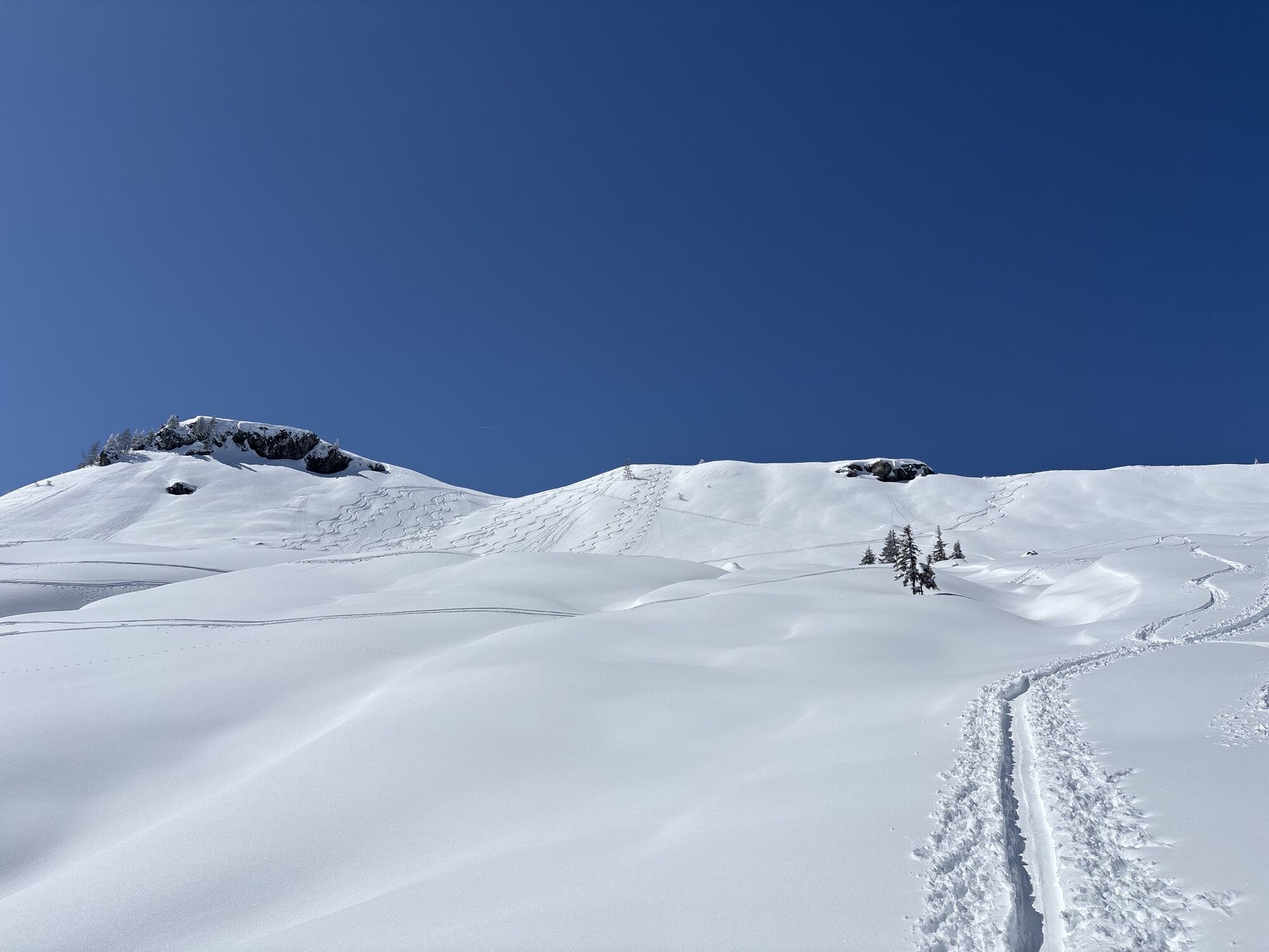
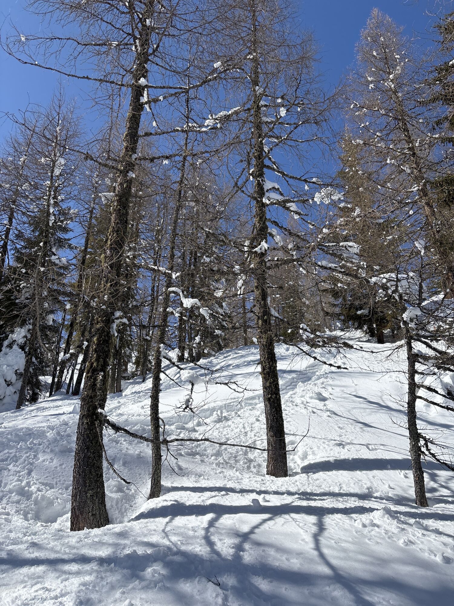
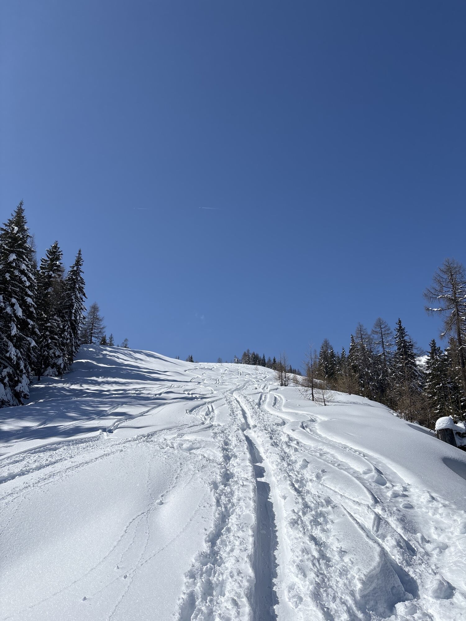
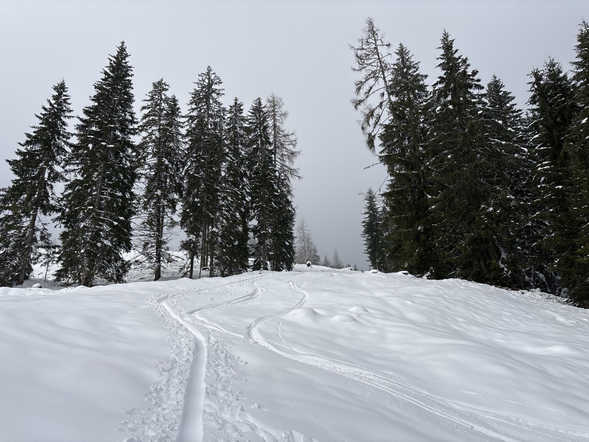
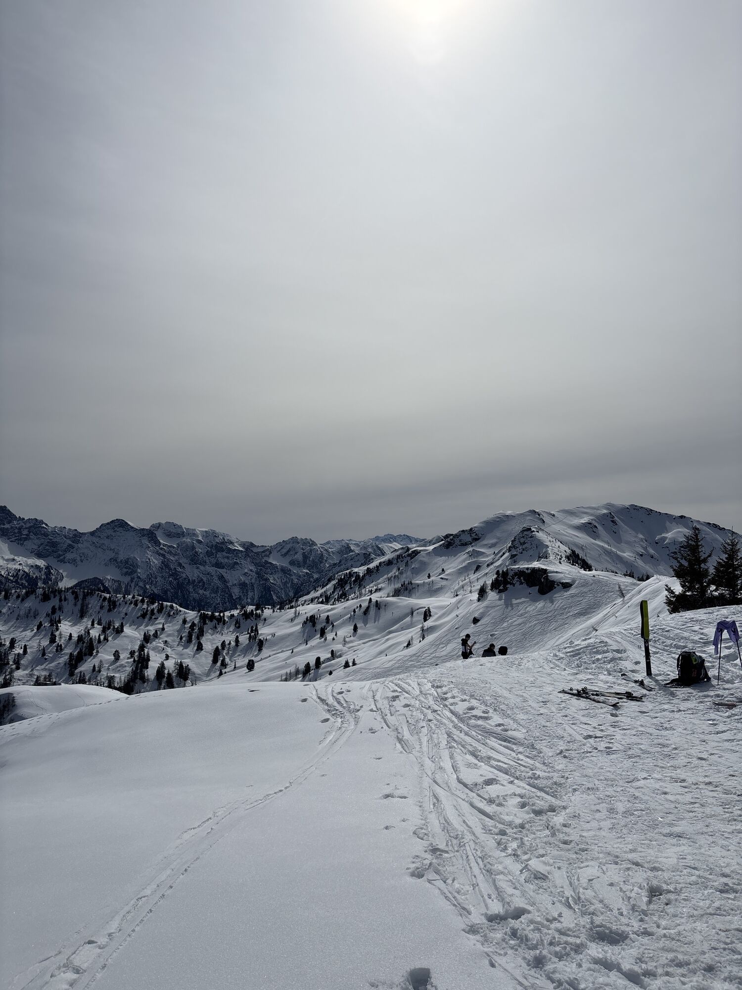
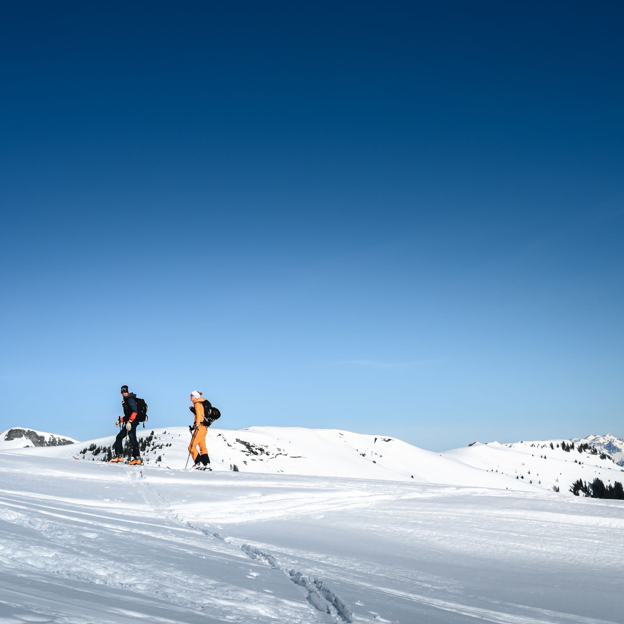
From the Kleinarler hut, it goes about 255 meters in altitude over unsecured terrain, orientationally easy and mostly tracked, towards the west, then northwest over a short steep section into the cirque and onto the Penkkopf. The descent goes over open slopes back to the Kleinarler hut and basically follows the ascent track.
Park at the village entrance Kleinarl, from there the trail heads south, behind the Robinson Club it goes right past the Peilstein chapel towards Hirschleiten.
AVALANCHE TRANSMITTER, probe, shovel, mobile phone, first aid kit
Kleinarl - turnoff Ployergasse (Hotel Angerwirt) - direction Hirschleiten
Take the ski bus from Wagrain to Kleinarl and get off in the center of Kleinarl.
If there is enough snow, park at the cross-country skiing and ski touring parking lot at the village entrance. If the road is free of snow, take the Ployergasse turnoff (Hotel Angerwirt), about 1.5 km uphill to a parking lot located after a sharp left curve (signpost Kleinarler hut and public WC).
The parking lot requires a fee.
PD+
Only 350m from the Hirschleiten parking lot, at the end of the forestry road, you will find the farm shop of Bio aus dem Tal. Here you can buy various types of cheese, milk, and sausage products for your snack during the ski tour or for home. Please have the exact money ready.

Priljubljeni izleti v okolici
- 4,9
Großarl: Aualm - Liechtensteinkopf - Aukopf - Schuhflicker - Schuhflickersee
srednjaPohodništvo 5,84 km - 5,0
Großarl: Alpine pasture circuit in Ellmautal
srednjaPohodništvo 9,69 km - 4,1
Tappenkarsee Kleinarl
srednjaPohodništvo 9,11 km - 4,6
Ski route Lackenkogel
srednjaSmučarska tura 7,82 km - 4,8
Großarl: Mooslehenalm – Niggeltalalm – Viehhausalm
srednjaPohodništvo 5,44 km - 4,5
Großarl: Saukaralm - Saukarkopf - Gerstreitalm
srednjaPohodništvo 9,11 km - 4,2
Großarl: Unterwandalm - Karseggalm - Breitenebenalm
srednjaPohodništvo 5,93 km - 4,5
Mosermandl Windischscharte, Salzburger Land/Österreich
težkoPohodništvo 14,6 km - 4,8
Liechtensteinklamm mit Helix
svetlobaTematska pot 3 km - 5,0
Hüttschlag: Karteistörl - Tappenkarsee - Draugsteintörl - Draugsteinalmen
srednjaPohodništvo 13,5 km
Pohodništvo in sledenje


Ne zamudite ponudb in navdiha za naslednje počitnice
Vaš e-poštni naslov je bil dodan na poštni seznam.