






Ski tour to the Statzerhaus on the Hundstein 2,117 m

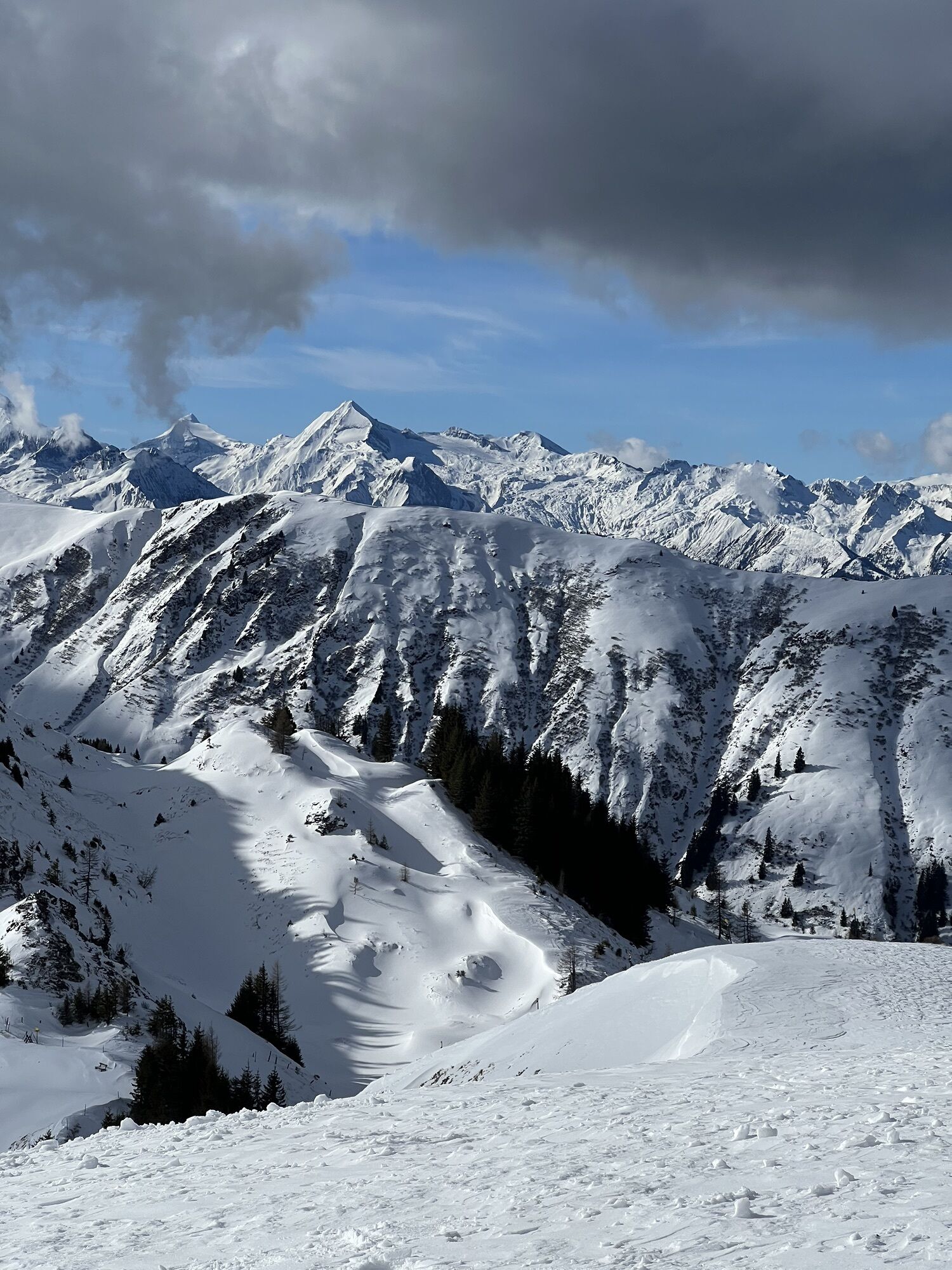
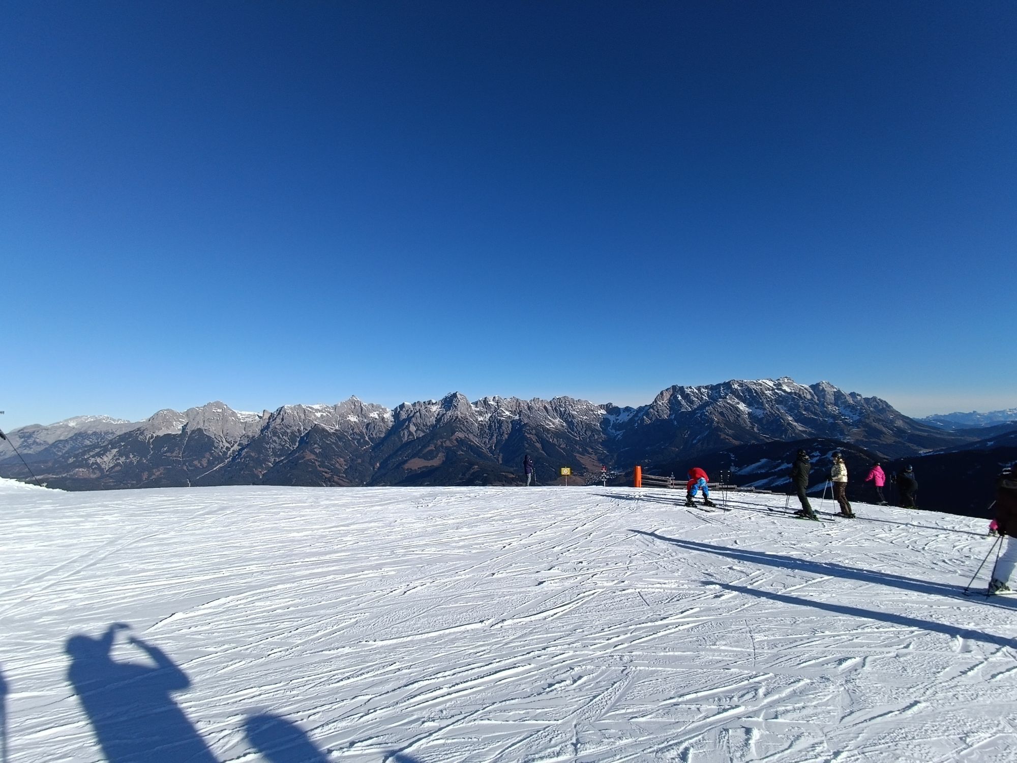
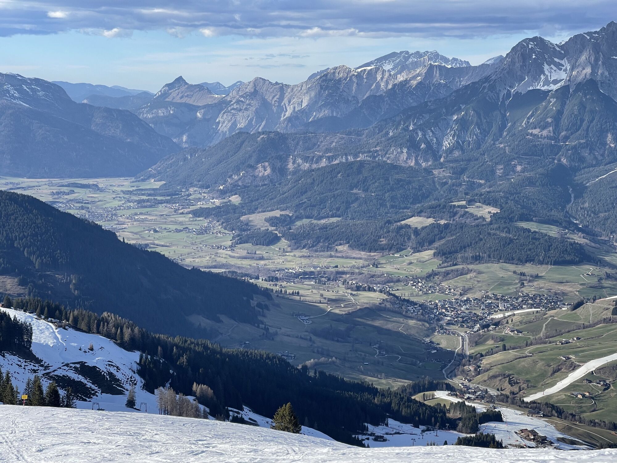
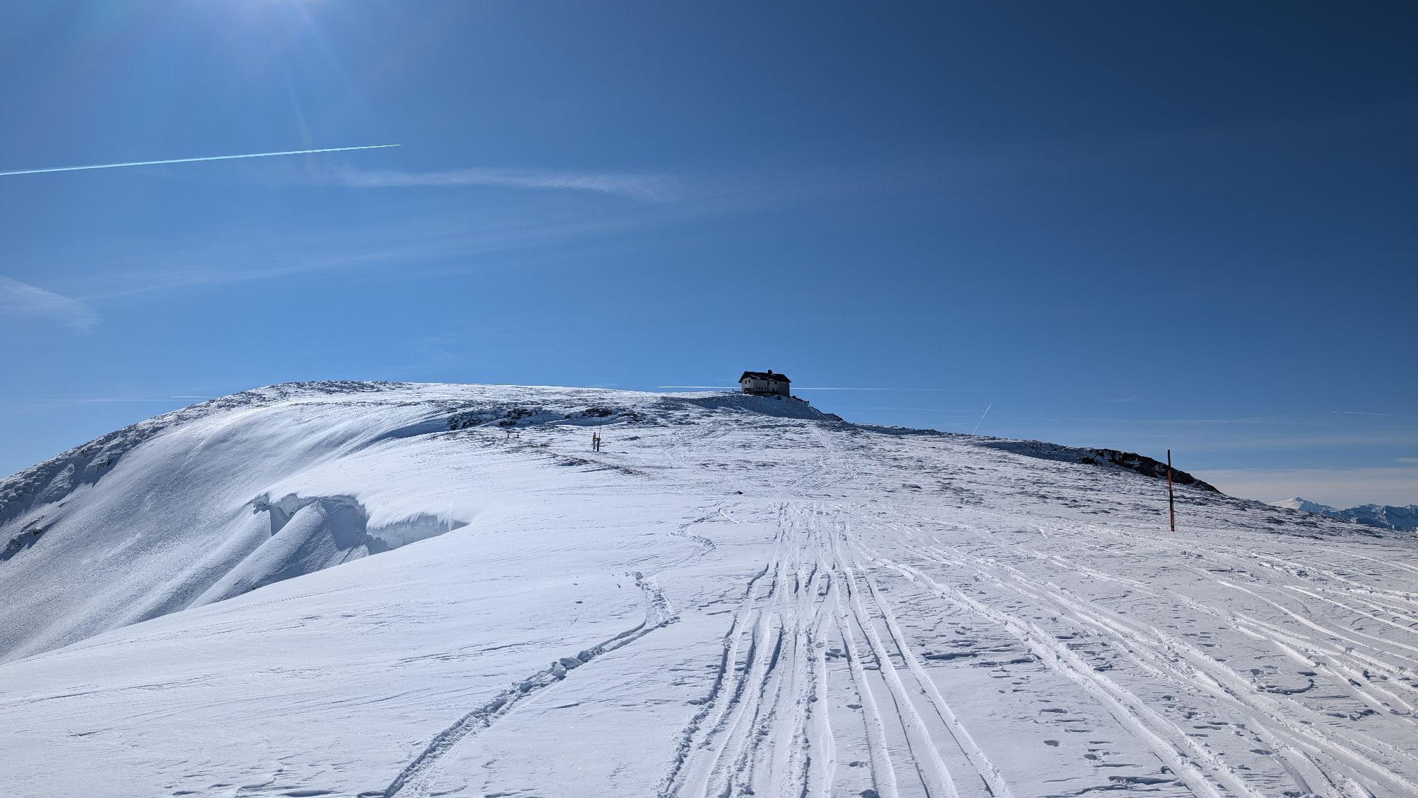
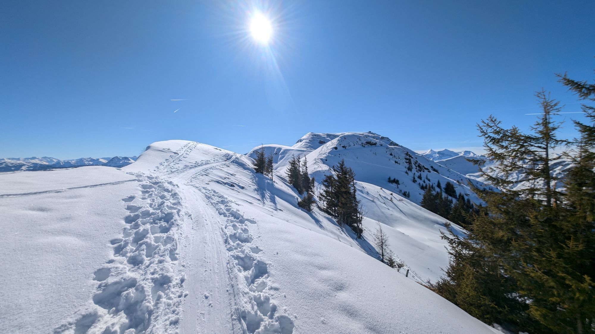
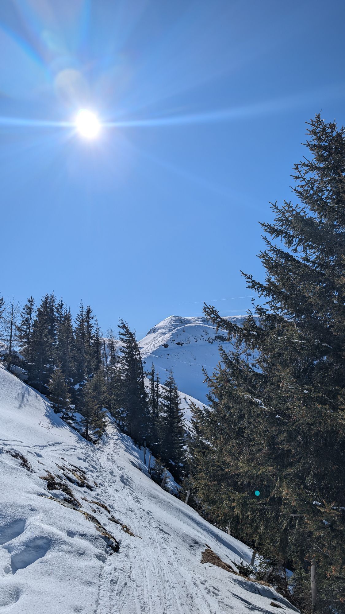
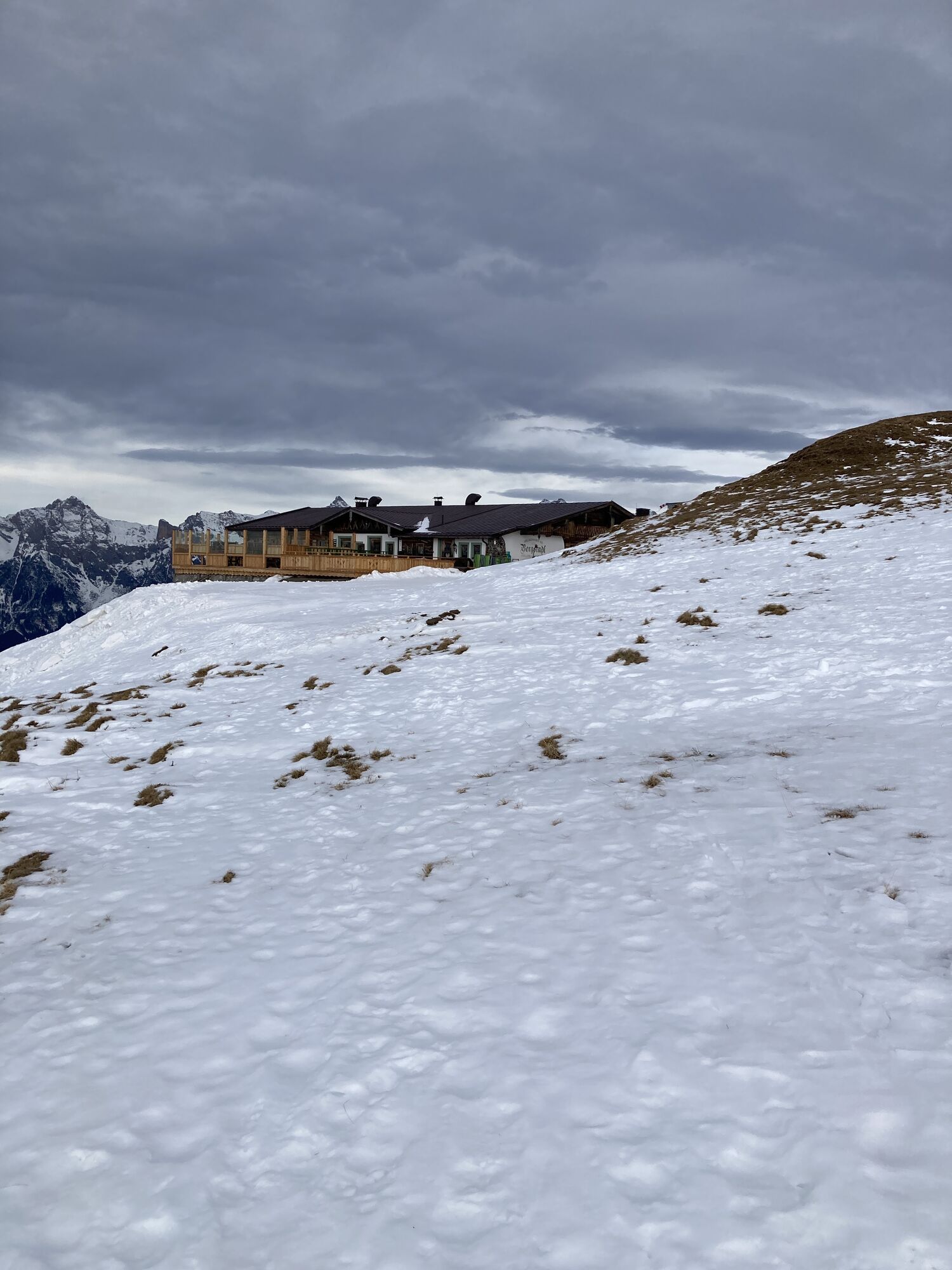
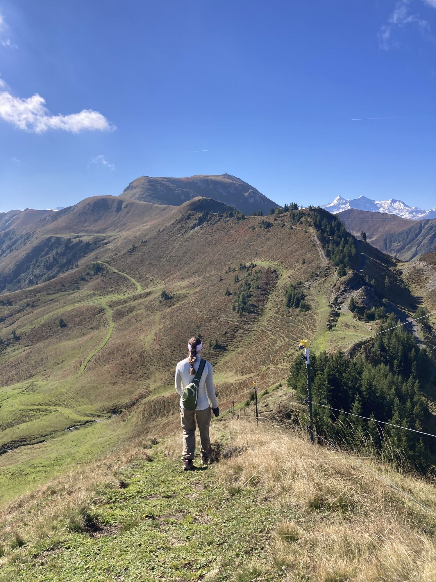
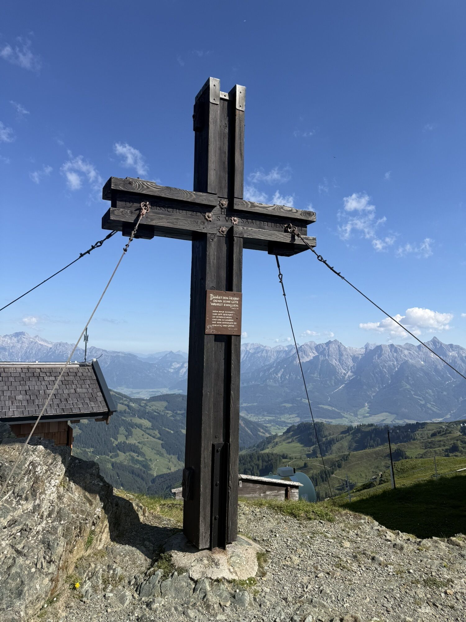
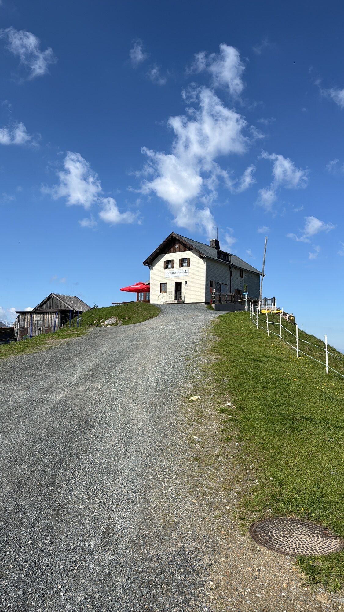
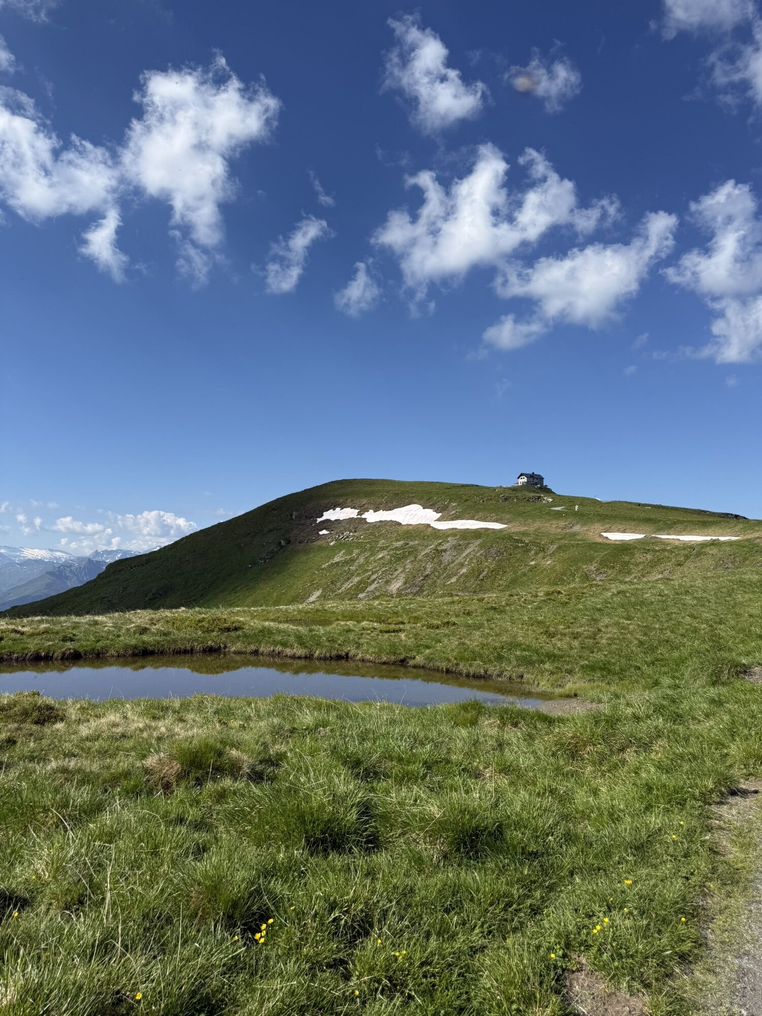
The starting point of this fantastic ski tour is the Hintermoos ski center. Strap on your skis and enjoy the relaxed ascent with the Schwarzeckalm cable car and the summit lift up to the Langeck at 1,899...
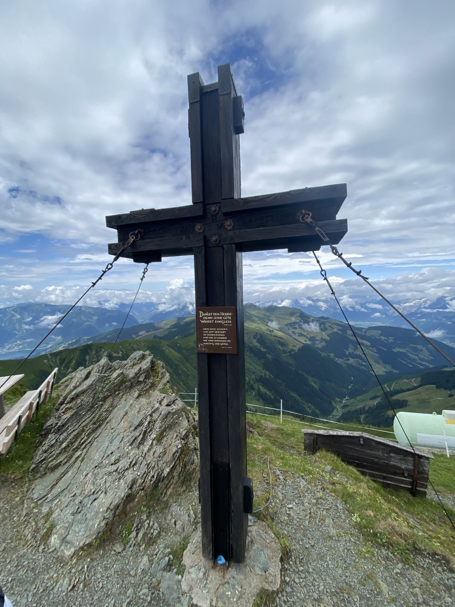
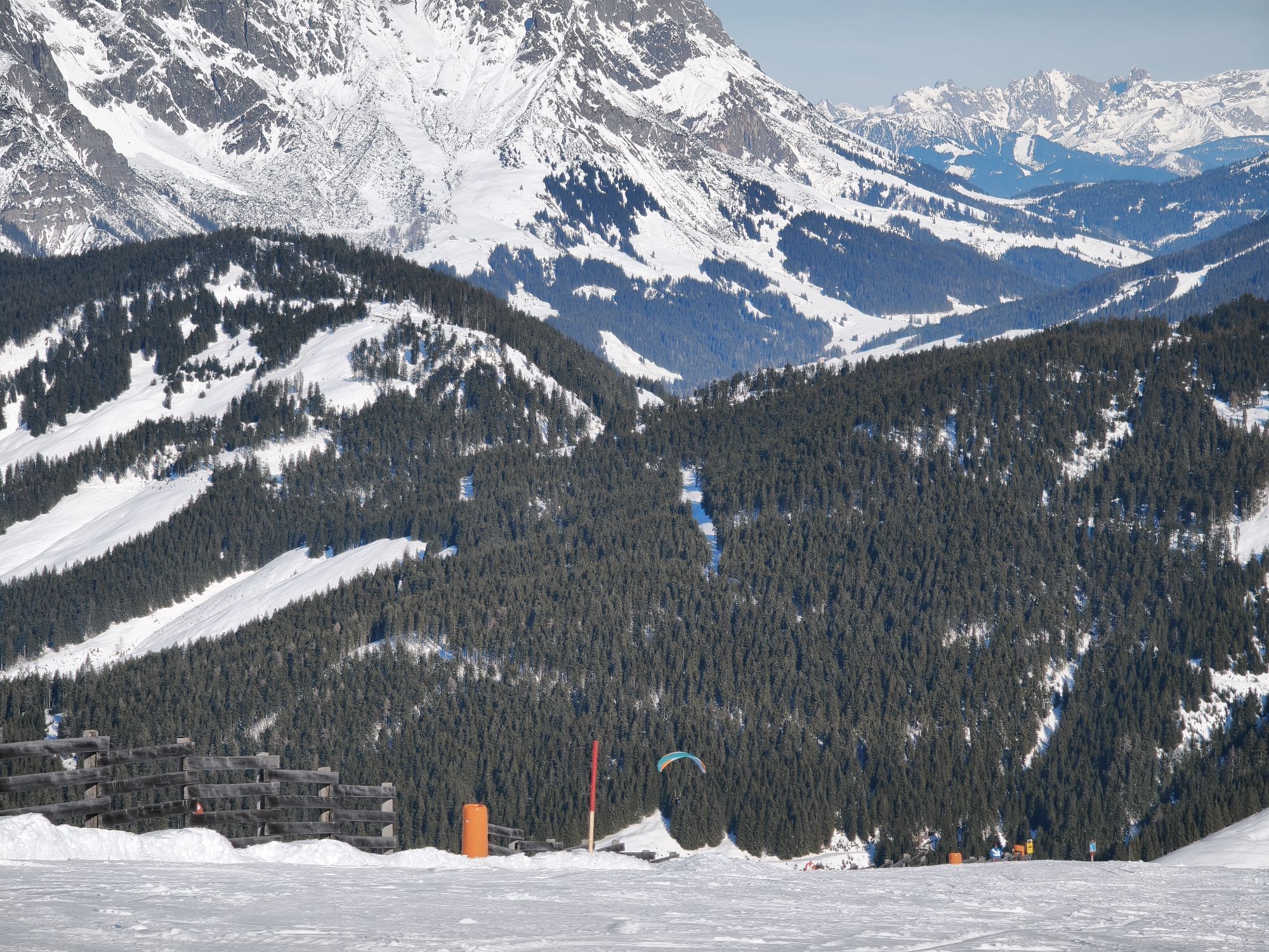
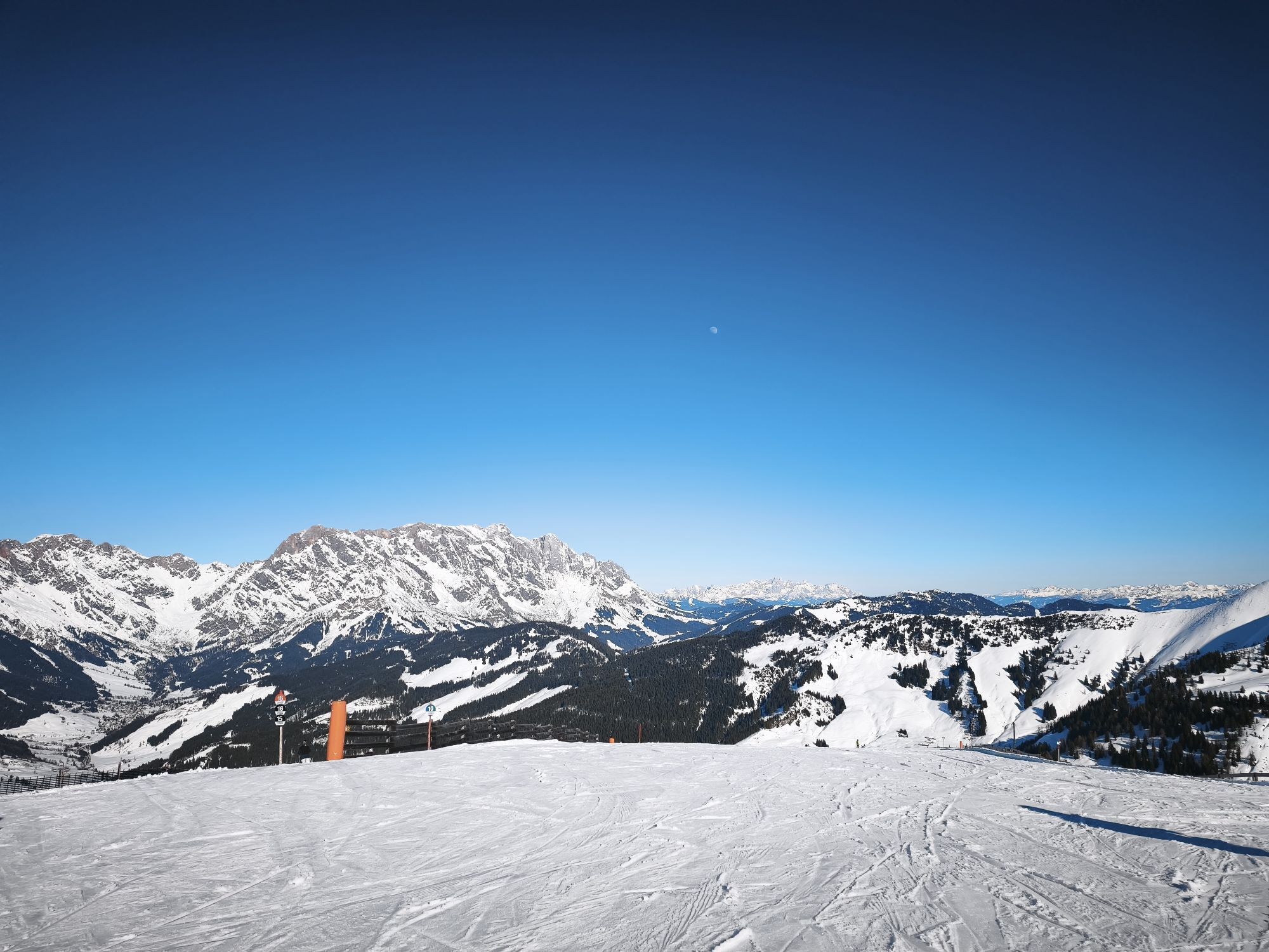
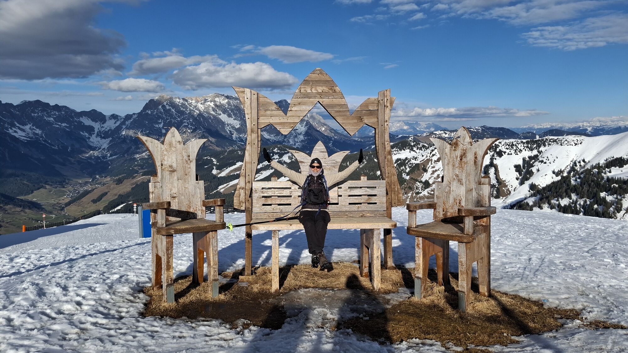
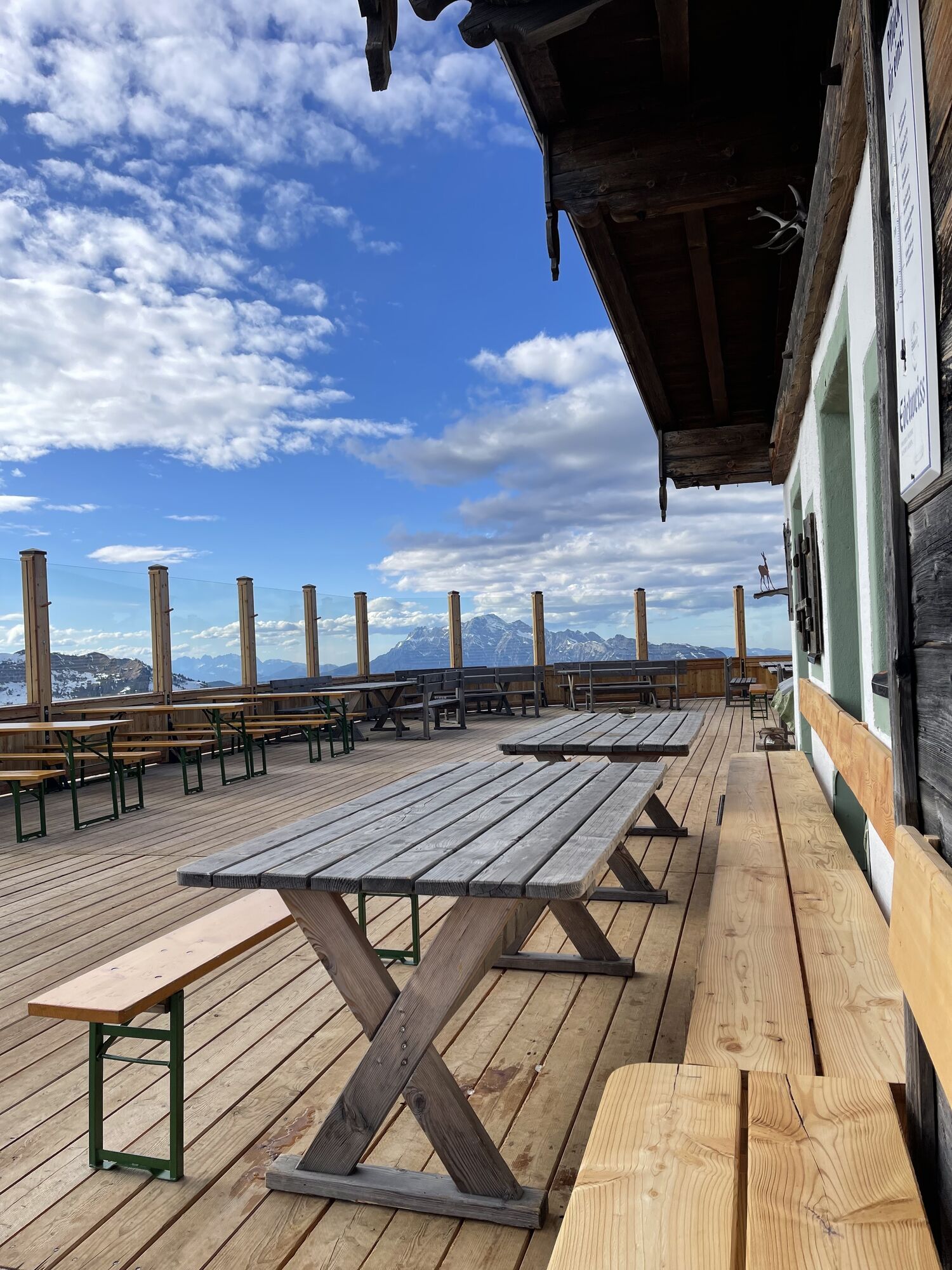
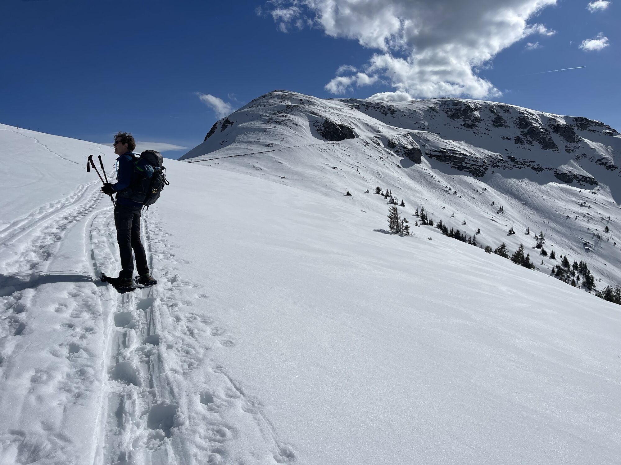
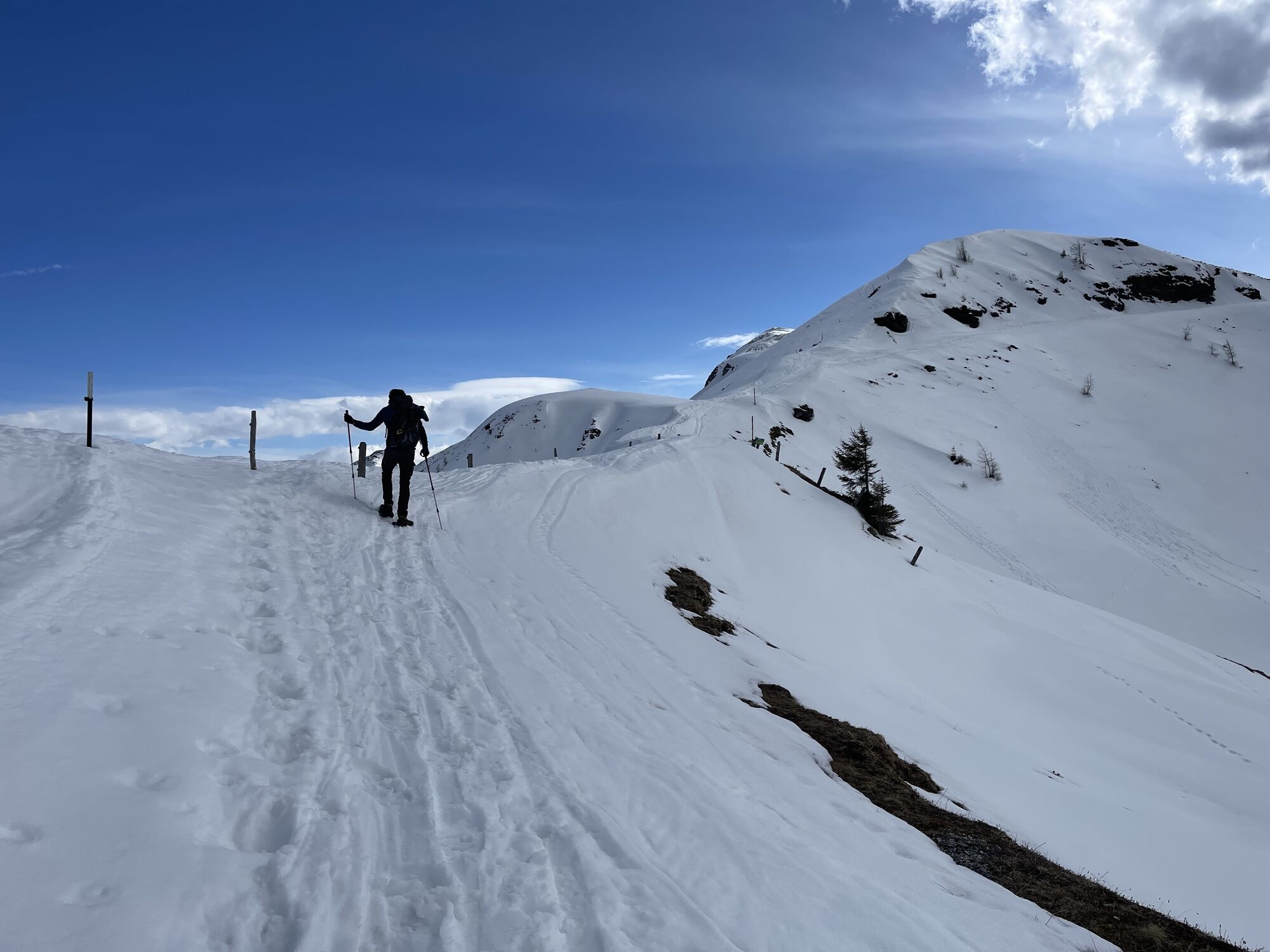
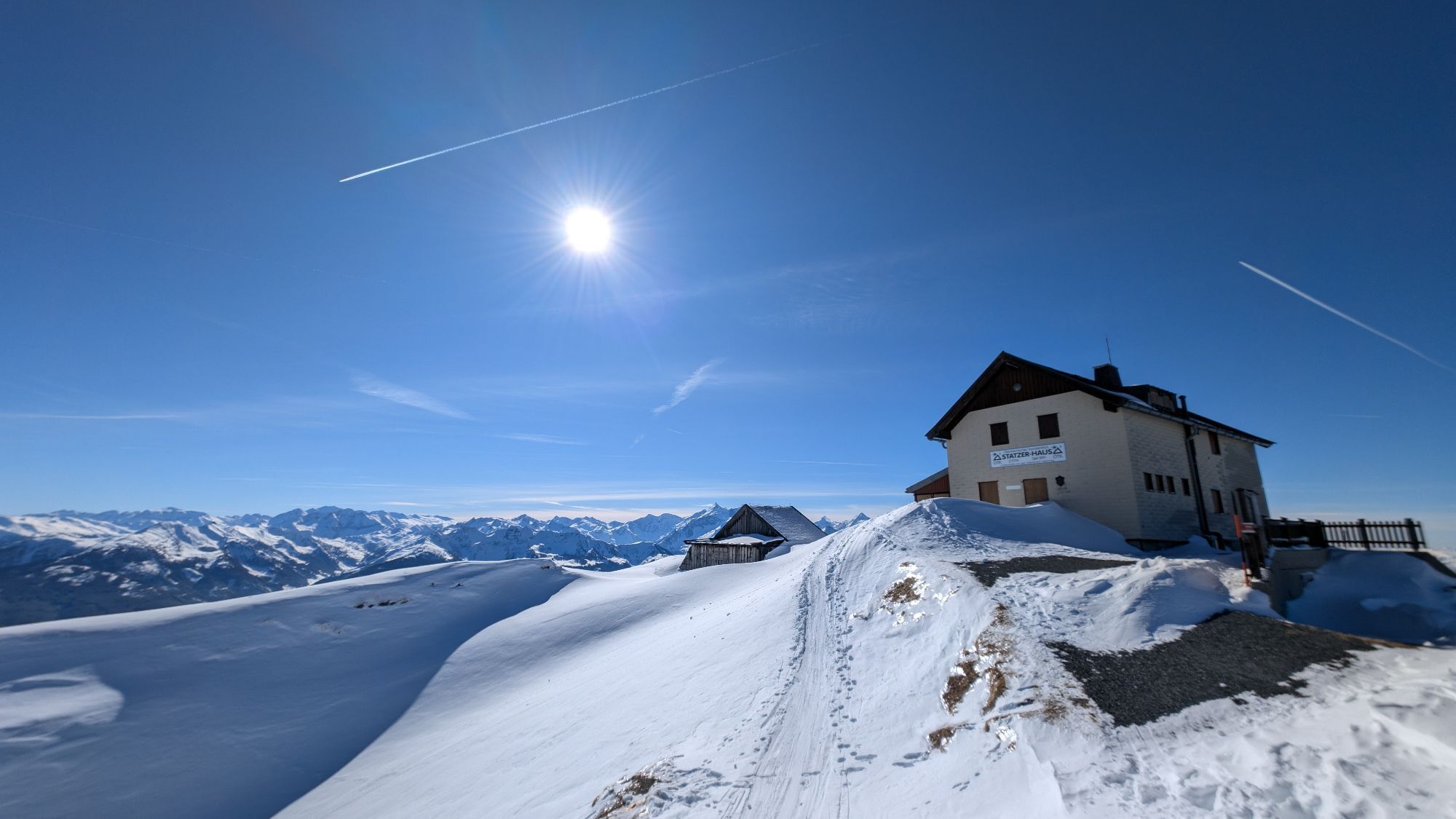
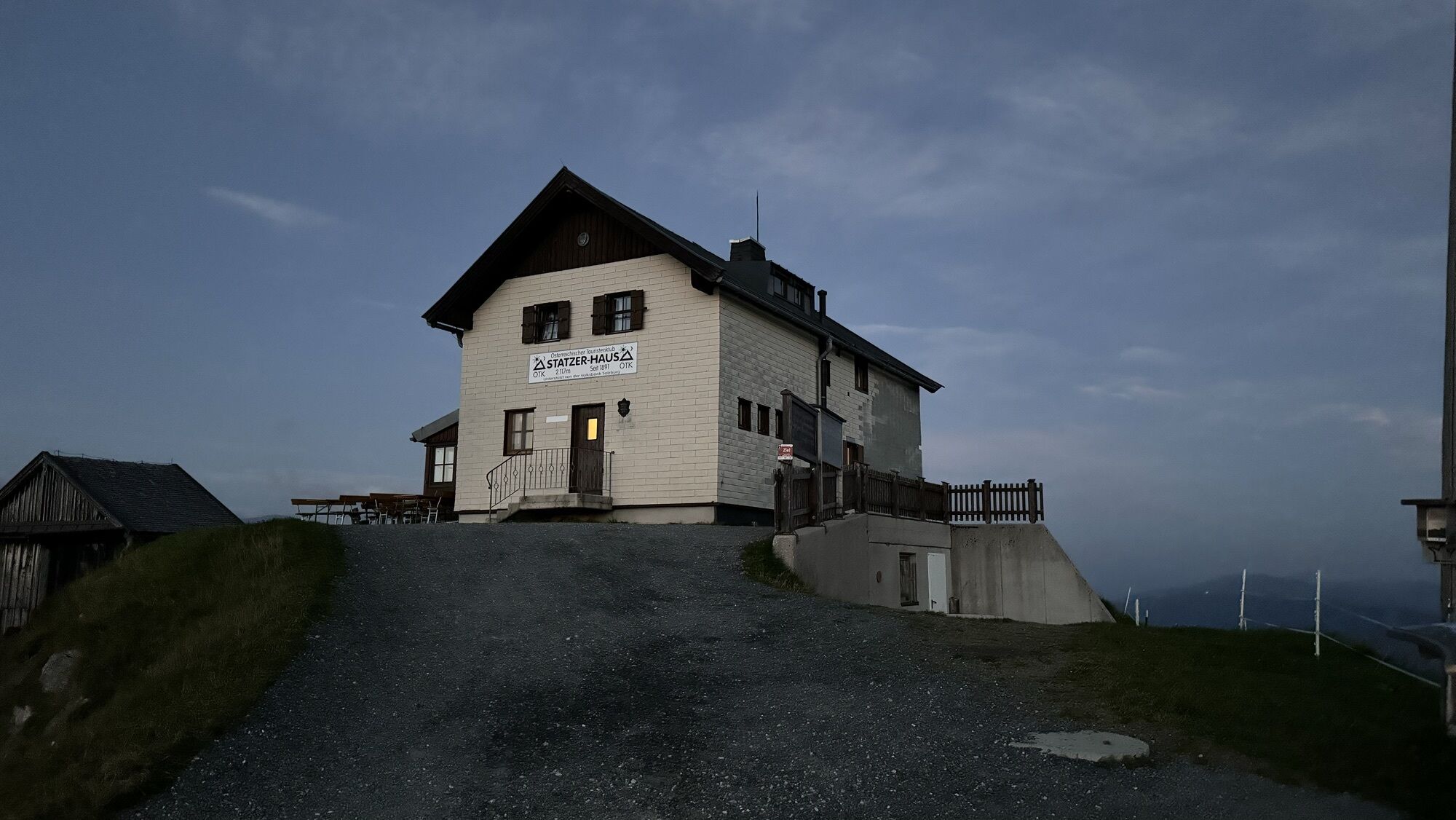
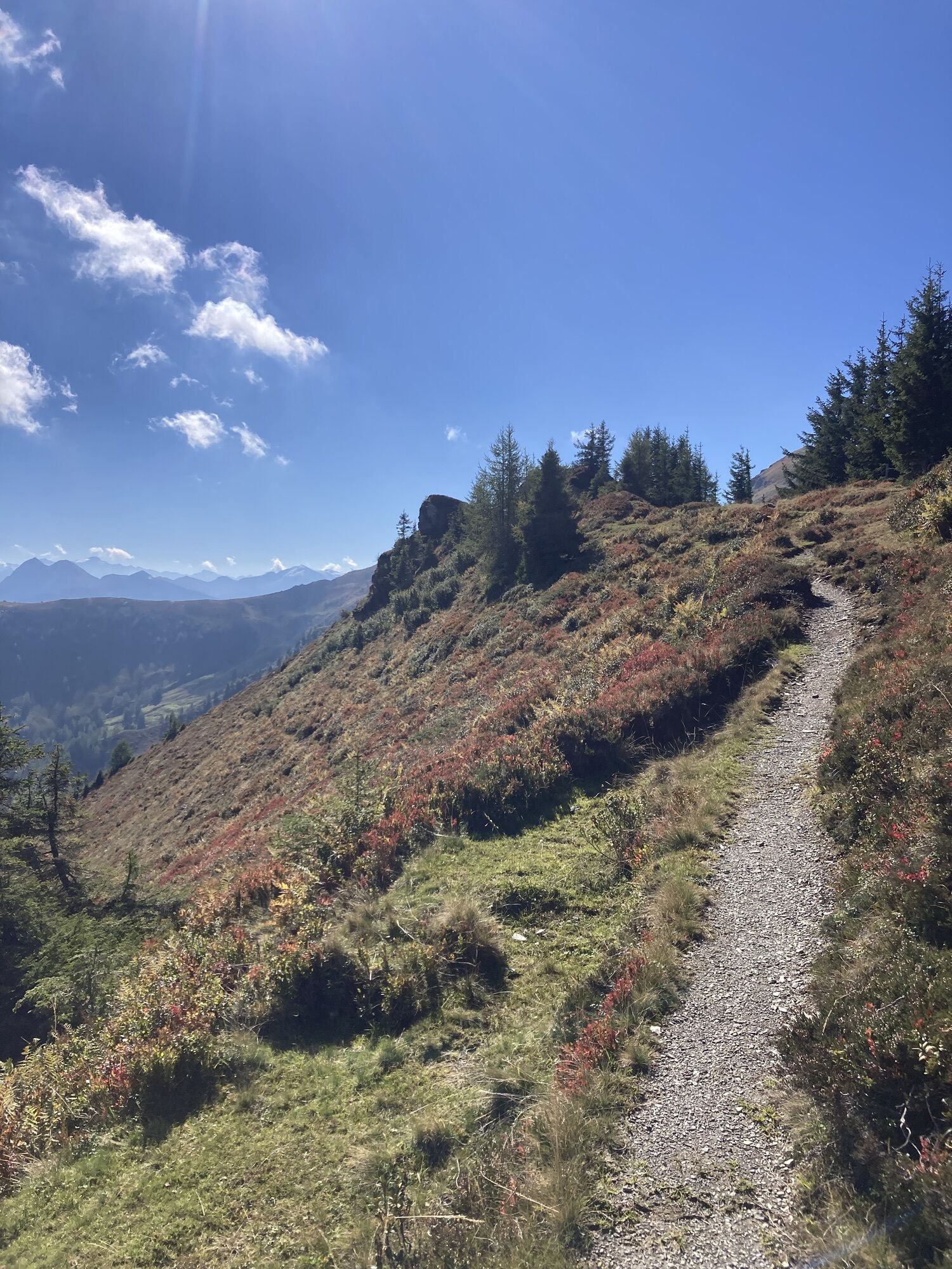
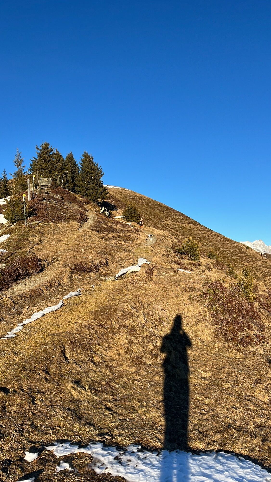
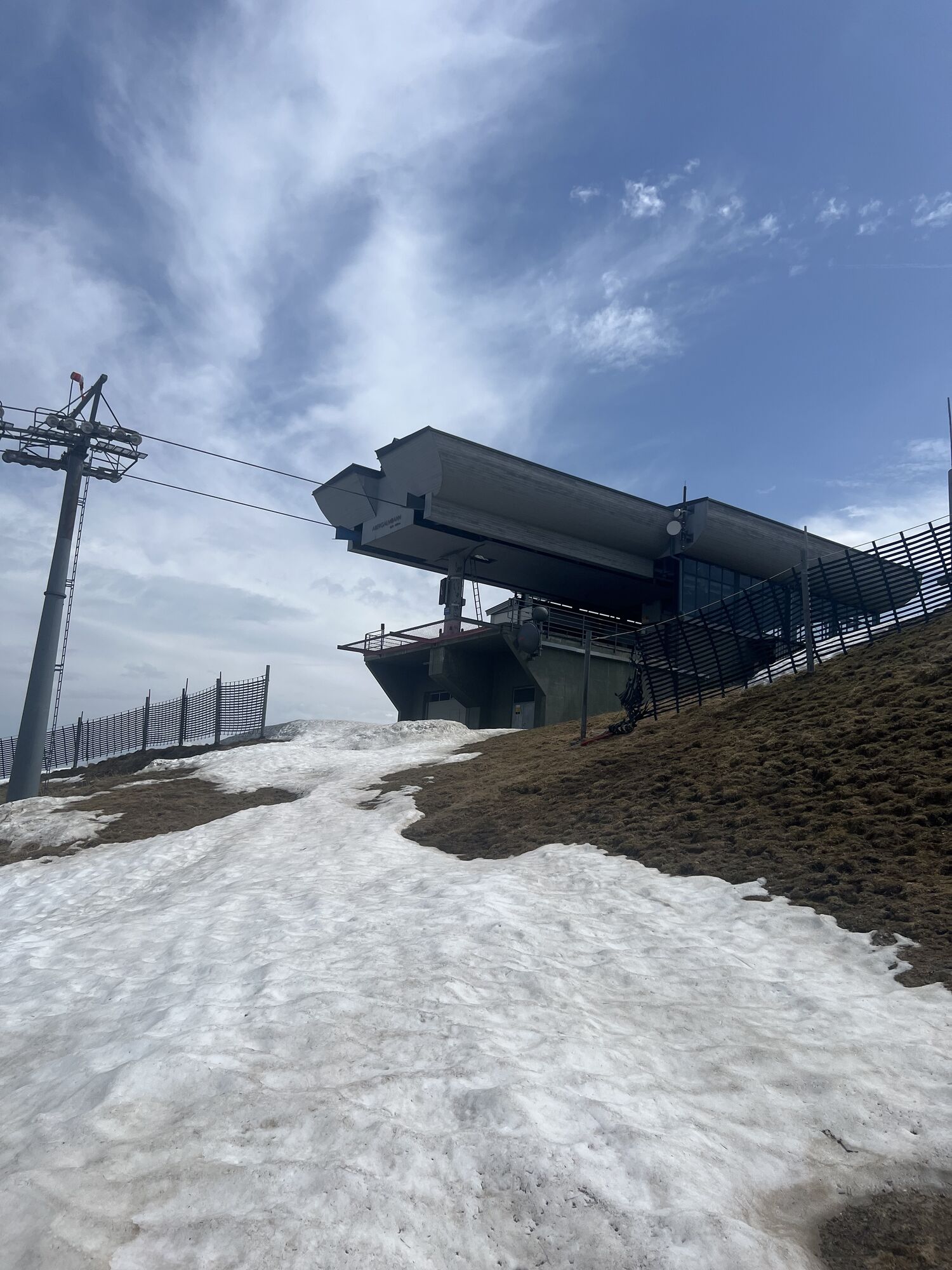
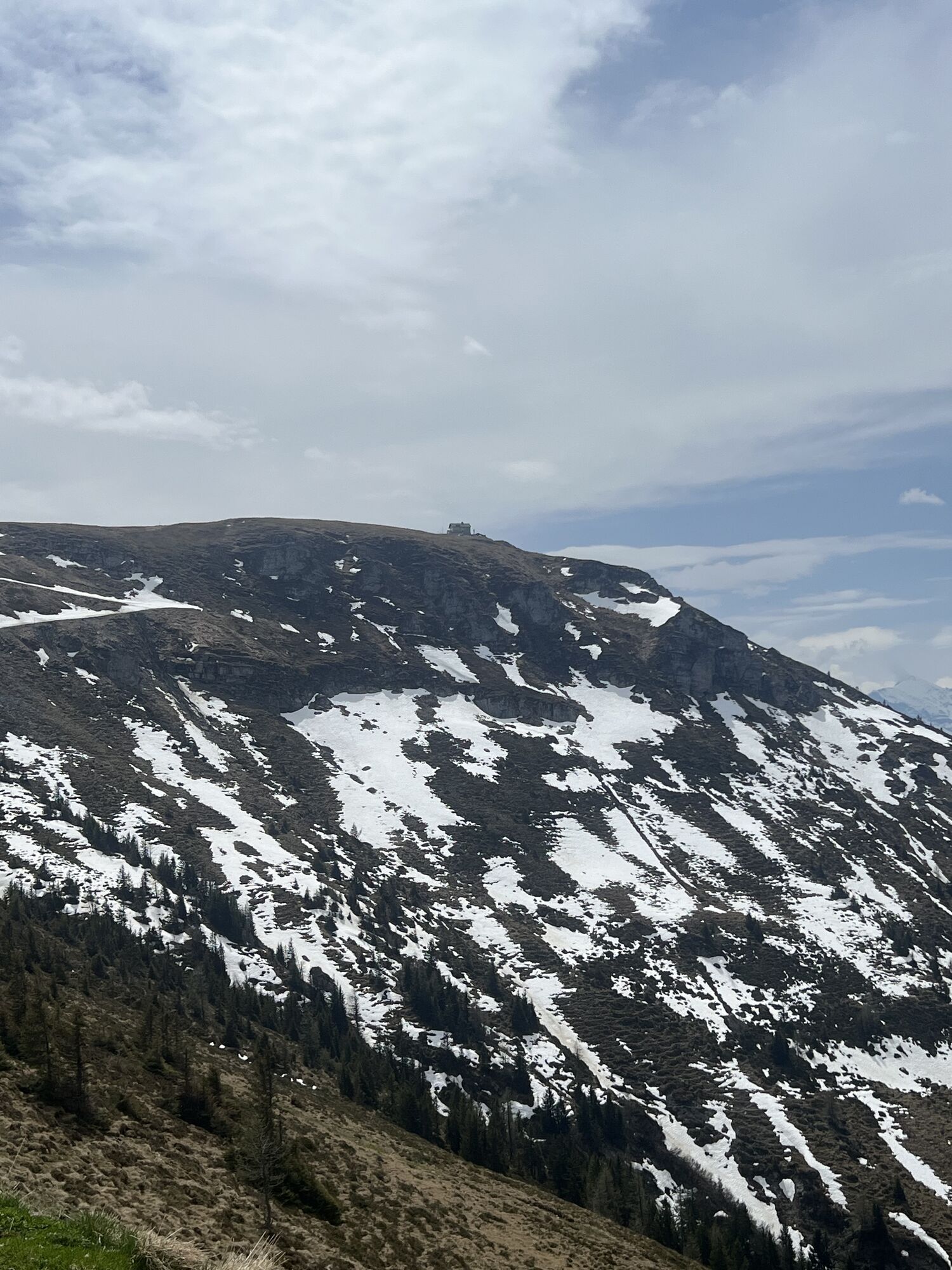
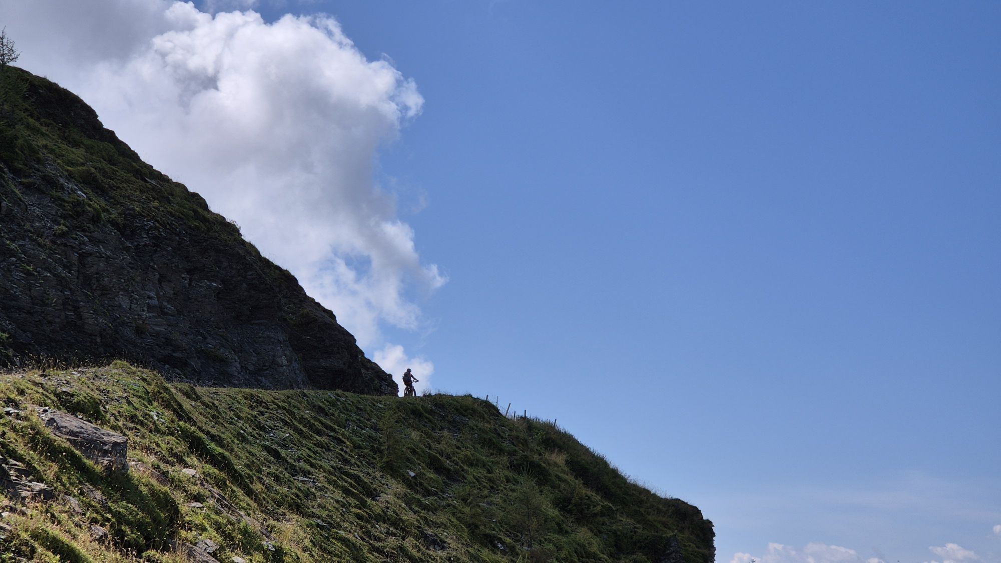
The starting point of this fantastic ski tour is the Hintermoos ski center. Strap on your skis and enjoy the relaxed ascent with the Schwarzeckalm cable car and the summit lift up to the Langeck at 1,899 m. If conditions are right, you can ski straight south – keep to the upper part of the ski route on the right side and the back of the mountain hut. After about 300 meters, you reach the summer path to the staffed mountain hut Statzerhaus (summer operation only). This is the perfect place to put on your skins and prepare for the further ascent. The path now leads you along the ridge. Be careful, as a small section requires skill and caution, but the wonderful photo location compensates for the effort! Now comes the first steeper ascent in the program. Here you have to overcome 2-3 switchbacks. If you want, you can also choose the right summer path, but be warned: this path is often heavily snowed in and extremely steep. After this section, it goes relaxed past Rauchkopf on the right. Watch out for the large snow cornices on the left side – safety first! You have now reached the key section of the Hundstein ski tour. If you have good technique and high-quality equipment, you can tackle the last ascent directly. Usually, 4 switchbacks are enough to reach the last bend on the road. But be prepared: the terrain can be strongly wind-blown, hard and steep. Get ready for a challenging but worthwhile tour on the Hundstein! Let yourself be carried away by the impressive landscape and the adrenaline rush!

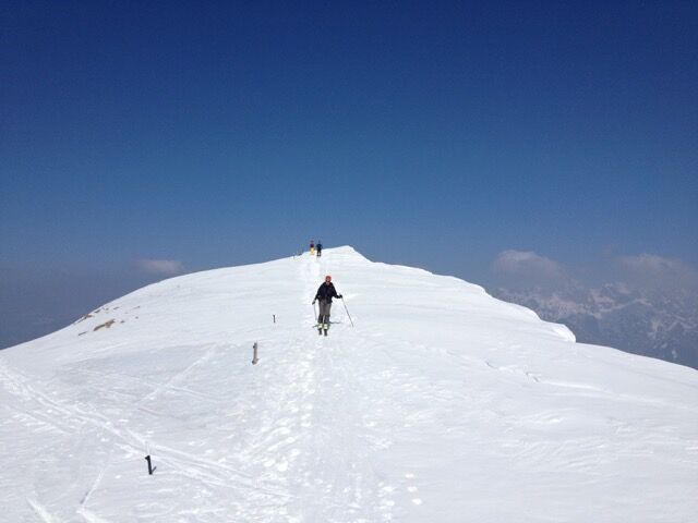
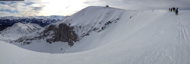
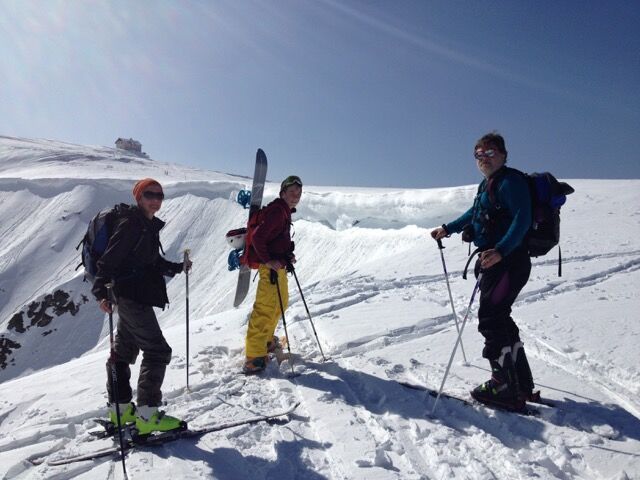
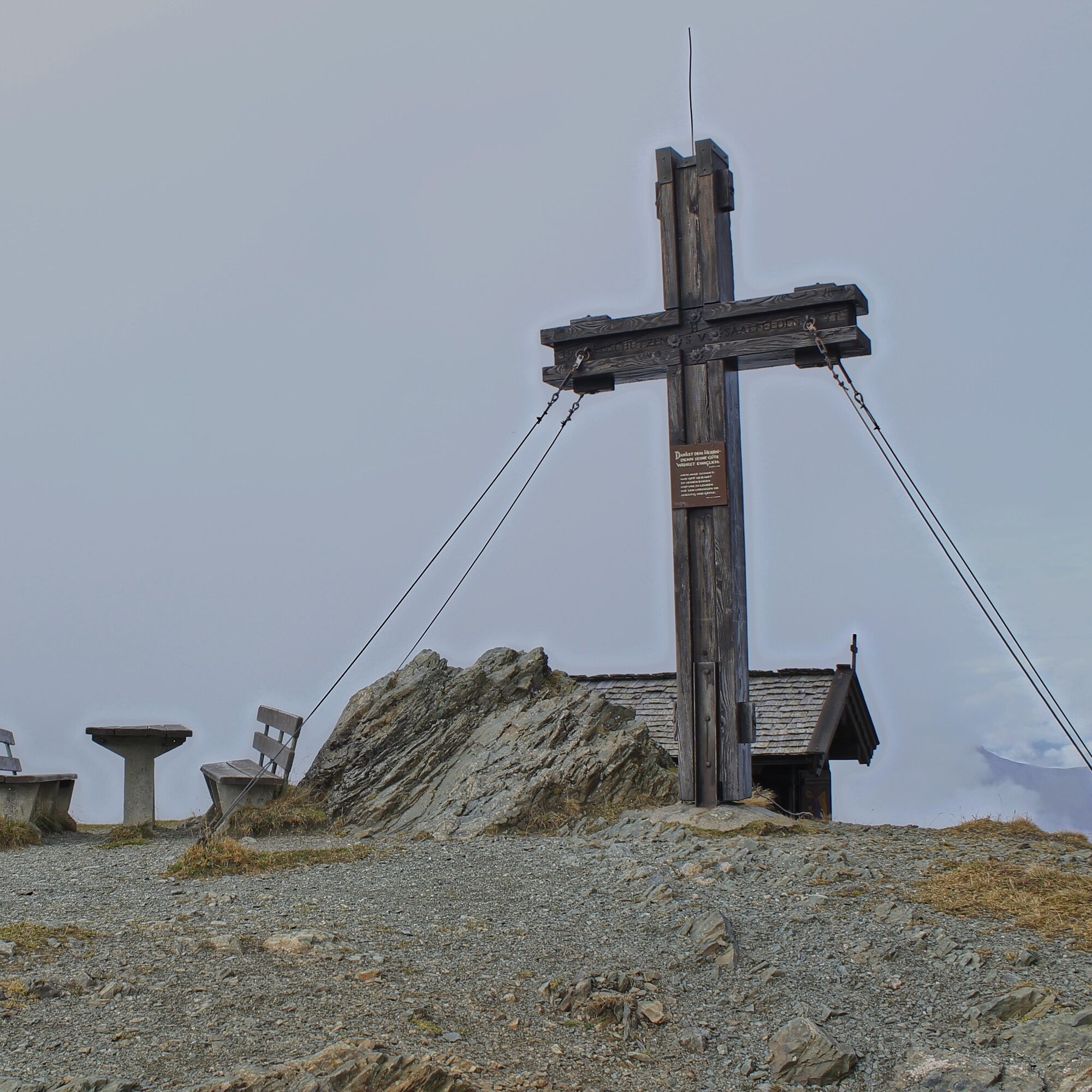

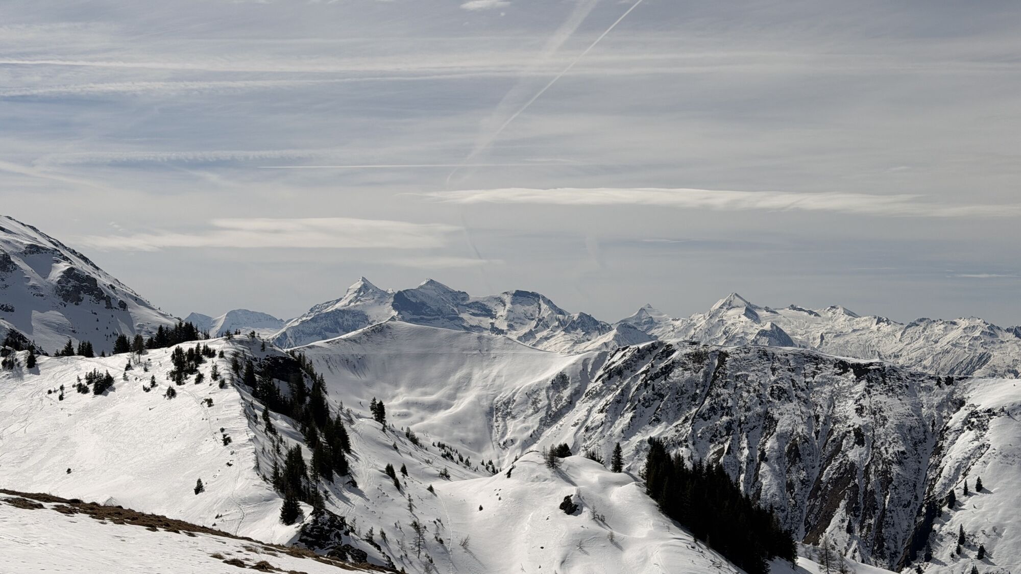
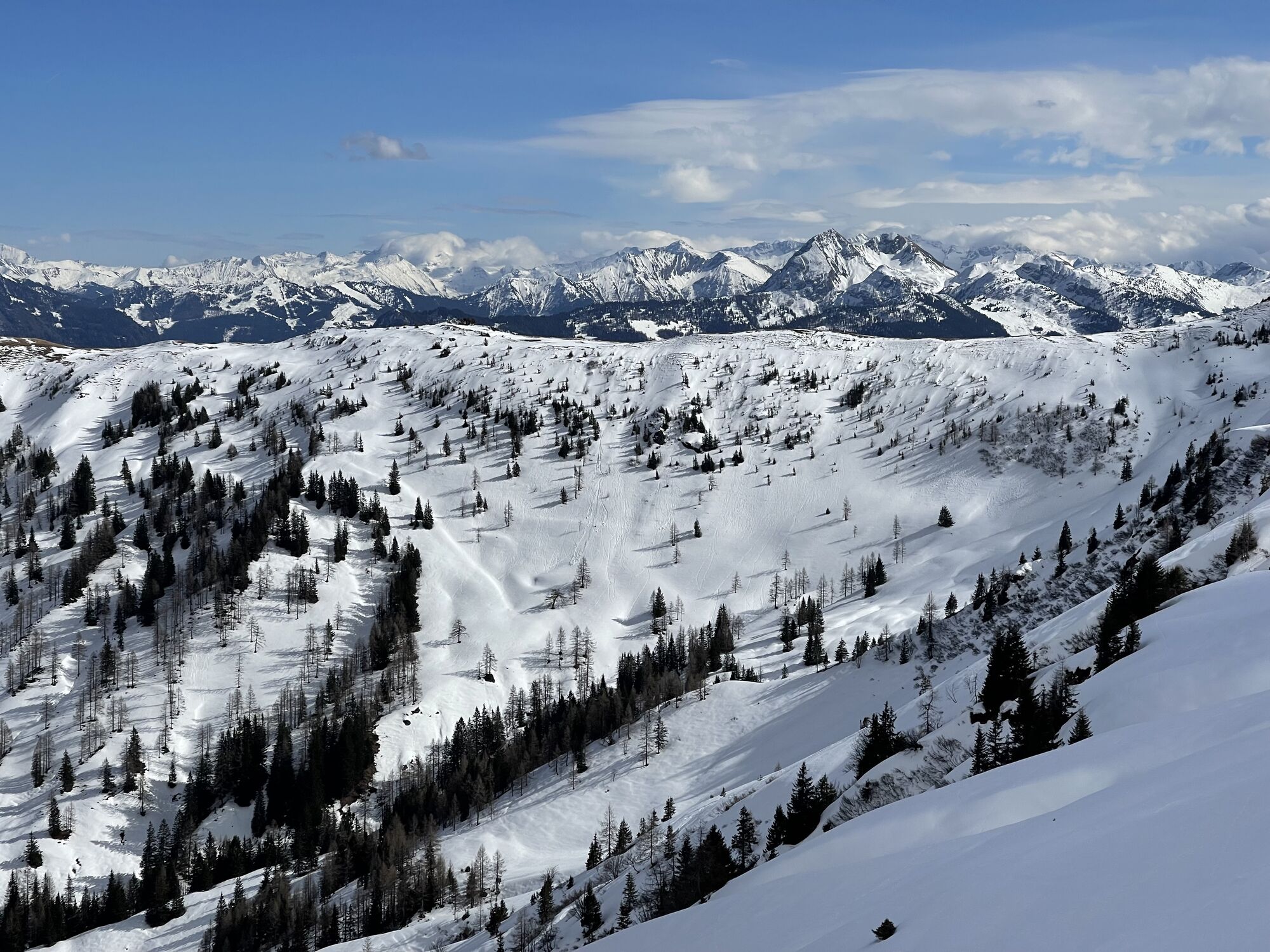
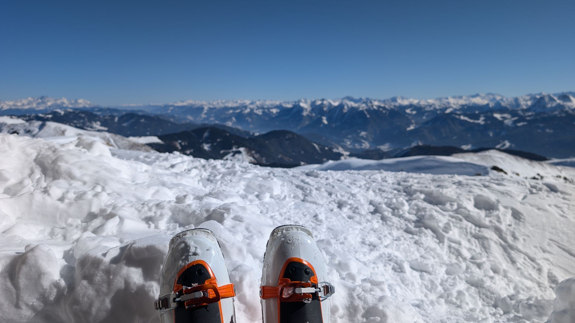
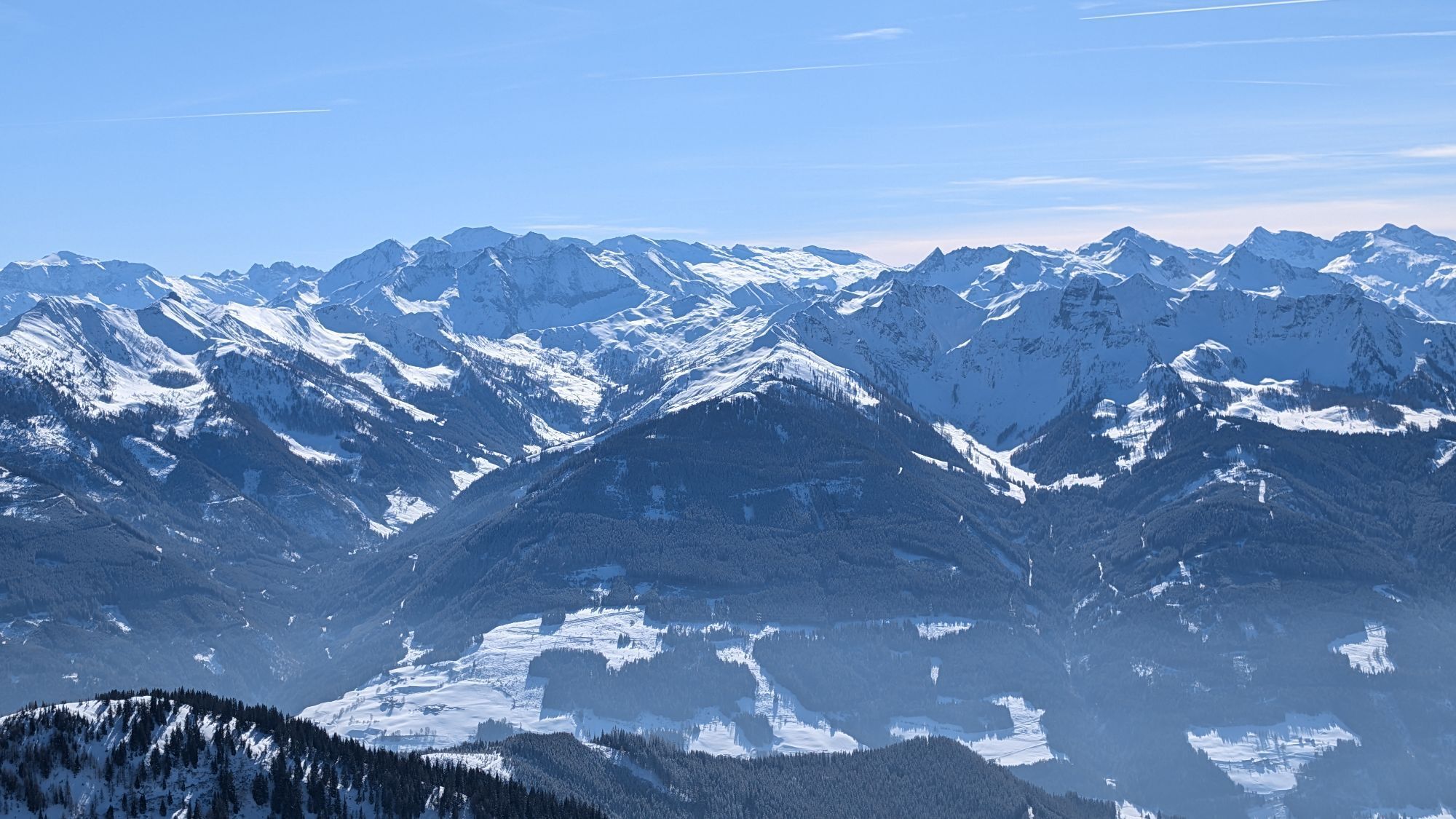
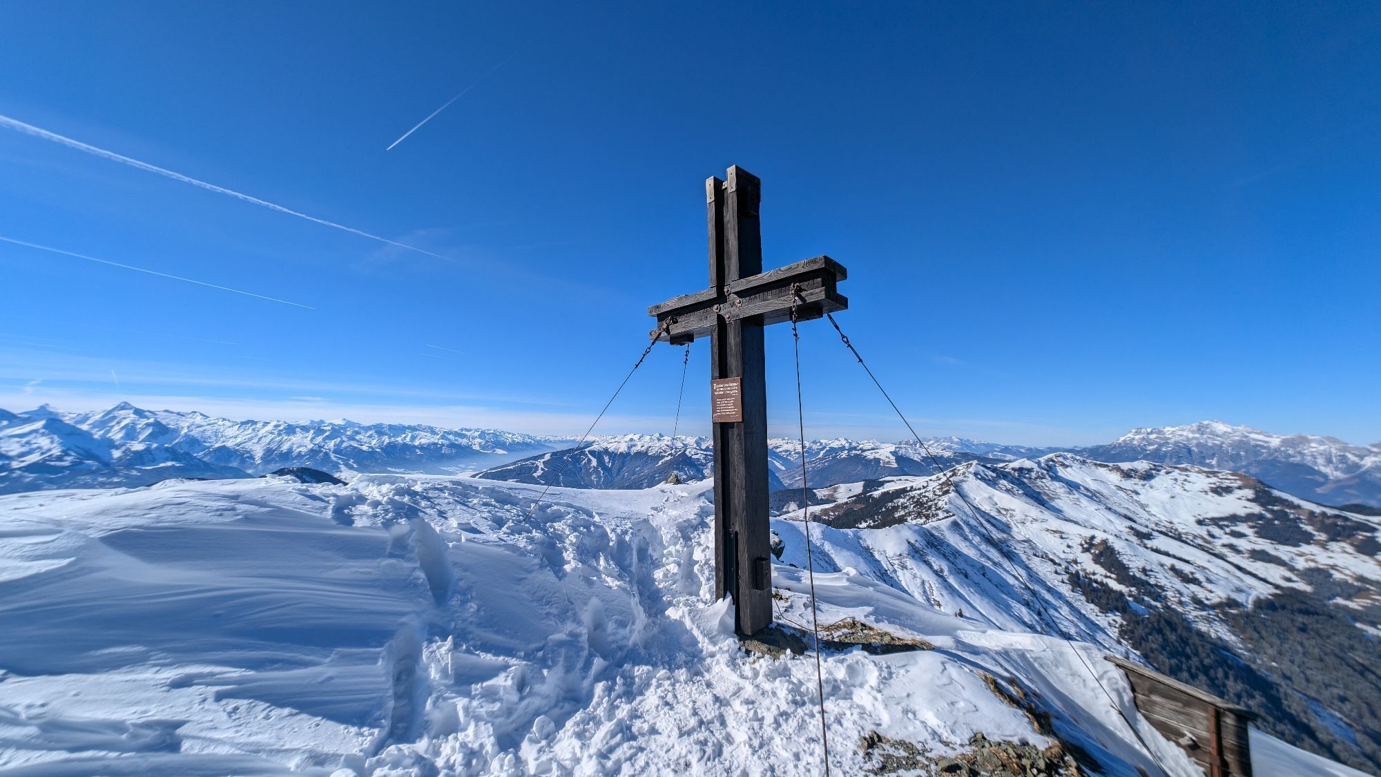
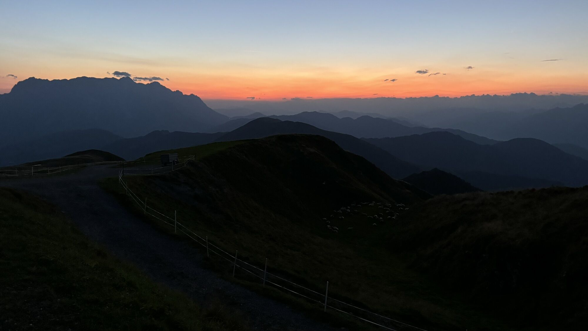
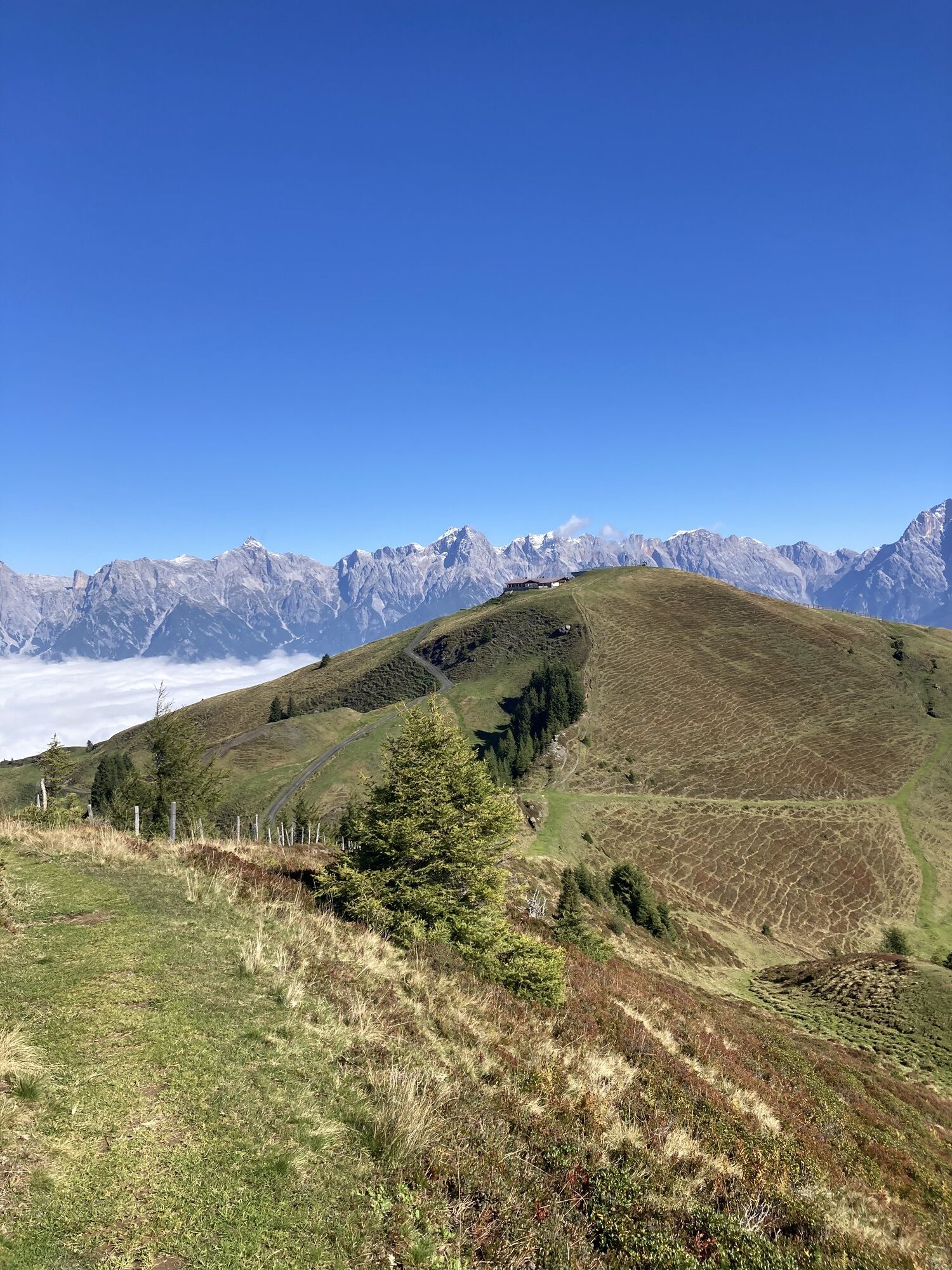
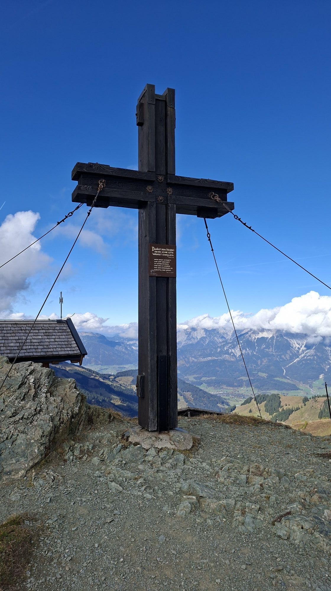
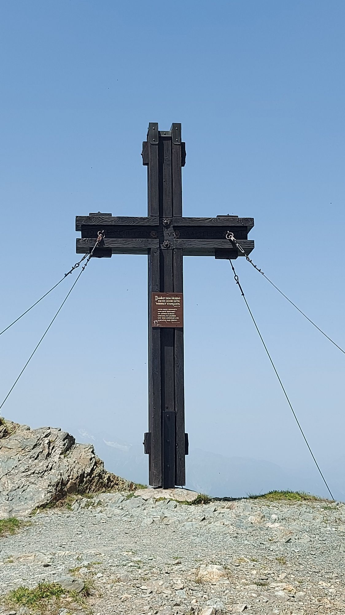
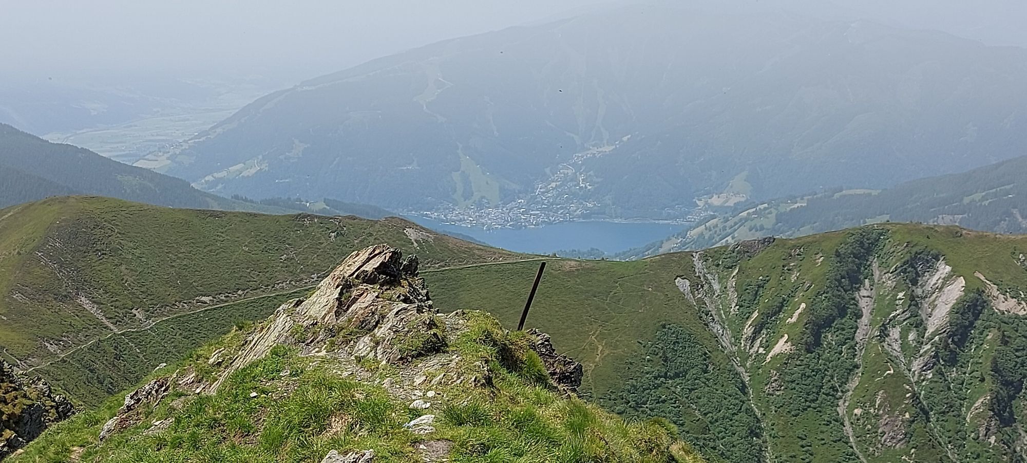
The starting point of the route is the Hintermoos ski center. Take the Schwarzeckalm cable car and the summit lift comfortably up to Langeck at 1899 m. It is best to ski down the upper part of the ski route immediately to the right behind the mountain hut towards the south. After about 300 meters, you reach the summer path to the Statzerhaus. This is the right place to put on your climbing skins. Alternatively, you can also ski down the south ridge of the Langeck directly past the mountain hut on the left to the saddle. Beware of the large cornice on the left side of the ridge. Always stay close to the fence posts. Now follow along the ridge. A short section requires some caution and skill (great photo spot!). Then comes the first steeper ascent which is overcome directly with two to three switchbacks, or can be bypassed on the right via the summer path. However, this is not always possible because the path is sometimes completely snowed in and very steep. The route continues comfortably past Rauchkopf on the right. Again, pay attention to the large cornices on the left. Now comes the key section of the route. With good walking technique and good equipment, the last ascent can be tackled directly. Four switchbacks should suffice to reach the last bend on the road, but the terrain is steep and often wind-blown and hard. It is somewhat easier, but still not easy, going across the road. If there is a track, no problem; otherwise, sometimes a strong step is needed to break your own path. The final meters to the summit are then just a pleasure. Right at the beginning of the enormous summit cornice, you should cautiously look into the cirque to the Hundsteinsee, which is enormous for a grassy mountain. The summit itself offers enough space for a wind-protected rest. The panorama is truly unique. The Hohe Tauern directly opposite, the Zeller See to the right with the Kitzbühel Alps, the Northern Limestone Alps, Kaiser, Leoganger and Loferer Steinberge, Stone Sea and Hochkönig, Tennengebirge, Dachstein as far as the Niedere Tauern. There are countless descent possibilities from the Hundstein. The safest option leads back along the ascent route to about 200 meters before the place to remove skins. Then ski down the beautiful east slopes, always keeping slightly to the right, into the Handlergrund. After a small uphill stretch, follow the road to the Eggeralm and further along the road to the Bundesportheim in Hintermoos and the ski slope back to the starting point. As mentioned, the possibilities are very diverse, but also partly steep and confusing.
Ski touring equipment
Crampons
Backpack with hot drink and light snack
Necessary medication
First aid kit
Healthy in the mountains: Ski and snowshoe tours are endurance sports. The valuable load stimuli for your heart and circulation require good health and good self-assessment. Avoid time pressure and choose a pace so that no one in your group runs out of breath. Pay attention to reserves of strength for the descent.
Careful planning: Use maps, guide literature, the internet and experts to inform yourself about length, elevation difference, difficulty and current conditions. Special attention should be given to the weather report, as strong wind and poor visibility greatly increase the risk of accidents.
Study the avalanche report: Inform yourself thoroughly about the current danger level (European avalanche danger scale in 5 stages) before starting the tour. Pay special attention to the indications of dangerous spots (where is it dangerous today?) and the sources of danger (what is the main danger today?).
Complete equipment: Adapt your equipment to the winter conditions and pay attention to a low backpack weight. For avalanche emergencies, an avalanche transceiver, shovel and probe are standard, as well as a first aid kit, bivy sack and mobile phone. An airbag system increases your chances of survival.
Regular drinking breaks: Fluids, energy and breaks are necessary to maintain your performance and concentration. Hot, isotonic drinks are ideal thirst quenchers and heat suppliers. Easily digestible foods such as muesli bars, dried fruits and biscuits satisfy small hunger on the way.
Weigh avalanche risk: When recognizing avalanche danger, you have narrow limits. Base your decisions on strategic risk assessment methods (reduction methods) and learn to recognize danger signs in the terrain.
Keep distances: Keep relief distances of 10 m when ascending steep slopes (≥ 30°) to reduce the load on the snowpack and increase comfort during switchbacks. When descending, always keep distances of at least 30 m and ski very steep slopes (≥ 35°) individually.
Avoid falls: Falls when descending are the most common cause of accidents on ski tours. For the snowpack, they also mean a major additional load. Good ski technique and speed adapted to your ability reduce the risk. A ski helmet can protect against head injuries.
Small groups: Small groups enable mutual help and reduce the risk of triggering avalanches. Stay together in the group. Attention solo travelers: even small incidents can lead to serious emergencies. Always inform trusted persons about your destination, route, and return.
Respect for nature: To protect nature: do not leave any waste, avoid noise, do not enter afforestation areas and respect protected and restricted areas. Pay special attention to wildlife in winter! Form car pools or use public transport for your journey.
Emergency numbers: Alpine emergency: 140, International emergency: 112
Arrival from Salzburg: Take the A10 motorway to the Bischofshofen exit, then follow the B311 towards Bischofshofen. Follow the Hochkönig federal road/B164 to Maria Alm.
Arrival from Innsbruck/Kufstein: Take the Loferer Straße/B178 towards St. Johann in Tyrol, then continue via the Hochkönig federal road/B164 through Saalfelden to Maria Alm.
A valid sticker is required for using the Austrian motorway and expressway network. There is also a mandatory requirement to carry a first aid kit, warning triangle and reflective vest. More information at Asfinag.
ÖBB-Scotty: Timetable information
Bus line 620: Timetable information
Ski bus: Timetable information
Free parking at the Hintermoos ski center / Schwarzeckalm cable car
An overview map is available at the service center.
www.hochkoenig.at
region@hochkoenig.at
+43 (0)6584 20388
If you are in the Hochkönig region, you can experience weekly organized or individually guided ski tours with state-certified mountain and ski guides. Just register at the tourist offices in Maria Alm, Dienten, or Mühlbach. Please note that the Statzerhaus is not operated in winter!


Priljubljeni izleti v okolici
-
4.4
Maria Alm - Riemannhaus
Pohodništvo 3.99 km -
4.9
Summit stormer route Lauskopf
težkoPohodništvo 8.16 km -
4.8
Highlight Kitzlochklamm Classic round
srednjaPohodništvo 2.02 km -
4.8
Summit storming route Taghaube
težkoPohodništvo 6.25 km -
4.4
Schwalbenwand Nr. 80, 81, 82
srednjaPohodništvo 13.0 km -
4.6
Peter-Wiechenthaler Hut
srednjaPohodništvo 4.32 km -
4.6
Steinalm
svetlobaPohodništvo 2.71 km -
4.9
Hochkönig - Gipfel der Gefühle - Matrashaus
težkoPohodništvo 20.9 km -
4.3
Mühlbacher Höhenweg
srednjaPohodništvo 11.2 km -
4.8
Breithorn
srednjaPohodništvo 10.0 km
Pohodništvo in sledenje


Ne zamudite ponudb in navdiha za naslednje počitnice
Vaš e-poštni naslov je bil dodan na poštni seznam.





