


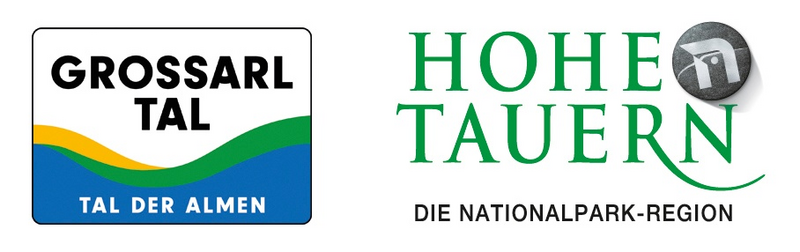
Großarltal: Gamskarkogel, 2,467 m
This ski route is also one of the most beautiful in the Großarltal. In combination with the Finsterkopf, there are about 1,400 meters of descent on the program.
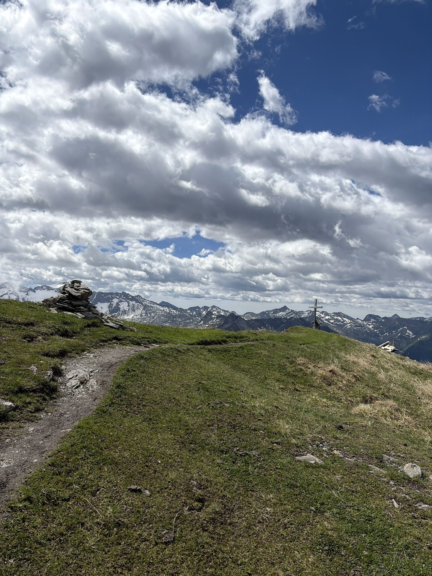
The view from the Gamskarkogel has become...
This ski route is also one of the most beautiful in the Großarltal. In combination with the Finsterkopf, there are about 1,400 meters of descent on the program.
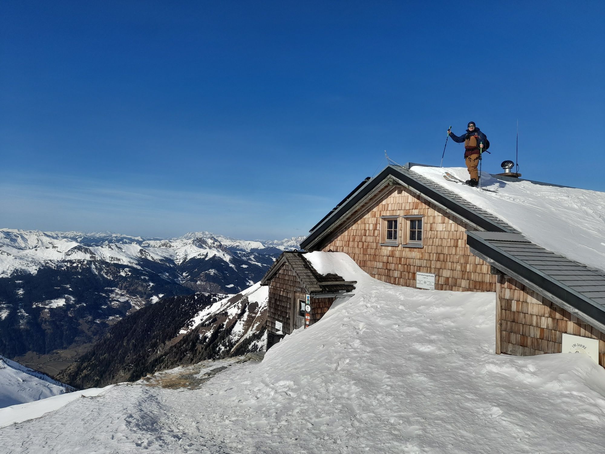
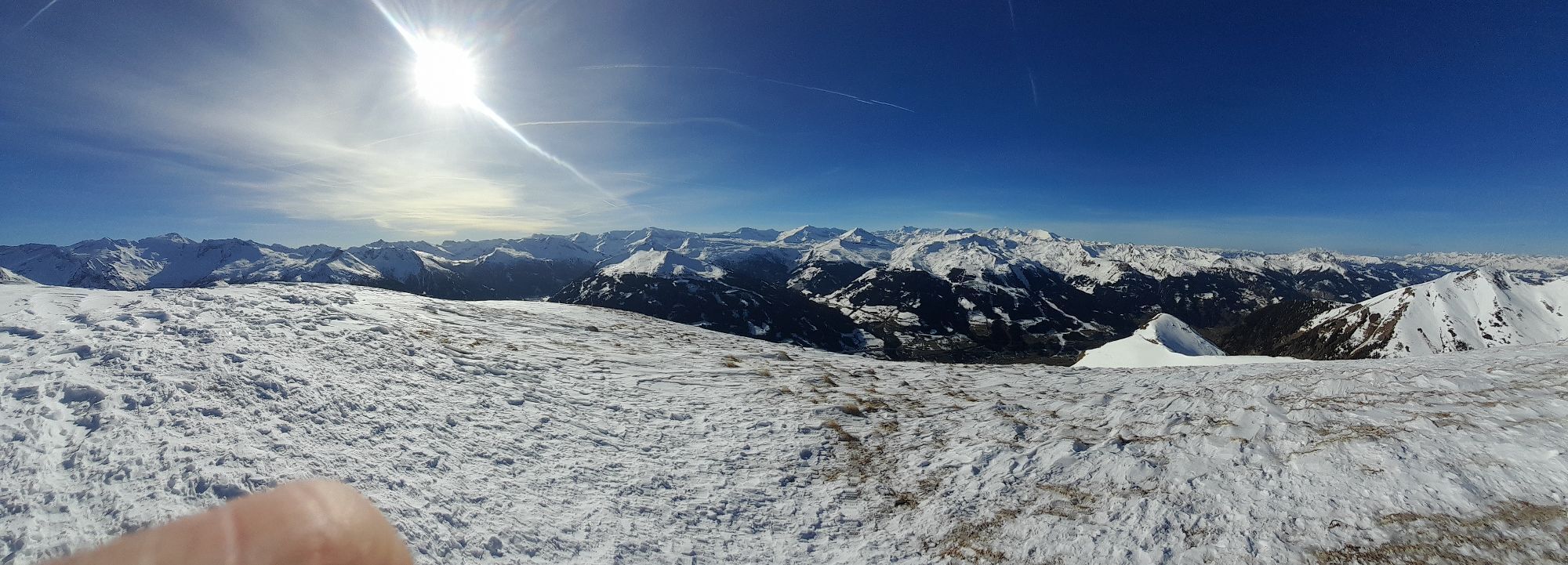
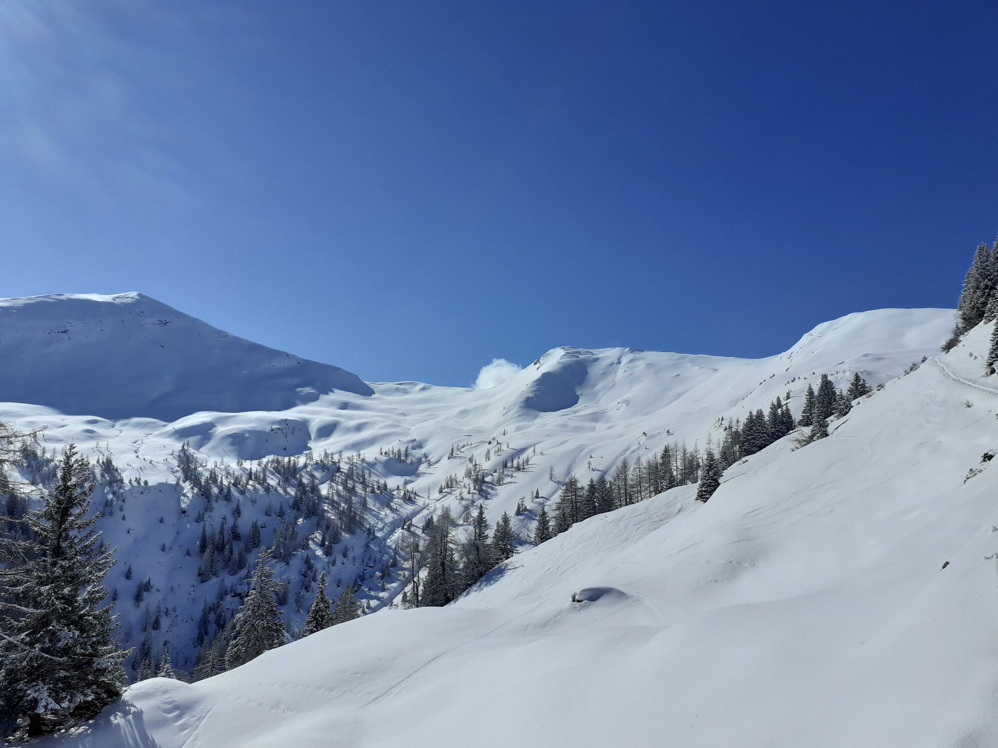
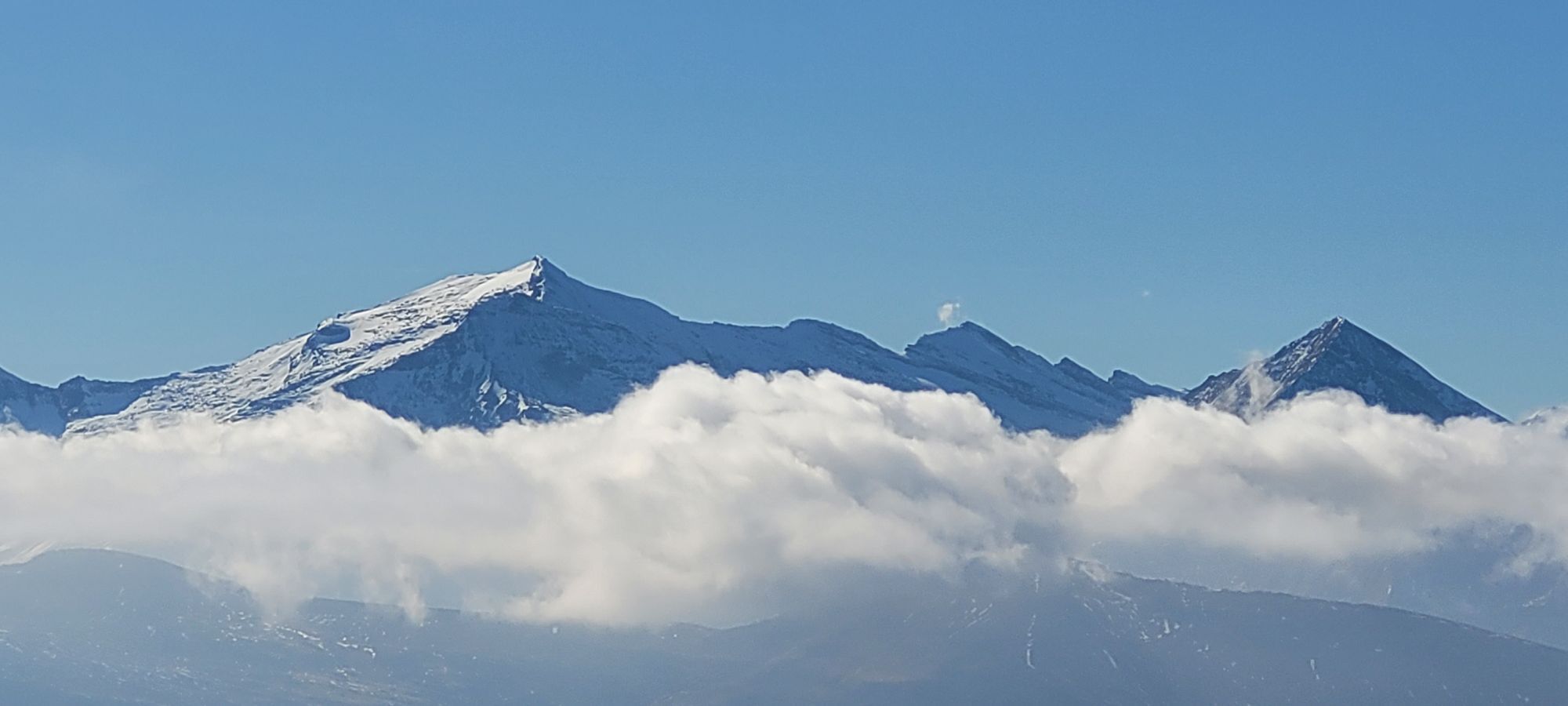
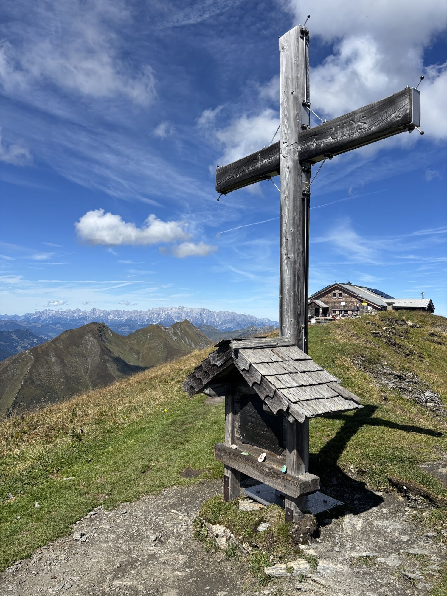
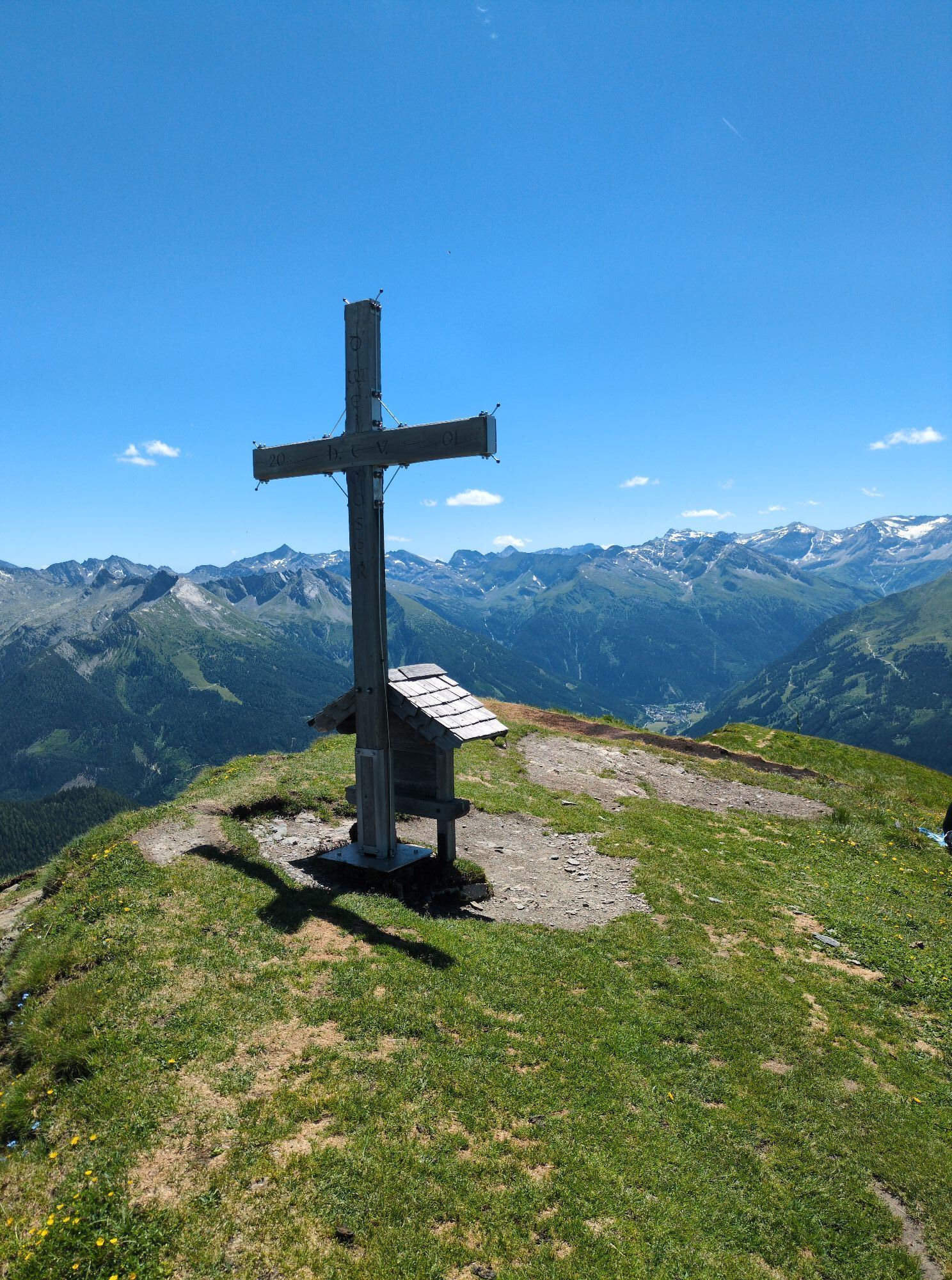
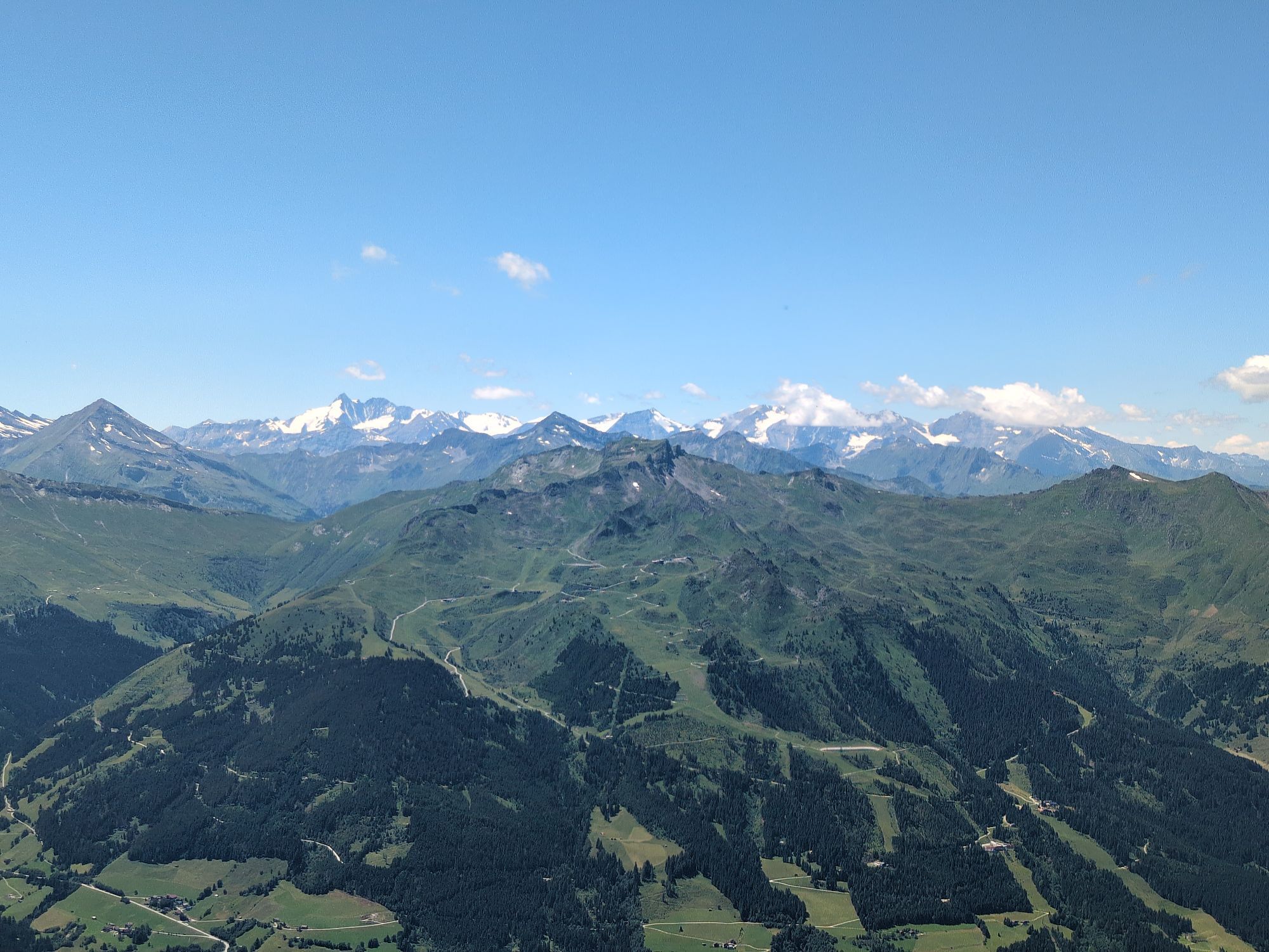
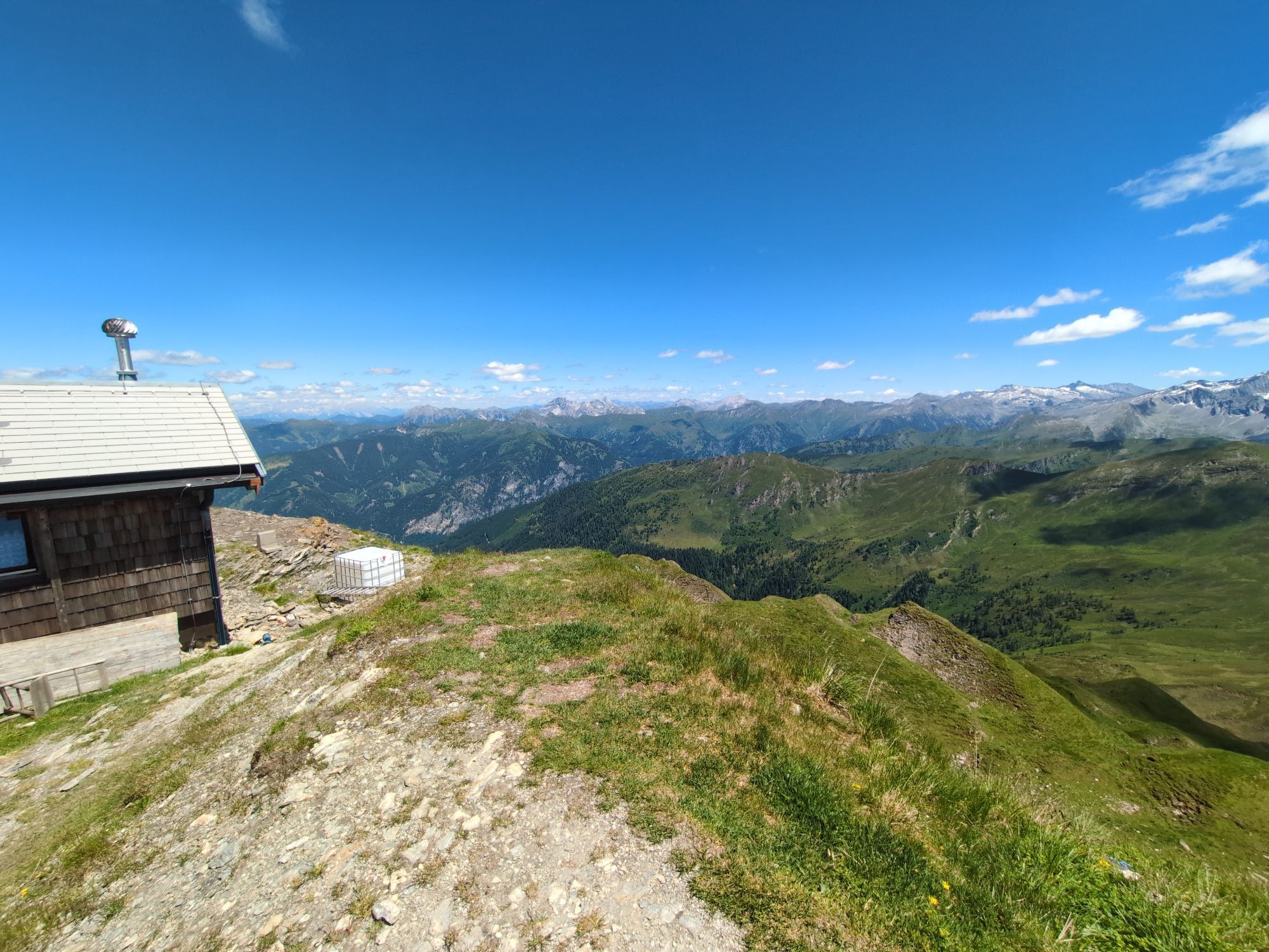
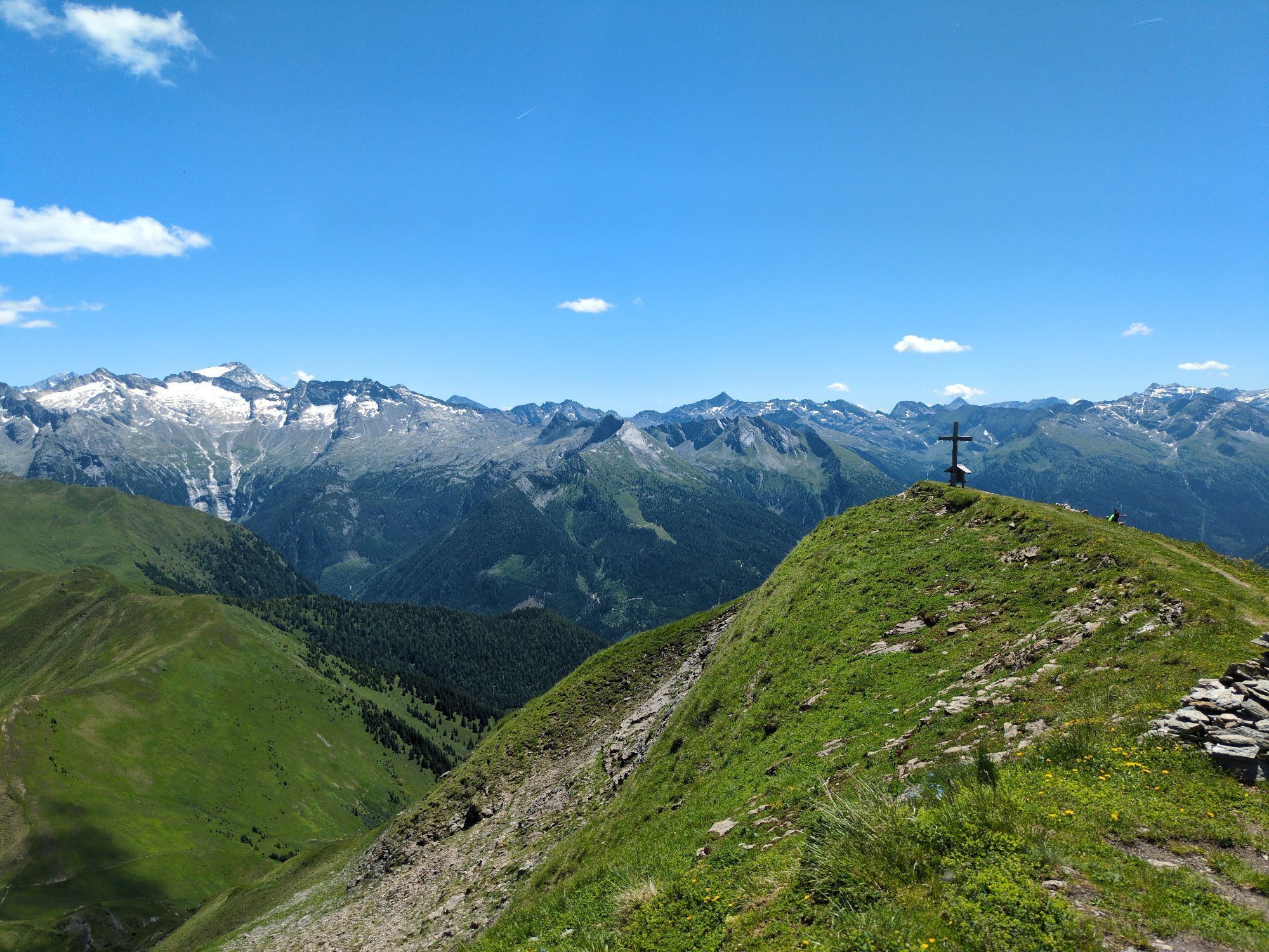
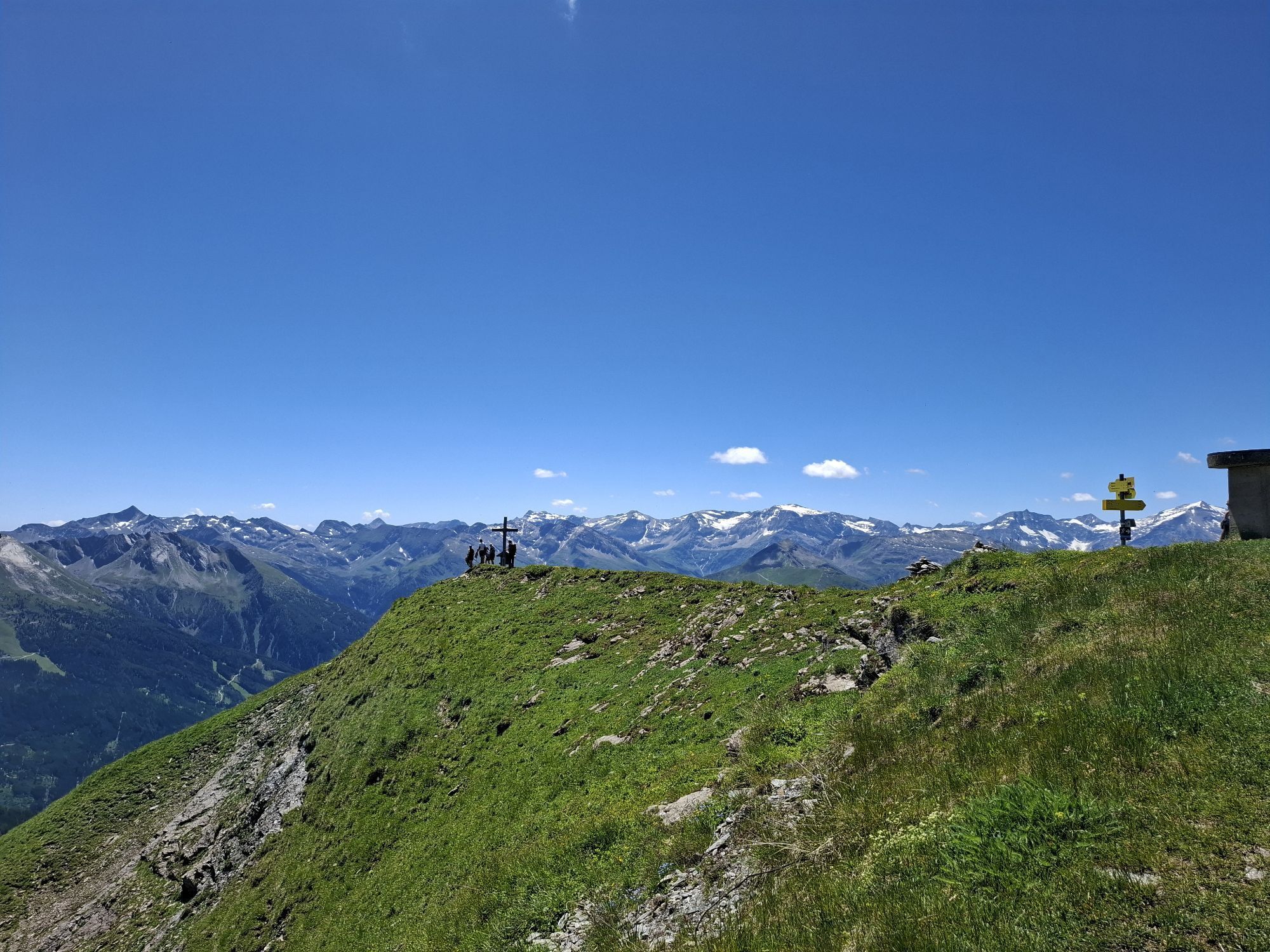
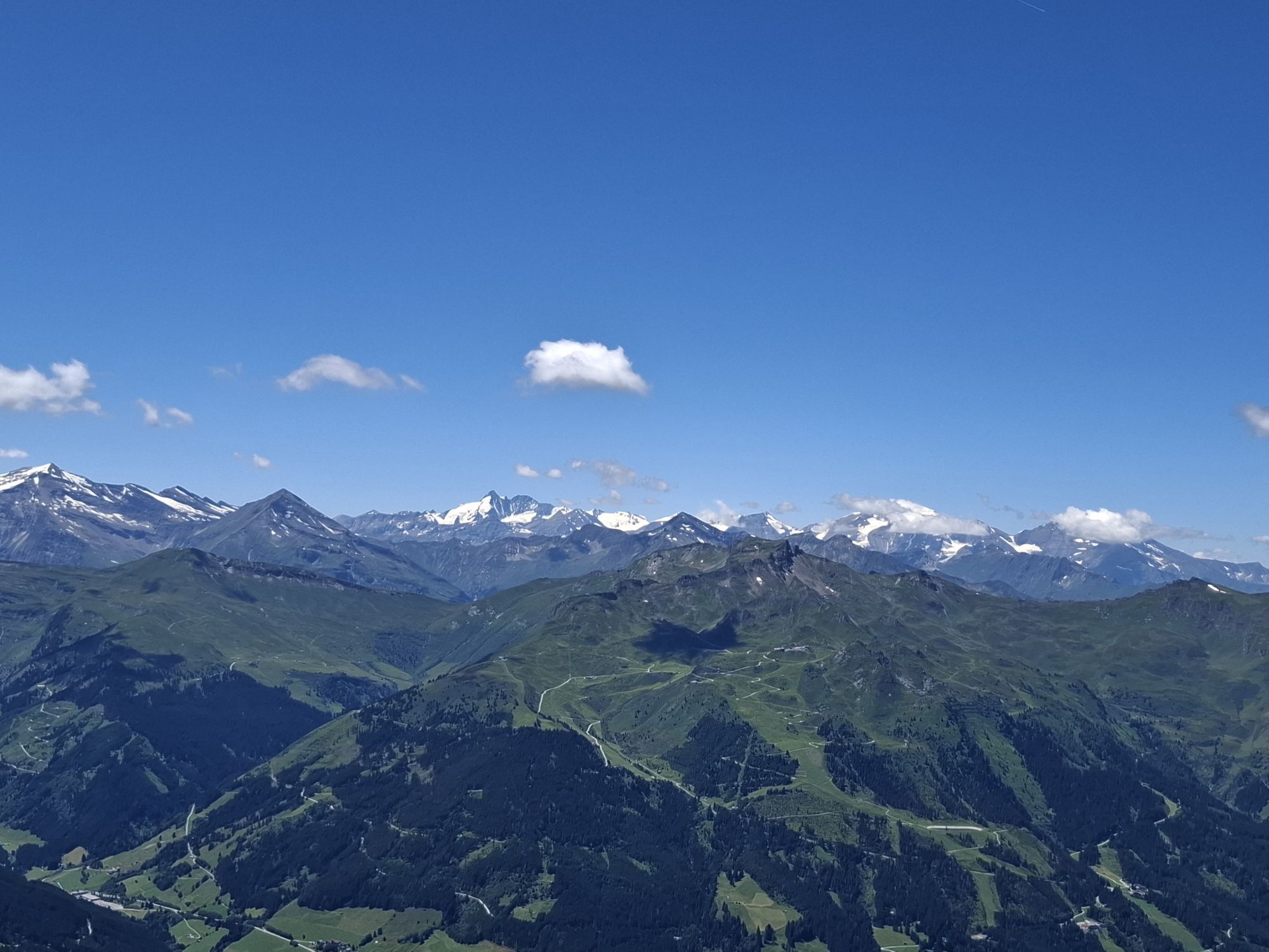
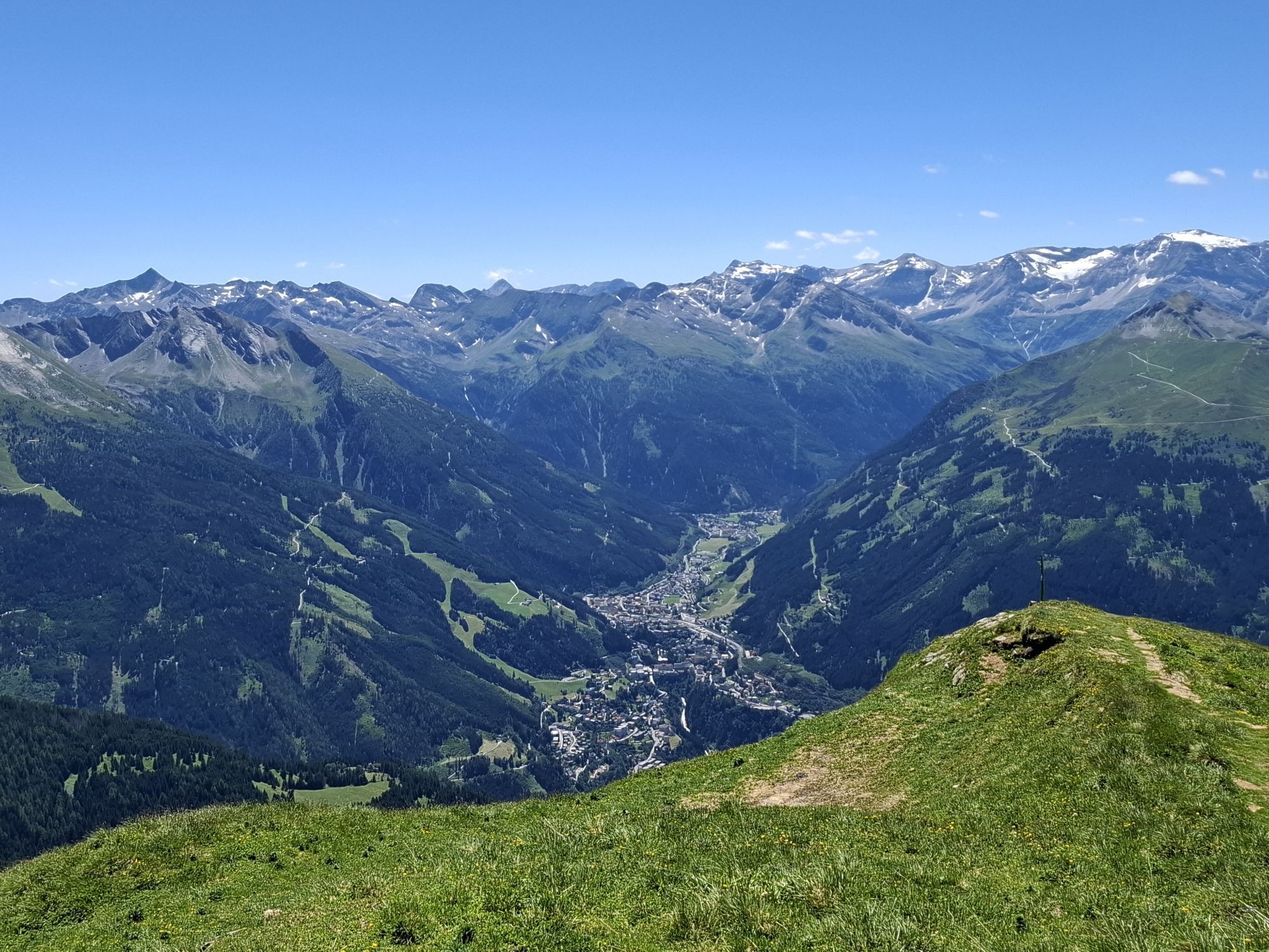
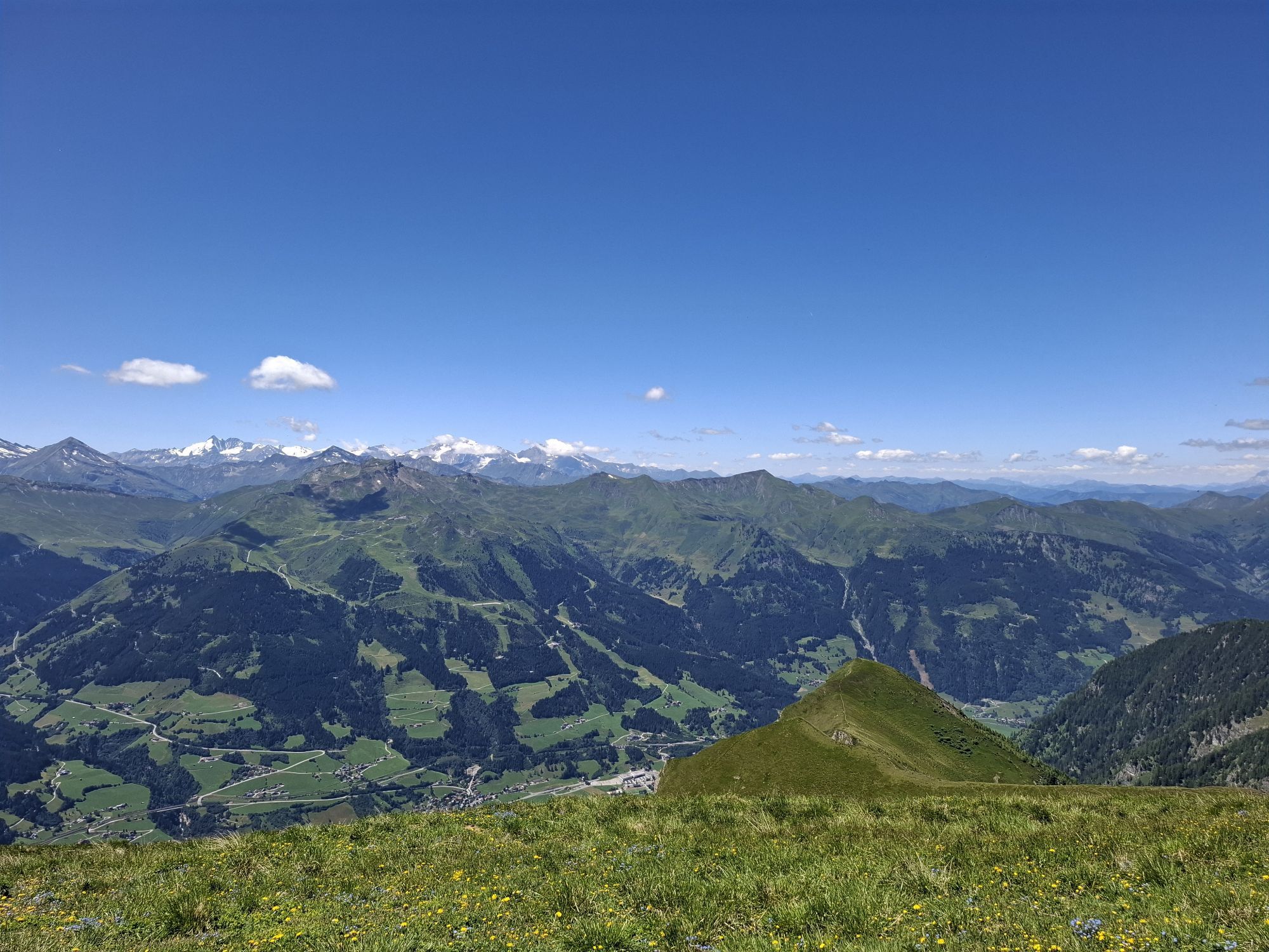
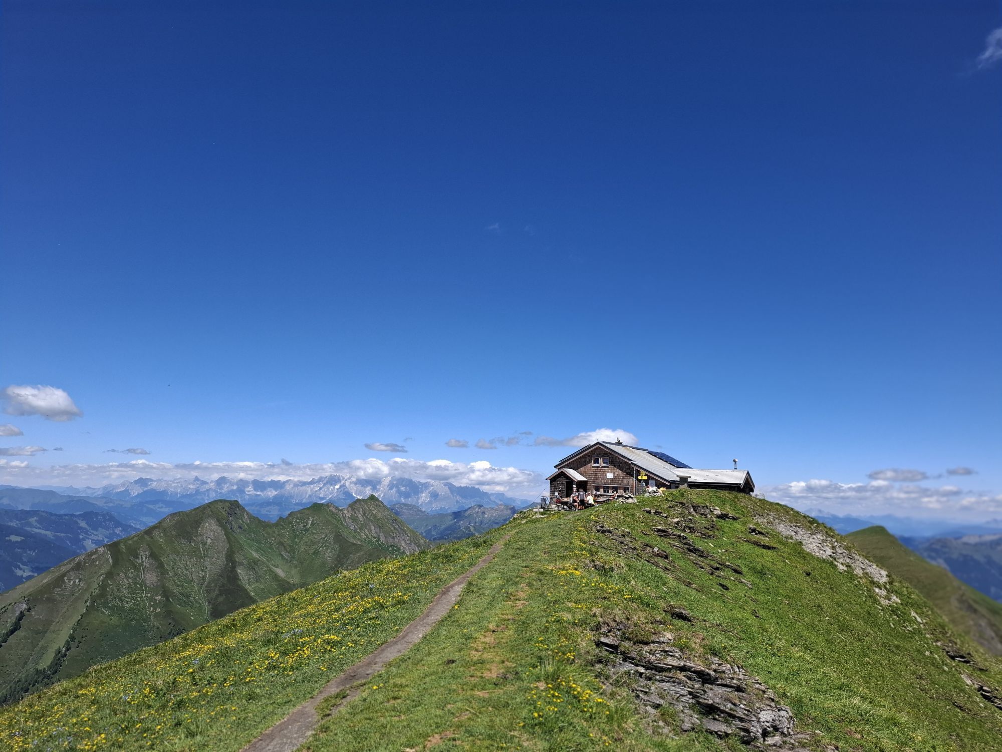
The view from the Gamskarkogel has become world-famous. It stretches across the entire chain of the High Tauern and over the northernmost limestone Alps, from the Wilder Kaiser to the Dachstein. And the best part: there is a hut (not operated in winter) right on the summit. This alpine club hut is one of the oldestshelters in the entire Alpine region. The hut was built in 1828 by Archduke Johann.
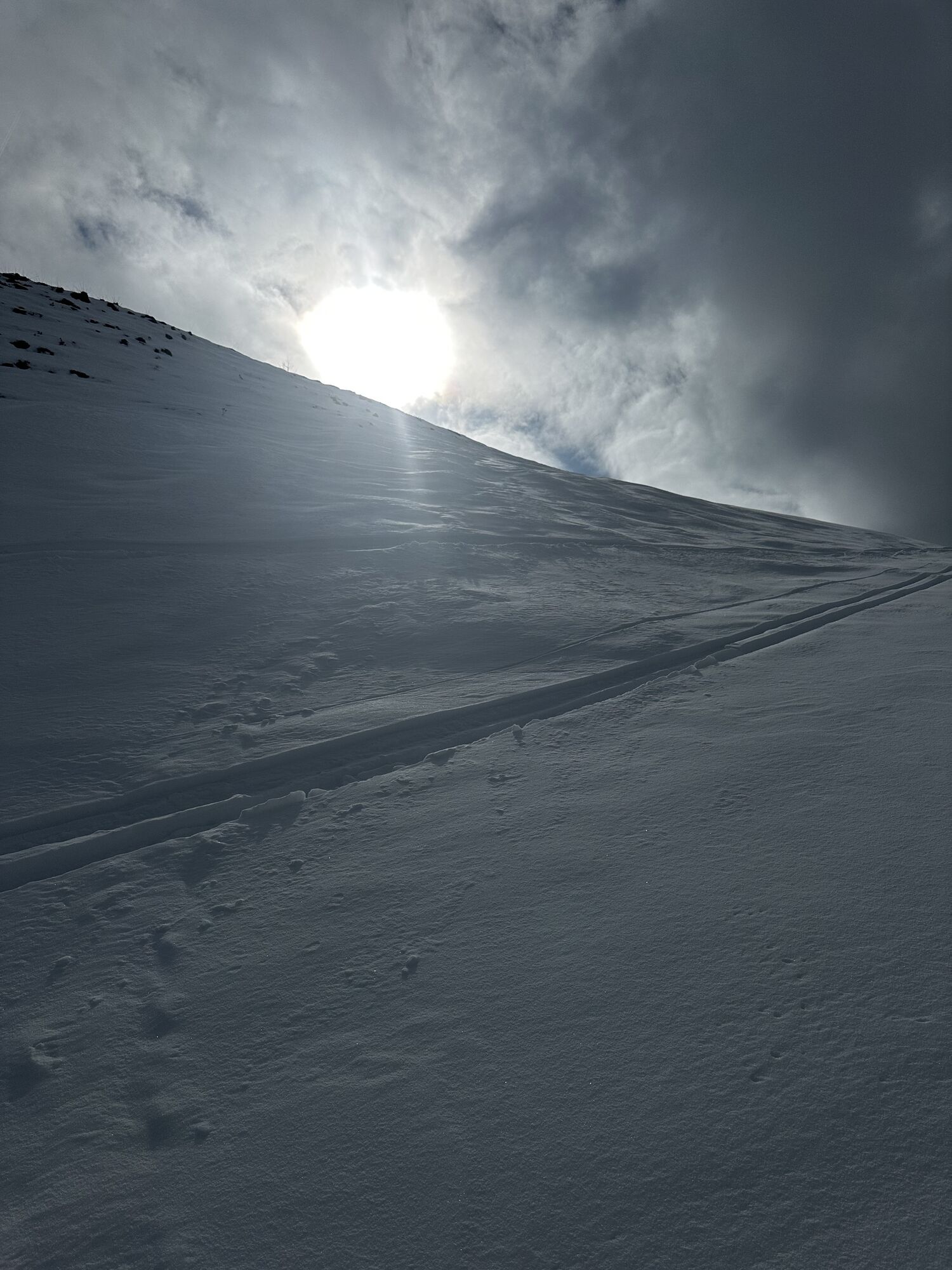
The ski route on the Gamskarkogel is particularly popular as a melt-freeze snow tour in spring. But be careful: in spring you have to start early in the morning so that the snow properly "firns" and through sunshine does not break.
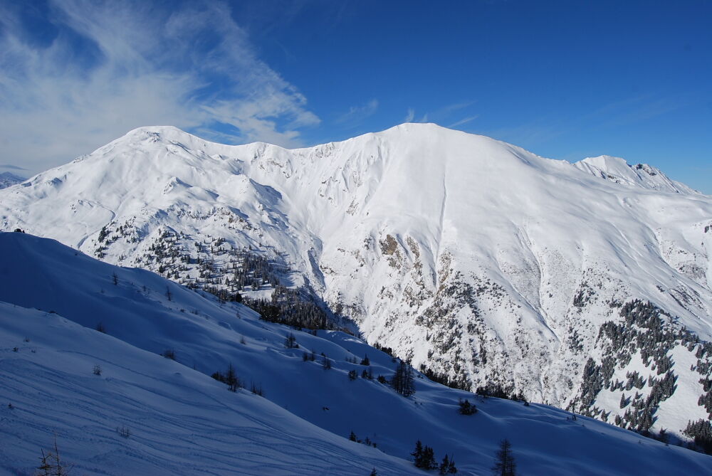
ASCENT: approx. 4 hours
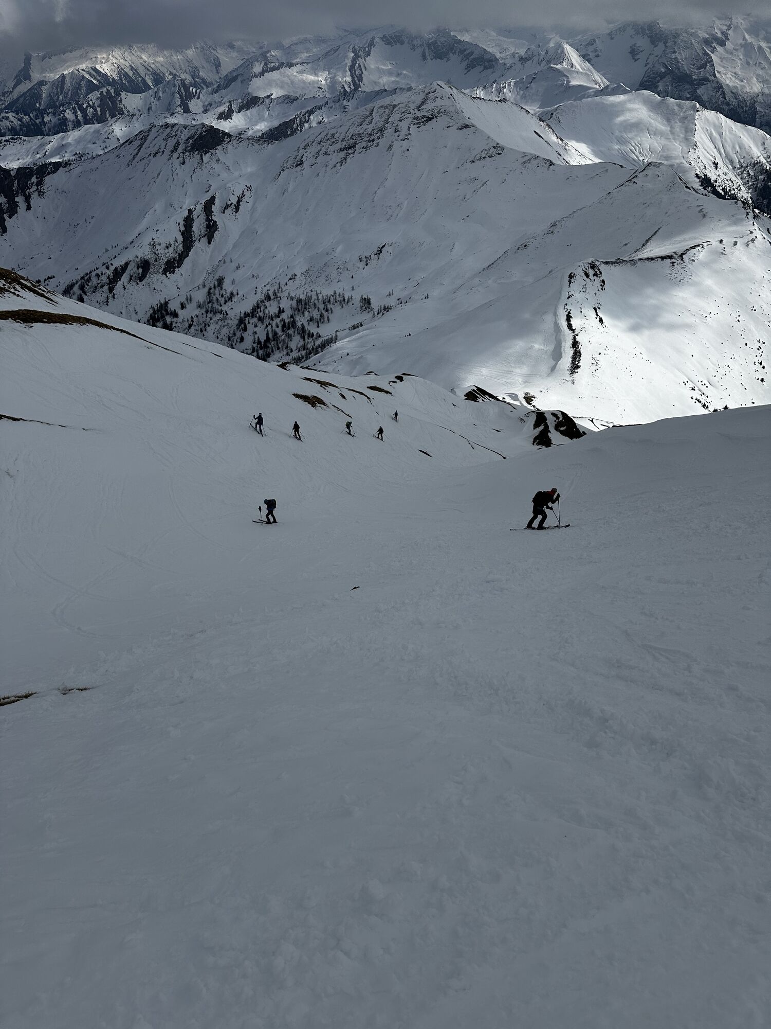
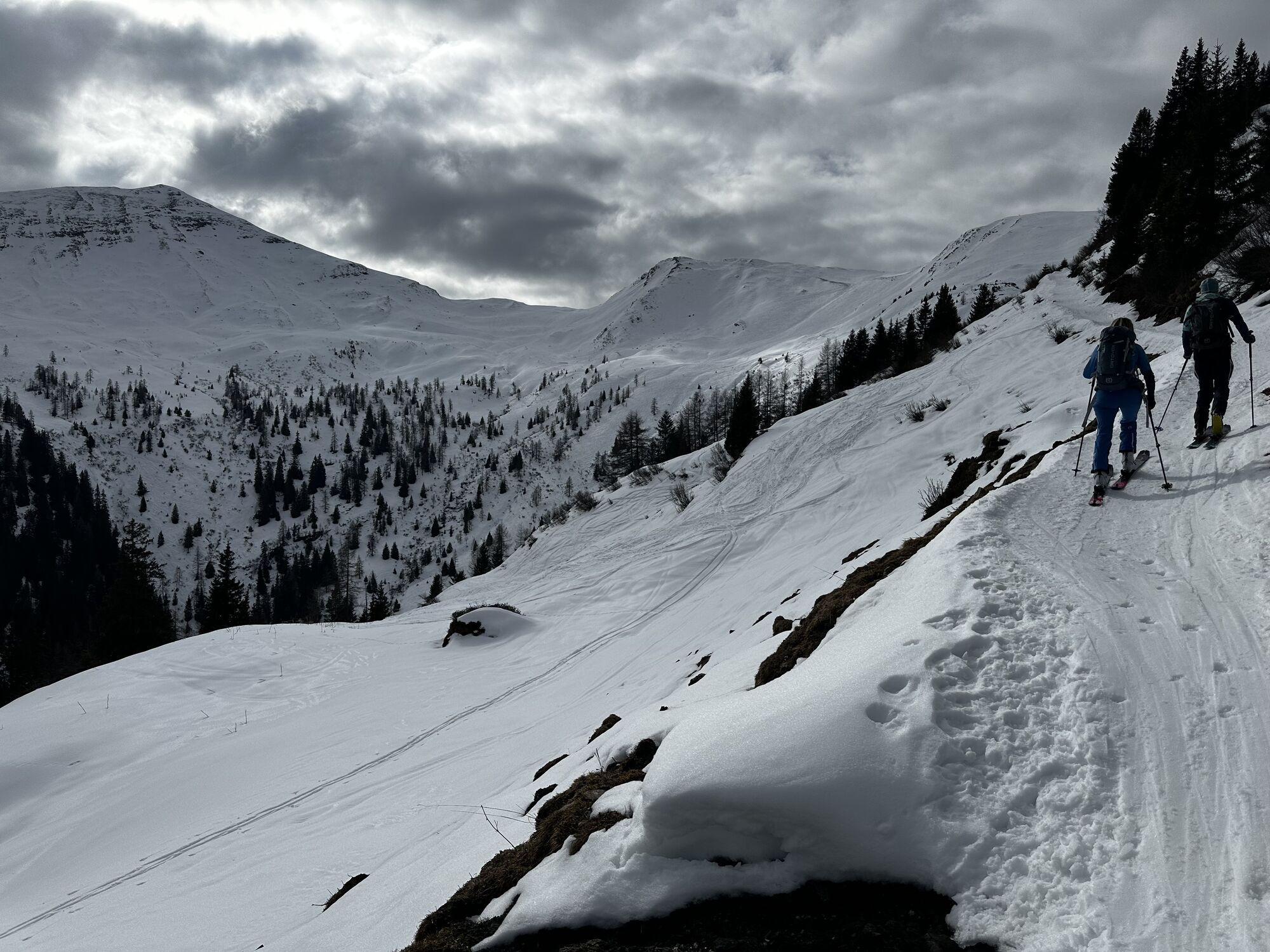
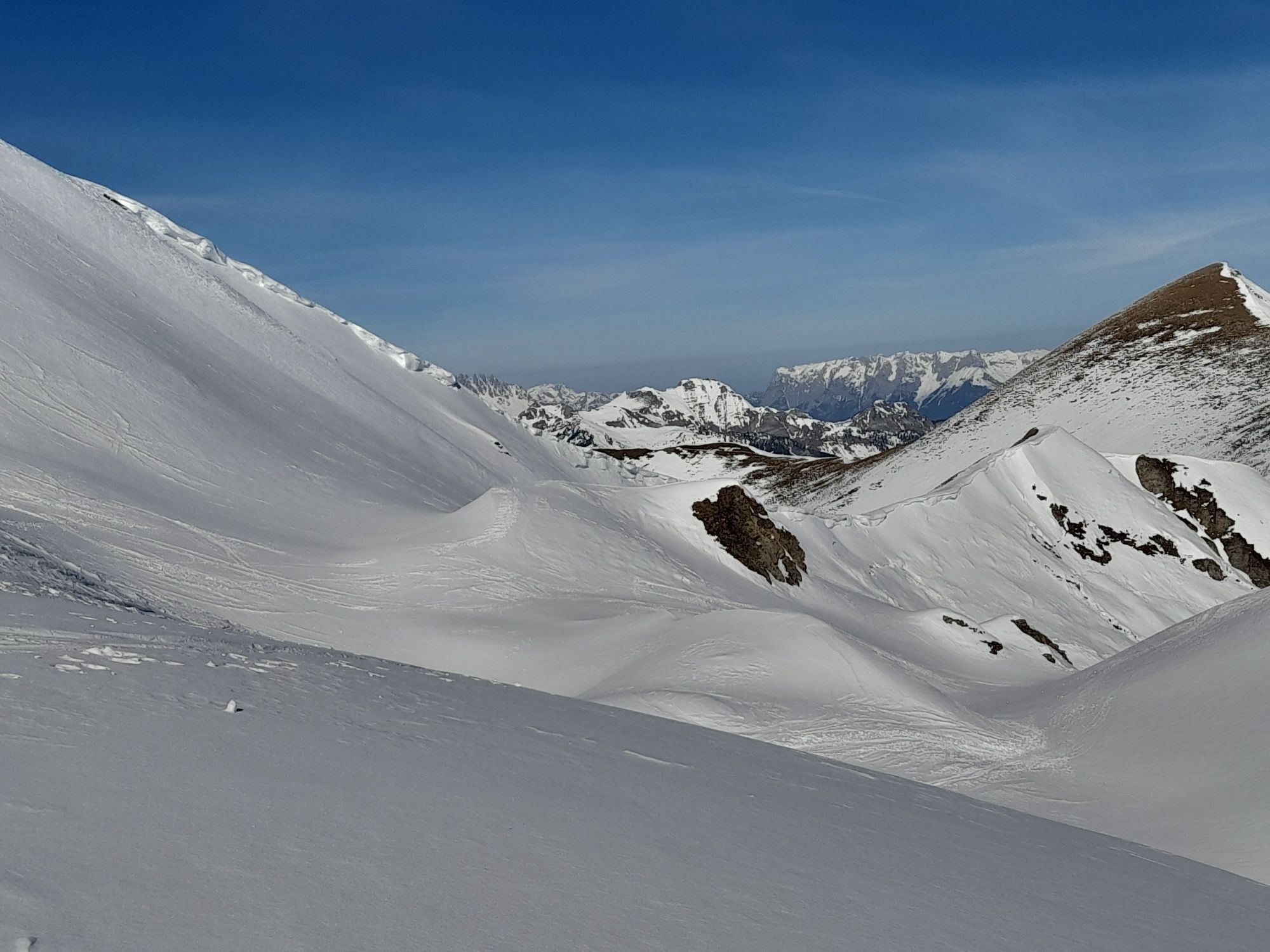
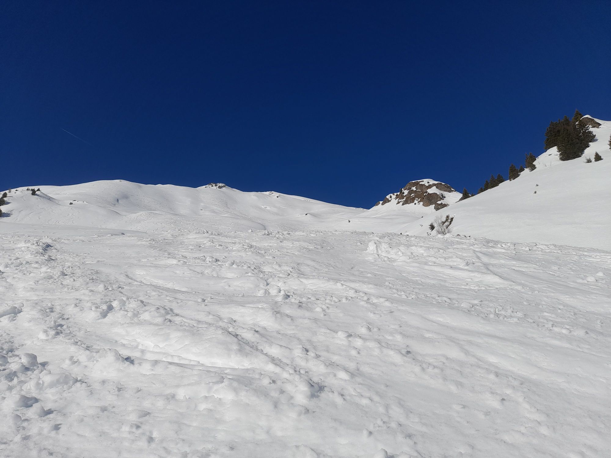
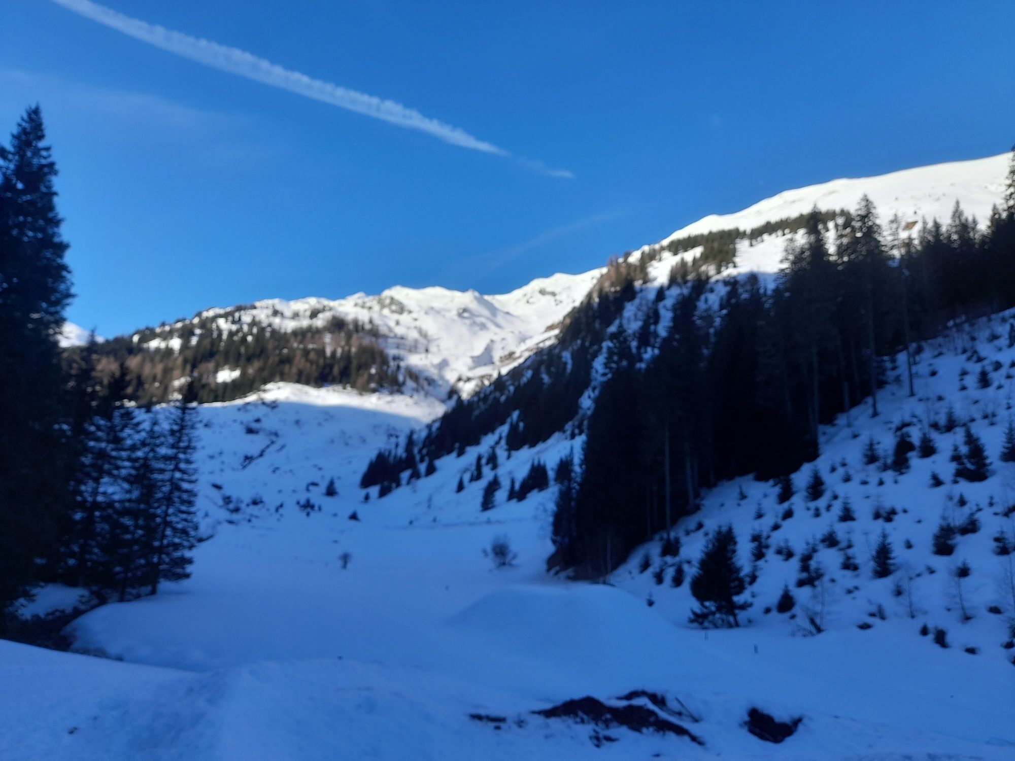
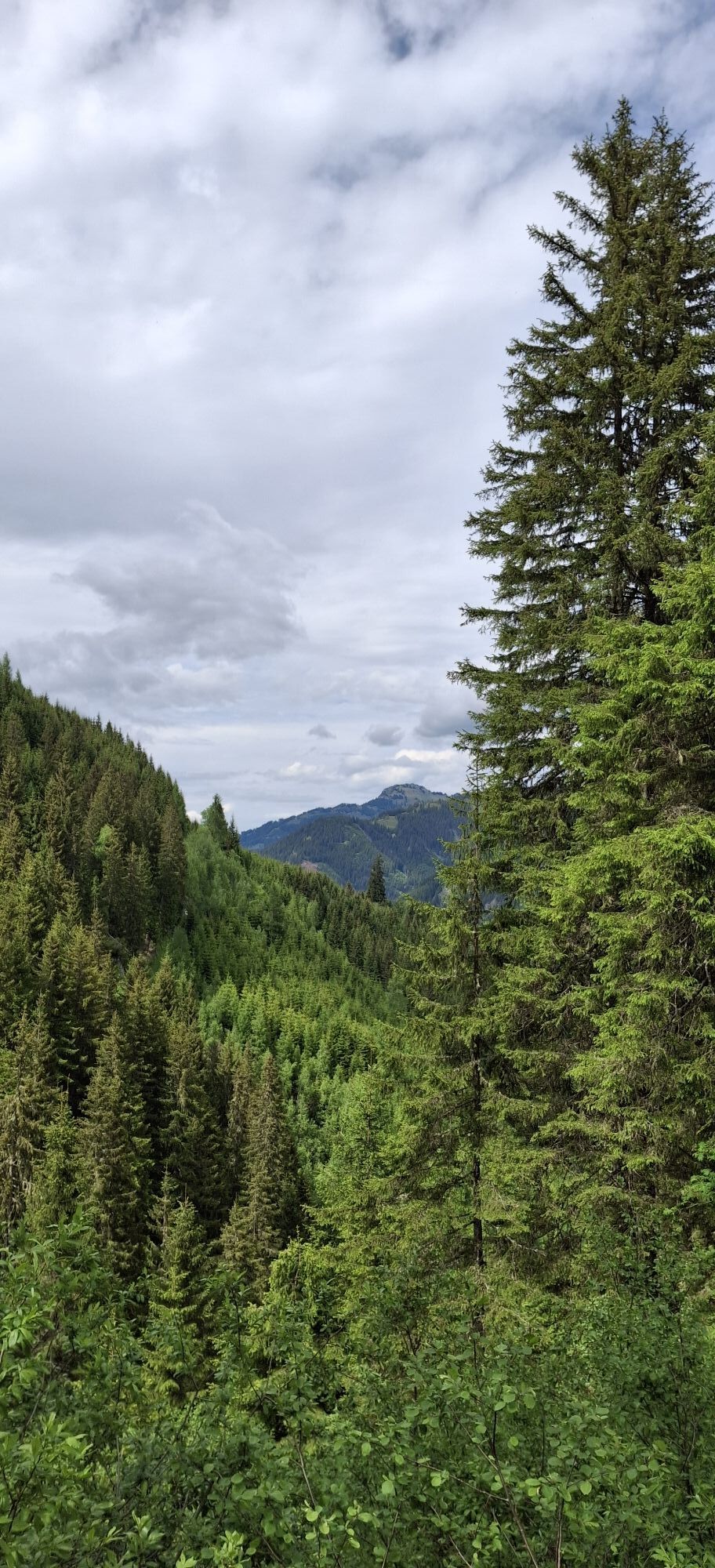
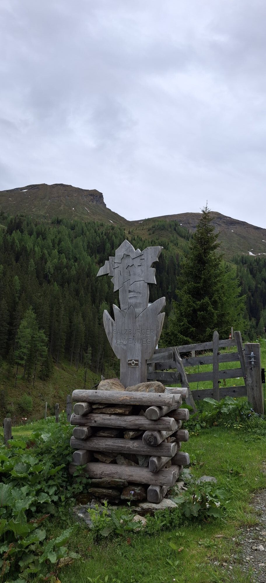
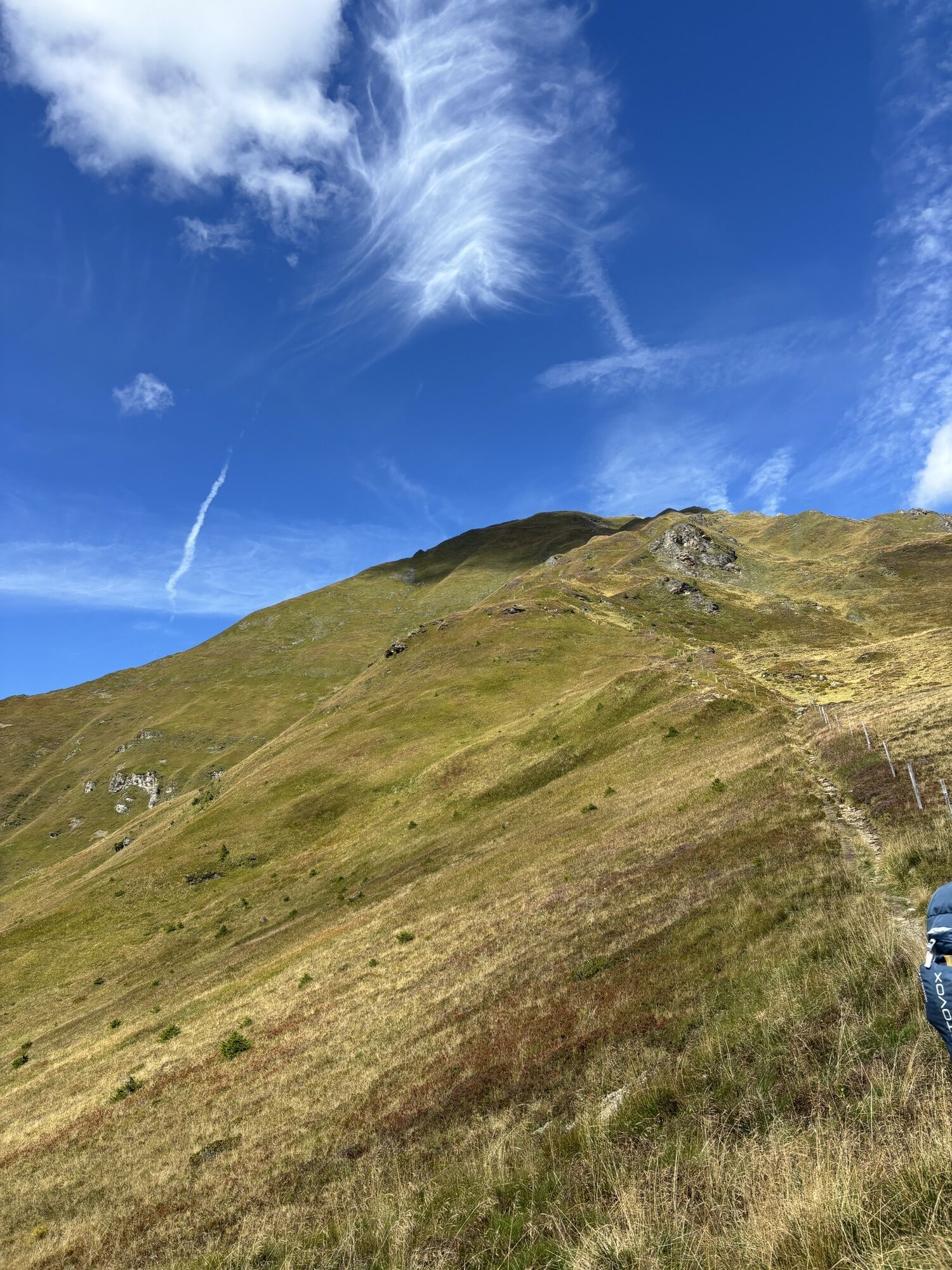
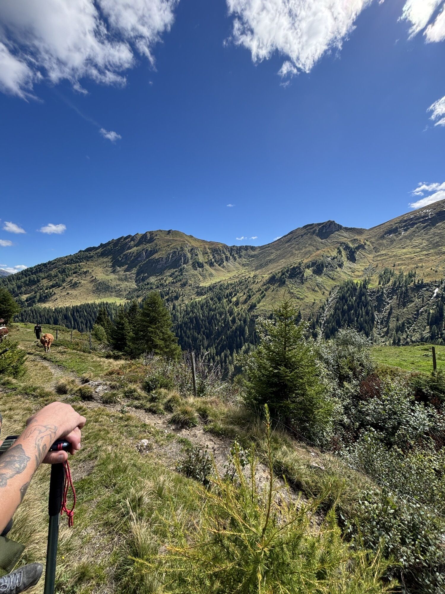
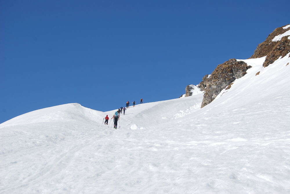
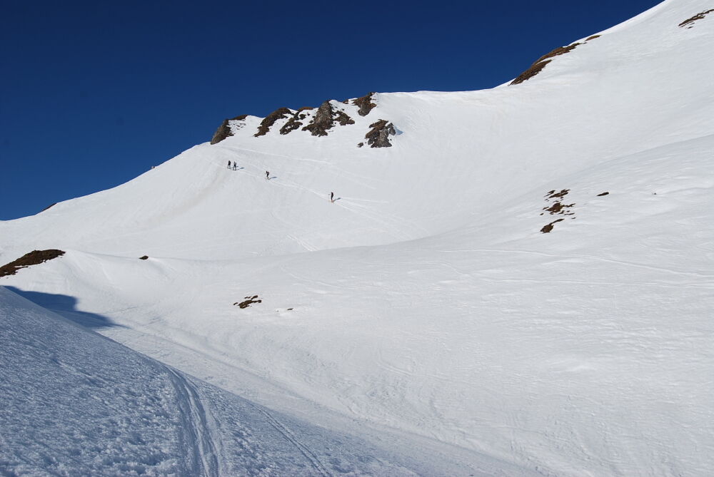
From the car park below the Hinterfeld farm via the forest road to a chapel and then further to the Harbachalm. Continue on the hiking trail to the Tofernalm. After passing this, the path is left at about 1,900 m to the right and you ascend over hilly terrain, generally keeping right towards the summit. Behind a distinctive little peak, turn left and reach through a hollow the short, steep summit ramp, which usually ends with a mighty cornice. Once you have overcome this, you stand at the highest point where the Gamskarkogel hut, 2,467 m is located.
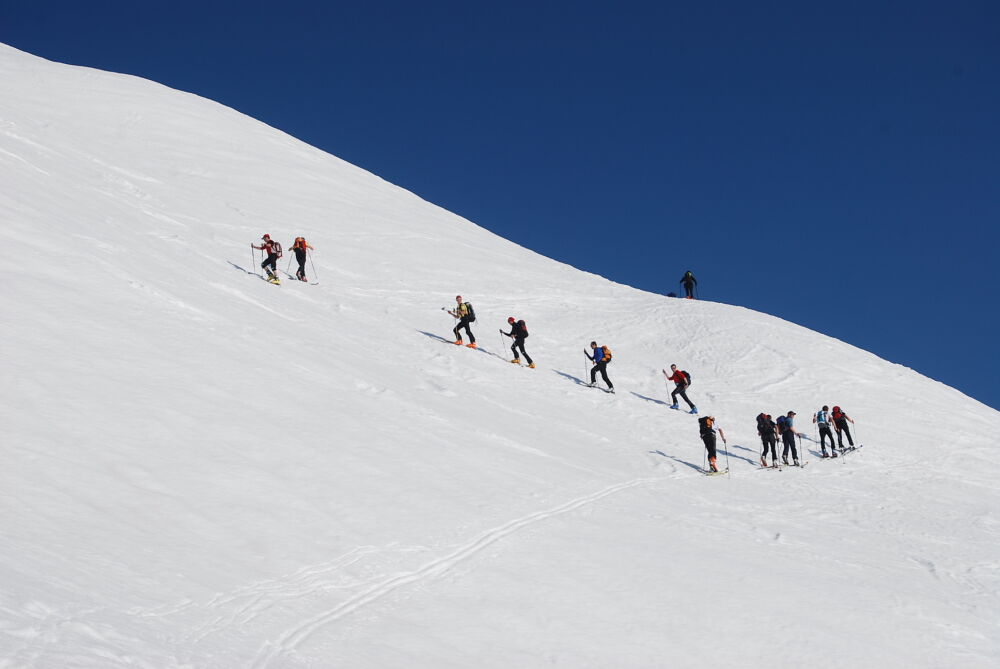
DESCENT: approx. 1.5 hours
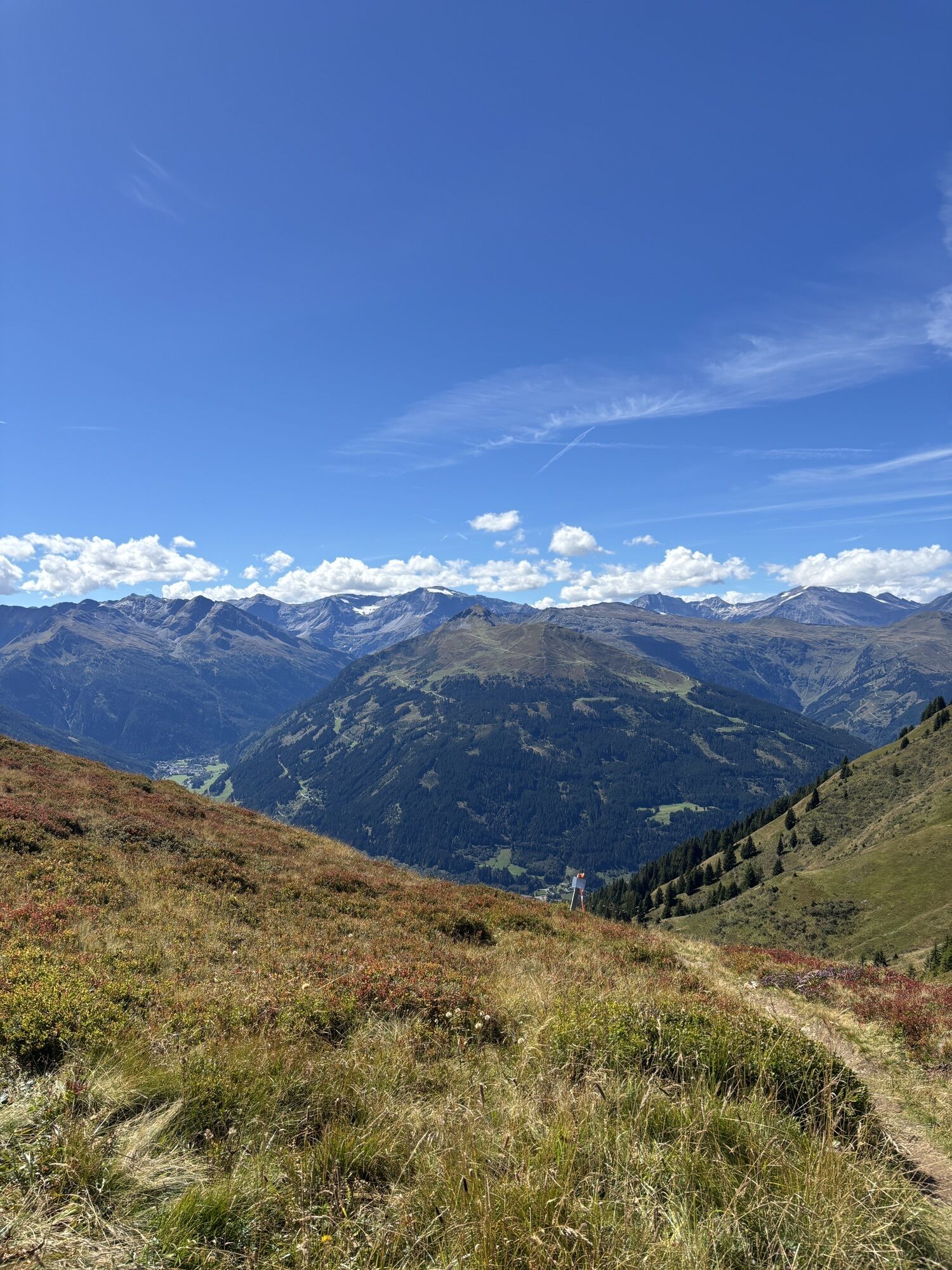
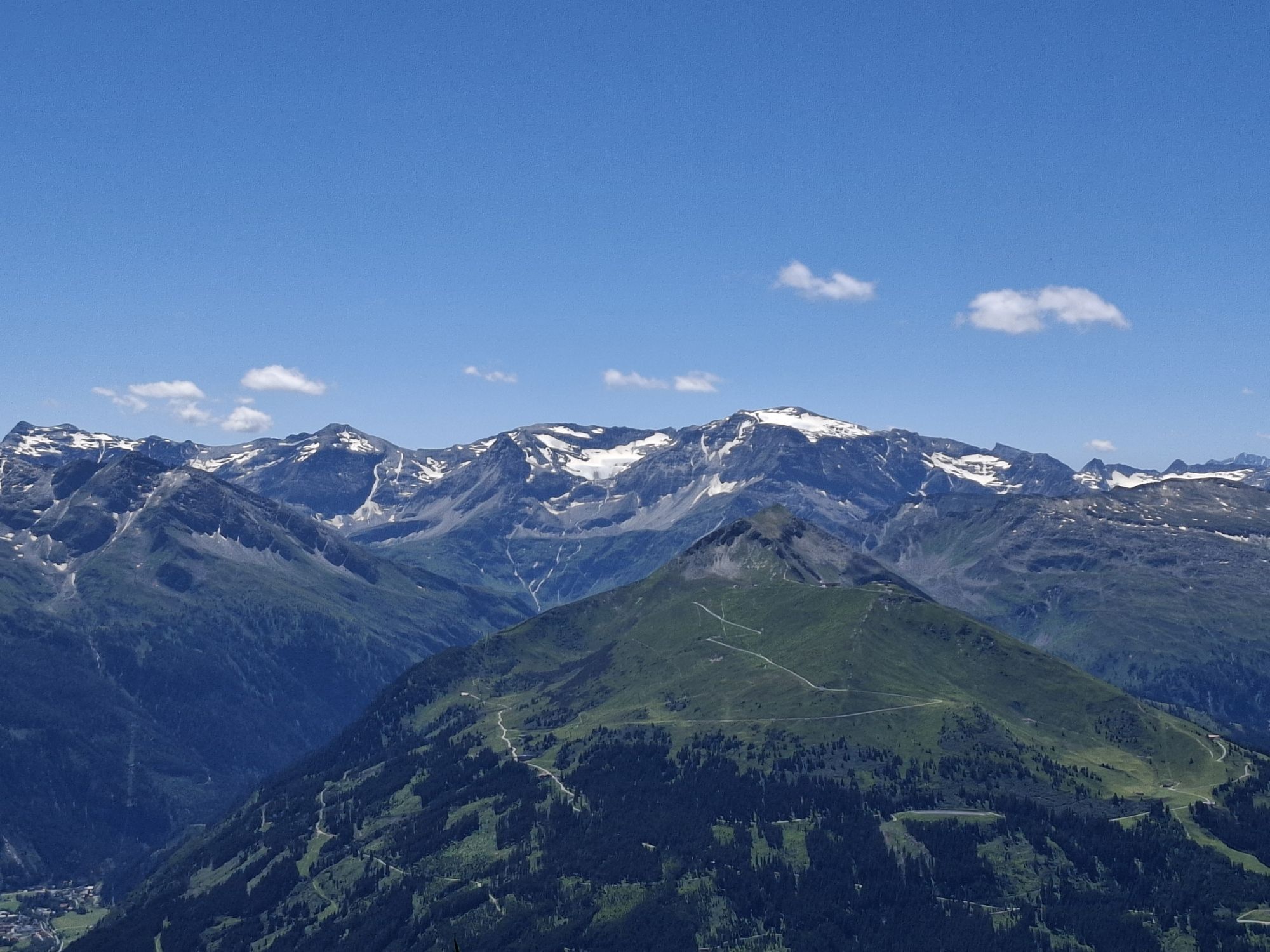
Along the ascent route, or a very rewarding combination: descent to just below the Tofernscharte, then ascent to Finsterkopf, 2,152 m, from here you swing down beautiful slopes onto the alpine meadow below the Harbach hut. Return to the car park via the forest road.
Da
Ski touring equipment, avalanche transceiver, shovel, probe, mobile phone, first aid kit and bivy sack. An airbag system increases the chance of survival.
The starting point is at the car park below the Hinterfeld farm. It can be reached from the Großarler Landesstraße via a farm road that branches off to the right shortly before the tunnel in Hüttschlag. Under good snow conditions, the ski route is also possible from the village of Hüttschlag, the elevation difference then being about 1,500 m.
Postbus line no. 540 to Hüttschlag
Car park below the Hinterfeld farm
This route is especially beautiful in spring as a melt-freeze snow tour!

Priljubljeni izleti v okolici
- 4,9
Großarl: Aualm - Liechtensteinkopf - Aukopf - Schuhflicker - Schuhflickersee
srednjaPohodništvo 5,84 km - 5,0
Großarl: Alpine pasture circuit in Ellmautal
srednjaPohodništvo 9,69 km - 4,7
Großarl: Mooslehenalm – Niggeltalalm – Viehhausalm
srednjaPohodništvo 5,44 km - 4,1
Tappenkarsee Kleinarl
srednjaPohodništvo 9,11 km - 4,5
Mountain route from the Kötschachtal to the natural jewel Reedsee
srednjaPohodništvo 12,5 km - 4,4
"Elendrunde" Kleinelend Valley - Zwischenelendscharte - Großelend Valley
srednjaPohodništvo 21,9 km - 4,8
Höhenweg vom Grünen Baum bis Bad Hofgastein
svetlobaPohodništvo 7,92 km - 4,8
Hüttenkogel - Graukogel von der Bergstation
srednjaGorski pohodništvo 4,68 km - 4,8
Kölnbreinspeicher bis Osnabrücker Hütte
svetlobaPohodništvo 15,9 km - 4,6
Großarl: Saukaralm - Saukarkopf - Gerstreitalm
srednjaPohodništvo 9,39 km
Pohodništvo in sledenje


Ne zamudite ponudb in navdiha za naslednje počitnice
Vaš e-poštni naslov je bil dodan na poštni seznam.