







Korein, on the gentle side of the Tennengebirge
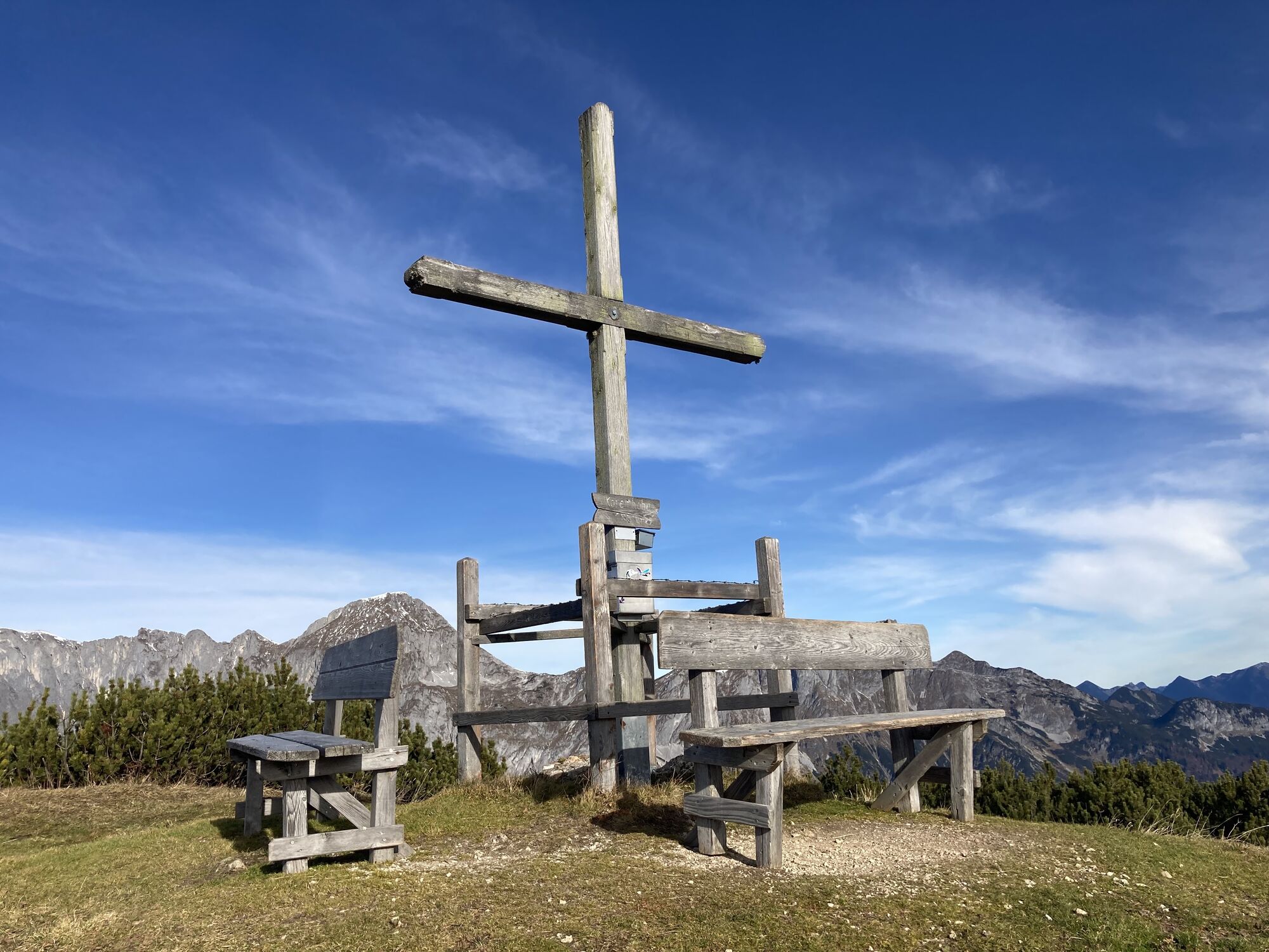
St. Martin am Tennengebirge is located at just under 1,000 meters above sea level. An elevation that actually surprises, as the roads to this charming place hardly seem to rise. The altitude gain becomes...
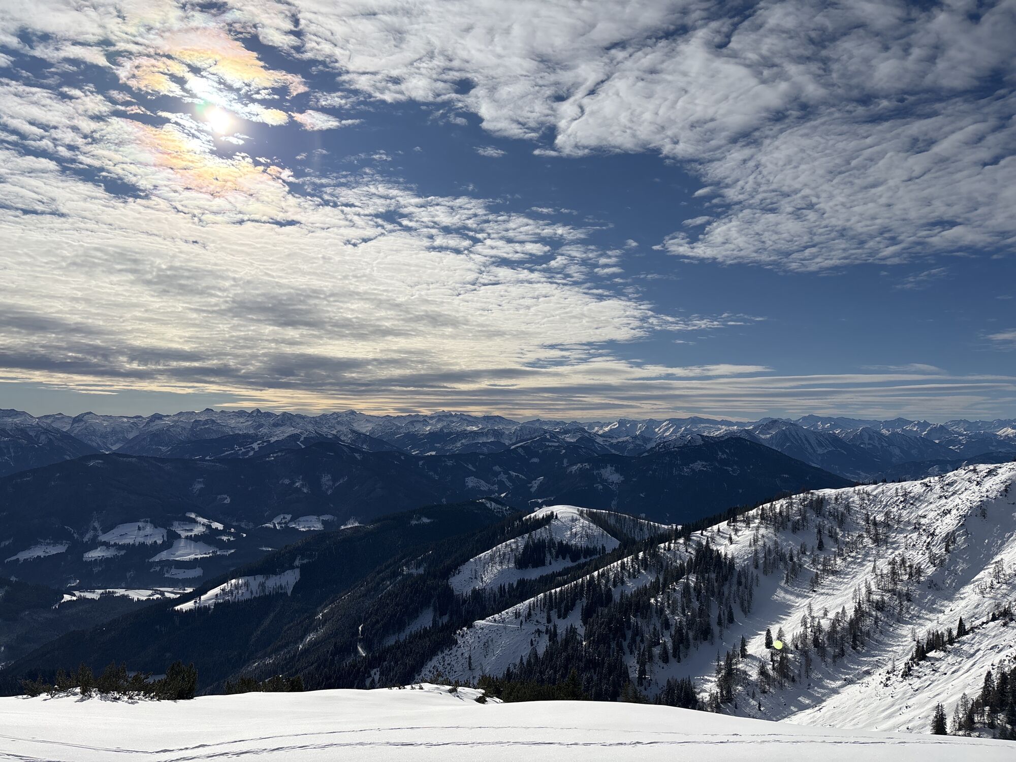
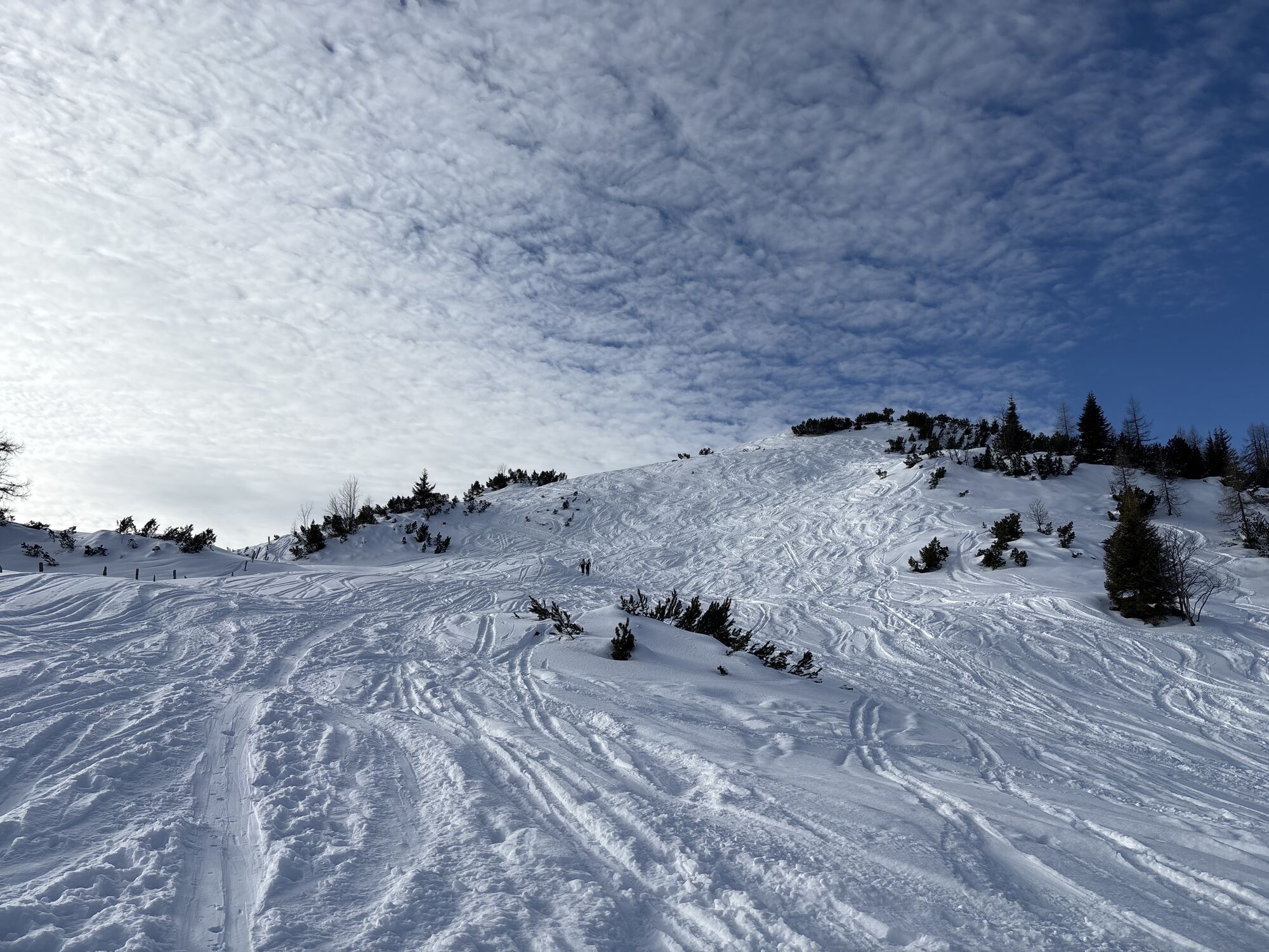
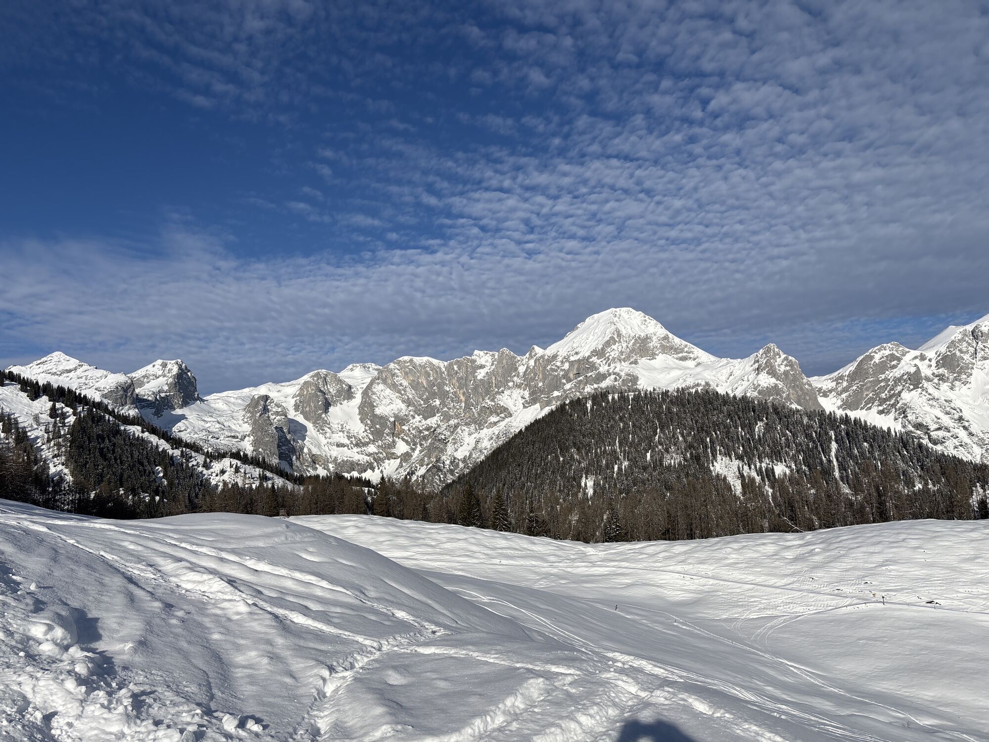
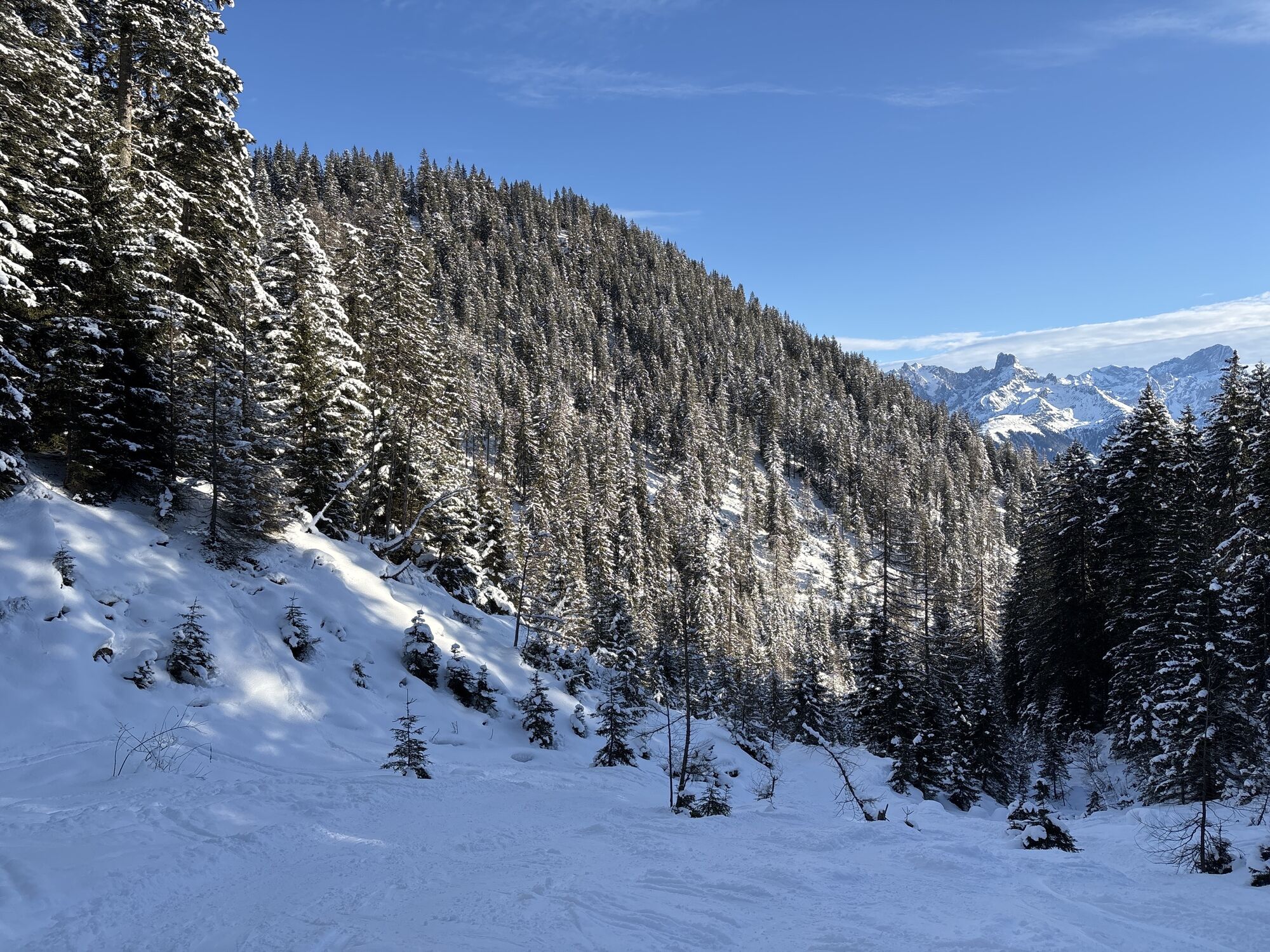
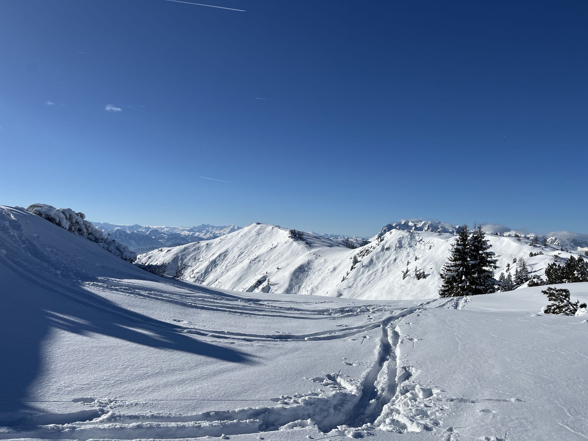
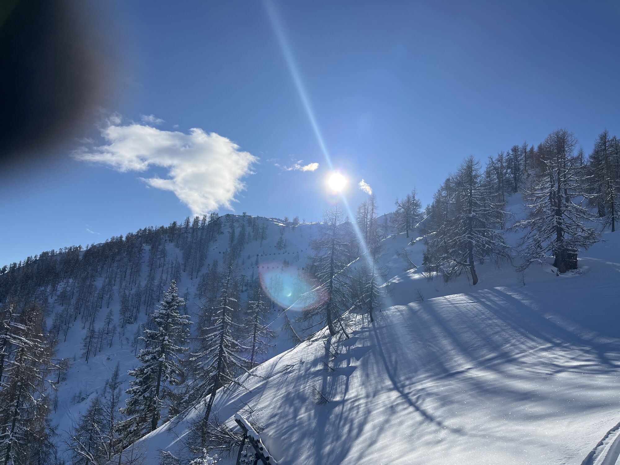
St. Martin am Tennengebirge is located at just under 1,000 meters above sea level. An elevation that actually surprises, as the roads to this charming place hardly seem to rise. The altitude gain becomes very clear, however, by the excellent snow conditions. These are correspondingly used for gentle winter tourism: wonderful cross-country ski tracks, a small family-friendly ski area, romantic winter hiking trails, as well as ice stock and sledding runs. And naturally, the village of St. Martin, which is excellently connected to the public transport network, is also a perfect starting point for ski tourers. They mainly aim for the Koreinhöhe (1,811 m) and can almost always count on a ski track going uphill from the valley along the slope, then on a forest road, and finally through the steep larch forest to the scenic summit.

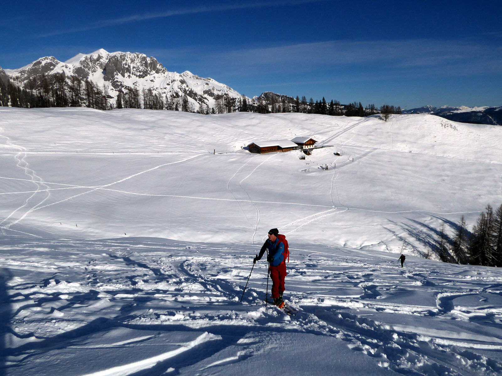
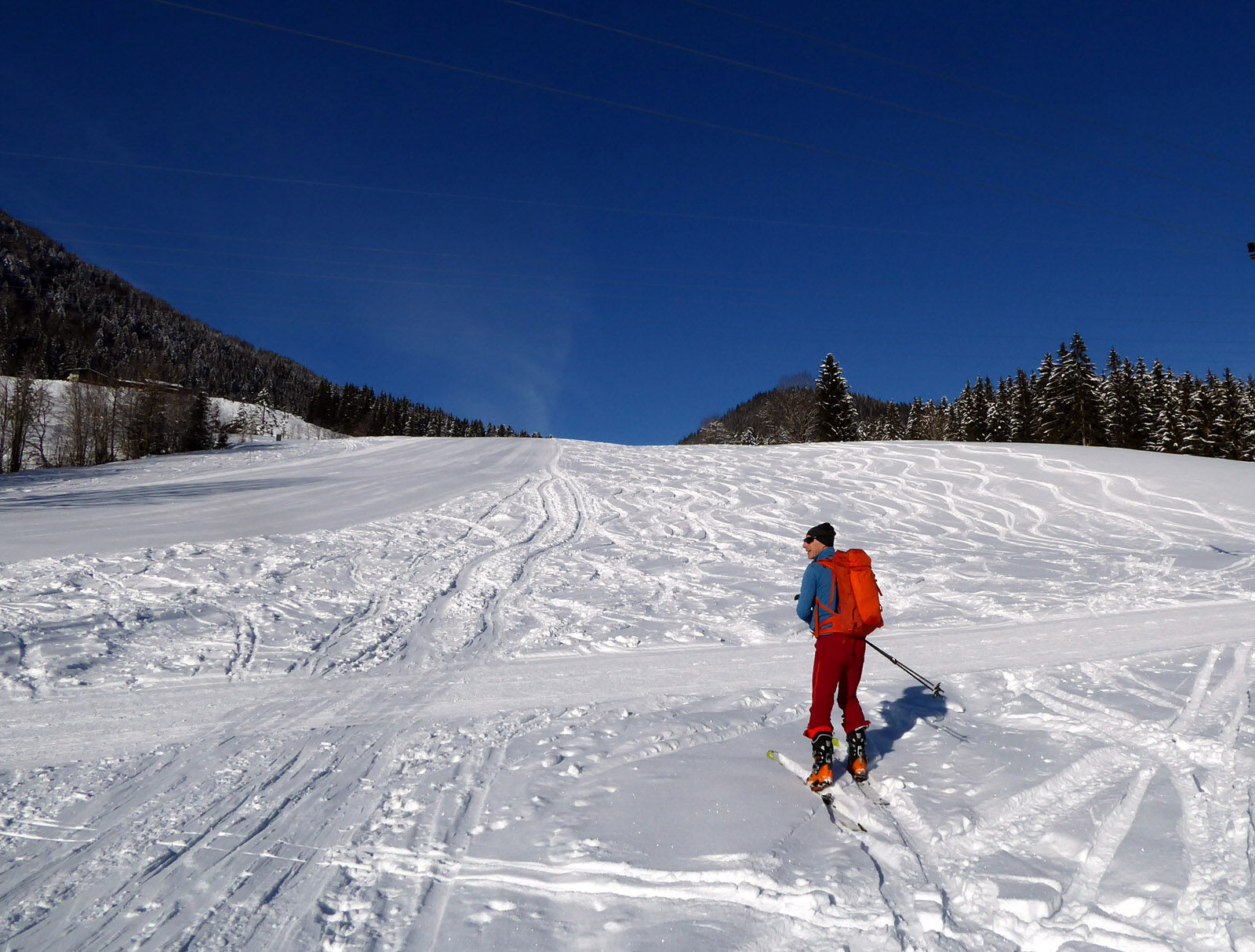
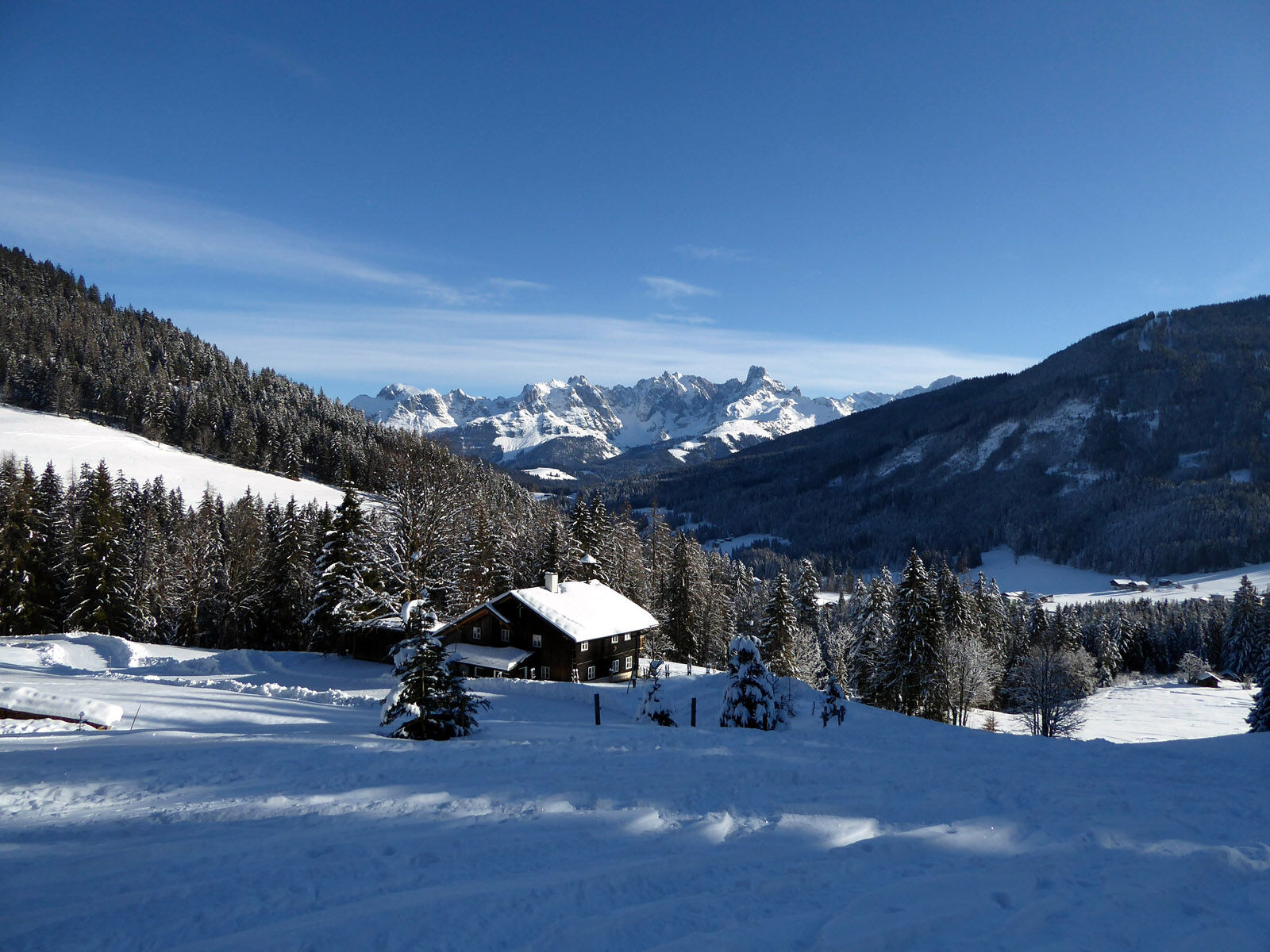
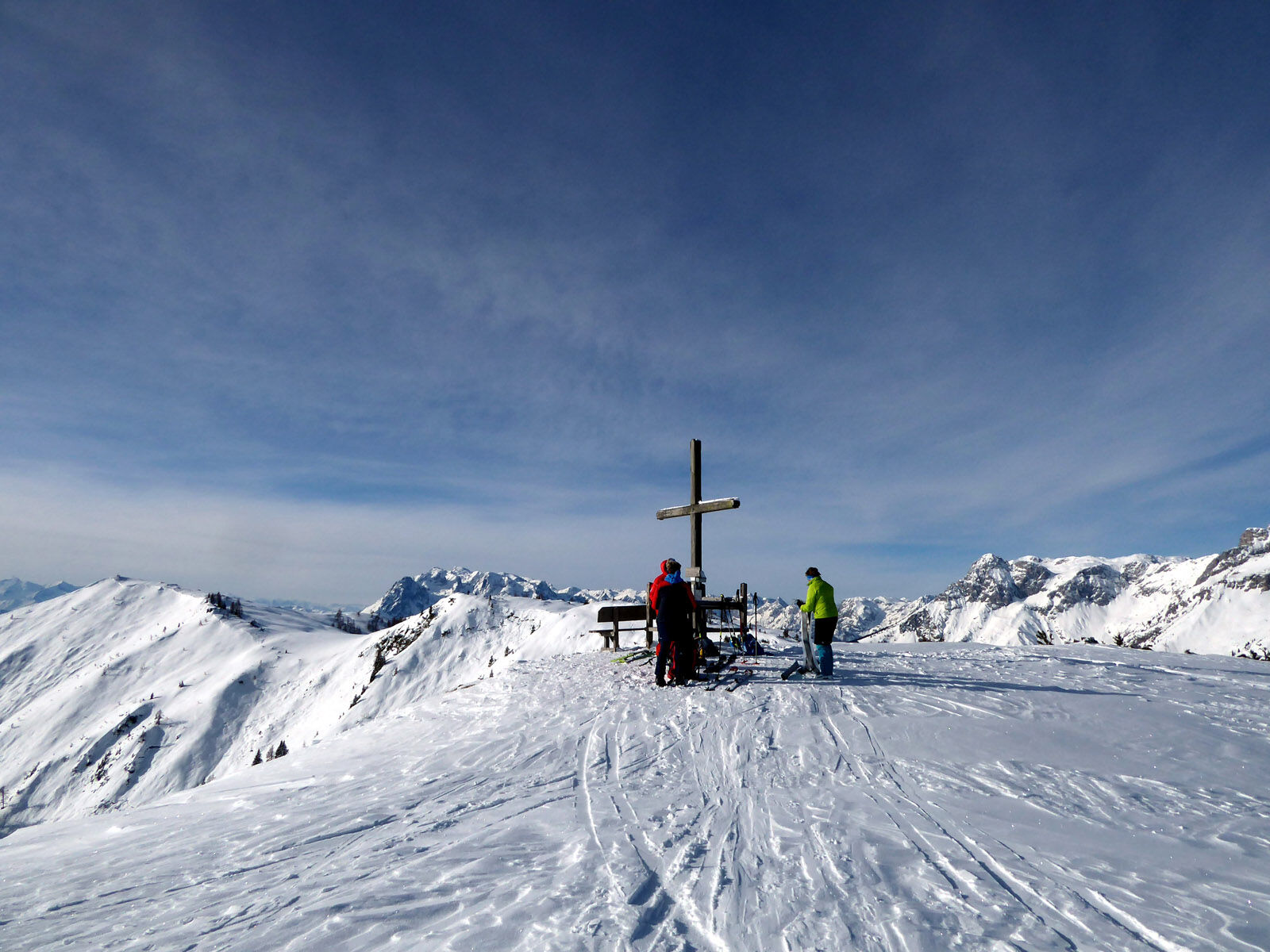
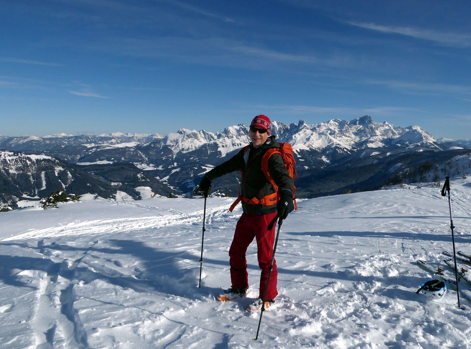
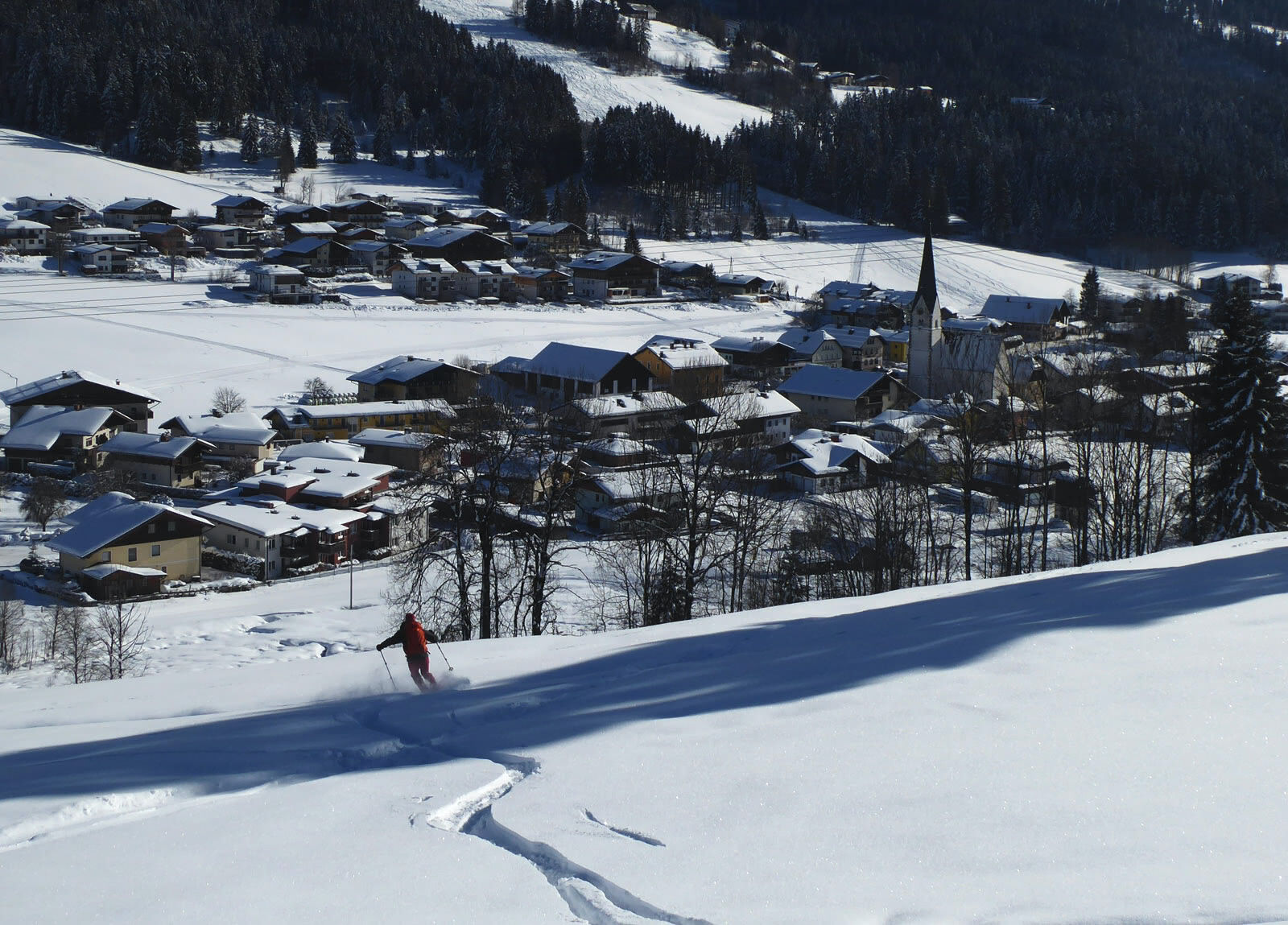

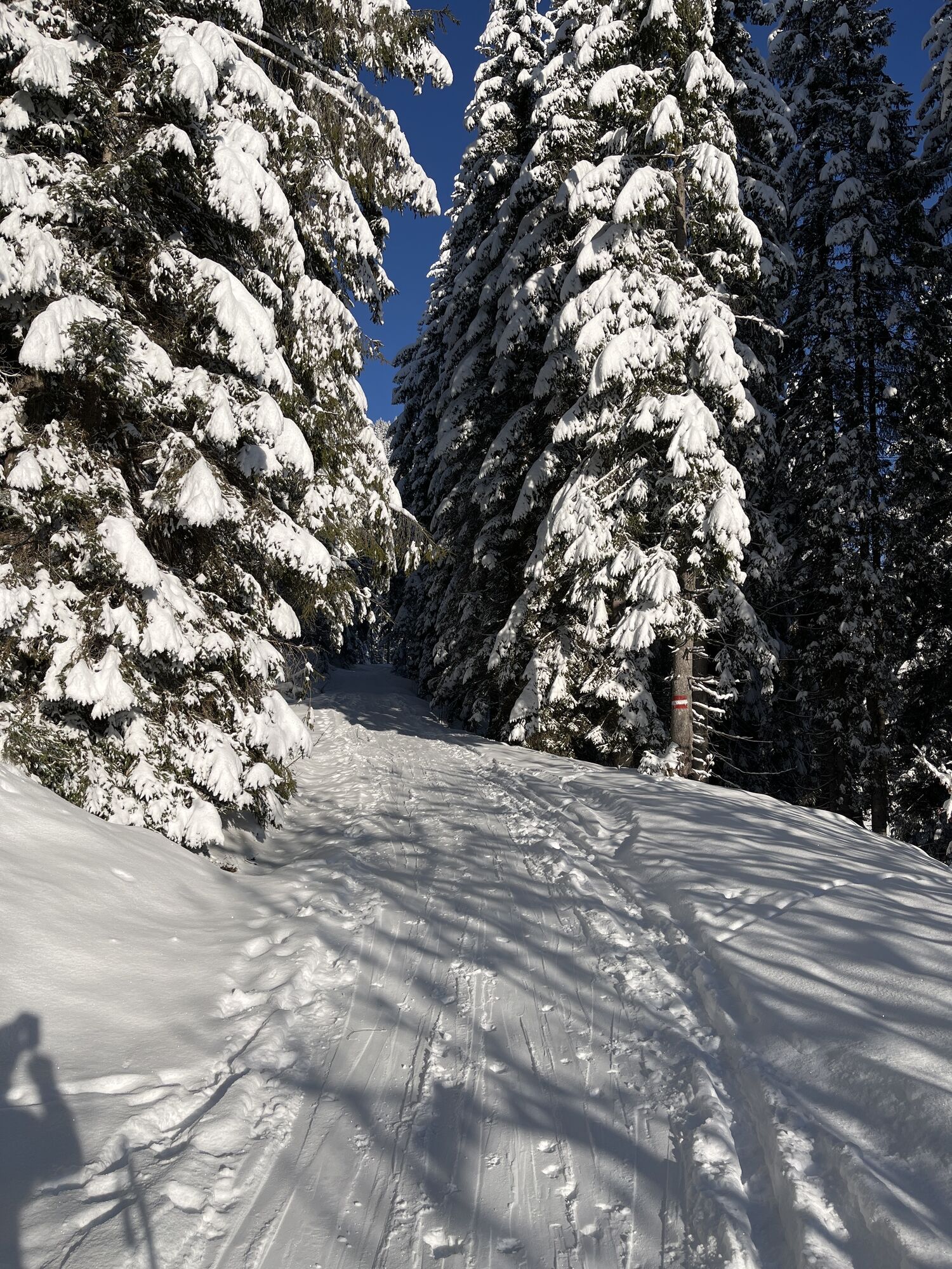
From the St. Martin town center bus stop, the path follows the main road a few meters towards Lungötz, until the driveway to the sports facilities branches off to the left. With skis on, continue past the football field and the ice stock rink to the beginning of the wide slope. At the upper end, cross the access road to the Buttermilchalm and enter the forest road branching off to the right (NW). After 1.5 km, the wide forest road ends, and the ascent becomes steeper, crossing after another kilometer a gully equipped with avalanche protection structures. With a nice view of the Karalm (1,438 m), the ascent track makes a wide curve in the treeless terrain and continues into the steep larch forest. There follows a section with many switchbacks, after 200 meters of altitude gain the terrain becomes easier again, and after one last gentle hill, the simple Korein cross suddenly appears. The descent follows more or less the ascent.
Da
Da
Information about weather and avalanche conditions at www.lawine.salzburg.at
From Golling-Abtenau train station (forecourt) take bus 471 to St. Martin am Tennengebirge – town center.
Frequency/Interval: hourly on weekdays, every 2 hours on Sundays and public holidays.
Timetable information and download: Online at www.salzburg-verkehr.at or on your smartphone via the free Salzburg Verkehr app for Android and iOS.
Mag. Christian Heugl
5400 Hallein
christian.heugl@gmail.com
Photo credit: Christian Heugl
Sledding fun for the whole family in St. Martin
Pridobite vpogled
Vedno v živo na mestu z več kot 9.500 spletnimi kamerami. bergfex Kot uporabnik Pro si lahko zdaj ogledate ustrezne spletne kamere za številne izlete v aplikaciji izleti iz. Tako si lahko neposredno ogledate trenutne razmere.
Priljubljeni izleti v okolici
-
4.9
Werfenweng Mountainbikerunde Söldenhütte
srednjaMountainbike 18.8 km -
4.8
Tour around the Gosaukamm
srednjaPohodništvo 20.9 km -
4.7
Tour around the Lake Gosau
svetlobaPohodništvo 4.43 km -
4.7
Mühlenweg und Winnerfall Scheffau am Tennengebirge
srednjaPohodništvo 4.79 km -
4.6
Donnerkogel vom Gosausee mit Intersport Klettersteig C/D und Himmelsleiter
težkoVia ferrata 7.70 km -
4.4
Hornspitz von Russbach
srednjaSmučarska tura 6.93 km -
4.8
Gerzkopf
srednjaPohodništvo 8.43 km -
4.7
Wengerau - Tauernkogel - Eiskogel - Napf - Wengerau
srednjaVisokogorska tura 15.5 km -
4.3
Ski tour Red 8er Wagrain
srednjaSmučarska tura 4.12 km -
3.6
Salzburger Gipfelspiel: To the Gerzkopf and the Schwarzen Lacke
srednjaPohodništvo 8.39 km
Pohodništvo in sledenje


Ne zamudite ponudb in navdiha za naslednje počitnice
Vaš e-poštni naslov je bil dodan na poštni seznam.





