







Ski tour to the Seehorn, Weißbach Nature Park

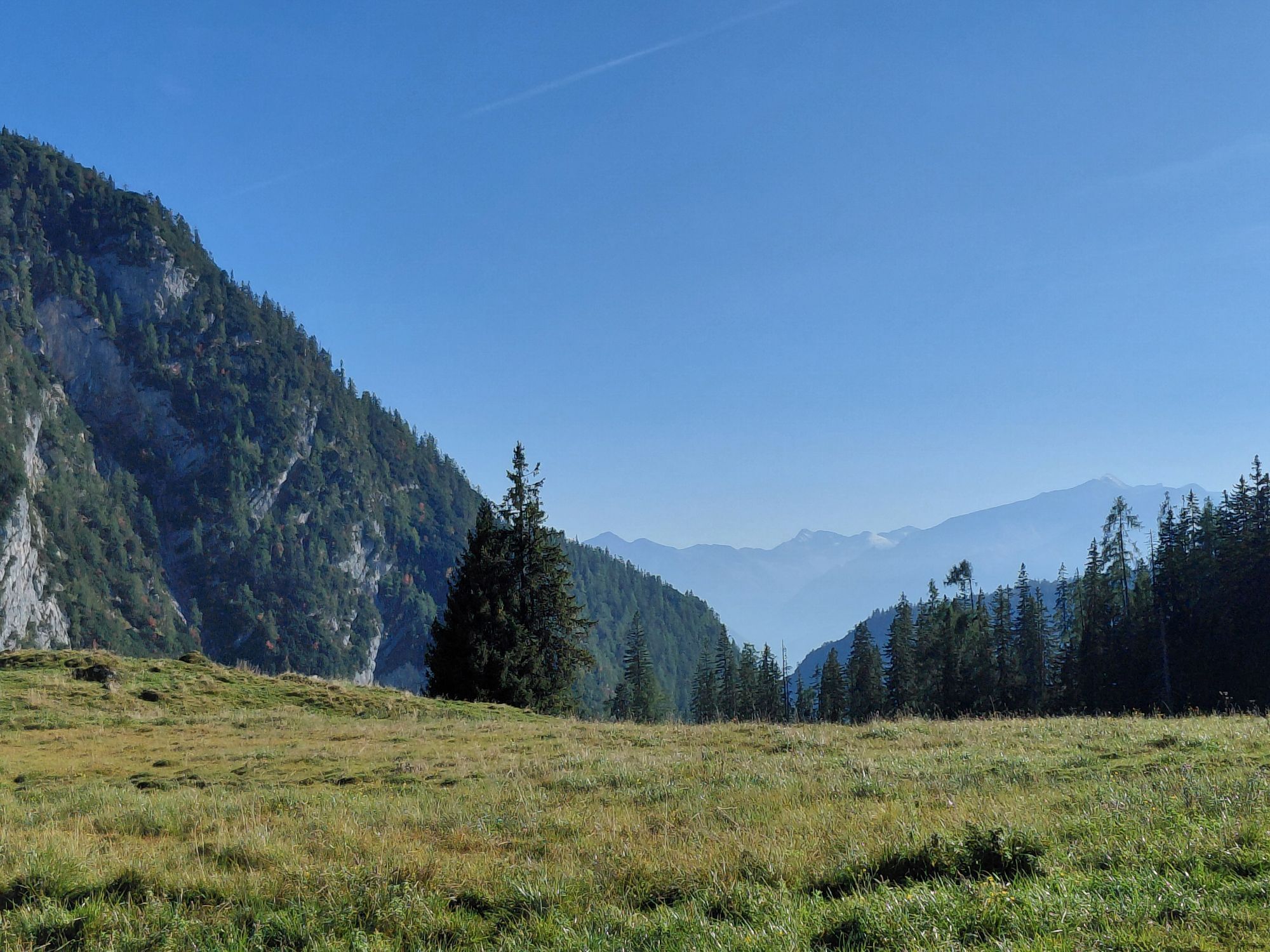
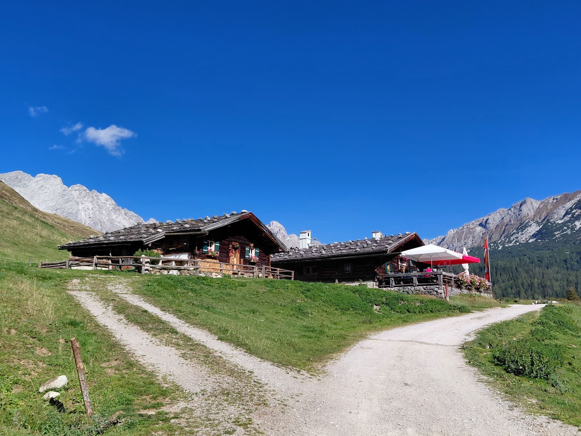
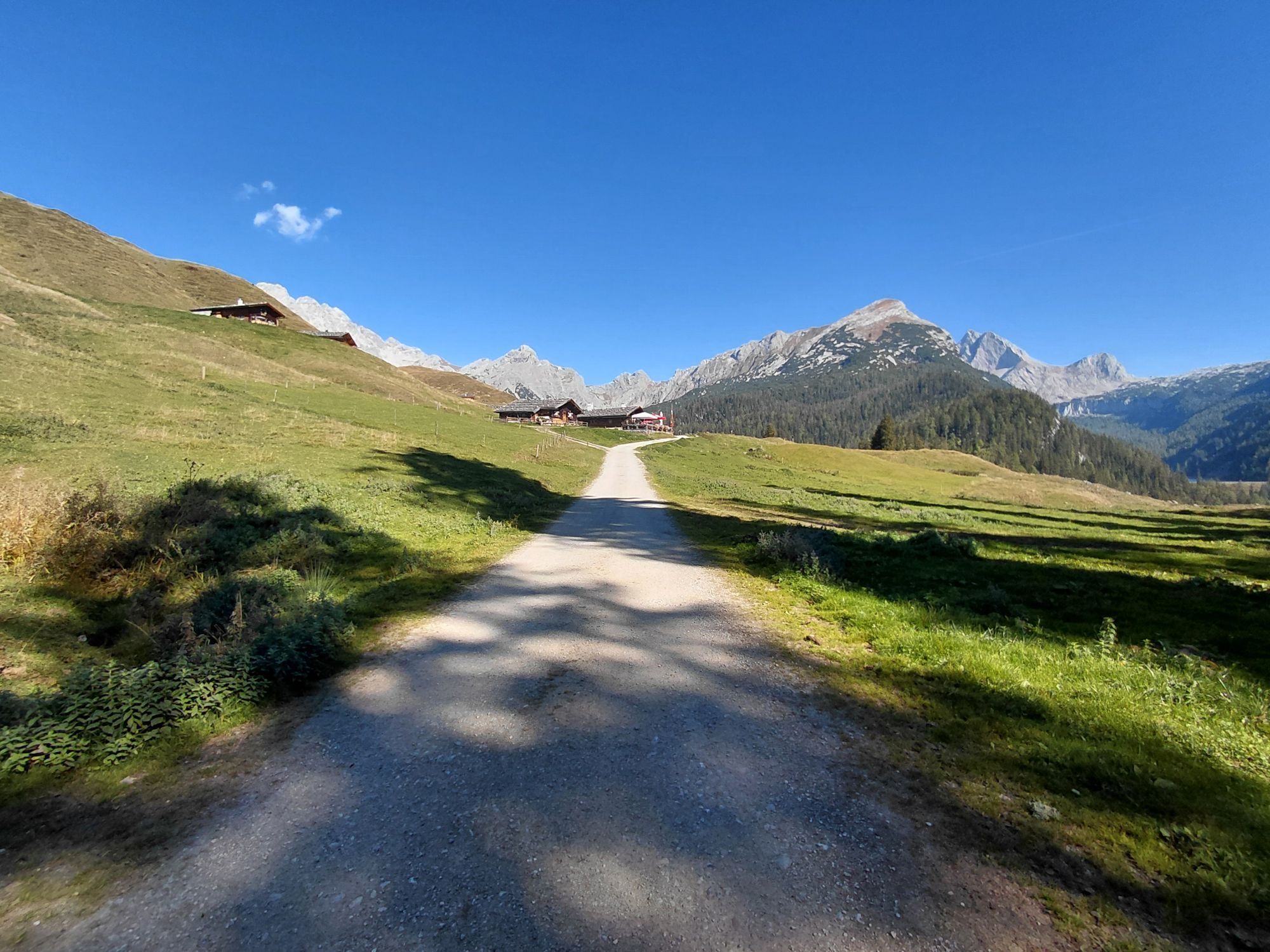
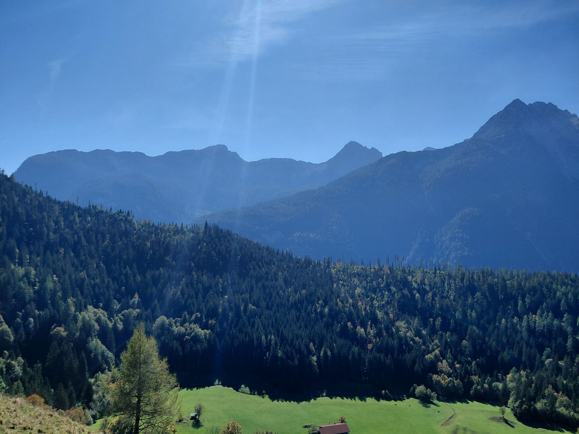
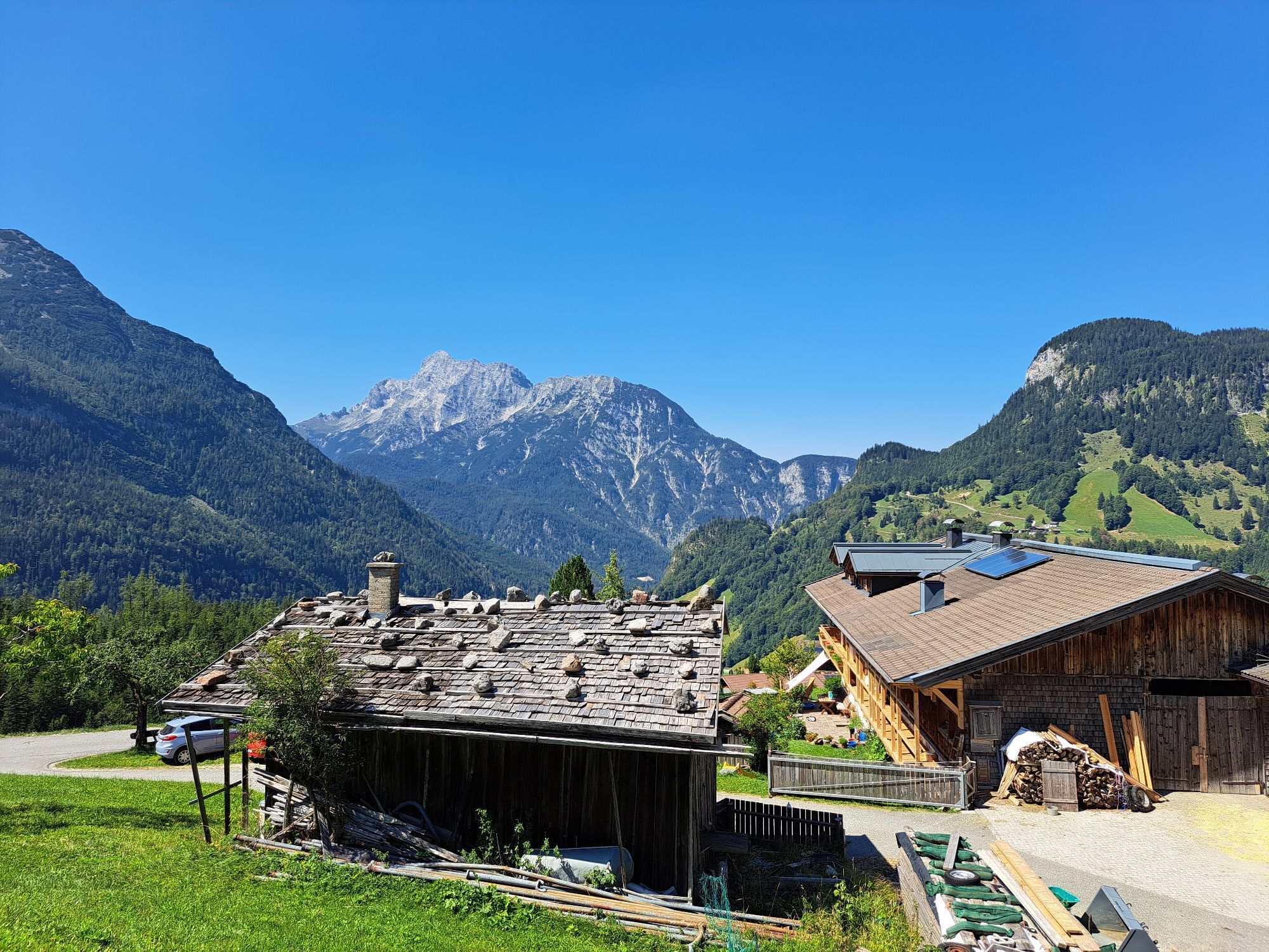
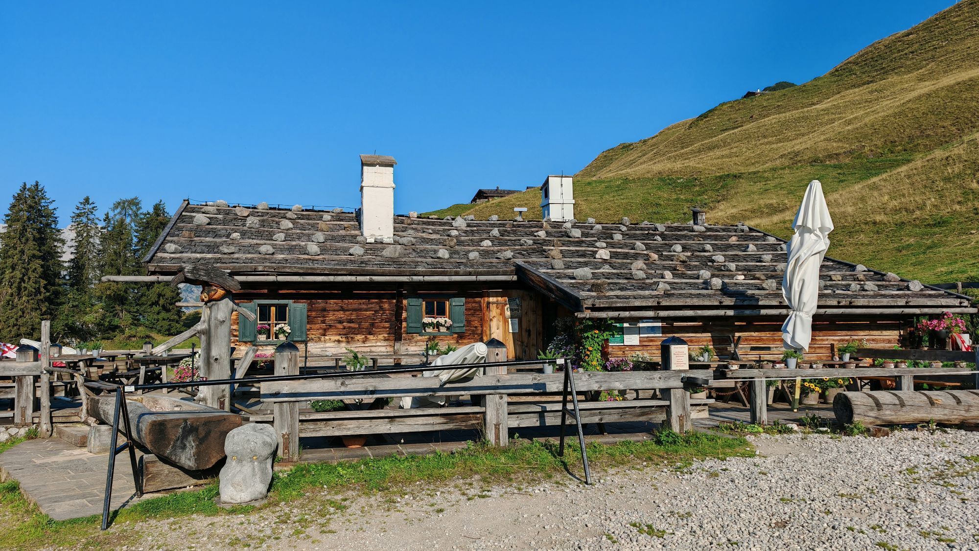
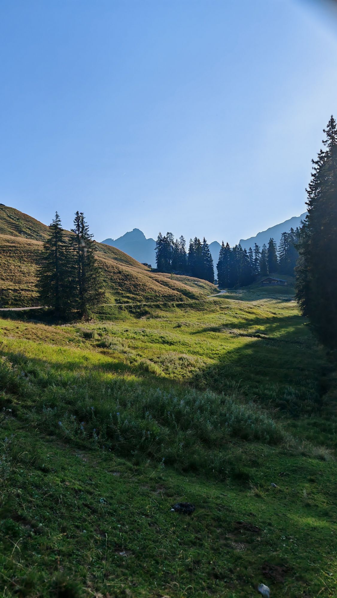
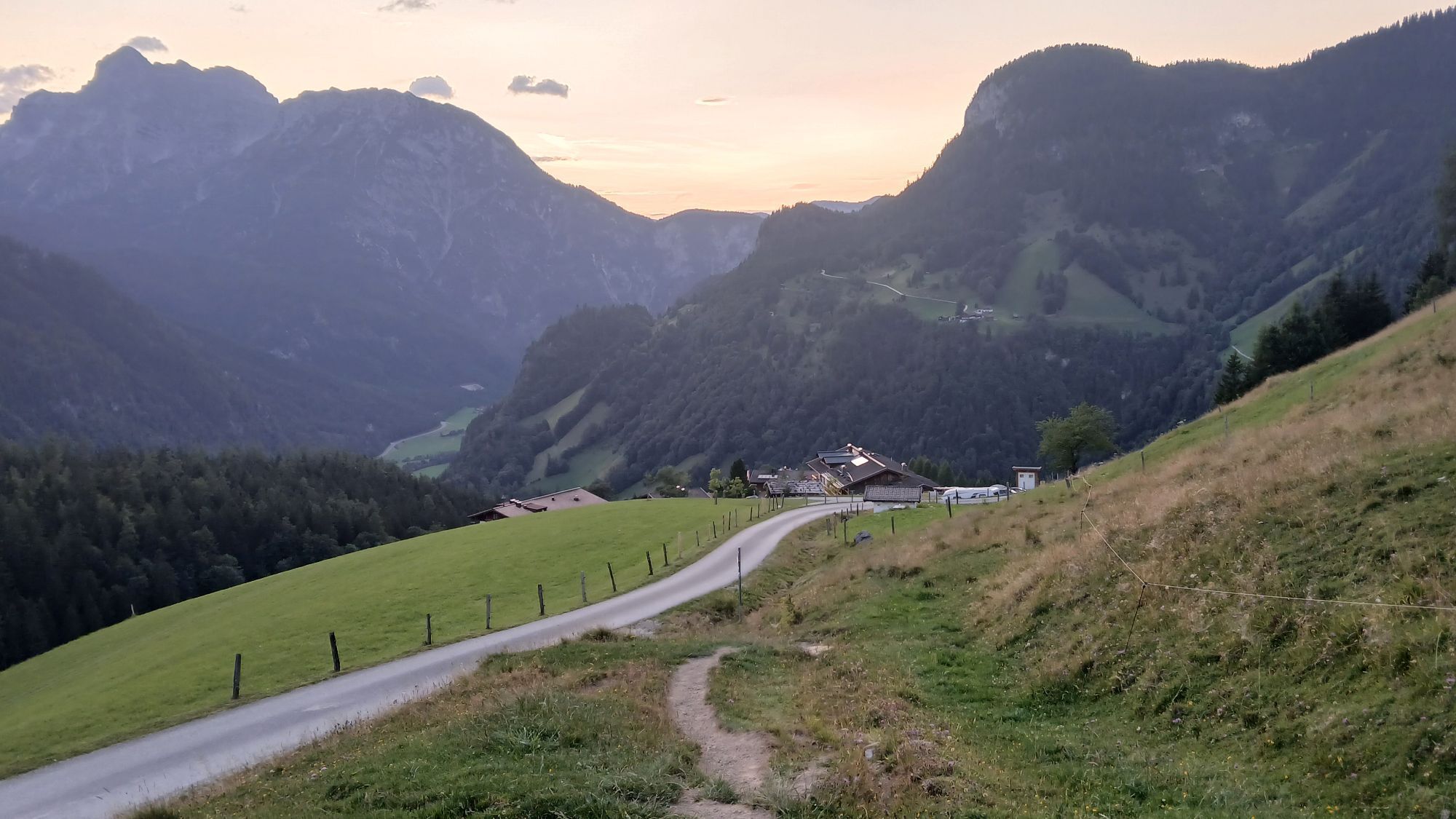
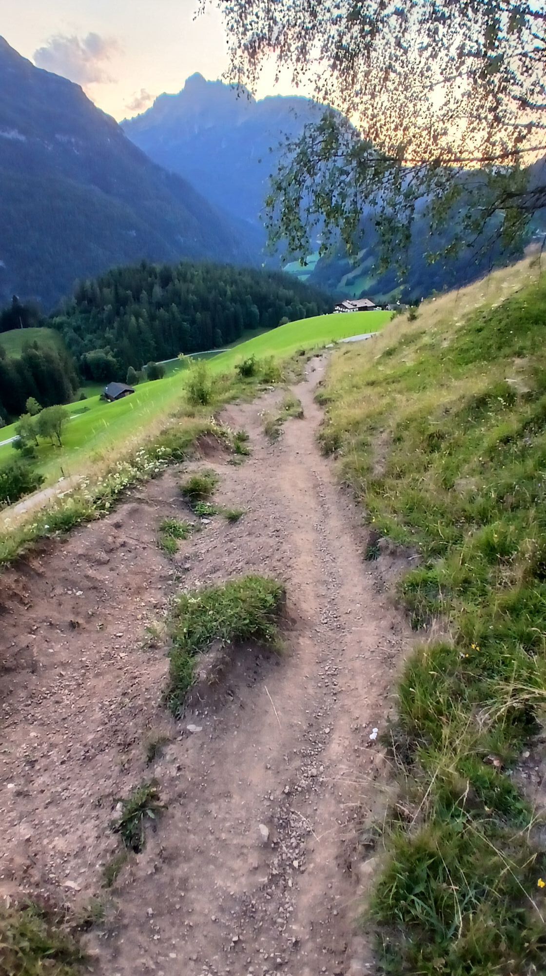
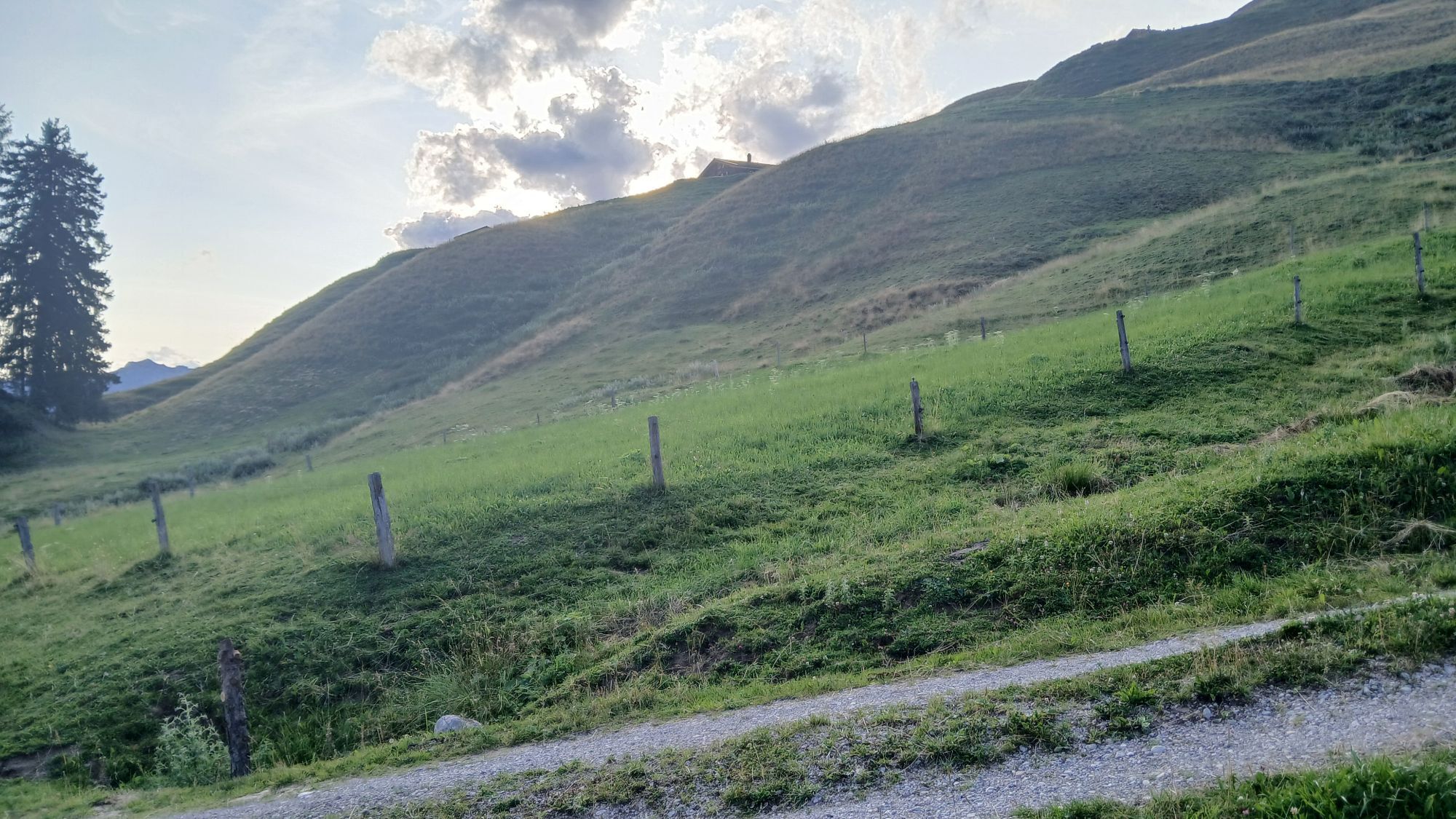
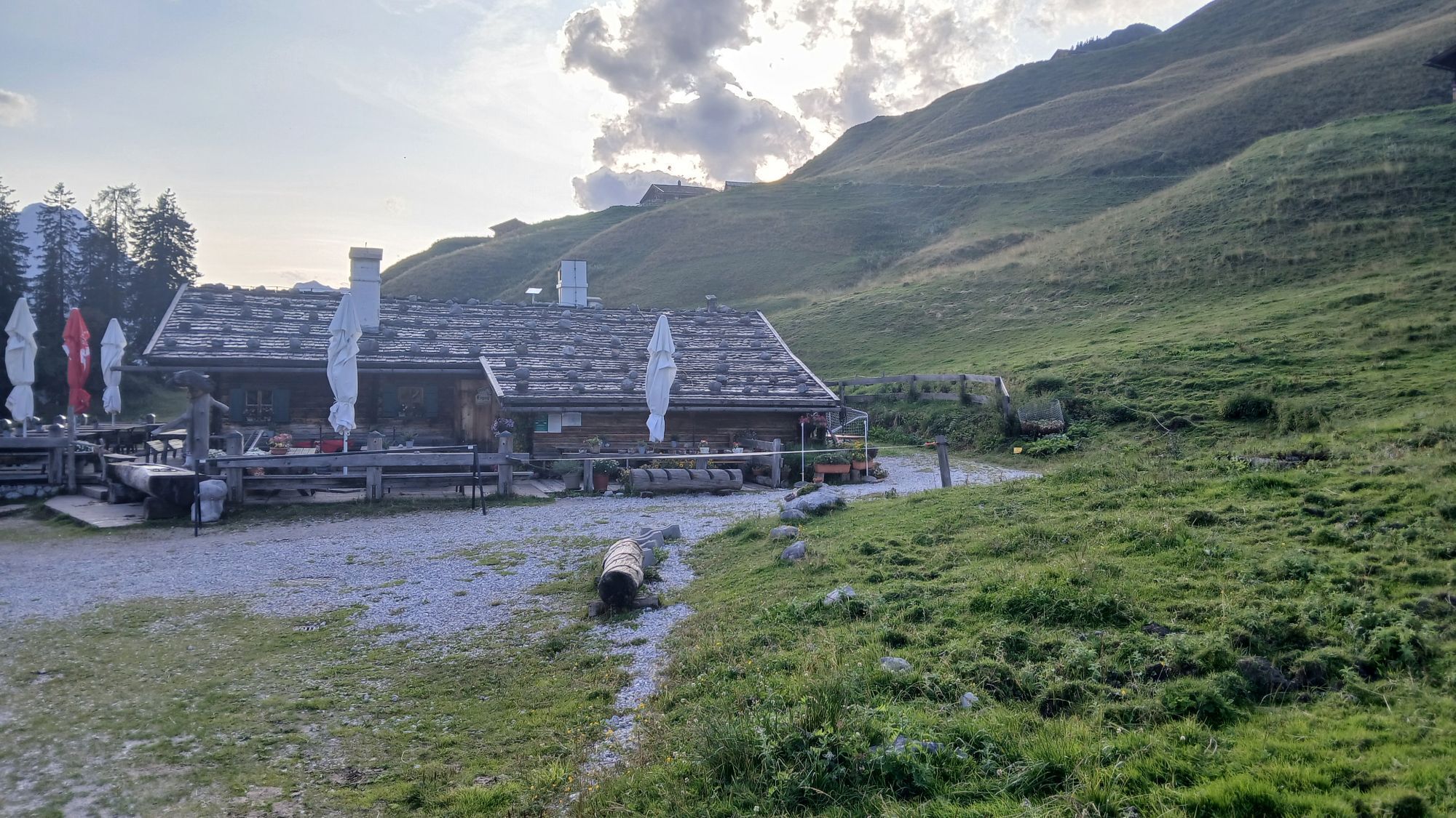
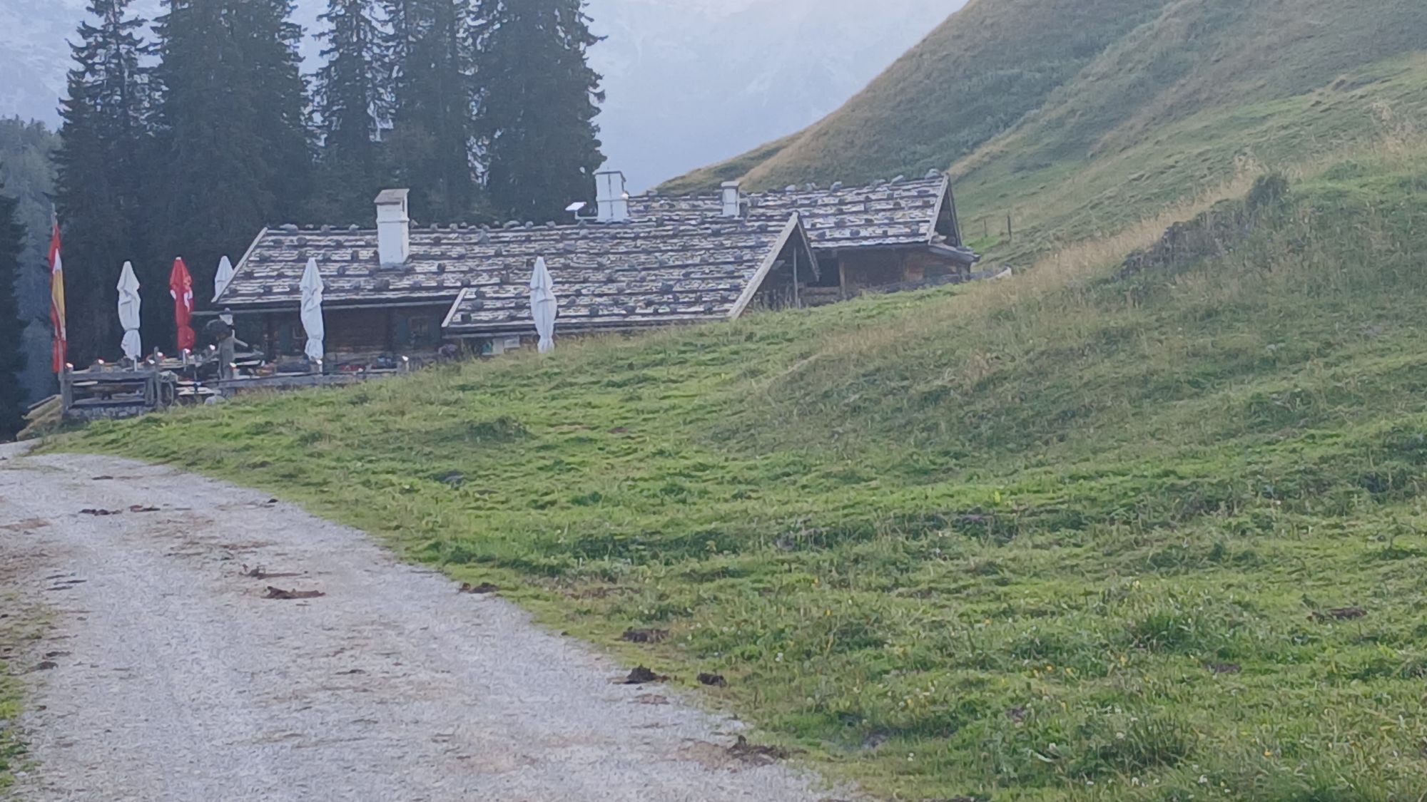
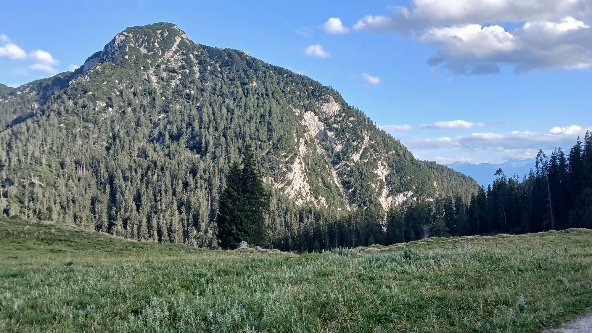
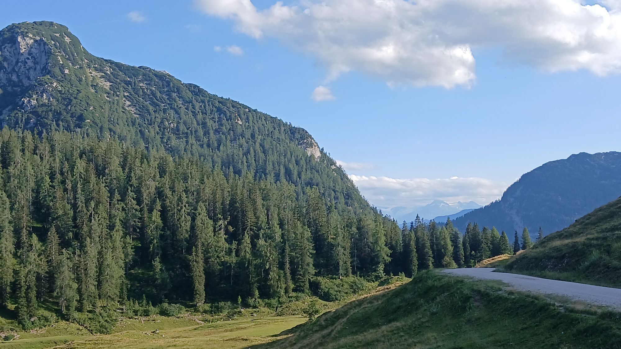
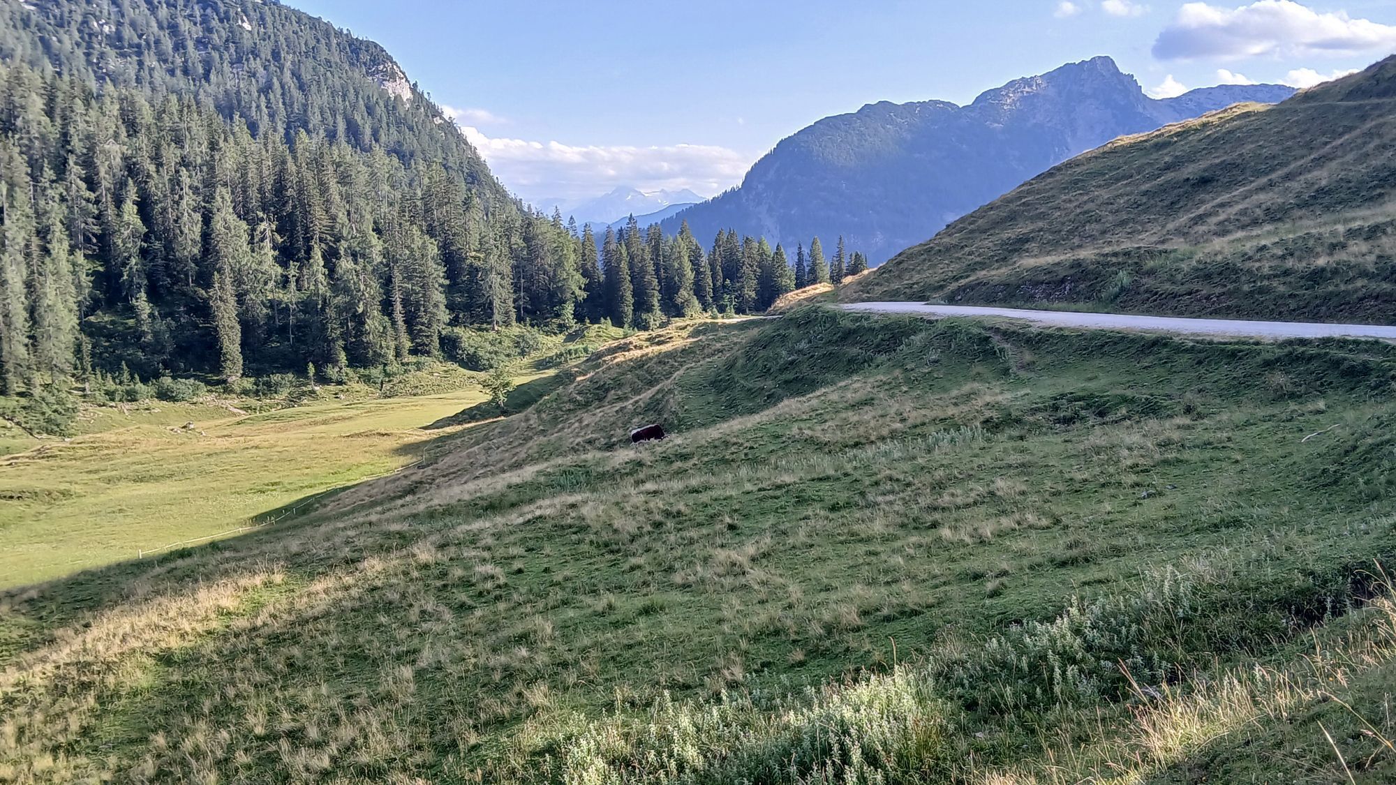
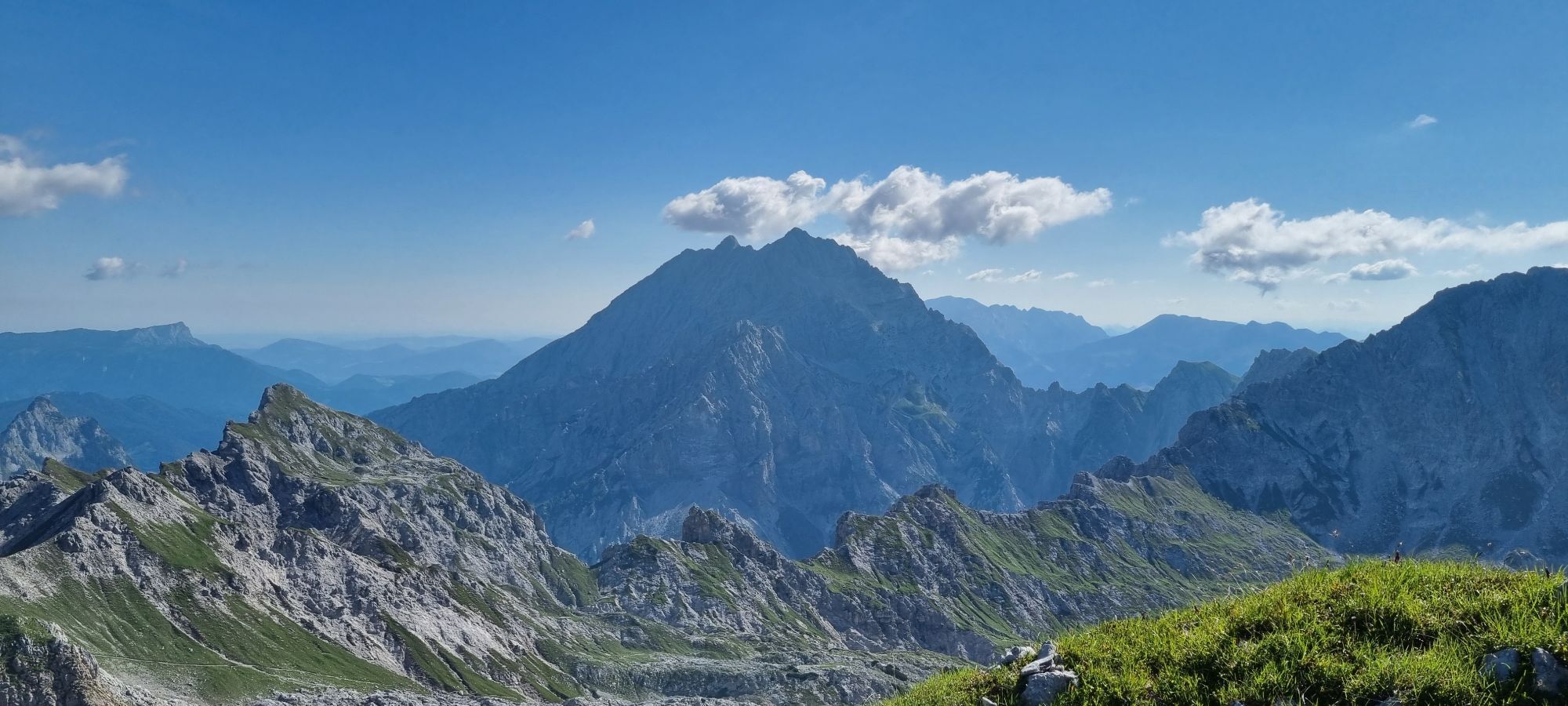
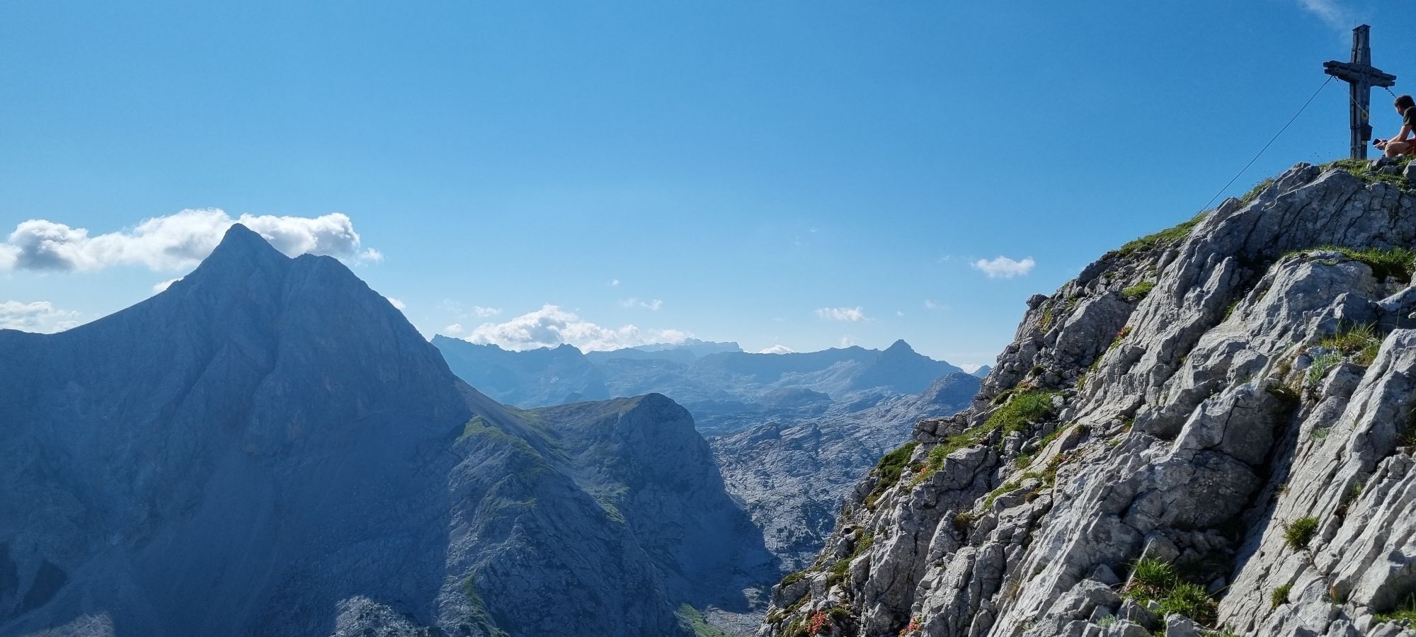
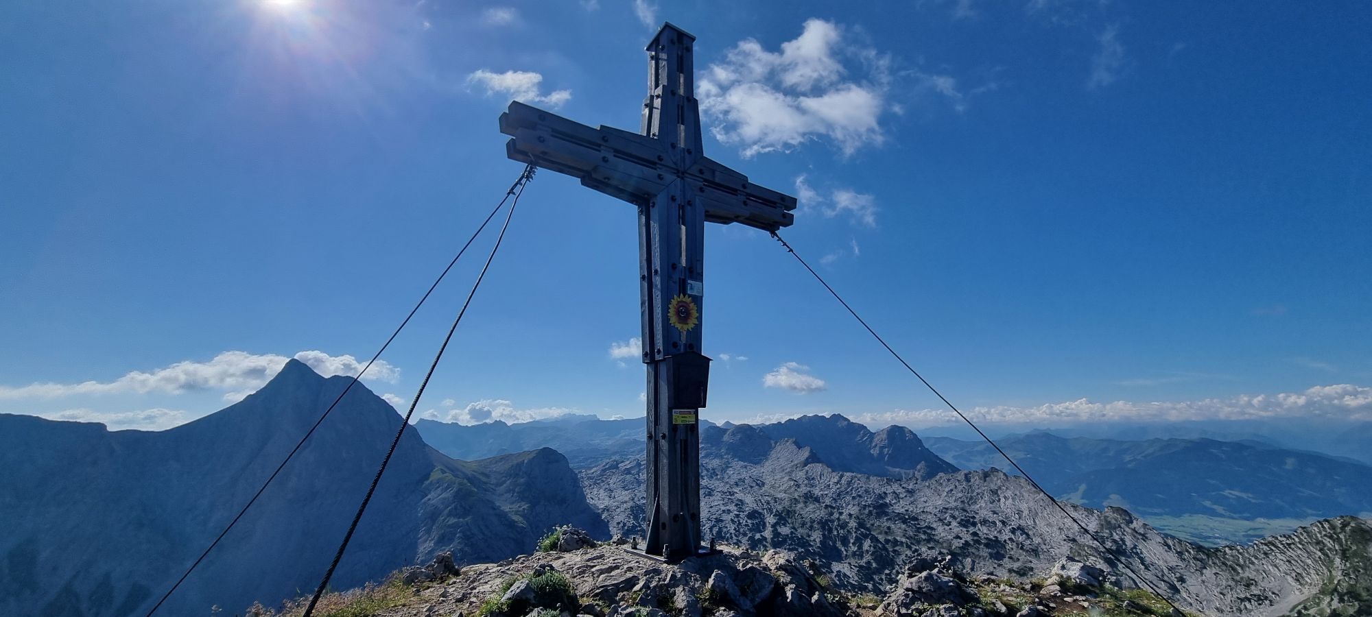
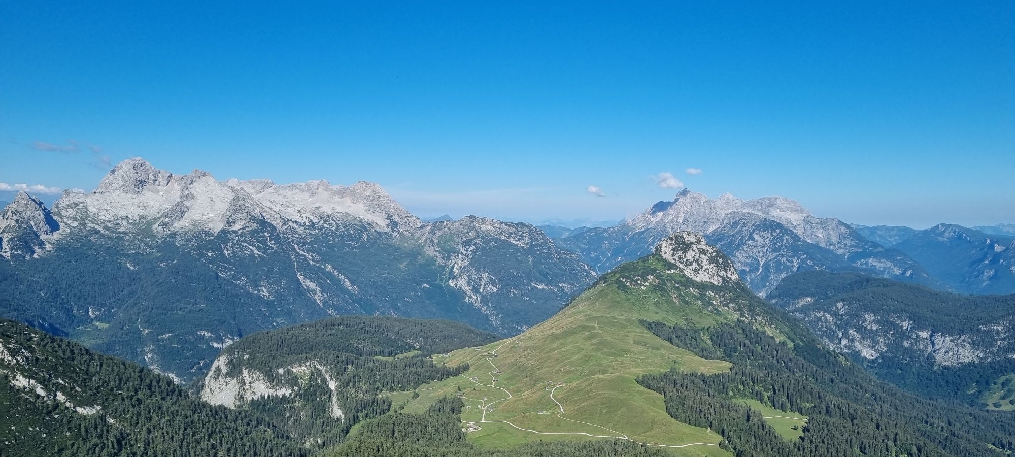
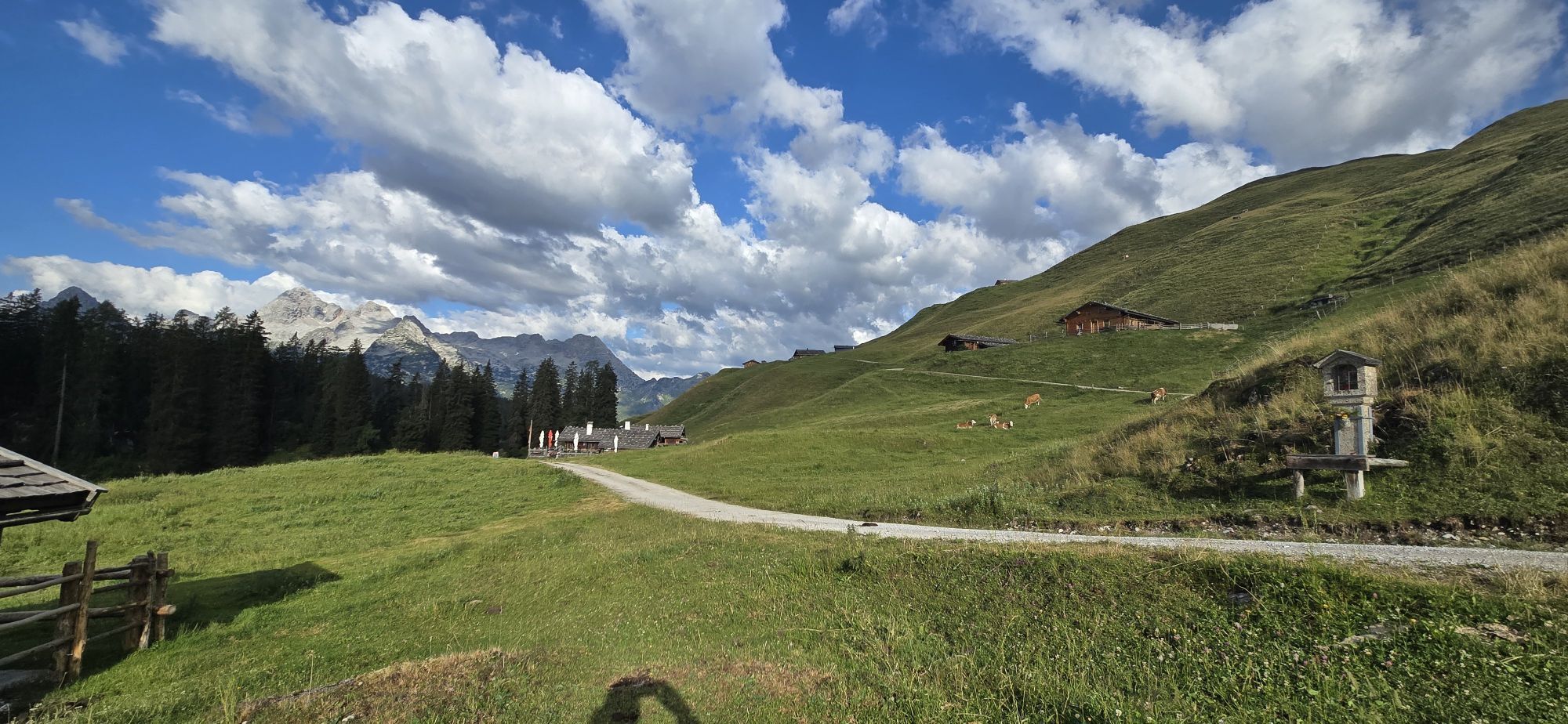
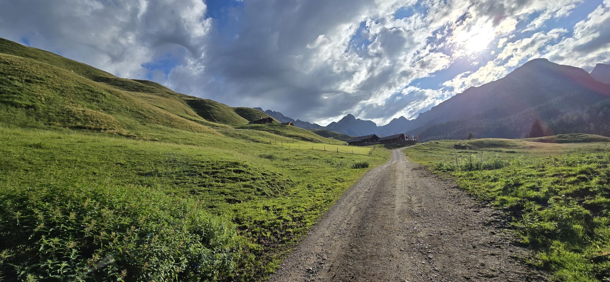
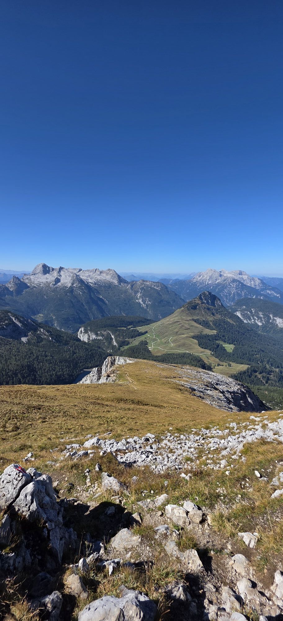

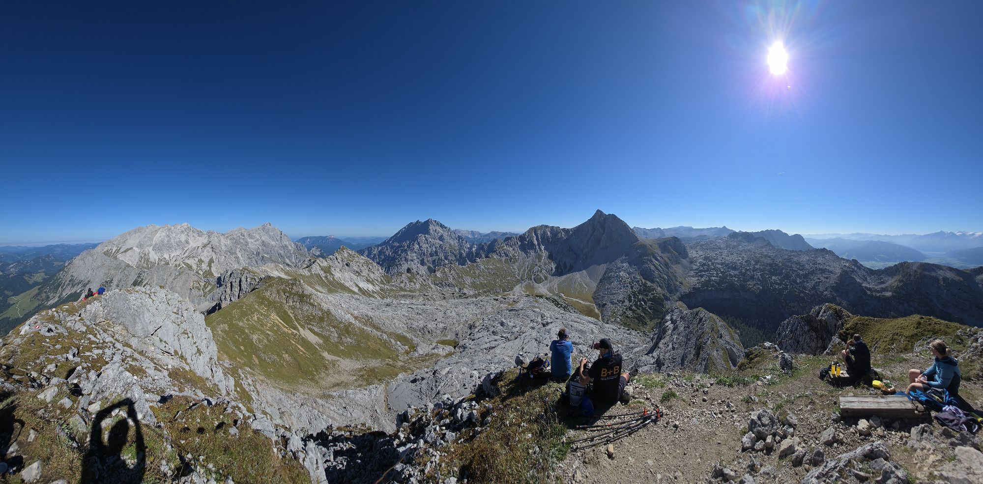

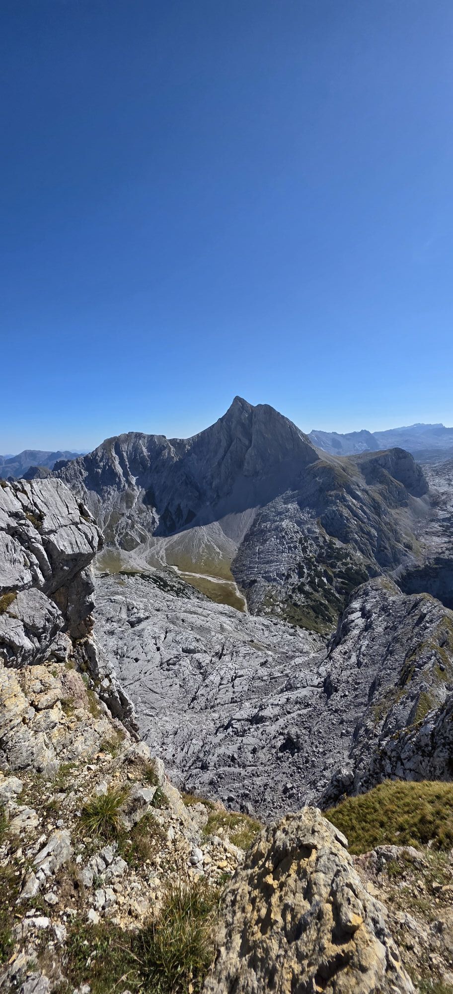
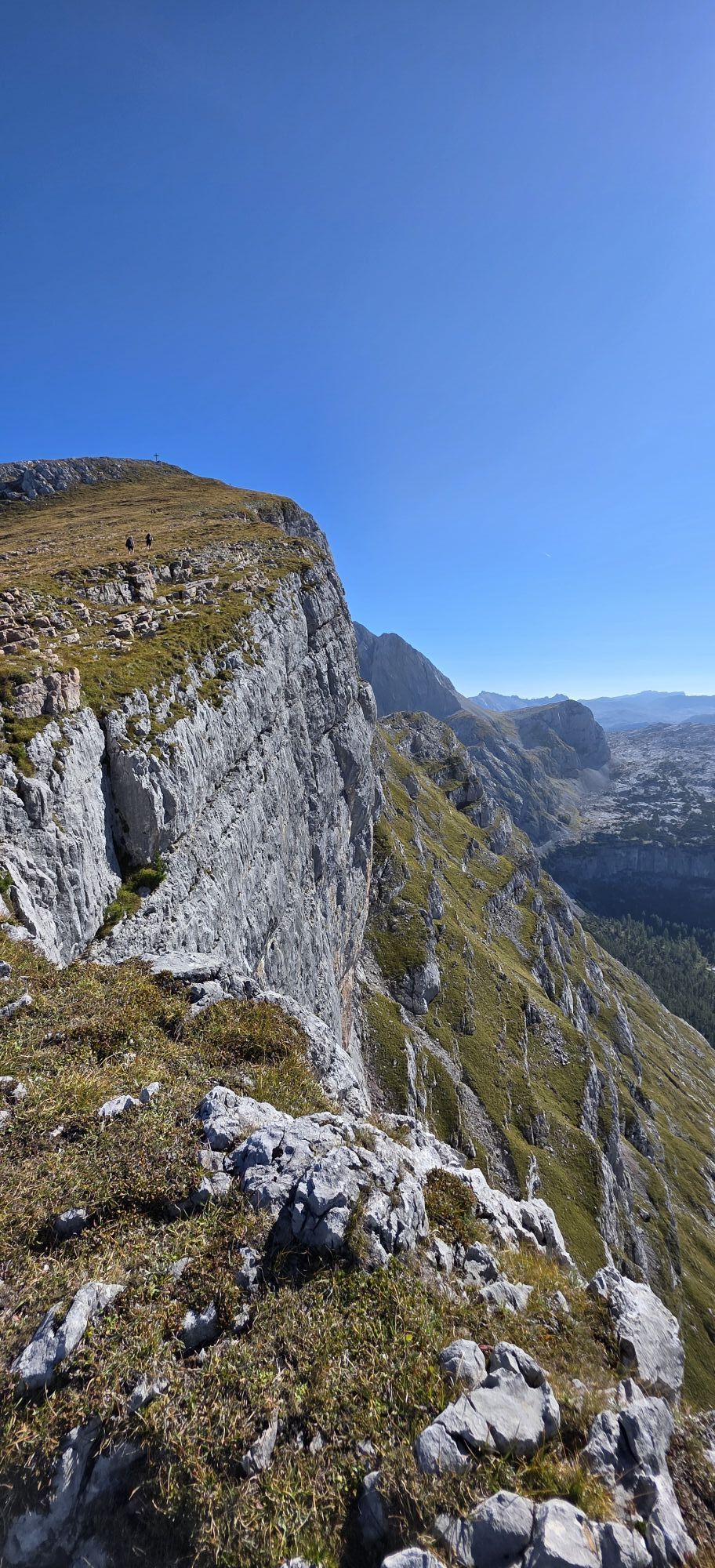
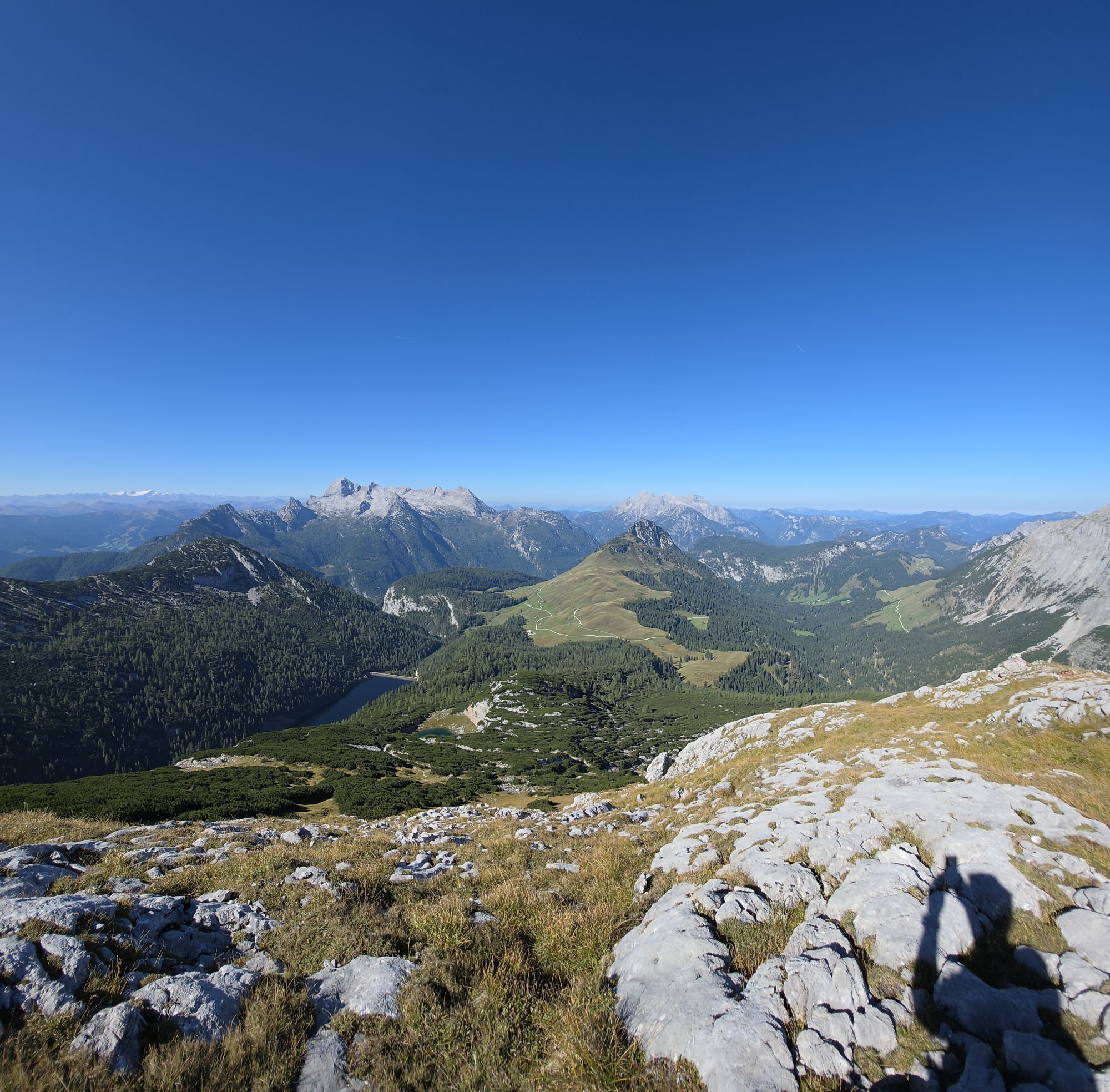
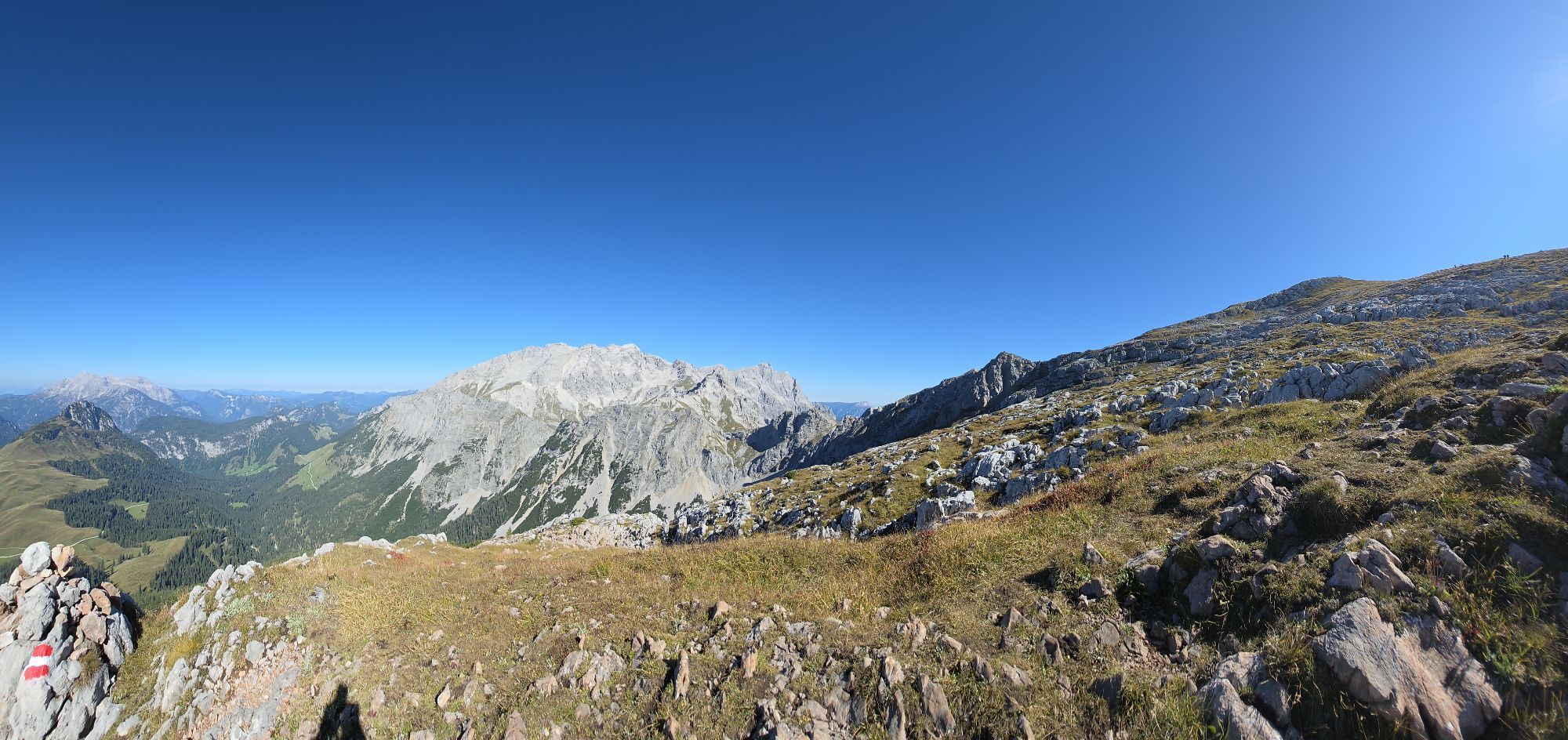
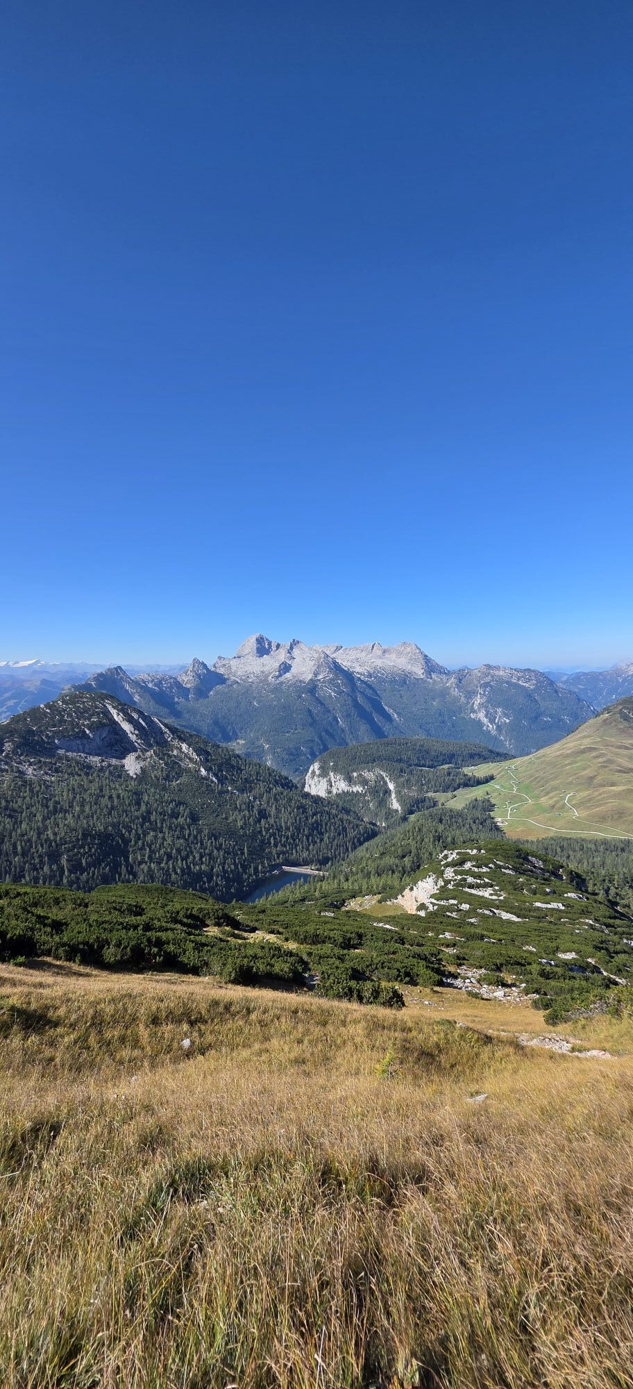
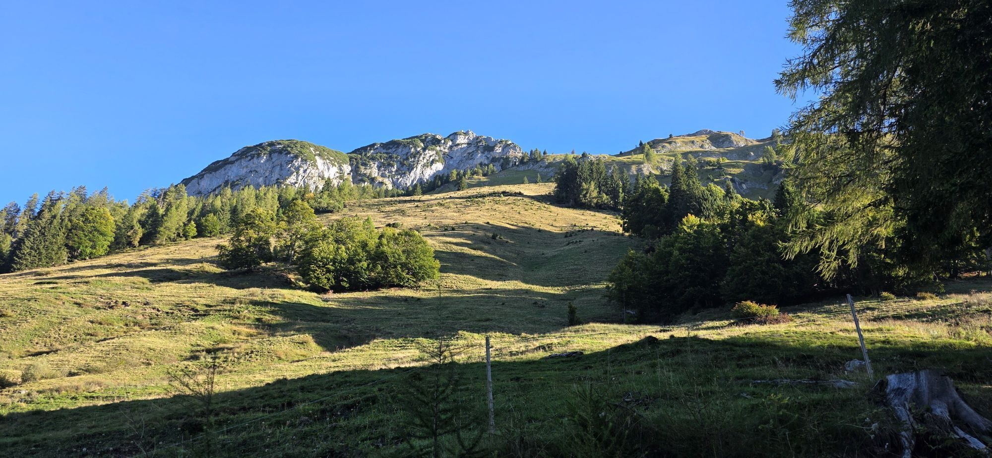
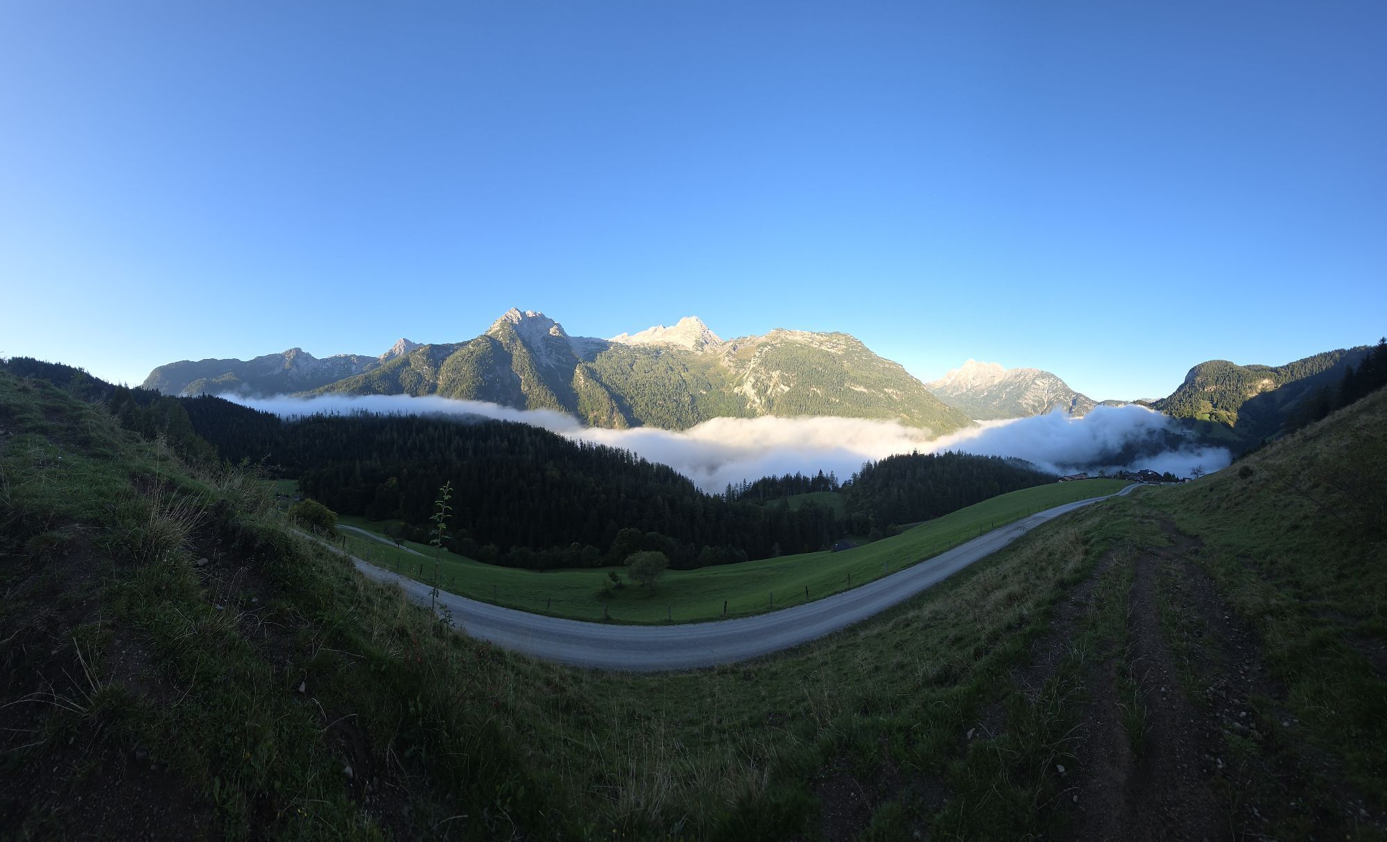
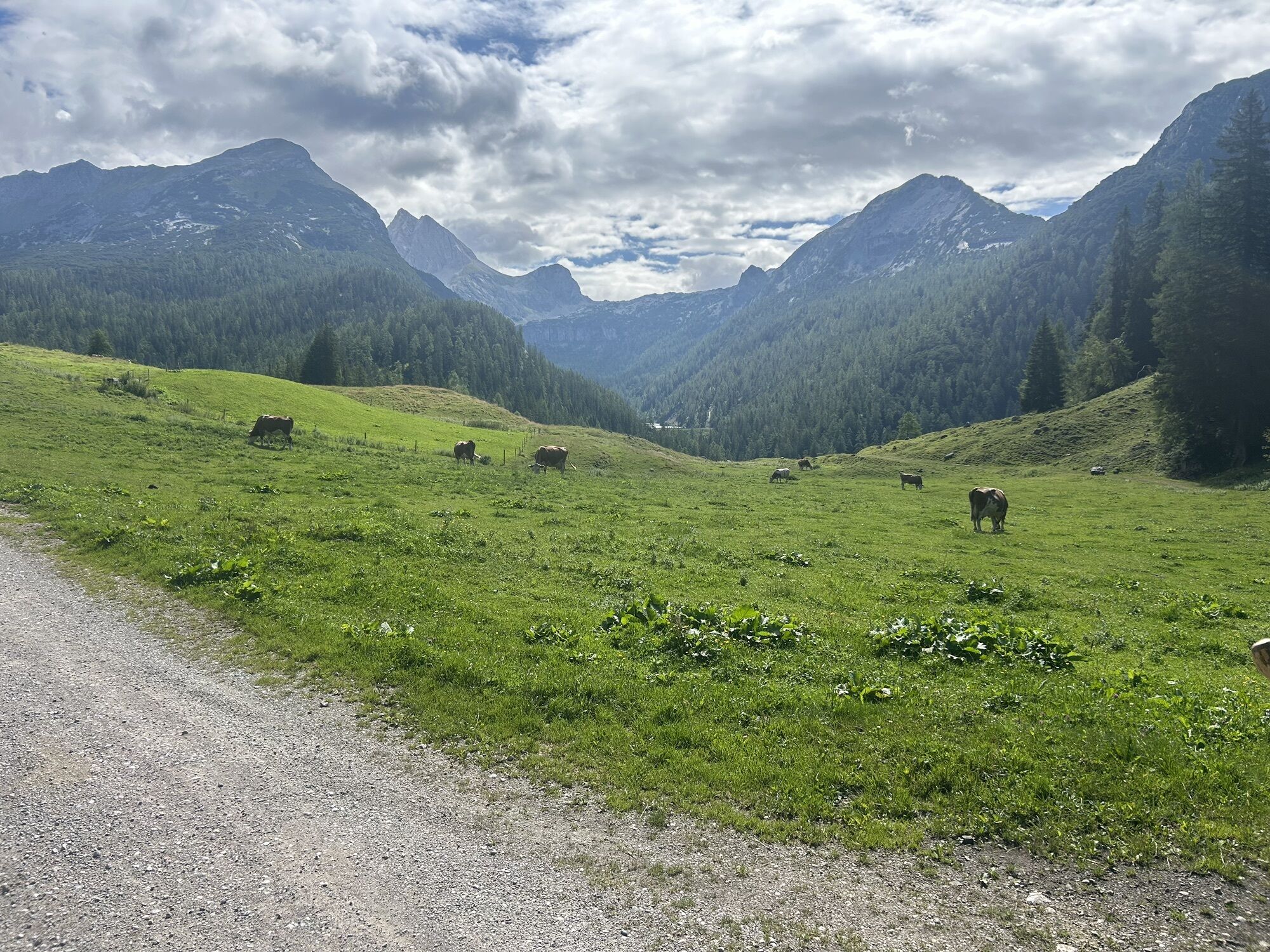
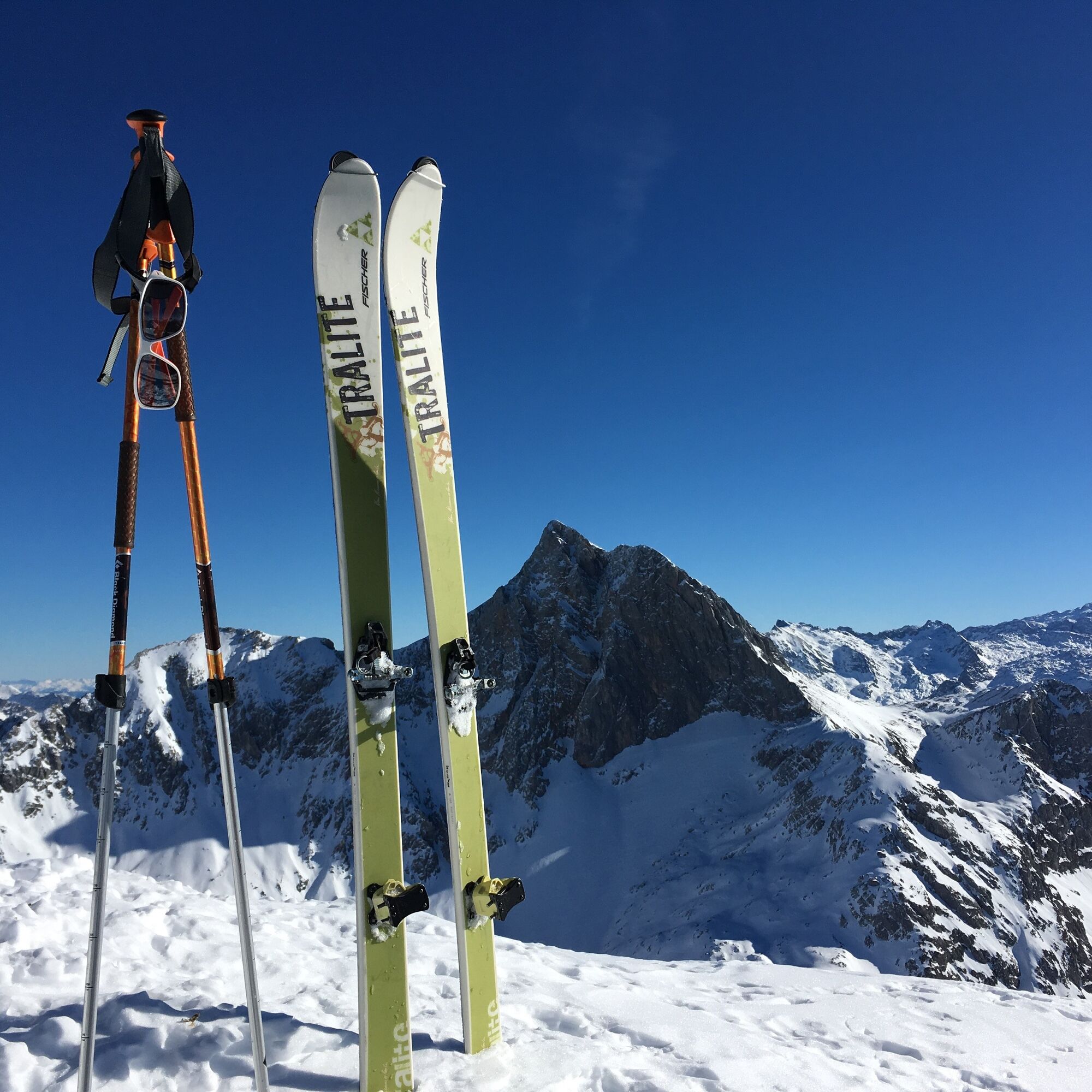
High alpine ski tour to the summit in the Berchtesgaden Alps, wonderfully rewarding views and panoramic view of the frozen lake, descent to the starting point possible well into spring

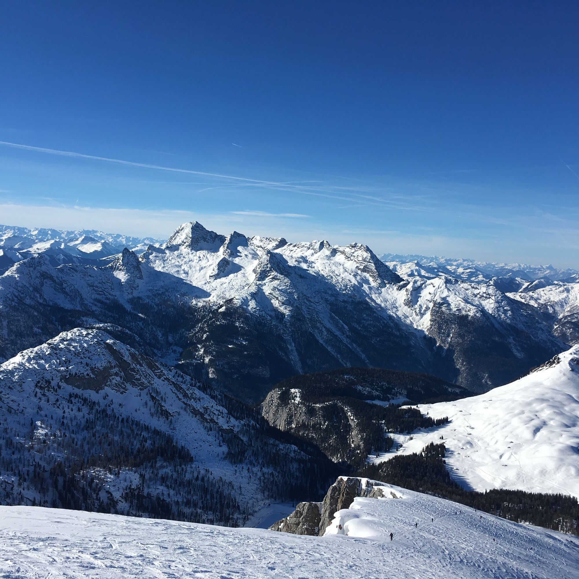
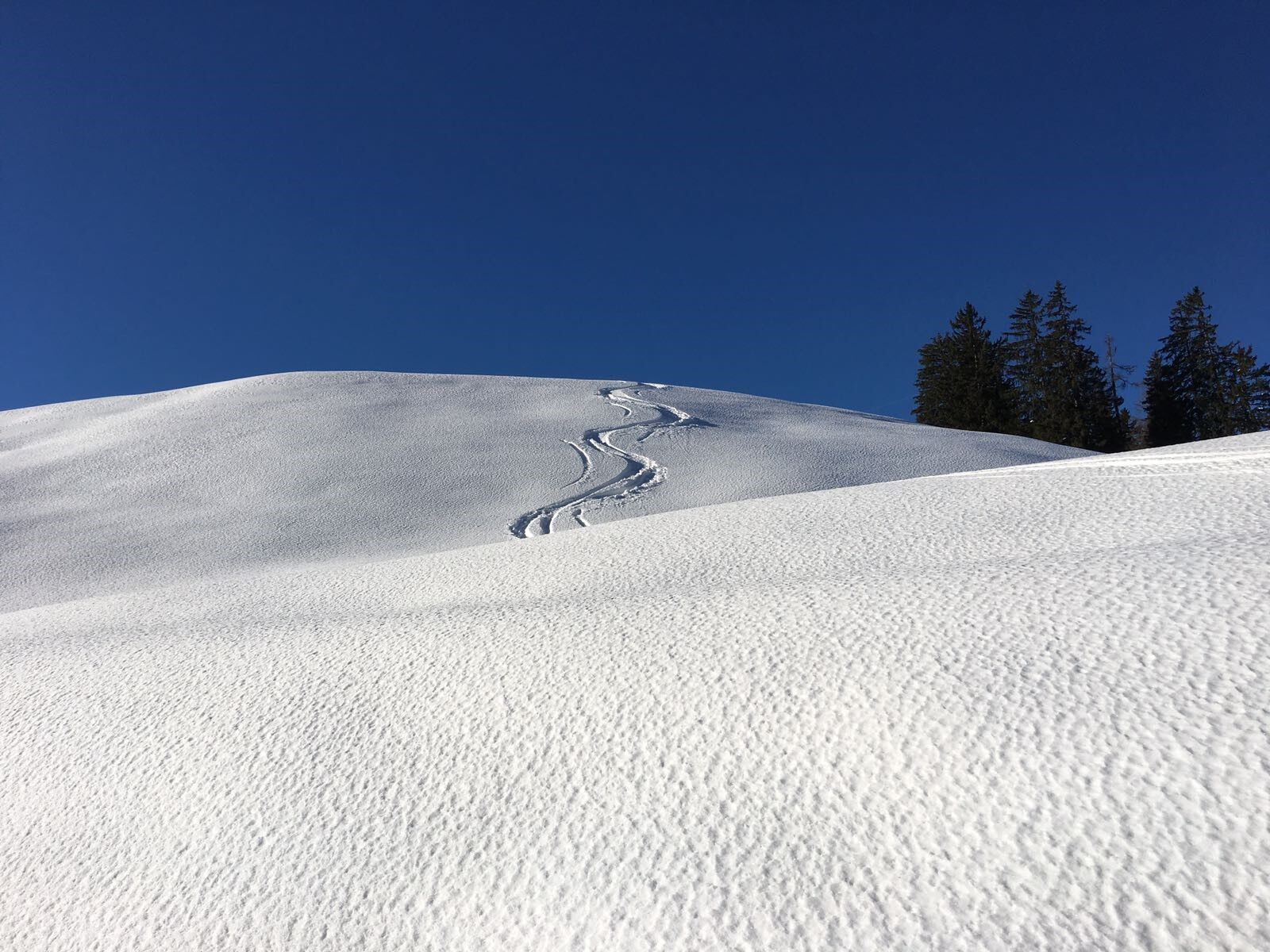
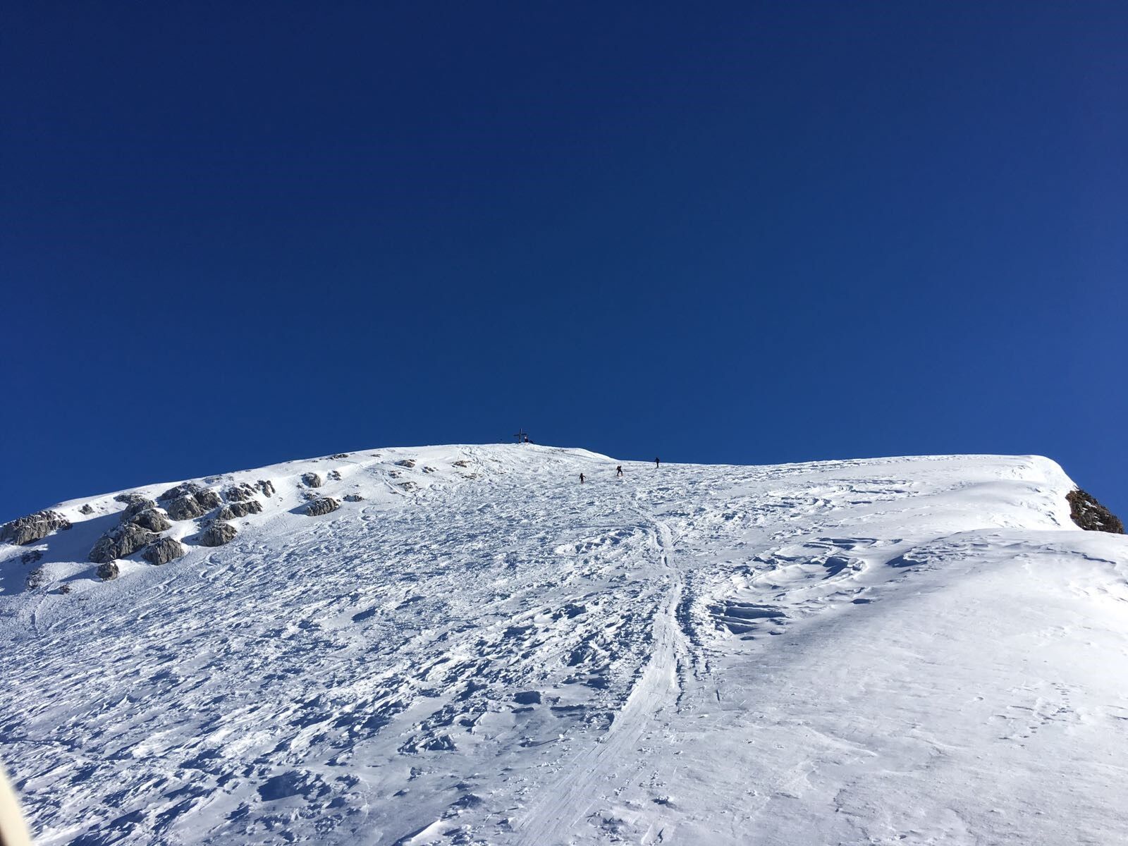

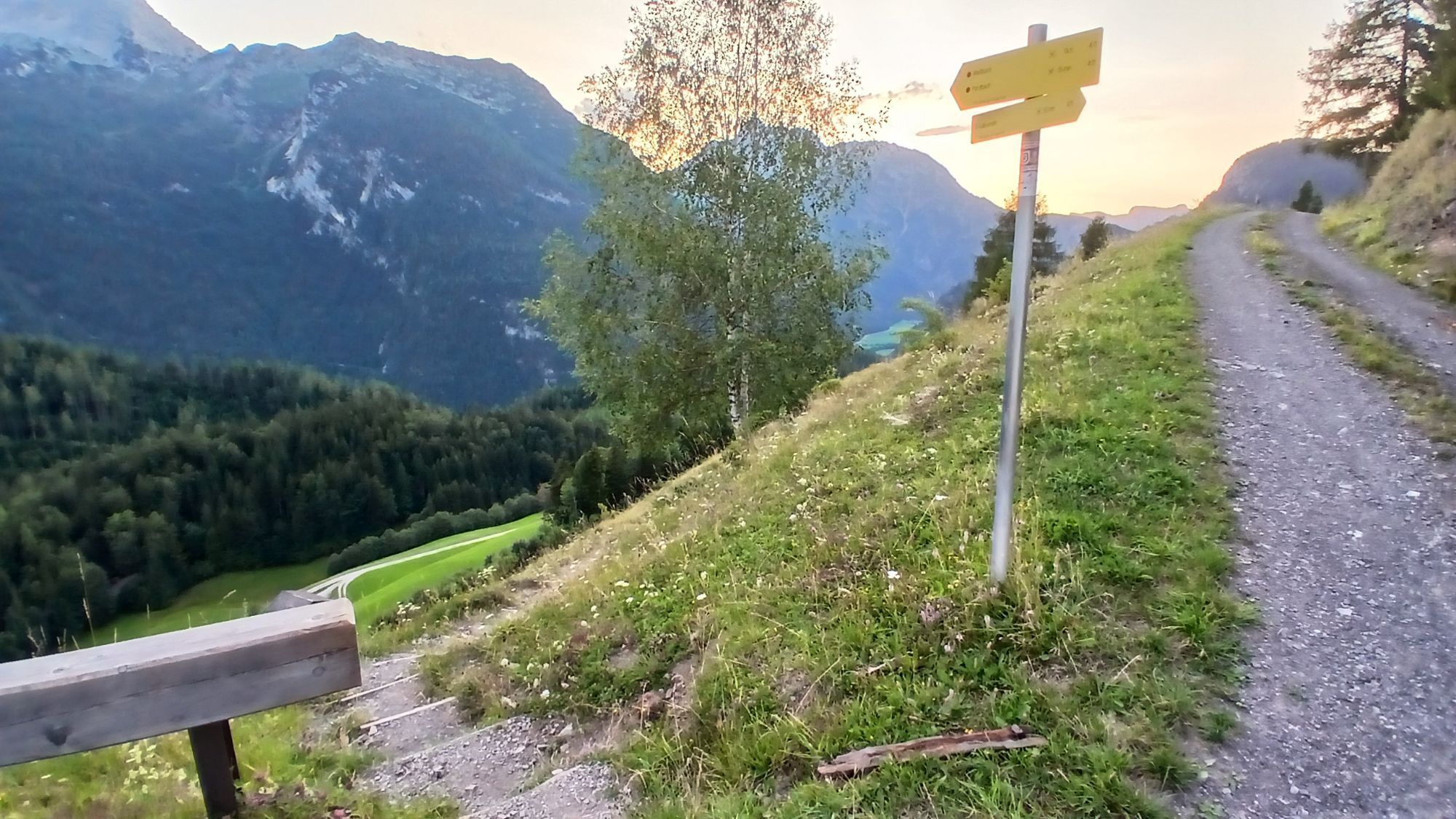
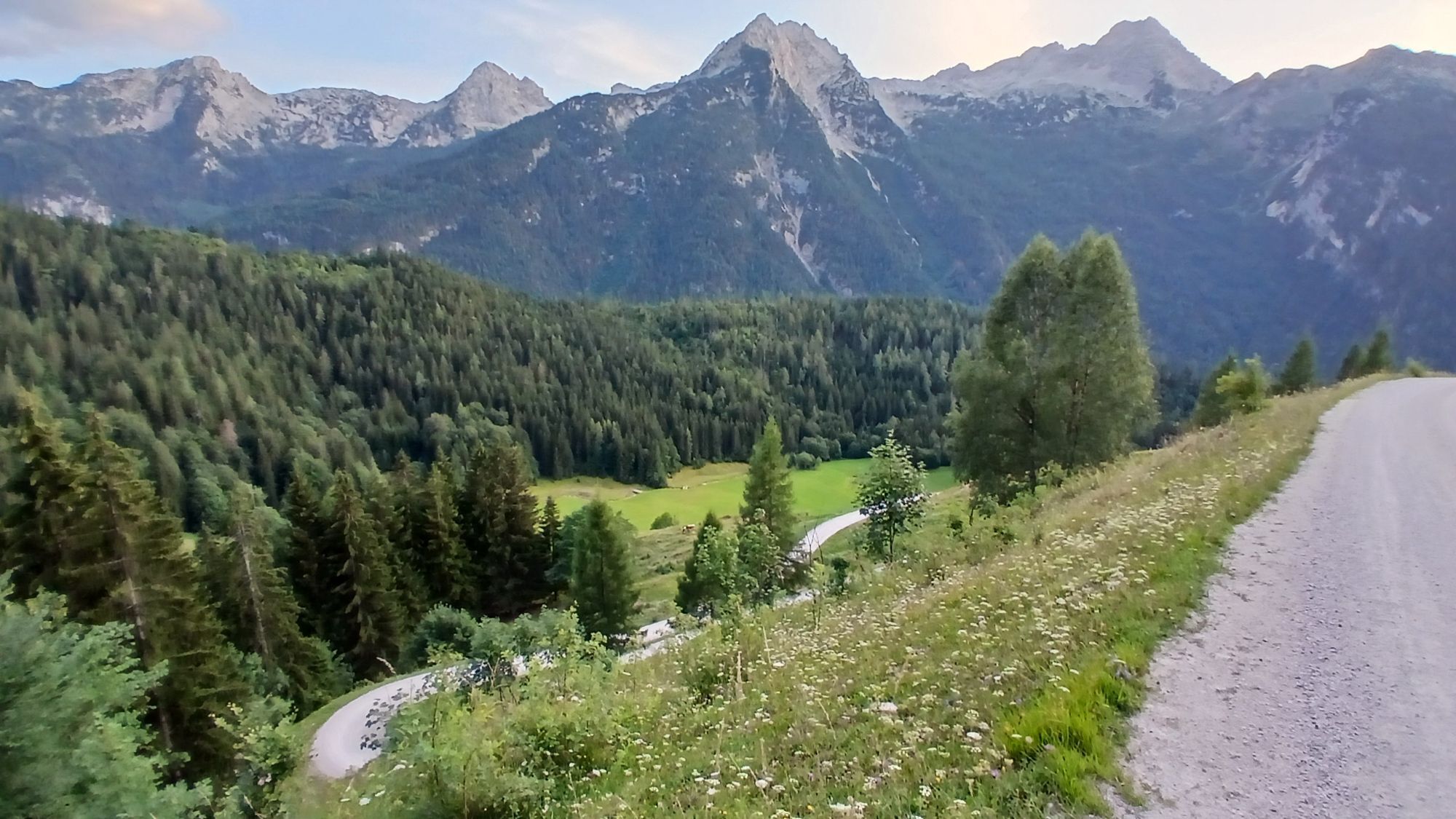
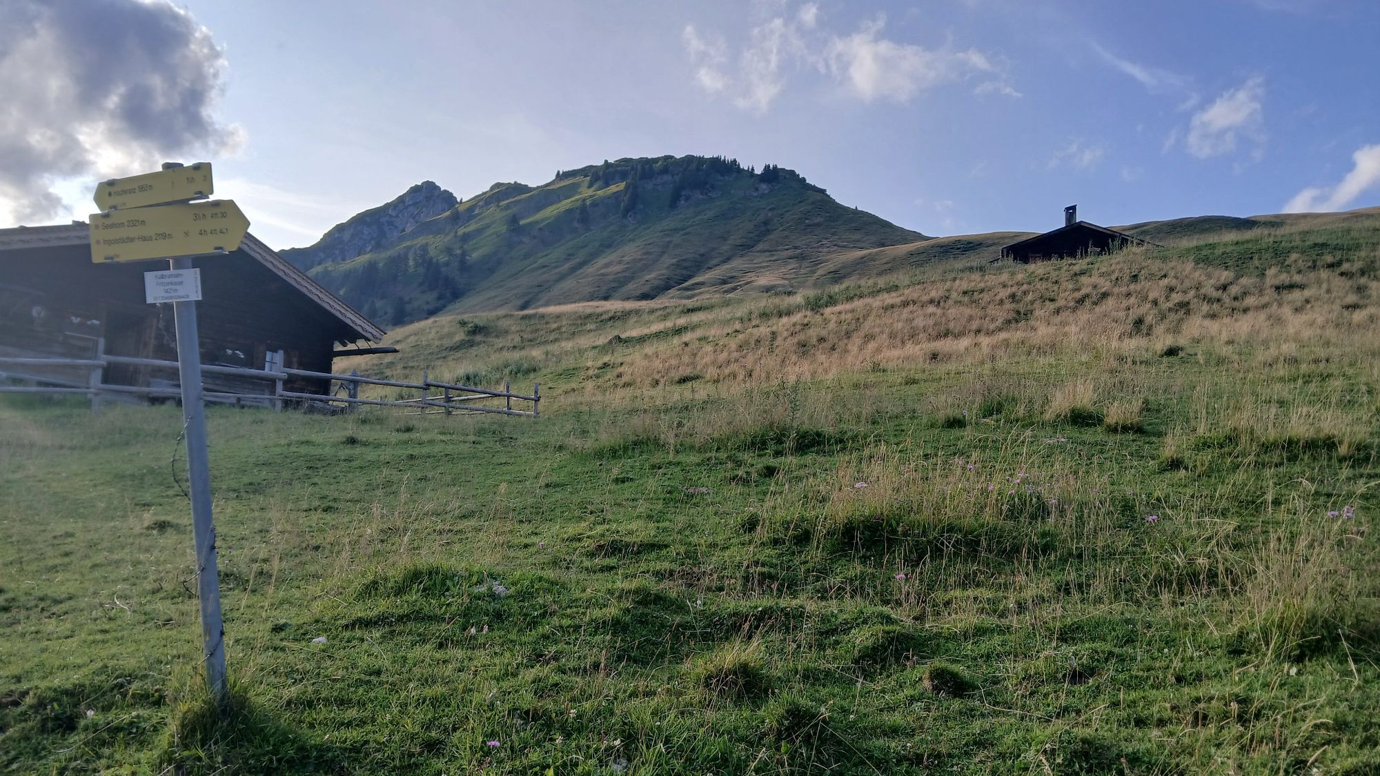
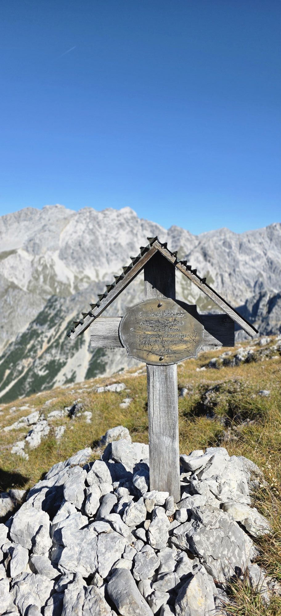
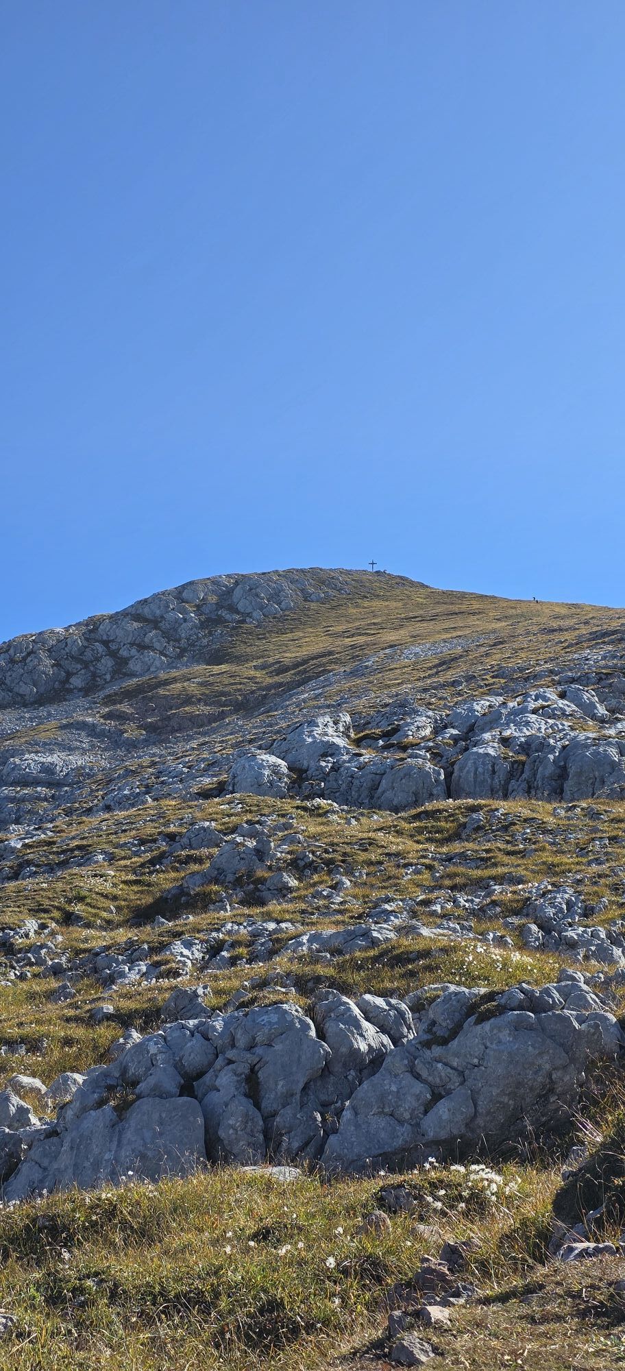
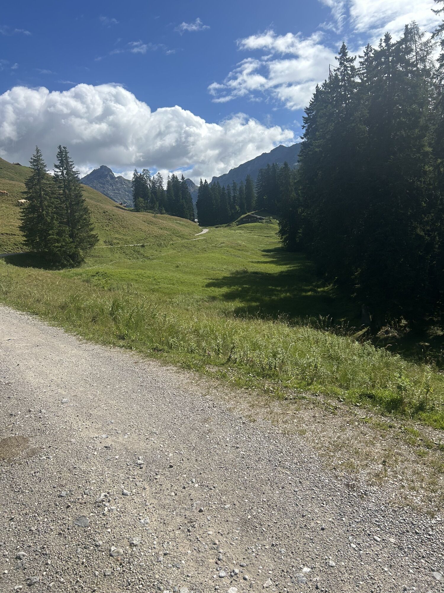
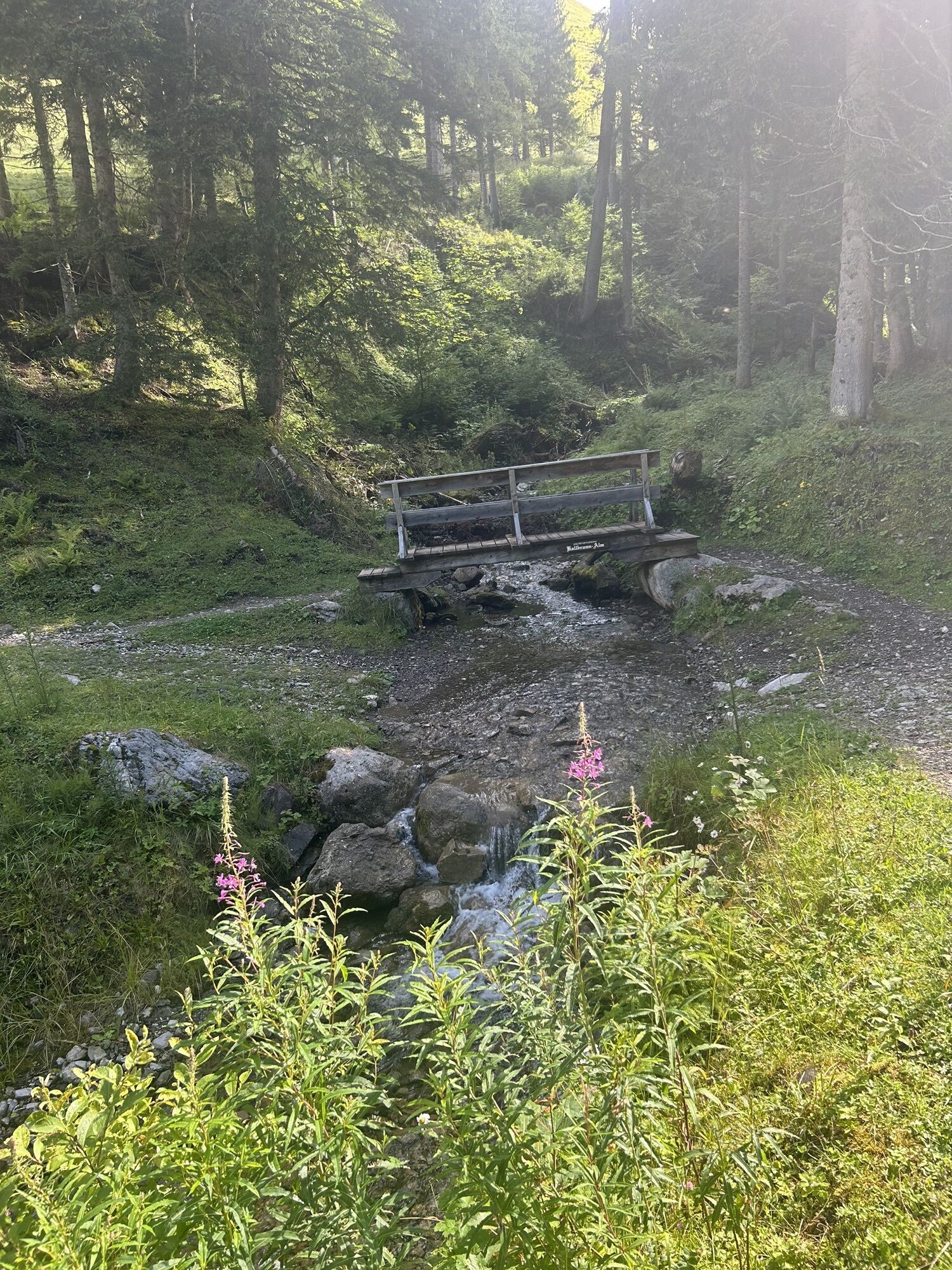
From the Hinterthal parking lot along the forest road towards Kallbrunnalm/Diesbach reservoir, then into a shallow hollow. Here you meet the path from Pürzelbach. Along the hollow you then reach a steep sparse woodland that runs eastwards towards the Seekopf. The peak and the lake giving it its name are bypassed on the left, north side. Above the tree line, ascend along the open slope in the open terrain, cross it to the left, pass the Sennerin cross, and then over the small rocks again to the right. From here, the summit is visible again (the Diesbach reservoir lies at the lower right). In about half an hour, cross the flat slope to the summit with magnificent views! The varied ski route ends with a wide arc to the northeast.
Da
Ski touring equipment, crampons, avalanche transceiver, shovel, and probe
Very good experience and fitness are required! Please check the weather forecast and inform yourself about the avalanche situation.
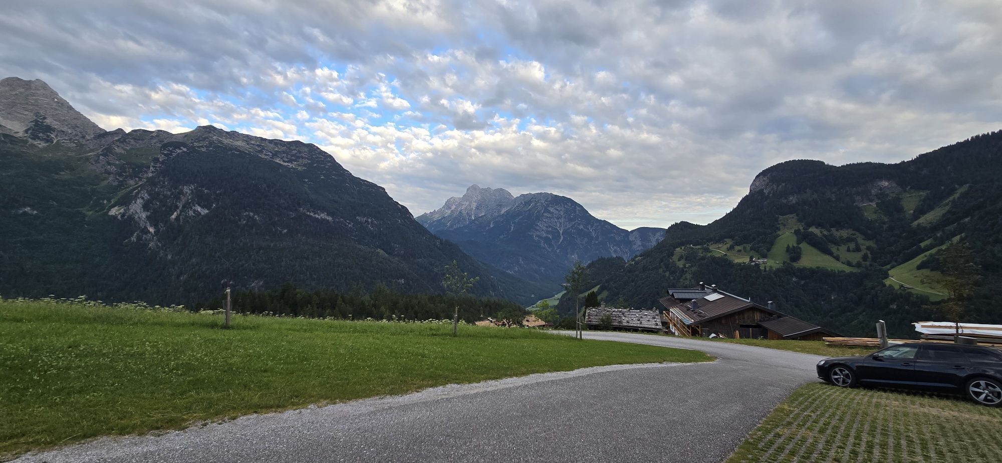
From Salzburg towards Zell am See or via Lofer to Weißbach near Lofer, turn left after the town towards Hirschbichl (very steep narrow road, usually chain obligation!). Up to the driving ban - Hinterthal parking lot. (Directions)
Access by public transport is only possible up to Weißbach near Lofer by bus line 260. (Timetable)
Hintertal parking lot (€4.00 per day)

Priljubljeni izleti v okolici
- 4.4
Maria Alm - Riemannhaus
Pohodništvo 3.99 km - 4.8
Königssee - Kärlinger-Haus
Pohodništvo 10.1 km - 4.5
Wimbachgrieshütte
Pohodništvo 8.30 km - 4.5
Grünstein
svetlobaPohodništvo 2.57 km - 4.4
Halsalm
Pohodništvo 6.43 km - 4.1
Blaueis - Schärtenspitze
Pohodništvo 7.29 km - 4.6
Seisenberg Gorge
svetlobaPohodništvo 2.41 km - 4.6
Peter-Wiechenthaler Hut
srednjaPohodništvo 4.32 km - 4.6
Steinalm
svetlobaPohodništvo 2.71 km - 5.0
Goldtoni - Wandern - Watzmann - Überschreitung
težkoVisokogorska tura 25.3 km
Pohodništvo in sledenje


Ne zamudite ponudb in navdiha za naslednje počitnice
Vaš e-poštni naslov je bil dodan na poštni seznam.





