




Mittersill: Ski route Toni Alm

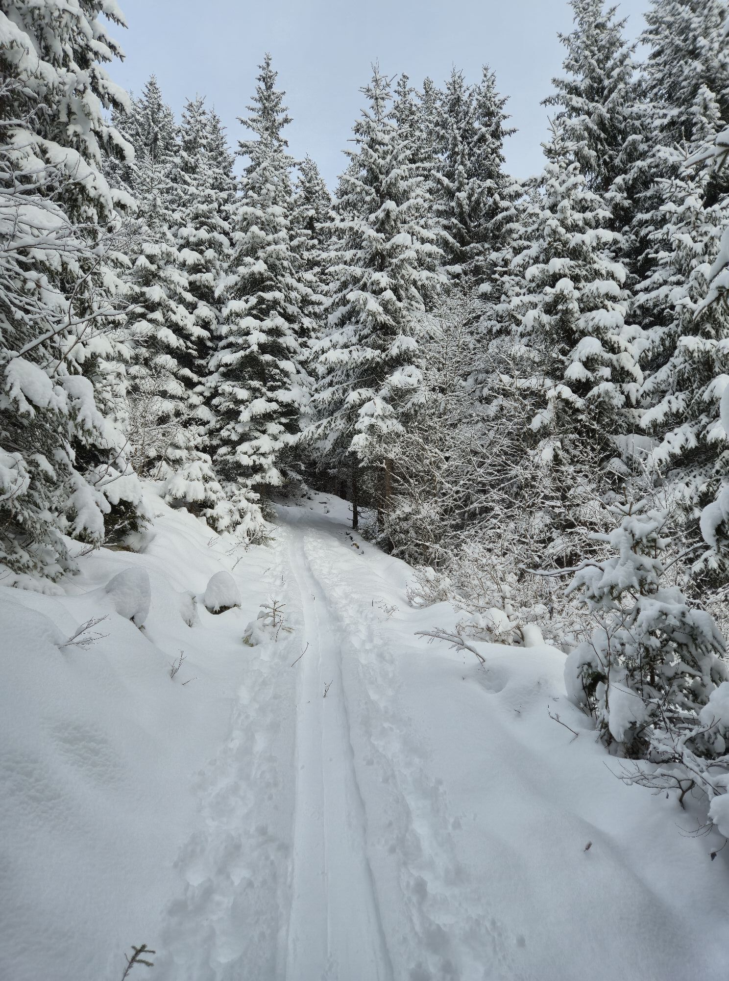


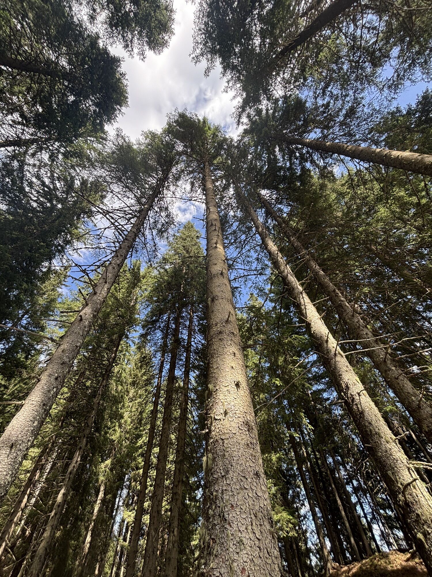
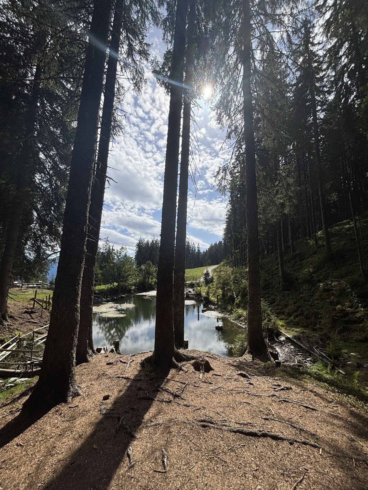
The ski route to the Toni Alm is especially suitable for beginners. The route goes comfortably through the forest, slightly uphill, along a forest road. You can fully enjoy nature and the Kitzbühel Alps....
The ski route to the Toni Alm is especially suitable for beginners. The route goes comfortably through the forest, slightly uphill, along a forest road. You can fully enjoy nature and the Kitzbühel Alps. The destination is the Toni Alm, which, in a traditional ambiance, already tempts you in the morning with mountain hut breakfast or "Alpen tapas" and Kaiserschmarrn as a snack. But even for bigger appetites, the kitchen of the Toni Alm offers something for every taste. The culinary mountain hut experience is rounded off with an exclusive drinks selection.



From the parking lot, walk along the forest road through the forest. After a short time, you briefly cross the piste and then continue straight along the forest road. It goes straight ahead all the time. During the route, you briefly pass underneath the gondola of the Panoramabahn Kitzbüheler Alpen. Then comes a sharp right turn. Follow the path until you reach the piste. There, make a left turn and continue straight along the forest road. After a few meters, you will reach your destination, the Toni Alm.
Descent: Drive back down the forest road to return to the Toni Alm parking lot. You can also take the red piste No. 77 downhill, but then you have to be careful to turn left again into the forest road (after the umbrella bar, where you crossed the piste going uphill) to get back to the Toni Alm parking lot.
Da
Ski touring skis, touring poles, touring boots, backpack, winter clothing, gloves, helmet for the descent
Equipment rental: Sport Breitfuss Mittersill & Sport Steger Mittersill
Use only the groomed, official ski trails and observe the avalanche warning levels. https://lawine.salzburg.at/
Starting from Mittersill, drive along the Pass Thurn federal road, past Mittersill Castle. Always follow the road. After some winding sections, take the sharp right curve where you see the gondola of the Panoramabahn Kitzbüheler Alpen on the left side. Stay on the federal road. After about 800 m, you will see a small parking lot on the left side of the road. Turn into the small parking lot there, and you will be at the starting point of the route, at the Toni Alm parking lot.
VVT line 4010 takes you to the Pass Thurn Passhöhe stop. From here, however, you have to walk back a short distance along the main road to the starting point.
There are some free parking spaces at the Toni Alm parking lot.
Mittersill Plus GmbH, Zeller Straße 2, 5730 Mittersill, Tel. +43(0) 6562 4292
A visit to the Toni Alm is definitely worthwhile, and not only because of the sensational culinary offerings. On the large terrace, you can enjoy the sun and the breathtaking view of the Hohe Tauern.

Priljubljeni izleti v okolici
- 3.7
Smaragdwanderweg Habachtal/Bramberg
svetlobaPohodništvo 7.17 km - 4.2
Brechhorngipfel (2.037m)
srednjaPohodništvo 11.7 km - 4.2
Panoramarundweg am Hahnenkamm
svetlobaPohodništvo 3.02 km - 4.7
Hollersbach - Neue Fürther Hütte
Pohodništvo 16.0 km - 4.3
Route 208: Windautal - Rotwandalm/Filzenscharte
težkoMountainbike 22.8 km - 4.7
Tristkogel
težkoPohodništvo 15.6 km - 4.2
Habachtal bis zur Thüringer Hütte
Pohodništvo 6.53 km - 3.9
Hollersbach: Pihapper path no. 935
težkoPohodništvo 12.8 km - 4.7
Frühmesser
srednjaPohodništvo 10.6 km - 4.9
Manlitzkogel
težkoPohodništvo 13.4 km
Pohodništvo in sledenje


Ne zamudite ponudb in navdiha za naslednje počitnice
Vaš e-poštni naslov je bil dodan na poštni seznam.


