


Snowshoe hike raised bog Wasenmoos


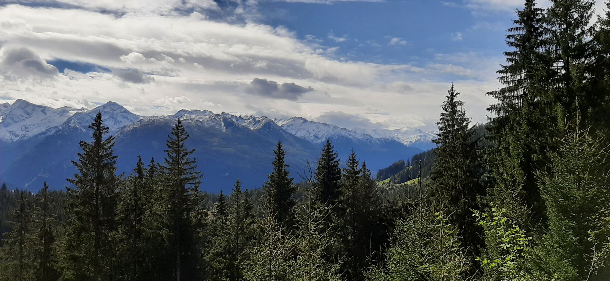
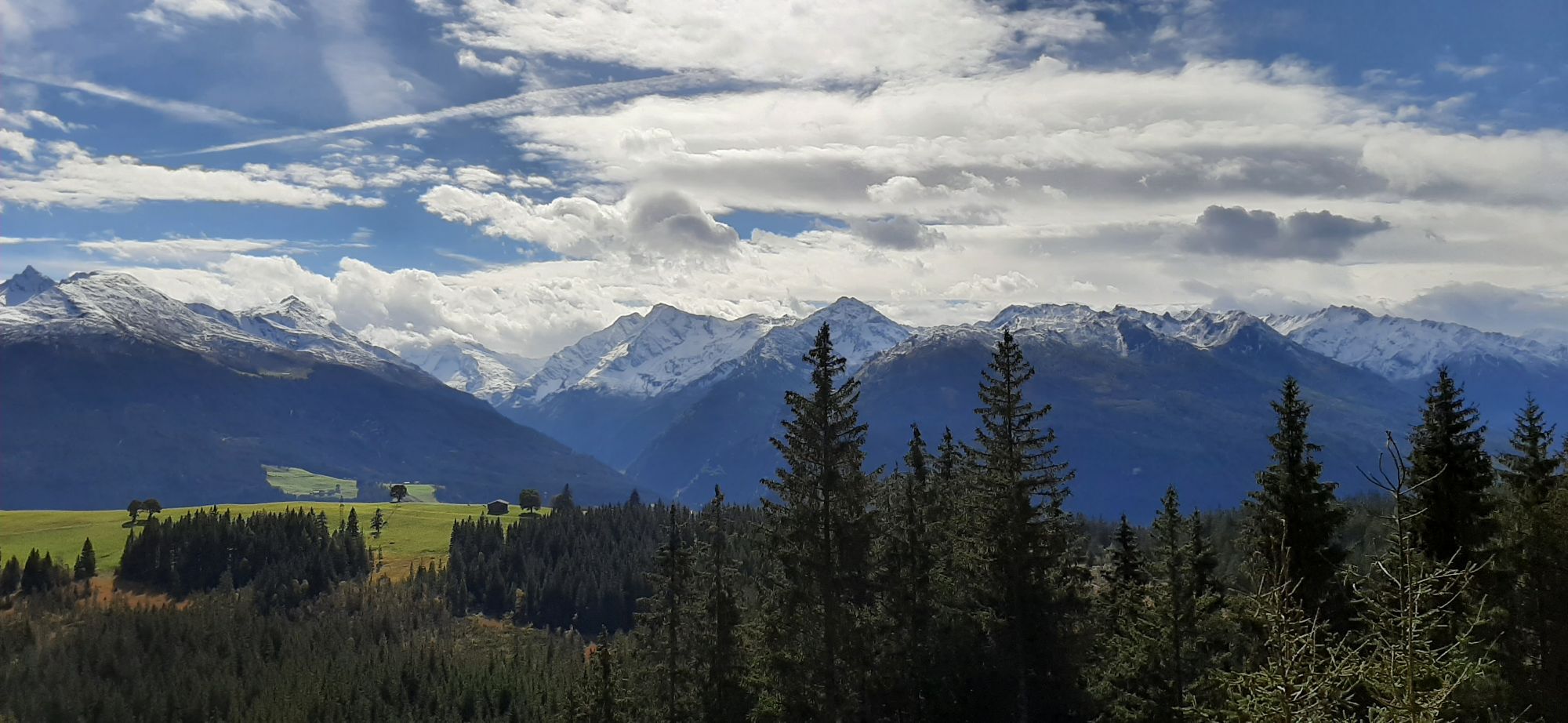
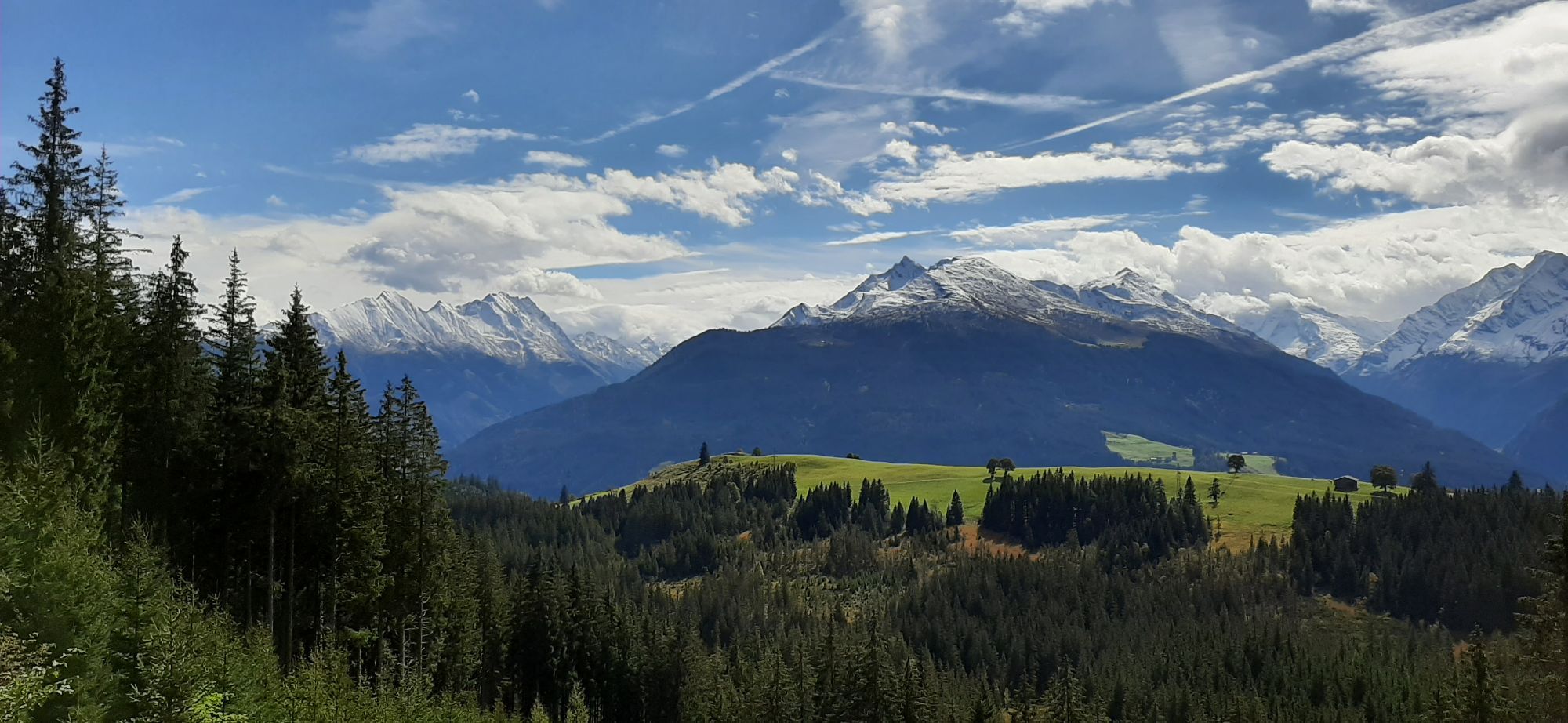
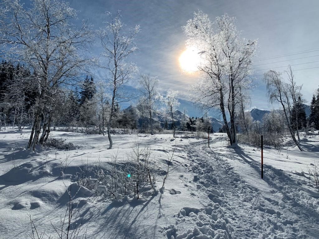
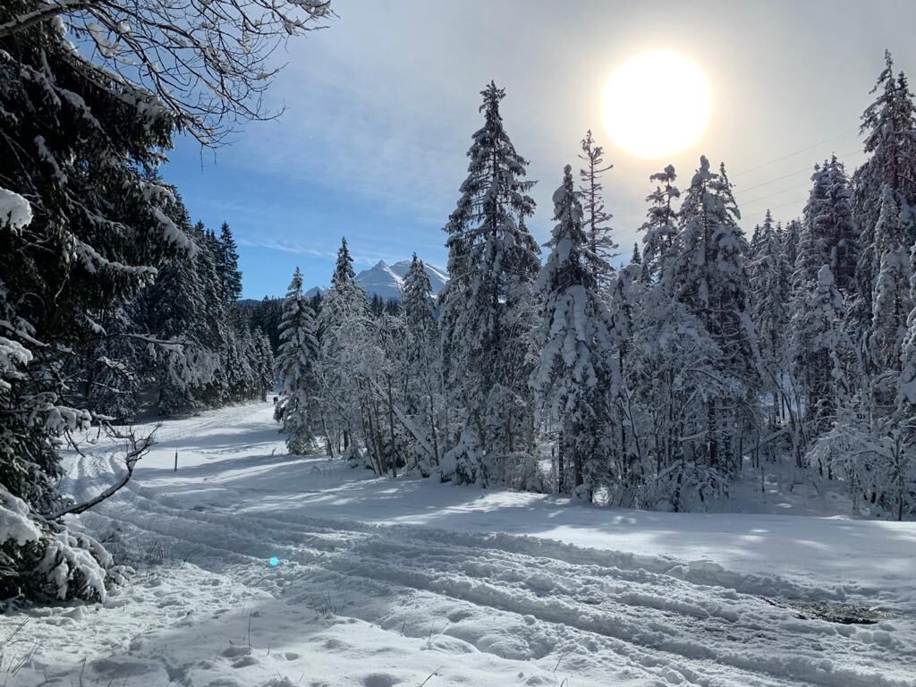
A very scenic nature reserve area with wonderful views of the three-thousand-meter peaks of the Hohe Tauern is the raised bog Wasenmoos at Pass Thurn, in Mittersill. Due to its altitude (1200 - 1500 m),...
A very scenic nature reserve area with wonderful views of the three-thousand-meter peaks of the Hohe Tauern is the raised bog Wasenmoos at Pass Thurn, in Mittersill. Due to its altitude (1200 - 1500 m), it enchants its visitors especially in winter with its fairytale-like sparkling winter landscape.
In good weather, the view is magnificent and the peaks are within arm’s reach.
For winter hikers who want to try walking with snowshoes, there are smaller routes of 2 to 3 kilometers in almost flat terrain.
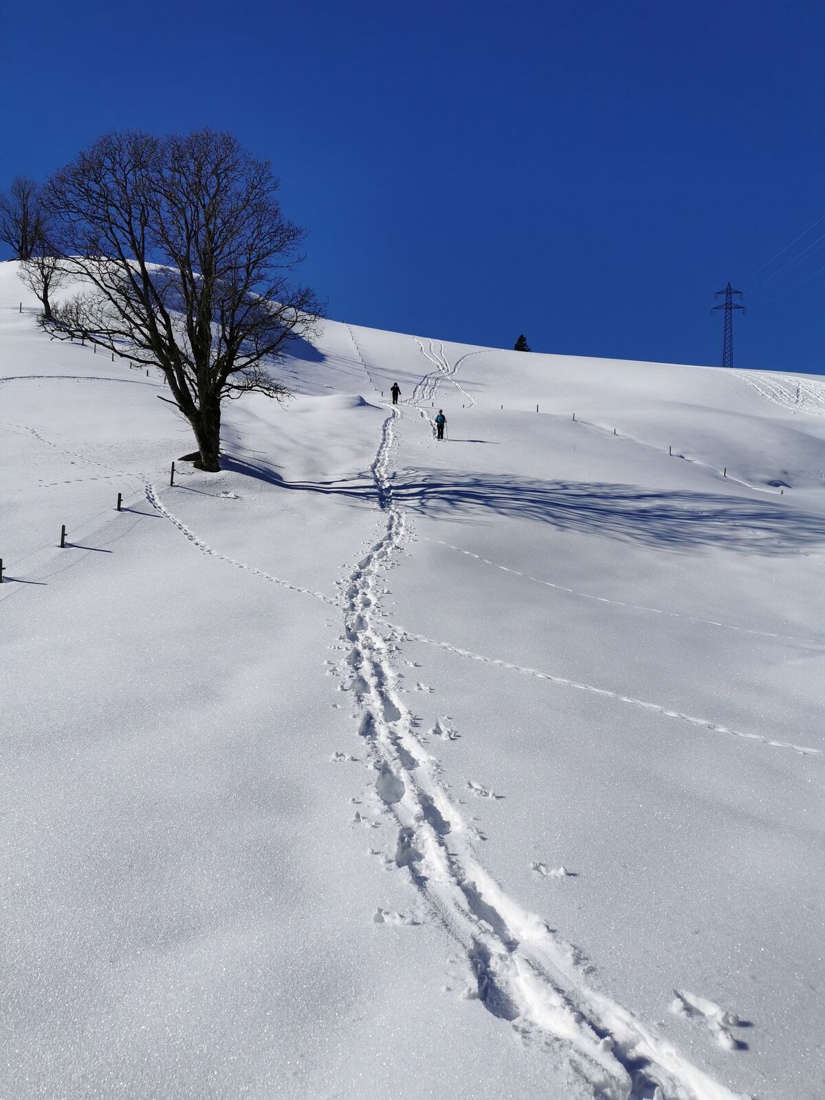
The significantly longer raised bog route with about 7 kilometers and about 200 meters elevation above the moor areas is suitable for somewhat more fit snowshoe hikers.
Those who want to learn more about the history of the bog and the inhabitants of this unique habitat should join a guided tour with a National Park ranger. He can also provide valuable tips on handling the equipment.

The raised bog route towards Bärenfilz is well signposted.
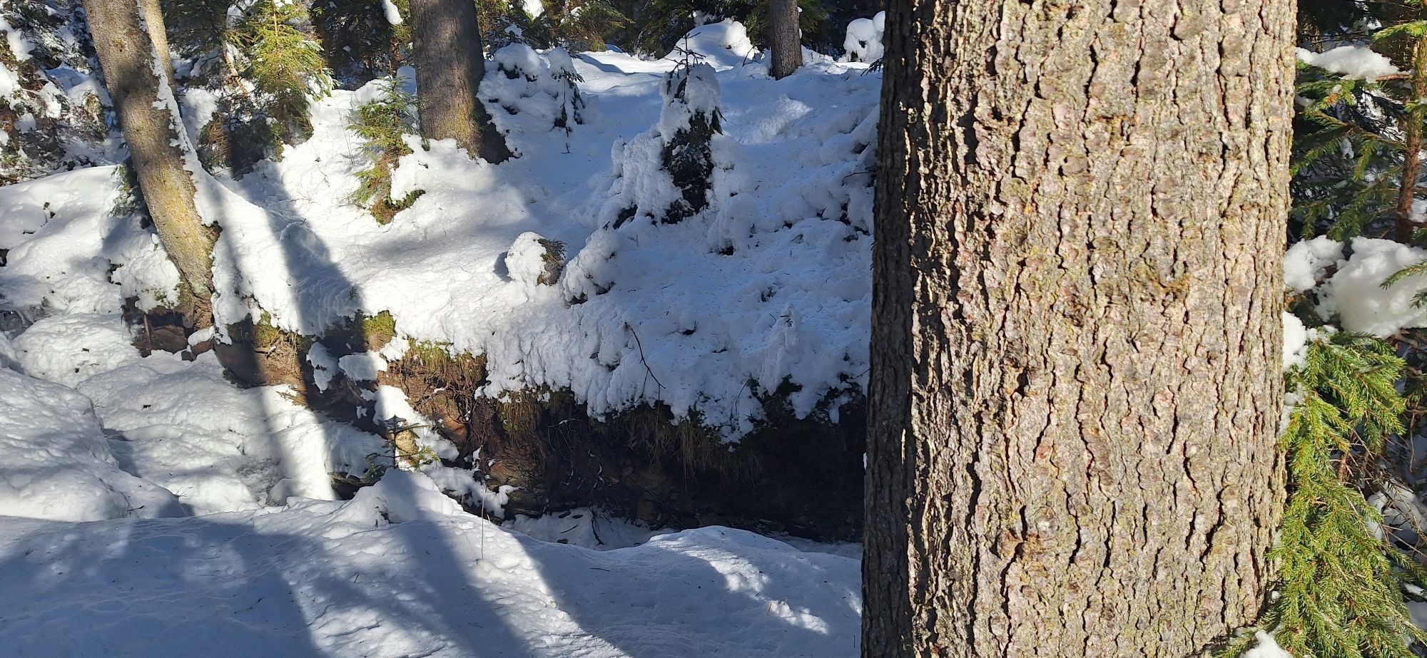
It is of course a pleasure when you walk some sections of the trail through the terrain with snowshoes, naturally without losing sight of the route.
Snowshoes and poles (rental possible), winterproof shoes, provisions and winter clothing appropriate to the temperatures, first aid kit, mobile phone.
Gaiters can be advantageous.
Safety has top priority!
The weather in the mountains can often change very quickly.
Please check the weather conditions before every hike and pay attention to appropriate equipment and provisions!
A first aid kit and a mobile phone should always be in the pack.
Coming from Mittersill on the federal highway B161 to the Tauernblick car park, shortly before the large right-hand bend to the middle station of the Panoramabahn Kitzbüheler Alpen, about 1.5 km below the pass height.
Accessible from Mittersill or Kitzbühel by ski bus.
Tauernblick car park: free of charge
The region is also ideal for cross-country skiers - there are trails for every level.
Snowshoe hikers should, however, try to avoid the ski trails. It is far more enjoyable to trudge through untouched snow cover.
In the cozy Hochmoorstüberl, Pinzgau specialties are served. Stopping by is worth it!
Near the starting point, there is a viewing tower and toilets.
Priljubljeni izleti v okolici
- 3,6
Smaragdwanderweg Habachtal/Bramberg
svetlobaPohodništvo7,17 km - 4,7
Tristkogel
težkoPohodništvo15,6 km - 4,4
Bramberg: Smaragdweg
svetlobaTematska pot7,27 km - 4,9
Streif Wanderweg
srednjaPohodništvo5,73 km - 4,5
Smaragdweg
svetlobaPohodništvo7,84 km - 3,3
Wildkogel Arena: The longest illuminated sled run in the world
težkoSankanje12,0 km - 5,0
Manlitzkogel
težkoPohodništvo13,4 km - 3,8
Mittersill - Hintersee und Plattachsee
težkoPohodništvo9,90 km - 4,7
Smaragdweg, Habachtal, Bramberg
svetlobaPohodništvo15,5 km Route 232: Hahnenkamm
Mountainbike15,1 km
Pohodništvo in sledenje


Ne zamudite ponudb in navdiha za naslednje počitnice
Vaš e-poštni naslov je bil dodan na poštni seznam.