







SalzburgerLand Road Bike Tour Overall Route
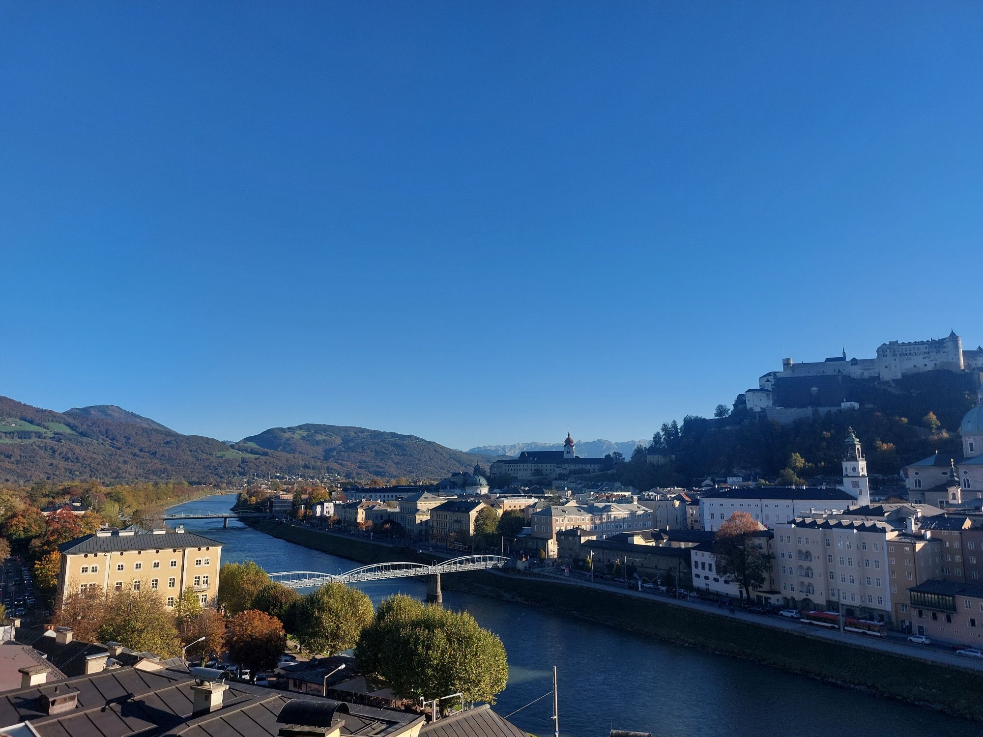
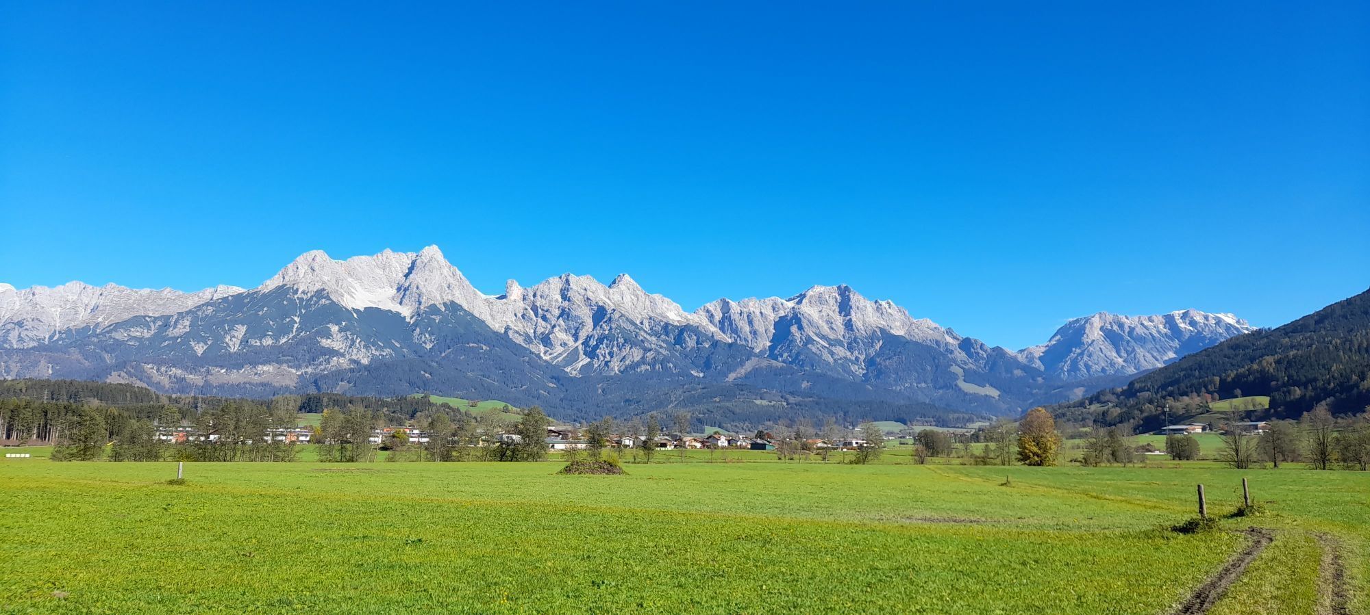
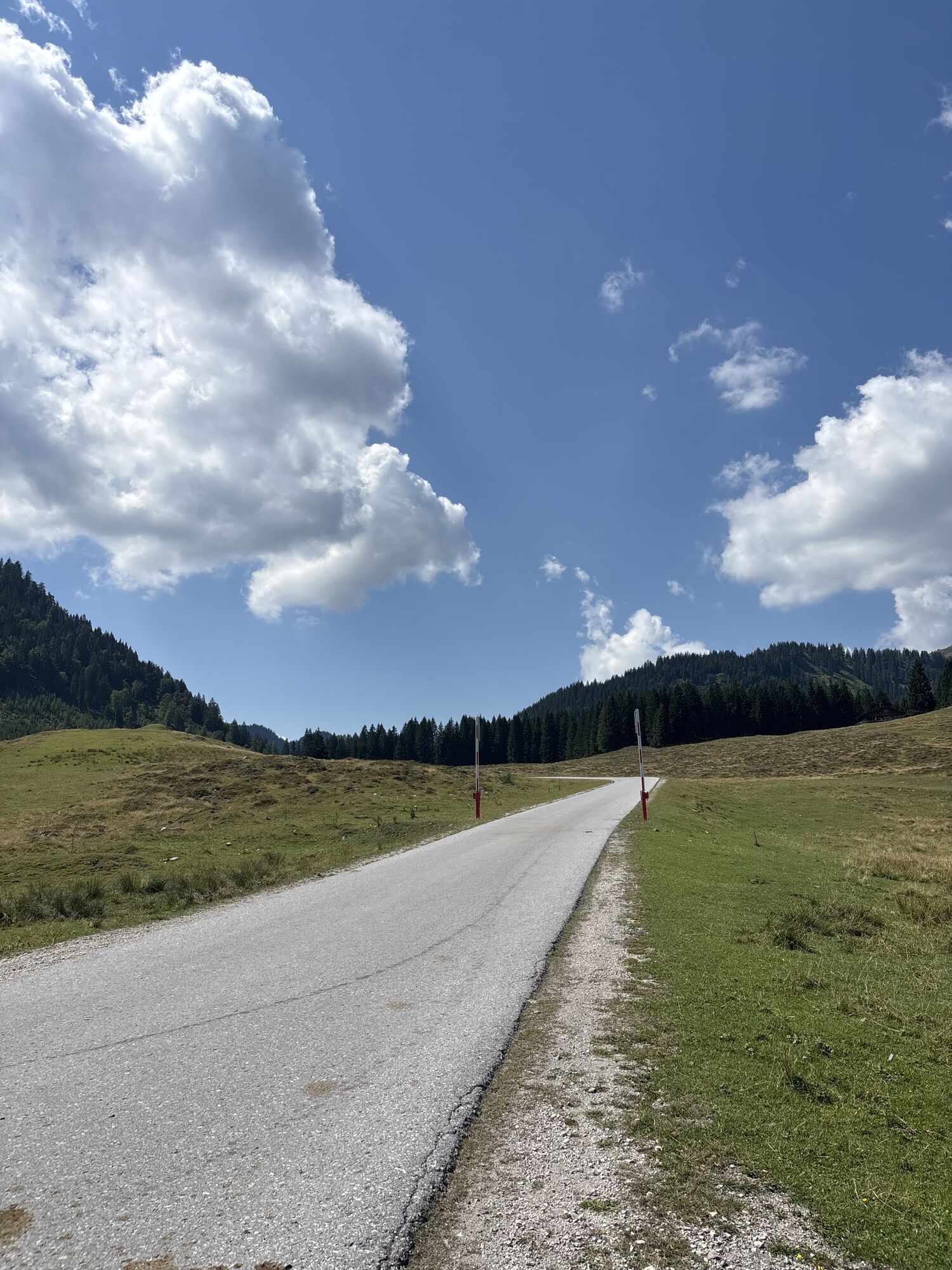
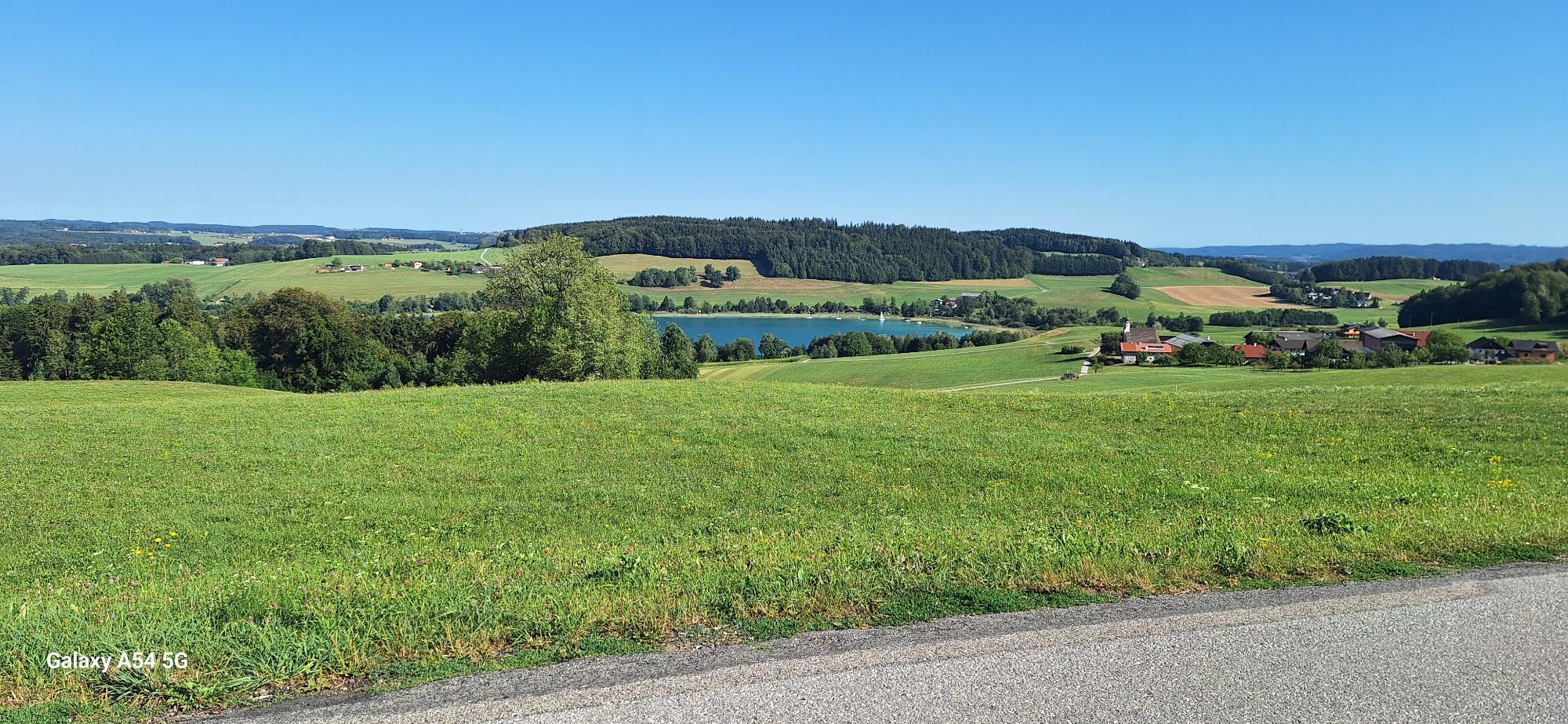
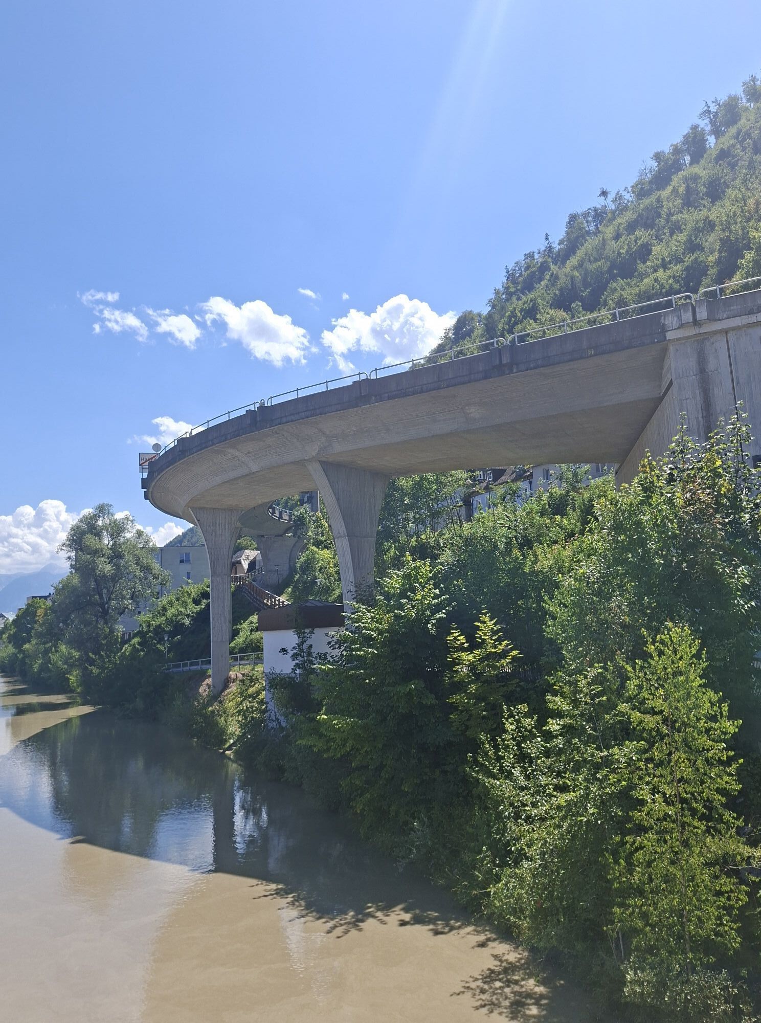
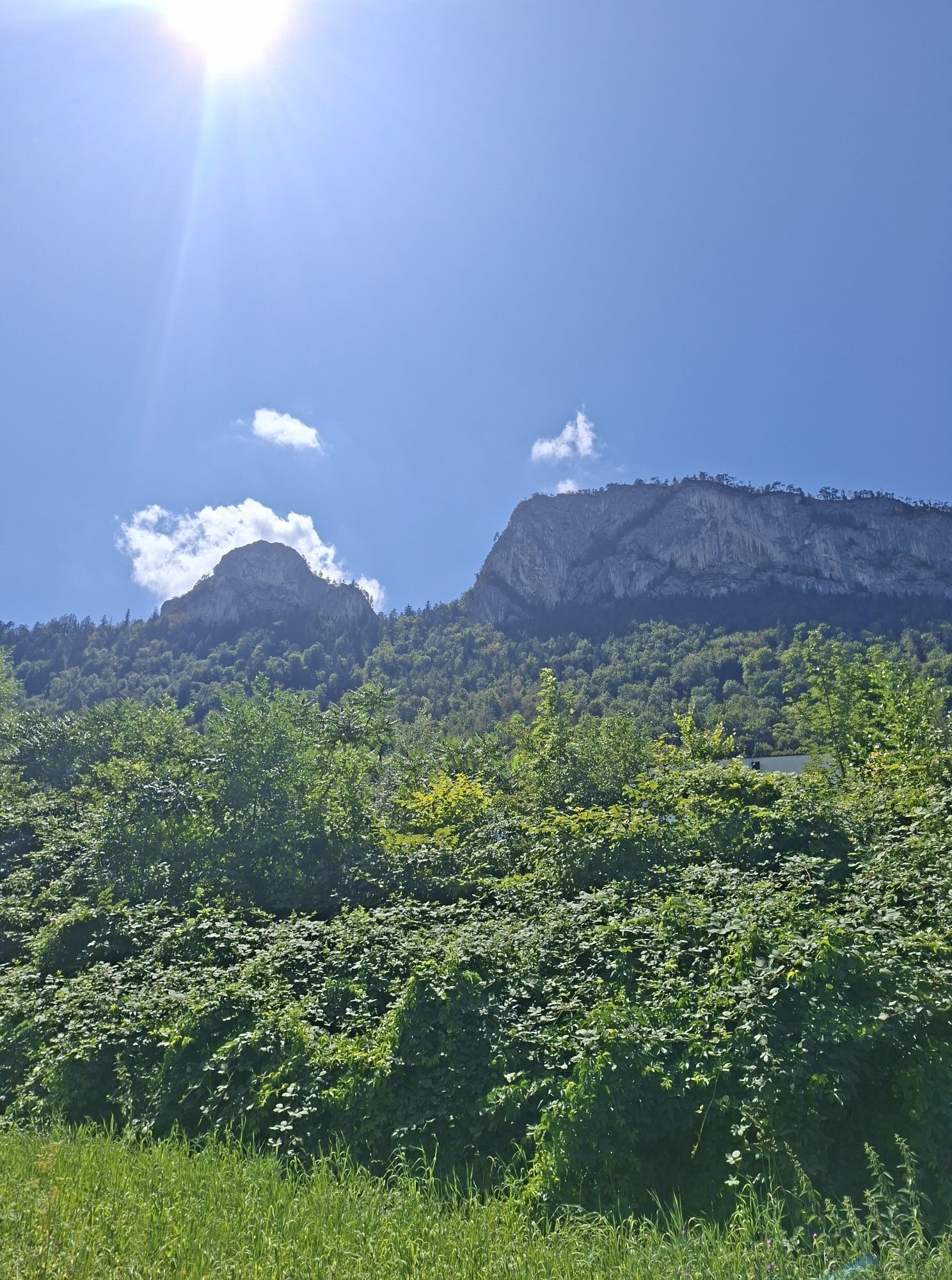
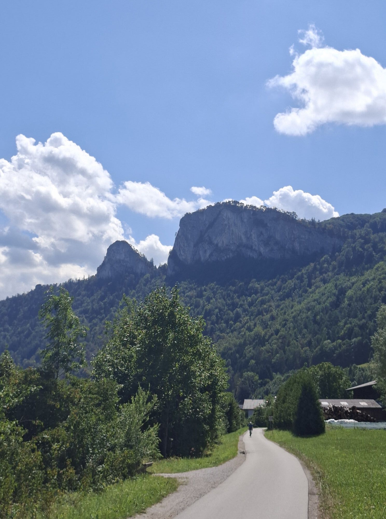
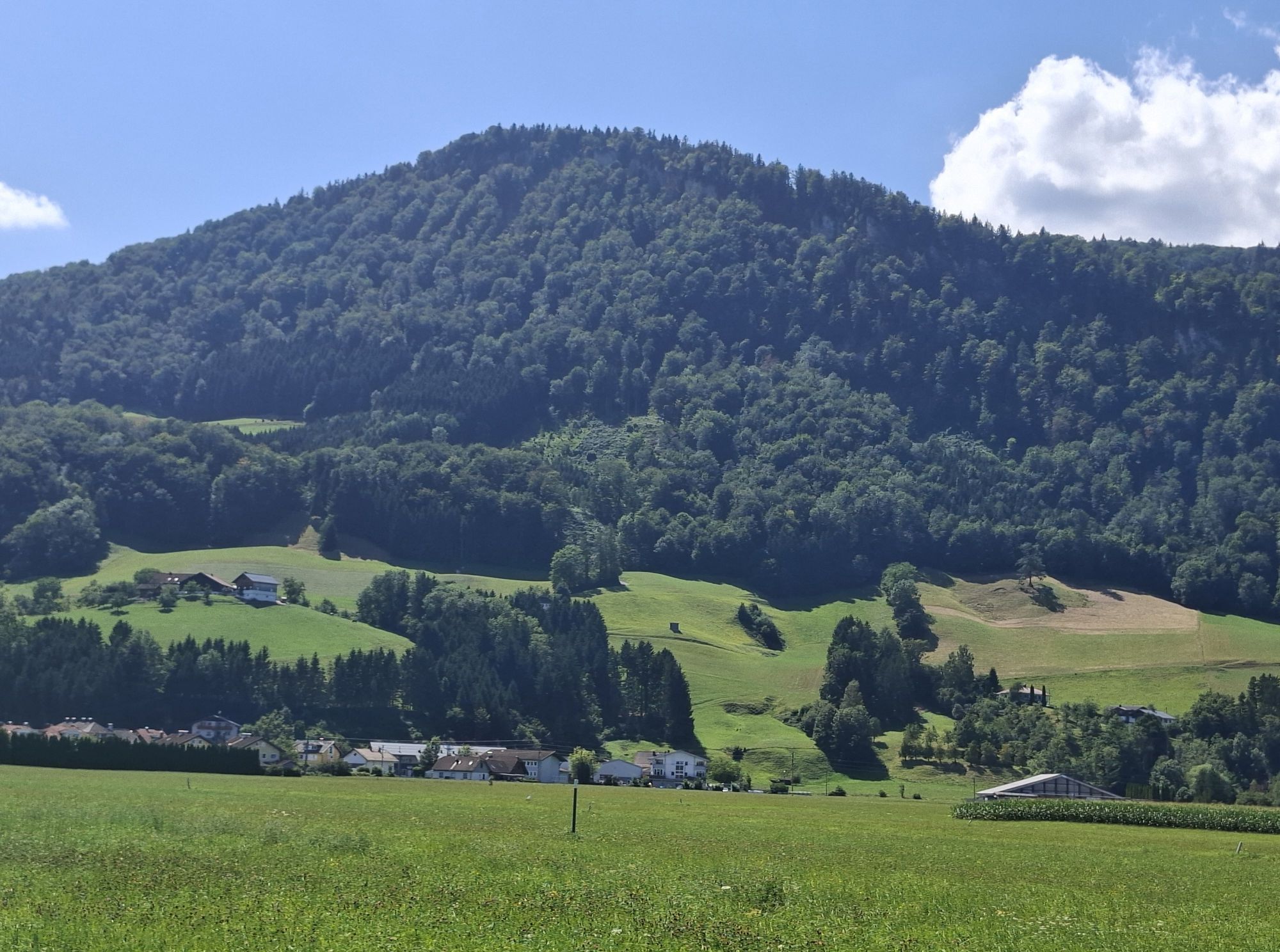
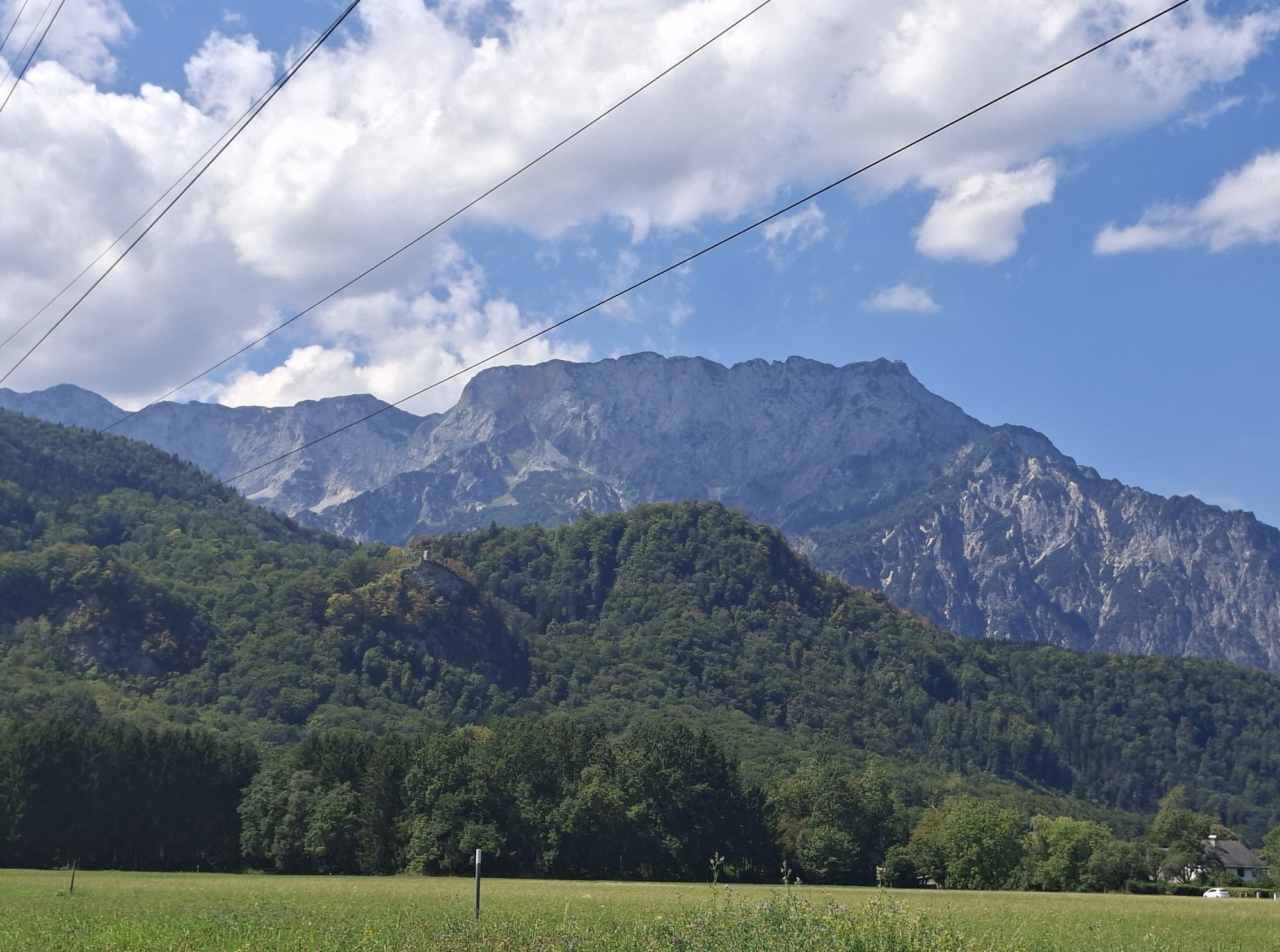
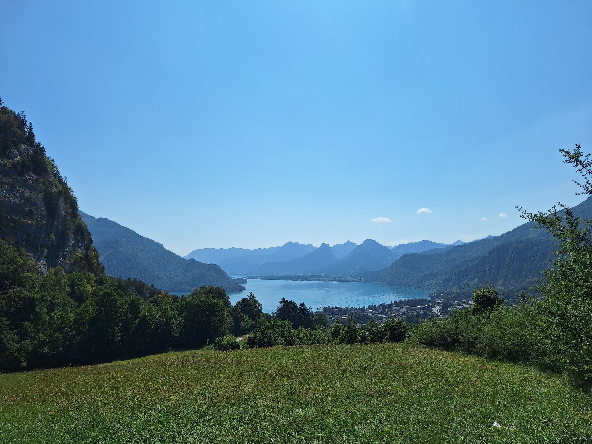
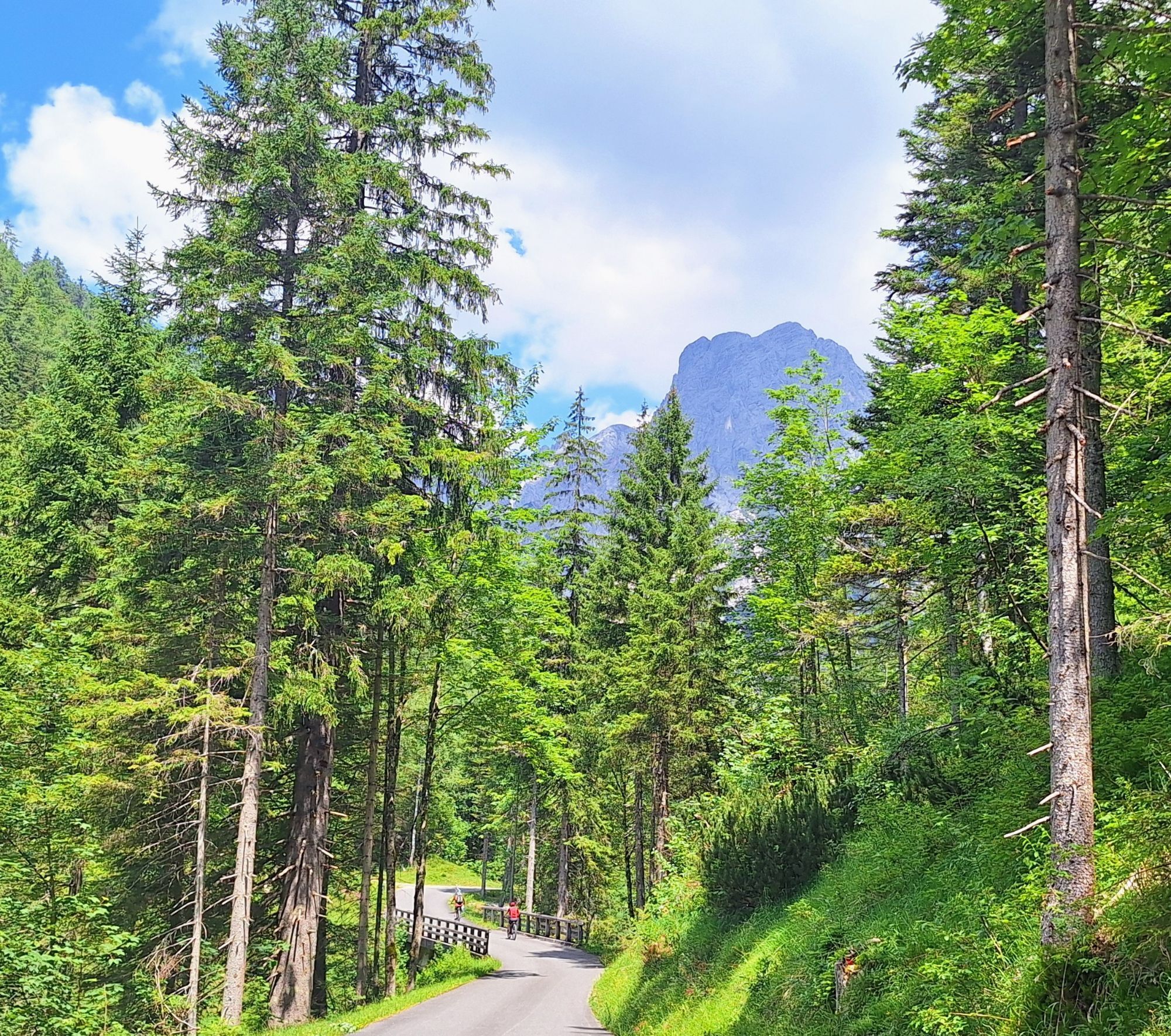
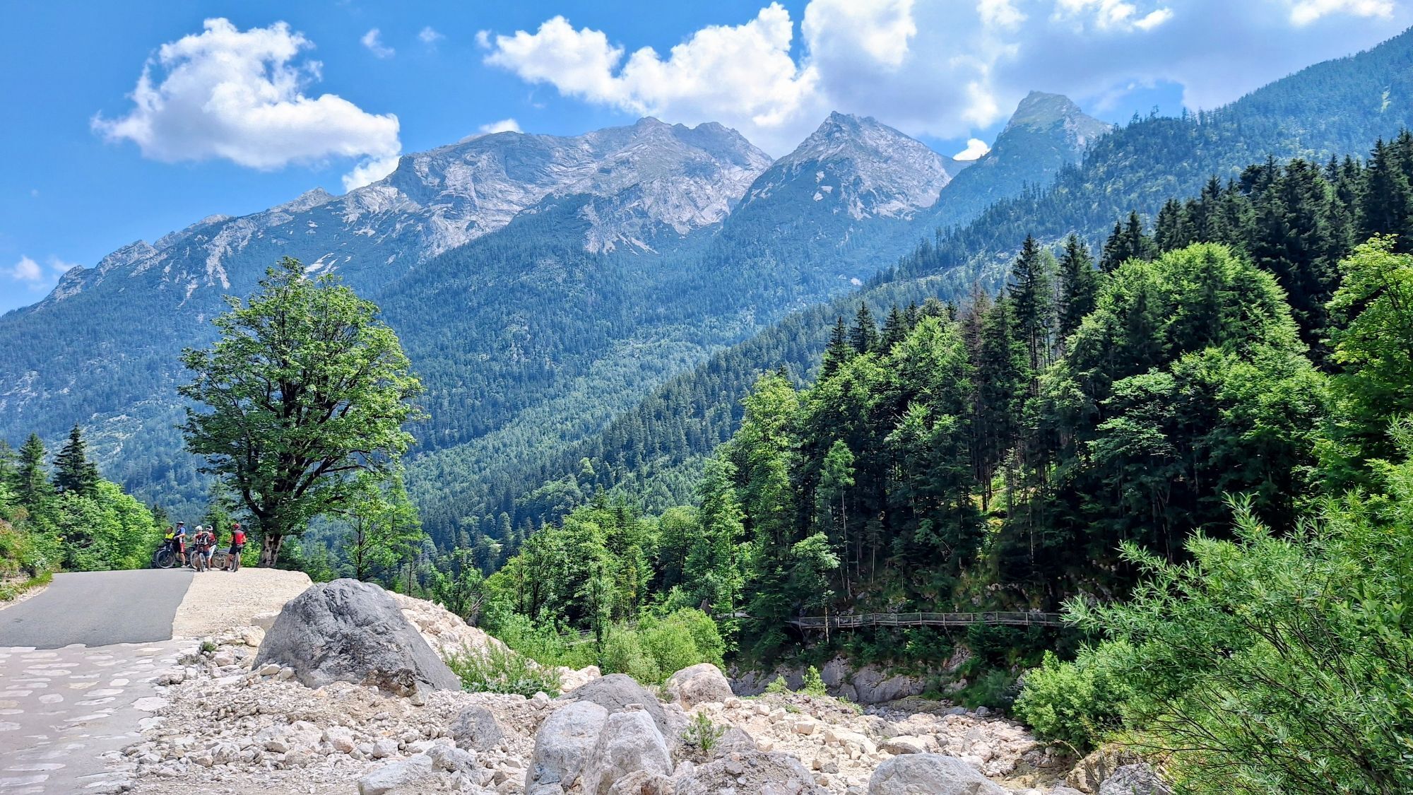
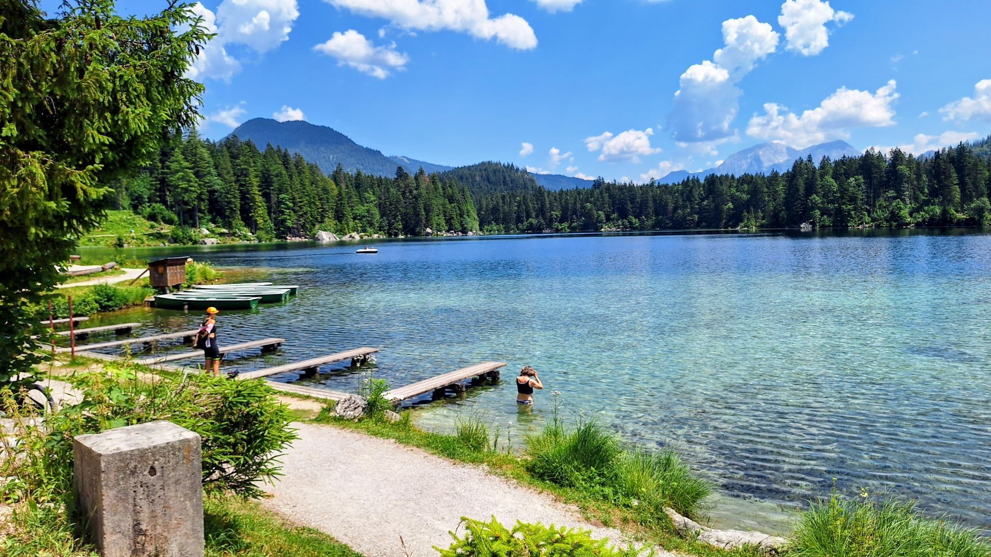
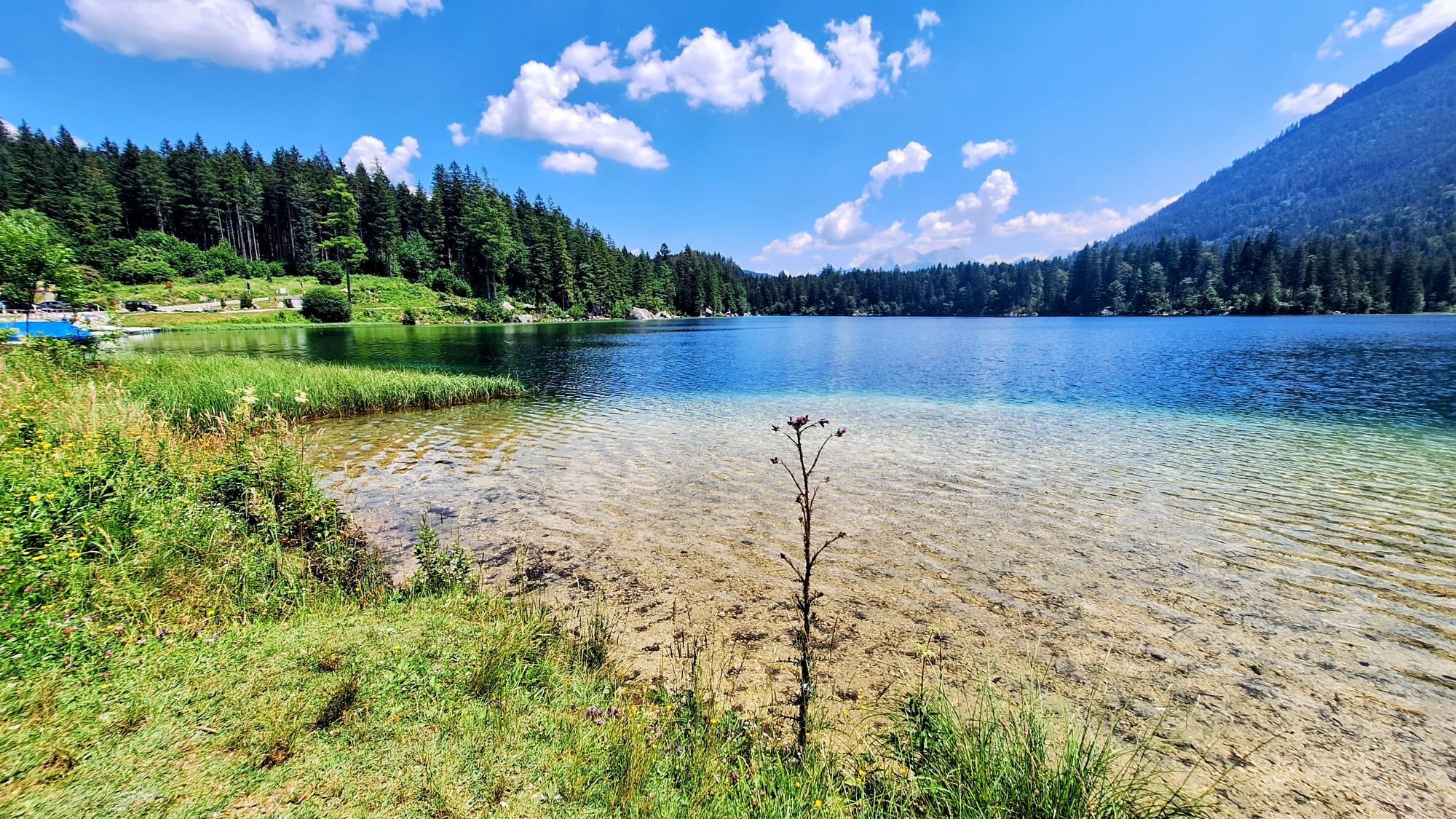
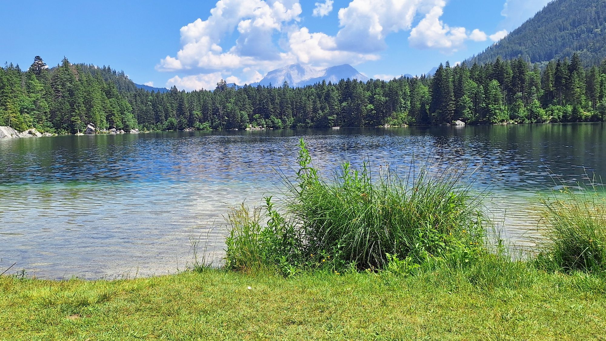
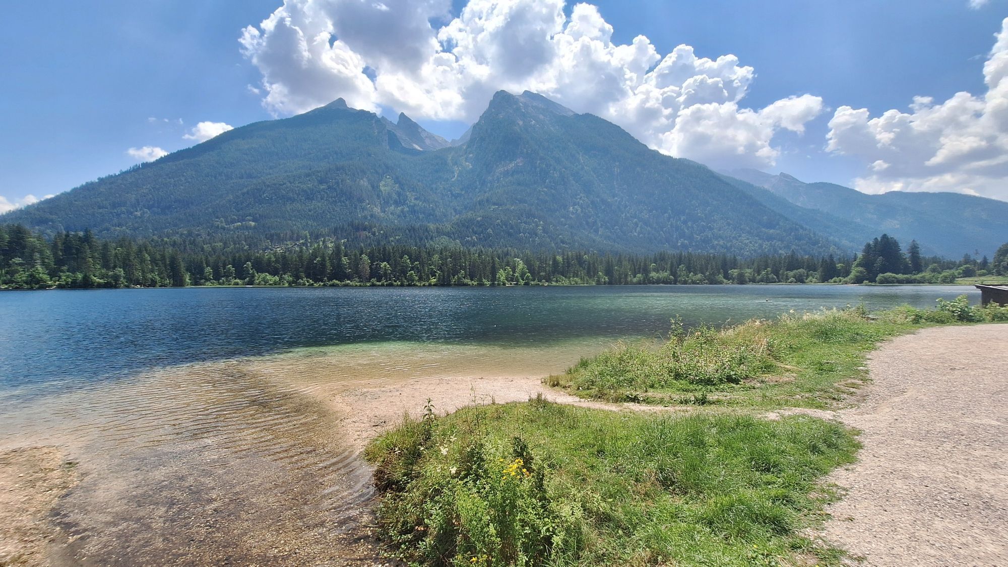
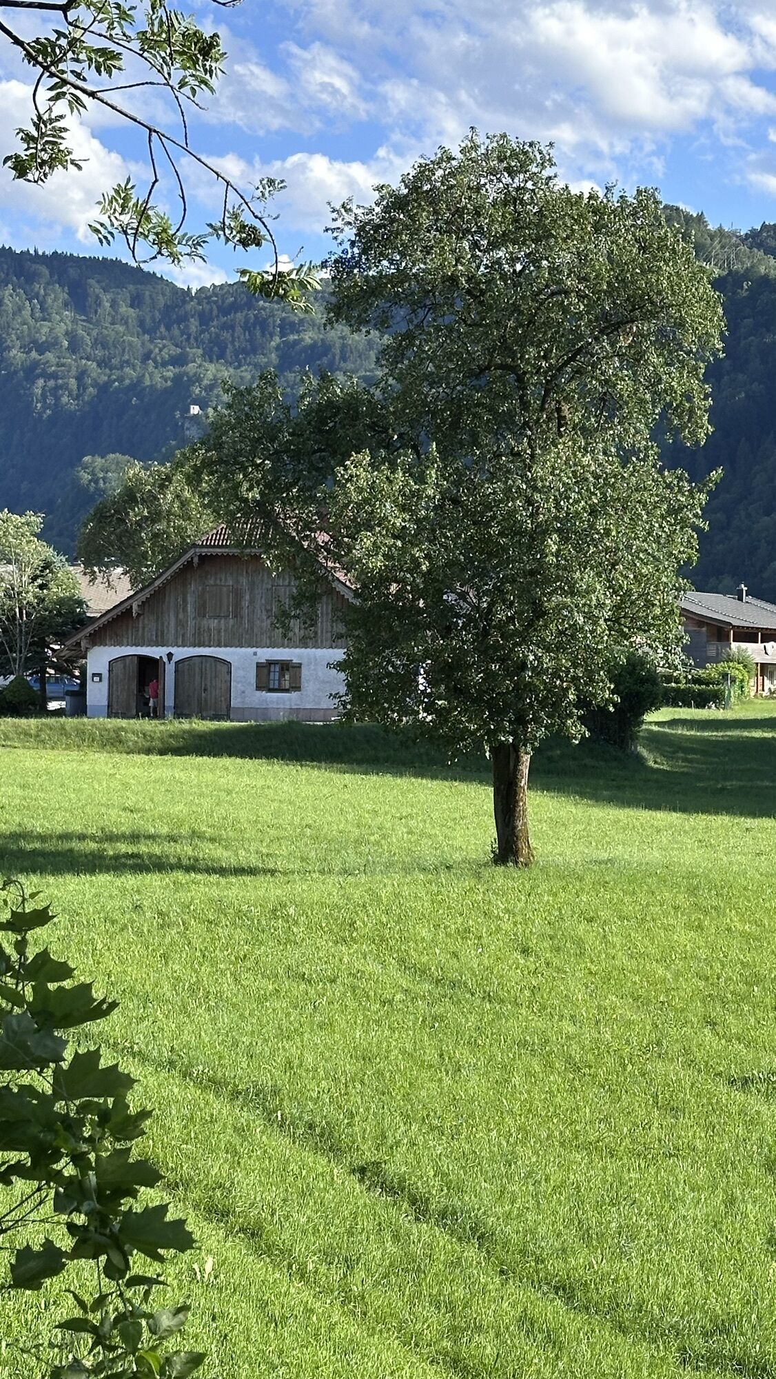
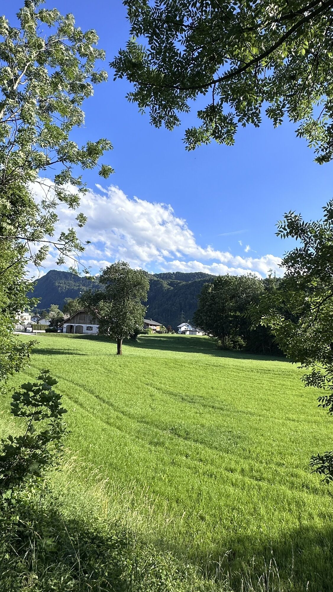
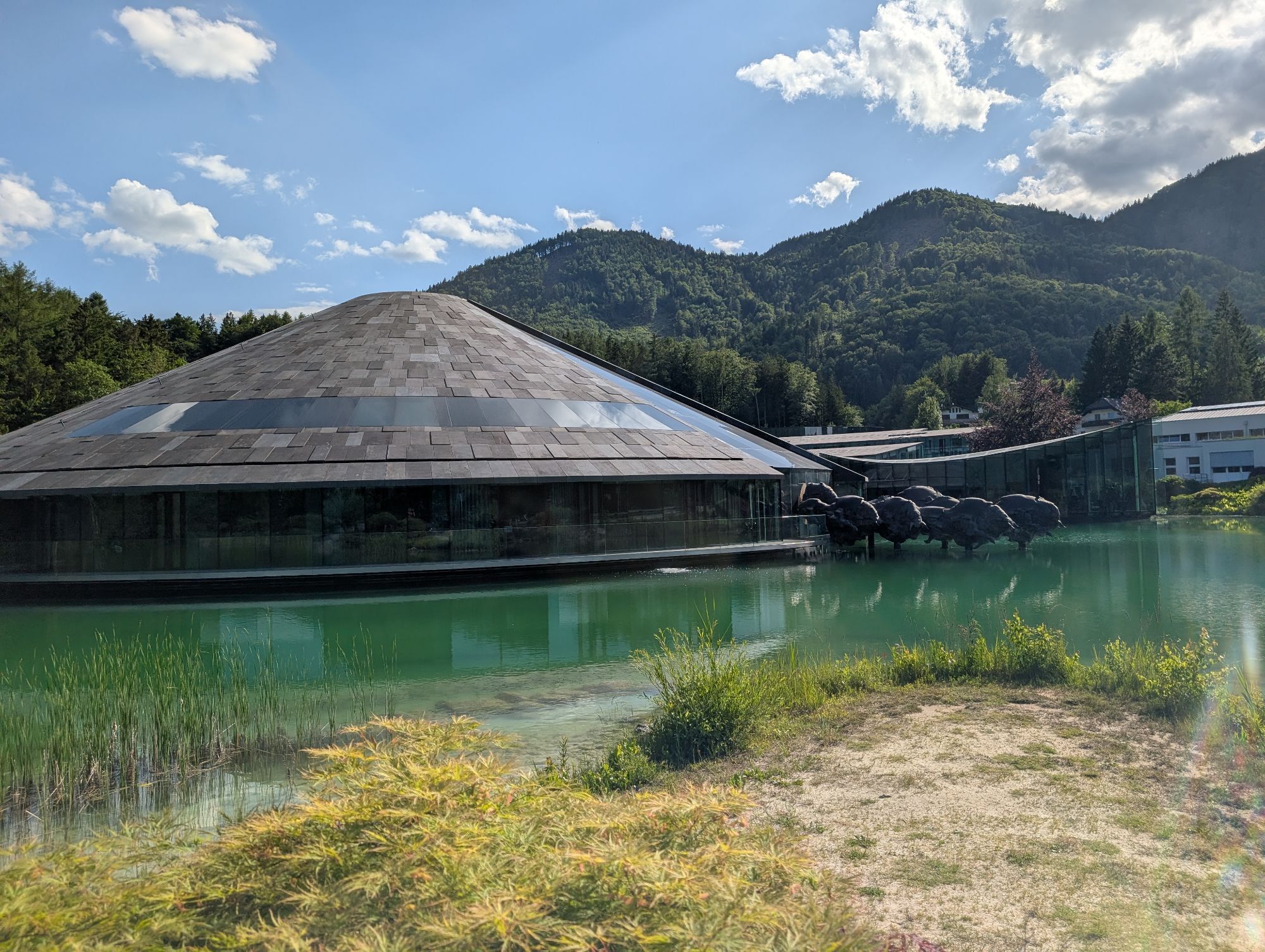
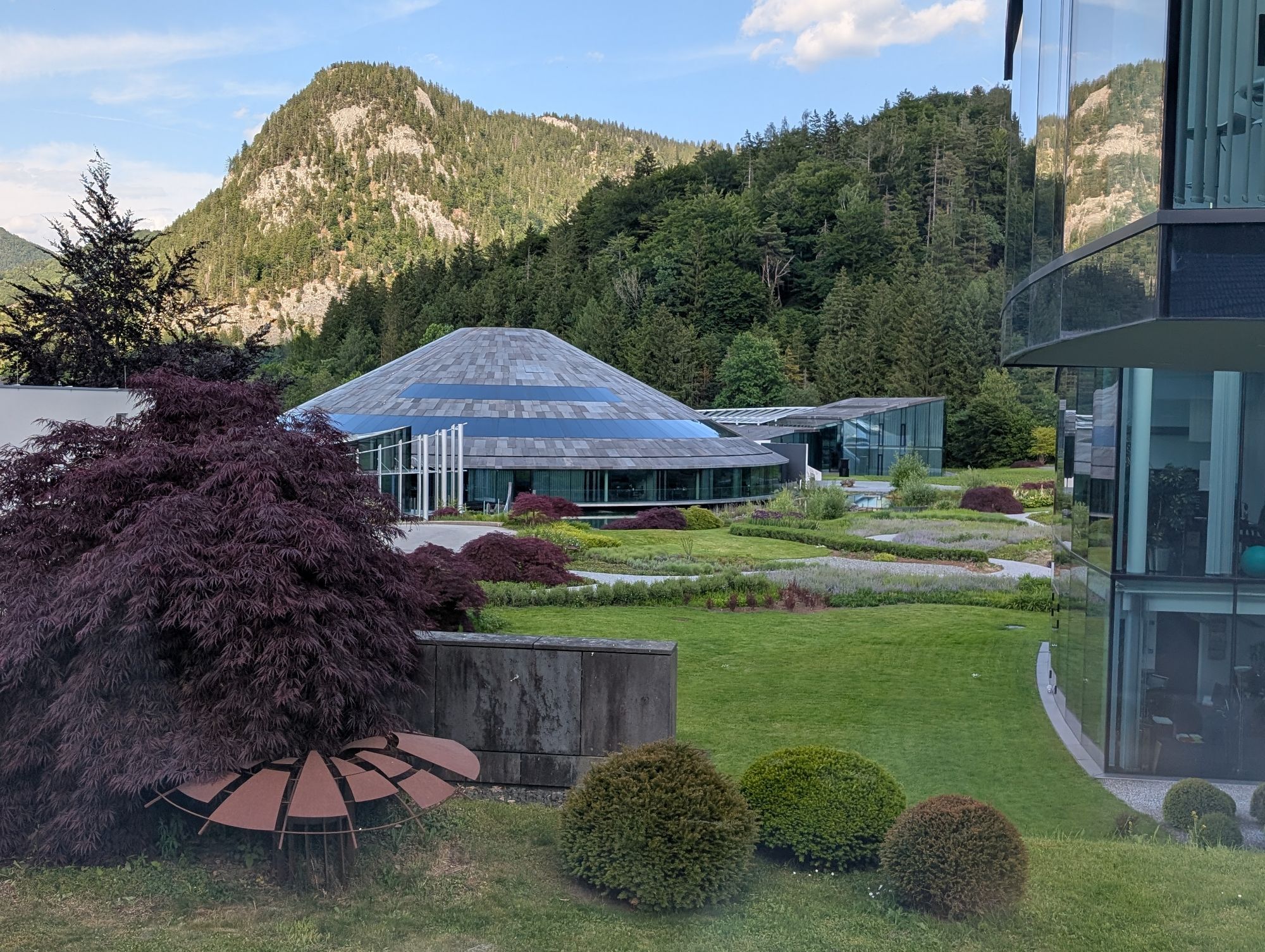
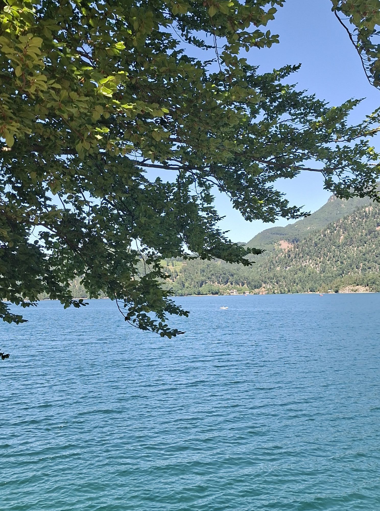
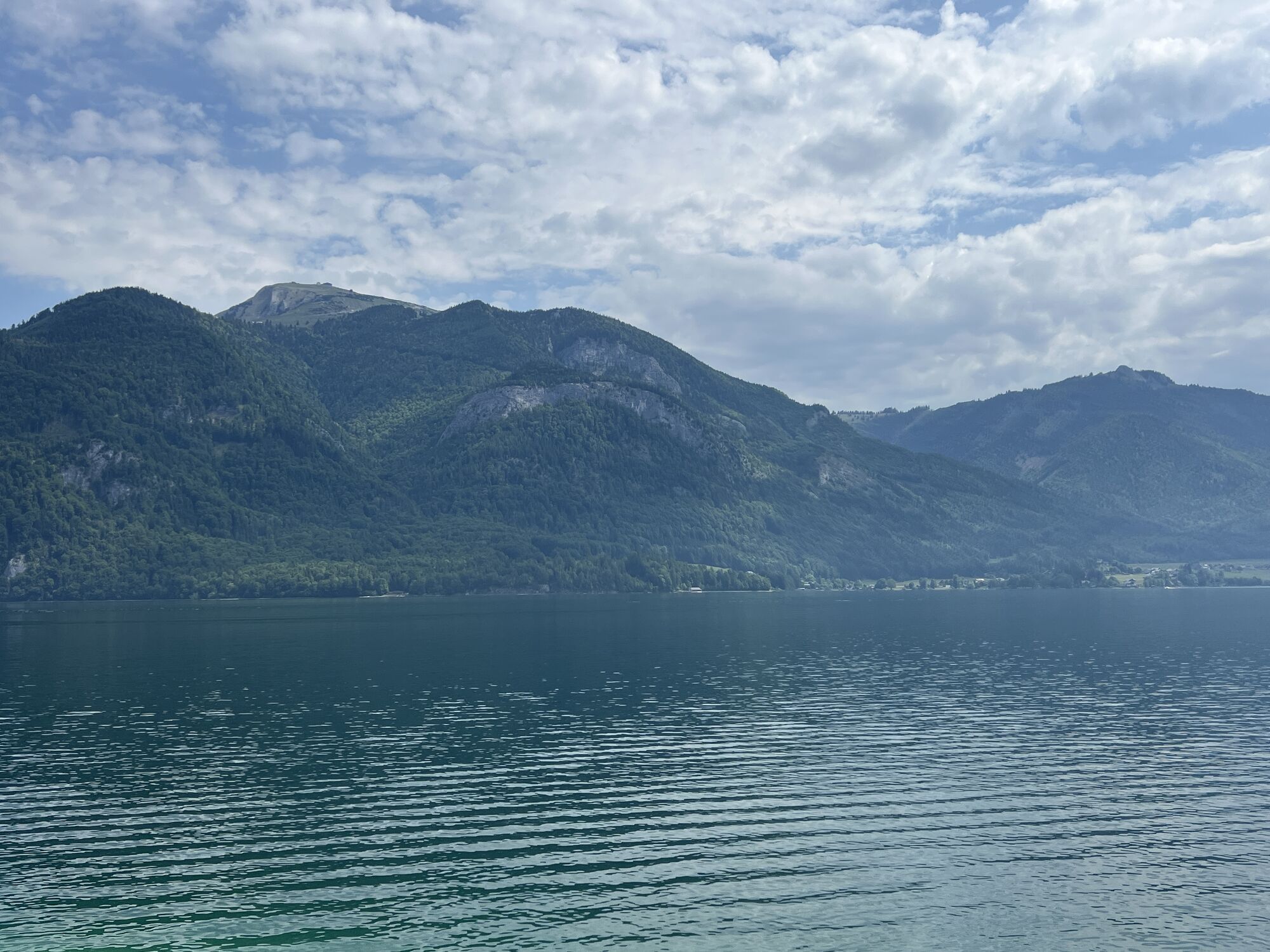
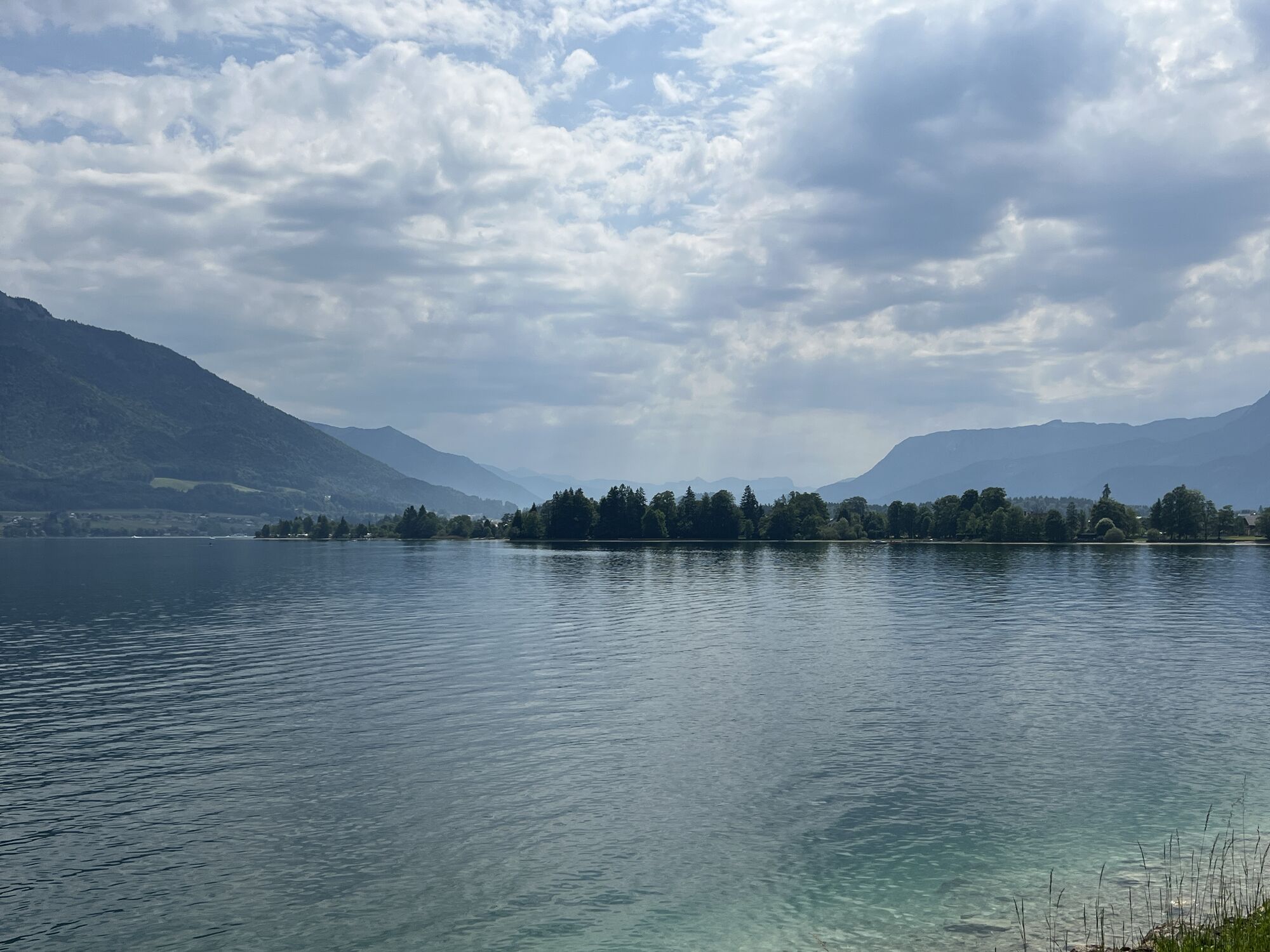
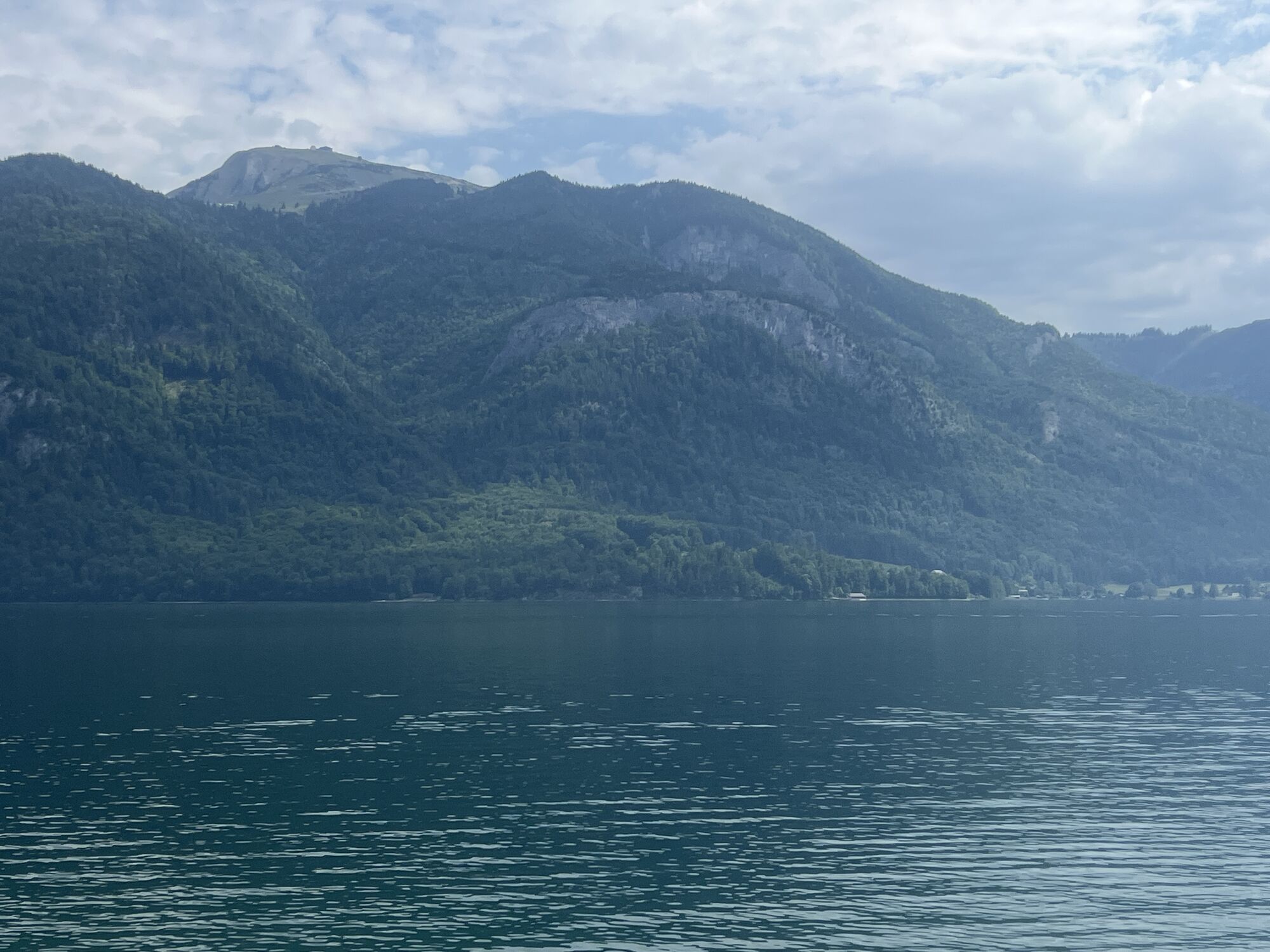
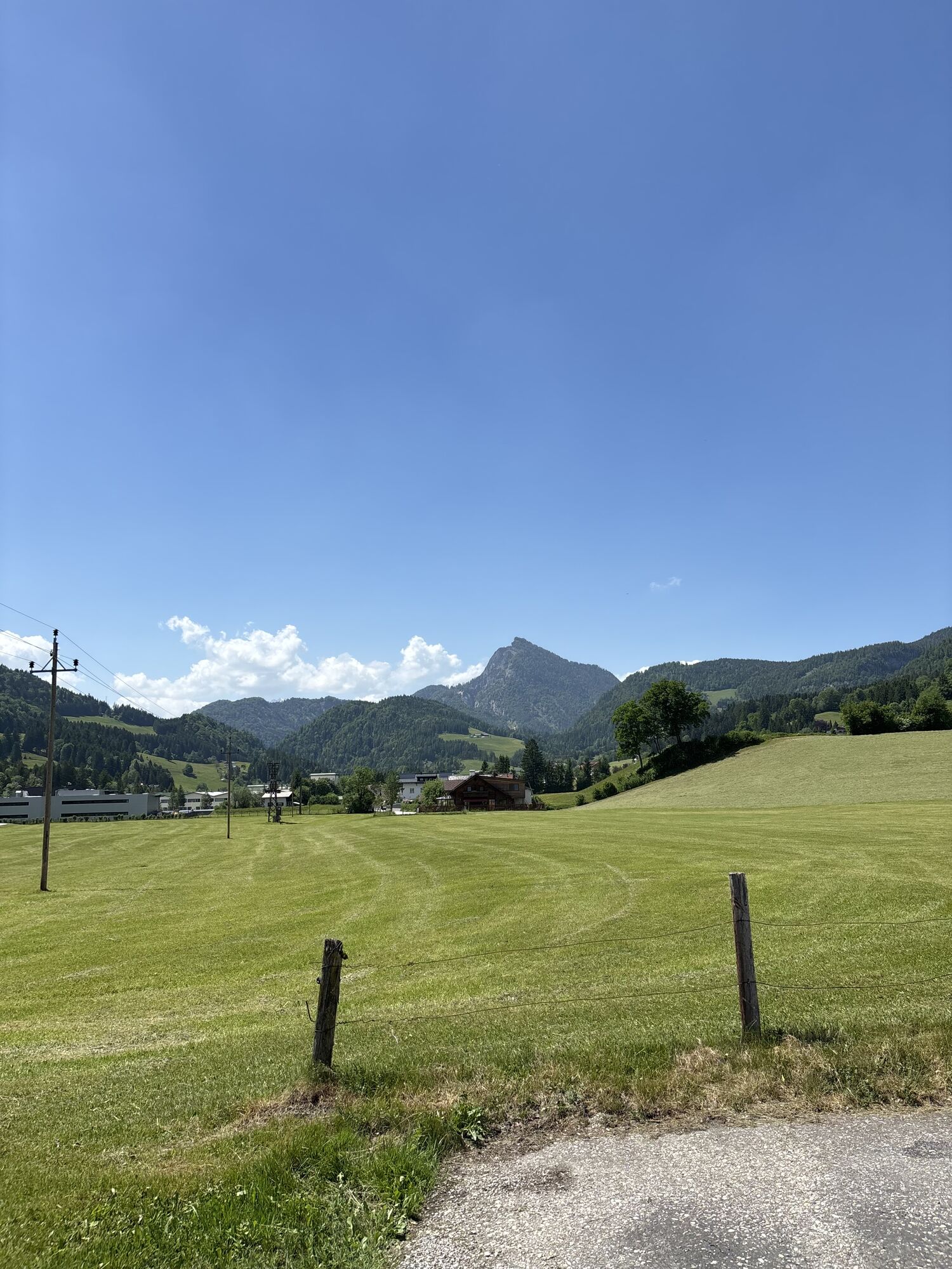
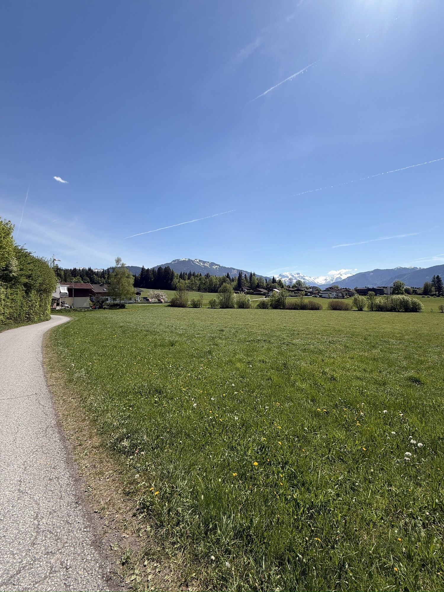
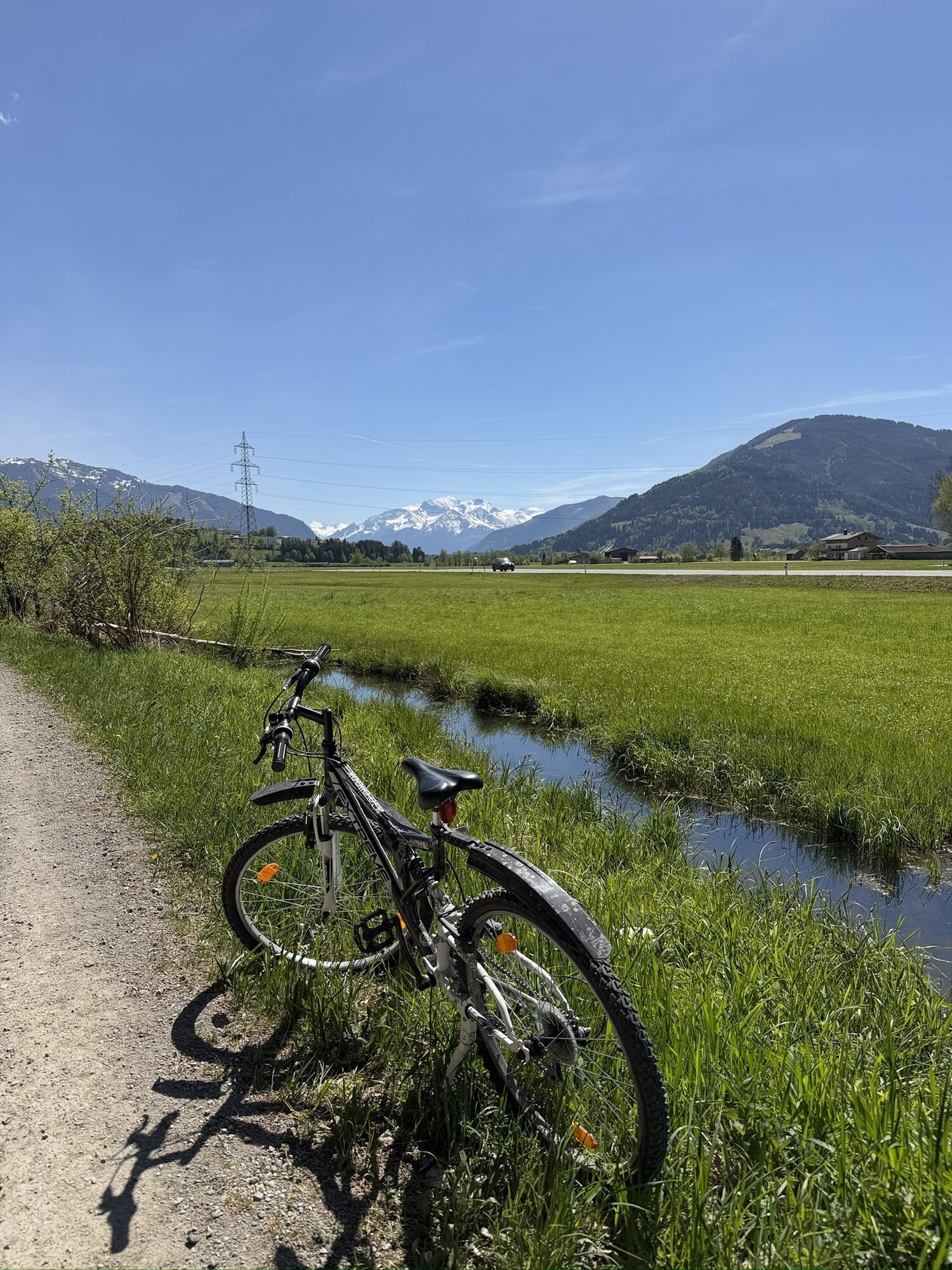
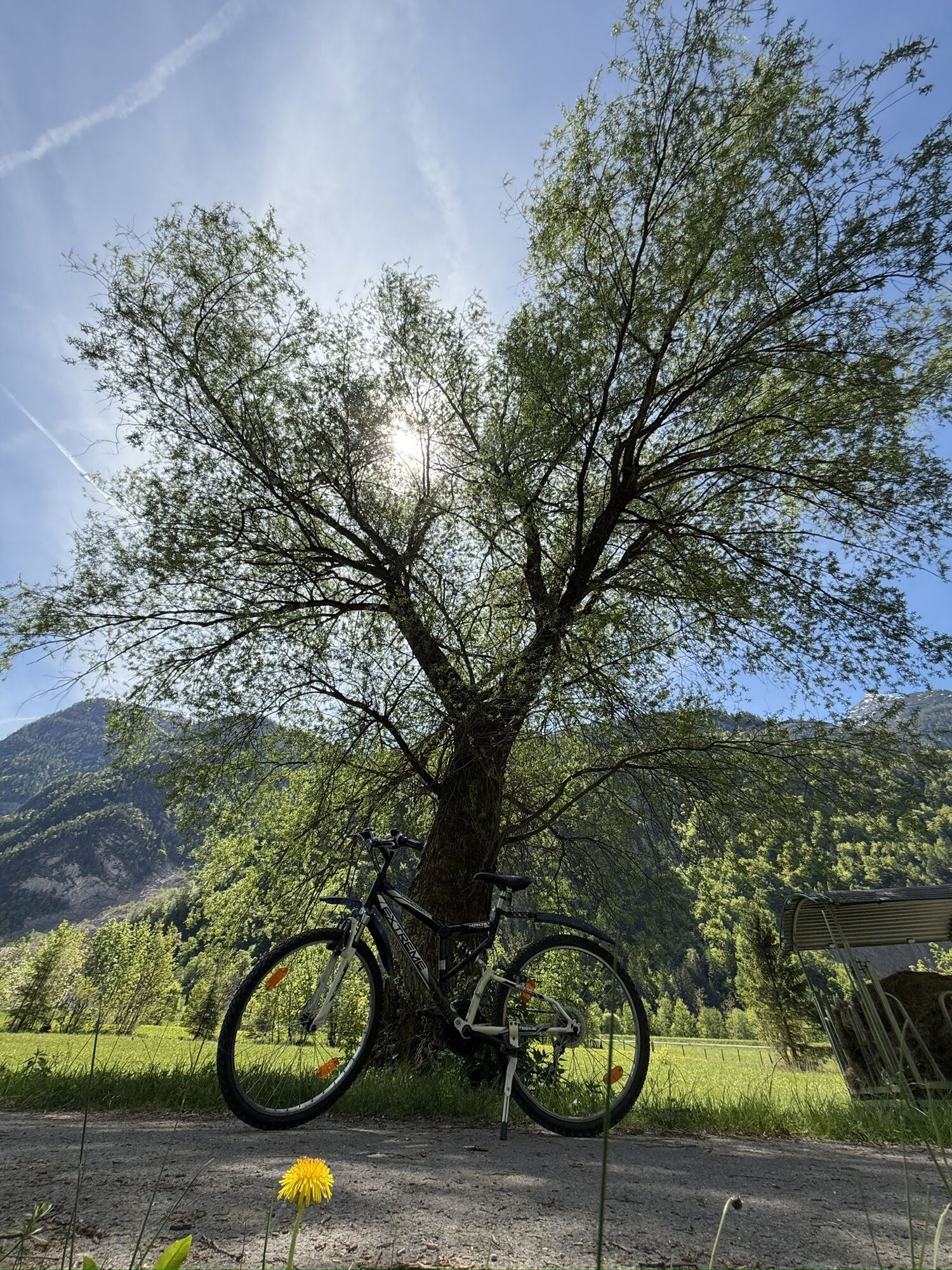
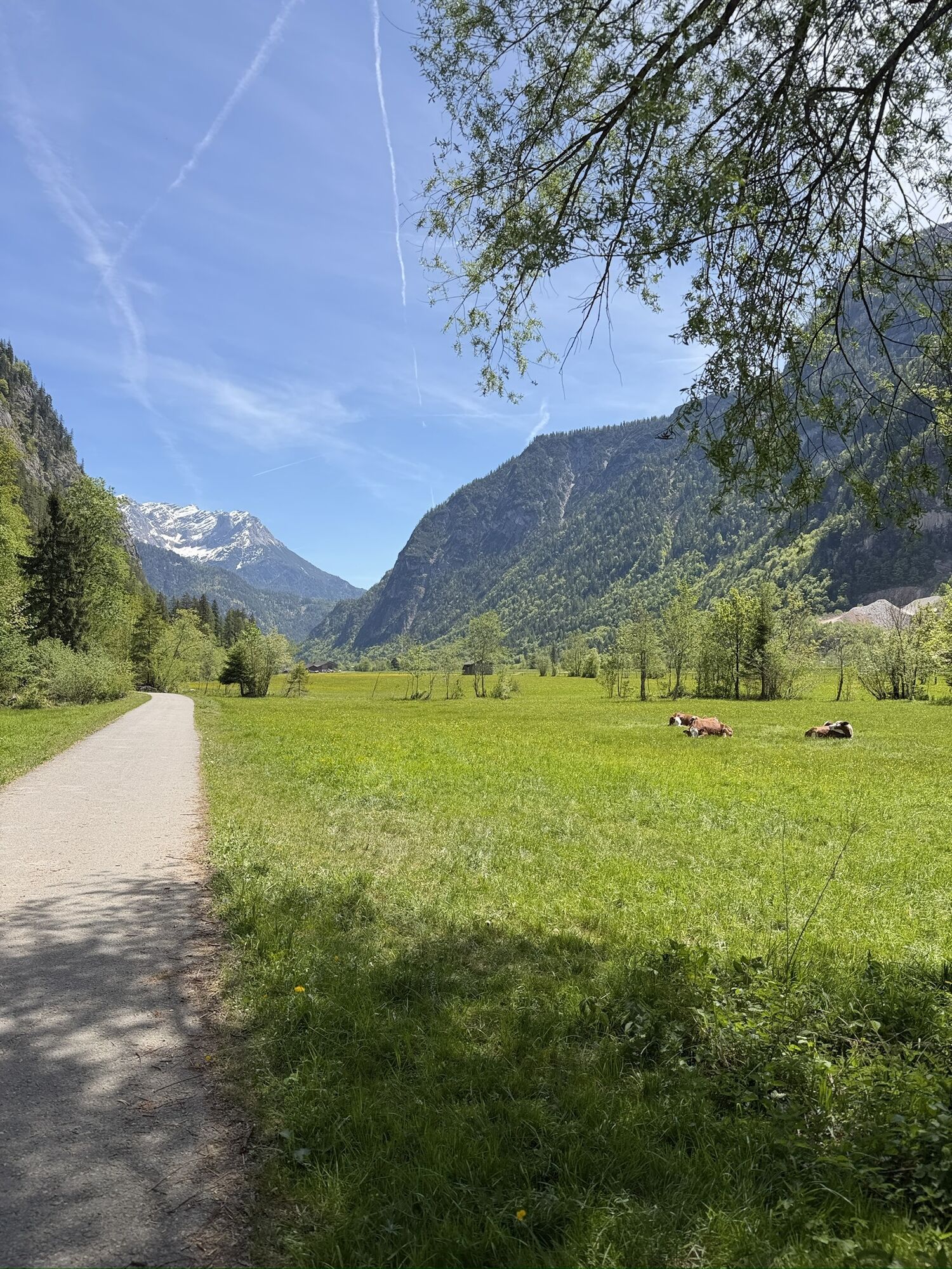
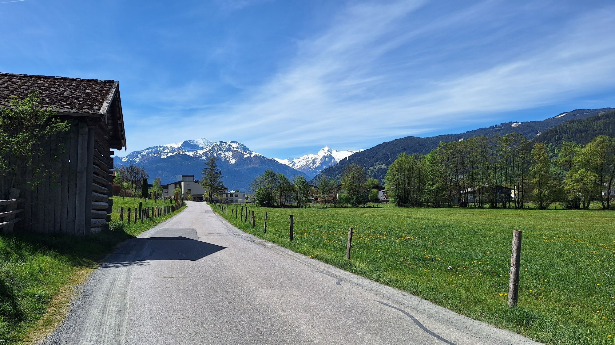
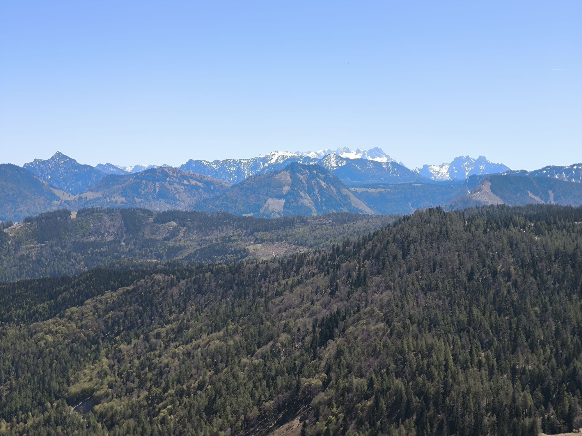
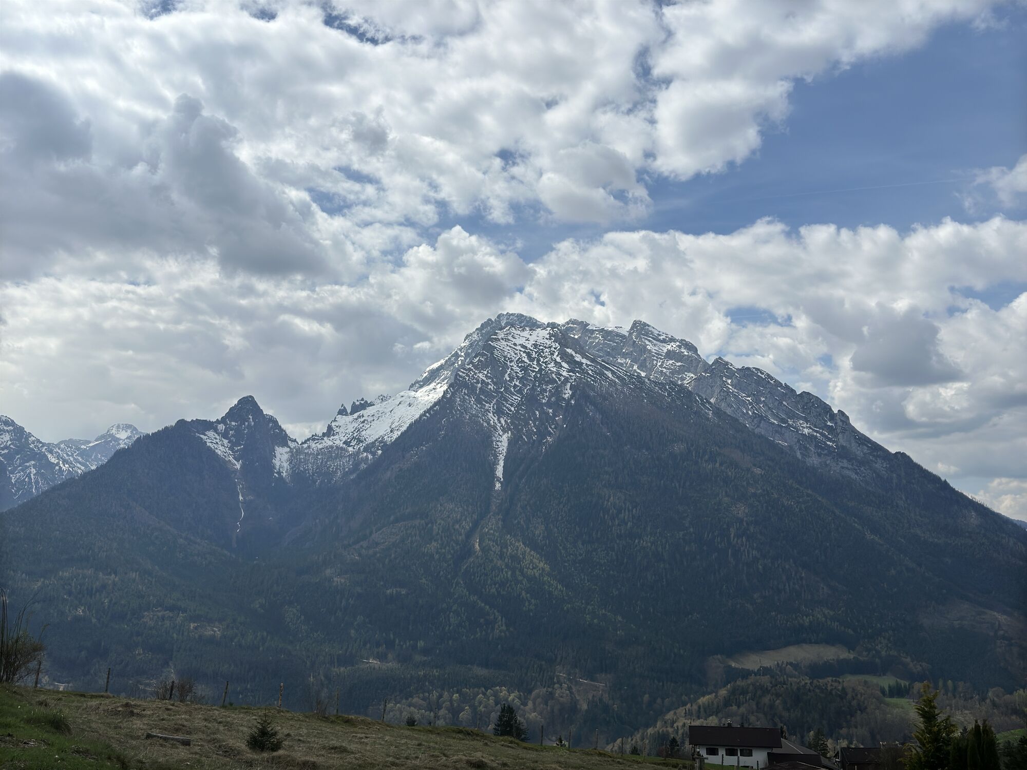
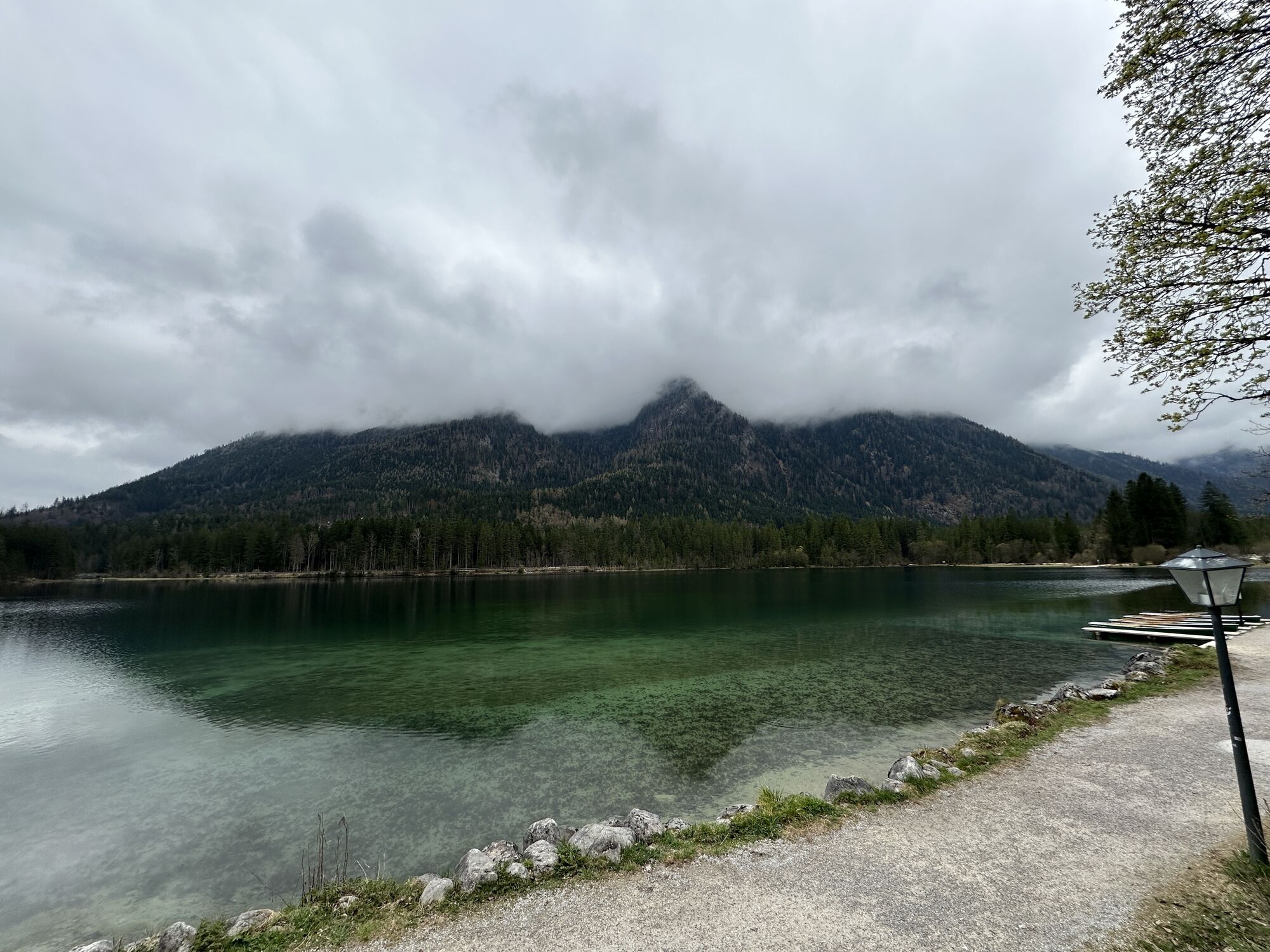
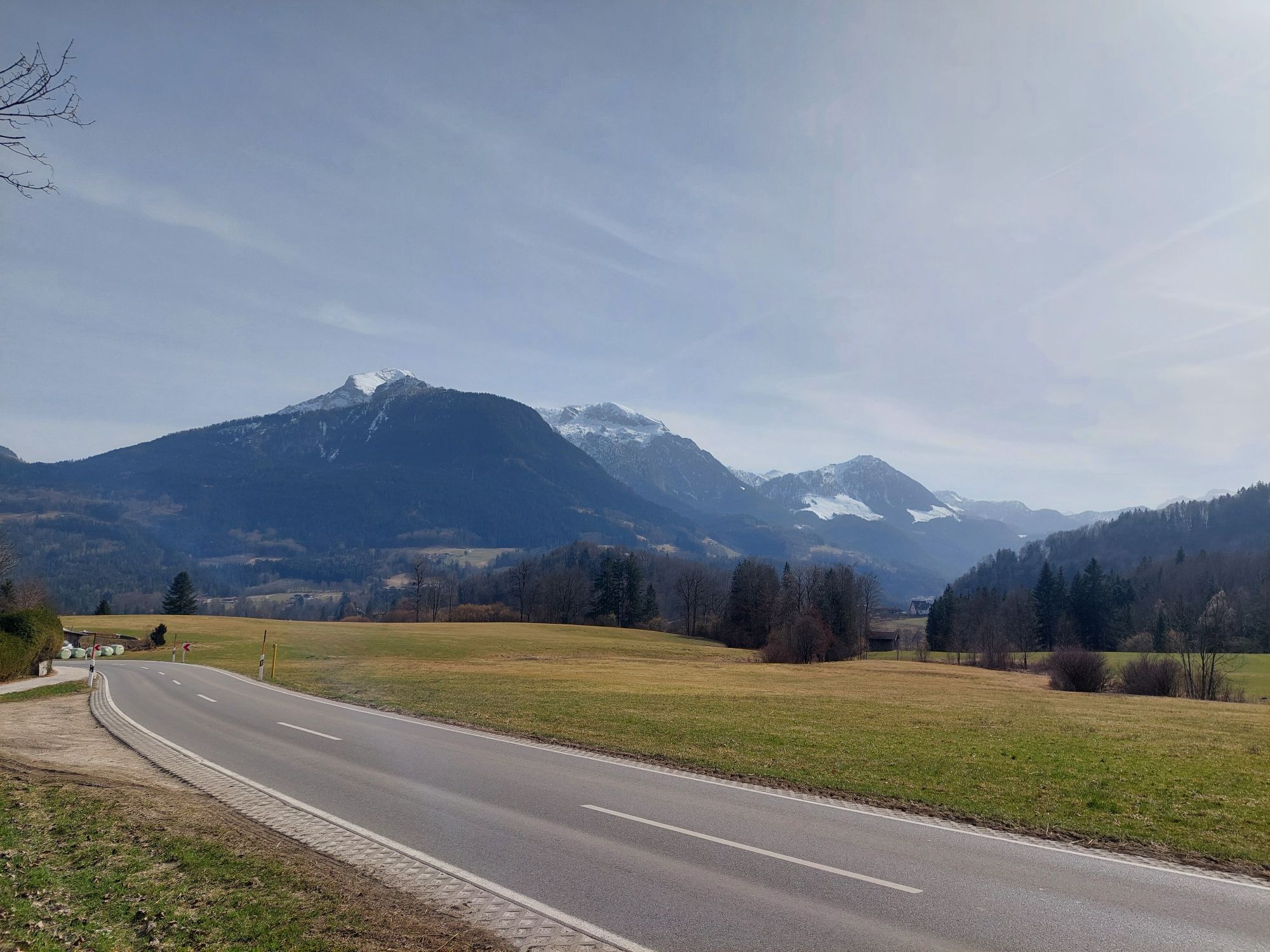
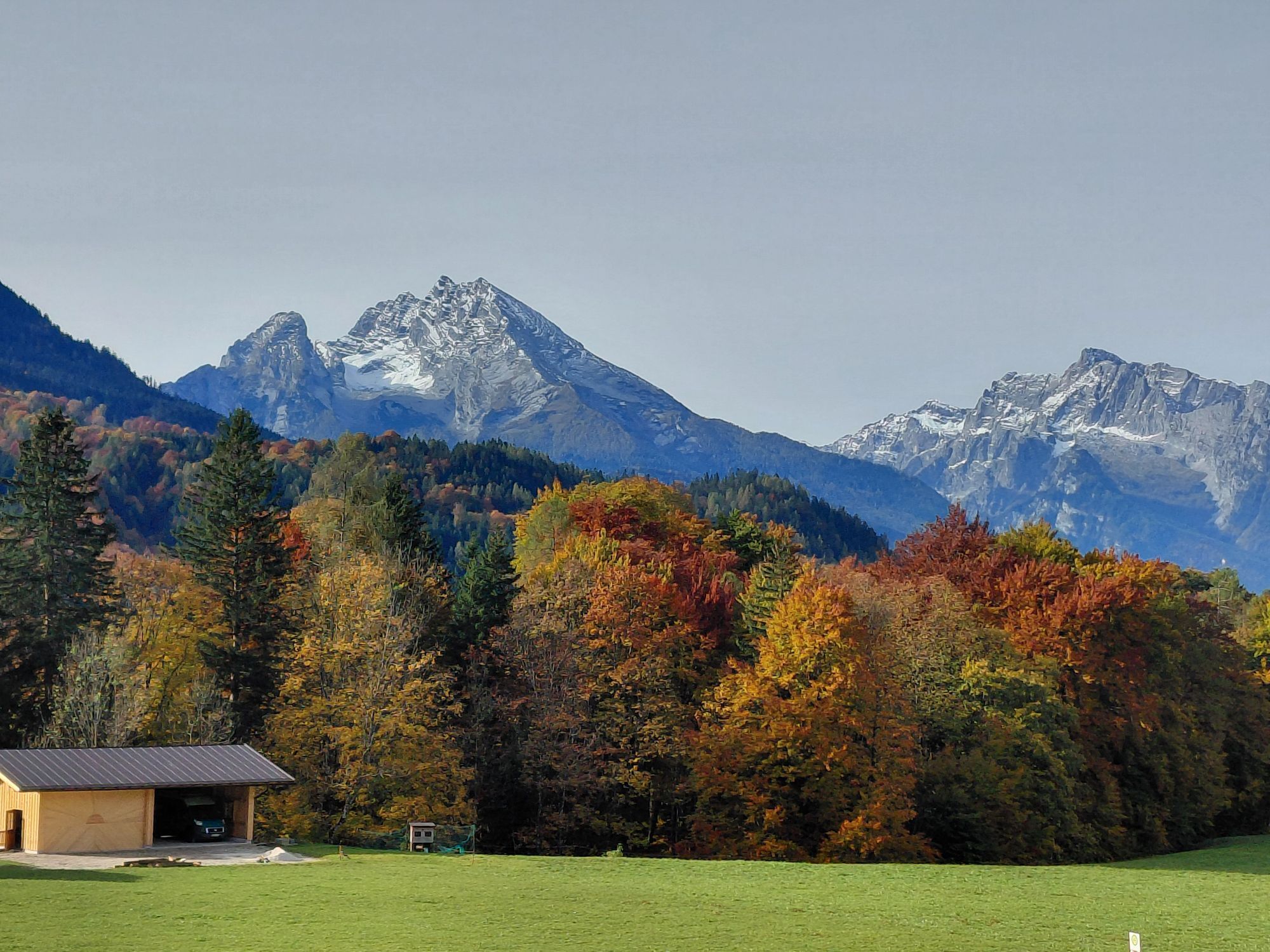
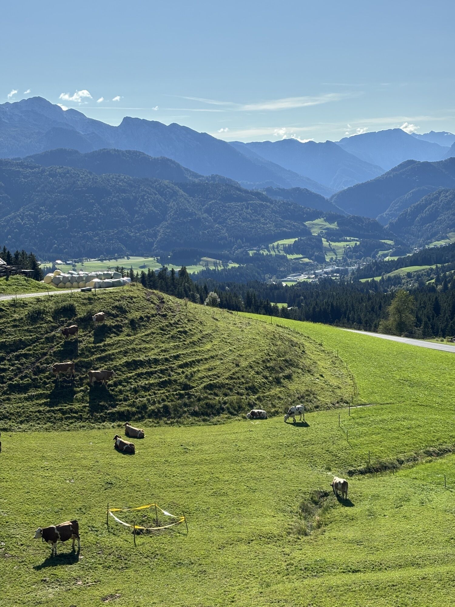
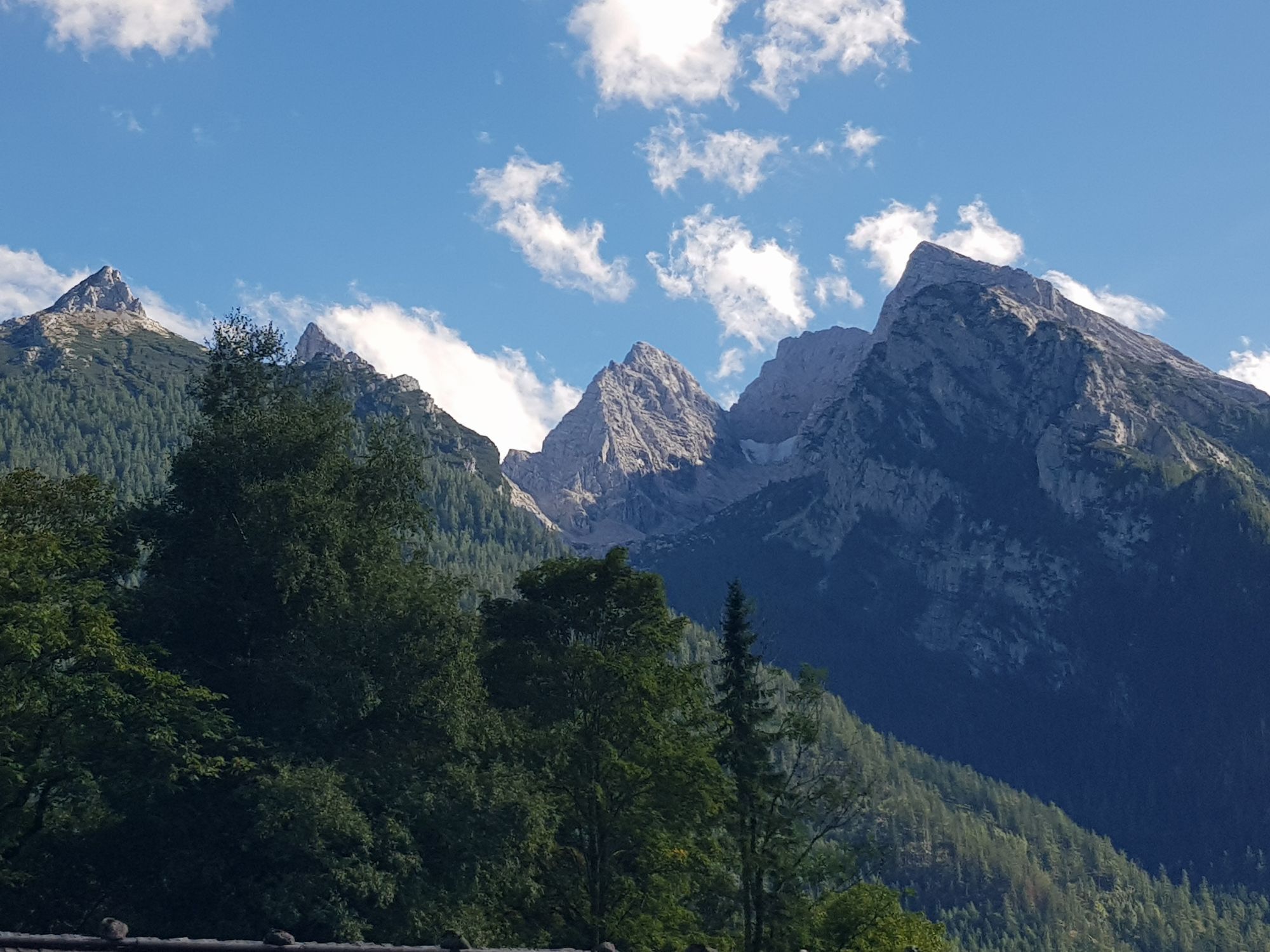
The road bike circuit leads from the state capital Salzburg mostly along the state borders through some of the most beautiful corners of the state of Salzburg.

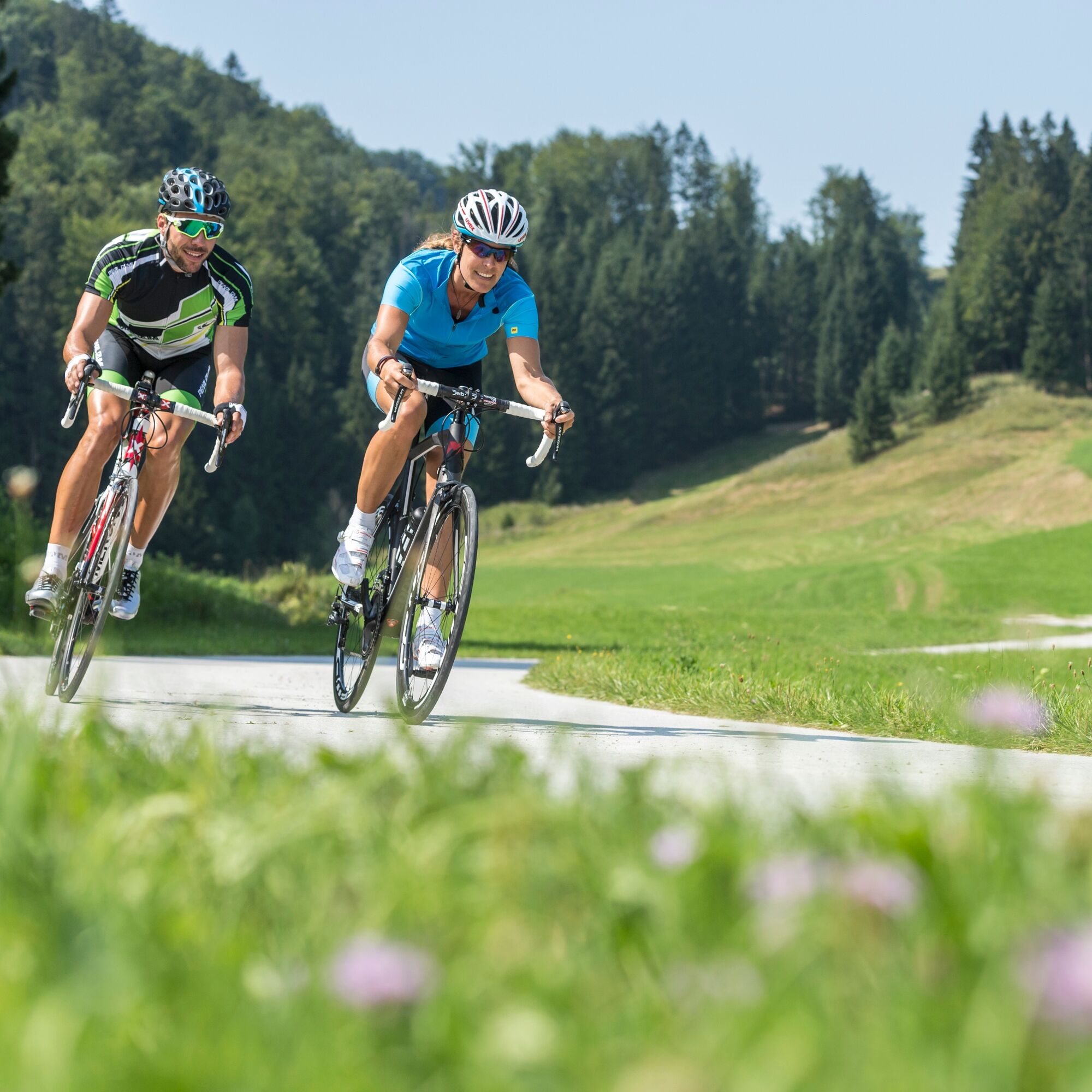

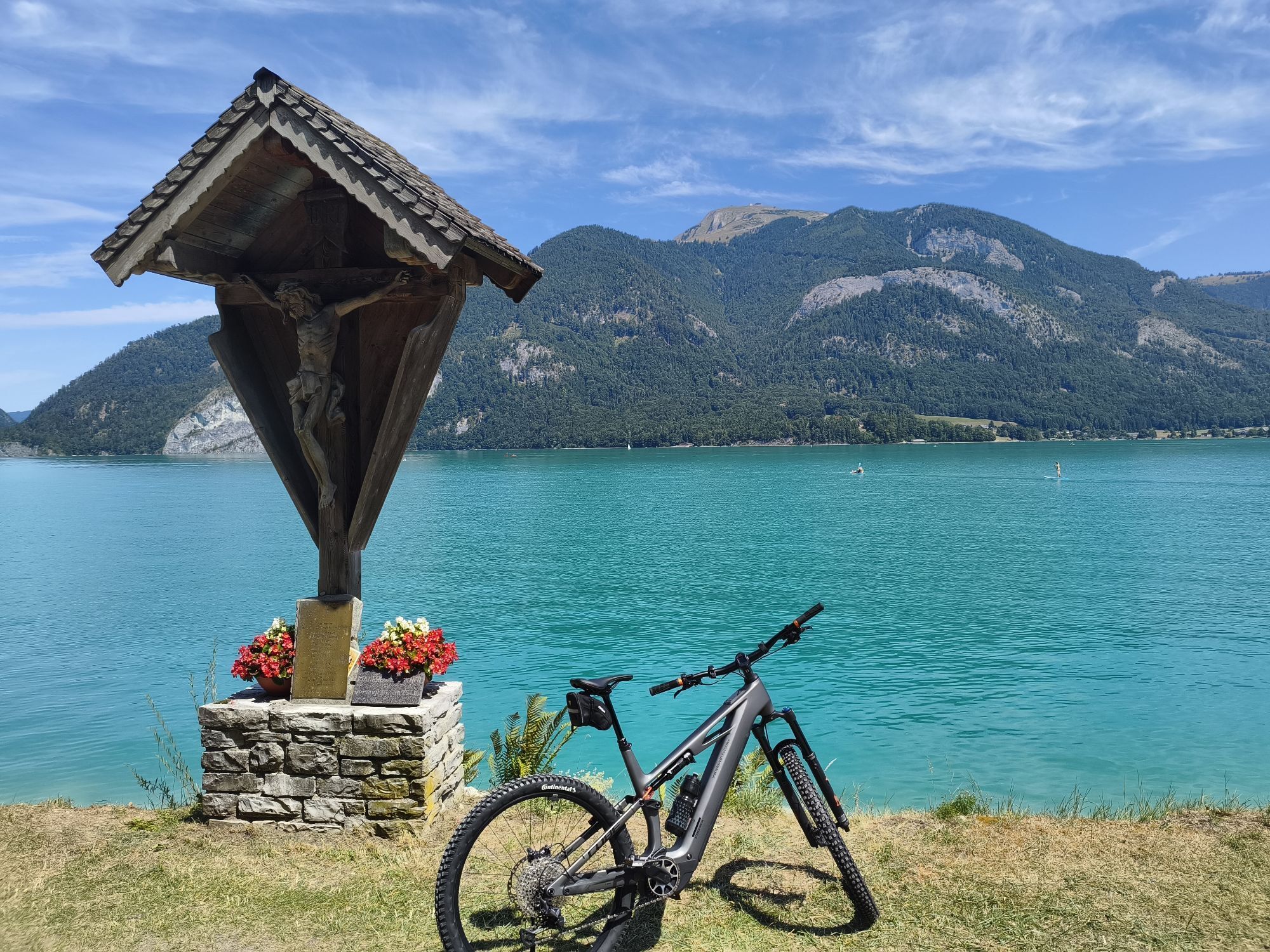
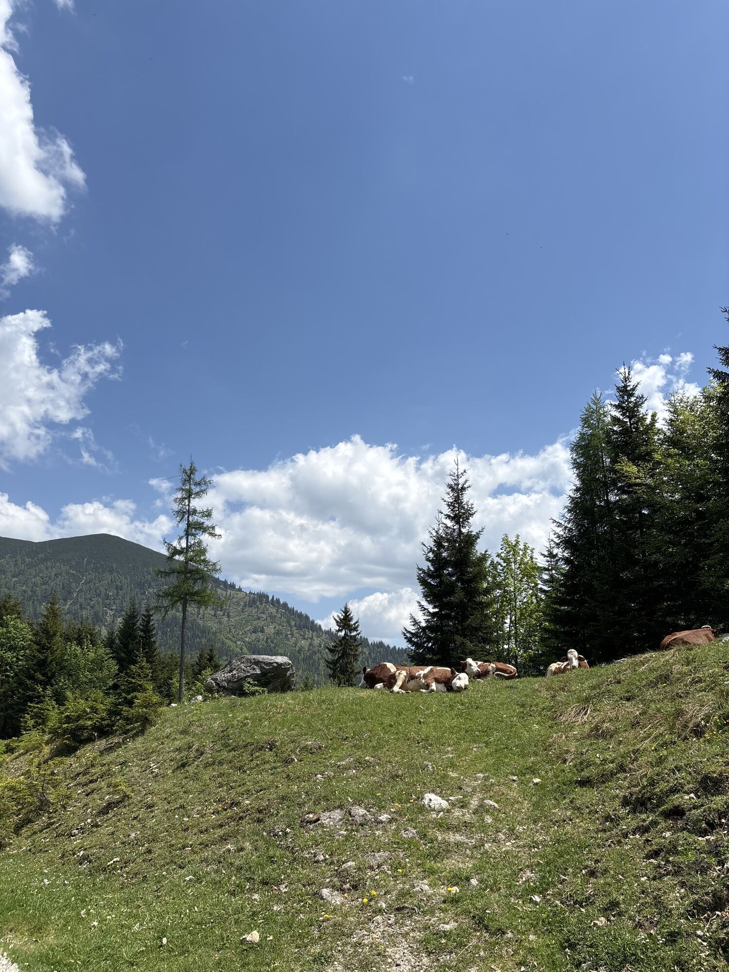
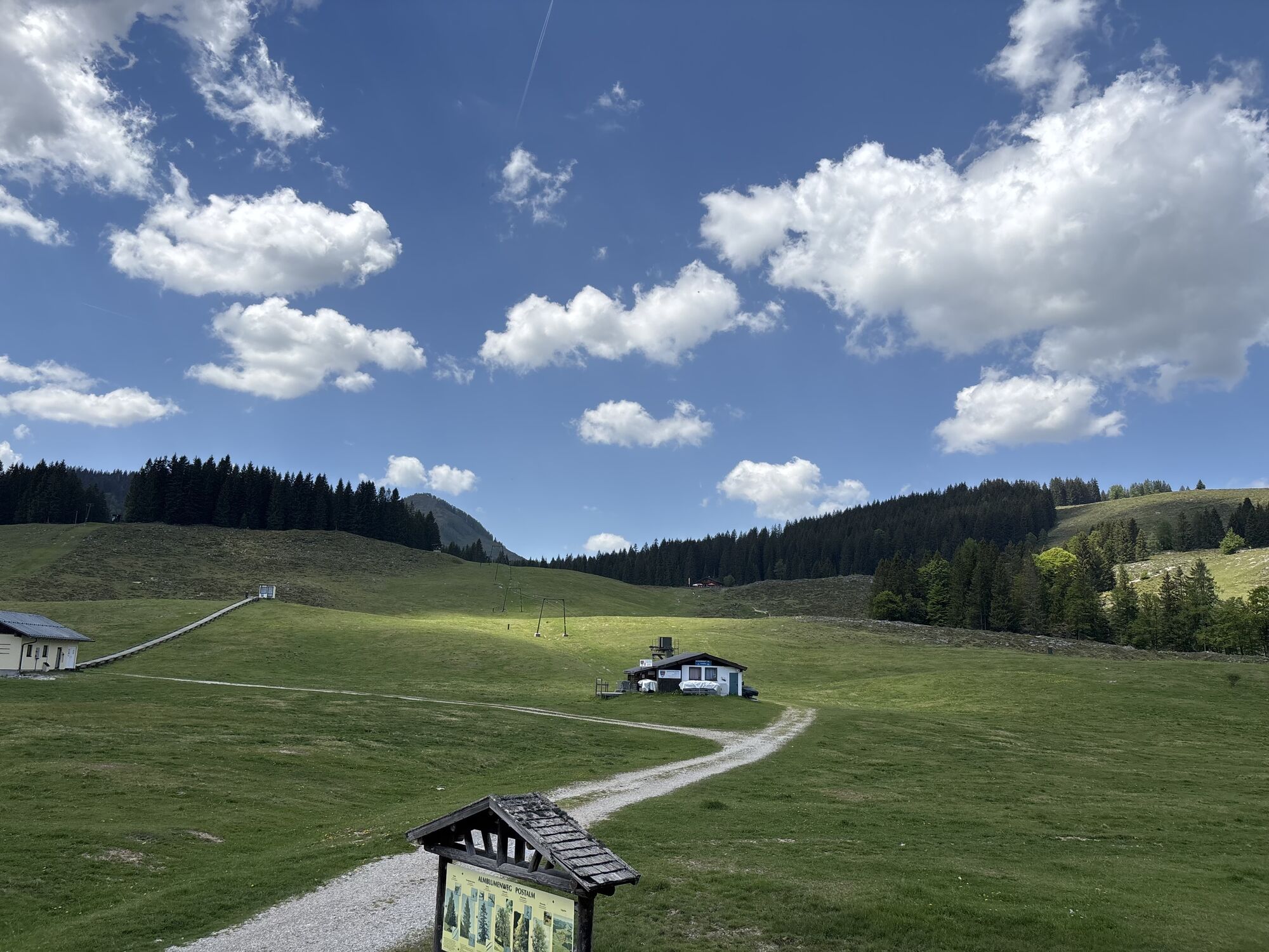
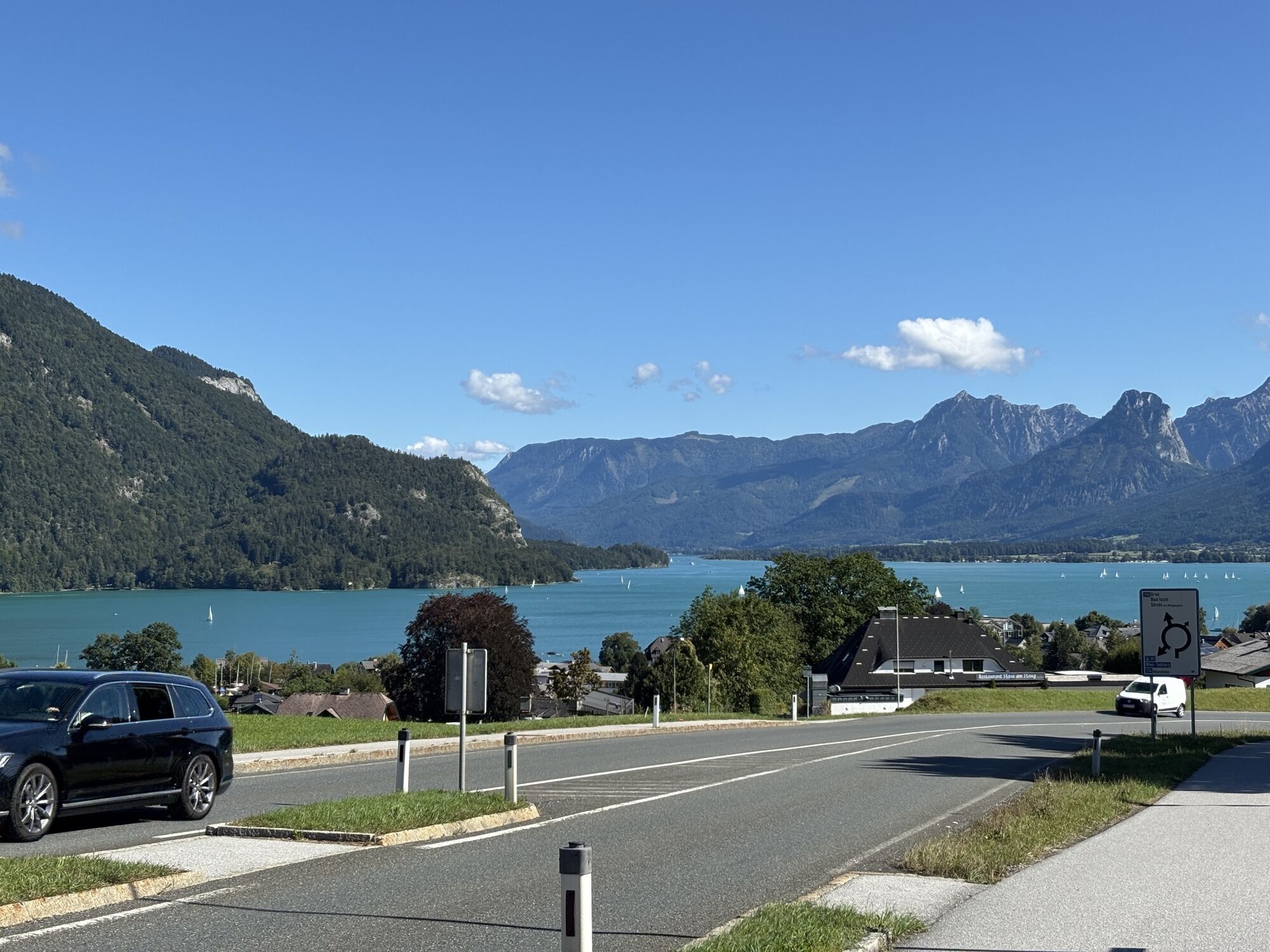
A highlight here in the holiday region Fuschlsee right at the start is the Strubklammstraße towards Hintersee – a “wildly romantic” road above the Strubklamm gorge – further to Faistenau and on the L202 to the B 158 Wolfgangsee federal highway – right – passing the Jagdhof Schloss Fuschl (the well-known castle is located directly below on the shores of Fuschlsee) above the south shore to Fuschl am See, since 2015 the new venue of the famous Eddy Merckx Classic held annually in September. The road continues to St. Gilgen – impressive here is the view over St. Gilgen across Wolfgangsee, Schafberg and the entire panorama – continuing on the B 158 south of the lake to Strobl at the east end of Wolfgangsee. Here we turn right onto the Postalmstraße. The Postalm is at 1200 m altitude. It is the largest alpine pasture area in Austria and offers numerous places to stop for refreshment. Over the Lienbergsattel it goes down into the Lammertal to Abtenau-Voglau – on a low-traffic road upstream directly along the Lammer river, soon on the B166 further to Annaberg-Lungötz and St. Martin am Tennengebirge. Once more down into the Fritztal valley to Niedernfritz. Now it is only 12 km to Flachau in the midst of the Salzburg sports world.
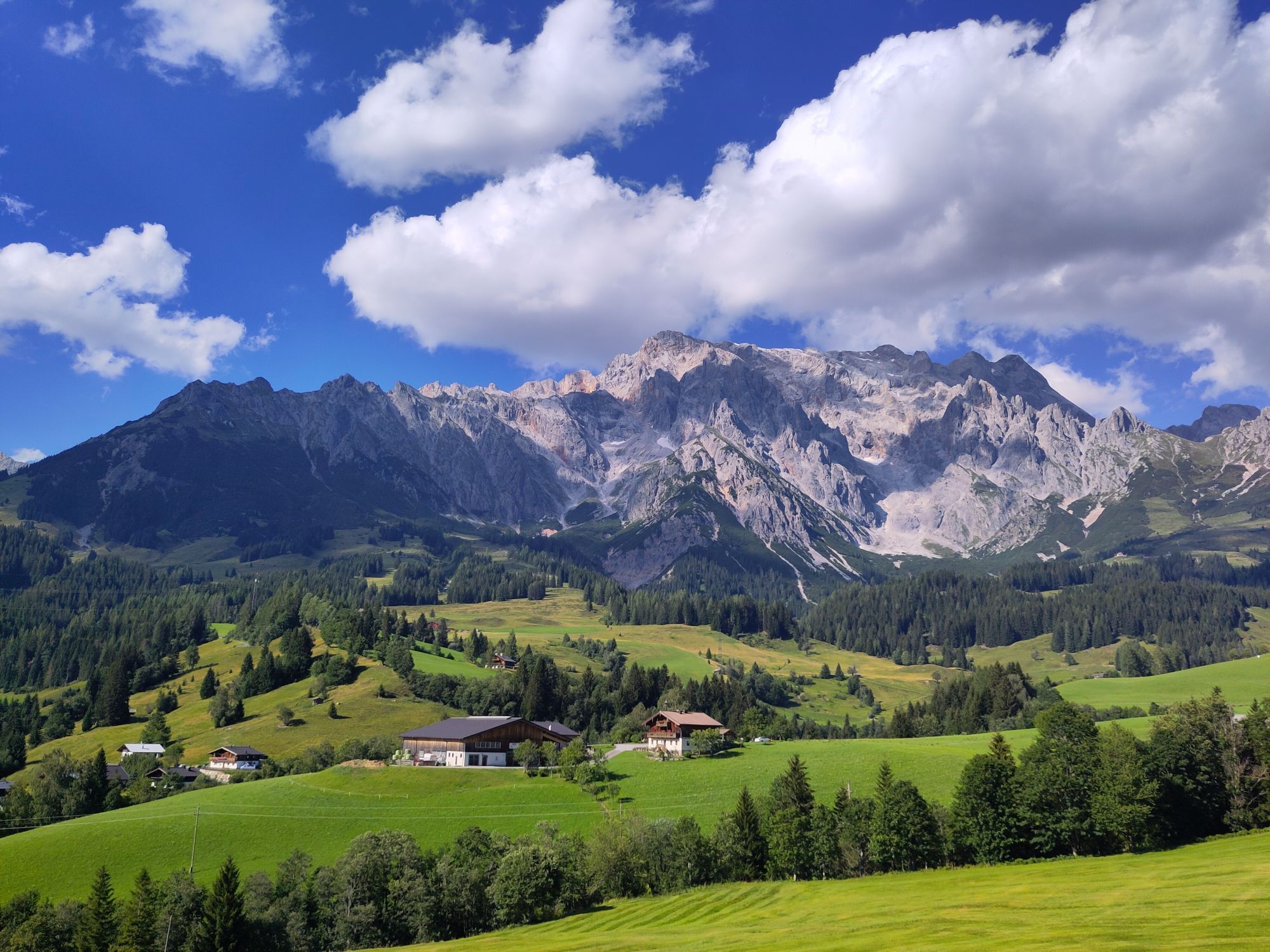
First from Flachau westwards to Wagrain and on a winding route out to St. Johann-Alpendorf in the Salzach valley – northwards towards Bischofshofen – after 7 km we leave the Salzach valley to the left up to Mühlbach am Hochkönig up to the Dientner Sattel, here at 1370 m altitude we reach the highest point of the tour, at the same time we have behind us the longest continuous climb (820 m elevation) – fantastic panorama on the south side of the Hochkönig massif – down to Dienten and further to the crossing over the Salzach valley - up to the small plateau around Embach, the largest farming village in SalzburgerLand – we are now in the holiday region National Park Hohe Tauern - down into the Raurisertal valley and right over the Rauriserhöhe to Taxenbach – upstream in the Salzach valley to Bruck an der Großglocknerstraße – those who have an extra day can crown themselves Glockner king here (from Bruck to the Fuschertörl it is 27 km and 1694 m elevation – at a maximum gradient of 12%) – in Bruck we leave the Salzach valley (and thus also the national park region) northwards - along the eastern shore of Lake Zell over Thumersbach to Maishofen and over the Kolling forest and the Ritzensee lake to Saalfelden.
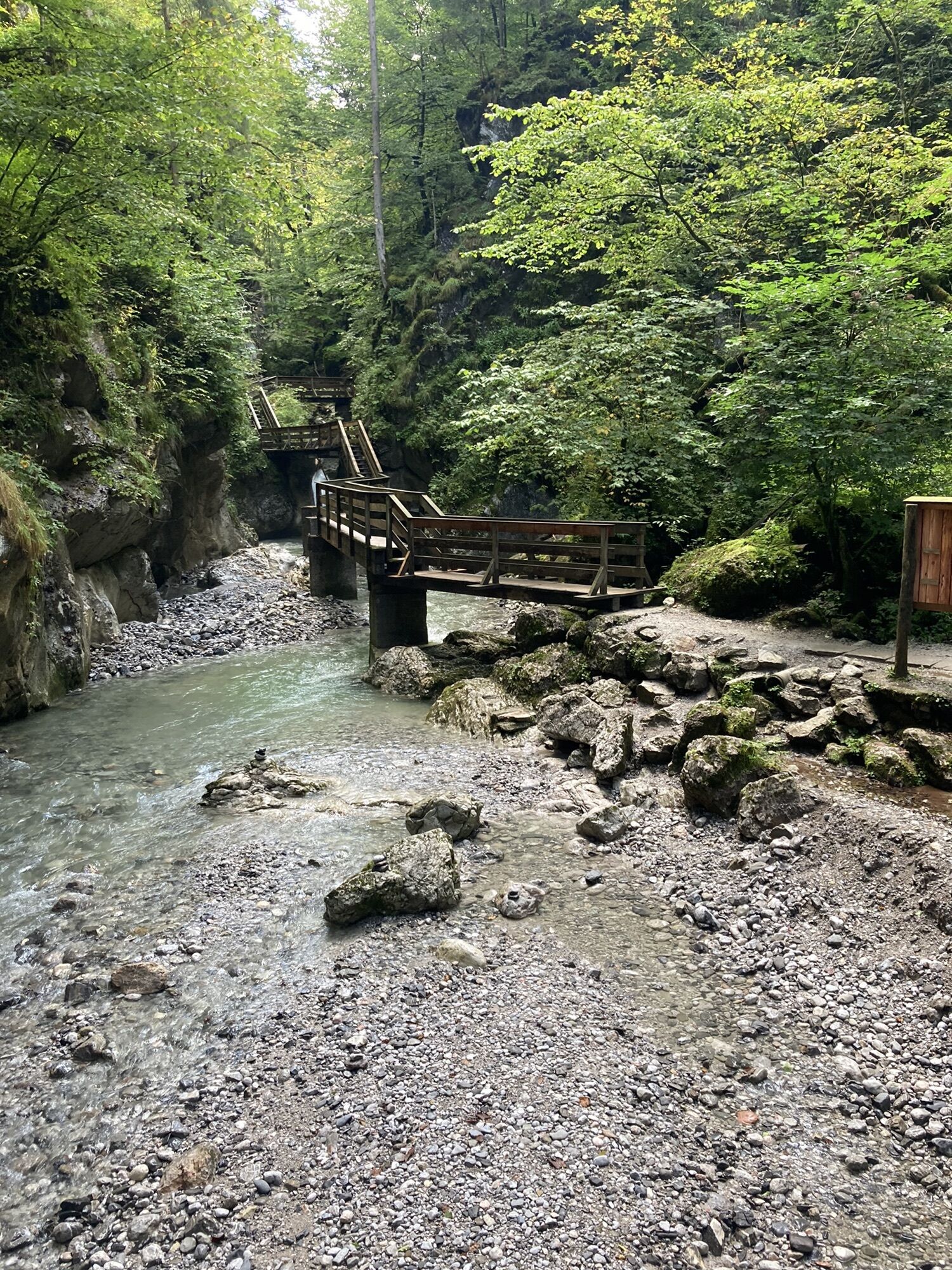
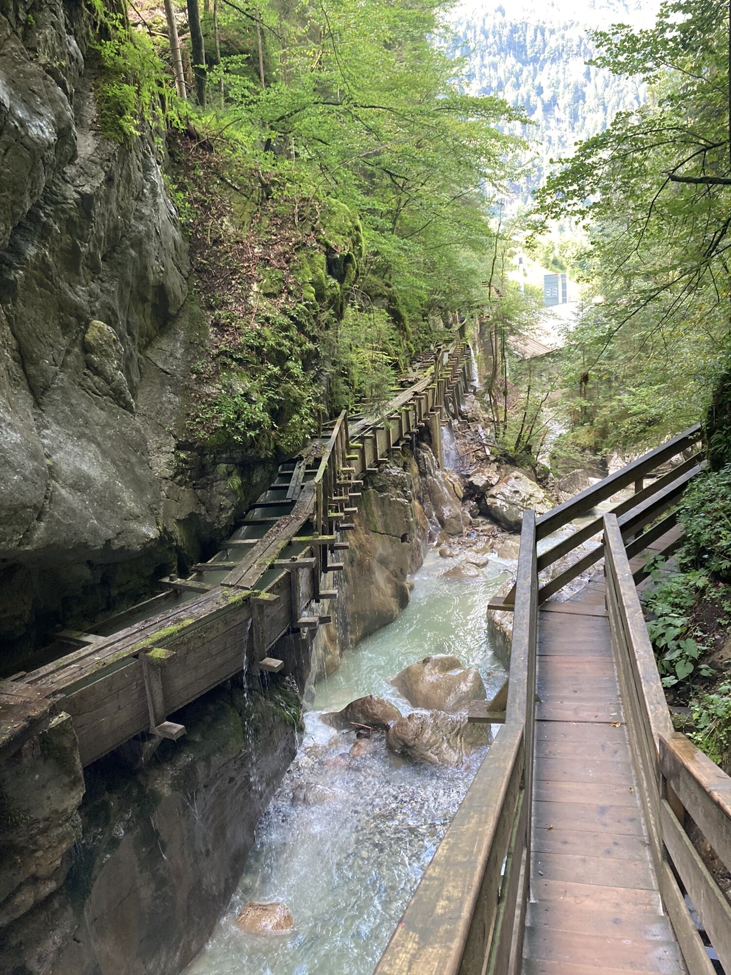
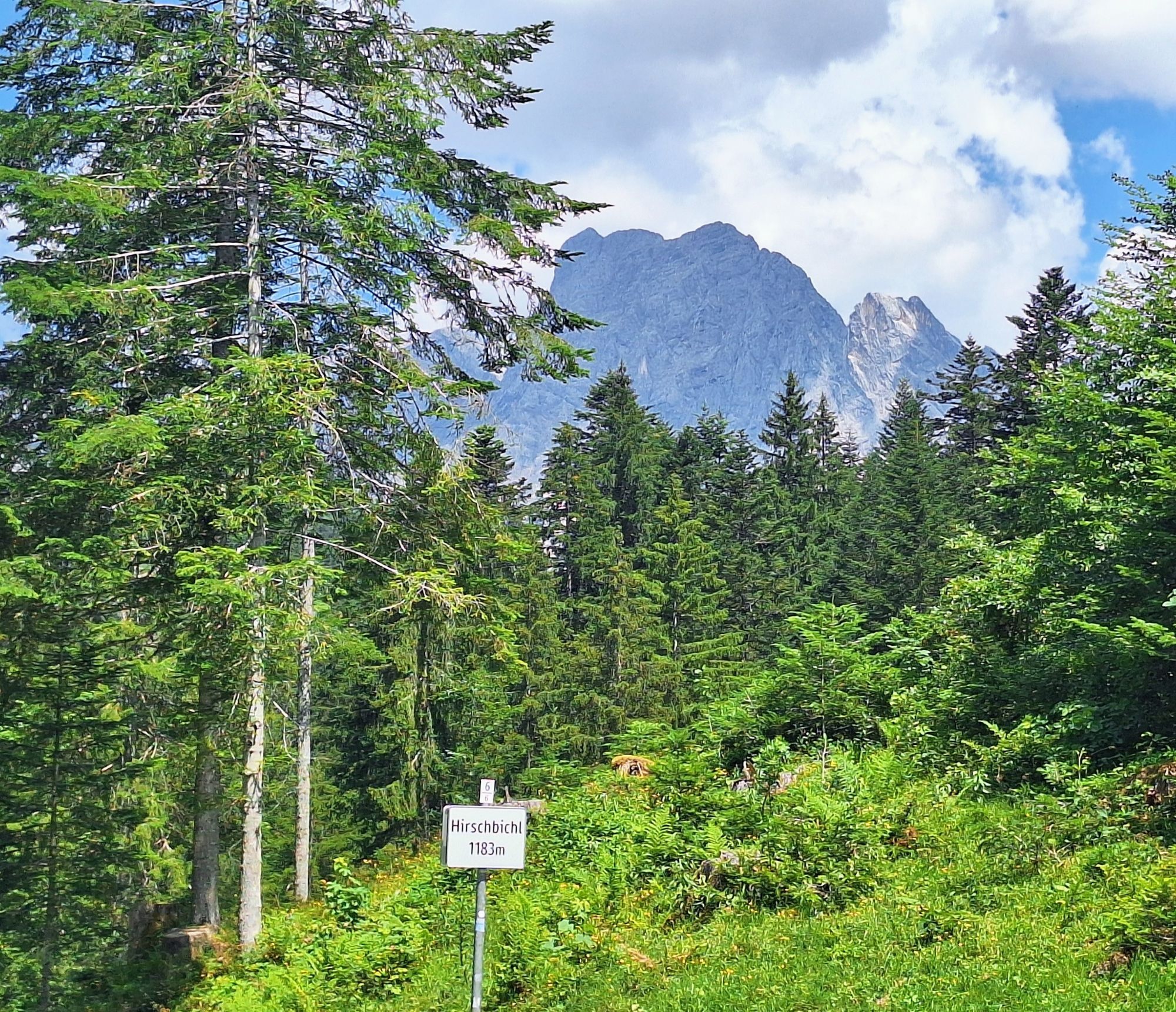
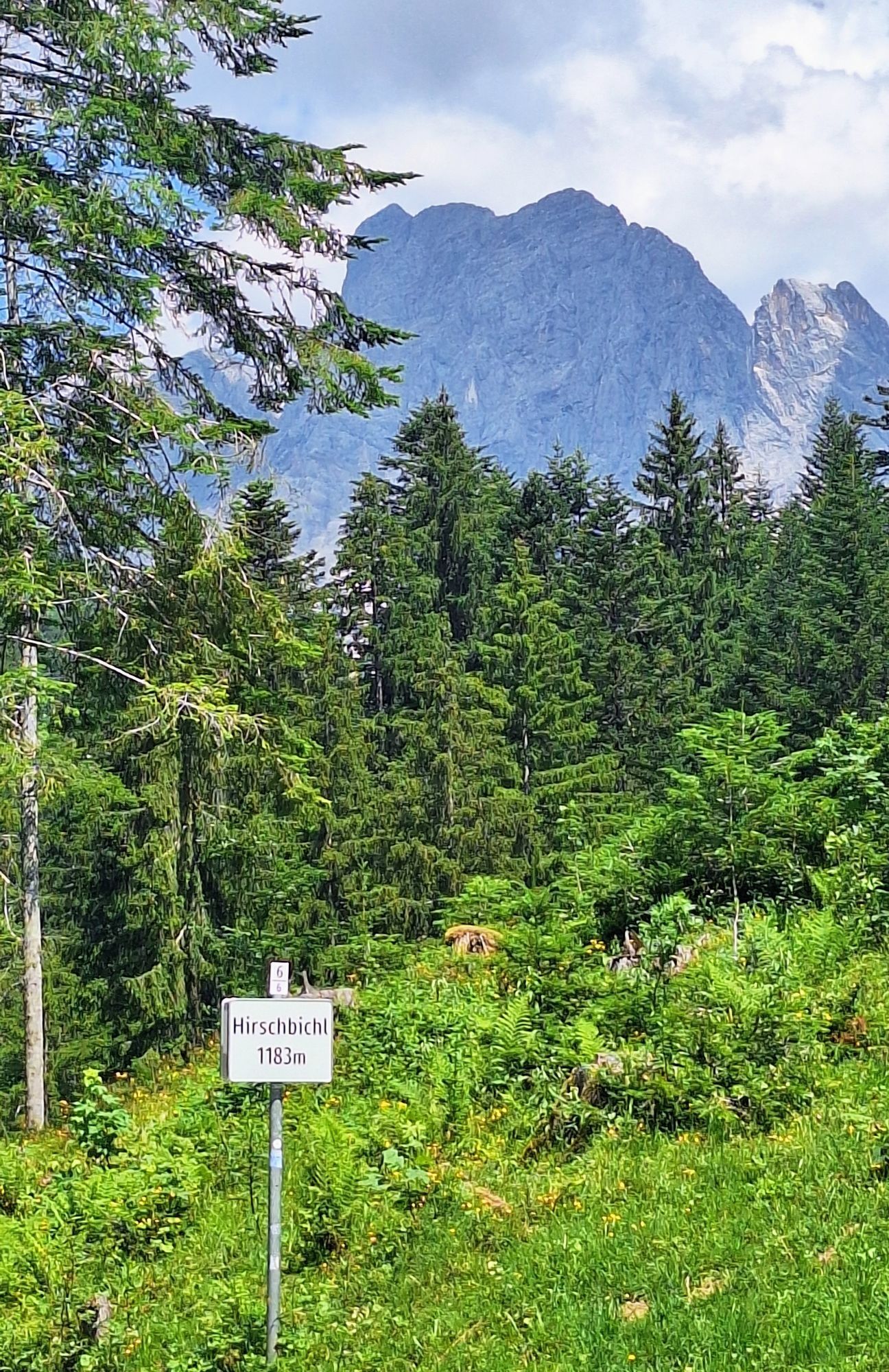
First from Saalfelden on the Tauern bike path on the edge of the Saalach valley to Weißbach near Lofer with its known and worth seeing Seisenbergklamm gorge – here right onto the Hirschbichlstraße, closed to motor vehicle traffic, over into Berchtesgadener Land – this very beautiful route goes on the Austrian side through the Weißbach nature park, on the Bavarian side through Berchtesgaden National Park. It also has another special feature: two ramps each with 30% steepness both on the Salzburg (uphill) and Bavarian side (downhill)! At Hintersee we leave the national park – straight ahead uphill to Hinterschwarzeck and down the other side again to Bischofswiesen, to the Aschauer Weiher pond and finally to Berchtesgaden – along the Königsseer Ache northwards to Unterau for our final climb to Bad Dürrnberg and thus back again to the Austrian side – down to the old saltworks town Hallein – now it is only 15 km through the Salzach valley to the Mozart city.
Priljubljeni izleti v okolici
-
4.8
Werfenweng Mountainbikerunde Söldenhütte
srednjaMountainbike 18.8 km -
5.0
4-Gipfel-Tour
srednjaGorski pohodništvo 6.40 km -
4.6
Ski route Lackenkogel
srednjaSmučarska tura 7.82 km -
4.8
Gerzkopf
srednjaPohodništvo 8.43 km -
4.6
Grießenkareck
srednjaPohodništvo 4.89 km -
4.2
Großarl: Unterwandalm - Karseggalm - Breitenebenalm
srednjaPohodništvo 5.93 km -
4.3
Ennskraxn (2410m)
težkoPohodništvo 14.7 km -
4.3
Tauernkarsee
svetlobaPohodništvo 4.26 km -
4.3
Ski tour Red 8er Wagrain
srednjaSmučarska tura 4.12 km -
5.0
Strimskogel-Runde
Pohodništvo 13 km
Pohodništvo in sledenje


Ne zamudite ponudb in navdiha za naslednje počitnice
Vaš e-poštni naslov je bil dodan na poštni seznam.





