
Ennsradweg section Eben - Schladming
svetloba
Pridobite to turo v svoj mobilni telefon
Ennsradweg section Eben - Schladming
svetloba
Kolesarjenje
26.70
km
Skenirajte kodo QR in začnite navigacijo v aplikaciji bergfex.


Pohodništvo in sledenje



Ennsradweg section Eben - Schladming
svetloba
Razdalja
26.7
km
Trajanje
01:45
h
Ascent
142
hm
Morska gladina
735 -
859
m

V aplikaciji si oglej pot
Brezplačno namestite aplikacijo in spremljajte pot z GPS-navigacijo in sledenjem.
bergfex zdaj uporabljaj v aplikaciji
S kamero poskeniraj QR-kodo
Ko je aplikacija nameščena, se vsebina odpre takoj. Če aplikacije še nimaš, te bo preusmerila na stran za brezplačen prenos.
Stopnja težavnosti: 2
Prenos skladbe
Ennsradweg section Eben - Schladming
svetloba
Kolesarjenje
26.70
km
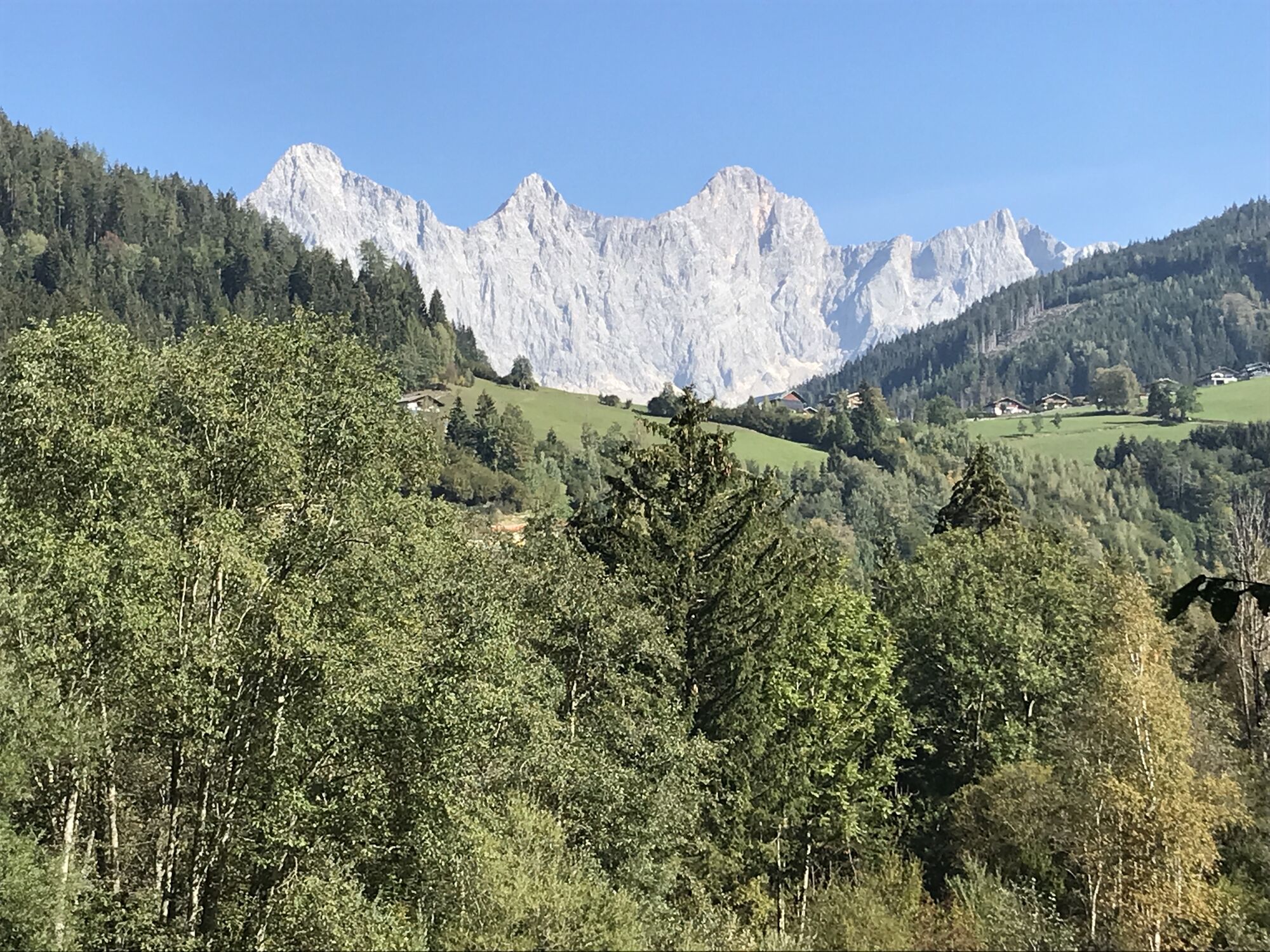
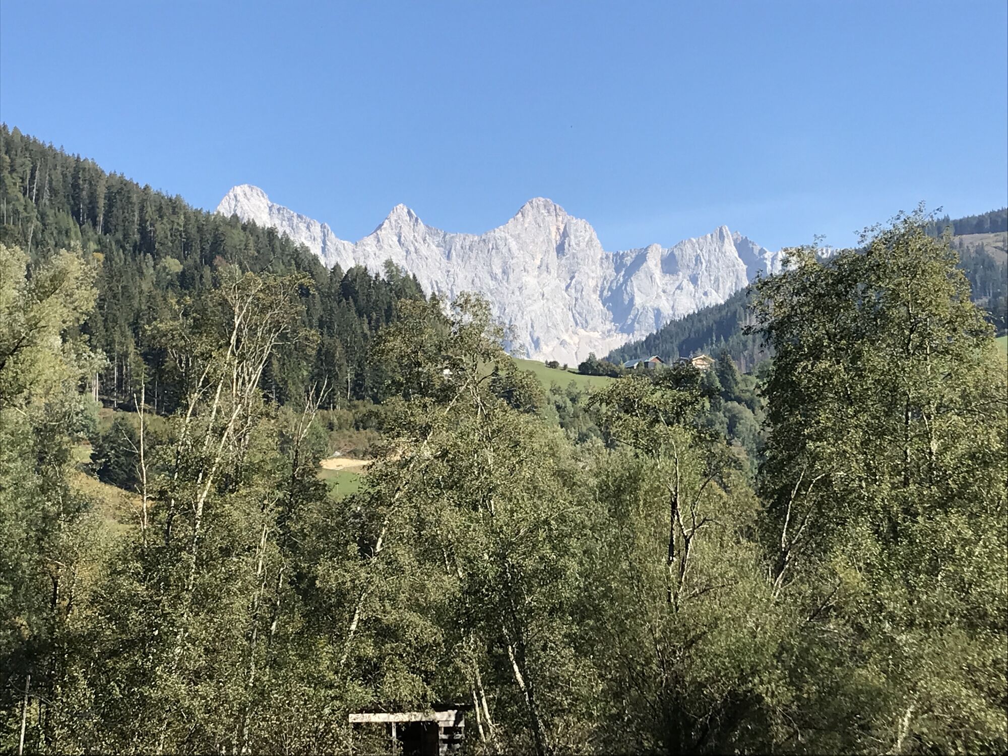
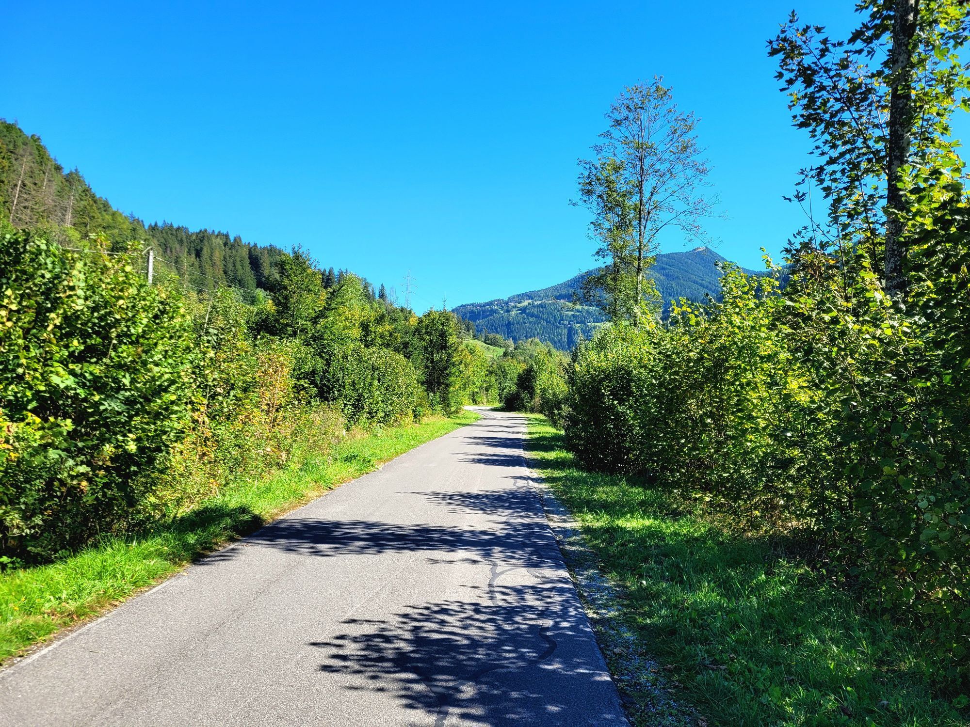
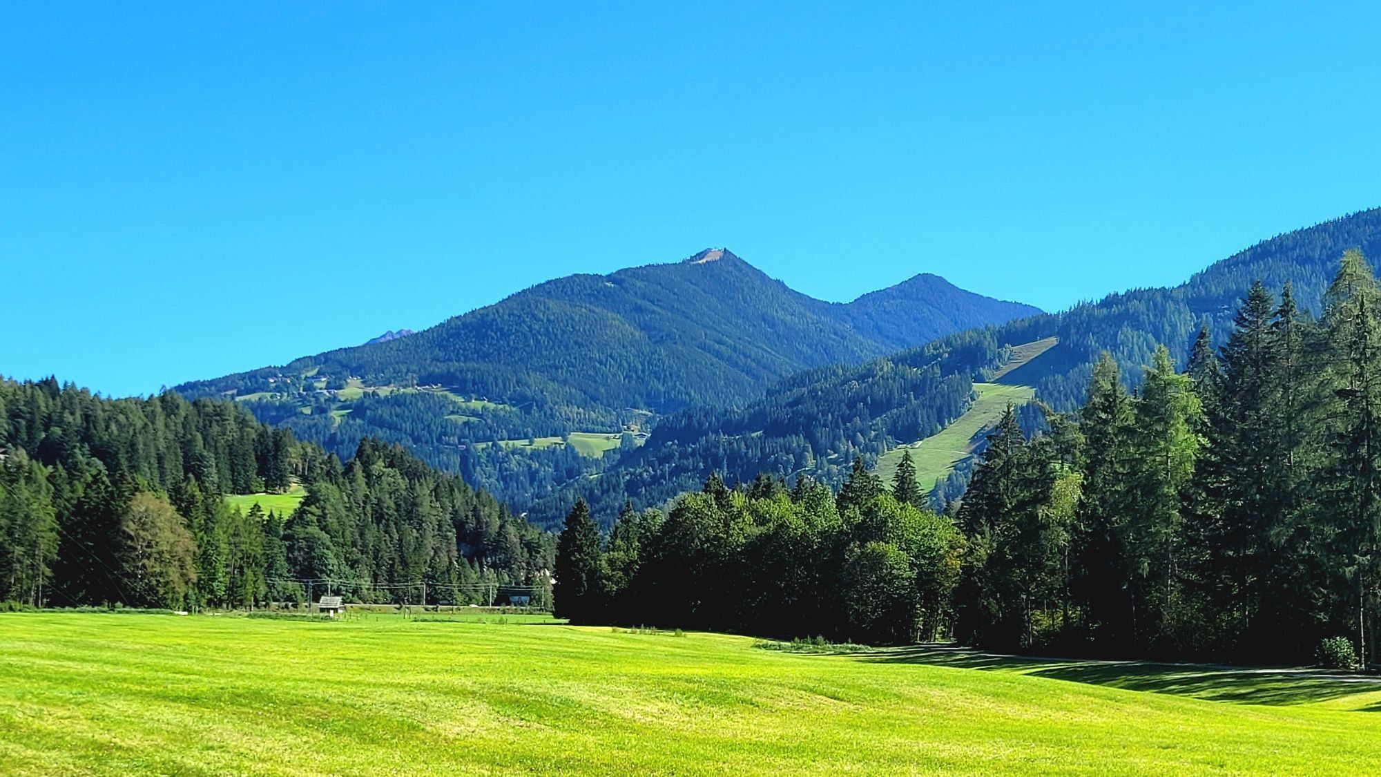
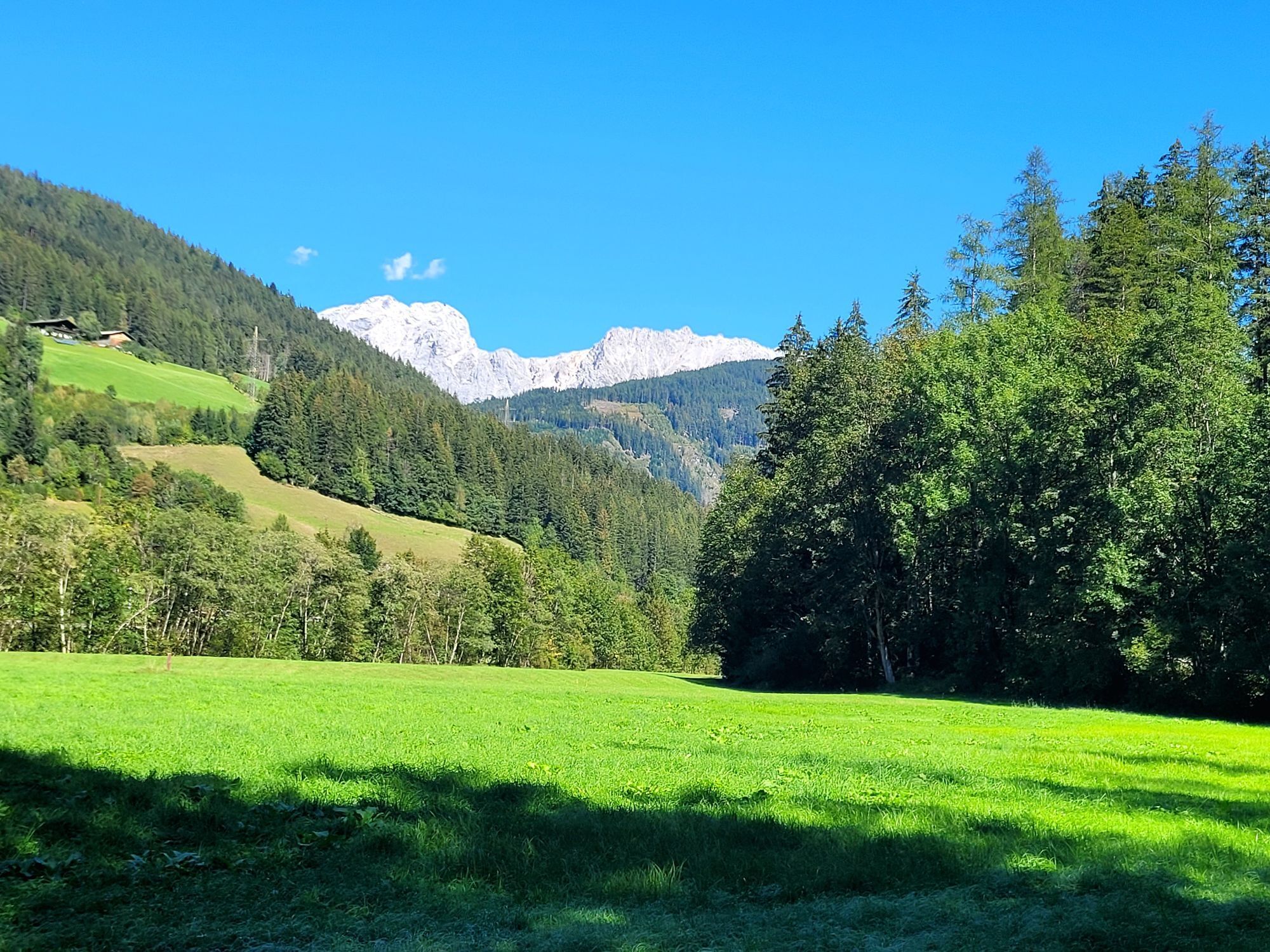
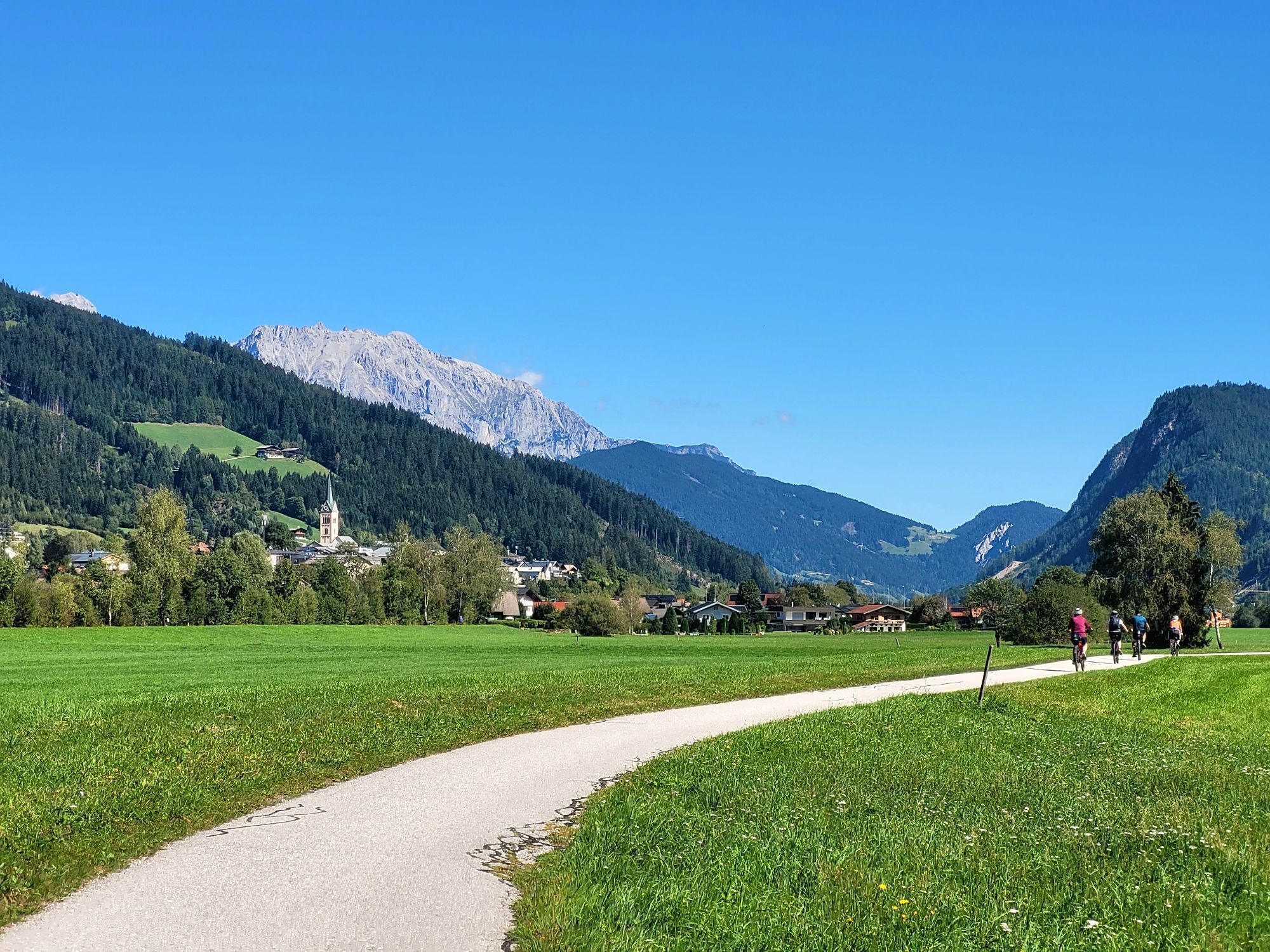
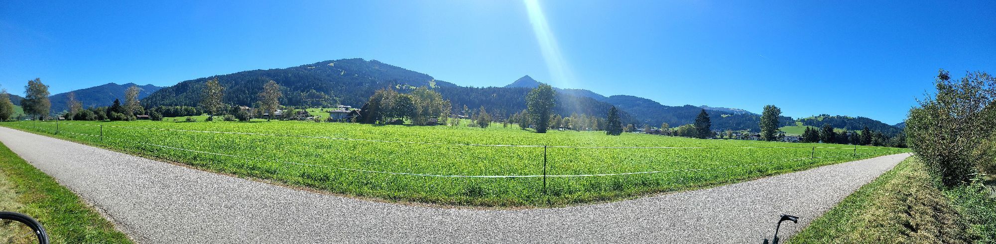
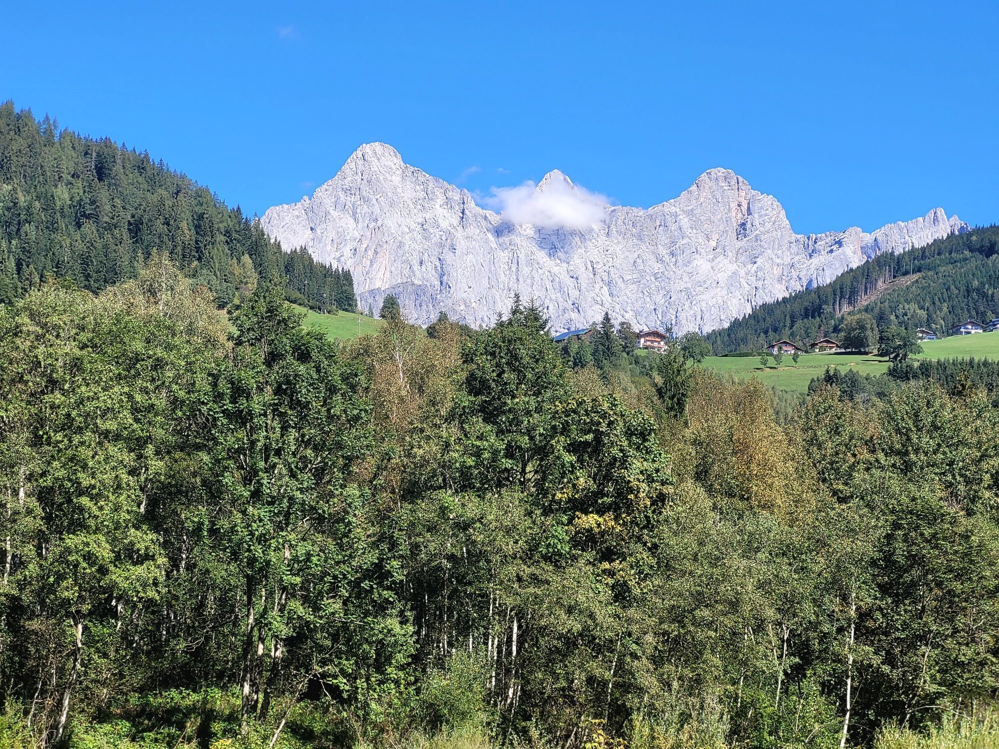
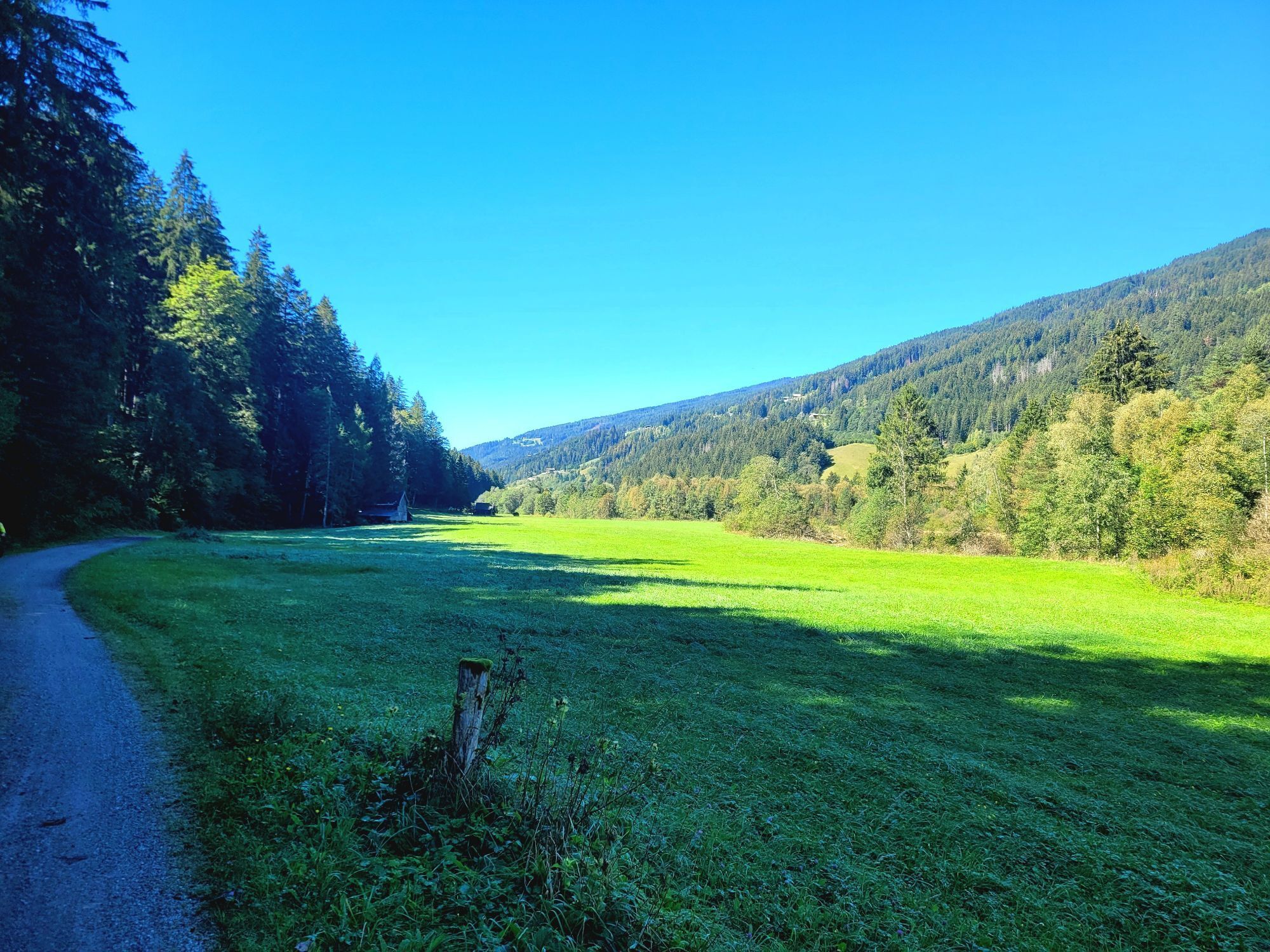
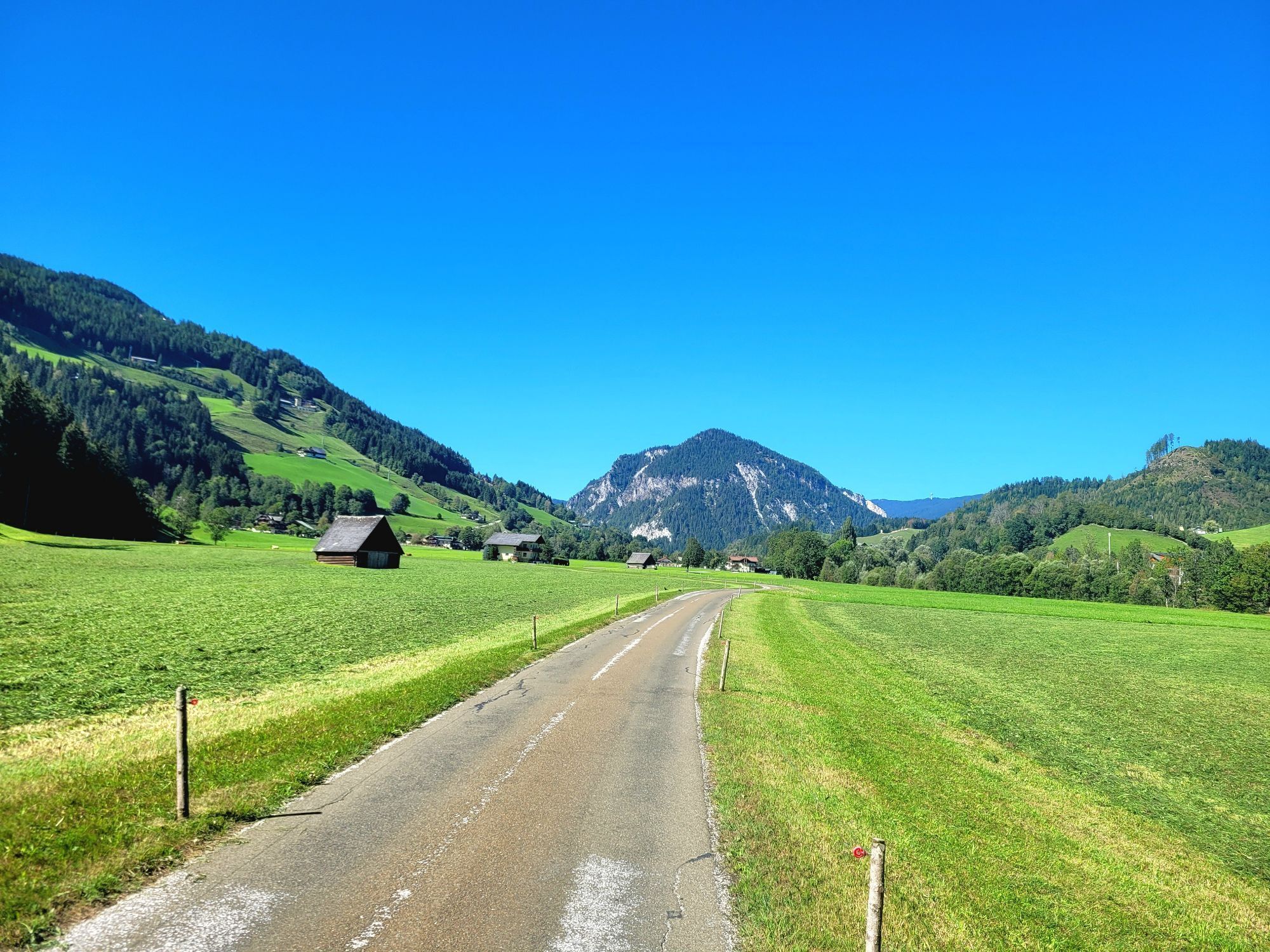
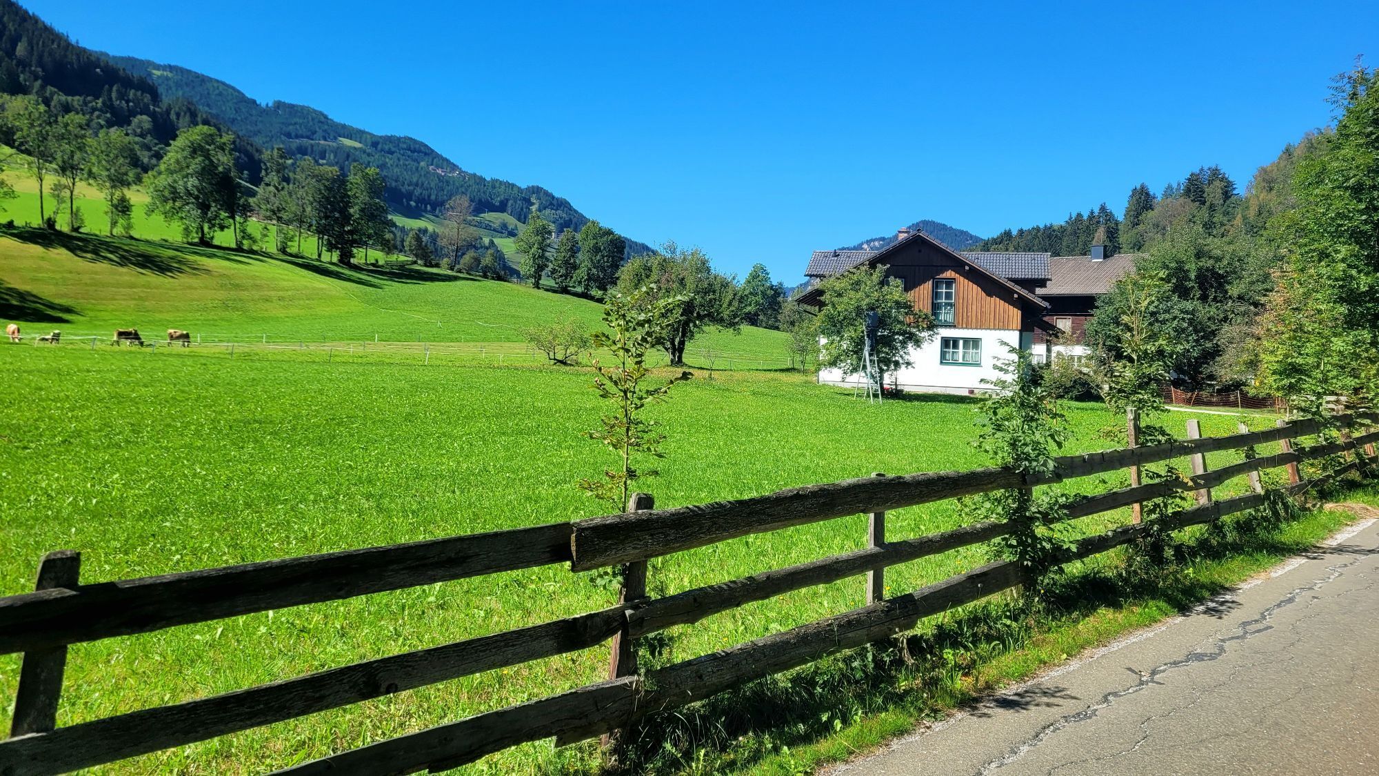
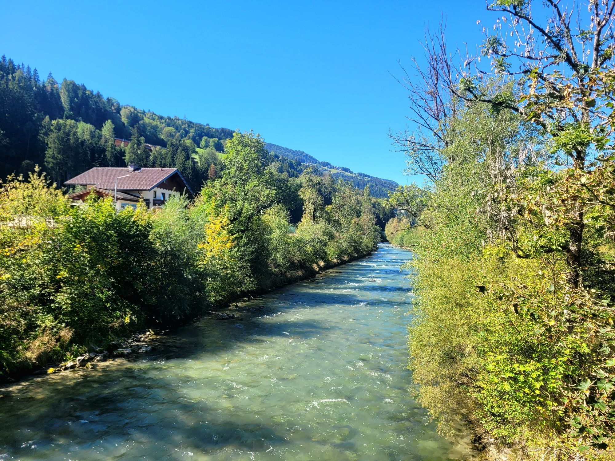
Pot
Sinnhub
(919 m)
Vas
2.4 km
Radstadt
(858 m)
Mesto
6.8 km
Mandling
(814 m)
Vas
16.9 km
Gleiming
(784 m)
Poravnava
19.0 km
Pichl
(772 m)
Poravnava
19.9 km
Maistatt
(740 m)
Soseska
25.7 km
Schladming
(745 m)
Mesto
26.4 km
Pot
Ennsradweg section Eben - Schladming
svetloba
Kolesarjenje
26.70
km
Sinnhub
(919 m)
Vas
2.4 km
Altenmarkt im Pongau
(842 m)
Vas
3.9 km
Krallinger
(839 m)
Restavracija
4.1 km
Radstadt
(858 m)
Mesto
6.8 km
Das Geringer
(815 m)
Restavracija
16.8 km
Mandling
(814 m)
Vas
16.9 km
Gasthof Taferne
(815 m)
Restavracija
16.9 km
Gleiming
(784 m)
Poravnava
19.0 km
Pichl bei Schladming
(771 m)
Železniška postaja
19.9 km
Pichl
(772 m)
Poravnava
19.9 km
Maistatt
(740 m)
Soseska
25.7 km
Schladming
(745 m)
Mesto
26.4 km
Avtor
Zagotavlja Tourismusverband Eben
Za ogled Ennsradweg section Eben - Schladming poskrbi outdooractive.com.


Informacije o poti
Pot
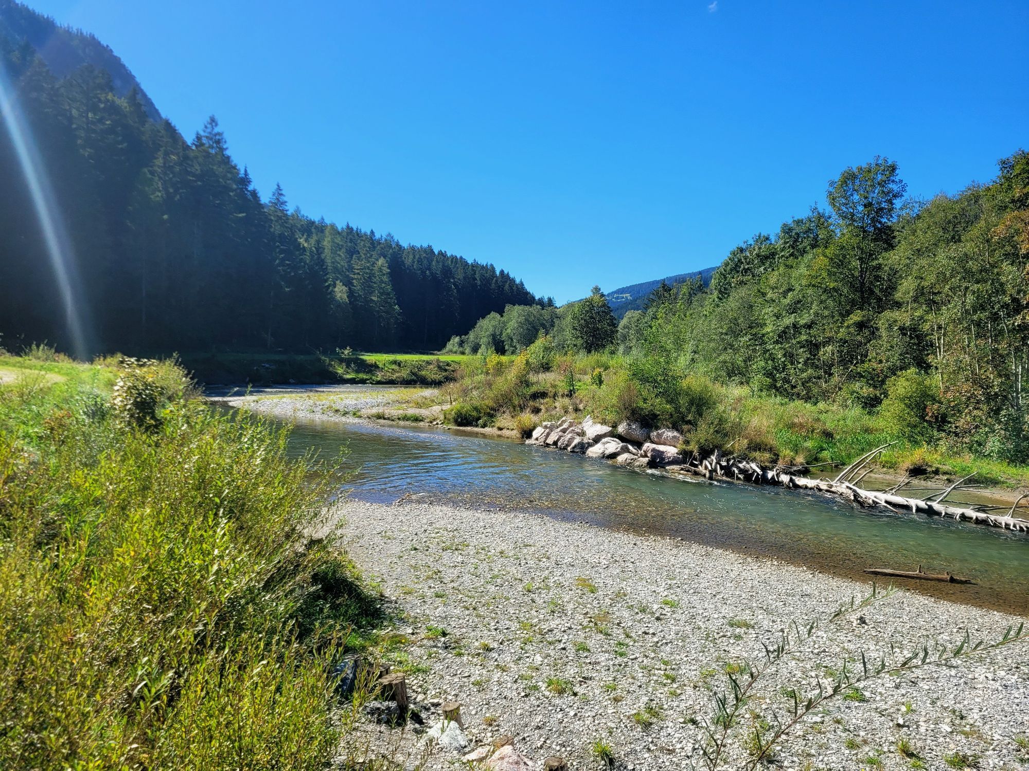
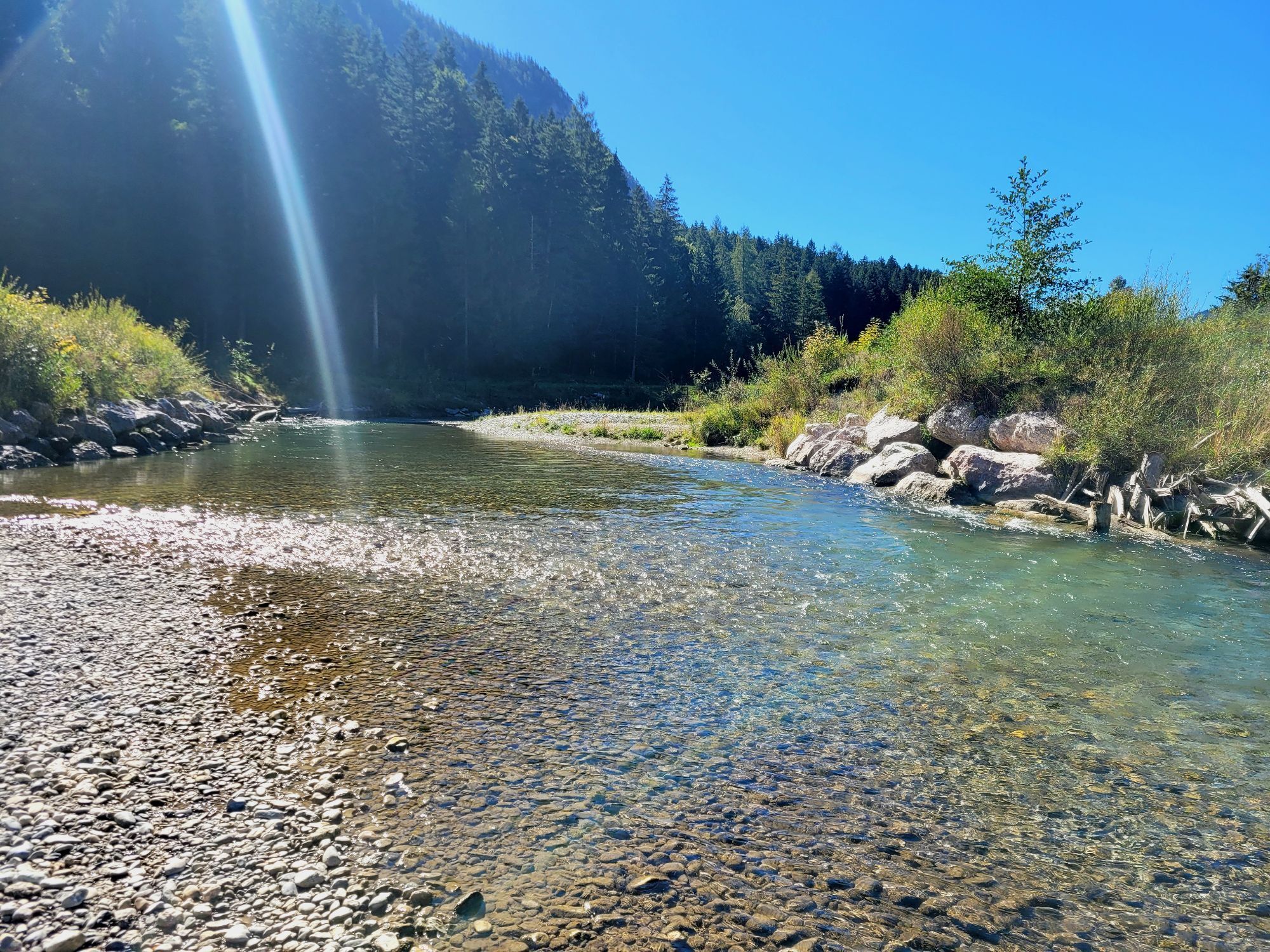
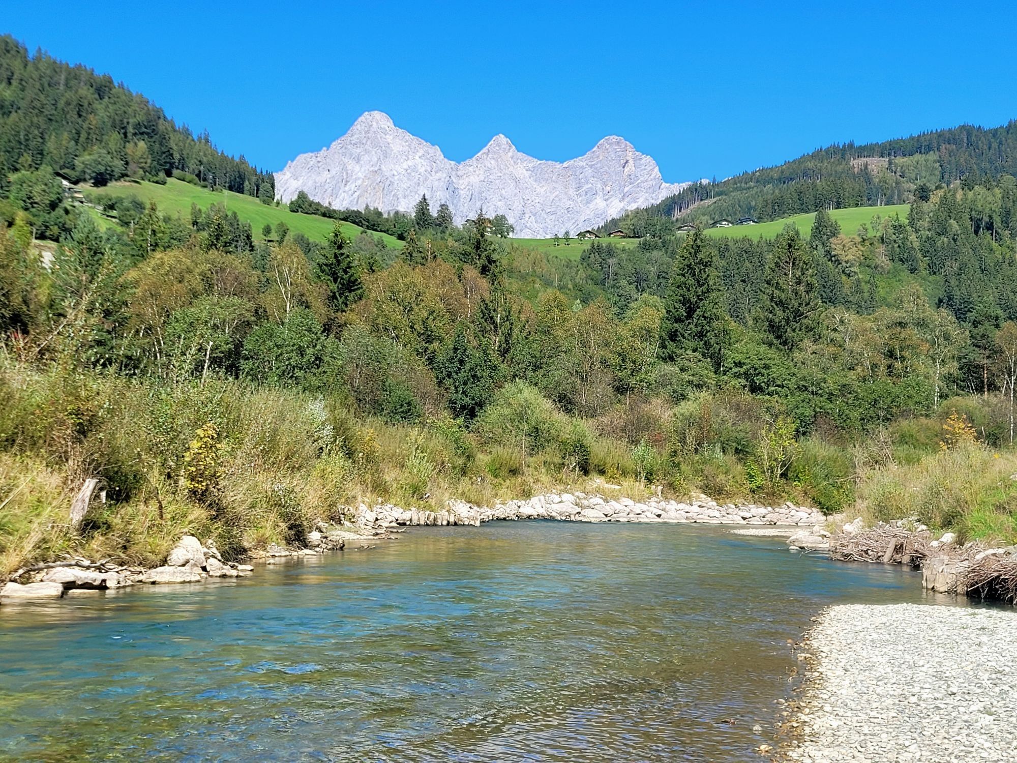
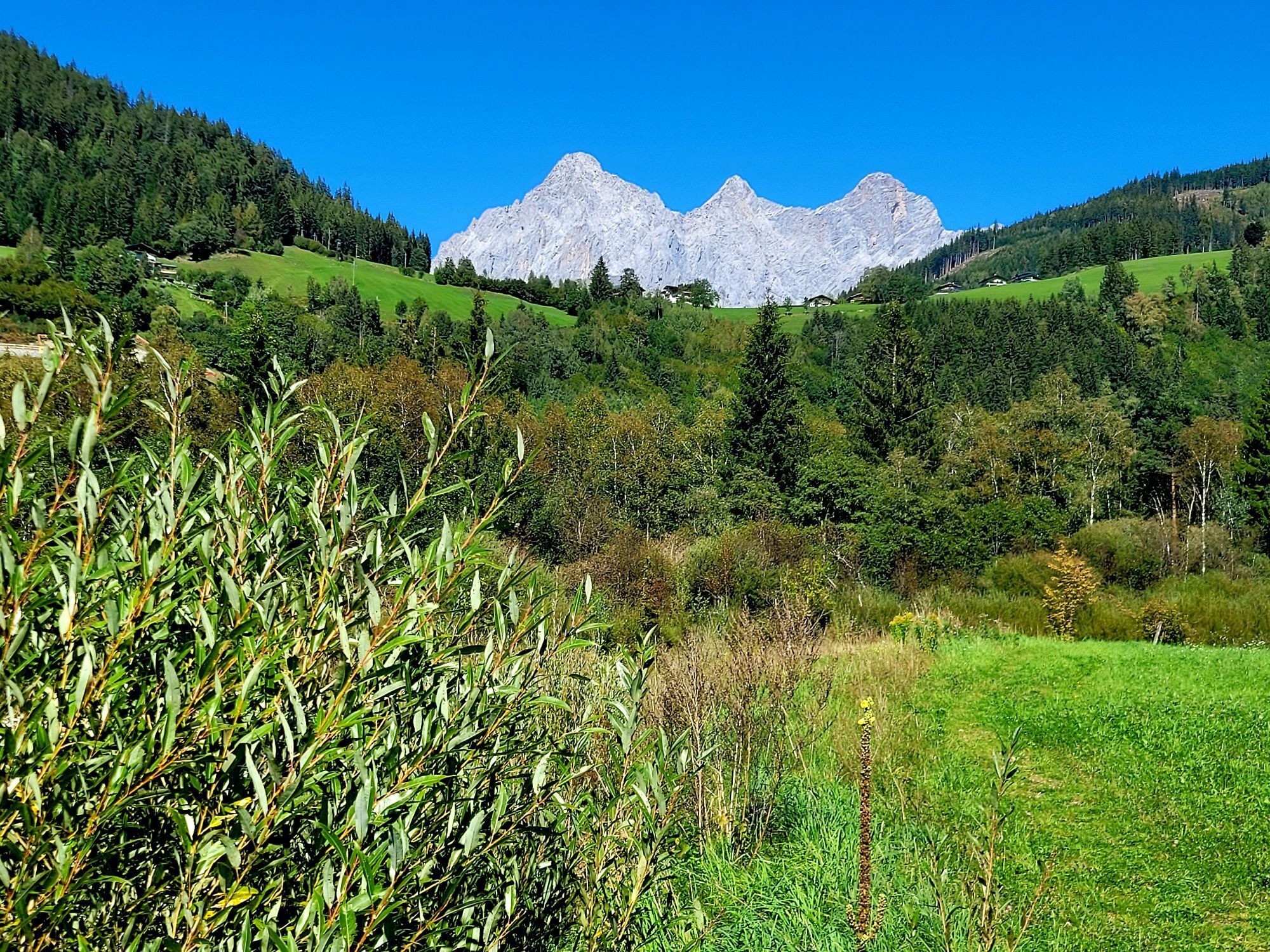
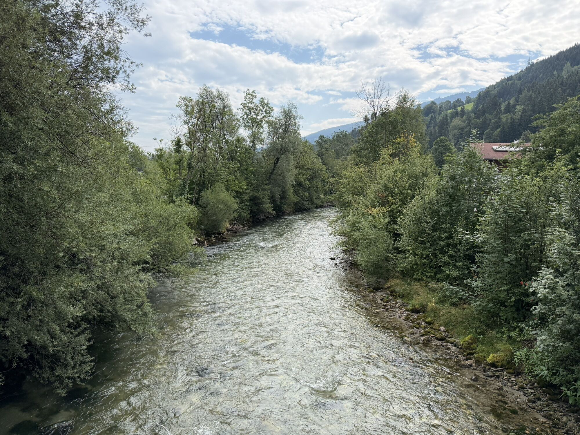
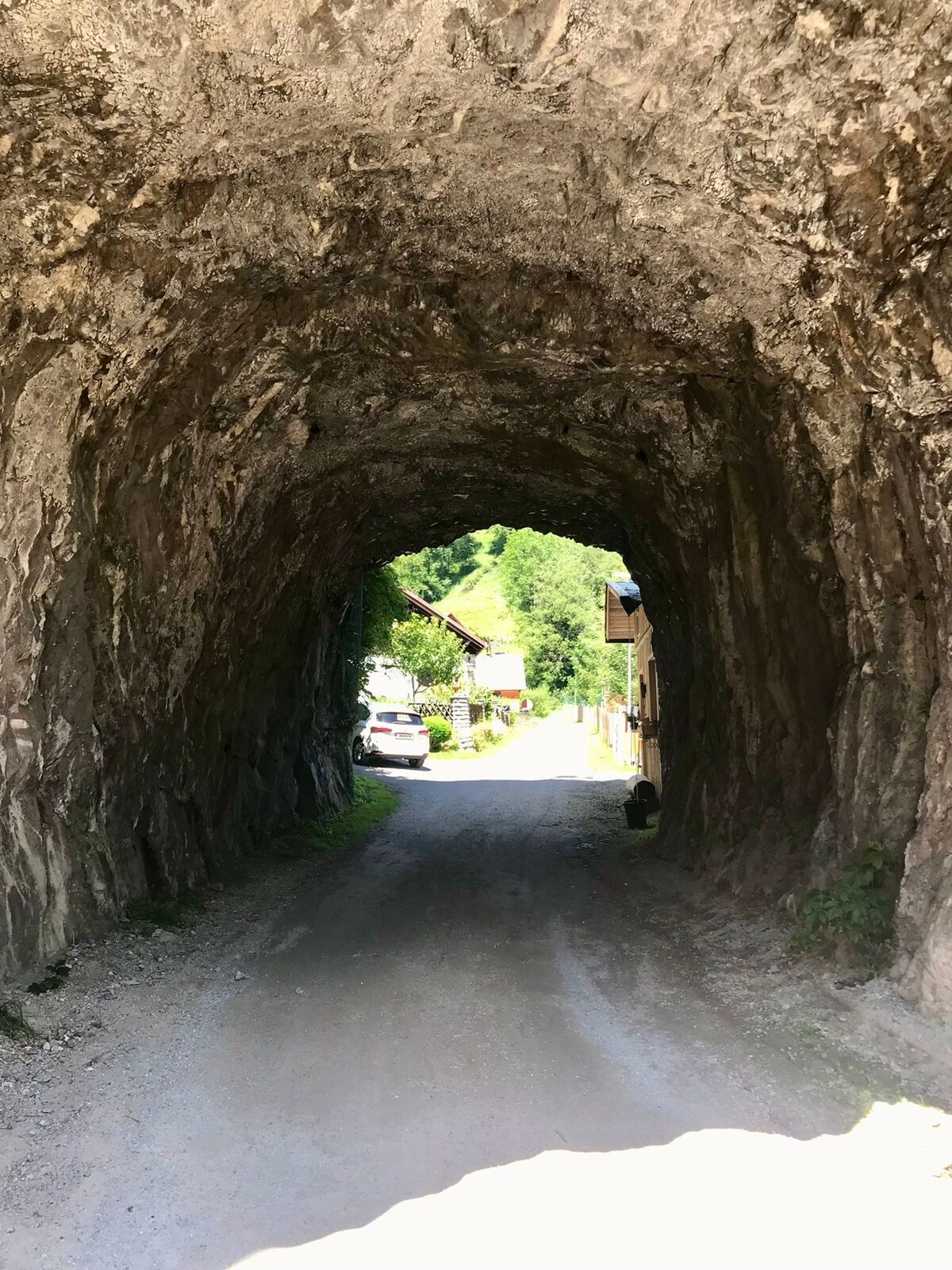
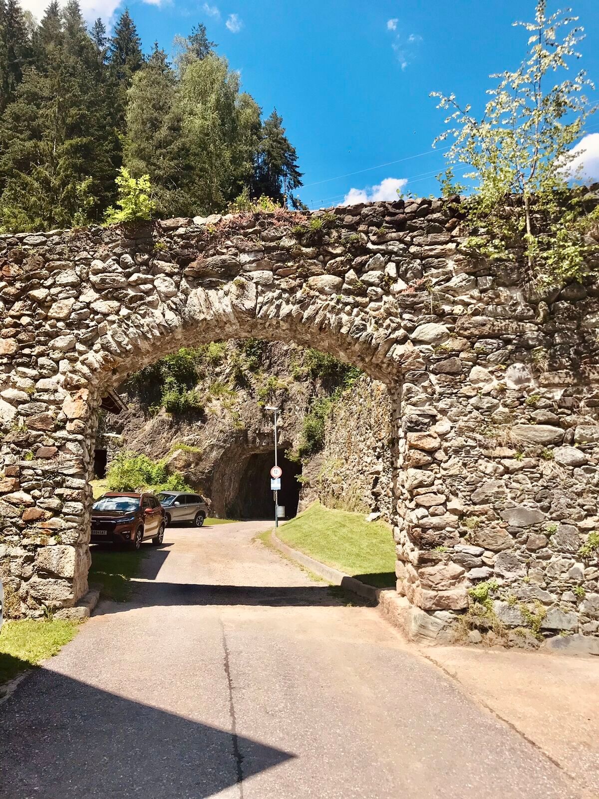
From the parking lot of the Monte Popolo cable cars, go left onto the bike path along the B99 until the railway underpass near Sinnhubbauer, after the new bridge turn left onto the "Ennsradweg." After about 250 m, cross Altenmarkterstrasse near the Brückenwirt and continue to follow the Ennsradweg to Radstadt, where we meet the local road near the sawmill. We follow this shortly to the right, then cross the road to the left and continue following the signs. After the settlement and before the Taurach bridge, turn left onto the gravel road. We ride on this to Mandling, first along the Taurach and then along the Enns at the forest and meadow edge. In Mandling, cross the Enns bridge and then turn right into the settlement. After 100 meters turn left and cross the railway to the underpass beneath the B320. Upon reaching the other side of the B320, turn right. Here we cross the side road on the right through the settlement to the road and railway underpass (B320). Then turn left on the marked path to Pichl. There, turn right under the railway and continue over the Enns bridge; after the guesthouse, turn left again onto the marked Ennsradweg and continue on it to Schladming (train station).
In the underpass, turn sharply right, past the leisure park, and at Cafe Hermann turn left onto the path running along the right bank of the Enns. After 3.5 km, this path merges into an accompanying bike path of the federal road. Shortly after the beginning of Schladming, turn sharply left (dismount) over a narrow bridge over the Enns and along the left side of the river until you reach the roundabout.
Primerno za družine
Da
Informacije o prihodu
Parkirišče
Parking lot lift / country inn
Dodatne informacije in nasveti
Stopnja težavnosti
2
Še ni pregledov
Spletne kamere s turneje
-
Rossbrand
-
Planai Bergstation Burgstallalm
-
Ramsau am Dachstein / Leiten
-
Planai Bergstation
-
Talstation Reiteralm - Gondelbahn Silver Jet
-
Hochwurzen Talstation
-
Altenmarkt - Sinnhubbauer
-
Aparthotel Jagdhof Filzmoos
-
Aparthotel Jagdhof Filzmoos
-
Ramsau - Aparthotel Ramsau
-
Ramsau - Aparthotel Ramsau
-
Kemahdhöhe
-
Preunegg Jet Talstation
-
Ramsau a. D. - Rittisberg
-
Bergstation Preunegg Jet
-
Ramsau / Lindenhof - Ramsbergerhof
-
Reitlehenalm
-
Kemahdhöhe
-
Kemahdhöhe
-
Kemahdhöhe
-
Kemahdhöhe
-
Ramsau am Dachstein - WM Stadion
-
Schladming - Hochwurzen
-
Schladming - Lärchkogelbahn
-
Planai Talstation
-
Bergstation 6er-Sesselbahn
-
Altenmarkt - Habersatt
-
Reiteralm See
-
Radstadt - Wasserwerk
-
Rohrmoos - Tauernalm
-
Ramsau am Dachstein - Rittisberg Beach
-
Papageno Bergstation
-
Papageno Bergstation
-
Radstadt - Rossbrand
-
Ferienbauernhof Habersattgut
-
Hopsi Express Talstation
-
Hüttendorf Schladming
-
Hüttendorf Schladming
-
Schladming
-
Bergstation Preunegg Jet

Vse spletne kamere na zemljevidu
Brezplačno namesti aplikacijo in primerjaj slike v živo z več lokacij, preden se odpraviš na pot.
bergfex zdaj uporabljaj v aplikaciji
S kamero poskeniraj QR-kodo
Ko je aplikacija nameščena, se vsebina odpre takoj. Če aplikacije še nimaš, te bo preusmerila na stran za brezplačen prenos.
Priljubljeni izleti v okolici
-
4.5
Ramsau am Dachstein: Steinerne Jungfrauen
Pohodništvo 8.11 km -
4.8
Ramsau am Dachstein: Bergstation Dachstein-Seilbahn - Guttenberghaus - Ramsau
srednjaPohodništvo 14.4 km -
5.0
Strimskogel-Runde
Pohodništvo 13 km -
4.4
Filzmoos: Rötelstein (Rettenstein)
Pohodništvo 9.50 km -
4.8
Rundwanderweg von der Fallhausalm und Vögeialm übers Klamml zur Oberhütte am See
srednjaPohodništvo 10 km -
4.8
Tour around the Gosaukamm
srednjaPohodništvo 20.9 km -
4.8
Tor-Wanderung
težkoPohodništvo 14.2 km -
4.7
WM-Pfad Planai
svetlobaPohodništvo 6.84 km -
4.7
Planai Runde | 304
srednjaMountainbike 34.1 km -
4.7
Tour around the Lake Gosau
svetlobaPohodništvo 4.43 km
Pohodništvo in sledenje

Zaradi več kot 550.000 predlogov izletov, podrobnih zemljevidov in intuitivnega načrtovanja poti je aplikacija obvezna oprema za vse ljubitelje narave.

Ne zamudite ponudb in navdiha za naslednje počitnice
Naročite se na novice
Napaka
Zgodila se je napaka. Prosimo, poskusite znova.
Zahvaljujemo se vam za prijavo
Vaš e-poštni naslov je bil dodan na poštni seznam.
Izleti po vsej Evropi
Avstrija
Švica
Nemčija
Italija
Slovenija
Francija
Nizozemska
Belgija
Poljska
Lihtenštajn
Češka
Slovaška
Španija
Chorvátsko
Bosna in Hercegovina
Luksemburg
Andora
පෘතුගාලය
අයිස්ලන්තය
එක්සත් රාජධානිය
අයර්ලන්තය
ග්රීසිය
ඇල්බේනියාව
North Macedonia
Malta
Norway
Montenegro
Moldova
කොසෝවො
හන්ගේරියානු සමුහාණ්ඩුව
San Marino
රුමේනියාව
එස්ටෝනියා
ලැට්වියාව
බෙලාරස්
සයිප්රස්
Lithuania
Serbia
බල්ගේරියාව
Monaco
ඩෙන්මාර්කය
Sweden
ෆින්ලන්තය


