





Over the Unkenberger Mähder into the Almenwelt Lofer
Fotografije naših uporabnikov
 © Radlgruber SteveUstvarjeno na 24.05.2026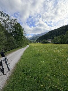
 © Melánia MeliUstvarjeno na 13.05.2026
 © Melánia MeliUstvarjeno na 13.05.2026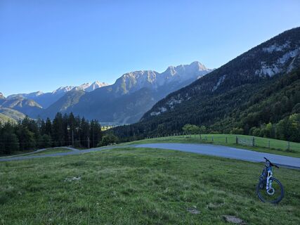
 © AlpenFuchsUstvarjeno na 18.09.2025
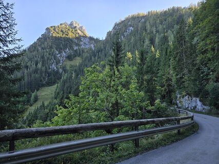 © AlpenFuchsUstvarjeno na 18.09.2025
 © Friedrich ReicherUstvarjeno na 06.09.2025
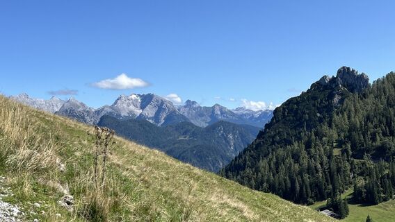 © Friedrich ReicherUstvarjeno na 06.09.2025
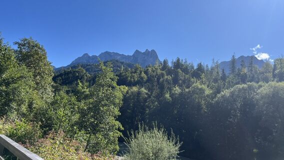 © Friedrich ReicherUstvarjeno na 06.09.2025
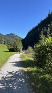 © Friedrich ReicherUstvarjeno na 06.09.2025
 © Stefan Ulrich 1Ustvarjeno na 18.08.2025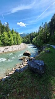
 © Matej Mikus 1Ustvarjeno na 14.05.2025
 © Matej Mikus 1Ustvarjeno na 14.05.2025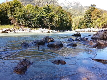
 © Glaszhutter IvettUstvarjeno na 18.09.2025
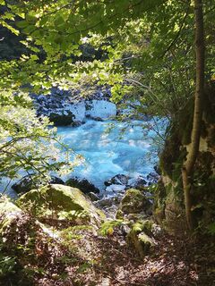 © Glaszhutter IvettUstvarjeno na 18.09.2025
 © MayerUstvarjeno na 04.05.2026
 © MayerUstvarjeno na 04.05.2026
 © MayerUstvarjeno na 04.05.2026
 © MayerUstvarjeno na 04.05.2026
 © MayerUstvarjeno na 04.05.2026
 © MayerUstvarjeno na 04.05.2026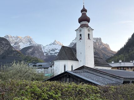
 © oliverzUstvarjeno na 24.04.2026
 © Mads AlfastUstvarjeno na 04.03.2026
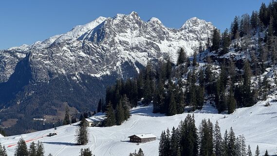 © Jarosław WąsielUstvarjeno na 25.02.2026
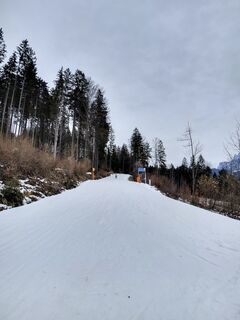 © PhKaufmannUstvarjeno na 19.02.2026
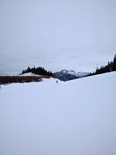 © PhKaufmannUstvarjeno na 19.02.2026
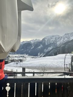 © Jonah SchindlerUstvarjeno na 28.01.2026
 © nordsee.fanUstvarjeno na 21.01.2026
 © Sam de ManUstvarjeno na 13.01.2026
 © Sam de ManUstvarjeno na 13.01.2026
 © Michael RohrmoserUstvarjeno na 11.01.2026
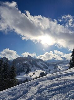 © Michael RohrmoserUstvarjeno na 11.01.2026
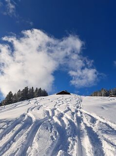 © Michael RohrmoserUstvarjeno na 11.01.2026
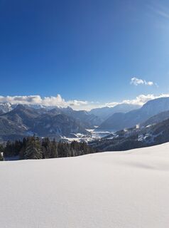 © Michael RohrmoserUstvarjeno na 11.01.2026
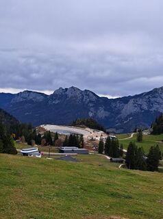 © Michael RohrmoserUstvarjeno na 23.10.2025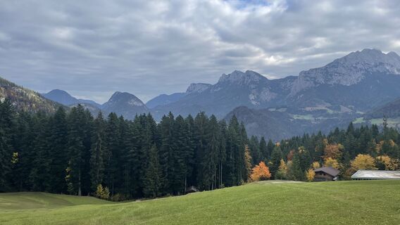
 © Simon ZelderUstvarjeno na 18.10.2025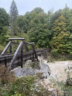
 © Peter De Smedt2Ustvarjeno na 07.10.2025
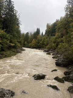 © Peter De Smedt2Ustvarjeno na 07.10.2025
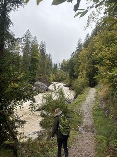 © Peter De Smedt2Ustvarjeno na 07.10.2025
 © Peter De Smedt2Ustvarjeno na 07.10.2025
 © Peter De Smedt2Ustvarjeno na 07.10.2025
 © Peter De Smedt2Ustvarjeno na 07.10.2025
 © Levian Cassiel SzelagUstvarjeno na 19.08.2025
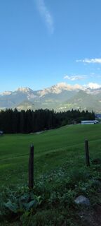 © Levian Cassiel SzelagUstvarjeno na 19.08.2025
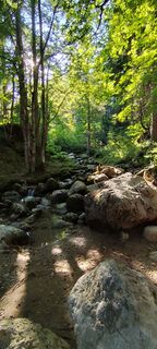 © Levian Cassiel SzelagUstvarjeno na 19.08.2025
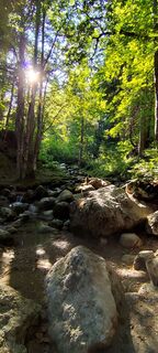 © Levian Cassiel SzelagUstvarjeno na 19.08.2025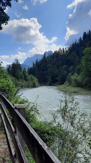
 © Ralf HilprechtUstvarjeno na 15.07.2025
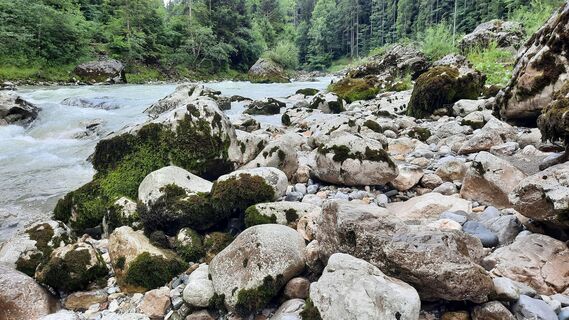 © Ralf HilprechtUstvarjeno na 15.07.2025
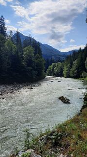 © Ralf HilprechtUstvarjeno na 15.07.2025
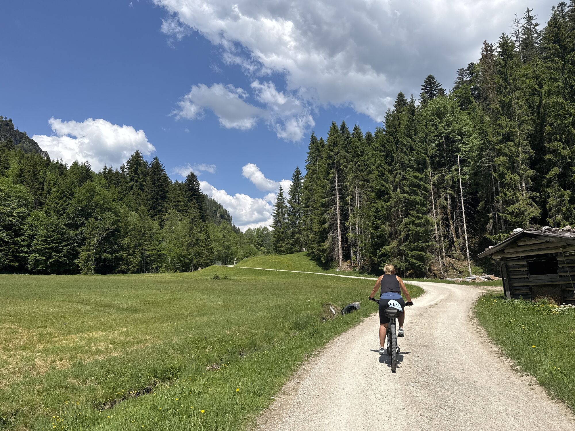
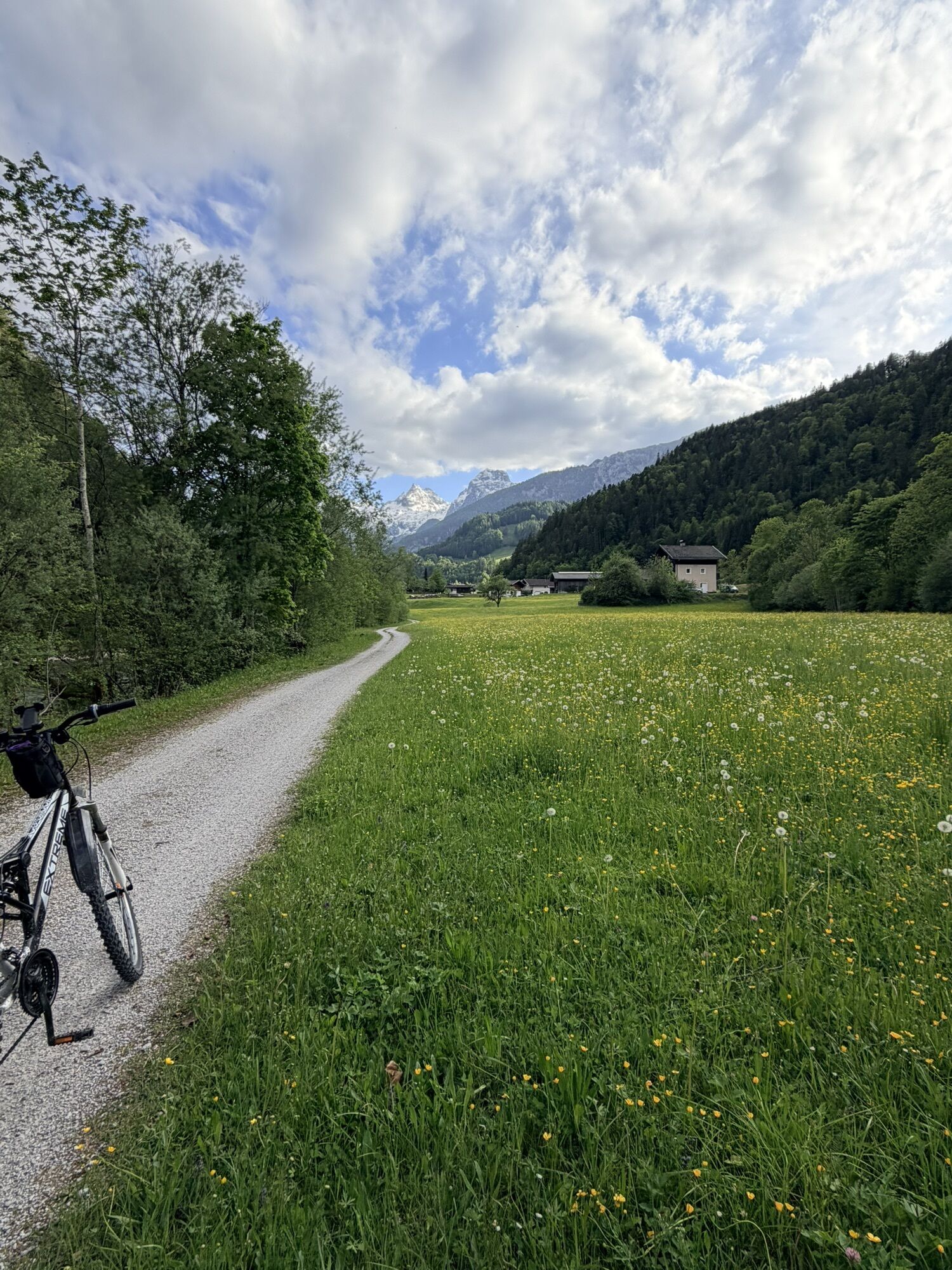


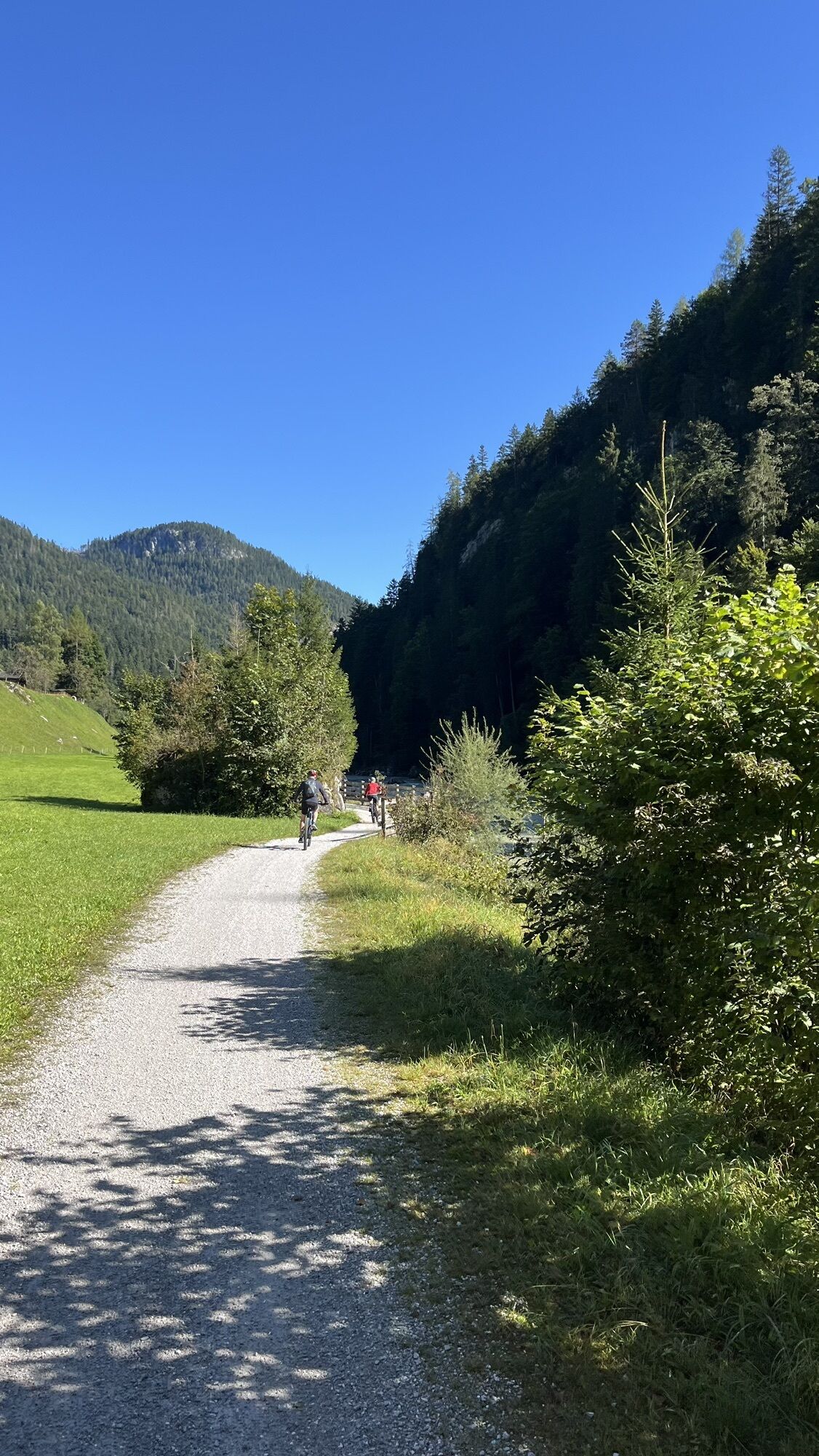

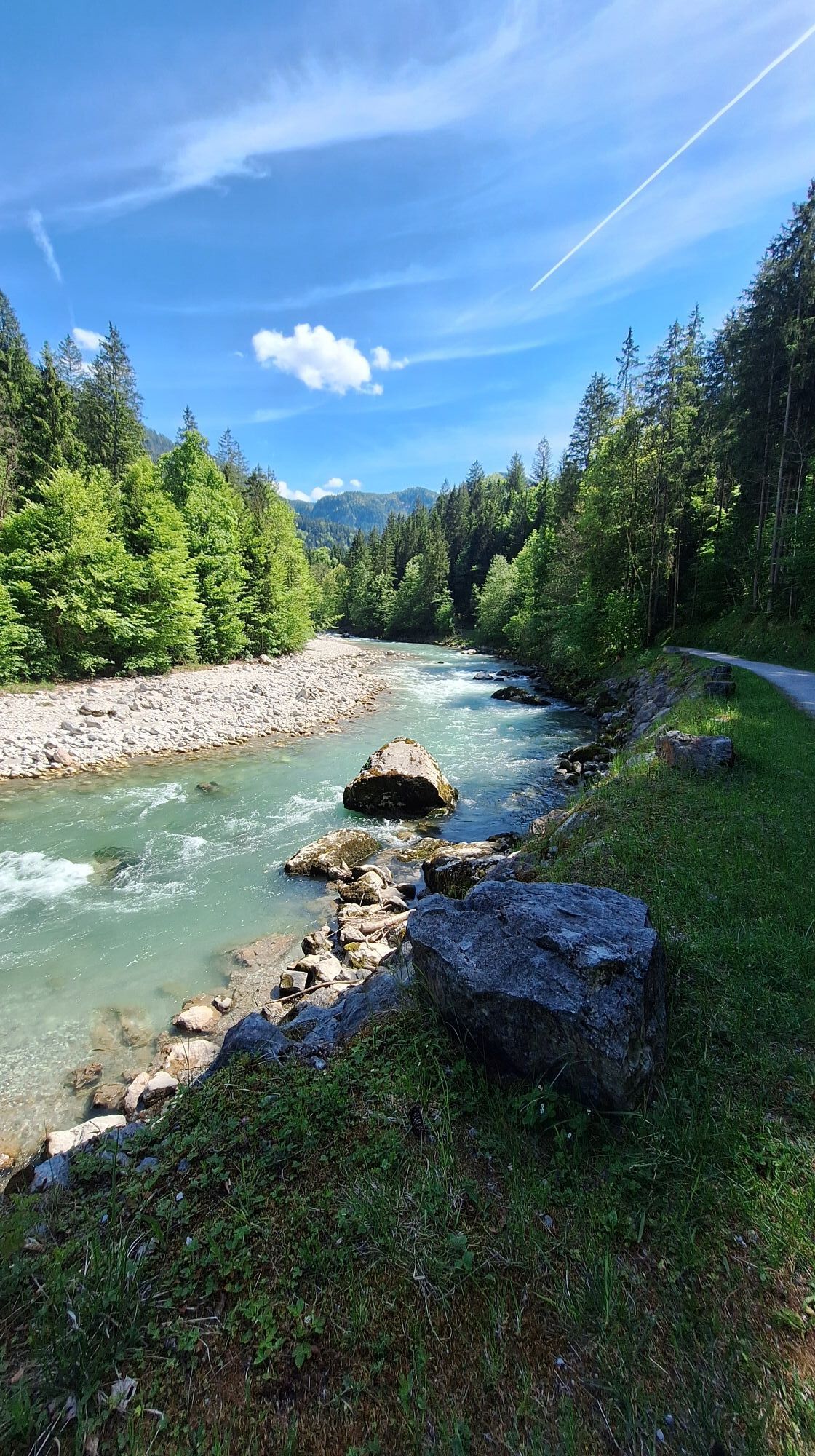

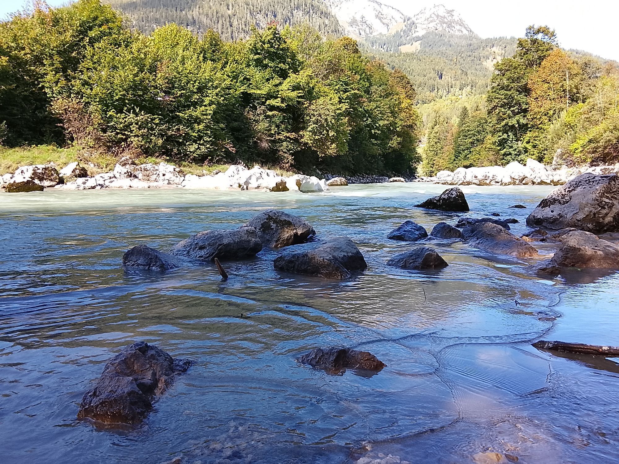
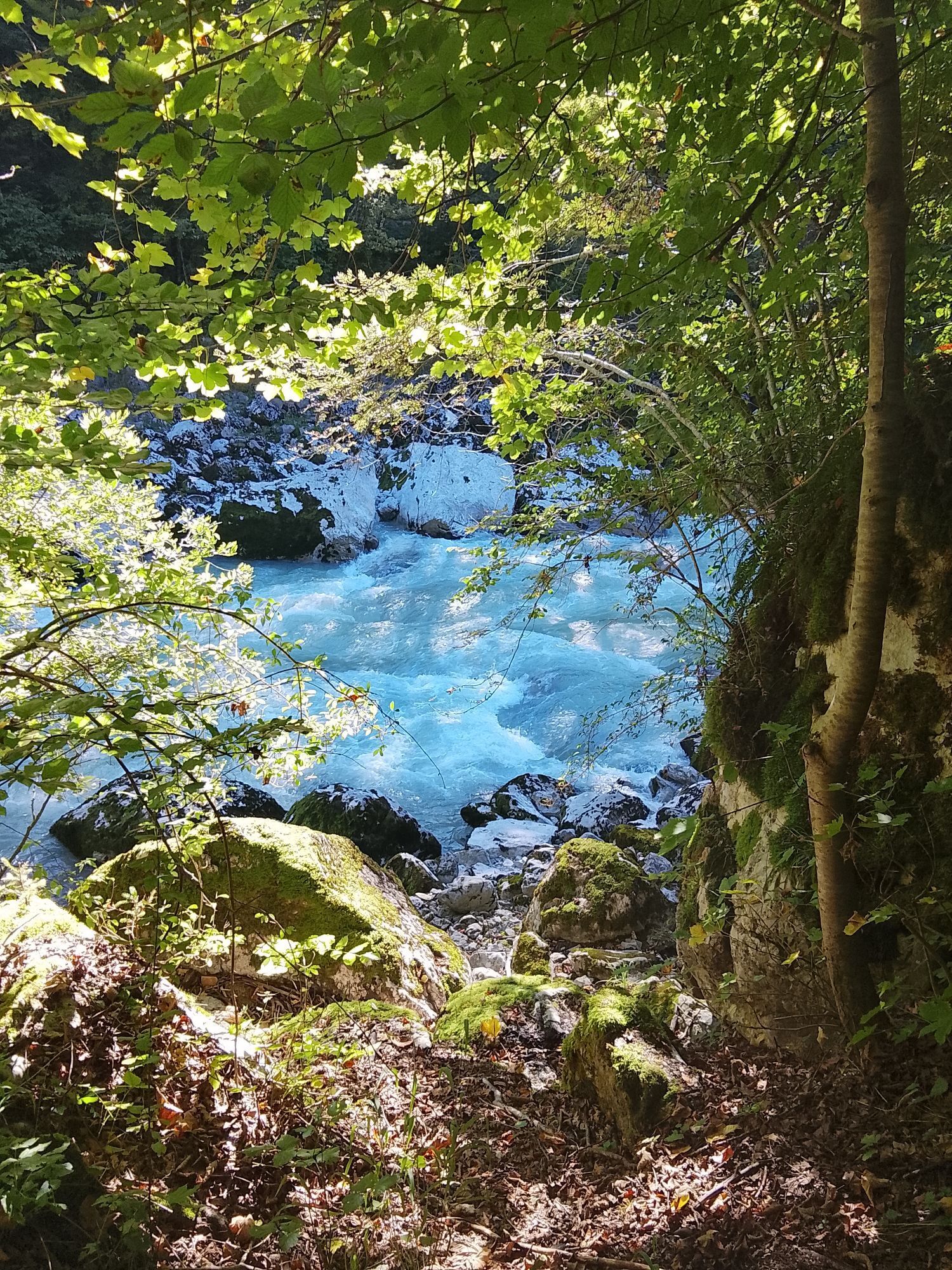
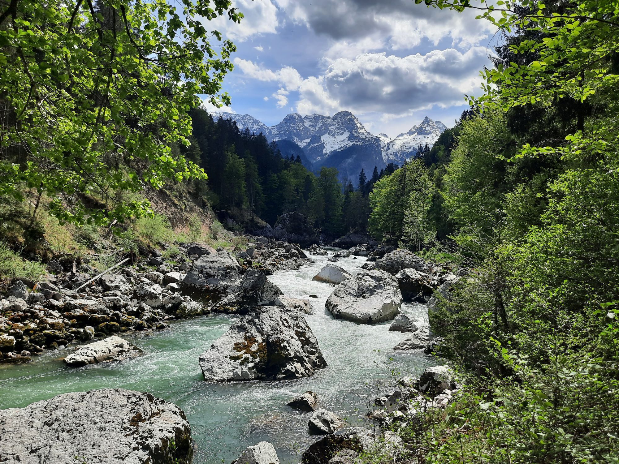
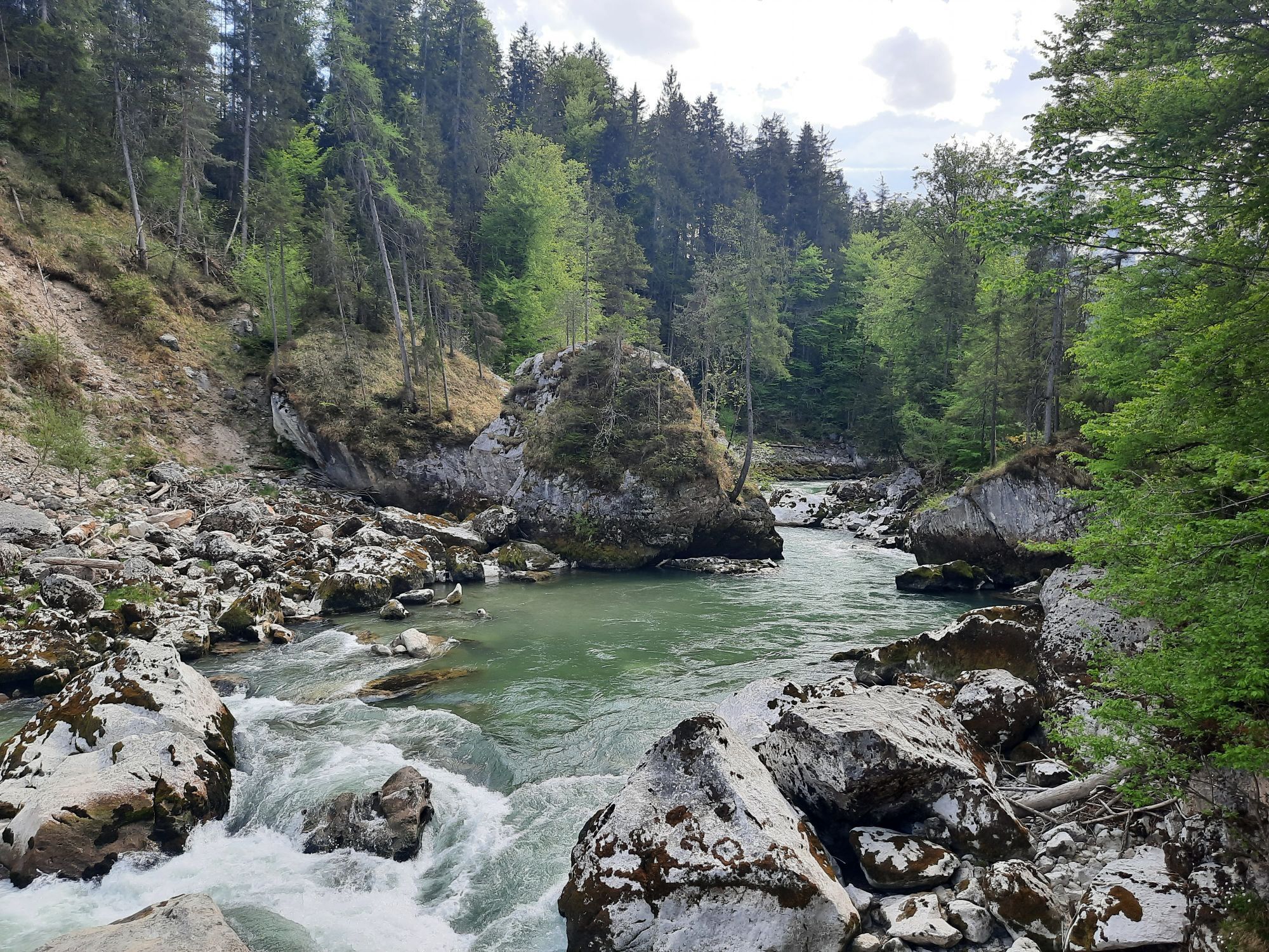
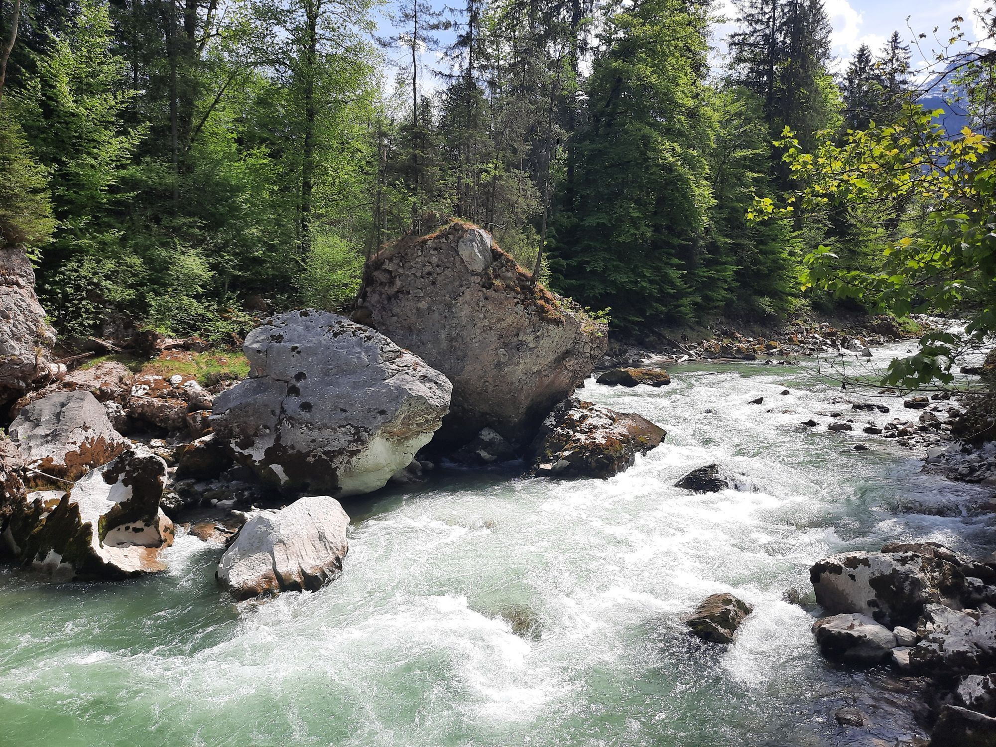
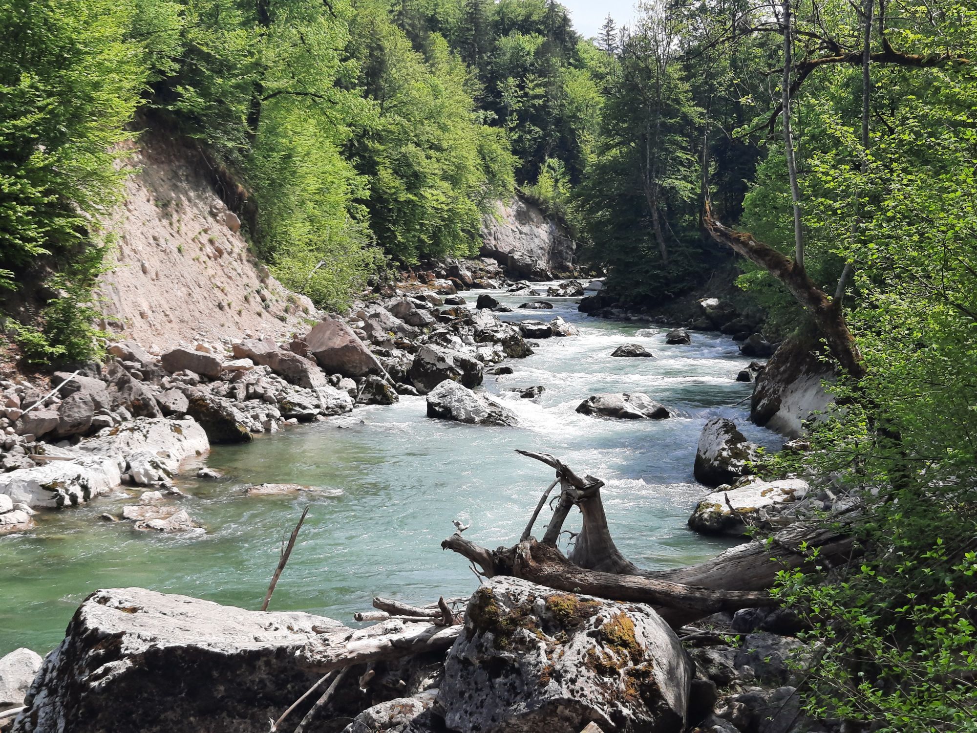
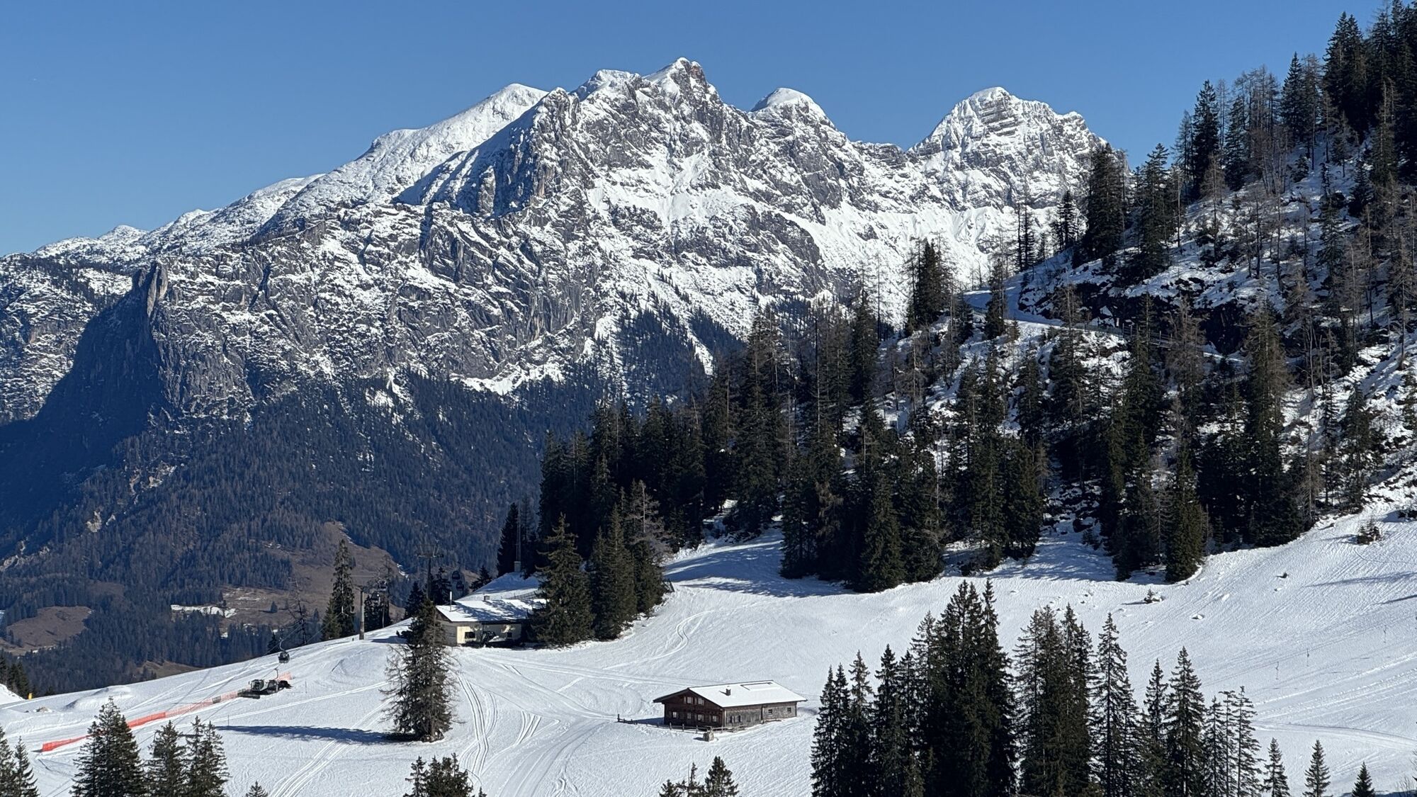
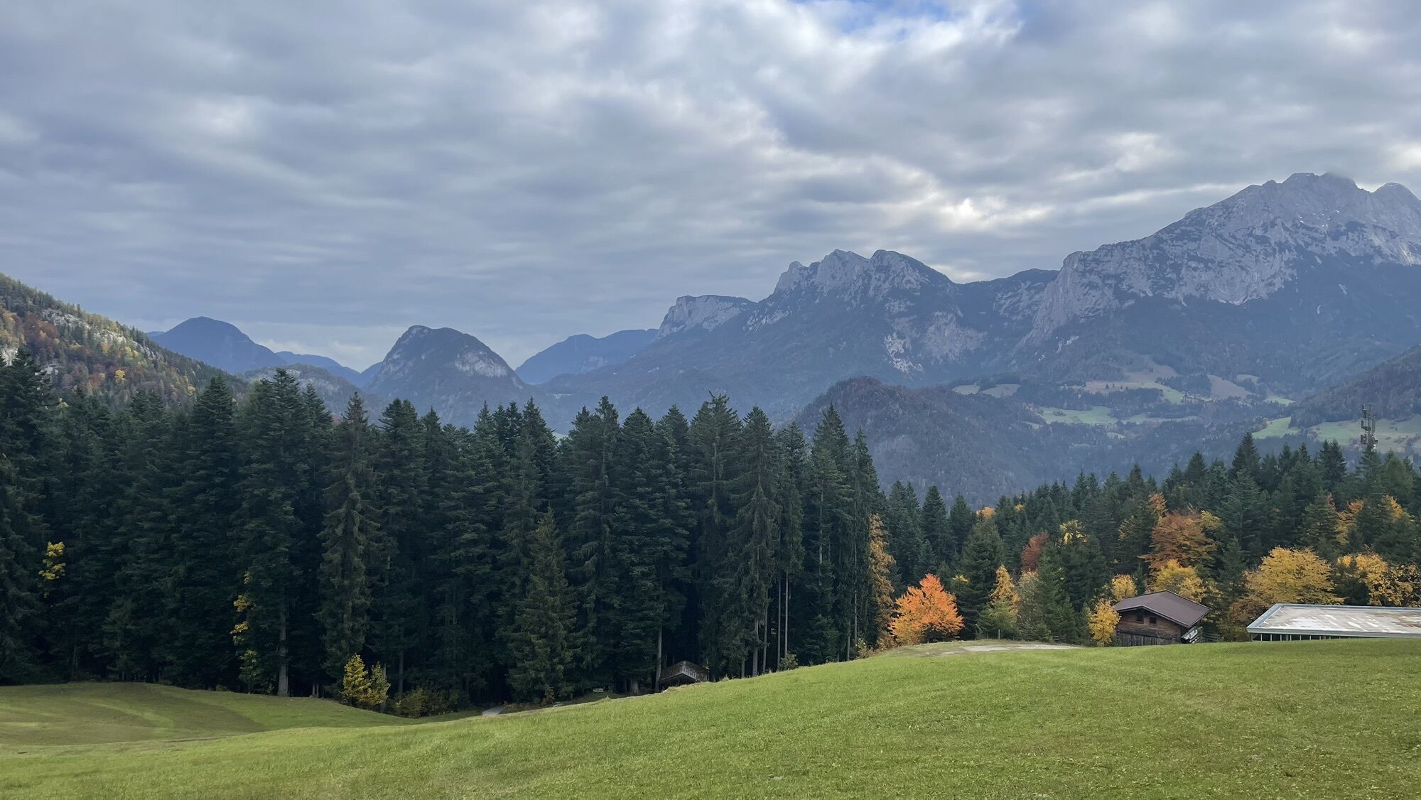
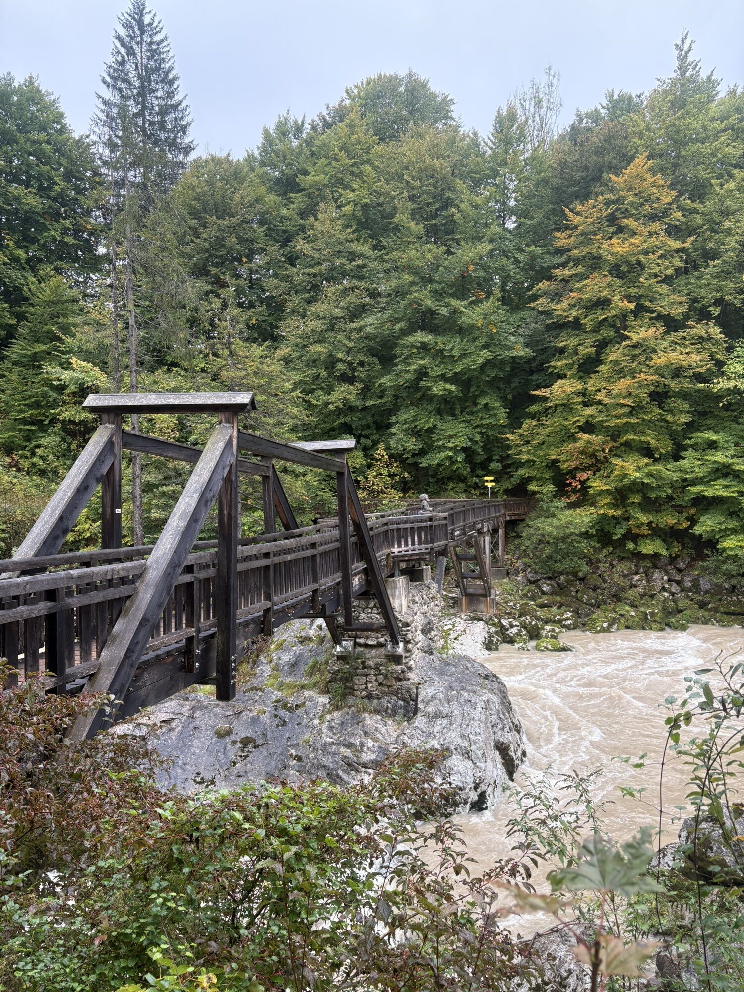
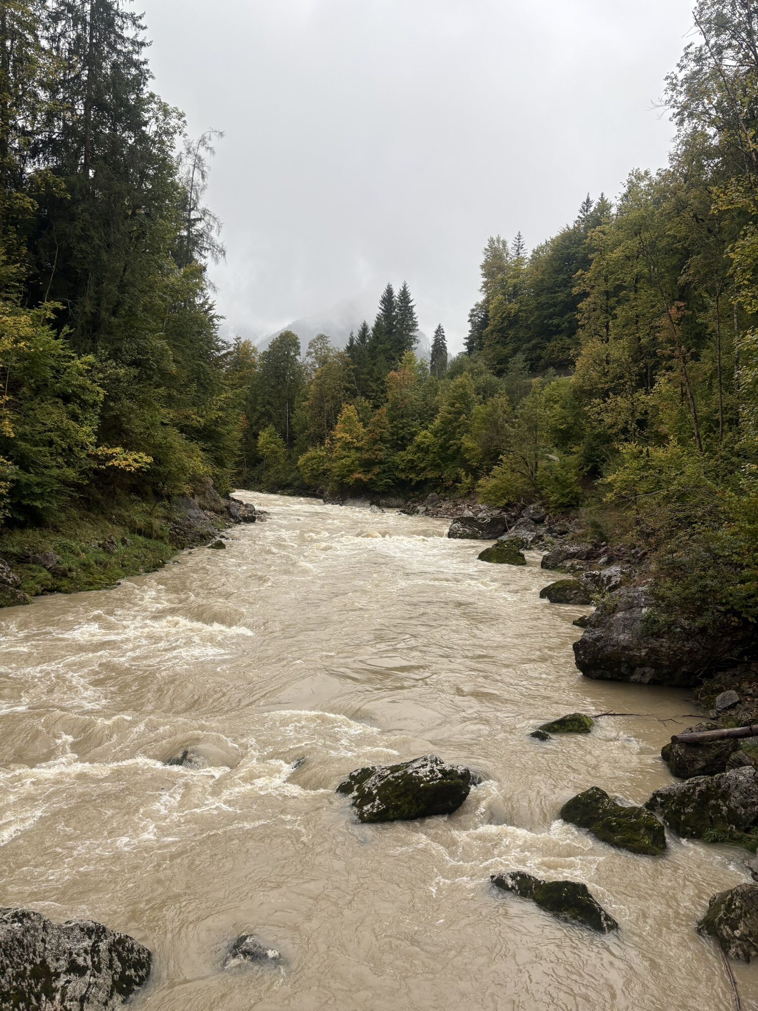
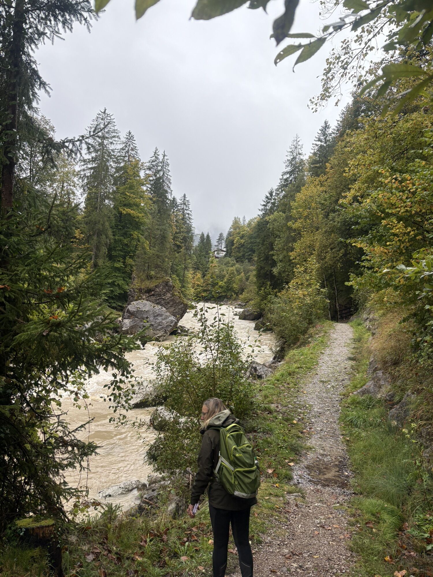
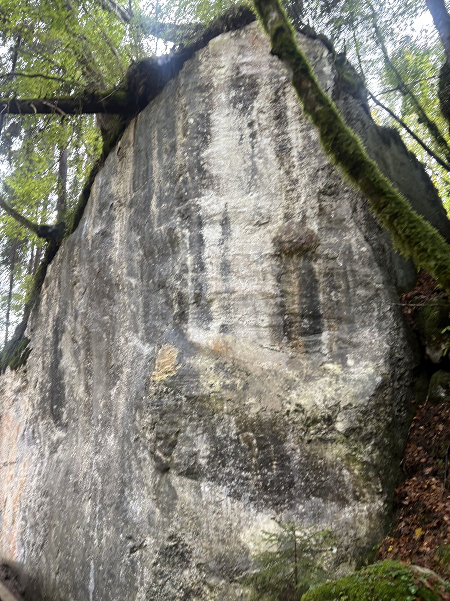
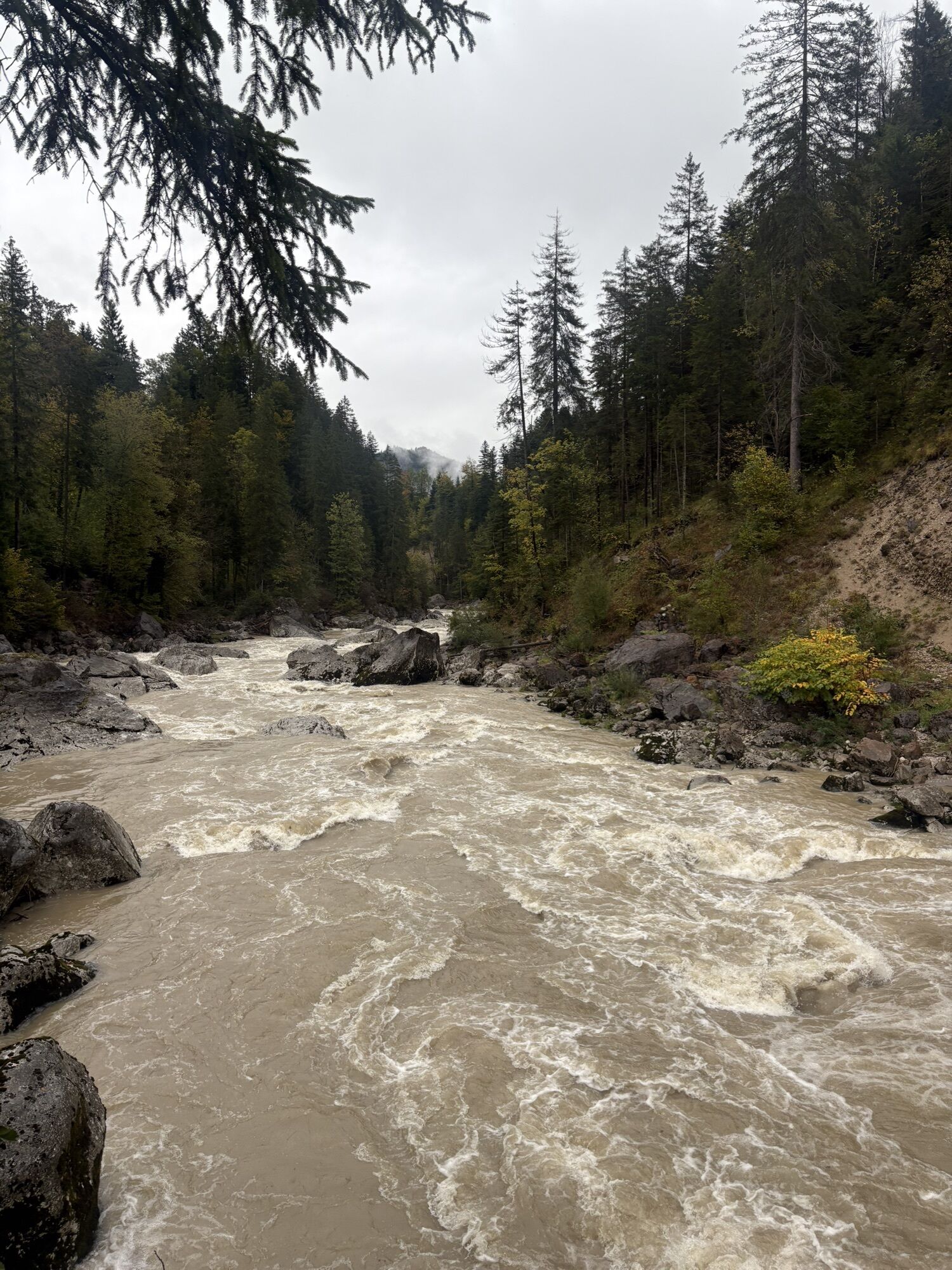
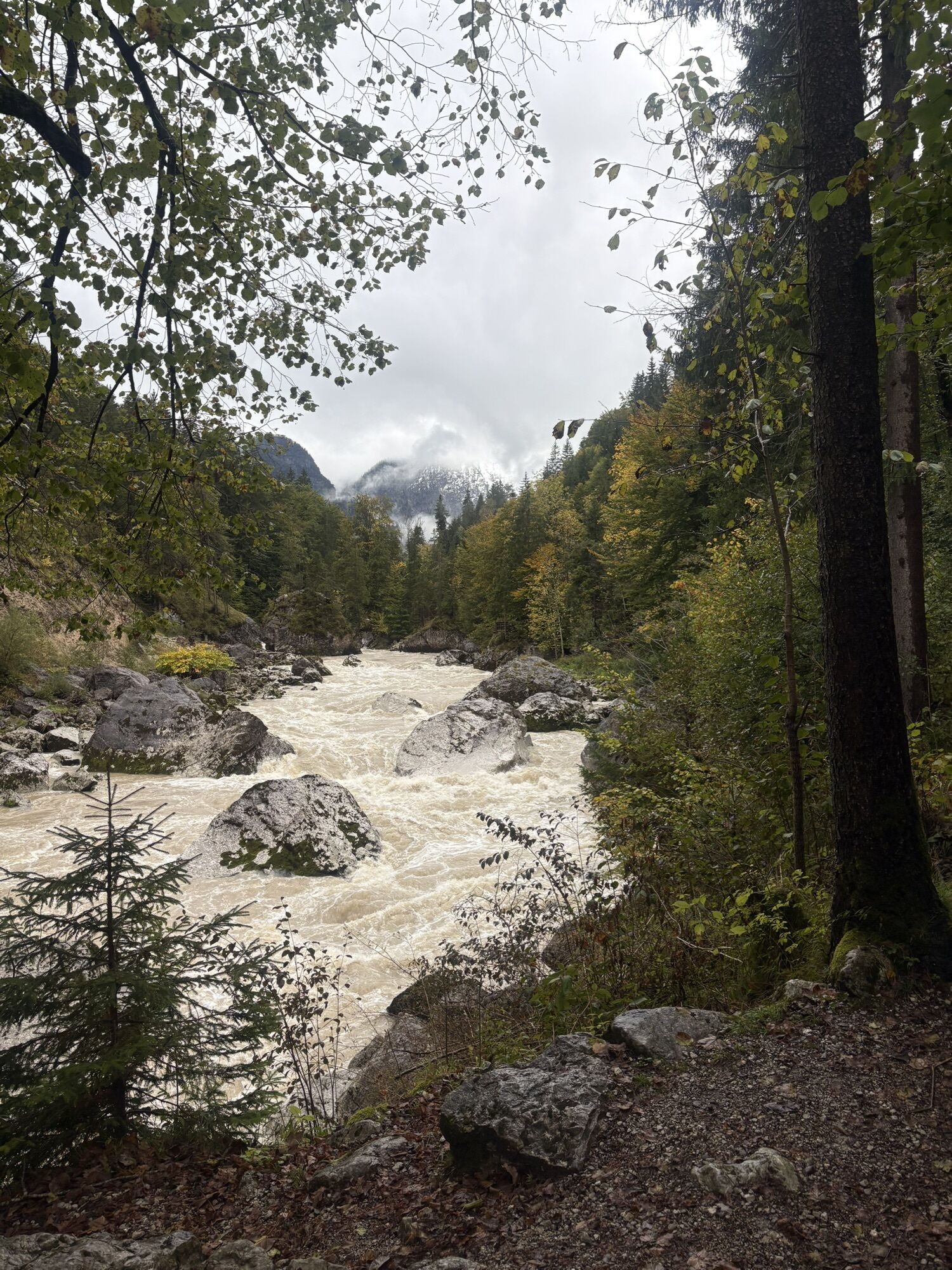

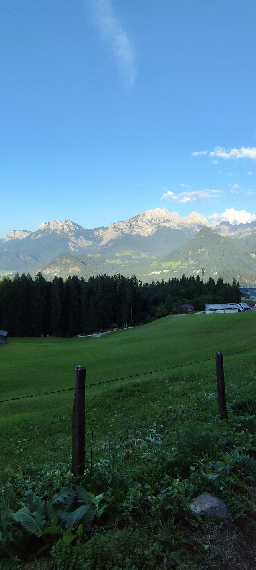
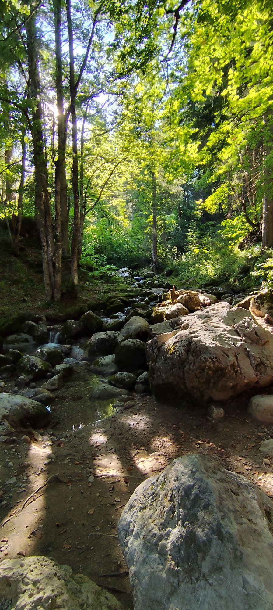
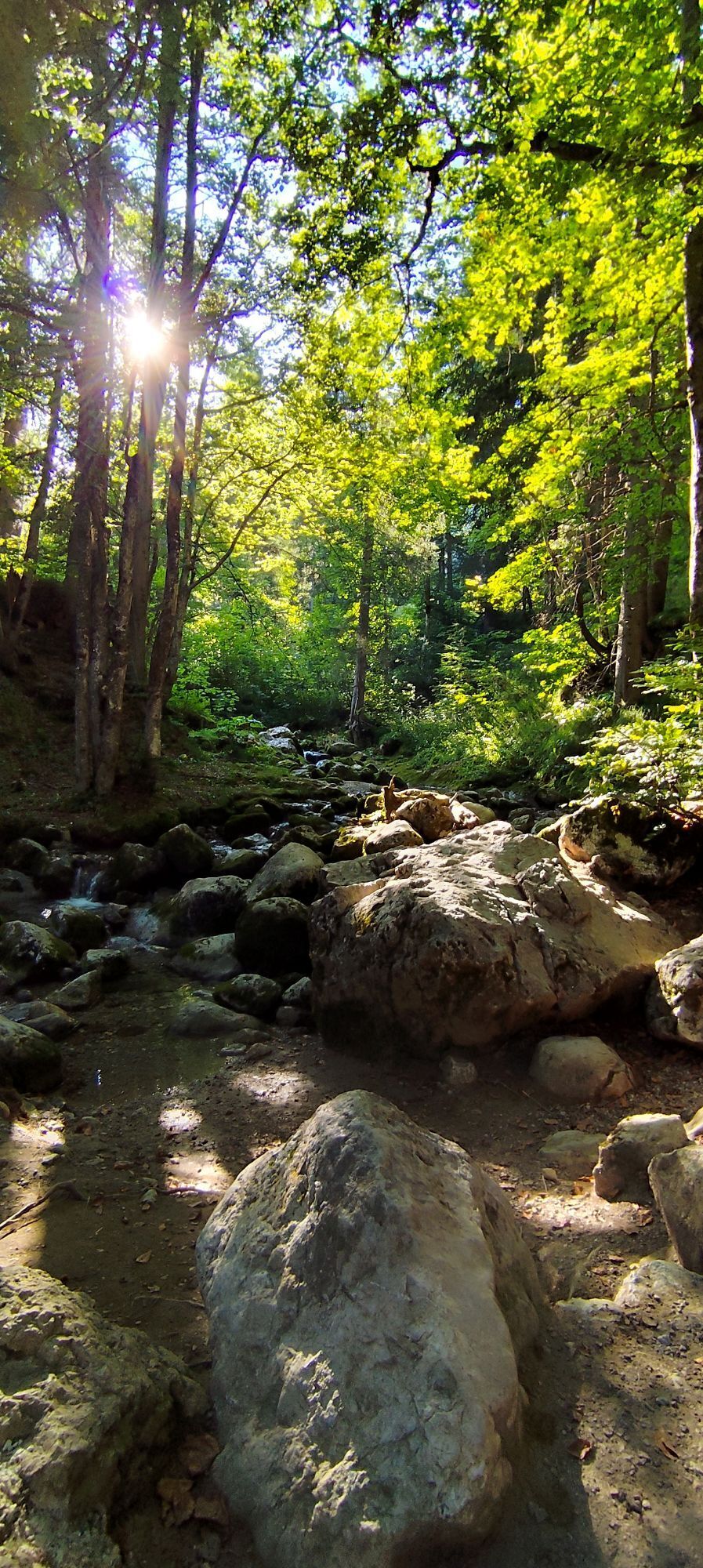
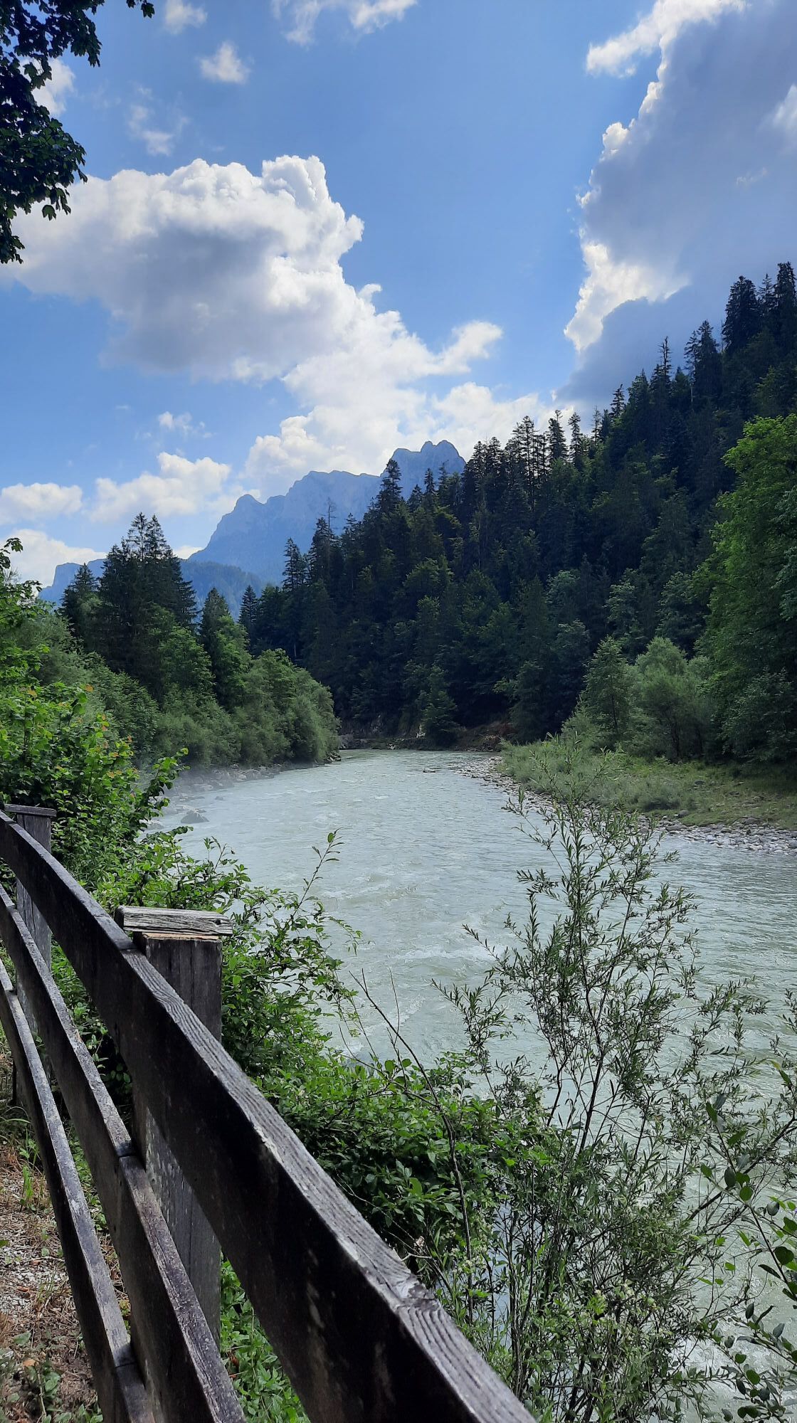
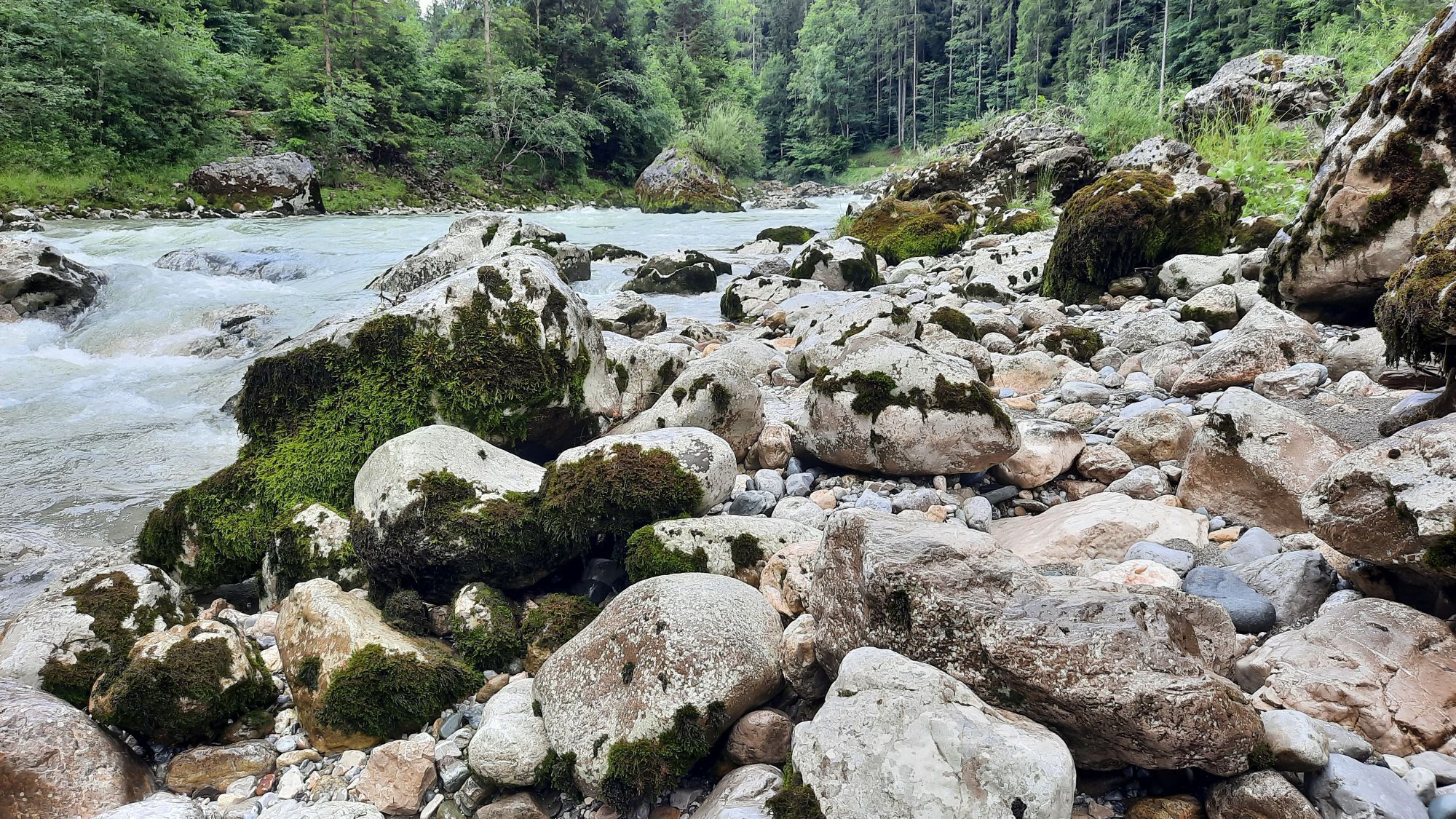
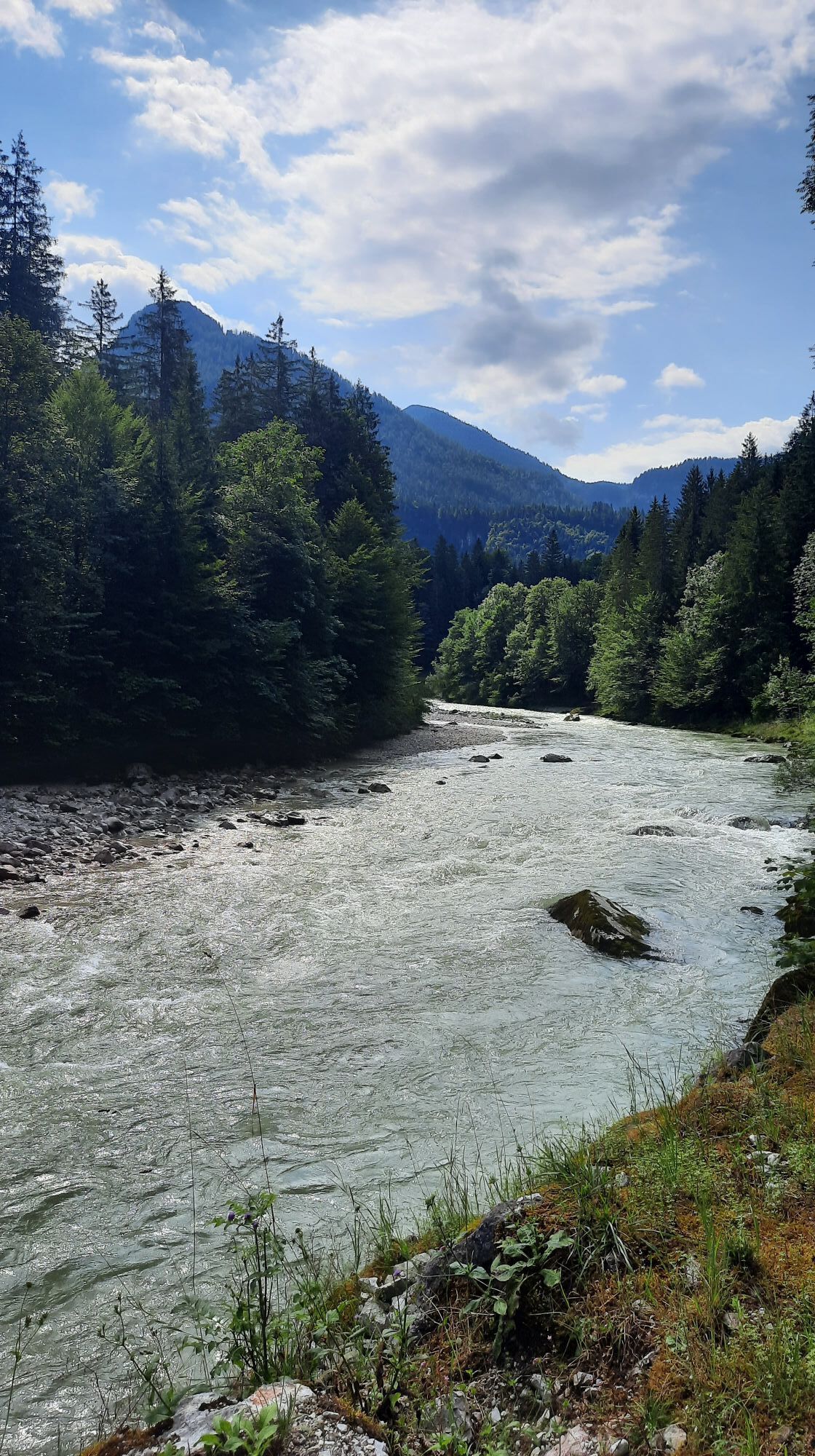
The first six kilometers are ideal for warming up and lead along the Tauern cycle path along the Saalach from Lofer to Reith. In Reith, cross the federal road and the ascent begins: via the "Liedersberg...
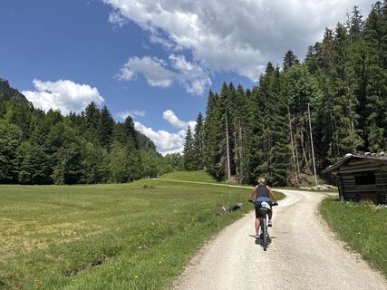
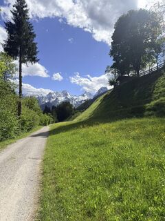
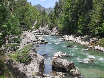
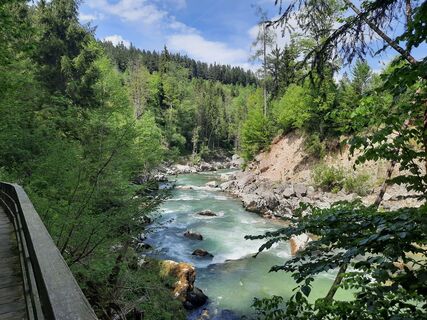
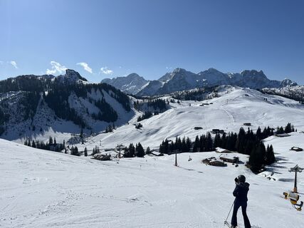
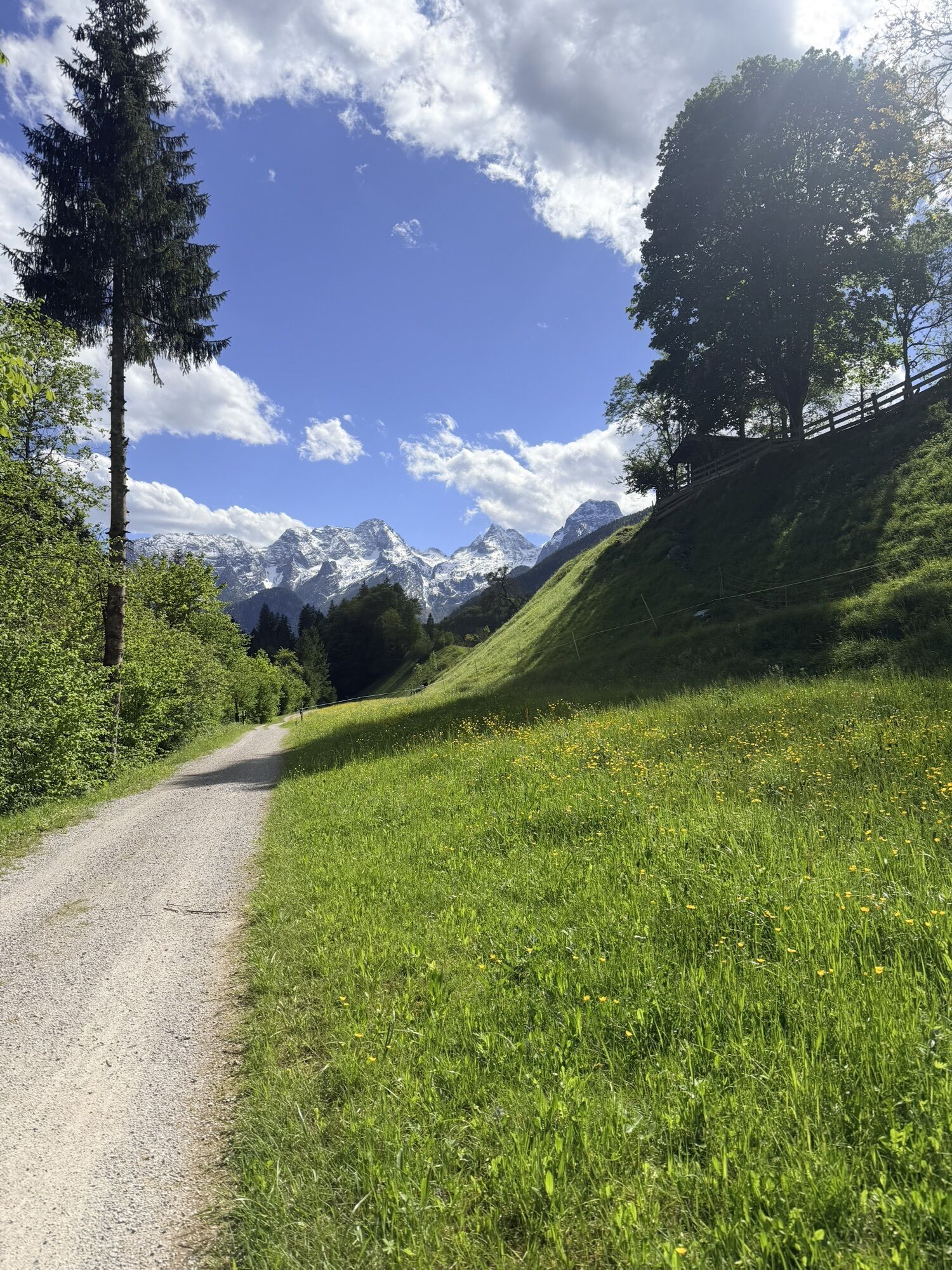
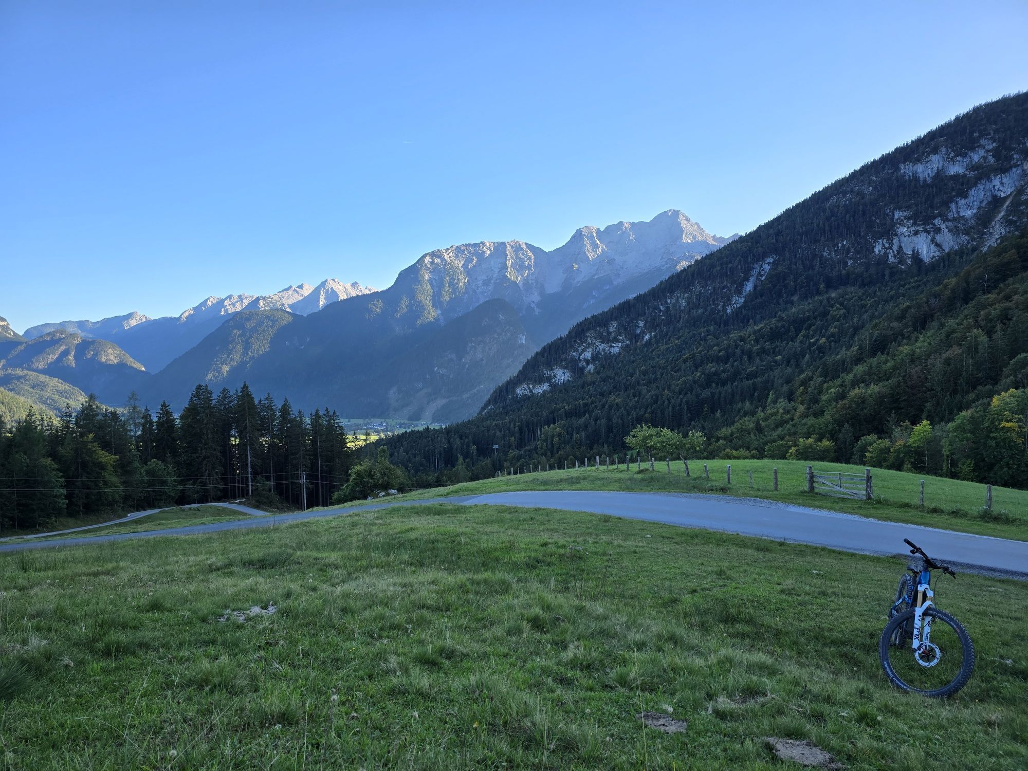
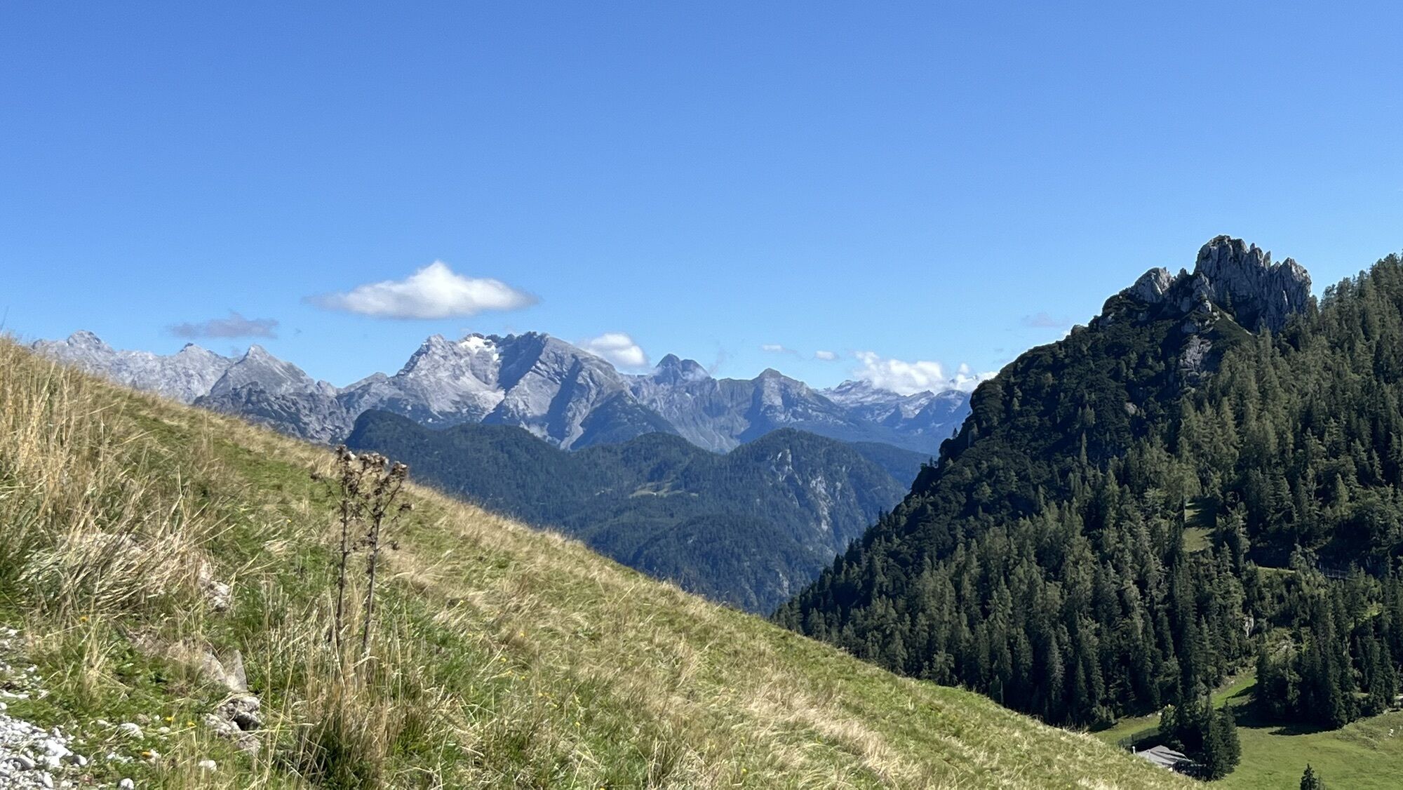
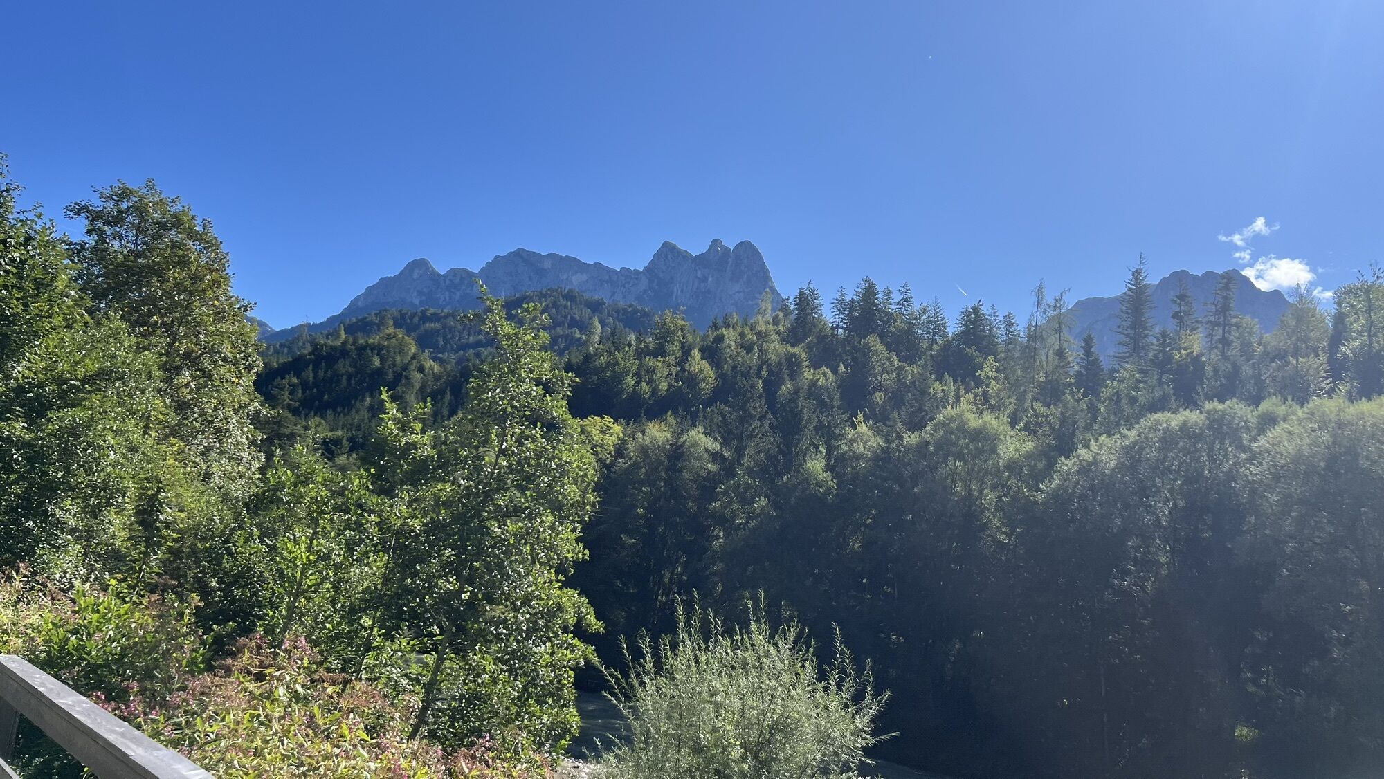
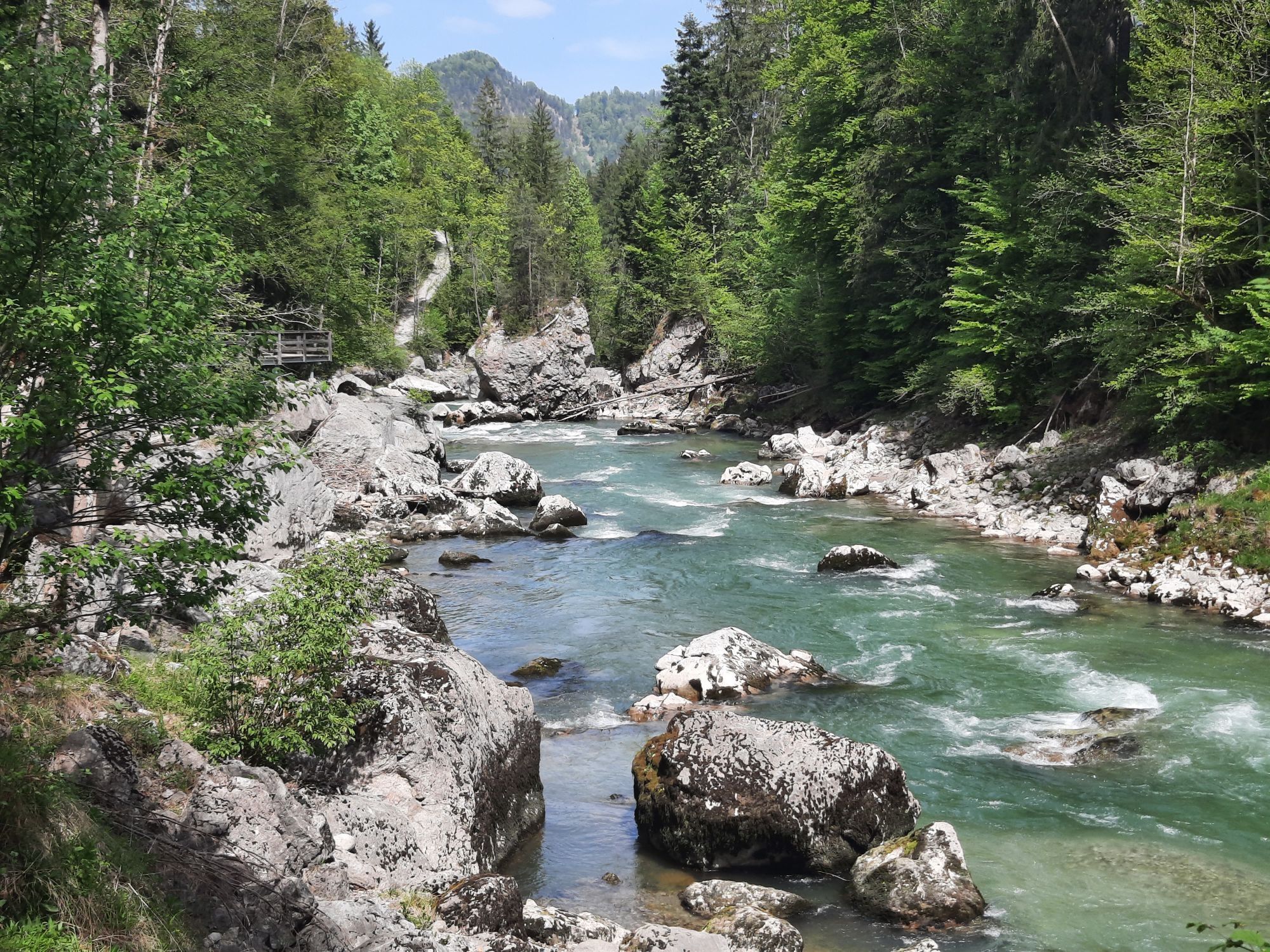
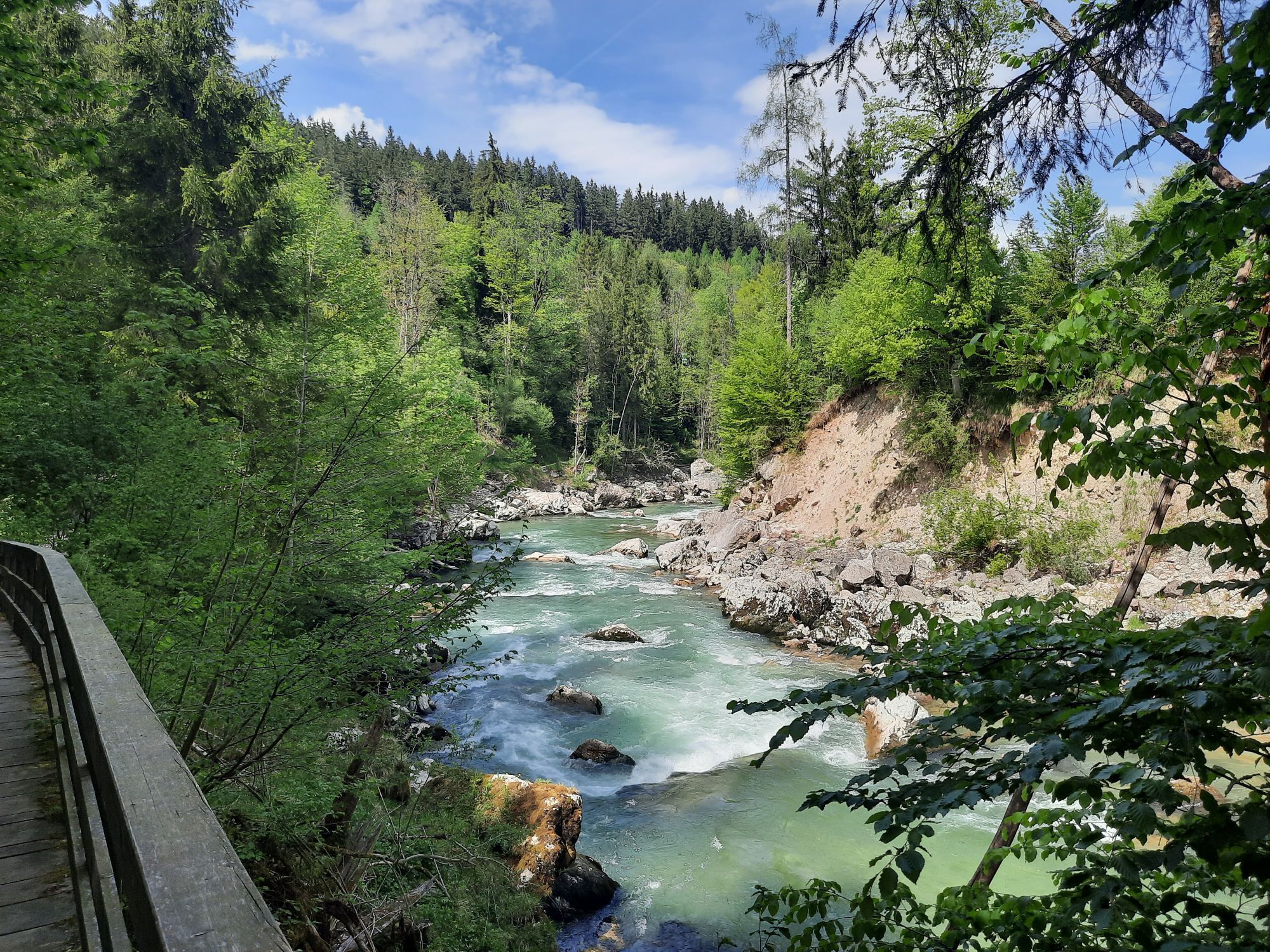
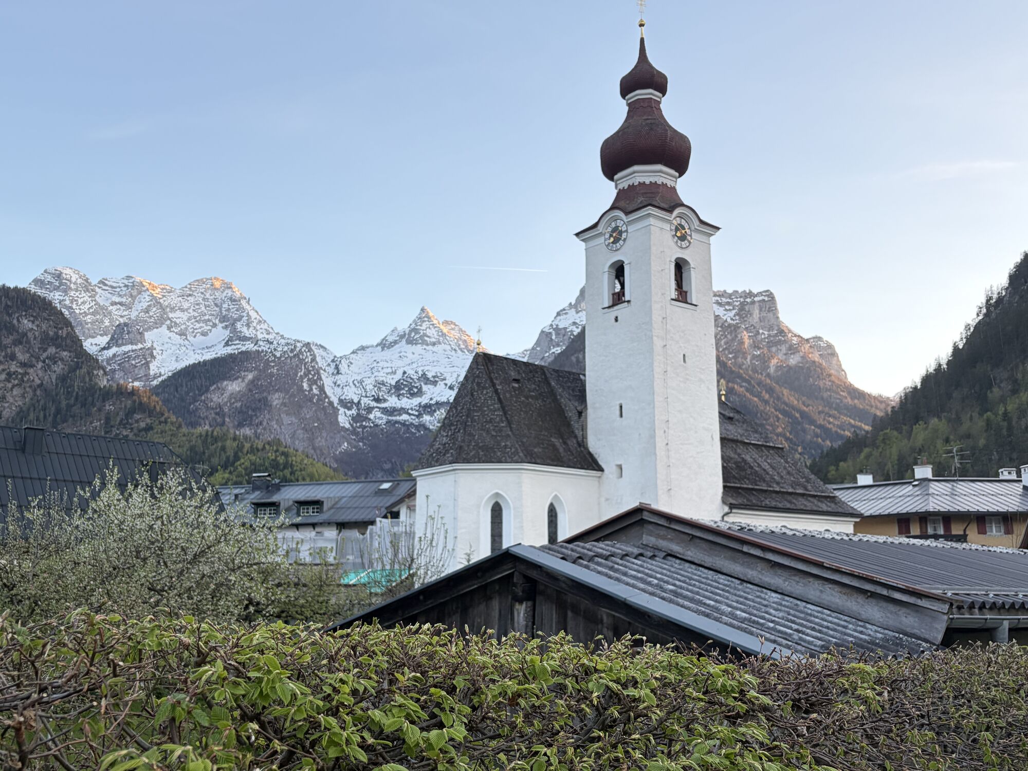
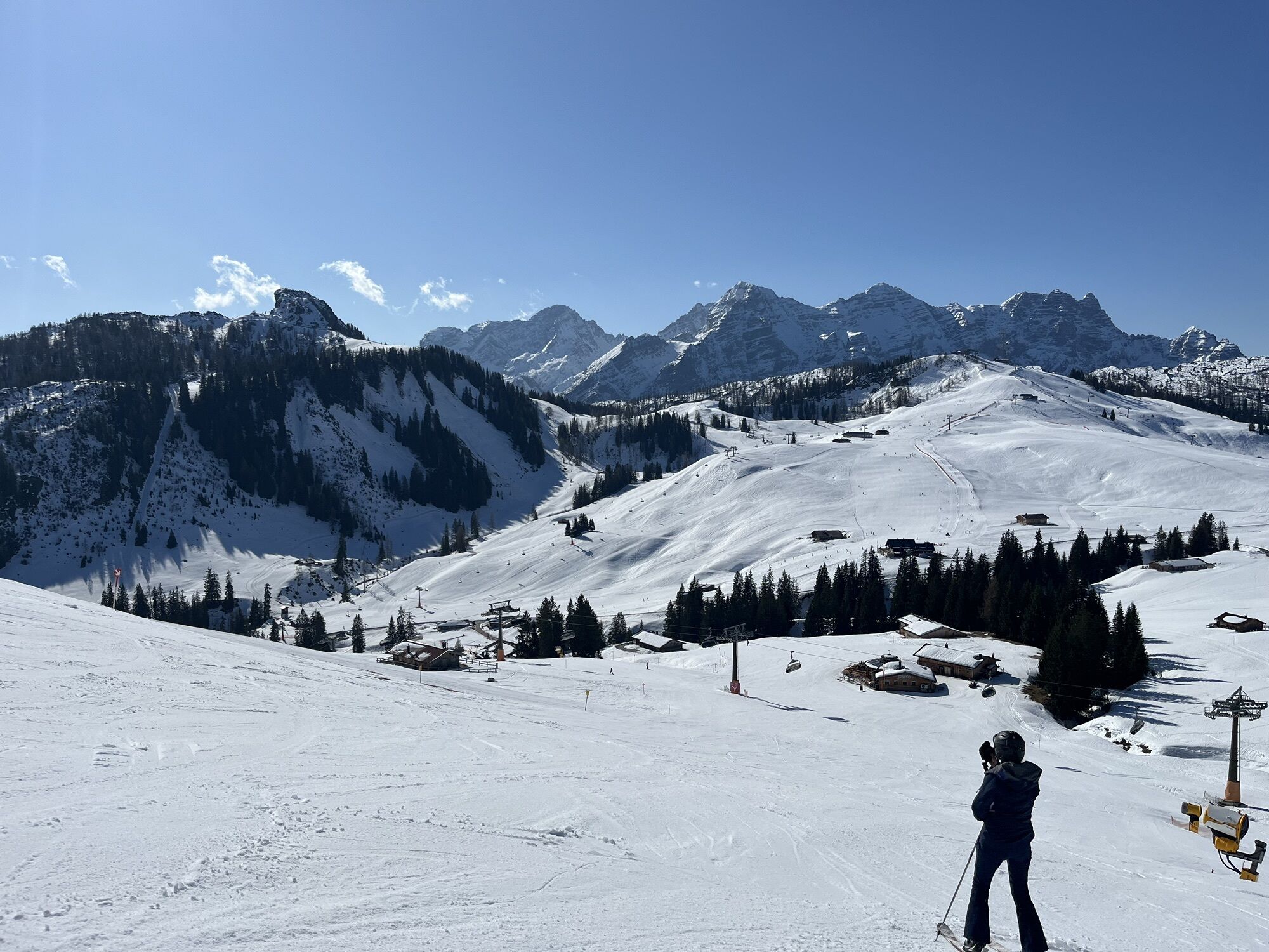
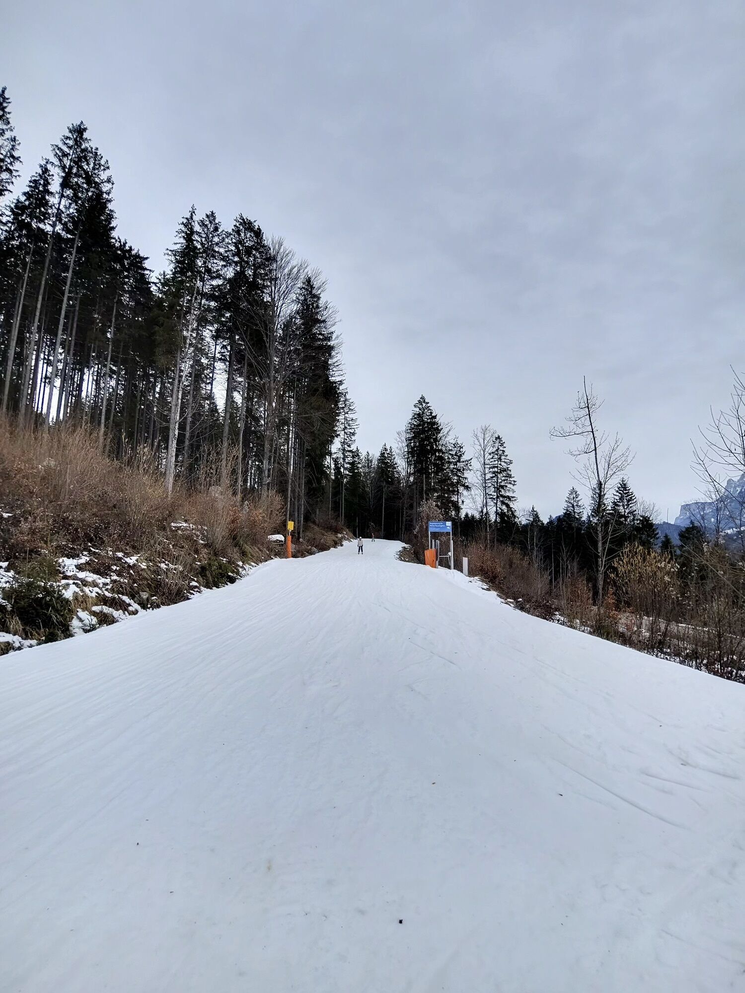
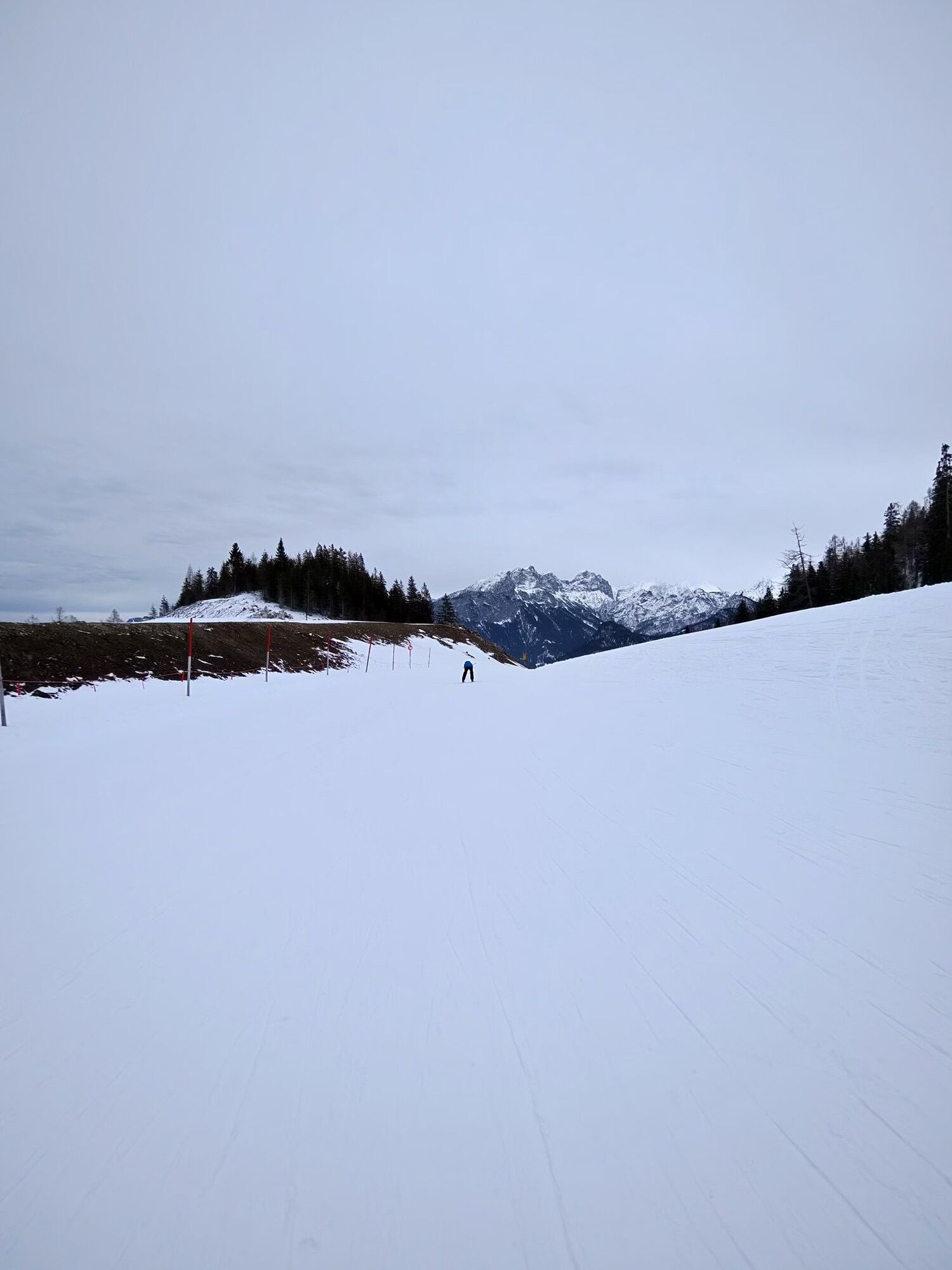
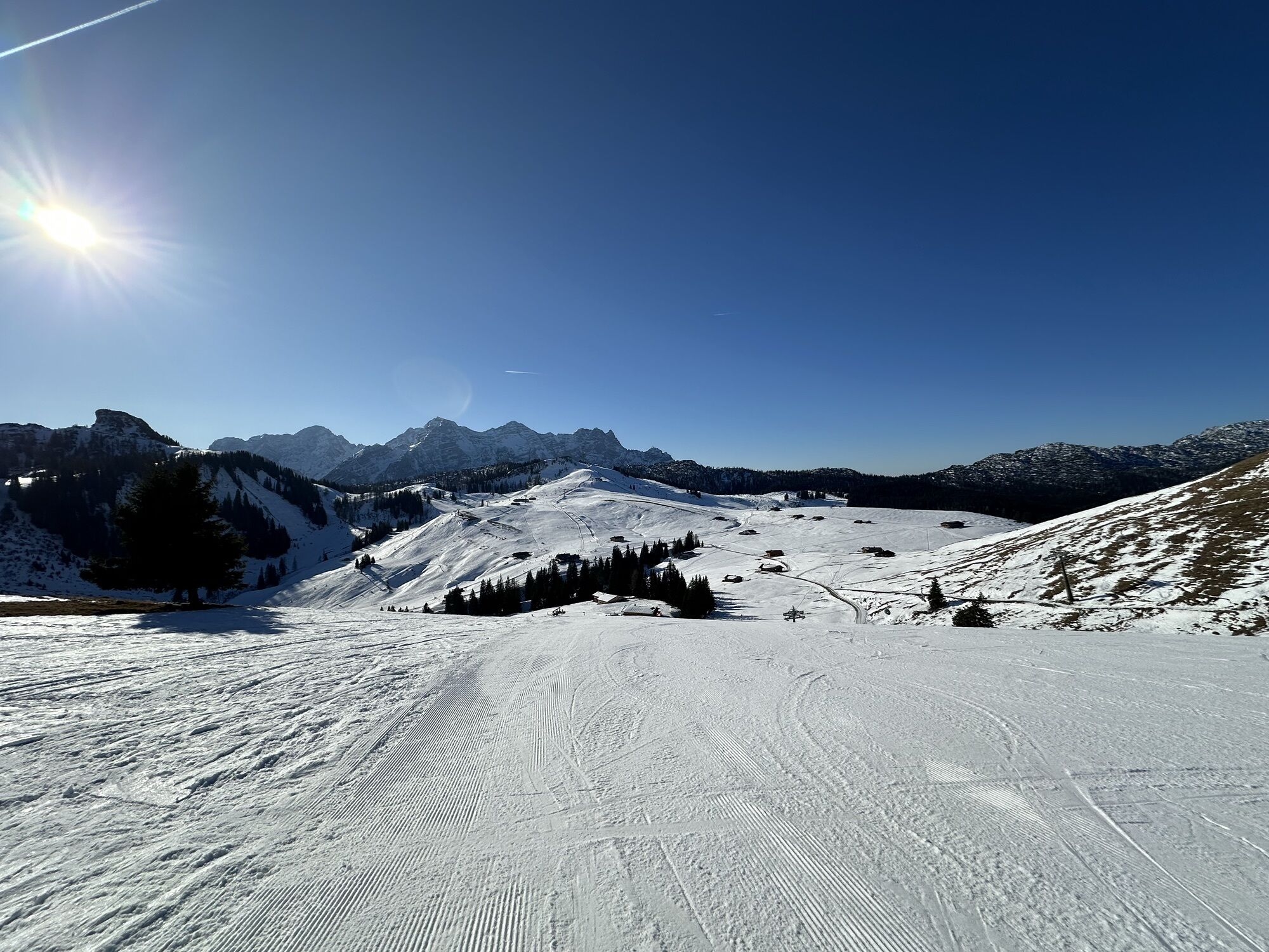
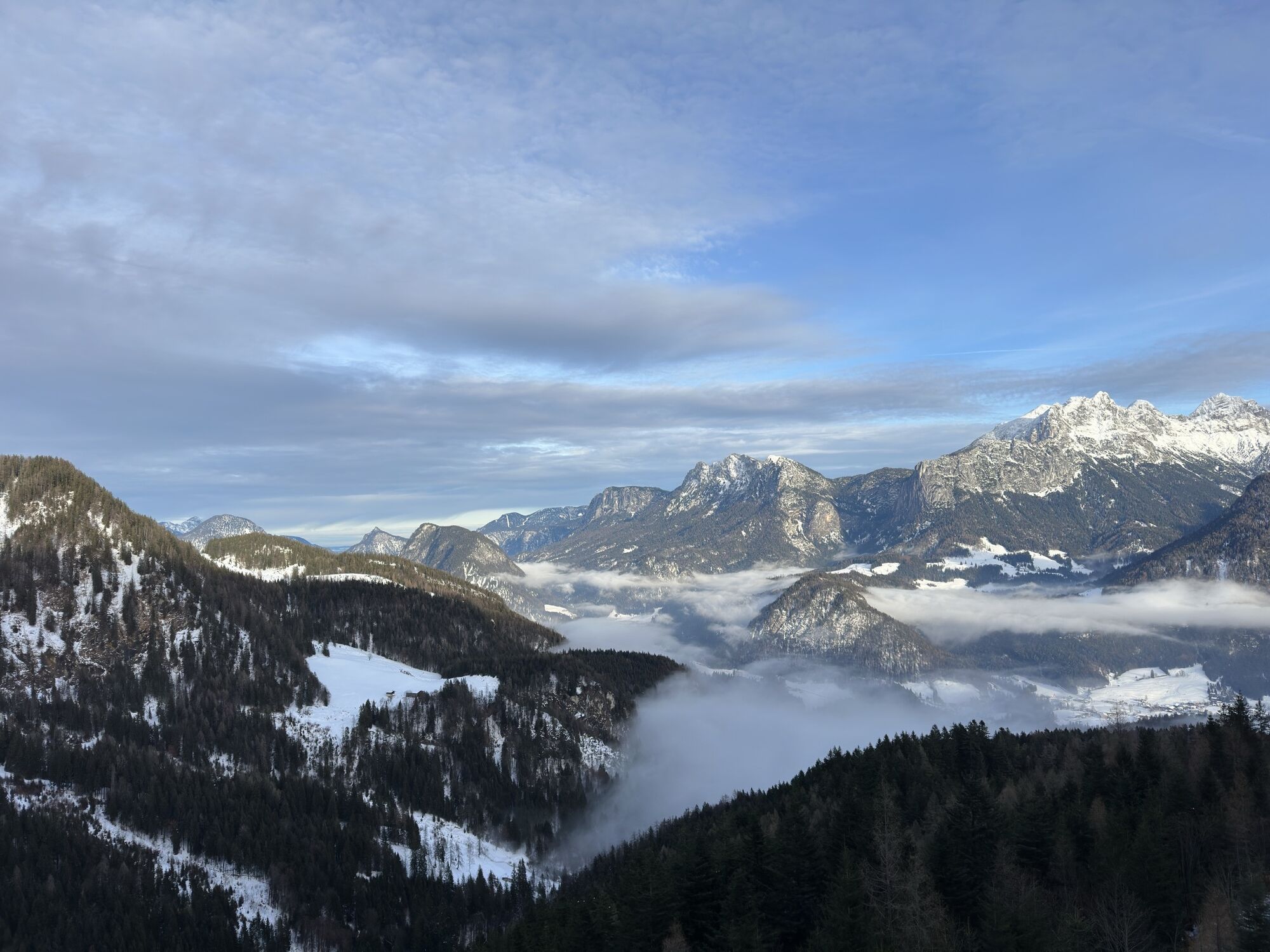
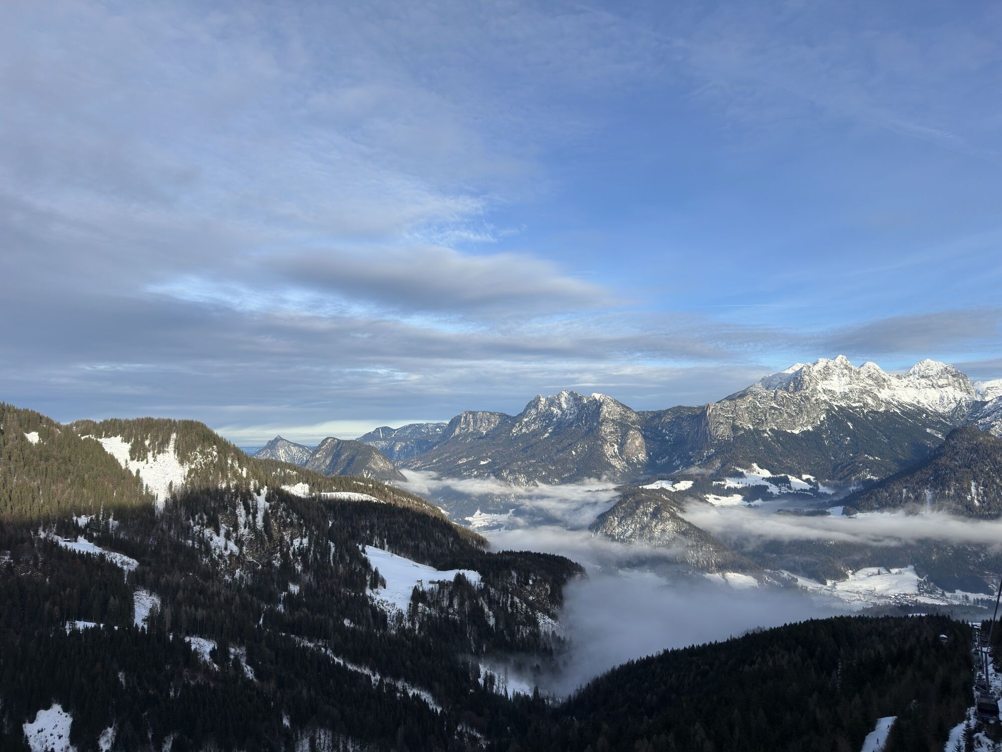
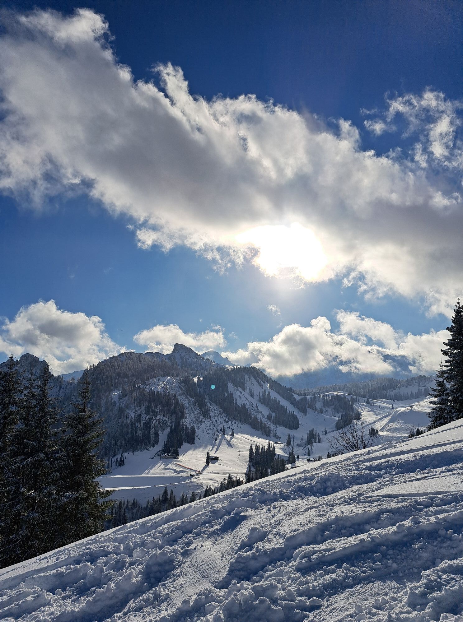
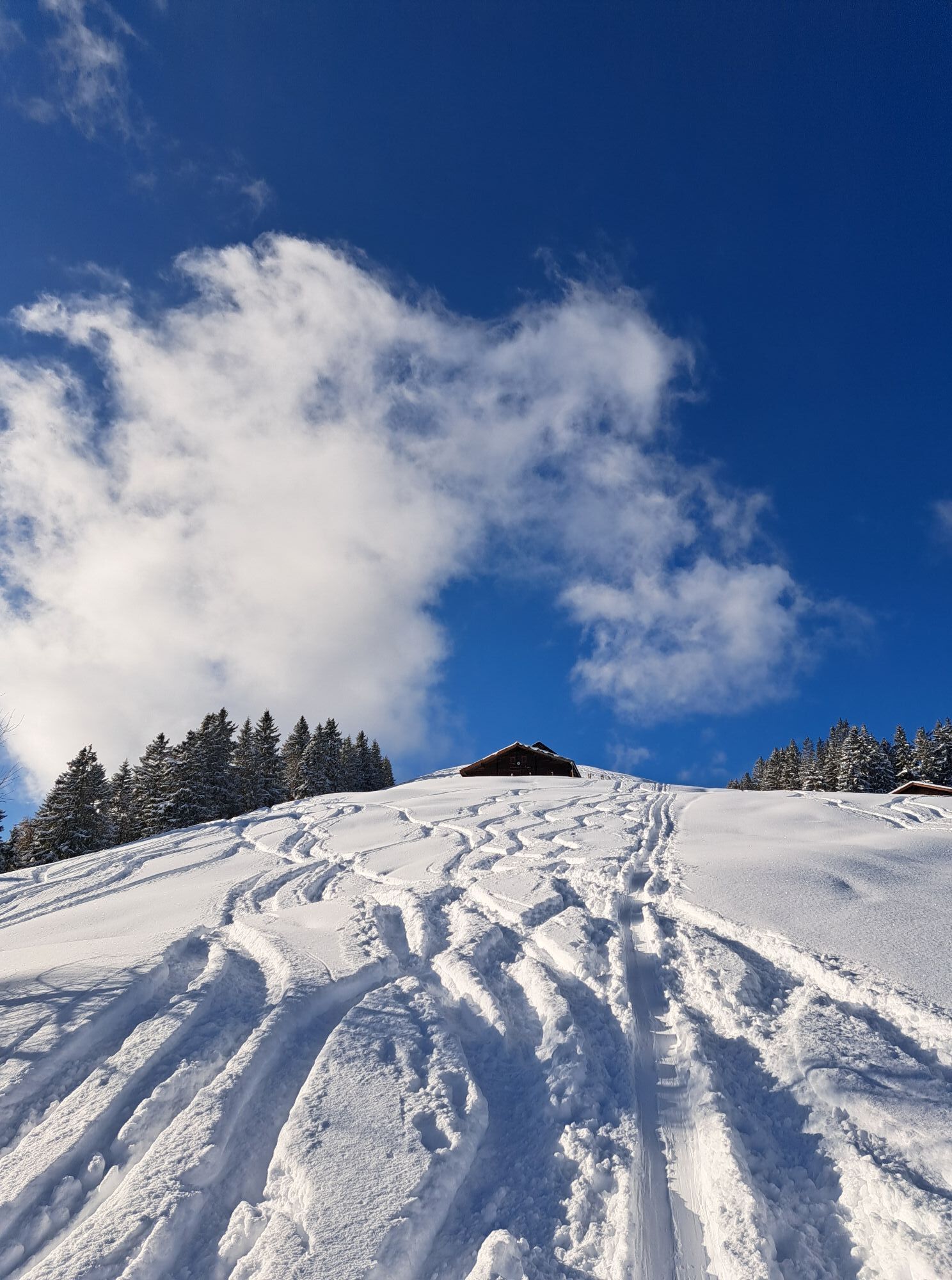
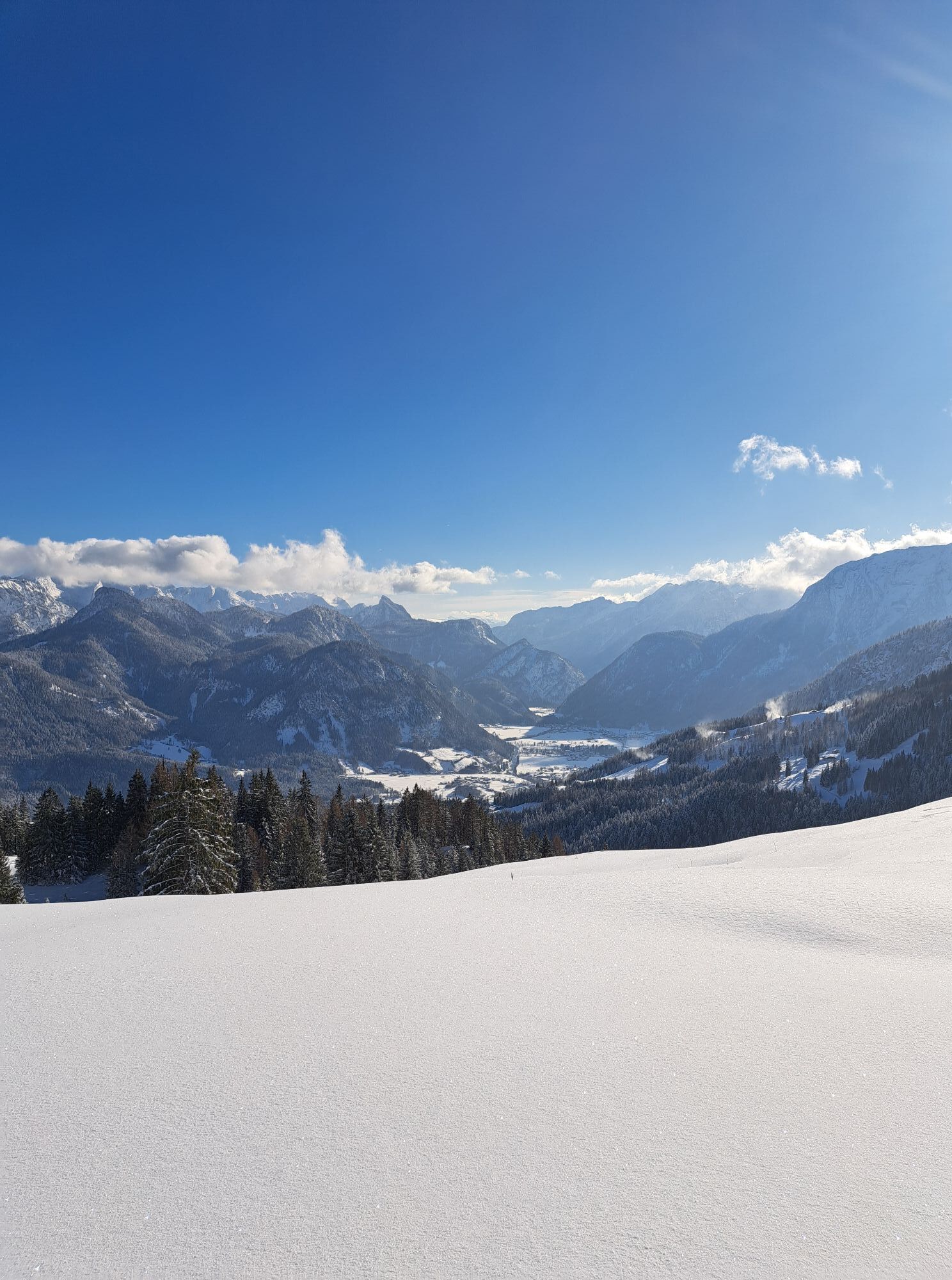
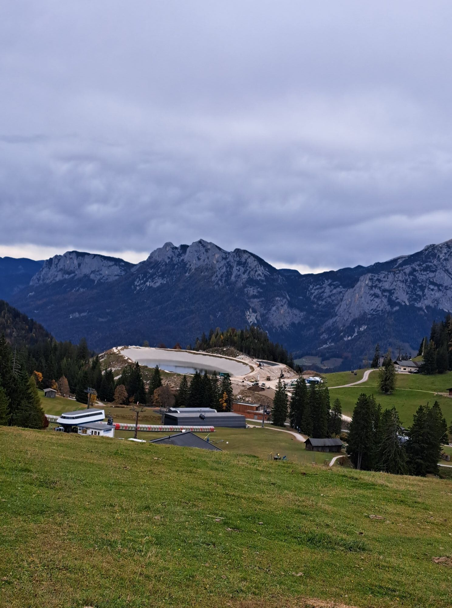
The first six kilometers are ideal for warming up and lead along the Tauern cycle path along the Saalach from Lofer to Reith. In Reith, cross the federal road and the ascent begins: via the "Liedersberg forest road" it goes 4 kilometers uphill to the "Dax". From here, it is about 6 kilometers and 500 meters altitude gain through the "Unkenberger Mähder" and past the Logenplatz to the highest point of the route, the Schwarzeck in the Almenwelt Lofer. The last 8 kilometers go downhill over the paved high road back to Lofer.

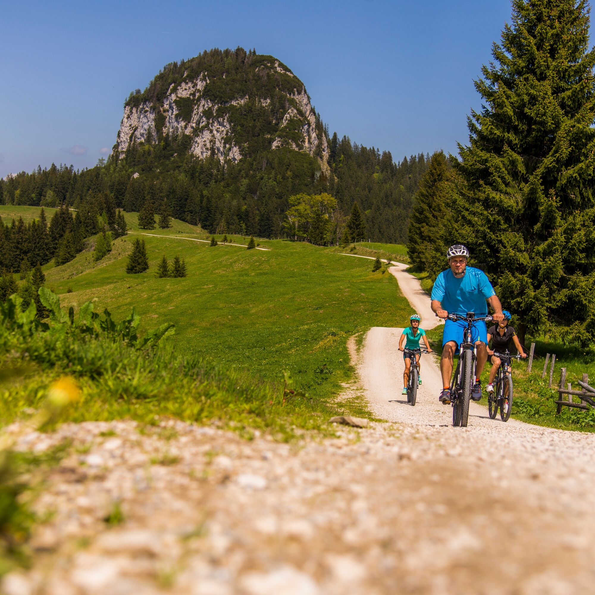
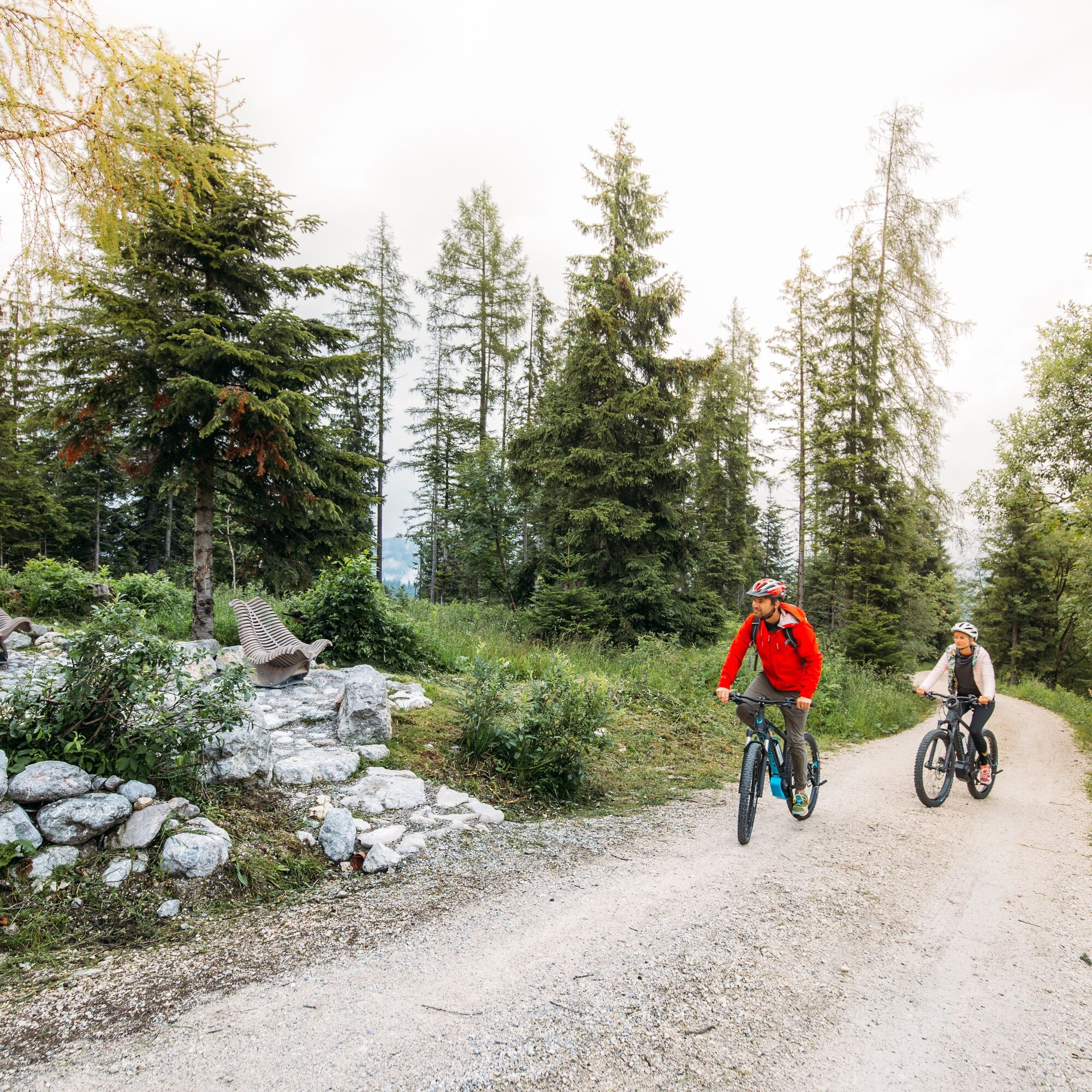
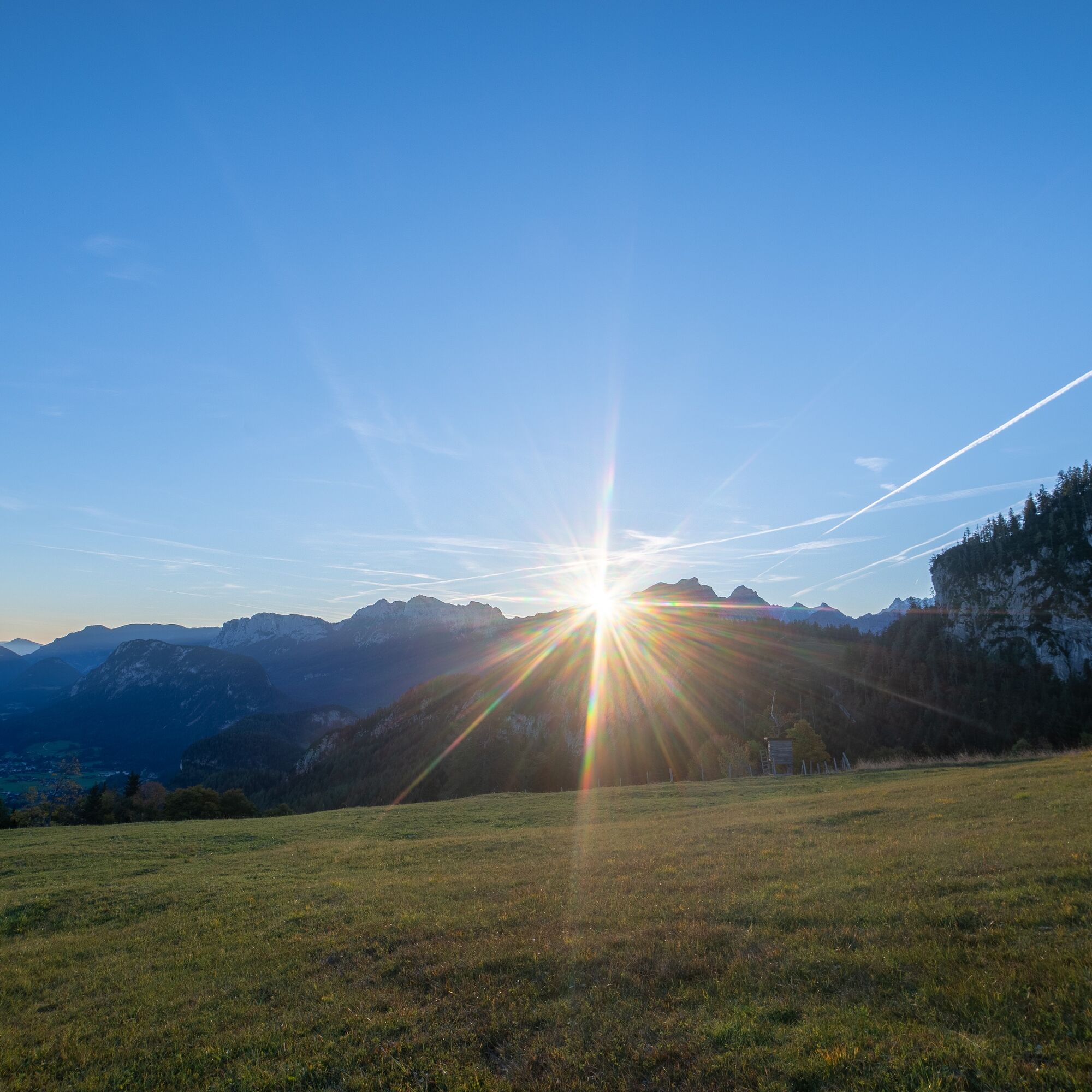
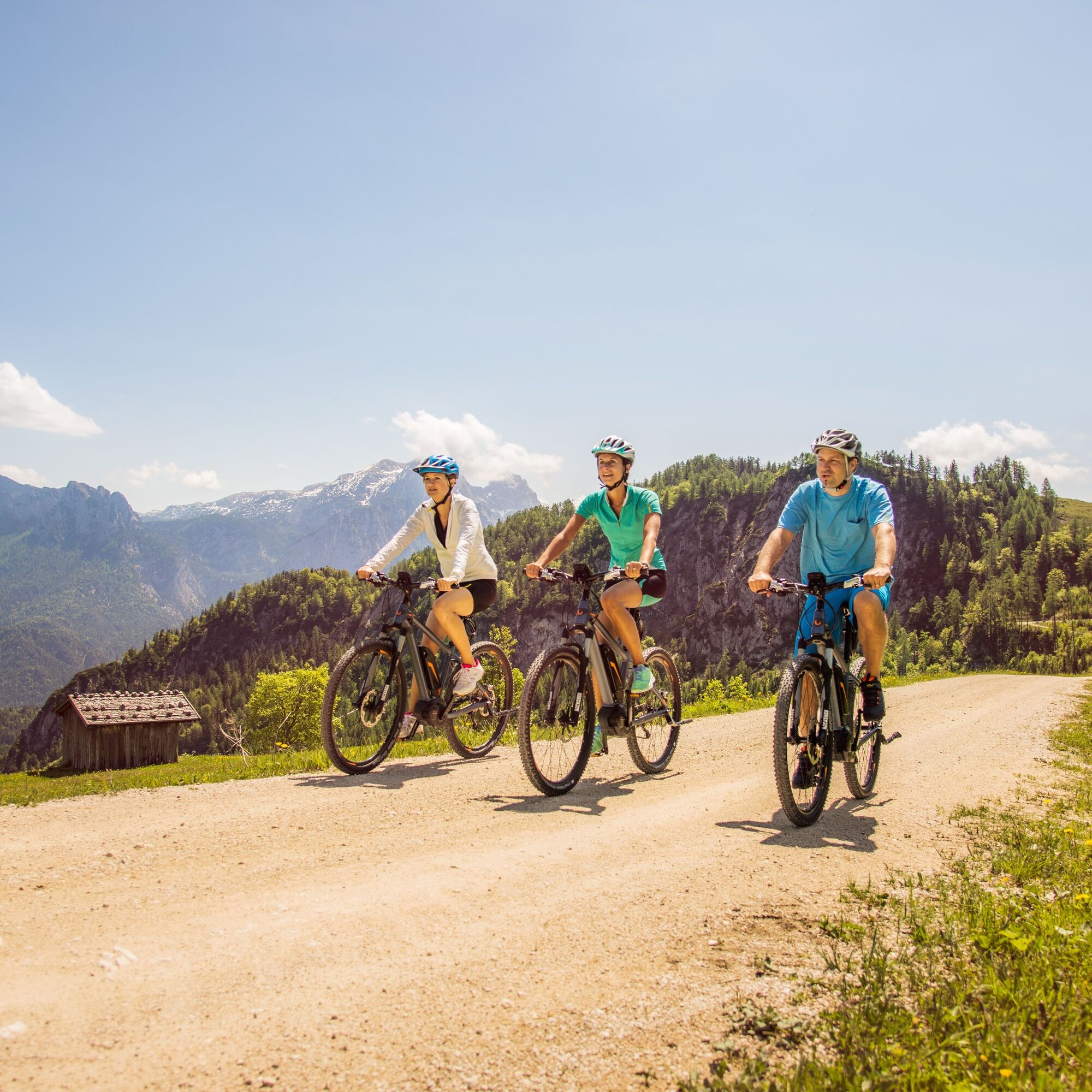

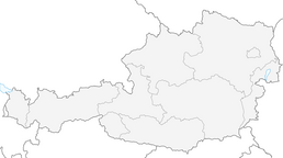
Lofer - Auer Brücke - Reith - Liederseberg - Dax - Unkenberger Mähder - Logenplatz - Dietrichshorn - Schwarzeck - Almenwelt Lofer - Loderbichl - Lofer.
Da
MTB equipment,
Via B311 or B178 to Lofer, at the roundabout continue towards Salzburg. 300 meters later is the large parking lot at the tourist office (5090 Lofer, Lofer 310)
Free at the large parking lot in Lofer (Address: 5090 Lofer, Lofer 310)
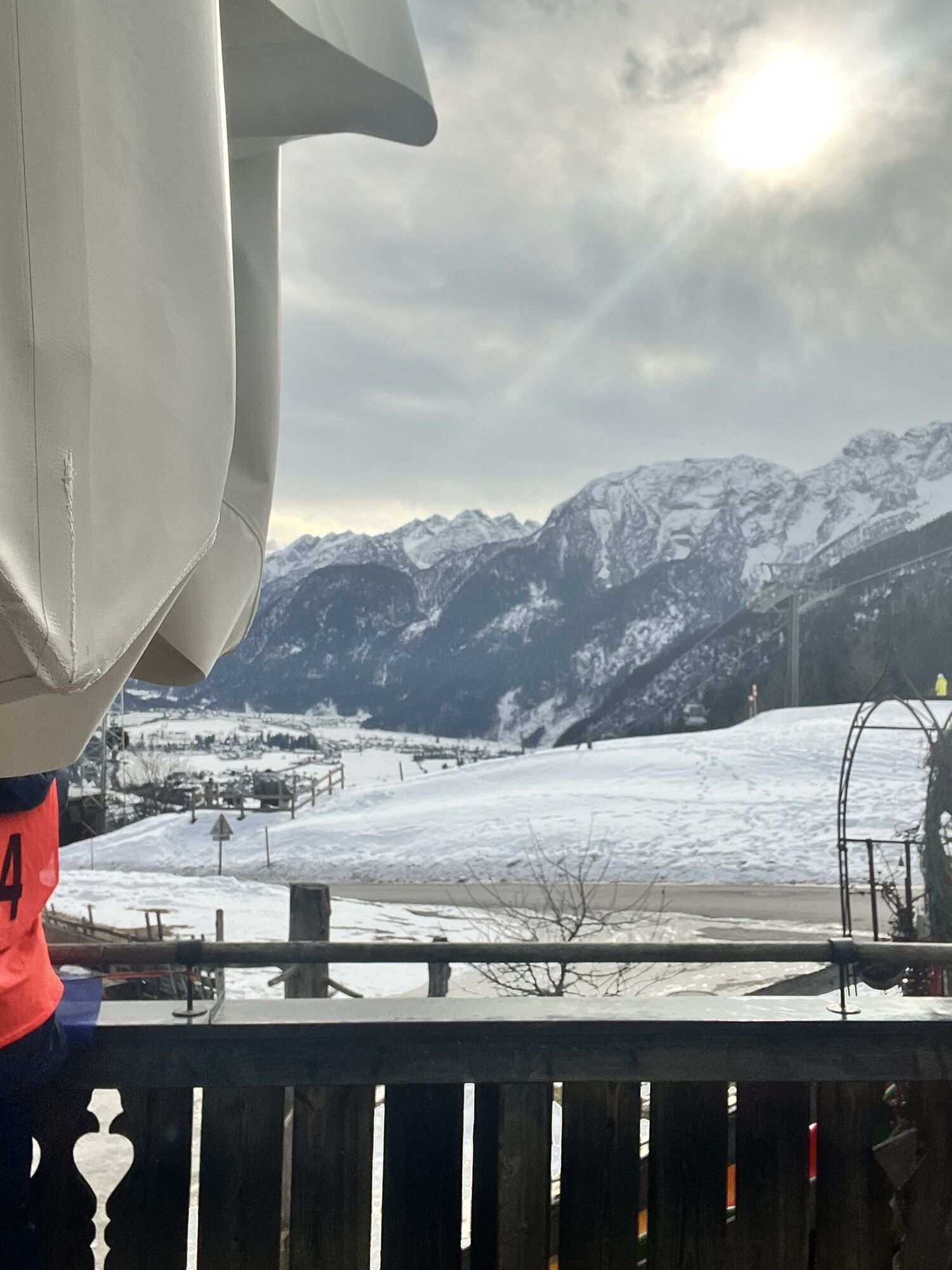
The Kechtalm at Schwarzeck with its beautiful panorama invites you to stop (incl. e-bike charging station) at the highest point of the route.
 Pridobite vpogled Vedno v živo na mestu z več kot 9.500 spletnimi kamerami. bergfex Kot uporabnik Pro si lahko zdaj ogledate ustrezne spletne kamere za številne izlete v aplikaciji izleti iz. Tako si lahko neposredno ogledate trenutne razmere.
 Priljubljeni izleti v okolici
- 4,2
Halsalm
Pohodništvo 6,43 km - 4,9
Ramsau/Hintersee-Runde
svetlobaPohodništvo 9,44 km - 4,8
Loferer Steinberge, zum Hinterhorn über die Schmid-Zabierow Hütte, 19.06.22
težkoPohodništvo 14,0 km - 4,6
Unternberg
svetlobaPohodništvo 9,20 km - 4,5
Rundweg vom Hintersee zur Halsalm
srednjaPohodništvo 9,53 km - 4,8
Atemberaubende Aussicht auf dem Dürrnbachhorn
srednjaPohodništvo 8,44 km - 4,7
Over the waterfall trail into the Almenwelt Lofer
srednjaPohodništvo 3,29 km - 4,5
Seisenberg Gorge
svetlobaPohodništvo 2,41 km - 4,6
CHIEMGAU: Hörndlwand (1684m), Gurnwandkopf (1691m)
svetlobaPohodništvo 12,6 km - 4,4
unternberg Ruhpolding, Bayern
srednjaZimsko pohodništvo 3,82 km

Pohodništvo in sledenje


Ne zamudite ponudb in navdiha za naslednje počitnice
Vaš e-poštni naslov je bil dodan na poštni seznam.





