


MTB route - Bürglalm loop (route 4)
Fotografije naših uporabnikov

 © Matej Mikus 1Ustvarjeno na 05.06.2024
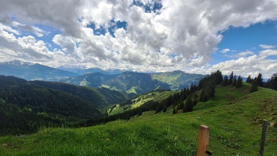 © Matej Mikus 1Ustvarjeno na 05.06.2024
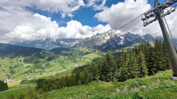 © Matej Mikus 1Ustvarjeno na 05.06.2024
 © Matej Mikus 1Ustvarjeno na 05.06.2024
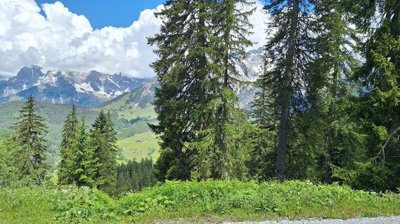 © Matej Mikus 1Ustvarjeno na 05.06.2024
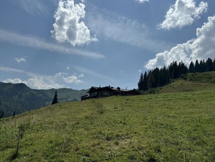
 © feinschmeckerontourUstvarjeno na 10.07.2024
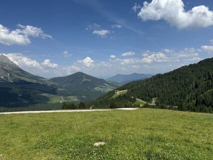 © feinschmeckerontourUstvarjeno na 10.07.2024
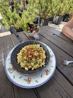 © feinschmeckerontourUstvarjeno na 10.07.2024
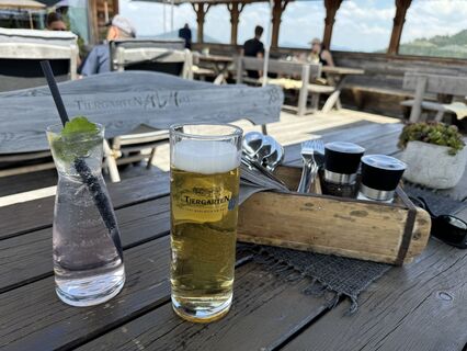 © feinschmeckerontourUstvarjeno na 10.07.2024
 © feinschmeckerontourUstvarjeno na 10.07.2024
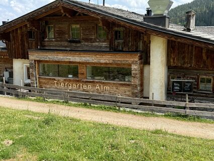 © feinschmeckerontourUstvarjeno na 10.07.2024
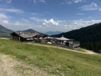 © feinschmeckerontourUstvarjeno na 10.07.2024
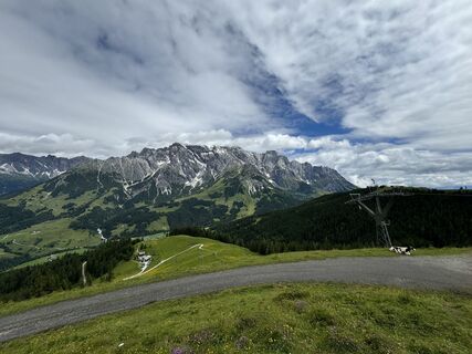 © feinschmeckerontourUstvarjeno na 04.07.2024
 © feinschmeckerontourUstvarjeno na 04.07.2024
 © annnaa0801Ustvarjeno na 03.04.2026
 © annnaa0801Ustvarjeno na 03.04.2026
 © Heinz SperlUstvarjeno na 19.03.2026
 © Heinz SperlUstvarjeno na 19.03.2026
 © Niclas LechertUstvarjeno na 01.03.2026
 © Heinz SperlUstvarjeno na 25.02.2026
 © Heinz SperlUstvarjeno na 25.02.2026
 © Heinz SperlUstvarjeno na 25.02.2026
 © Jonte BerndtUstvarjeno na 13.02.2026
 © Jonte BerndtUstvarjeno na 13.02.2026
 © Jonte BerndtUstvarjeno na 13.02.2026
 © Jonte BerndtUstvarjeno na 11.02.2026
 © Reinhard FlorreitherUstvarjeno na 01.02.2026
 © Reinhard FlorreitherUstvarjeno na 01.02.2026
 © Kateřina MagnuskováUstvarjeno na 31.01.2026
 © Kateřina MagnuskováUstvarjeno na 31.01.2026
 © Franz hofnerUstvarjeno na 31.01.2026
 © skibbeldiwapwapUstvarjeno na 31.01.2026
 © Heinz SperlUstvarjeno na 27.01.2026
 © Annika Schröer-OeldemannUstvarjeno na 26.01.2026
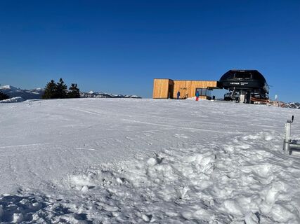 © Heinz SperlUstvarjeno na 20.01.2026
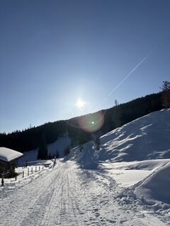 © Heinz SperlUstvarjeno na 20.01.2026
 © Arno LoiblUstvarjeno na 11.01.2026
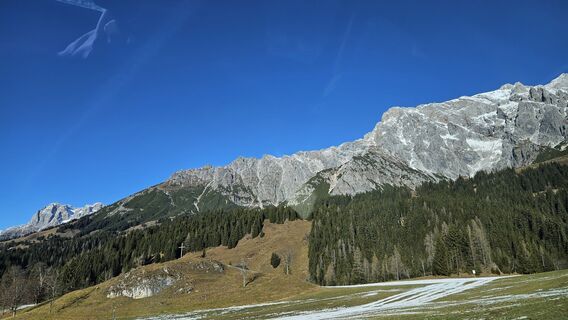
 © Robert8992Ustvarjeno na 27.12.2025
 © tulava botaUstvarjeno na 26.12.2025
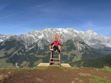
 © Peter De Smedt2Ustvarjeno na 11.10.2025
 © Peter De Smedt2Ustvarjeno na 11.10.2025
 © Peter De Smedt2Ustvarjeno na 11.10.2025
 © Peter De Smedt2Ustvarjeno na 11.10.2025
 © Peter De Smedt2Ustvarjeno na 11.10.2025
 © Peter De Smedt2Ustvarjeno na 11.10.2025
 © Peter De Smedt2Ustvarjeno na 11.10.2025
 © Peter De Smedt2Ustvarjeno na 11.10.2025
 © Birgit&SvenUstvarjeno na 13.09.2025


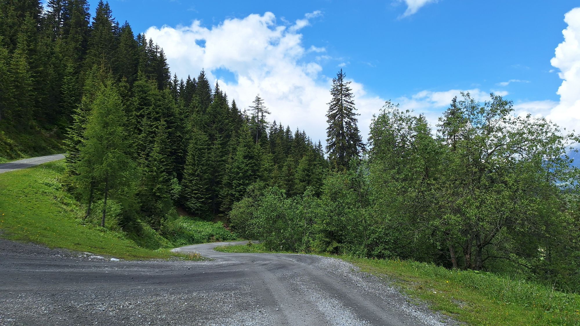

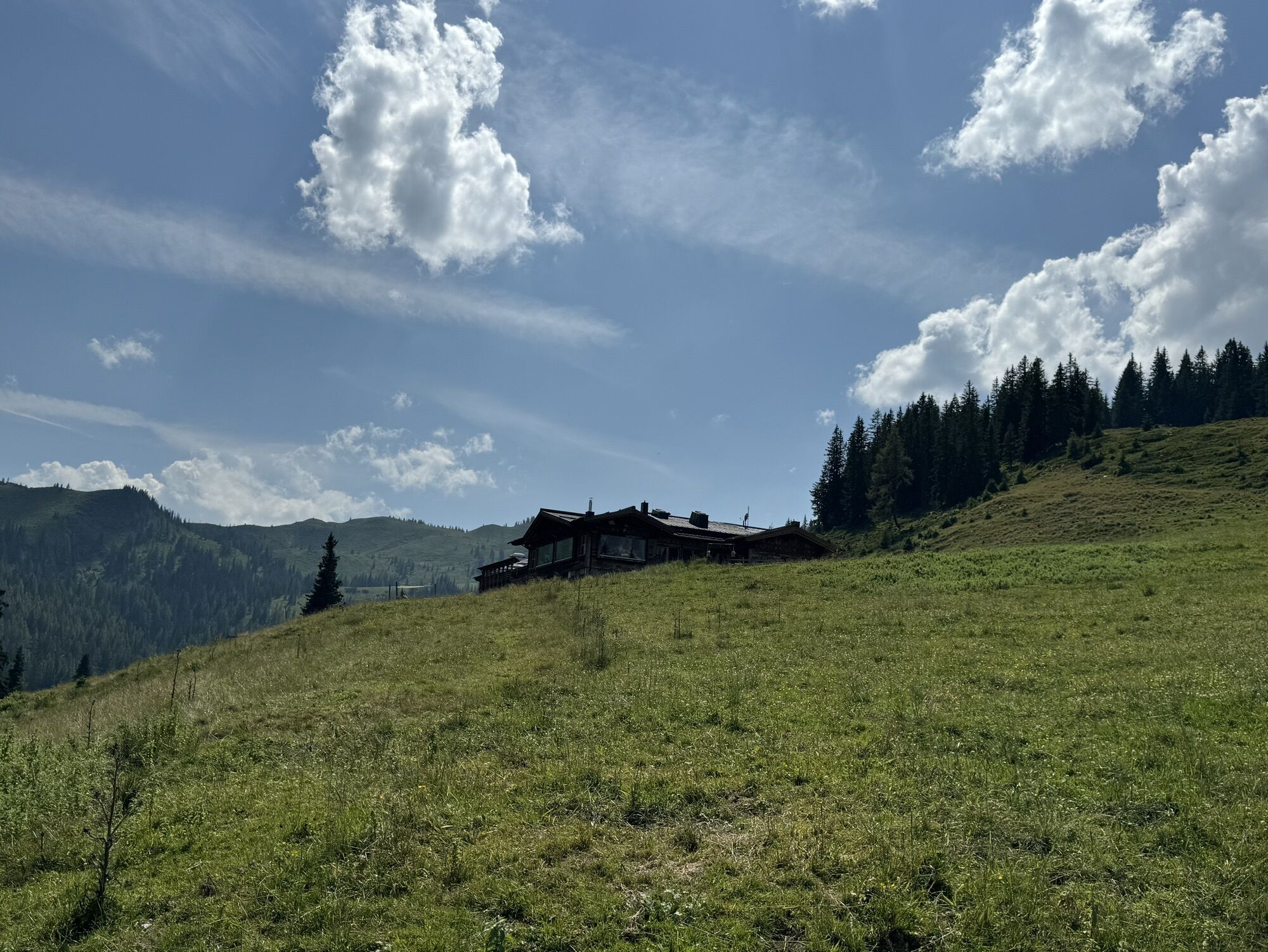
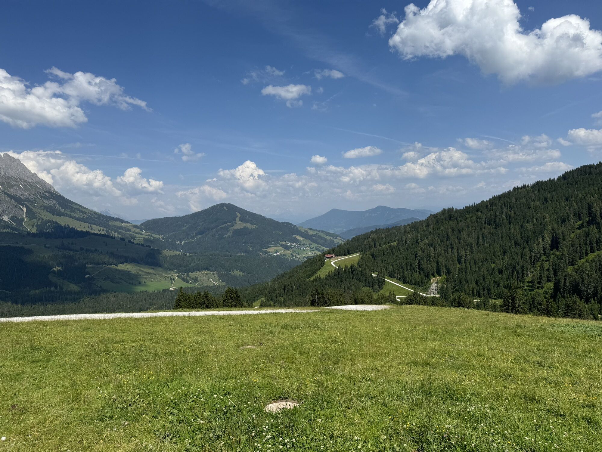


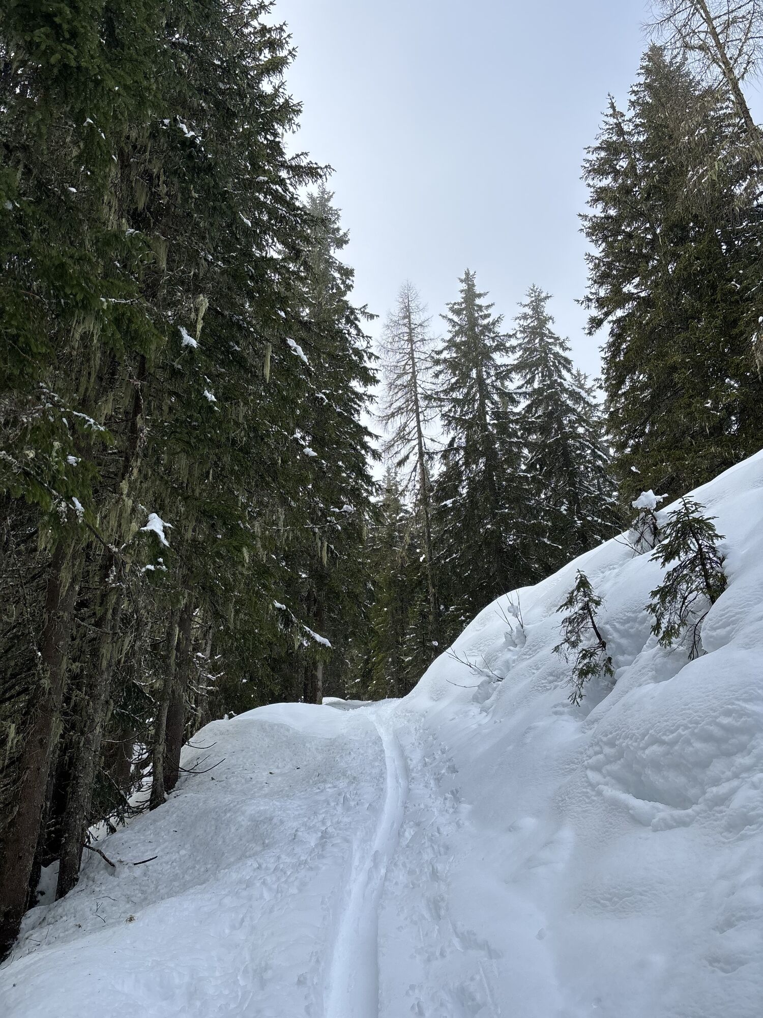

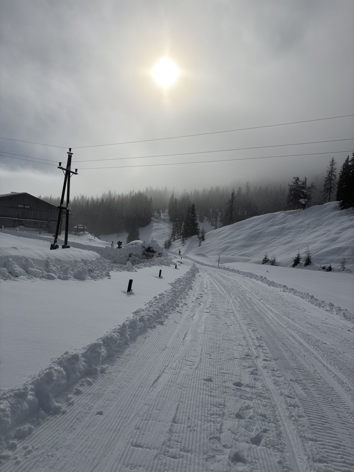


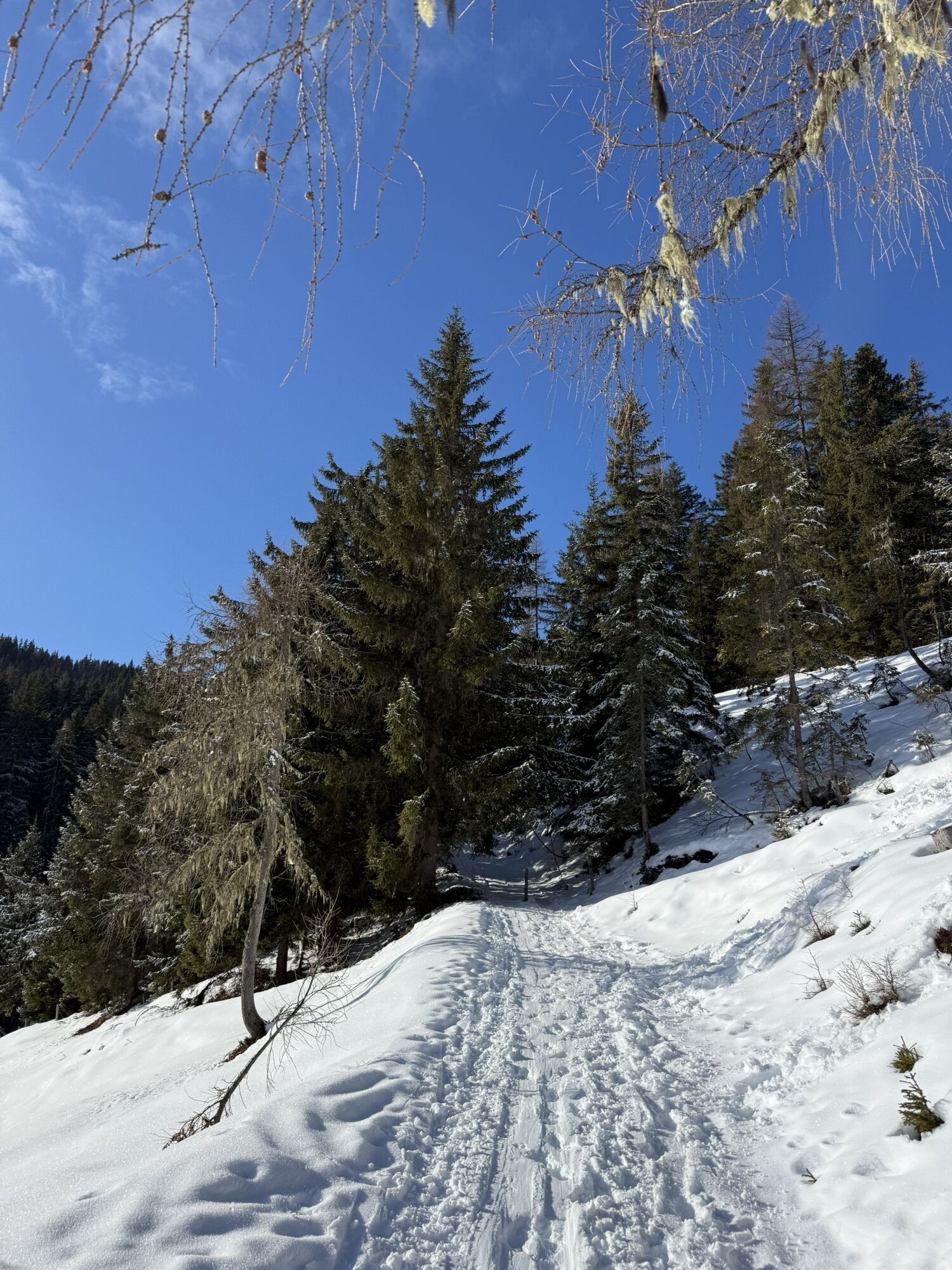

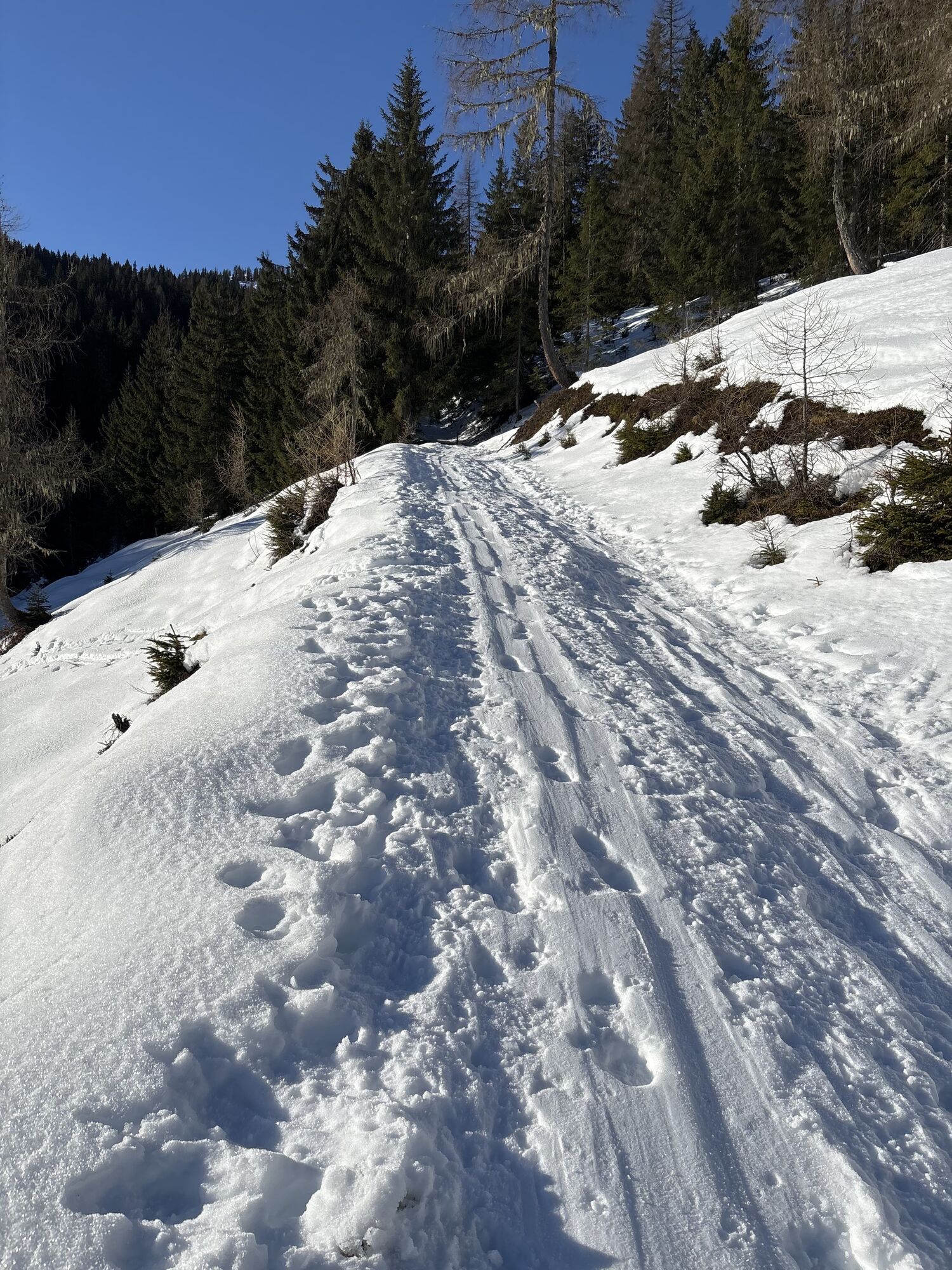


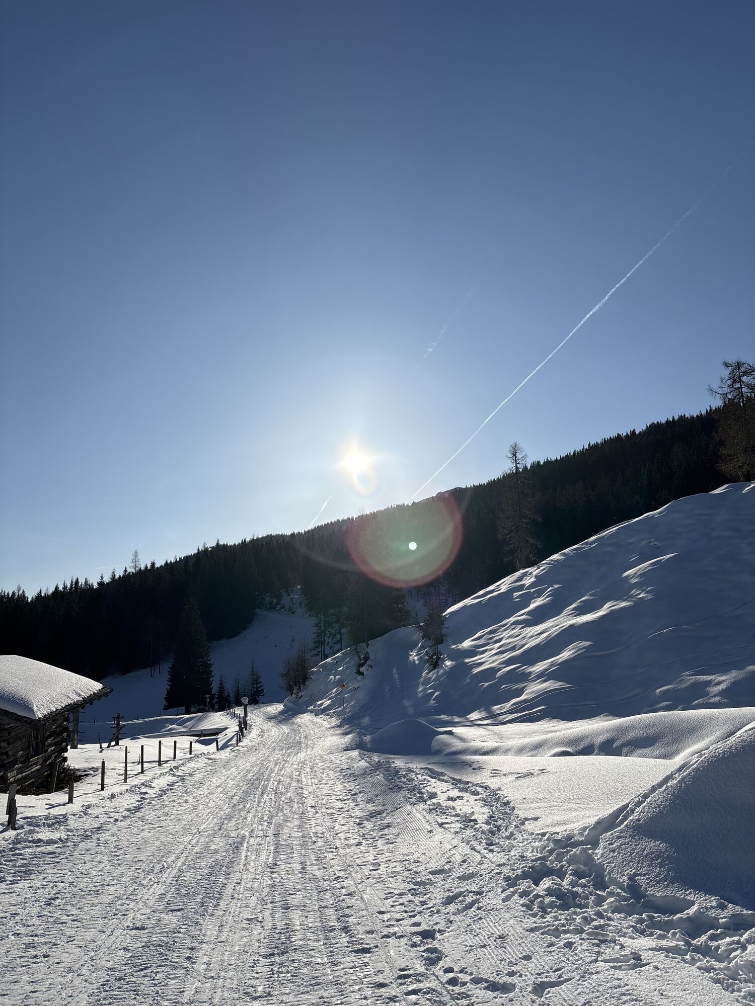
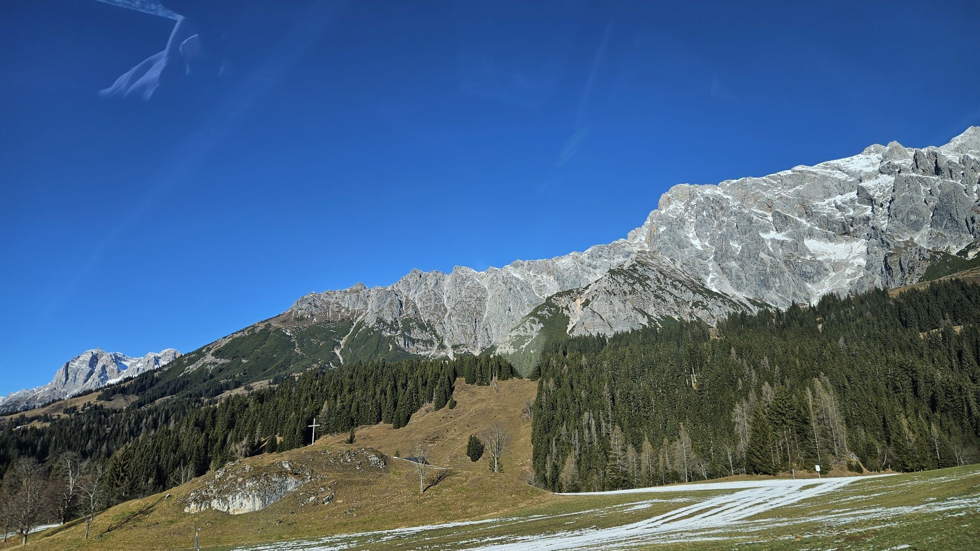


We start our adventure at the ski center! Leave the parking deck behind and cruise past the barrier with us – excitement is building up! We roar through the tunnel and take the residential street “Reizegg”...
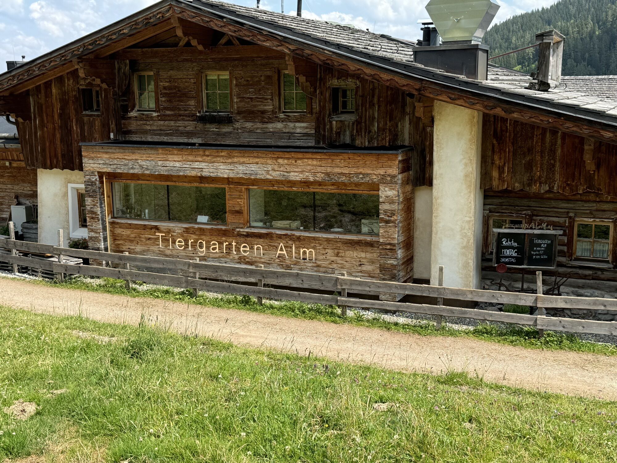
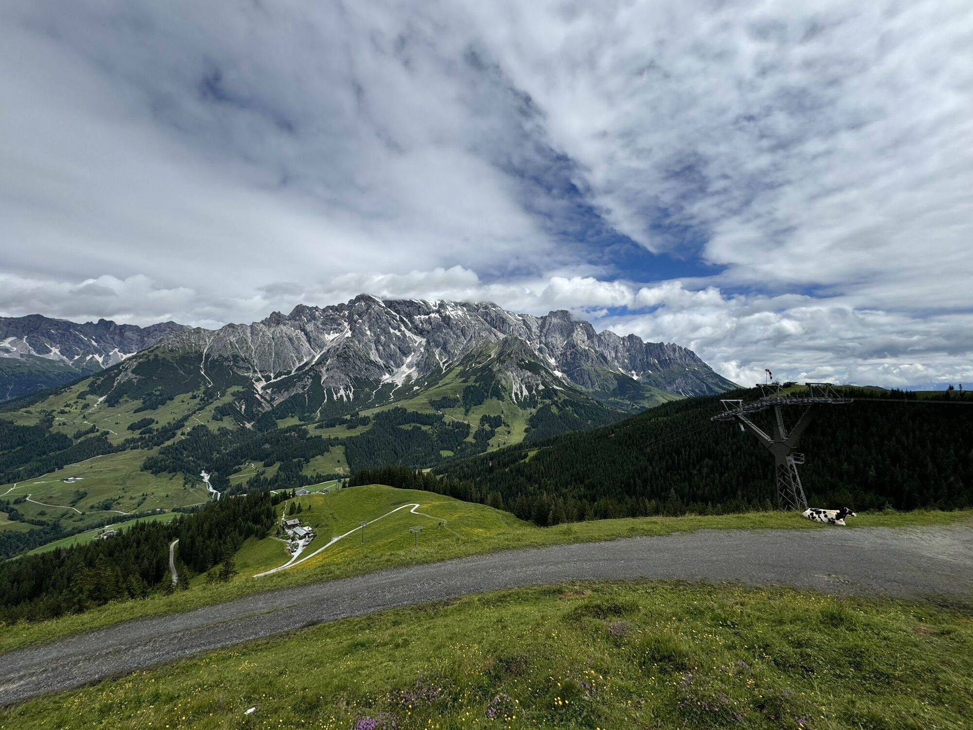
We start our adventure at the ski center! Leave the parking deck behind and cruise past the barrier with us – excitement is building up! We roar through the tunnel and take the residential street “Reizegg” under our wheels. It goes uphill, and after about 500 m we turn onto the B164 towards Mühlbach/Bischofshofen. Here you feel the adrenaline rush as we follow the road and make the first altitude meters! After another 500 meters, it's: Onto path No. 63! This forest road is our ticket to the Bürglalm – the first stage is a hit! Here there is not only an eBike charging station but also the perfect opportunity to enjoy the view and let your legs rest for a moment. Further on to the Wastlhöhe and the Sunnhüttl – yes, exactly, the unmanaged insider tip! Up here, the bike feels like a king on his throne! And now the fun: After the Sunnhüttl it goes down on path No. 76 to the Tiergartenalm. Attention, the path between Kings Cab mountain station and Tiergartenalm is very steep and rough gravel!!! The flow is just amazing! And now the crowning moment: Path No. 75 takes us further to the Dientner Saddle. Here we turn left onto the federal road and relax the brakes – now we roll relaxed downhill back to our starting point!

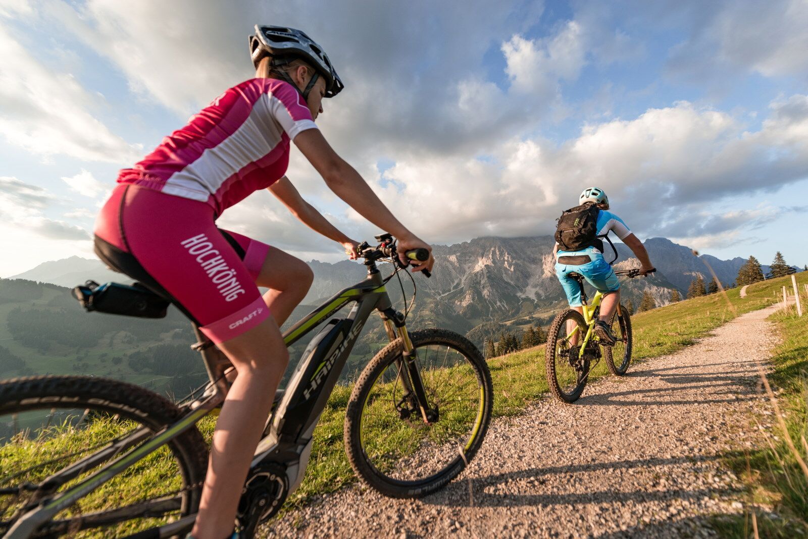


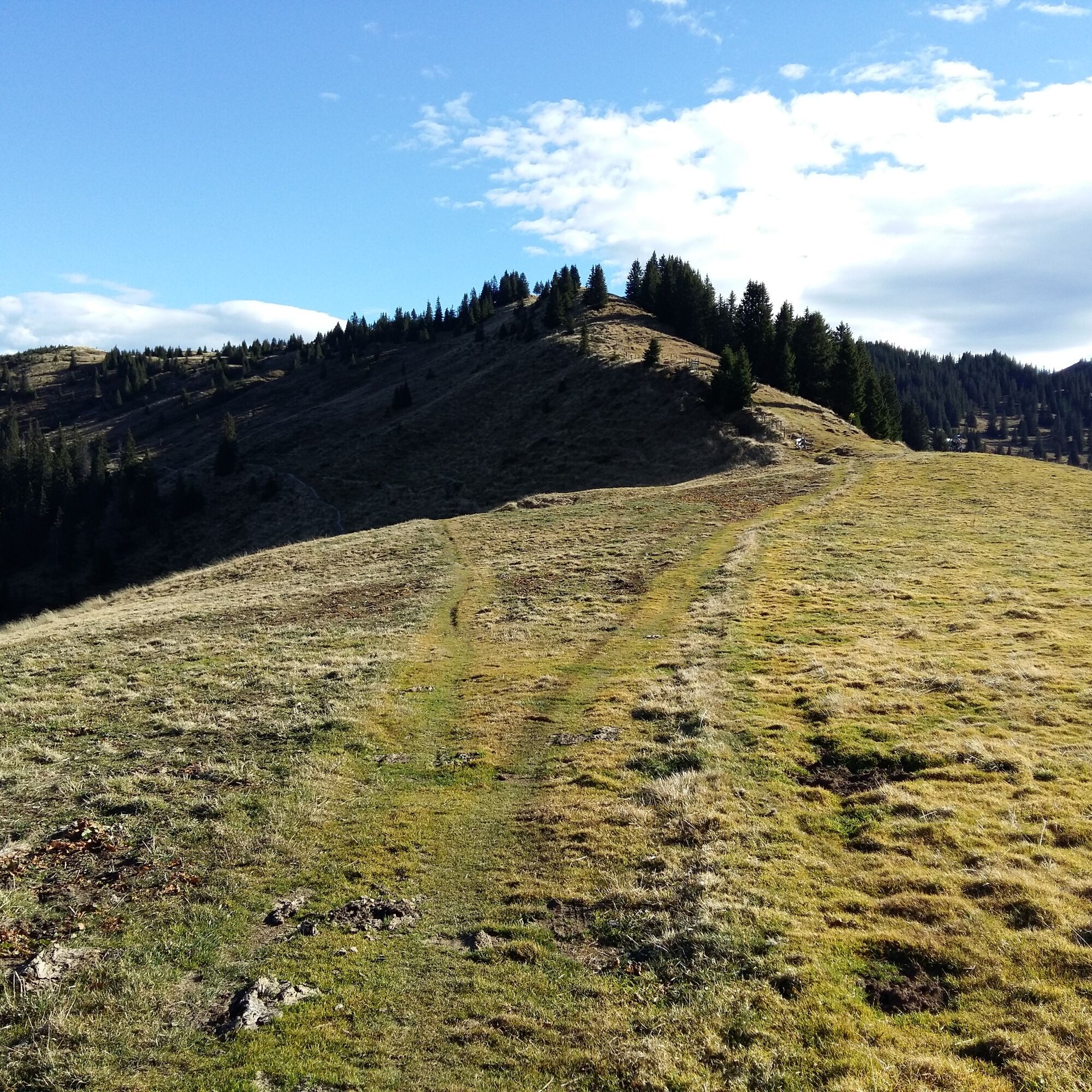
Simply follow the signs "DI 04 Bürglalm Loop": We cross the parking deck at the ski center (MTB, eBike rental and eBike charging station), pass the barrier, continue through the tunnel onto the residential street "Reizegg" uphill about 500 m to the federal road (B164) towards Mühlbach/Bischofshofen. Here we follow the road uphill. After about 500 meters, we turn right onto path No. 63, which leads to Bürglalm (eBike charging station), Wastlhöhe and further to the Sunnhüttl (unmanaged). After the Sunnhüttl, it goes downhill to Tiergartenalmand further to the Dientner Saddle, where we turn left onto the federal road. From there, we ride relaxed downhill back to the starting point.
Da
Checked bike equipment with helmet
Sunglasses
Sun protection
Rain protection
Drinks and a small snack
Necessary medication
First aid kit
Bike map
Fair play!
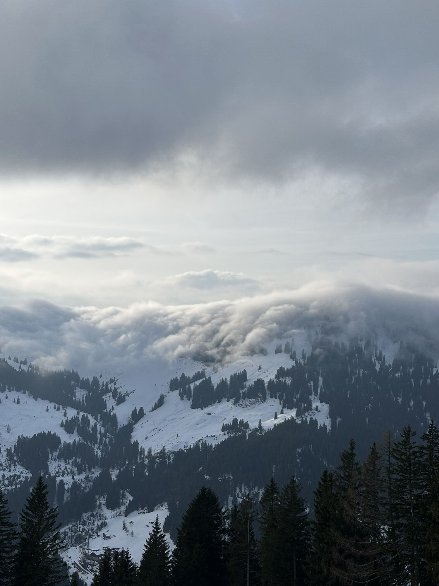
Only ride on marked trails! Close all gates, barriers, and pasture gates! Observe traffic regulations! Overtake only at walking pace! Behave respectfully towards other nature users! and forestry and hunting staff! Consider animals! Do not leave any waste in nature! Act responsibly! Inform yourself about the weather forecast. Fog and bad weather can come unexpectedly fast.Emergency numbers: Alpine emergency: 140, international emergency: 112, rescue: 144
Arrival from Salzburg: On the A10 motorway to the Bischofshofen exit, then on the B311 towards Bischofshofen. Follow the Hochkönig federal road/B164 to Mühlbach and then to Dienten.
Arrival from Innsbruck/Kufstein: On the Lofer road/B178 towards St. Johann i.T., then via the Hochkönig federal road/B164 via Saalfelden and Maria Alm to Dienten or to the Filzensattel.
For the use of the Austrian motorway and expressway network, a valid vignette is required. There is also an obligation to carry a first aid kit, warning triangle and safety vest. Further information at Asfinag.
ÖBB-Scotty: Timetable information
Bus line 620: Timetable information
Bus line 631: Timetable information
Hiking bus: Timetable information
Free parking at the Dienten ski center
More information about hikes and activities in the Hochkönig region:
For detailed information about hiking maps, the opening times of the mountain lifts as well as huts and alpine pastures in summer, we recommend visiting the local service center. There you will receive not only the hiking map but also valuable tips about the best hiking routes and current conditions.
Opening times of the mountain lifts in summer: The mountain lifts offer different opening hours during the summer months, which can vary depending on the weather and the season. Please check the current operating times in advance.
Opening times of huts & alpine pastures in summer: The huts and alpine pastures in the region are ideal resting places for hikers. Here, too, opening hours may vary depending on the season and weekday. Let the friendly hosts advise you about the offers and specialties on site.
For further information, please visit our website: www.hochkoenig.at.
If you have questions or want to receive specific information, you can contact us at:
Email: region@hochkoenig.at
Phone: +43 (0)6584 20388
We look forward to helping you and wish you lots of fun exploring the beautiful hiking region Hochkönig!
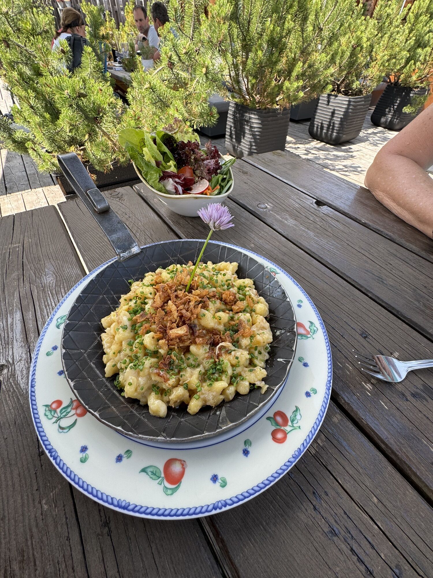
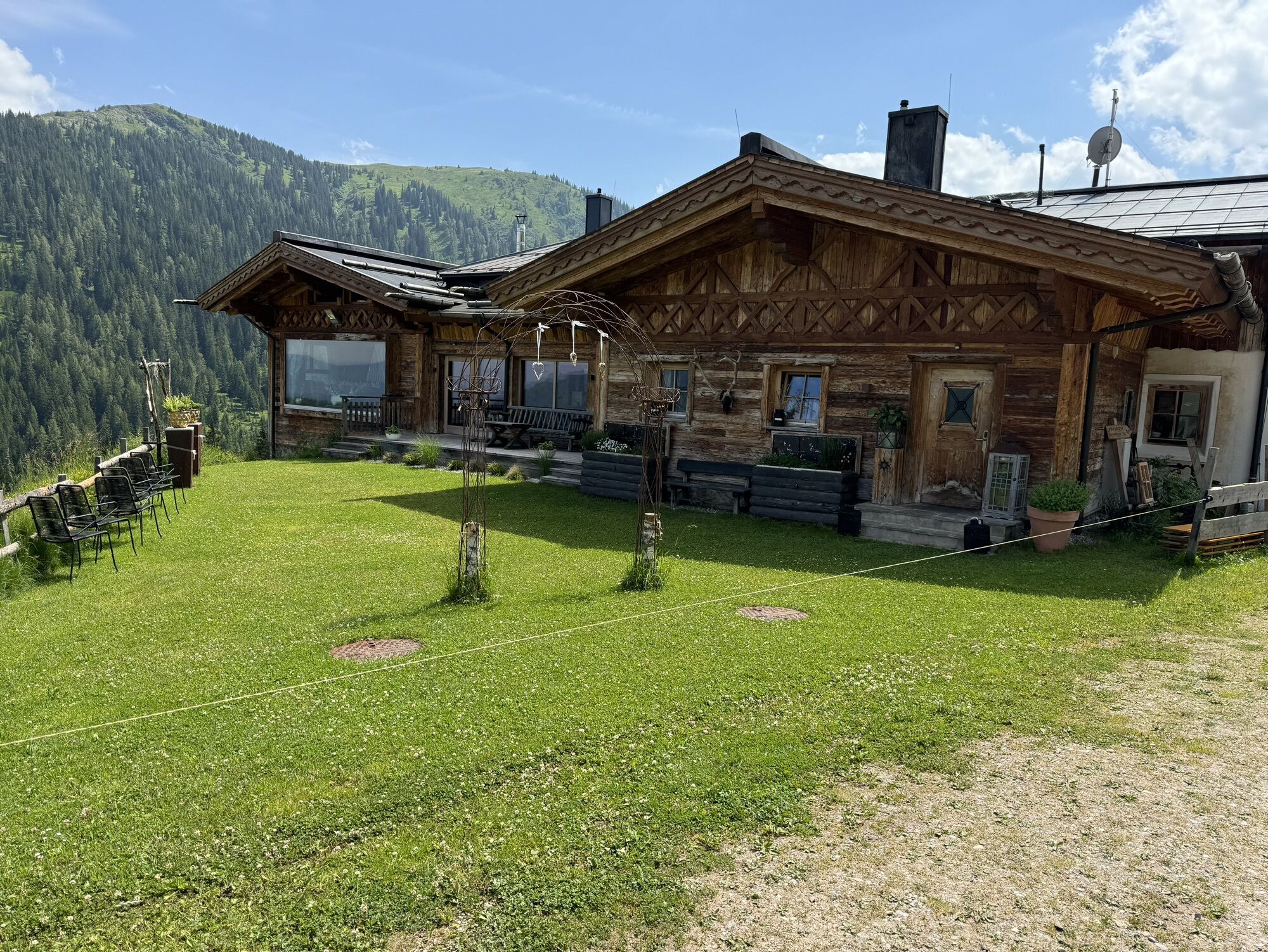
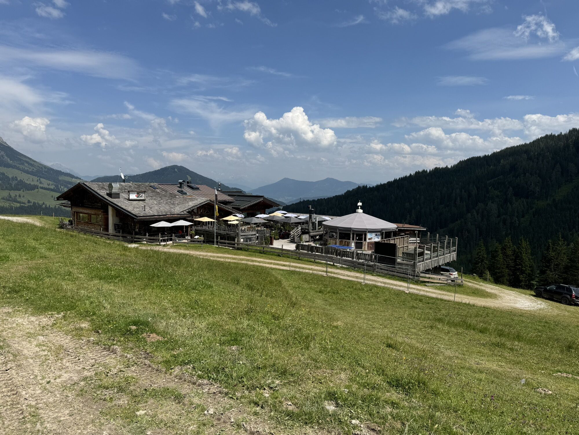
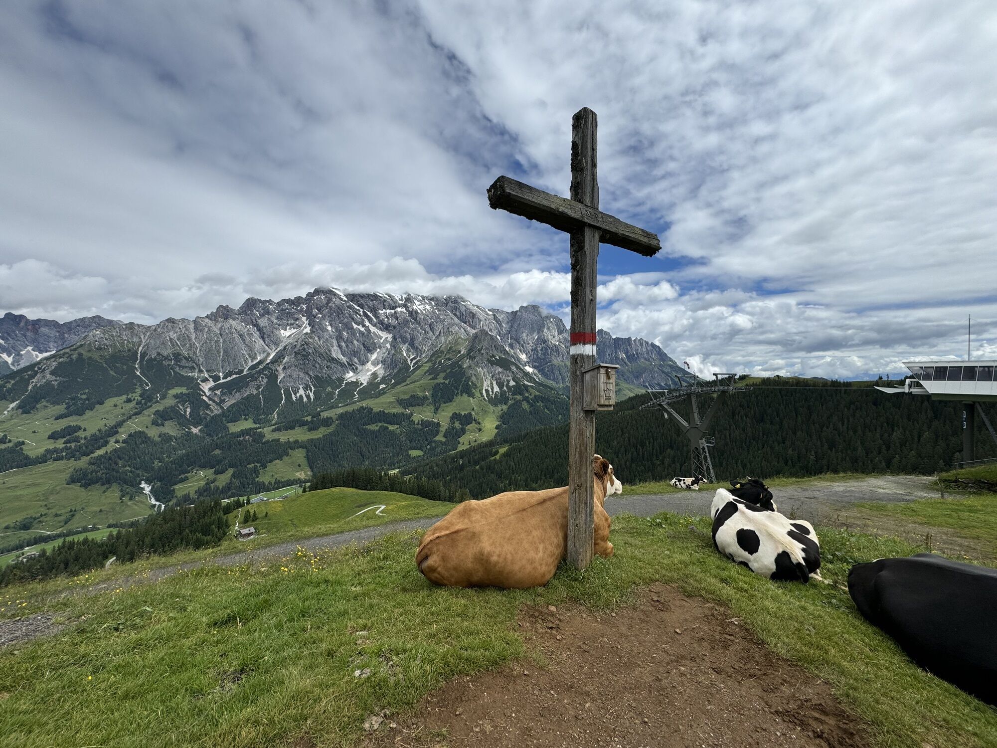
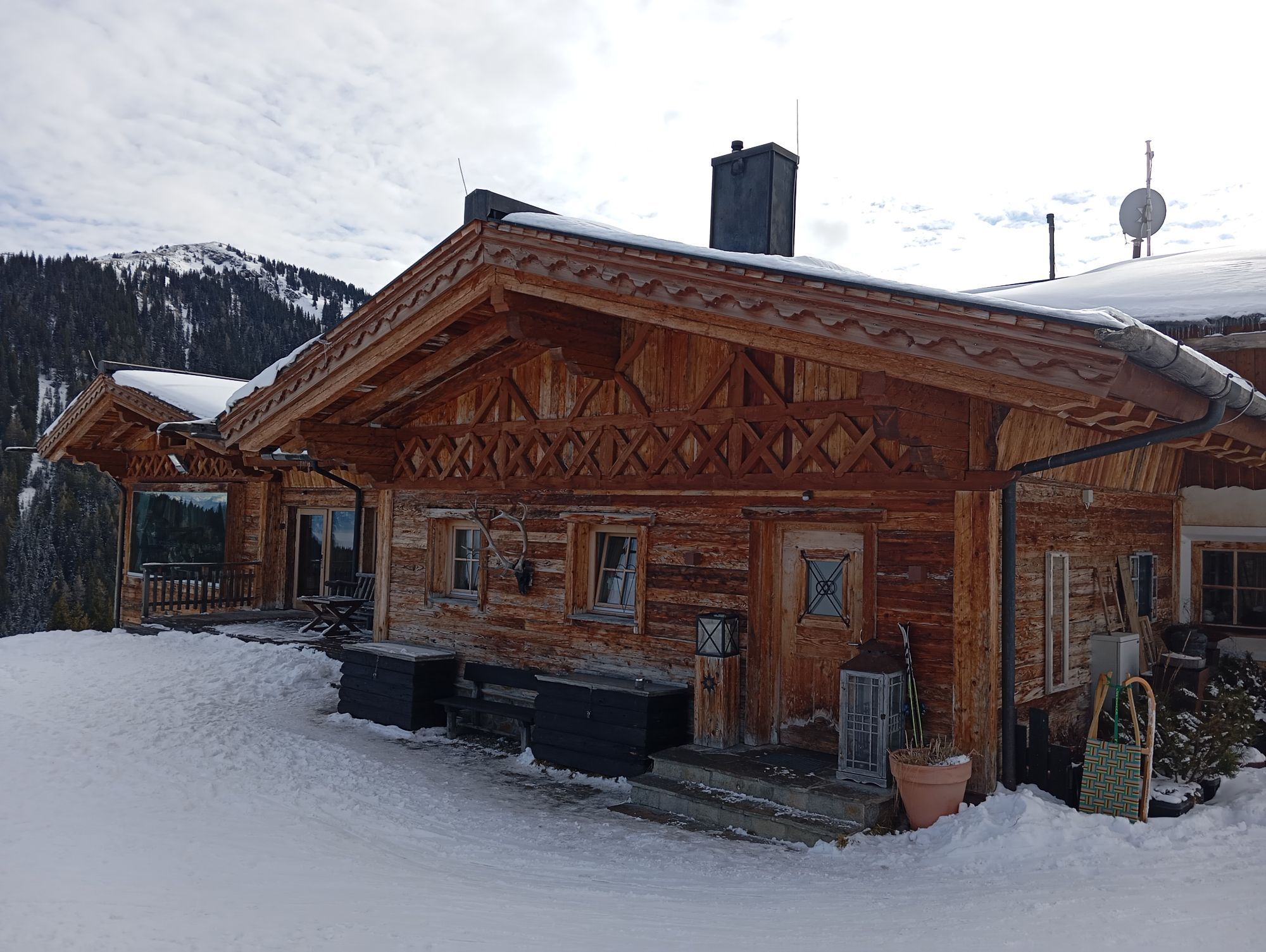
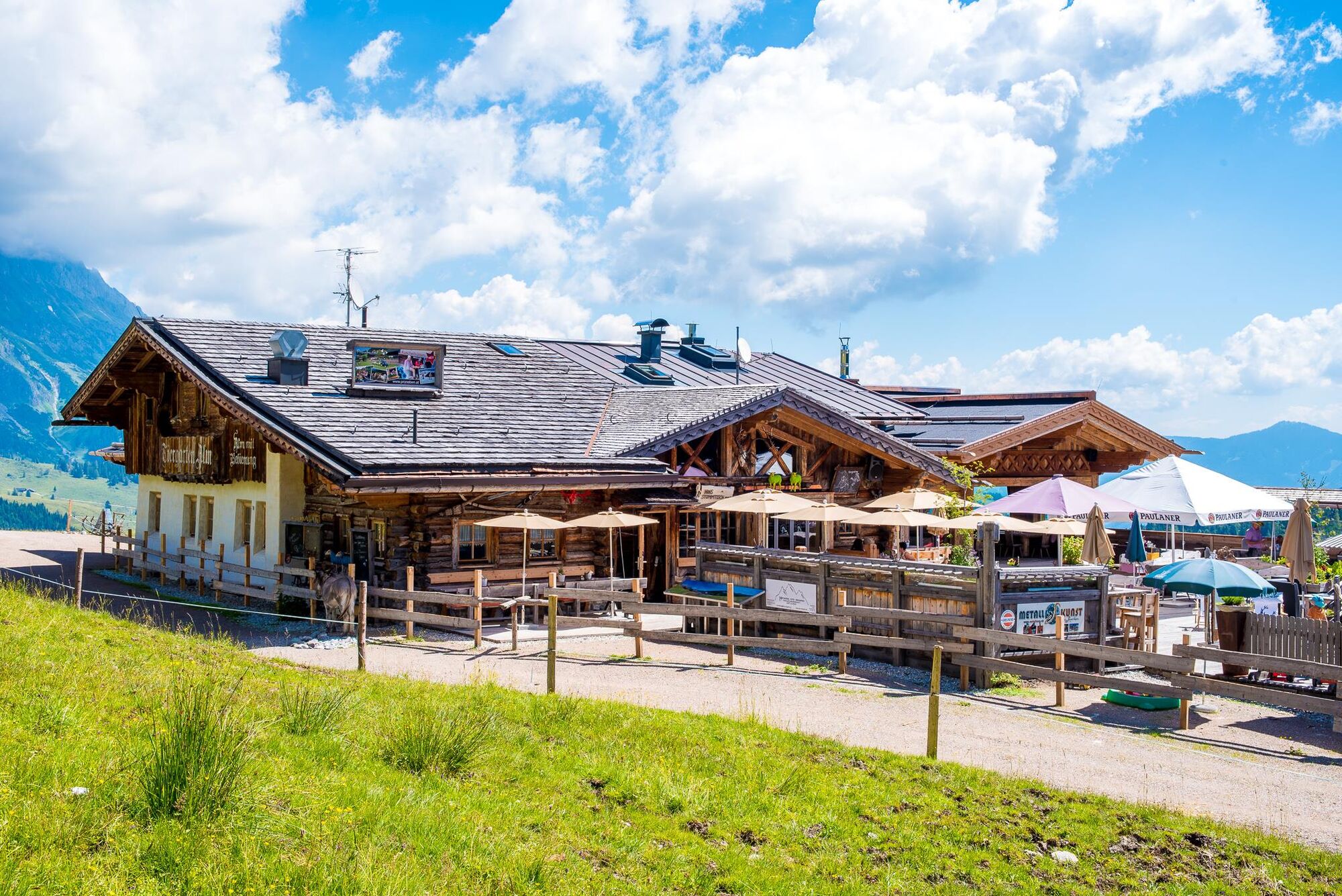
At the Bürglalmthere are delicious regional specialties!
Spletne kamere s turneje
Mühlbach am Hochkönig
Maria Alm - Hochmaisbahn
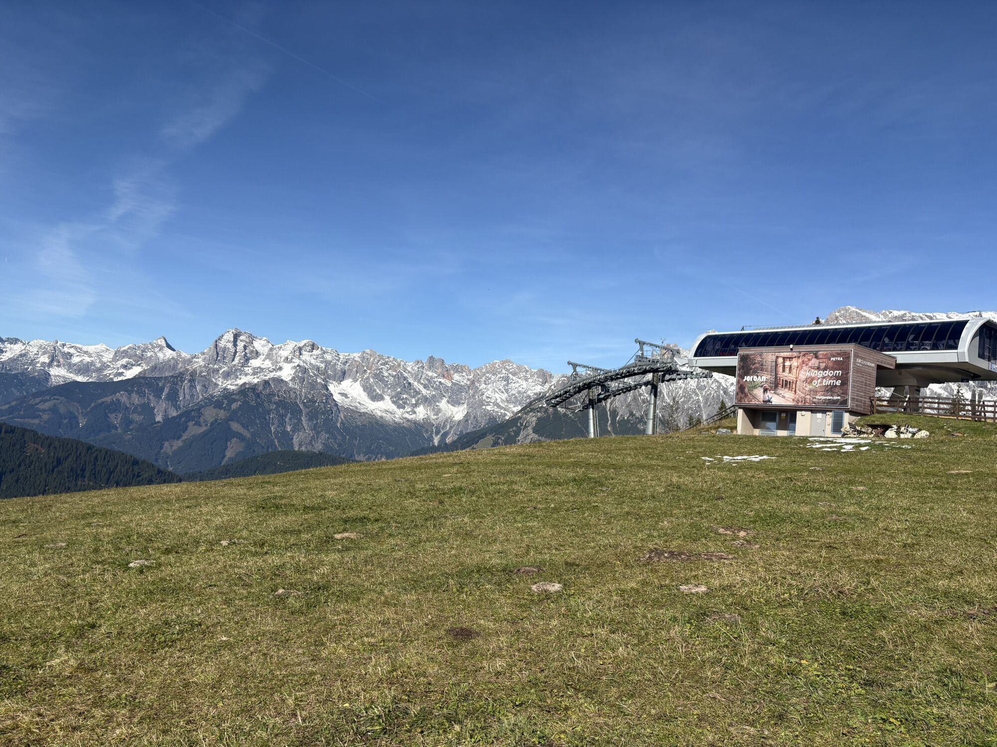
Bürglalmlift - Dienten
Bergstation Kings Cab
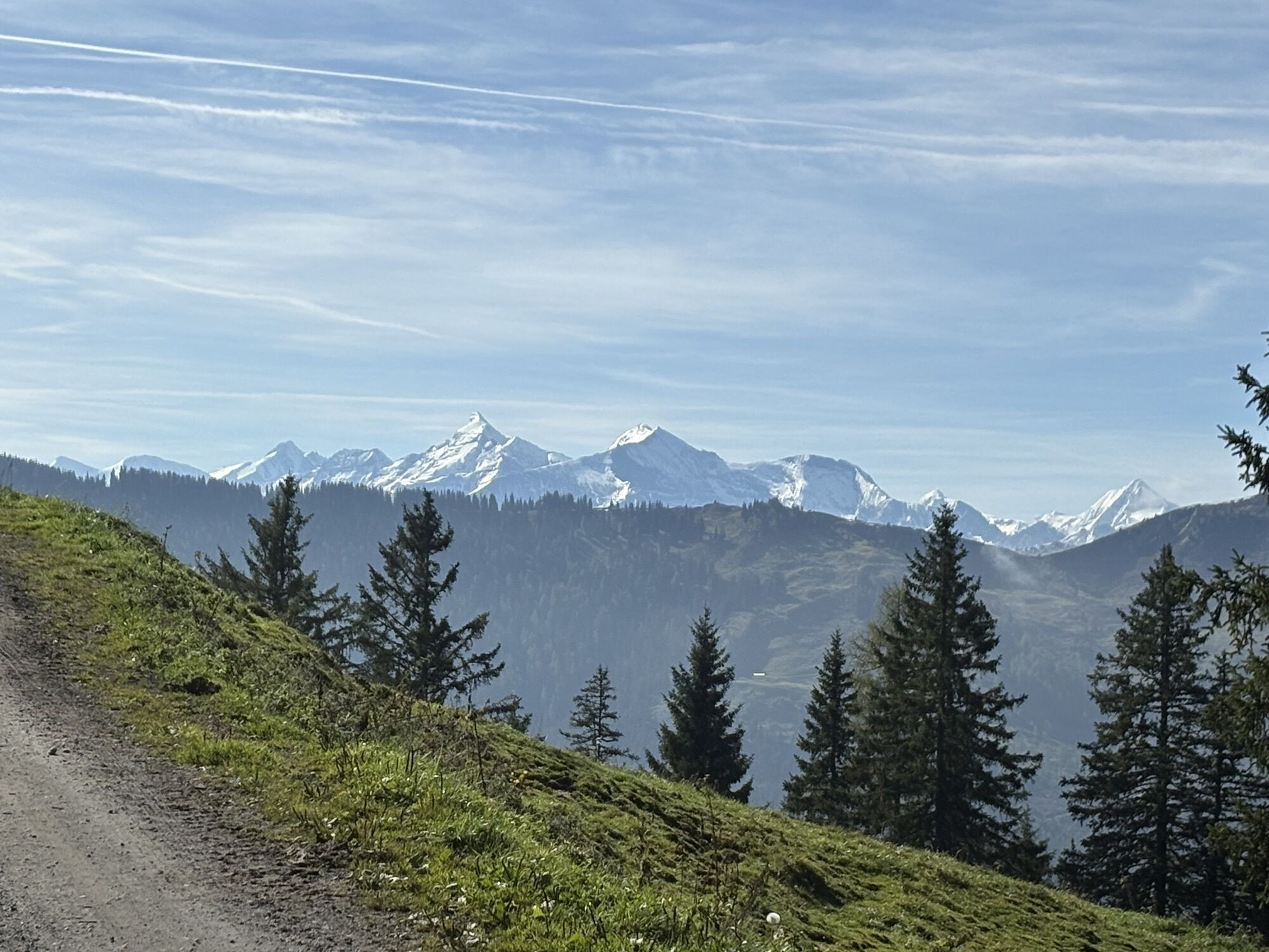
Matrashaus am Hochkönig
Grünegg Alm & Edelbrennerei
Dienten - Übergossene Alm Resort
Dienten - Almsee
Dienten - Übergossene Alm Resort
Dienten, Bürglalmabfahrt
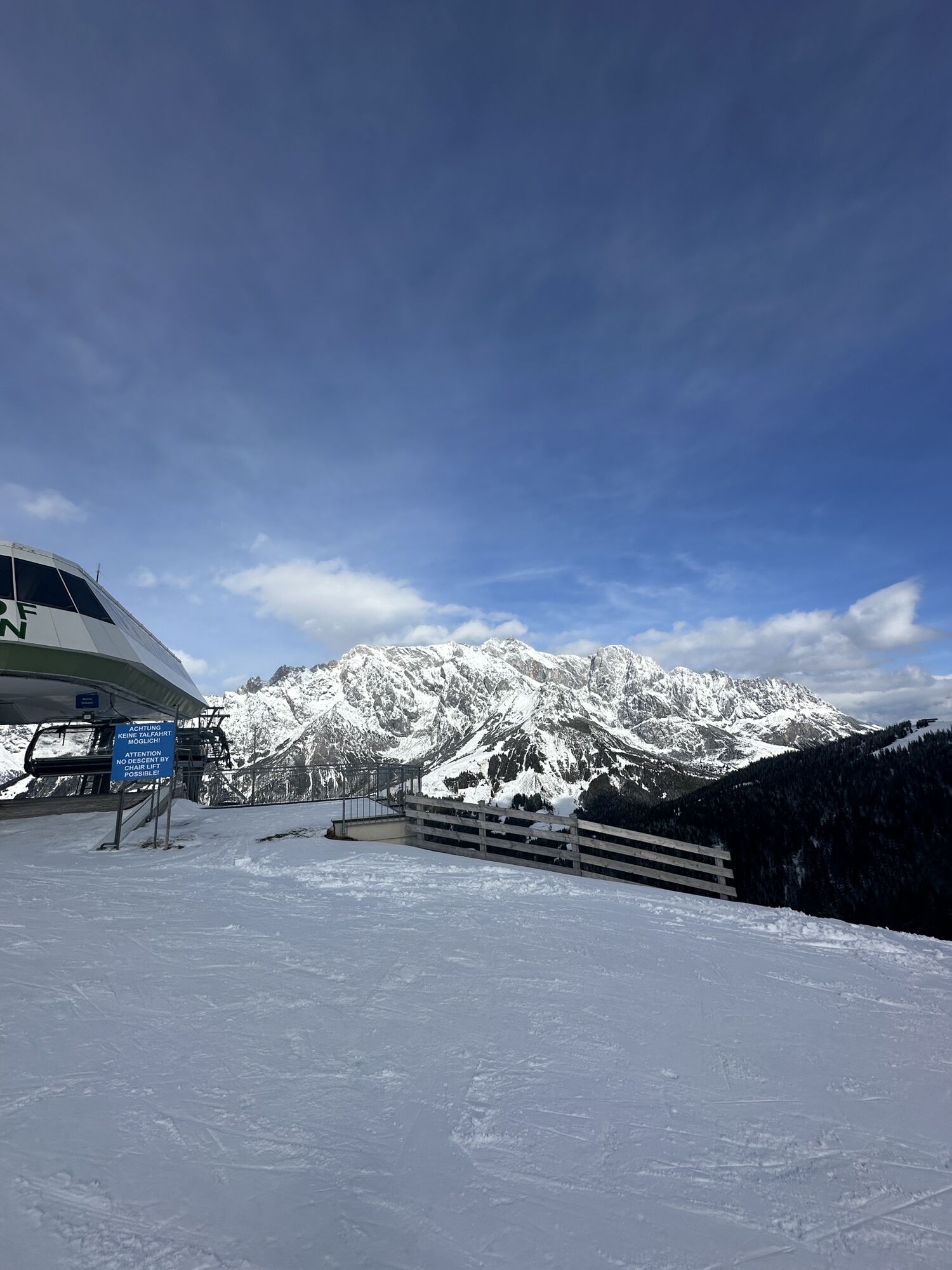
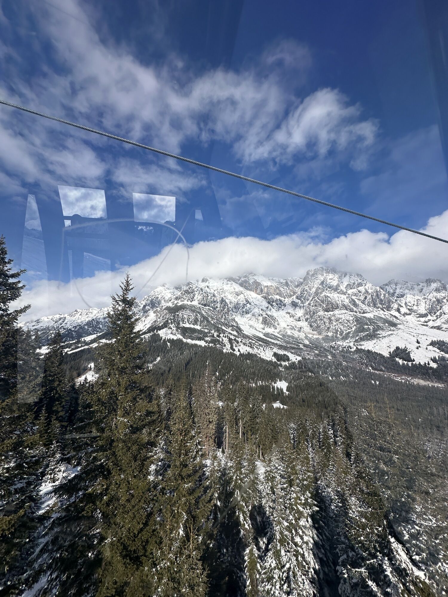
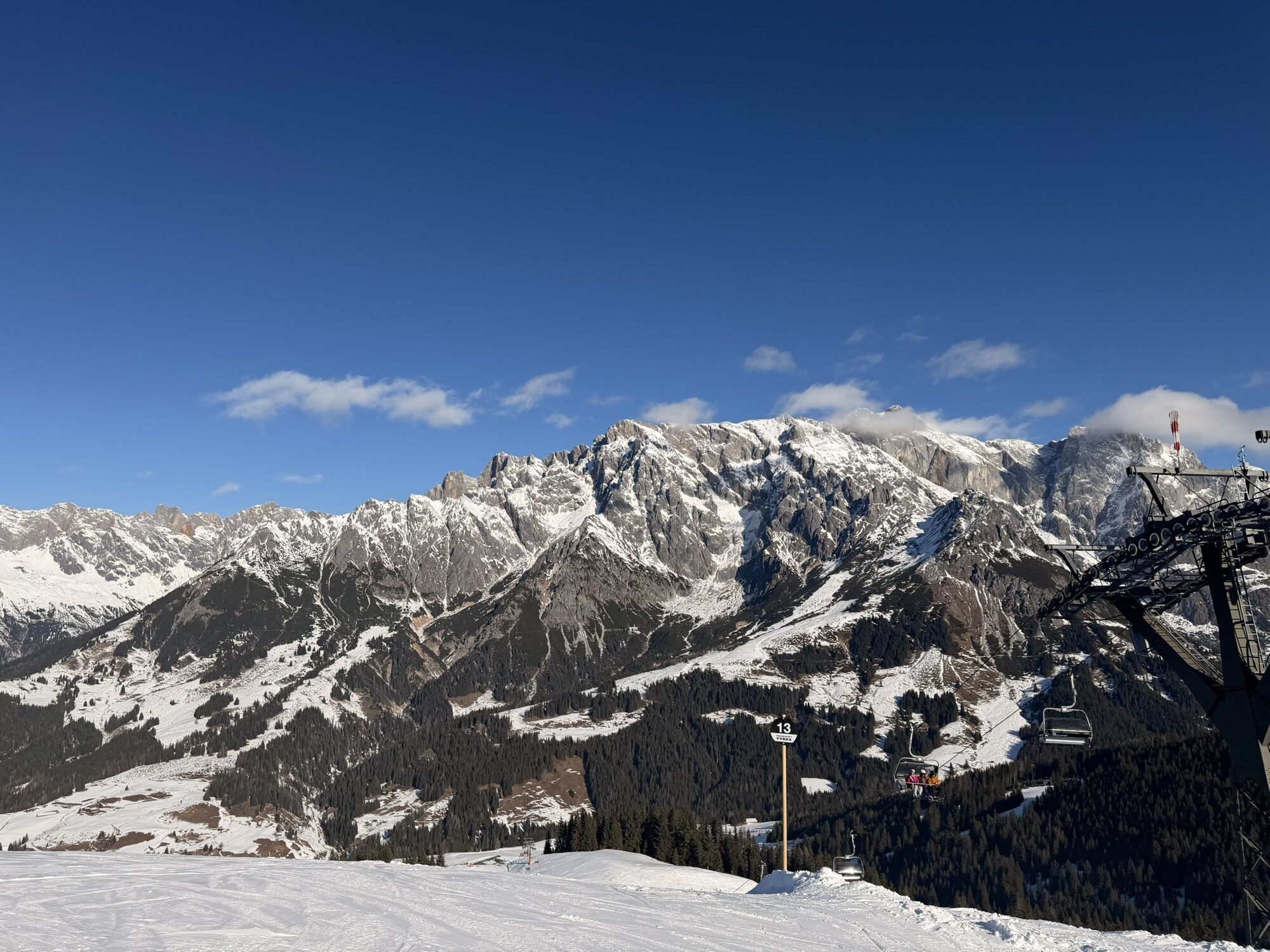
Bergstation Kings Cab
Bergstation Kings Cab
Bergstation Kings Cab
Bergstation Kings Cab
Bergstation Kings Cab
Bergstation Kings Cab
Bergstation Kings Cab
Bürglalmbahn Abfahrt
Hochkönigblick
Hinterthal - Urslauerhof
Priljubljeni izleti v okolici
- 4.8
Summit stormer route Lauskopf
težkoPohodništvo 8.16 km - 4.2
Maria Alm - Riemannhaus
Pohodništvo 3.99 km - 4.8
Summit storming route Taghaube
težkoPohodništvo 6.25 km - 4.7
About the "Four Huts circular route" to Windraucheggalm
srednjaPohodništvo 10.1 km - 4.7
Panorama hike to the Hochkeil
srednjaPohodništvo 6.07 km - 4.6
Steinalm
svetlobaPohodništvo 2.71 km - 3.6
Wanderung zur Ostpreußenhütte in Werfen (1.630 m)
srednjaPohodništvo 11.2 km - 4.1
Schwalbenwand Nr. 80, 81, 82
srednjaPohodništvo 13.0 km - 4.8
Hochkönig - Gipfel der Gefühle - Matrashaus
težkoPohodništvo 20.9 km - 4.4
Alpine and hut hike "Hochmaisalm & Steinbockalm"
srednjaPohodništvo 8.10 km

Pohodništvo in sledenje


Ne zamudite ponudb in navdiha za naslednje počitnice
Vaš e-poštni naslov je bil dodan na poštni seznam.