


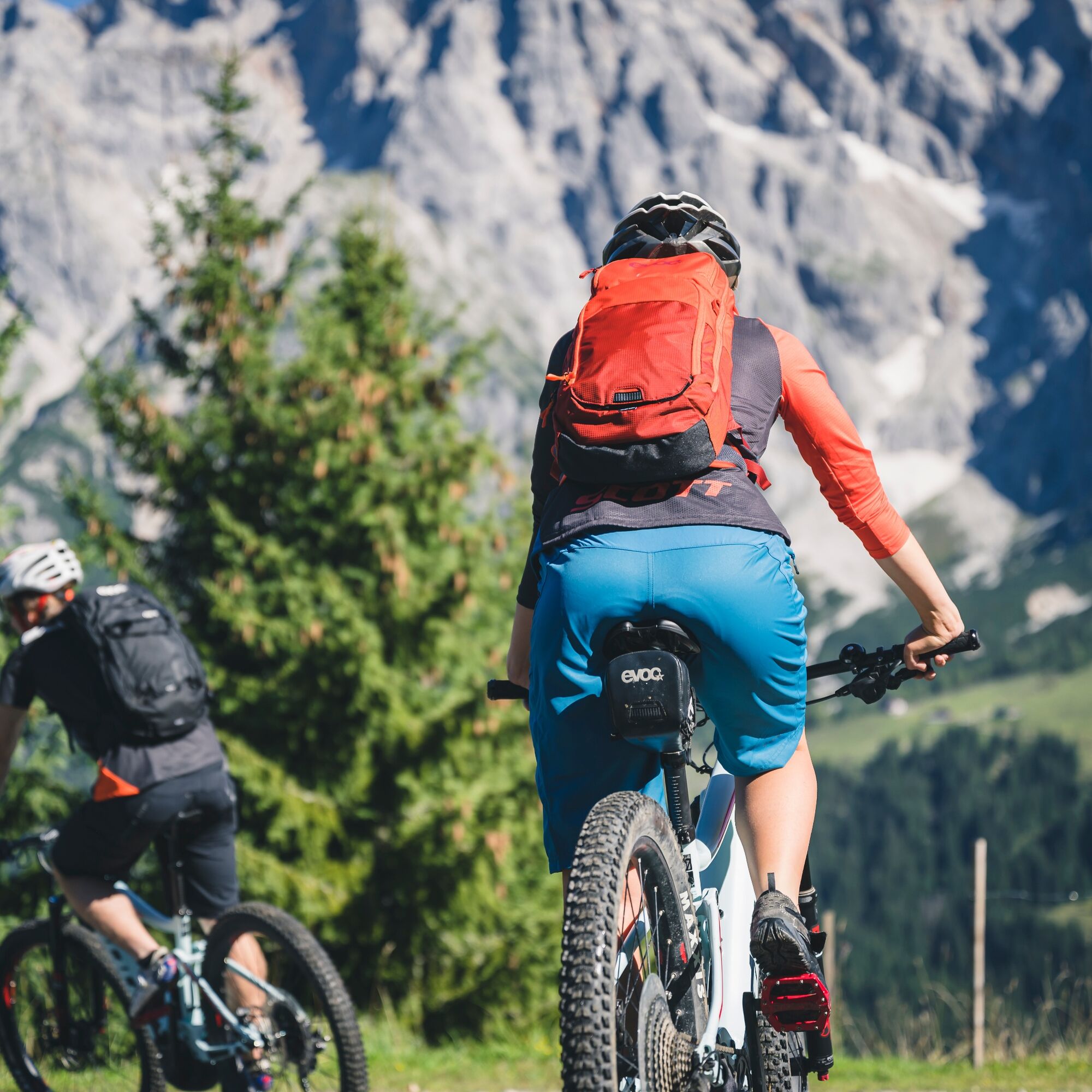
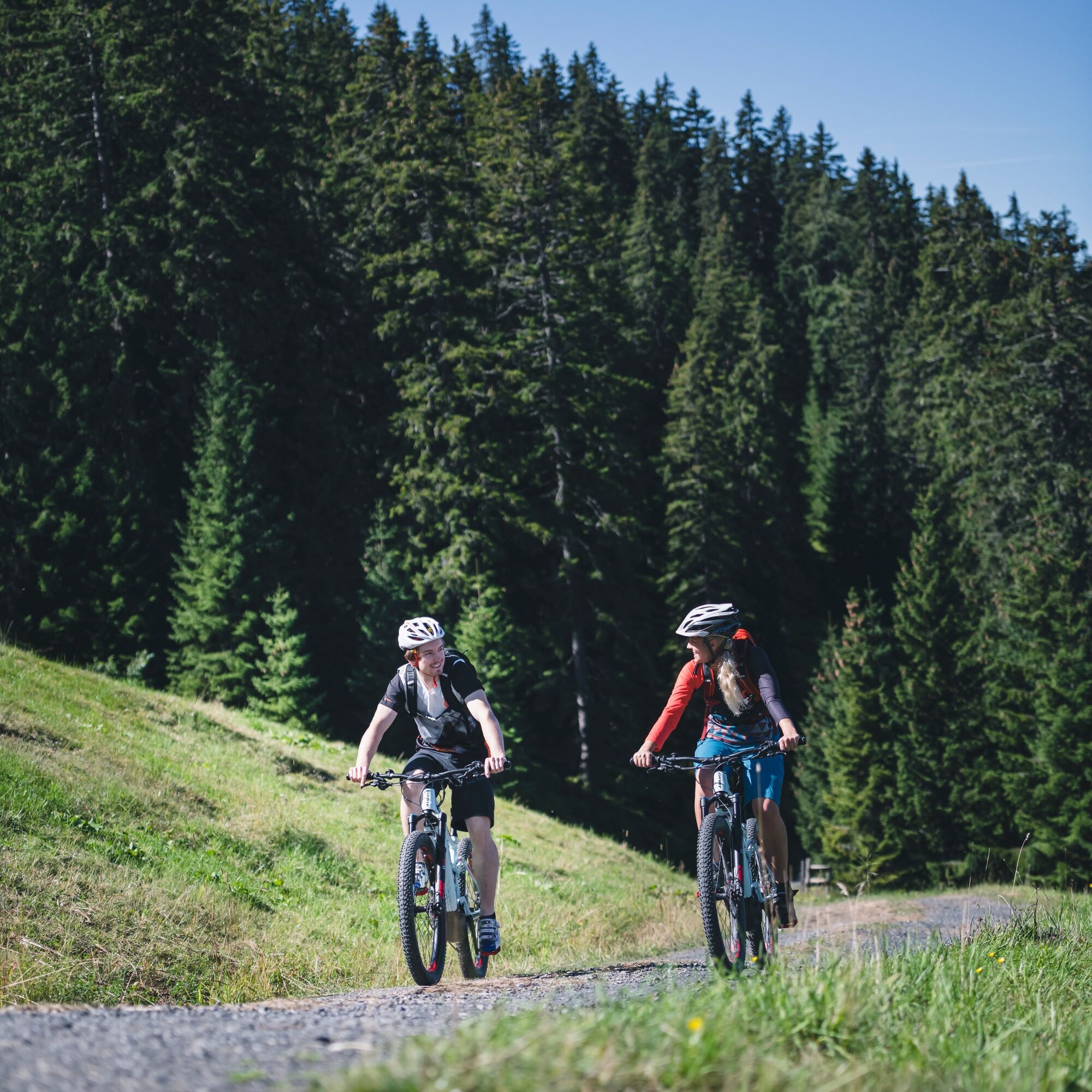
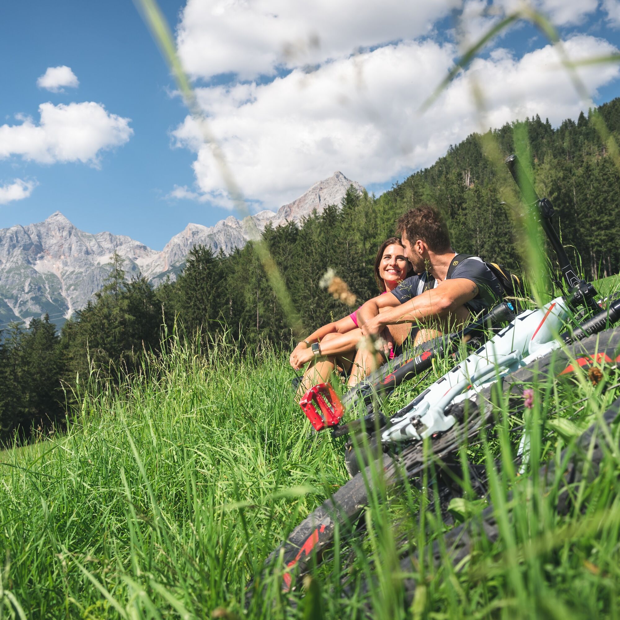
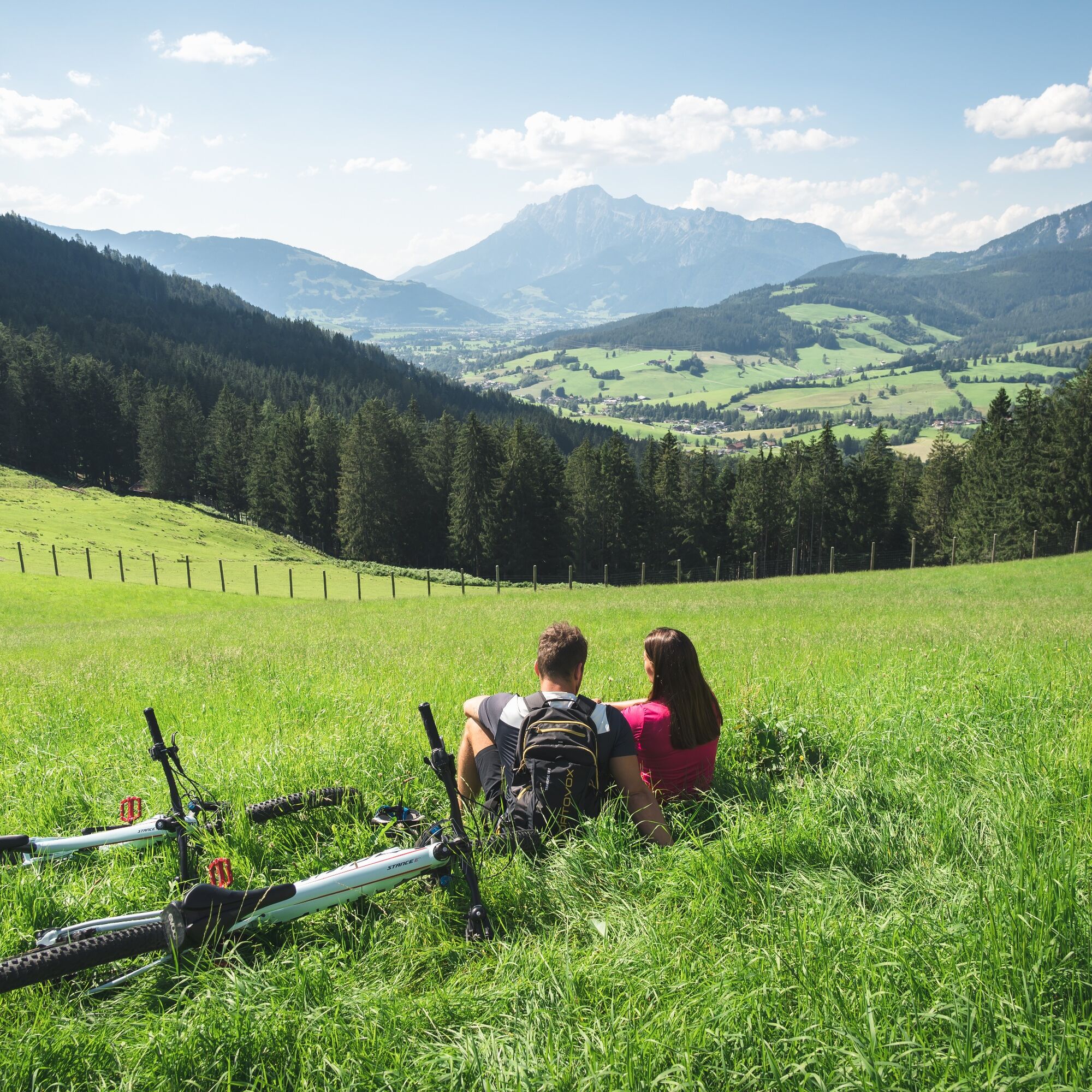
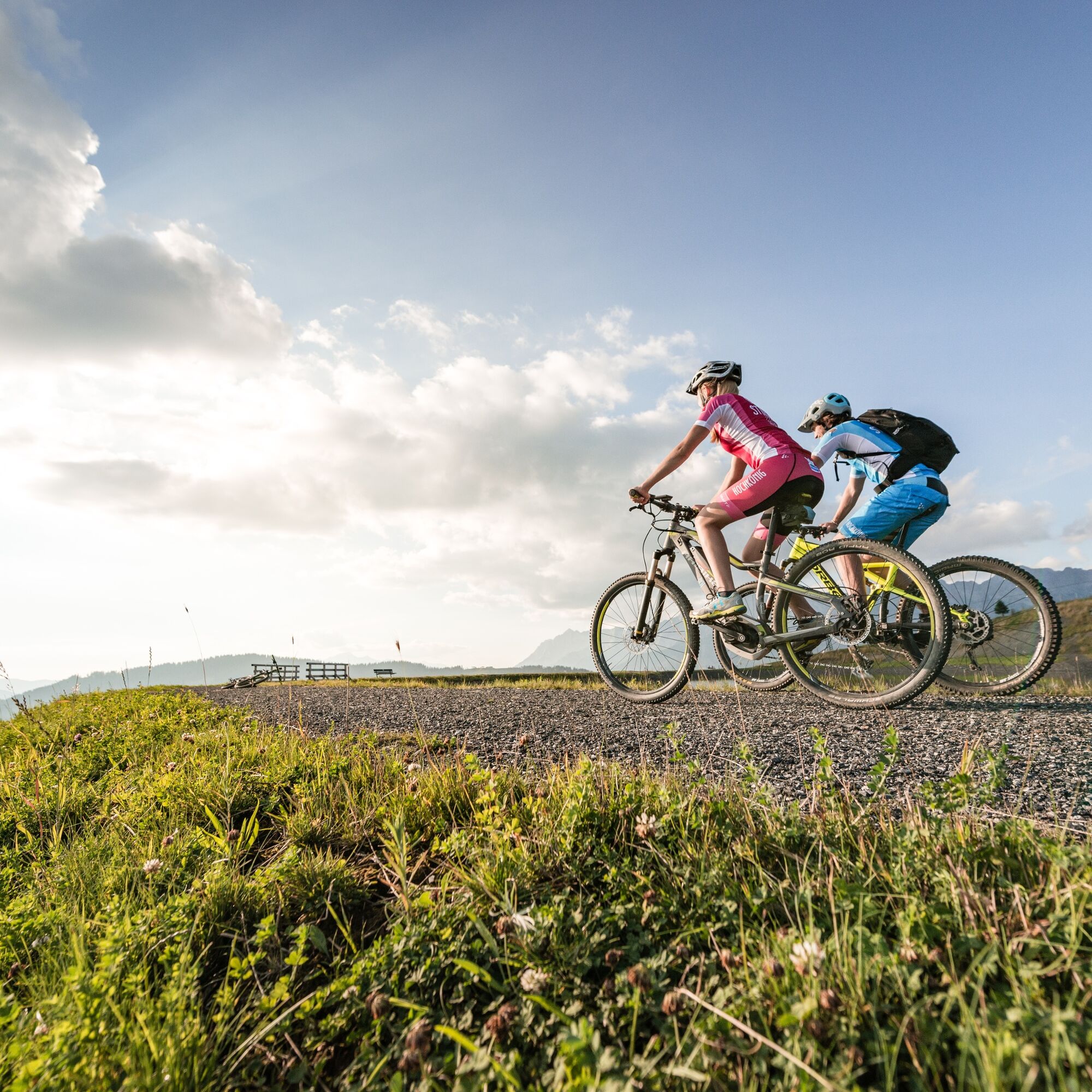
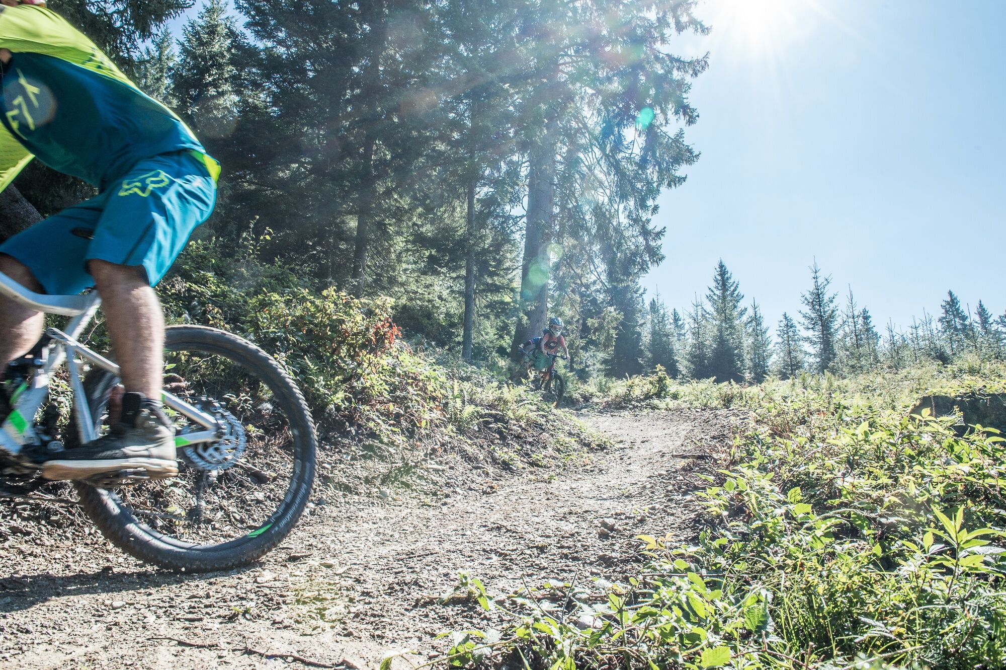
MTB Tour - Watzmann Hochkönig Round


This unique and challenging circuit, brought to life in 2009, leads around the Watzmann and Hochkönig mountain ranges. On the five stages of the southern route, which also leads through the Hochkönig region,...
This unique and challenging circuit, brought to life in 2009, leads around the Watzmann and Hochkönig mountain ranges. On the five stages of the southern route, which also leads through the Hochkönig region, 7,975 meters of altitude difference have to be overcome.

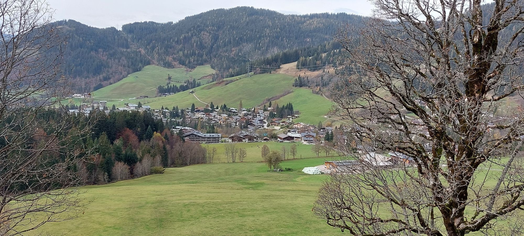
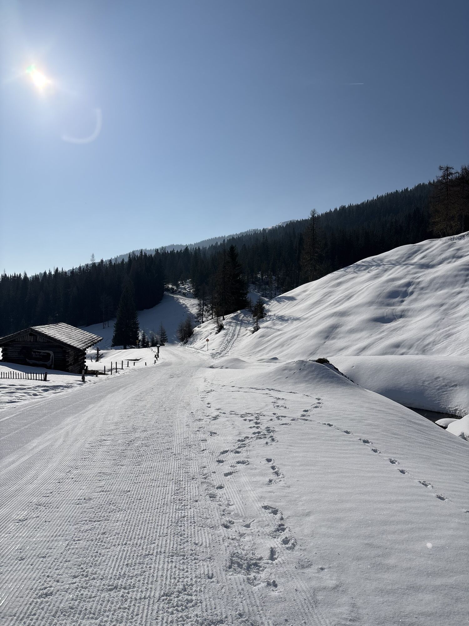
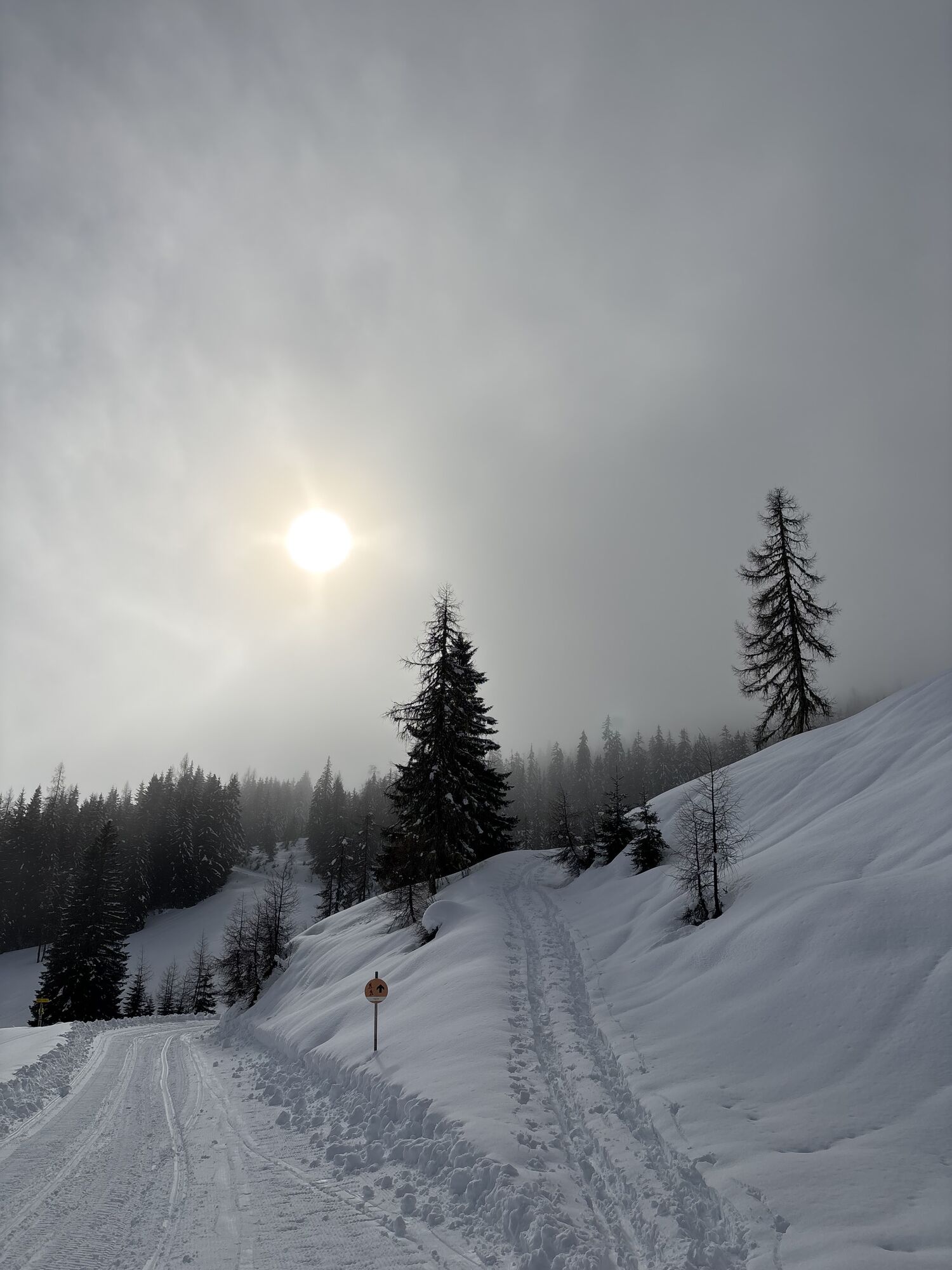
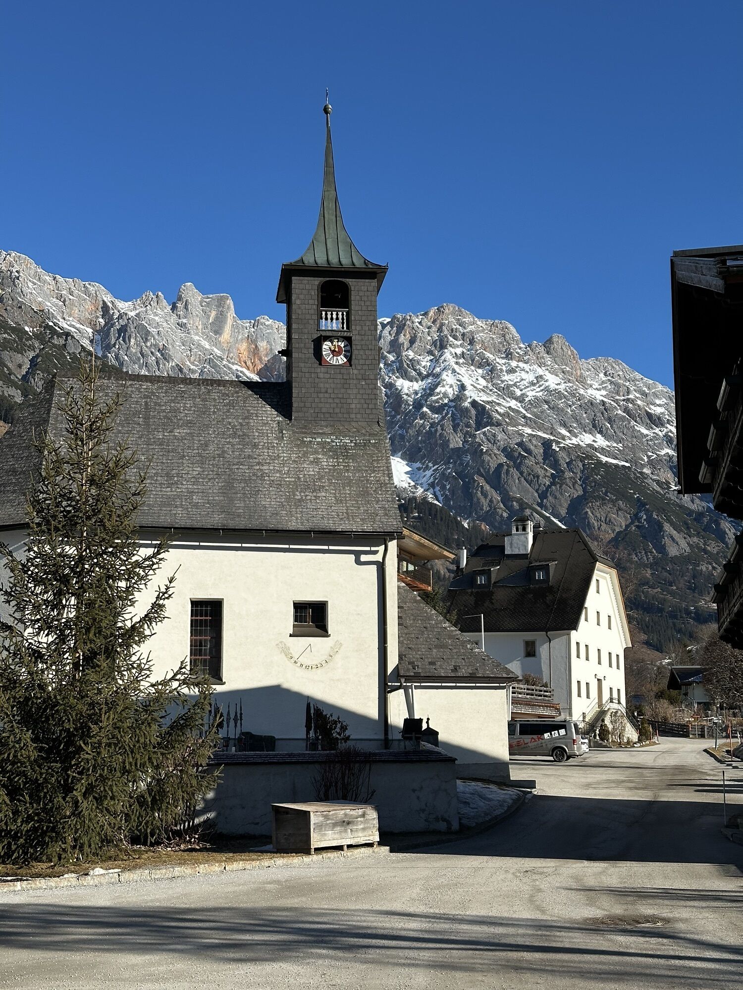
The tour starts in Saalfelden, in the Obsmarkt district. From there, you ride up Lichtenbergstraße towards the high school. You follow the Kalmbach stream towards Hochreith and Kronreith, where an e-bike charging station is located. You then continue through the Grießbachwinkel and reach Maria Alm.
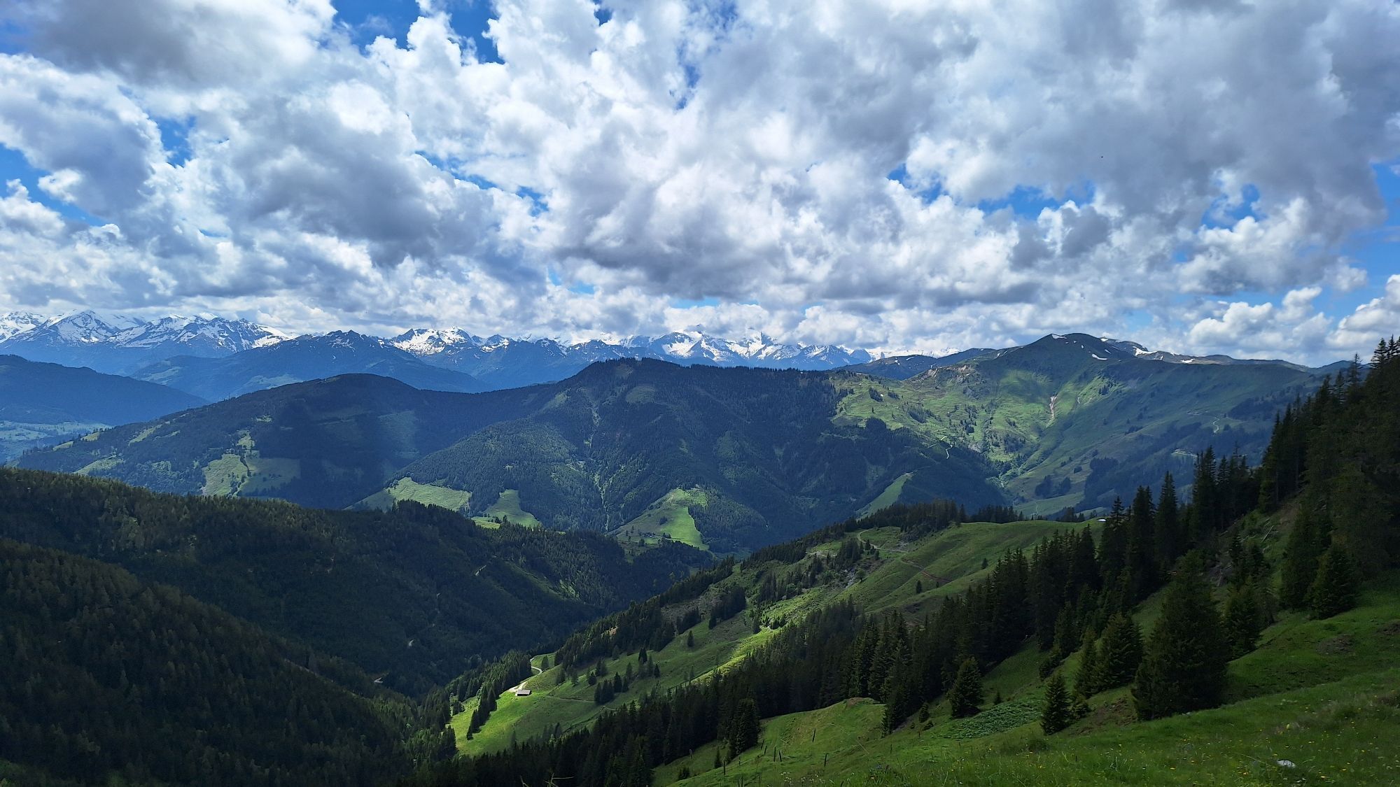
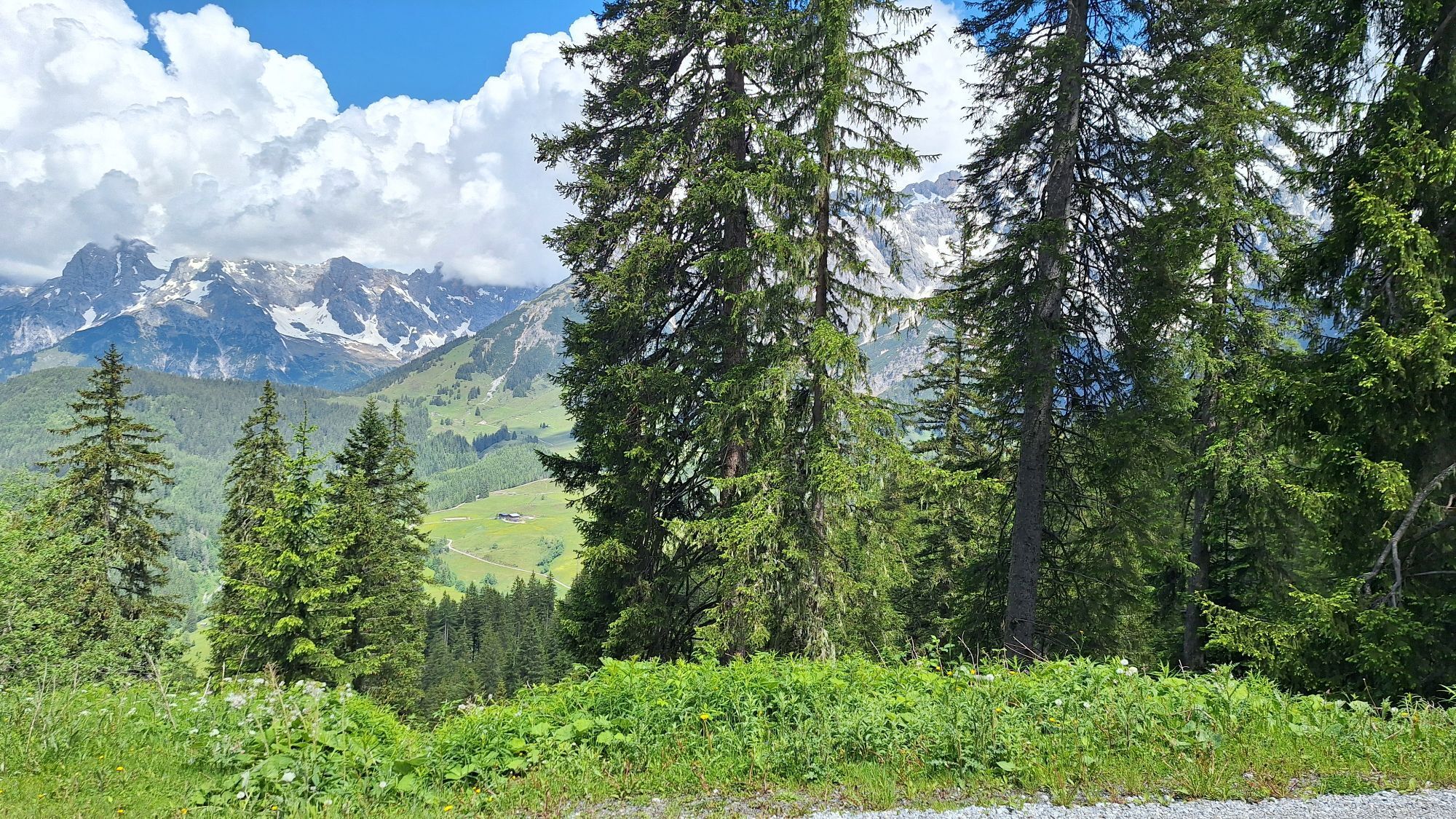
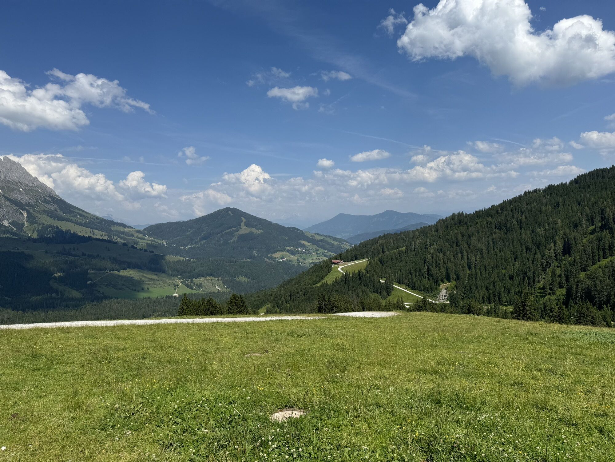
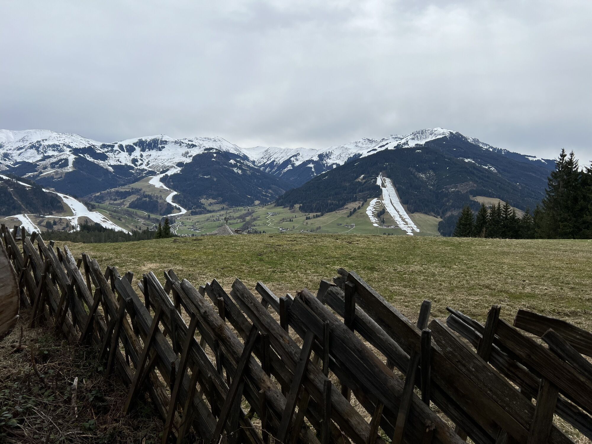
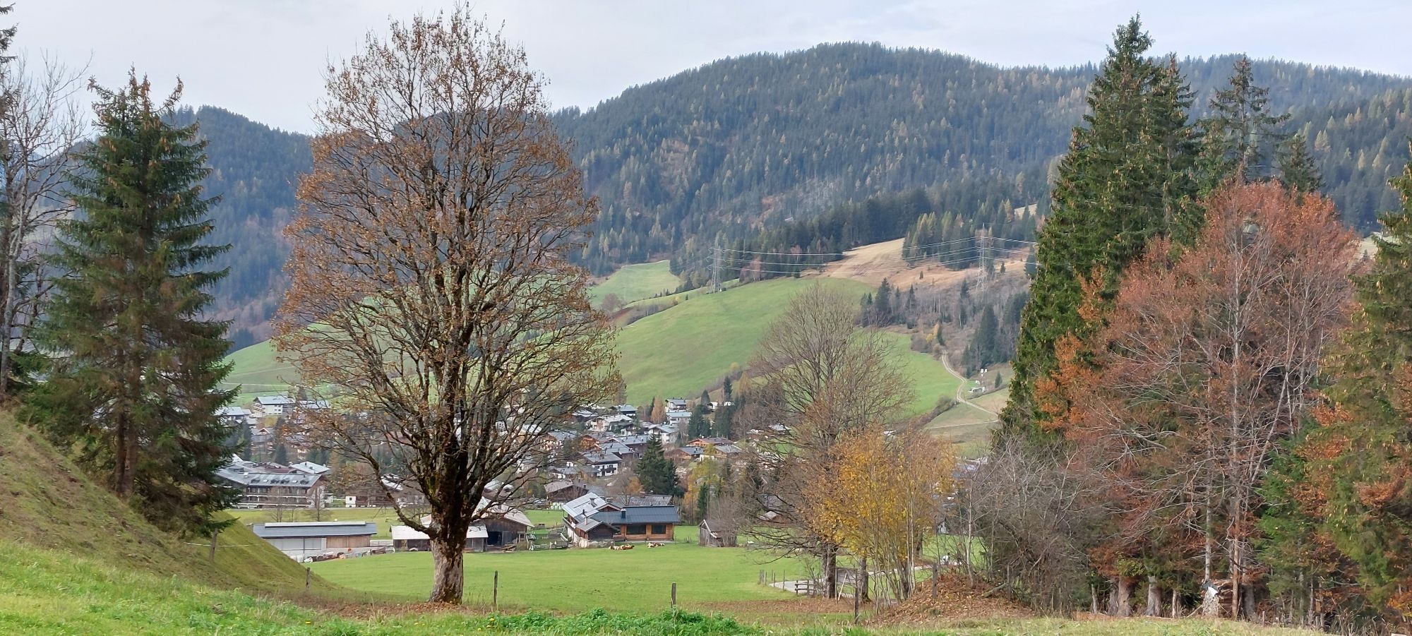
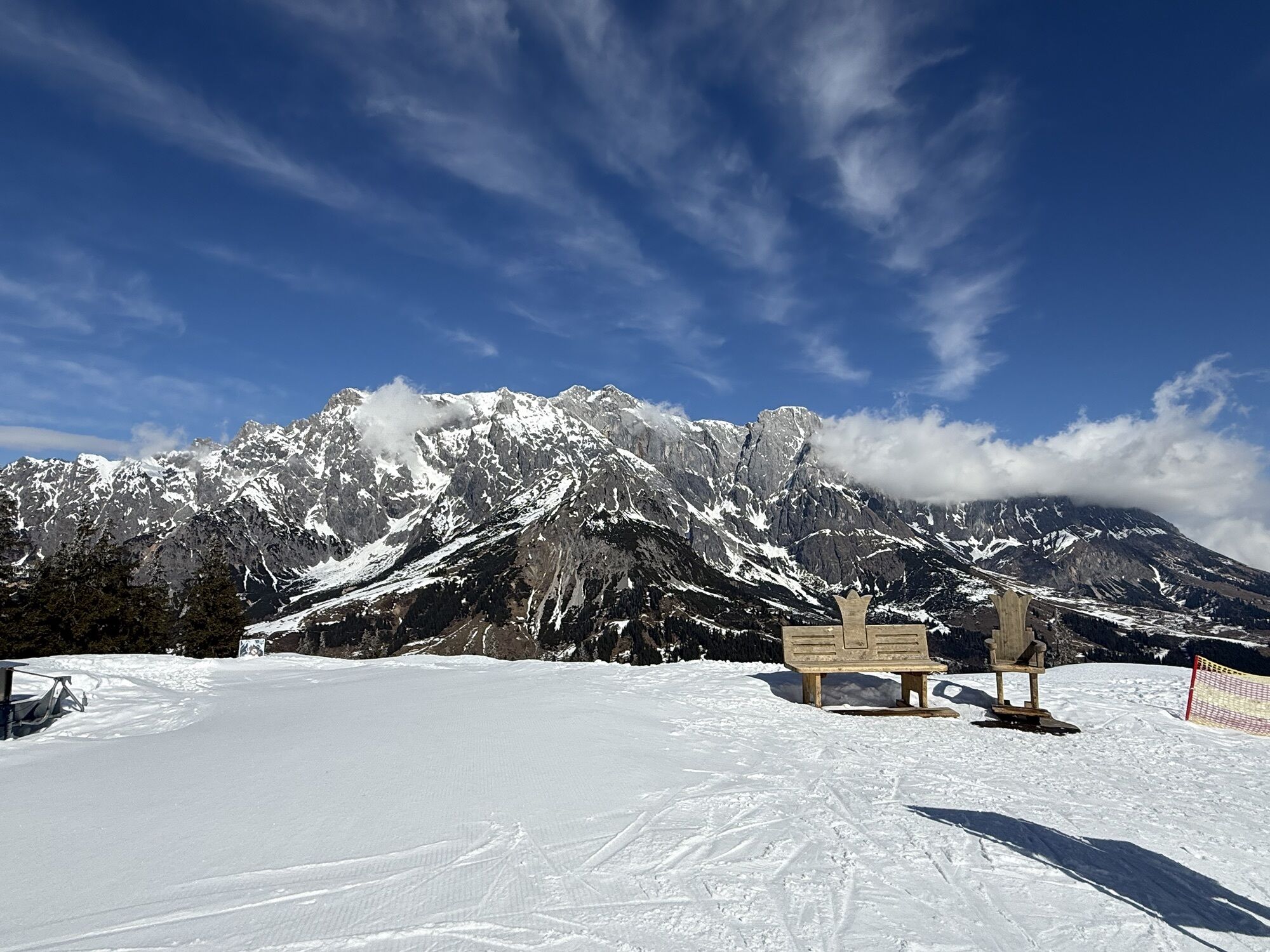
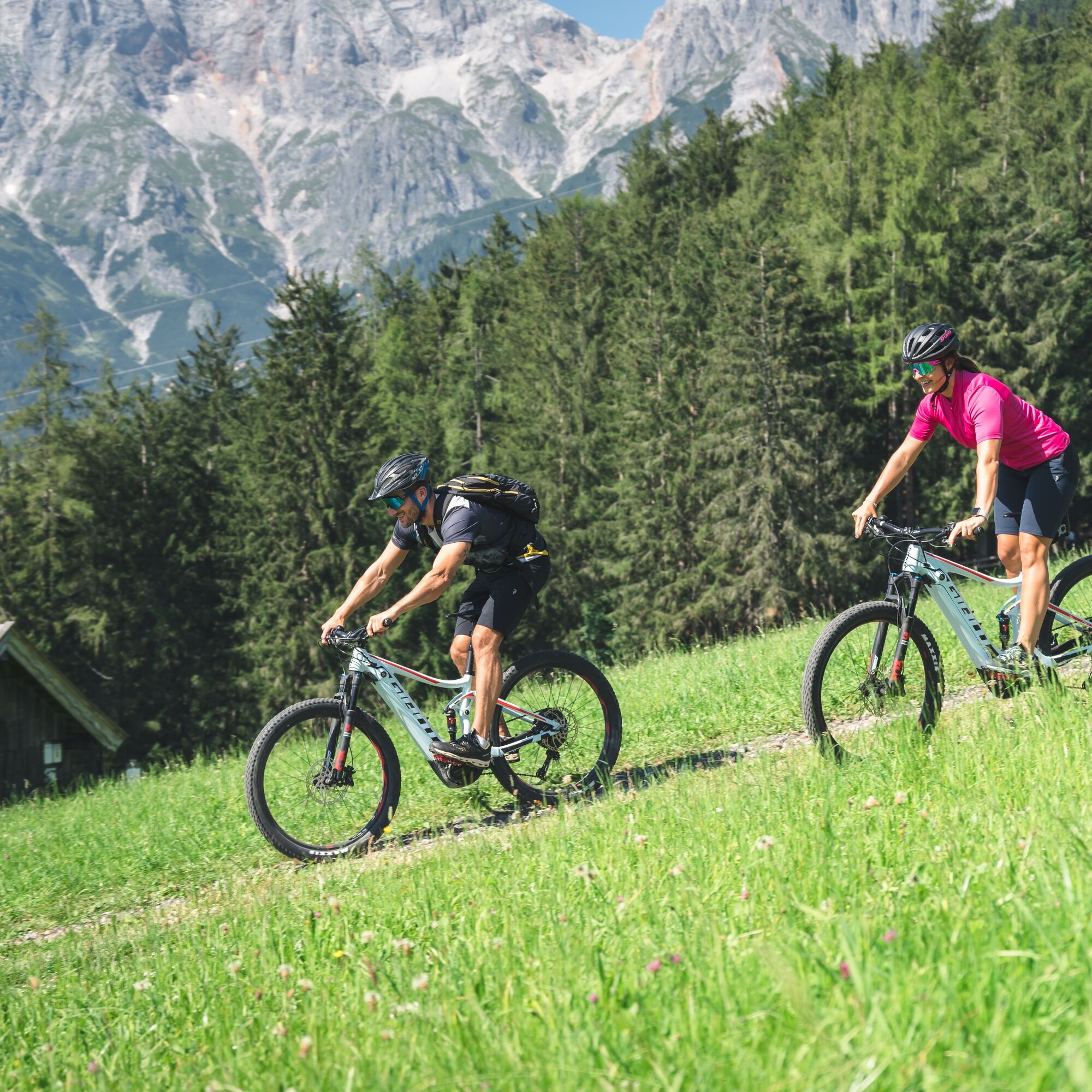
At the Grießbach Bridge, keep left and ride towards Krallerwinkel until you reach the Waldhaus. At the fork in the road, take the right path and follow the forest road via Primbach. The route leads through the quiet Primbachgraben and past idyllic alpine meadows with a beautiful view of the Steinerne Meer. After a moderate climb, you reach a plateau from which you can comfortably descend to Hinterthal.
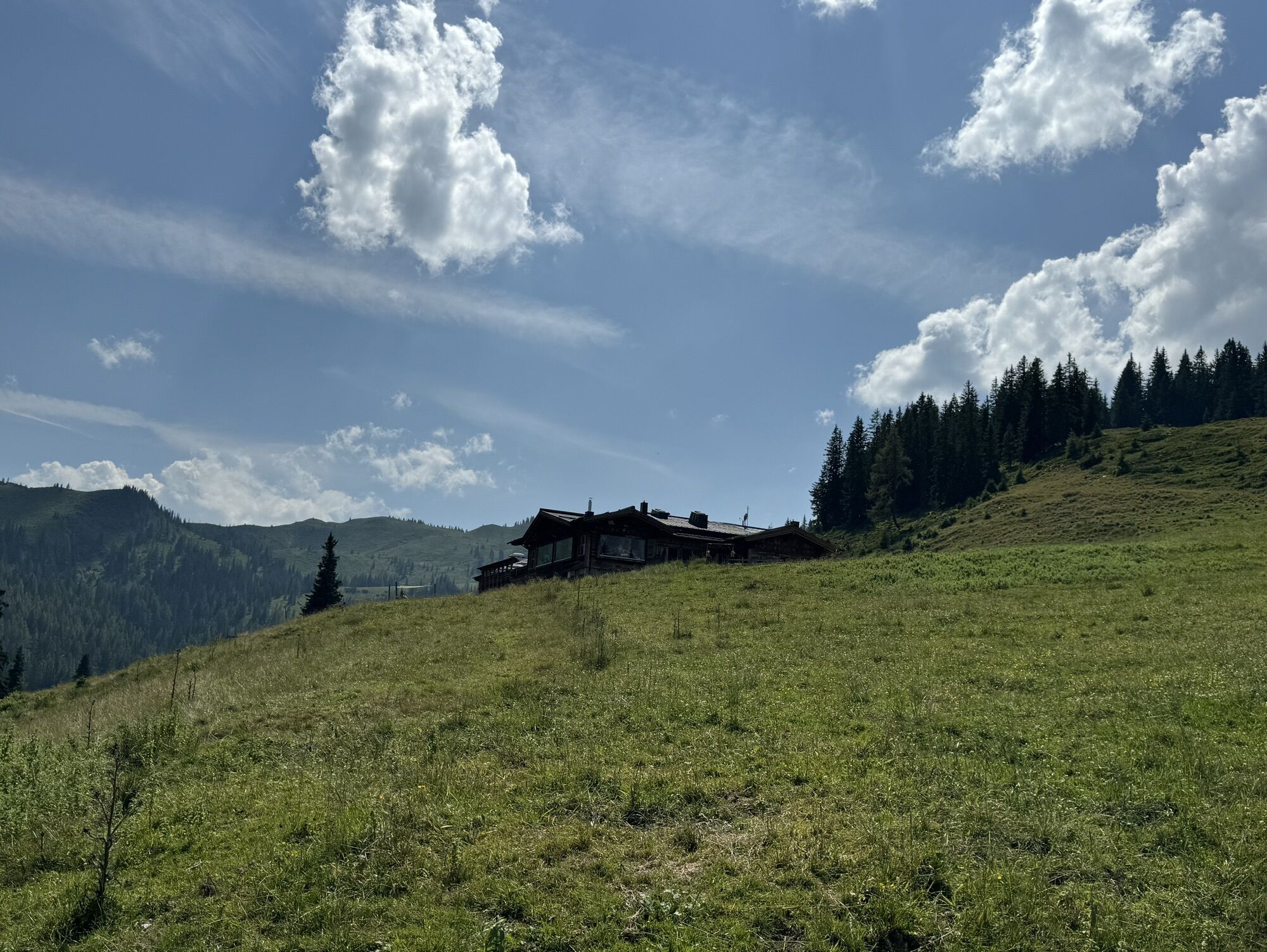
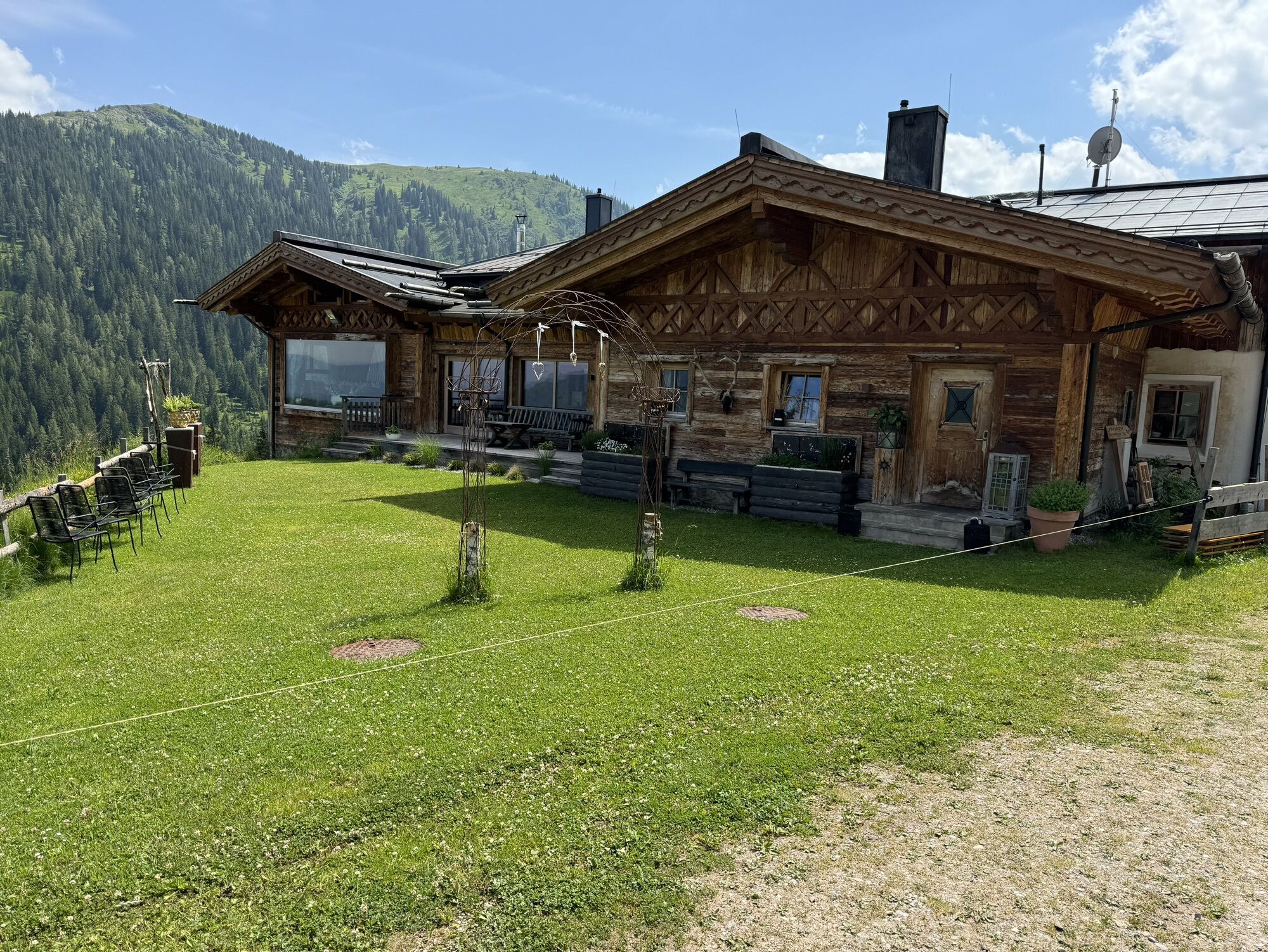
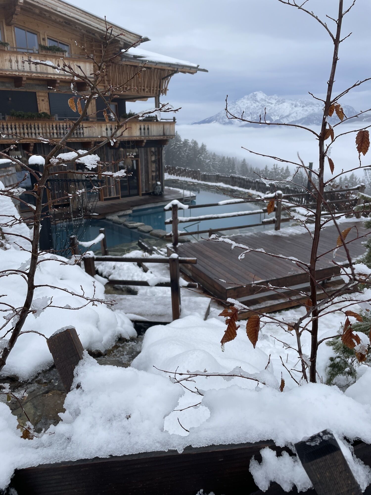
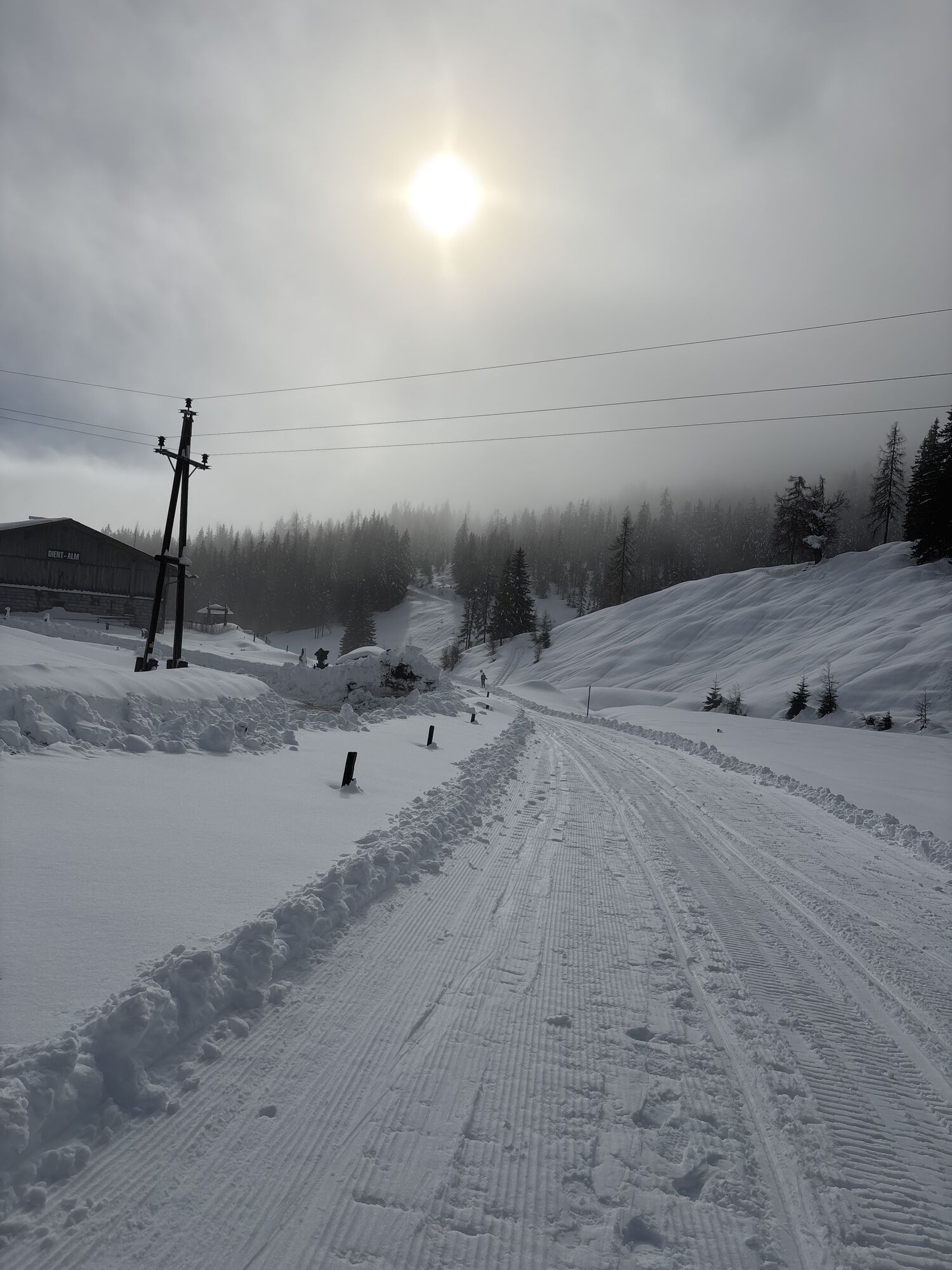
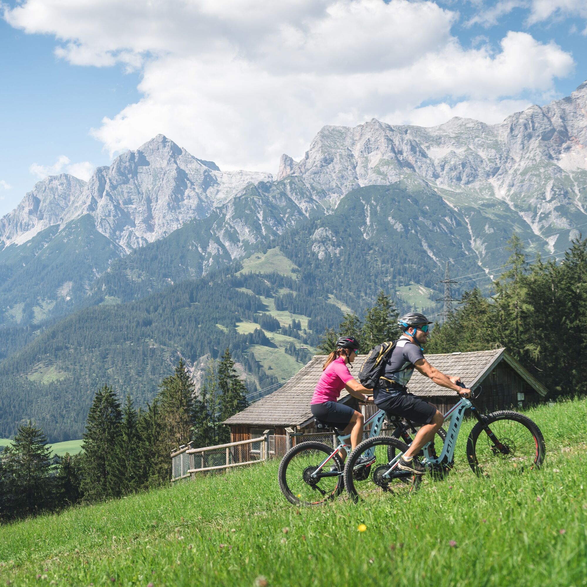
Once in Hinterthal, you can use an e-bike charging station at the Landhotel Schafhuber. Continue towards the church and turn right just before it, heading up to Gasthof Obermussbach. From here, follow the right-hand forest road uphill to Filzensattel. Upon arrival, keep right and continue on a forest road to the Jausenstation Grünegg. Here, you’ll find a rest stop, an e-bike charging station, and a mountain farm museum.
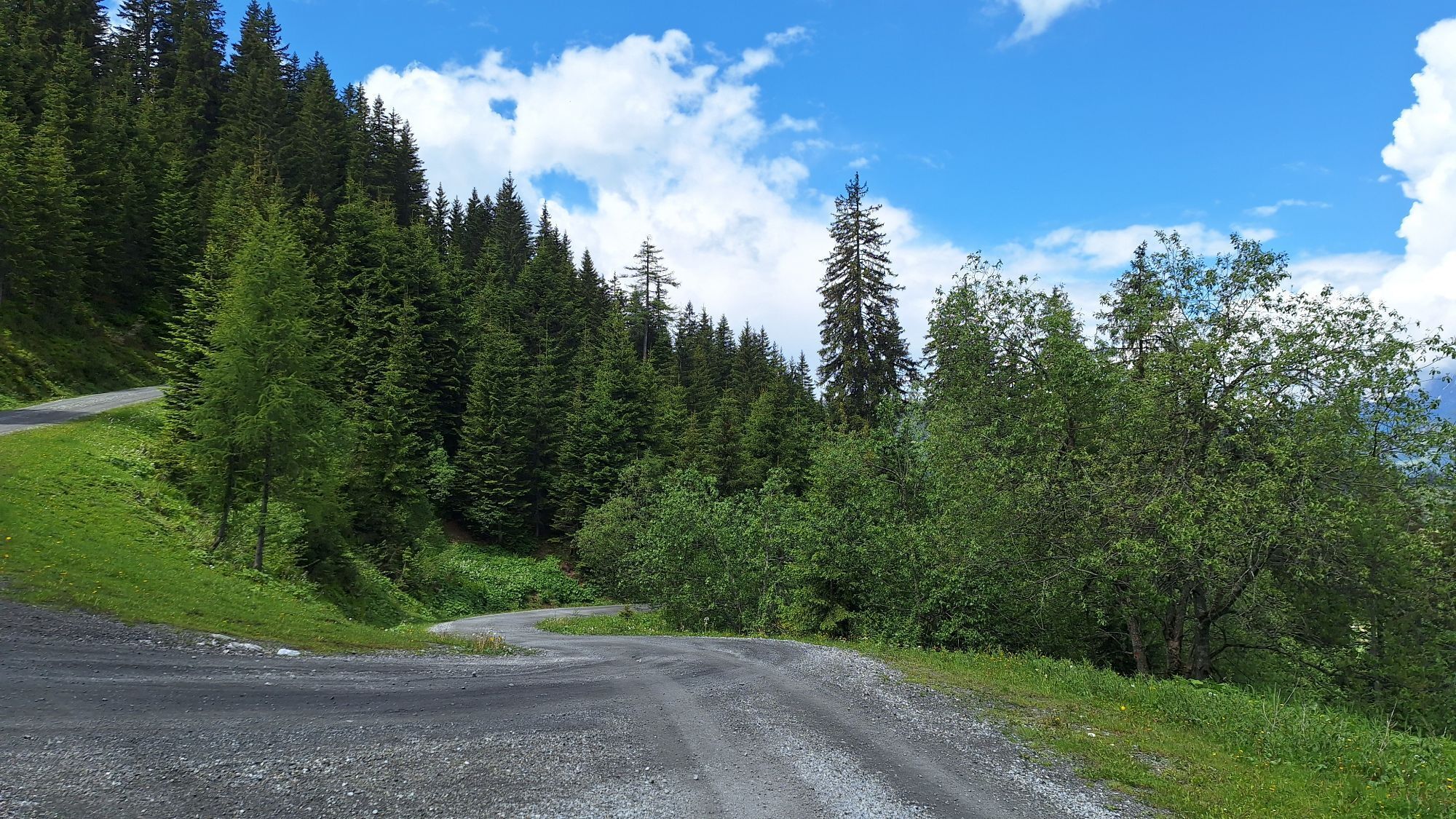
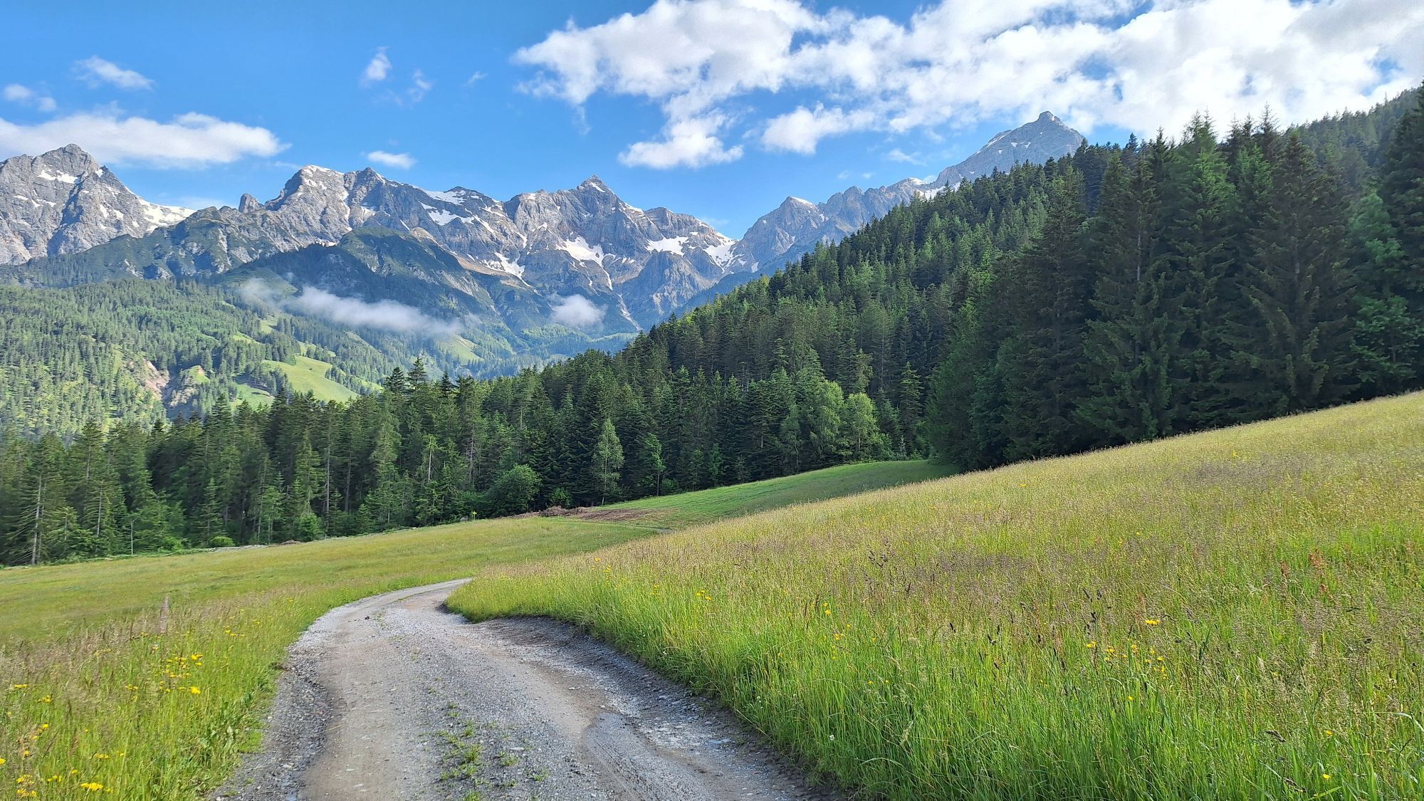
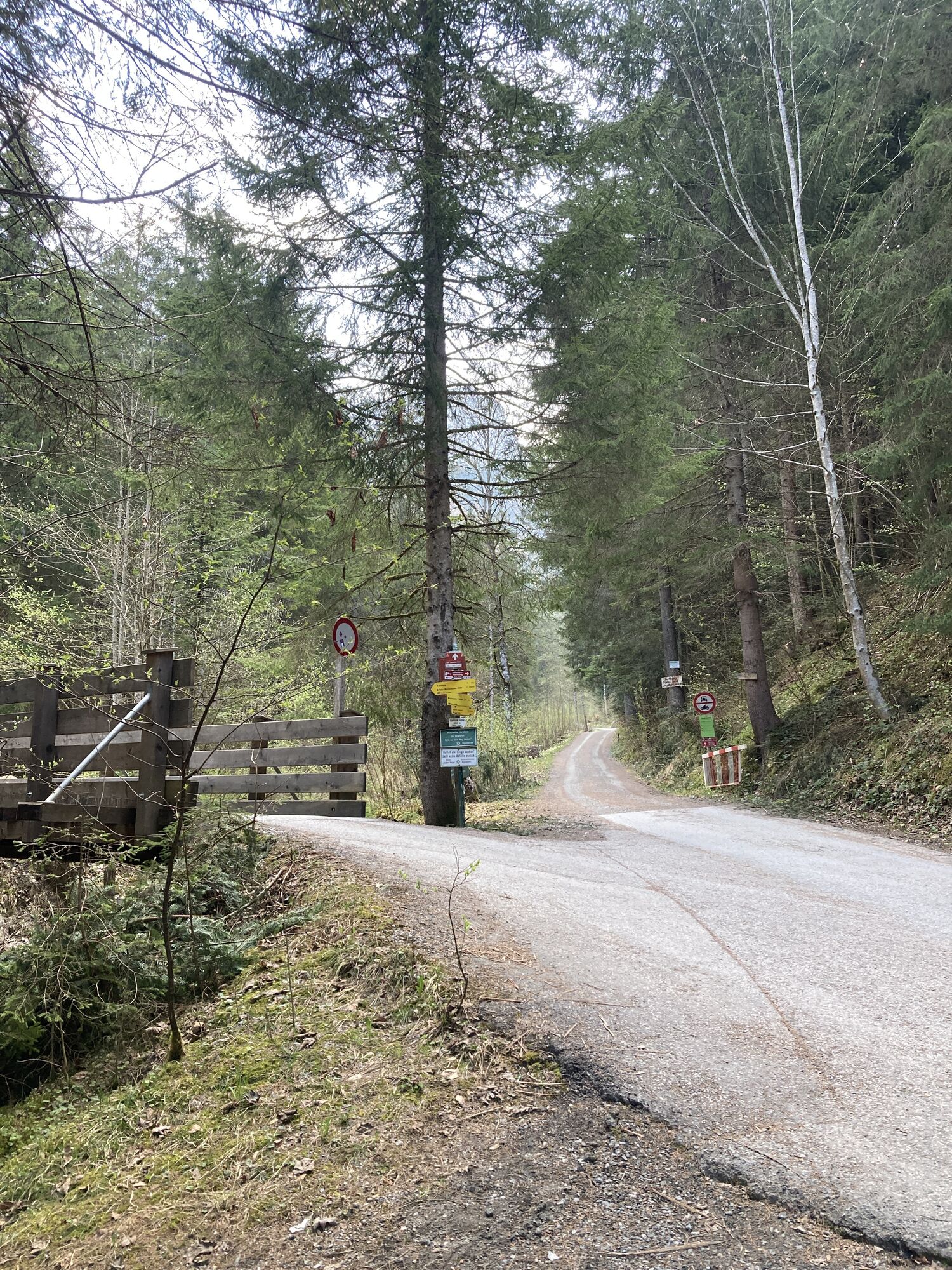
After a possible break, descend on a farm road to Dienten, where another e-bike charging station is available at the ski center. From Dienten, follow the main road until the junction of the federal road towards Mühlbach and Bischofshofen. After about 500 meters, turn right onto the "Altenberg" forest road and follow it for about four kilometers to Bürglalm, where you can take another break.
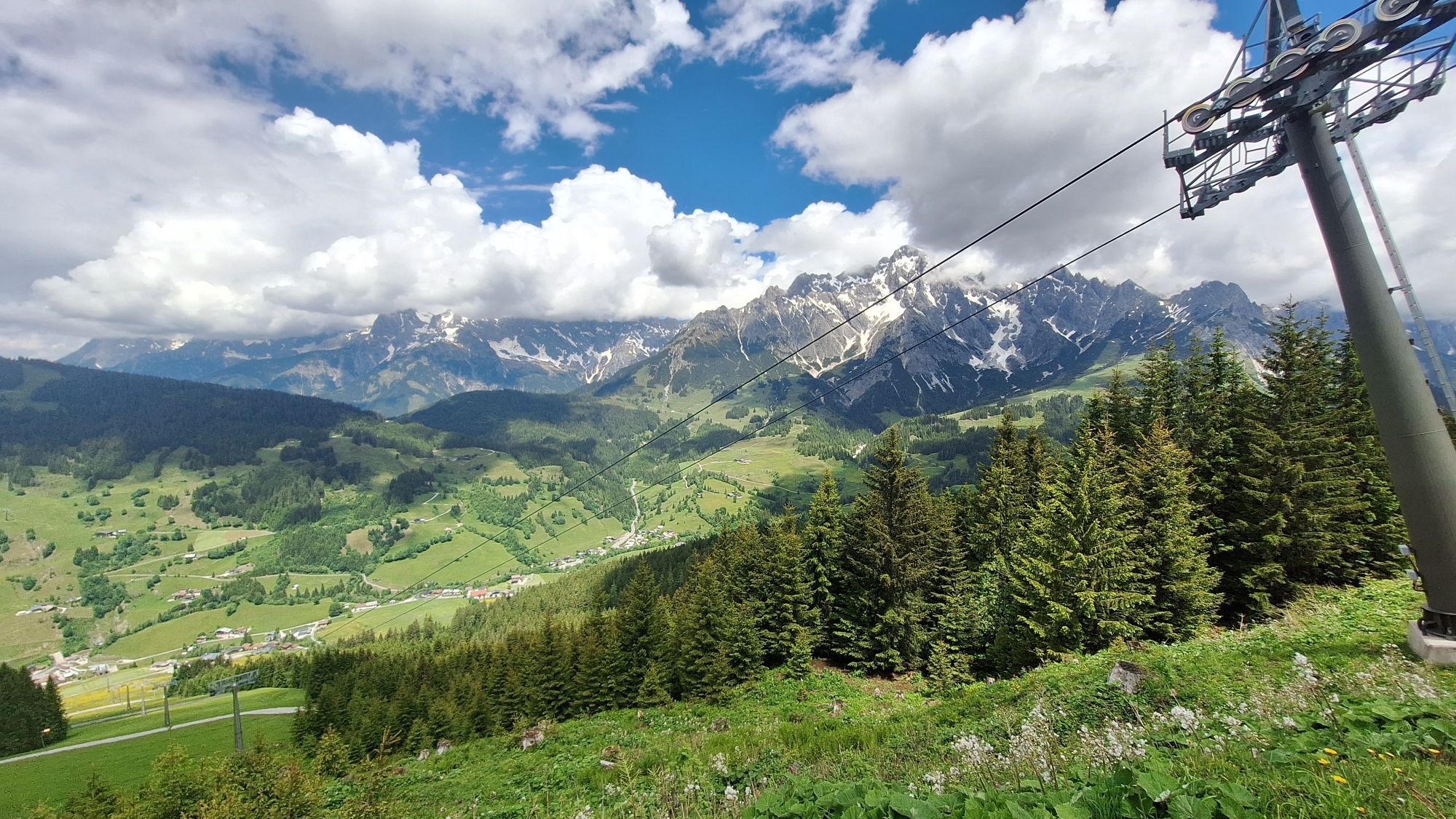
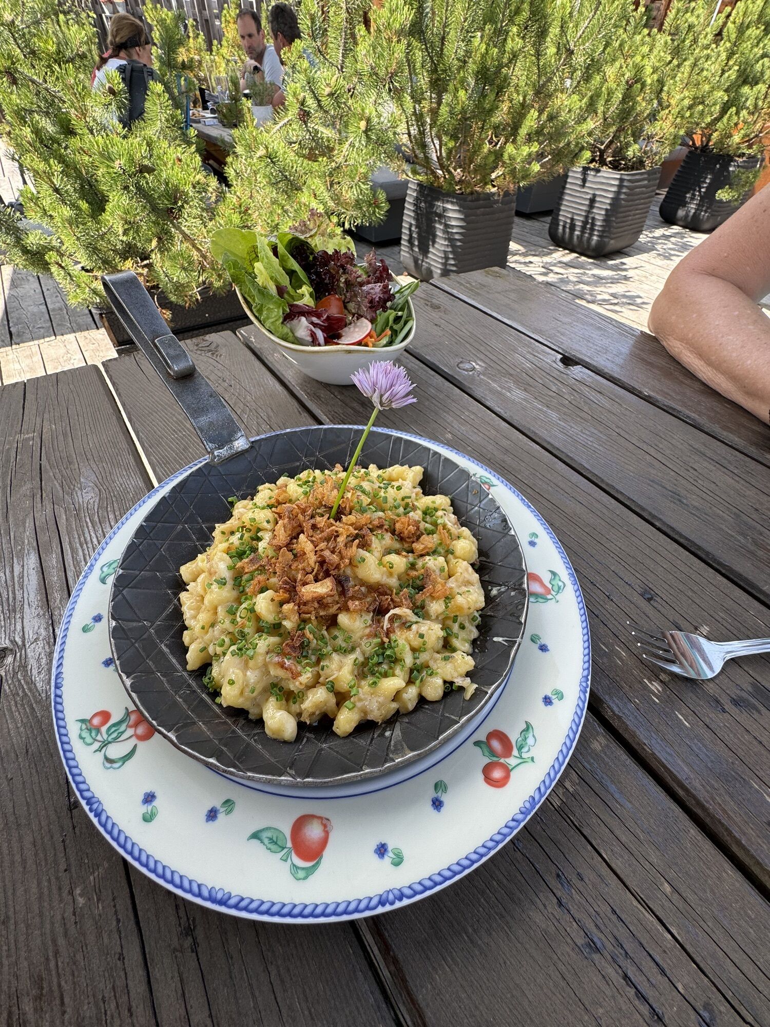
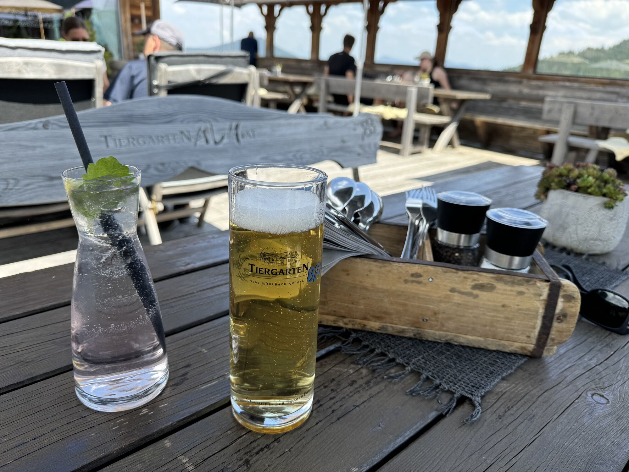
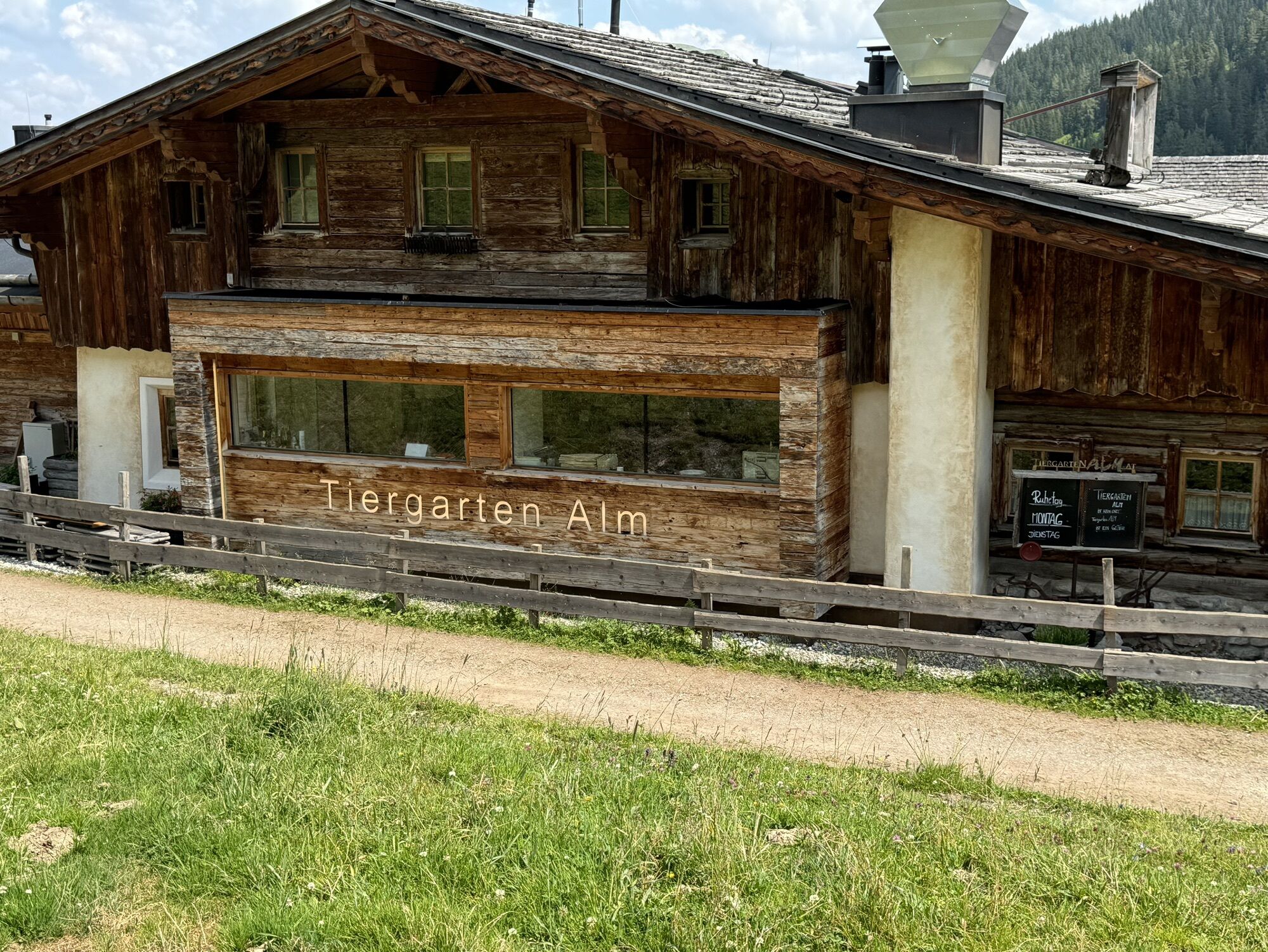
From Bürglalm, the route continues to Wastlhöhe and then gently downhill to Sunnhüttl, which is not serviced. Afterward, you continue riding until you reach the Tiergartenalm, where you can take another break. Then, you descend steeply to Dientalm, which also offers a rest stop.
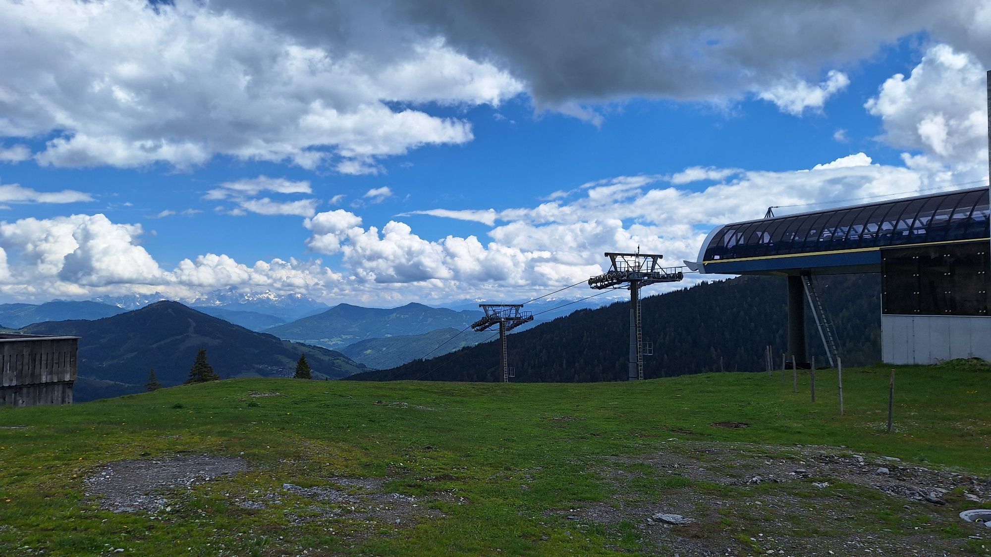
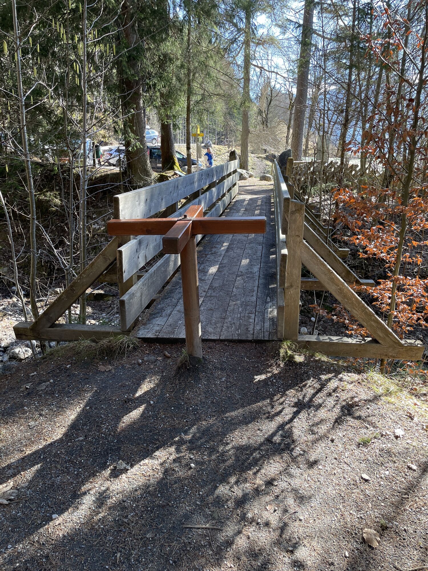
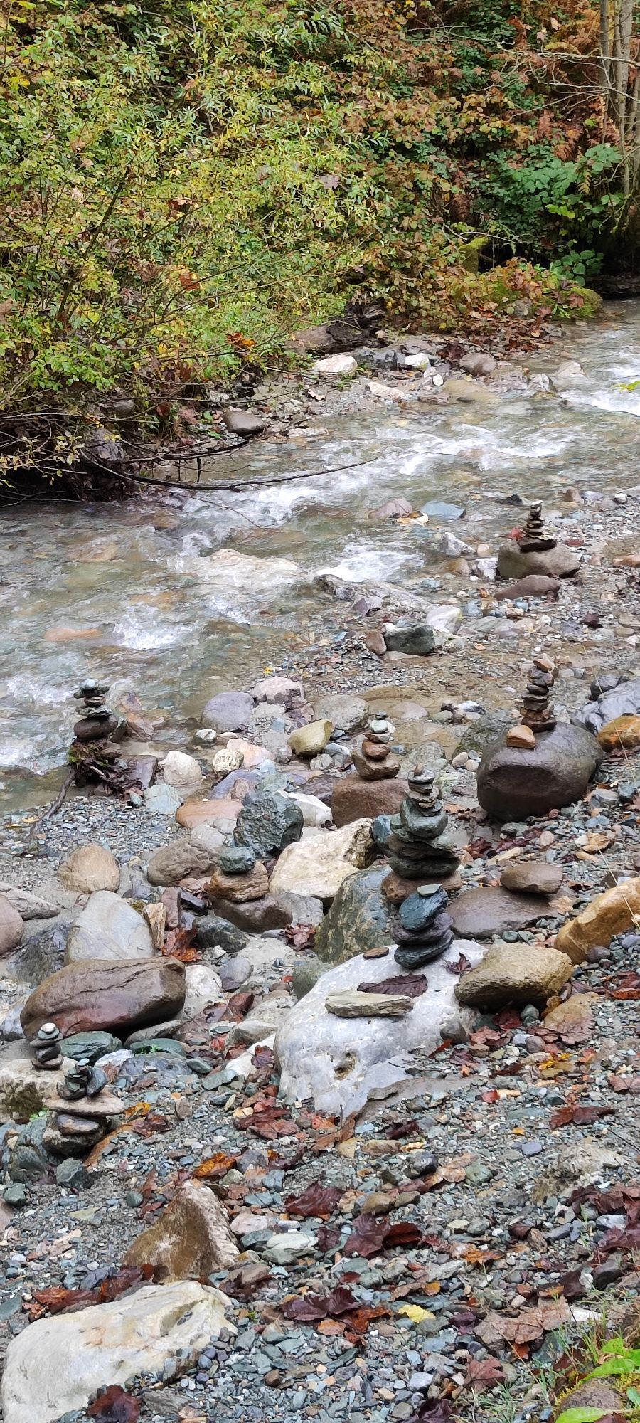
At Mittereggalm, turn right onto the Hochkönig federal road and follow it for about three kilometers to the Elmaugut adventure farm. Shortly after Elmaugut, turn left into Viererwasch and follow the mountain bike signs to Schrammbach. From there, ride upstream to the power plant. On the other side of the stream, climb about 350 meters uphill before turning left onto a short ascent with wooden steps.
After about 800 meters, you reach a paved road where you turn right. You pass the Hochkönig sports hall and reach Mandlwandstraße. After about 300 meters towards Arthurhaus, turn right onto a forest road. Now begins the long descent of around ten kilometers to Bischofshofen.
Controlled bike equipment with helmet
Sunglasses
Sun protection
Rain protection
Drinks and a snack
Necessary medication
First aid kit
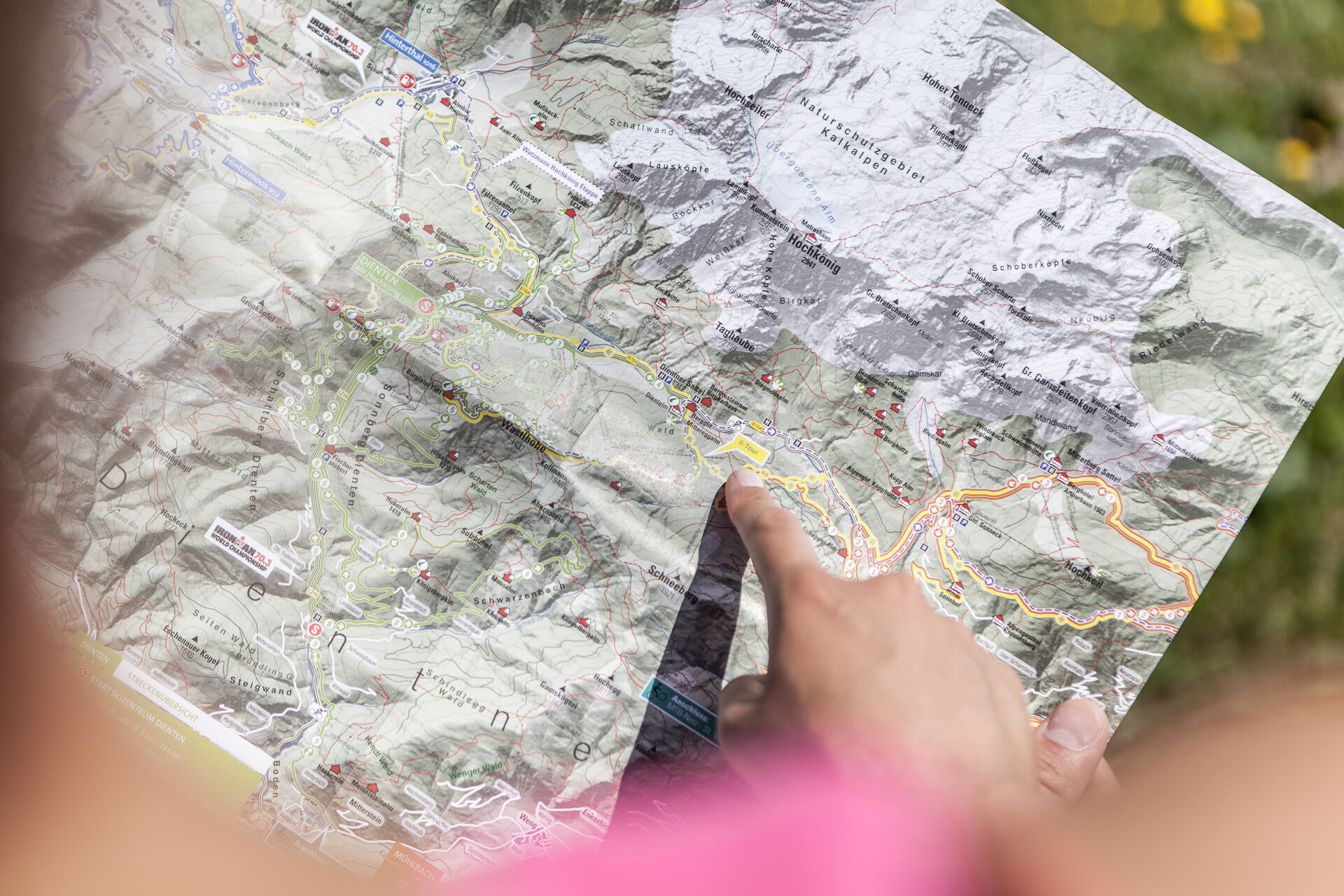
Bike map
Fair play!
Drive only on marked paths! Close all gates, barriers and pasture gates! Observe the road traffic regulations! Overtake only at walking pace! Behave respectfully towards other nature users! and the forestry and hunting staff! Be considerate of animals! Do not leave waste in nature! Act responsibly! Check the weather forecast. Fog and bad weather can come surprisingly quickly.Emergency numbers: Alpine emergency call: 140, International emergency call: 112, Rescue: 144
Coming from Salzburg: Take the A10 motorway to the Bischofshofen exit, then take the B311 towards Bischofshofen. Follow the Hochkönig Bundesstraße/B164 to Maria Alm and continue to Saalfelden.
Coming from Innsbruck/ Kufstein: Take the Loferer Straße/B178 towards St. Johann i.T., then follow the Hochkönig Bundesstraße/B164 to Saalfelden.
A valid vignette is required to use the Austrian motorway and motorway network. It is also compulsory to carry a first-aid kit, warning triangle and warning waistcoat. Further information can be found under Asfinag.
ÖBB-Scotty: Timetable information
Bus line 620: Timetable information
Hiking bus: Timetable information
You will find free parking in each of the villages
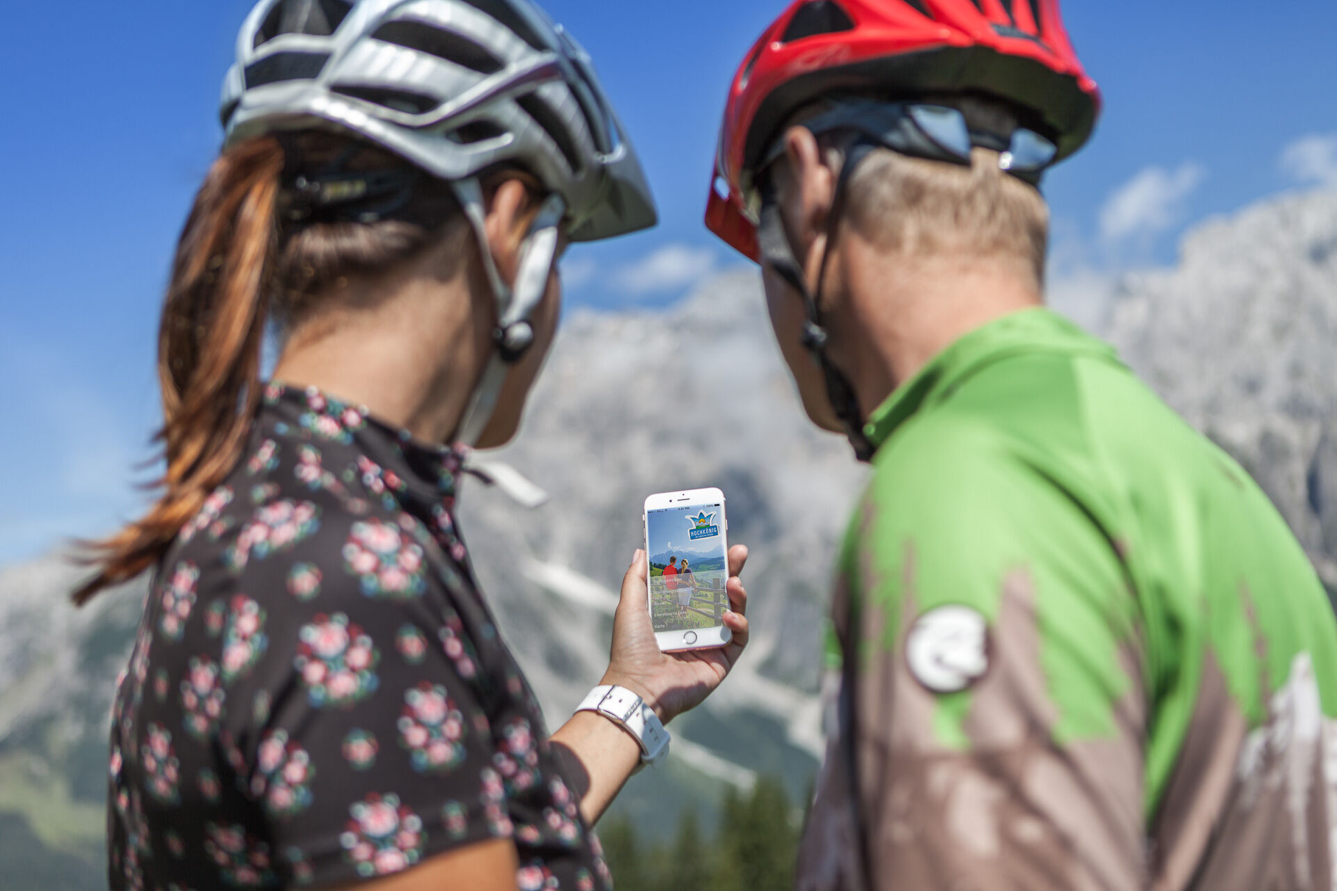
Further information on hikes and activities in the Hochkönig region:
For detailed information about hiking maps, the opening hours of the cable cars and the huts and mountain pastures in summer, we recommend you visit the local service centre. There you will not only receive the hiking map, but also valuable tips on the best hiking routes and current conditions.
Opening hours of the mountain lifts in summer:The mountain lifts offer different opening hours during the summer months, which can vary depending on the weather and season. Please check the current operating times in advance.
Opening hours of huts & mountain huts in summer:The huts and mountain huts in the region are ideal rest stops for hikers. Here, too, opening hours may vary depending on the season and day of the week. Ask the friendly hosts for advice about the offers and specialities on site.
For more information, please visit our website: www.hochkoenig.at.
If you have any questions or require specific information, please do not hesitate to contact us:
- E-mail: region@hochkoenig.at
- Telephone: +43 (0)6584 20388
We look forward to helping you and hope you enjoy exploring the beautiful Hochkönig hiking region!
The "Trail Hochkönig" in Dienten and the Flow Trail "Flow One" in Maria Alm can be easily integrated into the Watzmann-Hochkönig-Round.
Spletne kamere s turneje
Mühlbach am Hochkönig
Maria Alm - Hochmaisbahn
Aberg - Bergstation
Bürglalmlift - Dienten
Maria Alm - Aberg
Pfarrwerfen Feratel
Sommerrodelbahn
Mühlbach am Hochkönig - Hotel Bergheimat
Bischofshofen-Kreuzberg
Pfarrwerfen Feratel
Pfarrwerfen Feratel
Pfarrwerfen Feratel
Pfarrwerfen Feratel
Pfarrwerfen Feratel
Pfarrwerfen Feratel
Pfarrwerfen Feratel
Bergstation Kings Cab
Saalfelden
Matrashaus am Hochkönig
Sommerrodelbahn
Sommerrodelbahn
Sommerrodelbahn
Sommerrodelbahn
Sommerrodelbahn
Grünegg Alm & Edelbrennerei
Peter Wiechenthaler Hütte
Dienten - Übergossene Alm Resort
Dienten - Almsee
Dienten - Übergossene Alm Resort
Natrun Bergstation
Dienten, Bürglalmabfahrt
Pfarrwerfen, Eulersberg
Bergstation Kings Cab
Bergstation Kings Cab
Bergstation Kings Cab
Bergstation Kings Cab
Bergstation Kings Cab
Hoferbichlgut
Hinterreit - Saalfelden
Saalfelden - Obermühlhof
Priljubljeni izleti v okolici
- 4,8
Summit stormer route Lauskopf
težkoPohodništvo 8,16 km - 4,2
Maria Alm - Riemannhaus
Pohodništvo 3,99 km - 4,8
Summit storming route Taghaube
težkoPohodništvo 6,25 km - 4,7
About the "Four Huts circular route" to Windraucheggalm
srednjaPohodništvo 10,1 km - 4,7
Panorama hike to the Hochkeil
srednjaPohodništvo 6,07 km - 3,6
Wanderung zur Ostpreußenhütte in Werfen (1.630 m)
srednjaPohodništvo 11,2 km - 4,6
Steinalm
svetlobaPohodništvo 2,71 km - 4,2
Schwalbenwand Nr. 80, 81, 82
srednjaPohodništvo 13,0 km - 4,3
Peter-Wiechenthaler Hut
srednjaPohodništvo 4,32 km - 4,8
Hochkönig - Gipfel der Gefühle - Matrashaus
težkoPohodništvo 20,9 km

Pohodništvo in sledenje


Ne zamudite ponudb in navdiha za naslednje počitnice
Vaš e-poštni naslov je bil dodan na poštni seznam.