







S528 Fuschlsee regional route

Stopnja težavnosti: S0
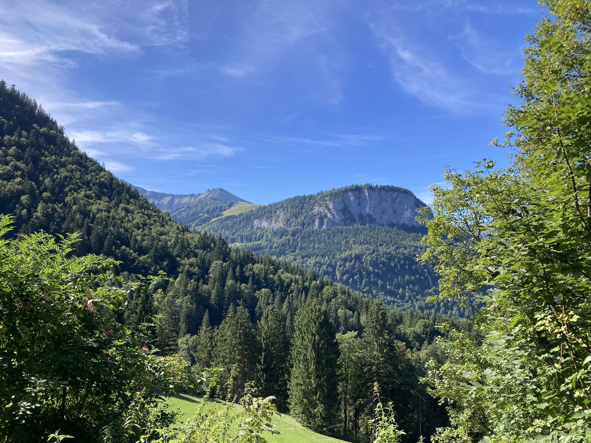
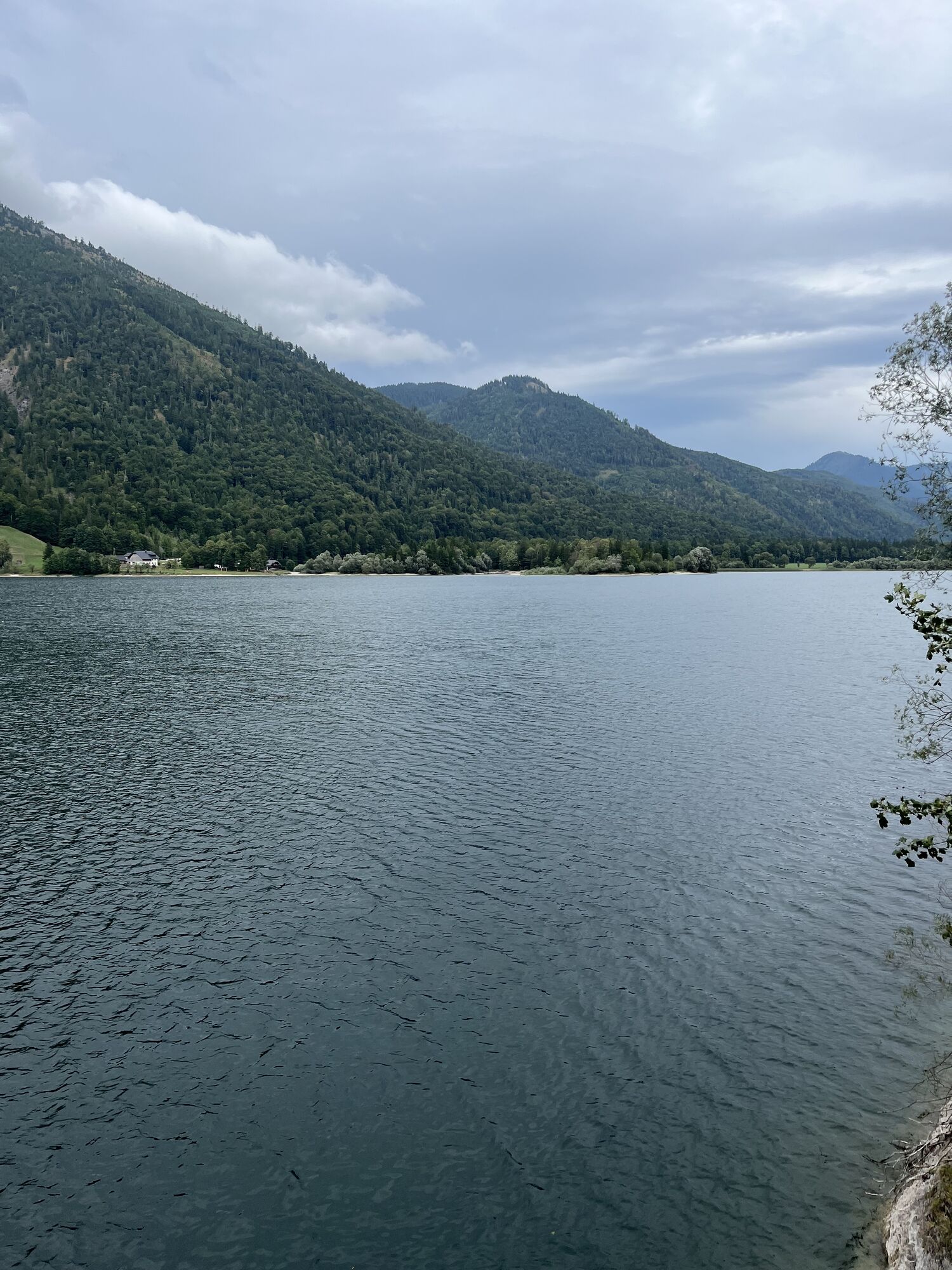
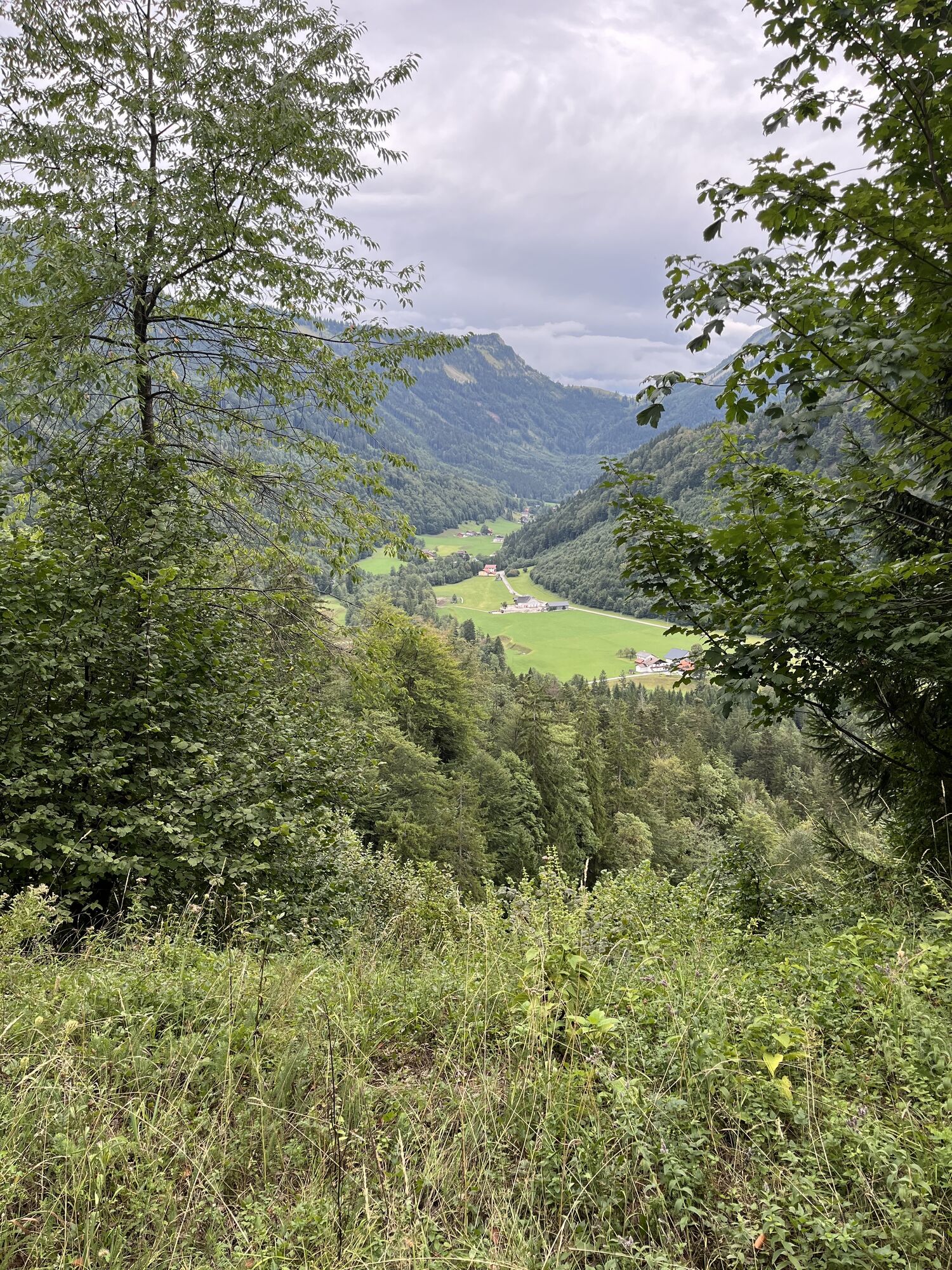
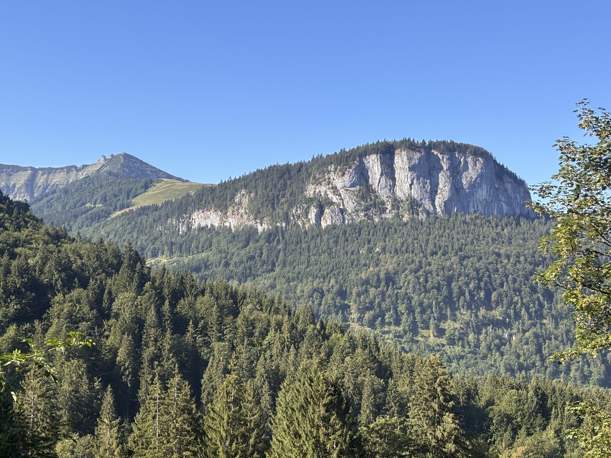
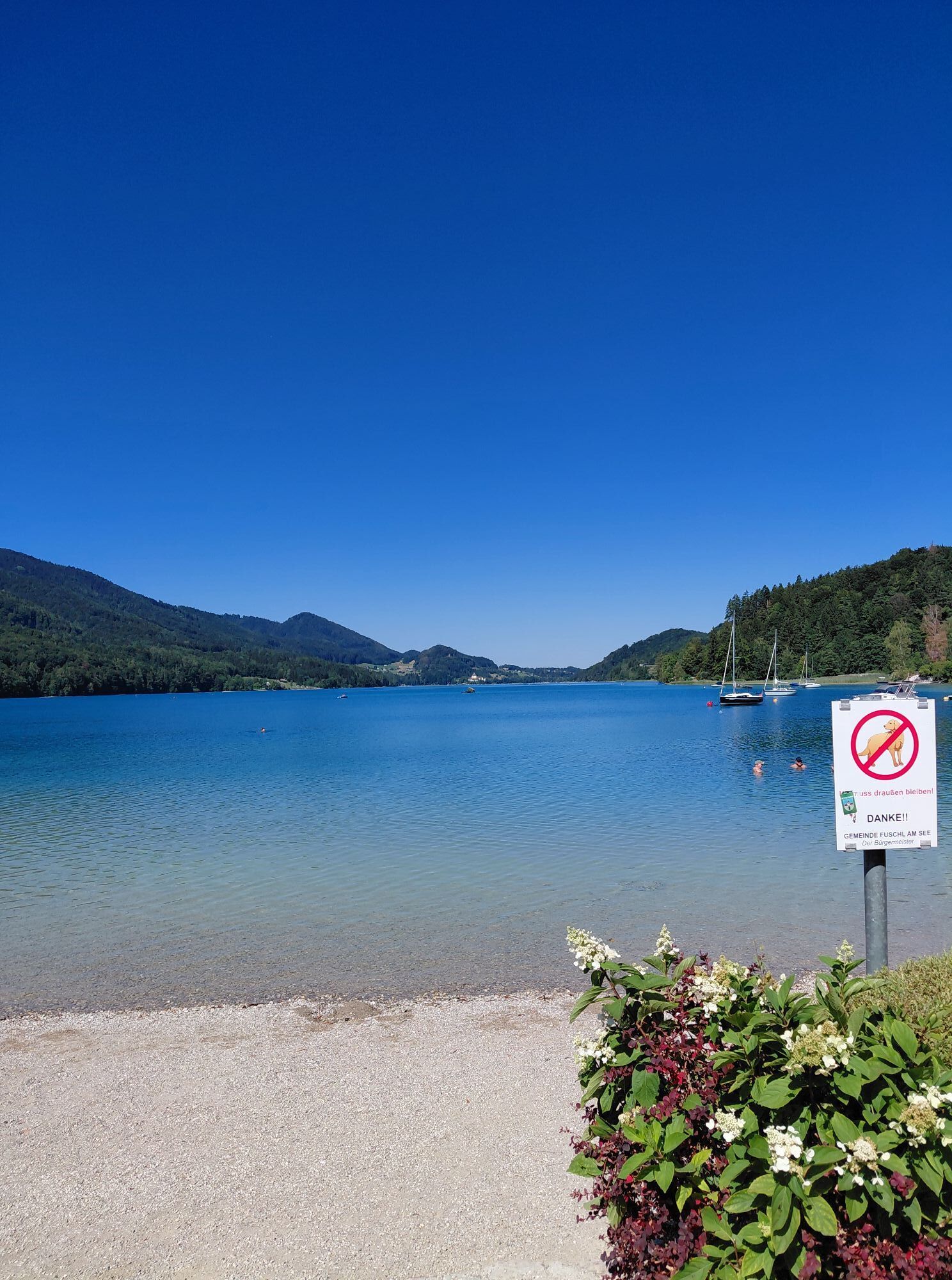
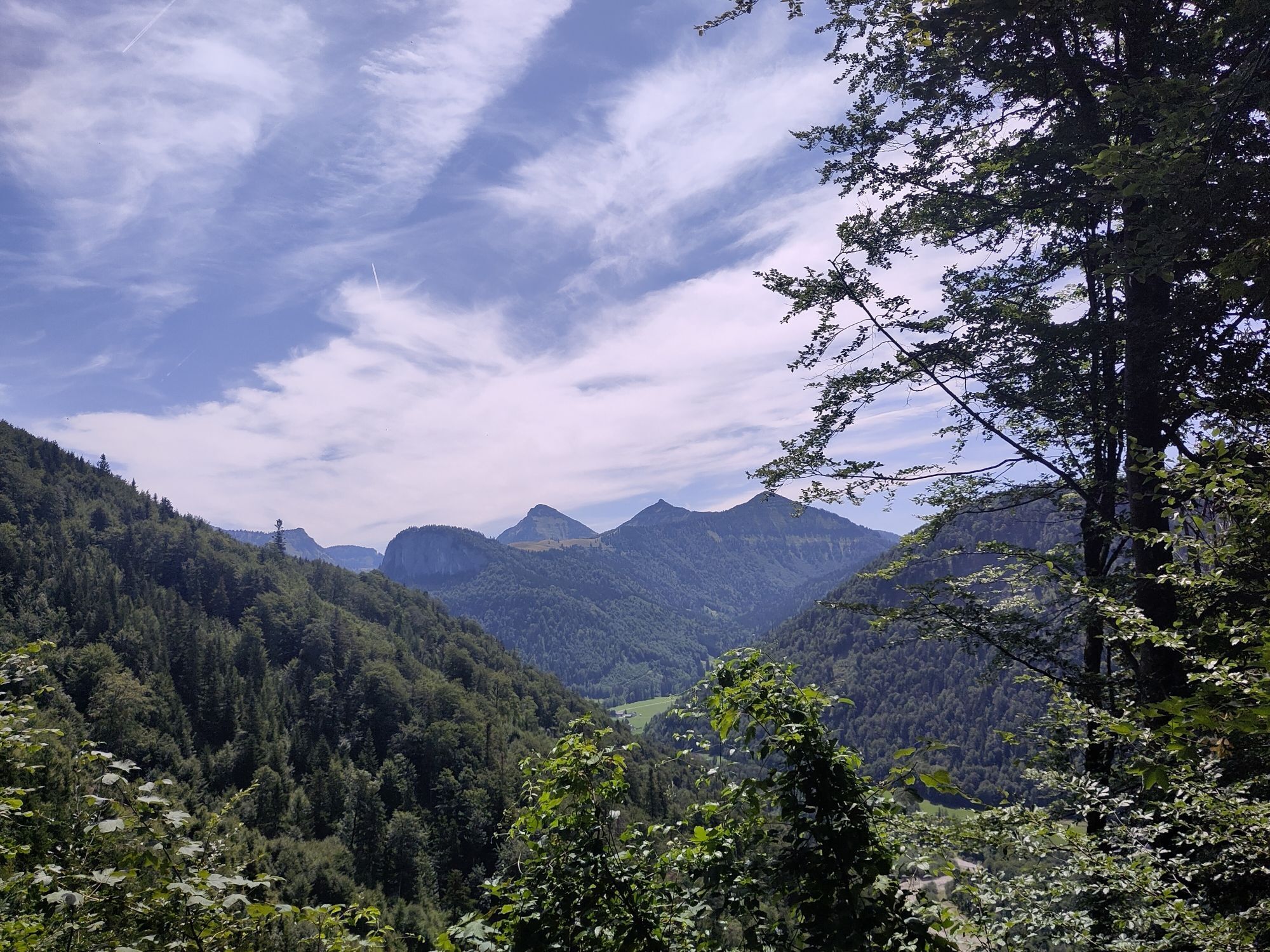
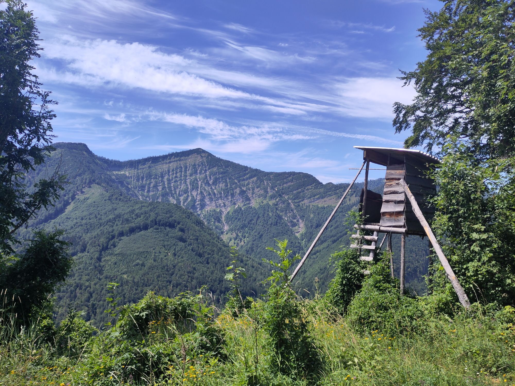
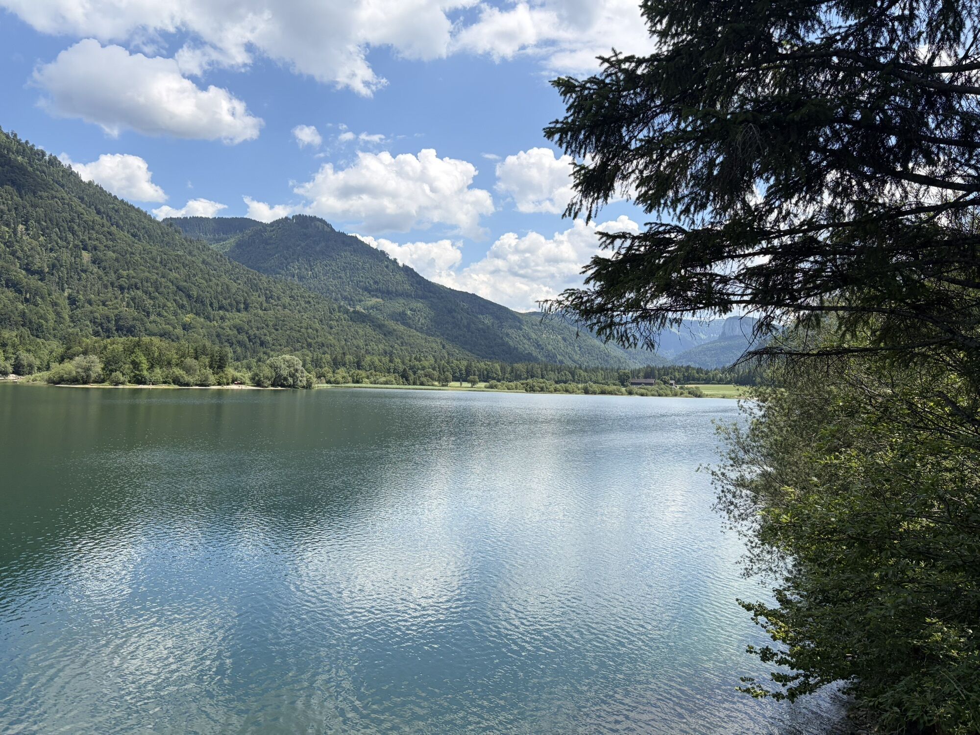
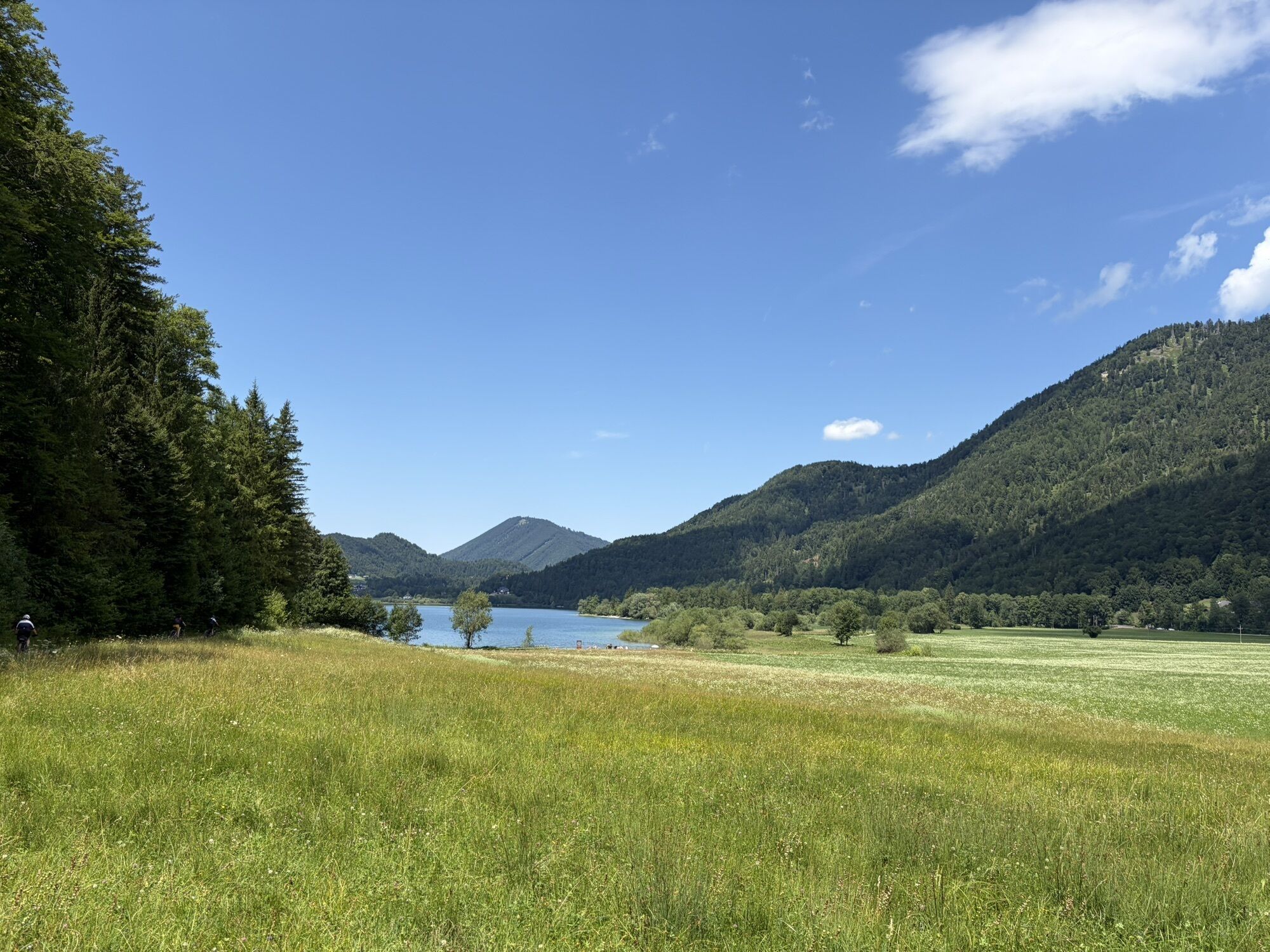
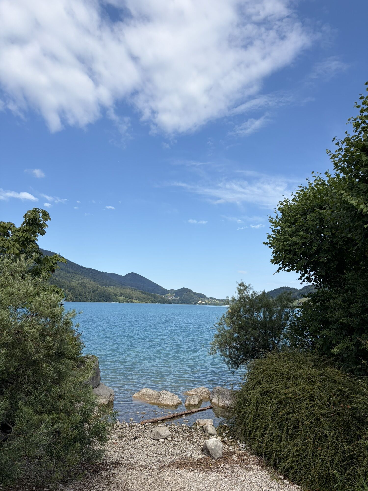
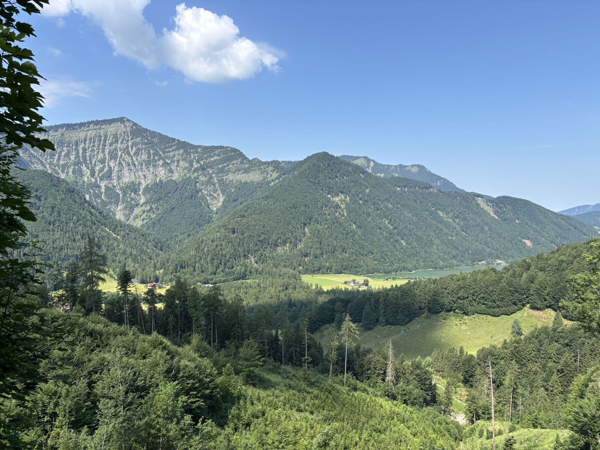
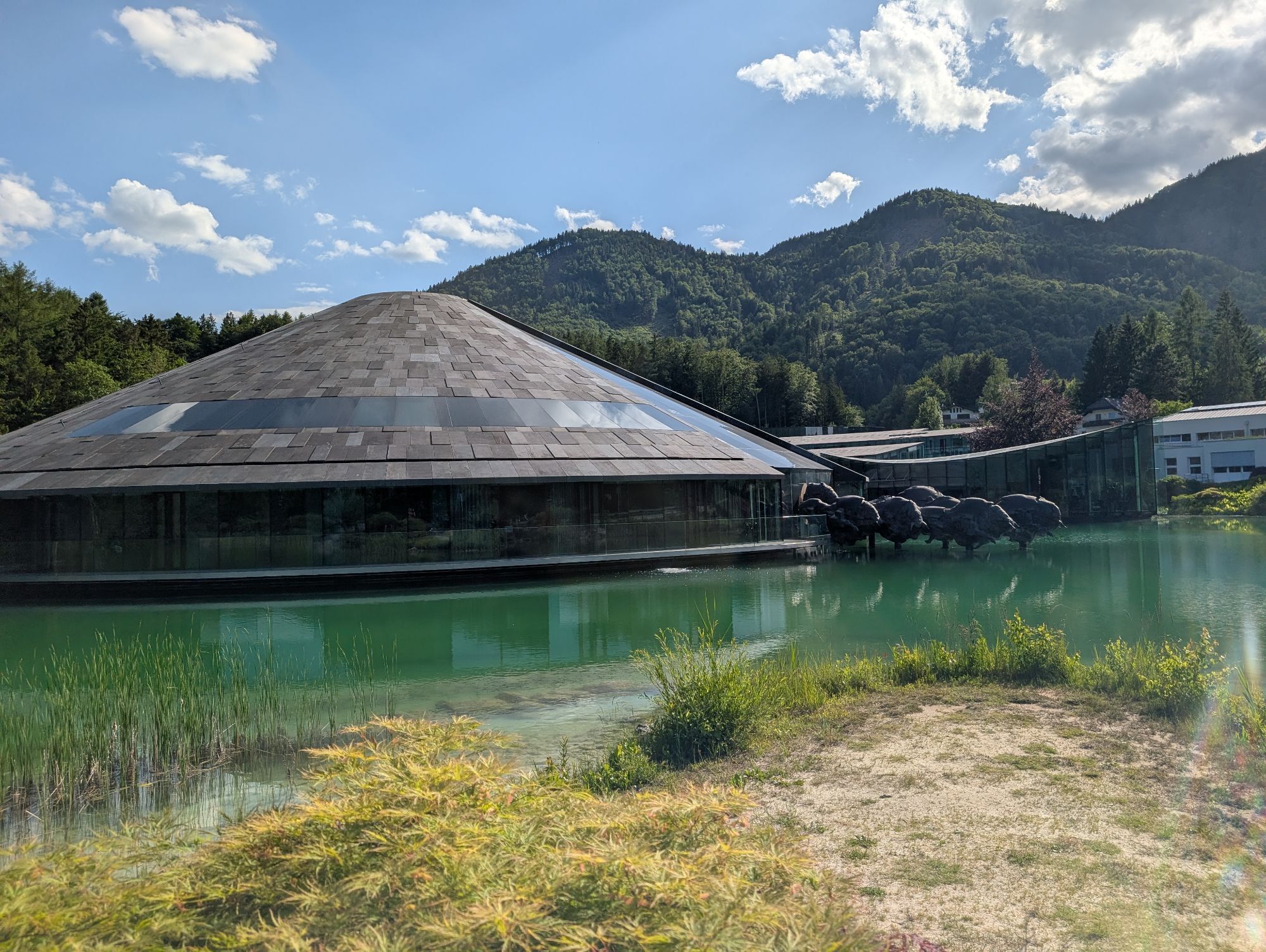
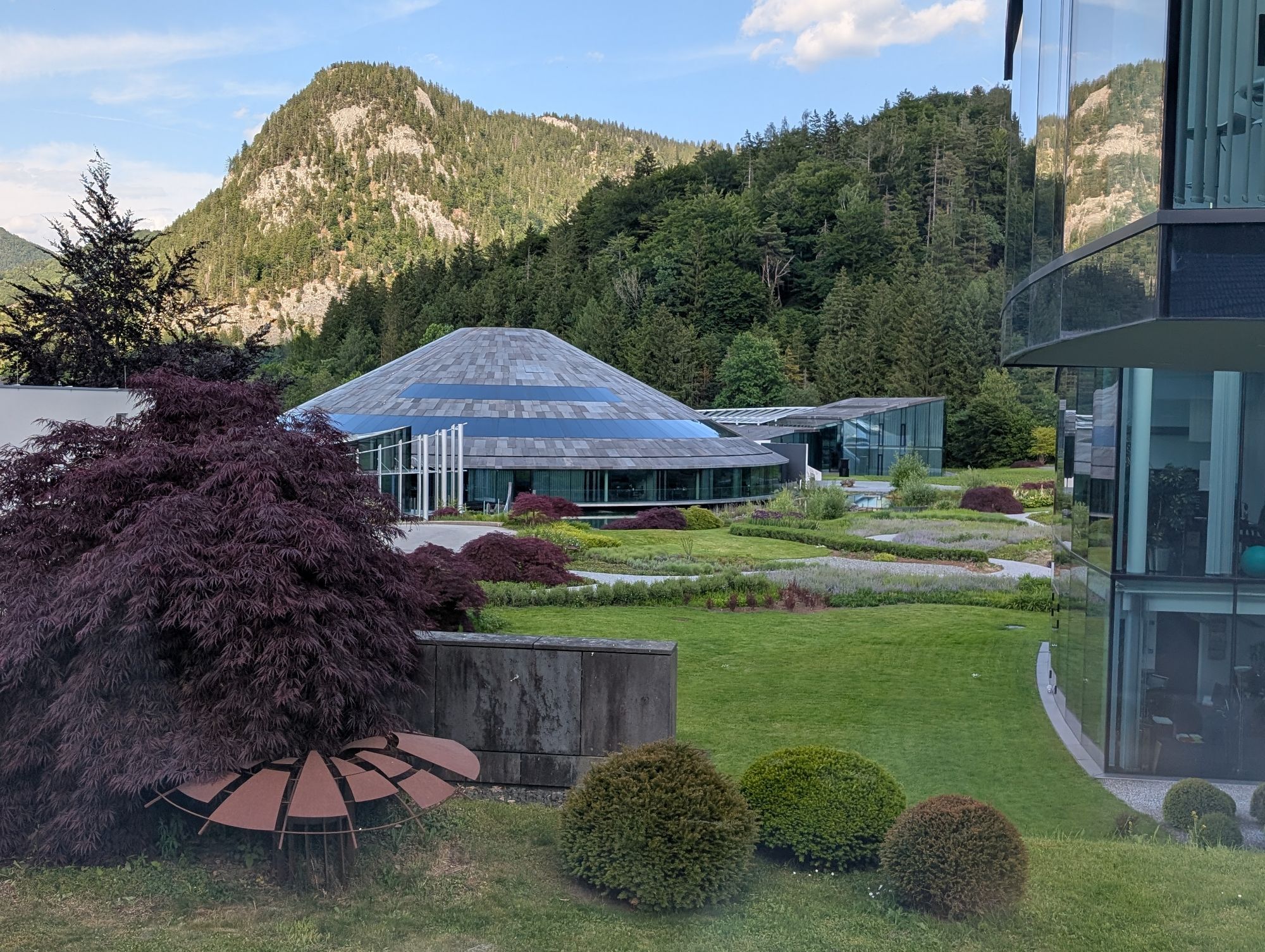
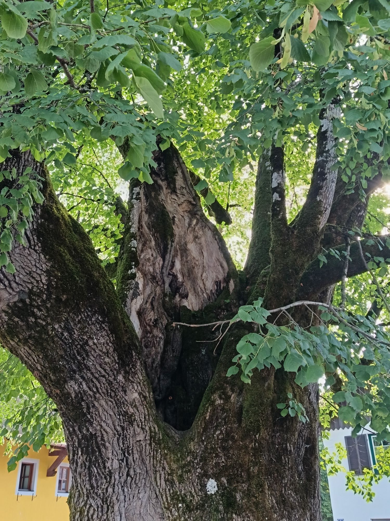
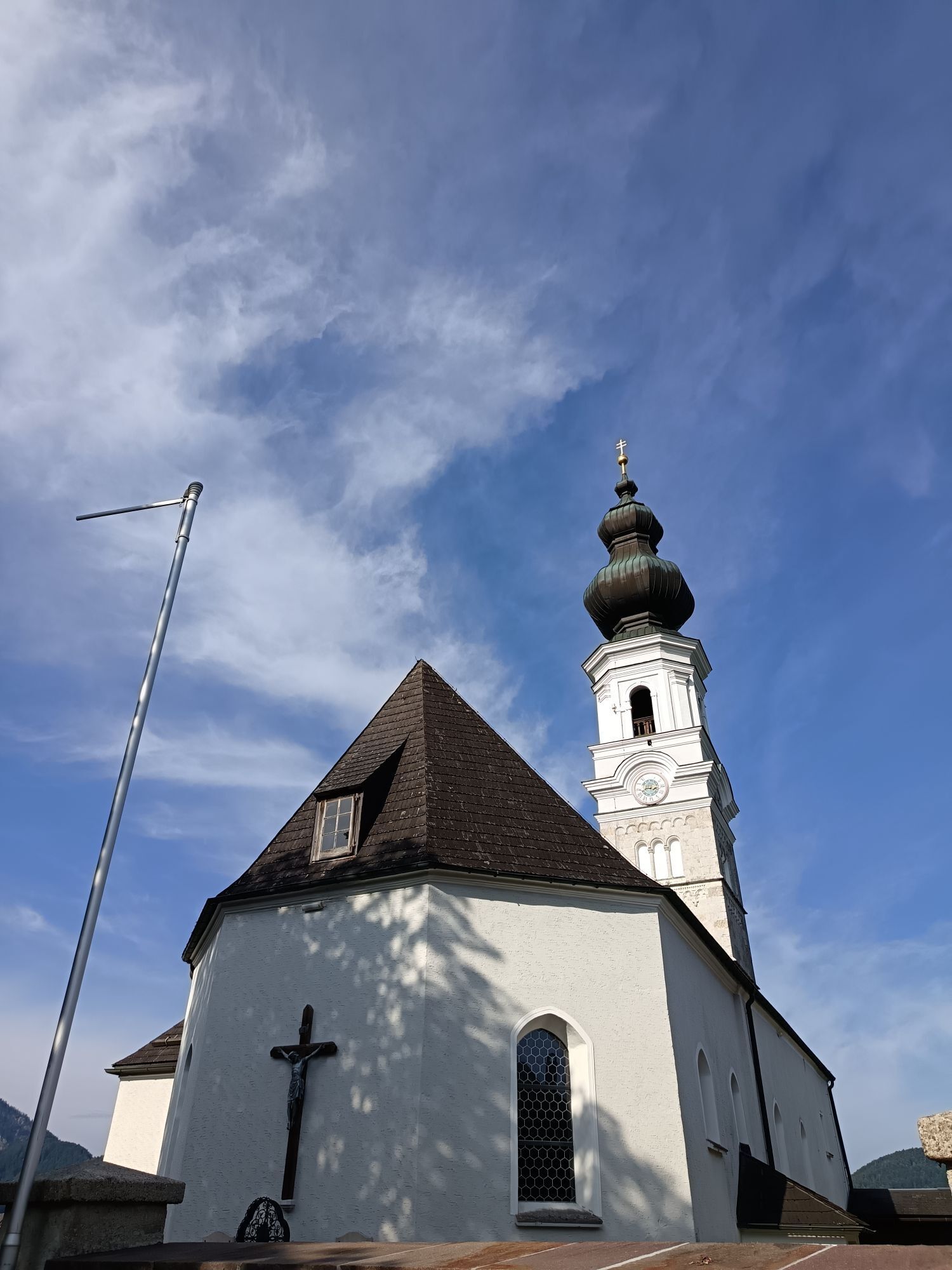

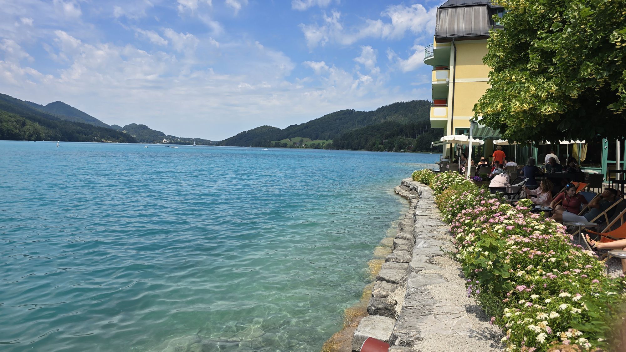
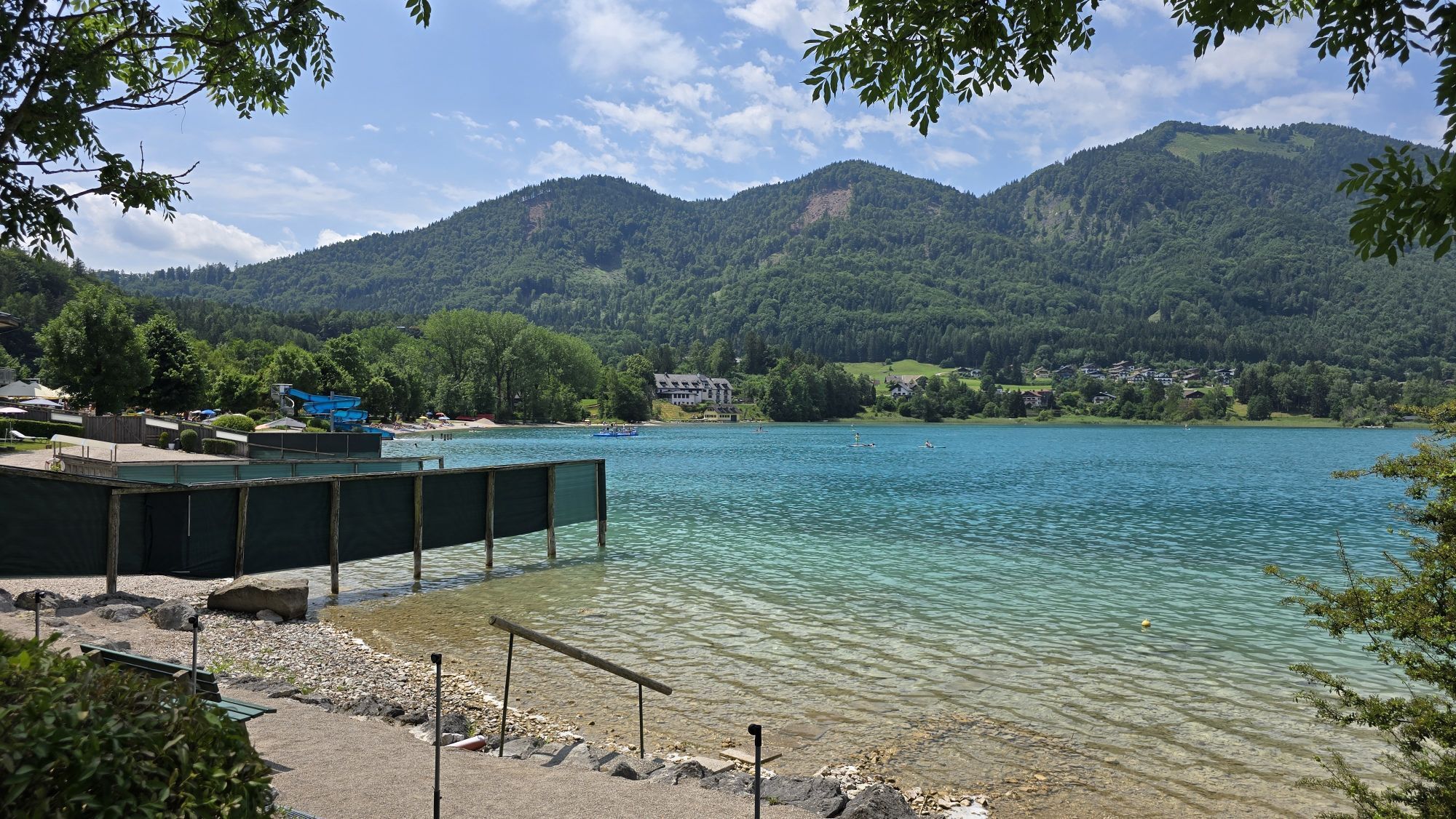
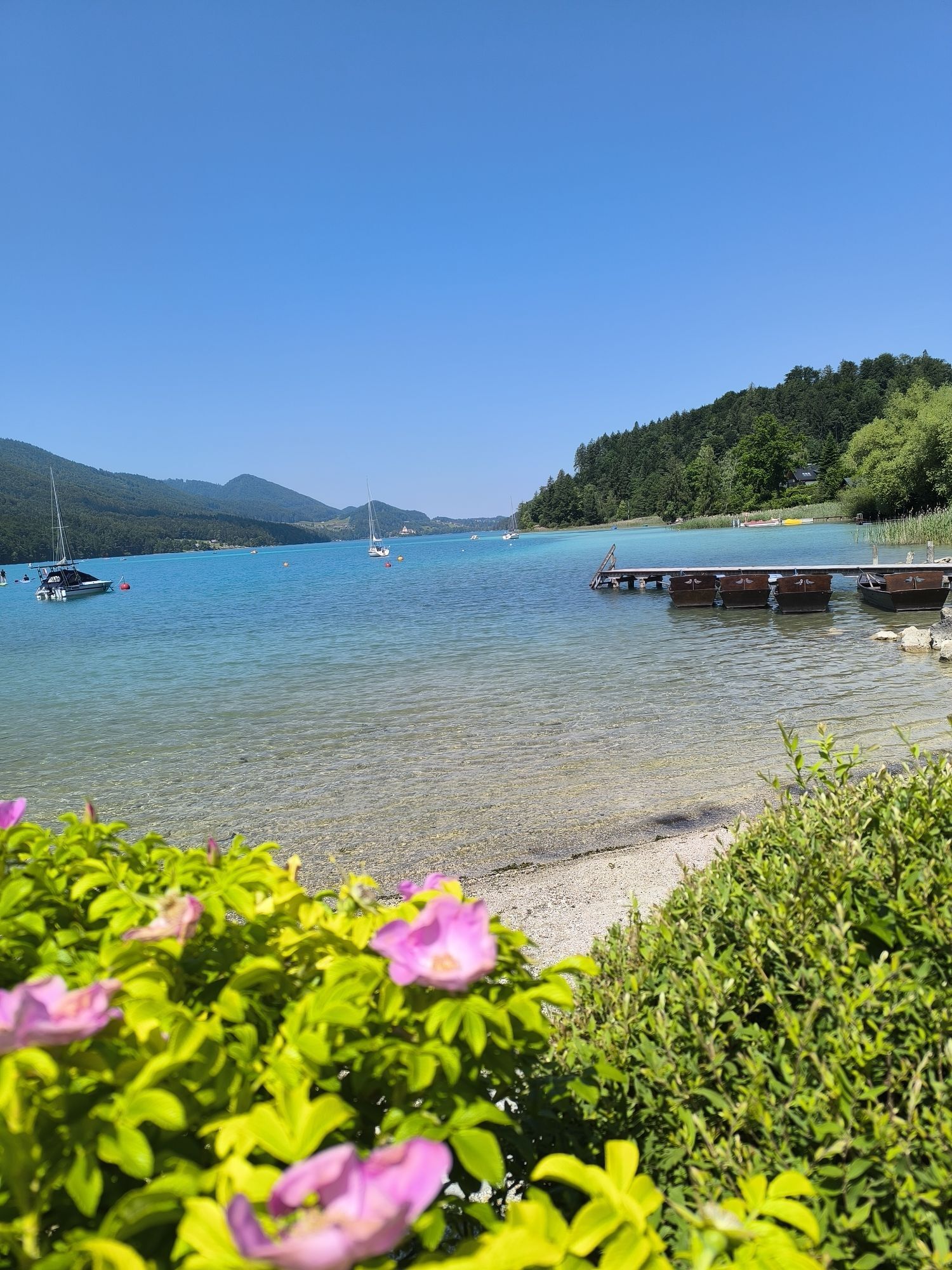
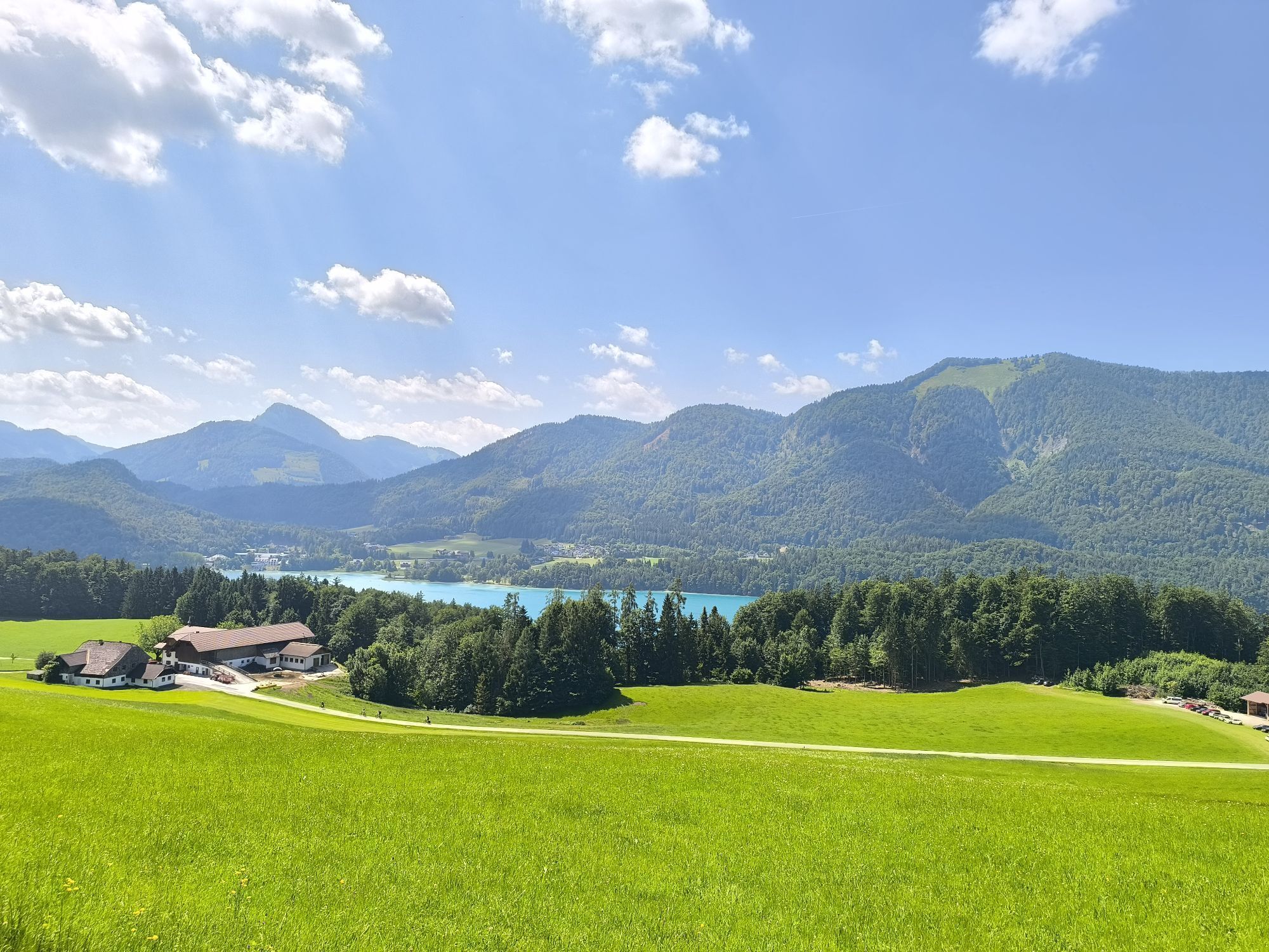
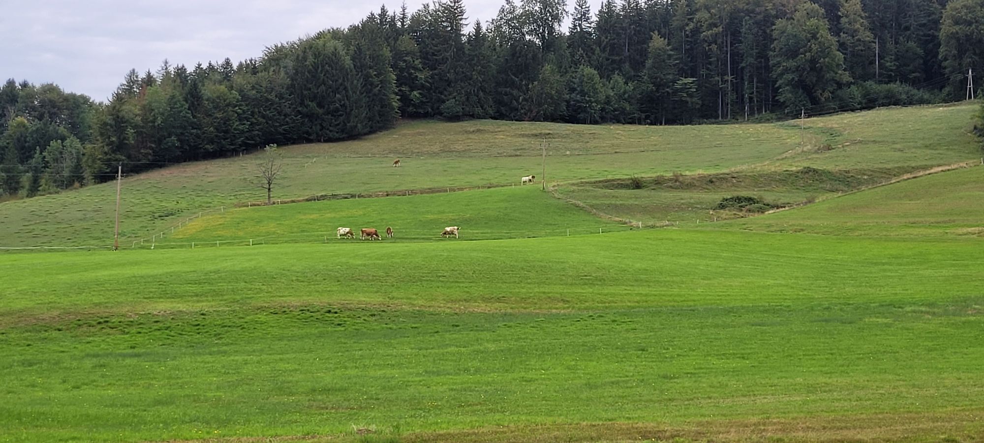
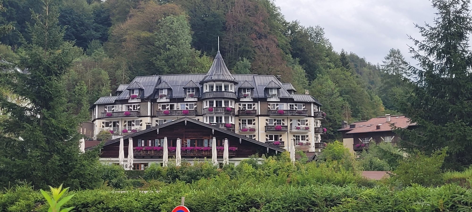
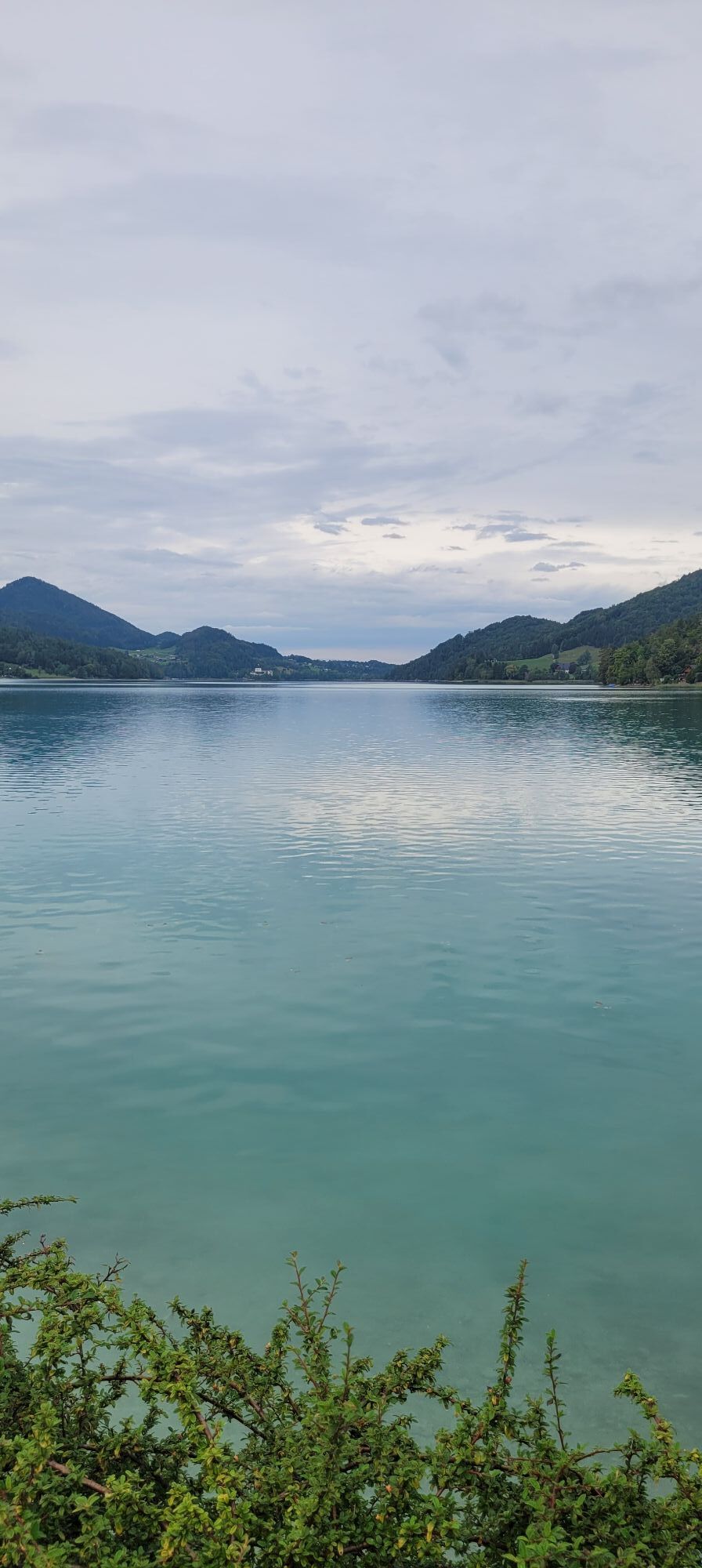
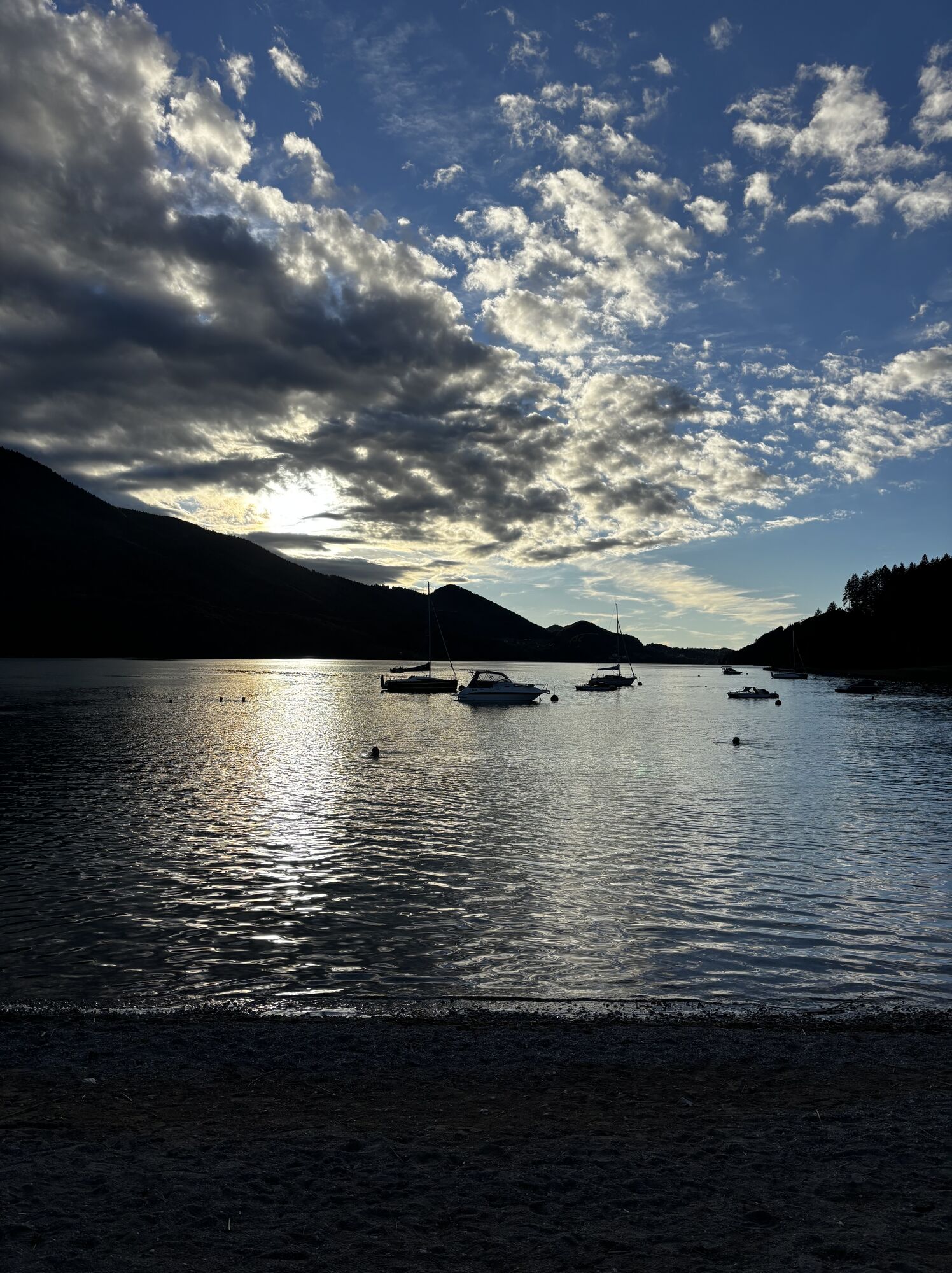
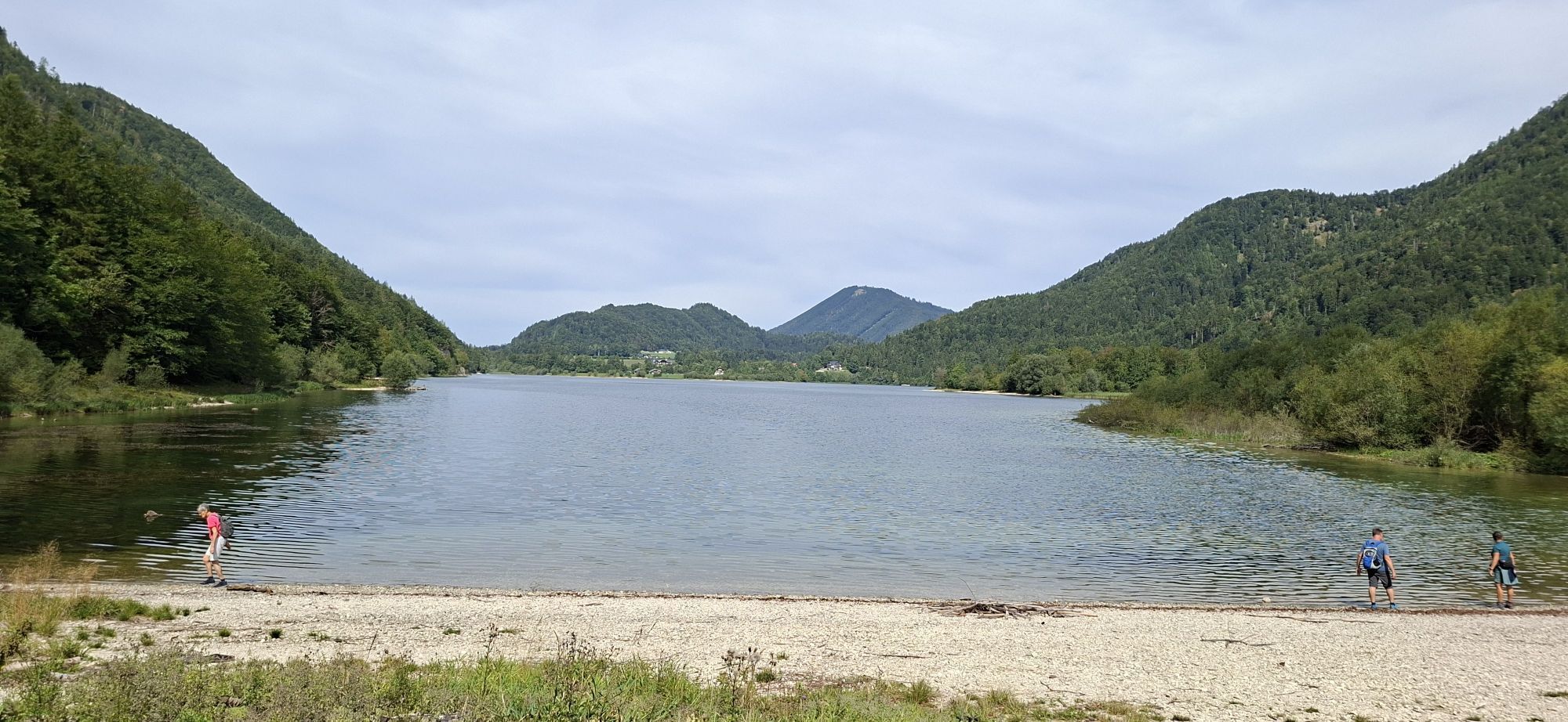
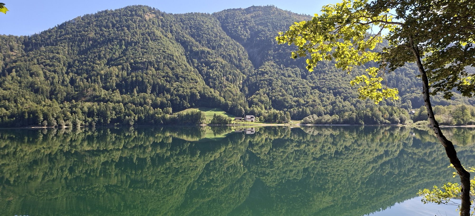
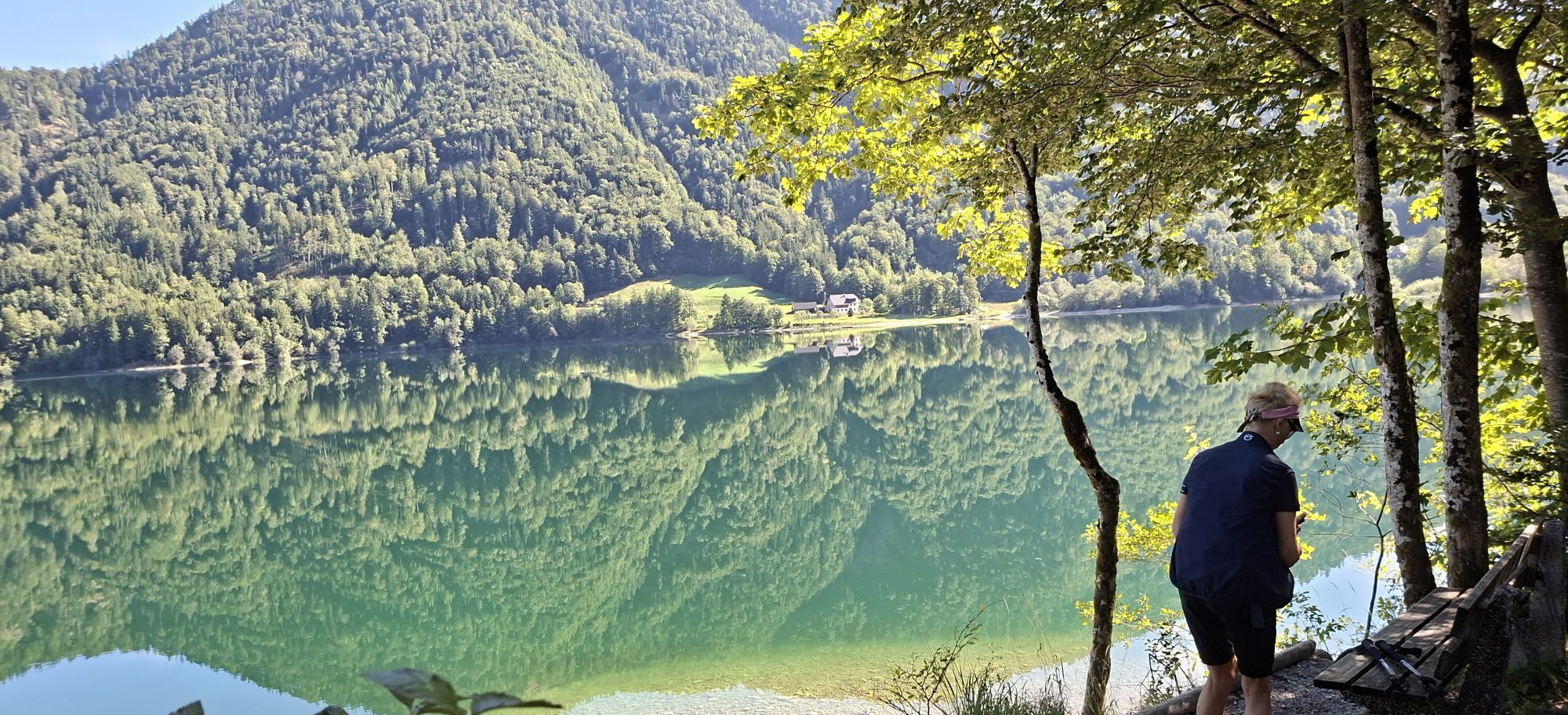
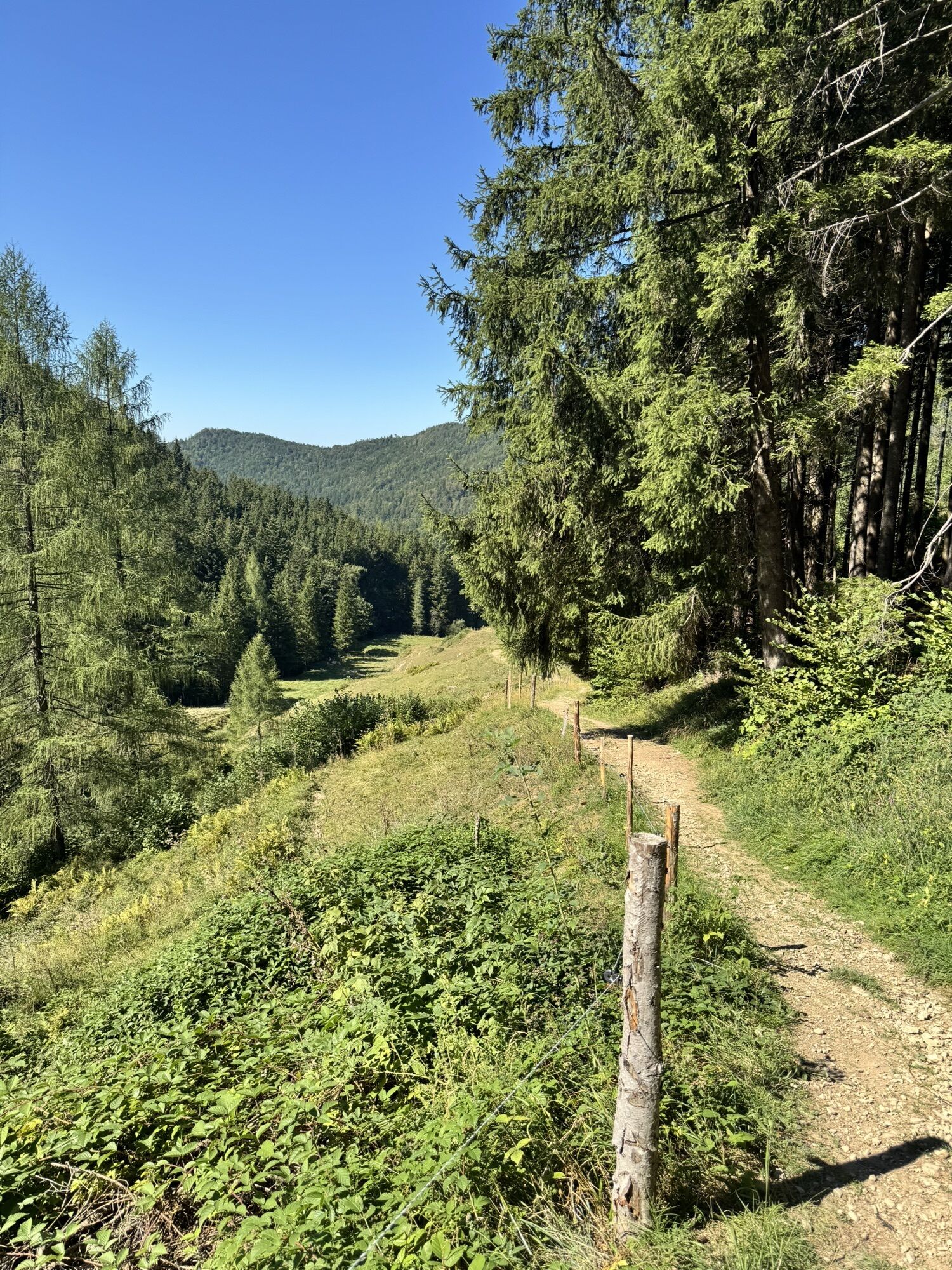
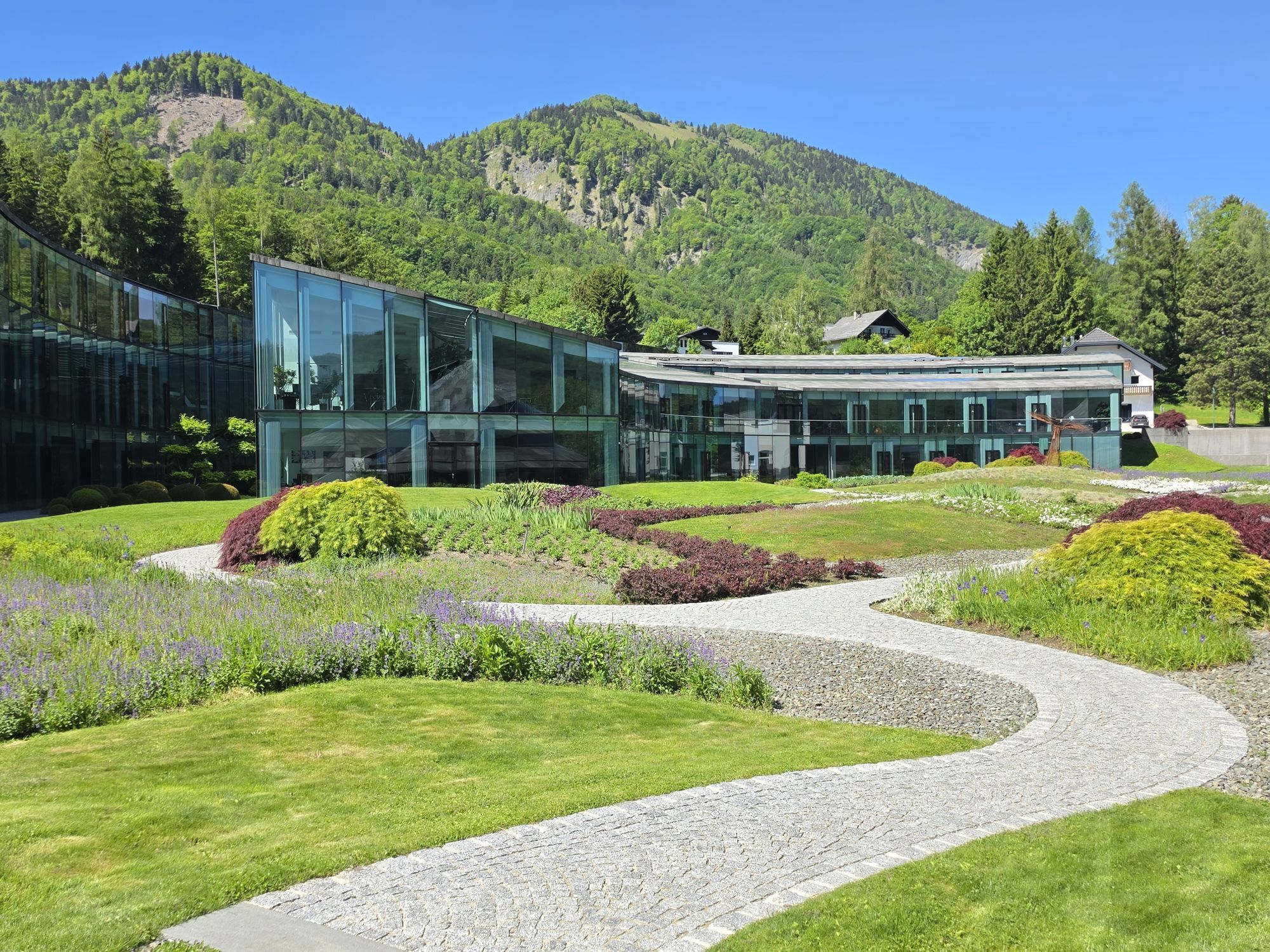
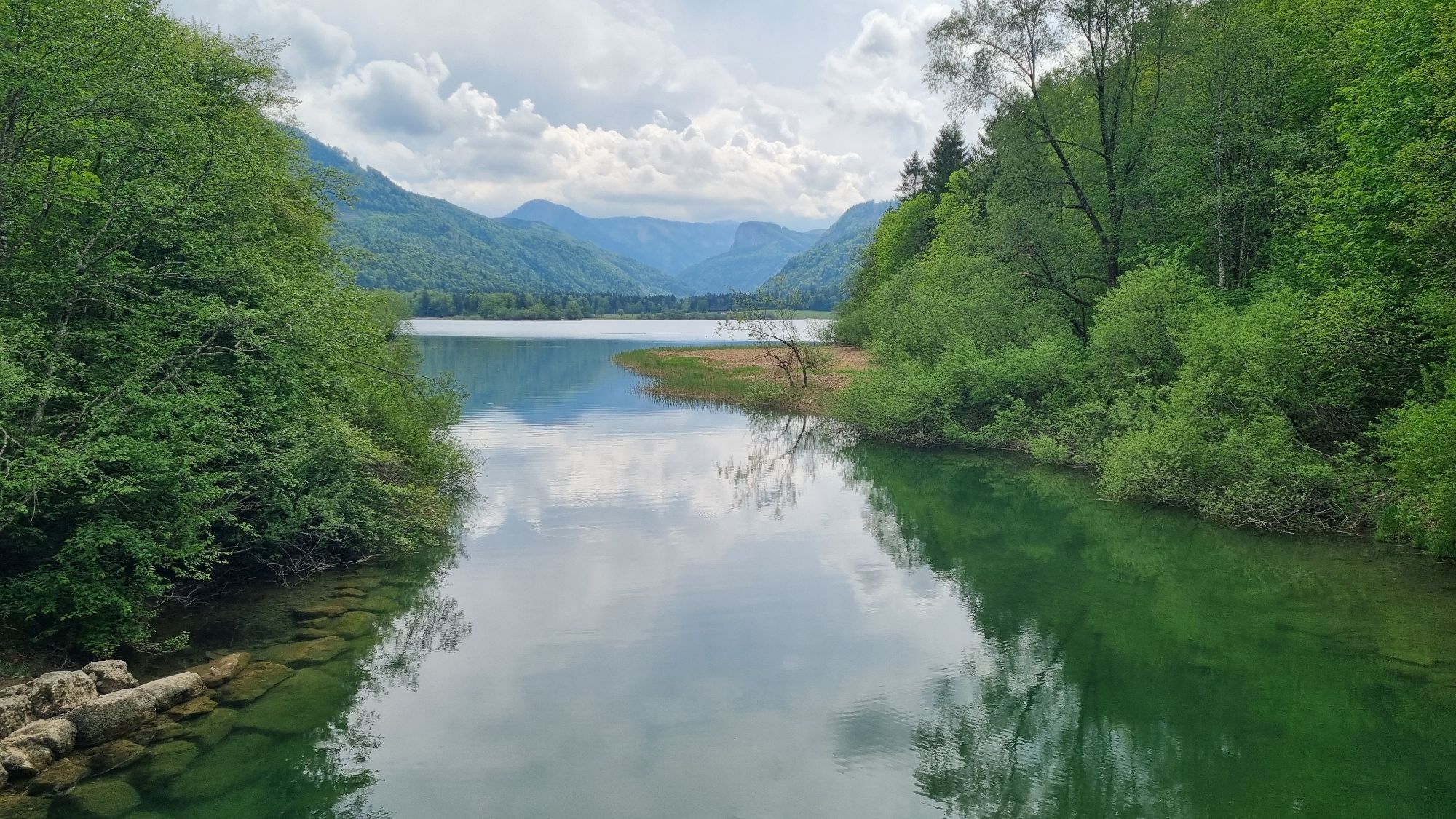
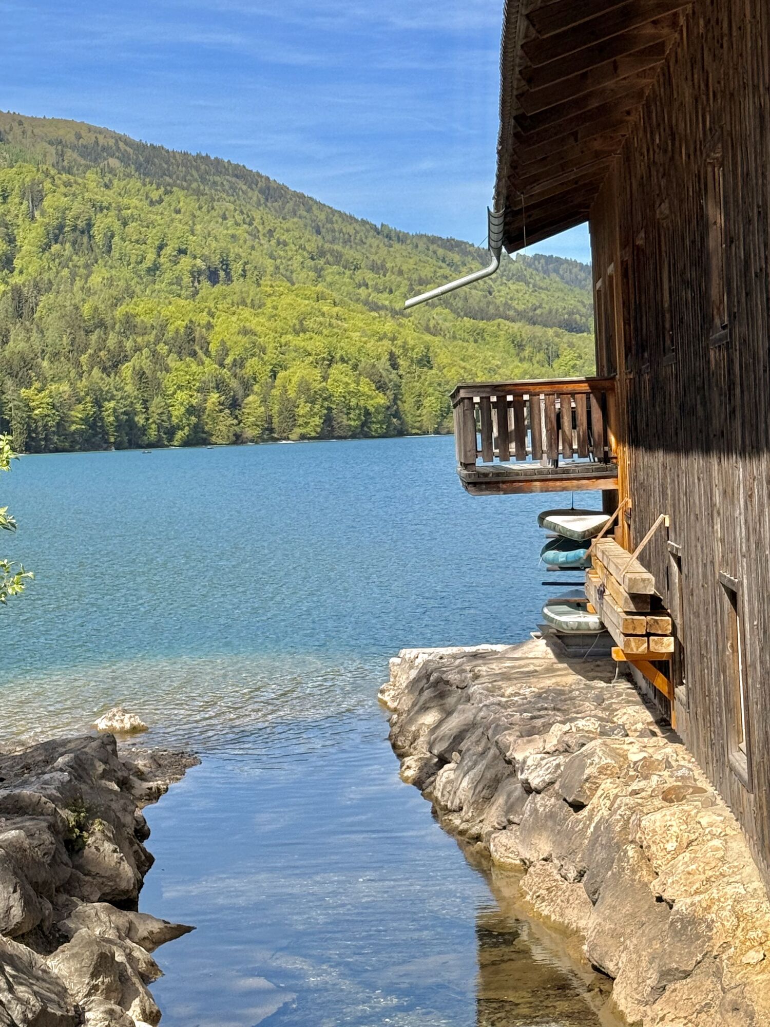
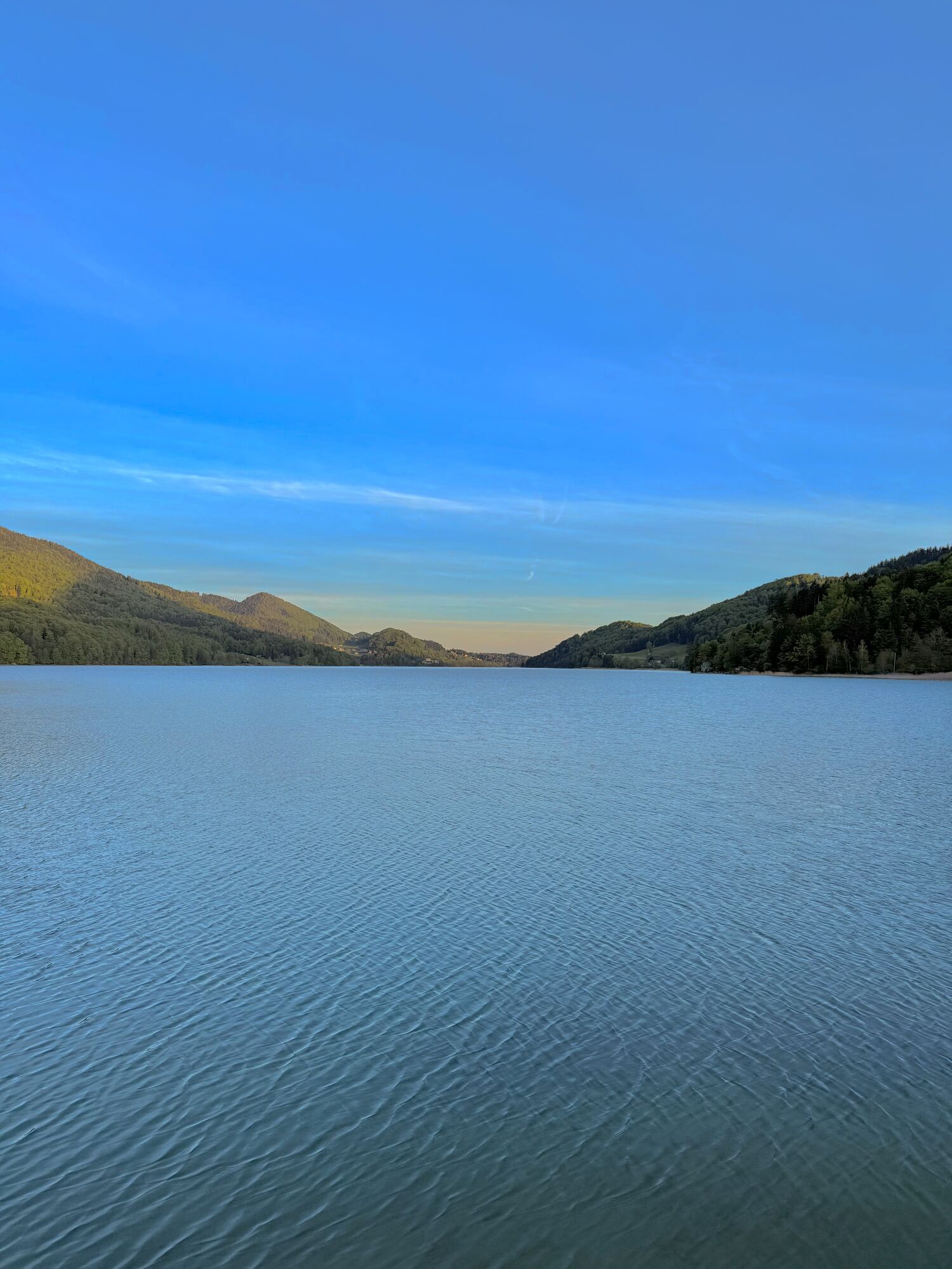
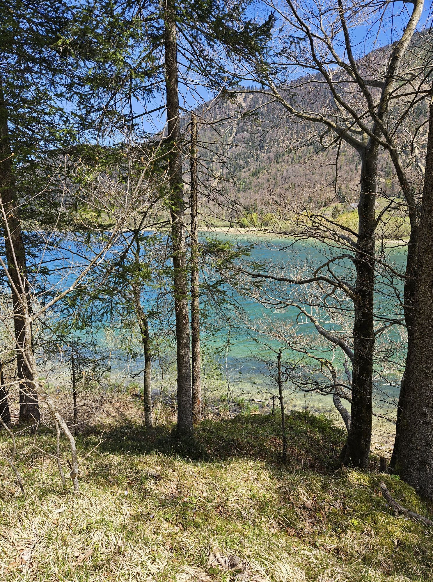
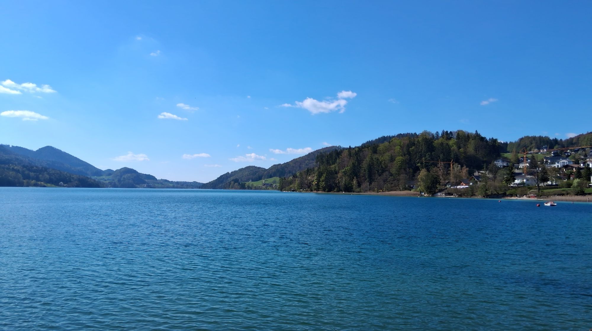
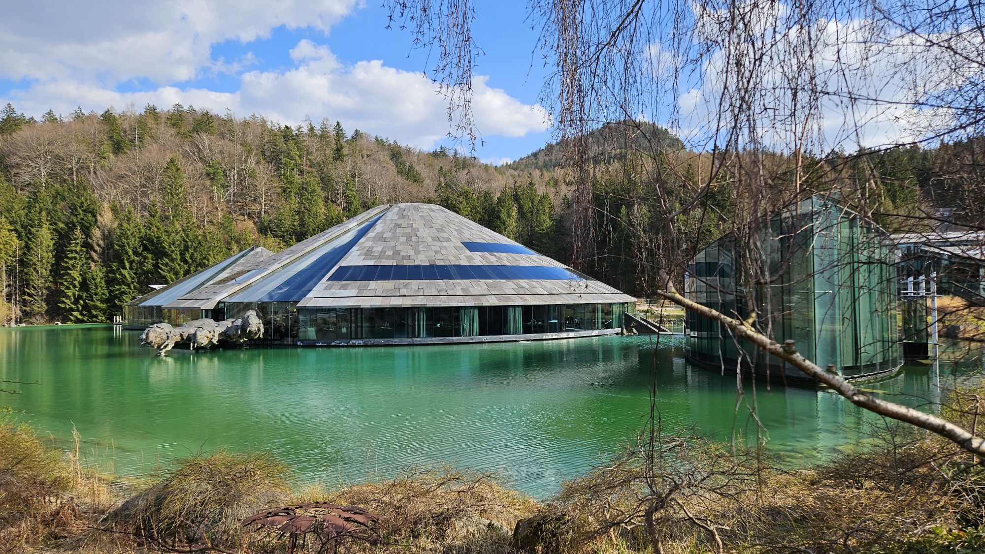
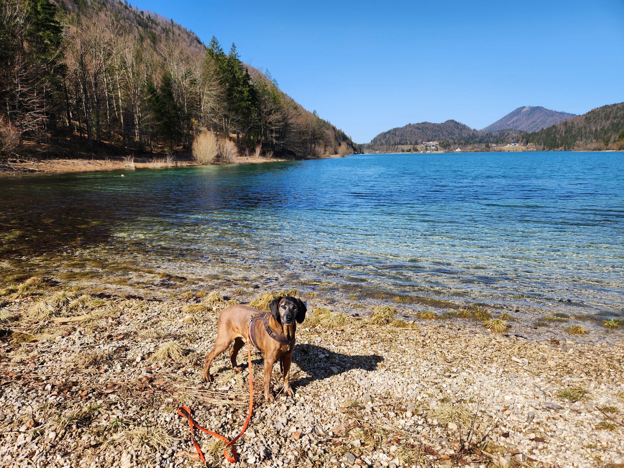
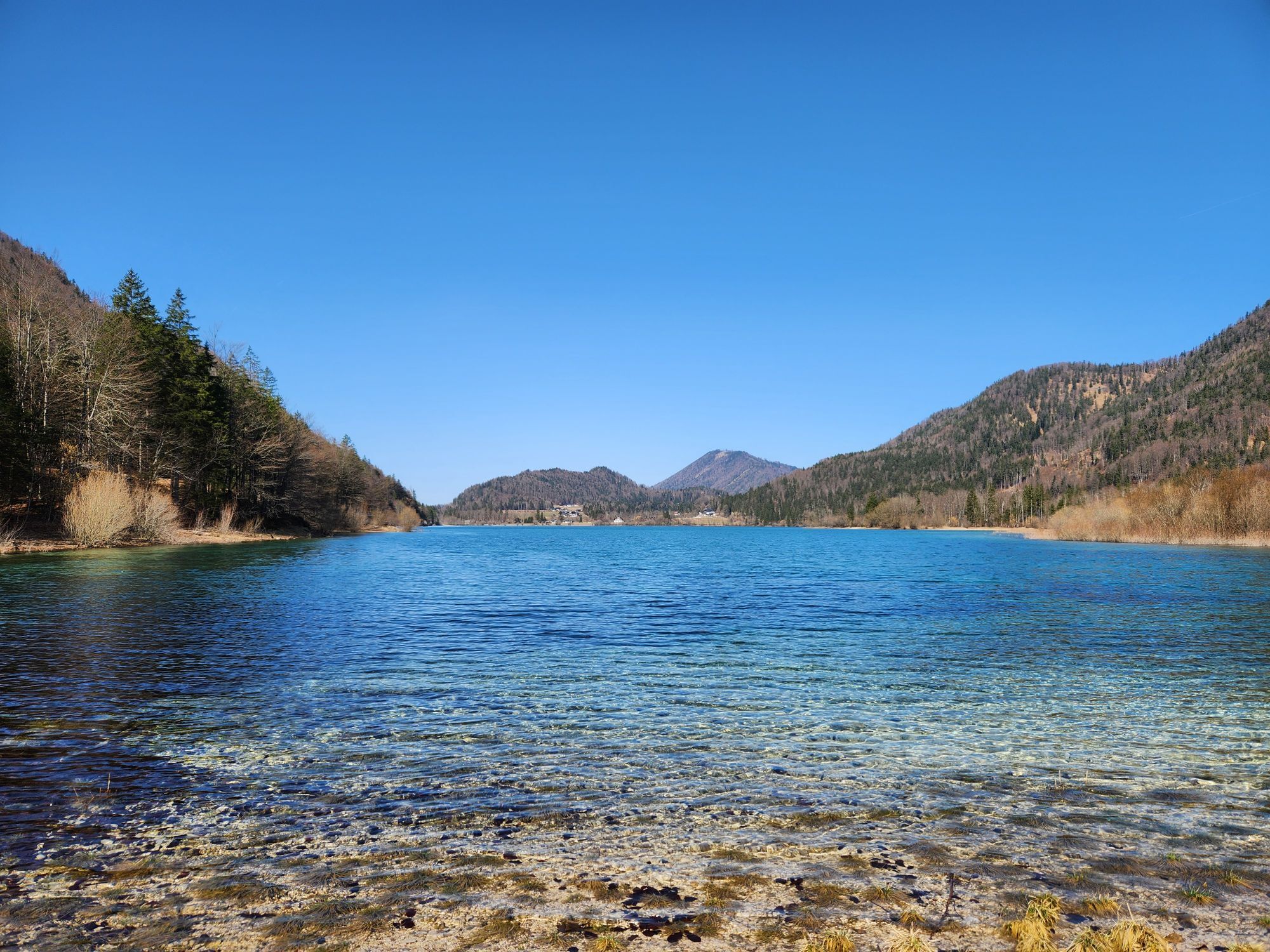

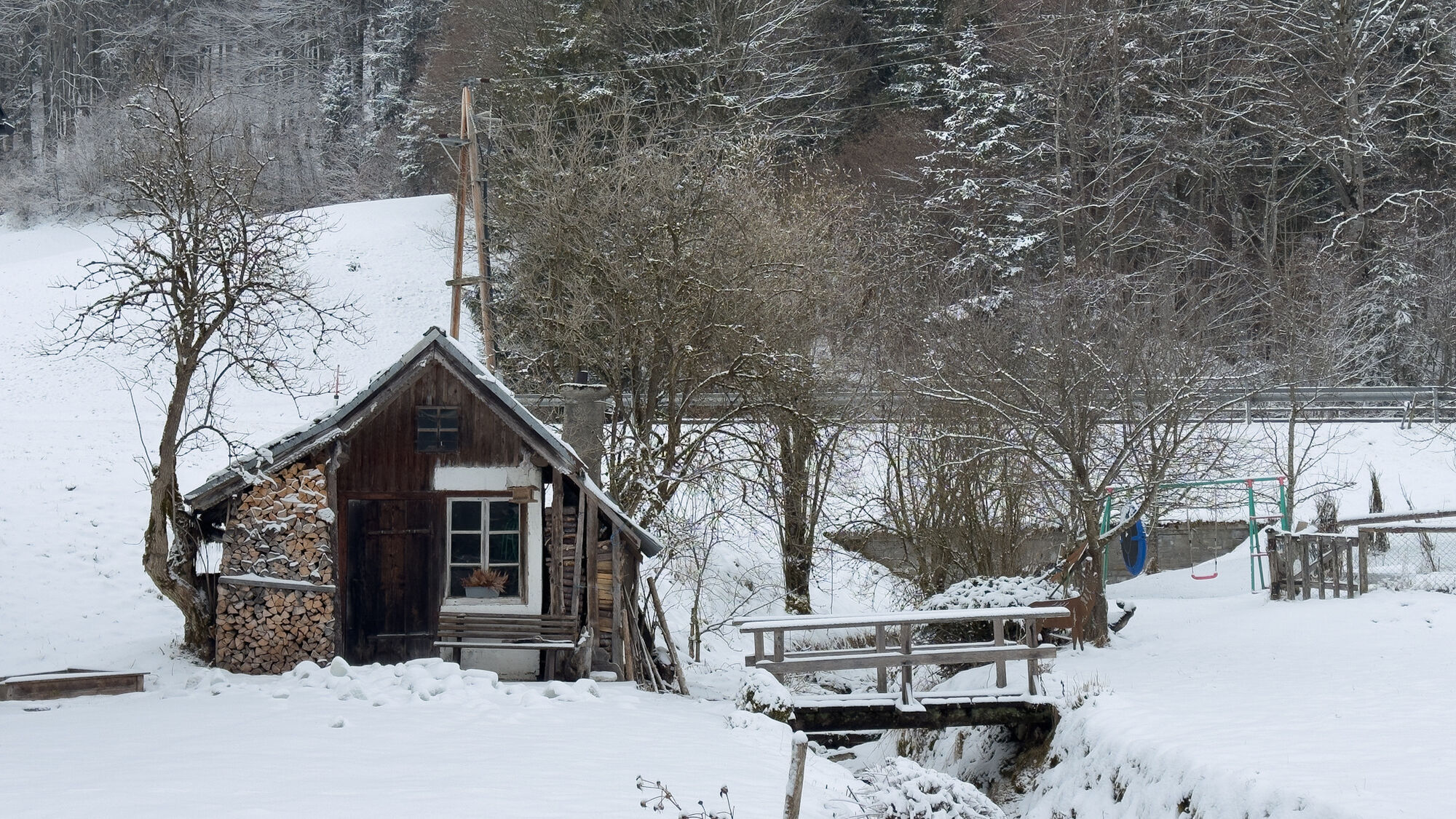
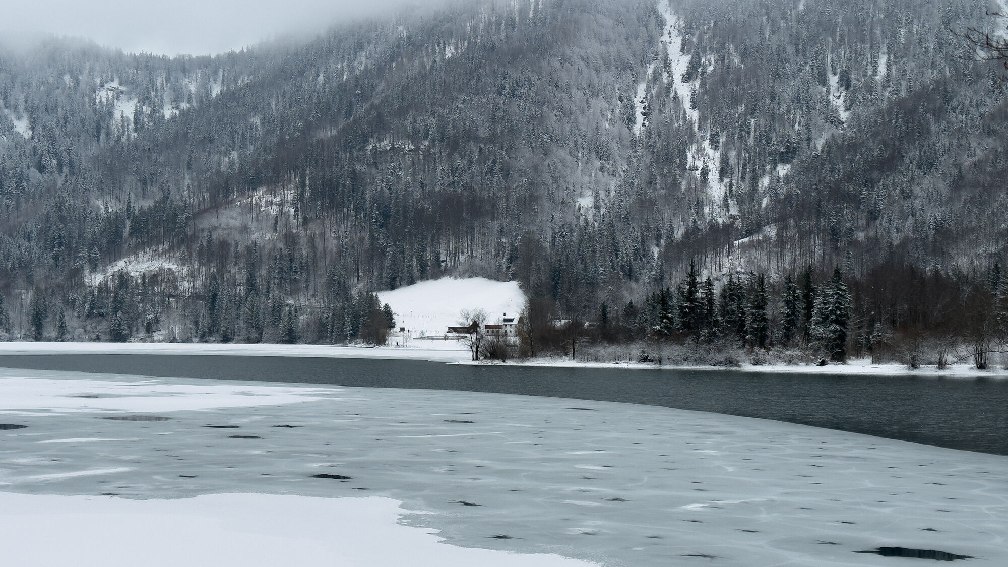

The Fuschlsee regional route covers 57 km and 1281 m of elevation, mostly on forest roads and farm tracks through the Fuschlsee region, connecting all 6 municipalities. Single trails are not expected on...
The Fuschlsee regional route covers 57 km and 1281 m of elevation, mostly on forest roads and farm tracks through the Fuschlsee region, connecting all 6 municipalities. Single trails are not expected on this route, so it is suitable for eMTB or MTB.
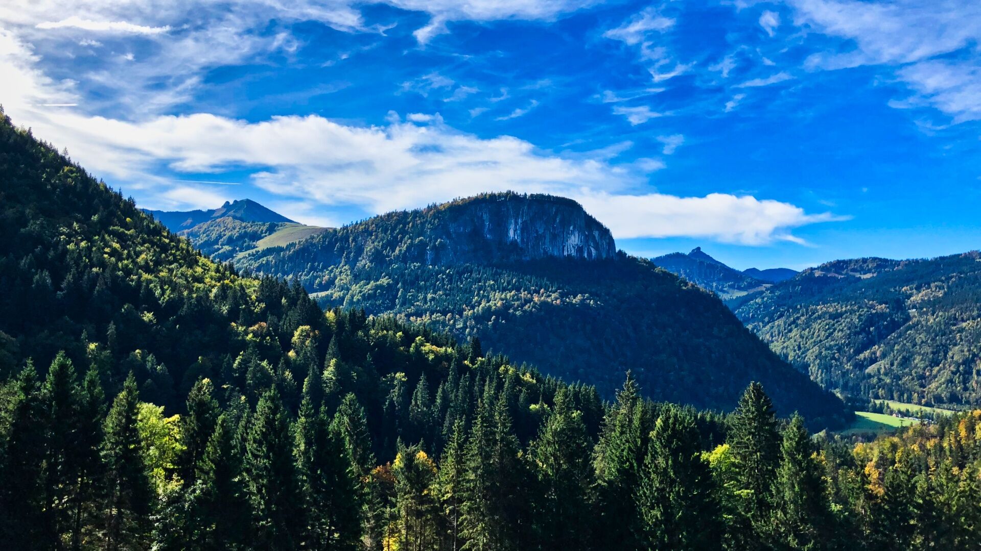
Along the route, there are some highlights making this tour, besides the wonderful nature, an unforgettable experience:
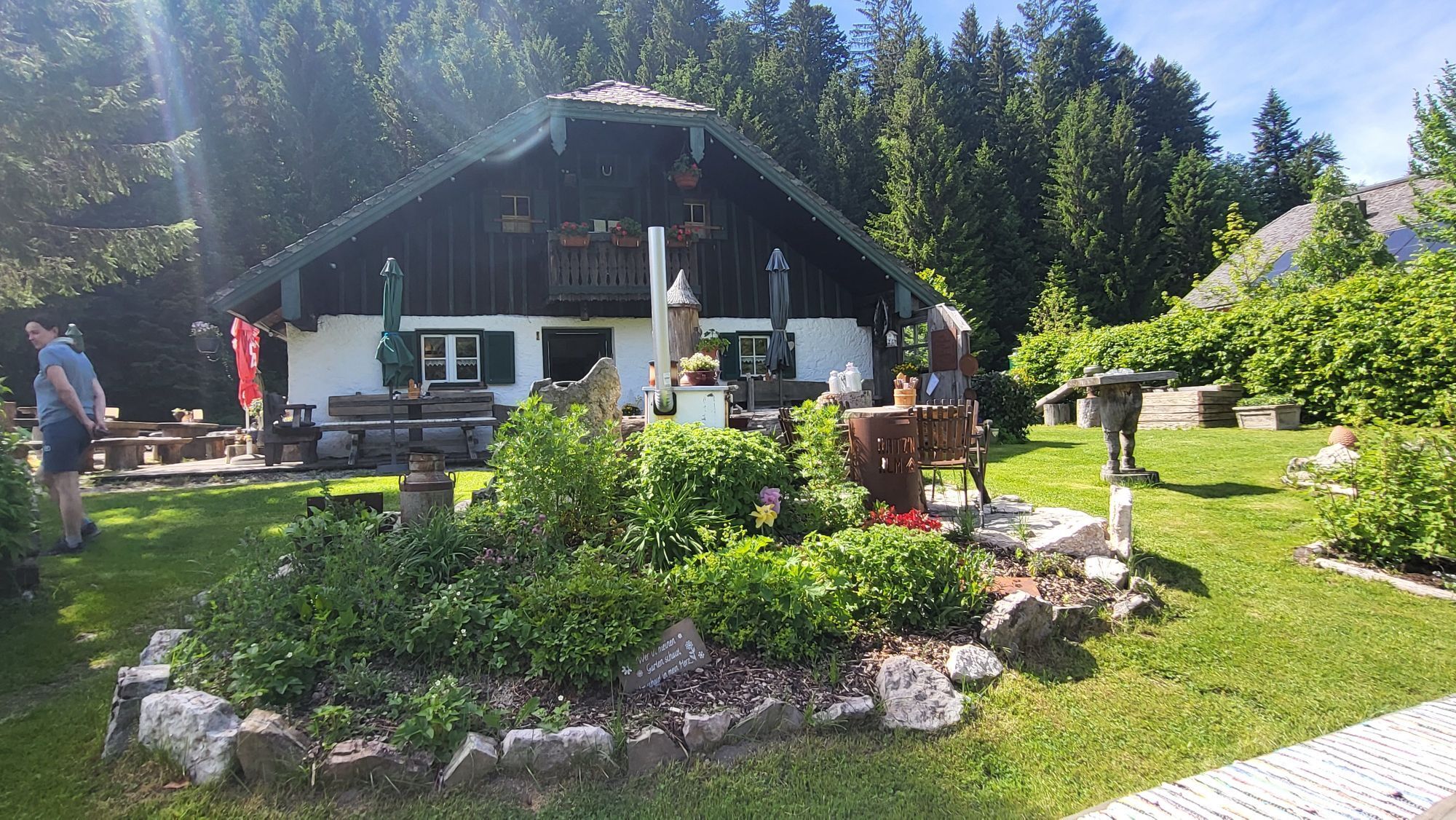
Refreshing swim in Fuschlsee in Fuschl am See Ascent to Schafbachalm and stopover at Hatzenalm Over Sonnberg to Hintersee and along the west shore with many swimming spots and photo stops Many places to stop along the route Discover historic mills in Ebenau View of the legendary Salzburgring in Koppl Stopover at the Gusswerk Brewery in Hof bei Salzburg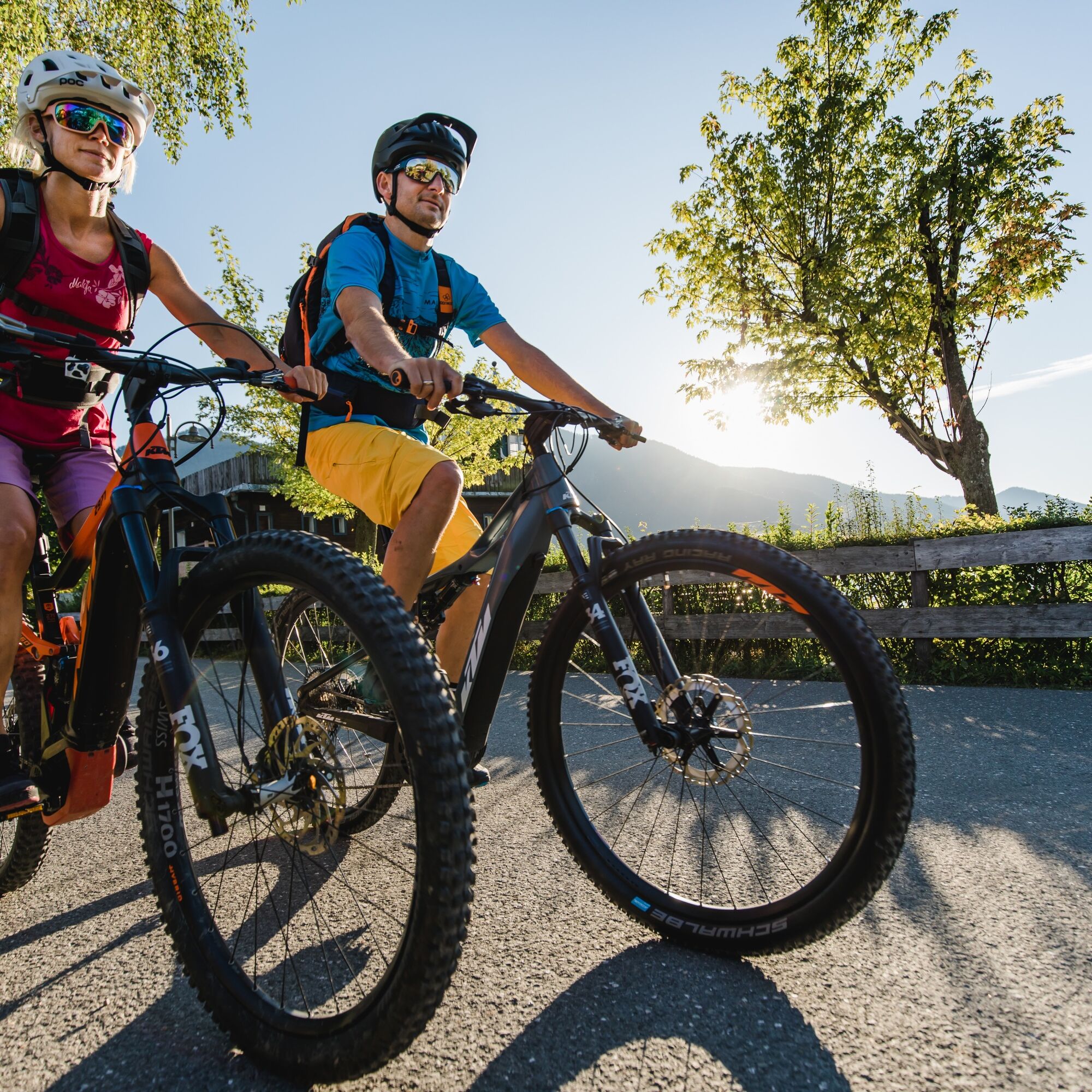
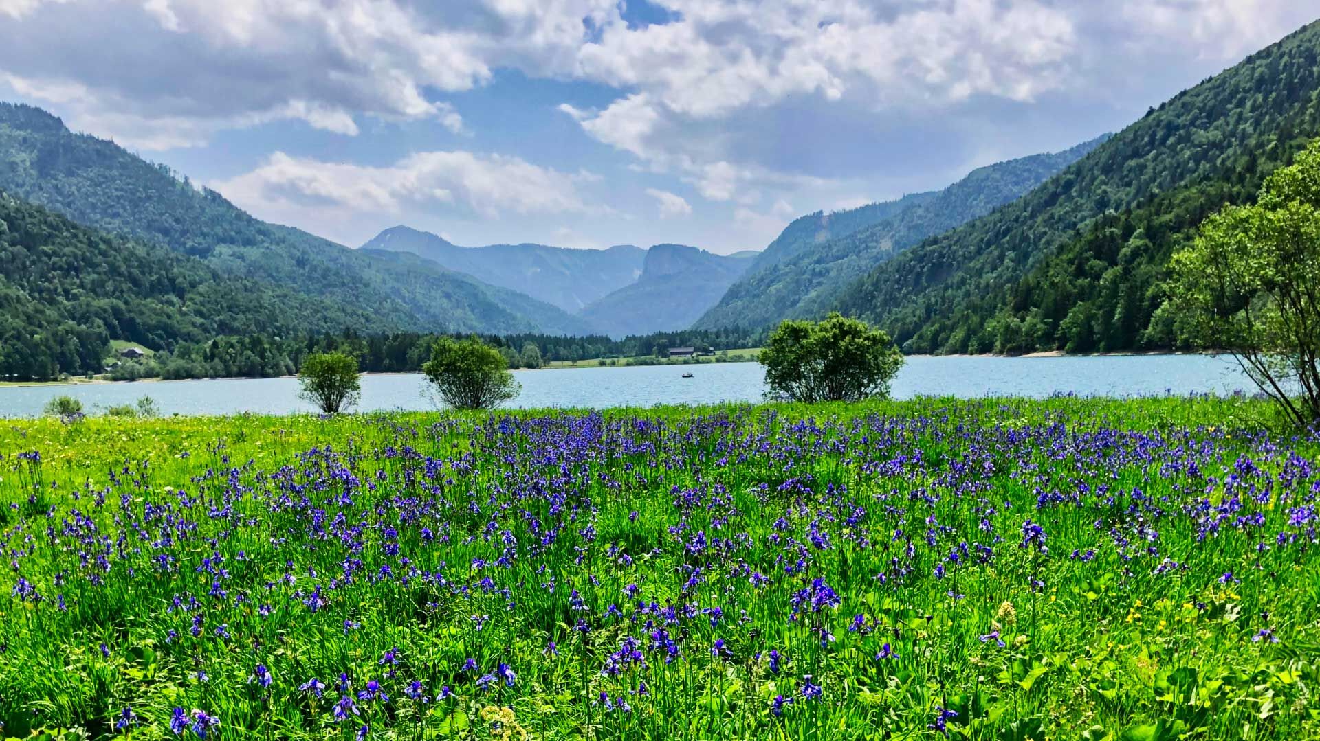
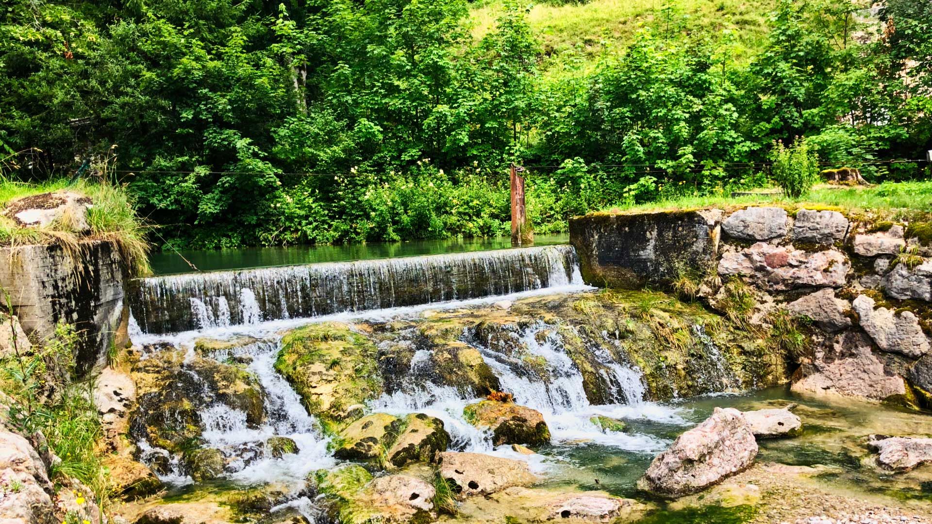
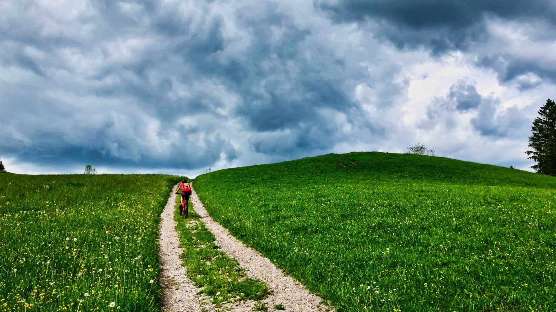
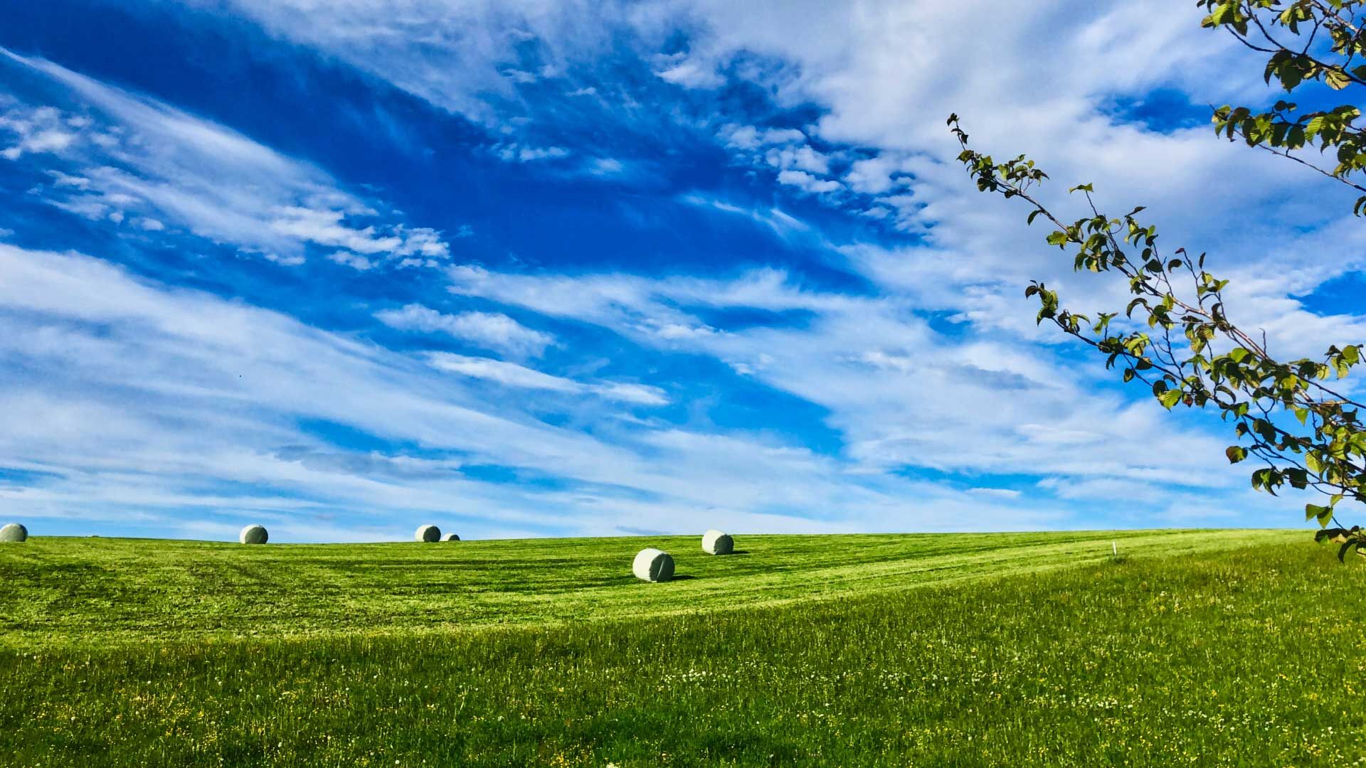

Before we start the route at the Fuschlseebad in Fuschl am See, we still have the option to download the route from the digital information board.
The route is well signposted; we simply follow the dark red mountain bike signs with the trail number S528 and arrive back in Fuschl am See (or at the respective starting point) after 6 hours or one day, depending on how often we stop, rest, and our fitness.
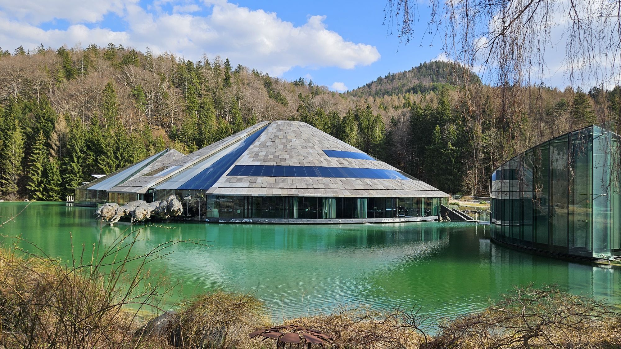
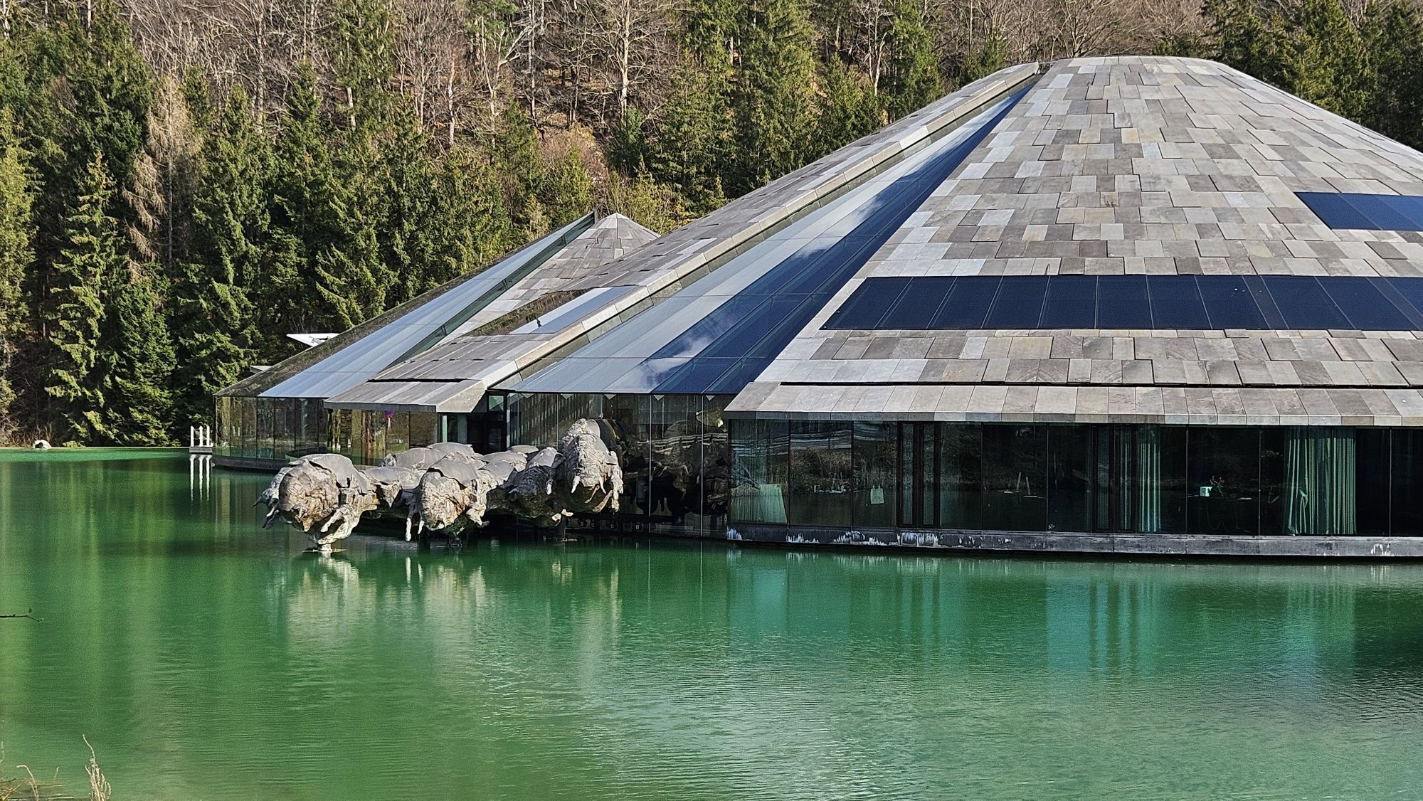
The route begins in the direction of Wolfgangseebundesstraße (B158), which we cross into Perfalleck Straße after the Red Bull headquarters. We follow this over the Perfalleck (a short steep climb) to Tiefbrunnau. There we turn left and stay on Tiefbrunnaustraße for 3.2 km before sharply turning right onto the forest road.
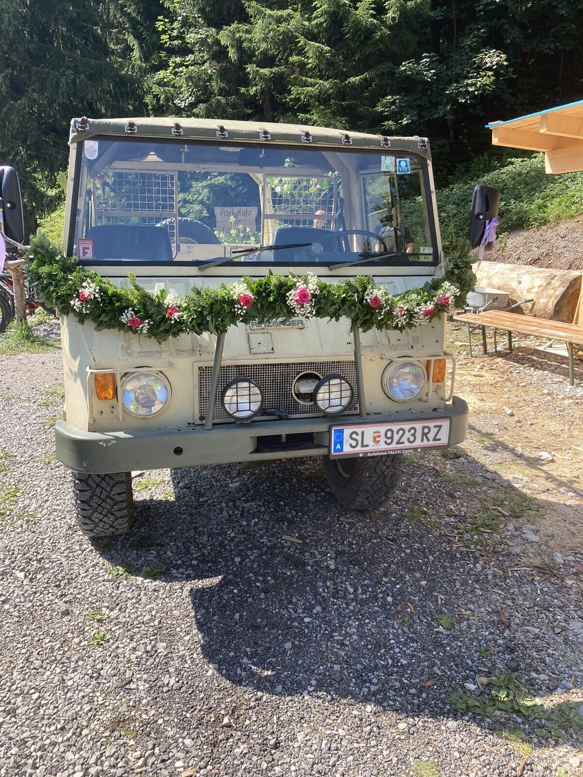
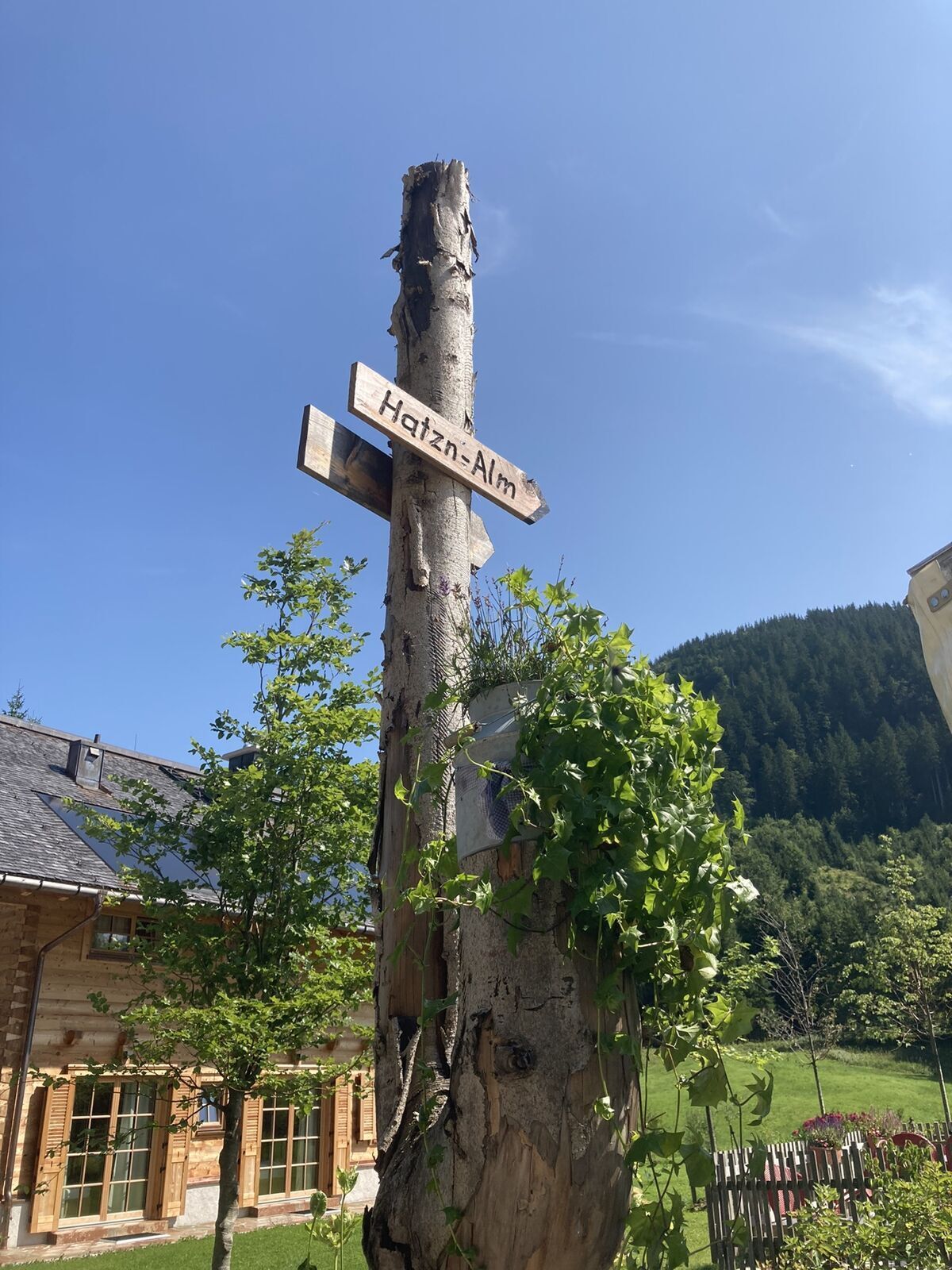
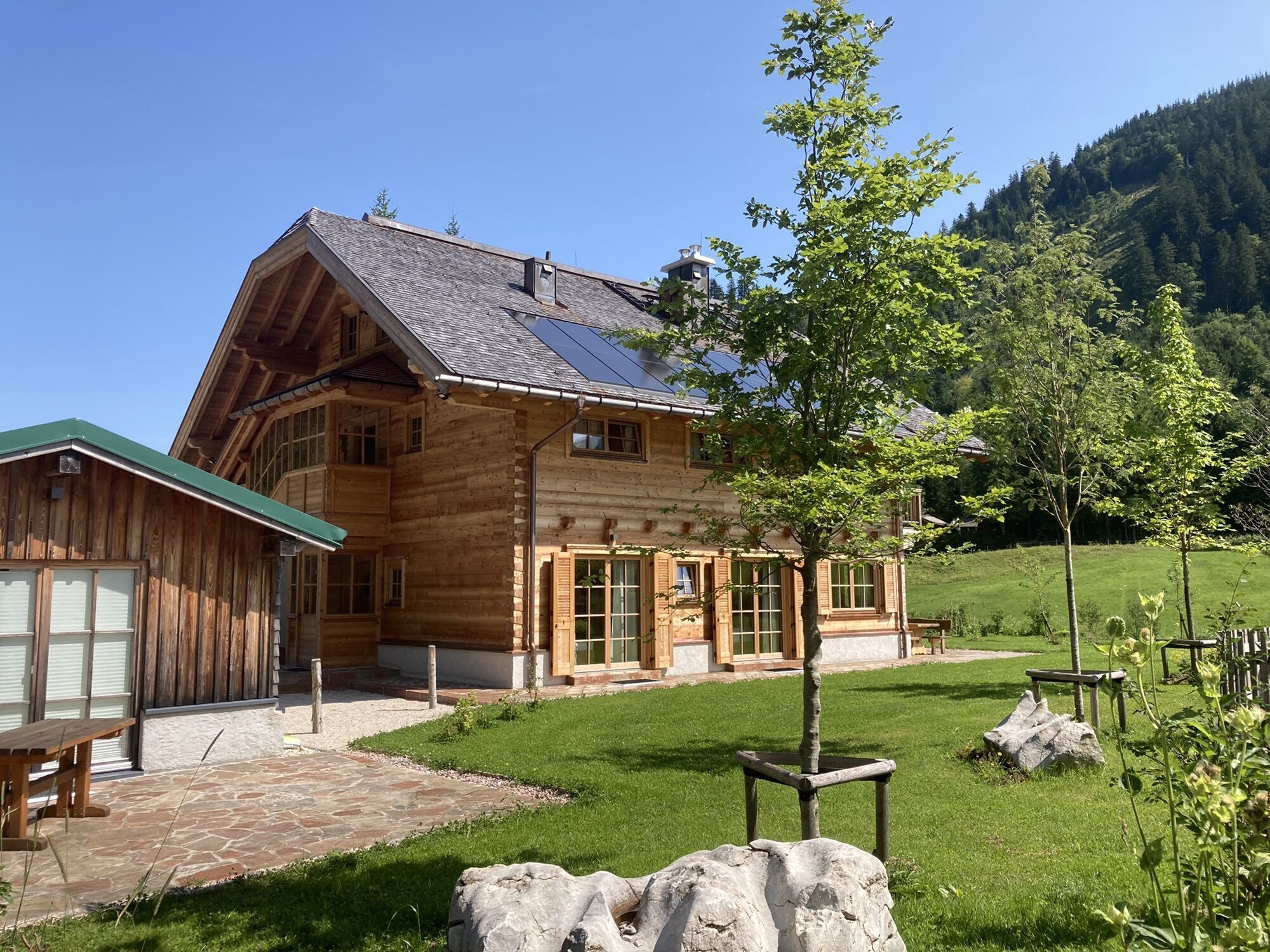
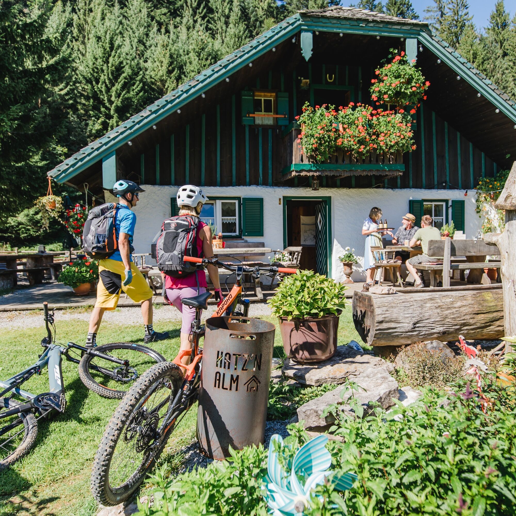
After 3 km on the forest road, the Hatzenalm (1038 m above sea level) lies on the right side of the path. It is a biker-friendly hut with charging facilities for your own wellbeing and also for the eMTB.
When descending from Hatzenalm, pay attention to the signage, as two forks in the road in close succession could lead us the wrong way. After this short break, we follow the forest road for about 3.5 km, which mostly keeps to the contour line. At the intersection (932 m above sea level) we go straight ahead.
Now the route takes a few curves downhill towards Hintersee. At the next but one fork (820 m above sea level) after 1.3 km, cross the bridge and ride uphill again onto Sonnbergstraße.
Here there is the option to ride either to Genneralm or Bergalm. Both are very beautiful alpine pastures and a good choice if you want to climb two more peaks. At the Poschnhütte (Genneralm), you can also charge your eMTB. Be sure to plan ahead as it takes some time.
After about 1.6 km uphill at the next fork (937 m above sea level), we continue straight ahead. Gently climbing, we glide toward the sun and soon the view opens up over Hintersee to the Gaisberg, one of Salzburg’s local mountains.
After a short ride at the same elevation, with chamois repeatedly visible on the right slope, the route goes downhill again toward Hintersee. We reach the lake right at the Hirschpoint (697 m above sea level), a bike-friendly inn, where we have the first opportunity to take a swim in the lake.
Continuing 1.4 km on the state road toward Hintersee village, we turn right onto the forest road towards Eiskapelle.
Afterward, we follow the west shore path of Hintersee. If you still have energy and are hungry, a rustic stop at the Lago Bar is recommended before continuing in the direction of Faistenau. There are several forks in a short distance here as well, so it is best to follow the bike path signs toward Faistenau.
After the lake hut, we turn left onto Hinterseestraße and after 300 m leave it sharply to the right. Shortly afterward, turn onto the gravel road, which goes steeply uphill to the left (707 m above sea level). We follow this for about 1.1 km to Hinterseestraße (755 m above sea level), turn right onto it, then after another 200 m sharply left onto Lohstraße into the center of Faistenau.
In the center of Faistenau, we can now enjoy a cozy cold drink and a snack at the inn "4 Frauen und 1 Todesfall", the Krämerwirt.
From the center of Faistenau, head out along Dorfstraße, then after 500 m left into Lidaunstraße, where after 1.2 km we cross a small bridge and after 2.2 km follow right at the Jausenstation Ebnerwirt. The forest path (later as a road) leads us on the left directly into the center of Ebenau. There we turn right, cross the bridge, then immediately turn left and then right again to pass under Wiestal state road (L107).
Those interested can make a short detour to Waschlmühle. This mill is part of Ebenau’s mill hiking trail which passes seven historic mills.
The rest of the route continues on the road and then turns right towards Pertill Mühle. After this, the path leads briefly steeply uphill to Koppl — the forest here provides a welcome cooling on hot days. Coming out of the forest, we follow the path for 1 km toward the center of Koppl, which we reach by turning right onto a field path.
In Koppl, you pass between Kirchenwirt and the church and turn right before the municipal office. In the Willischwandt district there is a skillful left-right-left combination to pass through. A tip here is to restock your schnapps supply, as Hermann Deisl from Huberbauer produces award-winning schnapps! To reach the B158 Wolfgangsee federal road, we must continue downhill toward Habach.
The federal road is traveled on the right along the bike path, saving us the crossing thanks to an underpass. Along Habachstraße, continue towards the Salzburgring, which is certainly worth a detour for car enthusiasts, as even without a race there are often great sports cars around. Otherwise, continue following the road and before the Nesselgraben bridge turn left uphill. Before reaching the federal road, turn left toward Ladau, then turn into Ladau where a field path leads us through a forest toward Elsenwang.
Passing the settlements here, it goes almost directly to the Gusswerk Brewery, which invites you for a thirst quencher at its taproom. Otherwise, follow the road through the underpass. After this, turn right, then immediately left, and then right again into Mühlbergweg. This field path leads past the USK Hof sports field and further toward the center of Hof bei Salzburg. We pass through the town center and opposite the Hofabäck bakery turn left steeply downhill on Schwarzmühlstraße to Fuschler Ache. At the bottom, we turn left to cycle along the Fuschler Ache.
After 1.9 km, we reach Wartenfelsstraße, where we turn left. At the bend after 500 m, we ride right/straight onto Seestraße. After 1.4 km is the Berger snack station, inviting a rest. From there, following the road further, we have a 1.1 km uphill ride to Fuschler Straße.
On this street, we then return to Fuschl. After 3 km, we have completed the last climb and can enjoy the view of Fuschl am See from Schöffbaumhöhe. From there, it is just a few minutes back to Fuschl am See where many places to stop, ice cream from Eiszeit, or a jump into Fuschlsee await us!
Da
Da
Equipment recommendations can be found by clicking the link.
Some routes are long rides, which partly include considerable elevation gain and loss.
Tips before the route can be found by clicking the link.
So that your nature experience is unique and full of fun.
By car:
- Take the A1 motorway to the Thalgau exit (whether coming from Munich or Vienna): Continue toward Hof bei Salzburg, at the Elsenwang roundabout take the 2nd exit toward Bad Ischl. From there continue as described below.
- Coming from Salzburg: Take B158 (Wolfgangseestraße) from the Gnigl district toward Bad Ischl. After about 15 km, you reach the Elsenwang roundabout. Take the first exit here to stay on B158.
Pass through Hof bei Salzburg and at the Baderluck roundabout also take the 2nd exit to stay on B158. Within a few minutes, reach Fuschl am See, where you take the first entrance into town (opposite Red Bull headquarters) and immediately turn right into the Fuschlseebad parking lot. It is a cheaper paid parking lot.
The starting point in Fuschl am See is regularly reachable by line 150. This allows starting from Salzburg city main station. Because the route passes close to several bus stops of line 150, it can also be started or ended there.
Line 155 runs regularly through the center of Faistenau.
Please clarify with the bus driver how bicycle transport is permitted.
At the parking lot of the Fuschlseebad – paid parking.
Parking lot at the valley station of the ski lift in Hintersee (recommended MTB start point towards Hintersee) – paid parking.
S0
In the Fuschlsee region we strongly emphasize TRAIL TOLERANCE – further advice and tips can be found here: https://fuschlsee.salzkammergut.at/aktivitaeten/urlaub-am-see-salzburg-sommer/rennrad-mountainbike/artikel/detail/5902/trailtolerance.html
The rock pool in Faistenau is worth a detour. Bring swimwear because there are many spots where you can jump into the water!

Spletne kamere s turneje
-
St Gilgen Mozartplatz
-
Hotel DAS Hintersee
-
Golfplatz Drachenwand
-
Fuschlseeregion - Faistenau
-
Fuschlseeregion - Fuschl
-
Spielbergalm
-
Kesselmannlift Faistenau
-
Schirlastubn
-
St. Gilgen - Wolfgangsee
-
St. Gilgen - Zwölferhorn
-
Fuschl am See / Hotel Jakob
-
Salzburg - Gaisberg
-
Fuschlseeregion - Hintersee
-
Hotel DAS Hintersee 2

Priljubljeni izleti v okolici
-
4.8
Fuschl: Ruine Wartenfels - Schober - Frauenkopf
srednjaPohodništvo 7.62 km -
4.4
Fuschlseewanderung
svetlobaPohodništvo 11 km -
4.2
Pillstein Panorama Rundweg
svetlobaPohodništvo 3.40 km -
3.9
Bärenweg am Lidaun
svetlobaPohodništvo 9.05 km -
4.7
Pleasure hike over the Falkenstein
srednjaPohodništvo 9.81 km -
4.6
The Plombergstein: Adventure and summit panorama
svetlobaPohodništvo 4.12 km -
4.1
Illinger Alm-Runde
srednjaPohodništvo 9.89 km -
4.4
From Koppl to the Gaisberg summit
srednjaPohodništvo 9.86 km -
4.8
Salzkammergut: Die Drachenwand
težkoVia ferrata 4.32 km -
4.3
Idyllic Hintersee Circuit
svetlobaPohodništvo 5.10 km
Pohodništvo in sledenje


Ne zamudite ponudb in navdiha za naslednje počitnice
Vaš e-poštni naslov je bil dodan na poštni seznam.





