






From Maishofen to the Jahnhütte - shorter bike route with summit option
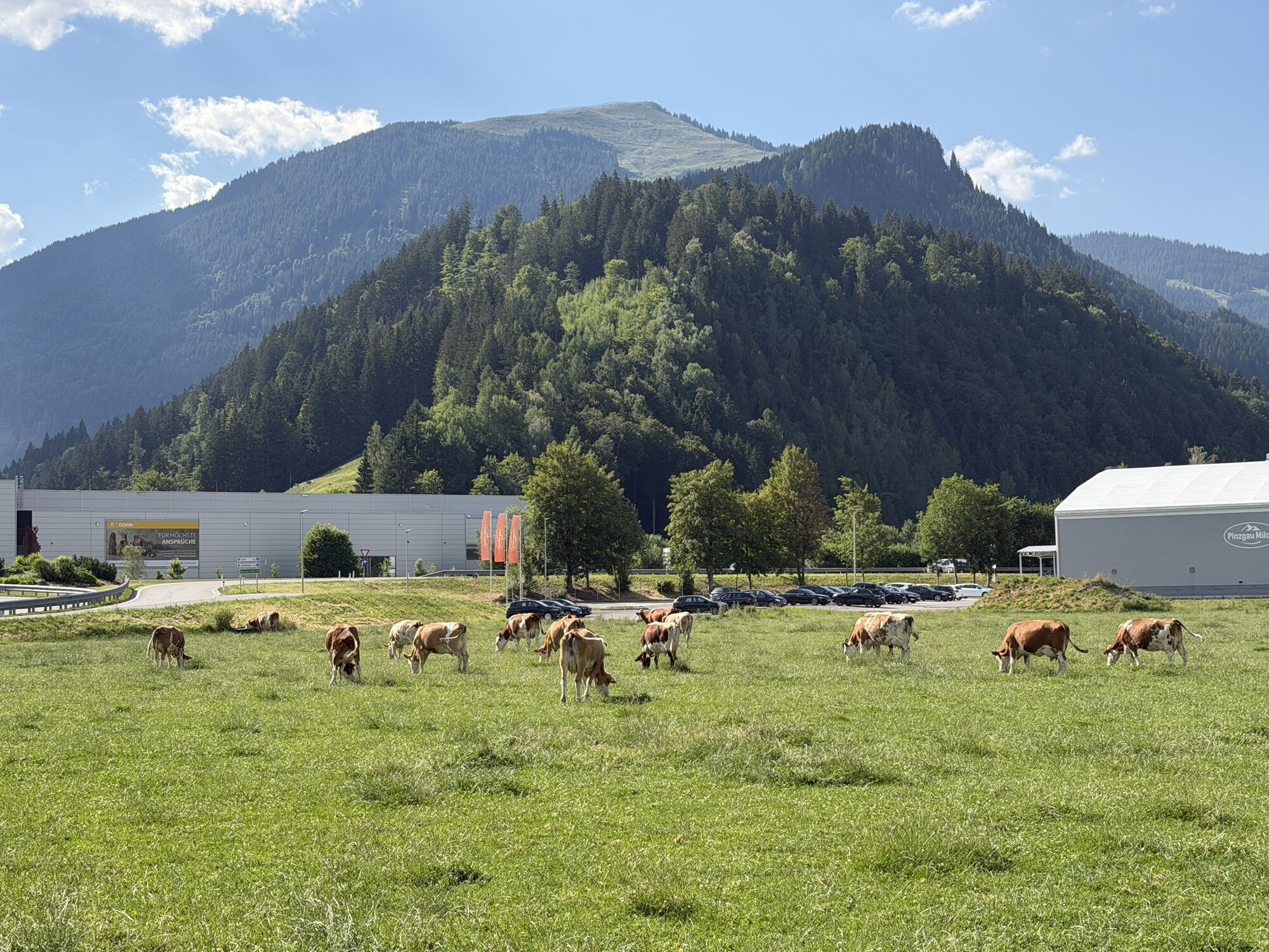
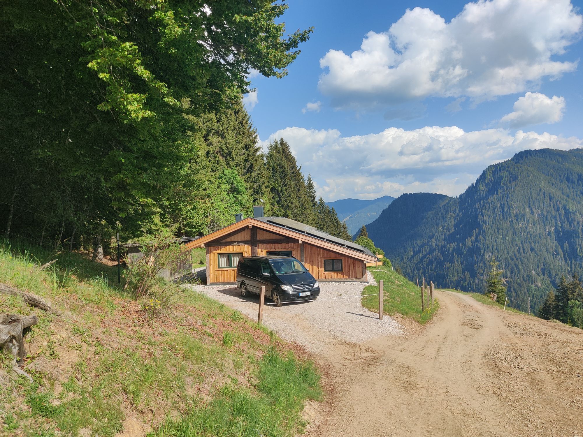
From Maishofen, 5 km on the road towards Saalbach to Viehhofen. After the church, turn right up a steep asphalt road out of the village. Below a large debris flow retention structure, turn right, cross...
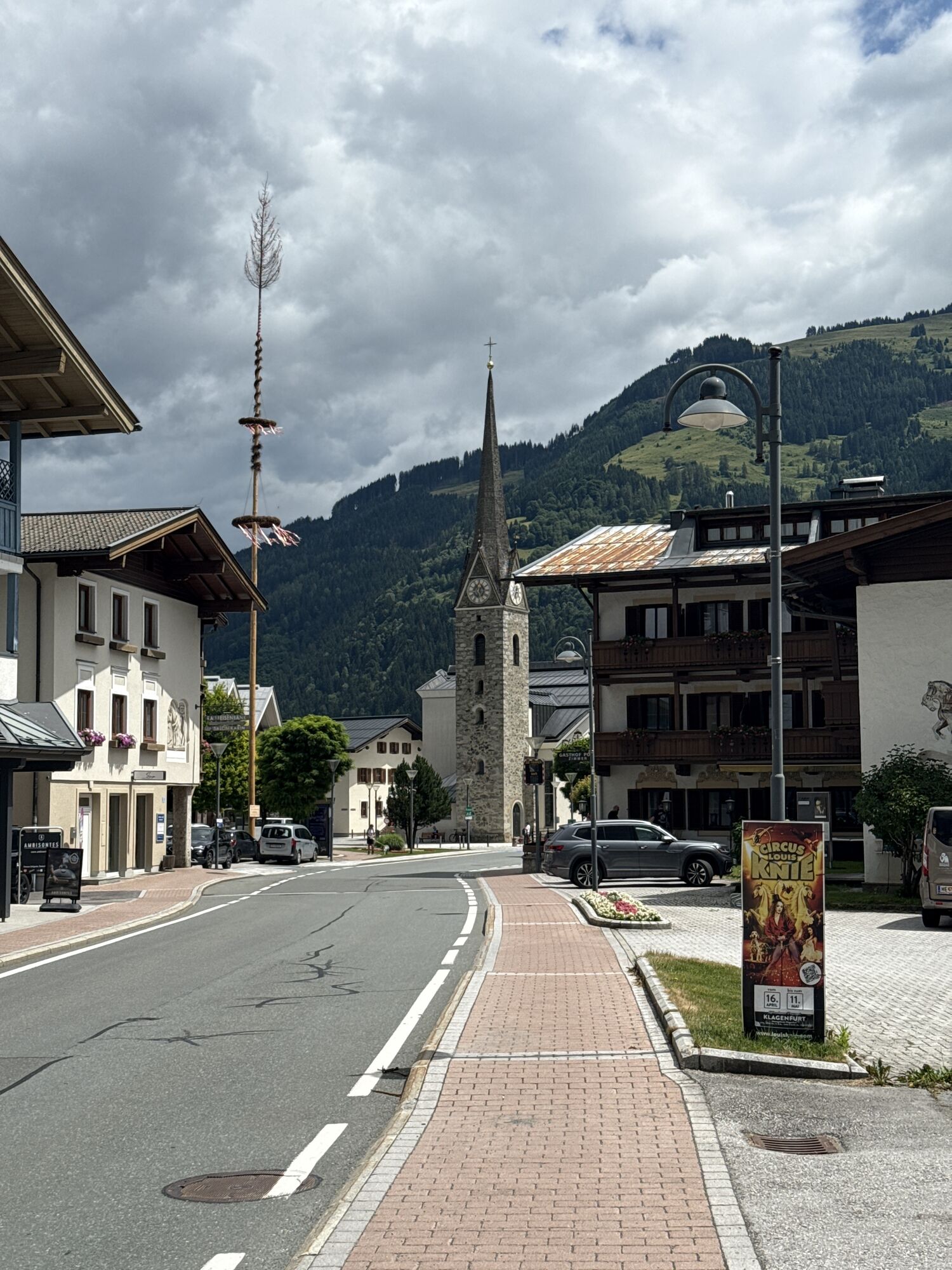
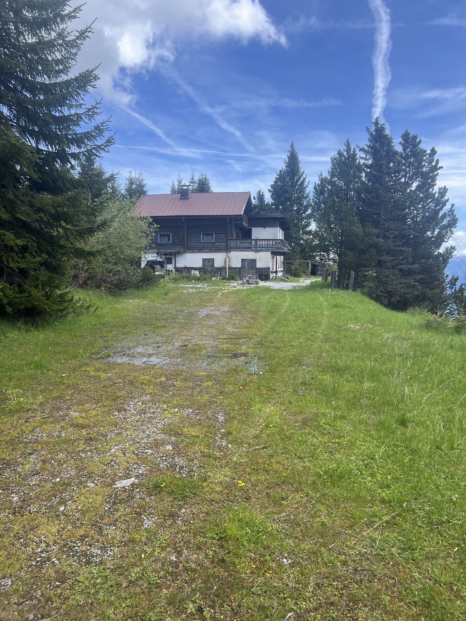
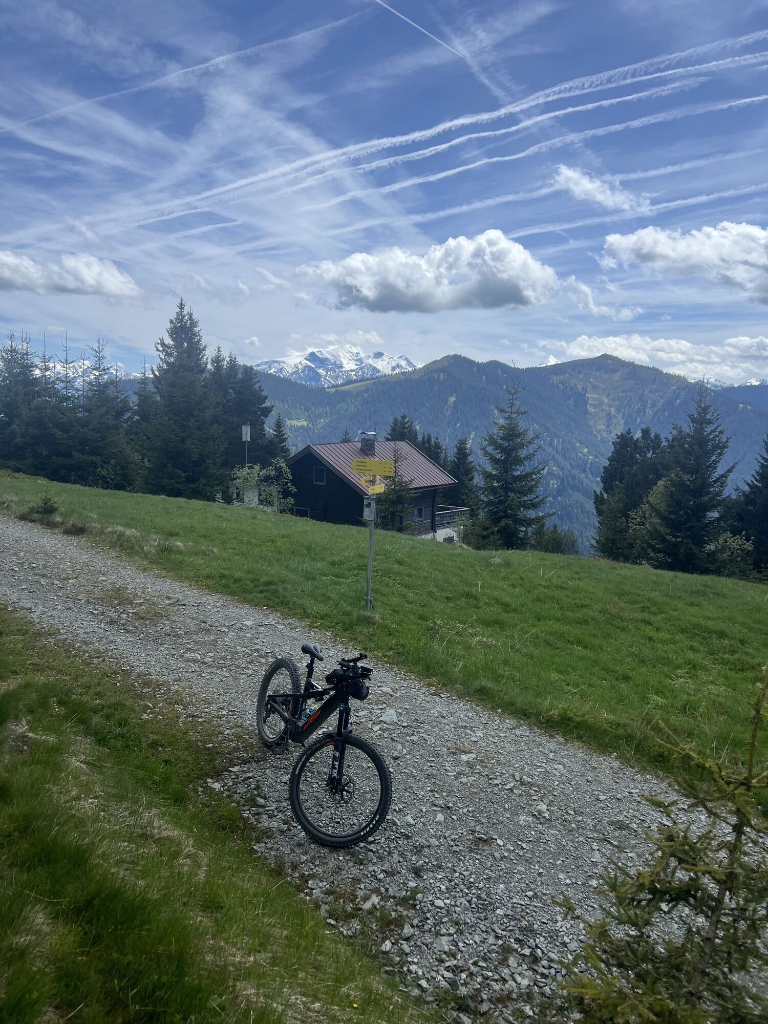
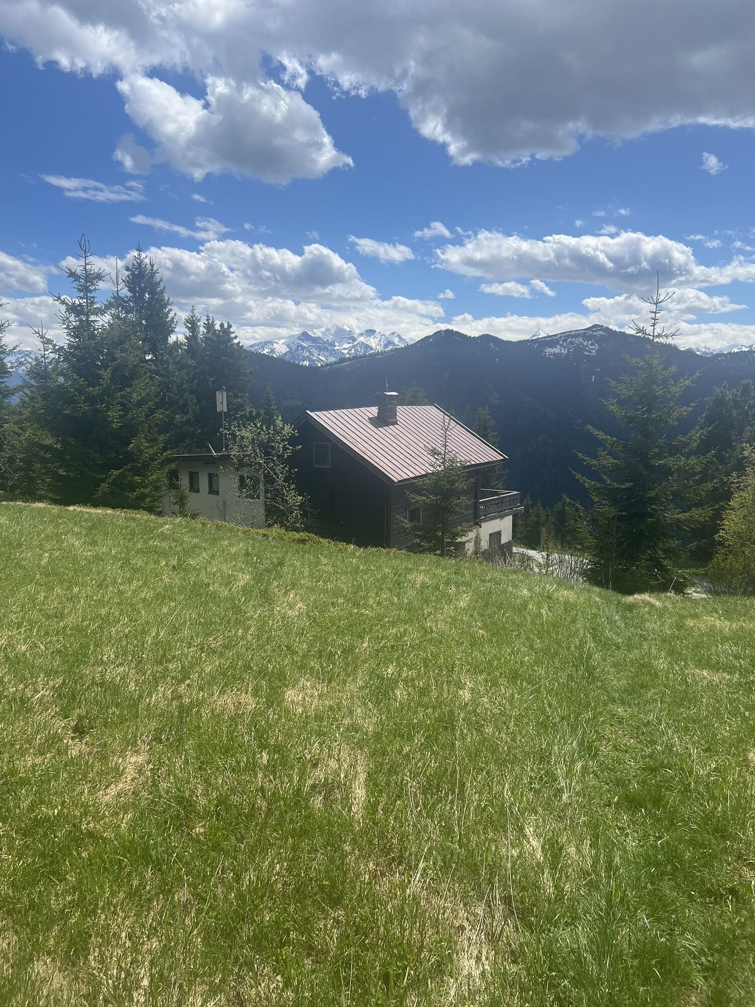
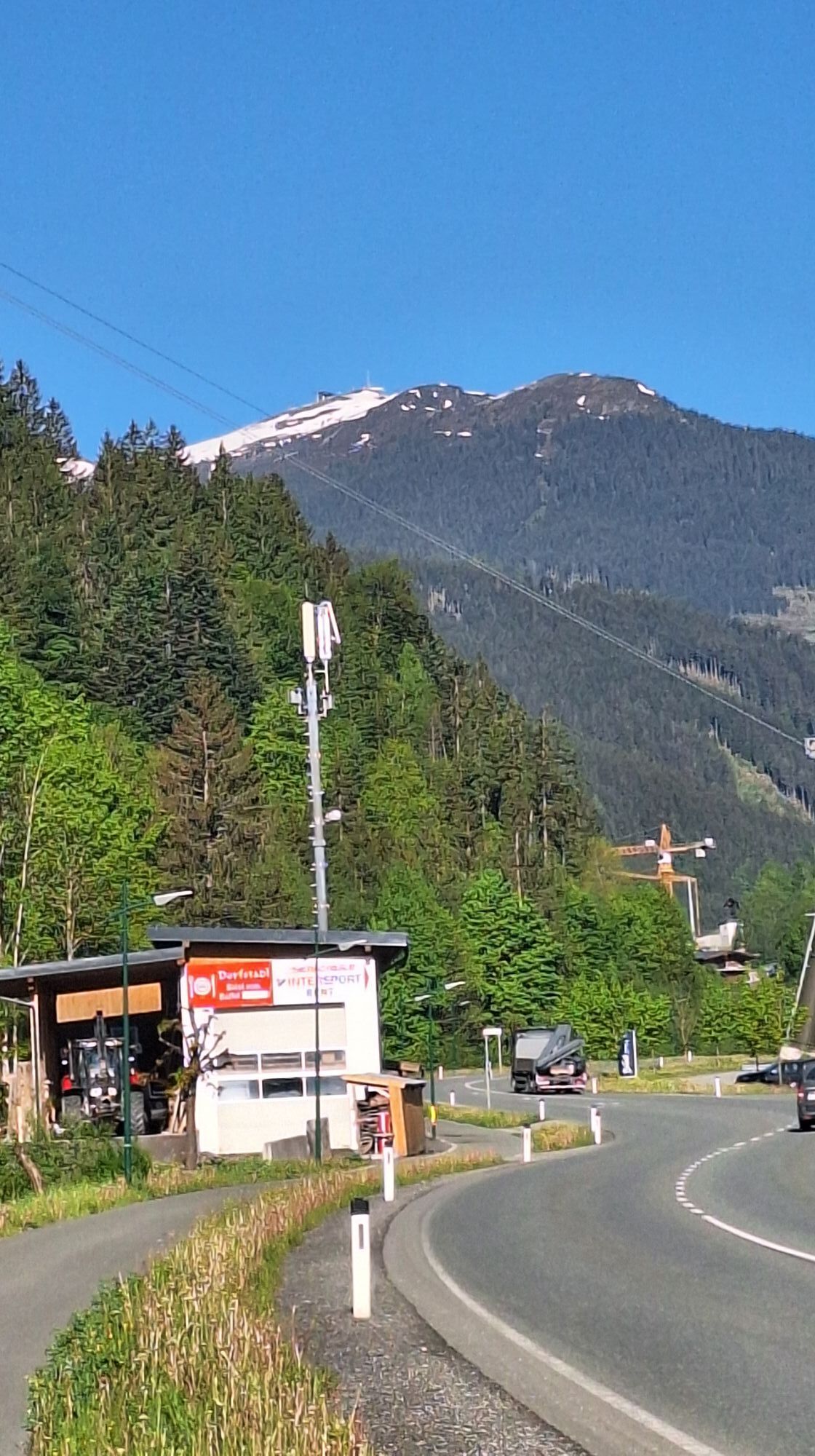
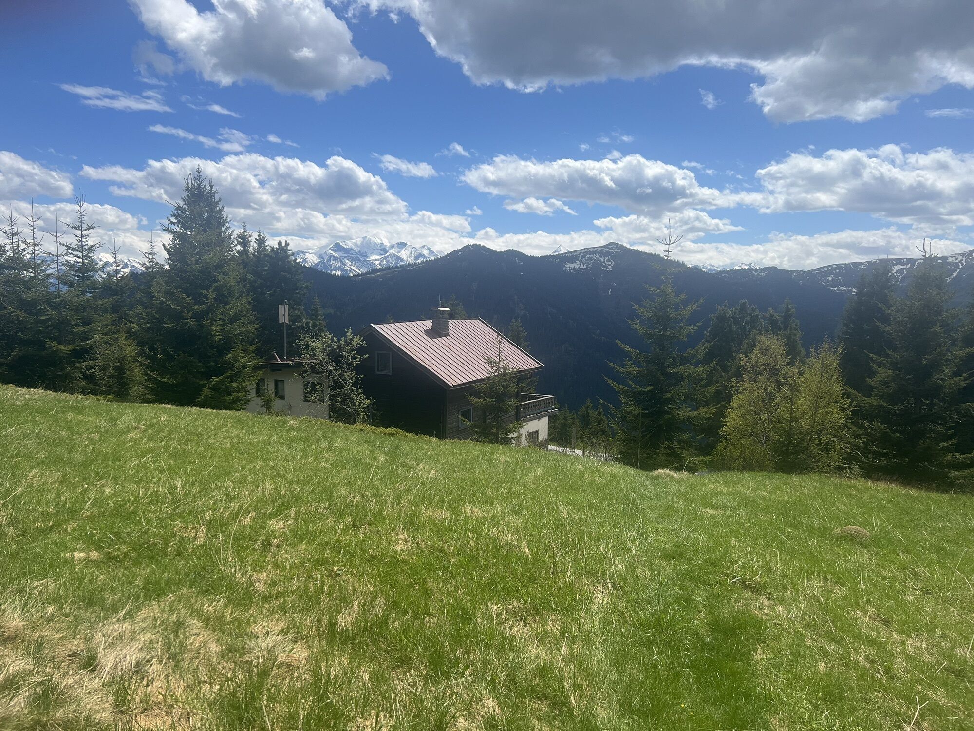
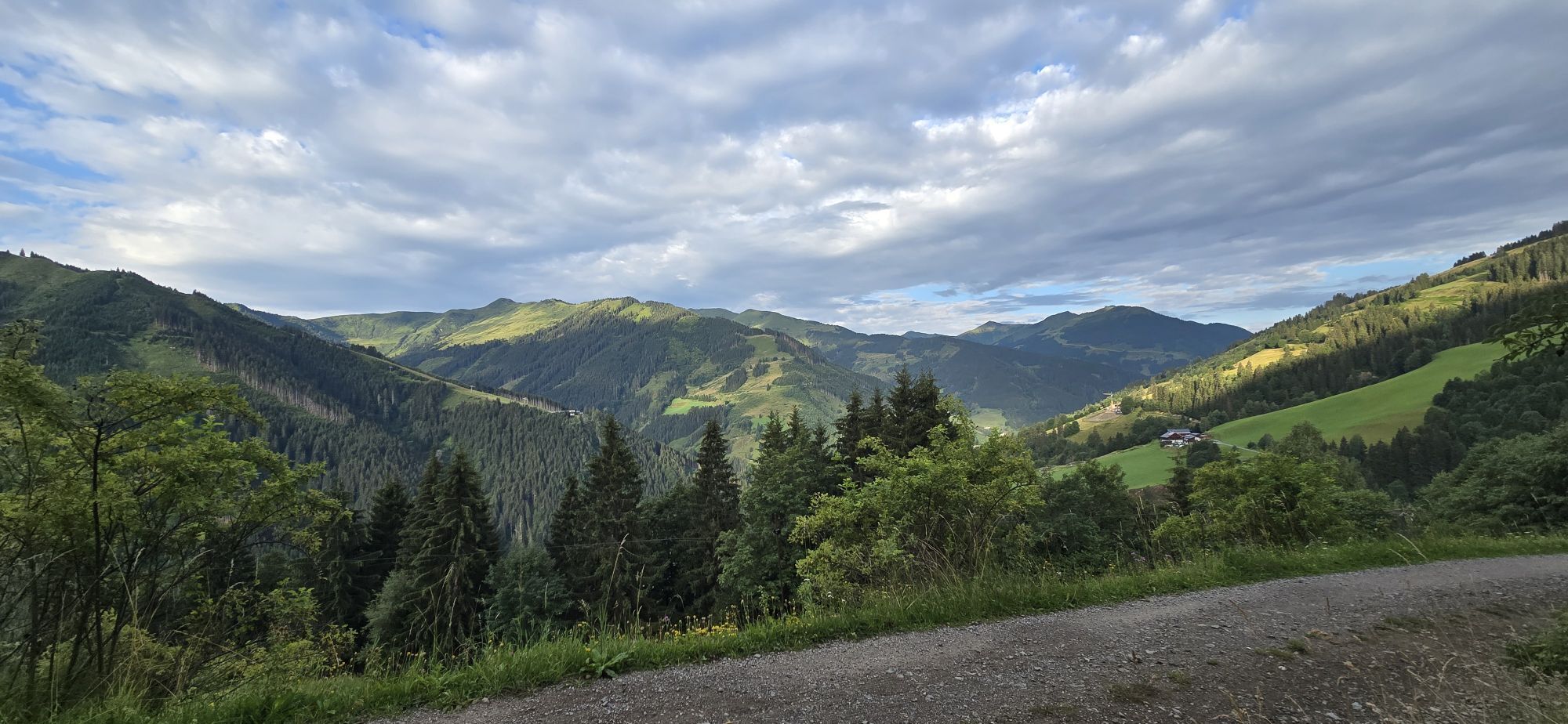
From Maishofen, 5 km on the road towards Saalbach to Viehhofen. After the church, turn right up a steep asphalt road out of the village. Below a large debris flow retention structure, turn right, cross the structure and continue steeply uphill to Altenberg. Follow the left turn and from here it is no longer quite as steep over the Mitterhausalm, Rottenbachalm, and Gorialm to the (unfortunately no longer serviced) Jahnhütte. From here, the ascent of the Sausteige summit is recommended, which can be reached in about an hour from the hut. From the hut, return to the Gorialm and descend left through numerous switchbacks past the Alpine guesthouse Stiegernigg back to the road in the valley. Then 4 km downhill back to Maishofen.

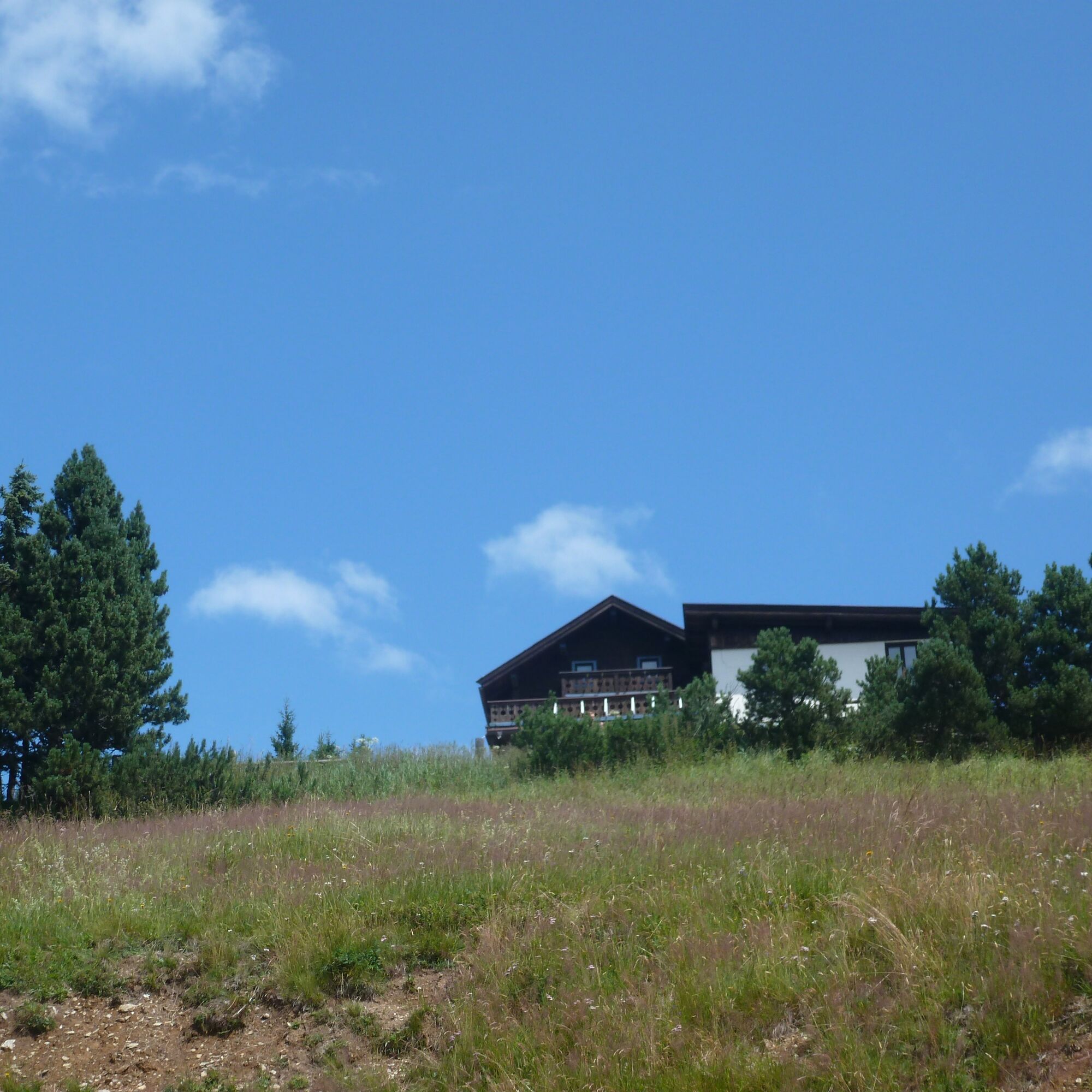
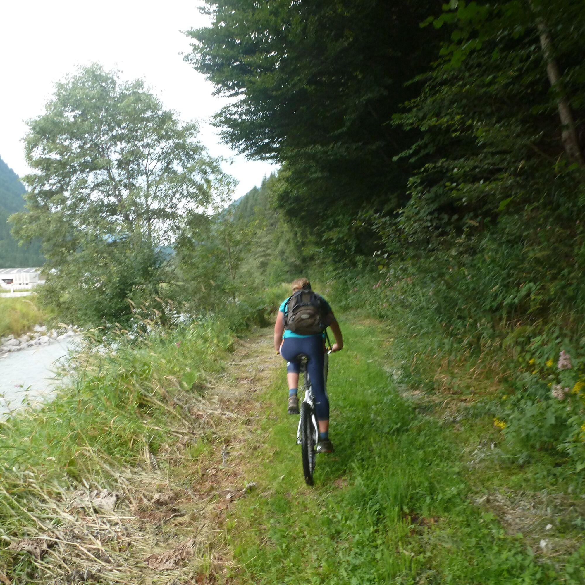
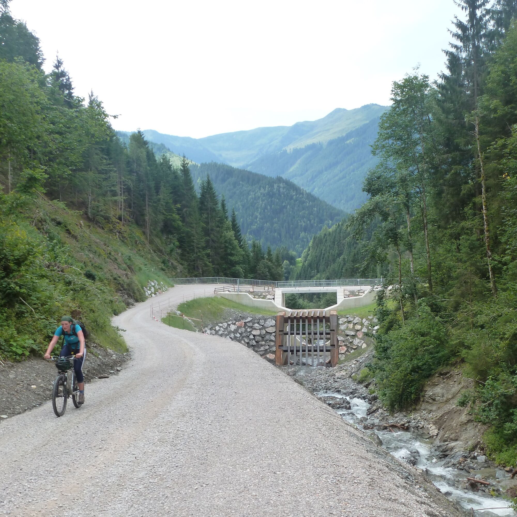
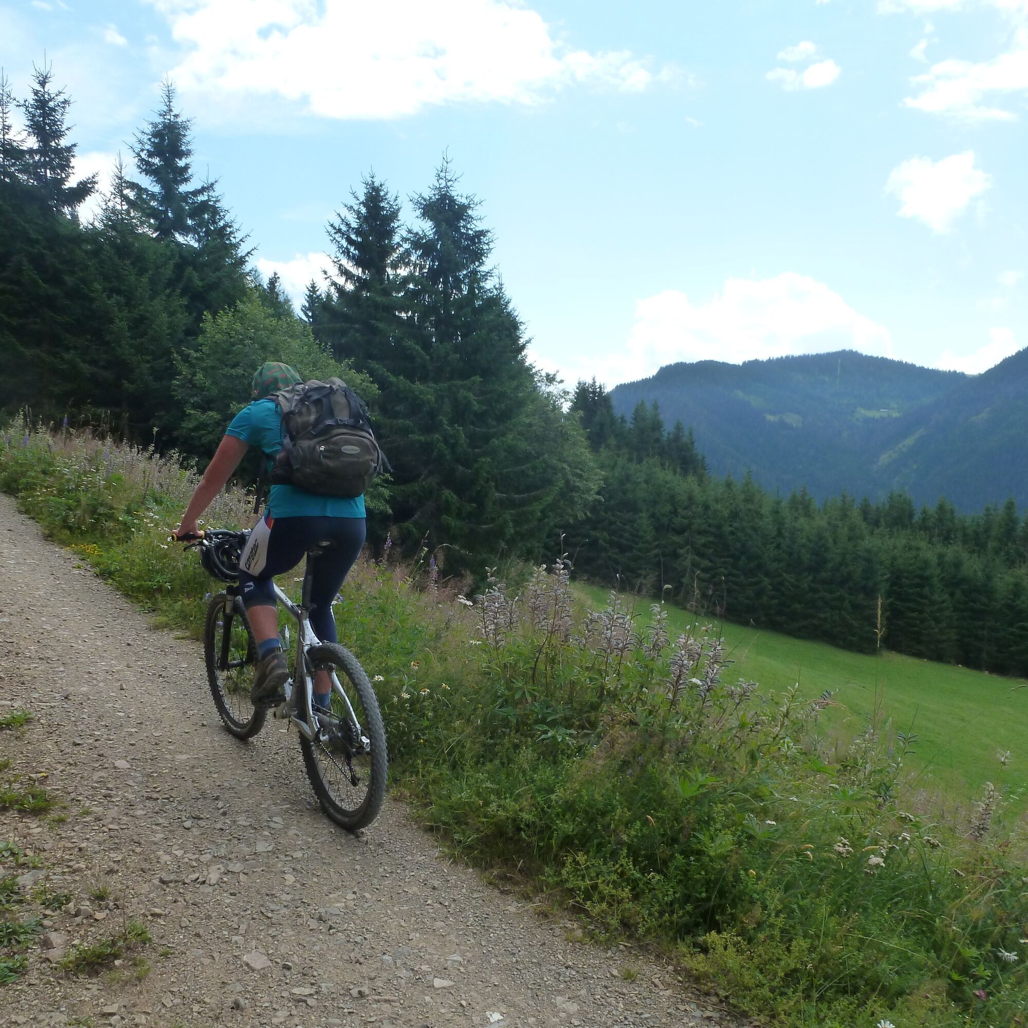

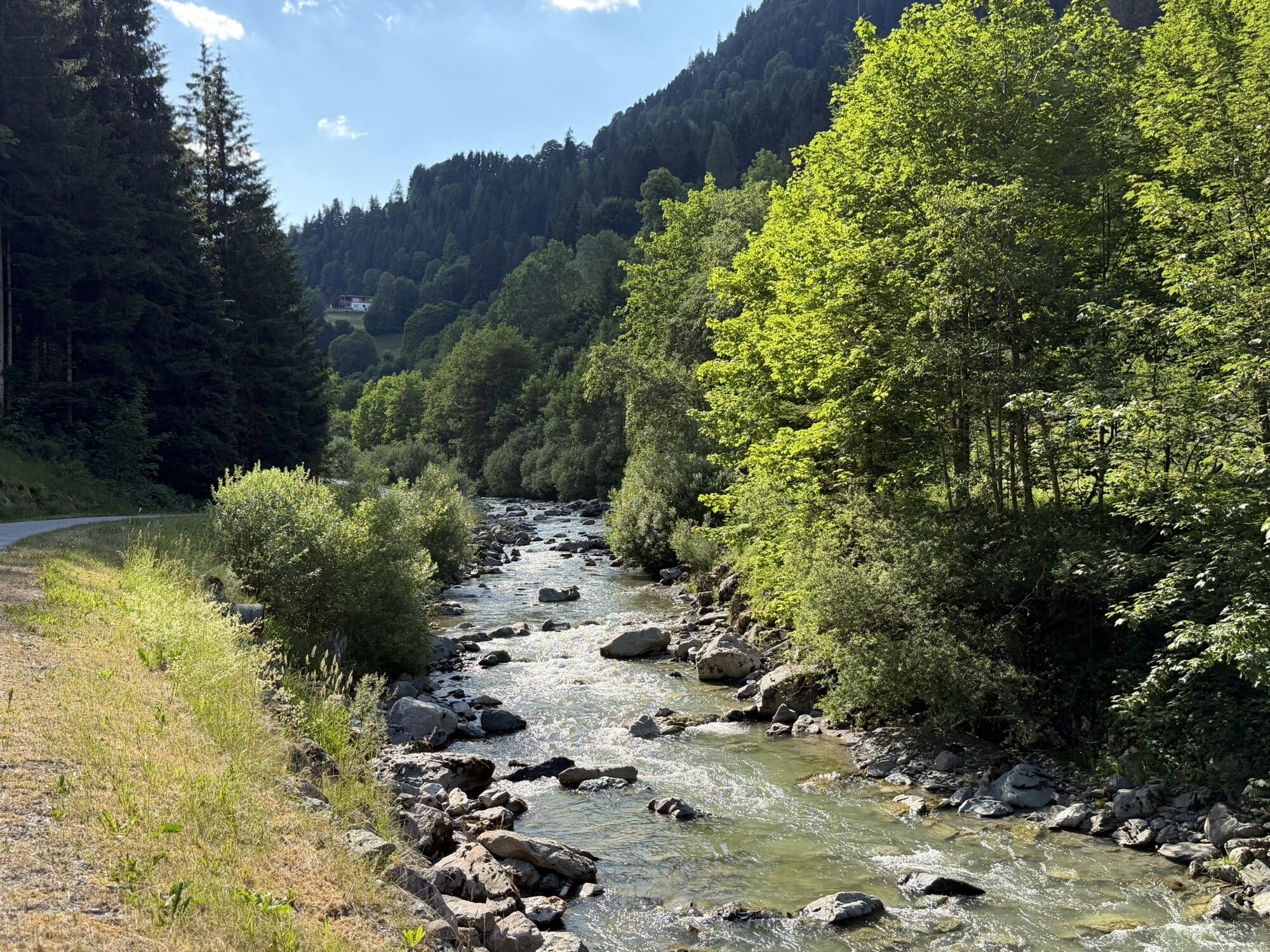
Road in the valley used by cars, briefly asphalt on the ascent, then gravel. Descent also on gravel. Partly steep ascent to Altenberg.
In the Pinzgau region, there is a strong focus on mountain bikers. Significantly more roads and paths are open than elsewhere. If a route is closed, please strictly observe the riding ban, as it is not meant to spoil the fun, but primarily for serious reasons: closed roads and paths are usually not worthwhile for bikers, or there is danger, for example due to forestry work.
Several public parking spaces in Maishofen.
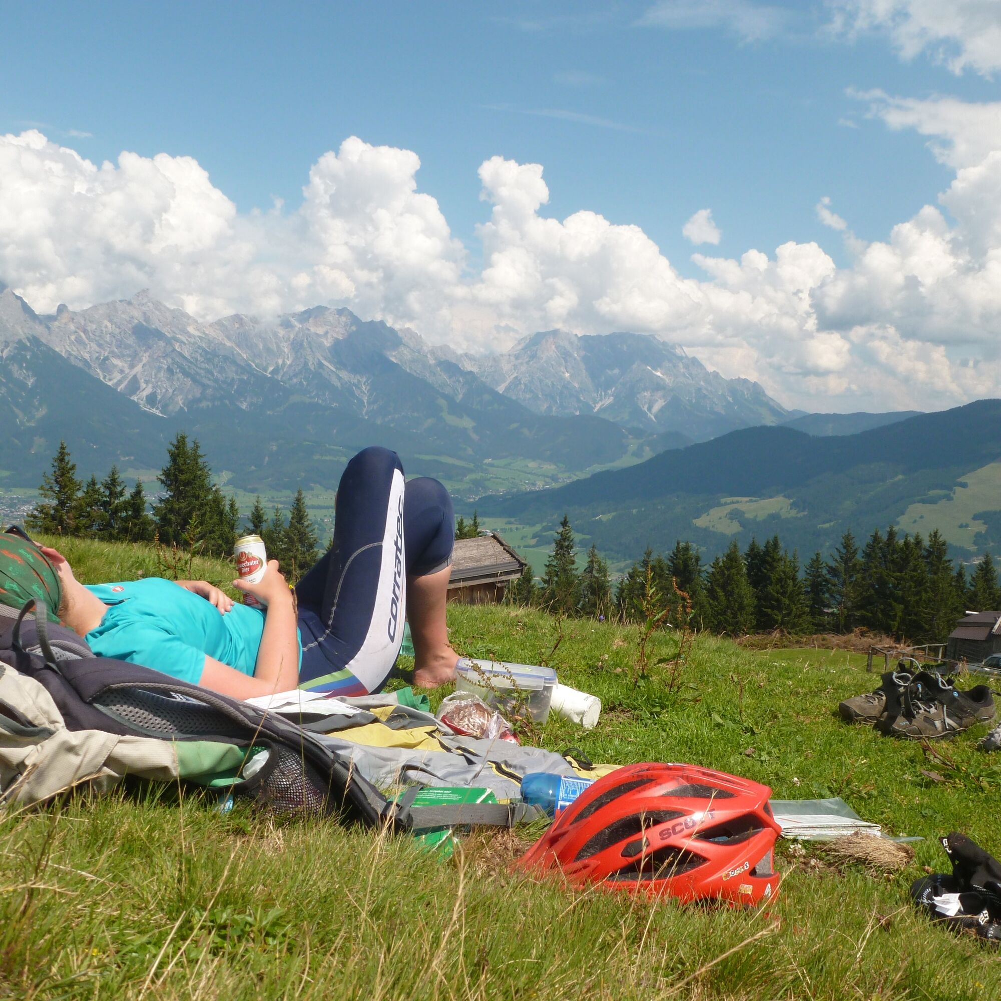
The view from the Sausteige should not be missed. With the summit, it makes a nice "Bike and Hike" route.

Spletne kamere s turneje
-
Schmittenhöhe
-
Asitz Gipfel
-
Berghotel Seidl-Alm
-
Sonnkogel
-
Schmittenhöhe
-
Mitterberg bei Thumersbach
-
Zell am See / Hotel Berner
-
Schmittenhöhe
-
Schmittenhöhe
-
Zell am See
-
Großer Asitz / Gipfelkreuz
-
Thumersbach
-
Saalbach-Hinterglemm - Wildenkarkogel
-
Wildenkarkogel
-
Maishofen Sausteige
-
Maishofen - Schloss Kammer
-
Leogang - Grosser Asitz
-
Maishofen Dorfplatz
-
zellamseeXpress
-
Schmittenhöhe
-
Schmittenhöhe
Pridobite vpogled
Vedno v živo na mestu z več kot 9.500 spletnimi kamerami. bergfex Kot uporabnik Pro si lahko zdaj ogledate ustrezne spletne kamere za številne izlete v aplikaciji izleti iz. Tako si lahko neposredno ogledate trenutne razmere.
Priljubljeni izleti v okolici
-
4.4
Maria Alm - Riemannhaus
Pohodništvo 3.99 km -
4.6
Steinalm
svetlobaPohodništvo 2.71 km -
4.3
Schwalbenwand Nr. 80, 81, 82
srednjaPohodništvo 13.0 km -
4.4
Peter-Wiechenthaler Hut
srednjaPohodništvo 4.32 km -
4.9
Breithorn
srednjaPohodništvo 10.0 km -
4.7
Sigmund Thun Klamm, Klammsee, Bürgkogel
svetlobaPohodništvo 4.56 km -
4.2
Maurerkogel (Top)
Pohodništvo 10.5 km -
4.2
Passauer Hütte
težkoPohodništvo 4.14 km -
4.6
MTB Tour Ramseiden-Round (Tour 1)
srednjaMountainbike 18.9 km -
4.5
Birnbachloch Leogang, Österreich
srednjaPohodništvo 5.18 km
Pohodništvo in sledenje


Ne zamudite ponudb in navdiha za naslednje počitnice
Vaš e-poštni naslov je bil dodan na poštni seznam.





