






S460 Sonnberg round
Stopnja težavnosti: S0
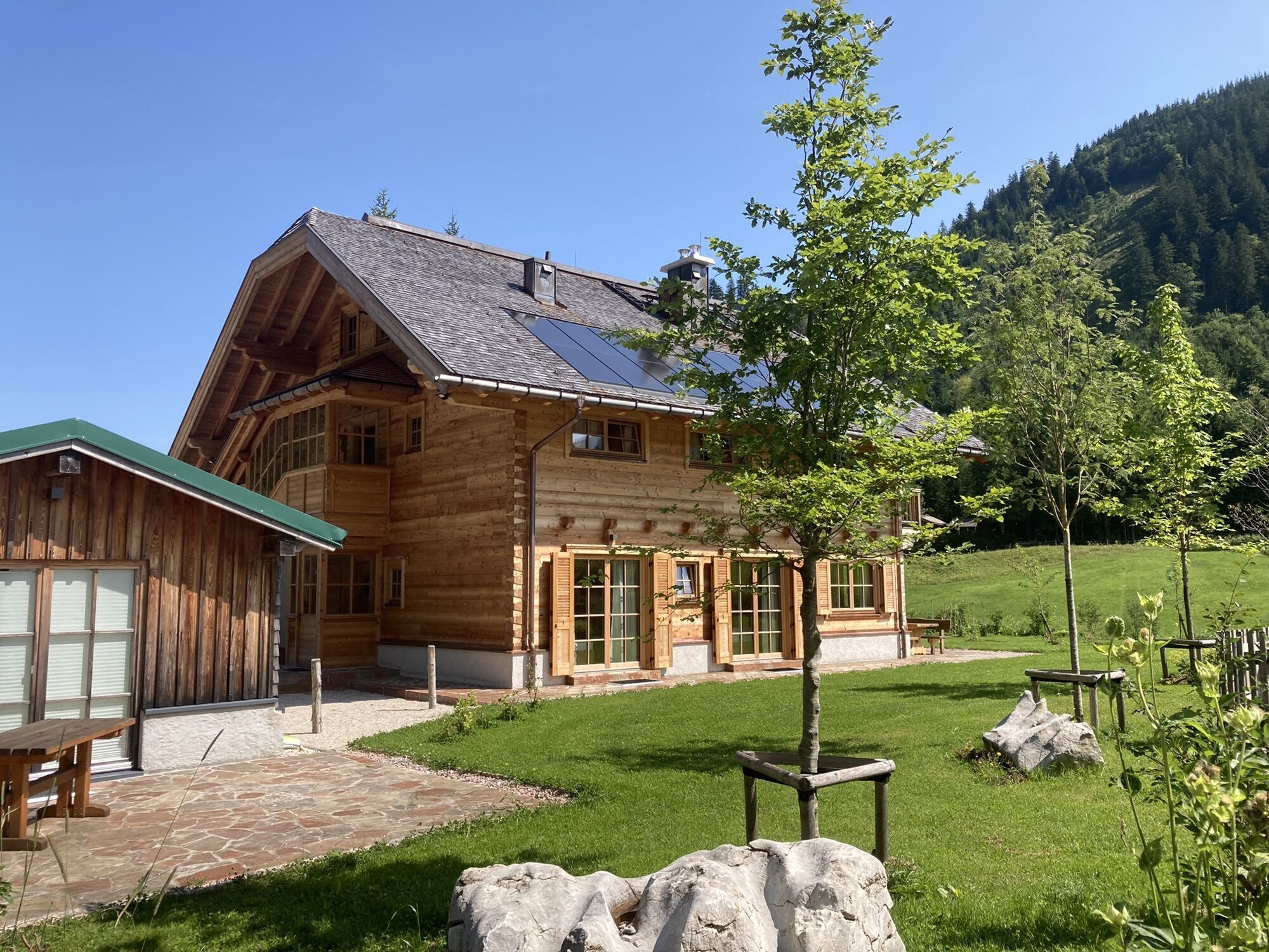
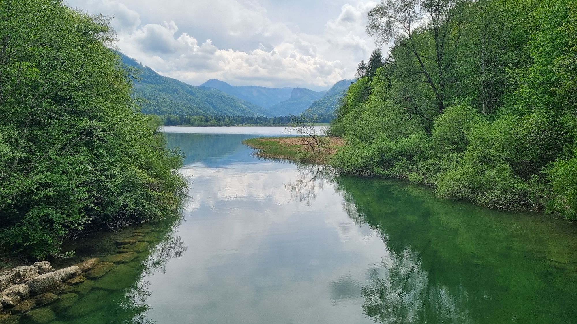
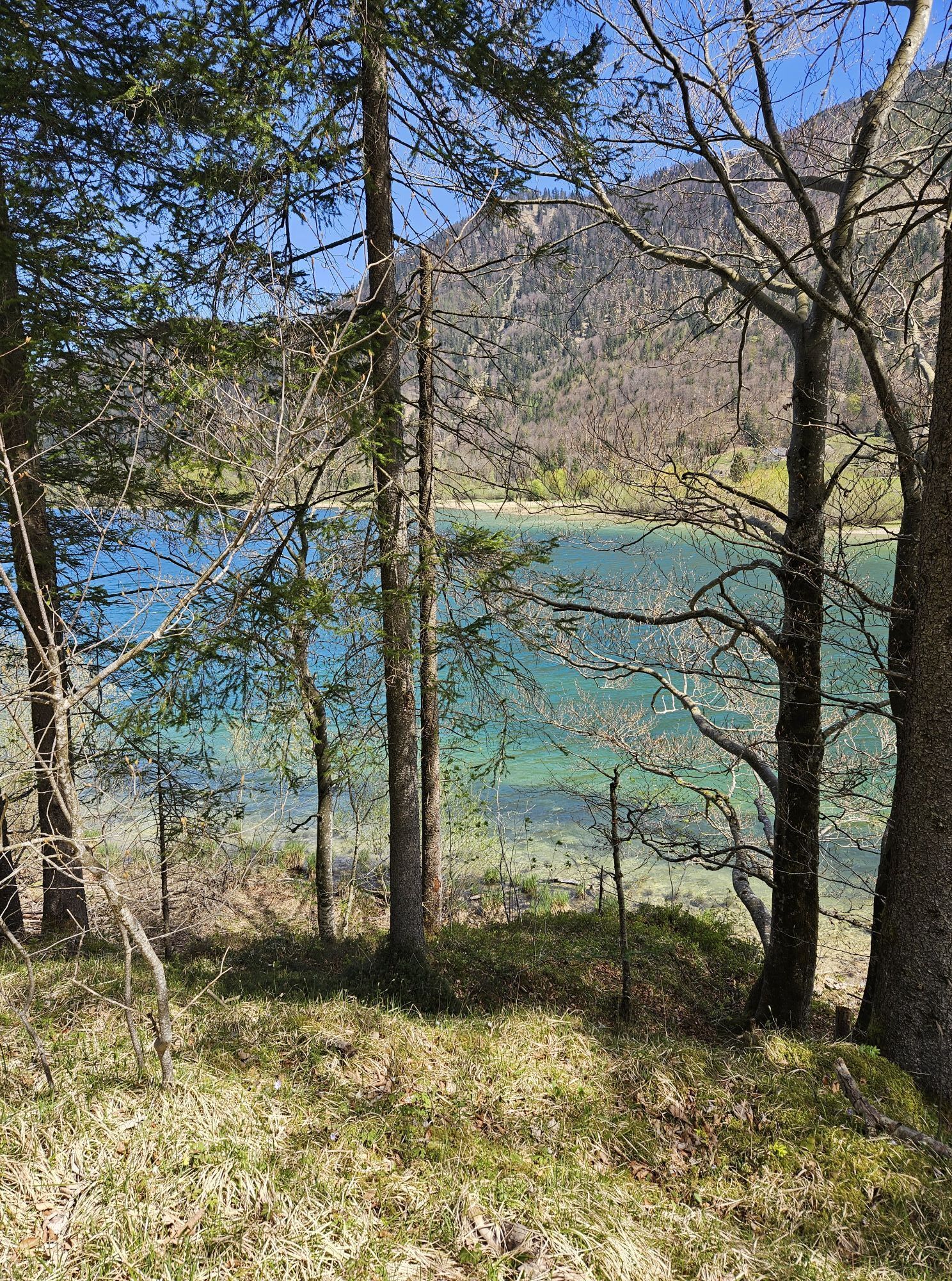
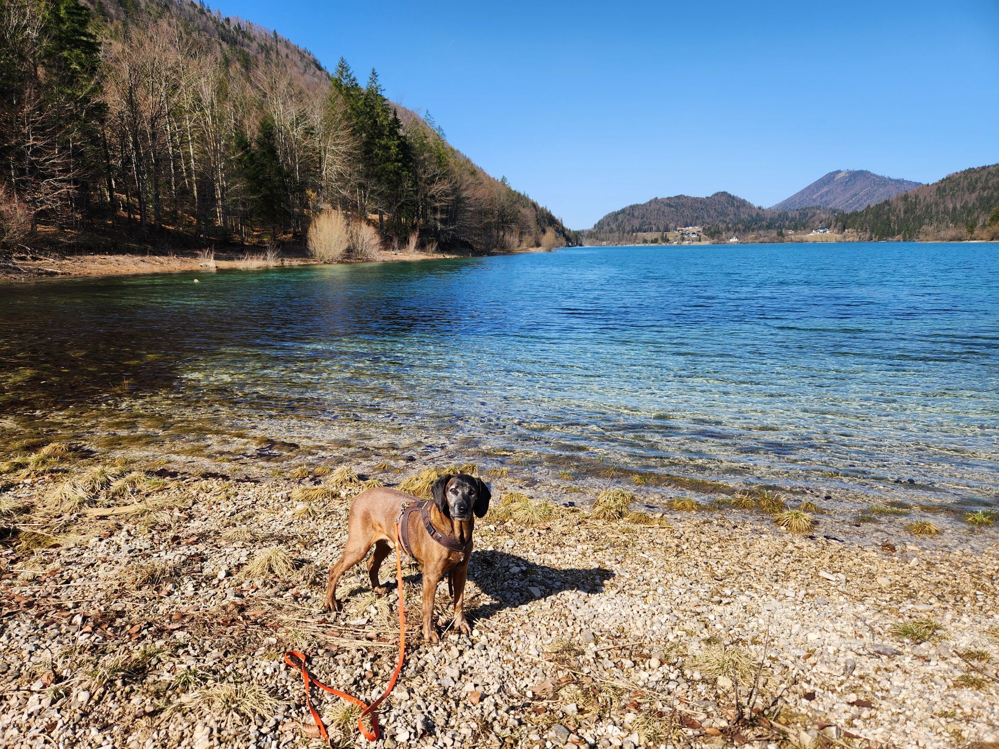
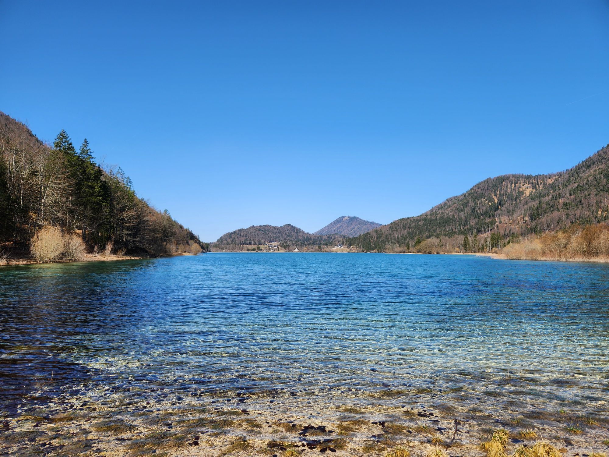
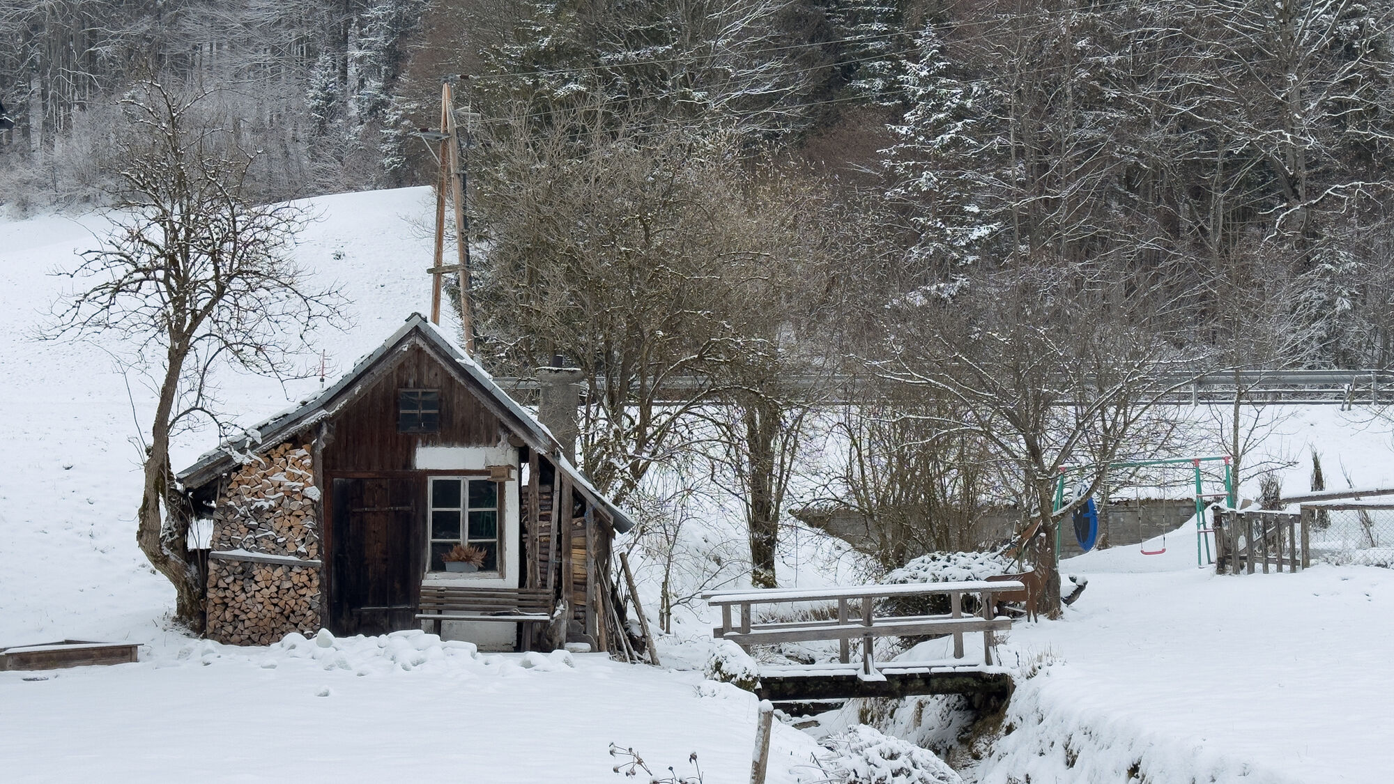
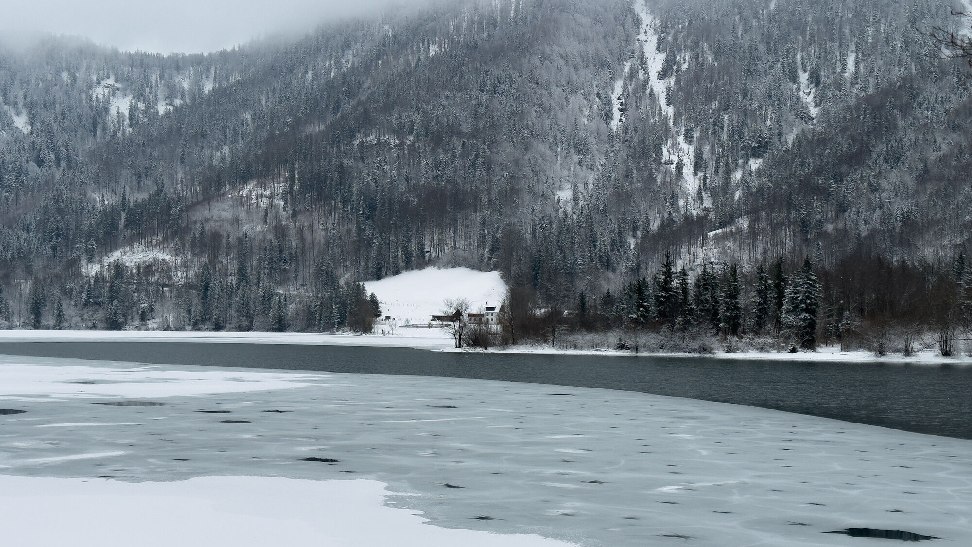
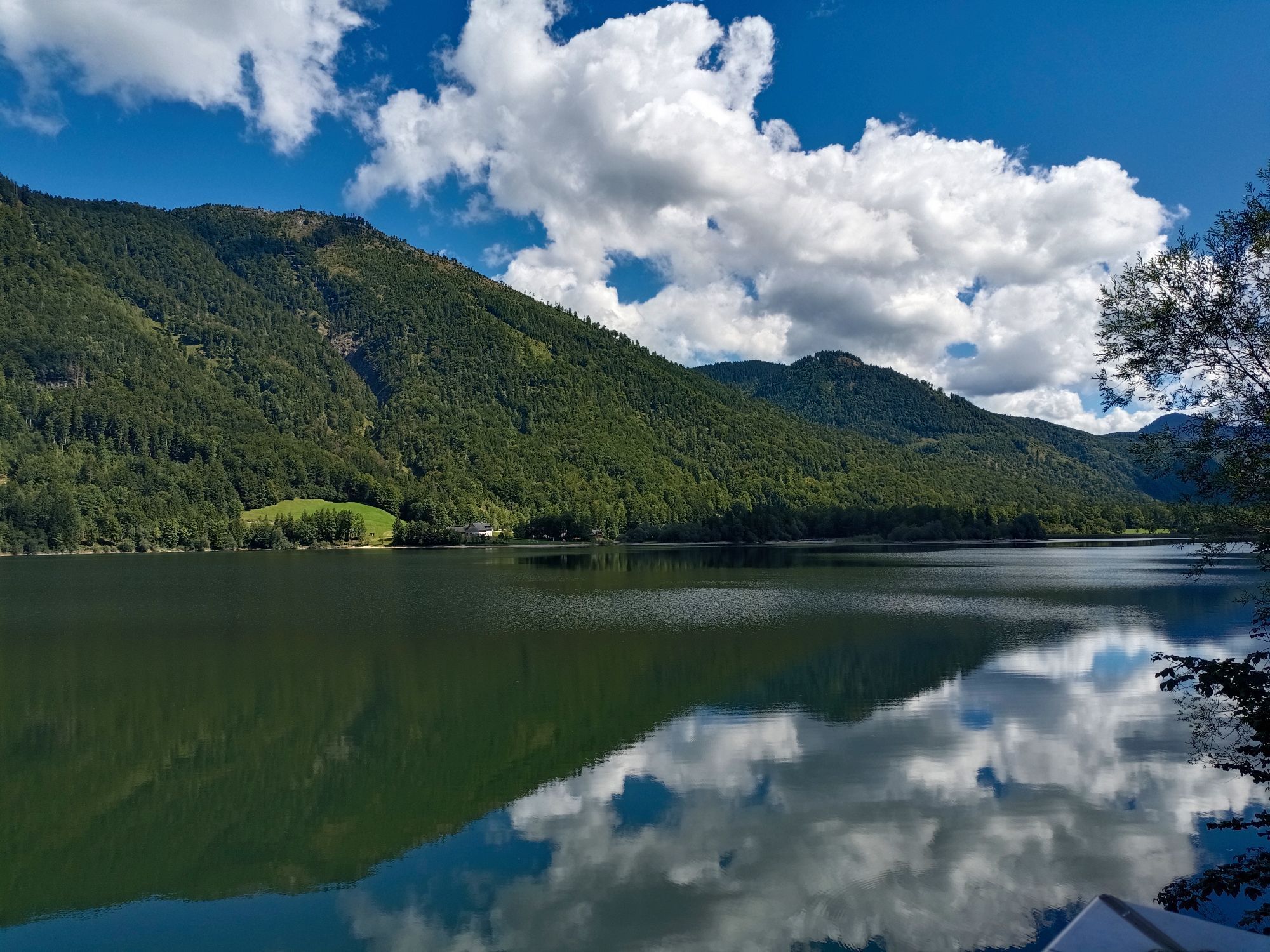
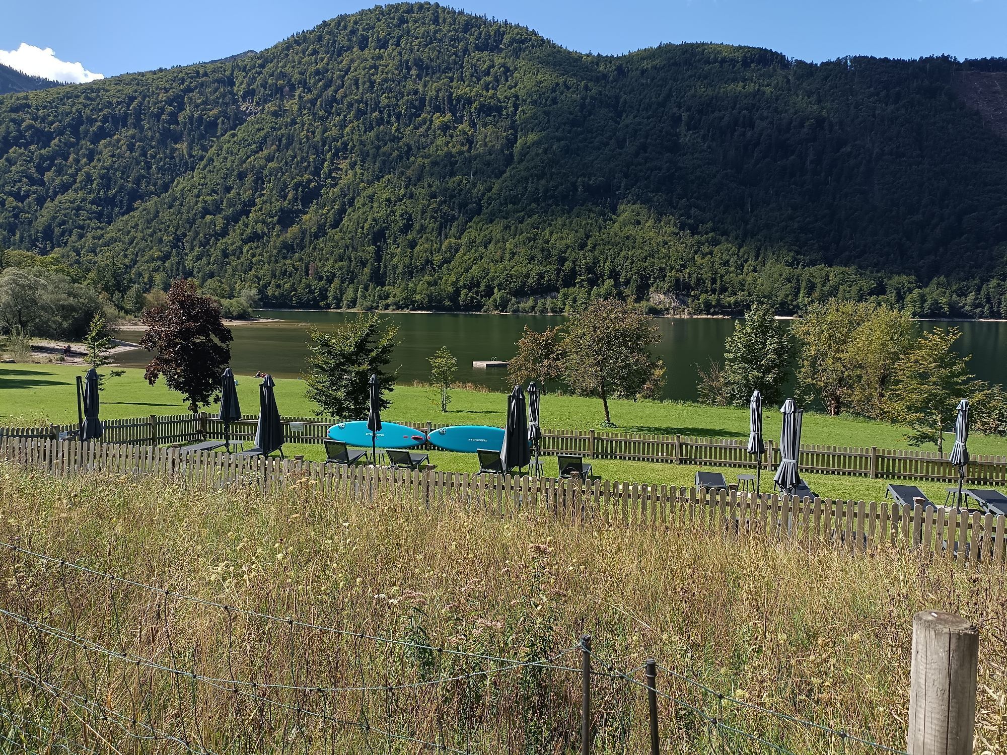
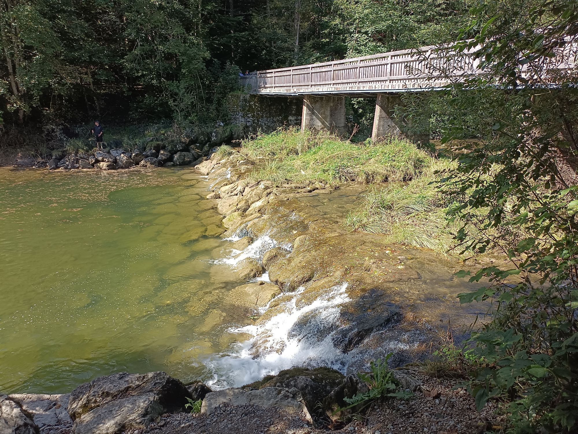
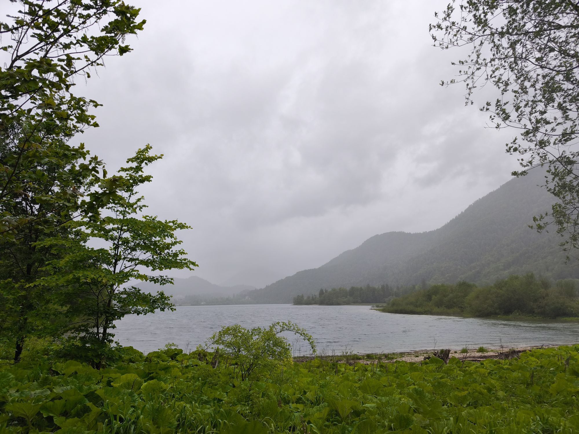
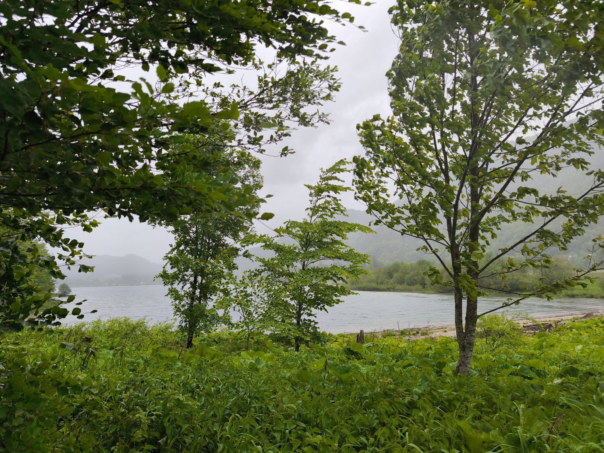

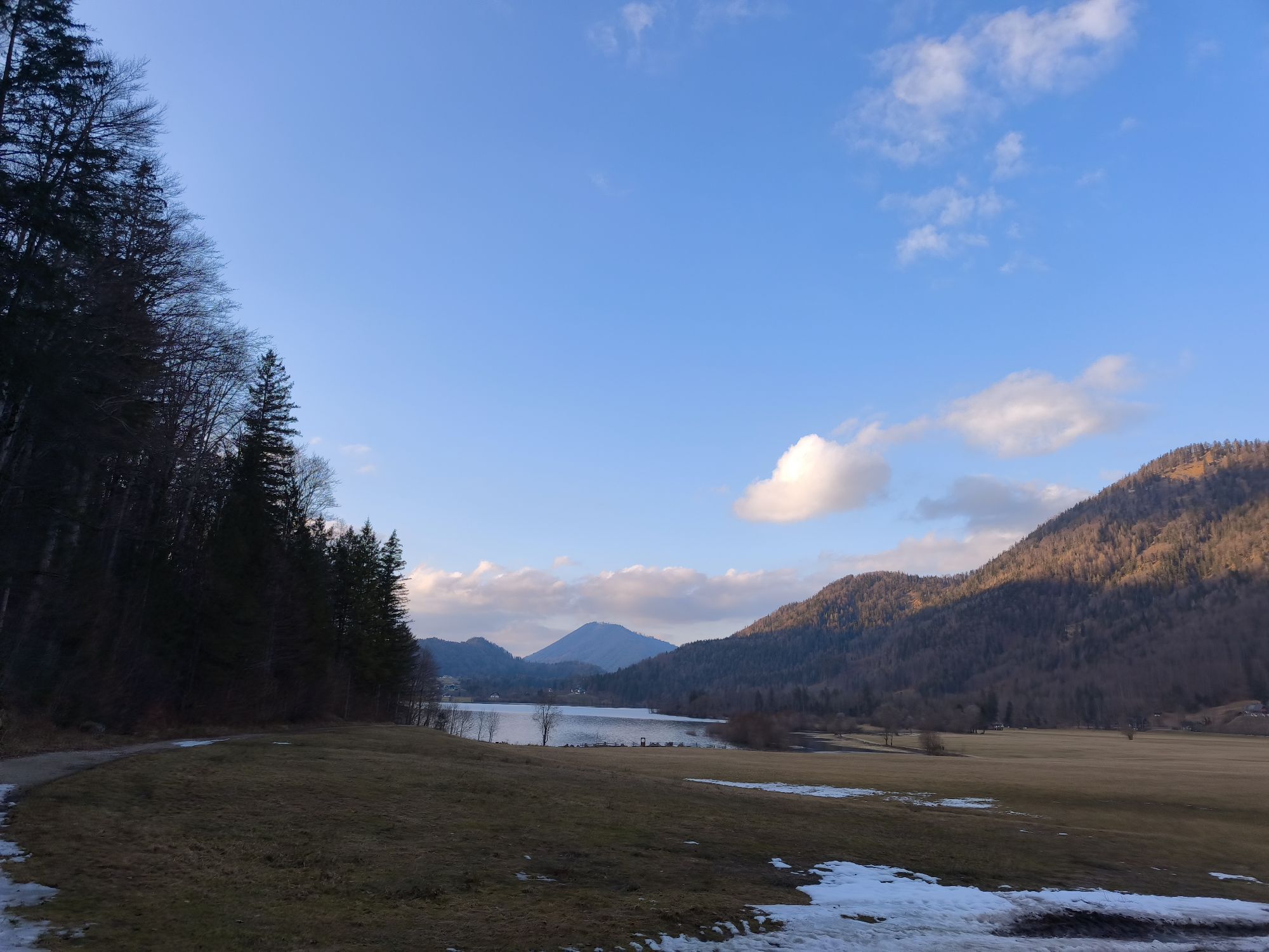
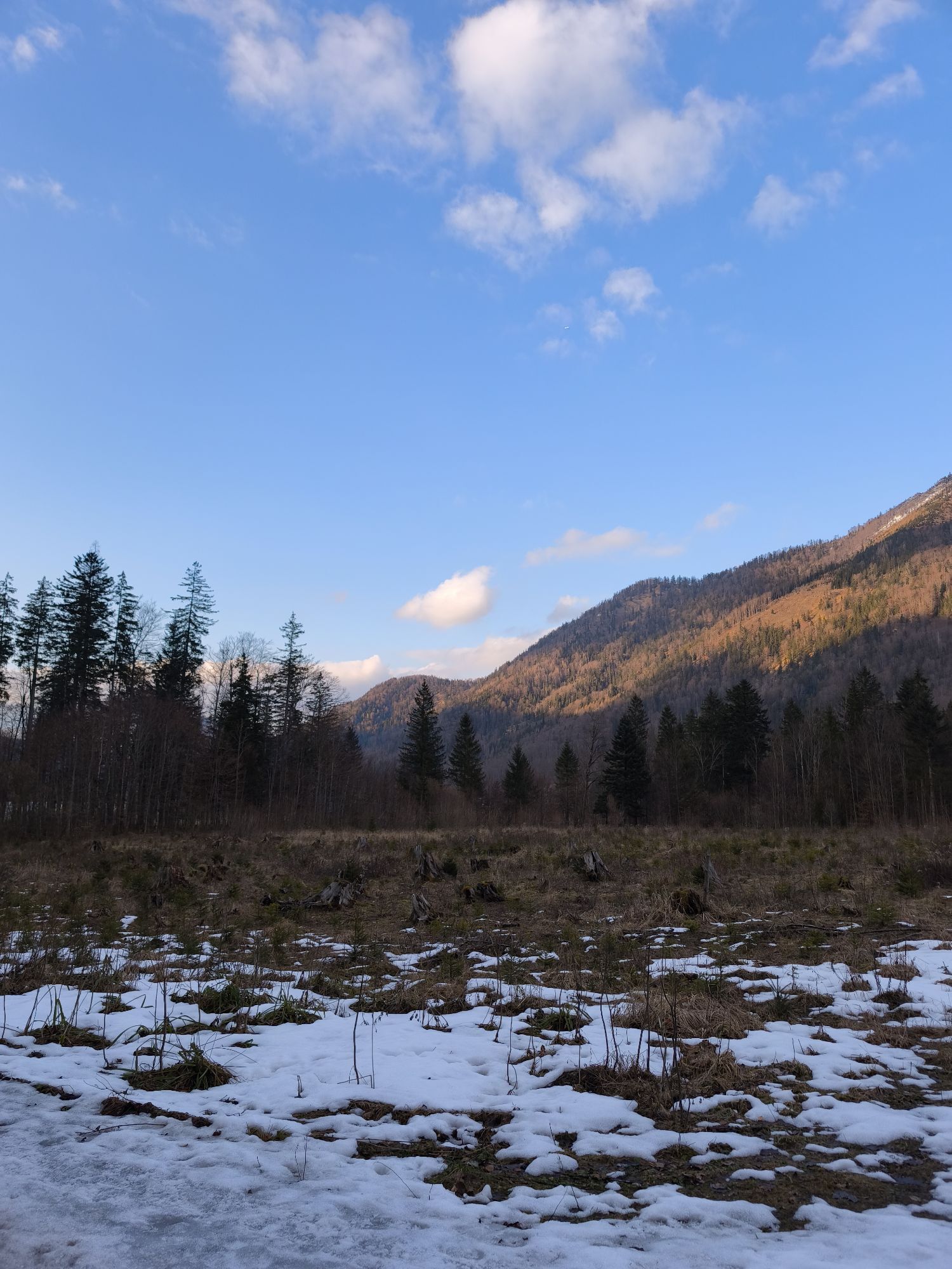
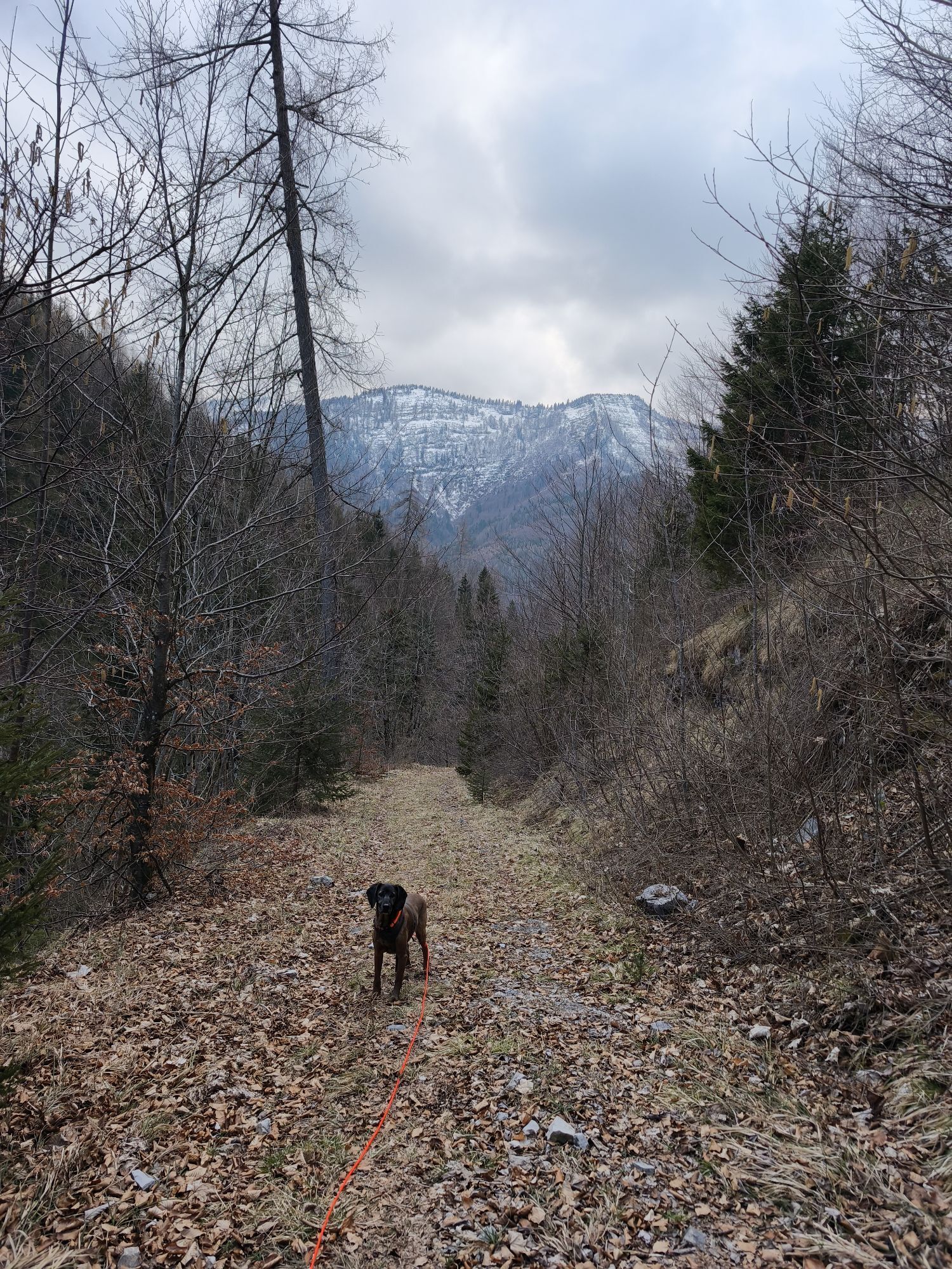
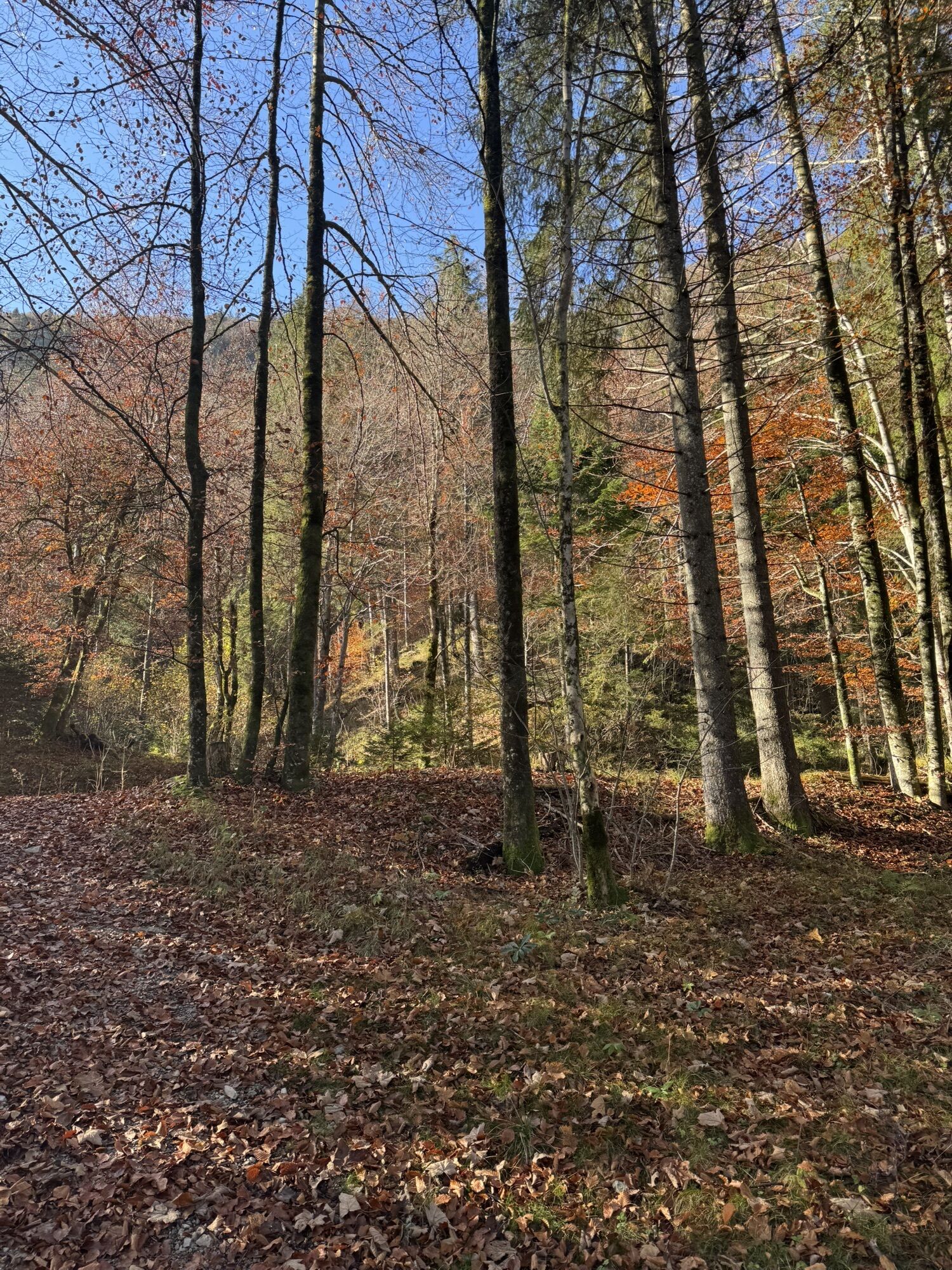
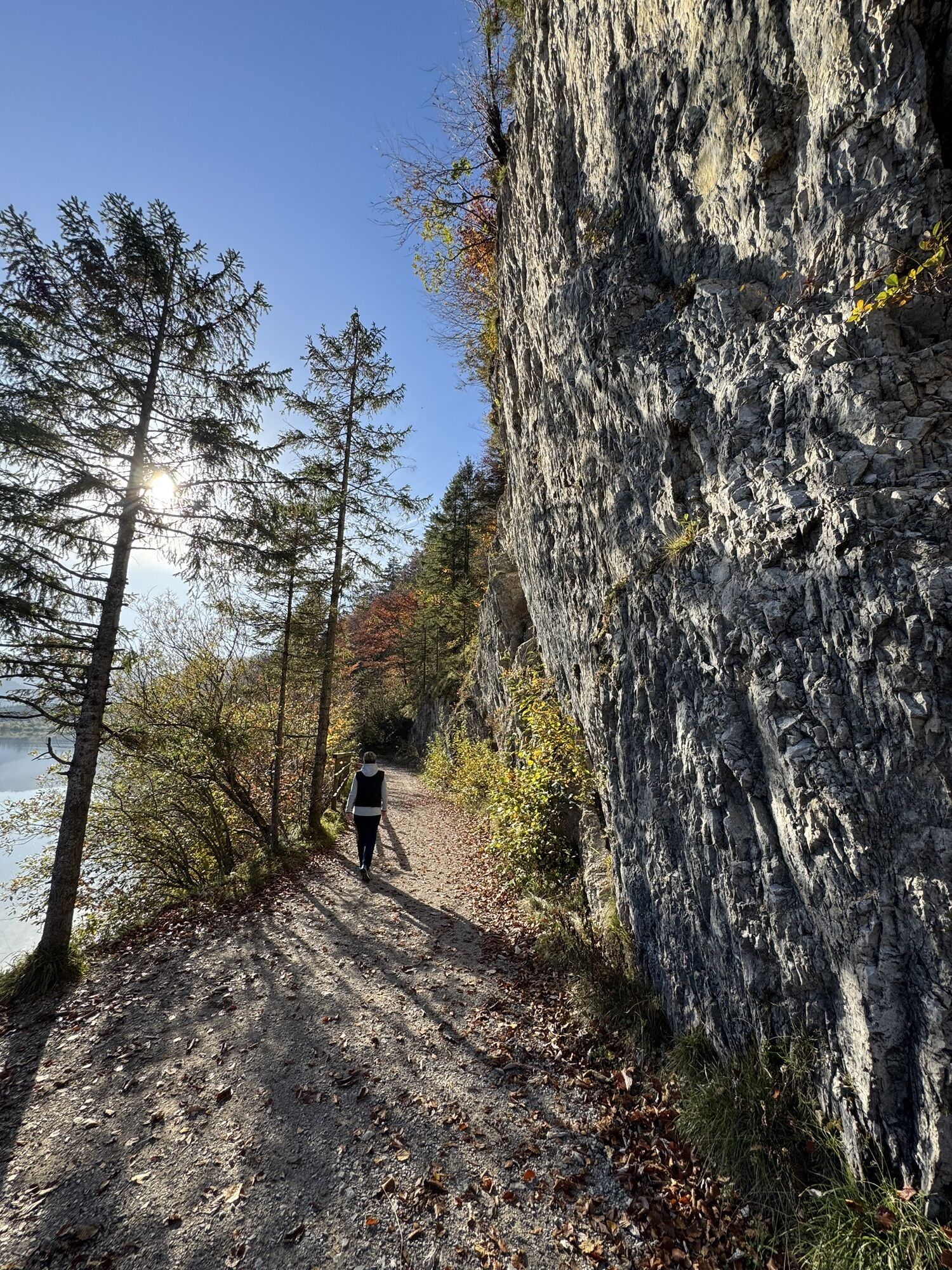
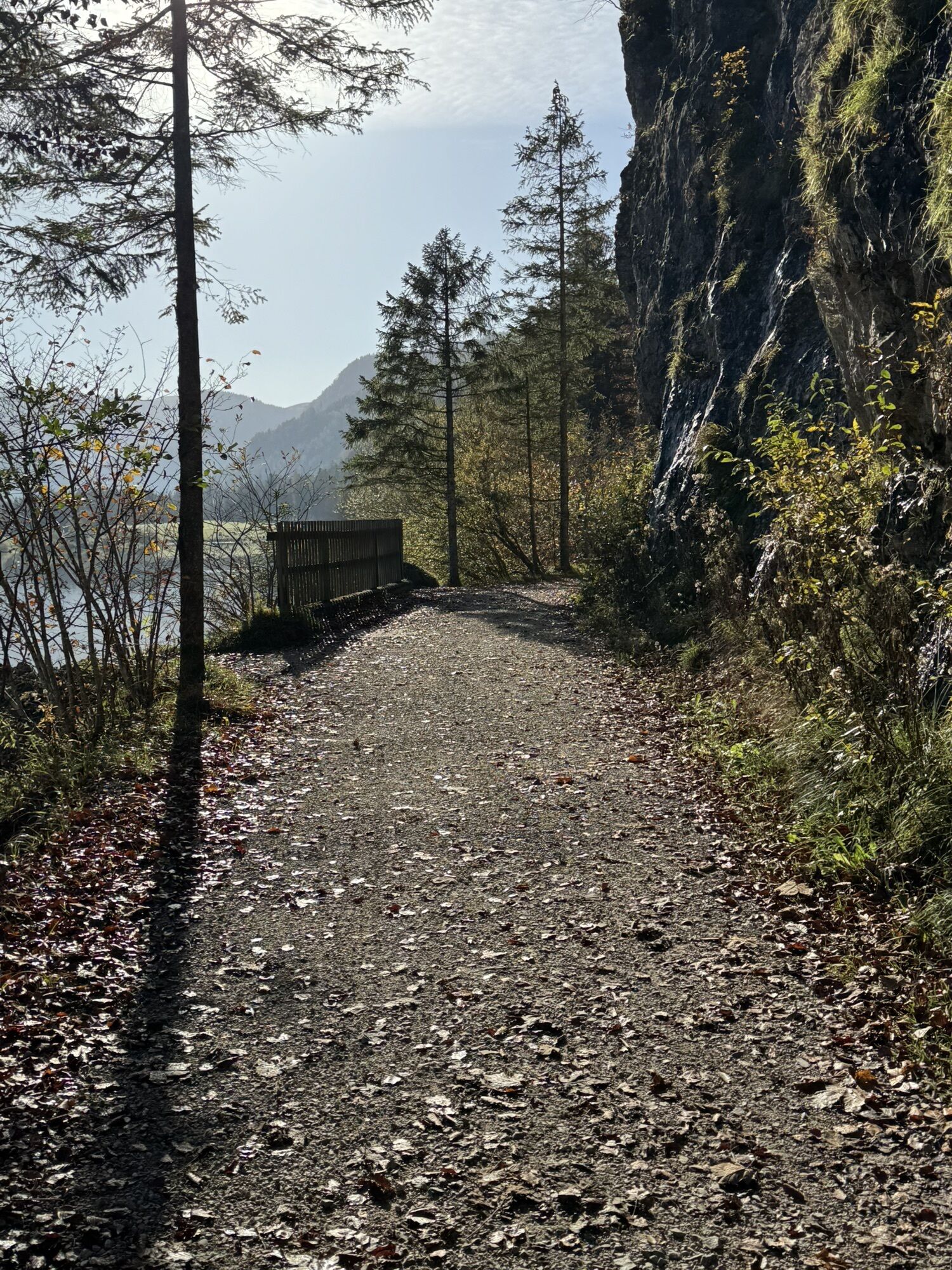
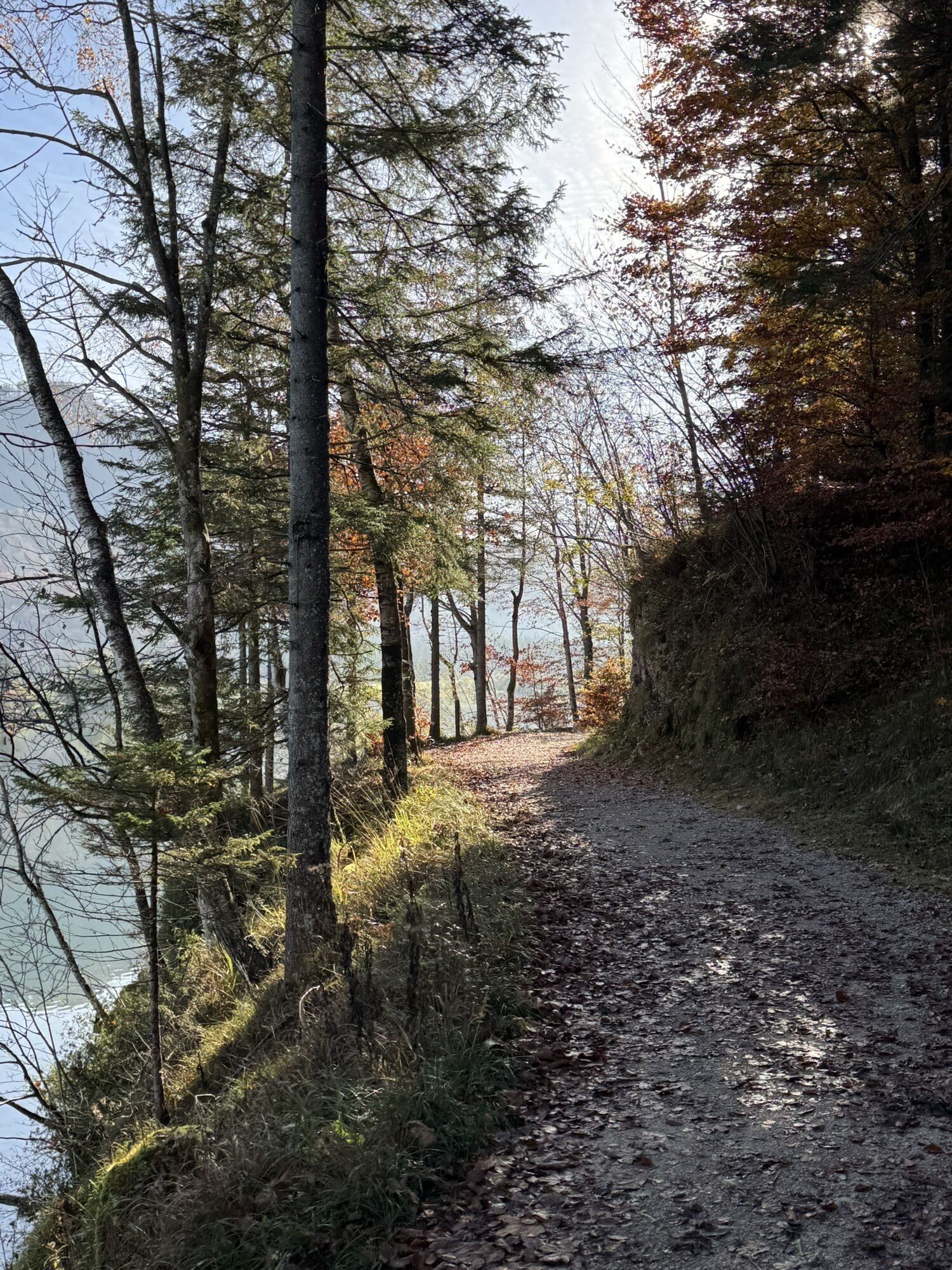
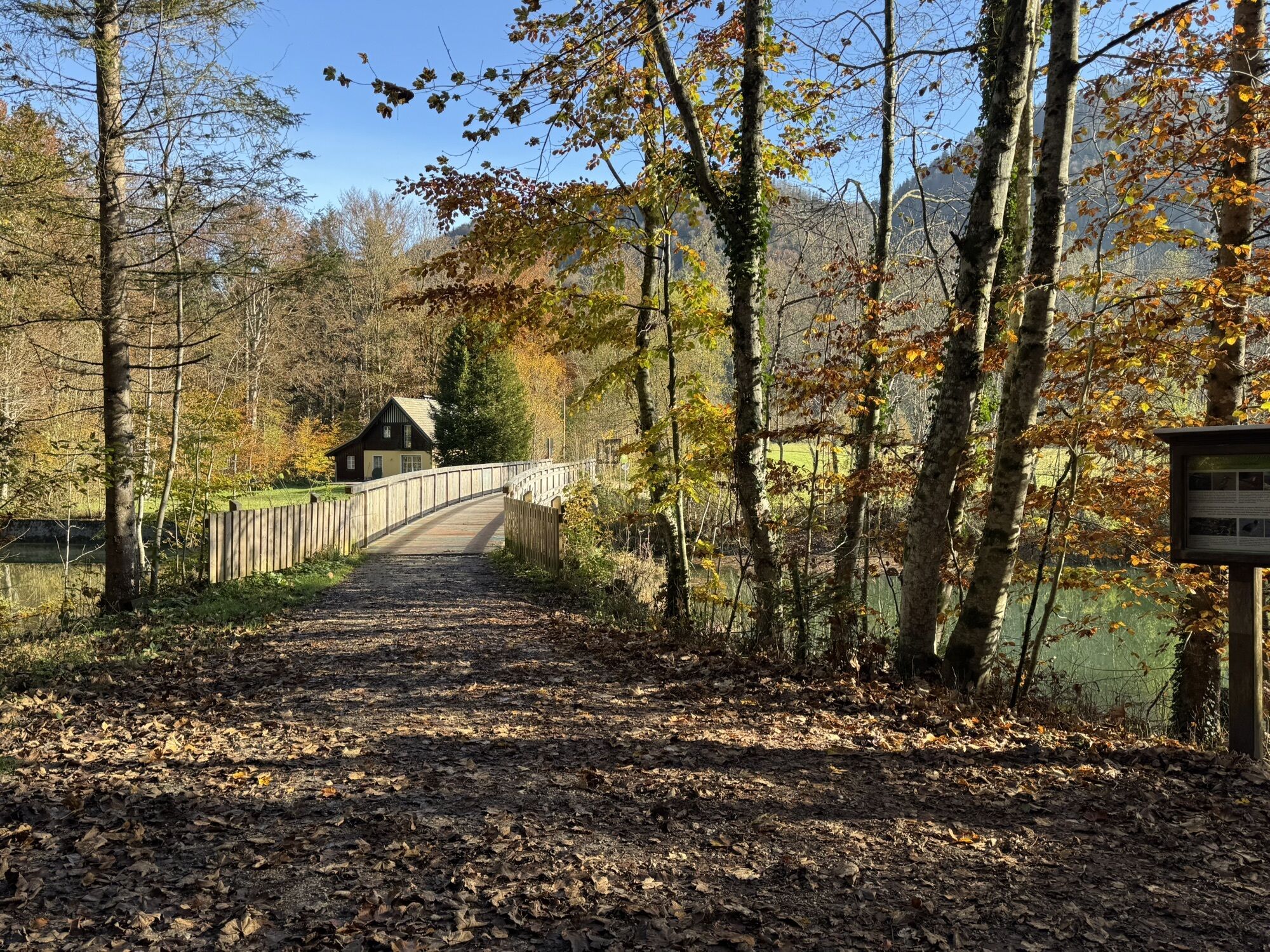
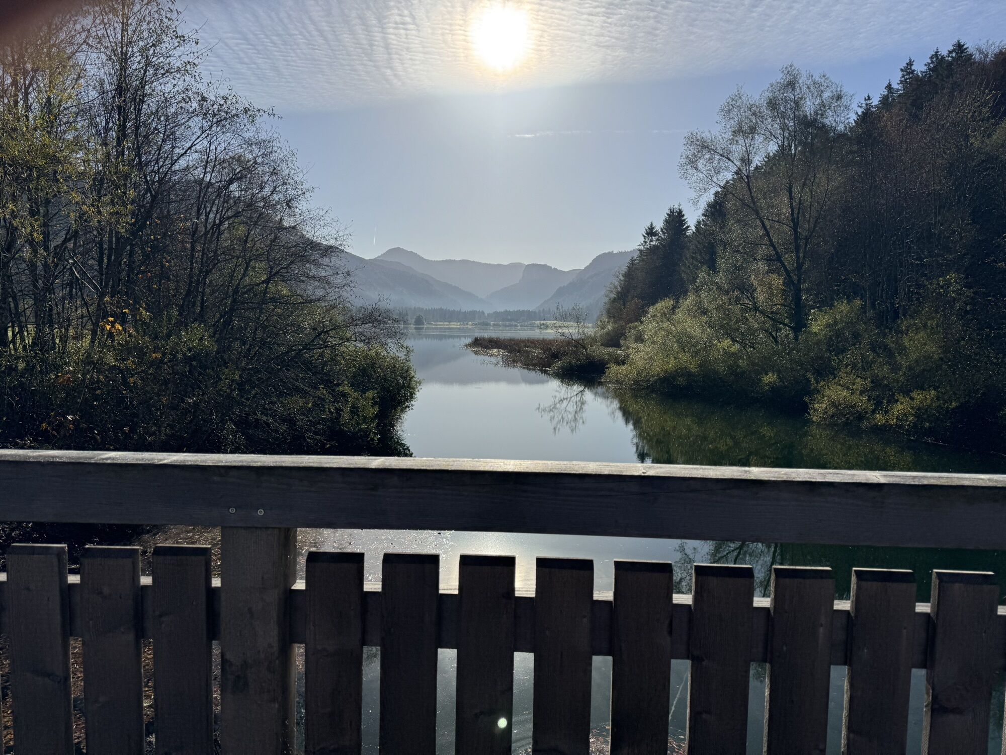
The Sonnberg round covers 33 km and 628 m altitude gain, mostly on forest roads and farm tracks around the Faistenauer Schafberg. Single trails are not expected on this route. Thus, this round is accessible...
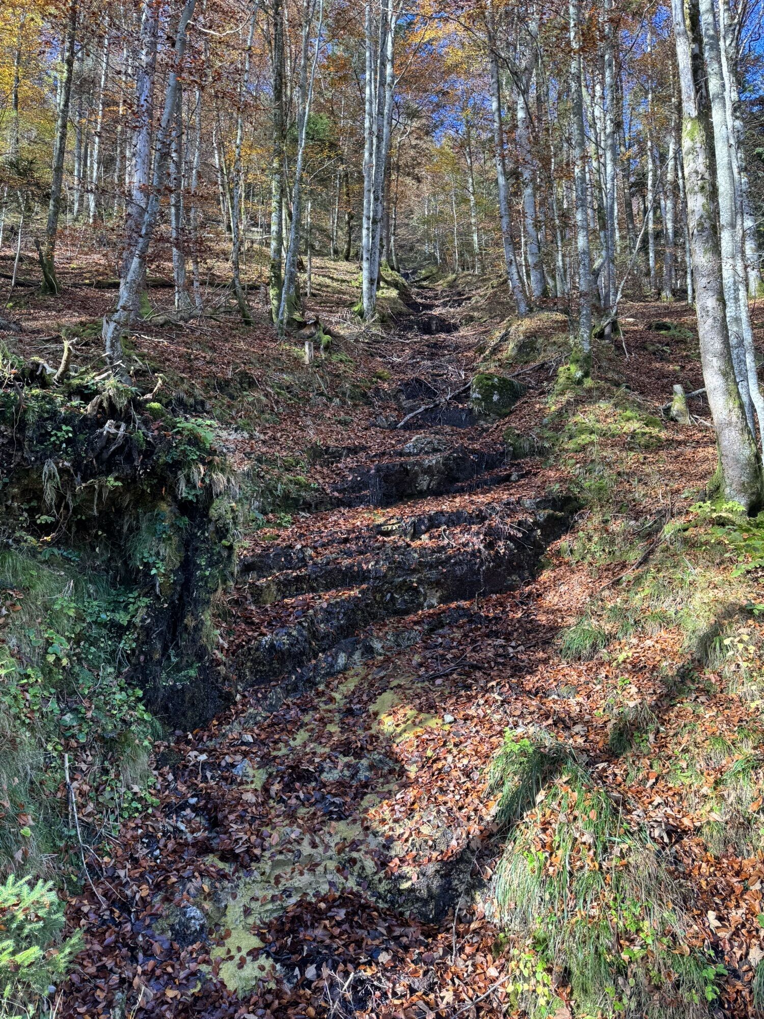
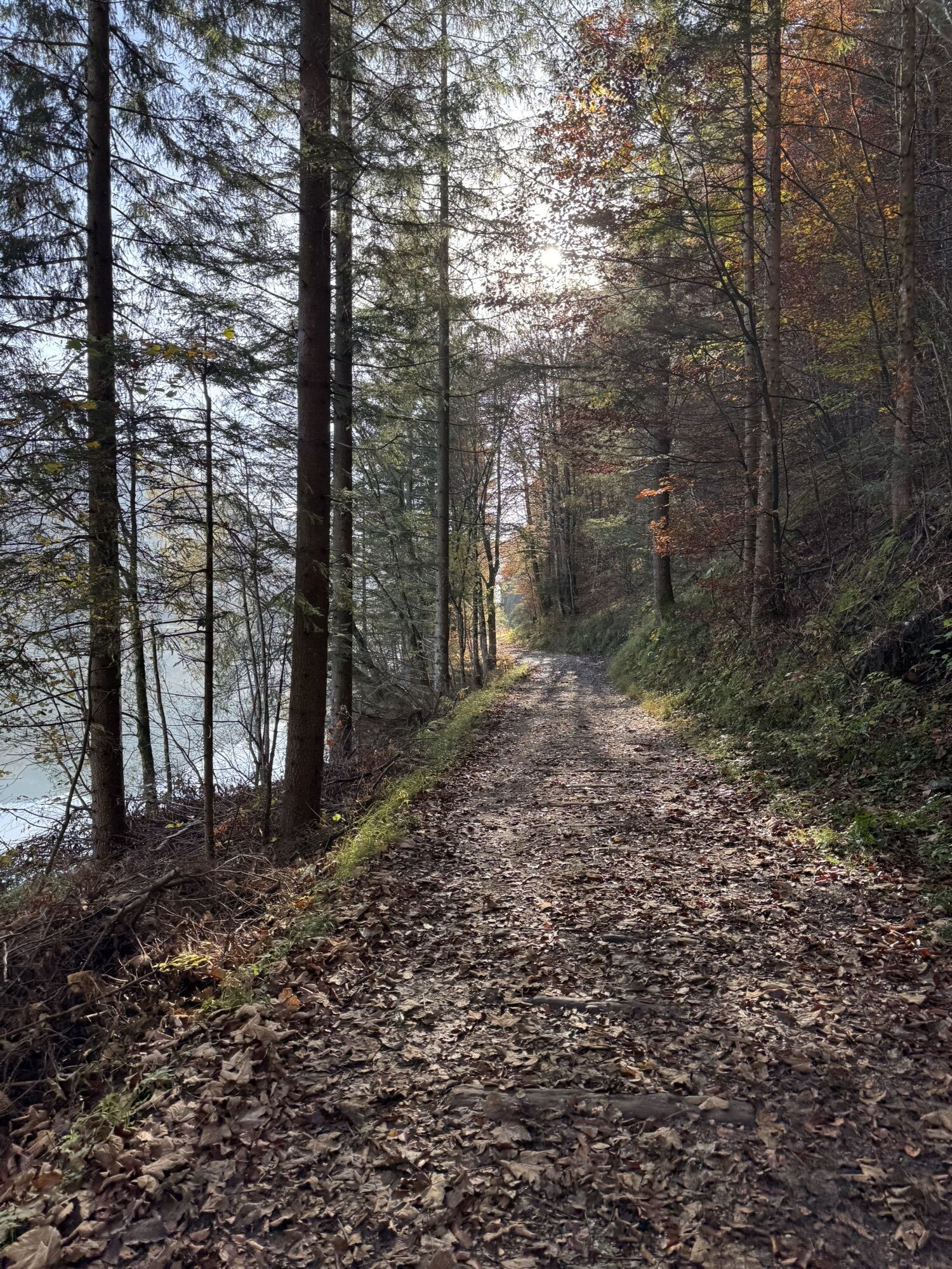
The Sonnberg round covers 33 km and 628 m altitude gain, mostly on forest roads and farm tracks around the Faistenauer Schafberg. Single trails are not expected on this route. Thus, this round is accessible with an eMTB or an MTB.
The following highlights make this route, in addition to the wonderful nature, an unforgettable experience:
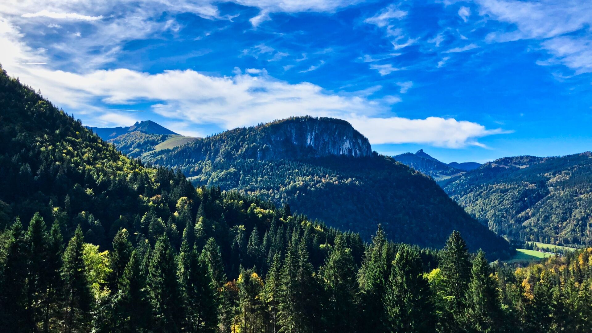
Climb to Schafbachalm and a refreshment stop at Hatzenalm View of the Feichtenstein and possibly a small excursion to Genneralm (charging station) Over the Sonnberg to Hintersee and along the west shore with many bathing opportunities and photo stops a refreshment stop at Seestüberl or further on to Faistenau at Krämerwirt
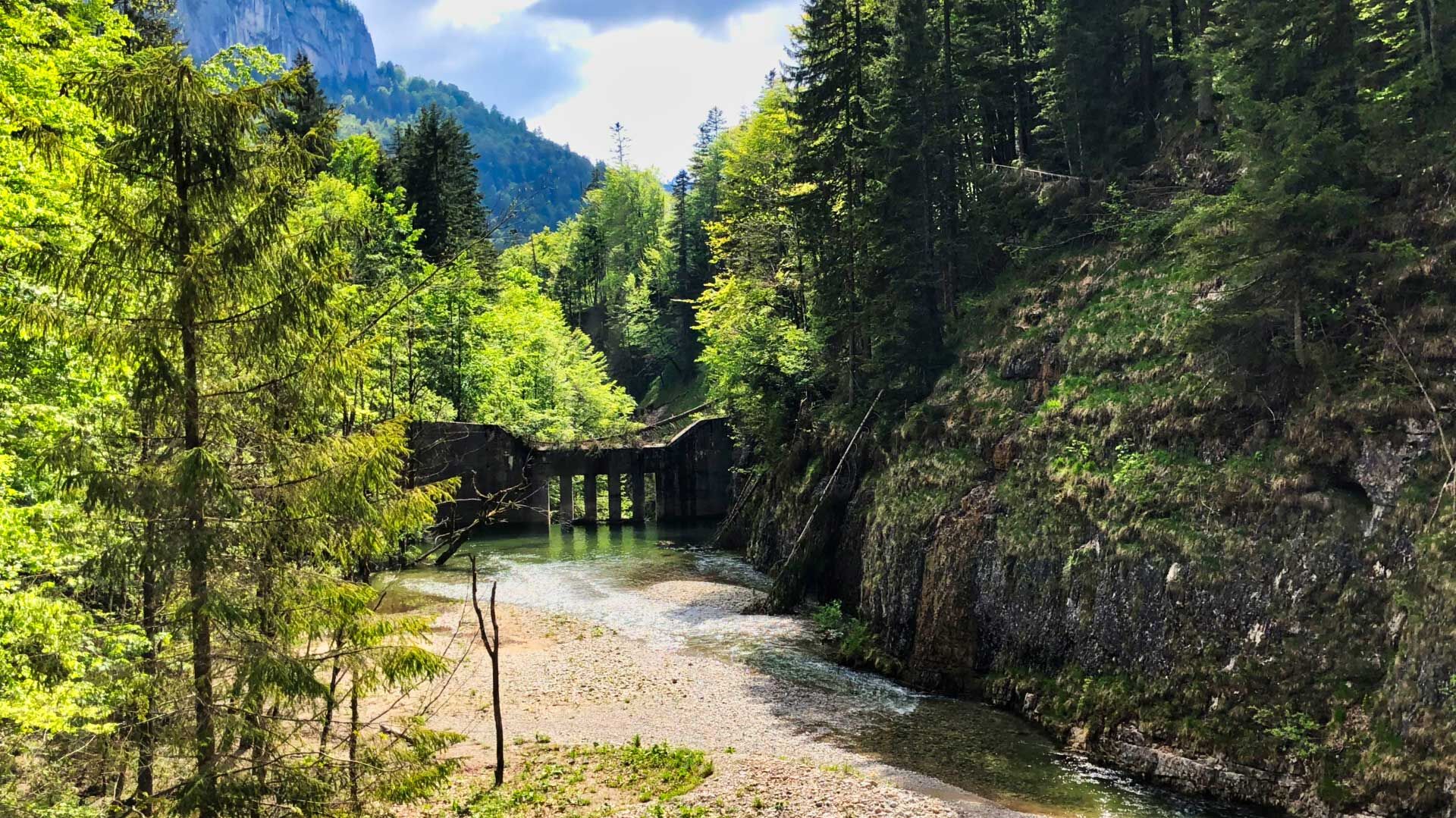
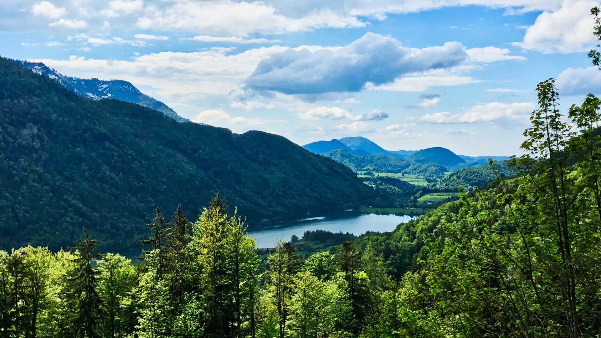
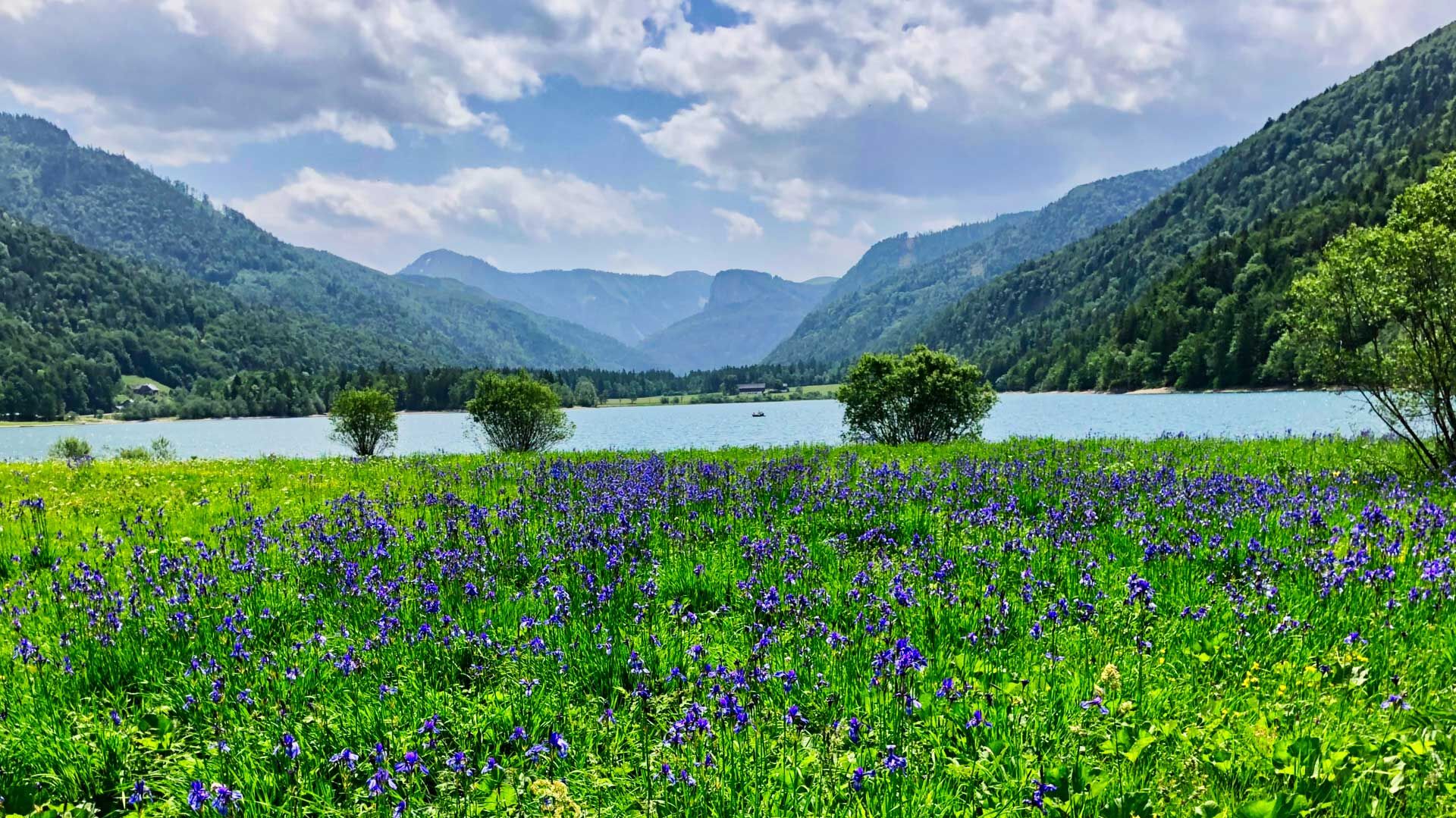
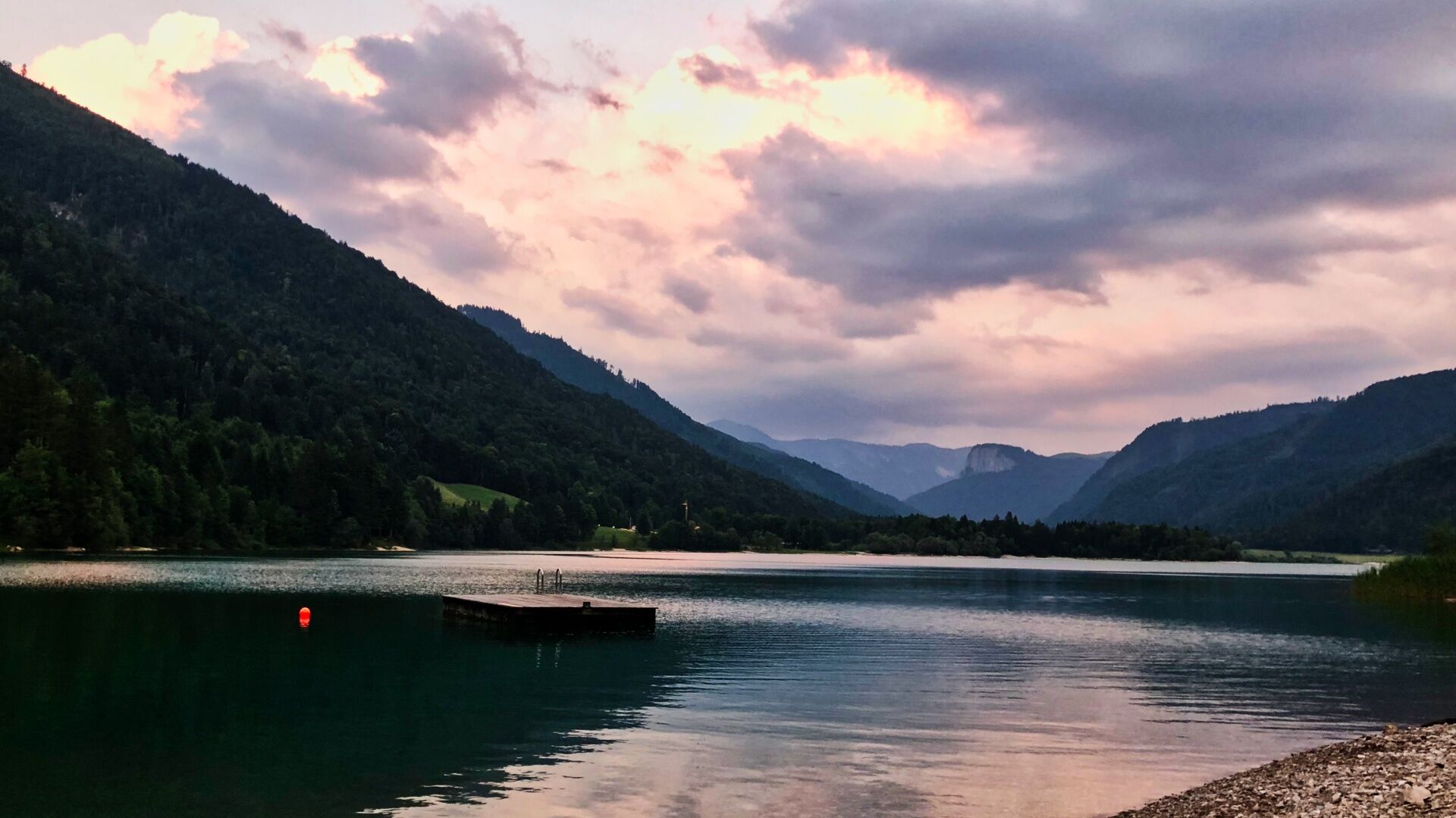

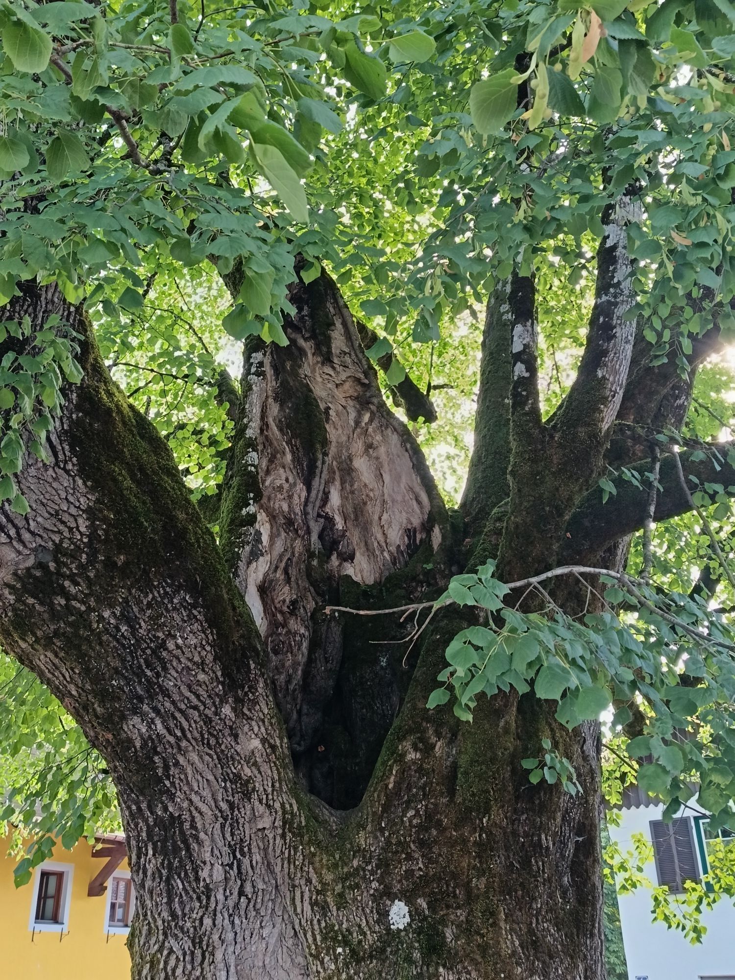
Before we start at the 1000-year-old linden tree in the village square, we still have the opportunity to download the route from the digital information board.
The route is generally well signposted, we simply follow the burgundy mountain bike signage of trail number S460 and depending on the frequency of stops, breaks, and fitness, we will return to Faistenau after 2 hours or one day.
Passing the Hotel Post, we turn right and at the first opportunity turn left downhill. After 500m we cross the L202 and ride along Ramsaustraße between farms and hamlets until after a further 1.6km (747m altitude gain) we cross Tiefbrunnaustraße and ride on Schönaustraße past Stegmühle before after a short forest passage at around 3.6km we return to Tiefbrunnstraße (739m altitude), into which we turn right. We stay on Tiefbrunnstraße for 3.2km before making a sharp right onto the forest road.
If you want to climb a summit, you have the option here to ride straight ahead to Zwölferhorn.
The rest turn right as described (817m altitude) onto the forest road which ultimately leads over the Schafbachalmen to Hintersee.
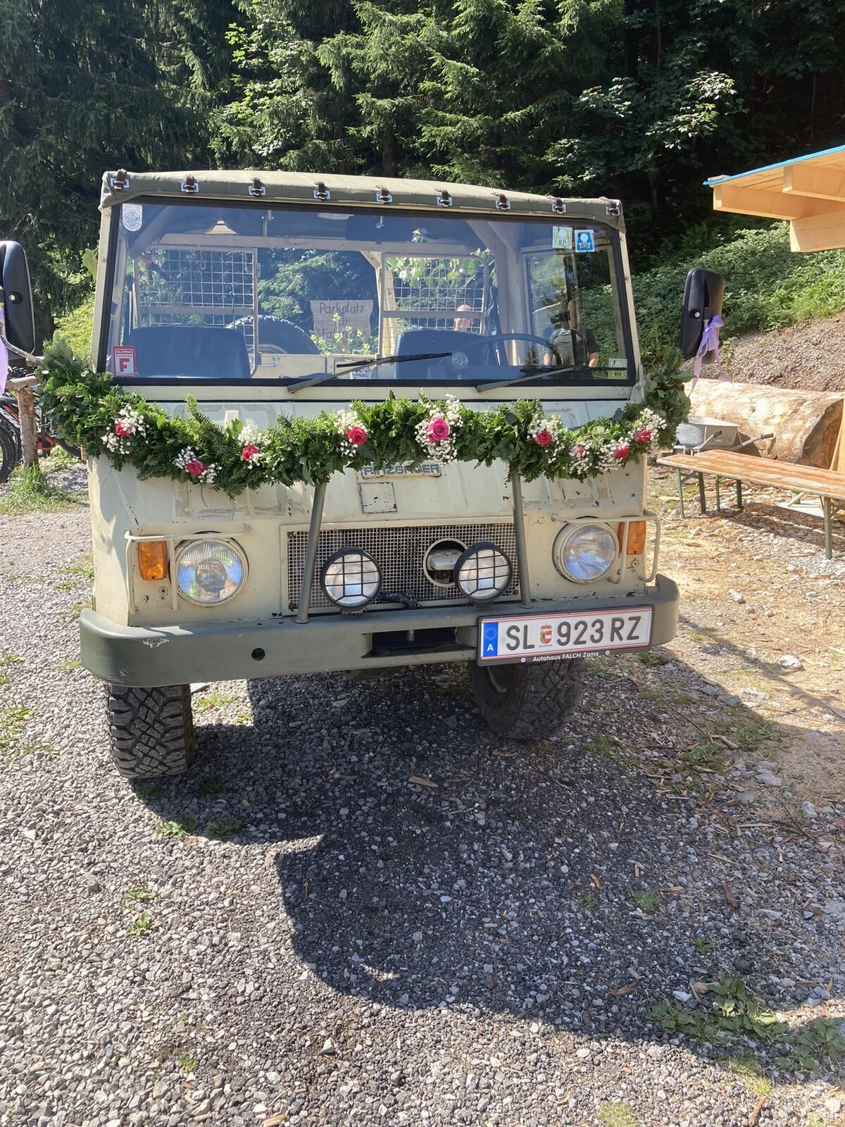
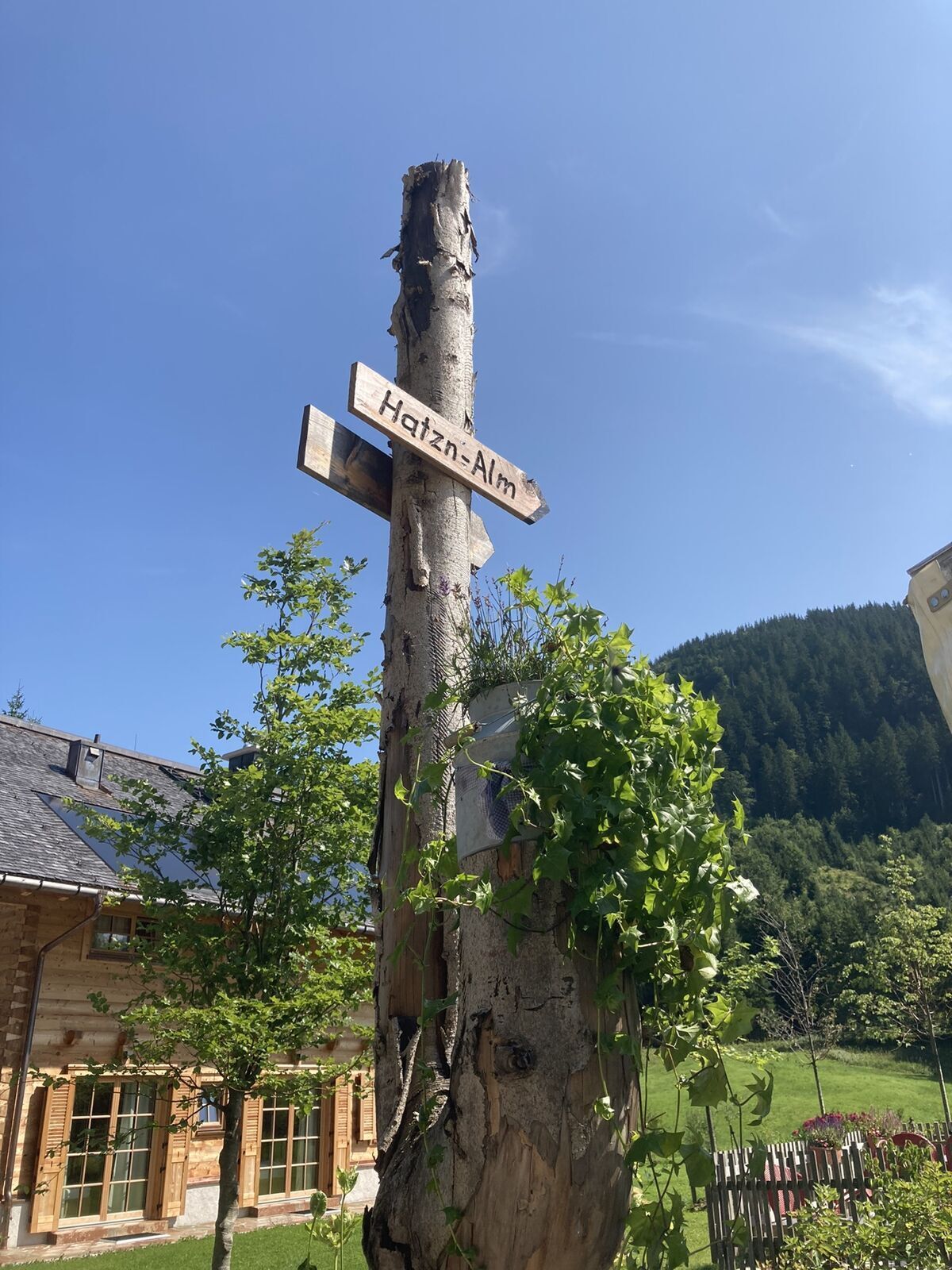
After 3km on the forest road, the Hatzenalm (1038m altitude) lies on the right side of the path. As a biker-friendly hut it offers a charging option for your own needs and also for your eMTB.
When descending from Hatzenalm, pay attention to the signage because there are two forks in the road in quick succession that would lead us on wrong paths. After this short break, we follow about 3.5 km of the forest road which more or less stays on the contour line. At the junction (932m altitude) we go straight ahead.
Now it goes down a few curves towards Hintersee. At the next-to-next junction (820m altitude) after 1.3km, we cross a bridge and then go uphill again onto the Sonnenweg.
From here there is the option to go either to Genneralm or to Bergalm. Both are very nice alpine pastures and a good choice if you still want to climb 2 summits. You can also charge your eMTB at the Poschnhütte (Genneralm). In any case, plan well in advance as it takes some time.
After about 1.6km uphill at the next junction (937m altitude), we continue straight ahead. Gently ascending we glide towards the sun and soon the view opens up over Hintersee to Gaisberg, one of Salzburg’s local mountains.
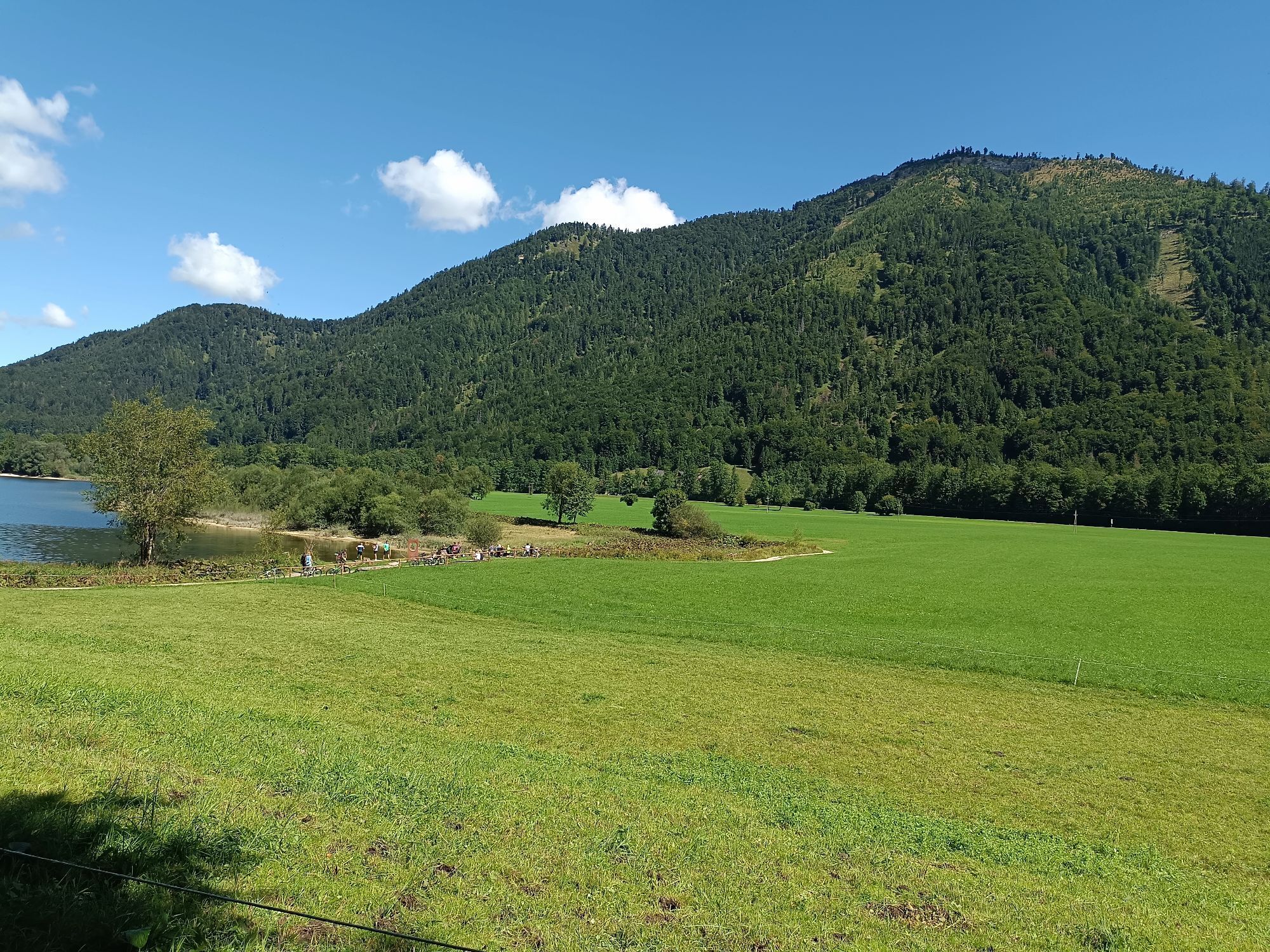
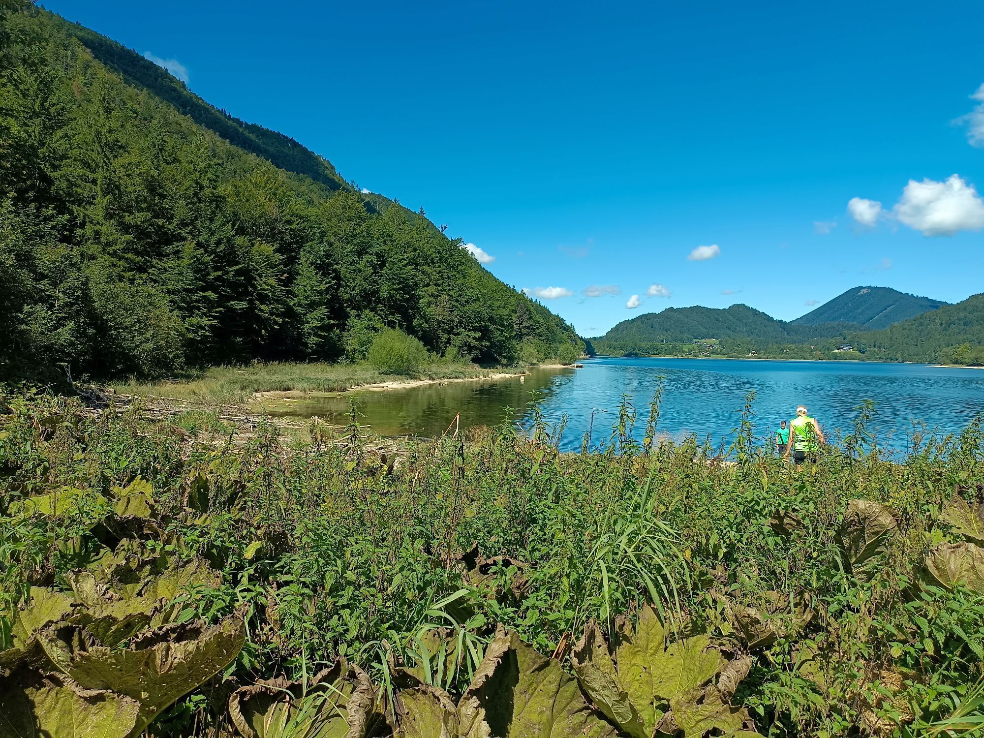
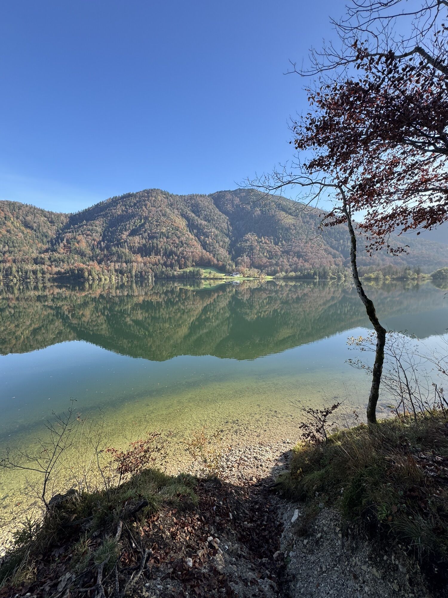
After a short ride at the same altitude, with chamois often visible on the right slope, it goes downhill again towards Hintersee. We reach the lake directly at the Hirschpoint (697m altitude), a biker-friendly inn, and have here the first opportunity to take a bath in the lake.
Continue on the state road 1.4 km towards Hintersee village and turn right onto the forest road towards Eiskapelle.
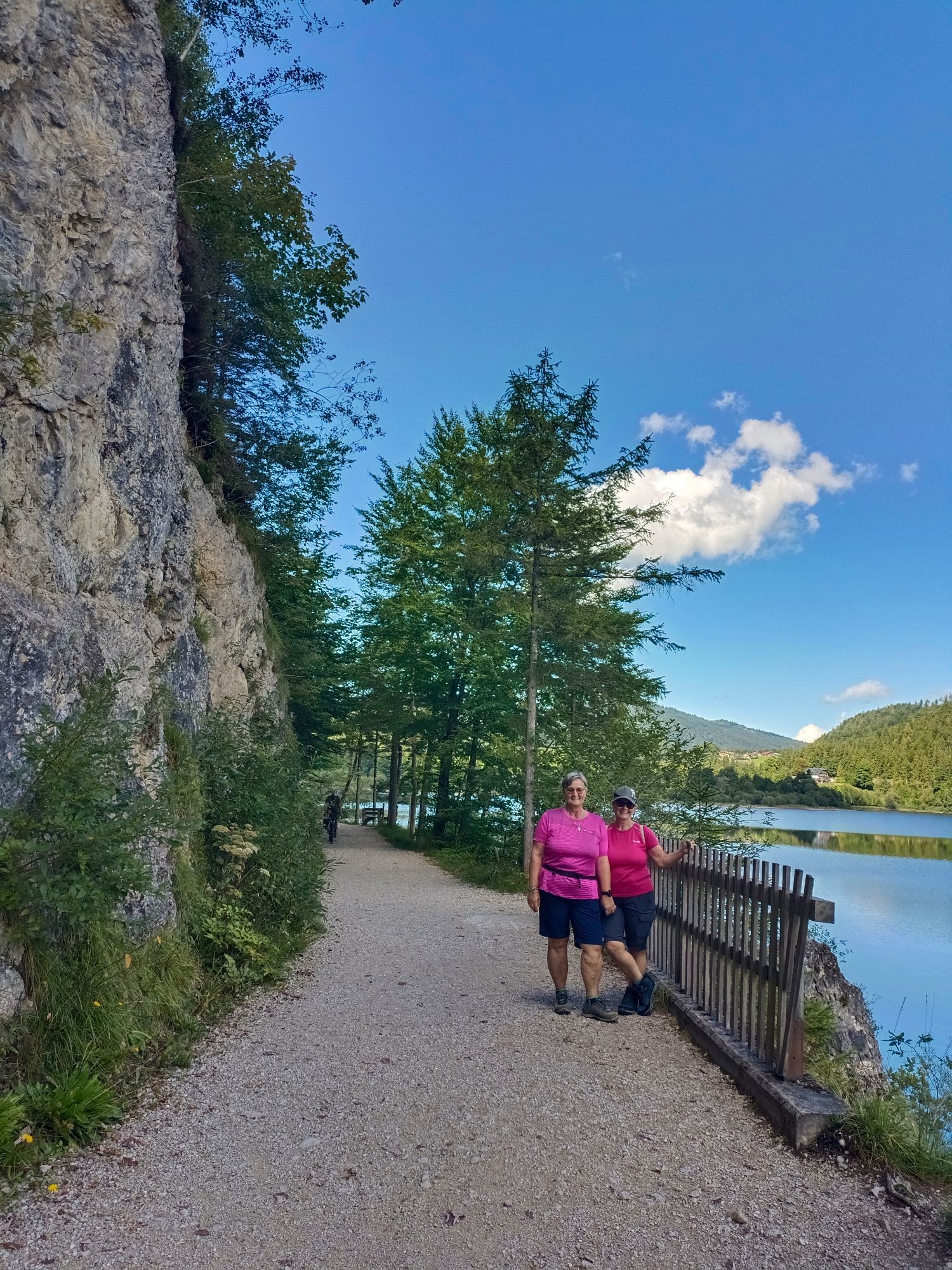
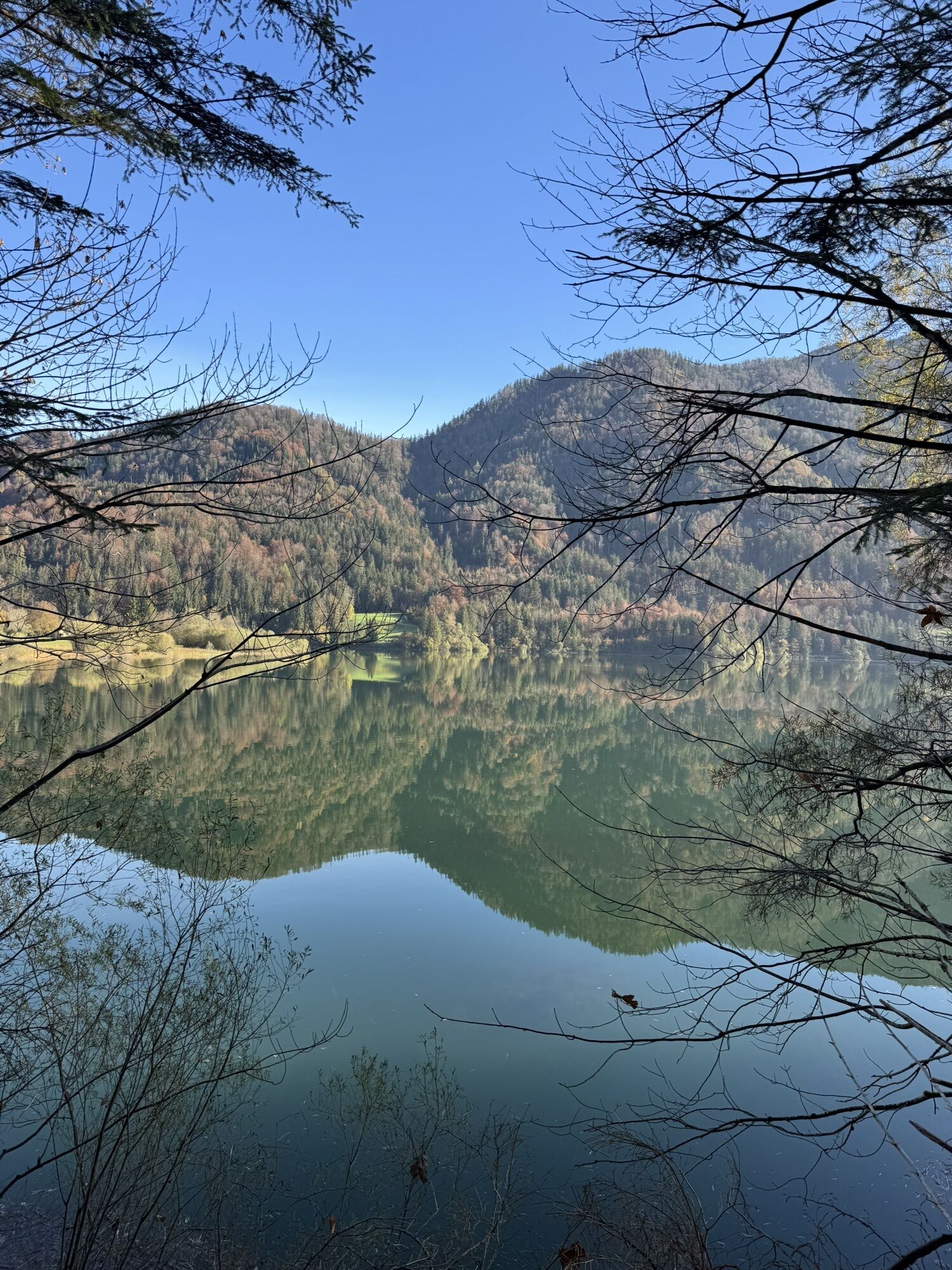
Then we follow the west shore path of Hintersee; if you still have energy and feel hungry, a rustic stop at the Seestüberl is recommended, before continuing towards Faistenau. Here too, there are some forks in quick succession, so it is best to follow the S460 signage.
After Seestüberl, we turn left into Hinterseestraße and after 300m leave it sharply to the right. Shortly thereafter, we follow the gravel road which goes steeply uphill to the left (707m altitude). We follow this for about 1.1km to Hinterseestraße (755m altitude), turn right into it and after another 200m turn sharply left onto Lohstraße into the center of Faistenau.
In the center of Faistenau, we can now enjoy a cozy cold drink and a hearty snack at the inn called "4 Women and 1 Death".
Da
Da
Find equipment recommendations by clicking on the link.
Some of the routes are long tours in which significant altitude gain and loss must be mastered.
Find tips before the route by clicking on the link.
So that your nature experience is unique and full of fun.
By car:
- Take the A1 motorway to the Thalgau exit (whether coming from Munich or Vienna): continue towards Hof bei Salzburg, at the Elsenwang roundabout take the 2nd exit towards Bad Ischl. From here continue as described below.
- Coming from Salzburg: take the B158 (Wolfgangseestraße) from the Gnigl district towards Bad Ischl. After about 15 km you reach the Elsenwang roundabout. Take the first exit to stay on B158.
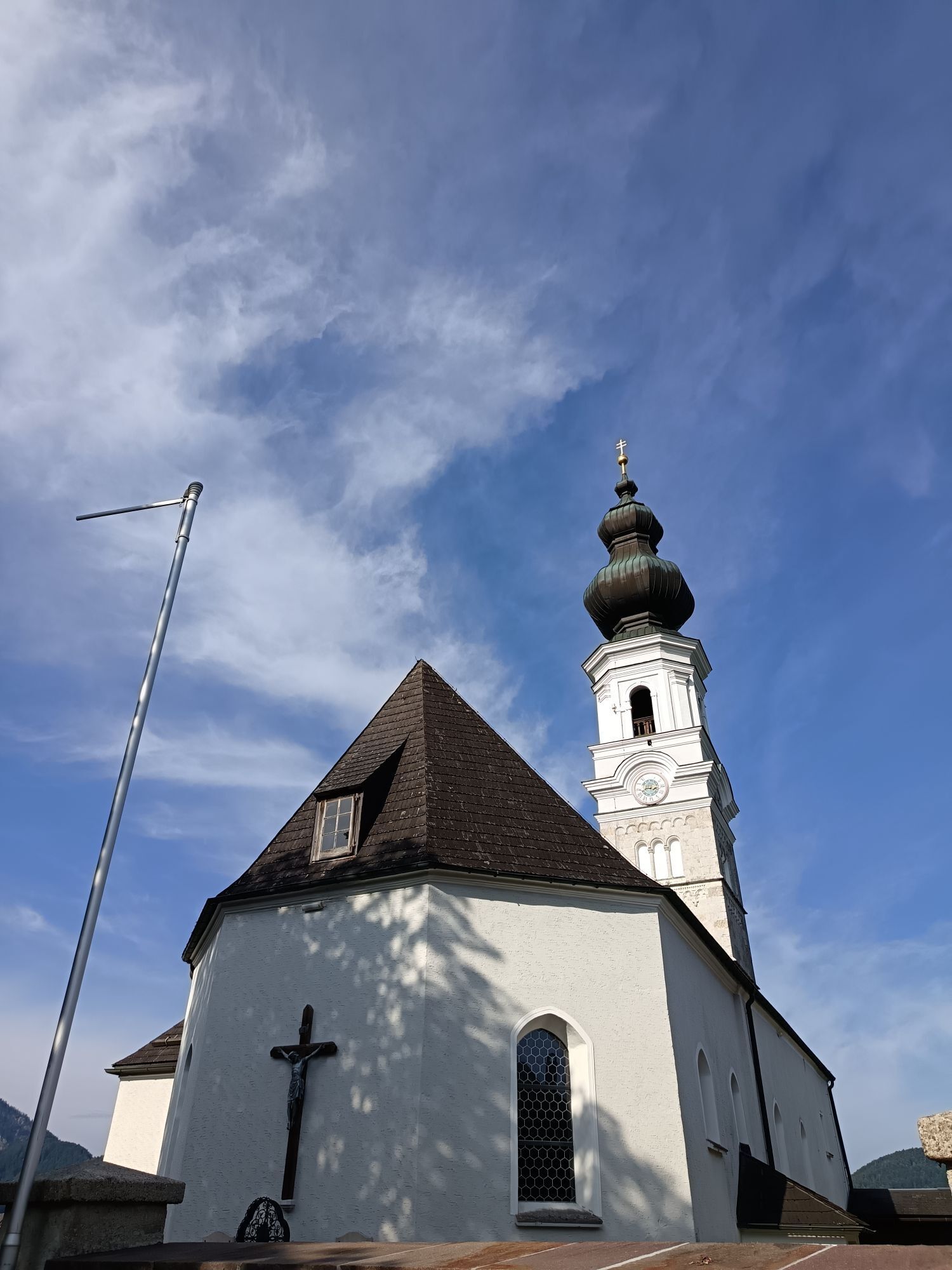
Pass through Hof bei Salzburg and at the Baderluck roundabout take the first exit to reach Faistenau. In a few minutes, you arrive at Faistenau, where you take the first entrance to the village on the right and then follow the road to the center. Opposite or behind the church near NMS Faistenau there is a large parking lot.
The starting point in Faistenau is regularly reachable by line 155, allowing departure from Salzburg city's main station.
In principle, it is permitted to take the bicycle on the Postbus or SVV buses. On Postbuses, the bicycle must be stored in the luggage compartment in the lower part of the vehicle. Please contact the bus driver for this.
About 50 parking spaces are available at the parking lot in Faistenau.
S0
In the Fuschlseeregion we emphasize TRAIL TOLERANCE – further information and tips are available here: https://fuschlsee.salzkammergut.at/aktivitaeten/urlaub-am-see-salzburg-sommer/rennrad-mountainbike/artikel/detail/5902/trailtolerance.html
The baked mice at Hatzenalm, the smoked trout in Seestüberl, a detour to Zwölferhorn and the swim afterwards in Hintersee.

Spletne kamere s turneje
Pridobite vpogled
Vedno v živo na mestu z več kot 9.500 spletnimi kamerami. bergfex Kot uporabnik Pro si lahko zdaj ogledate ustrezne spletne kamere za številne izlete v aplikaciji izleti iz. Tako si lahko neposredno ogledate trenutne razmere.
Priljubljeni izleti v okolici
-
4.8
Fuschl: Ruine Wartenfels - Schober - Frauenkopf
srednjaPohodništvo 7.62 km -
4.2
Fuschlseewanderung
svetlobaPohodništvo 11 km -
4.1
Pillstein Panorama Rundweg
svetlobaPohodništvo 3.40 km -
4.9
Pleasure hike over the Falkenstein
srednjaPohodništvo 9.81 km -
3.6
Mondsee: Rund um den Mondsee
svetlobaKolesarjenje 26.3 km -
4.4
From Koppl to the Gaisberg summit
srednjaPohodništvo 9.86 km -
4.9
Schwarzeneckalm-Bleckwand
svetlobaPohodništvo 5.94 km -
4.9
Eisenaualm
srednjaMountainbike 37 km -
4.8
Schober -Aussichtsplattform mit Seensicht
težkoPohodništvo 2.65 km -
4.8
Gennerhorn über Lämmerbach
srednjaPohodništvo 10.2 km

Pohodništvo in sledenje


Ne zamudite ponudb in navdiha za naslednje počitnice
Vaš e-poštni naslov je bil dodan na poštni seznam.





