







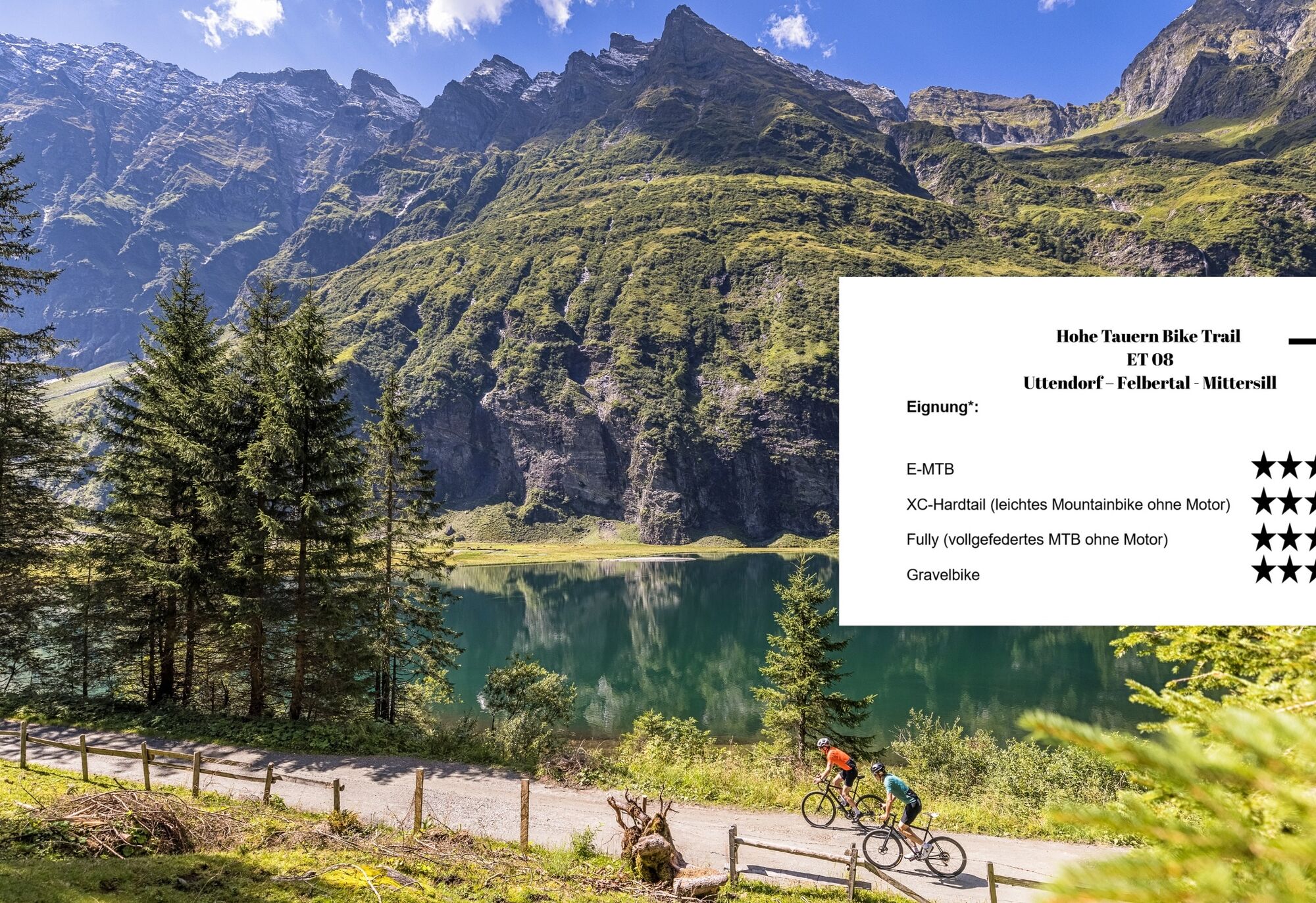
Hohe Tauern Bike Trail | ET08 Uttendorf | Felbertal | Mittersill

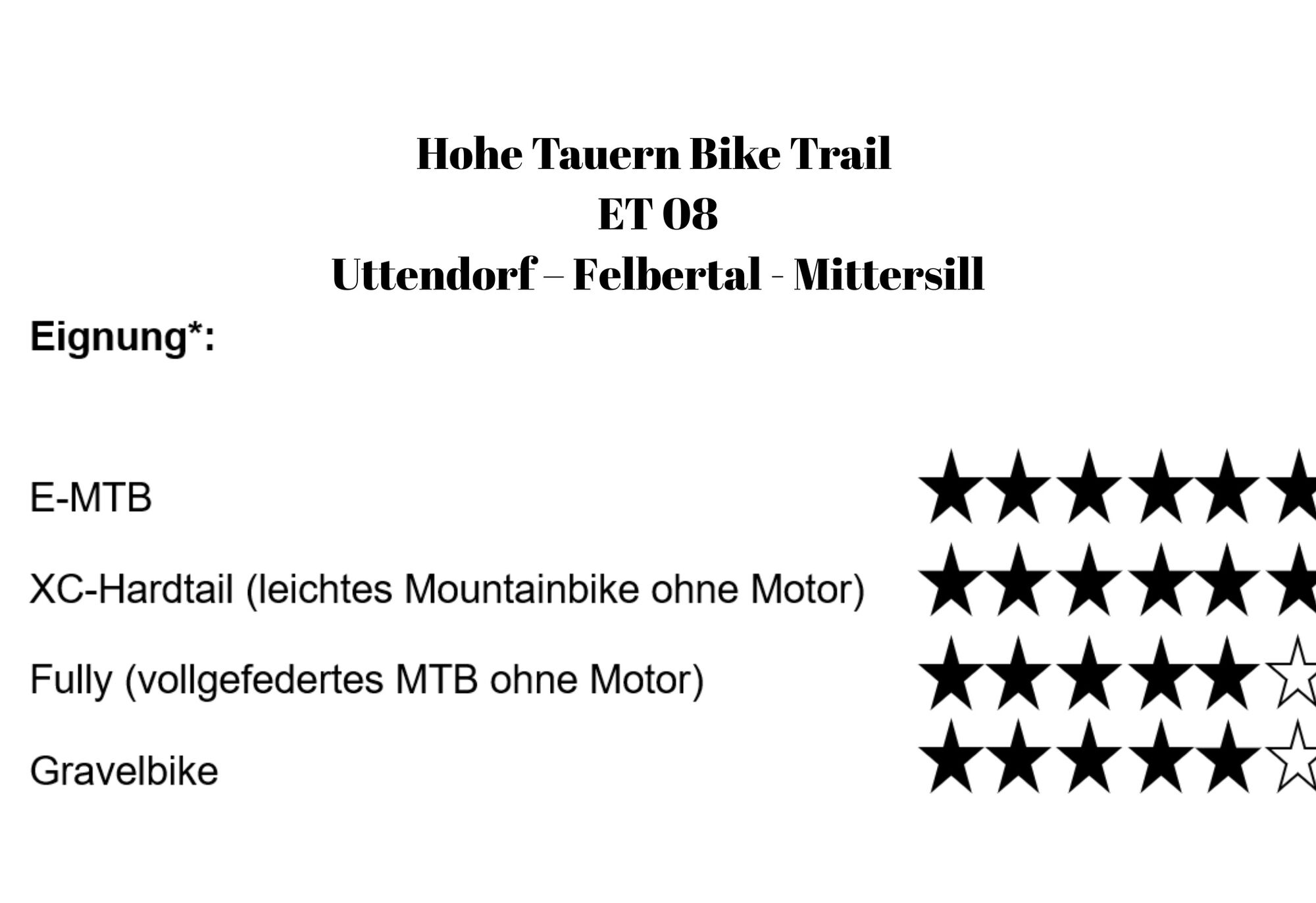
Stopnja težavnosti: S0
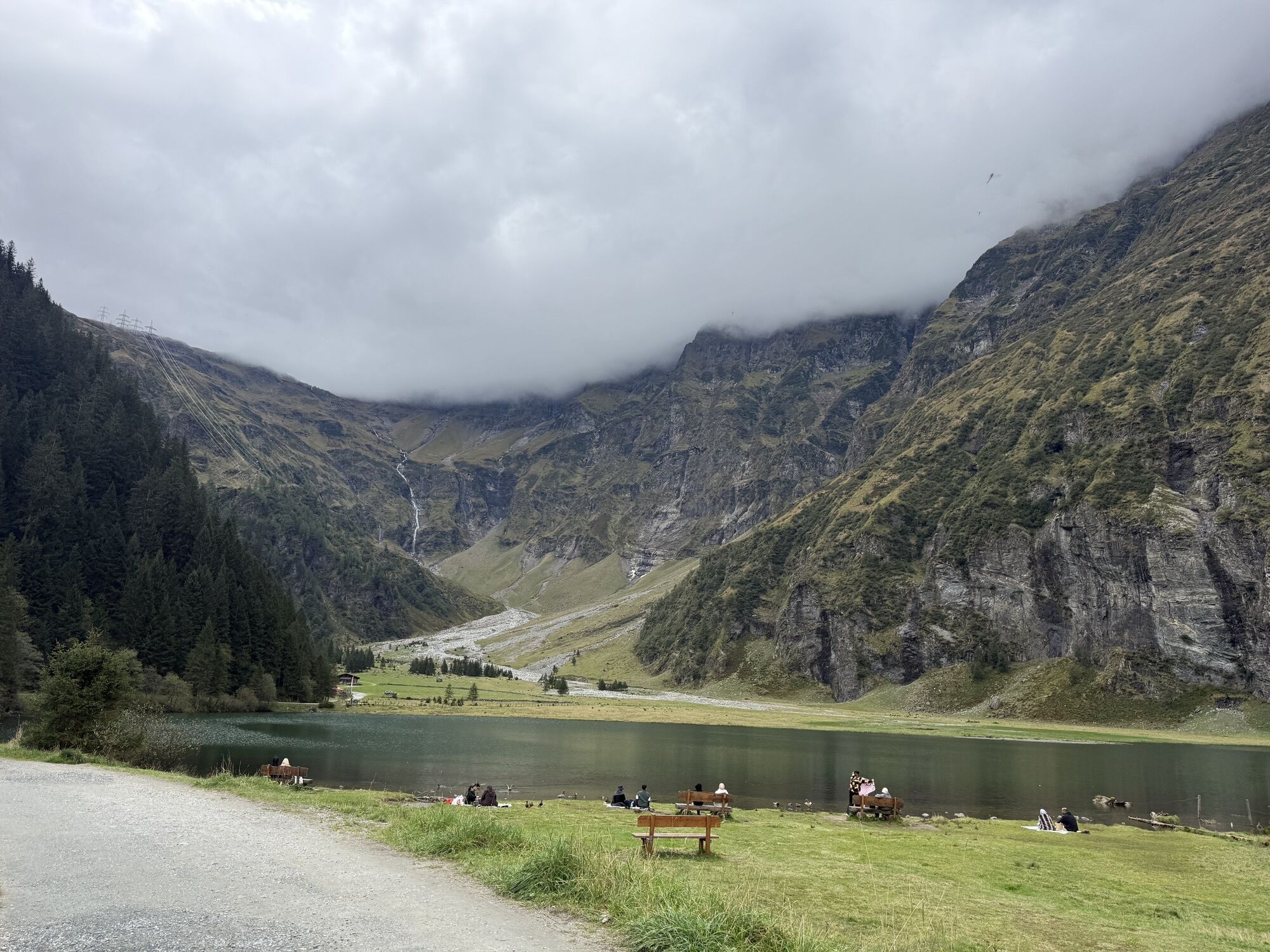
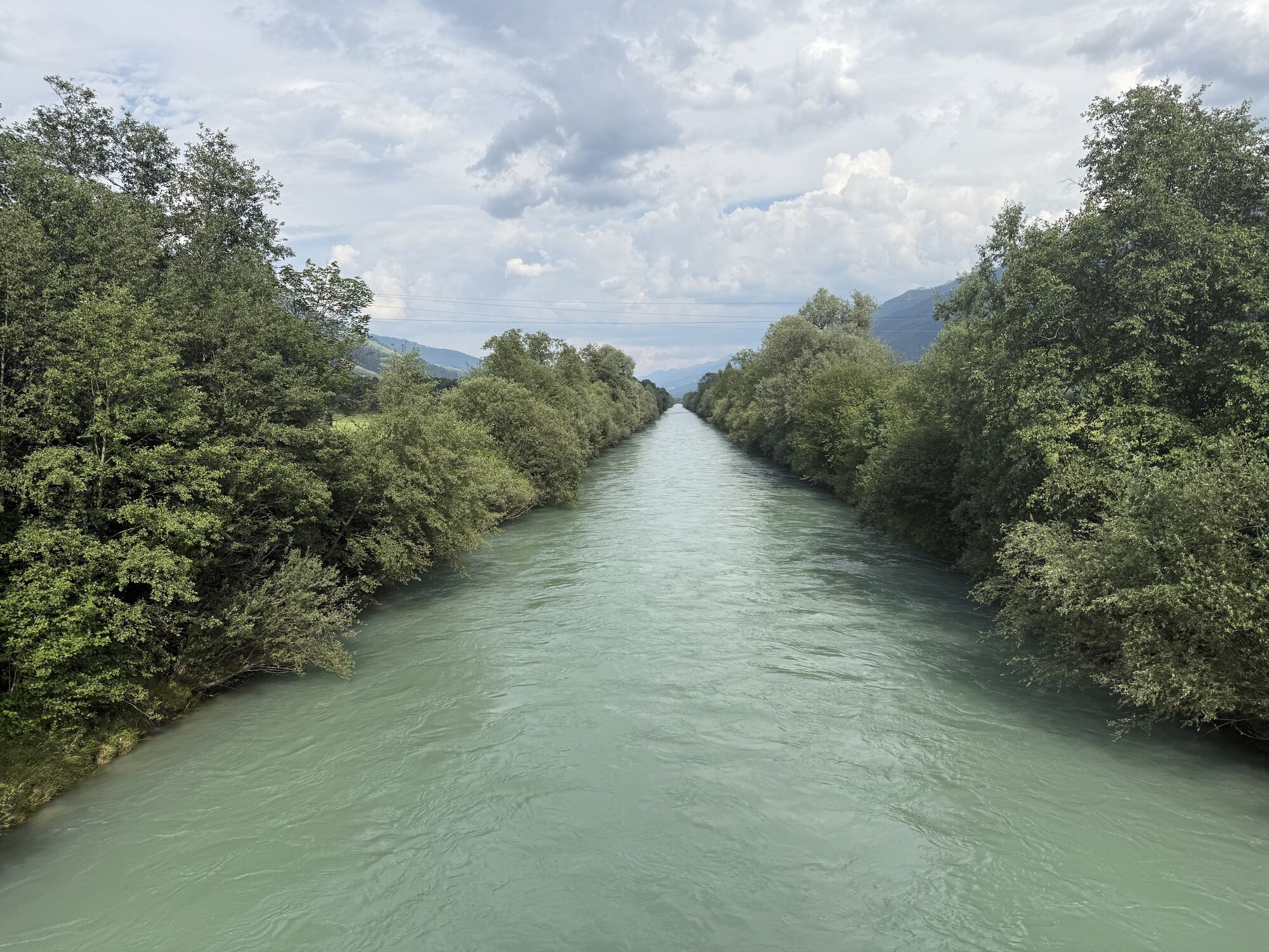
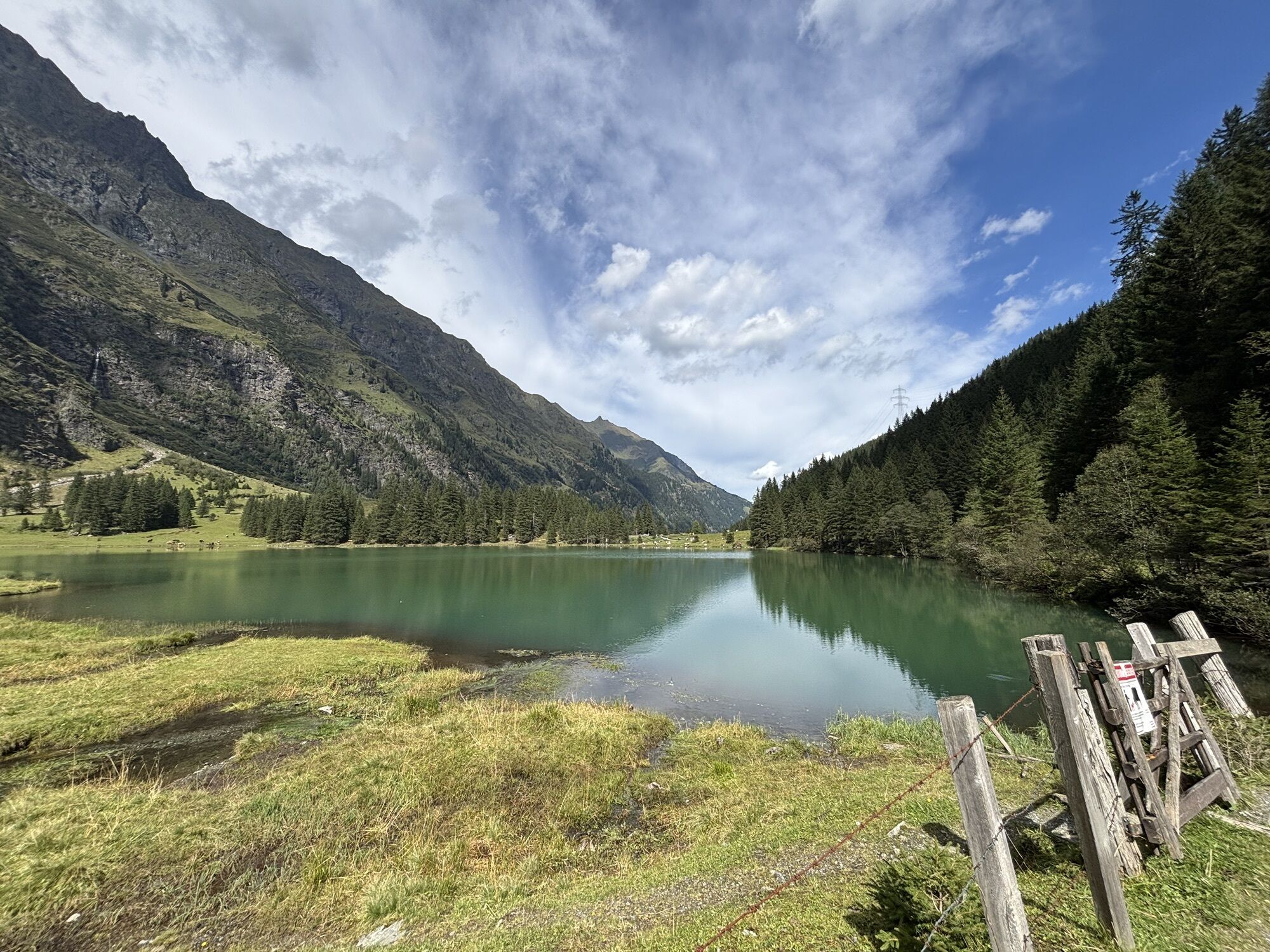
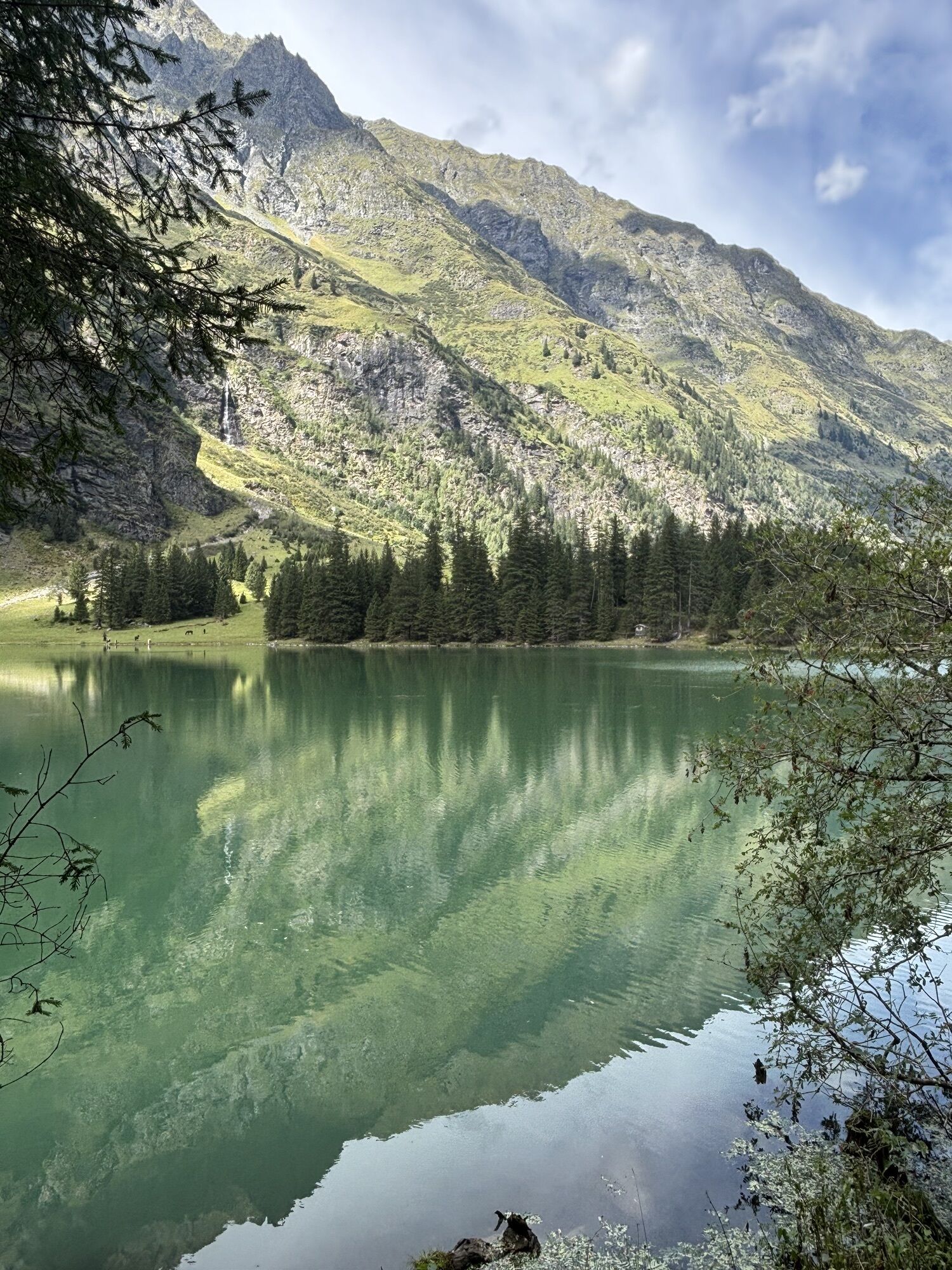
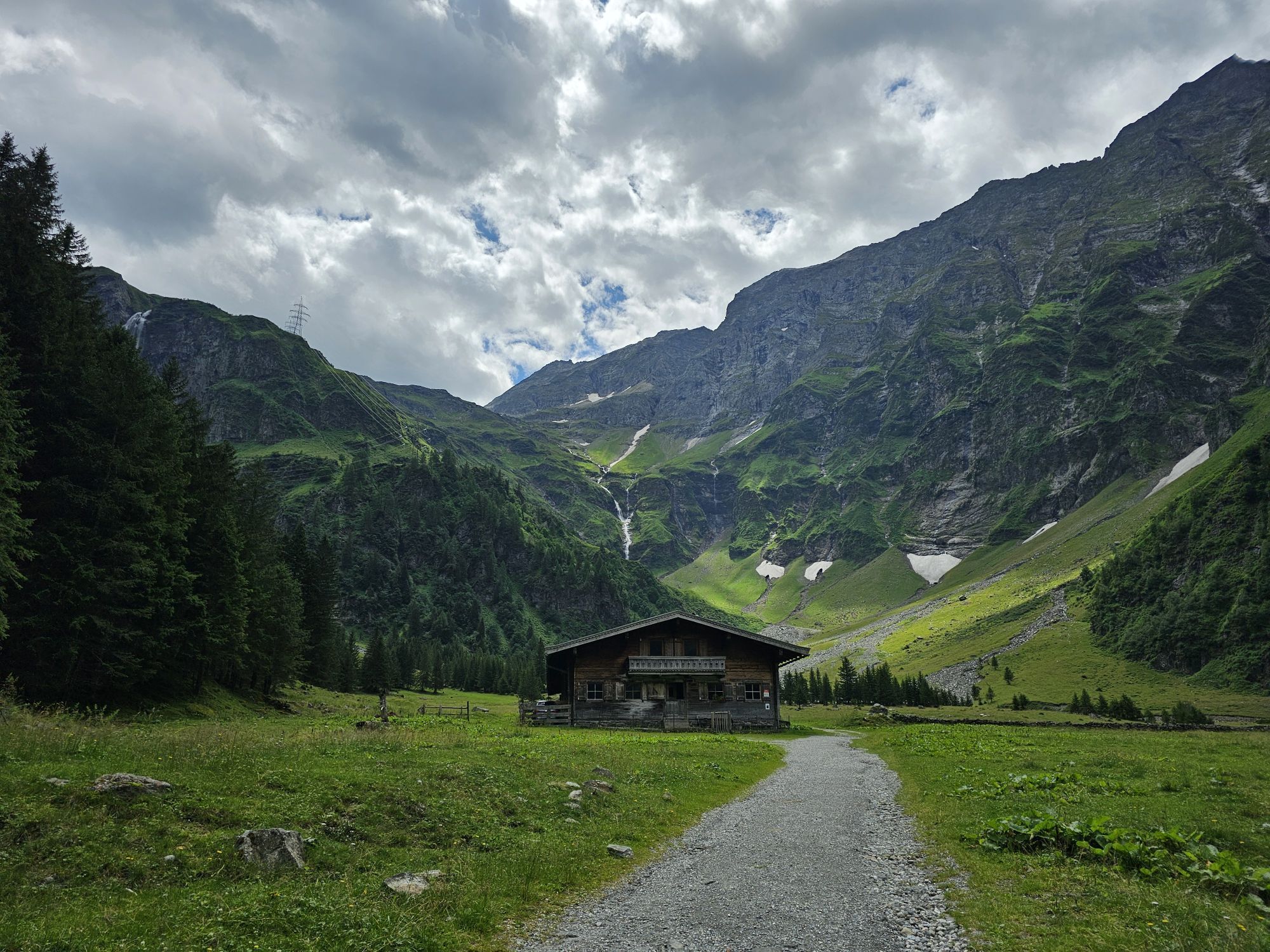
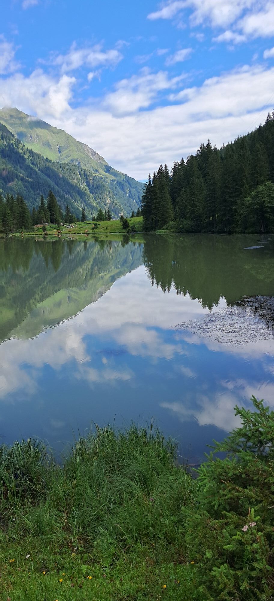
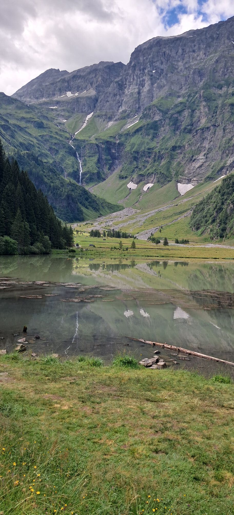
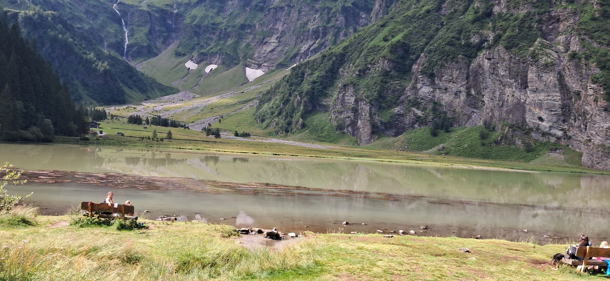
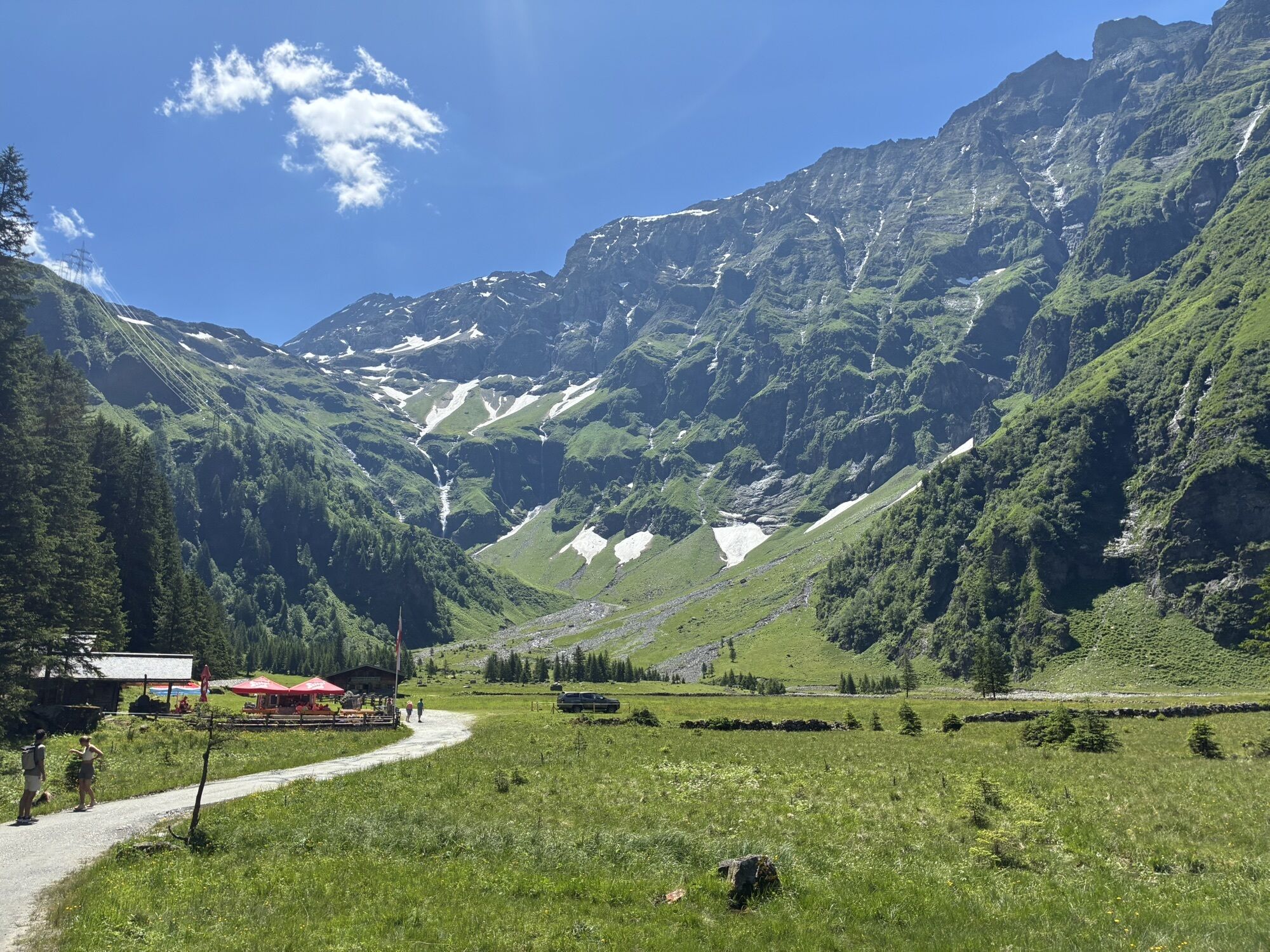
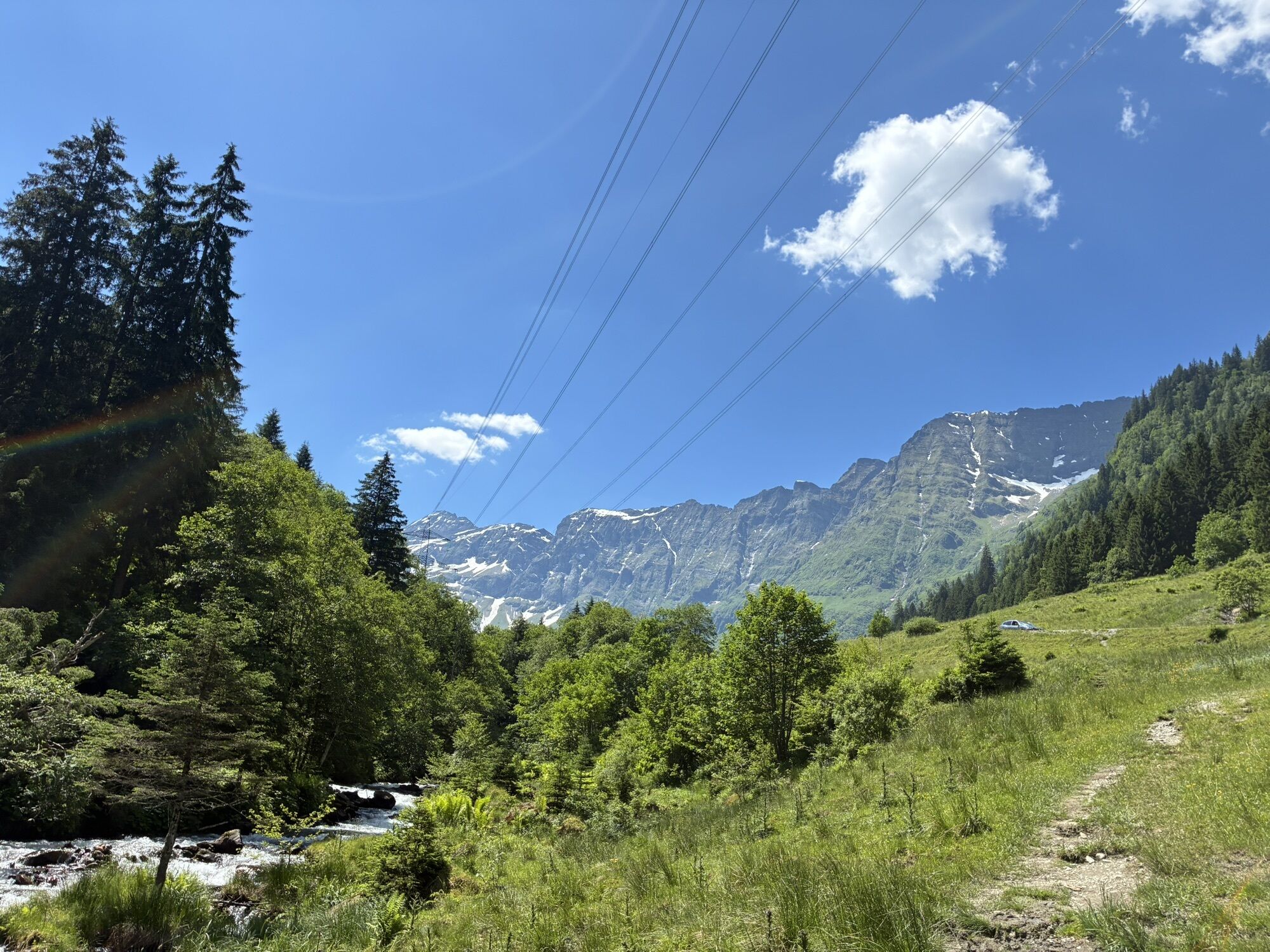
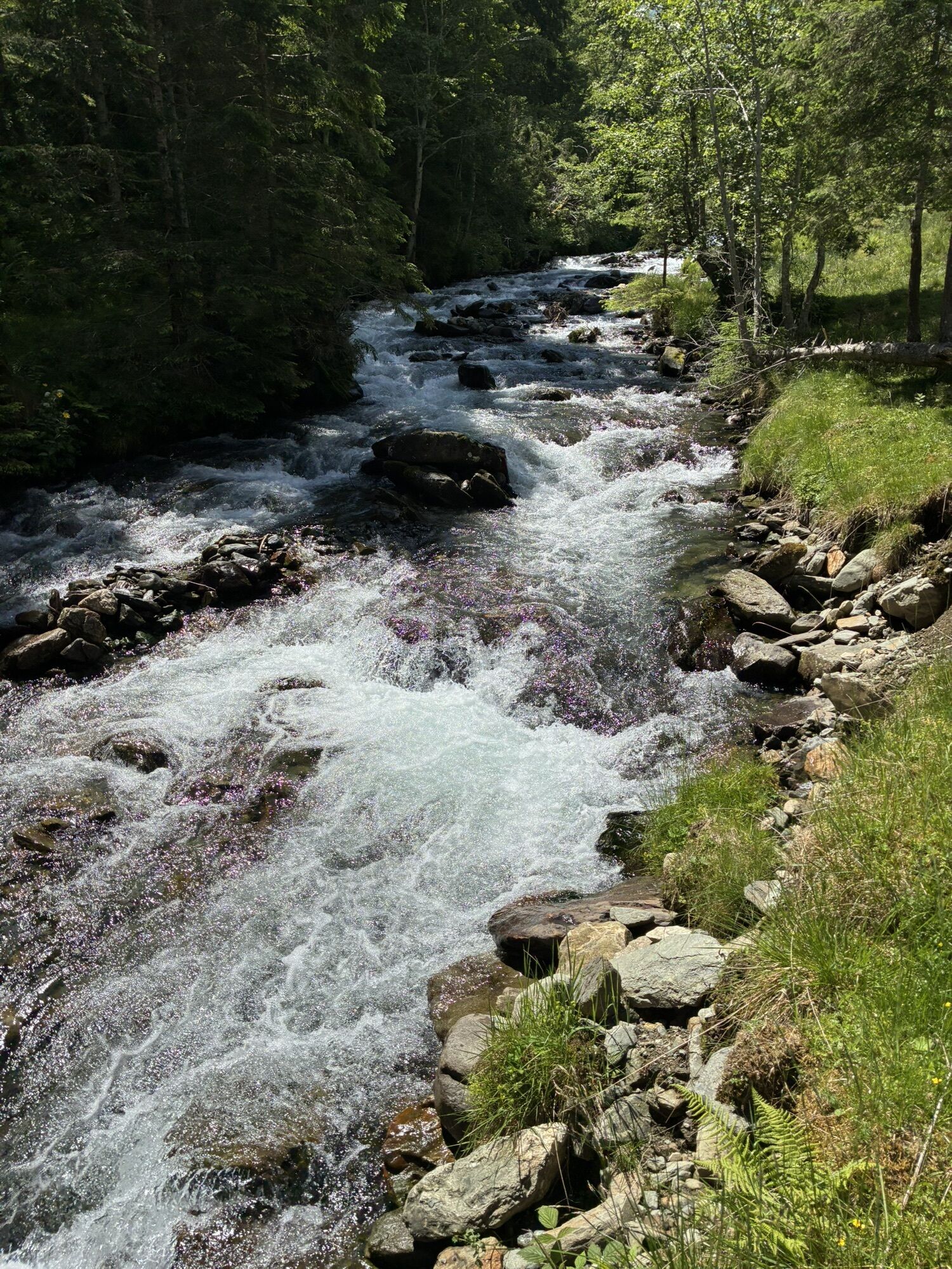
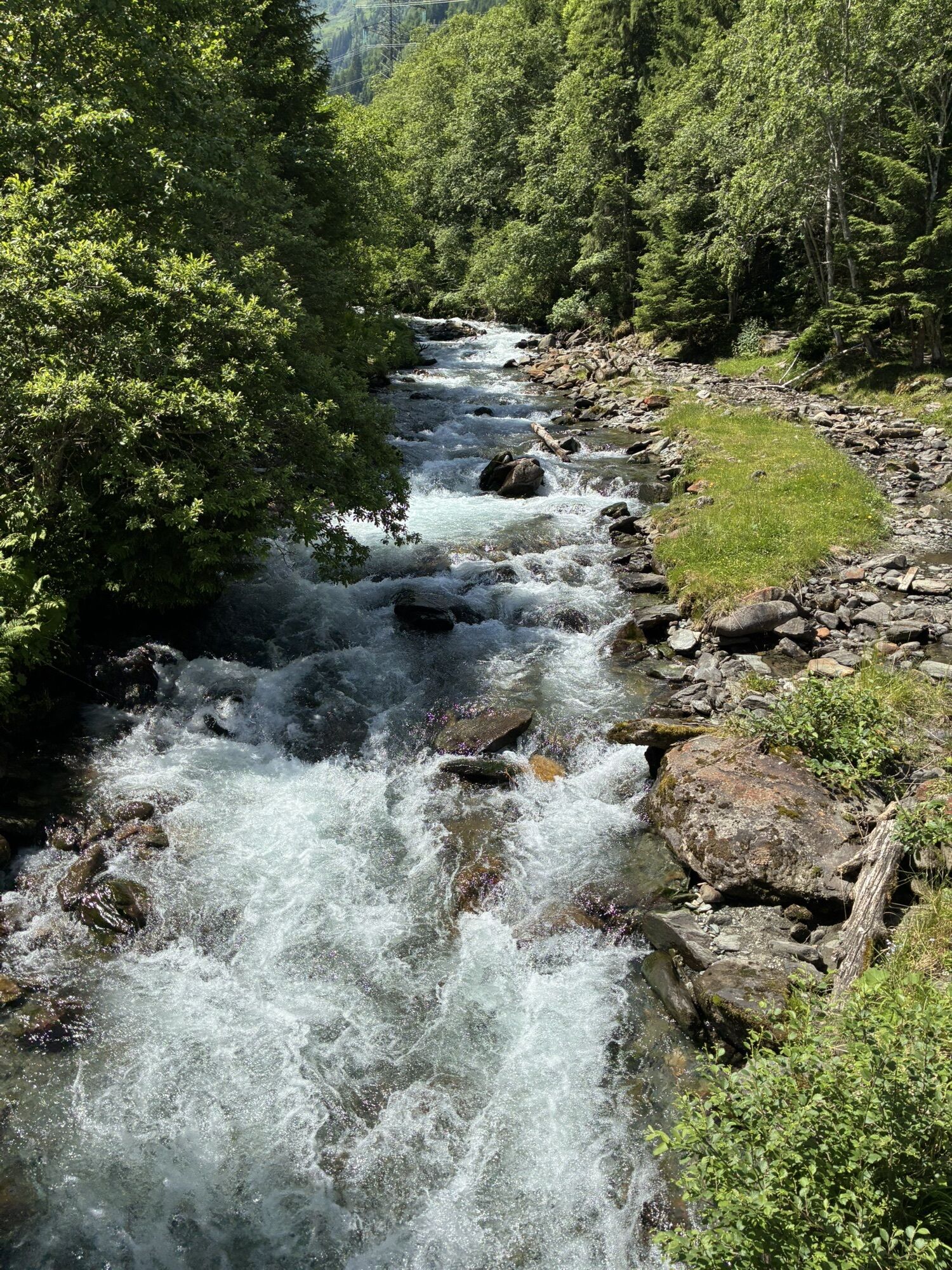
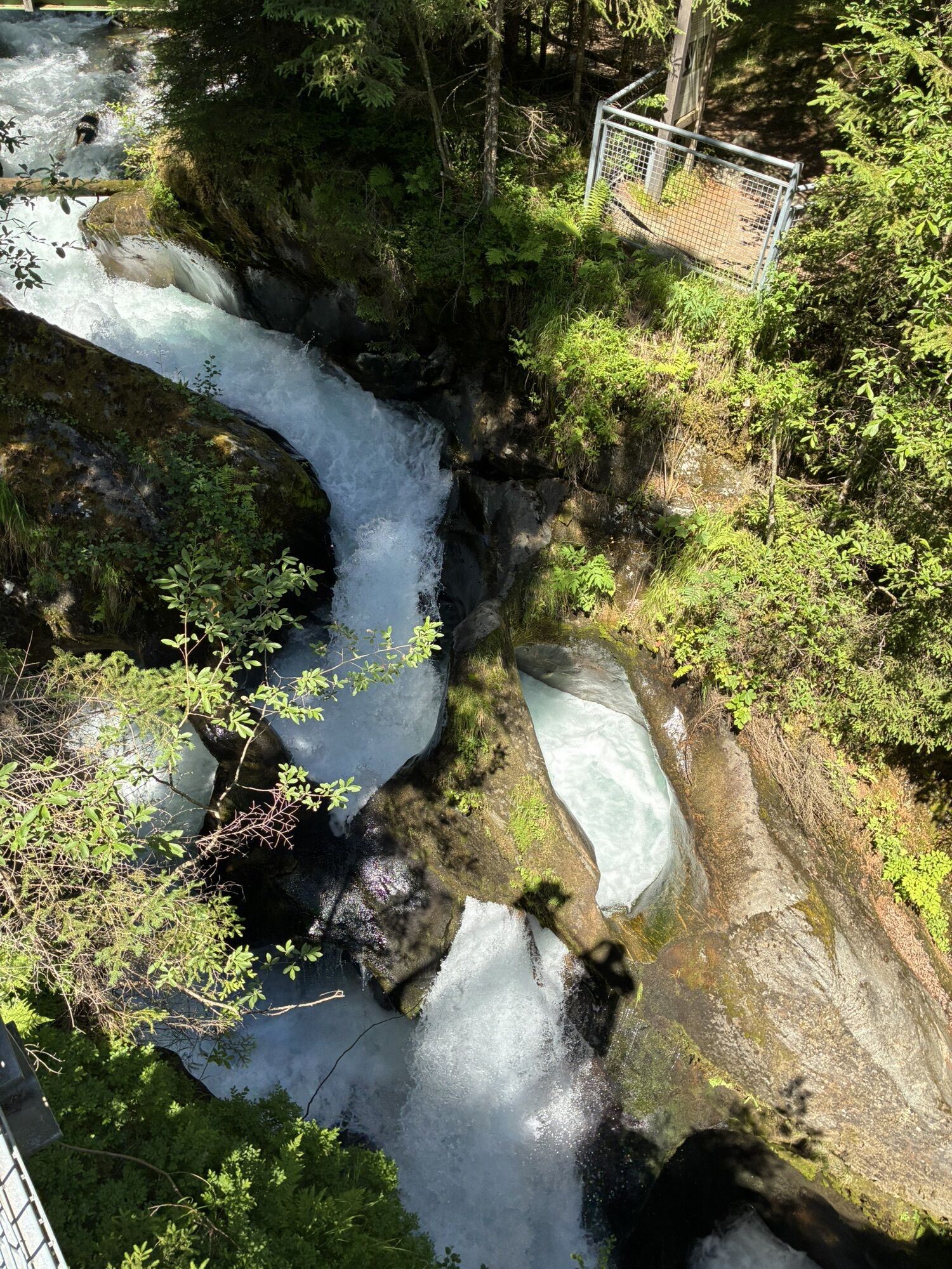
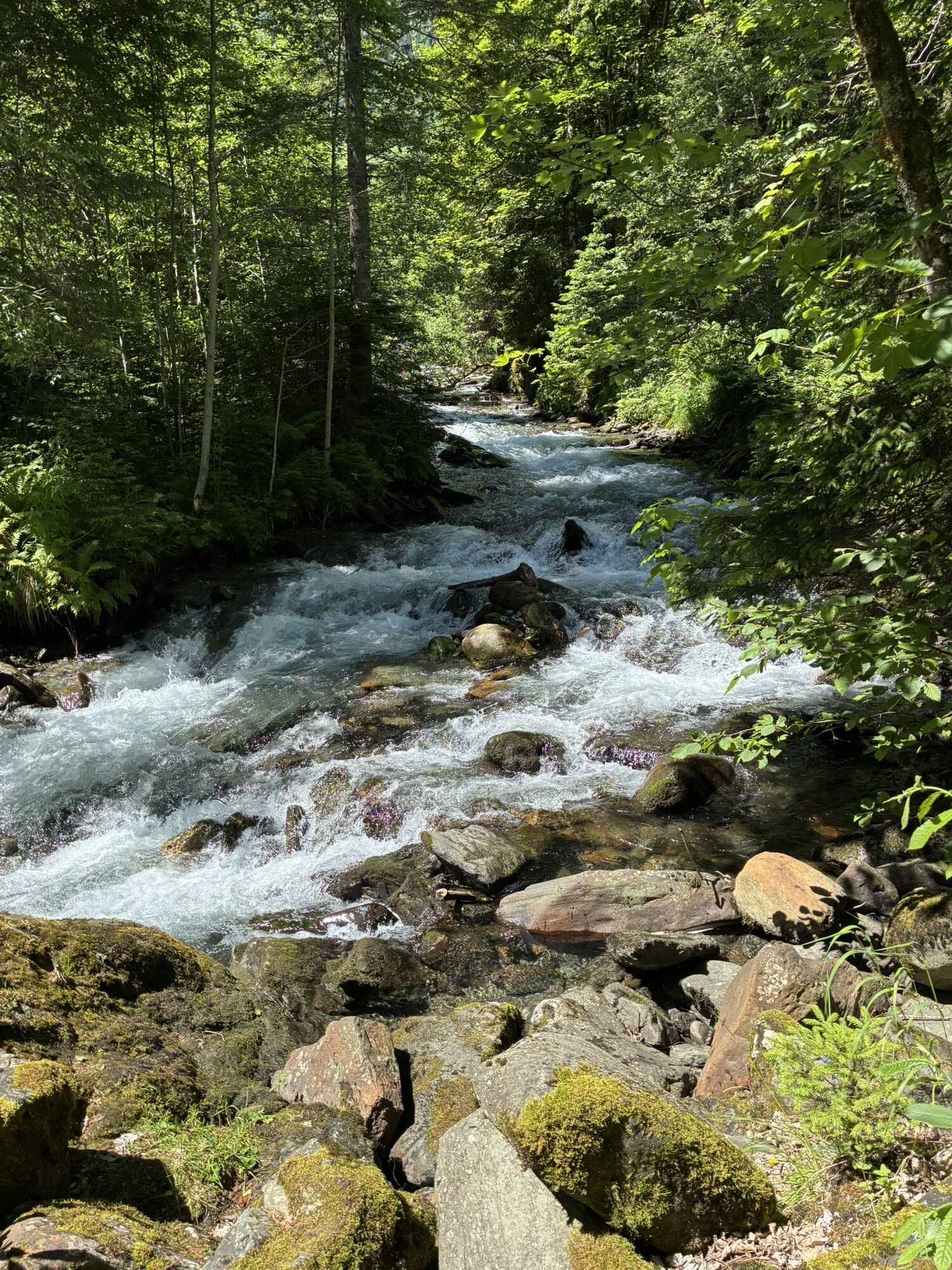
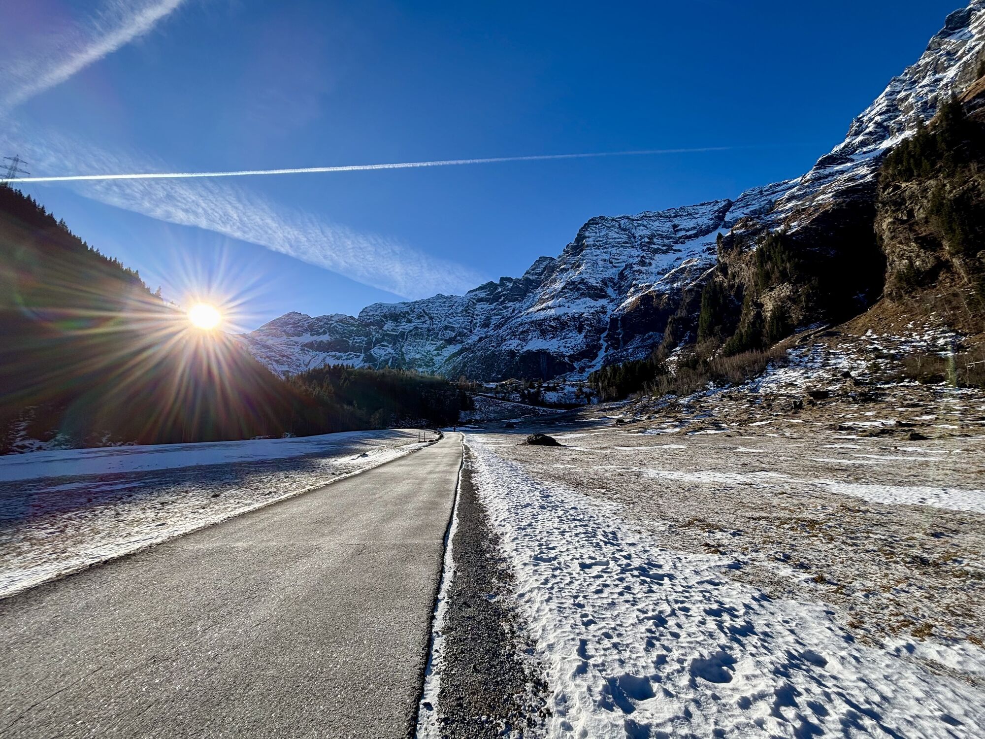
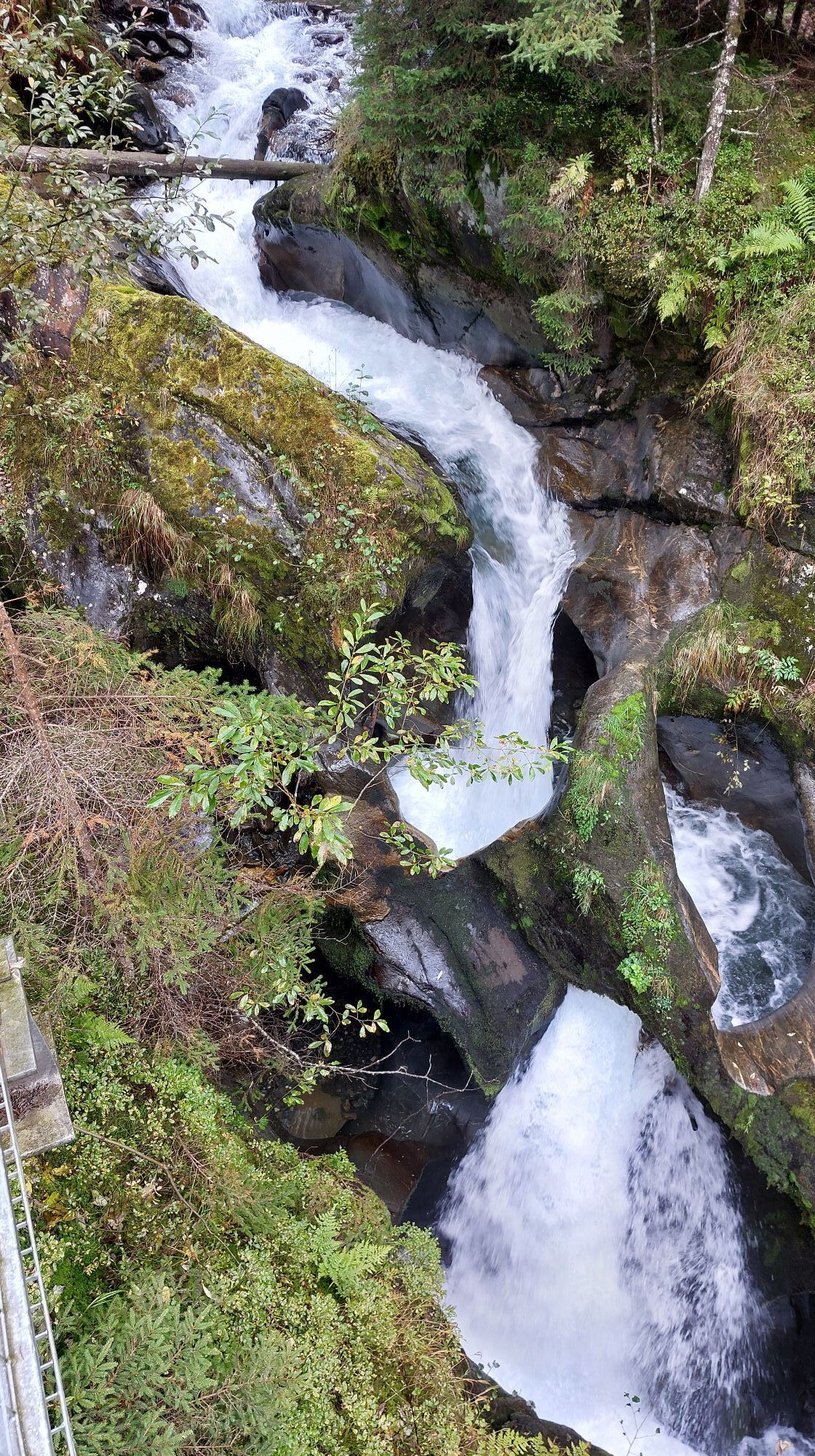
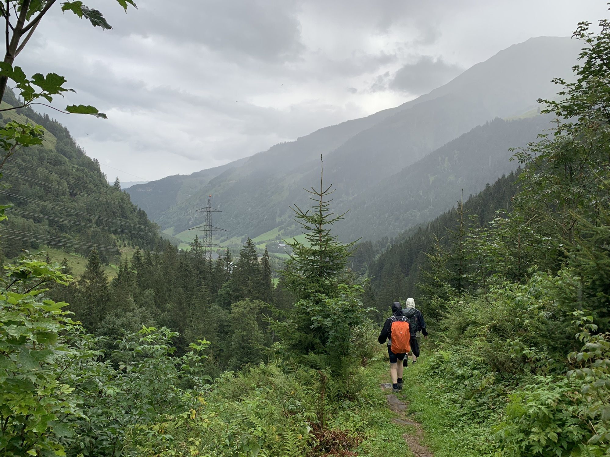
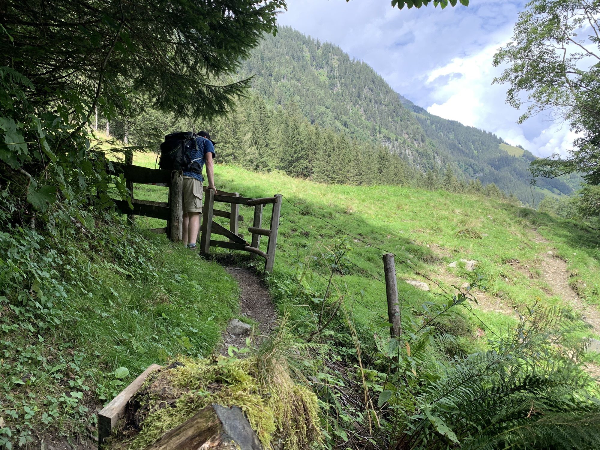
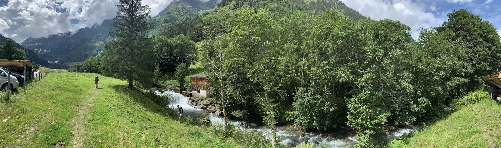
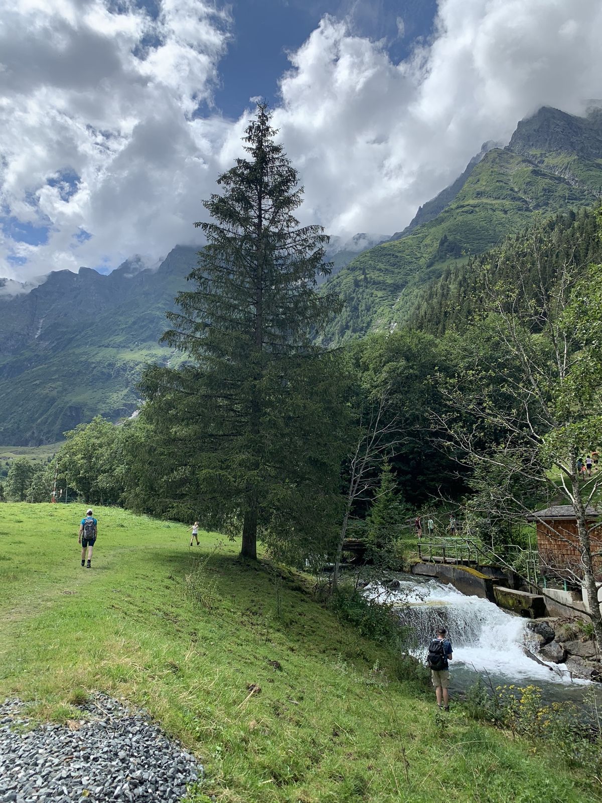
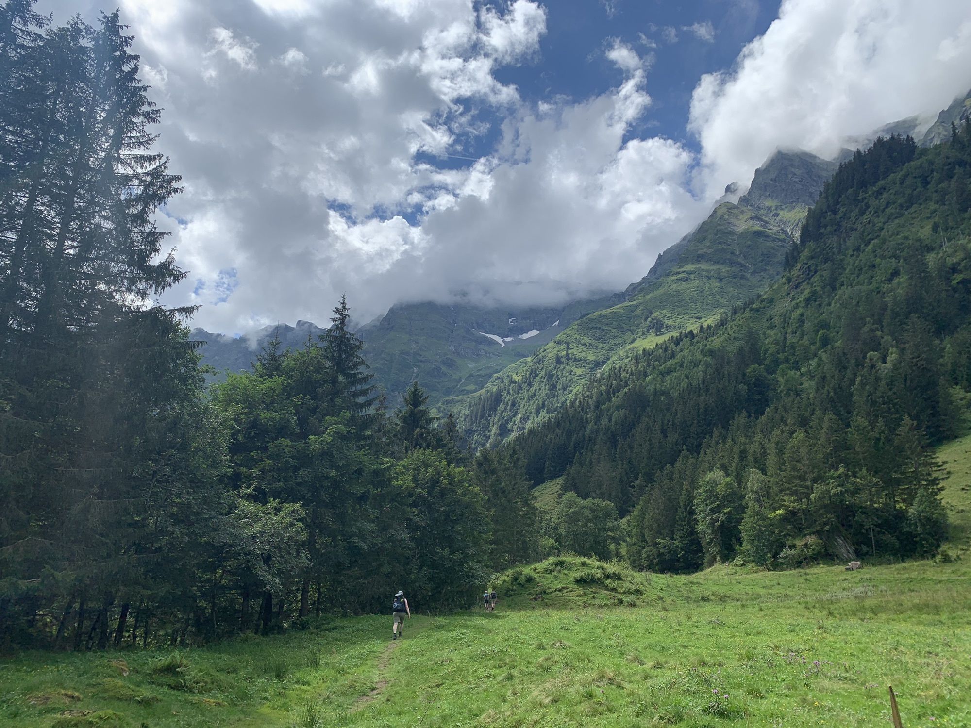
Starting from Uttendorf, the route follows the Tauern bike path first to the charming village of Stuhlfelden. Past the Hohe Tauern Golf Club, it continues to Mittersill where, passing the historic Felber...
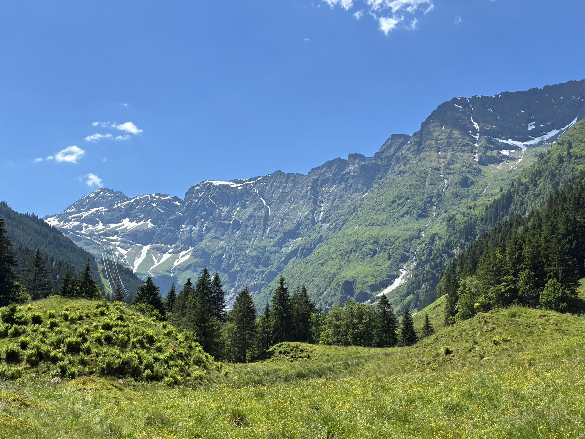
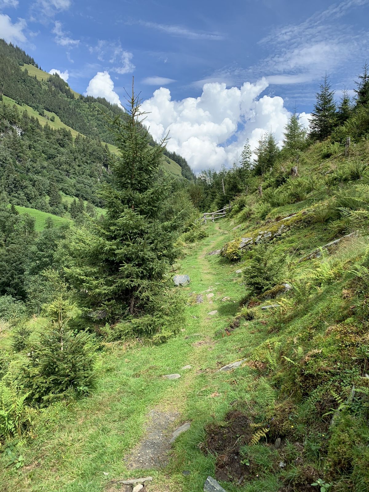
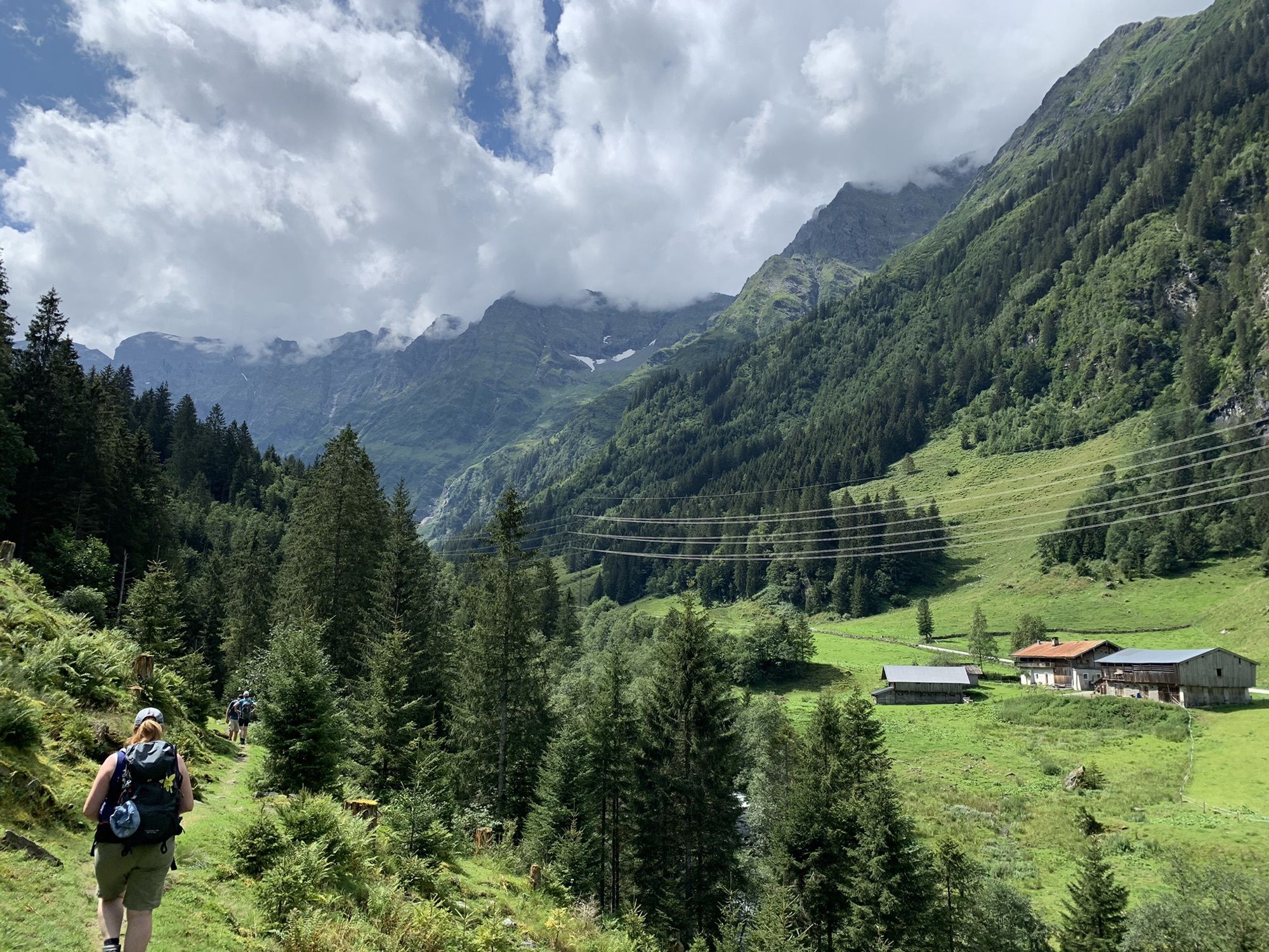
-> The stage is exclusively on forest roads and alpine paths as well as paved bike paths/side roads. Details on the requirements of the Hohe Tauern Bike Trail can be found here >>.
Book your bike trip now on the Hohe Tauern Bike Trail at the Info and Booking Center.

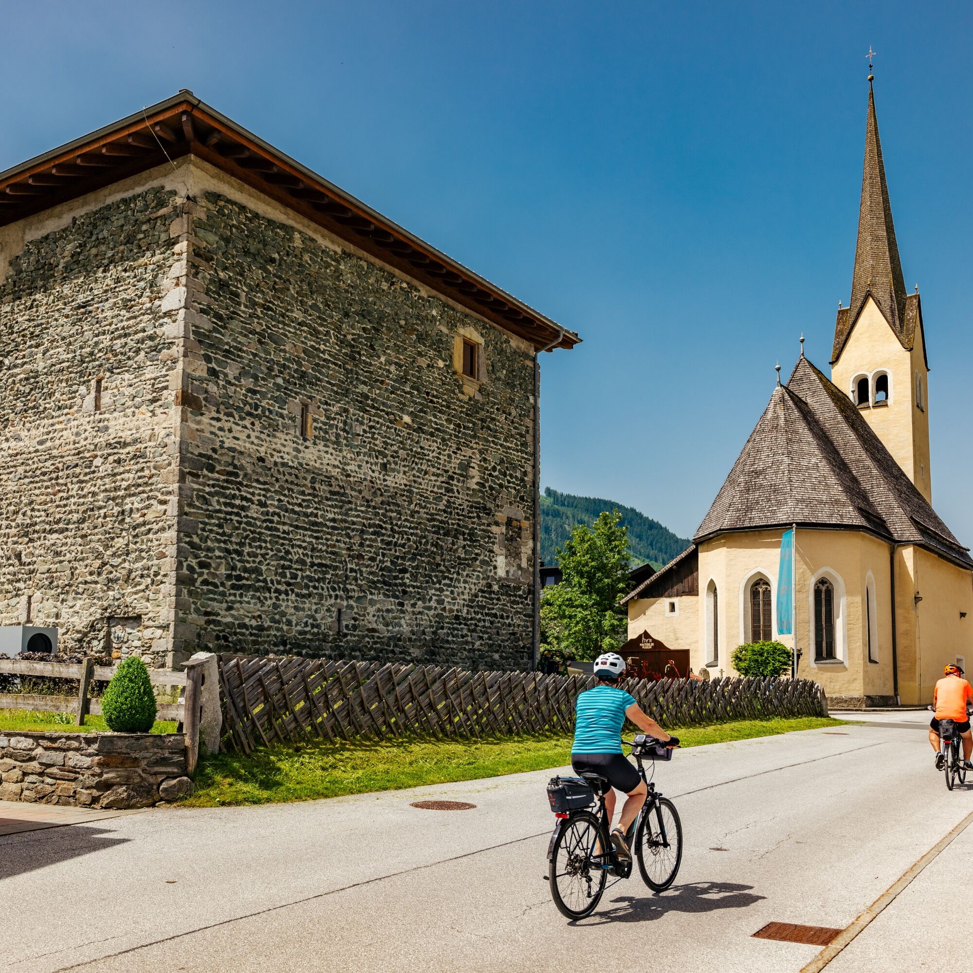


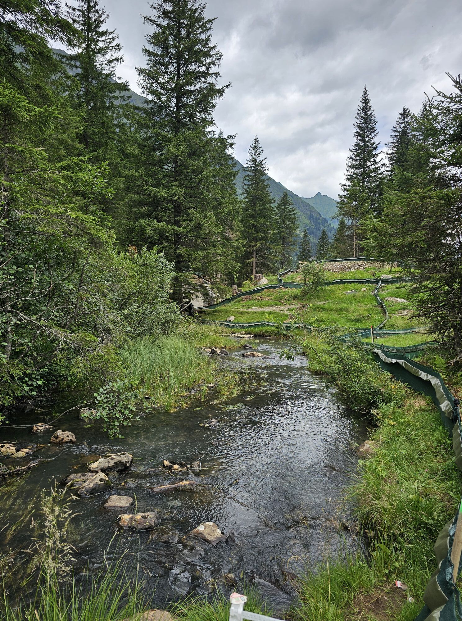
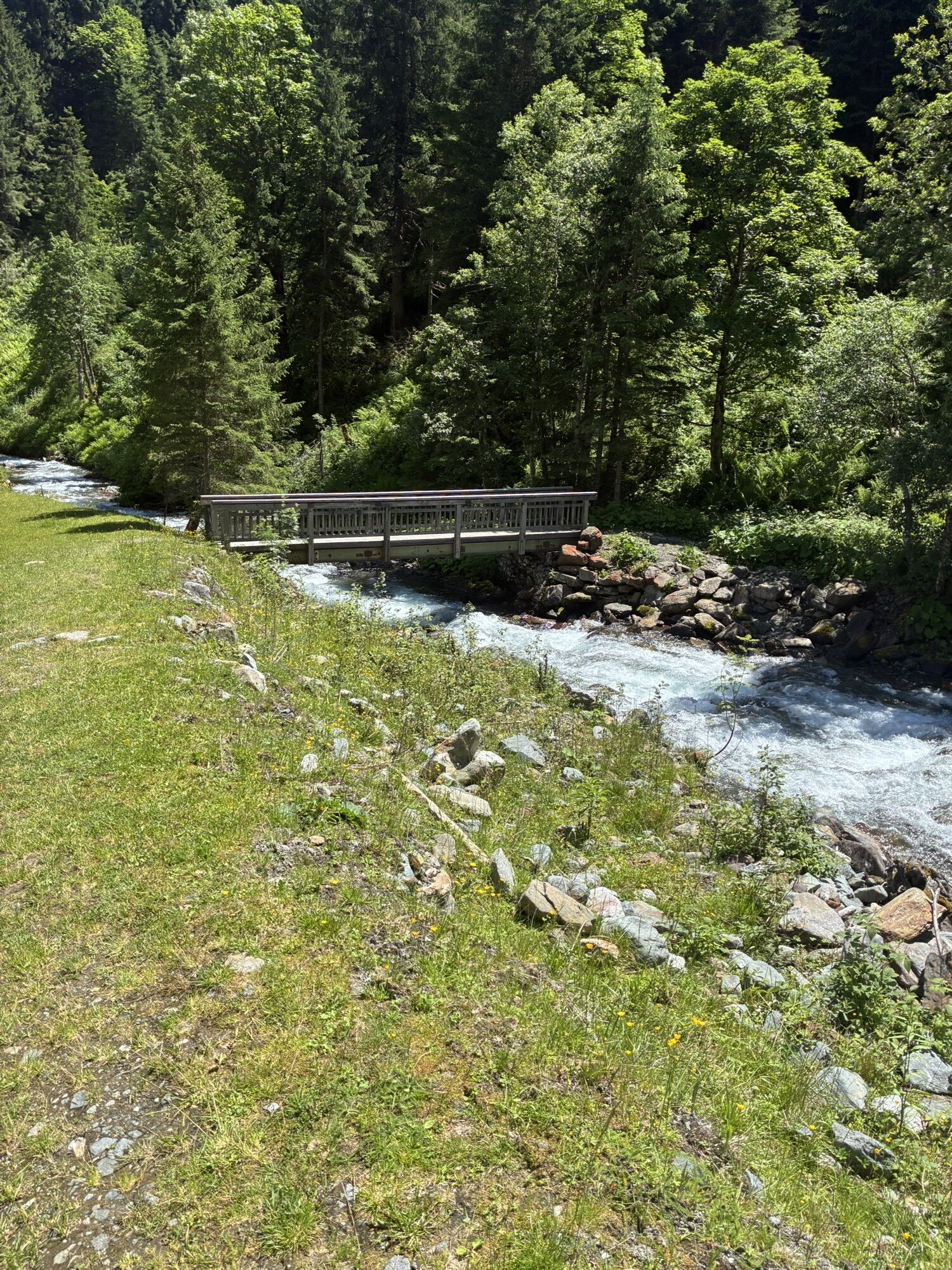
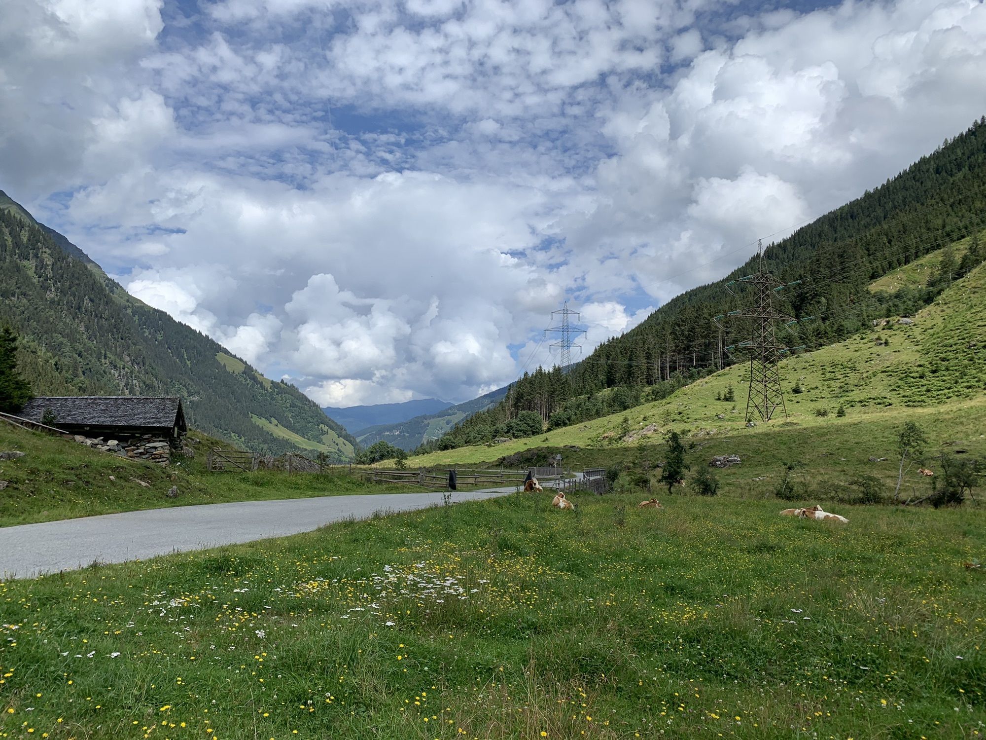
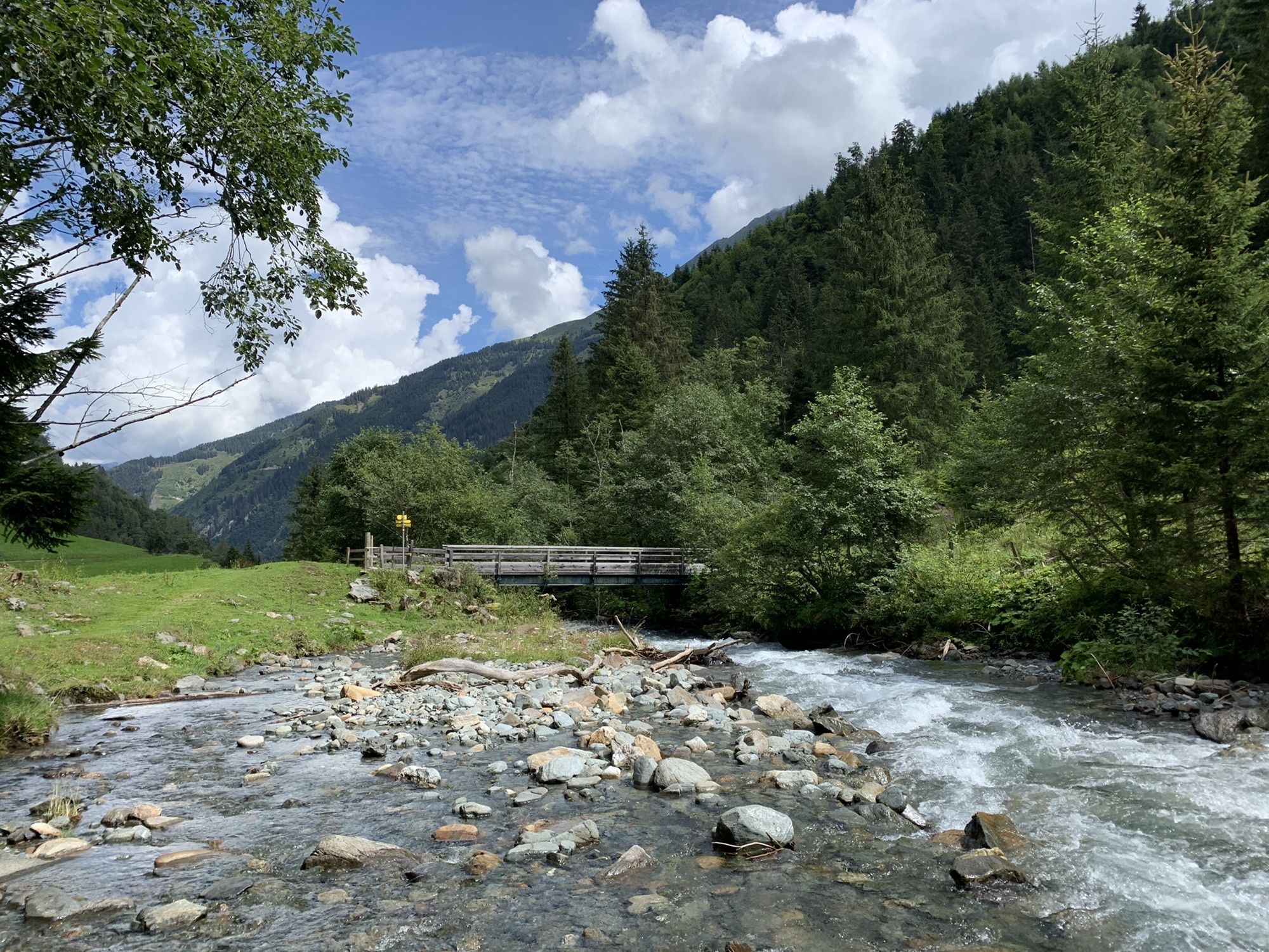
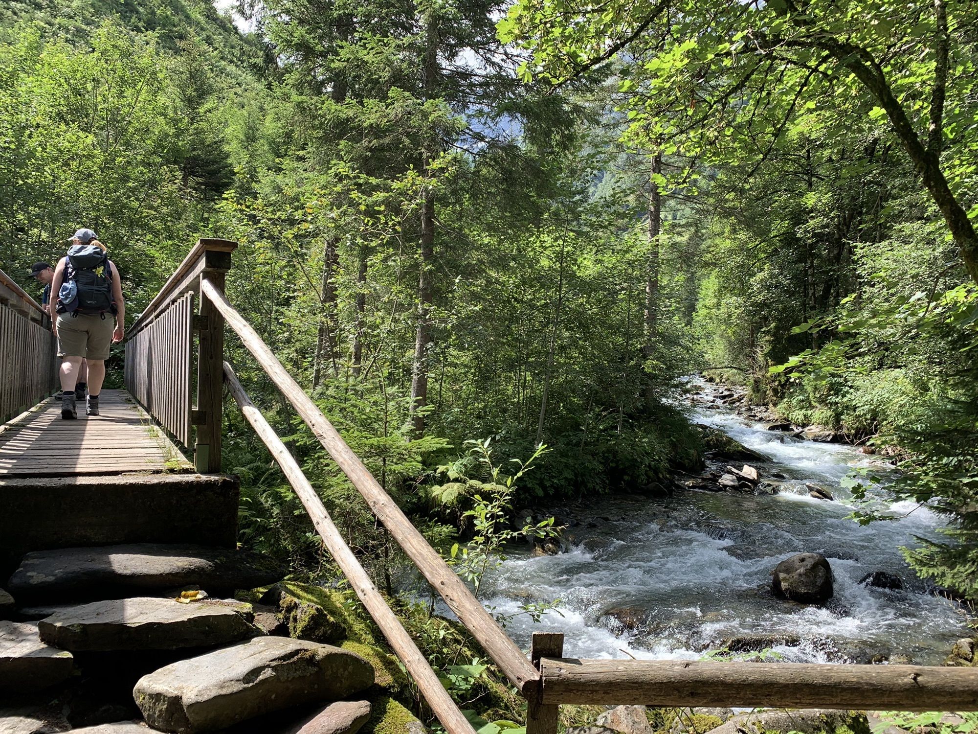
The continuation to Mittersill also follows the signposted Tauern bike path: in Pirtendorf, turn right and then left again to head towards Stuhlfelden. Passing the Stuhlfelden swimming pool, you reach the center of Stuhlfelden, where you turn left at the village square towards the main street. At the main street, keep right briefly, then immediately take the next turn on the left side. Continue straight across the Salzach River and at the next two forks keep right towards Mittersill. Following the Tauern bike path, continue straight ahead past the Hohe Tauern Golf Club until you reach the district of Felben. You ride past the Felber Tower and the Felber Church and after the underpass, keep left (here you leave the Tauern bike path for the ascent into the Felbertal valley) but do NOT take the ramp onto the Felbertauern road; instead, continue straight ahead. At the end of the path, cross the small stream on the right, then keep left along the path to a bridge over the Felber stream. Before that, follow the path to the right and cross the Felber stream after about 250 m using another bridge. The path continues straight here and runs mostly parallel to the Felbertauern road, with the path crossing back to the other side of the Felber stream after 700 m.
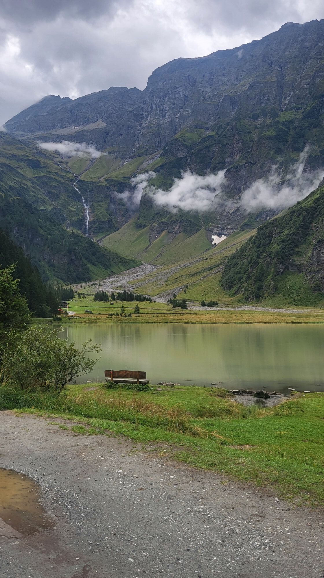
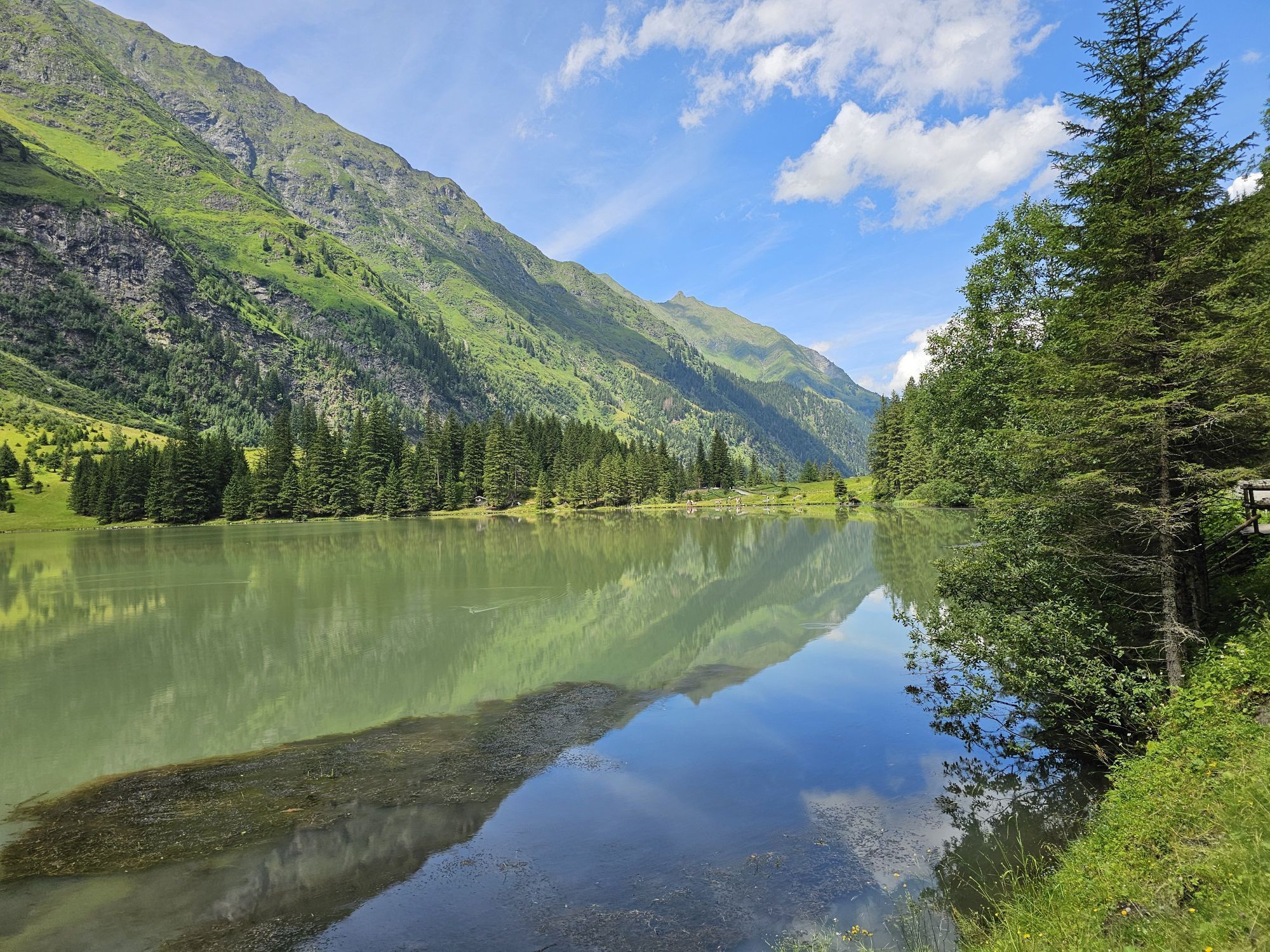
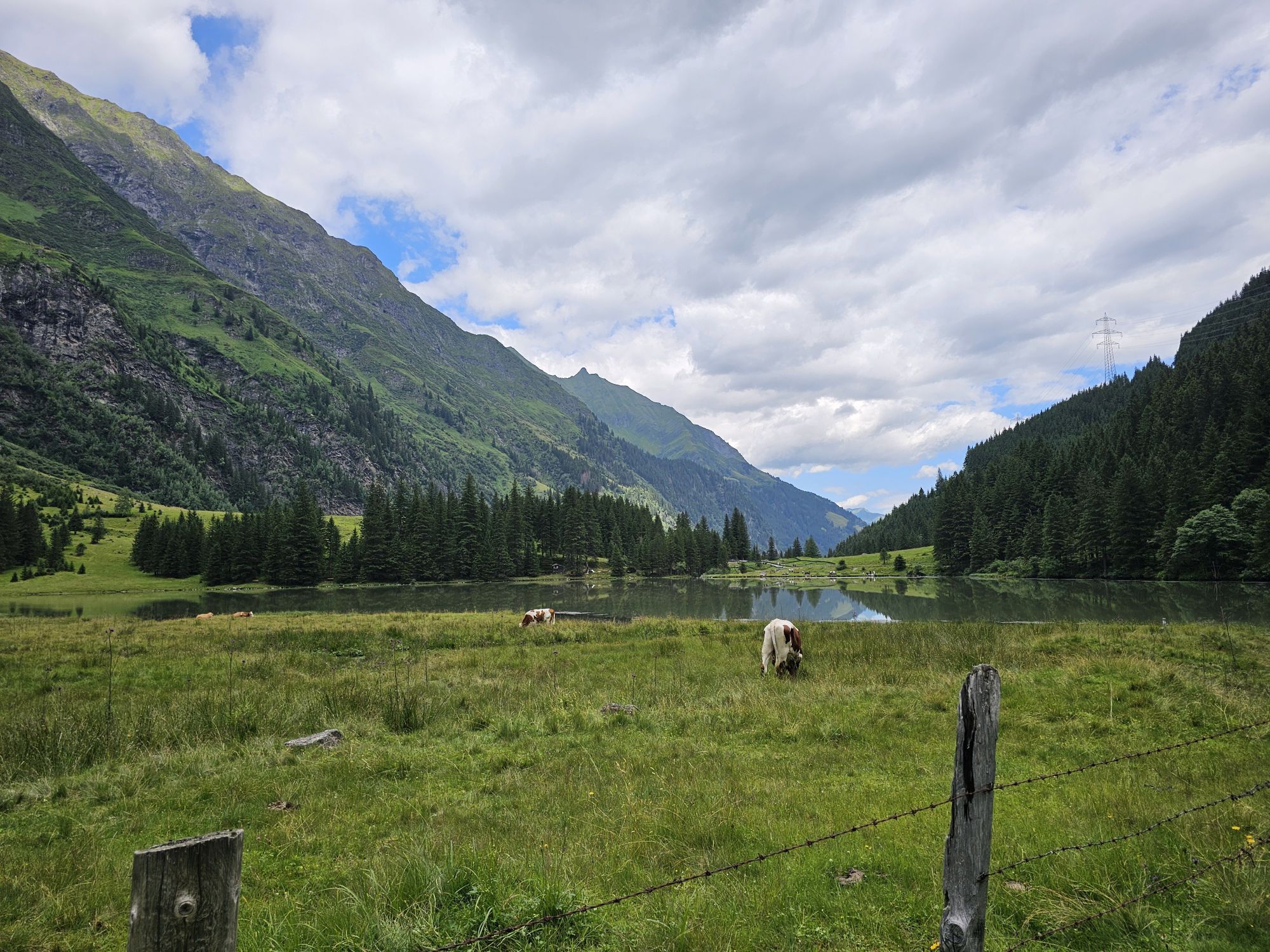
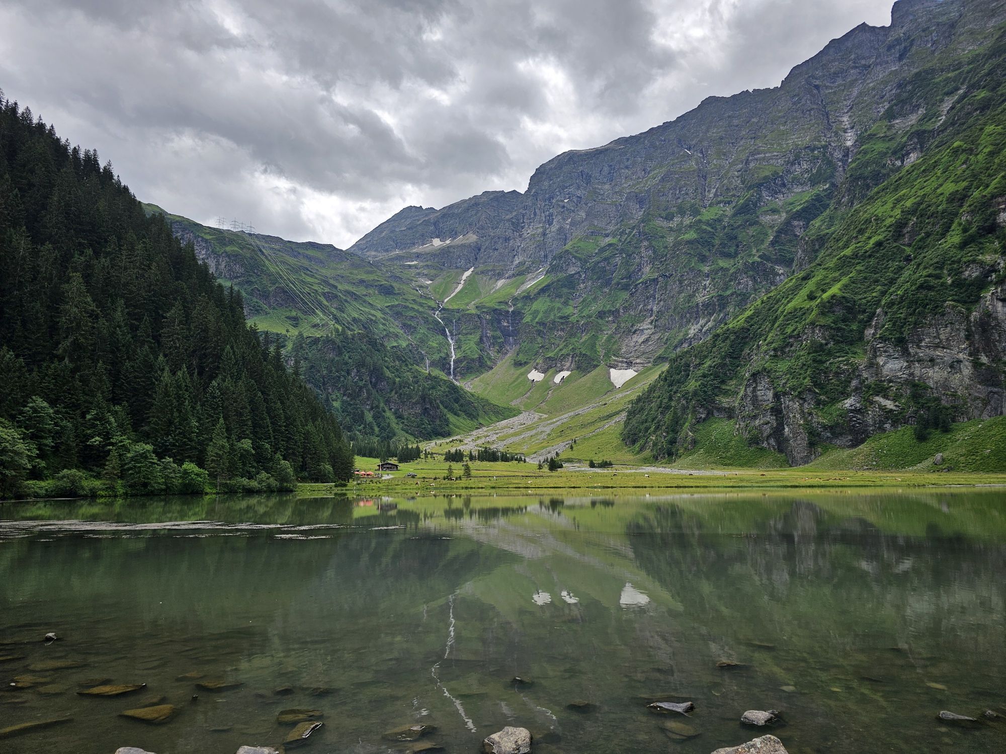
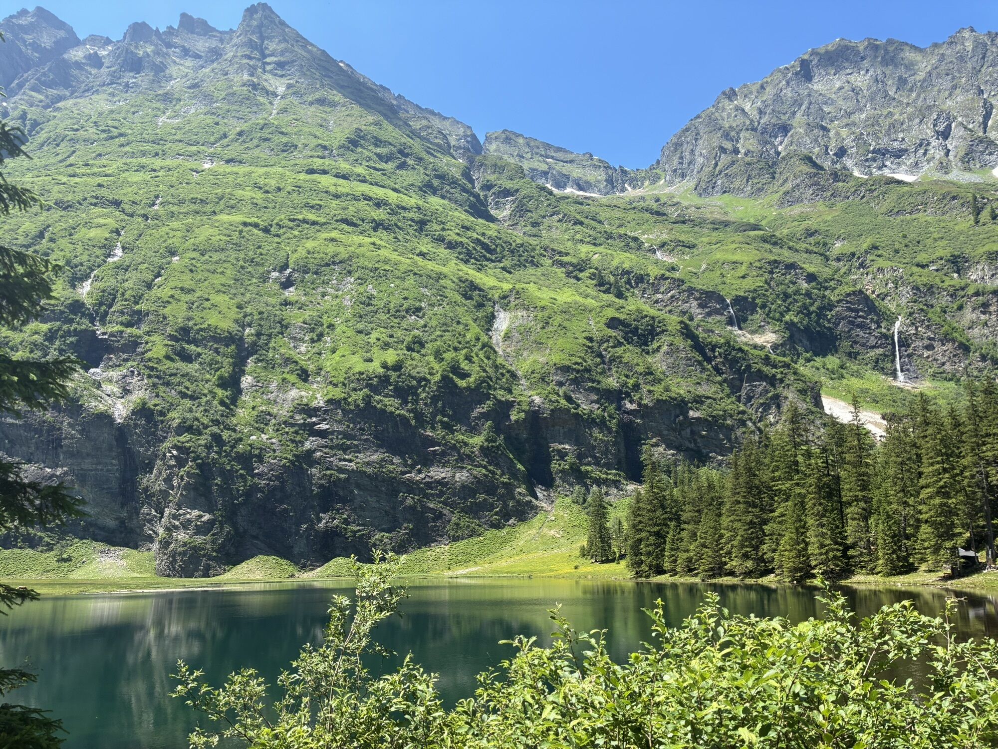
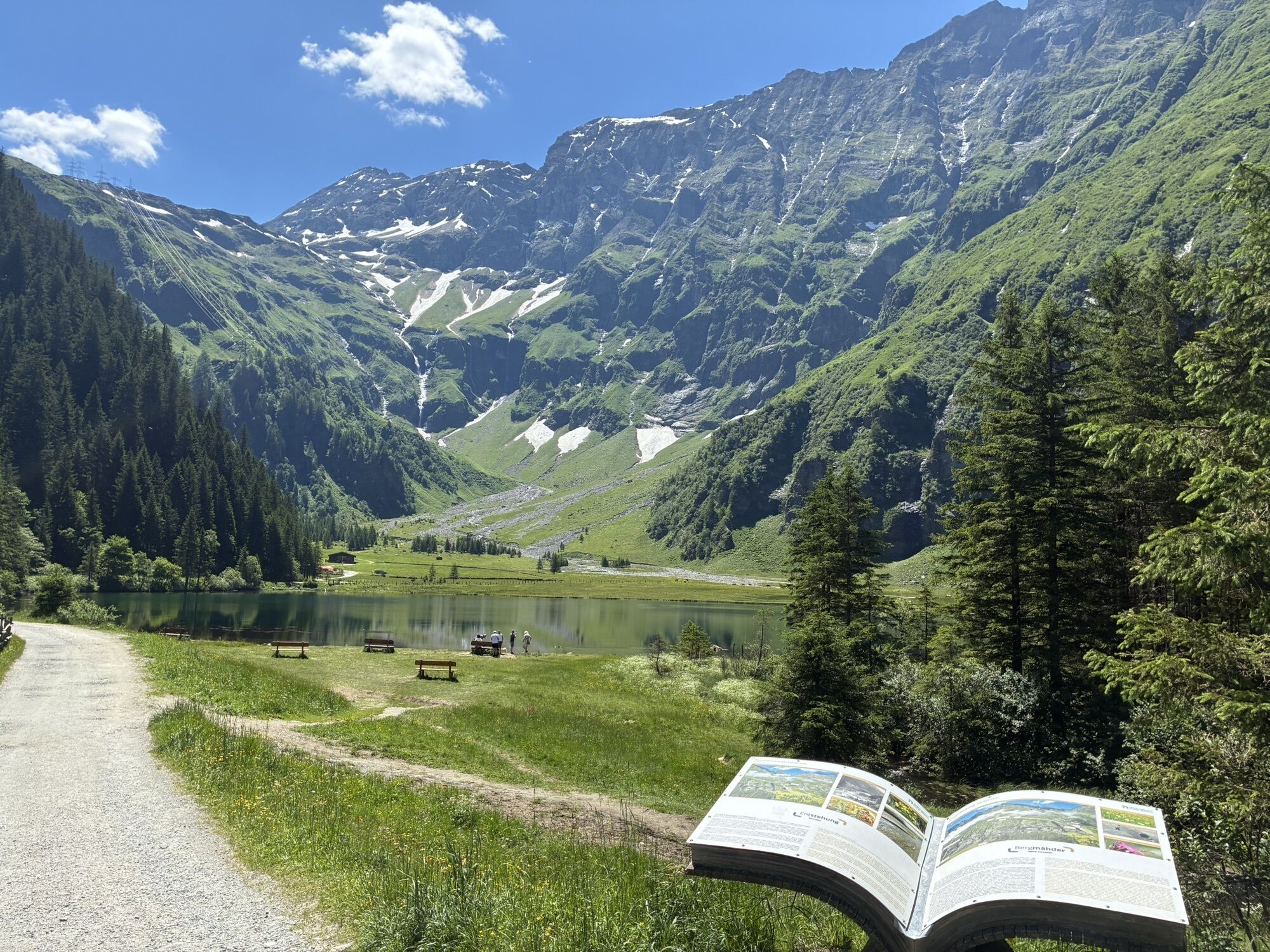
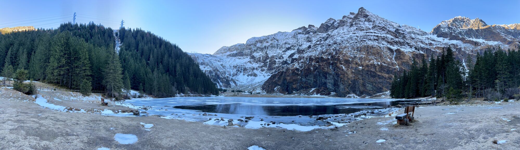
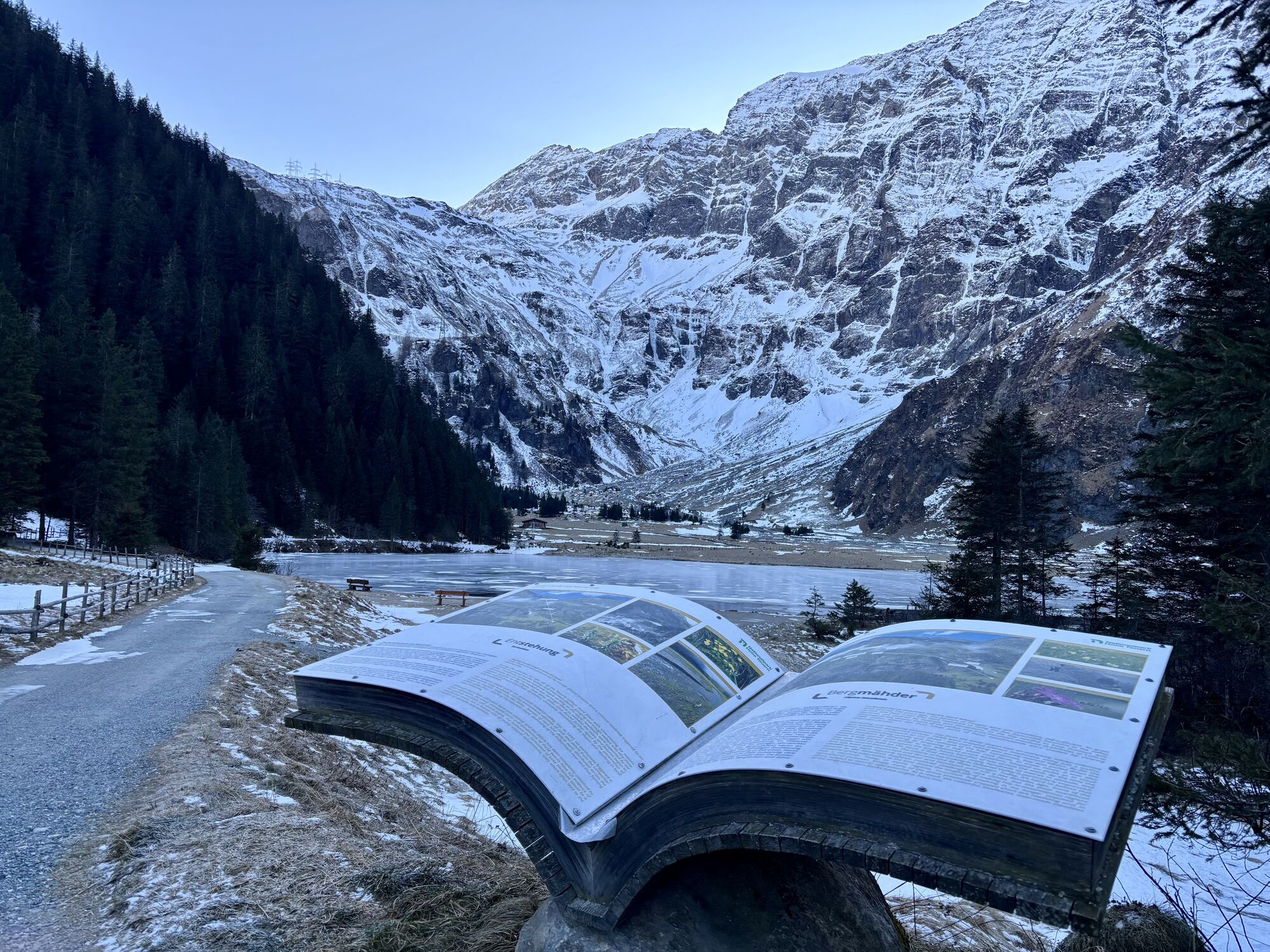
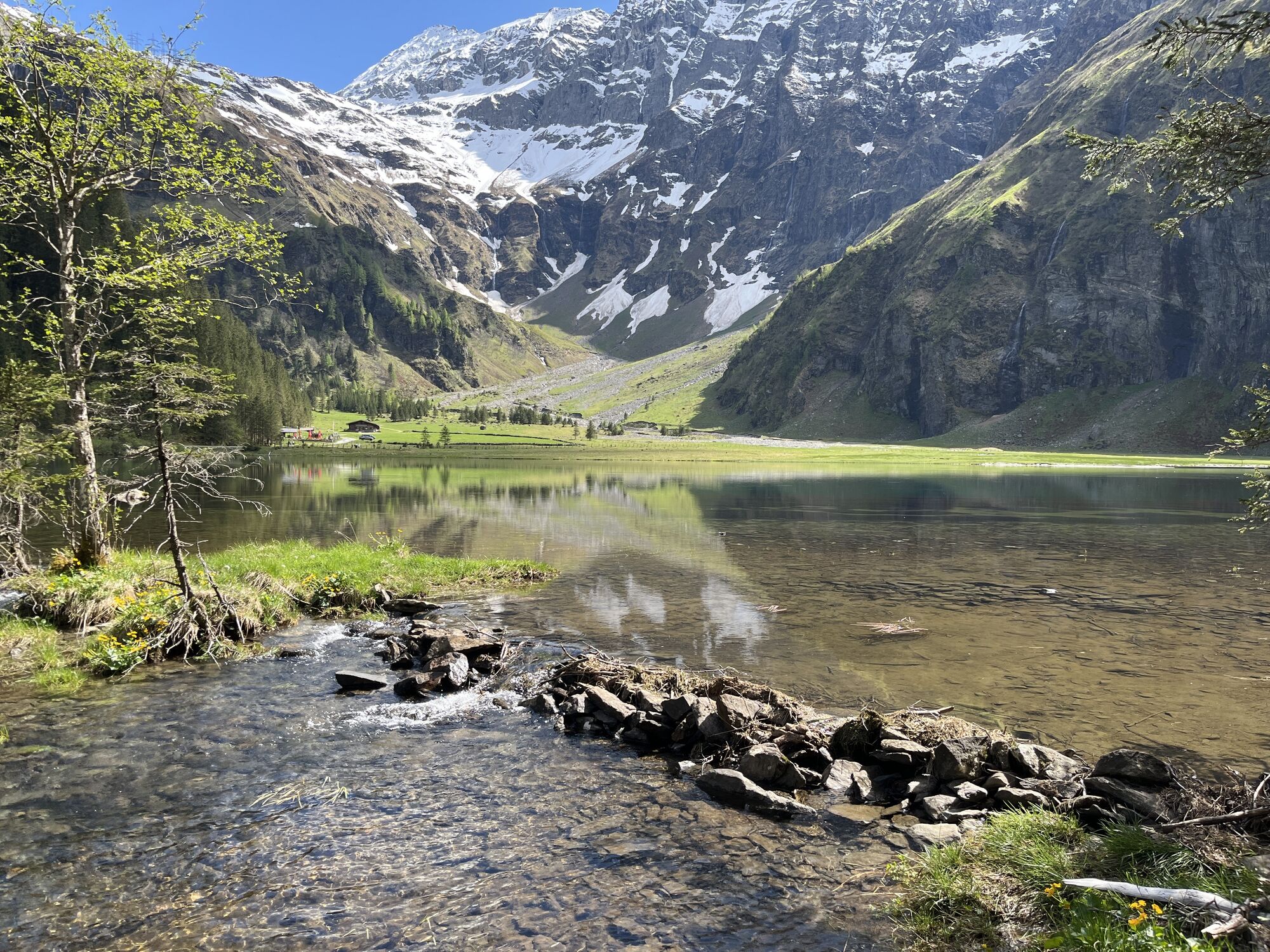
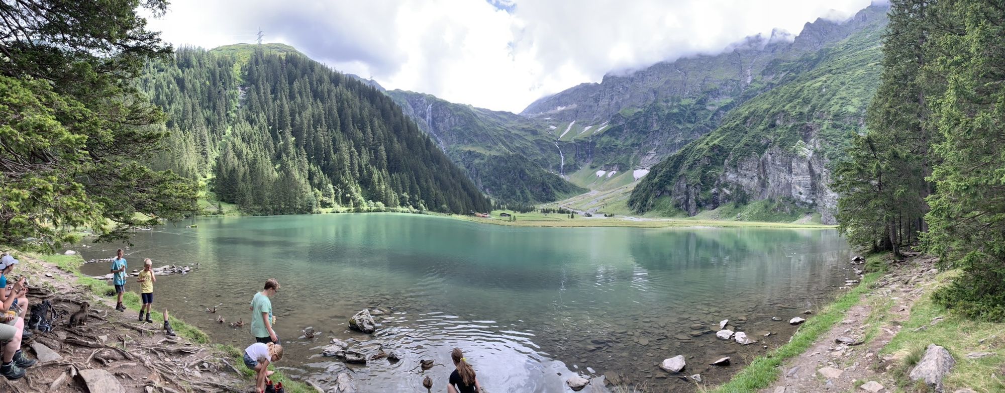
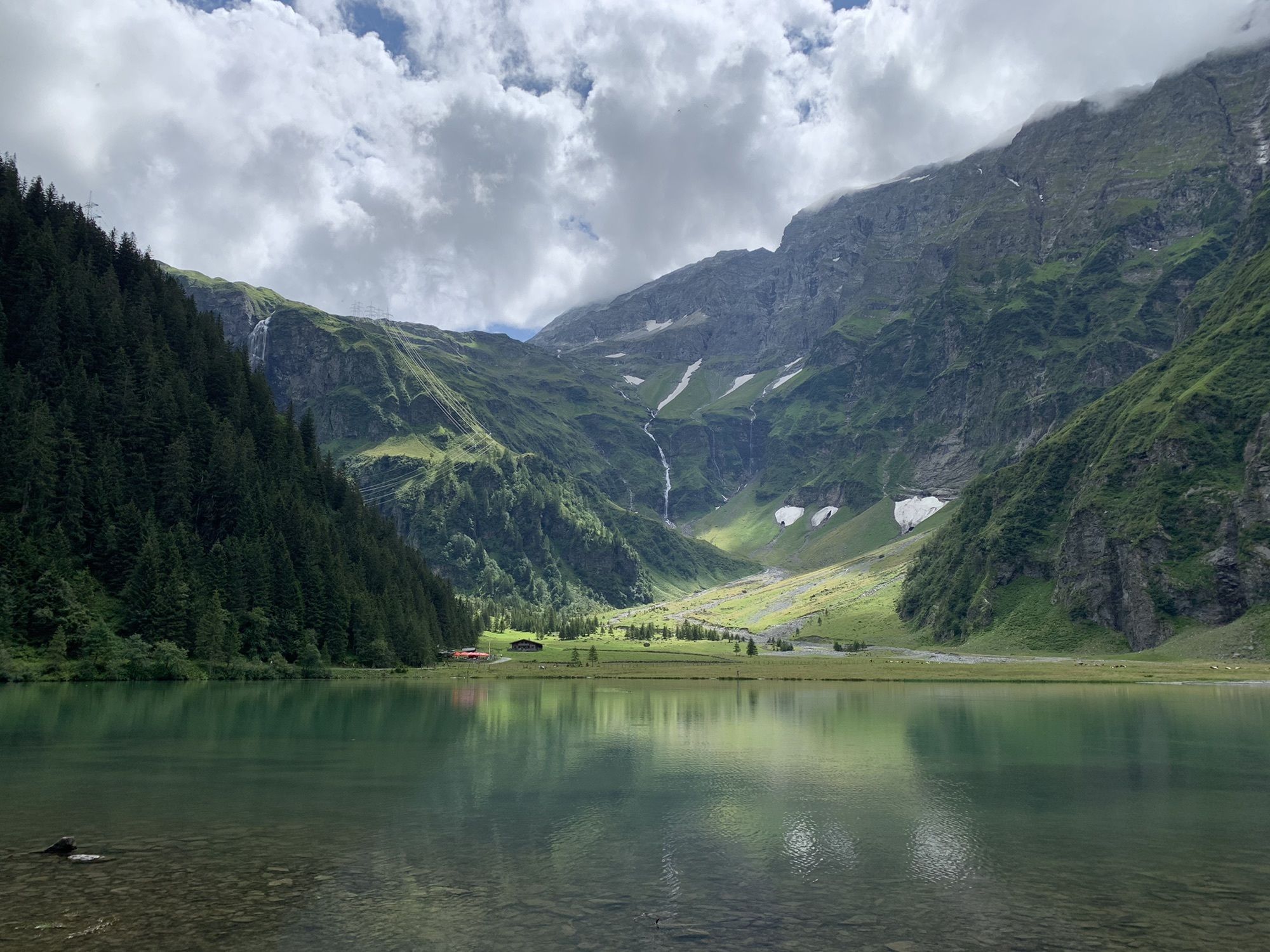
At about kilometer 15, turn right to avoid the Felbertauern road and follow the asphalt road into the Felbertal valley. As the path steadily ascends with two hairpin bends, passing the Meilinger Alm, you soon reach the Hintersee. The path then leads left along the lake to the turnaround point, the Gamsblick Hut. Here starts the bike & hike option to the St. Pöltner Hut, which requires very good fitness in addition to the bike stage in a single day (see the author’s tip “Bike & Hike Option” for more info).
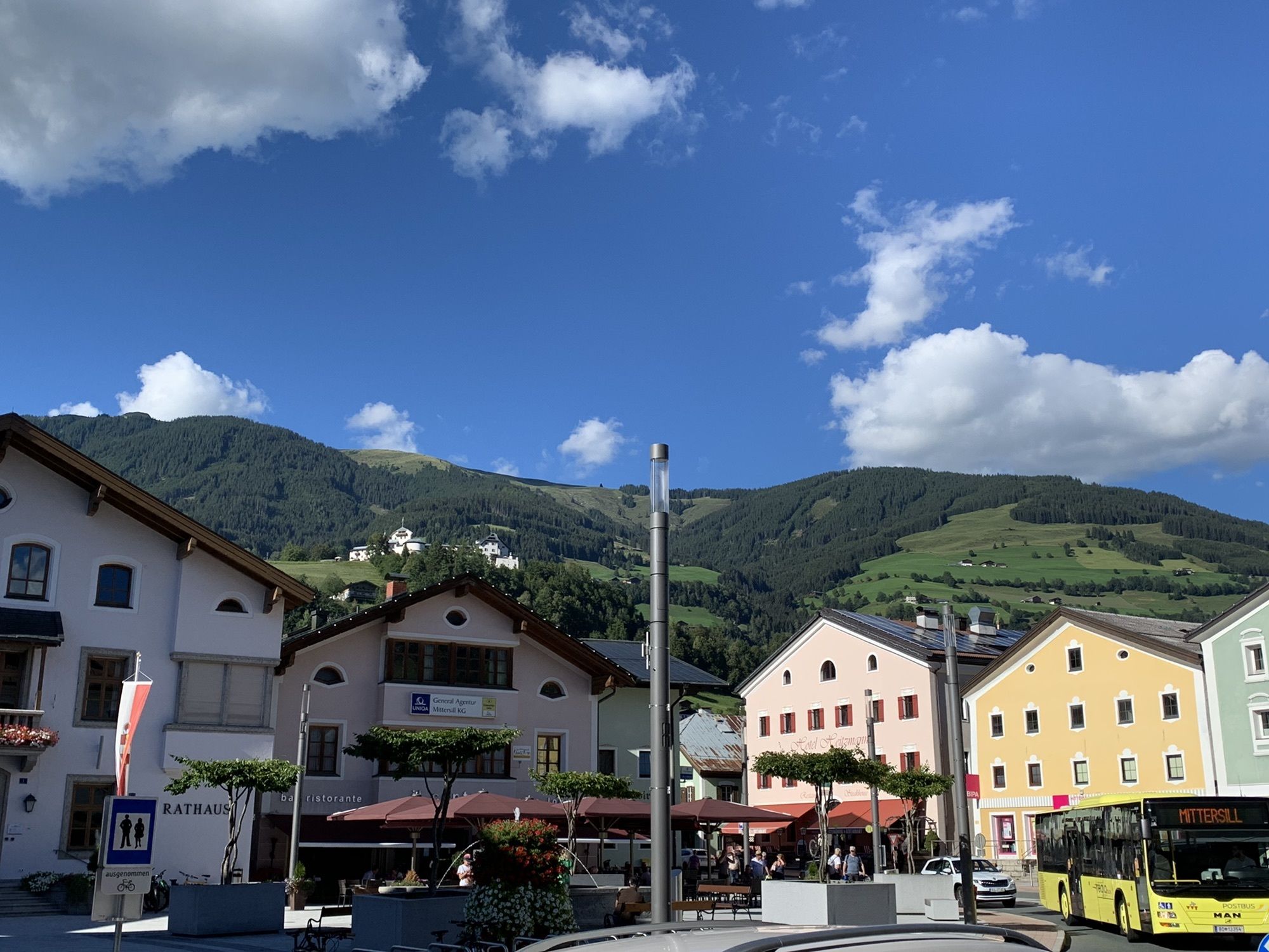
The return is along the same route, reaching Mittersill via the Klausen district. Here, first keep sharply right again, then twice left over the small stream. At the next T-junction, keep left – you came here from the right in the morning – and follow (now again on the Tauern bike path) the route to the hospital. Cross the street here and continue straight ahead – you have arrived at the stage destination: Mittersill town square.
Charging station along the stage:
M+ Tourist Information in Mittersill
Da
Recommended Equipment >>
Attention: Access to the Hintersee is strictly closed from about November 1st to May 15th due to avalanche risk.
Coming from Zell am See or Mittersill via the B168 to Uttendorf.
Coming from Zell am See with regional bus 670 towards Krimml via Uttendorf - Mittersill - Neukirchen to the exit point Uttendorf village center.
To the long-term parking spaces on the Hohe Tauern Bike Trail>>
S0
Holiday Region National Park Hohe Tauern
Gerlosstraße 18, 5730 Mittersill, Austria
Tel. +43 6562 40939 E-mail: hohetauerntrail@nationalpark.at
Booking Center & Info Hotline Trail Angels GmbH
9821 Obervellach 15, Austria
Tel. +43 4782 93093 E-mail: info@bookyourtrail.com



Priljubljeni izleti v okolici
-
4.2
Gletscherlehrweg Innergschlöß
srednjaPohodništvo 9.36 km -
3.7
Smaragdwanderweg Habachtal/Bramberg
svetlobaPohodništvo 7.17 km -
3.9
Mittersill - Hintersee und Plattachsee
težkoPohodništvo 9.90 km -
4.7
Hollersbach - Neue Fürther Hütte
Pohodništvo 16.0 km -
4.6
Vom Matreier Tauernhaus über die Felsenkapelle nach Innergschlöss
svetlobaPohodništvo 9.19 km -
4.6
Runde um den Weißsee - Gletscherlehrpfad Uttendorf, Österreich
srednjaPohodništvo 6.48 km -
4.2
Habachtal bis zur Thüringer Hütte
Pohodništvo 6.53 km -
3.9
Hollersbach: Pihapper path no. 935
težkoPohodništvo 12.8 km -
4.1
Via the Schösswendklamm to Hintersee
srednjaPohodništvo 8.29 km -
4.9
Manlitzkogel
težkoPohodništvo 13.4 km
Pohodništvo in sledenje


Ne zamudite ponudb in navdiha za naslednje počitnice
Vaš e-poštni naslov je bil dodan na poštni seznam.





