






Hohe Tauern Bike Trail | ET07 Kaprun | Mühlbach valley | Uttendorf
Stopnja težavnosti: S0
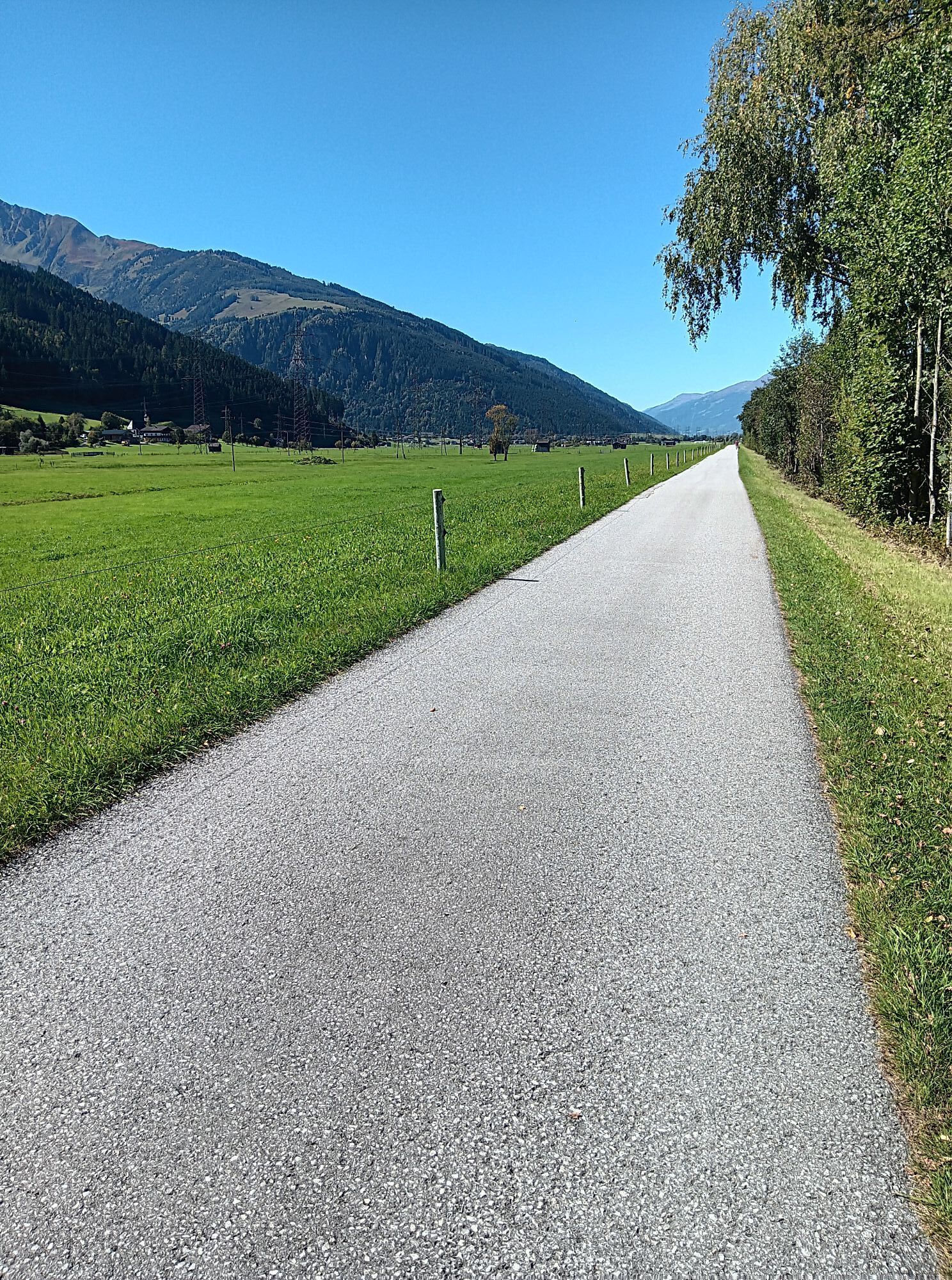
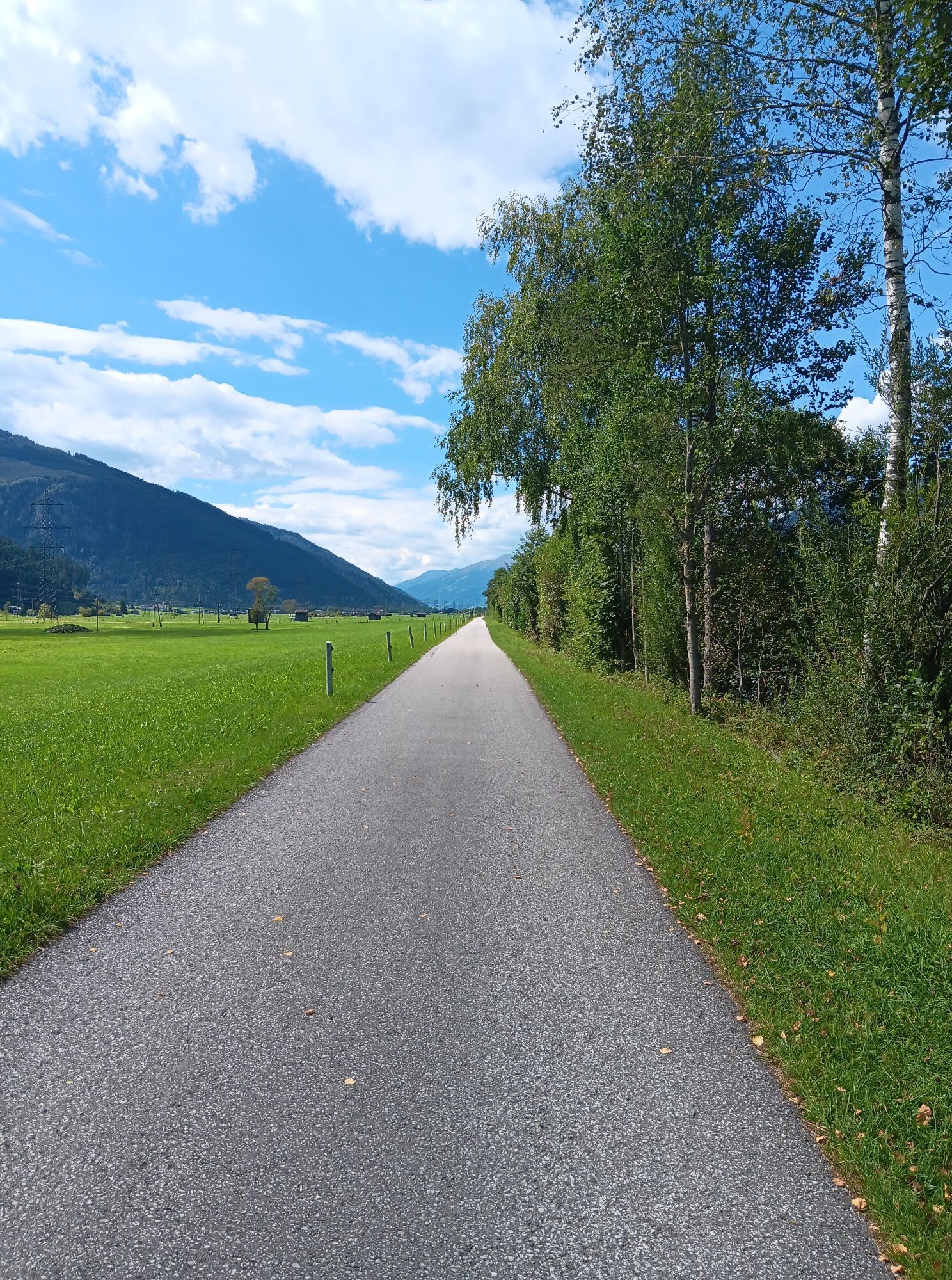


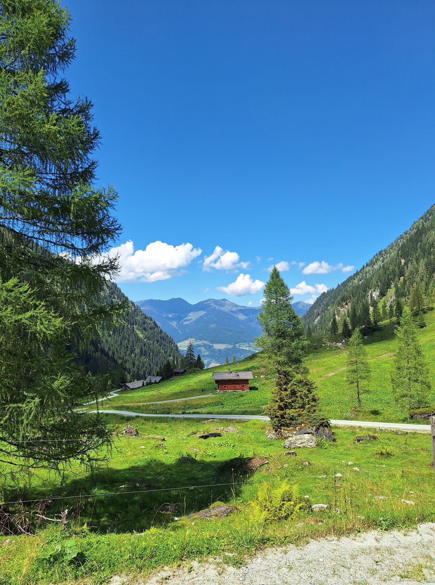
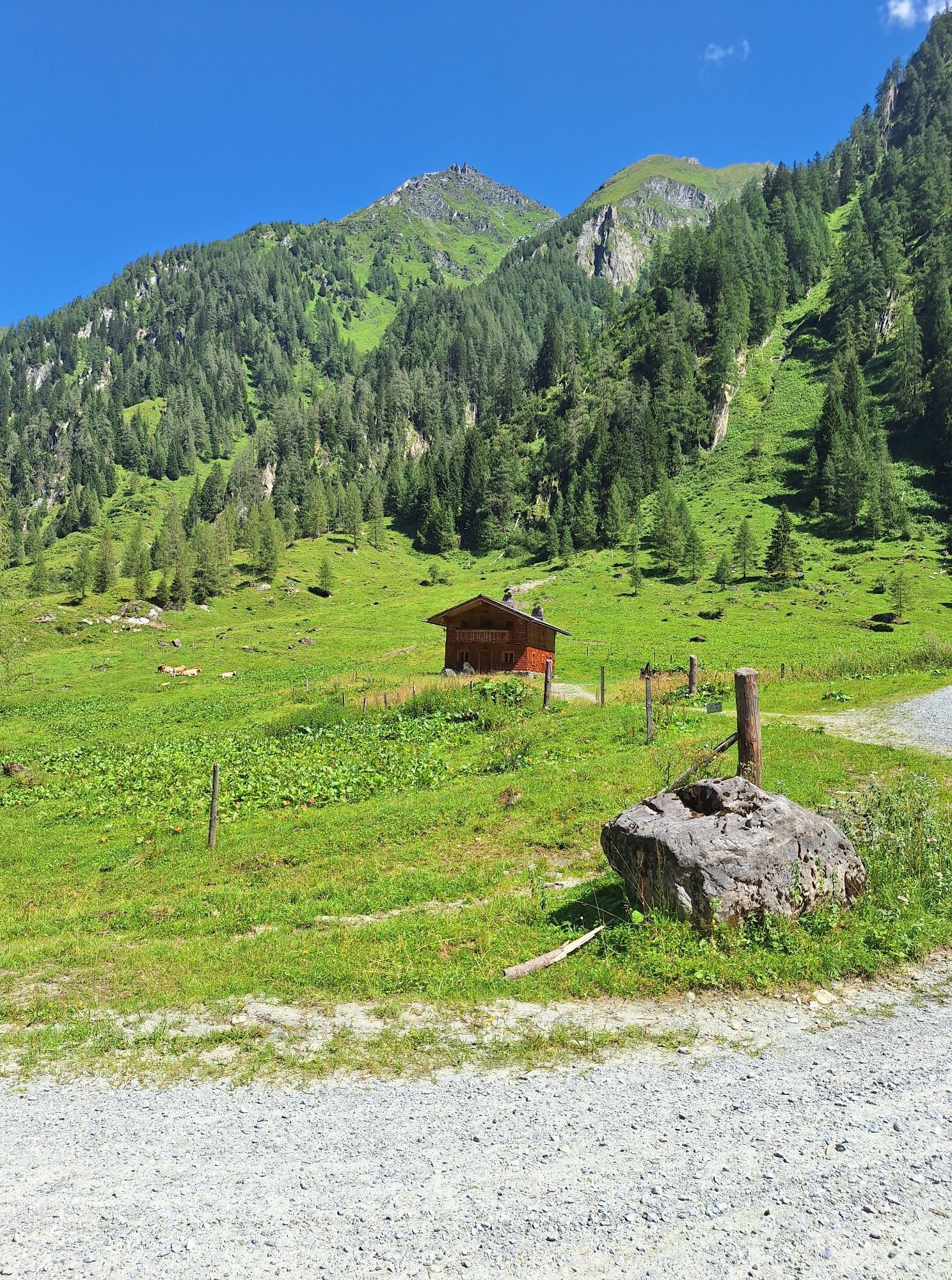
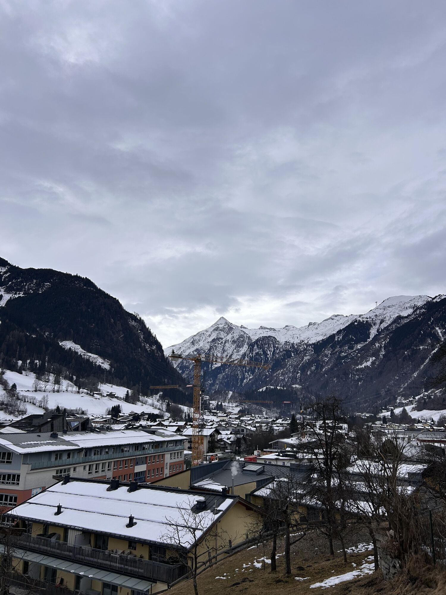
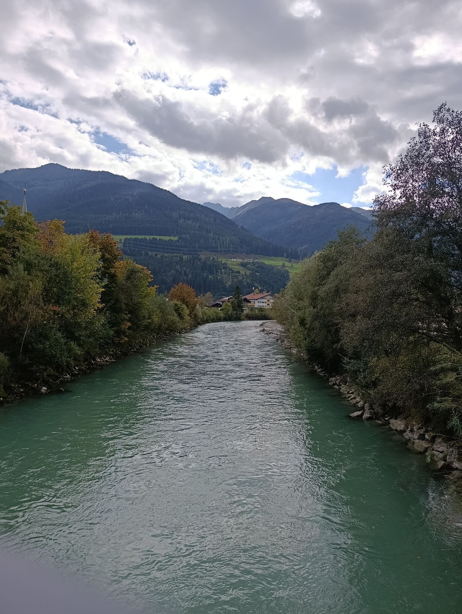
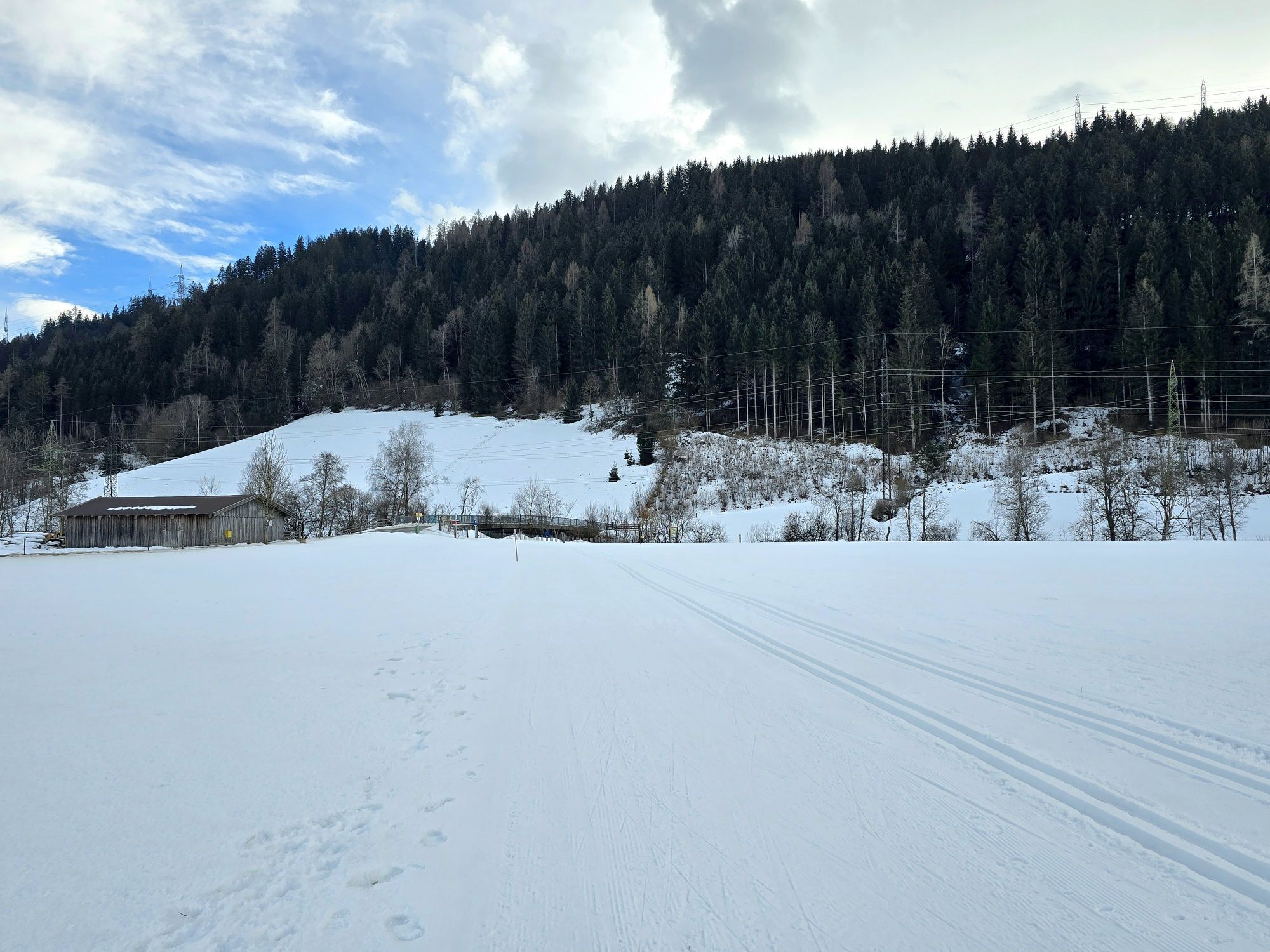
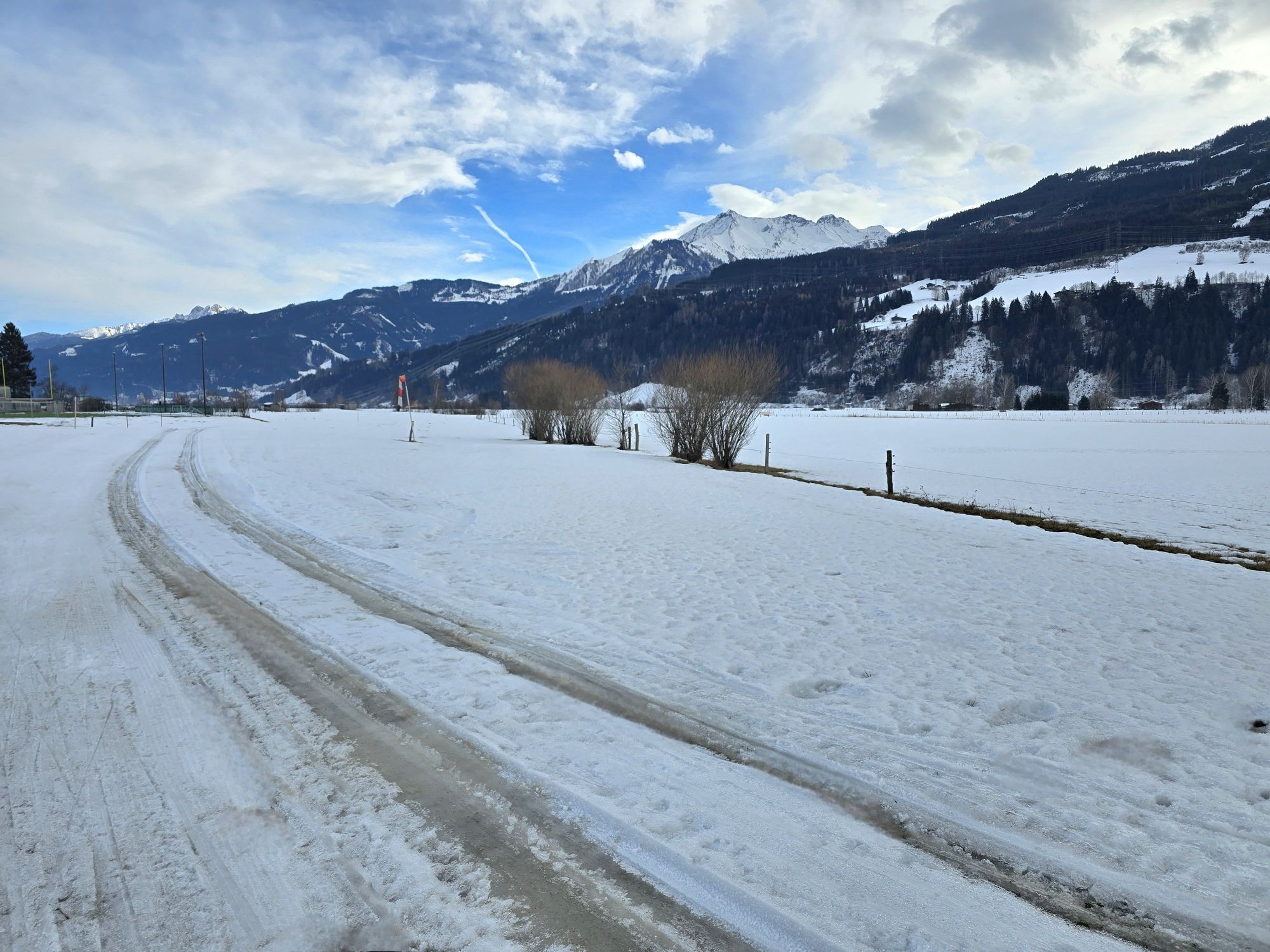
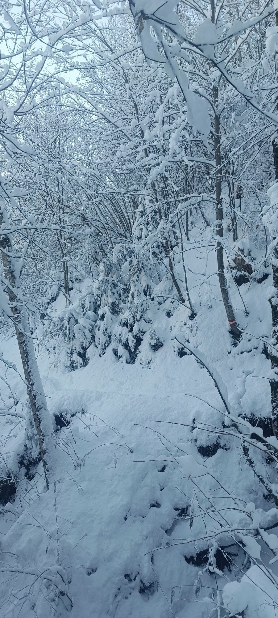
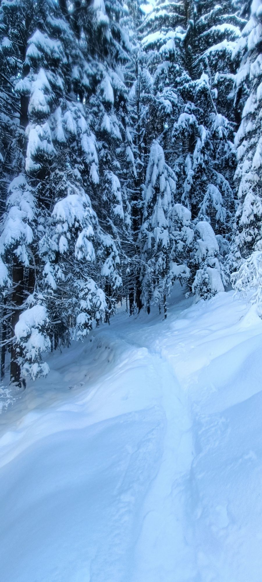
The Mühlbach valley may not be as well-known as other Tauern valleys, such as the Obersulzbachtal, Krimmler Achental or Gasteinertal, but that is exactly what makes its charm. Those traveling here immerse...
-> The stage runs exclusively on forest roads and alpine paths as well as paved bike paths/side roads. Details about the requirements of the Hohe Tauern Bike Trail can be found here >>.
Book your bike trip now at the Hohe Tauern Bike Trail in the information and booking center.

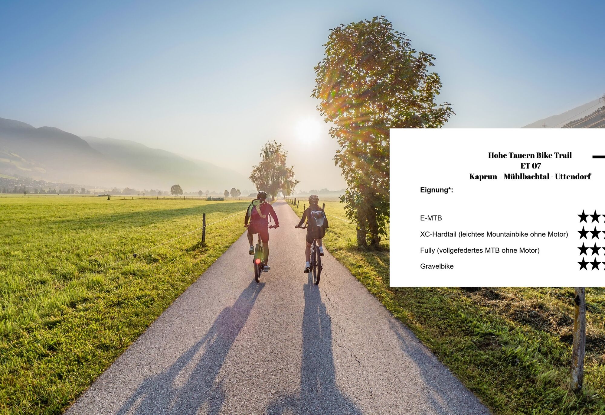
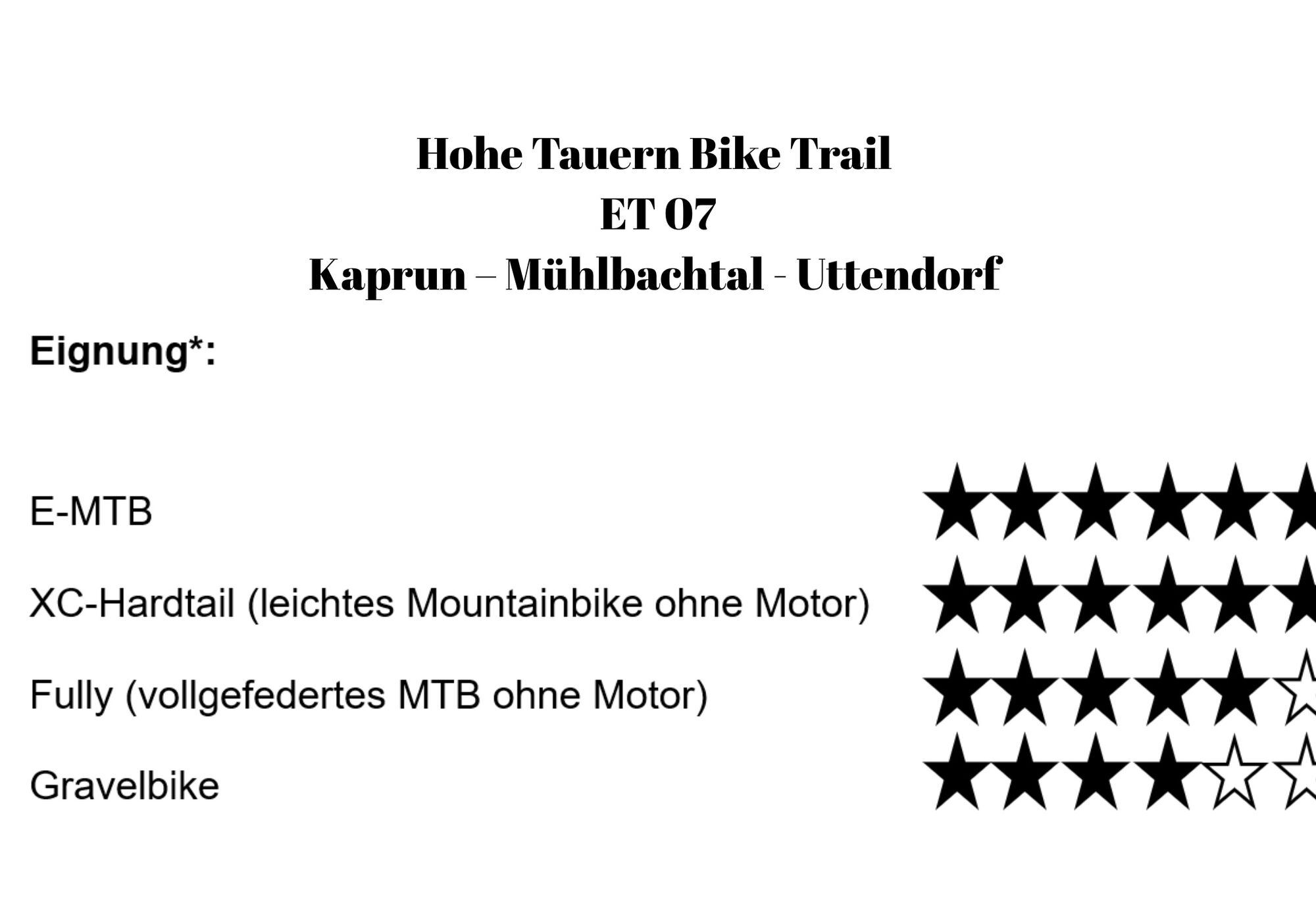
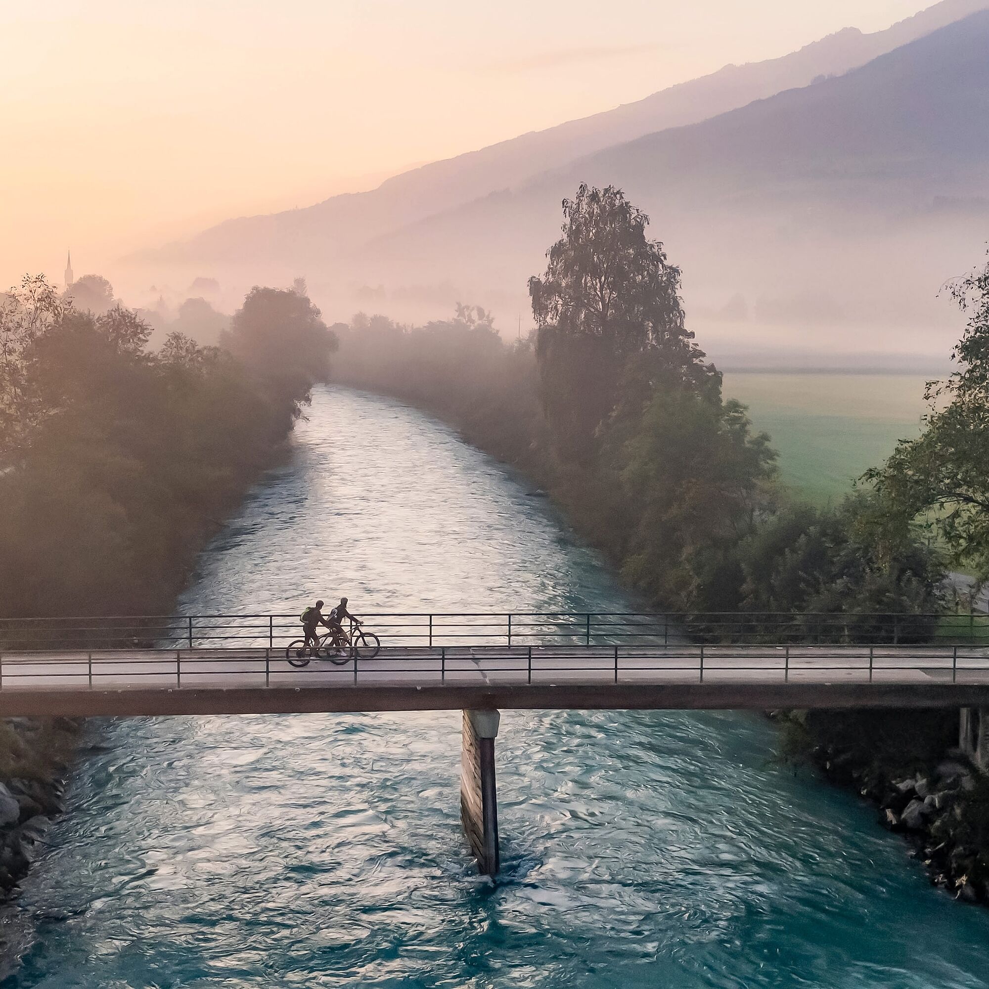
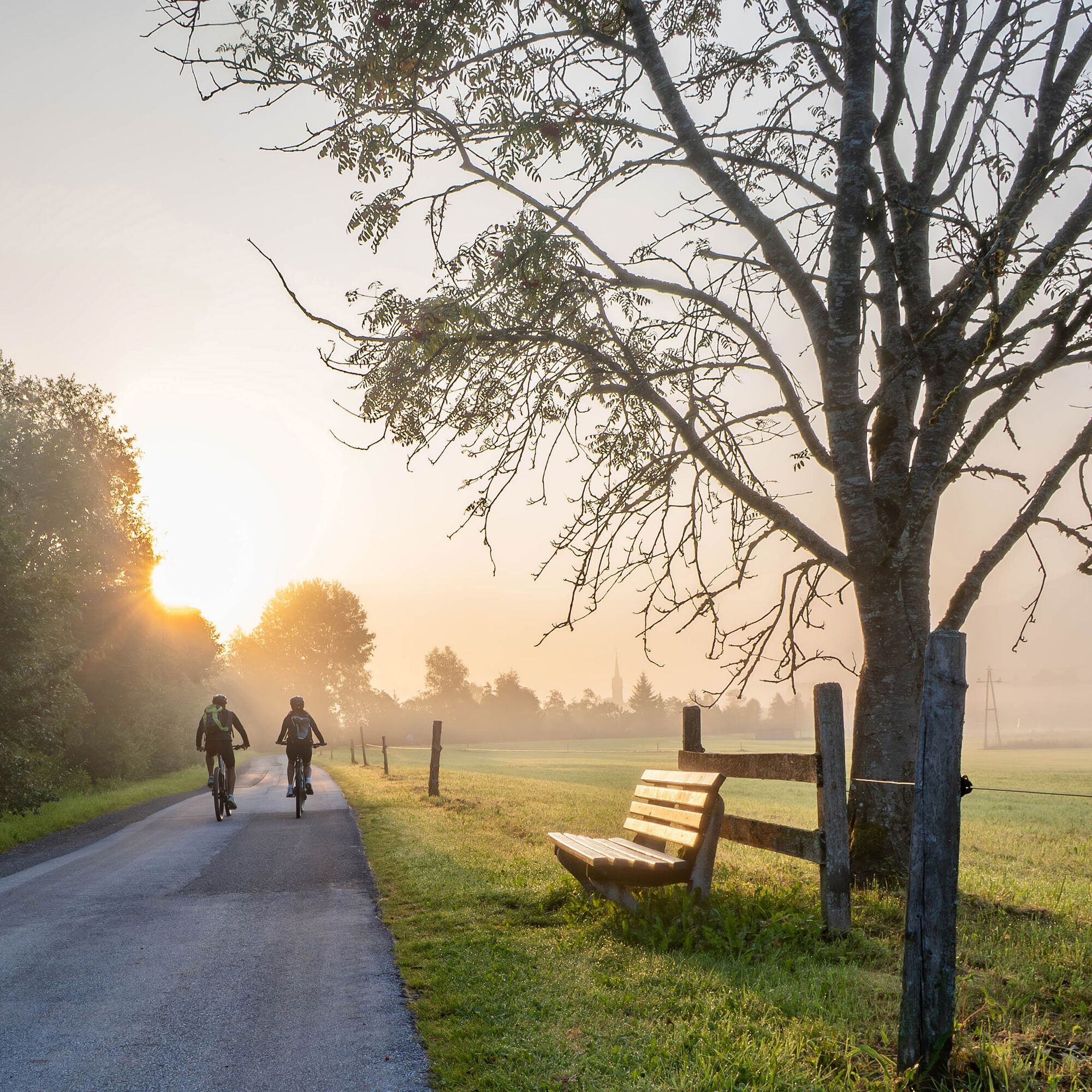
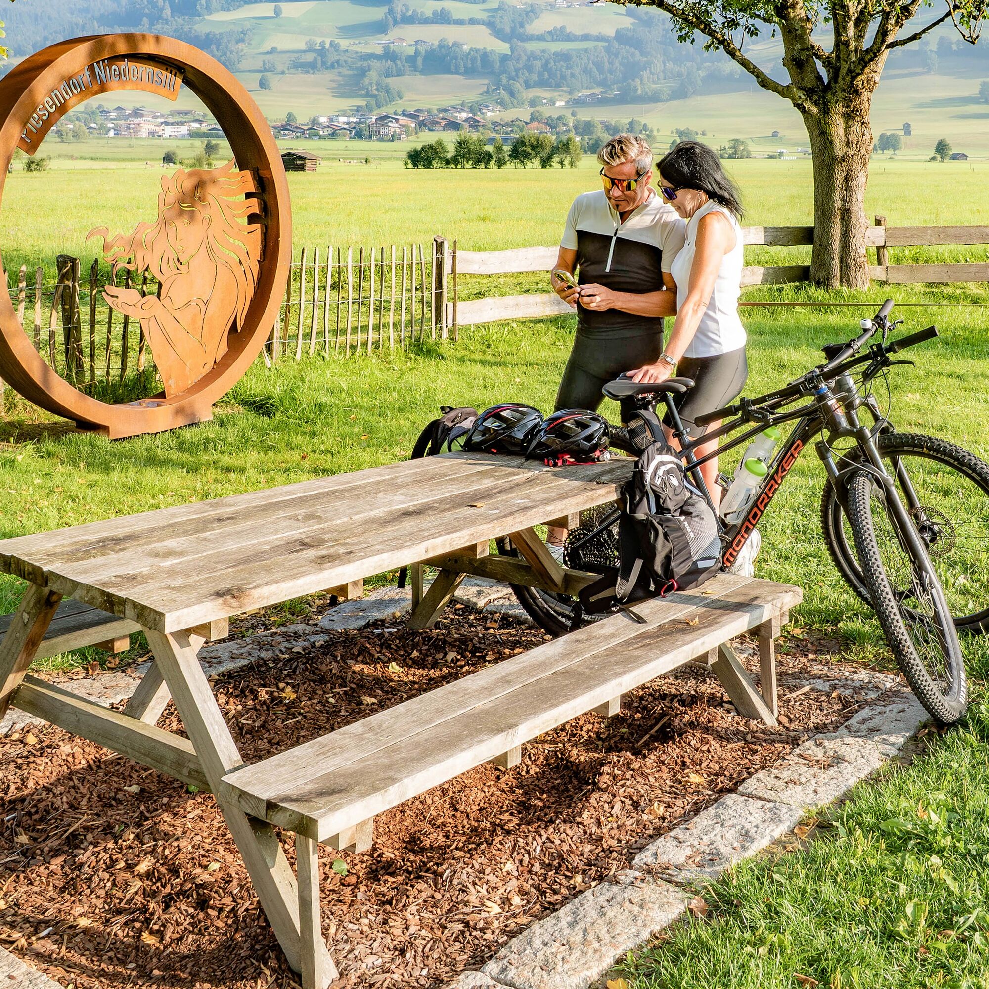
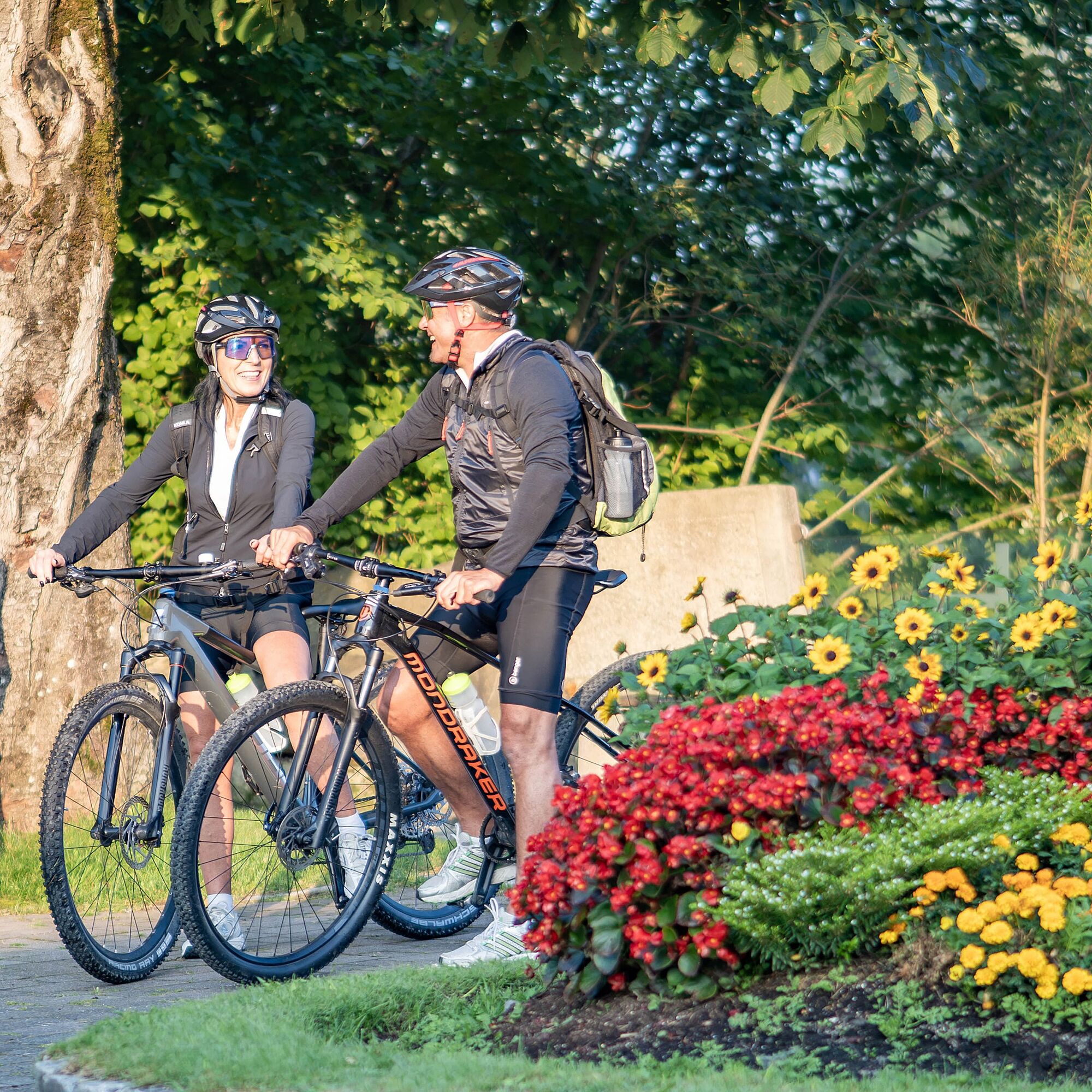

Along the Tauern Cycle Path, continue towards Piesendorf. After the railway crossing and the tennis pavilion, turn left. Also, at the next fork in the road, keep left. You cycle past the football field until you reach an intersection where you turn left again. Now, the Tauern Cycle Path leads you past the Hinkelsteinbad with a restaurant and over the railway crossing towards Hummersdorf.
Along the way, idyllic rest areas invite you to take short breaks. At a fork with the striking sculpture "Headstander," keep left and cross the Salzach again. Then continue along the Tauern Cycle Path past the Dietlgut snack station. The path now leads you through open landscape, past meadows and fields. With views of the surrounding mountains, you cycle leisurely until you reach the town area of Niedernsill. Shortly after the tourist office, turn left towards "s’Dorfcafe – Bakery Katschner bread & more."
From here begins the continuous ascent into the Mühlbach valley. You initially stay on the asphalted village street, then turn left into Schattbergstraße and then continue straight on the Winklmannweg. Follow this until the barrier – from here starts the forest road (gravel) into the Mühlbach valley.
First, the path goes through shady forest with a steady incline, always accompanied by the murmur of the Mühlbach. After crossing the brook, there is a slightly steeper section with four serpent-like curves. Then the path gently continues uphill, past lush alpine meadows until you reach the rustic Schaunbergalm – an ideal place for a rest with homemade specialties.
Refreshed, you return along the same path back to the town center of Niedernsill. From here, you follow the signposted Tauern Cycle Path continuously again until Uttendorf: at the junction after s’Dorfcafe, turn left and follow the asphalted Salzachstraße (Tauern Cycle Path) westwards. You pass the fire department and the natural swimming lake with the restaurant "Die Libelle," until you turn right at a fork. After the bridge over the Salzach, there is a railway crossing of the Pinzgau local railway – please be careful here. Then keep directly left and cycle past Lengdorf station towards Lengdorf.
At the underpass on the right side, stay left and continue along the Tauern Cycle Path which winds through the small residential area. At the next fork, turn left, cross the railway and Salzach again, and immediately after the bridge, keep right.
The last section now mostly follows the Salzach. You turn left, pass the small Schwarzenbach church and continue until the Stubachtalstraße. There turn right, cross the Salzach one last time, and arrive directly at the tourist information center in the town of Uttendorf – the destination of this stage.
Recommended Equipment >>
Attention: Mountain biking into the Mühlbach valley is permitted from May 1 to November 15.
Coming from Uttendorf town center by regional bus 670 towards Zell am See via Uttendorf to the Fürt Kapruner Straße stop. Then by bike to the start point (Kaprun town center) or continue by regional bus 660 towards Kitzsteinhorn cable car via Kaprun to Kaprun town center.
To the long-term parking spaces at the Hohe Tauern Bike Trail >>
S0
National Park Hohe Tauern holiday region
Gerlosstraße 18, 5730 Mittersill, Austria
Tel. +43 6562 40939 Email: hohetauerntrail@nationalpark.at
Booking center & Info Hotline Trail Angels GmbH
9821 Obervellach 15, Austria
Tel. +43 4782 93093 Email: info@bookyourtrail.com
Pridobite vpogled Vedno v živo na mestu z več kot 9.500 spletnimi kamerami. bergfex Kot uporabnik Pro si lahko zdaj ogledate ustrezne spletne kamere za številne izlete v aplikaciji izleti iz. Tako si lahko neposredno ogledate trenutne razmere. Priljubljeni izleti v okolici
- 4.8
Sigmund Thun Klamm, Klammsee, Bürgkogel
svetlobaPohodništvo 4.56 km - 4.5
Sigmund Thun Klamm
svetlobaPohodništvo 3.10 km - 4.0
Maurerkogel (Top)
Pohodništvo 10.5 km - 4.9
Hochsonnberg Runde
srednjaMountainbike 59.8 km - 4.4
Thumersbach, Runde um den Zeller See
svetlobaPohodništvo 13.3 km - 4.9
Großes Wiesbachhorn 3564 mnv Kaprun, Austrija
težkoPohodništvo 13.4 km - 5.0
Panorama route 3 peaks and 2 lakes
srednjaPohodništvo 7.35 km - 4.6
3 Oktober Fusch Walcher Grung und Hohalm
srednjaPohodništvo 8.57 km - 4.9
Manlitzkogel
težkoPohodništvo 13.4 km - 4.7
Fusch: Gleiwitzer Hütte
težkoPohodništvo 8.26 km

Pohodništvo in sledenje


Ne zamudite ponudb in navdiha za naslednje počitnice
Vaš e-poštni naslov je bil dodan na poštni seznam.





