






Hohe Tauern Bike Trail | ET03 Embach | Seidlwinkltal | Rauris
Stopnja težavnosti: S0

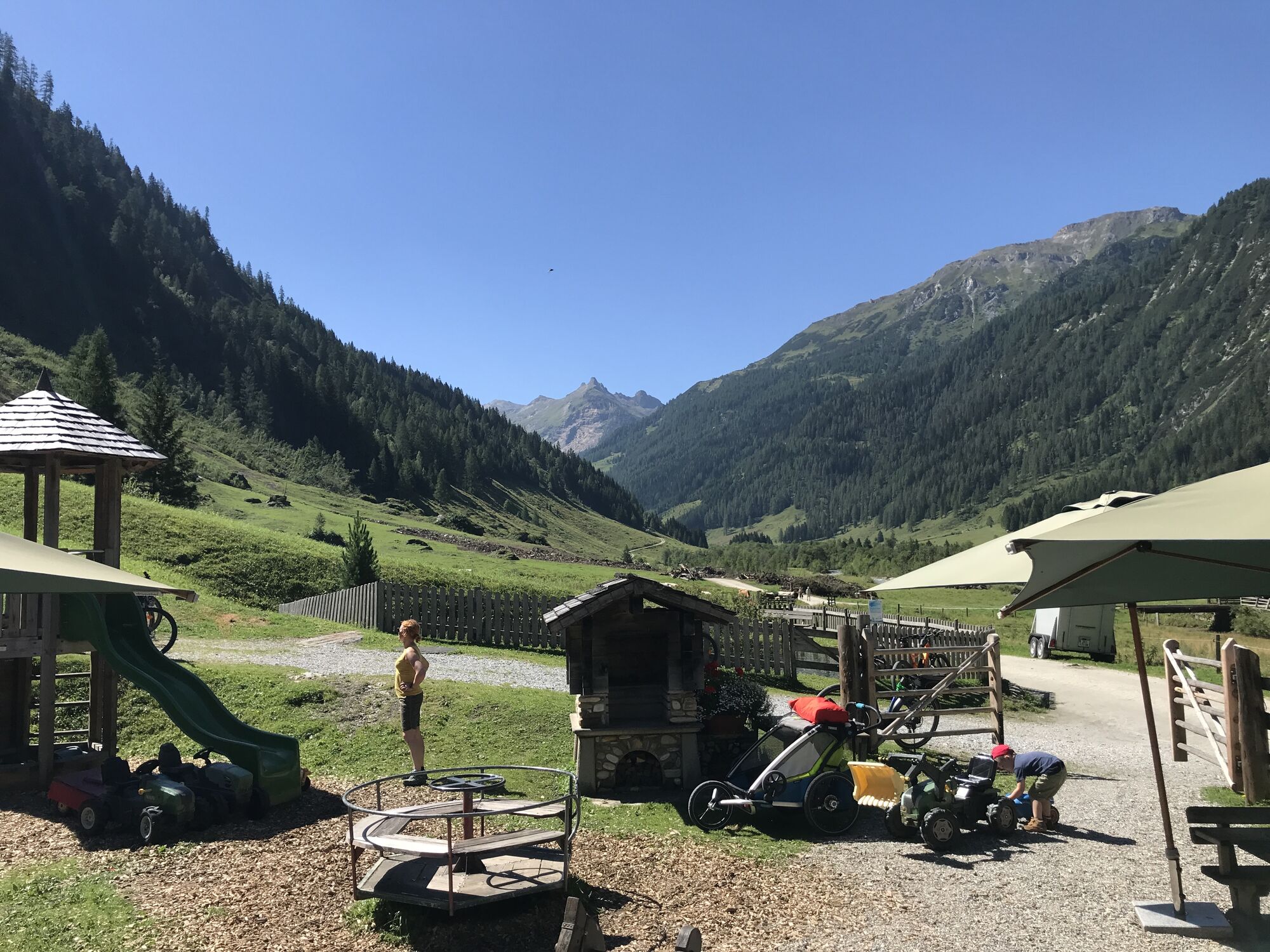
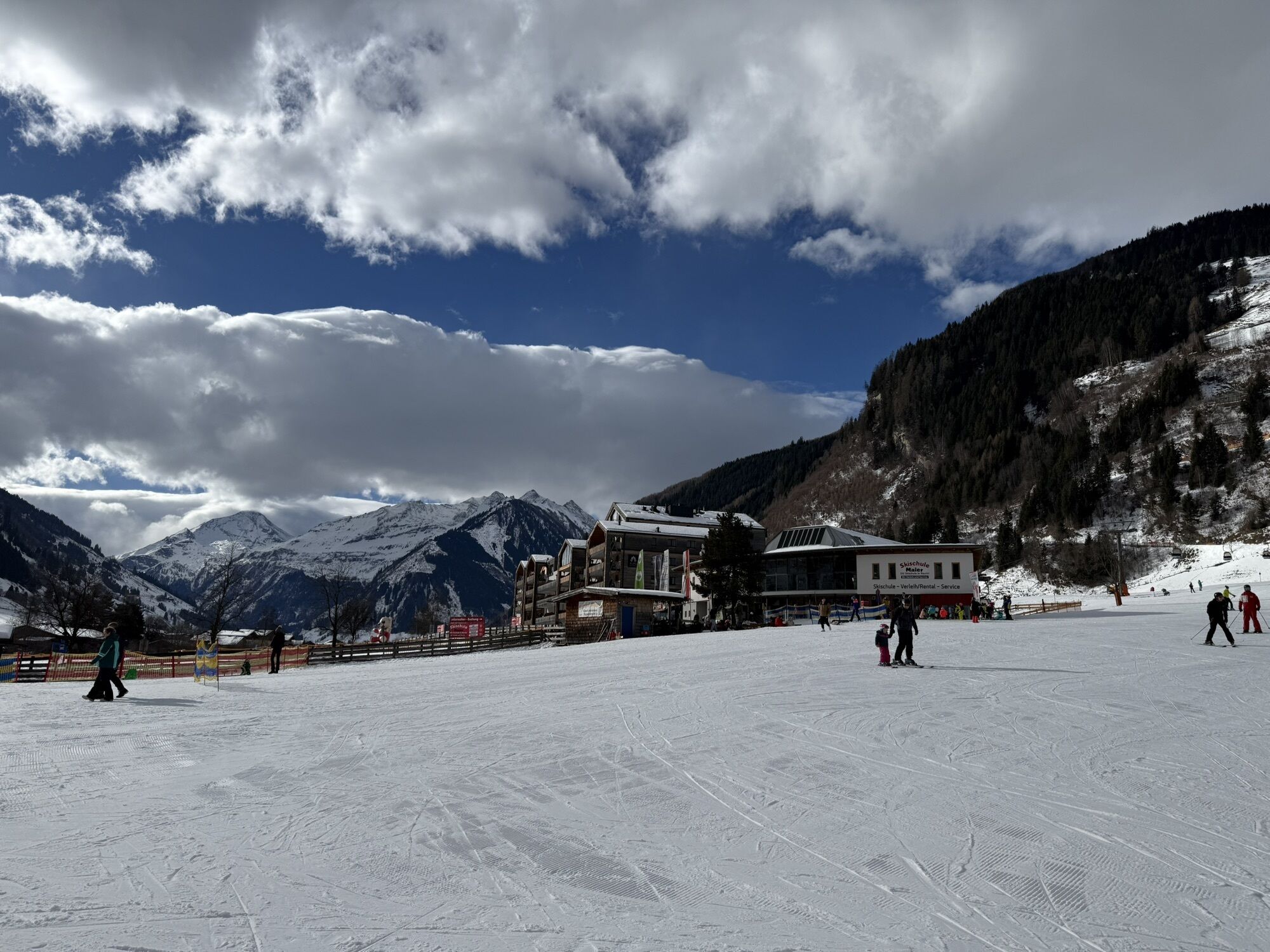
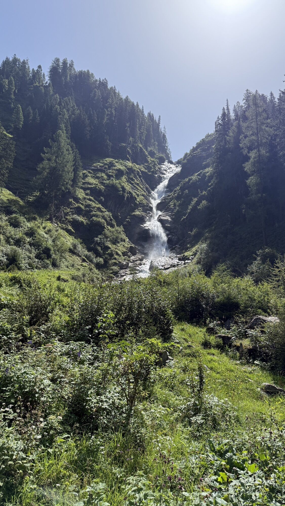
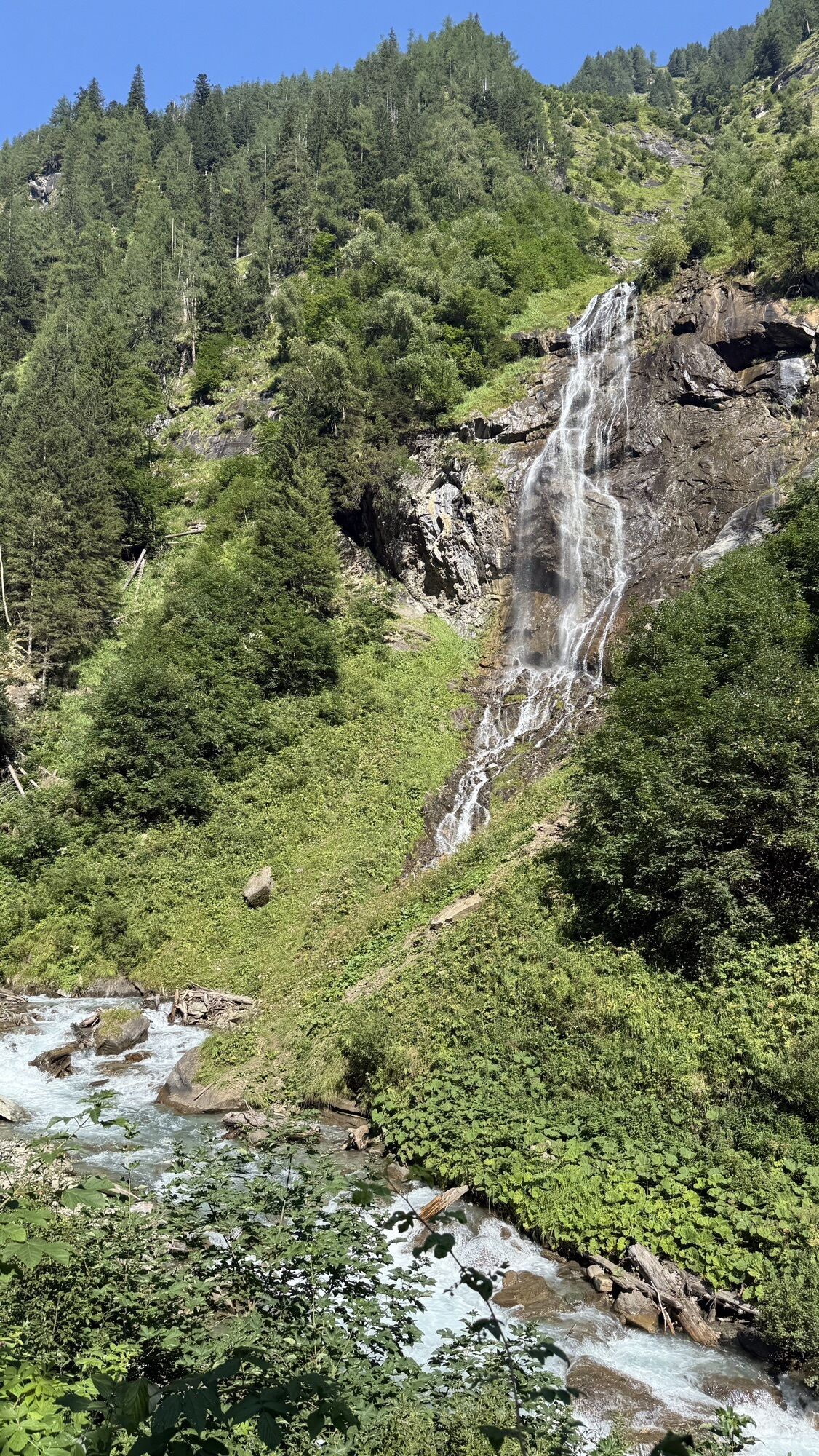
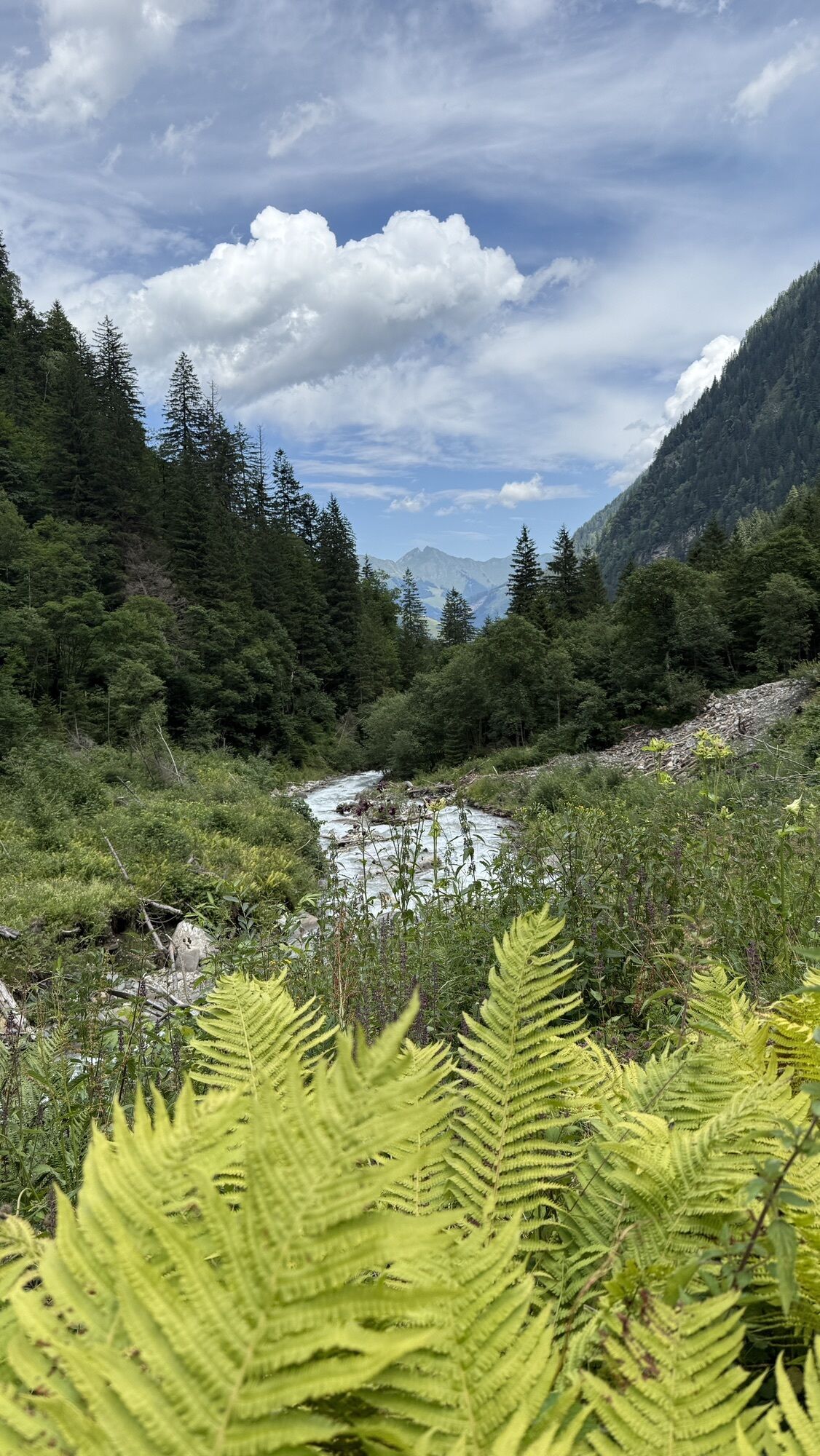
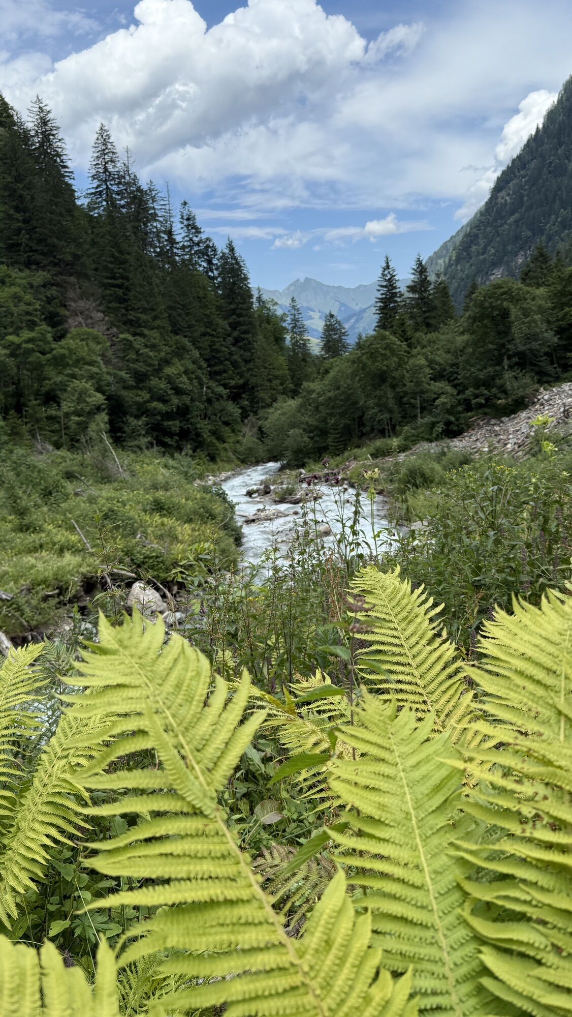
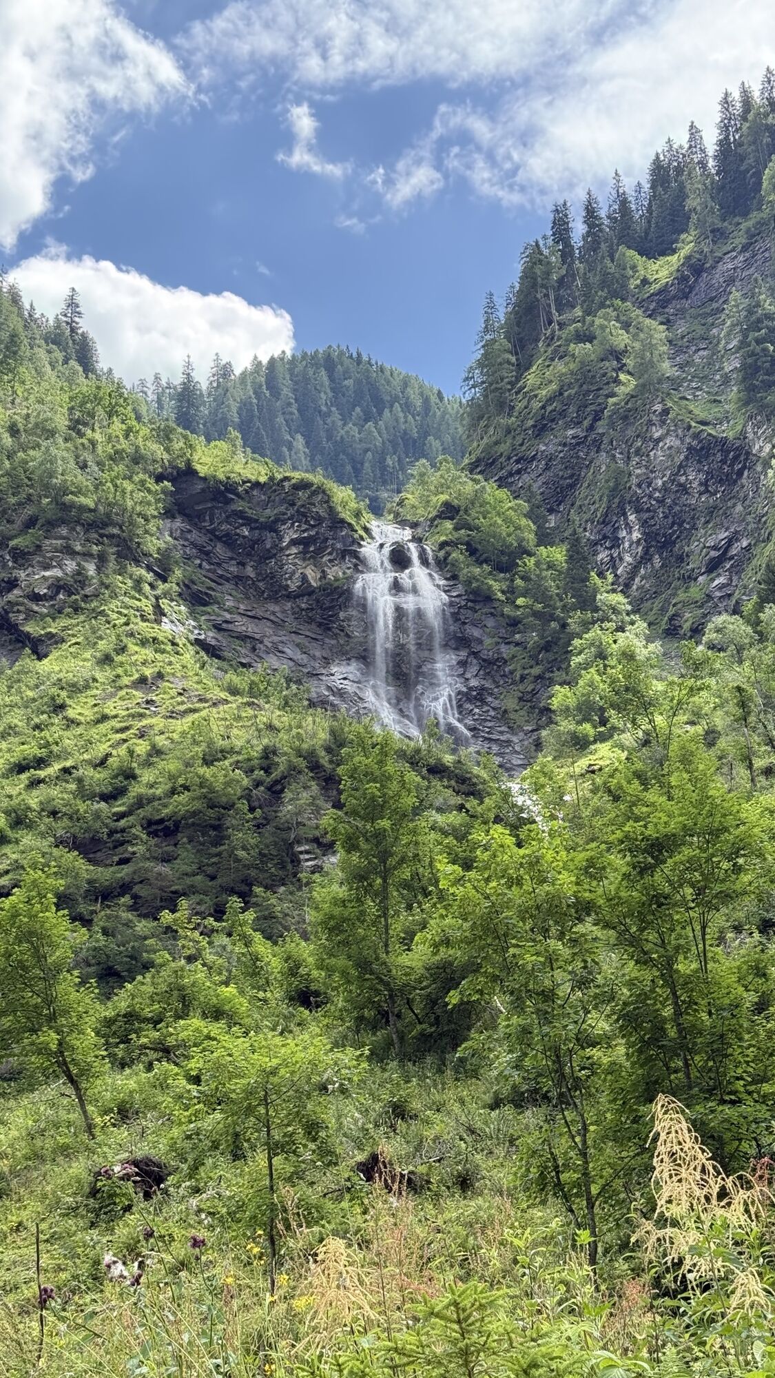
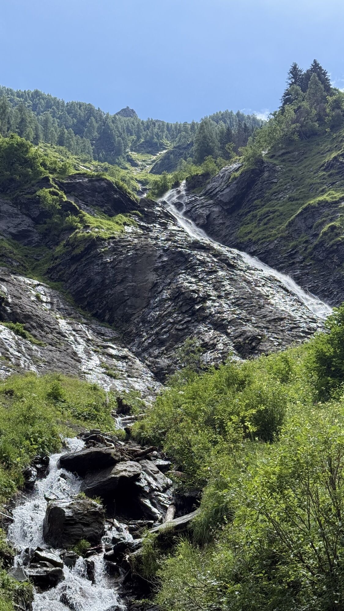
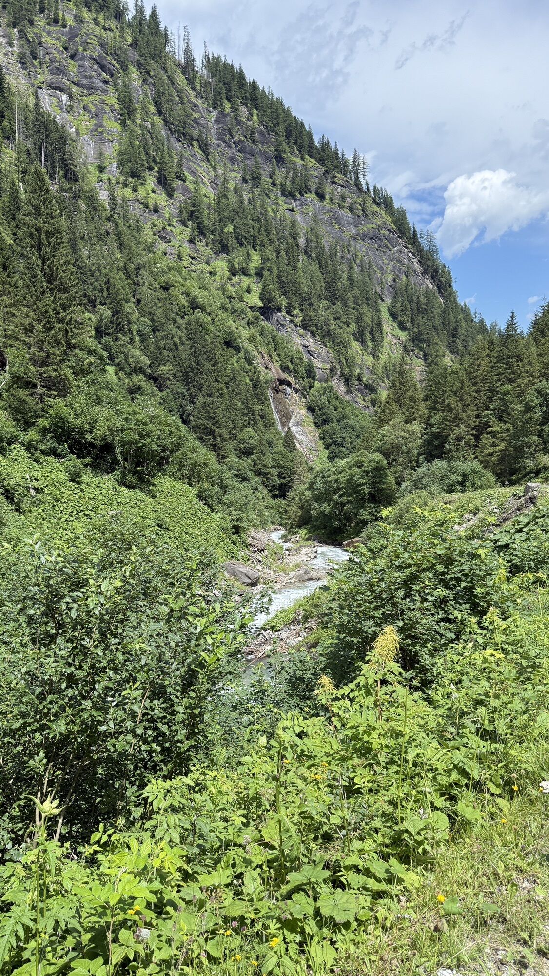

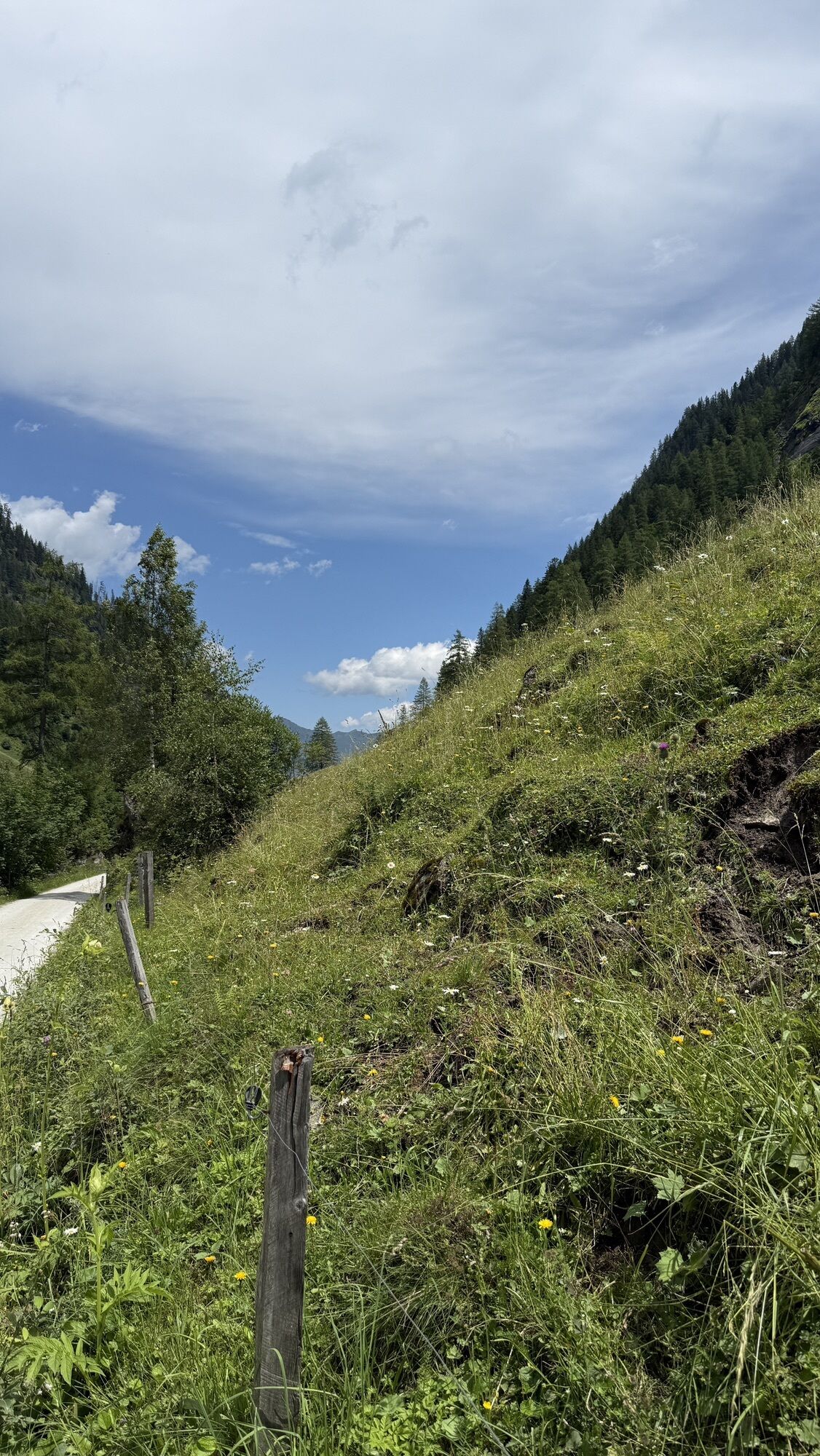
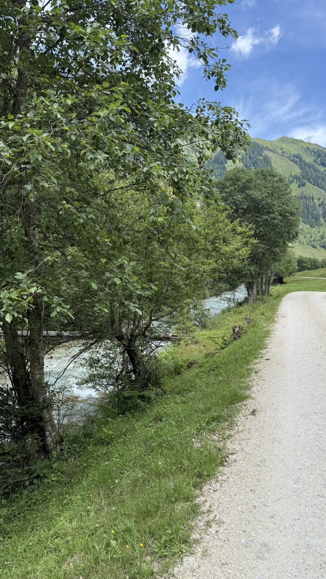
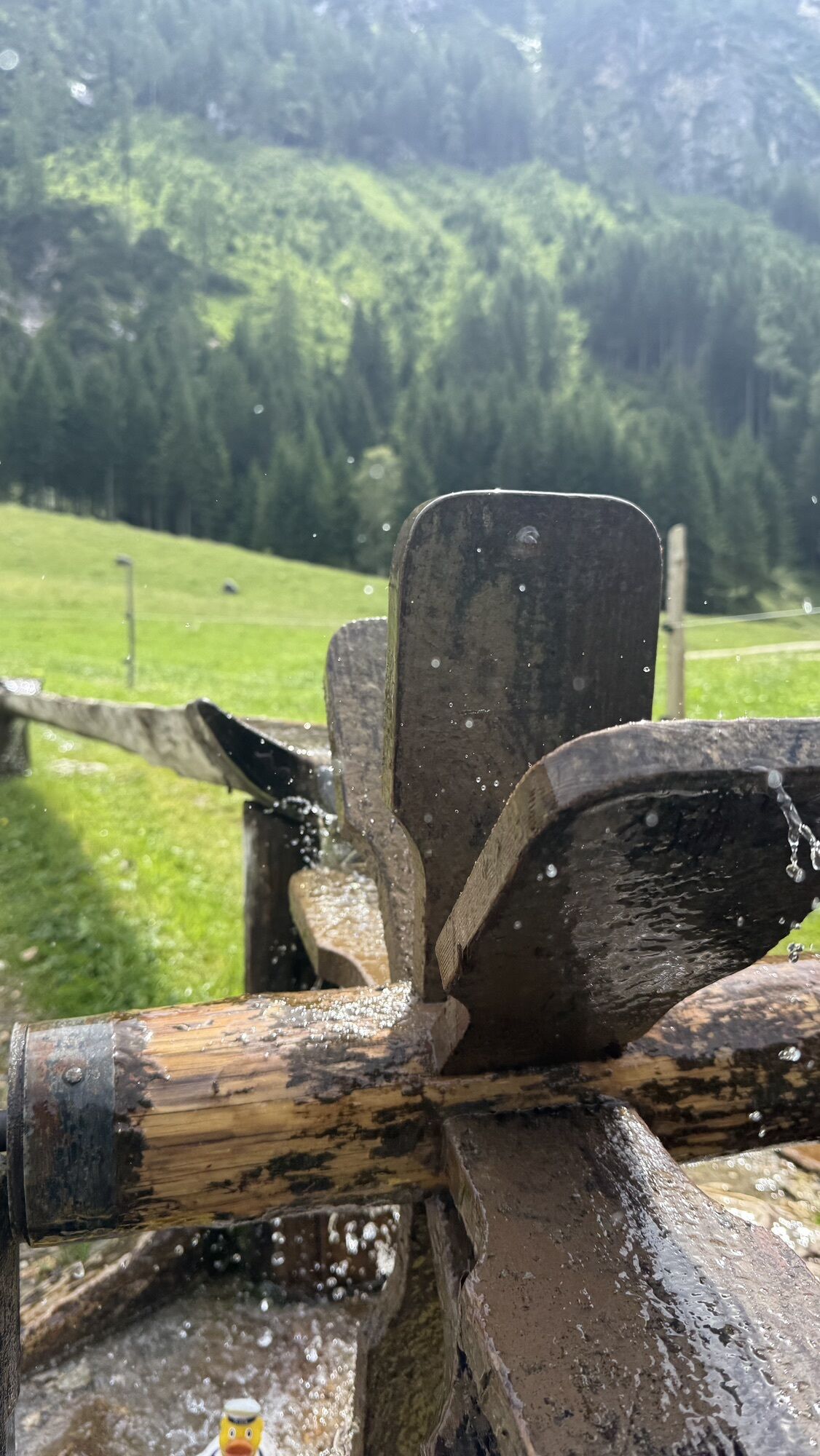
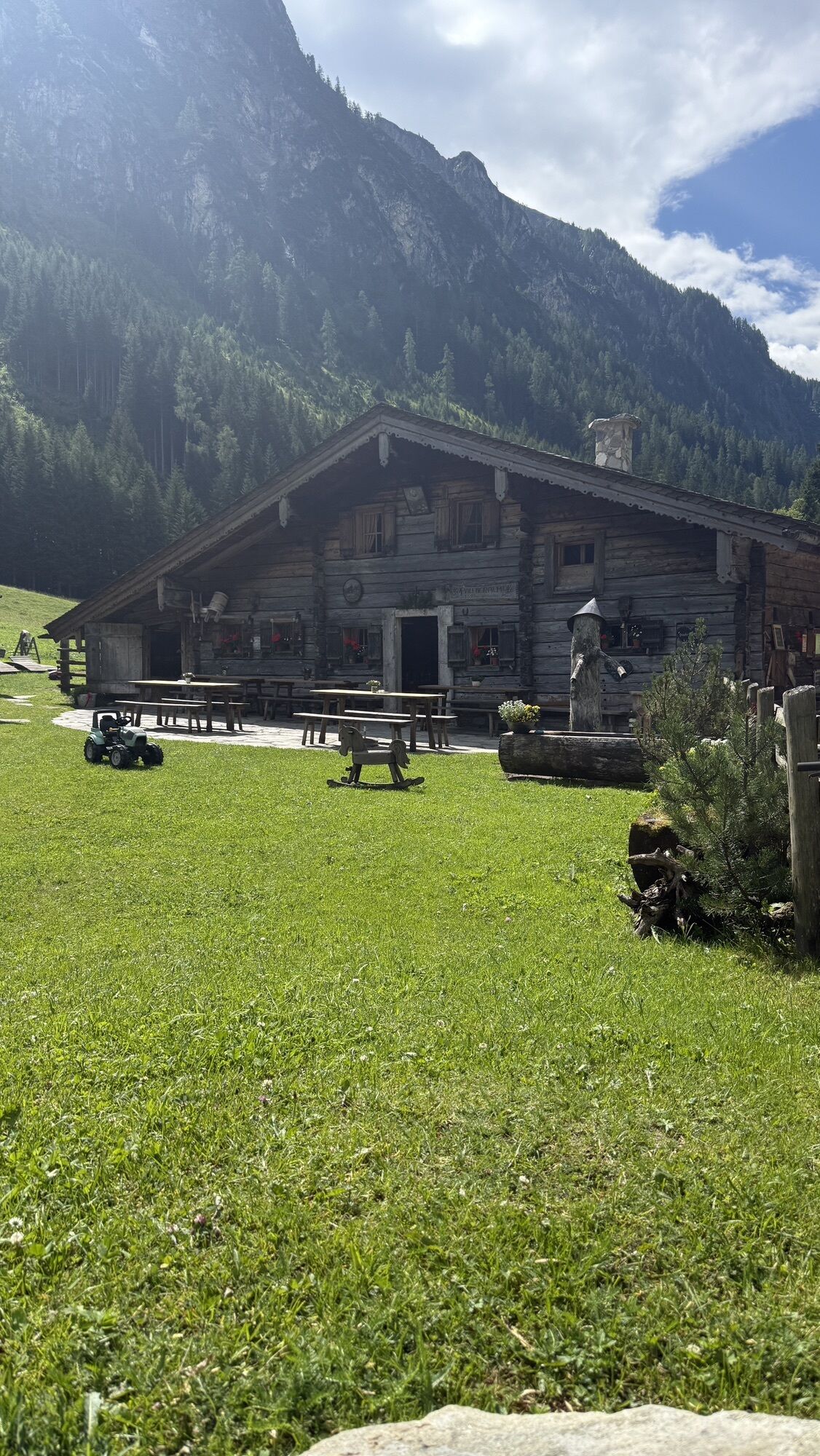
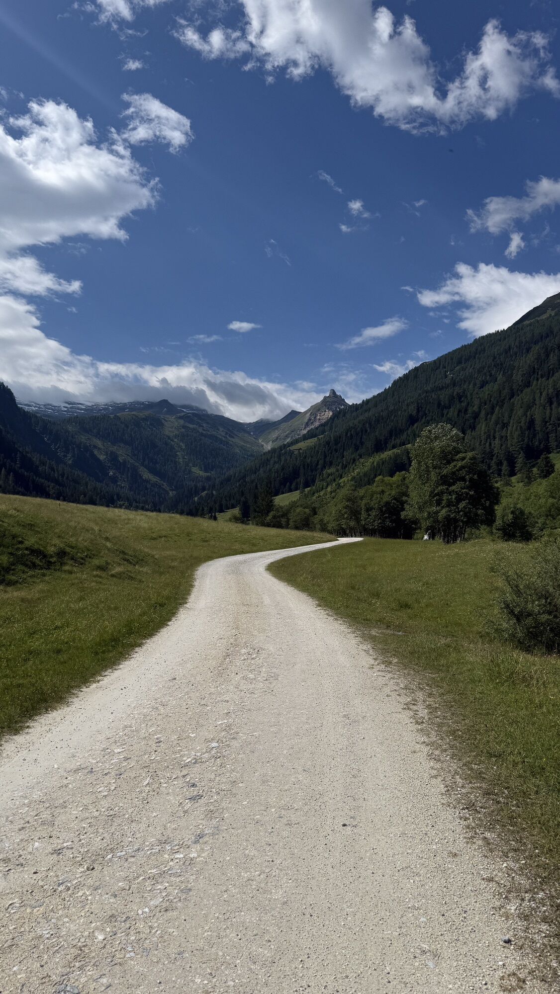

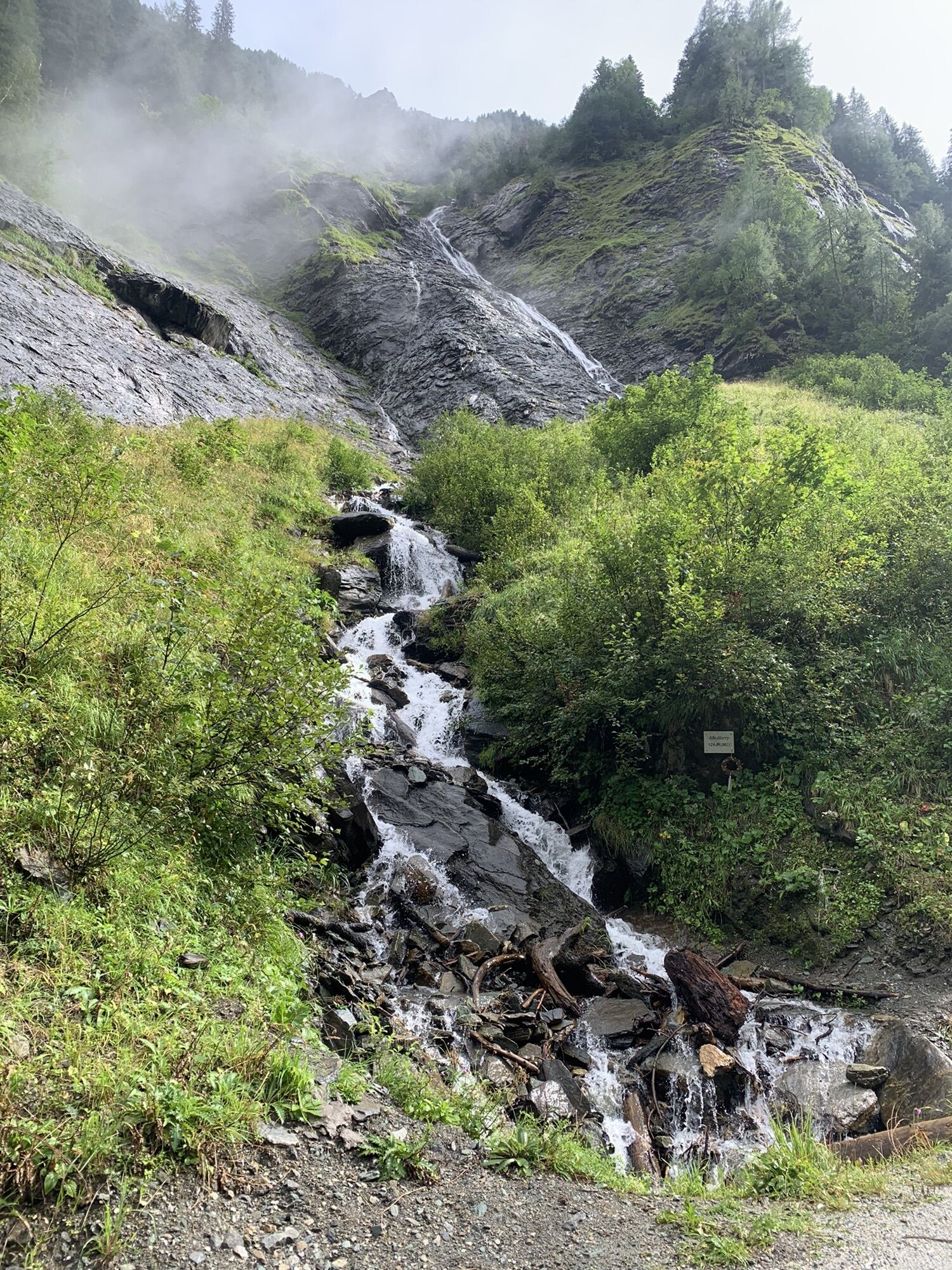
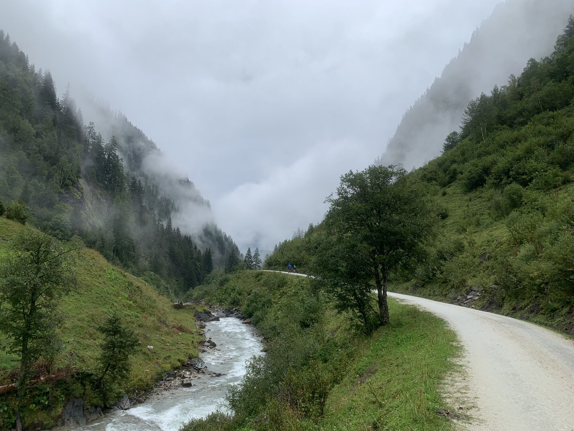
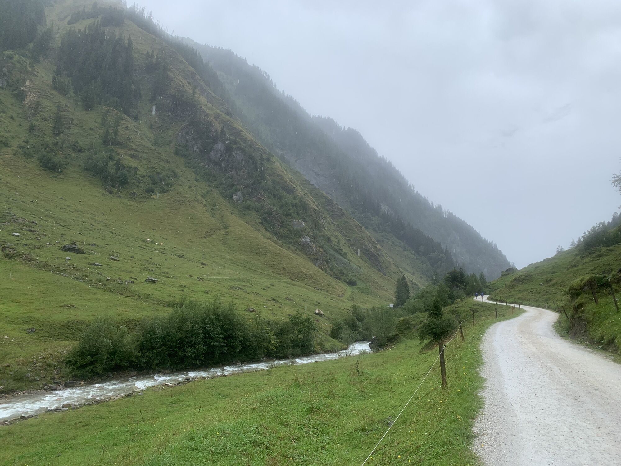
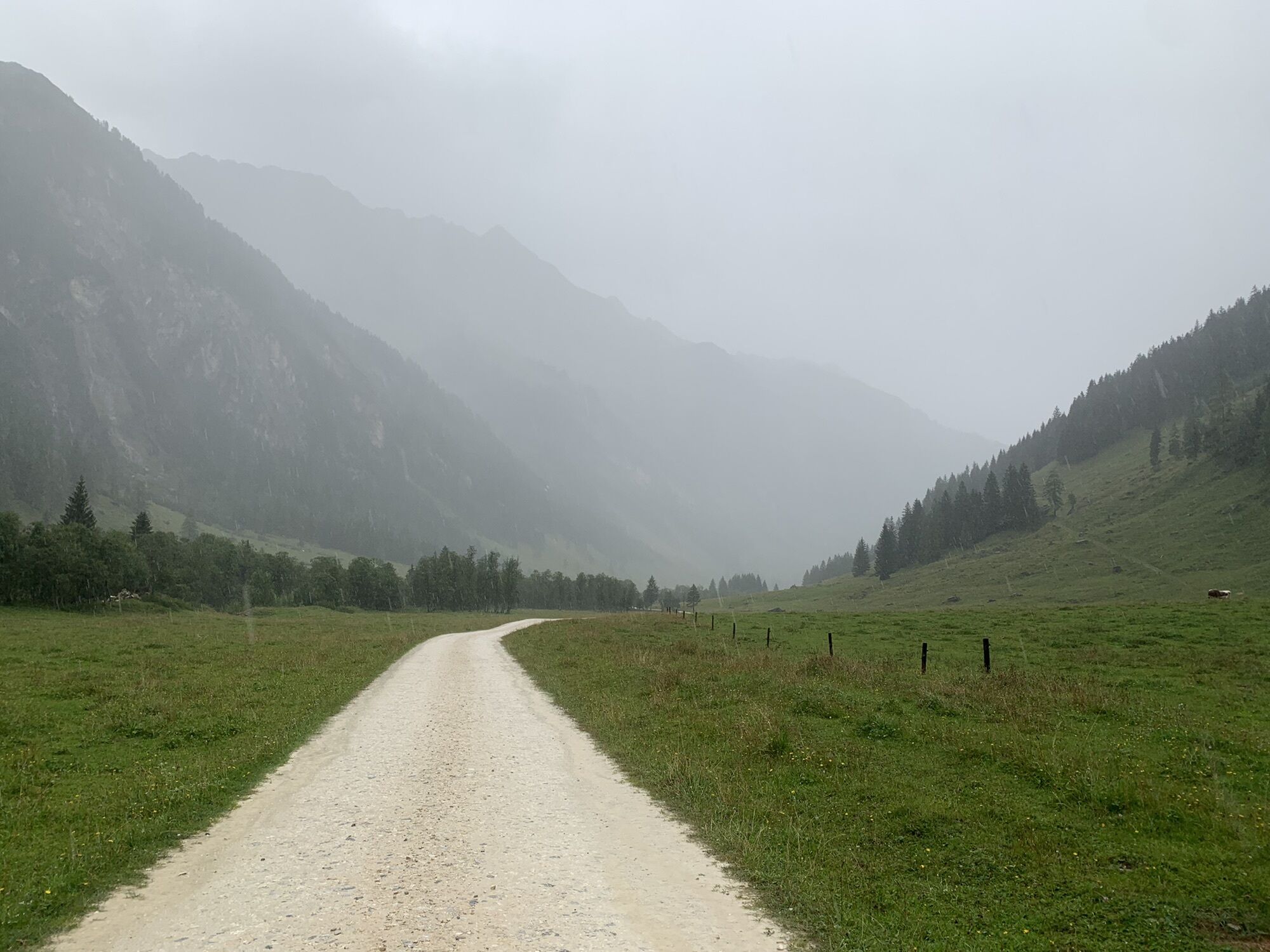
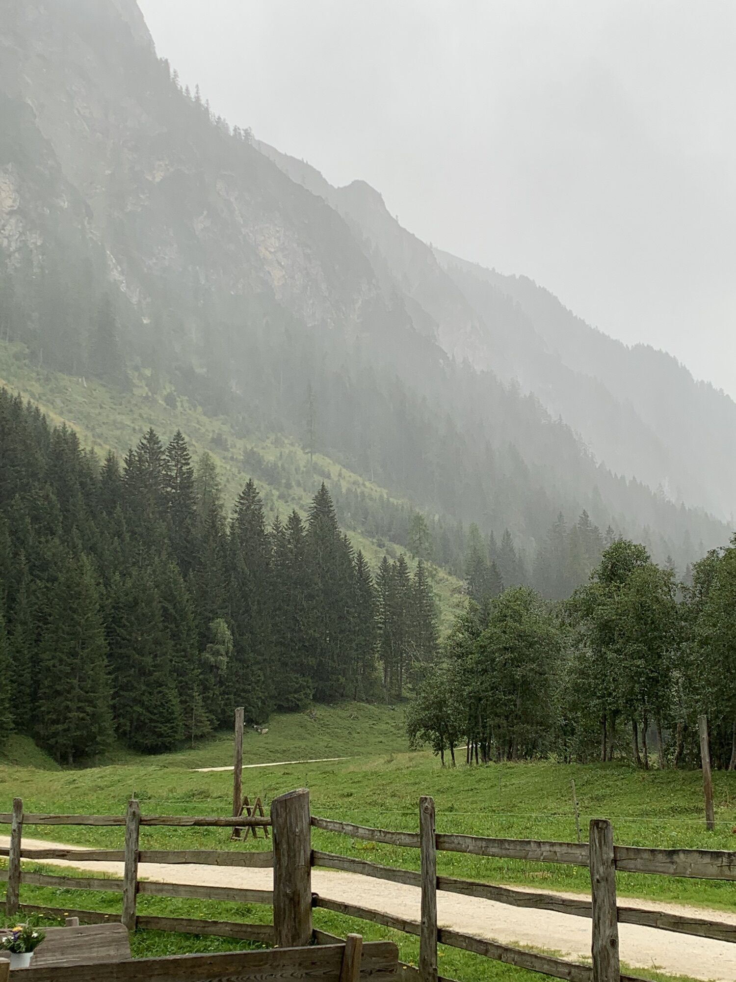
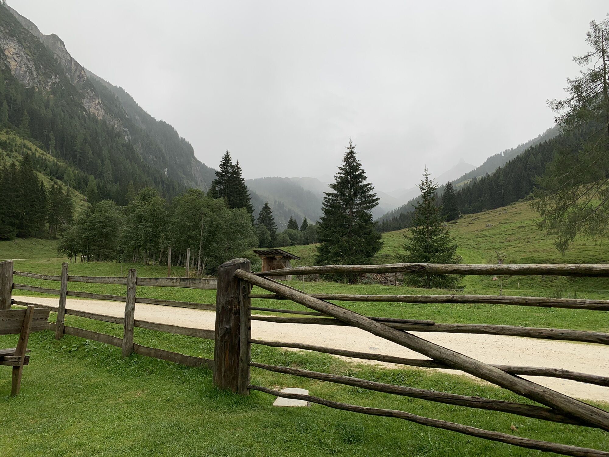
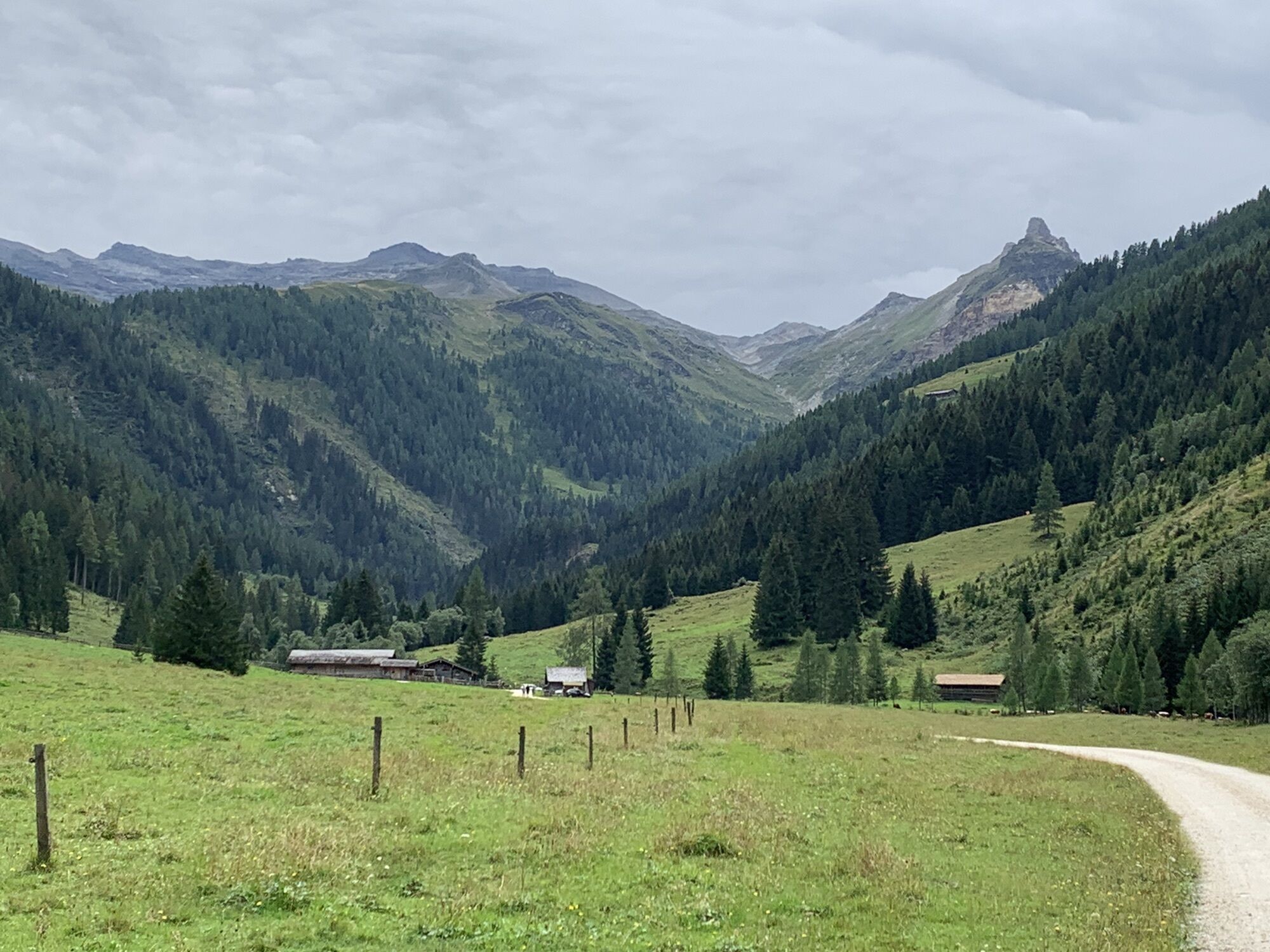
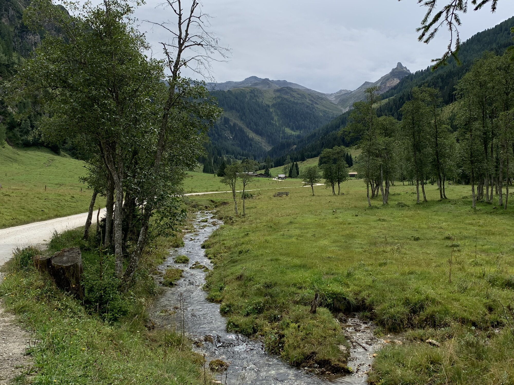
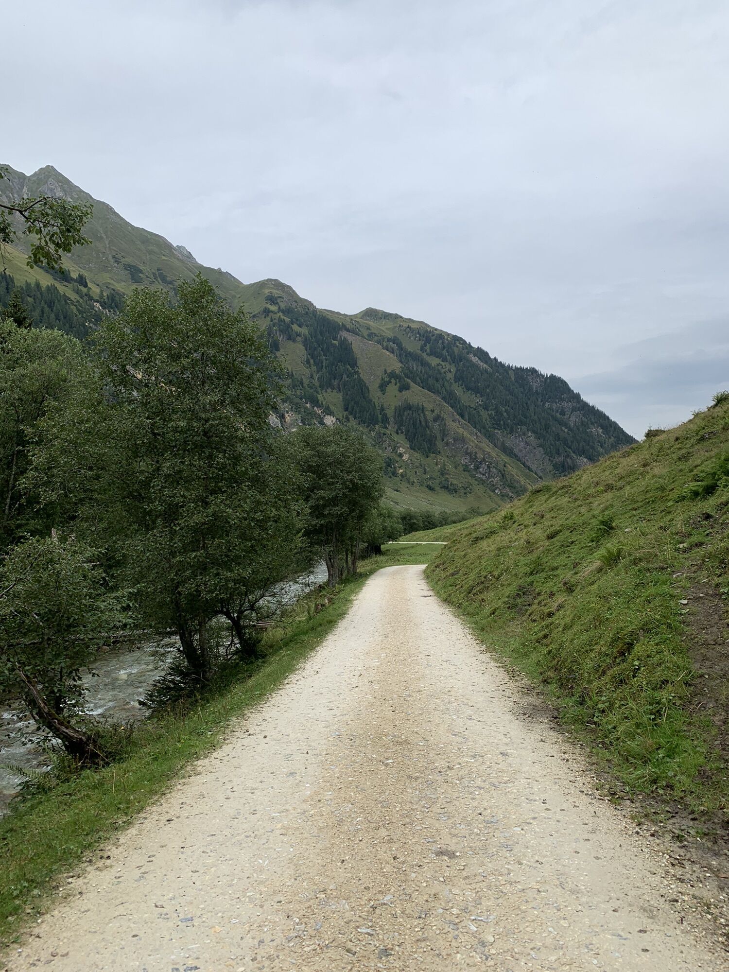
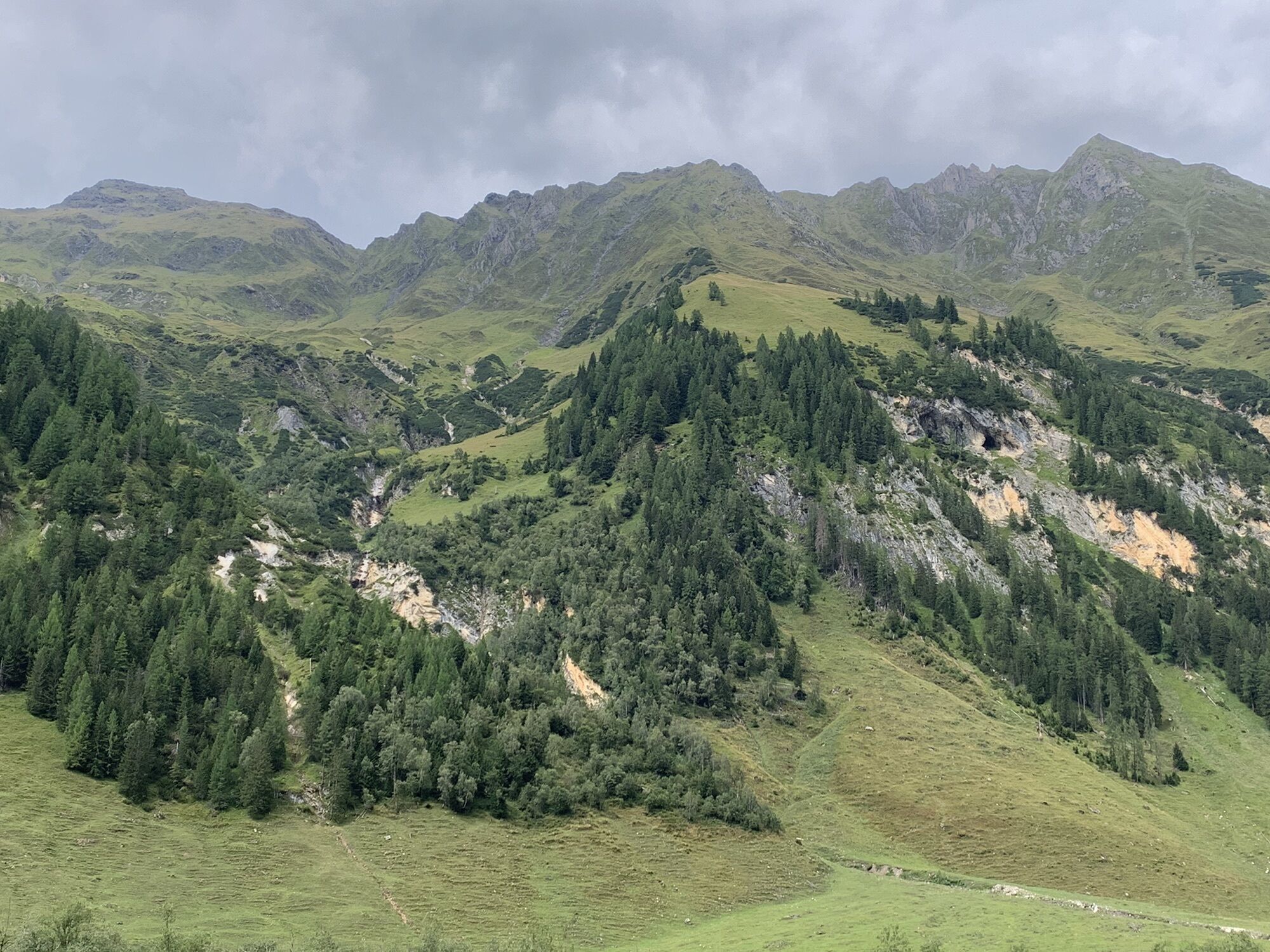
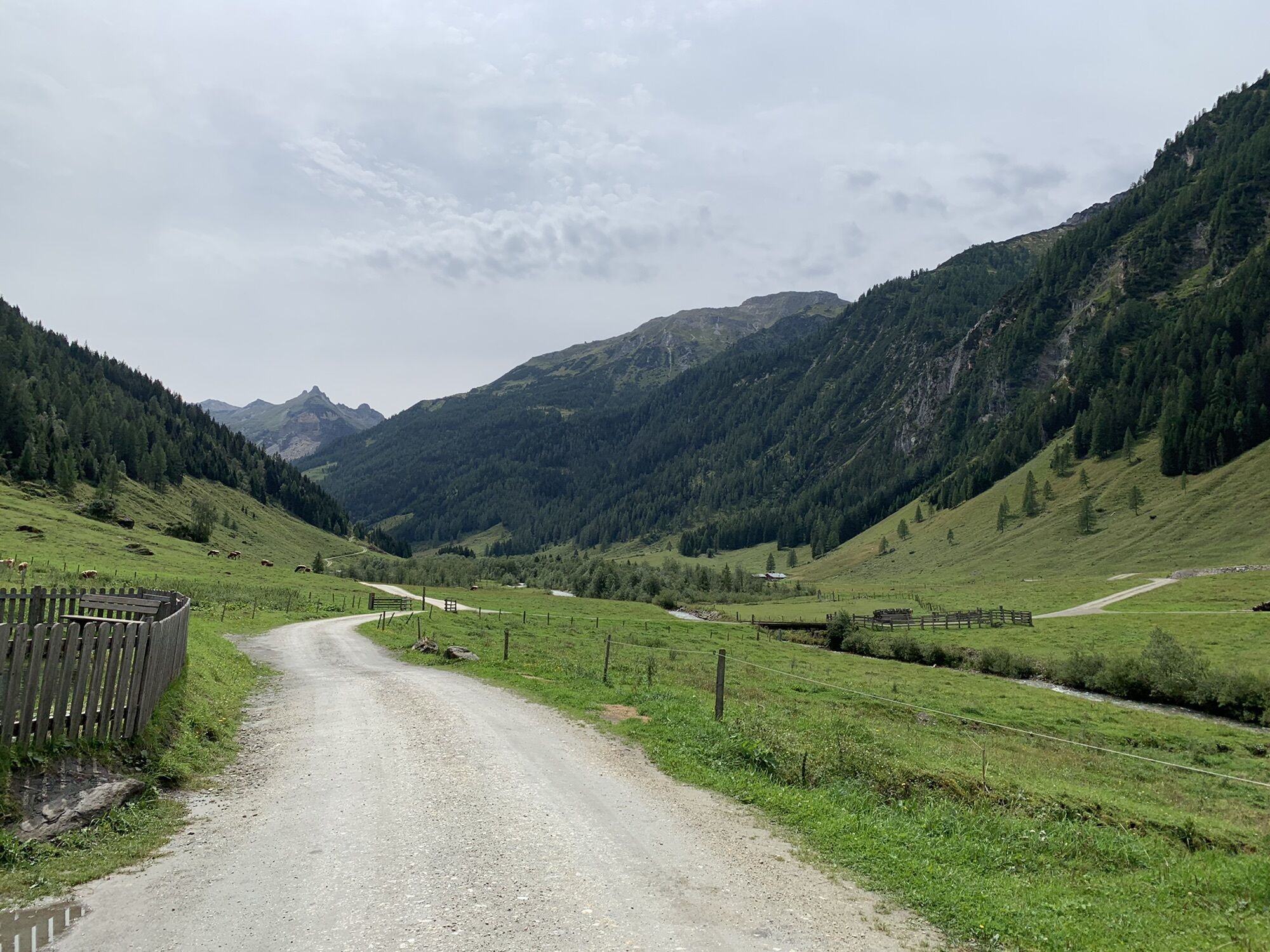

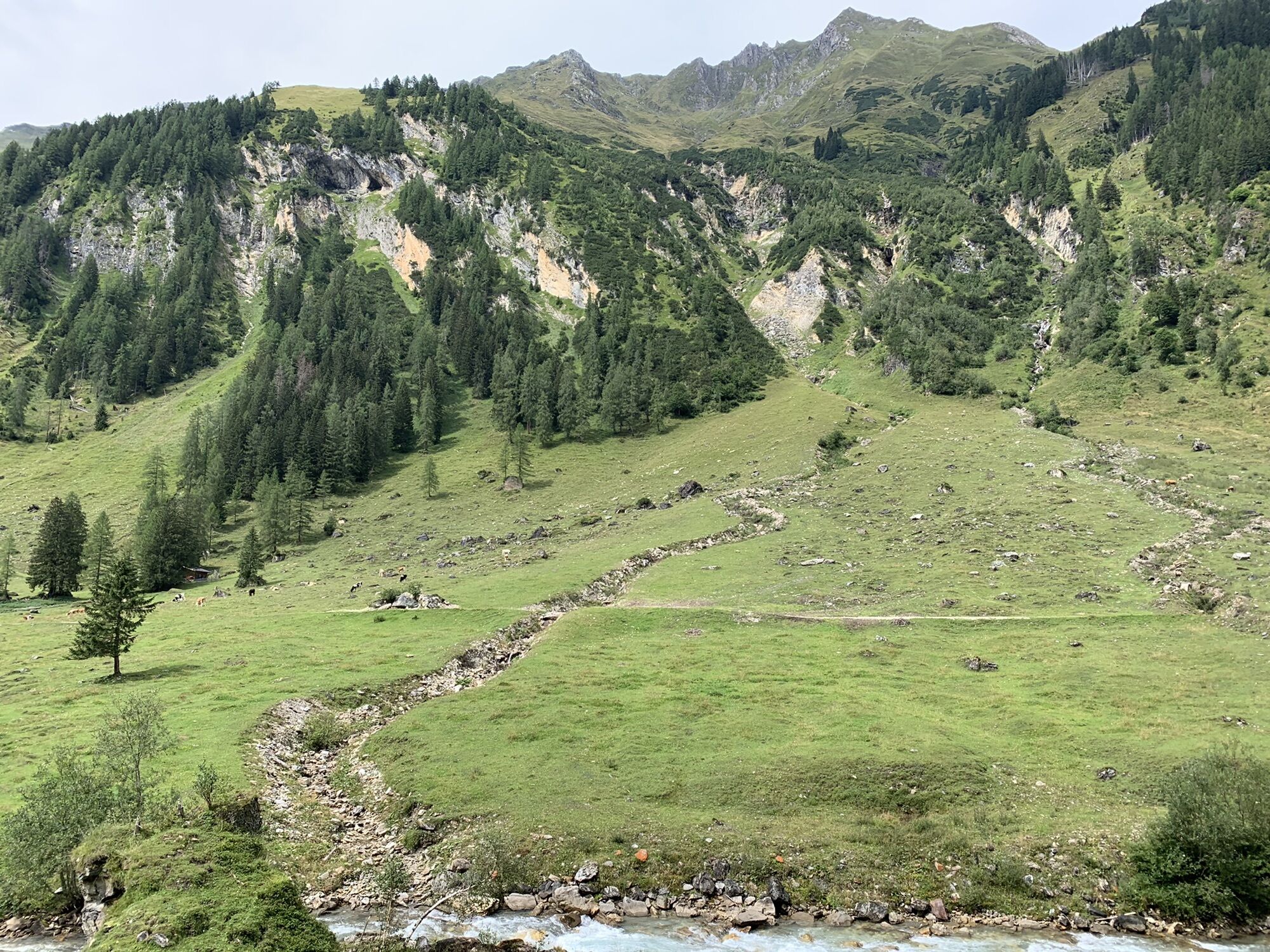
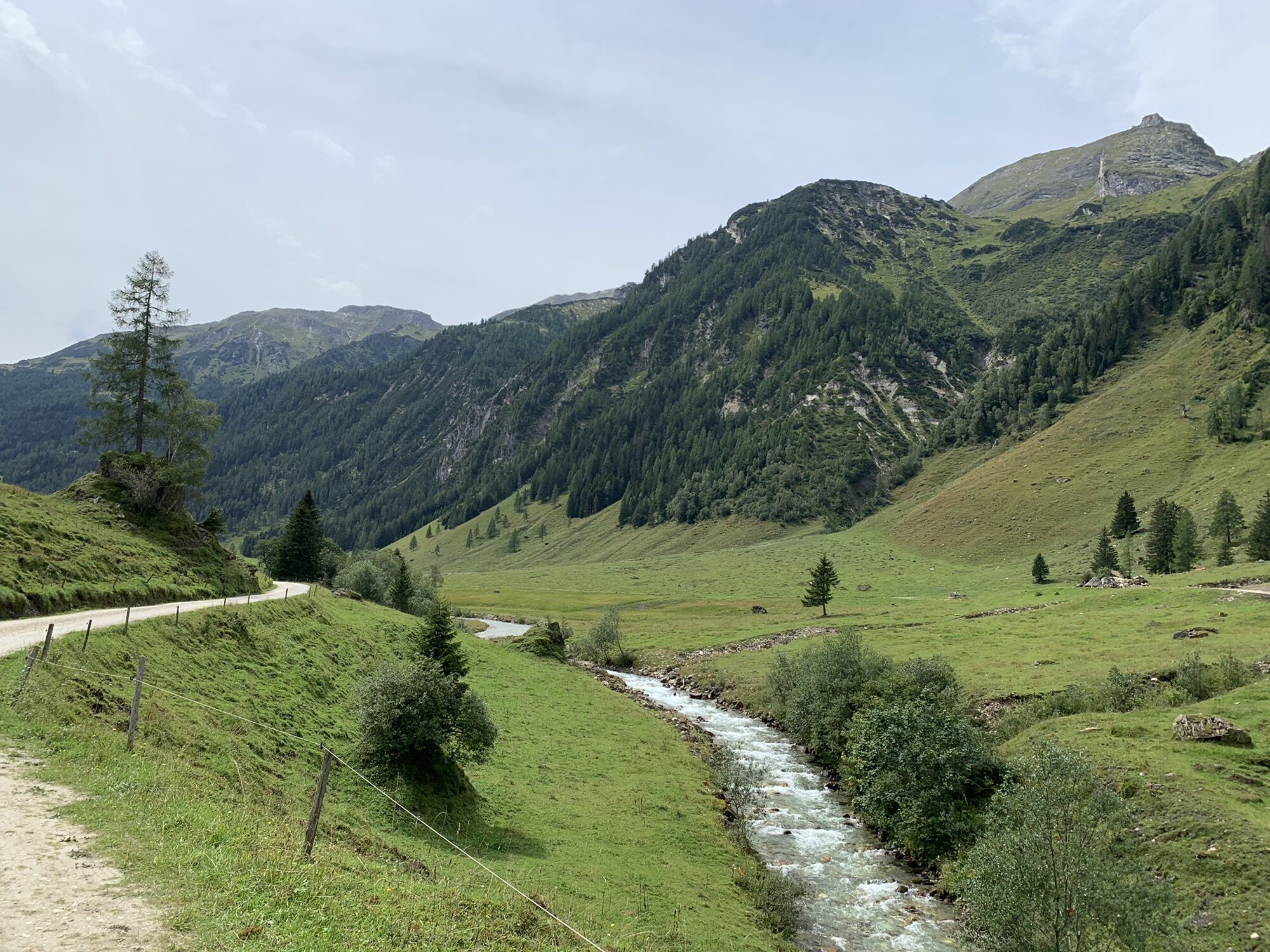
The third stage of the Hohe Tauern Bike Trail takes you from the idyllic mountain village of Embach - located on a plateau above the Salzach valley – via Rauris into the Seidlwinkl Valley. It is a valley...
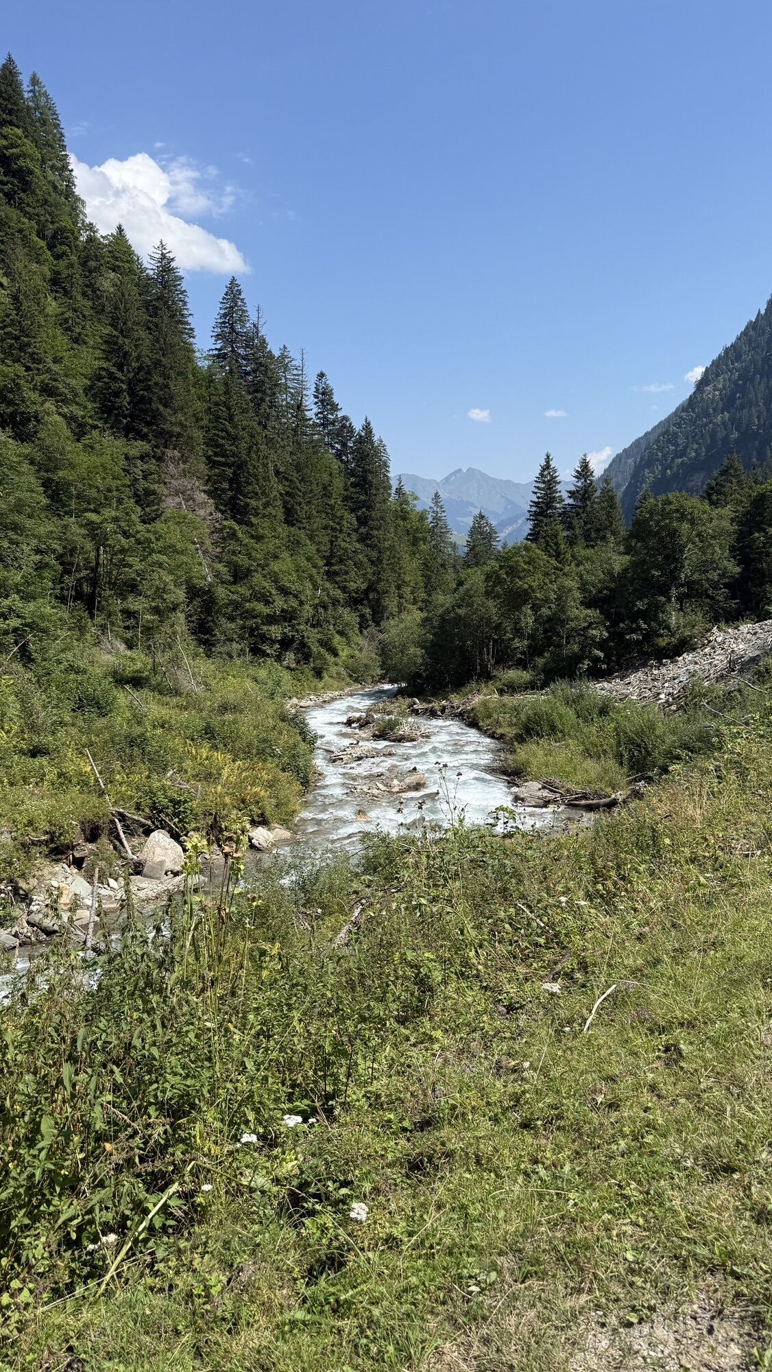
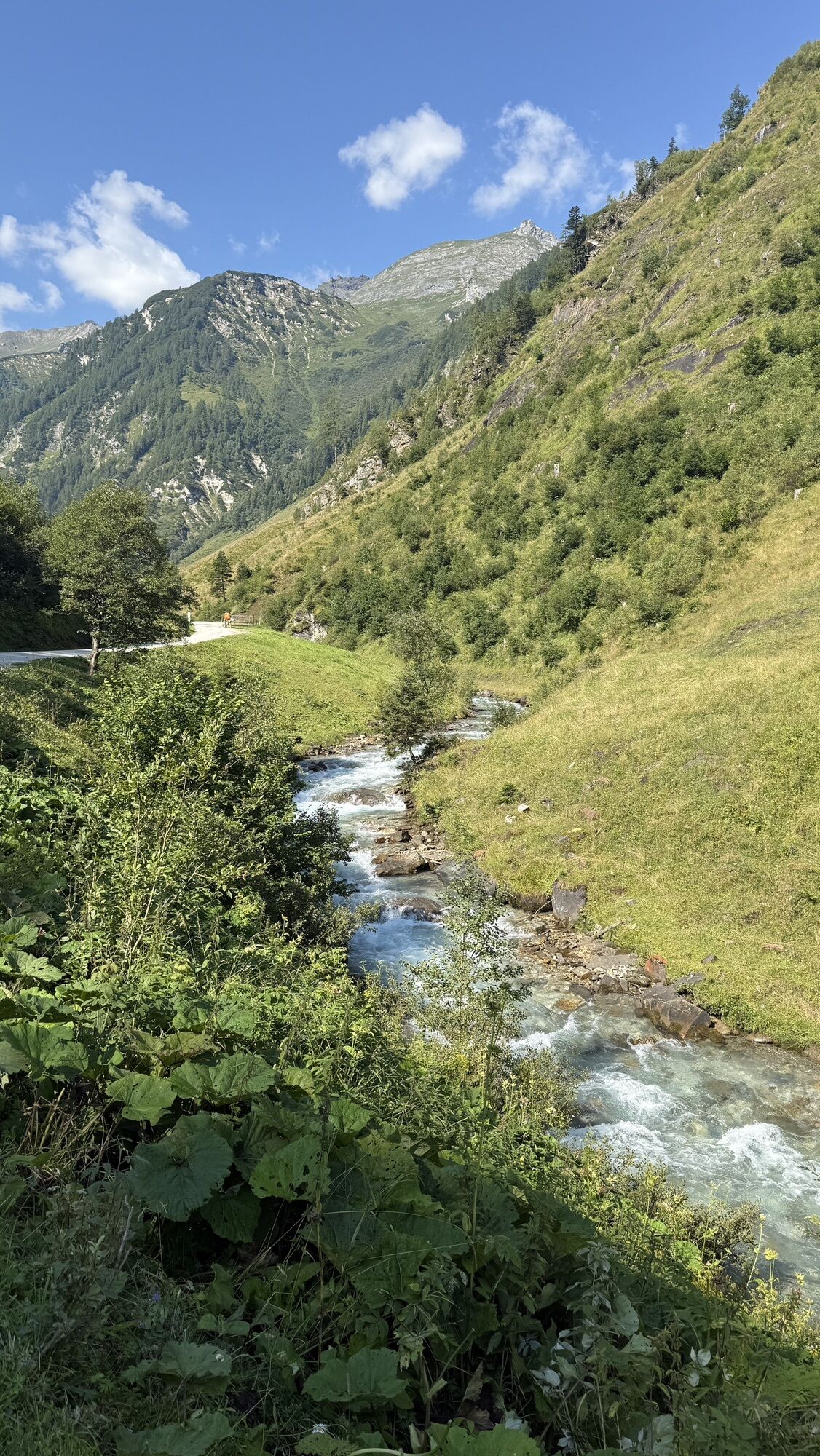
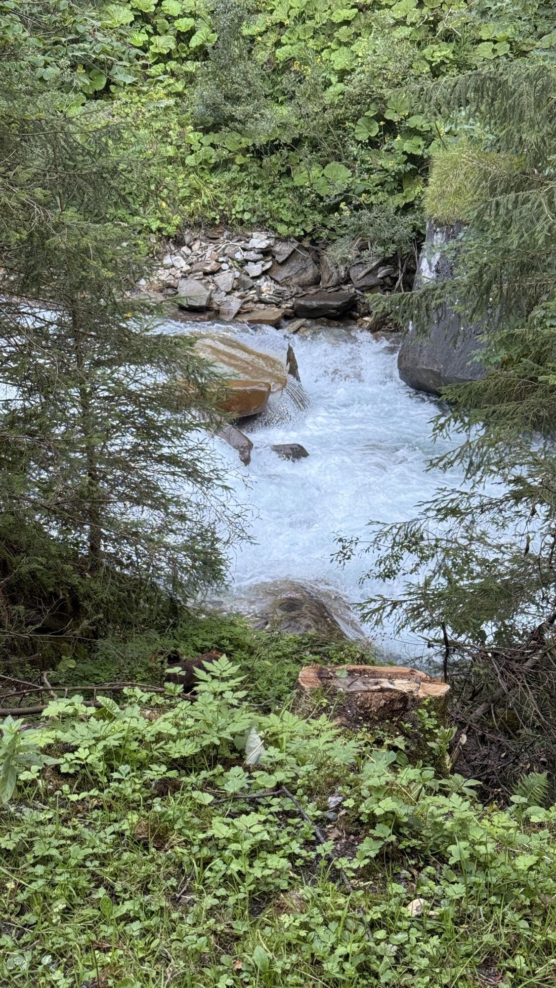
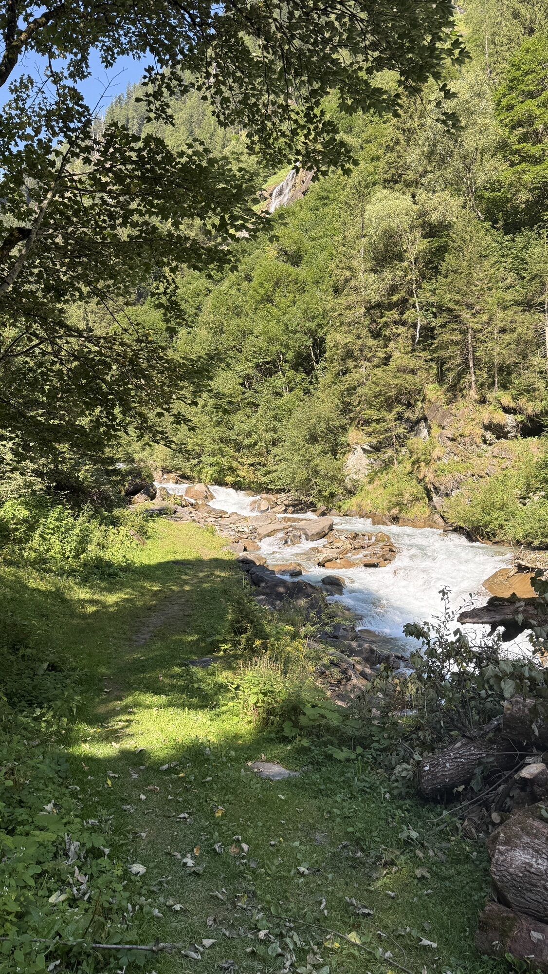
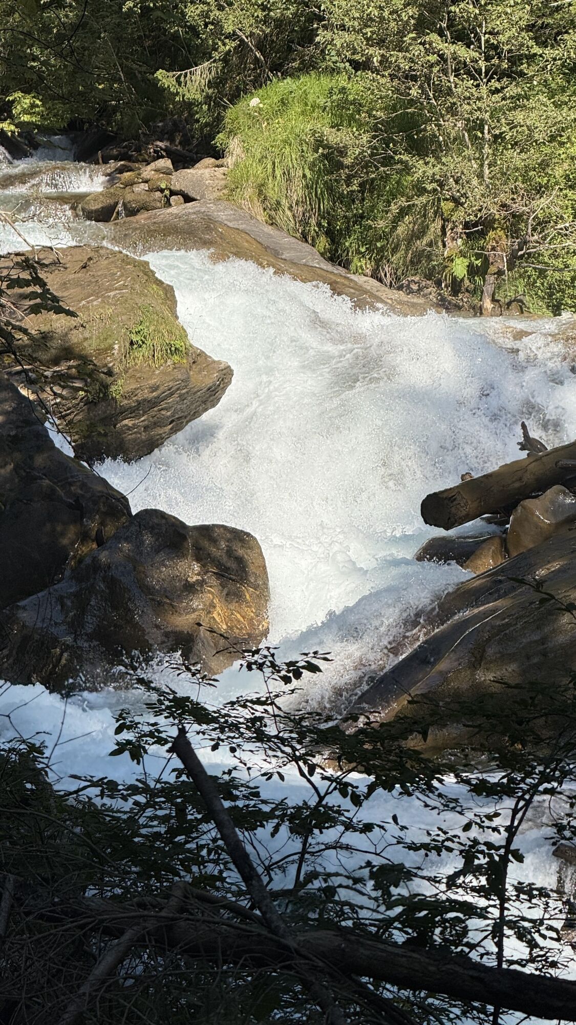
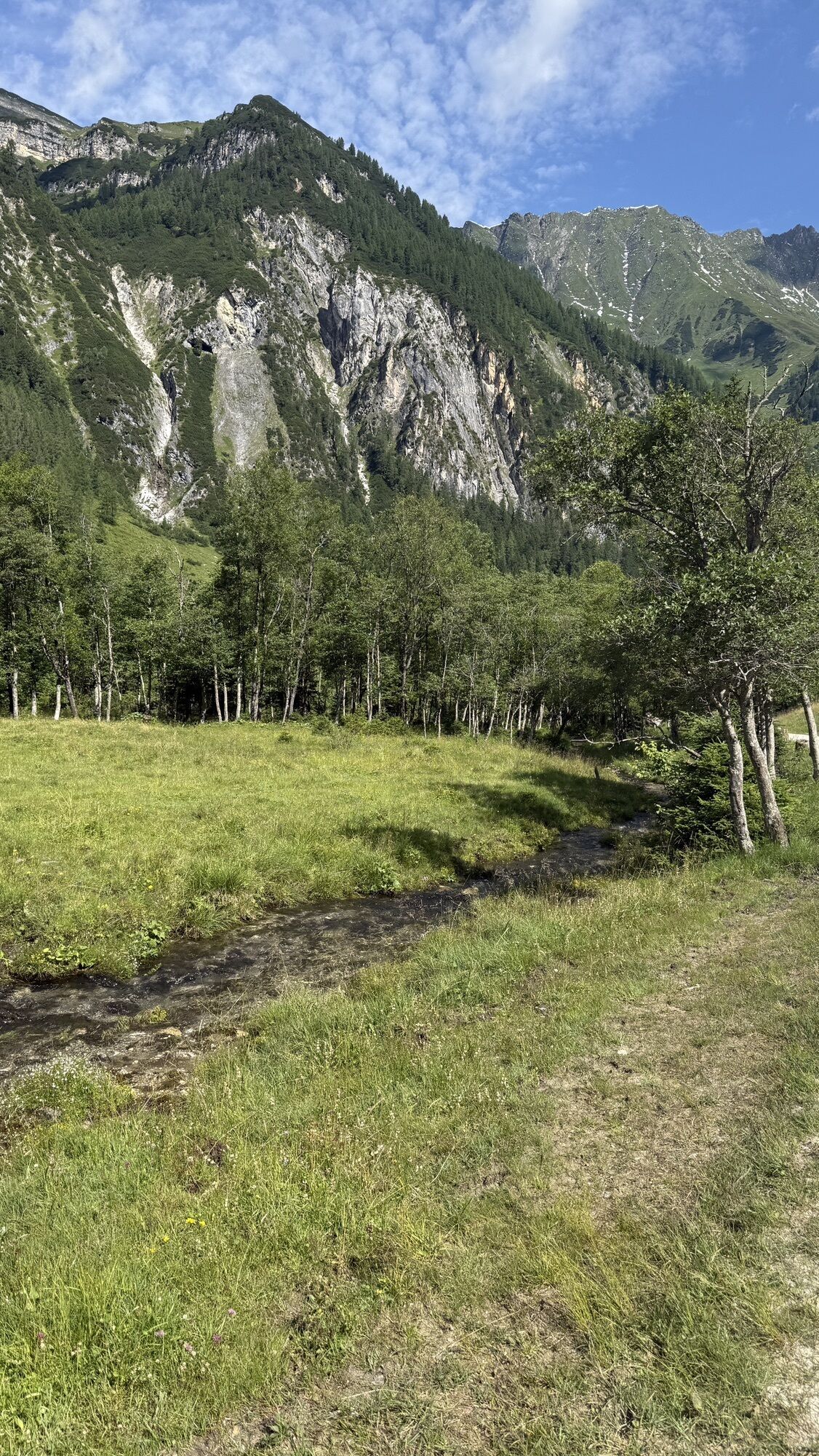
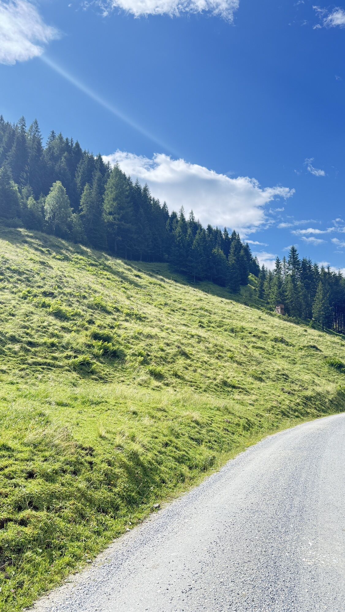
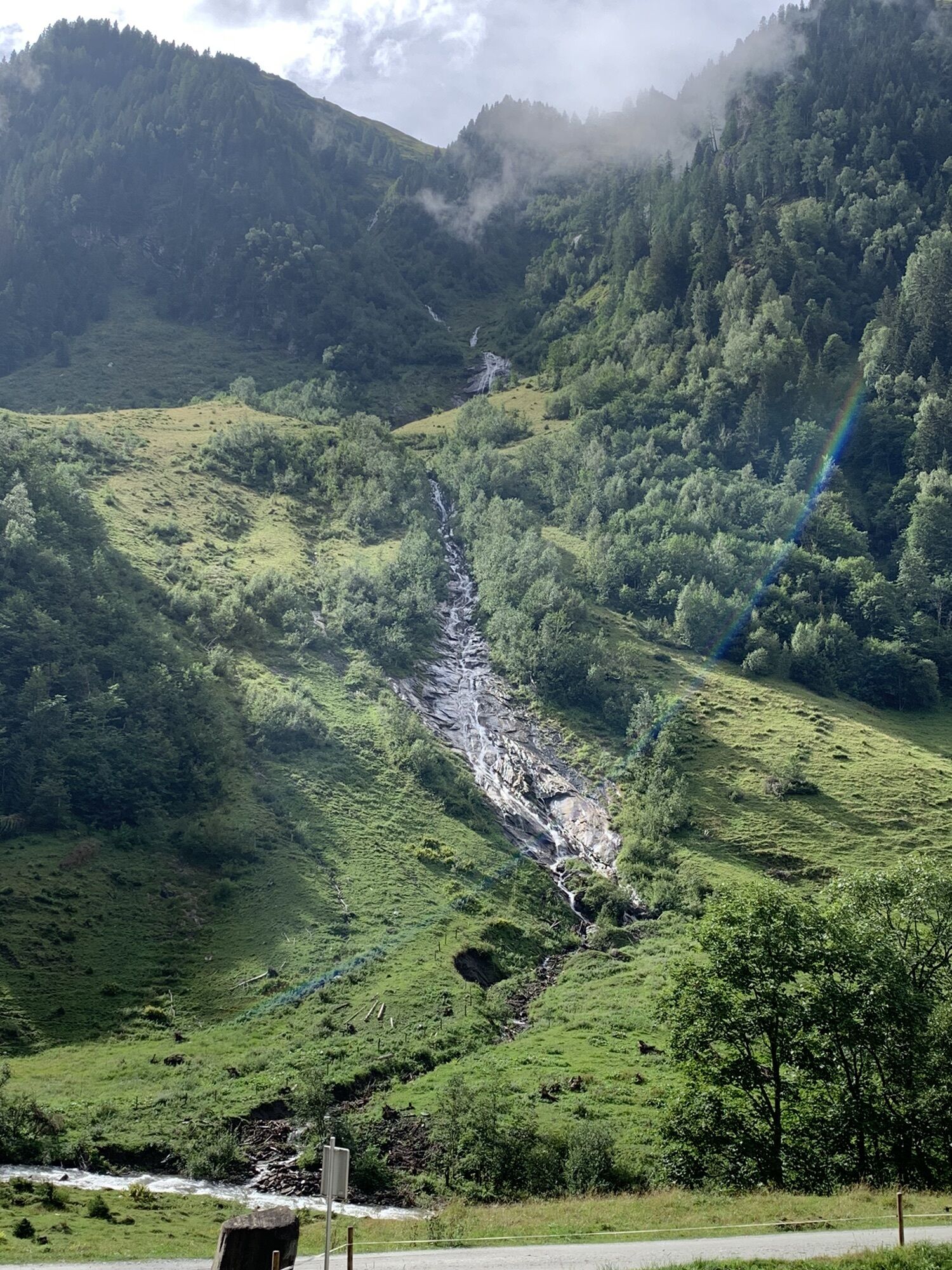
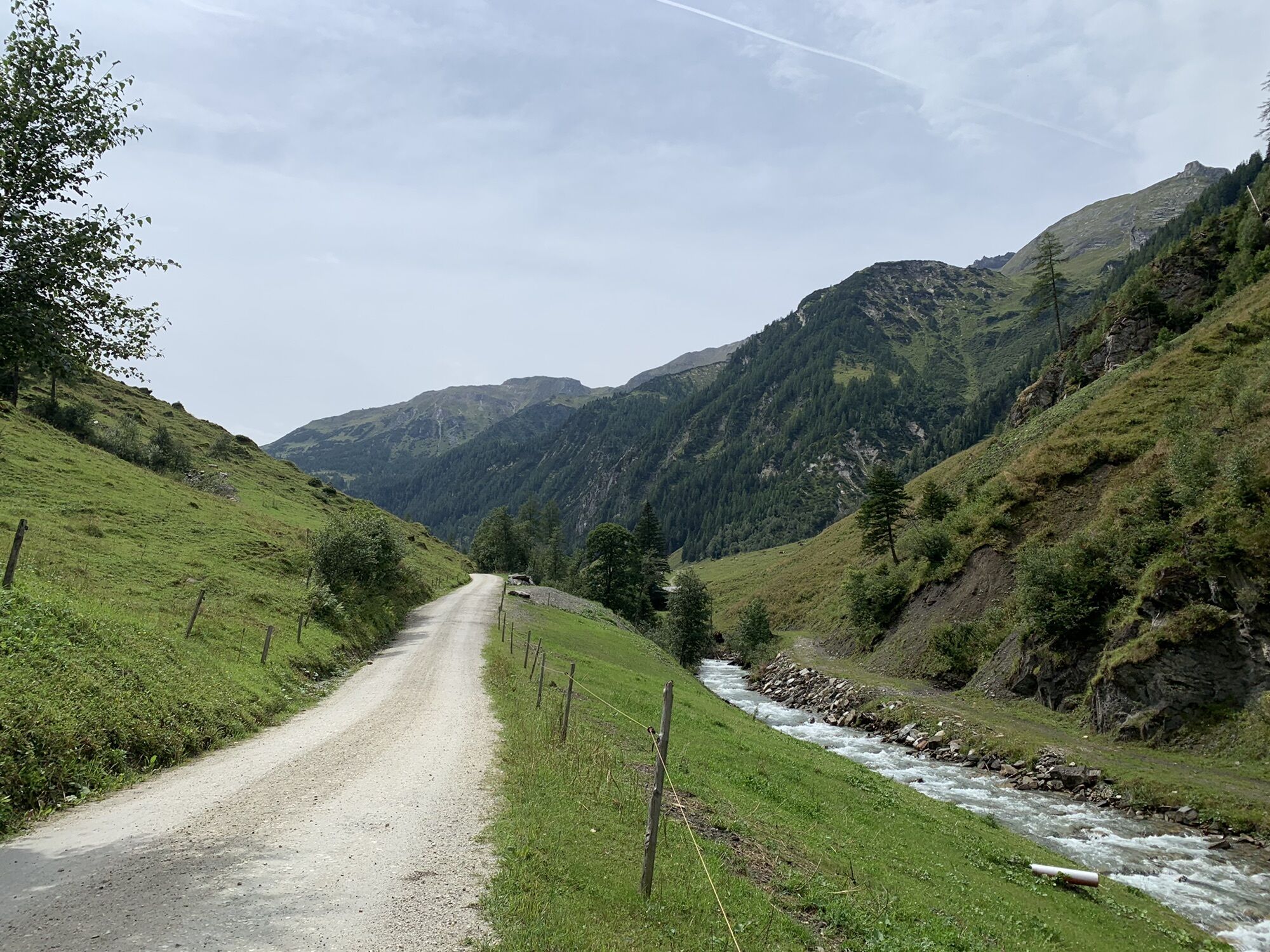
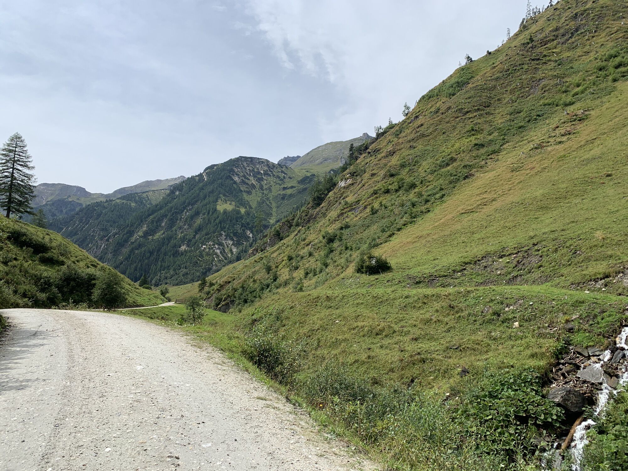
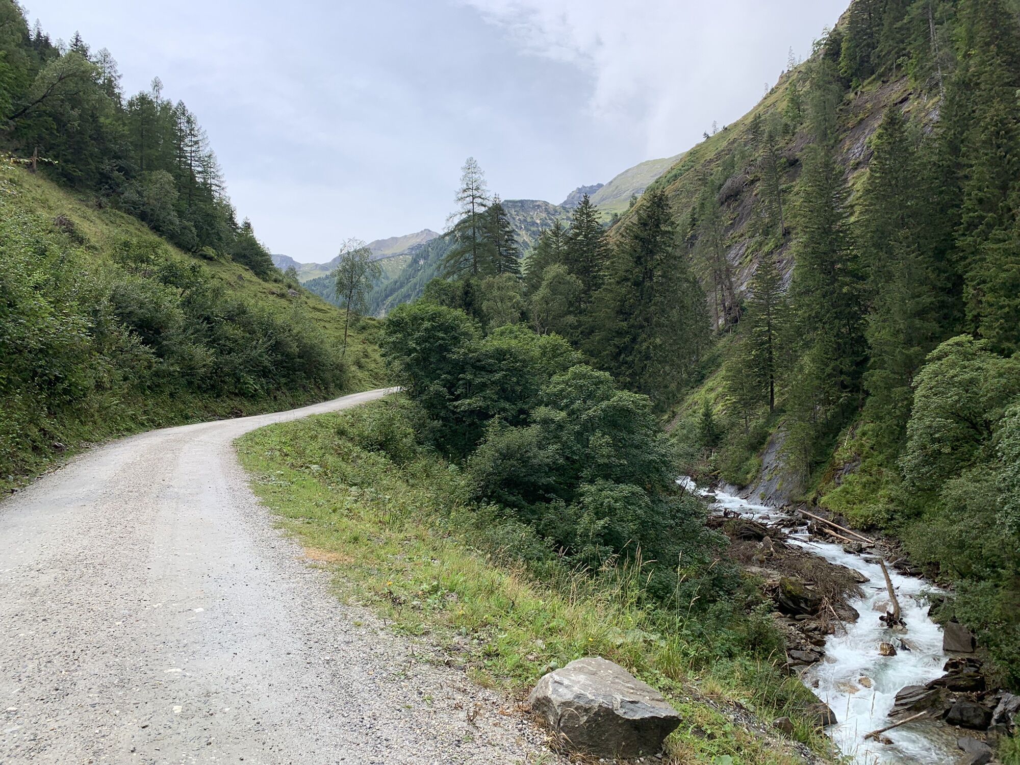
But the Seidlwinkl Valley does not only have fascinating stories to tell; it is also incredibly idyllic. Clear streams, green meadows on the flat valley floor, and the mountains of the Hohe Tauern National Park rising over 3,000 meters. Along with rustic alpine huts and inns inviting you to rest, wooden benches, and chapels. Simply a valley where people have lived in harmony with nature and the high mountain face for centuries. The return journey leads to the well-known mountain village of Rauris, where you spend the night.
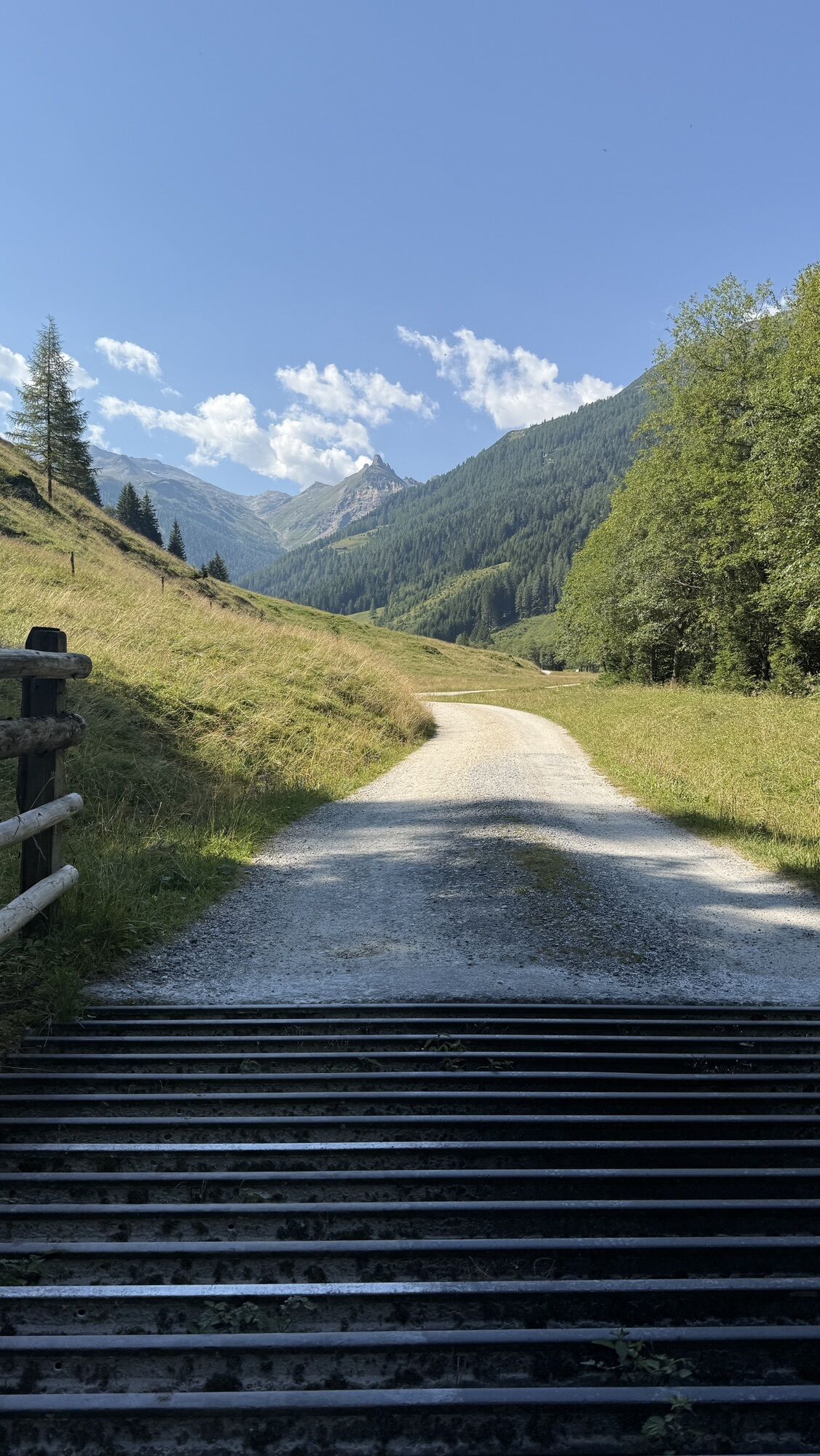
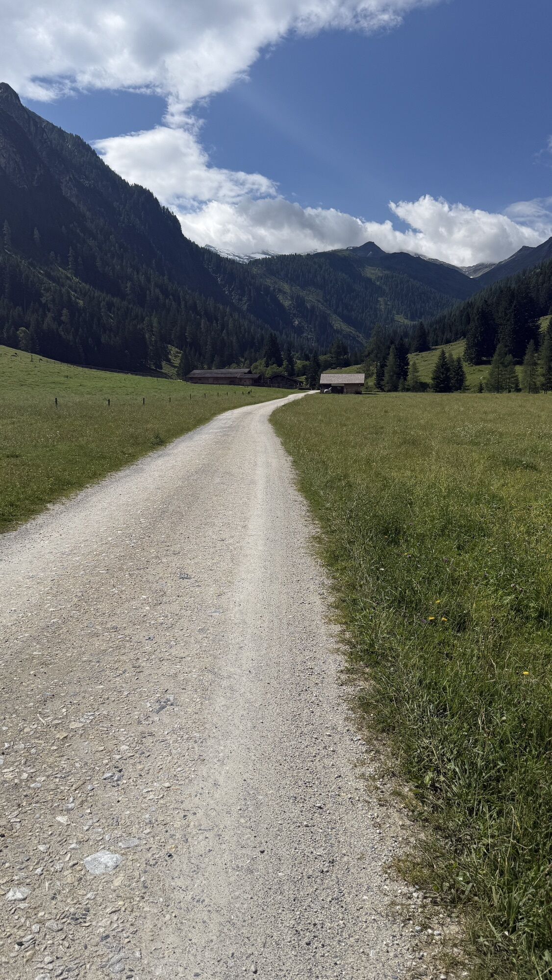
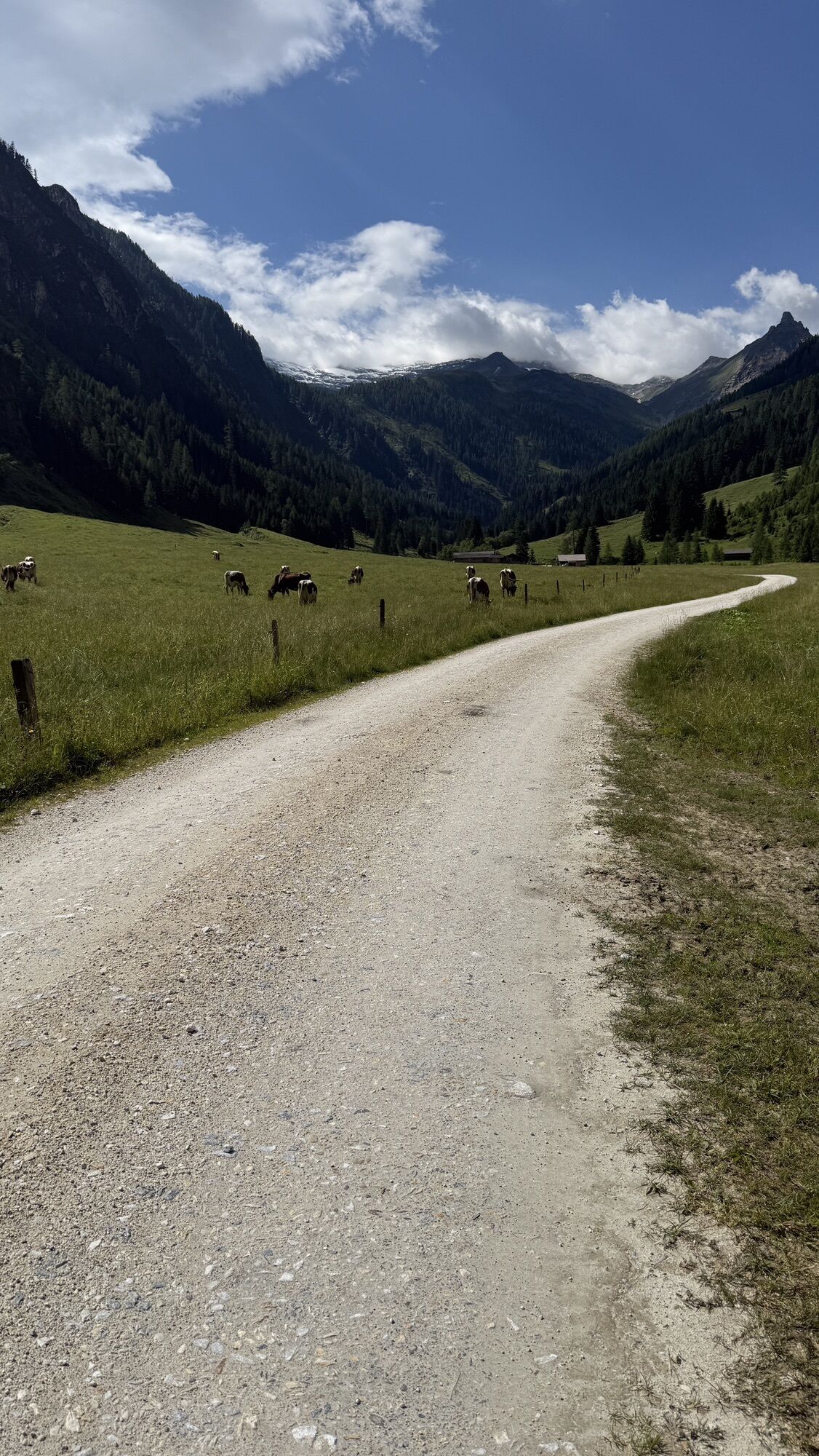
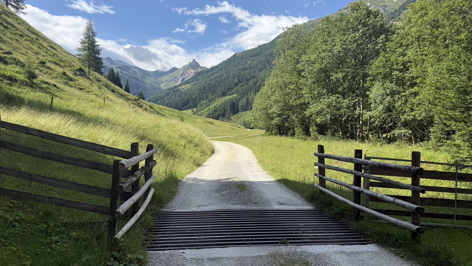
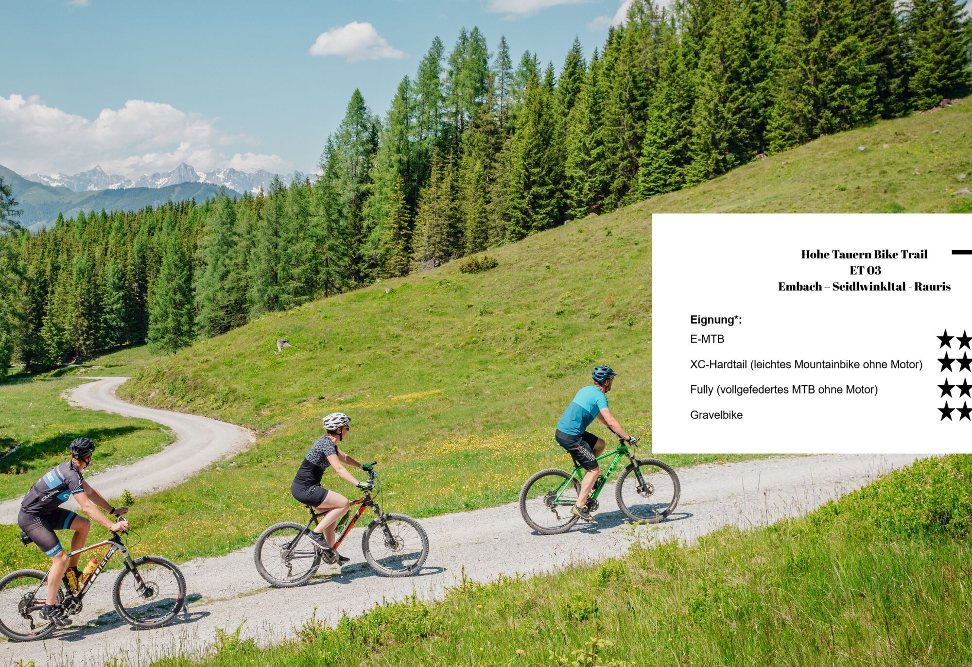
The medium-length stage is technically easy from a mountain or gravel bike perspective: First, you cycle on state roads (caution traffic!) to Rauris and continue on a bike path to Wörth where the Seidlwinkl valley branches off. The Seidlwinkl valley itself is paved up to 1 kilometer before the car restriction, after which it continues car-free on gravel roads to the Rauriser Tauernhaus. A delightful experience without overly steep sections – only 100 meters in elevation have slopes of about 15%.
-> The stage runs exclusively on forest roads and alpine paths as well as paved bike paths/side roads (except for a section between Embach and Rauris on a federal road). Details on the requirements of the Hohe Tauern Bike Trail can be found here >>.
Book your bike trip now on the Hohe Tauern Bike Trail at the Info and Booking Center.


Once there, turn left onto the main road to Rauris and follow it for almost 3 km – CAUTION on these 3 km you need to be careful due to quite heavy and fast car traffic! After nearly 3 km, turn right towards Hundsdorf and follow the now smaller road uphill through the hamlet and then back downhill to the main road. Shortly right on the road, immediately turn left again towards Rauris and follow the road through the beautiful mountain village (look forward to your evening stroll as this is where you will spend the night after the stage).
Once back at the main road, the bike path continues briefly along the main road towards the warehouse. Here begins the particularly charming part of the tour: turn right onto the Waidachweg and cycle away from traffic towards Wörth.
In Wörth, opposite the Andrelwirt guesthouse, turn right and enter the natural Seidlwinkl Valley. Here begins the most impressive scenic part of the route: on a gently ascending, paved road, the path leads into a narrow, romantically wild valley – always accompanied by the soothing sound of the Seidlwinkl stream and the untouched beauty of the alpine surroundings.
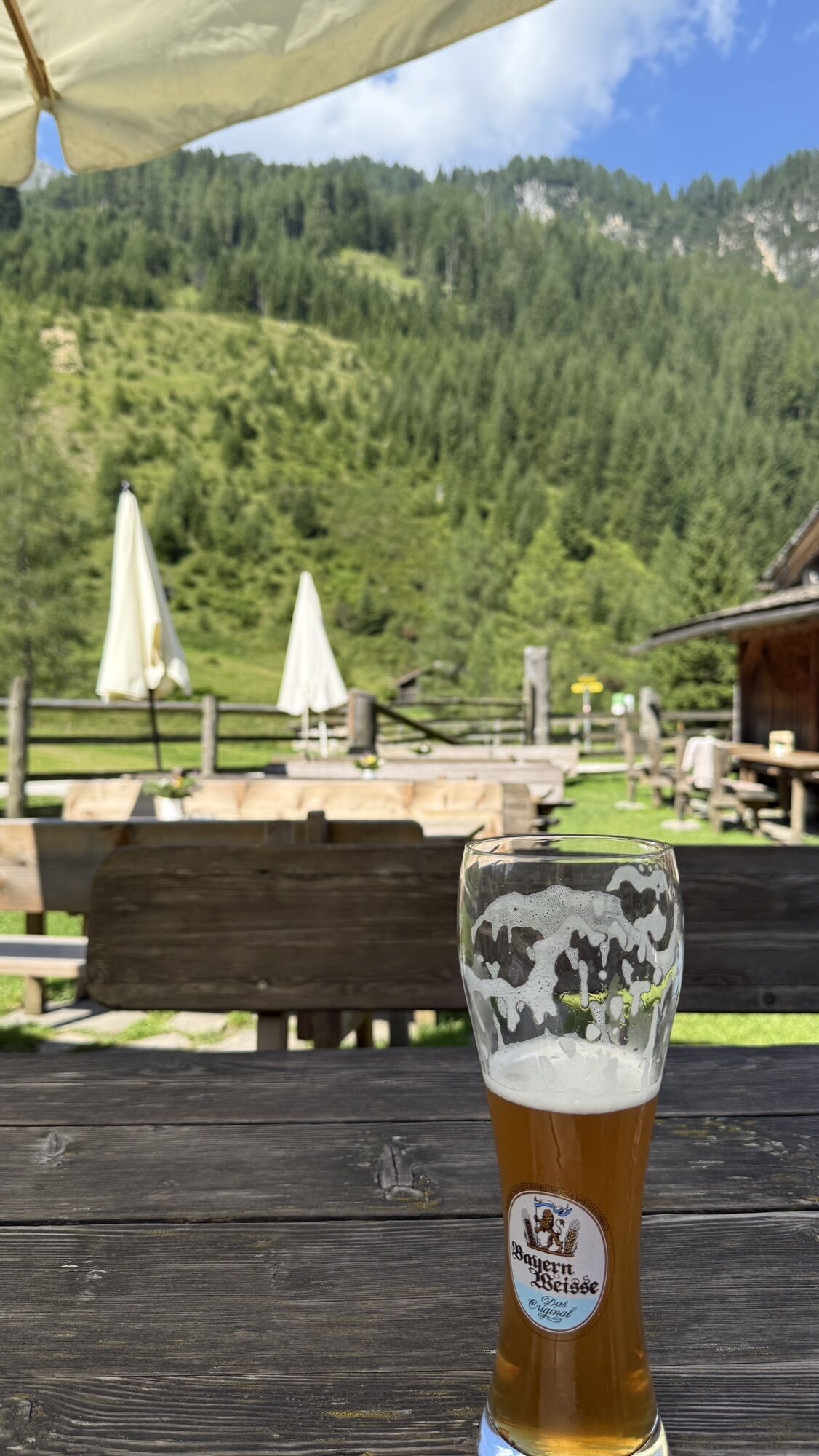
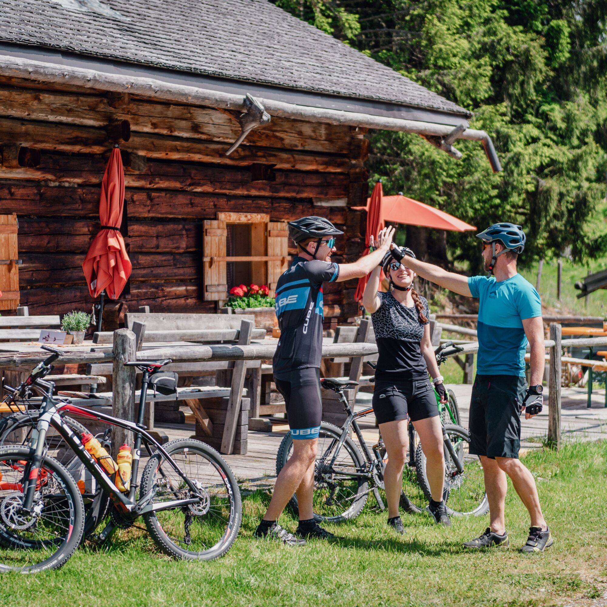
The small paved road leads to the cozy country inn Weixen, which offers regional cuisine, an inviting terrace, and a fish pond right on the path for a well-deserved break.
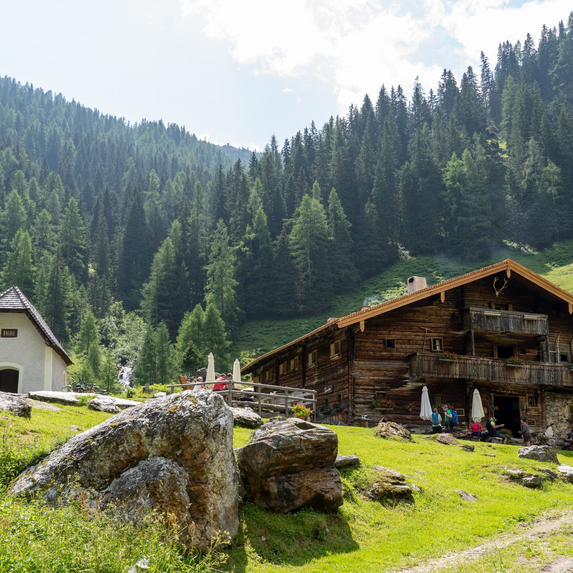
From the country inn Weixen, the surface of the small road changes from asphalt to gravel, and after another 2 km the road is closed to cars. Shortly afterward, you climb about 100 meters in elevation on a stretch that is up to 15% steep before the gravel road again gradually ascends very enjoyably past the Gollehenalm and the Palfneralm to the ancient Rauriser Tauernhaus.
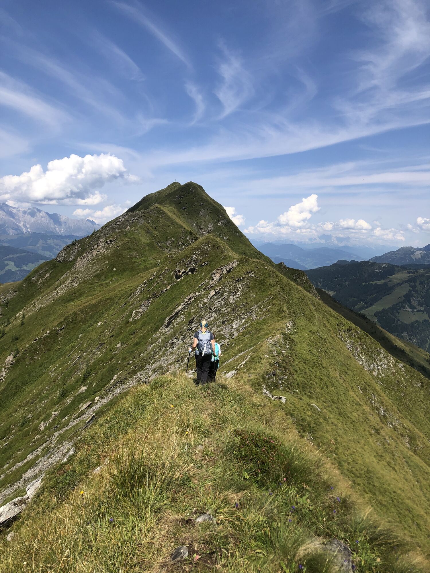
This is the end of the official bike route and thus your turning point in the Seidlwinkl Valley is reached. If you like, you can hike on foot from here to the Litzelhofalm (see also "Author's Tip") or return immediately (or after a rustic stopover) along the same way back to Rauris.
Charging stations along the stage:
- E-bike charging station: Sportstüberl, Sportstraße 10
- E-bike charging station: Andrelwirt, Dorfstraße 19
- E-bike charging station: Weixen, Seidlwinklstraße 114
- E-bike charging station: Palfneralm
Recommended Equipment >>
Note: From Embach you ride directly on the state road to Rauris (CAUTION traffic!)
Coming from Taxenbach via B311 and L266 to Embach.
Coming from Taxenbach with regional bus 631 towards Lend station to the stop Lend Dientner Bridge. From this stop continue with regional bus 631 towards Embach town center to the final stop.
To the long-term parking spots on the Hohe Tauern Bike Trail>>
S0
Holiday Region National Park Hohe Tauern
Gerlosstraße 18, 5730 Mittersill, Austria
Tel. +43 6562 40939 E-mail: hohetauerntrail@nationalpark.at
Booking center & Info hotline Trail Angels GmbH
9821 Obervellach 15, Austria
Tel. +43 4782 93093 E-mail: info@bookyourtrail.com
The walking time from the Tauernhaus to the Litzelhofalm and back is 1 hour 45 minutes.
Pridobite vpogled Vedno v živo na mestu z več kot 9.500 spletnimi kamerami. bergfex Kot uporabnik Pro si lahko zdaj ogledate ustrezne spletne kamere za številne izlete v aplikaciji izleti iz. Tako si lahko neposredno ogledate trenutne razmere. Priljubljeni izleti v okolici
- 4.6
Bahnhof Bad Hofgastein nach Bahnhof Bad Gastein
srednjaPohodništvo 13.0 km - 5.0
Silberpfennig, Salzburger Land/Österreich
srednjaPohodništvo 13.8 km - 4.5
Wasserfall Bad Hofgastein
svetlobaPohodništvo 3.89 km - 4.7
Bad Hofgastein Bergbahn Parkplatz - Rastötzenalm Bad Hofgastein
srednjaMountainbike 16.9 km - 4.7
Highlight Kitzlochklamm Classic round
srednjaPohodništvo 2.02 km - 3.9
Großglockner Hochalpenstrasse
težkoKolesarjenje 20.2 km - 5.0
Türchlwand von der Bergstation Schlossalmbahn Bad Hofgastein, Österreich
srednjaGorski pohodništvo 7.05 km - 4.6
3 Oktober Fusch Walcher Grung und Hohalm
srednjaPohodništvo 8.57 km - 4.9
Rauris: Bucheben-Steinalm-Steinbockalm-Feldereralm no. 20
srednjaPohodništvo 7.78 km - 4.3
Bruck: 732+736+730 | Drei Brüder
težkoPohodništvo 16.1 km

Pohodništvo in sledenje


Ne zamudite ponudb in navdiha za naslednje počitnice
Vaš e-poštni naslov je bil dodan na poštni seznam.





