






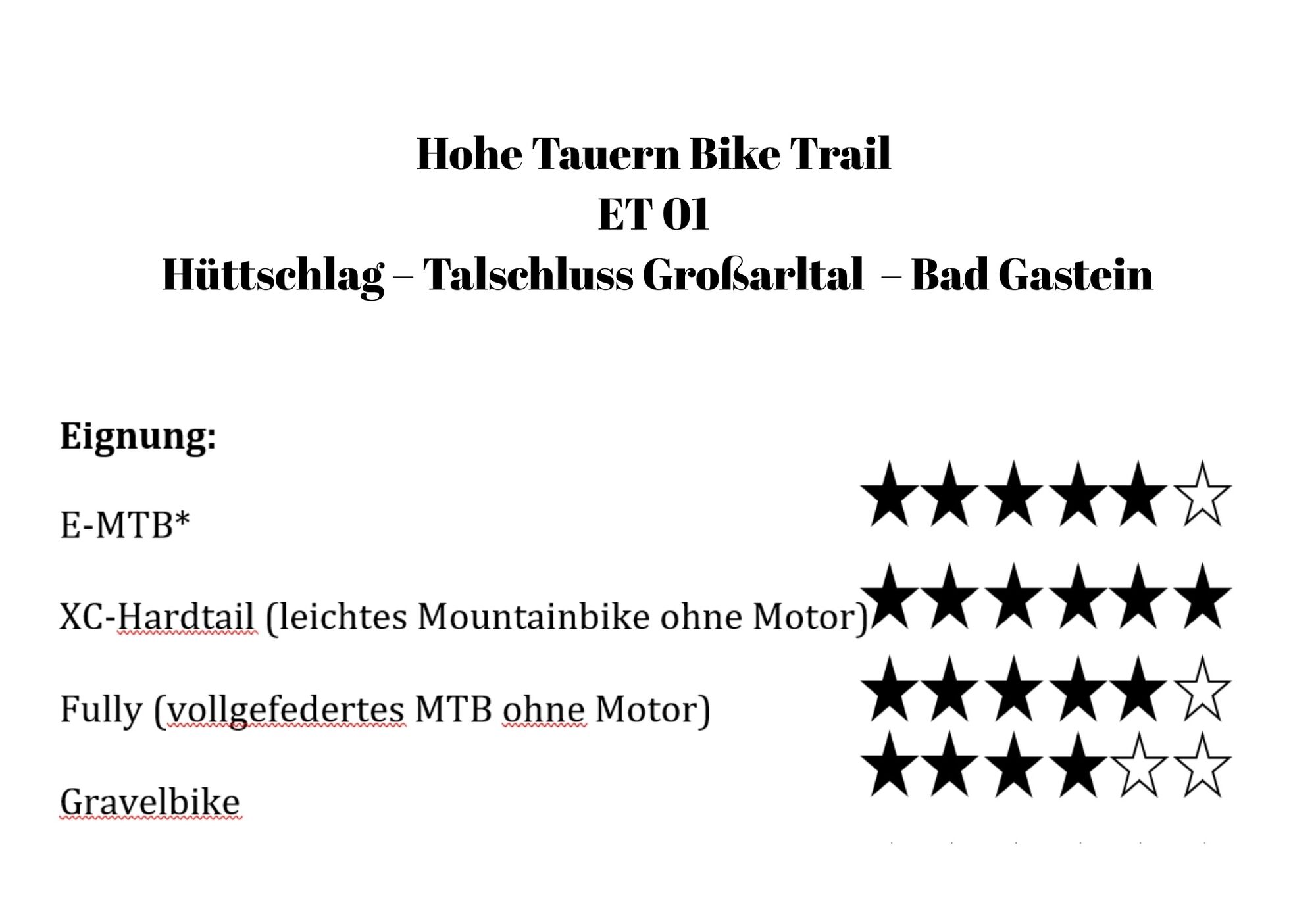
Hohe Tauern Bike Trail | ET01 Hüttschlag | Valley end Großarltal | Bad Gastein
Stopnja težavnosti: S0
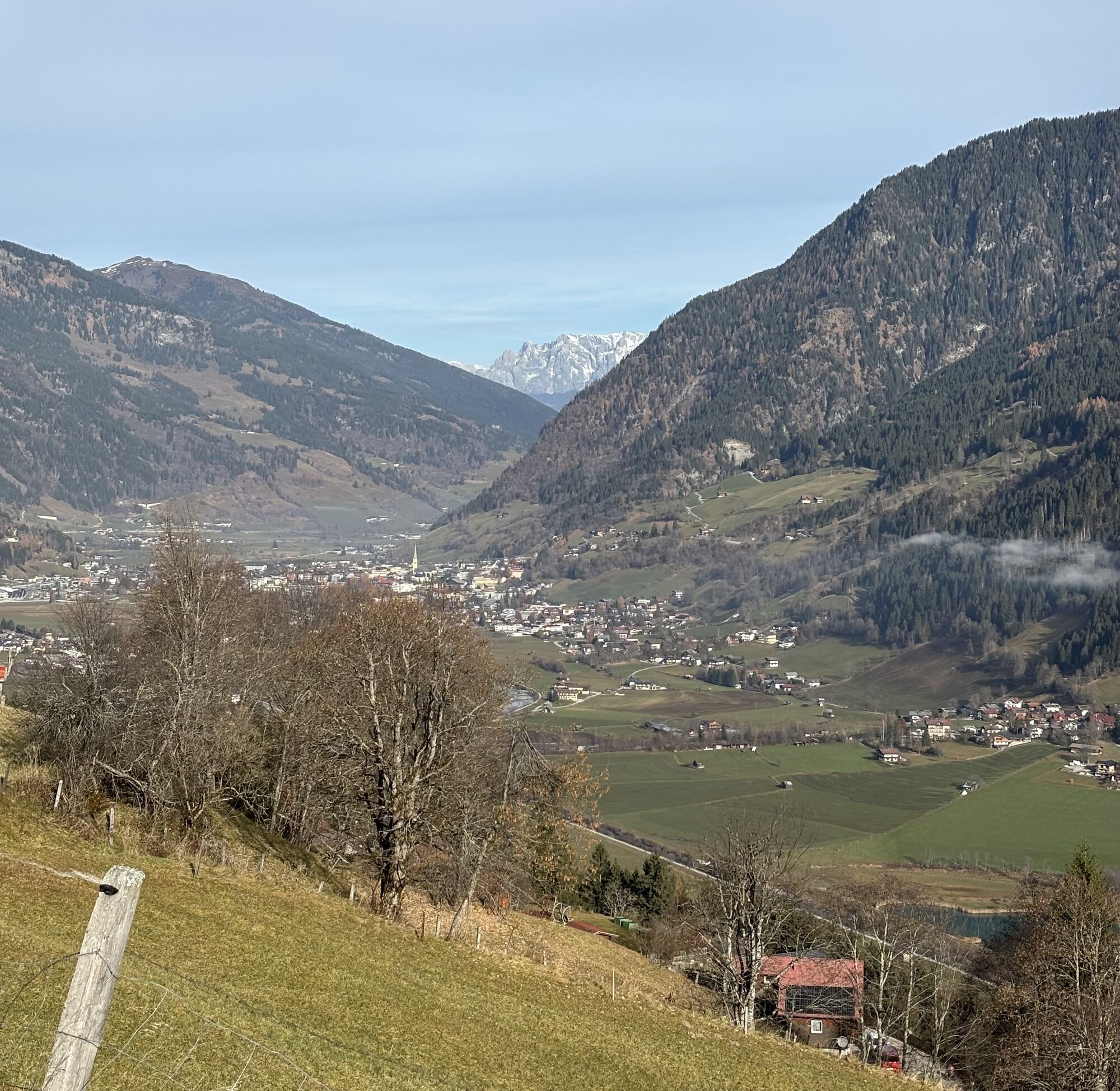
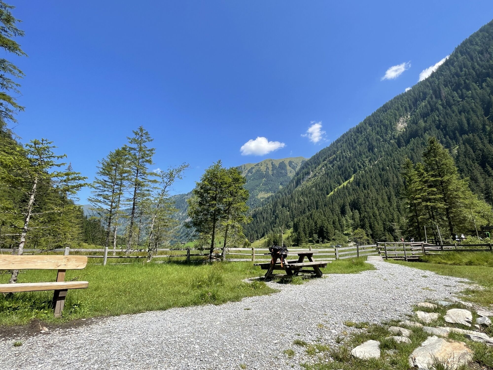
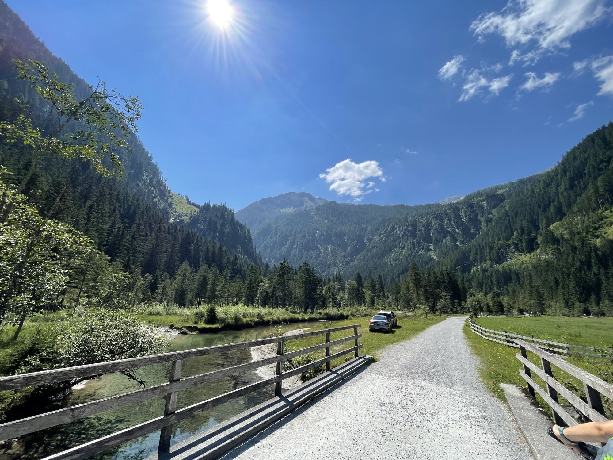

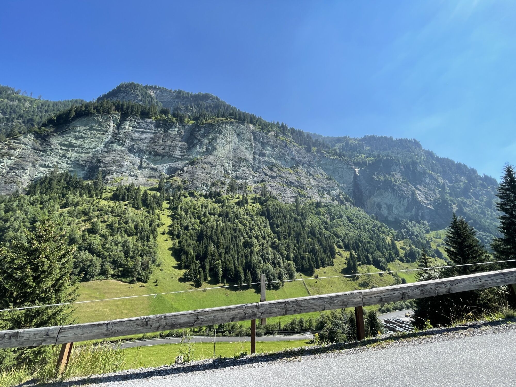
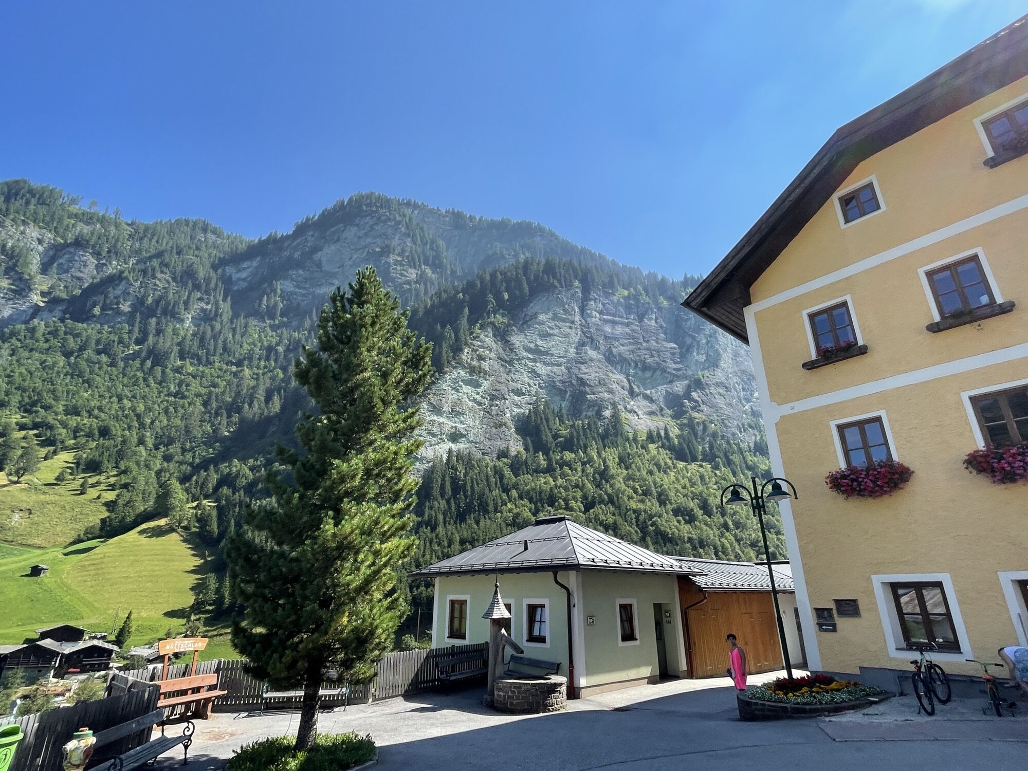

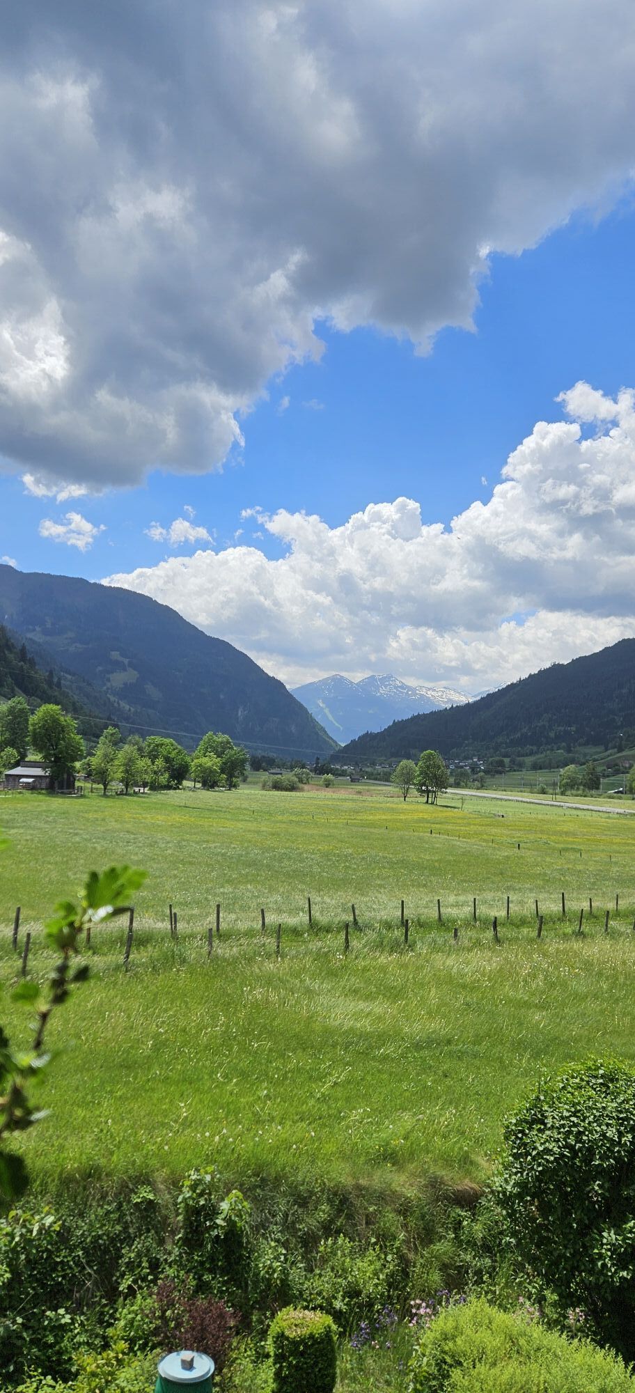
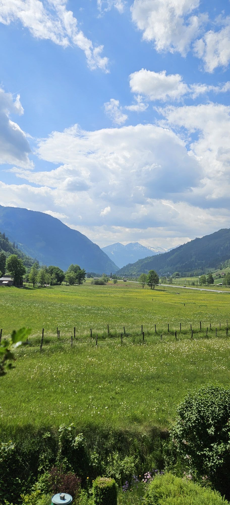
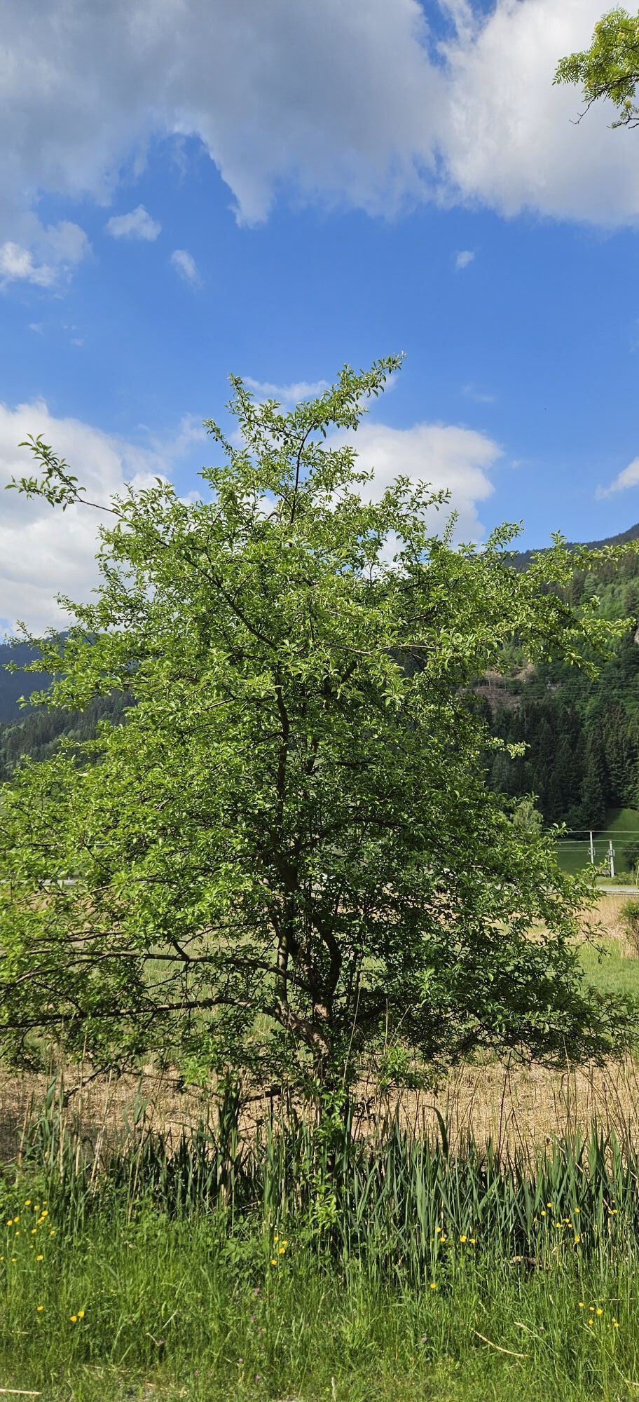
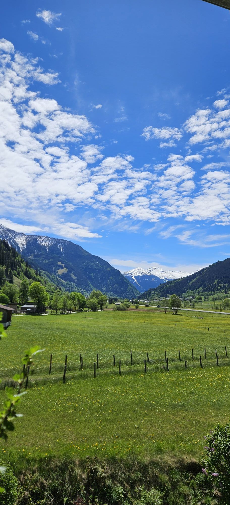
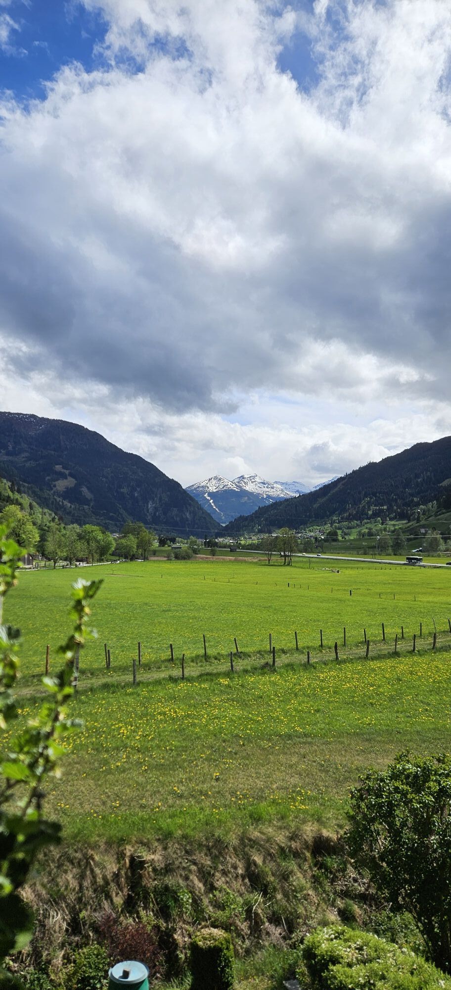
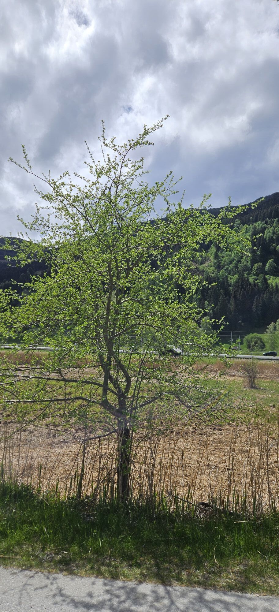
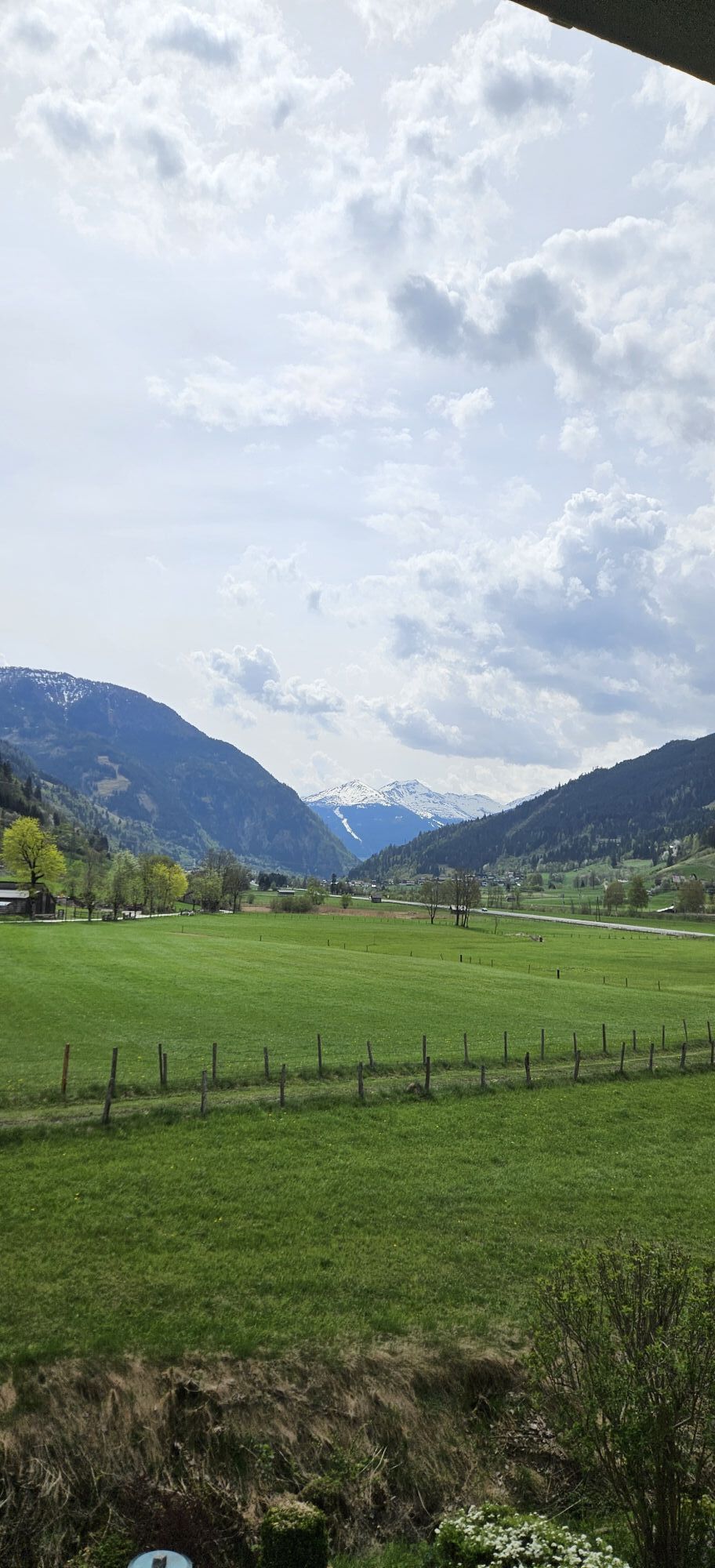
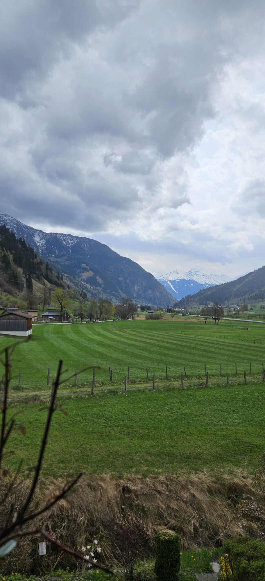
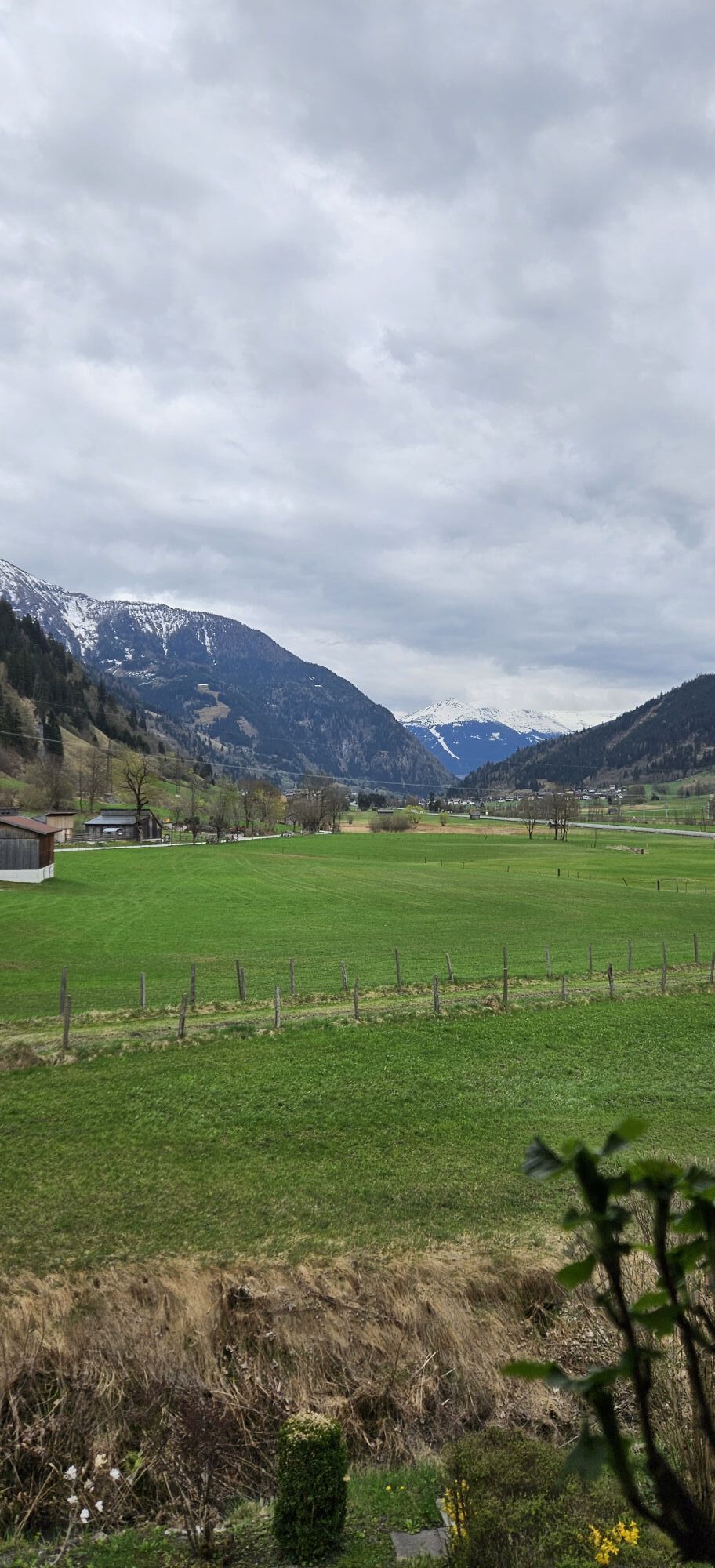
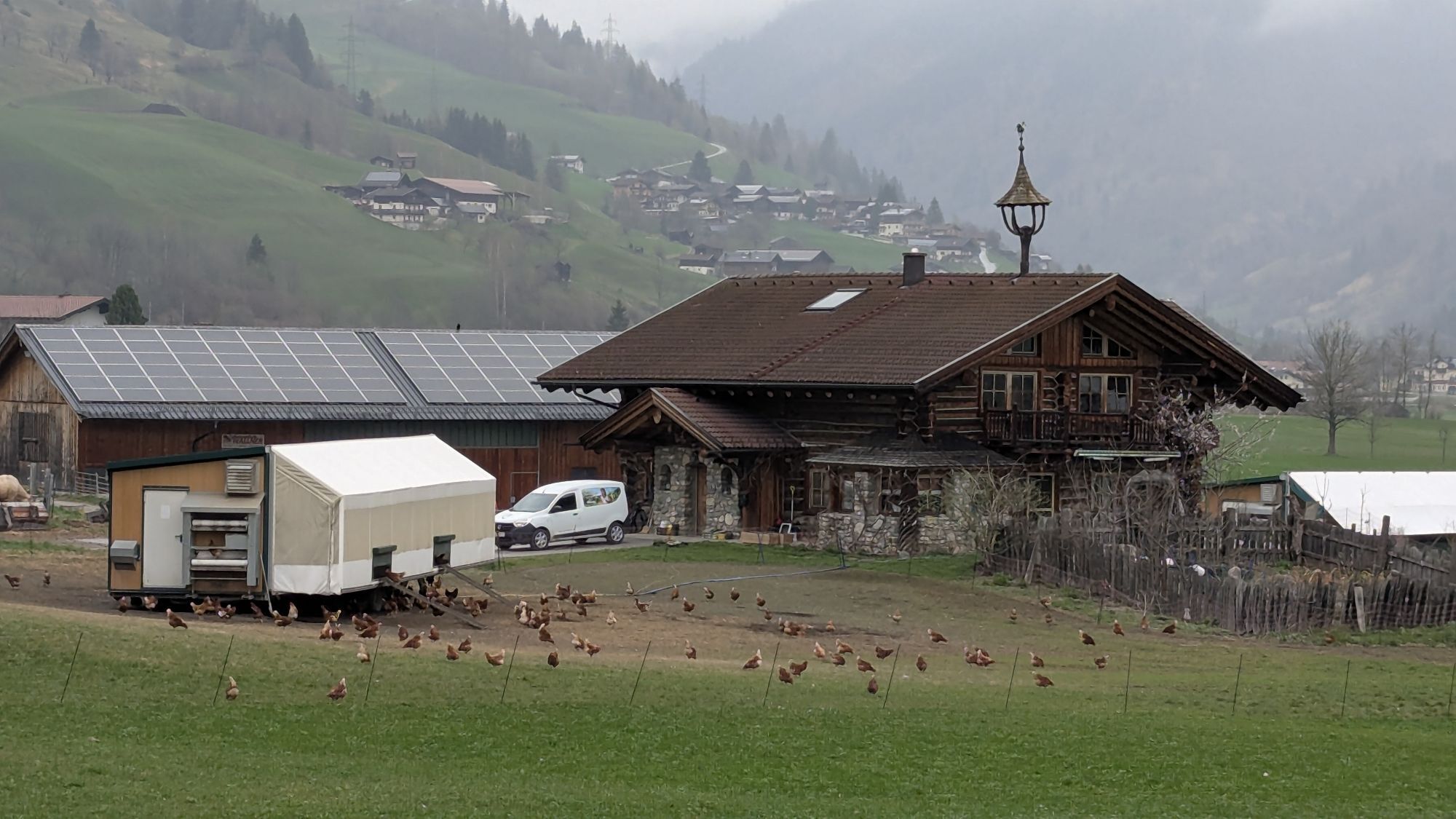
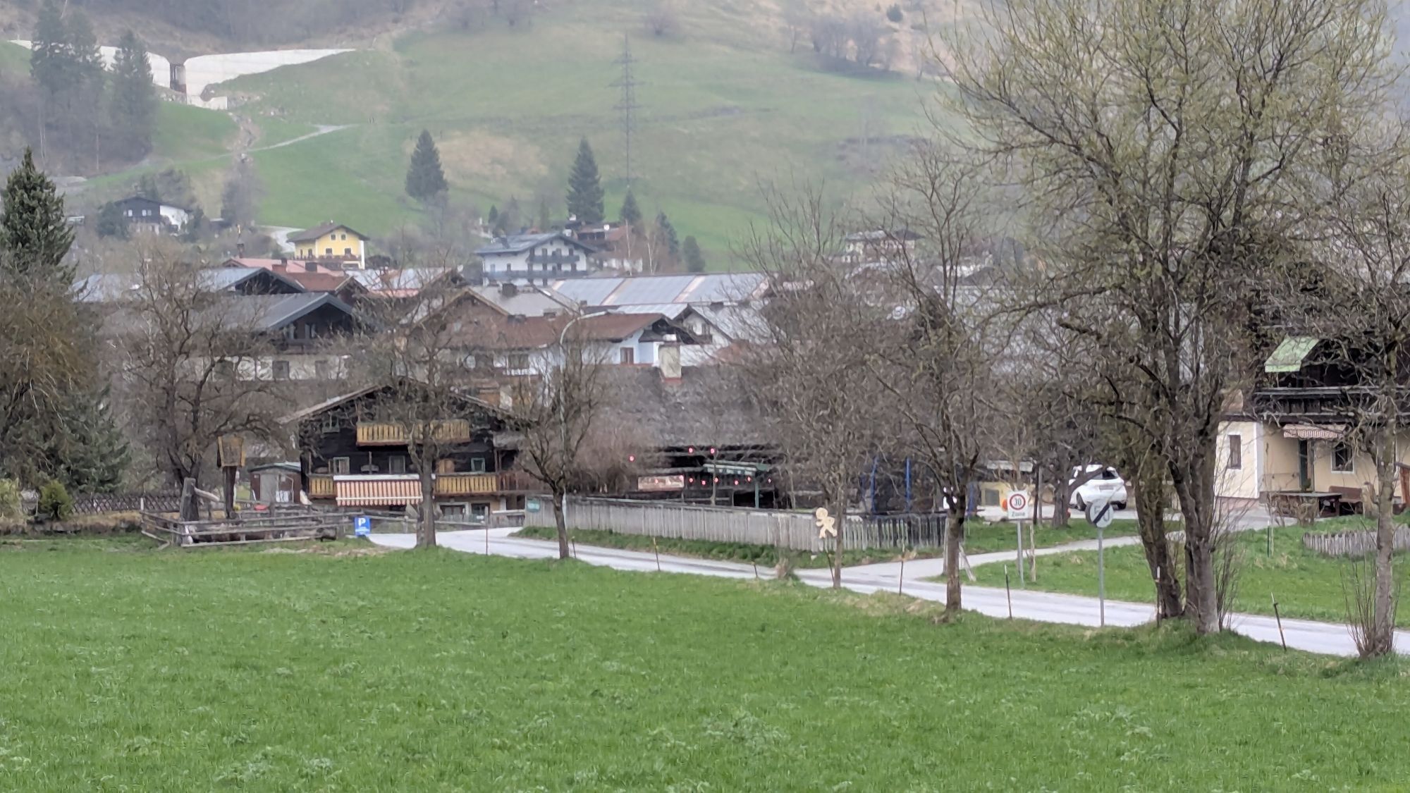
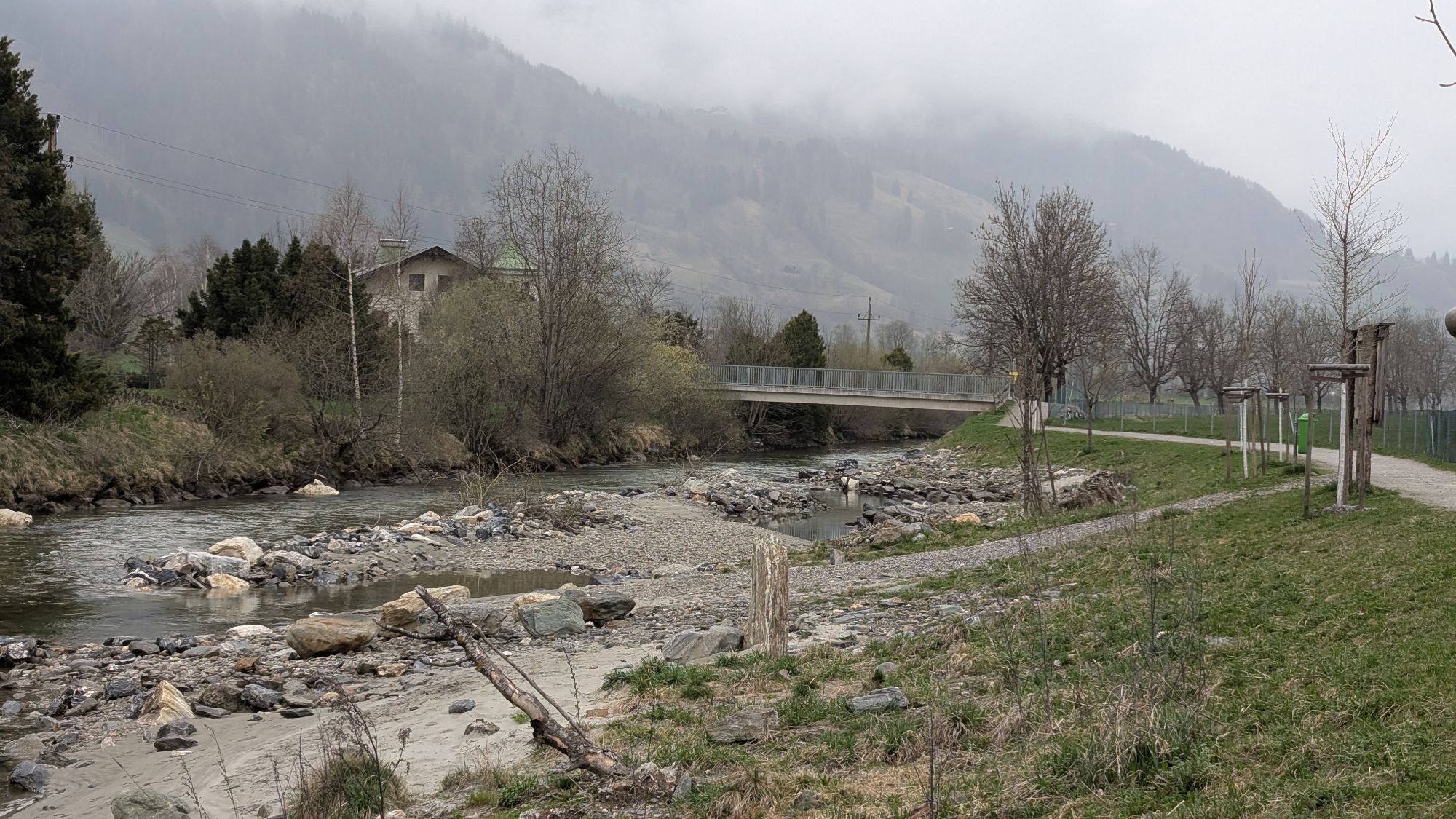
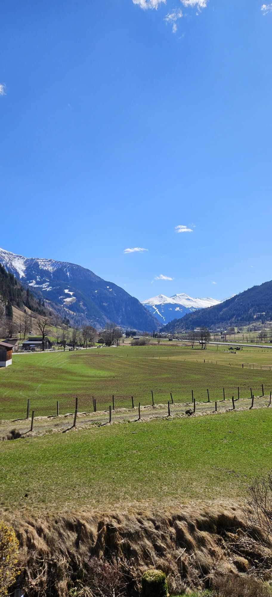
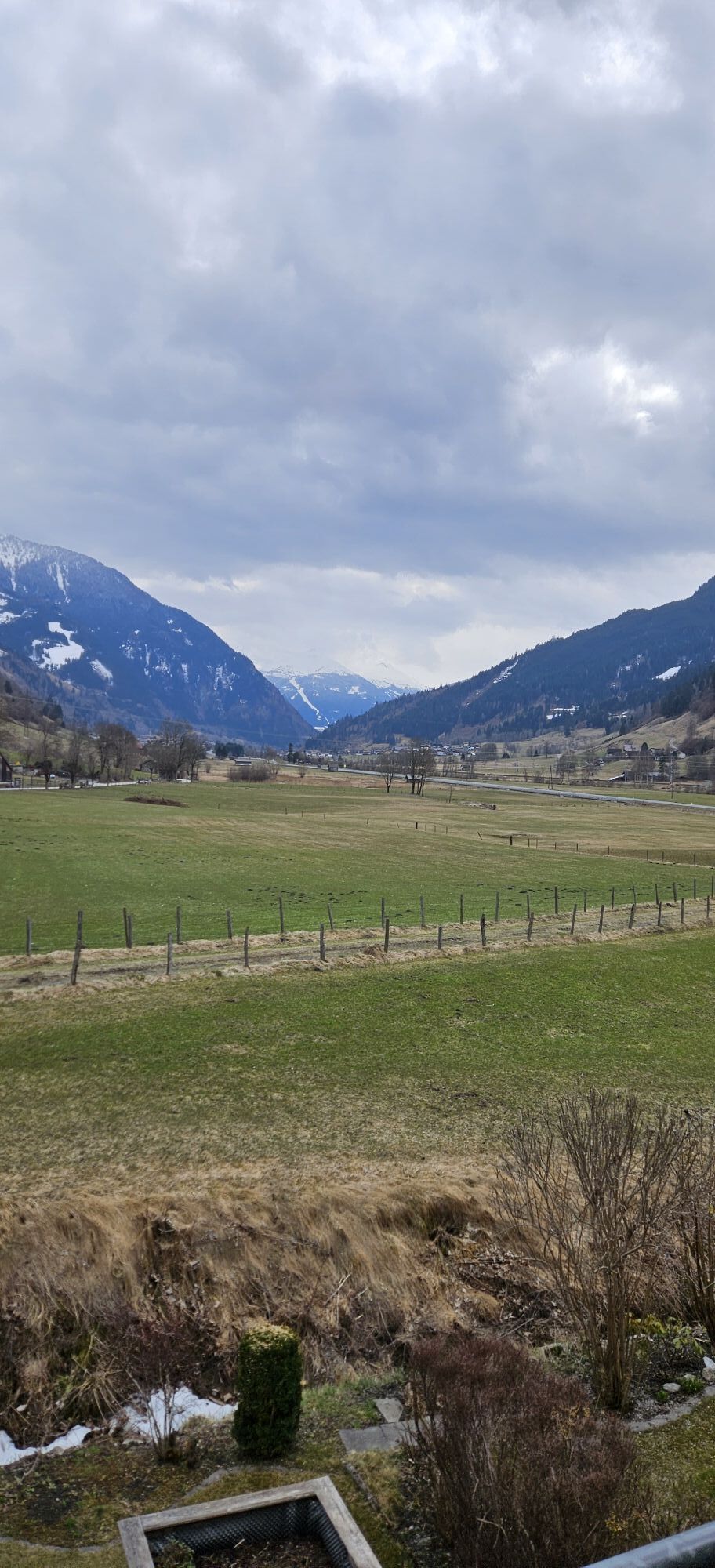
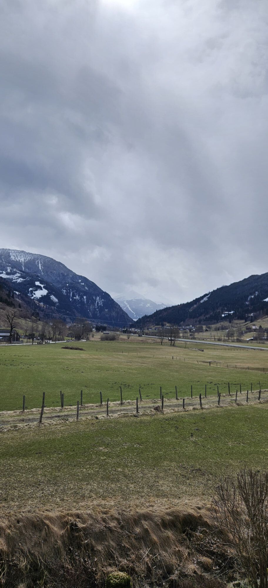
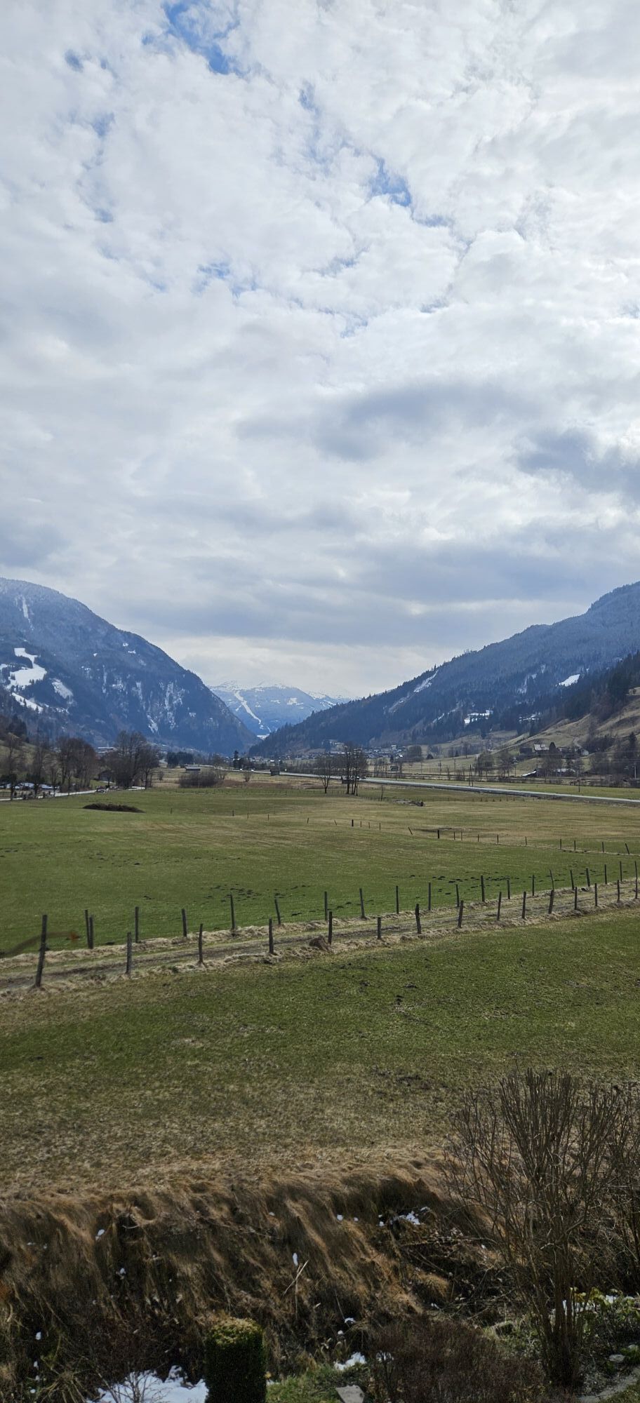
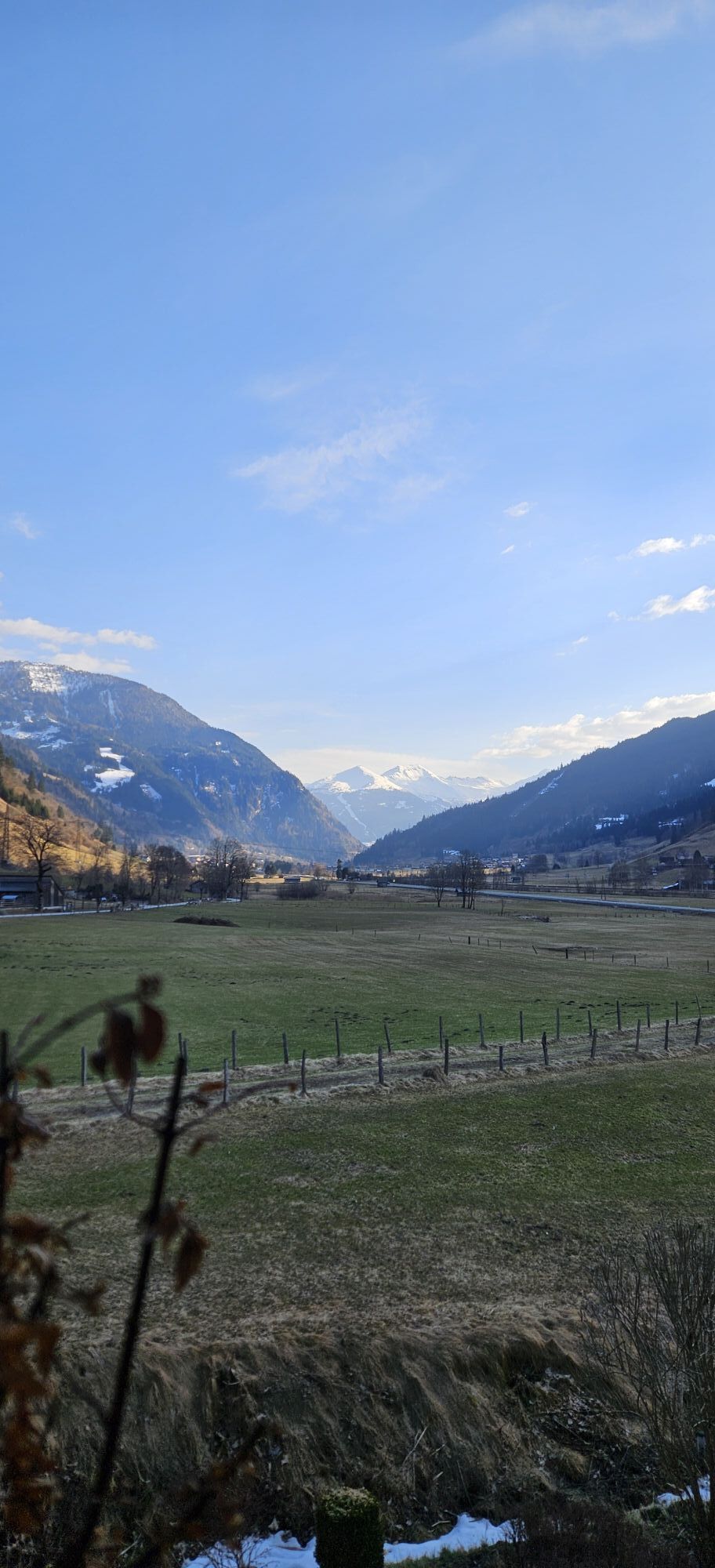
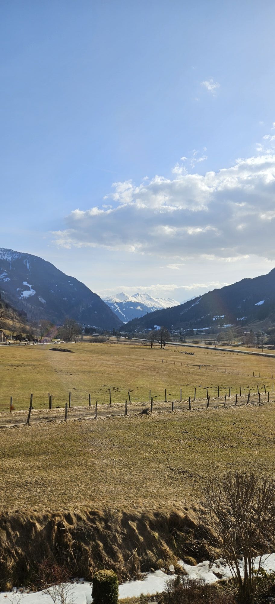
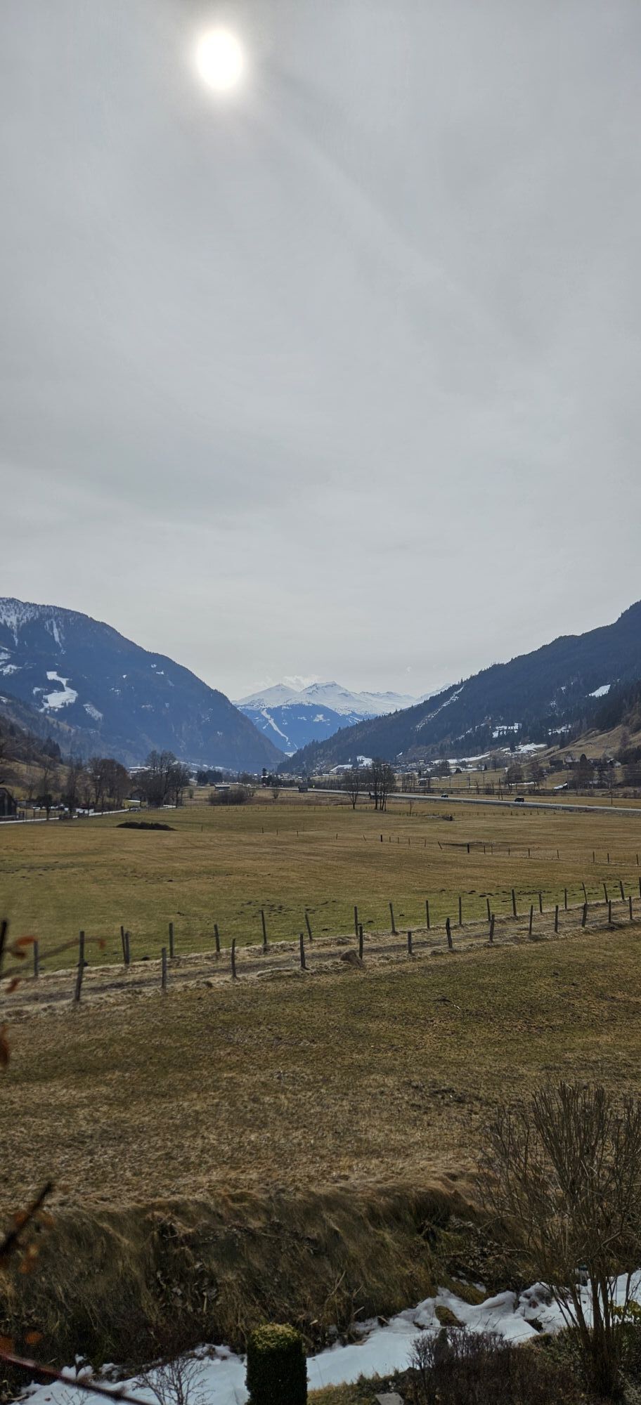
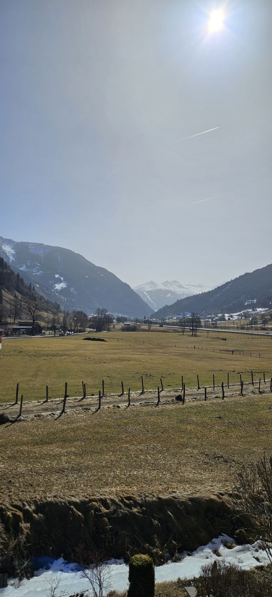
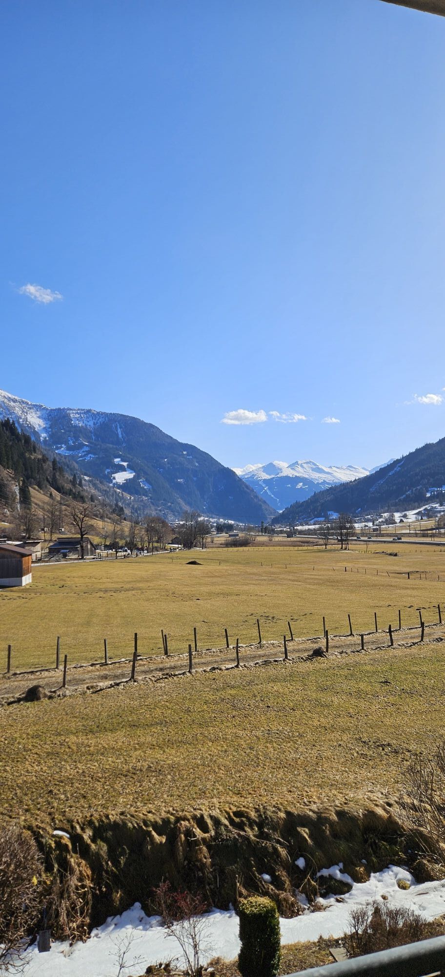
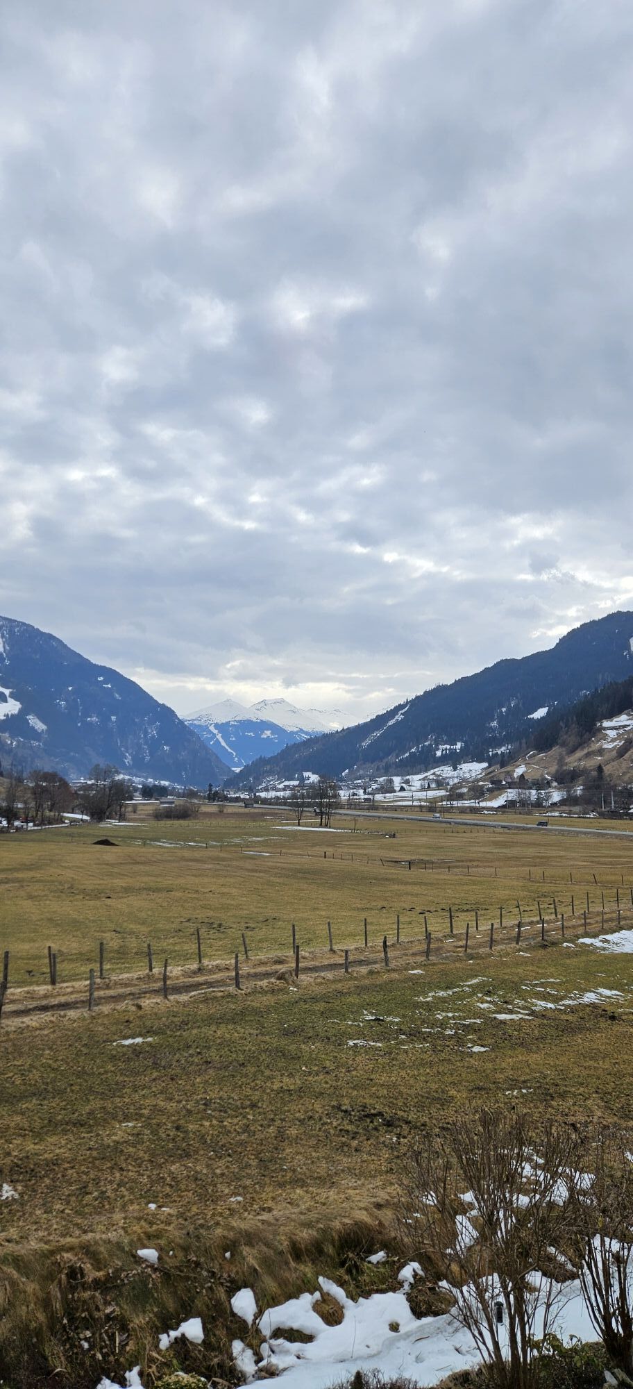
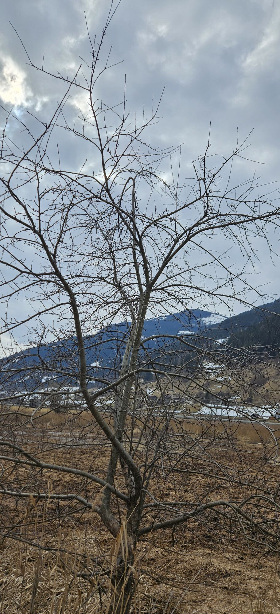
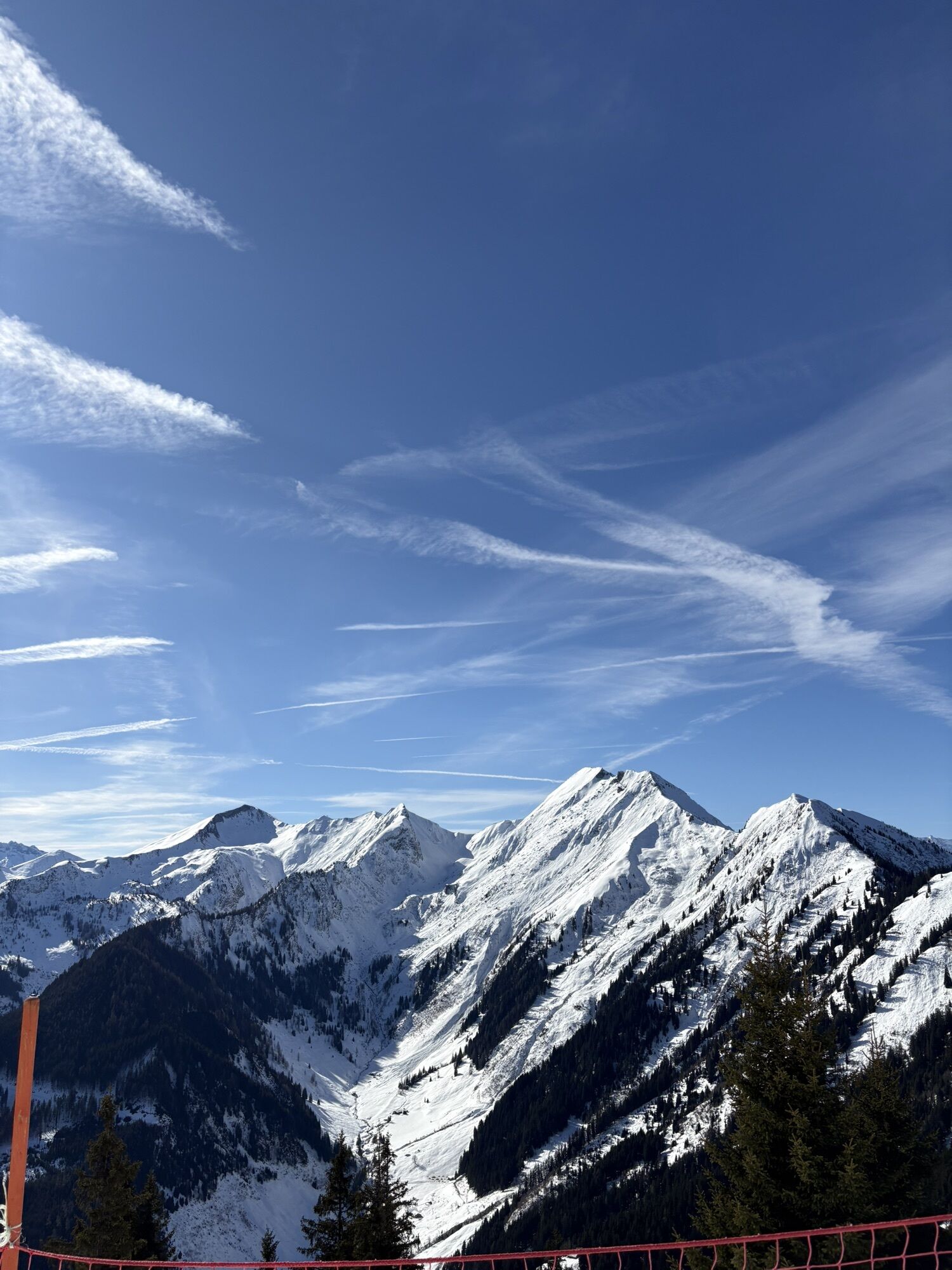
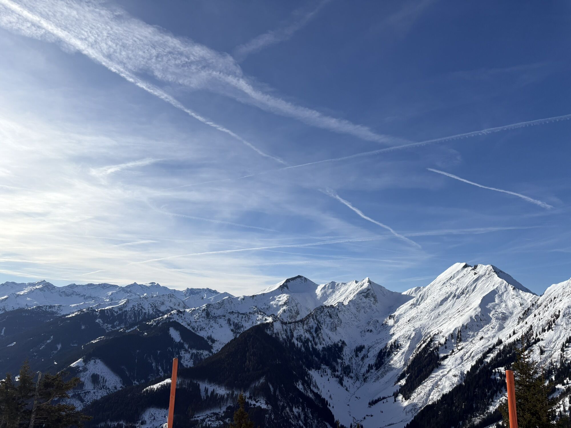
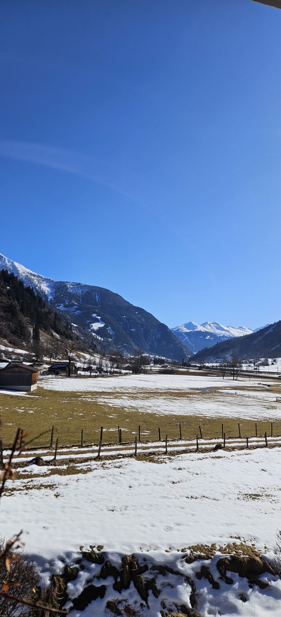
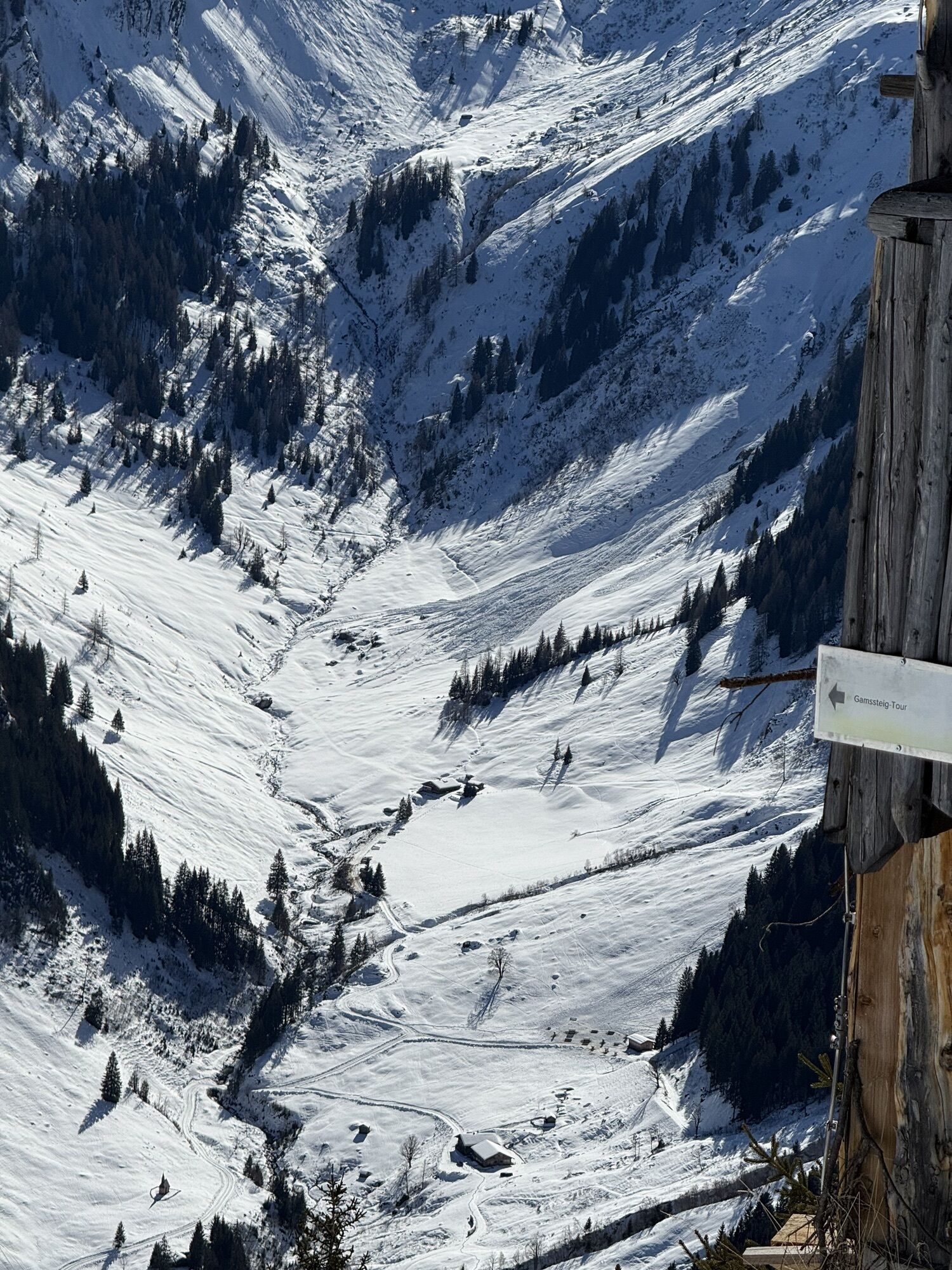
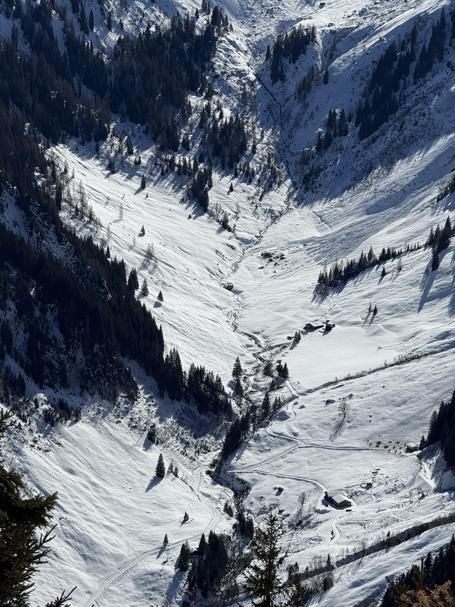
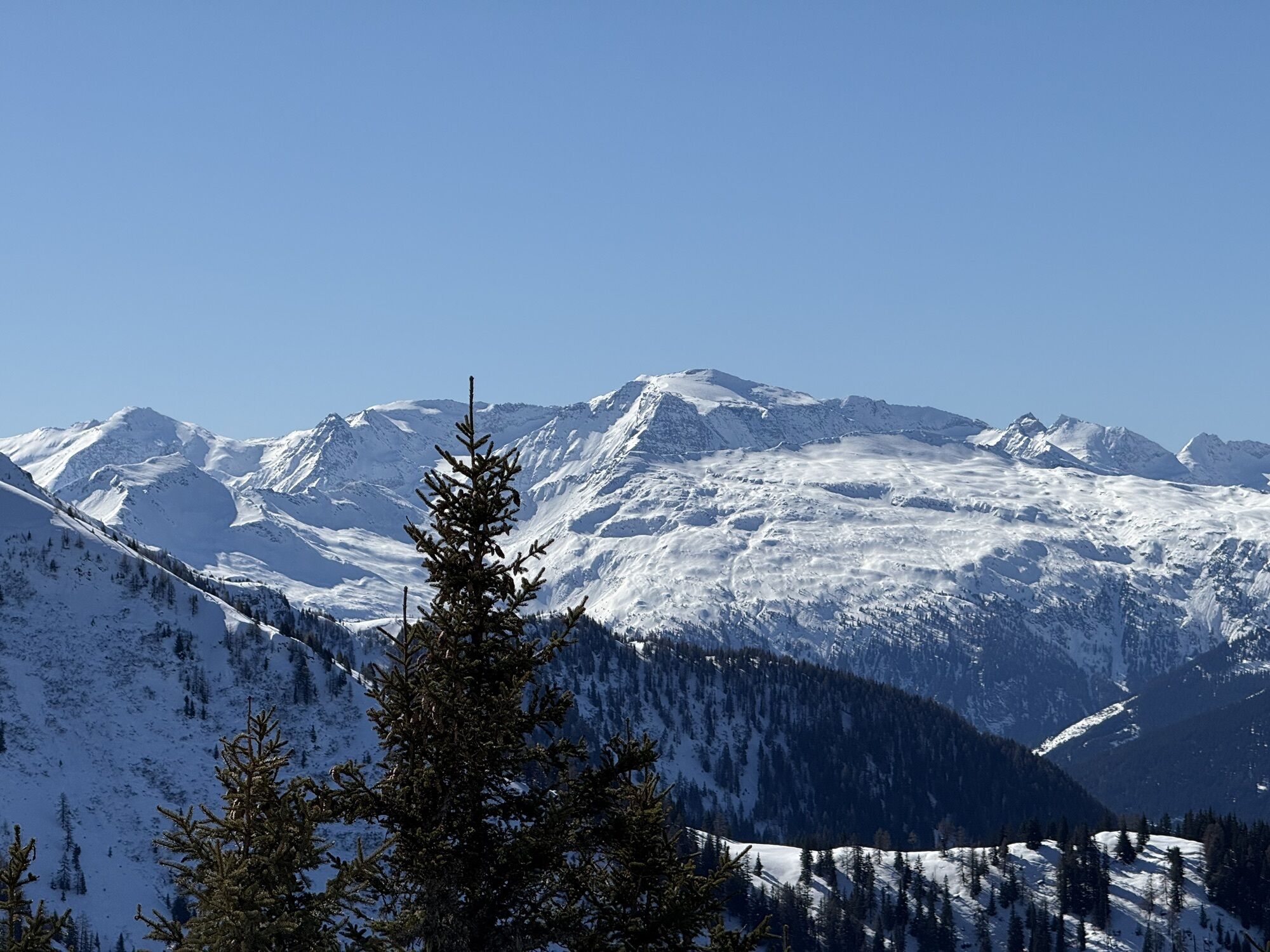
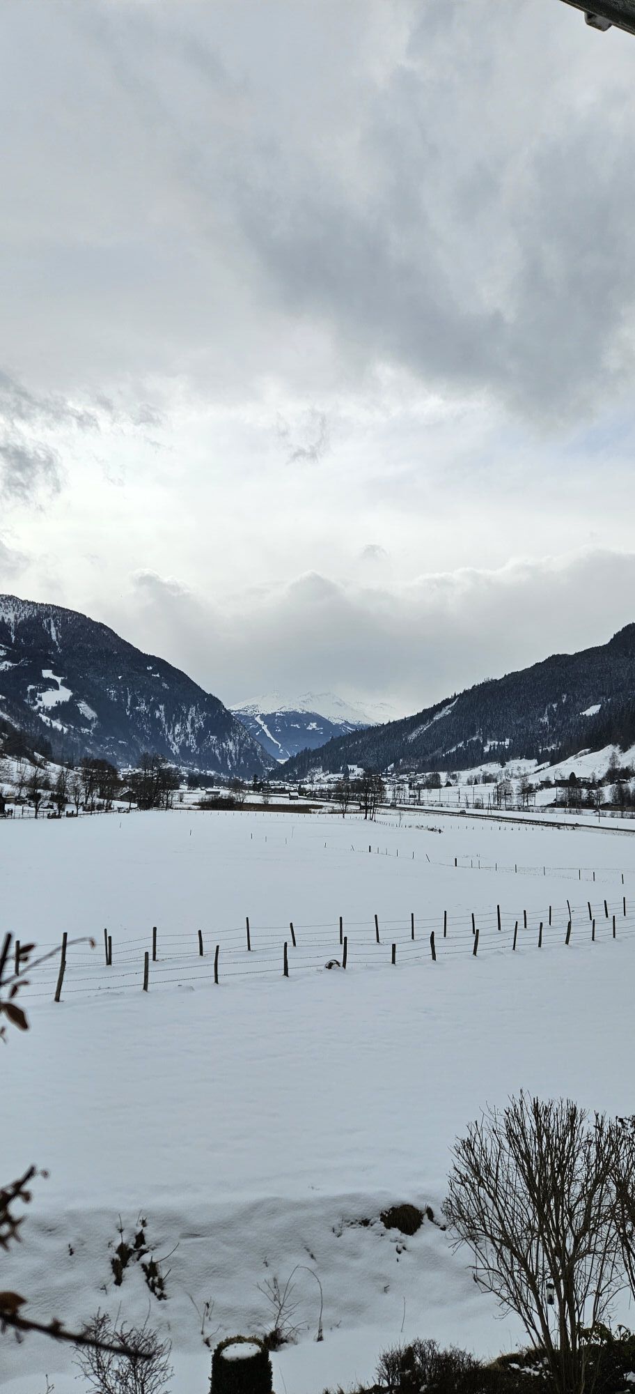
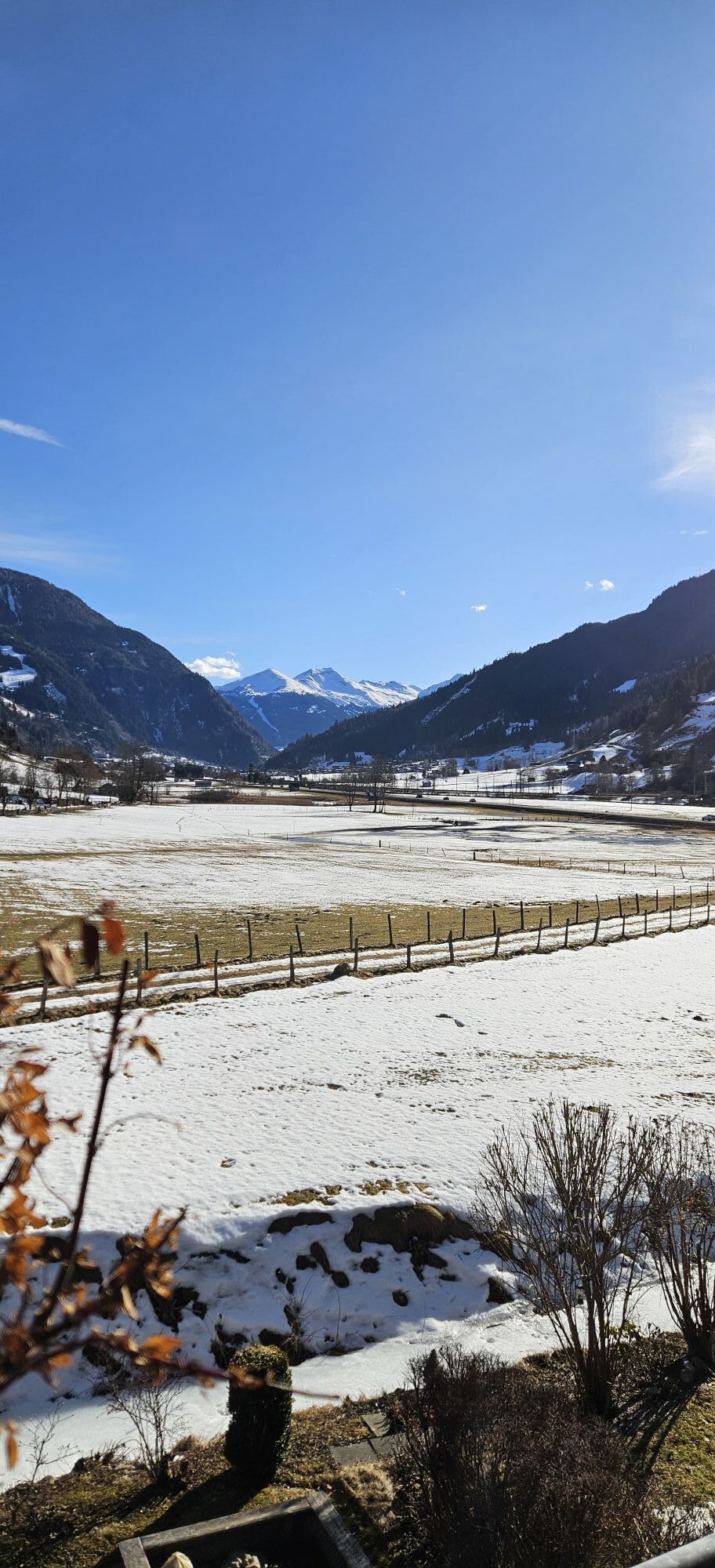
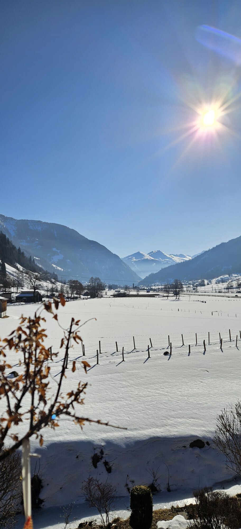
On the first stage of the Hohe Tauern Bike Trail, you experience the full range of the magnificent Salzburg Tauern valleys: starting in the rustic mountaineering village of Hüttschlag, you first ride comfortably...
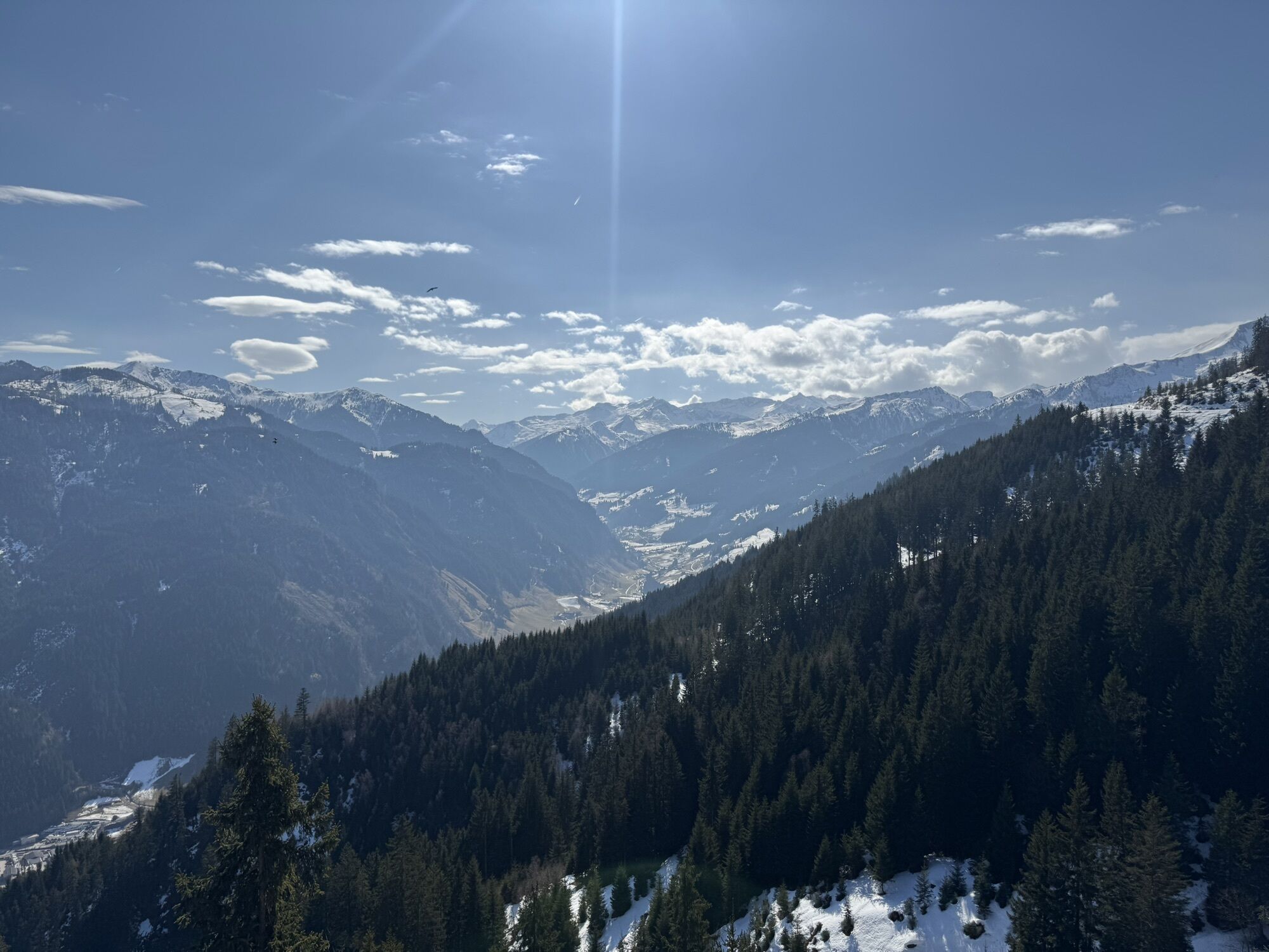
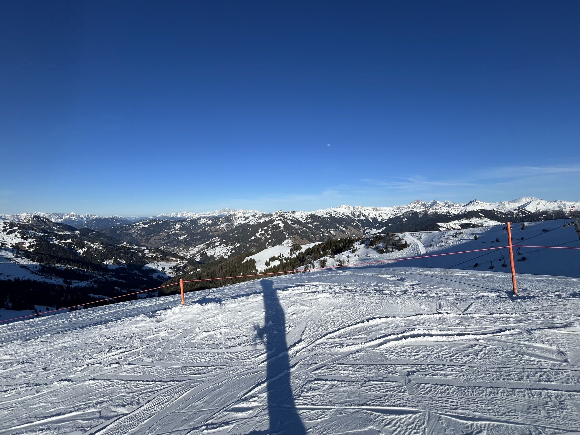
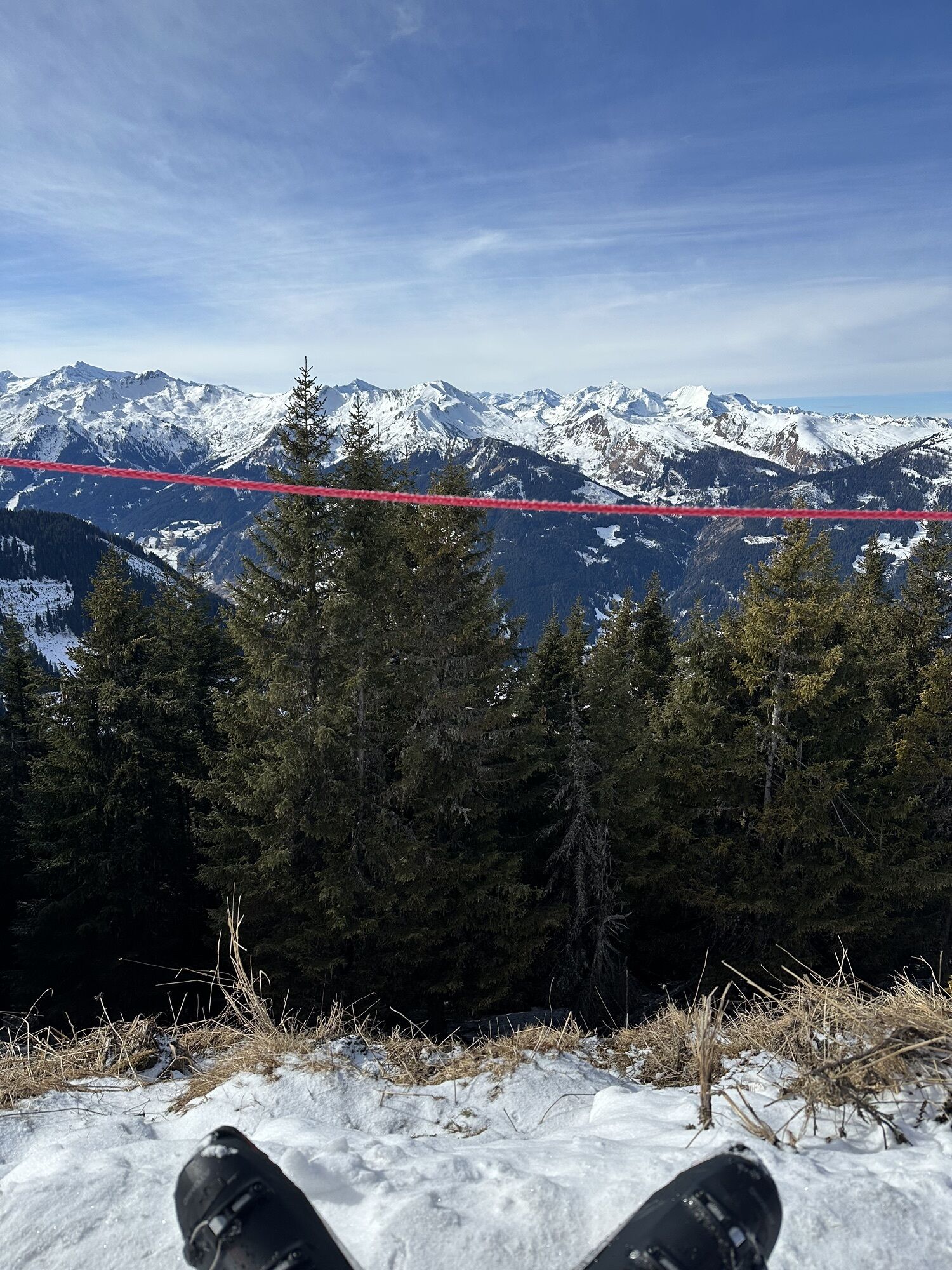
Now you cycle on the cycle path to the lively town Großarl. With the Großarltal Panoramabahn, you gondola comfortably and quickly to the summit region at 1,850 m sea level (WARNING weight limit MTB 22 kg – remove battery if necessary!). Whether you take the short detour on foot to the peaks of Kreuzkogel and Fulseck or head immediately down the long, rapid descent into the Gasteinertal: up here, you should take the time to enjoy the breathtaking panoramic view of the skyline of the 3000-meter peaks!
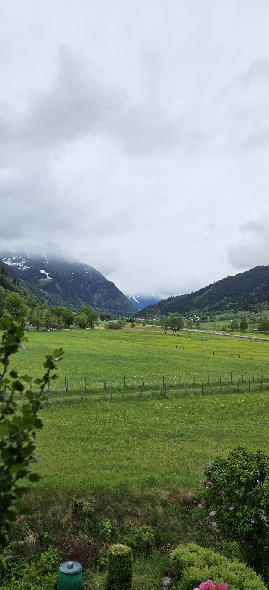
Arriving in the valley at Dorfgastein, the well-developed Gasteinertal cycle path leads further into the valley to Hofgastein. There awaits an ascent into the Angertal before the route continues along the Erzherzog Johann Promenade to the historic center of Bad Gastein. Along the way, you will repeatedly be accompanied by impressive views of the mountains and the distinctive architecture of Bad Gastein.
-> The stage runs exclusively on forest roads and alpine paths as well as paved cycle paths/side roads, which can be steep with partly loose gravel on the descent to Dorfgastein. Details about the requirements of the Hohe Tauern Bike Trail can be found here >>.
-> Note the operating times of the Großarltal Panoramabahn (it does not operate every day). You can find current information here >>. If the cable car is not operating on your day, you can choose a detour via St. Johann im Pongau. To the detour option >>
Book your bike trip now on the Hohe Tauern Bike Trail at the info and booking center.

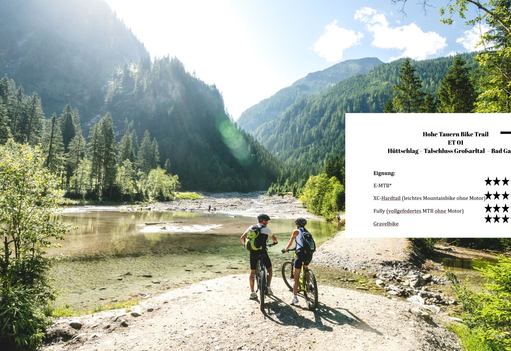
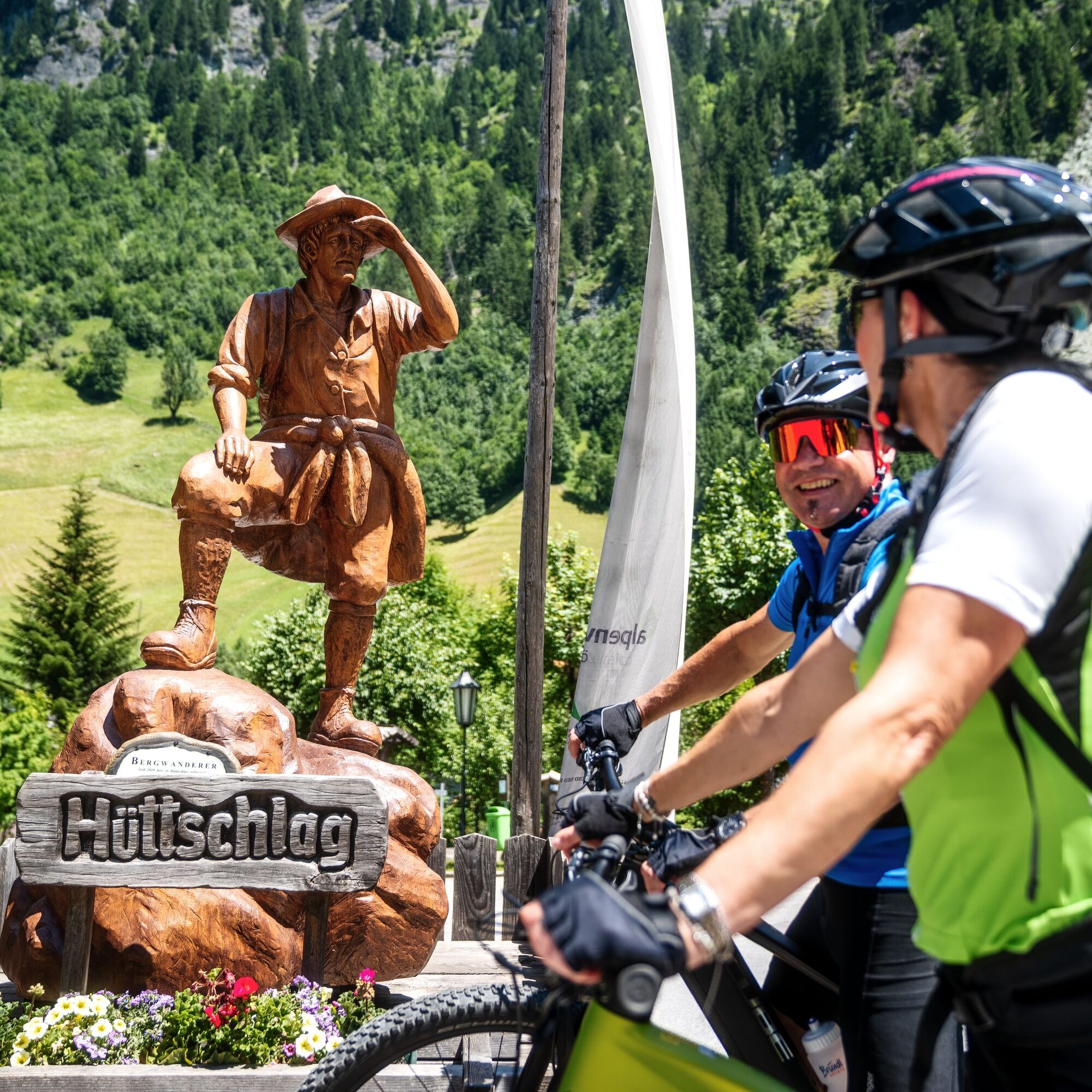

The Ötzlsee is your turning point in the Großarltal and you first ride back to the start at the hiking car park in the mountaineering village of Hüttschlag. Past the hiking car park, you ride down to the main road. Before the tunnel, cross the road and turn left onto a gravel cycling and pedestrian path. This now leads along the Großarler Ache to the Tofernbauern. Upon reaching Zandlweg, take the Griesbichlweg for a stretch uphill on asphalt through a residential area before turning right back onto the cycling and pedestrian path. When you arrive at Hubdörfl, follow the gravel cycling and pedestrian path until you reach the bridge next to the warehouse. Cross this bridge and ride along the road past the Schornlehen farm and continue to the town center of Großarl. Once there, ride past the inn Rohrerwirt and the village child to the intersection in front of the municipality of Großarl. Here, turn left, ride to the roundabout and take the second exit towards Unterberg. After a few meters, you reach the valley station of the Großarltal Panoramabahn on the left side. The route to the valley station is continuously flat or gently ascending and descending and leads you through a quiet, natural environment.
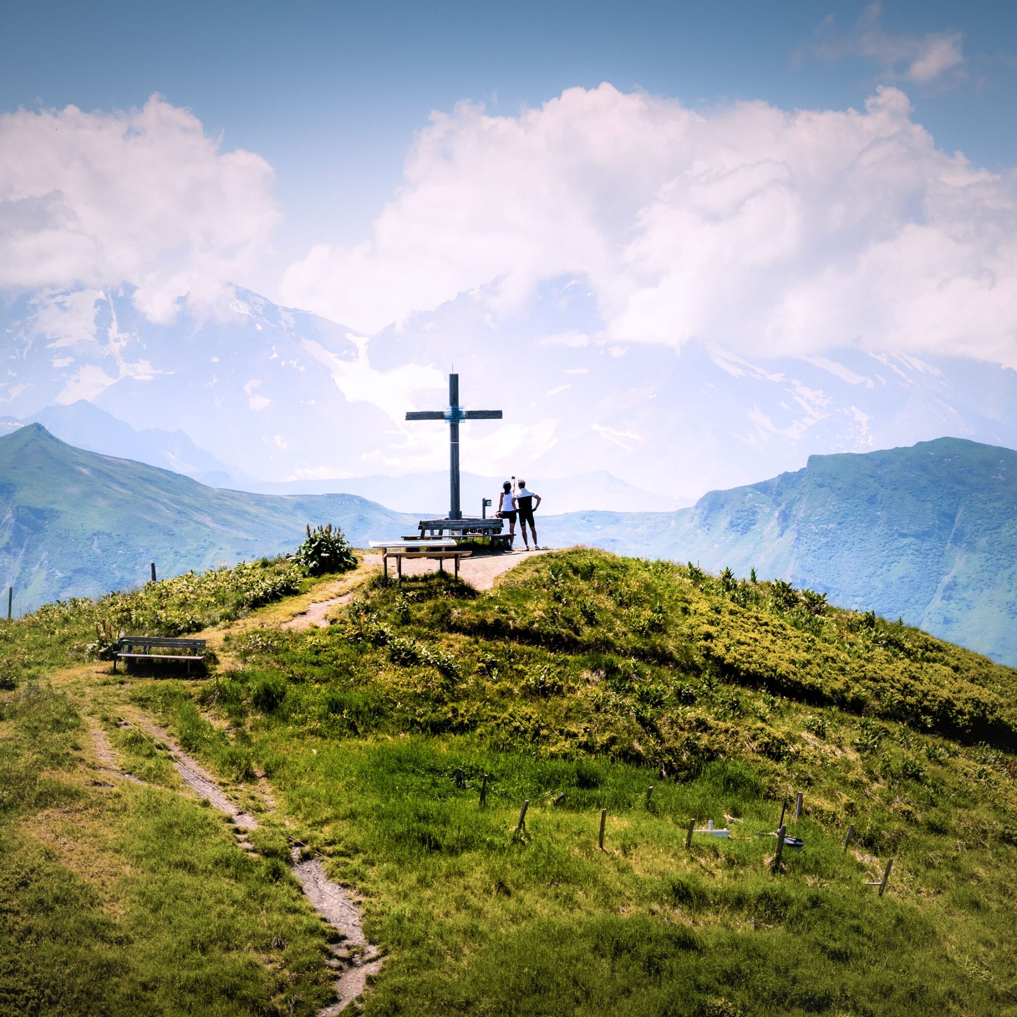
The cable car takes you comfortably and conveniently up the mountain together with your bike. From the mountain station of the Panoramabahn (1,850 m), continue immediately on a well-maintained forest road uphill towards Kreuzkogel – at a fork, choose the left path directly along the ridge. This ascent is short but quite challenging, however, it has no technical difficulties. At the top, you enjoy a wide panoramic view of the surrounding peaks near and far. If you want an even better view, the short detour on foot to the summit cross of the 2,027 m high Kreuzkogel (see tip "Bike & Hike option") is recommended. Then follow the gravel forest road past the beautiful viewpoint "Glocknerplatzl" (the name says it all) towards Fulseck. You can also reach the summit of the 2,033 m high Fulseck on foot with a short detour like the Kreuzkogel.
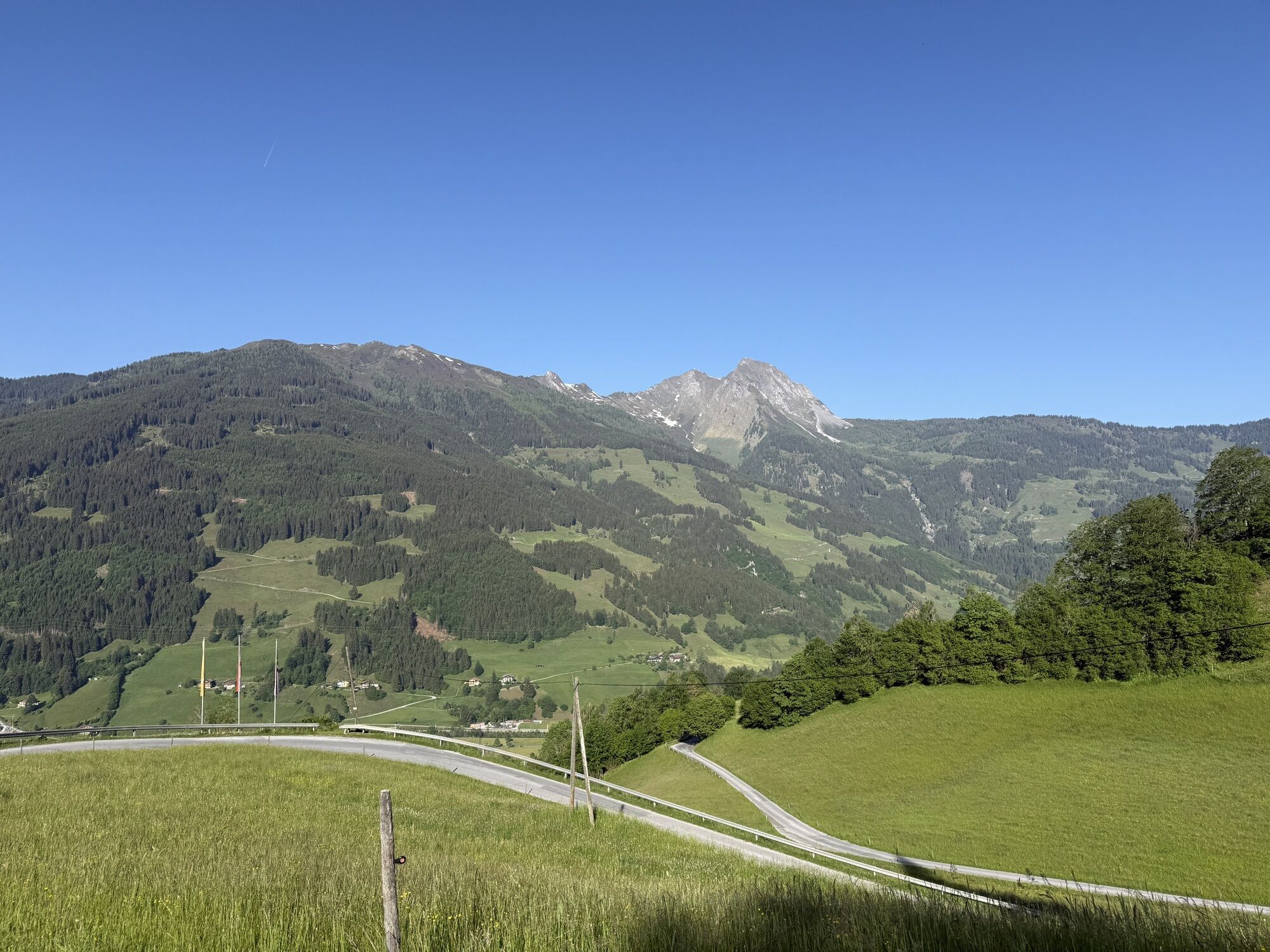
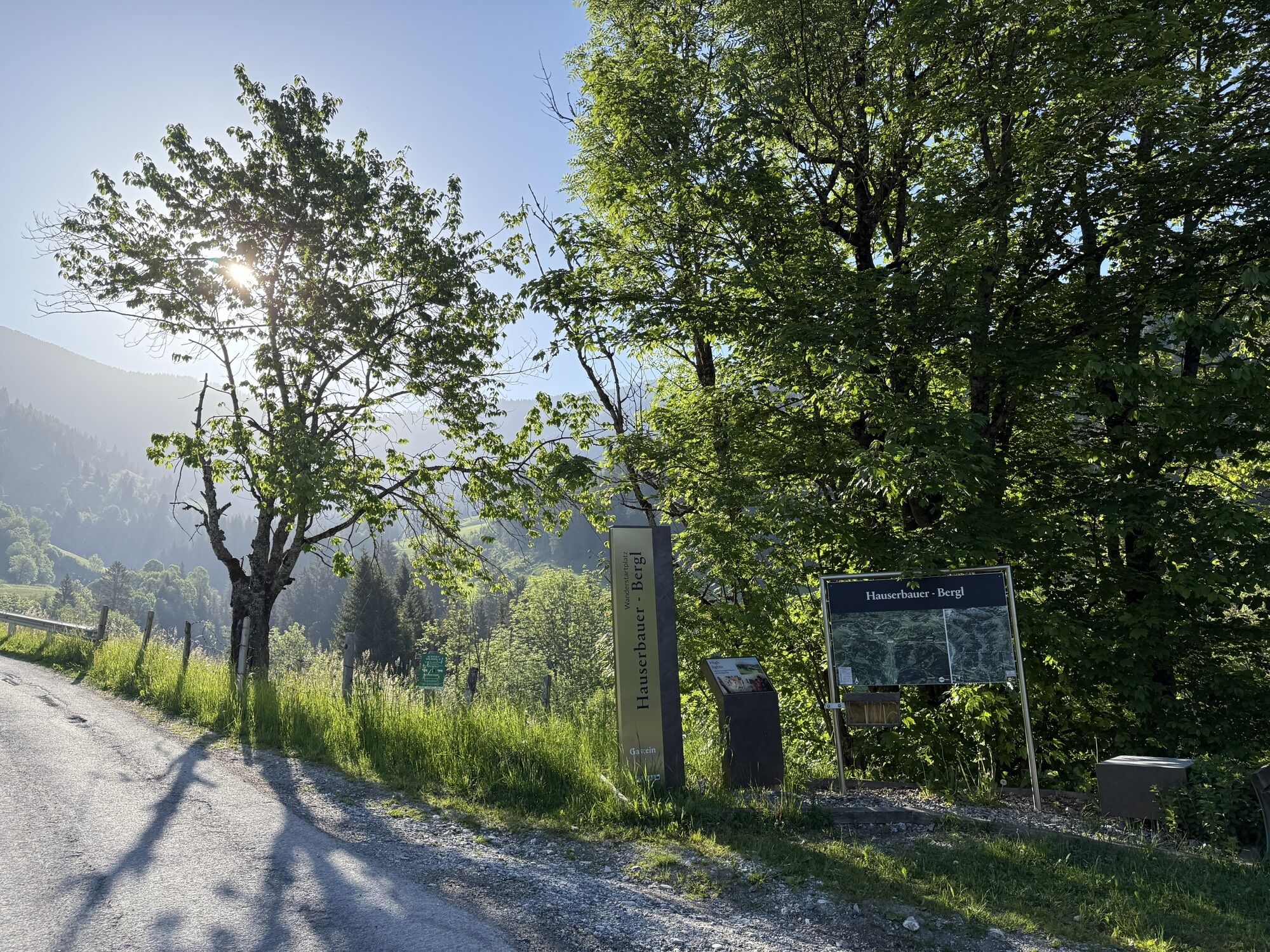
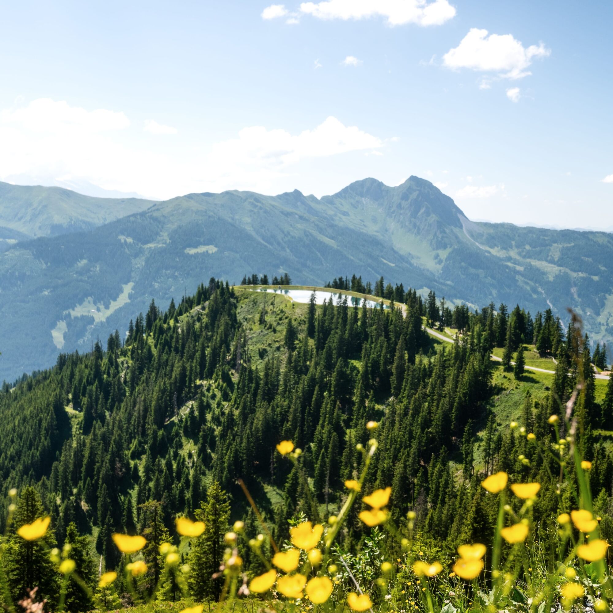
Now begins the rapid descent into the valley: initially, follow the wide and signposted mountain bike forest road which winds downhill with several hairpin bends. The surface is grippy gravel before the asphalt road begins near the district Bergl. Passing pastures and small forests, you continue steadily downhill until you reach the valley station of the Fulseck summit lift in Dorfgastein.
In town, head towards the center where you meet the well-signposted Gasteinertal cycle path. Follow the cycle path to the left in a southern direction to Bad Hofgastein. The section mostly runs over paved side roads and cycle paths. Passing small villages and farms, the path is almost flat, while expansive meadows stretch to the left and right. After the hamlets Ober- and Unterladerding, you leave the Gasteinertal cycle path, turn right onto the parallel cycle path over Haitzing (where you immediately cross the Gasteiner Ache) and pass the hamlets Wieden, Haitzing, the Weitmoser Schlössl and Hundsdorf (Bad Hofgastein lies to the east). In the next hamlet Anger, a moderate ascent begins on a well-developed mountain road. You pass the old Angertal station and shortly reach an intersection where you turn left and follow the mountain road toward Bad Gastein. At the end of the road, a short but steeper descent awaits. This is the only technically demanding section. Afterwards, it continues pleasantly on the Erzherzog Johann Promenade until you reach the entrance to the town of Bad Gastein and the main road. Continue briefly on the main road in the same direction until you reach the tourist information with the bike starting point – your destination for the day.
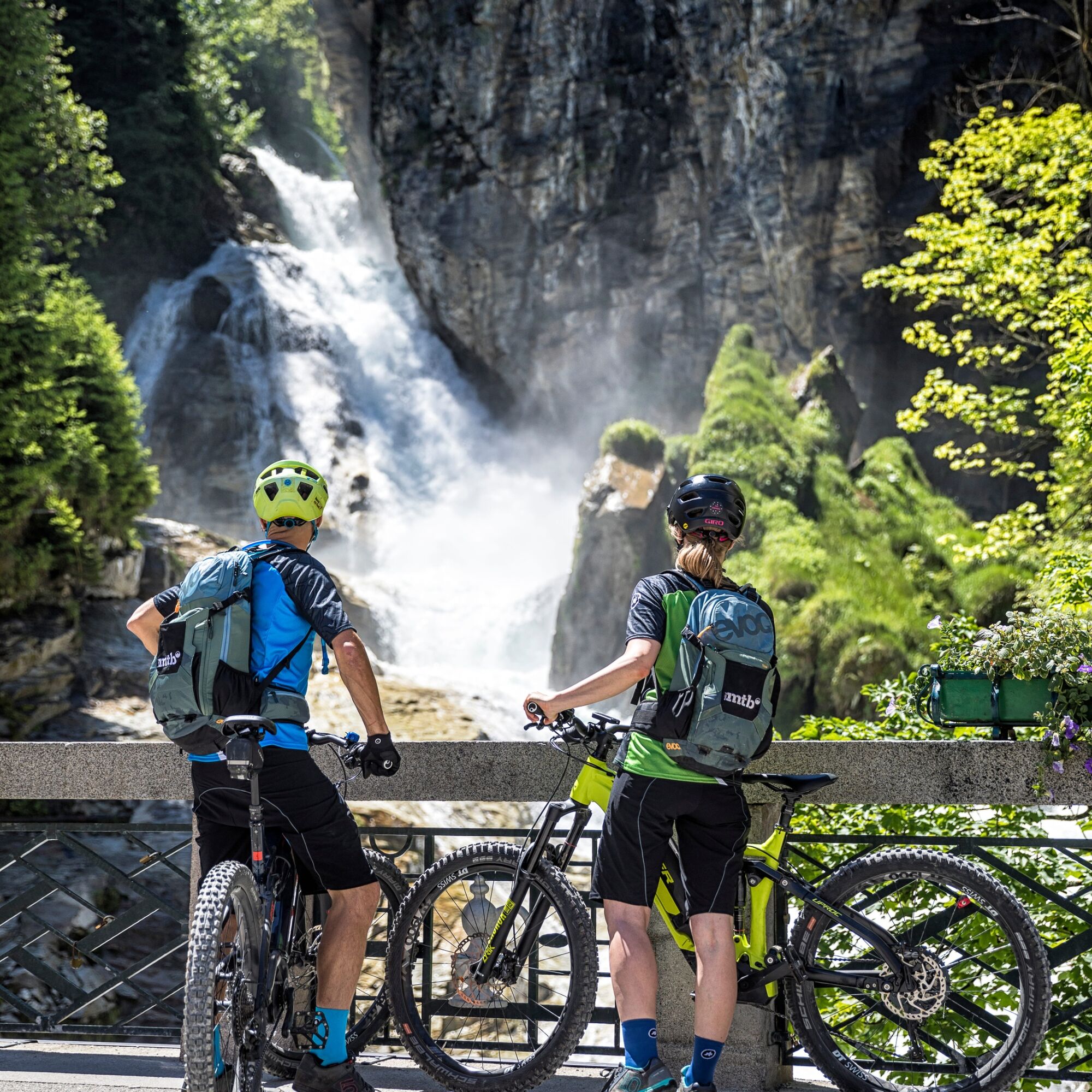
However, you should not miss a short detour to the Gastein waterfall in the historic center of Bad Gastein: before the tourist information, turn left into Kaiser Franz-Josef-Straße, cycle past the typical characteristic Belle Époque architecture of Bad Gastein and finally reach the famous waterfall of Bad Gastein.
Charging stations along the stage:
Großarltal: No charging stations available
Gasteinertal: E-charging stations Gasteinertal >>
Da
Da
Recommended equipment >>
The section from the town center of Hüttschlag to the district Karteis runs along the Großarler Landesstraße (approx. 500 m).
From St. Johann im Pongau via Alpendorfstrasse and L109 to Hüttschlag town center.
Coming from St. Johann im Pongau by regional bus 540 towards Hüttschlag Talschluss to the exit point Hüttschlag town center.
To the long-term parking spaces on the Hohe Tauern Bike Trail>>
S0
Holiday Region Hohe Tauern National Park
Gerlosstraße 18, 5730 Mittersill, Austria
Phone +43 6562 40939 E-mail: hohetauerntrail@nationalpark.at
Booking center & info hotline Trail Angels GmbH
9821 Obervellach 15, Austria
Phone +43 4782 93093 E-mail: info@bookyourtrail.com
Spletne kamere s turneje
Kreuzkogel
Fulseck
Haitzingalm
Hotel Lammwirt im Großarltal/Ellmautal
Bad Gastein - Golfplatz
Dorfgastein - Spiegelsee
Bad Hofgastein - Schloßalm
Bergstation 6er Sesselbahn Harbach
Gästehaus Hagenhofer - Dorfgastein
Ellmautal - Palfenhof
Bad Hofgastein - Akzent Hotel Germania
Bad Gastein - Hotel Schillerhof
Skizentrum Angertal
Schlossalm - Weitmoser
Jungerstube / Stubnerkogel
Kühhagerbahn Bergstation
Großarl - Ort
Dorfgastein - Spiegelsee
Dorfgastein - Spiegelsee
Dorfgastein - Spiegelsee
Dorfgastein - Spiegelsee
Stubnerkogel Bergstation Südseite
Graukogel Bergstation
Schlossalm Funslope
Bad Gastein
Bad Gasteiner Wasserfall
Haitzingalm
Dorfgastein - Bergl
Bergstation Kieserl
Fulseck
Fulseck
Fulseck
Fulseck
Fulseck
Fulseck
Fulseck
Tappenkarseehütte
Hüttschlag - Grossarltal
Großarl
Pridobite vpogled Vedno v živo na mestu z več kot 9.500 spletnimi kamerami. bergfex Kot uporabnik Pro si lahko zdaj ogledate ustrezne spletne kamere za številne izlete v aplikaciji izleti iz. Tako si lahko neposredno ogledate trenutne razmere. Priljubljeni izleti v okolici
- 4,9
Großarl: Aualm - Liechtensteinkopf - Aukopf - Schuhflicker - Schuhflickersee
srednjaPohodništvo 5,84 km - 5,0
Großarl: Alpine pasture circuit in Ellmautal
srednjaPohodništvo 9,69 km - 4,1
Tappenkarsee Kleinarl
srednjaPohodništvo 9,11 km - 4,9
Höhenweg vom Grünen Baum bis Bad Hofgastein
svetlobaPohodništvo 7,92 km - 4,8
Großarl: Mooslehenalm – Niggeltalalm – Viehhausalm
srednjaPohodništvo 5,44 km - 4,5
Mountain route from the Kötschachtal to the natural jewel Reedsee
srednjaPohodništvo 12,5 km - 4,8
Hüttenkogel - Graukogel von der Bergstation
srednjaGorski pohodništvo 4,68 km - 4,6
Bahnhof Bad Hofgastein nach Bahnhof Bad Gastein
srednjaPohodništvo 13,0 km - 4,5
Großarl: Saukaralm - Saukarkopf - Gerstreitalm
srednjaPohodništvo 9,11 km - 4,5
Wasserfall Bad Hofgastein
svetlobaPohodništvo 3,89 km
Pohodništvo in sledenje


Ne zamudite ponudb in navdiha za naslednje počitnice
Vaš e-poštni naslov je bil dodan na poštni seznam.





