







Dachstein Circuit (S840)
Stopnja težavnosti: S1
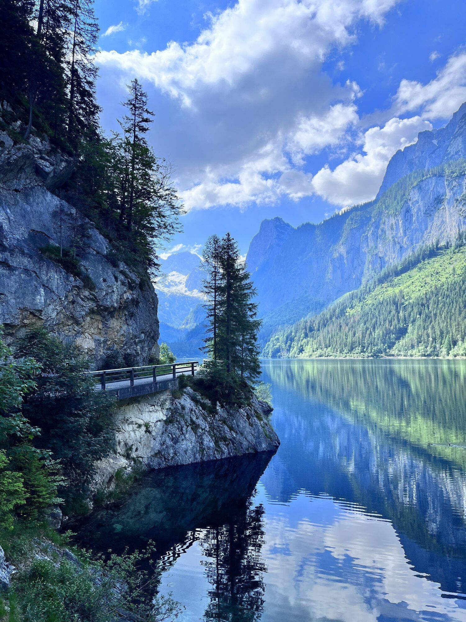


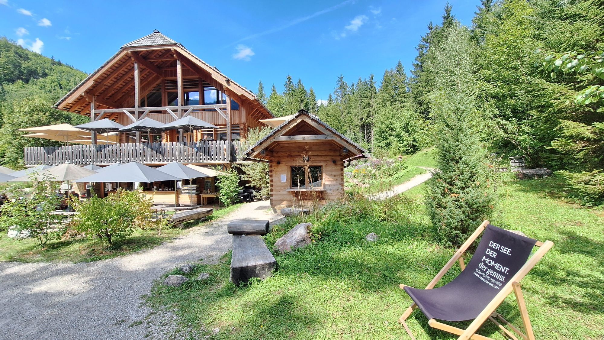
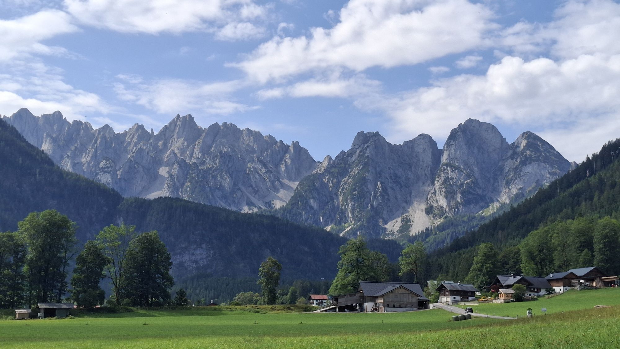
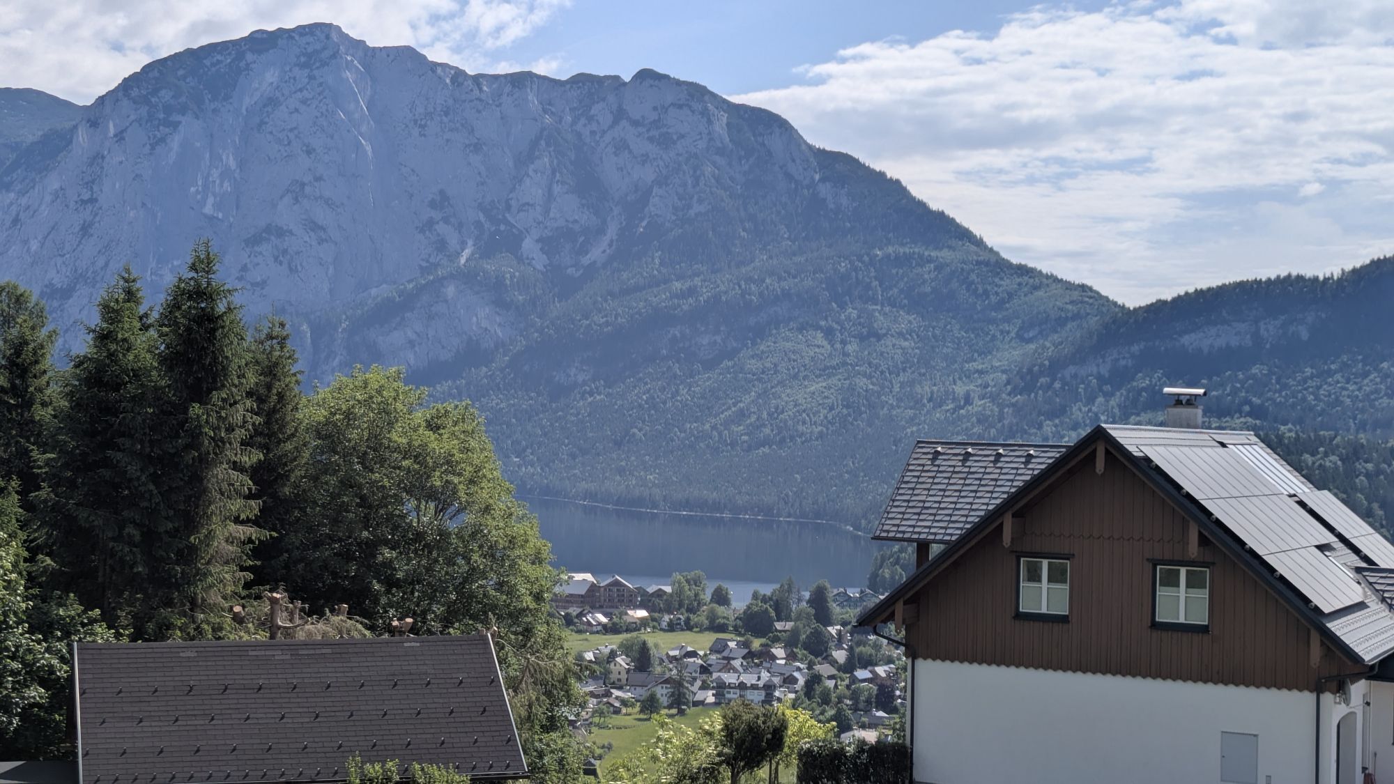
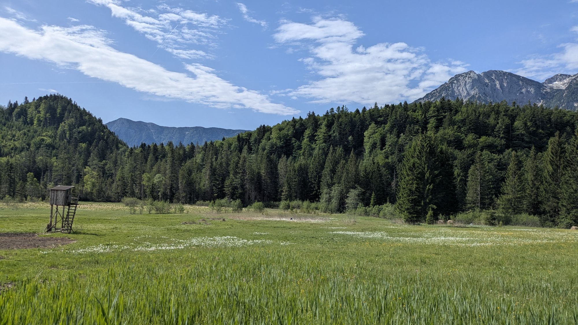
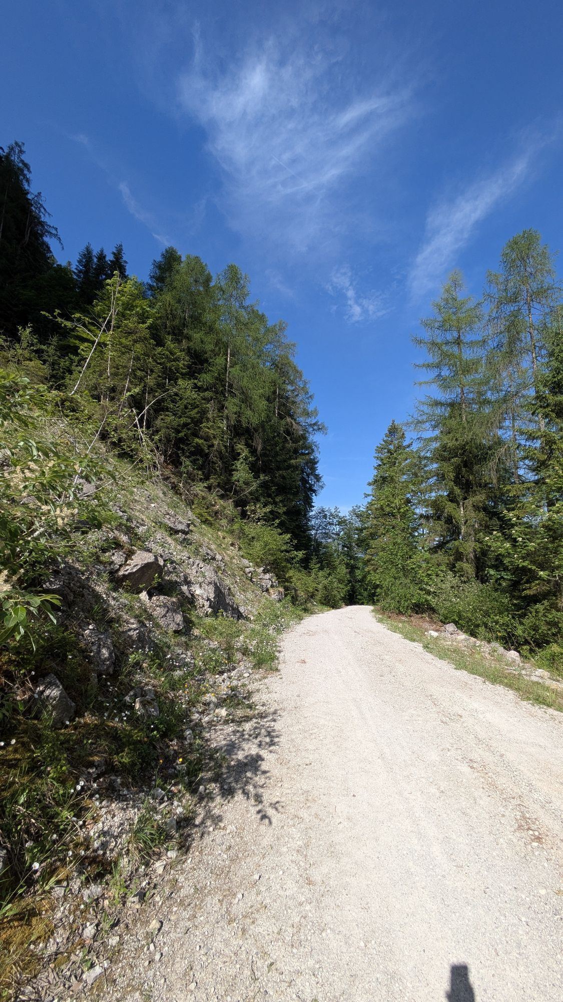
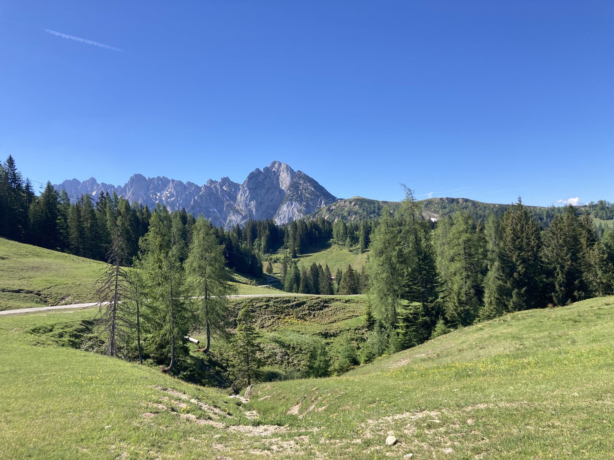
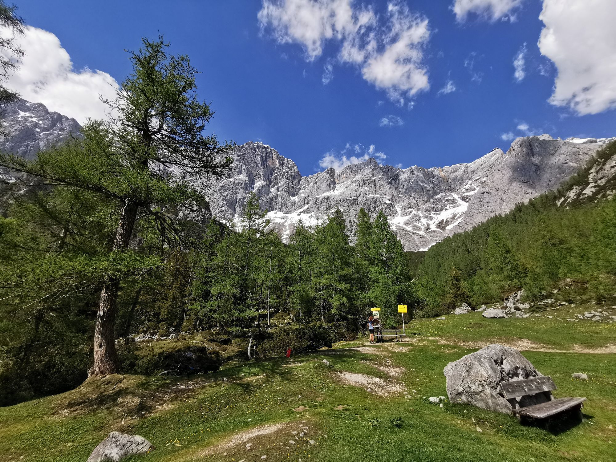
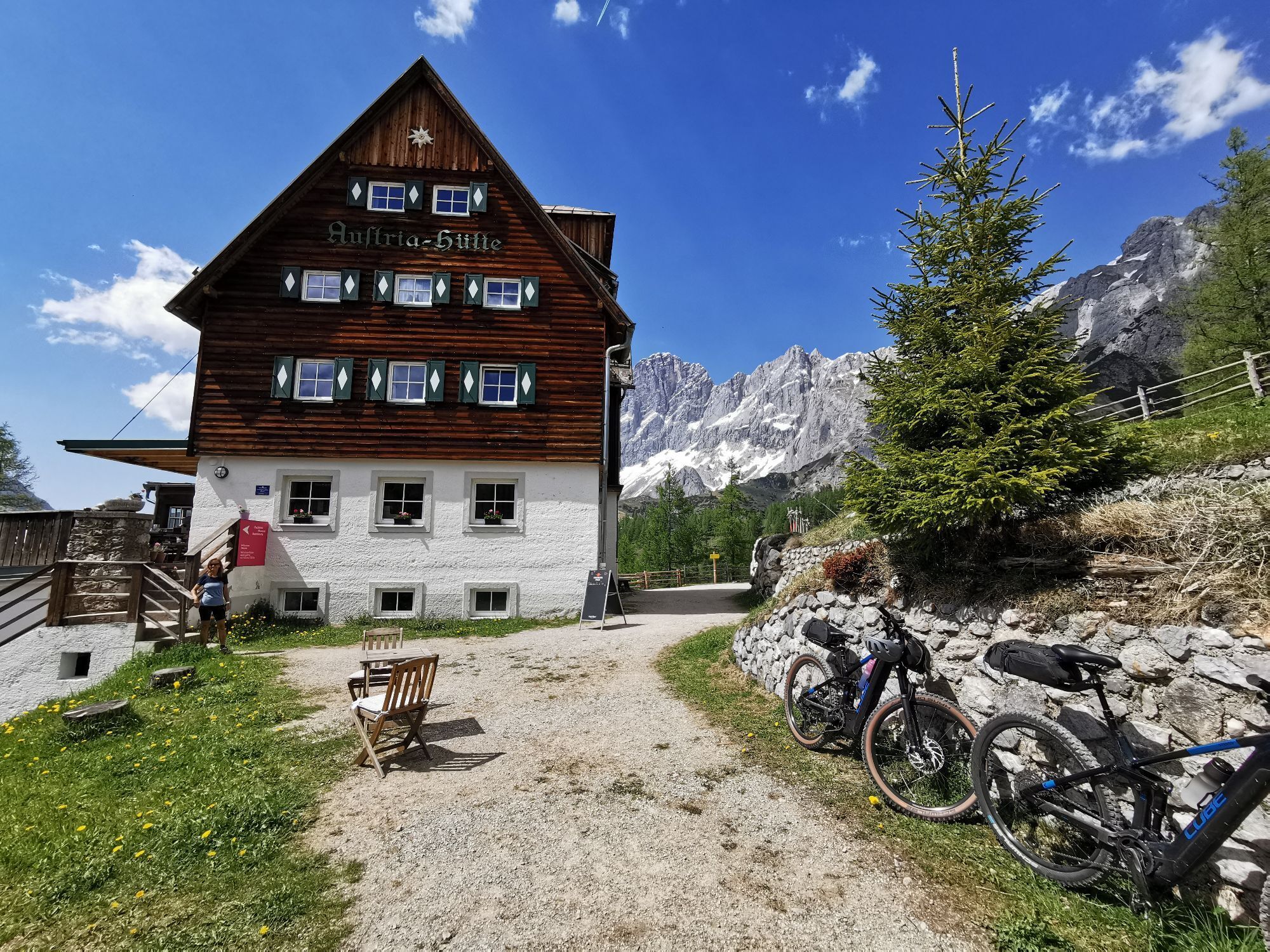
The Dachstein Circuit (S840) has been one of the region's most popular mountain bike loop tours for years and is the perfect introduction to multi-day mountain biking adventures. Starting and ending in...
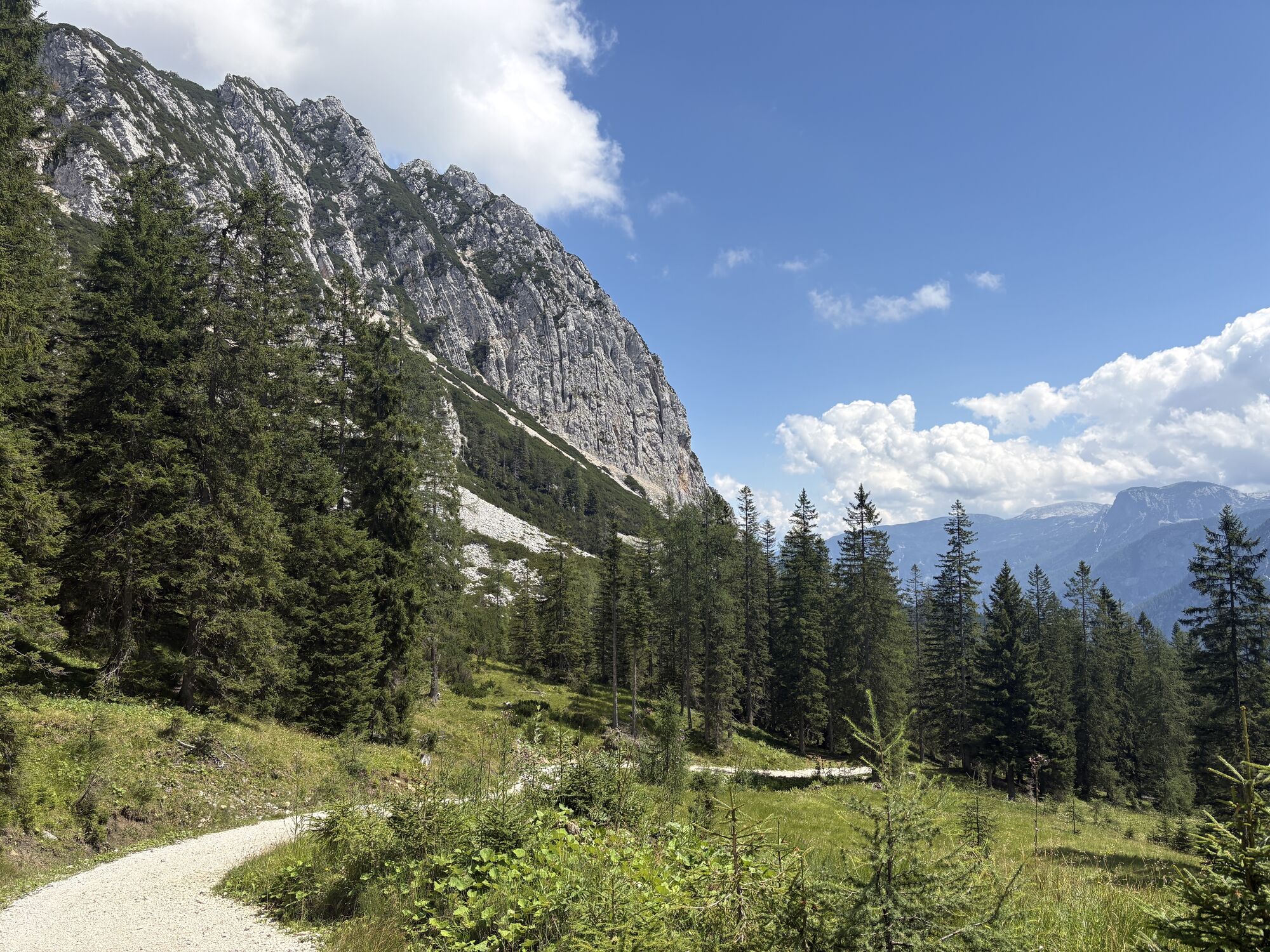
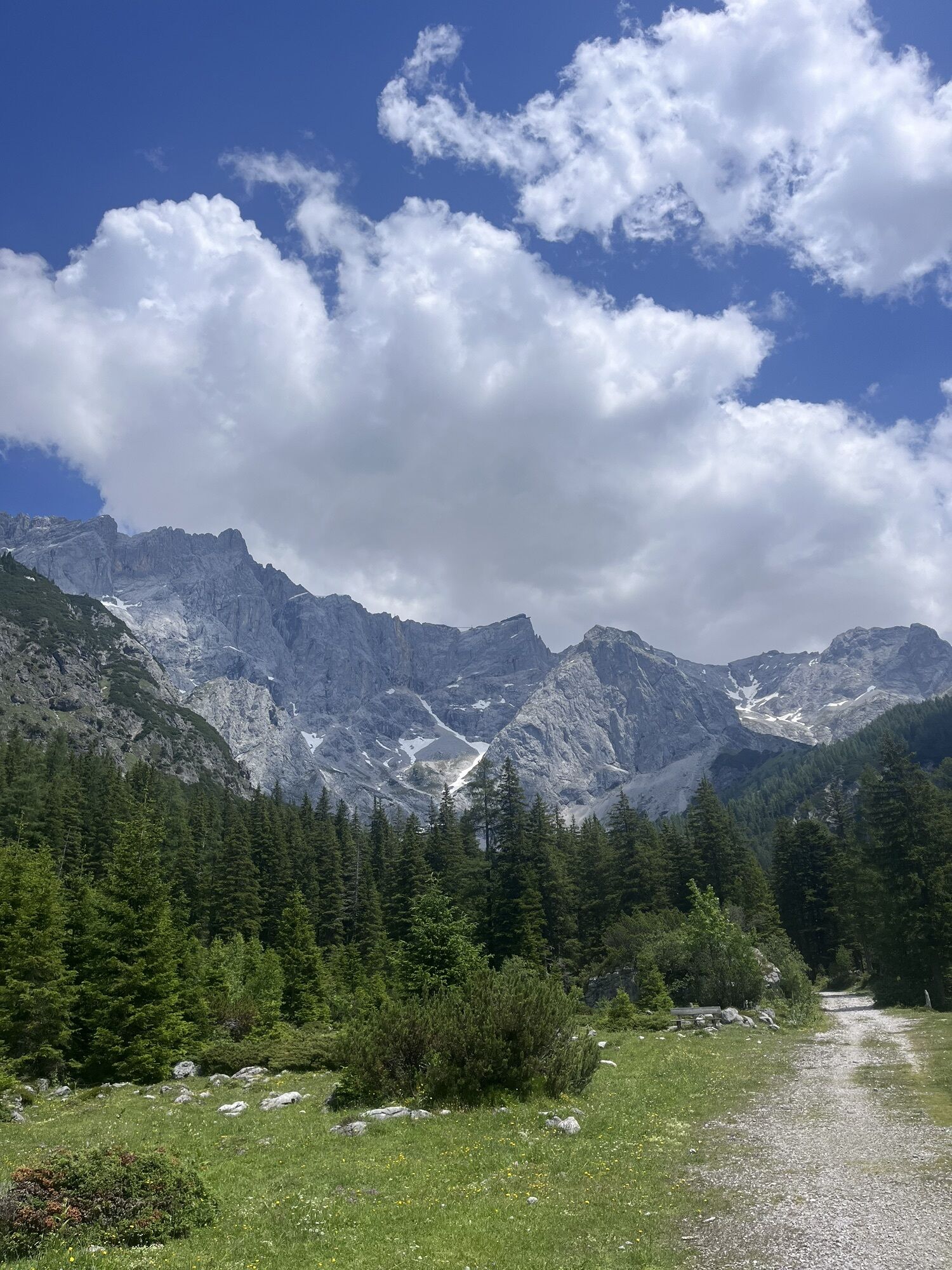
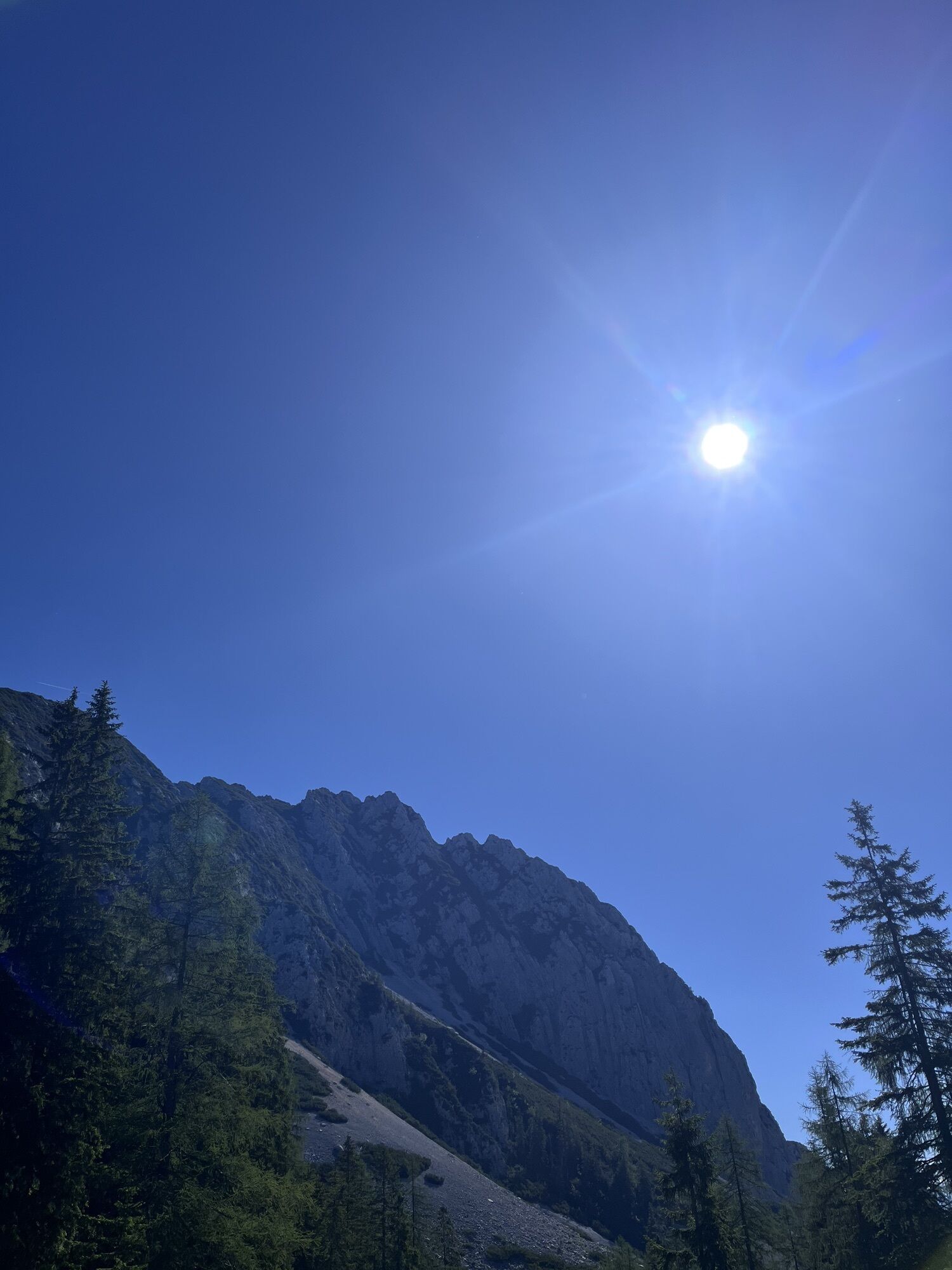
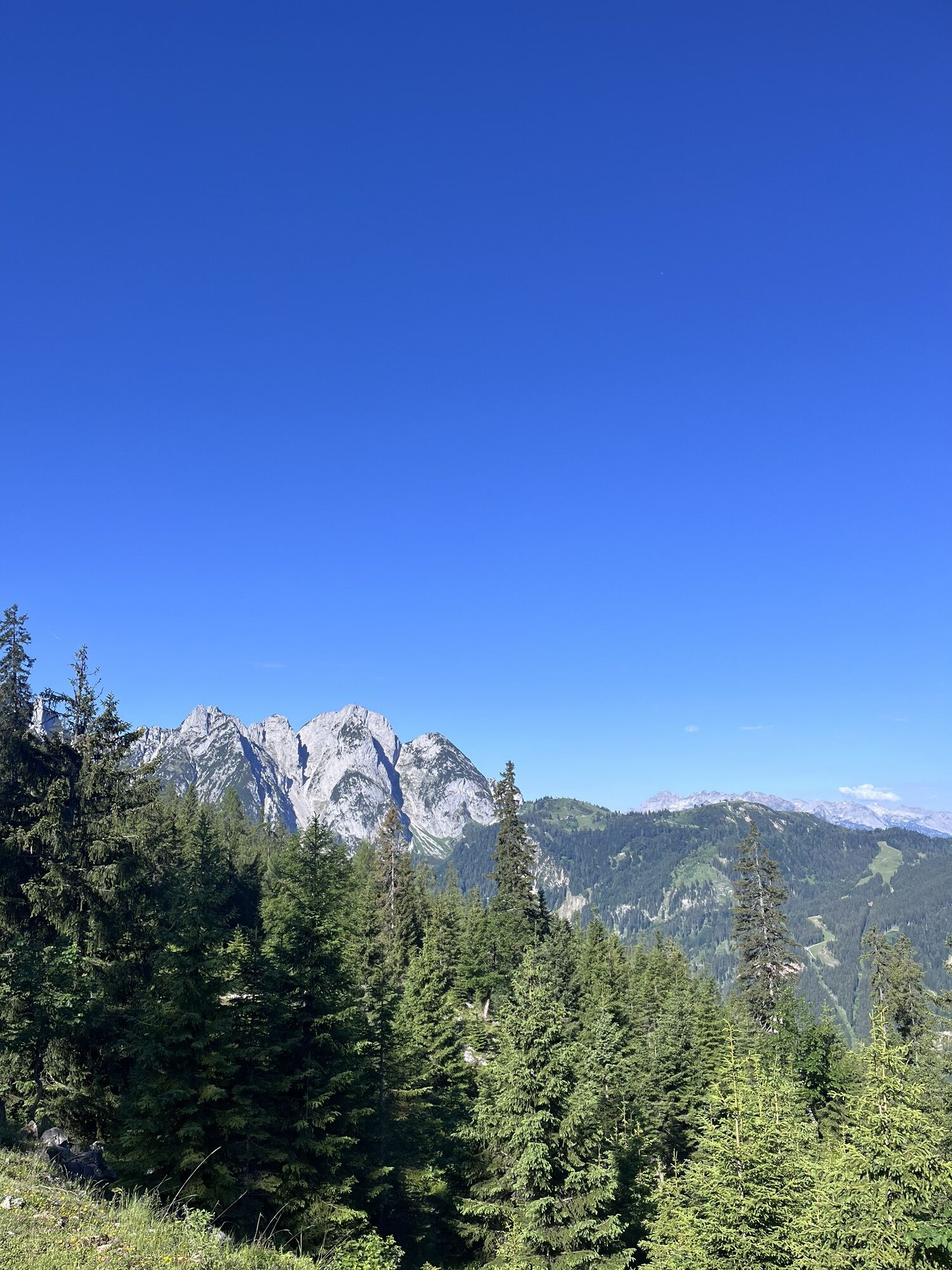
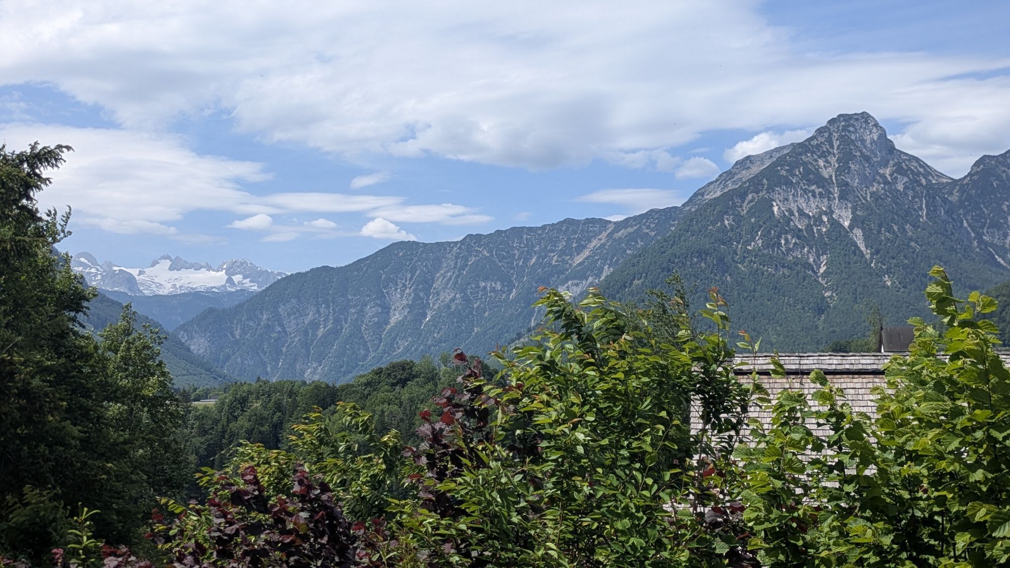
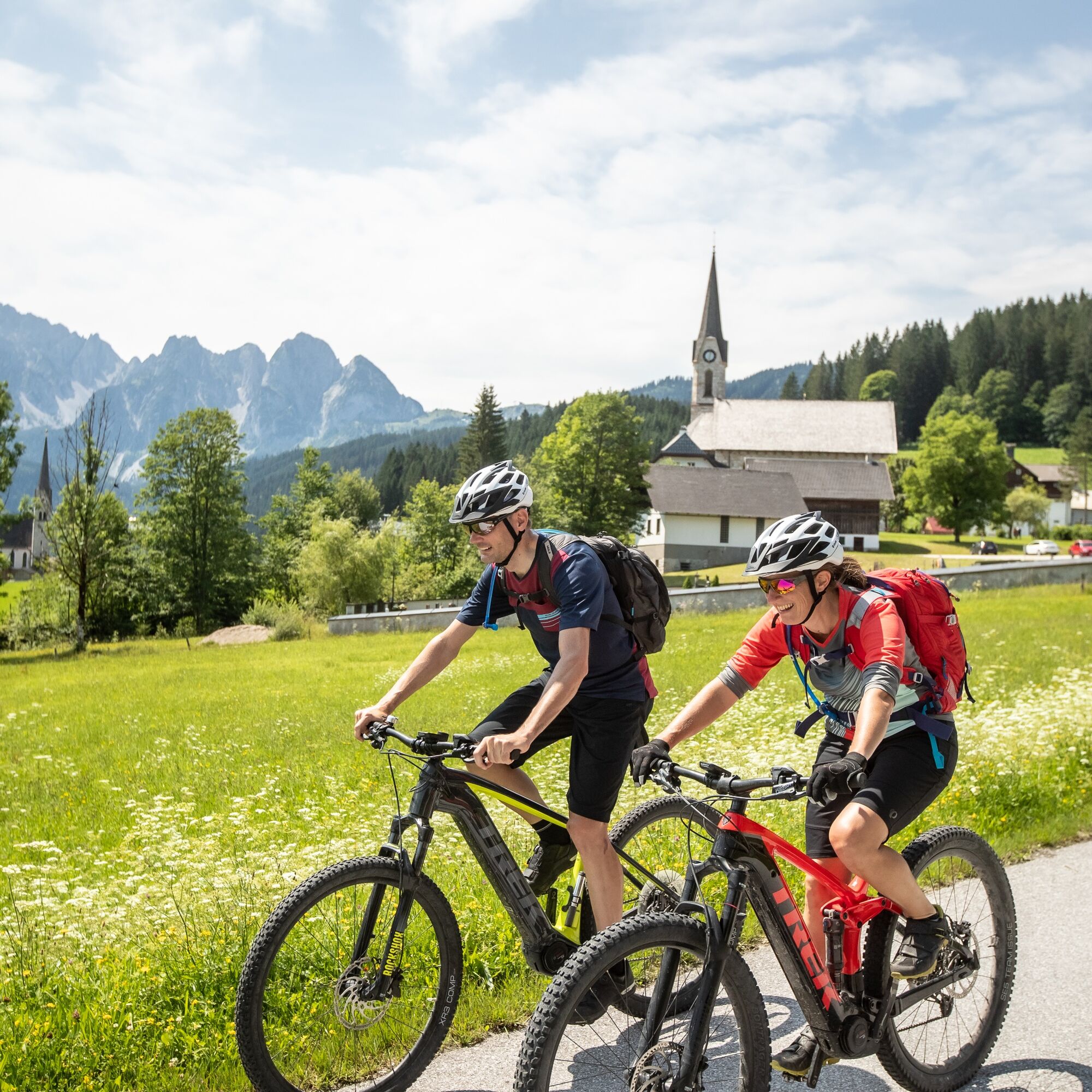
The Dachstein Circuit (S840) has been one of the region's most popular mountain bike loop tours for years and is the perfect introduction to multi-day mountain biking adventures. Starting and ending in Filzmoos, this varied route circles the impressive Dachstein Massif in a clockwise direction. Spectacular views of the Dachstein, the peaks of the Gosaukamm, and the dramatic south faces above Ramsau accompany you throughout the tour. Ride across scenic alpine pastures, past idyllic lakes, and through the wide Enns Valley, experiencing the diverse landscapes of SalzburgerLand, the Salzkammergut, and the Schladming-Dachstein region. A combination of well-maintained forest roads, varied climbs, and breathtaking panoramas makes the Dachstein Circuit (S840) an unforgettable mountain biking experience.

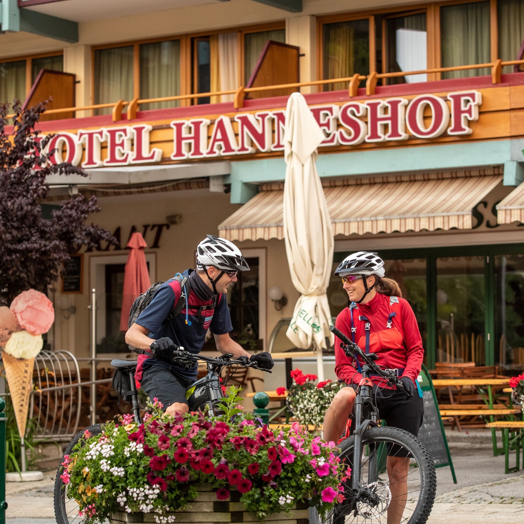
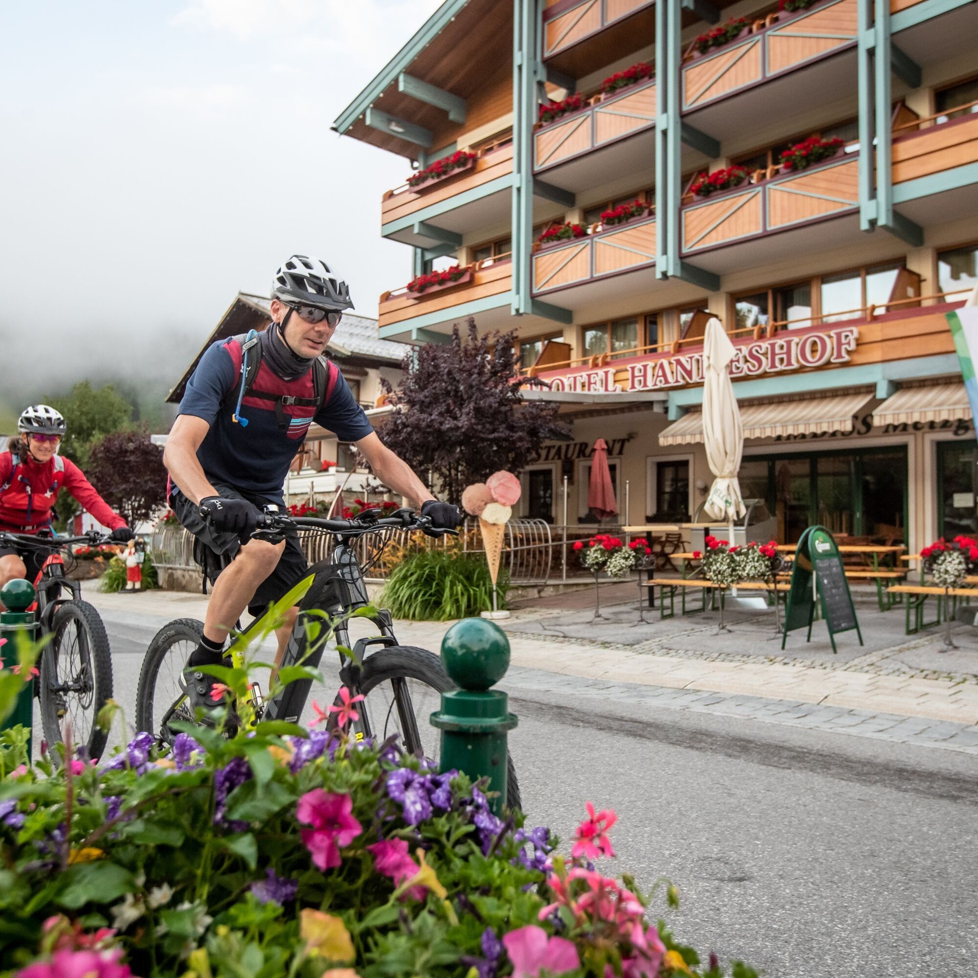
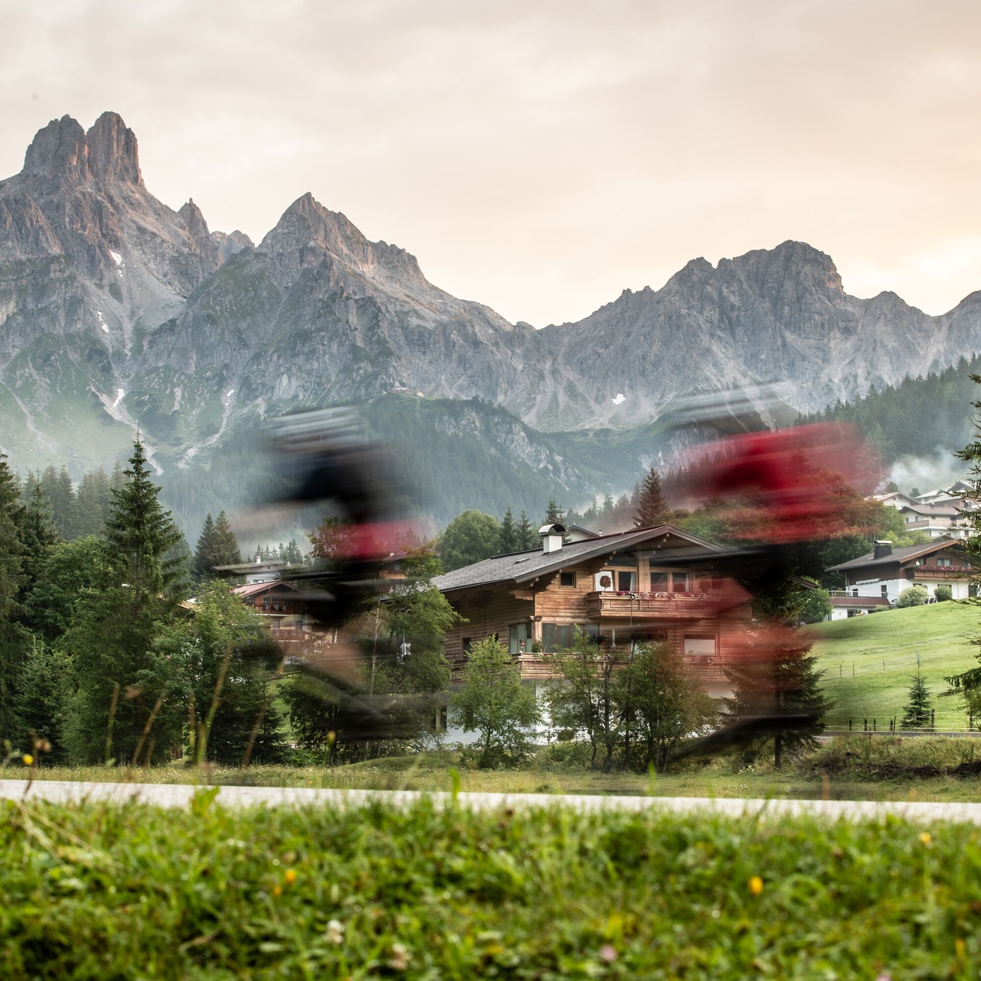
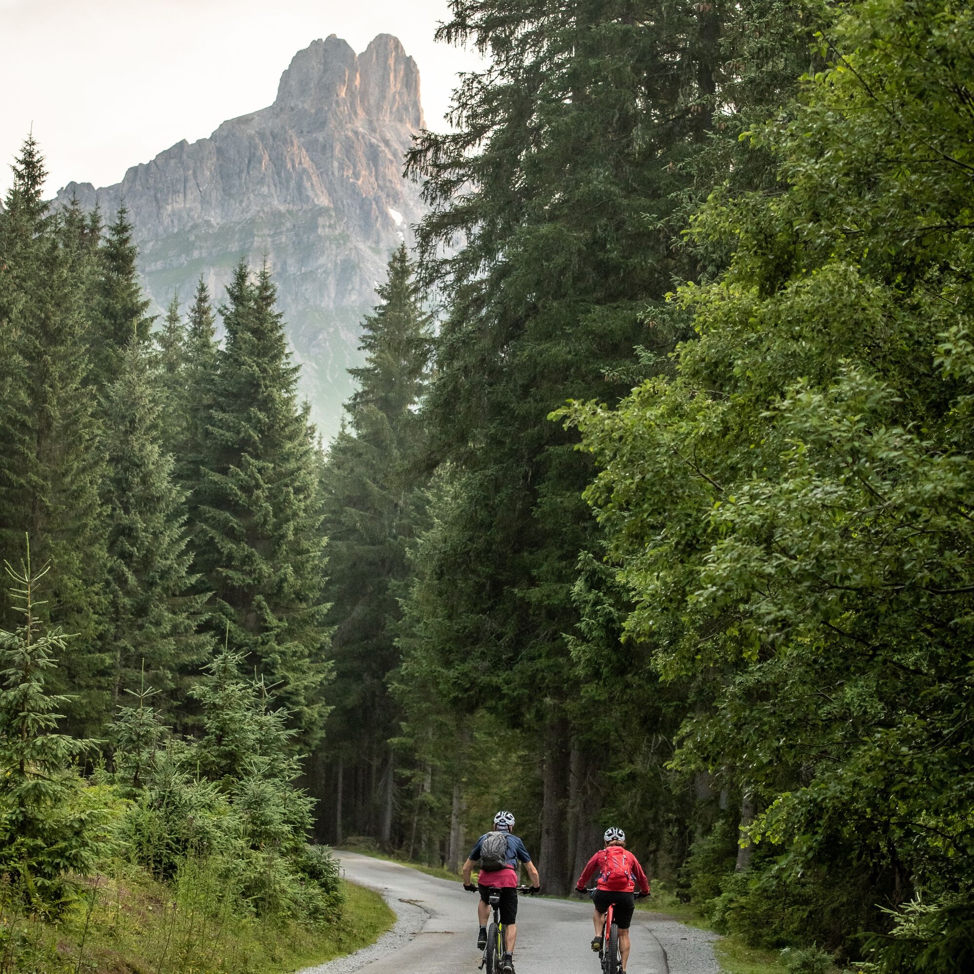
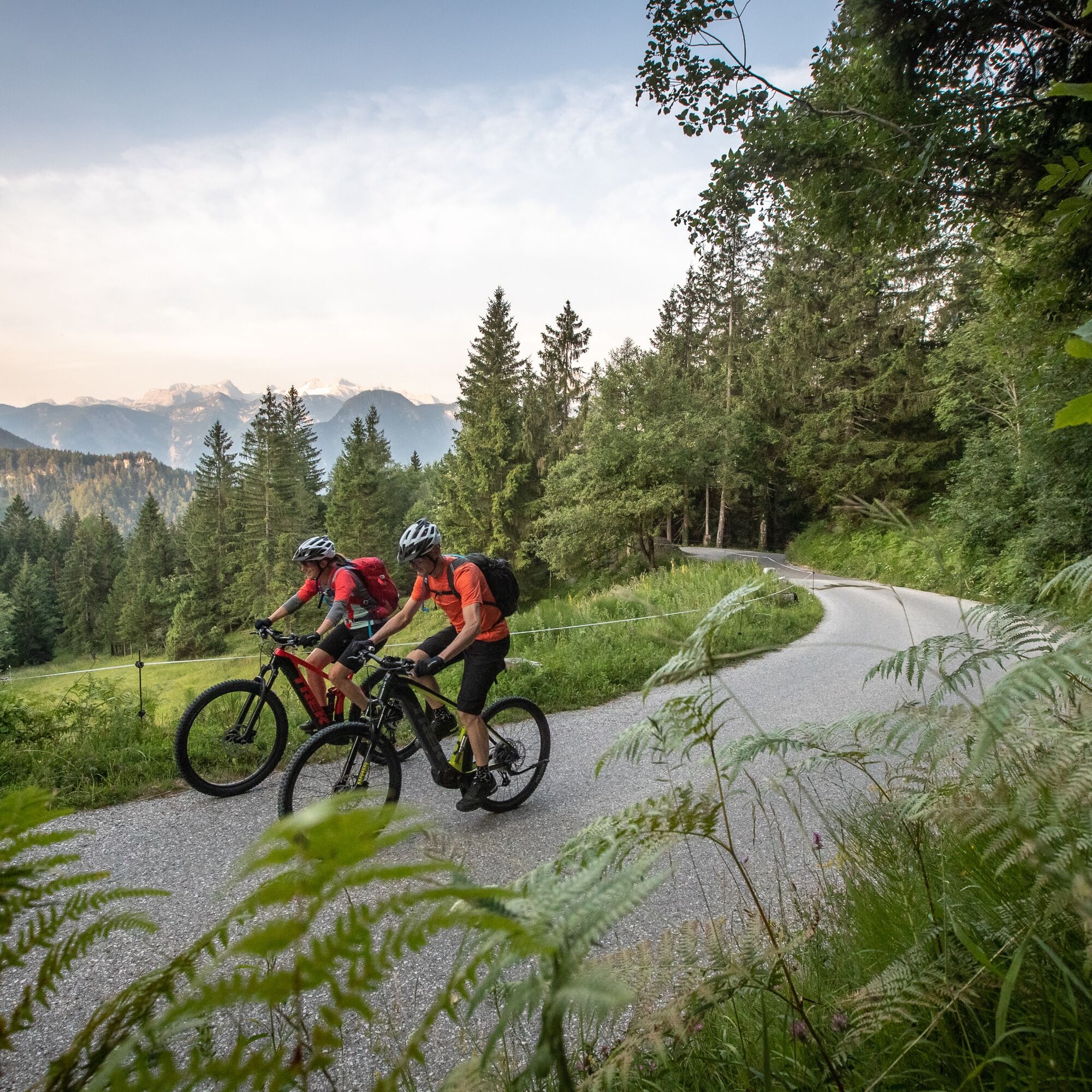
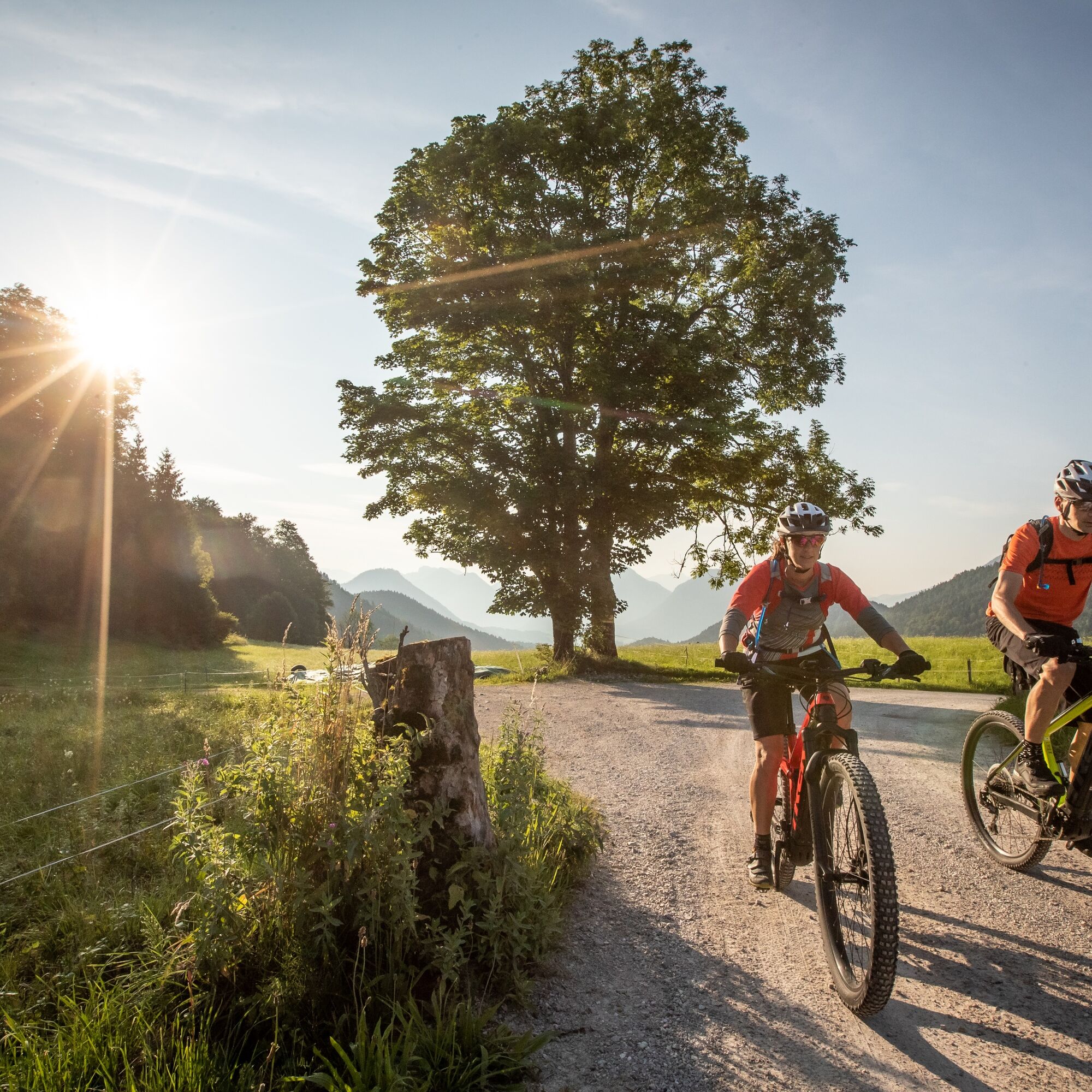
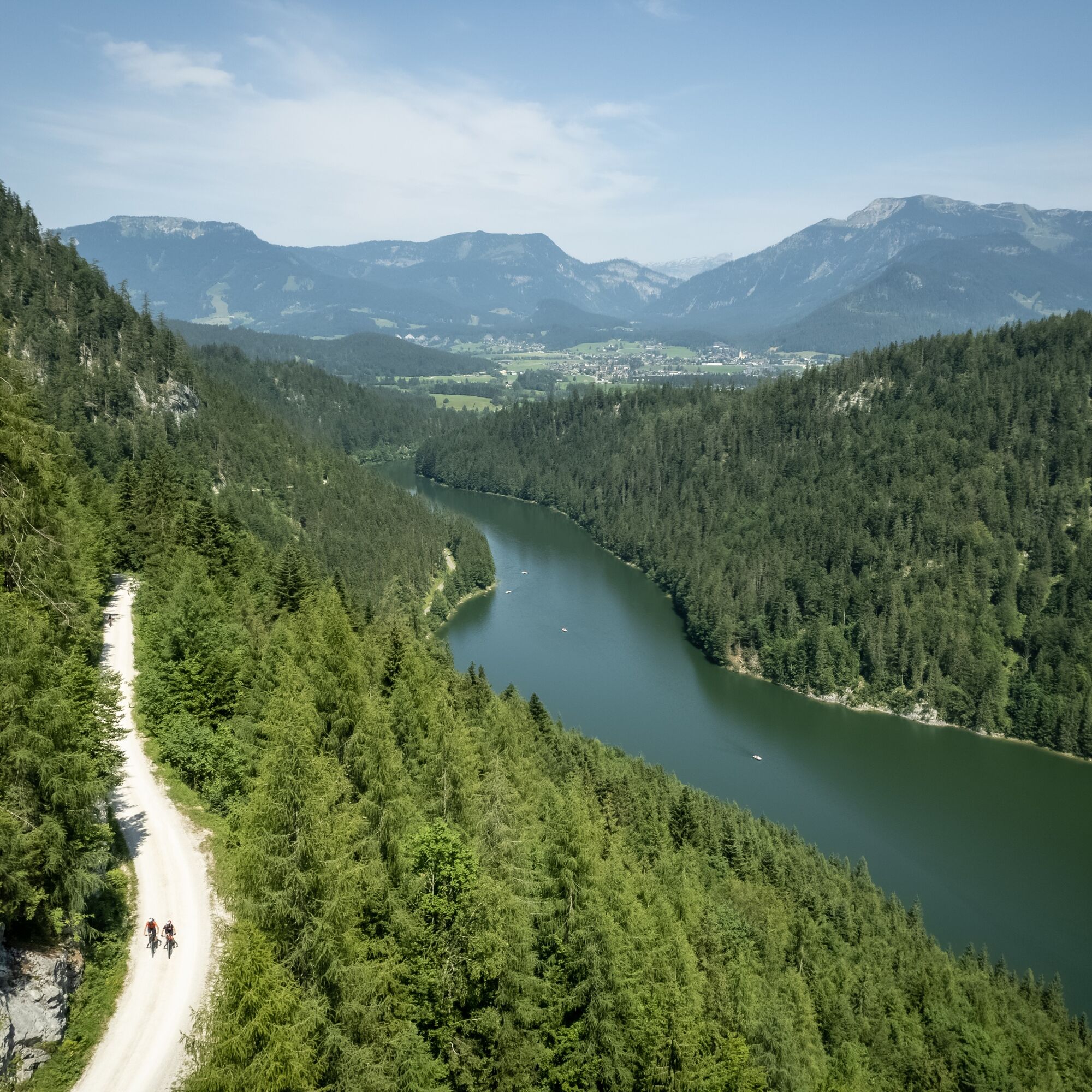
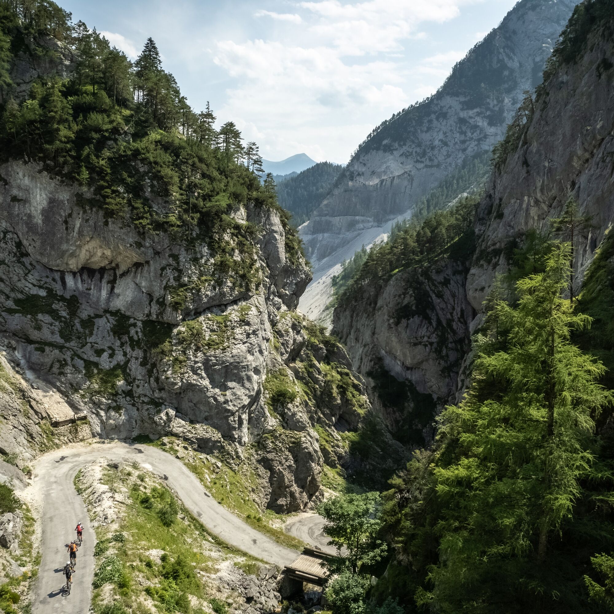
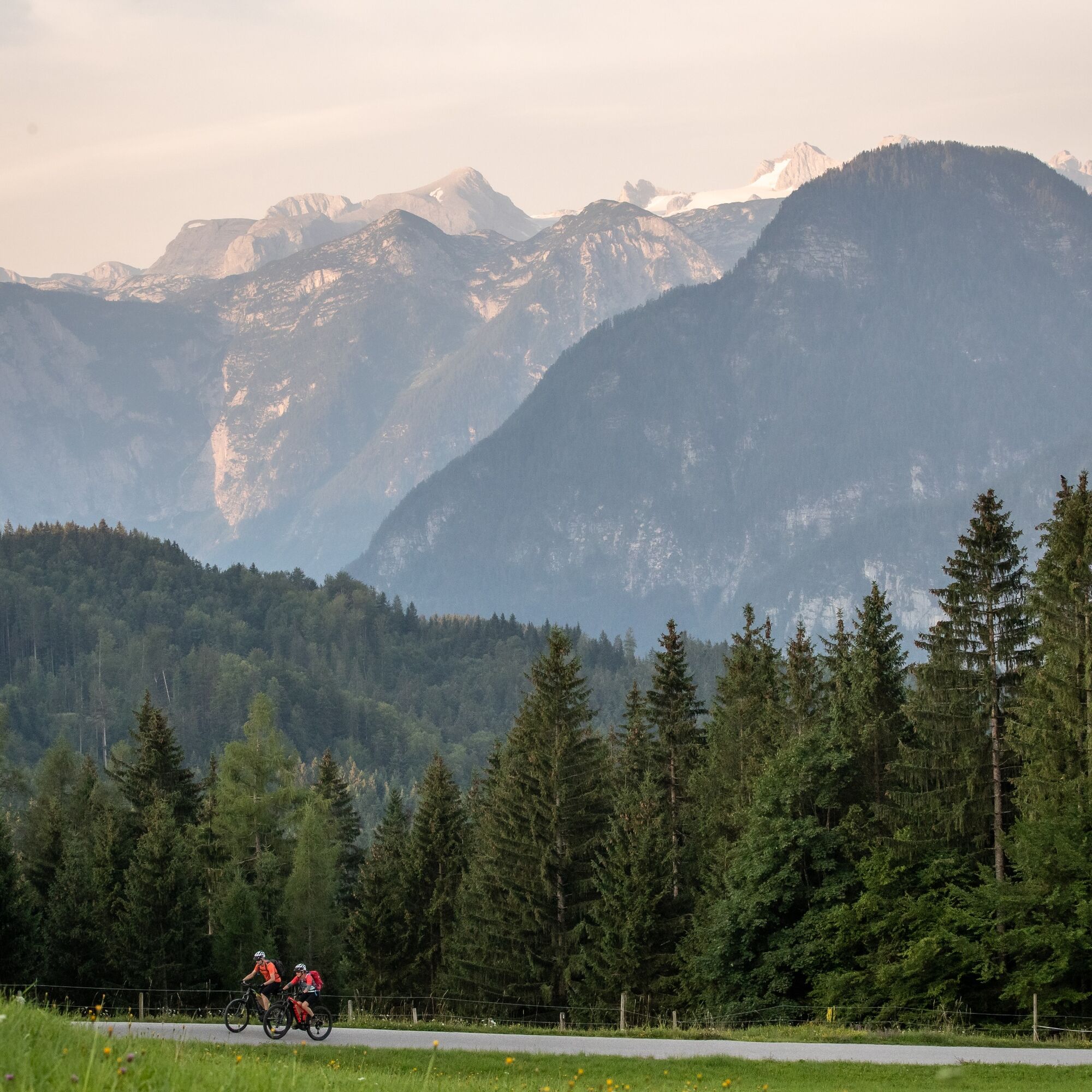
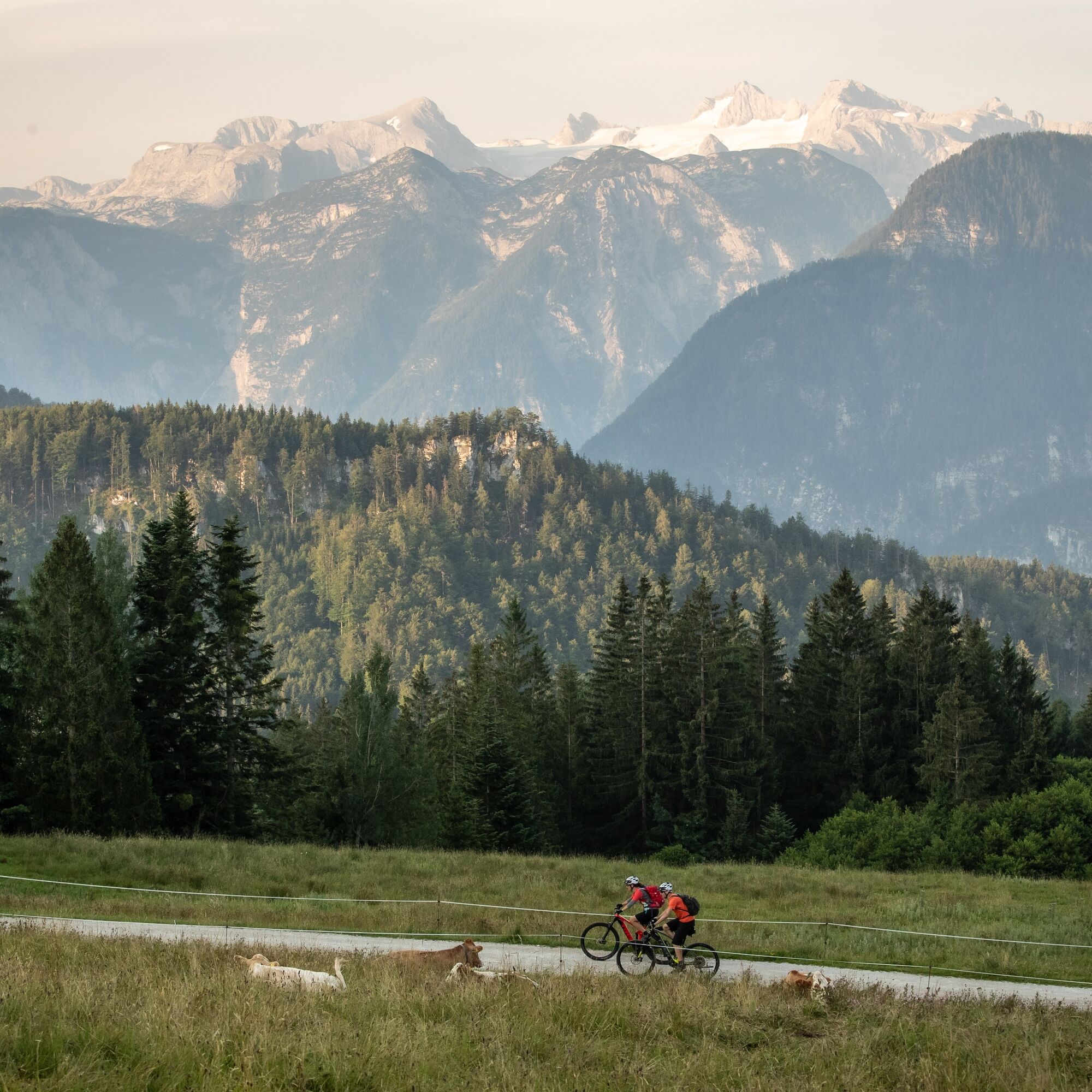
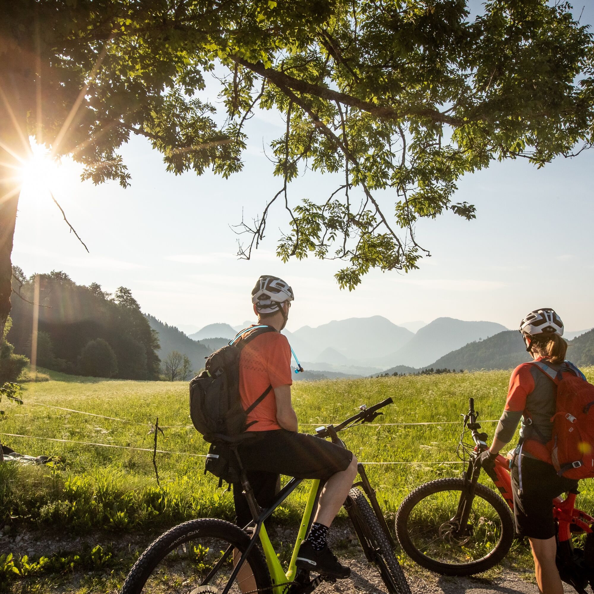
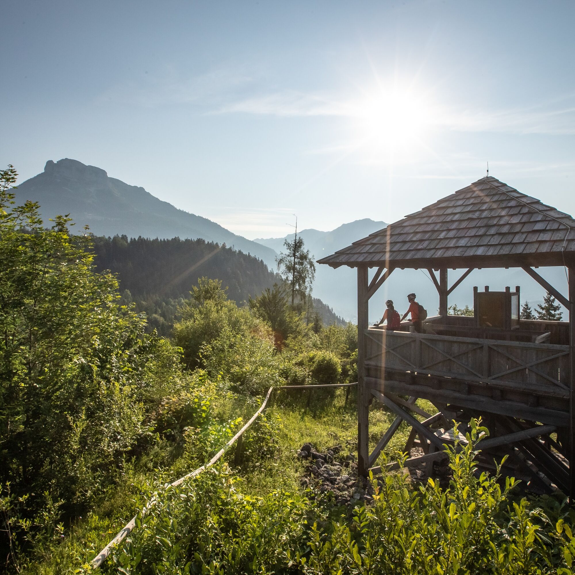
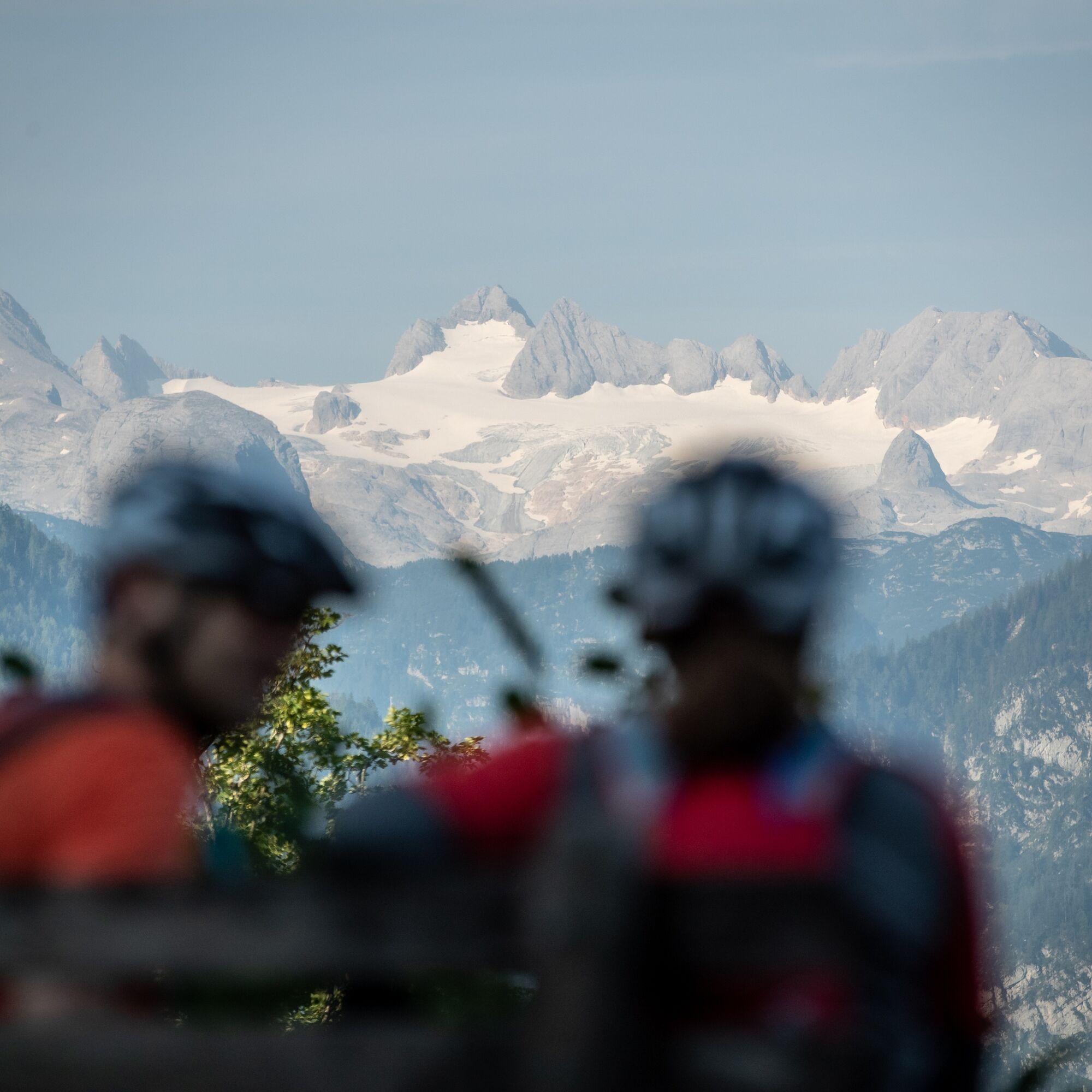
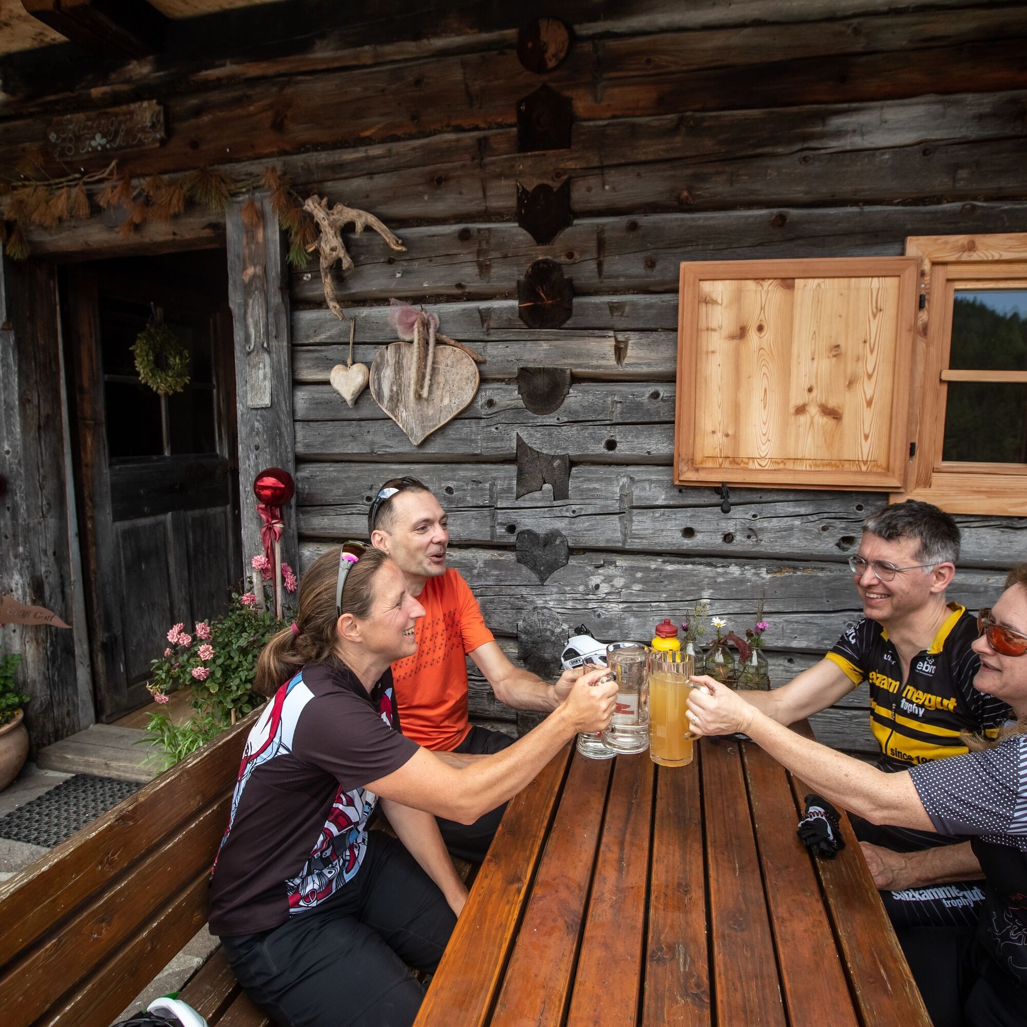
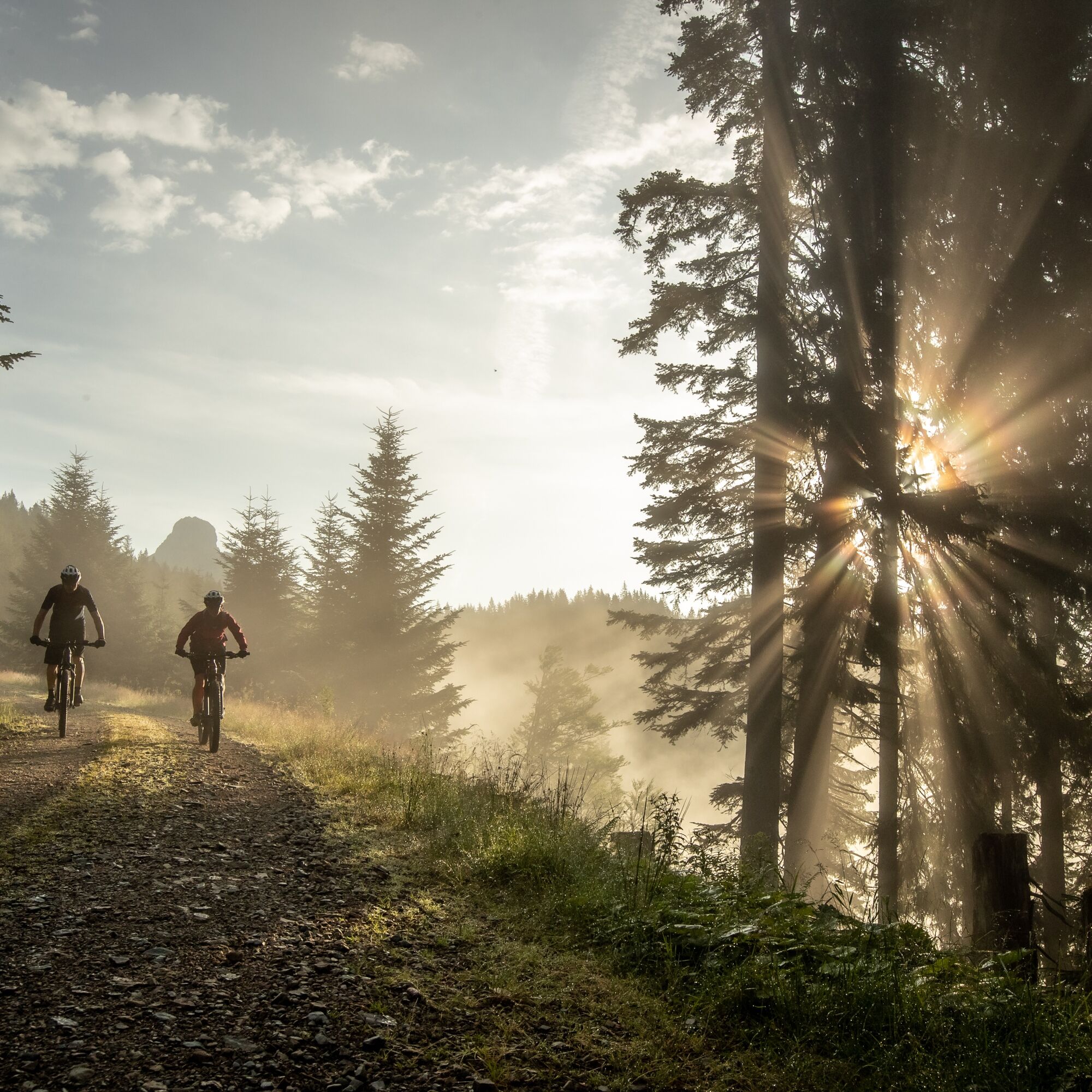
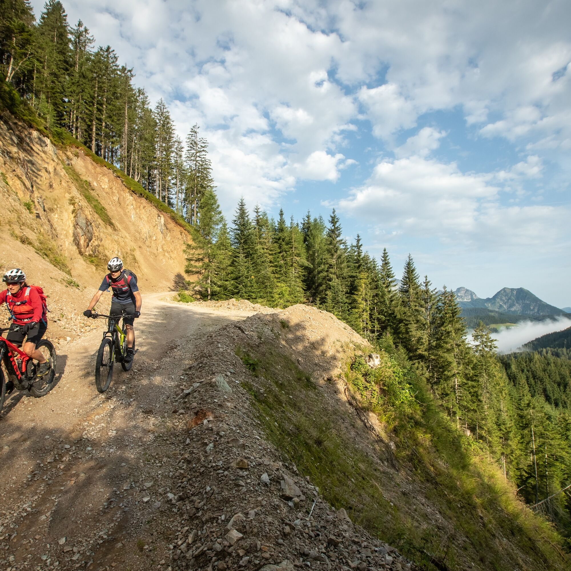

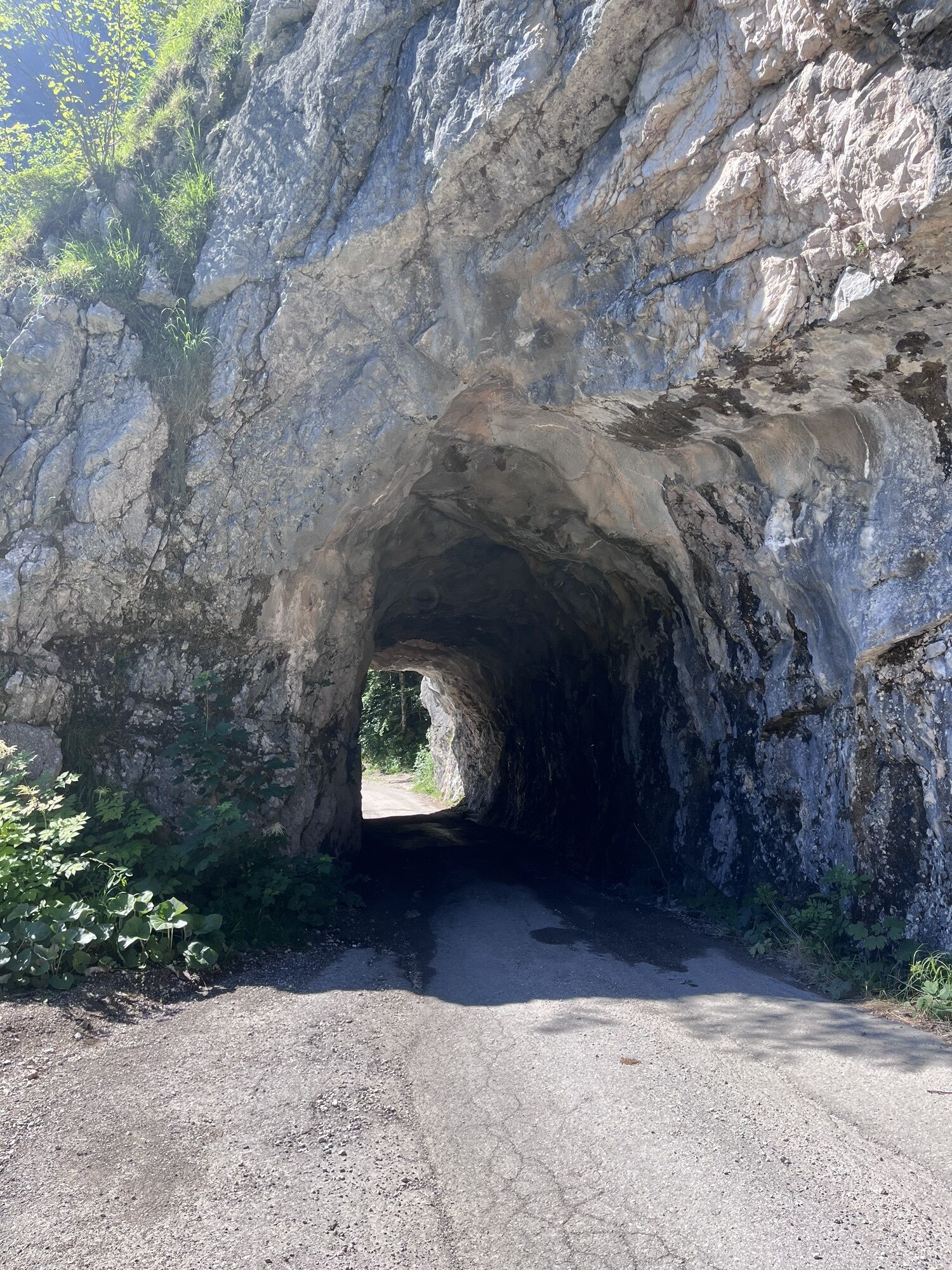
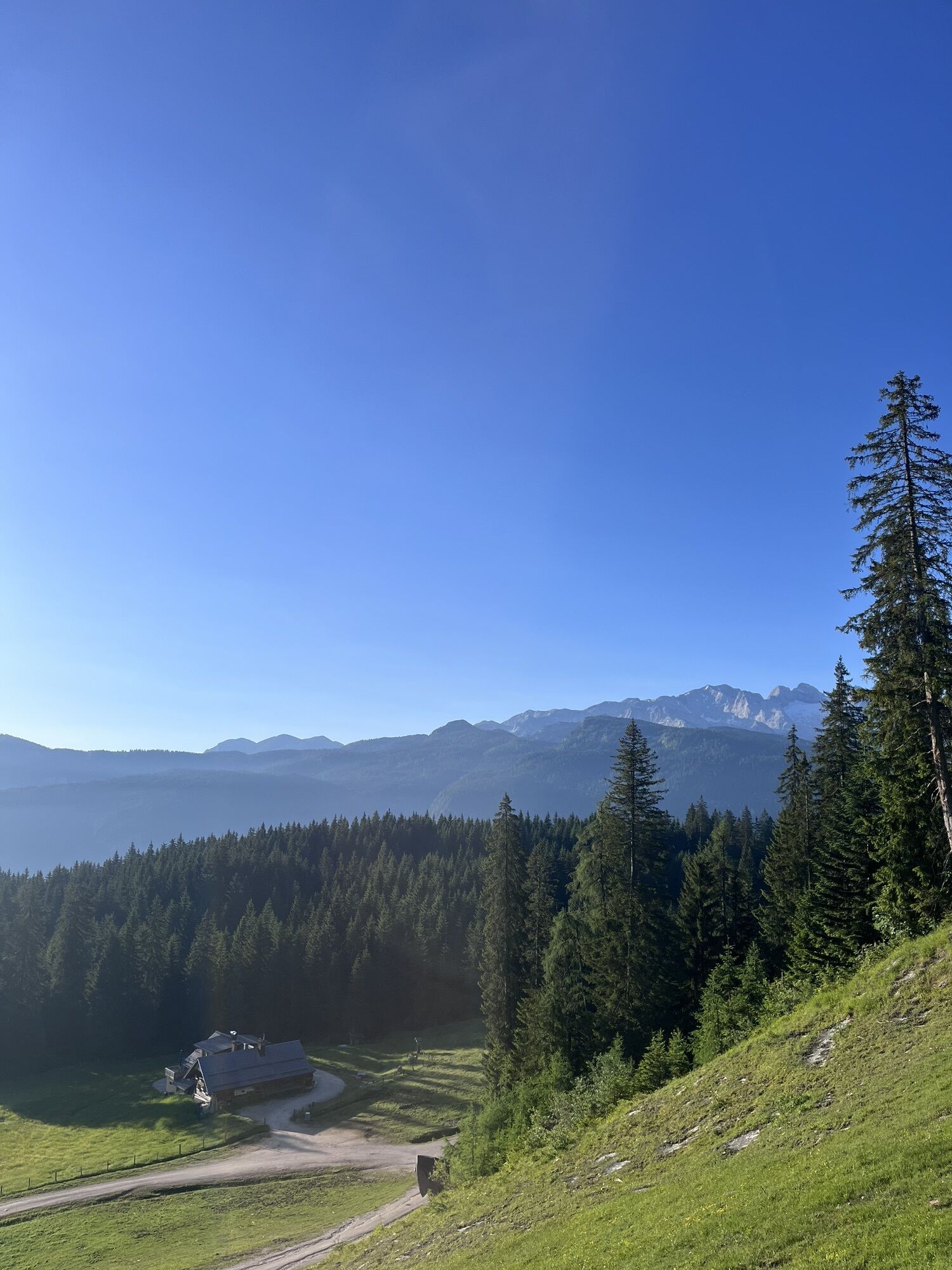
Passing the Schilchreit Inn and following Sulzbach Road, the route alternates between paved and gravel surfaces. Quiet mountain roads and forest tracks lead to Rauenbach Road before continuing towards Annaberg. At the Lammertal Riding Estate, the climb to Edtalm and Hornspitz begins. A series of switchbacks winds through the forest before opening up to magnificent views of the Tennengebirge mountains and the Gosaukamm range. A long forest road descent via Zeishofalm leads to Pass Gschütt.
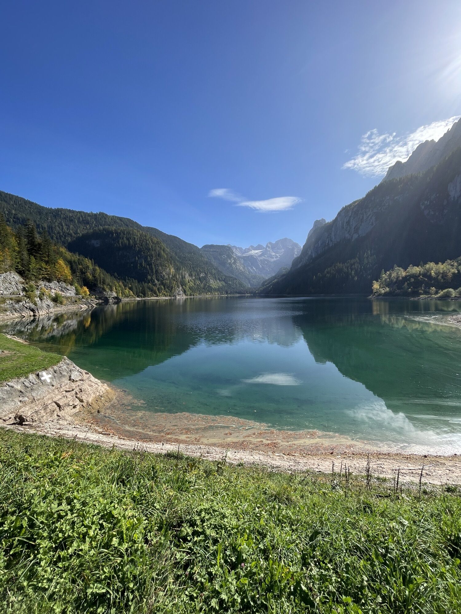
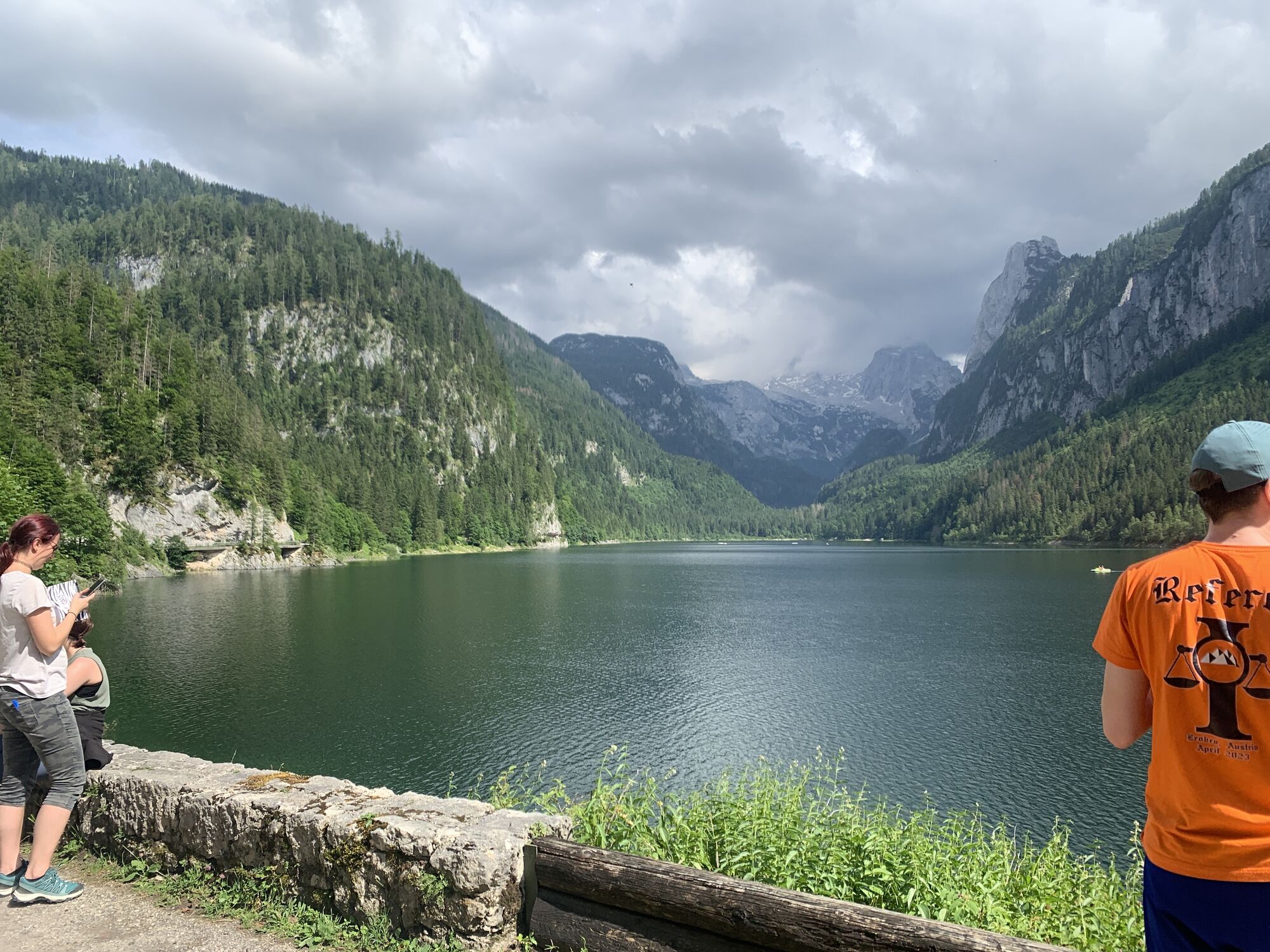
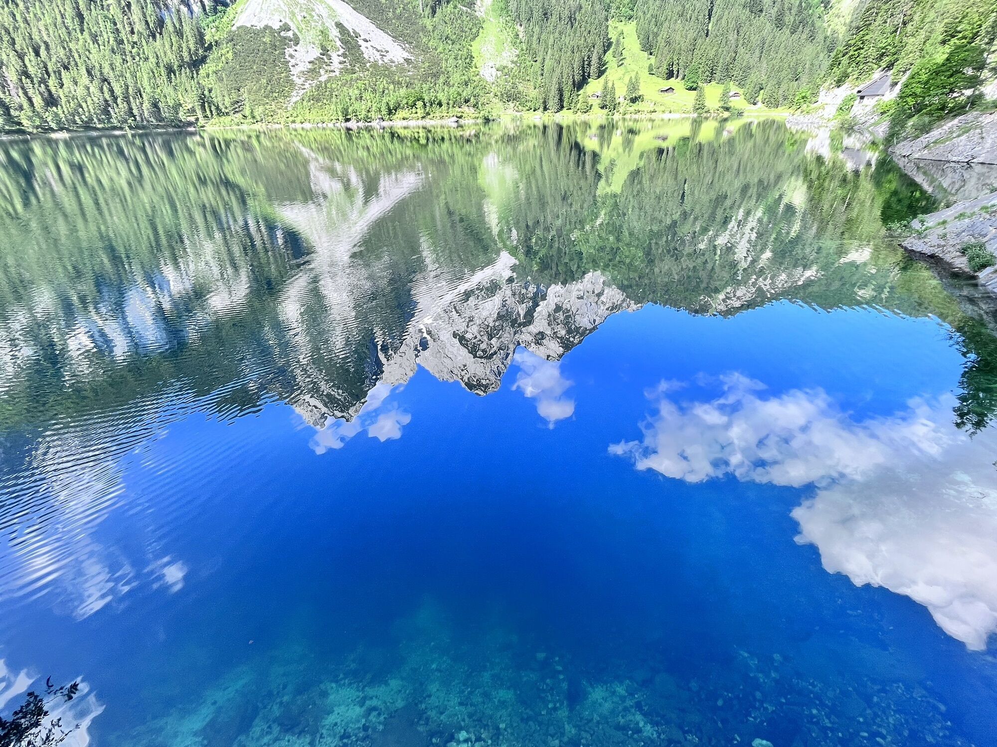
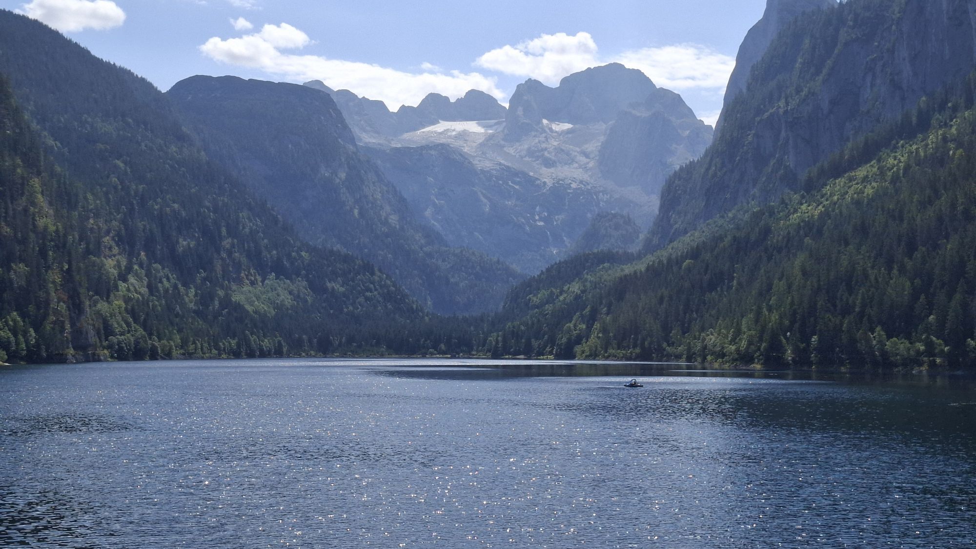
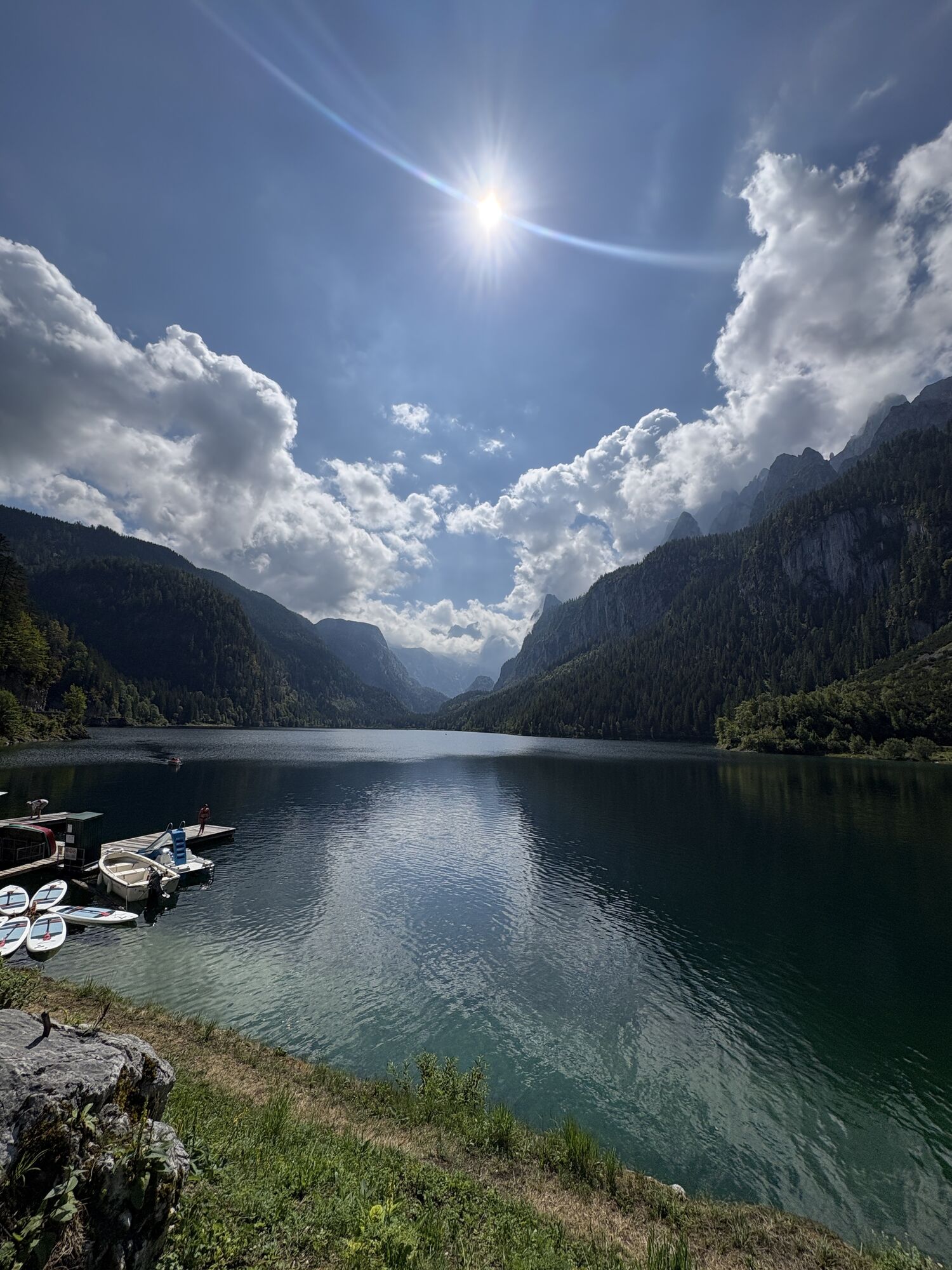
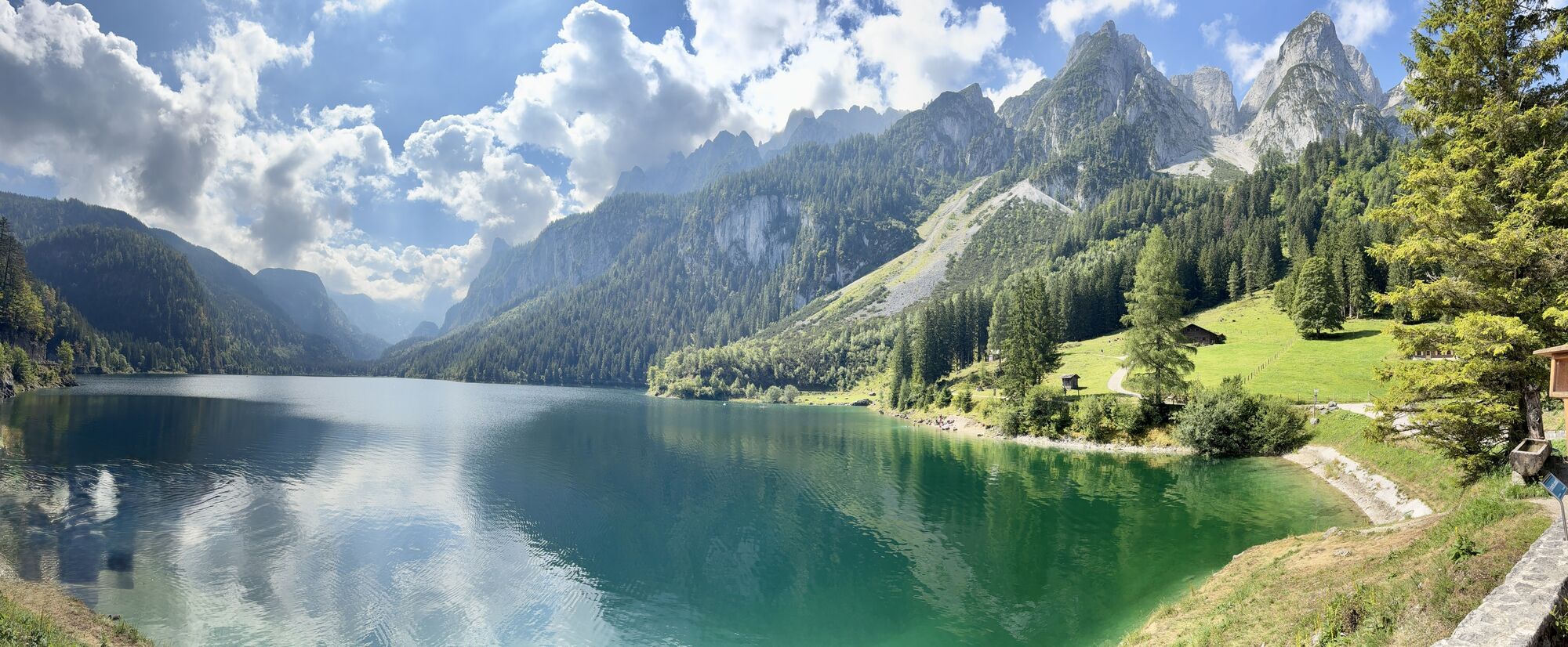
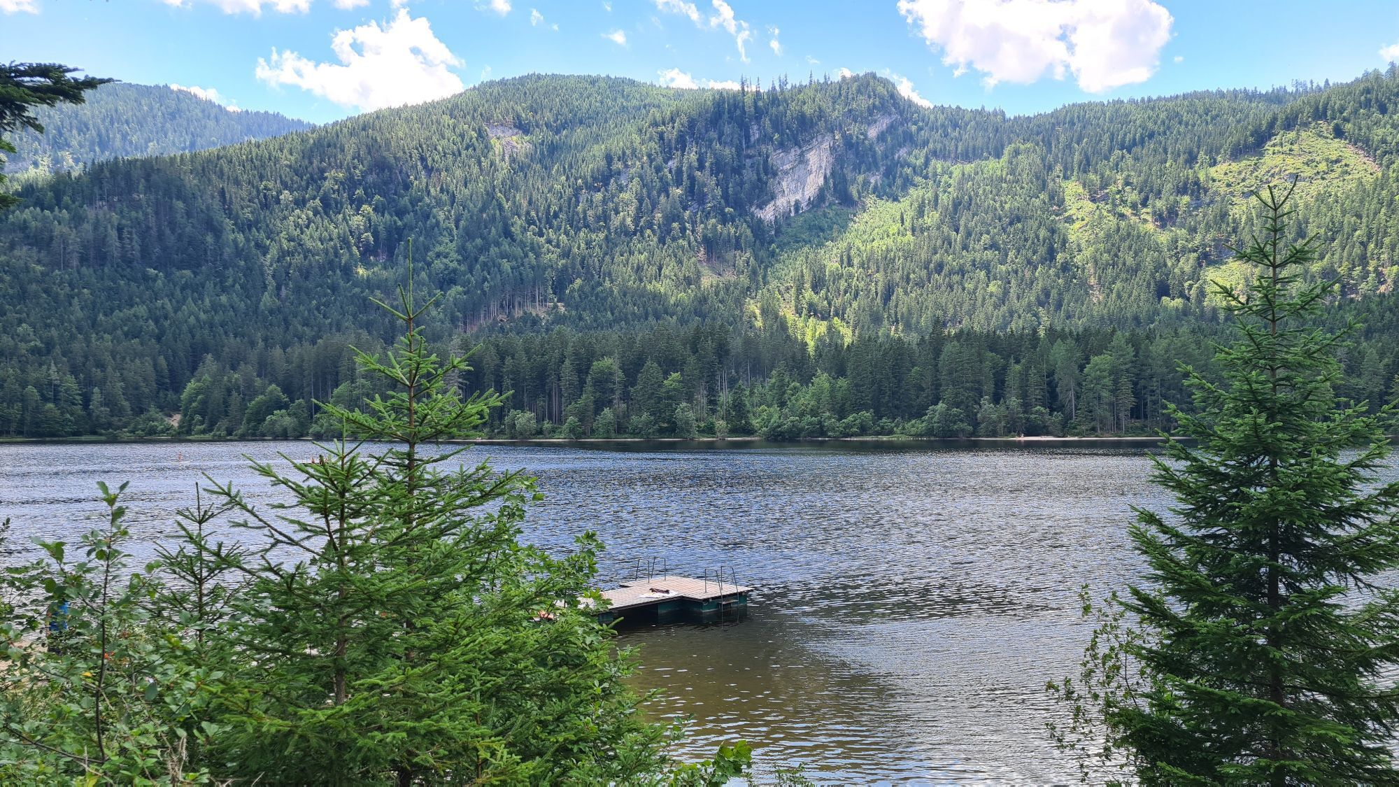
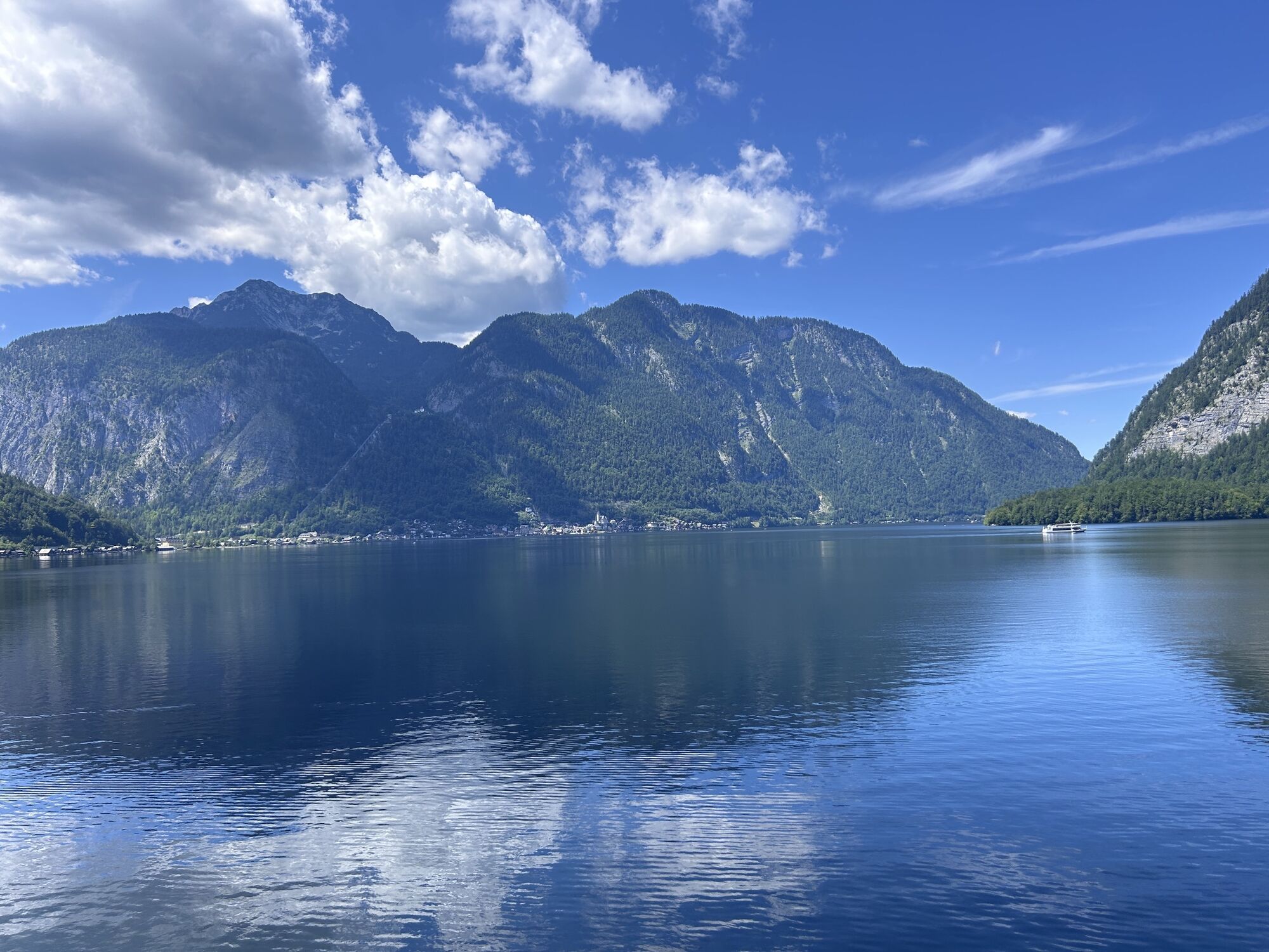
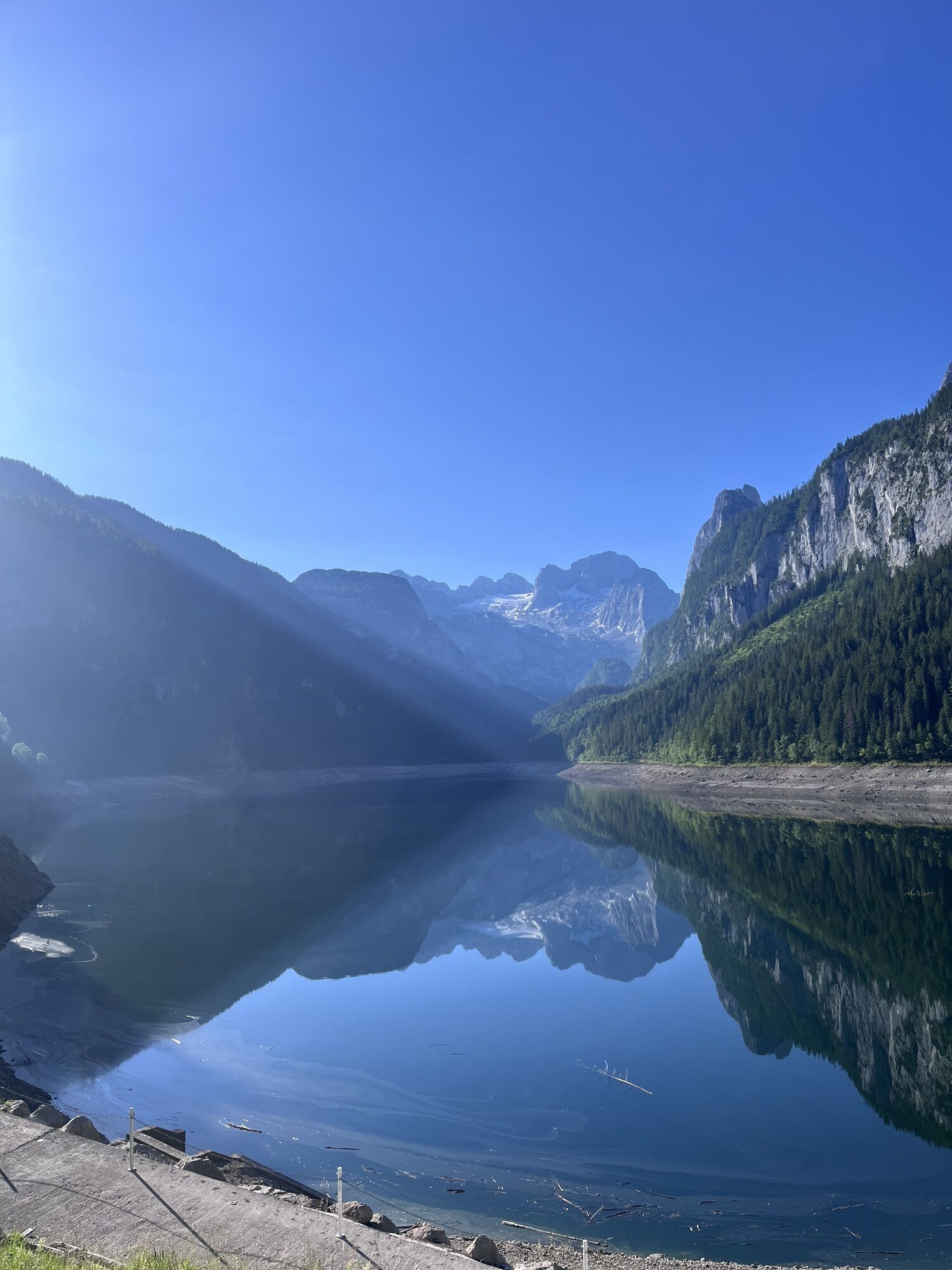
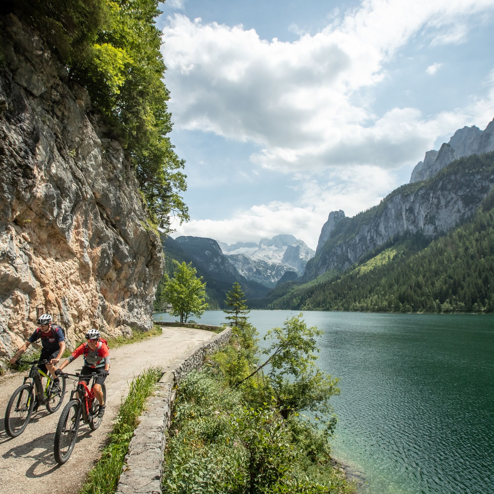
After crossing the Pass Gschütt road, the route follows peaceful forest roads into the Gosau Valley. Via Wegscheid Road and the district of Ramsau, you reach the Hintertal Valley and eventually the picturesque Lake Gosau. The panoramic view of the Gosaukamm and the Dachstein Massif is one of the highlights of the entire circuit.
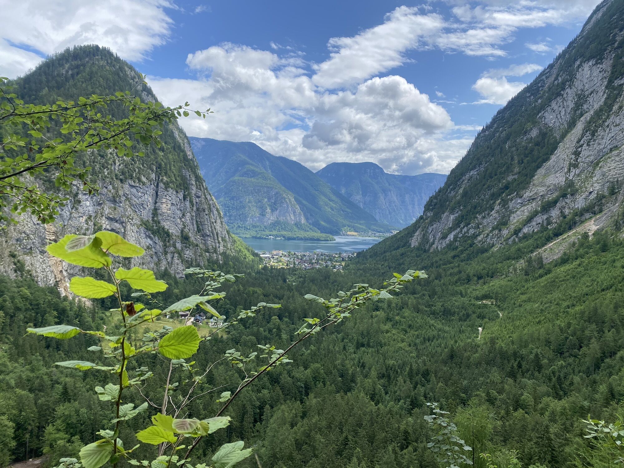
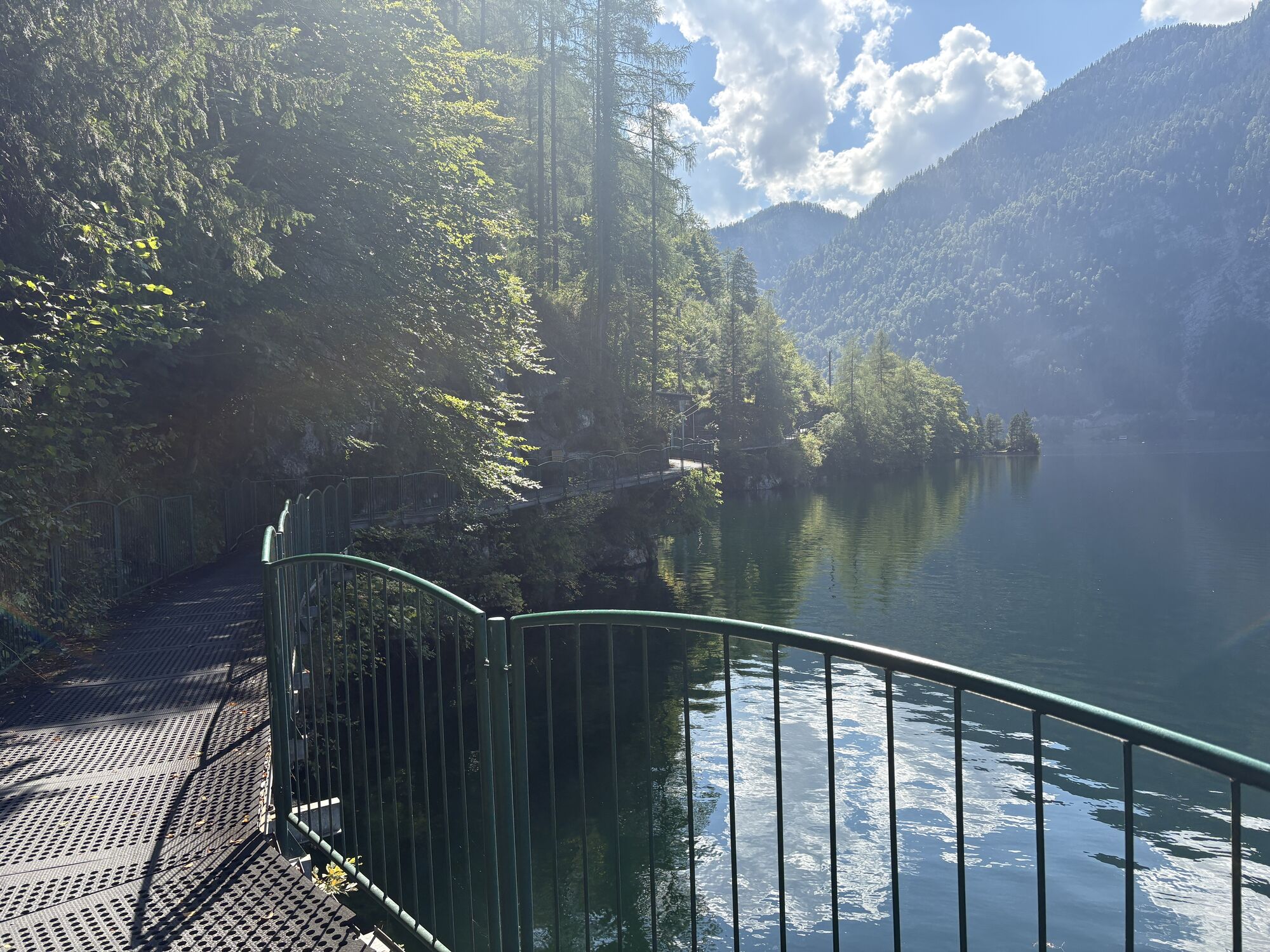
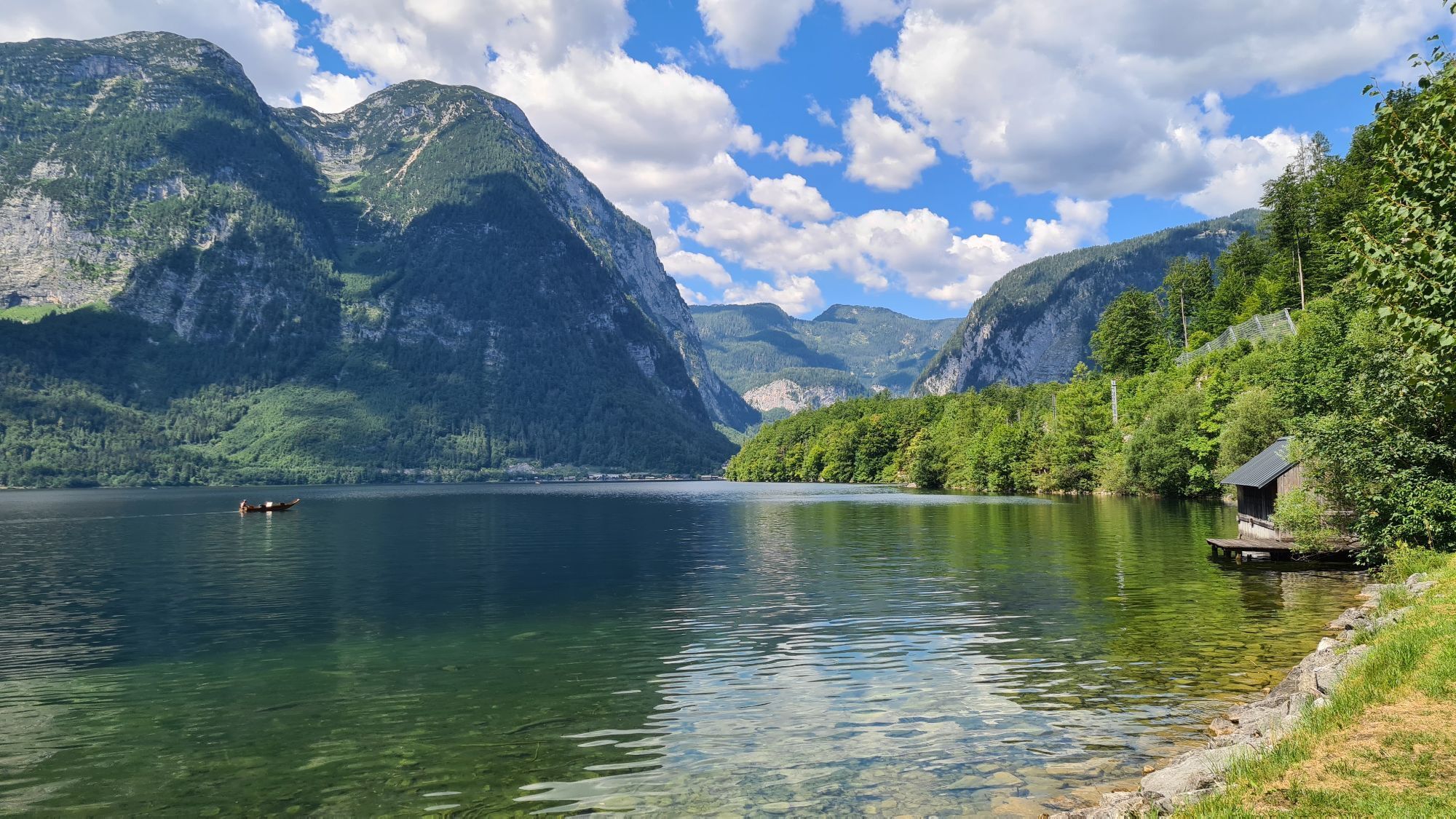
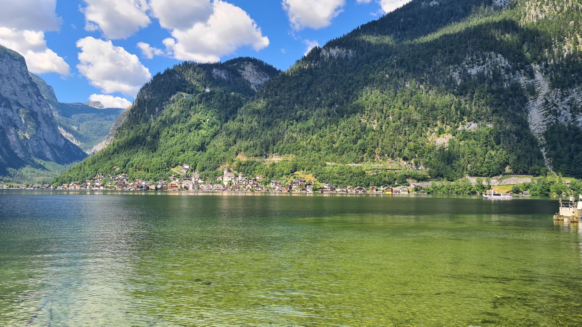
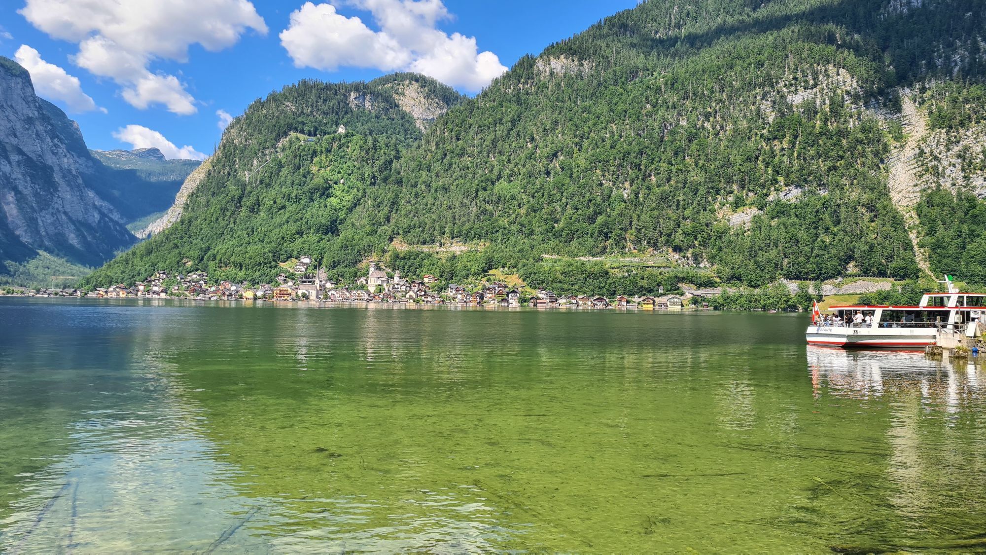
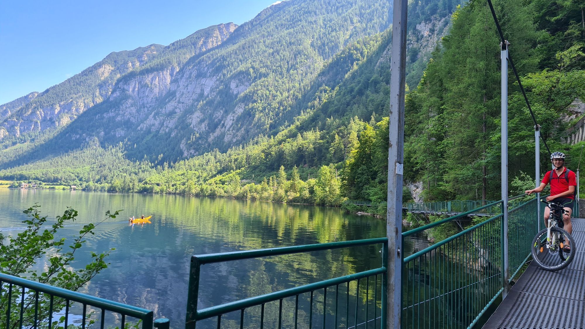
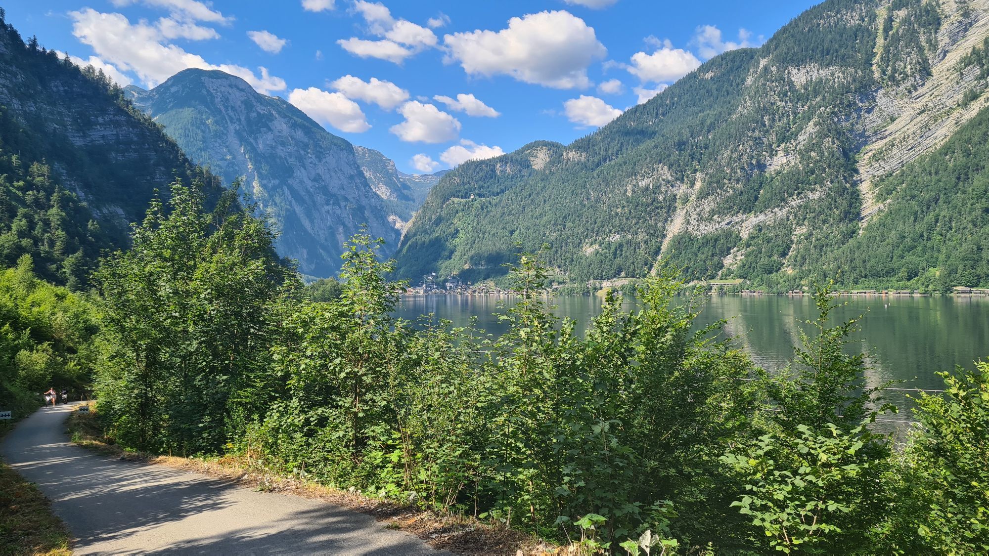
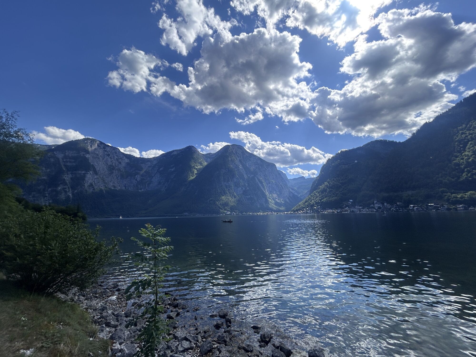
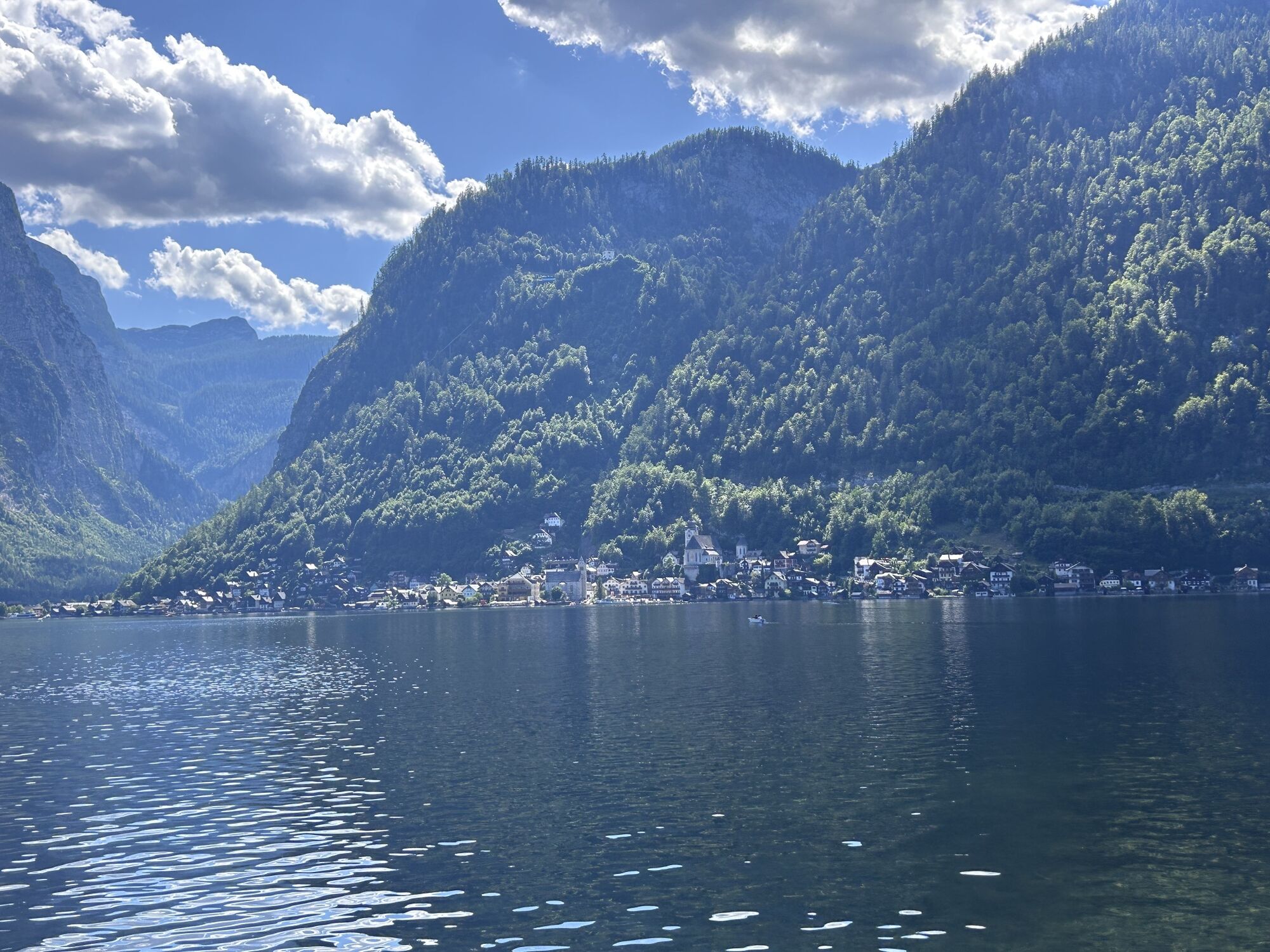
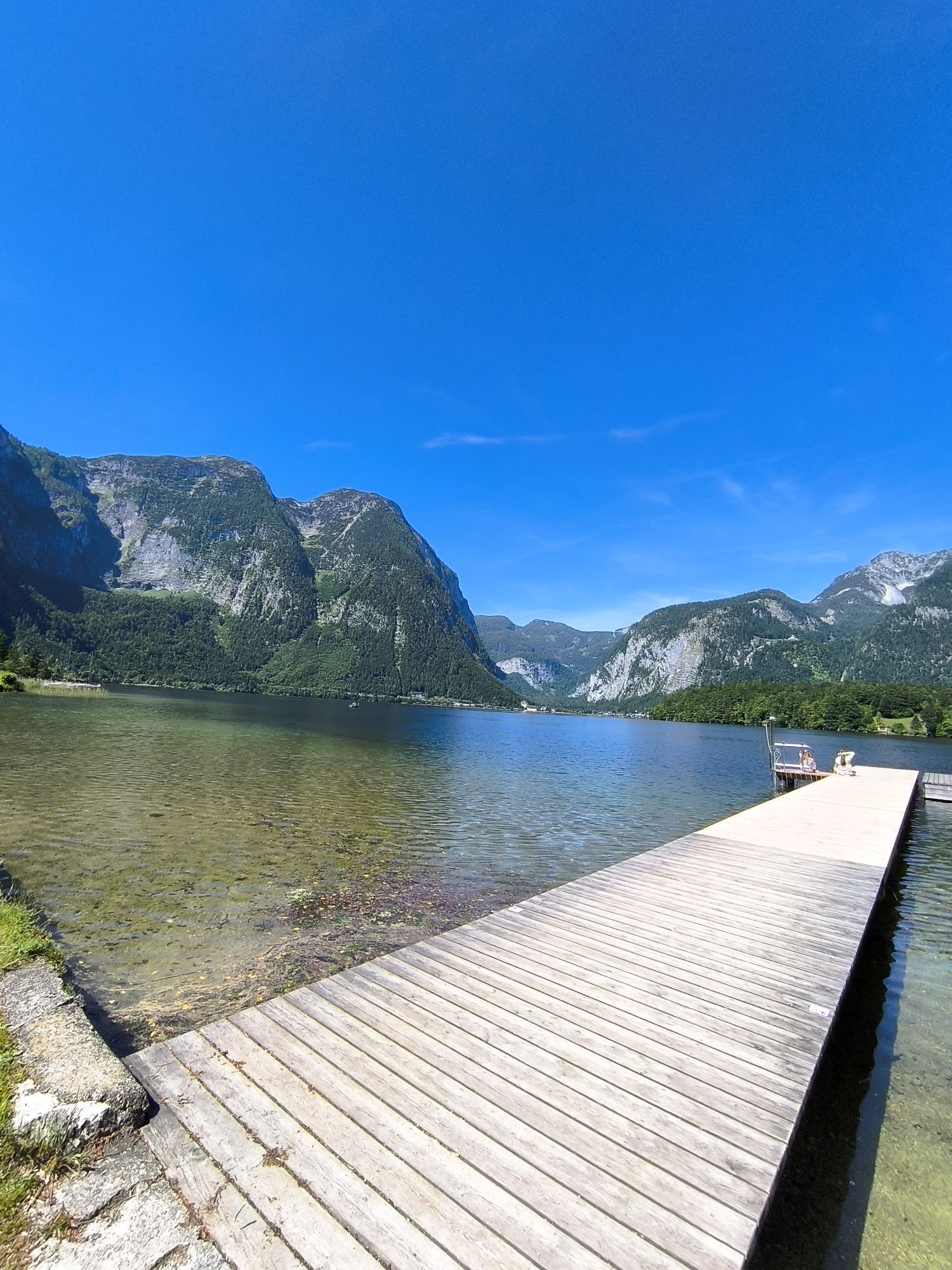
The longest climb of the tour begins directly at the lake. Numerous switchbacks take you past Ebenalm, Plankensteinalm and Löckernsee before reaching Rossalm. Shortly afterwards, the route reaches Strähnhag, the highest point of this section. A long and partly fast descent follows via Waldbachstrub to Hallstatt. The route then continues along Lake Hallstatt to Obertraun and follows the idyllic eastern lakeside cycle path to Bad Goisern.
In Bad Goisern, the next climb begins via Leisling along the Großer Zlambach stream. Passing Leisling Hut, the route heads towards Halleralm and Raschberg. Forest roads alternate with short natural trail sections before crossing into the province of Styria. After an enjoyable descent, you arrive at the ruins of Pflindsberg Castle. A short detour to the ruins is well worthwhile for the spectacular views over Lake Altaussee.
Steep local roads lead down to Altaussee and on through Bad Aussee. After leaving the town, the route passes Lake Ödensee and continues through the idyllic moorland towards Mühlreith. The following climb takes riders to Steinitzenalm and continues along Almgraben Road to Kraglhütte. Soon afterwards begins the ascent to Viehbergalm, another scenic highlight of the Dachstein Circuit (S840). Here, breathtaking views of the Dachstein Glacier and the surrounding mountain landscape await.
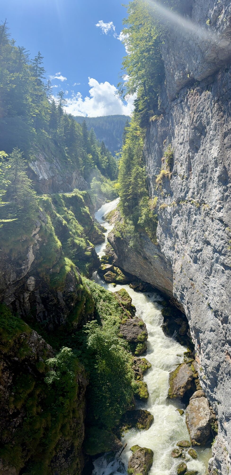
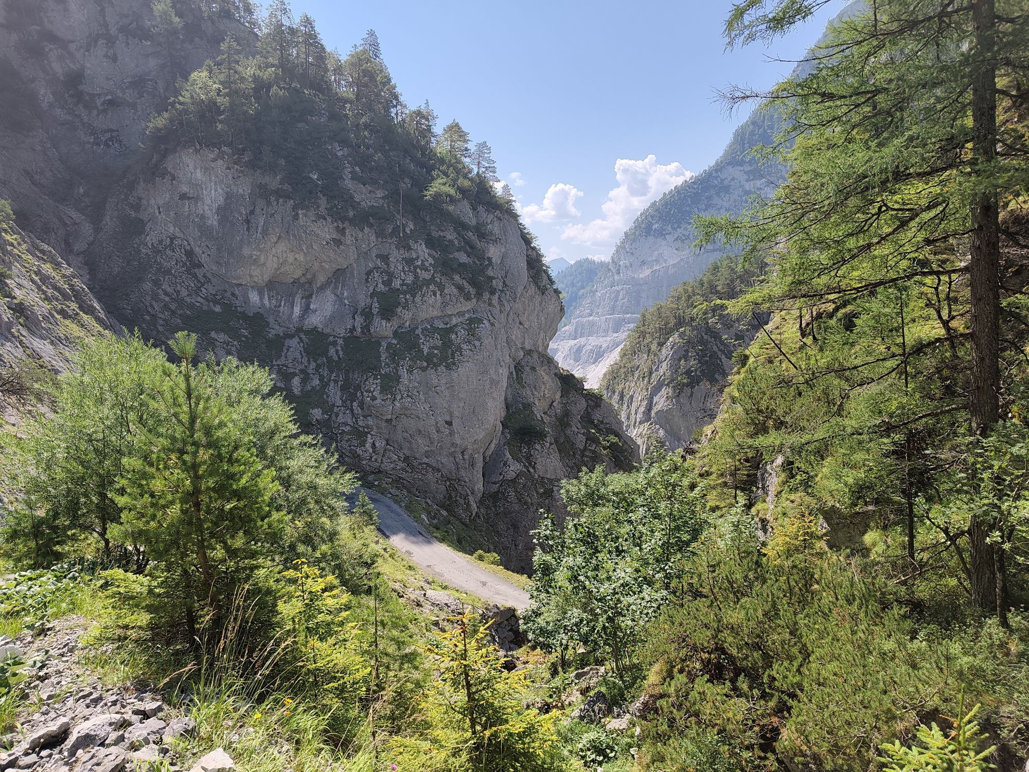
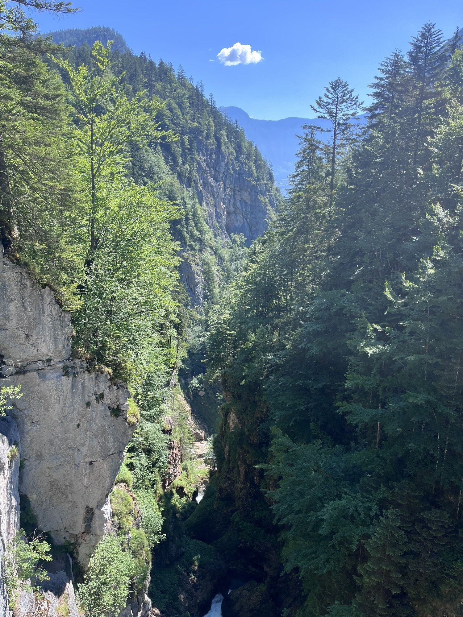
A long descent through the famous Öfen brings you to Gröbming. From there, the route follows cycle paths and quiet side roads upstream along the Enns River to Weißenbach. This marks the beginning of the final climb onto the Ramsau plateau. Quiet mountain roads lead to the Dachstein cable car valley station and Brandalm. One of the most beautiful sections of the entire tour follows, traversing alpine meadows and mountain pastures beneath the impressive south faces of the Dachstein Massif towards Bachlalm, where marmots can often be spotted.
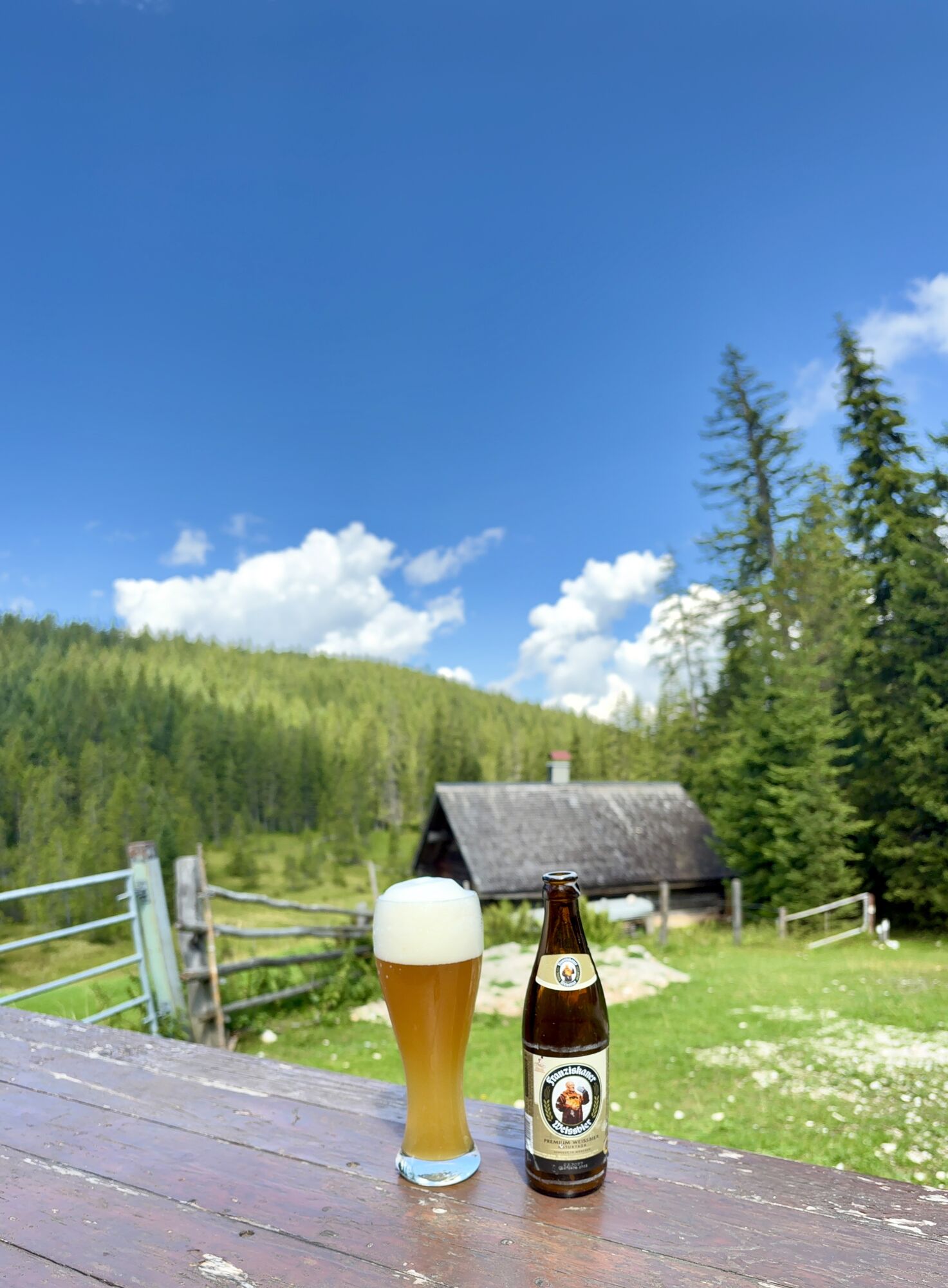
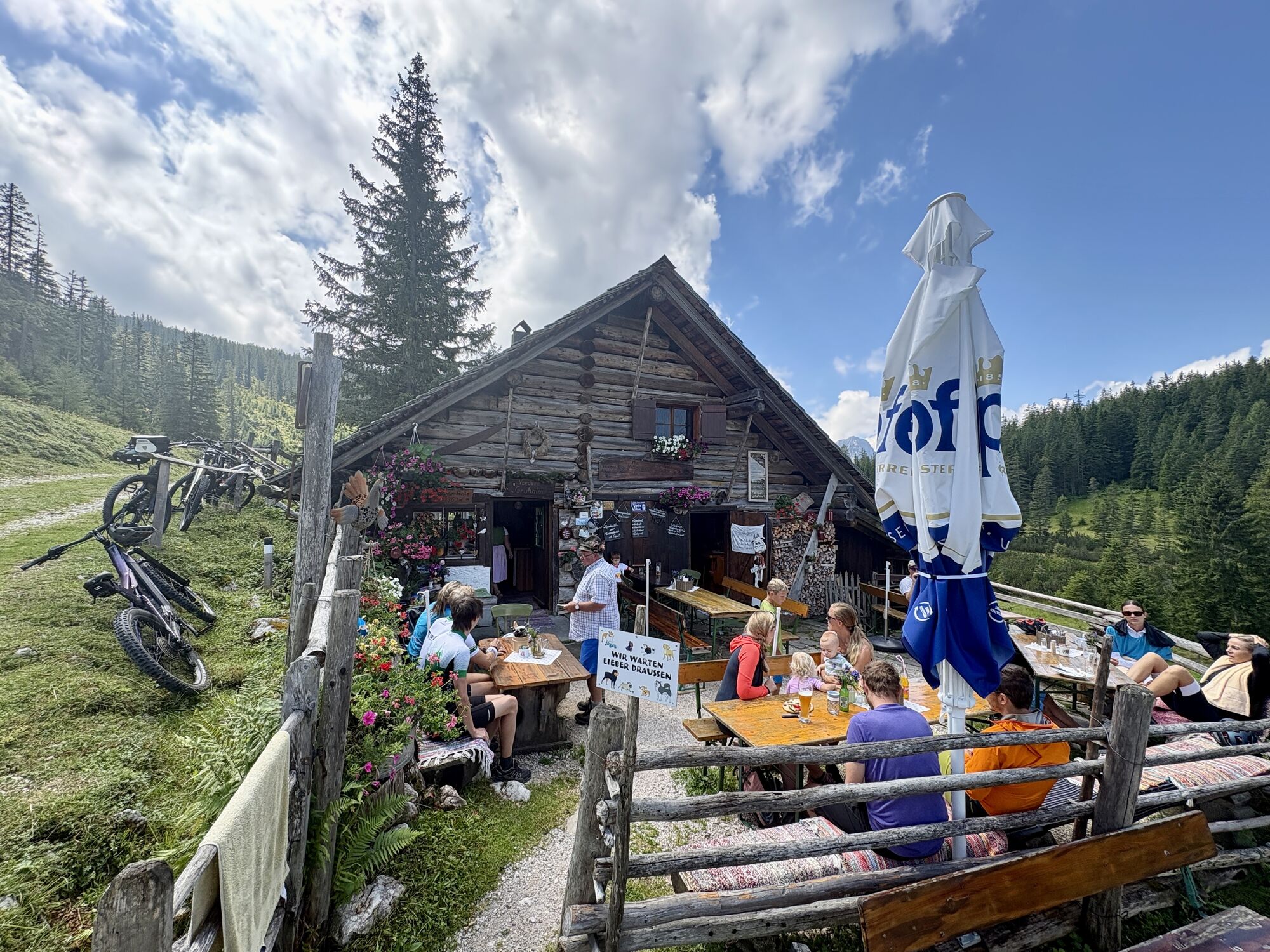
From Bachlalm, a paved alpine road descends to the Filzmoos country road. Follow the road for approximately three kilometres before turning right onto the historic Hachau Road, a well-maintained forest road leading to the Schnitzberg snack station. This traditional mountain inn is an excellent place to enjoy regional specialities while taking in wonderful views over Filzmoos. After a well-earned final break, the route continues on gentle gravel roads before descending back to Filzmoos, where this unforgettable circuit around the Dachstein Massif comes to an end.
In case of emergency, please dial the following emergency numbers: No. 140 - Mountain Rescue No. 112 - Euro Emergency Call
Sun and rain protection, helmet, bike map material, enough to drink.
Coming from Ramsau am Dachstein: At the roundabout, take the exit towards Neuberg – shortly after the gas station, turn left. There is a public paid parking lot opposite the gas station.
Continue by bus or taxi: From Eben im Pongau or Radstadt, bus line 521 goes directly to Filzmoos, stop Neuberg/Reitsteg (travel time approx. 20–30 minutes). Alternatively, taxis are available at the station. Tip: The buses do not run very frequently – check the timetable in advance and whether the bus also transports bicycles on ÖBB
With the Fidibus summer service: From Filzmoos (Filzmoos tourist information), there is the Fidibus Summer (hiking bus), which takes you from Filzmoos to Neuberg, stopping at Neuberg. Here you can find the timetable.
There is a public paid parking lot opposite the gas station.
S1
The Dachstein Circuit (S840) is a physically demanding mountain bike tour with only a few technical challenges. The original route can be shortened at numerous points by taking alternative routes. The entire mountain bike trail is excellently signposted.
At the Filzmoos Tourist Information Office, you can obtain the "Dachstein Circuit" mountain bike map, which includes detailed information about the tour.
Start early in the morning to enjoy the best views of the Dachstein and complete the tour in pleasant temperatures.
Spletne kamere s turneje
Rossbrand
Annaberg-Lungötz
Planai Bergstation Burgstallalm
Bergstation Dachstein Hunerkogel
Hüttendorf Pruggern
Ramsau am Dachstein / Leiten
Planai Bergstation
Talstation Reiteralm - Gondelbahn Silver Jet
Lahn - Hallstättersee
Hochwurzen Talstation
Galsterbergalmhütte
Karkogel - Abtenau
Stoderzinken Gipfelplateau Windmessstation
Aparthotel Jagdhof Filzmoos
Aparthotel Jagdhof Filzmoos
Sonnleiten - Abtenau
Ramsau - Aparthotel Ramsau
Ramsau - Aparthotel Ramsau
MONDI Resort am Grundlsee
Hornspitz Talstation
Zwieselalm Bergstation
Krippenstein Bergstation
Ramsau a. D. - Rittisberg
Snowpark Dachstein West
Edtalm
Ramsau / Lindenhof - Ramsbergerhof
Hagan Lodge
Feriendorf Annaberg
Bergstation Hornbahn - Hornspitz
Bergstation Hornbahn - Hornspitz
Dachstein West - Donnerkogelbahn
Dachstein
Ramsau am Dachstein - WM Stadion
Loserfenster
Haus - Hotel Herrschaftstaverne
Schladming - Lärchkogelbahn
Planai Talstation
Lungötz - Berghof Wildau
Zwieselalm Talstation - Dachstein West
Lungötz
Pridobite vpogled Vedno v živo na mestu z več kot 9.500 spletnimi kamerami. bergfex Kot uporabnik Pro si lahko zdaj ogledate ustrezne spletne kamere za številne izlete v aplikaciji izleti iz. Tako si lahko neposredno ogledate trenutne razmere. 
Priljubljeni izleti v okolici
- 4.5
Ramsau am Dachstein: Steinerne Jungfrauen
Pohodništvo 8.11 km - 4.3
Heilbronner Rundwanderweg
svetlobaPohodništvo 9.04 km - 4.3
Filzmoos: Rötelstein (Rettenstein)
Pohodništvo 9.50 km - 4.8
Tour around the Gosaukamm
srednjaPohodništvo 20.9 km - 3.8
Ostuferwanderweg
svetlobaPohodništvo 16.2 km - 4.7
Tor-Wanderung
težkoPohodništvo 14.2 km - 4.7
Stoderzinken Gipfelrundweg
srednjaPohodništvo 4.94 km - 4.7
Tour around the Lake Gosau
svetlobaPohodništvo 4.43 km - 4.5
Adamekhütte vom Vorderen Gosausee
srednjaPohodništvo 23.2 km - 4.7
Ramsau am Dachstein: Bergstation Dachstein-Seilbahn - Guttenberghaus - Ramsau
srednjaPohodništvo 14.4 km
Pohodništvo in sledenje


Ne zamudite ponudb in navdiha za naslednje počitnice
Vaš e-poštni naslov je bil dodan na poštni seznam.





