






Königslehen Circuit (SW21)
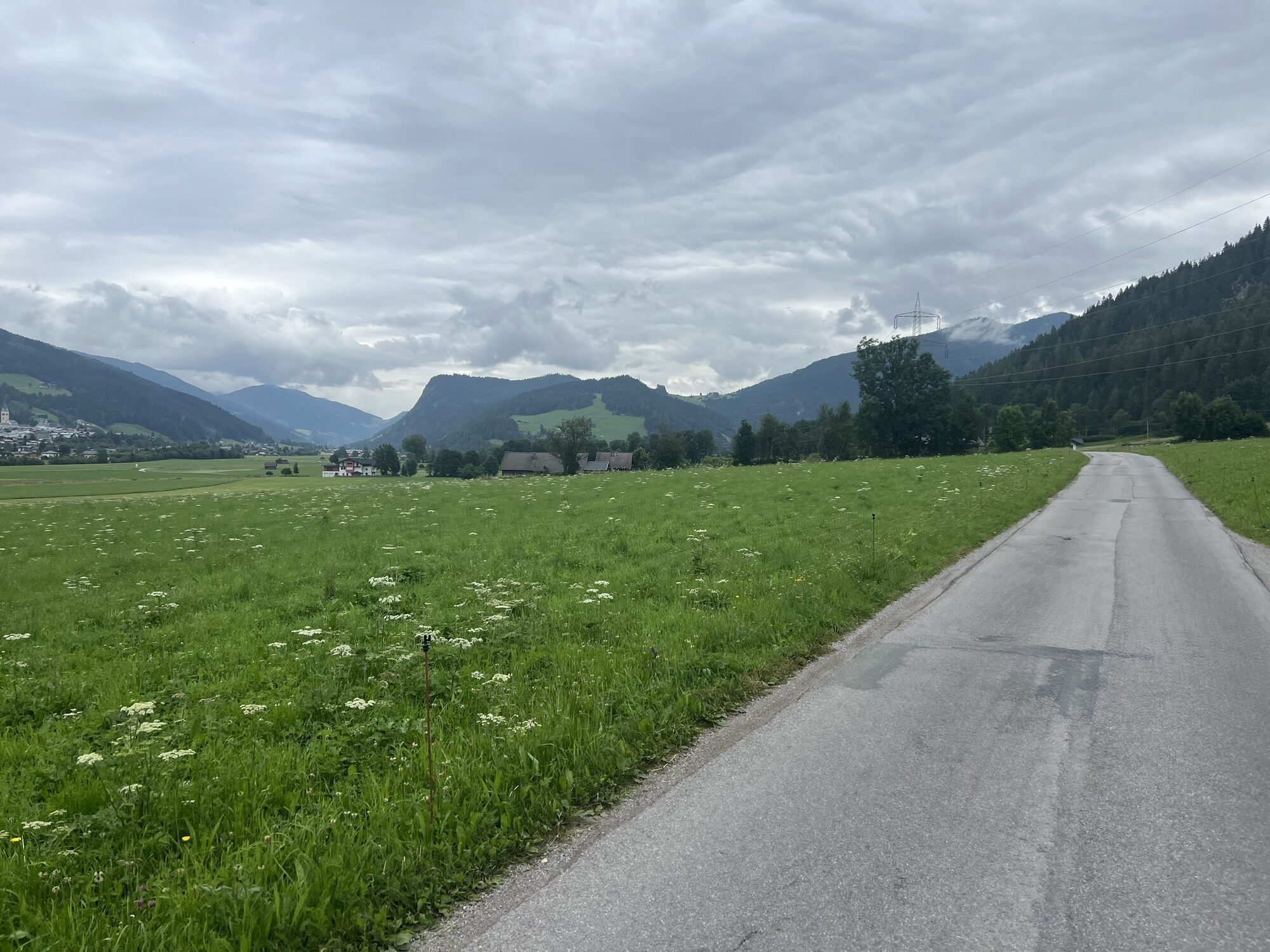
The Königslehen circuit has all the features that a varied cycle tour should offer. At the start, we take the leisurely, flat route along the edge of the forest and across the beautiful rural meadows and...
The Königslehen circuit has all the features that a varied cycle tour should offer. At the start, we take the leisurely, flat route along the edge of the forest and across the beautiful rural meadows and fields between Altenmarkt and Radstadt.
A worthwhile break is offered at the Berggasthof Bliembauer, where you can enjoy a marvellous view and regional delicacies on the sun terrace.
Key data of the tour:
Length: approx. 19 km Elevation gain: approx. 490 m Difficulty: medium
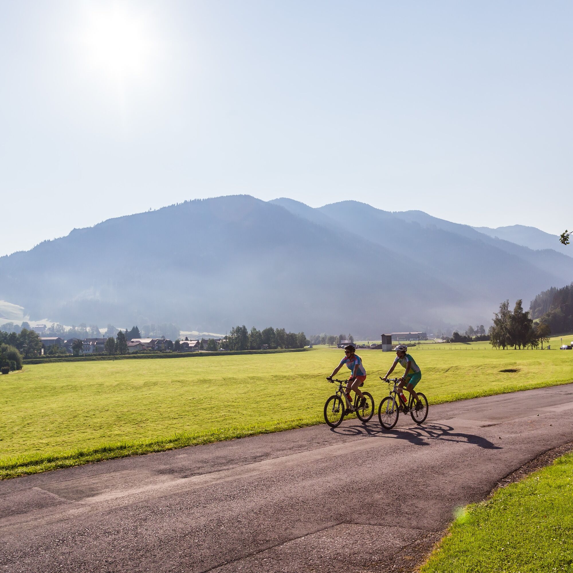

mountainbike, helmet
25% gravel, 75% asphalt road
Tauernautobahn A 10, Ausfahrt Altenmarkt (EXIT 63), Ausfahrt Altenmarkt West, entlang der Oberndorfer Straße, bei Kreuzung (BP Tankstelle) links weiter auf der Bundesstraße (B 163), nach 250 m rechts abbiegen zum Parkplatz gegenüber dem Tourismusverband Altenmarkt-Zauchensee
Mit dem Guest Mobility Ticket kannst du ab deiner Ankunft im SalzburgerLand alle öffentlichen Verkehrsmittel kostenlos nutzen.
Parkplatz gegenüber vom Tourismusverband Altenmarkt-Zauchensee
Sportplatzstraße 6
A-5541 Altenmarkt-Zauchensee
Tel: +43 6452 5511
E-Mail: info@altenmarkt-zauchensee.at
www.altenmarkt-zauchensee.at
www.facebook.com/altenmarkt-zauchensee
www.instagram.com/visitaltenmarktzauchensee
Pridobite vpogled
Vedno v živo na mestu z več kot 9.500 spletnimi kamerami. bergfex Kot uporabnik Pro si lahko zdaj ogledate ustrezne spletne kamere za številne izlete v aplikaciji izleti iz. Tako si lahko neposredno ogledate trenutne razmere.
Priljubljeni izleti v okolici
-
4.4
Ramsau am Dachstein: Steinerne Jungfrauen
Pohodništvo 8.11 km -
4.3
Filzmoos: Rötelstein (Rettenstein)
Pohodništvo 9.50 km -
4.9
Rundwanderweg von der Fallhausalm und Vögeialm übers Klamml zur Oberhütte am See
srednjaPohodništvo 10 km -
4.8
Tour around the Gosaukamm
srednjaPohodništvo 20.9 km -
4.8
4-Jahreszeiten Wanderweg
srednjaZimsko pohodništvo 5.94 km -
4.7
Tor-Wanderung
težkoPohodništvo 14.2 km -
4.6
Ski route Lackenkogel
srednjaSmučarska tura 7.82 km -
4.8
Obertauern to the Johannes Waterfall
srednjaPohodništvo 9.39 km -
4.6
Rittispanoramaweg
svetlobaPohodništvo 5.30 km -
4.7
Reiteralmrunde
svetlobaPohodništvo 5.71 km
Pohodništvo in sledenje


Ne zamudite ponudb in navdiha za naslednje počitnice
Vaš e-poštni naslov je bil dodan na poštni seznam.





