


Schmittenhöhe-Tour
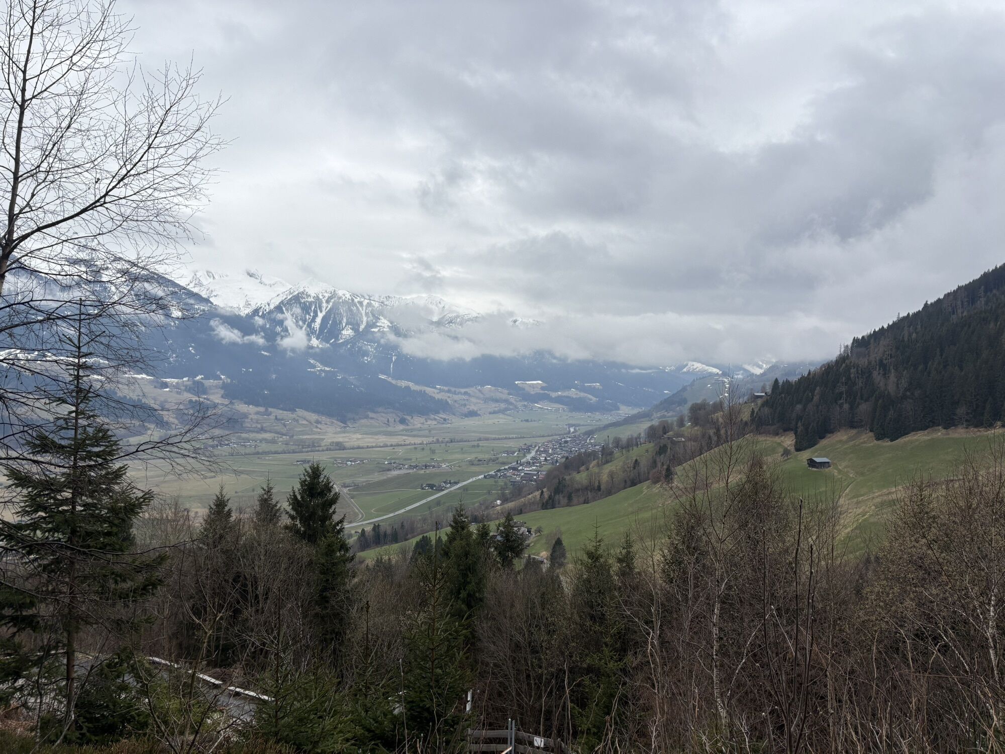
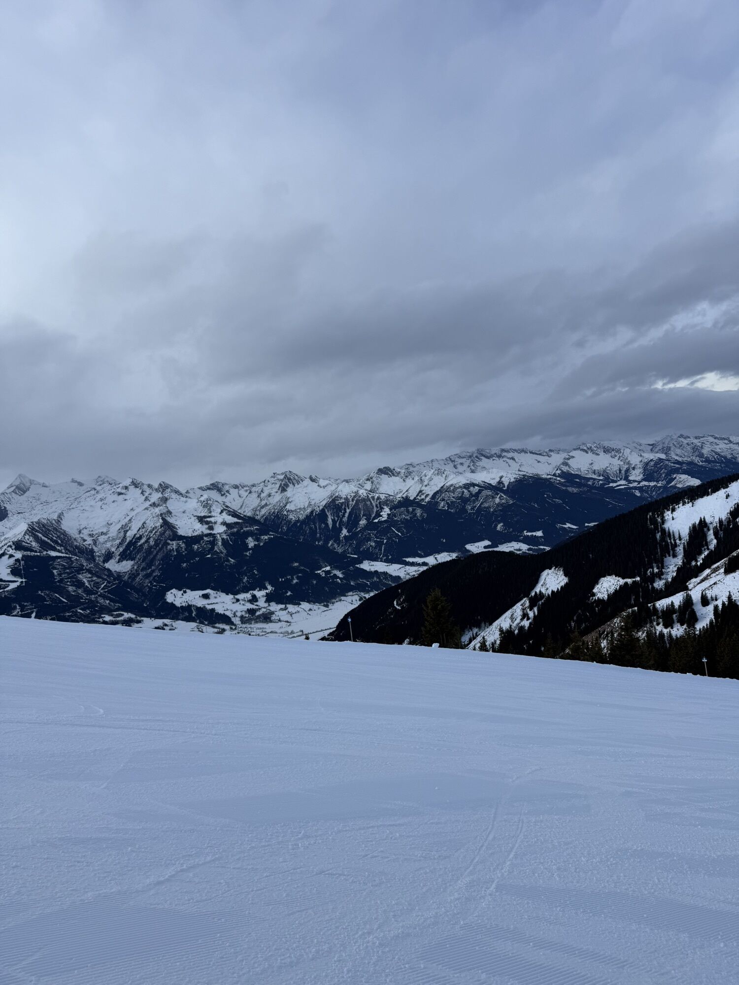
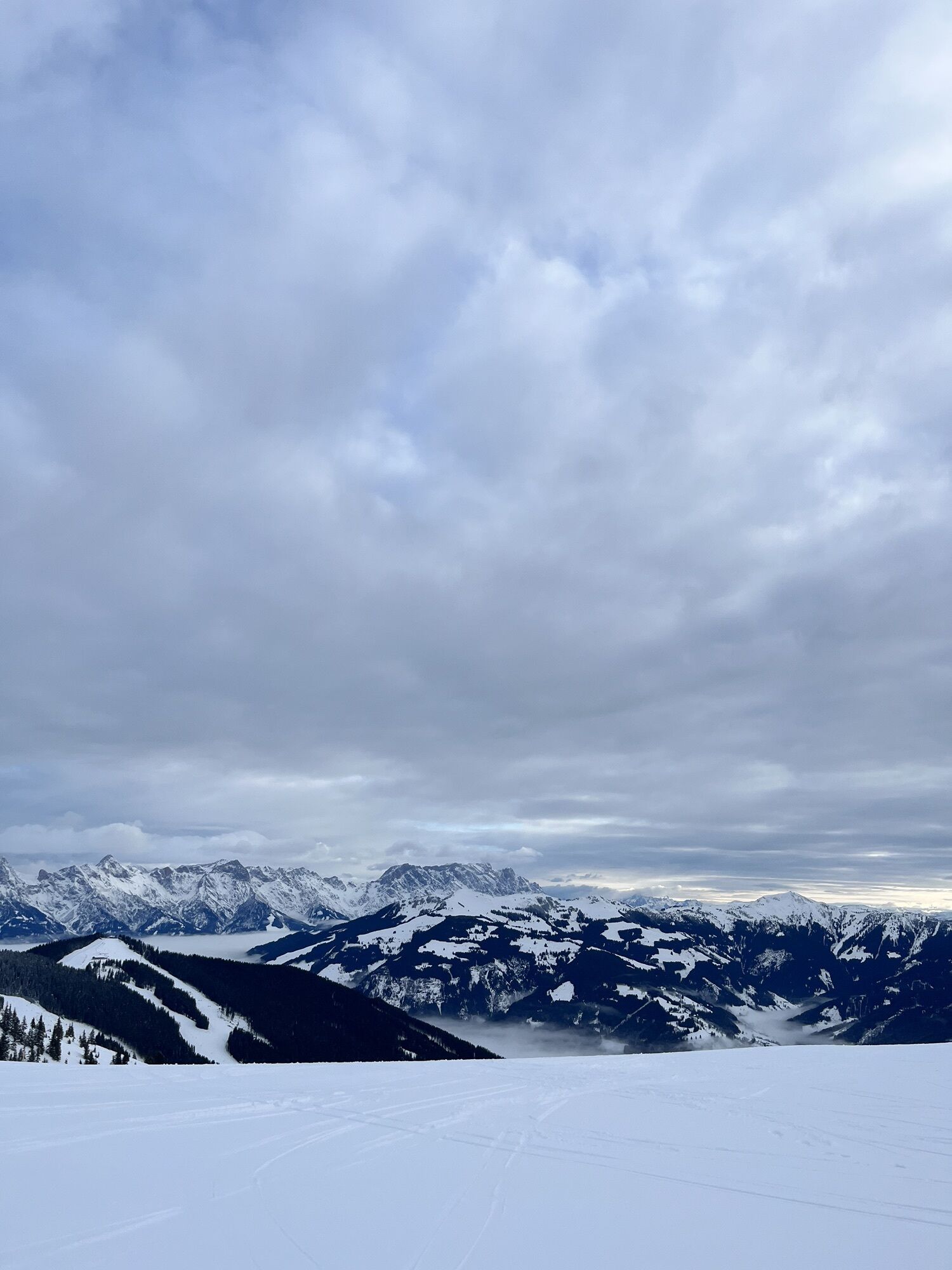
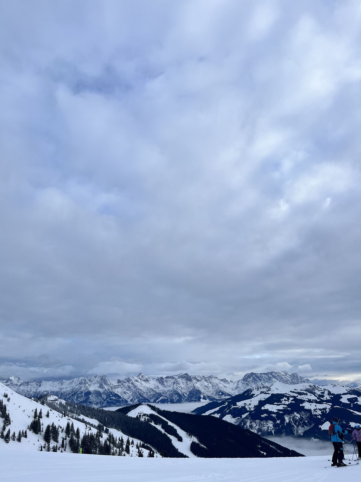
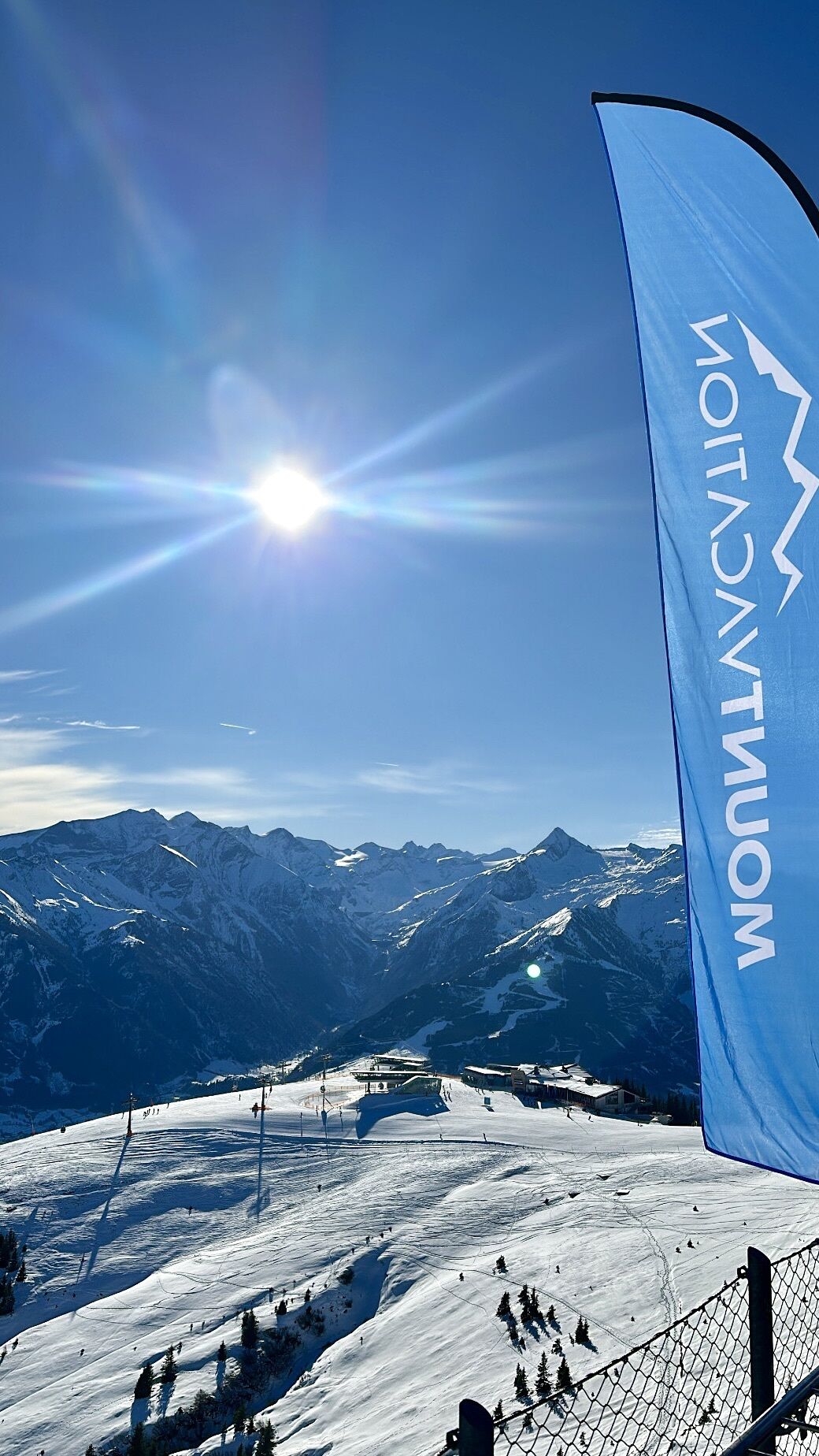
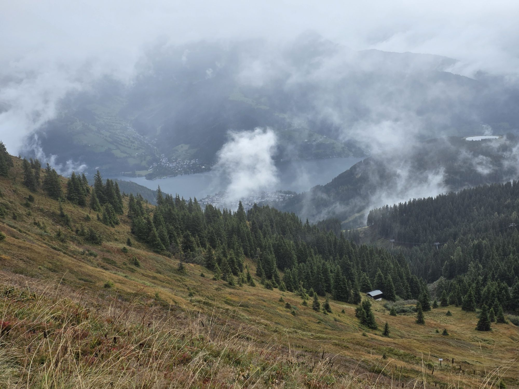
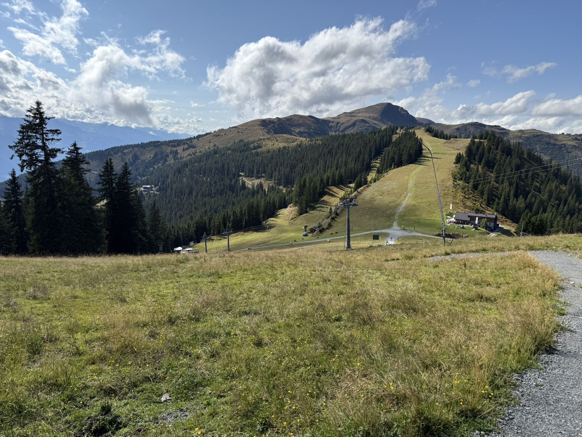
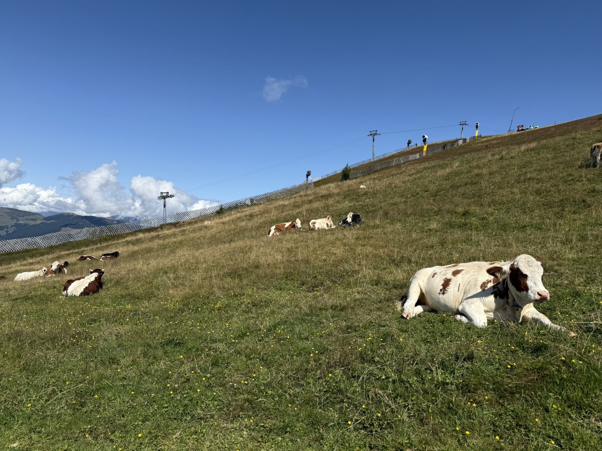


The tour crosses diverse landscapes - from sunny village hills through forested passages to picturesque alpine meadows, offering a variety of natural beauties. The highlight is unquestionably Schmittenhöhe...
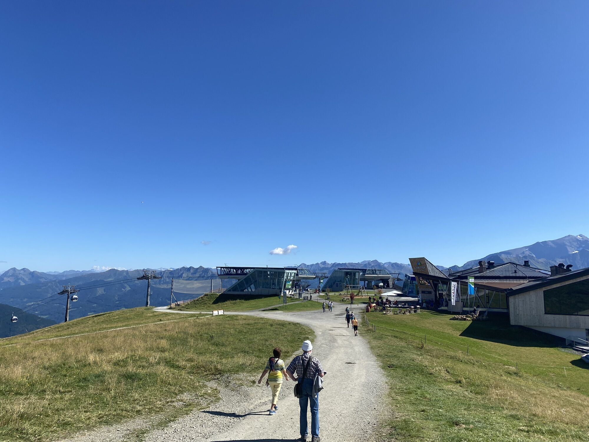
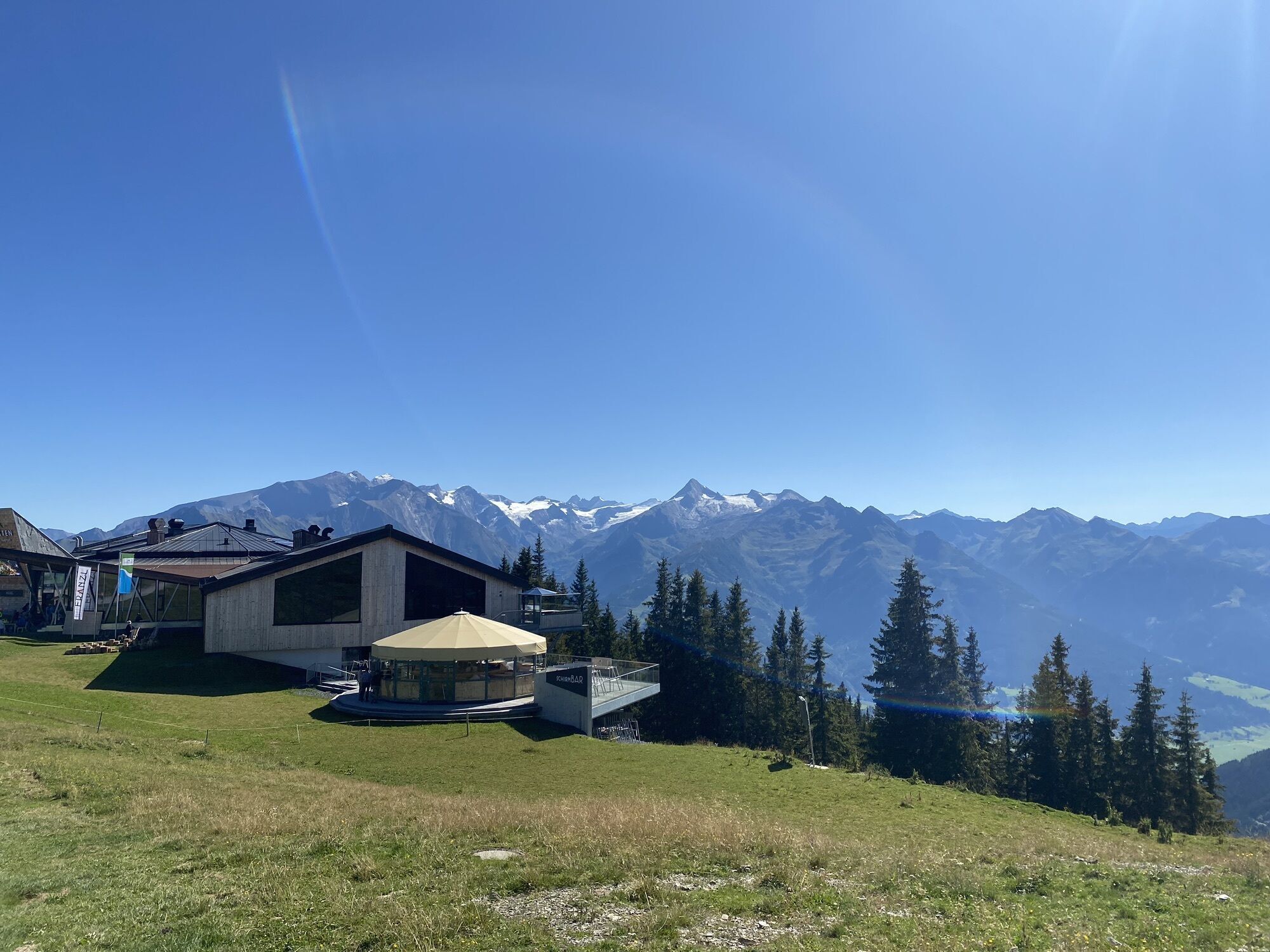
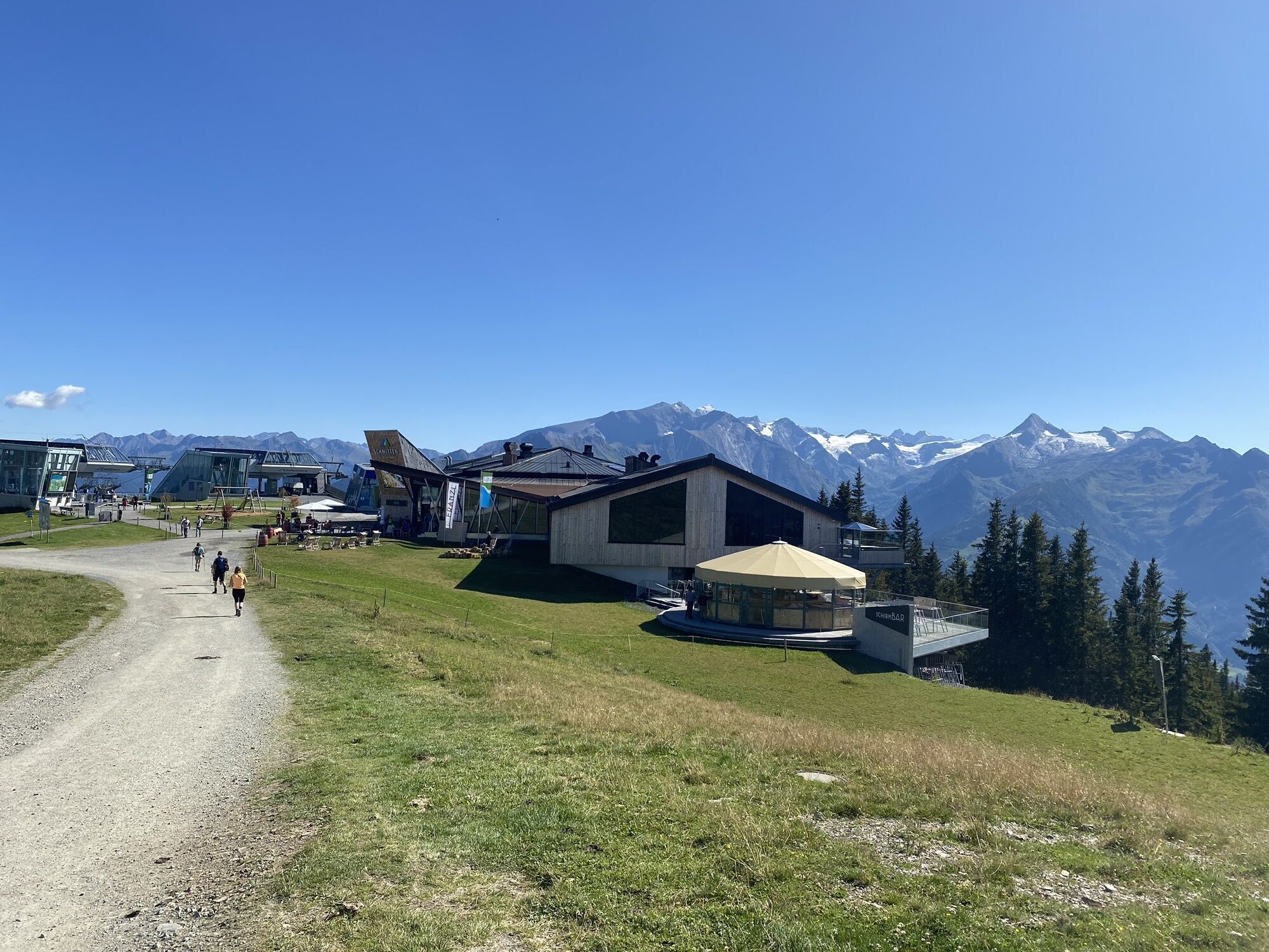
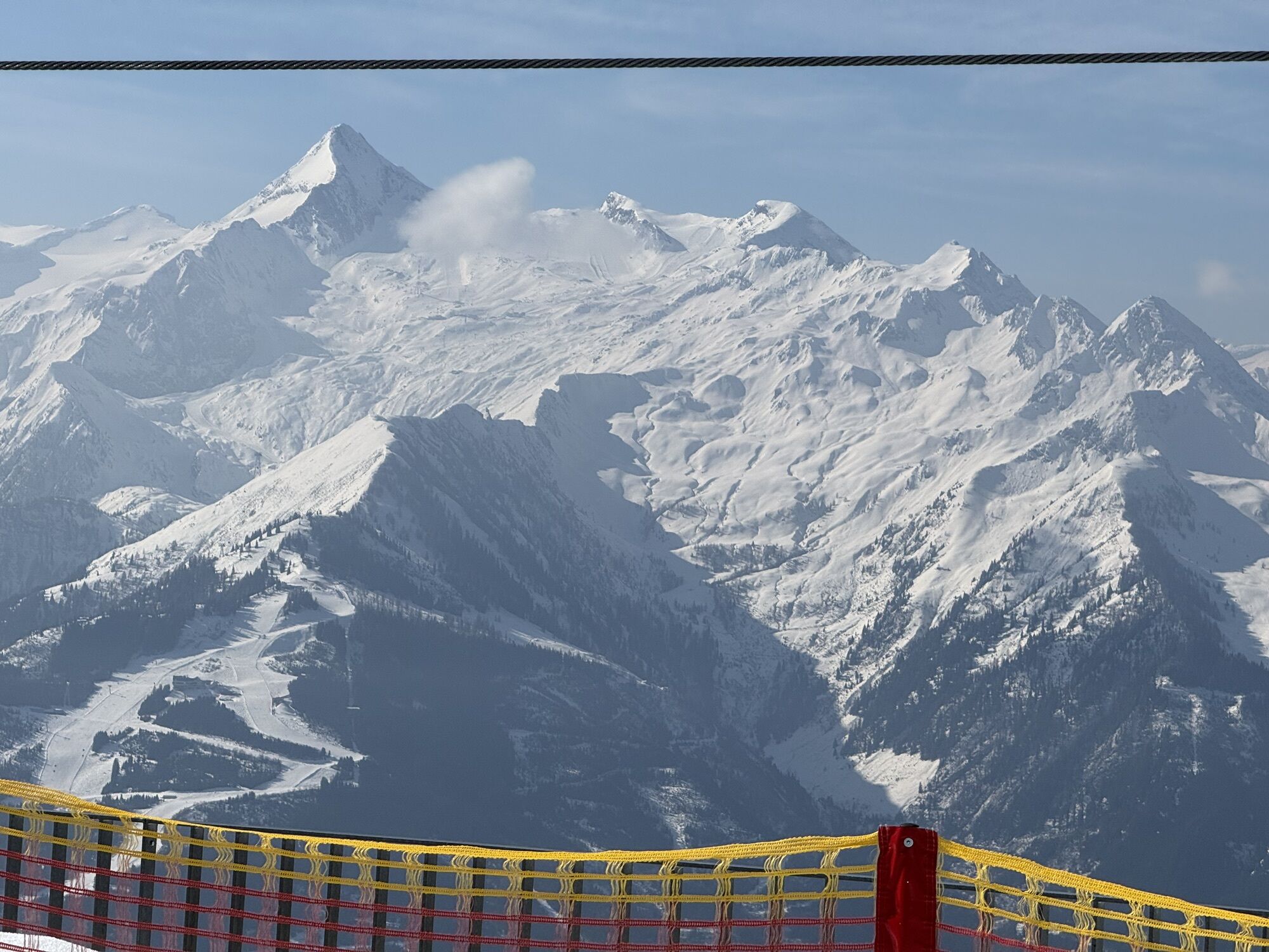
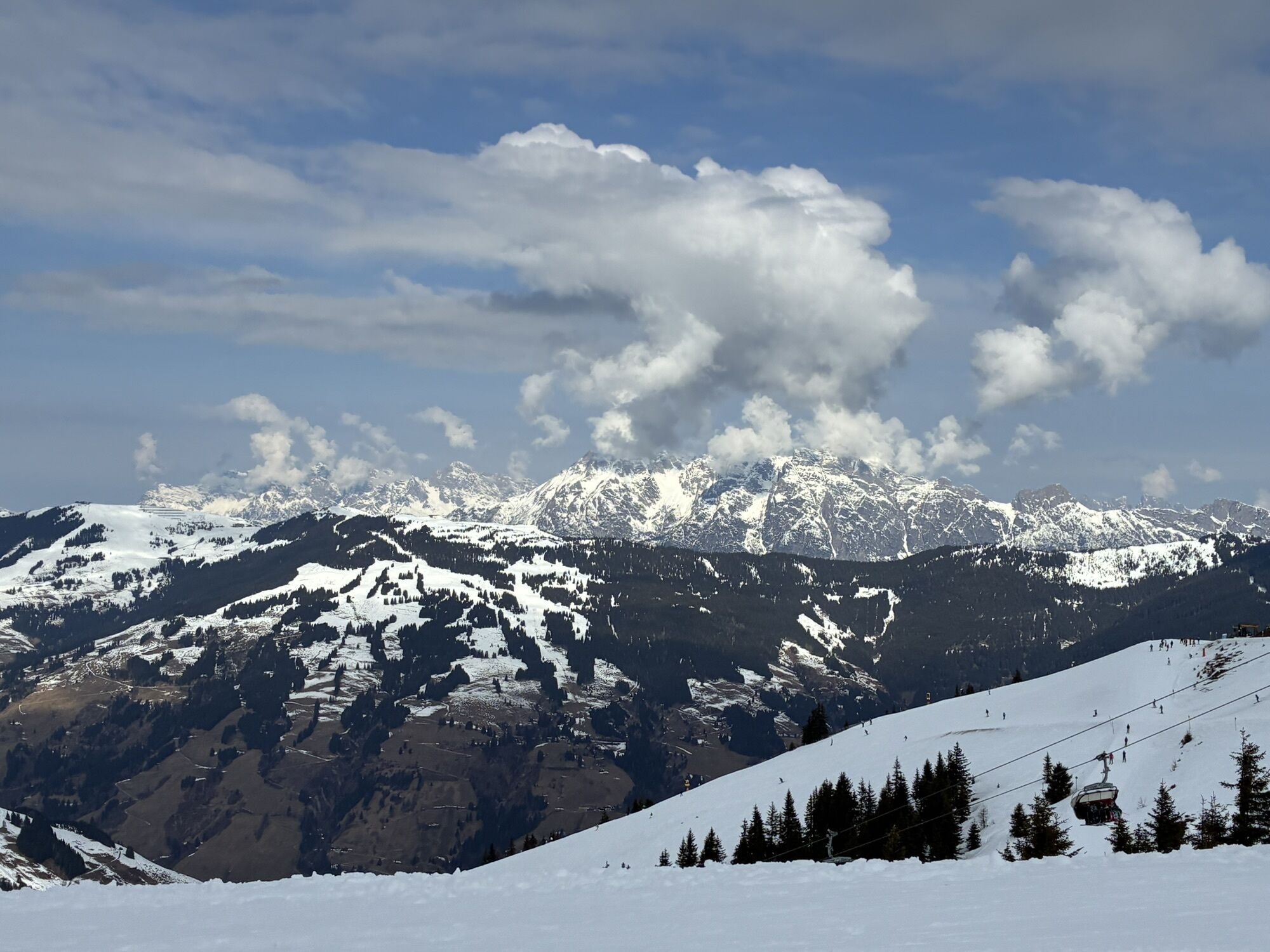
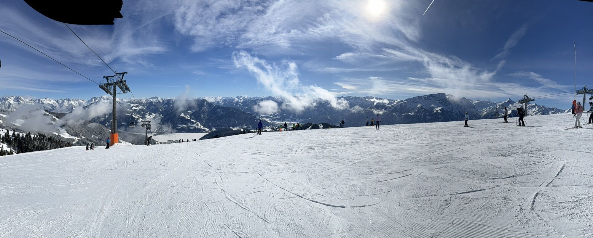
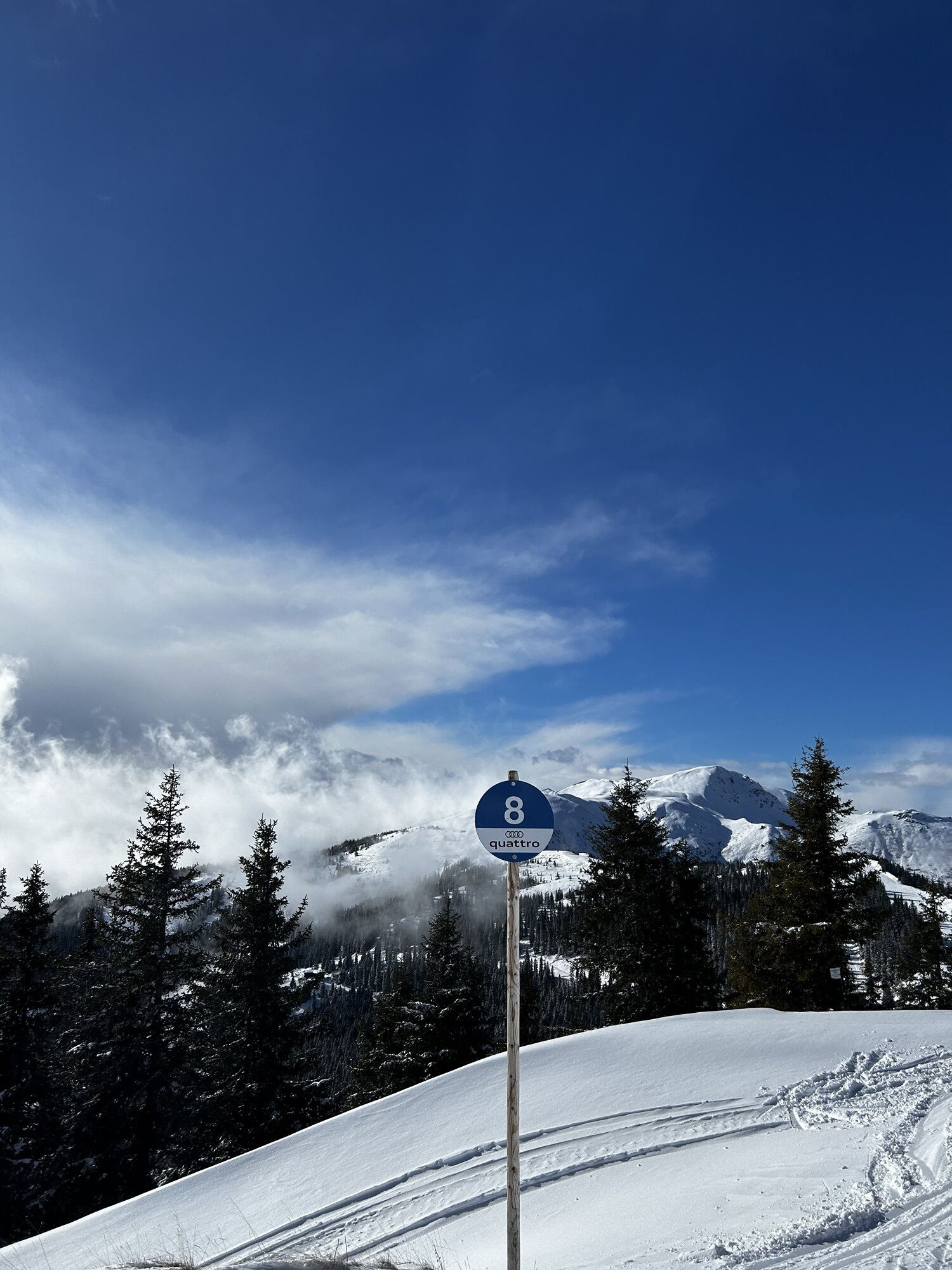
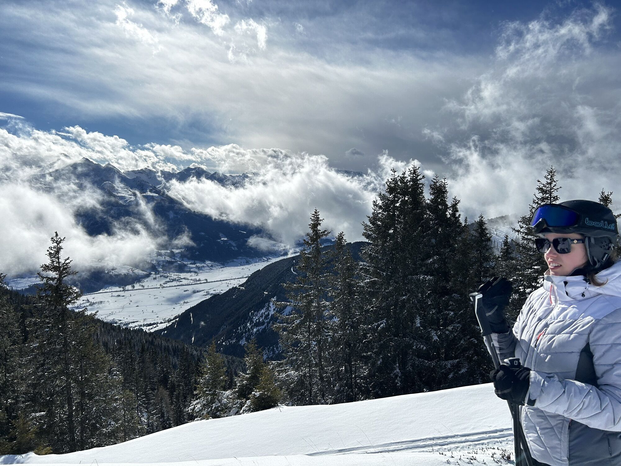
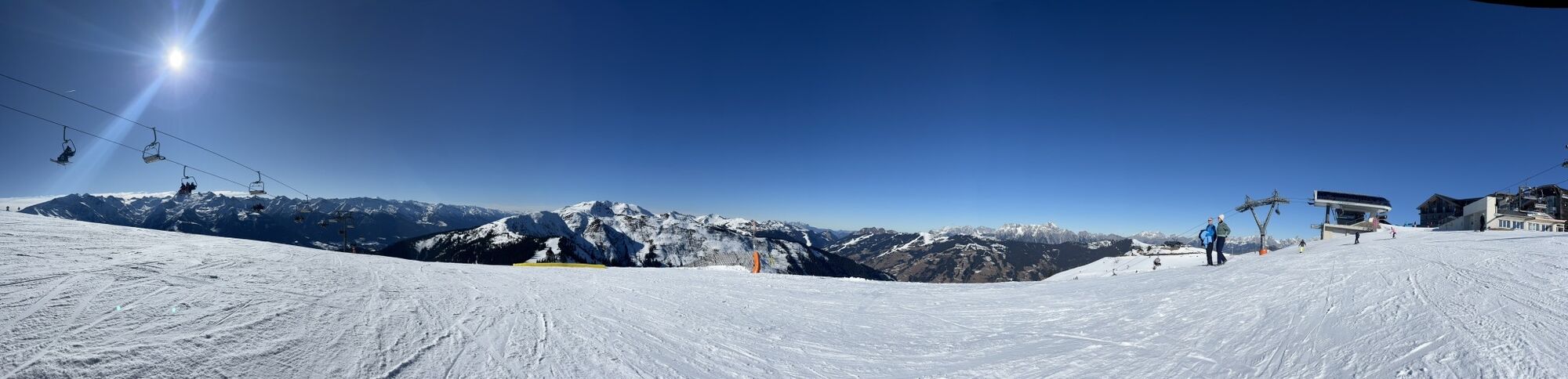
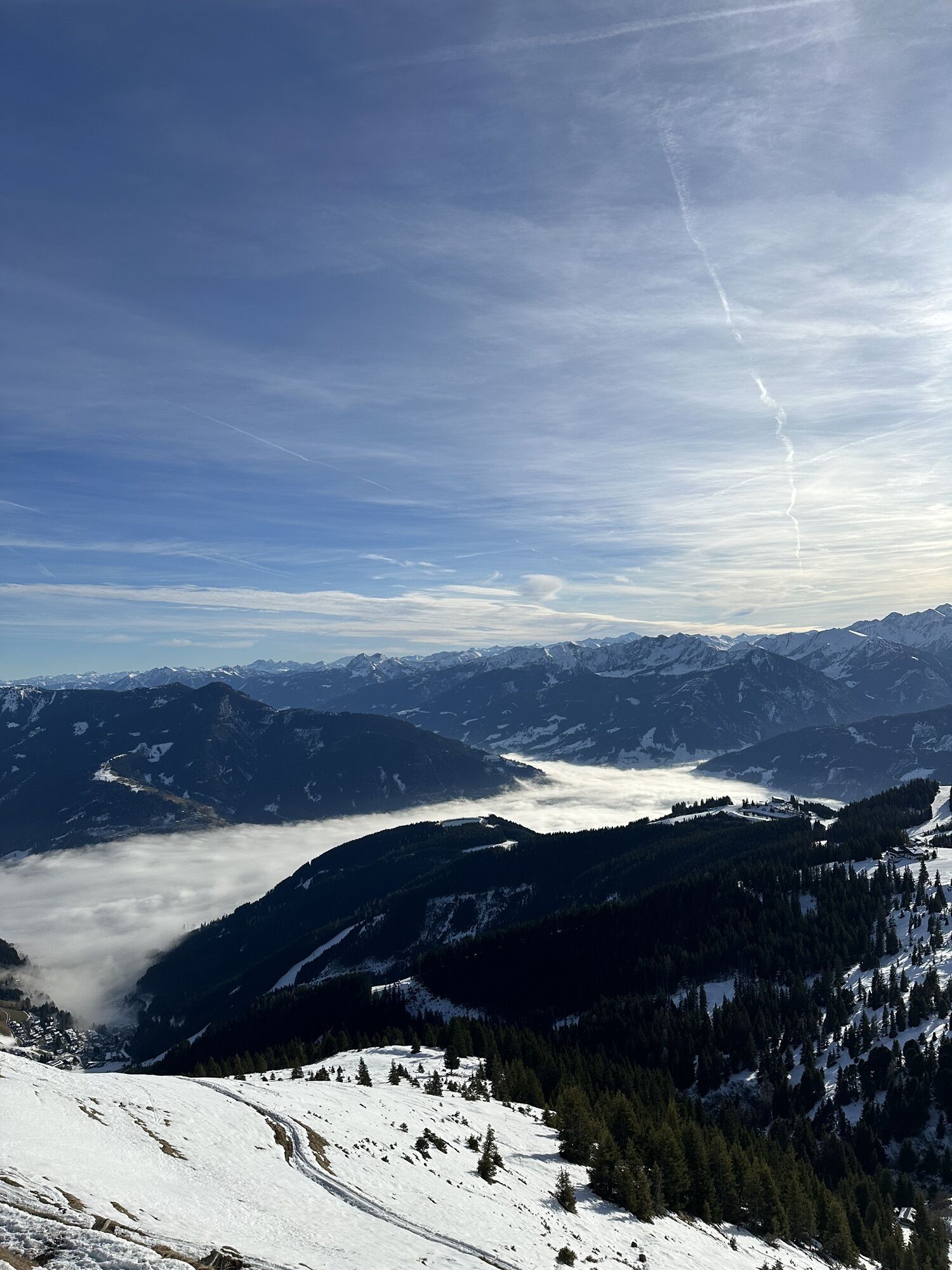
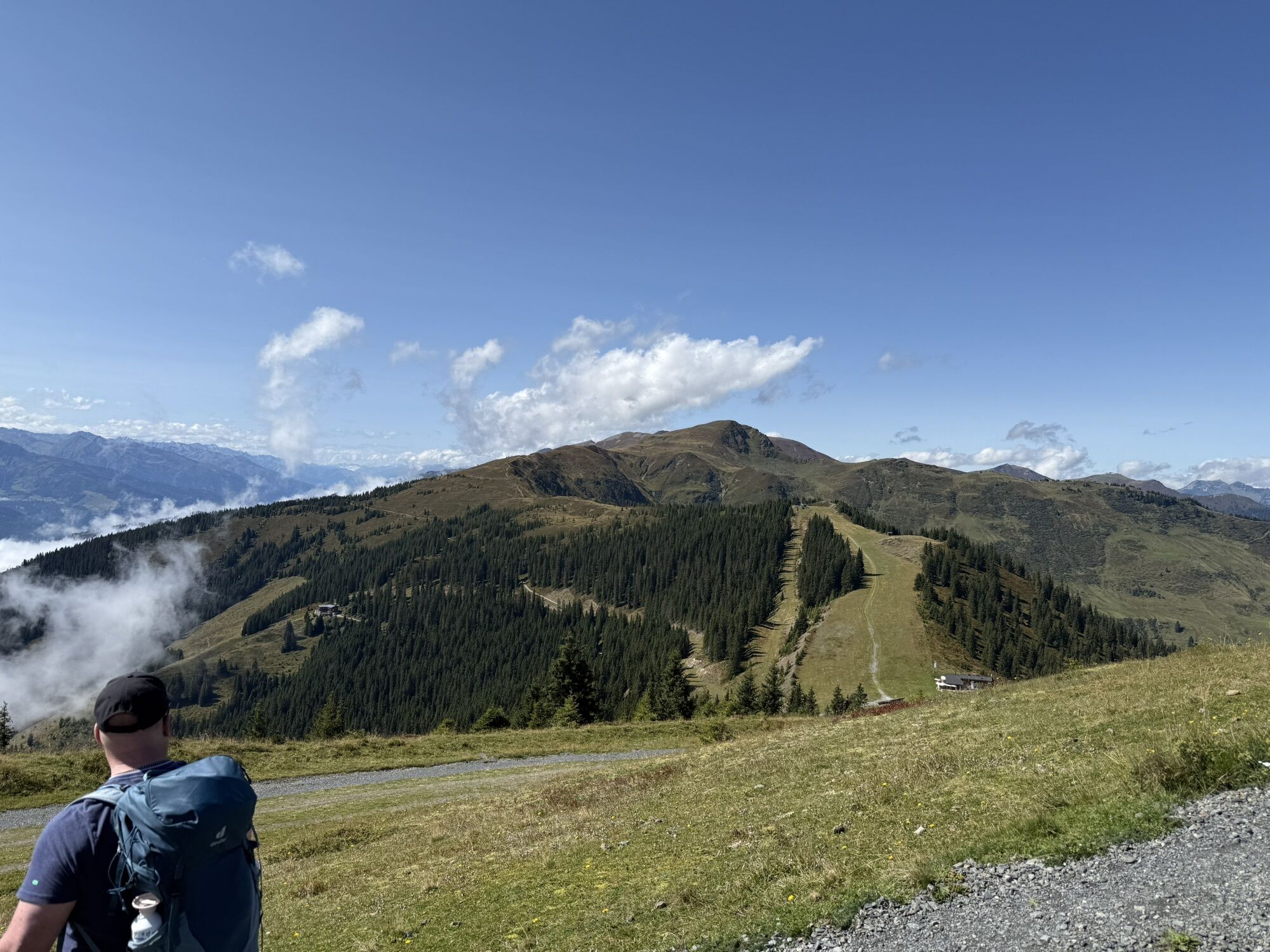
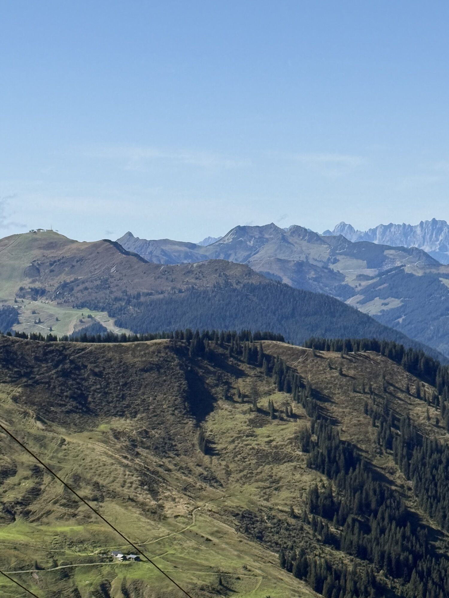
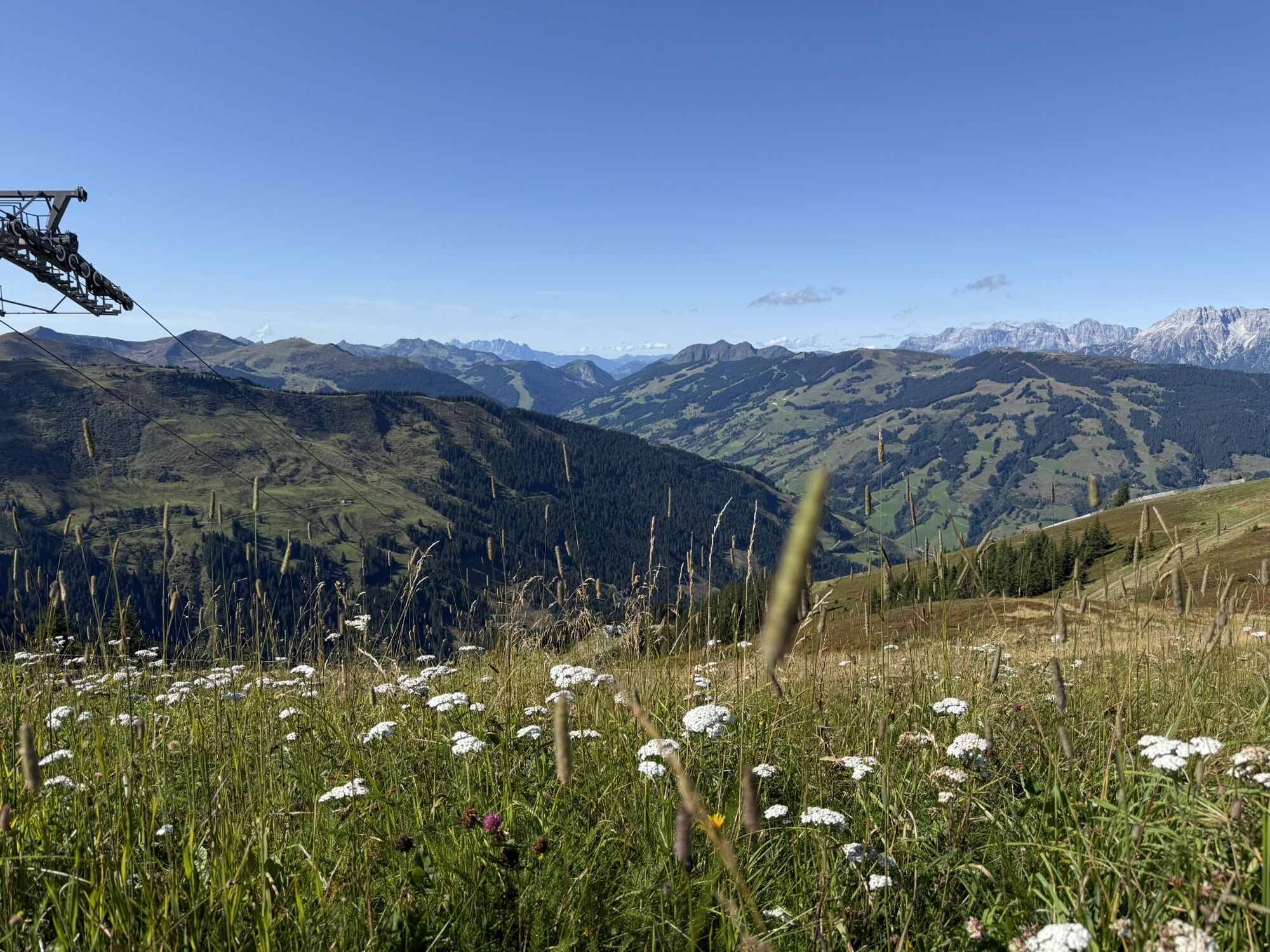
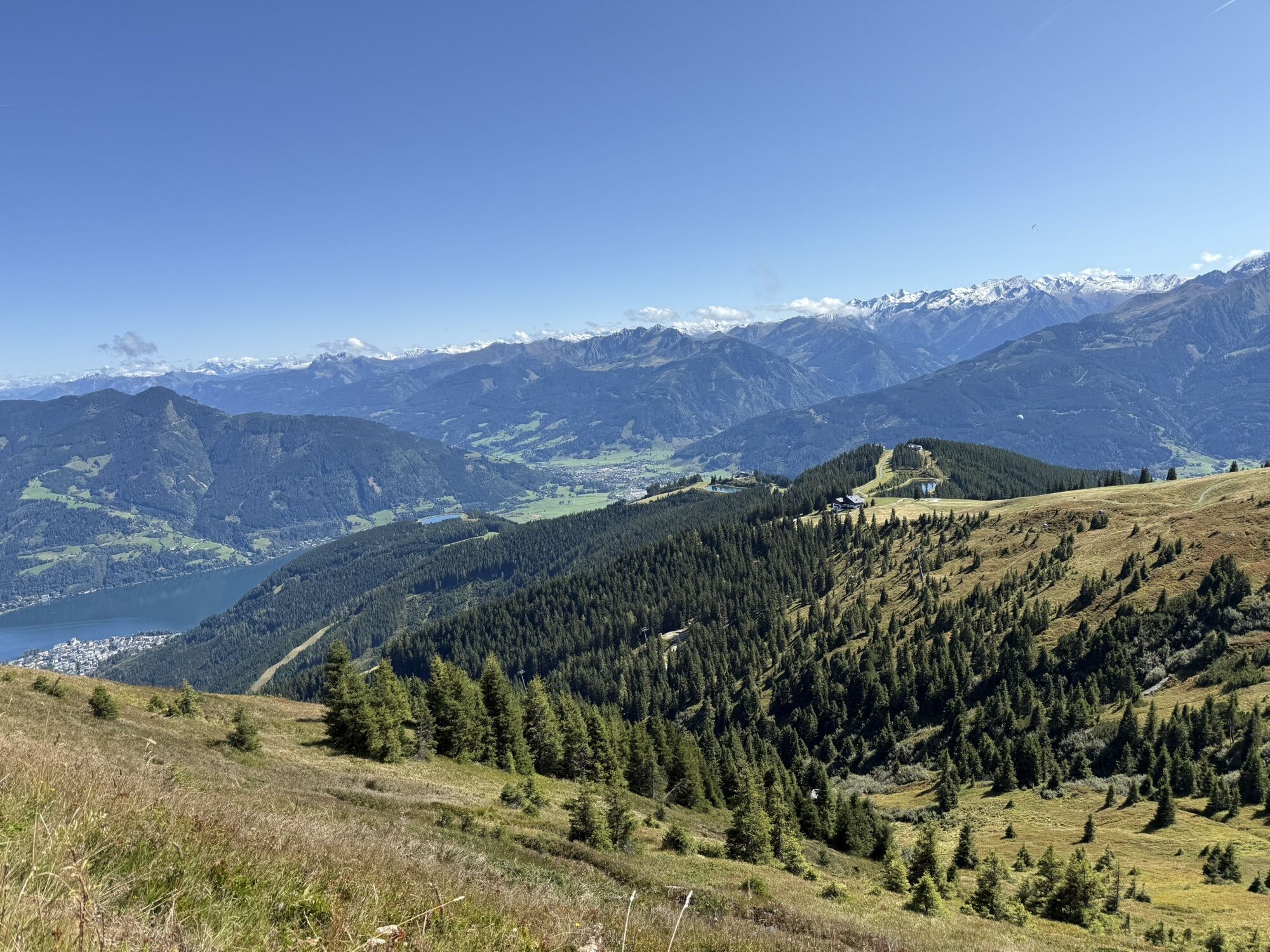
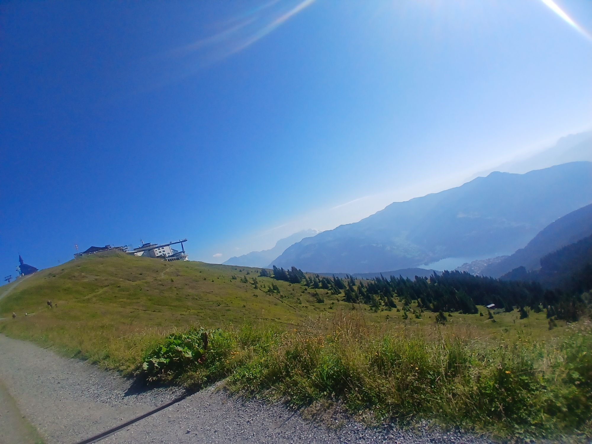
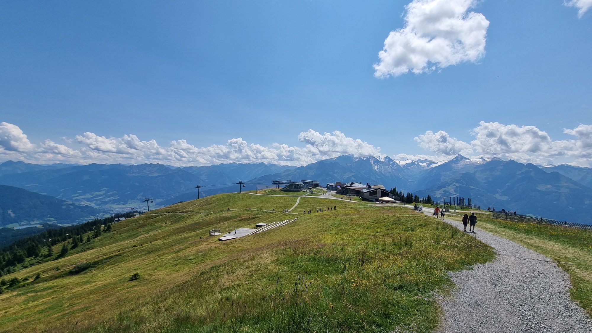
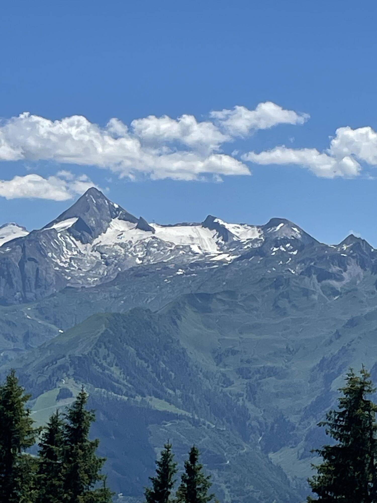
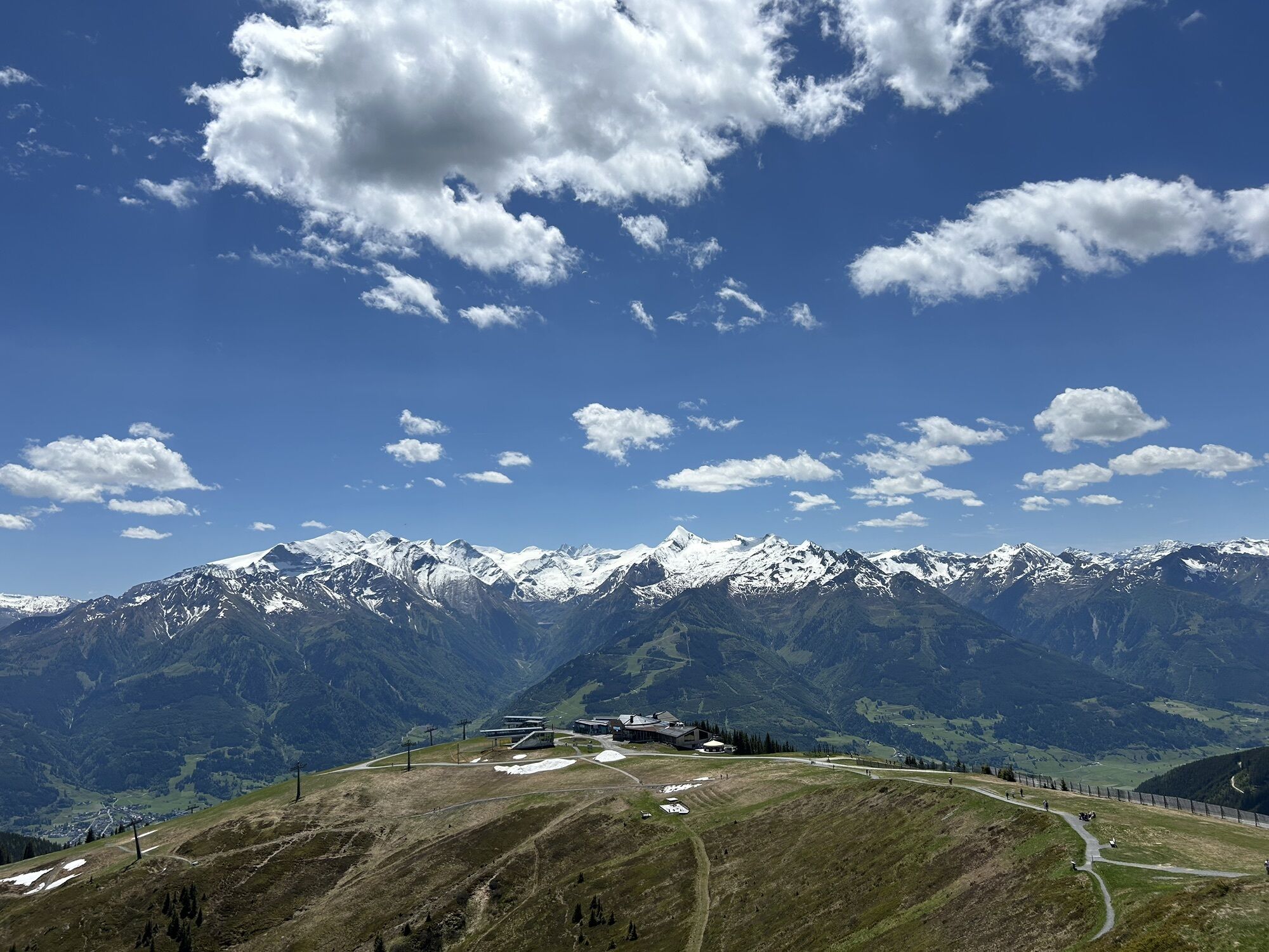
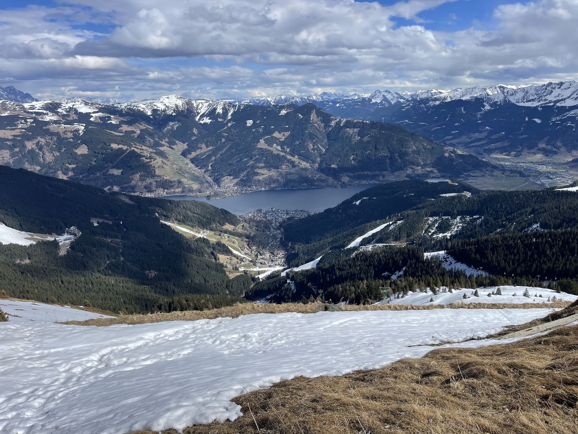
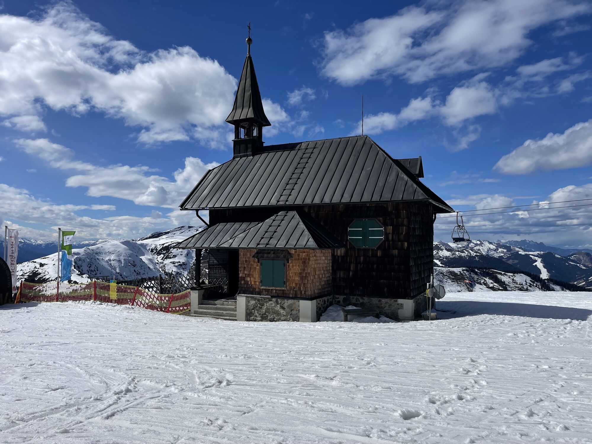
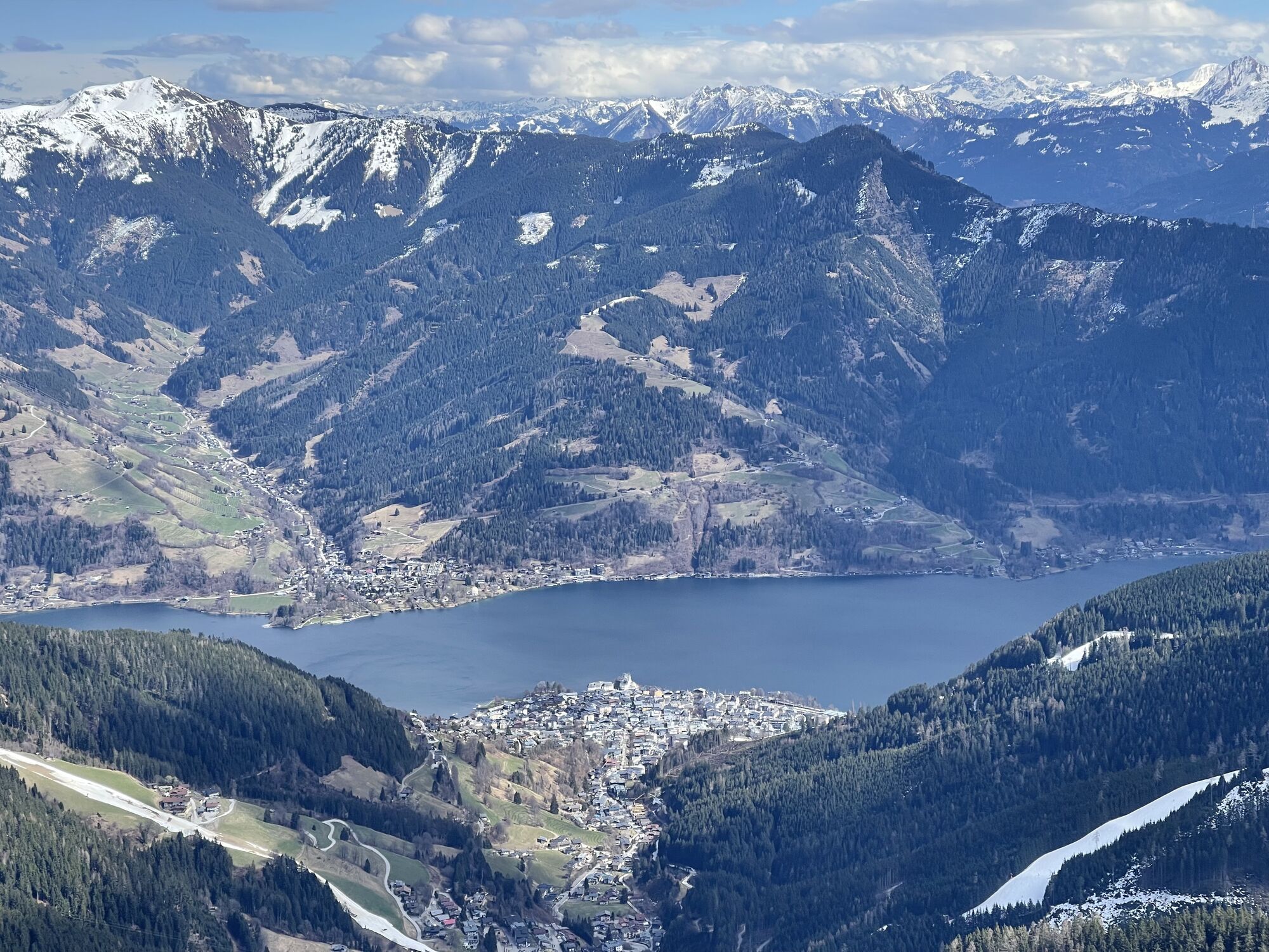
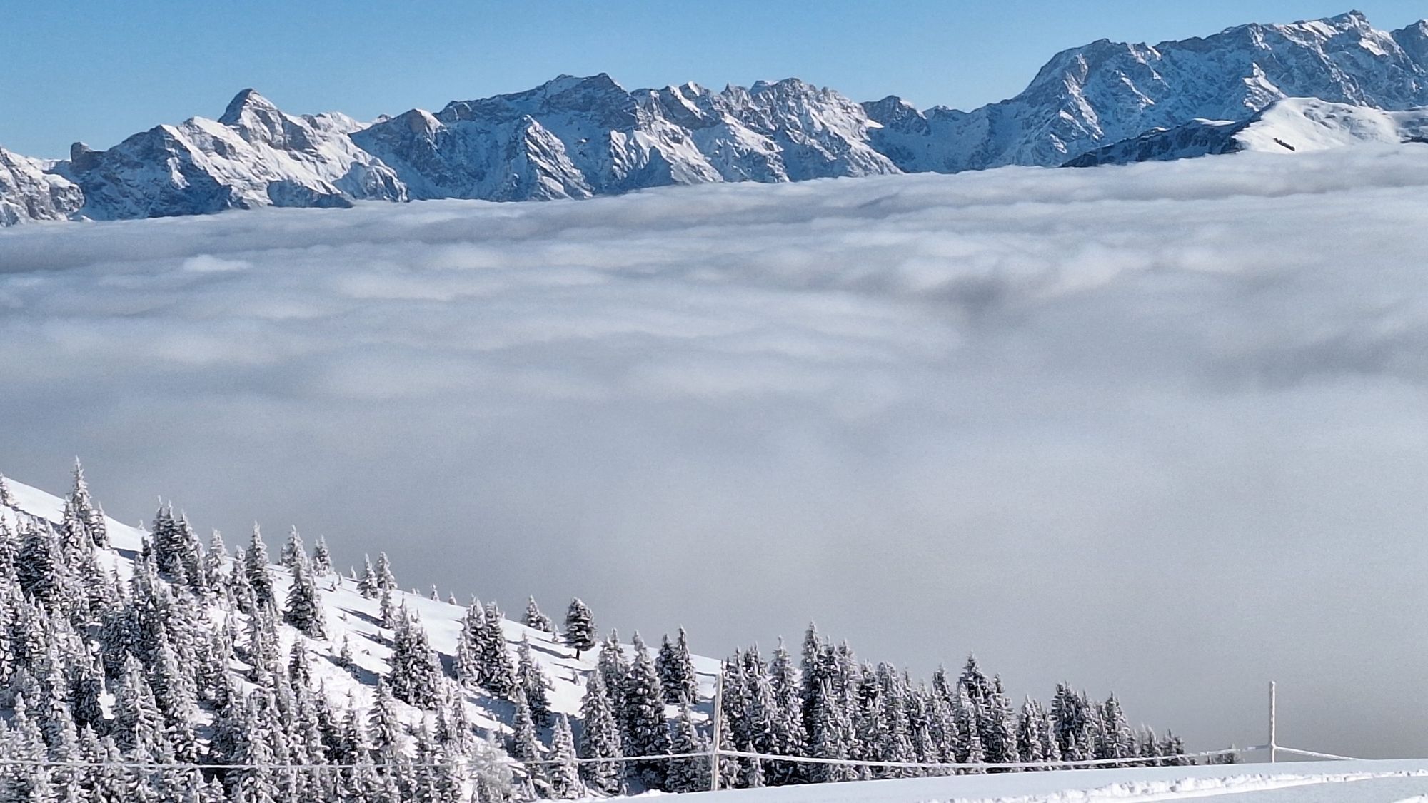
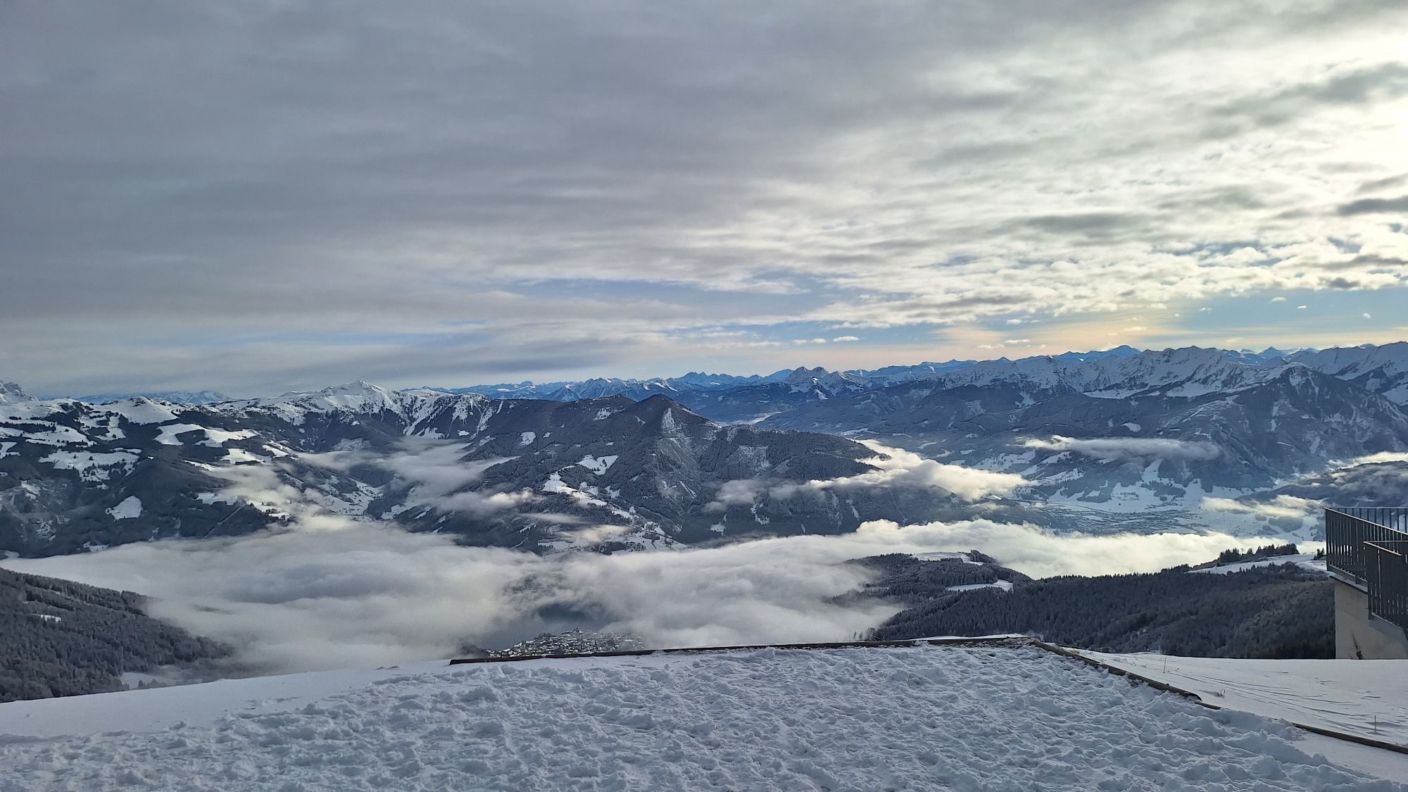
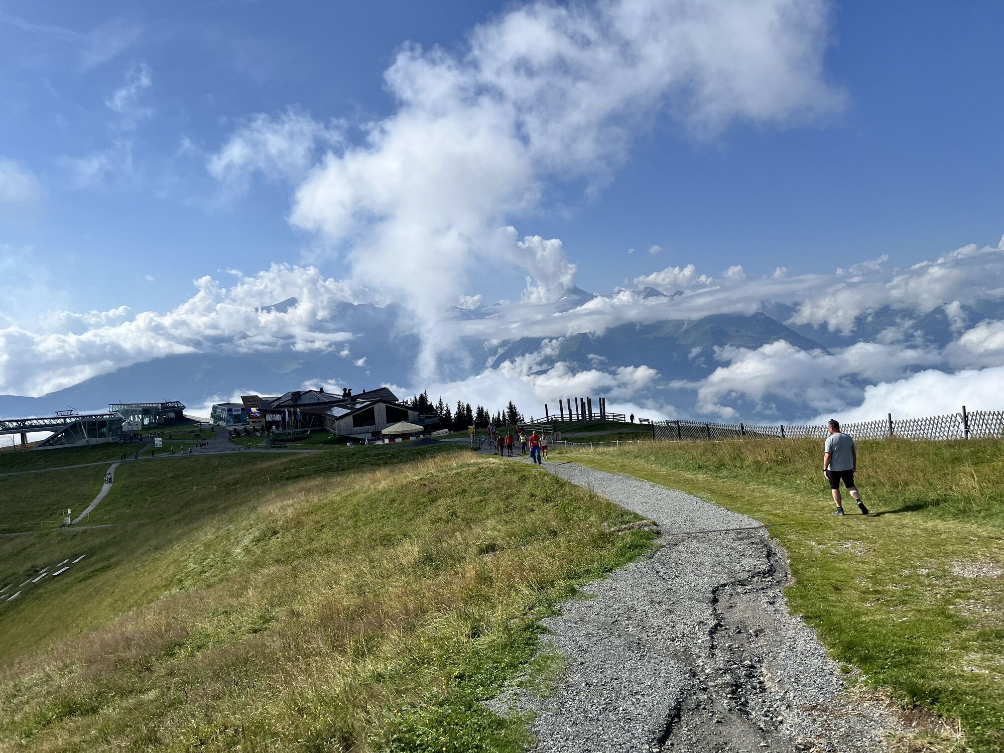
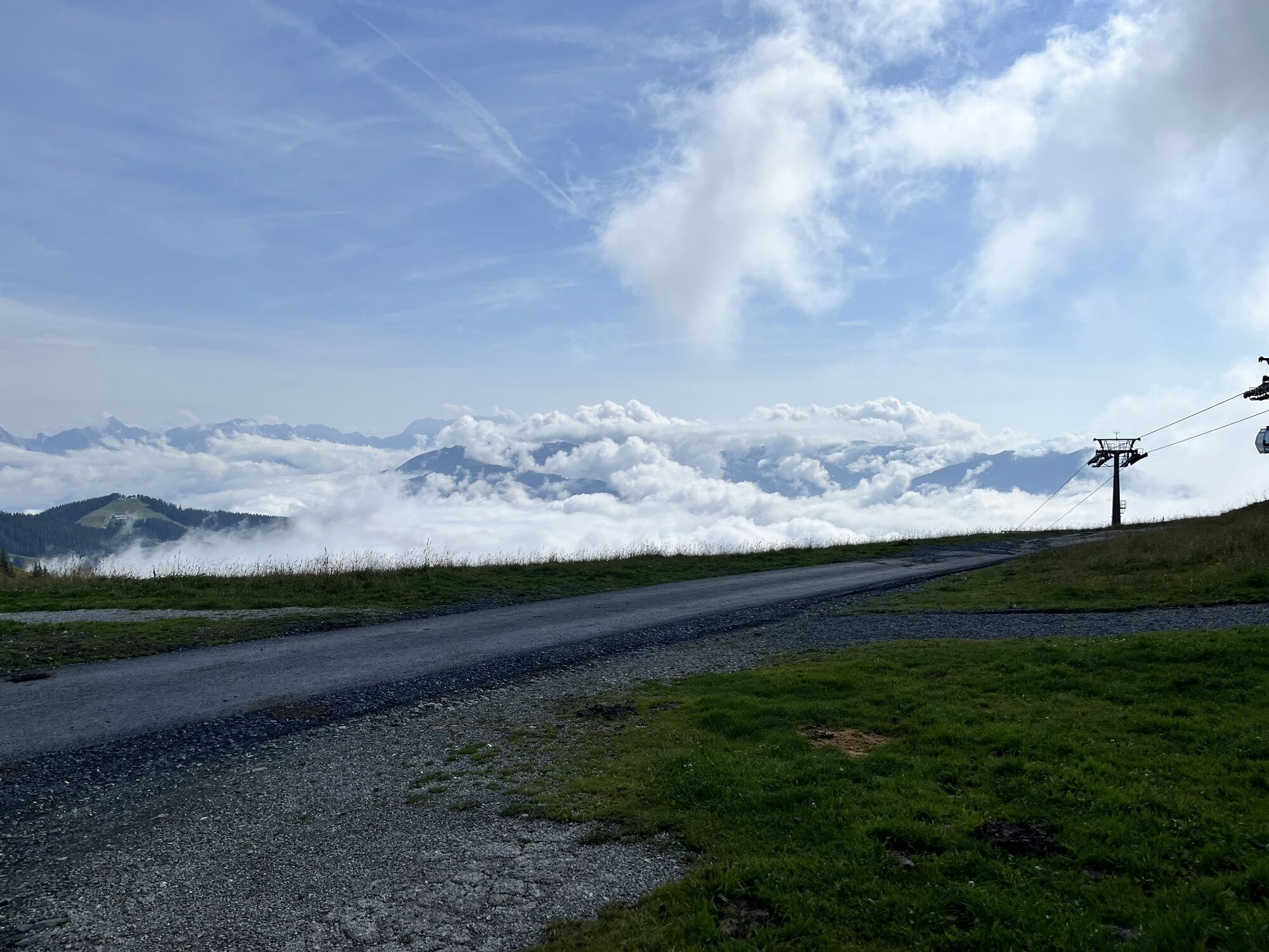
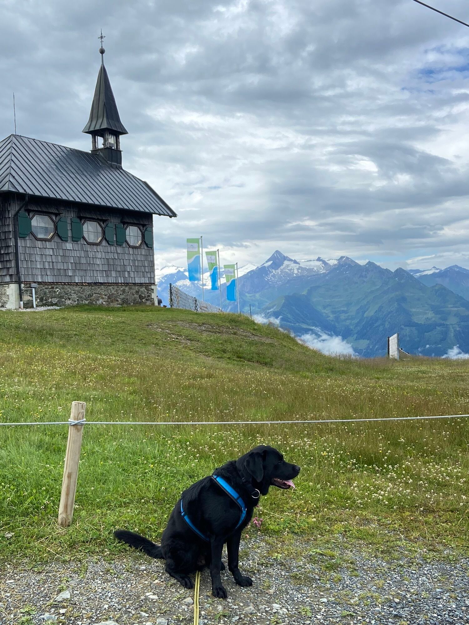
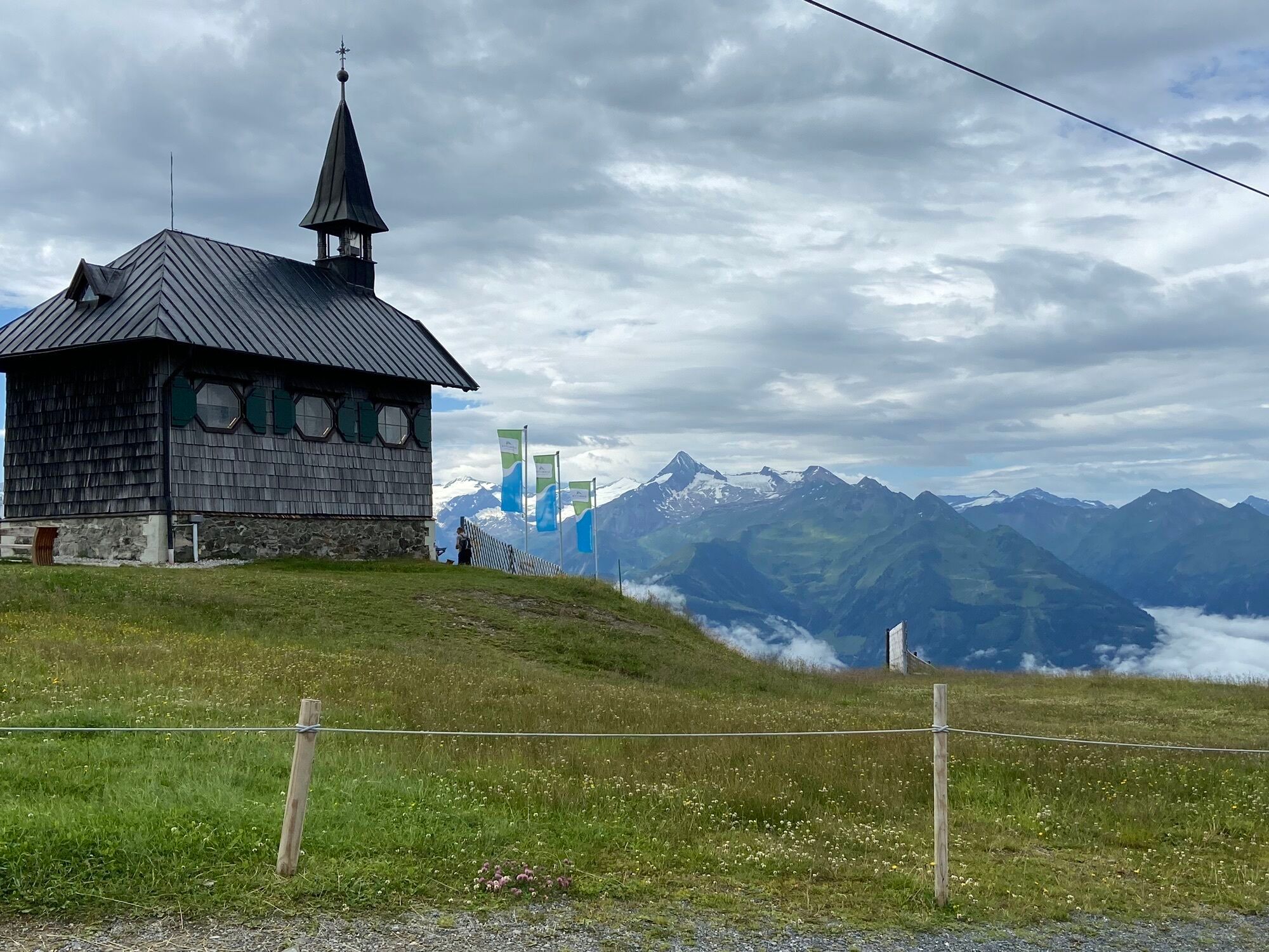
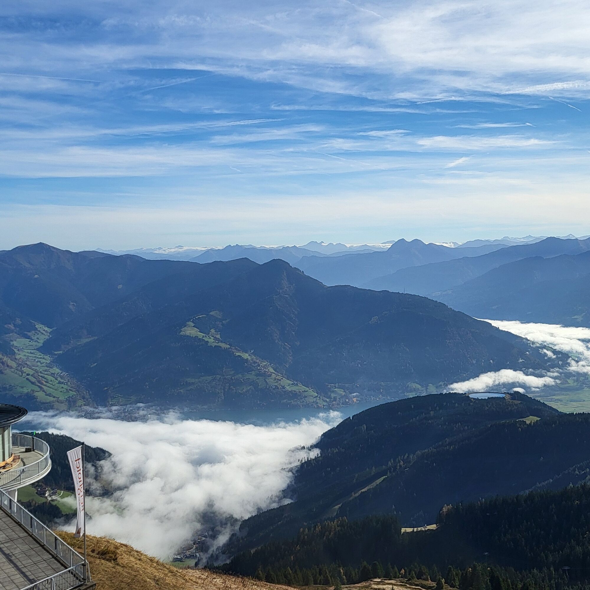
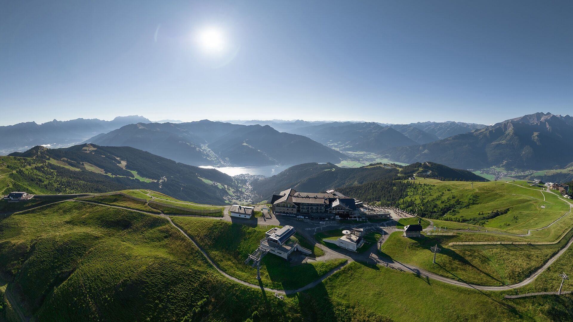
The tour crosses diverse landscapes - from sunny village hills through forested passages to picturesque alpine meadows, offering a variety of natural beauties. The highlight is unquestionably Schmittenhöhe itself, Zell am See's local mountain, which offers a 360° panoramic view and is considered Austria's most beautiful vantage point.
For the return journey, several options are available:
returning via the same route, taking mountain bike route number 10D to Hochsonnbergalm and then descending along route number 10B to Walchen, or enjoying a descent via cable car (for a fee).Train station Piesendorf.
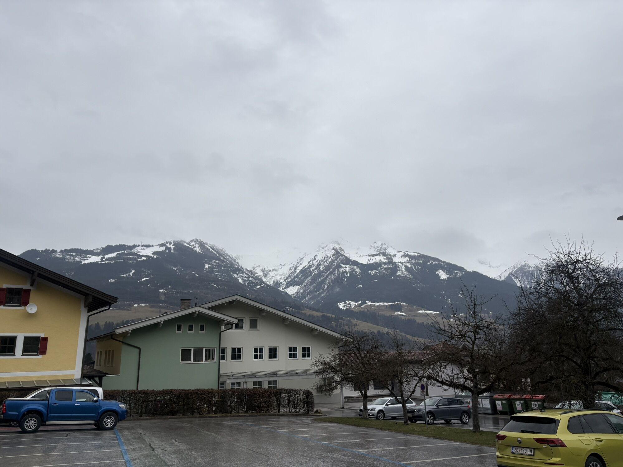
At the town center and at the parking lot near the eastern entrance to the village, there are sufficient parking facilities available.
The use of the marked and approved routes/trails is permitted from 1st MAY to 15th NOVEMBER and only during the following times:
1st May to 31st August from 7 am to 7 pm in September from 8 am to 6 pm 1st October to 15th November from 9 am to 5 pmStay on the marked routes!
The common rules of conduct ensure that the forest and pasture areas will continue to provide a unique space for recreation, living and work for everyone.
Your behaviour influences public opinion and tolerance.
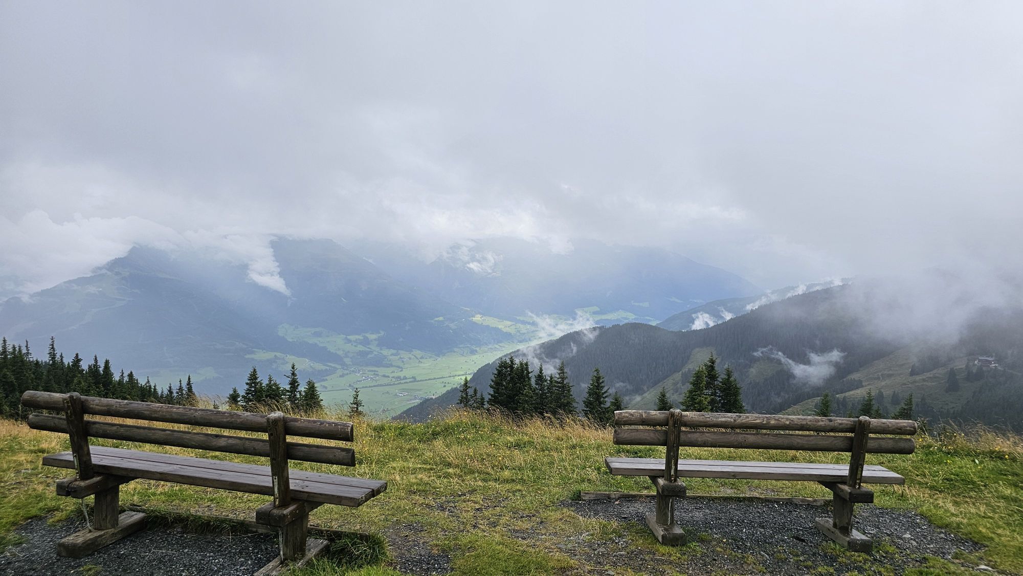
Visit the Elisabeth Chapel, built in honor of Empress Elisabeth. Along the tour, there are also several cozy dining options.
Priljubljeni izleti v okolici
- 4,2
Schwalbenwand Nr. 80, 81, 82
srednjaPohodništvo 13,0 km - 4,8
Sigmund Thun Klamm, Klammsee, Bürgkogel
svetlobaPohodništvo 4,56 km - 4,5
Sigmund Thun Klamm
svetlobaPohodništvo 3,10 km - 4,0
Maurerkogel (Top)
Pohodništvo 10,5 km - 4,9
Hochsonnberg Runde
srednjaMountainbike 59,8 km - 4,4
Thumersbach, Runde um den Zeller See
svetlobaPohodništvo 13,3 km - 4,0
Berg der Sinne
svetlobaPohodništvo 4,39 km - 4,2
Hundstein-Runde von Maria Alm
težkoMountainbike 44,4 km - 5,0
Panorama route 3 peaks and 2 lakes
srednjaPohodništvo 7,35 km - 5,0
Leo’s play hiking trail
svetlobaTematska pot 4,89 km

Pohodništvo in sledenje


Ne zamudite ponudb in navdiha za naslednje počitnice
Vaš e-poštni naslov je bil dodan na poštni seznam.