






LE 04 | Grießner Almen - Runde
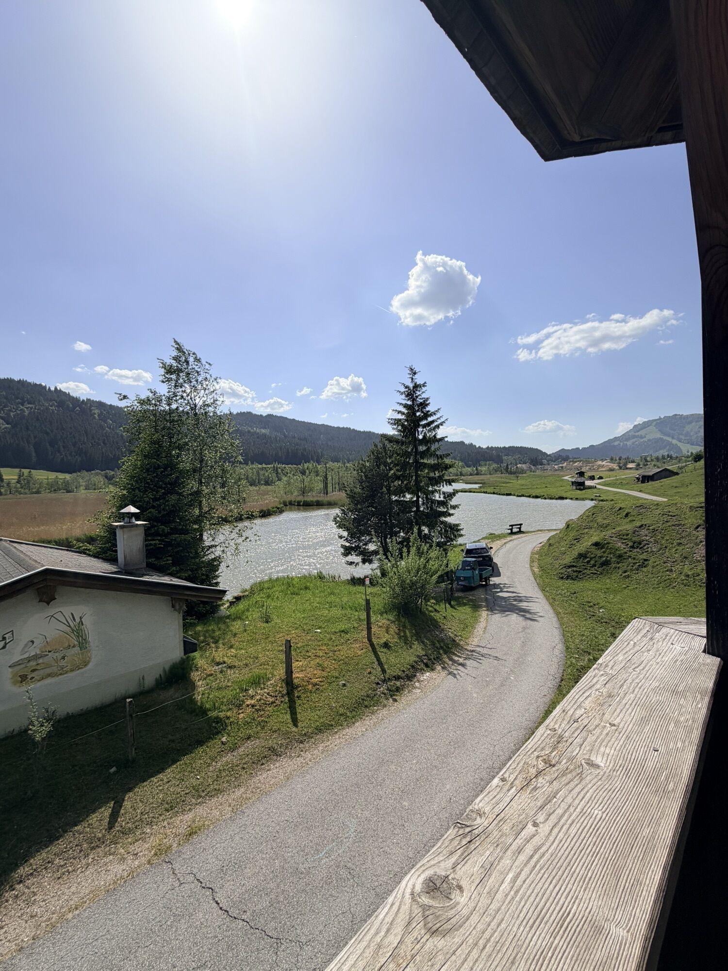
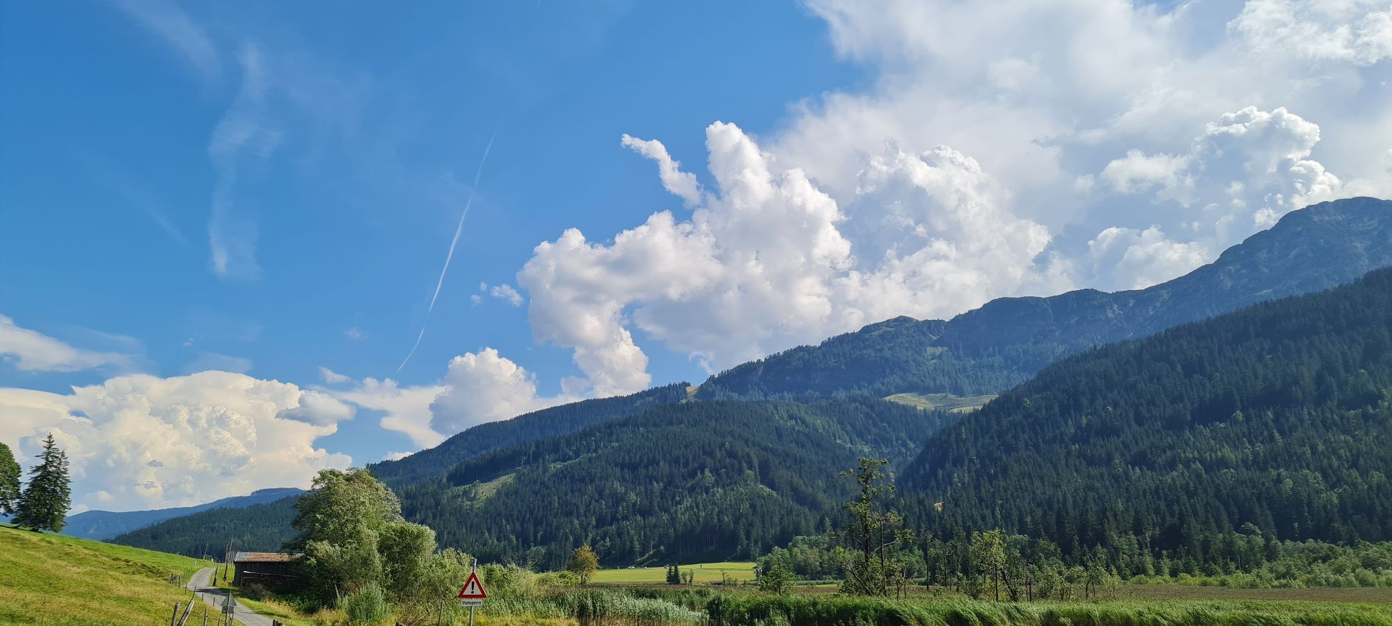
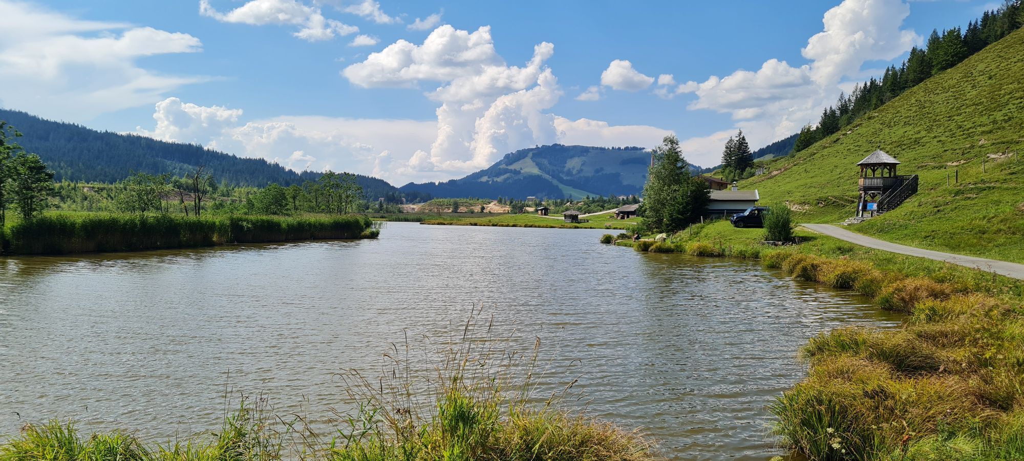
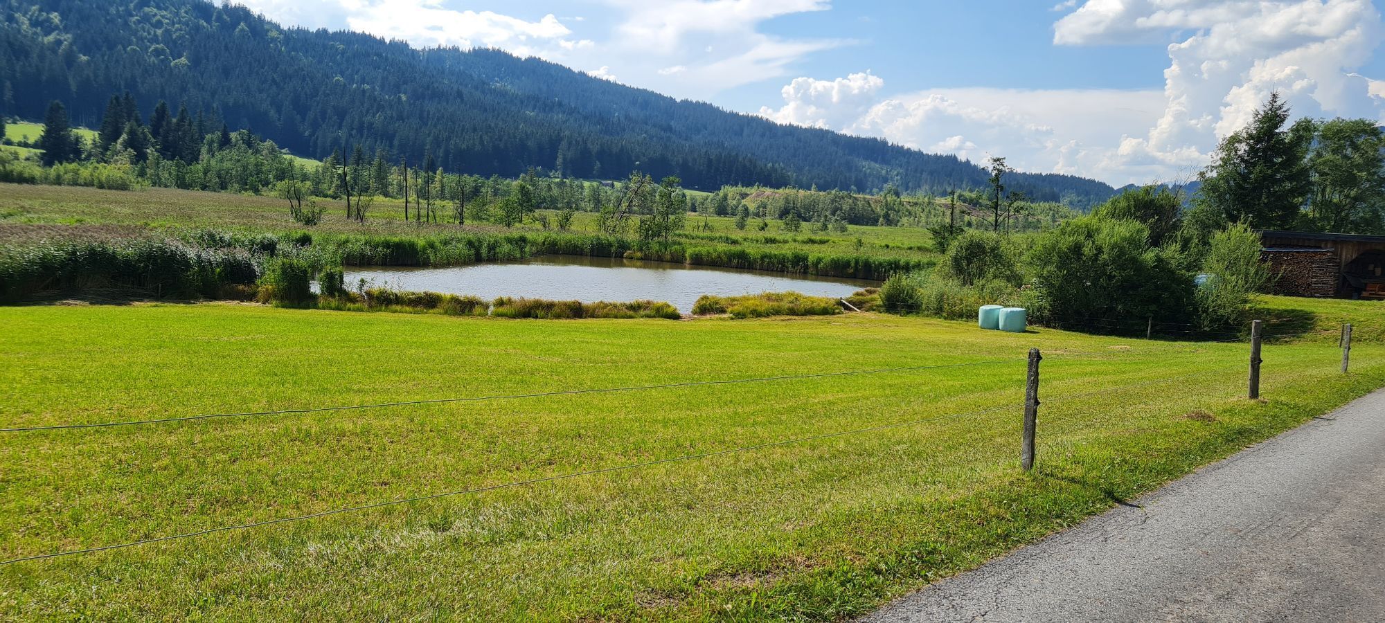

On the cycle path, it is for the most part an easy uphill journey to Hochfilzen. There is a short section on the main road to cover before you head onto the forest road. The ascent to the Grießner Almen...
On the cycle path, it is for the most part an easy uphill journey to Hochfilzen. There is a short section on the main road to cover before you head onto the forest road. The ascent to the Grießner Almen is a very pleasant climb. After a short descent there is a brief uphill section again. Then follows a longer descent to Feistenau. Enjoy great panoramic views of the surrounding mountain ranges – Wilder Kaiser, Leoganger Steinberge and the Kitzbüheler Horn. Having arrived in Hochfilzen, we then head back to Leogang.

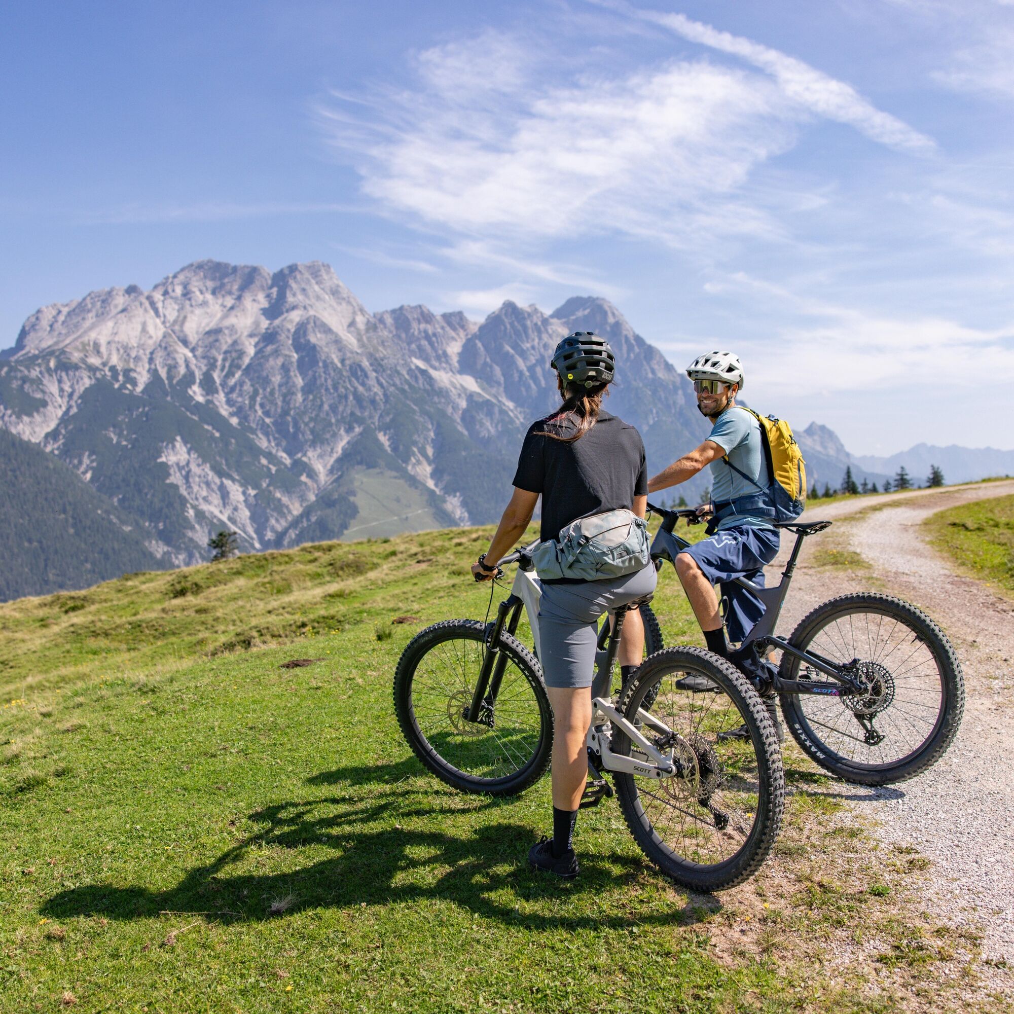
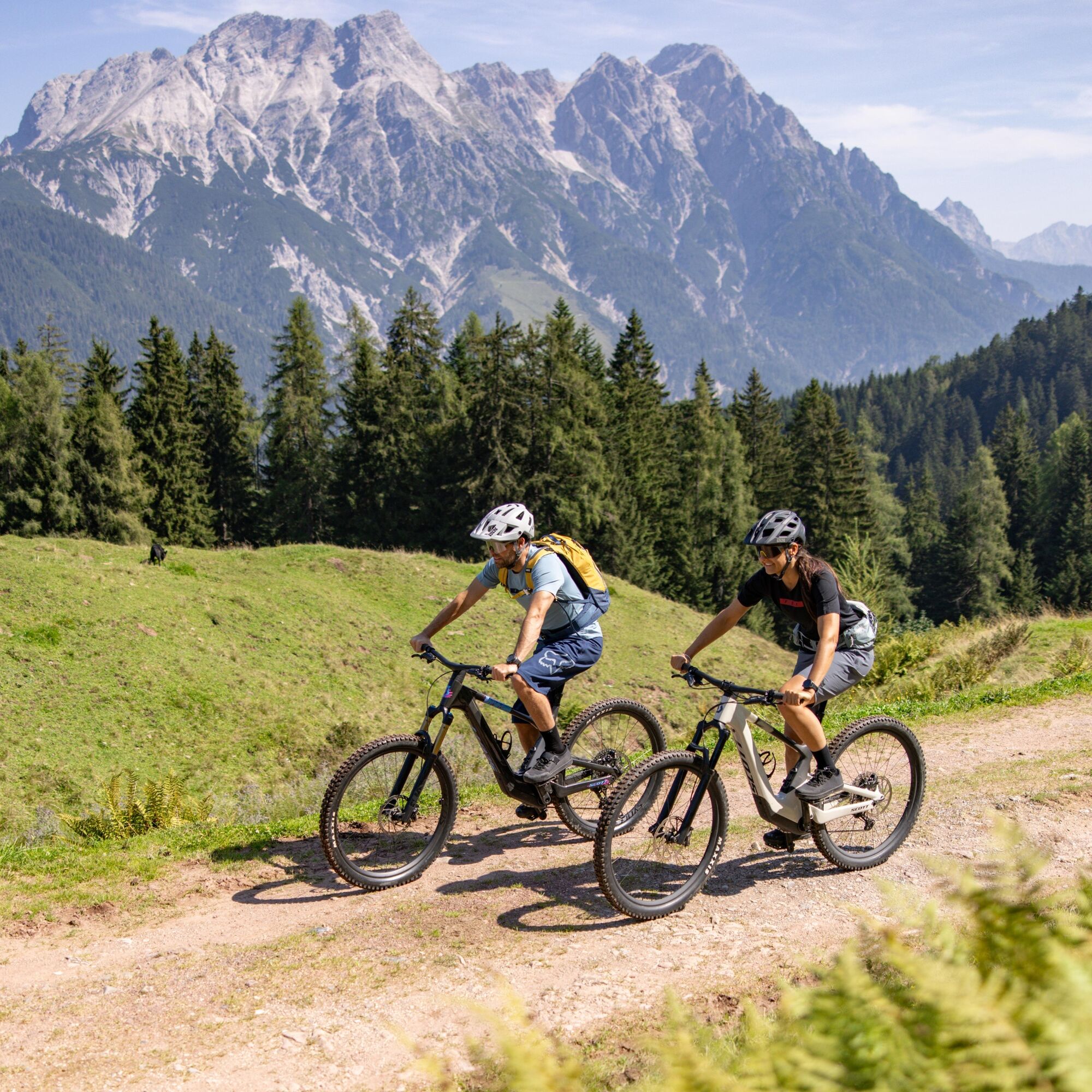
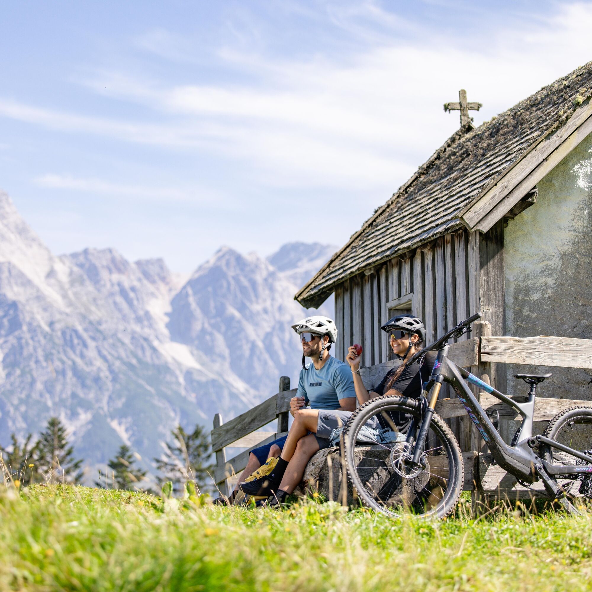
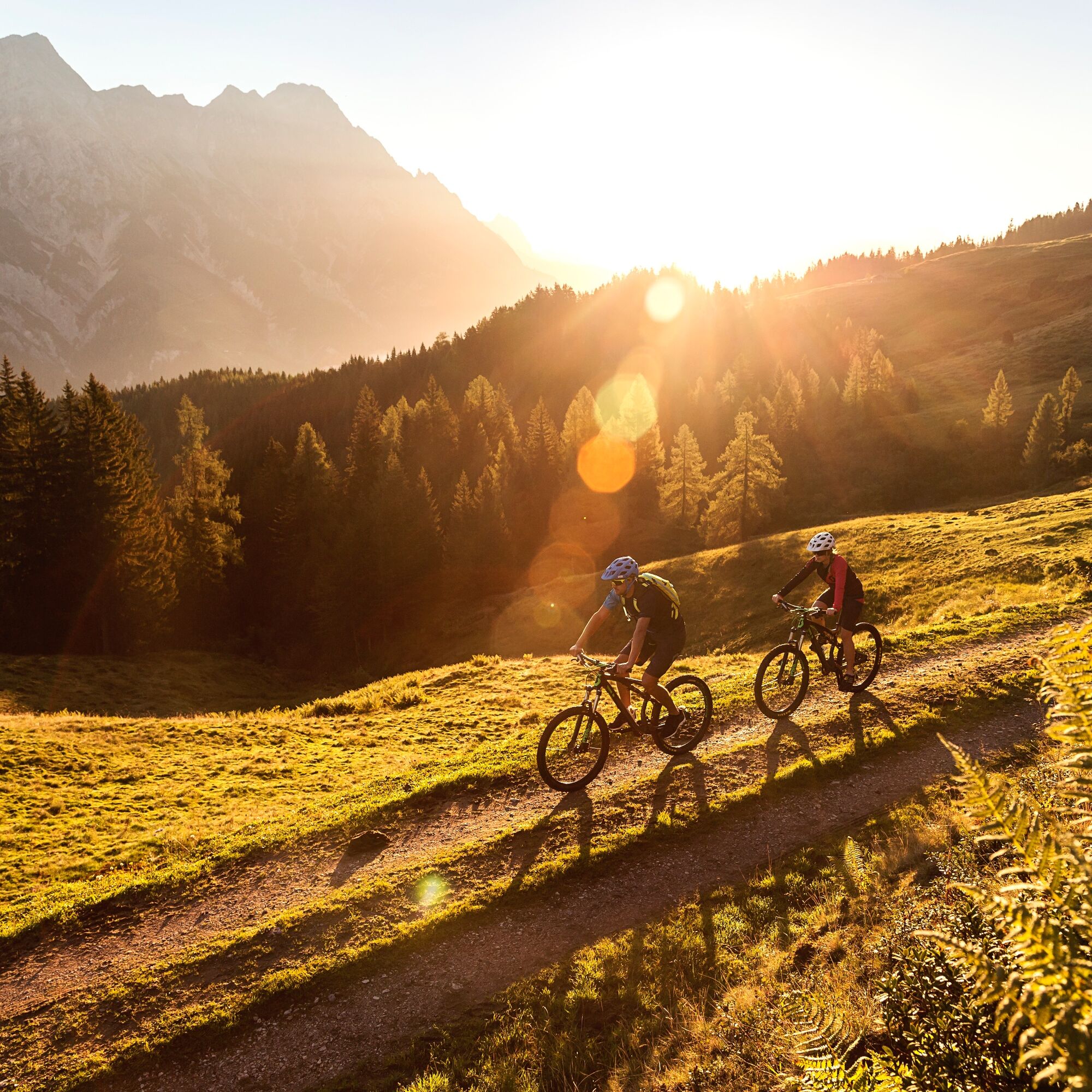

On the cycle path, it is for the most part an easy uphill journey to Hochfilzen. There is a short section on the main road to cover before you head into the terrain. The ascent to the Grießner Almen features a very pleasant climb. After a short descent there is a brief uphill section again. Then follows a longer descent to Feistenau. The panoramic view of this tour imparts all the facets of the mountains in the Alps - Wilder Kaiser, Leoganger Steinberge and the Kitzbüheler Horn. Having arrived in Hochfilzen, we then head back to Leogang.
Take the train and start to enjoy your vacation as soon as you leave home. Relax and enjoy the view as you travel to Saalfelden Leogang with no traffic to slow you down. Visit the website of the Austrian railway (ÖBB) for schedules and tickets to Leogang station: www.oebb.at (route to the starting point approx. 10 minutes)

Spletne kamere s turneje
Asitz Gipfel
Hochfilzen - Ferienwohnungen Schreder
Asitz Talstation
Reckmoos
Fieberbrunn - Buchensteinwand in Tirol
Leogang
Großer Asitz / Gipfelkreuz
Leogang Schanteilift
Saalbach-Hinterglemm - Wildenkarkogel
Fieberbrunn - Lärchfilzkogel
Lärchfilzkogel
Talstation Asitzbahn
Fieberbrunn - Streuböden Bergstation
Pillersee - Jakobskreuz
Talstation Pillersee
Fairhotel Hochfilzen
Pridobite vpogled Vedno v živo na mestu z več kot 9.500 spletnimi kamerami. bergfex Kot uporabnik Pro si lahko zdaj ogledate ustrezne spletne kamere za številne izlete v aplikaciji izleti iz. Tako si lahko neposredno ogledate trenutne razmere. Priljubljeni izleti v okolici
- 4.8
Loferer Steinberge, zum Hinterhorn über die Schmid-Zabierow Hütte, 19.06.22
težkoPohodništvo 14.0 km - 4.1
Passauer Hütte
težkoPohodništvo 4.14 km - 4.4
Birnbachloch
srednjaPohodništvo 6.40 km - 4.5
Birnbachloch Leogang, Österreich
srednjaPohodništvo 5.18 km - 4.0
Maurerkogel (Top)
Pohodništvo 10.5 km - 4.6
Lettlkaser
srednjaPohodništvo 4.40 km - 4.0
Berg der Sinne
svetlobaPohodništvo 4.39 km - 4.5
Seisenberg Gorge
svetlobaPohodništvo 2.41 km - 5.0
Panorama route 3 peaks and 2 lakes
srednjaPohodništvo 7.35 km - 5.0
Leo’s play hiking trail
svetlobaTematska pot 4.89 km
Pohodništvo in sledenje


Ne zamudite ponudb in navdiha za naslednje počitnice
Vaš e-poštni naslov je bil dodan na poštni seznam.





