


TG26 Gaissau-Hintersee CURRENTLY CLOSED DUE TO LOGGING WORKS
Fotografije naših uporabnikov
-
 © Heinz SperlUstvarjeno na 27.08.2025
 -
 © Birgit Pinwinkler-AndorferUstvarjeno na 22.06.2025
 -
 © Birgit Pinwinkler-AndorferUstvarjeno na 22.06.2025
 -
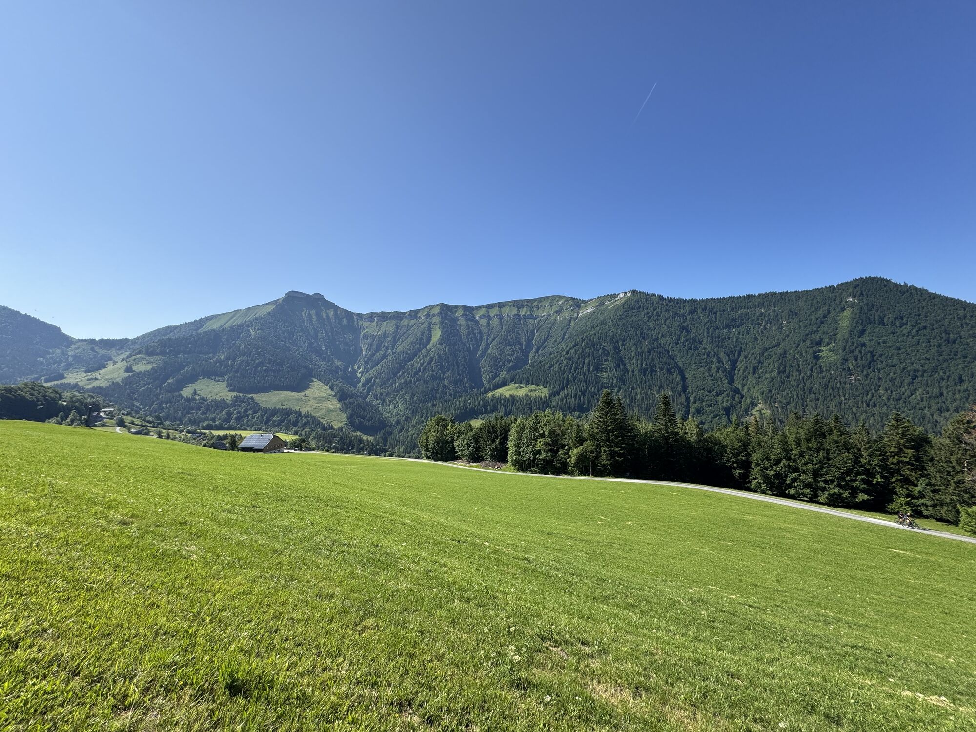
 © Heinz SperlUstvarjeno na 12.06.2025
 -
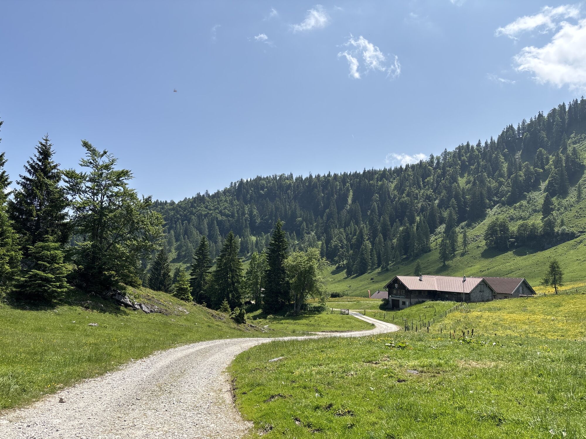
 © Heinz SperlUstvarjeno na 12.06.2025
 -
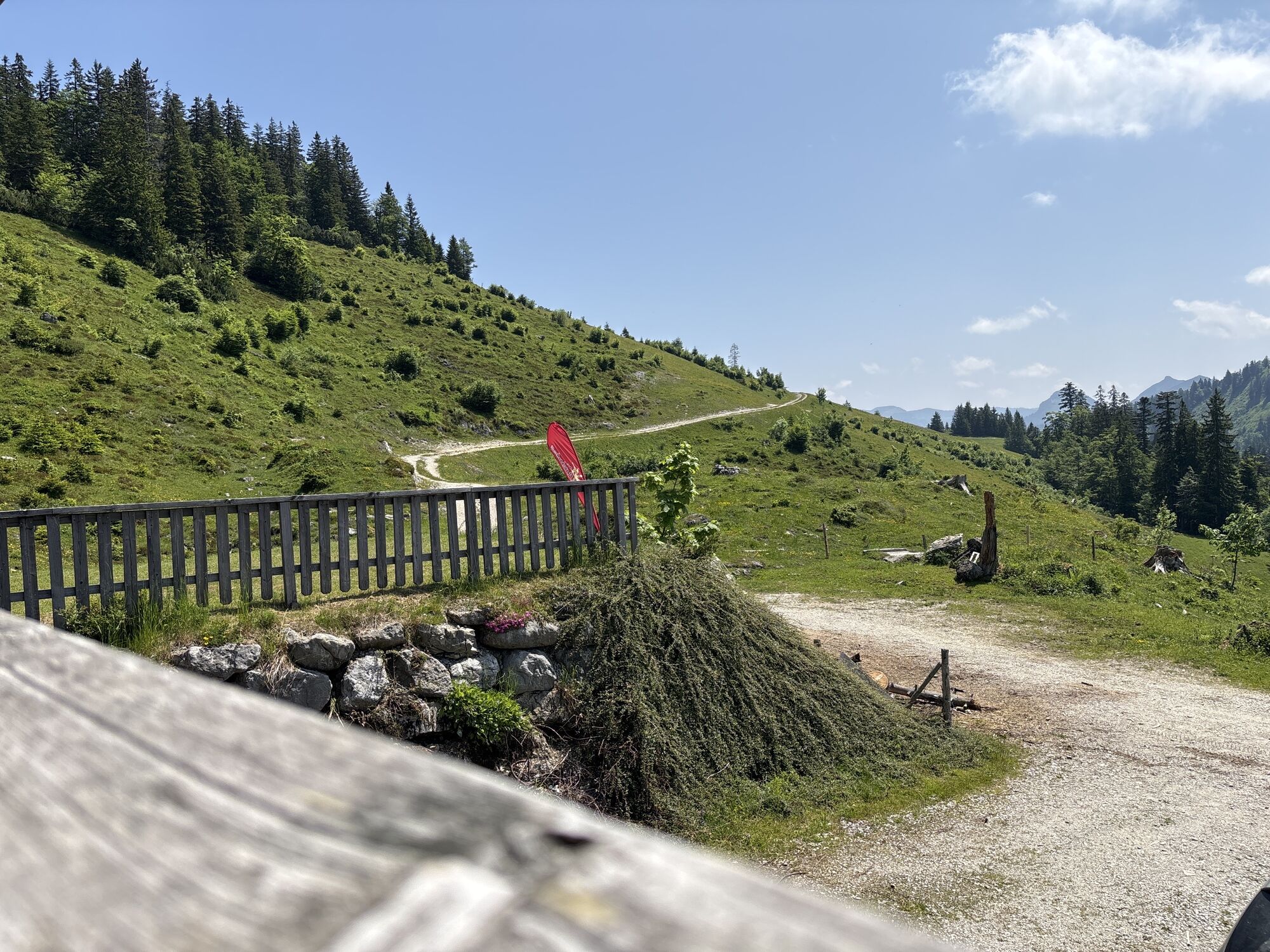
 © Heinz SperlUstvarjeno na 12.06.2025
 -
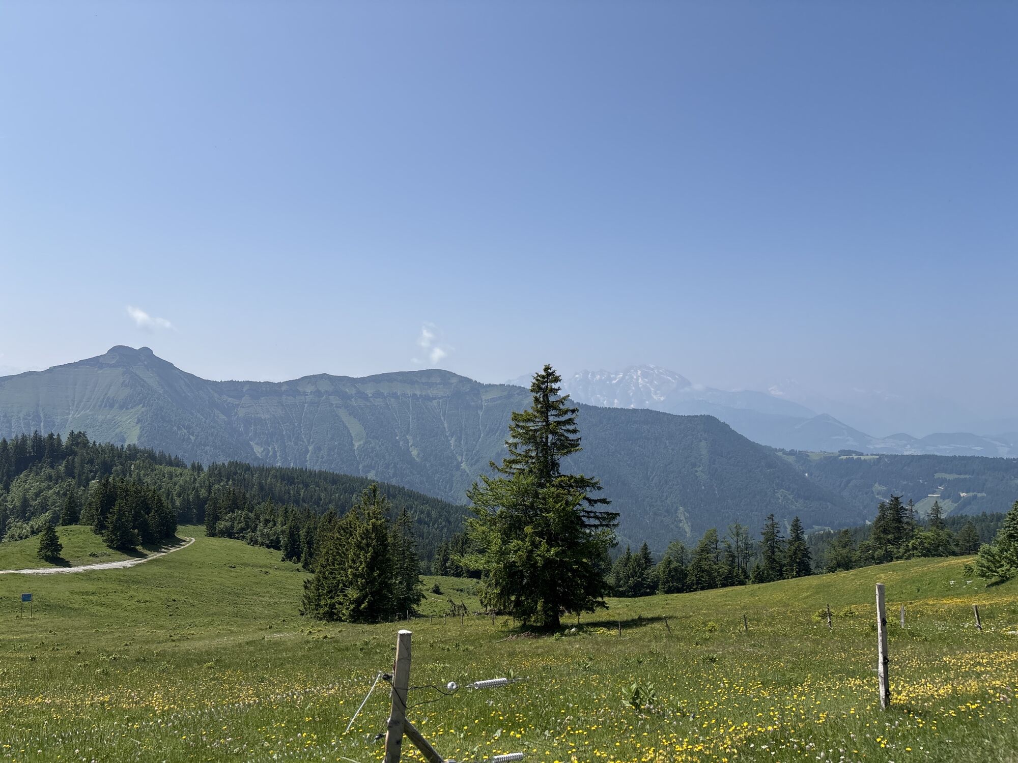
 © Heinz SperlUstvarjeno na 12.06.2025
 -
 © Heinz SperlUstvarjeno na 12.06.2025
 -
 © Heinz SperlUstvarjeno na 12.06.2025
 -
 © Heinz SperlUstvarjeno na 26.06.2024
 -
 © Heinz SperlUstvarjeno na 26.06.2024
 -
 © Heinz SperlUstvarjeno na 26.06.2024
 -
 © Heinz SperlUstvarjeno na 26.06.2024
 -
 © Heinz SperlUstvarjeno na 29.06.2023
 -
 © Heinz SperlUstvarjeno na 29.06.2023
 -
 © Heinz SperlUstvarjeno na 29.06.2023
 -
 © Heinz SperlUstvarjeno na 29.06.2023
 -
 © Nina WolfUstvarjeno na 06.10.2024
 -
 © Jürgen ClementUstvarjeno na 01.05.2024
 -
 © Jürgen ClementUstvarjeno na 01.05.2024
 -
 © Eveline ZechaUstvarjeno na 08.02.2026
 -
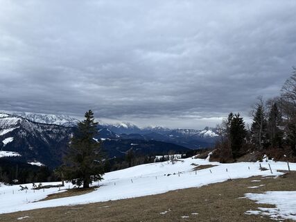
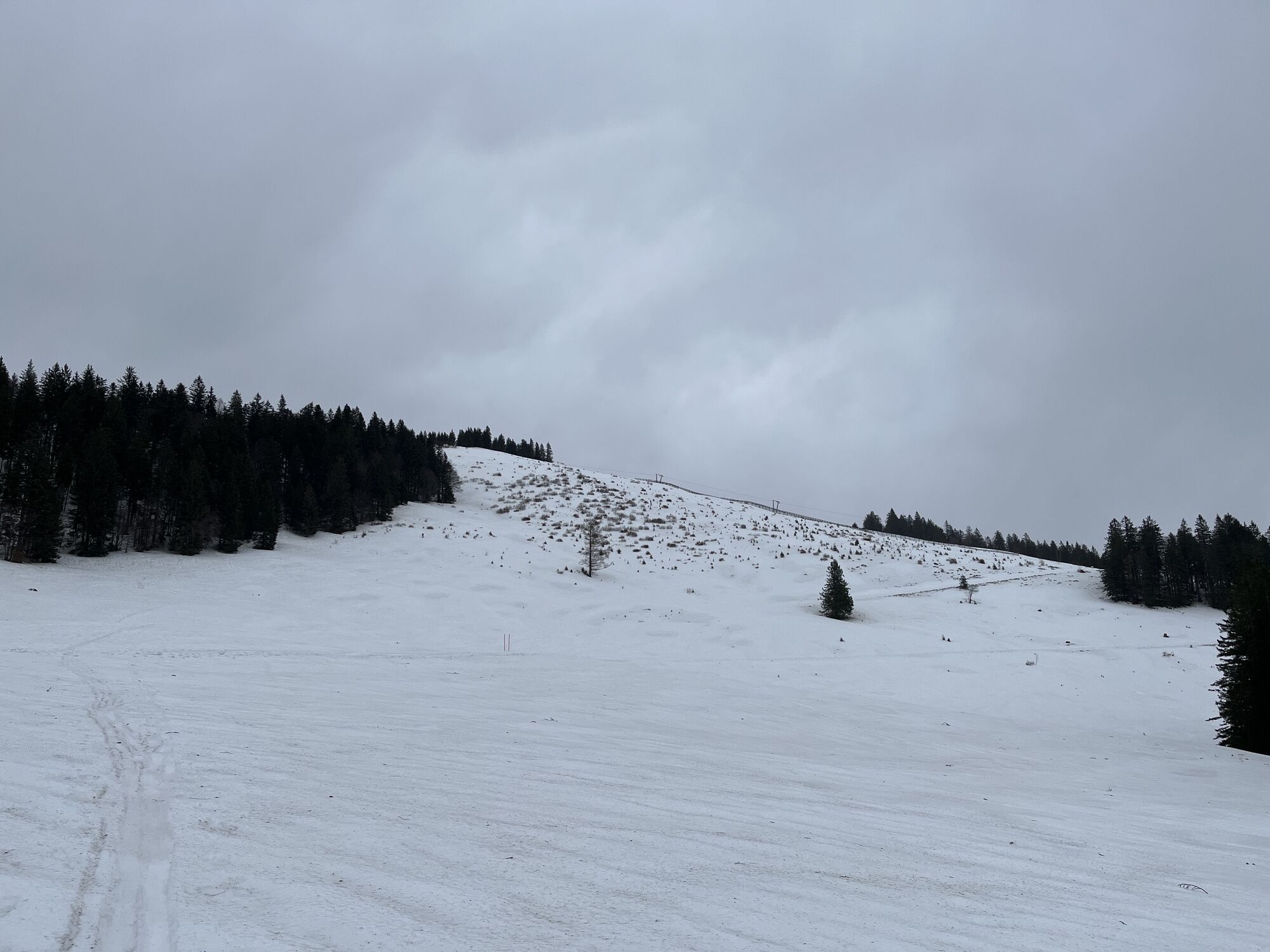
 © Heinz SperlUstvarjeno na 18.01.2026
 -
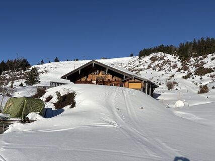
 © Heinz SperlUstvarjeno na 02.12.2025
 -
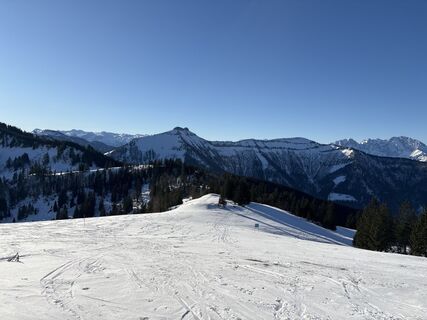
 © Heinz SperlUstvarjeno na 02.12.2025
 -
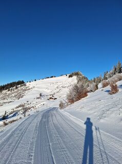
 © Heinz SperlUstvarjeno na 14.11.2025
 -
 © Sven KrieblinUstvarjeno na 31.08.2025
 -
 © Heinz SperlUstvarjeno na 01.02.2025
 -
 © Heinz SperlUstvarjeno na 26.01.2025
 -
 © Heinz SperlUstvarjeno na 18.01.2025
 -
 © Heinz SperlUstvarjeno na 18.01.2025
 -
 © Christian PunzUstvarjeno na 16.01.2025
 -
 © Heinz SperlUstvarjeno na 11.01.2025
 -
 © Heinz SperlUstvarjeno na 04.01.2025
 -
 © Karl SattleckerUstvarjeno na 17.10.2024
 -
 © Nina WolfUstvarjeno na 06.10.2024
 -
 © Heinz SperlUstvarjeno na 27.01.2024
 -
 © Heinz SperlUstvarjeno na 11.01.2024
 -
 © Heinz SperlUstvarjeno na 24.12.2023


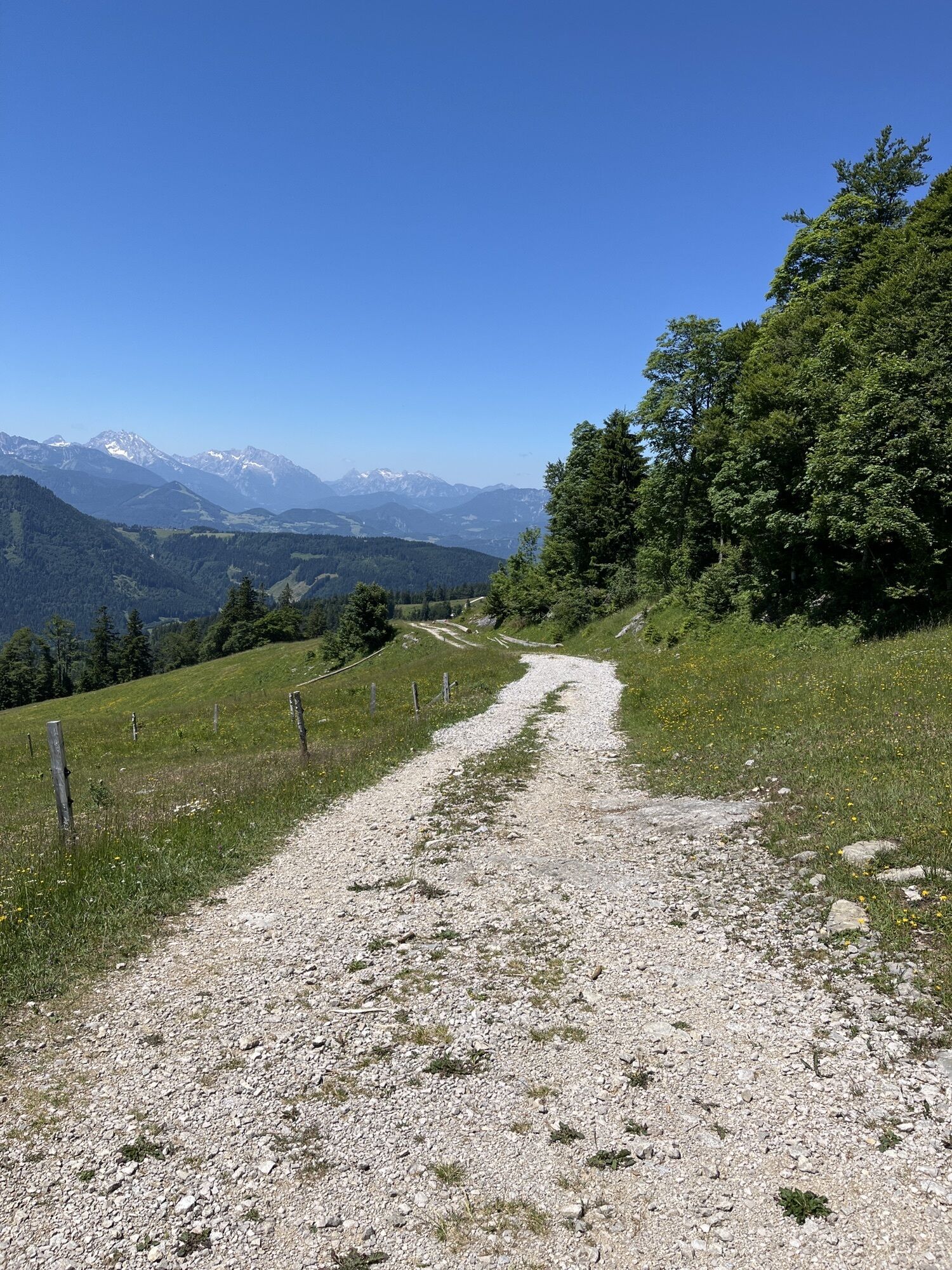


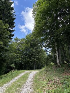
The bike tour starts in the center of Gaißau; the e-car charging station is directly at the parking lot. Along the state road, it goes towards the Doppelsesselbahn parking lot. Then continues on the municipal...
From there, the route can be ridden back over the mountains (about 20 km). Alternatively, an extended route over the Strubklamm, and the Wiestaler and Krispler state roads can be chosen (total distance about 46 km). However, higher traffic volume is to be expected here.

The route can now be ridden back or extended extensively over the Strubklamm, Wiestaler, and Krispler state roads.
Da
Da
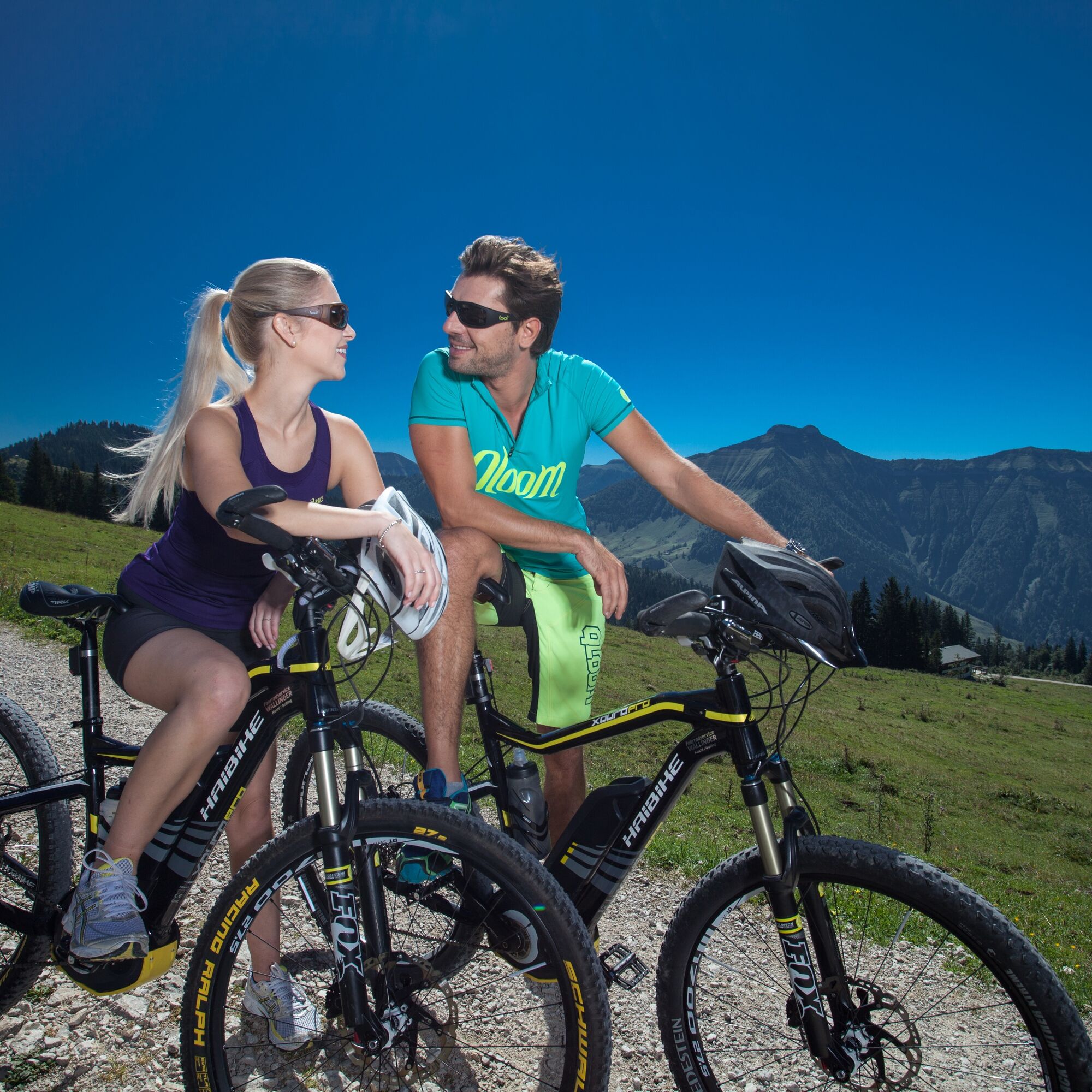
Helmet
Appropriate clothing
Good footwear
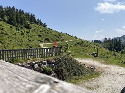
For passing through the barrier gates, only the pasture gates are to be used and closed again.
Only use the approved marked routes.
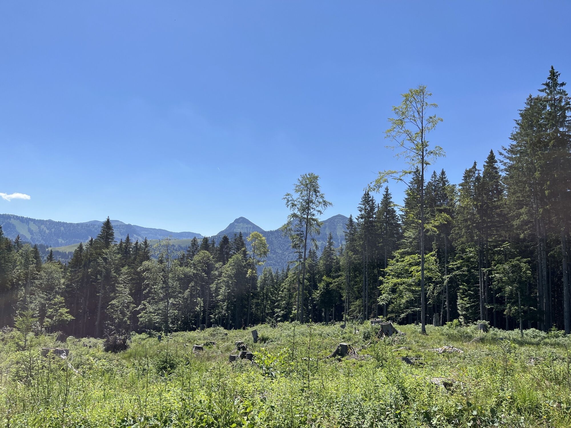
Alpine paths are operational areas and workplaces. Therefore, expect work machines, wood, grazing livestock, or potholes on the road, as well as motor vehicle traffic and electric cattle guards.
Pay special attention to motor vehicles, livestock, and pedestrians.
Always ride with half visibility.
Reduce your speed before unclear or dangerous places. In case of sudden and unexpected obstacles, dismount and push your bike past the obstacle.
Camping, staying overnight after dark, making fires, disturbing grazing animals, or driving on pasture areas is prohibited in the alpine area.
The road traffic regulations apply.
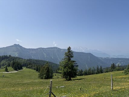
The mountain village of Krispl-Gaißau is about 25 minutes from the Salzburg city border and is quickly and easily accessible by car. The proximity to the city of Salzburg and the short journey from the Flachgau, Upper Austria, and southern Bavaria allow more time for the adventurous bike ride in the mountains.
By train or bus from Salzburg main station to Hallein. From there, continue by bus to Krispl-Gaißau.
At the Gaißau Sagwirt stop, it's just a few steps to the starting point of the Gaißau-Hintersee mountain bike route.
Parking lot directly at the starting point of the route at the public parking in the center of Gaißau.
Charging stations for your e-bike are located at:
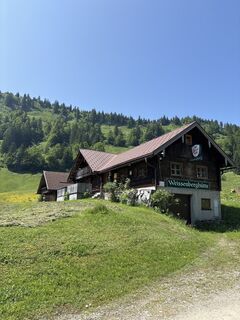
Spielbergalm
Latschenalm
Untereggschlag hut
Das Hintersee
A very special highlight is the "Bike&Hike" route to Wieserhörndl. In just 30-40 minutes on foot, you reach the new summit cross. There, you are rewarded with a breathtaking view far beyond the city of Salzburg all the way to neighboring Bavaria.
Priljubljeni izleti v okolici
-
4.7
Schwarzer Berg / Golling
srednjaPohodništvo 2.54 km -
4.8
Fuschl: Ruine Wartenfels - Schober - Frauenkopf
srednjaPohodništvo 7.62 km -
4.2
Fuschlseewanderung
svetlobaPohodništvo 11 km -
4.1
Pillstein Panorama Rundweg
svetlobaPohodništvo 3.40 km -
4.9
Pleasure hike over the Falkenstein
srednjaPohodništvo 9.81 km -
4.4
From Koppl to the Gaisberg summit
srednjaPohodništvo 9.86 km -
4.9
Schwarzeneckalm-Bleckwand
svetlobaPohodništvo 5.94 km -
4.8
Schober -Aussichtsplattform mit Seensicht
težkoPohodništvo 2.65 km -
4.8
Schlenken and Schmittenstein hike
težkoPohodništvo 10.9 km -
4.8
Gennerhorn über Lämmerbach
srednjaPohodništvo 10.2 km
Pohodništvo in sledenje


Ne zamudite ponudb in navdiha za naslednje počitnice
Vaš e-poštni naslov je bil dodan na poštni seznam.