







Weather Cross Trail Tour
Stopnja težavnosti: S4
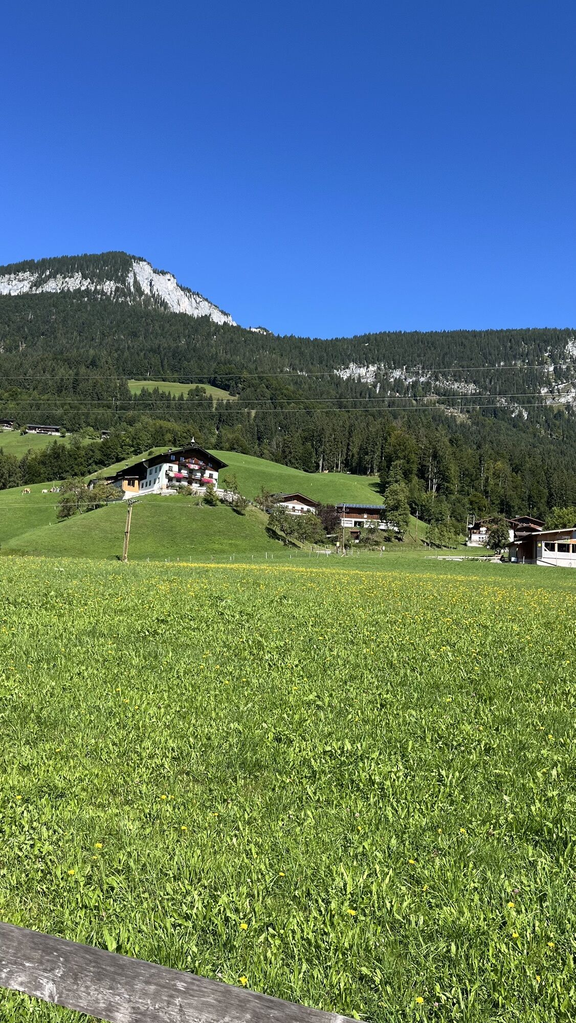
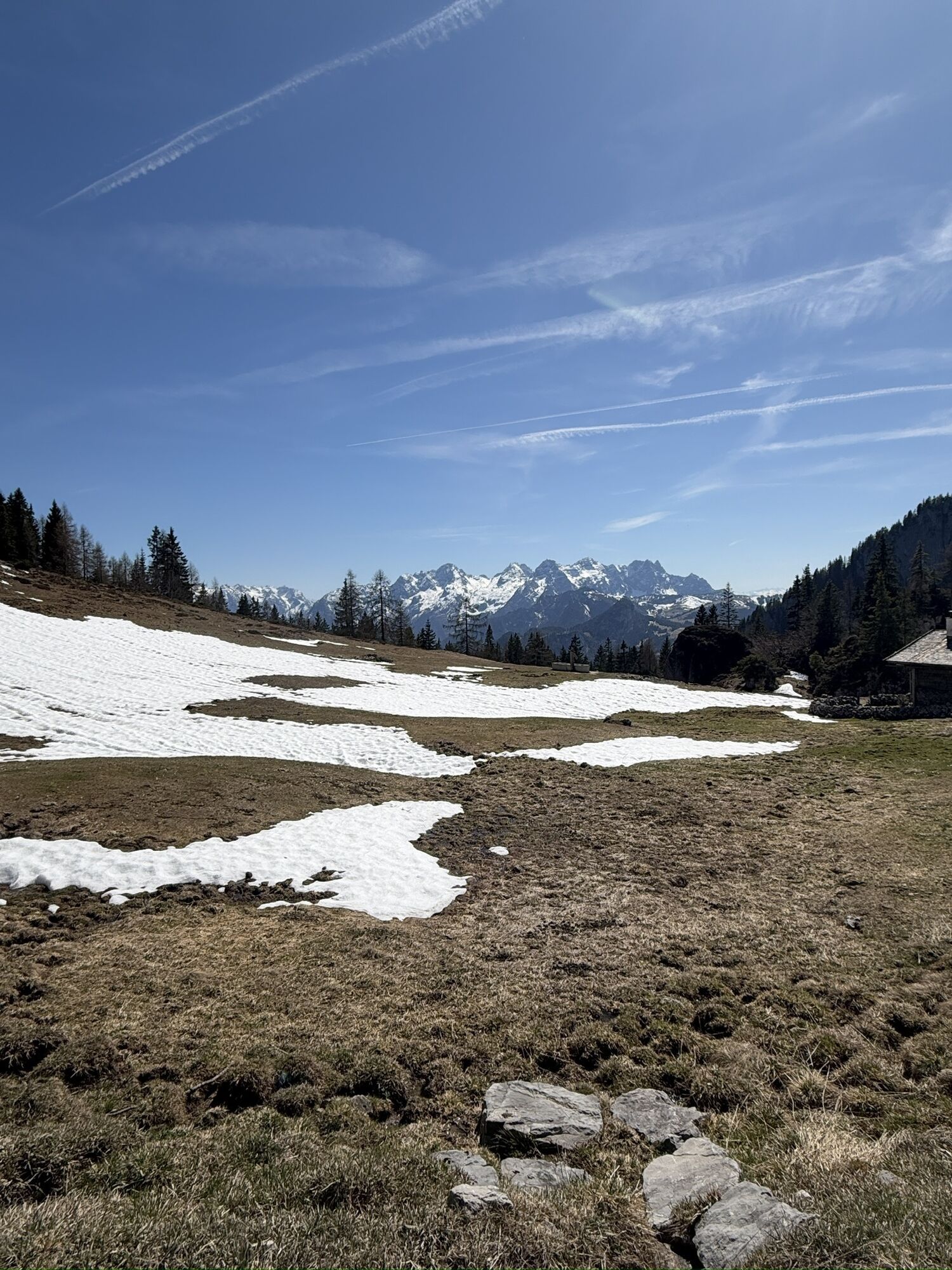
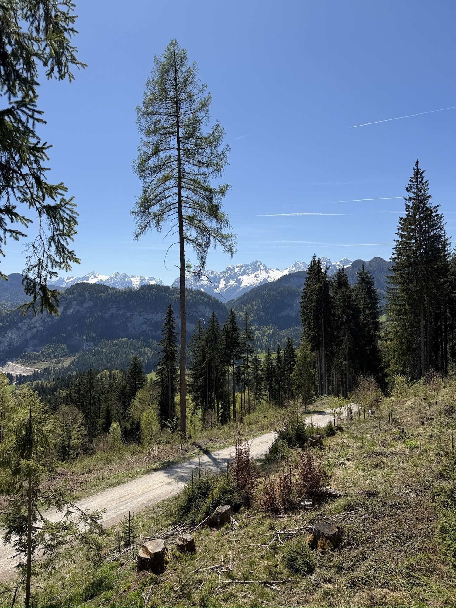
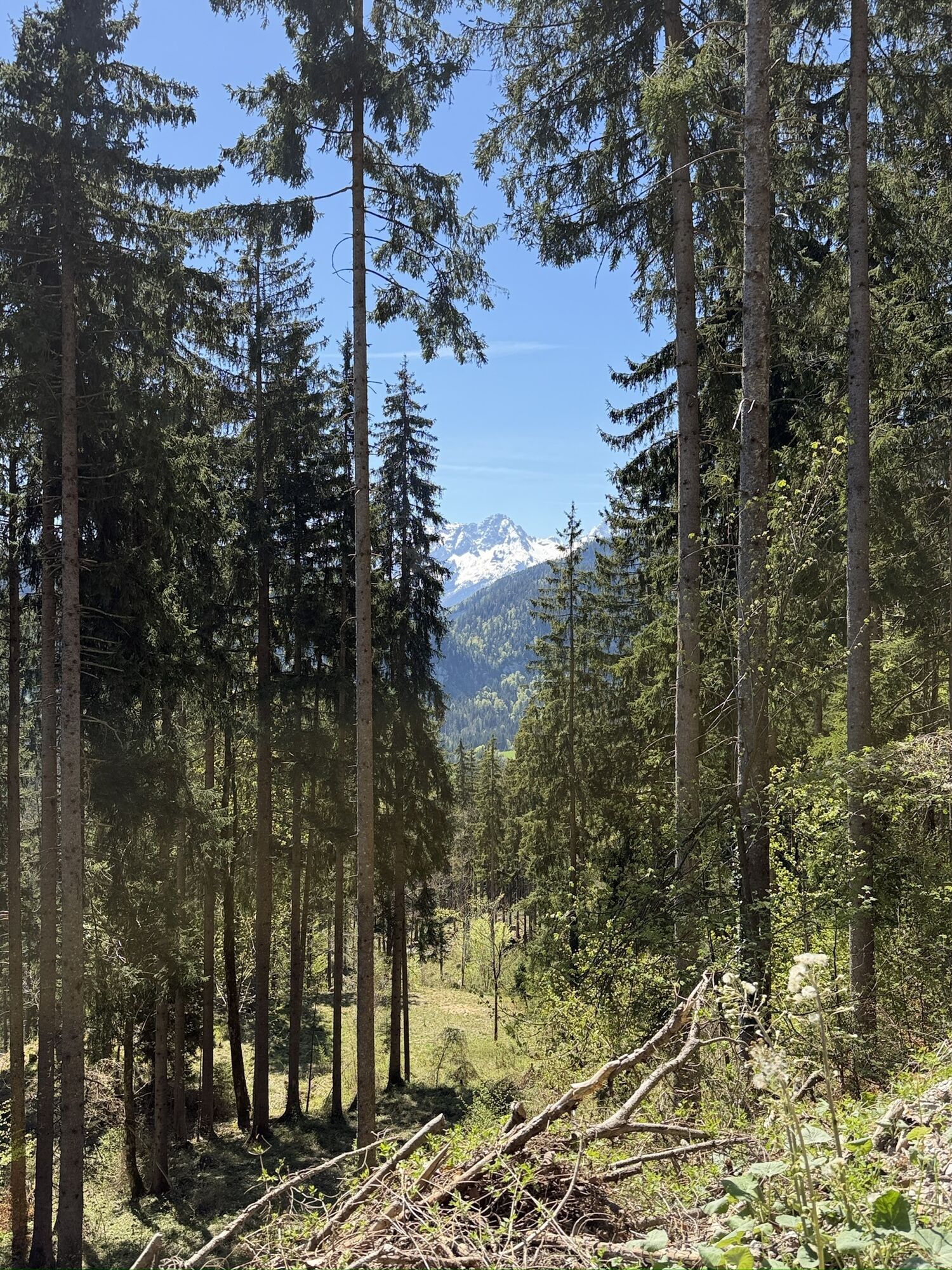
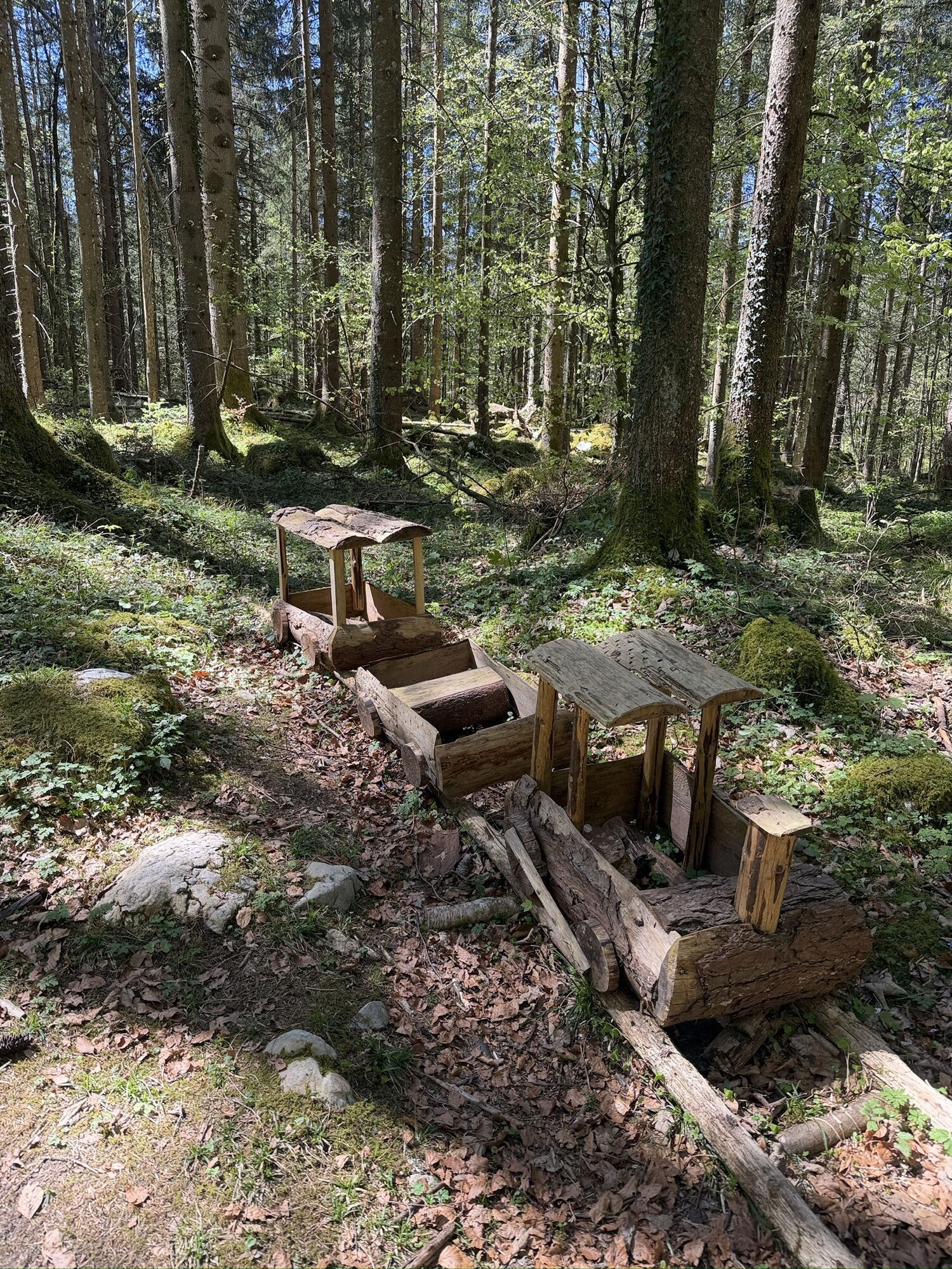
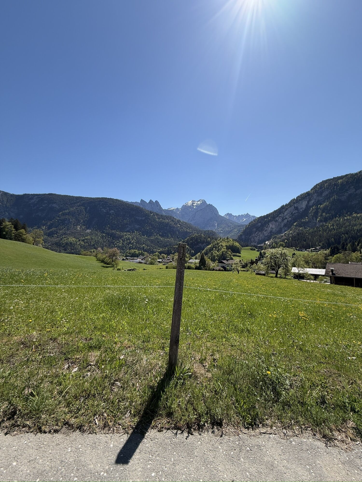
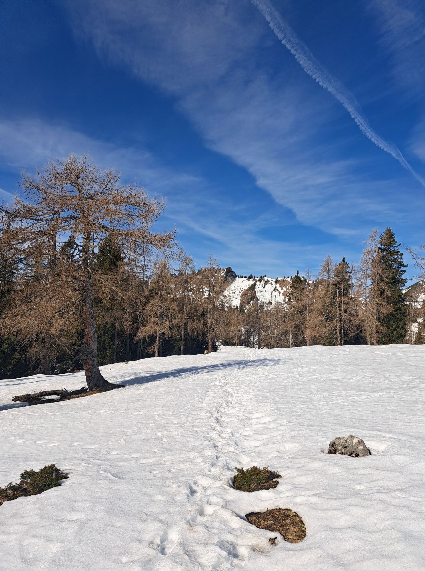
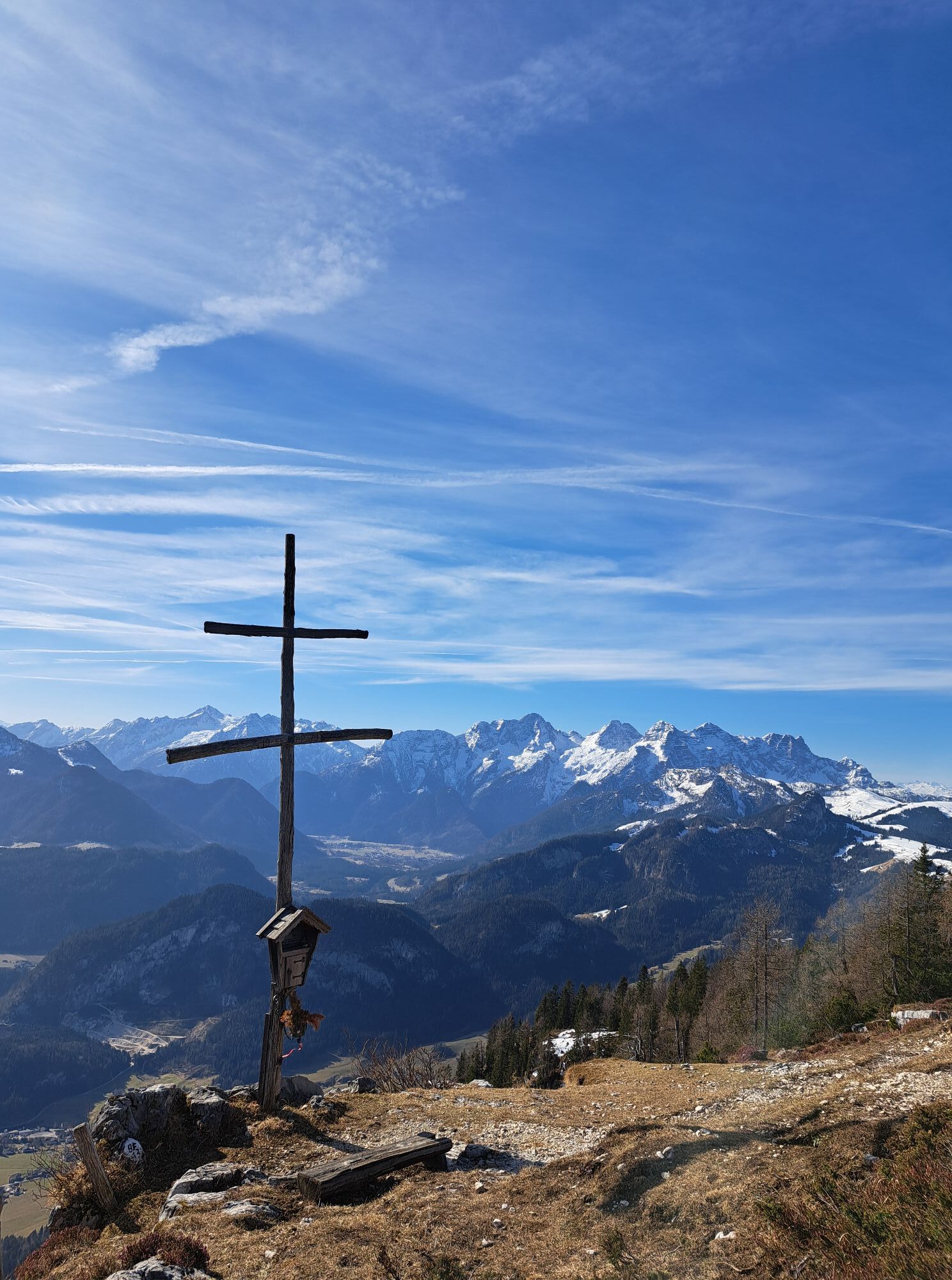
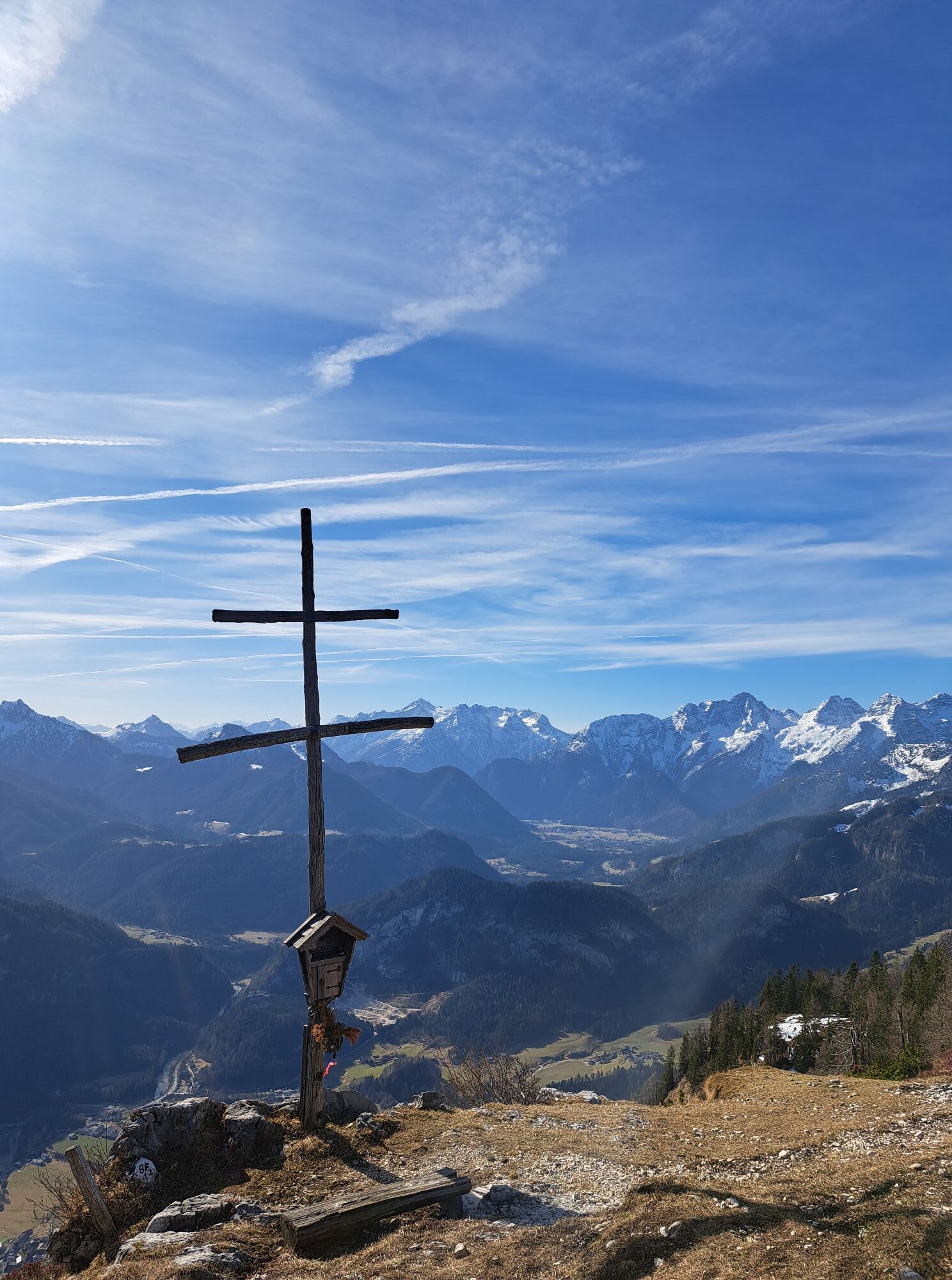
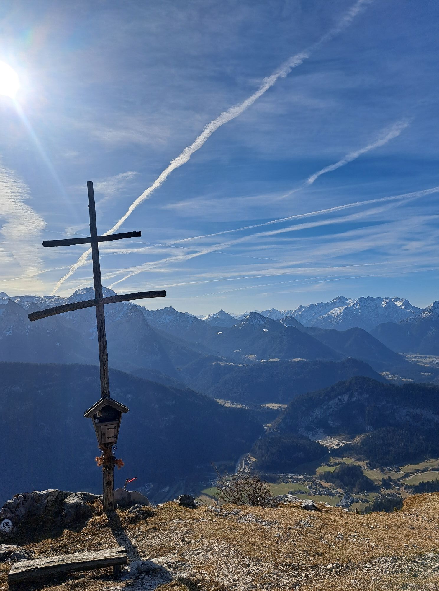
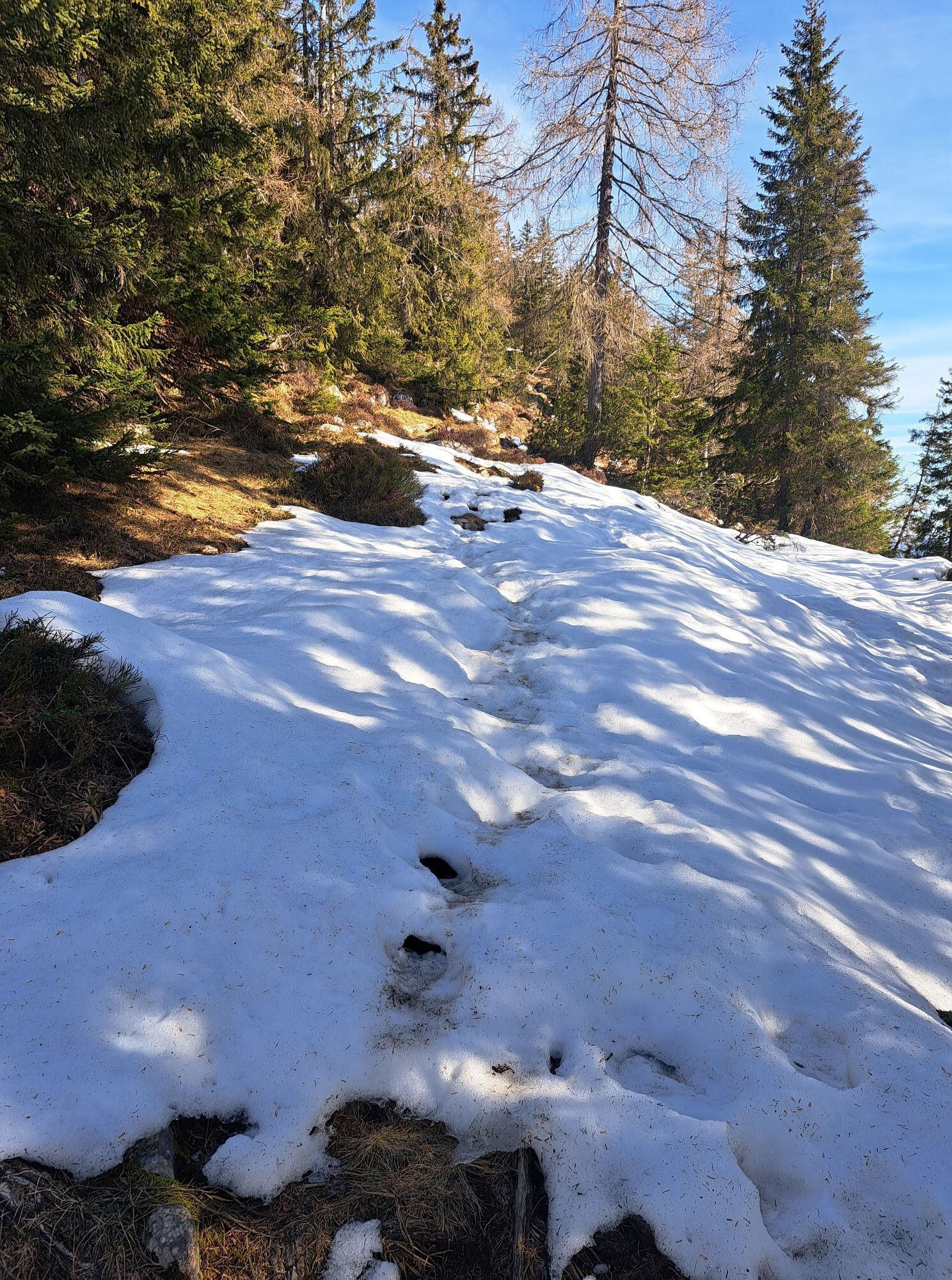
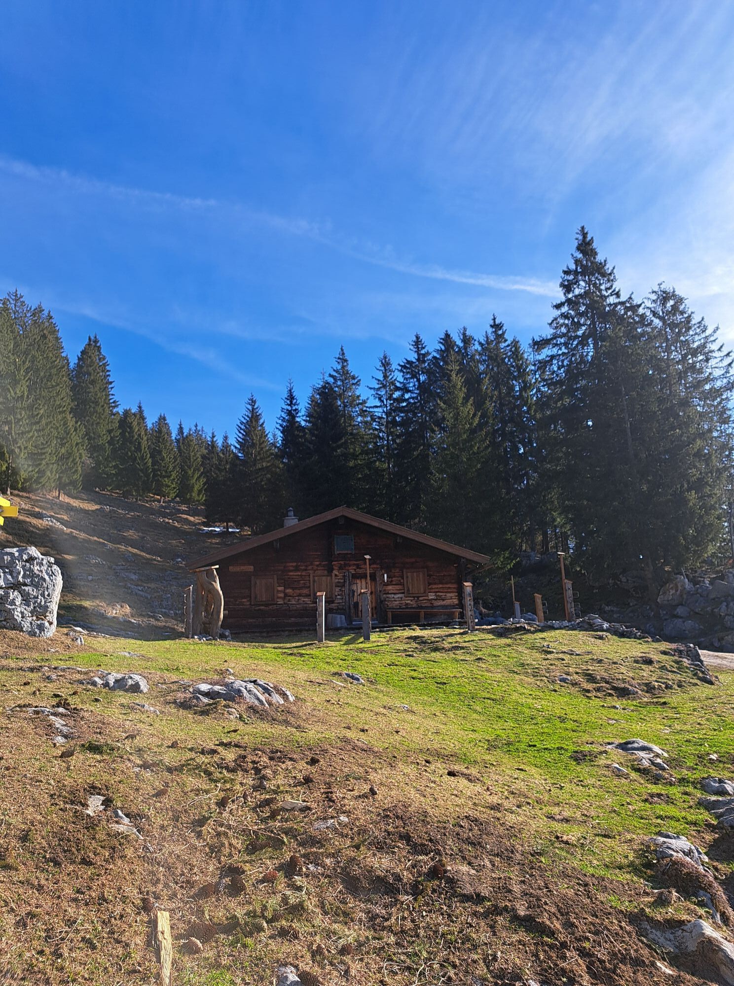
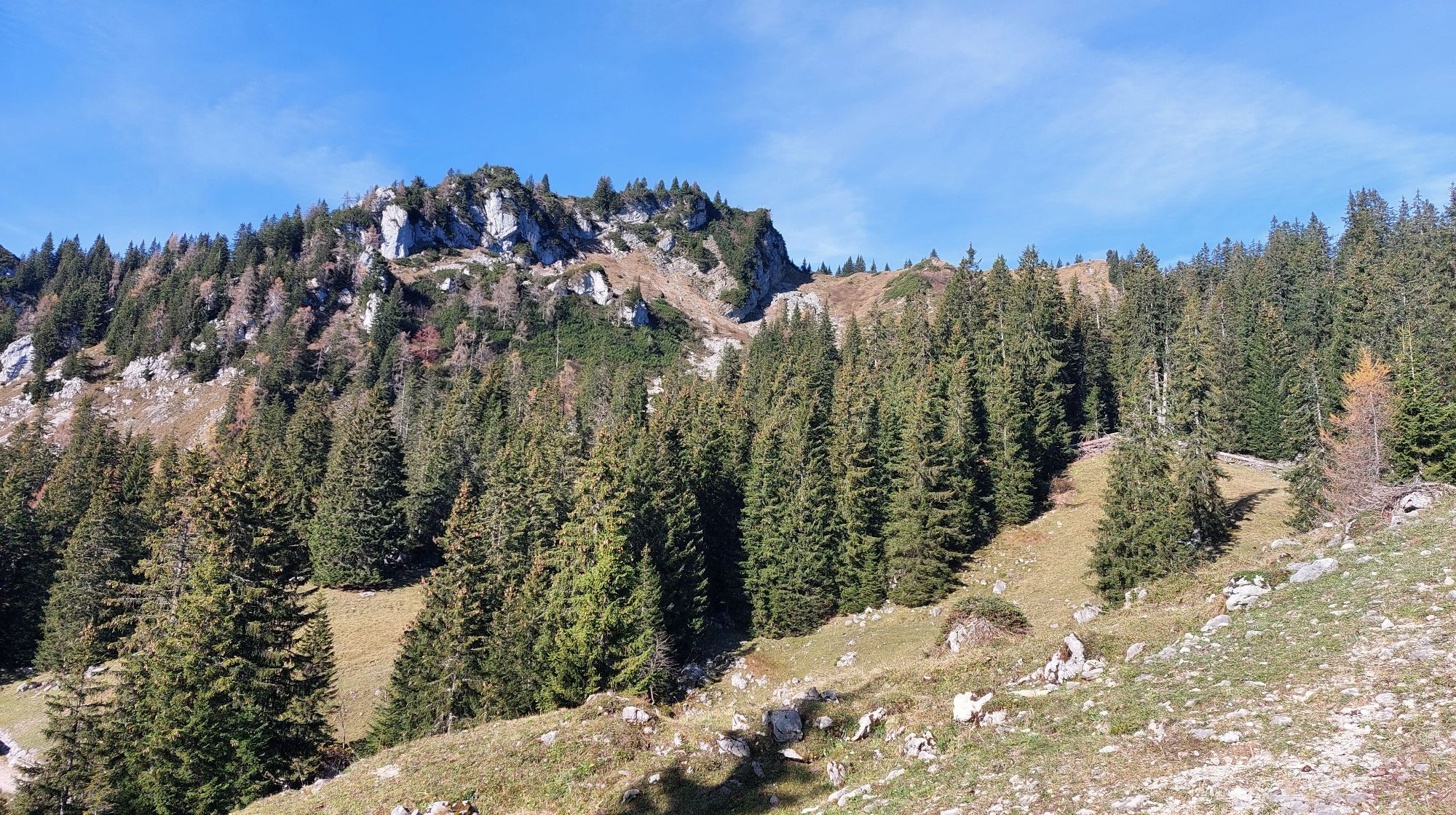
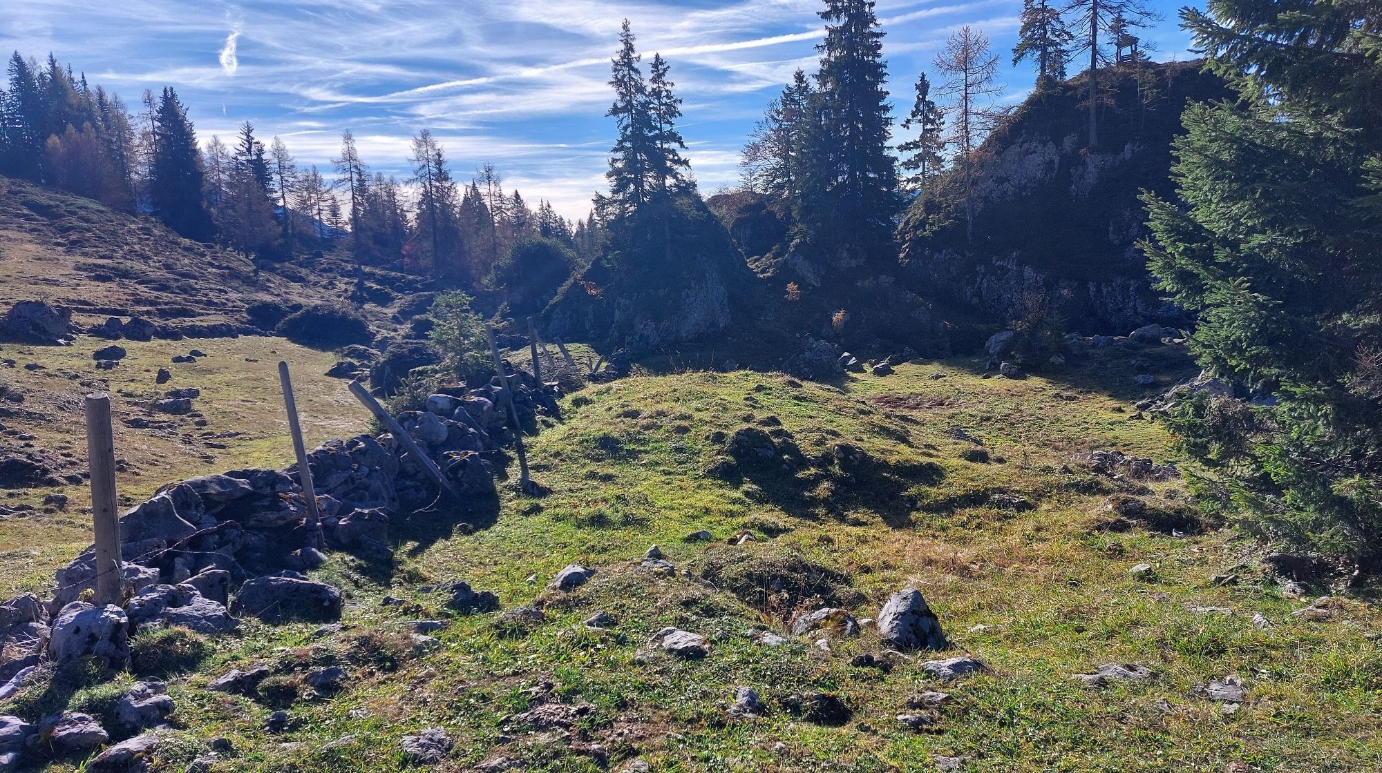
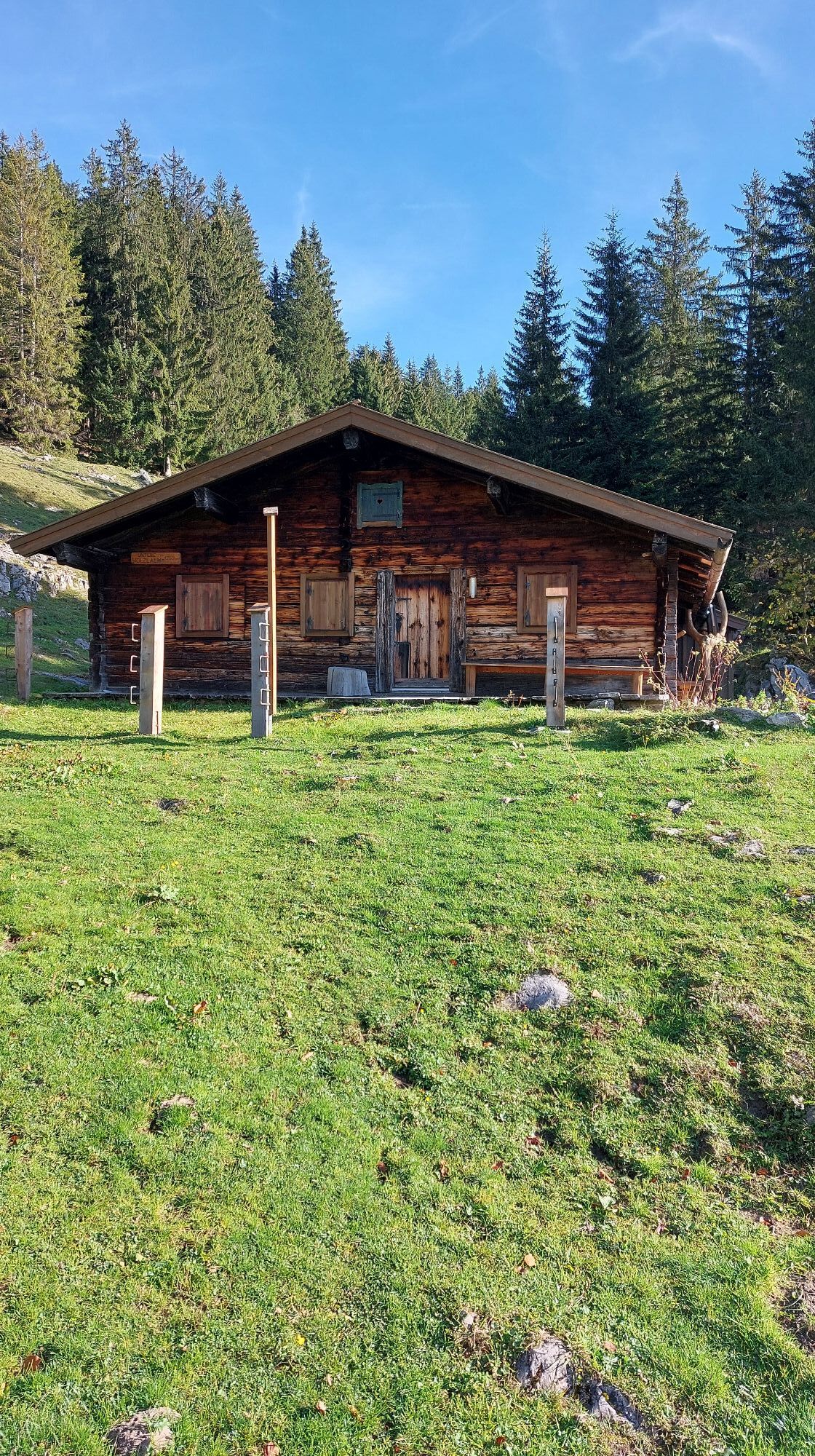
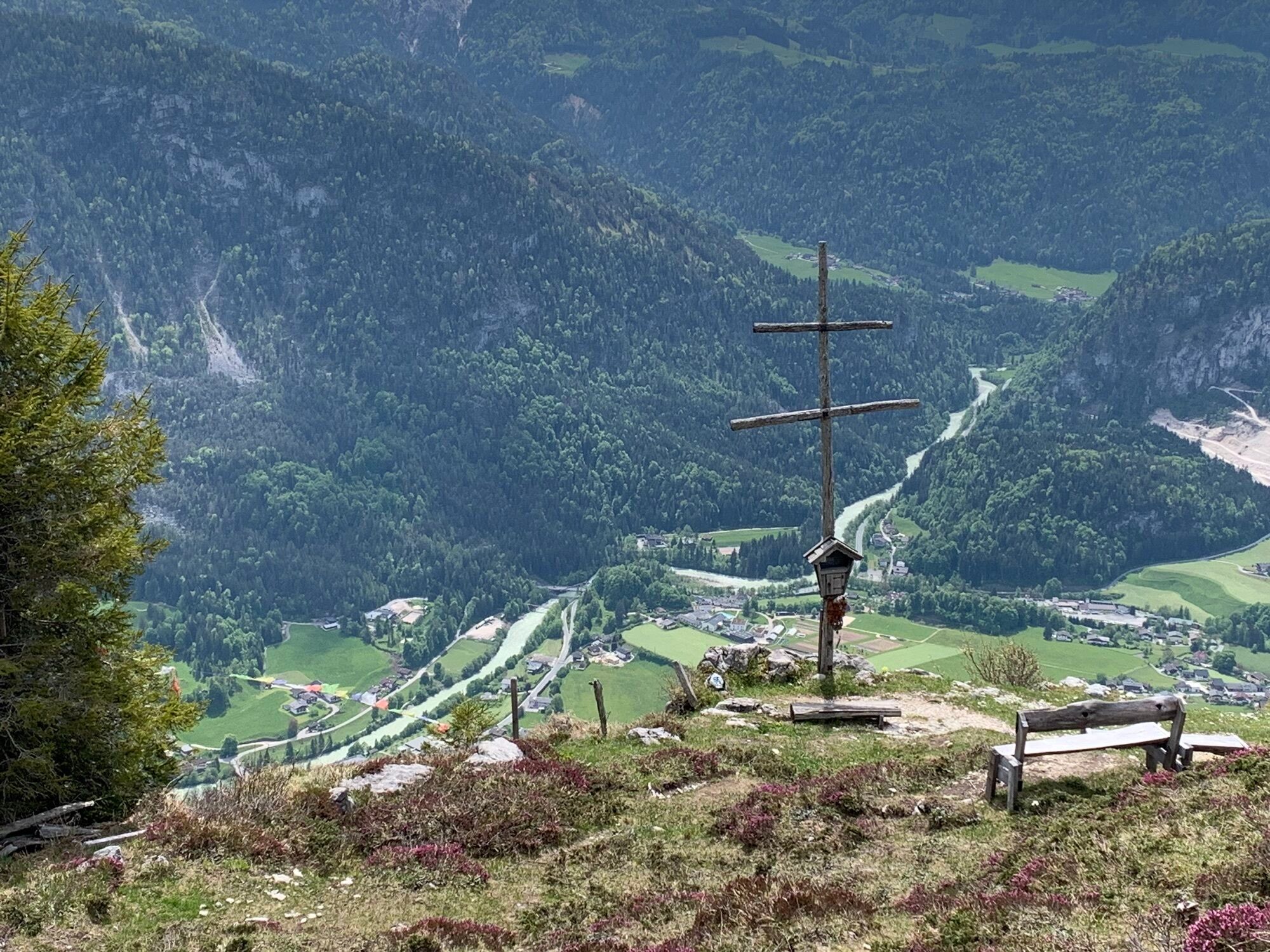
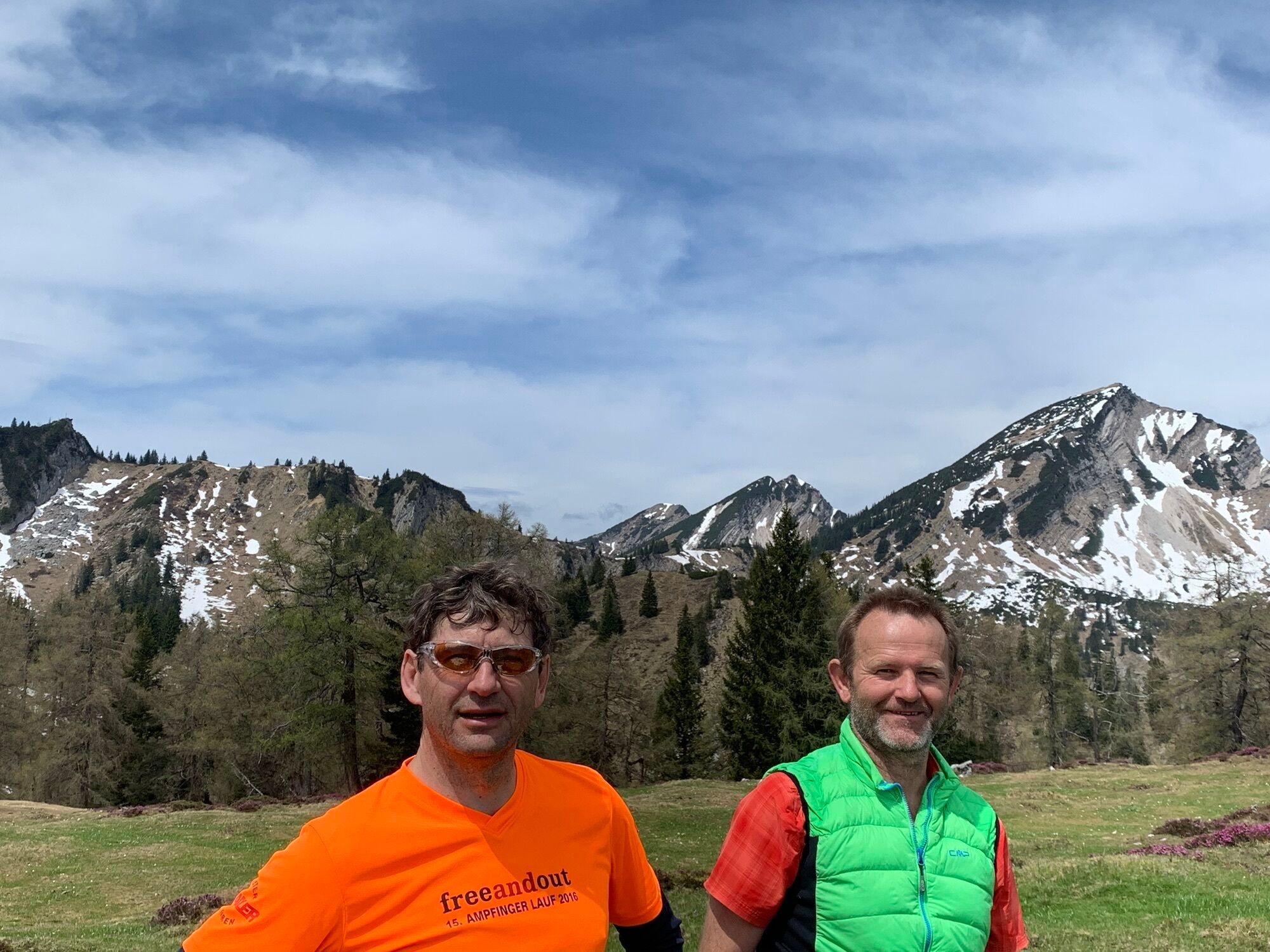

From Unken along the village road and then the forest road uphill to the Wetterkreuz. Descend via the crisp Wetterkreuz trail in Salzburg's Saalachtal valley. This runs along an old alpine path with a...
From Unken along the village road and then the forest road uphill to the Wetterkreuz. Descend via the crisp Wetterkreuz trail in Salzburg's Saalachtal valley. This runs along an old alpine path with a unique view of the Reither and Loferer Steinberge mountains. The trail descends for almost two kilometres over roots and stones, with small technical challenges to master. Thanks to a "fair play" solution, bikers and hikers alike can enjoy the new trail.
The last part of the descent leads back along the same path as uphill.
Tour no. SASA23 in the bike map Salzburger Saalachtal

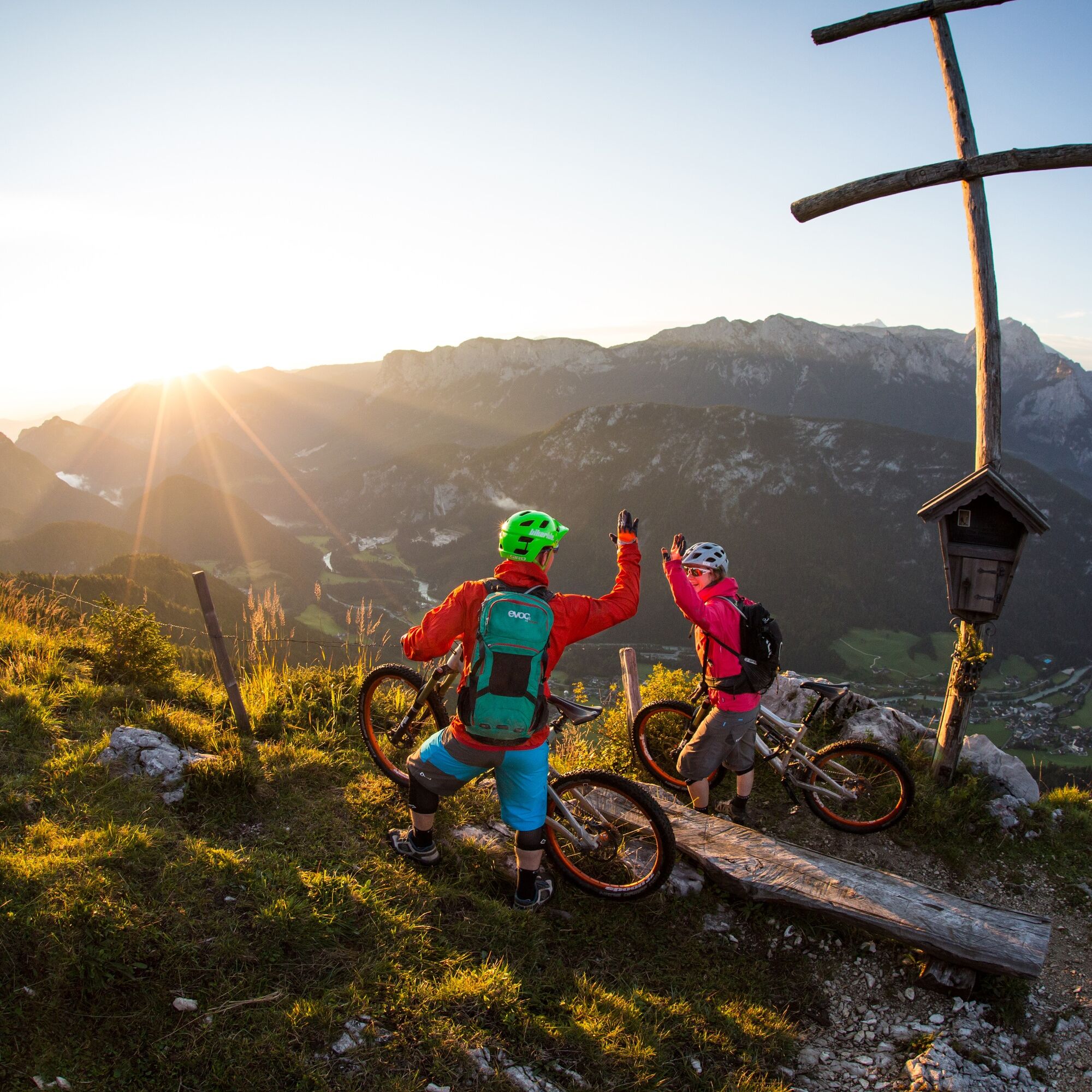
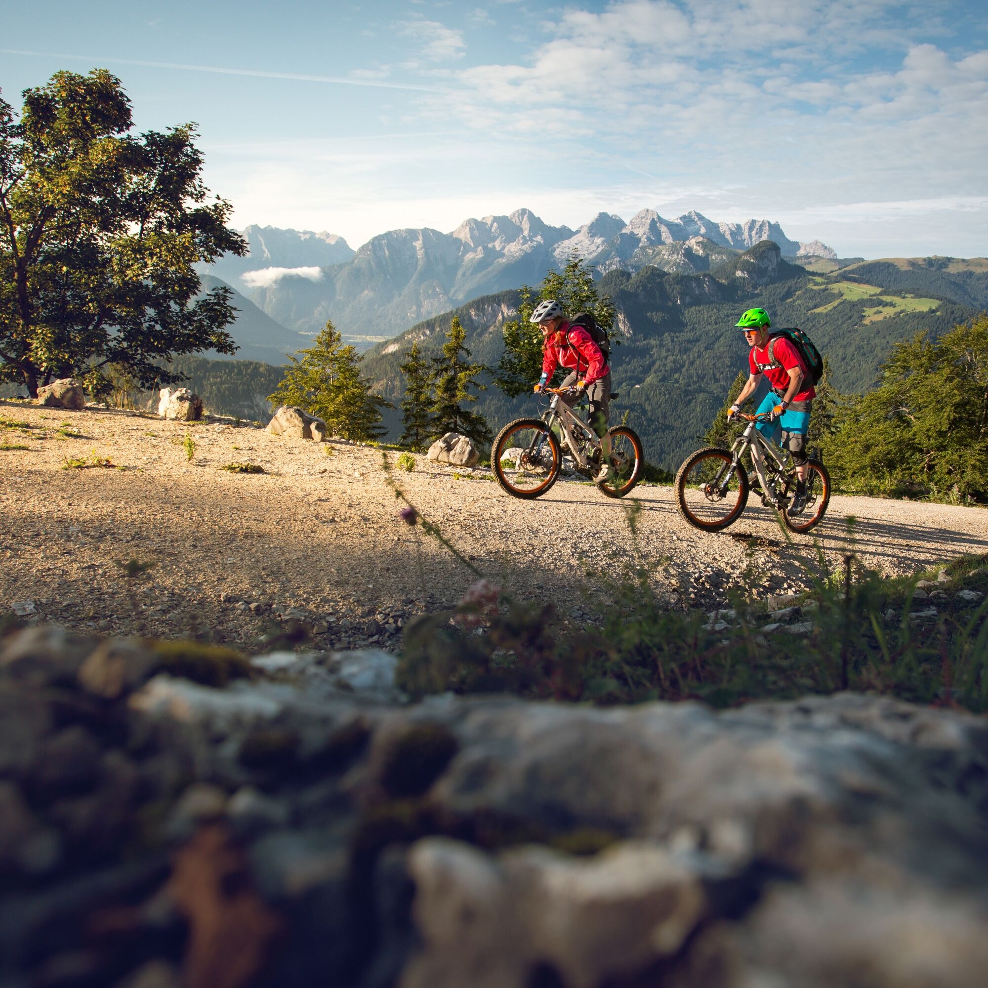
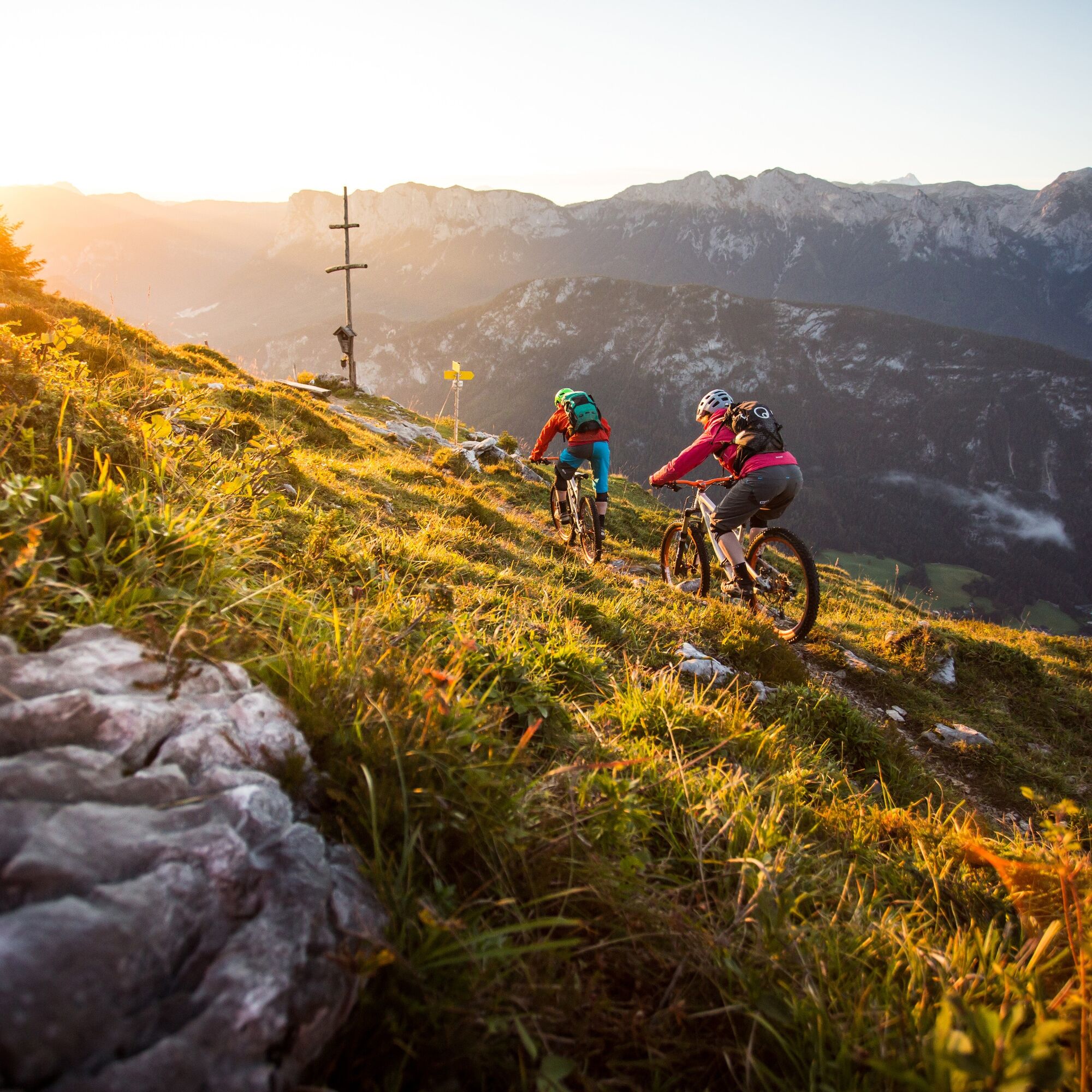
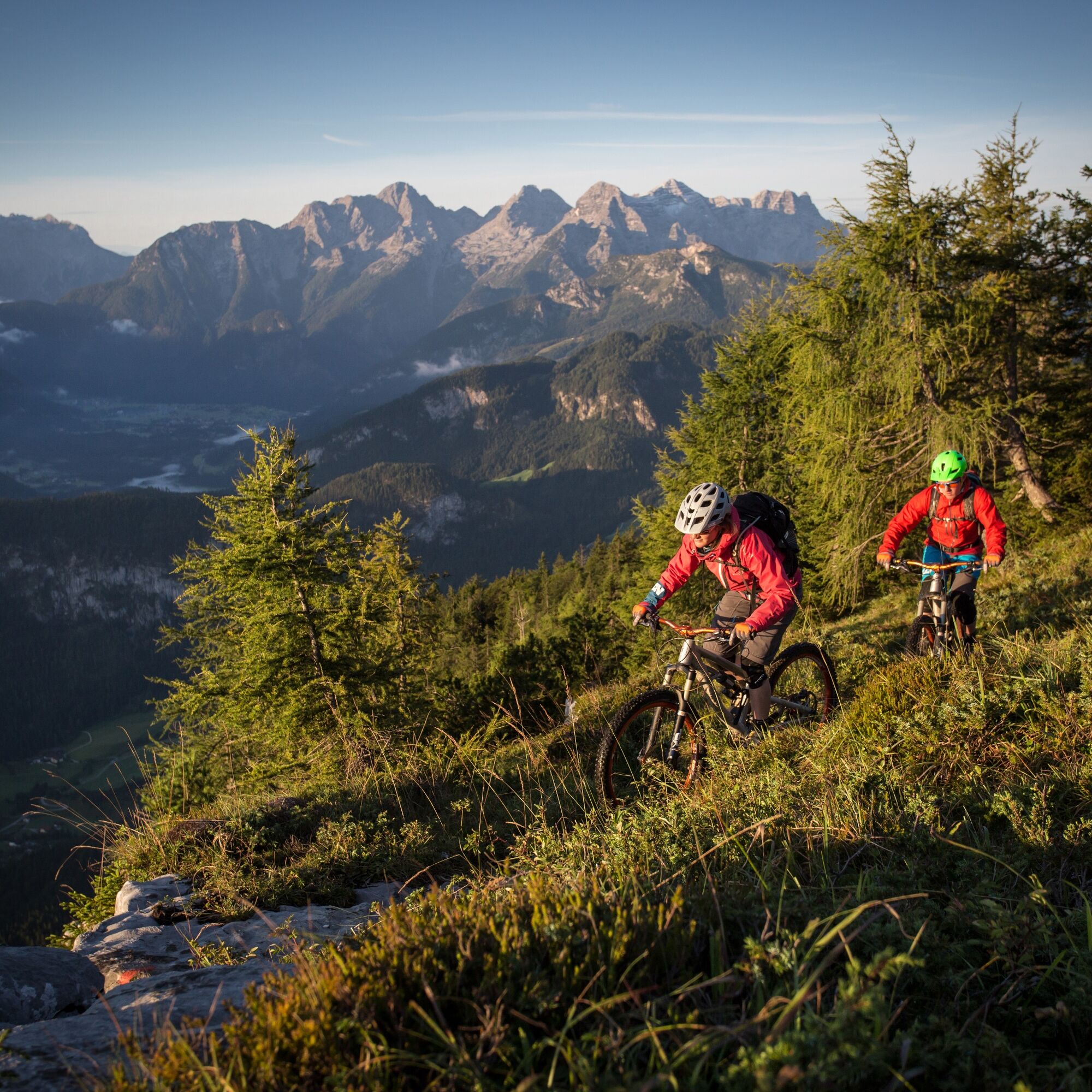
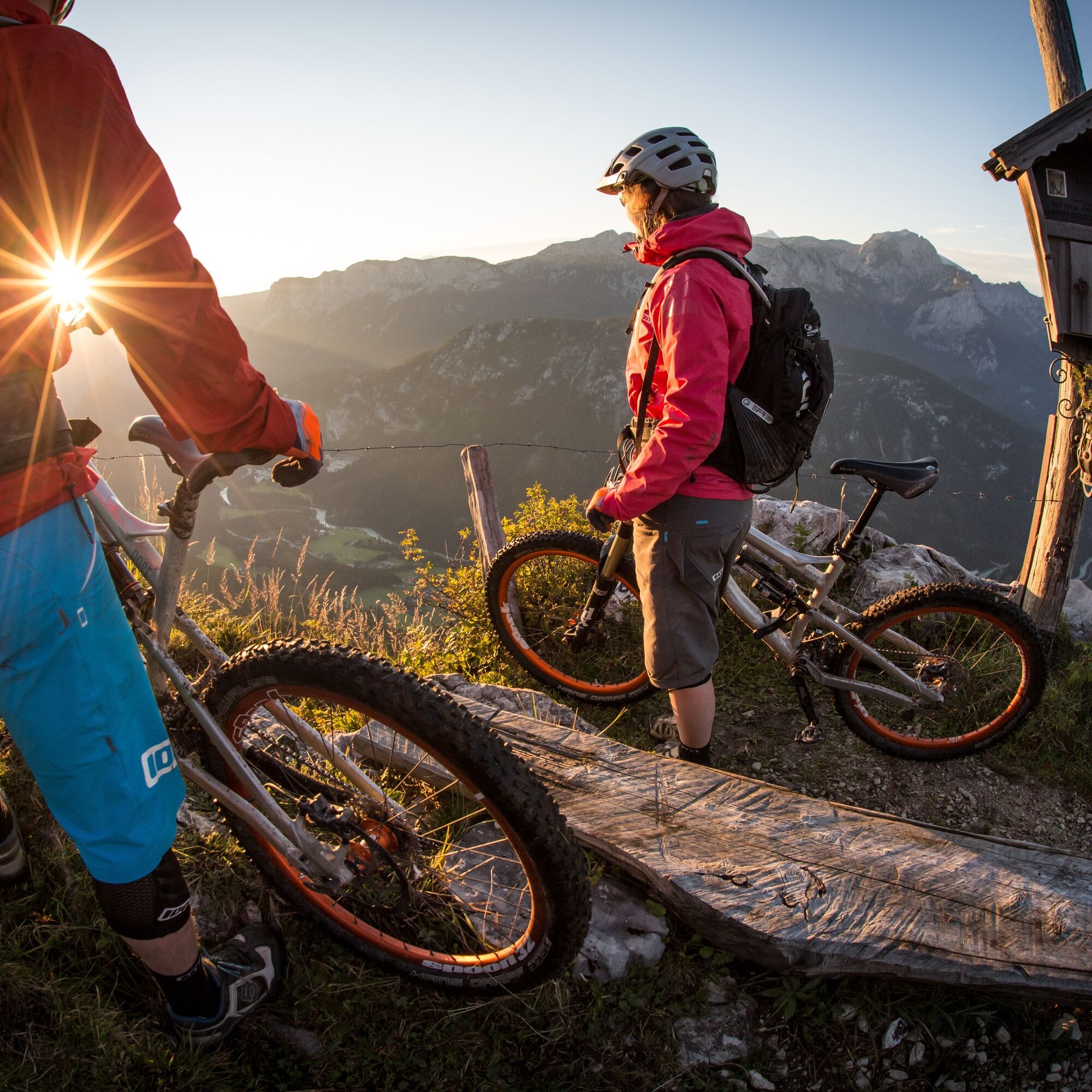
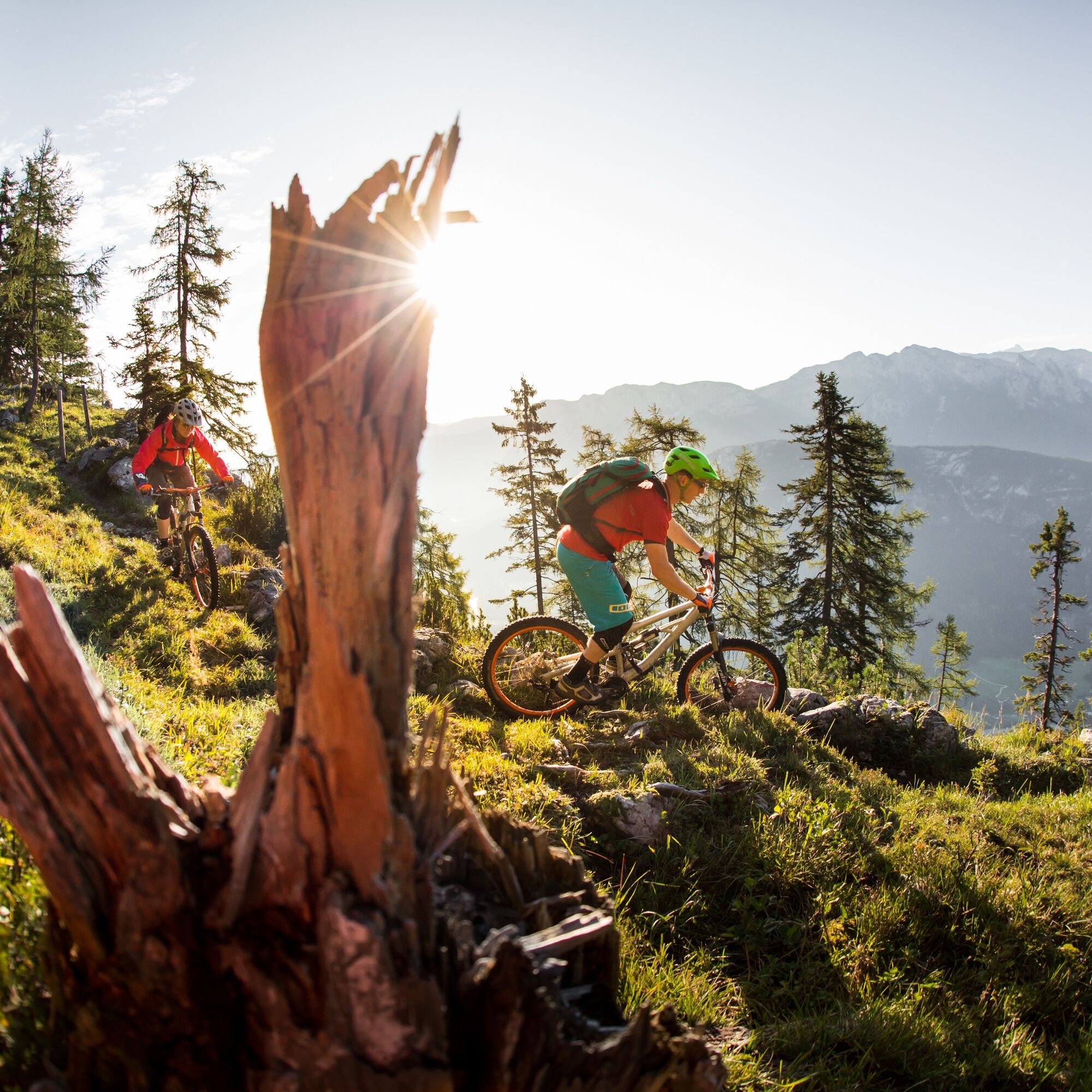

From Unken briefly along the Heutaler Landesstraße and then turn right and follow the forest road to the Wetterkreuz.
Back you go first via the trail (fair play solution) and then again the same forest road as uphill.
Da
In addition to a water bottle, we recommend that you bring sturdy shoes, warm clothing and rain protection, a repair kit, first aid kit, mobile phone, light, gloves, sunglasses and something to eat. And of course, don't forget your helmet.
Coming from Salzburg, turn right to Unken shortly after the border. Coming from Lofer, turn right shortly before the Achberg tunnel.
At the Unken through-town, turn off in the direction of Heutal.
Take the 260 bus(timetable) to the "Unken Ortsmitte" bus stop
Parking spaces available near the Unken municipal office
S4
www.lofer.com
 Pridobite vpogled
Vedno v živo na mestu z več kot 9.500 spletnimi kamerami. bergfex Kot uporabnik Pro si lahko zdaj ogledate ustrezne spletne kamere za številne izlete v aplikaciji izleti iz. Tako si lahko neposredno ogledate trenutne razmere.
Pridobite vpogled
Vedno v živo na mestu z več kot 9.500 spletnimi kamerami. bergfex Kot uporabnik Pro si lahko zdaj ogledate ustrezne spletne kamere za številne izlete v aplikaciji izleti iz. Tako si lahko neposredno ogledate trenutne razmere.

Priljubljeni izleti v okolici
-
4.4
Staufen-Bergtour
srednjaPohodništvo 14.1 km -
4.5
Alpgarten-Rundweg
Pohodništvo 2.93 km -
4.3
Halsalm
Pohodništvo 6.43 km -
4.8
Over the waterfall trail into the Almenwelt Lofer
srednjaPohodništvo 3.29 km -
4.9
Ramsau/Hintersee-Runde
svetlobaPohodništvo 9.44 km -
4.9
Dötzenkopf Rundweg
srednjaPohodništvo 6.95 km -
4.8
Atemberaubende Aussicht auf dem Dürrnbachhorn
srednjaPohodništvo 8.44 km -
4.9
Frillensee round from Adlgaß
Pohodništvo 5.82 km -
4.8
Loferer Steinberge, zum Hinterhorn über die Schmid-Zabierow Hütte, 19.06.22
težkoPohodništvo 14.0 km -
4.7
Pidinger Klettersteig mit Umweg im Abstieg
težkoVia ferrata 15.0 km
Pohodništvo in sledenje


Ne zamudite ponudb in navdiha za naslednje počitnice
Vaš e-poštni naslov je bil dodan na poštni seznam.





