







Salzburger Almenweg - Stage 02: Arthurhaus – Dienten

Stopnja težavnosti: T1
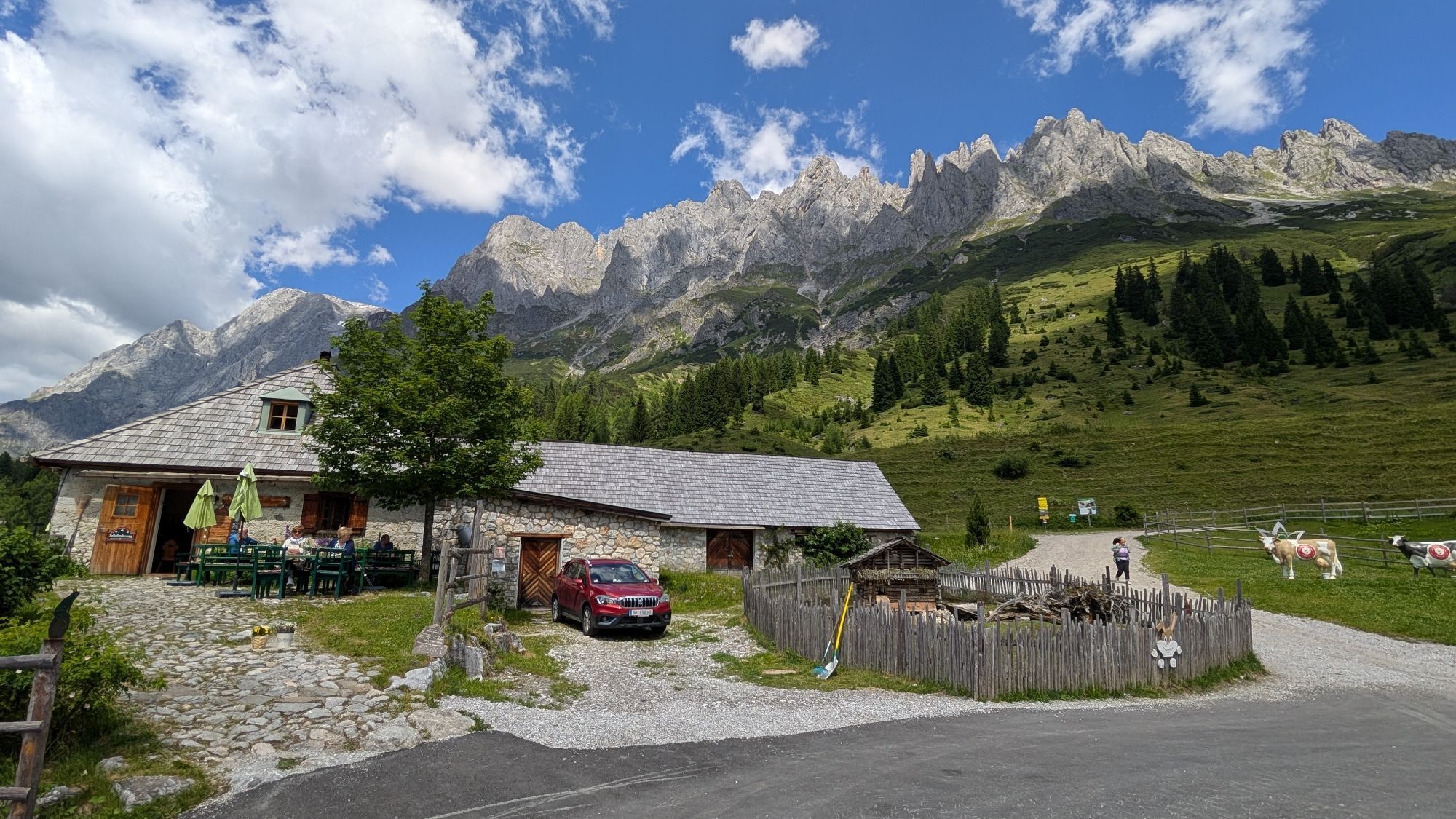
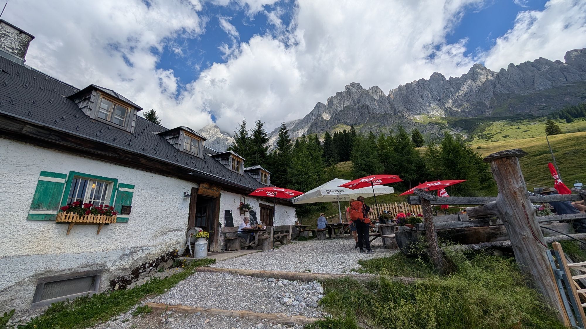
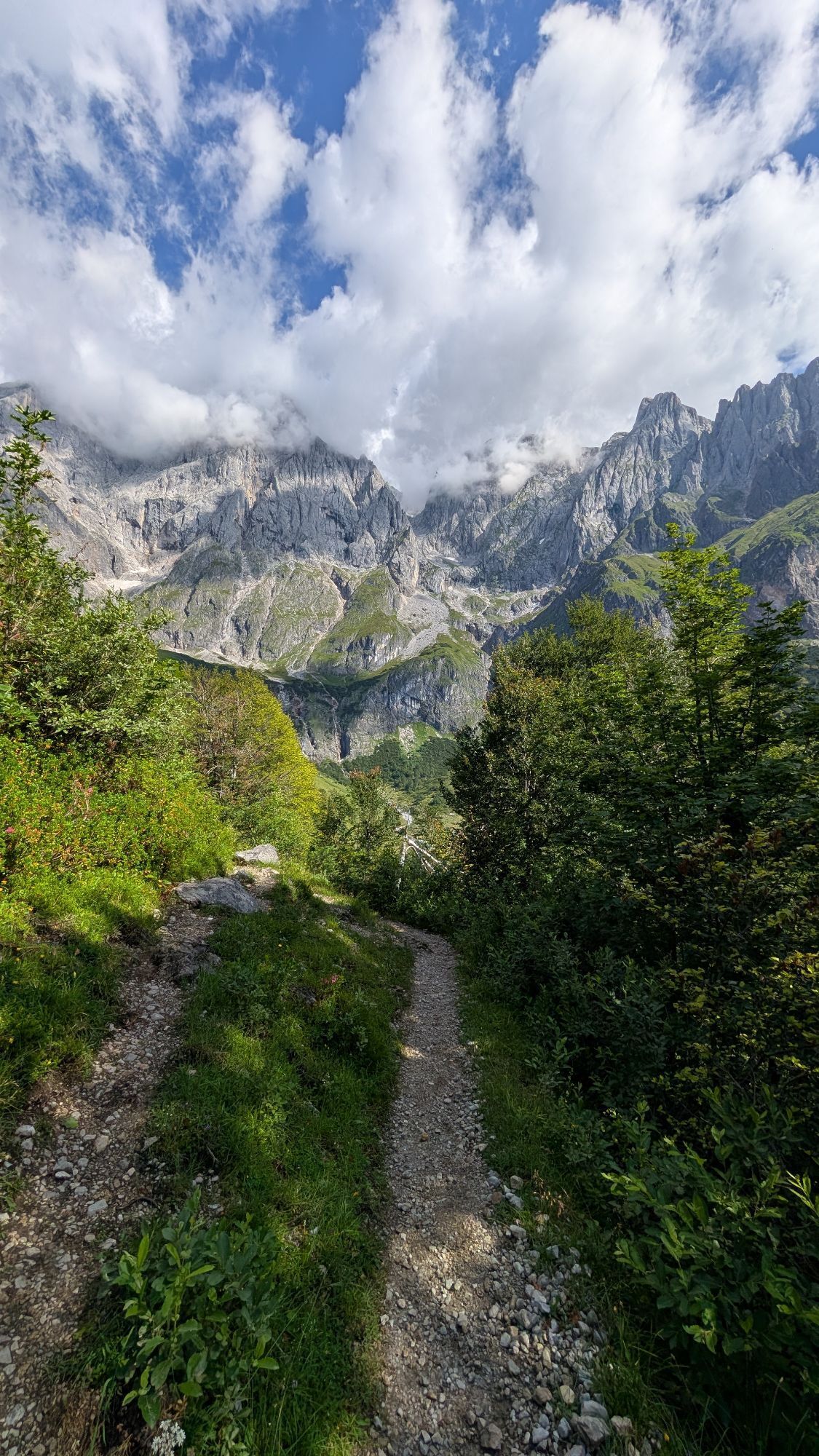
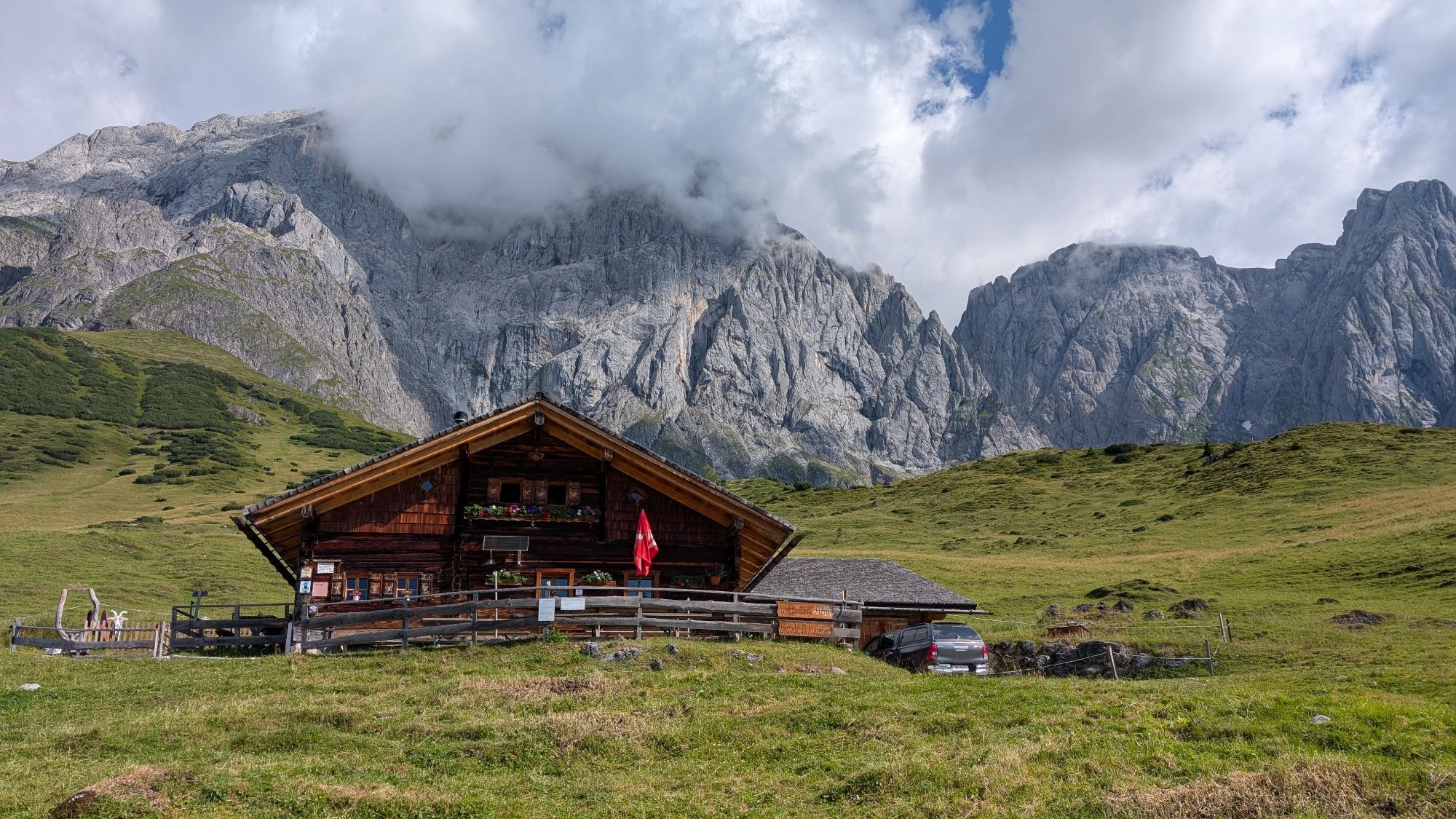
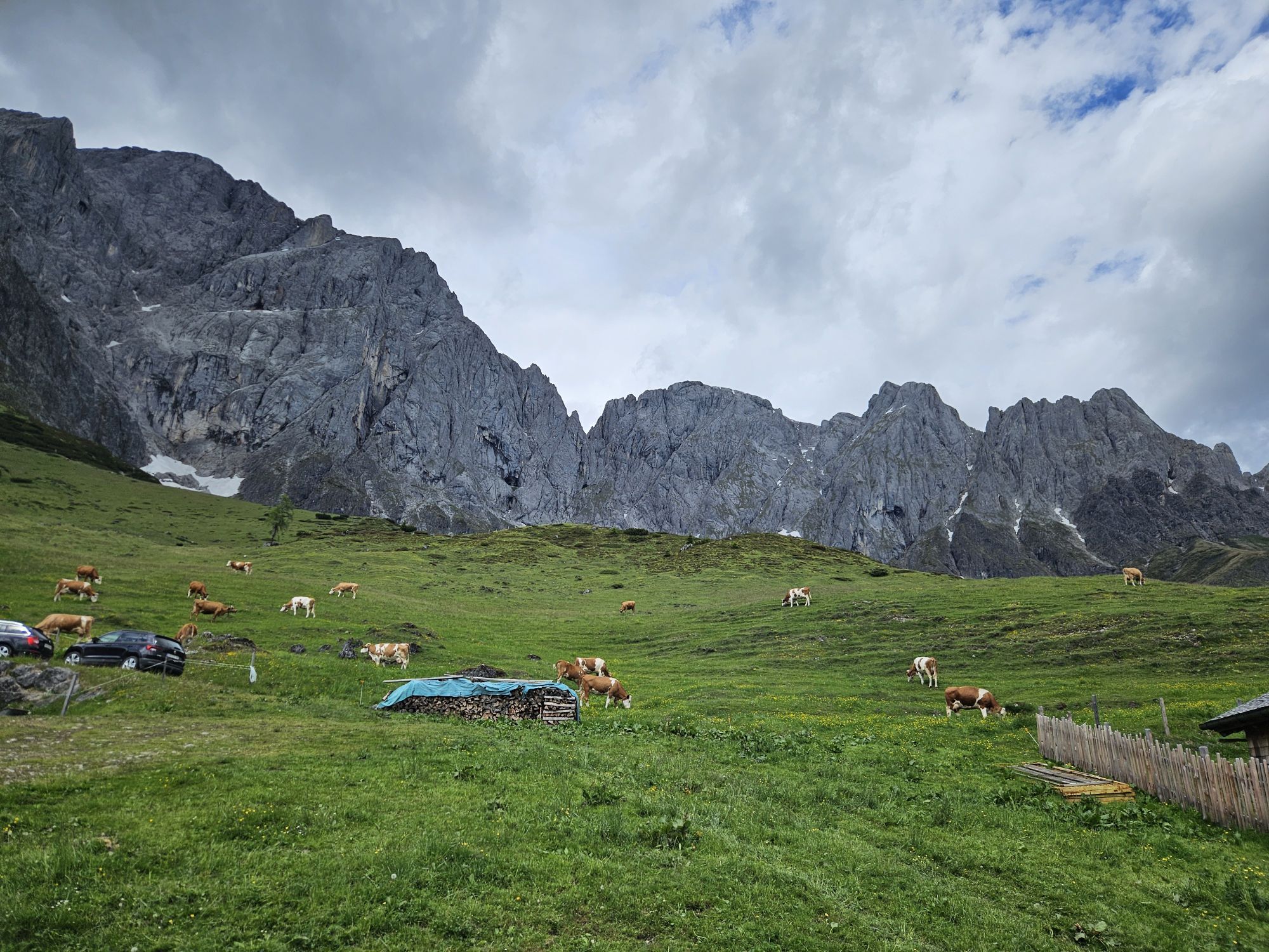
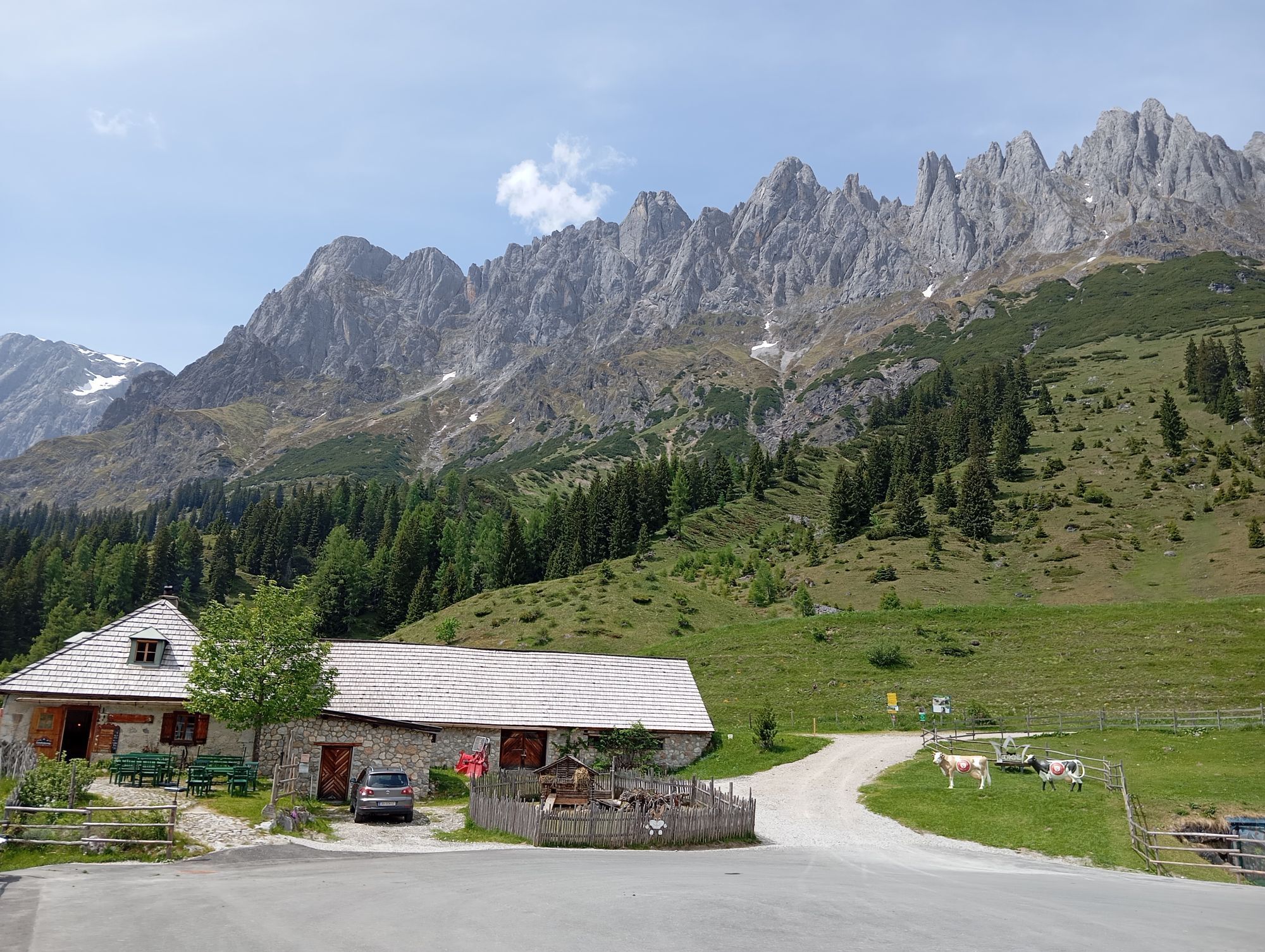
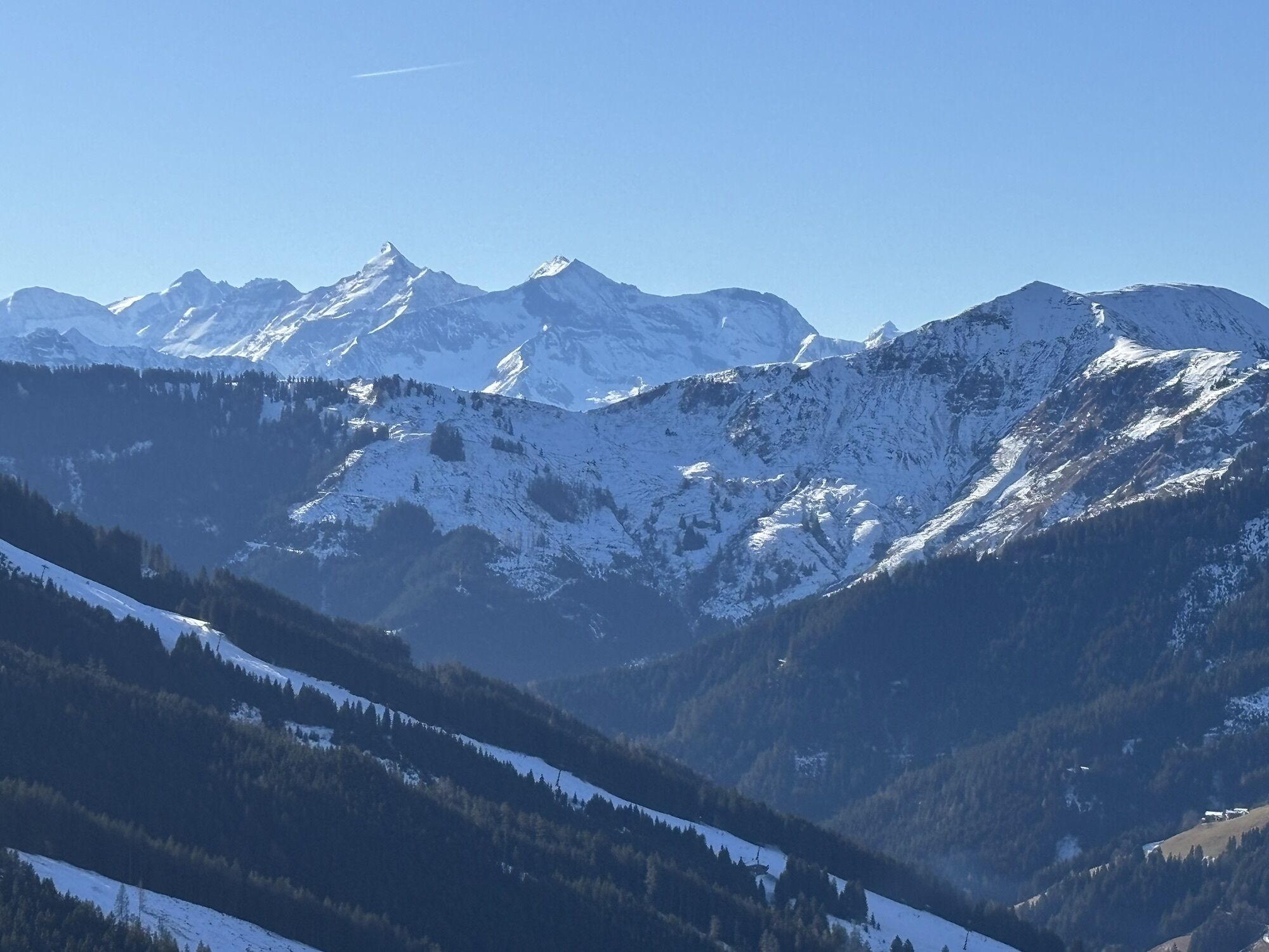
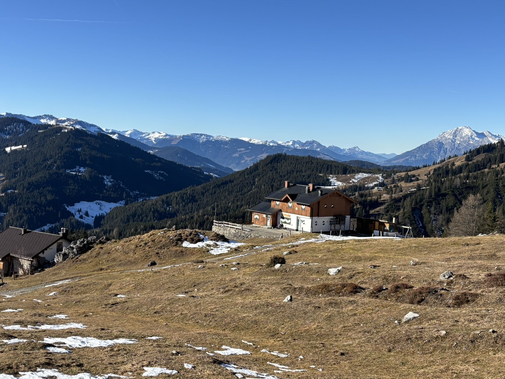
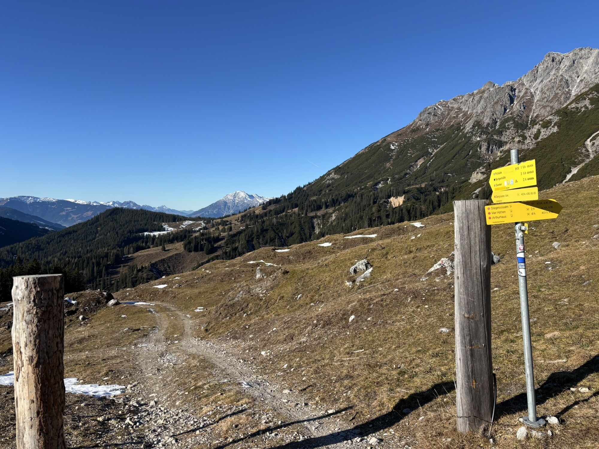
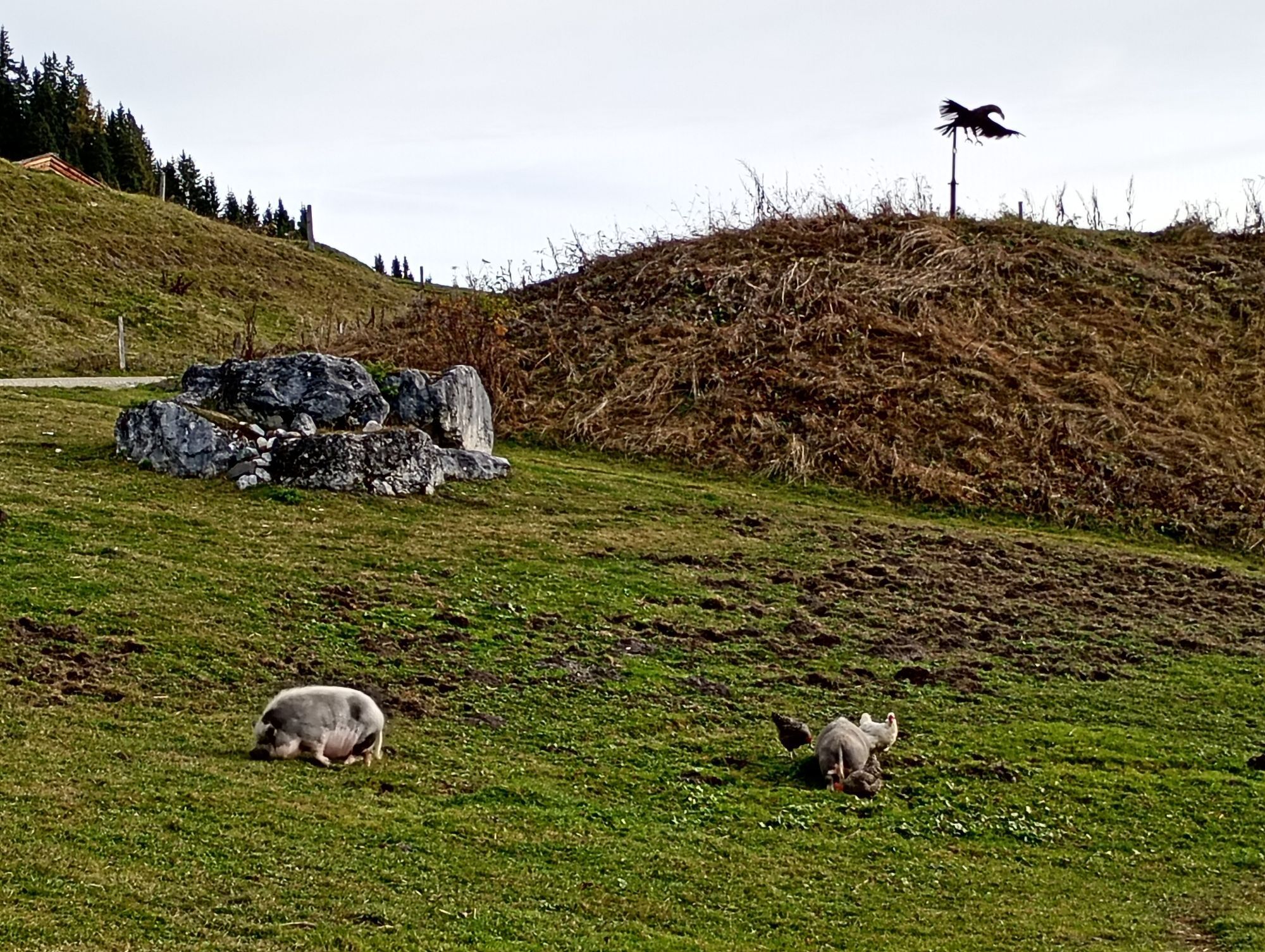
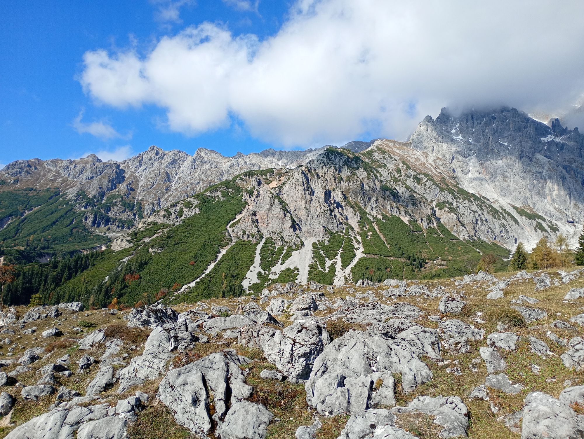
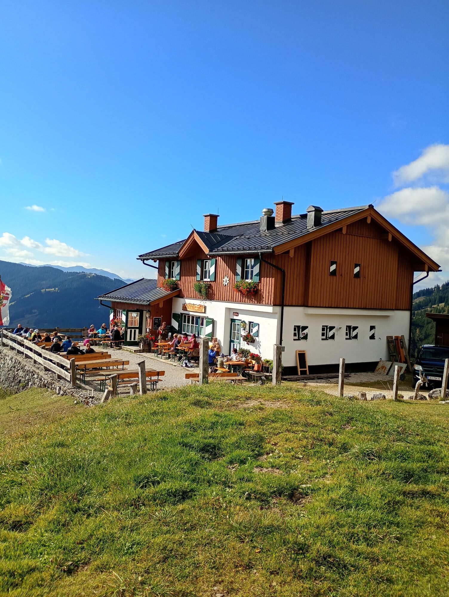
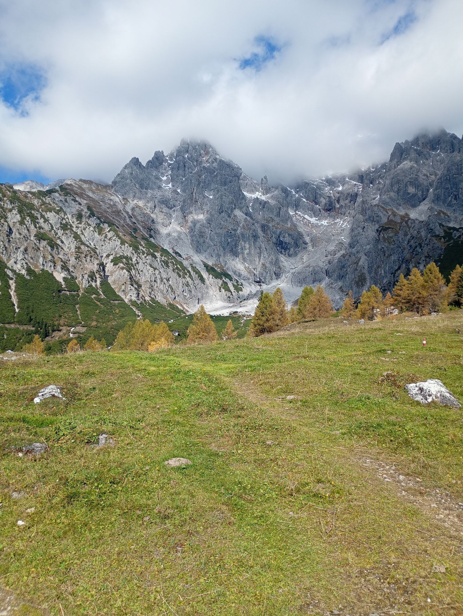
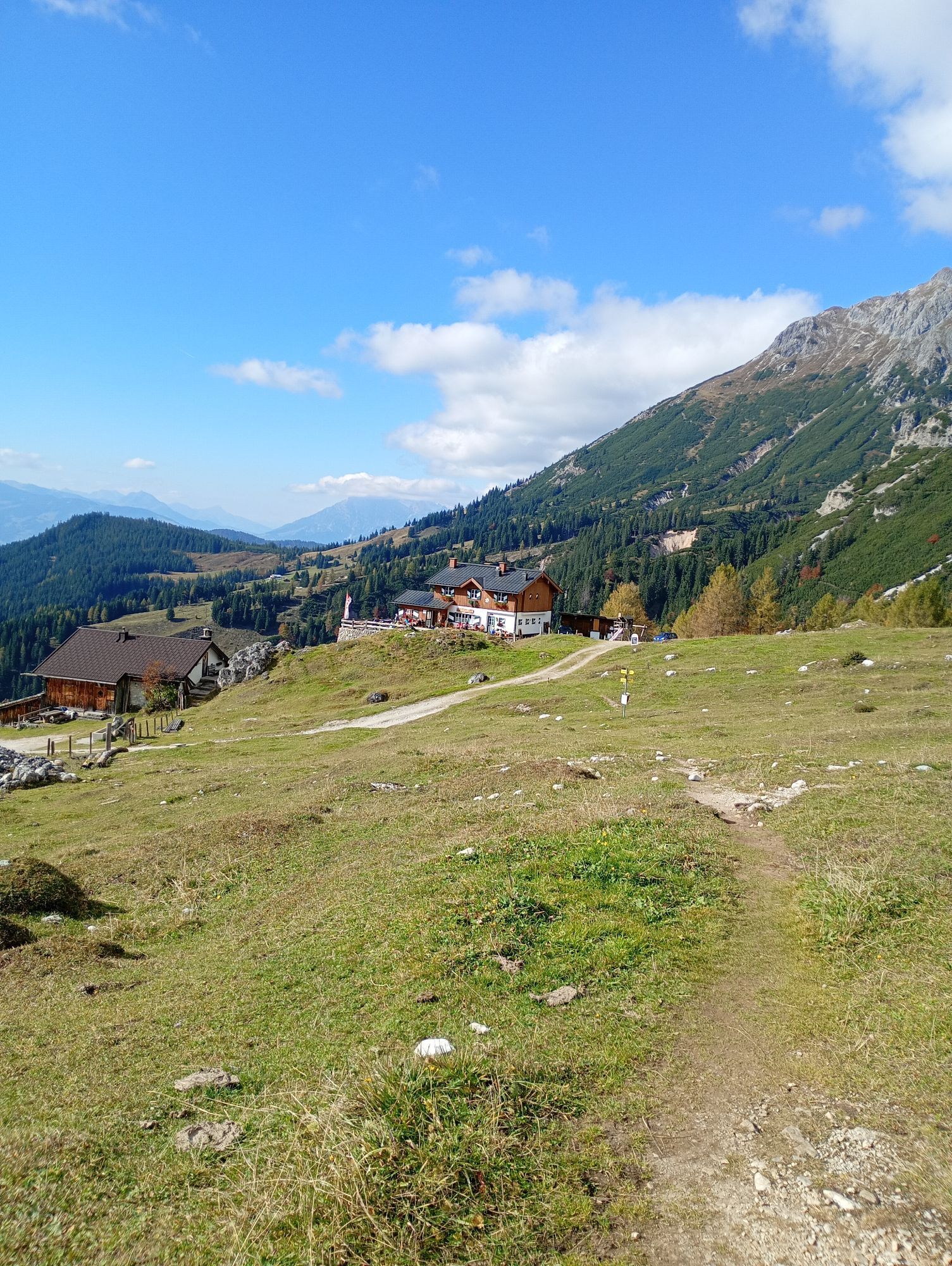
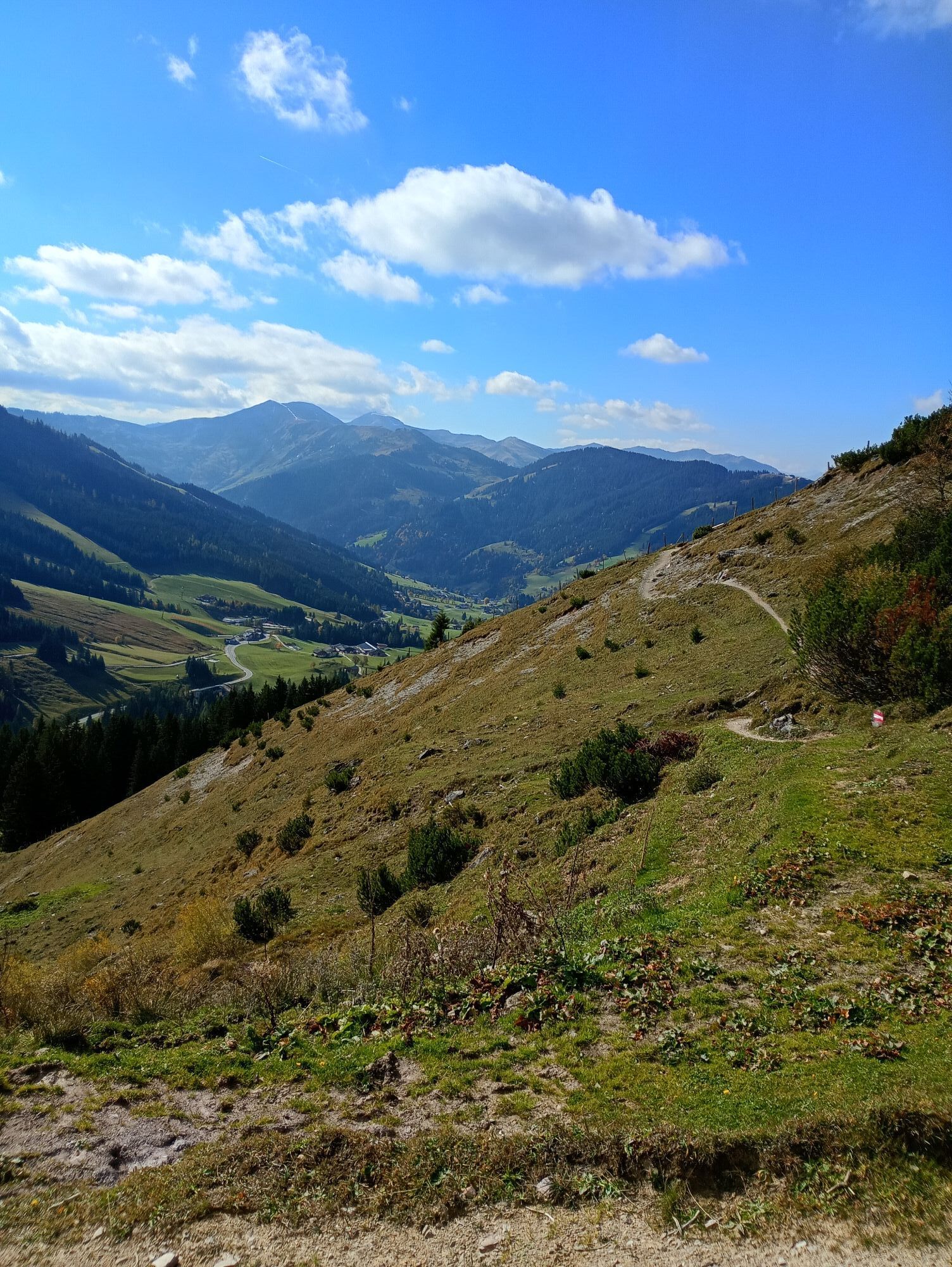
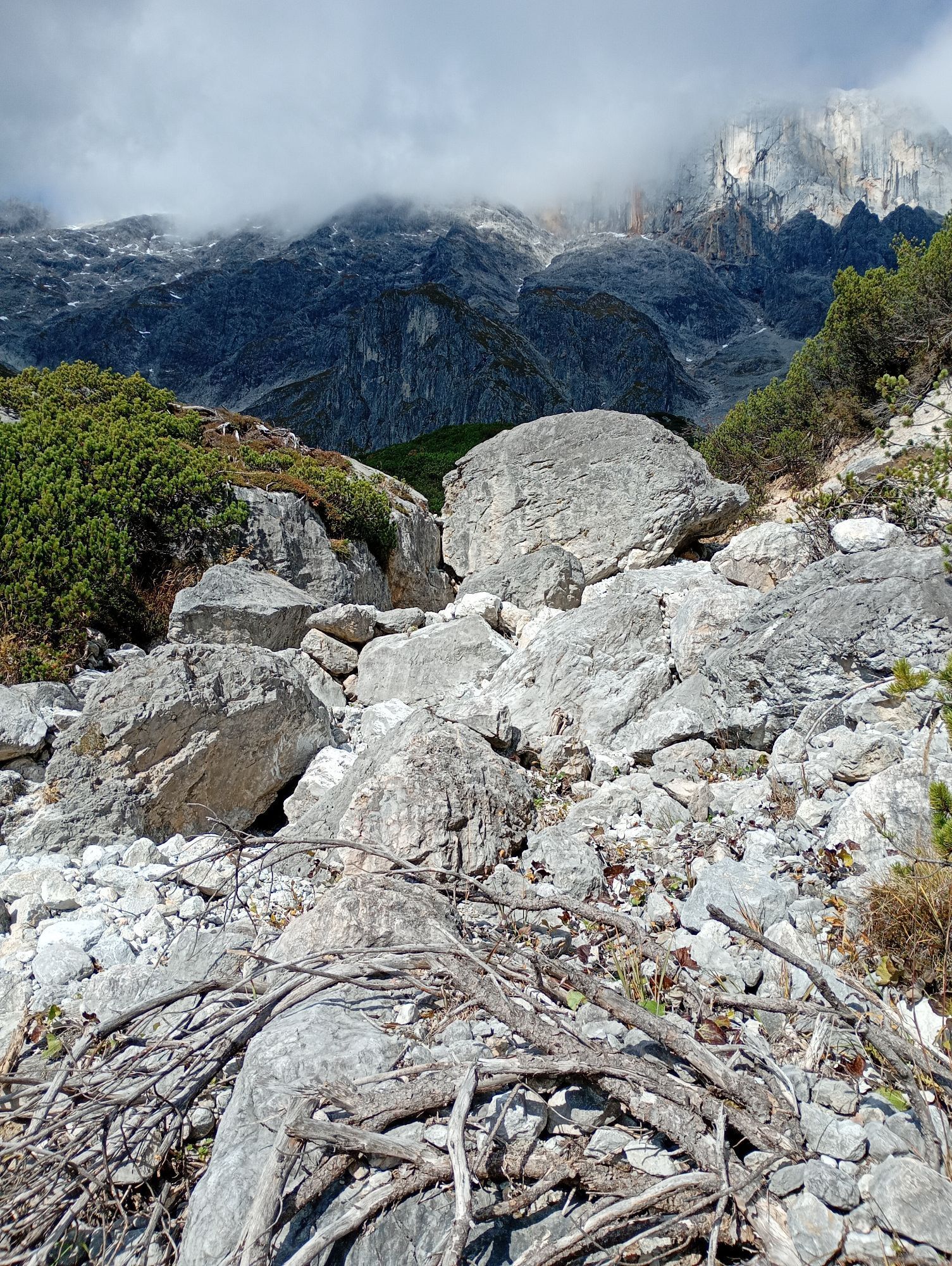
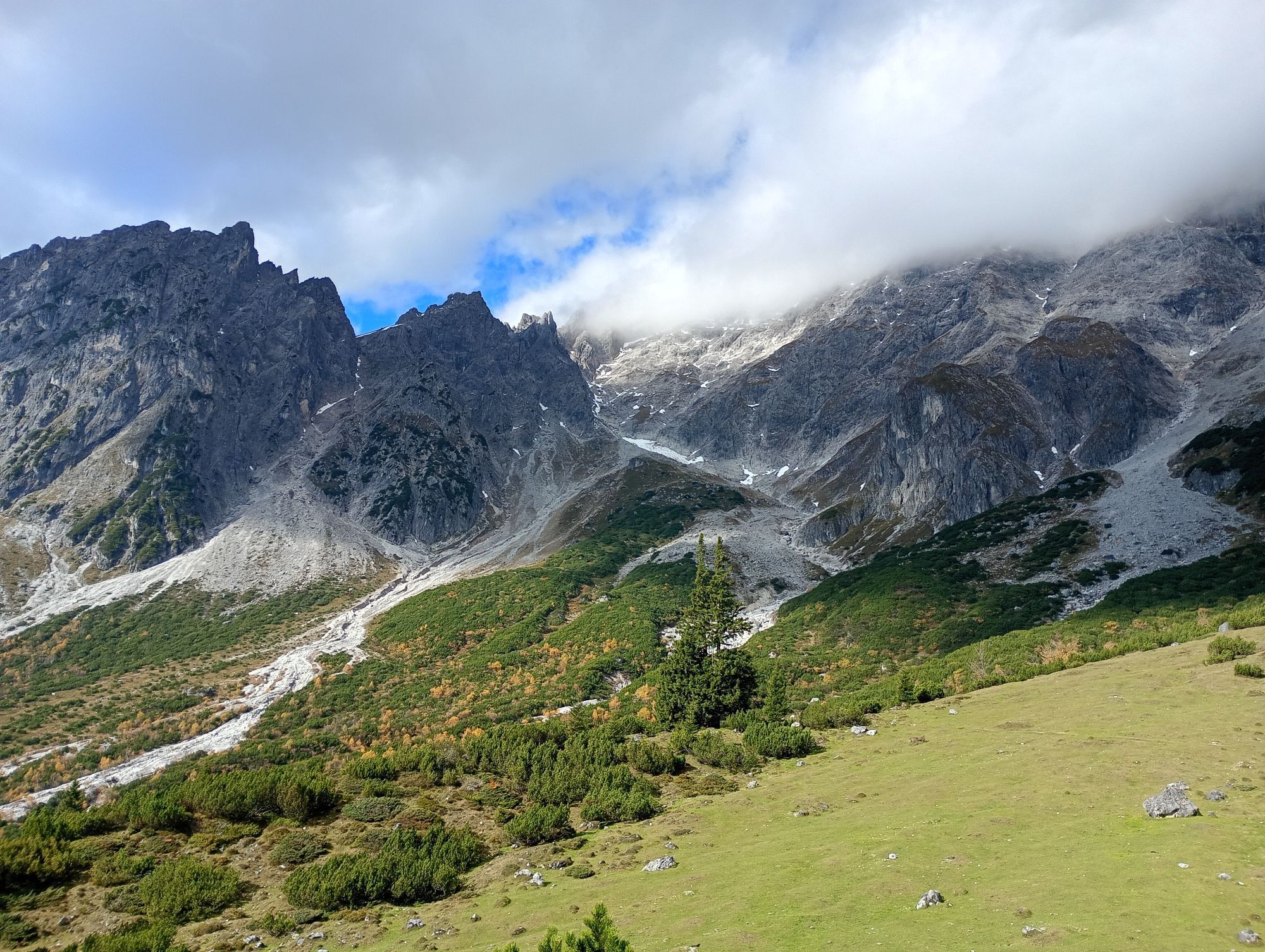
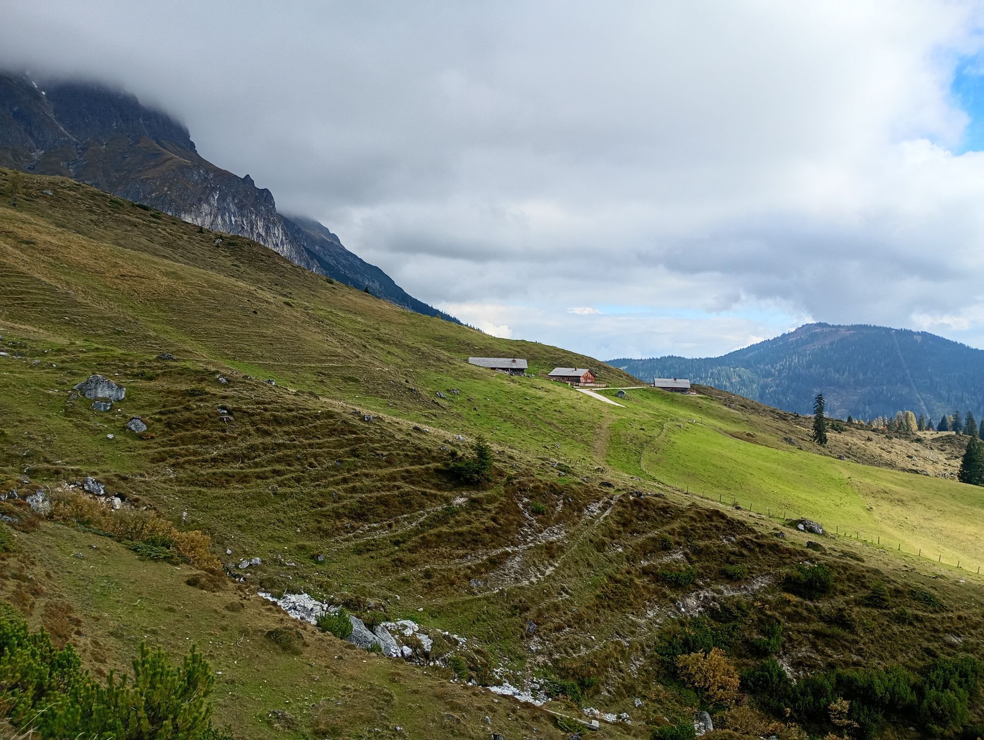
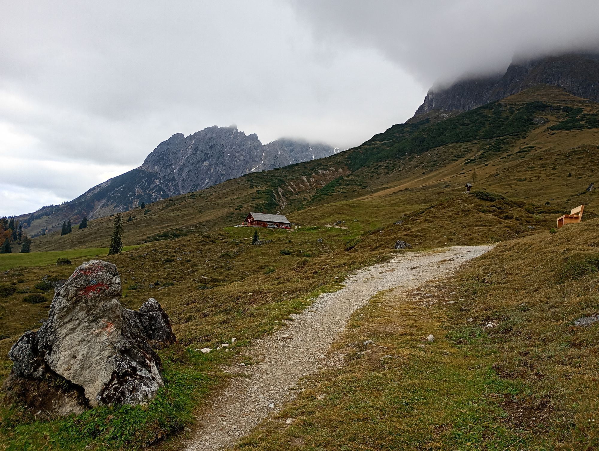
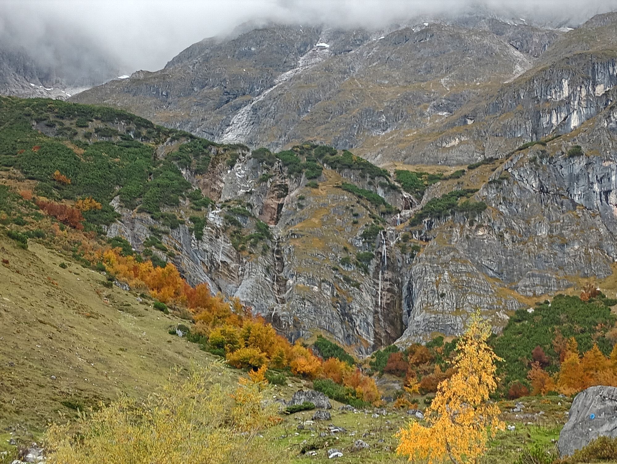
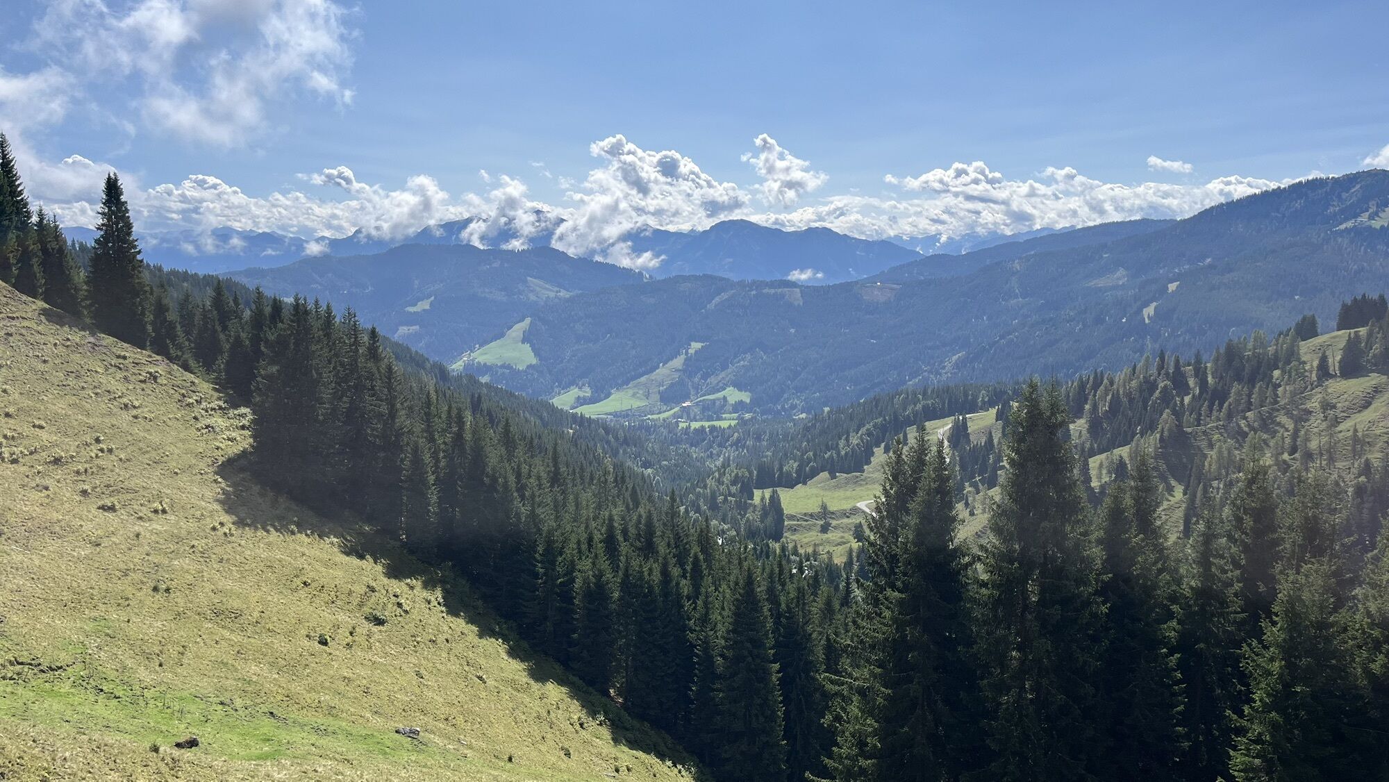

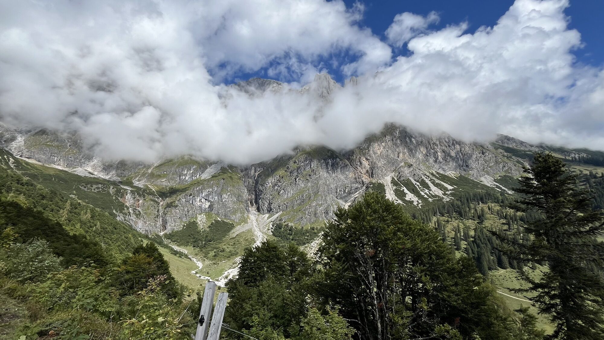
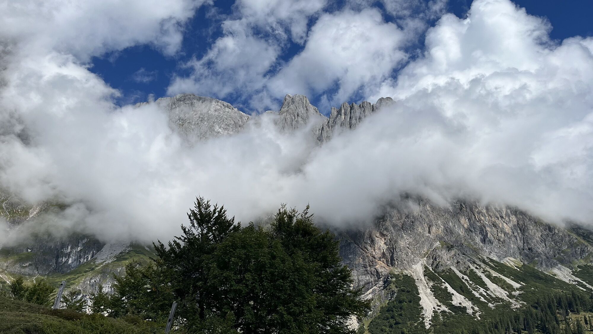
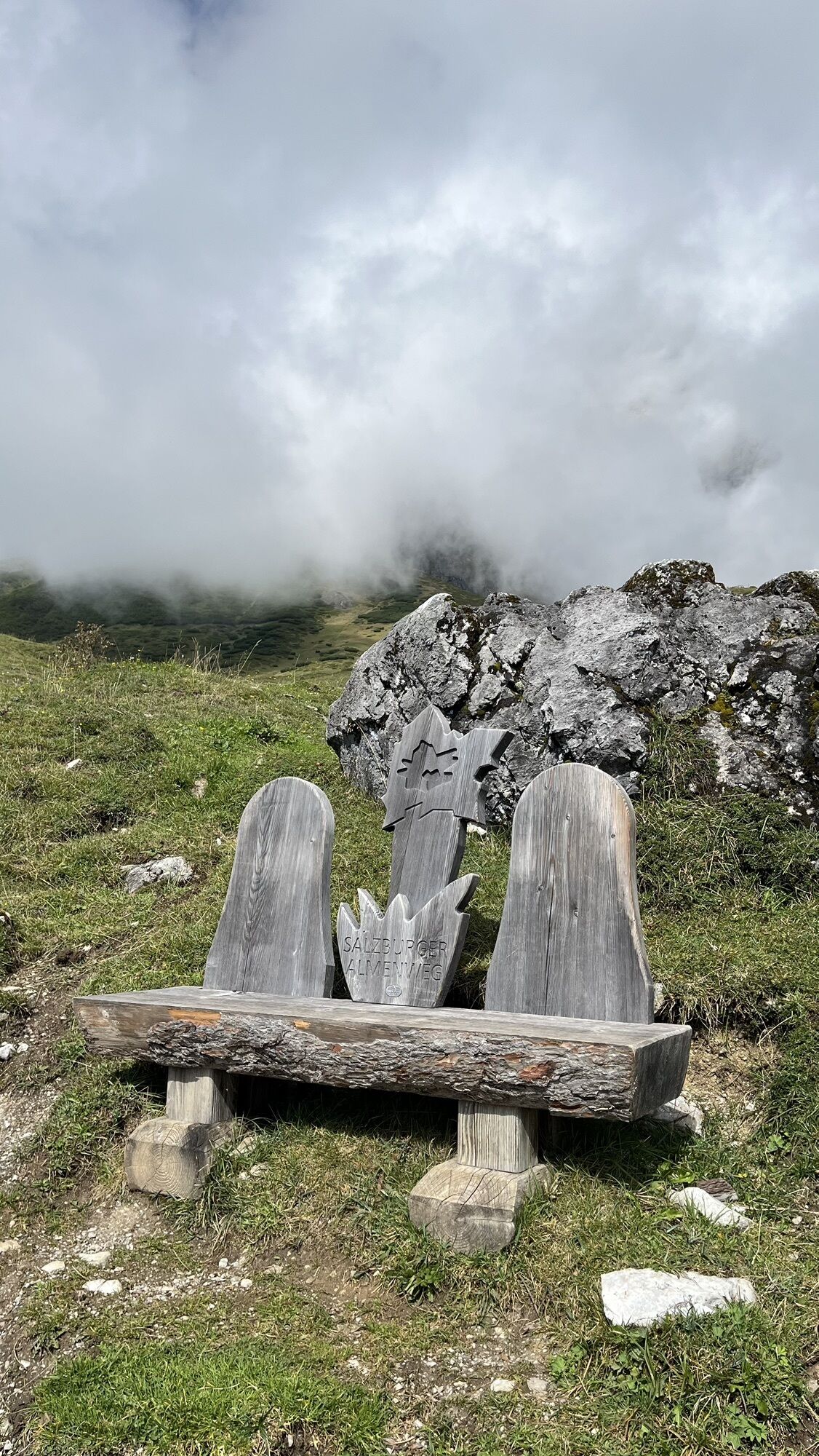
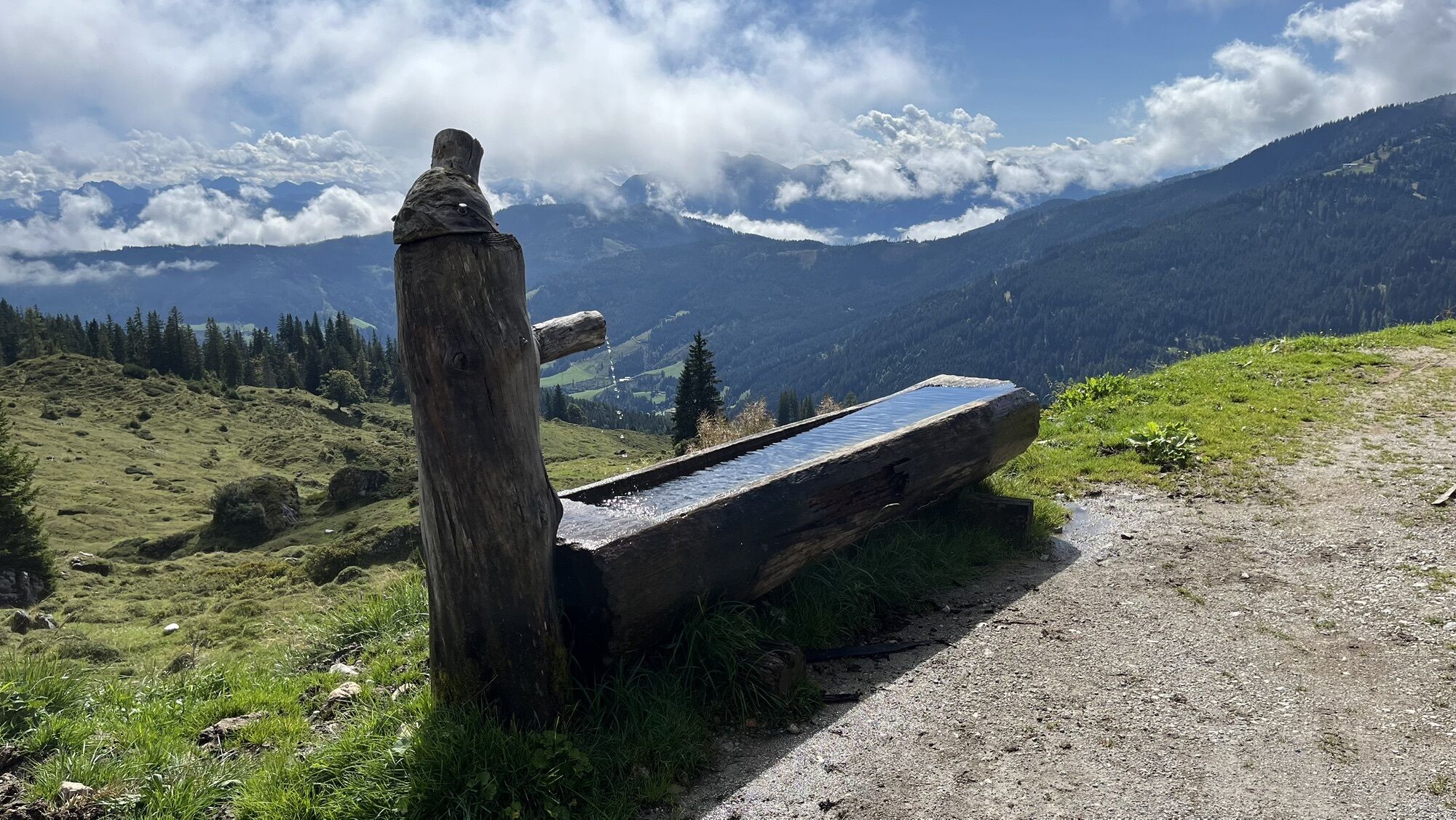
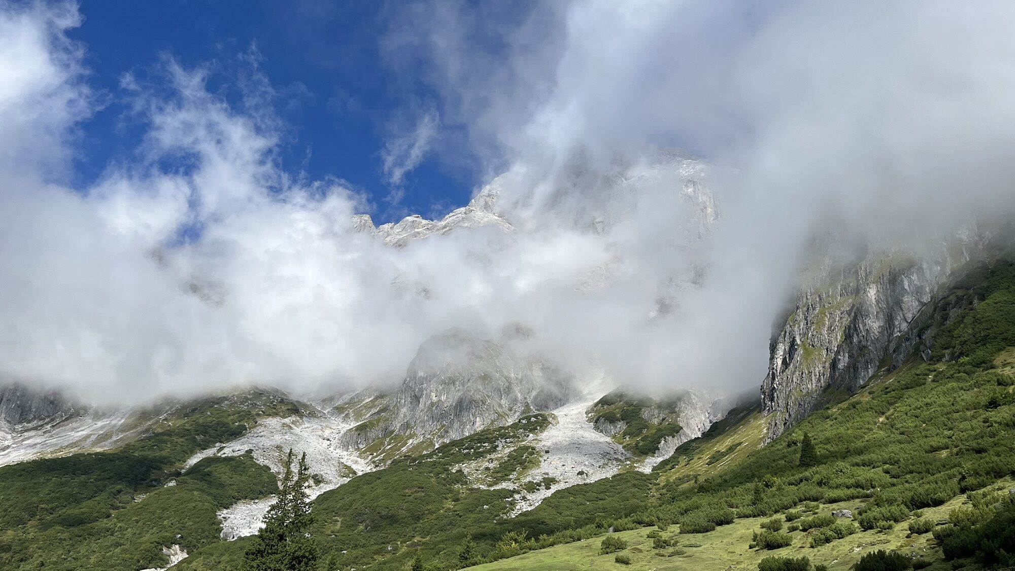
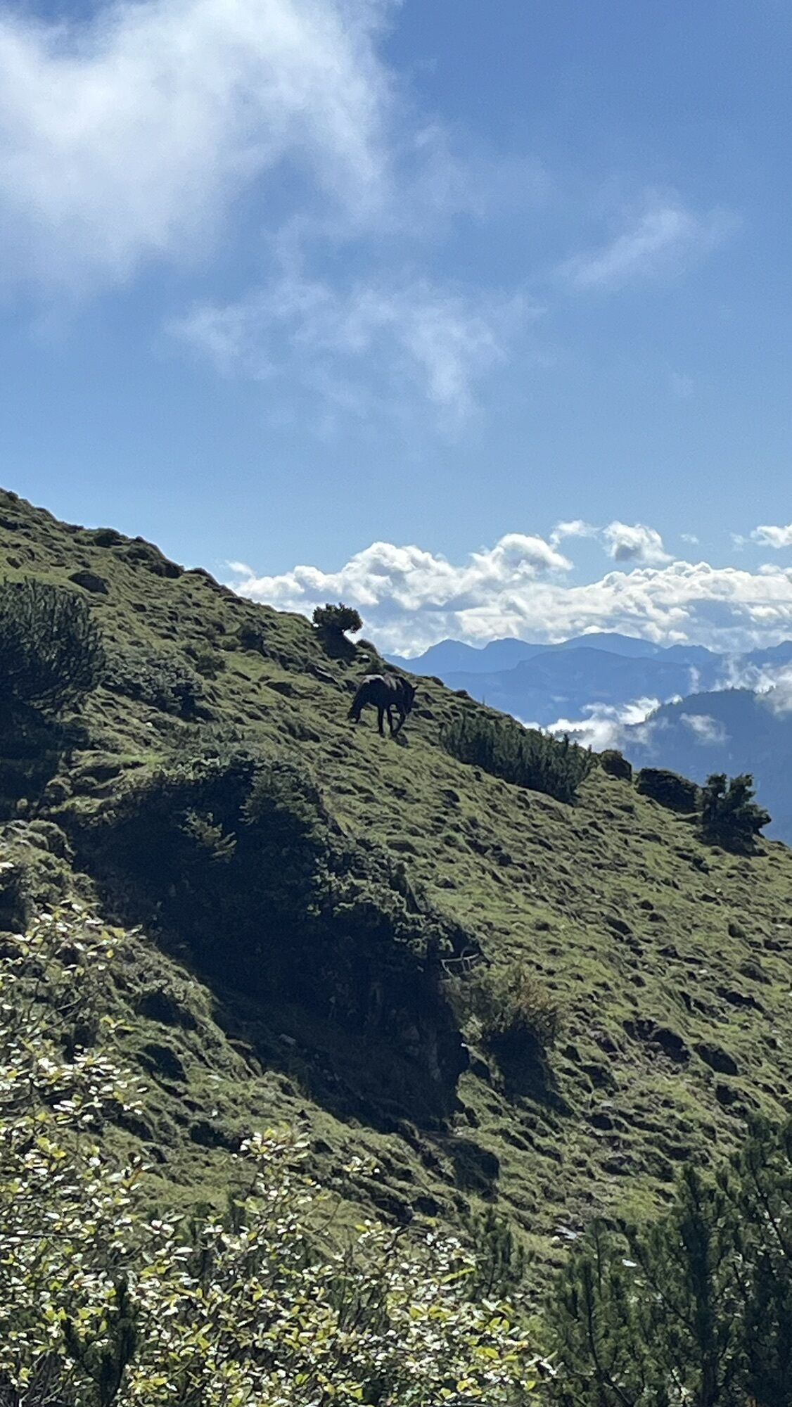
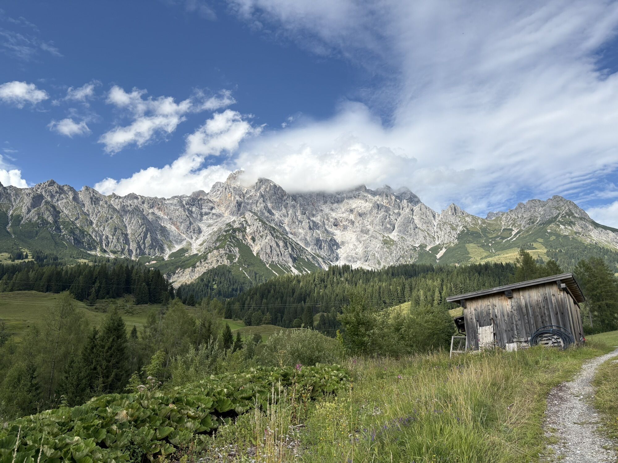
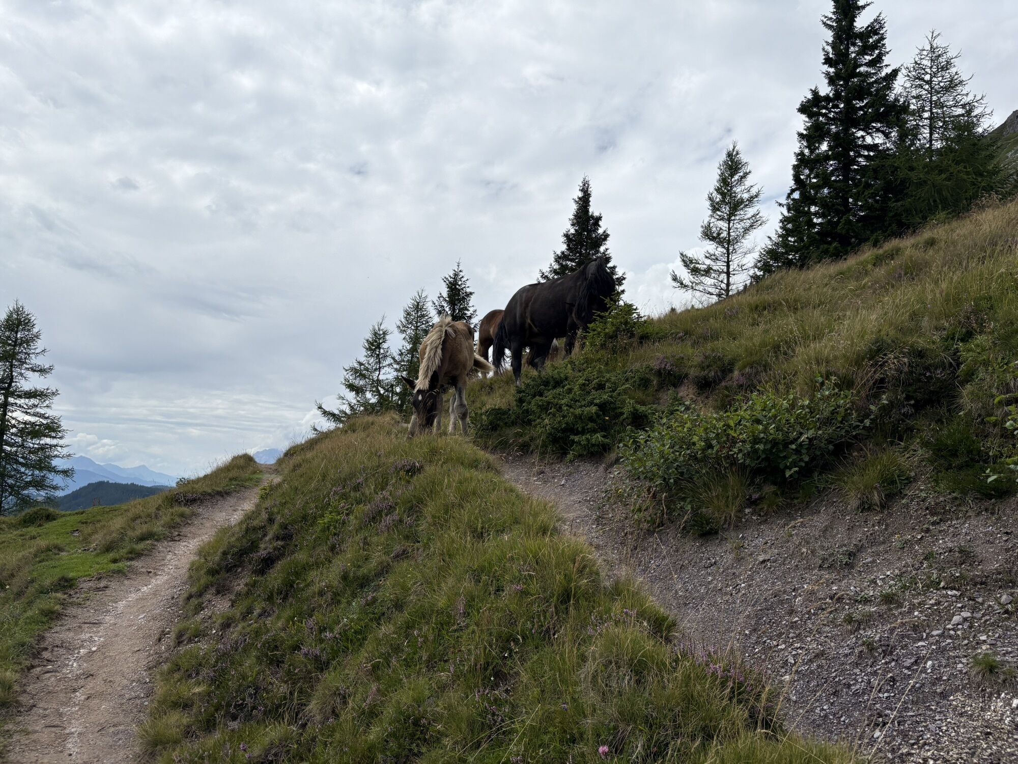
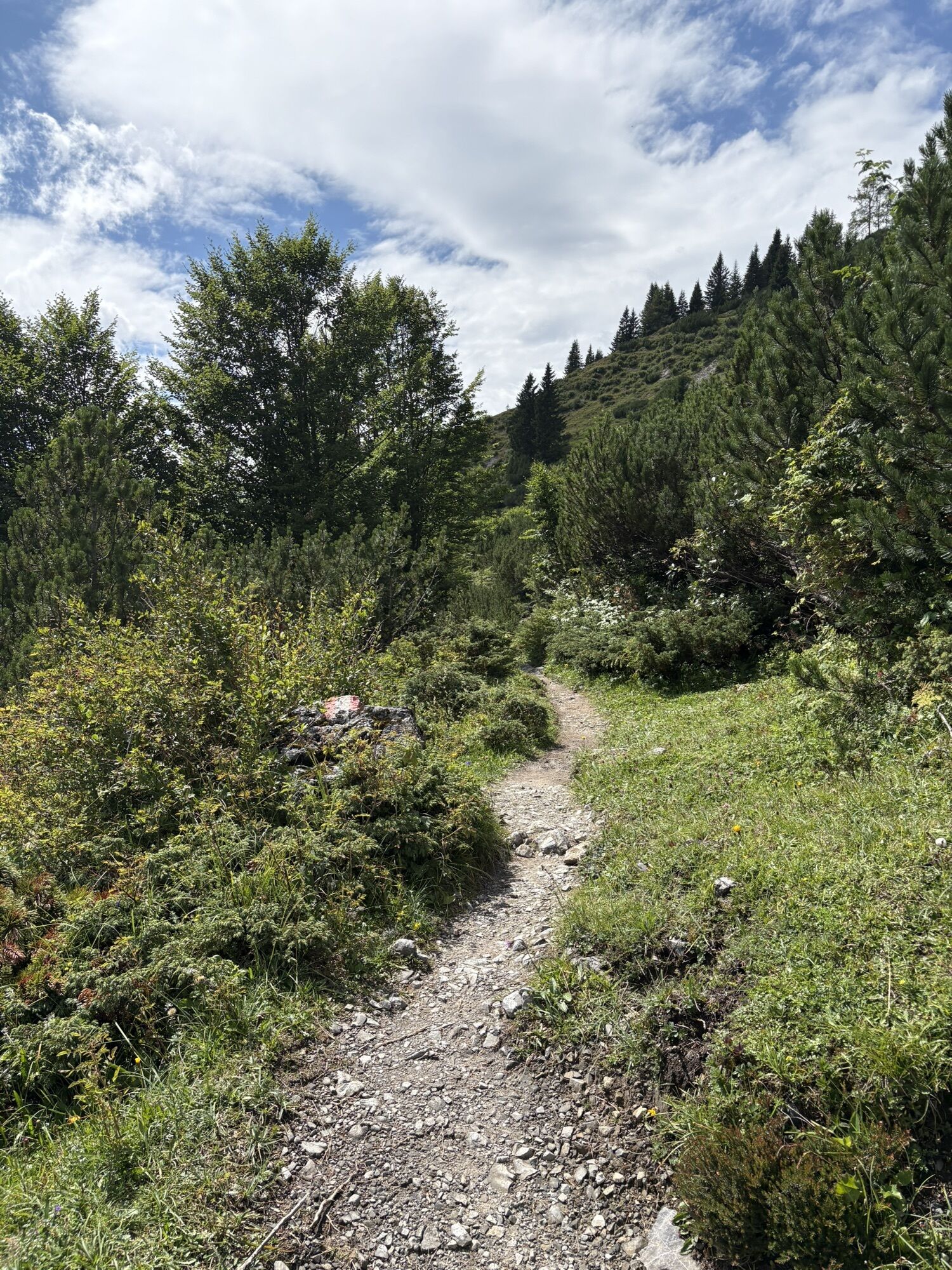
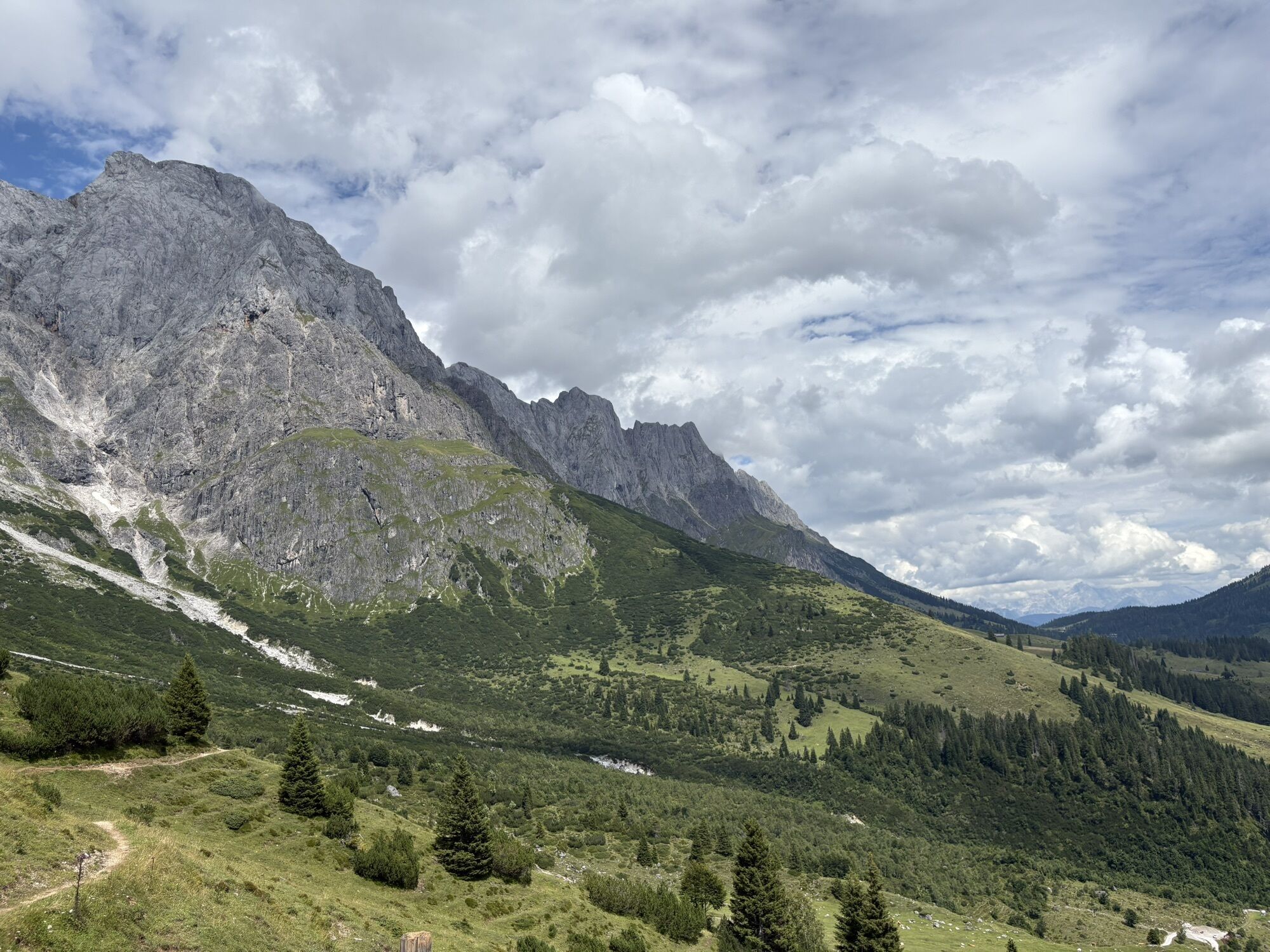
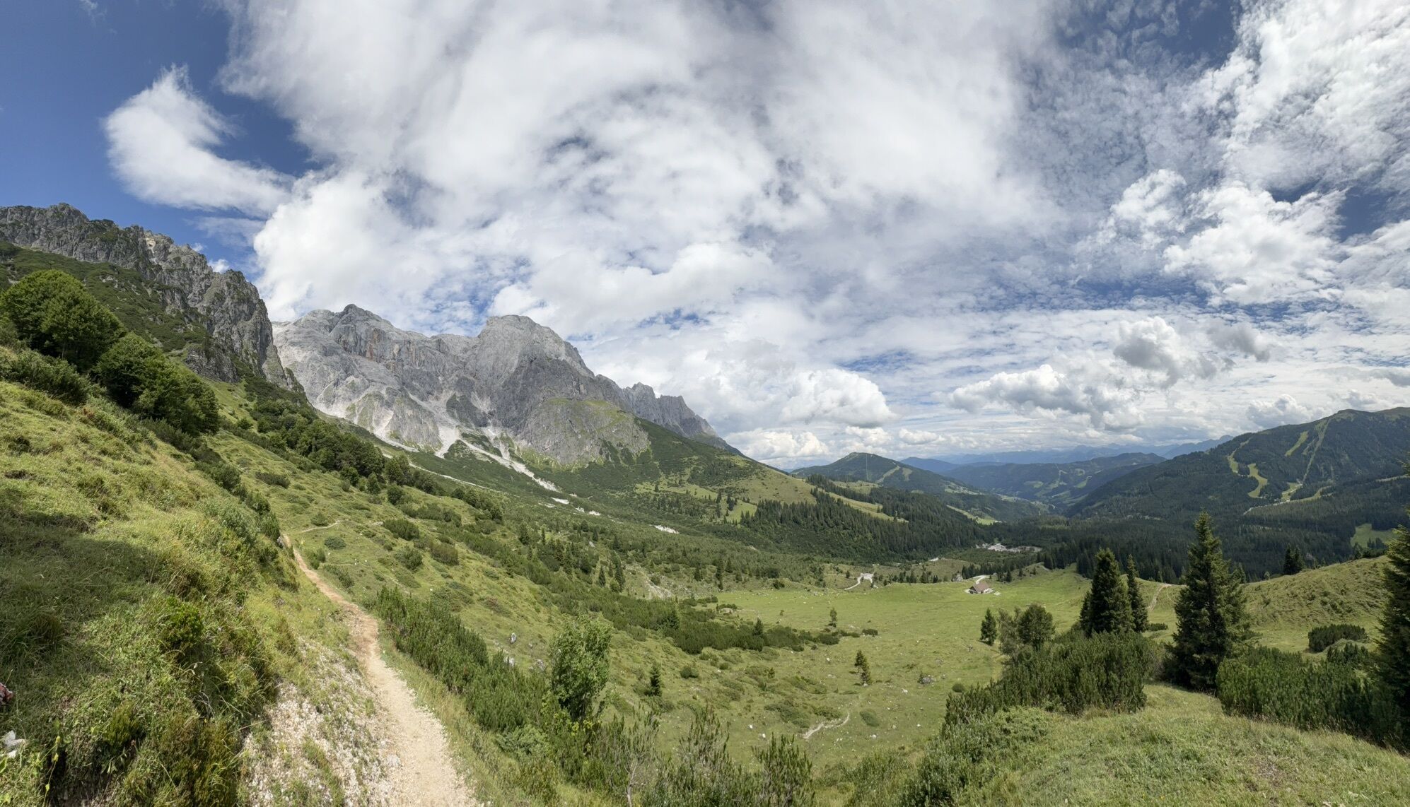
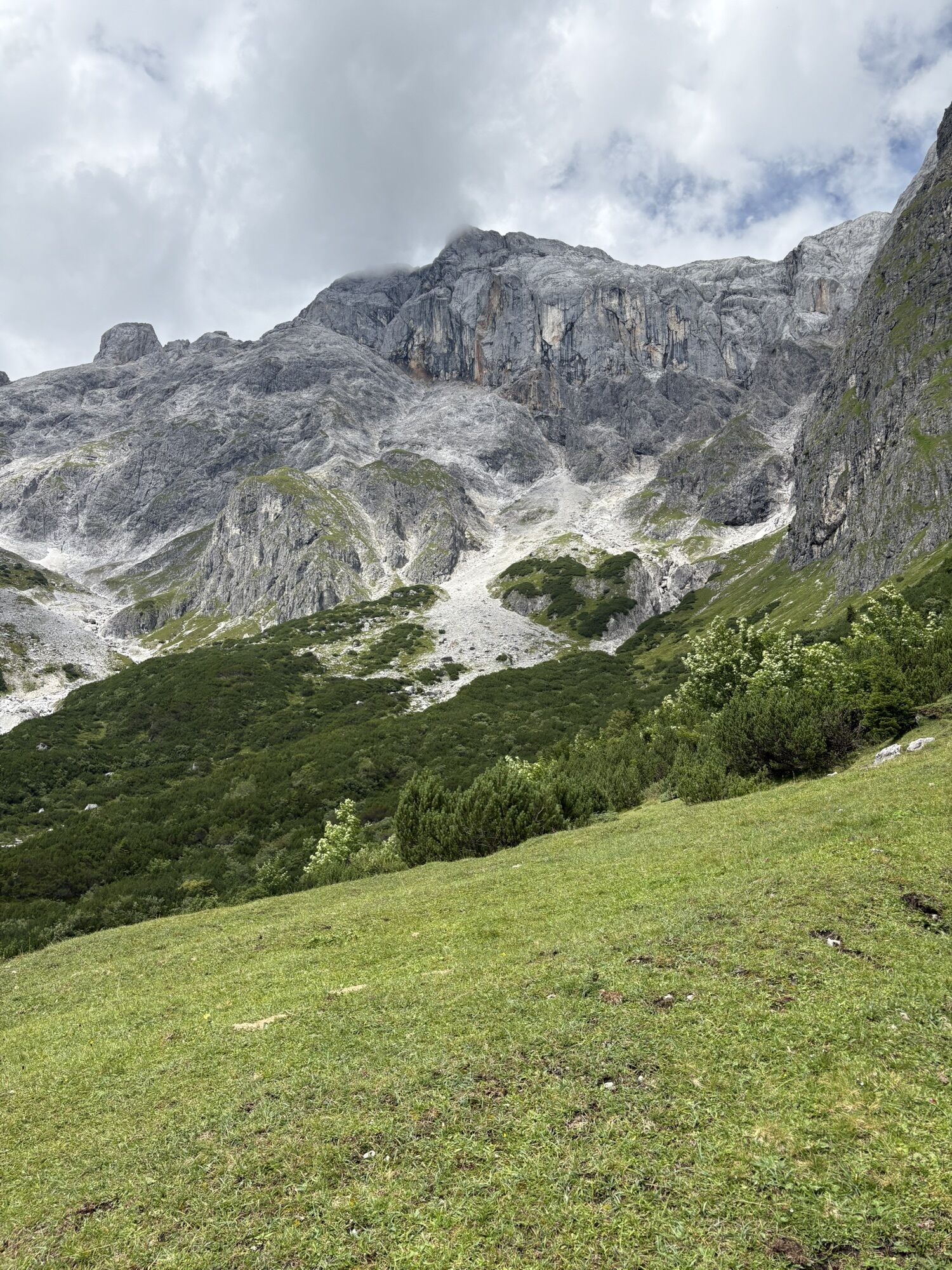
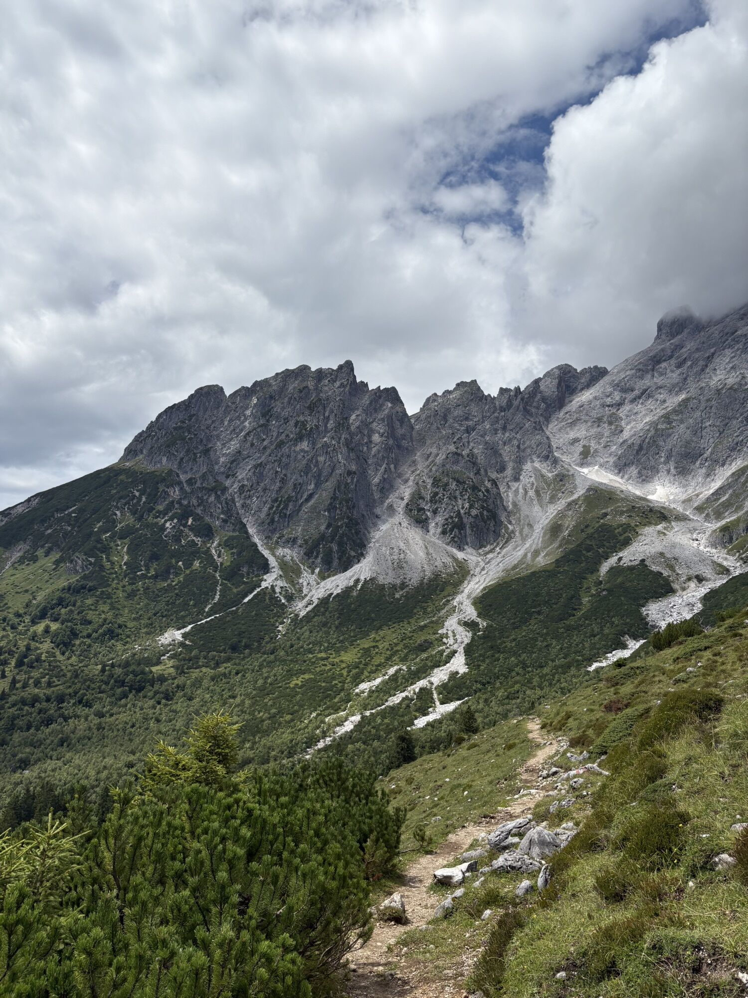
They are ancient legends that have been told in SalzburgerLand for generations: One of them tells of the extravagant dairy farmers on the Hochkönig alpine pastures. They are said to have bathed in milk...
Alpine path history
Mühlbach am Hochkönig was already a mining village in prehistoric times. During the Bronze Age, the local copper deposits were considered the largest in the Eastern Alps. Mining took place on the Mitteralpe near the Arthurhaus. This hut owes its name, as does the Arthur adit near St. Johann, to the industrialist Arthur Krupp. Mining was discontinued only in 1977. Anyone who wants to learn more about the ore deposits in the region is recommended to visit the mining museum with adits in Mühlbach am Hochkönig and the exhibition “Ore of the Alps UNESCO Global Geopark” in Bischofshofen. www.museum-hochkoenig.com www.geopark-erzderalpen.at
Alpine path summit tour
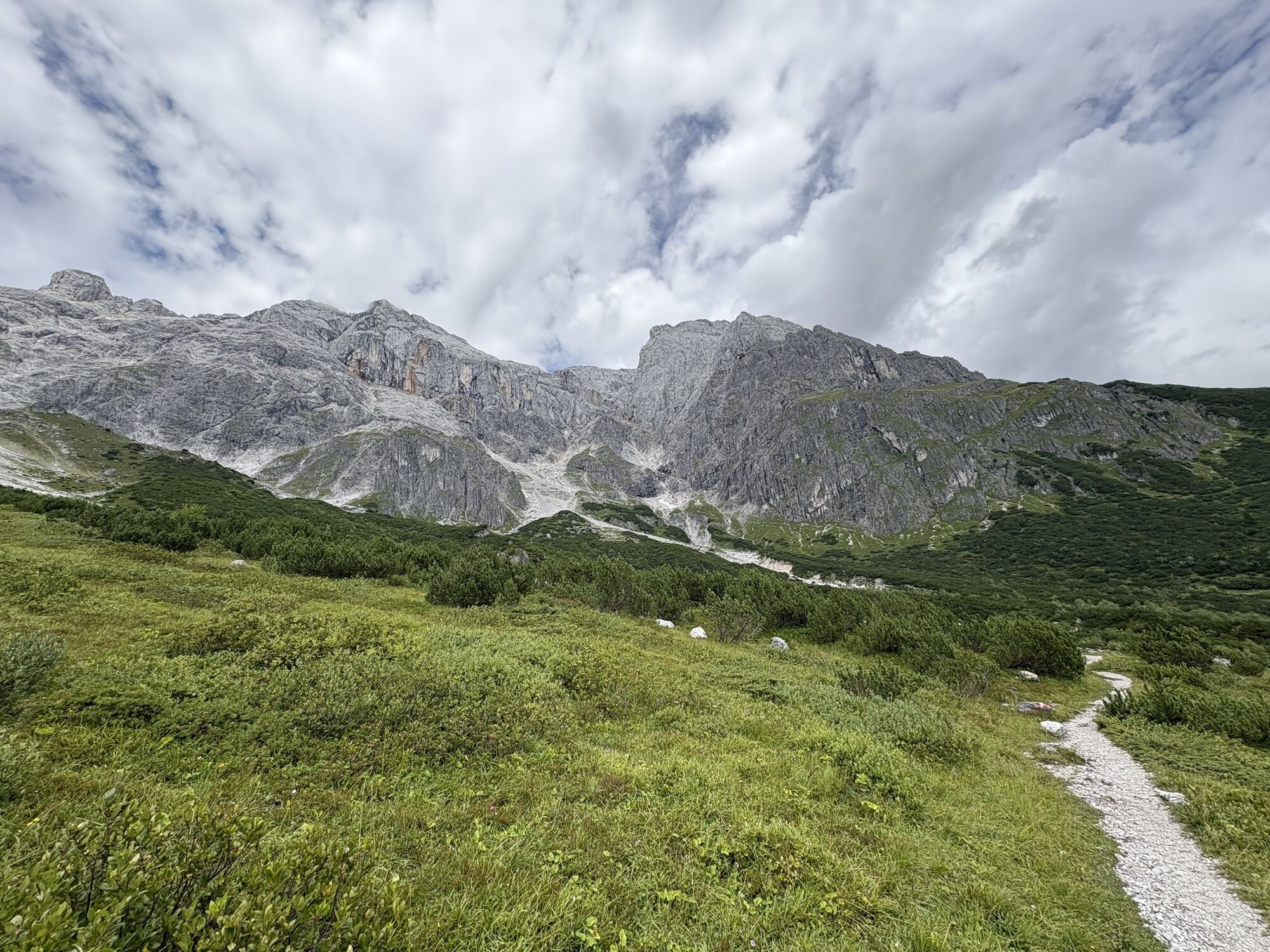
The Hochkönig is a high alpine mountain and climbing experience. Directly at the summit at 2,941 meters is the Matrashaus, where overnight stays are possible only by reservation. The widely visible “gate column” with its climbing routes of different difficulties is considered a climbing paradise in rugged limestone. The “Königsjodler” via ferrata is with 1,700 meters one of the longest of its kind in SalzburgerLand. It runs at an impressive altitude between 2,380 and 2,880 meters.
Alpine path refreshment
4-star chef Vitus Winkler from St. Veit has created special dishes together with the herb pastures at Hochkönig such as “Almwiese”, “Opfibam” or “Spring awakening at Hochkönig”.
Paula Bründl has created special dishes together with the herb pastures at Hochkönig based on the variety of herbs found in the Hochkönig region.
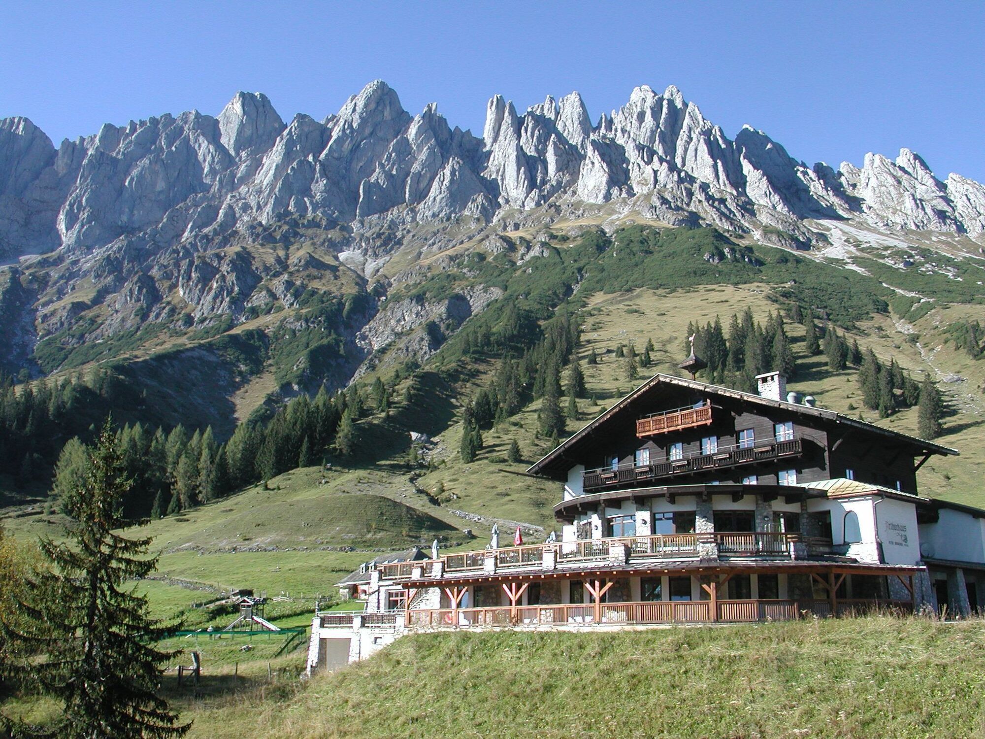
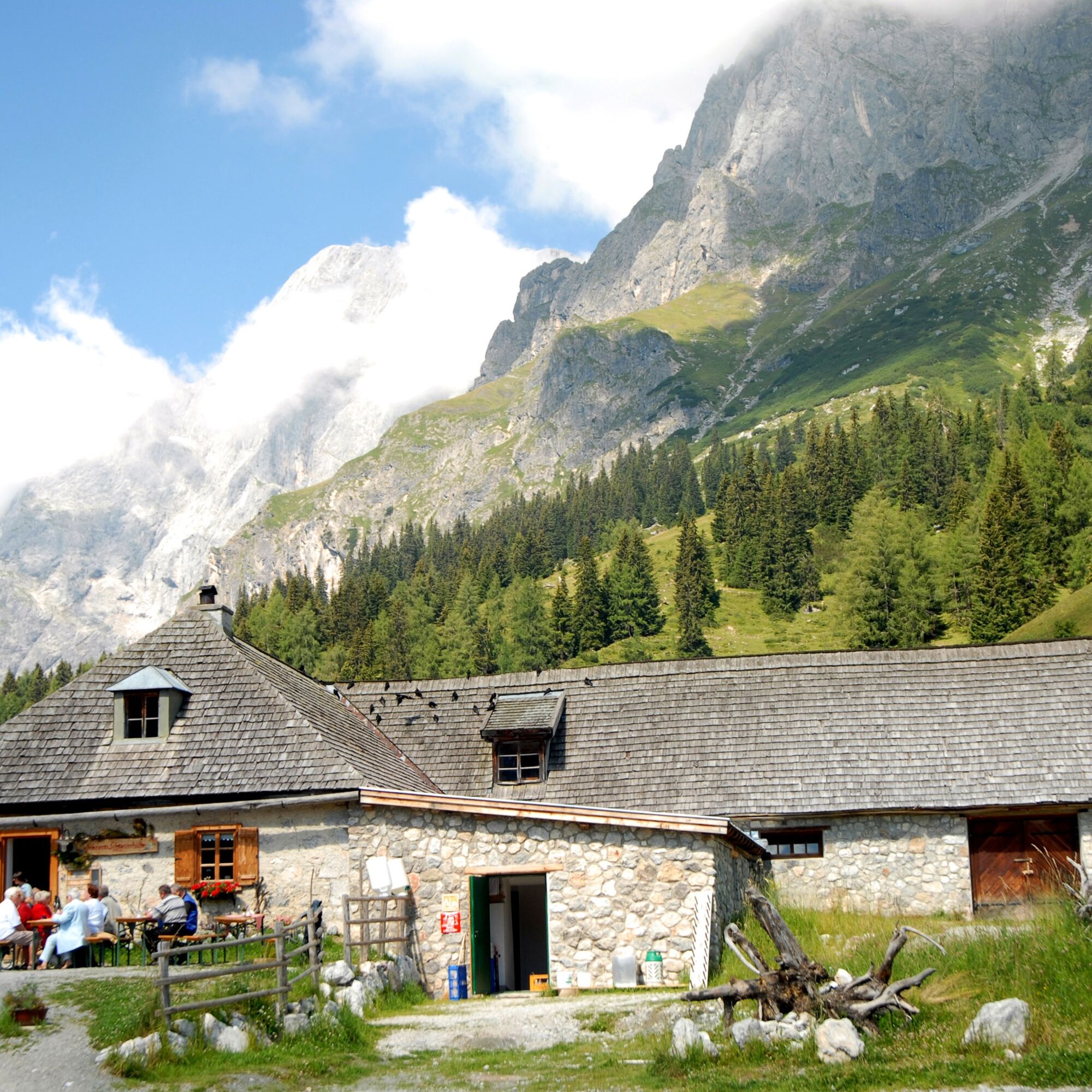
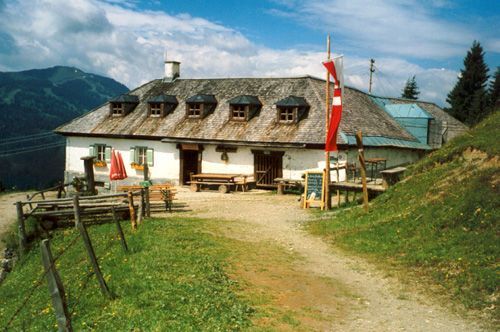
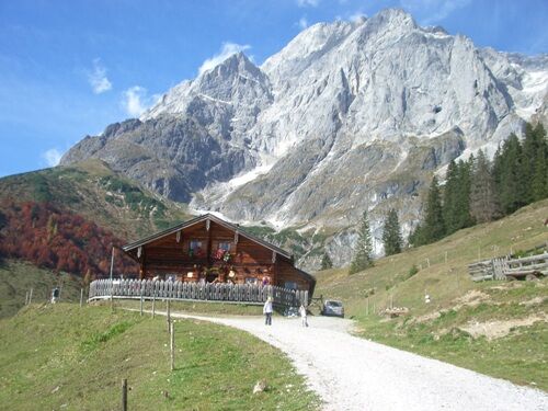
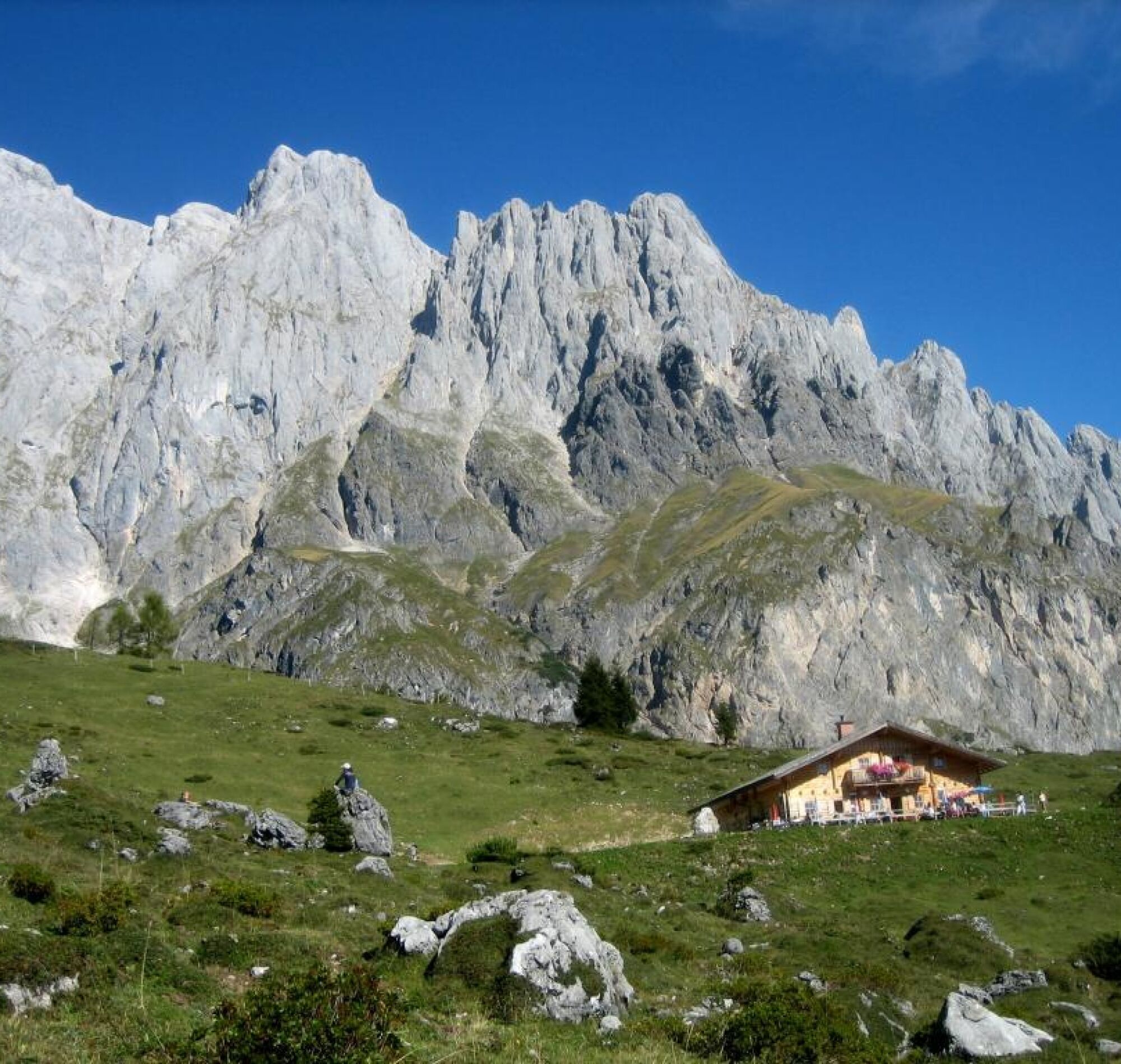
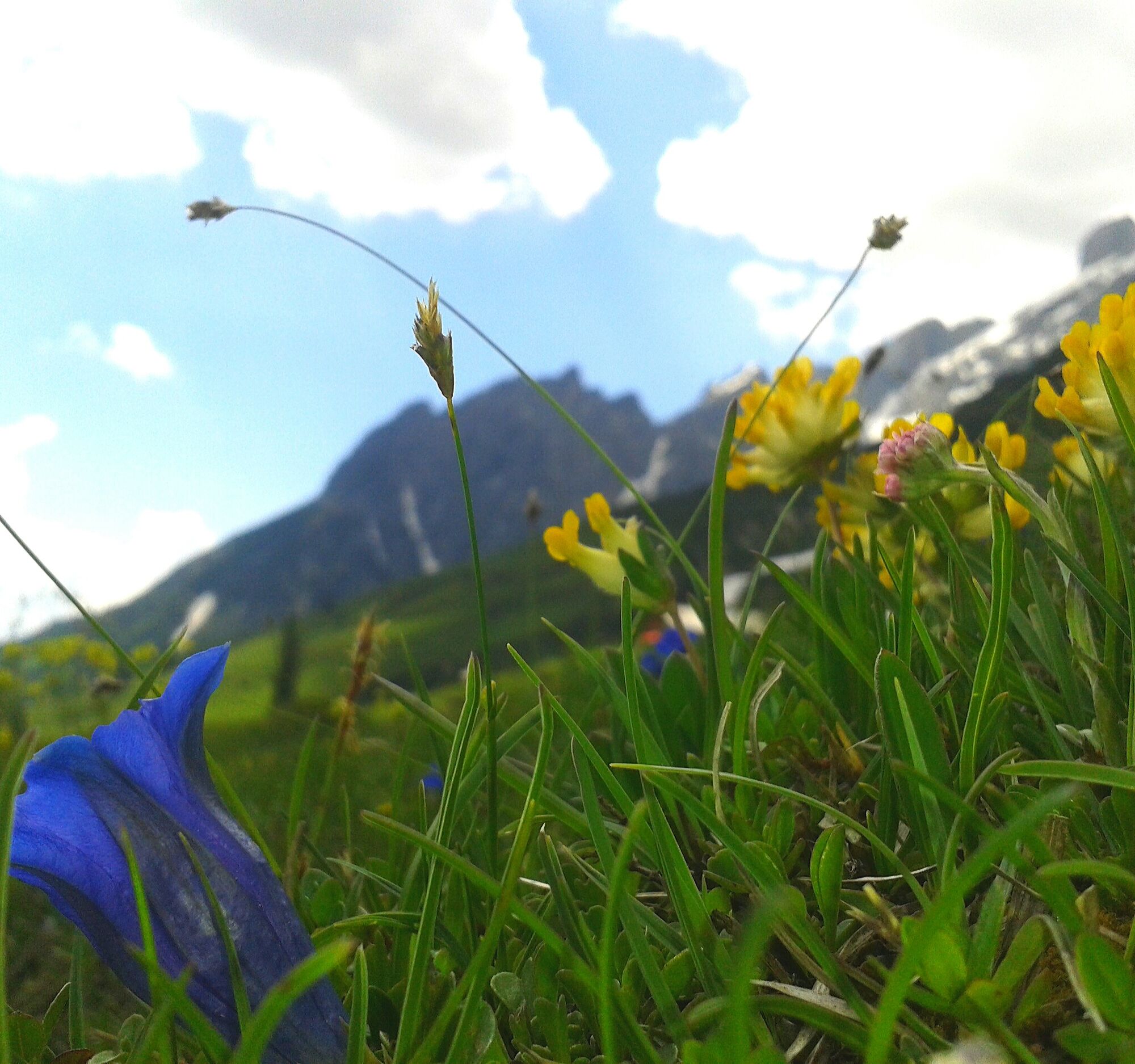
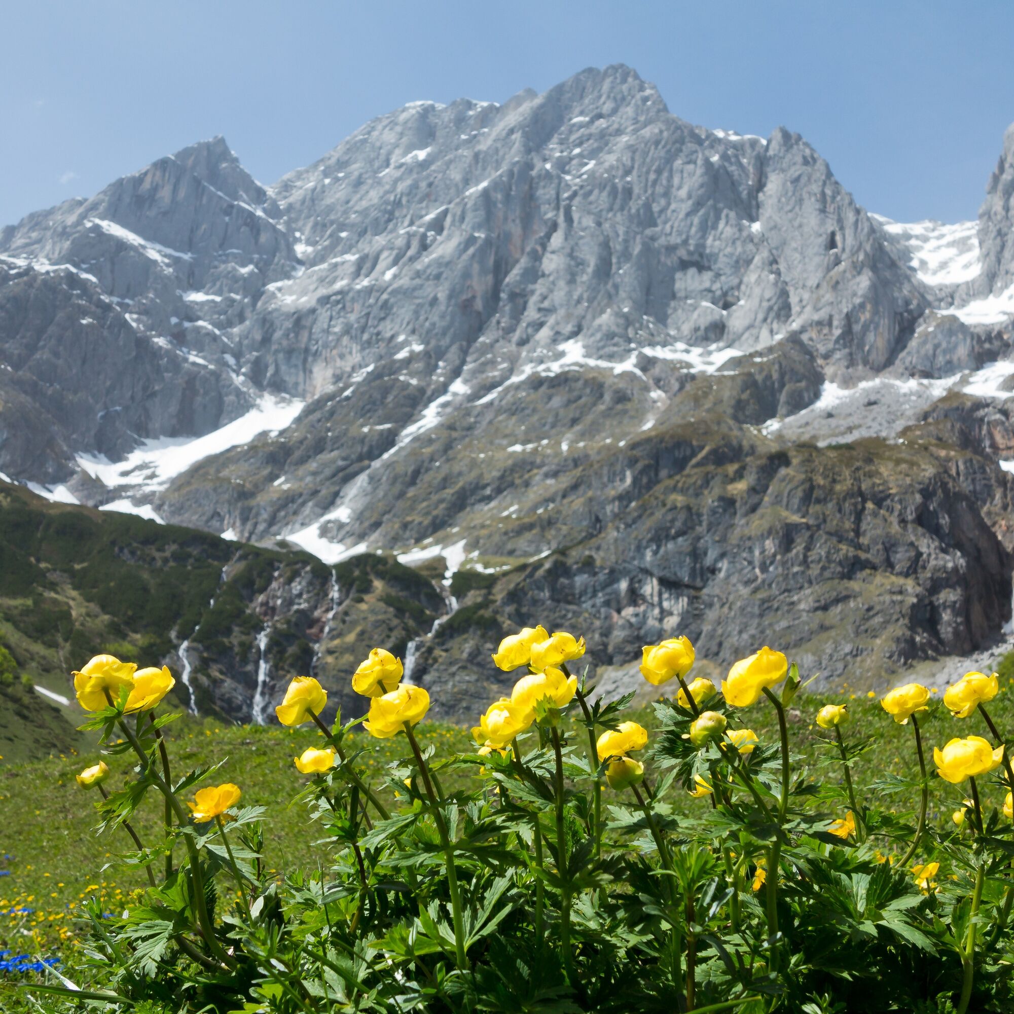
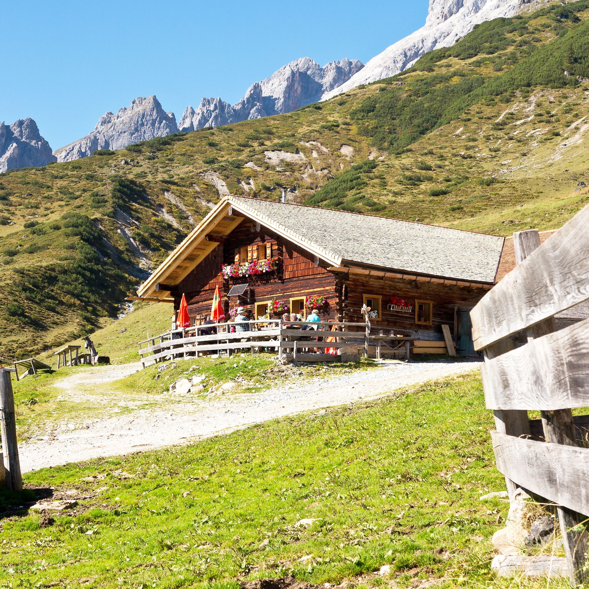
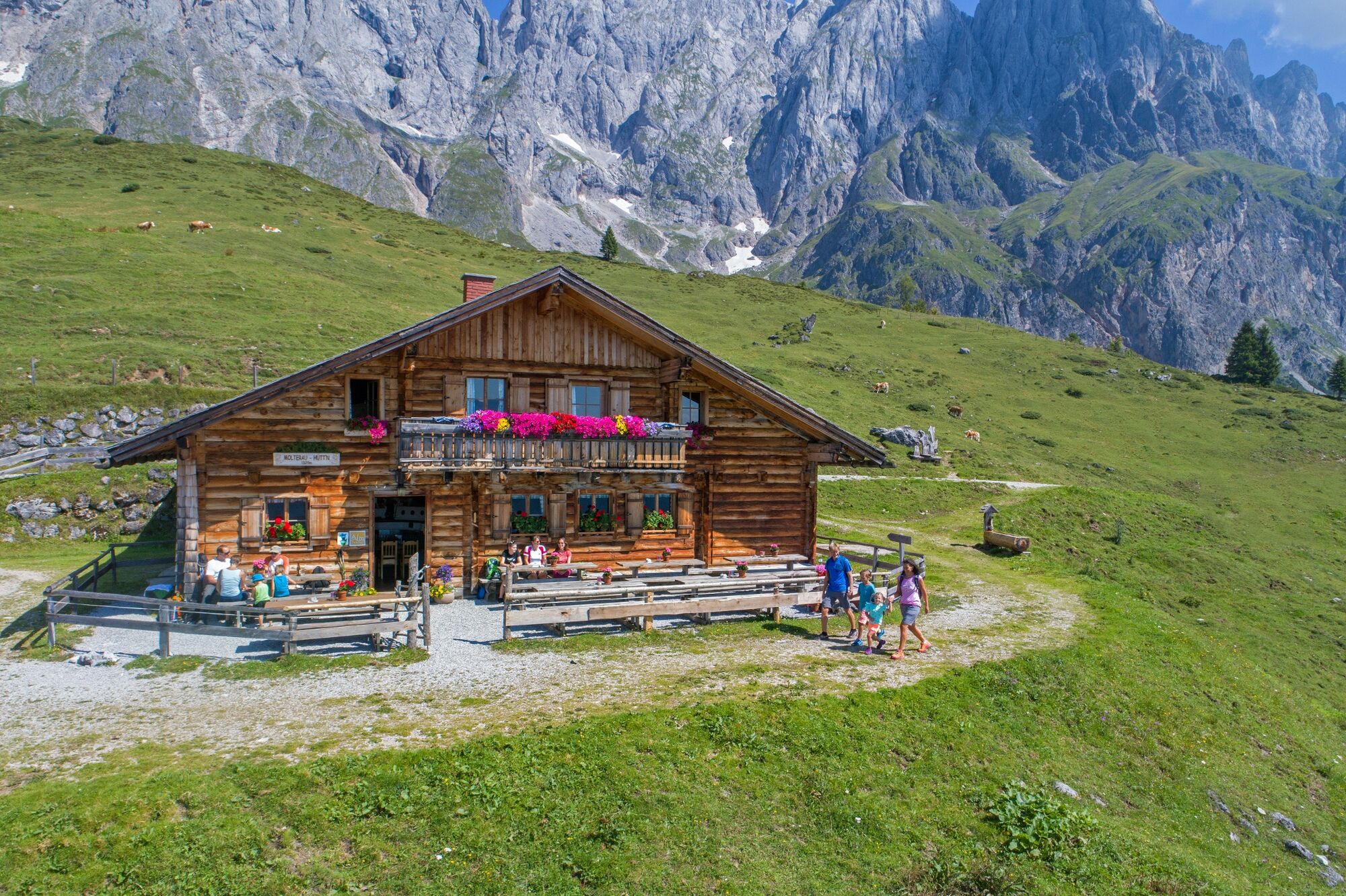


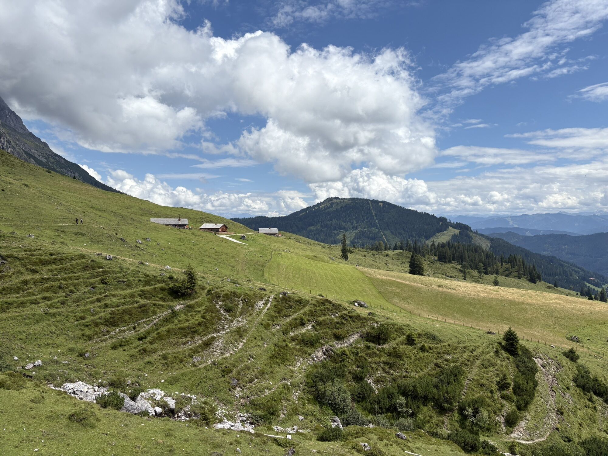
Along the path, numerous mountain huts invite you to stop: after about 30 minutes of walking, the managed Windraucheggalm is reached with a slight descent, shortly followed by the beautifully situated summer pasture hut Riedingalm, which lies a bit below the path.
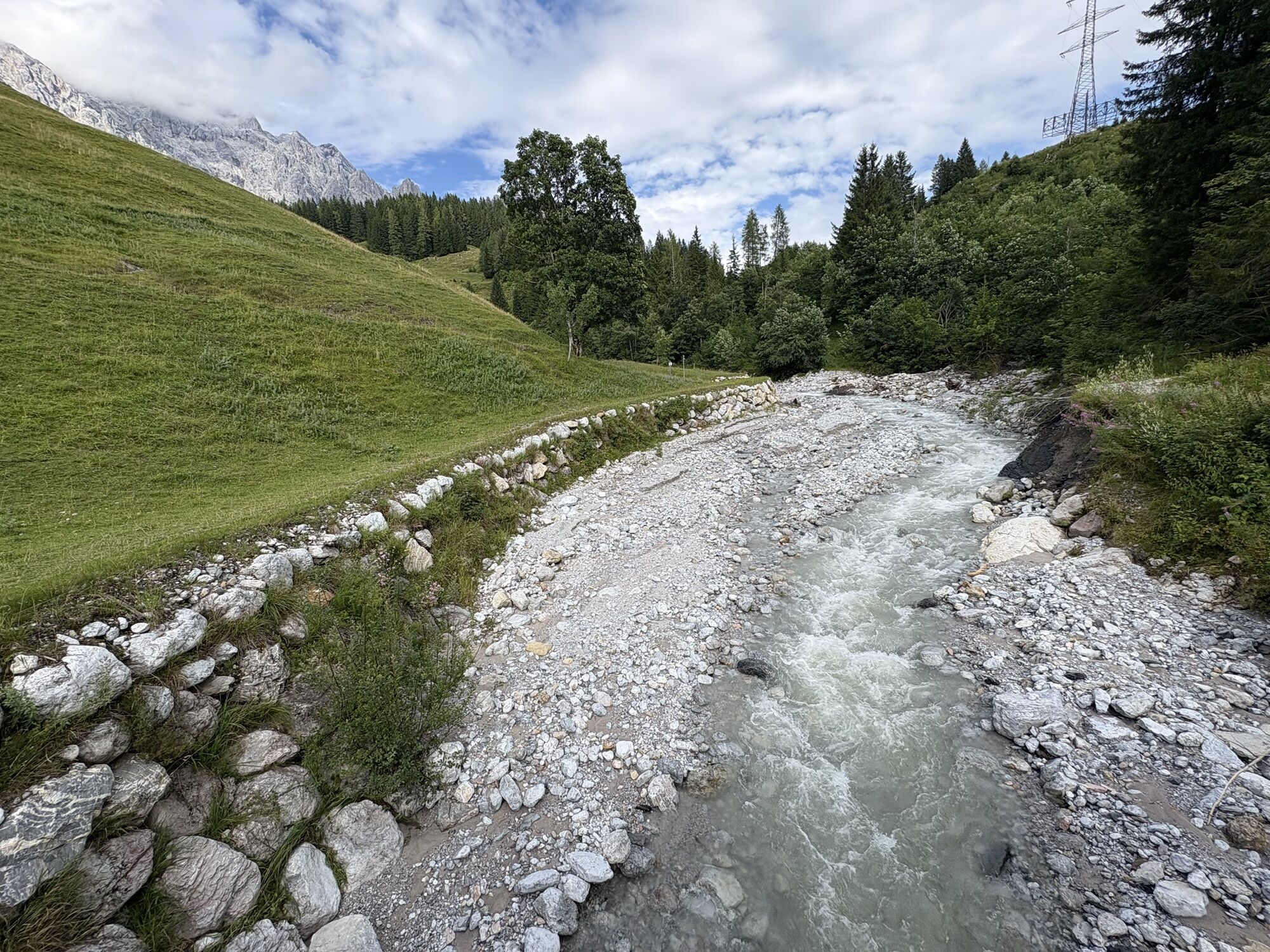
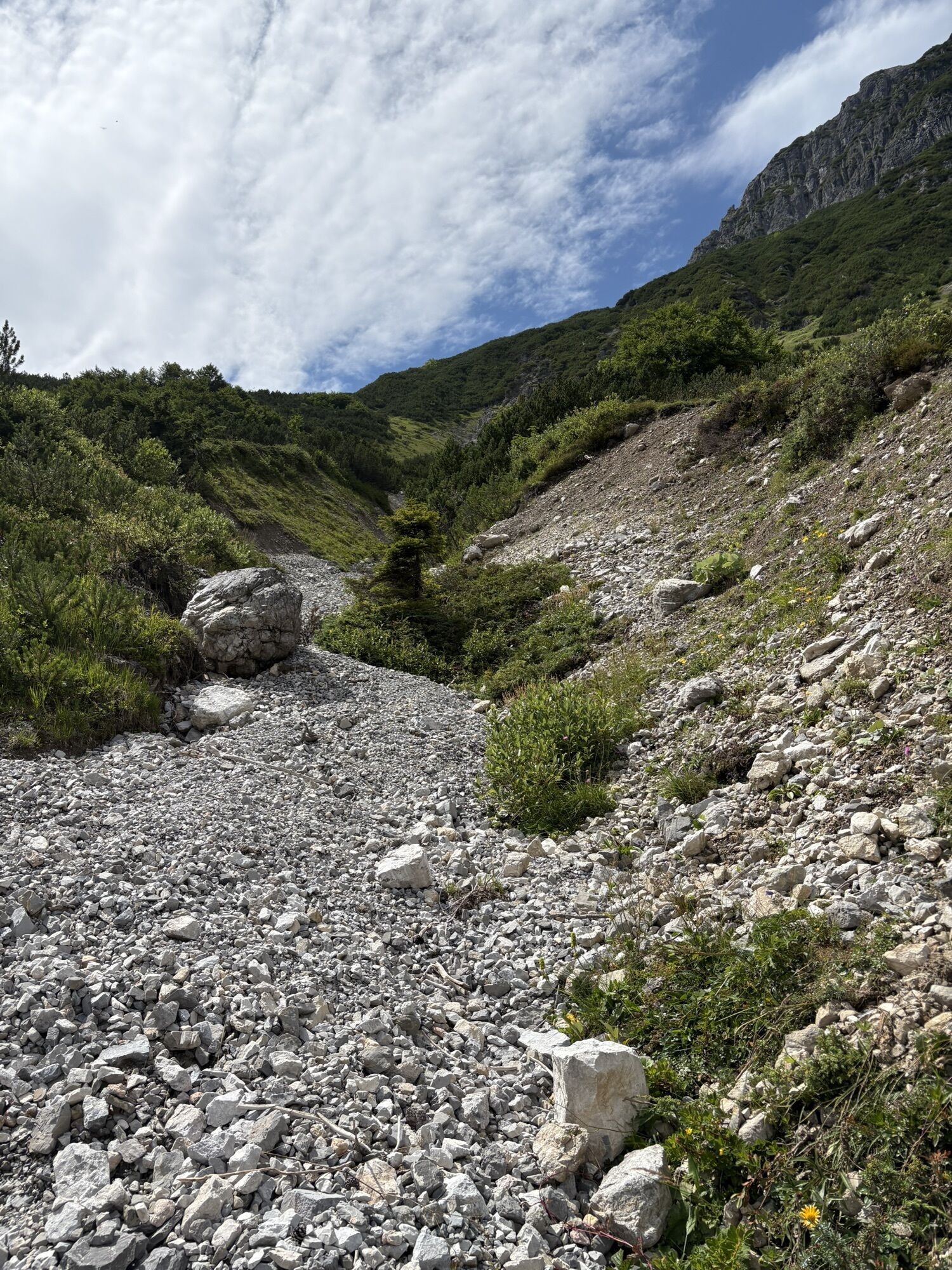
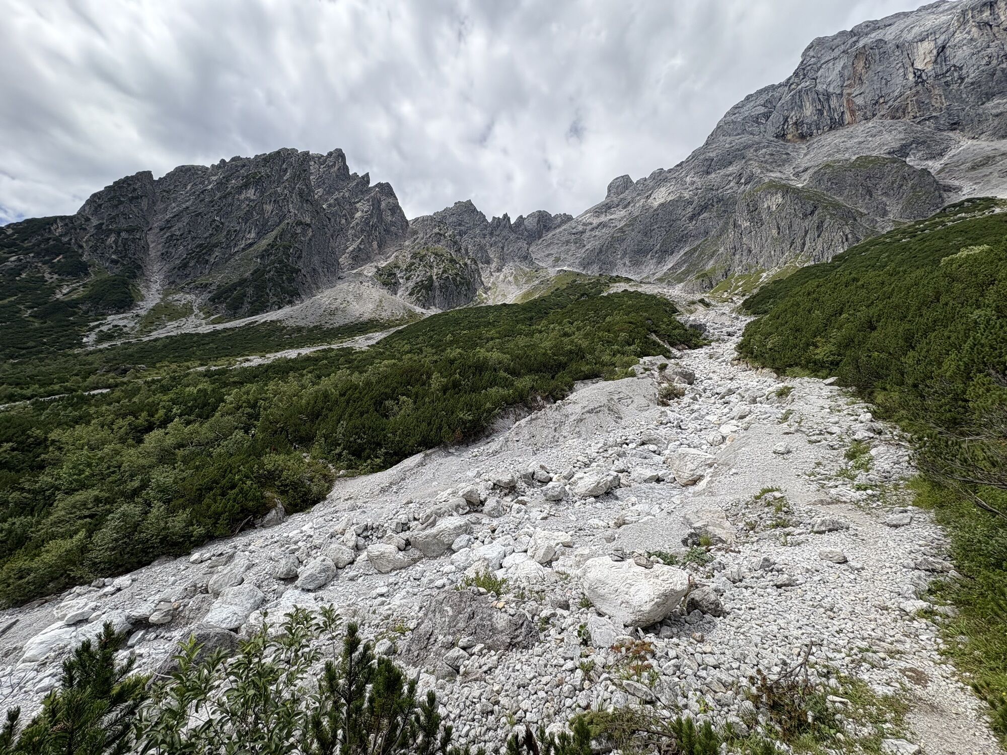
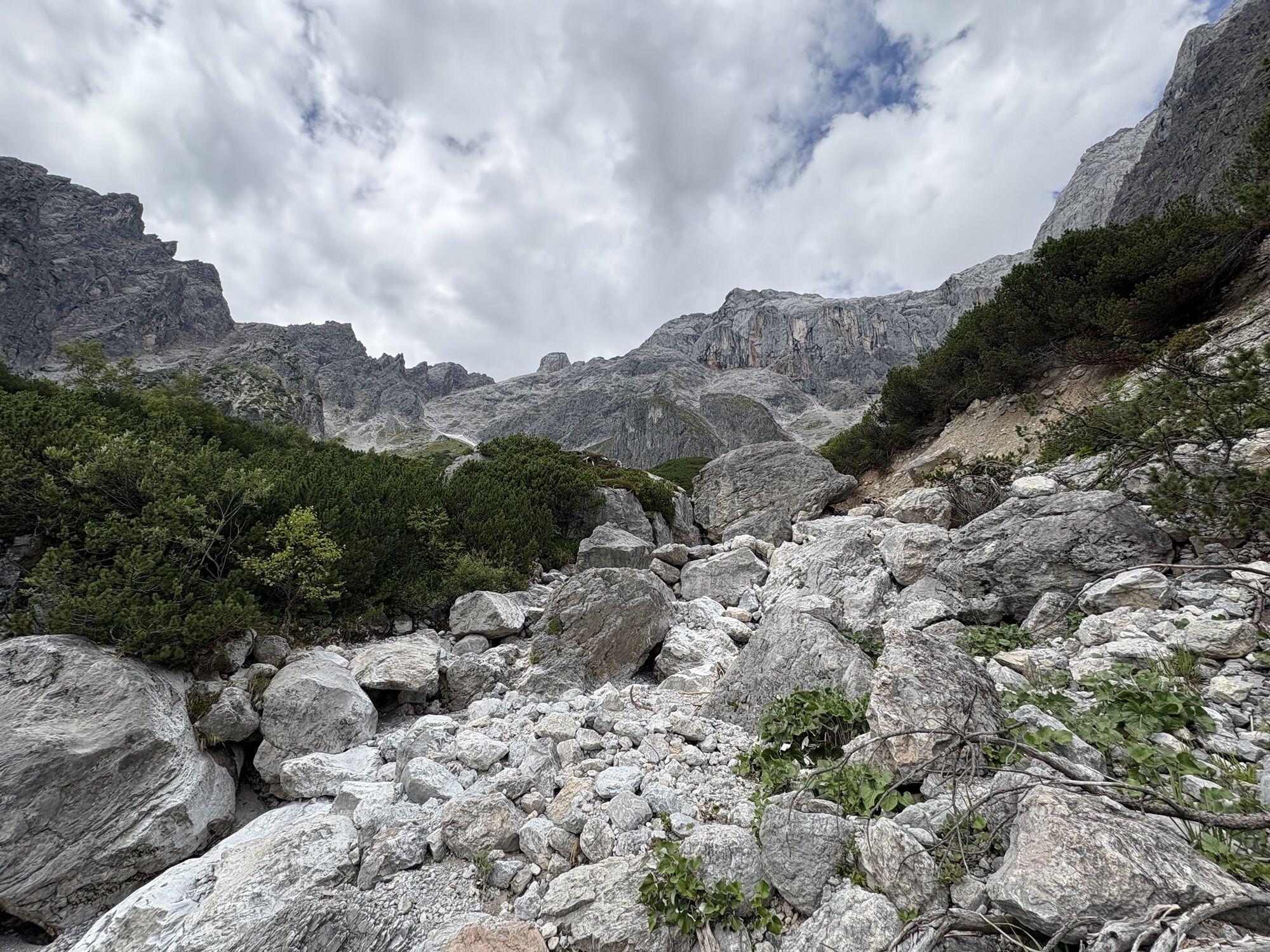
The alpine path leads through the picturesque Riedingtal and crosses the dry bed of the Schrammbach stream. A short ascent follows before the next certified summer pasture hut, the Brandstätthütte, is reached. Then follows a longer section without direct refreshment options: to get to Stegmoosalm, a small detour over trail no. 90 would have to be taken – the Salzburger Almenweg continues more or less at the same altitude westward (trail no. 401A) and the branching hiking paths down into the valley are ignored.
After about 4 hours of walking, the Erichhütte offers a welcome opportunity to rest before heading to the stage destination Dienten. From the Erichhütte, trail no. 436/401A leads downhill to a fork – here you turn left along trail no. 66 to Riedlgut. Now again left following trail no. 65, across meadows past Schnegghof, Höflgut, and Priesterhöfl to the federal road. Follow this about 100 meters downhill before turning right again then left downhill (trail no. 65) directly to Dienten.
Refreshment (E) and overnight accommodation (Ü)
Arthurhaus (1,500 m), (at stage start) mid-May to end of October, Tel. +43 6467 7202 E/Ü
Schweizerhütte (1,502 m), (at stage start) mid-May to end of October (Wed–Sun), Tel. +43 6467 7202 summer pasture hut / E
Windraucheggalm (1,460 m), (after approx. 30 minutes walking) early June to end of October, Tel. +43 664 4322763
Riedingalm (1,370 m), (after approx. 1 hour walking) end of May to early October, Tel. +43 664 9163642 summer pasture hut / E
Schartenhütte (1,530 m), (after approx. 1 hour walking) early June to end of September, Tel. +43 664 1398928 Ü
Molterhütte (1,520 m), (after approx. 1 hour walking), Tel. +43 664 1839100 E
Brandstätthütte (1,542 m), (after approx. 1 hour walking) early June to mid-October, Tel. +43 2743726 summer pasture hut / E
Stegmoosalm (1,441 m), (after approx. 2 hours walking – small detour) early June to early October, Tel. +43 664 5108546 E
Dientalm (1,400 m), (after 3 hours – small detour/alternative descent option of 30 minutes from km 10 on trail no. 91 to Dientalm) Tel. +43 64677919 E / Ü
Erichhütte (1,545 m), (after approx. 4 hours walking) mid-May to end of October, Tel. +43 664 2643553 E / Ü
Numerous refreshment and accommodation options in Dienten (after approx. 5 hours), www.hochkoenig.at
Salzburger Almenweg Info and booking center partner by Trail Angels:
Hotel Hochkönig, more information at: https://www.hotel-hochkoenig.at/, Tel. +43 664 1832791
Da
Here you will find everything about the right hiking shoe, perfect equipment, and the correct walking technique.
To make your day in the mountains truly an unforgettable experience, we give you some tips to ensure you are safe while hiking.
From Mühlbach you can reach the Arthurhaus by public transport and the hiking bus. From there you can start stage 2. Use of the bus is free with the HochkönigCard.
You can park cars for a fee at the Arthurhaus parking lot. In Mühlbach, parking in the village center opposite the fire station is free: please leave the "Almenweg parking disc" from the brochure visible in your parked car! From Mühlbach, you can take the hiking bus to the Arthurhaus. Use is free with the HochkönigCard.
T1
All further information about the Salzburger Almenweg can be found here.
Hochkönig Tourismus GmbH
Am Gemeindeplatz 7
5761 Maria Alm
+43 6584 20388
region@hochkoenig.at
www.hochkoenig.at
Summer opening hours of the cable cars
Summer opening hours of huts & alpine pastures
Not only on hot summer days – but especially then – a small detour to the Riedinger Waterfalls at the foot of the Hochkönig is worthwhile: after the Windraucheggalm, a path leads left into the Riedingtal, where this beautiful, untouched waterfall can be found. The small detour of 30 minutes is definitely worth it!


Spletne kamere s turneje
-
Mühlbach am Hochkönig
-
Maria Alm - Hochmaisbahn
-
Bürglalmlift - Dienten
-
Mühlbach am Hochkönig - Hotel Bergheimat
-
Bergstation Kings Cab
-
Matrashaus am Hochkönig
-
Grünegg Alm & Edelbrennerei
-
Dienten - Übergossene Alm Resort
-
Dienten - Almsee
-
Dienten - Übergossene Alm Resort
-
Dienten, Bürglalmabfahrt
-
Bergstation Kings Cab
-
Bürglalmbahn Abfahrt
-
Hochkönigblick
-
Arthurhaus - Mühlbach
-
Hinterthal - Urslauerhof
-
Hinterthal - Urslauerhof
Pridobite vpogled
Vedno v živo na mestu z več kot 9.500 spletnimi kamerami. bergfex Kot uporabnik Pro si lahko zdaj ogledate ustrezne spletne kamere za številne izlete v aplikaciji izleti iz. Tako si lahko neposredno ogledate trenutne razmere.
Dejavnosti na poti
-

Mühlbach am Hochkönig, Salzburg/Österreich
23.07.2026 – Pohodništvo -

Mühlbach am Hochkönig, Salzburg/Österreich
20.07.2026 – Pohodništvo -
Dienten am Hochkönig, Salzburg/Österreich
29.06.2026 – Šotolinasto kolo -
von Erichhütte zum Arthurhaus
15.06.2026 – Pohodništvo -

Mühlbach am Hochkönig, Salzburg/Österreich
03.10.2025 – Pohodništvo -
Mühlbach am Hochkönig, Salzburg/Österreich
11.09.2025 – Pohodništvo -

Mühlbach am Hochkönig, Salzburg/Österreich
28.08.2025 – Pohodništvo -

Mühlbach am Hochkönig, Salzburg/Österreich
25.08.2025 – Pohodništvo -
Mühlbach am Hochkönig, Salzburg/Austria
21.08.2025 – Pohodništvo -

Mühlbach am Hochkönig, Salzburg/Österreich
14.08.2025 – Pohodništvo -
Mühlbach am Hochkönig, Salzburg/Österreich
09.08.2025 – Mountainbike -

Mühlbach am Hochkönig, Salzburg/Österreich
30.07.2025 – Pohodništvo -
Mühlbach am Hochkönig, Salzburg/Österreich
20.06.2025 – Pohodništvo
Priljubljeni izleti v okolici
-
4.4
Maria Alm - Riemannhaus
Pohodništvo 3.99 km -
4.8
Summit stormer route Lauskopf
težkoPohodništvo 8.16 km -
4.8
Summit storming route Taghaube
težkoPohodništvo 6.25 km -
4.7
About the "Four Huts circular route" to Windraucheggalm
srednjaPohodništvo 10.1 km -
4.6
Panorama hike to the Hochkeil
srednjaPohodništvo 6.07 km -
3.6
Wanderung zur Ostpreußenhütte in Werfen (1.630 m)
srednjaPohodništvo 11.2 km -
4.9
Breithorn
srednjaPohodništvo 10.0 km -
4.8
Highlight Kitzlochklamm Classic round
srednjaPohodništvo 2.02 km -
4.9
Hochkönig - Gipfel der Gefühle - Matrashaus
težkoPohodništvo 20.9 km -
4.8
Liechtensteinklamm mit Helix
svetlobaTematska pot 3 km
Pohodništvo in sledenje


Ne zamudite ponudb in navdiha za naslednje počitnice
Vaš e-poštni naslov je bil dodan na poštni seznam.





