


🏞️ Pinzga Hatscher – Variant B: Viehhofen → Geierkogel
Stopnja težavnosti: T1
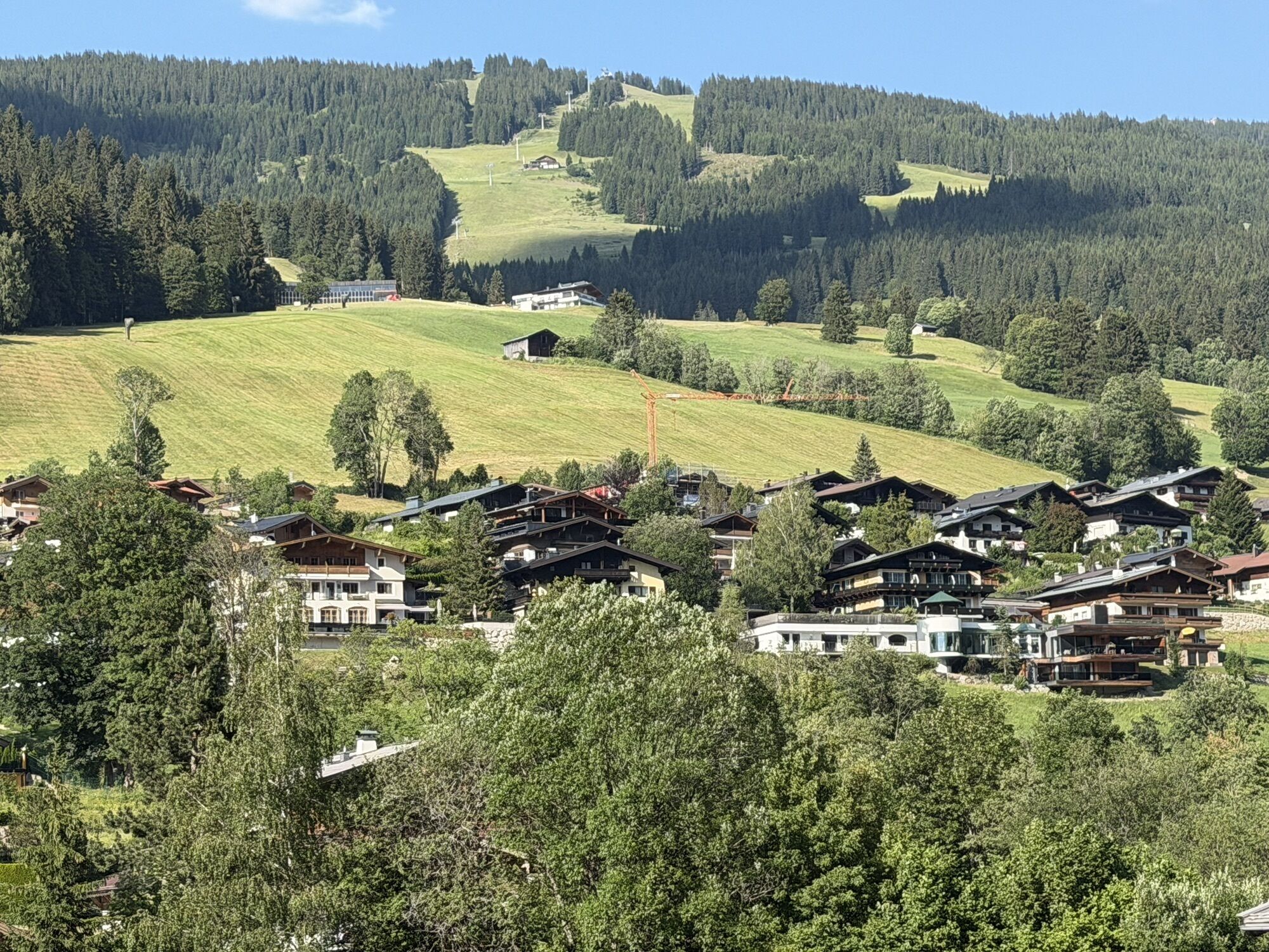

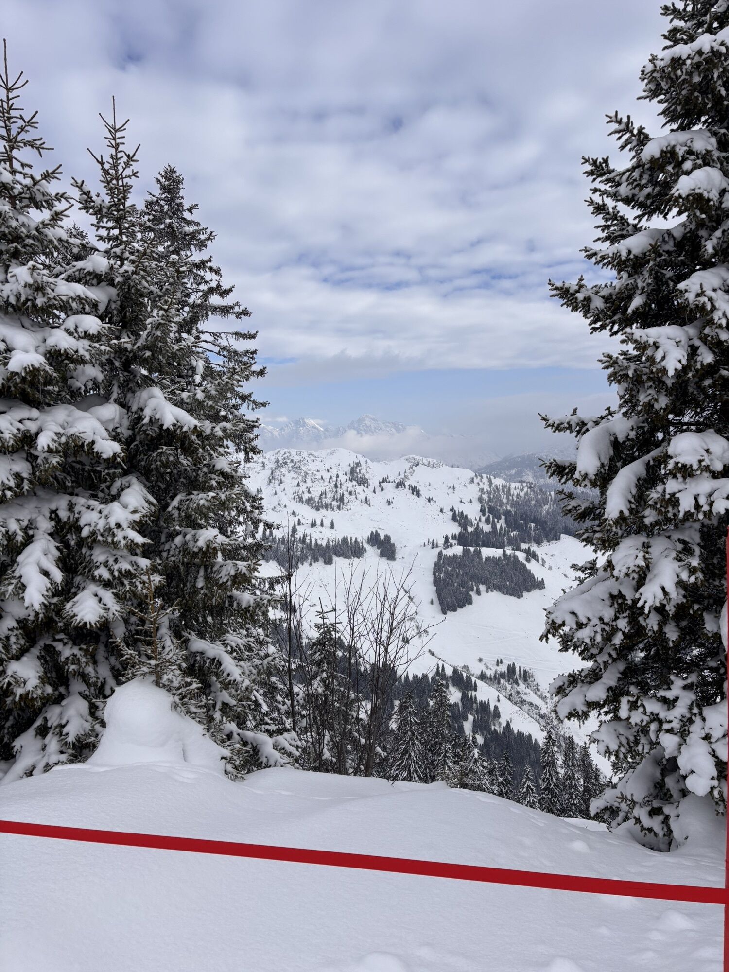
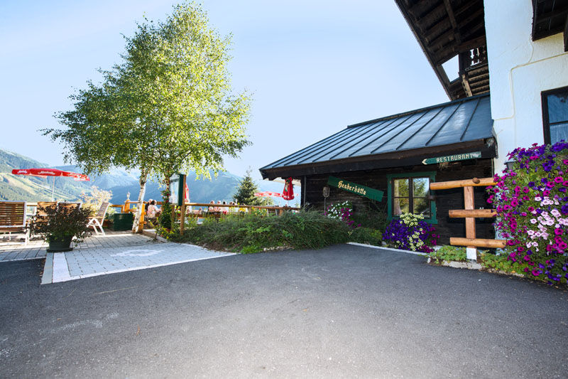
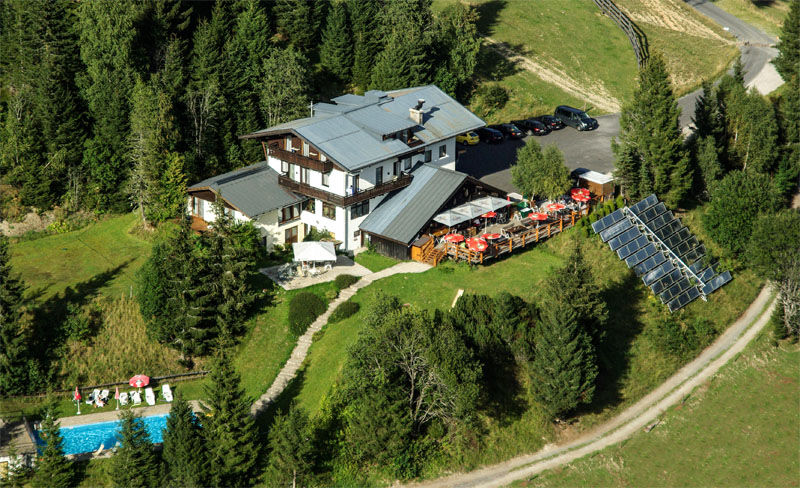
Variant B of the long-distance hike "Pinzga Hatscher" starts directly in the center of Viehhofen. Follow the marking towards Hecherhütte (1,270 m). The cozy alpine hut is a popular place to stop and rewards...
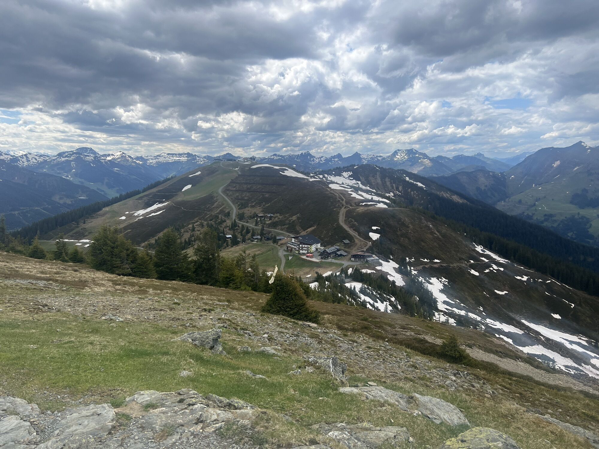
Variant B of the long-distance hike "Pinzga Hatscher" starts directly in the center of Viehhofen. Follow the marking towards Hecherhütte (1,270 m). The cozy alpine hut is a popular place to stop and rewards with regional delicacies and a wonderful view into the Glemmtal.
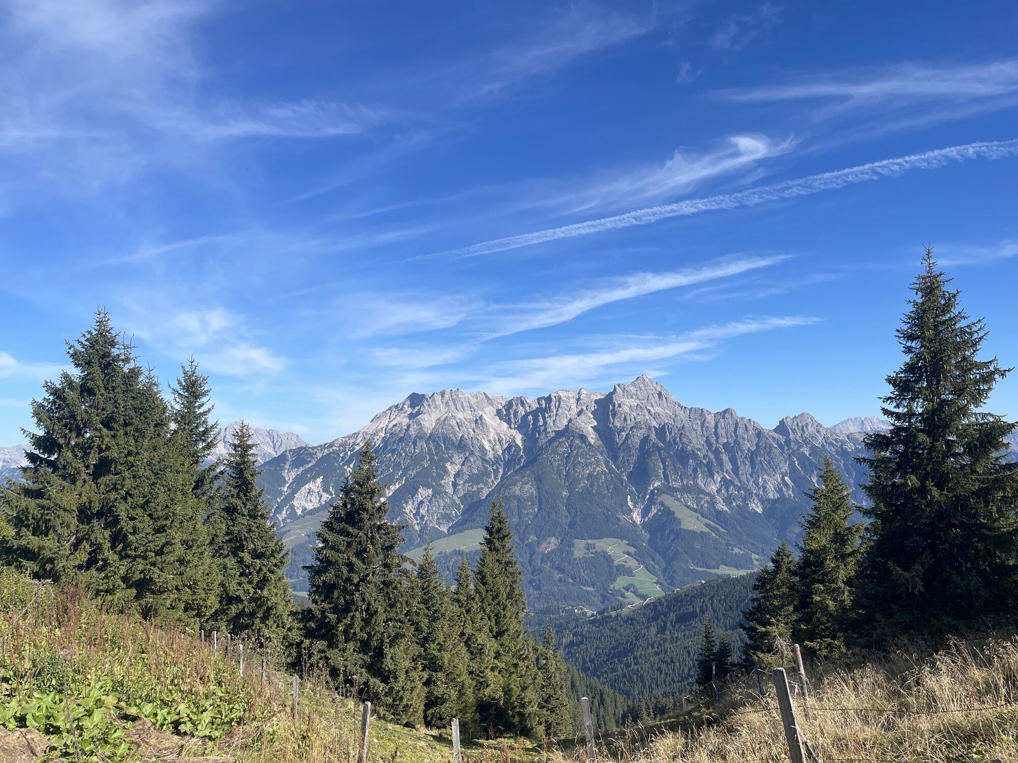
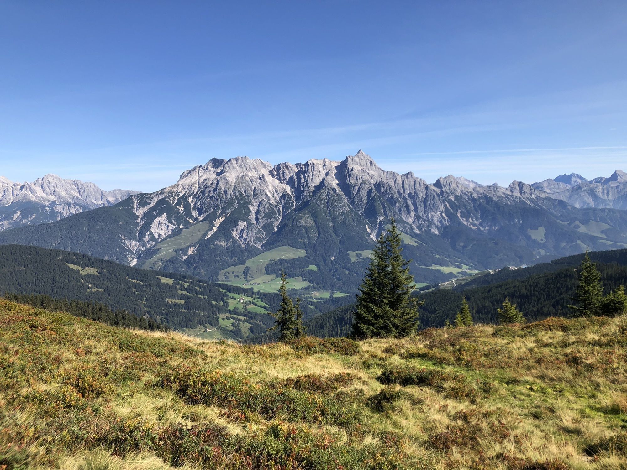
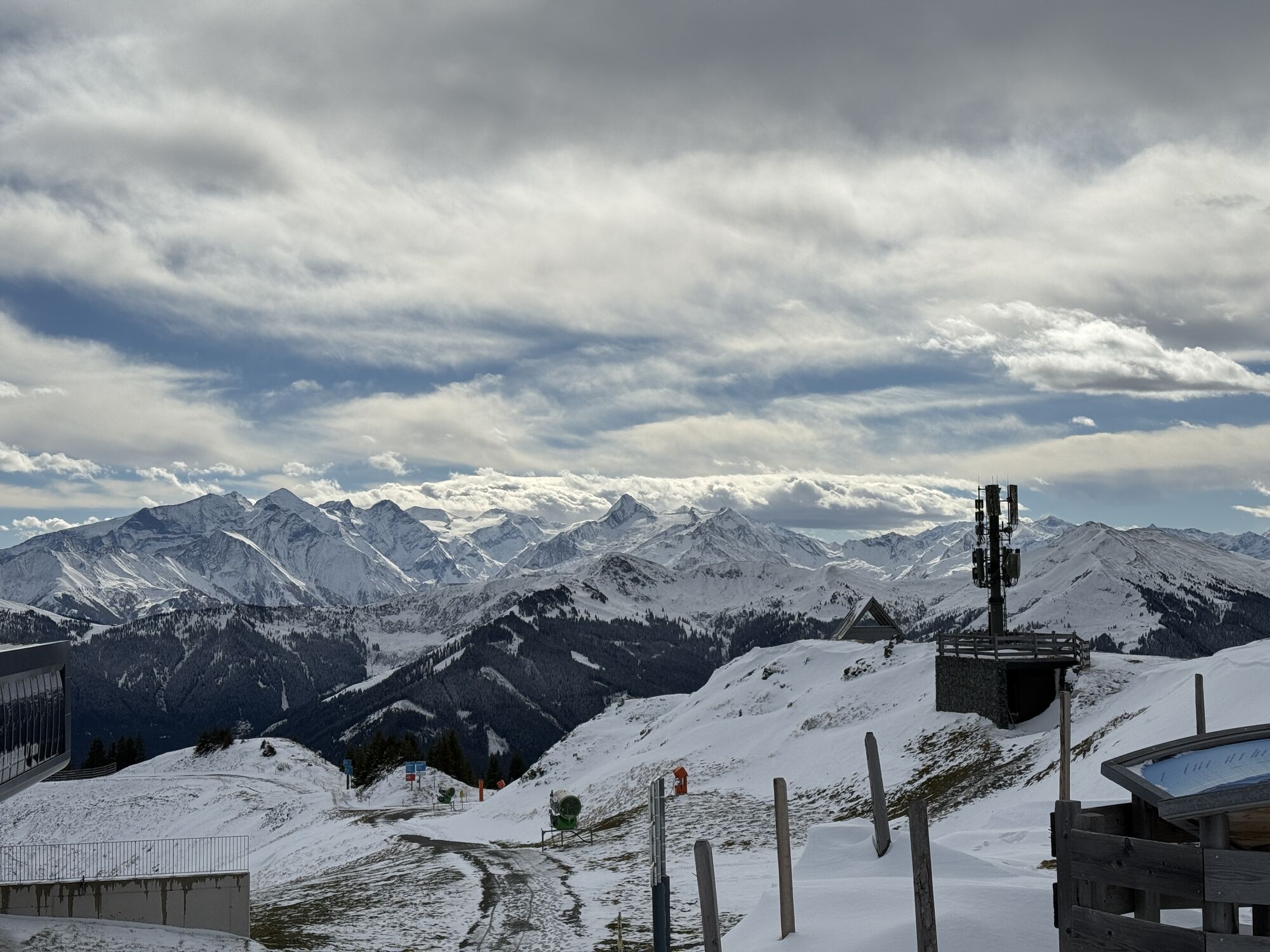
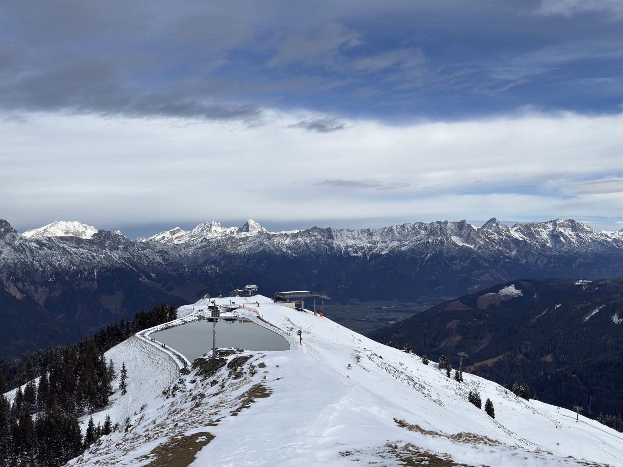
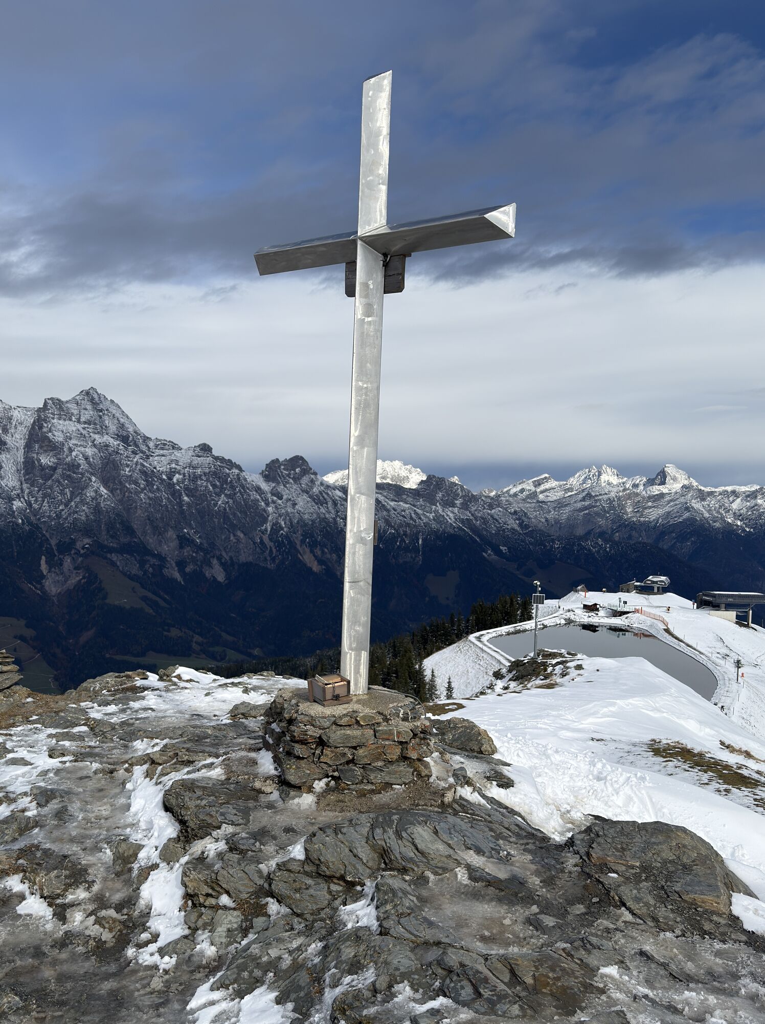
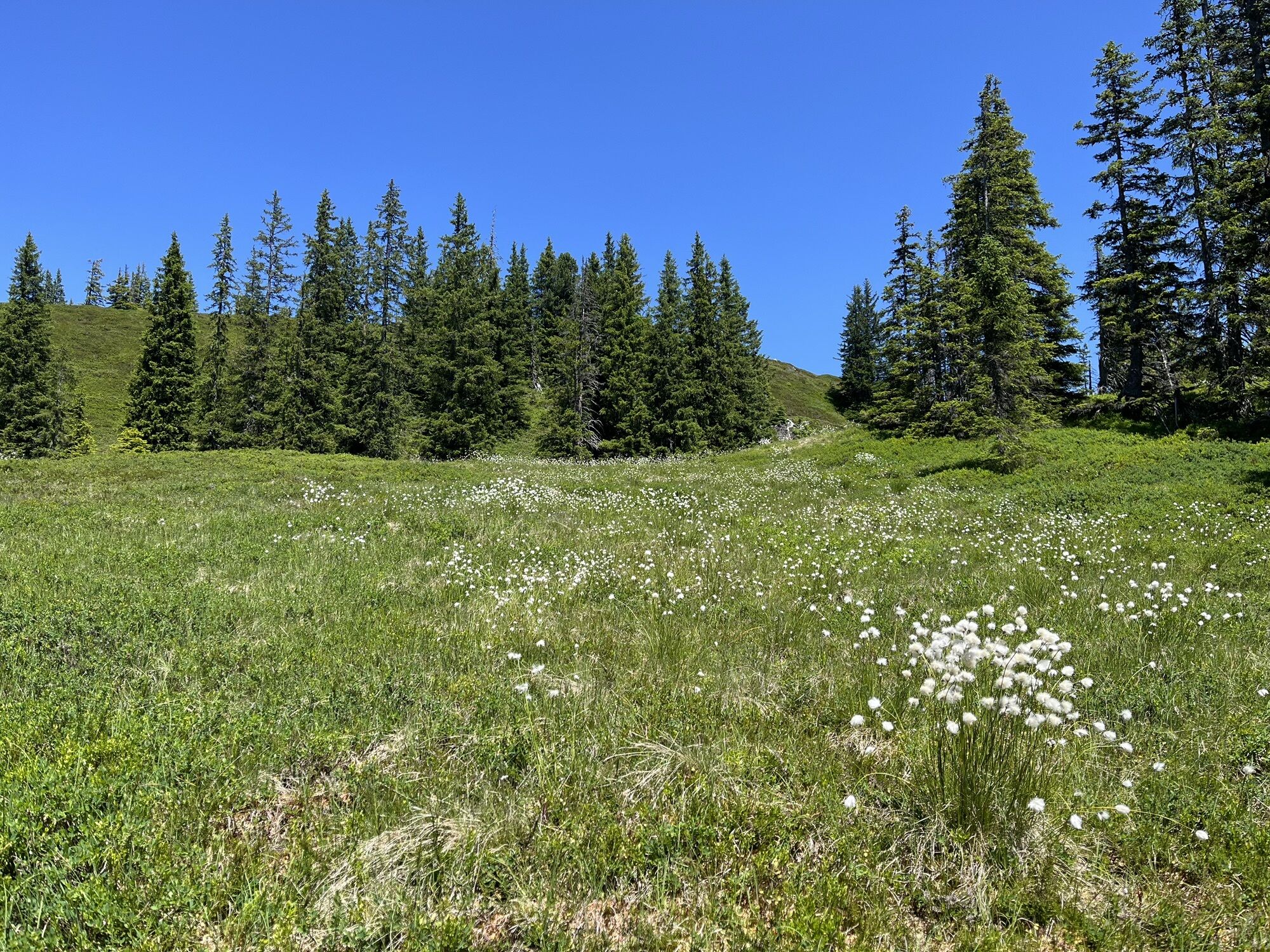
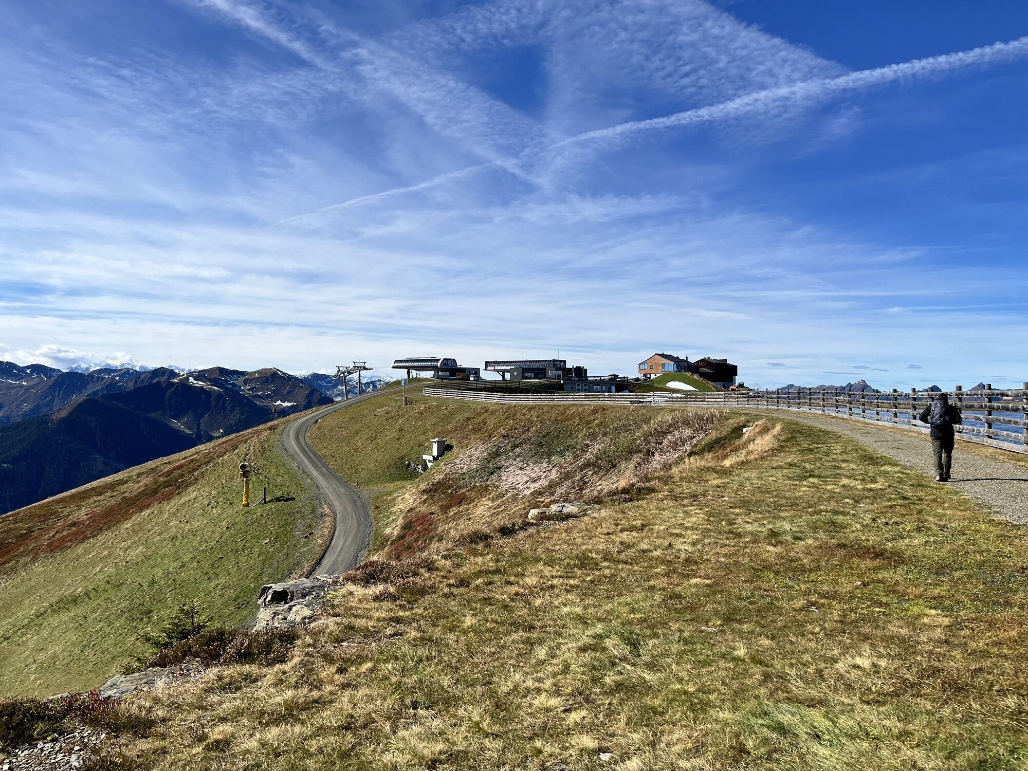
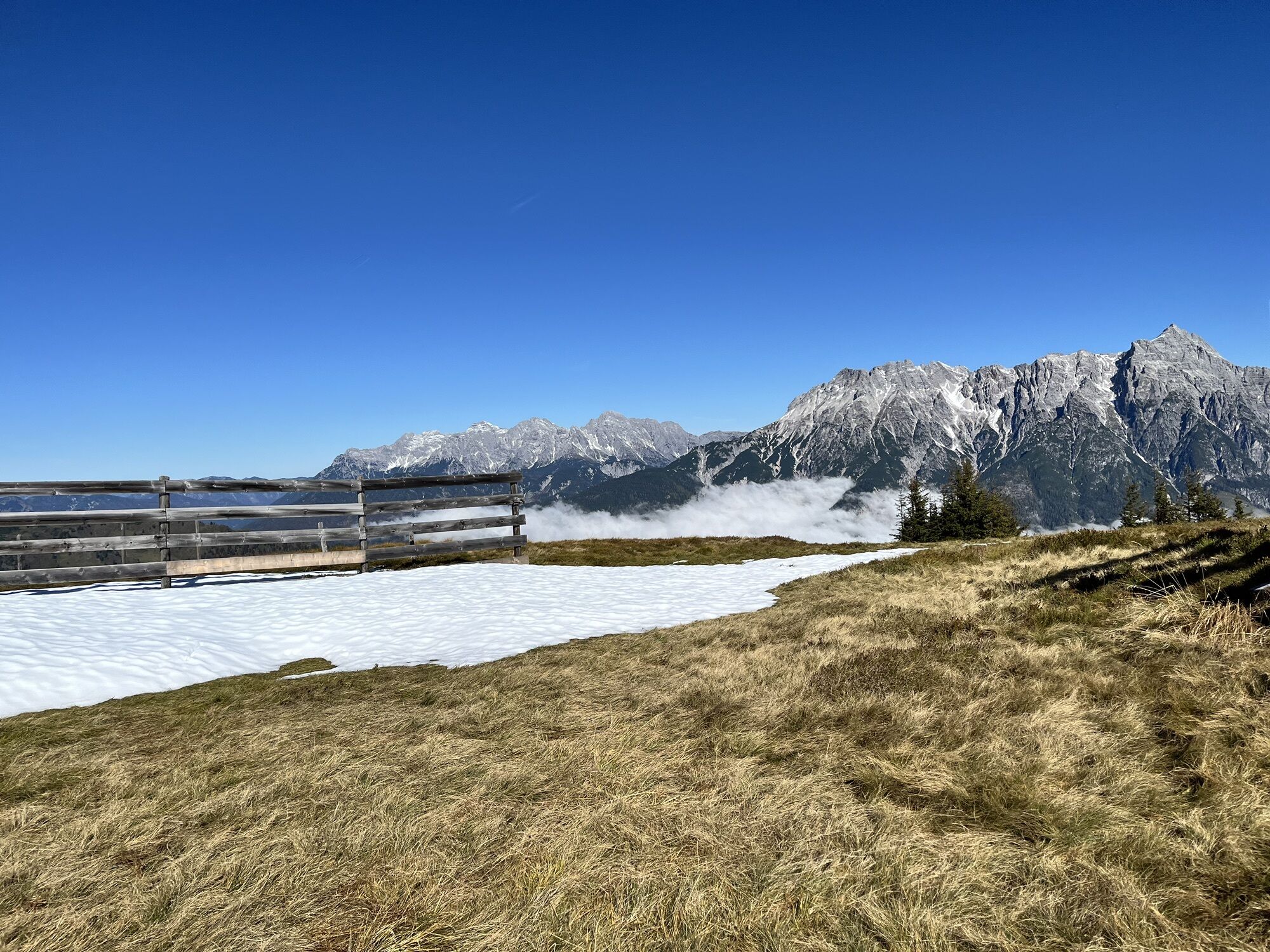
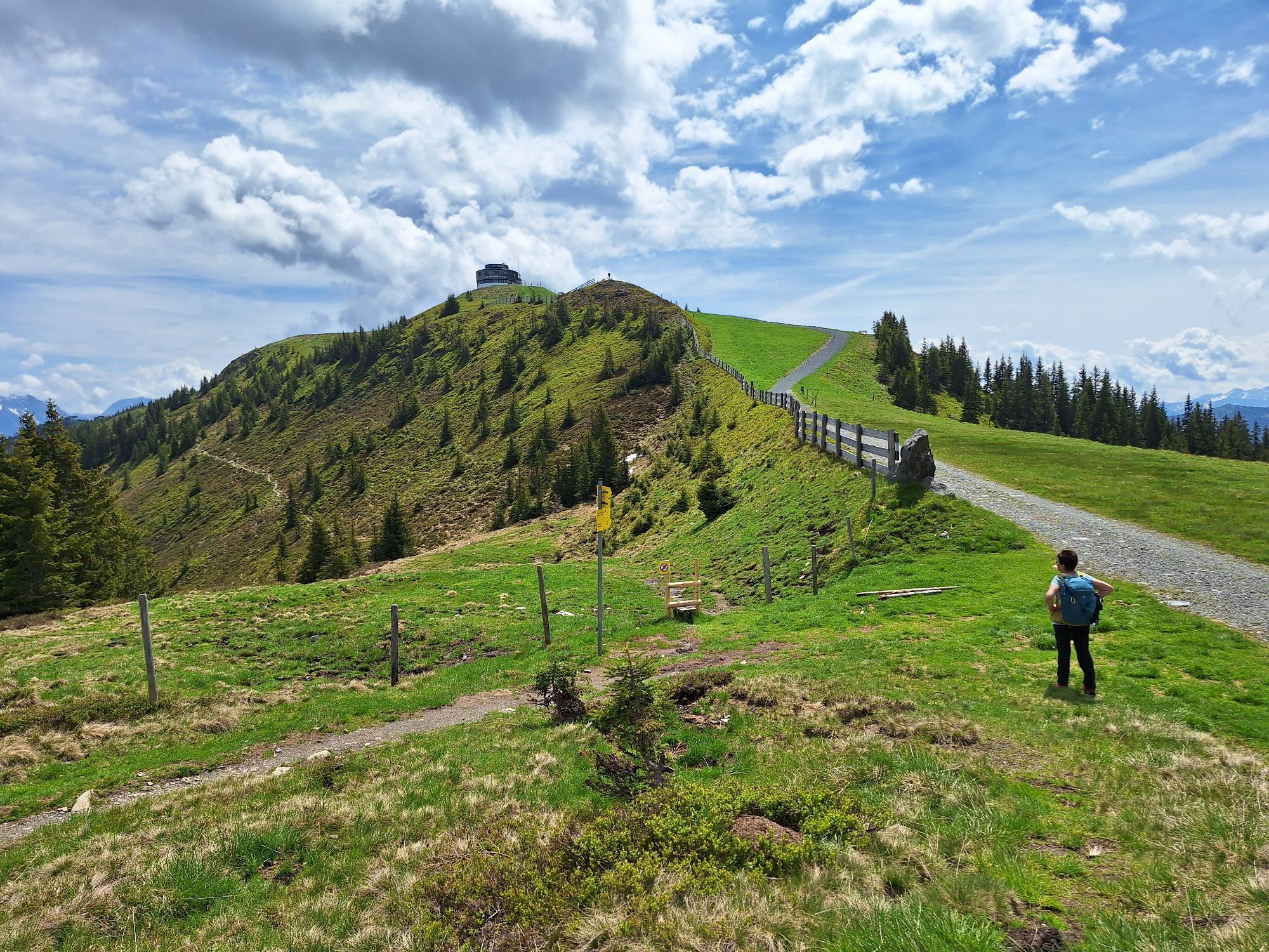
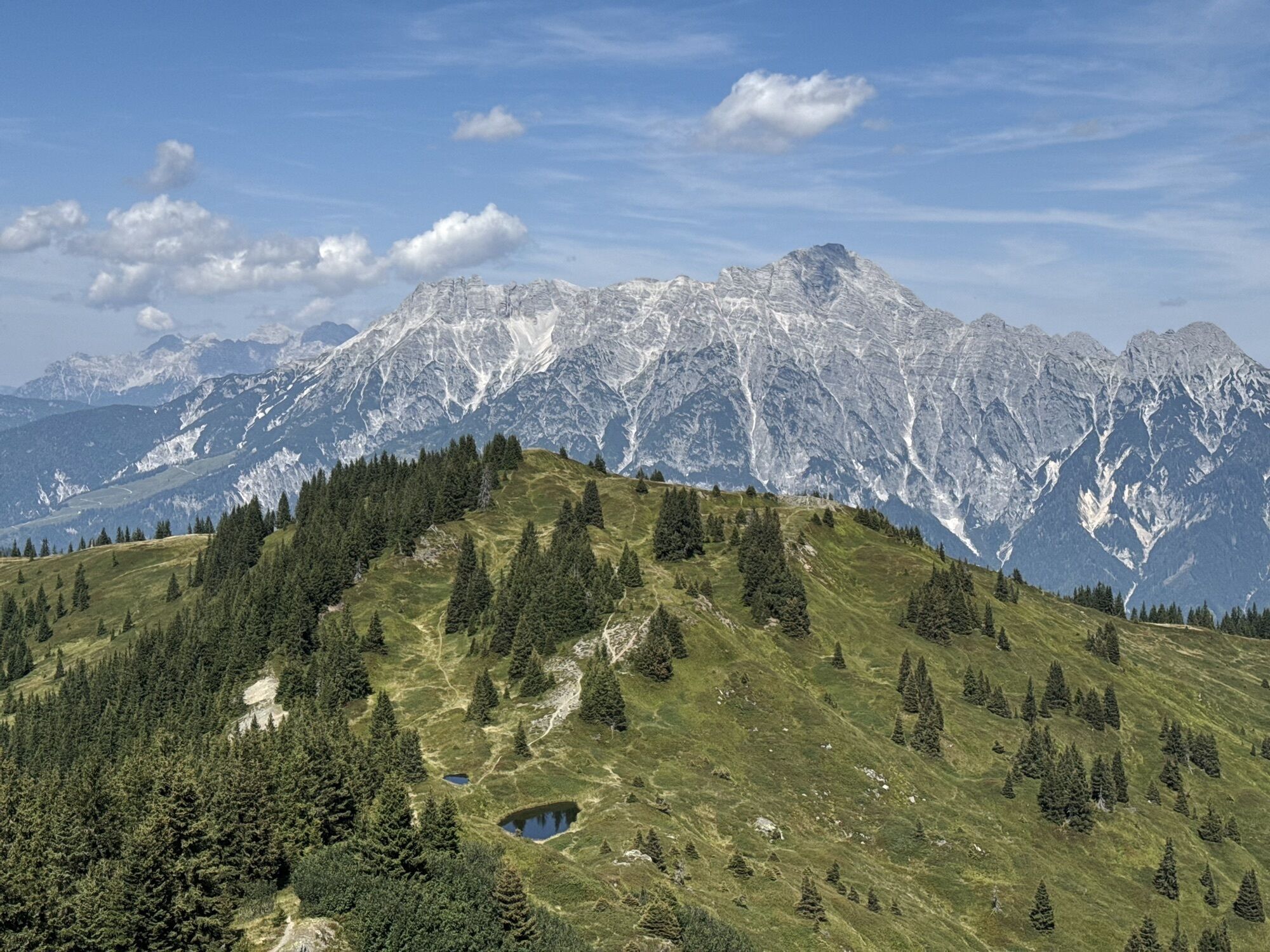
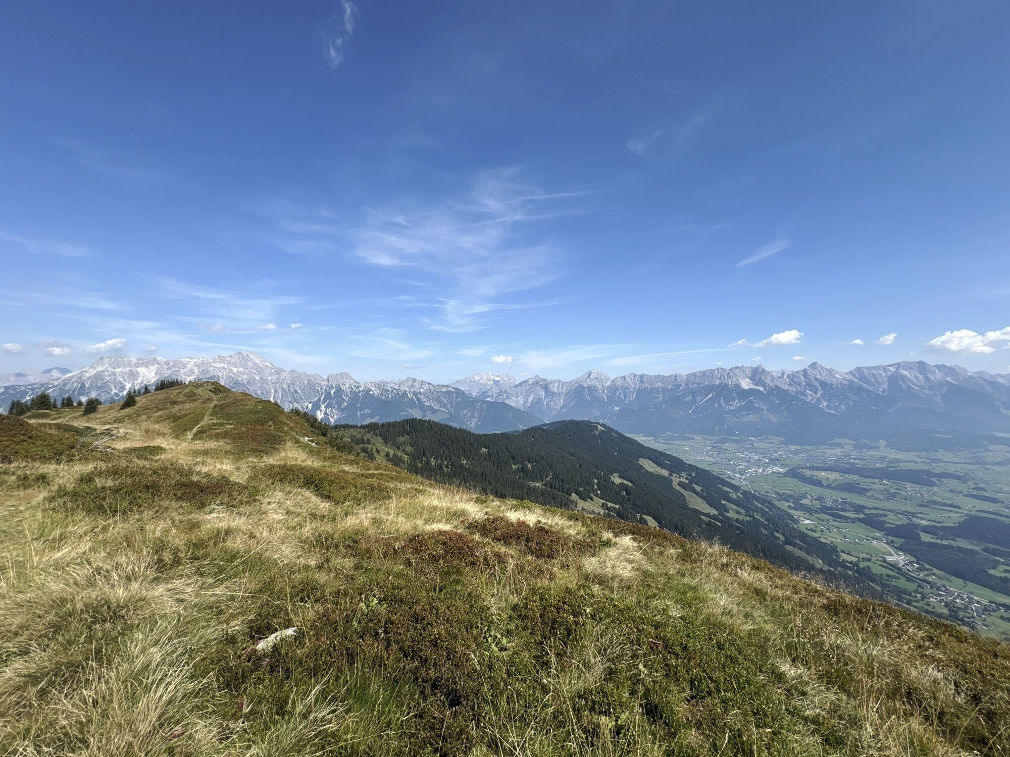
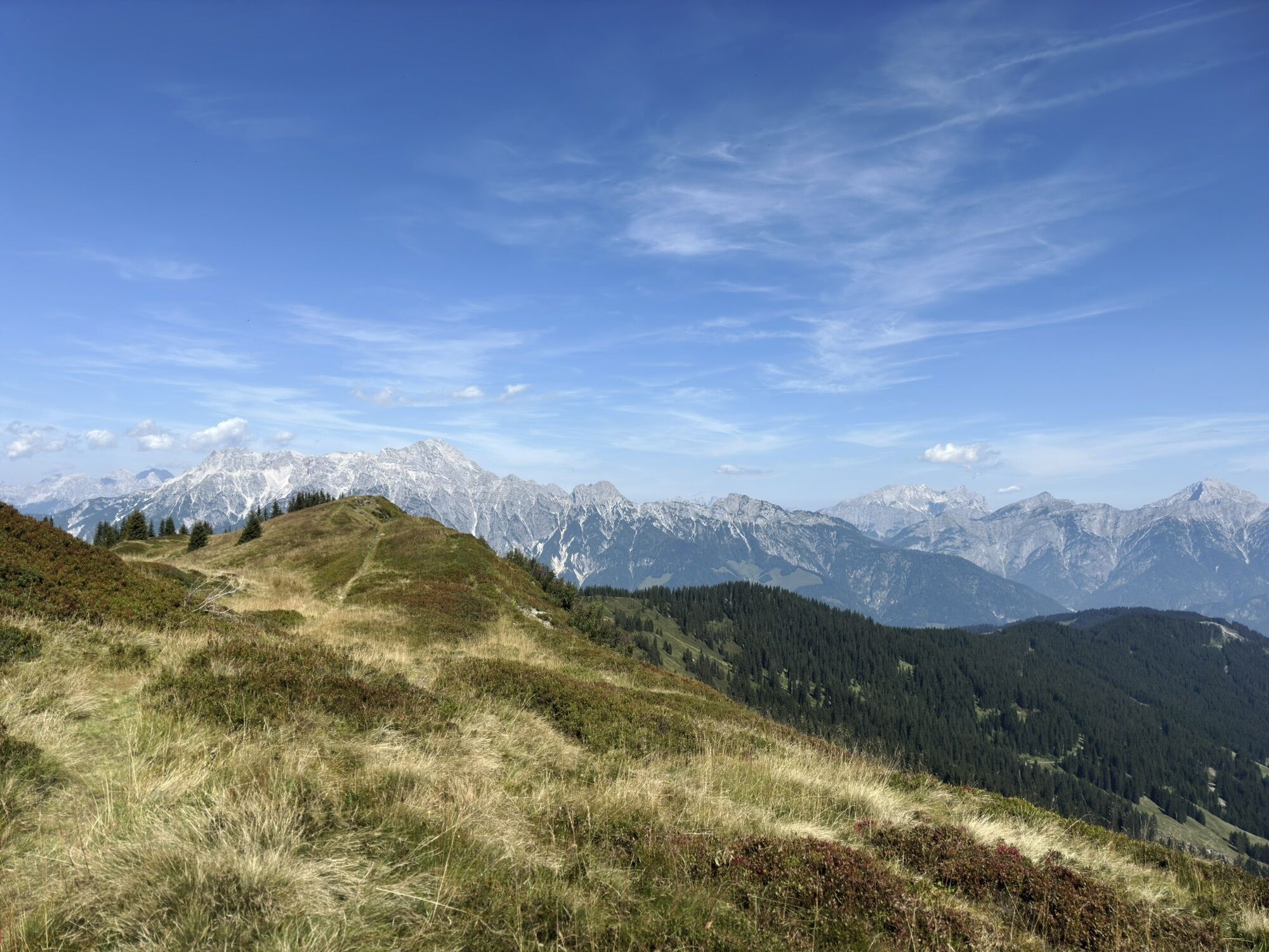
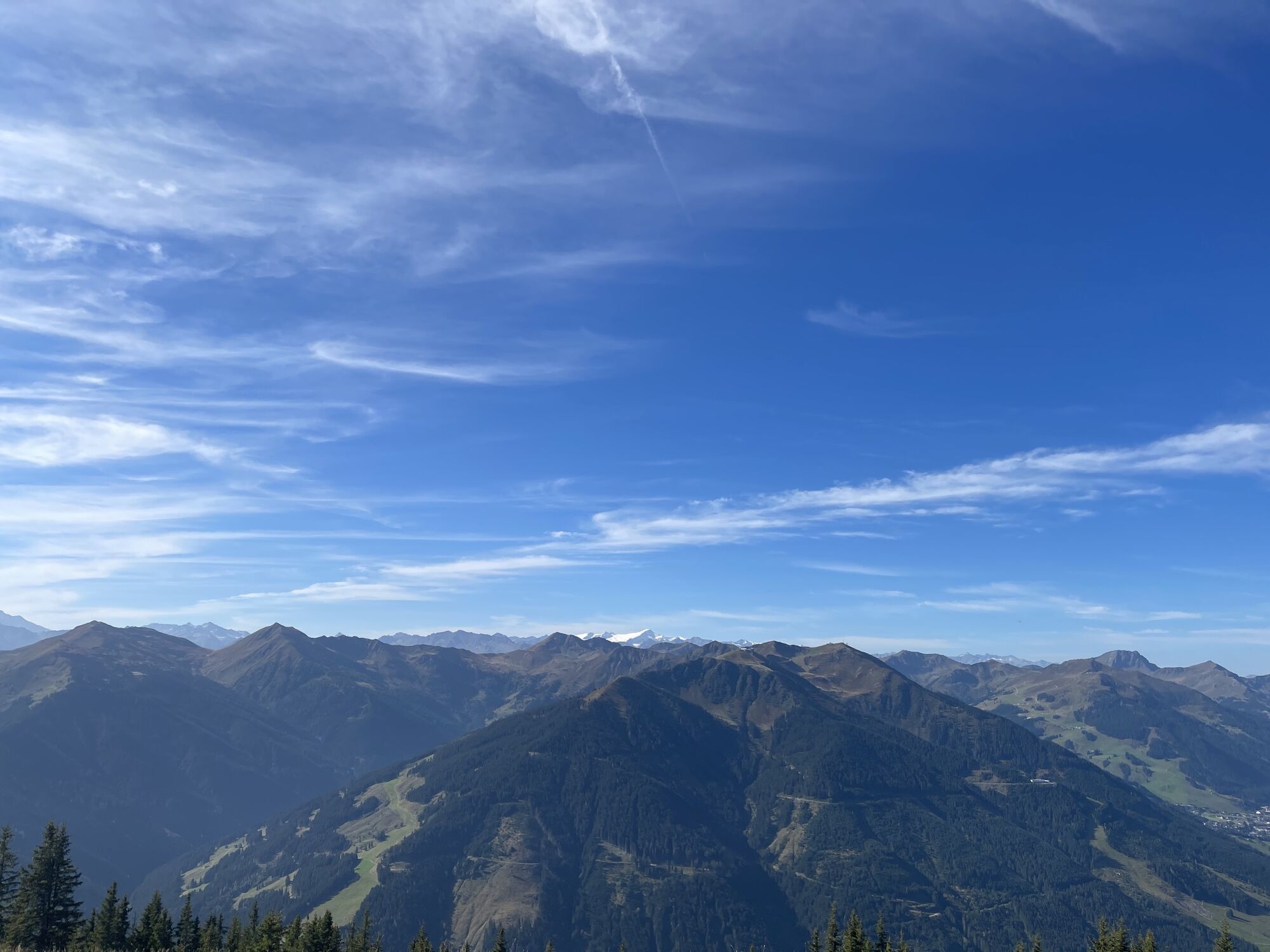
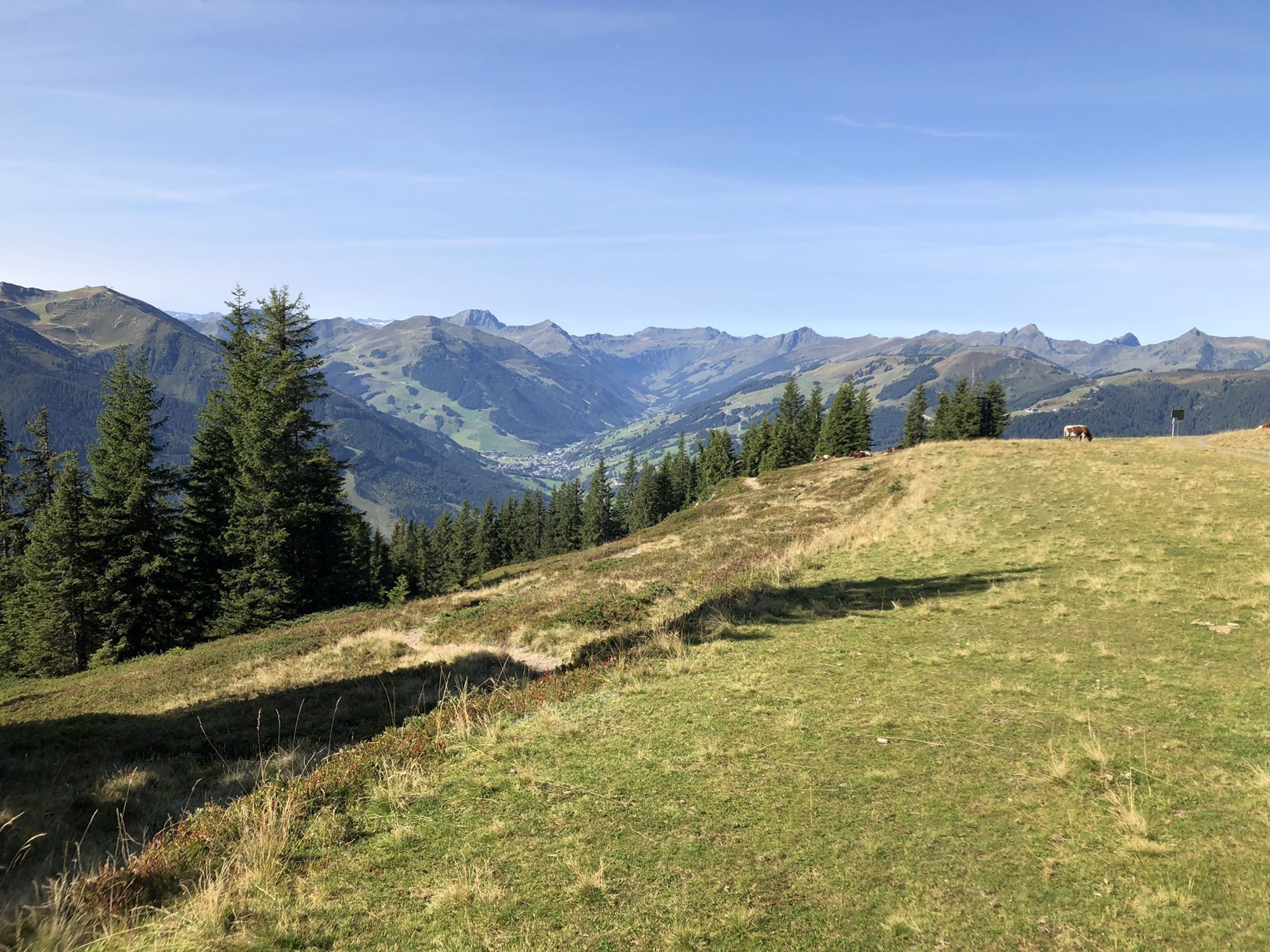
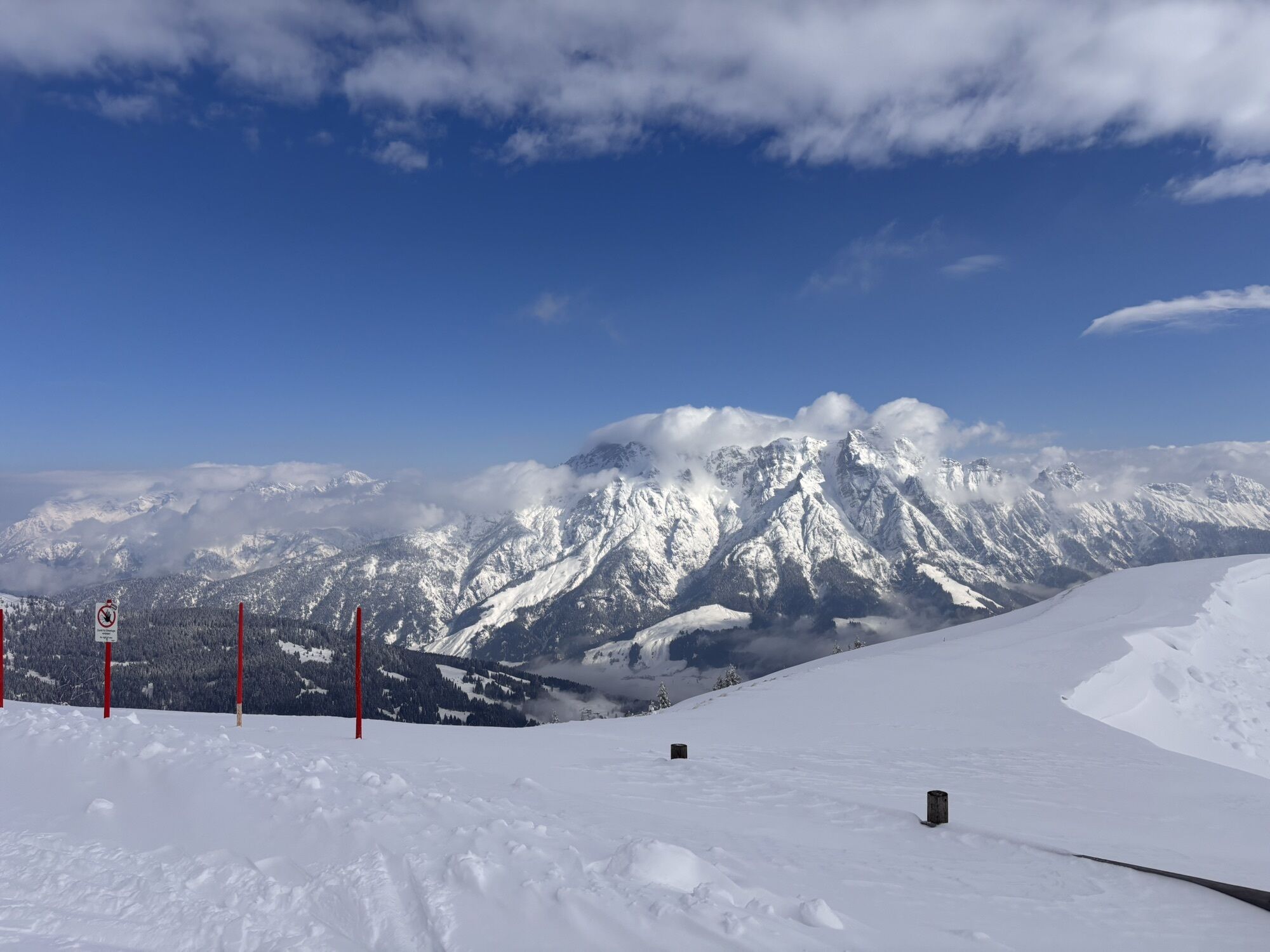
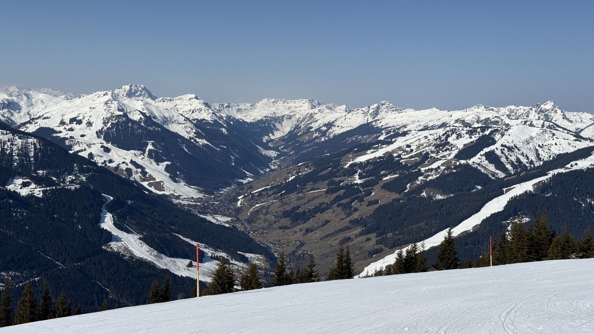
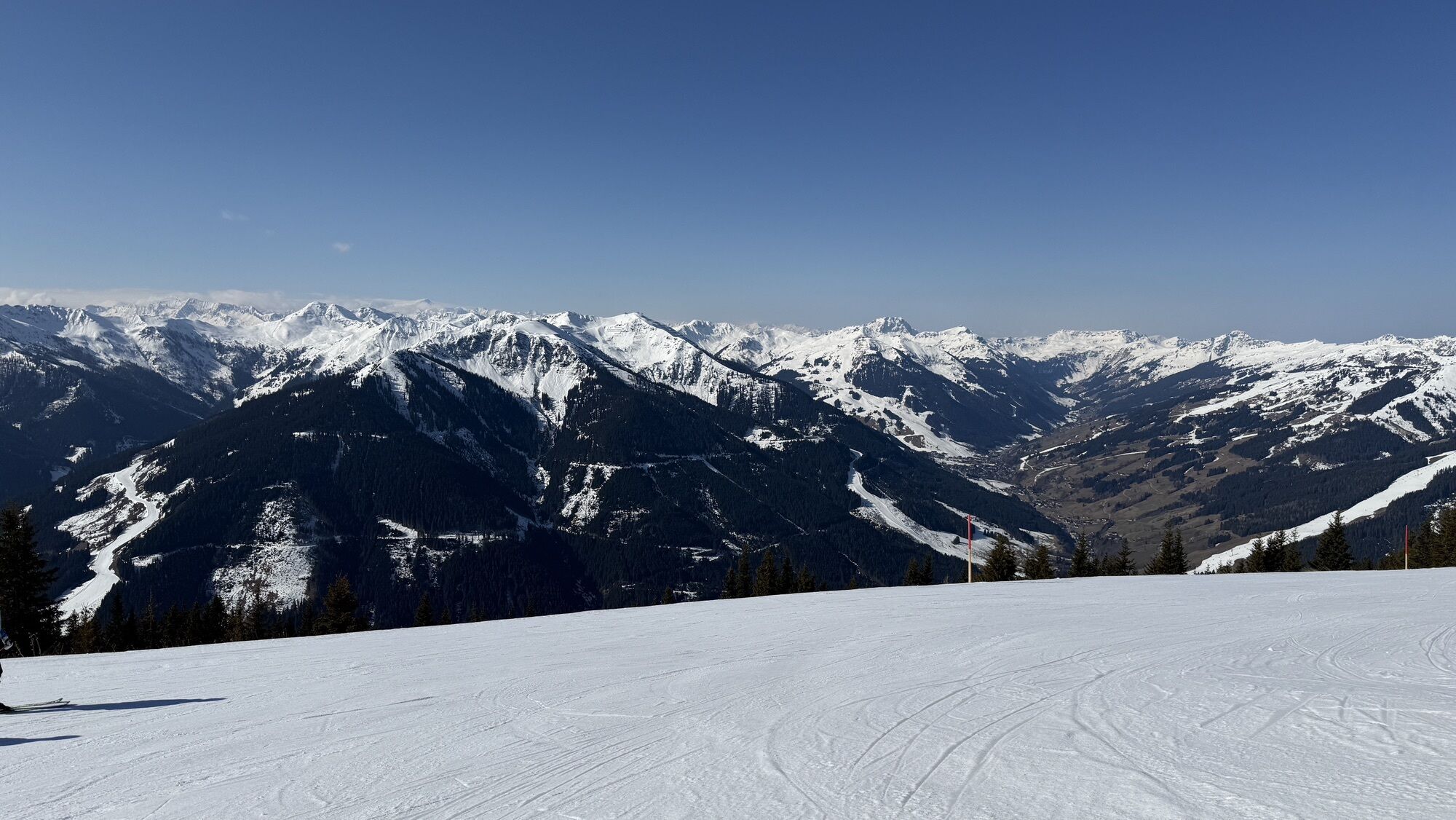
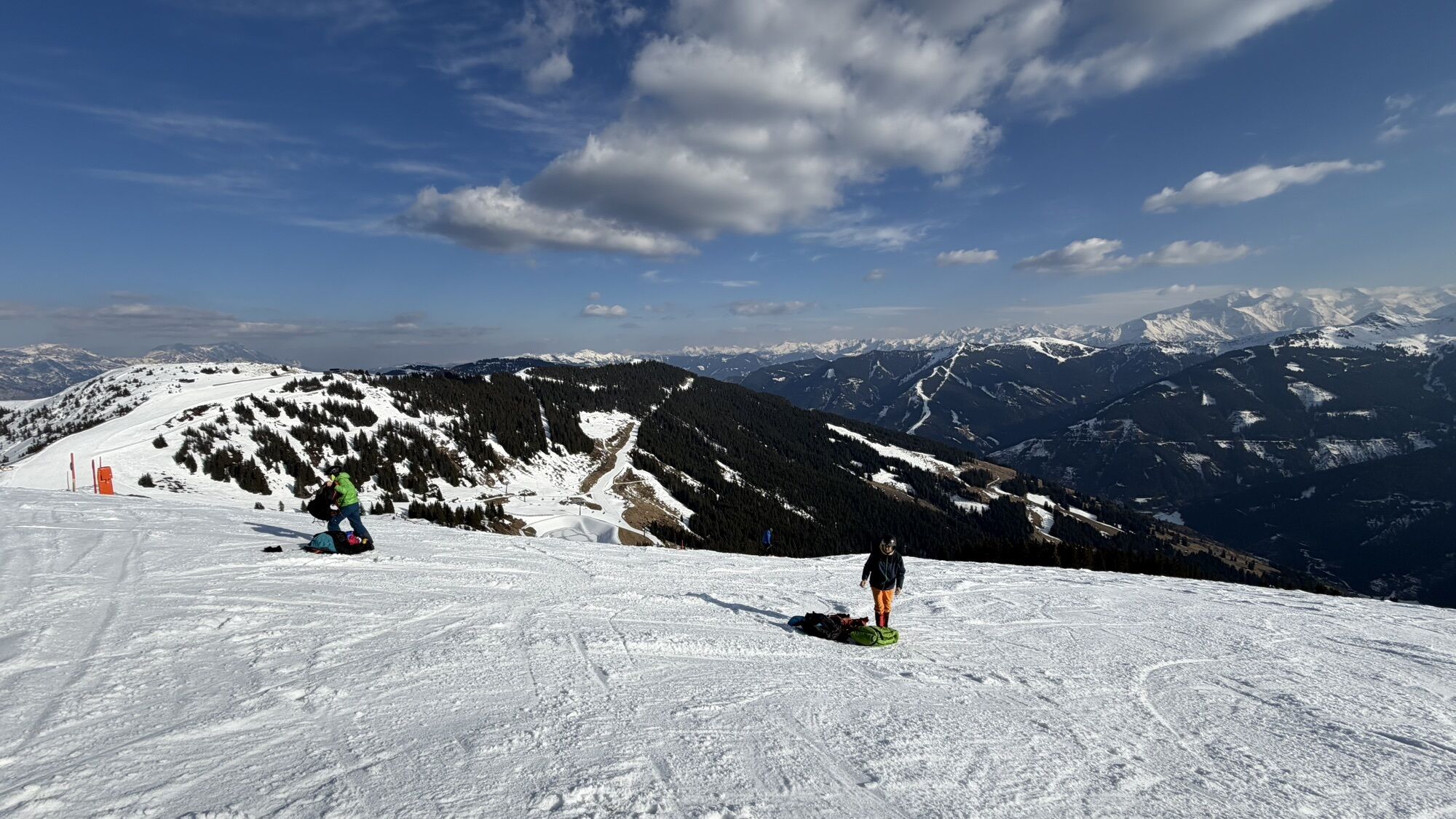
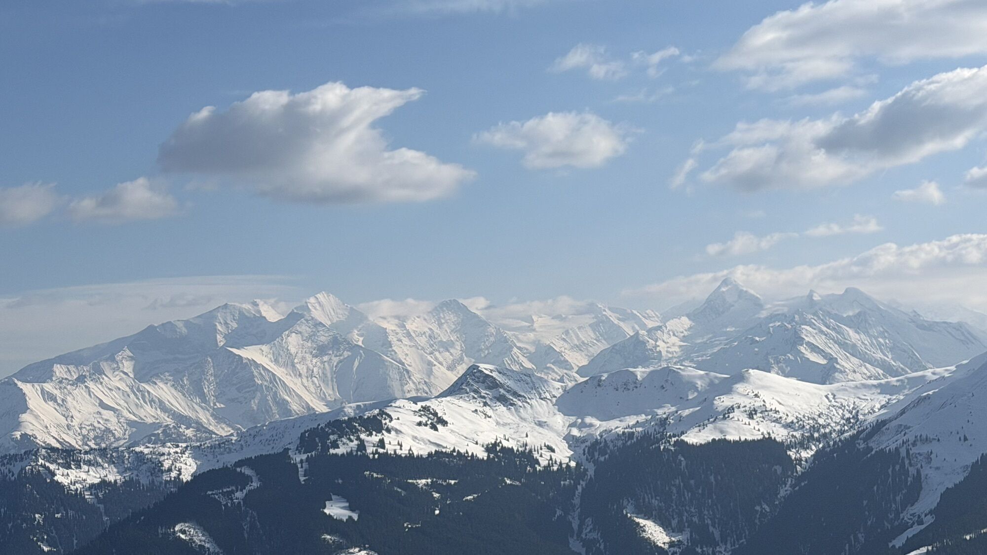
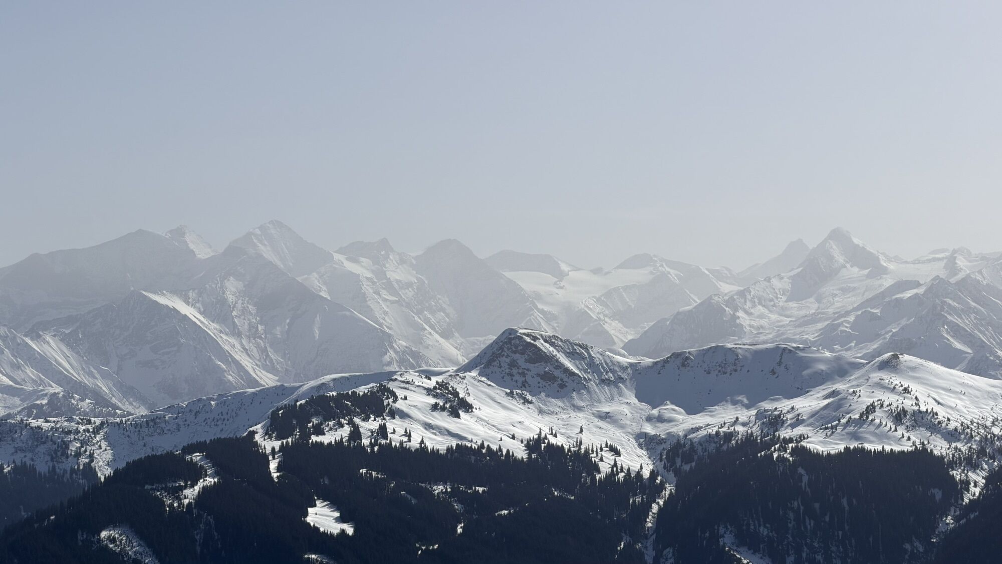
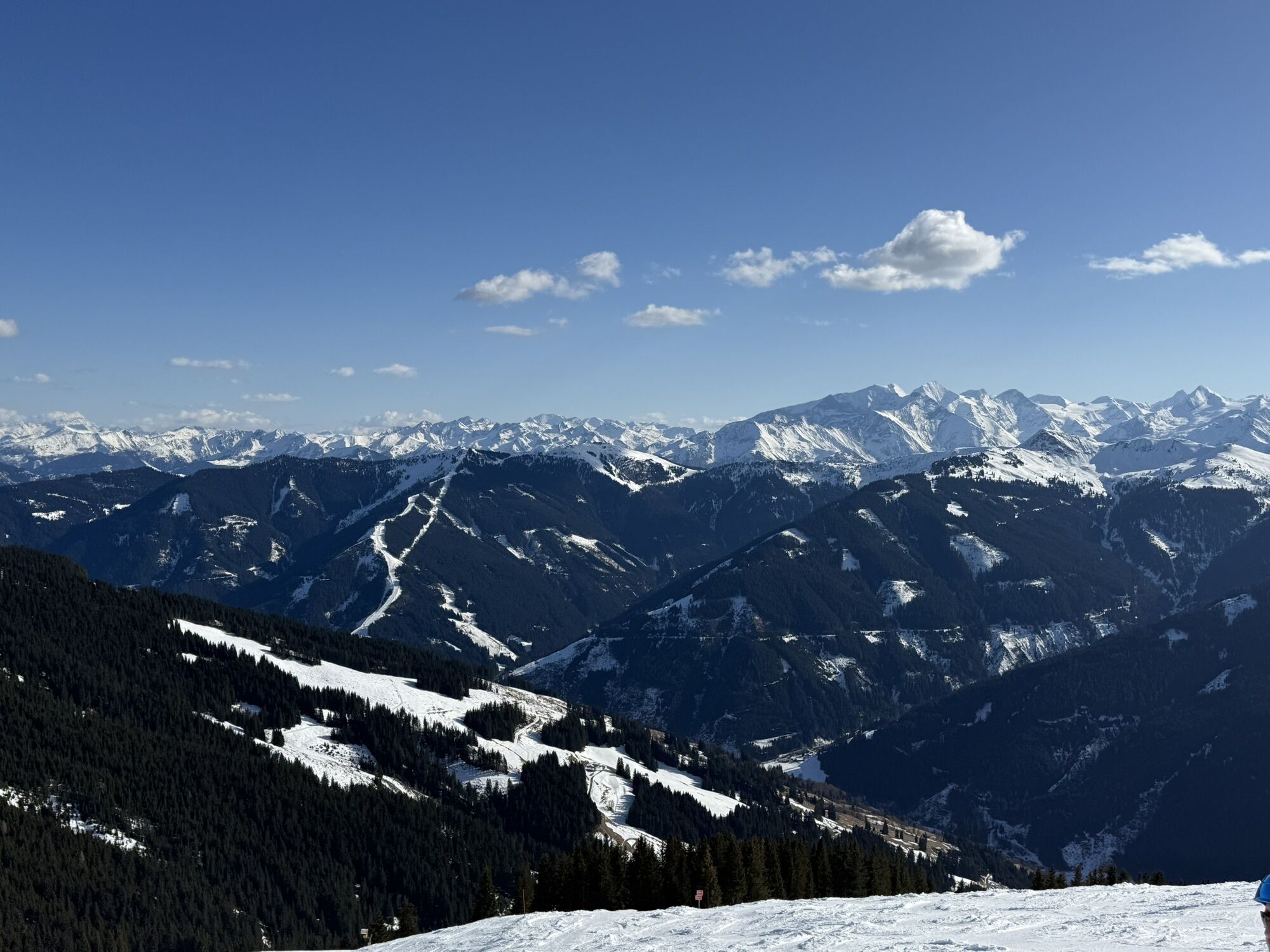
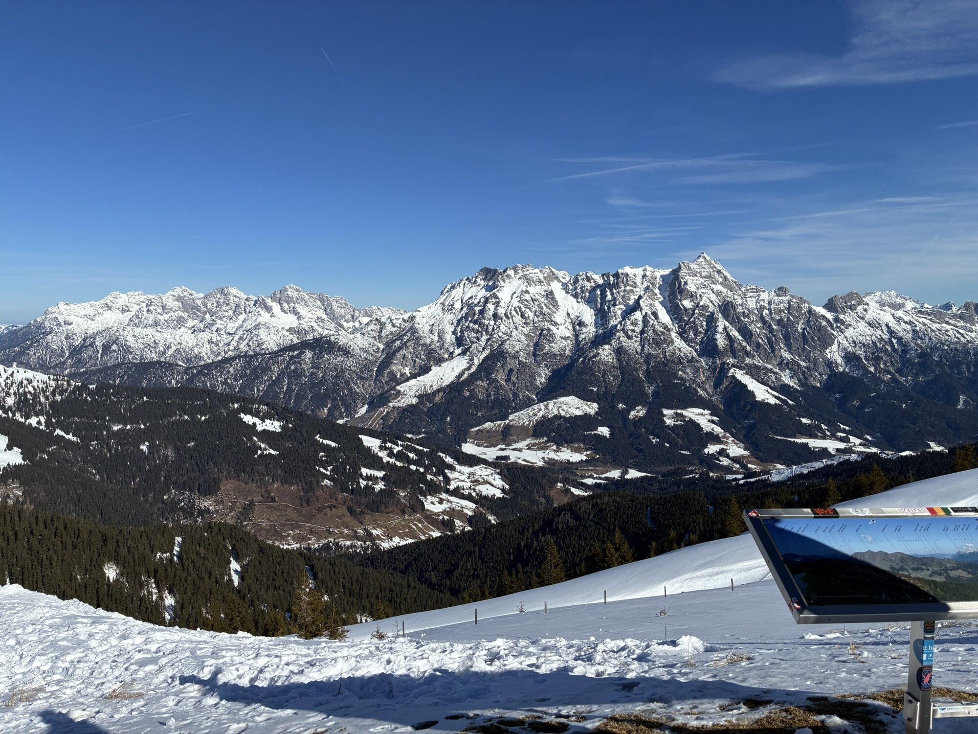
From the hut a well-marked and easy-to-walk path leads up to the Geierkogel (1,853 m) and opens wide views of the surrounding grassy mountains. The Geierkogel is one of the most beautiful viewpoint mountains in the region. From the top you enjoy an impressive 360° panorama of the Hohe Tauern, the Kitzbühel Alps, and the Steinernes Meer.
â¾ Those who haven't had enough yet can extend the route to the left via Schaberkogel, Wildenkarhütte and Montana Royal Alpin Club (Kohlmais) before descending to Saalbach. With bus no. 680 you can comfortably return to Viehhofen.
ALTERNATIVES:
â¾ Via Stage 10 it goes from Maishofen to the Geierkogel including summit ascent on the Sausteige.
â¾ Or try a different path to Saalbach and hike along the Variant E along the Pinzgauer Spaziergang.

Da
Sturdy, ankle-high footwear, hiking poles, headgear, sun protection, rain protection, water, necessary medication, first aid kit, detailed hiking map
In alpine pasture and grazing areas: beware of COWS!
- proper behavior: keep distance, stay calm, keep dogs on a leash, do not pet or feed calves, take warning signals seriously!
Planning and preparationâ¯Plan every intended mountain tour carefully beforehand. Hiking maps and guides as well as information from alpine clubs and locals such as mountain guides and hut keepers can be helpful.
Equipmentâ¯In the mountains you need appropriate equipment and clothing, especially sturdy, high footwear with a grippy sole. Weather and cold protection are essential, weather can often change unexpectedly.
Weather forecastsâ¯Observe the current weather conditions at:â¯www.zamg.atâ¯orâ¯www.uwz.at
Togetherâ¯Observe theâ¯10 rulesâ¯for the proper handling of grazing animals and leave no litter in nature!
Do not dislodge stonesâ¯Do not dislodge stones, as this can seriously endanger other hikers. Marked areas with danger of rockfall should be crossed as quickly as possible with attention and caution.
Turn back in timeâ¯This is no shame but a sign of prudence. It becomes necessary when the weather changes, fog sets in, or the path is too difficult or in poor condition.
Emergency numbers:
Alpine emergency call: 140 â¯â¯â¯â¯â¯â¯â¯â¯â¯â¯â¯â¯â¯â¯â¯â¯â¯â¯â¯â¯â¯â¯â¯â¯â¯â¯â¯â¯â¯â¯â¯ ⯠⯠⯠⯠⯠⯠⯠⯠⯠⯠⯠⯠⯠⯠â¯
International emergency call: 122
â¾ More information: https://www.viehhofen.at/de/sommer/wandern/sicher_am_berg
By car: Parking in the center of Viehhofen (only for day parkers)
By bus: Line 680, stop in the center of Viehhofen
T1
Further information about the worry-free package with luggage transport at info@salzburgerland.com or www.viehhofen.at
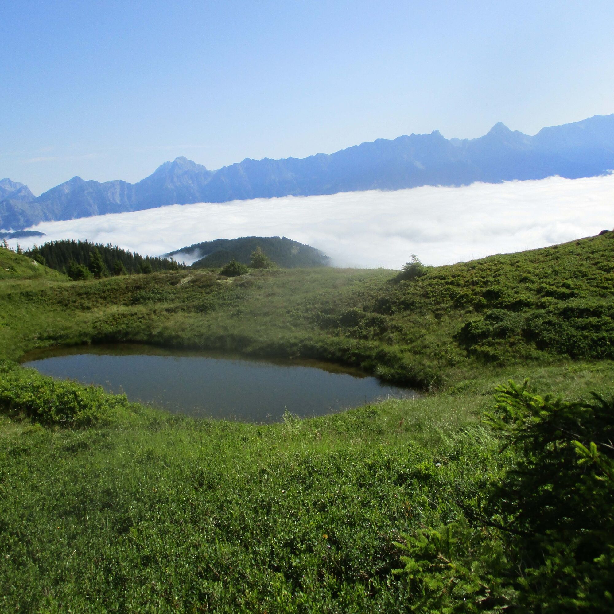
Viehhofener Lacken
Natural cinema at Asitz
Montellino's adventure trail
Spletne kamere s turneje
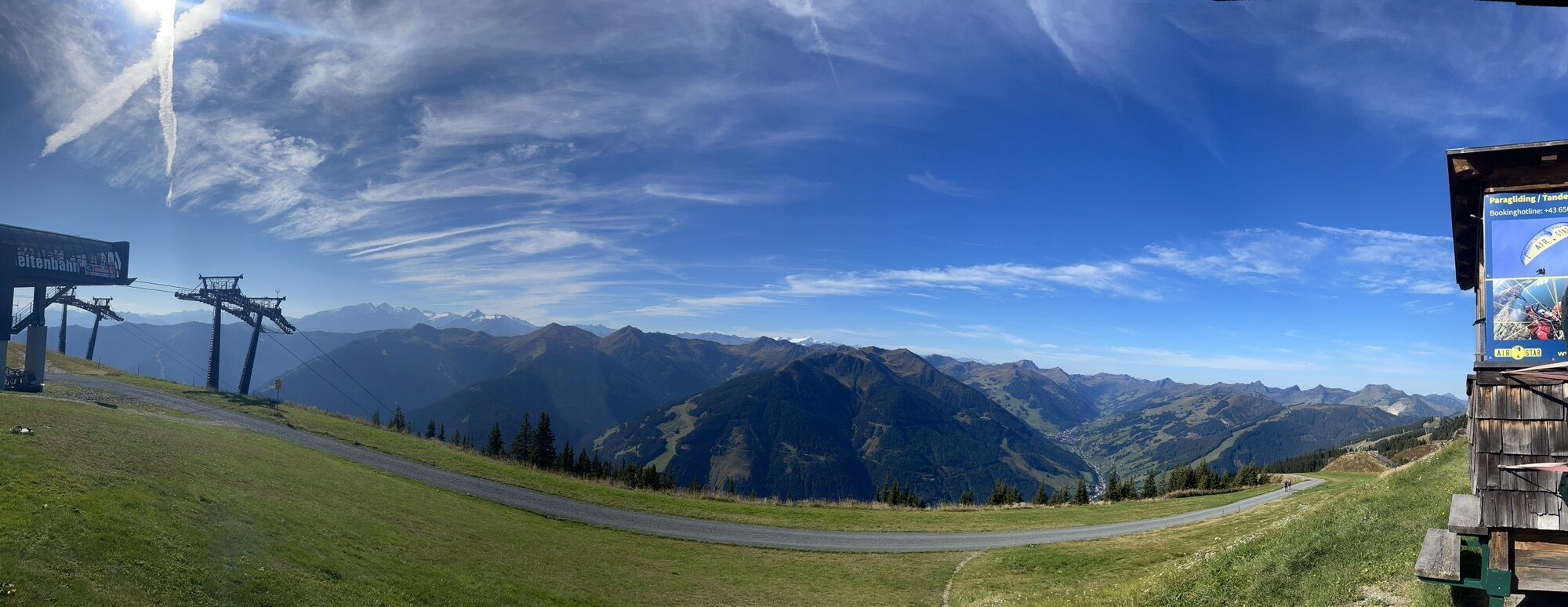
Schattberg - West
Asitz Gipfel
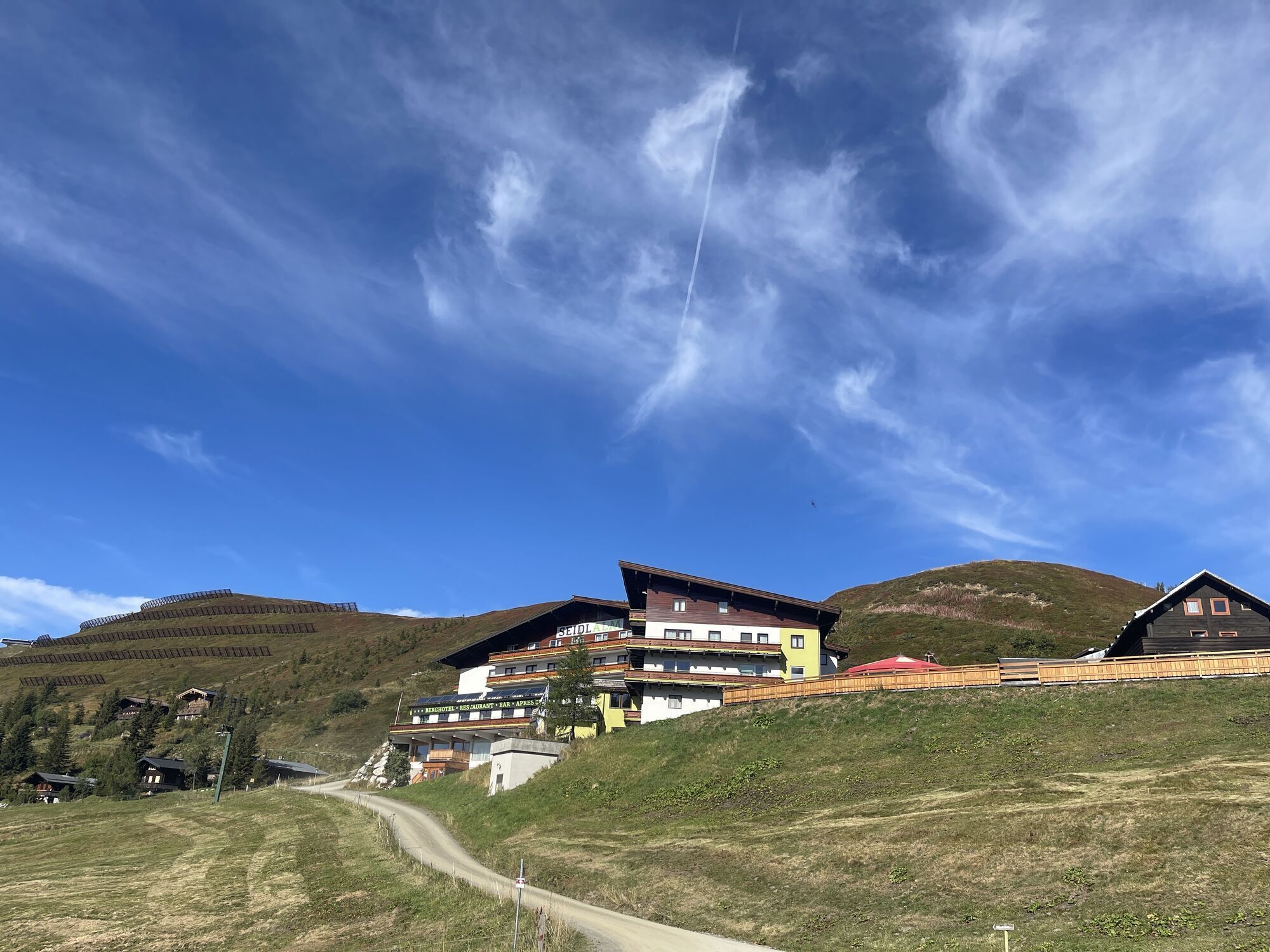
Berghotel Seidl-Alm
Schattberg Westgipfel
Hinterglemm Dorf
Asitz Mittelstation
Kohlmais Tal
Sonnkogel
Schmittenhöhe
Mitterberg bei Thumersbach
Zell am See / Hotel Berner
Asitz Talstation
Zell am See
Leogang
Hinterglemm - Saalbach
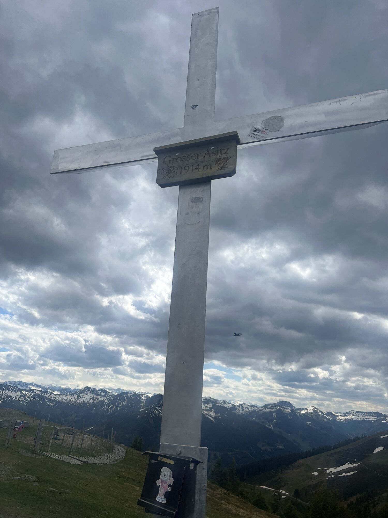
Großer Asitz / Gipfelkreuz
Leogang Schanteilift
Thumersbach
Saalbach-Hinterglemm - Schattberg Ost
Saalbach-Hinterglemm - Wildenkarkogel
Saalbach - Hotel Alpinresort
Zwölferkogel
Wildenkarkogel
Talstation Asitzbahn
Maishofen Sausteige
Maishofen - Schloss Kammer
Saalbach-Hinterglemm - Kohlmais
Kohlmaiskopf
Leogang - Grosser Asitz
Maishofen Dorfplatz
zellamseeXpress
Wohlfühlhotel-Johanneshof
Eberharthof - Saalbach-Hinterglemm
Priljubljeni izleti v okolici
- 4,6
Steinalm
svetlobaPohodništvo 2,71 km - 4,3
Schwalbenwand Nr. 80, 81, 82
srednjaPohodništvo 13,0 km - 4,4
Peter-Wiechenthaler Hut
srednjaPohodništvo 4,32 km - 4,2
Passauer Hütte
težkoPohodništvo 4,14 km - 4,6
Birnbachloch Leogang, Österreich
srednjaPohodništvo 5,18 km - 4,0
Maurerkogel (Top)
Pohodništvo 10,5 km - 4,9
Hochsonnberg Runde
srednjaMountainbike 59,8 km - 4,5
MTB Tour Ramseiden-Round (Tour 1)
srednjaMountainbike 18,9 km - 4,5
Thumersbach, Runde um den Zeller See
svetlobaPohodništvo 13,3 km - 4,6
Lettlkaser
srednjaPohodništvo 4,40 km
Pohodništvo in sledenje


Ne zamudite ponudb in navdiha za naslednje počitnice
Vaš e-poštni naslov je bil dodan na poštni seznam.