Navigacija po spletni strani
Pridobite to turo v svoj mobilni telefon
Zemljevid
Winter hiking - Wolkensteiner Switzerland

srednja
Zimsko pohodništvo
6.29 km
Skenirajte kodo QR in začnite navigacijo v aplikaciji bergfex.
QR Code
Pohodništvo in sledenje
Prenos za iOS
Prenos za Android

Winter hiking - Wolkensteiner Switzerland

srednja
Zimsko pohodništvo
Razdalja
6.29 km
Trajanje
01:54 h
Ascent
161 hm
Morska gladina
375 - 494 m

Stopnja težavnosti: 2

Prenos skladbe
Zemljevid
Winter hiking - Wolkensteiner Switzerland
srednja
Zimsko pohodništvo
6.29 km
Pot
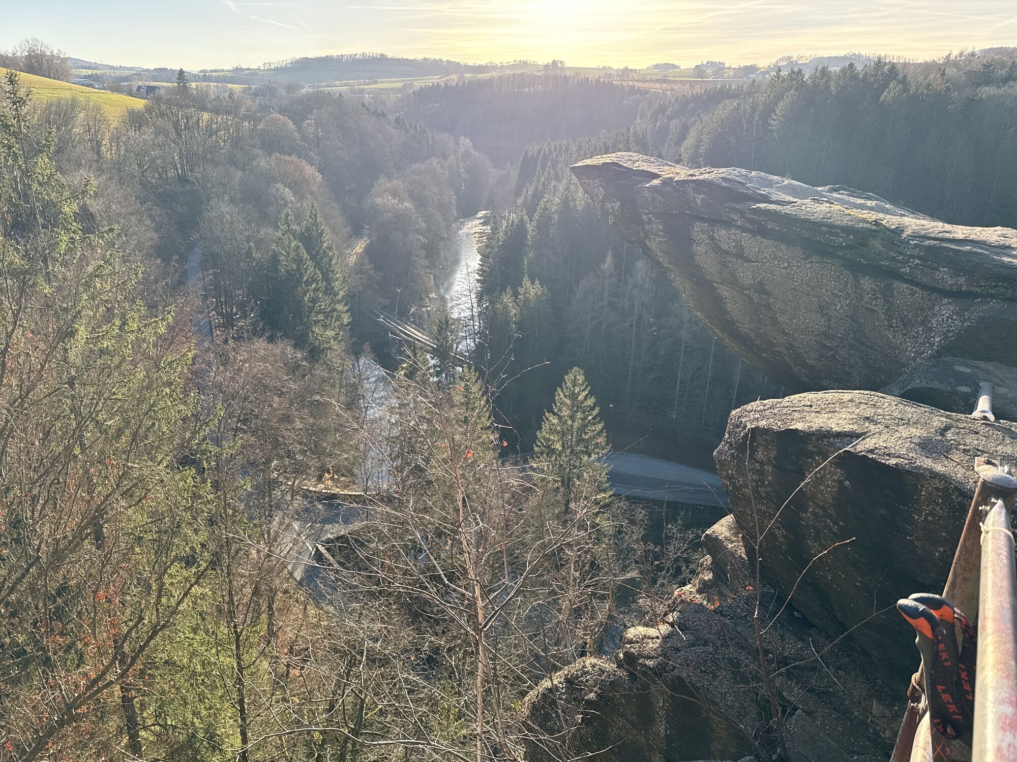
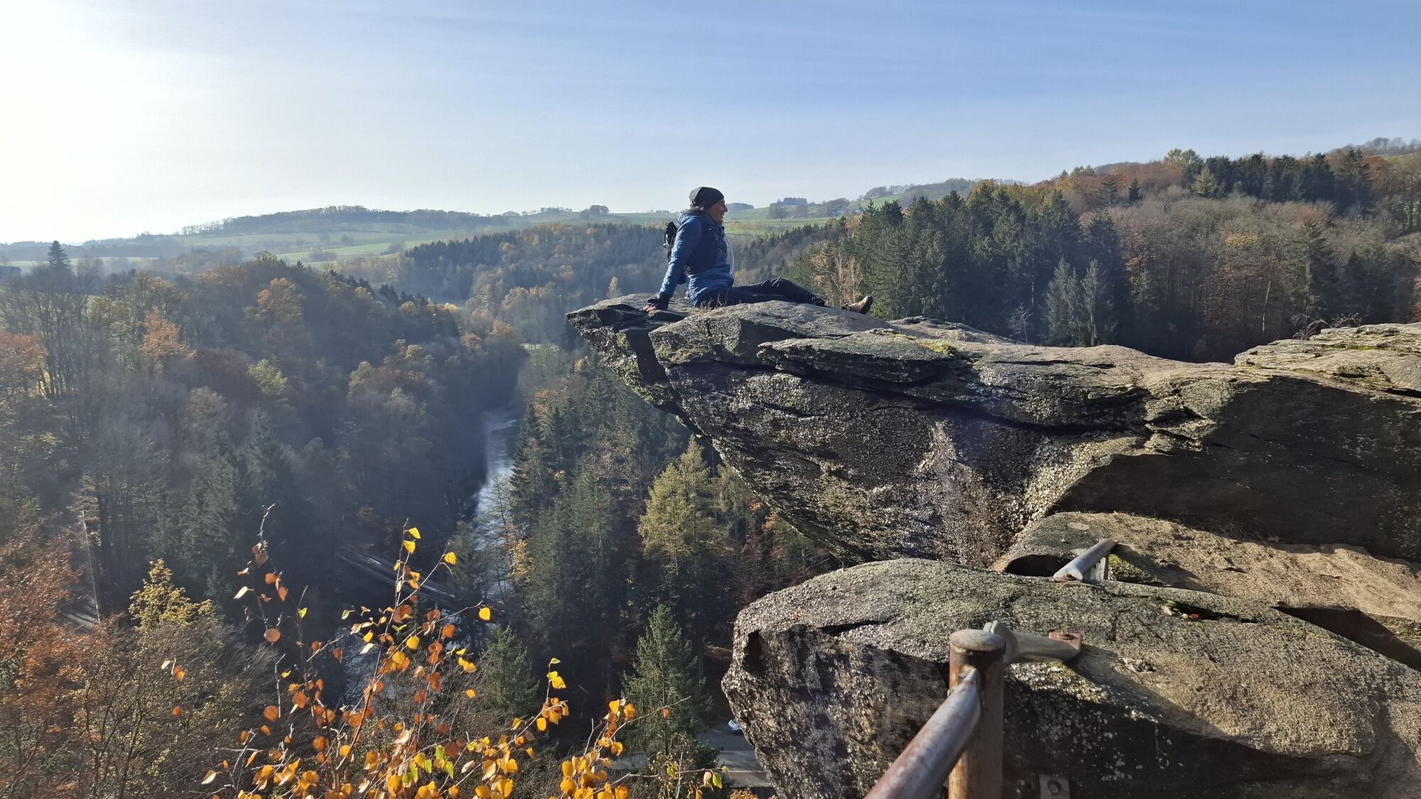
Brückenklippe
(432 m)
Vrh
1.2 km
Warmbad
(456 m)
Vas
4.5 km
Gasthaus - Pension Waldfrieden
(446 m)
Restavracija
5.3 km
Wolkenstein
(478 m)
Mesto
6.3 km
Pot
Zemljevid
Winter hiking - Wolkensteiner Switzerland
srednja
Zimsko pohodništvo
6.29 km
Brückenklippe
(432 m)
Vrh
1.2 km
Brücknerwand
(407 m)
Vrh
1.2 km
Hotel - Restaurant Waldmühle
(414 m)
Restavracija
3.0 km
Warmbad
(456 m)
Vas
4.5 km
Gasthaus - Pension Waldfrieden
(446 m)
Restavracija
5.3 km
Wolkenstein
(478 m)
Mesto
6.3 km
Informacije o turneji

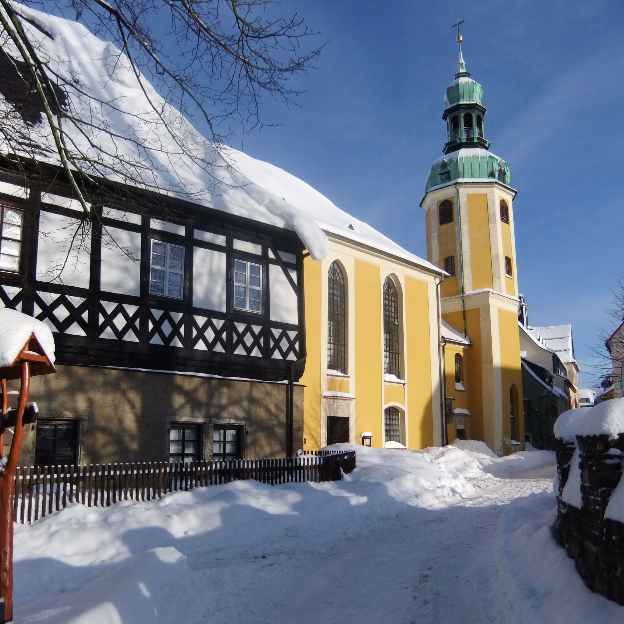
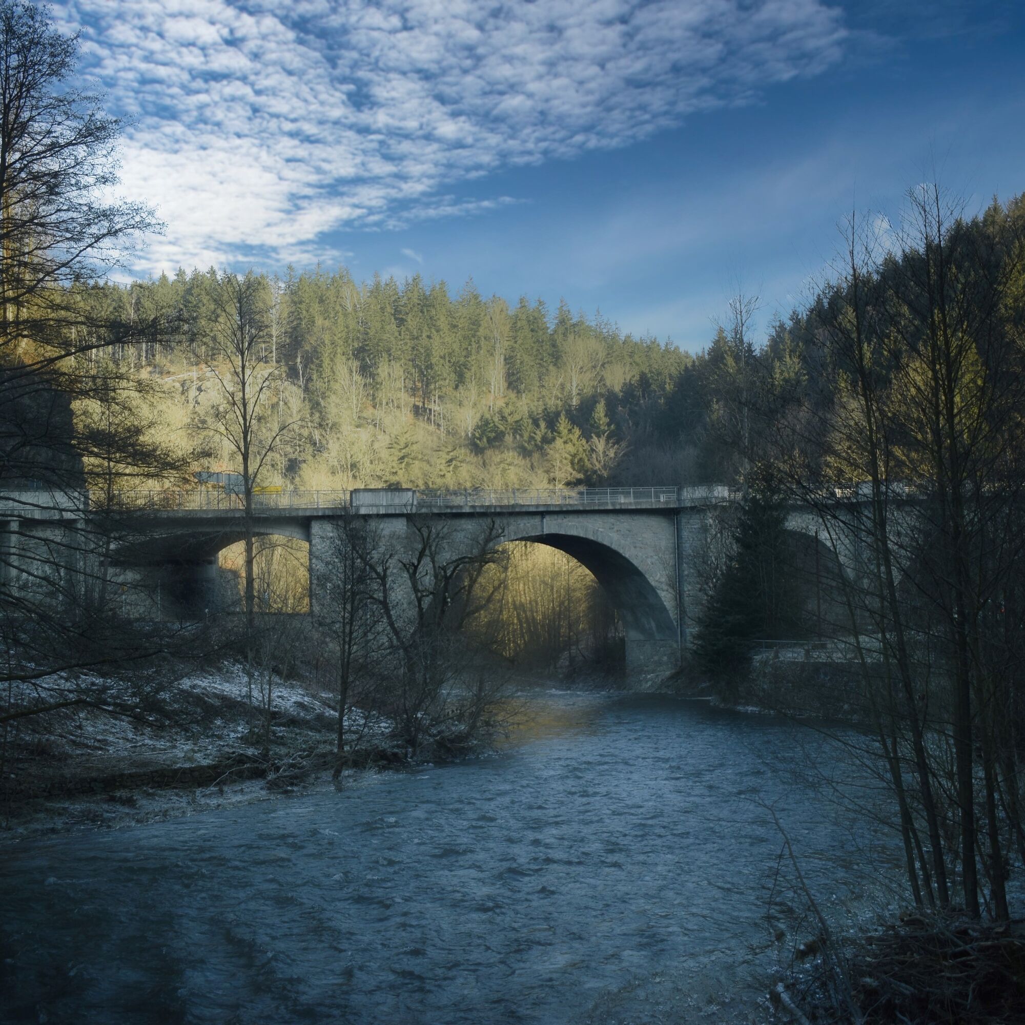
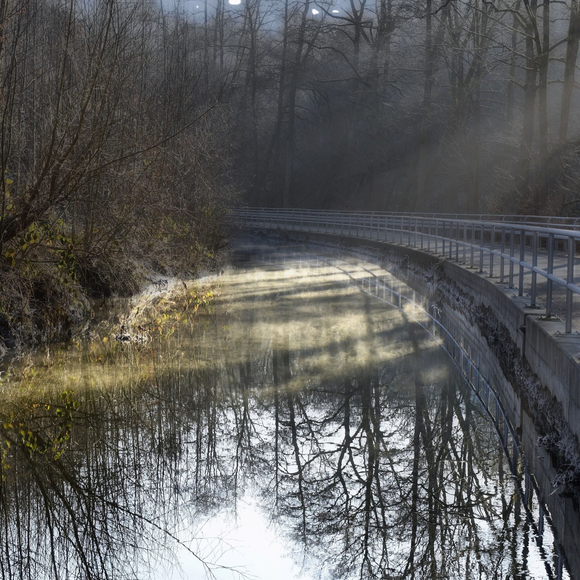
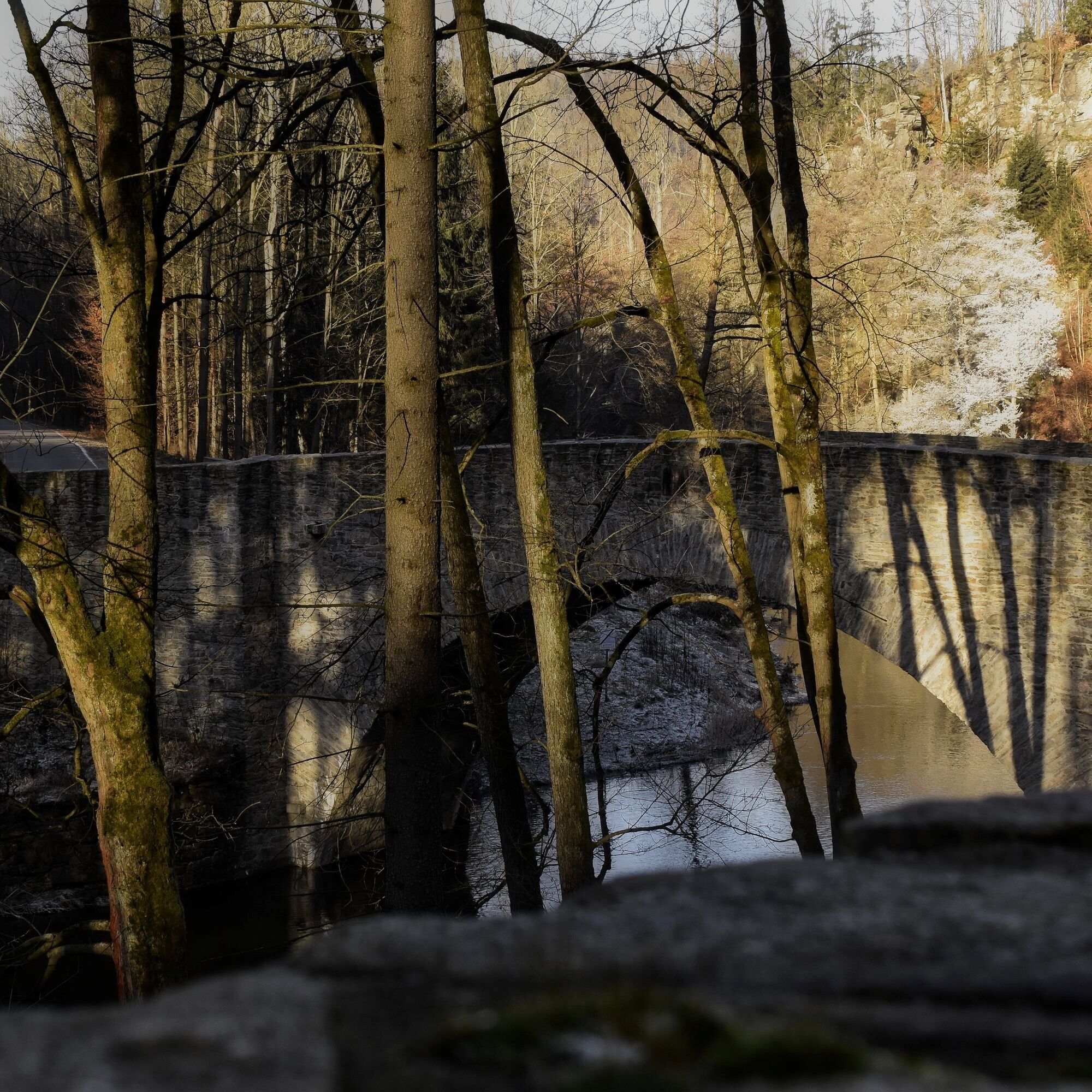
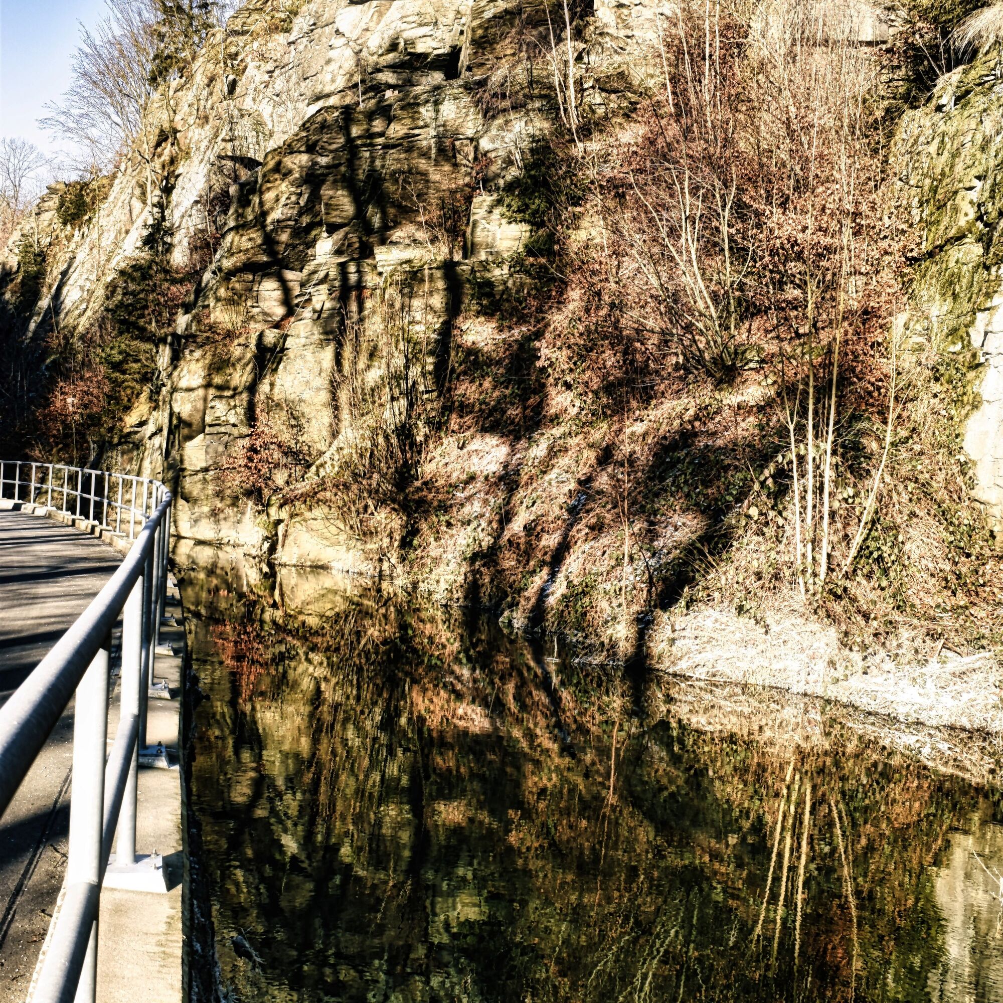
The tour runs mainly on asphalted or paved side roads with little traffic. The red-marked descent into the Zschopau valley begins at the town hall gate at the market and continues to the stone bridge below Wolkensteiner Schweiz, which is not crossed. The Zschopautal cycle path is used between the river and the moat. The Wolkensteiner Schweiz massif towers to the right, its rocks sometimes adorned with bizarre ice formations. From Floßplatz, we continue along the cycle path, which now climbs again. At the pond behind the Hüttenmühle mill, we turn left onto the red markings and reach the spa town of Warmbad, where you can sample the thermal water in the drinking pavilion. Below the Silber-Therme Warmbad, the Hüttenmühlenstraße leads downhill. After crossing the B 101, a yellow-marked path soon climbs quite steeply. The last section runs in a populated area, initially flat, then downhill into Wolkenstein's old town. "Overall, the route is relatively sheltered from snow drifts. Nevertheless, high footwear should be a matter of course."

Guided hikes are particularly recommended in winter, as local hiking guides are better able to assess the accessibility of the paths in question or test them before the planned tour.

Hikes can also be combined with guided city tours. Thematic hikes, with the exception of herb tours, are available on request.

Limited rock climbing is also possible in winter on the gneiss walls of the Wolkenstein rock area.

Contact: German Alpine Club, Chemnitz section

Tehnologija
2 / 6
Stanje
3 / 6
Pokrajina
5 / 6
Izkušnje
4 / 6
Najboljši letni čas
Jan
Feb
Mar
Apr
Maj
Jun
Jul
Avg
Sep
Okt
Nov
Dec
Skupna turneja
Zemljevid
Winter hiking - Wolkensteiner Switzerland
srednja
Zimsko pohodništvo
6.29 km
Napaka
Zgodila se je napaka. Prosimo, poskusite znova.
Informacije o prihodu
Javni prevoz

Bus, train

Parkirišče

Hikers' parking lot - Zentrum/Annaberger Straße

Dodatne informacije in nasveti
Stopnja težavnosti

2

Dodatne informacije

Wolkenstein Castle Museum & Guest Office, Schlossplatz 1, 09429 Wolkenstein, Tel.: +49 37369 87123, Fax: +49 37369 87124. info@stadt-wolkenstein.de, www.stadt-wolkenstein.de

Digital hiking pin

https://www.erzgebirge-tourismus.de/digitale-wandernadel

Nasveti

Digital hiking pin: The hike is part of the digital hiking pin "For winter hikers". Download the SummitLynx app, activate your cell phone GPS and log in at check-in points worth seeing. These will take you on a total of 9 tours into the world of lookout towers, local sights and fascinating museums.

The special thing about our digital hiking pins is that you can create your own personal tour book with pictures, texts and locations.

Pohodništvo in sledenje

Pohodništvo in sledenje

prenos za iOSprenos za Android
Pohodništvo in sledenje
Zaradi več kot 550.000 predlogov izletov, podrobnih zemljevidov in intuitivnega načrtovanja poti je aplikacija obvezna oprema za vse ljubitelje narave.
bergfex