







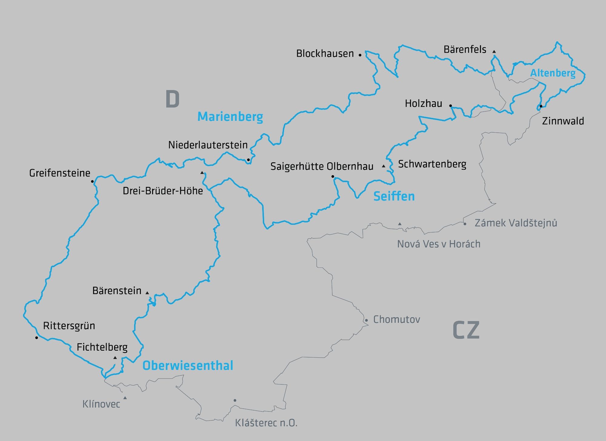
SMQR C-Edition Section 10 Niederlauterstein Greifensteine

The medieval hilltop castle was the center of power and served to protect the medieval trade and pass road from Leipzig over the Erzgebirge ridge to Prague. After a quick descent, you reach the village...
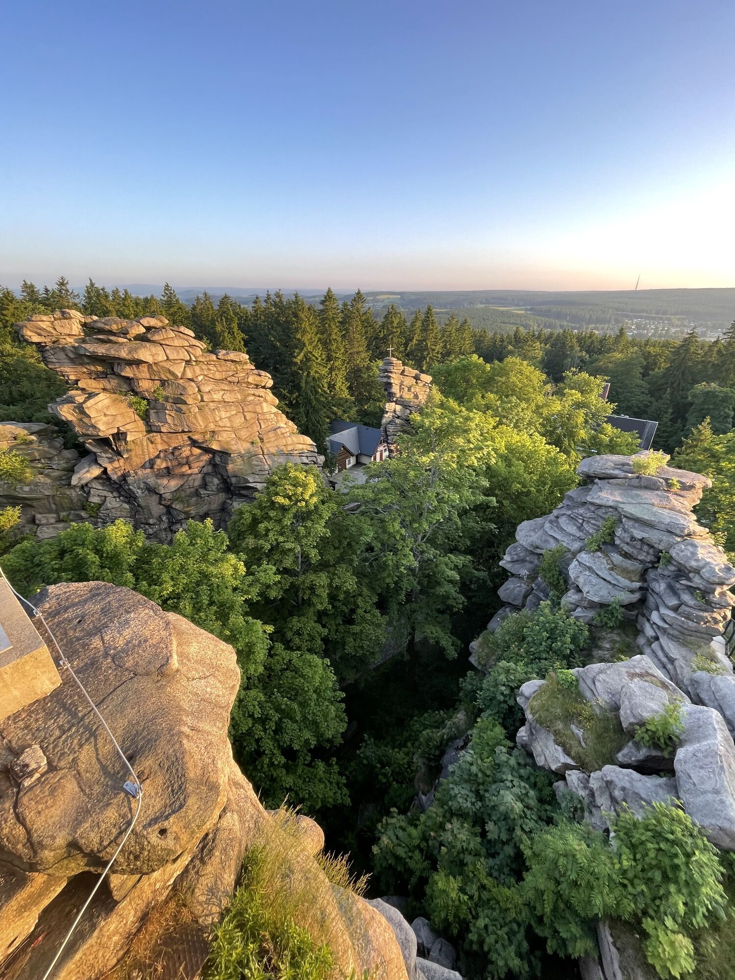
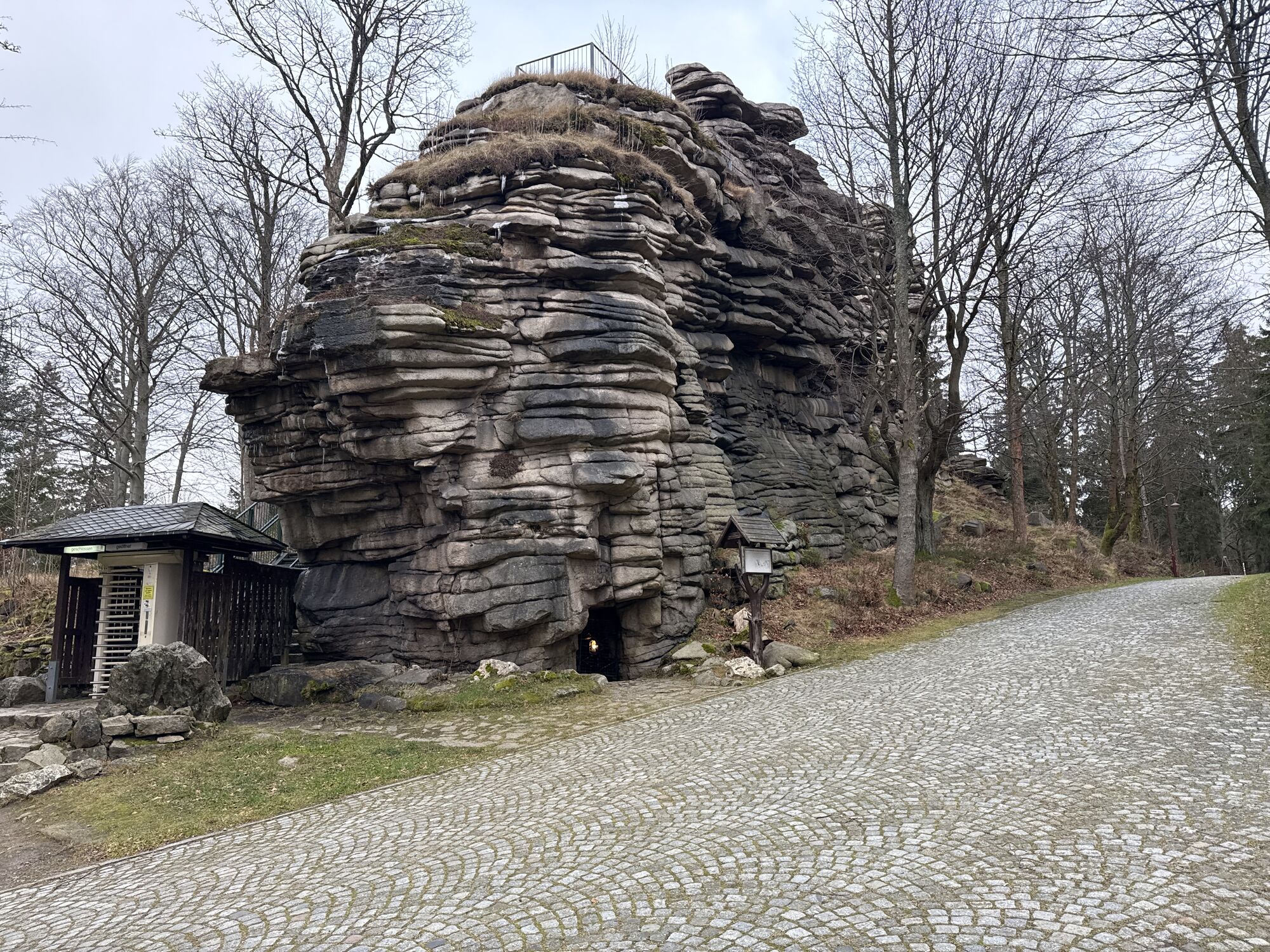
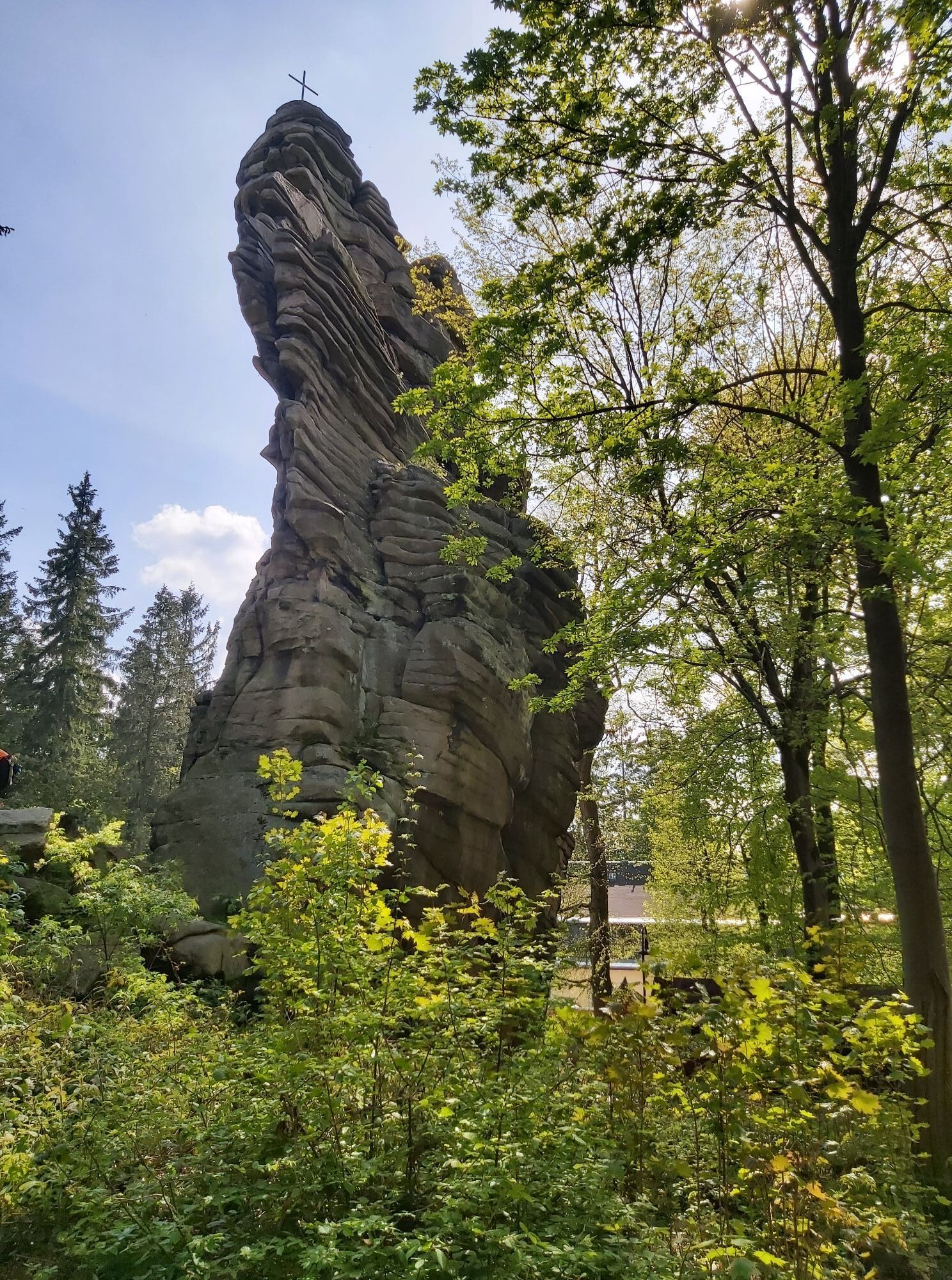
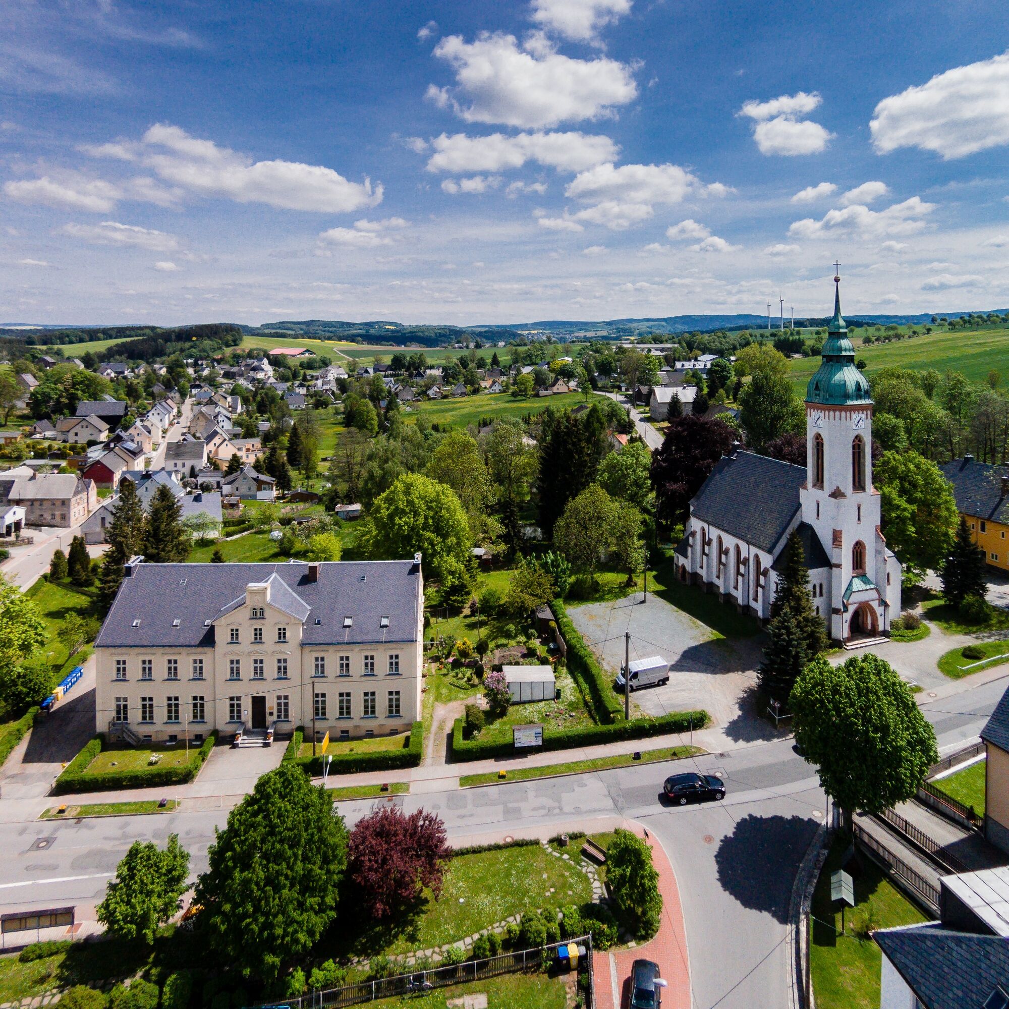
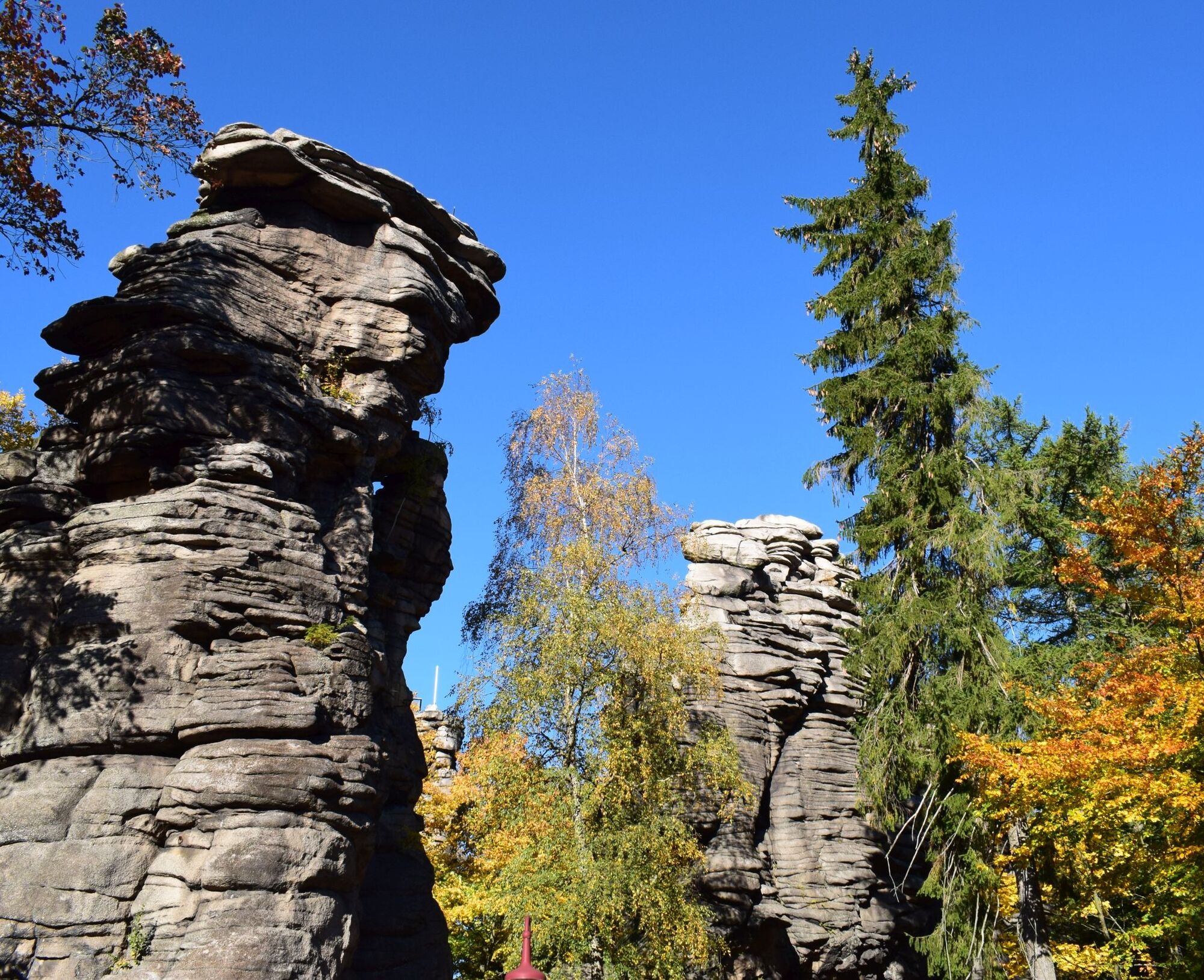
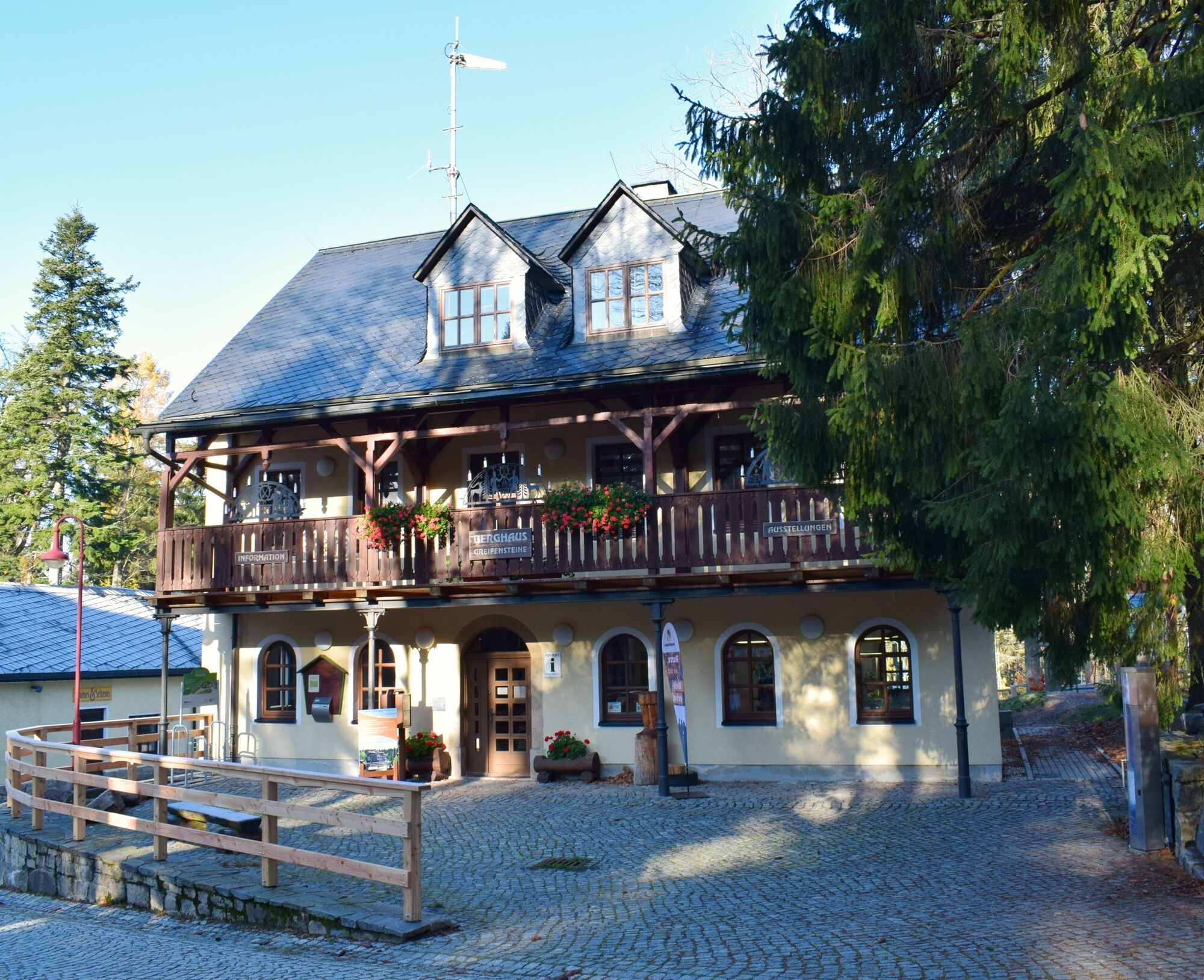
The medieval hilltop castle was the center of power and served to protect the medieval trade and pass road from Leipzig over the Erzgebirge ridge to Prague. After a quick descent, you reach the village of Lauterbach, which is famous for the herbal schnapps of the same name with its distinctive green color. The route leads uphill through the Heidelbach valley towards Ehrenfriedersdorf and finally to the checkpoint on the Greifensteinen. Enjoy the breathtaking panoramic view! You can reach the highest of the seven granite rocks via a lattice staircase that takes you up to 731 meters.


Priljubljeni izleti v okolici
-
4.5
Rocky idyll and ridge view (Wolkenstein)
srednjaPohodništvo 15.2 km -
4.5
Alpine hiking trail - town of Wolkenstein/Warmbad (Boundless. Wild romantic nature experiences)
srednjaPohodništvo 10.1 km -
Ehrenfriedersdorf-Waldgeisterweg-Greifensteine
svetlobaPohodništvo 7.33 km -
4.5
TK 9 - Wiesaer Höhenweg
srednjaPohodništvo 9.46 km -
5.0
Discover Adorf and the Eisenweg
srednjaPohodništvo 11.5 km -
4.0
Via Mala
svetlobaPohodništvo 5.36 km -
5.0
Greifensteine und Binge von Geyer
srednjaPohodništvo 15.7 km -
3.5
Historical circular hiking trail - Witzschdorf
srednjaPohodništvo 7.38 km -
5.0
Wiesenbad spa circular hiking trail
Pohodništvo 16.2 km -
Schlettau circular hiking trail "Hofbusch and Stockholz"
svetlobaPohodništvo 12.9 km
Pohodništvo in sledenje


Ne zamudite ponudb in navdiha za naslednje počitnice
Vaš e-poštni naslov je bil dodan na poštni seznam.





